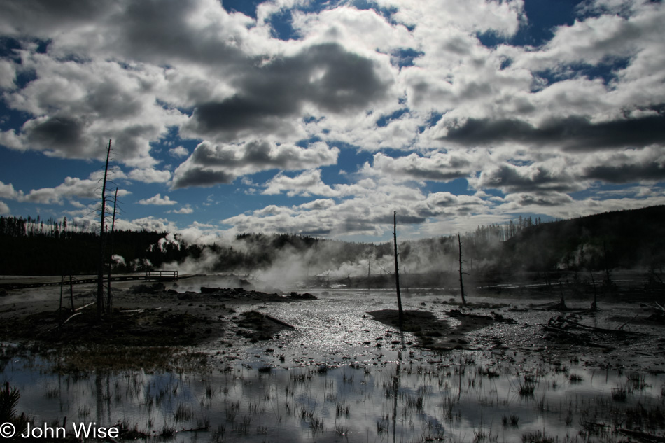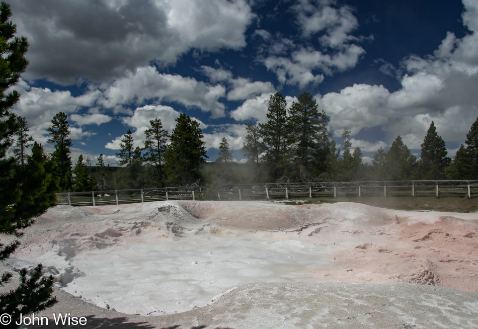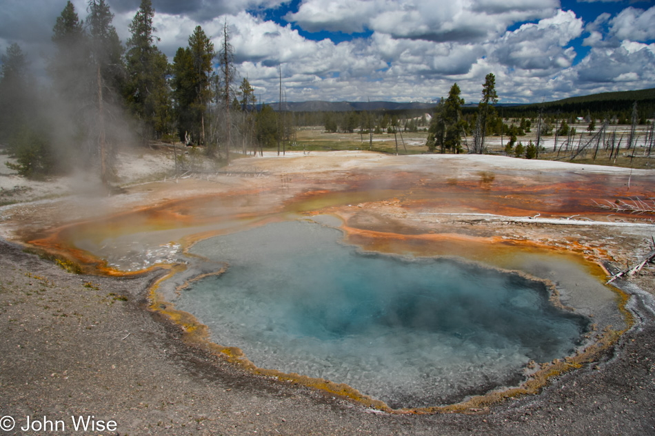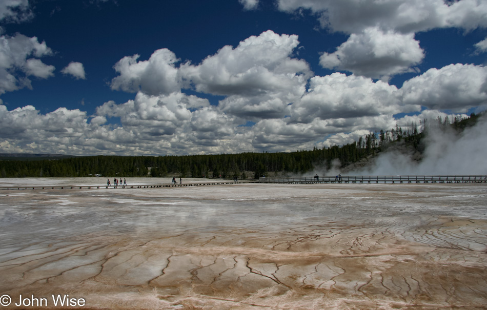
Jutta On The Road – Day 13

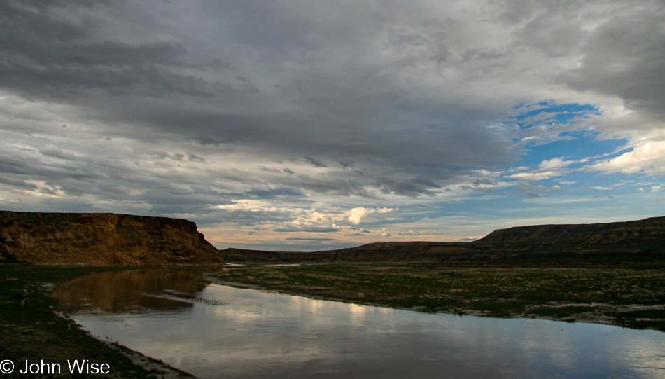
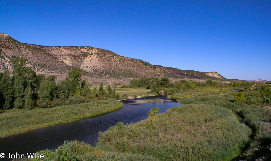
Crossing an arm of the Green River on WY-530 in southern Wyoming

Disclaimer: This blog entry wasn’t written until 17 years after the trip. It should be noted that it was a huge mistake to have not written it way back when. Sometimes, after writing so much about other days, it happens that at the time directly after the trip (or even during), I convince myself that the details are not that important. Years later, these details are that important, and pulling them out of foggy memories is difficult. The photos help and often leave clues, and then Caroline’s memories are usually far clearer than mine. With that said, here goes.

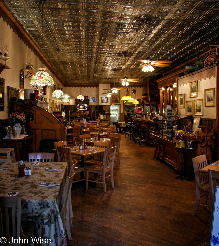
Woke up in Green River, Wyoming, and before getting on the road south, we stopped in for breakfast at Buckaroos Family Restaurant because what sounds more old west than that? Wyoming State Road 530 is a small road, which suits us fine; it was on that when we crossed this arm of the Green River on its way to Flaming Gorge down in Utah.

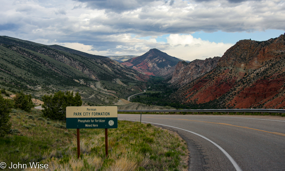
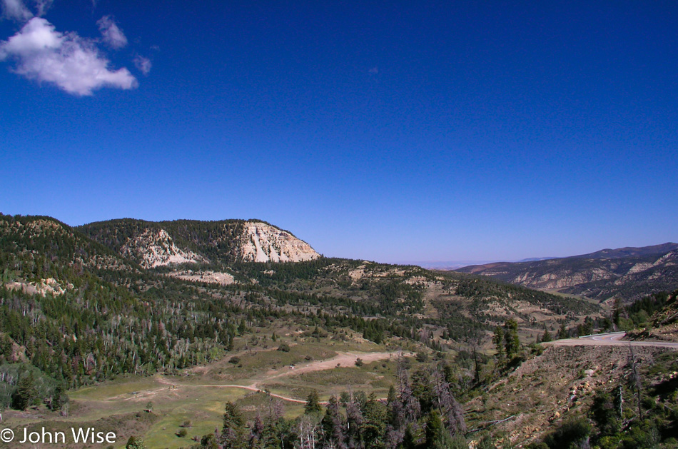
Utah Road 44 Between Manila and Flaming Gorge

Utah State Route 44 is an amazing drive, not only for the incredible beauty it traverses, but there are interpretive signs all over the area telling what kind of deposits were laid down here, during which era in the historic record they came to be, and what you might find int hem such as alligators, dinosaurs, petrified sand dunes, or in the case of the Park City Formation from the Permian, phosphate for fertilizer.

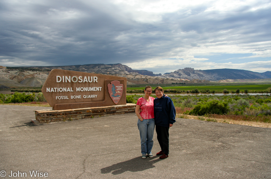
Caroline Wise and Jutta Engelhardt at Dinosaur National Monument in Jensen, Utah

Funny that across the border in Colorado is the town of Dinosaur, but here in Jensen, Utah, the Dinosaur National Monument is found.

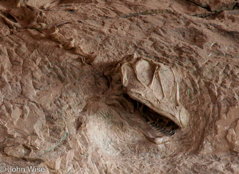
Dinosaur National Monument in Jensen, Utah

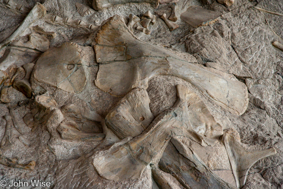
This skull pokes out of the petrified mud on the upturned river bed along with hundreds of other fossils frozen where they fell millions of years ago or within the past 6,000 years, depending upon your particular belief system.

Dinosaur National Monument in Jensen, Utah

So there they were, God and a bunch of his (her?) assistants (?). It was the third day of creation, and dry land and plants had just been created. Already, I’ve got serious issues here as those plants need a sun for photosynthesis, but that arrives only the next day, and what about the water? Water shows up on day 5. But let’s go back to day 3. This is devious because with the dry land already in place, God knew that in the future, day 6 for him specifically, he was going to create land animals and people, which means in the making of all this rock, he planted hints in the shape of giant extinct lifeforms, knowing we’d be baffled by the mystery. I suppose I can go with the idea that he knew that the people he was creating were not going to be as dumb as a river bed of rocks, but come on, look around you. We are that box of rocks.

Dinosaur National Monument in Jensen, Utah

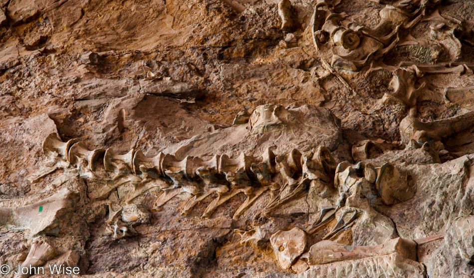
Come on now, those of deep faith, just go ahead and admit that the spine that was destined for you got lost in the mud of creation, turned to stone, and now your ability to consider reality is as petrified as these old dinosaurs right here.

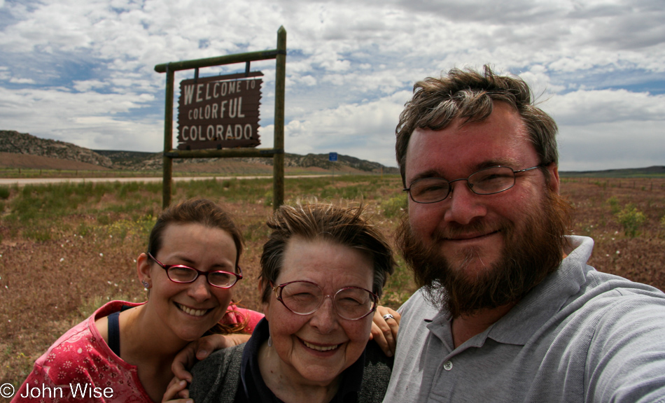
Caroline Wise, Jutta Engelhardt, and John Wise at the Colorado Stateline

Well, that was probably enough of me blaspheming his holiness’ mythologies and so we should just get on down the road and into Colorado, the colorful (and windy) place.

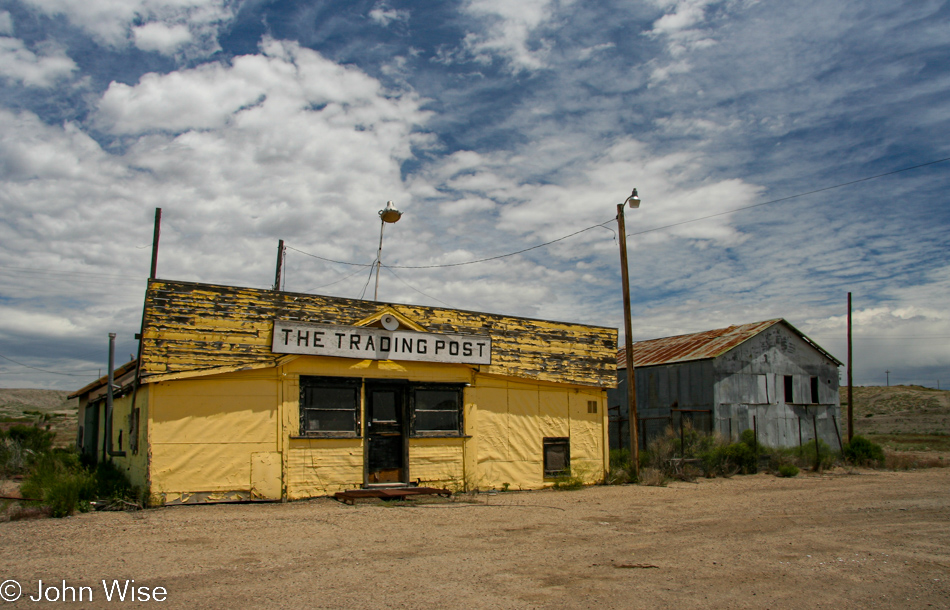
Old trading post likely near Rangely, Colorado

Ah, here’s something else I can stir the pot about. Remember Native Americans? Yeah, not many do because our ancestors were close to being fully effective in making relics like those found encased in stone, such as the dinosaurs. Do you know why that is? Because we are white gods cleansing the world of pesky things we don’t need, such as clean air, water, food security, a roof over poor people’s heads, and compassion. I’m not saying all of us whites are bad, just the bad ones, and you all know who you are. Sweet Jesus, our Lord in Heaven, says the atheist to nobody reading this; what’s the big axe yer grinding here? Oh, you think vacation is all about double cheeseburgers and sunshine? Luckily, we can still pass reminders of the people who lived on these lands for THOUSANDS of years before George, Helmut, and Lorenzo dropped in to kill everything that moved.

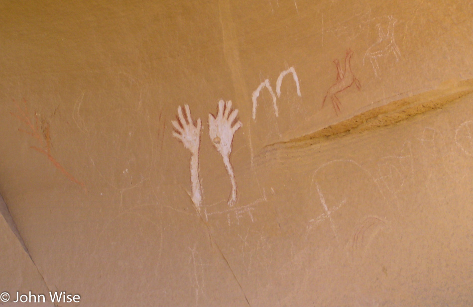
Pictograph at Canyon Pintado off Highway 139 south of Rangely, Colorado

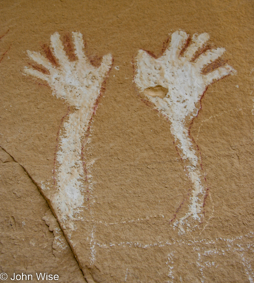
Pictographs at Canyon Pintado are the only other reminders left in all of Colorful Colorado that Native Americans once lived in the area. Take notice of the red outline of the arms and hands, somebody (defaced) painted it all white in an effort to erase the reference to the Indian that first made it.

Pictograph at Canyon Pintado off Highway 139 south of Rangely, Colorado

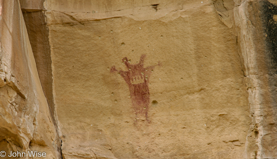
Oh, it seems I was mistaken, and the evil oppressors missed something; no worries, I destroyed it right after I took this photo. Seriously, this is wall tongue-in-cheek, but I do have a real beef in that I don’t think America has begun to reconcile its sordid past of hate-based politics of exclusion. As for the God stuff above my incendiary Native American blatherings, that nonsense is just beyond the pale and needs to be retired.

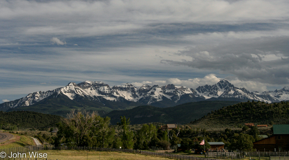
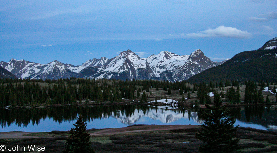
Grand Mesa Byway in Colorado

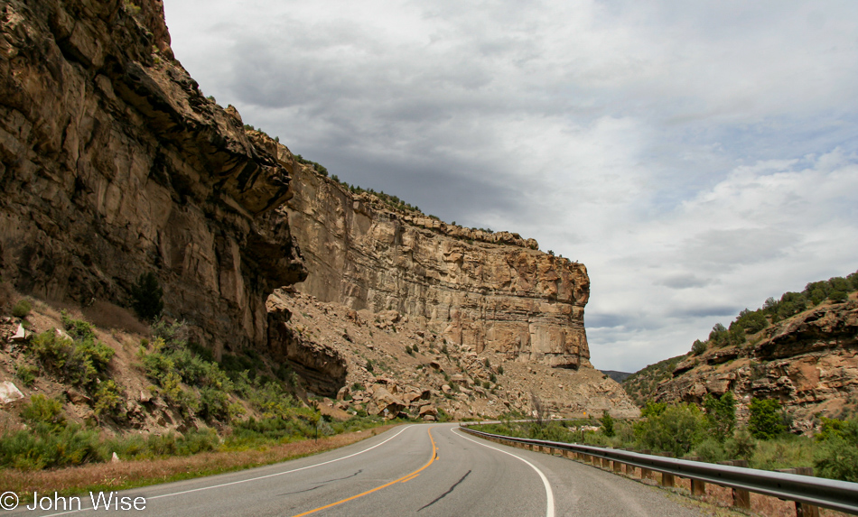
Grand Mesa Byway is a terrific byway as far as byways go. The road travels to places that, if you’ve never been on this byway, will be unseen by you until you travel out this way. And when you get to the destinations the Grand Mesa Byway will bring you to, you’ll know that you’ve been there because that’s what byways do.

Grand Mesa Byway in Colorado

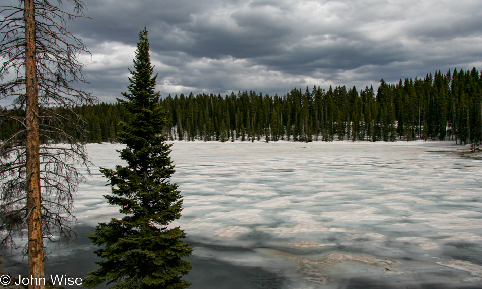
Uh, we did not; I repeat, we specifically did NOT order snow for this trip. A frozen lake in June? Give me a break; it’s summer, right?

Grand Mesa Byway in Colorado

Sure, I know there’s snow out there, but that’s just decorative, so I can attempt to take dramatic photos.

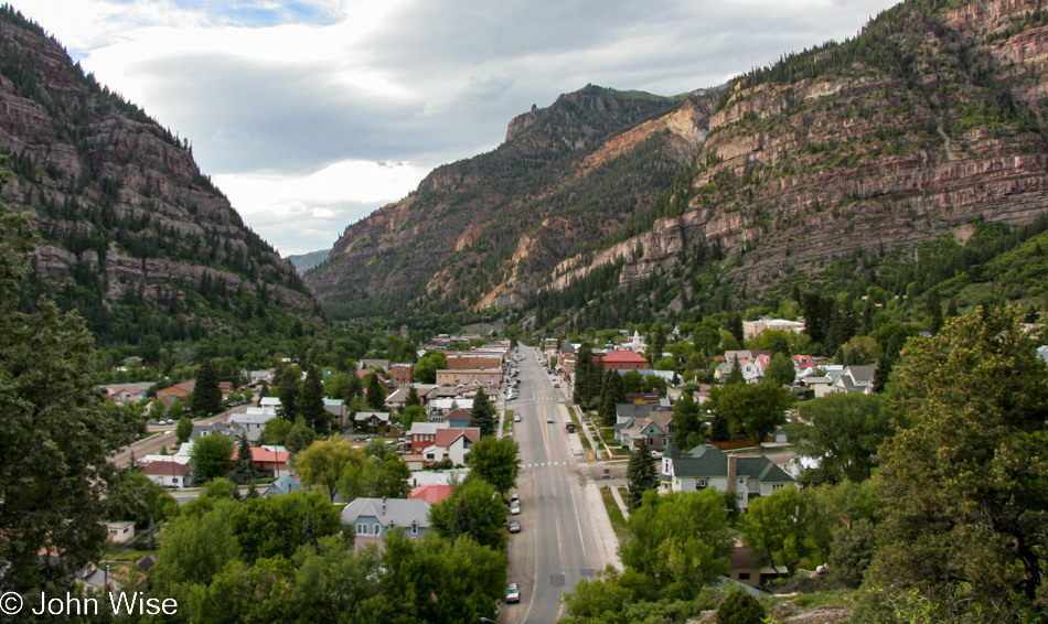
Ouray, Colorado

Ouray back when it was just a small mountain town still unclaimed by the wealthy horde that was about to take it over.

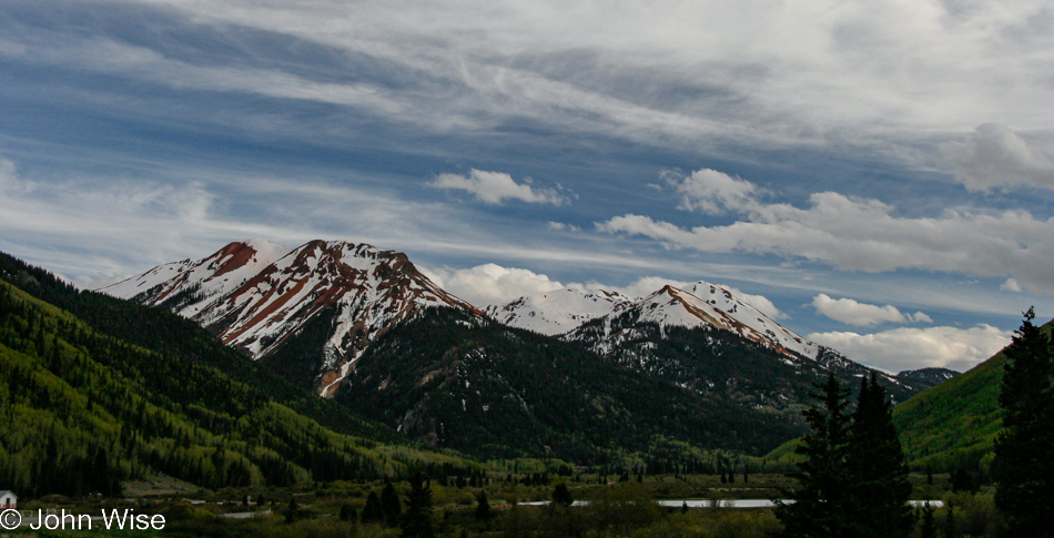
On the Million Dollar Highway in Colorado

The Million Dollar Highway was cut out of Billion Dollar Views.

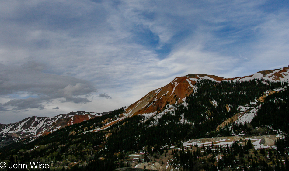
On the Million Dollar Highway in Colorado

Why there is Twenty Dollar Weather hanging out over perfection is an unknown, kind of like how God creates light on the first day, but the sun doesn’t show up until day 4. I’m living in some kind of Catholic Parallel Universe trying to make sense of what’s inspiring me to write so much nonsense when I’m obviously not writing a bible.

Brown Bear Cafe in Silverton, Colorado

Brown Bear Cafe in Silverton was our temporary heaven as they had hot food. There were no angels, but they did have dessert.

On the Million Dollar Highway in Colorado

We are quickly running out of light, and me out of ideas about what else I can write here to finish fleshing out this blog post that would probably have been a whole lot better had I written it 17 years ago as the events of the day were unfolding. Well, at least the photos are now here.

Jutta On The Road – Day 12

Yellowstone National Park Wyoming

Disclaimer: This blog entry wasn’t written until 17 years after the trip. It should be noted that it was a huge mistake to have not written it way back when. Sometimes, after writing so much about other days, it happens that at the time directly after the trip (or even during), I convince myself that the details are not that important. Years later, these details are that important, and pulling them out of foggy memories is difficult. The photos help and often leave clues, and then Caroline’s memories are usually far clearer than mine. With that said, here goes.

Again, at the break of day, we are on our way into another Yellowstone adventure of exploration. I can say this with confidence all these years later because every time we’ve been in this park, it’s left indelible impressions on us regarding our time here. It’s probably a cliche to put it this way, but I don’t think we are as much into Yellowstone as Yellowstone gets into us.

Yellowstone National Park Wyoming

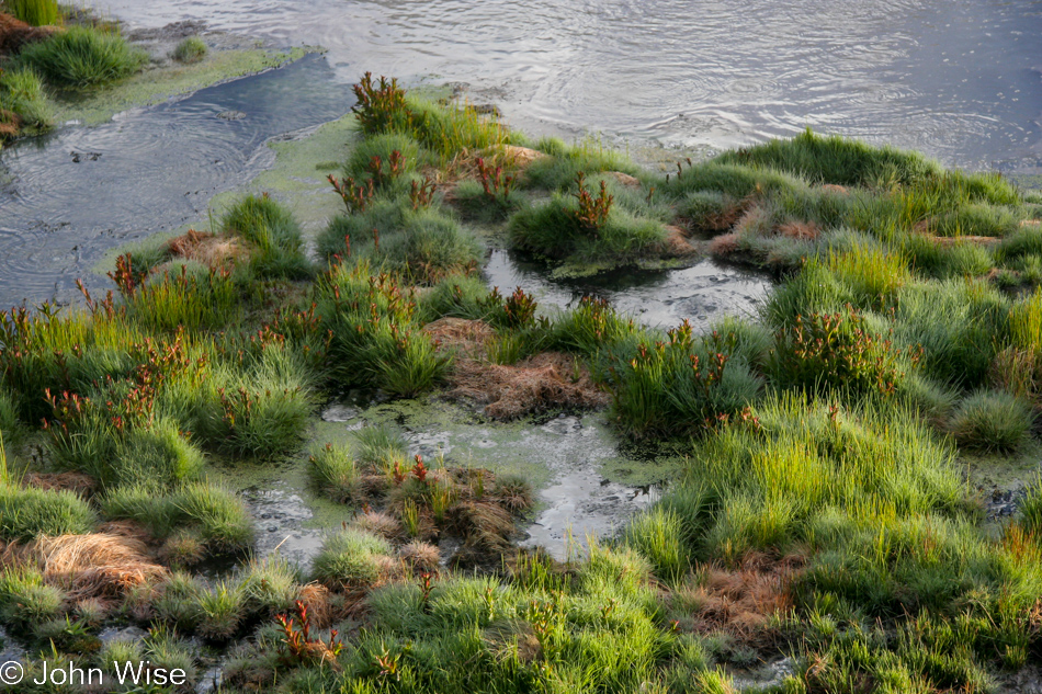
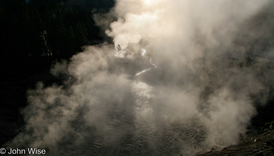
If it looks like boiling water, you’d be a fool to put your hand in to test the observation, so I’m just going to assume that these grasses and plants have learned to live on the edge of a hostile environment, though I can also accept that what I think is boiling is just escaping gas floating to the surface of this pool.

Yellowstone National Park Wyoming

There are plenty of obvious sights here in the park that easily suggest a great photo might be had, but to try and see what, while common, may not have been seen frequently is a challenge.

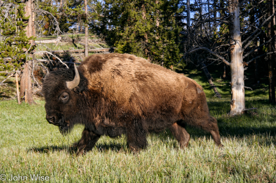
Bison in Yellowstone National Park Wyoming

And then there’s that moment when no matter how often you’ve seen a bison, a deer, or an elk, you just have to take one more photo out of fear that you won’t have seen any other wildlife during your visit so you use it to prove your visit included animals because what would a Yellowstone adventure be without the beasties?

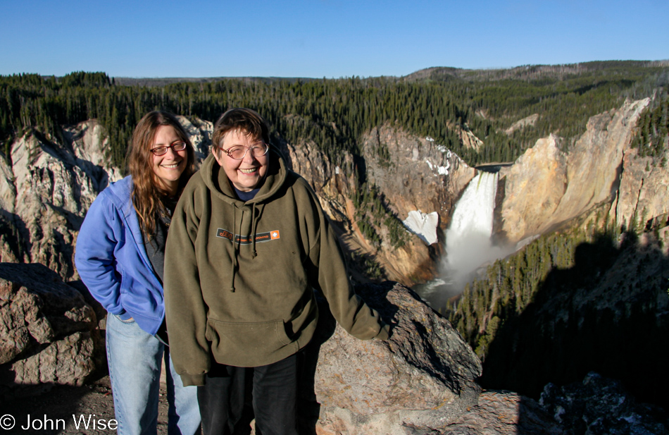
Don’t forget the iconic photos either, preferably not one with your mother-in-law being gored by a giant sharp-horned hairy bison the park service constantly reminds people to stay clear of, but more like this one where mother and daughter pose for a photo together in front of the Upper Falls of the Yellowstone.

Yellowstone National Park Wyoming

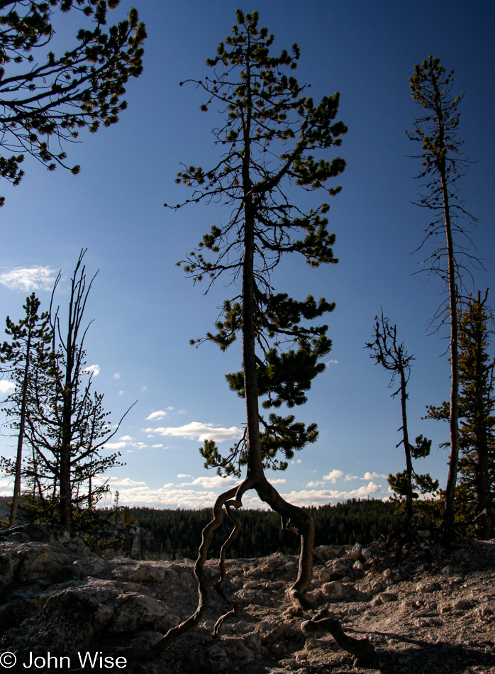
I’d really love to know how this tree came to lose whatever earth might have been below it prior to its roots having to act as legs.

Yellowstone National Park Wyoming

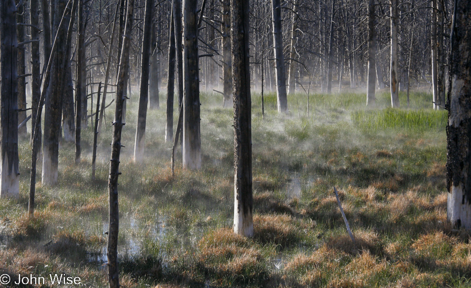
Okay, so the trees have been standing in this shallow, apparently hot, highly mineralized water long enough to give the trees the appearance of wearing white ankle socks, but then why isn’t the grass white? While I can answer with a bit of quick logic that the grass grows and dies off so quickly it doesn’t have time to absorb the same chemicals the trees do, what I cannot figure out or learn from the mind of the internet is how this grass is growing in such a hostile environment in the first place.

Yellowstone National Park Wyoming

Godzilla, is that you? Oh, it’s just my mother-in-law leaving the bathroom; just kidding, I love hanging out with Jutta, seriously.

Yellowstone National Park Wyoming

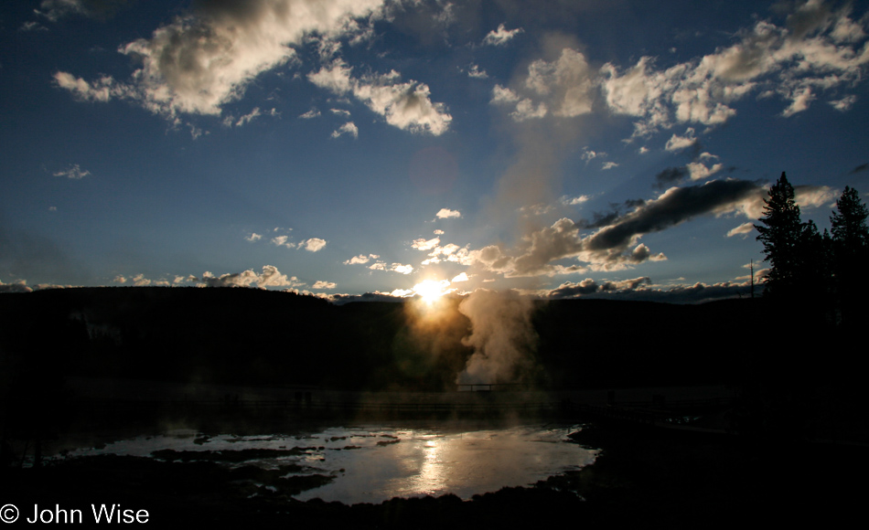
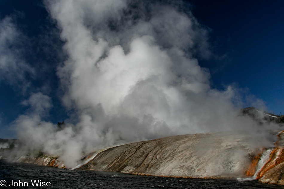
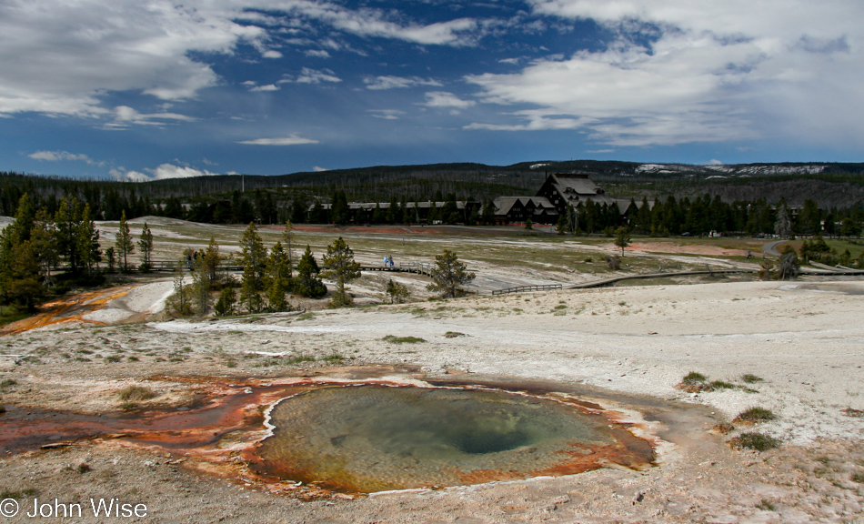
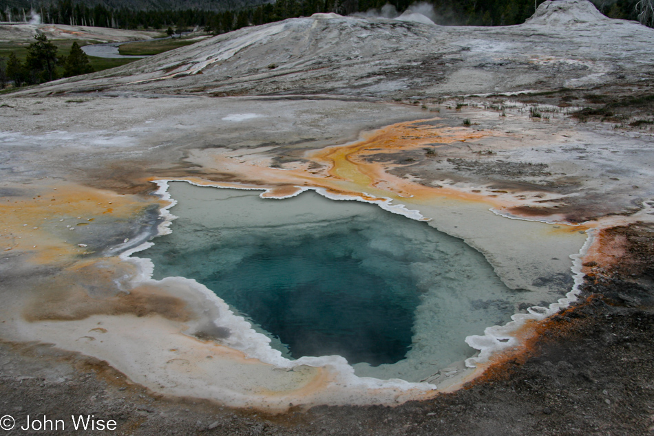
Not Old Faithful.

Yellowstone National Park Wyoming

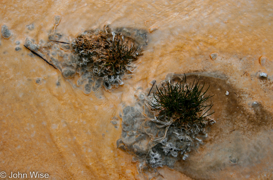
Orange bacterial mat with mineral islands sporting forests for microscopic life I cannot see, this is why I come to Yellowstone.

Yellowstone National Park Wyoming

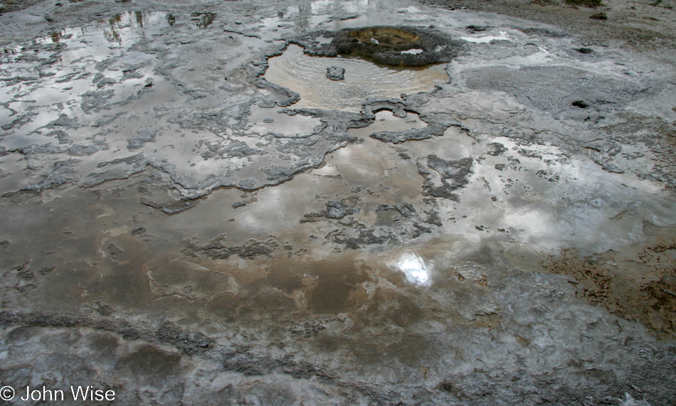
Reflections that blur the point between sky and earth are another good reason to be here.

Yellowstone National Park Wyoming

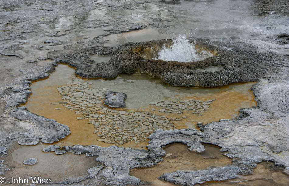
Humans throw coins in fountains to have their wishes come true. While I can’t be certain, I think the marmots sneak out here when nobody is looking and throw marmot coins into this pool, hoping their wishes might also come true. If you think those are mostly just stones of the same size, you’d be wrong. I verified them as currency, and that’s that.

Yellowstone National Park Wyoming

There, did you see that? The Eye of Yellowstone winked at us in the reassurance that it was okay for us to leave as we’d be coming back again. With that, we pointed the car south and moved on.

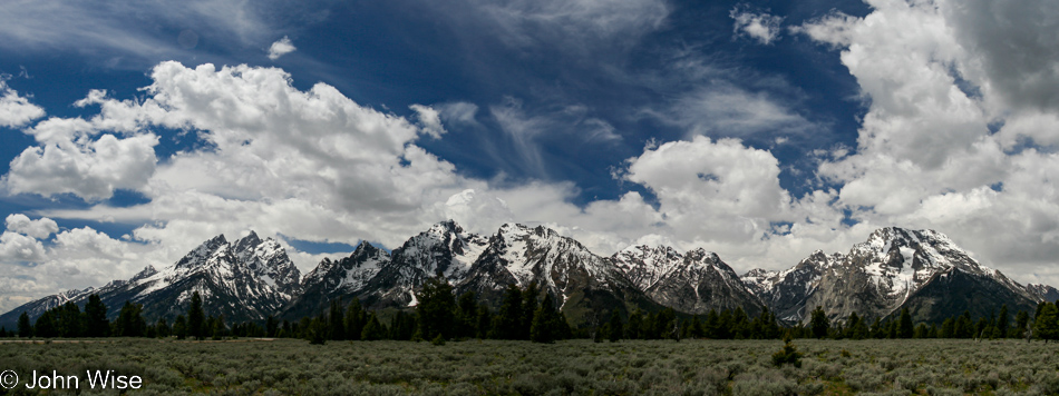
Grand Teton National Park in Wyoming

I’d like to offer my apologies for including this photo at such a low resolution, but there were so many mountains in this shot of the Grand Teton range. I couldn’t even take this one photo and had to take countless images that were assembled as the panorama you are seeing. To have included a high-resolution version would have meant I would have had to upload one, and then anyone could have just stolen this masterpiece, claimed it as their own, and grown rich.

Grand Teton National Park in Wyoming

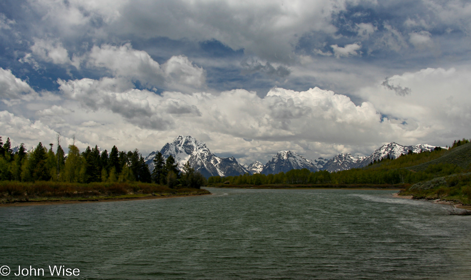
This looks awfully familiar, and that would be because every trip we make to the Tetons requires us to stop right here at this oxbow bend in the Snake River, which is also the same area we saw our first ever moose back in the year 2000.

Grand Teton National Park in Wyoming

More Tetons because everyone loves the Grand Teton.

Grand Teton National Park in Wyoming

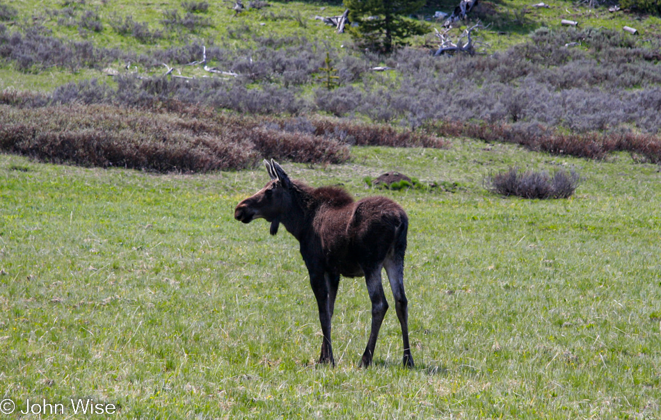
Not a wolf.

We are on Highway 26 going southeast after leaving the national park via Moran Junction instead of traveling through Jackson Hole.

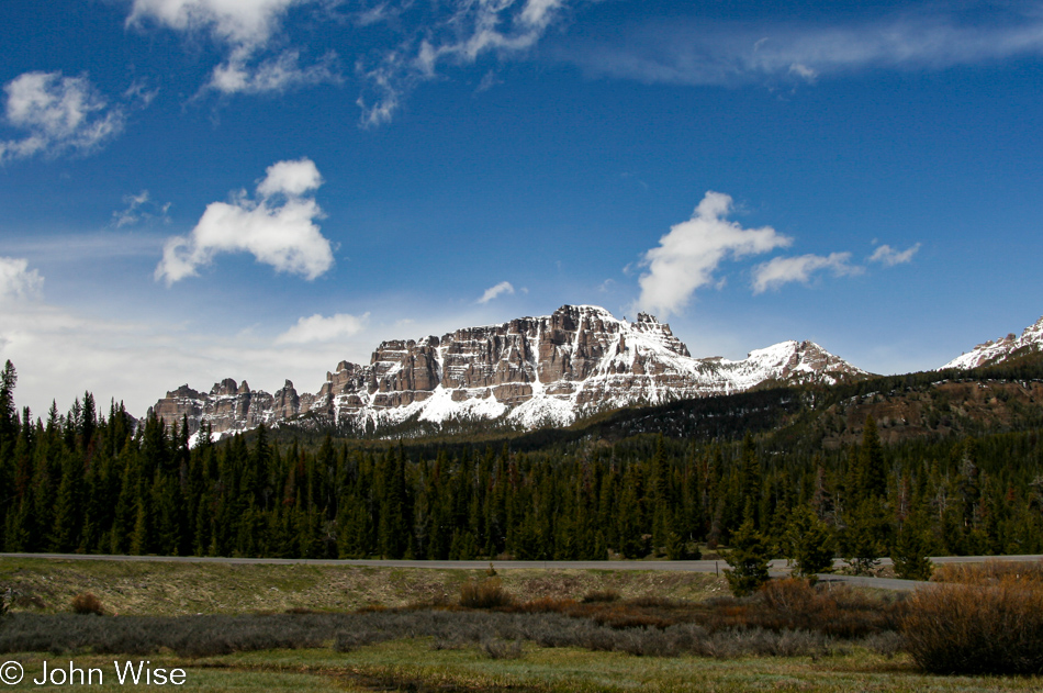
It might not be that great town of Jackson that everybody adores, but it sure is beautiful out here, too; plus, it’s taking us into part of Wyoming we are unfamiliar with.

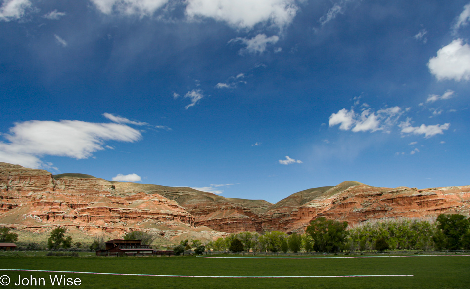
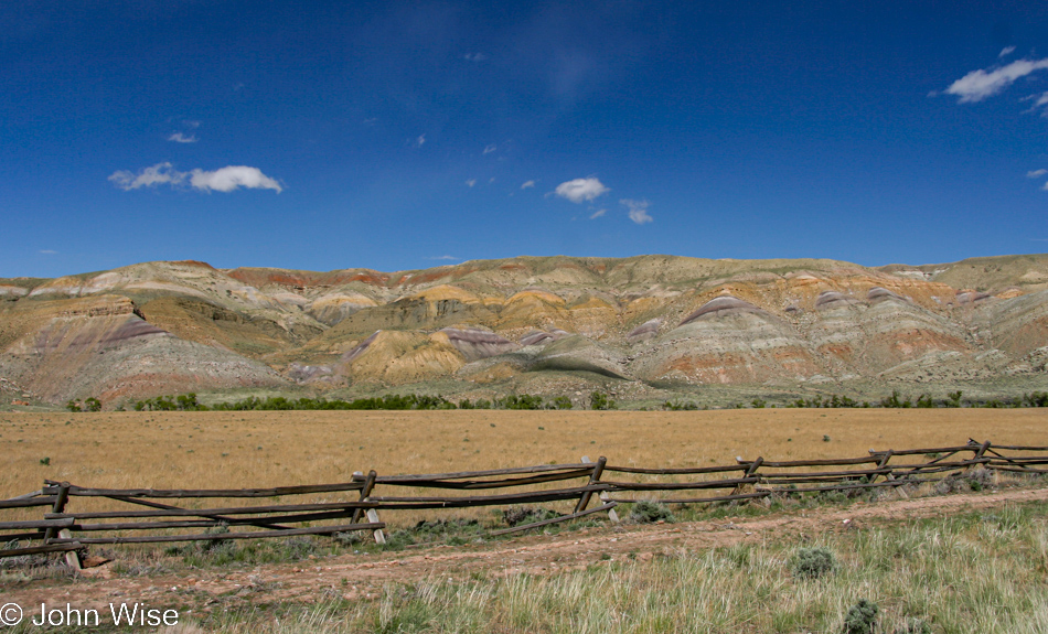
Going along enjoying the rainbow of earth.

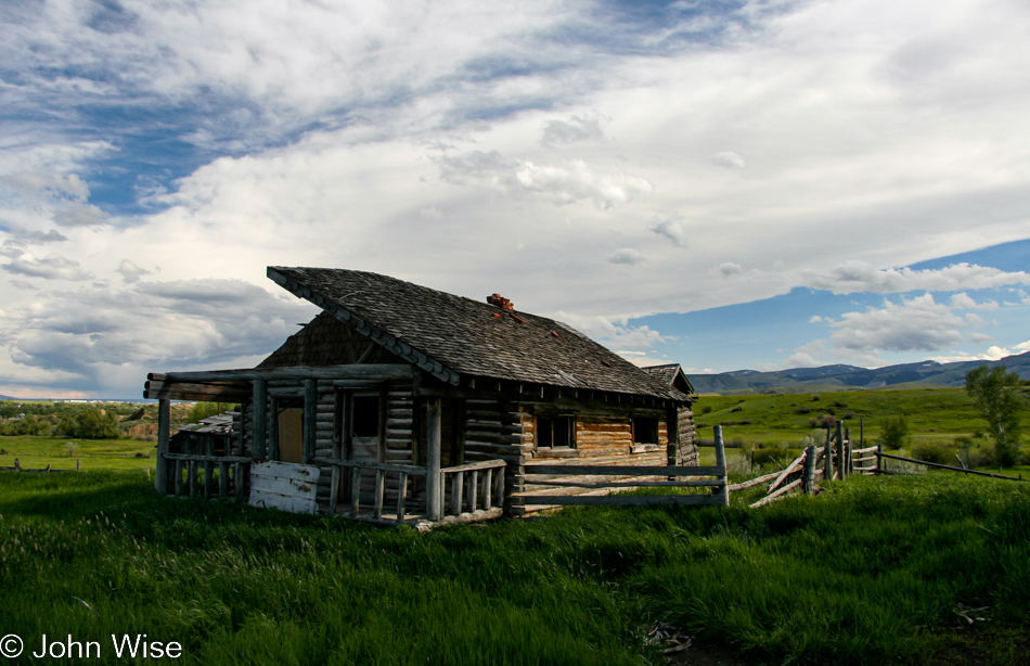
Every trip should include three or four obligatory stops at incredibly photogenic abandoned businesses and homes.

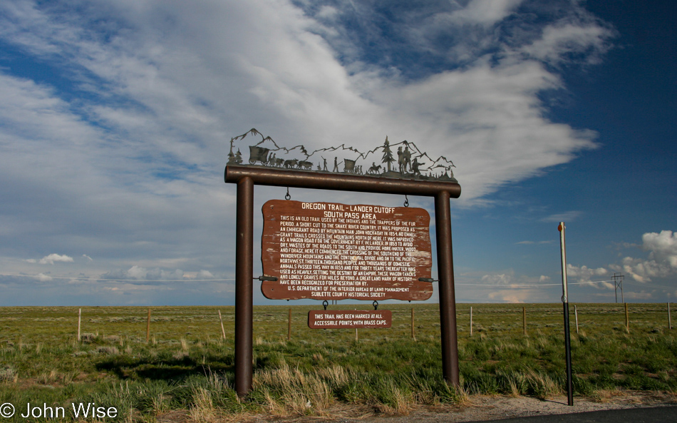
We’ve turned west on Highway 28, traveling along the Oregon Trail for a bit before cutting south again.

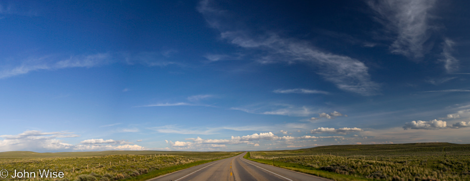
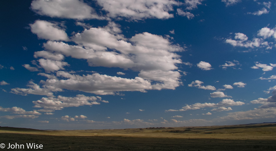
The Great Plains in Southern Wyoming.

Jutta On The Road – Day 11

Yellowstone National Park, Wyoming

Disclaimer: This blog entry wasn’t written until 17 years after the trip. It should be noted that it was a huge mistake to have not written it way back when. Sometimes, after writing so much about other days, it happens that at the time directly after the trip (or even during), I convince myself that the details are not that important. Years later, these details are that important, and pulling them out of foggy memories is difficult. The photos help and often leave clues, and then Caroline’s memories are usually far clearer than mine. With that said, here goes.

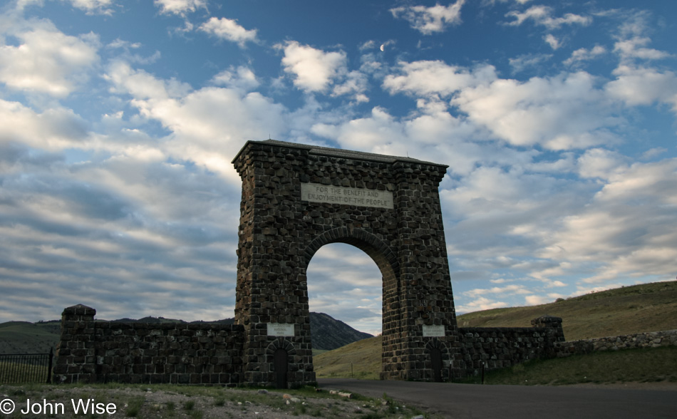
The Roosevelt Gate, which could also be known as the “Gate to Heaven,” stands at the north entry to Yellowstone National Park. While the rest of the trip might have been taken at a fast pace, we have two nights in the area in order to get a good dose of the place.

Yellowstone National Park, Wyoming

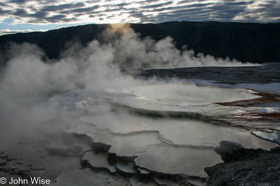
On the terraces of Mammoth Hot Springs for sunrise, such a wonderful place to catch the sun’s arrival.

Yellowstone National Park, Wyoming

We learned long ago that one of the treats of Jutta visiting us in the United States is to be found on the occasions when we can bring her back to a place she never thought she’d get to visit even once in a lifetime, such as what we’ve done taking her to the Grand Canyon time and again.

Yellowstone National Park, Wyoming

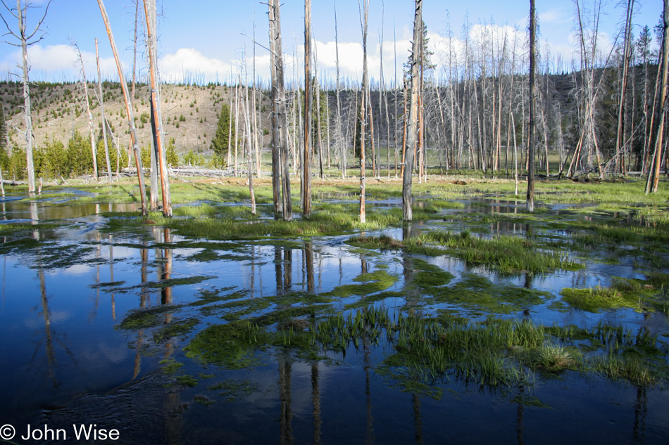
Then there’s our own curiosity following our first encounter with Yellowstone back in early 2000 when we saw the remnants of the destructive force of the big Yellowstone fire of 1988 that burned for approximately five months. Each time we return to this place, we are scouring our own memories, looking for signs of change and regrowth.

Yellowstone National Park, Wyoming

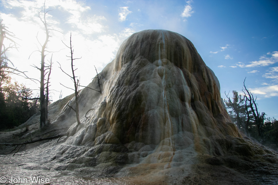
This might not be the conventional or popular view associated with Yellowstone, but I find that unfortunate as the diversity of landscapes on offer is incredible. One can only wish to be on hand for a couple of more years to see the evolution of changes due to the seasons, water levels, cloud cover, lighting, and the rest of the environmental factors that impact the view.

Yellowstone National Park, Wyoming

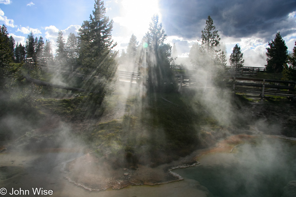
If you were to ask Caroline or me, you’d learn that we’ve never met a boiling cauldron of gaseous mud that we didn’t love, not that one gets to encounter such things on a regular basis.

Yellowstone National Park, Wyoming

Behold an evolved skin-removing device capable of snuffing out the life of those who tempt the gods of crusty edges found at the hot springs of Yellowstone.

Yellowstone National Park, Wyoming

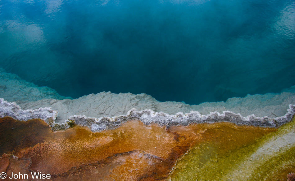
Almost worse than someone dying in a hot spring is the damage done to the surfaces around the springs, where visitors have to witness that idiots preceded their own visit. For those who somehow don’t know, this is the Grand Prismatic Geyser.

Yellowstone National Park, Wyoming

Sure, a bison, elk, or bear might walk across this, but they live wild; we live with intention and are often capable of following rules. Heck, just to visit Yellowstone, a person most obviously has been able to maintain a job somewhere otherwise, how’d they afford to get themselves to this remote corner of America? To the best of our ability, these places shouldn’t be trampled underfoot by hordes of people neglecting their responsibility to help preserve such treasures for those who follow. And of the bear that walks across this? There will never be thousands of them per day.

Jutta Engelhardt and Caroline Wise at Yellowstone National Park, Wyoming

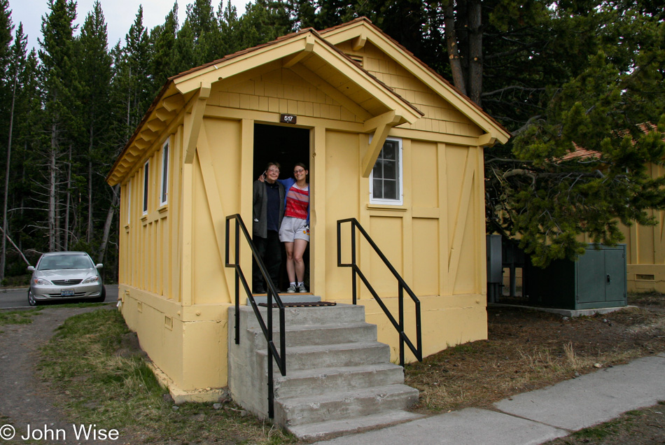
We are staying at Lake Yellowstone Hotel and Cabins, obviously in a cabin.

Yellowstone National Park, Wyoming

Once we were checked in, the next obvious stop would be Yellowstone Lake.

Yellowstone National Park, Wyoming

Followed by that favorite area called West Thumb.

Yellowstone National Park, Wyoming

This being our 5th visit to Yellowstone, there’s a certain calm allowed in chasing around to see it all; we can just go slow and take in the detail at a pace I’m certain my mother-in-law is a lot more comfortable with, too.

Yellowstone National Park, Wyoming

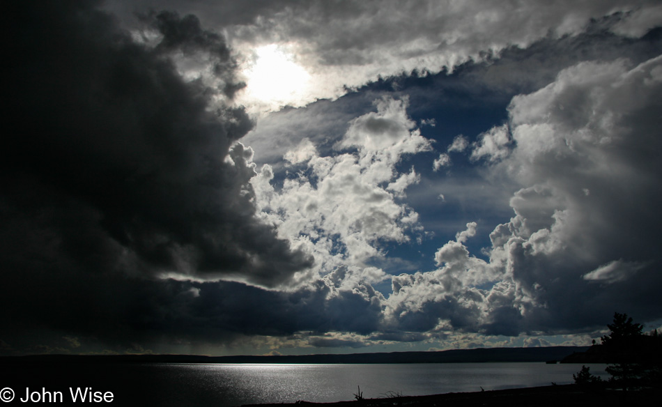
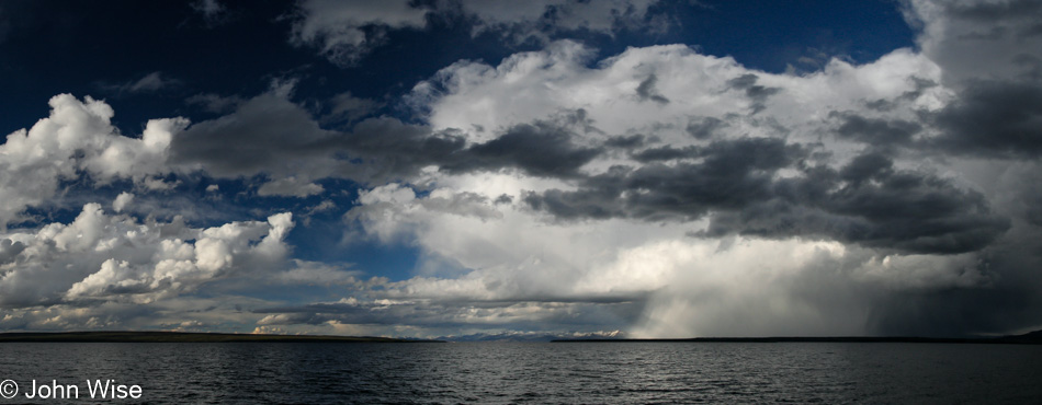
I’ll never tire of the phenomenon when the environment is so big that we can see a storm off in the distance and dream of its ferocity and just go on with our sightseeing like the bad weather is a million miles away until it’s not.

Labor Day 2004 – Day 4

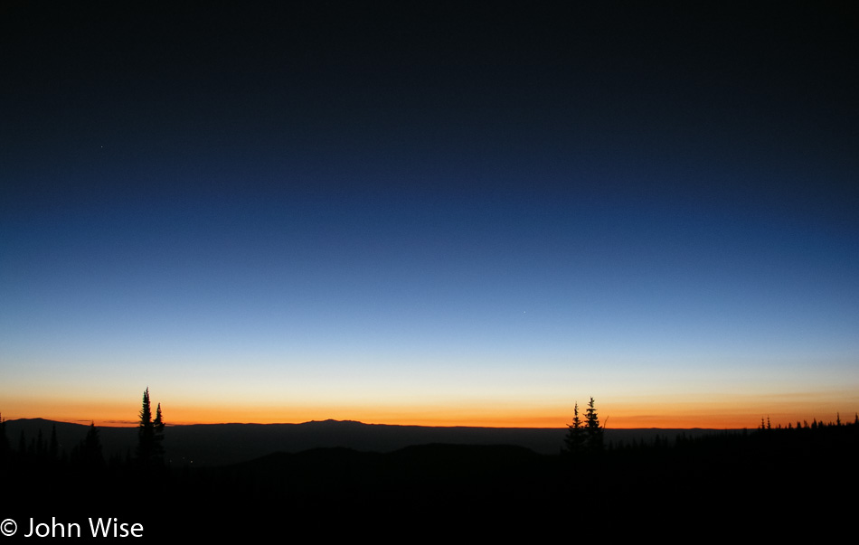
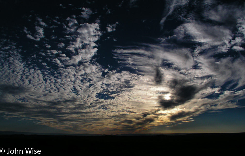
We had 802 miles to travel before getting home around 9:00 p.m., so we were on the road by 5:30, well before the sun made an appearance.

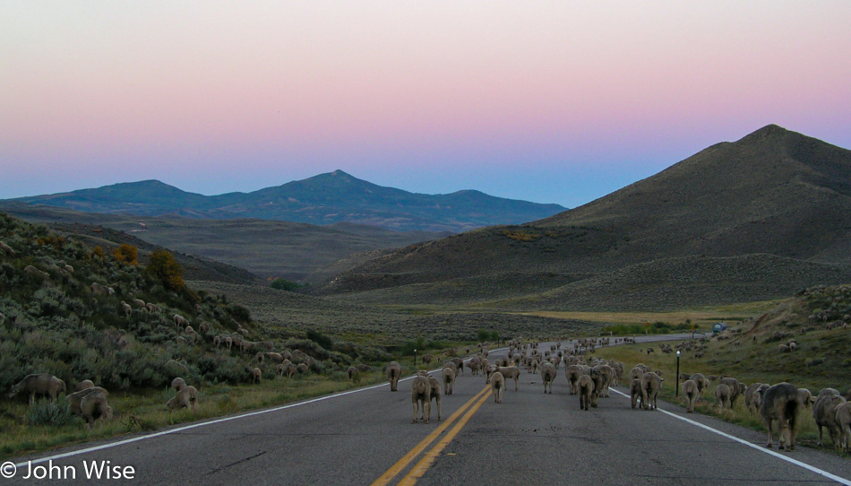
An hour later, we were yet to see the sunrise, but this was even better, a large flock of sheep ambling down the road. This is the kind of traffic jam we can enjoy.

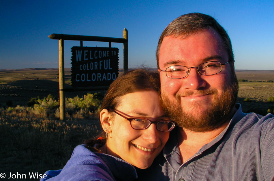
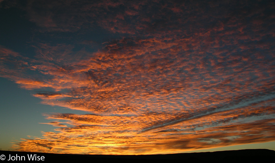
Out of Baggs, Wyoming, and into Colorado on State Road 13. Yay, the sun has returned.

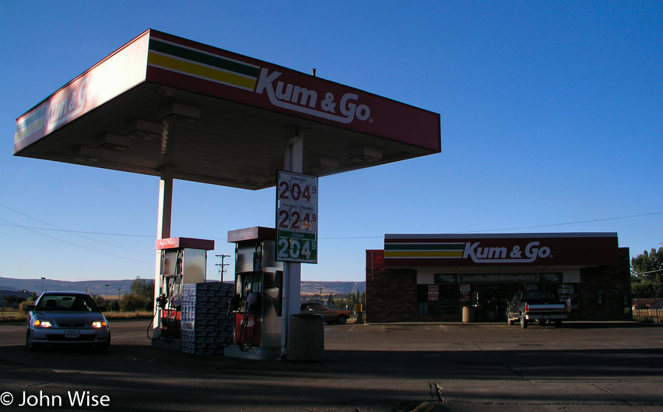
I will never accept the name of this chain of gas stations outside my reading of it as a 15-year-old, juvenile, dirty-minded idiot.

From Craig, Colorado, where we came and went, we continued south a while to Meeker, picking up State Road 64 west towards Rangely, Colorado.

Oh, do we really have time for these kinds of detours? Yeah, but what if we never pass through this area again? Will we regret not having stopped at the Waving Hands site? Okay, but just this one time.

From Rangely, we were driving straight south on the 138 until reaching Loma, where caught the dreaded Interstate 70 over to Cisco, Utah. Making tracks now.

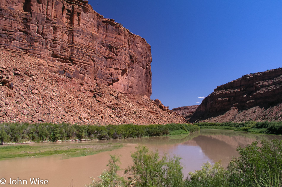
The Desert Southwest comes back into view, approaching Dewey, Utah, on the 128 with a great drive along the Colorado River.

Near the junction where Moab, Utah, connects the Colorado River to Arches and Canyonlands National Parks. No time to fool around as it’s getting close to 2:00 p.m., except we are hungry and need to stretch our legs, so why not head over to Eddie McStiff’s for some hot lunch? Great, they are closed for Labor Day, so we went to the Mondo Cafe even though they don’t feature Eddie’s signature miso dressing.

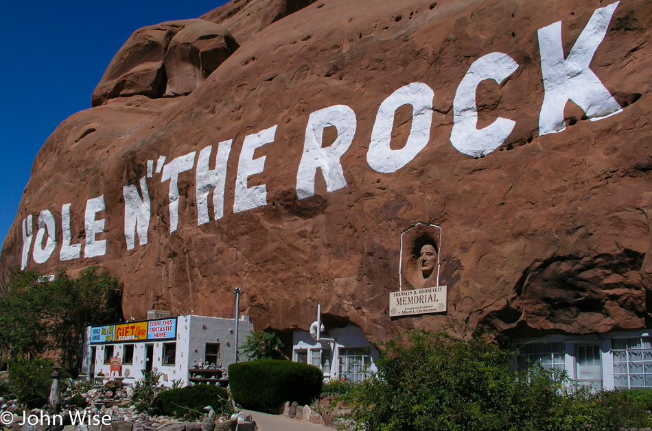
Hole N” The Rock south of Moab is a place we’ve wanted to visit, but we never had time, so why not stop on this day when we only have 800 miles to cover?

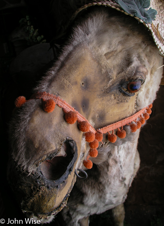
Albert Christensen, who built this hole-in-the-rock abode, had a beloved donkey named Harry. While Albert and his wife are gone, Harry, the Donkey is still present in their living room as a stuffed sight to behold. It seems that Mr. Christensen was an amateur taxidermist who should have considered taking his skills to Hollywood to work in special effects for horror films.

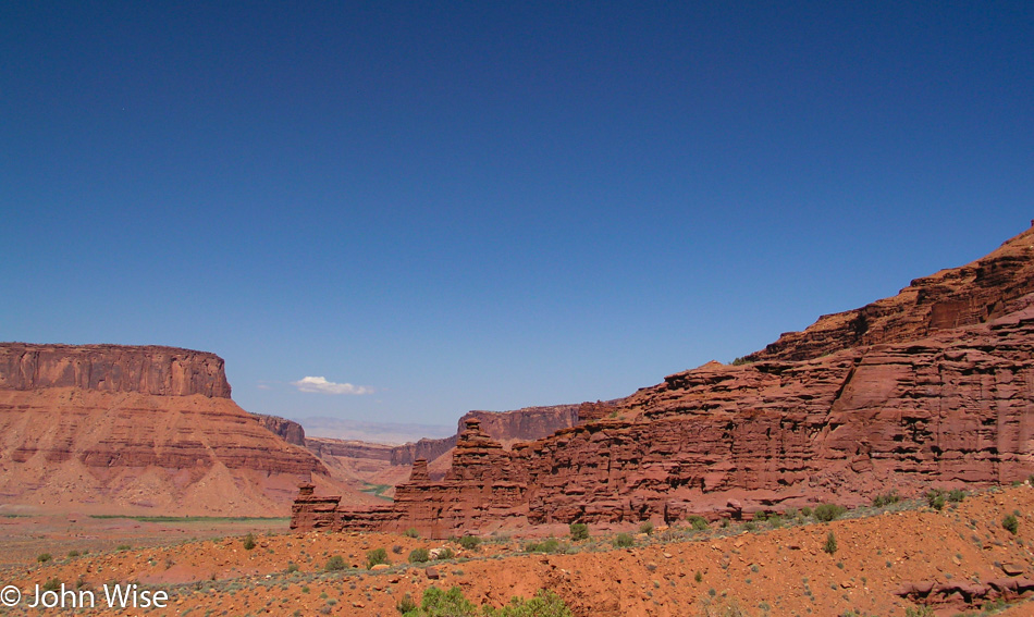
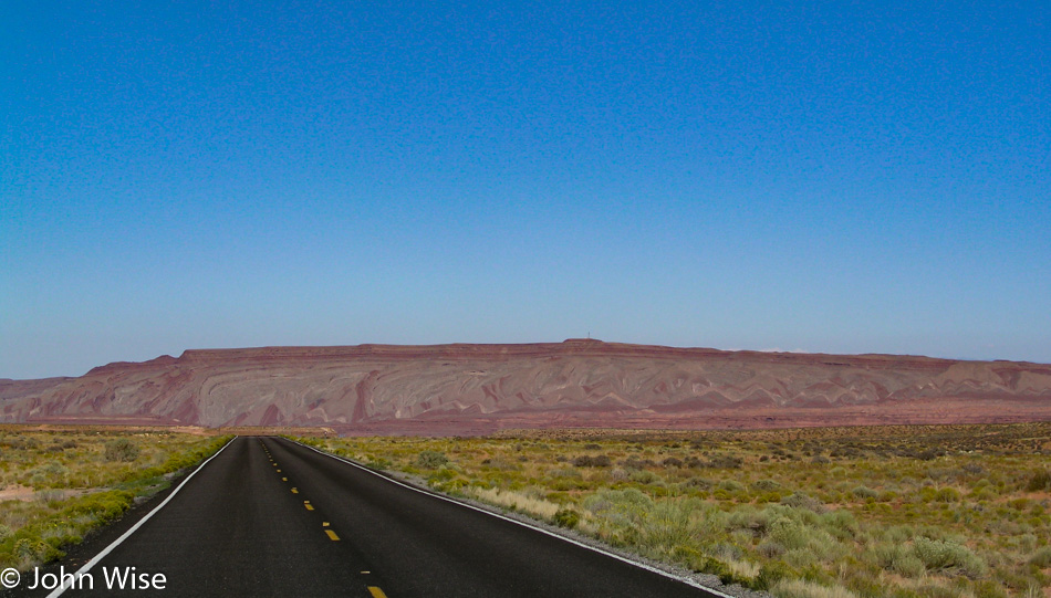
We are near Mexican Hat, Utah, on our way toward Monument Valley. Those layers out there are one of Caroline’s all-time favorite roadside views.

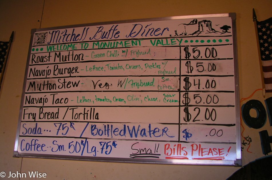
There are things more important than showing you one more photo of Monument Valley that we’ve all seen before, but this menu at the Mitchell Butte Dinner on the road leading into Monument Valley will prove to be a real rarity. For Caroline and I, one of the treats of driving up this stretch of road was the vendors hawking Navajo arts and food items, but some years after this visit, in trying to modernize people’s experience here, the vendors were pushed out and their shacks removed.

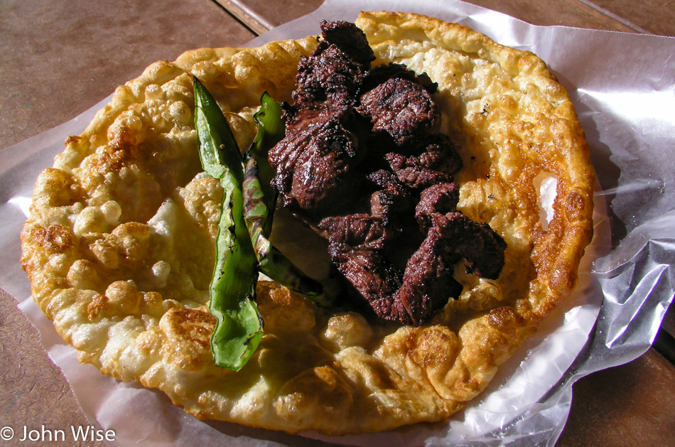
In our book of southwest delicacies, the roast mutton and grilled chilies on fry bread is a treat we cannot pass up. Maybe we should have eaten a lighter lunch up in Moab so we could have shared three or four of these nearly burned, tough old muttons that require a commitment to eat. Rarely do we leave without a heavy-duty workout of the jaw muscles.

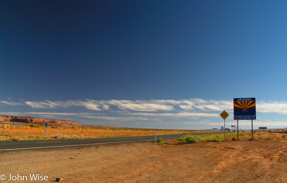
Almost exactly 72 hours after we left on Friday, we are reentering Arizona, having paid visits to New Mexico, Oklahoma, Colorado, Nebraska, South Dakota, Wyoming, and Utah. Almost home.

We are approaching the edge of the Navajo Reservation as we leave Tuba City and turn south towards Flagstaff.

What a glorious sunset to send us off with. Oh, wait, what’s going on up ahead? An hour after we left Flagstaff and just a bit south of Camp Verde, with only 90 miles left out of 2700 driven so far we hit a traffic jam. This is no ordinary jam either, as we are barely moving. Thirty minutes after we first stopped we reset the odometer to better monitor our progress. Time check 8:20 p.m. By 9:10 p.m., we traveled a total of 1.7 miles. 9:50 p.m., and we are 5.1 miles down Highway 17. It’s not until 10:25 p.m., two hours and 7 miles after things came to a crawl that this clears up, and we are finally on our way home in earnest with an hour to go before we arrive.

Labor Day 2004 – Day 3

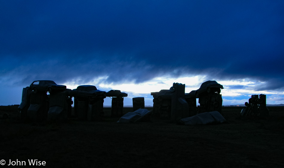
Carhenge at daybreak in Alliance, Nebraska

When it’s not even 6:00 a.m. yet, you visit Carhenge in the dark because it’s not really light out yet. I try to tell myself that being early is allowing me to capture these silhouettes instead of the cars in full daylight, like normal people.

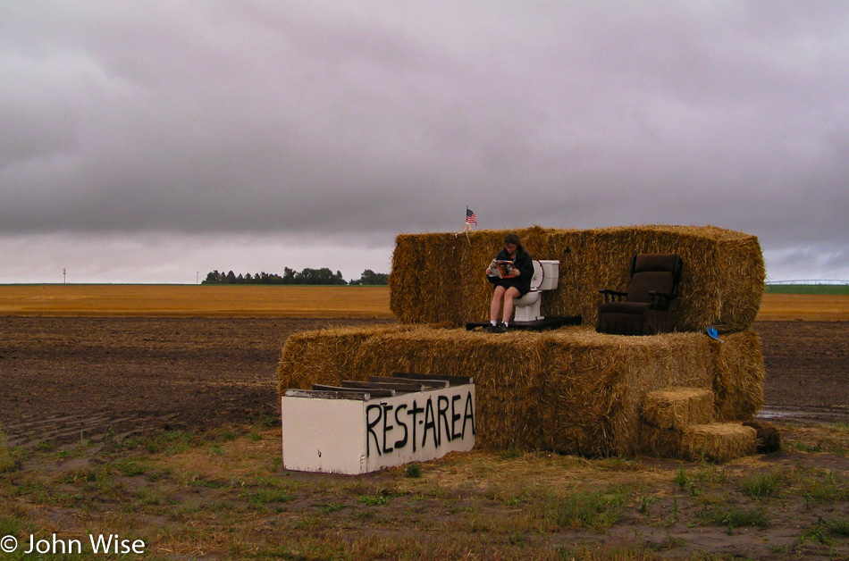
North of Carhenge on Highway 87 in Nebraska

These Nebraskans must be related to the people of Alabama, as who else erects rest areas like this? Well, when you gotta go, you just grab your German news magazine, climb the hay bail, and perch like nobody’s watching.

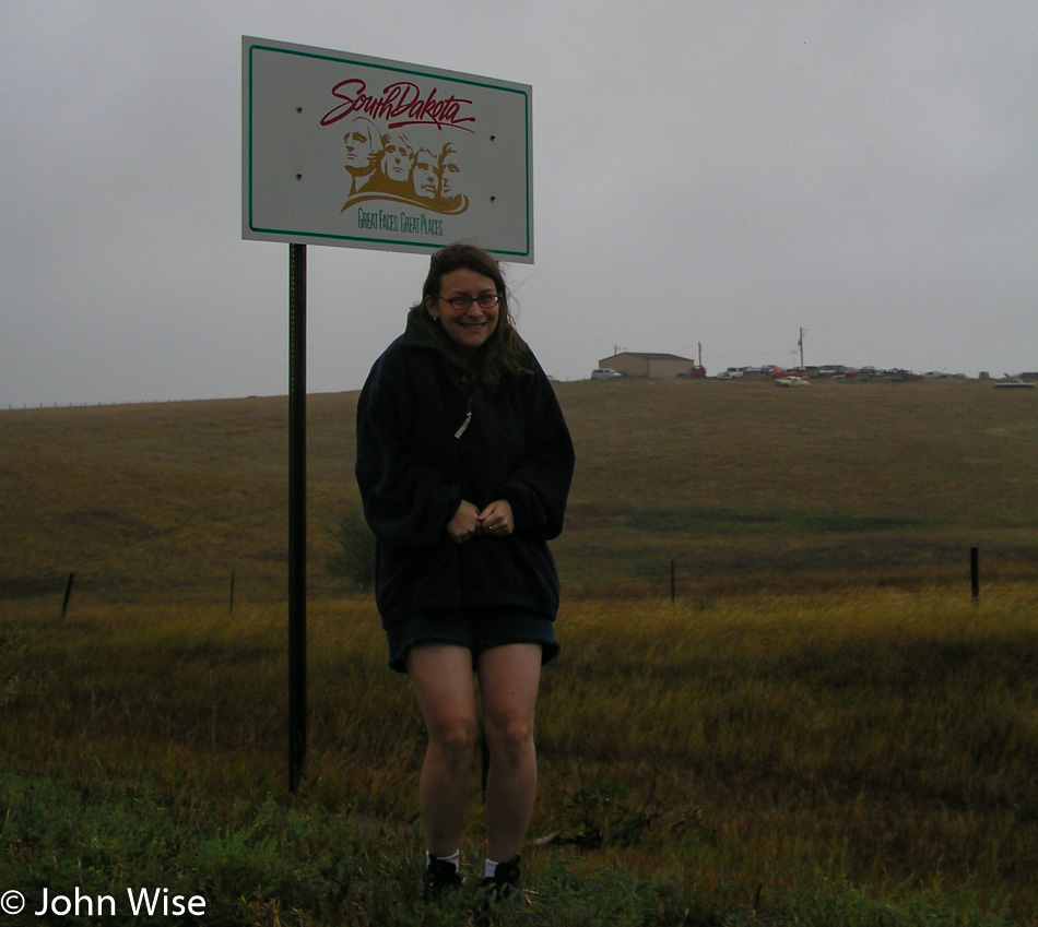
Caroline Wise entering South Dakota on SD-407 near White Clay, Nebraska

We just passed through Whiteclay, Nebraska, to get into a cold South Dakota and hope we never have to pass this way again. Next up was Pine Ridge, South Dakota, which I suppose is a kind of capital city of the Pine Ridge Reservation and home to the Oglala Lakota Indians. In Lakota, the reservation is known as Wazí Aháŋhaŋ Oyáŋke.

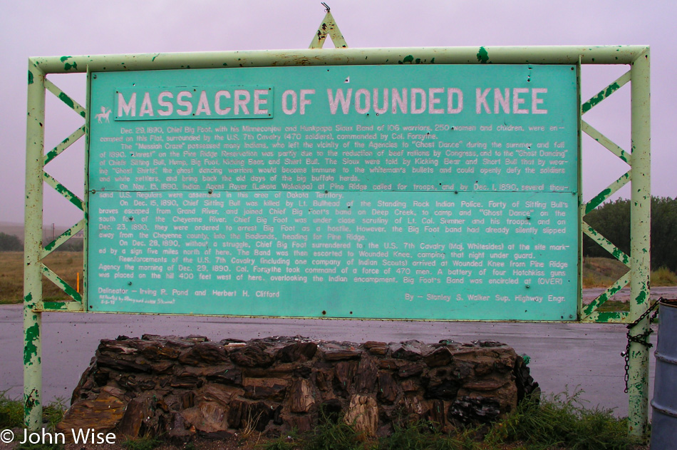
On the Pine Ridge Reservation in South Dakota - Site of the Massacre of Wounded Knee

This is not the place to be on a gray, cold, and wet day as the place is already embued with tragedy as it was here that American soldiers killed nearly 300 Lakota, about half of whom were women and children. They were buried in a mass grave by American troops looming over them as conquering heroes, with more than a few being awarded medals for their efforts. It doesn’t matter that this was 114 years ago as I try to imagine how the survivors feel knowing my ancestors tried to extinct the bison and them after stealing their lands. If it were me, I’d probably have a chip on my shoulder.

For those who want to relegate this to ancient history, consider that Black Elk, born Heȟáka Sápa in 1863, didn’t die until 1950 or 4 years after Bill Clinton was born. Black Elk was a witness to the massacre when he was 27 years old, so we can be certain it was an image that stayed with him his entire life. He was also the second cousin to Crazy Horse, which is the monument that is the focus of our ultimate destination on this trip into the Great Plains.

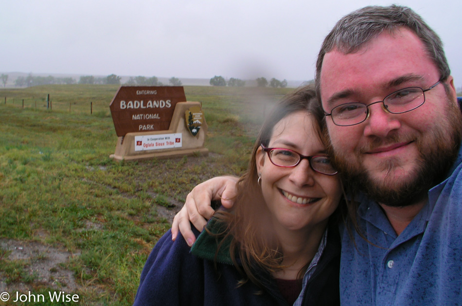
Caroline Wise and John Wise at Badlands National Park in South Dakota

The gloom is a kind of poetic wrapper for the gravity of what these lands represent, but we didn’t come up here to be depressed or feel bad. No, we came to Badlands to witness nature and to arrive wearing smiles to add some brightness to the day.

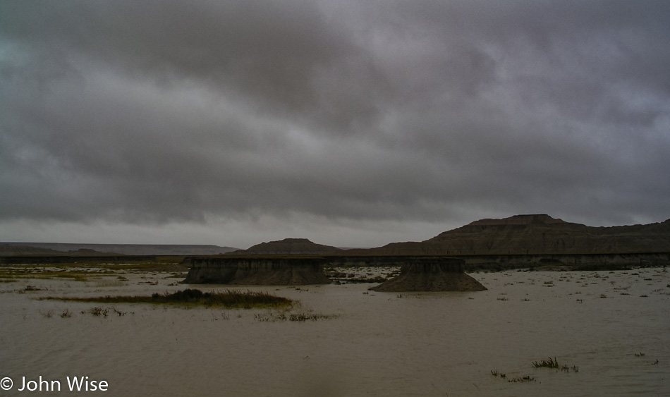
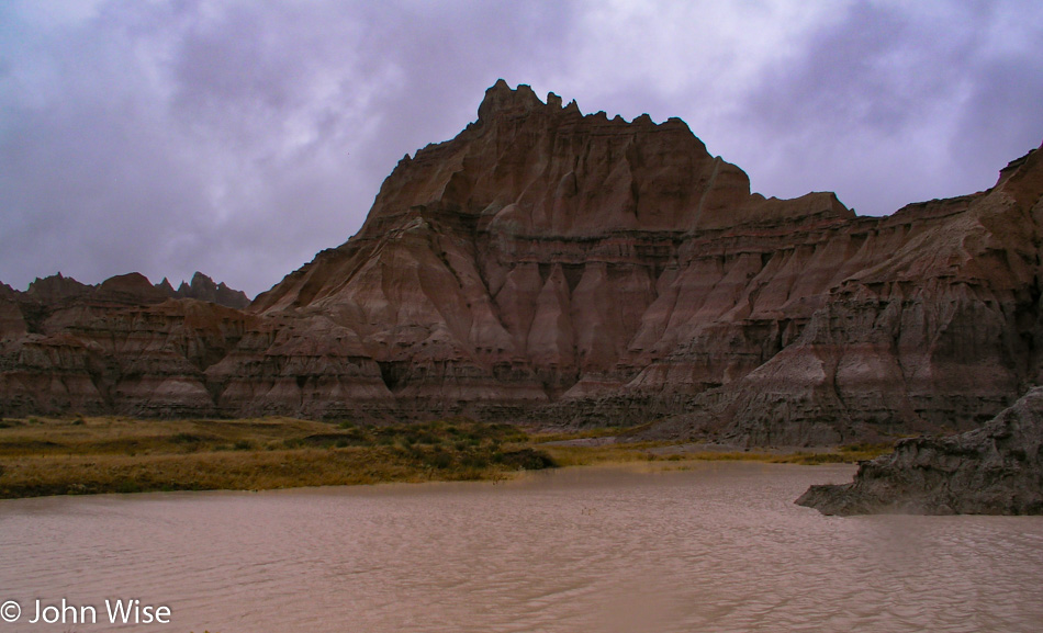
Badlands National Park in South Dakota

Doesn’t look good for taking a trail into the badlands of Badlands. Maybe the rain will stop and quickly run off so we can see more of this national park by walking over it instead of from our car windows.

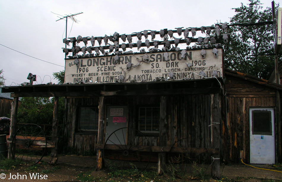
Longhorn Saloon in Scenic, South Dakota

Scenic, South Dakota, is home to the Longhorn Saloon that, while closed now, apparently allowed Lakota Indians in its establishment when it was still in business. From the zombie population of alcoholics in Whiteclay and a massacre at Wounded Knee Creek to reminders of our segregationist past, I’m not all that certain. I’m enjoying our visit to South Dakota this time.

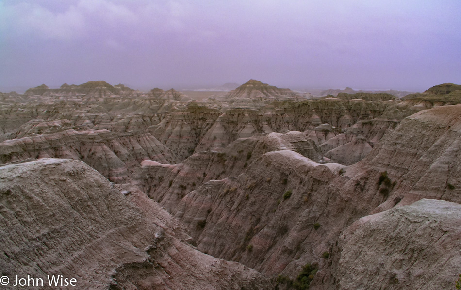
Badlands National Park in South Dakota

There’s much to learn out here at Badlands but we don’t have access to any information about the land. While this looks like the banded layers of ash from volcanic discharge that fell on the area of Petrified Forest in Arizona, we don’t really know if this is the same process. It is pretty, though, even in the foul weather.

Badlands National Park in South Dakota

Yes, we want to explore below. No, we don’t want to do so in the mud.

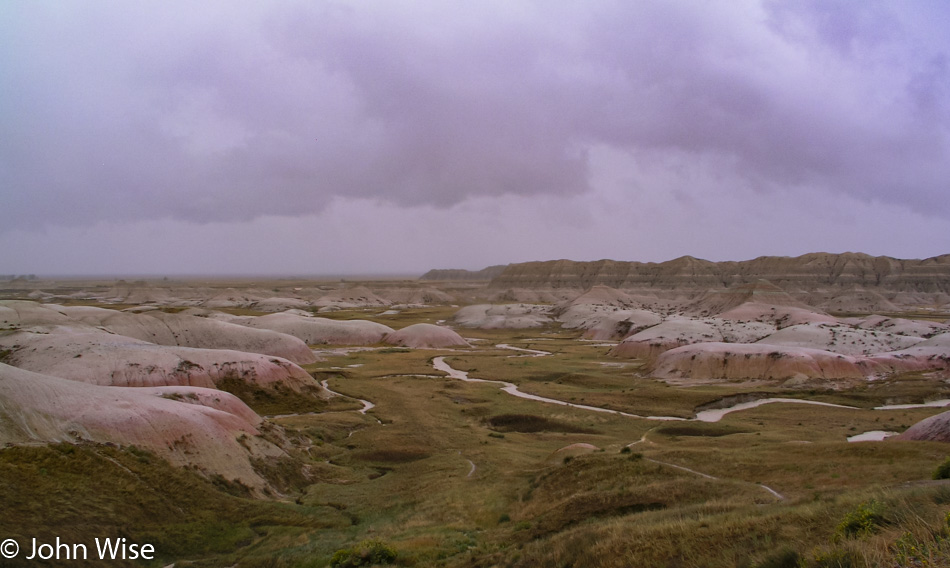
Badlands National Park in South Dakota

Leaving the White River Valley Overlook in the previous photo, we are on our way out of the park and stop one last time before giving up all hope of the clouds parting and the sun popping out.

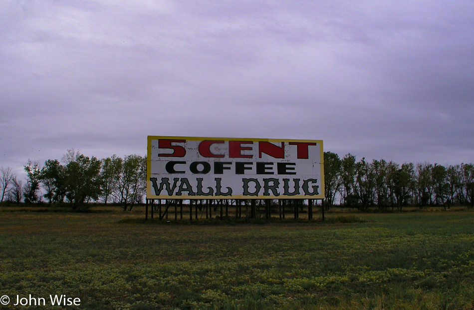
Wall Drug in Wall, South Dakota

Hmm, I’d heard of this famous stop on the road; we’ll have to check it out.

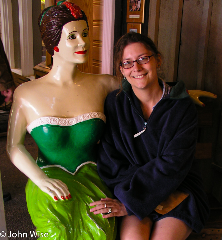
Caroline Wise at Wall Drug in Wall, South Dakota

Stepping back in time is a major theme of exploring America. What happened to those days of moving into the future? Wall Drug was mostly worth the visit, but it’s showing its age, making me wonder how many more years will it be able to hold on as an attraction that is likely more appealing to older Americans needing that nostalgic sense of another time and age.

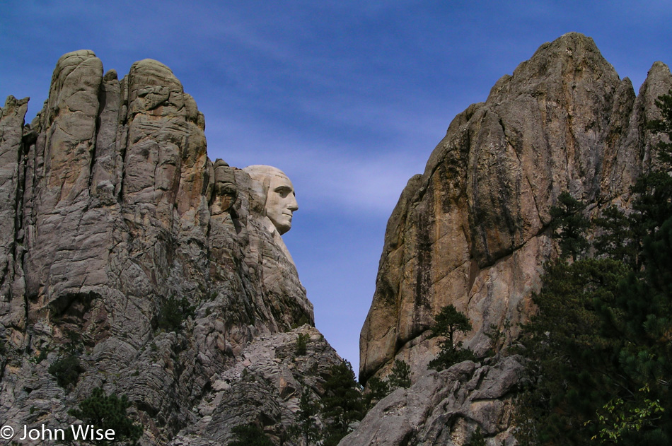
Mount Rushmore in Keystone, South Dakota

Mount Rushmore offers up some side-boob (no offense meant) as we do a drive-by. To gather a glimpse was enough as we weren’t in the mood for crowds, and it wasn’t all that long ago that we were here for a more extensive visit.

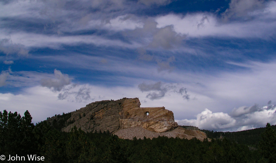
Crazy Horse Monument in South Dakota

The Crazy Horse Monument is what we really wanted to see until we got here and realized it was not something we needed to see. At least the sky is clearing. My feelings about the tragedy of everything out here are muddying my ability to enjoy myself. Maybe I’m just tired?

No, I’m just disappointed in all of this. Even Mount Rushmore was carved out of mountains known as the Black Hills, which were sacred to the Lakota Sioux. The man who created the monument was Gutzon Borglum, who was a white supremacist noted for referring to non-whites as the “mongrel horde.”  Then this monument to Crazy Horse feels like a cheap commercial grab where money and selling trinkets are the only thing being celebrated instead of offering something that should have the same respect of a church, but then again, the Lakota will never get government sponsorship to build a monument to someone it hated at one time.

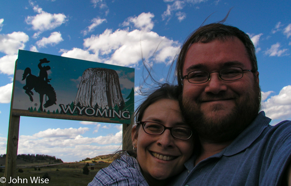
Caroline Wise and John Wise entering Wyoming west of Custer, South Dakota

That flap of hair from Caroline that I’m wearing makes my head look stranger than normal; as a matter of fact, maybe it makes me look fatter. Nah, I’m just fat, and Caroline is not tall, but the sky is blue, and we are in Wyoming, moving south again.

On WY-450 west of Newcastle, Wyoming

We passed through Newcastle, Wyoming, shortly after entering the state and took a note to learn who Anna Miller was. Turns out she was the wife of a sheriff who was the last person killed in the area during the Indian Wars, so instead of celebrating the brave countrymen defending their ancestral lands, we honor the marauding intruder and his wife by naming a museum after them. I need to hit the gas and escape our twisted history.

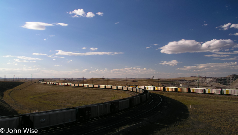
Near the Black Thunder Coal Mine off WY-450 east of Wright, Wyoming

We are on the edge of the Black Thunder Coal Mine, one of the largest, if not the largest, coal producers on earth. How appropriate it seems that the black heart of the region is an open festering sore contributing to the fouling of our environment. My cynicism is not the best quality I know, but it seems to be all I have today.

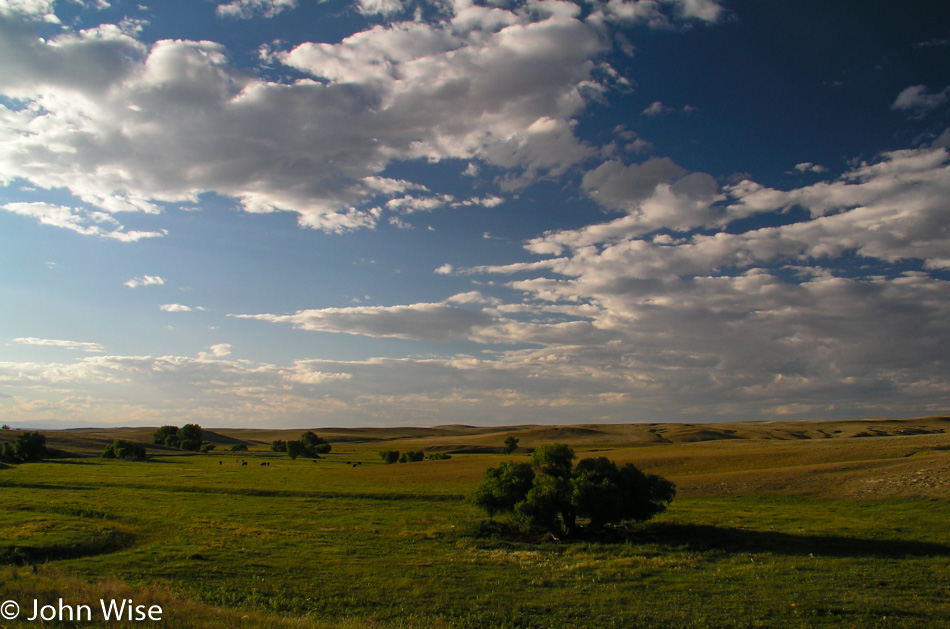
WY-387 direction Caspar, Wyoming

Trying to chill in the beauty of things and be appreciative that we are able to see and feel.

Sunset approaching Caspar, Wyoming

We are passing through Casper, Wyoming, here at sunset, driving in the direction of Medicine Bow. Along the way, we are listening to someone reading from the book The Hiding Place about Corrie ten Boom and her ordeal as a prisoner in the women’s concentration camp known as Ravensbrück after helping Jews hide from Nazis.

It’s 10:00 p.m. when we pull into Riverside, Wyoming, to spend the night at the Bear Trap Bar & Cabins.

In America with Jay Patel – Day 2

Here we are on the second day of our cross-country road trip, awake and heading up the road by 6:00 am. Interstate 70 runs along a quiet, sparsely populated area out of Richfield before delivering us to State Road 28, which leads us to the main north-south Interstate Highway 15, the only major freeway planned for this road trip.

The southern end of the Wasatch mountain range on our right still has a light dusting of snow along the uppermost ridgeline. The interstate is moving along too fast, leaving little time for sightseeing while we cruise along at 80mph. We do pull off the road at Layton north of Salt Lake City for a Barnes and Noble. Caroline and I had stopped before, knowing they served Starbucks. Only a short drive north now, and we will leave the freeway heading for State Road 89.

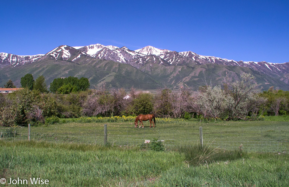
The 89 to Logan slices between more snow-covered mountains. The sides of the road are lusciously green. Back in Arizona, we have already approached 100-degree days, and the land is baked to a dull brown. Looking at these lands transitioning from winter to spring is a delight to the eye. A horse stands in its meadow, and if it wasn’t for our need to complete 675 miles of driving today, I think we would all change places with the horse and hang out in his pasture for a day or two. In Logan, the road officially becomes the Logan Canyon Scenic Byway, hence the reason we are traveling here today.
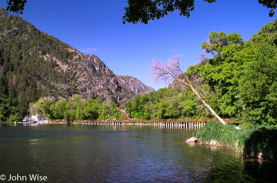
The Upper Dam in Logan Canyon on the Logan Canyon Scenic Byway in Utah

Our next stop is at the Upper Dam on the Logan River. I take a couple of photos and we continue northeast. The greens start to sparkle with effervescence. Small mountainside cascades tumble out of the forest heading toward the road before disappearing below the pavement to join the Logan River we are parallel to. We make a note to return to this particular corner of America in the future. Further on, jagged peaks jut out of low mountains the deeper we get into the canyon. No homes or businesses are to be found within a long sight; it is just us and the grandeur of nature out here.
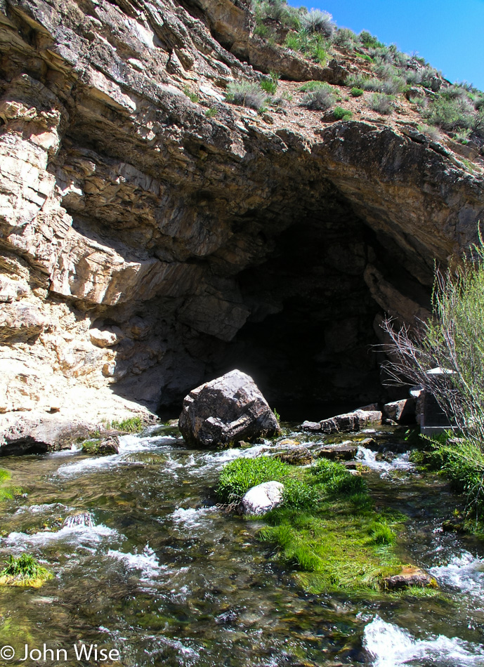
Ricks Springs is a Paleozoic age carbonate rock cave offering up a mountain spring of fresh water on the Logan Canyon Scenic Byway in Utah

Ricks Spring on the left side of the road flows right out of rock, creating a pool under cover of a small cave carved from the Paleozoic-age carbonate earth. From here, it’s tumbling downhill as a small creek to join the Logan River. This scenic byway, the Wasatch Range, and Salt Lake City are all worthy of vacations in their own right. As the official byway comes to an end and we follow 89 north, the scenic quality of this new segment of road is still as beautiful as the road we came from. Most times, we cannot understand how the scenic designation stops at a particular point.
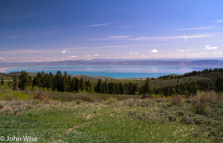
Bear Lake on the Utah / Idaho border

Bear Lake is where we turn left to head into Idaho. The waters of the lake are of a radiant turquoise blue that stretches for 20 miles in length. The original inhabitants of this valley were the Shoshoni and were nowhere to be seen.  Maybe on a subsequent visit, we can make an effort to learn more about the history of this corner of Utah.
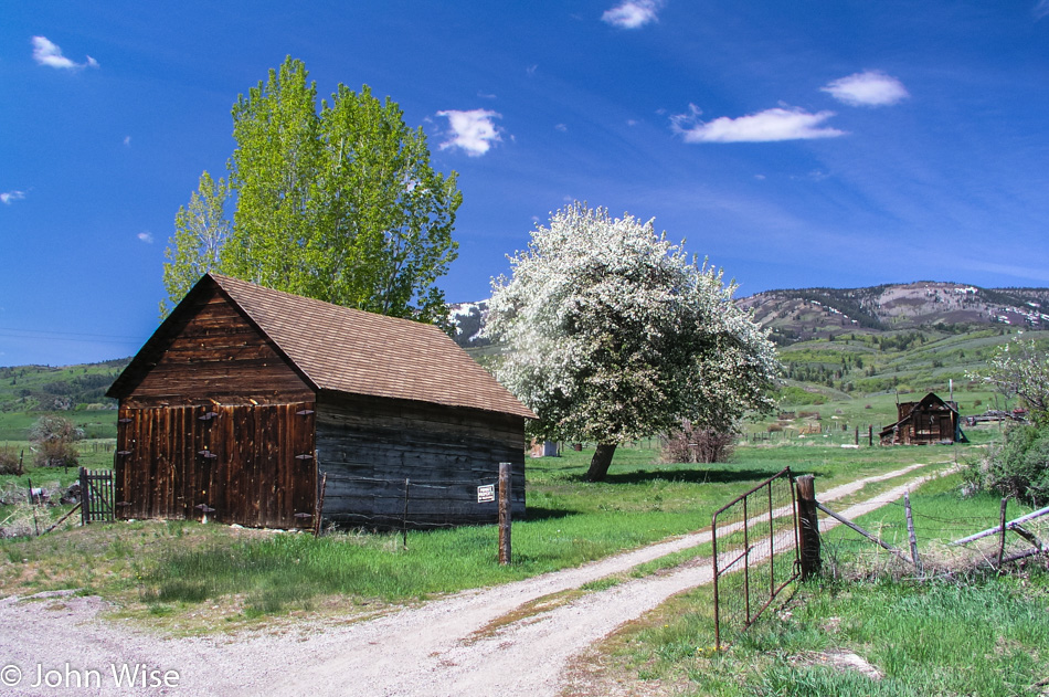
In Idaho near the Utah border between Garden City, Utah and Paris, Idaho

We arrived in Idaho before lunchtime and having finished the Pav Bhaji for breakfast, we were tucking into the Methi Roti with some homemade vegetable pickle Sonal’s mom made for us. A collective yummy sound resonates in the car as our palates and our eyes are delighted.
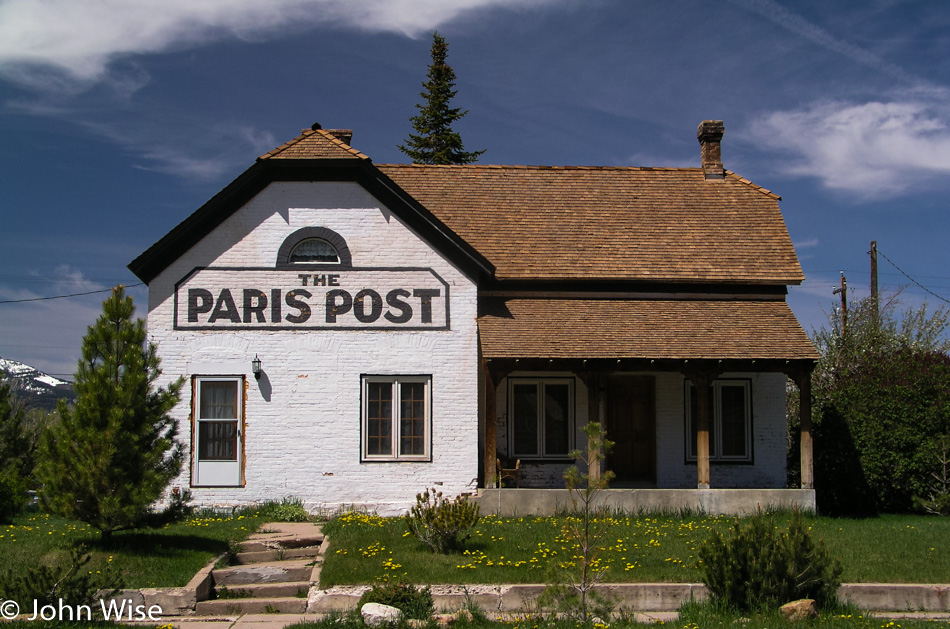
The Paris Post newspaper office, one of very few buildings in this small outpost between Utah and Wyoming in the southeast corner of Idaho

Paris, Idaho, is one of a few small towns along our road before entering Wyoming. Small is almost an exaggeration. The Paris Post newspaper office and the Paris Tabernacle lend great character to the town and make passing through this way a more memorable moment. A mountain in the distance is snow-capped, the land around us stretches with mountains as far as the eye can see, and the day is as beautiful as anyone might ask for.
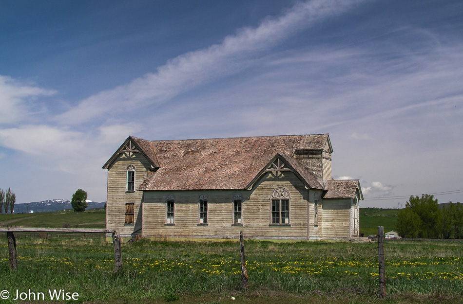
The Ovid Schoolhouse on our way out of Idaho into Wyoming.

The Ovid Schoolhouse, or what we think is the schoolhouse, is the last notable building in Idaho on our road before entering Wyoming. On the few visits Caroline and I have made into Idaho we have never been less than impressed with the beauty of this land. It is unfortunate that the business and lifestyle demands of modern American society don’t treasure these locations, which contributes to their fading away.
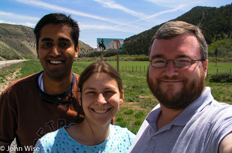
Jay Patel, Caroline Wise, and John Wise about to enter Wyoming on our cross-country road trip

It is only 1:00 pm when we enter Wyoming; we are making great time. A turnoff catches my eye shortly after catching our first sight of the Snake River. It smells kinda funny, but that doesn’t stop Jay and Caroline from taking off their shoes and stepping into the wild river.
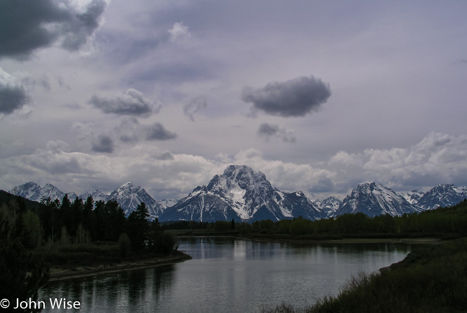
Grand Teton National Park

We were going to hang out in Jackson Hole, but the weather wasn’t all that impressive for walking around, so we got right to business and drove a bit further on to get our first glimpse of the Teton range. While this is Caroline’s and my third visit to this stunning corner of Wyoming, it is Jay’s first. We have come to the Oxbow, as for whatever reason, this is Caroline’s favorite spot here in the Grand Teton National Park.
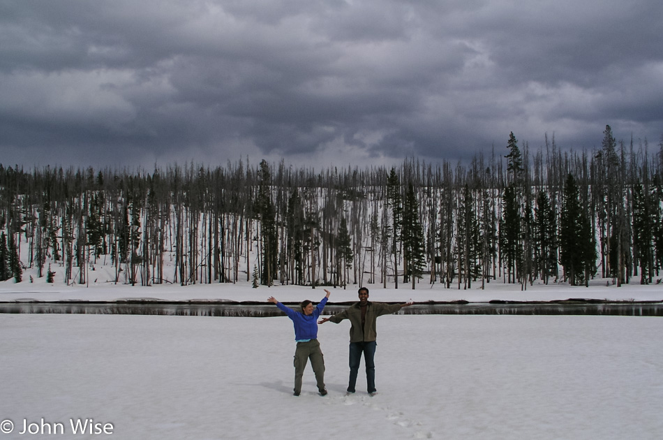
Caroline Wise and Jay Patel in the south of Yellowstone National Park

Dad needed to pull over the car so the kids could get out and play in the snow. Look at Jay’s left hand; he’s about to throw that snowball at my wife, but she can defend herself, so it’s all worth the laugh. By the way, the reason we are up here in Yellowstone is we have daylight today until shortly before 9:00, and the weather down south wasn’t conducive to a hike, so we took our chances that maybe things might clear up by the time we arrived at West Thumb.
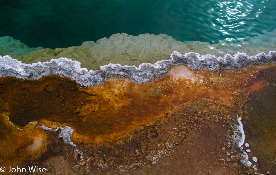
Bacterial mat at Yellowstone National Park

The colors may have changed their hue; the cyanobacteria might have darkened or, in some cases, have dried up altogether leaving a white dusty bed. One type of bacteria could be replaced by another type of bacteria, the new one more foreign than the one it replaced. Mud holes are either thicker and muddier, waterier, or are now a hissing dry depression of escaping steam. Although the specularity of the springs is not as vivid as witnessed under a blue sky and beating sun, they impress us here on this cloudy day with a quiet mystery; a sort of spooky silence that the rising steam lends drama to. For a moment, the sun peaks through but is quickly obscured again by the shifting sky.

As we go to leave West Thumb an elk has raised its head in our direction and taunts us by sticking its tongue out, strange. The next elk wasn’t so much humorous, it was downright pissed off. After a pause so as not to startle the large animal, we began to move forward, but this elk had nothing to do with such a dumb idea. It hissed an angry, “I’ll smash your head with my mighty hoof,” kind of sound that strikes the fear of God into us. Being relatively naïve regarding elk behavior, I doubt what I witnessed to be real and make a second approach. The elk reciprocates with a step forward, another louder hiss, and an amount of spittle that says, “ok, now I’m spitting mad; how far do you want to take this?”

Well, that was enough for us; we slowly backed up and turned around on the boardwalk to take an alternate route to the car, hoping the elk wouldn’t feel like following us. We came up around its backside to watch a couple trying to pass as we had tried just minutes before. They got hissed at one time before the overly confident guy took one step too many, and that elk bolted after him. A sort of hysterical laughter came over us as this guy caught up with his more level-headed female friend, who chose to beat feet as the elk hadn’t quite stopped its charge.
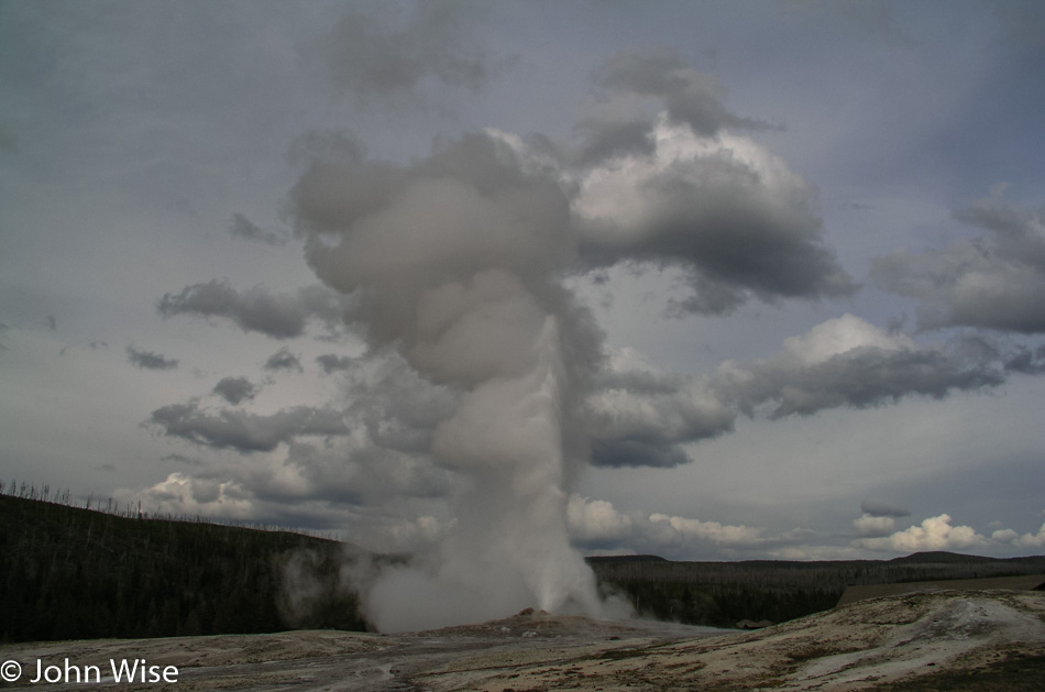
Old Faithful Geyser at Yellowstone National Park

Old Faithful Inn is 100 years old this year, and it is where we’ll be staying tomorrow. We stopped in to try to sway which room number we were assigned. Caroline and I have stayed in room 225 on two previous visits and have taken a particular liking to the room. The room itself is simple and rustic: no bathroom, only a small sink, and poor lighting, but it makes up for its shortcomings with great recognition ability. If ever we are watching a documentary or a news blurb about Yellowstone, it is inevitable that an image of the Old Faithful Inn will be shown. Above the center of the entryway, just over the upstairs patio, are five awnings, with the center one belonging to room 225 where we have stayed many a night. I wait in line to make my request in person, just as I had over the phone on two calls prior to our arrival; I plead for room 225. With this evening’s crew about to make room allotments, luck might be with us.

We step outside with only 10 minutes till the next eruption of Old Faithful. The park is great this time of year, even in poor weather. There are not a lot of people traveling through the park yet. The Inn may be sold out, but the surrounding hotels are still empty, the parking lots nearly empty, and in some cases, we are the only visitors to some sights. Tour buses haven’t shown up yet, school is still in session, and the motor homes are at bay. With room for hundreds of spectators, we approach the Old Faithful area, part of a group of less than 75 who will be watching for Old Faithful to so faithfully erupt one more time.

Seems like we waited twenty minutes, but so what, that is the science of calculating the eruption cycle of this most popular geyser on Planet Earth. The wait is worth it as a trickle of steam gives way to the rumbling thrust of water, adding more clouds to the cloud-filled sky. We watch and listen; Jay is especially taken by the sound of it; he had been certain that the sound he’d heard from a documentary on Yellowstone was a sound effect; to his great surprise, he learns that the earth does rumble when Old Faithful delivers another performance.
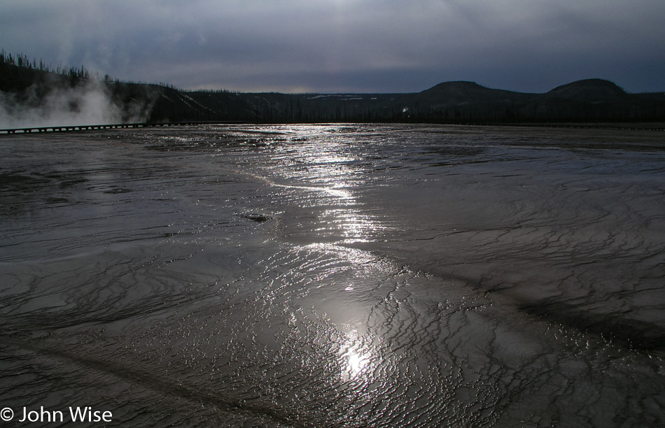
Geyser bed at Yellowstone National Park

With relatively good weather on our side, we leave Old Faithful and the Upper Geyser Basin for Midway Geyser Basin and the Grand Prismatic Spring. This is the largest hot spring in the park and today is the hardest to see. On the way to this largest of springs, we pass the Excelsior Geyser, which on this day doesn’t have the billowing steam that has obscured so much of it from view as on previous visits. On the other hand, there is so much steam rising from Grand Prismatic that it’s too difficult to even glimpse a hint of its rainbow splash of vibrancy on the ground. What is amazing, though, is that we can see the colors of these springs reflecting in the steam rising overhead.
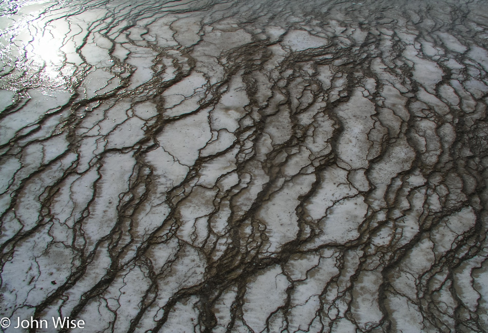
Close-up of geyser bed at Yellowstone National Park

The boardwalks here at Midway offer some of the best views of the calcified minerals that lay down terraces filled with streaming waters escaping from a geyser. The bacteria beds living on these terraces are brightly colored and vividly contrast with adjoining bacteria beds. Different times of the year, different water flow amounts, and water and air temperatures all affect the appearance of these springs and geysers. What you see this spring may not look the same or even similar come fall.

Some of the beds along this boardwalk appear like tissues of sinew and connected flesh stained by the rich mineralized water, while others are membrane-like which gives emphasis to Yellowstone as being something alive and amorphous. Another corner of Grand Prismatic Spring shows a snaking line of fire-red bacteria buttressing a chocolate brown bed to our left. A final look back at Grand Prismatic, and we see the trees on the distant hill reflecting in the waters leaving the spring, the rising steam capturing the rainbow of orange, green, and blue in its misty mirror of fog. Again, we are amazed by the sights of Yellowstone, where just hours before, I worried that the beauty of the park would be hidden in these less-than-ideal weather conditions. It turns out to be an unwarranted concern, the park is as beautiful as it always is.
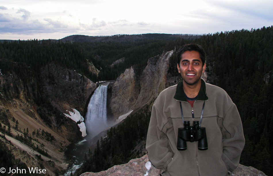
Jay Patel at the Lower Falls of the Yellowstone River in Yellowstone National Park

It’s 8:00 p.m. as we arrive at Lookout Point for our first view of the Yellowstone Falls. Remnants of ice cling to the canyon walls, giving a brief glimpse of the wintery majesty the falls create, its waters turning into a 308-foot ice sculpture. Here in spring, alone on this overlook at sunset, nothing interrupts the roaring sound of the falls slicing through the yellow canyon in our nation’s first national park, and we can simply sit here and enjoy its beauty. Not too long, though, as even with the sun so low in the sky there still may be time enough to descend the trail to the Brink of the Lower Falls.

We scurry, nearly running down the 600-foot descent along switchbacks until we are dumped out along the shore of the Yellowstone and the short walk leading to the overlook. Literally, every footstep we take increases the volume of the falls until we are directly at the edge where the water spills over the precipice, and the thunder of the crashing water is deafening. Looking into the canyon, no sunlight, gray overcast sky, and still the canyon inspires the three of us. Cragged and stained walls watch over the white waters of the Yellowstone River stretching out of view. This river, whose headwaters have emerged just southeast of where we stand, leading into and then draining out of Yellowstone Lake, is now on its way to the Missouri River.

The hike back up is demanding, but we are fully satisfied with the day that the climb up could be twice as difficult, and we would hardly care. It is now time for us to make our way back to the Tetons. We take the Lake Village road through Hayden Valley to West Thumb, where we’ll leave Yellowstone via the South Entrance.
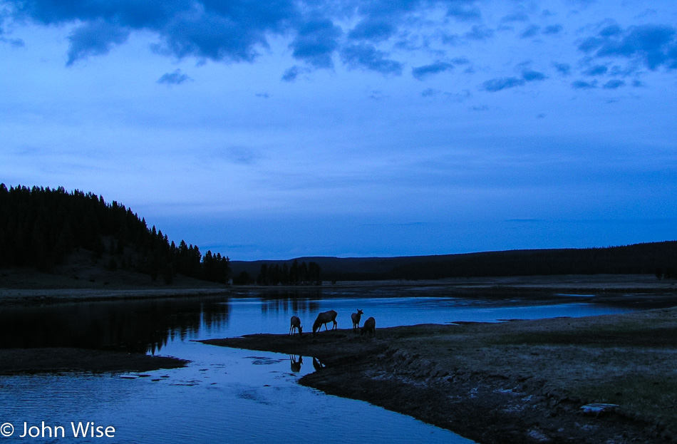
Yellowstone National Park at Dusk

Driving slowly along this more tranquil part of the Yellowstone River we stop for one more photo along the road. A group of elk is standing next to the river’s edge, reflected in the water under the blue dusk of evening. This has been a perfect day. We check into our cabin at Signal Mountain Lodge and are quick to sleep at 11:00 p.m.