Glacier to Yellowstone – Day 2

Richfield, Utah

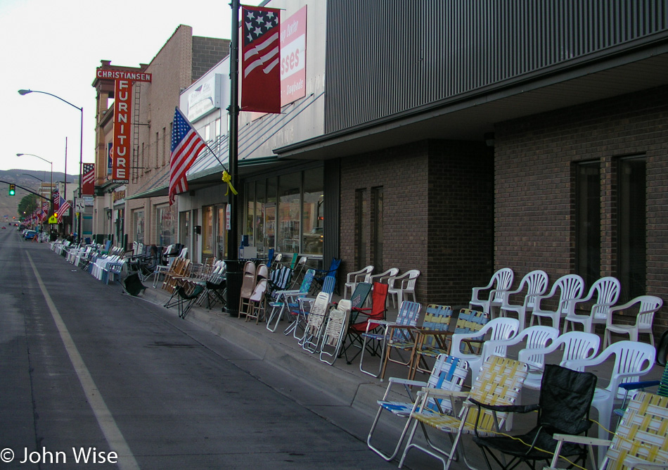
Happy Fourth of July, America! Last night, when we arrived, this small town was not yet asleep as folks were out setting up chairs while food vendors were getting ready for today. The sound of fireworks woke us before our alarm did; somebody must have been testing the setup for the evening’s festivities. It’s only 6:30 when we leave our motel and see that Richfield is ready for the parade scheduled for later in the day. We won’t be around for the celebration, though, as our fireworks are to be found at points north of here. To get there, we break one of our travel rules that stipulates we avoid main highways and we head for Interstate 15, but before we get on this main thoroughfare, we take a beautiful scenic detour on Highway 50 through the nice little farming village of Scipio. Sailing up the 15 at nearly 85 mph we pass Salt Lake City. We are not able to spot a single Starbucks logo from the freeway until I see a Barnes and Noble bookstore in Ogden and we know they always have a coffee shop. Armed with a quad shot venti mocha loaded with 5 or 6 bags of sugar and topped with whipped cream, I’m ready to hit the gas and take this Oldsmobile to the Arctic Circle.
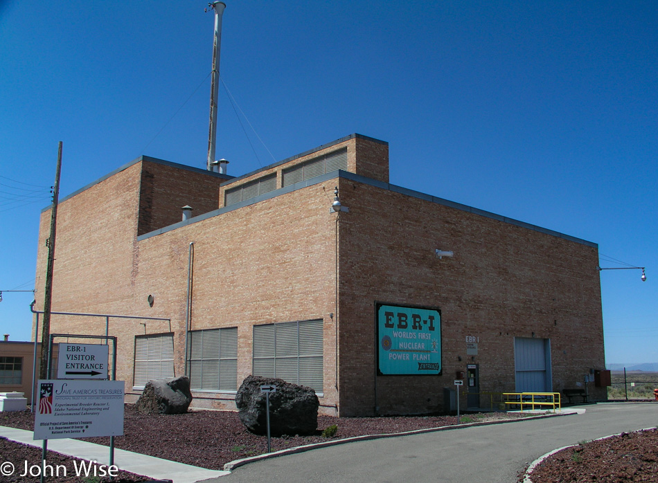
EBR-1 Historical Landmark in Arco, Idaho

It started with the radio fuzzing in and out. We think it might be this Atomic City; then again, it could just be that we are also entering a wilderness area. At Blackfoot, Idaho, we left the Interstate and got on Highway 26 in the direction of Craters of the Moon National Monument. We never made it to the Craters, though, because 20 miles before it, the town of Arco up and attacked our inner geek, demanding that we stop. The world’s first Nuclear Power Plant, called the EBR-1, is open to visitors, and self-guided tours are FREE! Seeing my wife is well past her best years, and that we won’t be producing any offspring with her old eggs, we figure a little radioactive contamination won’t do her any further harm, so we leap at the chance to play with spent or fresh nuclear fuel, we’re not that discerning.
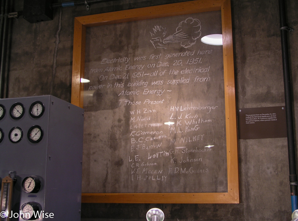
EBR-1 Historical Landmark in Arco, Idaho

Our dreams of playing with glowing fissile material were quickly dashed when we were informed that as part of our entry fee, we would not be offered a souvenir that could be used for powering our own reactor or freaking out people by handing them a rod of uranium-235. Here in Arco, Idaho, we are among the highest density of nuclear reactors on Earth: over 50 of them have been built here. I think I like the town’s first name of Root Hog, more than Arco, but that’s just me. Arco was named after the German inventor Georg von Arco who was also one of the founders of Telefunken, makers of radio vacuum tubes, who was visiting Washington D.C. when the town changed its name. History abounds.
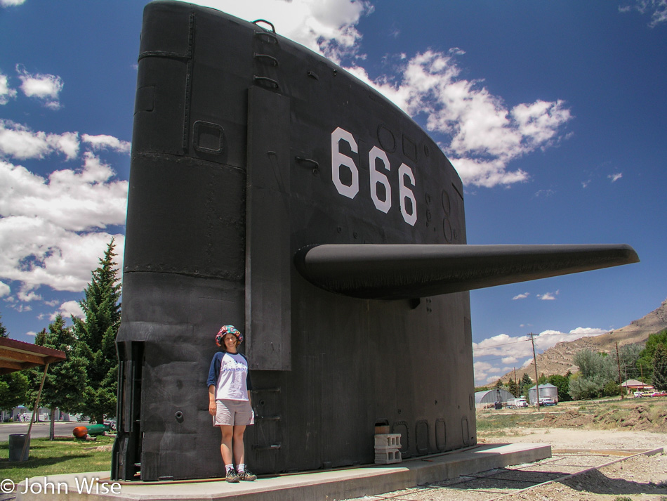
Caroline Wise at the "Sail" of the USS Hawkbill in Arco, Idaho

It’s not every day you expect to find a “sail” from a submarine on a plain in the middle of a continent, especially one marked with the sign of the beast. But that’s exactly what you’ll find in Arco, in addition to a ton of nuclear experimentation. Regarding the satanic reference, a placard offered this from Revelations Chapter 13, “And I stood upon the sand of the sea, and saw a beast rise up out of the sea….Here is wisdom. Let him that hath understanding count the number of the beast: for it is the number of a man; his number is 666.” All of this is in the area that lays claim to fame for having the largest concentration of Nuclear Reactors in the World! We thought the earth opening up next would be a great encore; we didn’t have long to wait.
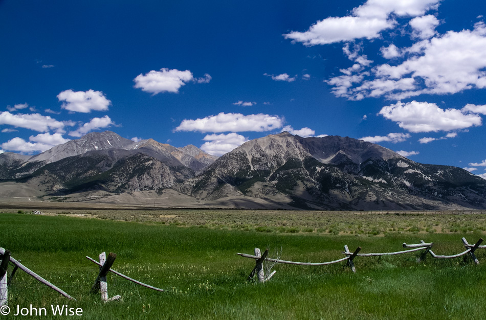
Borah Peak on the left off Interstate 93 in Idaho

On your left in this photo is Borah Peak, which is Idaho’s tallest mountain, standing at 12,662 feet tall or 3,859 meters. Just past this spot was a sign that said something about “Earthquake,” so we turned around to at least read it. It tells us of a crack in the earth caused by an earthquake, and it’s only two miles up the road. Turns out that it’s a washboard road of dirt and gravel where we fly our Oldsmobile at 40 mph, which is okay as we’re in a rental. Back on October 28, 1983, a 6.9 magnitude earthquake at Borah Peak occurred, causing the mountain range to gain 6 inches in elevation while the valley we took the photo from dropped 9 feet (3 meters). The crack before us is proof that, indeed, the earth has opened here, casting doubt on the forethought that went into putting the largest concentration of nuclear reactors in the world just down the road. Oh well, it’s beautiful out here, no time to worry about meltdowns and the earth opening a window into the gates of hell and so we bump back down the road to rejoin the highway.
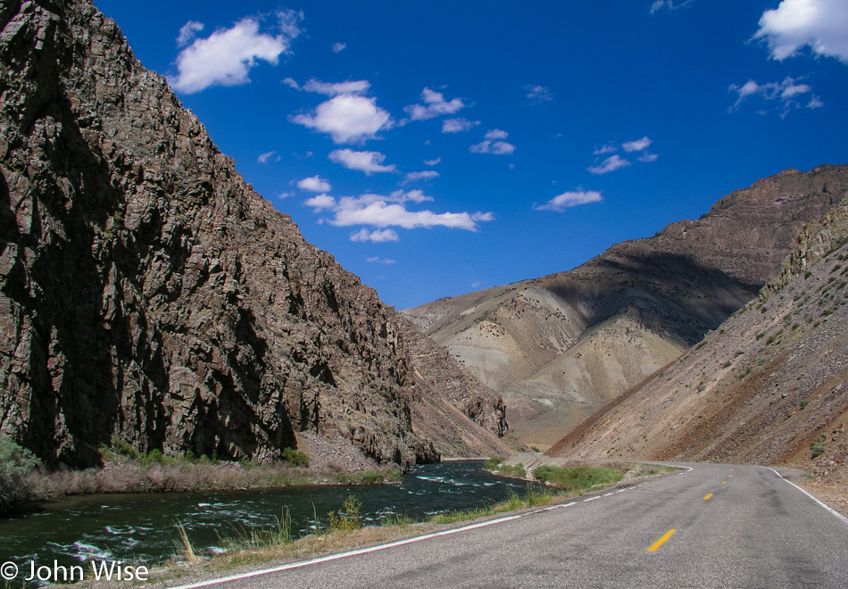
Interstate 93 in Idaho

We’re following the Salmon River on Interstate 93.
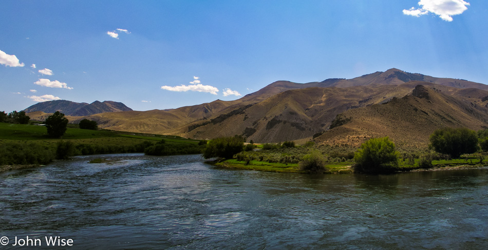
Interstate 93 in Idaho

Since turning off the Interstate hours ago, we get to reflect on the roads and scenery that deliver the reason for us to endure these long road trips. With high mountains surrounding us and green grassy fields in between, the shadows of the clouds paint the landscape for miles before and after us. It’s difficult not to stop and sit by the roadside listening to the birds and the silence that punctuates their songs. These are the places in America where you have to relax for a moment after stepping out from your car to concentrate your breathing so it doesn’t interfere with the quiet we so rarely have the opportunity to experience. The day is beautiful as we hold hands and, from time to time, smile at each other with that knowing glance that we are so incredibly lucky to be experiencing this moment.
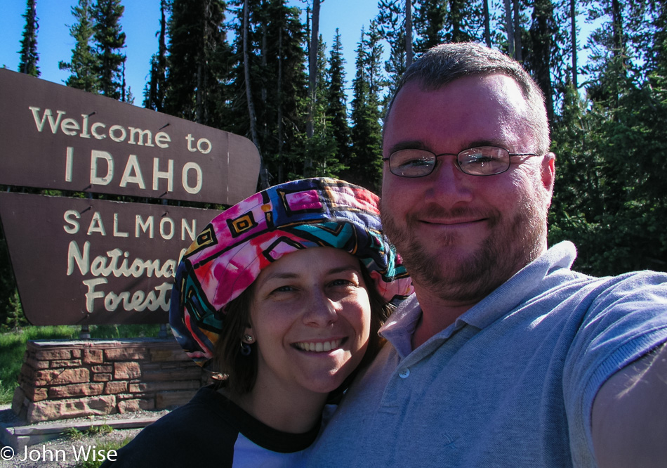
Caroline Wise and John Wise on the Idaho and Montana State Line

We are on the Chief Joseph Pass as we approach Montana, where we will stop for the obligatory selfie in front of the state sign. We had missed the Idaho sign earlier in the day, so we needed to get that out of the way first. Next up, we skip across the street and shoot a photo of us in front of the Montana state sign; this is almost becoming a compulsive disorder. So here we are in the wilderness, nothing but trees and mountains for miles and miles, sitting in the mountain air at 7014 feet when to my overwhelming surprise, we meet a couple roadside with a little wood cart they’ve hauled up here. Relaxing in lawn chairs under the trees, this husband and wife team are hawking beef jerky, not actually hawking as that would imply some level of work; they are sitting here waiting for whoever might pass over these mountains.

Turns out we don’t have enough cash for a package, and obviously, at this altitude on a remote stretch of road, they don’t accept credit cards, so we swap the little cash we have and a couple of grapefruits we had stowed in our ice chest. This is one of the great pleasures of road-tripping; how often have you met a couple sitting in the forest on lawn chairs selling jerky halfway through a transcontinental flight?
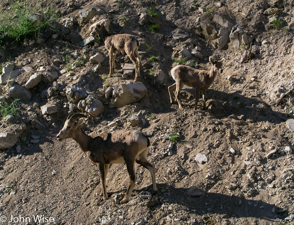
Big Horn Sheep off Interstate 93 in Montana

From the crest where we had our jerky encounter, the road begins its descent, and before you can blink an eye, we are making a near emergency stop on the side of the road, as a bighorn sheep herd with about 30 animals is meandering next to and across the road. As it’s early summer, the lambs are out with their parents, learning the fine art of ledge walking. We sat here right next to these families while the rocks from above tumbled ever closer to the Oldsmobile. After nearly 20 minutes, there are about half a dozen cars now parked with us before we begrudgingly move on.
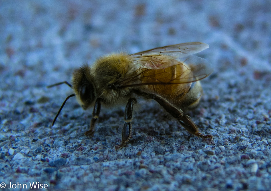
A Bee on Interstate 93 in Montana

This lonely bee looked forlorn, and without a good dusting of pollen, it had us wondering what troubles this poor soul had seen. It just sat there kind of sulking as I approached to take its photo; while I wouldn’t want to be stung by it, it sure was pretty.
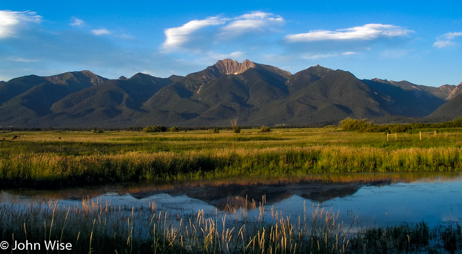
Interstate 93 in Montana

Still on Highway 93, we were passing through lush green valleys and rolling mountains on the way to Missoula when we entered the Flathead Indian Reservation. A roadside pullout invited us to stop at an overview of the gorgeous valley that we learned had been an inland sea after the last ice age scraped the form we see today.

Continuing our way north, we remained on the 93 to Polson, where we met Flathead Lake and the beginning of the evening’s fireworks displays. The road hugs the lake, and from dusk till dark, we wound our way up the road to Kalispell, all the while watching dozens of fireworks displays along the shore. This far north, the sun finally set just past 9:30 p.m., yet we were still seeing remnants of dusk on the far horizon as we pulled into the Blue and White Motel in Kalispell, nearing the 23rd hour of a long day.
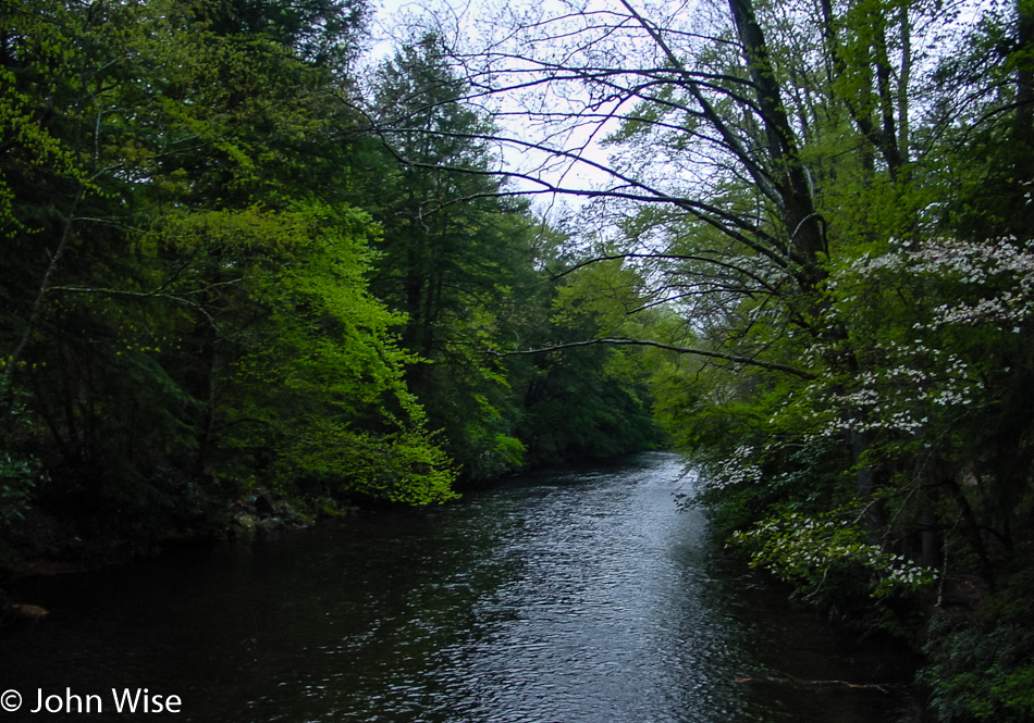
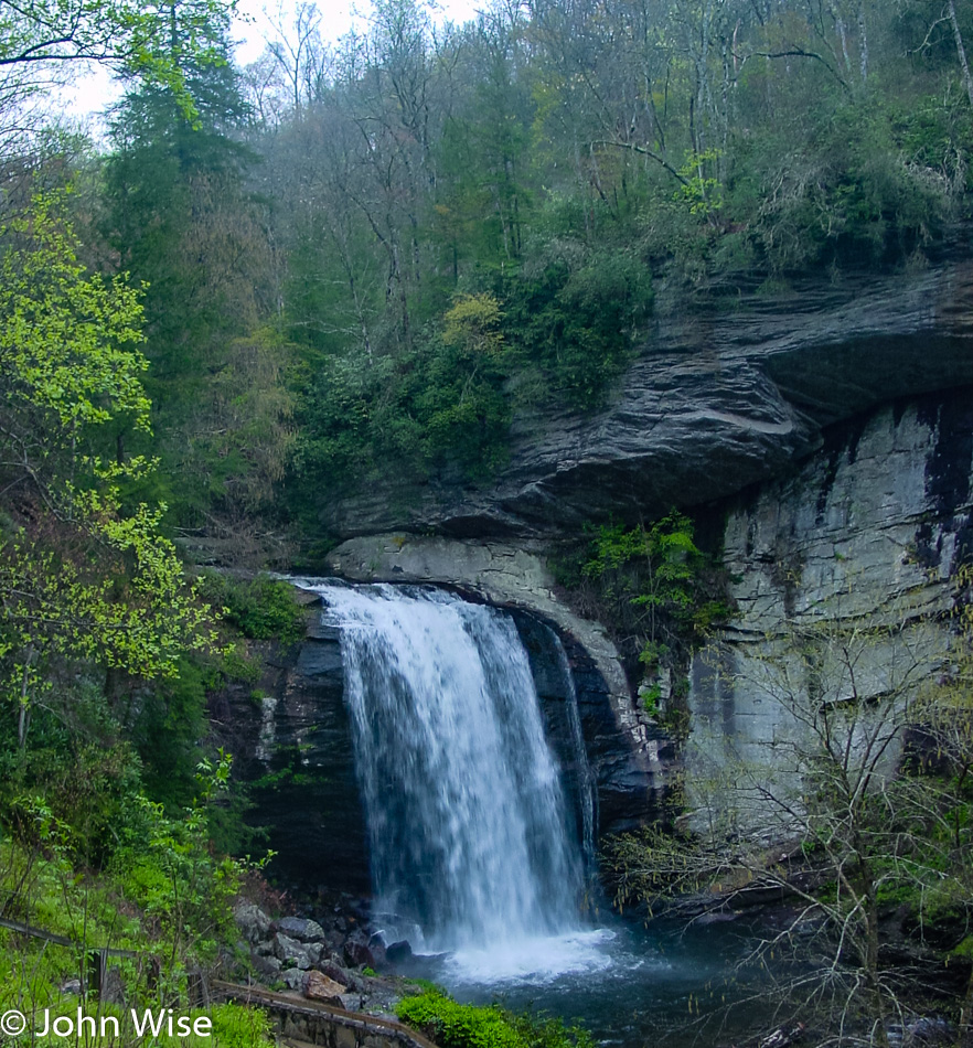
Across the Southern U.S. – Day 9

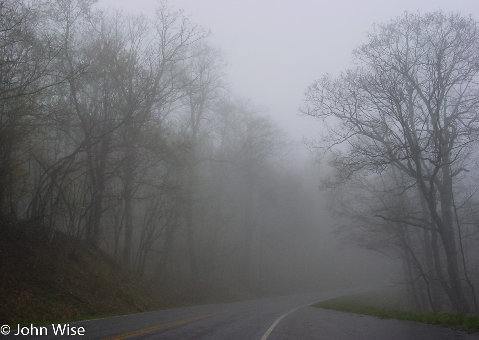
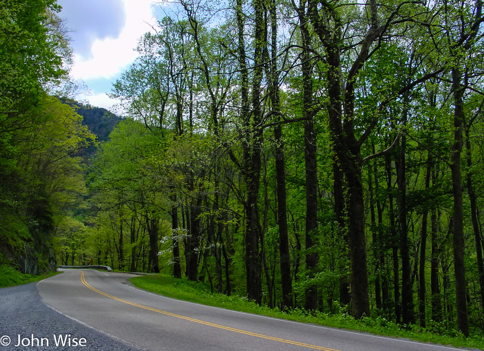
Maybe there should have been a sense of disappointment that we woke to overcast skies, but here in the land of hollows (pronounced holler in the local Appalachian dialect), it feels fitting that a kind of foggy mystery is hugging Earth.

We needed to stop at the Looking Glass Falls on Route 276 on our way to the Blue Ridge Parkway. The upcoming road is one of America’s most iconic thoroughfares. After having driven the Natchez Trace Parkway a few years ago, it was our dream to visit this other major historic road that glides through the countryside, offering visitors a view of this small part of the United States untouched by man and machine or parking lots and commerce. We’ll only see a tiny section of the 469-mile parkway that travels from near the middle of Virginia almost to South Carolina, but even a brief firsthand glimpse of the incredible beauty is better than nothing at all.

The road ahead cannot be known as it is shrouded in fog and beyond the horizon; if there is one, it remains unknown and incomprehensible. Maybe this sounds ham-handed and as if I’m using heavy poetic license to make something more of what should be obvious, but this is my adventure, and without embellishment, romantic notions might be lost on cold logic. Who needs objective truths when we are talking about flights of fancy, where the imagination is filling the void that lies around the corner?

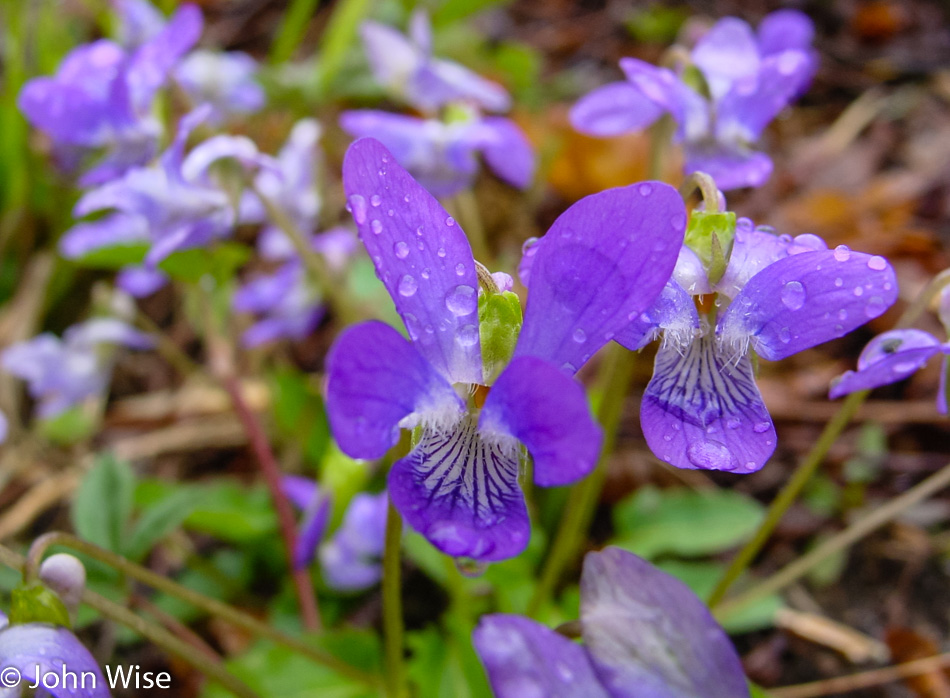
Dewdrops on flowers, now here’s a great setting to help fill in the gaps. Ornamental decorations can add color to the tales being woven out of what some may call ordinary travels, though there is nothing ordinary about stepping into our world. The television, on the other hand, is a poor surrogate for having “taken” someone to an exotic location, as the viewer cannot know the hushed tones and delicate soundtrack of a forest with a stream in the distance or the stillness of a viola just before a drop of water falls from its petal.

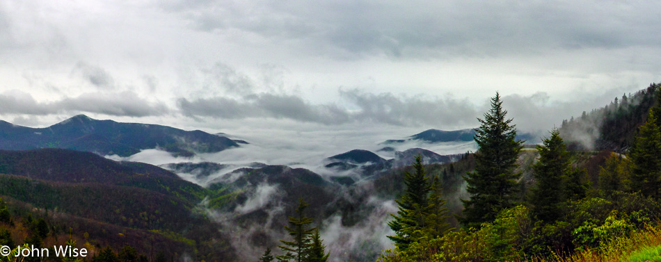
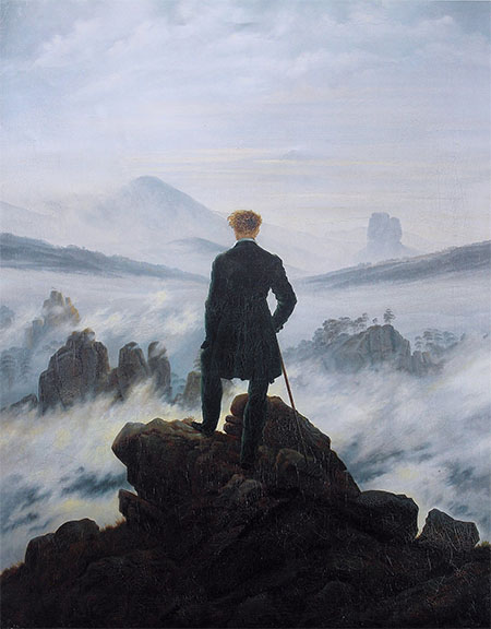
In the mid-1980’s while also in the middle of my existential angst period, I was busy consuming every word of Friedrich Nietzsche, and on the cover of the Penguin edition of Ecce Homo (Behold The Man), I saw the scene above. Now here it is 17 years later, and existential crisis is a distant problem that gave way to an anti-foundationalist Romanticism (idealism for those who’d appreciate not having to look that up), and I’d rather just soak up the beauty than consider the hopeless masses of humanity who will never be able to appreciate these moments where aesthetics, scientific phenomenon, history, nature, and poetry meet at the mountain top of our intellects to produce emotional sacrifices on the altar of life. The photo was taken at the Wolf Mountain Overlook.

Caspar David Friedrich

This scene titled Wanderer Above The Sea of Fog by Caspar David Friedrich from about 1818 was the cover that graced Ecce Homo. Courtesy Wikipedia.

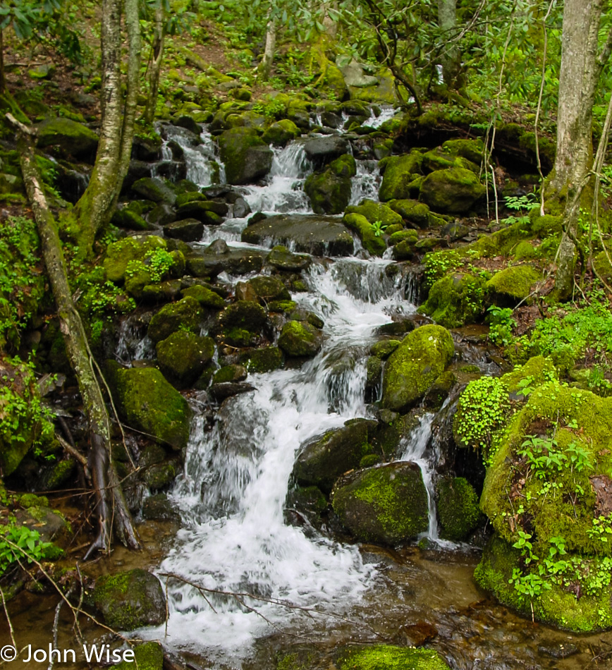
The arteries of life crisscross this landscape and all I can see are trees and streams. My eyes are blind to the microbial world, and even with what I can see, such as the mosses and leaves, I cannot identify precisely what they are. Why is this information about our natural world seemingly so unimportant to us humans? It’s not enough that the scene is beautiful; we owe it to our short lives to understand and know the earth we live upon and within.

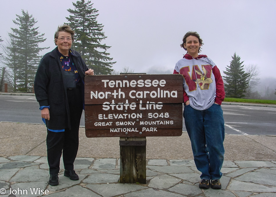
Being this close to another National Park, there was no way Caroline and I wouldn’t take the time to peek in.

I suppose that trying to brag that we’ve been on the Appalachian Trail would be nothing less than disingenuous, even though we are standing on that very famous trail. The fact of the matter is that we are right next to a parking lot where the A.T. crosses the road, and so we’ve “hiked” about 100 feet of the 2,180 miles of the trail. For the math nerds out there, we’ve covered about 0.000008% of the A.T. and only have 99.999992% more of the trail to hike.

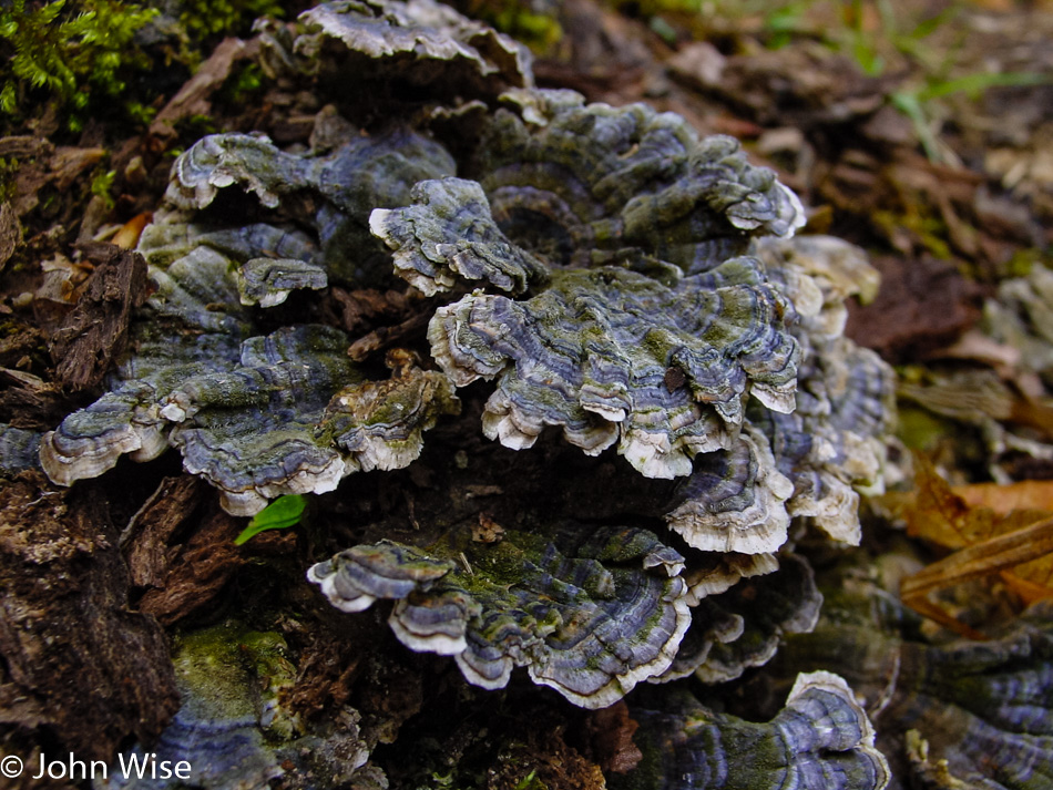
Uncertainty is never fun, and so while I think these are maitake or hen-of-the-woods mushrooms I wouldn’t bet money on it or cook some up and gobble them down to find out.

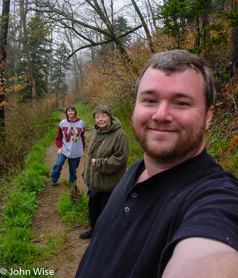
Ah, yes, that is blue sky beyond the trees.

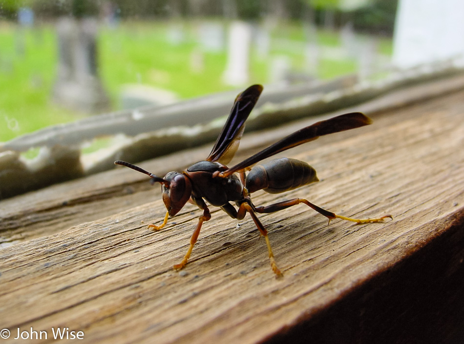
Wow, a hornet up close and personal. I’ve been told that these flying demons are aggressive beasts, but being only inches away from it, I’ll bet I was more nervous than it was. While it may pack a wallop of a sting, it also packs a wallop of evolutionary efficiency in its design as it looks to be a perfect form considering its life among the rest of us living things.

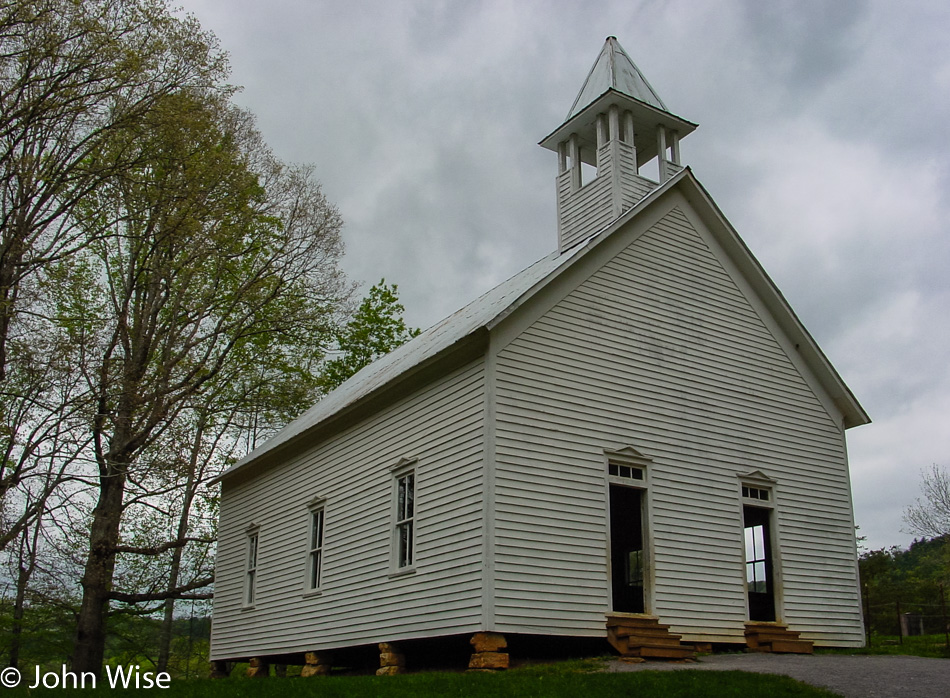
While the hornet is free from rent, obligation to pay taxes, or barter its time for food, we humans, on the other hand, are often bound to conformity. This march to social conditioning often starts here in the church, and while some may argue that it is a foundation of our ethics, I believe we are naturally moral beings and that the church does much harm to propagate complacency in ignorance by reinforcing our laziness to challenge authority. Someday, I believe all churches will be relics of another age, just as caves and pyramids are reflections of an earlier primitive self.

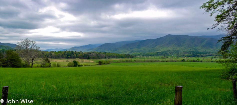
Philosophy, art, ethics, nature, history, conflict, and harmony do, in fact, travel with me on vacation as I’m not able to escape myself. The composite of who I am is what helps form how I see the landscape and subsequently try to capture these images that will hopefully bring me back to a moment of inspiration. From this scene, I want to imagine being an observer here about 600 years ago, before the Native American population first encountered Europeans. What was it like to walk free, find, capture, or harvest food, explore without permission the surroundings, or layabout in the valley and watch skies above travel overhead to places unknown?

It’s beautiful here in the Great Smoky Mountains National Park, but like so many other first-time encounters with our national parks, this one was too brief.

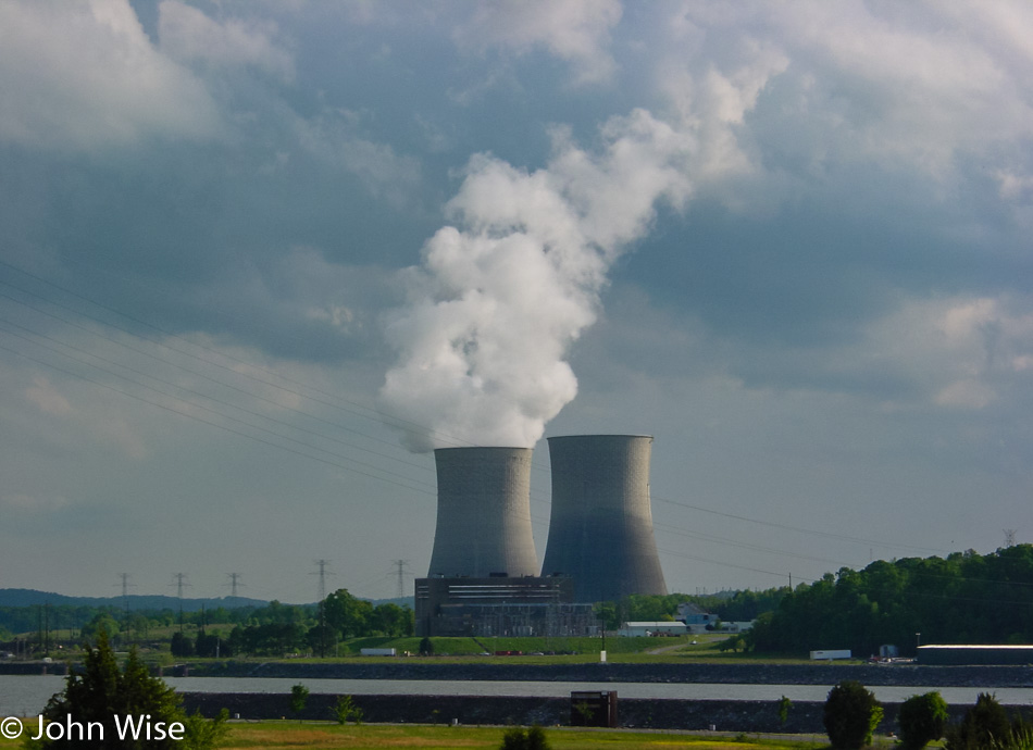
Seeing the Watts Bar Nuclear Plant on our way eastward was a conflicting sight as I’m at once fascinated by the technology and convenience while simultaneously uncertain about the waste issue. Of course, coal is not a viable answer either, nor the dam that has backed up these waters to destroy a healthy river system. Seems to me that only leaves, wind, and solar, which come to think about it, are two of the elements that, in their natural state, contribute to these trips being extraordinary.

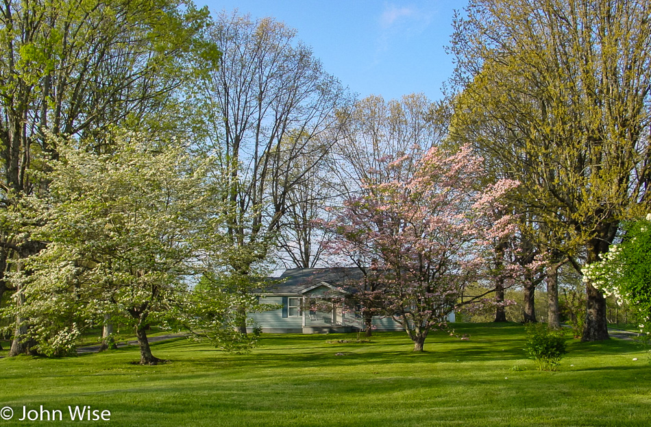
The trees are on their way to full summer bloom here in mid-spring. I’d like to return in two months to see the trees with their leaves filled out and the little house and yard covered in shade. It’s pretty out here in Tennessee where nature doesn’t portray a poor education or hostility towards others, just an indifference to being here regardless if I am or not.

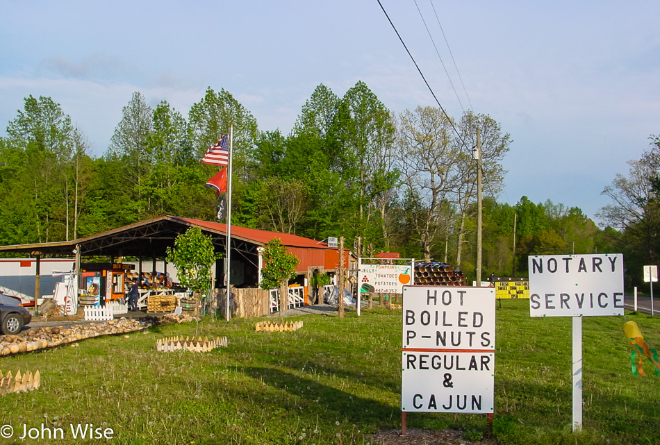
Seems that even many locals disdain boiled peanuts but Caroline and I sure enjoy them. They taste a bit like lentils. Being on vacation, we weren’t in much need of anything being notarized, so we weren’t able to take advantage of that while picking up another road snack. By the way, you won’t find boiled peanuts west of the Mississippi or much further north than Virginia.

Like boiled peanuts, this isn’t something we see every day: gourds. While popular as containers, musical instruments, birdhouses, and other crafty things, I can’t imagine why anybody driving by would be inclined to impulse buy gourds. Maybe this is the regional distribution point of dried gourds, and my ignorance of the area doesn’t let me know the important role they play in Tennessee culture.

Why a pig? Because this company called Piggly Wiggly changed the world of grocery shopping back in 1916. Prior to this chain of stores that got its start in Memphis, Tennessee, people would give a clerk a list of what they wanted and that person would fill their order. What changed was that Piggly Wiggly’s founder gave customers open shelves and a cart to collect their groceries themselves, and with that, the modern grocery store was born. You can learn a lot about America just by driving across its breadth.

Across the Southern U.S. – Day 7

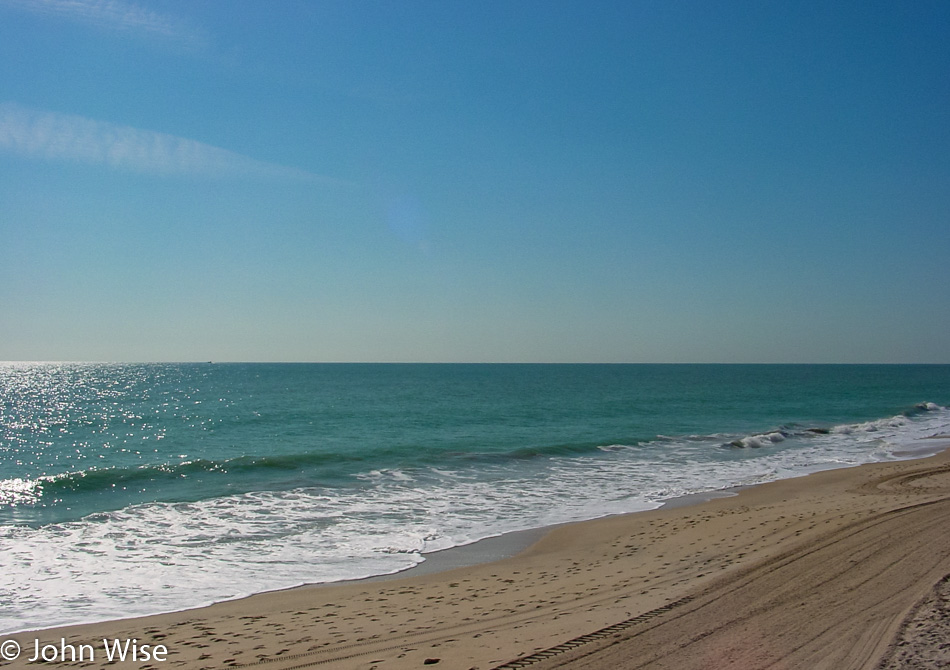
We woke in Fort Lauderdale, Florida, that much we know, but the details that were noted during the first part of the trip are nowhere to be found after our return to Arizona. So, without further ado, let’s get going with the day and see what we can drag out of the old memories. Our first serious stop was here at Vero Beach; we are continuing our travels north today.

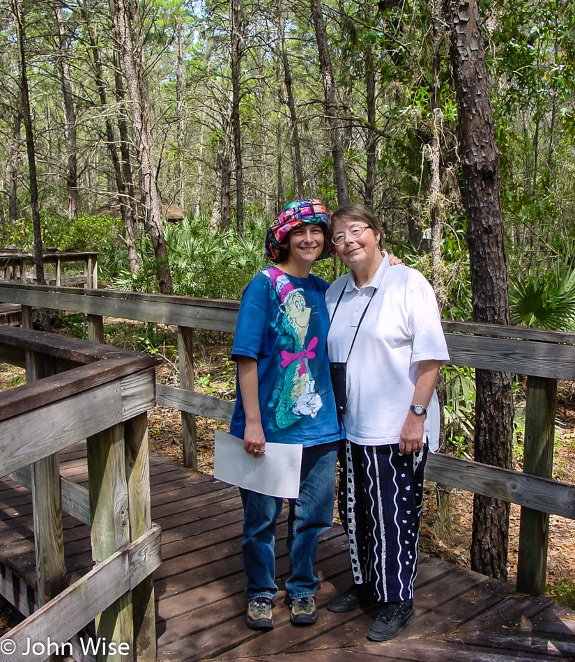
We are on the boardwalk for a nice slow walk into the Turkey Creek Sanctuary after following the Indian River Lagoon Scenic Byway up the coast. The name was enough to draw us in as all three parts speak to our sense of curiosity: turkey because turkey’s, creek as we love waterways, and sanctuary as it sounds like something that’s protected. Put it all together, and it sounds like a perfect place.

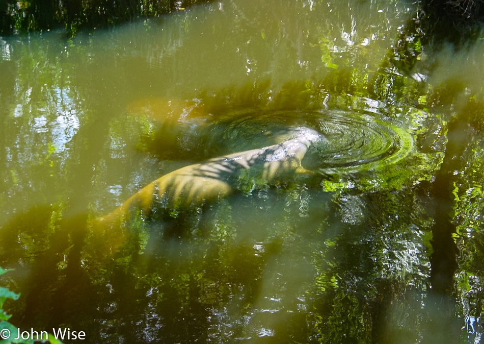
Those amorphous gray shapes among the shadows and reflections are manatees. Fortunately, Caroline and I saw a couple at Disneyworld in Orlando a few years ago. Otherwise, I don’t think we’d have a very good idea today of what they look like. We’ll keep our eyes open for other opportunities to show Jutta what these lumbering giants look like.

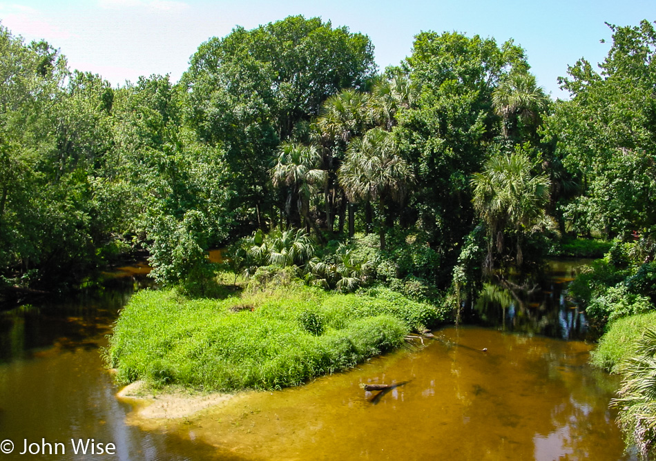
The Turkey Creek Sanctuary is a beautiful spot surrounded by Florida’s growing urban blight that is encroaching on the most precious and desirable natural environments. This is so very indicative of our worst qualities, find a beautiful place and then have too many people move to this treasure.

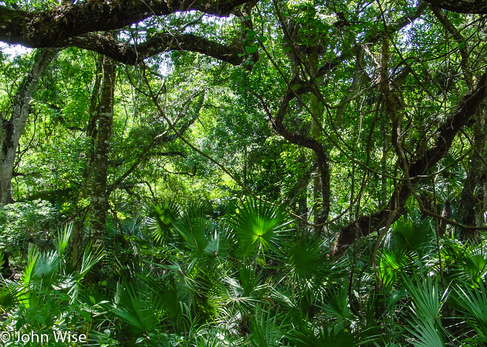
The plant life here is broken into three categories, including hydric (wet) hammock, mesic (moist) hammock, and sand pine scrub. Walking through these areas and other natural habitats across America, it’s a wonder why we don’t make the collective decision to start building greater densities on smaller land areas to preserve our natural areas and restore ones that we’ve decimated. I can only assume that the majority of American citizens would rather have another drive-thru fast food restaurant or space for their own pool so they can remain out of contact with the primitive horrors found in nature.

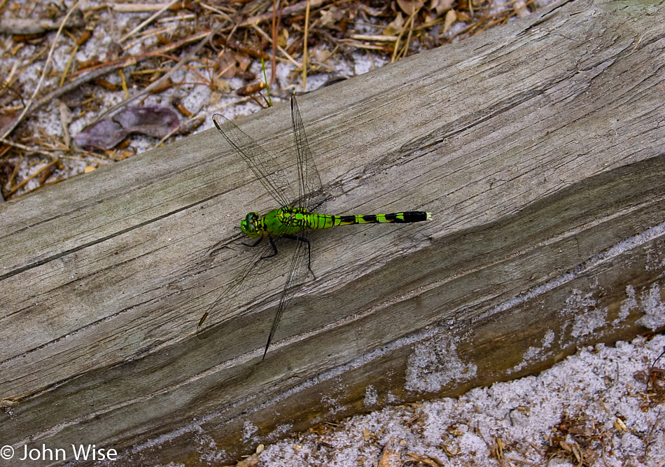
Like this toxic and deadly dragonfly that would overpopulate our planet and kill us all if it were allowed to propagate its evil species. Just kidding, the dragonfly is not toxic, deadly, or evil. It’s a beautiful reminder of summer and buzzing fields of life basking in the sun, where birds dip into the waters on hunting expeditions, and the wind rustles the cattails.

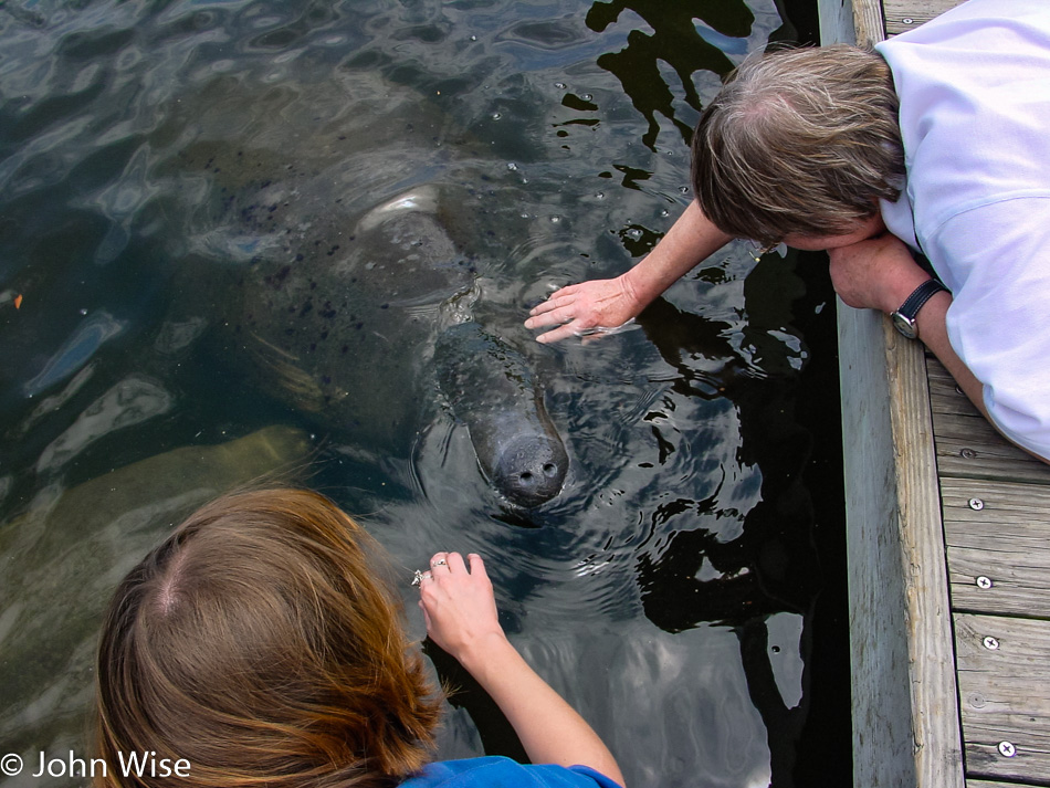
Some anonymous person gave us a tip on a better location to see manatees and for a short while, we stood at a marina, watching them in the distance. All of a sudden, a young man and woman approached the dock, apparently drawing the manatees’ attention. They told us that if we wanted to see them up close, to follow their example, picking leaves from some nearby shrubbery that the manatee enjoys.

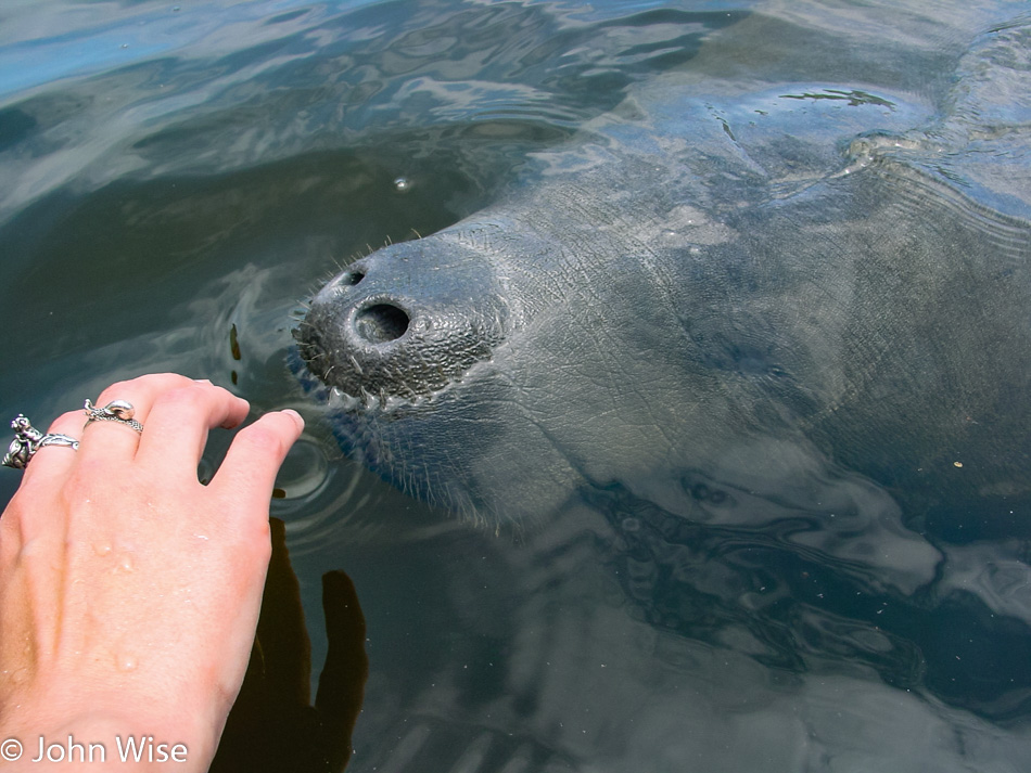
After offering them a snack, they came up closer to check us out. After a sniff or two, they gently pulled the leaves from our hands and allowed us to rub their heads. I should apologize right here to any naturalist or official who would want to discourage this kind of behavior from us dumb humans, but they were so fluffy, cute, and gentle. Who could resist?

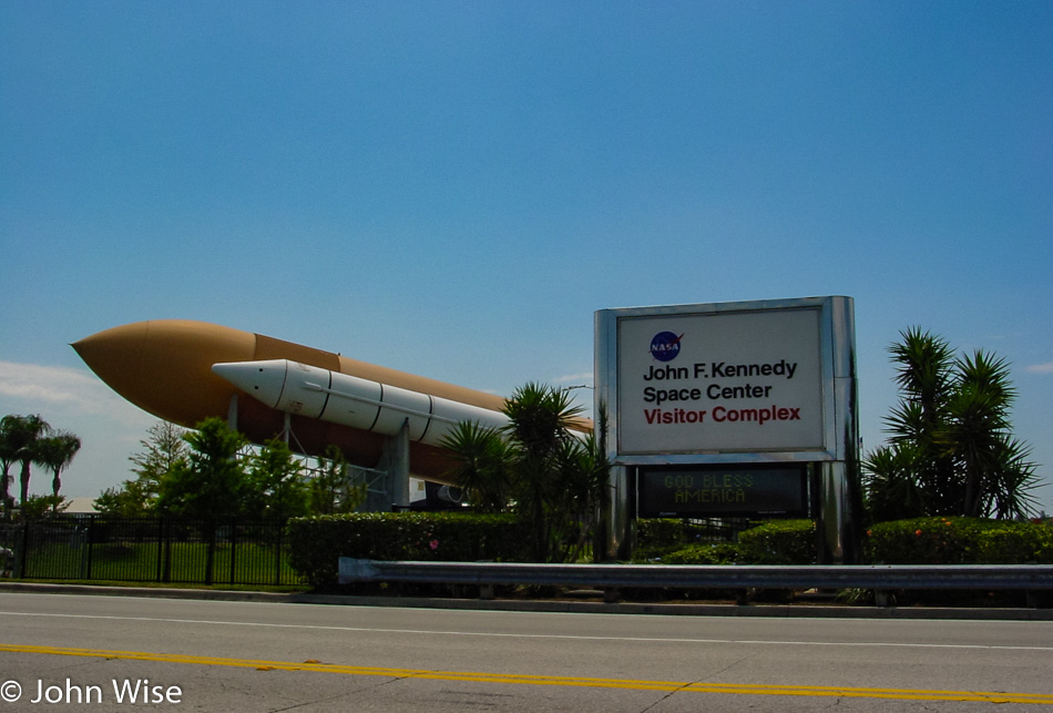
While we are on the Space Coast, Caroline and I are choosing to be selfish, as we’ve been here before, and we already decided for Jutta that she wouldn’t be that interested in visiting the Kennedy Space Center. Instead, we are heading to the Merritt Island National Wildlife Refuge just north of the center.

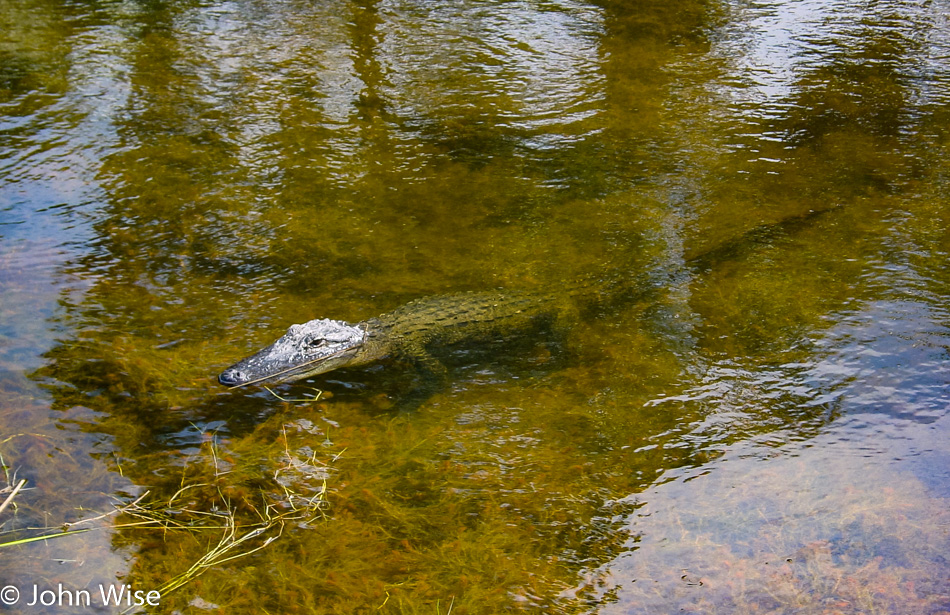
Rockets or alligators, both are pretty incredible. While Kennedy was of great interest to Caroline and me back when we made our first visit, and Jutta certainly grew up in the space age, we also know my mother-in-law’s appreciation for seeing the side of America not seen on TV in Germany: interviews of people following shootings, obesity from our purely fast-food diet, or celebrities talking about nothing in particular. Her witnessing the breadth and beauty of the United States, with stops for regional culinary specialties that move beyond pizza and burgers, left the greatest indelible impressions on her. While anyone can see a rocket on television, it’s rare to see an alligator or turtle in the wild or to have the opportunity to just check it out in its natural habitat at your leisure.

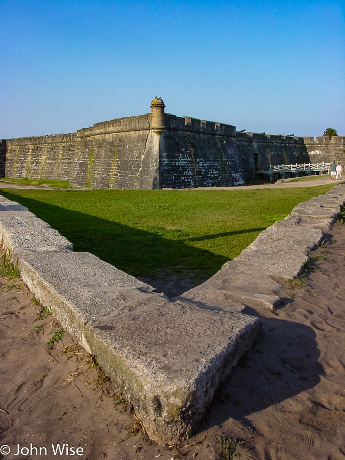
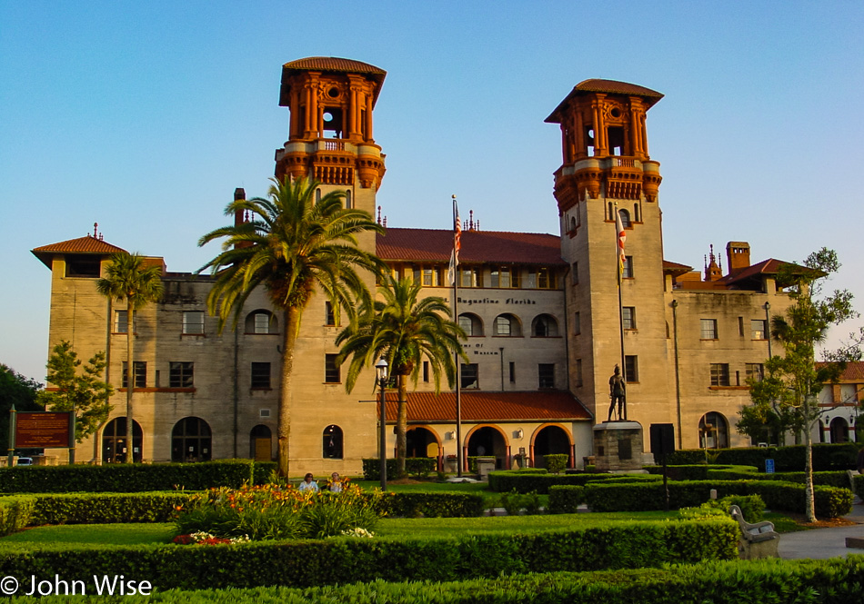
We’ve arrived in the oldest city (established by Europeans) in America. St. Augustine, Florida was founded by Spanish admiral Pedro Menéndez de Avilés back in September 1565, a full 42 years before the first English colony took hold up in Jamestown, Virginia, in 1607. It wasn’t until 1819 that Florida was ceded to the United States. Our first stop is at the Castillo de San Marcos National Monument, which started construction in 1672 making it the oldest masonry fort in the United States.

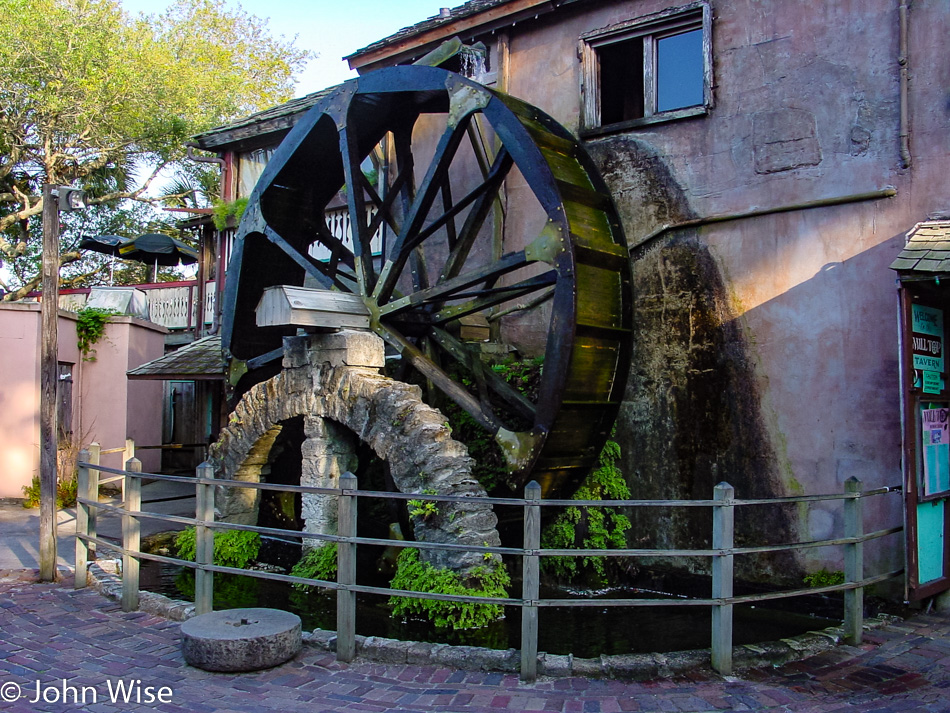
Lots of history can be found in the Old Spanish Quarter, including this old watermill from the 19th century that is part of the Milltop Tavern.

I can’t help but be a bit miffed by my poor education that, in some ways, portrayed the pivotal moments of America’s “founding” as being white Eurocentric while neglecting the Spanish settlers that were in Florida and the Southwest before English or central Europeans ever landed on these shores. To this day, I don’t think we give a fair portrayal of the thousands of years of Native Americans living here and how we portrayed them, to steal their lands and our ancestor’s attempt to exterminate them into a nearly extinct status. Here we are in 2003, and our black population is still on the extreme margin where education and the lack of it can keep people suppressed and when need be, incarcerated.

It is precisely the diversity of architecture, culture, food, music, and clothing that works to make America a great nation, but it is our petty, fearful view of giving credit to other cultures that makes us small and stupid.

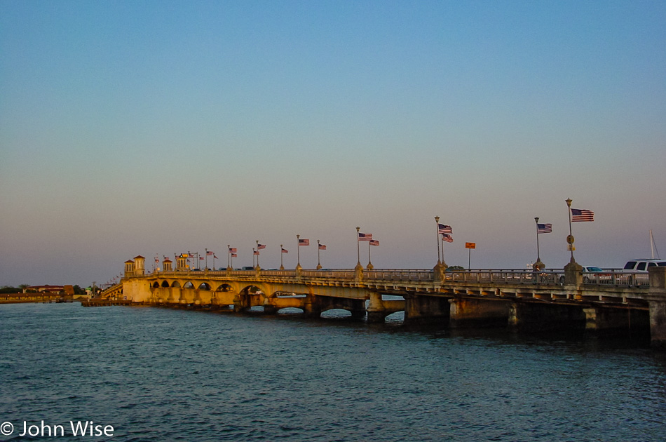
How appropriate for the last image of the day: a bridge. We all need to remember that it is precisely this invention, the bridge, that connects those things and places that would have been inaccessible to the majority of people. It is an essential device for closing a formidable distance. So, how do we go about building bridges across our myopic views and ingrained ignorance that the worst aspects of our culture reinforce daily? I suppose we just have to keep forging ahead.

Across the Southern U.S. – Day 6

We wake in Homestead, Florida, the city that had borne the brunt of Hurricane Andrew back in 1992. It’s our sixth day out with a plan to meander down the Keys. Instead of taking Highway 1, which we have to return on, we are entering the Keys on Card Sound Road.

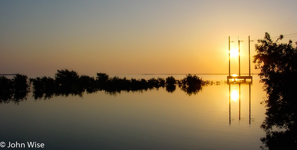
A perfectly clear sky has made room for a well-rested sun to rise unobstructed, bathing the morning in orange and gold before alighting the heavens with a radiant blue ceiling.

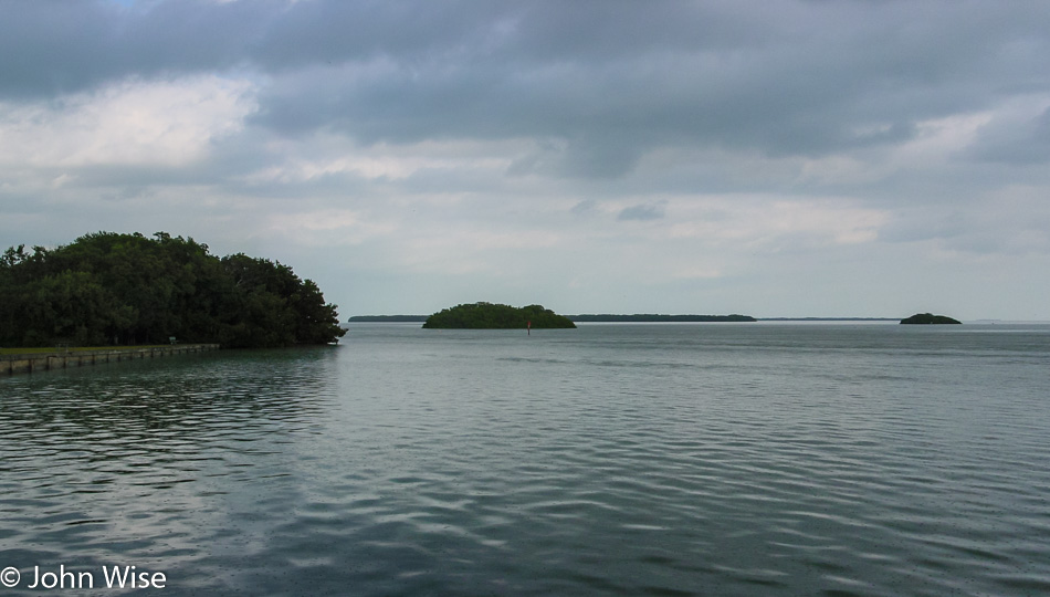
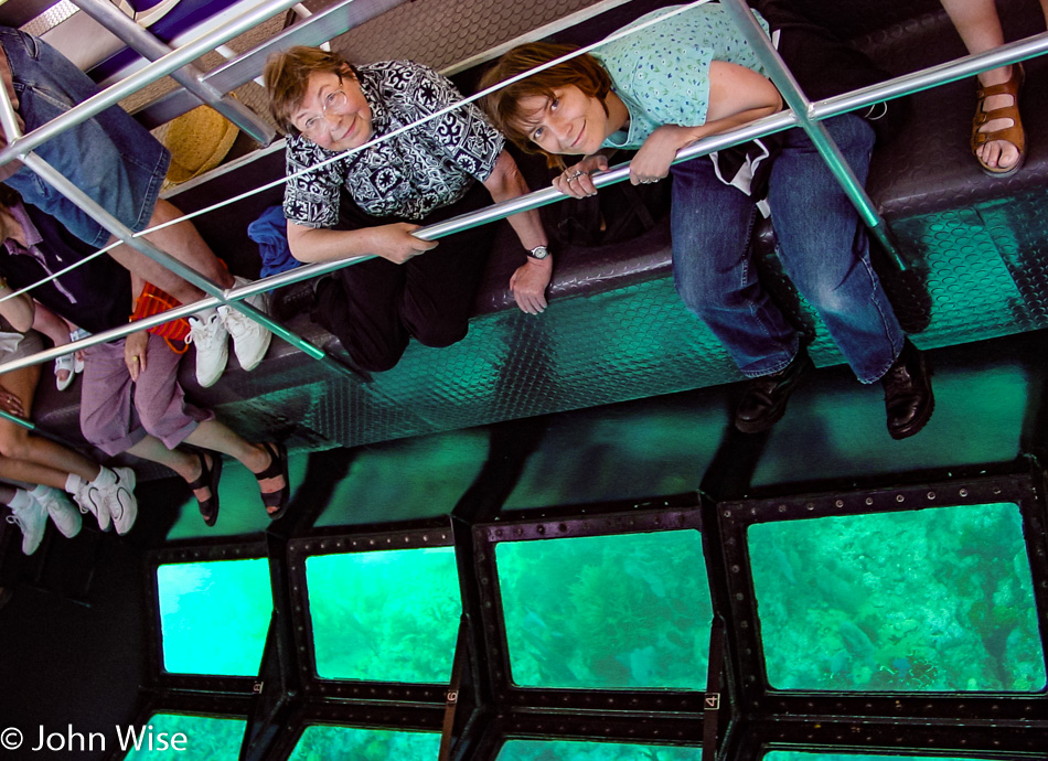
We check in with the John Pennekamp Coral Reef State Park for a glass-bottom boat tour of the nearshore waters. The tour departs at 9:00 a.m., giving us an hour, so we check out the local waters looking for fish or other signs of life. The visitor center has a small aquarium that we spy on for a moment before we recognize it’s almost time to board our boat. Our three-hour cruise won’t deposit us on any exotic islands today, but we are expecting a spectacular tour. Slowly, we are pulling out of the dock area, passing mangroves to our right and left when in front of the bow, half a dozen large rays swim along with us before diving below the green waters.

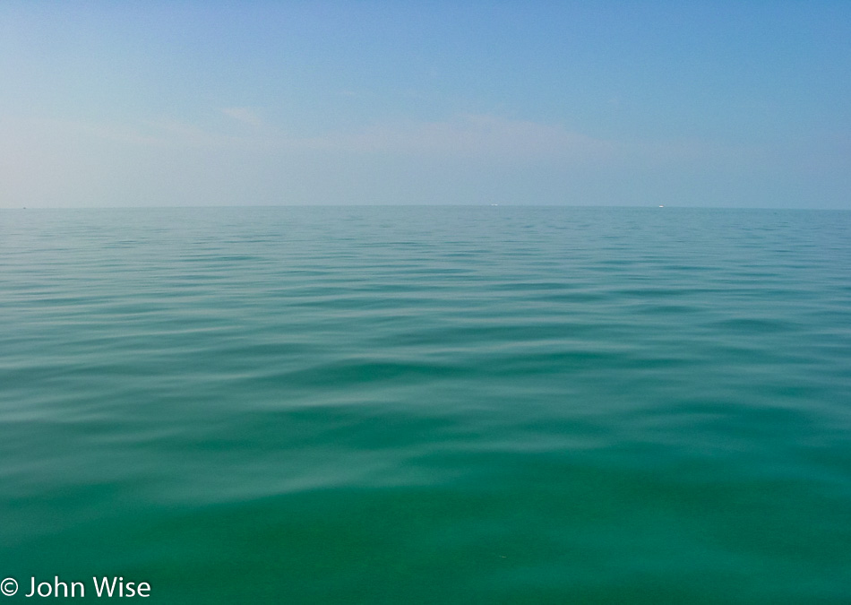
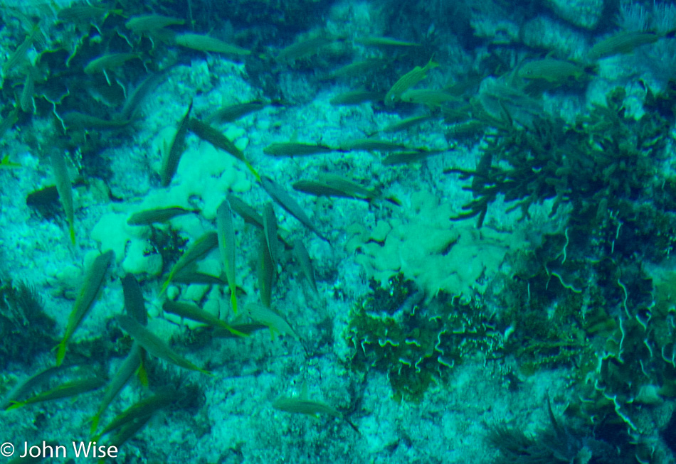
Under the best of conditions on a glassy ocean and not a cloud on the horizon, we travel southeast. After an hour we slow to a float with the clearest of waters, giving us a wonderful view of the sea life teeming on the reef. Our captain deftly positions his craft, offering up parrotfish and multi-colored schools of other fish that there are so many of it’s hard to keep up with which species are which. Corals, plants, and a plethora of shrubbery appear so close to our eyes that the impulse to reach out and touch them is tough to resist.

It’s almost like scuba from the view of things, then again, not. Still, this is pretty cool, and Jutta is loving her time out on the sea.

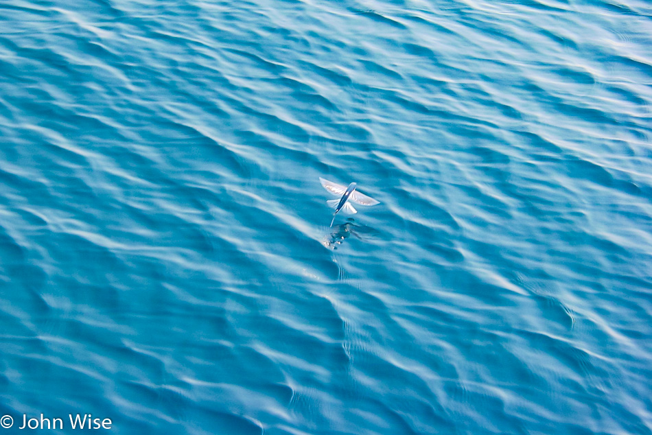
The captain, recognizing the incredible clarity of the water on this particular day, offers us a rare chance to view an artificial reef in superb detail. On our way to this sunken treasure, dozens and dozens of flying fish that thrust out of the water, skimming well above the surface for distances of up to 300 feet, join us!

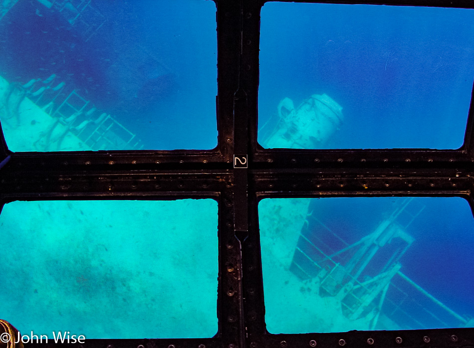
Twenty minutes later, the ‘reef’ comes into view: it’s the USS Spiegel Grove. The ship lies on its side on the ocean floor 130 feet below us. Being 84 feet wide and 510 feet long, the ship at its widest point is only 46 feet below us. Truly amazing today is that we can see the bridge of the ship which is so far below the surface. We were told this is exceptional water clarity and a rare day indeed. Sadly, we departed after 15 minutes; our tour was almost over.

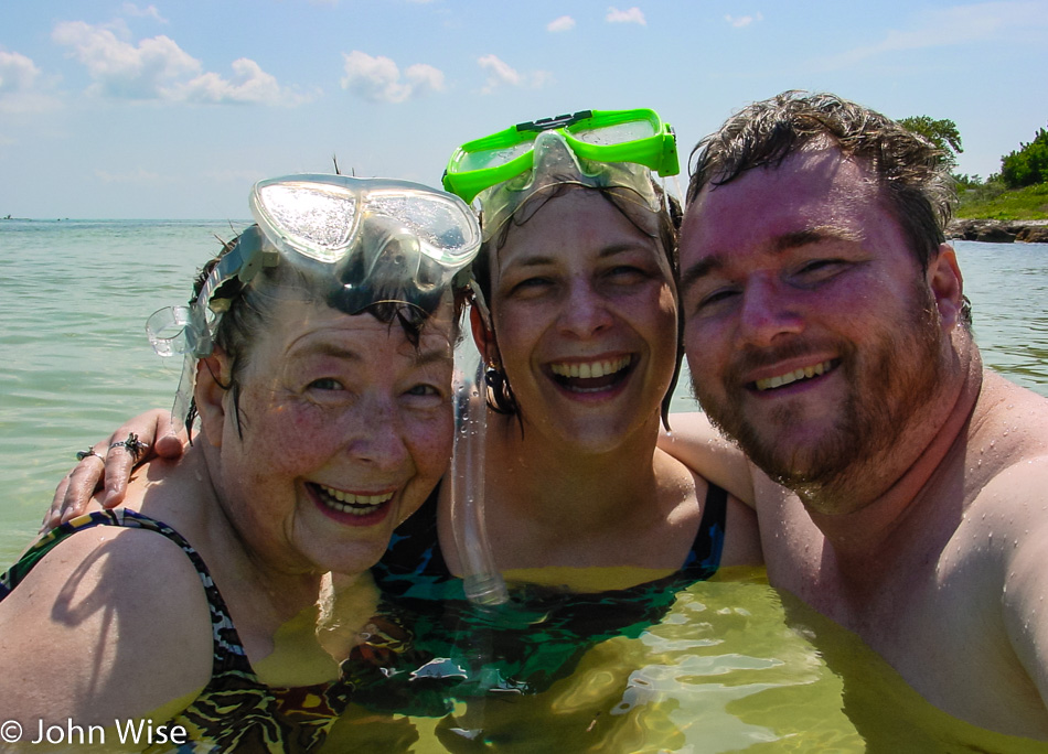
Driving south on Highway 1 around noon; we bask in our ocean adventure. Before we know it, mile marker 37 is ahead of us, signaling our next destination, Bahia Honda State Park. A surprise awaits Jutta, which it turns out seems more of a fright than anything pleasant. Caroline takes her mom to a changing area while I visit the gift shop. Upon Jutta’s approach, she eyeballs the snorkeling equipment in my hands and quickly exclaims that she “doesn’t do that.” Fair enough, as my mother-in-law is 68, so I ask if she’ll oblige me and put on the mask and just look in. Standing in chest-high water, Jutta dons the mask, dips her face past the surface, pops back up, and blurts out an enthusiastic, “I do that!”

We float about, taking our time exploring the coast, occasionally sharing something we find exciting or beautiful. We float about a bit too long. I likely have third-degree burns and will pay dearly in the coming days for not wearing sunscreen on my back. While the burns aren’t literally third-degree, they are still painful enough for me to make one of those rare concessions to Caroline that she was correct and I should have let her layer on the sunblock.

Intensely happy, I think we all feel that we have left the most grueling part of the road trip and are beyond doubt on vacation. Before leaving the beach, I snap a photo of us still in the water and feel as close to Jutta as I ever have, as I see her enjoying herself like a child at play.

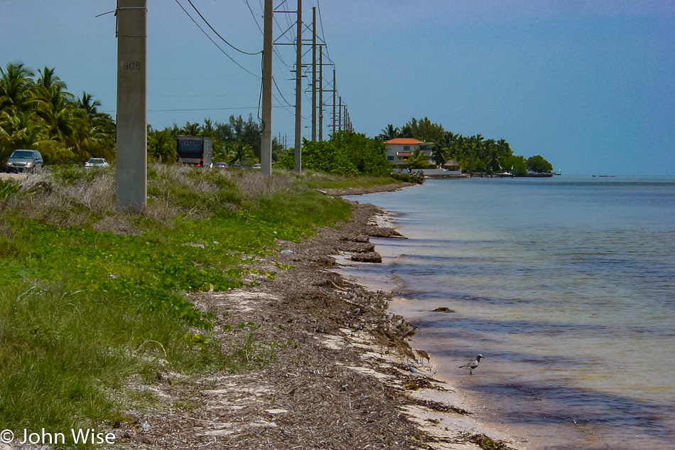
The road through the Keys sometimes finds itself seriously close to the water’s edge. This mix of bridges and tiny islands certainly lends itself to the sense of going somewhere profoundly different than anywhere else any of us have traveled before.

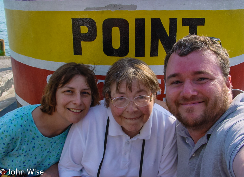
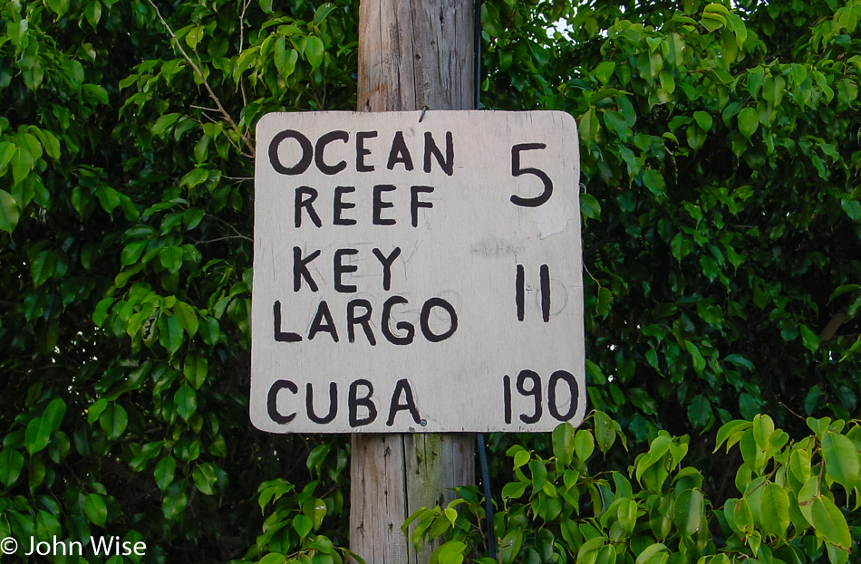
The southernmost point in the continental United States and only 90 miles to Cuba: we have arrived in Key West. The crowds are not conducive to our mood or a pace we can relate to after such a lazy day, so after a quick view of mile marker zero, we turn into a local neighborhood.

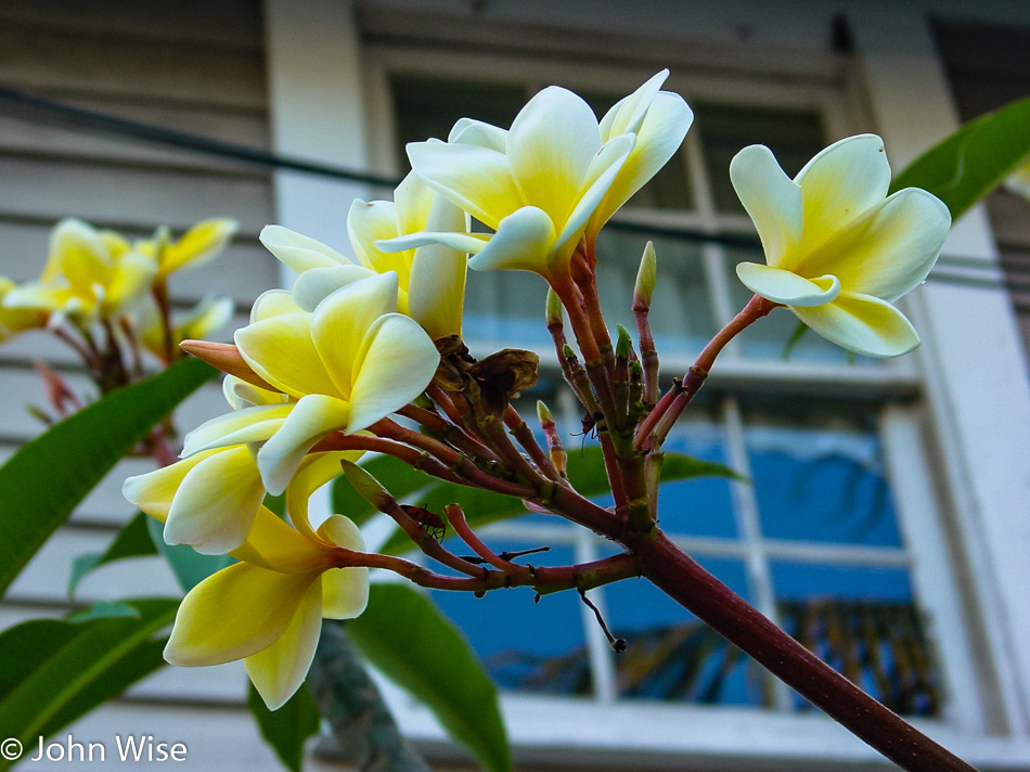
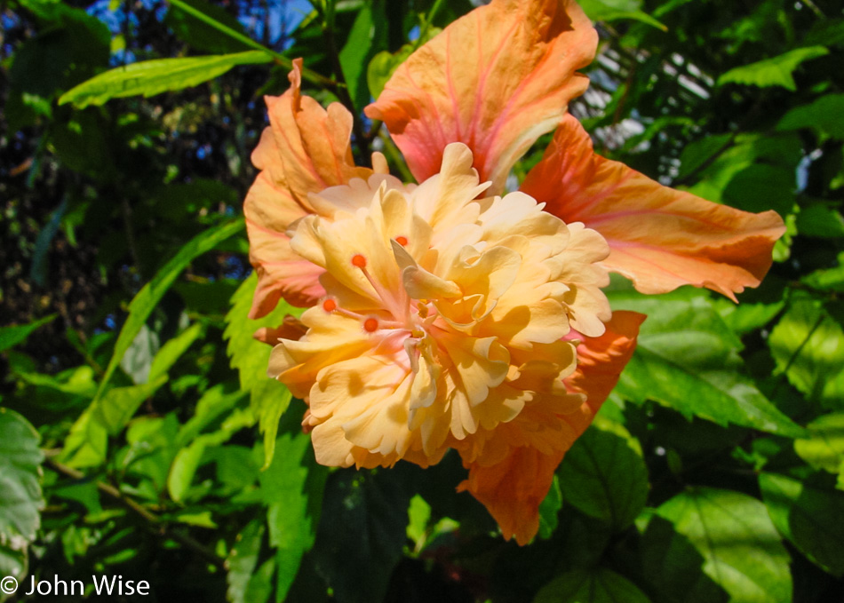
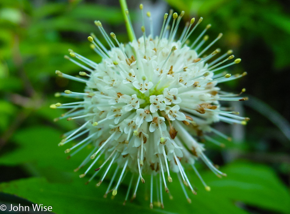
Flowers abound, and while many may find the bars a natural draw or the architecture a beauty to look at, we are too busy gawking at hibiscus, bougainvillea, and plumeria. This, more than Santa Barbara, California, is a flower lover’s paradise!

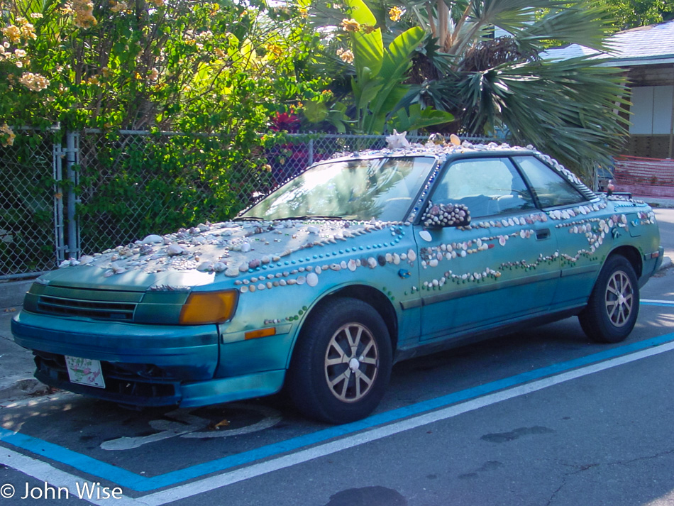
Or maybe a seashell lovers hookup place, too?

I could have shared many photos of flowers, but then this blog might take on too heavy a botanical slant when there are other things yet to share.

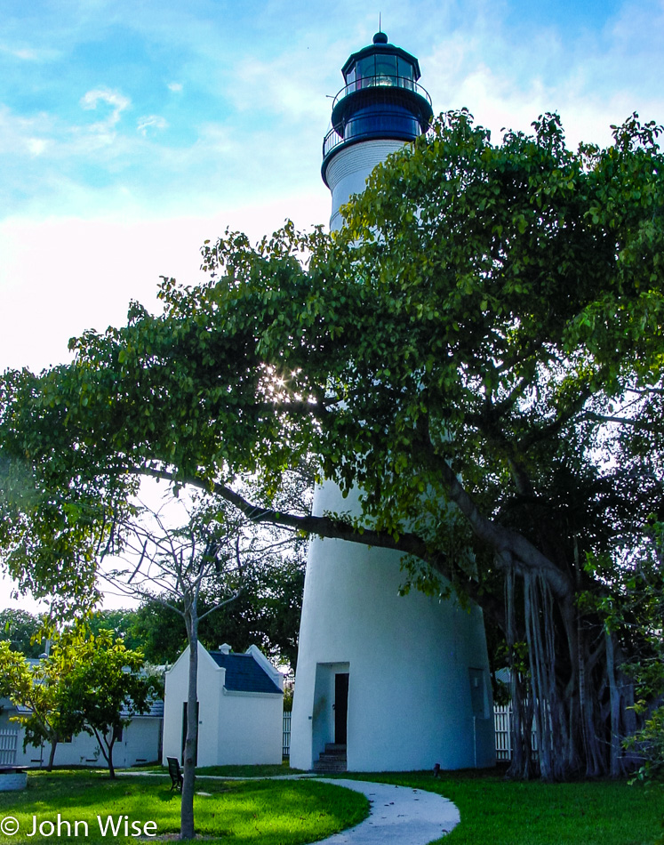
Turning a corner, we find ourselves approaching Ernest Hemingway’s former home, now a museum and tourist attraction. The Hemingway Home and Museum is closed, unfortunately, as it’s after 5:00, and the gate is locked. We will have to satisfy ourselves with a visit to the lighthouse across the street. The Key West Lighthouse & Keeper’s Quarters Museum is closed too, as it’s after 4:30, and its gate was locked even earlier than Hemingway’s.

Not having a serious drinker among us that might compel a crawl of the many open bars, we are about to depart when, in my peripheral vision, a business marquee catches my eye. While researching our route across the southern United States and looking for various recommendations for must-see, must-experience, and must-eat at destinations, I was reminded of a name that rang a bell as I sped by. We just passed and need to make a quick U-turn back to the Blond Giraffe.

Although it may not be very accurate to make such a bold claim based on such a limited sampling of key lime pie, I would be willing to tell the world that this is the best key lime pie you will ever find. We drive away, splitting a single frozen, chocolate-dipped key lime pie on a stick, saving three slices of key lime pie for later. Oh my God, this key lime pie on a stick is absolute heaven on earth; whose idea was it to split one three ways? Us car occupants are in ecstasy while simultaneously howling regrets for not purchasing individual pies on a stick. We vow to return someday, but in case that isn’t possible, we keep their website close to someday order that overnight delivered package of 30 slices of chocolate-dipped frozen key lime elation. Yummy.

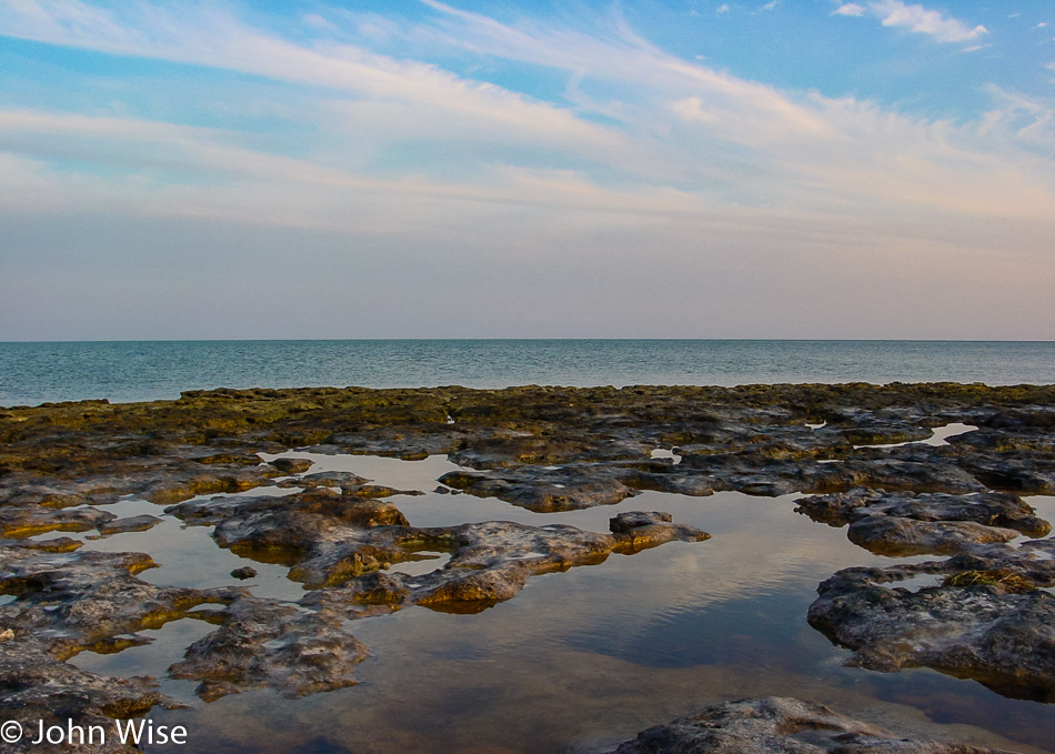
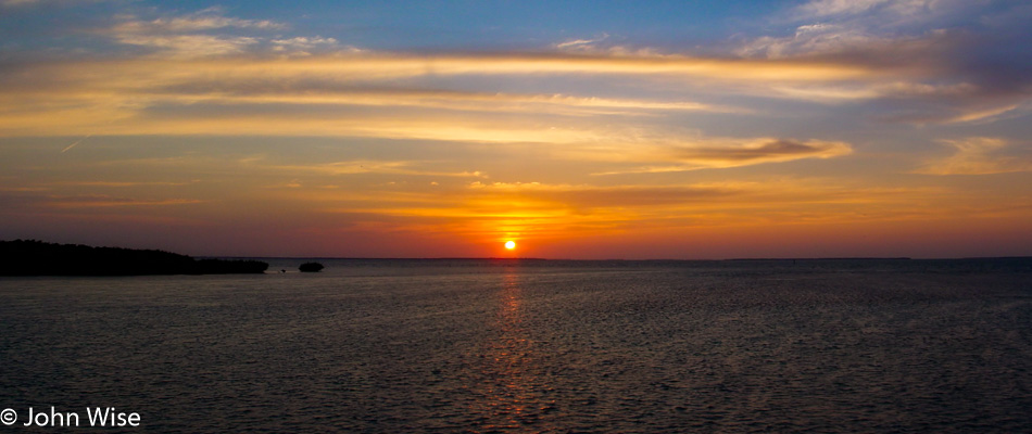
Our time in the Keys is coming to an end. Fort Lauderdale, our destination for the evening, is still more than 180 miles north of us. While the setting sun gently takes its golden light below the horizon, we can afford the luxury of a few more stops along the road north out of the Keys. It has always been difficult for Caroline and me to leave any coast, and the Keys are no exception after this perfect day. With the ocean surrounding us, we share a waking dream of staying right here overlooking the Gulf of Mexico while the final glimmerings of light pave the way to evening until the next morning when we can turn around and watch the first rays rise over the Atlantic.
Across the Southern U.S. – Day 5

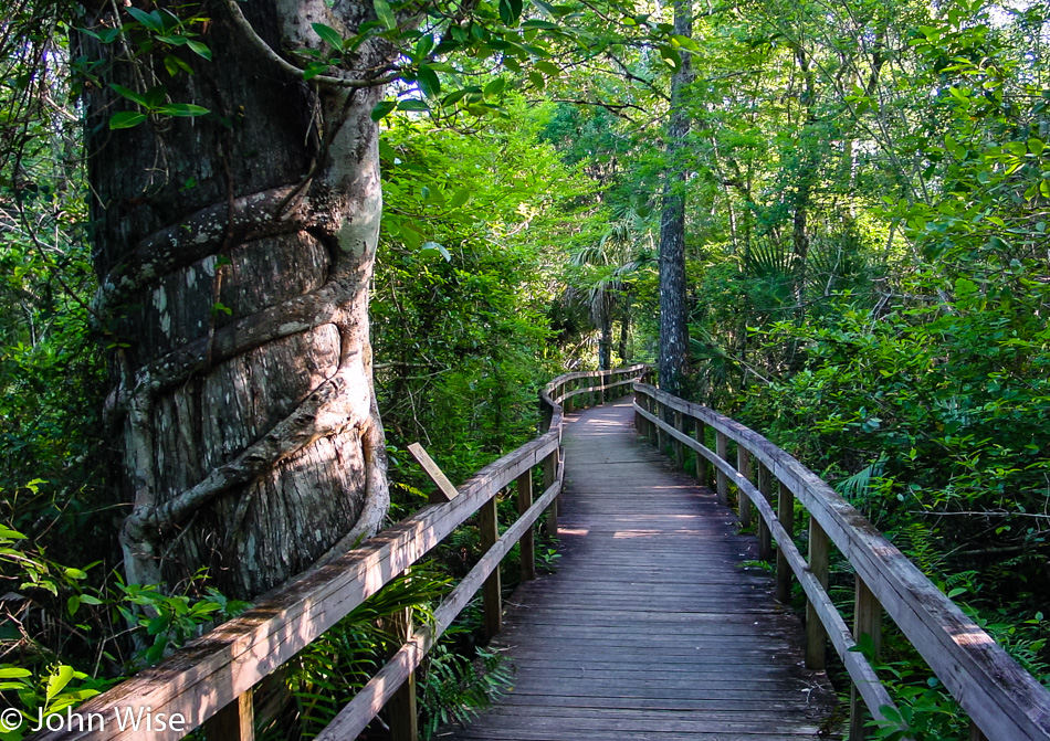
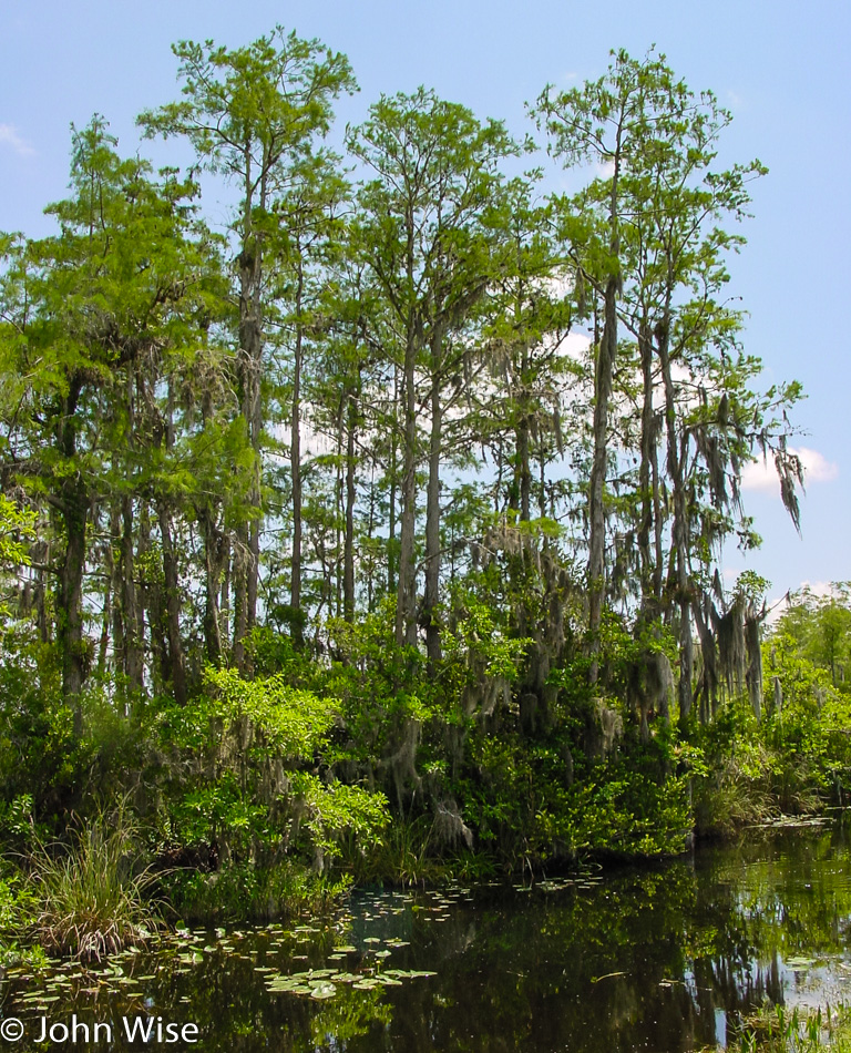
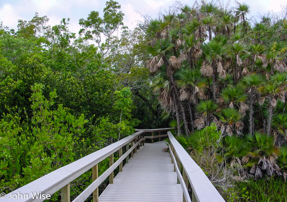
The day starts with a visit to the Fakahatchee Strand State Preserve. We are near the borders of the Everglades National Park and the Big Cypress National Preserve. Our tour through Fakahatchee follows a 2000-foot-long boardwalk that starts among the mosquitoes. As luck would have it, the pesky bloodsuckers don’t follow us in. Making our way into the preserve exposes a rich depth of life and an intriguing entanglement of plants and animal inhabitants. Birds sing from above and scurry below. Flowers burst forward in strange shapes and delightful hues.

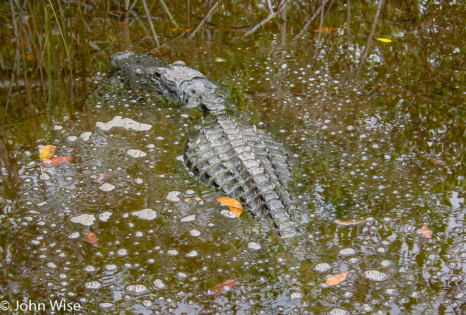
Trees wrap around each other in a symbiotic relationship of dependence as one holds up the other. Spiders dangle. Palm fronds, ferns, and the canopy shade us while we do our best to walk in silence to hear all and see all. Towards the end of the boardwalk is a lagoon harboring our first alligator. The gator floats silently while a large school of fish swims nervously, trapped between a heron and the gator. The fish don’t seem to have much to worry about as both the gator and the heron are lazily lingering; maybe they have already taken their fill. Then we realize that this lagoon may be a landlocked pond due to the low water level in the preserve; if this is the case, these fish have much to worry about.

Silence in these natural settings, aside from the chattering of indigenous species, is always at a premium. It’s not long before a small army of boisterous tourists is making their way up the boardwalk. For us, it is the signal to go, and for them, unfortunately, the heron and the gator responded to the commotion by leaving, too. Along with the preservation of the great wildlands of America, my other wish would be for the tourists to these places of natural beauty to respect the solitude and tranquility so many of us travelers are trying to find at our shared destinations.

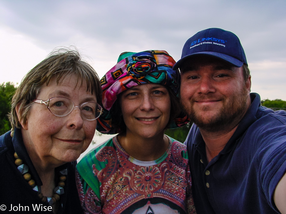
We’re on the approach to the entrance of the Everglades National Park after just three and a half days and 2,355 miles from home. I’m reminded of how my mother-in-law’s excitement gives her the energy for the endurance she needs on such a grueling road trip. Jutta has made three other trips to the United States, and each time, we ask a lot from her because our excitement has us forgetting that we are traveling with a retired lady who might not have the get-up and go that we have. Jutta has accompanied us on hikes in Zion National Park to the Emerald Pools and down into the Grand Canyon, where she was able to witness two Bighorn Sheep butt heads a mere 20 feet in front of her. We have taken her to walk among the giant sequoias near Yosemite, and we’ve walked the trails around geysers and bison in Yellowstone. From inside the caves at Kartchner Caverns to a trip floating down the Colorado River, Jutta has always kept pace with us.

We have strolled amongst the ruins of Chaco Culture National Historical Park and found rest on the grounds of a California Mission. She’s stayed in the Luxor Pyramid in Las Vegas and slept in a cliff dwelling called Kokopelli’s Cave in New Mexico. Watched a grizzly bear feeding with her cub and has been face to face with elephant seals on the Pacific coast. After trying new foods and talking to strangers with strange accents, her back straightens with determined pride. I have come to appreciate my mother-in-law all the more on these road trips because, besides her occasional desire for a quick cat nap, this grand old lady has a spirit and most delightful gratitude that is both honest and from the heart. When, after a trip to America, we hear back from her in Germany about how she recently saw on TV a place she had visited, we hear the excitement all over again as she is full of appreciation regarding the extraordinary journeys she has had the chance to make. If only others had her zest for life and the wherewithal to rise to these challenges.

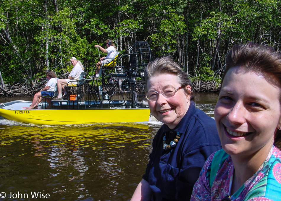
Another challenge greets my mother-in-law: we are asking her to step onto one of the loudest watercraft she may ever take, a fan boat, also known as an airboat. We are in Everglades City with reservations to have Speedy Johnson’s take us out into a private area of the Everglades outside the National Park. We have chosen Speedy, as their tours are limited to 6 passengers.

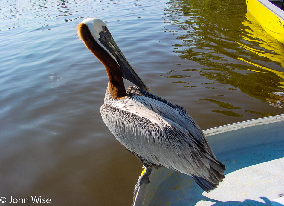
Gently, we push along out of the dock, and then our pilot hits the gas with a thunderous roar of the unmuffled V-8 engine that screams white noise as we glide over the water. Just as quickly as he gunned the engine, the pilot kills it, letting us float up to our first view of mangroves. Approaching the entangled roots a pelican lands on the edge of our boat just a foot away from where I sit, looking at me like I’m going to pull a fish out of my pocket and throw him a treat.

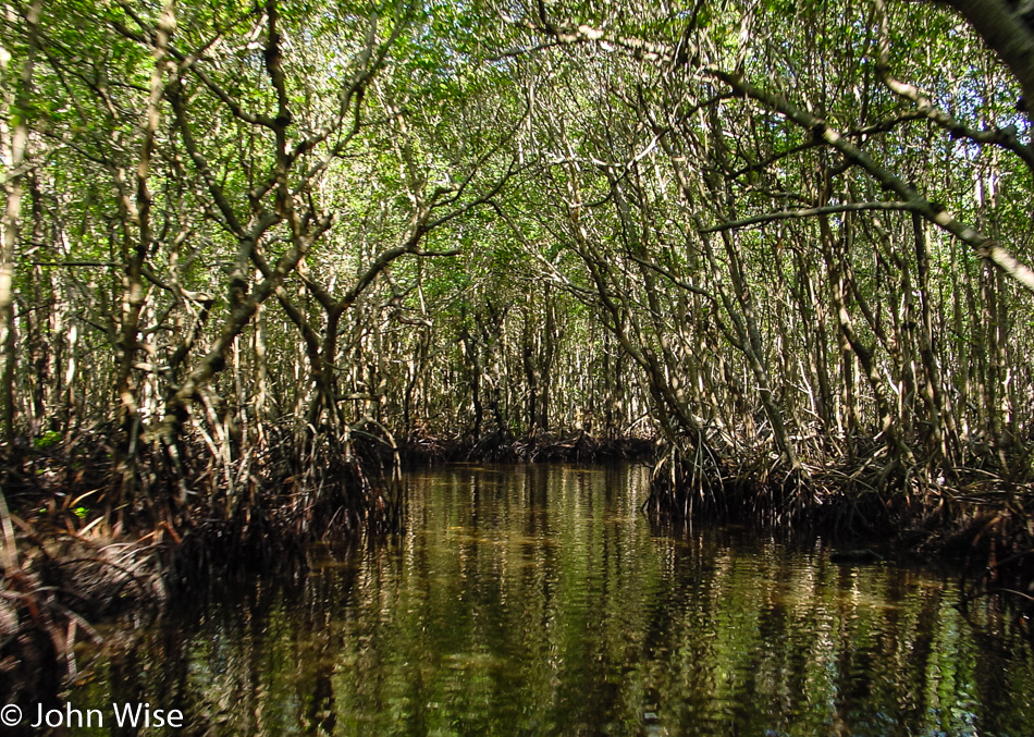
From the open water, our boatman fires up the engine, and we speed directly into the low ceiling of the mangrove forest, with its shallow black waters providing just enough depth to allow our passage. We narrowly missed getting whacked by the mangrove branches as we buzzed by.

Turns out this little guy is a friend of the boatman who has been enticed by treats. I’m guessing that the adage about feeding the wildlife doesn’t mean a lot when a vendor needs to deliver an experience that satisfies everyone on board.

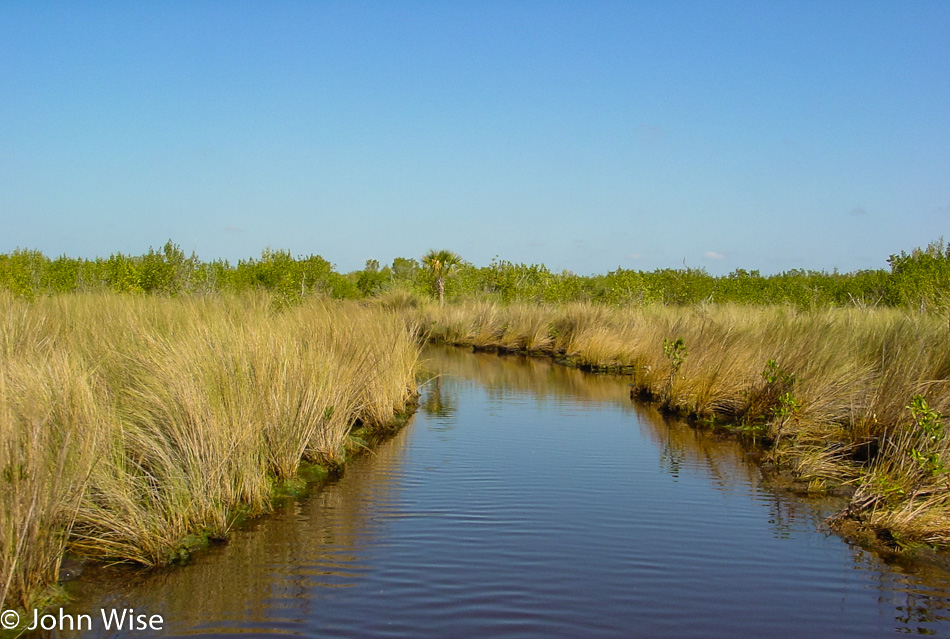
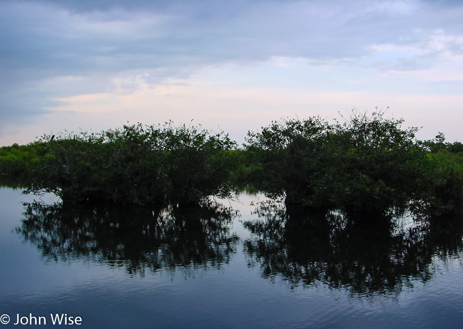
The mangroves are sporadically growing in bunches here and there, or so it looks to me. Between the forests are grasslands.

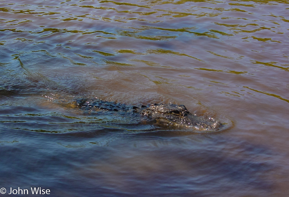
In a larger clearing, we again stop the engine and start to float, we have an approaching guest. This is no ordinary alligator; he has acquired a taste for a meal that doesn’t come from the Everglade he lives and hunts in; he’s coming right at us. He’s coming for marshmallows. My first thought was, “How does he get the marshmallow cleaned out of those huge dagger-like teeth?”

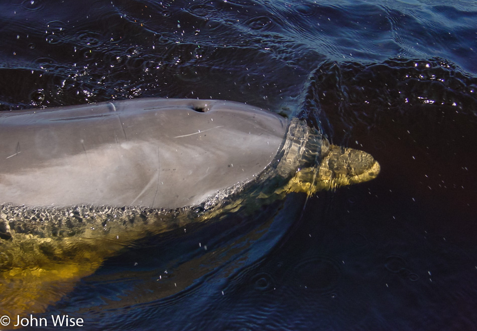
The fan boat heads for another larger open body of water, and the pilot tells us to look at the approaching ripples in the water to our right. It’s not another killer gator; it’s a dolphin who has taken up residence in the Everglades. This is not normal behavior for dolphins; they are social creatures. Our pilot tells us they think that maybe he was separated from his pod or that he’s an outcast and that he took a liking to the warm waters and is now a local. This was an unexpected site; to be sure with all three of us getting down to pet the friendly visitor, we were having a sagenhaft moment.

Our one-hour tour is already over, which is okay as our hearing is nearly ruined. We opted to go without the headphones to feel and hear the full experience of the airboat. We cannot get over the delight of how cool this introduction to the Everglades was. Trying to leave Speedy’s, we get turned around again and again until, finally, we are on our way east on Route 41.

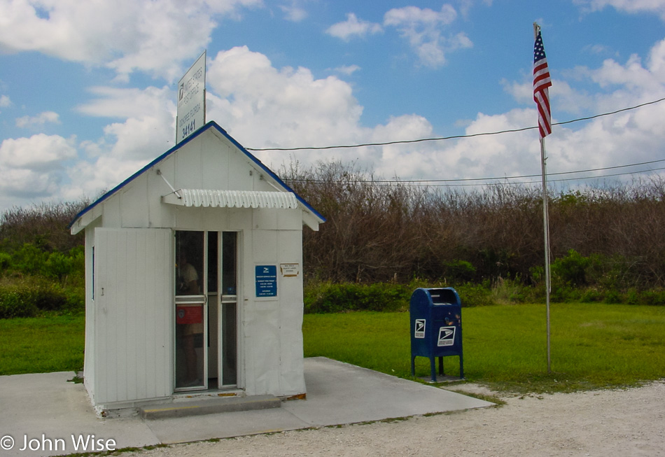
Historic and tiny is the Ochopee Post Office; if one were astute, they might remember that Caroline and I were here back in 1999. This is America’s smallest post office measuring but 7-foot-by-8-foot and has been the stand-in since the other post office burned down in 1953. We are stopping to drop off postcards and to pick up a few new ones from the post office itself to send to friends and family in Germany.

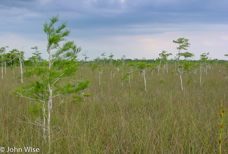
Driving into the Everglades National Park, the road is lined with wildlife from herons to gators, even a couple of vultures. The rest of our day will be spent here in the park. Strikingly flat is the first impression, with a sea of grass in nearly all directions. I expected jungle-like conditions, kind of like the photo above, but with even denser trees and mosses hiding gators and old, toothless men. The trees that are here rise in patches as islands amongst the brown and green grasses.

Even with large National Parks like the Grand Canyon, you have an idea of the task ahead, as you can scan the horizon and from above recognize in the expanse what kind of effort may be necessary to see even a tiny slice of the park. Here in the Everglades, you see the vastness only on your map as the park spreads out across the bottom tip of Florida. On the ground, though with flatness stretching out as far as the eye can see, I feel lost on where to begin. Under these circumstances, it would seem best that we speak with a ranger and find some orientation and a recommendation.

It turns out that this won’t be as intimidating as I first thought. We are in a car and are not prepared to see the park by canoe so our choice is simple: drive the road ahead of us. We’ll be taking the 38-mile long drive from the Ernest F Coe Visitor Center to the Flamingo Visitor Center and hold on to the dream that maybe someday we will make the canoe voyage. There was no way to do a canoe trip through the Wilderness Waterway this year due to the route running 99 miles and requiring seven days to maneuver.

Pa-hay-okee Overlook is our first stop to look out over the river of grass. Matter of fact, Pa-hay-okee is from the Seminole Indian language meaning “grassy waters.” On to the Mahogany Hammock where a trail leads us to a boardwalk over the wetlands and into the tree island, officially known in the glade as a hammock.

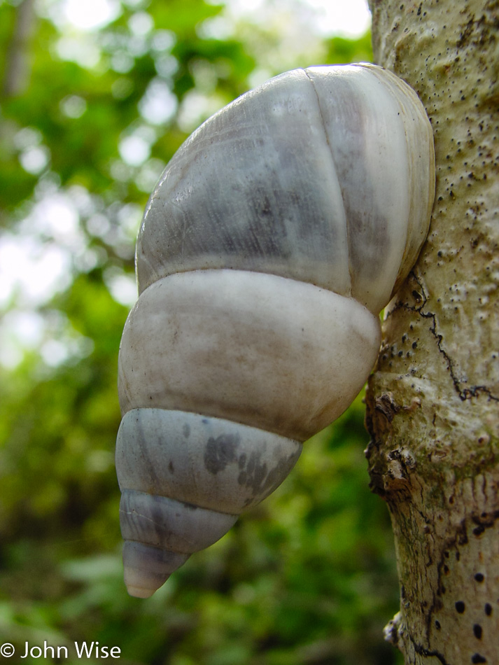
Fresh chutes of green emerge from the dark waters while the detritus of winter still sits on the ground, waiting to be consumed by the land. Inside the hammock, the light is filtered through a dense canopy of treetops and palm fronds, casting pale shade until near the ground, only shadows exist. Birds are heard but rarely seen while silent snails can be found glued into position on the trees we are passing. Earth and plants that can attract even a minimum amount of sunlight are able to thrive. We stop to take a closer look at a tree limb with layers of plants, mosses, grass, and weeds that have taken up residence, similar to what we saw nearly six months ago in the rainforest of Olympic National Park in Washington.

Leaving the hammock, we spot a couple of mangrove trees taking hold in the waters in front of us, and I wonder, if we come back in 15 years, will this be a mangrove forest similar to the one we were touring on the airboat earlier in the day?

West Lake is our destination, but on the side of the road, I spot a sunning gator. Being an intrepid photographer or a fool, I leap out of the car for a better photo. I had been of the opinion that if the gator so much as wiggled a toe, I would be jumping back in the car, but instead, he made a beeline into the water. Fearlessly, I followed him to the water’s edge, half expecting him to be long gone. Instead, I found this large alligator looking over his shoulder just offshore, letting me snap a couple of close-ups.

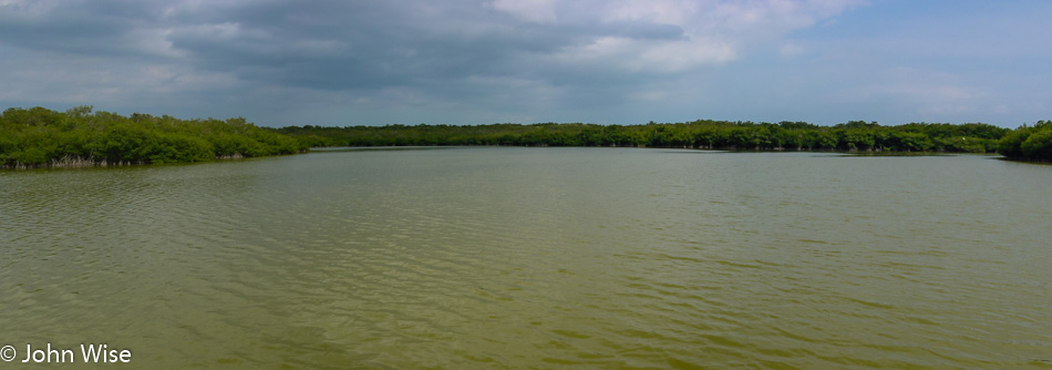
The greenish-yellow waters of West Lake are murky and lonely at first glance. As I scan the horizon, I only find a calm lake lined by a mangrove forest, but upon closer inspection, alligators can be seen in the distance poking their eyes above the water’s surface. From the tree line, a bird takes flight, followed by another and yet another. The birds dart from the safety of the canopy only to quickly dash right back in. Fish splash the surface while gliding alligators dip back out of sight. Mangrove trees push right up against the boardwalk trail, making for an intimate walk back and forth to the lake, giving us a great opportunity to peer into these entangled and otherwise impenetrable forests.

Low dark clouds have been creeping up over the southern tip of the glades, images of powerful storms playback in my memory, and I hope this will be but a passing hint of the potential for bad weather. Flamingo Visitor Center is as far south as the road permits, and we are near that end. Eco Pond, just before Flamingo, bends around a hammock on the other side of our boardwalk with an overlook affording us an elevated look into the pond and birds that are living undisturbed by us tourists. My Arizona sense of approaching rain suggests we head back to the car before the downpour starts. This sense is finely tuned for desert dwellers who must develop better-calibrated rain antennae for the little amount of precipitation that graces our arid lives.

With the rain coming down and our shopping excursion into the visitor center finished it’s time to follow the road back up the way we came. Maybe we’ll escape the rain with the trek north, where it doesn’t look so foreboding. After only a few more miles, we start glimpsing sunlight behind the clouds as the rain quickly fades off. At the Royal Palm Visitor Center near the entrance of the Everglades is the Anhinga and Gumbo Limbo Trail that we passed by earlier in the day. The sun will set soon, and this dictates we take the shorter of the trails; our final walk in the Everglades today will be on the Anhinga Trail.
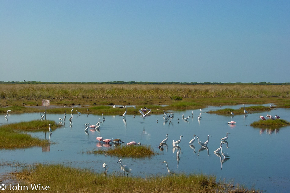
This trail was well worth saving till the end of the day. The southern part of the national park is a series of hammocks, grasslands, and waterways, while this trail area is better described as a wetland. Herons, green herons, egrets, hissing alligators, and various other creatures scurry under the brush, in the water, and among the trees.
This has been our most intimate encounter with the fauna of the Everglades. Late dusk, and the waters are relatively still, mirroring the grey sky and trees. Our nearby star makes a final peek through a sliver of sky between the horizon and hanging clouds and begins its rest for the day.
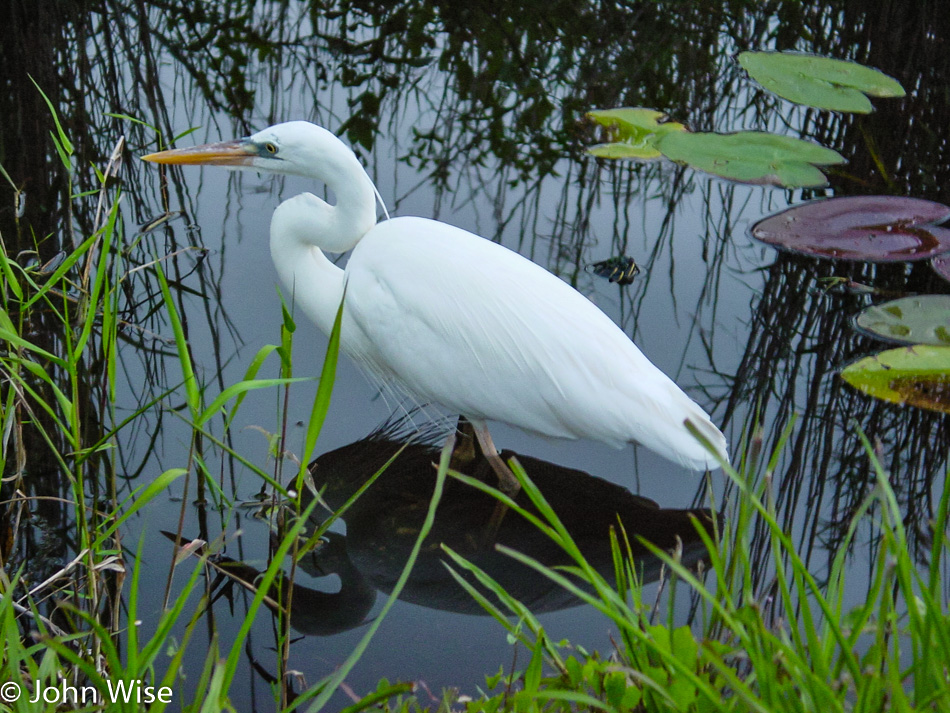
But the egret knows that there is still time for a couple more bites.
Bosque Del Apache NWR – Day 2

Honey Doo Inn in Truth or Consequences, New Mexico

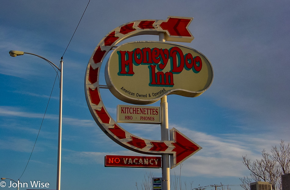
The Honey Doo Inn was attractive just because of the sign. Okay, that’s not 100% truthful, as the price is always a factor. If we are going to travel once or twice a month, we need to do so with the minimum of expenses. Staying in places like Truth or Consequences, New Mexico, off the beaten path is one way to combat high lodging prices, and so that’s part of the attraction that brought us here.

Truth or Consequences, New Mexico

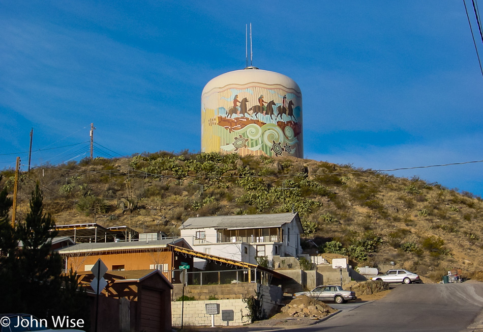
Digging the Native American motifs on the old water tower.

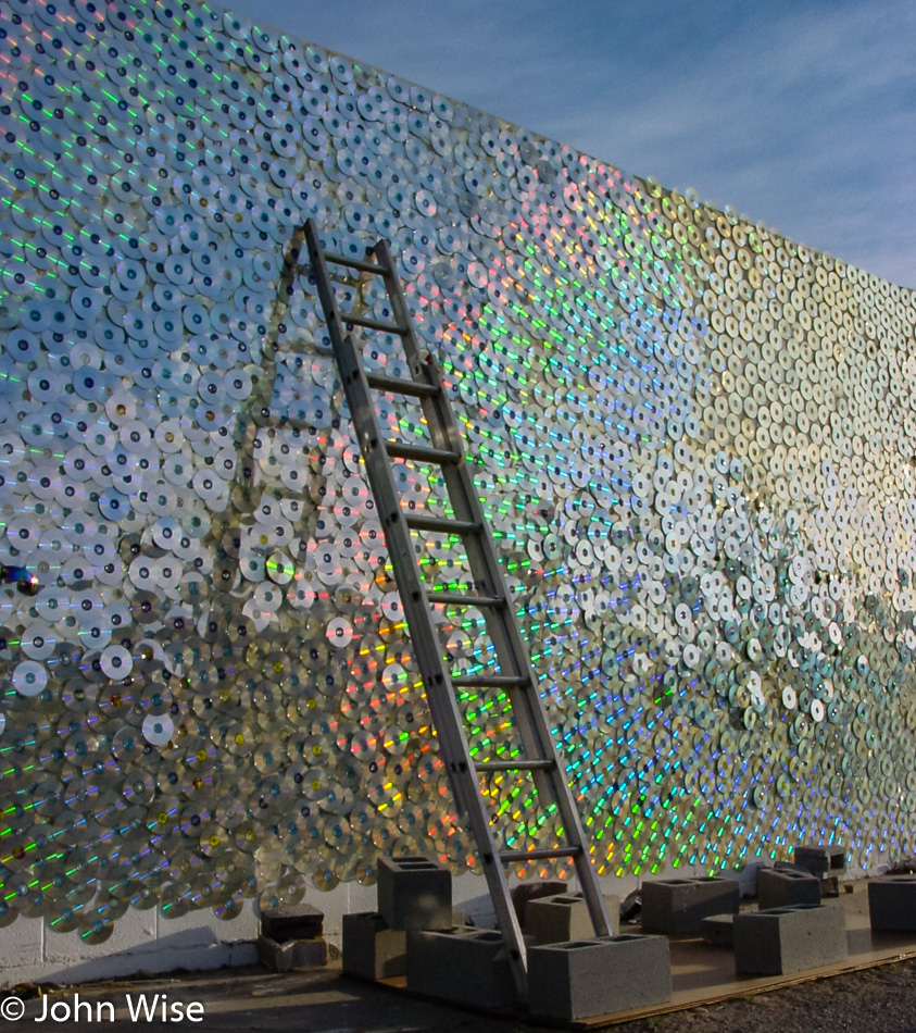
Truth or Consequences, New Mexico

And the funky display of thousands of CDs on the facade of this building.

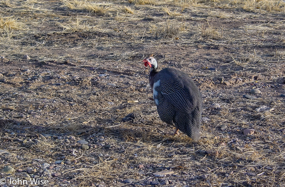
Turkey in New Mexico

While I’ve heard the joke about chickens crossing the road to get to the other side, I’ve not caught the one about the turkeys crossing the road. A rafter of turkeys had already crossed while this lone wolf stayed behind, keeping its eye on me, probably as a protection against me making predatory moves on his women.

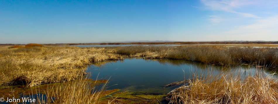
Bosque Del Apache National Wildlife Refuge in New Mexico

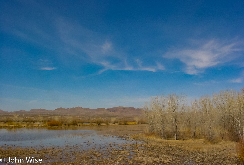
We’ve reached the Bosque Del Apache Wildlife Refuge outside of Socorro, New Mexico. Turns out there are not a lot of birds here right now, as their favorite time of year is mid-November through the end of January. It’s still beautiful out here along the Rio Grande River.

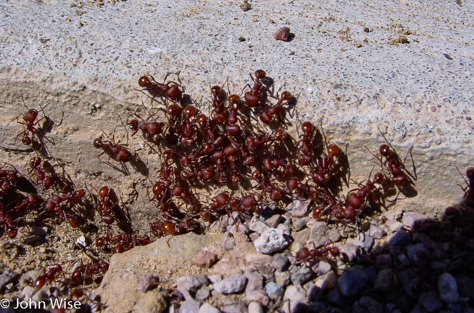
Bosque Del Apache National Wildlife Refuge in New Mexico

Giant red ants, obviously a giant-sized mutant that was caused by nuclear fallout from the nearby Trinity test site where the world’s first nuclear weapon was detonated back on July 16, 1945. What else lurks below the surface of the desert, waiting to emerge as monsters ready to devour humankind?

Bosque Del Apache National Wildlife Refuge in New Mexico

Nope, no birds here nor giant sandworms.

Bosque Del Apache National Wildlife Refuge in New Mexico

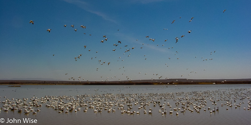
Snow geese awaiting our arrival. Little did we know on this visit that we were supposed to show up at daybreak for the giant fly-out or an hour earlier than this when they begin the fly-in. Hopefully, on a subsequent visit, we’ll be able to witness these spectacles.

Socorro, New Mexico

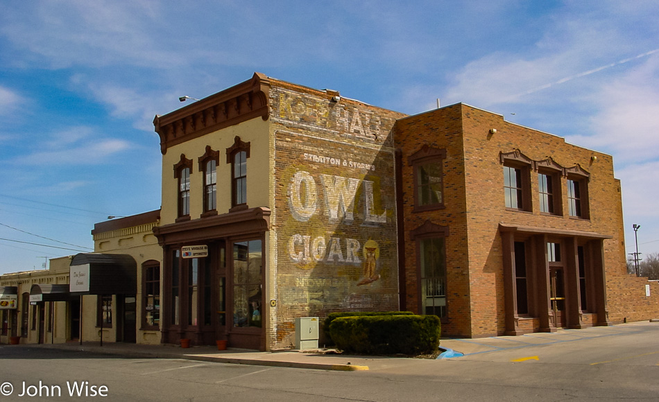
Socorro is a relatively nice little place, though there’s not a lot left of this mile-long town that runs along the highway connecting Albuquerque, New Mexico, and El Paso, Texas.

Luna, New Mexico

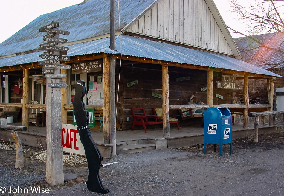
Luna, New Mexico: population one wooden cowboy and a mailbox. Next stop: Phoenix, Arizona.