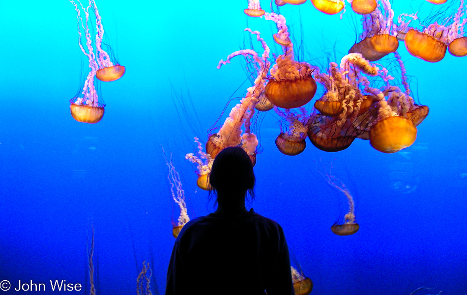
Thanksgiving 2004 – Day 3

Northern California Coast

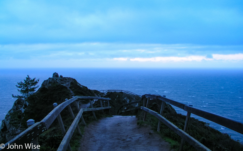
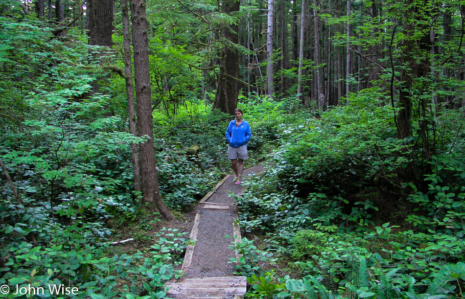
This idea of the early bird catching the worm doesn’t always hold true, as at 7:00 in the morning, you might be too early to enter the Muir Woods National Monument. Muir Beach is also not visitable, but at least the overlook is accessible on this cold and windy morning.

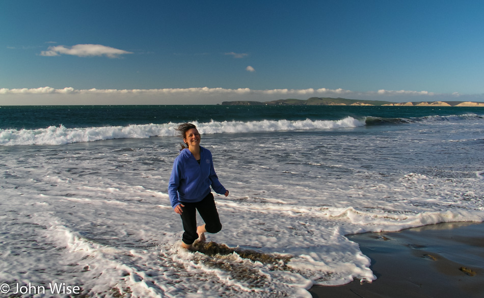
Caroline Wise in the surf up on the Northern California Coast near Pt. Reyes National Seashore

Put it on the list as Caroline steps into the early morning surf here at the Pt. Reyes National Seashore and Drake Bay. You can tell by the look on her face that we aren’t bothered in the least by not being able to visit the Muir Woods on this trip; we’ll get there someday.

Northern California Coast

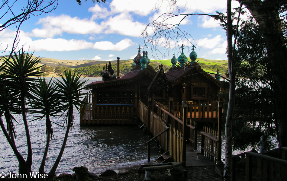
The Lipnosky Dacha in Inverness is a strange sight as the onion-domed architecture comes into view. I wish I’d gotten a better photo, but at least I have a reminder of this place, and who knows, maybe they rent it out and we can stay here on a future visit.

Point Reyes National Seashore in Northern California Coast

Wow, I can’t believe we are here on the right day, a perfect day, a day when somehow we seem to have Pt. Reyes to ourselves. I’m sure this can’t happen twice in a lifetime.

Point Reyes National Seashore in Northern California Coast

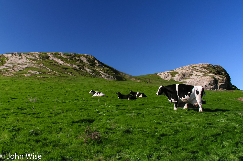
So we aren’t totally alone, as there are these coastal cows lounging on the grass. If it weren’t for the status of this area as a national seashore, it would be home to 15 billionaires who would be able to covet the views for themselves. Instead, cows own this luxury.

Point Reyes National Seashore in Northern California Coast

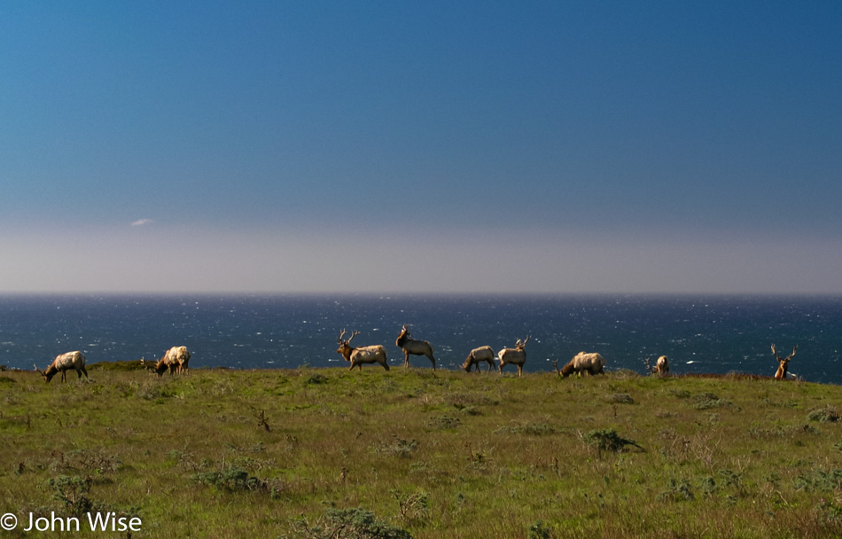
These are Tule Elk statues at Pt. Reyes. No, they are not statues but real elk with one of the most priceless views on earth who seem to be sharing the wealth with the cows above. If only we humans could be so generous.

Point Reyes National Seashore in Northern California Coast

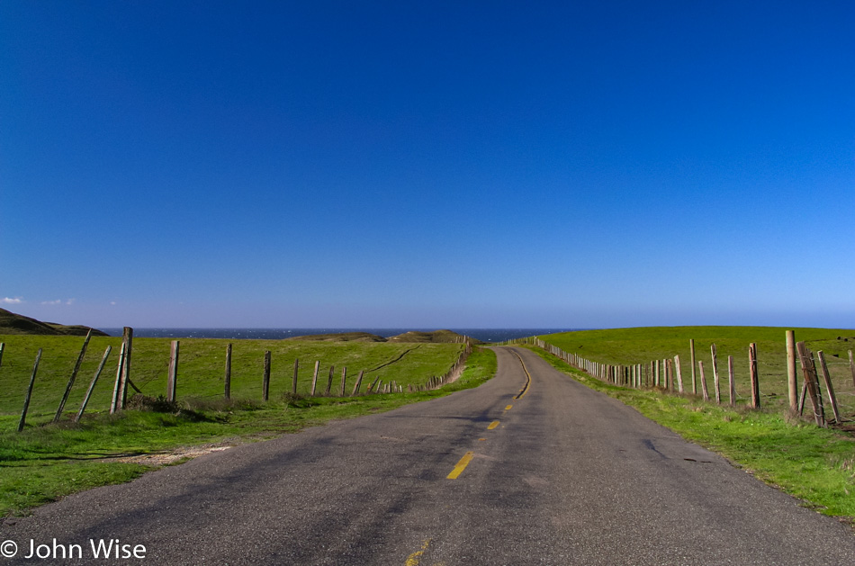
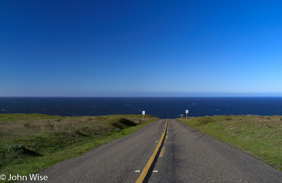
This is not an optical illusion; the road really did just drop off into the ocean.

Whale Autopsy at Point Reyes National Seashore in Northern California Coast

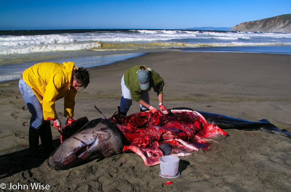
A few researchers were out here performing a necropsy on a baby Sperm Whale that sadly either came to shore to die or maybe washed up. In any case, these people will try to find out why it died and then distribute the pieces of the whale across the beach so other animals can help dispose of the carcass.

Northern California Coast

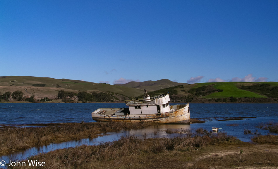
I’m pretty sure we are on Tomales Bay, but I wouldn’t put money on it.

Northern California Coast

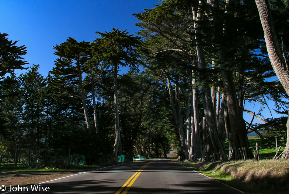
On the way to Bodega Bay.

Northern California Coast

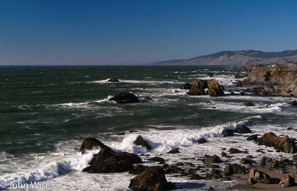
And by 2:00 p.m. here we are at Arch Rock in Bodega Bay, California.

Northern California Coast

You’ll never be able to explain to me why, on a Saturday here during the extended Thanksgiving weekend, we are not encountering overwhelming crowds who want to enjoy the weather. A couple of years ago, we understood the emptiness of places due to the fear that stopped American travel post-9/11, but we’ve mostly recovered from that, so what gives? Maybe part of the answer lies in the absurd amounts of traffic and the hours required to move in and out of the San Francisco area, especially on holidays. In any case, I have to pinch myself that, along with the cows and elk, the place is all ours.

Northern California Coast

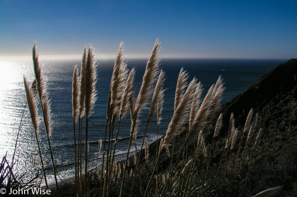
Pampas grass may be invasive, but there’s no denying that it adds to the beauty of our coastal drives.

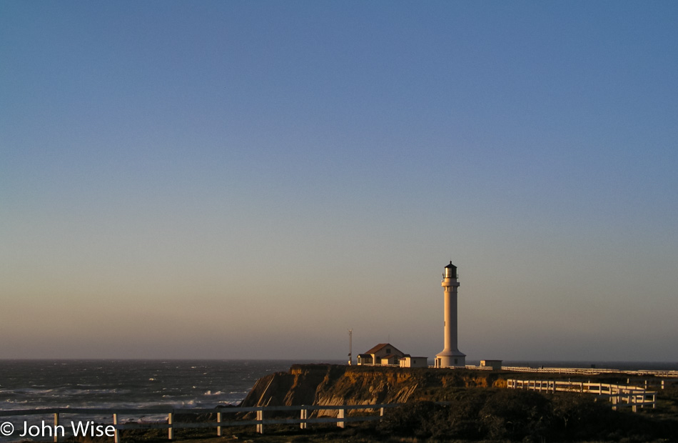
Point Arena Lighthouse on the Northern California Coast

It’s shortly after 5:00 in the afternoon when we arrive at the Point Arena Lighthouse, which closes to visitors at 3:30, so we can only admire it from afar.

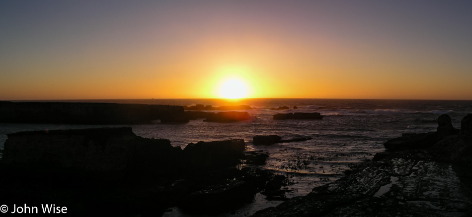
Northern California Coast

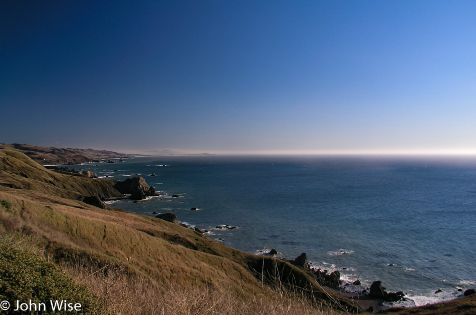
A half-hour after passing through Ft. Bragg, we are about to turn away from the coast, but not before watching the sunset over the ocean. Our timing to be in the right place at the right time often feels extraordinary, though inexplicable. We still have two hours before we reach Eureka, where we’ll stop at Big Louie’s Pizzaria for dinner and check into the Town House Motel for the smoking rate of only $49 for the night. Cheap is our middle name.

Monterey, California – Day 2

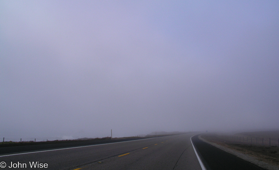
Foggy Highway 1 going north near San Simeon, California

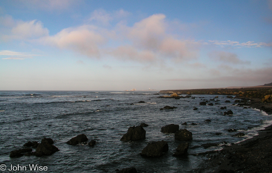
Our 9th trip to Monterey Bay Aquarium (our 2nd one this year!) is well underway. As we leave the cheapest motel I could find in San Simeon the place is covered in morning fog. Not living on the coast, we don’t really have a good read on this, and for all we know, the fog is hiding rain clouds just above it. No matter, it’s always an amazing time out here on Highway 1.

Highway 1 going north near San Simeon, California

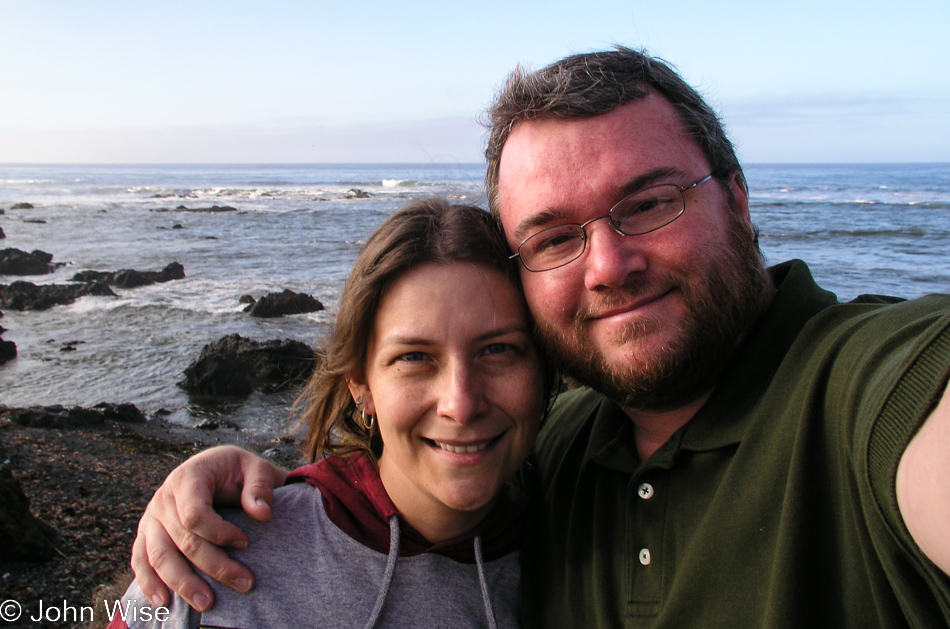
Smile and the whole world smiles with you, and maybe those smiles might have the world smiling at you with beautiful blue skies.

Caroline Wise and John Wise at the Elephant Seal Viewpoint near San Simeon, California

Yeah, smiles.

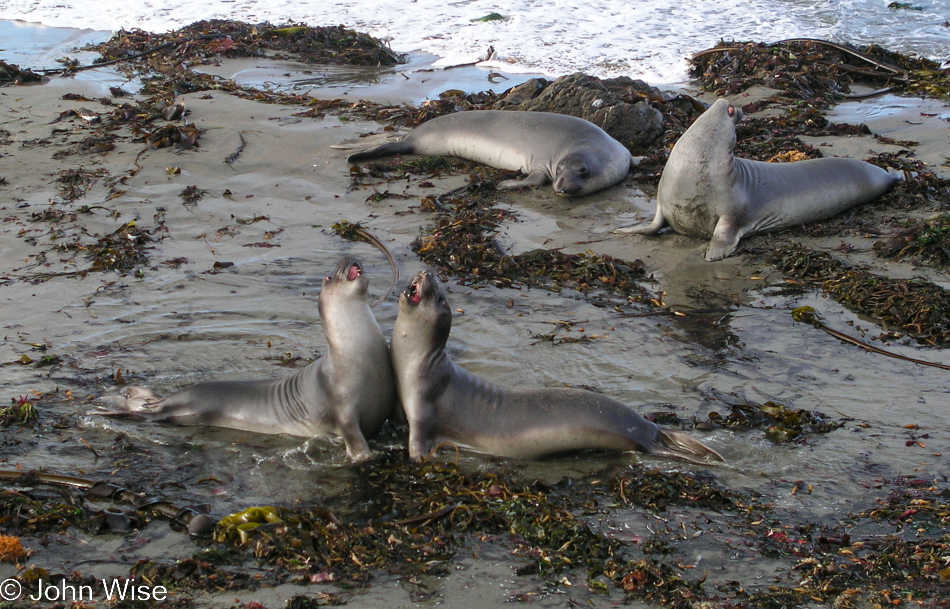
Elephant Seal Viewpoint near San Simeon, California

Bellowing and getting in each other’s faces, Elephant Seals are not known to smile. No matter the time of year we stop here, we have seen at least a few dozen of these giants. Just a couple of years ago, we spent New Year’s Eve here, and as the Elephant Seals’ only human visitors brought in the New Year with them. That night, in total darkness, not being able to see 10 feet in front of us, we heard an unfamiliar sound. The next morning, we saw that the females had become mothers during the previous week. Pups were scattered across the beach and were squawking like a gaggle of geese. The herd on this visit is small, mostly juveniles, a few females, and only a handful of males. We spend a few minutes watching two young males squaring off in practice for the battles that will someday give them their own harem.

Highway 1 on the Pacific Coast of California

A rare photo of me looking landward instead of seaward out here along the Pacific Ocean.

Highway 1 on the Pacific Coast of California

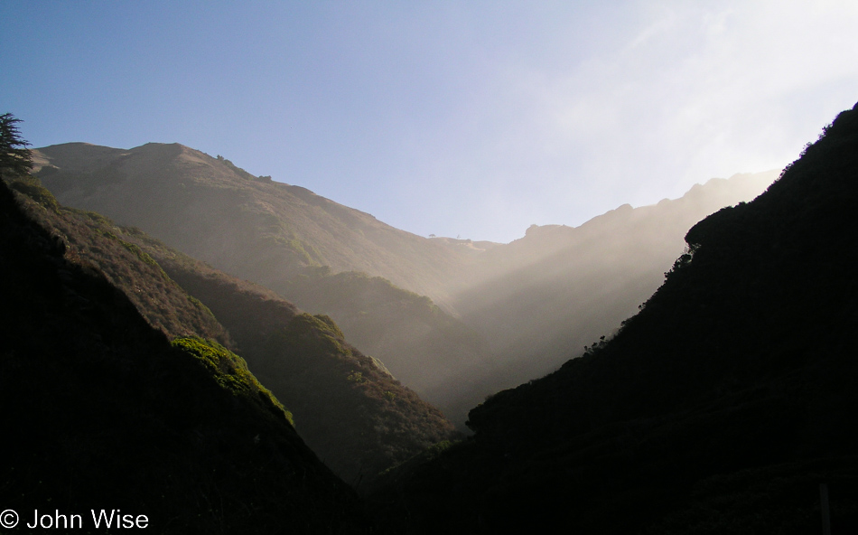
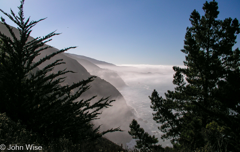
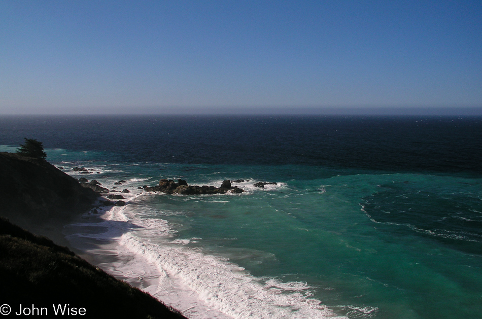
The fog, slow to lift in places along the California coast, is welcomed by us desert dwellers. It adds to romanticism. Highway 1 is a twisting, windy road not built for the faint at heart. At moments, we are not much above sea level, and then seconds later ride high above the beach, tracing along the steep mountainsides. From fog, the road emerges into the sunlight, and the waters in the cove below become a clear turquoise invitation to pull over off the narrow road to gaze at the beauty stretching before you. It’s a dramatic place to be every time.

Pampas grass on Highway 1 on the Pacific Coast of California

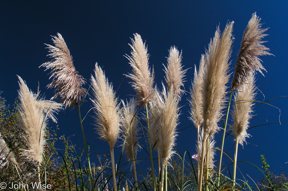
Something about pampas grass brings yet more happiness into this car crawling up the coast.

Highway 1 on the Pacific Coast of California

Some things never change, such as our need to stop far too often to admire the view.

Caroline Wise sitting next to Highway 1 on the way io Big Sur, California

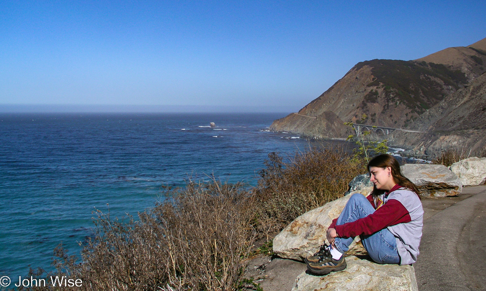
Famous bridges greet us in images seen a hundred times before. Even on rainy days, these vistas are spectacular. From Winter and Spring to Summer and Fall, we have traveled this highway through all types of weather, but never have we been less than awestruck at the sights this genius of a well-placed road delivers to those of us willing to traverse its serpentine route. On this particular drive up to Monterey, we are not without purpose and try earnestly to curtail our stops in order to arrive in Monterey on time for a scheduled reservation.

Big Sur Bakery in Big Sur, California

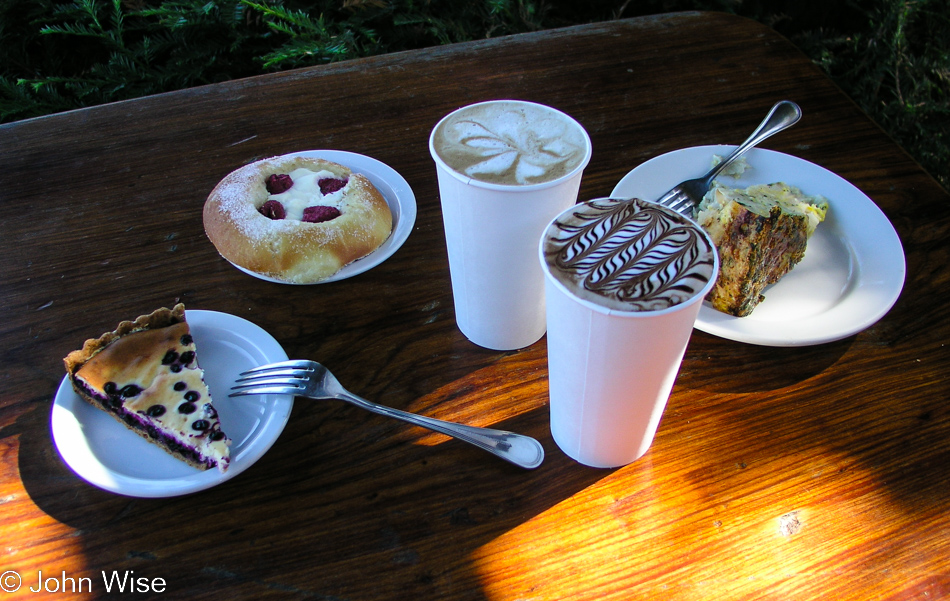
We could be stuffed to the proverbial gills and still, we’d have to stop at the Big Sur Bakery on our quest to try every pastry they make.

Caroline Wise at Garrapata Beach in Big Sur, California

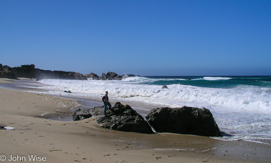
At the time, we weren’t quite familiar with Garrapata Beach and how vicious it could be. Knowing what we know now at the time of this writing (see below), we’d never think this was a good idea to have one of us dash over to some rocks that had just been surrounded by churning waters for a quick photo, but here it is today.

Monterey Bay, California

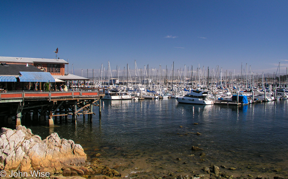
We’ve arrived at the Fisherman’s Wharf in Monterey instead of the aquarium because we have a date with Derek M Baylis.

Caroline Wise sailing on Monterey Bay in California

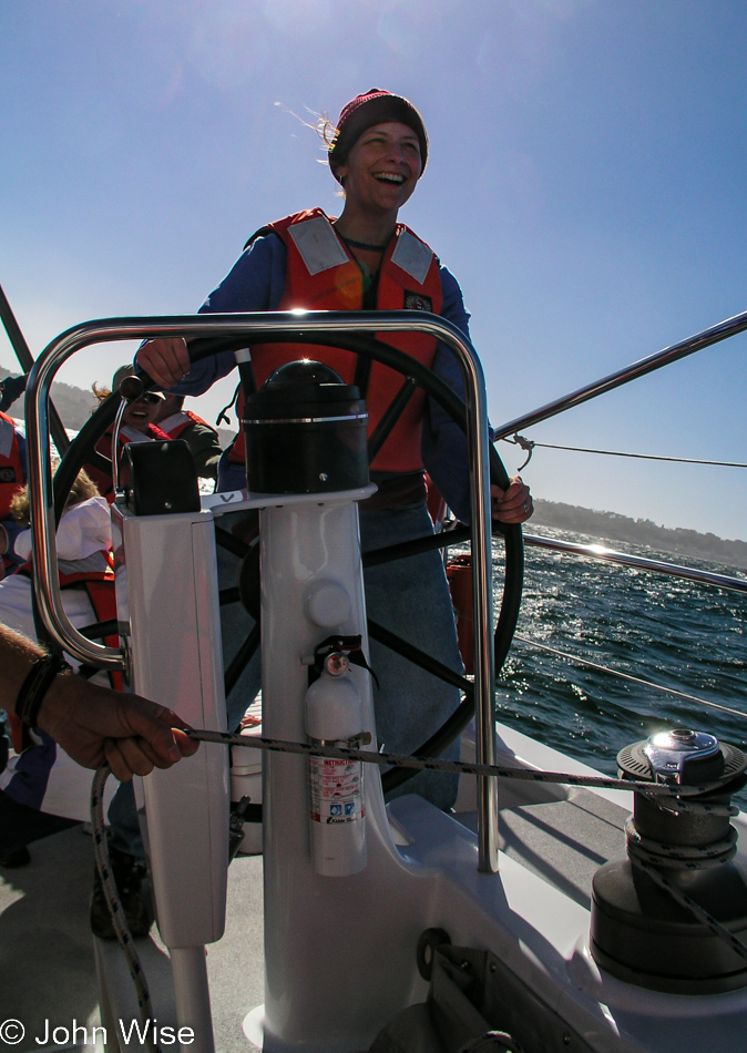
Derek is a thing, actually, as in a 65-foot sailboat. Caroline and I have booked a couple of places for the Science Under Sail program hosted by the Monterey Bay Aquarium. Members could sign up for a journey on a research sailing vessel to learn about the Monterey Bay ecosystem while out in the bay. Luck would have it that the captain asked for a volunteer to pilot this craft, and I pushed Caroline to volunteer faster than that smile would show up on her face, but it turns out that once she took the helm, that smile arrived at lightspeed. I don’t know if I’ll ever see a deeper look of wow on her face for the rest of our lives. Okay, so there was that whale that showed up between us and the shore at some point that the staff told us was a baby humpback.

While out on the sailboat, we looked at water samples under a microscope. The ROV that was to offer us a look below didn’t work out as the conditions of the bay were too murky to be viable, and so instead, we took a wonderful trip out on the bay (a National Marine Sanctuary) and learned about what was out here under the surface. The entire expedition lasts about 4 hours and is well worth the price of admission. It is only about 4:00 when we return to shore, and with 2 hours until the Aquarium closes, we drive to Cannery Row, find parking, and pop in.

Caroline wise at the Monterey Bay Aquarium in Monterey, California

Last year, we were members of the Aquarium, which allowed entry for one year, along with the benefits of receiving discounts on whale-watching tours and the Science Under Sail program, as well as early entry and evening visits on select days for members only. We took advantage of as many of these offerings as we could, considering we had to drive across two states to visit. The Monterey Bay Aquarium was one of our first stops on Caroline’s first visit to the United States back in 1992. We try to visit at least twice a year, sometimes we get lucky and might find ourselves here three times in one year. We dine on Fisherman’s Wharf and check into our hotel for an early morning wake-up call.

Monterey Bay Aquarium in Monterey, California

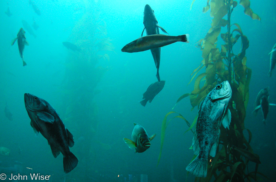
There will never be a time we don’t spend an inordinate amount of a visit entranced by the Kelp Forest. It was getting late by now, and it turned out that some of the fish had already gone to sleep. Yep, that’s the way they sleep.

Disclaimer: This post was not written on or near the date it shows up on my blog. This particular sequence of days wasn’t written about until September 2022 as I was trying to better catalog our travel images on this site.

Additional info: In November 2022, I found a composite post of the three days I wrote four months after our trip on February 26, 2005. I grabbed what was there, merged it into this post, and deleted the other.

Colorado, Nebraska, South Dakota, Wyoming, Utah

Caroline saving a turtle from becoming road kill in New Mexico on the way to South Dakota

Labor Day weekend our objective is South Dakota. Ever the road trippers to try new roads, we skirt into the most western corner of Oklahoma for a few miles before turning north to travel the easternmost roads of Colorado out on the Great Plains. In Nebraska, we pass fields of sunflowers under cloudy skies. South Dakota welcomes us with a visit to Wall Drug which was far more interesting than the Crazy Horse Monument. Our visit to the Badlands National Park was marred by bad weather, which demanded we make a return visit. We stay out on the Plains across Wyoming, making our way back across Colorado into Utah, where we visit the world’s ugliest Donkey at Hole in the Rock.

4th of July – Day 3

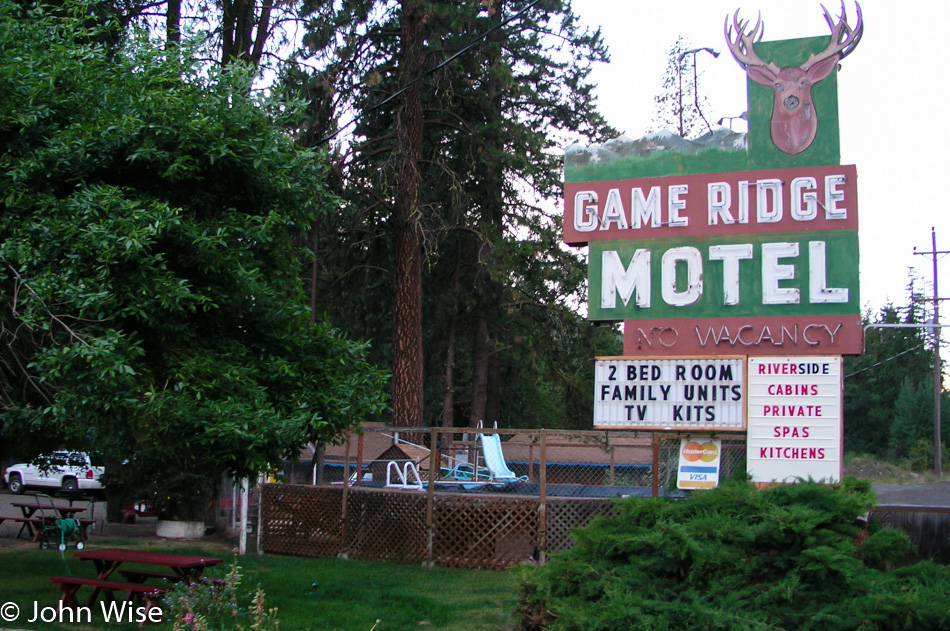
Game Ridge Motel Rimrock, Washington

I’m going through the torture of having minimal notes and even a spreadsheet itinerary from this trip over the 4th of July long weekend, but luck or maybe old age would have it that 16 years later, as I try to pull any impressions that were made during this trip, I struggle to find enough details.

So, I end up with relatively weak blog entries where the finer points are slim. In this instance, I’m able to put a shell together and occasionally more things that hinge on the notes that Caroline happened to be keeping. Here in 2020, when I finally got around to this backfill operation, I learned that this motel is no longer on this earth. Only two other photos of the sign are found on the internet, and both of those were taken after the place closed. This shouldn’t matter much, but I don’t believe that 16 years ago, I was able to see that the corporatization of America would start to eliminate small motels in favor of larger, more modern hotels. This begs the question: what incentive exists for investors to build or renovate these rustic retreats that are already cheaper than their big-city counterparts, which draw in a clientele opting for greater conformity?

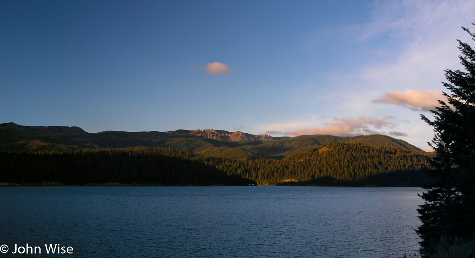
Rimrock Lake in Rimrock, Washington

Rimrock Lake in better days. I say this as upon looking up the locations of where these photos were taken I found the lake has been nearly drained for farm irrigation. Maybe global warming plays a role, too, but who’s going to admit that in the current political climate? I feel nostalgic for these days early in the new millennium when we were still trying to clean the air and waters of our country. Back then, when we took these long drives, it was inevitable that we’d spend a good amount of time scrubbing the windshield at a gas station, sometimes even between refuelings, as we tried to remove the bugs plastered to our window to the world. Today, we rarely have to worry about encounters with swarms of bugs as it seems our incessant obsession with ridding our crops of pests is delivering results. How detrimental is a situation where humans can have such a large impact on such an important resource?

Waterfalls in Washington

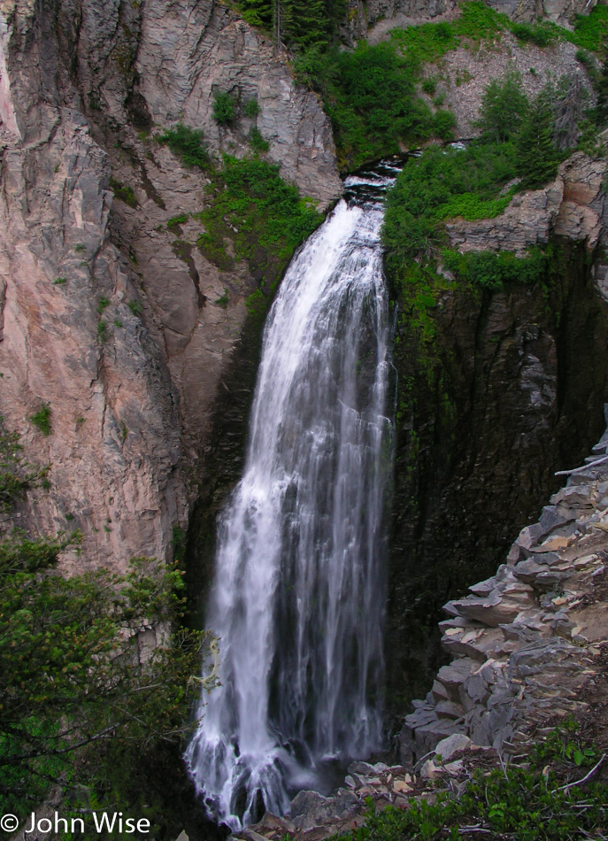
I spent a fair amount of time trying to find these falls that obviously were somewhere between Rimrock Lake and the park entry for Mt. Rainier, but had no luck. Caroline took a peek at Google Maps and came up with Clear Creek Falls, easily accessible from our road.

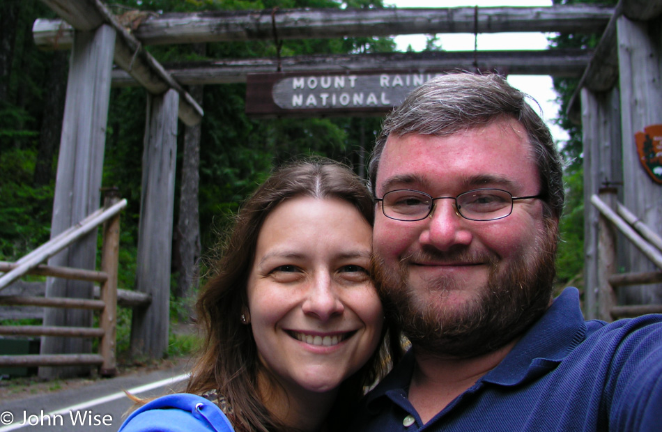
Caroline Wise and John Wise at Mount Rainier in Washington

Excited to enter another national park that is new to us.

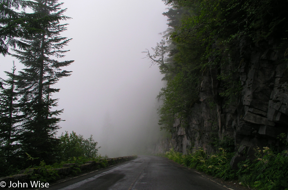
Mount Rainier in Washington

Our hopes of things opening up to spectacular views that will invite us to spend the hours of time we’ve allocated to exploring Mt. Rainier are dwindling.

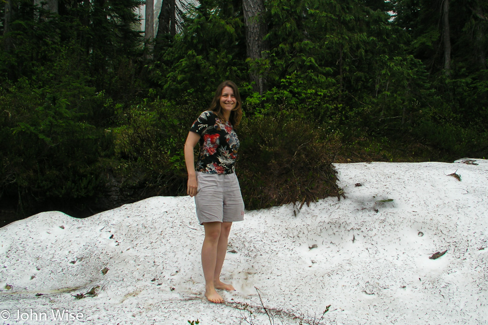
Caroline Wise at Mount Rainier in Washington

This was a surprise find: snow. While it’s foggy up here, the temperature is actually quite nice, so it seemed like a great opportunity to take off the shoes and pose in the snow on Rainier.

Mount Rainier in Washington

We’re not wasting any time hanging out hoping for an improvement in the weather as we’d been warned long ago that we could visit this national park and never see what we came for. Down the mountain, we went on our way through Ashford over to Shelton. I mention Shelton because it was there by the side of the road that we picked up two pounds of cherries, one dark and one Rainier. Caroline nearly finished the Rainiers before we were 20 minutes up the road.

Fort Worden State Park in Port Townsend, Washington

We arrived in Port Townsend just in time to attend a tiny Low Tide Festival up here on the Olympic Peninsula. If we couldn’t admire mountains stretching 14,000 feet into the sky, we could be just as happy exploring tidepools at sea level. The lady volunteering at the information booth couldn’t believe that we had driven up from Phoenix mainly to experience the exceptionally low tide celebrated by this event. After a short conversation, we headed to the coast to explore.

Fort Worden State Park in Port Townsend, Washington

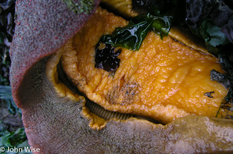
Who doesn’t love chitons? The orange part is its foot, and if we look in the gap at what looks like a kind of cable, that’s its gills. Back when we picked this up, smartphones hadn’t been invented yet, so we couldn’t ask Google to show us the anatomy of a chiton to determine what its head was and where its anus was. Good thing we didn’t choose to suck one end or the other.

Fort Worden State Park in Port Townsend, Washington

On the subject of technology: I shot this image with our Olympus C-5050 Zoom that was able to capture 5MP images. Just that month, in July 2004, Sprint released a phone with a 1.3-megapixel camera capable of capturing 1280 x 960 and sending it wirelessly, a first in the American market. The best I could do with the photos we were shooting during these days was dump them on a notebook so I could clear the memory card and keep on shooting. At this time, I was shooting on 256MB Compact Flash cards that were only $110 each compared to the 2GB cards that were going to come out later in the year for $800 but were targeted at a price too high for Caroline and me. Sixteen years later, I shoot on a 256GB SD Card that cost me about $65 and would have saved over 100,000 of the 5MP images I was shooting back then.

Fort Worden State Park in Port Townsend, Washington

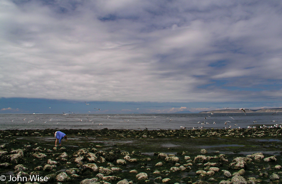
Low tide for seagulls is like the buffet for the non-discriminating obese on a budget. Here again, we are confronted with a dramatic change between this trip and the time I’m blogging about it. What I’m referring to is the buffet. By 2020, they are mostly gone. A few exist here and there, and Chinese buffets seem to be going fairly strong yet, but by and large, they have left the dining scene. Maybe Instagram proved to be part of the reason, as just how photogenic is it to shoot a selfie hovering over the restocked fried chicken trough? Then it seems the budgets of the elderly were negatively impacted as the buffet became too expensive even for them. Tie it all together with the much dreaded “Fried Rice Syndrome” caused by the bacteria Bacillus cereus, which propels its victim into simultaneous vomiting and diarrhea, and who really needs that?

Fort Worden State Park in Port Townsend, Washington

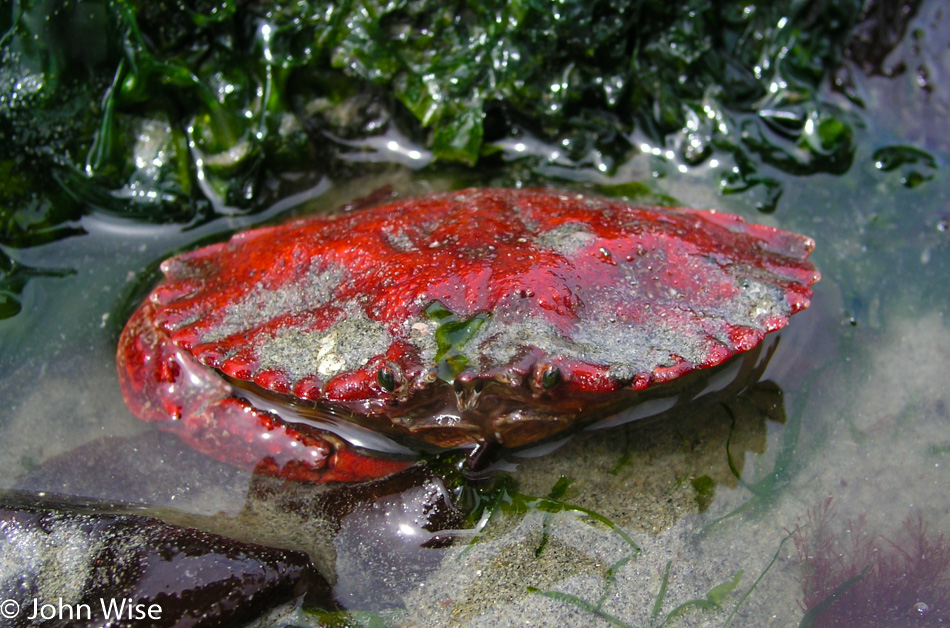
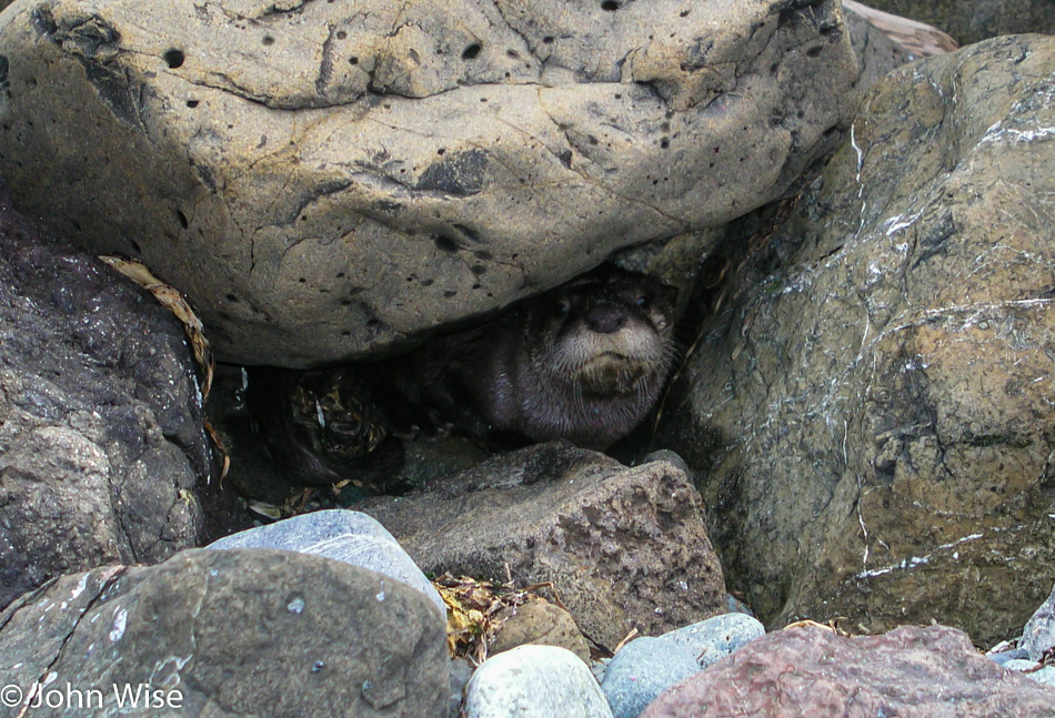
We’ve never seen an otter on land. You have no idea how badly we want this marine mammal to be a cuddly, affectionate fellow that would come out of hiding for some belly rubs, but that didn’t prove to be the case.

Point Wilson Lighthouse at Fort Worden State Park in Port Townsend, Washington

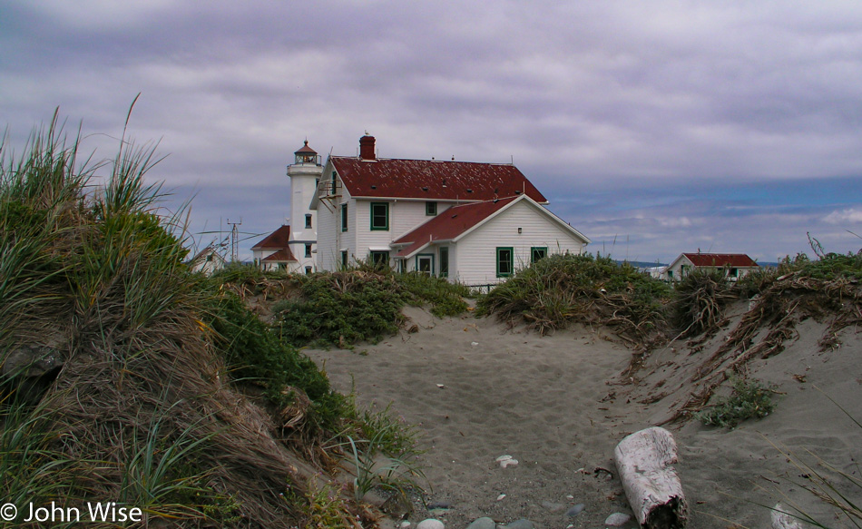
At the end of the spit of land here in Port Townsend, Washington, is this lighthouse which is the signal our time out here is coming to an end.

Fort Worden in Port Townsend, Washington

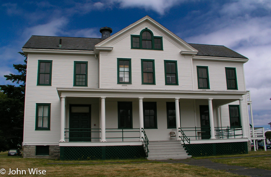
Fort Worden was peeked at briefly before making our way to the car. Not much else to add here, as there are no notes. Even Caroline is unable to pull further memories out of her braincase.

Port Townsend, Washington

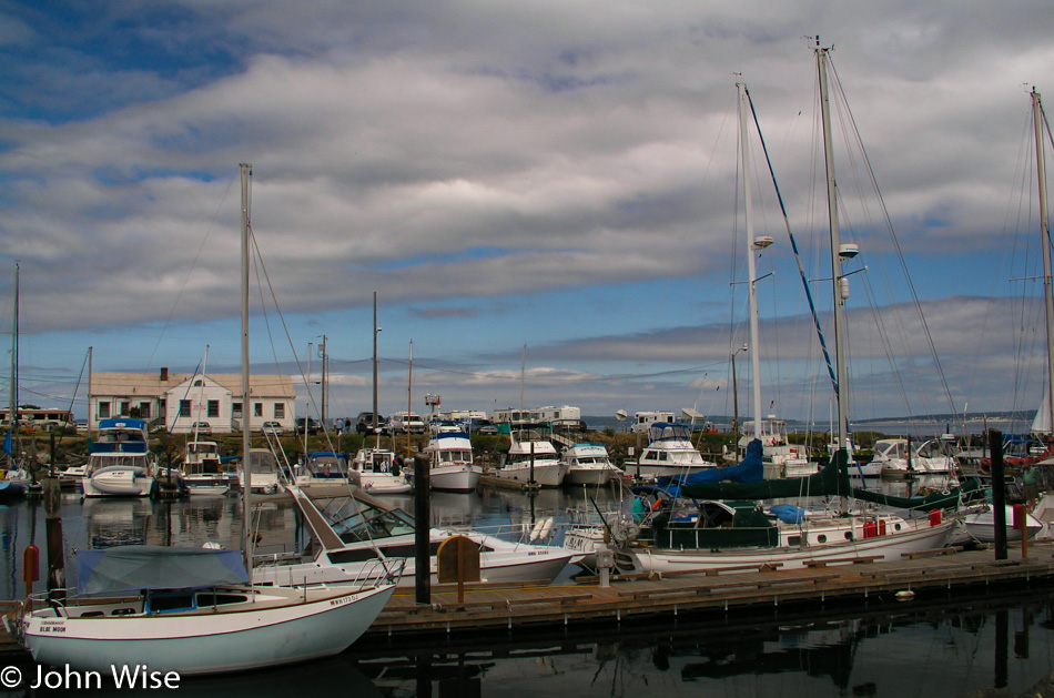
When you travel, what are the sights that you need to remember that will remind you of what was enchanting at the time? For us, it’s probably almost everything.

Olympic Peninsula in Washington

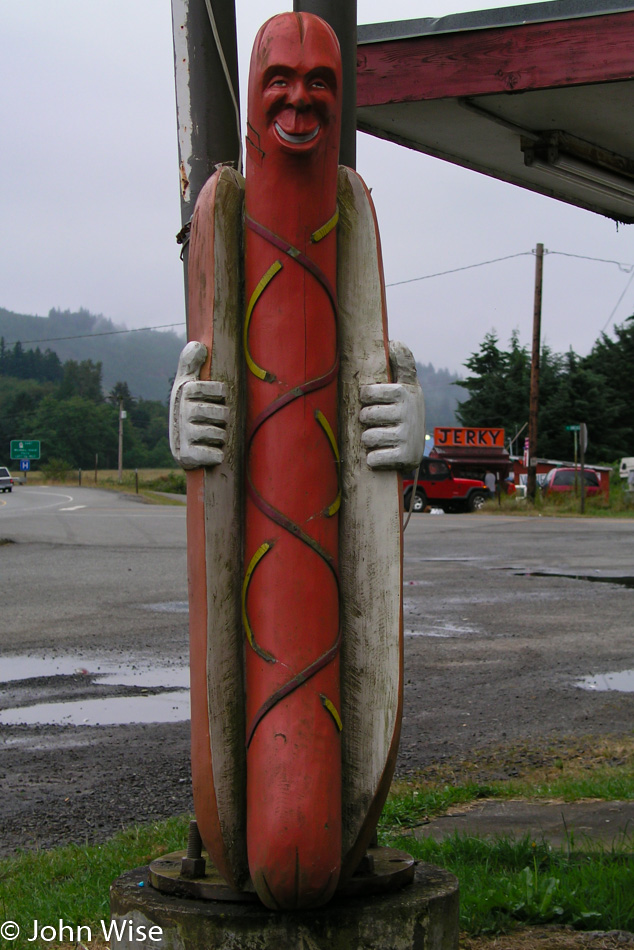
Creepy hot dogs exposing themselves is just one such sight guaranteed to make us want to return to a spot on the side of the road. Why we didn’t try to get someone to take a photo of us posing with this Discovery Bay icon is beyond me. Sixteen years later, the evil wiener of flashing perversion is a distant memory that has disappeared from the landscape; only his shadow might still exist for those who drive by and remember his unsettling smile. I have to wonder if he’s now a fixture in the Sea Change Cannabis Dispensary that stands at the location.

Lavender on the Olympic Peninsula in Washington

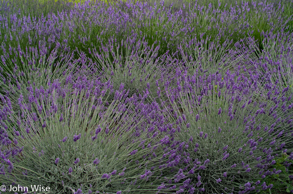
The lavender in bloom acts as a reminder of the lavender coffee we had in Sequim.

Olympic Peninsula in Washington

The last time we were out this way was back in November 2002, and the conditions were quite different. Cold and icy come to mind, but on looking at the photos, I see we also had a fair amount of blue sky. The one constant is the green.

Olympic Peninsula in Washington

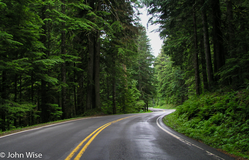
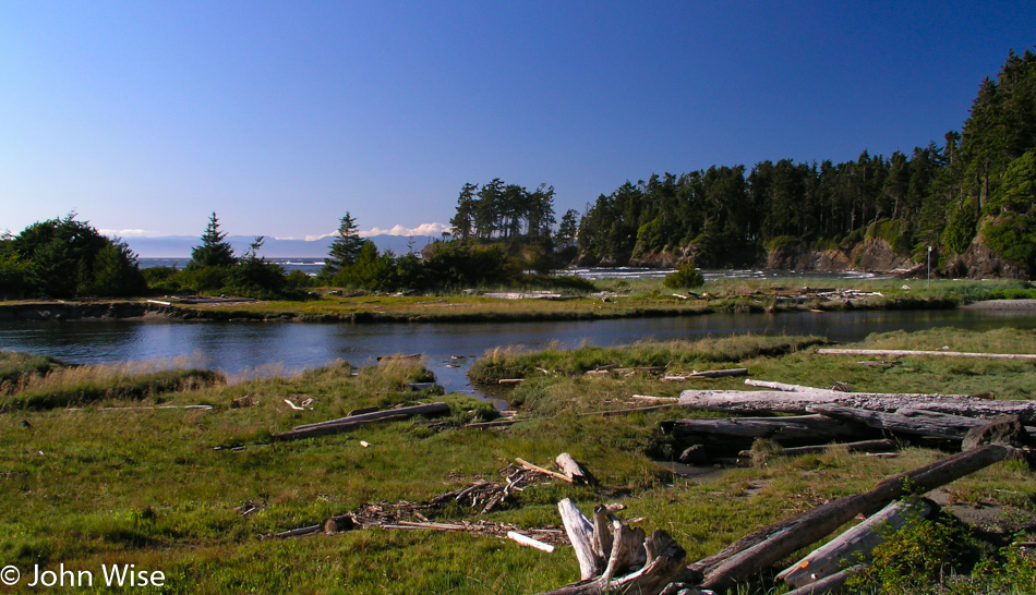
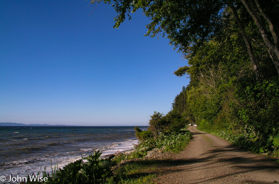
From Crescent Beach over to Whiskey Creek here on the Strait of Juan de Fuca, we found a drive that leaves everything to be in love with. The Halibut Hole cabin is an exceptional standout for lodging we should someday come back to.

Olympic Peninsula in Washington

Having visited Cape Flattery on our previous visit, we decided to hike out to Cape Alava further south here in Ozetta on the western side of the Olympic Peninsula. After falling in love with the quiet little town of Forks we are making a return visit to once again stay at the Town Motel.

Note: four years after this visit to Forks, the town was put on the map by Arizona resident Stephenie Meyer, who wrote the Twilight saga featuring glitter vampires.

In America with Jay Patel – Day 7

Sunrise in Minnesota

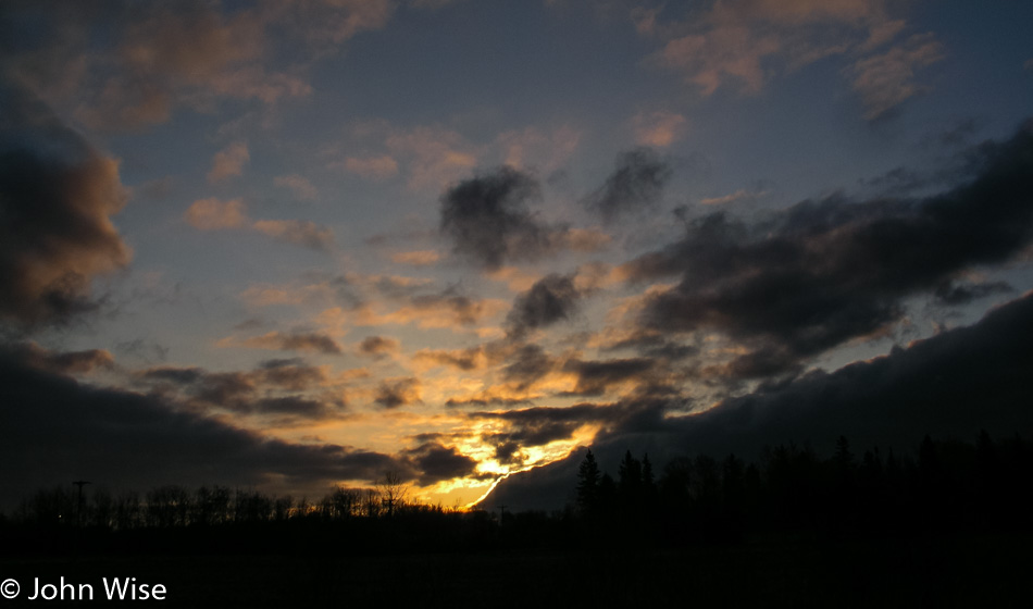
We were quickly off to sleep last night, exhausted as usual. Caroline was the first to wake up and jump in the shower. Exiting the bathroom she was wondering why I had not stirred an inch. It was then in the still-dark room that she saw that it was midnight, and she’d been asleep less than an hour when she headed to the shower to get ready for the new day. Hearing her story, I couldn’t help but laugh, and that got her to laugh at the situation, too. All the same, we were still up early and ready to go before 6:00 a.m.

It was our intention to visit Lake Kabetogama in more detail, but this morning, as we drove past resorts, cabins, and private lake access, we could not find any public access. We can see the lake, but we simply can’t reach it. This turns out to have worked in our favor.

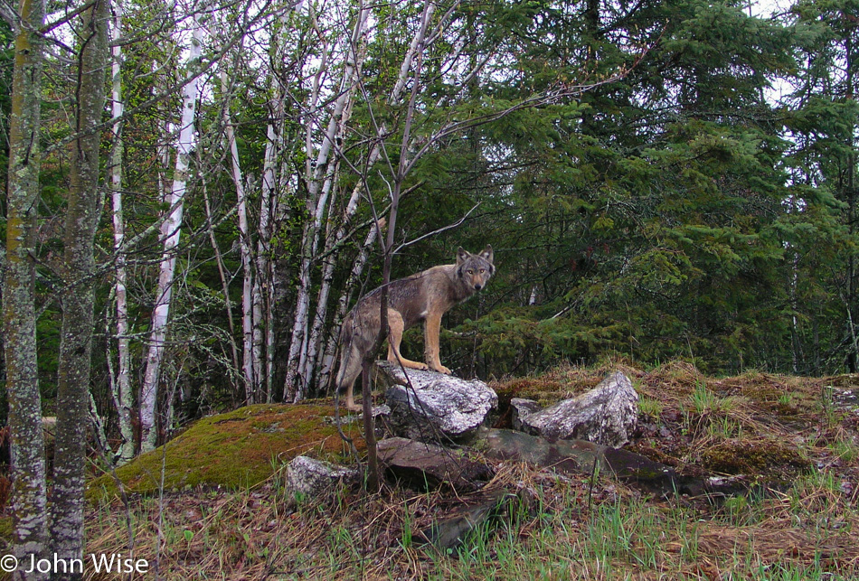
Timber Wolf in the Lake Kabetogama area of Minnesota

We finally found a dirt road that looked promising for leading us to Lake Kabetogama, so we turned down it. Fairly quickly and right next to the road, we spot some deer. We stop to take their photos before continuing to drive down the dusty road. I see something to my left, but it’s not a deer. Maybe it’s a coyote? Wrong, it’s too big. Could it be a dog? I try offering it some food thrown from the window, figuring if it’s a dog, it’ll come running. It has no interest. I’m starting to think it’s a wolf.

At first, the wolf stood there at the dark edge of the forest but soon approached for a closer look at us stepping out on an overhanging cliff. It seems we are both going in the same direction as the wolf continues its journey, tracing up the road just inside the tree line. We inch along with the wolf as it occasionally turns to inspect us. The wolf comes back out of the woods, stepping onto a rock for a picture-perfect pose with its eyes glowing in the early morning light. She takes a final look over her shoulder at us and turns to disappear into the forest.

I’m awestruck. If the camera hadn’t captured those moments I would place the story with those old fish stories that tell of having caught a fish that was this big. The entire time, we had our windows wide open, hoping to hear the slightest sound the wolf might make. We looked for its pack but only saw the lone individual.

Some locals at the main junction gas station and convenience store confirm just how lucky we are. A Bureau of Land Management worker assures us that we likely did not see a wolf and that they are more afraid of us than we are of them. I try to reassure her we are not nervous or fearful of an encounter but that we think we really did see a wolf. She relates a story of her time working in this part of Minnesota and that we might, on the rarest of occasions, capture a fleeting glimpse of a wolf in the distance as it crosses a road, but that is the best-case scenario. Furthermore, it is too early in the season this far south.

To confirm to her that we have not seen a ghost or are confusing a wolf with a stray dog or coyote, I show her my series of photos. Her astonishment was obvious as she let fall from her lips: “That’s a timber wolf!”

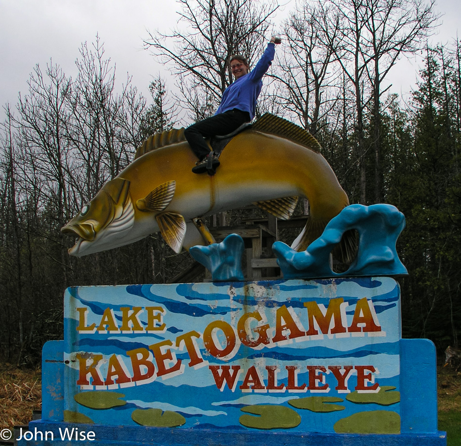
Caroline Wise riding a 10 foot fish in Kabetogama Lake Minnesota

A ten-foot fish, a Walleye, to be precise, is mounted eight feet over the ground and equipped with a small set of stairs and a sort of saddle to allow those people looking for a truly cheesy photo to climb up and embarrass themselves. Caroline sprints to mount the Walleye first, followed by Jay, who fashions himself to be at the rodeo and then Caroline and I both get on for a tender moment on our ten-foot fish.

Our next stop was the Woodenfrog Campground. A trail leads to some picnic tables and a small peninsula. Caroline tries to warn Jay of the approaching bear trap, but Jay blindly steps forward directly into a pit of animal diarrhea. We’re not talking a small spot but nearly the entire sole of his shoe is dripping with the goo working its way up the side of his nice white shoes. Green doody jumped halfway to the knee of his pants leg.

We’re not 10 minutes down the road when I slam on the breaks and pull a quick U-turn. A bald eagle is perched low in a tree next to the road, and a juvenile bald eagle is sitting higher in another tree nearby but is too far away for the capabilities of our rather primitive camera. The first eagle didn’t waste much time hanging out and was soon gone.

We find the Little Fork River but nowhere to jump in. The Soudan Mine State Park, where we would have enjoyed taking that 2,400-foot descent into the mine, doesn’t open again until Memorial Day, but the gift shop is open year-round. The gift shop is open; who needs a souvenir from a place they can’t visit?

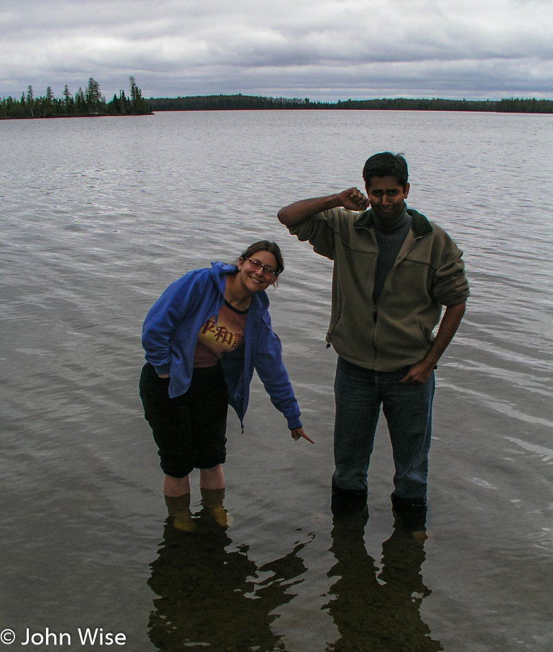
Caroline Wise and Jay Patel in at Bear Head Lake State Park in Minnesota

At the Bear Head Lake State Park, we check things out just to see what’s here. The attendants direct us to a trail that takes us lakeside, where we might see a pair of nesting eagles. Heck, we can never see too many eagles and were down the trail with binoculars ready to scope out the happy couple. Nothing, not a feather; we scan the horizon with nothing found. We can see neither the nest nor signs of the eagles.

Well, then we’ll do the next best thing: off with shoes and socks, roll up the pants, and jump into the lake. Wait, Jay has forgotten to roll up his pants, oh, now we get it: Jay is attempting to purge the remaining crusting green stuff off his pants leg. With a stone in hand, he scrubs away while Caroline moves upstream, trying to spot those elusive eagles.

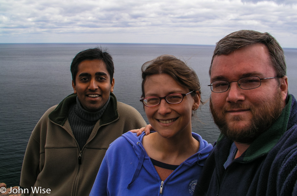
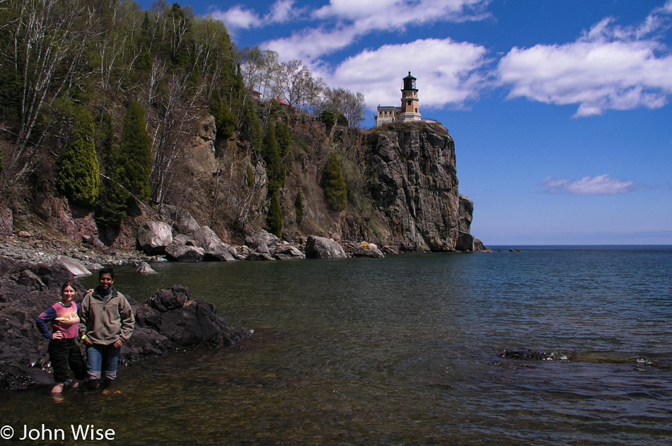
Jay Patel with Caroline and John Wise at Split Rock Lighthouse on Lake Superior in Minnesota

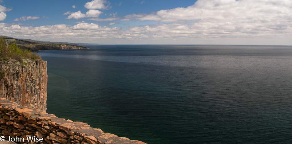
We drive through Ely, over the Kawishiwi Bridge, through Isabella, past a moose, all the way to Finland before we start to see blue skies. And now Lake Superior sits before us looking to be an ocean compared to the lakes and ponds we’ve been visiting the two previous days. At Palisade Head, the view stretches from north to south, with Michigan off in the distance across the lake.

Split Rock Lighthouse on Lake Superior in Minnesota

Here we are at Split Rock Lighthouse State Park with a sky that has continued to clear up, making for ever more incredible views. Entering the visitors center to pay our admission the three of us are giddy that the day is turning out so beautiful and that we actually made it all the way to Lake Superior on our trip across this part of America.

Jay Patel at Split Rock Lighthouse on Lake Superior in Minnesota

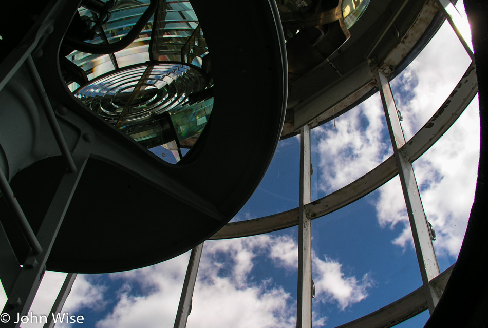
For Jay, this is his first lighthouse; for Caroline and me, this is the first on a great lake. The grounds are immaculate; the lighthouse is gleaming as if it were still new. Inside the lighthouse, a freshly painted black spiral staircase takes us upstairs past windows full of ladybugs. No one else is in the lighthouse as we reach the Fresnel lens.

Split Rock Lighthouse on Lake Superior in Minnesota

Back downstairs in the entryway, a custodian in period dress waits by an iron stove to answer any questions we might have. Informatively, he tells us that the stove is a recent addition because when the lighthouse was in use, had there been a heater inside the structure, it would have fogged up the lenses, diminishing the effectiveness of the light. Yikes, that must have made for one cold lighthouse during those January blizzards blowing in from Canada. On second thought, why would a lighthouse need to be active when the lake is frozen over?

Lake Superior in Minnesota

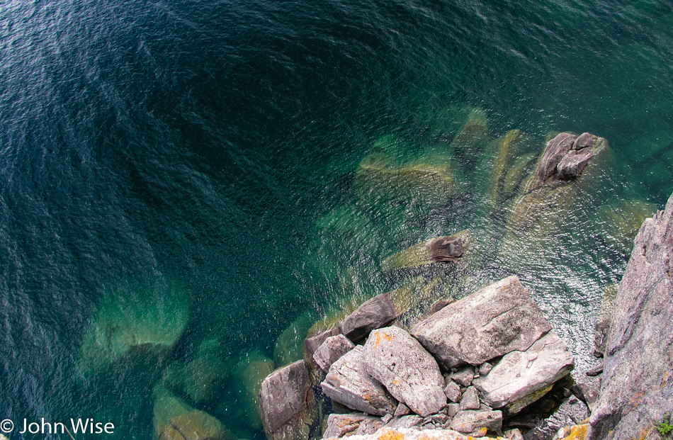
Jay crawls on his belly to the edge of the cliff we’ve been standing back from. He has the camera with its strap wrapped tightly around his wrist, with me holding his feet, he inches a little further and then a little further, and finally, he takes a photo looking straight down. Down there, you can look into the crystal clear green waters of the lake. A bit further down the trail, we come upon a mighty long set of stairs that go down to the lake. This section should be a must-see for all visitors to the park, as the views are spectacular. By this time, you should know why we had to get to the lakeshore, off with the shoes and socks, roll up the pants, and jump in; it’s Lake Superior.

Caroline Wise and Jay Patel at Split Rock Lighthouse on Lake Superior in Minnesota

The walk back up the stairs is a thigh master of a workout. I’m not alone in the pain of burning leg muscles as we get back to the top. Now, we can take the time to visit the living quarters with a person in period dress to introduce us to the old home. I’m more interested in snatching a sample of the beans and cornbread she has on the old stove, but she’s not entertaining my suggestions of sharing her grub.

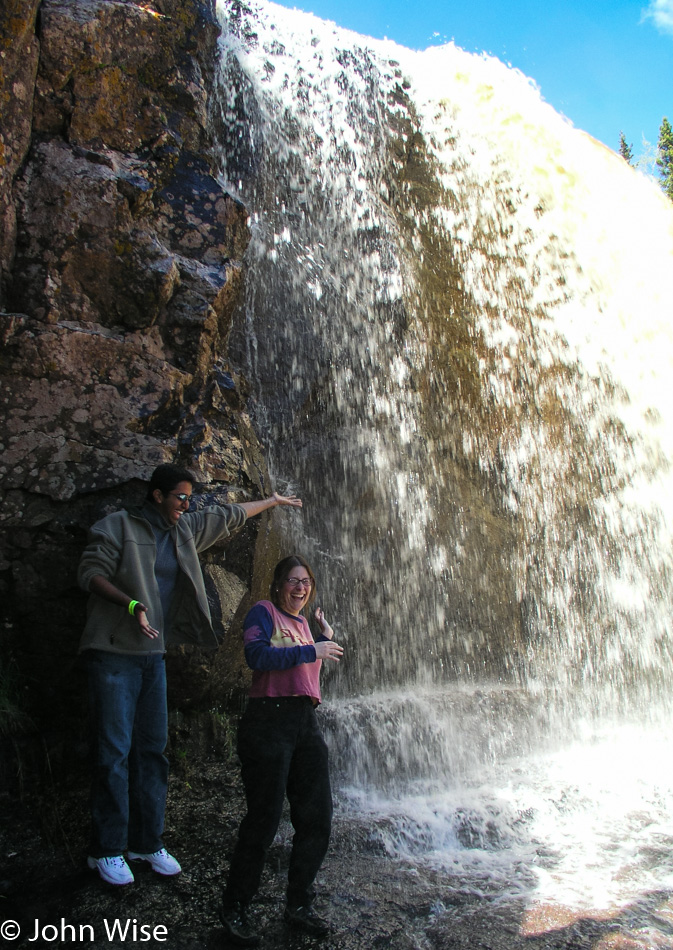
Jay Patel and Caroline Wise at Gooseberry Falls in Minnesota

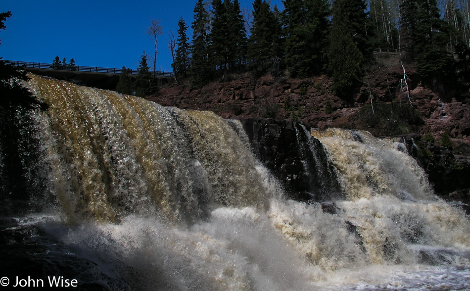
Based on my research prior to leaving Phoenix, Gooseberry Falls, south of the lighthouse, was a must-see. I had seen photos of the falls online prior to leaving, and they were undoubtedly beautiful, but they did not do justice to what we were about to see with our own eyes. Due to winter runoff, the water flow was a magnitude greater than that of the photos I’d seen before, making the falls all the more powerful, rushing in gold and white over the ledge. It is the tannins from the trees and plants upstream that color these waters to a golden brown, as we’d seen at Big Falls Campground.

Gooseberry Falls in Minnesota

The middle falls are the most accessible of the three that comprise the Gooseberries. At the middle falls is a path leading to the riverside and then a ledge that allows us to walk up to the spilling edge, almost standing beneath them. Where the path led down to the riverside we found a spot slow-moving and shallow enough for Caroline and Jay to safely step into Gooseberry River. The upper falls have to be seen from a distance but are no less captivating, and the lower falls went unseen by us as time restrictions only allow so much time at any one location. A trail that loops down past the lower falls and over the river to the other side of the middle falls and then up and over the upper falls would surely be a walking tour that everyone with enough time at the park should make.

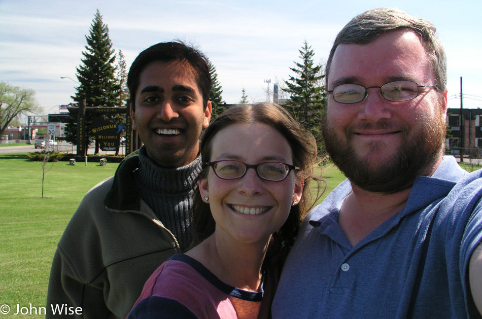
Jay Patel with Caroline and John Wise in Wisconsin

Our encounter with Minnesota has easily laid the groundwork for a return visit. (Boy, that sounds redundant by now.) Although, instead of driving next time, I would consider the following itinerary. Fly into Fargo, North Dakota, and drive to Lake Itasca to spend a day or two camping near the Mississippi headwaters and biking the nature trail. Overnight at Big Falls on the Big Fork and then on to Voyageurs and two or three days canoeing Lake Kabetogama before heading to the shore of Lake Superior. We would make the trip north up the shore to Grand Portage before leisurely driving back down the coast with an overnight camp at Gooseberry Falls. Finally, from Duluth, I would drive inland to Jacobson, picking up the Great River Road to trace the Mississippi River down to Minneapolis for the flight home.

Not much further down the road today, we pass through Duluth and into a state of shock. We are encountering Superior, Wisconsin, which strikes us like a trainwreck. Salt Lake City was the last ‘major’ city we passed through. For days, we’ve been in the countryside, away from signs of industry and crowded cities. Superior is one of those mythic rust belt towns that are dilapidated and crumbling. From the first moments of being thrust into ugly, we need to get out of here. Looking down the main street, it’s easy to see the former glory of this once prosperous community, but with manufacturing job losses the façade is now well worn with many a shop for sale or lease.

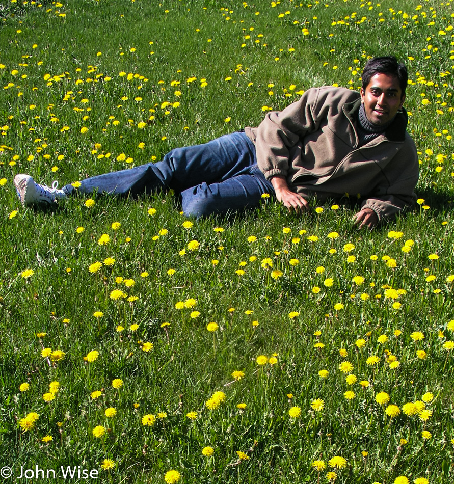
Jay Patel in Wisconsin

We stop for gas at a Holiday filling station where at least the word holiday evokes a sense of happiness. Turns out that I’ll soon pay for my negative impression of Wisconsin. Outside of Superior, the landscape opens up to our relief; yards are dotted with dandelions, and my shock begins to subside. Maybe it was my hurry to get as far away from Superior as fast as I could, although I swore it was because I had just passed another car, which I had.

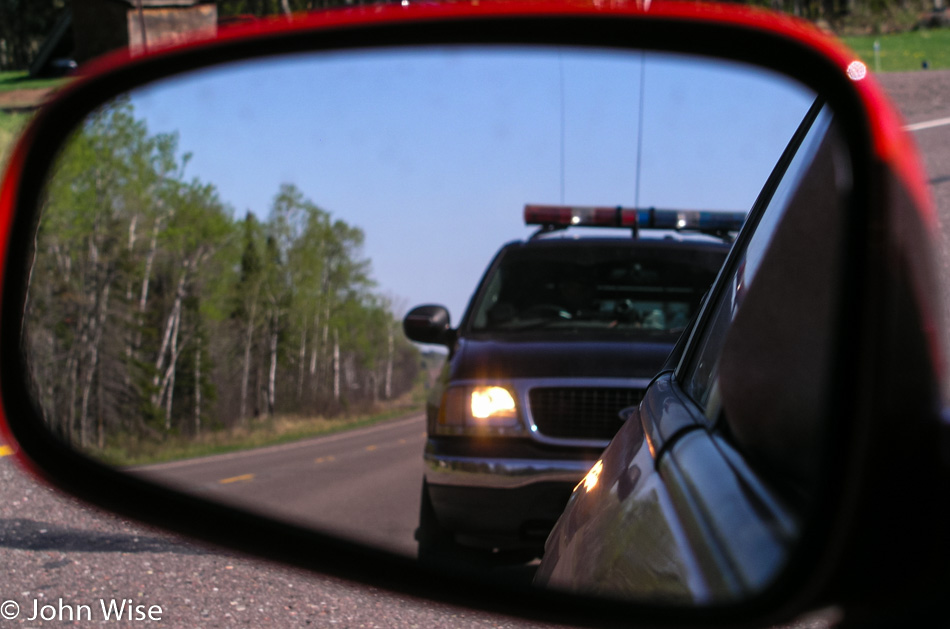
Getting a ticket in Wisconsin

A Wisconsin State Trooper, the single most unfriendly police officer I have ever dealt with, and I grew up in Los Angeles, makes a U-turn to come up behind our already stopped car. I saw the disco lights go on before he passed us; I knew I was close to 80 mph or so, as I said, I seriously had just finished passing another car.

The trooper approaches our red race car with a scowl asking what we are doing in Wisconsin, if we are visiting family or have family in Wisconsin. We explain we are on a 10-day cross-country drive to visit a few national parks and riverways for a short vacation. The officer insisted that my speed was too fast even if I was passing another vehicle and wrote me a citation. Being an out-of-state driver, I’ll be allowed to pay the fine with my Visa or MasterCard immediately: the $205 fine! I wasn’t aggressive, I wasn’t mad, I knew I was over the speed limit, I pulled over without him having to drive another mile and direct me to pull over, my window was down, and driver’s license and rental agreement in hand. I asked the officer if he couldn’t lower the speed he clocked to give me some break on the fine amount, “No, I couldn’t do that. The state legislature determines the laws; I enforce them. That’s my job.”

Along the St. Croix National Scenic Riverway in Wisconsin

Ok, get me out of Wisconsin; I don’t want to spend one more penny in a state that employs such unsympathetic, surly policemen who, in this instance, was our first encounter with whatever hospitality that Wisconsin might have to offer. I’m trying to let go of the seething anger I’m now feeling for this guy who pulls me over in his $47,000 SUV. I’m bitter, and it will be another half hour before I calm down enough to start enjoying the road again.

Jay Patel and Caroline Wise in the St. Croix National Scenic Riverway in Wisconsin

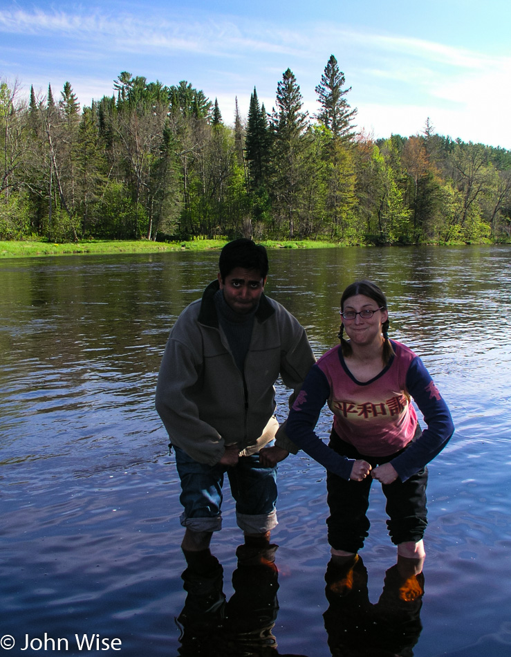
The sign for the St. Croix National Scenic Riverway brings a smile back to my face. Caroline and Jay muscle their way into the St. Croix and, with a superb show of strength, manage to stake a claim in the river, displacing the weaker water with their brute force. The road we’re on does a good job of hugging the river on our trip south. A few miles after where the Yellow River merged its waters with the St. Croix, we turned onto Route 79, a rustic road.

Back roads of Wisconsin

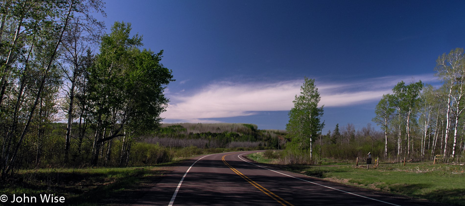
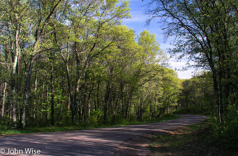
Not much wider than a single lane, this road cuts a stunning path through the forest. The narrowness of the road creates a tunnel-like atmosphere, with the trees almost joining overhead. Crisp green new growth in the trees and on the ground lends dramatic shadows over the road and into the car. This is the kind of road I could spend a lifetime driving, or better yet; it would be amazing if our great country would create a national bike path that would allow for the crossing of America without ever having to deal with competing automobiles. Without a map covering these small details, we only drive a couple of miles before turning around to reconnect with our road south.

Rural roads in Wisconsin

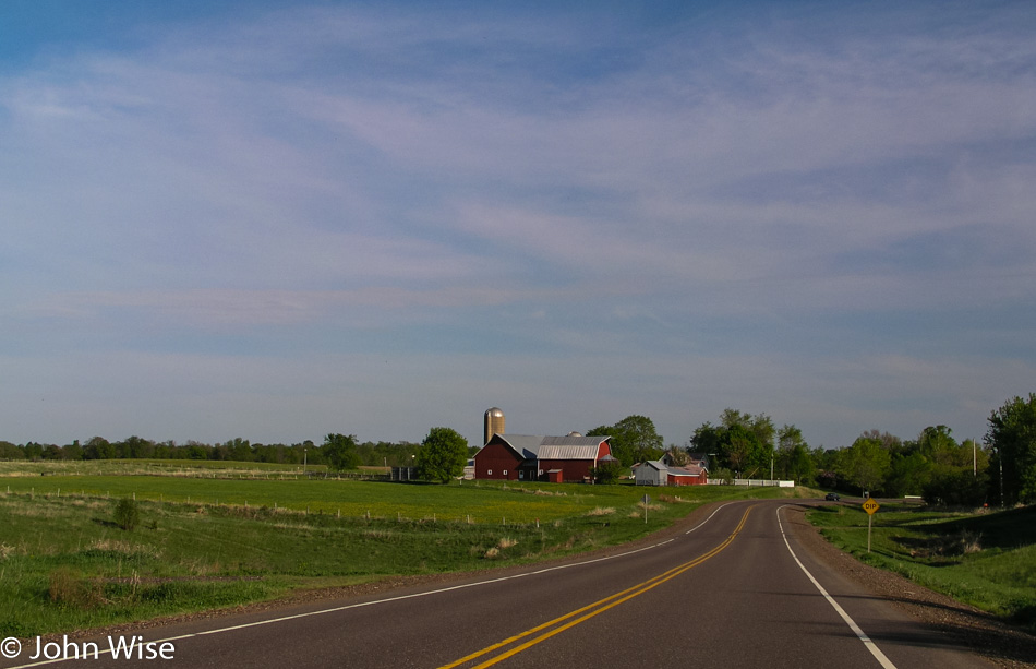
As the road moves away from the river, farmland stretches away from the road. Barns and elevators are common and frequent sights on this gently rolling land. The road swerves back to the river and the heavier tree line. We reach St. Croix Falls late in the day, accompanied by all of the anticipation of checking out one more waterfall.

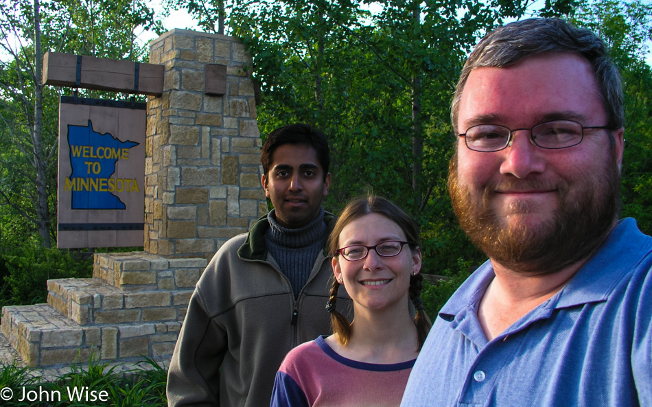
Jay Patel with Caroline and John Wise entering Minnesota

At Osceola, we deviate from the plan and cross the St. Croix as our map shows the other road stays closer to the river. We are back in Minnesota with no discernable characteristics between one state and the other. A half-hour later, we returned to Wisconsin. Through every town we’ve passed, there have been plenty of lilacs blooming in purple, pink, and white, and they smell, oh, so sweet.

Prescott, Wisconsin, is where the confluence of the St. Croix and Mississippi has come to form an incredible breadth of the world’s second-largest river, the Mississippi. It is fast approaching dusk when we arrive, and are unable to find a good vantage point to see where these two become one. A local points us to a boat dock, suggesting it’s the best we’re going to find. A barge of enormous size is pulling up the Mississippi, taking 10 minutes just to pass this small corner, and a couple of fishermen float slowly back to the dock. Dusk will take its time giving way to darkness this evening.

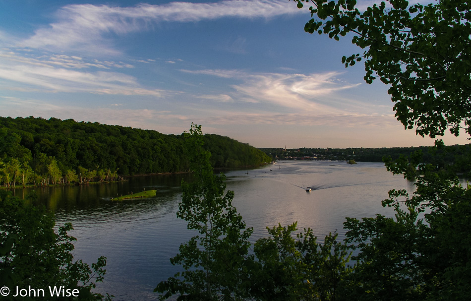
St. Croix River in Minnesota

More than thirty minutes after leaving Prescott and the St. Croix behind us, the sky holds a faint blue light and an even fainter orange glow of the sun. An early moon set over the Mississippi, which has become Lake Pepin at this intersection. Lake Pepin and the Mississippi River Valley are artifacts formed when the large glacial Lake Agassiz near the intersection of Minnesota with North and South Dakota started flowing about 12,000 years ago. As those waters receded 9,500 years ago, sand, which had been deposited at the Chippewa River delta where it joined the Mississippi, created a dam, and Lake Pepin was born.

We still had two more hours to drive tonight before reaching La Crosse, Wisconsin. Approaching Lake Superior earlier in the day was our halfway point, as from there, we would be heading south before turning west on our way home. The river valley has been so enchanting it’s both a shame to drive it at night and a shame not to take it to its southern terminus. Even in the dark of night, we see enough details of the small towns to be aware of how much grandeur we are missing by having to press on. On the other hand, we are also aware of how lucky we are to witness with our own eyes so much of the land we’ve already been able to lock into our memories.

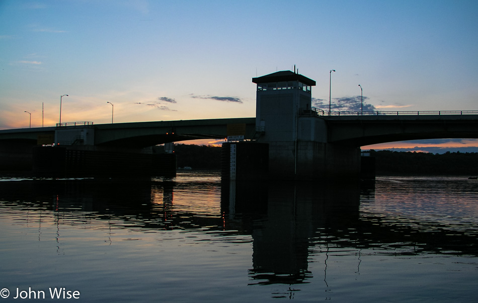
Near the confluence of the St Croix River and the Mississippi River near Prescott, Wisconsin

Reaching La Crosse and a gas station at 11:00 p.m. we refill the ice chests as we have done every other night during the trip. $23 puts 11 gallons of gas in the tank. We have driven 3,849 miles in six and a half days for an average of 592 miles per day. Yes, we have many a friend and family member who think it crazy to endure so much driving in the name of vacation and relaxation. As we look at the sum of experiences, sites, and sensations, we, too think it crazy, crazy that others wouldn’t want to witness so much. For Caroline and me, this is like driving around your neighborhood to learn of the amenities such as parks, libraries, shopping, trails, and other services that bring comfort to someone as they learn to live in their new surroundings. We are driving around our neighborhood, not constrained by the idea of town, city, or state. Our town stretches thousands of miles in all directions because we are free to live in America. With that in mind, it makes sense to us to know the country we are living in.

In America with Jay Patel – Day 5

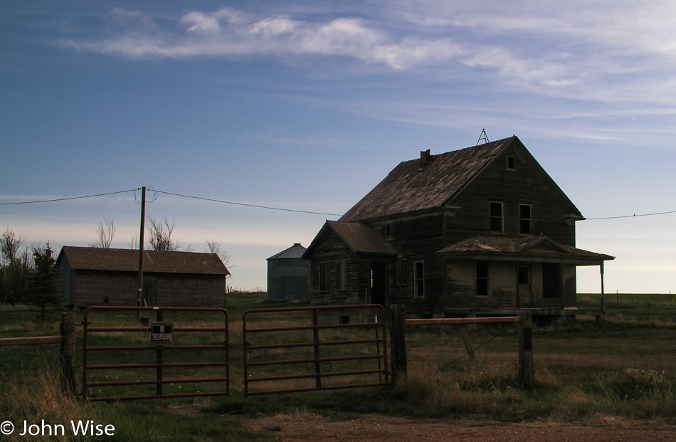
Abandoned home in Montana

Well, we’re finally in North Dakota. I’ve been warned about this state: “It’s boring,” “there’s nothing to do,” and the ominous admonition of “You don’t want to go there.” I’d read in the state’s own visitor literature that it’s North Dakota’s black soil that makes the state special, not the most compelling reason for visiting a place. The movie Fargo didn’t add much to its appeal, either. One thing I’ve learned in visiting these forsaken places in years past is that Caroline and I always find something so endearing that we’re compelled to come back. I hope this isn’t the state to which we don’t want to come back.

The sun was up early, earlier than we were. An obligatory abandoned farmhouse sits alone, surrounded by fields freshly plowed, awaiting the first burst of new life to break ground. Checking into our motel last night, I learned of the Olsons and their world-famous gas station down the street in Sentinel Butte. Turns out Oprah Winfrey and others in the media have had an interest in this gas station the Olsons own as it’s where locals have keys and pay on the honor system. Sadly for us, we filled up in Wibaux the night before and haven’t driven 10 miles.

Medora, North Dakota, is a historic little town dating back to April 1883. It was founded by a 24-year-old French Nobleman who named the town after his wife, Medora Von Hoffman. Within three years, they left to return to France, their enterprise in ruin. It was during this time that a young Theodore Roosevelt visited the area and set up two ranches, bonding him to the area, which profoundly influenced the 26th President of the United States.
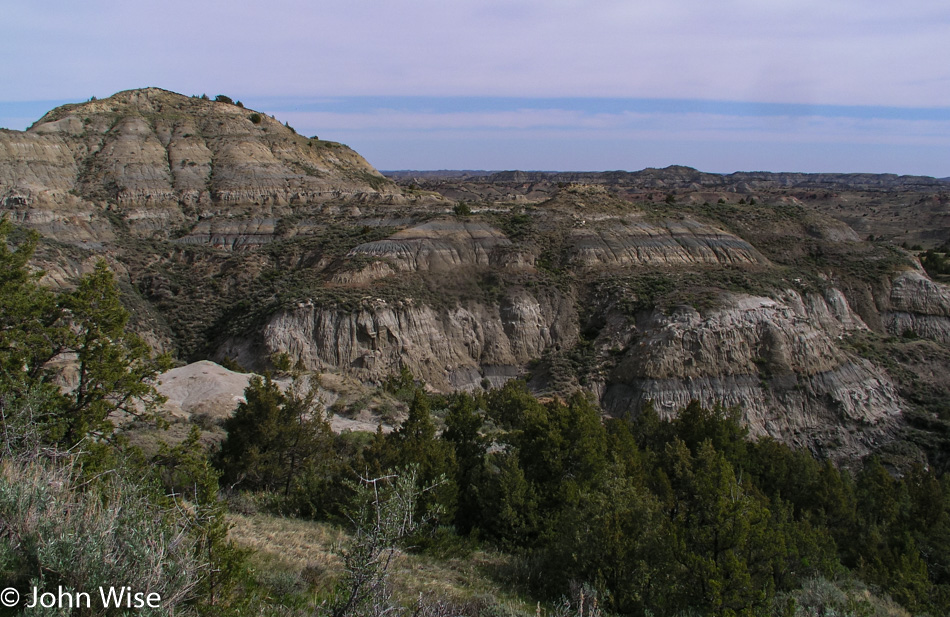
Theodore Roosevelt National Park in North Dakota

From experiencing life in these badlands, Theodore Roosevelt became America’s first conservationist president. During his tenure, he established the U.S. Forest Service in addition to proclaiming 18 national monuments and helping obtain congressional approval for the establishment of five national parks and 51 wildlife refuges. One hundred fifty of the national forests across America owe their designation to President Roosevelt. Although he failed to make the Grand Canyon a national park from the get-go, it was proclaimed a national monument in 1908. From establishing Crater Lake National Park, Mesa Verde National Park, Chaco Culture National Historical Park, and the Muir Woods to the Petrified Forest and Devils Tower as national monuments, our country can take the example of this great man for the legacy he left to the future generations who now enjoy the greatest national parks system in the world.

It is here in Medora that we find the gateway to the national park named in Roosevelt’s honor. Theodore Roosevelt National Park is broken into two primary areas, the South Unit and the North Unit, with two smaller areas also available to visit; we begin in the south. Prairie dogs and bison are the first wildlife we encounter as we venture into the park for a 36-mile loop tour.
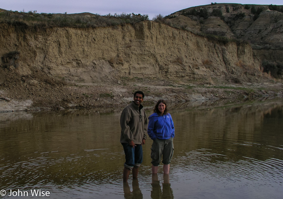
Jay Patel and Caroline Wise at Theodore Roosevelt National Park in North Dakota

At 8:00 a.m., I see a campground that appears to be close to the Little Missouri River: it is. We drive past campers and pull into an empty campsite as close to the river as we can. A short walk through the grasses and past a lone Bison and we are at the muddy shore of the Little Missouri River. It’s the same routine as the other rivers, with the shoes and socks coming off, rolling up the pants, and stepping into the cold waters, this time with mud gushing between toes.
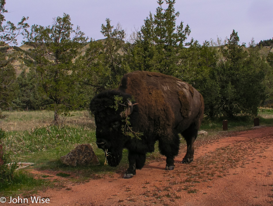
Bison in Theodore Roosevelt National Park in North Dakota

Leaving the campground, a capital specimen of bison makes the earth rumble as it saunters by with slow grace and demand for respect. Wild horses are nearby bringing the car to a stop again, allowing us to admire the perfection of this idyllic moment, truly appreciated by us city dwellers here in the national park.
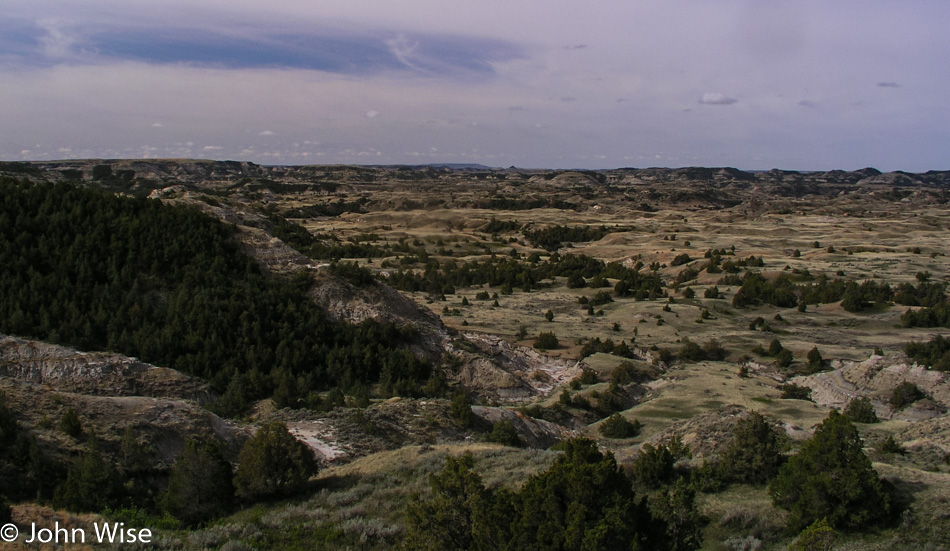
Theodore Roosevelt National Park in North Dakota

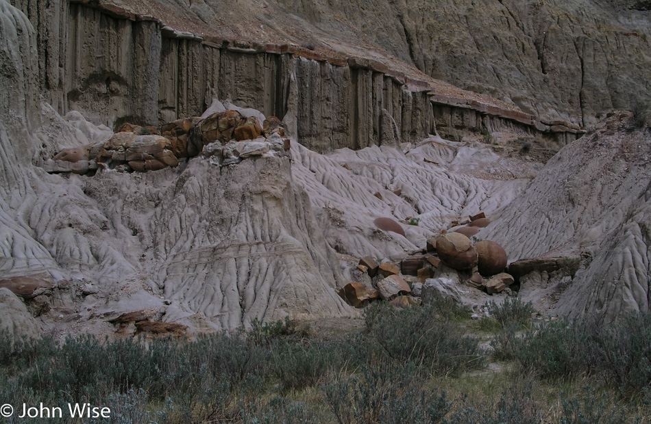
Bison wander the extent of the park, we see them off in the distance, and sometimes they are here right outside our window on the edge of the road. The badlands themselves are eroded prehistoric sedimentary hills carved by ravines slicing through cliffs. From the exposed rock, a kaleidoscope of color splashes the landscape, blue-grays, orange, and red, with rust butting up against yellowed greens. Odd shapes appear to be melting from the years of weather bearing down on these once-alluvial lands created by the detritus flowing over the plains from the Rocky Mountains millions of years ago. These are the grounds where fossils and petrified woods are found emerging through the surface; they are a vivid look into the past.

The road climbs, falls, and twists through this erupting landscape past scrub, box elder, and juniper, through a dozen different grasses, herbs, the occasional wild turkey, and vistas that stretch as far as the eye can see. The surprise here is the description of this being a badlands. When I hear that, I conjure seeing a land that is greatly unappealing, but to the contrary, this part of America has an attraction that requires a more thoughtful look.
Theodore Roosevelt National Park in North Dakota

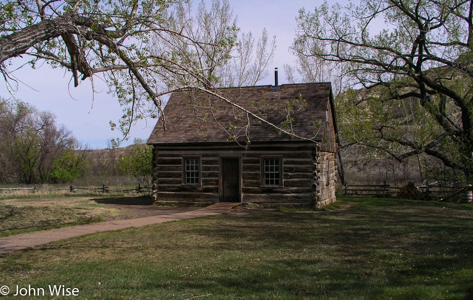
The visitor’s center was still closed during our early bird arrival, but it is now open. From here, we gain entrance to the grounds of the Maltese Cross Ranch Cabin, which Roosevelt had custom-made and where he lived during his years in the badlands. The cabin had originally been located seven miles south of where it rests today. The one-and-one-half-story cabin had a cellar prior to its move, and the upper half floor is where ranch hands would have slept. A few of the items in the cabin originally belonged to Roosevelt, with others being from the period to better demonstrate the living conditions of our future president back in the 1880s.
Jay Patel and Caroline Wise on the Great Plains of North Dakota

Back on the road, the car is quiet with the nodding tourists who could use a coffee right about now. At a gas station, Caroline and I clear the front seat of food, bags, CDs, maps, binoculars, crumbs, umbrellas, ponchos, empty cans, bottles, wrappers, and other miscellaneous stuff. We fold up the armrest, pull out the buried seat belt, and make space for a third person in the front seat.

To help keep Jay awake, we are stuffing him into the front seat so there will be no nodding off behind the sunglasses and insisting that he really was awake. Intimate would be a good description of conditions up here; tight and a bit uncomfortable would also describe things. Wacky and fun, though, are at the top of the list, and we pop in the CD from the Hindi film ‘Dil Chahta Hai,’ a favorite of all of ours. Dil Chahta Hai is a road trip movie following three friends and their quest to find love. In one particular scene, the guys are driving south in India to the beaches of Goa to a piece of music that is fitting to our moment squished into the front seat of our fire engine red Impala, except we are drifting through the grasslands of North Dakota far removed from any beaches.

The grasslands are part of the Little Missouri National Grasslands that encompass the Theodore Roosevelt National Park and remain to our left for the duration of our journey to the Northern Unit of the Roosevelt Park.

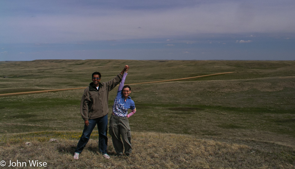
Not content to simply pass through, we turn off at Fairfield Pasture in the Grasslands to explore the details of what constitutes a national grassland. Following the dirt road until we are well away from the main road, we park and hike up the tallest hill around us to have a panoramic view of the area. Not a mountain in sight; trees and roofs are the tallest objects in our view. While this must be the flat land so many people lament, it is still very hilly, nearly ocean-like in its own way.

As is usual with our multi-thousand-mile road trips, we don’t have a lot of time in any particular location, and this one is the same. Before departing, I take a moment to really look around and give thought to the quantity and diversity of grasses that surround us. I have to get down on my knees, though, and take a more serious look to begin to appreciate how complex the flora is in our National Grasslands. This isn’t the grass we find in our front yards or on the golf course; these grasses are wild, colorful, bushy, thin, clumped together, weed-like, and flowering; they are many in their species and characteristics.
Theodore Roosevelt National Park in North Dakota

Crossing the Little Missouri River, we turn into the North Unit of Theodore Roosevelt National Park and lose an hour passing into the Central Time zone. The 14-mile road that traverses this segment of the park follows the river, although it’s out of view for most of the drive. With a turkey, more bison, and the return of the badland landscape, the park is at once familiar to us as it shares some similarities to its southern partner. Strikingly different is the tableland we cross between badland areas, offering a dramatic view of grasslands populated with grazing bison. This is a view as old as the earliest settlers would have seen all across the midsection of the United States.
Caterpillars in North Dakota

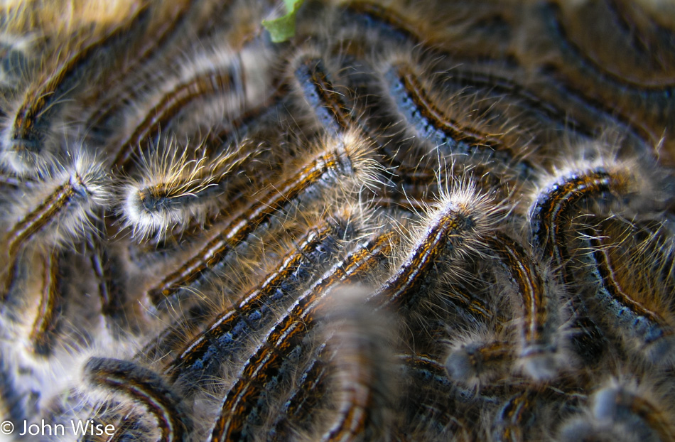
Wildflowers have started blooming here, lending more color to the already colorful landscape. The visitor center pointed out more than two dozen flowers in bloom that we unmercifully drove by, not having more time to stop and smell. The few we do stop for are splendid; a bumblebee flits around the blooms while in large silk cocoons hanging within ravaged milkweed plants are thousands of caterpillars.

We leave the park after only a cursory overview. We are still on the west side of North Dakota, and by evening, we need to be on the east side, just across the border from Minnesota.
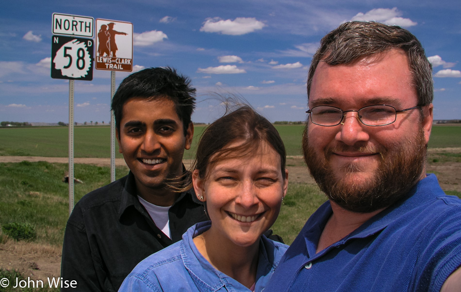
Jay Patel with Caroline and John Wise in North Dakota

Driving across America, Caroline and I have seen countless signs that point out the Lewis & Clark Trail. From Fort Clatsop in Oregon to the Bitterroot Mountains in Idaho, from St. Joseph to Hermann, Missouri, and various other spots along the trail, we’ve seen more of the Lewis & Clark Trail than anyone we know and feel lucky to have done so.
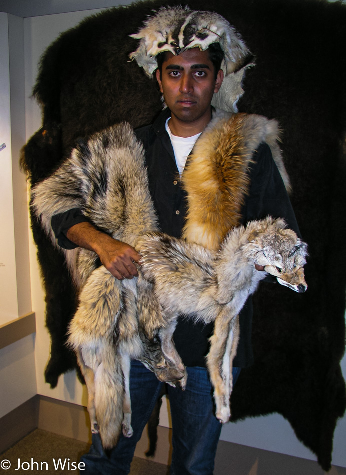
Jay Patel at Fort Union Trading Post NHS in North Dakota

The Missouri River outside of Williston passes below us, wide and muddy. A detour takes us back west to visit Fort Union Trading Post National Historic Site. Unknown to us, we crossed back into Montana to turn into the parking lot of the Trading Post. Set back from the banks of the Missouri, the Fort is perched on a hill, but back in 1828, when the Trading Post became operational, the Fort was literally on the banks of the river. At that time, a visitor would step off a boat and walk 50 feet to the front entrance. The Fort is an important part of the history of the northern United States as the fur trade preceded gold and farming as the business that allowed settlers to take root on these lands.

Prior to the arrival of whites, it was the Assiniboine, Crow, Cree, Ojibway, Blackfeet, and Hidatsa Tribes who claimed these lands as their own. It was the voyageurs and other fur traders who, with the help of the Native population, made trading posts such as this an essential frontier stop for the commerce that was beginning to change the way of life that had been practiced for centuries before.

The Fort is well maintained, and from the accessible tower, you look out over the Missouri and see the world in much the same way it was seen more than 175 years ago. The museum on the grounds is small compared to other sites the park service administers. The real treasures of the museum are the various furs on display for the visitor to pick up, feel, and compare to the other furs. Jay makes a serious attempt to don a number of furs and get into the mountain man slash fur trapper mood but doesn’t quite get all that believable.
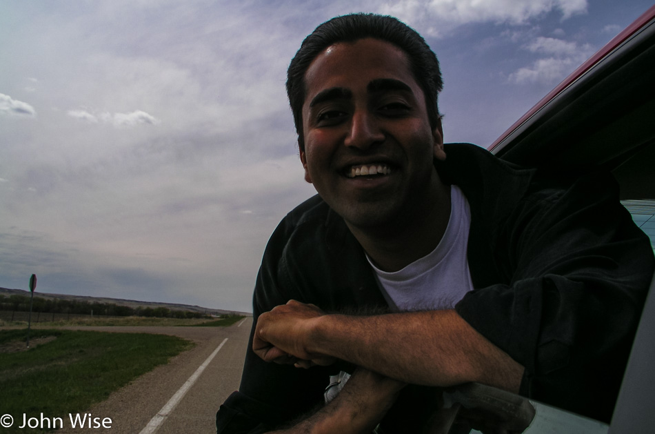
Jay Patel in North Dakota

Leaving the fort, we reenter Montana only to turn around and go back to North Dakota. The route chosen was to allow us to trace the Missouri River to where it is called Lake Sakakawea backed up behind the Garrison Dam. The road doesn’t come close to the lake often enough to call this a river road; most of the time, we are driving through the rolling hills of the grasslands. An abandoned tractor is sinking into the earth next to a similarly deserted ramshackle box of a former dwelling. A look inside the old house it’s a wonder if this place ever kept the winds at bay. A single room, four windows, two doors, a rusty bed frame, a shelf, a small table, and some rusty cans: all reminders of that thing someone called home.
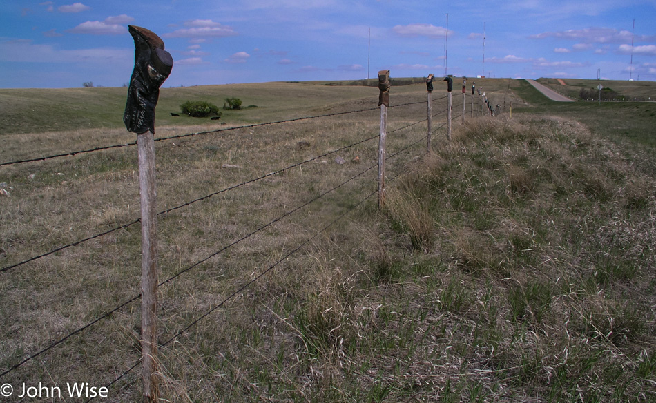
North Dakota

We’ve seen a few grain elevators so far, but now they are becoming far more numerous. The hills are flattening out the further we move east of the badlands, but the countryside continues to roll. Midwest humor or cowboy artist, someone has taken the time to mount a couple hundred boots and shoes along a stretch of fence posts; we accept the gift and smile our way down the road.

Down the street, we spot a church, or what’s left of it. The graveyard still looks well kept, but the church may never return to its former glory. Glass is gone, doors are gone, the piano is broken and half missing, and some broken chairs still stand upright by walls shedding their paint. Maybe it’s that North Dakota black soil pulling that which doesn’t belong on these plains into itself to erase the things that shouldn’t exist here?

We fill up in Garrison where the lone gas station sells pizza and subs, bait and tackle, ice, and cigs. As far as we can tell, this is the grocery store/mall/the closest thing to Wal-Mart between Minot and Bismarck, which are separated by 116 miles of road. Nearing 7:00 p.m. and exactly 2,500 miles down the road, we pay $23 for 11 gallons of gas; only 214 miles left to Mayville, North Dakota.

The smoke blew for miles during our approach without us knowing its origins. Crossing Lake Sakakawea, we learned its source. To the east, the grasses burn slowly with a long fireline of a low height, casually clearing the land. No fire trucks, no water tankers, no live-action helicopters reporting breathlessly back to the local TV station, and no commotion on the bridge to watch the fire. Just the fire doing what fire has done here on the plains for many a thousand years.
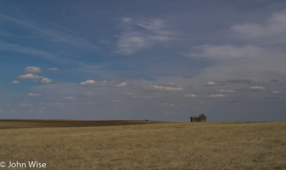
North Dakota

We stop again, this time another abandoned home. Only at this stop did we become acquainted with some wildlife we were not prepared for; wolves would have been more welcome. After traipsing around the empty, darkened cabin, we are back in the car and again driving east when Jay exclaims, nearly screaming in panic, that something is on him. The scream suggests Jay got back in the car with either a skunk attached to his leg or a weasel latched onto his back. As calmly as possible, I stop the car short of skidding off the road, and myself, now near panic, scream back at Jay, “WHAT IS IT?” Jay fitfully convulses out his answer: “It’s a bug!” “[The deity of your choice] on a bike, a bug?” I ask him. Jay squeaks back, “Yes!”

It’s on Jay’s hand; it’s multi-legged, brown, and beyond our ability to squish it, meaning its superpower is unsquishability. It’s a tick. Later, we learn it’s a dreaded wood tick. After failing to flatten it, Jay puts down his window and throws it from his hand. I gas it as the window finishes closing and we are speeding away from this monster that till this moment had been known of but never seen by the three of us. For the rest of the night, we will scratch imagined bugs.
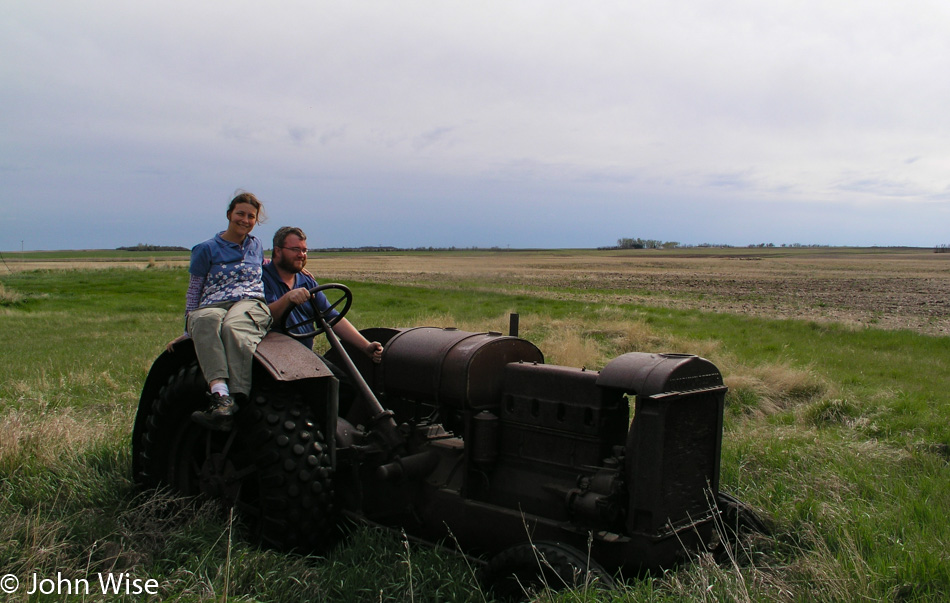
Caroline Wise and John Wise in North Dakota

Farmland, just miles, and miles of farmland we are driving through. More elevators and then a total surprise, well not at first, but we start to pass water: ponds, small lakes, slightly larger lakes, so much water that migratory birds are in abundance here. We spot pelicans and more pelicans, kingfishers standing on the rocks at the water’s edge, diving cormorants, yellow-headed blackbirds with a most striking repertoire of songs. Pheasants and red-winged blackbirds are perched on cattails. We drive slowly with open windows, listening to the songbirds, watching kingfishers scatter at our approach, and stop from time to time to appreciate nature’s display.
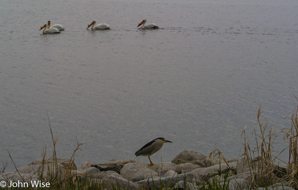
Kingfisher in North Dakota

Still itchy, scratchy, and certain we feel a bug on us every other moment, we find a way to make our bloodsucking tick encounter worse by talking about the diseases they impart on us, innocent victims. After the sun has set and dusk’s blue light is being overtaken by evening, it’s Caroline’s turn: “ON THE ITINERARY….IT’S ON THE PAPERS!” That tick didn’t get flicked off Jay’s hand; it made a mad jump back into the car. We must believe that the tick jumped back in as otherwise, we might think we were infested with the evil little things. Carefully, pinched between her fingers and sandwiched between the sheets of paper, Caroline places the tick outside the car on the ground, keeping her eye on it as I inch away.
Another hour in the car is in front of us. Nothing but a full inspection and shower is going to pacify our need to scratch and pick. And then, with the final light of day, it starts. At first, we think it’s raining; it sounds like rain but there’s no water on the windshield. That’s strange because it really does sound like rain. The sound stops, and we wonder what the heck that was, and then it starts again. Hmm, it sounds just like rain. It’s bugs, more bugs, bigger bugs, smaller bugs, lots of bugs, and clouds of bugs. So many bugs that we need a gas station to clean the windshield.

At the gas station, we describe the demon creature haunting our road trip; the girl at the front counter assures us that it’s not a tick phew. Yet the Sheriff in the shop insists it is. I think that the slight smile on the corners of the Sheriff’s mouth was the giveaway that he had recognized city folk freaking out over a tick and that it couldn’t hurt that much if we went on thinking we were being stalked by nature’s evil spawn.

By the time we arrive in Mayville, North Dakota, we are exhausted from our twitching, contorting, the acrobatics of fending off imaginary bugs crawling through our hair, down our necks, and on our legs that we forego the showers and fall immediately into bed and pass out. It’s 10:30 p.m.