Jutta On The Road – Day 3

Disclaimer: This blog entry wasn’t written until 15 years after the trip. It should be noted that it was a huge mistake to have not written it way back when. Sometimes, after writing so much about other days, it happens that at the time directly after the trip (or even during), I convince myself that the details are not that important. Years later, these details are that important, and pulling them out of foggy memories is difficult. The photos help and often leave clues, and then Caroline’s memories are usually far clearer than mine. With that said, here goes.

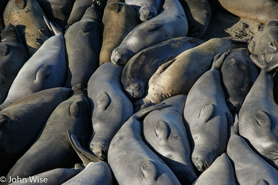
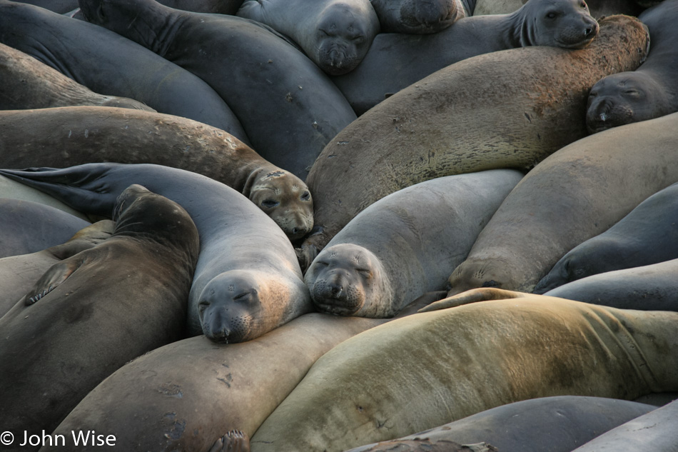
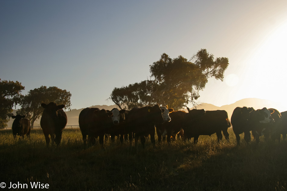
North of San Simeon (home to Hearst Castle) on the Central California Coast are a number of beaches that are home to colonies of cows. Depending on the time of year, you can see adult bulls battling for harems, newborn calves squawking next to mothers, juveniles lounging about, and gobs of tourists. Oops, that description was meant for the elephant seals.

If you want to avoid the throngs of tourists, visit early in the day or late in the afternoon – or visit on weekdays for the best viewing. Motels are relatively inexpensive; we paid $75 last night for three of us on a Saturday. Oh yeah, depending on the season, you won’t just see a few seals; there are hundreds of them soaking up the sun.

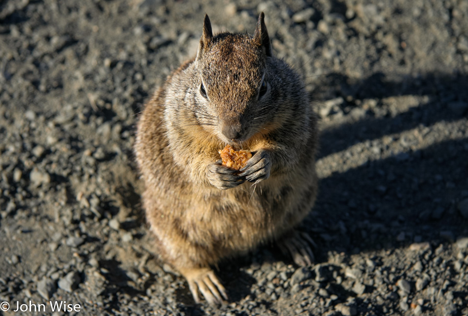
There are also squirrels that we were feeding bits of our granola bars apparently…this is obviously before we learned better and stopped feeding wild animals.

Maybe you are thinking that this picture looks a lot like the photo from the day before. Well, the seals definitely lay around a lot; they also scratch themselves and fart a lot.

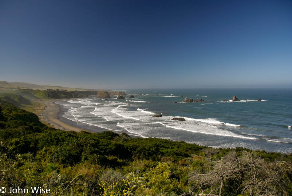
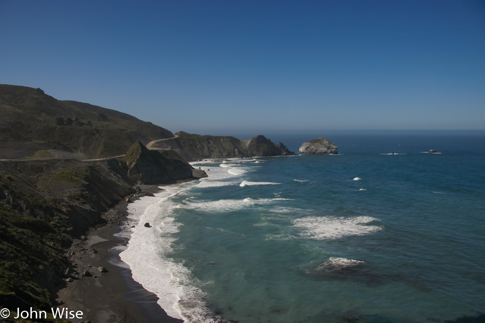
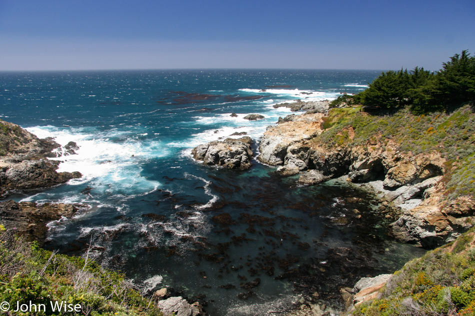
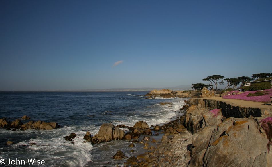
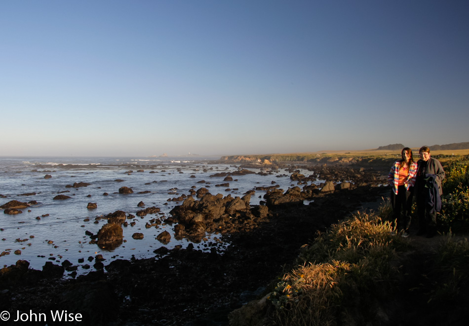
The views along the coast never grow old.

We delight in every perspective and only wish we could move slower on our treks up or down the Central Coast of California.

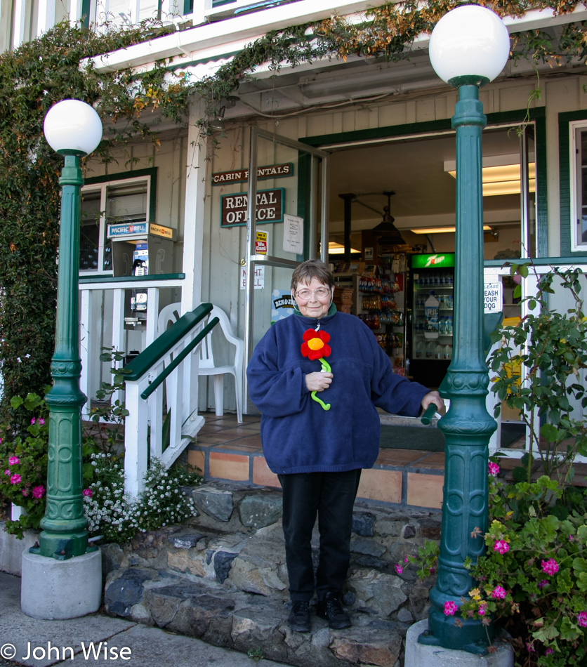
Here at Gorda By The Sea, my mother-in-law walked out of the shop with this flower (after she paid for it, obviously); it turned out that this was a gift for Katharina back in Germany. Our niece was five years old back then; I wonder if she still has this.

We can linger at the sea all day.

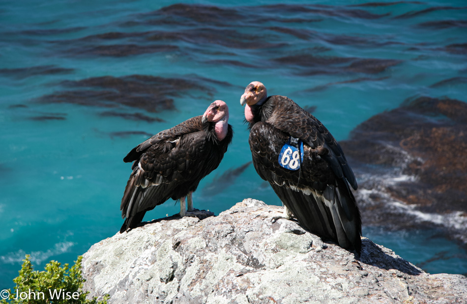
What are those on the rocks? They are California condors and, just like with a bison jam in Yellowstone, the traffic jam of cars and people gawking as if a whale had just beached was the giveaway that something was going on. This is just as rare a sight in some ways as these birds of prey were almost extinct before California made a huge effort to save the species.

After pulling over, we were bowled over to see this condor couple not more than 20 feet (7 meters) away from us. I was certain that raising my camera would scare them off; instead, they bored us off. Like wax figures, they sat there, no stretching the wings, no swooping down on some hapless bird for a wee bite, not even a giant condor poop. We waited, waited patiently, then impatiently. The people noises did not interest or disturb them, and barking from the stupid bearded fat man didn’t do much either, besides annoying his wife – uh, sorry, Caroline! And so, without an action shot, we got back into the car and continued driving north. I bet they really were wax figures meant to fool us tourists and that they are still sitting there.

The coast is about more than the sea as contrasts stack up along the way.

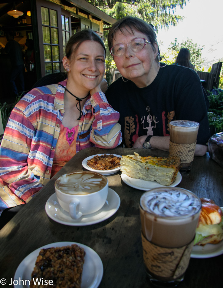
Lunch had to be taken at our favorite cafe in California, right here at the Big Sur Bakery. Can you tell that I’m still working on getting Jutta to make nice for the camera?

Over the years prior to this visit and in all the visits since, we never tire of the sound, the smell, the colors, the weather, or the way it all comes together to strike us with how profoundly lucky we’ve been to witness this grandeur with our own eyes.

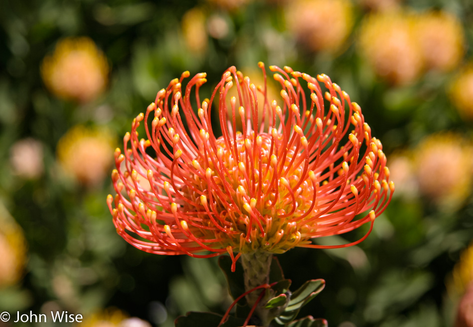
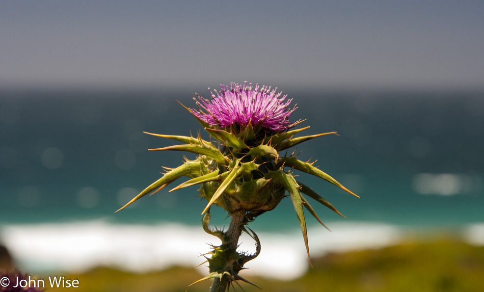
A simple thorny thistle that is as wondrous as any of the other sights we’ve seen today or are yet to come across.

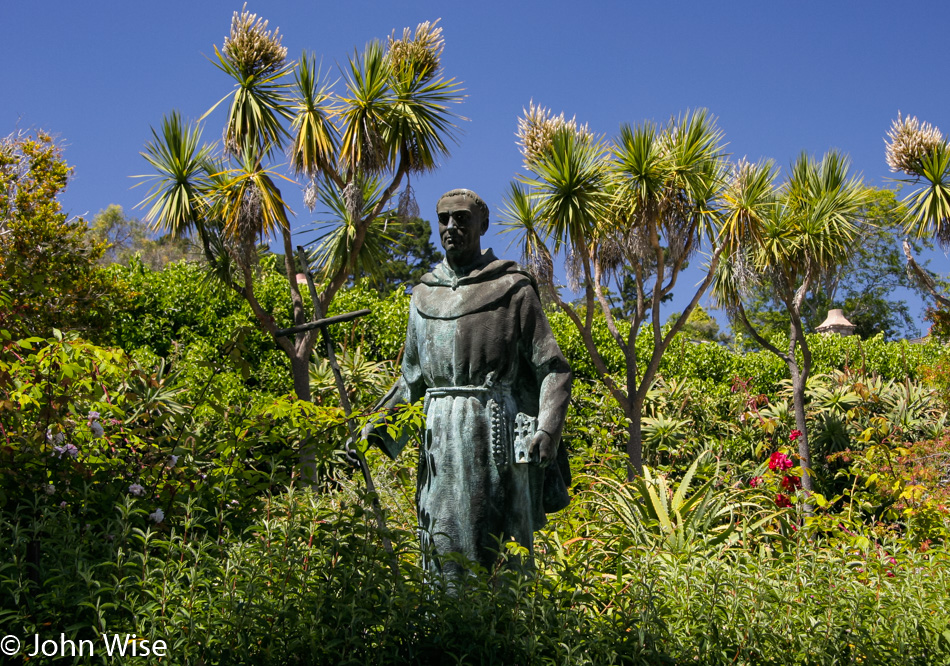
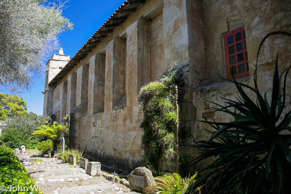
Adding something new to this coastal visit with a stop at the Mission San Carlos Borromeo del Río Carmelo.

Things look tranquil, but I can guarantee you that just an hour earlier, I was working hard to keep my mother-in-law awake, and she was working hard to catch a nap.

We try to go slow to allow Jutta to read every marker and examine every plant and detail.

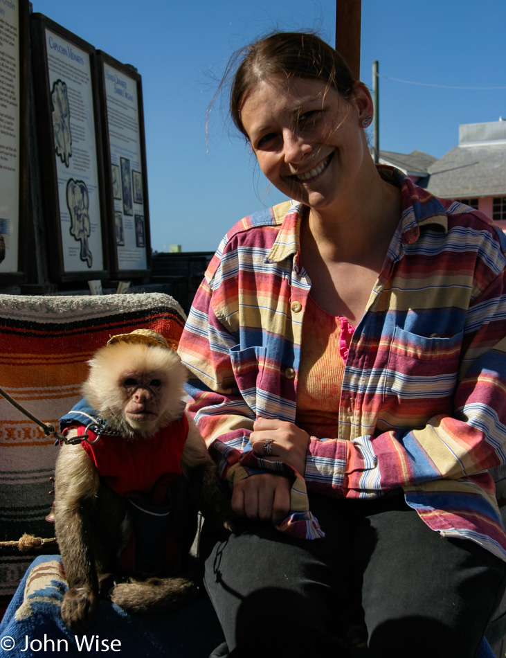
But before we know it, we’re in Monterey, shaking hands with monkeys.

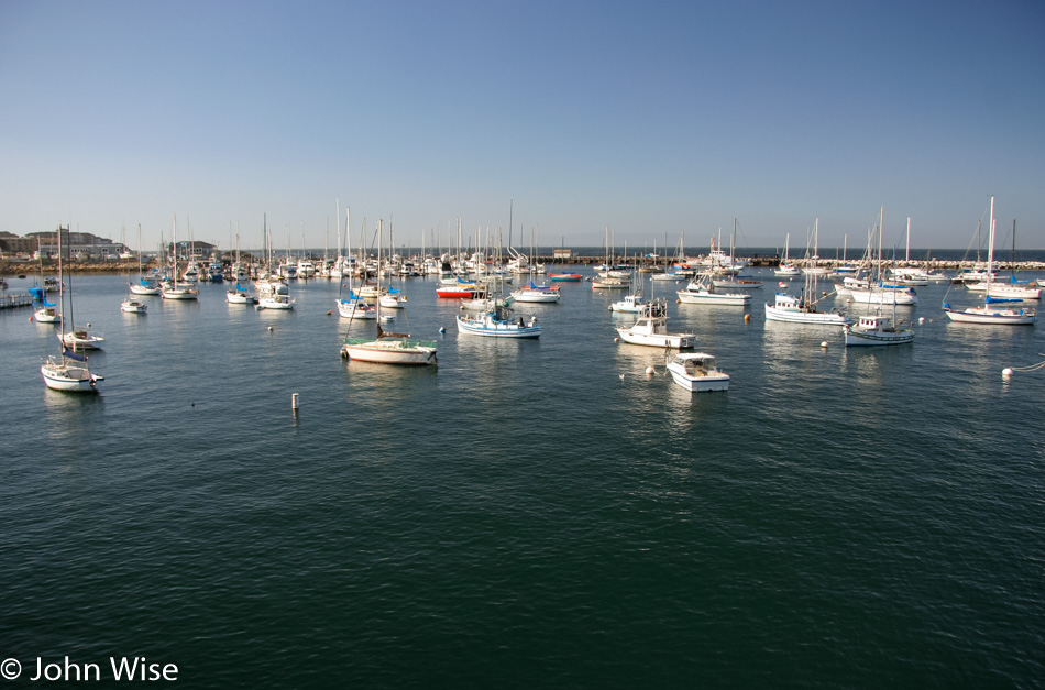
So our stop in Monterey, more specifically, our stop at the wharf to introduce Jutta to clam chowder in a bread bowl, didn’t go as planned. Oh, she ate it even though she said it wasn’t her favorite. Turns out it was so not her favorite that she’s in the bathroom vomiting it out while I’m over here taking photos of the boats.

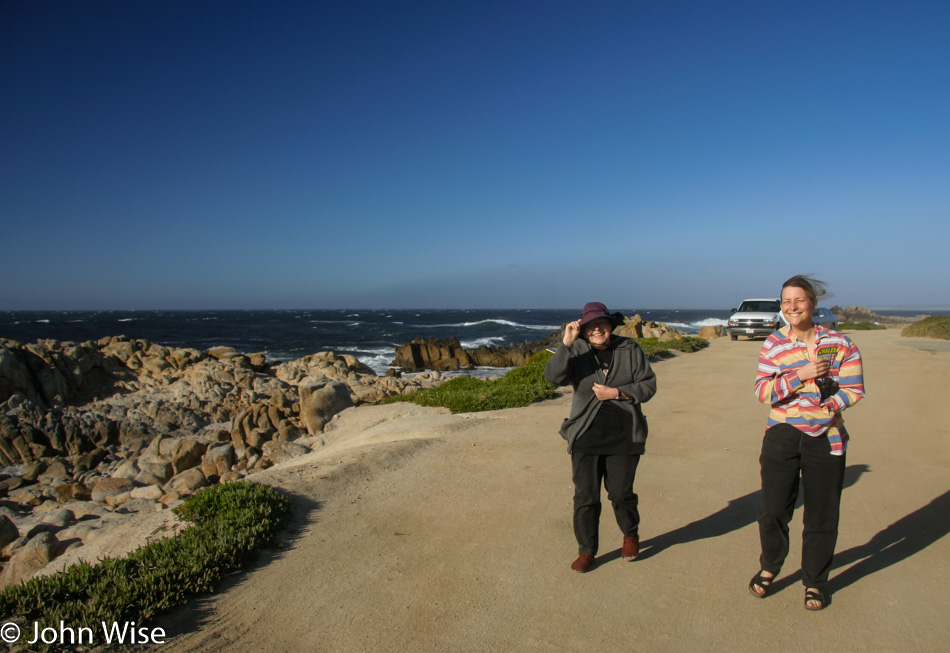
Good thing we didn’t have any more driving scheduled for the day, so we headed over to Pacific Grove for a short walk in some surprisingly strong winds to let Jutta’s stomach settle.

And soon afterward, she’s fit again and ready to enjoy the rest of the day.

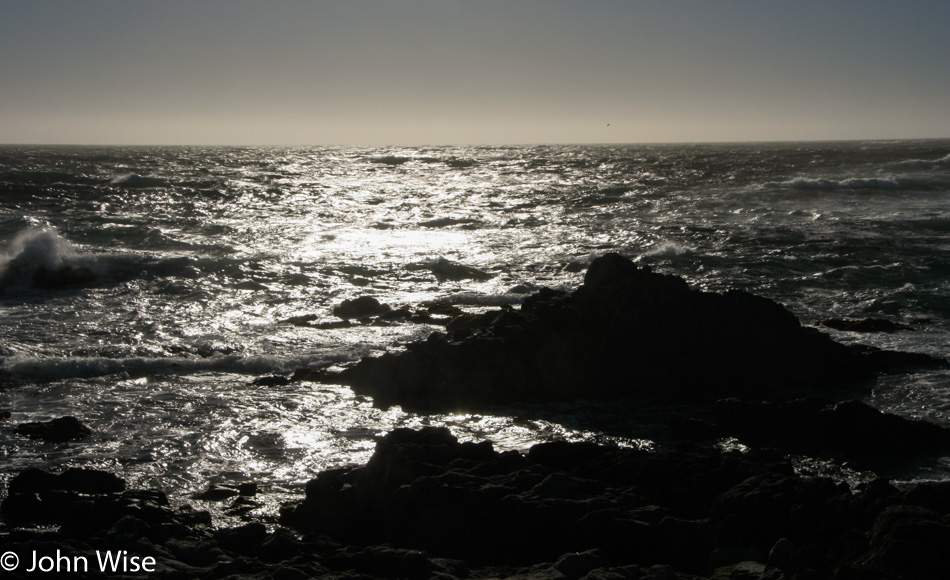
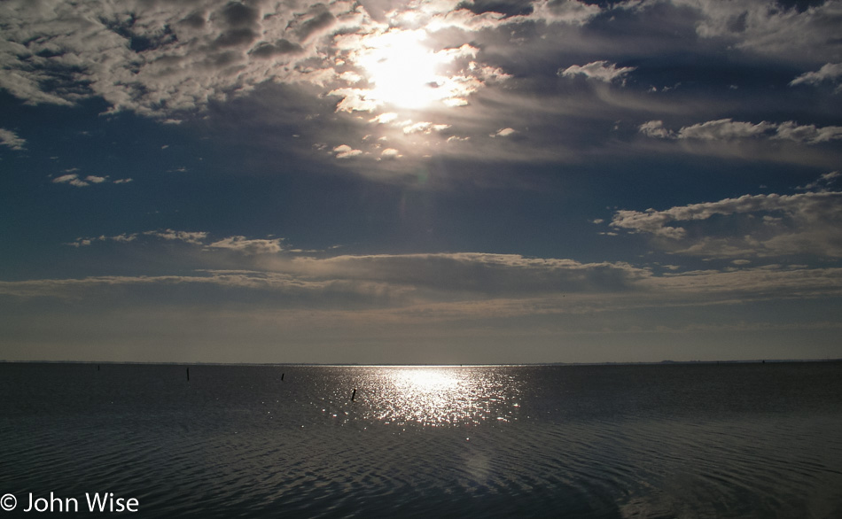
Nothing left to do but chill out by the ocean, watching the glistening water catch sunrays, hypnotizing us into wanting to live right here. Our room for a mere $69 was at the Thunderbird Motel in Seaside, as we’re too cheap to splurge for those $120-a-night rooms in Monterey.

Jutta On The Road – Day 2

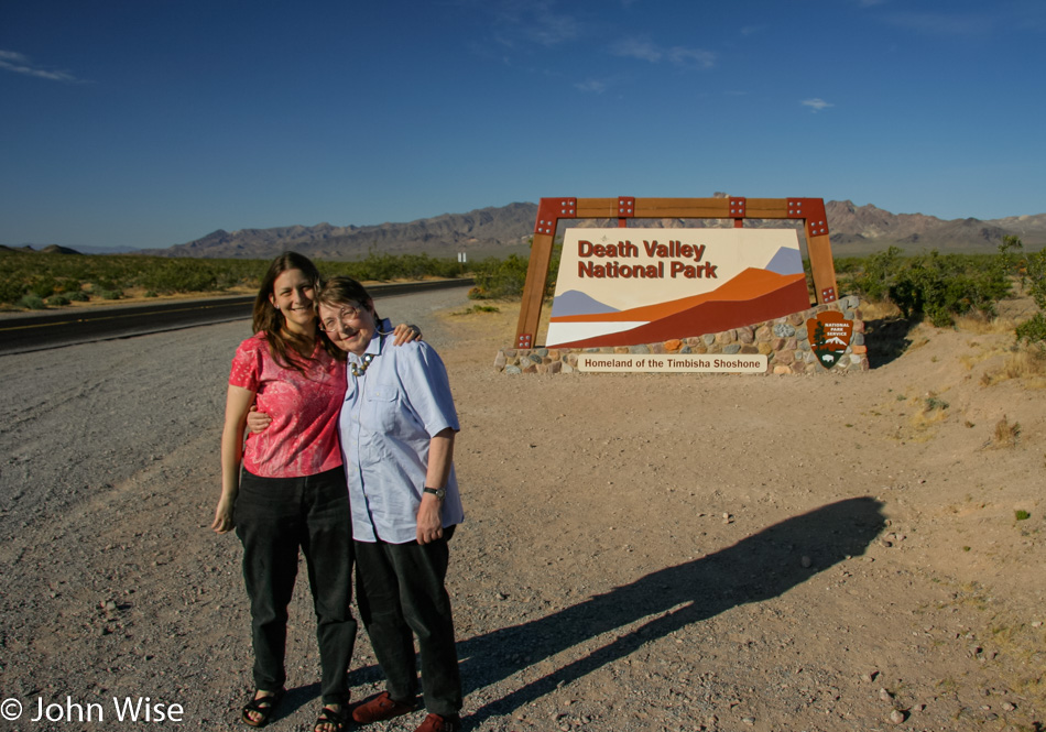
Caroline Wise and Jutta Engelhardt in Death Valley National Park California 2005

Disclaimer: This blog entry wasn’t written until 15 years after the trip. It should be noted that it was a huge mistake to have not written it way back when. Sometimes, after writing so much about other days, it happens that at the time directly after the trip (or even during), I convince myself that the details are not that important. Years later, these details are that important, and pulling them out of foggy memories is difficult. The photos help and often leave clues, and then Caroline’s memories are usually far clearer than mine. With that said, here goes.

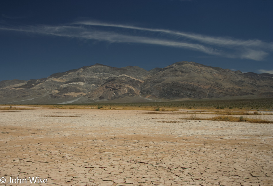
Little did we know just how exotic and meaningful a stop in Death Valley National Park would be to Jutta, but we learned on approach that this was a dream come true. She couldn’t believe that she would ever experience this iconic out-of-the-way spot on earth in person. Had we known this fact, I would have planned more time for us to be here, though a cooler time of year might have worked out better for her.

Death Valley National Park California 2005

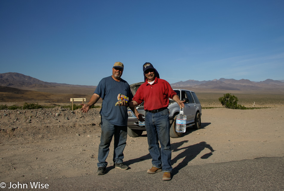
On our way into the park, we stumbled upon these two guys on the south end of West Side Road near Shoreline Butte in Death Valley. They had been out here since 5:00 p.m. the day before. The previous day’s high temperature was 112 degrees (44 Celsius), and by 8:00, when we pulled over to offer assistance, it was already nearly 90 degrees (32 Celsius). Three other cars had passed them and never stopped. After supplying the men with water, fruit cups, and granola bars, we reported them to a park ranger at the Death Valley Visitors Center and were assured help was on the way.

Death Valley National Park California 2005

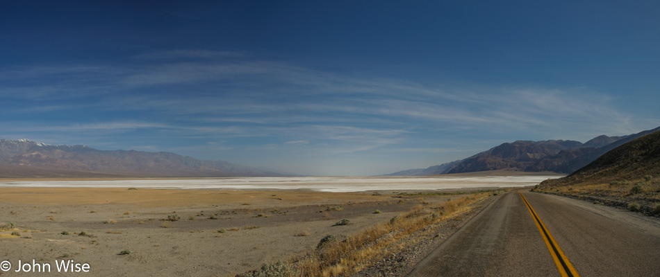
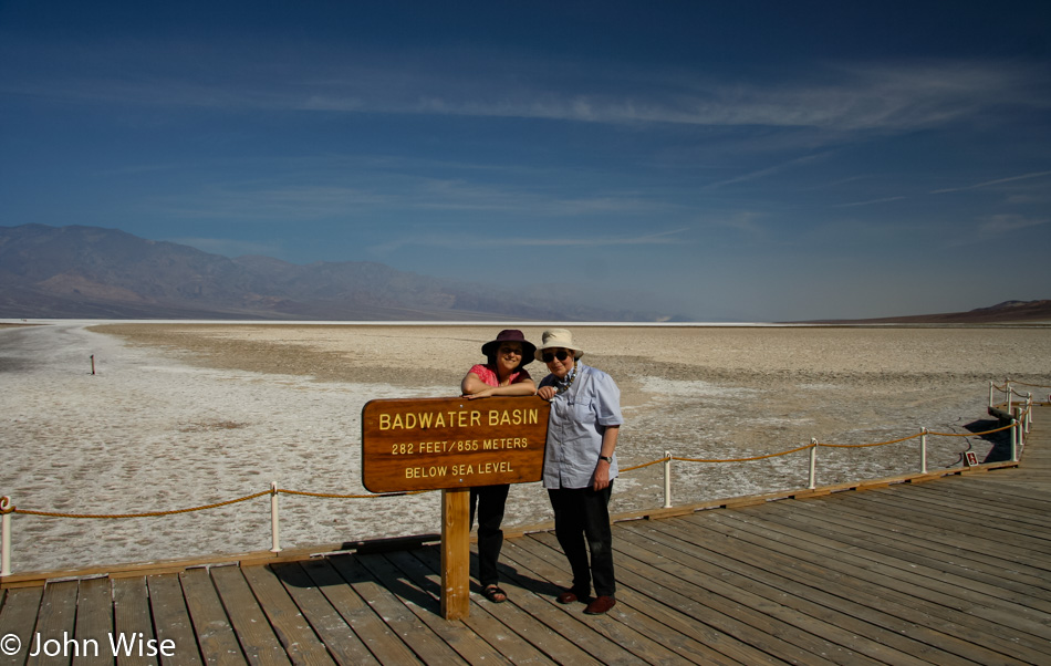
For those who know, this is the approach to Bad Water.

Caroline Wise and Jutta Engelhardt in Death Valley National Park California 2005

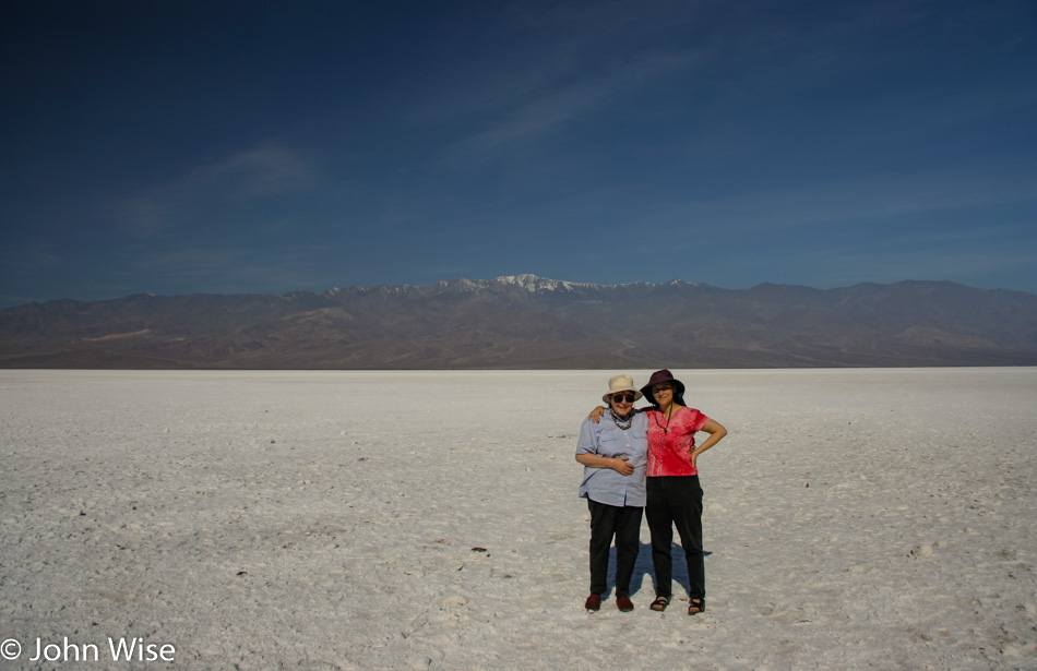
Yes, it was already hot for Jutta out here, and it was little comfort for her that in a few hours, it would be 20 degrees warmer.

Death Valley National Park California 2005

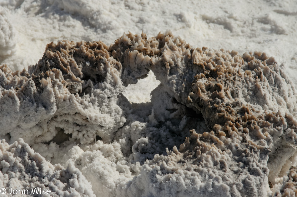
Good thing walking on a dry salt lake was so enchanting that she didn’t give much thought to anything other than the magic of being in Death Valley.

Death Valley National Park California 2005

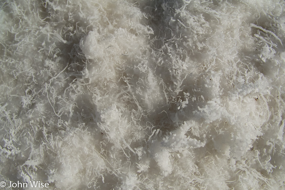
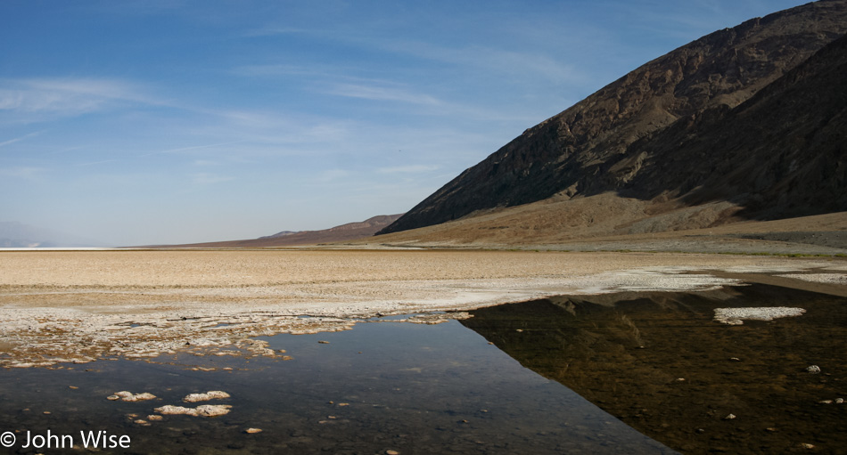
I think Jutta was surprised by the water in the park as it was her impression that there would be none.

Caroline Wise and Jutta Engelhardt in Death Valley National Park California 2005

While no story exists about the details of this 15-year-old journey, I’m happy to have our photos that tell at least part of the narrative.

Death Valley National Park California 2005

No other photo of this exists in the history of the human race, nor can one ever be taken in the future. That is how important it is for all of us to get out and see our ever-changing world.

Caroline Wise and Jutta Engelhardt in Death Valley National Park California 2005

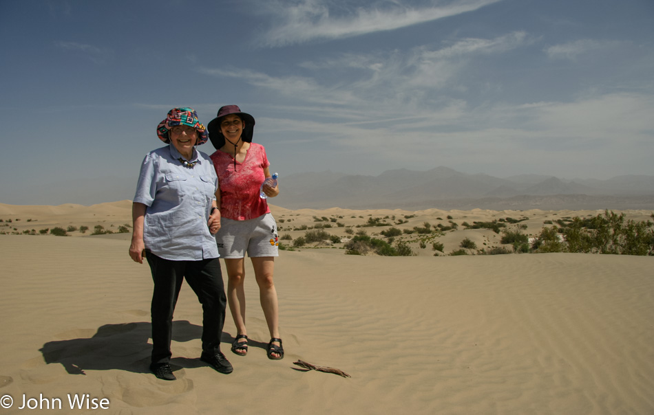
Sand dunes are a new concept to Jutta. While she’s been to various beaches, never had she walked over a sand dune in the middle of a desert.

Death Valley National Park California 2005

And with this departing view of the park, we were once again underway to points further west.

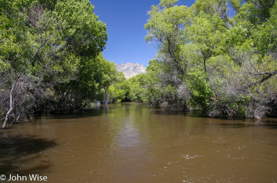
The rivers were running high with snowmelt; we were just happy to see lots of water before reaching the sea.

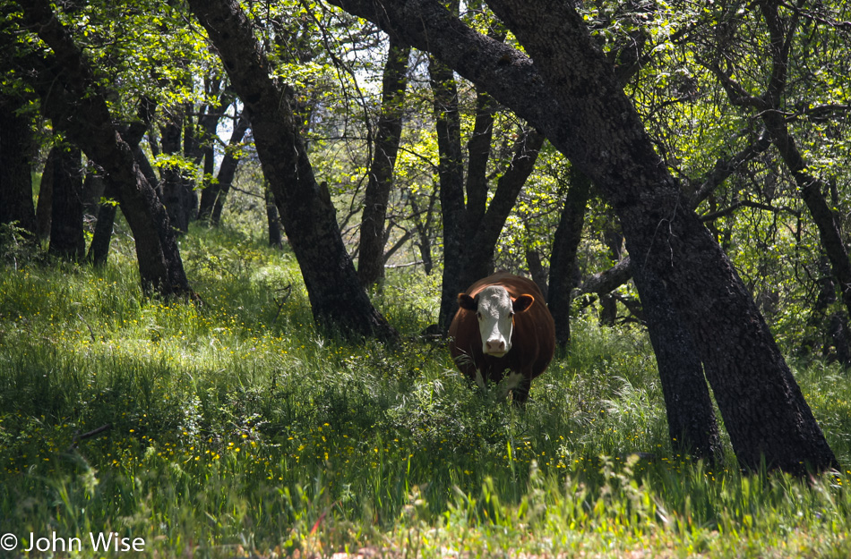
The contrast between forest, meadow, and desert is not lost on us as we stop to grab a keepsake for the memories.

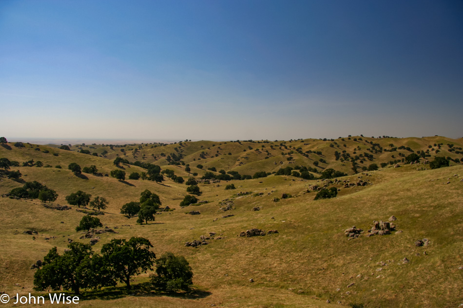
I can’t tell you if there’s a corner of California that isn’t astonishingly beautiful.

What’s not to love about the view?

And before we knew it we were in the San Simeon area and visiting the elephant seals once more. Eight years ago, during Jutta’s first visit to the States, we had brought her up this coast and it was on that trip that all three of us had our first encounter with these beautiful creatures. We are staying in town at the Sea Breeze Inn so we can have another visit with the seals in the morning. The room cost us $79 plus tax.

Western United States – 16 Days

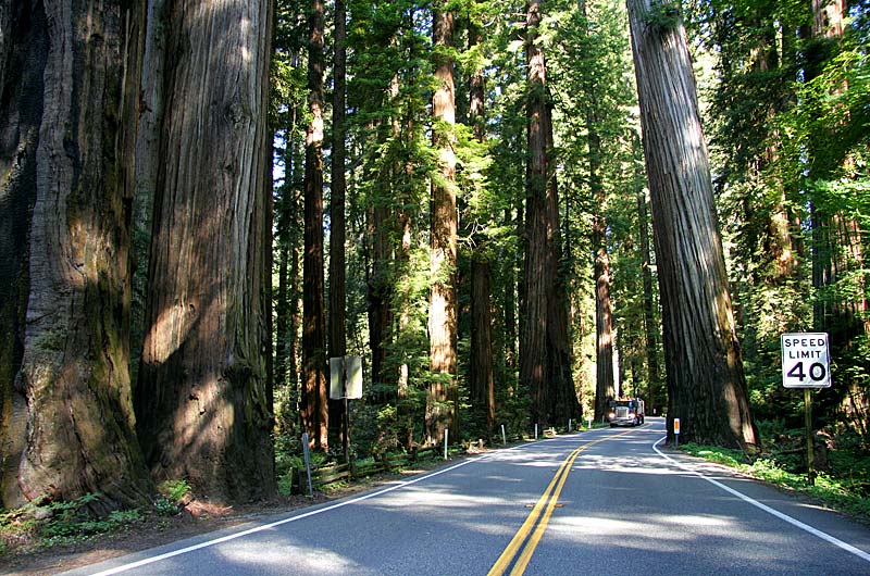
On the road through the Redwoods National Park in California

After giving Jutta a week to recuperate from jet lag, we packed my mother-in-law into the rental car and pointed the car west for a 16-day road trip, her fourth trip to America. Our visit to Death Valley was a high point for Jutta, as it was a dream destination she’d wished to see for many years. From there, we drove north over the coast, pausing to visit the elephant seals near San Simeon, and a little further north, we watched two of the rare California Condors that have been released back into the wild. Slowly, we went north, stopping at Fisherman’s Wharf in Monterey, taking photos of the Golden Gate Bridge, taking a walk in the Muir Woods National Monument, visiting Point Reyes, and then the Redwoods National Park.

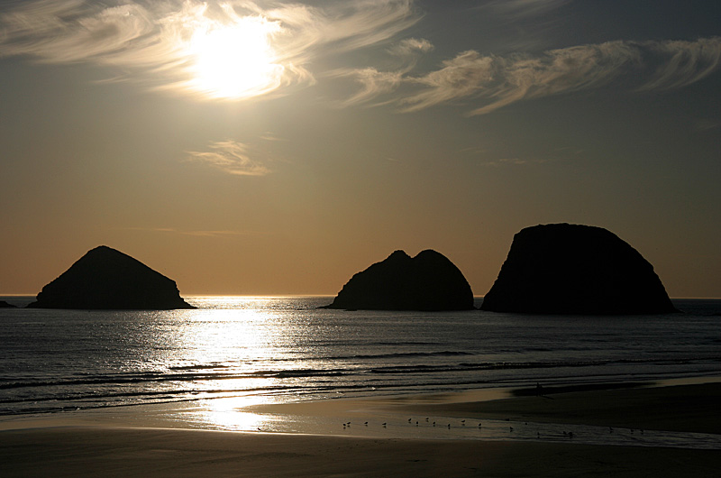
Sunset over the Three Capes near Tillamook, Oregon

In Oregon, we camped for two nights in Yurts at the Sunset Bay and Cape Lookout State Parks. After years of trying, we finally were able to visit the Sea Lion Caves. We visited lighthouses, the Blue Heron Cheese Company, and stopped for ice cream at the Tillamook Cheese Factory. Our next stop was Washington.

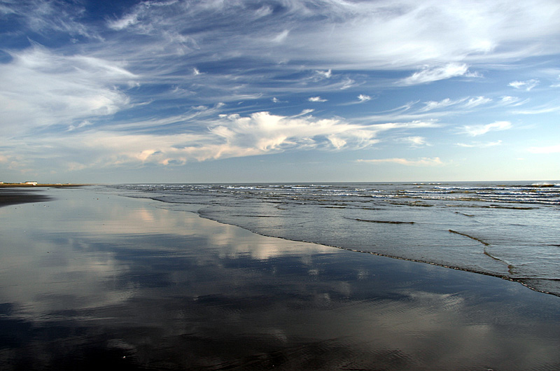
The most reflective beach we have ever visited at Pacific Beach in Washington

After going to Mount St. Helens Volcanic National Monument, we cut west to the coast, stopping at Pacific Beach and then continued north for a visit to the rainforest of the Olympic National Park. Northeast, we stop in on the scenic North Cascades National Park before slicing across Idaho to Glacier National Park.

Descending out of Glacier National Park from the east of the park you enter the Great Plains in Northern Montana

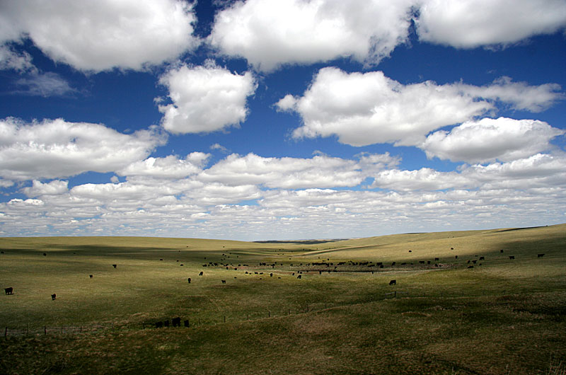
This was Caroline and my second visit to Glacier, and this time, we were greeted with sunny skies. It is our intention to one day continue north up the Rocky Mountains to Banff, Yoho, and Jasper National Parks in Canada. Leaving Glacier from the east side of the park, we head out onto the Great Plains, where a few Bison can still be seen.

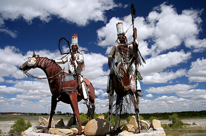
Monument dedicated to the Blackfeet Nation in Montana

The Great Plains never fail to amaze me. They have their own unique beauty that lends contrast to the coastal anchors on their east and western sides. We drive along the eastern front of the Rockies on our way south to Wyoming for a return visit to our favorite national park in the United States, the mighty Yellowstone.

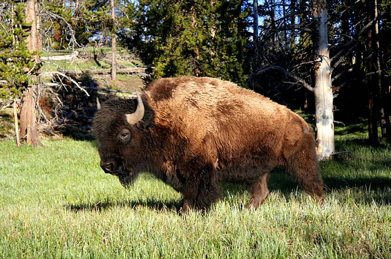
A Bsion also known as the American Buffalo walking through Yellowstone National Park in Wyoming

Only a day and a half have been planned for Jutta’s second visit to Yellowstone, but a pleasant reminder it was. Soon, we would be going south through the Tetons National Park on our way to Dinosaur National Monument before driving into Colorado for a ride on the Durango & Silverton Narrow Gauge Steam Train.

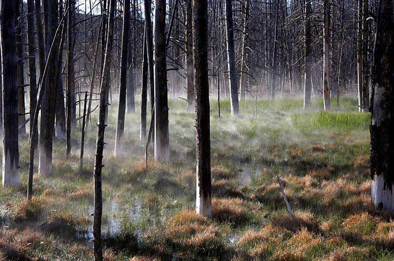
Steam rising from grasses in a barren forest at Yellowstone National Park in Wyoming

Up the Mokee Dugway from Mexican Hat, we drove around Lake Powell to Capitol Reef National Park, then Bryce National Park, and finally, an overnight at the North Rim of the Grand Canyon. Sixteen days on the road with your mother-in-law is not the easiest thing in the world to do, but we did it.

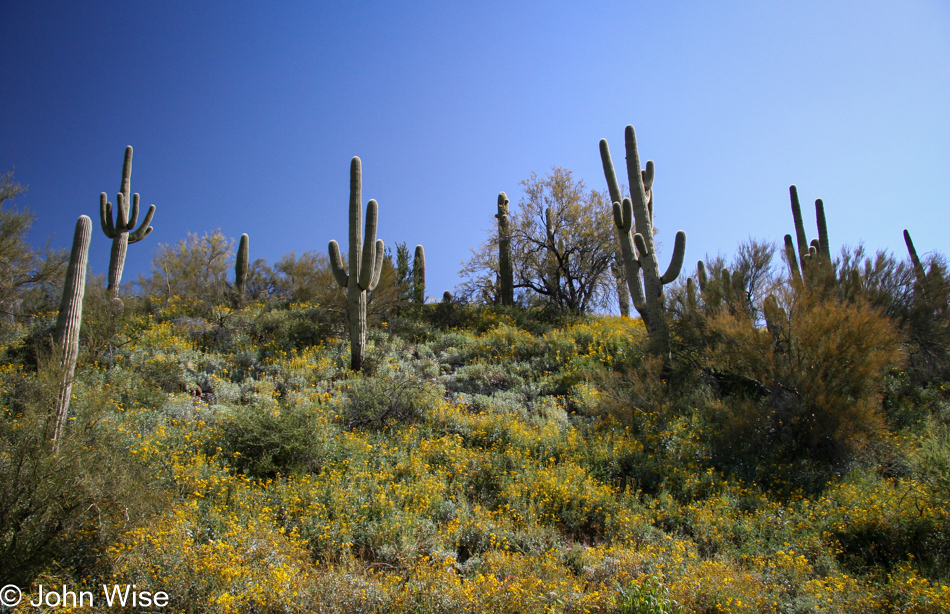
Camp Verde Loop

Driving north on highway 17 I leave the road to visit Black Canyon City, Arizona

I pulled off Highway I-17 just north of Phoenix, where it enters the mountains, for a brief visit to Black Canyon City.

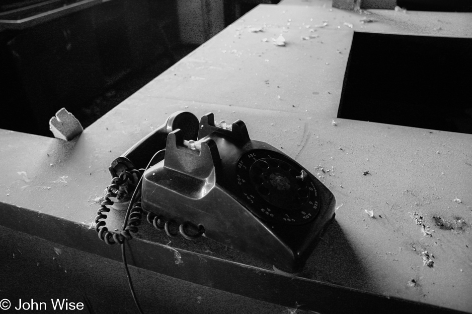
The phone is off the hook and unavailable at the closed Black Canyon Greyhound Park in Black Canyon, Arizona

The phone is off the hook and unavailable so am I today on my 42nd Birthday. I took a long and meandering drive, making Black Canyon City my first stop. Wandering around, I visited a deserted facility that turned out to be the Black Canyon, Greyhound Park. Dusty and weathered the facility ages, just like me.

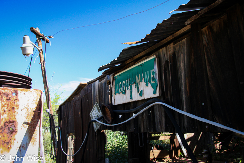
Maggie Mine in Black Canyon City, Arizona is nearly in ruins, careful this is private property

The views are great, with Towers Mountain and Crown King to the northwest. Mines dot the surrounding hills, both operative and defunct. Most of these lands are private property and well-marked as such. Mine owners are a riley bunch on the whole, so as you go around these parts, it is best to honor the “no trespassing” warnings.

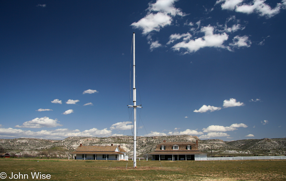
Fort Verde State Historic Park in Camp Verde, Arizona

Without much to investigate, I make my way back to the 17, traveling north. Camp Verde is the next exit I take to look for Fort Verde. Fort Verde was the primary base for General George Crook’s scouts and soldiers.

Lately, Caroline has been reading the book Once They Moved Like the Wind in the car while we are out driving, and I have been going out to check out the sites referenced in the book or with historical context regarding the Indian Wars.

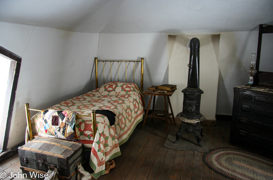
Historic settings inside restored and preserved buildings at Fort Verde help portray the times the fort was in use

The preserved and well-maintained buildings of Fort Verde are on the National Register of Historic Places and feature interpretive exhibits, helping the visitor draw a more vivid picture of how the Fort looked and how its residents lived while the State of Arizona was being established.

Nearby Camp Verde are worthwhile destinations, including Montezuma’s Castle and Montezuma’s Well, while only 20 miles northwest is the Verde Canyon Railroad.

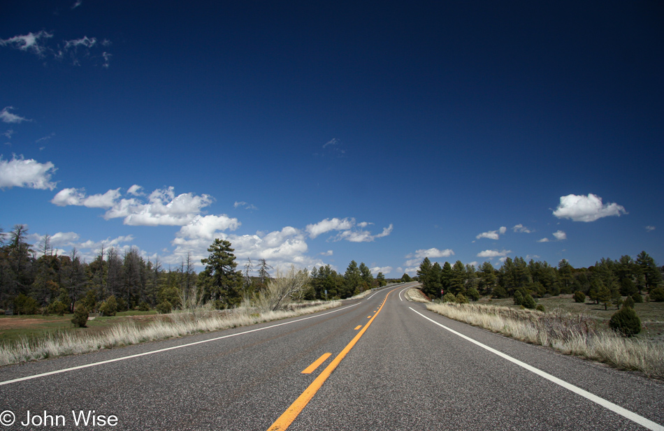
Driving east out of Camp Verde the road climbs the Mogollon Rim towards Strawberry, Arizona

Driving east out of Camp Verde on State Road 260, the Mogollon Rim lies before you. The Rim extends from here to the Mogollon Mountains in southwest New Mexico, defining the southwestern edge of the Colorado Plateau.

A resident of Phoenix and parts south makes regular visits to Rim Country. The area is popular for its cool temperatures, many lakes, campgrounds, and small towns that allow an escape from the bustle of America’s sixth-largest city.

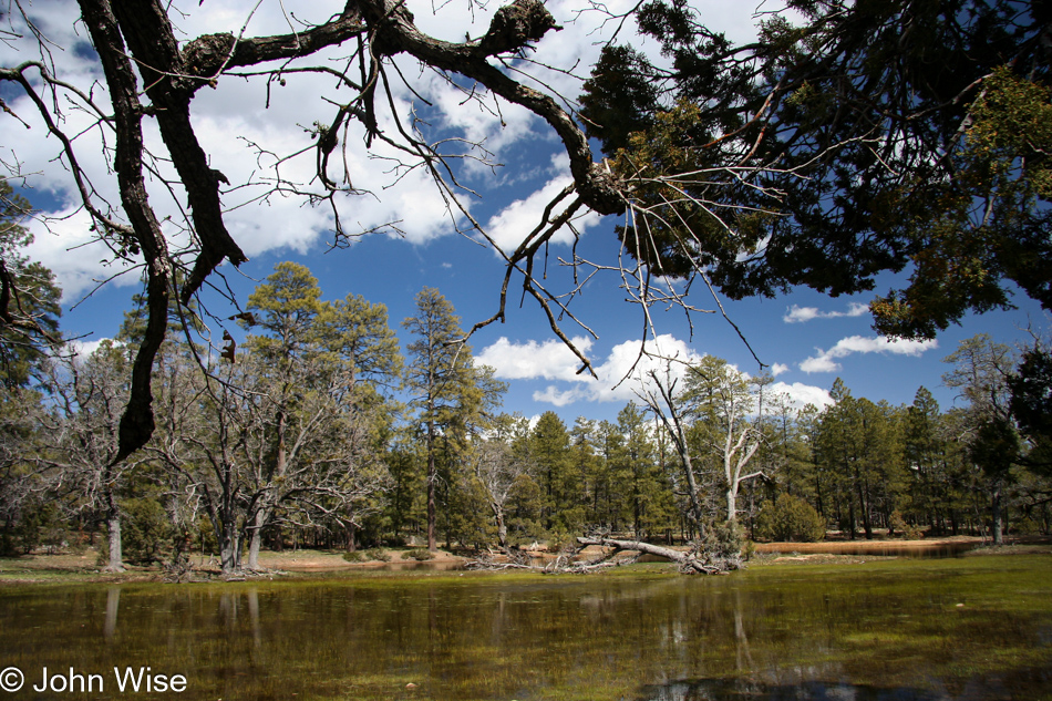
A temporary meadow lake created by melting snows on the Mogollon Rim in Arizona

In the mountains of the Mogollon Rim, the elevation rises as high as 7,000 feet, which makes for occasional snowy winters. As winter snows melt, temporary meadow lakes are created across the plateau, as seen here on the left.

The Ponderosa Pine found extensively across the Rim lends an alpine atmosphere to the region, broadening its appeal.

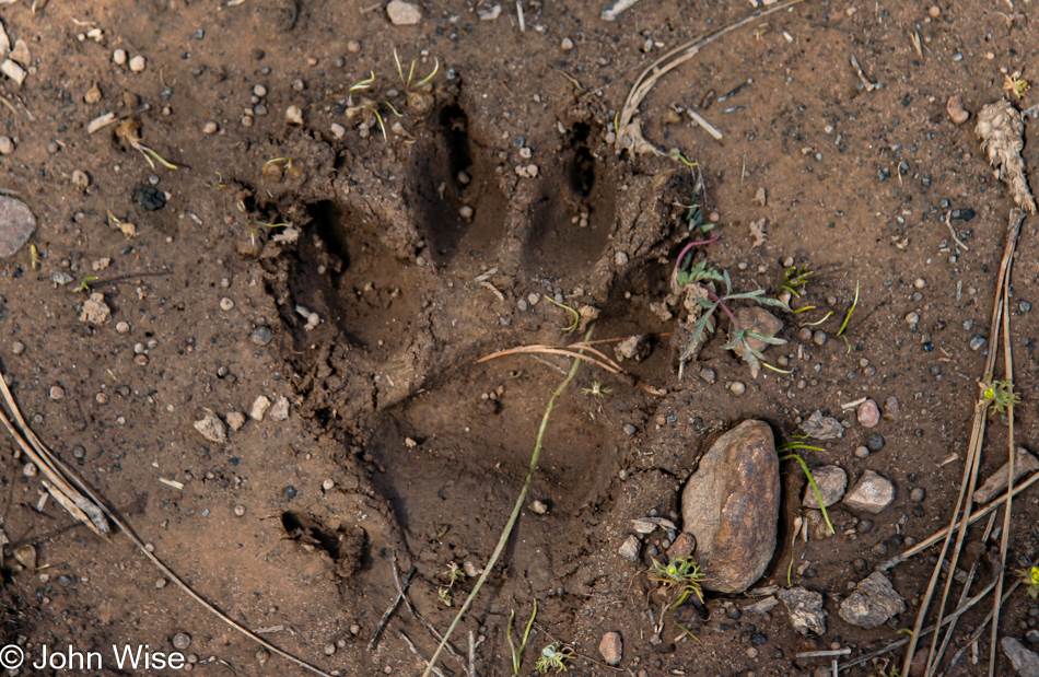
A black bear paw impression next to a meadow lake on the Mogollon Rim in Arizona

Within the forest, hikers and surprised drivers will often spot elk, deer, javelina, and, on rare occasions, a bear.

Walking along the above lake on my way back to the car, I spotted this relatively fresh bear track amongst some cow hoof impressions and quickly scanned the area to find out if I might be looking like a juicy berry to a bear in hiding. Fortunately, or maybe not, there was no bear to be seen.

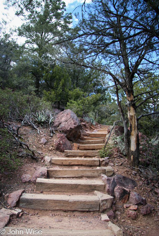
The trail to and from Tonto Natural Bridge near Payson, Arizona

Leaving the lake on State Road 87 I am driving south through an old favorite place of mine called Strawberry. Soon after, I pass the little village of Pine, an attractive place where weekend visitors can stop to buy local honey and maybe a bite to eat.

My intended destination today, though, is the Tonto Natural Bridge State Park. The turnoff from State Road 87 to the park is a steep road leading into a tiny valley with a fee station, charging a $3 per person entry fee.

A well-marked trail guides you to the bottom of the bridge for a great view of the surroundings. Allow at least ninety minutes to hike down, explore, and hike back up.

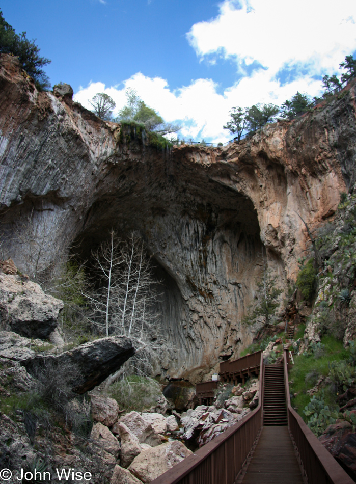
The 183-foot-tall natural bridge as seen from a catwalk leading to the 400-foot tunnel running underneath the Tonto Natural Bridge in Arizona

The bridge itself stands 183 feet high. The tunnel below is 400 feet long and measures 150 feet at its widest point.

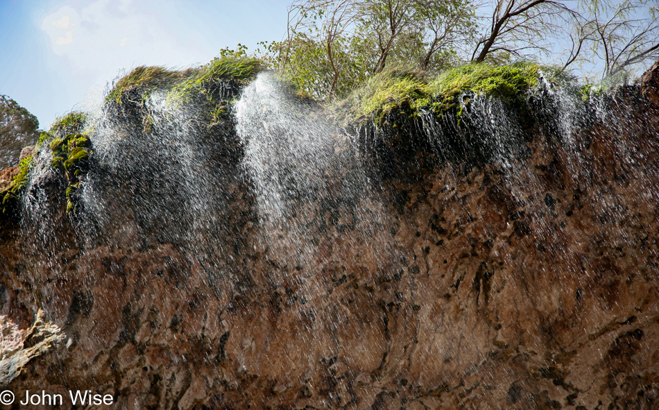
Rocks at the base of the bridge near the end of the tunnel are covered in moss accumulated due to a fine misting from a small waterfall trickling down from the top of the bridge like a silver curtain.

On hot days, you will find youngsters of all ages playing in the stream and standing under the cool mist descending through the mountain air. Today, at the beginning of spring, only a few other visitors have taken to the trail.

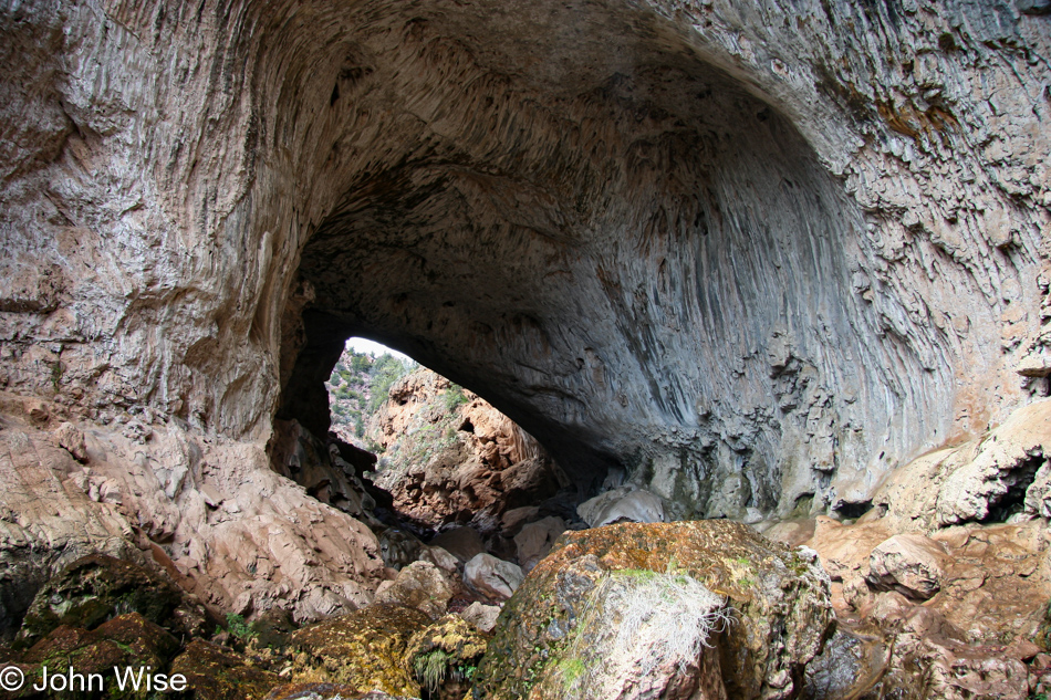
Looking into the 400-foot-long tunnel which is 150 feet wide at its broadest point at Tonto Natural Bridge in Arizona

This photograph tries but does not quite succeed in demonstrating that the tunnel you are looking through is 400 feet deep and 150 feet wide. Only a visit to Tonto Natural Bridge will relate to just how large the entire bridge structure truly is.

Before I turn to leave, I stand at the end of the catwalk, hoping the wind will direct those cool, misty waters my way so my return trip up the canyon might be just a bit more comfortable.

183 feet above the stream bed below a fine mist descends from a small waterfall draping over the Tonto Natural Bridge in Arizona

No luck with the uncooperative wind, though. This small waterfall is only to be appreciated by viewing today. The hike back out is fairly painless, even for an overweight guy like myself.

The rest of the trip home is about 90 miles south, but first, I will pass through Payson and a gorgeous valley with green mountains on my right and the four peaks to the left. Thus, my Birthday drive comes to a close.

Auntie and Grandpa Going to Florida – Day 10

Florida in 2005

Thursday brings new life and new fun. The sun is shining after some lingering clouds gave way during the early morning. Our first stop is to catch a long-distance glimpse of the Space Shuttle Hangar out on Cape Canaveral and the Kennedy Space Center. Nobody other than myself has any real interest in walking around this corner of history and so we continue our drive north.
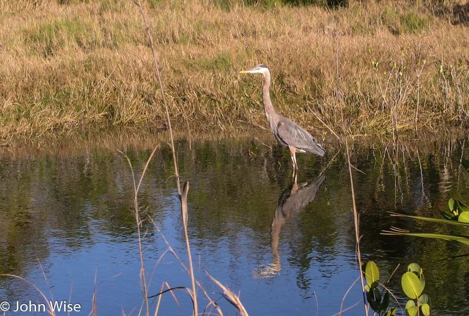
Merritt Wildlife Refuge in Florida

Merritt National Wildlife Refuge is the next place of interest, so we stop. This is home to a diverse collection of plants, birds, alligators, and insects, populating the many waterways and probably a lot of other stuff we can’t see. Blue herons and egrets are the most abundant birds we readily see. A couple of cormorants sun themselves while other smaller birds flitter by.
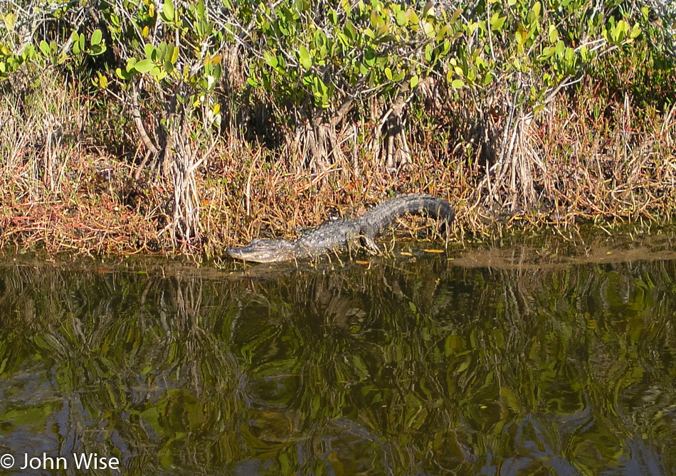
Merritt Wildlife Refuge in Florida

Over in the grass, a small alligator, or maybe it’s a big lizard, a very large lizard. The gator is about 4 or 5 feet long and poses while we gawk. This gator will be the only one we see today, which is unfortunate as Auntie was hoping to see a capital specimen.
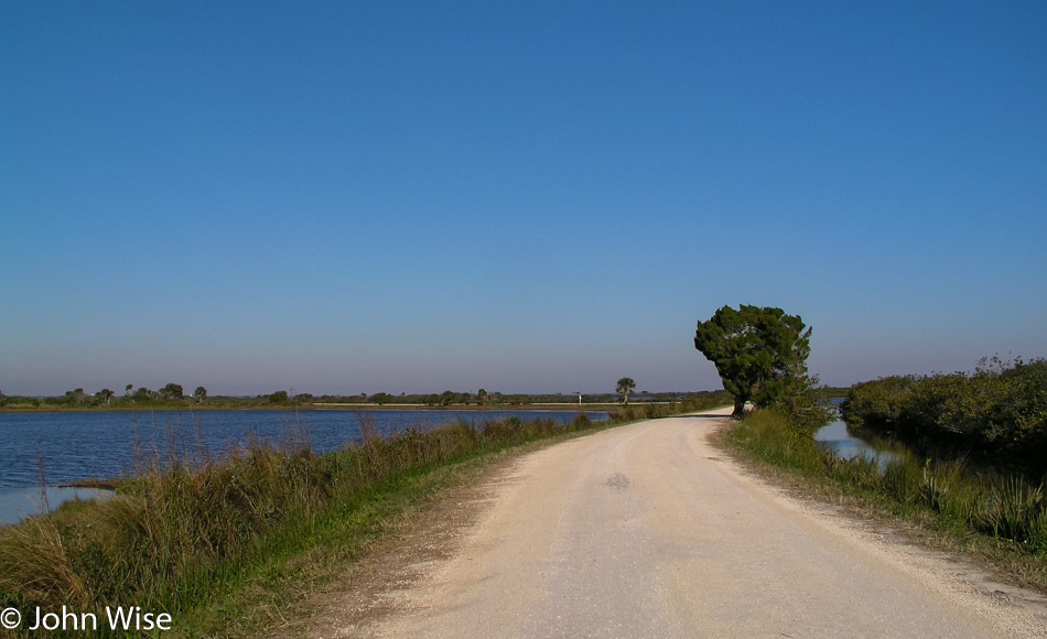
Merritt Wildlife Refuge in Florida

Crawling along at five mph, we see more birds, admire the thistles, and get lost in the ripples of water scattering sunlight across its surface. The road through the refuge is a short one with just a few interpretive signs along the way.
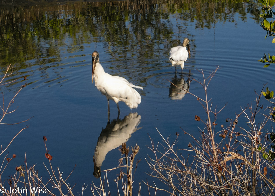
Merritt Wildlife Refuge in Florida

We passed a manatee viewing area, but from previous experience, I have learned that these sea cows need more heat than the frigid winter waters can deliver. The manatees go inland to find those warmer waters. What we don’t pass is a gas station for replenishing our water supply and Grandpa relieving his own. Time to go find some of the essentials for continued comfortable travels.
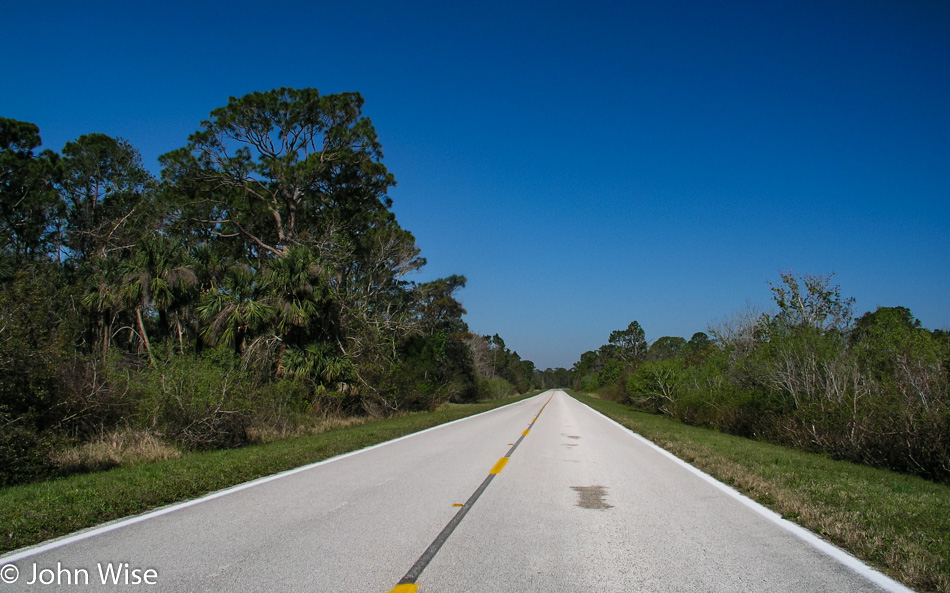
Florida in 2005

On the main road again we pass a few boat launch areas and quickly are at the end of this road and joining another where we find a gas station.
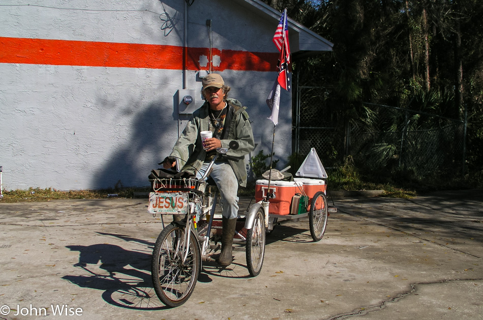
Florida in 2005

Leaving the gas station, a guy on a bicycle sits waiting for us to pass. A Vietnam Veteran with strong feelings for Jesus, he is Mr. Tougher T. Woodpeckerlips, T stands for Than. Not being able to pass this sight up, I ask to take a photo, which he obliges.

He asks where we are from; we ask him the same. He offers up some excellent information about the forest here with panthers and other wildlife that can be seen in the wild. Sadly, we are short on time and have to leave, but not before he tells us how he rows, standing up on his 16-foot flat-bottom fishing boat, rides his bike everywhere, and was recently hit by a car from which he is still recovering. It was after the list of battles that he adopted the description of being “tougher than woodpecker lips.”
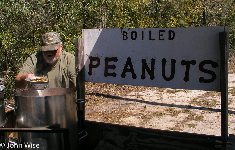
Boiled Peanuts roadside in Florida in 2005

That’s it, we are as northeast as this trip takes us. I point the car west, and we are now truly on our way home. Luck shines like the sun today. Not far down the road, we spot a man selling boiled peanuts. I have been looking for fresh boiled peanuts for more than a thousand miles now and need to stop.

I wanted the real thing and not some plastic-wrapped, made yesterday, boiled peanuts that are some garden variety, boring kind. I had to have the cooking-on-the-side-of-the-road, out-of-a-pickup-truck-trailer variety. Better yet, they need to be served up by someone out of Dukes of Hazard, and that’s what I got. Cajun-flavored boiled peanuts served up by the bearded old man sitting with his dog on the roadside, waiting for probably anyone but us Yankees.
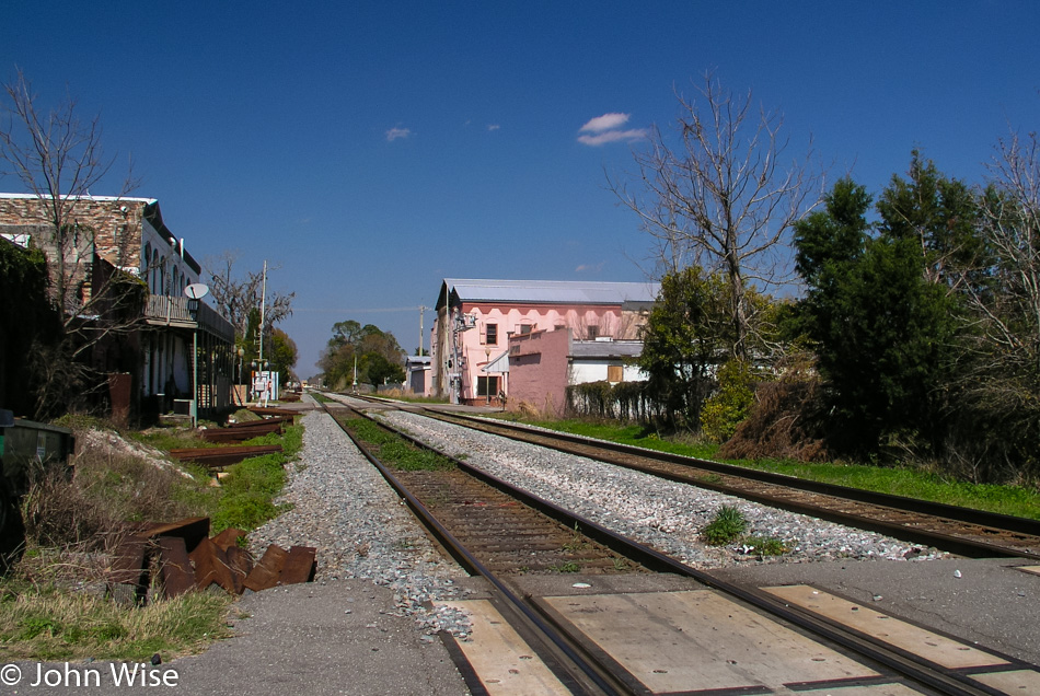
Florida in 2005

The back roads of Florida and America, in general, are only back roads to us city dwellers. These roads are not freeways; hence, they must be back roads, is what one would say. In reality, though, they are major thoroughfares connecting small towns to larger ones. Even smaller than these are the roads that cross communities, and then you finally reach the real back roads. These back roads are typically dirt, though quite often, you’ll find them paved. However, it can happen that these roads were last paved 50 or more years ago, and much of their edges are crumbling into the dirt.

So, although I call this trip a back road tour of the South, it is much more accurately described as getting as far off the freeway as possible while still maintaining all the creature comforts that support my traveling companions.

We are out far enough, though, that the character of the land comes shining through. On the freeways, much of America looks the same. The trees may be different, the hills might roll higher or lower, and fields of various crops can line the road, but the generic franchised icons of civilization repeat over and over again as though America’s four million miles of roads were one long homogeneous continuity of the same gas stations, fast food restaurants, hotels, and various other services.
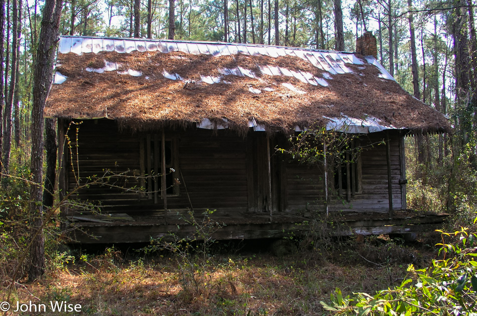
Florida in 2005

Out on the back roads you have the chance to randomly stop here or there. You can look at the things that lend character to a place. Check out a dilapidated cabin that might be the fifth one of these you have seen, but each will have an absolute uniqueness to it. Rail bridges, small streams, and driving along tree-lined roads all share a beauty and intimacy out here that it doesn’t matter if you have seen one or a hundred; their shape, color, height, smell, and other characteristics are all different.

It is the back roads where you find great boiled peanuts and rusting relics of an age that has been left behind. Generally, the pace is slower out here, but you still will find the impatient fool on your bumper as you move like a sloth crawling along particularly scenic stretches of road. The longer I am out here, the more enamored I find myself with the characters, landscape, and ruin.

Give me a broken-down hotel sign that hasn’t attracted a patron in decades to a McDonald’s any day of the week. There are still waters reflecting trees, flowers, sky, and grasses. Roadside attractions don’t have to be the world’s largest ball of twine; I find the chipped paint next to a rusting door handle to hold stories of the last occupants, while even a burned roadside tells you of those less careless and appreciative of what the world around them is to those like me.

I drive these American roads in search of our country. I look for markers from our past so I might glimpse our future, which is very much like the cycle of life: a place is born, and it dies, either from neglect, abandonment, or decrepitude. Our natural world and its biotas recede from the weight of man’s heavy hand; my journey into its domain allows me to witness what increasingly feels to be a rare sight.

Through it all, I love our country even more. The more you can appreciate all the elements, from the anthills, moss, broken windows, fences needing mending, lonely farm animals in the rain, to thistles, thorns, bugs, roadkill skunks, early closing hours, toothless merchants, and even a policeman hiding around the corner, the more you arrive at a near-constant state of wonderment.
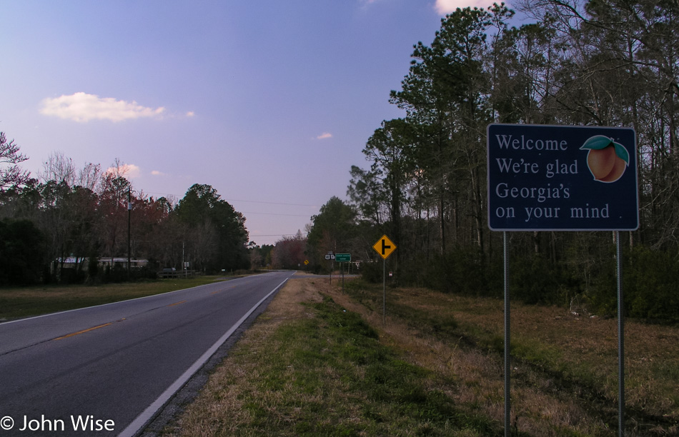
Georgia State Sign 2005

Florida gives way to Georgia late in the afternoon. Our trek across Georgia will be a short one, with our destination being Alabama. The first town we pass through is Valdosta, as opposed to the three small communities we passed on road number 41. Places with a few homes, a lot of farms, and maybe an equipment shop are hard to call towns; they are more like communities in my eyes.
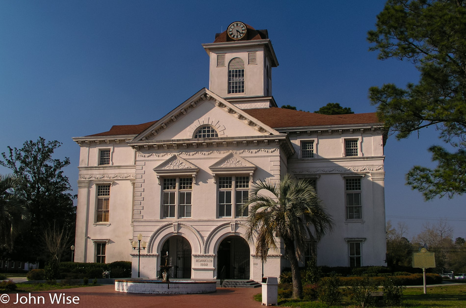
Roadside in Georgia 2005

Valdosta is one of those small towns you wished someone had told you about earlier in life. It is one of the places you add to your list of returns, such as North Hero, Vermont, Apalachicola, Florida, Monterey, California, Ruidoso, or New Mexico. All too frequently, cities across America have given away any hope for maintaining their historical integrity. The old is bulldozed for the new, and soon, a clone city with Circuit City, Office Max, Red Lobster, Walmart, and Dollar Stores has taken over.

In Valdosta, at least from the view offered to these travelers entering the city from the south, this place packs in the small-town charm. Main Street is vibrant, with as much traffic as there are stores open, and it appears that all the shops have tenants. Awnings hang over sidewalks that have park benches for resting your feet before making your way through this shopping district. The alleys are as clean as the sidewalks; this place couldn’t be more inviting.

We are just passing through. Auntie and Grandpa are sightseeing; I’m scouting a future road trip for Caroline and me. On the way out of town, we pass a Carnegie Library, the first I have consciously seen, although I’m certain I must have passed hundreds over the years. Not much further down the road, and we enter Quitman.
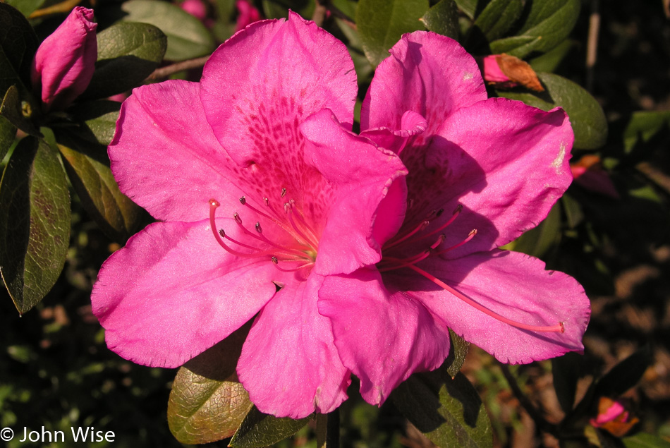
Roadside in Georgia 2005

This is becoming a trend, Georgia is a downright all-around beautiful state with gorgeous cities. Brunswick, in the southeast, was the first city in Georgia that Caroline and I visited a couple of years ago, quickly followed by Savannah, both of which we were enamored with, while today it is Valdosta and Quitman.

Again, Main Street sets the tempo with two-story brick-built structures lining a divided road marking the downtown area. On either end of the main street are the churches; Baptist, Methodist, and Episcopal are the dominant beliefs. Branching off of downtown are southern-style and Victorian-style homes that these small communities have so far been able to maintain.

Well-kept yards, multi-colored azaleas, Spanish-moss-draped trees lining small streets, a gazebo, and a local cemetery give the eyes and senses plenty to take in as you begin to realize you are falling in love and start to wonder how you could move into a town like this?
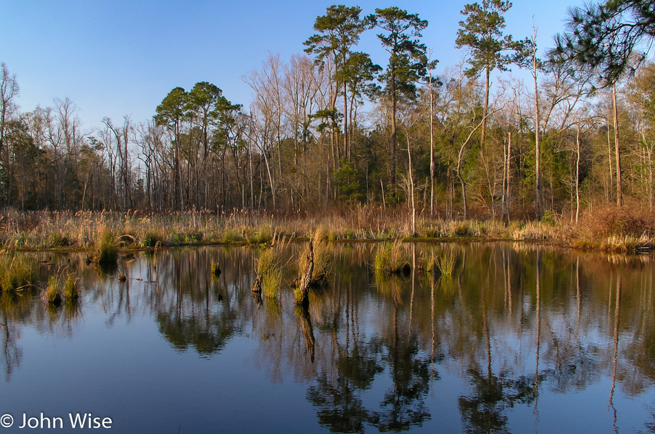
Roadside in Georgia 2005

Whigham down the road, on the other hand, shows you firsthand how most of these small towns cannot hold on. The shops are closed, boarded up, broken into, falling apart, and falling down. The homes are no longer well kept, and age will take its toll to ensure that without revitalization, the town will someday become but a memory.
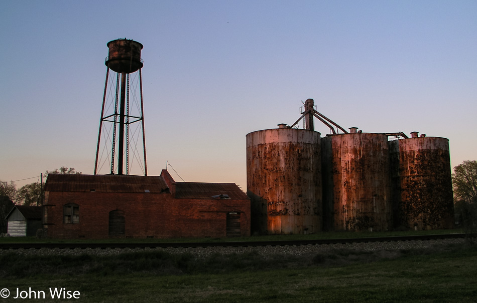
Roadside in Georgia 2005

Before crossing into Alabama, we pass through Donalsonville. This town is in the middle of becoming a has-been and reflects what Quitman worked to save. The shops, for the most part, are still open. They are rough around the edges, wear and tear, and the passing of years are hurting the charm they once held. The main road skirts the old town so many a visitor will never see this little corner, further depressing its chances of rediscovering its glory days. Tourism amongst these types of small towns would be a lifesaver, but little to no money exists to help rescue them. So, these towns will gradually disappear, and we all lose a great part of America because of it.
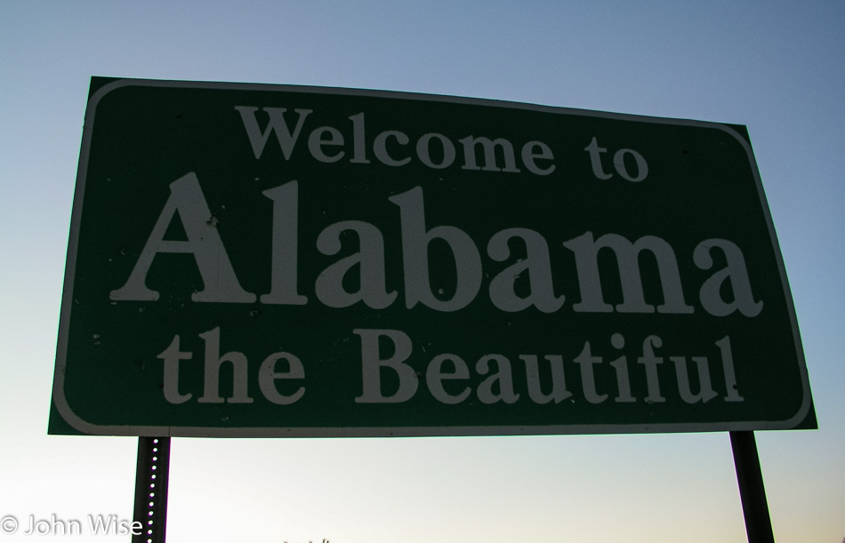
Alabama State Sign 2005

It’s near dark crossing the border, and not a long drive to the hotel. It is apparent that Dothan is a larger city than the three of us had imagined. Caroline helped guide us to our lodging via long-distance help.
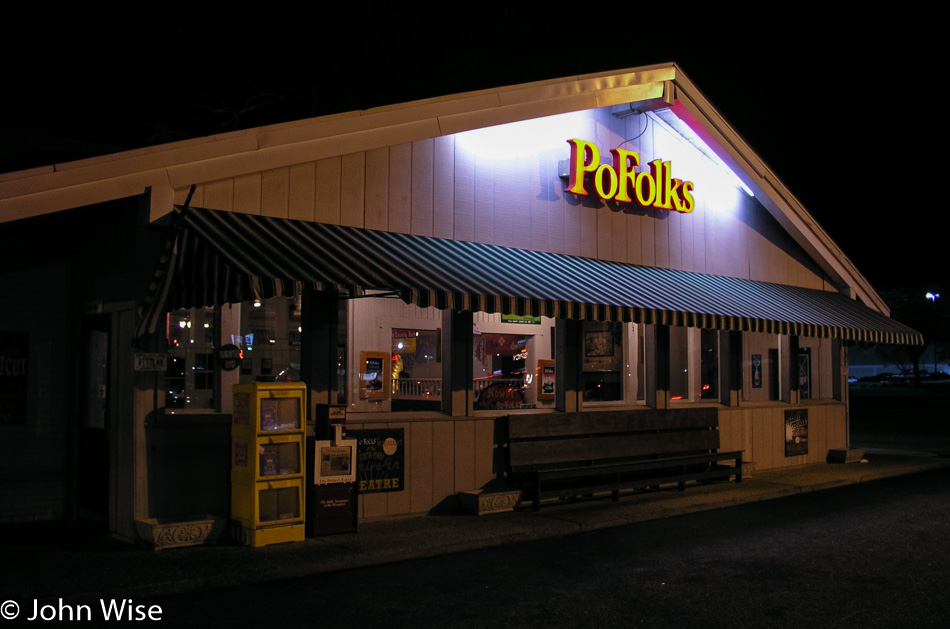
PoFolks restaurant in Alabama

Seeing the hotel, I spot a billboard for Pofolk’s, which, while still active here in the south, has disappeared out west. Grandpa and I make the short drive around the corner to sit down for some dinner and pick up Auntie something to go as she stayed in the room.
Santa Barbara, California – Christmas Day

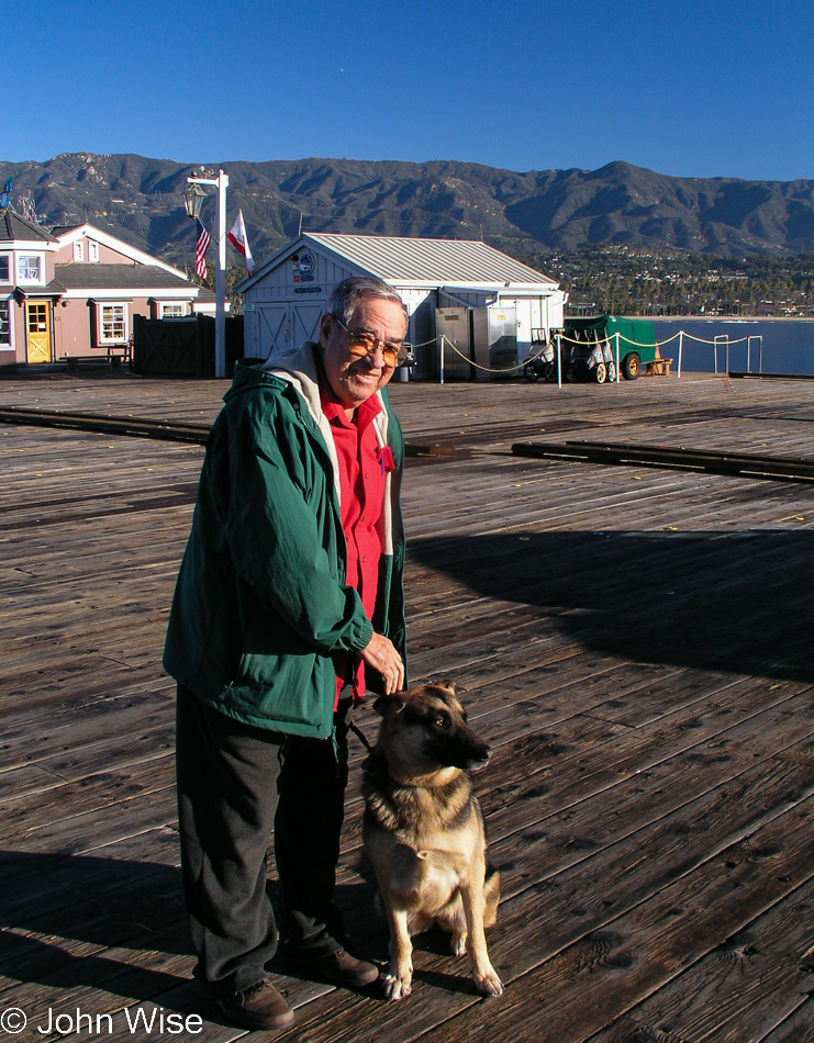
First up was church services on this early Christmas morning as the Burns are Catholic and still practice on occasion. Not only did Uncle Woody wear Christmas colors for the day, but Sophie went to church with us, kind of. She waited for us in the car.
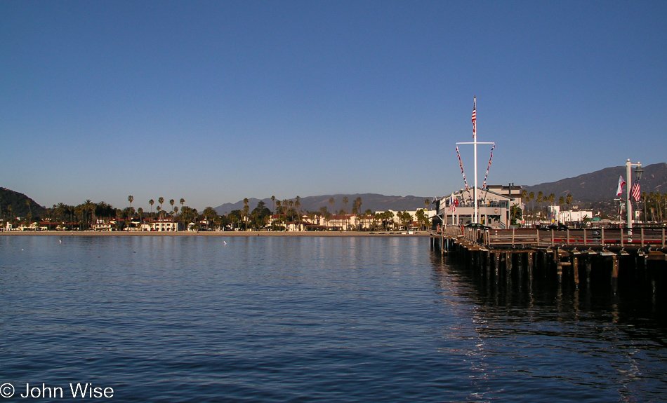
Nope, we’re not at Jack-in-the-Box or at Cajun Kitchen; we’ve driven over to Santa Barbara proper, and if we are over the water, we’re not eating at the last remaining Sambo’s Restaurant either.

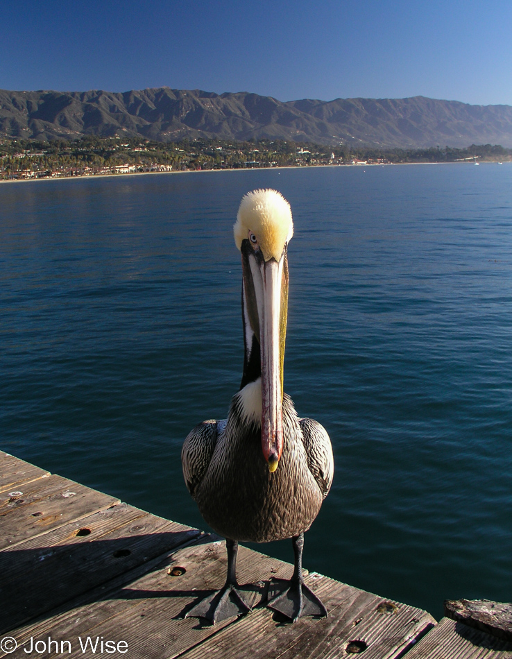
The pelican seems to mean business by glaring at us as if we could just pull a fish out of our pocket or something.

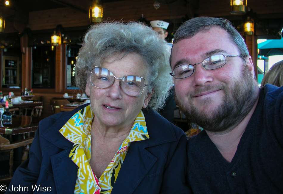
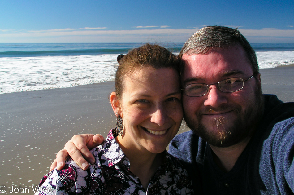
Breakfast was a special affair as we’d never eaten out here. We’re at Moby Dick Restaurant on Stearns Wharf. Not sure how many photos I have of Tata and me as she’s so reluctant to have her picture taken. I’d wager this is the one and only photo of her and me on Christmas day ever.

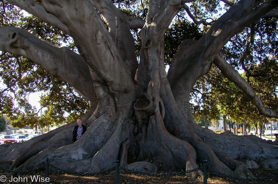
This giant fig tree in Santa Barbara has been here forever, or at least as long as I can remember, and in my memories as a child, it’s always been just this big. See human for scale.

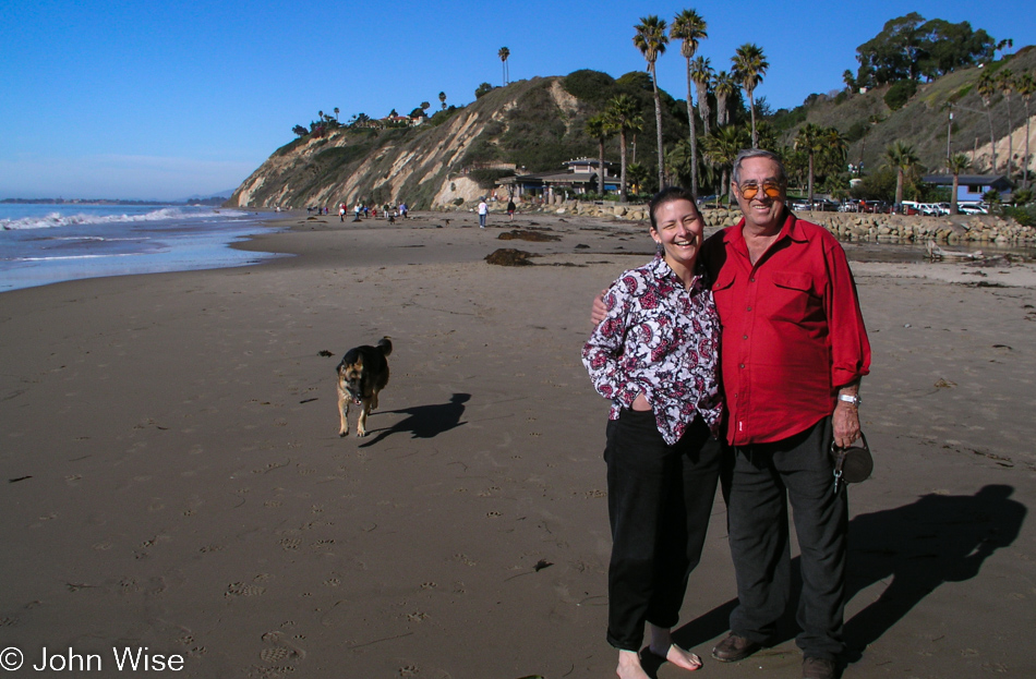
Sophie, the German Shepherd; Caroline, the German Wife; and Uncle Woody – the invader of Germany on the beach in Santa Barbara.

A beautiful and memorable Christmas day in sunny California, in love and with family.