Dolphins In The Surf

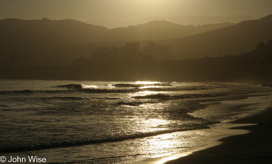
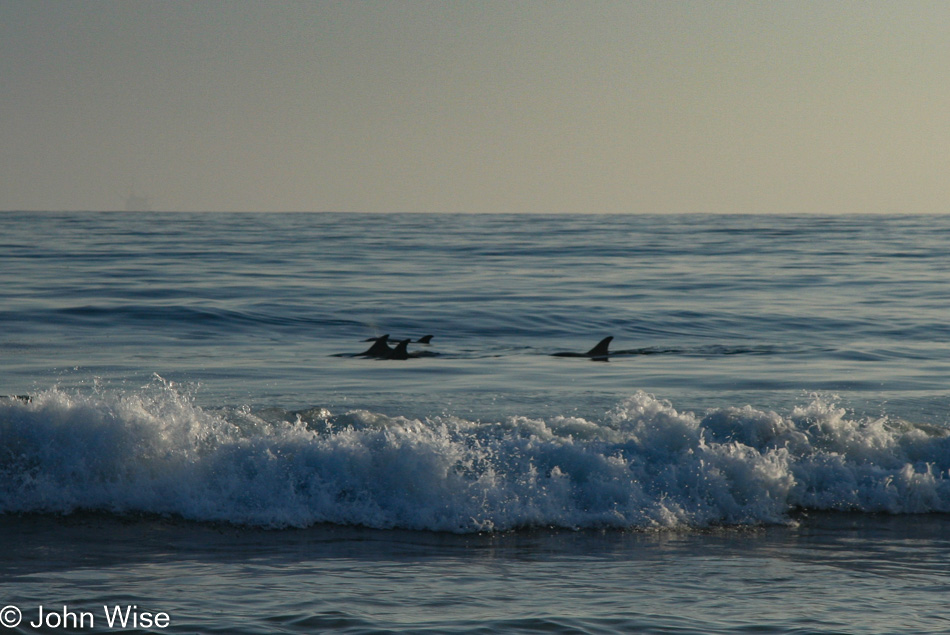
Dolphins in the surf in Santa Barbara, California

No frolicking, no jumping out of the water doing backflips, not much action at all, just a casual swim up and then back down the beach. I’m not talking about Caroline and me, but the dolphins in the photograph above. A small pod of bottlenose dolphins was out meandering along the coast at El Capitan State Beach as casually as could be and just beyond the rolling surf. It was a moment I wished I were one of the surfers sitting between us and them so I might have an even better view, except for that first moment spotting them, thinking that dorsal fin belonged to a shark that was about to eat me.

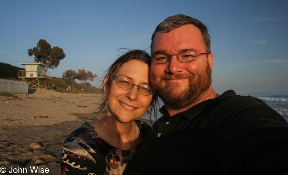
Caroline Wise and John Wise in Santa Barbara, California

The first part of our day was spent with my great aunt and uncle at home in Goleta, but sometimes it’s nice to get out for some John and Caroline time.

Santa Barbara, California

What a luxury it is to be so close to the sea, what a shame it is that so rarely are others out here with us who live right nearby.

Assateague Island – Day 12

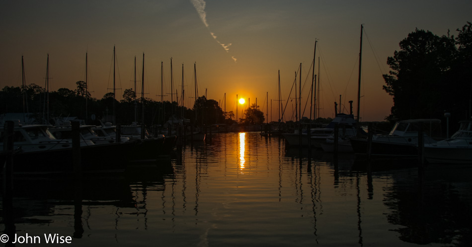
What a great day to wake before sunrise and head over to the east side of Oxford for a direct view of the rising sun.
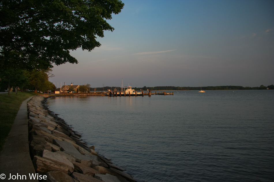
It’s nice and quiet here on a Wednesday morning outside the main tourism season. Just us, the birds, the Tred Avon River, and a growing satisfaction of the experience, this is all ours.
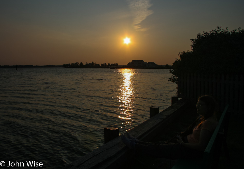
While she may difficult to see sitting there on the right, we sat next to the water for a good long time to enjoy this luxurious start of the day.
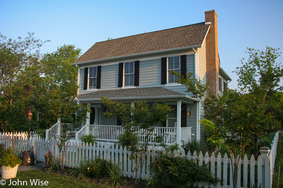
Back at the Ruffled Duck Inn, we were spoiled with an incredible breakfast of artfully arranged fruit, including honeydew, cantaloupe, strawberries, pineapple, and grapes. An omelet with spinach, mushroom, and feta with a side of small phyllo dough pastries filled with jam rounded things out. We are ready to take on the day.
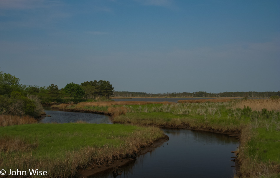
We wanted to take the ferry from Oxford west over to Bellevue on the other side of the Tred Avon River, but we were too early. As we felt like getting out on our sightseeing adventure, we headed north and then south on our way toward Taylor Island.
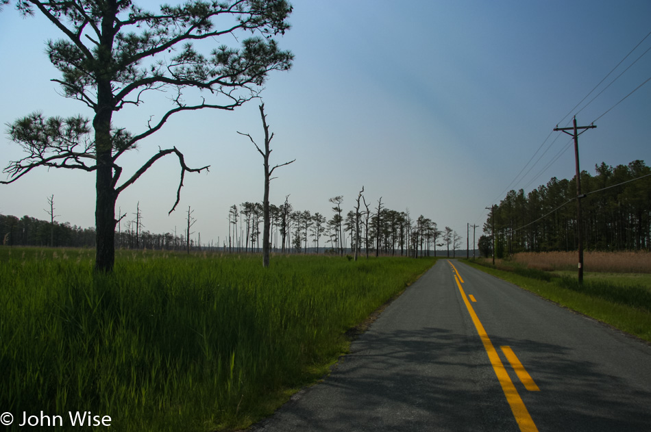
Once we were on Smithville Road, surrounded by some luscious grasslands, we saw that we didn’t have enough map resolution to figure out which (if any) of the side roads we should venture down, so we circumnavigated the peninsula, skipping even more detours.
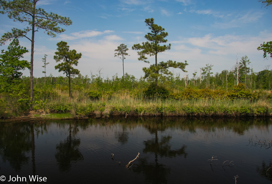
The Harriet Tubman Underground Railroad National Historical Park is out in the middle of all this, but seeing this has already been a detour, Caroline is excited for the ponies of Chincoteague, and I want us to visit Rehoboth Beach over in Delaware because the name is intriguing we forego the park during this visit.
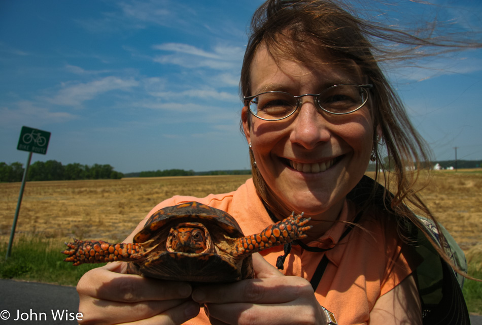
The woman in an orange shirt was on a mission to save the orange turtle in the Blackwater Wildlife Refuge.
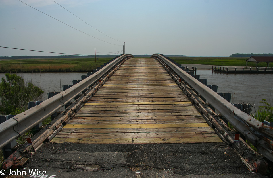
Bestpitch Ferry Bridge between Bucktown and Henry’s Crossroads appears to be the road less traveled. This is our form of winning.
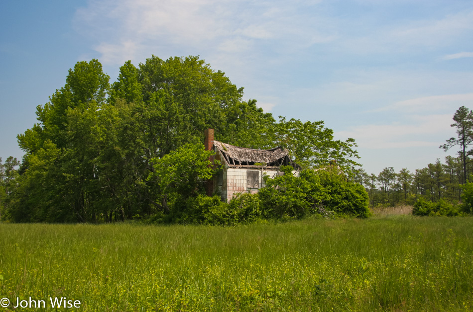
This is not Millie’s Roadhouse in Vienna, Maryland, where we had lunch, but Millie’s is where we stopped. This place was along the road somewhere that could still be in Maryland, or maybe it’s in Delaware. No matter where it is, it no longer serves the purpose of sheltering people.
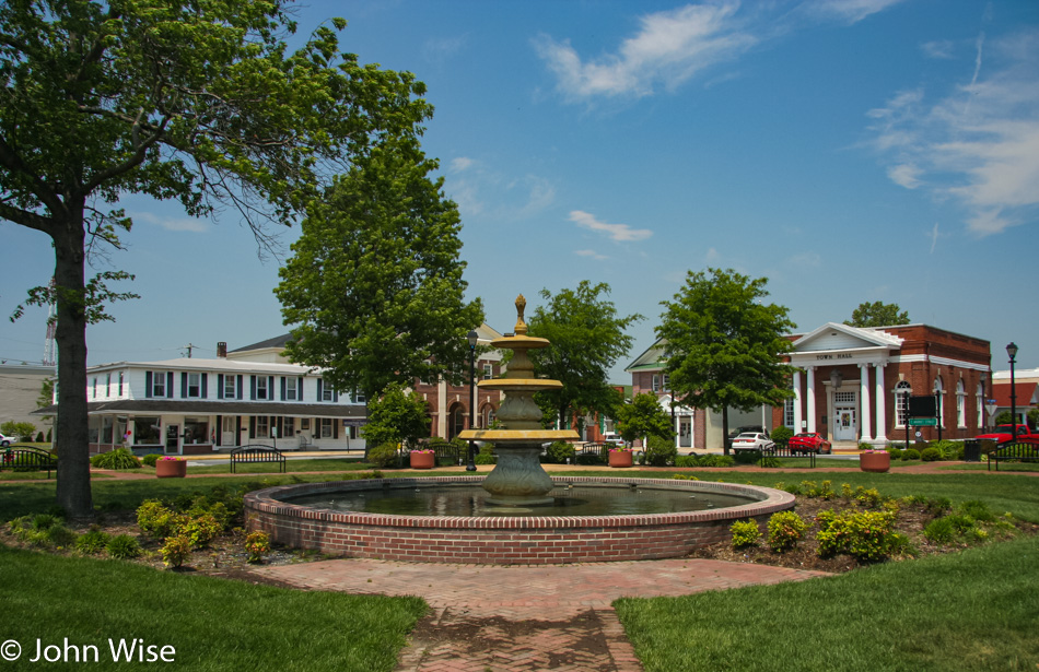
Georgetown, Delaware, is a quaint town on Highway 9 on our way to the beach. A Mountain Mudd Espresso hut came to our rescue as our eyes were growing heavy after lunch.
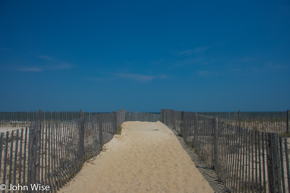
Dewey Beach in Delaware. You might ask, if we were in a hurry to reach Chincoteague, why would we head north? It couldn’t have only been the name Rehoboth that would pull us up here, could it? For the truth, see the photo below.
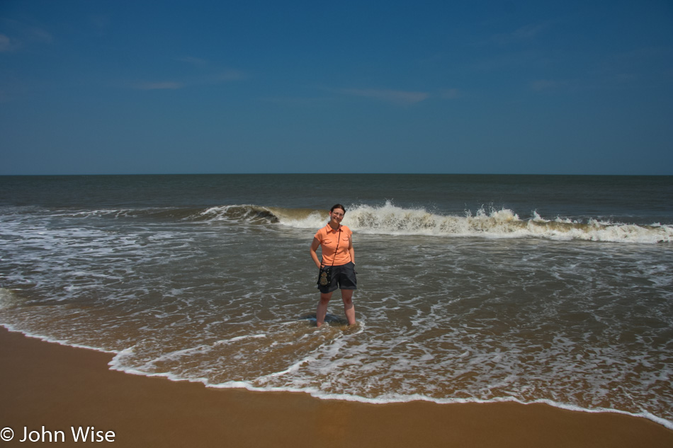
At how many state shorelines can Caroline step into the ocean? By the way, don’t get the impression that if she stepped into the southern shore of the state’s coast, she’d be satisfied; the more places along the ocean, river, and lake, the better.
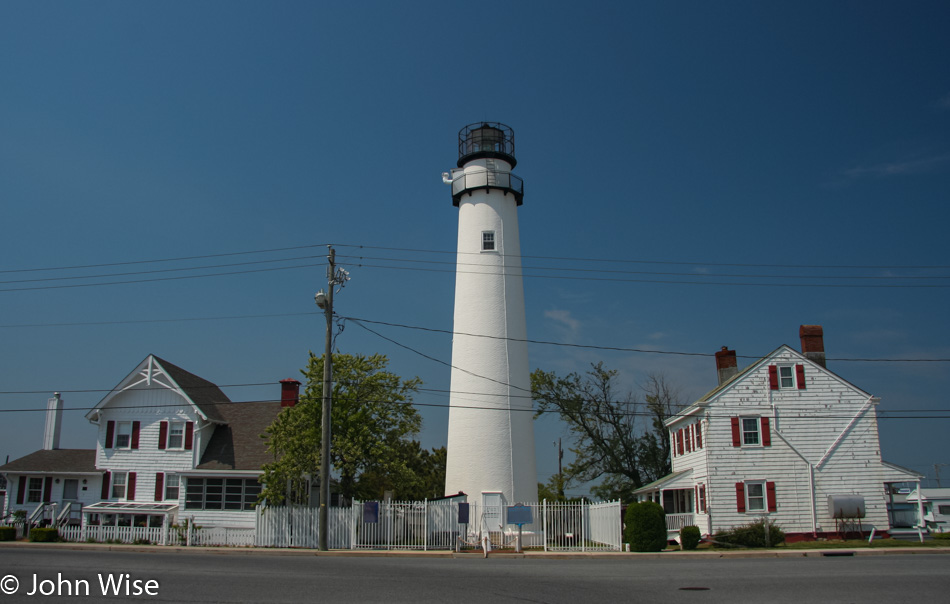
Fenwick Island Lighthouse in Delaware could have been yet another valid reason to drive up this way. With over 700 lighthouses in America, it’s impossible that we’ll ever see them all. Turns out that August 7 is National Lighthouse Day, when many lighthouses across America are free to visit, and in New Jersey, just south of us here in Maryland, the state has reward programs for those who see a certain number of lighthouses on this one true important day in American culture.
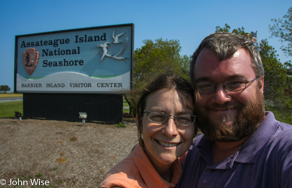
Caroline Wise and John Wise at Assateague Island National Seashore in Maryland

Two years ago when my mother-in-law was visiting exactly at this time of year, I blogged about our travel plans to do much of what we are doing out here in 2007. That trip back East, for some reason or other, was derailed but not our desire to see the places that we dreamt of. When Caroline was a girl she read the book Misty of Chincoteague by Marguerite Henry, and the idea of visiting the real place that actually exists outside of the imagination of the author is a serious treat for my wife.
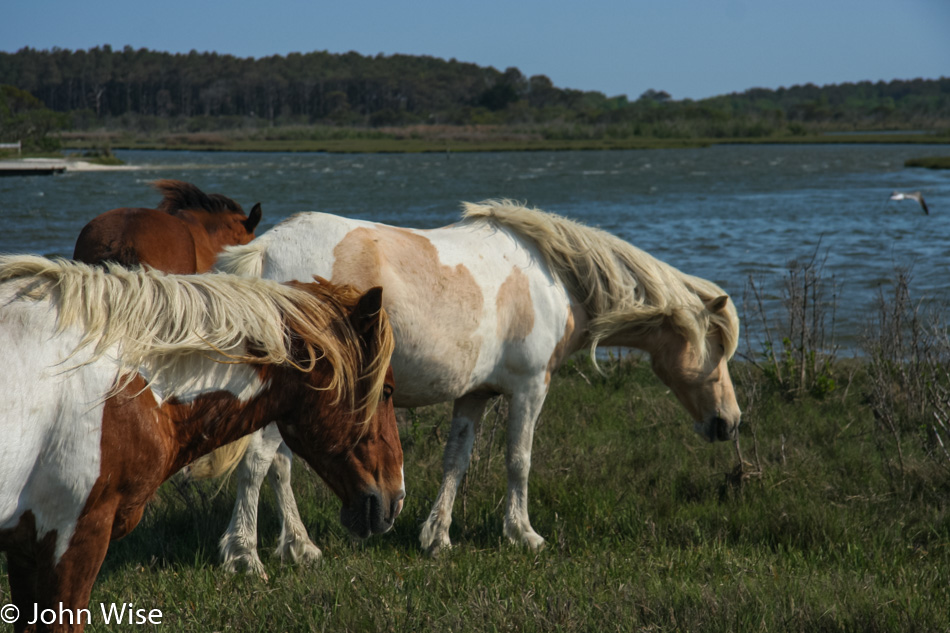
Assateague Island National Seashore in Maryland

Seriously, think about this. There’s an island in America that is protected as a National Seashore because of a bunch of wild ponies that ended up here nearly 200 years ago. Now, those with the means are able to drive out here for a day of pony gazing, and those who might be inclined can even purchase a wild pony at the auction held every July when the ponies are rounded up and made to swim from Assateague to Chincoteague Island.
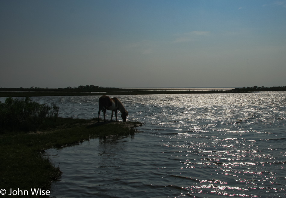
Assateague Island National Seashore in Maryland

If there’s a negative aspect to these fast orientation trips into America, it would have to be the brevity of time we can allocate to the most amazing places we wander into. Just look at this pony at the water’s edge with the glistening water framing the world in front of it: we could have stayed here forever until we moved 100 feet in either direction and caught ourselves mesmerized by the next sight. I wonder if there’s a part of us still out there watching this horse for eternity.
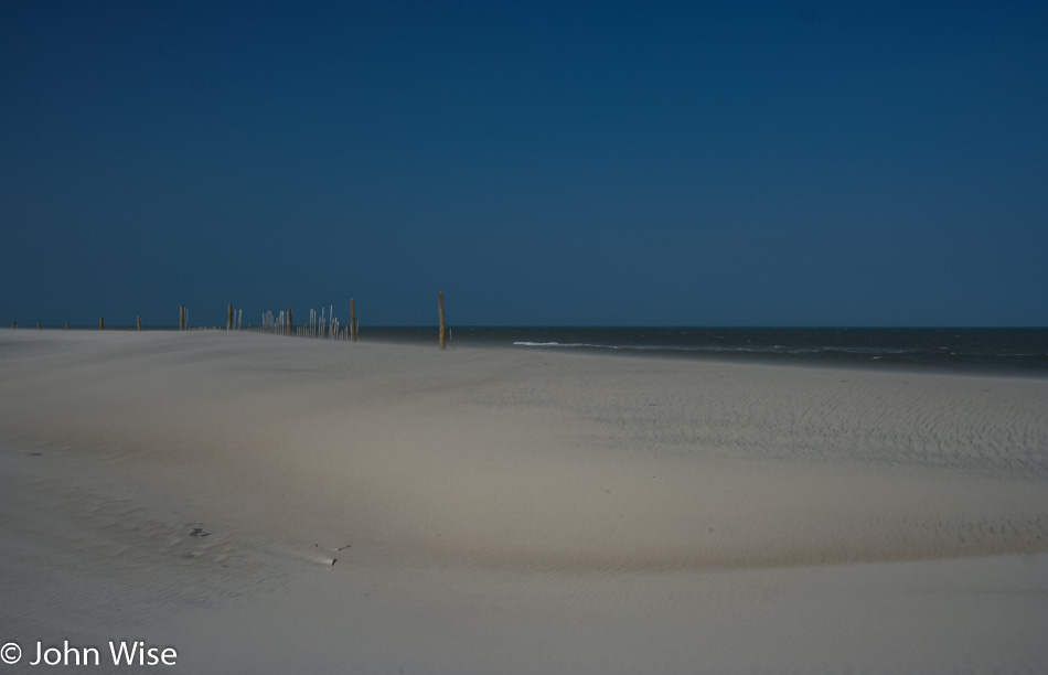
Assateague Island National Seashore in Maryland

Nope, no ponies here, but there is the matter of ocean in Maryland on Assateague Island.
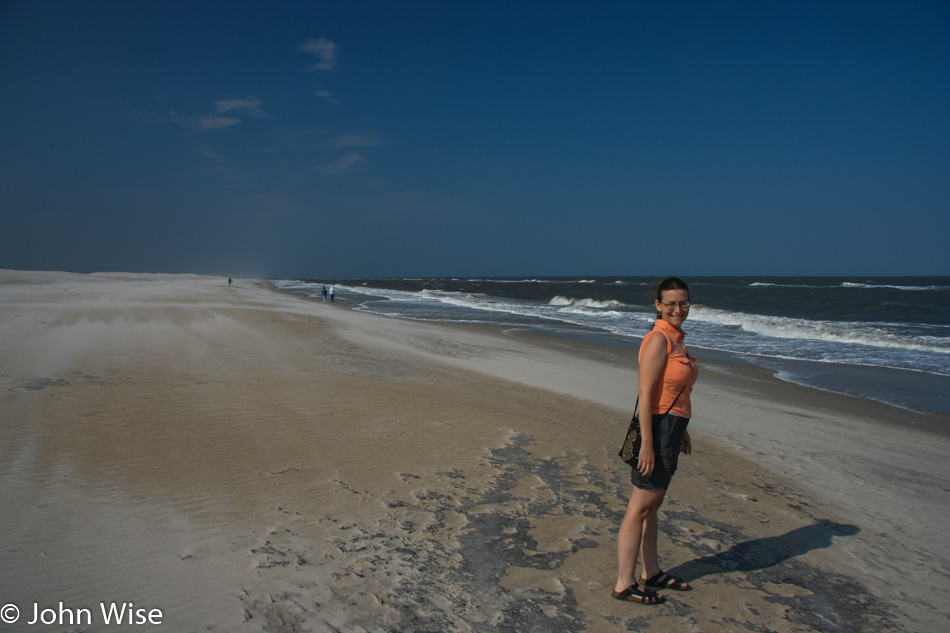
Caroline Wise at Assateague Island National Seashore in Maryland

Trust me, she was out in the water, but this picture of Caroline was prettier, so I’m sharing it. If you look to the left behind my wife, you might get some idea of just how hard the wind is blowing out here.
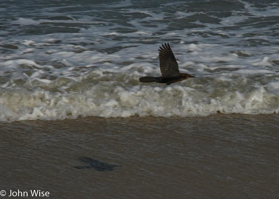
Assateague Island National Seashore in Maryland

The few birds that braved this side of the island were being whipped around in the currents and seemed to struggle to stay aloft.
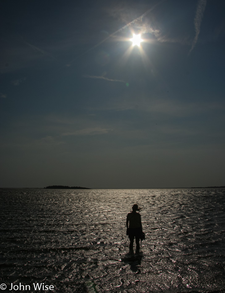
Caroline Wise at Assateague Island National Seashore in Maryland

Back on the Sinepuxent Bay side of the island, things are relatively calm
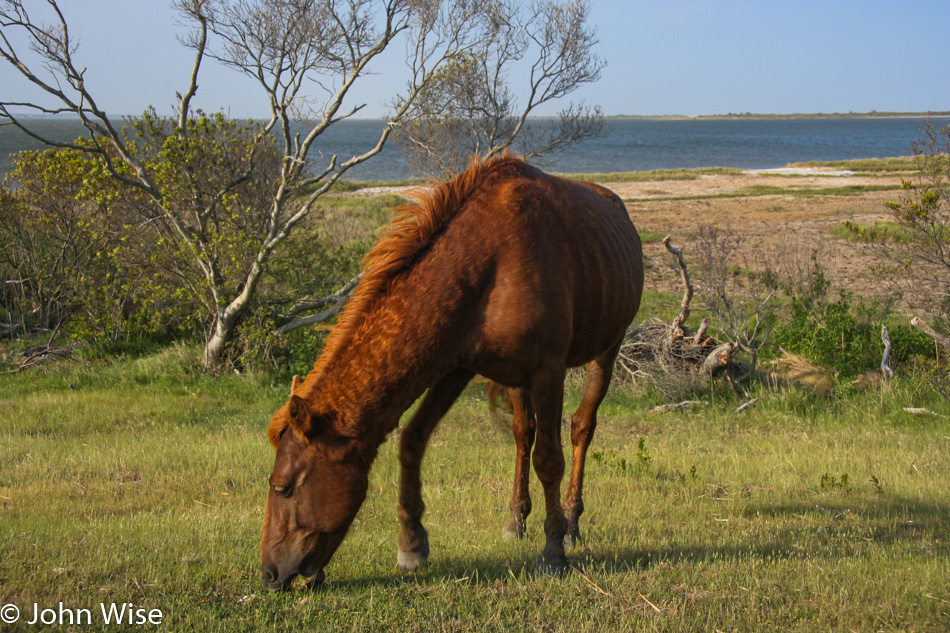
Assateague Island National Seashore in Maryland

Time to leave the ponies on the north side of Assateague and head south. On our way back through the park entrance, we stopped at the visitor’s center and met a girl who was also named Caroline. She was incredibly helpful and even entertaining as she explained horseshoe crabs and whelks and also did impressions of pufferfish, sleeping horses, and, by request, even a starfish. We certainly received our fair share of laughs for our stop-in.
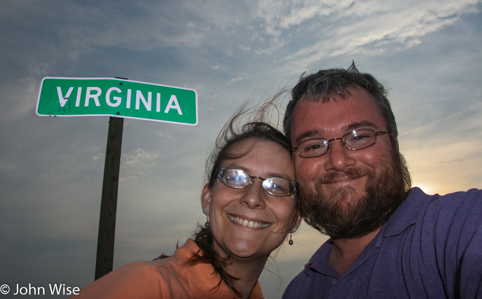
Crossing into Virginia, which they say is for lovers. I’d say we meet that criteria.
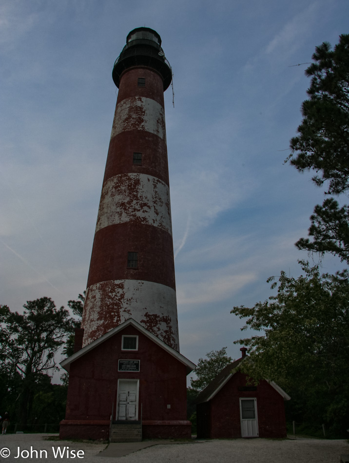
Assateague Lighthouse on Chincoteague Island, Virginia, but it’s getting late and we are being eaten alive by mosquitos. We spotted a few ponies down this way, though nothing like what we were seeing up north.
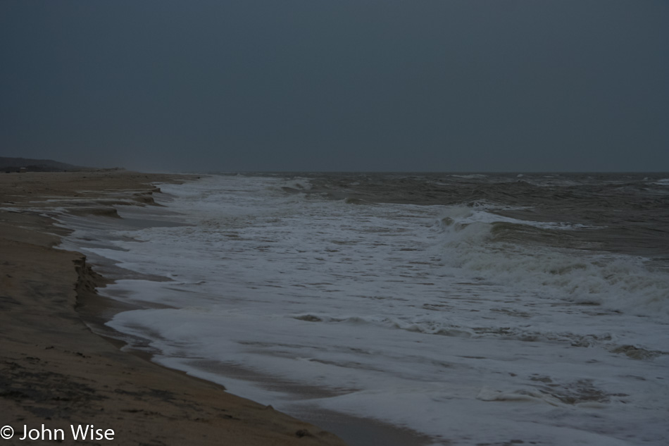
Minutes later, at the ocean, the sky is turning stormy and gray as the sun is fully under the horizon. Nothing left to do but continue our trek south to Nassawadox, Virginia, for our night at the Anchor Motel that we are failing to find. It turns out that they changed their name to Best Value Inn years ago and forgot to inform us as we made our reservation sheesh. Dinner was almost at a Burger King, but after waiting forever with other people waiting longer than us and getting angry, we asked for and received a refund that allowed us to head across the street to a bar & grill that was probably no better than the worst Burger King on earth.
The Moose in Maine – Day 6

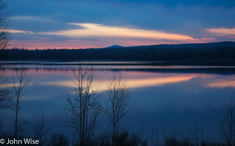
Had we not woken at 4:30 and hit the road an hour later, how would we have been able to win this view of the brightening sky reflected in the calm waters here in Maine?

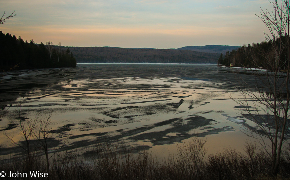
This is a powerful reminder of just how close to winter we still are. In the distance, you can see the snow between this mostly frozen lake and the forest.

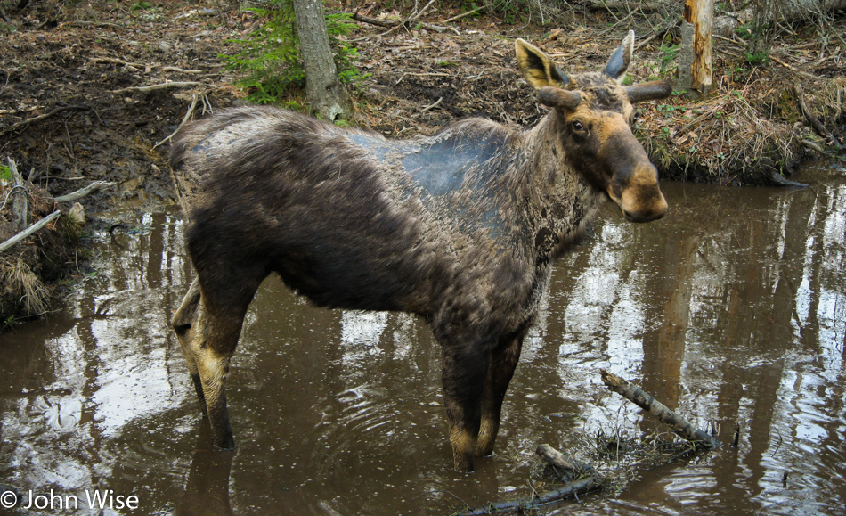
The moose are everywhere. Another dozen are seen this morning. They look a bit mangey as they shed their winter coat, and some look like they’ve been near starvation. The guy in this photo stared at me for a good two or three minutes before deciding to put more space between us.

Sweet god, who does this route planning? Oh yeah, it’s me. In order to capture another 15 miles of the Rangeley Lakes Scenic Byway, we were heading south on Maine Highway 4 to Madrid and then up the 142 to Kingfield before heading southeast again, this time towards North Anson.

For our efforts to avoid major highways, we are rewarded with views such as these.

You’ll never see nor hear this from the freeway. Hopefully, we’ll get to come back through this area some late August or early September when the foliage is in full growth and the browns of winter have given way to the vibrant greens of summer, but then we’ll probably long for the warm colors of fall.

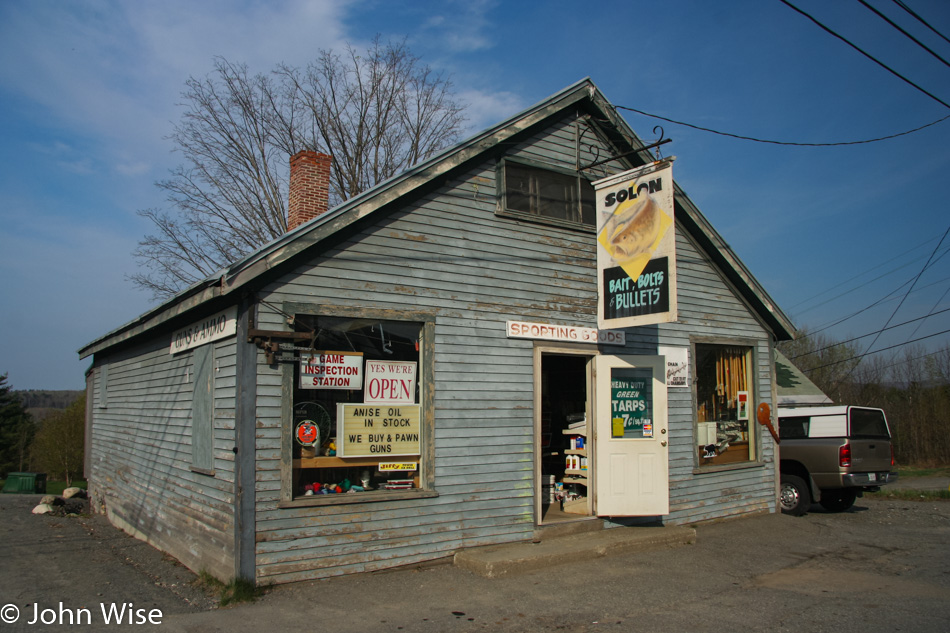
It should have taken us about 75 minutes to drive from Rangeley to Solon, Maine, but we were able to drag it out to take two-and-a-half hours. We are experts in slow. About shopping for bait, bolts, and bullets, well, we don’t know anything at all about this stuff, so we take a photo for the weird memory of it all.

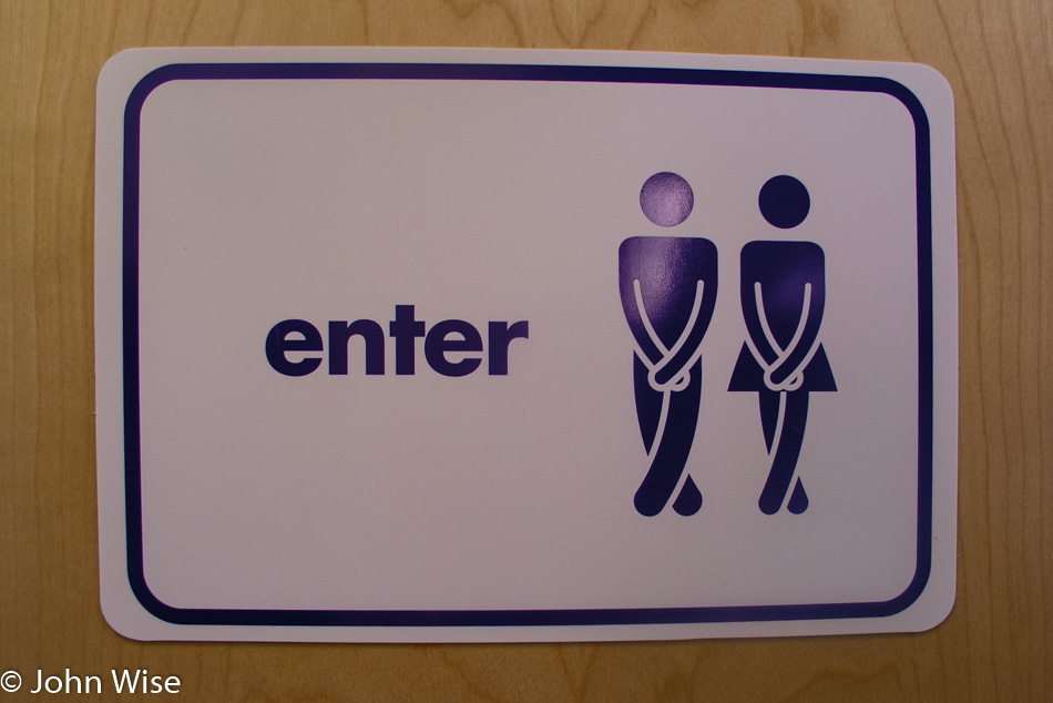
Bathroom sign in Maine

In the Village of Abbot, Maine, we saw this very accurate graphic representing the two of us as we scrambled for a bathroom. I should start a blog of all the cool signs we’ve seen across America.

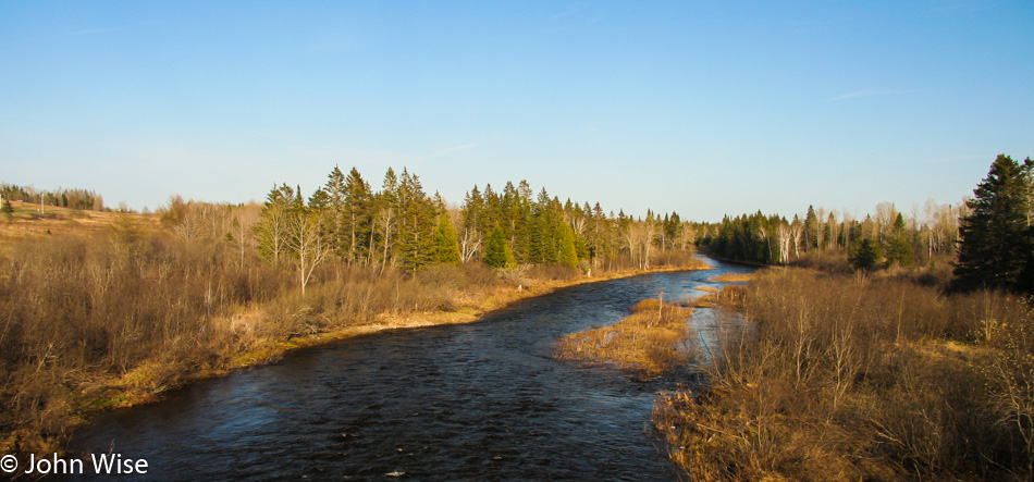
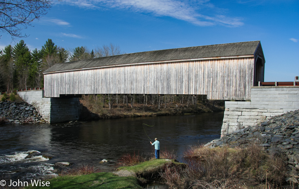
From Abbot on Highway 16, we picked up the Piscataquis River as we continued on our northeast drive. Like lighthouses, we have a soft spot for bridges of all types; add a fly fisherman on the banks of a river with the bridge in the background, and you’ll hear tires squealing as we pull over with an urgency that surprises us we’ve not been rear-ended yet. Then again, there have to be other people out here driving these remote roads to encounter us, so I guess we are mostly safe. As for our current location, we are at the Lowe’s Covered Bridge in Guildford.

At one time, there were about 120 covered bridges in Maine; today, this is one of the last nine still in existence, only five of which are open to traffic. The original bridge built in 1857 was lost during a flood in 1987 but was rebuilt in 1990. If you look closely at the photo, you can tell where the foundation of the old bridge was raised to avoid another washout. When you see how beautifully these bridges complement the surroundings, it is truly a shame that of the original 120, so few would remain standing.

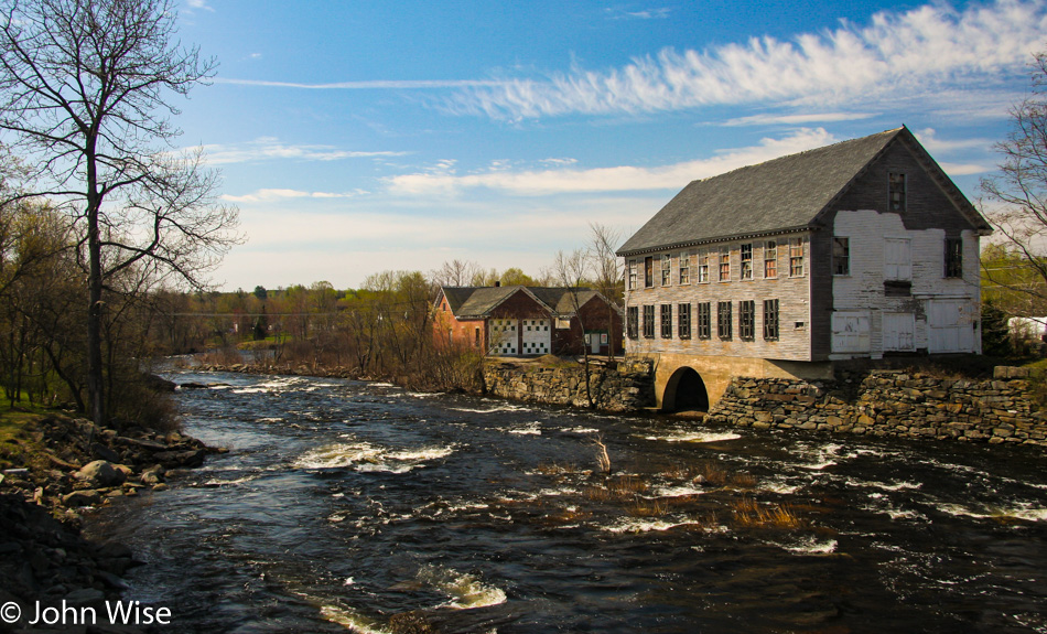
Who could ever forget this image on the Sebec River in Milo, Maine?

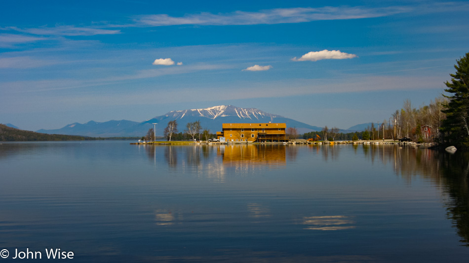
Welcome to Millinocket, Maine. We are stopping in front of the 5 Lakes Lodge on South Twin Lake with the snow-capped peak of Mt. Katahdin in the background. Once in town near lunchtime, we took a pause at the Scootic In Restaurant. These notes here are as much for us as it is for a reader: should we find ourselves back up this way these places will be on our list of to-dos.

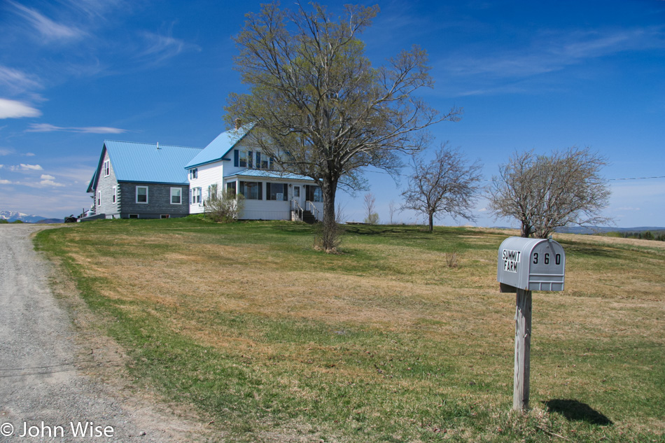
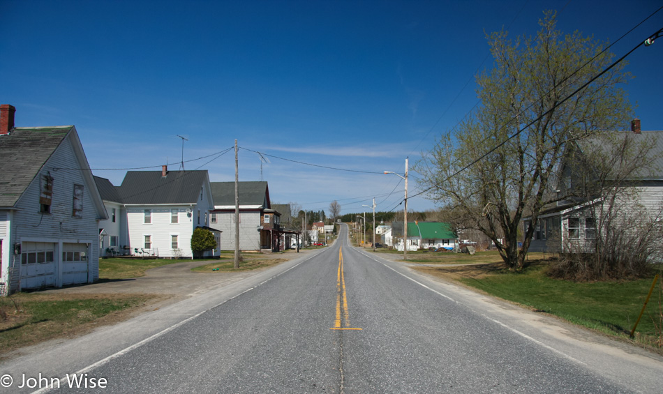
Stacyville, Maine, looks like somewhere we could live, except this is entering mid-May and not the dark, cold days of January. So how does one become wealthy enough to live out here and not worry about paying the bills?

We drive north on the 11 until reaching Ashland, where we turn on the 227, followed by the 228 and the 161 until we start to approach and pass through Stockholm, Maine, where we are renting a cabin for the night. We are heading to the Canadian border so we can touch the furthest northeast point in the United States that we can reach.

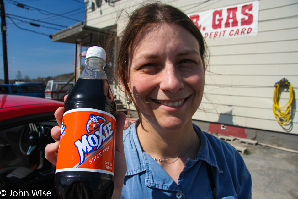
A pit stop introduces us to Moxie Nerve Food. While it’s now known simply as Moxie Soda, it is one of the oldest soda brands in America and is considered the taste of Maine. As for the sights of Maine, this upper part of the state appears significantly different than the southern part. We’re not sure if this area has simply been deforested as that’s the main economic resource of this state and nobody cares as it’s not a big tourism draw such as the coastal region. Similar to other areas, the roads out this way are wrecked; we can only figure it’s due to the heavy winter snow and the logging trucks that haul tons of logs down Maine’s highways.

Here we are at the border control stop at the Canadian and American spot on the map that separates our countries.

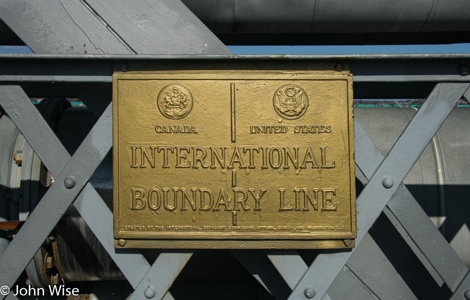
After talking with a border control agent, we found that we could walk out on a pedestrian bridge, and as long as we did not pass the International Boundary Line, we wouldn’t have to go through immigration on our return to America. Across the way in Edmunston, Canada, we can hear church bells ringing on this gorgeous 86-degree day.

To get back to Stockholm, we are taking Highway 1, which hugs the Canadian border in Eastern Maine. When we get to Van Bruen, we cannot take the 1A due to it being closed by a chemical spill, so we continue on the 1 towards Acadia and Caribou. While in Caribou we stop at a store to pick up orange juice, hot cocoa, frozen veggies, mushrooms, and a steak so we can make dinner at our cabin.

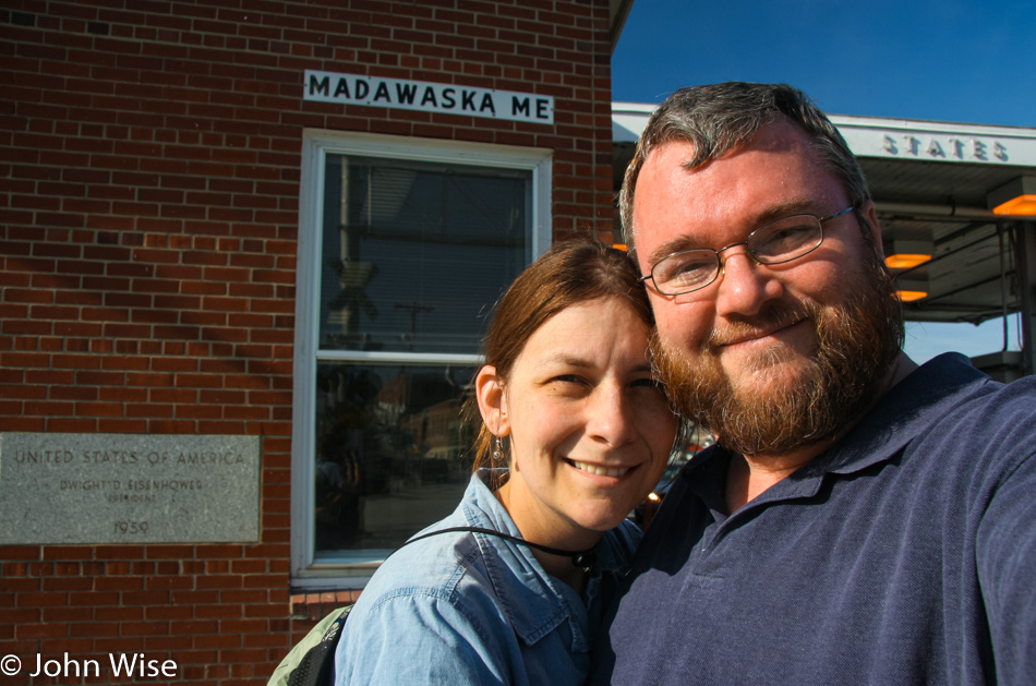
Back in Stockholm, we check into cabin #3 at the Fieldstone Cabins on Madawaska Lake. We have a barbecue, and there are washing facilities so not only do we get a home-cooked meal tonight, but we have the opportunity to catch up on laundry. Believe it or not, but we are deciding to sleep in as a couple of days of waking at 4:30 is starting to drag on us.

Since When?

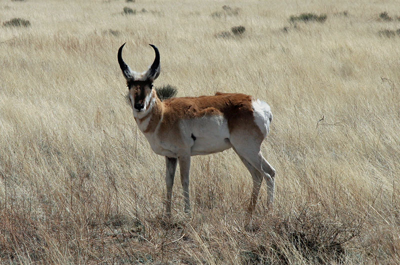
Pronghorn antelope

I think I was on 40th Street near Greenway, and this guy’s got this pronghorn antelope standing there in his front yard. I thought it was like one of those Ohio-yard deer made of plaster or plastic or something. Anyway, it turned and looked at me, not in that Christmas kind of Robo-reindeer way, but in the more natural “yeah, try to believe this, but I’m real, I’m here, do you have a gun to put me out of my misery” kind of way of looking. Sorry, Mr. Pronghorn, but I am merely armed with a harmless camera. But I can capture your situation, show the world the inhumanity of it, and maybe get some animal rights group to start a campaign to set you free.

Last Day of the Year

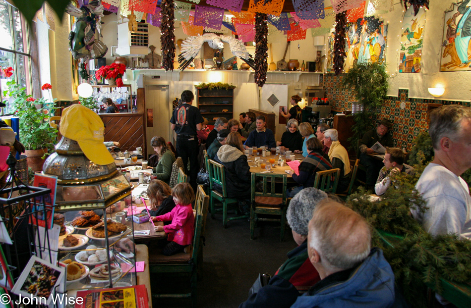
Cafe Pasqual's in Santa Fe, New Mexico

Cafe Pasqual’s here in Santa Fe, New Mexico, was where we were supposed to have dinner last night, but the weather had other plans for us, so it goes. With so much ice and cold in town and not wanting to encounter more snow before the day is out, we’ll be leaving far earlier than planned. As for Pasqual’s, breakfast can be breakfast, but it’s their exquisite New Mexican cuisine at dinner that draws us in, maybe another time.

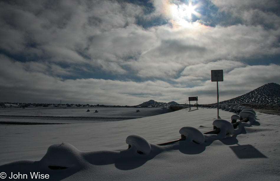
Interstate 25 heading south in New Mexico

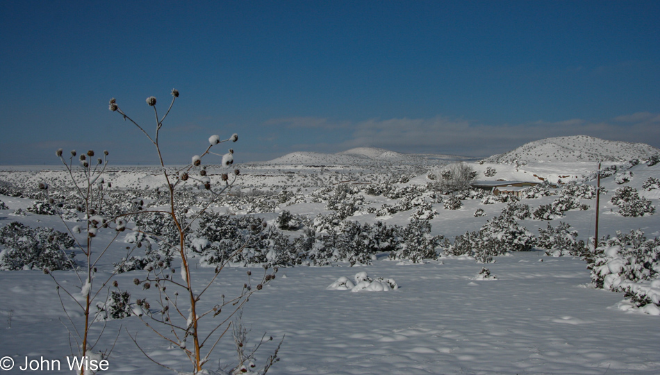
Snow mushrooms dot the highway as we make our way south.
Interstate 25 heading south in New Mexico

I wonder if people who experience this snow thing every season are as enchanted by it as Caroline and I are. I can admit that New Mexico is right on with its state motto, The Land of Enchantment.
22 Degree Sun Halo near Albuquerque, New Mexico

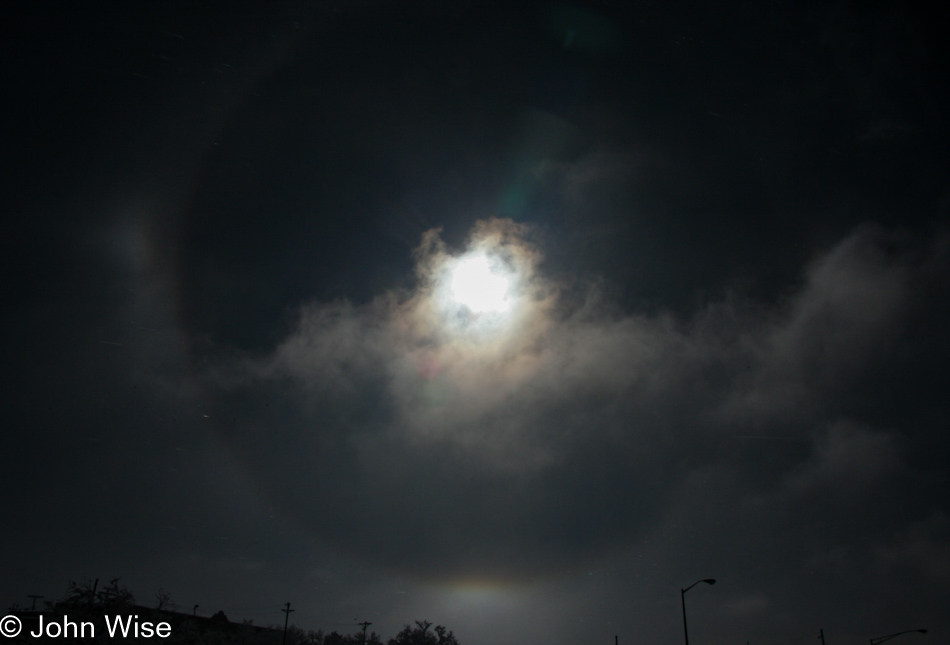
Approaching Albuquerque, we entered a heavy patch of fog, but as we emerged, we were greeted by this spectacular 22-degree sun halo. Not wanting to stop on the freeway to take a proper picture, Caroline grabbed the wheel, and I threw the camera out of the window into the freezing air to snap a couple of shots. This is the one that turned out okay.

Interstate 25 heading south in New Mexico

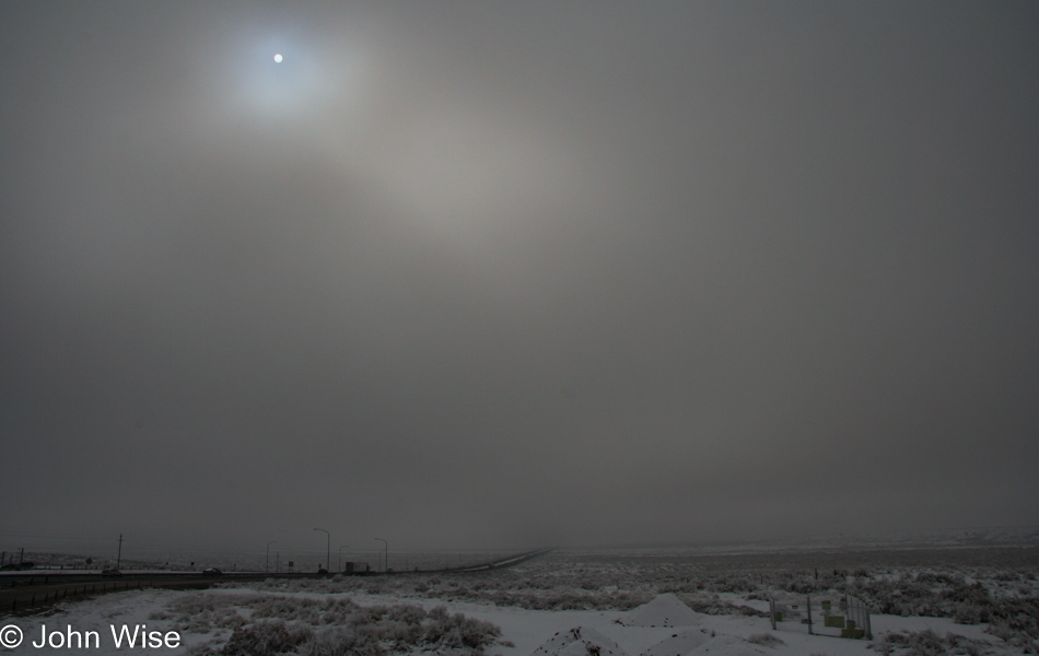
With the sun being blotted out you can bet my nerves grew brittle at the thought I might have to drive while it’s snowing. In Phoenix, most of us do poorly when it starts raining.

El Camino Family Restaurant in Socorro, New Mexico

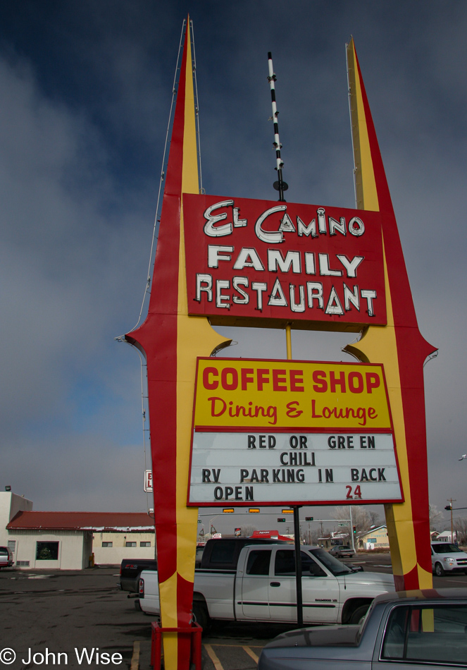
I’ve probably said it a thousand times before, but one can never grow tired of El Camino Family Restaurant. Normally, there are colorful spheres on the center spire in the top middle of the sign; I wonder why they are gone.

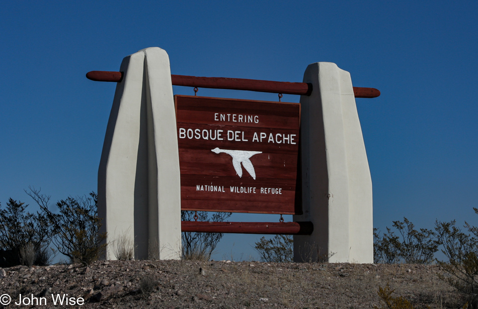
Bosque del Apache near Socorro, New Mexico

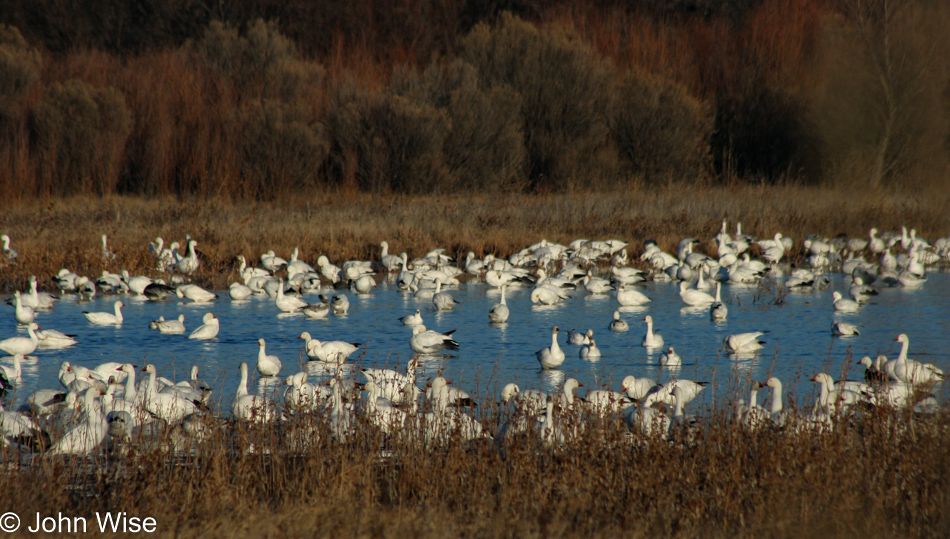
Good fortune remains on our side as the weather cooperates for this earlier-than-expected visit to the refuge; we weren’t supposed to arrive until tomorrow morning.

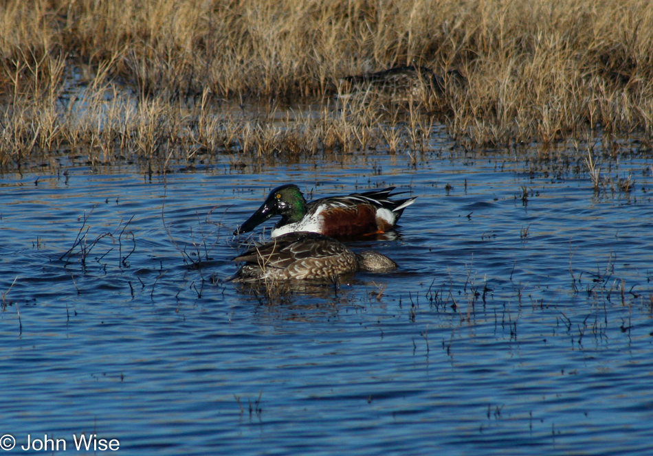
Bosque del Apache near Socorro, New Mexico

That’s a Northern Shoveler duck. This aquatic cutey with the spoon-shaped bill has a great scientific name, the Spatula clypeata.

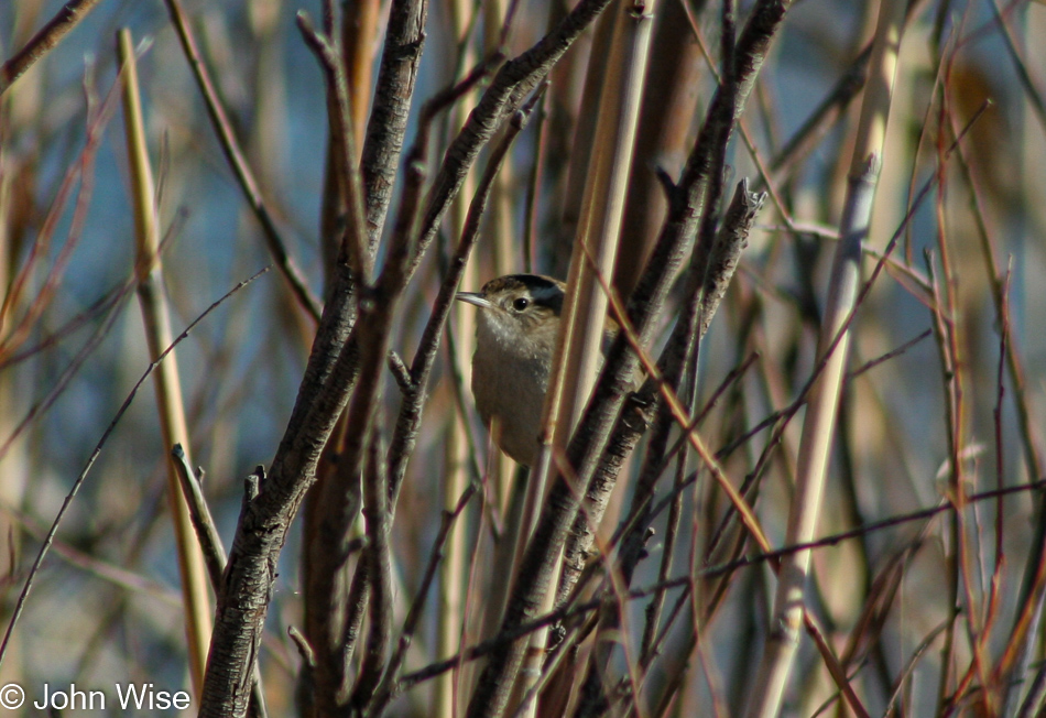
Bosque del Apache near Socorro, New Mexico

If we were real birders, we might be able to tell you what kind of sparrow this was, but I can’t find precisely what type it is, so it’s just a sparrow for now.

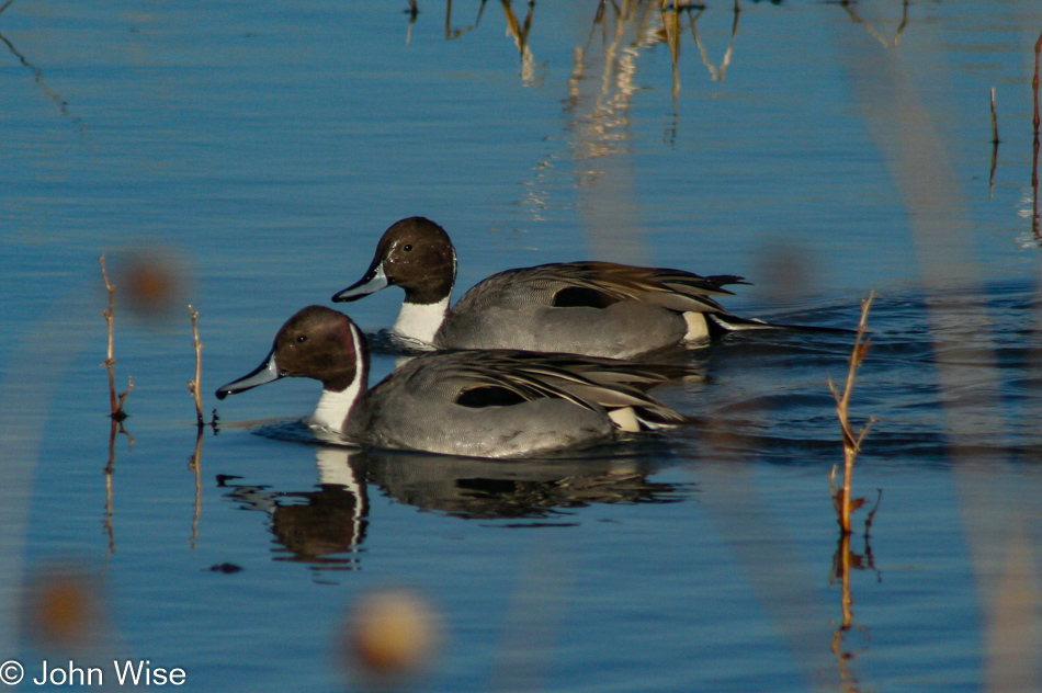
Bosque del Apache near Socorro, New Mexico

The Northern Pintail duck just doesn’t give a …

Bosque del Apache near Socorro, New Mexico

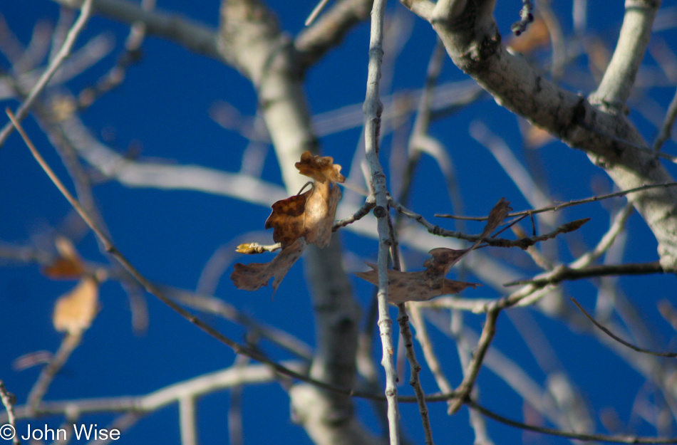
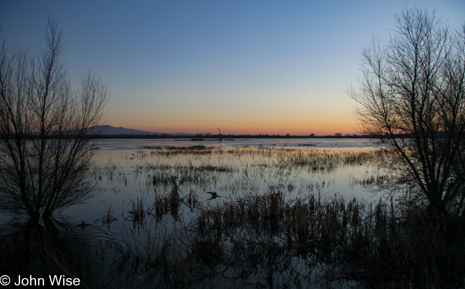
This nearly lone leaf, still clinging to its branch, shivers in the cold air here at the Bosque del Apache National Wildlife Refuge, where we are spending the last day of the year and the first day of the New Year.

Bosque del Apache near Socorro, New Mexico

The idea of drinking ourselves into a stupor, ending a year in a haze, and beginning the next feeling as though the past year smacked you upside the head is peculiar to me, to say the least. My New Year resolutions are simple: every day is a holiday, see something beautiful at least once a day (besides my wife), and help as many people as I can in whatever little way that might make their day, an hour, or minute just a bit better.

Bosque del Apache near Socorro, New Mexico

We must be doing something right by the universe as we are yet to have a bird poop on us. Karma.

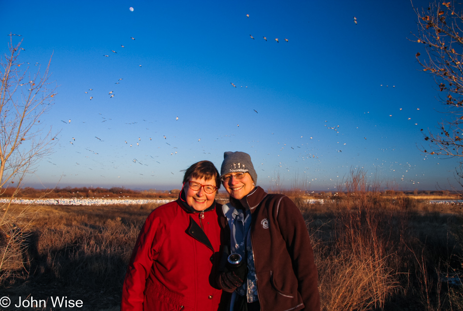
Jutta Engelhardt and Caroline Wise at the Bosque del Apache near Socorro, New Mexico

Here we are on the last day of the year, ending on a beautiful note with the hope that tomorrow begins in beauty, too.

Bosque del Apache near Socorro, New Mexico

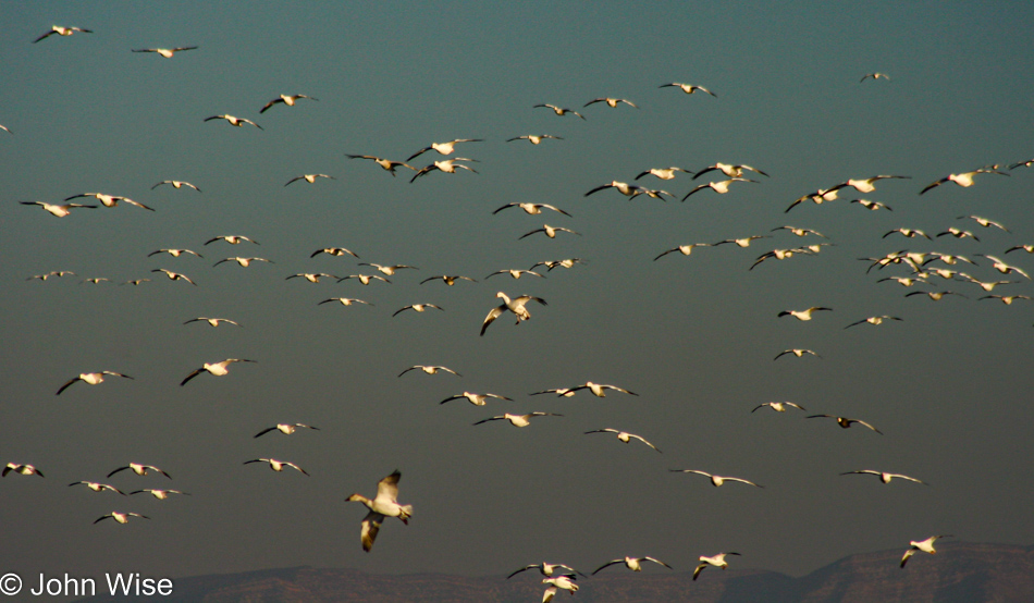
Tomorrow morning, we’ll be standing right about here for some aviary fireworks.

Jutta Engelhardt, Caroline Wise, and John Wise at El Camino Family Restaurant in Socorro, New Mexico

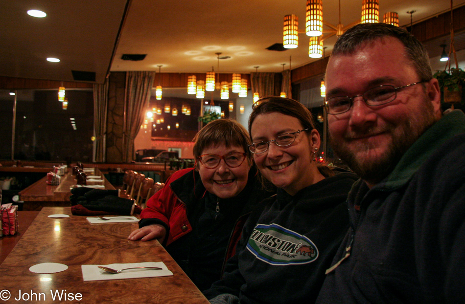
We could have eaten elsewhere, especially considering we’d eaten lunch here earlier, but I’m not fooling anyone. If we’re in Socorro, we’re eating at El Camino Family Restaurant. Of course, I had the steak Tampico and Caroline the chile relleno plate. I have no recollection of what Jutta had as once at El Camino; I’m blind to the world. This is how we closed out 2006.

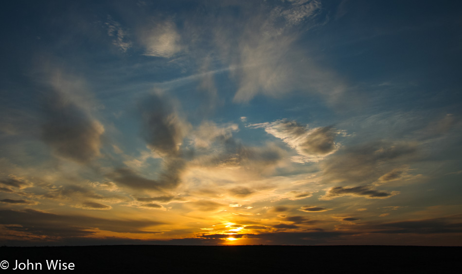
Sea Birds at Sunset

Deluxe Yurt at Umpqua Lighthouse State Park in Reedsport, Oregon

We emerged this morning from very special lodgings. When I was making reservations, it turned out that the Umpqua Lighthouse State Park only had a deluxe yurt available for us, so we stayed in this posh supersized yurt that went beyond the simple space heater and a light. It was fully ADA-accessible, featuring a refrigerator, microwave, TV, and VCR (VHS tape only), shower, toilet, even a kitchen sink.

Update in February 2023: I’ve been adding images to some old posts where a visual deficit once existed. Regarding this wonky panorama, this was a work in progress for Caroline that was never finished. Back when I originally posted it, I liked the idea that others might be able to see that there are approximately a dozen images used for building this photo. While I could have rebuilt it using Lightroom, which would have likely done a great job, there’s something warm and fuzzy about the memory of how much work it once took to build up panoramas.

Umpqua Lighthouse in Reedsport, Oregon

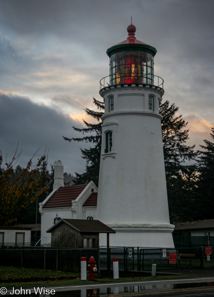
Let the Umpqua Lighthouse guide the way for our absurd 150-mile drive north that will see us needing to turn around and drive south to Newport today for the yurt we already have booked. Why would we do such a thing? Meeting a friend and learning about the effectiveness of oven bags in containing smells, pungent smells.

Roadside on Highway 101 in Oregon

Good thing we enjoy these crazy long drives; at least they leave us with indelible impressions and a passion for return visits.

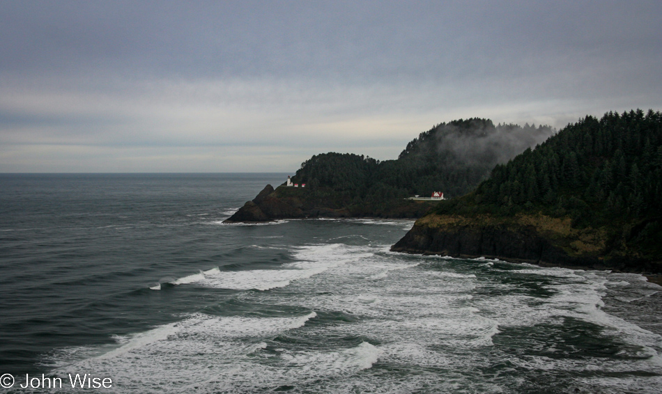
Heceta Head Lighthouse in Florence, Oregon

That’s Heceta Head Lighthouse in the distance and the keeper’s house on the right.

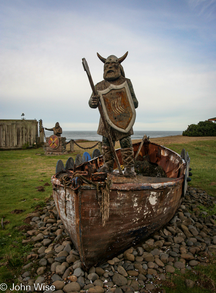
Sealines Nautical Shop south of Yachats, Oregon

I can only wonder about how many times over the years I’ll write about this spot on the side of the road once known as Sealines Nautical Shop. When it was open, and we could have stopped by, we figured we didn’t have enough time or enough money and that we’d catch it on another trip; well, it closed down.

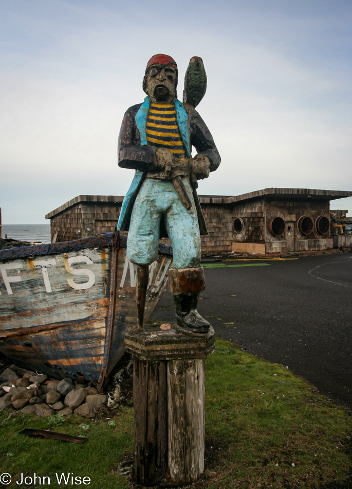
Sealines Nautical Shop south of Yachats, Oregon

Even though it was closed, the figures that first drew our attention stood outside for a number of years…and then it was all gone besides the shop that has never been reoccupied. The shop was just south of Yachats.

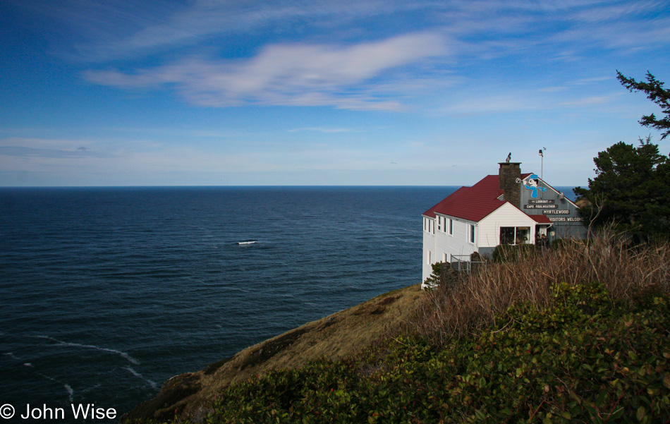
The Lookout at Cape Foulweather in Otter Rock, Oregon

This is The Lookout at Cape Foulweather in Otter Rock, south of Depoe Bay. It is here and available to us visitors due to the generosity of Wilbur S. and Florence Badley, who back in 1928 gave the land to the state of Oregon with the stipulation the land not be developed and remain for public enjoyment; what great people they were.

Cape Foulweather south of Depoe Bay, Oregon

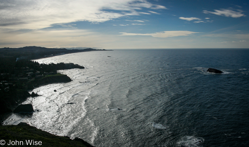
This is the view south of Cape Foulweather.

Seals on the Oregon Coast

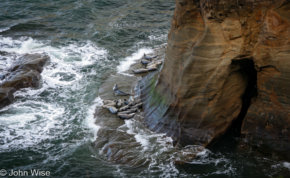
I have no real idea where it was when we spotted these sea lions on a narrow shelf trying to catch some zzz’s as the waves washed over them.

Siletz Bay in Lincoln City, Oregon

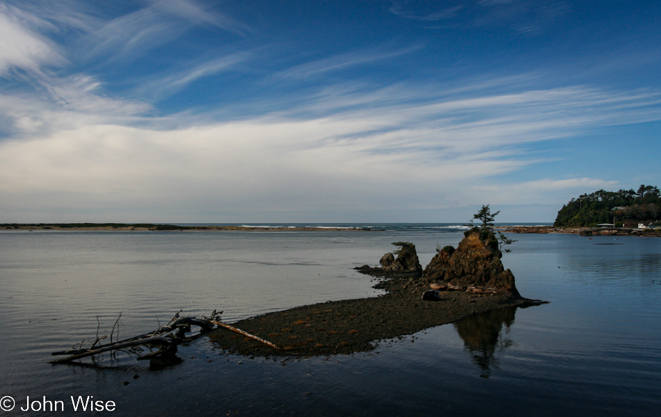
Over the years, I’ll photograph these three rocks in Siletz Bay from all angles, and rarely do they look the same.

Tillamook, Oregon

We went as far as Tillamook to pick up some cheese and marionberry pie ice cream cones. Unfortunately, our favorite Tillamook cheese manufacturer and shop, Blue Heron, was closed due to recent flooding, so there were no sandwiches with smoked brie for us today.

One detail neglected in the original post was that we traveled this far north only to turn around as we were meeting with an old friend who was paying back a debt with a certain kind of green currency, so to speak. This is where the oven bags came into play.

Tillamook, Oregon

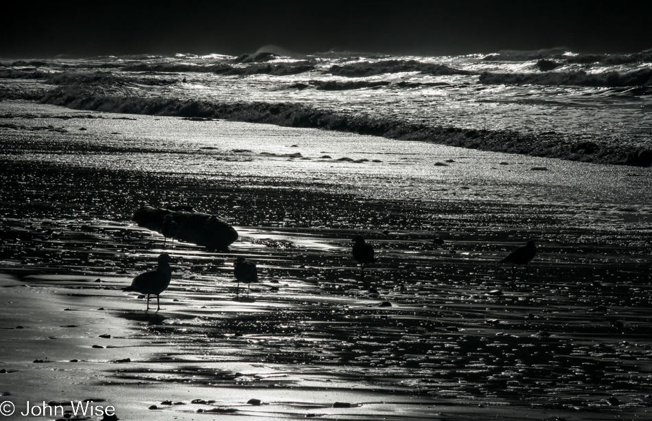
The image above was taken on Cape Meares Beach just off the Three Capes Scenic Drive, where half a dozen sea birds dart back and forth with the waves as they forage for a morsel late in the day.

Cape Meares Lighthouse in Tillamook, Oregon

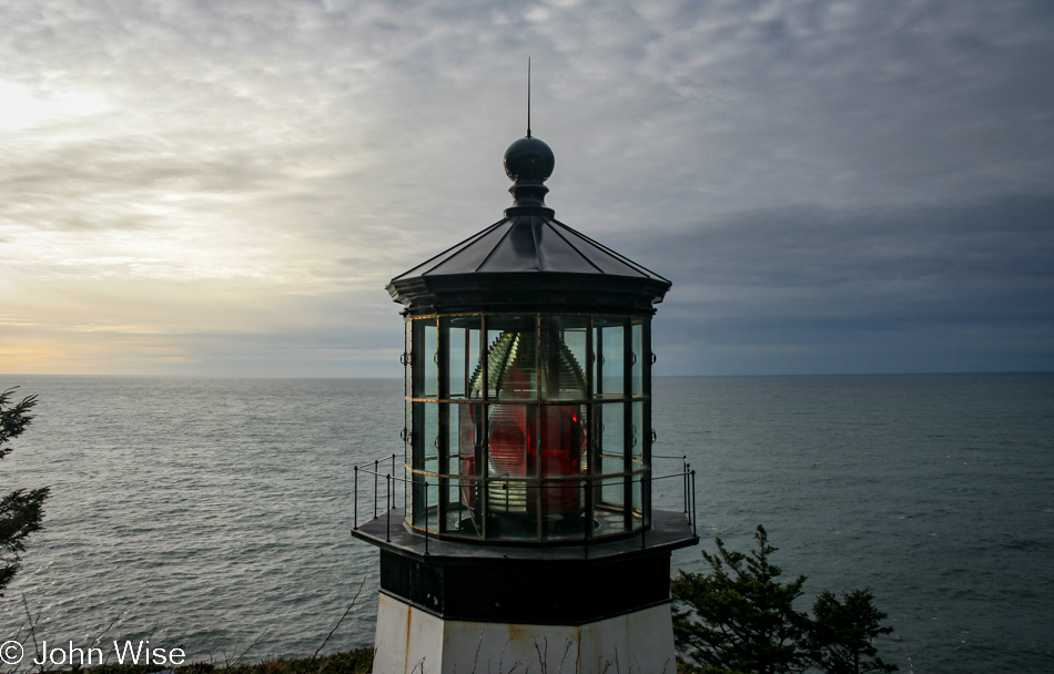
The Cape Meares Lighthouse.

Symons State Scenic Viewpoint in Tillamook, Oregon

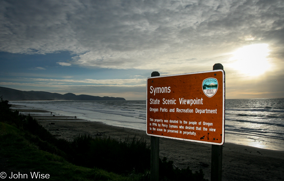
While listed as being in Tillamook, this wayside is south of Oceanside and is another example of the generosity of someone who saw the value in keeping views like this unobstructed by the greed for individuals to own something so rare that should remain for all of us. Thank you, Percy Symons, for your donation.

Lincoln City Glass Center in Lincoln City, Oregon

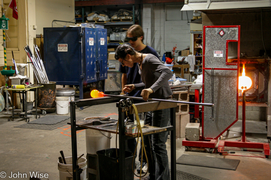
We stopped by the Lincoln City Glass Center in Lincoln City. The seed has been planted, and now we must return one day for Caroline to make something of glass for the two of us.

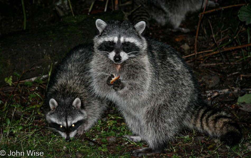
Racoons at Beverly Beach State Park in Newport, Oregon

It was rather late when we arrived at tonight’s yurt, but not so late that the raccoons here at Beverly Beach State Park in Newport weren’t happy to see us. Have I shared yet that we love yurts?