Monument Valley Day Trip

Jay Patel in Flagstaff, Arizona

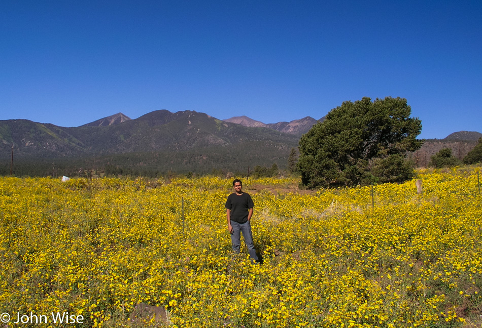
You should try something like this one day. Jay Patel and I left Phoenix at about 7:30 a.m. and drove north. This field of bright yellow flowers on the last day of summer, a day before fall, was so striking, and in contrast to the rest of the drive, we just had to stop and take a photo.

Jay Patel at Sunset Crater National Monument in Northern Arizona

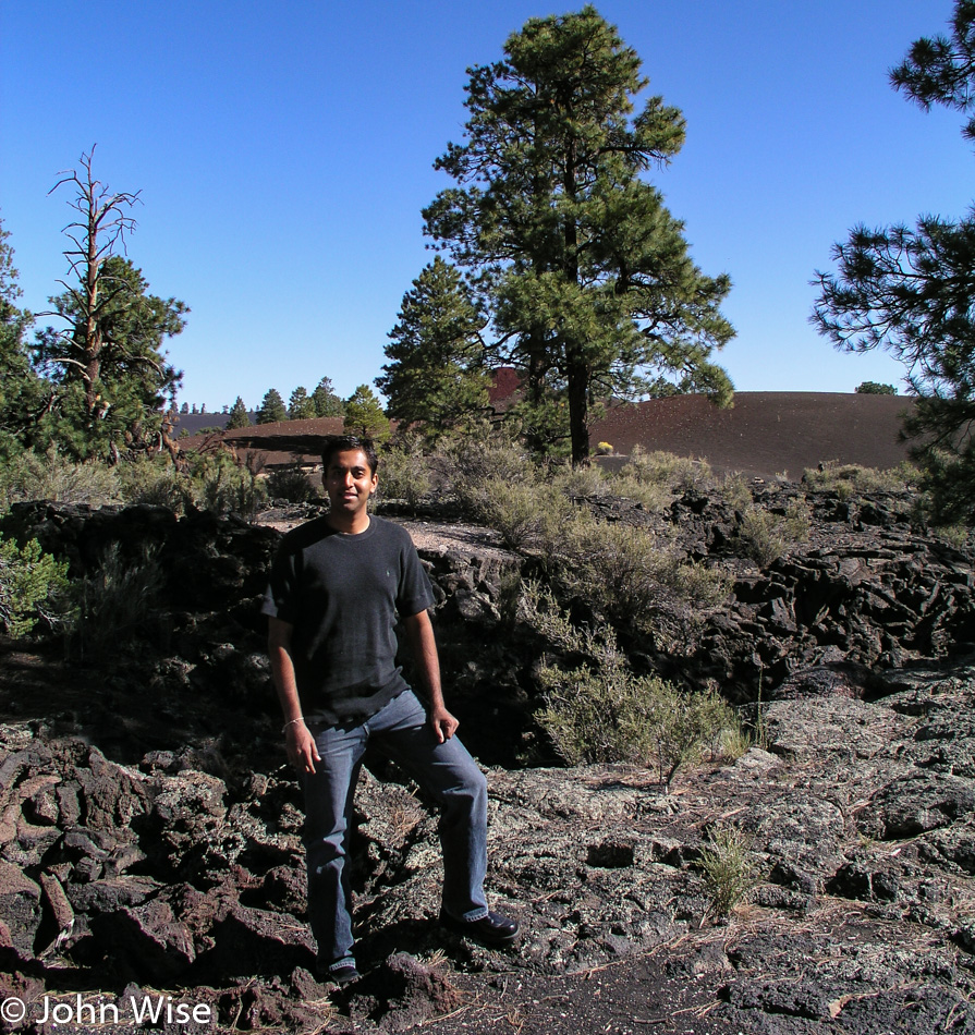
Wow, it feels like I was just here; oh yeah I was two days ago with Caroline. It’s great to be sharing this stuff with someone else who can appreciate the beauty. We are at the Sunset Crater National Monument.

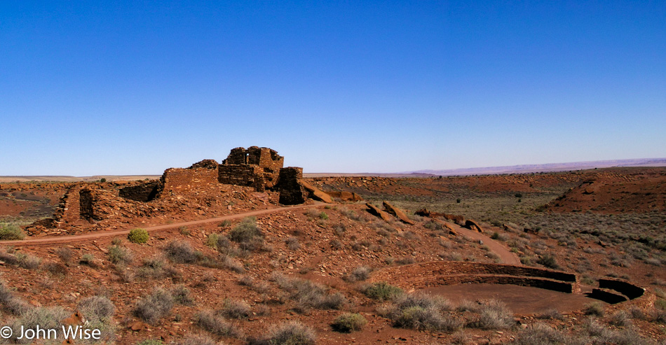
Wupatki National Monument in Northern Arizona

Of course, our next stop would then take us for a walk at Wupatki National Monument because that’s what’s at the northern end of the road that drives past Sunset Crater. The circle on the right is not the remnants of a kiva but is believed to have been a sports ring of some sort.

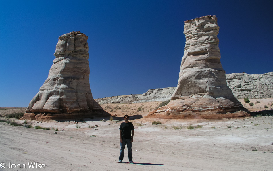
Jay Patel standing amongst the Elephant Feet on the Navajo Reservation in Arizona

We have a destination in mind that requires us to pass through Kayenta, allowing for a stop at the Elephant Feet.

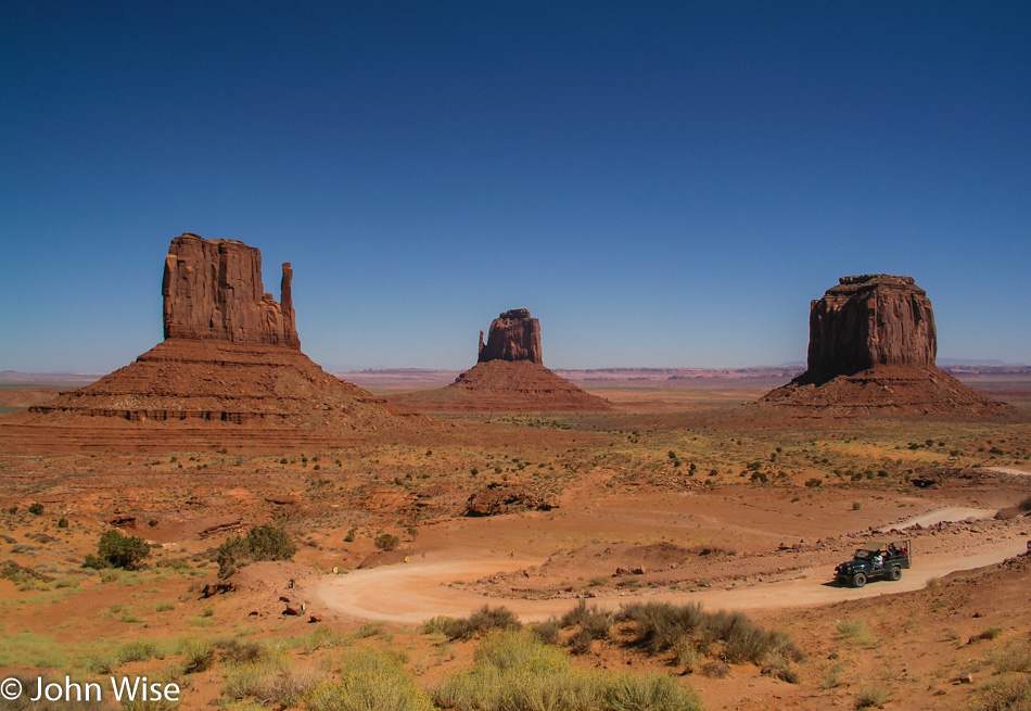
Monument Valley in Southern Utah

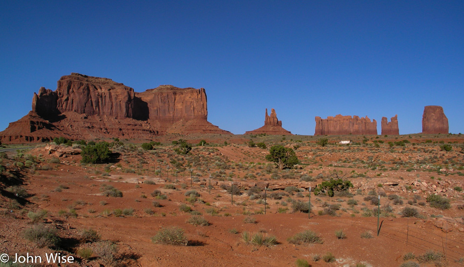
These day trips are not always easy, but they are always worthwhile. We made our way out to Monument Valley here in Utah for a drive under the formations. It’s only about 330 miles from home but as far away from routine as one can get.

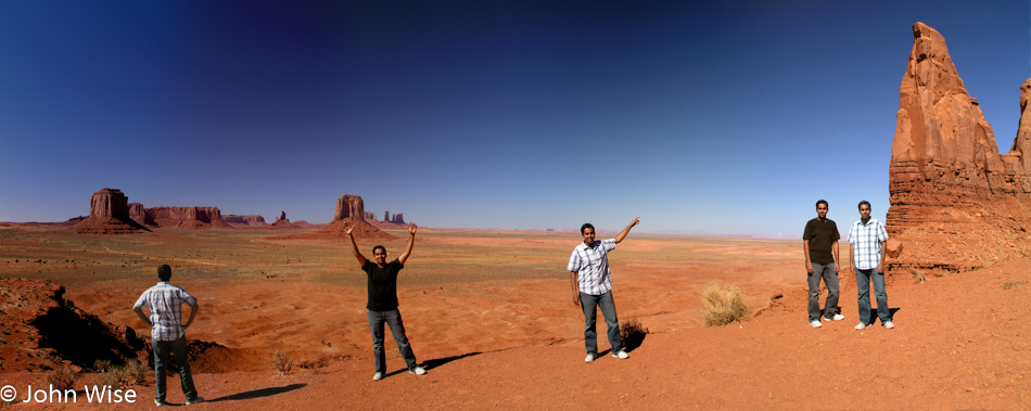
Jay Patel at Monument Valley in Southern Utah

This magical place allowed Jay to quantum teleport to superposition himself in five simultaneous locations for this snapshot overlooking Monument Valley.

Gooseneck State Park in Southern Utah

The horseshoe bend at Goosenecks State Park was about our furthest north location. Truth is, I was hoping beyond hope that I might score a steak in Mexican Hat at the home of the swinging steak, but that dream fulfillment wasn’t in the cards.

Jay Patel in Northern Arizona

We’re on the 191 heading south onto the Navajo Reservation; we have plans.

Canyon de Chelly National Monument in Northern Arizona

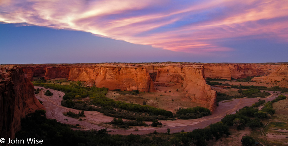
Those plans work out perfectly as we arrive for sunset at Canyon De Chelly National Monument.

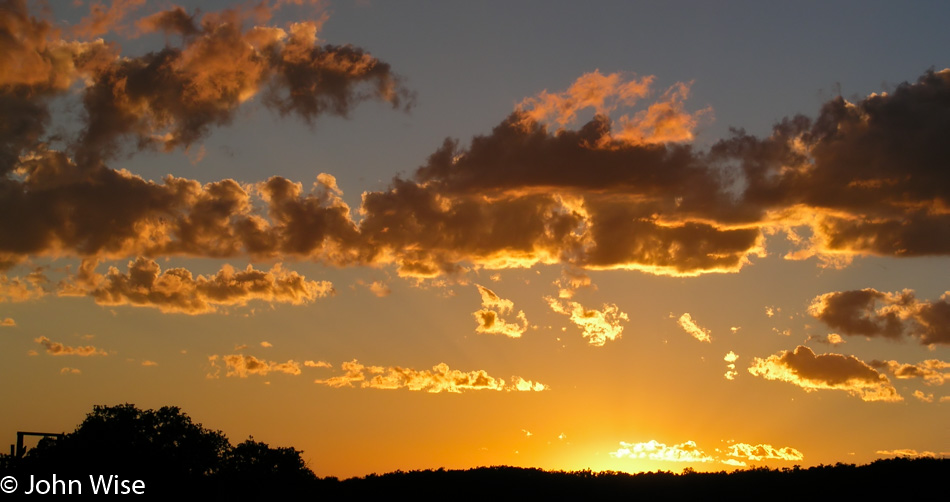
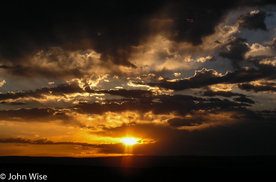
Sunset in Northern Arizona

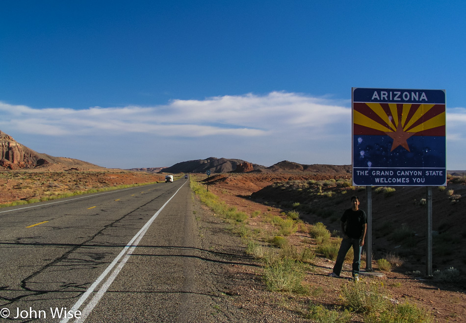
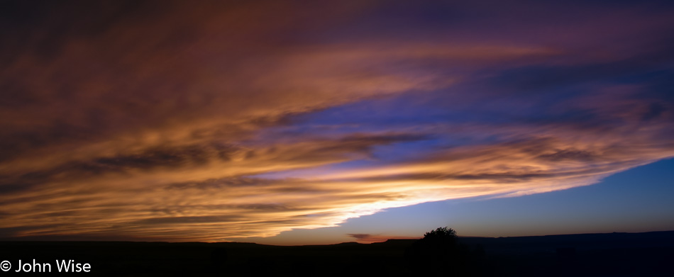
By 9:00 p.m., we were standing on a corner in Winslow, Arizona, but not for long, as we had to make tracks back down to Phoenix. It would be close to midnight before we got home. Not a bad way to spend 16 hours if you ask me.

Utah to Colorado to New Mexico – Day 2

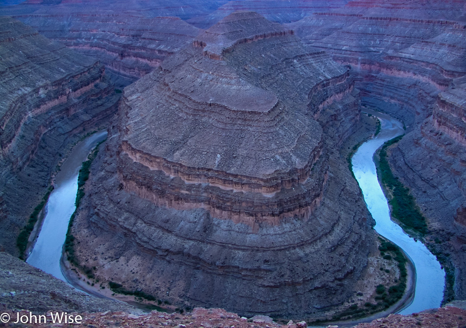
Gooseneck State Park in Utah

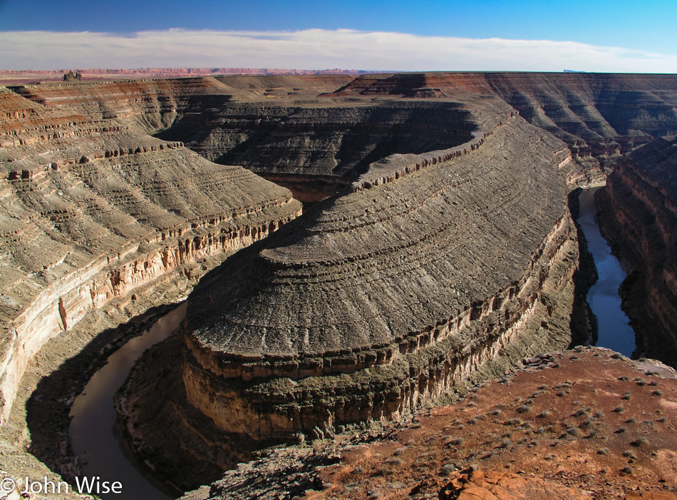
This is the “other” horseshoe. One is found down by Page, Arizona, and has the Colorado River flowing through it. This one is found in Gooseneck State Park in Utah and has the San Juan River running through it, though it ends up flowing into the Colorado River over at Lake Powell.

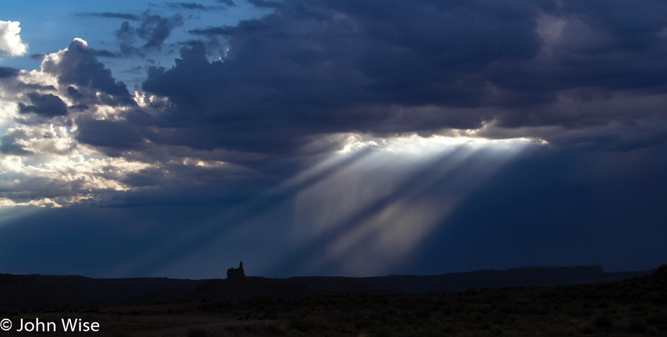
North of Mexican Hat, Utah

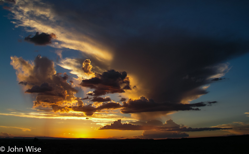
This is a brilliant example of desert skies where looking in one direction, the horizon has a foreboding gloom portending bad weather out there. A few minutes later, and looking in another direction, you get the following.

Near the Mokee Dugway in Utah

Heading up the Mokee Dugway all of a sudden, the day is perfect again with an inviting sky of fluffy clouds.

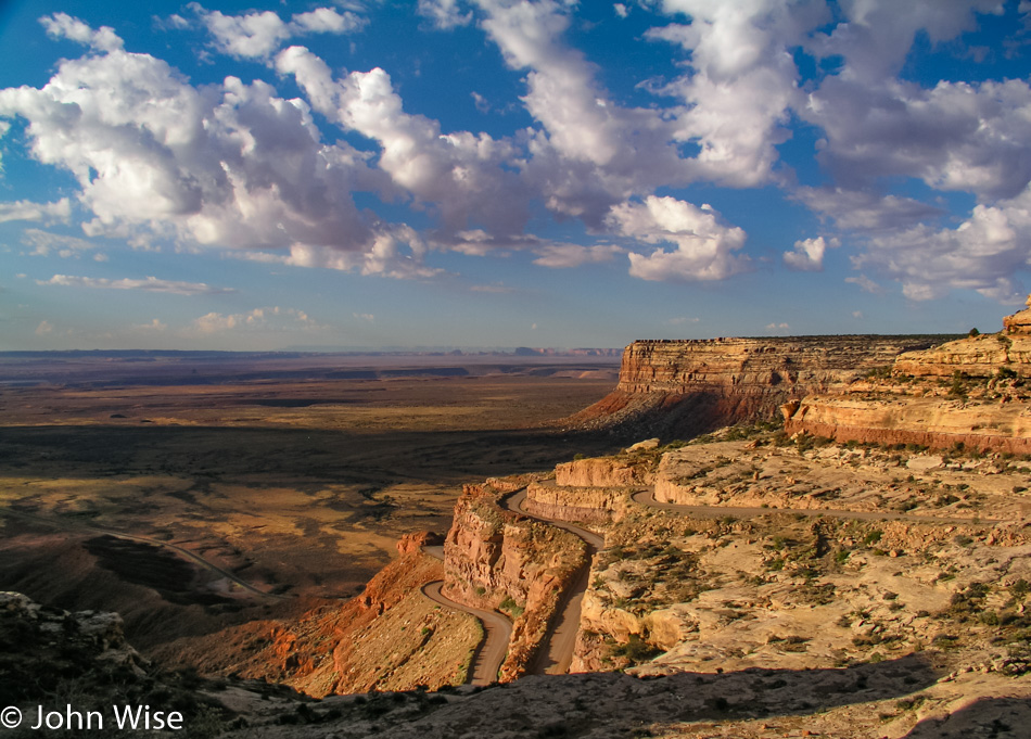
Mokee Dugway in Southern Utah

This narrow dirt road gives you a better idea of what exactly the Mokee Dugway is and why we tend to want to avoid it in bad weather.

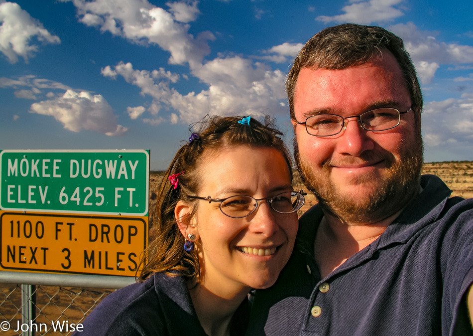
Caroline Wise and John Wise on the Mokee Dugway in Southern Utah

So far, the new car is a pleasure and is getting us where we want to go.

Church Rock in Utah

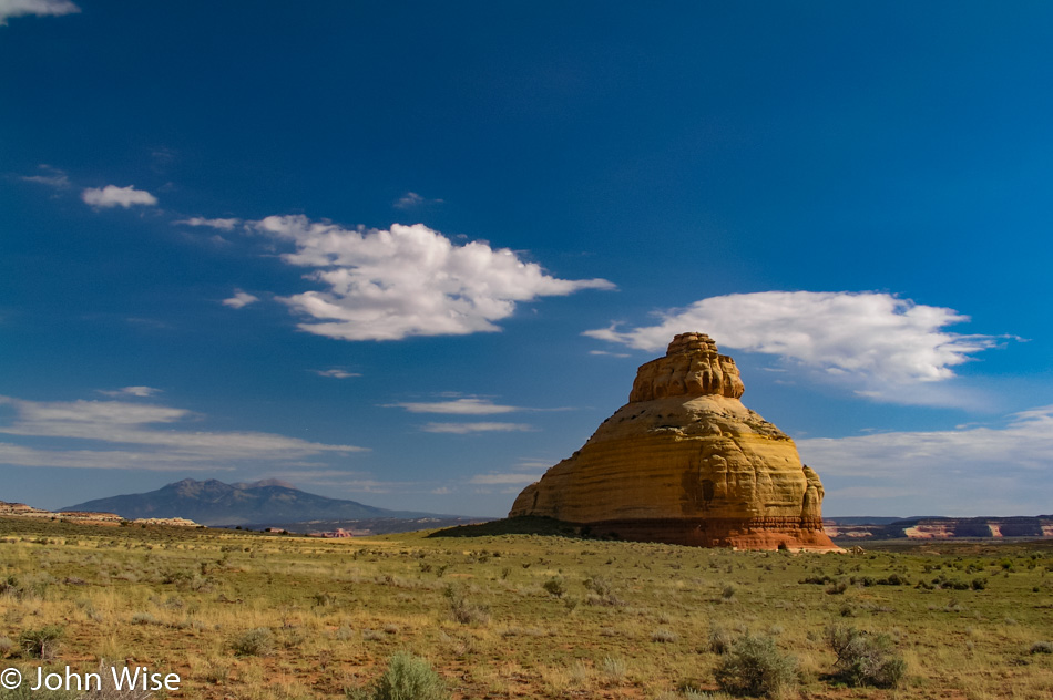
This is the kind of church Caroline and I can get into. Welcome to Church Rock near the turnoff for Canyonlands National Park.

Canyonlands National Park in Utah

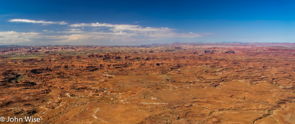
Wow, this is quite the canyon. No wonder Edward Abbey warned of careless travel in the Maze that’s somewhere out there. To be clear, this is the Needles Overlook in Canyonlands National Park, and today’s visit will not do it justice, but that’s kind of our way of having first encounters with many places in America.

Canyonlands National Park in Utah

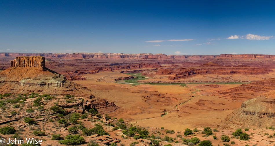
We are here at the Minor Overlook too late in the day for a giant diversion from where we are planning on staying tonight, but if we had the time and we are so very tempted to make that time, we’d hike right out to the confluence of the Green and Colorado rivers.

Canyonlands National Park in Utah

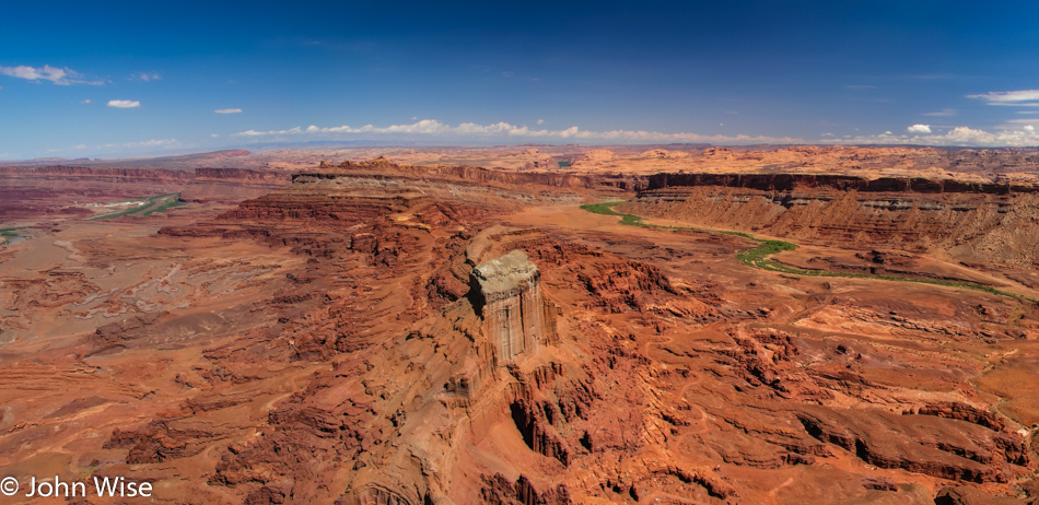
Canyonlands is certainly a relatively unknown treasure, probably because of the difficulty in visiting the place and not having very many services nearby aside from Moab further north. This particular view is from the Anticline Overlook.

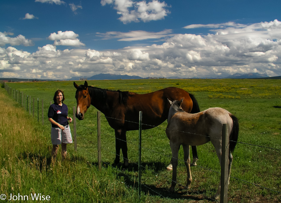
Caroline Wise and Horses in Colorado

Red rock to green grass is the visual indicator that we’ve gone east and are now in Colorado.

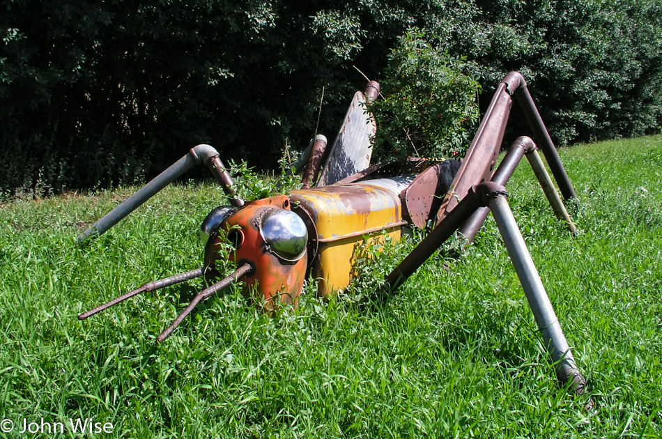
Metal Grasshopper Roadside in Norwood, Colorado

The mutant steel grasshoppers of Norwood, Colorado, are not coming to a town near you because they’ve not been robotized – yet.

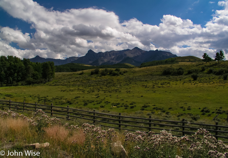
On the road outside Ridgeway, Colorado looking towards Ouray or Telluride

We’ve been to Ouray and Telluride on the other side of those mountains, but this is the first time on this side.

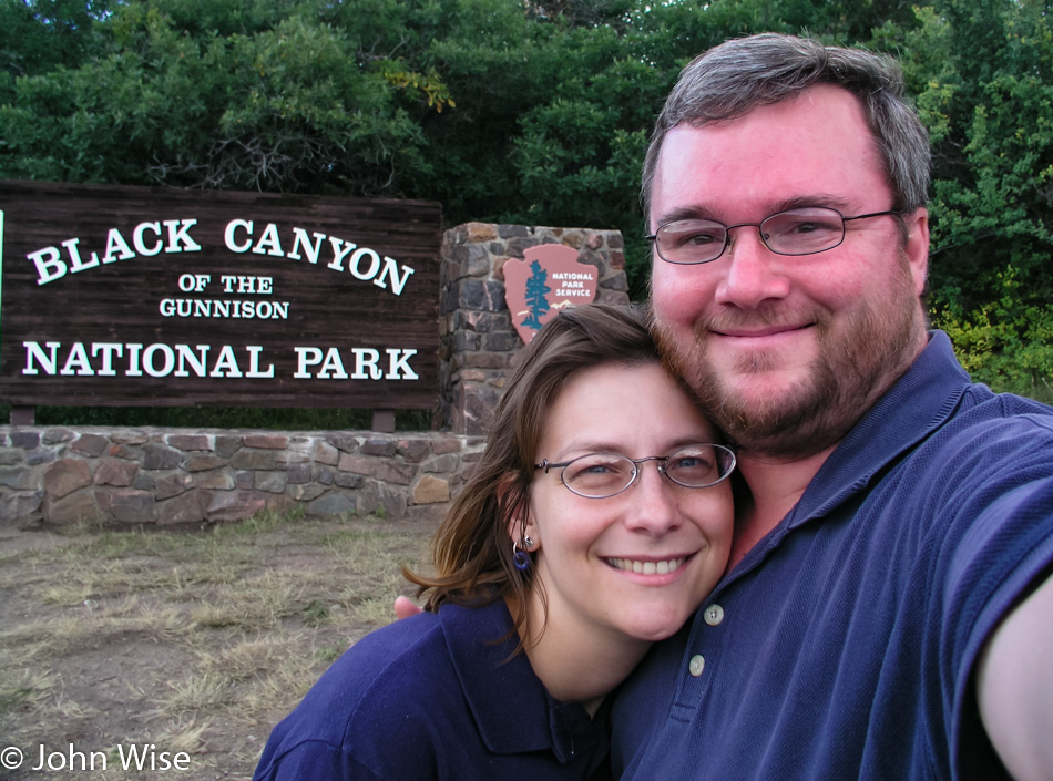
Caroline Wise and John Wise at the Black Canyon of the Gunnison National Park in Colorado

We made it. The Black Canyon of the Gunnison National Park was a bit of a mystery to us as we never heard it referenced. No one has ever told us we should visit, and I can’t think of any movies that featured it as a backdrop, such as Monument Valley which has been used many times.

Black Canyon of the Gunnison National Park in Colorado

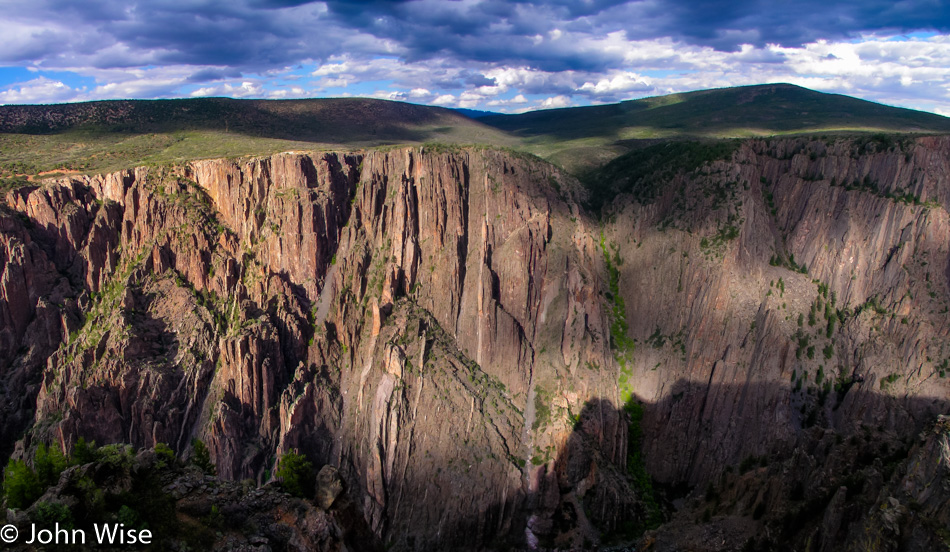
Check out all that metamorphic rock. It’s a curiosity to me that this rock that is over 1.5 billion years old and maybe as striking is the fact that we are at nearly 8,000 feet in elevation (2,400 meters), and these formerly igneous and sedimentary rocks were at one time approximately 8 miles below sea level (12.8 km). Now, here we are, gazing across the canyon at the sloping mountainside that has a gaping chasm torn into it, looking like pasture lands go right up to the edge as though this was opened yesterday.

Black Canyon of the Gunnison National Park in Colorado

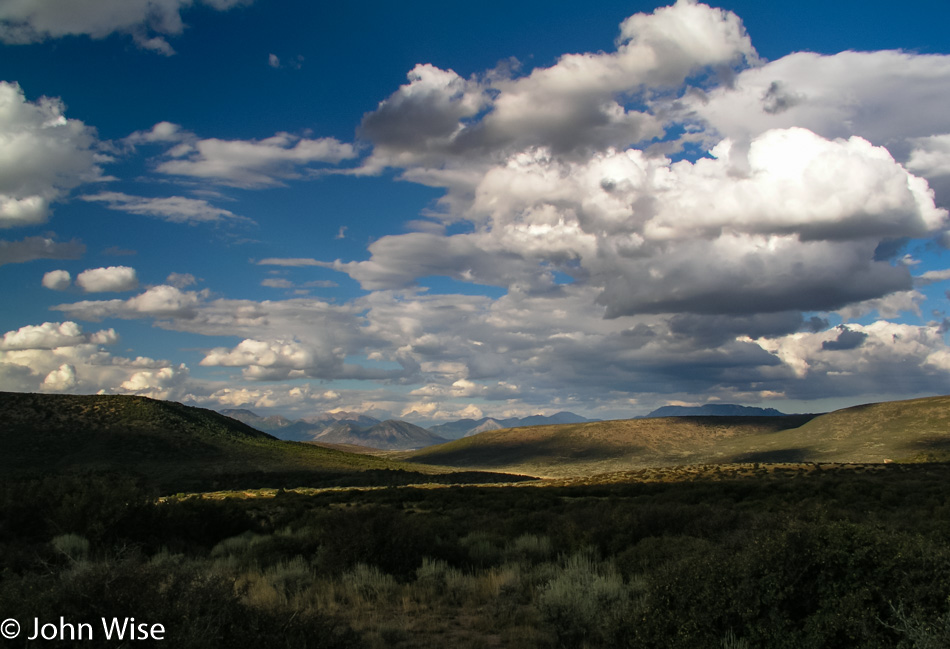
I wonder how many others, when thinking of the Rockies, picture the mountains west of Denver and consider that’s about it. We are still in the Rocky Mountains, although we are 200 miles from Denver. They continue south to the Sangre de Christo Mountains for at least another 250 miles and north towards Toad River, Canada, for another 2,179 miles.

Black Canyon of the Gunnison National Park in Colorado

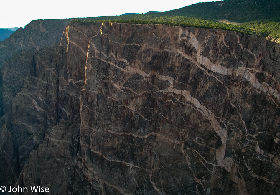
Isn’t that some nice shit? Oops, I mean gneiss and schist. Their story is a romantic entanglement that began long, long ago in a time far away. While they started life as sand, sediment, and volcanic rock, they grew up until, during their long hibernation, under great pressure, the gneiss, hot and cooking away to change its molecular structure, was not as hot and fluid as the schist that was able to flow and cut into the gneiss. Hundreds of millions of years will pass before they reappear for their unveiling as a couple forever intertwined as one until, once again, they return to the sands of time long after we depart from this world.

Caroline Wise standing in the Gunnison River in Colorado

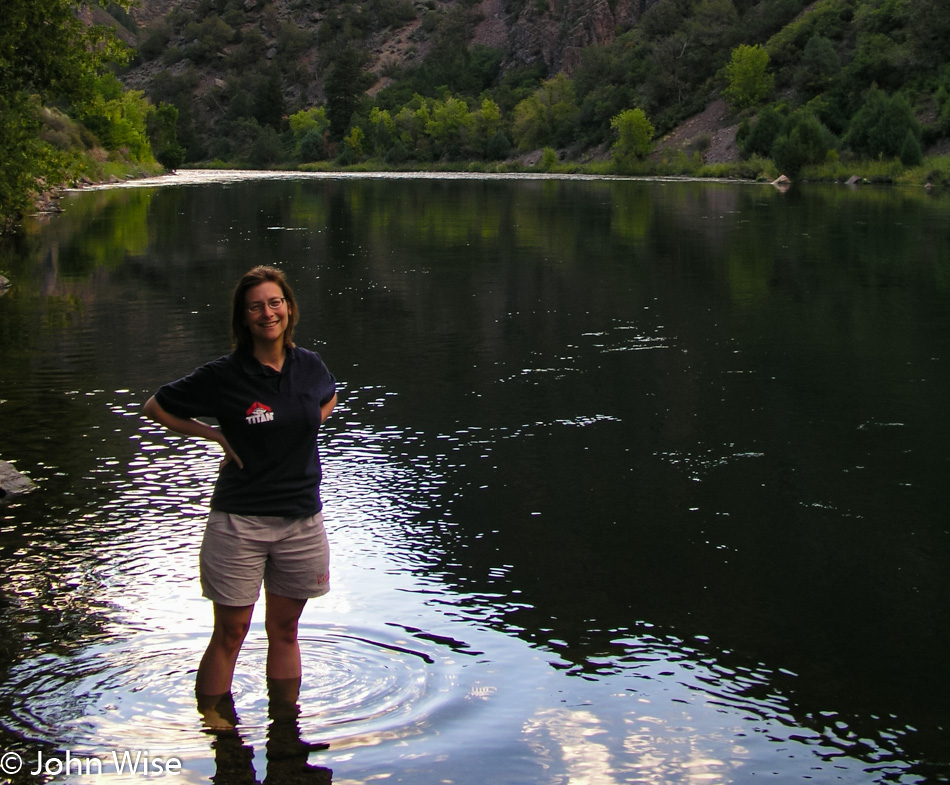
Standing in the Gunnison River because a corner of Winslow, Arizona, is not nearby.

Somewhere near Gunnison, Colorado at Sunset

We are spending the night in Gunnison. Nothing left to report about this day, end of transmission.

Utah to Colorado to New Mexico – Day 1

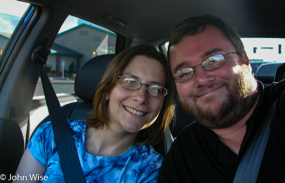
Caroline Wise and John Wise driving to Utah

Oh, you are getting off work early today? I’ve got an idea: let’s drive our new car out somewhere to help break it in. Hmmm, where should we go? How about we go get a steak? Sounds like a plan. Do you think we can make it? Depends on how many stops we make between here and there.

Northern Arizona at sunset

Up north of Flagstaff, it never seems to fail that we see some of the most amazing sunsets and cloud formations.

So, I mentioned a new car. After months and endless loaner cars, the Beetle bit the dust. It will be the last German car we’ll ever own in the United States. We paid $7,000 for a new engine, and before we reached the next corner, the check engine light came on. This is how the next nearly two months played out. The kick in the ass is that Volkswagen had our car at 95,000 miles for a final inspection before the car hit 100,000 miles, and the warranty ran out. VW recommends that the timing belt be changed at 100,000 miles, but we were only at 95,000, and we didn’t specifically request them to change the belt at what we thought was our 100,000-mile check-up. At 107,000 miles, the timing belt slipped and destroyed the engine. Too bad as it was on our onus to ensure we were in compliance with their policies. After half a dozen more times at the dealer, we drove the Beetle over to a Hyundai dealer just to consider a trade-in. The car died again. So we traded it right then and there with a horrible loss that was fortunately rolled into our purchase; that’s right, no more leasing for us and no more Volkswagen or the dealer we leased from.

Mexican Hat Lodge in Mexican Hat, Utah

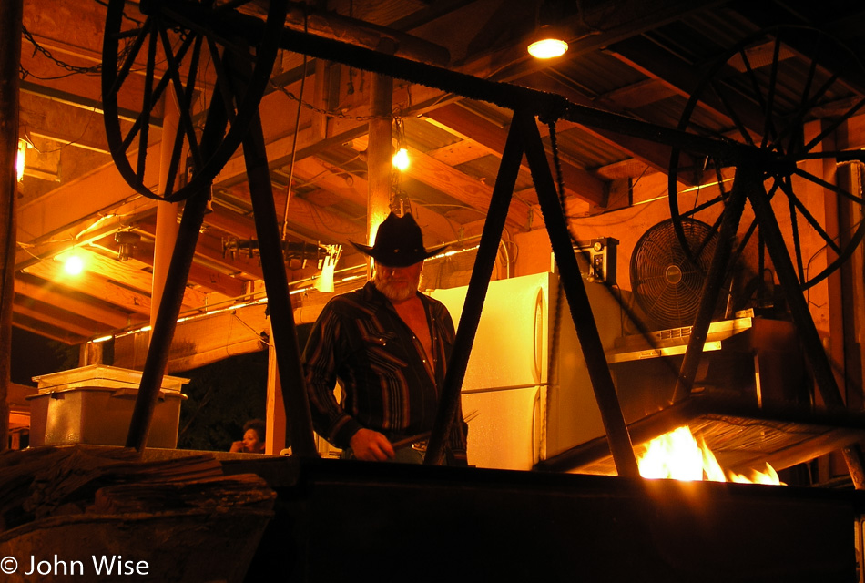
Steaks are on the grill, cooking up over the burning mesquite. The cowboy cooking our dinner has been our cook before, and that swinging grill in front of him is just a small part of the magic that keeps dragging us up to Mexican Hat, Utah. Being in the Valley of the Gods just north of Monument Valley is another part of the allure. Caroline has a beer, and her veggie patty is getting the same treatment as my hunk of cow flesh as we chill out under the Milky Way on a seldom-traveled road, enjoying the beginning of our mini-vacation. BTW we are at the Mexican Hat Lodge again.

Glacier to Yellowstone – Day 5

Sunrise near Green River, Wyoming

Who among us has never seen a sunrise such as this? To be out West in the mountainous terrain of a place away from cities where a slight rise in elevation can offer us views that stretch for nearly 50 miles is a luxury I suppose few will ever experience firsthand. That rareness should stay with us and not be taken for granted; after all, it was only Caroline and me who were in this location at this particular moment where the sun and clouds would only appear to us in this exact configuration and never again in millions of years could this scene ever be duplicated.

Flaming Gorge National Recreation Area in Utah

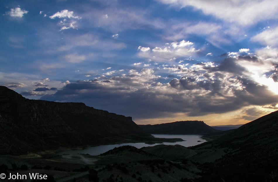
The sun crawls higher, and we drive further south through the Flaming Gorge of Northern Utah. We started the day at 5:30, which means it was only 4:30 in Arizona, where we are headed, but with 860 miles (1,375 km) ahead of us, we’ll need all the psychological help we can find to believe we are getting home at a reasonable hour.

Flaming Gorge National Recreation Area in Utah

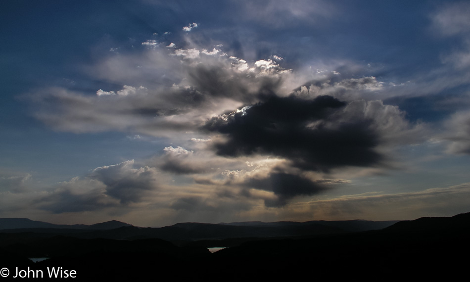
It’s Monday, but it may as well be some anonymous day a couple of hundred thousand years ago where no sign of humanity can be seen across the landscape. No power lines, no contrails, and no skyline in the distance. For a moment, one should find such a place, sit down, and meditate on the idea of being the first human ever to be looking out with the recognition that you might be the first sentient being ever to gaze upon the soil and into the sky with an entire future ahead of yourself and how you might want to shape your path.

Dandelion in Utah

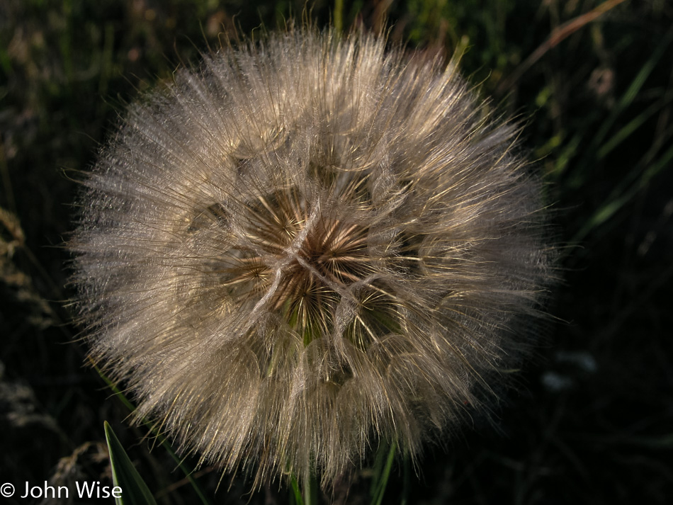
A wish, okay, so it’s a dandelion, and maybe I’m “too old” to play such things, but so what? I wish to see a dinosaur.

Dinosaur National Monument in Utah

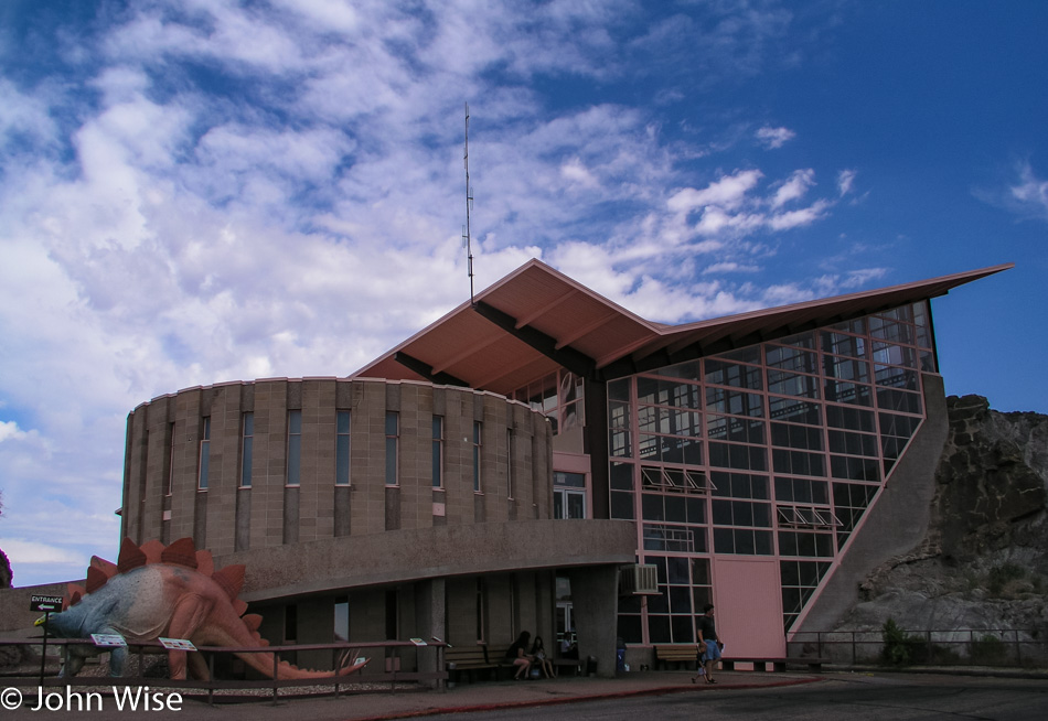
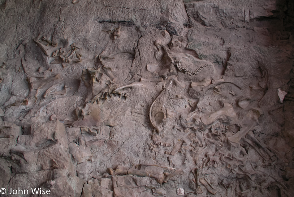
Wish granted here at the Dinosaur National Monument in Utah and Colorado. Millions of years ago, a river ran through the area, and with it, dead dinosaurs would drift downstream to be buried beneath the accumulating sediments.

Dinosaur National Monument in Utah

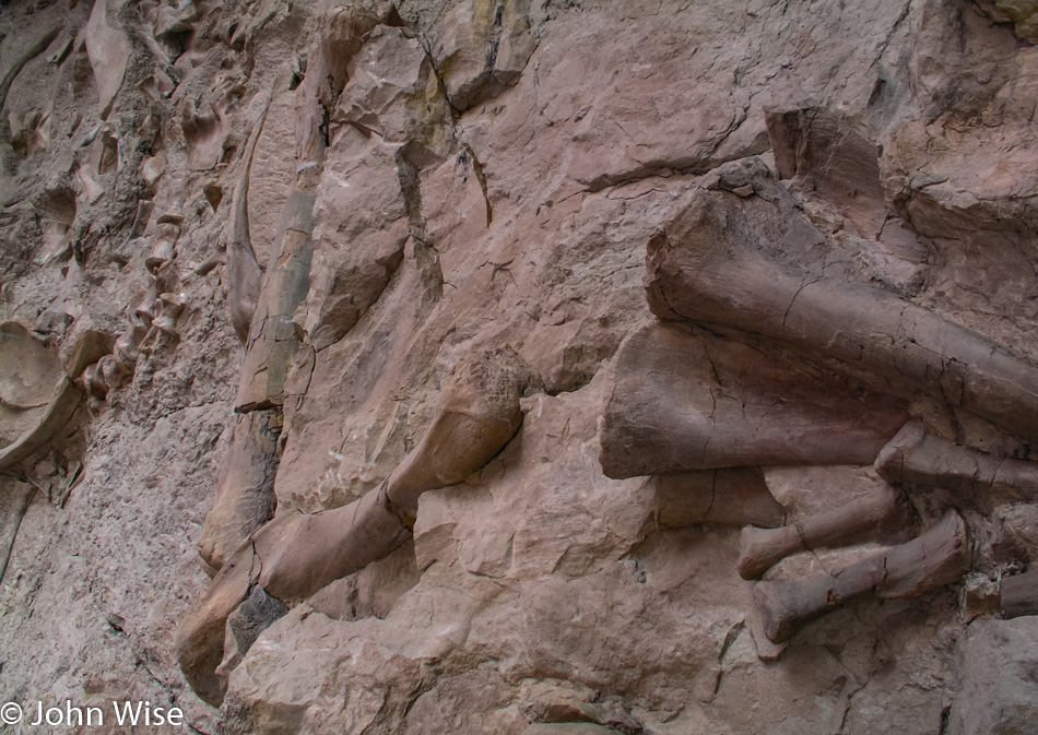
This upturned river bed is the main attraction of the park. Look at the picture above this one, and you can see that the building was placed directly over the riverbed that now sits at a nearly 90-degree angle.

Dinosaur National Monument in Utah

There’s a whole lot of wow factor for kids of all ages who come to gawk at dinosaur bones.

Caroline Wise and John Wise on the Colorado State Line

Because the road isn’t long enough already, we opt for a slight detour through Western Colorado to see what things look like out this way.

Loma, Colorado

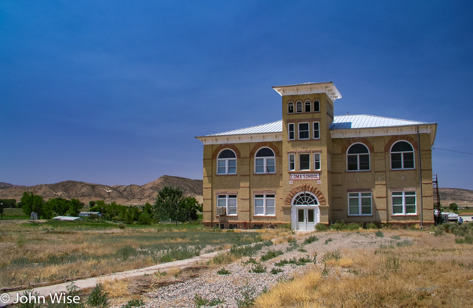
A beautiful old and abandoned school built in the early 1900s. Nothing really significant about it; it was just nice to look at.

Near Moab, Utah on the Colorado River

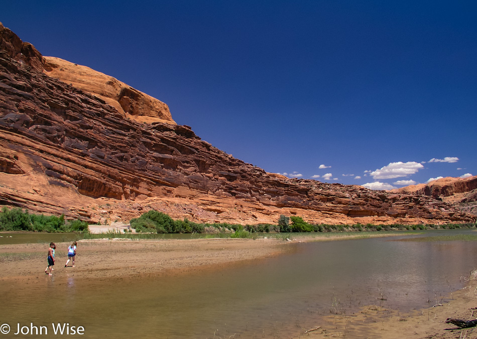
Scenes hinting at getting close to home. These kids are playing on a sandbank in the Colorado River on the outskirts of Moab, Utah.

Hole In The Rock on U.S. Highway 191 in Utah

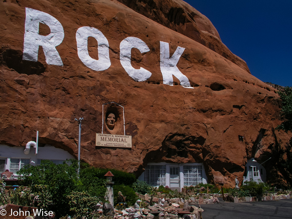
Hole N” The Rock still isn’t being visited, though it was just this past September that I was saying that someday we need to stop here. Maybe next year.

Newspaper Rock State Historical Monument in Utah

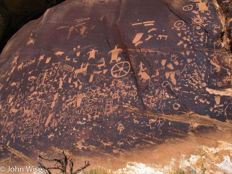
Seems like yesterday that we were here and not three years ago, but it was another September trip into the area back in the year 2000 that we first laid our eyes on this incredible panel of petroglyphs.

Cow Canyon Trading Post in Bluff, Utah

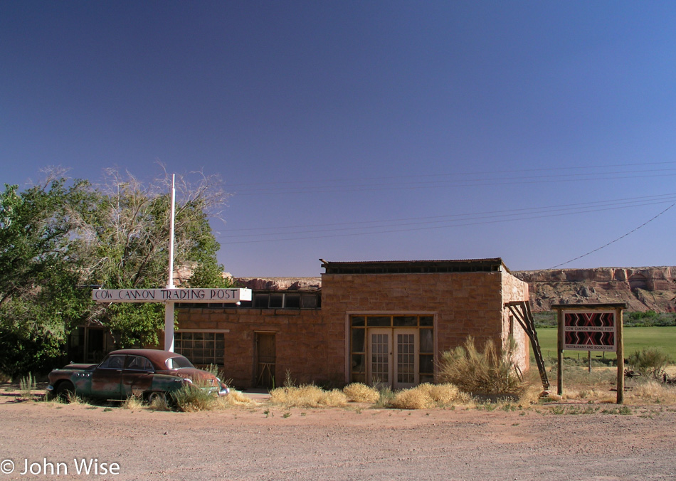
Fond memories of a great dinner will forever stay with us from that night years ago when we stayed in Bluff and walked over for a brilliant Native American meal.

Mexican Hat, Utah

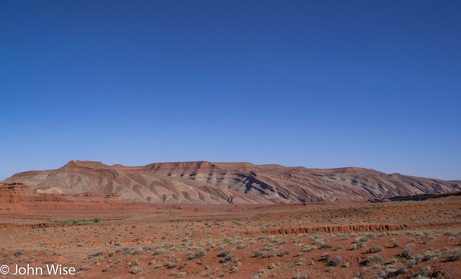
Caroline blurts out, “….the layers” every time we pass this.

Mexican Hat, Utah

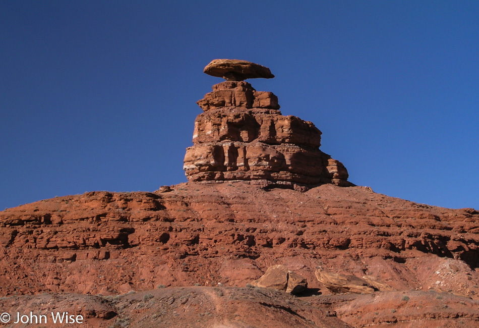
This is why the tiny community of Mexican Hat, Utah, is called Mexican Hat.

Mexican Hat, Utah

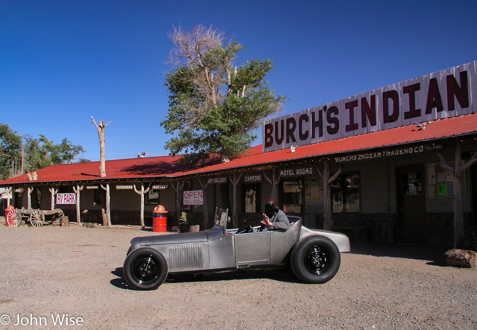
This sight had me thinking “Texas Chainsaw Massacre” thoughts for a moment, but I reassured myself and Caroline that the black cloth draped over his face offered up some protection against the bugs that would otherwise splatter on his face. By the way, we are in Mexican Hat proper, and if the Mexican Hat Lodge swinging BBQ was working at this time of day, I wouldn’t care what time we’d get home; I’d be eating a ribeye right about now.

Monument Valley in Utah on the Arizona border

We are just about to pass back into Arizona to finish our drive home, and this final glance at Monument Valley will be the last photo of the day and of this five-day race to the Canadian border and back. Though we spent a considerable amount of time in the car, we gained thousands of indelible impressions that work to cement our memories of how beautiful the wildlands of this country are. We arrived home an hour before midnight after driving 3,147 miles (5,078 km), dragged what we could upstairs, and instead of falling immediately to sleep, we checked out some of the photos from the trip. This has been a great way to celebrate Independence Day in America.

Glacier to Yellowstone – Day 2

Richfield, Utah

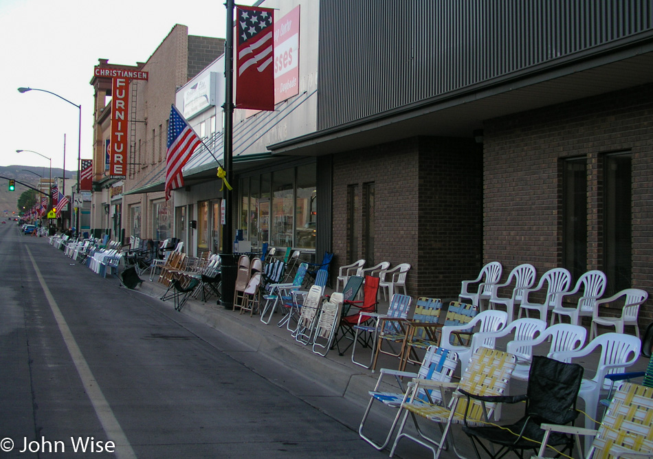
Happy Fourth of July, America! Last night, when we arrived, this small town was not yet asleep as folks were out setting up chairs while food vendors were getting ready for today. The sound of fireworks woke us before our alarm did; somebody must have been testing the setup for the evening’s festivities. It’s only 6:30 when we leave our motel and see that Richfield is ready for the parade scheduled for later in the day. We won’t be around for the celebration, though, as our fireworks are to be found at points north of here. To get there, we break one of our travel rules that stipulates we avoid main highways and we head for Interstate 15, but before we get on this main thoroughfare, we take a beautiful scenic detour on Highway 50 through the nice little farming village of Scipio. Sailing up the 15 at nearly 85 mph we pass Salt Lake City. We are not able to spot a single Starbucks logo from the freeway until I see a Barnes and Noble bookstore in Ogden and we know they always have a coffee shop. Armed with a quad shot venti mocha loaded with 5 or 6 bags of sugar and topped with whipped cream, I’m ready to hit the gas and take this Oldsmobile to the Arctic Circle.
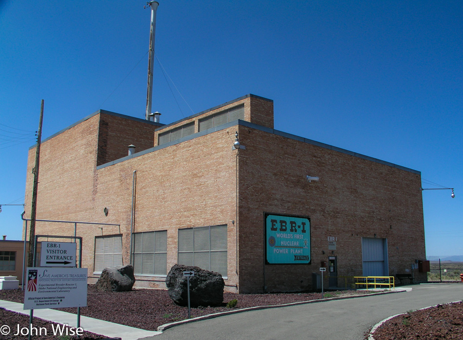
EBR-1 Historical Landmark in Arco, Idaho

It started with the radio fuzzing in and out. We think it might be this Atomic City; then again, it could just be that we are also entering a wilderness area. At Blackfoot, Idaho, we left the Interstate and got on Highway 26 in the direction of Craters of the Moon National Monument. We never made it to the Craters, though, because 20 miles before it, the town of Arco up and attacked our inner geek, demanding that we stop. The world’s first Nuclear Power Plant, called the EBR-1, is open to visitors, and self-guided tours are FREE! Seeing my wife is well past her best years, and that we won’t be producing any offspring with her old eggs, we figure a little radioactive contamination won’t do her any further harm, so we leap at the chance to play with spent or fresh nuclear fuel, we’re not that discerning.
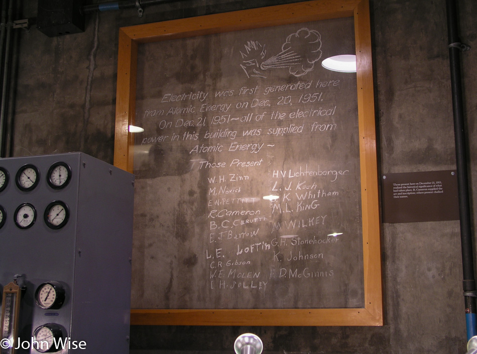
EBR-1 Historical Landmark in Arco, Idaho

Our dreams of playing with glowing fissile material were quickly dashed when we were informed that as part of our entry fee, we would not be offered a souvenir that could be used for powering our own reactor or freaking out people by handing them a rod of uranium-235. Here in Arco, Idaho, we are among the highest density of nuclear reactors on Earth: over 50 of them have been built here. I think I like the town’s first name of Root Hog, more than Arco, but that’s just me. Arco was named after the German inventor Georg von Arco who was also one of the founders of Telefunken, makers of radio vacuum tubes, who was visiting Washington D.C. when the town changed its name. History abounds.
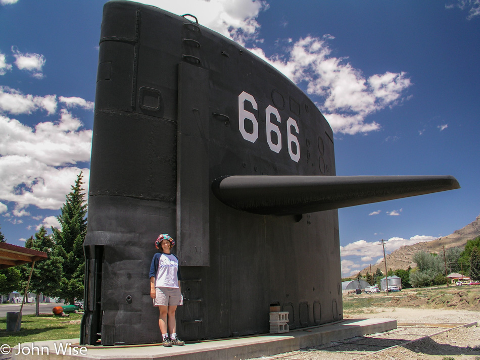
Caroline Wise at the "Sail" of the USS Hawkbill in Arco, Idaho

It’s not every day you expect to find a “sail” from a submarine on a plain in the middle of a continent, especially one marked with the sign of the beast. But that’s exactly what you’ll find in Arco, in addition to a ton of nuclear experimentation. Regarding the satanic reference, a placard offered this from Revelations Chapter 13, “And I stood upon the sand of the sea, and saw a beast rise up out of the sea….Here is wisdom. Let him that hath understanding count the number of the beast: for it is the number of a man; his number is 666.” All of this is in the area that lays claim to fame for having the largest concentration of Nuclear Reactors in the World! We thought the earth opening up next would be a great encore; we didn’t have long to wait.
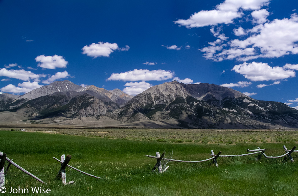
Borah Peak on the left off Interstate 93 in Idaho

On your left in this photo is Borah Peak, which is Idaho’s tallest mountain, standing at 12,662 feet tall or 3,859 meters. Just past this spot was a sign that said something about “Earthquake,” so we turned around to at least read it. It tells us of a crack in the earth caused by an earthquake, and it’s only two miles up the road. Turns out that it’s a washboard road of dirt and gravel where we fly our Oldsmobile at 40 mph, which is okay as we’re in a rental. Back on October 28, 1983, a 6.9 magnitude earthquake at Borah Peak occurred, causing the mountain range to gain 6 inches in elevation while the valley we took the photo from dropped 9 feet (3 meters). The crack before us is proof that, indeed, the earth has opened here, casting doubt on the forethought that went into putting the largest concentration of nuclear reactors in the world just down the road. Oh well, it’s beautiful out here, no time to worry about meltdowns and the earth opening a window into the gates of hell and so we bump back down the road to rejoin the highway.
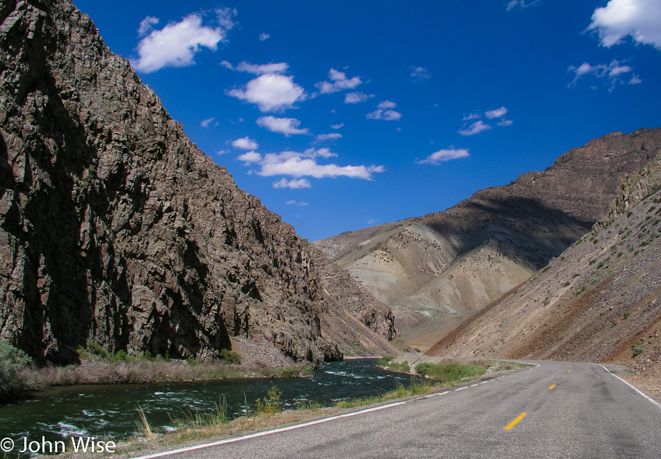
Interstate 93 in Idaho

We’re following the Salmon River on Interstate 93.
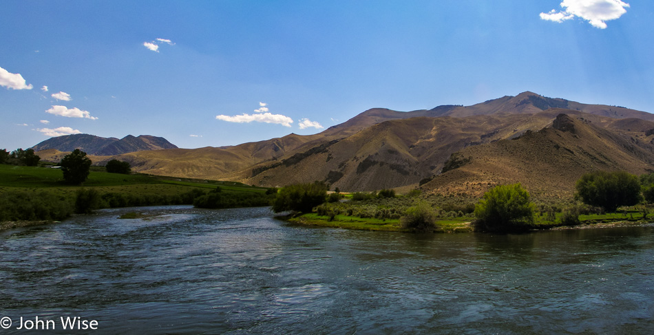
Interstate 93 in Idaho

Since turning off the Interstate hours ago, we get to reflect on the roads and scenery that deliver the reason for us to endure these long road trips. With high mountains surrounding us and green grassy fields in between, the shadows of the clouds paint the landscape for miles before and after us. It’s difficult not to stop and sit by the roadside listening to the birds and the silence that punctuates their songs. These are the places in America where you have to relax for a moment after stepping out from your car to concentrate your breathing so it doesn’t interfere with the quiet we so rarely have the opportunity to experience. The day is beautiful as we hold hands and, from time to time, smile at each other with that knowing glance that we are so incredibly lucky to be experiencing this moment.
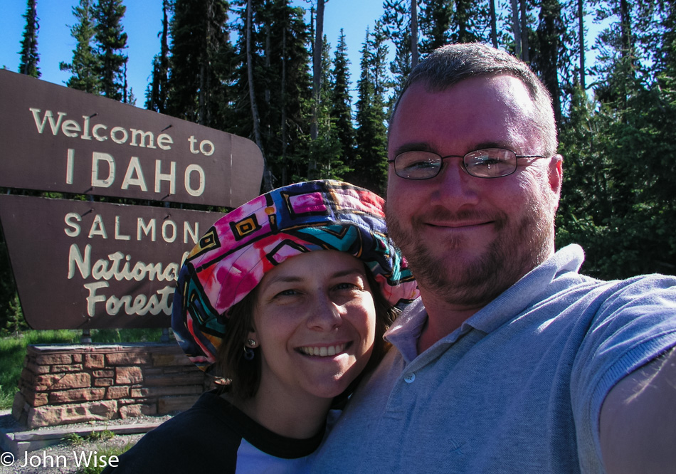
Caroline Wise and John Wise on the Idaho and Montana State Line

We are on the Chief Joseph Pass as we approach Montana, where we will stop for the obligatory selfie in front of the state sign. We had missed the Idaho sign earlier in the day, so we needed to get that out of the way first. Next up, we skip across the street and shoot a photo of us in front of the Montana state sign; this is almost becoming a compulsive disorder. So here we are in the wilderness, nothing but trees and mountains for miles and miles, sitting in the mountain air at 7014 feet when to my overwhelming surprise, we meet a couple roadside with a little wood cart they’ve hauled up here. Relaxing in lawn chairs under the trees, this husband and wife team are hawking beef jerky, not actually hawking as that would imply some level of work; they are sitting here waiting for whoever might pass over these mountains.

Turns out we don’t have enough cash for a package, and obviously, at this altitude on a remote stretch of road, they don’t accept credit cards, so we swap the little cash we have and a couple of grapefruits we had stowed in our ice chest. This is one of the great pleasures of road-tripping; how often have you met a couple sitting in the forest on lawn chairs selling jerky halfway through a transcontinental flight?
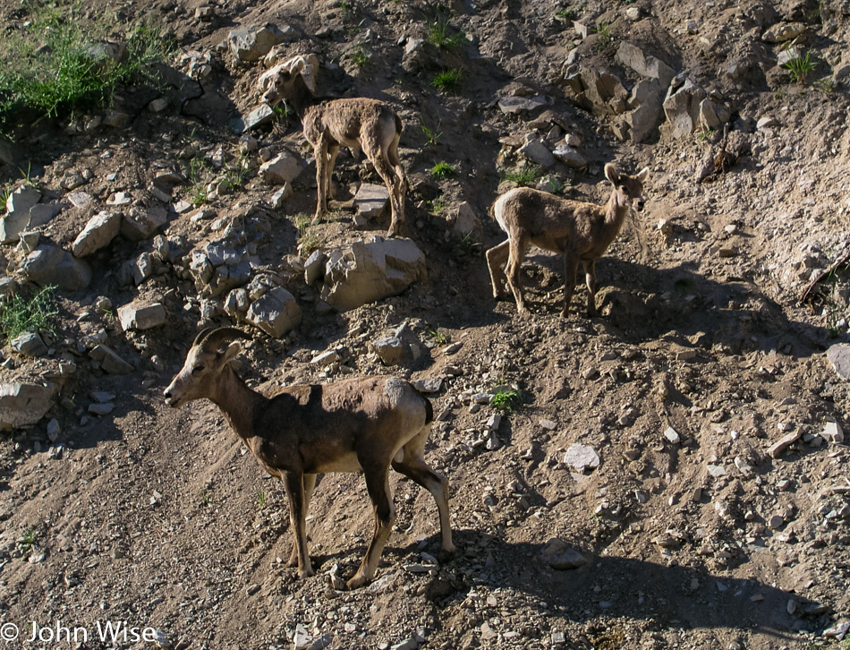
Big Horn Sheep off Interstate 93 in Montana

From the crest where we had our jerky encounter, the road begins its descent, and before you can blink an eye, we are making a near emergency stop on the side of the road, as a bighorn sheep herd with about 30 animals is meandering next to and across the road. As it’s early summer, the lambs are out with their parents, learning the fine art of ledge walking. We sat here right next to these families while the rocks from above tumbled ever closer to the Oldsmobile. After nearly 20 minutes, there are about half a dozen cars now parked with us before we begrudgingly move on.
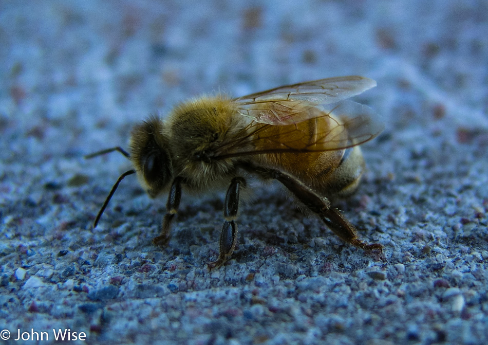
A Bee on Interstate 93 in Montana

This lonely bee looked forlorn, and without a good dusting of pollen, it had us wondering what troubles this poor soul had seen. It just sat there kind of sulking as I approached to take its photo; while I wouldn’t want to be stung by it, it sure was pretty.
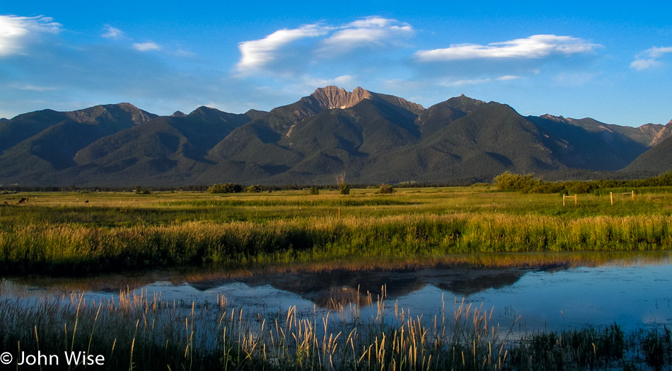
Interstate 93 in Montana

Still on Highway 93, we were passing through lush green valleys and rolling mountains on the way to Missoula when we entered the Flathead Indian Reservation. A roadside pullout invited us to stop at an overview of the gorgeous valley that we learned had been an inland sea after the last ice age scraped the form we see today.

Continuing our way north, we remained on the 93 to Polson, where we met Flathead Lake and the beginning of the evening’s fireworks displays. The road hugs the lake, and from dusk till dark, we wound our way up the road to Kalispell, all the while watching dozens of fireworks displays along the shore. This far north, the sun finally set just past 9:30 p.m., yet we were still seeing remnants of dusk on the far horizon as we pulled into the Blue and White Motel in Kalispell, nearing the 23rd hour of a long day.
North Rim Grand Canyon to Capitol Reef – Day 2

Up and out early for a visit to Capitol Reef National Park.

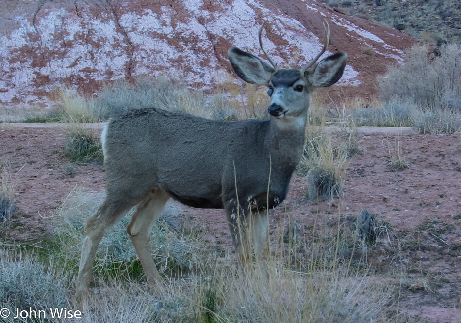
I wish I could tell you what’s on this Mule Deer’s right eye; maybe it’s a mini-satellite tracking device.

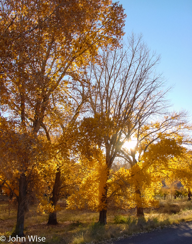
We are seduced by the golden colors of fall glowing in the sunrise. Our positive first impressions of Capitol Reef are already hinting at the need for a follow-up visit.

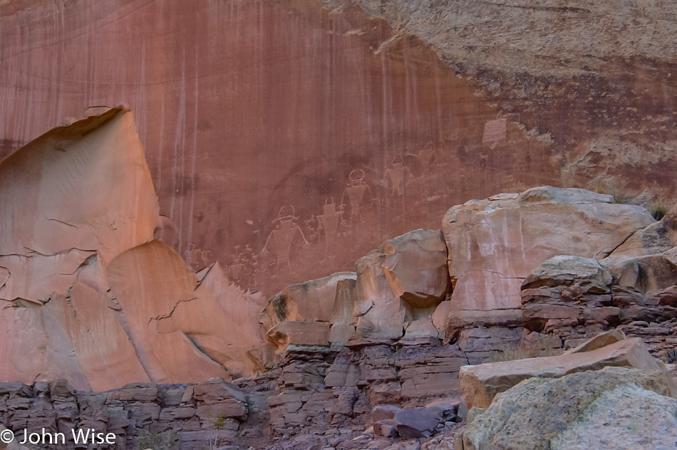
Being suckers for petroglyphs, we add these to the list of stuff we must return for in order to have a fuller picture of the park than our quick tour is going to allow us to have.

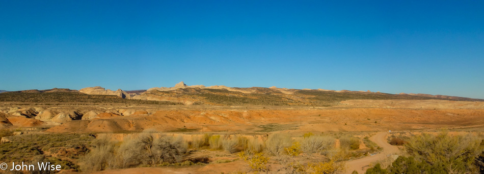
Dirt roads are the paths to quiet riches because where the pavement ends, the crowds remain at bay, not that this place is swarming with visitors today.

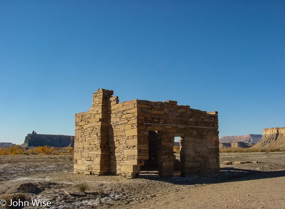
A bit of Chaco cultural influence is at work on this relic of a “modern” building.

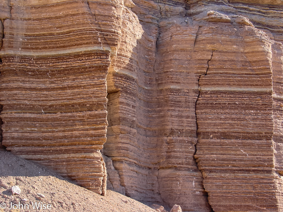
My best guess for what created these multi-colored layers is that this was a floodplain at one time. I think it wasn’t a lake as there are no black layers that would imply plant and fish life that was settling at the bottom, and the layers are seriously almost uniformly thin, so maybe it was quickly disappearing floodwaters that came and went?

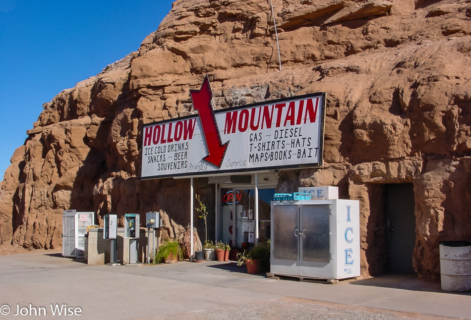
If we are in Hanksville, Utah, this must be the famous Hollow Mountain gas station. We are about to turn off Route 24 for the 95 before taking the 276 to Bullfrog. Where…

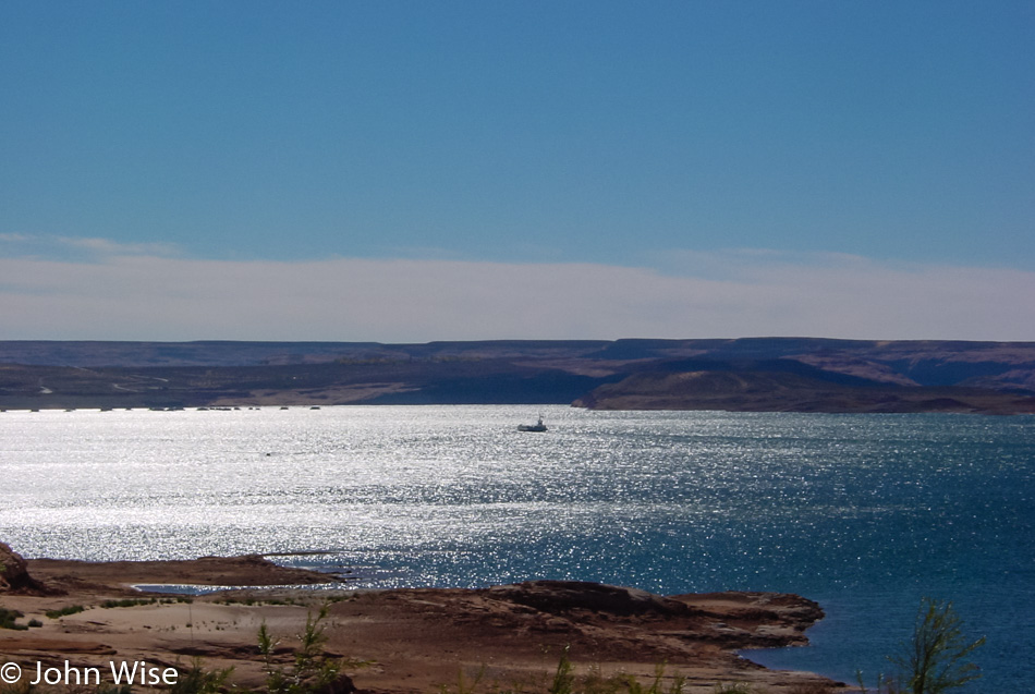
…we were hoping to catch this ferry across Lake Powell. We just missed it by minutes and with almost two hours before the next ferry going in our direction, we opted to drive back towards Hite and take the bridge over the Colorado.

While we will always enjoy a good ferry trip over the water we don’t much mind a stunning drive over the desert either.

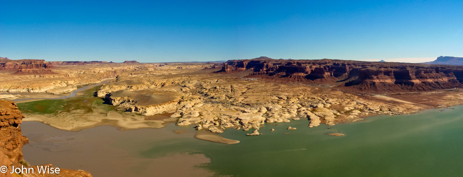
Colorado River flowing into Lake Powell in Utah

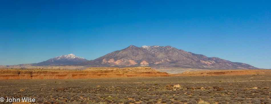
Can you guess just where the Colorado meets the lake?

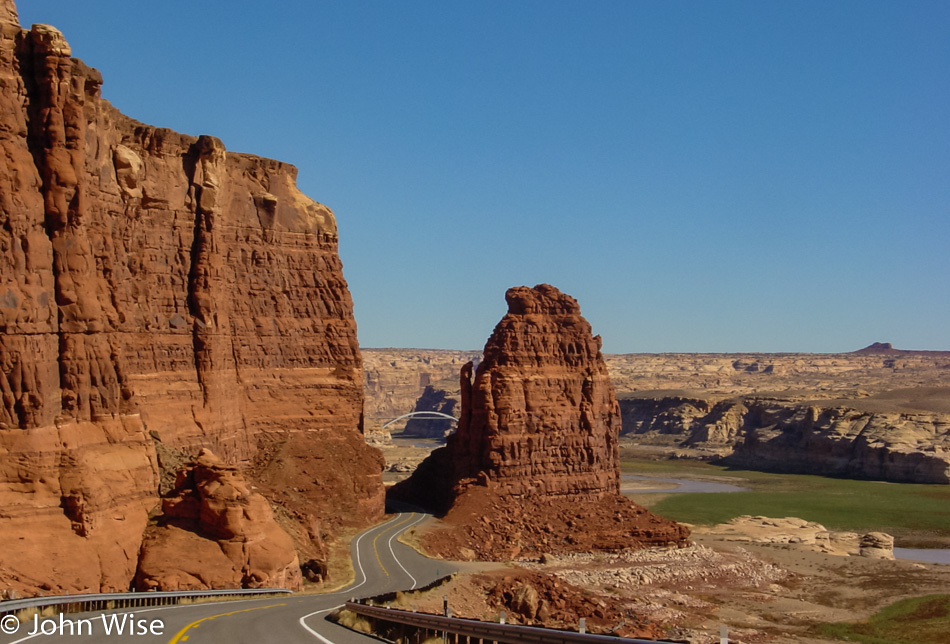
Wow, this is one spectacular approach to a bridge.

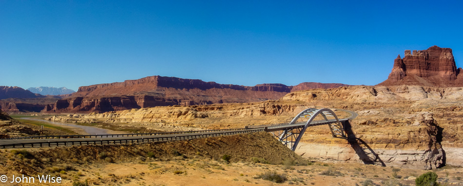
Hite Crossing over the Colorado River in Utah

Back in 1983, Lake Powell was in danger of spilling over the top of the Glen Canyon dam; under the bridge, you can see the bathtub ring the full lake left behind. Matter of fact, besides the ugly tragedy of destroying Glen Canyon by backing up the Colorado River, the water bleaches the sandstone and deposits tons of sediment in the lake, depriving the Colorado River in the Grand Canyon of the kind of river dynamics that made rafting a huge variable. Taming the beast to remove the risk of encountering the wild has been one of humanity’s greatest faults.

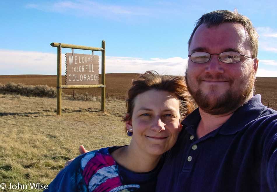
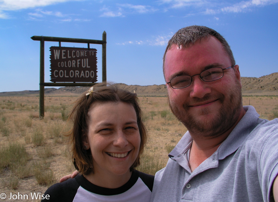
Caroline Wise and John Wise on the Colorado State Line

Why go straight home when you can detour and take in four states in one day? And I don’t mean some short little detour either; we go large and head through Blanding up to Monticello, where we catch Highway 666 so we can drop into Colorado going to Dove Creek. South through Cortez, we continue on the Devil’s Highway, where we can have a meaningful and potentially evil encounter with the Colorful State. Sadly, I have to report that neither Satan nor his minions were found on this day.
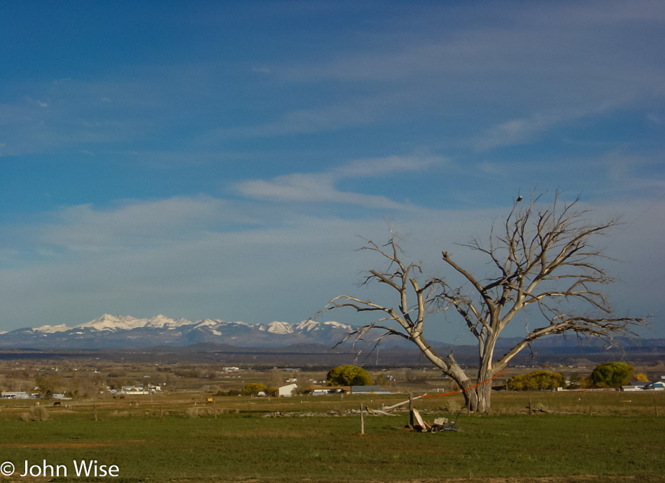
Snow-capped mountains and bald eagles, that’s America.
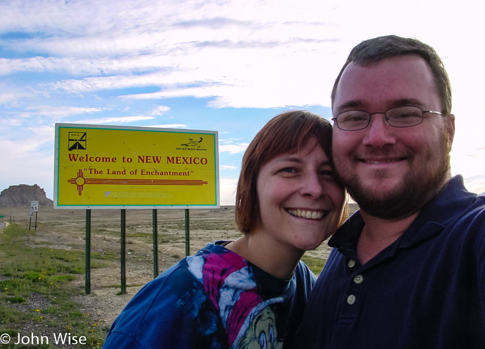
Caroline Wise and John Wise on the New Mexico State Line

Into New Mexico, we are still on Hell’s Highway as we cruise past Shiprock and south to Gallup before turning west for the final drive home on this blistering fast loop out around the Four Corners of the American Southwest.