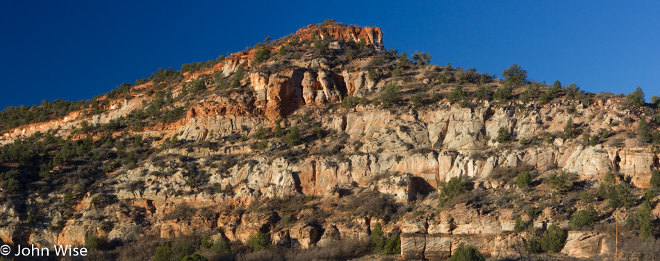
Deep In The Hoodoos

Bryce Canyon National Park in Utah

Nineteen degrees (-7 Celsius) is cold by most people’s measure, but that’s what greeted Brinn and me as we took our things to the car before breakfast, a car frosted over with ice. Lodging, dinner, and breakfast, were nothing of special note unless noting relative mediocrity is worthy, which I suppose with even having written this made it all noteworthy.

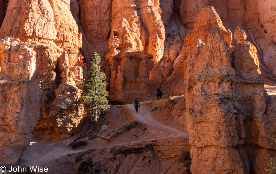
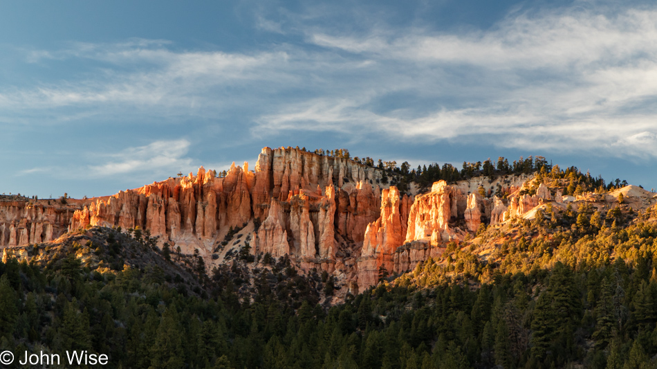
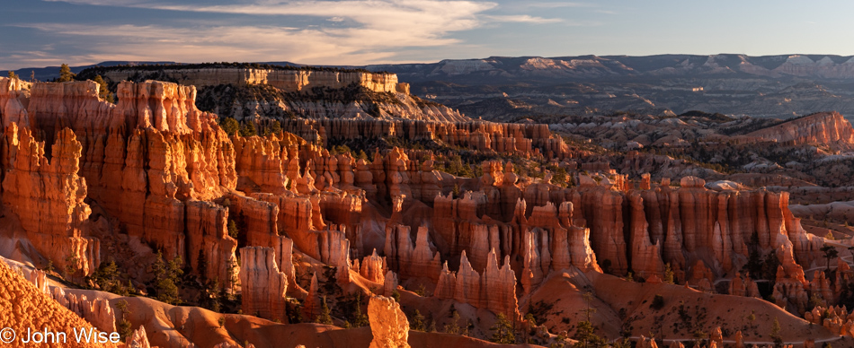
Looking at this overview at Sunset Point on the first steps down the Navajo Loop, it’s easy to be caught breathless by the magnitude of spectacular beauty, and yet the services surrounding this natural phenomenon are heartless utilities of banality built for people of no discernment. I do not mean to imply that I want to see 5-star luxury and Michelin-starred restaurants, but what is here is a testament to the fact that people with low expectations stay in the area. What’s missing? Reasonably priced glamping, cabins with barbecues along with a nearby grocery trading in at least a few fineries, restaurants that don’t serve the lowest common denominator foods pulled from SAD (Standard American Diet).

I looked into renting an e-bike for a half-day, and WTF? The local rental place wanted $59 for a half-day, which is only $4 cheaper than a 3-day rental up on Rügen Island in Germany, right on the Baltic Sea (the cost for a full-day rental was only $22). Also, the battery range for e-bikes in Germany (we also rented in Frankfurt) is 50 to 62 miles on a charge, while the range for e-bikes at this Bryce location is 25 to 40 miles, and the path from the shop to the park is 17 miles in one direction, so maybe you’ll have enough power for the roundtrip.

Then it dawns on me: only provide mediocre services so the nature of the place appears even more valuable compared to the ridiculous expense and horrid culinary experience had in the nearby town. Okay, enough lament; on with the beauty.
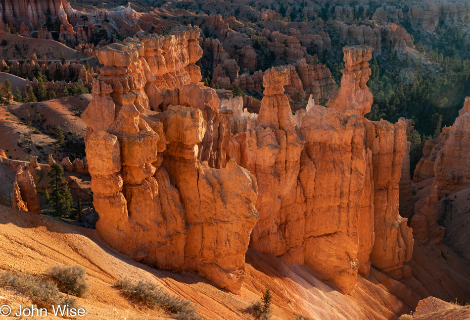
Bryce Canyon National Park in Utah

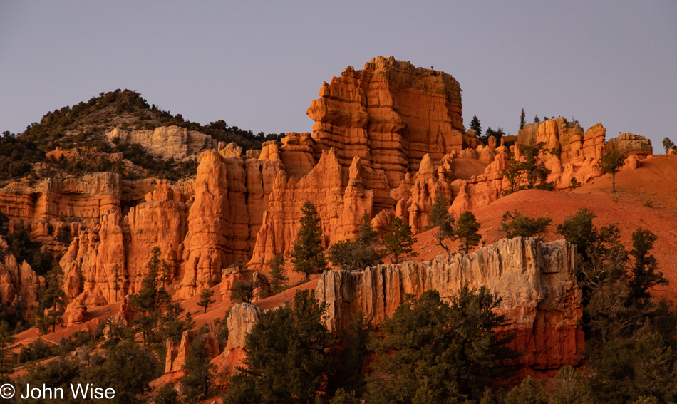
In an instant, the affront to my sense of the aesthetic is washed away like the soil that at one time must have surrounded these hoodoos. Spires, a.k.a. hoodoos, are what we came for, and now was the time to immerse ourselves in amongst them instead of just standing over their grandeur, snapping a few photos, and moving down the road.
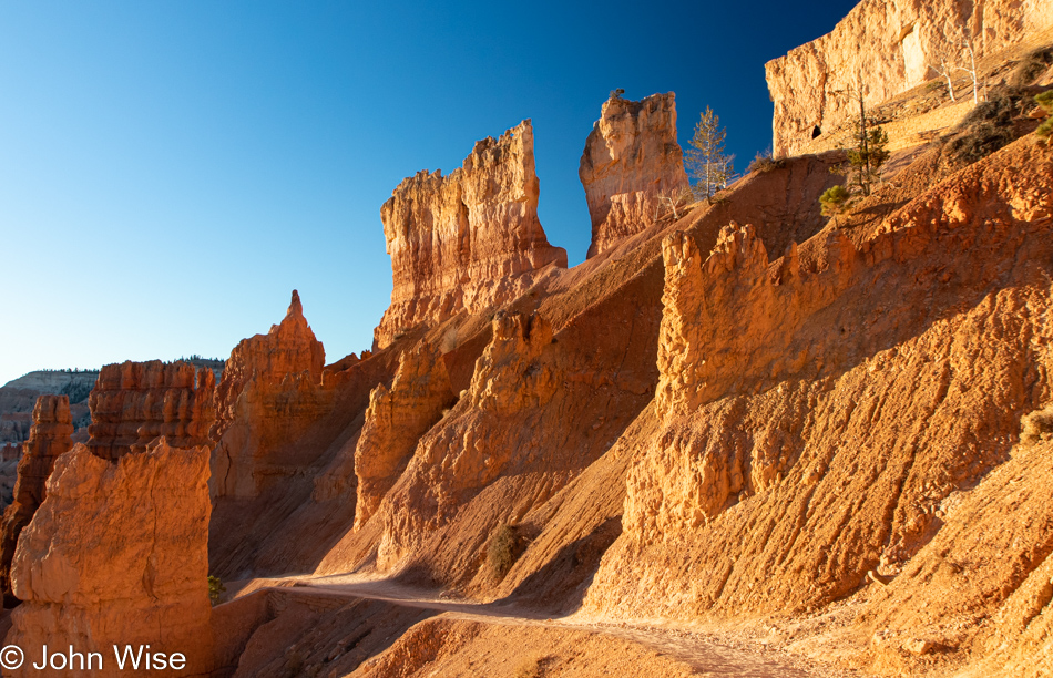
Bryce Canyon National Park in Utah

Half of the Navajo Loop is closed for the season due to the potential for ice covering the trails on Wall Street as that part of the path is known. Well, for me this was a great deal because this meant a new trail for me. On a previous trip, Caroline and I had taken the Wall Street leg of Navajo Loop and continued on the Queens Garden Trail to Sunrise Point.
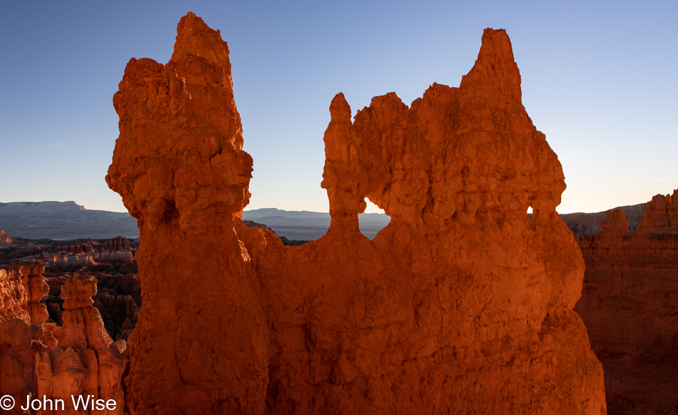
Bryce Canyon National Park in Utah

Little did I realize back on our previous hikes (I believe we’ve done this twice before, but I’m sure Caroline will have the better memory, so look for her note – Nah, I think you’re right – C.) just how different this branch of the trail would appear. It’s immediately and abundantly clear that, after more than a dozen years since our last visit, I must plan a return visit for my wife and me and stay more than a half-day so we can hike the Peek-A-Boo trail we’ve never taken.
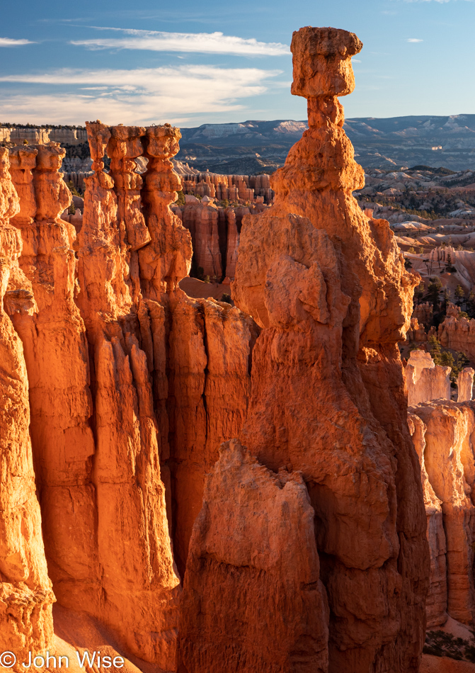
Bryce Canyon National Park in Utah

It falls on my head as though Thor’s Hammer had struck me: because we had taken the other side of the Navajo Trail, we’d only seen this feature from above, and that other side of the trail doesn’t offer anything at all like this view. By the way, this rock feature is known as Thor’s Hammer.

Bryce Canyon National Park in Utah

Also, regarding my head, but also my center of gravity that appears to smack dab in the crack of my torso found at that southerly spot of my backside, my sense of vertigo appears to grow worse with age. The unseen photo down this canyon that is on my right, just out of sight, is a series of steep switchbacks that are triggering this fear of heights.
Bryce Canyon National Park in Utah

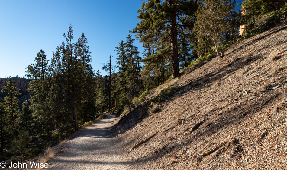
Then, down near the bottom of the trail, it appears that we are on nothing more than a common forest trail. Oh, while verifying a few things for this post, I saw the Fairy Land Loop Trail is the longest trail in the park at 7.8 miles and would seem to imply that I’ll have to carve out an additional day for Caroline and me if we are to include that one too. If we were to wait another dozen or more years to return to this park, I’d have just hit my  70s, and I can’t be all that certain I’d be able to knock that out. Do things while you can is my motto, all the things!
Bryce Canyon National Park in Utah

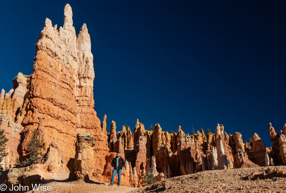
See human for scale!

Bryce Canyon National Park in Utah

And before you know it, we are on our way out. Sadly, this is not a ride at Disneyland with some people mover ready to carry us back up the 47 stories it’ll take to reach the rim again. Come to think about it; I’m happy this is not owned by Disneyland with rides where the masses could crowd this spectacle of nature with minimal effort.
Bryce Canyon National Park in Utah

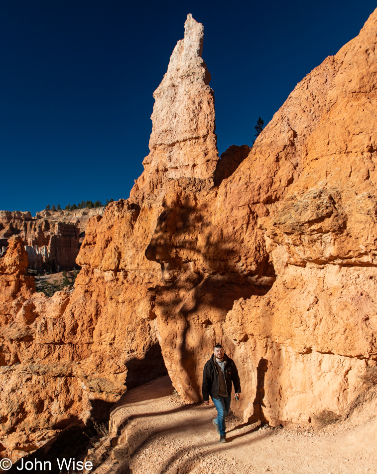
Not the best photo of Brinn I’ve taken, but it’s certainly the best I’ve ever taken that includes his shadow.
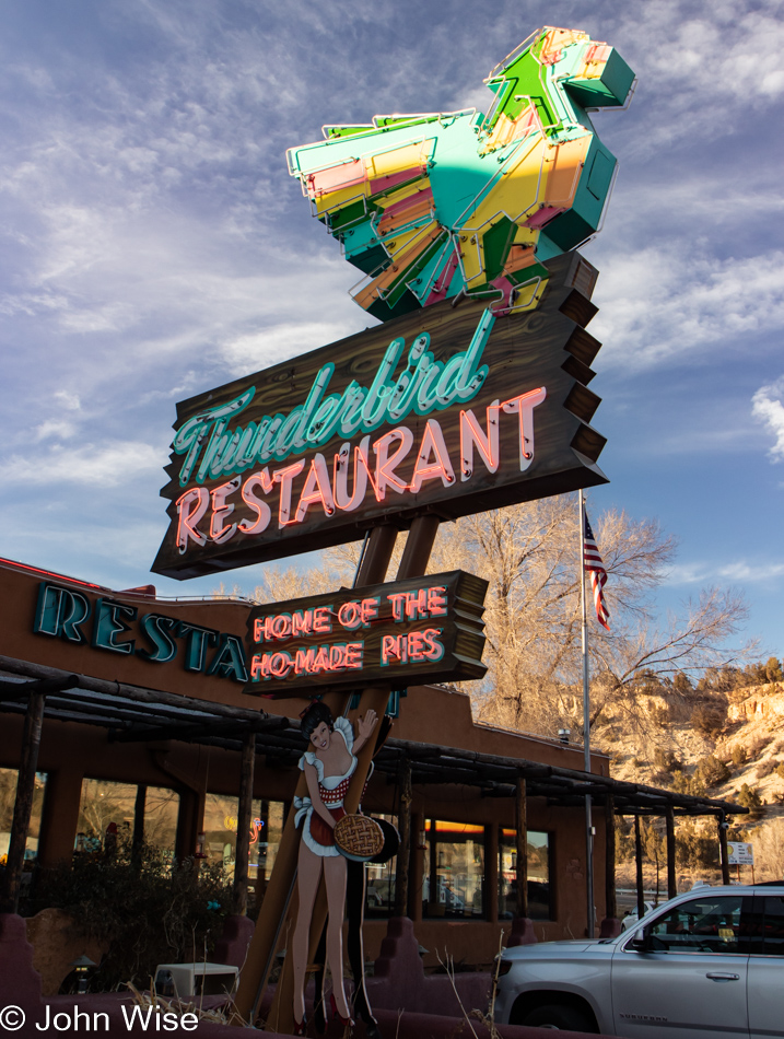
By the time we were getting off the trail, all we could do was drive, drive, drive, as we were looking to get back to Phoenix earlier rather than later. Okay, we did stop for a slice of pie at that “Ho-Made” joint called Thunderbird Restaurant at Mt. Carmel Junction in southern Utah, but after lunch, we were in agreement that pie would have to wait for a future visit, which is just as well as Brinn was here with me, not the person he’s in love with and of course I wasn’t here with Caroline so his pie experience will have to wait.

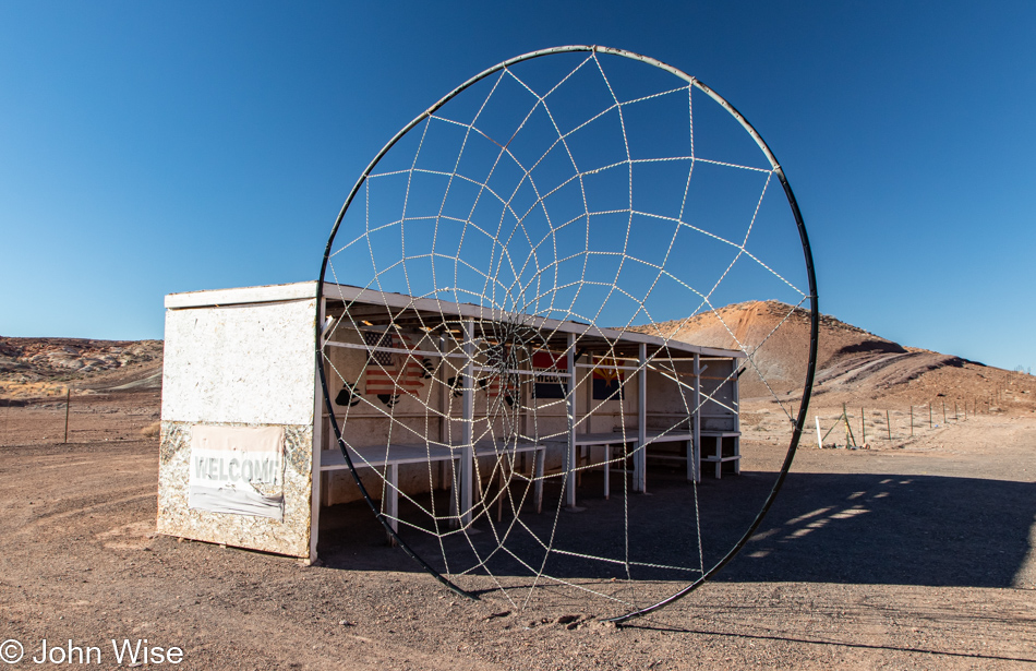
Sure, we were in a hurry, but could I really skip taking any photos on the way home? Nope, and so the world’s largest dream catcher is my stand-in for representing our path back to Phoenix, which is the same route we just took yesterday on our way up.

This concludes our quick two-day jaunt covering 900 miles of sightseeing and Brinn’s first-ever visit to Utah.

North To Utah As Alaska Is Too Far

The day starts like any other day on the streets of Phoenix, Arizona. Shortly after 5:30 in the morning, Caroline and I find ourselves checking out the Christmas lights. We won’t have a lot of time to dawdle as after the sun rises, one of us will be staying home, and the other of us will be heading up the road to Utah, as why not?

Brinn shows up on time, but before we start the endurance test of our butts, backs, and hips, we have to stop in at King Coffee, a regular stop for coffee for me and occasionally for Brinn too. This is not King Coffee.

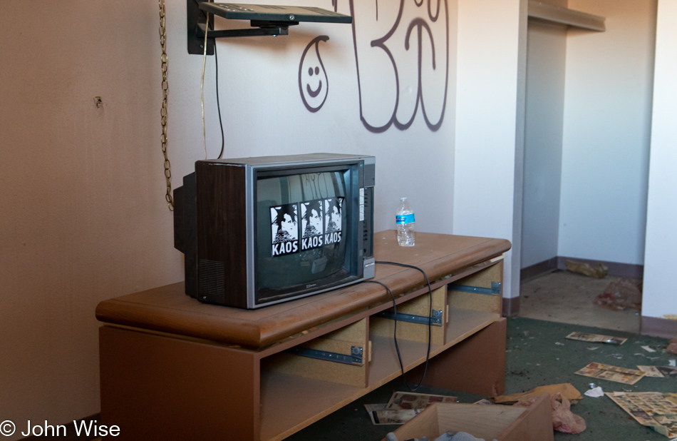
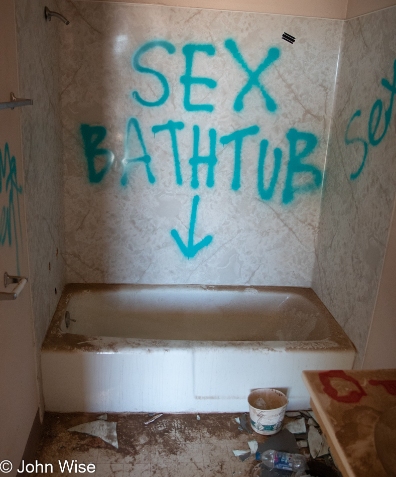
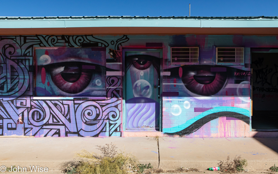
As a matter of fact, we’re no longer anywhere near Phoenix but well north of Flagstaff by this time. An abandoned old motel in Gray Mountain has become a bit of an art project, well, the outside, anyway.

The inside of what remains of this roadside lodge is now questionable at best, sketchy at least, and interesting in some weird way like so many of the rotting remains from another age one finds while driving around America.

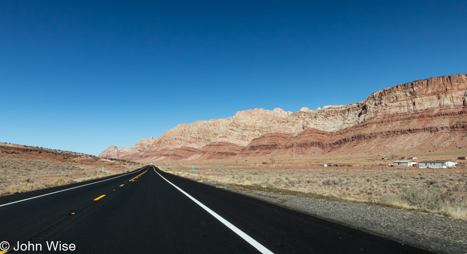
Fresh blacktop slicing a deep black trail across the red and gray desert makes for an interesting contrast, but the poverty up here still retains the same bleak hostility of neglect that economic isolation puts on the population of these native lands.

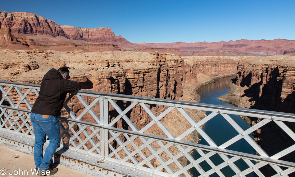
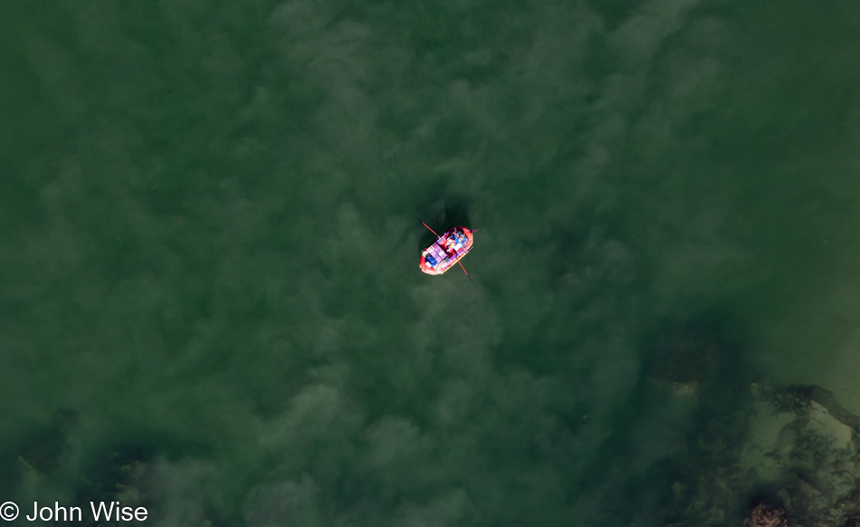
We were able to catch some rafters passing under the Navajo Bridge that crosses the Colorado River here in Northern Arizona. Minutes ago, we were able to watch one condor perched on the girders of the opposite bridge while four others were flying about further downriver. With five of these birds on view and sadly unable to capture an adequate image of these majestic rare birds, I’d like to think that their reintroduction to the Canyon system 25 years ago is looking successful.

I tried yelling down to this private trip of river rafters, but their music was too loud to hear anything else, so I don’t believe they heard me informing them about condors just ahead.

There are people who raft rivers who would look at this photo and know exactly where I’m going next.

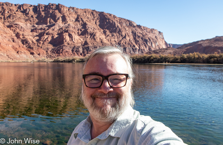
John Wise at Lees Ferry Grand Canyon National Park, Arizona

Yep, Lees Ferry, a.k.a. mile marker zero in the Grand Canyon National Park and the starting point for Colorado River adventures that depart from right here.

Lees Ferry Grand Canyon National Park, Arizona

The first riffle of white water in the Grand Canyon. Eleven years ago, when we first passed over this minor speed bump, from my perspective in the front of a dory, this was as terrifying as anything I could imagine. It turned out that this was nothing compared to what lay ahead. Read about that day starting at THIS LINK.

Our little two-day road trip is taking us up through the Vermillion Cliffs and will have us pass by the shuttered-for-the-season turn-off to the North Rim of the Grand Canyon.

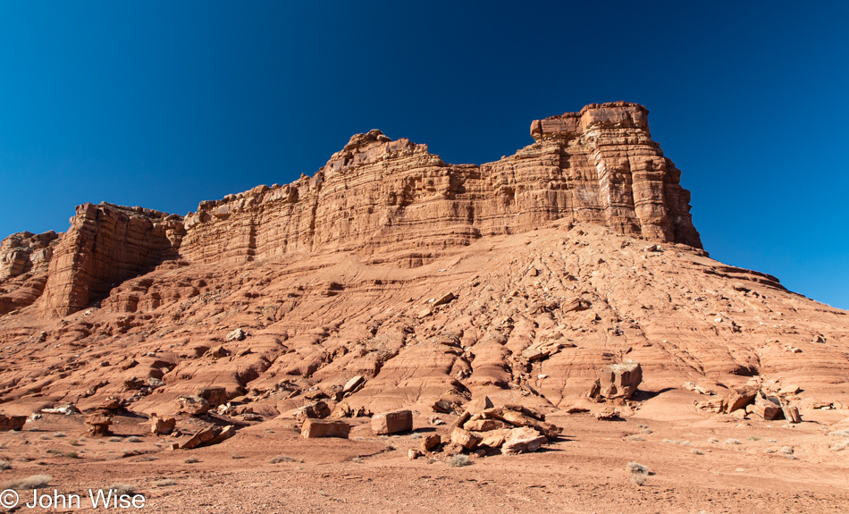
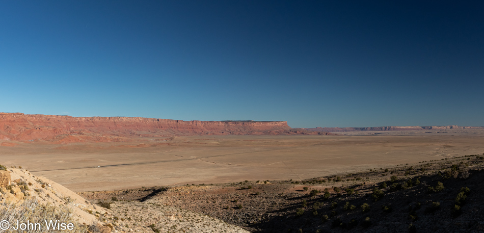
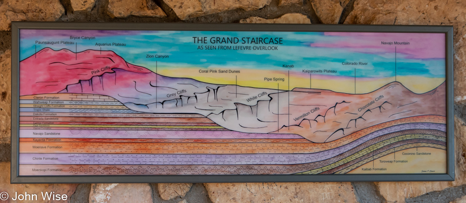
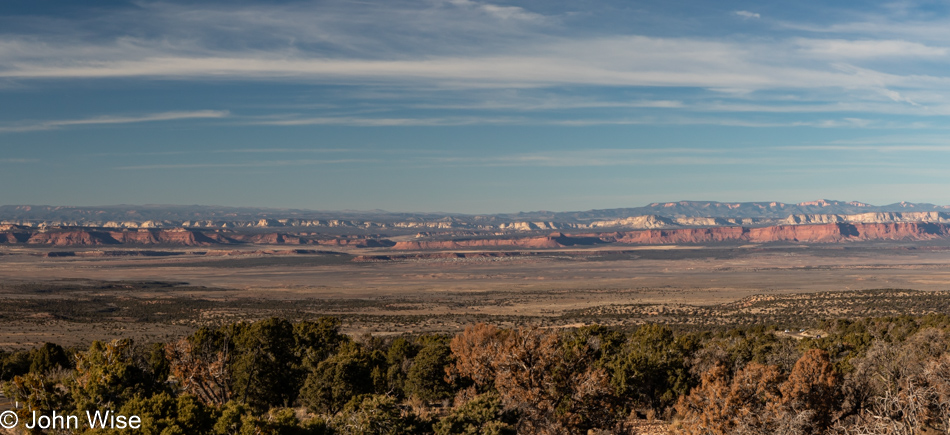
Good thing Lefevre Overlook isn’t popular with influencers yet because when Brinn and I pulled in, there was nobody else here enjoying the view. It wasn’t for lack of traffic as all day we’d been surrounded by those racing to get somewhere fast while this gray-haired old man plodded along, oblivious to how many middle fingers might have been thrown my way. The truth is that I don’t have time to race across the landscape failing to see more than a few of the details as one never knows how often they’ll pass through parts of a country not exactly convenient to visit.

The view from Lefevre Ridge.

Brinn Aaron in Utah

Brinn in Utah. Yesterday, while he and I were out between Superior and Globe down in central Arizona, he’d mentioned Utah a few times, so I had to ask, why? He’d never been to Utah, which was when, after a few minutes of thinking about that, I asked if he’d like to head up this weekend. Obviously, he agreed.
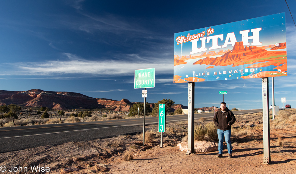
While we didn’t take the opportunity to have some “Ho-Made” pies, we did fill up on gas at the station next door, snapped a photo, and waved to our left as Zion National Park was not on today’s agenda. We are still heading north. According to an old blog post, Caroline and I first passed this place nearly 20 years ago.
Bryce National Park seems to come to mind.

After our stop at the old motel, a half-hour at Navajo Bridge, another half-hour (or so) detouring to Lees Ferry, and lunch at the Marble Canyon Restaurant, the remaining light of day is quickly escaping us.

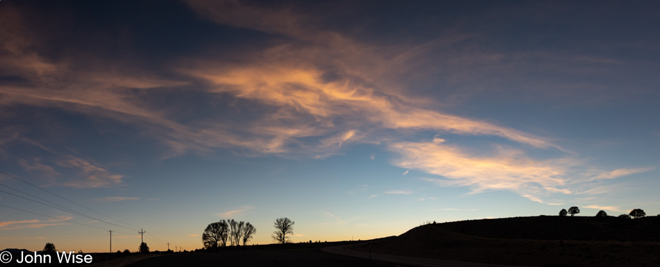
While hints of what was to come tomorrow were able to be gleaned in the last moments of twilight, we arrived in Bryce just outside the national park when it was well dark and getting mighty cold.

Utah to Oregon Road Trip – Day 2

Kanab, Utah early in the morning

Red rock, sandstone, and short scrub in an arid environment mean we are still in the desert, but that doesn’t mean we love the landscape any less. We live out west and have gazed upon scenes like this countless times, and still, we appreciate it as though it was the first time.

Roadside in Kanab, Utah in the early morning

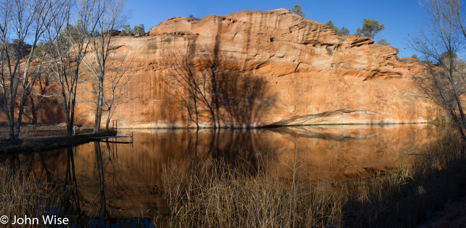
I don’t believe we’ve ever been through here in summer; matter of fact, I think it has almost always been winter as opposed to fall or spring. Why come through this way during the winter months? Quiet and serenity, just like this pond next to the road.

Caroline Wise and the roadside donkey in Glendale, Utah

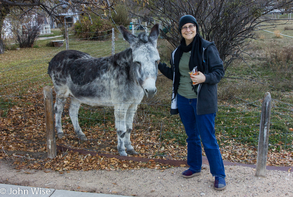
We’ve lost count of how many times we have stopped here in Glendale, Utah, to say hi to this now-old donkey named Maisy. My guess is that we first met her about 20 years ago. By now, we’ve also met her owners, Cloyd and Sherri Brinkerhoff, and when the day comes that this super sweet donkey is no longer in this field, we’ll be truly sad that our visits with her are over. She’s never failed to come over to the fence and bray, which on occasion has made other wanna-be visitors get back in their car and promptly leave.

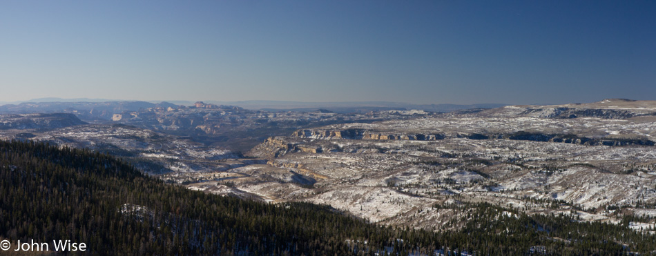
Snow on the horizon somewhere north of Glendale, Utah

While I pointed out that we typically visit in winter, I didn’t let you know that it can be cold out here; really cold.

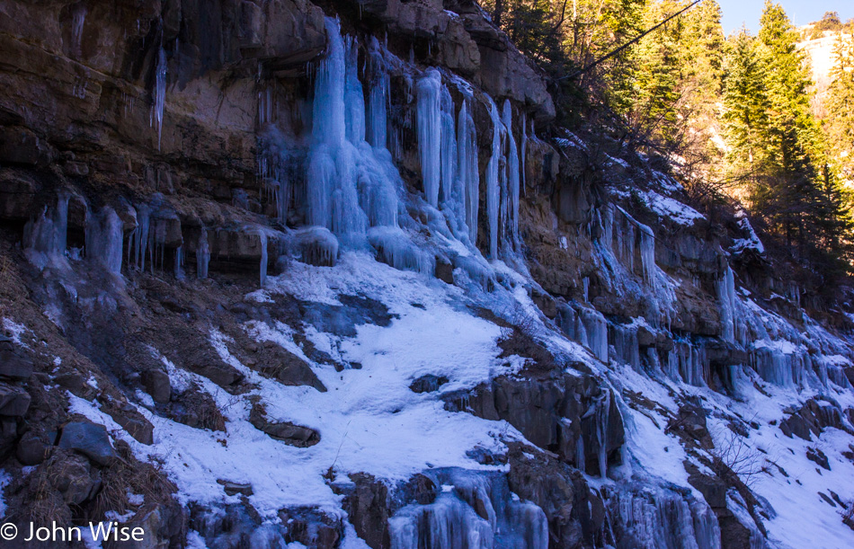
Frozen waterfall next to the road on Highway 89 in Utah

Yep, that cold!

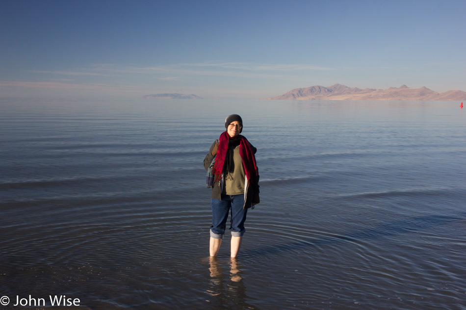
Caroline Wise standing in the Great Salt Lake off Interstate 80 in Utah

Cold, though doesn’t stop Caroline from her first steps into the southern end of the Great Salt Lake. I point out the southern end because there’s a chance she stepped into these salty waters on a previous trip when we visited Antelope Island further north. The weather has obviously been beautiful while we’ve been out on this leg of our road trip, but then again, no matter the weather we always find a silver lining to whatever nature delivers.

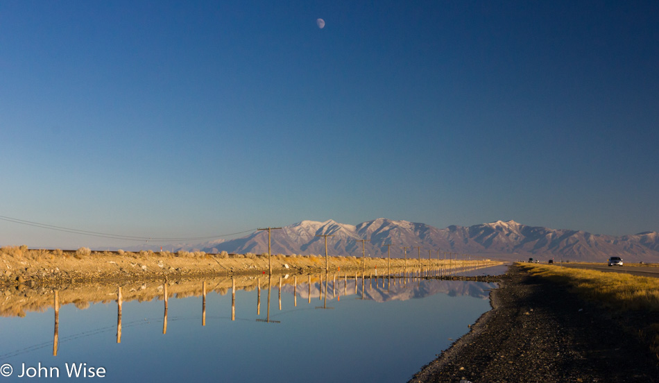
Interstate 80 in Utah

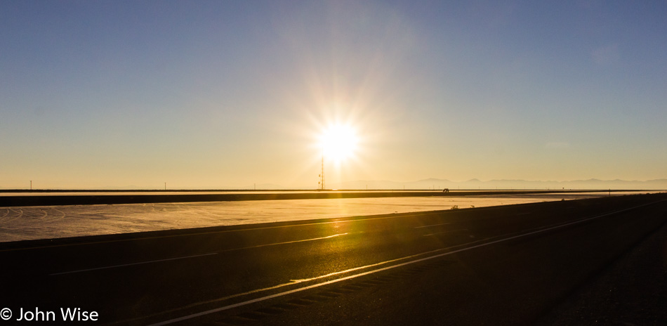
Struck by immense beauty, we are forced to pull over and gawk at the reflections and snowcapped peaks.

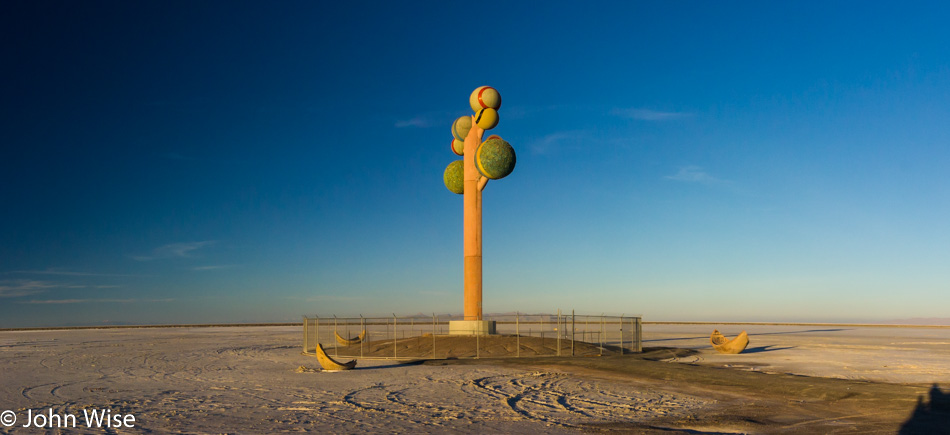
Tree of Utah off Interstate 80 in western Utah

This is Metaphor: Tree of Utah out in the middle of nowhere “growing” in the Bonneville Salt Flats between Aragonite, Utah, and West Wendover, Nevada, off Interstate 80. This sculpture was created by Swedish artist Karl Momen in the 1980s.

Bonneville Salt Flats in western Utah

The Bonneville Salt Flats stretch for miles across a flat, desolate landscape that is spectacular in its asceticism.

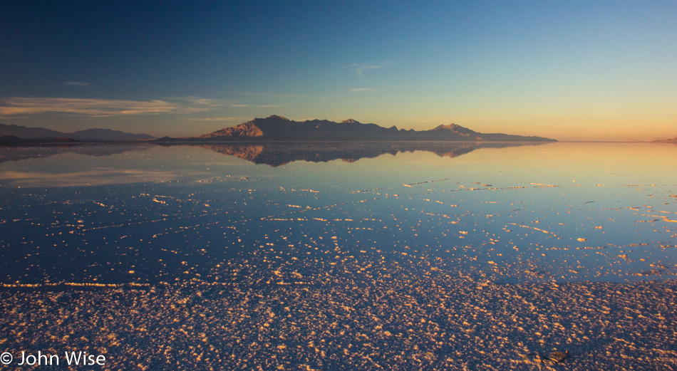
Pooling water on the Bonneville Salt Flats in western Utah

Not a blade of grass, bush, tree, or sign of wildlife was met out here. The salty brine of the pooling water on the salt flat appears to sterilize the environment, although it also seems to welcome the reflection of a kind of beauty not found near other bodies of water.

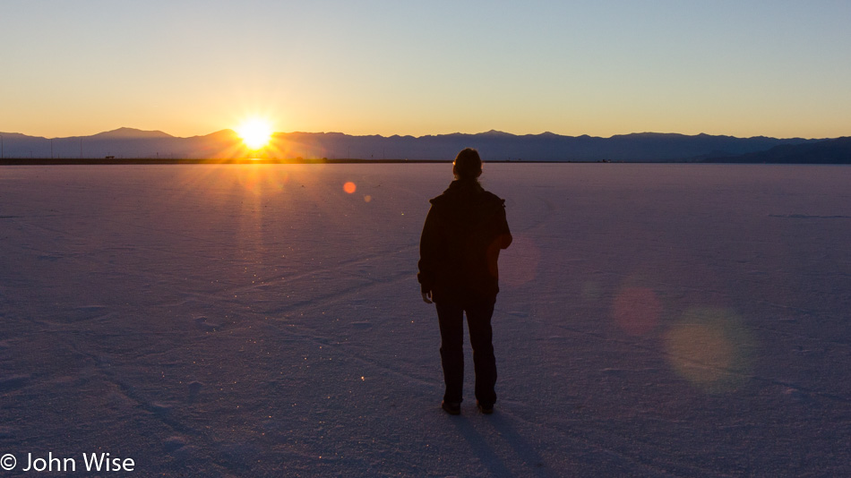
Caroline Wise taking in the last moments of sunlight on the Bonneville Salt Flats in western Utah

While our drives can be lengthy, this one was 503 miles and took all day into the evening; we never forget to stop and gaze at the sights that feel so uncommon to our wandering eyes. Orange and lavender light lifts off the glistening salt, all the while looking like fresh snow as the sun sets once more on this former lake. Fifteen thousand years ago, during the last ice age, the lake that stood here covered nearly a third of Utah and was about the size of Lake Michigan. Now, with the lake evaporated, a salt bed that is nearly five feet thick in places is all that remains.

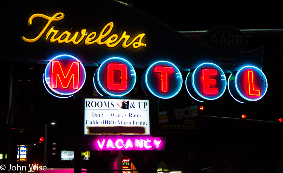
Travelers Motel in Elko, Nevada

You are looking at a large part of the criteria on how we choose motels when we are traveling. Pay attention; I did not say hotel. For those who don’t know the difference, in a hotel, you enter from an interior door, while a motel room, is entered from an exterior door. Consequently, motels are cheaper as they are probably deemed not as safe from those who veer a bit far into paranoia. But it is not the door that helps us choose a place to spend an overnight visit; it is the sign. Caroline has a soft spot for nostalgic neon signs reminiscent of the golden age of travel in the 1960s, so the cheaper the room and more colorful the sign, the greater the chance that we’ll be checking in for the night. Tonight’s stay here at the Travelers Motel is in Elko, Nevada.

Driving Home From The Yampa

John Wise at JB's Restaurant in Vernal, Utah

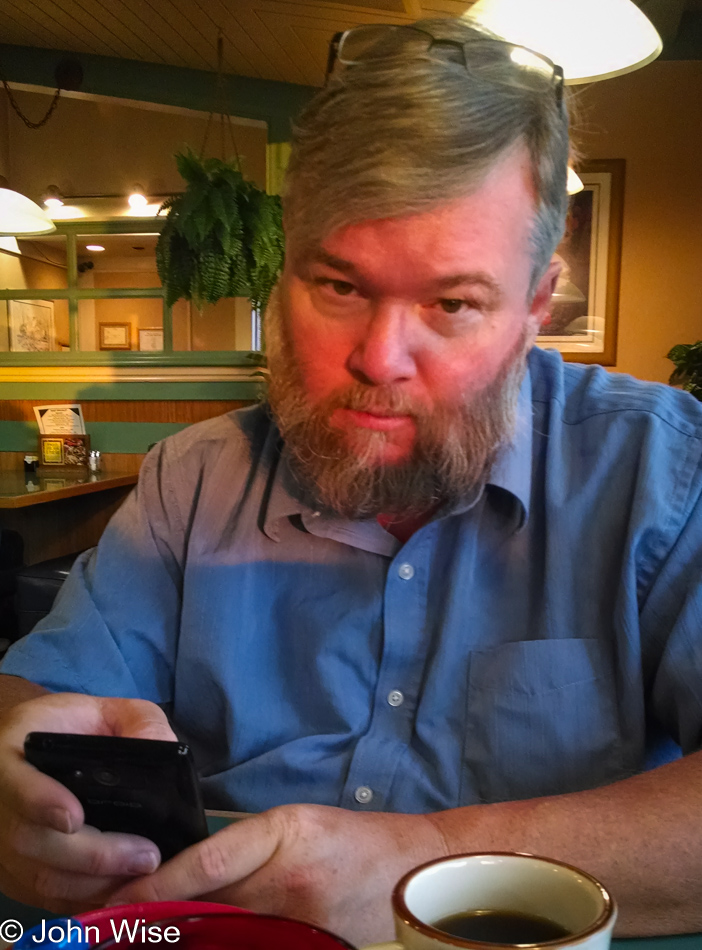
This is my “Really, you want to take my photo 20 minutes after I woke up and haven’t had a sip of coffee yet” face, a face I don’t share often. Considering this long-neglected day isn’t being posted until 2023, I’m guessing no one will ever see it. Yep, this is another of those “Why didn’t I finish posting these images” oversights that took nearly a decade to rectify. So it goes.

JB's Restaurant in Vernal, Utah

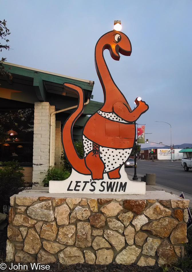
I guess this dinosaur at JB’s Restaurant draws the kids in; well, it worked on us, too, as the promise of seeing female dinosaurs frolicking in bikinis spoke loudly before our sleepy brains kicked in and remembered that dinosaurs are extinct.

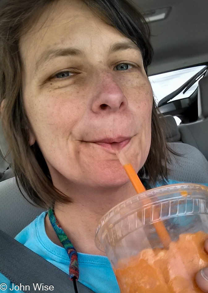
Caroline Wise in Utah

Trying to add this post proves nearly futile as I’ve run aground from the sea of stories and memories that might have conveyed a little something else to share, or maybe I’m just in a hurry to get this written so I can move on to the next task in front of me.

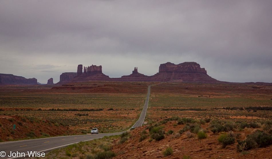
Monument Valley in Utah

Not only am I done after writing something or other about this shot of Monument Valley from here in southern Utah, but from this point, Caroline and I were only about 300 miles from home. I often wonder why I neglect to capture something or other of the scenery on the way home and can only attribute it to the need, the burning urge, to just get home after a trip where we feel that we’ve seen and done enough.

Yampa – Day 5

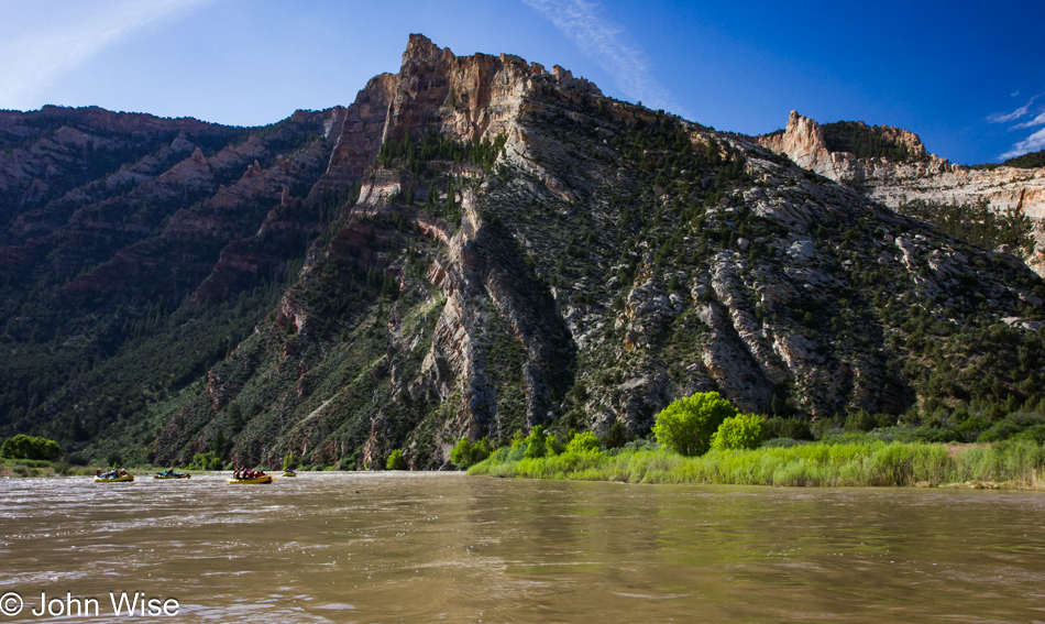
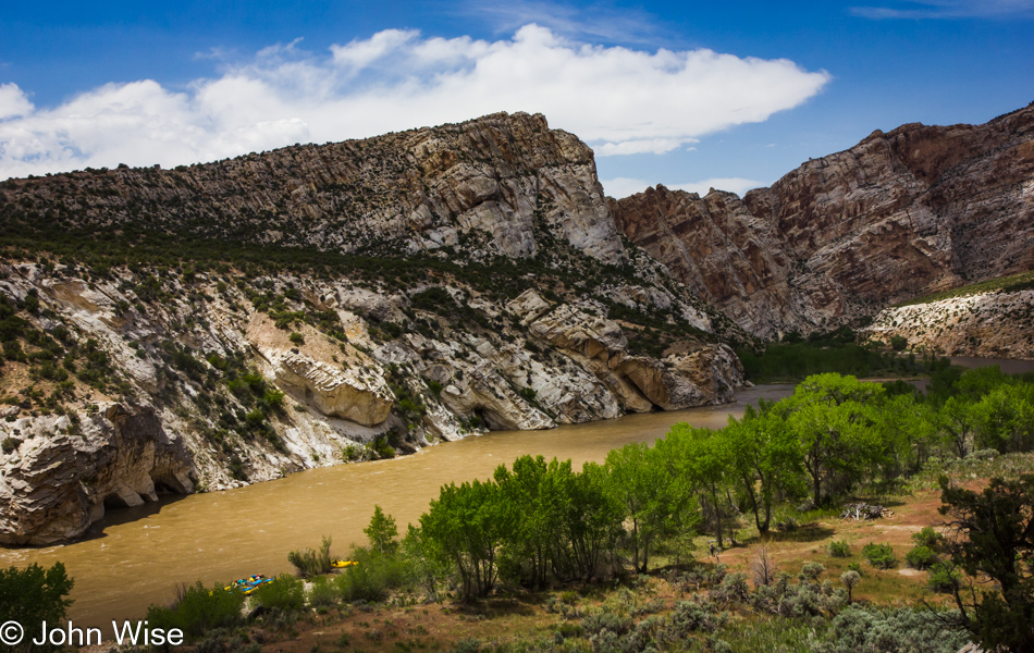
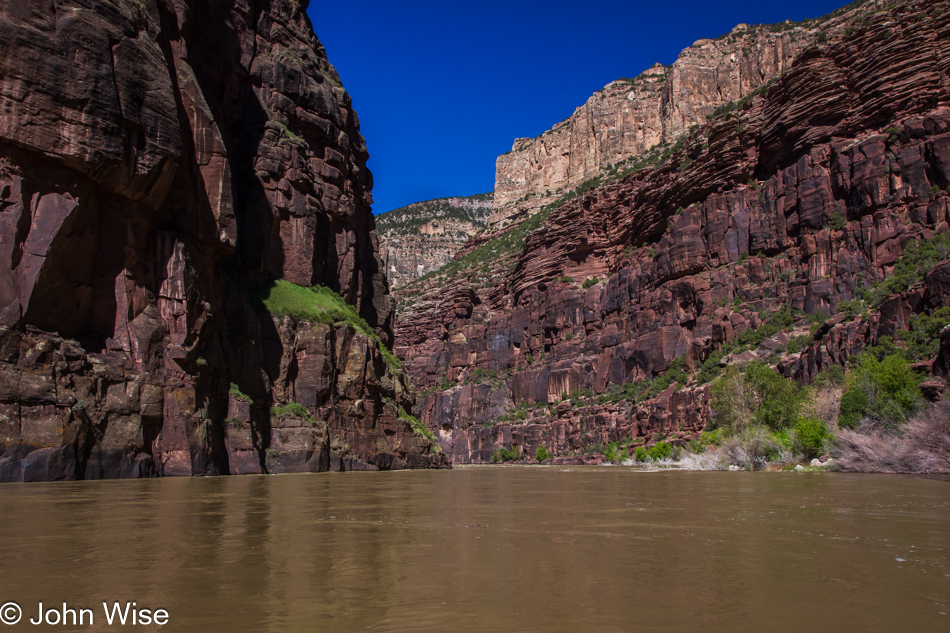
Yampa River in Dinosaur National Monument, Utah

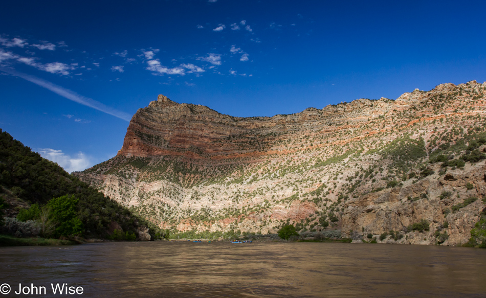
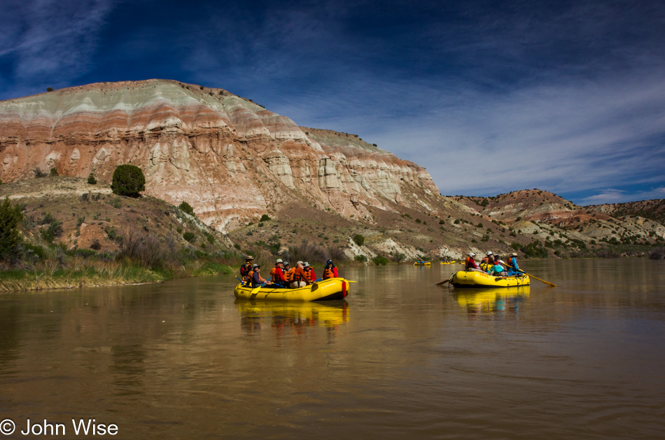
We’ve made it to day 5 of another epic river adventure, well, a mini-epic, as this was our first river trip lasting less than two weeks. While it was wonderful, it was barely enough time to be fully lost in it all. Another great aspect of this brevity is that it means I’m on the last day I need to find something to write about while not having notes and idiotically waited nine years before tackling the last two days of our time on the Yampa and Green Rivers.

Yampa River in Dinosaur National Monument, Utah

Could this be part of the Morgan Formation? I certainly don’t know, and unless I want to go raft the Yampa/Green Rivers again, I may never know, but at least I can take solace in the fact we’ve been immersed in this experience and have seen these things with our very own eyes. If we are in the Morgan Formation, also known as the Round Valley Limestone from the Pennsylvanian period, we’ve been traveling through rock layers that are between about 66 million and 300 million years old.

Petroglyph off the Yampa River in Dinosaur National Monument, Utah

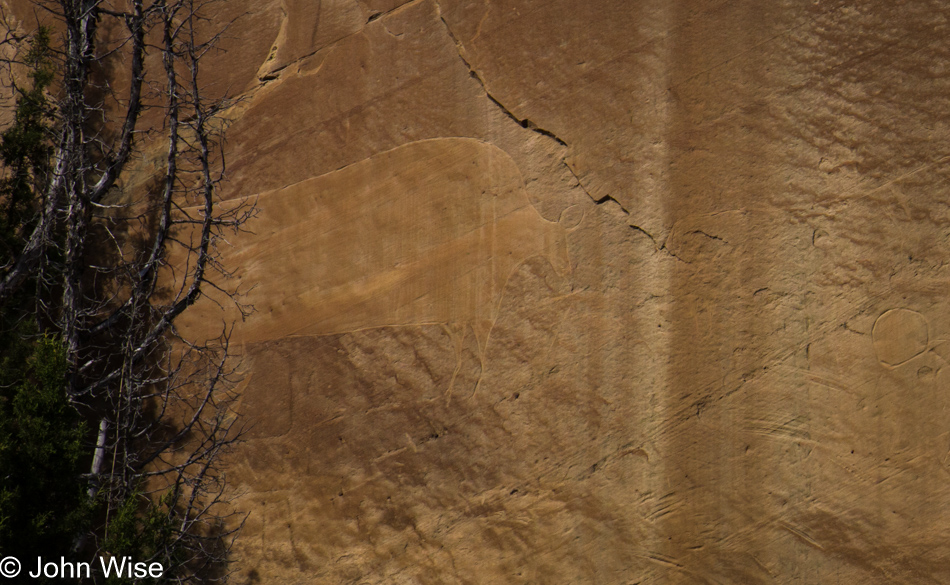
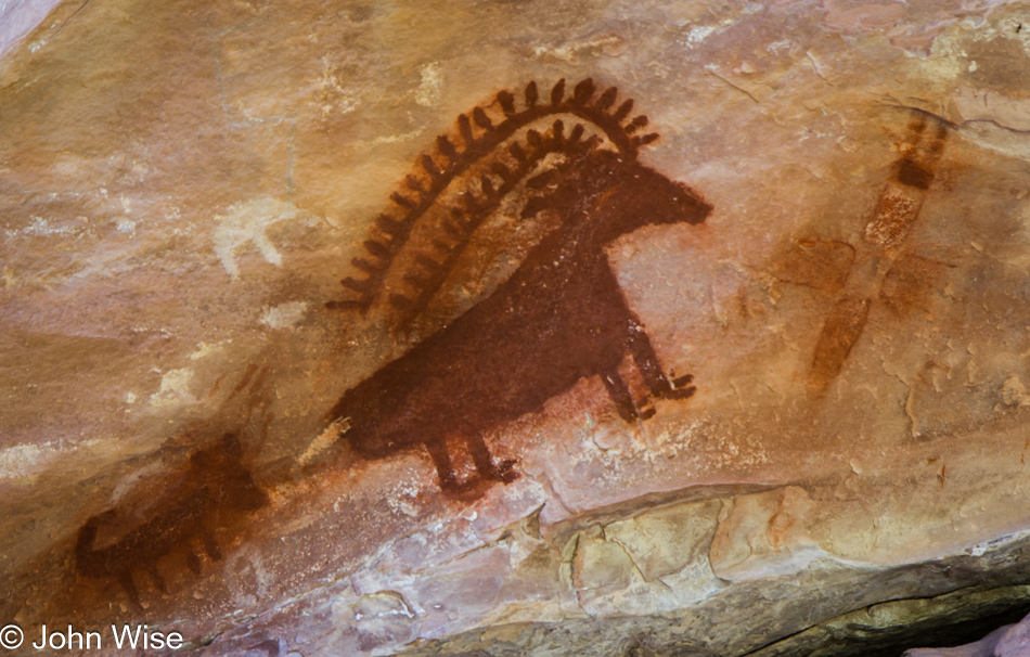
A bison petroglyph etched into the sandstone at Island Park. Learning more about the petroglyphs here in Dinosaur National Monument isn’t easy, but I did find out that there are many more we’ll never see as the park service doesn’t divulge their whereabouts, nor do they expose where ruins are due to vandalism. Think about this: there are those existing among us who obviously cannot steel petroglyphs nor take away an old ruin, which means they are protecting these sites from theft but from physical damage as we have people who are willing to invest the energy to go out of their way for the sake of attempting to destroy a history that might have been standing here for more than a thousand years. I can’t imagine what kind of degenerate that person might be or what their motivation is, but I definitely wish they didn’t exist.

Yampa River in Dinosaur National Monument, Utah

We are heading to the exit on a fast track as lingering is about done.

Yampa River in Dinosaur National Monument, Utah

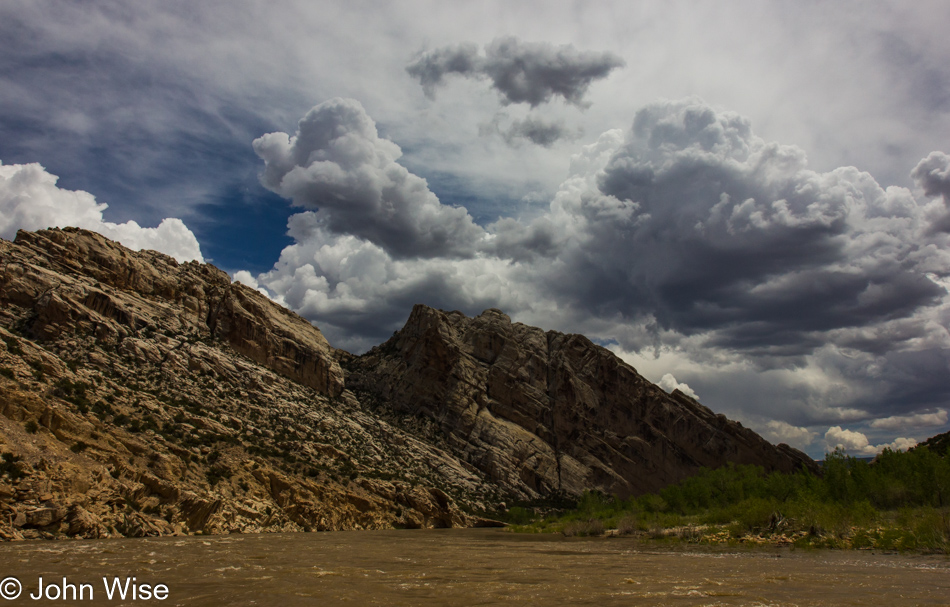
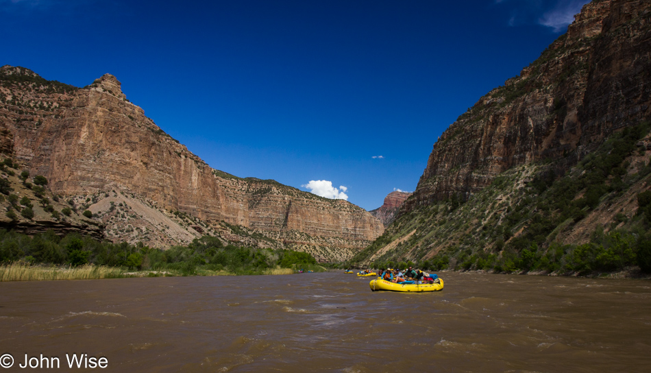
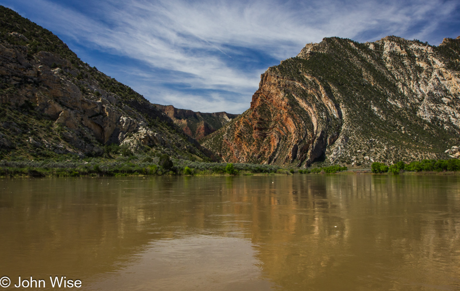
I believe we are near the entrance of Split Mountain, named by John Wesley Powell here where the Green River slices over an uplifted anticline (folded rock layer). It will be the Split Mountain Boat Ramp a little further downriver, where this canyon adventure will come to an end.

Yampa River in Dinosaur National Monument, Utah

Exitig Split Mountain. As I said, we are making tracks.

Our rafting group for the Yampa River in Dinosaur National Monument, Utah

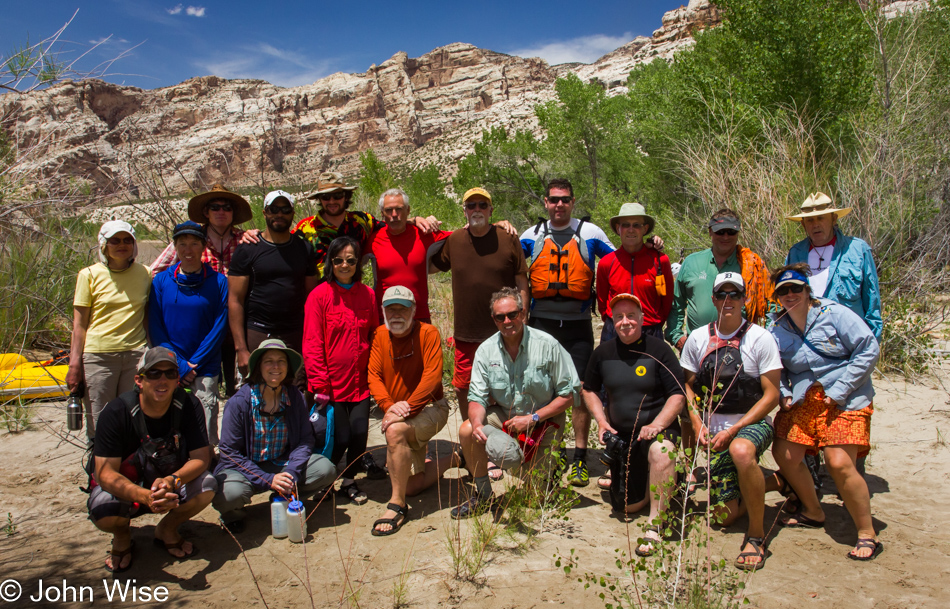
One more location to explore, but first, a quick group photo with everyone except the cameraman, that being me.

Yampa River in Dinosaur National Monument, Utah

Just out of sight on the left is Split Mountain Beach and the boat ramp; after we cross the river, we’ll be leaving this all behind.

Off the Yampa River in Dinosaur National Monument, Utah

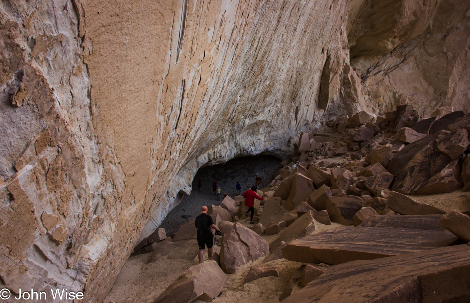
Exploring a small opening under a massive cliff face across the river from our takeout, this was our last stop before packing out and bringing the festivities to an end.

Yampa – Day 4

Yampa River in Dinosaur National Monument, Utah

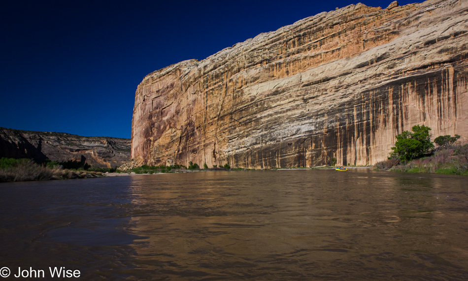
Well, this is an unmitigated disaster as it is now NINE years after this trip was taken that I’m sitting down to post something, anything, about the last two days of our rafting trip down the Yampa River through the Dinosaur National Monument that started in Colorado and is approaching the confluence of the Green and Yampa Rivers just ahead, still in Colorado. The giant rock face is part of Steamboat Rock. Back in 2018, I left a note on Days 2 and 3 that something went wrong in 2014 because after posting about Day 1 soon after our whitewater adventure, something interrupted my blogging, leaving a four-year gap between posting Day 1 and the next two days. The problem is, after pulling those two days out of the air with a promise that I was about also to include Days 4 and 5, I apparently fell off the raft and floated down the stream of oblivion until May 11, 2023. Now, I have a lot of nothing aside from these photos that documented the visuals of our journey; the details are long gone, and I curse myself for it.

Yampa River in Dinosaur National Monument, Utah

The fact of the matter is back in 2014; I had already embarked on another adventure that involved a deep dive into virtual reality. Things were likely moving fast around raising money, and I never had time to look back. Then, in 2018, I was gathering distance between that VR project and its failure when I turned to repair some long-neglected aspects of the blog, but before I could get very serious about things, Caroline and I were on our way to Europe for a few weeks. Obviously, I then faced the daunting task of blogging about our jaunt into Germany, France, Italy, Slovenia, Hungary, and Austria.

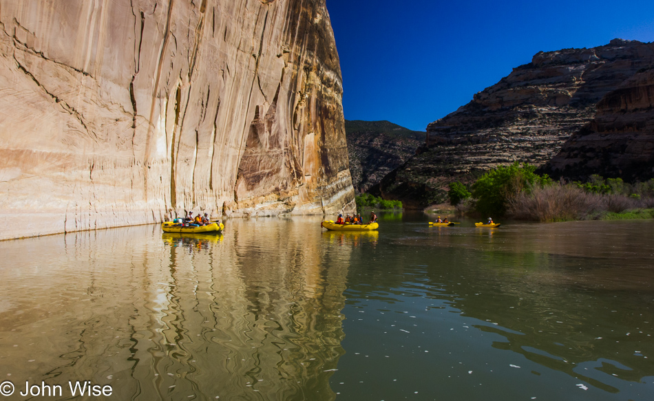
Look attentively at this photo, and you can see the line delineating the merger of two rivers with the muddy Yampa on the right and the relatively clear waters of the Green River on the left.

Caroline Wise on the Yampa River in Dinosaur National Monument, Utah

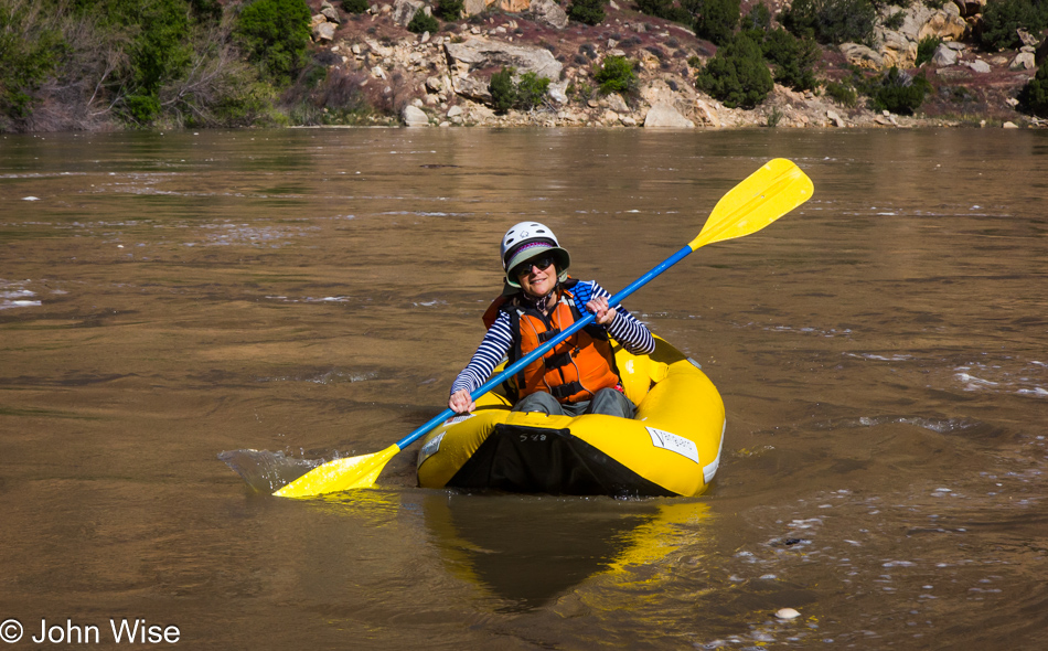
Well, here we are with shareable information, as what is known is that Caroline took out an inflatable little kayak-like boat called a Ducky. There’s no doubt I would have been terrified that she’d crash into some major whitewater and be eaten by the river; obviously, that never happened. With the Green River being dominant, the Yampa has reached its conclusion as a tributary and is now but a memory.

Yampa River in Dinosaur National Monument, Utah

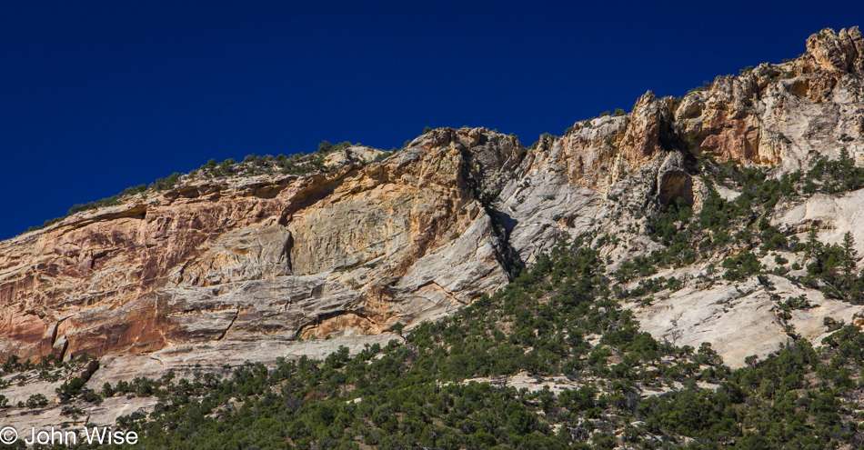
These types of views will forever remain in the realm of nearly incomprehensible as to how the uplift, folding, and movement of our planet’s crust works over time. Intellectually, I have some minor understanding of this area of geology, but the fluid nature of rocks and their reorganization at the surface doesn’t mean it all makes perfect sense.

Yampa River in Dinosaur National Monument, Utah

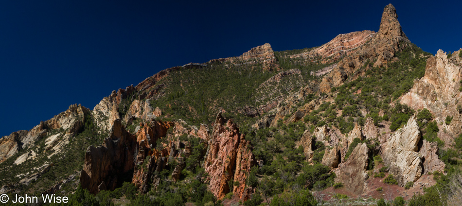
Though I ponder the jagged, almost labyrinthian nature of these forms through a filter of uncertainty, I’m no less enchanted with them as I am with the ocean, the sky, or the forest.

Willie Mather on the Yampa River in Dinosaur National Monument, Utah

This is the Scotsman William “Willie” Mather, a friend of Frank and Sarge’s who’ll become a friend of Caroline and me too.

Yampa River in Dinosaur National Monument, Utah

There are 23 distinct exposed rock layers here in the Dinosaur National Monument, and I can’t easily identify even one of them; this is what happens when you tune out, don’t take notes, and then let eons pass before tending to excavate memories.

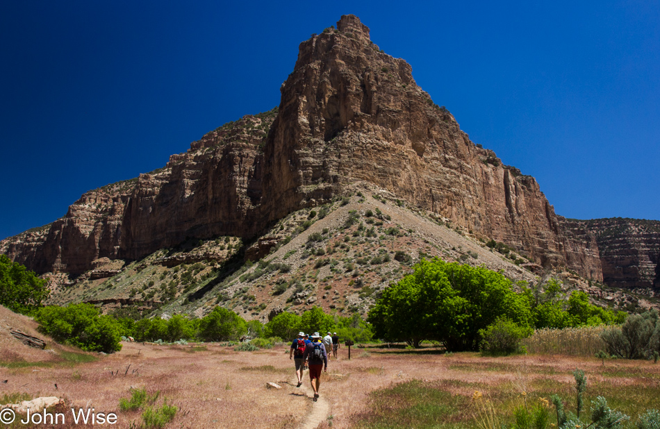
Hiking off the Yampa River in Dinosaur National Monument, Utah

We’ve left the river at Jones Hole Creek and are out for a hike. We also entered Utah just minutes before our arrival on this beautiful day.

Hiking off the Yampa River in Dinosaur National Monument, Utah

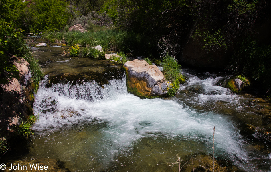
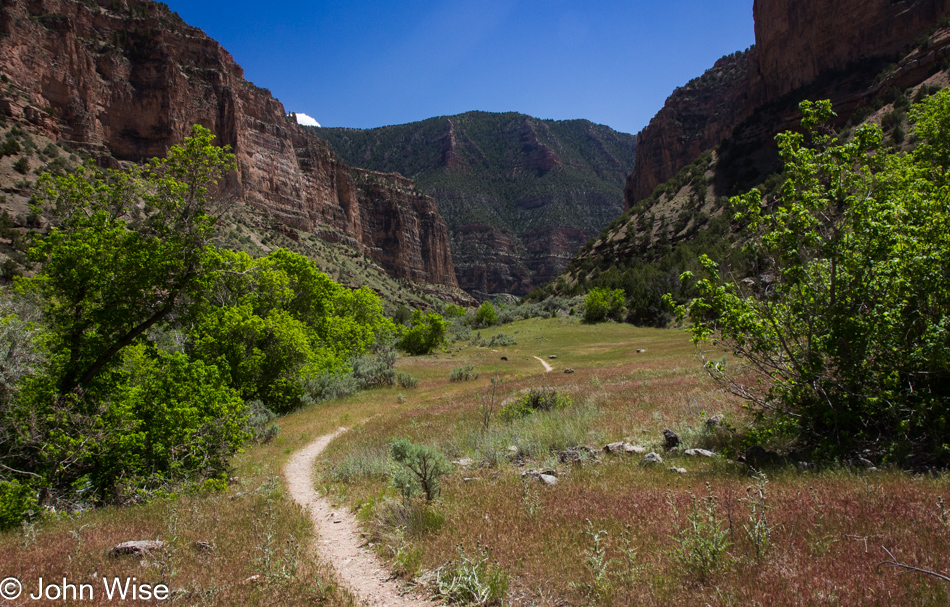
Our hike north along Jones Hole Creek will take us about 2 miles upstream.

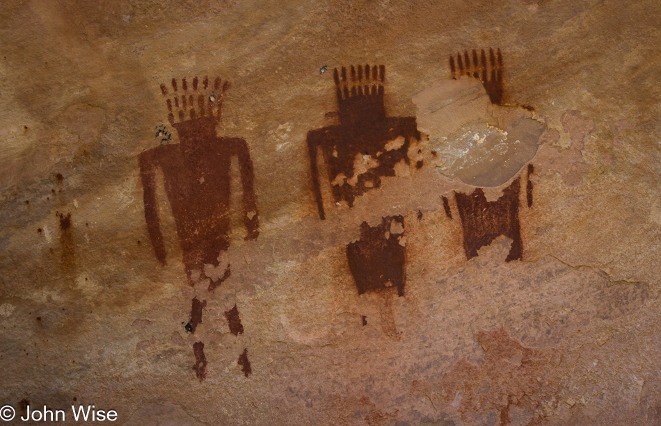
Pictographs off the Yampa River in Dinosaur National Monument, Utah

According to one post about these pictographs along the creek, they are thought to be nearly 7,000 years old.

Pictographs off the Yampa River in Dinosaur National Monument, Utah

Information is thin regarding the area so take this with a grain of salt.

Caroline Wise on a trail off the Yampa River in Dinosaur National Monument, Utah

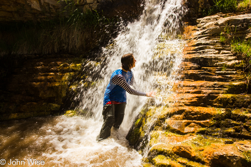
A little-known fact about Ely Falls is that if there are a number of people in your group, there is a spot above the falls where a bunch of you can lay in the water and block the flow until it starts to go over you, then, everyone leaps up simultaneously and a rush of water spills over the falls absolutely drenching the person leaning against the rocks. Due to a bum knee that was slowing me down the entire trip, we didn’t arrive in time to witness Willie losing his pants as the water rushed over him.

Hiking off the Yampa River in Dinosaur National Monument, Utah

And the hike back to the river.

Yampa River in Dinosaur National Monument, Utah

More river miles before pulling into camp for the night.

Caroline Wise on the Yampa River in Dinosaur National Monument, Utah

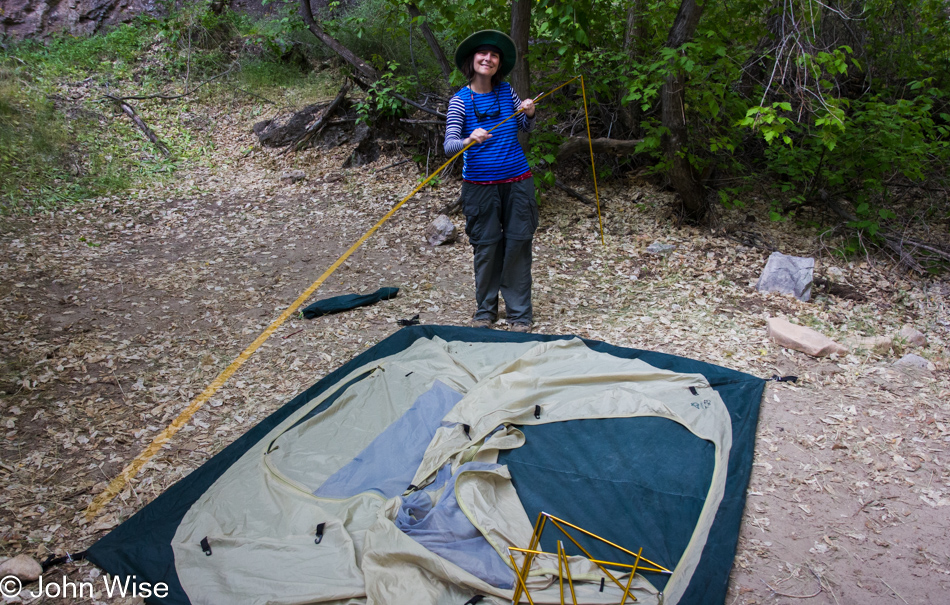
You may not have known this about Caroline, but she’s a Class-A tent-putter-upper.

Frank Kozyn on the Yampa River in Dinosaur National Monument, Utah

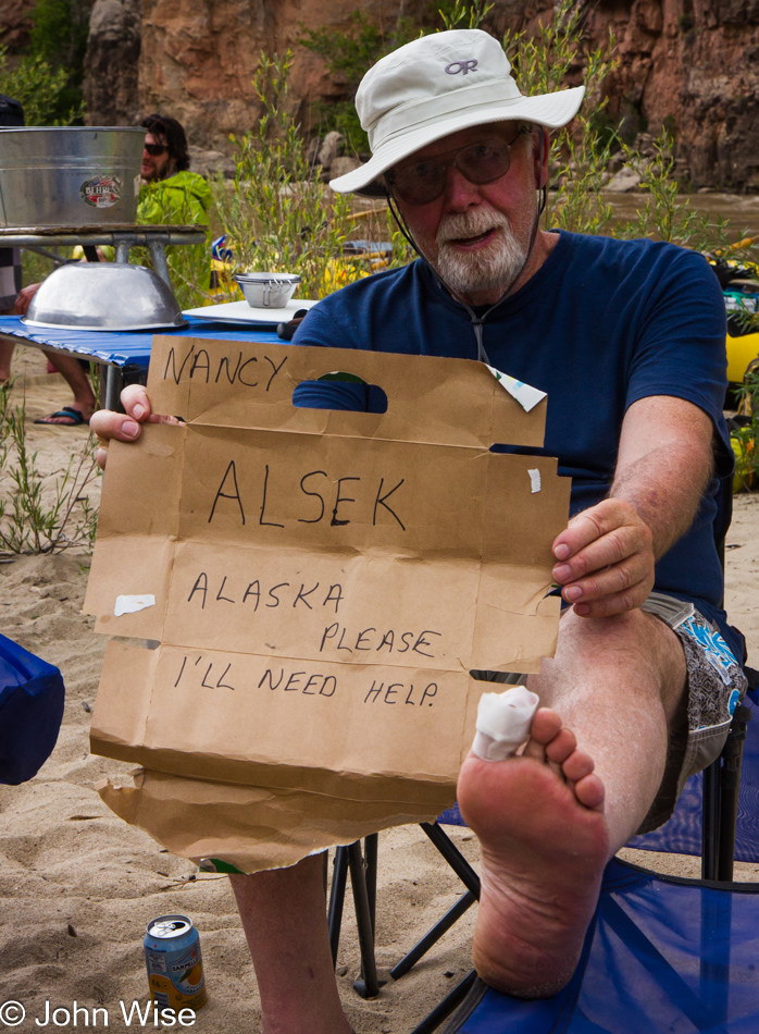
Along the way, we were talking with Frank, Sarge, Jill, and Willie about our trip down the Alsek in Alaska a couple of years before, and on this afternoon, after Frank and Sarge had taken the bait, Frank hurt his big toe proving to him and Sarge that they’d have to work on Sarge’s wife to let him chaperone his Marine buddy and after much consideration, we all felt that something like this was just the kind of convincing that would work on her. Five years later, for Sarge’s 70th birthday, that’s what we all did.

Boatman on the Yampa River in Dinosaur National Monument, Utah

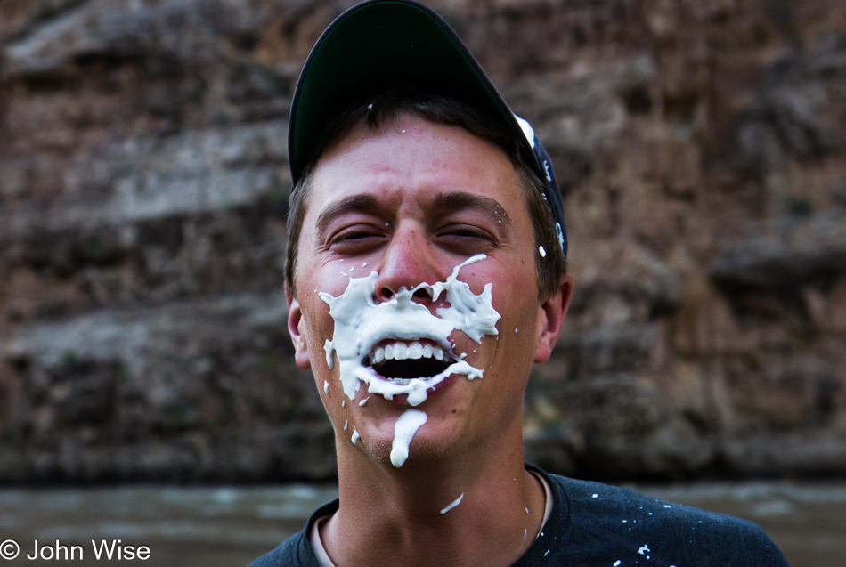
The challenges (shenanigans) the guides come up with for entertainment are not always cultural, historical, or scientific, at times they are inexplicable. Interpret this fun game any way you desire.