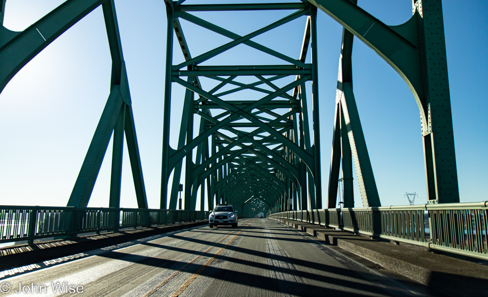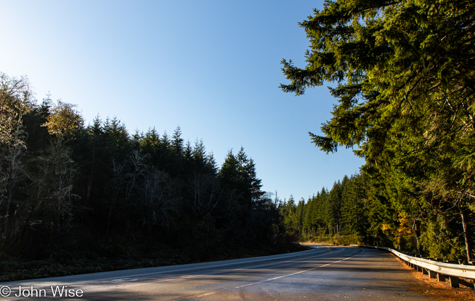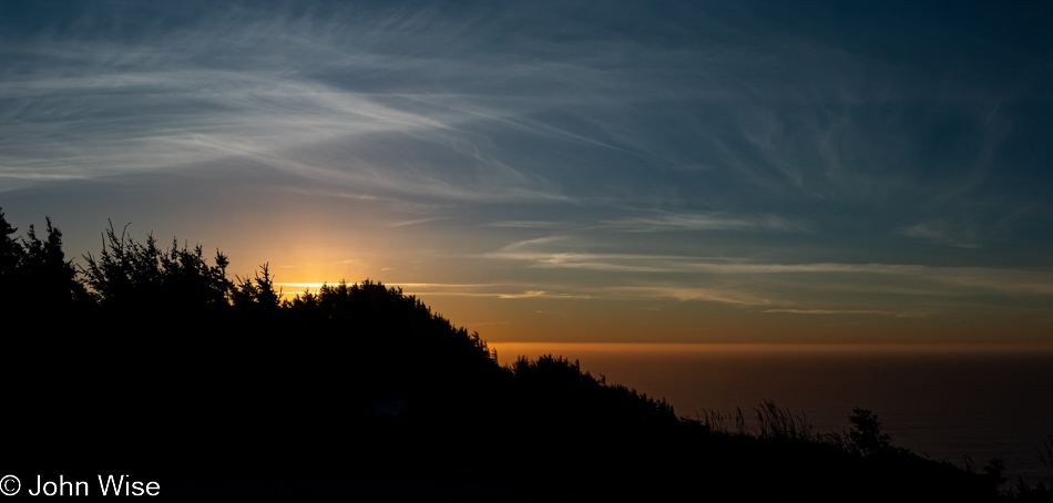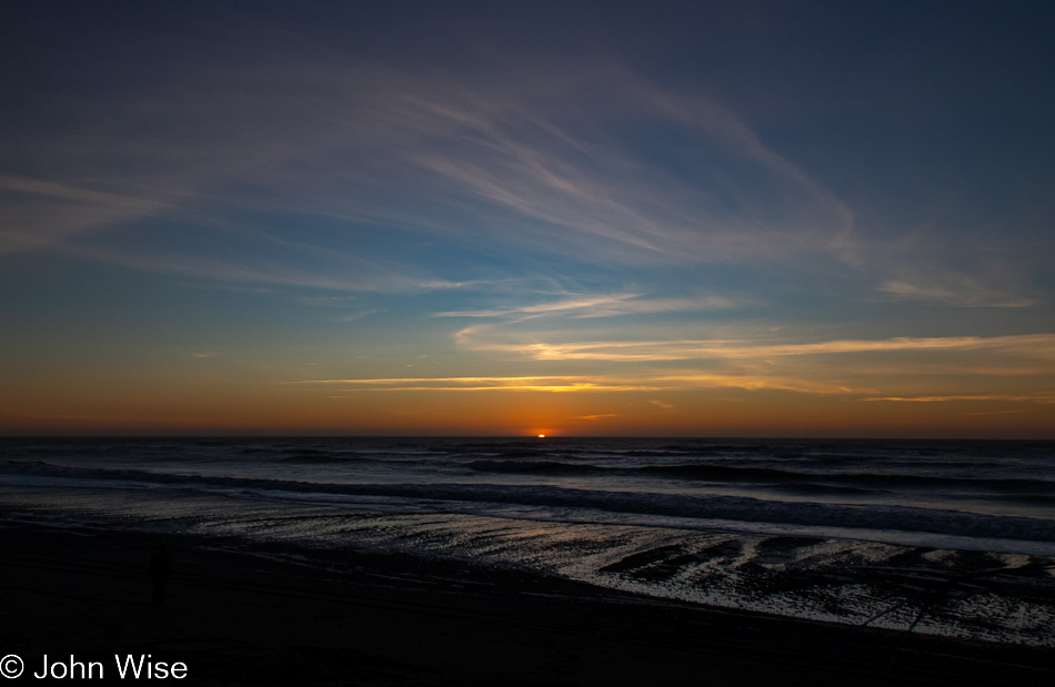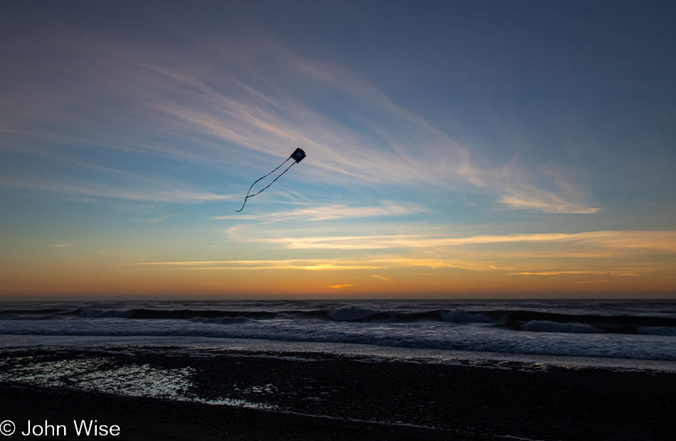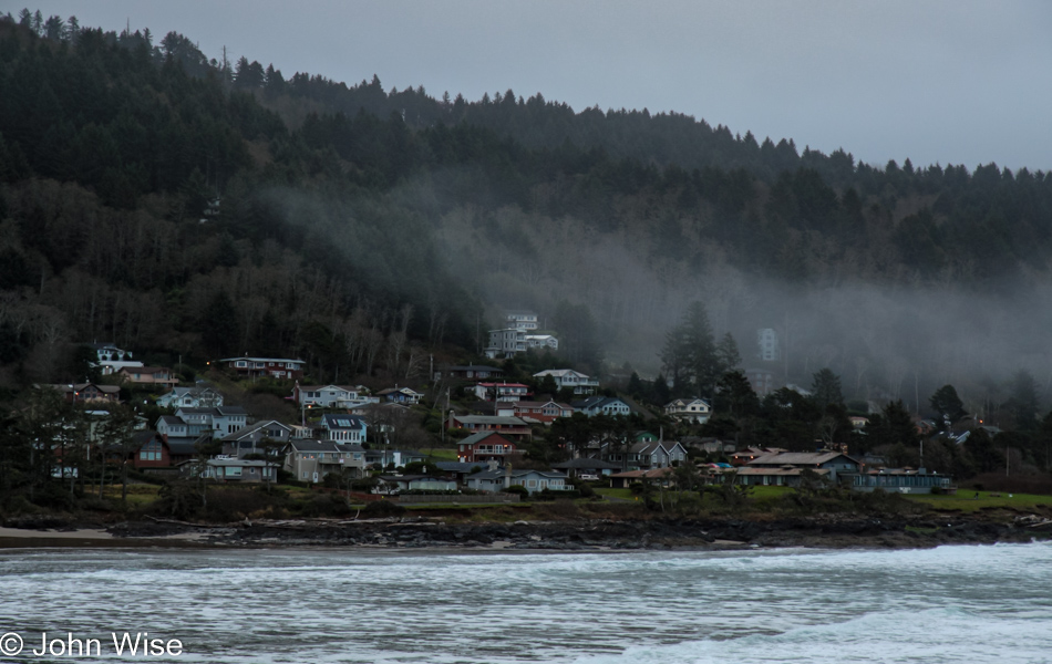
Hello Again, California

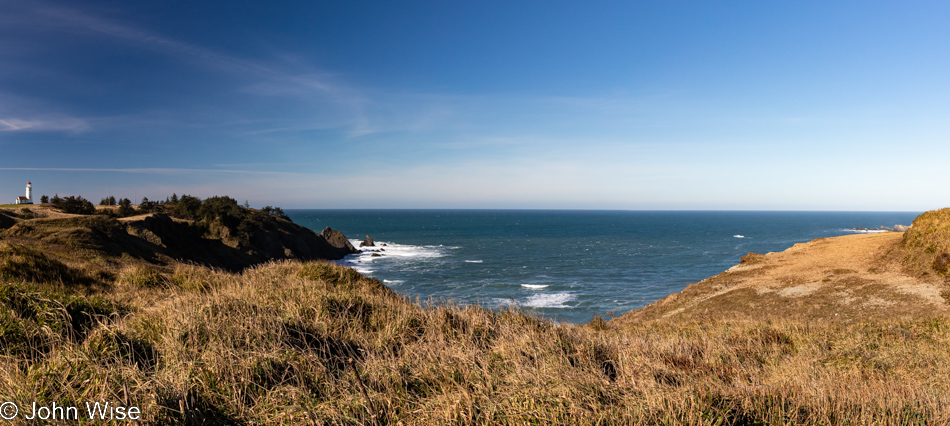
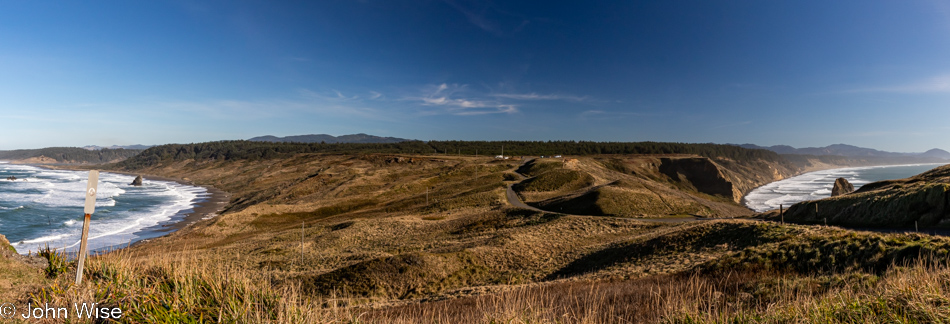
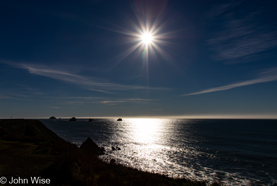
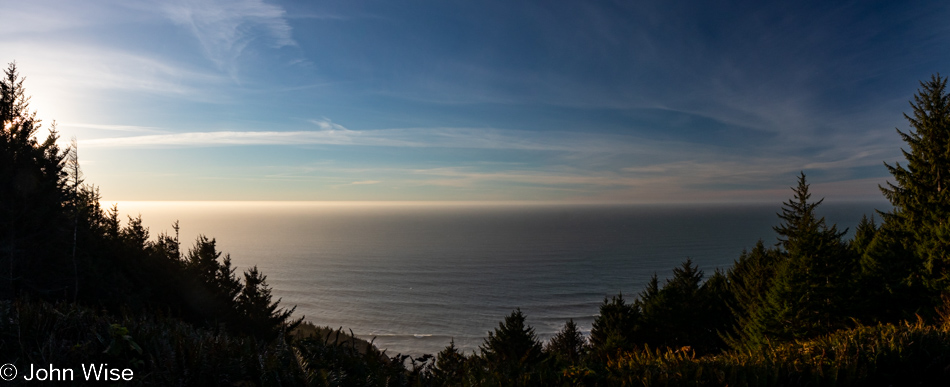
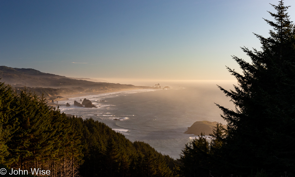
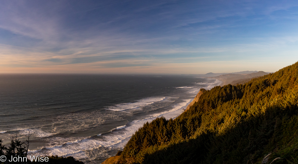
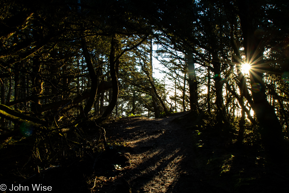
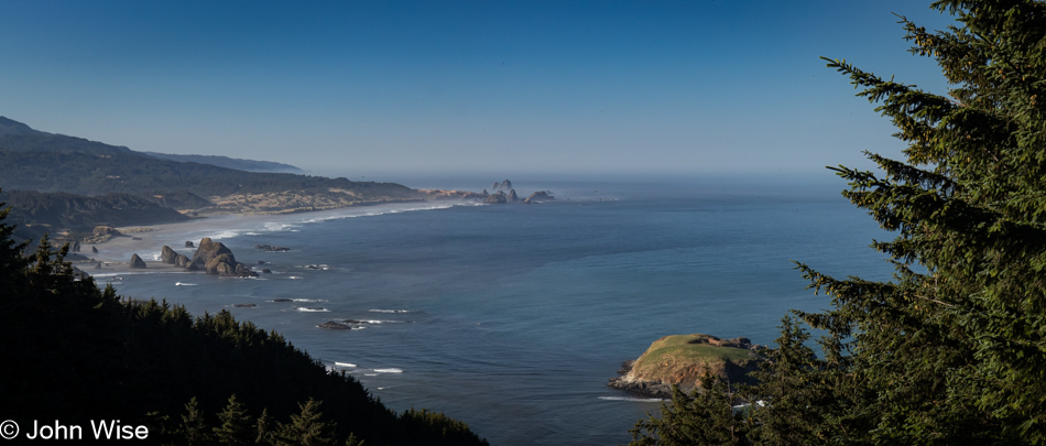
Cape Sebastian Scenic Overlook south of Gold Beach, Oregon

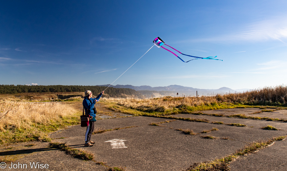
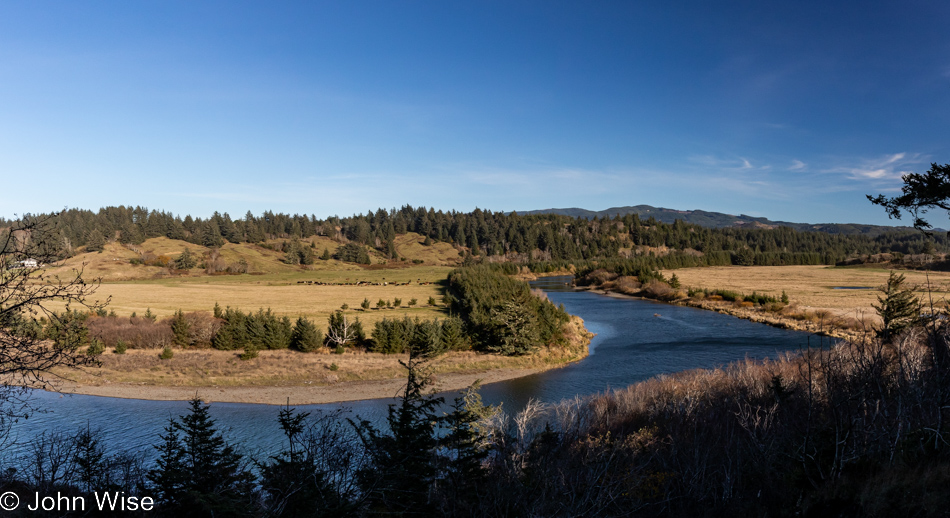
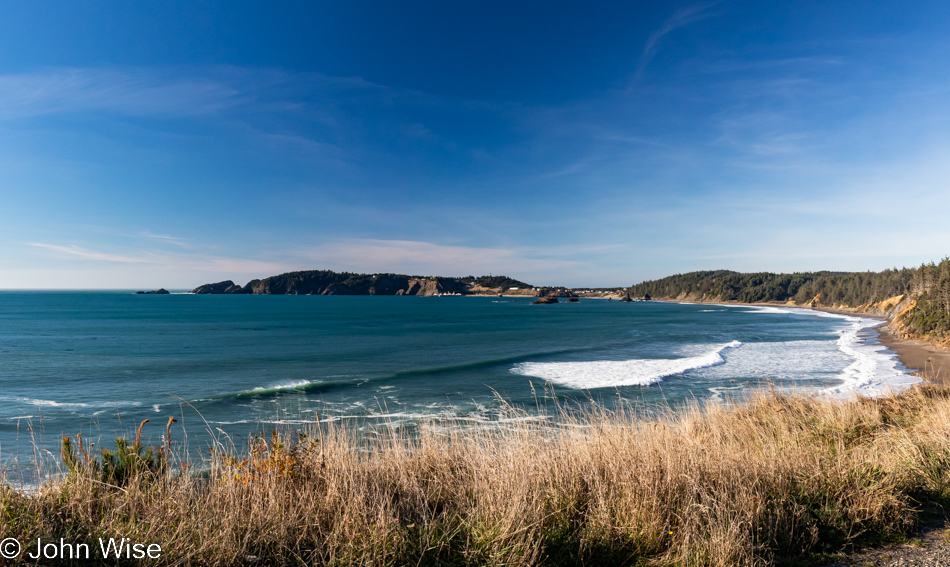
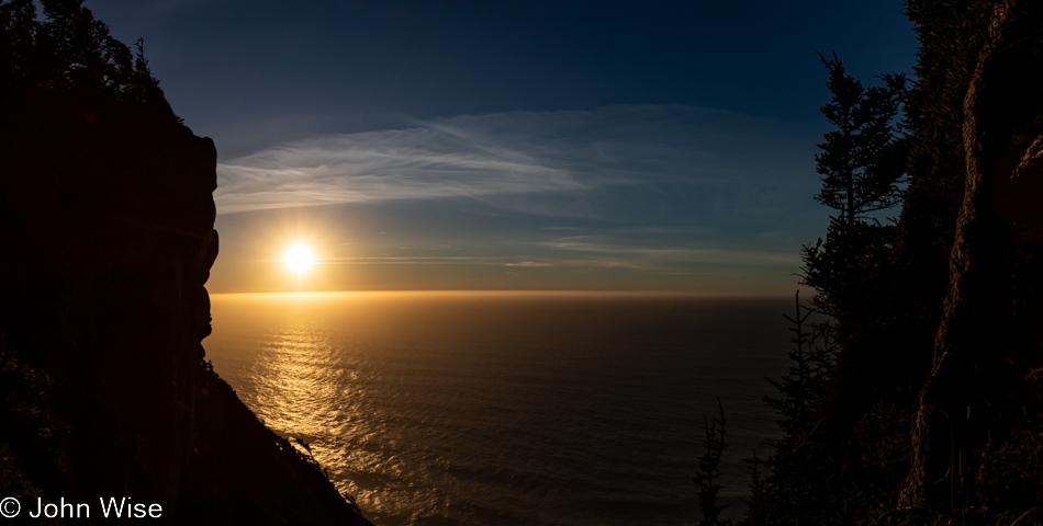
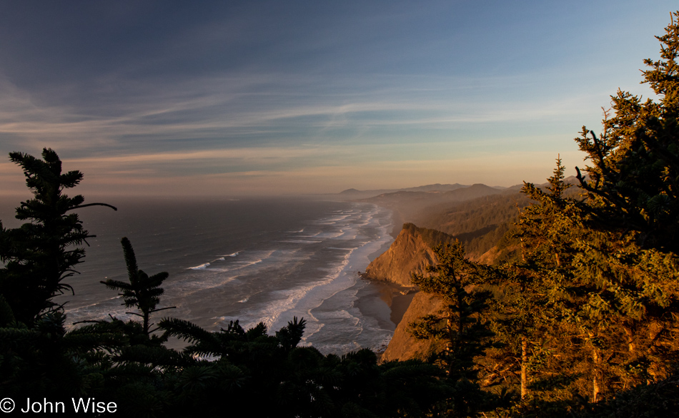
Is that California out in the distance? Not yet, but soon. Today’s setup down in Gold Beach was intentional for what would be our next stop today. First though, we made this quick stop at Cape Sebastian, not only for the view, but as a reminder that we want to take the trail from up here all the way down to the ocean.
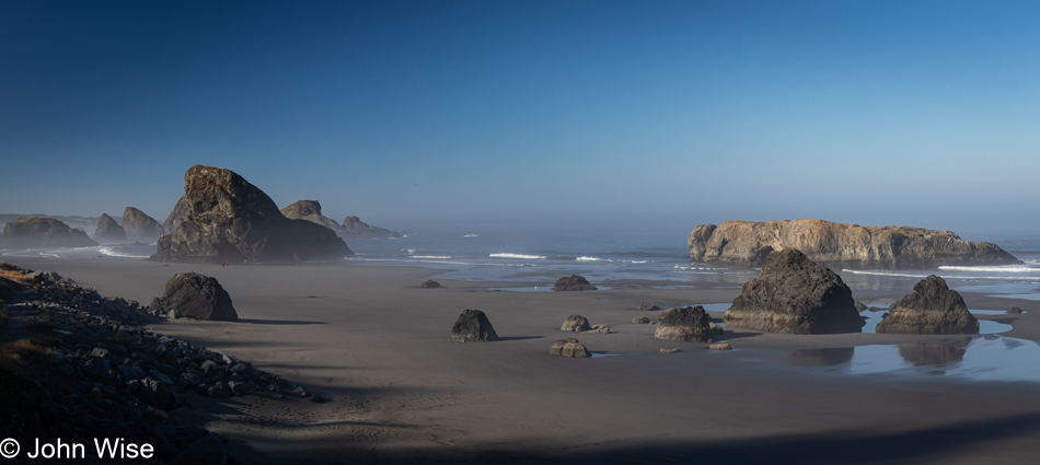
Meyers Creek Beach north of Pistol River, Oregon

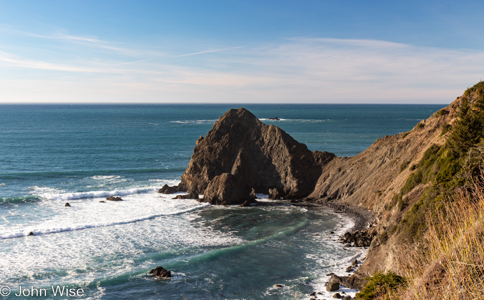
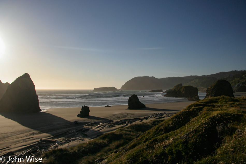
This is the spot we had to visit as our last stop in Oregon on this mighty, amazing coastal adventure we’ve been experiencing. Meyers Creek Beach has long been a favorite.
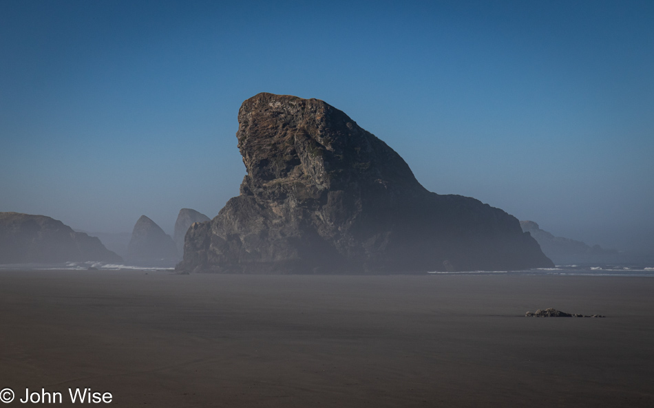
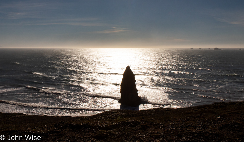
Meyers Creek Beach north of Pistol River, Oregon

Before we ever knew the proper name of this beach, we called it the Sharkfin Beach for obvious reasons. It is this rock jutting out of the sand and sea that created this affinity and keeps us coming back.
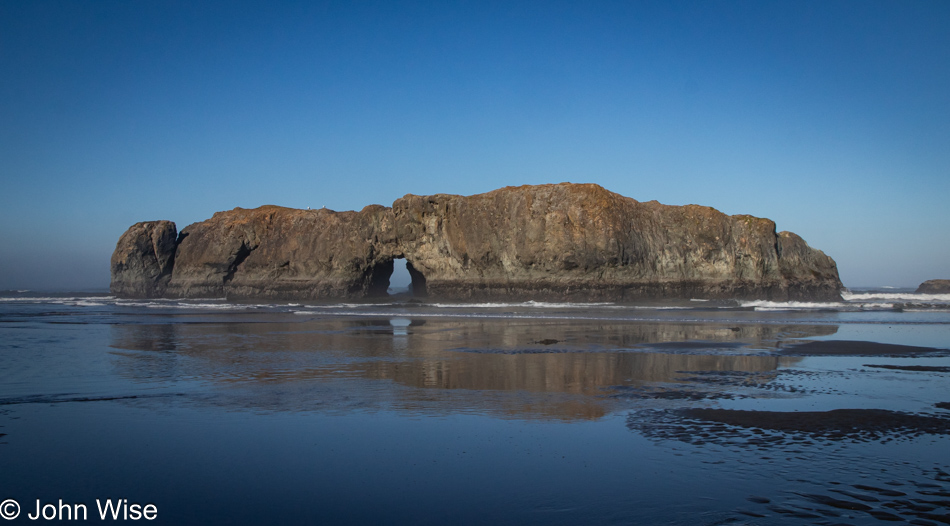
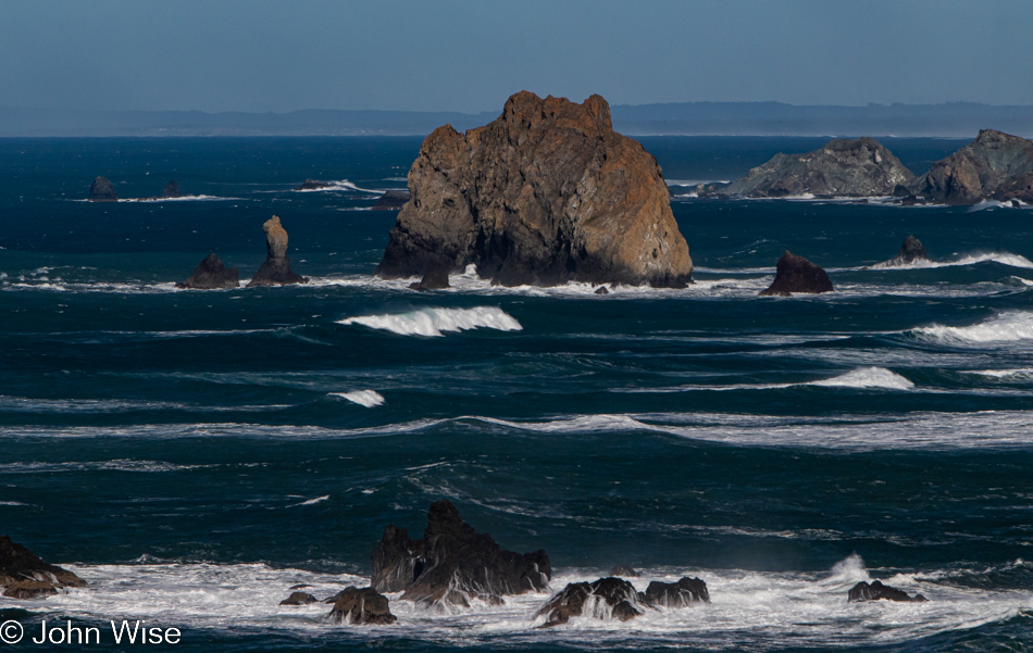
Meyers Creek Beach north of Pistol River, Oregon

We took time to linger in the fading moments that could be allocated to time on the Oregon Coast. While there’s some likelihood we’ll return this November, as I’ve already started making reservations, one never knows what tomorrow brings, so we have to take every second to absorb all we can.
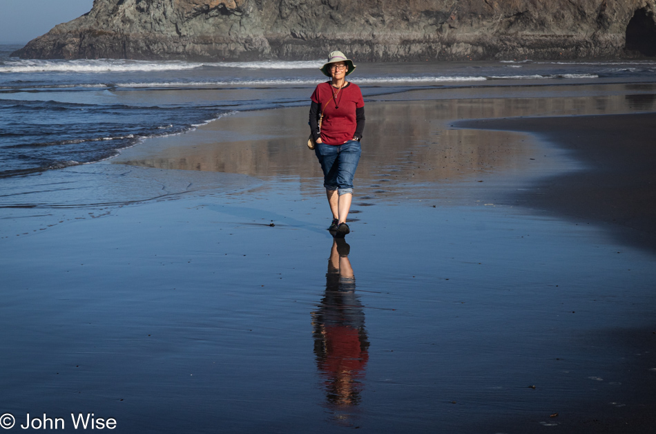
Caroline Wise at Meyers Creek Beach north of Pistol River, Oregon

Note the hands in the pockets instead of holding the reins of Happy McKiteFace; there was no wind here, zero, zilch.
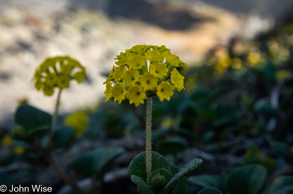
Coastal sand verbena at Meyers Creek Beach north of Pistol River, Oregon

Leaving the beach, we caught a whiff of this flowering plant that is not in bloom during our November visits. It is coastal sand verbena, and it smells brilliant.
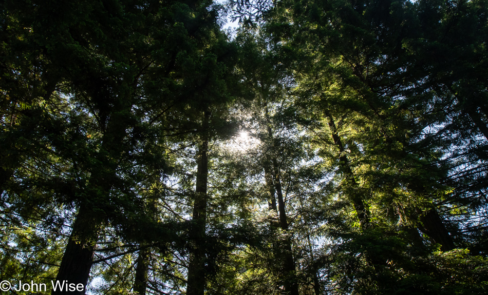
Redwoods in Northern California

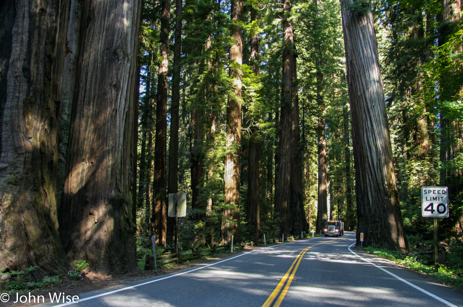
We’re on Wonder Stump Road just north of Crescent City, which is less than 15 miles from where we crossed from Oregon to California on Highway 101.
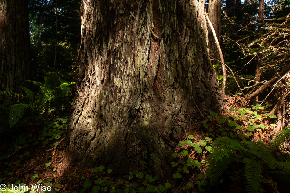
Redwoods in Northern California

These trees are today’s first encounter with the redwoods, and while some may think that 5 million of these giants of the more than 100 million that once existed is an adequate number, keep in mind that there are 39 million people living in California and nobody is suggesting the state is running out of habitable land. The tree we are standing below might be about 30 feet in diameter, meaning it could be about 300 to 400 years old. The Lost Monarch tree in Jedediah Smith Redwoods State Park has a circumference of approximately 84 feet (25.6 meters) while the oldest redwood is estimated to be about 2,200 years old, so even if humanity were to attempt to restore what we’ve ruined, not us, our children, grandchildren, or great-grandchildren would be around to see one of these trees reach even this circumference.
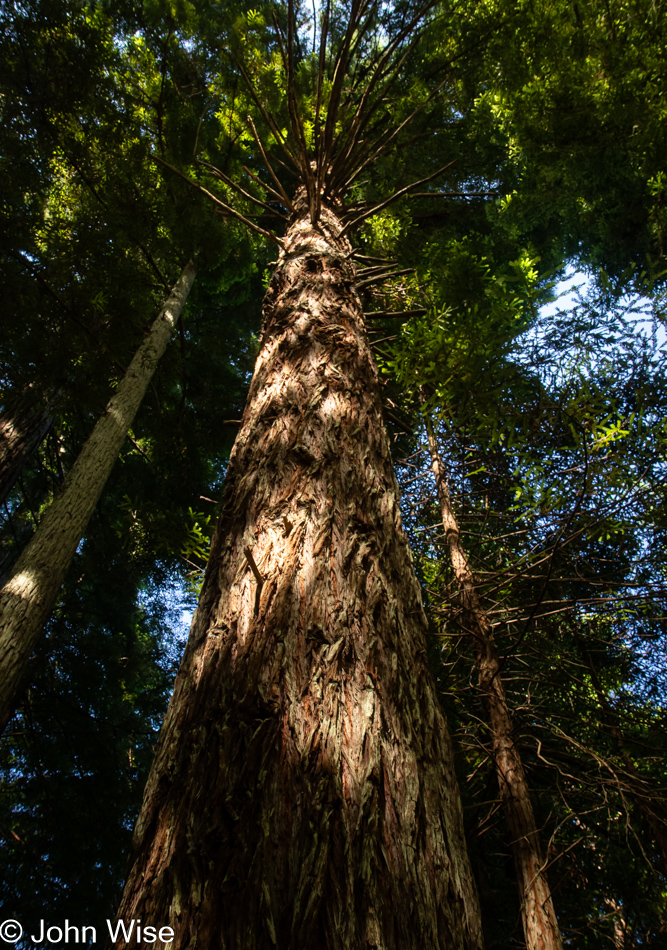
Redwoods in Northern California

It’s peculiar to my primitive brain how I can be so impressed standing at the base of one of these trees, and yet there is an entire ecosystem above me that is unvisitable and must remain a big unknown to my senses. The canopy of the redwoods may as well be at the bottom of the sea or on the moon.
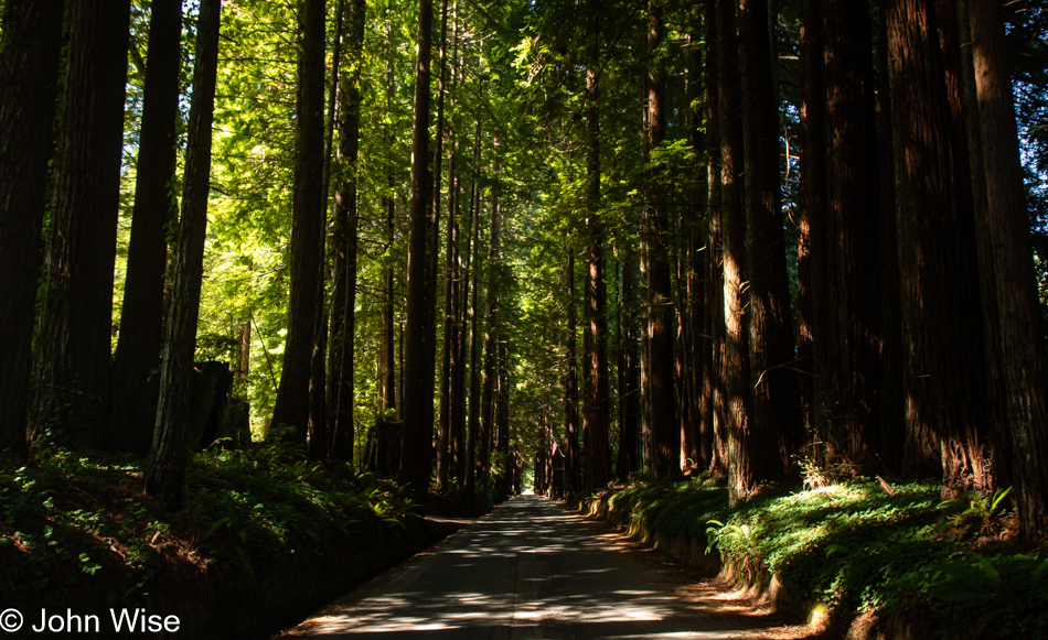
Redwoods in Northern California

The Wonder Stump Road might only be two miles long, but we were lost under these trees for nearly as long as it would have taken to walk the road.
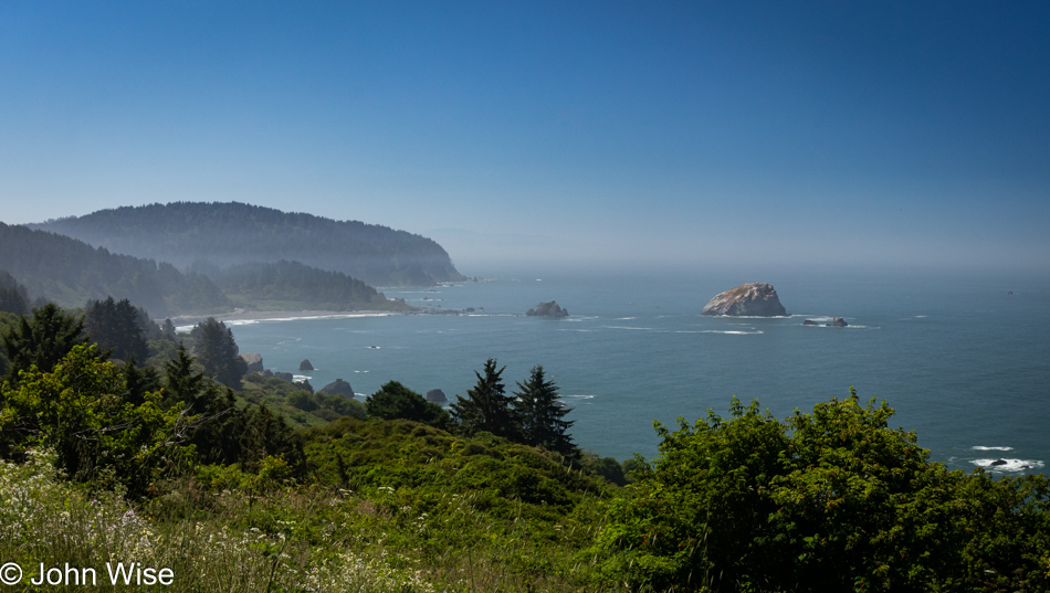
Overlook in Klamath, California

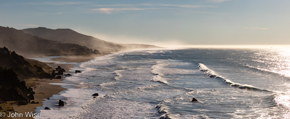
Had our goal been to get as far south as fast as we could, our time at the edge of the continent would have been a lot shorter, but that would have brought an unceremonious end to this trip, and so our route was designed to maximize time at the coast and allow us to dawdle.
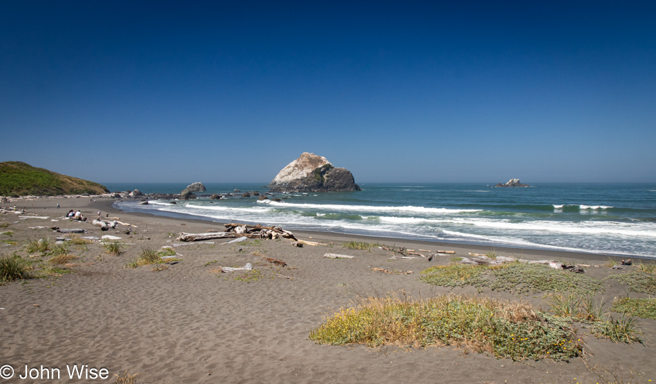
Wilson Creek Beach in Klamath, California

Wilson Creek Beach was afforded a quick stop, a photo and go.
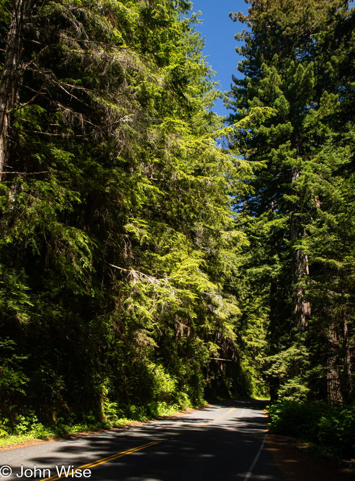
Prairie Creek Redwoods State Park in Orick, California

We’ve turned off Highway 101 at the Newton B. Drury Scenic Byway in the Redwoods National Park on the way to the Prairie Creek Redwoods State Park to slow things down even further. To simply drive by and ignore these trees and their lush environment feels like sacrilege.
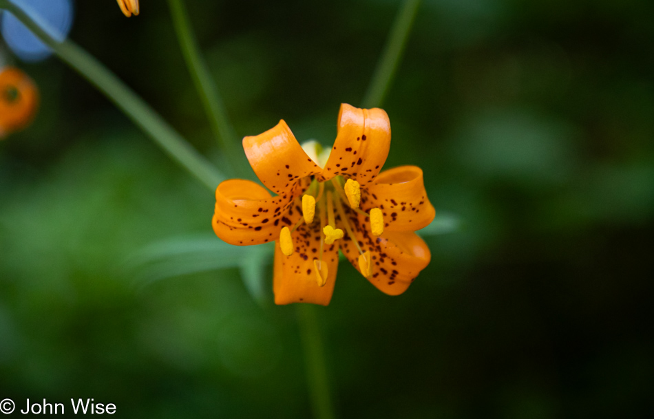
Tiger Lily at Prairie Creek Redwoods State Park in Orick, California

Caroline spotted tiger lilies next to the road, but often, there was nowhere to easily pull over, so we continued on until we found some near a pullout.
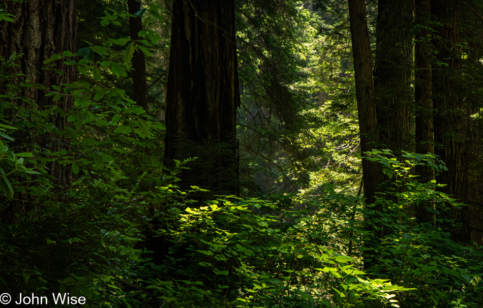
Prairie Creek Redwoods State Park in Orick, California

Sadly, there’d be no time for a hike into the woods because while we can take our time, as long as we reach Ukiah, where we have a hotel reservation, I have plans for a side trek off the beaten path to a place on the coast we’ve never visited before.
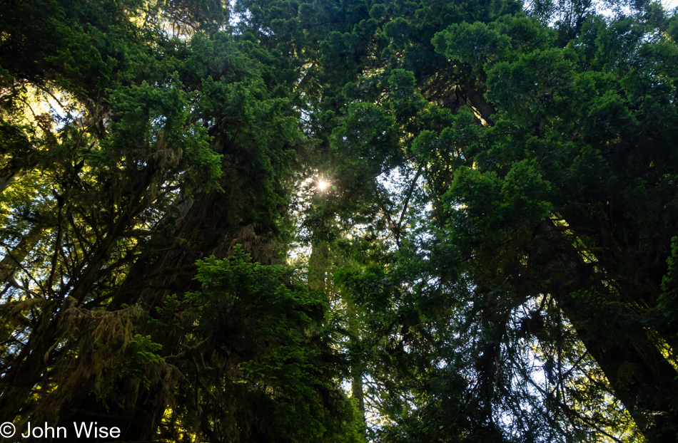
Prairie Creek Redwoods State Park in Orick, California

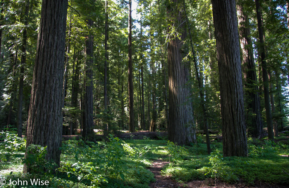
These forays into forests that stretch far into the sky are difficult places to photograph, at least for me, as there is so much to see and only so much that can be captured adequately in a photo. While standing under these ancient and massive trees inspires us, there is no easy method of sharing just how grand it all is.
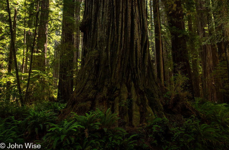
Prairie Creek Redwoods State Park in Orick, California

The ancestors of redwoods emerged about 200 million years ago, and then about 50 to 100 million years ago, the species split into the two types we know today, the coastal redwood and the giant sequoia. Maybe that’s what contributes to the sense of otherness, or whatever it is that feels different than other places; there are few living things on earth that we can stand amongst that have been on the planet longer.
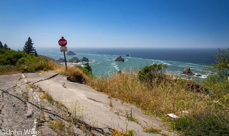
Patricks Point Drive in Patricks Point, California

Heed this stop sign, or you will certainly regret your indiscretion. We are on Patricks Point Road.
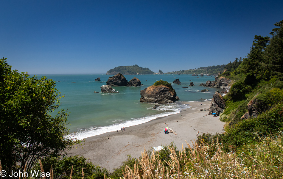
Luffenholtz Beach in Trinidad, California

This is Luffenholtz Beach south of Trinidad, and while Caroline and I drove at least part of this road back in 2006 (we know we did because there’s a blog post) neither of us has any recollection of that drive. As a matter of fact, in 2020, we thought we were traveling this road for the very first time, stating just that in a post.
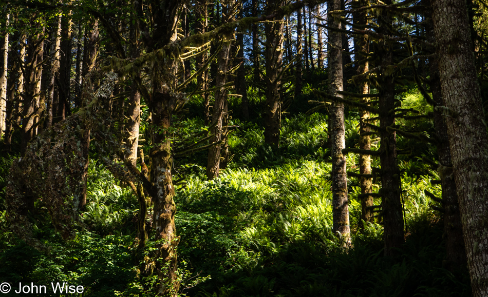
Mattole Road near Ferndale, California

We have left Highway 101 again, this time for a road we are absolutely 100% certain we’ve never driven before. The initial stretch of road is California 211, but in Ferndale, the road shrinks as we head out on the Mattole Road for the Lost Coast.
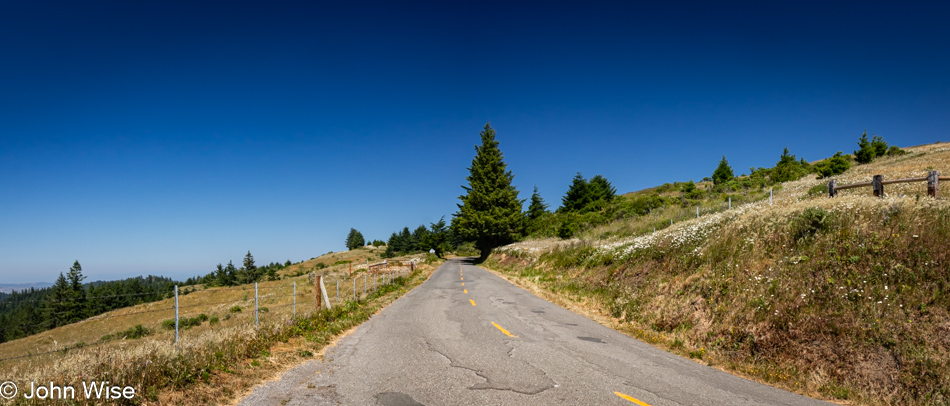
Mattole Road heading towards Cape Town, California

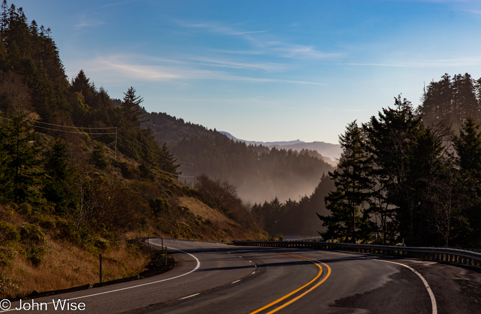
Many sections of the road out here are only a single lane, and they are also in tight curves with big blind spots, so stopping is not an option. Then, we emerge from the dark forest into wide-open vistas that are idyllic, serene landscapes.
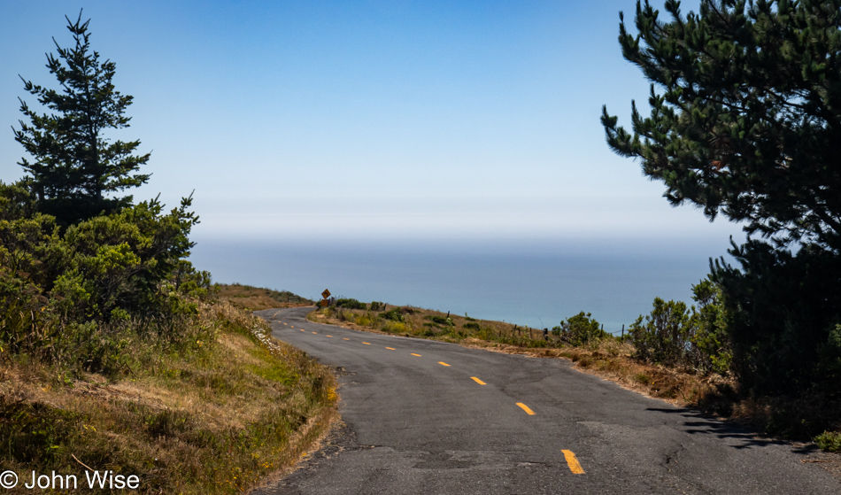
Mattole Road heading towards Cape Town, California

Without guardrails, I’m inclined to hug the centerline and drive at barely 20mph, else we risk falling off the road and into the infinity of time.
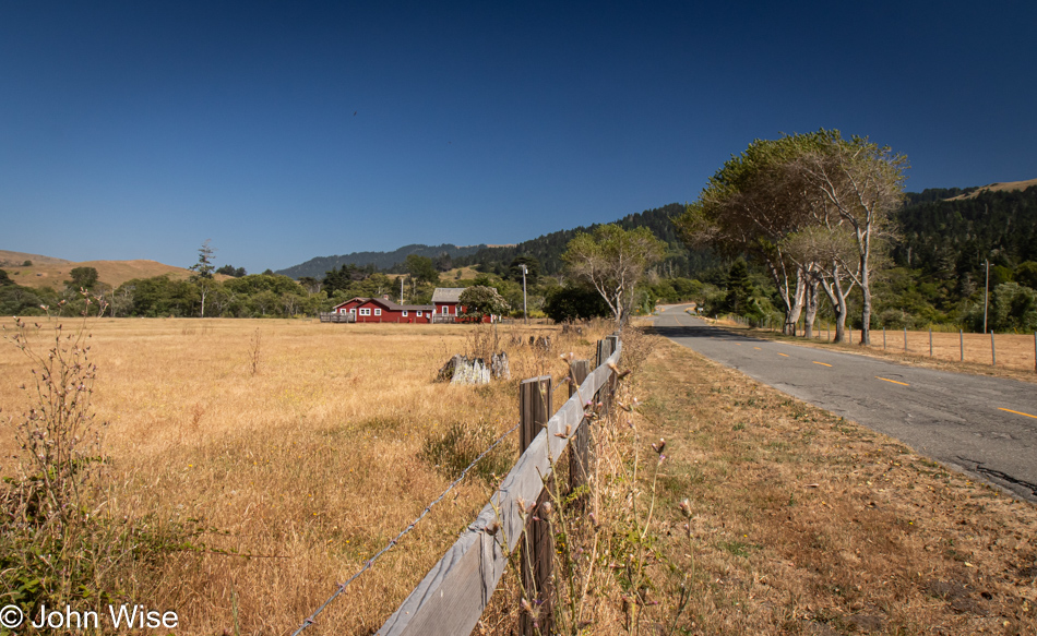
Cape Town, California

We’ve arrived in Cape Town, as in California, not South Africa.
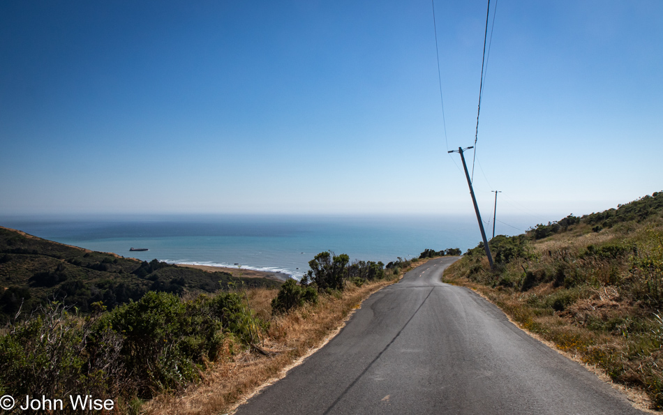
Mattole Road heading to Black Sand Beach on The Lost Coast of California

After driving for a while, we had some idea of the frequency of other cars traveling this road and felt okay about stopping in the middle of the street and jumping out for a photo.
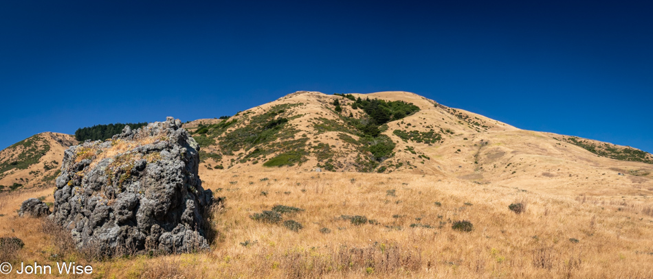
Adjacent to Black Sand Beach on The Lost Coast of California

You wouldn’t know it from this view, but we’ve arrived at the Black Sand Beach down here on the Lost Coast north of the King Range National Conservation Area. I’ll turn around and show you.
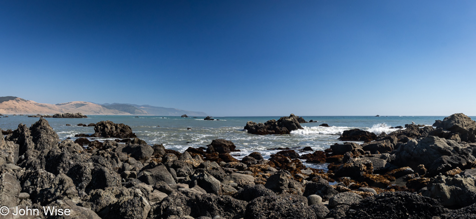
Black Sand Beach on The Lost Coast of California

There’s nothing and almost nobody else down here.
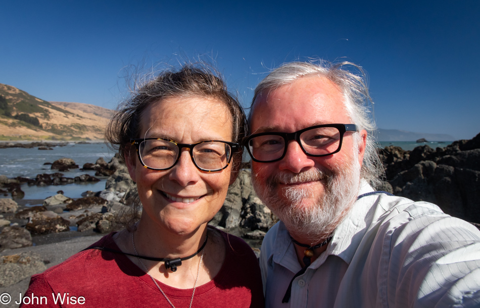
Caroline Wise and John Wise at the Black Sand Beach on The Lost Coast of California

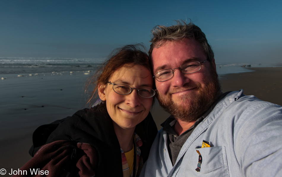
Well, there were these two dorks hanging out looking for the things we’d possibly not seen before.
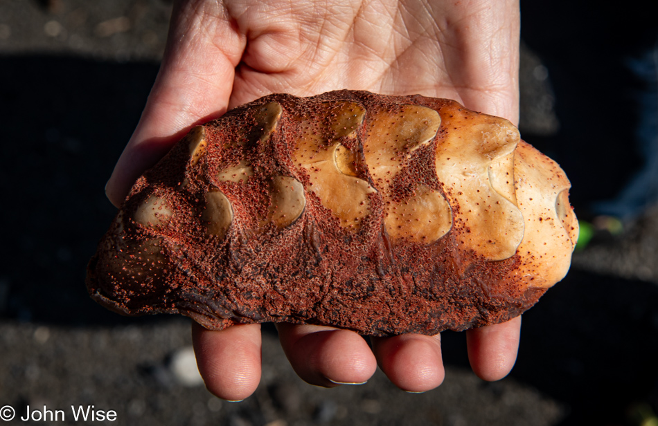
Gumboot chiton shell at the Black Sand Beach on The Lost Coast of California

Seek, and you shall find. We were on our way back to the car when I spotted something peculiar that turned into the great treasure of this month away from Arizona: the shell of a gumboot chiton.
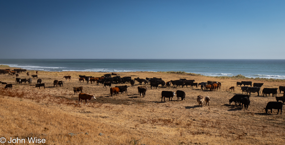
Point of Cows on Mattole Road at The Lost Coast of California

Somewhere along the road, and not marked, is the Point of Cows. That’s what we are calling this in lieu of finding the exact spot from the map.
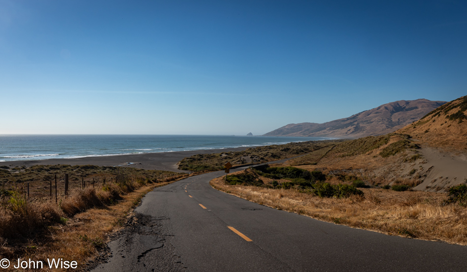
Mattole Road near Petrolia, California

This concludes our coastal adventure as we turn inland and start the serious effort to move ourselves closer to home.
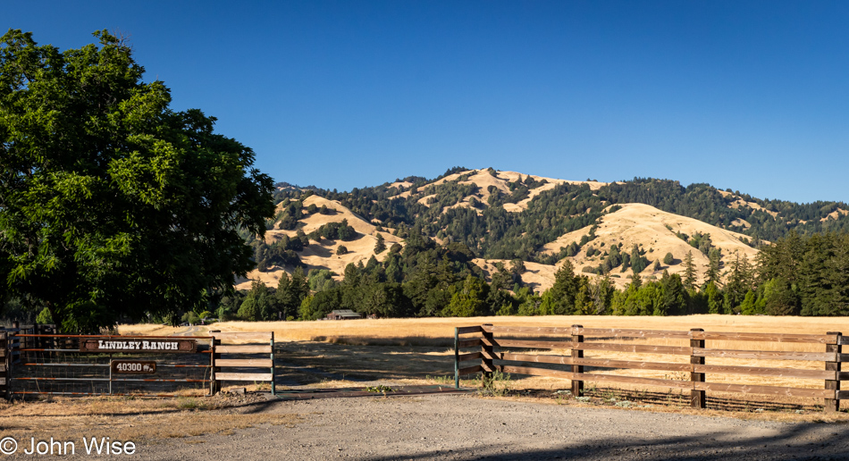
Lindley Ranch in Petrolia, California

Much of the landscape for the first 20 miles after leaving our turn inland was similar to what we were driving past on our way out, but still, I felt I should offer at least a peek at what is on this end of Mattole Road as we drive through Petrolia.
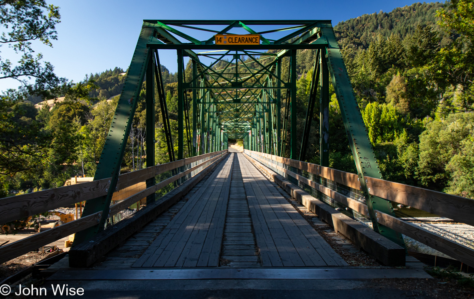
Mattole River Bridge in Honeydew, California

Our last photo of the day is from the Mattole River Truss Bridge in Honeydew, population 277, of which we met three of the locals. They were sitting near the bridge and informed us that this old relic from 1920 is going to be torn out and replaced with a modern structure. We learned a few other things from the heavily stoned and friendly people, but what they didn’t tell us was that we should probably have used this bridge and taken the northern route back to Highway 101 because the way we went included some sandy loose gravel sections of road in tight curves on steep mountainsides. More than once, I was given an adrenalin boost from the abject terror I was feeling as we started losing traction, and fear informed me that if I lost momentum, our tires would never grip this stuff well enough to let us finish going up the incline. I was close to panic. Consequently, I didn’t stop one time before reaching Highway 101, and by the time we reached Ukiah for the night, I was exhausted. What an adventure it was.
Happy McKiteface Over Oregon- Day 9

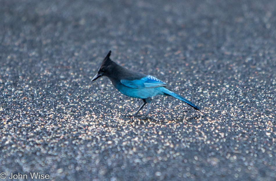
A Stellar Jay at Umpqua Lighthouse in Reedsport, Oregon

Good morning, Steller’s jay! I hope you enjoy your morning meal courtesy of the vanlife guttersnipes that squatted here overnight. Caroline and I have been visiting the Oregon coast for about 20 years now, and I can say with certainty we’ve never seen so many roadside freeloaders who don’t have the respect to pay attention to the “No Overnight Camping Allowed” signs. I can only surmise that their sense of being free to roam America’s roads allows them to feel a sense of entitlement that arrives with their chosen form of homelessness for the sake of social media status. Regarding the homeless situation, it has spilled out of the bigger cities and now shows up on the coast in ways we’d not seen before. From more people living in cars (not in the aforementioned vanlife configuration) to people struggling with loads of stuff being moved through town and those who will join the ranks in the coming year due to the problem of rising rents, the situation is one of ugly proportions. Back to the vanlifers, Caroline and I used to pull into overlook parking lots where we might be the only people, but when we pull in, and there are people just waking, finishing their ablutions, or putting away the cooking gear, I try to imagine what our experiences would have been like if people in motorhomes had exercised the same liberties, especially considering two large vehicles could fill up a pullout and stop anyone else from stopping for a moment. Just because we didn’t park at an ocean overlook doesn’t mean our waking experiences are any less valid or someone else’s even greater because they flaunt convention. Enough of that, I look forward to the day that vanlife is no longer a thing or I’m dead and gone, no longer able to witness the arrogance.

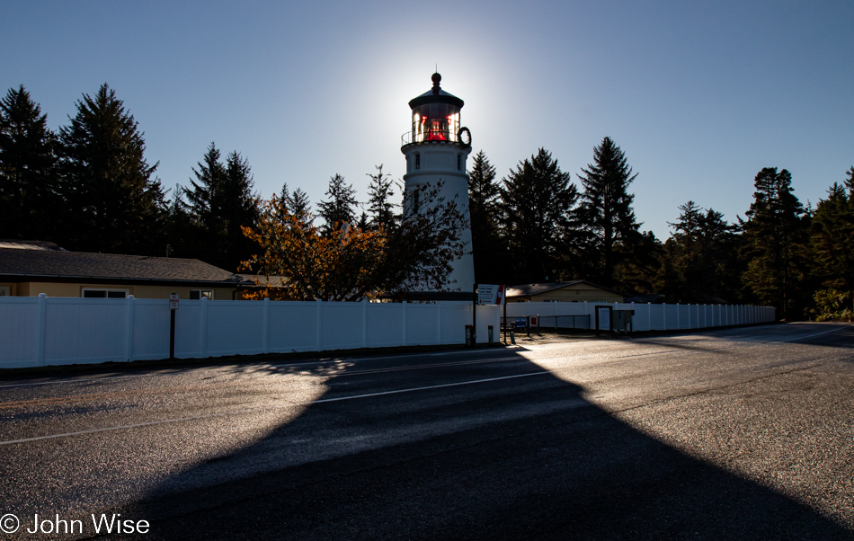
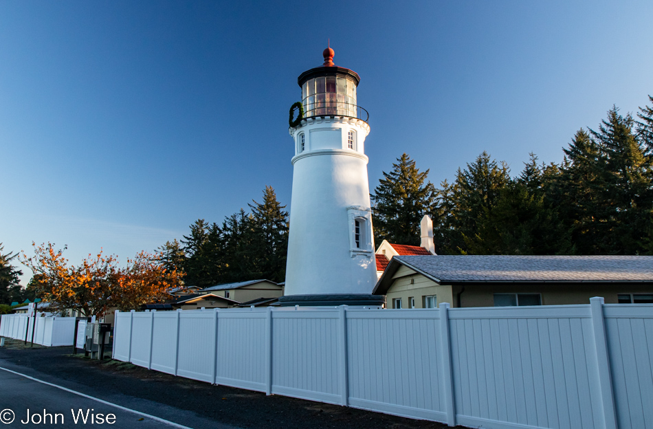
Umpqua Lighthouse in Reedsport, Oregon

Normally, waking near the shadow of a lighthouse is a terrific thing, but driving into someone’s temporary bedroom sure puts a damper on that. Fortunately, they were soon gone after we spoiled their perfect isolation with our intrusion. Oops, I said I was done with all that, but the truth is that I’m never done once something gets jammed in my craw.

When we travel on weekends, it’s often been difficult for Caroline to connect with her mom in Frankfurt for her weekly call, but it just so happens that our brother-in-law Klaus is visiting Jutta as we were packing up the yurt and is going to bring us into a video chat. While my mother-in-law has certainly been here at the lighthouse, we have some skepticism about how much she remembers or whether she simply learned to just go along with things and agree to fond memories rather than admit these things are largely gone from her book of memories. It’s really not a problem, though, as she smiles a lot, and we know she’s still very aware that she’s been to the United States many times, even if many of the details are lost to the passage of time.

Umpqua River in Winchester Bay, Oregon

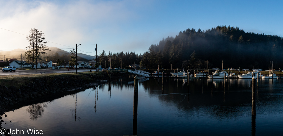
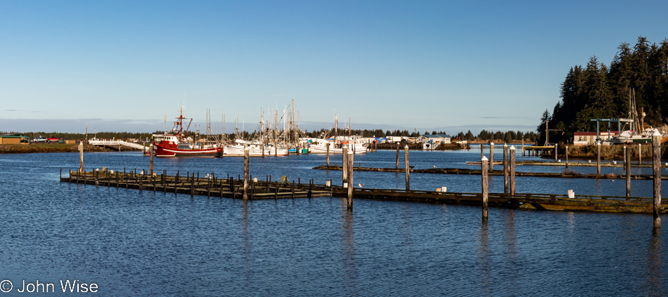
Do you remember how years ago there was a floating restaurant off in the distant corner here in Winchester Bay? We fondly do and have often wished to visit again, but it’s been closed for years. We first dined there back in 2006; such is the good luck of having blog posts to remind one of something that might have been forgotten otherwise. Today, we sit next to the Umpqua River for breakfast after choosing the place with more cars parked outside, figuring the locals know something.

Umpqua River in Winchester Bay, Oregon

Never believe in 10-day forecasts, or better yet, simply don’t look at them because would they really change your travel plans? This is probably bad advice because at least they offer some idea of how to dress for potential weather conditions. As for the location, we are on the other side of the restaurant for a post-breakfast walk under perfect skies.

Umpqua Lighthouse State Park in Reedsport, Oregon

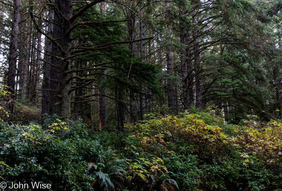
This isn’t just any old forest; it is the forest that goes back…

Umpqua Lighthouse in Reedsport, Oregon

…back to the Umpqua Lighthouse because without Tillamook Creamery around for breakfast dessert, this will have to do.

Oregon Dunes seen from the David Dewett Veterans Memorial in North Bend, Oregon

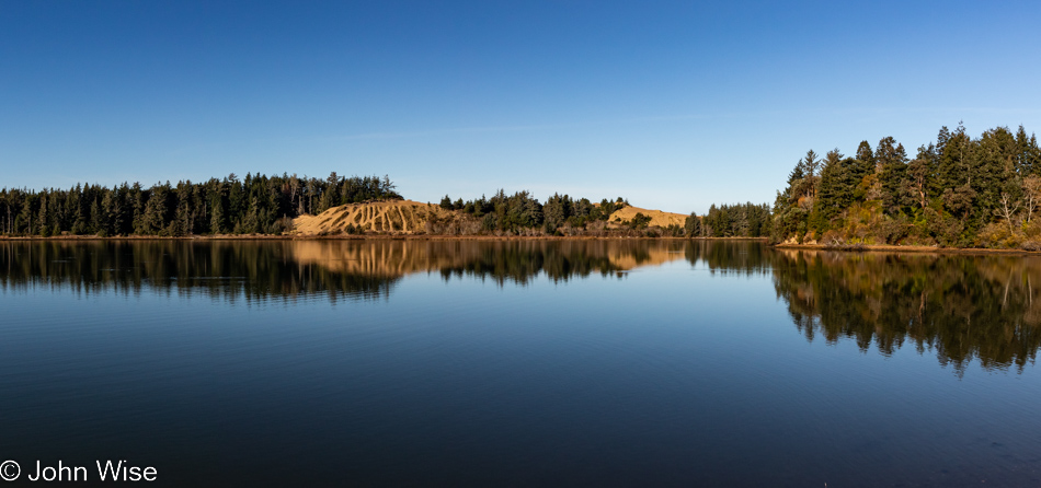
We are looking across one small part of Coos Bay from the vantage point of the David Dewett Veterans Memorial in North Bend. It almost never fails that the reflections of the Oregon Dunes catch our eye, and poetically, it makes sense that a place of such great reflection should be the site of a veterans memorial.

McCullough Memorial Bridge in North Bend, Oregon

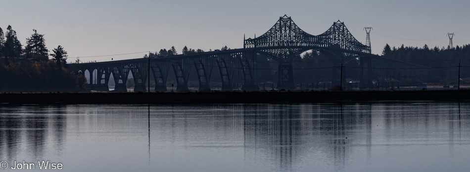
In the opposite direction, you’ll find the McCullough Memorial Bridge.

Rail bridge over Coos Bay in North Bend, Oregon

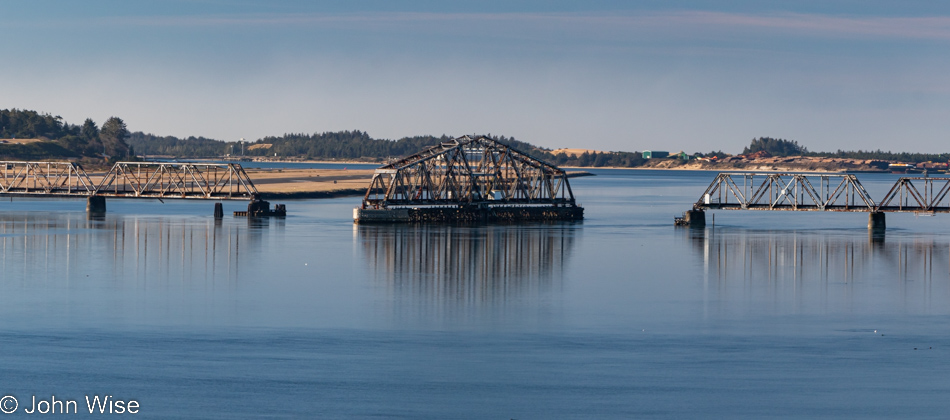
In all the years we’ve been passing through here, we’ve yet to see this rail bridge in any other position or to see trains crossing the bay. We can only guess that this is a relic of the age of forestry as it existed in the past.

McCullough Memorial Bridge in North Bend, Oregon

From this fascination with bridges, one might think Arizona doesn’t have any, but it turns out that Arizona and Oregon are nearly equal in that department, which suggests that the bridges in Arizona are not remarkable in any way. Before you object: yes, we have the Navajo Bridges over the Colorado River and the London Bridge that was moved from the U.K. to Lake Havasu, along with the Black Bridge down in the Grand Canyon, but other than those, I cannot think of any other memorable crossings in Arizona. [May I suggest Roosevelt Lake Bridge?  Caroline]

McCullough Memorial Bridge in North Bend, Oregon

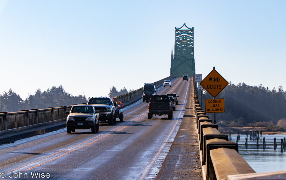
For 86 years, people have been using this bridge, but has anyone else taken so many photos of it?

Traveling Highway 101 south of Coos Bay, Oregon

I’m always trying to remind myself not only to stop and take photos of the most iconic things but also the mundane ones along the way, as they are just as important a part of the attraction that draws us back year after year.

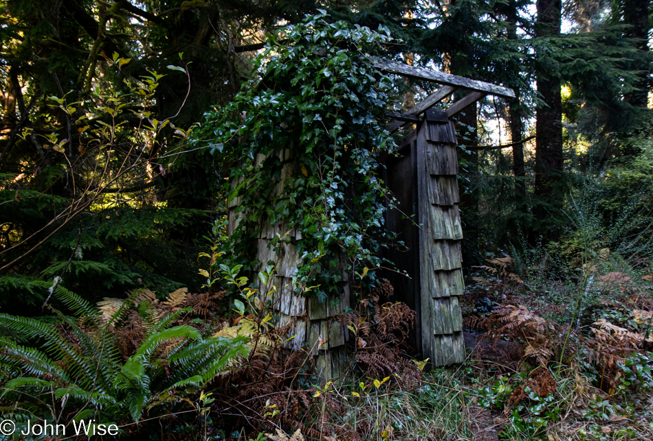
Old rain shelter on Riverside Drive in Bandon, Oregon

In addition, we try to turn down side roads we might have missed on previous travels, and today, that worked in our favor when we turned onto Riverside Drive. At first glance, this might look like an outhouse to those of us not accustomed to living in rainy places, but upon looking closer, it was obvious that this was a long-neglected bus stop for kids who needed shelter while waiting for their school bus.

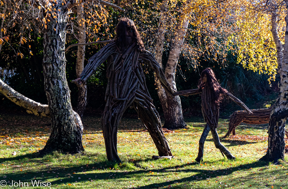
Big Foot and child on Riverside Drive in Bandon, Oregon

That, or it was a hiding place from a marauding Big Foot and its daughter.

Bandon Marsh National Wildlife Refuge in Bandon, Oregon

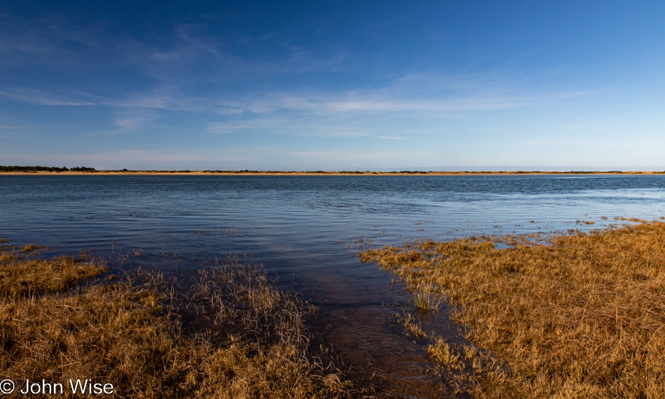
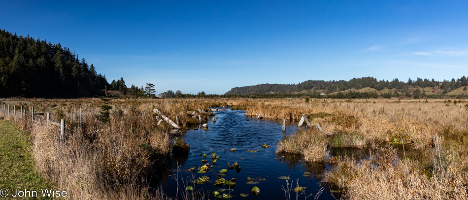
Also from Riverside Drive, a view of the Bandon Marsh National Wildlife Refuge we’ve never seen before.

Caroline Wise at the Wool Company yarn store in Bandon, Oregon

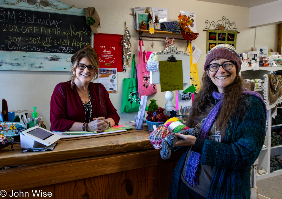
The same cannot be said of the Wool Company yarn store in Bandon, which we’ve visited countless times and must have bought 50 skeins of yarn by now. Yes, there is new sock yarn there, destined for my feet.

The famous Langlois Market in Langlois, Oregon

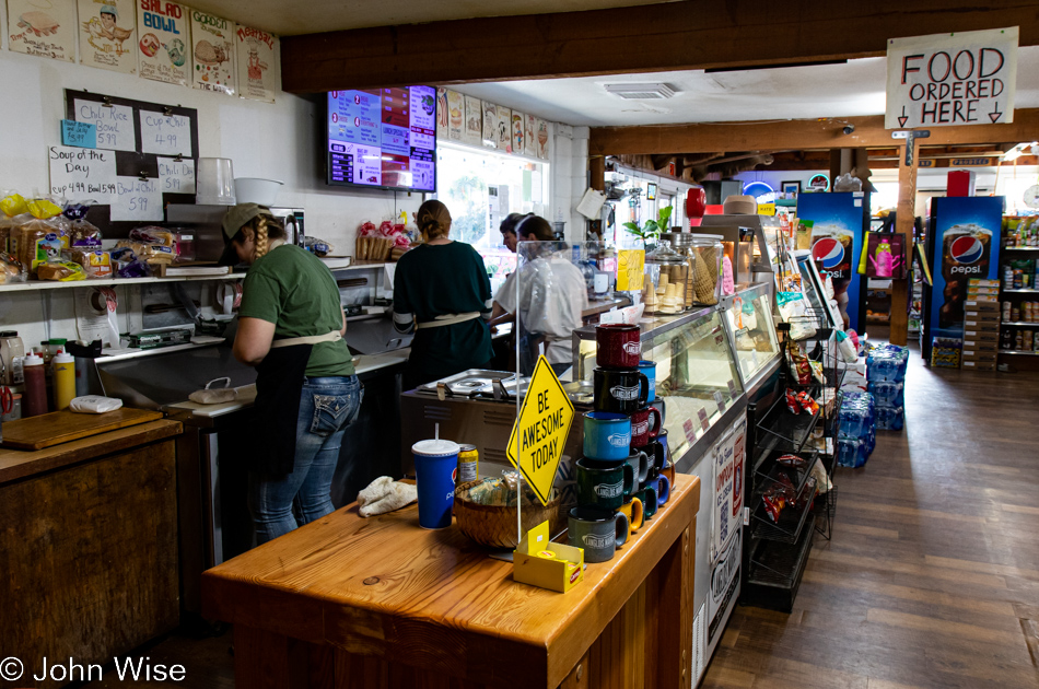
Another place becoming a regular stop on our journeys is found here at the famous Langlois Market, best known for the more than 1,000,000 hotdogs they’ve sold from their little roadside market in a town of only 370 people.

Cape Blanco State Park in Port Orford, Oregon

Not being able to remember offhand the last time we visited the Cape Blanco Lighthouse in Port Orford, we decided to drive down the road through the state park to have a gander.

Cape Blanco State Park in Port Orford, Oregon

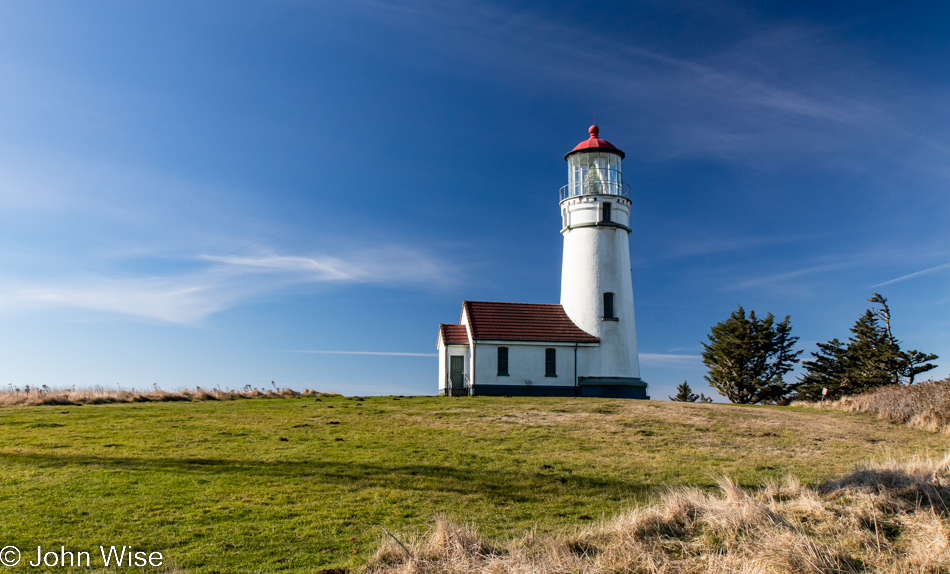
Oooh, it’s windy and cold out here, but the sky demands that we take the short walk in the elements to nab a photo of the lighthouse should it happen that I’ve never taken one in such nice weather.

Cape Blanco State Park in Port Orford, Oregon

Apparently, Neptune has raised his Sword of Damocles against those who live above the surface of his vast ocean, threatening all of us should we not heed our own knowledge that we are ravaging his seas.

Cape Blanco State Park in Port Orford, Oregon

And to our right, as we walk out on the spit of land that is home to the lighthouse, is this view of the deep blue sea that just yesterday was dark green.

Lighthouse at Cape Blanco State Park in Port Orford, Oregon

At this time of year, nothing is open; the season is over. No matter, as the tower itself is not currently visitable even during the summer.

Caroline Wise at Cape Blanco State Park in Port Orford, Oregon

As I said, it’s windy out here, which Caroline thought was as good a time as any to break out the new kite and test how it compares to the one it’s replacing. We’ll just call it love.

Cape Blanco State Park in Port Orford, Oregon

Our car is out there in front of the tree line, and looking at the photo above this one, you might have noticed that Caroline was standing in the old parking lot. Even if the road to the lighthouse was still open, you should be reluctant to drive it as the adjacent cliffside is eroding.

Cape Blanco State Park in Port Orford, Oregon

This is still part of the Cape Blanco State Park, and to the left is the Historic Hughes House built in 1898 that is visitable.

Port Orford, Oregon

There are a lot of places I can say with certainty we’ve visited before, even multiple times, but this pullout looking north towards Port Orford seems to me to be one of the surprisingly many new sites we’ve stopped at during these days.

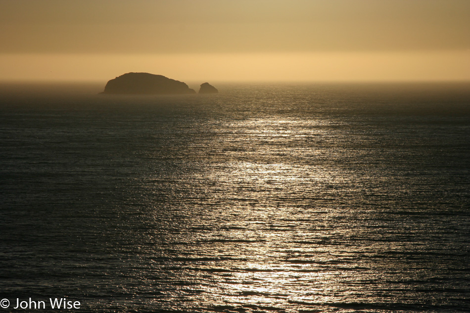
Looking southwest from the same vantage point offers up a crisp sky and a horizon nearly devoid of any fog. Of all the times we’ve been asked if we’ve been here or there, this country or that, nobody has ever asked if we’d ever had the opportunity to be out in the middle of the Pacific Ocean.

While our yurt at Bullards Beach State Park in Bandon is now 30 miles behind us, we have a date with a rock 35 miles ahead.

View from Highway 101 north of Gold Beach, Oregon

Persistence paid off in my attempts to figure out where the heck we were on the road, but it is mislabeled on Google Maps and is not identified at all on Bing; the address is roughly 35690 Oregon Coast Highway, identified with Port Orford, and it is NOT Foramen Arch.

View from Highway 101 north of Gold Beach, Oregon

Turn and look south, and this is your view from the photo above. To the left of the image, you can see Euchre Creek spilling into the ocean.

Wedderburn Bridge in Gold Beach, Oregon

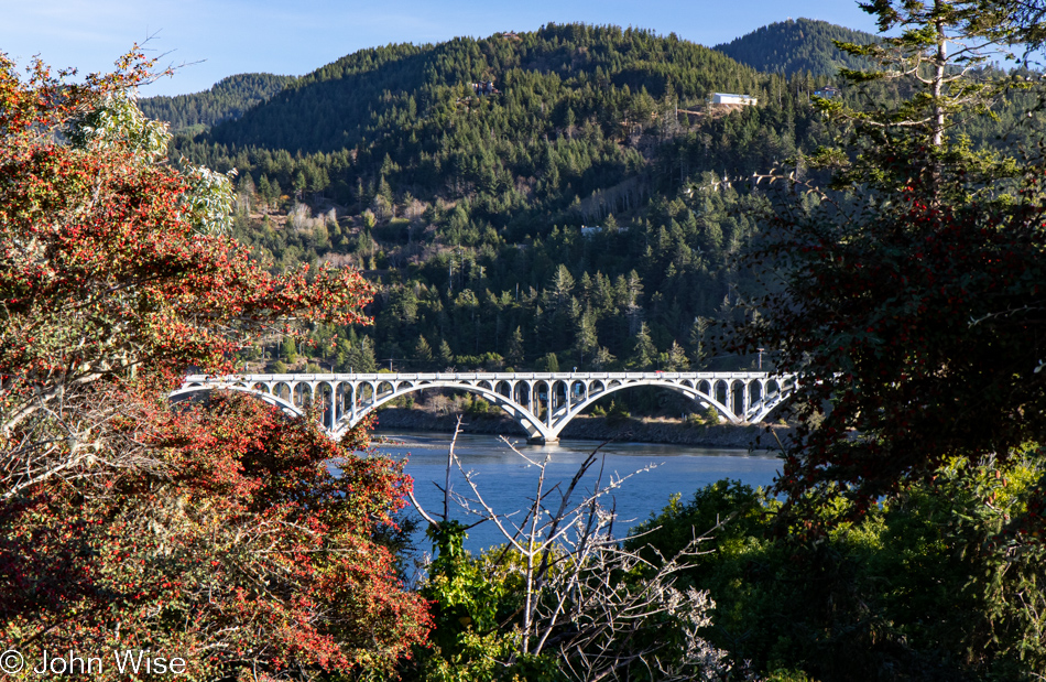
Moving down a hill and between the bushes, we were offered this view of Wedderburn Bridge in Gold Beach. I wanted to snap a photo from the road, which gave a much better view; stopping for a photo would have been too dangerous though, so this one will have to do. It’s yet another bridge designed by the famous civil Oregonian engineer with a Hitler mustache named Conde McCullough.

Caroline Wise at Meyers Creek Beach in Gold Beach, Oregon

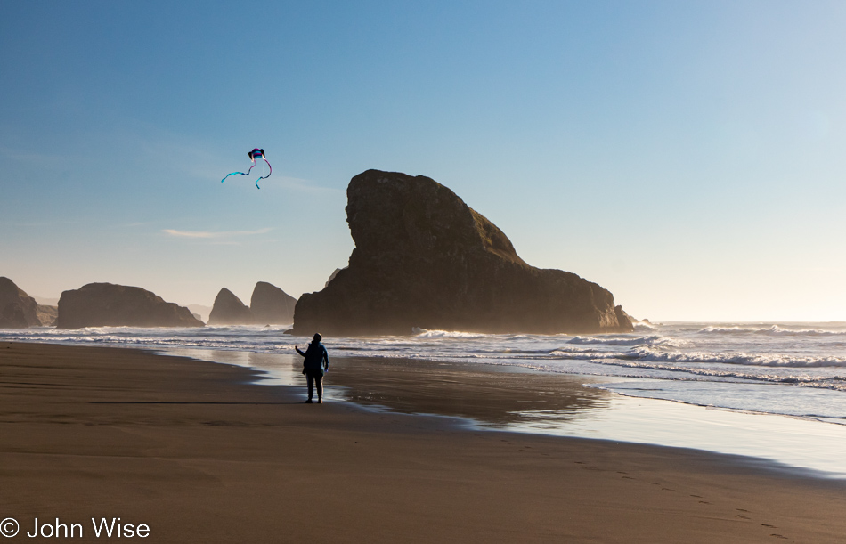
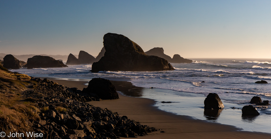
Meet our southern date here at Meyers Creek Beach, the Shark Fin. This visit, though, now comes with 100% more kite.

Meyers Creek Beach in Gold Beach, Oregon

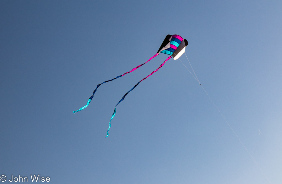
No more disappointment trying to fly the previous pathetic little kite that was reluctant to take to the sky, as this one is a natural.

Caroline Wise at Meyers Creek Beach in Gold Beach, Oregon

Caroline is so happy with this new kite that she’s named it Happy McKiteface. Cute name and all, but I think it actually describes her.

Meyers Creek Beach in Gold Beach, Oregon

Until next time, Shark Fin, it’s been great.

Cape Sebastian Trail in Gold Beach, Oregon

There we were, driving north as though we were doing so with purpose when, not even two miles away from our last stop, a steep road up a hillside on my left seemingly demanded that I pull a quick U-turn to investigate. Why hadn’t the Cape Sebastian sign caught our attention before?

Cape Sebastian Trail in Gold Beach, Oregon

Seeing how we are now up here, we should check out what is down the hill, not this way but the one in front of us.

Cape Sebastian Trail in Gold Beach, Oregon

Nope, this is the view to the north, but in a second, you’ll know what I’m speaking of.

Cape Sebastian Trail in Gold Beach, Oregon

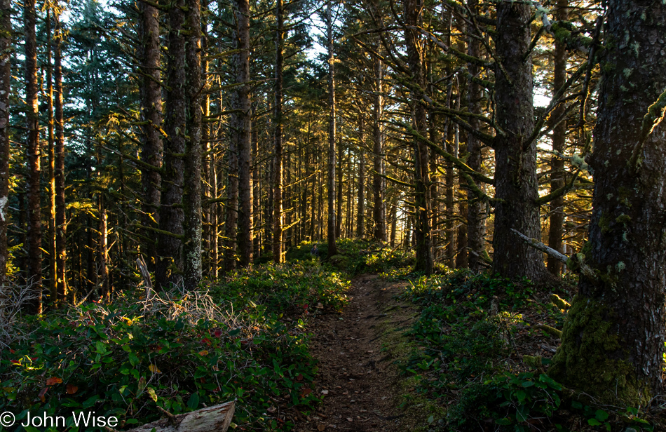
This is the trail I wanted to bring your attention to.

Cape Sebastian Trail in Gold Beach, Oregon

It apparently brings us out to the edge of Cape Sebastian, here between Pistol River and Gold Beach.

Cape Sebastian Trail in Gold Beach, Oregon

Where exactly it’s going is uncertain as there was no trail map at the parking lot, and at this moment, we’ve not passed anyone else who can tell us anything more about where we are. Checking our phones is not an option as we have no signal.

Cape Sebastian Trail in Gold Beach, Oregon

If this were as far as we’d been able to go, it would have been worth every moment and more. Around this time, we’d met a couple coming at us on the trail, and we asked how far they went; they’d gone all the way to the beach but warned us it was too late to try that as it would certainly be dark by the time we got back to where we were talking with them. Something to come back to.

Cape Sebastian Trail in Gold Beach, Oregon

With that, we turned around for our walk back through the forest until we found a slightly different view north.

Cape Sebastian Trail in Gold Beach, Oregon

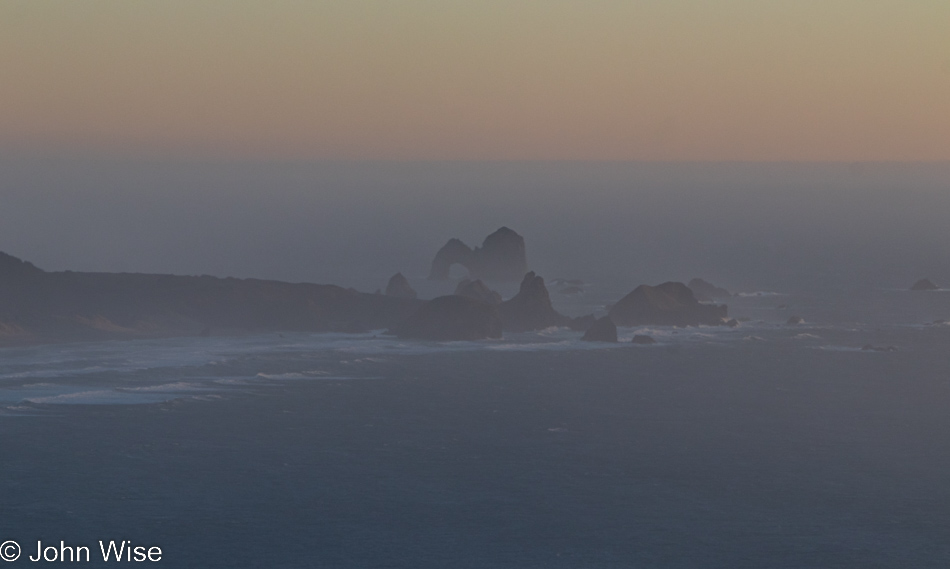
In the distance to the south, way out there, that’s Arch Rock.

Cape Sebastian Trail in Gold Beach, Oregon

Back at the Cape Sebastian parking lot and ready to tackle the last 65 miles to the evening’s yurt accommodations.

Visitor Center Beach at Gold Beach, Oregon

We’ll still have 60 miles left after this “last” stop, but who could blame us? We’ve stopped at the Gold Beach Visitors Center, which appears to be the name of the beach, but that can’t be.

Visitor Center Beach at Gold Beach, Oregon

While I busied myself photographing the last moments of the setting sun, Caroline quietly pulled out Happy McKiteface and threw it aloft before I could protest. With that smiling face beaming at her new kite high above the beach in the fading light of day, there was no way I was going to rain on her moment of finding yet more joy.

Carl G. Washburne – Rainforest

Yachats, Oregon

Disclaimer: This post is one of those that ended up being (mostly) written years after the experience was had. While there was a paragraph or two posted way back then with a single photo, there were no other notes taken, so most of what is shared here must be extracted from the images and what memories they may have lent us.

Beautiful Yachats, Oregon, which we should call home in retirement. (Well, that was our thinking in 2008 when things were still affordable up along the Oregon Coast. Nowadays, in 2022, as I’m expanding this post, that dream is no longer possible due to private equity and AirBnB destroying the ability to find affordability in places where big profit can be exploited.)

Devils Churn in Yachats, Oregon

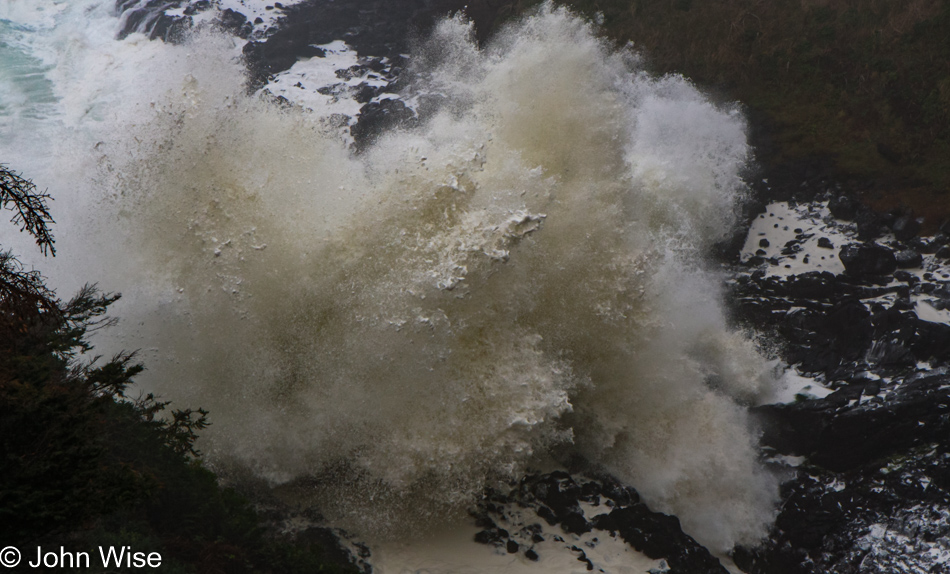
The ferocity of the Devil’s Churn persuaded us that we didn’t need to spend another minute here and that we should just get down the road, or else be trapped for hours while I aim to take the most perfect photo of the chaos.

Carl G. Washburne Memorial State Park in Florence, Oregon

Having visited so many of these locations on prior outings, we now have a repertoire of places requiring revisits. Carl G. Washburne Memorial State Park is one of those destinations in our ever-growing list of must-return-to sites.

Carl G. Washburne Memorial State Park in Florence, Oregon

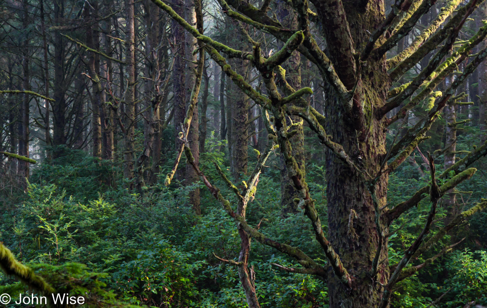
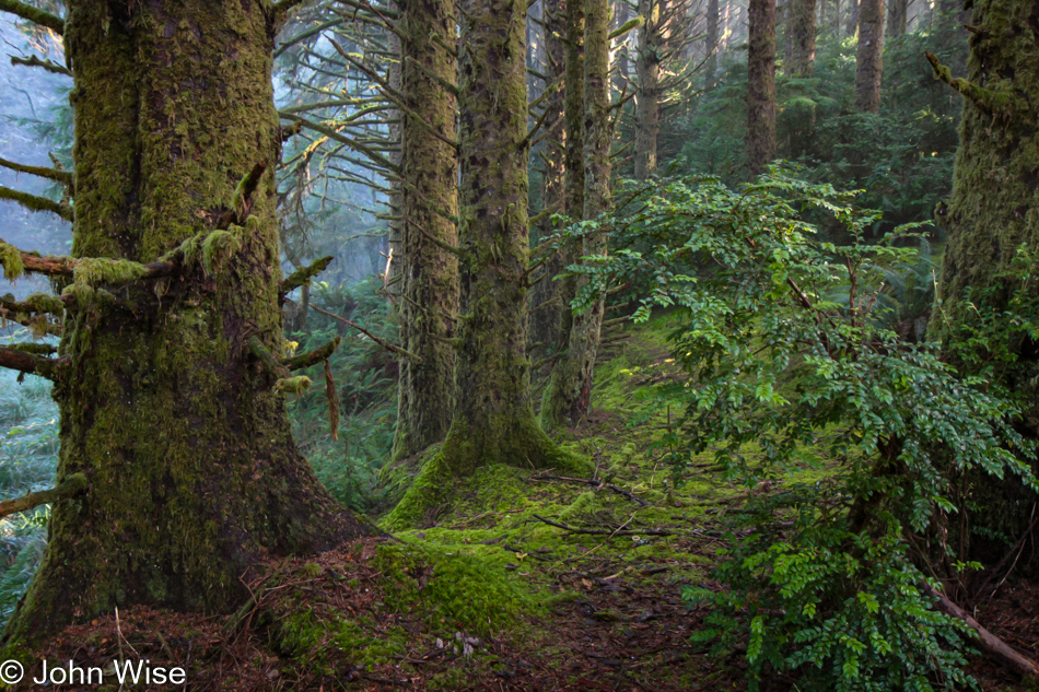
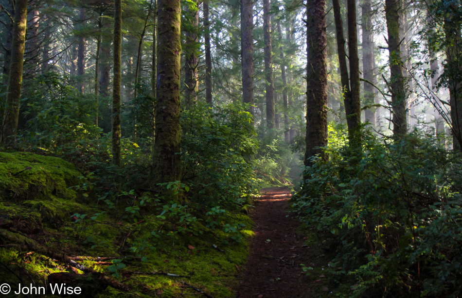
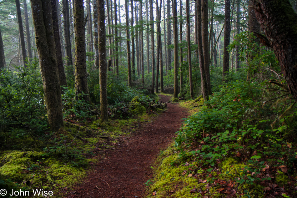
From sand dunes to rocky coastal mountains, the Oregon Coast is a treasure trove for exploration, but here at the Carl Washburne State Park, a lush rainforest is roadside and yet rarely visited. While the opposite side of the road, with its Hobbit trail to the mile-long sandy beach, is popular, the China Creek trail sees few visitors. This works out fine for Caroline and me, for we appreciate the quiet, the solitude, and the solemnity of this overgrown, mushroom and moss-infested forest.

Carl G. Washburne Memorial State Park in Florence, Oregon

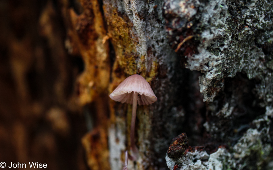
Elk are said to inhabit the area along the trail, but they have remained elusive to us so far; mushrooms, though, are here in abundance.

Carl G. Washburne Memorial State Park in Florence, Oregon

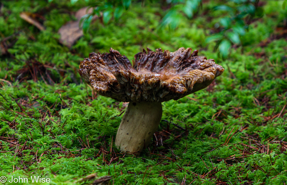
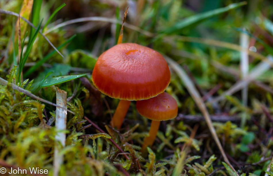
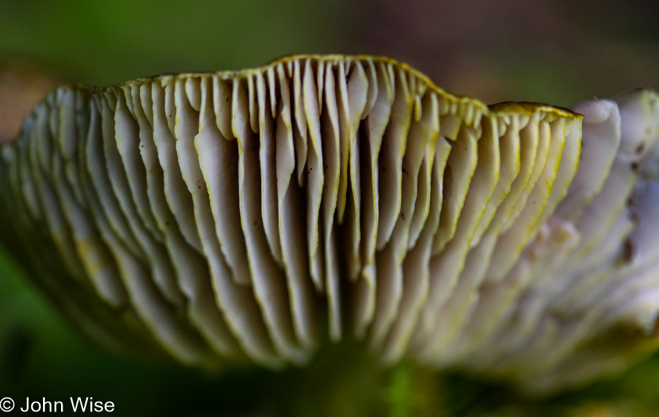
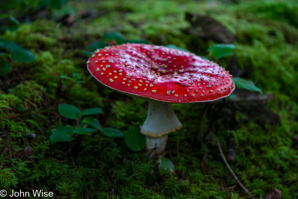
Mushrooms come in all shapes and sizes. Imagine that these were elephants or unicorns, and there’d be millions lining up to witness the spectacle. Well, lucky us that people don’t find the same enjoyment in the rain forest so it’s all ours.

Carl G. Washburne Memorial State Park in Florence, Oregon

Or maybe Oregon should import gorillas into these environments, and then the crowds would come, though that would just ruin our pilgrimages to this beautiful little corner of the coast.

Carl G. Washburne Memorial State Park in Florence, Oregon

Ha, I should point out that this part of the trail isn’t even in the deepest part of the forest yet; that’s still coming up.

Carl G. Washburne Memorial State Park in Florence, Oregon

Just past these mushrooms.

Carl G. Washburne Memorial State Park in Florence, Oregon

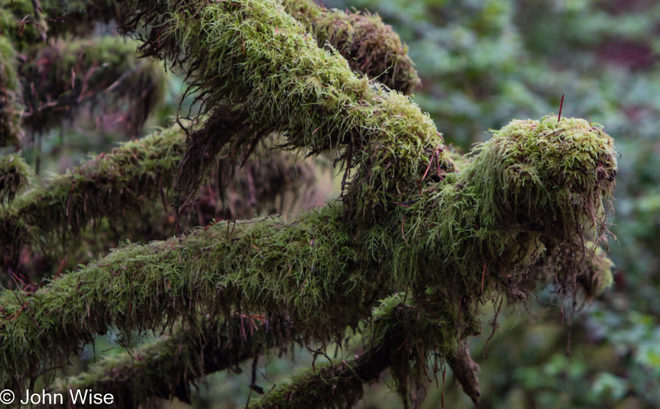
And then, blam, you are in the moss-covered three-handled family gradunza. That’s right, if you ever wondered what Dr. Seuss took influence from, this was it.

Carl G. Washburne Memorial State Park in Florence, Oregon

Our happy place.

Carl G. Washburne Memorial State Park in Florence, Oregon

If we were small enough, our happy place might be under this mushroom, but we are giants.

Carl G. Washburne Memorial State Park in Florence, Oregon

Though not so giant as to compete with the trees.

Carl G. Washburne Memorial State Park in Florence, Oregon

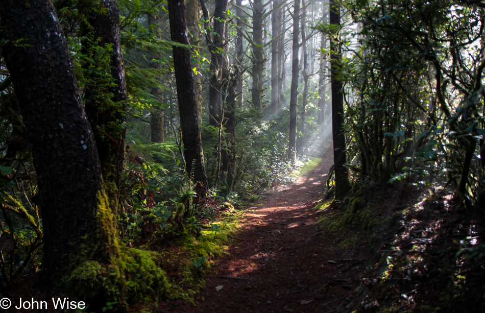
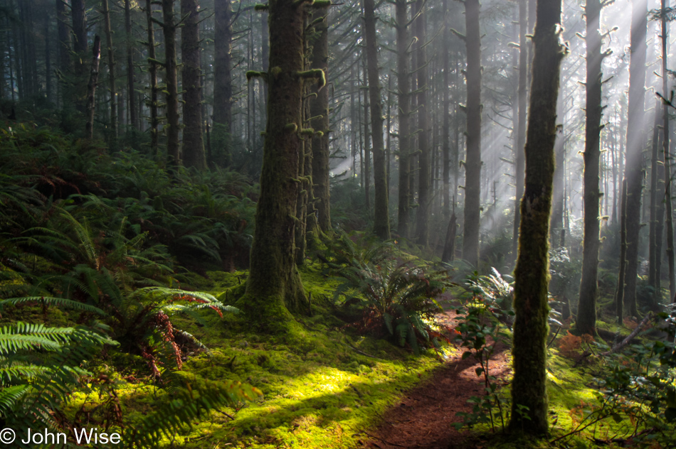
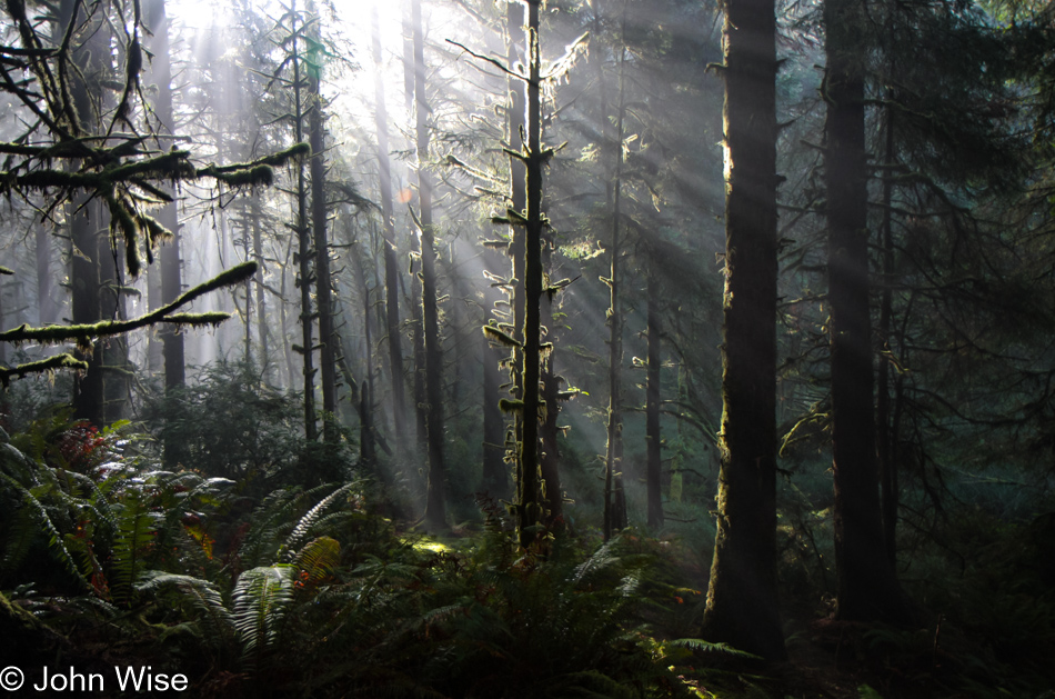
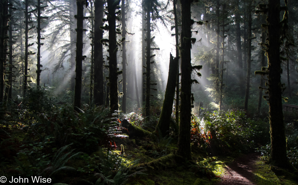
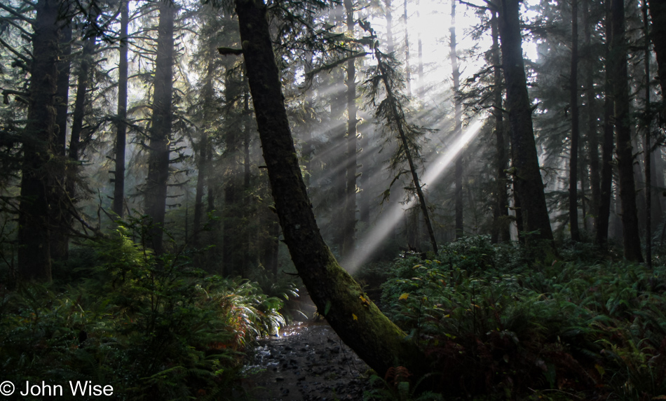
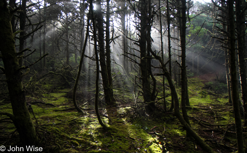
Nor as big as the sun that shines down these rays into the trees, casting shadows within the fog.

Carl G. Washburne Memorial State Park in Florence, Oregon

So, the best we can be are puny people in awe of how incredible not only the place is, but how fortunate we are to realize we can be here to be energized in the magic of light and shadow.

Carl G. Washburne Memorial State Park in Florence, Oregon

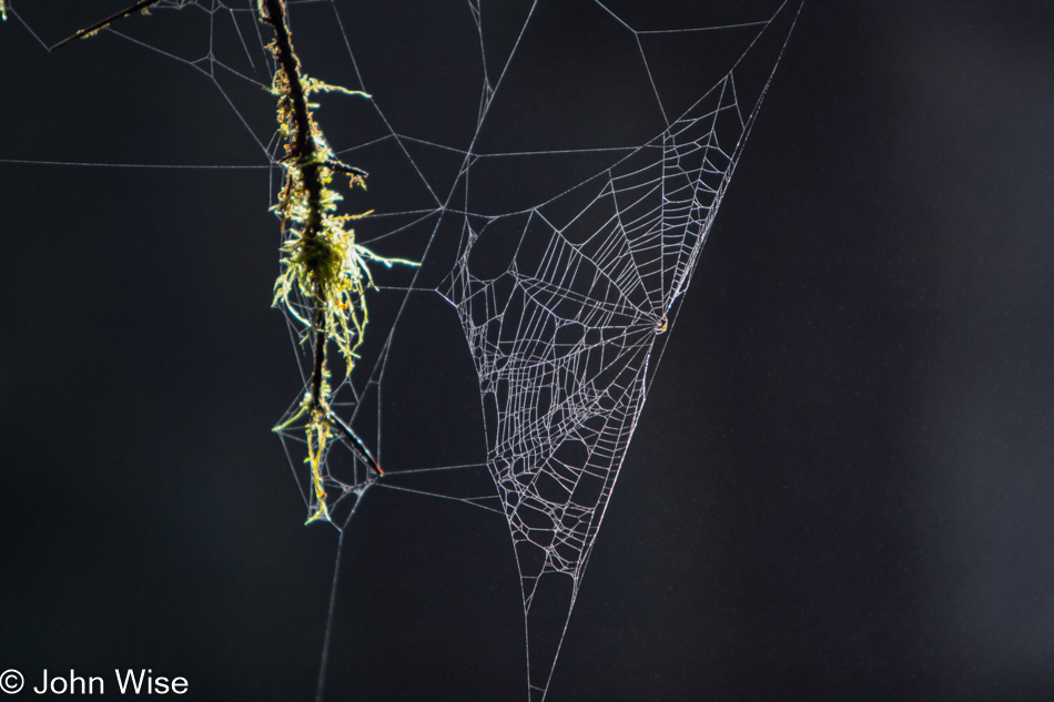
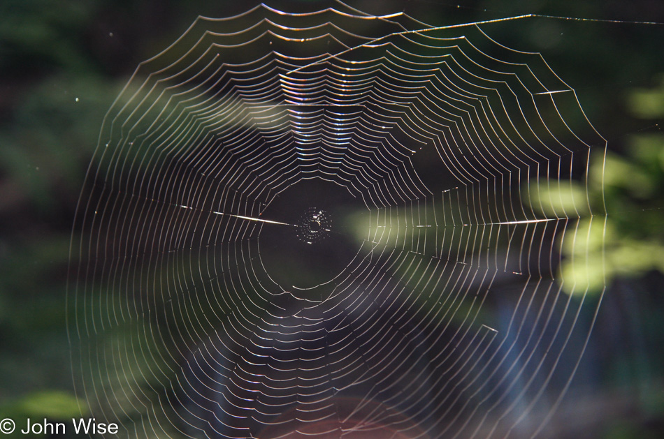
In Arizona, the spider webs are invisible in our zero-humidity, dry climate, but up here, they are gathers of both insects and dew.

Carl G. Washburne Memorial State Park in Florence, Oregon

Maybe I’m getting too carried away with the god-ray photos?

Carl G. Washburne Memorial State Park in Florence, Oregon

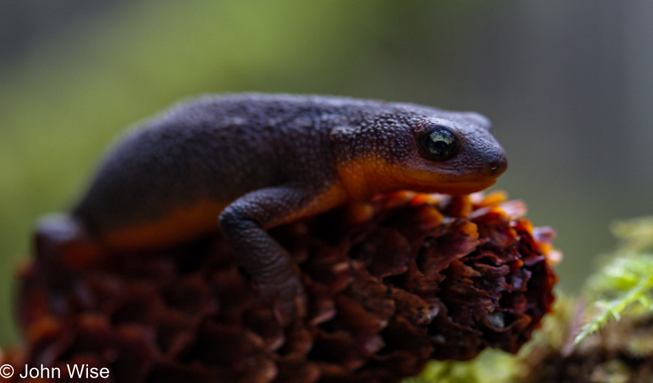
Well then, here’s a salamander taking a break with the green world around it reflected in its eyes.

Carl G. Washburne Memorial State Park in Florence, Oregon

Wait a minute, have I shared a photo previously of this exact location? Probably, but I’ve also taken a thousand photos of my wife and shared them too.

Carl G. Washburne Memorial State Park in Florence, Oregon

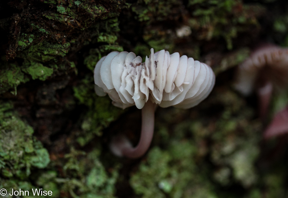
Not a mushroom but an alien intelligence sent here to observe us.

Carl G. Washburne Memorial State Park in Florence, Oregon

I sure have created myself a task I often feel ill-prepared for by adding all of these photos. I’ve endeavored to include a corresponding amount of something to say about each, but that’s difficult, especially considering that I’ve likely written about the general area and impressions a dozen or more times.

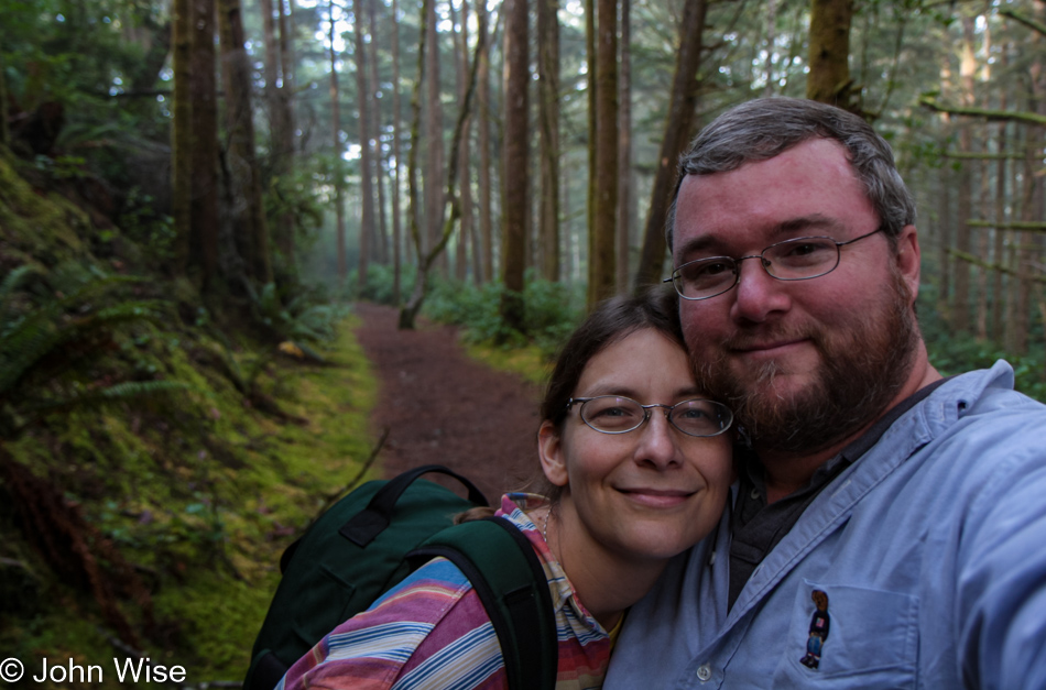
Caroline Wise and John Wise at the Carl G. Washburne Memorial State Park in Florence, Oregon

Looking back at these memories, I see the forest as it was and still is; Caroline looks almost the same, while I’ve grown thinner and grayer. We still have that green camera bag, Caroline only recently retired that flannel shirt we bought at Euro-Disney in 1992, and she wore at our Las Vegas wedding, and we are still not quite satisfied that we’ve experienced enough of Oregon, and so this November 2022, like so many other Novembers, we’ll be back, likely on this exact trail.

Carl G. Washburne Memorial State Park in Florence, Oregon

We’ve often wondered how many of our photos are from essentially the exact same spot. For that matter, how many of these words have been written verbatim time and again?

The Hobbit Trail at the Carl G. Washburne Memorial State Park in Florence, Oregon

After starting the China Creek Trail at the trailhead near the park office and covering the Valley trail, you may cross over Highway 101, where you can choose to hike to Heceta Head Lighthouse or turn right over the Hobbit Trail, returning to the park entrance on the beach (hopefully at low tide).

Hobbit Beach next to Carl G. Washburne Memorial State Park in Florence, Oregon

This is one of the majestic photos that defy my belief that I captured it. Caroline should chime in here about now and inform me that, in fact, she took it.

[Come on, John, everybody knows that only you take nice photos ^_^  Caroline]

Caroline Wise and John Wise at Hobbit Beach next to Carl G. Washburne Memorial State Park in Florence, Oregon

Two selfies of us in one post can only mean I’m giving into the nostalgia of things, or maybe I enjoy getting lost in the romantic notion that those two smiling faces have been sharing space in front of the camera for so many years.

Hobbit Beach next to Carl G. Washburne Memorial State Park in Florence, Oregon

This guy or gal is an uncommon sight for us to see on a beach in Oregon, especially at this time of year.

Winchester Bay in Reedsport, Oregon

I believe we are at Winchester Bay, which would make sense with our lodging being just around the corner.

Umpqua Lighthouse State Park in Reedsport, Oregon

If this is the Umpqua River Lighthouse, and it is, then we must be staying in yet another yurt because just behind that lighthouse is the Umpqua Lighthouse State Park. Apparently, this was our first time staying at this park, as far as the old reservation confirmations I still have in email. We were in yurt C53, and some years later, we stayed in B18, followed in 2019 and 2021 when we stayed in C35, which is the same yurt we’ll be occupying in November 2022.

Jutta On The Road – Day 10

Caroline Wise and Jutta Engelhardt at Glacier National Park, Montana

Disclaimer: This blog entry wasn’t written until 17 years after the trip. It should be noted that it was a huge mistake to have not written it way back when. Sometimes, after writing so much about other days, it happens that at the time directly after the trip (or even during), I convince myself that the details are not that important. Years later, these details are that important, and pulling them out of foggy memories is difficult. The photos help and often leave clues, and then Caroline’s memories are usually far clearer than mine. With that said, here goes.

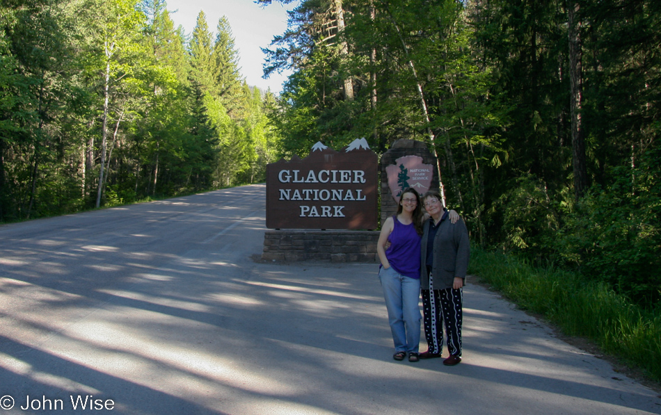
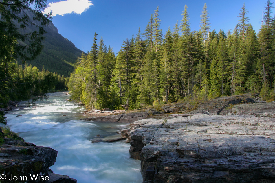
Wake up, practice the ablutions you’ve adopted, and step into new, unknown experiences so your life might rise like the sun on the horizon. When the final night comes, will you be able to celebrate in the knowledge that you danced through this life, even if it’s just metaphorically? Yes, Jutta comes to America primarily to visit her daughter and maybe me a bit (but only a bit), and then there’s the obligatory exploration of aspects of her ability to bring in the new, to dance with her children in unfamiliar places, often doing unfamiliar things. Today, that involves the three of us driving into the mountains of Glacier National Park here in Montana. Before we got to this park sign, we detoured a brief way up north to the Canadian border, getting there before the sun did, turned around, and headed this way.

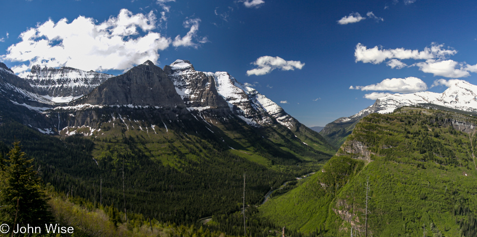
Glacier National Park, Montana

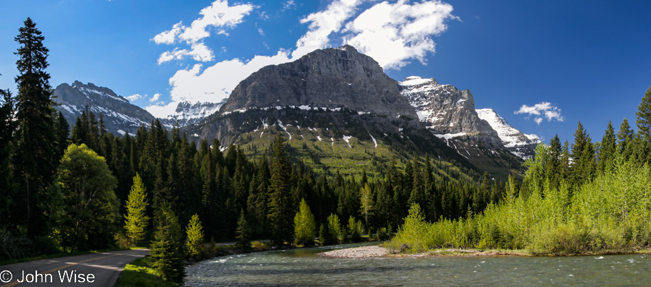
We were not those lucky few who could afford to stay within the park’s borders, so we had to drive down from Eureka through Whitefish and Columbia Falls to get here, but upon our arrival, it appeared that everything was just as amazingly beautiful as if we’d slept within Glacier. The lodges in the park are highly coveted and, like all great places, are booked well in advance, but don’t worry if you can’t snag a reservation; just look at the following photos to see that you too can experience the astonishing.

Glacier National Park, Montana

We’ve read that Glacier is crowded; well, maybe that’s true in the summer or up at the Logan Pass visitors center, but right here, right now, things are, as you can see, perfect.

Glacier National Park, Montana

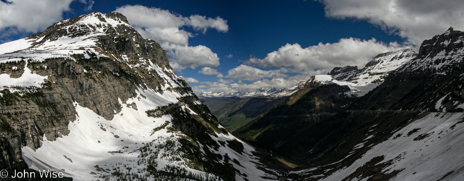
What’s not perfect is the insane road that’s been carved out of the mountainside. Beware those who easily entertain a fear of heights.

Glacier National Park, Montana

Just looking at all that snow triggers my anxiety as I can easily imagine that during the winter, the road we are traveling is a frequent target of the snow gods ready to toss passing cars off the road. Funny how the imagination can impact the pucker factor even when such situations are not really possible or even likely but somehow have crawled into the mind.

Glacier National Park, Montana

The worst part of the road is that you can see it ahead, while the best part is EVERYTHING ELSE!

Glacier National Park, Montana

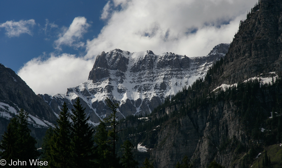
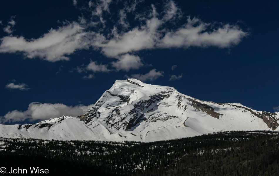
You know, to be honest, I’m happy to be here before the main summer season gets underway, as with the amount of snow here still draping the mountains, one gets a faint idea of what this corner of Montana looks like during the winter.

Glacier National Park, Montana

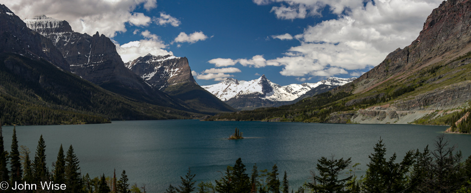
That’s Wild Goose Island in Lake Mary, meaning we’ve already gone over Logan Pass, and while I may be mistaken, I think that’s Going-To-The-Sun Mountain to the right and the namesake of the road we are on.

Glacier National Park, Montana

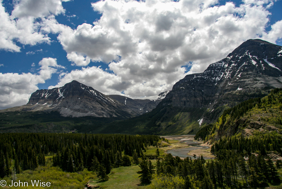
Heading into the Many Glacier area of the park that requires visitors to get on Highway 89 north towards Canada and turn off at Babb, this is one seriously big national park.

Swiftcurrent Lake at Many Glaciers in the Glacier National Park, Montana

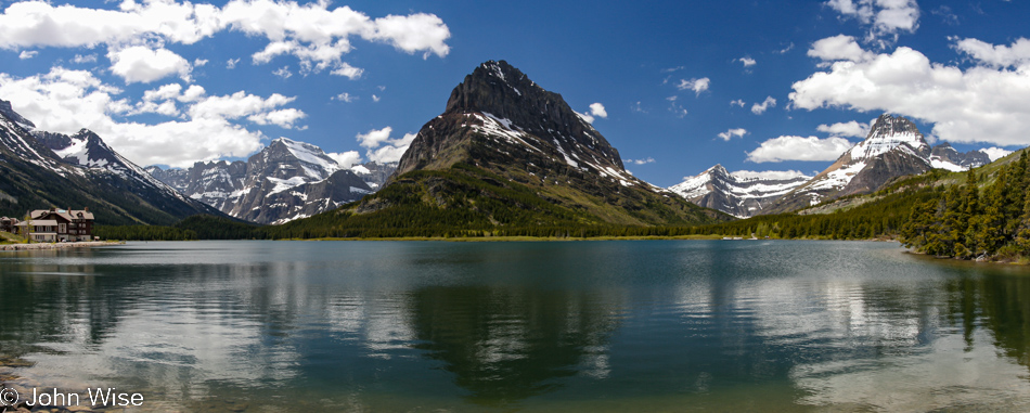
We’ve arrived at Swiftcurrent Lake and will now dream for as many lifetimes as necessary about staying at the chalet over on the far left.

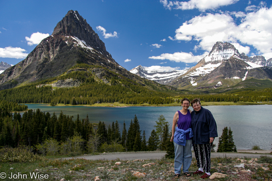
Caroline Wise and Jutta Engelhardt at Swiftcurrent Lake at Many Glaciers in the Glacier National Park, Montana

After visiting Glacier National Park, a number of people asked if we’d ever been up to Jasper and Banff National Parks, and as sad as it is to admit here in 2022 when I’m writing this post, we’ve still not visited that corner of Canada.

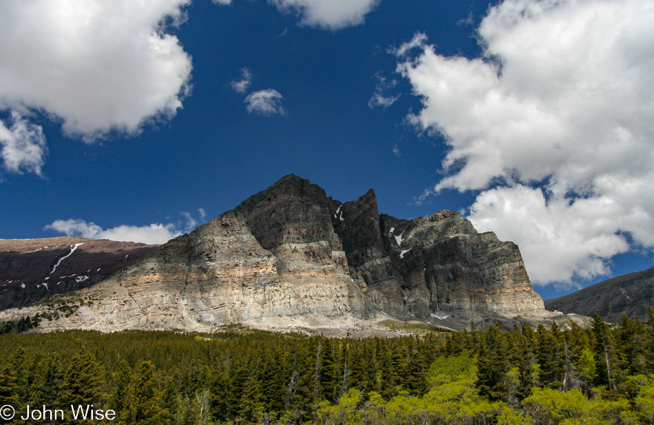
Glacier National Park, Montana

It’s all pretty crazy when you stop to think that this is just a small part of the Rocky Mountain range that stretches 3,000 miles from northwest Canada down to New Mexico.

Driving north on Highway 89 towards Canada in Montana

Being a short 10 miles from the Canadian border, you bet we headed up there.

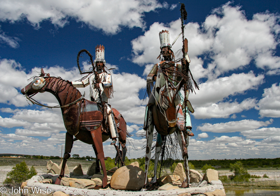
Blackfoot Nation Sculpture in Babb, Montana

We could have shared a boring photo of the customs station or sign to Canada, but this roadside Blackfoot Nation Sculpture was way better.

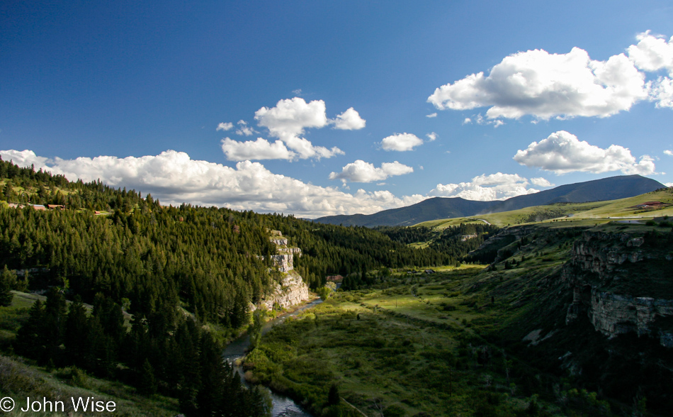
Somewhere on Highway 89 in Montana

Highway 89 will take us all the way to Gardiner, Montana, today, which is where we’re staying the night so we can visit the next national park first thing tomorrow.

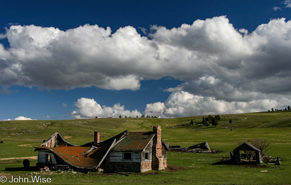
Somewhere on Highway 89 in Montana

Along the way, we’ll pass through Fairfield, Neihart, Ringling, Wilsall, and Wineglass.

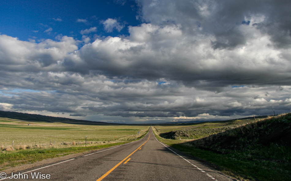
Somewhere on Highway 89 in Montana

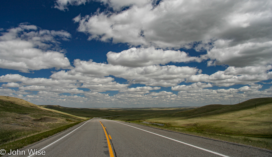
Minutes before, we were passing through Ringling, Montana. It sure is wide open out here.

Rainbow over the Yellowstone River on Highway 89 in Montana

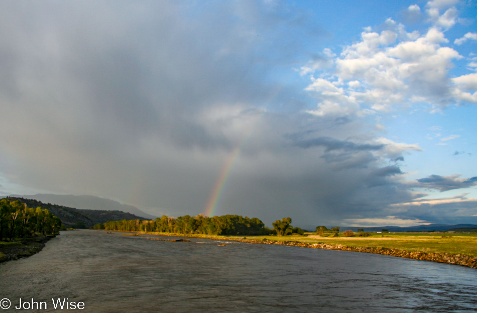
You just know that this had to be the last photo of the day as we cross the Yellowstone River with one fairly strong rainbow and a hint of pale one to its left. Yep, this is how life should be: rainbows welcoming us back to Yellowstone, where we’re going in the morning.

Jutta On The Road – Day 8

Disclaimer: This blog entry wasn’t written until 17 years after the trip. It should be noted that this was a huge mistake to have not written it way back when. Sometimes, after writing so much about other days, it happens that at the time directly after the trip (or even during), I convince myself that the details are not that important. Years later, these details are that important, and pulling them out of foggy memories is difficult. The photos help and often leave clues, and then Caroline’s memories are usually far clearer than mine. With that said, here goes.

I might just have to concede defeat: it’s now been two years since I struggled through the day prior to this one, as any semblance of story is so far away from anything I remember. I could write a generic story about the love of nature and how my mother-in-law Jutta responded to these deeply immersive journeys into America but there would be no real personal details that harken back to these days.

This is the tragedy of not following up in a timely manner with something that, at the time just wasn’t imperative. I feel like I had been a spider, and I spun out a single thread, and then days later, on the verge of starvation, I’m wondering, how’d I go wrong? The answer is simple: always do all you can to capture not just your meals but your memories, too.

Back in 2005, I did write something, maybe 100 words if I’m lucky. Part of that original text was that we’d stayed in Forks, Washington, overnight, and from the itinerary I still have, I can share that we paid $46 for a night at the Town Motel. I also included that we stayed this far north so we could visit the Hoh Rainforest first thing today before heading over to Olympic National Park; actually, the Hoh Rainforest is part of Olympic National Park.

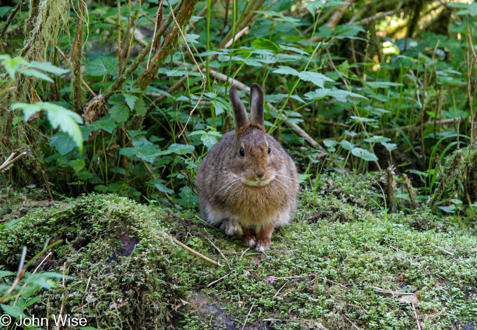
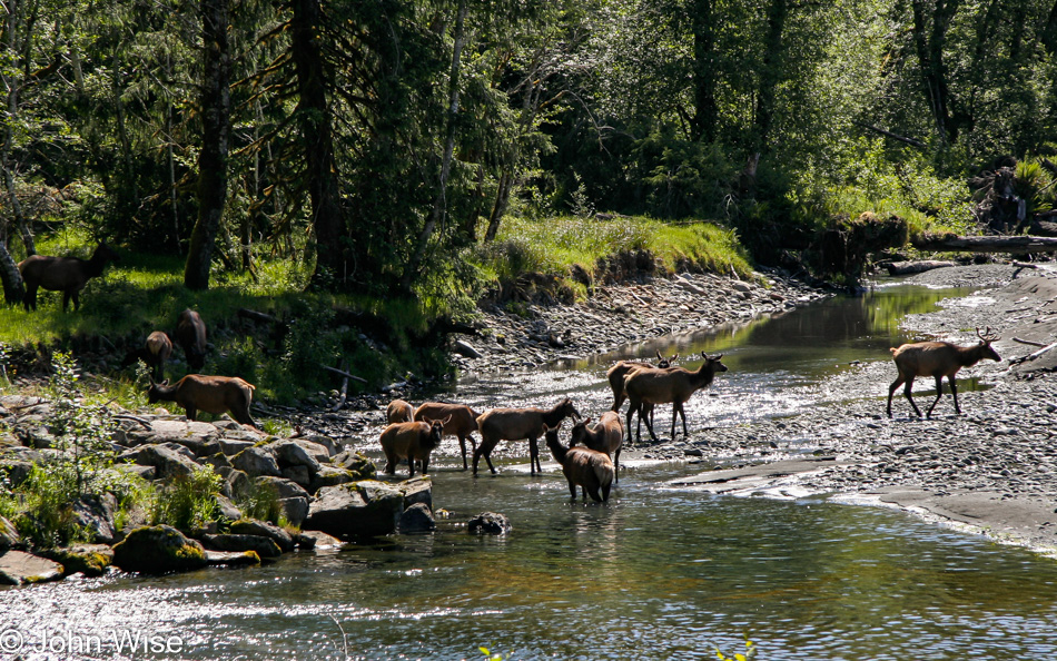
While I also wrote of the rabbit and some elk hoove prints, I didn’t mention that we’d seen elk crossing a river; photos are below.

Over the years of capturing so much imagery of the United States shared with Caroline, Jutta, and others, I’ve tried to advocate that others should be blogging, too. By now, I cannot believe it’s not a national directive with studies showing how meaningful, rich details from our past can bring us back to the experience as though they happened yesterday. Back when Caroline and I ventured out driving from Arizona to Maine and down to Louisiana before heading home, we took great notes, and while we took a minimal number of photos due to the expense of memory cards during those nascent days of digital photography, I was able to craft a narrative compelling enough that I know more about that adventure than I ever will about this one that occurred five years later.

Now, fortunately, Caroline and I have been on the Hoh Rainforest trail before, along with the Quinault Rainforest part of the park out here on the Olympic Peninsula, so we have some strong memories about a lot of what’s being seen here, but those tiny details that bring back the laughter of a mother-in-law, wife, kids nearby, or the sound of the forest itself, those things regarding these specific days have drifted on.

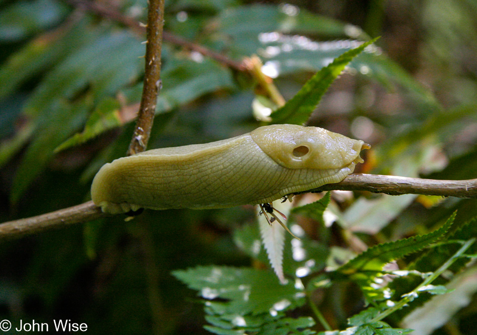
There’s no way to bring any of it back. Even Caroline is unable to add further detail. In any case, the mighty banana slug will always be mighty in our eyes.

Sure, these scenes are gorgeous; that’s why we thought to bring Jutta up this way, though a 16-day road trip was going to be grueling.

There are moments on our journeys when we encounter situations when not only would it be impossible to see anything similar in Germany, but even if Caroline and I had seen something remotely the same on a previous excursion, we’d still be here in astonishment right now. We see lizards, coyotes, ants, and too many pigeons in Phoenix, while Jutta might see pigeons in Frankfurt. Nature enchants all of us, and I’m sure it did this day, too, but did Caroline or her mom utter something noteworthy? I wish I remembered.

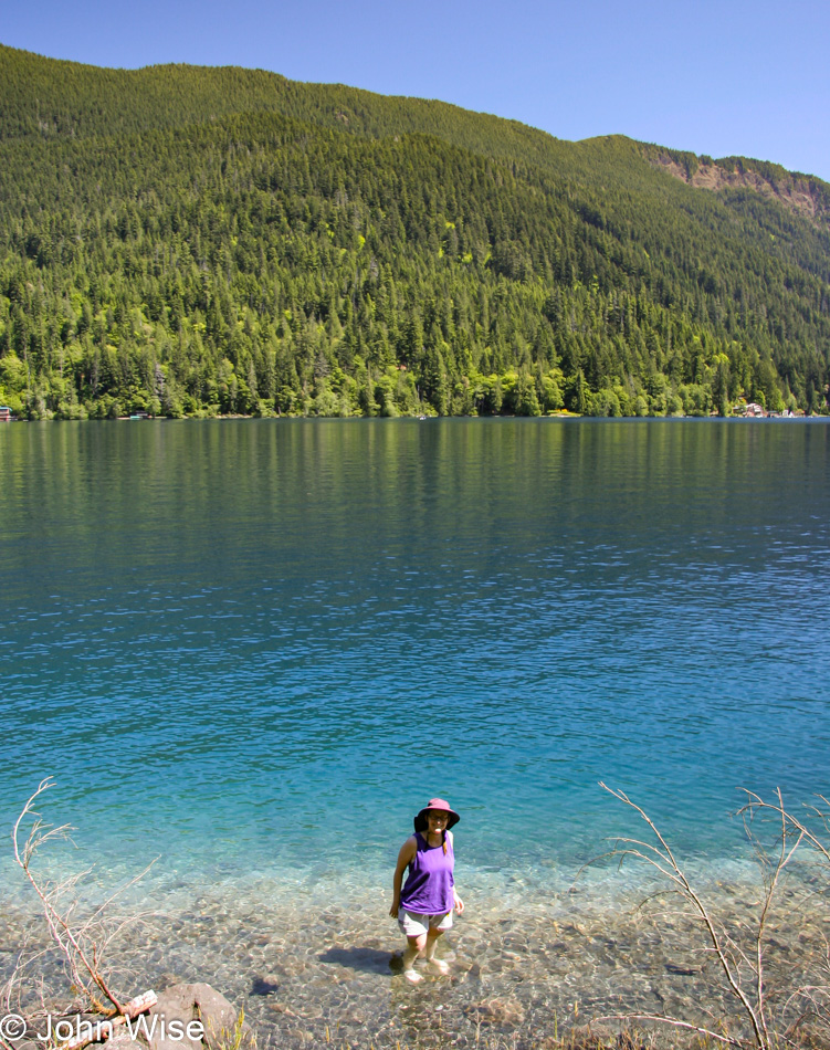
Caroline’s cooling her feet in Lake Crescent; I only know this because the next photo has us heading into the mountains to visit the main area of Olympic National Park.

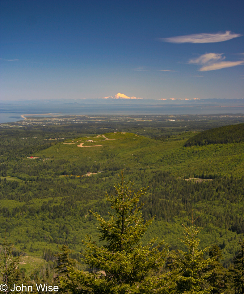
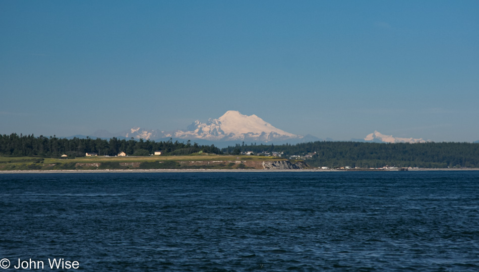
Mt. Rainier is in the distance, meaning this is an incredibly clear day as that mountain is about 120 miles away as the crow flies.

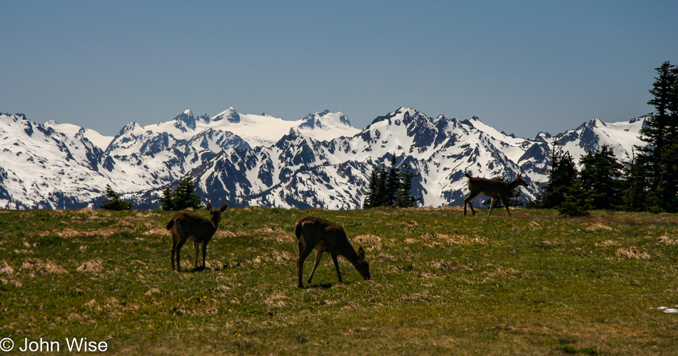
Up on Hurricane Ridge.

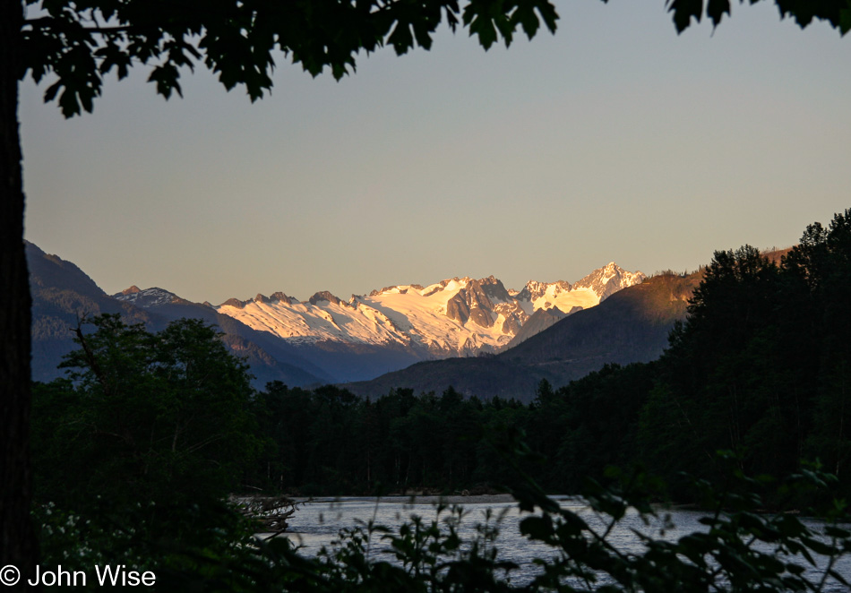
Thanks again to the old itinerary I’ve been reminded that we are at Port Townsend taking the ferry over to Fort Casey on Whidbey Island. Once over there the plan was to go north to Fidalgo Island and catch another road east up to North Cascades National Park, a place Caroline nor I have ever been to.

We are staying in the Eagles Nest Motel in Concrete, Washington; the name wasn’t lost on my mother-in-law. Back then, it cost us $55 in cash to stay, but my search of the place shows it shut down around 2014.

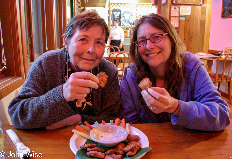
Now, this is one of the seriously strong memories I’ve held on to; Caroline and her mom are about to try Rocky Mountain Oysters (bull testicles), and while Jutta thought they were just okay, Caroline grimaced a bit as she chewed into the soft piece. After a few bites, she also declared that eating testicles is no big deal. As for me, I was not up for a food challenge and instead played chicken; plus, I’ve never liked organ meats. And that’s all I’ve got.

Jutta On The Road – Day 5

Disclaimer: This blog entry wasn’t written until 15 years after the trip. It should be noted that it was a huge mistake to have not written it way back when. Sometimes, after writing so much about other days, it happens that at the time directly after the trip (or even during), I convince myself that the details are not that important. Years later, these details are that important, and pulling them out of foggy memories is difficult. The photos help and often leave clues, and then Caroline’s memories are usually far clearer than mine. With that said, here goes.

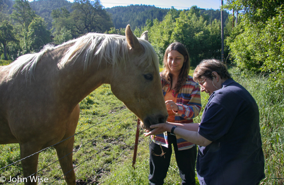
As often as we can, we’ll stop for animals and greet them. On occasion, they’ll come over to show their interest in us, too, and while we cannot judge their level of appreciation, I can say that we are always delighted.

Of course, we feel the same about stopping for trees, and like horses at fence lines, who wouldn’t love a forest of giants that are encroaching on the road?

The ghostly memory of my mother-in-law will forever be present with Caroline and me across America in all the places she visited with us and expressed her awe, even when she’s no longer in the picture.

I’ve written many words about these two women, but not one of them compares to what these smiles say.

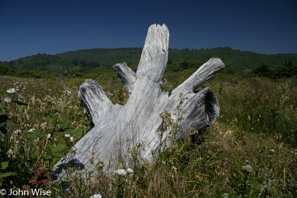
Maybe with enough searching, we might one day find this old bleached-out tree trunk, but will it ever again look so captivating?

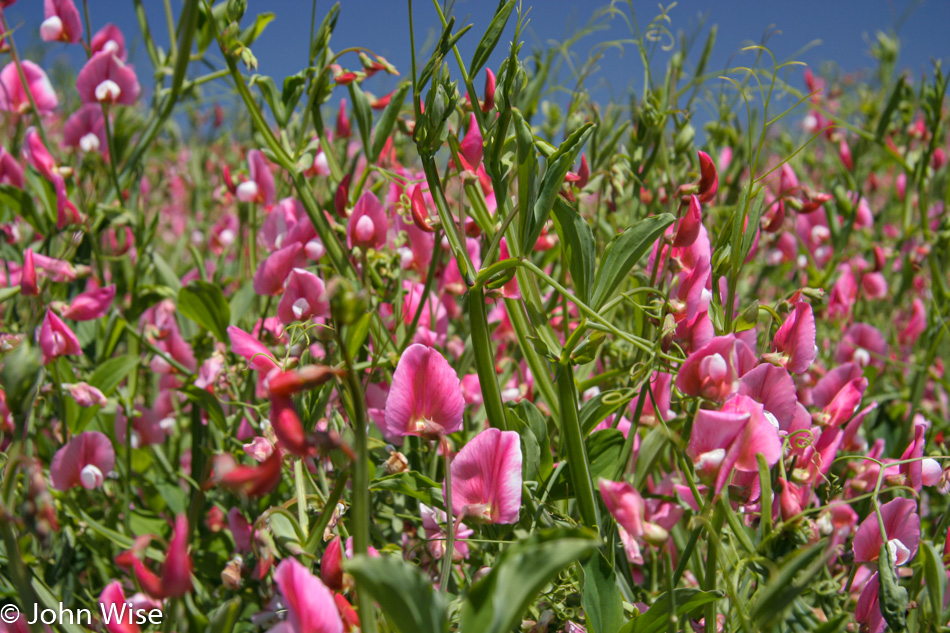
This was the color of May 2005; it was exquisite.

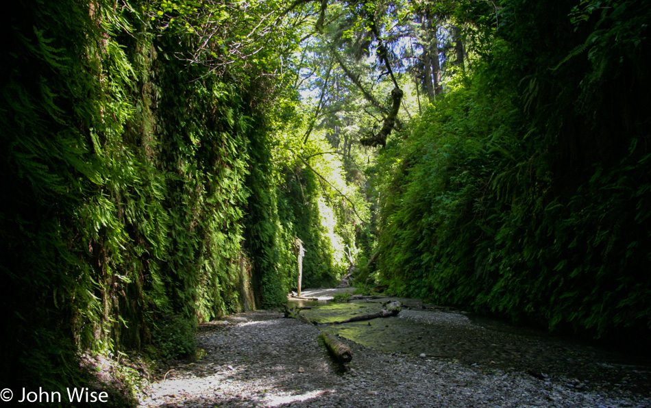
The goal for this leg of the trip was to bring Jutta out to Fern Canyon so she, too, could see something very few people will ever have the opportunity to see with their own eyes.

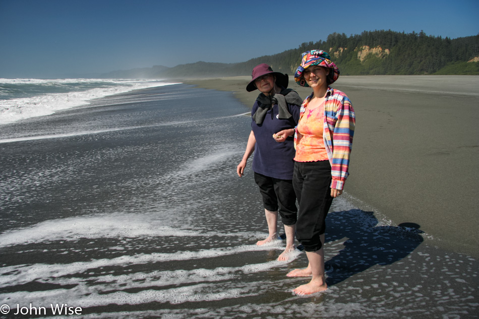
We were not going to leave Fern Canyon, right next to the beach, without Caroline and her mom dipping their toes in the water of the Pacific Ocean.

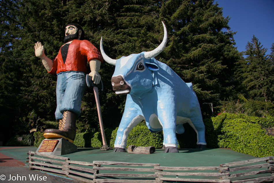
While the cheese factor is high with Paul Bunyan and Babe standing roadside for Trees Of Mystery, we’ll always find this worthy of some cheap entertainment. As for Jutta and her sense of it? She is German and sometimes a bit too pragmatic for such silliness.

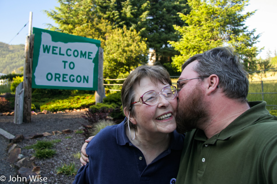
The first-ever kiss I planted on my mother-in-law’s cheek. Hopefully, I never forget how sweet she thought that was.
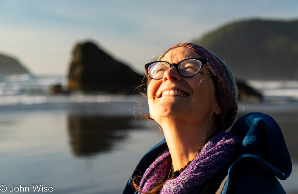
One of the very few times outside of November that Caroline and I have visited the Oregon Coast. While it’s certainly beautiful, it’s easy enough to reach the northern coast of the western United States even in winter, and so when springtime rolls around, we typically opt to visit the places where heavy cold weather hampers our ease of getting there and exploring.
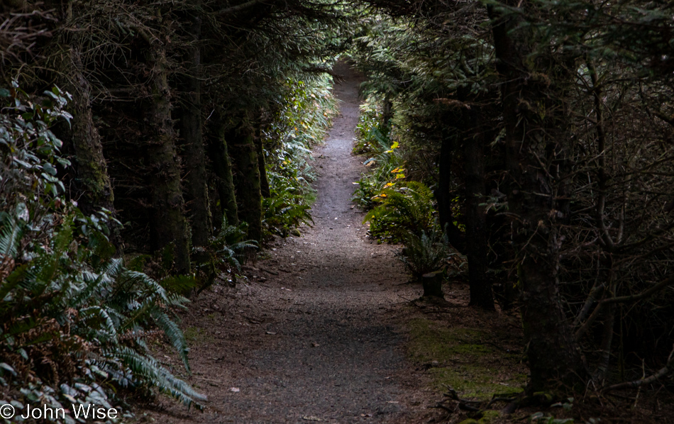
Looking back at these, I’m inclined to consider the idea that we should make an effort to visit every month of the year to properly decide which is the absolute best time to be here.

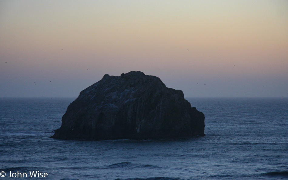
This is Face Rock in Bandon, but our destination is a little further north at Sunset Bay State Park near Charleston, as we are introducing Jutta to sleeping in a yurt.