Auntie and Grandpa Going to Florida – Day 1

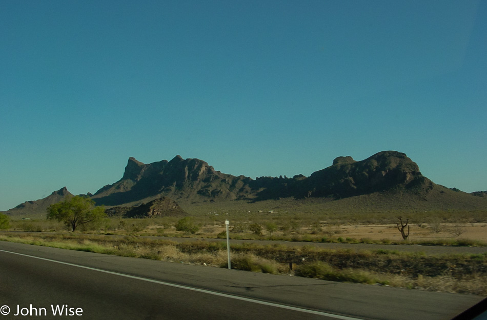
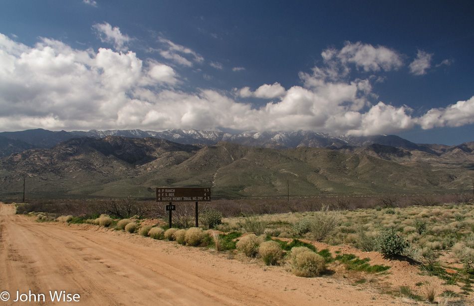
Looking to Mount Graham in Arizona

Suffering from anxiety at the reality of leaving on a two-week road trip across the southern United States without Caroline, I managed to peel away from her to go pick up Aunt Eleanor and Grandpa Herbert for a journey to Florida. Our departure, scheduled at 7:00 a.m., shifts to 8:15 with added delays due to the heavy traffic conspiring against us as we flee Phoenix during rush hour.

We leave the valley behind, driving U.S. Route 60 east. Our goal is to get to a point 560 miles down the road, no mean feat when traveling with an 84-year-old grandfather and a 93-year-old great aunt. After about an hour of traffic, we are passing the Superstition Mountains at the edge of Mesa into the wilderness. Through Superior onwards through Globe, we go eastward until making Safford.

It’s lunchtime. After turning south on the U.S. 191, we pull over for a sort of tailgate meal. We are in a mini-van, so we open the two rear side doors and start our picnic – no tailgate on mini-vans (yet). The day is nice, maybe a bit cold for my two passengers. Matter of fact, Mt. Graham which we are parked next to with its peaks shrouded in clouds, is snow-capped.

Factoid about the U.S. 191: it runs from Douglas, Arizona, to Yellowstone National Park in Wyoming for 1,465 miles and then from the north side of Yellowstone to Loring, Montana, for another 440 miles. Should you want to continue your minor road tour from the Mexican border into Canada, you can drive from Loring to La Loche in Saskatchewan, Canada, by continuing north for another 614 miles. Add in the 81 miles to drive through Yellowstone, and you’ll be able to see 2,600 miles or 4,184 km of landscape across the northern part of this continent.

Back on the 60, we enjoy the last minutes of this semi-scenic road before it delivers us to the abomination called Interstate 10. The next approximately 450 miles will be on this personality-less stretch of convenience, which helps Texas earn its poor reputation with cross-country drivers.

Our first day continues uneventfully. Grandpa complains about the medications he has to take every 3 or 4 hours, including the one that forces him to jump from the car at nearly every rest stop we encounter as he has to run for the John (his words).
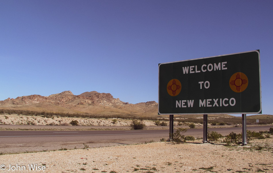
New Mexico State Sign

We enter New Mexico, and I am reminded that Steins is just up the road.
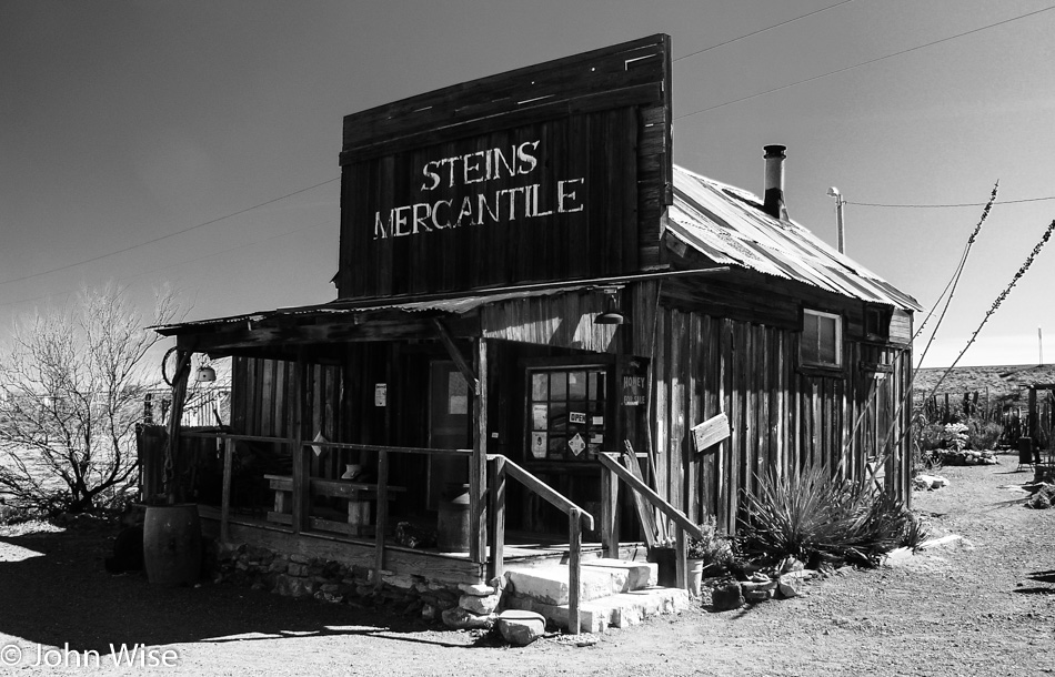
Steins Mercantile in New Mexico

This is an obligatory sightseeing stop. Auntie stays in the car while Grandpa and I step up the creaky old wooden steps into an old mercantile that should be long gone were it not for the family that cares for the remnants of this piece of old west history.

Herbert Kurchoff at Steins Mercantile in New Mexico

The inside of the store is a sight to see, and one that anyone passing this way should try and experience. Plan accordingly, as they open at odd hours and seem to close early. Well, that’s what we have encountered on previous visits. We were lucky on this trip, as, although the door was locked, the owner’s daughter came over and opened up for us. I point Grandpa’s attention to a couple of dollar bills left by myself and Caroline while coming through on previous visits. To commemorate today’s moment, I leave a dollar noting our visit here on March 1, 2005.
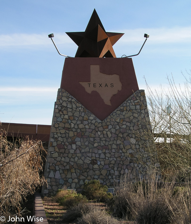
Texas State Sign

Lordsburg came and just as quickly faded into the distance. The same goes for Deming and Las Cruces. Before we know it, we have passed through the entirety of New Mexico, with Texas looming on the horizon. It’s late afternoon as we encounter the Lone Star State.

El Paso at rush hour: who planned our departure for a Tuesday and who would have thought El Paso has traffic congestion? After a day of leisurely driving across the Desert Southwest, a traffic jam was the last thing I wanted to be a part of. It takes an hour to pass through the city and get beyond two accidents that have snarled traffic. The hour ahead of schedule we gained after departing later than hoped for in the early morning has been lost.
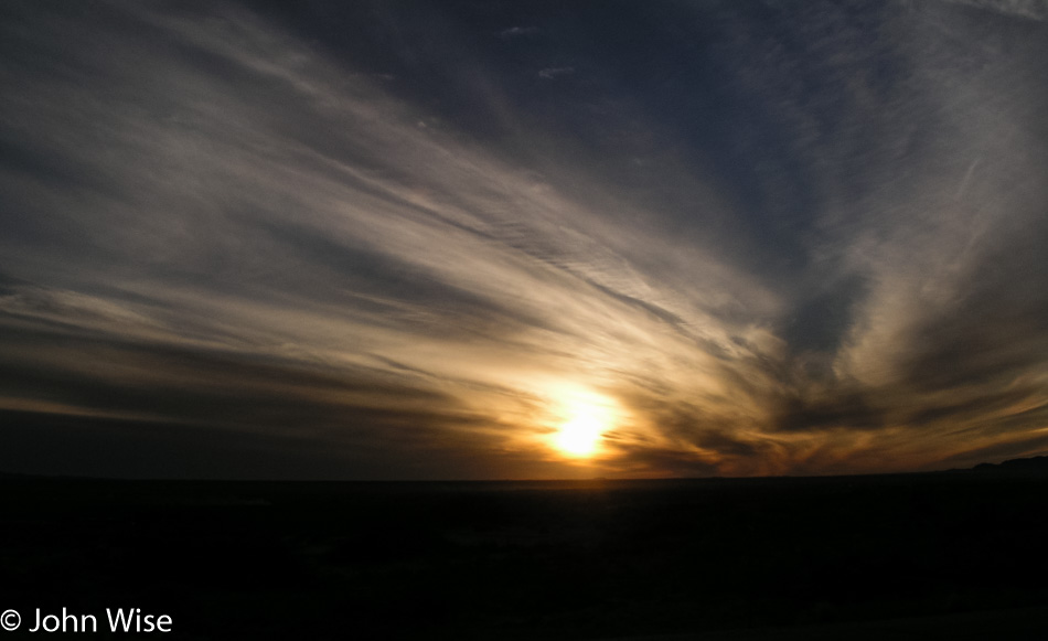
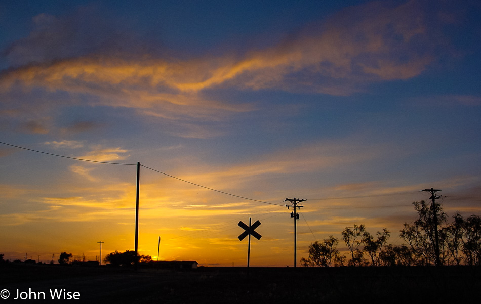
Sunset in Texas

Since the sunset out here on the western side of Texas, Grandpa would occasionally complain about how dark it is. As time passed, his comments became more frequent: “Why are there no highway lights out here?” Well, there’s nothing out here, and that’s the way it is on most roads between cities and towns across America, was my answer. And again, “Well, it sure is dark out here!” Relax, Grandpa, maybe the moon will come up soon and brighten the picture.

“Check out the stars!” I suggest. When it’s this dark, the Milky Way really lights up the sky. He counters with, “I can’t see any stars; it’s too dark.” This goes on for over an hour. Reaching Van Horn, Texas, two hours after escaping El Paso, I pull into our hotel to ask about somewhere to eat this late. Grandpa needs the facilities, so he gets out of the car with me. Hah, hey, Grandpa, take off your sunglasses! “Ah, no wonder it’s been so dark, damn it, why didn’t you tell me they were on?” I just did.

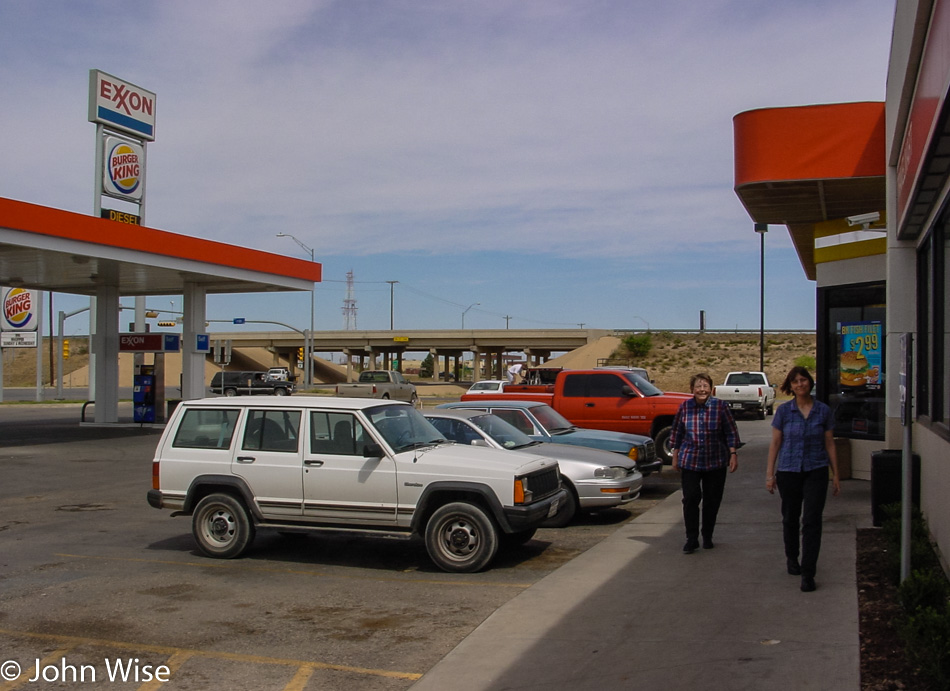
We check into the Days Inn on the east side of town. You can almost see the east end from the west end. Before going to our rooms we head across the street for dinner at the Sands Motel and Restaurant. Auntie has some soup, Grandpa tries the steak and french fries, while I go for a combination Mexican plate. The service was great, but the food was just ok.

Back at our hotel, I’m figuring we’ll all pass out and sleep well into the morning. Older people don’t always act the way we younger people think they will, though. Auntie is tucked away in the room next to us. She reassures me she has it all under control. Should I have known better? No, I don’t have the experience that tells me how to deal with situations created by people approaching 100 years old.

I know now that I should have set up the heater, taken the blanket off the second bed, added it to the one she would sleep in, and given her my sweater. I should have written down our room number and invited her into our room next to hers so that in the morning, she wouldn’t be under the impression we were somewhere far away. Well, now I know.

As for Grandpa, this is a tragic comedy unfolding. Grandpa, you are sure you don’t mind that I snore? “Don’t worry about it. I’ll be right asleep, and it won’t bother me one bit.” 3:30 in the morning, I’m woken by, “Oh John, did I wake you?” I don’t think so; I just woke up; how are you doing? “YOU CALL THAT SNORING? THAT’S A DEATH RATTLE! How does Caroline sleep with you? I’ve not been to sleep yet!” Yeah, well, I told you, I snore.
Across the Southern U.S. – Day 11

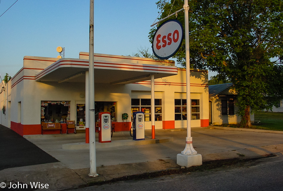
Esso Station in Mena, Arkansas

Mena, Arkansas, was where we took our overnight stop, and as you can see, it is shortly after sunrise that we are getting underway. This old Esso gas station opened back in 1928, and after years of decline, it was renovated before the turn of the century and is now a roadside attraction.

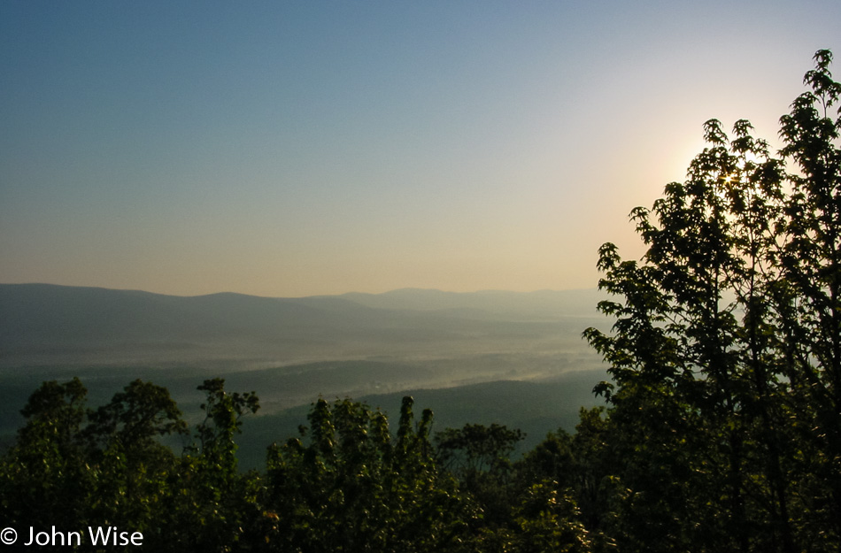
Driving west to Queen Wilhelmina State Park in Mena, Arkansas

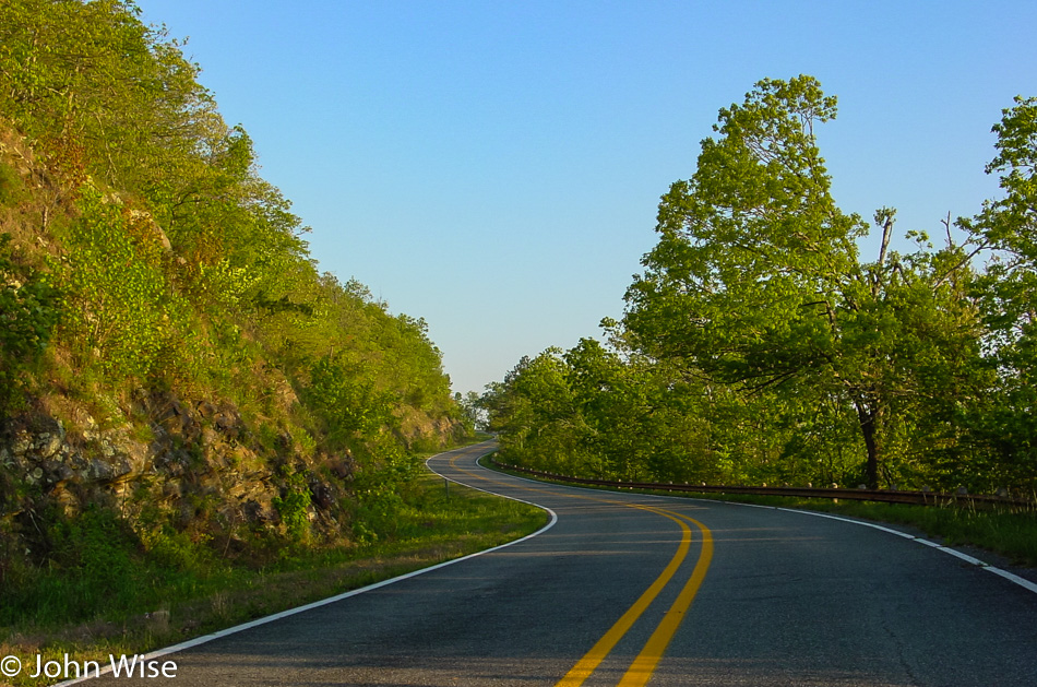
Mena is located at the foot of Rich Mountain, which is the second-highest peak in Arkansas, standing at 2,681 feet or 817 meters. We were heading up towards Rich Mountain when I took this photo on our way to Queen Wilhelmina State Park.

Driving west to Queen Wilhelmina State Park in Mena, Arkansas

There’s very little time to stop and smell the flowers as we have 1,200 miles to cover between now and tomorrow night, so we end up taking some of our photos right through the windshield of the car while driving up these winding mountain roads. Oh, you can tell this is from the driver’s side? Yeah, I’m guilty of this small bit of unsafe driving.

Jutta Engelhardt and Caroline Wise on Steam Engine #360 at Queen Wilhelmina State Park in Mena, Arkansas

We couldn’t pass up the opportunity to get a closer look at an old steam train and then to find out that we could crawl up on it, well that deserved a photo. We are about to leave the Queen Wilhelmina State Park on our race westward.

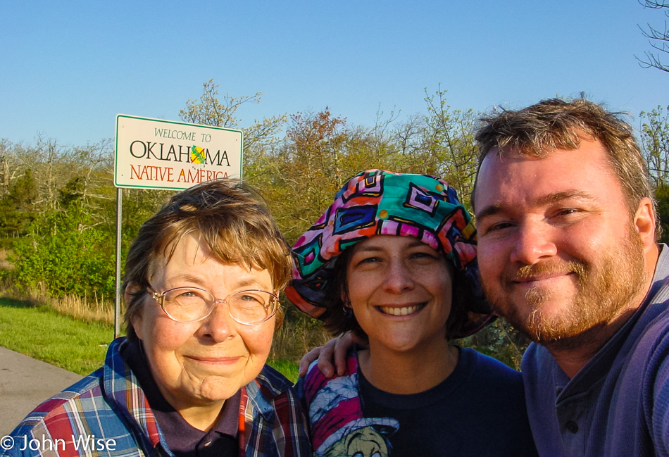
Jutta Engelhardt, Caroline Wise, and John Wise entering Oklahoma

Leaving Highway 88 behind and joining Highway 1, also known as the Talimena Scenic Drive as we pass into Oklahoma.

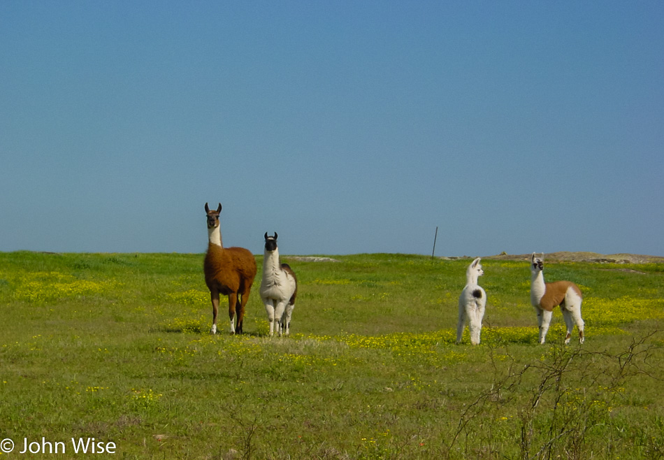
Llamas and alpacas on a grassy hillside with flowers? Well, that adds to the scenic quality of this road in my book.

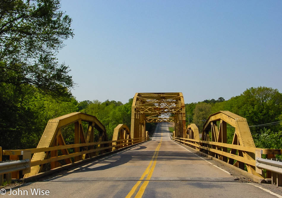
We won’t be in Oklahoma long as we beeline it to Texas.

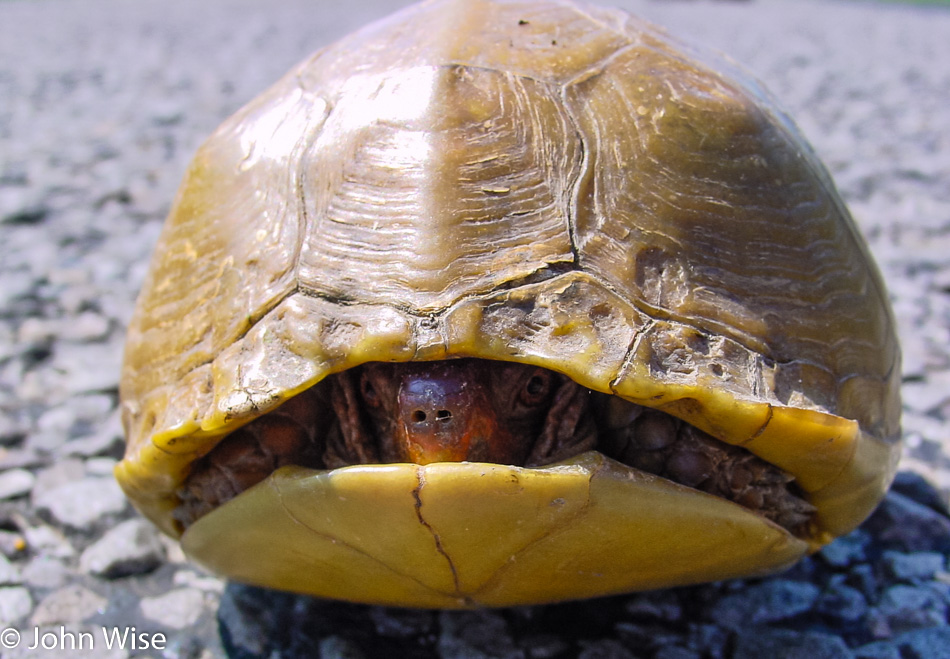
This tortoise from Antlers, Oklahoma, as opposed to a tortoise with antlers, is certainly moving a lot slower than we are today, a matter of fact, too slow, and so we pulled over to nudge it to safety. This one, fortunately, didn’t need to be lobbed like a football.

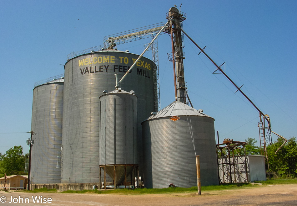
Valley Feed Mill Paris, Texas

Welcome to Texas and the land of long roads.

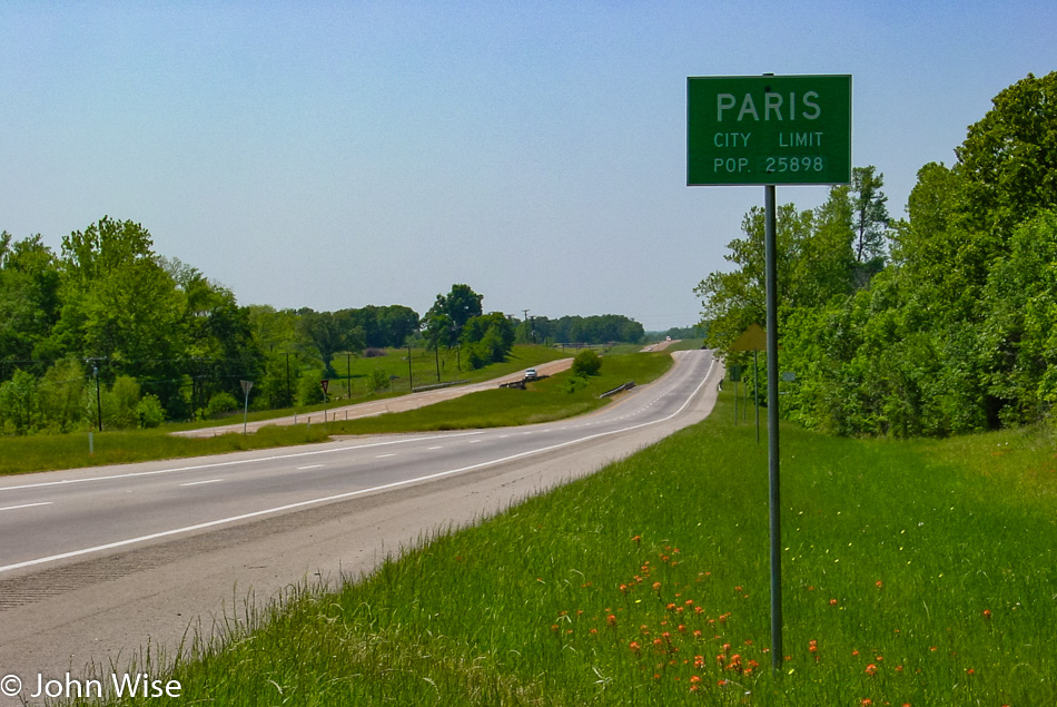
Paris, Texas

You should know that Wim Wenders has inspired this visit to Paris, Texas. I first learned of Wim Wenders from Dennis Hopper, who told me about working with him on the movie The American Friend. Another bit of nostalgia: it was during these meetings with Dennis Hopper that I also met Harry Dean Stanton, who plays the lead role in the movie Paris, Texas by Wim Wenders. How I came to hang out with Mr. Easy Rider is another story that I’ll publish at some point.

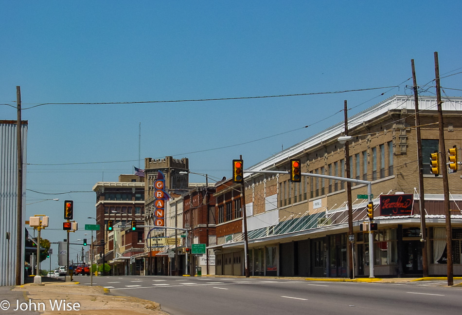
Paris, Texas

Of course, visiting Paris in Texas is a bit of a treat for my mother-in-law as she never heard of another Paris outside of France. The town is pretty quiet today, and looks like its prosperity is on the wane.

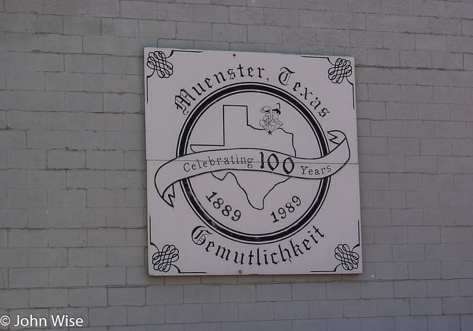
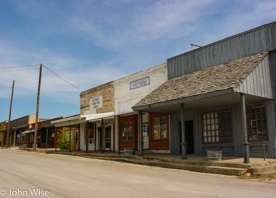
Muenster, Texas

From Paris to Muenster, Germany…I mean Texas.

St. Jo, Texas

This required some sleuthing on Google Maps to figure out our driving route and what town this might have been as we were driving from Paris to Muenster and then the time stamp on the photo so I could get an approximation of how many miles we might have driven. Turns out that we are in St. Jo, Texas and Google Street View confirms it, although the town has been renovating the main square since we drove through.

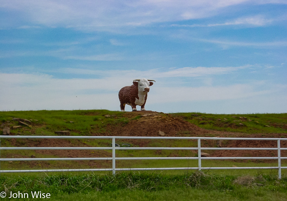
Bull statue at Lonestar Hereford Ranch in Ringgold, Texas

Good thing others take photos and write about missing roadside attractions otherwise, I may have never found out that this bull statue used to stand at Lone Star Hereford Ranch in Ringgold, Texas. It’s sad to see such large lawn ornaments go away; kind of makes you wonder how you retire a 20-foot-tall bull.

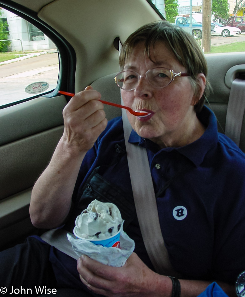
Jutta Engelhard outside Henrietta, Texas

If the mother-in-law is falling asleep in the back seat, a surefire way to wake her up is to make a stop at a Dairy Queen. Jutta didn’t know how much she liked “fake” ice cream until she tried a Blizzard, and then every time we passed one, she’d be sure to point out, “There’s another Dairy Queen.” This particular one was in Henrietta, Texas.

West of Wichita Falls, Texas

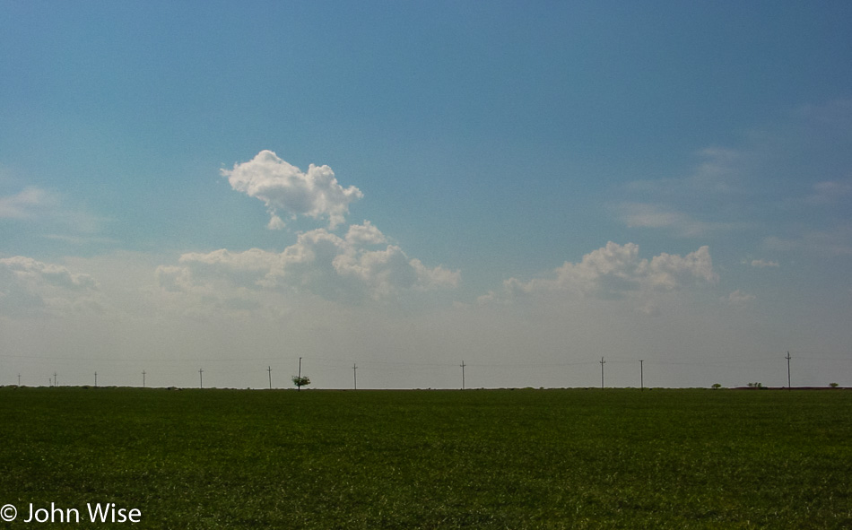
We are west of Wichita Falls, Texas, as we trek across the Lone Star state.

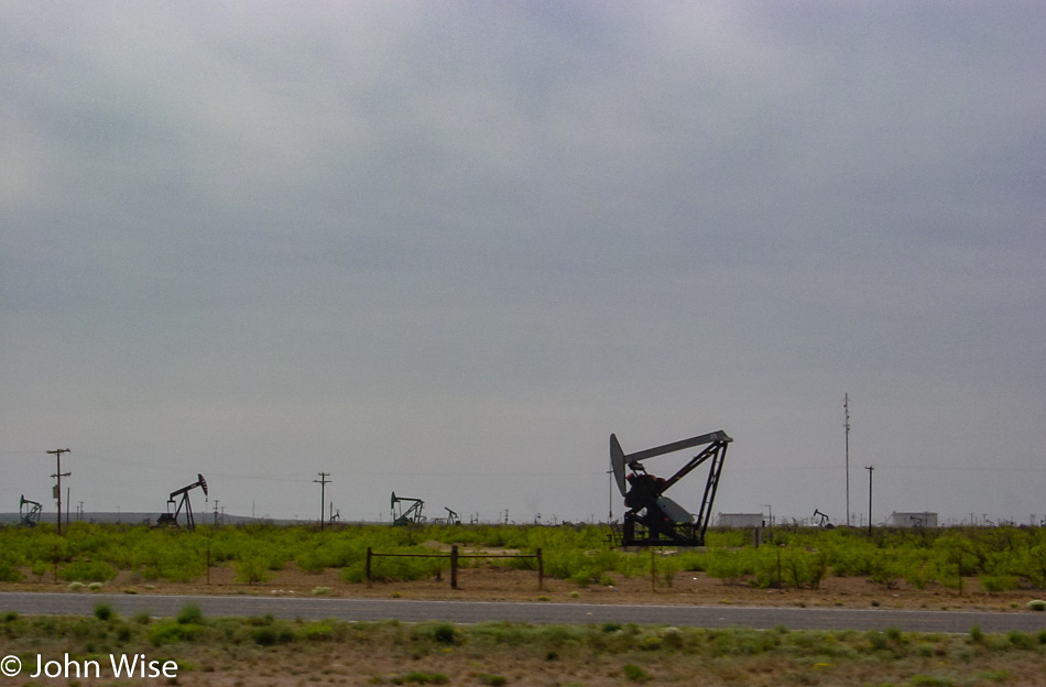
West of Wichita Falls, Texas

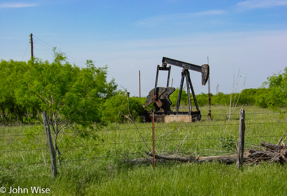
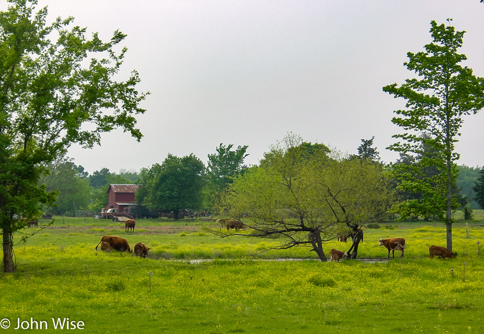
If we didn’t pass cattle and oil pumping operations we might not have known that we really were in Texas.

Old Gas Station in Mabelle, Texas

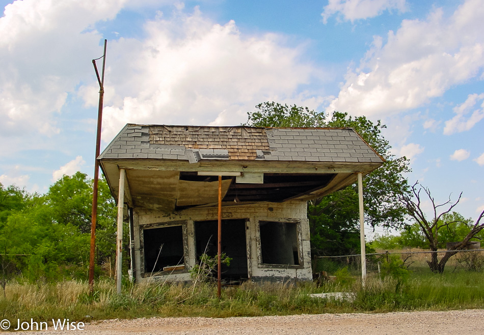
A far cry from the Esso we visited earlier in the day back in Arkansas. With no one around to ask we had no way of finding out anything about this old gas station that has obviously been closed a good long time.

Edit: Turns out this was in Mabelle, Texas, but has since been torn down. 

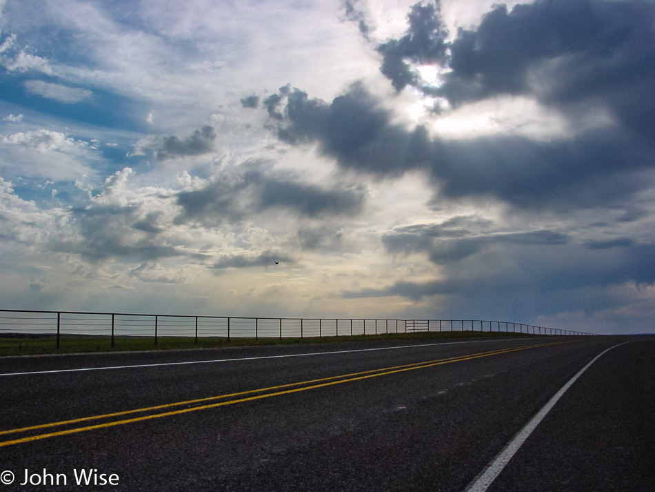
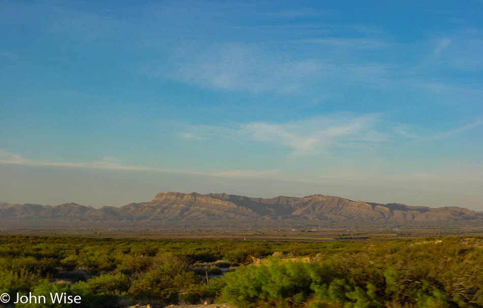
This could be somewhere between Lubbock and Plains, Texas, but then again, it could also be between Guthrie and Lubbock.

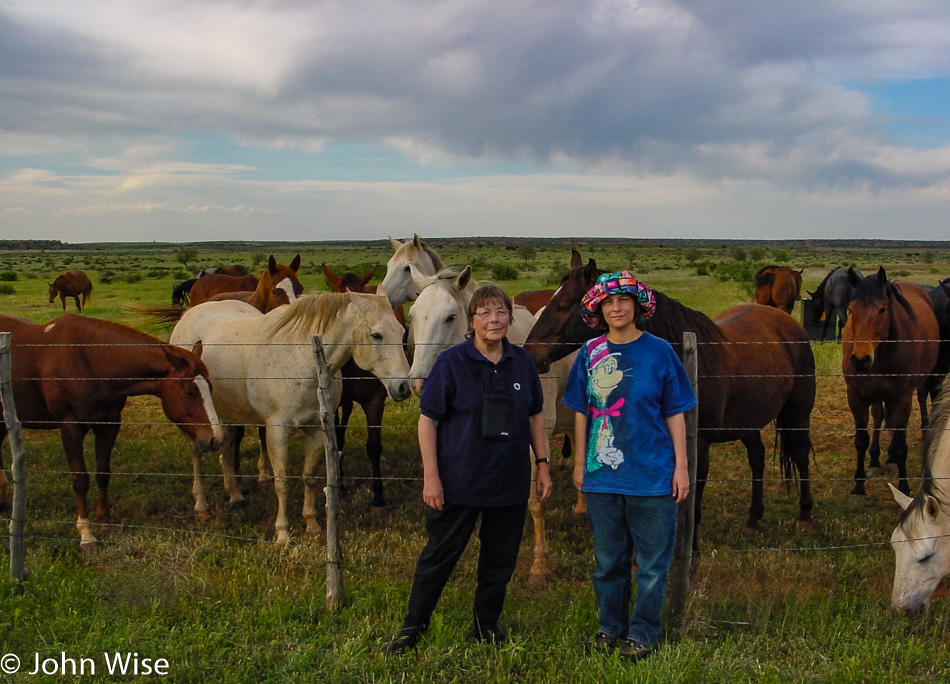
More friendly horses and two German women in western Texas.

After more than half a day driving across that gargantuan state, we are finally in New Mexico and seeing hints of the Arizona sunsets we are about to re-encounter. From Plains, Texas, we drove to Lovington, New Mexico, on our way to Artesia, New Mexico, where we’ll spend the night in some cheap roadside motel.

Though we were in the car the majority of the day we still were able to carve out a great encounter with the countryside of Arkansas, Oklahoma, Texas, and a bit of New Mexico late in the day. Obviously, we stayed off the major highways, and that certainly extended our time on the road, but we managed to drive nearly 800 miles today and, along the way, collect some memorable moments that will now stick with us for the rest of our lives.

Across the Southern U.S. – Day 2

Off Interstate 10 in Texas

Starting just south of El Paso, Texas, today will see us on the road well into the evening. The other side of Texas alone is 775 miles (1,255 km) from where we are now, and our destination, at a minimum, is Shreveport, Louisiana.

Off Interstate 10 in Texas

As Caroline and I have already driven Interstate 10 across Texas back when we were returning to Phoenix on our year 2000 road trip, we are taking Interstate 20 east to scout this part of Texas that will take us near Pecos, Odessa, Abilene, Dallas, and Longview.

Jutta Engelhardt and Caroline Wise off Interstate 10 in Texas

On a pit stop near Sweetwater, Texas, we are awestruck by a formation of five B-1 stealth bombers flying in from the north and heading to some nearby Air Force base.

Near Cisco, Texas

Oil, bombers, and wide-open ranch land have us thinking about how much we are in President Bush’s corner of the woods. We stopped to stretch our legs again, this time just up the road (as measured in Texas miles) from Crawford, Texas, where the President’s ranch is located.

Eastern Texas near Interstate 20

Eastern Texas is lush and green, a beautiful place really, and with cattle out here, I’m starting to feel we’ve seen the soul of the Lone Star state today. It will be 8:00 p.m. before we cross into Louisiana, and with everyone still energized, we push forward, passing Shreveport on our way to Alexandria. The day ends late, but not as late as the night before. We have driven about 925 miles (1,500 km) today or the equivalent of driving from Berlin, Germany, to Rome, Italy. Finally, we are in a position to start the core of our trip into the Southeastern United States.
Across the Southern U.S. – Day 1

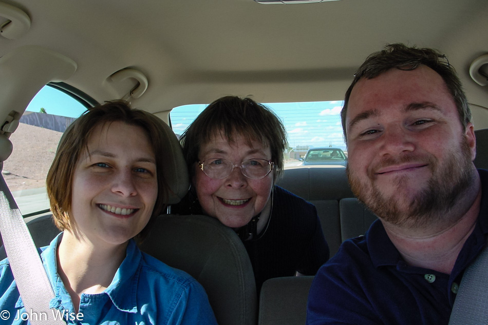
Caroline Wise, Jutta Engelhardt, and John Wise in Phoenix, Arizona

This will be the most ambitious trip we’ve attempted to make with Jutta. Back on our year 2000 cross-country journey that we embarked on following Jutta’s last visit, where we took her to Yellowstone, among other places, Caroline and I headed out for nearly a month as we drove to Maine and down to Louisiana before heading home. We wanted to share with her that spectacle of seeing the breadth of America while not duplicating the same path we took previously, so this one will focus on the southern United States.

Prior to our departure today, yesterday, the jet lag bogged my mother-in-law down with some long naps. In between, we packed and repacked her bag for what she’d need for the 12 days we were scheduled to be out. Hopefully well rested today; she and I locked our place at 3:00 and went to pick up her daughter.

Pikacho Peak in Arizona

Heavy traffic out of Phoenix doesn’t see us making great time. It’s after 5:00 p.m. by the time we reach Picacho Peak and 6:30 when we pull into Benson, Arizona, for our first pit stop. I have to admit I don’t know how these two women have such great bladder control. At 7:45, we are crossing into New Mexico and are now traveling with the plan that as we get to the point where we’re too tired to go on, we’ll grab a motel. On this first day, our goal was to get as far away from Phoenix as possible, and we did great pulling into the Fabens Inn in Fabens, Texas, just before midnight. We are 462 miles down the road.

Big Bend, Carlsbad, Bosque, Petrified Forest – Day 4

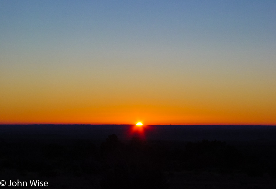
As you would have seen from yesterday’s post, Texas is not only a big flat, wide-open expanse of nothingness, though, from this photo, one might not be blamed for thinking just that. I could try explaining that we are up early due to our 100-mile drive to Carlsbad Caverns this morning or that we want to beat the crowds, traffic, bad weather, or whatever else, but there’s none of that. We just tend to be early risers while on vacation for these particular moments when the sun starts crawling back up over the horizon. Today’s sunrise is brought to you from near Manzanita Springs up Frijole Ranch Road in the Guadalupe Mountains National Park.

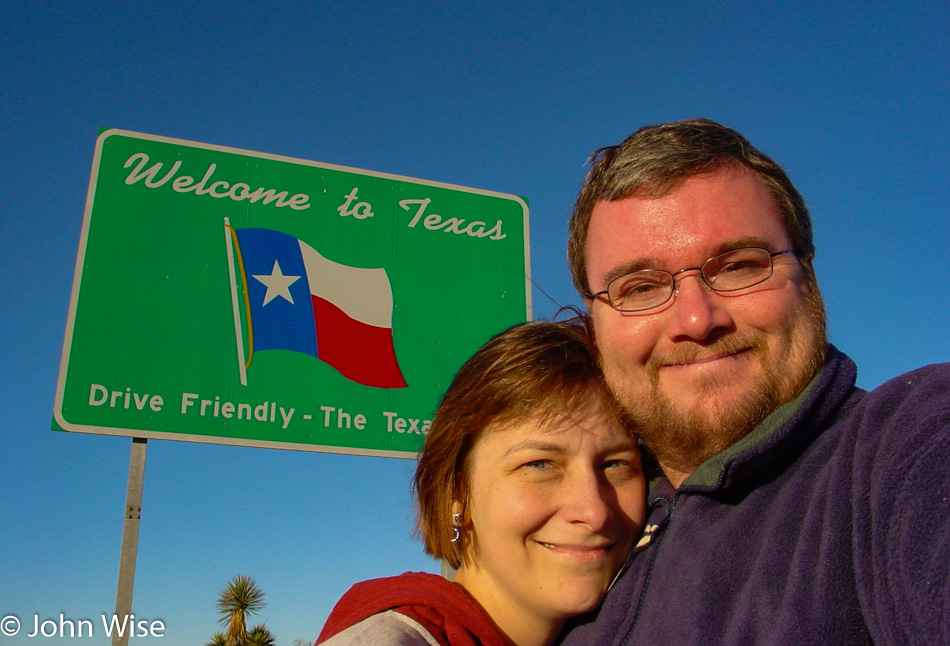
Wait a minute, I thought we were going to New Mexico? Well, we’ve taken our photo in front of a New Mexico state sign, but it was already evening when we crossed into Texas the other day, so we are making up for that.

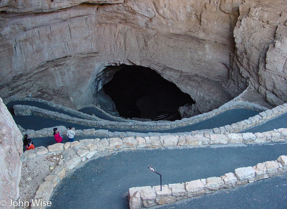
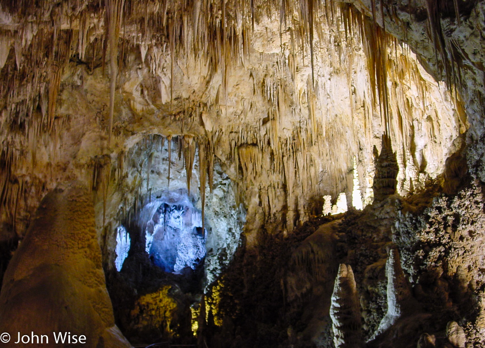
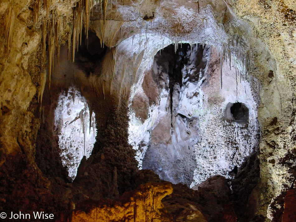
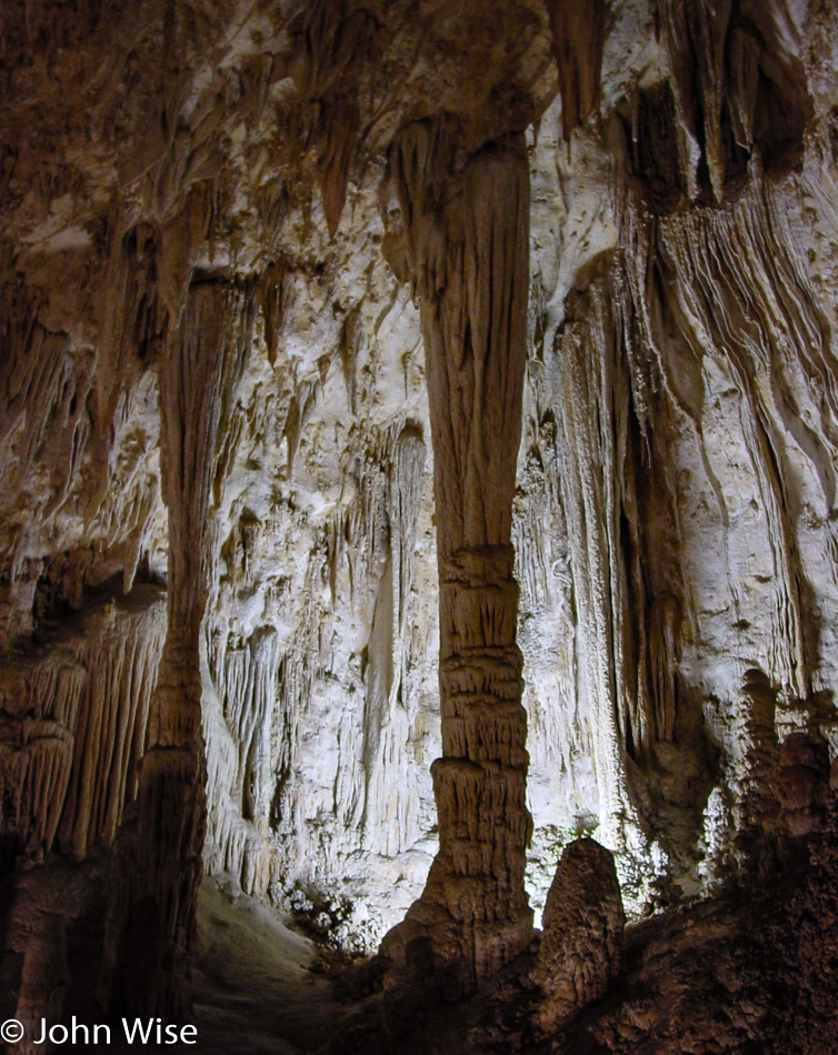
Taking the time to walk in the natural entrance of Carlsbad Caverns National Park. Why we didn’t do this on our previous two visits is beyond me; what a great way to enter the cave. Oh wait a minute I know why because we were in such a hurry on those trips like we are so often on any of these journeys. For the record, our first visit was in 1997 with Ruby and Axel Rieke and then in 1999 with Robert Bell and Mark Shimer. This is the third visit and the first in the 21st century. I’d be willing to bet a dollar it won’t be our last.

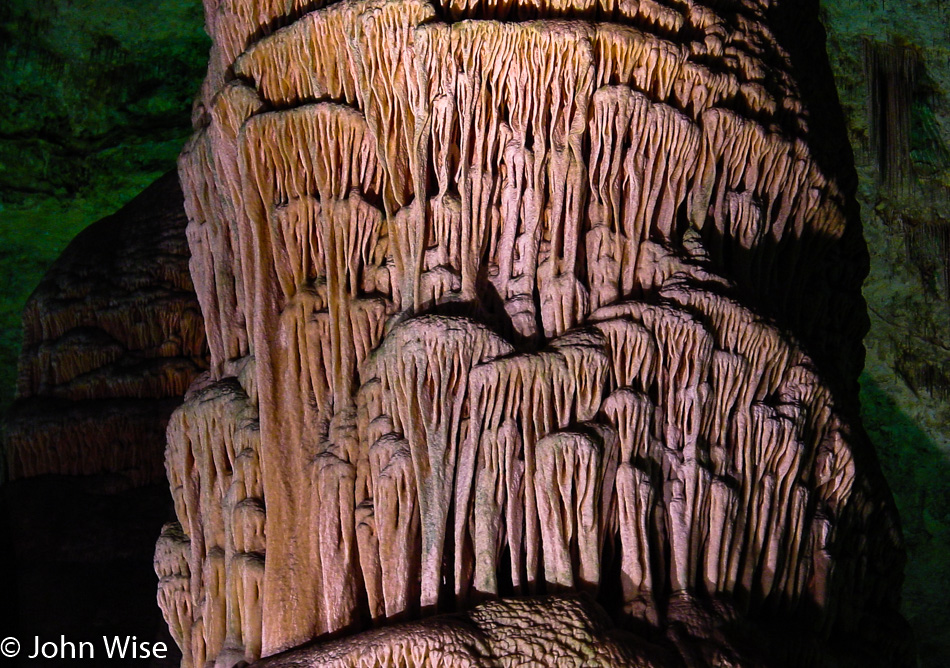
Nothing much has changed since we first visited five years ago; then again, this cave is mostly dormant now, and other than theft, nothing should be changing.

One thing that’s different, I can point out, is our ability to take somewhat better-quality photos. On our first visit in 1997, there were no consumer digital cameras beyond some early low-res thousand-dollar cameras that were horrible in low light. By 1999, we finally moved solidly into the world of 1 megapixel (1MP) images, and while a Nikon 2MP camera came out too, trying to figure out where you wanted to spend nearly a thousand dollars was seriously difficult, especially in an area of technology that felt like it was heating up and that we were seeing rapid advancements. A year later, we bought the camera that I’m using today, the Sony Cyber-shot DSC-S75 with 3MP, which was only $599.

While I’m looking back at our improving ability to take photos, I’ll add one more thing. I would love to be using a DSLR (Digital Single Lens Reflex) camera, but consider that the 1.3MP Kodak that came out in 1991 cost $30,000, and an upgraded DCS-460 with 6MP of quality was released in 1995 for almost $36,000, and you should be able to see that the trajectory there is still a pricey one. By 1999, the Nikon D1 with 2.7MP capability brought the price way down to only $4,995, but this was still far too expensive for what amounts to being a disposable camera. Unlike film cameras of 100 years ago, which still can take interesting photos, I don’t think the low-quality images we are getting right now from digital cameras will survive the test of time.

All the same, seeing these photos after our trip and the incredible detail available from an all-in-one point-and-shoot digital camera are astonishing to me.

The larger point of this exercise of documenting our trips out in America and taking notes when we can find the time is to create a document that demonstrates what is possible by two people who are throwing off the responsibilities of conformity. Our condo is for sale, we’ve chosen not to have children, we don’t much care about holidays, birthdays, or anniversaries, and are quite okay with a hedonistic lifestyle of relative selfishness that eschews typical consumption patterns.

And all of this is for our effort to witness as much beauty and novelty as our time and budget will allow.

One of the greatest tools to access vast amounts of beauty is the National Park Pass. For only $50 a year or $10 for a senior pass if you are old enough (and that’s for the rest of your life!), you gain access to over 350 parks and monuments. This year alone, Caroline and I visited 20 National Parks and Monuments including Walnut Canyon, Redwoods, Yosemite, Sequoias, Death Valley, Lava Beds, Lassen, Crater Lake, Rocky Mountains, Devils Tower, Mt Rushmore, Colorado National Monument, Natural Bridges, Grand Canyon, Canyonlands, Mt St Helens, Olympic, Big Bend, Carlsbad Caverns, and Petrified Forest which we will visit tomorrow.

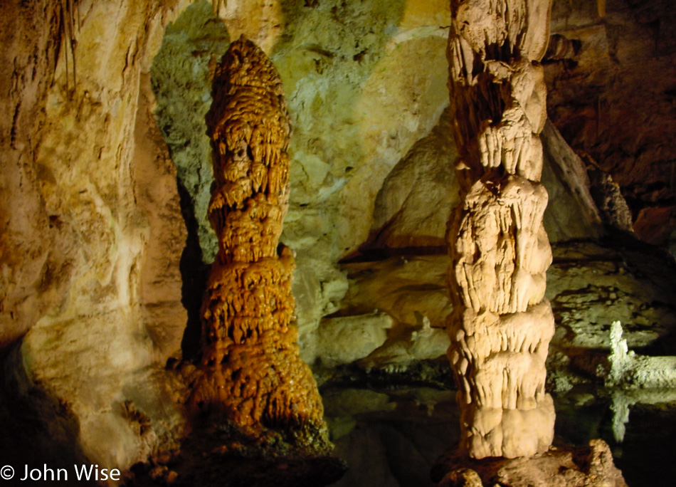
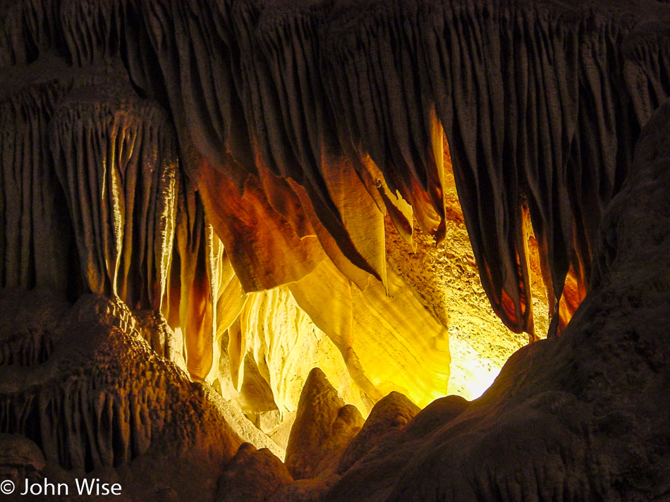
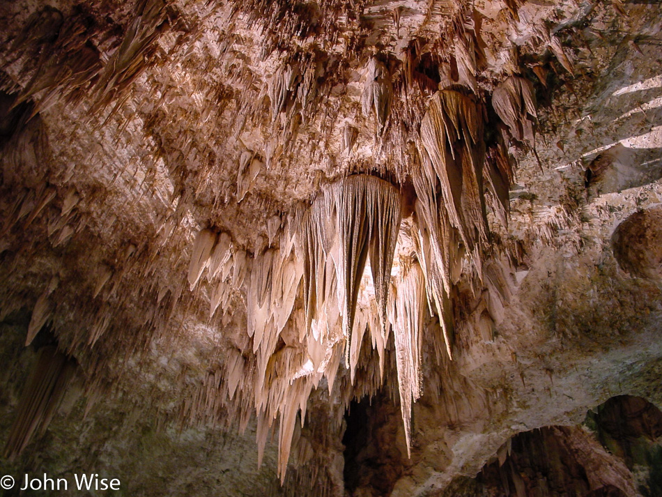
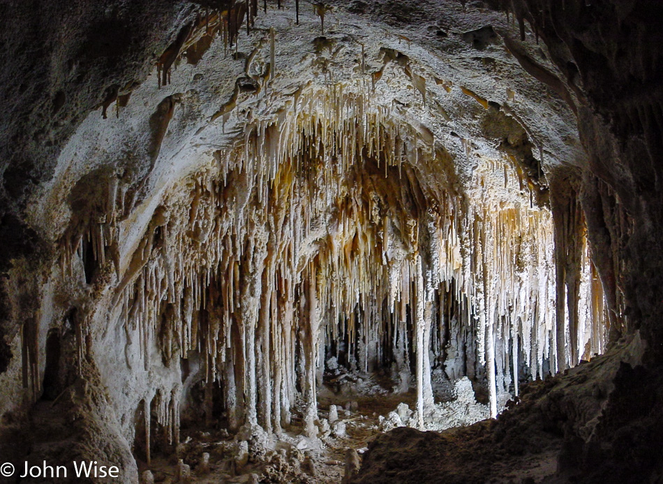
The aptly named soda straws. Looking at the formations in Carlsbad, Caverns never get old.

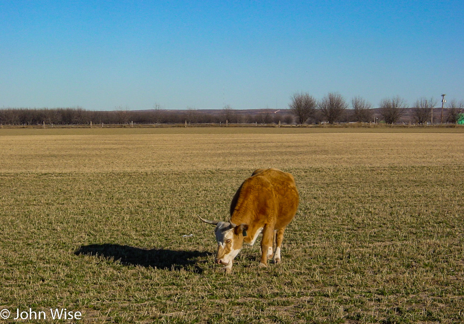
Because livestock also deserves to be recognized.

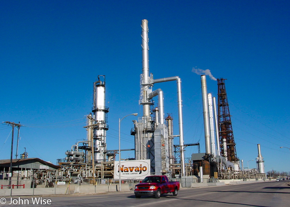
Sometimes, driving across New Mexico, it seems like the majority of the state’s economy is derived from oil and gas, maybe aliens, too.

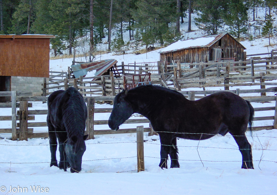
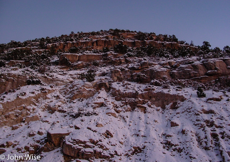
By the time we reach Cloudcroft, there’s enough snow on the ground that we know we don’t want to go deeper in the mountains, and up in Ruidoso, where we’d planned on staying, it promised to be much snowier. So when we reached Highway 54 going north, we stayed at the lower altitude and hoped to find something up that way.

We’ll be calling it an early night as we have to wake shortly after four in the morning to make the 100-mile drive to Bosque del Apache south of Socorro, New Mexico. On our previous visit back in March, a docent at the wildlife refuge told us that the best time of year to visit is around Thanksgiving into January, when the largest number of migratory birds are hanging out. She also insisted we show up before sunrise to witness a “fly-out” that is allegedly one of the most spectacular sights one can see of wildlife in this part of North America. We grabbed a room at the Rainbow Inn in Carrizozo and were headed to sleep before 9:00.

Big Bend, Carlsbad, Bosque, Petrified Forest – Day 3

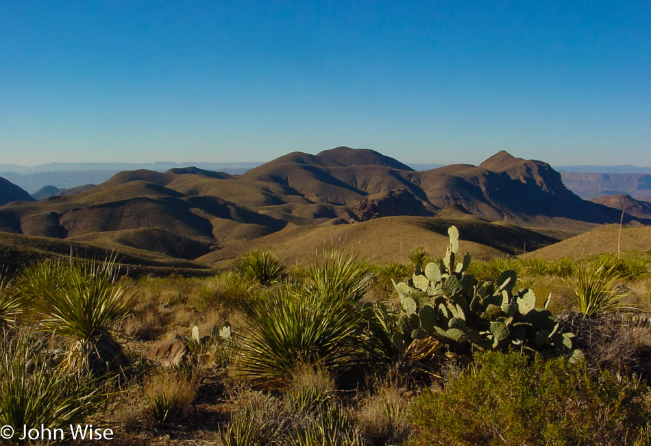
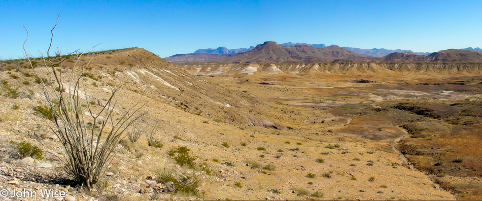
We only have to drive north about 280 miles today, and so with that knowledge, we can linger out here at Big Bend National Park among the cactus, shrubs, brown grasses, and whatever else might come our way. While there may be things for us to come back to on a future visit, we also have to take into account that this is way off the beaten path. At this moment, we are about 740 miles from home or approximately 1200 kilometers, not the quickest of drives to make.

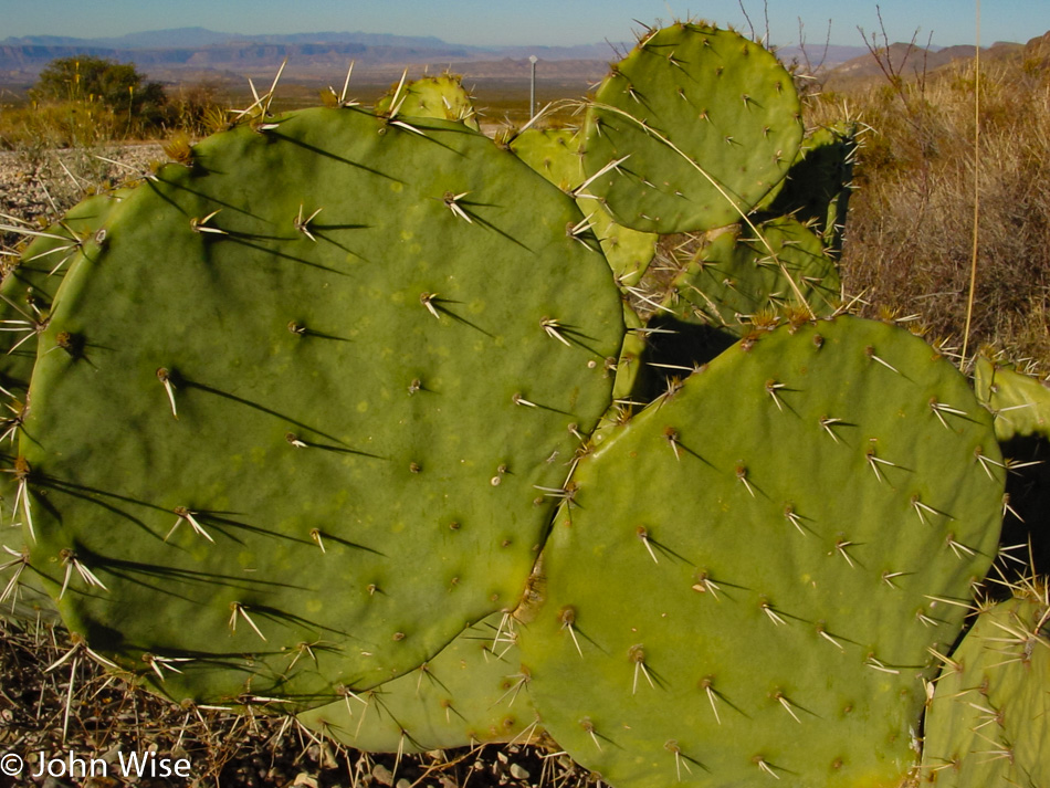
I should have had Caroline put her head down here for scale because these are the biggest cactus paddles I have ever seen.

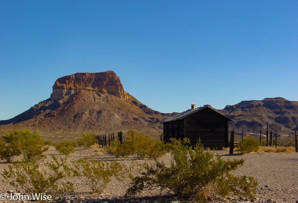
We’re out wandering through the park on our way to nowhere in particular. Once we arrived this morning, we headed over to the Ross Maxwell Scenic Drive and have been digging it so far.

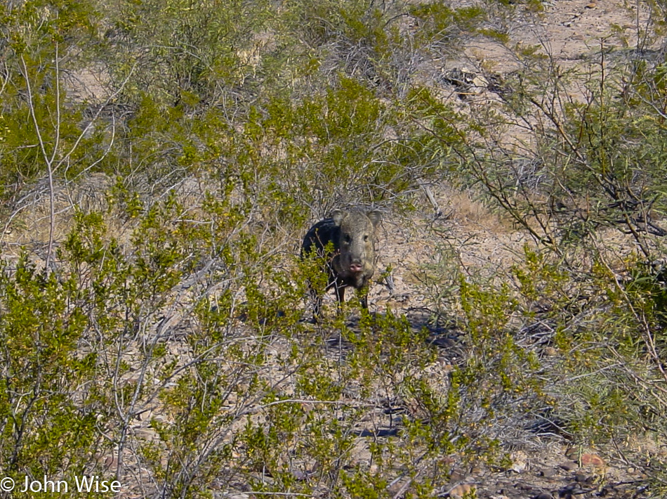
Wow, it’s a staredown with a javelina, and I can only hope it’s not feeling intimidated, as I’d prefer that it keeps its distance. I’ve heard somewhere that they have poor eyesight but an acute sense of smell so that while we may be a blur they can smell our presence. Here’s wishing this one smells our curiosity and inches peacefully closer so we can get a better look. Shortly after seeing this guy and not very far from the Castolon Visitor Center, a mountain lion leaped across the road. There was no way in the half-second it moved between the deep grasses across two lanes that I was ever going to be able to take its photo, but there it was, the very first mountain lion in the wild we had ever seen. Of course, we stopped at the visitor center and reported our sightings.

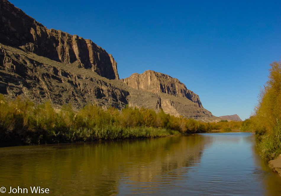
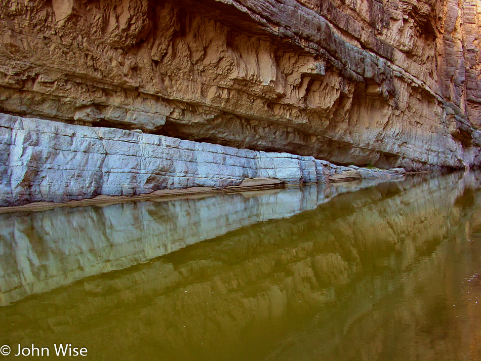
Yesterday, we thought we were near the Santa Elena Canyon, but we were closer to the boat launch than the canyon trail, and so on the recommendation of a ranger, we are taking the short walk on that trail that takes us right to the Rio Grande.

Mexico is so close we could reach out and touch it. What a beautiful canyon this is.

Our exit from the park will be off the Old Maverick Road; it’s unpaved and dusty in sections, but it does take us by an old stone house called Luna’s Jacal. Turns out that old man Luna built a very short house of rock, earth, and plant fiber, which allowed it to remain cooler in the blistering summer temperatures. He farmed out here by diverting water out of nearby Alamo Creek. Some people choose a hard life, others have no choice.

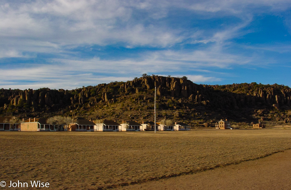
Fort Davis National Historic Site is our next stop on this Christmas journey through the desert.

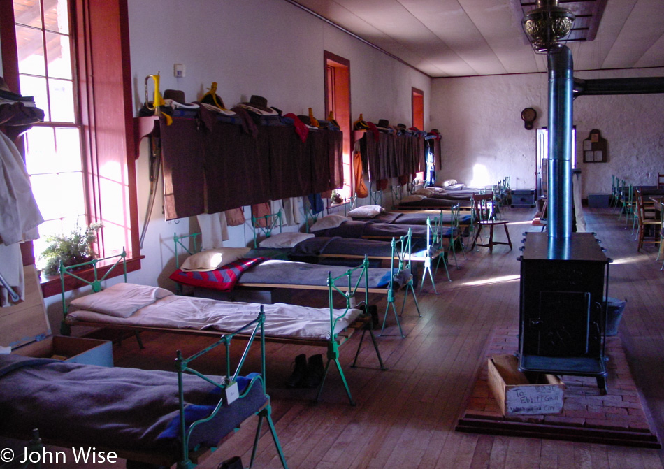
This one-time frontier military post played a key role in the war to clear Native Americans from their lands, and to be honest; I’m conflicted that we have monuments to our ancestor’s determination to relocate or exterminate a people. Earlier, we’d passed a monument erected in 1936 that recognized a ranch and its role during the clearing of Indians and bandits back in 1880 – 1882. Relating bandits in the same sentence with Native Americans feels pretty damn disparaging to me. While I can appreciate the historic nature of these buildings at the fort, I feel that the wrong committed out of here is not adequately acknowledged. I suppose, though, that is the nature of the perspective of the winners; had Hitler won World War II, I guess Dachau could be a monument to the period when the country was clearing the land of Jews.

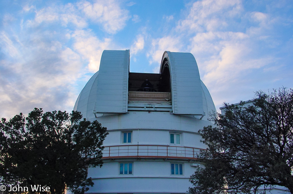
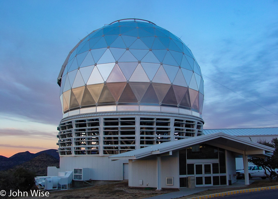
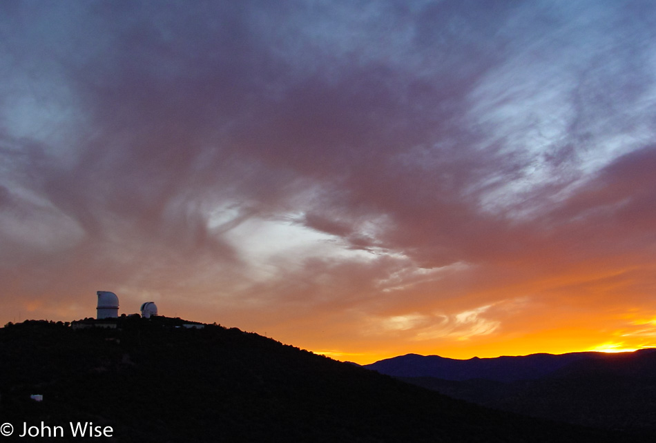
Up here, at the elevation of 6,791 feet above sea level on Mount Locke, is the McDonald Observatory. This is a bonus site on this trip, as we had no idea that we’d find an observatory out here.
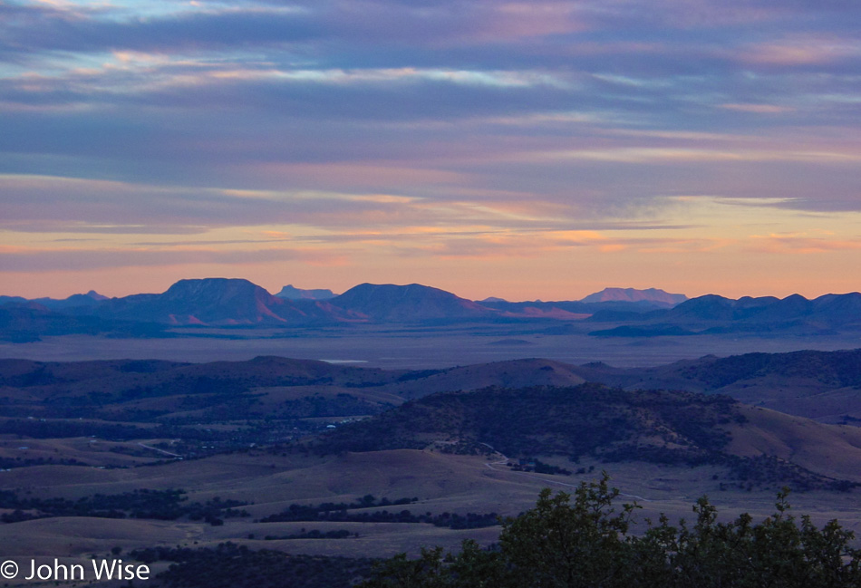
With about 60 miles between us and any city of relatively medium size and being over a mile above sea level, it makes perfect sense to place a number of telescopes out here.
The visitor center is already closed, and it’s too early to get a look at the stars. Doesn’t matter, though, as you typically need reservations, and events are held sporadically; better to check their event calendar should you decide to visit.
I don’t know what happened to the day, and then all of a sudden, we are moving into the night. Oh yeah, it’s wintertime, and the days are short. Up to Van Horn on Interstate 10 for our overnight in some anonymous cheap motel.