Monterey, California – Day 3

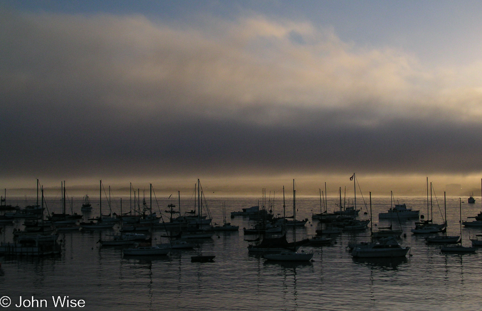
Sunrise over the bay in Monterey, California

I’d guess we stayed up in Seaside last night as that’s what usually met our budget requirements. Before we got over here by Fisherman’s Wharf, we’d have stopped for the first meal of the day.
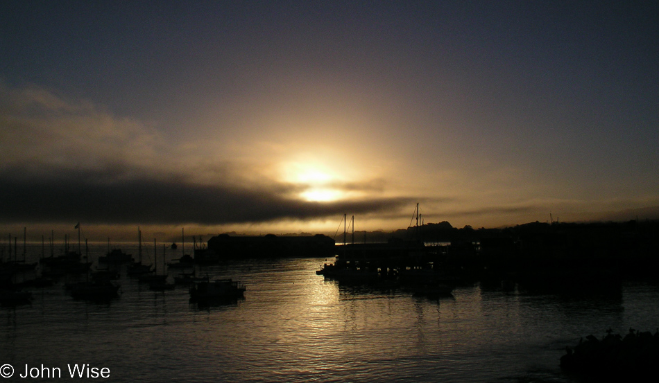
Sunrise over the bay in Monterey, California

The Old Monterey Cafe opens early just for us, no kidding. On a previous visit, we met the guy who opened the cafe and prepared the place for its 6:45 opening. He invited us to stop at any time after 6:00 if we were short on time, and he’d get us an early breakfast; he has done so on two or three occasions already. Not only do we like the Cafe, but it has also been voted numerous times as “the” place for breakfast on the Monterey peninsula. After breakfast, everything else in Monterey is still closed, so I drive us over to the north side of Cannery Row near Fisherman’s Wharf for a walk along the beach. Kayakers, joggers, fishermen, a few people walking their dogs, the seagulls, and barking sea lions are our morning company.
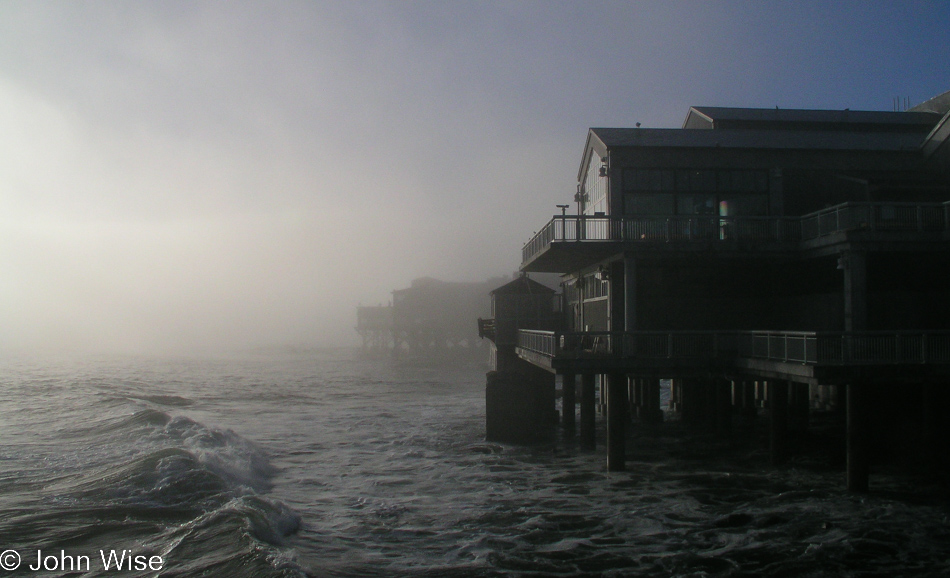
Monterey Bay Aquarium in Monterey, California

It’s still early when we arrive at the Monterey Bay Aquarium for another Aquarium Adventure.
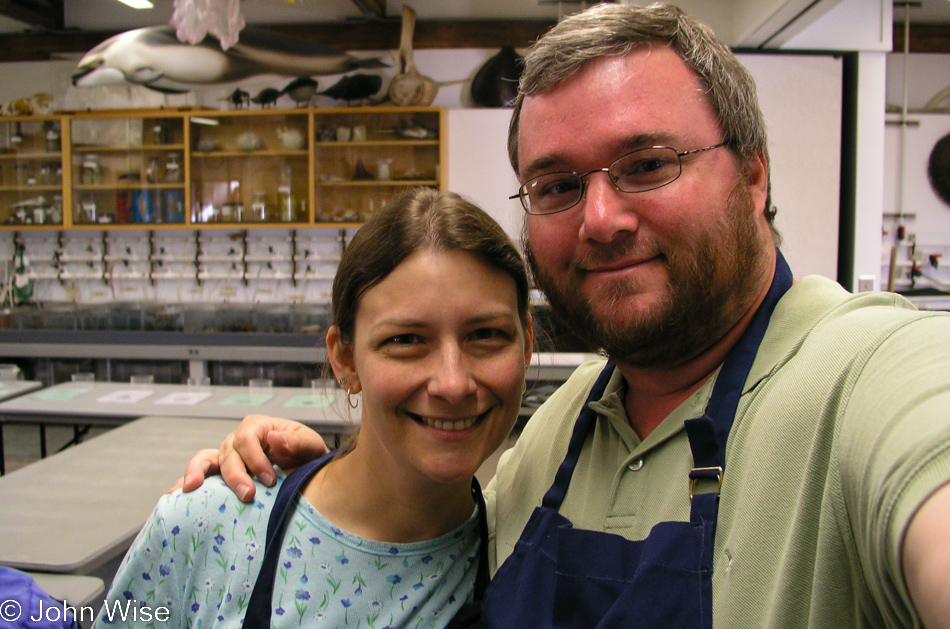
Caroline Wise and John Wise at the Monterey Bay Aquarium in Monterey, California

We’re on a Morning Rounds: Behind-the-Scenes Tour that starts at 8:15 on most Sundays; our reservations were made two months ago. Upon arrival, we were handed official Monterey Bay Aquarium aprons just for the occasion. If only we could have kept them. We are mostly old fogeys with only one little girl representing youth. Not to worry, though, we elbow her out of the way to hog all the fun stuff.
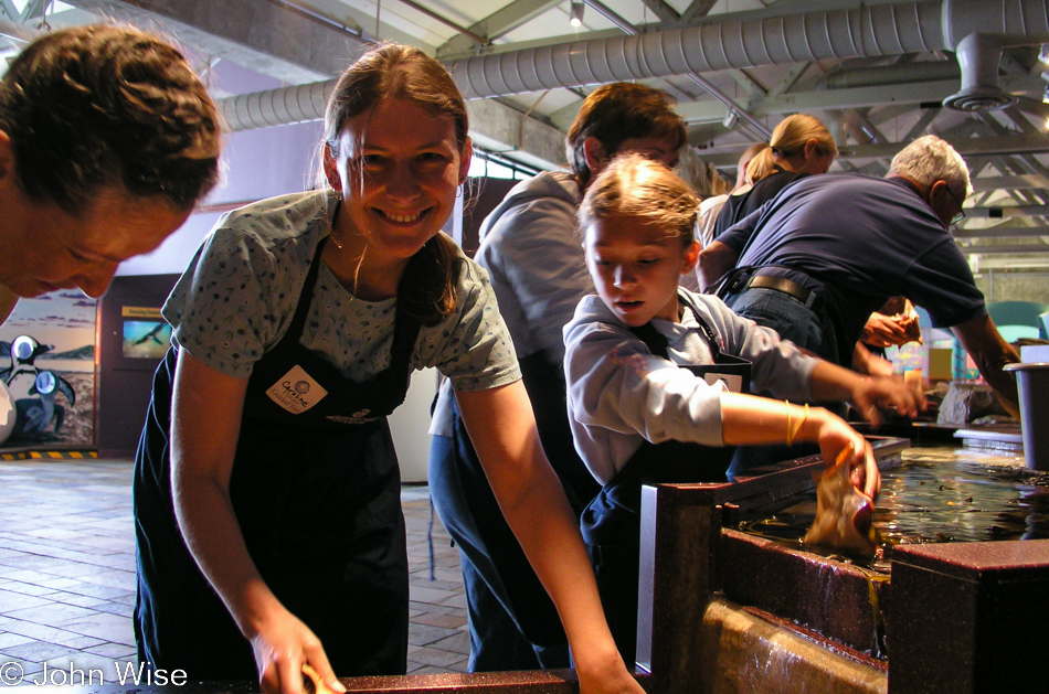
Caroline Wise at the Monterey Bay Aquarium in Monterey, California

Following a brief orientation and the donning of our safety gear disguised as those blue cotton aprons I just mentioned, we were assigned some backbreaking chores doing the dirty work. Here, you see Caroline grimacing under pressure while our guide chides her to put more elbow grease into cleaning these fishy displays.
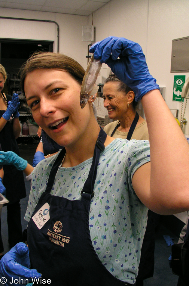
Caroline Wise at the Monterey Bay Aquarium in Monterey, California

The next stop was preparing fish by stuffing rather large PILLS into their gills for feeding to unsuspecting penguins. We were told they were vitamins, but those penguins were acting just a wee bit too happy for this to be mere vitamins. Through the labyrinth of the maze known as the-area-behind-the-tanks, we collect more fish to feed other fish witnessing fishnabilism and then look in on how those displays work where the fish swim by in one direction so consistently  – it’s magic! The lady behind Caroline told us that she and her husband (also in the group) were soon to embark on a cruise to Antarctica to see the local penguins and complete her life goal to see penguins wherever they live in the world. Inspirational, to say the least!
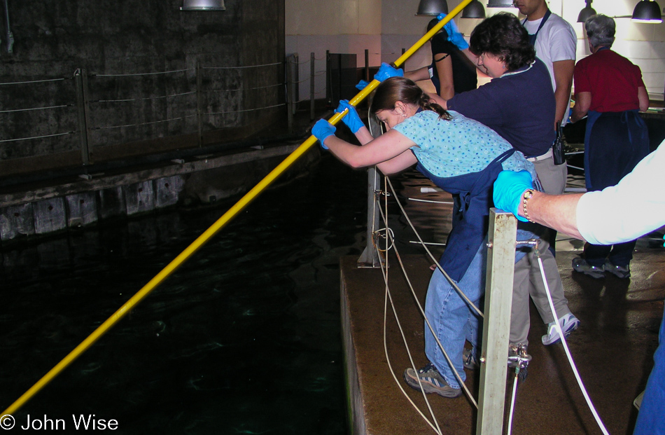
Caroline Wise at the Monterey Bay Aquarium in Monterey, California

Caroline will learn over time that it’s important to be quick on the volunteering thing so she gets the opportunity to feed whatever it was she was offering food to. While my memory says it was a shark, hers says it was a different fish, a detail lost to time. [The whole point of this exercise was to feed critters that stay near the bottom of the exhibit as we are pushing the pole with a basket of fish down to their level. – Caroline]
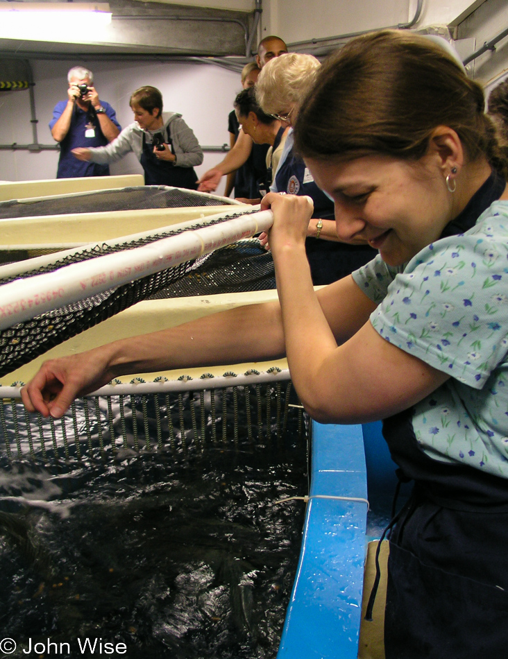
Caroline Wise at the Monterey Bay Aquarium in Monterey, California

The smile never left her face.

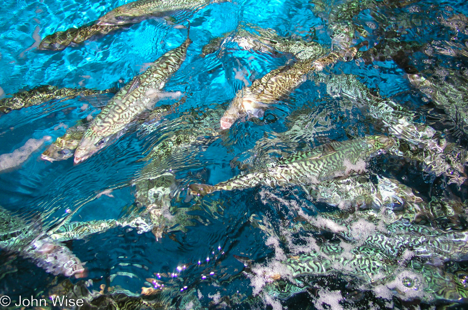
Mackerel at Monterey Bay Aquarium in Monterey, California

We were offering the mackerel their breakfast this morning, which did not include eggs as ours did.
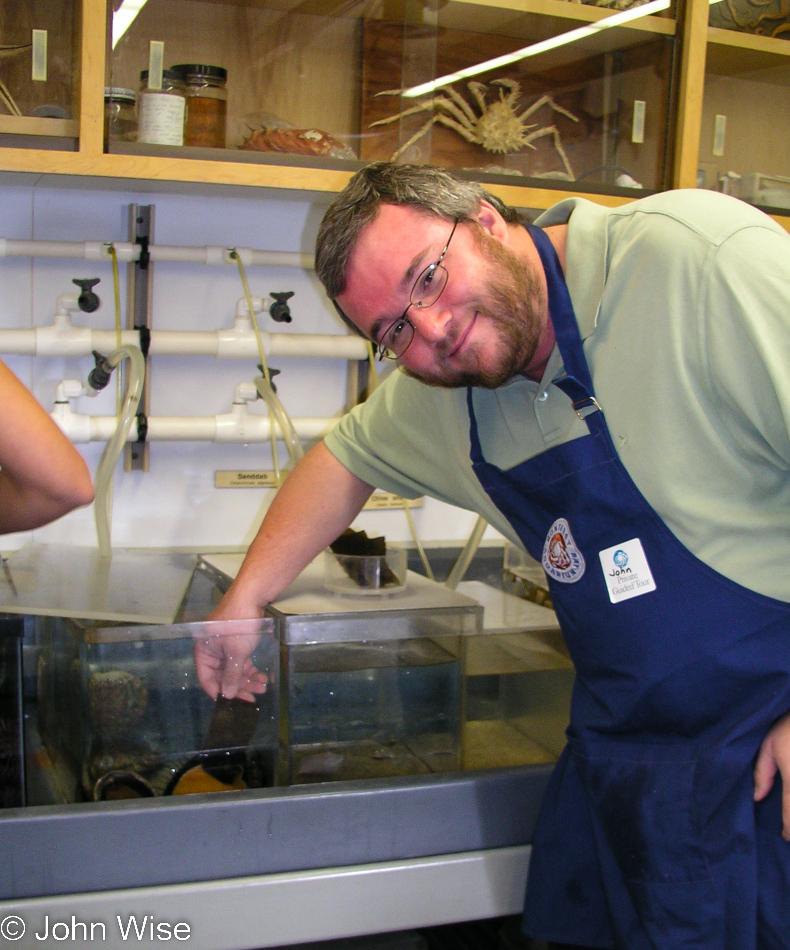
John Wise at the Monterey Bay Aquarium in Monterey, California

Before we are finished with the tour, I am forced to shove my hand into the tank of a man-eating abalone that tears off my right hand above the shoulder. Fortunately, this penguin lover on her way to see Emperor penguins in the Antarctic has her doctor husband along, who grafts my hand back on using the remains of some jellyfish, which is sticky enough to take hold of my hand, allowing it to reattach and I’m happy to say, I have thoroughly healed from my ordeal or something like that. This behind-the-scenes tour was awesome; the staff was informative, friendly, and encouraging of each and every one of us to participate. We look forward to doing it again, except for the part where I was eaten whole by a shark. The tour is a brief two hours long, but we could have stayed all day…except the cold slap of reality, also known as a 700-mile drive home, takes me away from demonstrating otter wrestling, and we leave the Aquarium – unescorted.
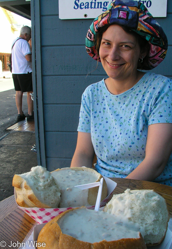
Caroline Wise in Monterey, California

The Grotto Fish Market at Fisherman’s Wharf beckons us to have one more clam chowder in a bread bowl and then start our way south.
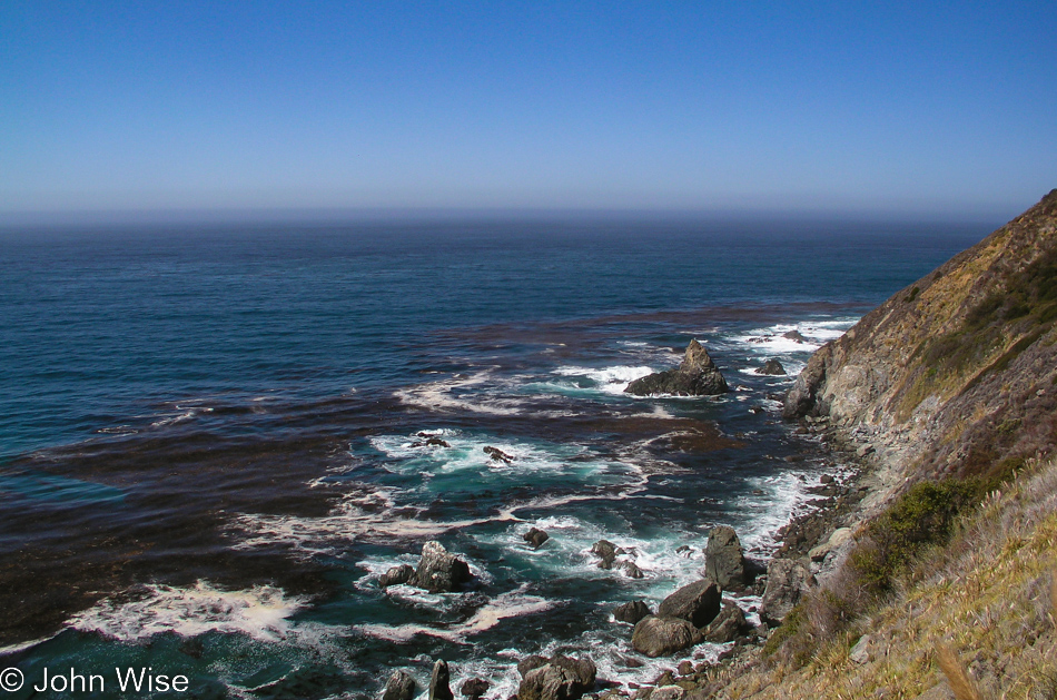
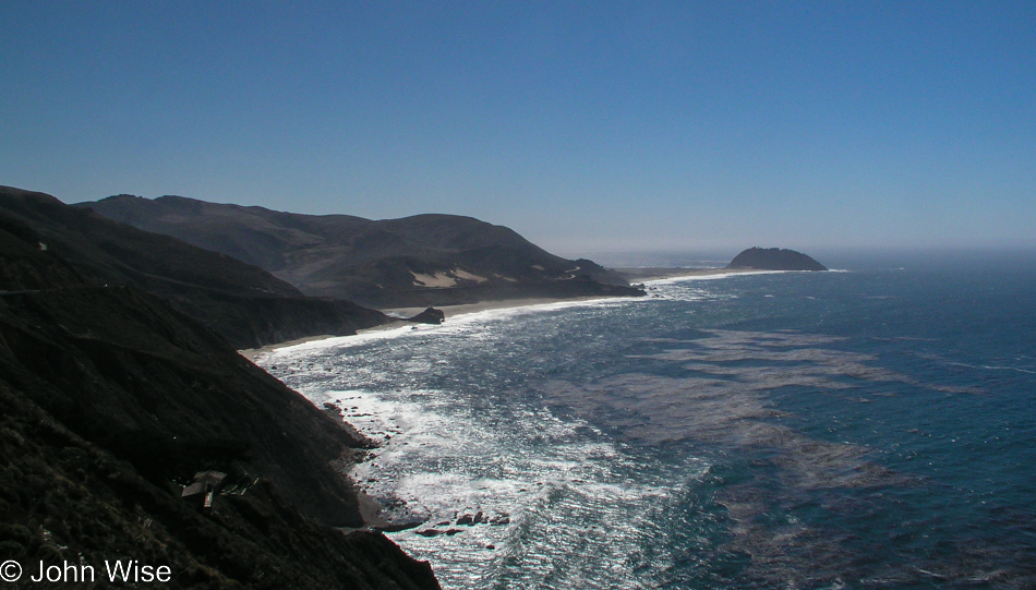
Highway 1 on the Pacific Coast of California

Nope, we did not take the smart option of driving over Highway 1o1, which is in no way this scenic.
Highway 1 on the Pacific Coast of California

That bump to the right is Point Sur, and on the north end of it is the Point Sur Lighthouse; someday, we’ll make it out there for a tour, but not on this trip.
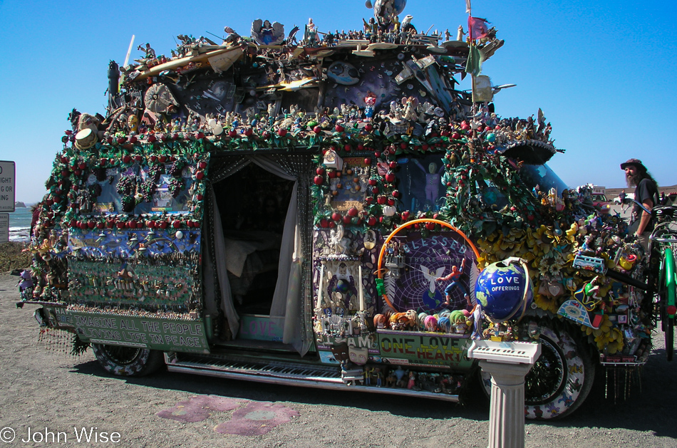
An Art Car at the Elephant Seal Viewpoint near San Simeon, California

This is the Brother One Feather art van parked at the Elephant Seal Viewpoint, trippy. Its owner is Jameson Godlove, and can be seen sporting a righteous beard on the right.
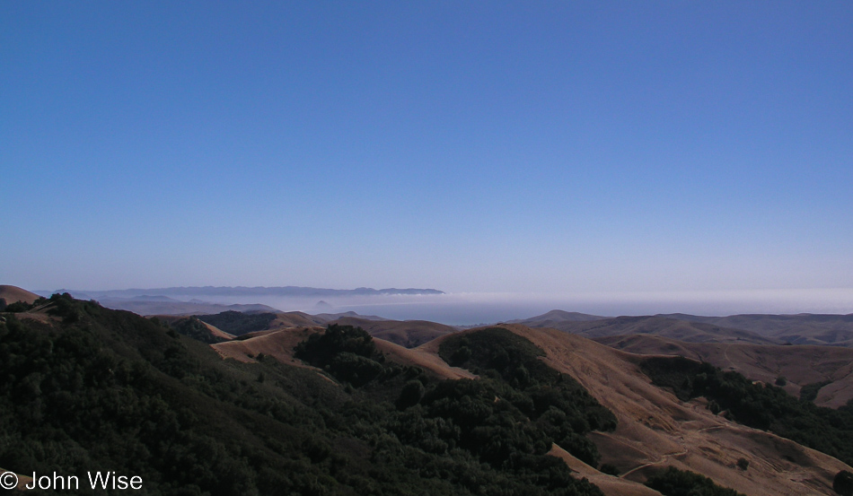
Looking at the Pacific Ocean from Highway 46 out of Cambria, California

Looking at the Pacific Ocean from Highway 46 out of Cambria. From here forward, it was just drive, drive, drive. We arrive back home around 11:00 p.m., and although most anyone who knows us thinks it crazy to drive 1,400 miles for a weekend, we have such extraordinary times doing these kinds of jaunts that we wouldn’t trade a weekend like this for anything in the world.

Disclaimer: This post was not written on or near the date it shows up on my blog. This particular sequence of days wasn’t written about until September 2022 as I was trying to better catalog our travel images on this site.

Additional info: In November 2022, I found a composite post of the three days I wrote four months after our trip on February 26, 2005. I grabbed what was there, merged it into this post, and deleted the other.
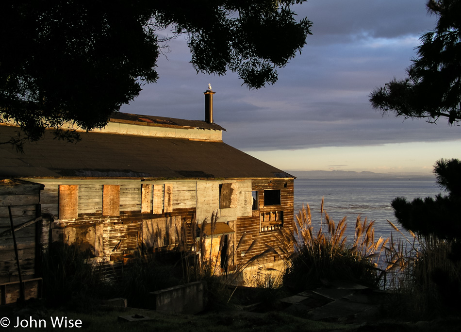
Oregon Coast – Day 5

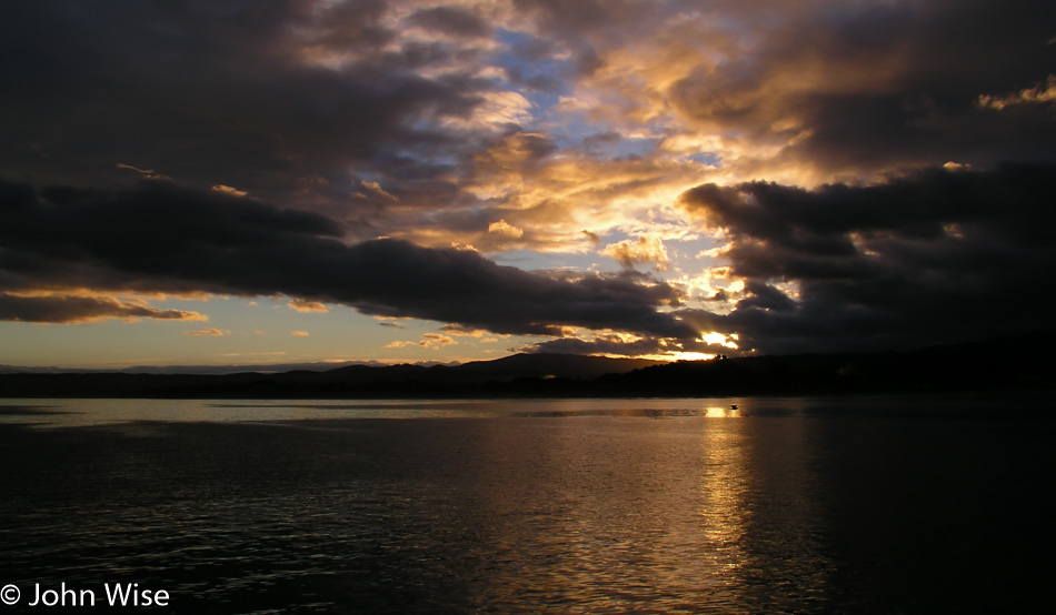
Monterey Bay California at sunrise

A vacation for Caroline and I can never be reduced to a single day, hour, or moment. It is the collection of all moments of every hour and each day seen as a tapestry of experience that helps define the journey. Maybe because I focus on the nicer photos I’ve captured of the trip, it’s easier to remember the brilliant times out in America instead of the random ugly moments that have certainly occurred. Other than the travel book industry focusing on hard times out on the road and the evening news that requires tragedy to be the center of attention, we do not and hopefully never will focus on the small and slightly aggravating instances when weirdness happens. Instead, we focus on the sunrise and pinch ourselves that even though we might race around on these jaunts into far away places, often we seem to be at the right place at the right moment and are rewarded with scenes such as this sunrise over Monterey Bay, California.

Cannery Row in Monterey Bay, California

By this time, we’ve lost count of how many times we’ve visited Monterey Bay, but what I do know is that it was back in January 1992 that Caroline Engelhardt (we were just dating then) made her first visit to America with me and it was right near here that she took her first good look at the Pacific Ocean.

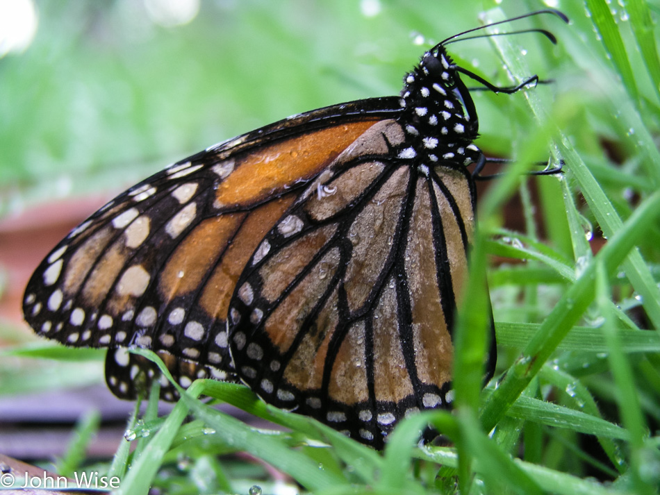
Monarch Butterfly at Pacific Grove, California

Finally timed our visit correctly with the migration of the monarch butterflies wintering over in Pacific Grove.

Central Valley in California

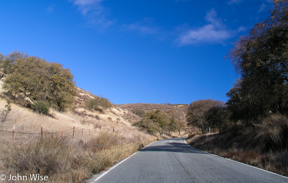
Out of the coastal range and into Salinas Valley near Soledad.

Route 146 to Pinnacles National Park, California

On the road to visit our next national park.

Caroline Wise at Pinnacles National Park in California

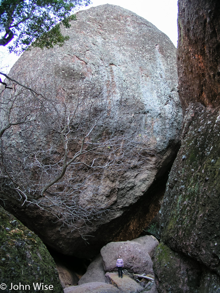
Look way down at the bottom of the photo for tiny little Caroline to better understand the scale of that boulder at Pinnacles National Park in California.

Canyon in Pinnacles National Park, California

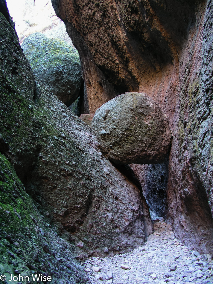
The canyons and rock spires are amazing at this national park. Sadly, we will not be able to stay long as we still have 10 hours and 650 miles left to drive before getting home.

Pinnacles National Park, California

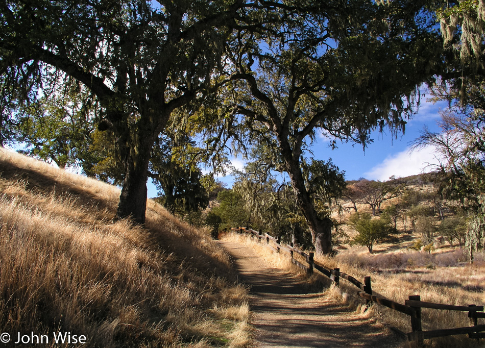
On the way back to our car in Pinnacles National Park.

Caroline Wise at Soledad Mission in California

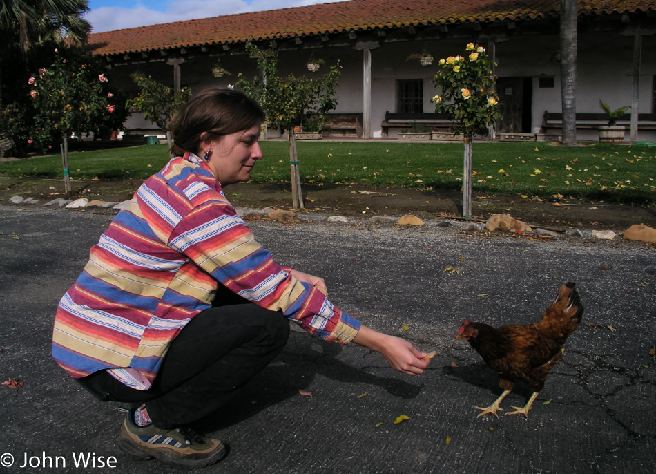
My chicken feeding another chicken at Soledad Mission.

Yellow rose at Soledad Mission in California

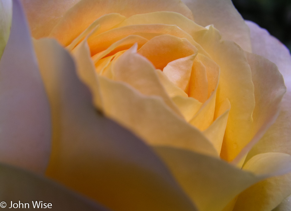
A perfect yellow rose at Soledad Mission.

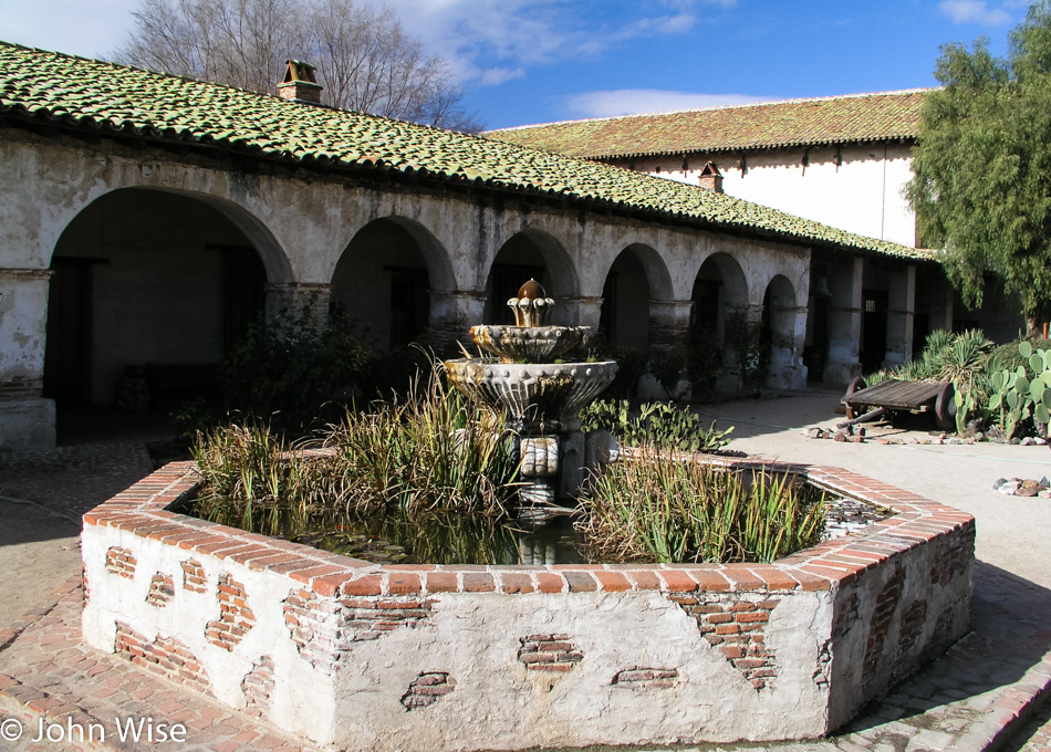
San Miguel Mission in California

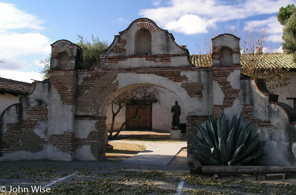
Remember what I said about how much time we’d need to drive home? Well, we are still relatively young….a little exhaustion never hurt anyone. We had just arrived at San Miguel Mission and had to stop because it was right there on the way home anyway.

San Miguel Mission in California

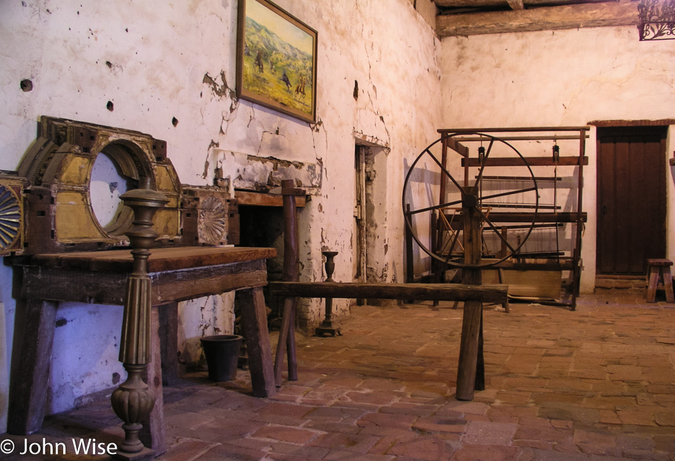
That’s an early television on the left prior to the electrified version arriving. Back then, people would place a circular or rectangular frame next to the wall and stare at it while telling stories. To the right of that is a spinning wheel for turning fibers into yarn, and behind that is a broken-down loom for weaving that yarn into cloth. You might also notice the floor is uneven and made of stone, along with a fireplace to warm this area; this is because back in 1797, when the mission was founded, this was the way things were done.

San Miguel Mission in California

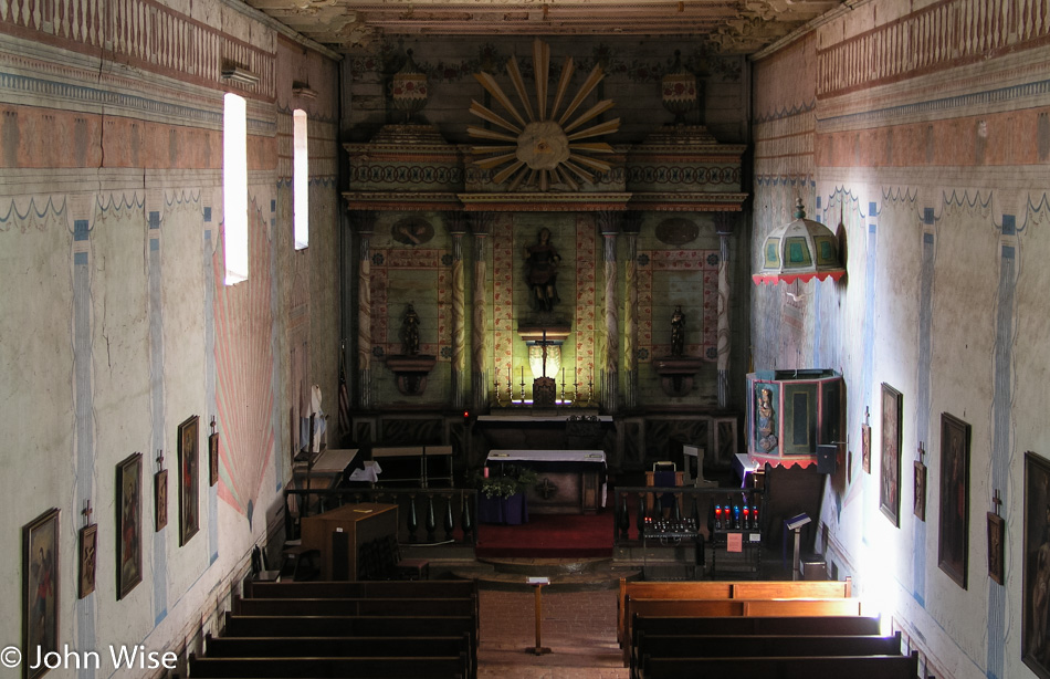
Twenty-one days after our visit a 6.6 magnitude earthquake hit the San Simeon area that was strong enough to cause serious damage here at the mission about 30 miles away. The church seen here was closed for the next six years for repairs.

San Miguel Mission in California

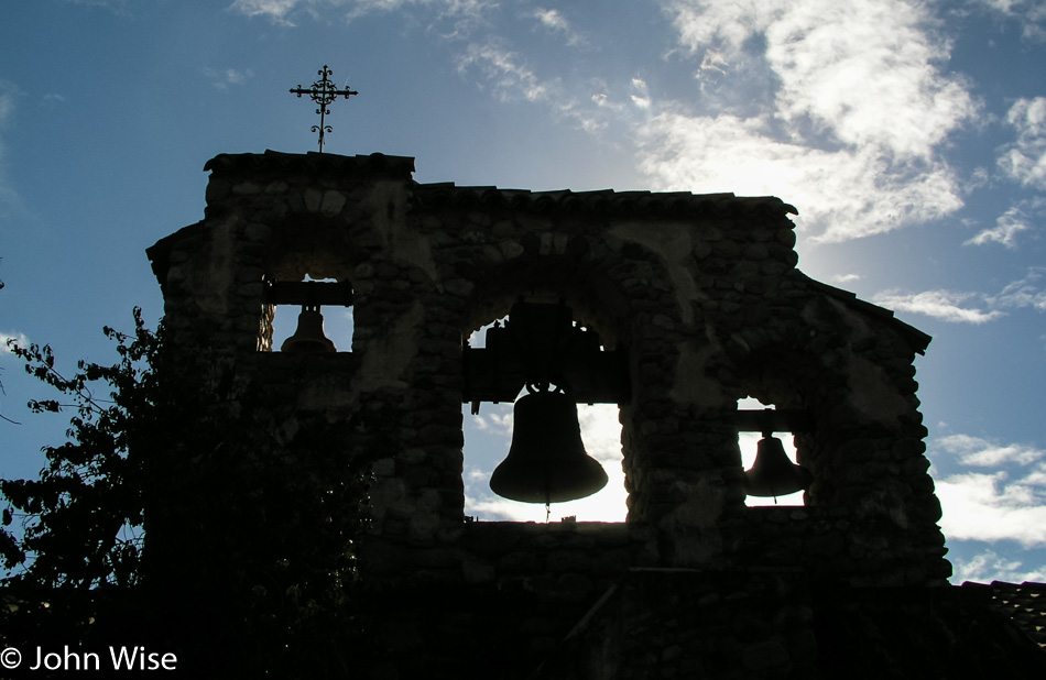
Mission bells like these at San Miguel are one of the iconic images of the entire chain of 21 missions across California.

San Miguel Mission in California

Lucky for all of us, California and the Catholic Church have been caring for these historic sites that stretch from San Diego in the south to San Francisco in the north.

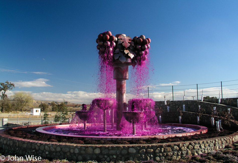
Red Cedar Vineyard fountain in Shandon, California

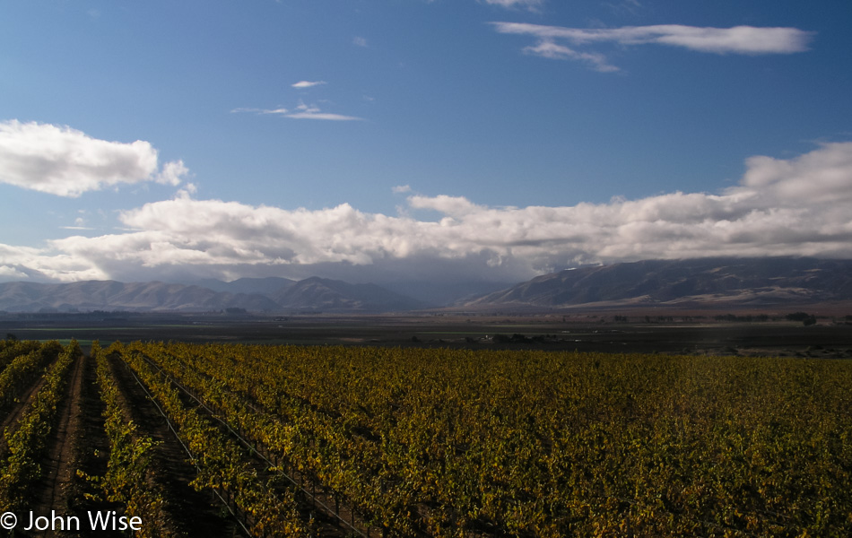
In a landscape of brown, tan, and blue, this fountain at the Red Cedar Vineyard, flowing with purple water, demanded we pull over and snap a picture. This would be the last stop for photos as we still had 580 miles to drive home, and it was already 3:30 p.m., putting us home after midnight.

Oregon Coast – Day 1

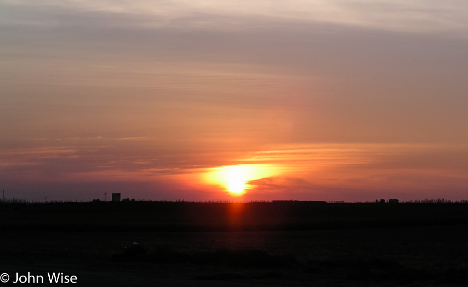
Sunrise in central California

This trip started yesterday at 2:30 p.m. and had us leaving Arizona via Kingman on our way to Tulare, California, north of Bakersfield, for an overnight at Budget Inn for the cheapo price of only $39.95. Yesterday got us 587 miles closer to our ultimate destination, and because we weren’t flying, we didn’t need to contend with Thanksgiving-style jammed airports.

We were up and going well before sunrise at 5:45 a.m. this morning. The above photo of the rising sun was taken at a gas stop around 7:00 after we’d merged onto Interstate 5 and visually and olfactorily encountered our first feedlot of cows.

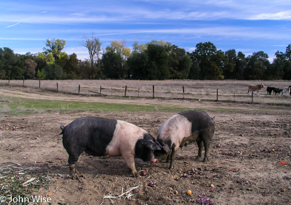
Pigs in Red Bluff, California

Four hours later and we have moved from cows to pigs here in Red Bluff, California, which is about 200 miles north of San Francisco already. We are making great time.

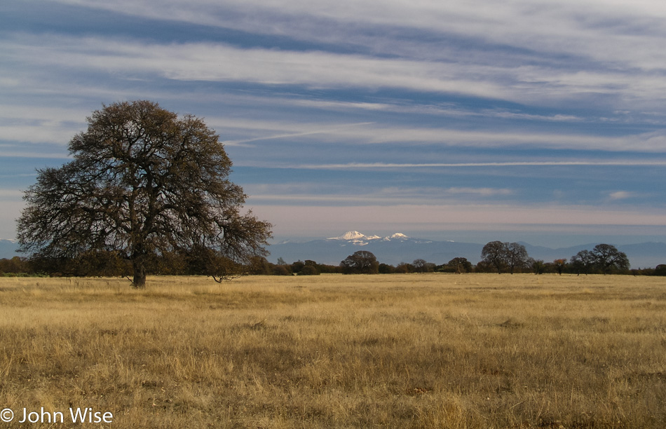
Mount Shasta in the distance, Northern California

We are somewhere in Northern California. That’s Mount Shasta in the distance.

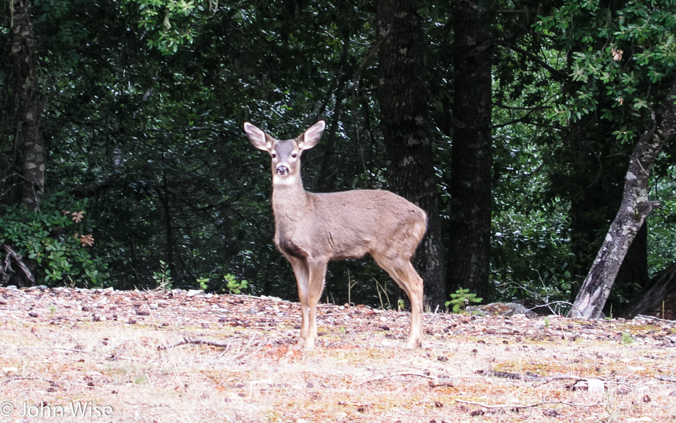
Deer next to the road in Northern California

Suckers for wildlife, farm life, and life in general, we’ll stop to look at anything that grabs our attention. Nearly every time I spot an animal next to the road staring at us, I can’t help but think of the comic strip The Far Side where a bunch of cows are standing up talking until a car approaches.

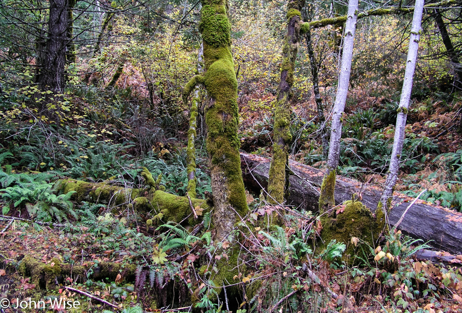
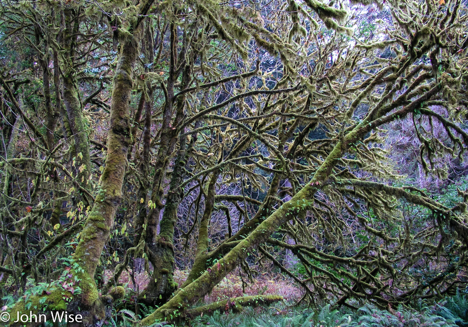
Moss growing on trees in Northern California

You don’t see many ferns or moss growing on cactus in the desert. This is serious eye candy for desert dwellers.

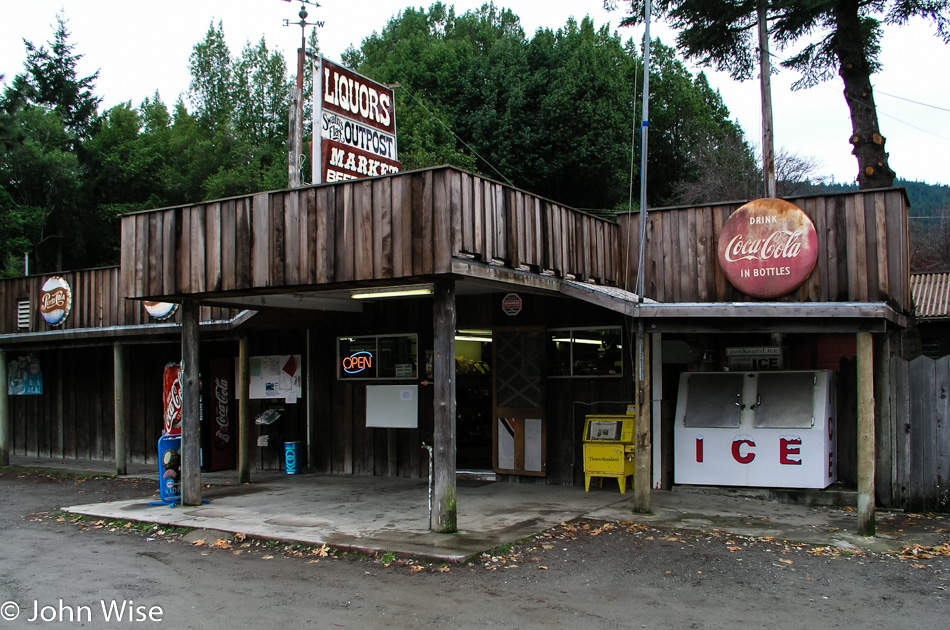
Swains Flat Outpost in Humboldt County, California

Nothing better than stopping at a roadside funky joint to replenish our energy. Sadly, here in Humboldt County, famous for its weed, there is none of that to be found. Honestly, though, we wouldn’t even consider getting stoned out here on these trips as, first of all, we are driving long distances, and secondly, nature gets us high enough.

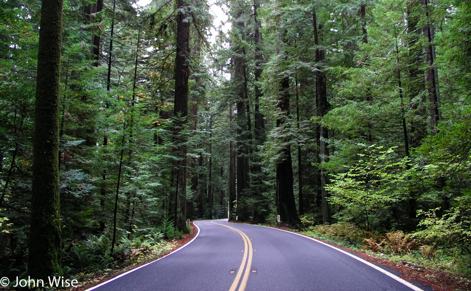
Redwoods in the Humboldt Redwoods State Park in Northern California

How lucky people are to be able to just drive along beautiful winding roads that snake their way through groves of redwoods.

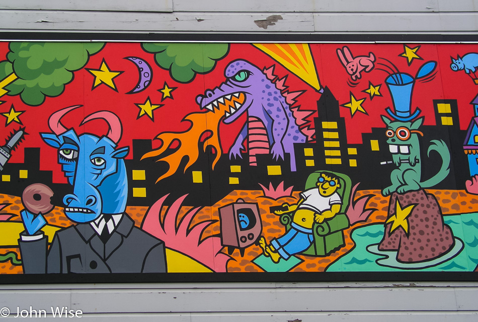
Murals in Eureka, California

These murals and many more are some of the endearing qualities should you find yourself in Eureka, California. The junkies, on the other hand, suck.

Clam Beach in McKinleyville, California

First stop at the ocean on this road trip. We are at Clam Beach in McKinleyville, California. Have I shared with you that we love oceans, rivers, lakes, and waterways of all sorts?

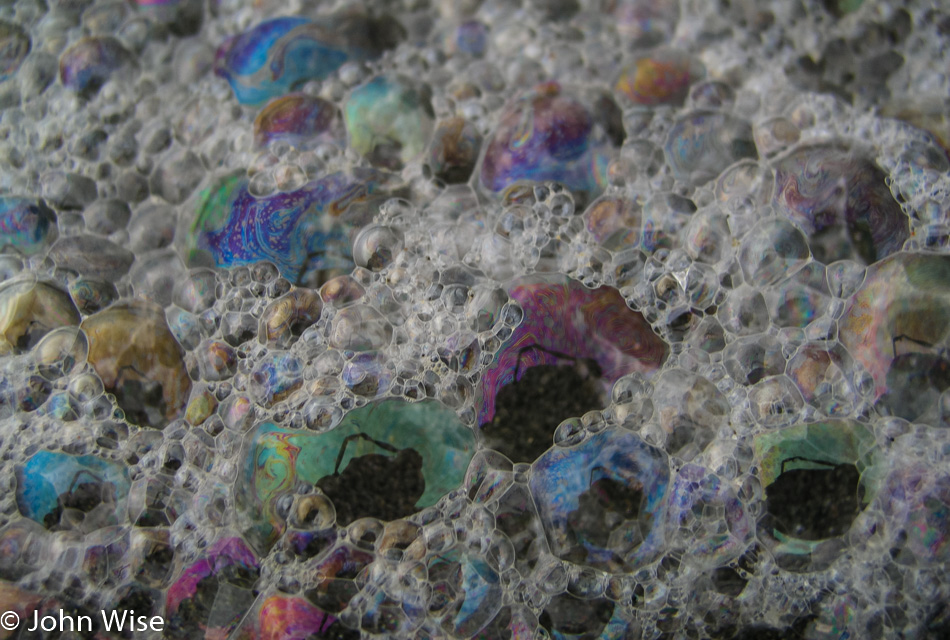
Surf bubbles at Clam Beach in McKinleyville, California

Psychedelic surf bubbles at Clam Beach.

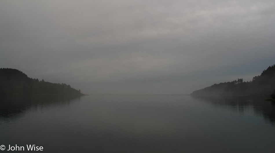
Stone Lagoon, California

Foggy and mysterious Stone Lagoon, California. Just prior to this, we saw the grazing herd of Roosevelt Elk, but the photo was kind of meh.

Redwoods National Park in Northern California

Driving through Redwoods National Park at dusk does not make for conducive conditions for the photography of already dark forests.

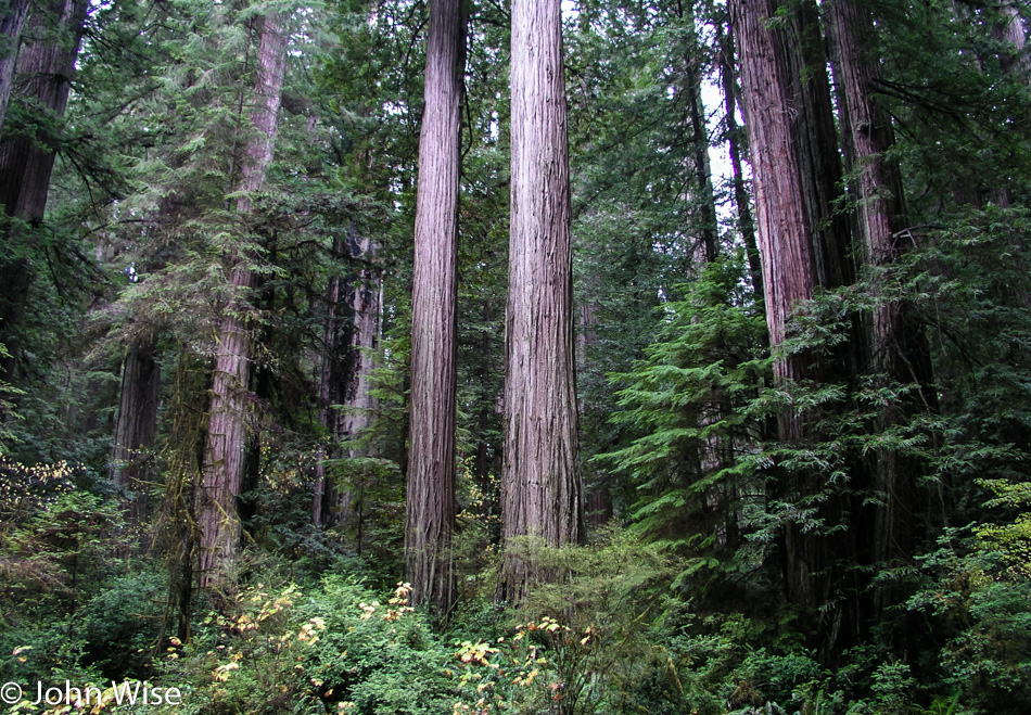
Redwoods National Park in Northern California

I found a bit of a clearing that was still receiving just enough light that I was able to capture at least one reasonable photo of some young coastal redwoods. It’s strange to consider that this was the scene some 225 million years ago over in Arizona near Holbrook and the Petrified Forest National Park.

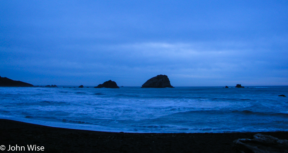
Pacific coast early evening

I can’t recall exactly where this was, nor do we have a note that hints at it, but from the time the photo was shot, I’d guess we were still in California just south of the Oregon border, which would imply that this is Crescent City.

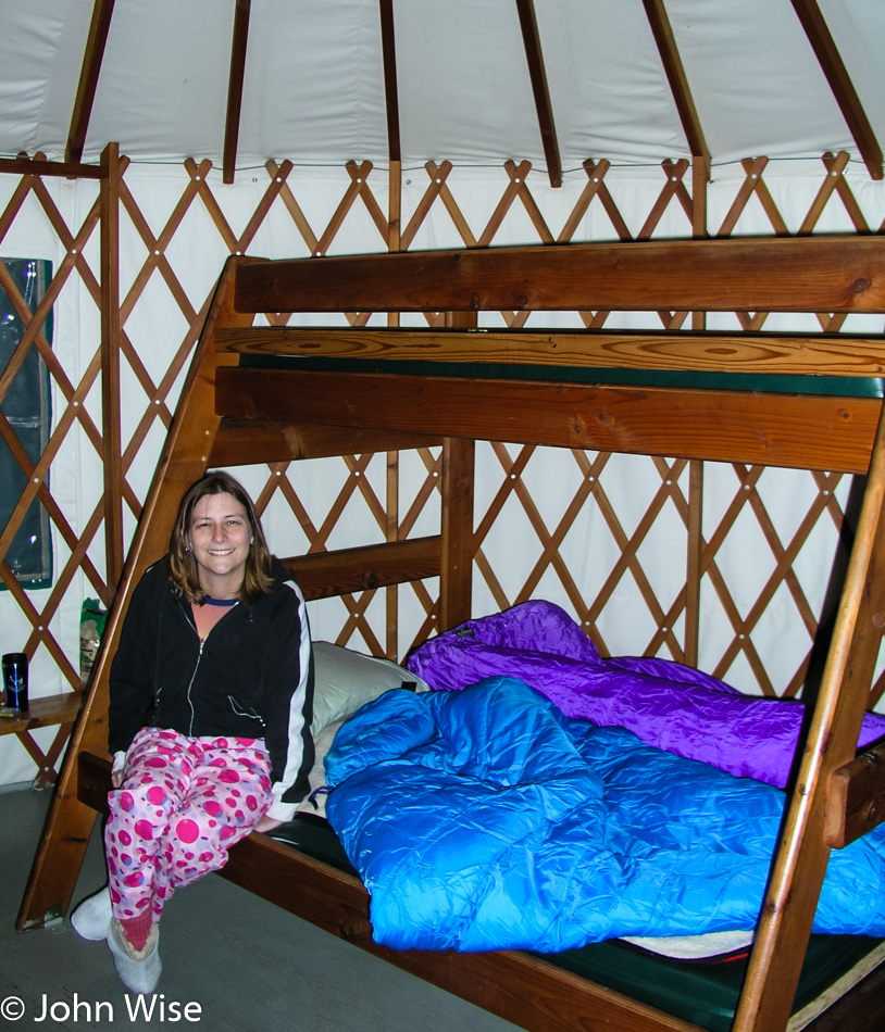
Caroline Wise in a yurt at Harris Beach State Park in Brookings, Oregon

Our first yurt visit ever and our first time on the Oregon coast. Our yurt is at Harris Beach State Park in North Brookings, Oregon. Our impression is that we LOVE YURTS!!! Tomorrow, we’ll get our first impressions of the coast as we travel north.

Bryce to the Great Basin – Day 1

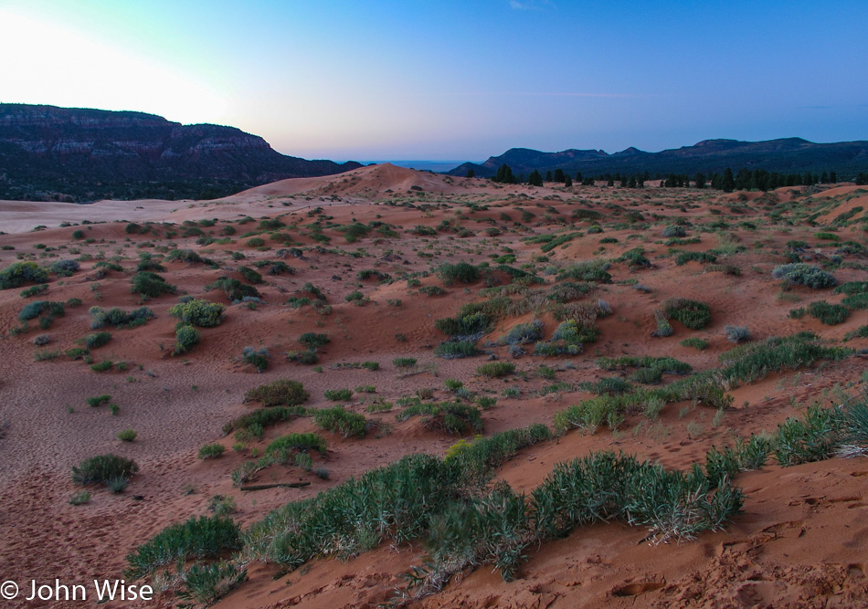
Coral Pink Sand Dunes in Utah

We’ve been by the Coral Pink Sand Dunes before when the bright sun of the middle of the day helps them live up to their name. Here in the early morning dawn, they may seem a bit lackluster, but don’t let that keep you away.

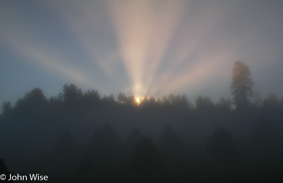
Southern Utah

Just as the sun is about to creep over the mountains, we hit a patch of fog, making for some fairly nice god rays.

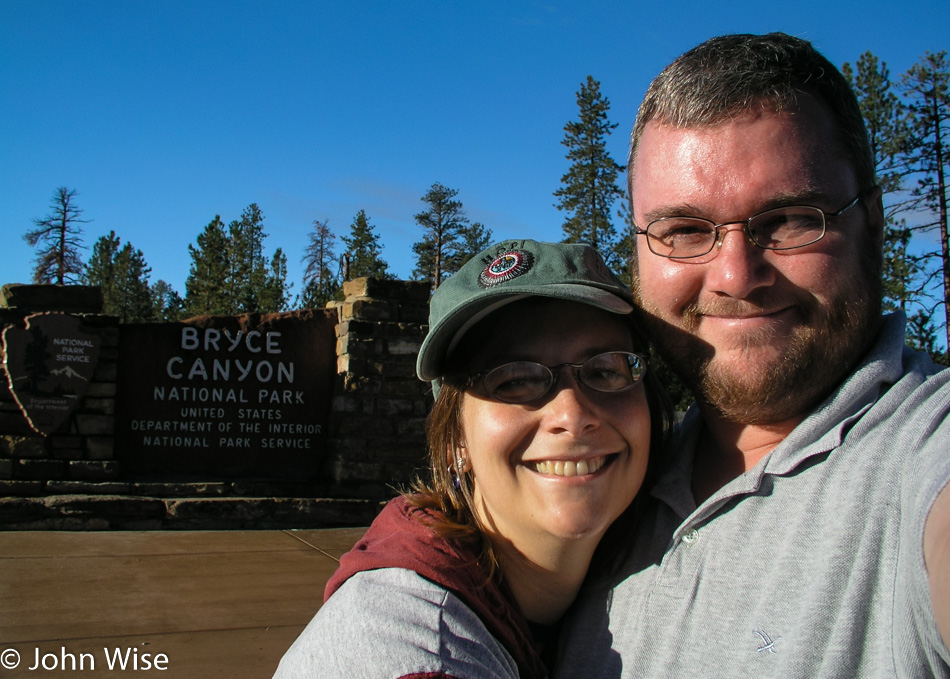
Caroline Wise and John Wise at Bryce National Park in Utah

Today’s first major destination is Bryce Canyon National Park for a hike into a canyon.

Bryce National Park in Utah

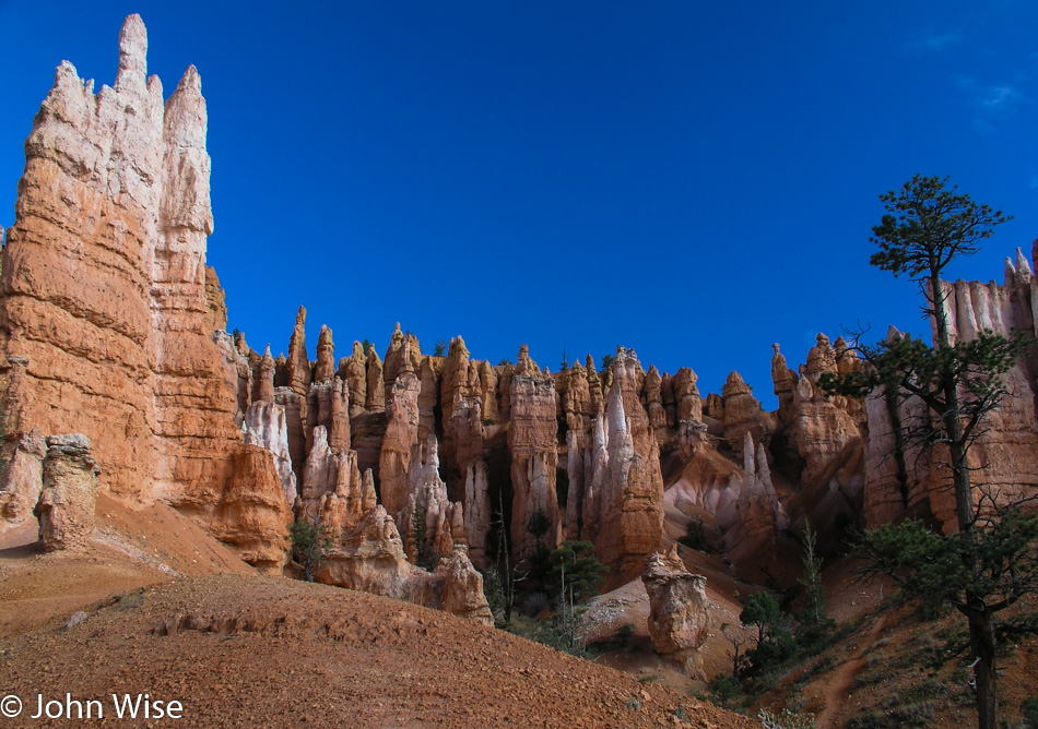
The Queen’s Garden / Navajo Loop trail is a 2.9-mile round trip and offers some of the best views of Bryce Canyon, which looks totally different from below than from above.

Bryce National Park in Utah

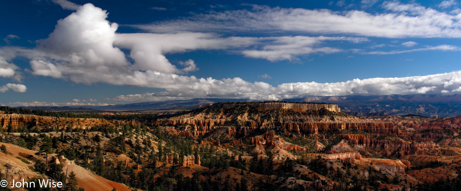
Like all places we’ve been to the view changes dramatically when you change the location from which you are doing your gazing.

Bryce National Park in Utah

I cannot describe the depth, smell, and feel of the air and its temperature on my skin. I’ll never be able to adequately explain how the colors and contrast between blue and red challenged my eyes to find as much detail as I could. This photo is a weak reminder, albeit an important one, as it brings me back to the day, but I had to be here in person to create a sense of firsthand knowledge. While I would like to encourage everyone to get out and see the land where they live, I also have to be thankful that the majority are satisfied with the television view of our reality from the comfort of their own homes.

Caroline Wise and John Wise at Nevada State Sign

Our second national park of the day requires us to change states and make our way to Nevada. It’s only a few hours away, so it’s well worth the minor effort.

Great Basin National Park in Nevada

We are at Great Basin National Park, driving up into the mountains.

Great Basin National Park in Nevada

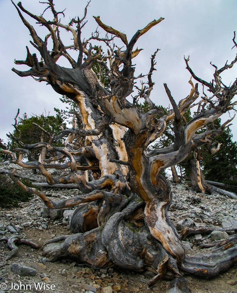
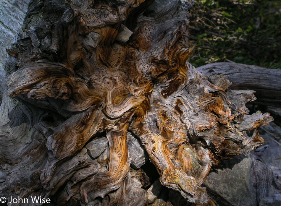
This is the reason we are here today: the bristlecone pine tree. These trees can live up to 5,000 years and survive the worst conditions in the worst soils. When a tree dies, it is often that only a part of it will fall dead while the other half continues growing for centuries. The part that has died can dry into a wood that is often harder than steel. To get to these incredible trees, you’ll have to head to the trailhead at 10,000 feet and then climb another 800 feet to the trees.

Great Basin National Park in Nevada

Just the idea that these trees were standing vigil high in the mountains watching countless generations of humans come and go while we entered the Bronze Age, built the pyramids, learned to sail across oceans, ushered in the Renaissance, learned to fly, and built weapons that could destroy most life on Earth. Prior to today, I don’t believe I ever thought that I’d reach out and touch a living thing that was thousands of years old.

Caroline Wise at Silver Jack Motel in Baker, Nevada

We’re gonna hang out in Baker, Nevada tonight as we didn’t have time to visit the caves up in the Great Basin and have decided to pay them their due in the morning.

Utah to Colorado to New Mexico – Day 3

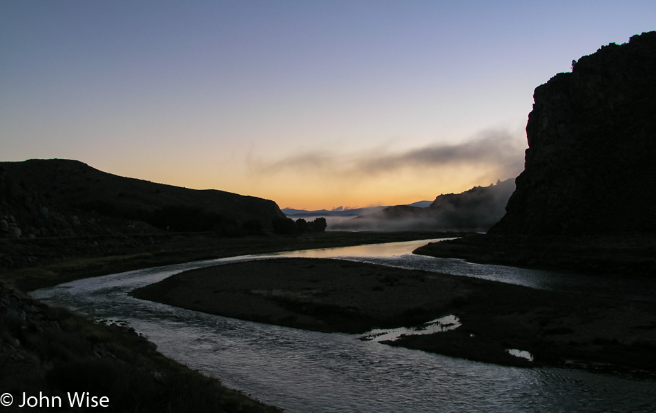
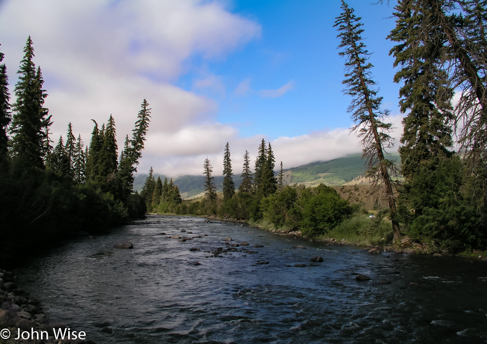
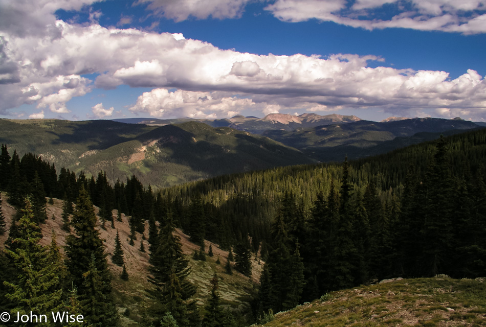
The road we are taking to Lake City, Colorado, out of Gunnison, follows the braided Gunnison River as we leave town before the sun comes up.

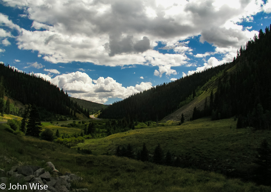
While I could say that I’d love to drive in these mountains every day, I’d be lying because as soon as a flake of snow falls, I’d be wishing to be in Arizona sitting in shorts on a winter day having an iced tea, wishing to be somewhere it’s snowing.

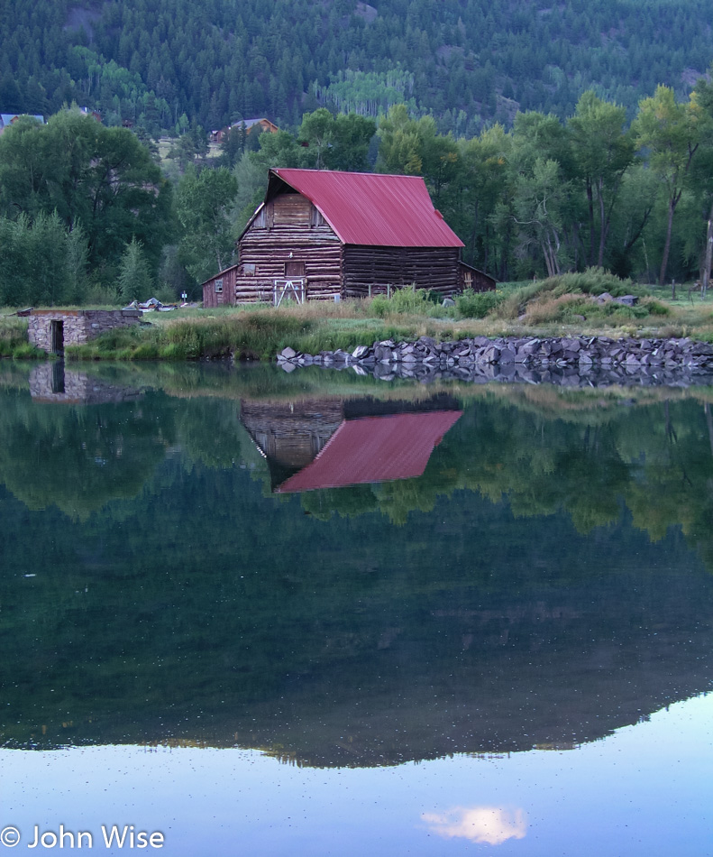
I’m a sucker for barns set in idyllic locations where I could imagine living as a cow, not a steer for slaughter, but a friendly cow that wasn’t being milked by a mechanical octopus sucking the life out of me. My name would be Bessie, of course.

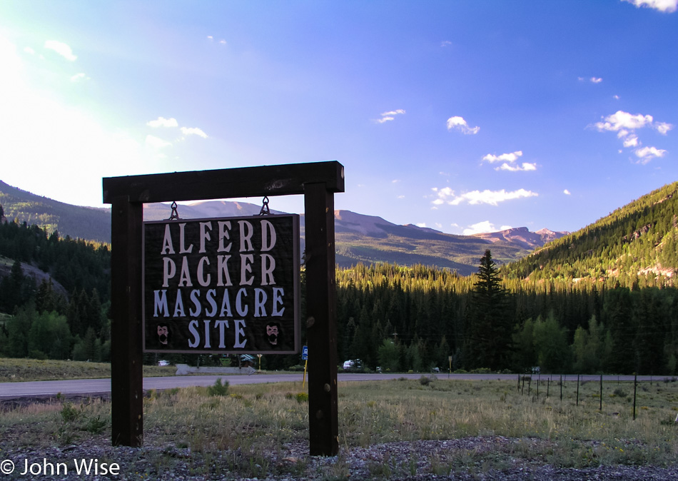
You can bet a dollar we took this route for this reason right here. Alfred Packer ate people on this spot one hundred twenty-nine years ago, and I’d guess he did it with gusto because if you are going cannibal, I don’t believe you pussyfoot into something this serious. You toss the bib and ketchup to the side and hold on tight while you start chewing on another man’s face and armpit; gotta start with the tender spots, right? Sadly, I can’t report that there was any draw to be pulled into that kind of madness as others report when visiting Niagara Falls and say they feel drawn by the water.
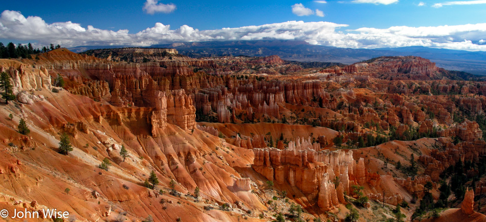
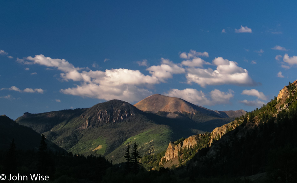
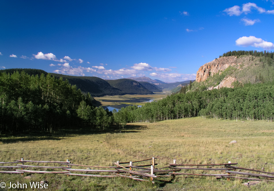
Out of gruesome pilgrimage, we return you to blatant scenes of profound beauty where primitive fences lead into wooded areas bordering small idyllic lakes in a valley surrounded by mountains while fluffy clouds dance along the edges.

Looks to be on the shallow side for kayaking, canoeing, or rafting, though who am I to judge such things?

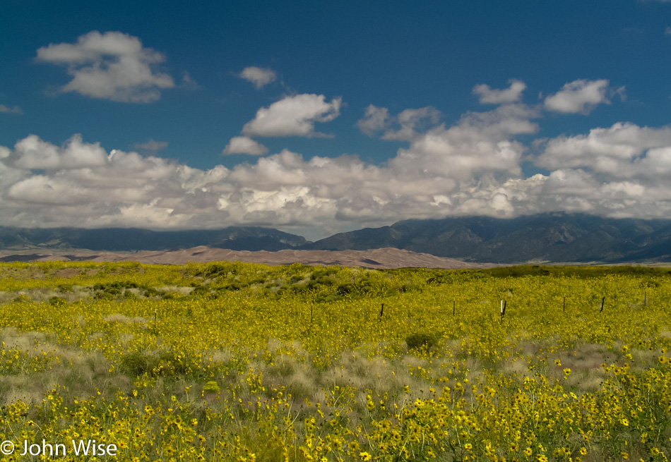
Wildflowers, mountains, and dunes are not something you expect to see every day.

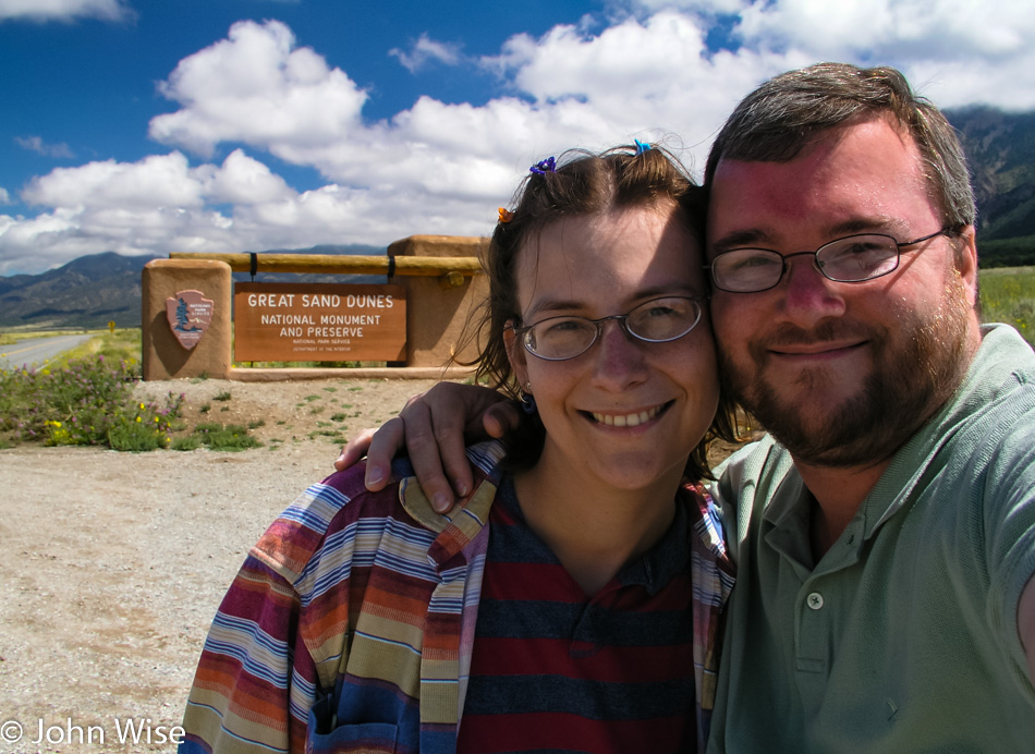
While the Great Sand Dunes National Monument has been authorized to become a National Park with an expansion of its lands a few years ago, it’s awaiting approval from Congress. Next time we visit, hopefully, we’ll be able to brag that we’d been here back when it was a wee monument.

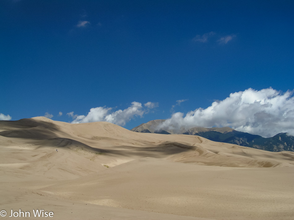
There are at least six people in this photo; can you find them? The mountains in the background are the  Sangre de Cristo Range, which extends down into New Mexico and represents the end of the Rockies.

A road trip to consider would take us from Santa Fe at the foot of the Sangre de Cristo Range right up to Toad River in British Columbia, Canada. With this trip, we will see the extent of the Rocky Mountains with our own eyes; sounds like a plan.

During sunrise and sunset, those mountain peaks look red in the “alpenglow” hence their name that translates to Blood of the Christ – Sangre de Cristo.

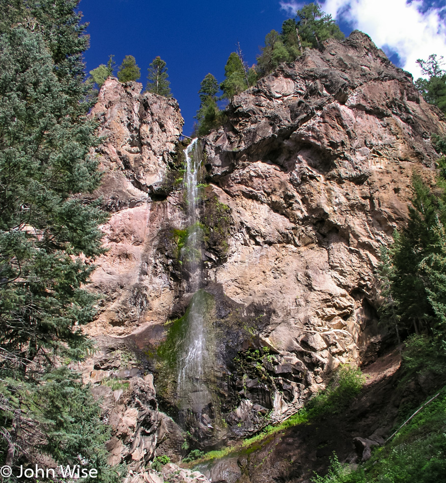
Trillions of treasures for the eye likely exist distributed throughout these mountains; we see a few dozen and are somehow satisfied. Oh yeah, this just happens to be Treasure Falls in the Pagosa Springs area of Colorado, should you be wondering.

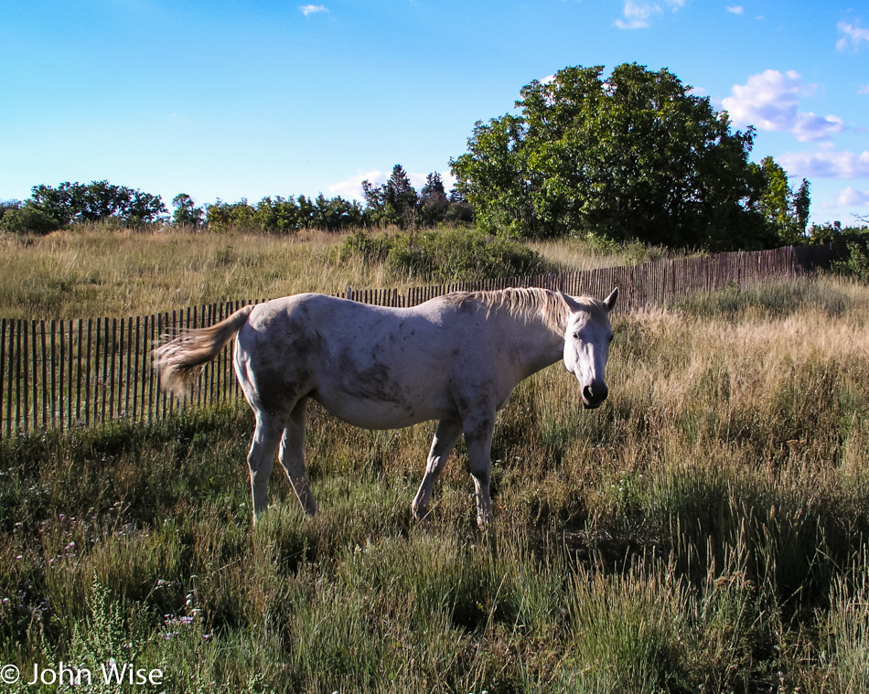
This horse left her pasture, and her hooves failed her on the asphalt; down she went with some road rash for her desire to explore the larger world. We’d seen her go over the fence as her companions running with ferocity approached the edge of the property, so while Caroline kept her company and reassured her that we’d find someone to bring her safely back to the fold, I went onto the property to get the owner’s attention. Back she went to the nervous herd that had been anxiously standing by, and we drove off happy that this beautiful white horse hadn’t been hit by a passing car.
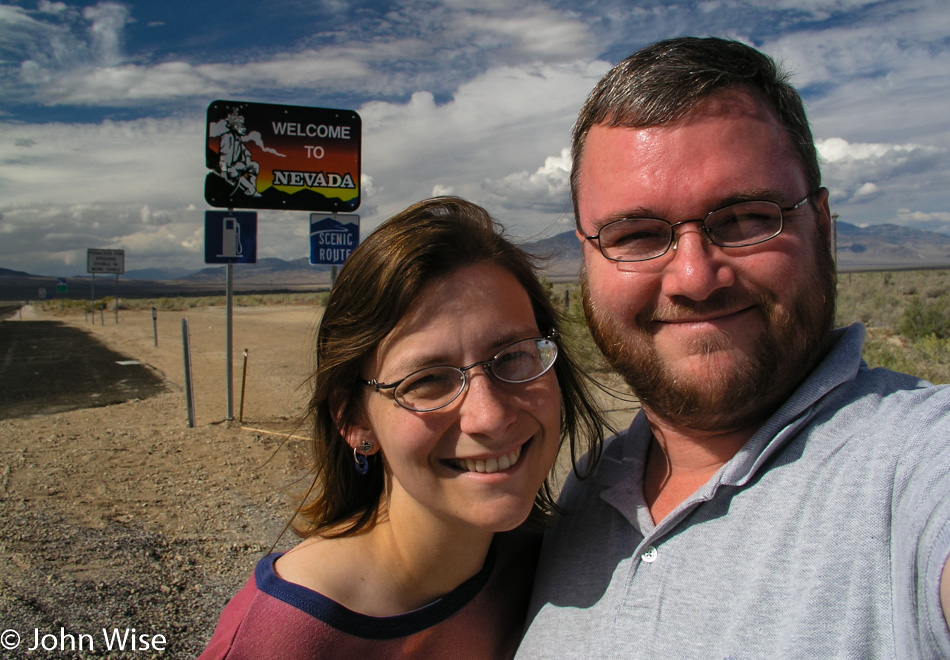
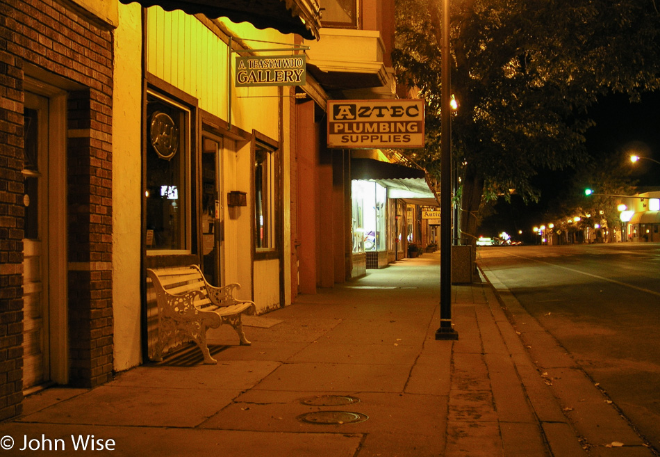
Tonight’s sleeping adventure is being brought to us courtesy of Aztec, New Mexico, over in the Four Corners region. Time for some desert exploration.
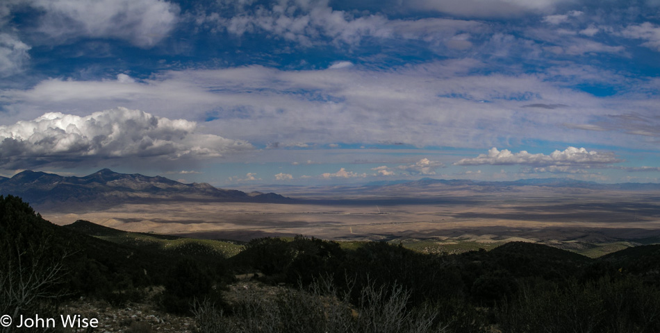
Glacier to Yellowstone – Day 5

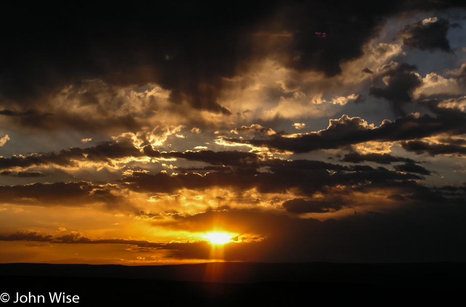
Sunrise near Green River, Wyoming

Who among us has never seen a sunrise such as this? To be out West in the mountainous terrain of a place away from cities where a slight rise in elevation can offer us views that stretch for nearly 50 miles is a luxury I suppose few will ever experience firsthand. That rareness should stay with us and not be taken for granted; after all, it was only Caroline and me who were in this location at this particular moment where the sun and clouds would only appear to us in this exact configuration and never again in millions of years could this scene ever be duplicated.

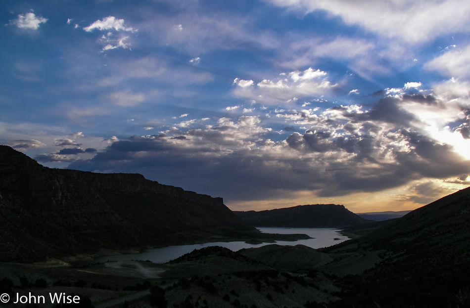
Flaming Gorge National Recreation Area in Utah

The sun crawls higher, and we drive further south through the Flaming Gorge of Northern Utah. We started the day at 5:30, which means it was only 4:30 in Arizona, where we are headed, but with 860 miles (1,375 km) ahead of us, we’ll need all the psychological help we can find to believe we are getting home at a reasonable hour.

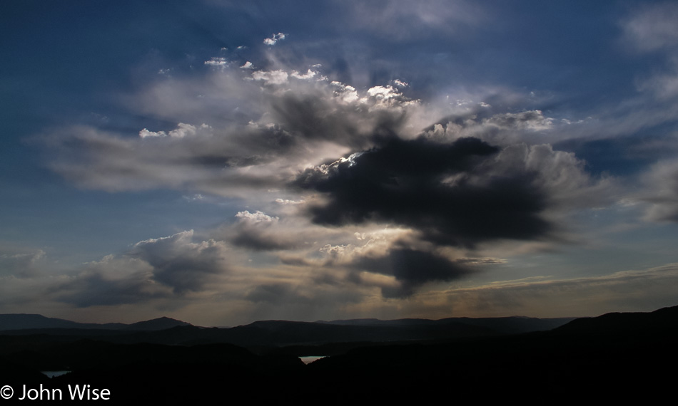
Flaming Gorge National Recreation Area in Utah

It’s Monday, but it may as well be some anonymous day a couple of hundred thousand years ago where no sign of humanity can be seen across the landscape. No power lines, no contrails, and no skyline in the distance. For a moment, one should find such a place, sit down, and meditate on the idea of being the first human ever to be looking out with the recognition that you might be the first sentient being ever to gaze upon the soil and into the sky with an entire future ahead of yourself and how you might want to shape your path.

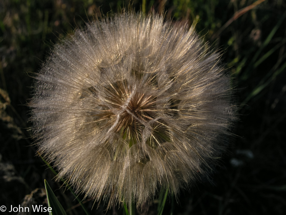
Dandelion in Utah

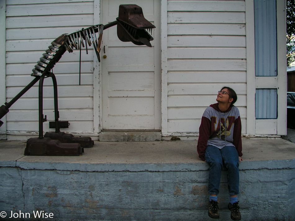
A wish, okay, so it’s a dandelion, and maybe I’m “too old” to play such things, but so what? I wish to see a dinosaur.

Dinosaur National Monument in Utah

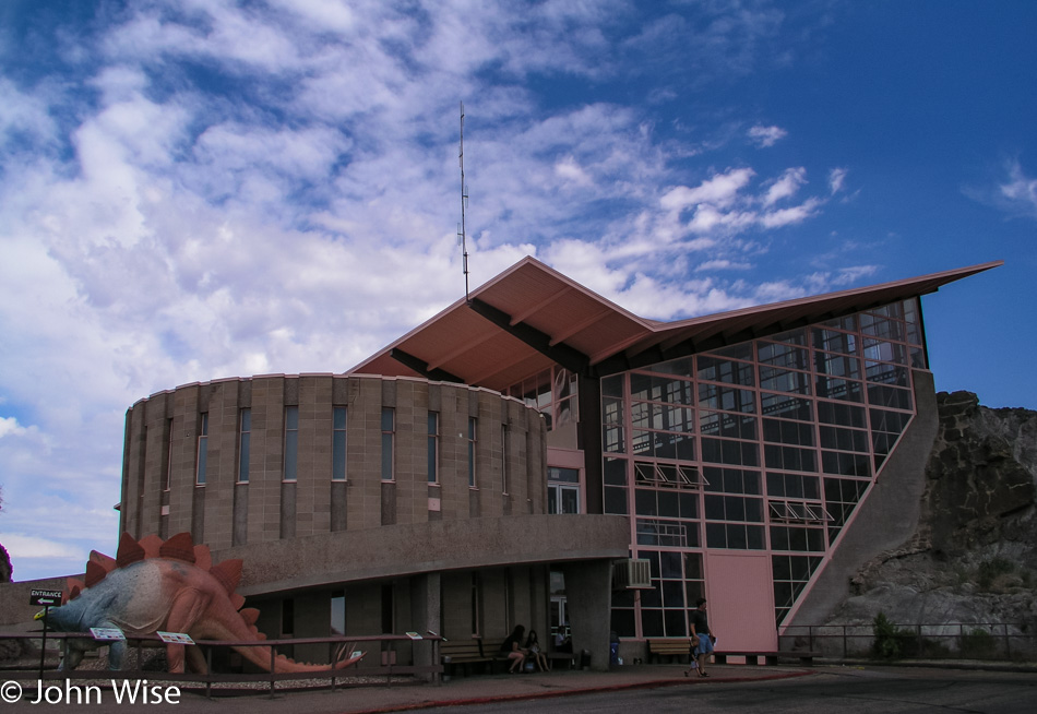
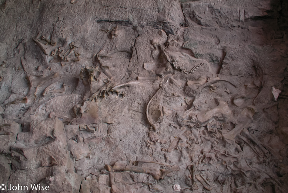
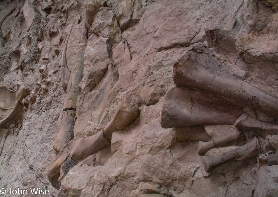
Wish granted here at the Dinosaur National Monument in Utah and Colorado. Millions of years ago, a river ran through the area, and with it, dead dinosaurs would drift downstream to be buried beneath the accumulating sediments.

Dinosaur National Monument in Utah

This upturned river bed is the main attraction of the park. Look at the picture above this one, and you can see that the building was placed directly over the riverbed that now sits at a nearly 90-degree angle.

Dinosaur National Monument in Utah

There’s a whole lot of wow factor for kids of all ages who come to gawk at dinosaur bones.

Caroline Wise and John Wise on the Colorado State Line

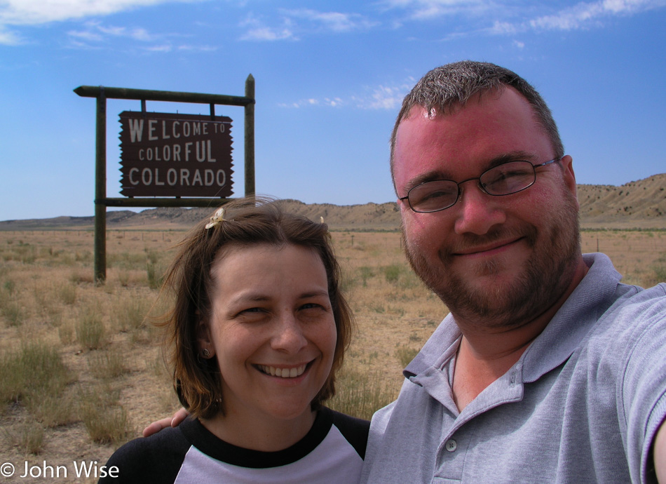
Because the road isn’t long enough already, we opt for a slight detour through Western Colorado to see what things look like out this way.

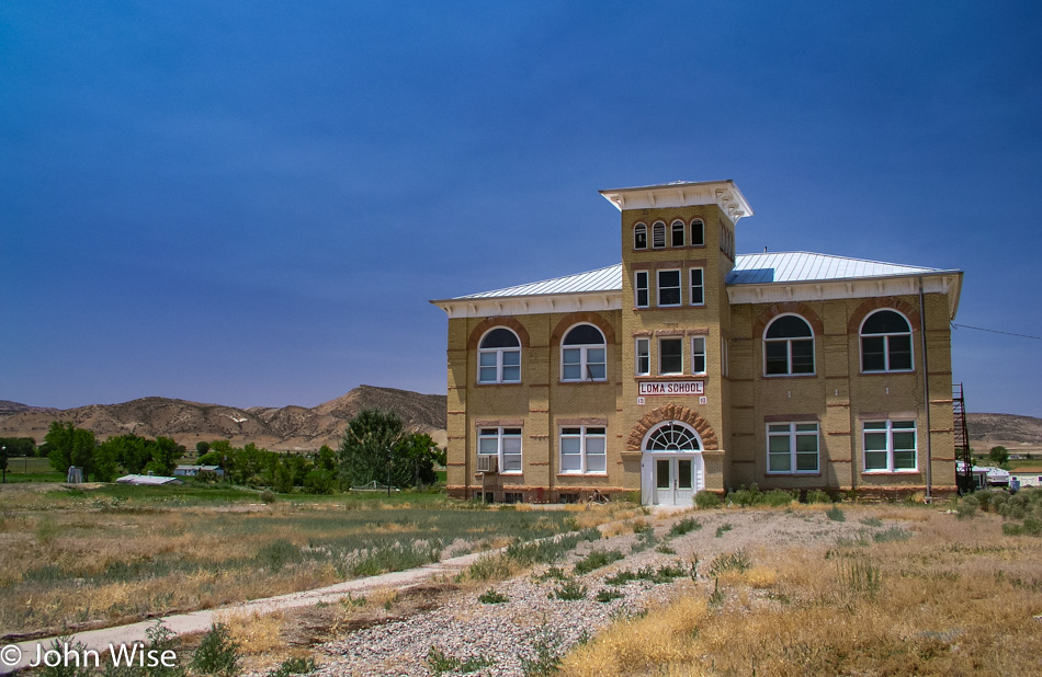
Loma, Colorado

A beautiful old and abandoned school built in the early 1900s. Nothing really significant about it; it was just nice to look at.

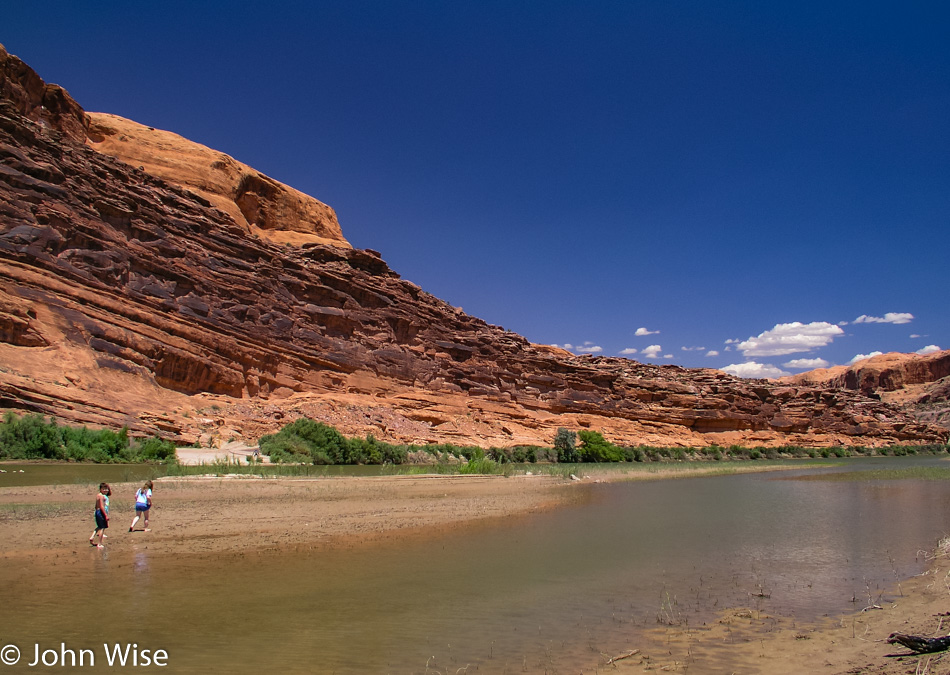
Near Moab, Utah on the Colorado River

Scenes hinting at getting close to home. These kids are playing on a sandbank in the Colorado River on the outskirts of Moab, Utah.

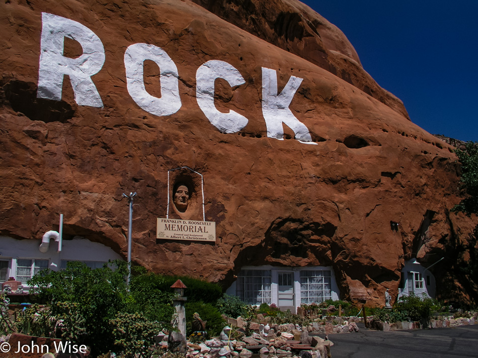
Hole In The Rock on U.S. Highway 191 in Utah

Hole N” The Rock still isn’t being visited, though it was just this past September that I was saying that someday we need to stop here. Maybe next year.

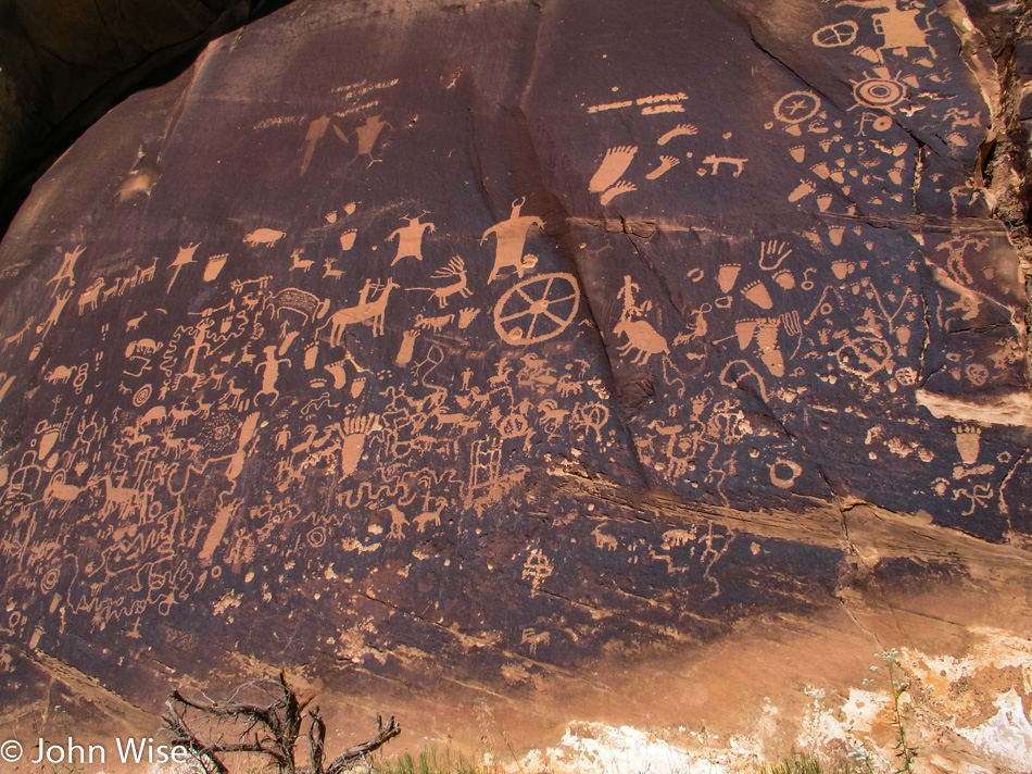
Newspaper Rock State Historical Monument in Utah

Seems like yesterday that we were here and not three years ago, but it was another September trip into the area back in the year 2000 that we first laid our eyes on this incredible panel of petroglyphs.

Cow Canyon Trading Post in Bluff, Utah

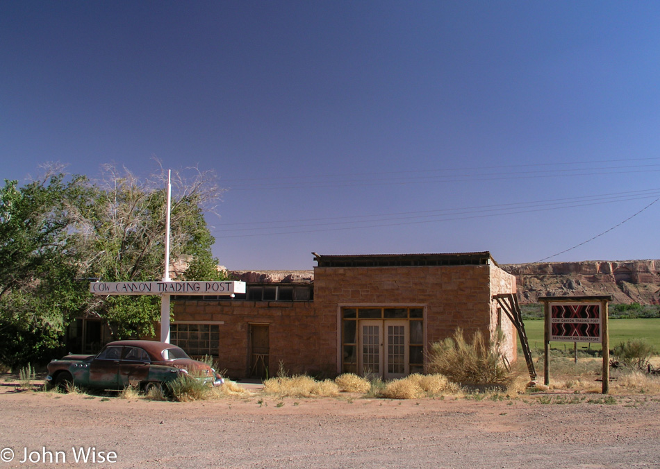
Fond memories of a great dinner will forever stay with us from that night years ago when we stayed in Bluff and walked over for a brilliant Native American meal.

Mexican Hat, Utah

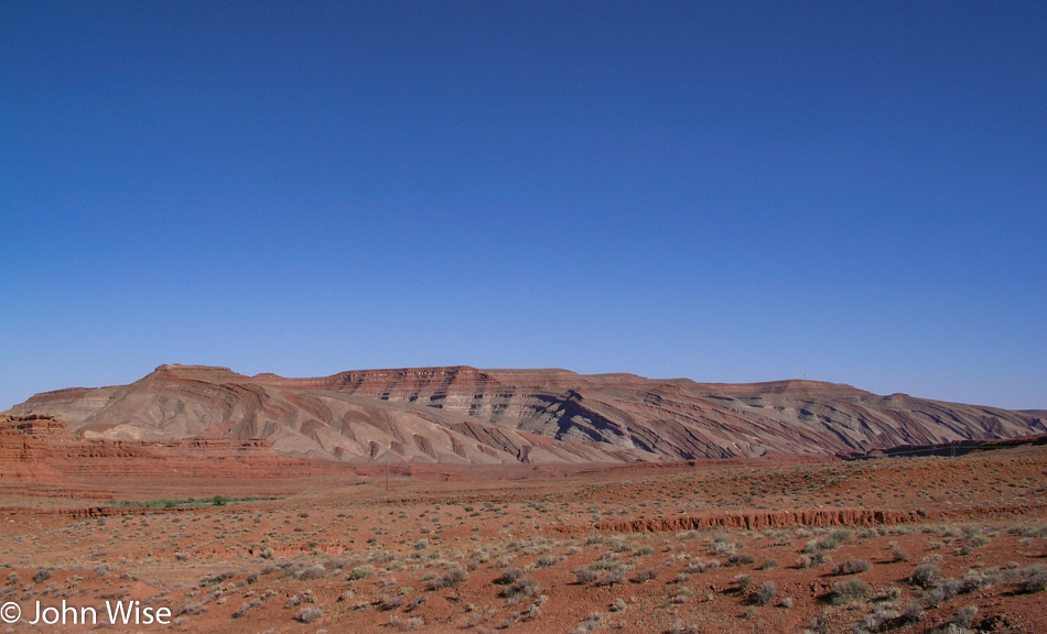
Caroline blurts out, “….the layers” every time we pass this.

Mexican Hat, Utah

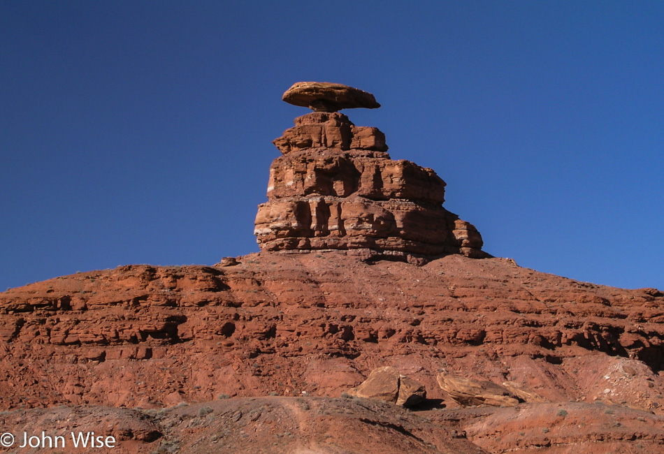
This is why the tiny community of Mexican Hat, Utah, is called Mexican Hat.

Mexican Hat, Utah

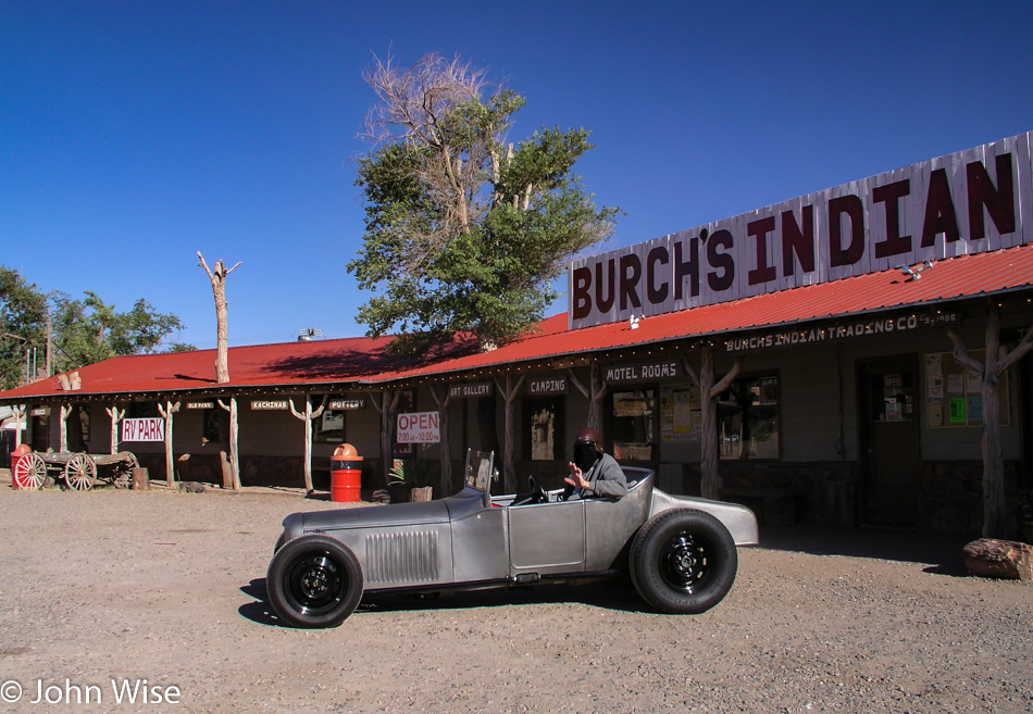
This sight had me thinking “Texas Chainsaw Massacre” thoughts for a moment, but I reassured myself and Caroline that the black cloth draped over his face offered up some protection against the bugs that would otherwise splatter on his face. By the way, we are in Mexican Hat proper, and if the Mexican Hat Lodge swinging BBQ was working at this time of day, I wouldn’t care what time we’d get home; I’d be eating a ribeye right about now.

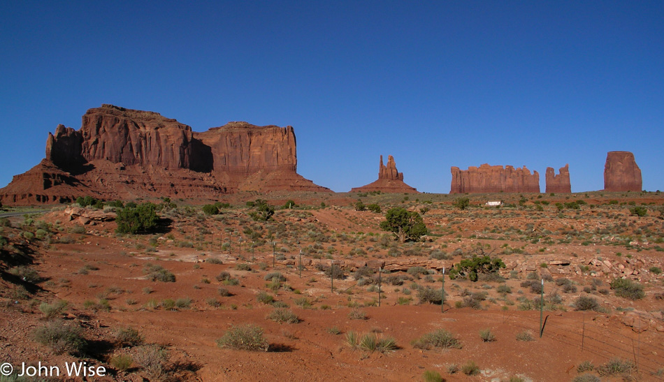
Monument Valley in Utah on the Arizona border

We are just about to pass back into Arizona to finish our drive home, and this final glance at Monument Valley will be the last photo of the day and of this five-day race to the Canadian border and back. Though we spent a considerable amount of time in the car, we gained thousands of indelible impressions that work to cement our memories of how beautiful the wildlands of this country are. We arrived home an hour before midnight after driving 3,147 miles (5,078 km), dragged what we could upstairs, and instead of falling immediately to sleep, we checked out some of the photos from the trip. This has been a great way to celebrate Independence Day in America.