What can I say? I’m a sucker for cloud and sky photos. If I could travel the country endlessly I am certain I could find a wickedly great sky photo every day. Speaking of this idea of endless travel, if anyone would like to entertain paying Caroline and me to do just that, we are open to suggestions, negotiation, and committing to just such an endeavor.
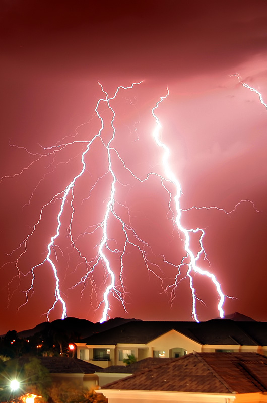
Lightning
Monsoons bring dust storms, high winds, torrential rains, and lots of lightning to Phoenix, Arizona during the summer months. This particular night you would have thought Godzilla was descending from the heavens.
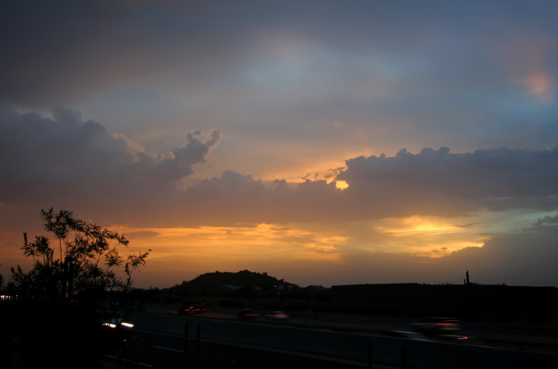
Sunset
These sunset photos are not always easy to grab. Usually, when the sky starts to glow or alight with a parade of colors I am driving on a freeway or otherwise unable to find a location that offers horizon minus powerlines, houses, or billboards. To snap this I pulled on to a street that had a slight uphill slope, jumped out of the car, raised the camera above a chainlink fence separating me from the freeway, and shot blindly. As urban sprawl takes over Phoenix there are fewer and fewer scenic locations offering the uninterrupted views that 20 years ago made the city so attractive.
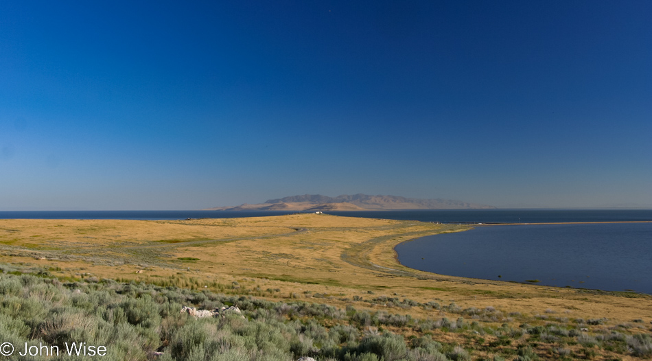
Prairie Land
Timewarp out of the summer of 2006 into January 2023 because that’s when I’m sitting down to transform this ancient blog post that, up until this time, was but one photo, the one at the very bottom, paired with a minimal amount of text. As I’ve stated the same in many other posts, back in the day, posts saturated with a lot of photos were taxing people’s devices and our internet bandwidth, so I kept things brief. But here I am a thousand years later (as measured in internet time), and I started dragging old photos out of their digital tomb and presenting some of my favorite zombies.
As was our routine in our impetuous youth, we sped across the landscape and stayed on the move. This day would have been no different as we obviously left Taos early in the day. Well, we left the town proper…
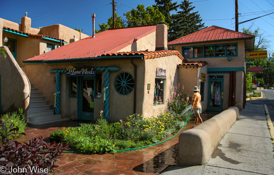
…as we were on our way to Taos Pueblo, a few miles up the road.
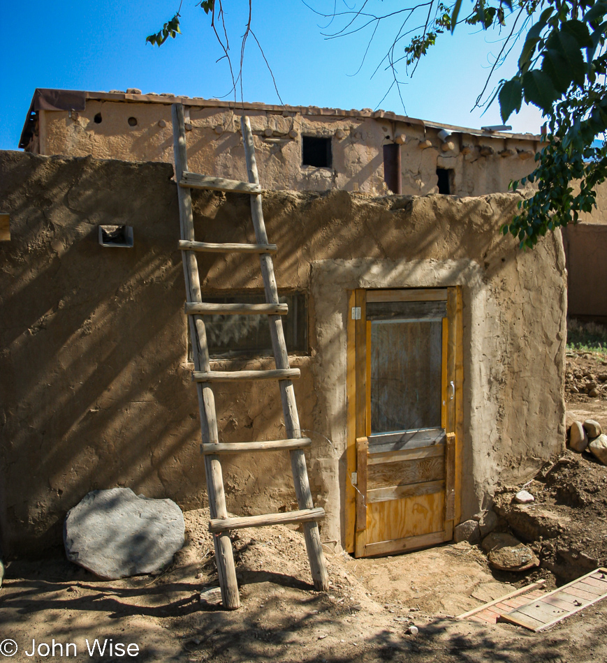
For over 1,000 years, this village has been occupied by the indigenous people who call it home. I have mixed feelings right now as I consider that I’m looking in on their lives as a curiosity, but then again, I do the exact same thing on the streets of California or if I visit a forest. I have an inherent curiosity that wants to know what’s what. If I could find an angle to be invited through this door to join in for a meal and an hour or two of listening to a story about those who lived here prior to the current inhabitants, I would jump at that opportunity.
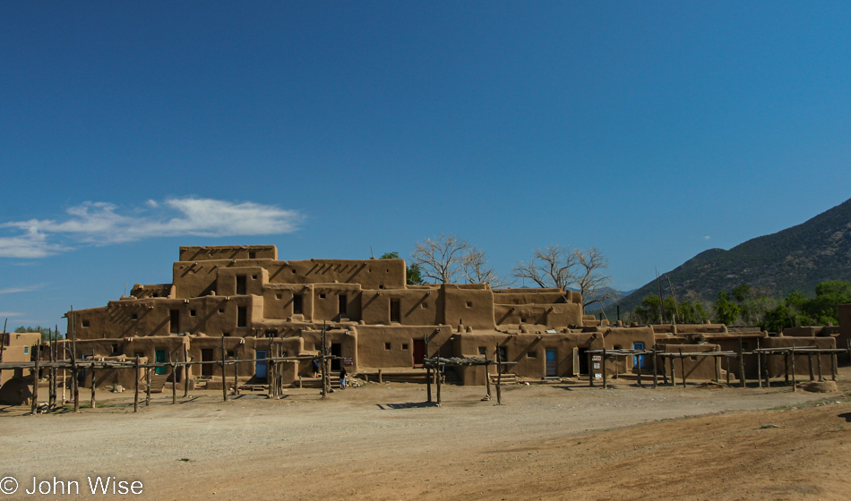
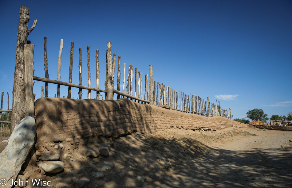
This is what we all come to see: the Hlauuma (North House) of Taos Pueblo. We were too early for vendors to be present, the shops to be open, nor were we able to sign up for one of the tours that hadn’t begun yet.
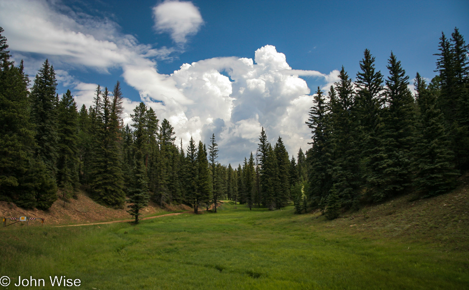
I believe we are near Angel Fire, New Mexico, and I have the vague memory that as we passed through, we’d made a mental note, apparently quickly forgotten, that we should return to the area as it was extraordinarily beautiful.
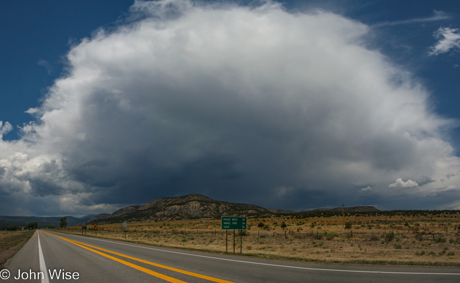
Reaching Cimarron, New Mexico, we had a choice: go straight ahead and reach an interstate or turn left and go north on a secondary route, we opted for the main highway as we had a ways to go today. As for the photo, this is looking back to whence we came.
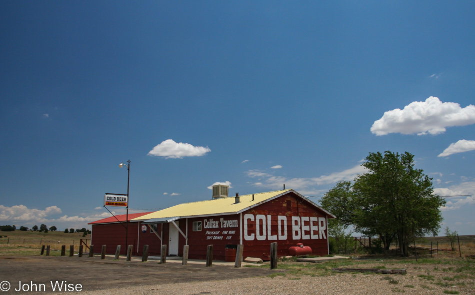
Get real, we did NOT take the interstate! We are plying U.S. Route 64, a two-laner taking us by wonderful places such as the Colfax Tavern, where they call their lone outpost next to the road “Cold Beer,” though, in reality, it’s at the farthest western point of Maxwell, New Mexico.
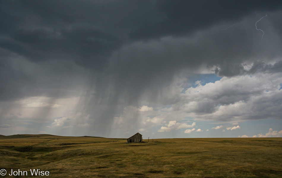
During our road trips across America, Caroline and I try to respect and appreciate the culture and beautiful land as best we can. Out on these nearly barren plains, one can almost imagine that just 150 years ago, there were 60 million bison eating their way across a sea of grass. It is a tragic shame that the imagination of so many overstimulated TV addicts cannot see the wonder that exists even in places like the plains where seemingly nothing much at all is happening, but an entire complex ecosystem once thrived.
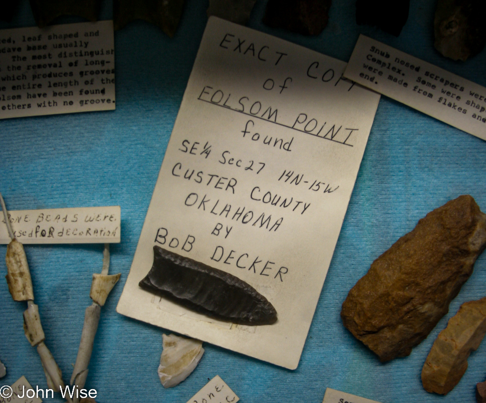
We take a small, lonely road called NM-72 from Raton, New Mexico, to Folsom, the site of the famous archeological dig of the early 20th century, where it was determined that humans had lived in North America for nearly 10,000 years. Six years after this find, and 170 miles southeast near Clovis, New Mexico, a Clovis point was unearthed, dating Native American occupation of North America back 13,500 years. A long history of Native Americans exists in the United States but is largely ignored. Current thinking places humans in North America for about 20,000 years now, but our (white) ancestors discovered America.
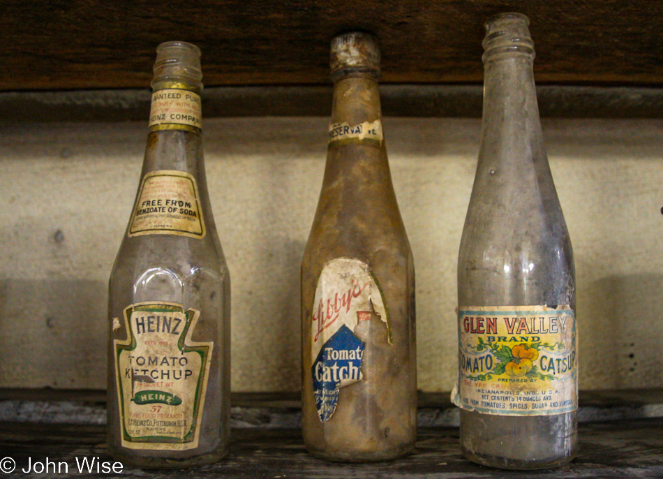
Maybe if the indigenous peoples of North America had left empty ketchup bottles in their wake, we could have taken them seriously, or as Eddy Izzard once said (I’m paraphrasing), without a flag, the land was up for grabs.
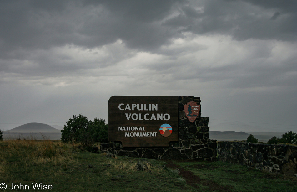
The weather on Capulin Volcano forced us to stay in our car; we drove up, we drove down, and we were gone.
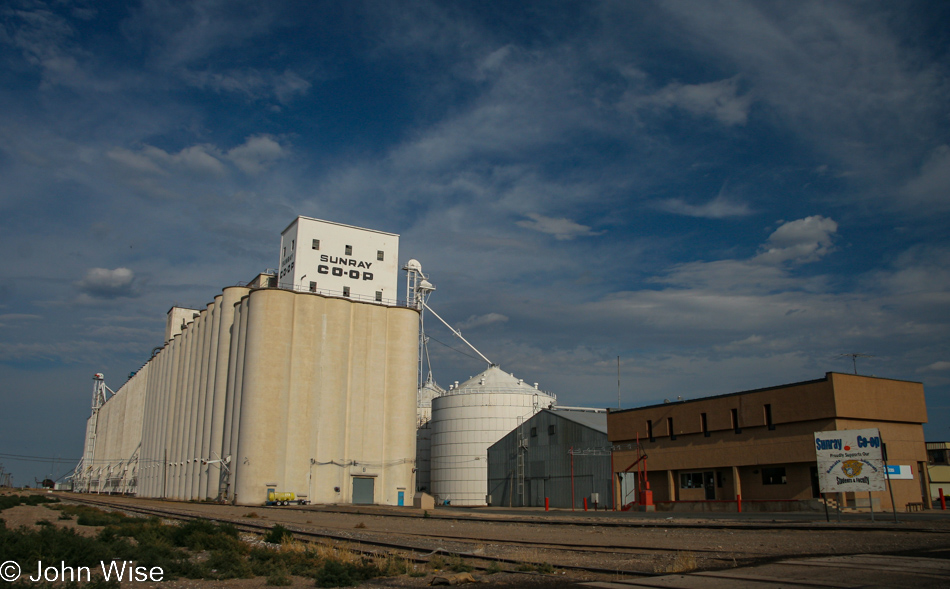
If this is the biggest grain silo we’ve ever seen, we must be in Texas, and from the name atop those silos, you can deduce we are passing through Sunray.
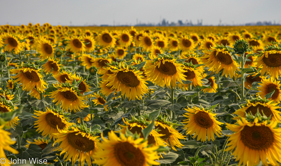
After Sunray, we arrive at sunflowers. Funny how sunflowers are so big and happy looking, and yet, as they fill the view with their incredible splash of color, they offer nothing in the way of scent.
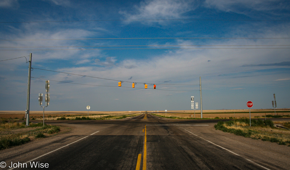
South of Morse, Texas, at the intersection of Farm to Market Road 281 and Texas Route 136. Now, we are really in the middle of nowhere.
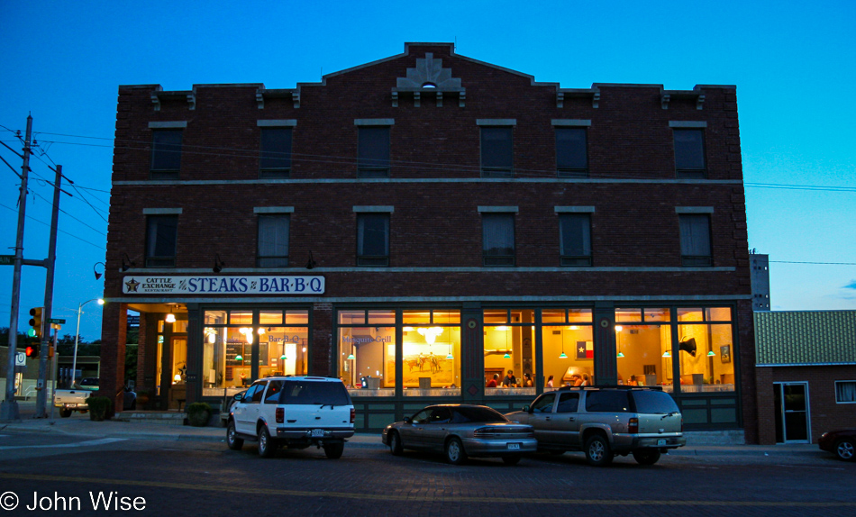
About an hour later, I’m pulling up and introducing Caroline to the Cattle Exchange Restaurant in Canadian, Texas, where my mother and I first ate the best ribeye steak I’d ever had. Wouldn’t you know it though, Caroline is a vegetarian, and while she agreed that the bread pudding, bread from a nearby bakery, the salsa, and baked potato were all superb, she does not have an opinion about their amazing steaks, though she does see that it brings her husband incredible joy.
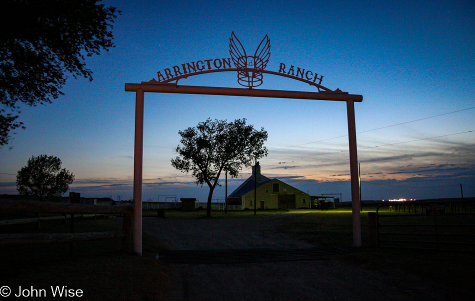
And here we are at our lodging, also in Canadian, Texas. This is the 5,400-acre home of the Arrington Ranch but also this gate and barn figured in the Tom Hanks film Castaway, as did the wings the young woman in the film was making. I’ll share more about this place tomorrow, but first, I must recover from a food coma.
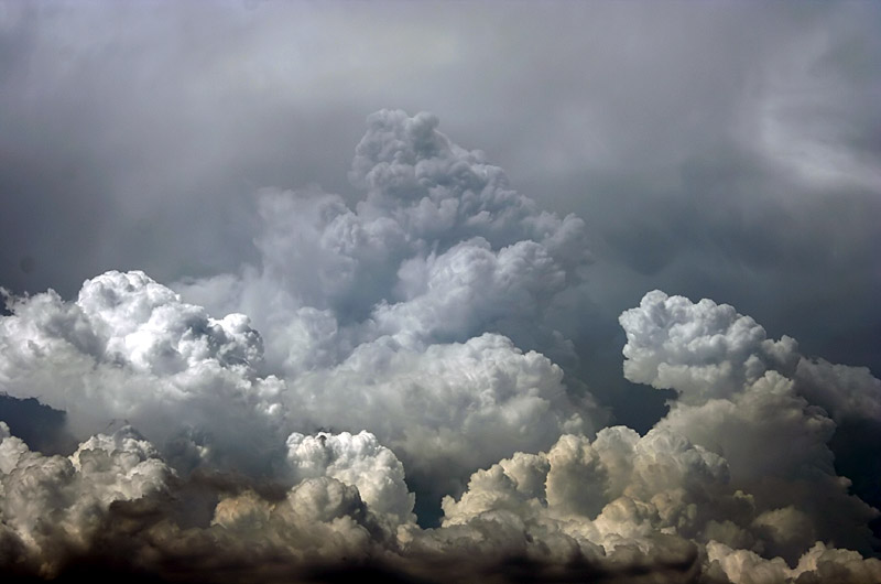
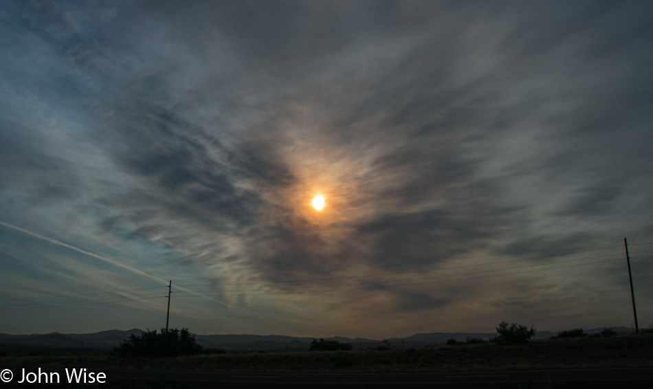
Smokey Morning
Late last night, on the way home from Salt Lake City, Utah, sleep overwhelmed us into taking a room in Flagstaff. In the morning, driving south, smoke from the fires surrounding us turned the sky grey. This photo was taken between Camp Verde and Flagstaff, Arizona.
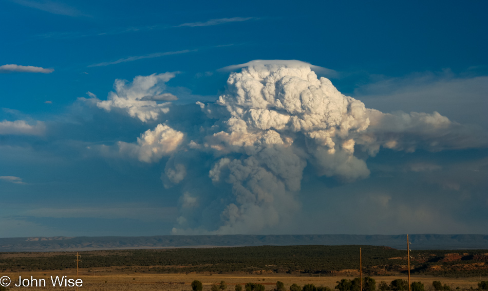
Fire at the North Rim of the Grand Canyon
Attention: This post, like so many travel entries I made in the earliest days of blogging, was a mere one photo. Here in late 2022, I’ve been repairing them.
Something like this makes the 43-year-old version of me feel like a hundred lifetimes ago; where did the boundless energy come from that allowed us to push so hard? When we left Salt Lake City yesterday, we didn’t head south to bring us closer to home; we went north to better position ourselves for this trip out to Antelope Island. At this point, we are 731 miles (1,176km) from home, but no need to worry; we’ve done worse.
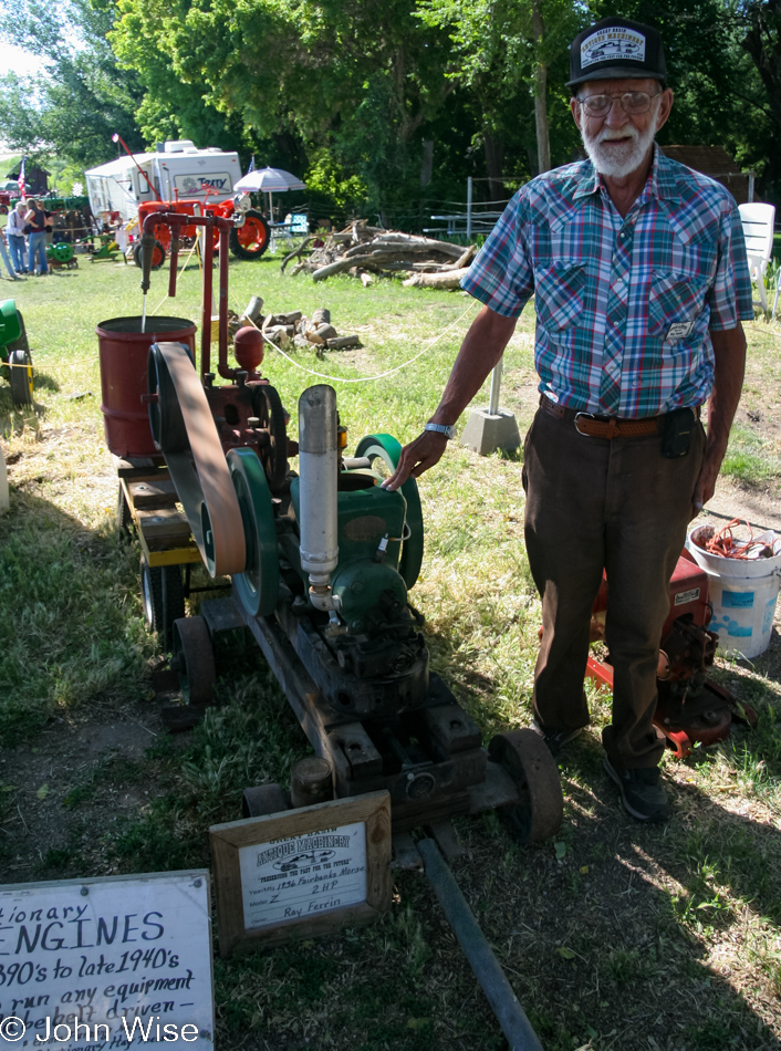
Fielding Garr Ranch on the island was hosting a bunch of guys about this man’s age demonstrating engines that might have been in use when they were children. Not that any of them are over 100 years of age, like one of the engines that dates back to the 1890s, but you can see they’ve accumulated some years.
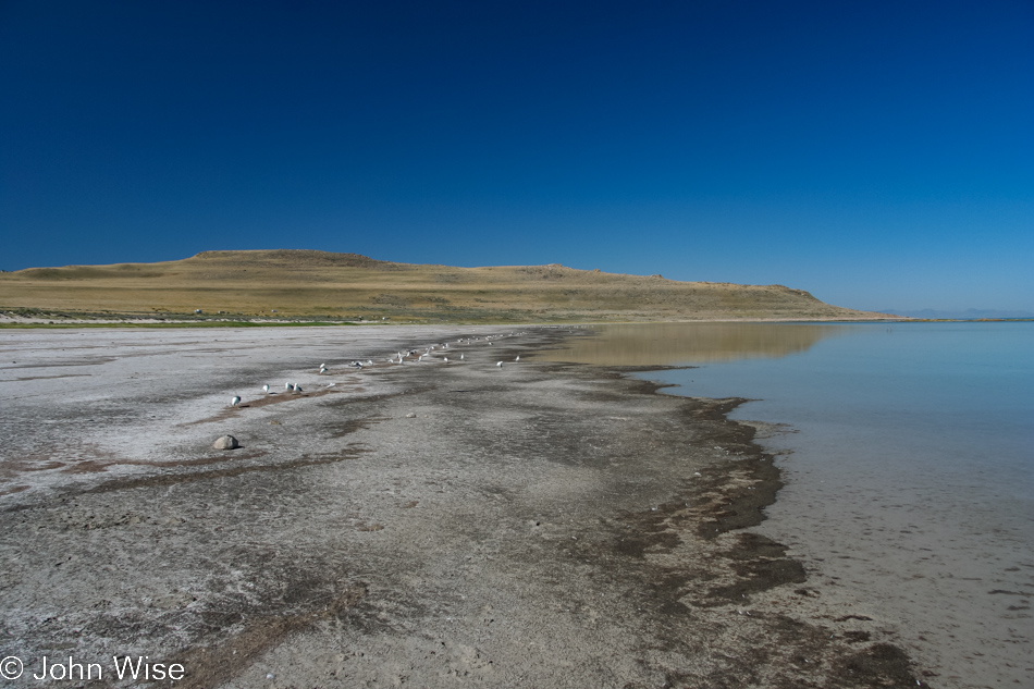
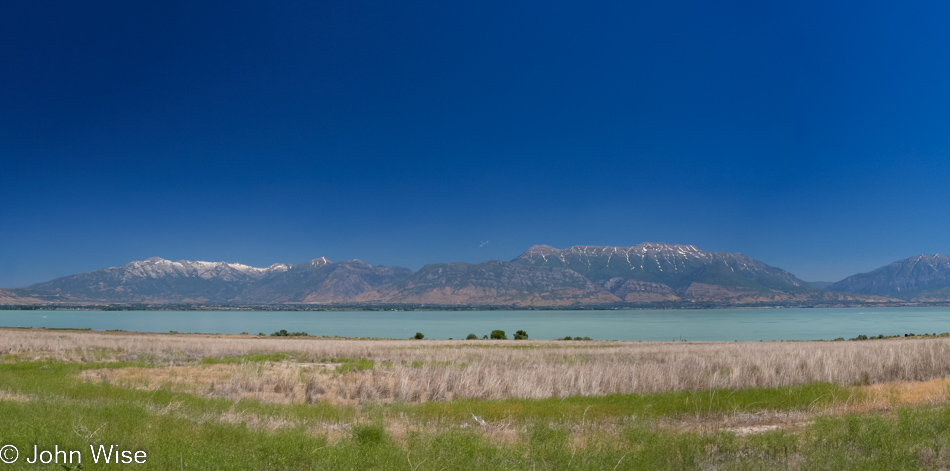
The lake is disappearing, just as we should expect. When you consider that this is the last remaining puddle compared to what created it, it’s surprising that we still have the lake as it is. Not long ago, on planetary terms, Lake Bonneville filled this basin from Nevada to Idaho and down a good 200 miles with nearly 1,000 feet of water.
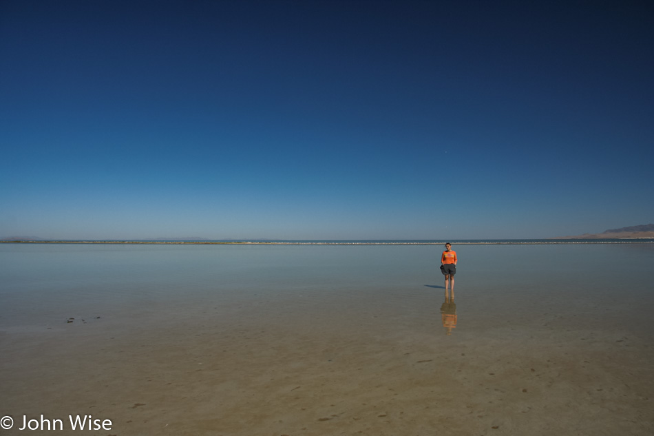
When the last ice age ended about 11,500 years ago, the waters of Lake Bonneville started to recede and evaporate, and the ground that Caroline was standing on started springing upward as the weight of the vast lake was disappearing.
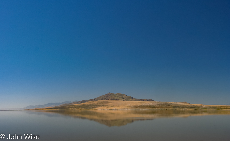
That’s Fremont Island out there.
Those mountains and ones further south in Salt Lake City all show evidence of the old shoreline in the form of shelves and benches that were carved by the shore lapping at the base of the mountain range.
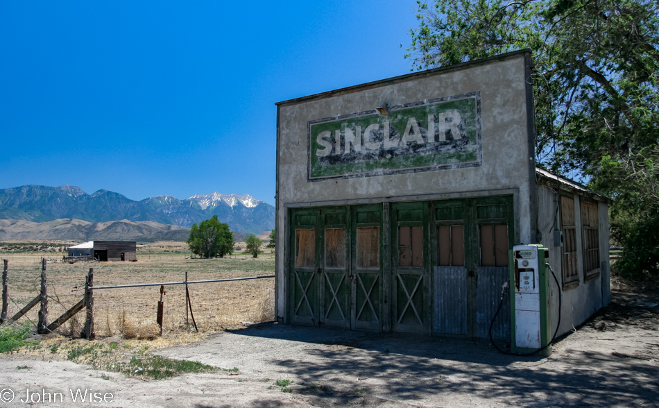
Here we are at the intersections of state routes 68 and 6 because freeways are for people in a hurry. And while we still have 600 miles home from this point, there was still time to visit the old Sinclair Gas Station in Elberta, Utah, that will sell gas no more.
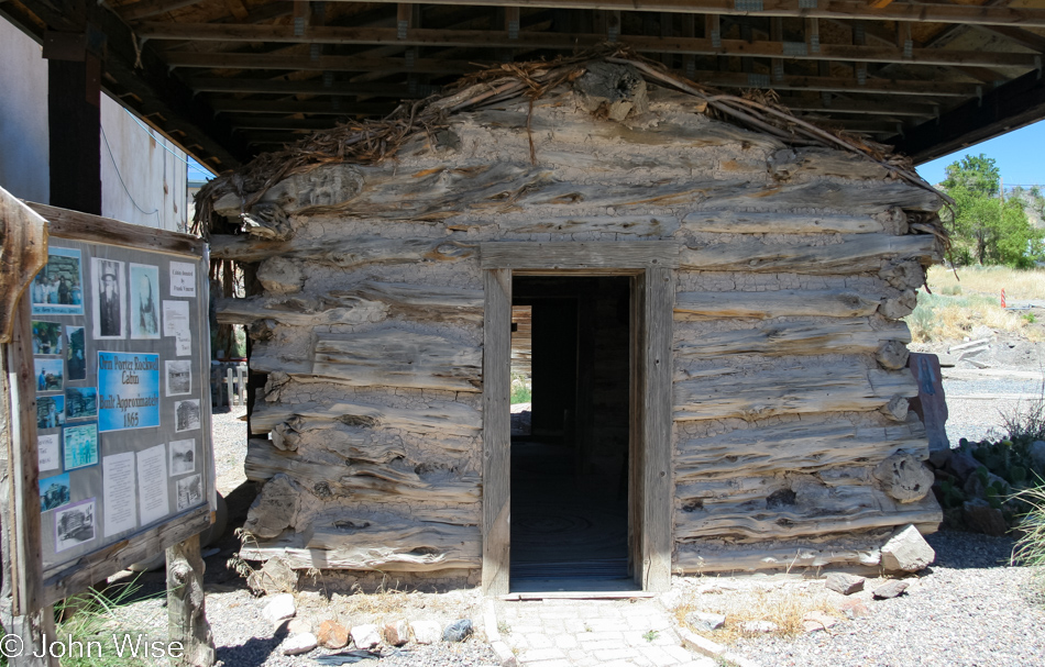
And if we are going to be out sightseeing, might as well go for broke and follow whatever interesting thing pops up on the map, such as this old Porter Rockwell Cabin in Eureka, Utah.
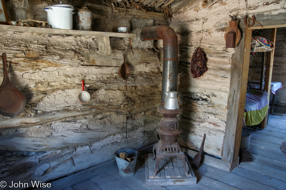
While not its original location, it is the original cabin of this pioneer and man with some claim to fame. You see, Porter was once bodyguard to both Joseph Smith and Brigham Young, though he already had the nickname “Destroying Angel.” How does one earn that name? It was said that Porter killed more outlaws than Wyatt Earp, Doc Holladay, Tom Horn, and Bat Masterson combined. You should Google the guy as he strikes an interesting impression considering he did cut his beard or hair for many years.
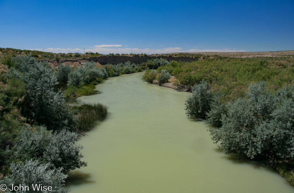
The Sevier River appears to have quite a bit of sediment running in it today.
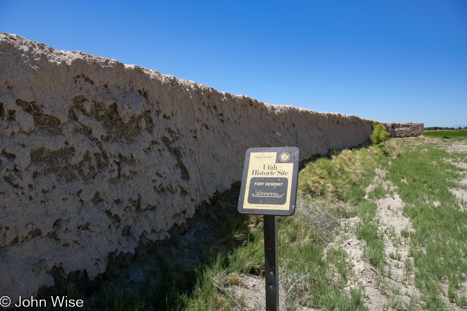
Fort Deseret in Delta, Utah, is quickly returning to earth. Not much remains of its construction, having been built as a defensive structure in 1865 during the Utah Black Hawk War.
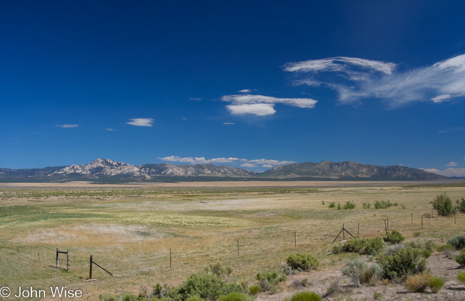
We’re somewhere in Utah and will be for some time yet.
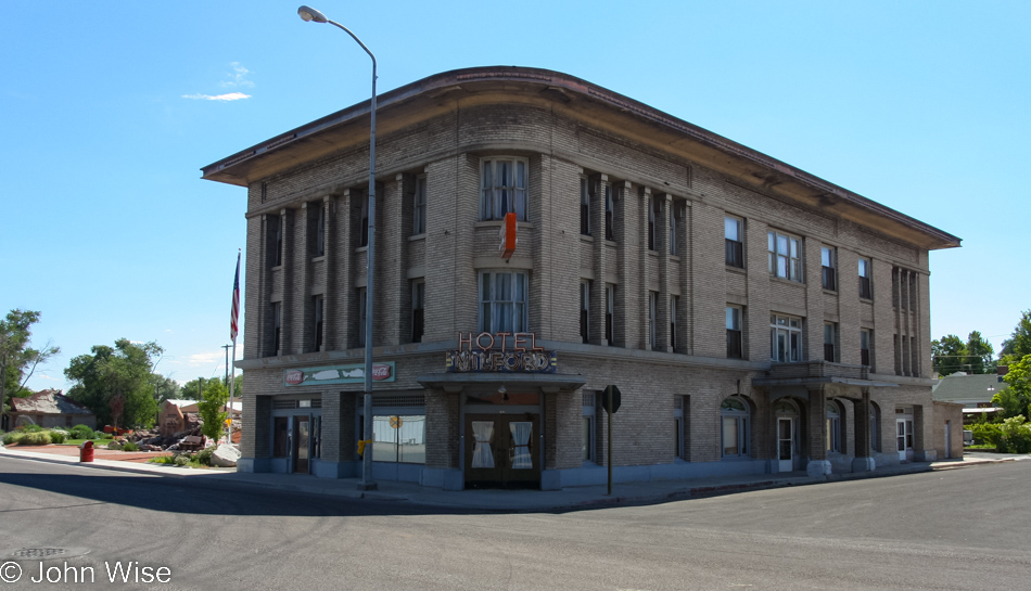
The Historic Milford Hotel in Milford, Utah, seemed to be slated for renovation, but as of 2022, when I’m adding this, I can find nothing to confirm that.
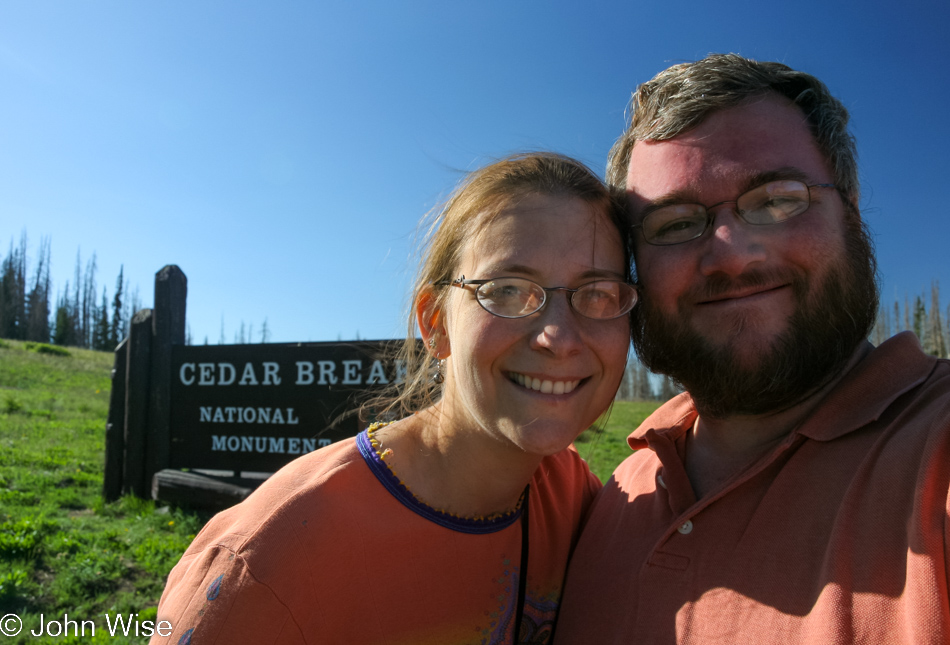
Heck yeah, we’ll dip into a national monument.
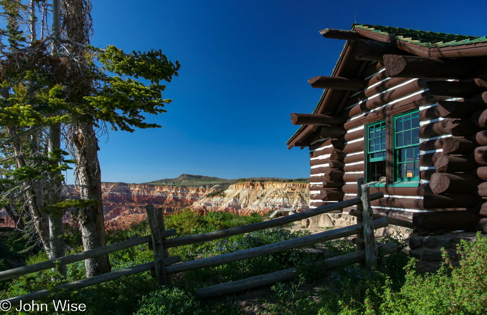
1937 Log Cabin was initially built to serve as a ranger office and visitor contact point for bus tour passengers stopping at Point Supreme here at Cedar Breaks National Monument.
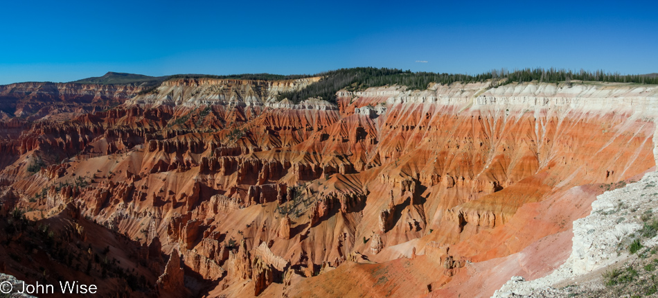
Cedar because early settlers thought the nearby juniper trees were cedars, and Breaks because of the abrupt change in topography where the land just drops off to severe injury or death should you find yourself tumbling over the cliffside.
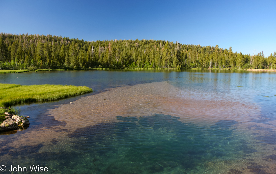
Navajo Lake near Cedar City is fed by springs and is even better looking in person.
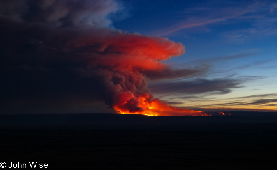
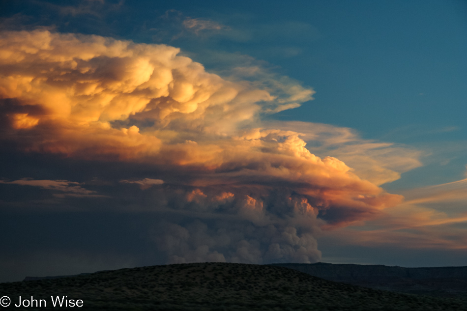
What the hell is burning out there?
Holy cow, it’s the tiny fire on the North Rim of the Grand Canyon we saw on Friday night.
Two days later that small fire has become an 18,000-acre monster. On our way south going back home today, we stopped at the Bitter Springs overlook on the road out of Page along with a hundred other spectators to gawk at this extraordinary and tragic sight.