Yampa – Day 1

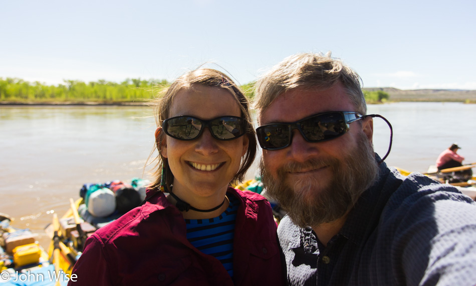
Caroline Wise and John Wise at the put-in for the Yampa river

Here we are, set to go out on our third river trip, this time on the Yampa and Green Rivers. Yet again, we’ll be traveling with our favorite boatman, Bruce Keller, as well as river friends Steve “Sarge” Alt and “First Light” Frank Kozyn. We first met all three on our Colorado River adventure in 2010, and Bruce has since then also been our guide on the Alsek in Alaska. Our put-in today is at Deerlodge Park in Colorado on the eastern edge of Dinosaur National Monument. Unlike our previous multi-week trips, this “little” sojourn will only be five days long. At Deerlodge Park, we pack up our dry bags, find a personal flotation device that appeals to us, go through a safety talk, and before we know it, it’s time to get to the business at hand.
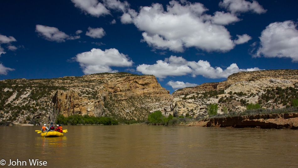
On the Yampa river in Dinosaur National Monument Colorado

The brochure promised us plenty of sunshine, flush toilets, and feather beds. So far, our guides have certainly delivered on the first promise; we could not have wished for better weather. Back at the put-in, the terrain was relatively flat and for a moment did not portend that within an hour we’d be entering canyons, but here they are, and with their arrival, a rush of intrigue comes with this change in landscape.
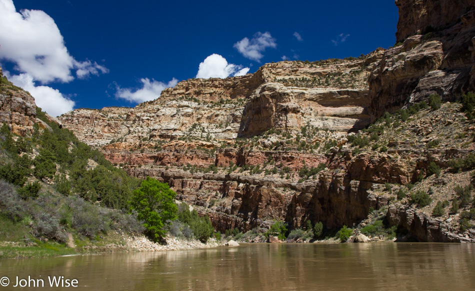
On the Yampa river in Dinosaur National Monument Colorado

The passage narrows, and it starts to feel as if civilization moves further away from us. While not as expansive as the Alsek and not as deep and broad as the Grand Canyon, the intimacy of the Yampa here in Dinosaur National Monument is already allowing me to feel like this place is of a size that I can take in and almost comprehend.
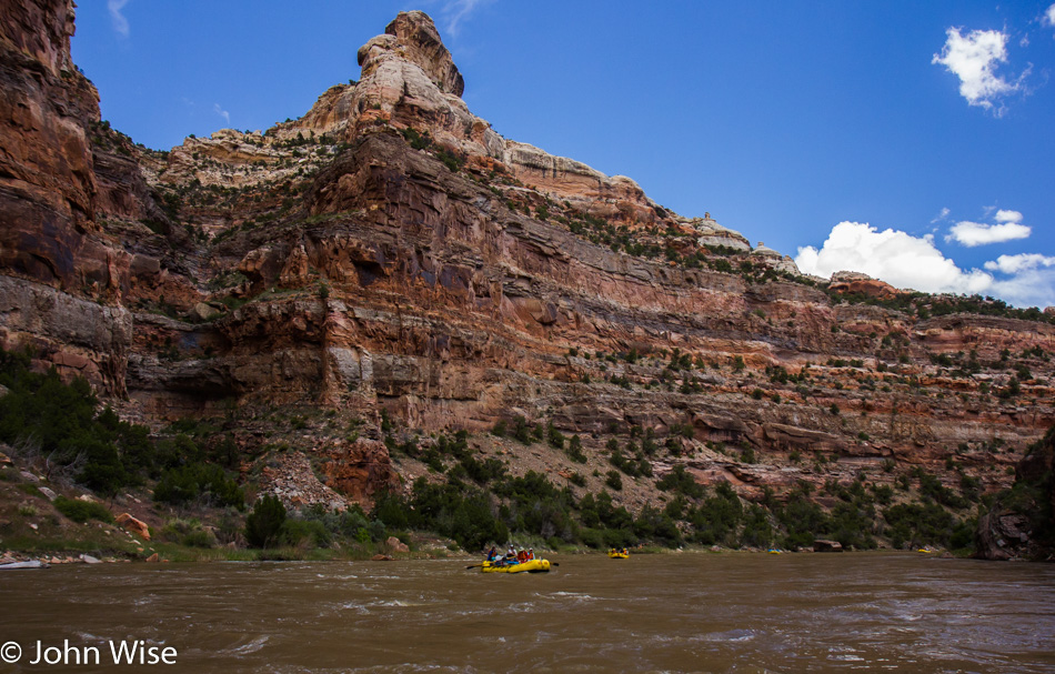
On the Yampa river in Dinosaur National Monument Colorado

With the water getting a little choppier, the sense of being somewhere wild grows within. The adventure of the trip starts to take hold.
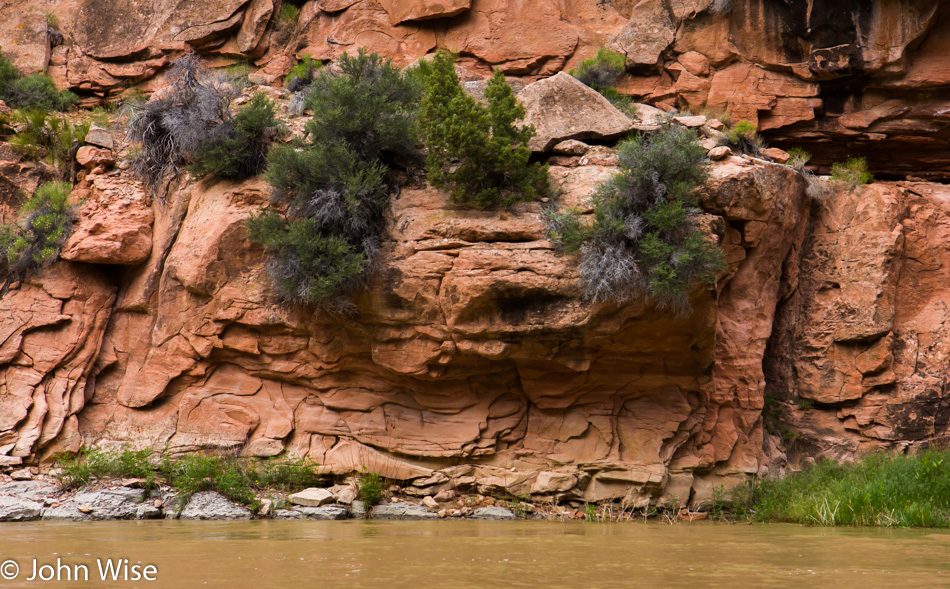
On the Yampa river in Dinosaur National Monument Colorado

Geological details surround us. This is about the time I started to dream of a trip without a schedule where we could pull up to the cliffside and examine the sandstone, look for fossils, or just hang out and bask in the location we are so lucky to be experiencing.
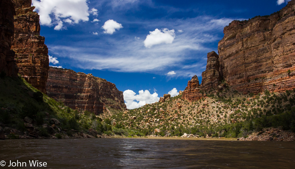
On the Yampa river in Dinosaur National Monument Colorado

It’s just past midday, and we’ll pull into our first camp early to give us plenty of time to set up our tents, build out the kitchen, do some exploring, or just chill out and enjoy the moment.
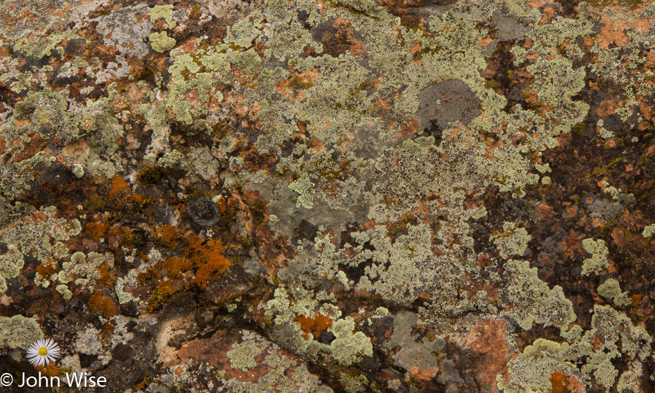
Lichen in Dinosaur National Monument Colorado

Our tent is up in minutes, and soon, we are out examining what’s to be found in our new neighborhood. Turns out there’s this gang of lichen hanging out, and while it looks soft and fluffy, looks can be deceiving. We also found a good amount of cacti giving us the stink eye, but no dinosaurs yet…..hmmm, I wonder if any of the other guests could be considered one?
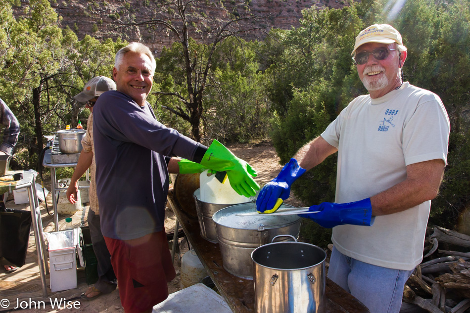
Steve Alt (Sarge) and Frank Kozyn (First Light Frank) washing dishes off the Yampa river in Dinosaur National Monument Colorado

That’s Sarge on the left and First Light Frank on the right; they are the official dishwashers on this trip down the Yampa. I just dare you to try to come between these two former Marines and their dishes. They even travel with their own gloves.
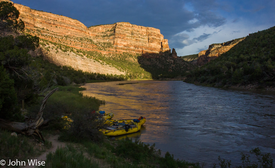
On the Yampa river in Dinosaur National Monument Colorado

With the rafts tucked away for the night and our bellies full, the only thing left to do was sit around a fire and talk. Like all first days out on a river, this one came with most everyone cutting out early and catching up on the sleep they’d been deprived of over the previous couple of travel days as we converged on Vernal, Utah, where the trip first organized before heading to our put-in this morning. It’s great to be out here on a river again, wondering what big adventure awaits us around the next corner.
Forgotten Oregon Trip – Day 5

Oysterville, Washington

Disclaimer: This post is one of those that ended up being written years after the experience was had. Sadly, there were no notes taken so whatever is shared here must be extracted from the images and what memories they may have lent us. Fortunately, there was an itinerary still in my directory of travel plans, so that will help with some details. As to why this wasn’t noted or blogged about, I was in the throes of writing/editing my book Stay In The Magic and felt that any other deep writing would derail that fragile effort.

Up again early, waking at the Seaview Motel ready for our drive north to Oysterville, Washington.

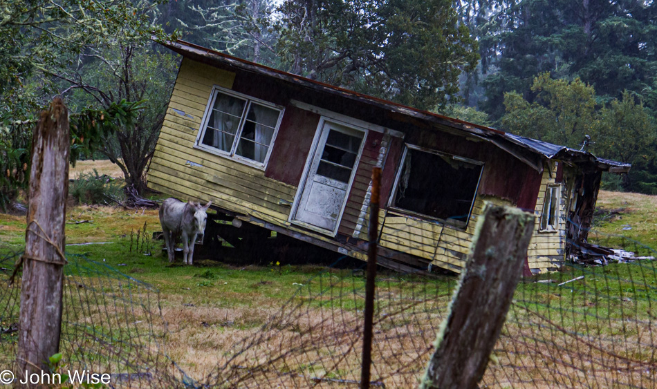
Oysterville, Washington

If that guard donkey hadn’t been on duty and alert to my presence, I would have scaled the fence and poked my head into that old home. I was certain that the falling-down appearance was simply a decoy to trick people into not exploring the treasures left behind by previous occupants. Oysterville just isn’t the place it used to be, not that we’ve ever been out here before, but one could imagine.

Leadbetter Point State Park Oysterville, Washington

Leadbetter Point State Park didn’t deliver us to the ocean views we were looking for in the time we had remaining, and so we had to be satisfied that we’d been this far north on this tiny spur of Washington.

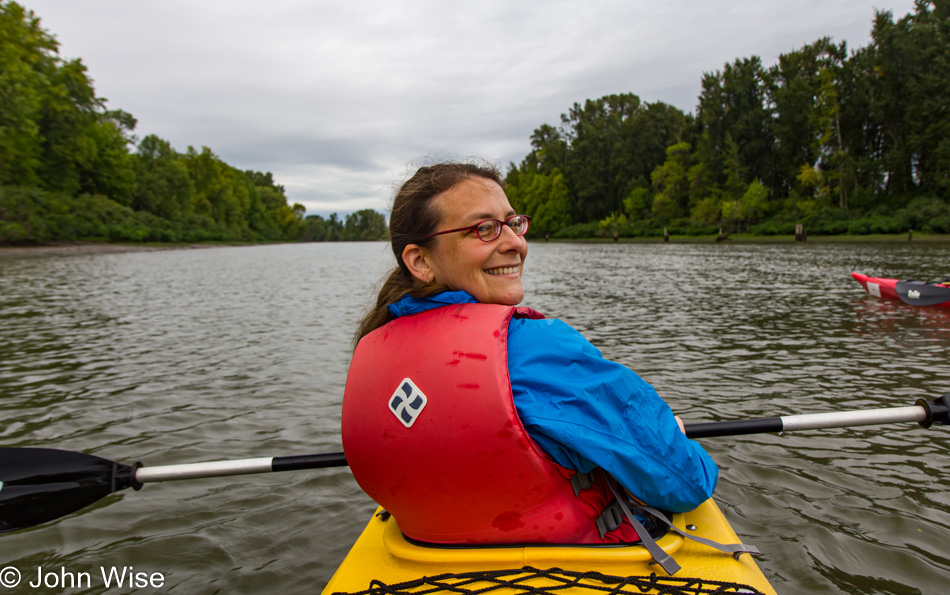
Caroline Wise on the Columbia River in Ridgefield, Washington

The reason we were short on time was that we had a two-hour drive to an appointment at 11:45 at Ridgefield Kayak.

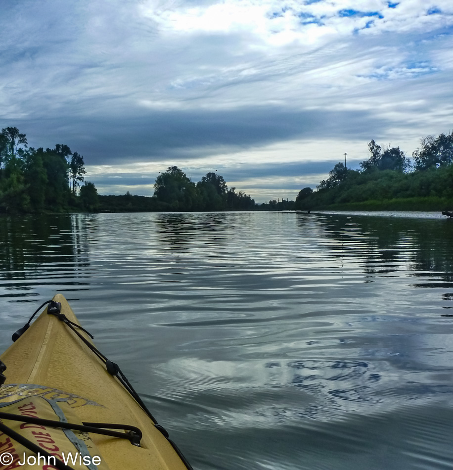
Columbia River in Ridgefield, Washington

We had booked four hours on the water with a guide who was taking us up Lake River on the edge of the Ridgefield National Wildlife Refuge.

Columbia River in Ridgefield, Washington

Paddle, paddle, paddle, we paddled quite the way for us to reach the destination Caroline and I were aiming for.

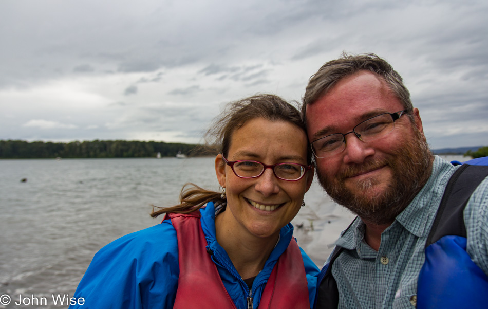
Caroline Wise and John Wise on the Columbia River in Ridgefield, Washington

Here we are onshore at Bachelor Island next to the Columbia River.

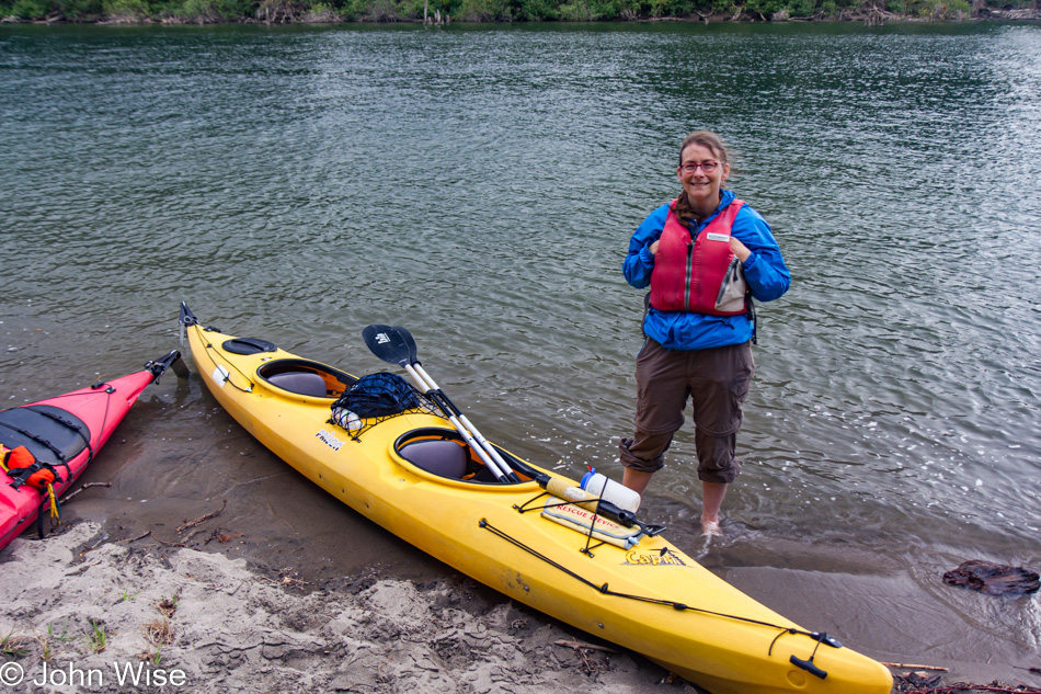
Caroline Wise on the Columbia River in Ridgefield, Washington

And back to Lake River as we make our way to the dock from which we had departed.

Columbia River in Ridgefield, Washington

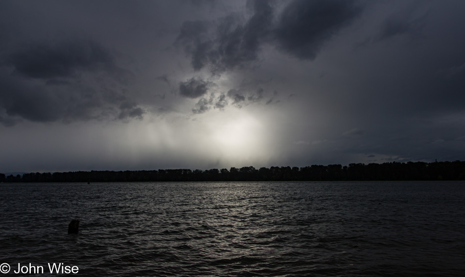
Our drive took us to Vancouver, Washington, where we had dinner at Patrick’s Hawaiian Food, another stop on the Columbia River for a sunset shot that was diffused by the heavy cloud cover, and then over to the airport in Portland. I think we did everything we possibly could on this 5-day excursion into the Pacific Northwest.

Umpqua to Siletz Bay

Umpqua Lighthouse State Park in Reedsport, Oregon

Disclaimer: This post is one of those that ended up being (mostly) written years after the experience was had. While there was a paragraph or two posted way back then with a single photo, there were no other notes taken, so most of what is shared here must be extracted from the images and what memories they may have lent us.

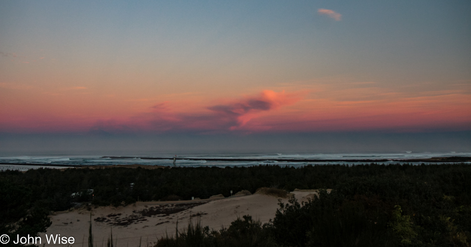
Our last day on the Oregon Coast started in our rental yurt at Umpqua Lighthouse State Park. This view is from the overlook in front of the lighthouse, and between us and the ocean, you’ll find many an offroad enthusiast with some kind of vehicle racing over the sand.

Umpqua Lighthouse State Park in Reedsport, Oregon

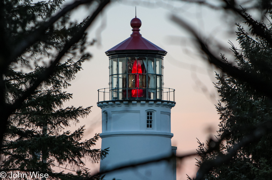
These romantic artifacts from our past survive both as beacons beckoning us to remember the past and drawing those of us attracted to the light still visible from another age.

Siltcoos Beach in Florence, Oregon

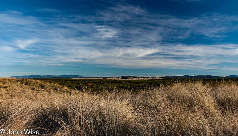
With 375 miles ahead of us today, we will not be able to stop everywhere, but that doesn’t mean we won’t push things. We walked over the sand dunes here at Siltcoos Beach, hanging out for about a half-hour.

Siltcoos Beach in Florence, Oregon

Maybe because we don’t live here, we have to hold fast to these images and memories, immortalizing them on these pages so we can always refer to them. I wonder if those who live in these places put as much emphasis on seeing intently what might be too easy to take for granted.

Jessie M. Honeyman Memorial State Park in Florence, Oregon

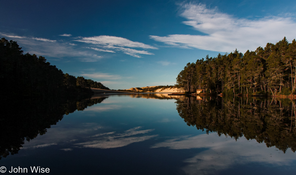
Another short drive and we pulled over to Honeyman State Park, a park that we had somehow missed stopping at on any of our previous visits to Oregon. The air was still, and with the sky speckled with light, thin clouds, we were treated to a perfect reflection of trees, sky, sand dune, and clouds on the small lake.

Prichard Wayside in Florence, Oregon

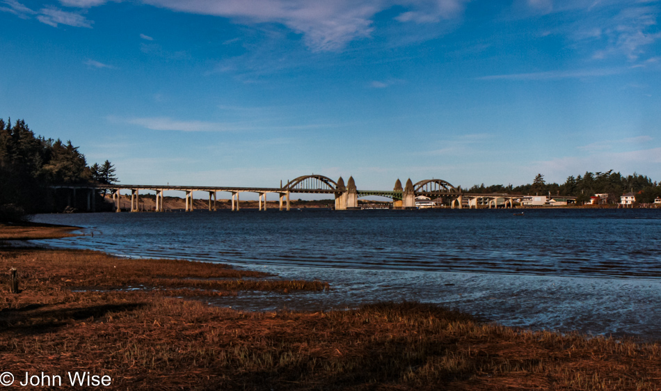
That’s the Siuslaw River Bridge over there, and we’re at the Prichard Wayside on the south side of Florence as we take this opportunity to see this bridge from a different angle. If time allowed, we’d make it a project to capture all of the coastal bridges of Oregon from various perspectives and different lighting situations; heck, I should include that we’d like to do the same for the nine lighthouses out here, too.

Big Creek Bridge in Lane County, Oregon

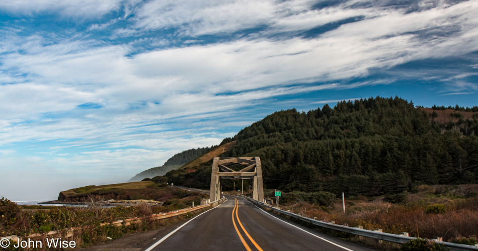
Big Creek Bridge is just north of Carl G. Washburne Memorial State Park, which we are indeed passing by without a brief return visit.

Devils Churn Cape Perpetua Scenic Area on the coast of Oregon

The same could not be said about our next stop as we pulled into the parking lot at Devils Churn for a brief stop.

Devils Churn Cape Perpetua Scenic Area on the coast of Oregon

I swear, we’ll only be here a few minutes.

Devils Churn Cape Perpetua Scenic Area on the coast of Oregon

Yes, Caroline, I’m almost done. I think.

Devils Churn Cape Perpetua Scenic Area on the coast of Oregon

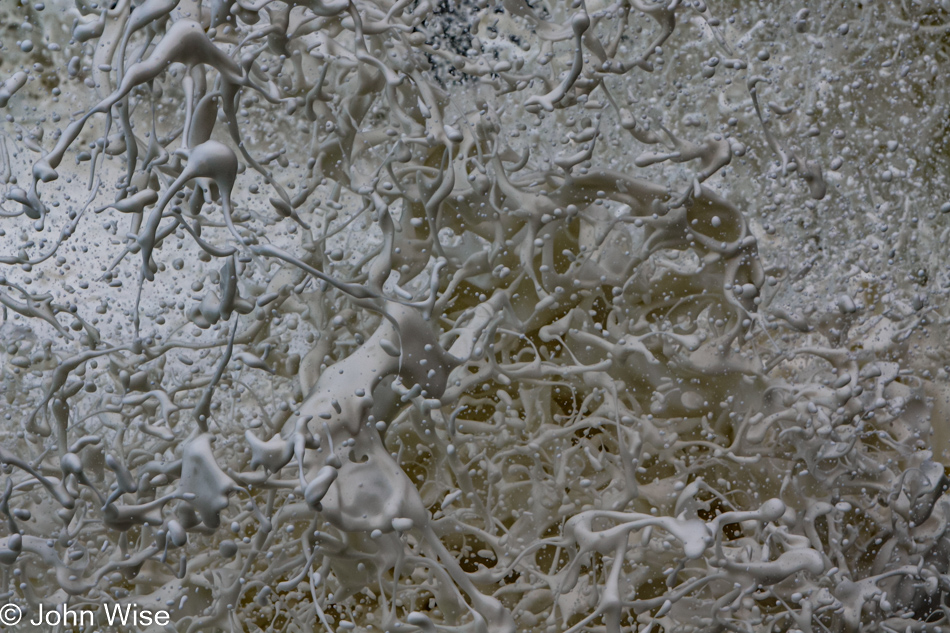
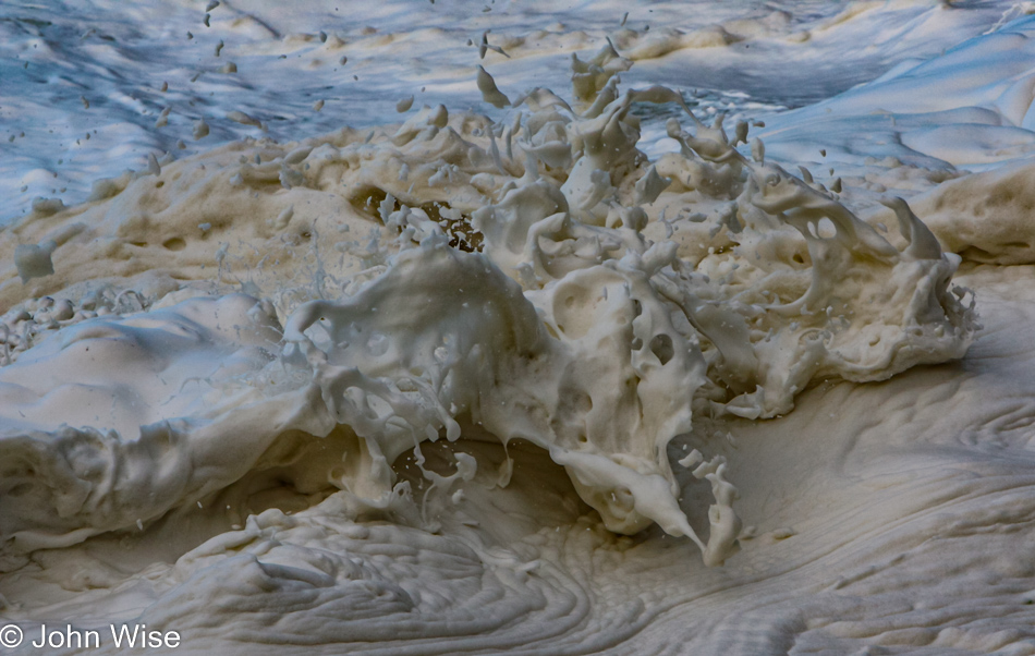
But how can we leave when things are this spectacular?

Devils Churn Cape Perpetua Scenic Area on the coast of Oregon

Well, it required nearly an hour for us to pull ourselves away and get back on the road. Let me correct this before Caroline does: it took nearly an hour of prodding. In Yachats, we drove next to the bay and marveled at the rough surf under the deep blue skies and then had a lunch of clam chowder at Mo’s Annex in Newport. Obviously, there are no photos of this segment of the drive as maybe, just maybe, I was a bit too indulgent at the Churn.

View from Devils Punch Bowl area in Otter Rock, Oregon

In Otter Rock, we threw a last look into the Devil’s Punchbowl.

View from Devils Punch Bowl area in Otter Rock, Oregon

No, I won’t get lost in the crashing surf here, too; I know we still have about 300 miles ahead of us, and it’s after lunch.

View from Devils Punch Bowl area in Otter Rock, Oregon

Yeah, but I would have missed this one had I jumped back in the car.

View from Devils Punch Bowl area in Otter Rock, Oregon

We’ve only been here for about 15 minutes.

View from Devils Punch Bowl area in Otter Rock, Oregon

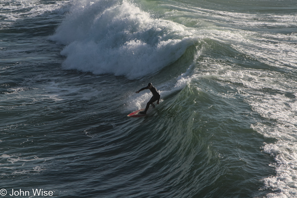
That is a gutsy surfer on a good 8-foot wave on a late fall day in these cold northern waters. Now we can get back to the car, and we’ll just keep going all the way to Seattle for our flight home.

Depoe Bay, Oregon

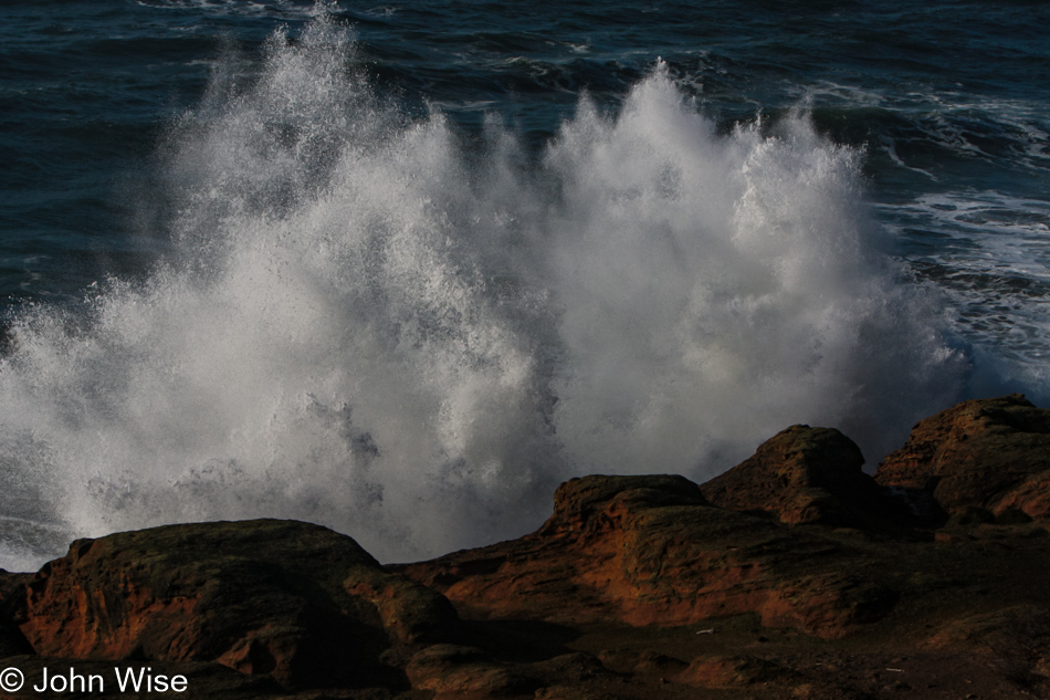
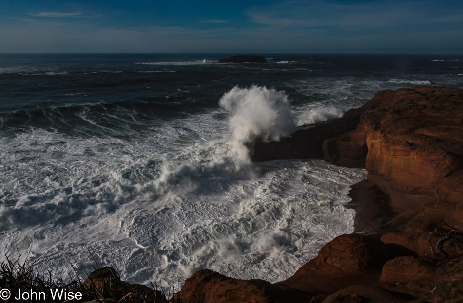
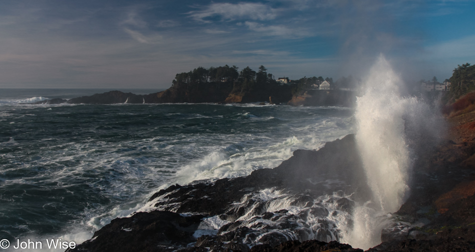
Wouldn’t you know it, we ran into another distraction in Depoe Bay, where we watched water shooting no less than sixty feet into the air. This shot is not of that 60-footer; just keep scrolling.

Depoe Bay, Oregon

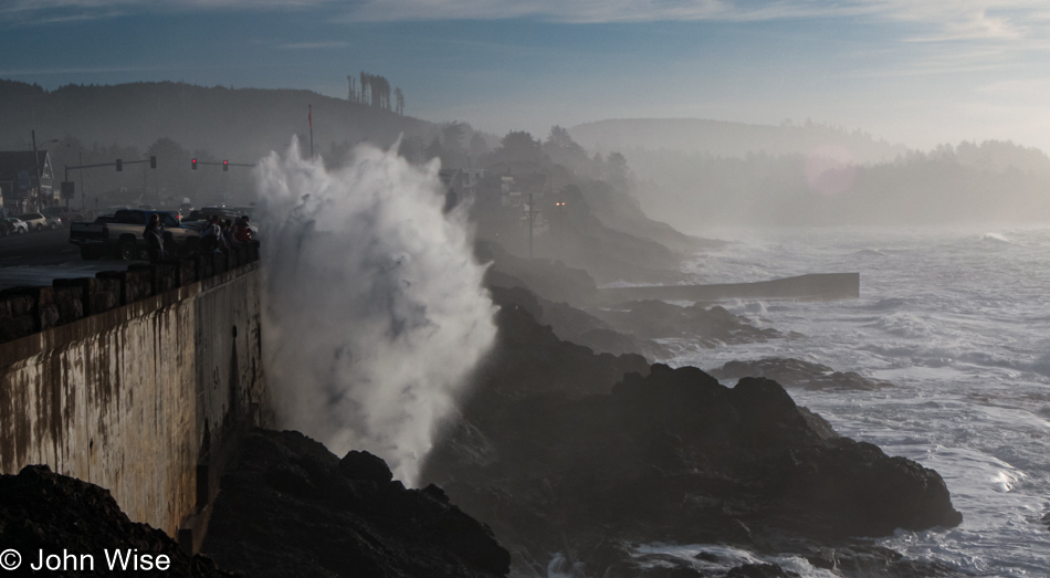
Getting closer…

Depoe Bay, Oregon

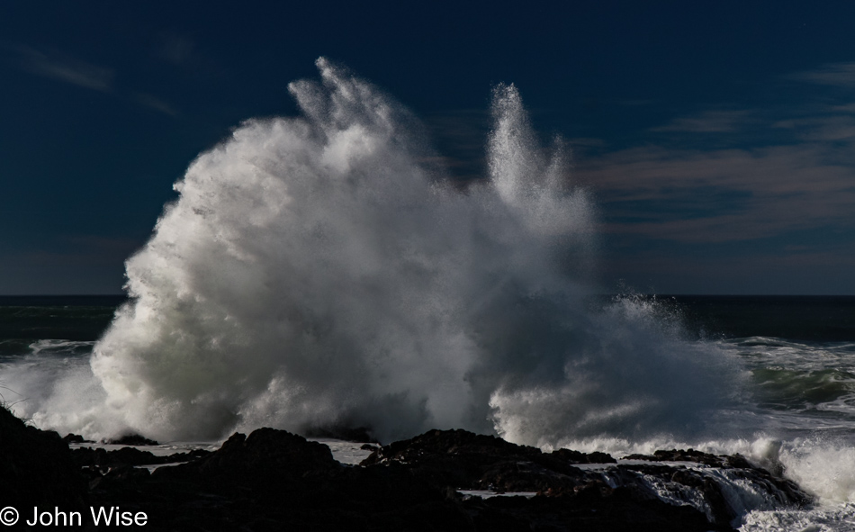
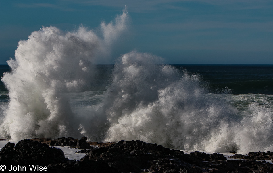
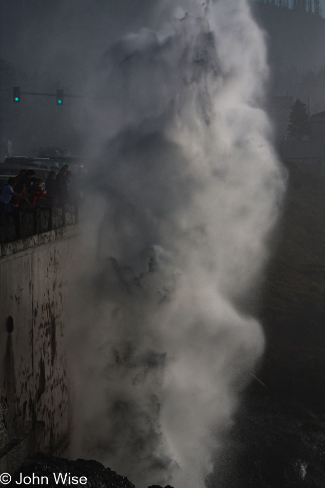
A spouting cone was working hard as the tide was at just the right height for this horn to spout a jet of misty water high in the air, accompanied by the onlookers’ oohs and aahs. With the perfect shot in the camera, we can take our drive north seriously now.

Rocks rising above the water in Siletz Bay, Oregon

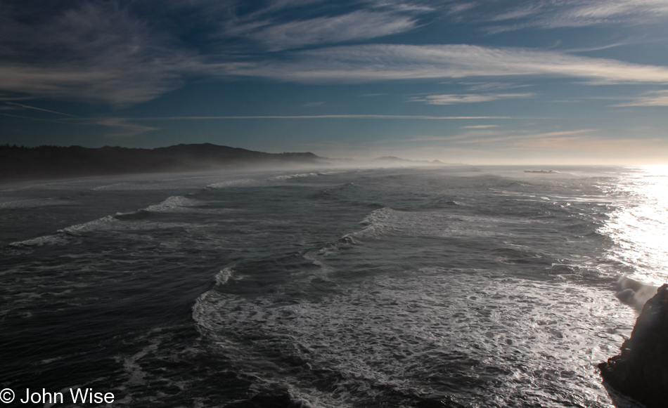
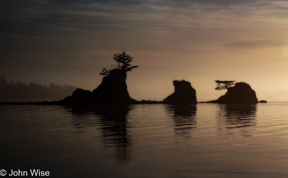
By the time we reached Siletz Bay, the sun was low in the sky, and we were trying to convince ourselves that we really should stop making all these roadside visits, but the day was so beautiful, and we suckers for beauty were mere moths drawn to the light. Click here to compare to the photo I took of the same place three days before.

Tillamook, Oregon

Under a pink, lavender, and dark blue sky, we reached Tillamook with the hopes of nabbing one more sandwich from the Blue Heron Cheese Company, but unfortunately, we were more than a few minutes too late. We arrived in Seattle, Washington, sometime late in the evening with heads full of terrific Oregon memories from our 10th visit to the state.

Whalen Island, Oregon

Near Munson Creek Falls near Pleasant Valley, Oregon

Disclaimer: This post is one of those that ended up being written years after the experience was had. While there was a paragraph or two posted way back then with a single photo, there were no other notes taken, so most of what is shared here must be extracted from the images and what memories they may have lent us.

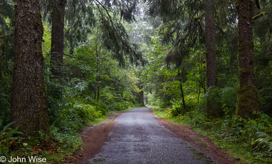
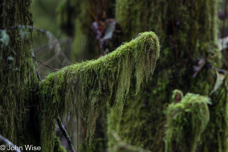
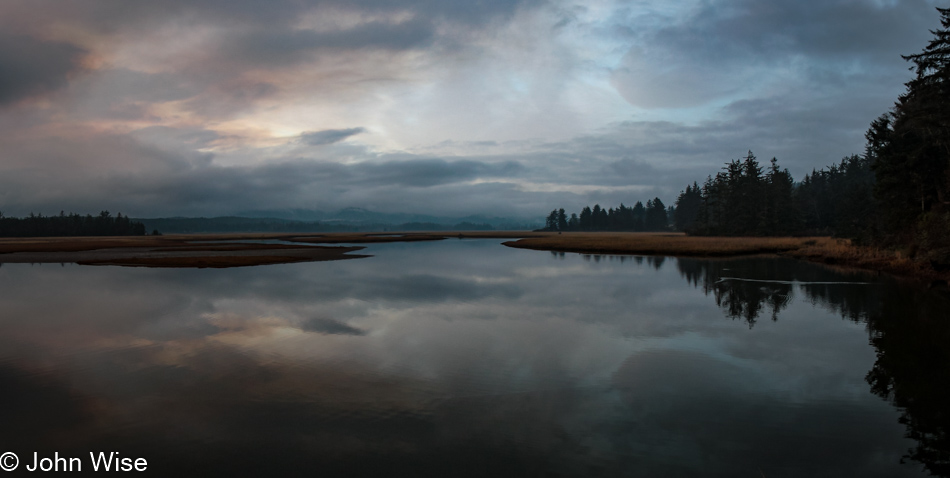
Moss is the perfect accompaniment to a slow, lazy day where being on a chill plan of just taking things as they come is in order. On one of our excursions up or down the coastal highway, Caroline spotted something of interest, and without the promise of dramatic blue skies over a silvery ocean, we decided to head inland for a change.

Near Munson Creek Falls near Pleasant Valley, Oregon

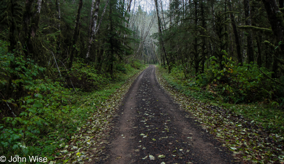
This narrow road leads us to the Munson Creek Falls State Natural Site. I’m guessing you can figure out what that includes.

Caroline Wise on trail at Munson Creek Falls near Pleasant Valley, Oregon

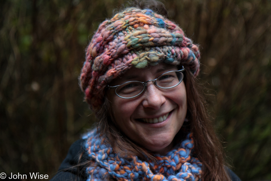
It includes a Caroline wrapped up in her playfully brightly colored thick beanie and scarf. Well, that’s it for the day; we can go get dinner and return to our yurt to listen to more ocean rolling in onto the shore.

On trail at Munson Creek Falls near Pleasant Valley, Oregon

As though there was no doubt about our season of celebration, we are here at our favorite time of year, fall.

On trail at Munson Creek Falls near Pleasant Valley, Oregon

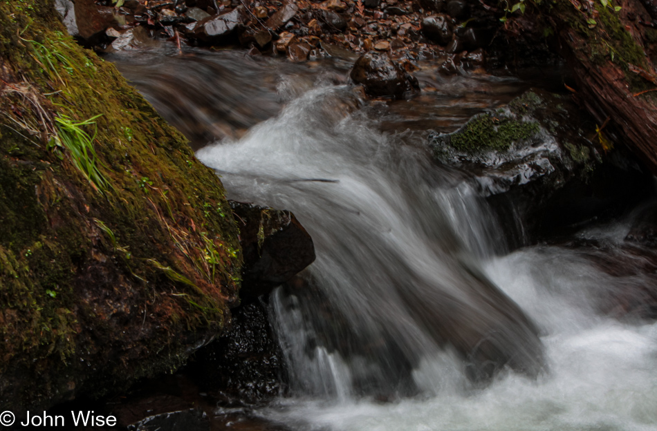
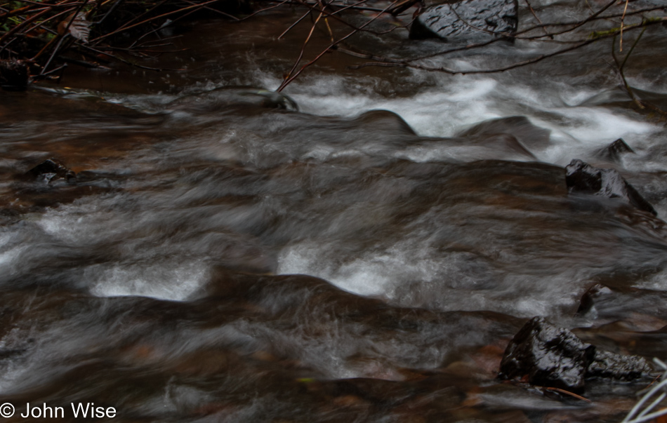
This is Munson Creek and not the falls.

On trail at Munson Creek Falls near Pleasant Valley, Oregon

More of Munson Creek. If you are wondering about the namesake of the park we are in, the weather wasn’t cooperating to offer me the photo I’d be good with sharing, so you’ll just have to visit this area near Pleasant Valley, Oregon, and see the falls for yourself.

On trail at Munson Creek Falls near Pleasant Valley, Oregon

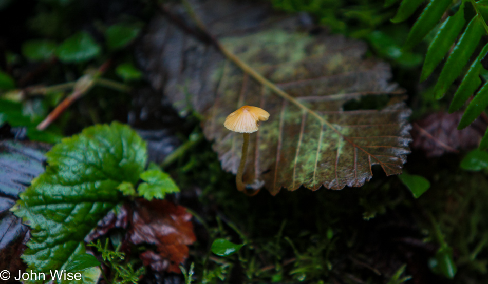
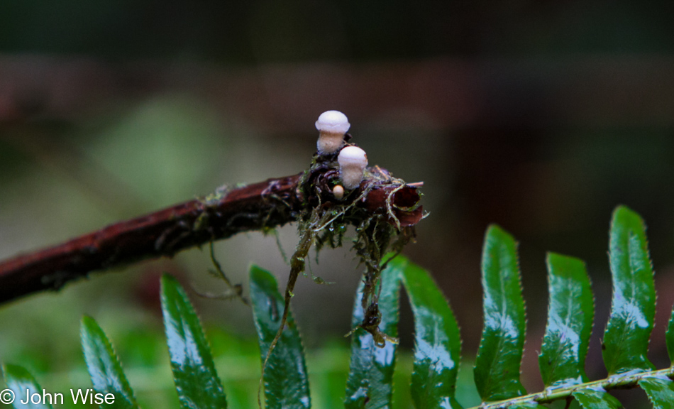
There was plenty of damp forest and small mushrooms to keep our interest along the short 1/2-mile trail.

On trail at Munson Creek Falls near Pleasant Valley, Oregon

We’re talking about some very small mushrooms and as you can see from the glistening fern fronds, light misting rain that all worked together to create mystery and wishes for even greater quiet in the November solitude.

Near Tillamook, Oregon

The approach of mid-day left us feeling like it was eternal morning.

Tillamook, Oregon

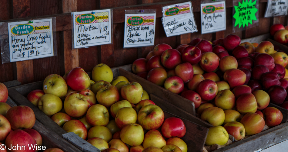
It’s lunchtime when we start moving into the town of Tillamook looking for food, but why consider our options when we know the only possibility is another luxury stop at the Blue Heron French Cheese Company? We picked up a couple of apples at a roadside stand selling fruits and veggies, and before we left Tillamook, we made a stop at Rainy Day Books (now closed), where a recommendation has us leaving with The Long Walk by Slawomir Rawicz describing his escape from Siberia.

Nestucca Bay Yarns in Lincoln City, Oregon

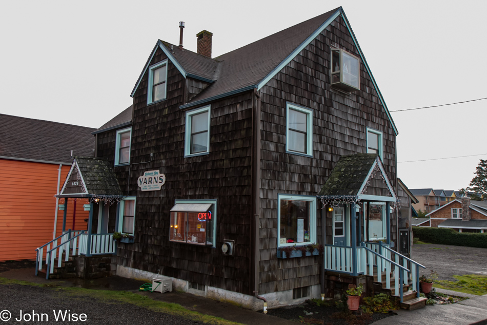
We took a long, slow drive south to Lincoln City so Caroline could get some yarn shopping in at Nestucca Bay Yarns (now closed); scratch this wish list item off the list of things to do.

Clay Myers State Natural Area at Whalen Island, Oregon

As the day winds down, we are driving back up north for another night at Cape Lookout. Reaching the Clay Myers State Natural Area and Whalen Island, we were offered a dramatic sky that hints at it being the best we’ll see of a sunset on this relaxed, almost languid day on the Oregon Coast.

Near Cape Lookout south of Netarts, Oregon

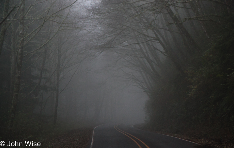
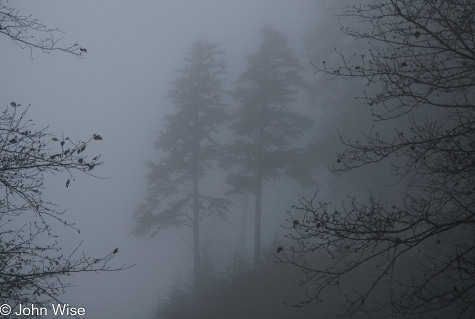
No more owls were spotted overhead, maybe because the fog was too thick.

Near Cape Lookout south of Netarts, Oregon

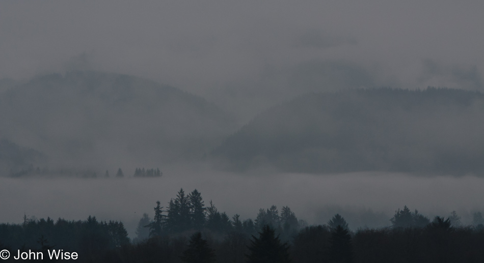
There may not be a lot to see, but what we do glean is maybe even more enchanting than on a sunny day, which is more common during our visits this far from home than these densely foggy ones.

Cape Lookout south of Netarts, Oregon

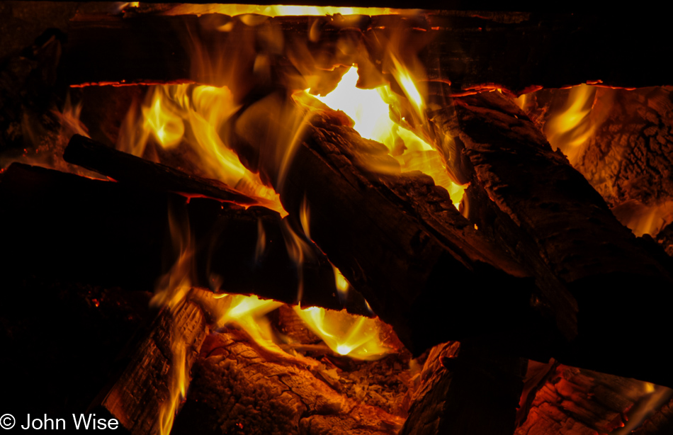
Outside the front door of our yurt on the inky dark coastline, we got a fire going to make our dinner. If we had a hot chocolate from Dutch Bros. while we sat there warming by the embers, I can no longer remember, but I’d like to believe we did.
Covered Bridges and Canoeing

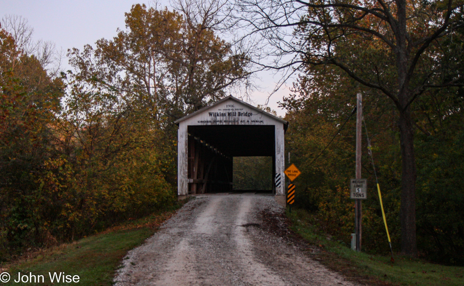
Wilkins Mill Covered Bridge in Bloomingdale, Indiana

Well, here we are, checking out a few of the 98 remaining covered bridges that still exist in Indiana. Only Pennsylvania and Vermont have more of them, while over in Arizona, we are one of the 19 states that have none.

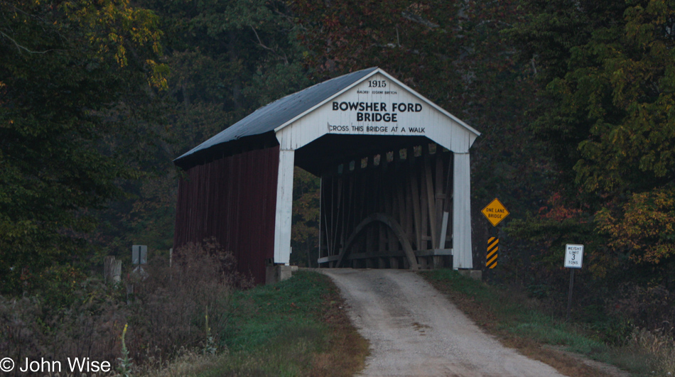
Bowsher Ford Bridge in Kingman, Indiana

Maybe it’s because the architecture of such bridges is no longer in favor that these appear to be so attractive. While I have no idea how often they have to be rebuilt, they do seem to have some durability with the oldest one over in New York dating to 1825.

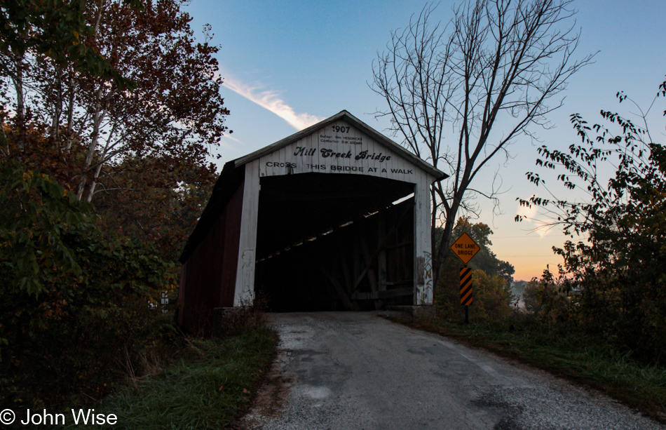
Mill Creek Covered Bridge in Kingman, Indiana

Hmmm, it would be quite the epic journey to try documenting the more than 850 covered bridges across the country, but then again, that would probably take years to accomplish while neglecting everything else. I guess I can be grateful to see the seven we’ll be visiting or paddling under today.

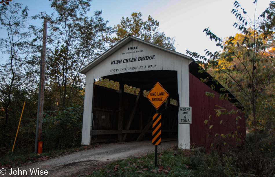
Rush Creek Covered Bridge in Kingman, Indiana

We are a country where the number of buildings older than 200 years is likely under a few dozen compared to Europe, where there are buildings that have been in continuous use for more than 1,500 years. These random wooden anomalies represent a relatively ancient age here in the United States, though there are people still alive who are older than more than a few of these covered bridges.

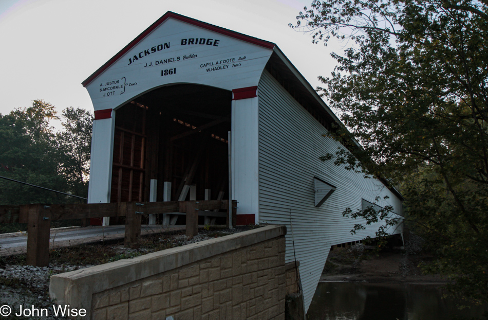
Jackson Covered Bridge in Bloomingdale, Indiana

In just a few hours, we’ll be seeing this from a different perspective, as in underneath it when we paddle down Sugar Creek.

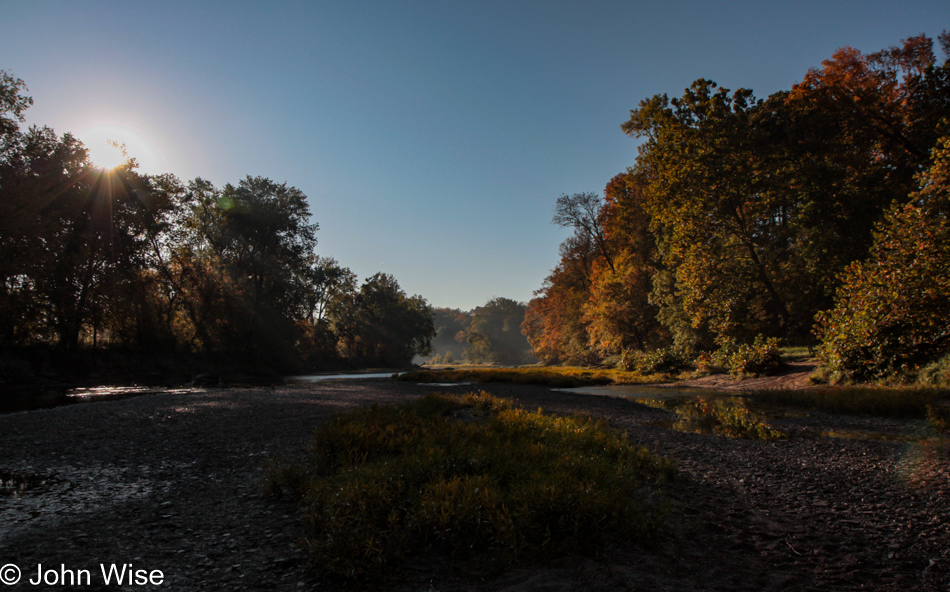
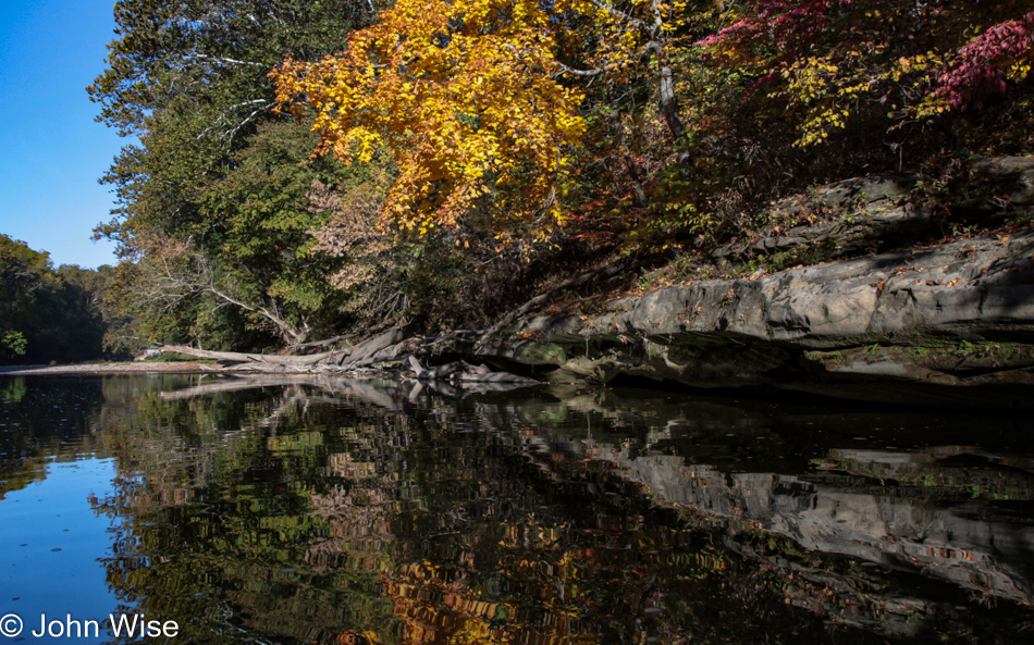
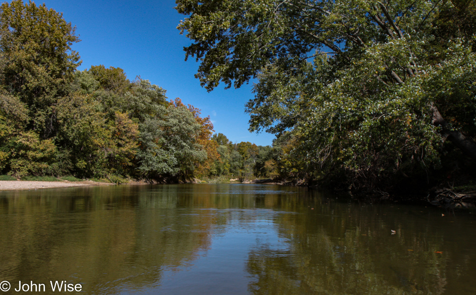
Sugar Creek in Bloomingdale, Indiana

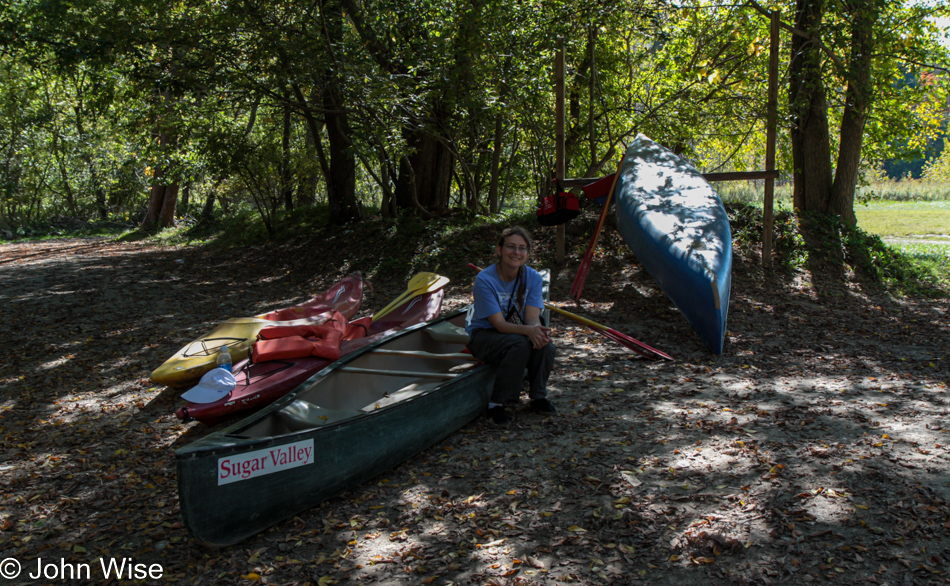
With no ceremony, training, or others nearby to learn from, we pushed off in our rented canoe from Turkey Run State Park into Sugar Creek.

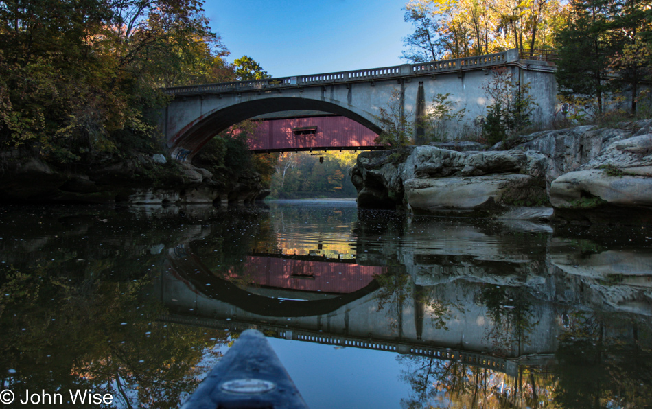
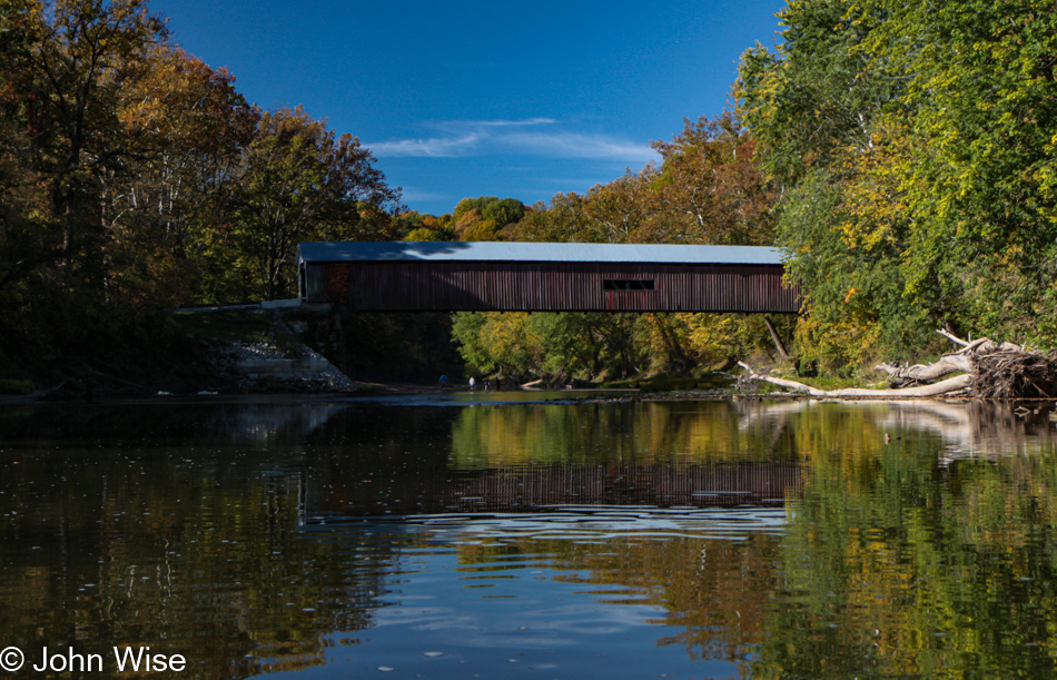
Narrows Covered Bridge over Sugar Creek in Bloomingdale, Indiana

Two kayakers quickly followed but were soon well in front of us dawdlers. Nervous caution gave way to an exhilarating wow factor as the slow-moving, shallow creek allowed us to float downstream at our own pace, lingering as we came upon sights such as this.

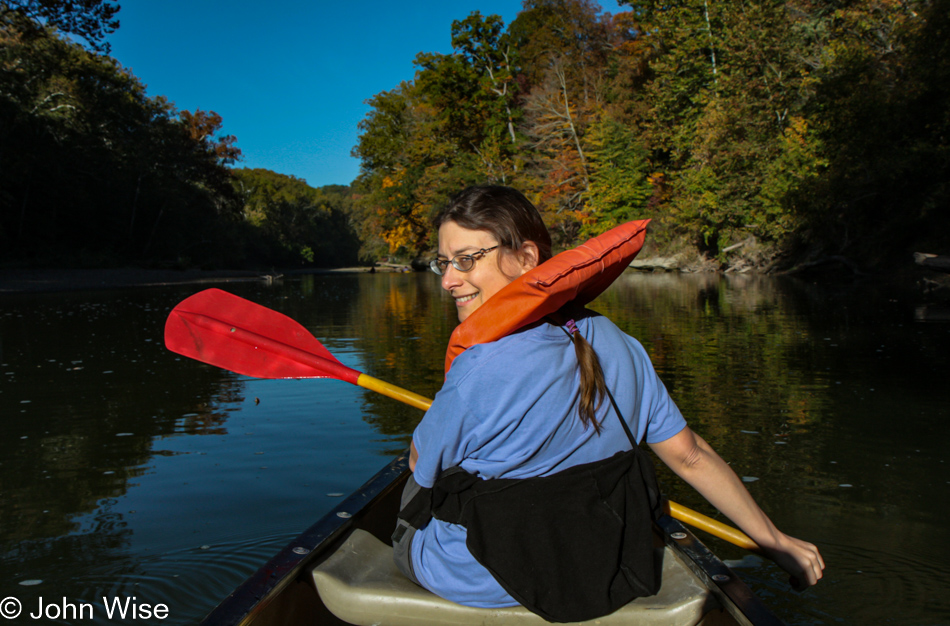
Caroline Wise on Sugar Creek in Bloomingdale, Indiana

It wasn’t long before shallow became so shallow that our little canoe would get stuck in the sand and gravel creek bed not once or twice but more than a few times. With paddles pushing and our desire not to step out of our canoe for fear of not being able to get back in without tipping it over, we shoved, bounced, and prodded the canoe free and once again were afloat. Until we ran up sideways against some tree limbs.

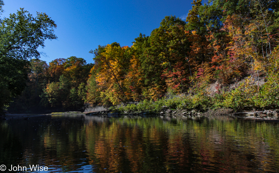
Sugar Creek in Bloomingdale, Indiana

Funny how slow-moving water picks up speed near rocks and trees. Just before the current promised to roll our canoe, I pushed against a tree and somehow backed us away from the wedge long enough for us to paddle like mad and move around the fallen tree.

Cox Ford Covered Bridge over Sugar Creek in Bloomingdale, Indiana

Of course, it wasn’t long before the next gotcha moment was bound to happen. We were fairly certain that we could go right over the minor blockage of thin tree branches; who knew that as we entered the wishbone, we would be hoisted aloft as though on a car jack stuck dead in the water.
Sugar Creek in Bloomingdale, Indiana

PUSH, Caroline, no push that way; I said, no, the other way, not that right, the other right, see I told you I’d take care of it.

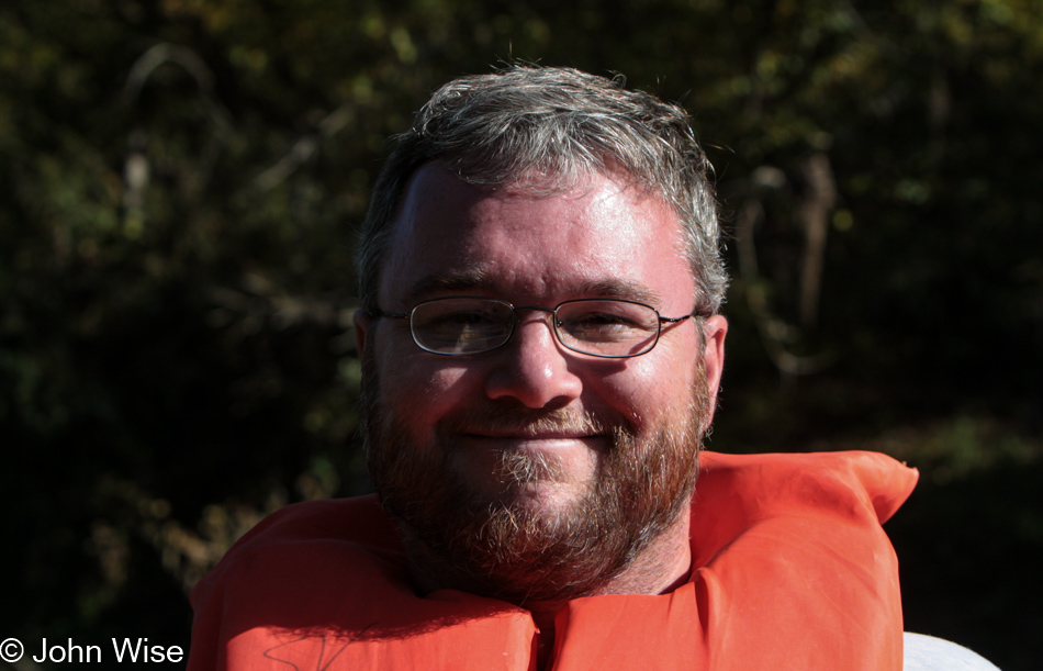
John Wise on Sugar Creek in Bloomingdale, Indiana

Fine, I don’t care if next time you canoe on your own. No, I’m not angry, and I’m not yelling; I was just a bit nervous. Well, we made it without further incident.

Sugar Creek in Bloomingdale, Indiana

Maybe you are looking at this creek and are thinking, John, that looks mighty calm, but what you aren’t seeing are those parts where panic wasn’t going to allow me to photograph my own close encounter with death as I laser-focused on yelling at Caroline to get us out the pickle I couldn’t handle.

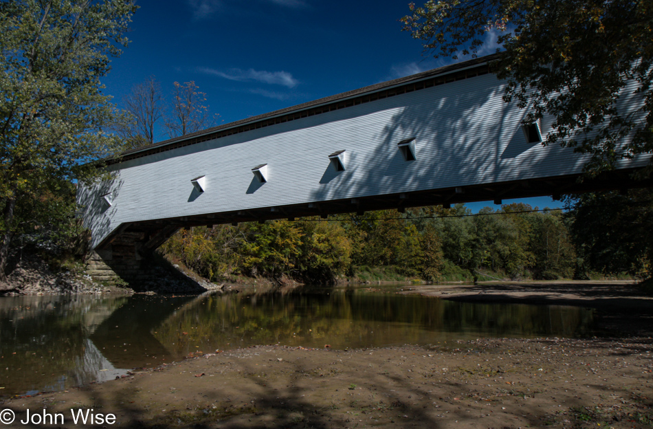
Jackson Covered Bridge over Sugar Creek in Bloomingdale, Indiana

Our first canoe trip on Sugar Creek under covered bridges on a beautiful warm fall day – a day to remember. By the way, you might notice that this was one of the bridges we’d seen earlier; it’s the Jackson Covered Bridge, built back in 1861.
Caroline Wise on Sugar Creek in Bloomingdale, Indiana

Phew…she’s still smiling.

Gobbler's Knob in Bloomingdale, Indiana

Of course, we stopped at Gobbler’s Knob for no other reason than the appealing name.

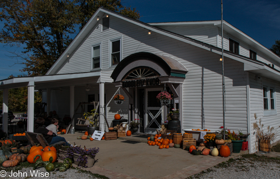
Gobbler's Knob in Bloomingdale, Indiana

Gifts from Gobbler’s Knob. Yep, I just love writing out Gobbler’s Knob.

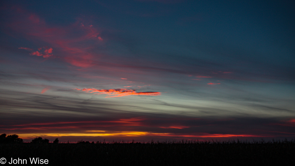
Sunset in southern Illinois

We are heading back to Chicago, Illinois, as this road trip into the colors of fall is about to end. Tomorrow morning we’ll catch a flight back to Arizona and can say without reservation that this has been an incredible journey every minute we’ve been out here.

Arrington Ranch in Canadian, Texas

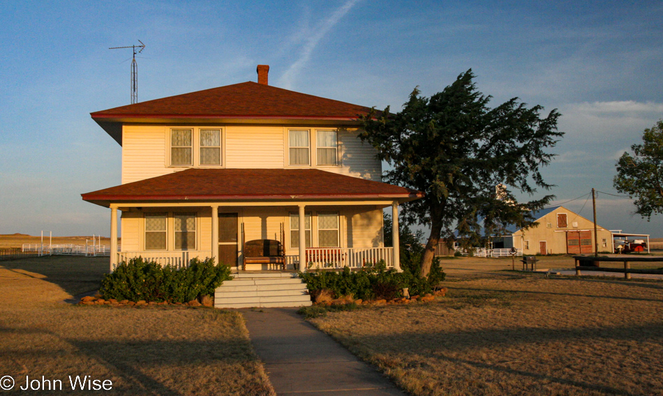
The Arrington Ranch Bed and Breakfast in Canadian, Texas as seen in the Tom Hanks film Castaway

Last night I shared a photo of the now-famous sign in front of this ranch, made so by Tom Hanks in the film Cast Away. We are at Arrington Ranch in Canadian, Texas. This house was built by Civil War soldier G.W. Arrington in 1919; his descendants, Mike and Debbie Arrington, rent out the five beautifully furnished bedrooms for only $70 each.

Update: While the previous bit of writing is from the original post, most of what you’ll find here will be from a 2023 update, including every one of the photos below. In the old text, the day was compressed into 333 words, and I’ll be using those as the basis for what else I share about the images I’ve added, but just know that some of the impressions will be coming out of a head that experienced these things 17 years ago. Since the time of our visit out to the Panhandle of Texas to celebrate America’s birthday, the Arrington’s have ceased renting the property. My daughter and I drove by back in 2021 and saw that the place was starting to show its age. I can only guess that the upkeep has exceeded its potential. This state of decay, like that which affects so much across our country, is a sad and tragic comment about what we hold dear.

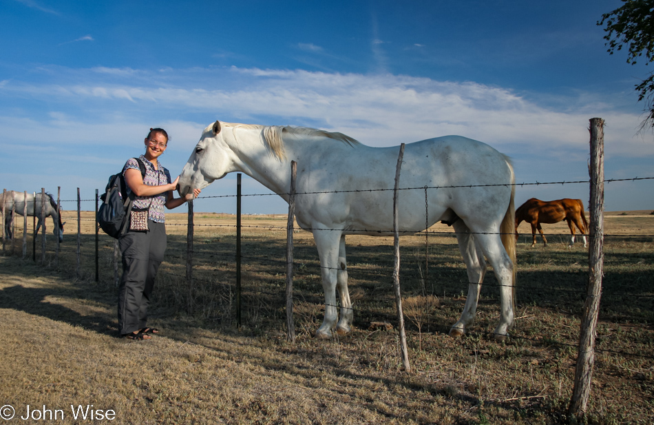
Last night, we let ourselves in the house, and it turned out that we’d be the only guests for the long weekend; how could this be? This morning, we met Debbie Arrington, who invited us over to their main home. After saying hello to the horses, we headed over to meet Mike Arrington.

Now introduced to both of the Arringtons, we took a walk over a small corner of their thousands of acres of ranch; along the way, we learned about how drought and the misuse of Texas aquifers were destroying ranch life for many in Texas. Mike shared the high costs of having hay shipped in from as far as Canada, yep to Canadian, Texas, and how it made cattle ranching increasingly more difficult. While he may be fortunate to have the Washita River right here on his land, that’s not enough to care for the 5,400 acres of land that require rain to support cattle. We were invited for a swim but being the idiots we have been known to be, opted not to: a mistake.

The Arringtons are part of a group working to preserve their little corner of Texas called the Texas Prairie Rivers Region. After seeing their population dwindle in the 1980s, some ranch owners got together to save Canadian from decrepitude and have since made great inroads in revitalizing this once-thriving corner of Texas.

We’re going south based on the recommendation of Mike and Debbie that the breakfast near and far would be found out there.

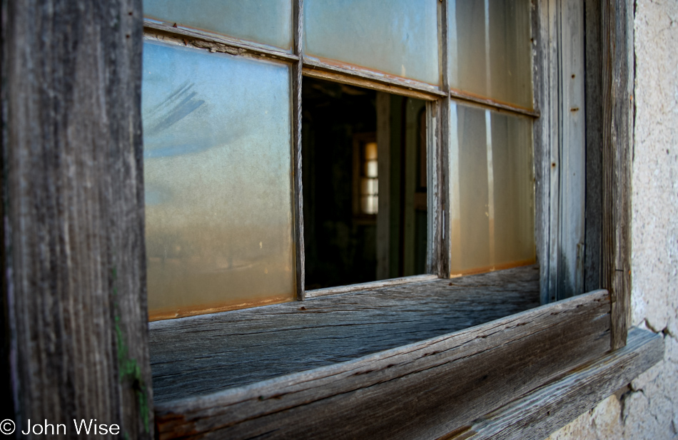
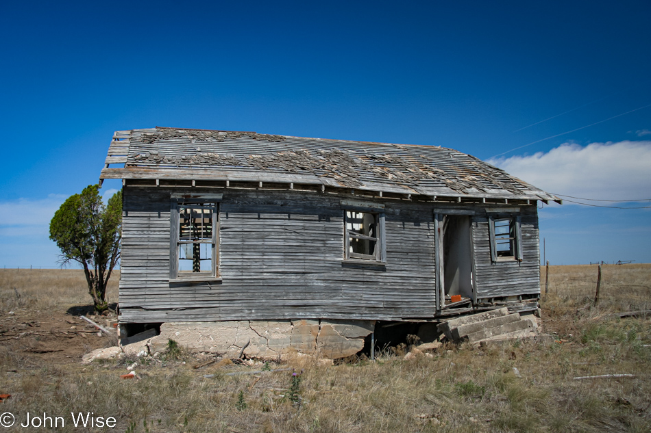
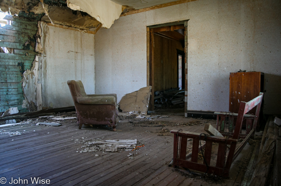
Along the way, we’ll have to take inventory of the old houses in ruin peaking through their windows, where we could find them, and seeing what was what.

Some of the places were well aerated with no glass left at all.

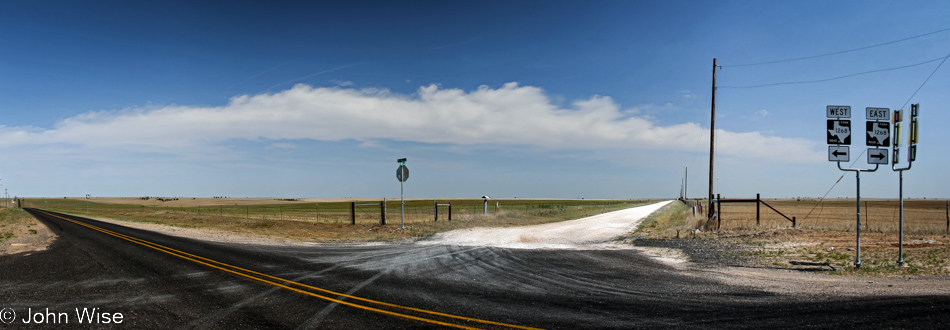
At this time in our lives, we were still movie nerds, so being here at the intersection of FM-48 and FM-1268, where the last scene of Cast Away was shot pressed all of our buttons. But this was not where breakfast was to be found.

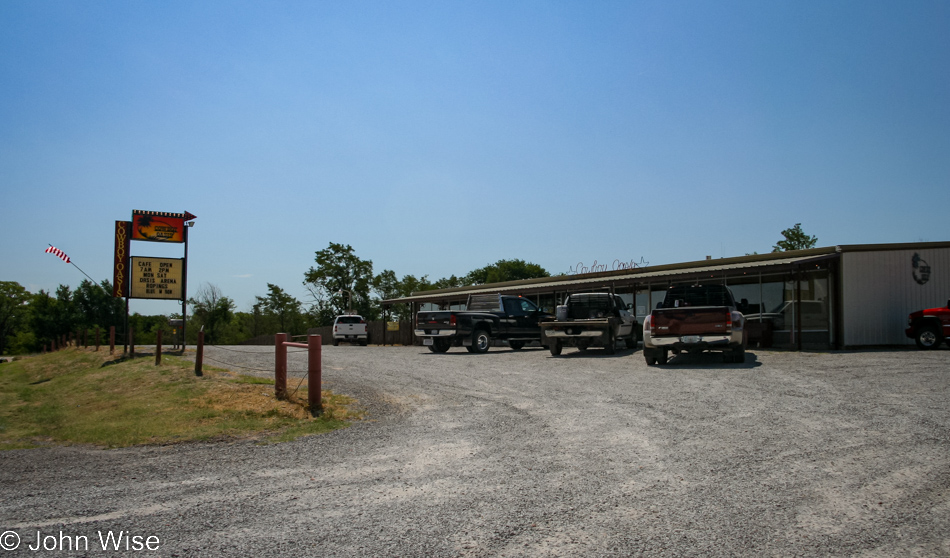
From there, we had five more miles further south before reaching the small town of Mobeetie, which is also the oldest town in the panhandle. We are at the Cowboy Oasis, a place that created a long-lasting memory, not due to the food but because of the patrons. We walked into no fanfare from the many cowboys in this place but after others walked in, the assembled diners would greet the next person or people as they passed through the front door. Feeling a bit neglected until we left, as we stood up to depart, I introduced everyone to Caroline and me, and with that, the dozen or so people at the Cowboy Oasis wished us a good day, letting us leave with big smiles on our faces for becoming part of the in-crowd.

If there was a map of homes not trashed by people but in a state of natural decay, I’d take that road trip.

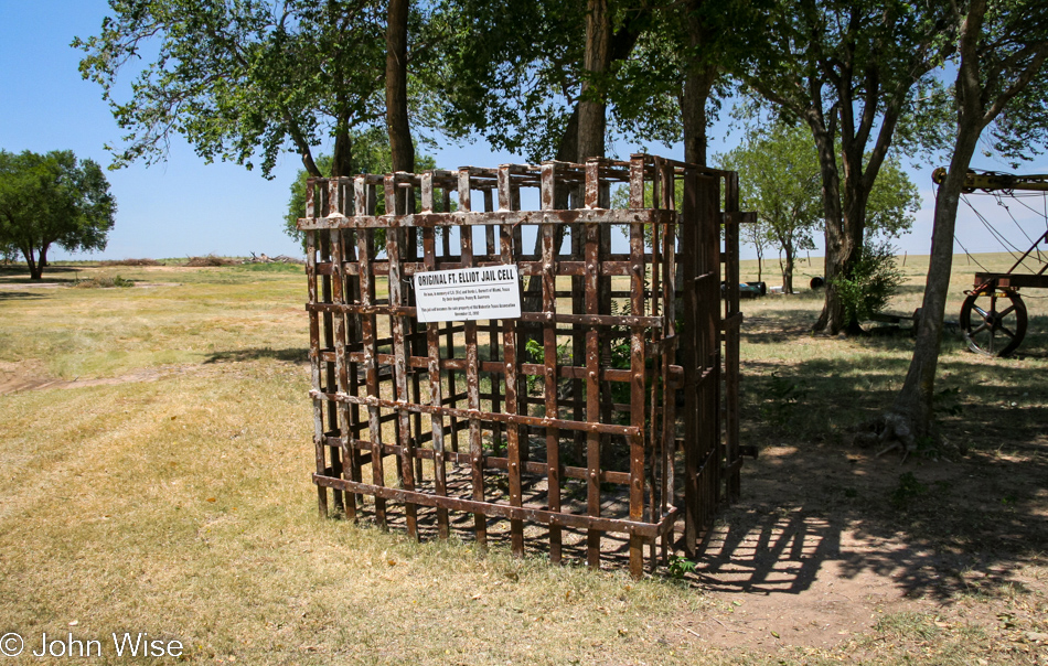
We are at the Mobeetie Jail Museum, which is also home to some of the artifacts that remain from Fort Elliot, including the old flag pole that stands near this old cell.

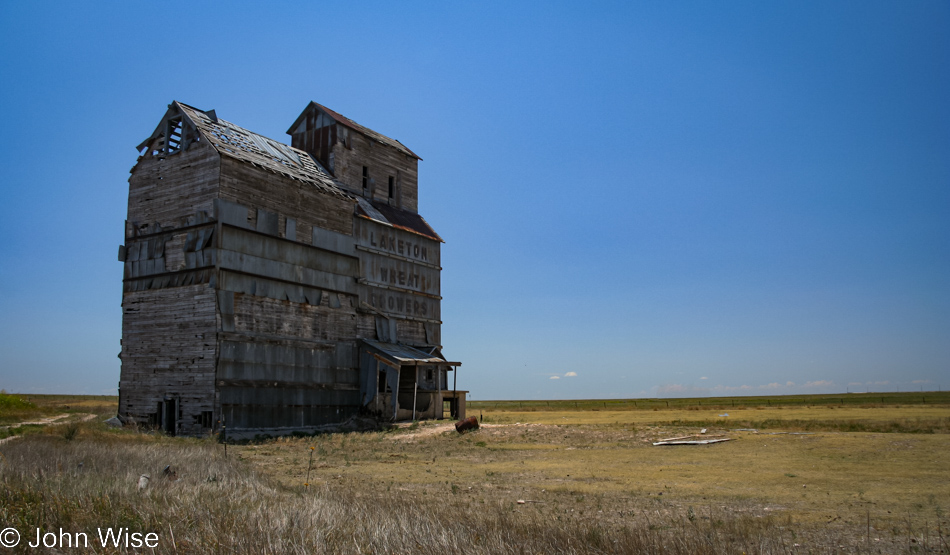
On our quest to see a bit more of the panhandle, we are on a loop drive that is taking us to Pampa and points beyond. This is the Laketon Wheat Growers grain elevator that is obviously no longer in use.

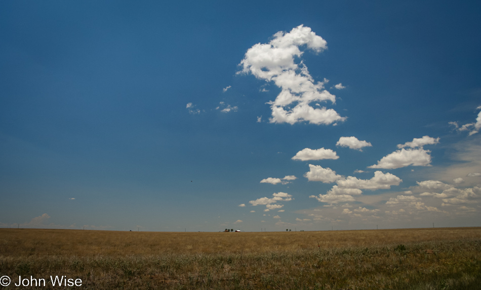
Somewhere out in this vast openness, we drove over to Fritch, Texas, with the hopes of visiting the Alibates Flint Quarries but were foiled by the need for a reservation. Maybe another time.

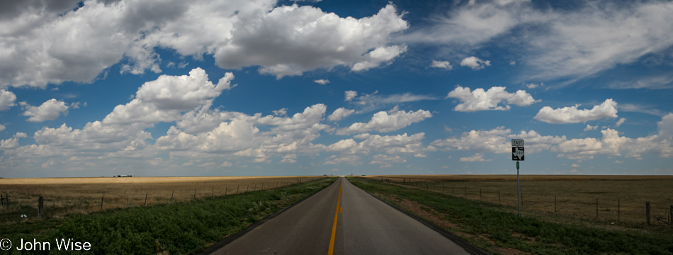
And so we drove and drove because that’s what you do in Texas.

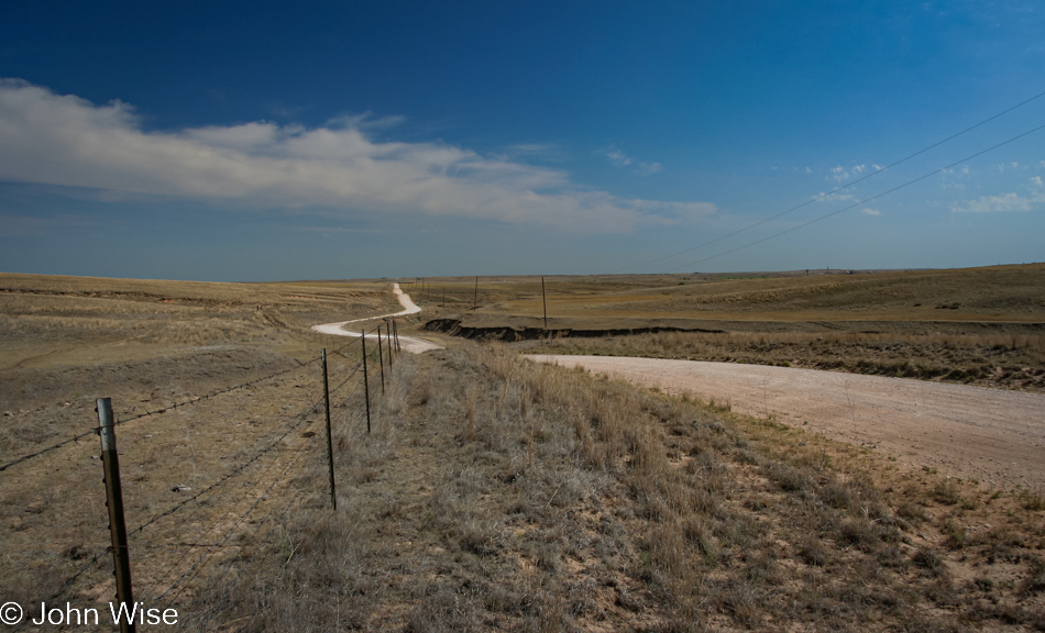
View from Elsie Road in Panhandle, Texas, on our way back to Canadian.

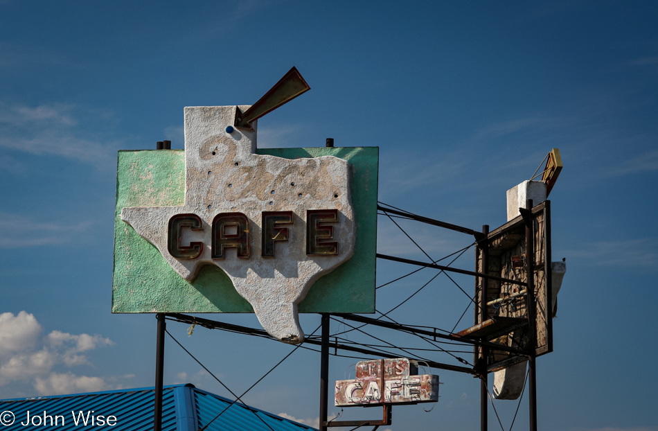
Ferg’s Cafe in Miami, Texas, is as open as this sign is well cared for (it’s not).

If you only know Texas from a drive across Interstate 10, you too might find Texas to be one of the ugliest states in America, but there really is a lot more to it.

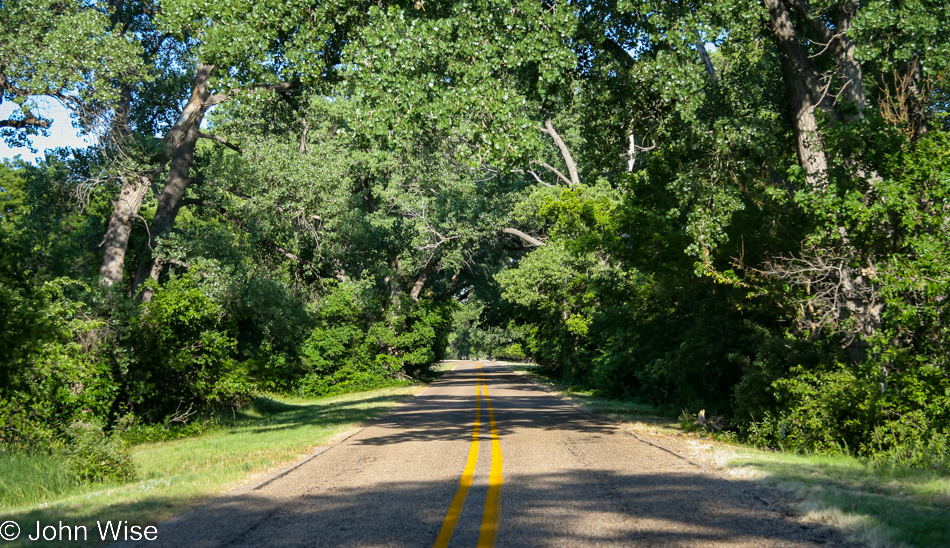
I’m fairly sure we are on FM-2266 heading into a local park.

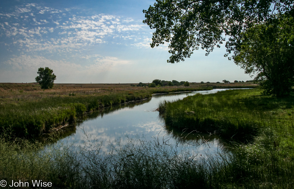
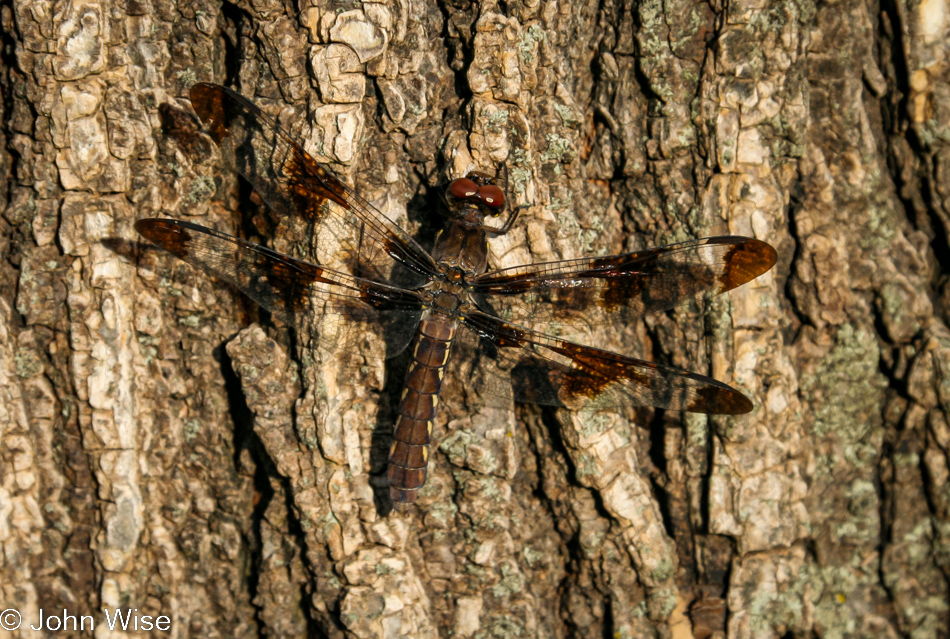
We are here to see trees and dragonflies. We were not let down.

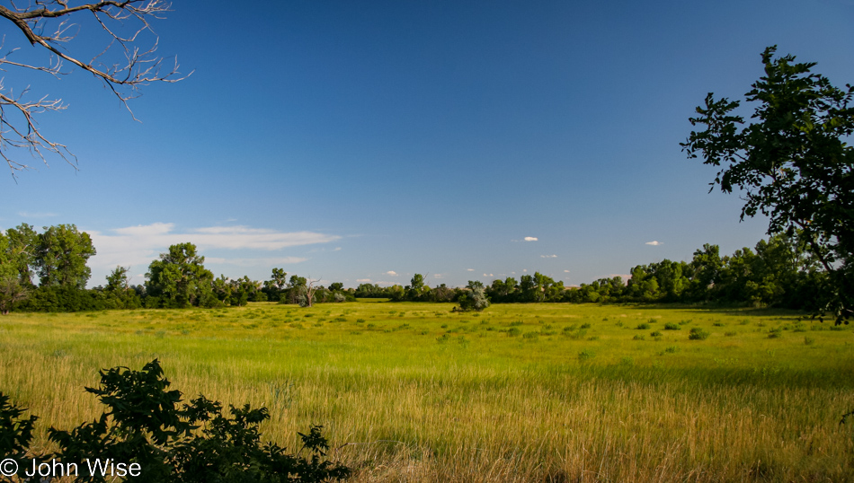
This is part of the Gene Howe Wildlife Management Area, helping to make our first full day in the Canadian, Texas area a win.