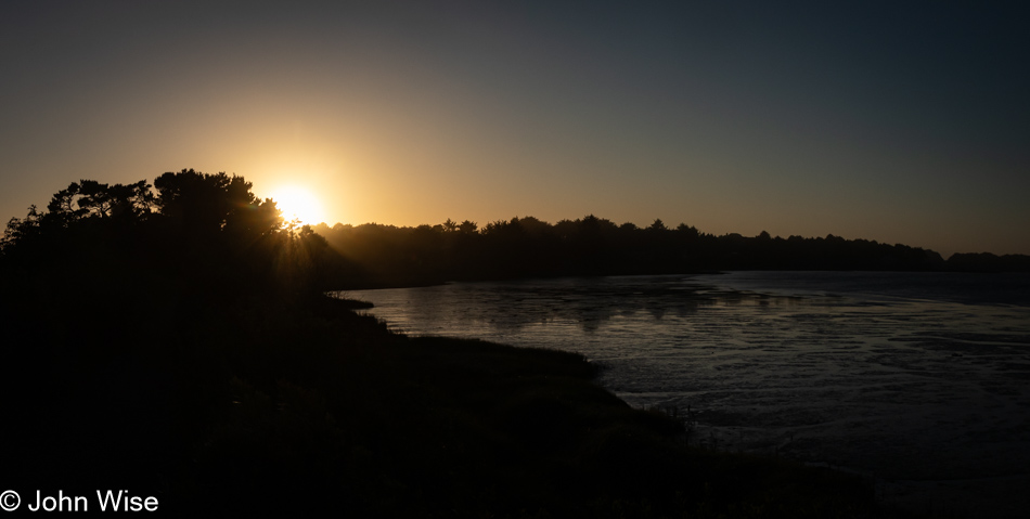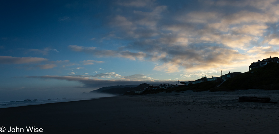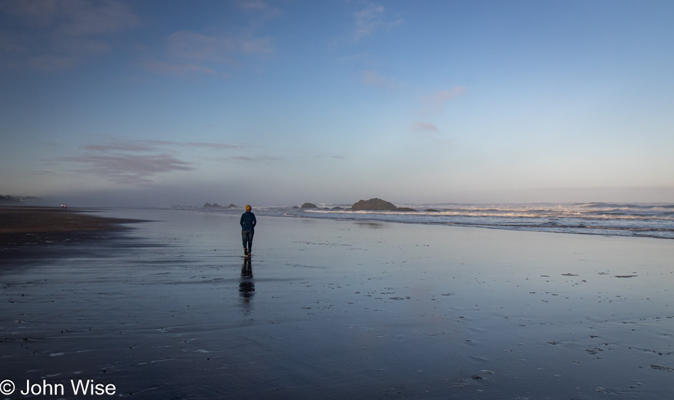
Slow Day on the Oregon Coast

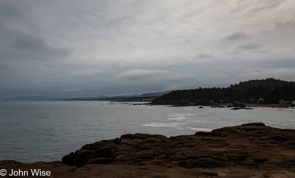
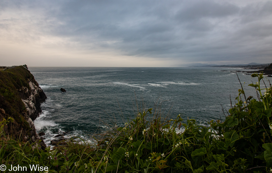
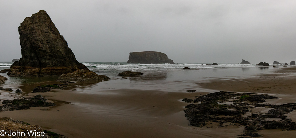
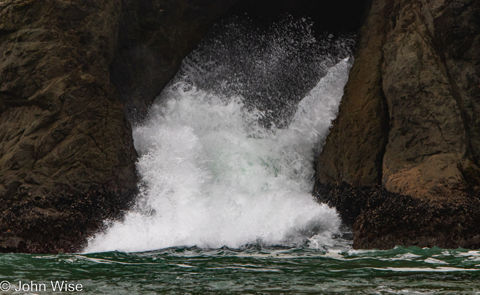
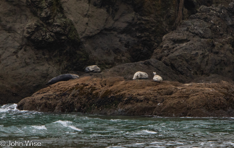
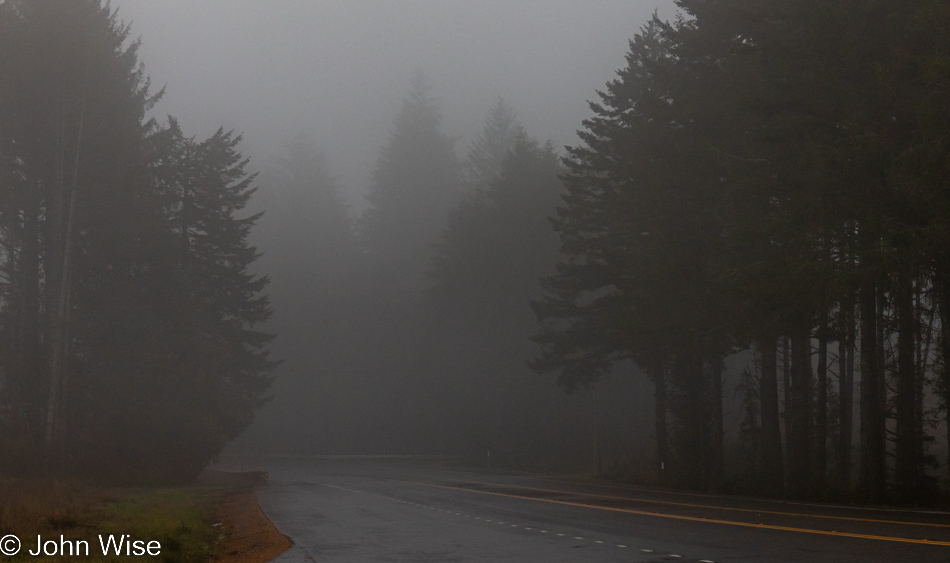
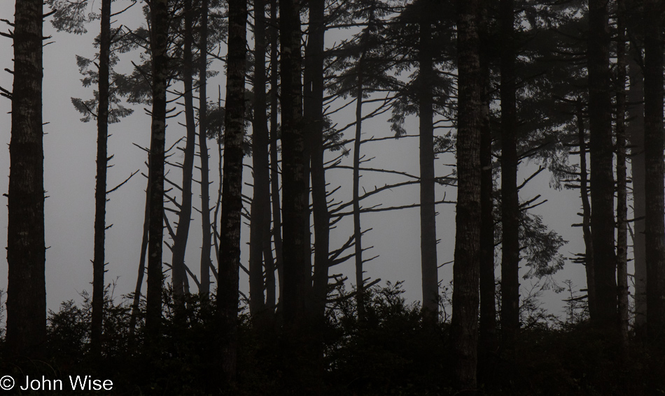
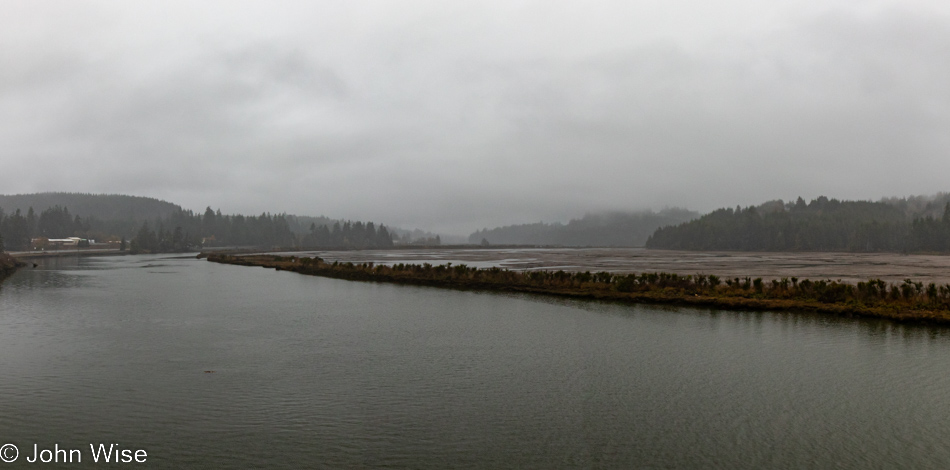
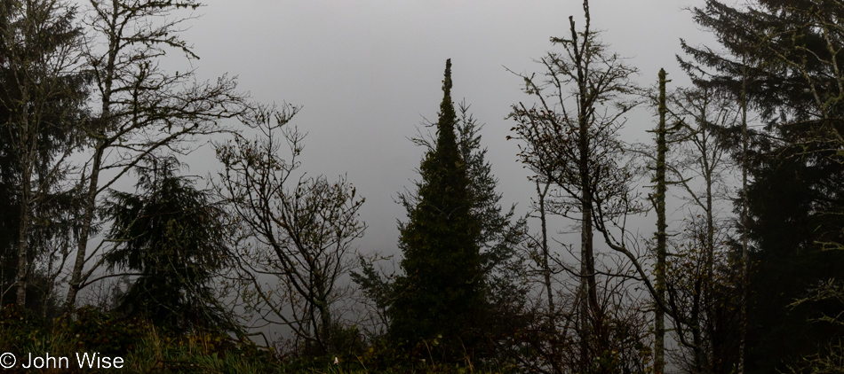
Boiler Bay in Depoe Bay, Oregon

Reading the title about taking a slow day on the Oregon coast could be interpreted that the overcast sky contributed to a sense of kicking back, but that’s hardly what happened. Maybe we needed time to recuperate after the long drive, getting things in order, or all the shopping? Nope, none of that. The reference to slow is more a reflection of the dearth of photos, though how 17 images imply that could be misleading. At first glance, what can’t be easily gleaned is that there are only three significant events shown in today’s post.

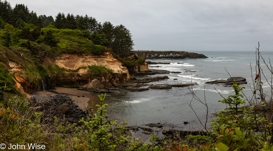
Boiler Bay in Depoe Bay, Oregon

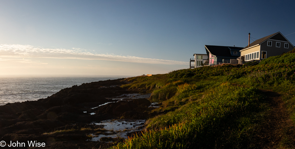
The day began the way all of our days on the coast will, with a walk. This one is just a couple of miles north of us at Boiler Bay.

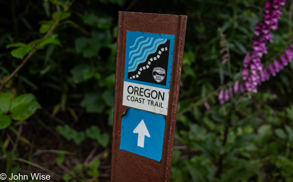
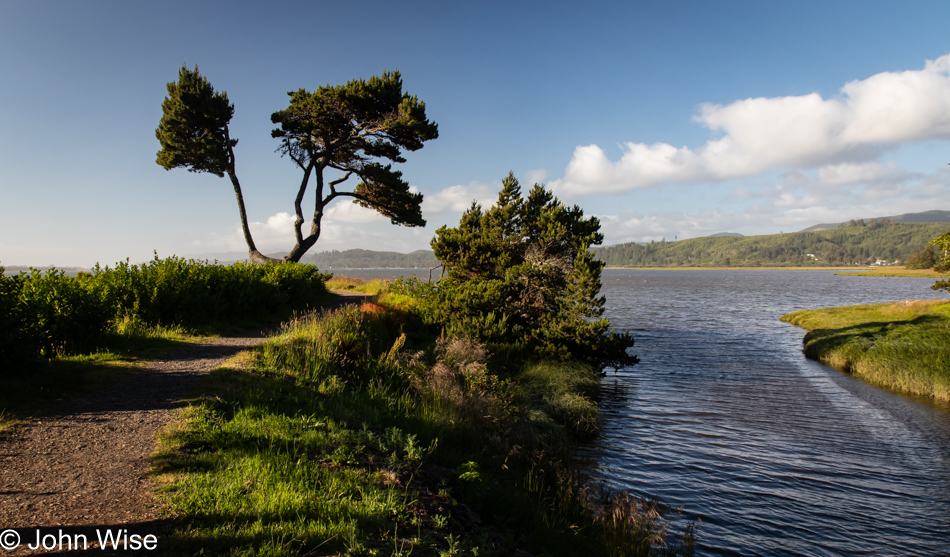
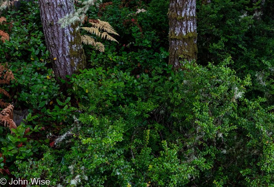
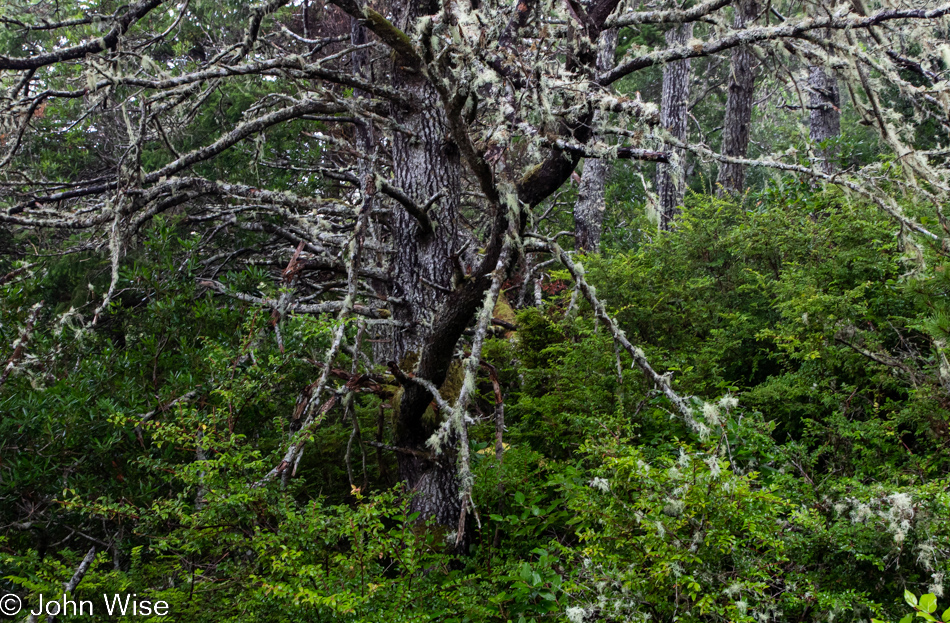
Oregon Coast Trail in Depoe Bay, Oregon

Tracing along the cliffside and squeezed by Highway 101, we caught up with the Oregon Coast Trail, which runs about 425 miles up and down the western shore of Oregon. Today, we’ll be walking a tiny fraction of that.

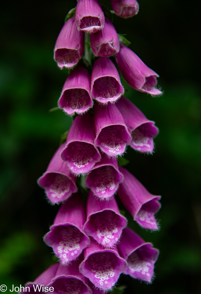
Foxglove on the Oregon Coast Trail in Depoe Bay, Oregon

There’s a need for me to hurry up and write as that is the real cause of this day only capturing three events: this hike, lunch, and an evening walk after Caroline finished up work for the day. Instead of nothing but focusing on catching up with these things, we still need to get out on a daily basis to experience and record stuff that reminds us of this fortunate time in our lives. Of course, that creates the situation where I have more and more to prep and write about instead of selfishly getting out during the day when Caroline is working and returning to writing this big project I’m supposed to be tackling.

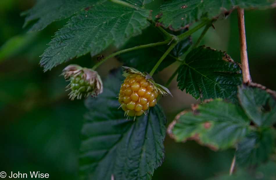
Wild berry on the Oregon Coast Trail in Depoe Bay, Oregon

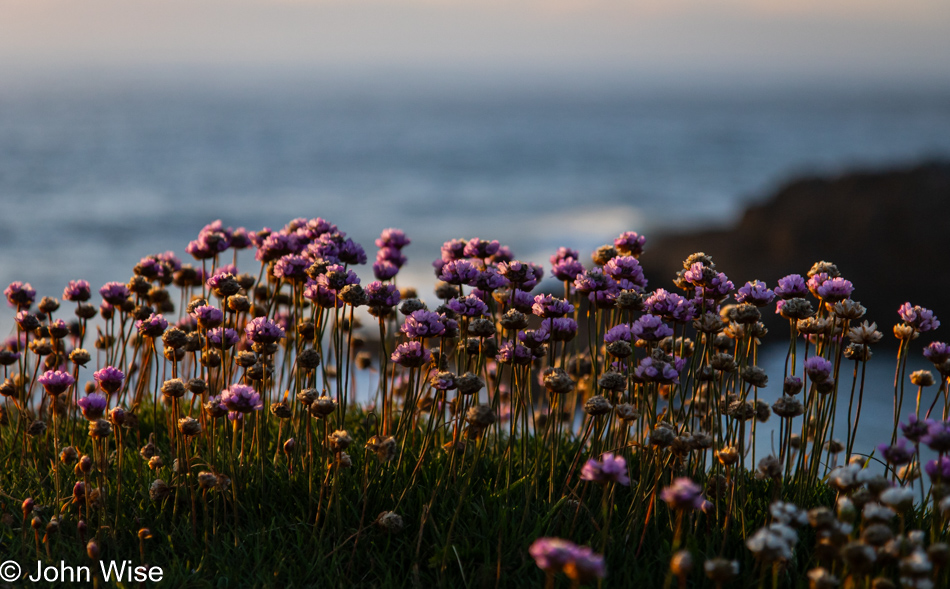
Meanwhile, we stopped to admire the foxglove flowers and the unripe berries we could only wish to sample at this time.

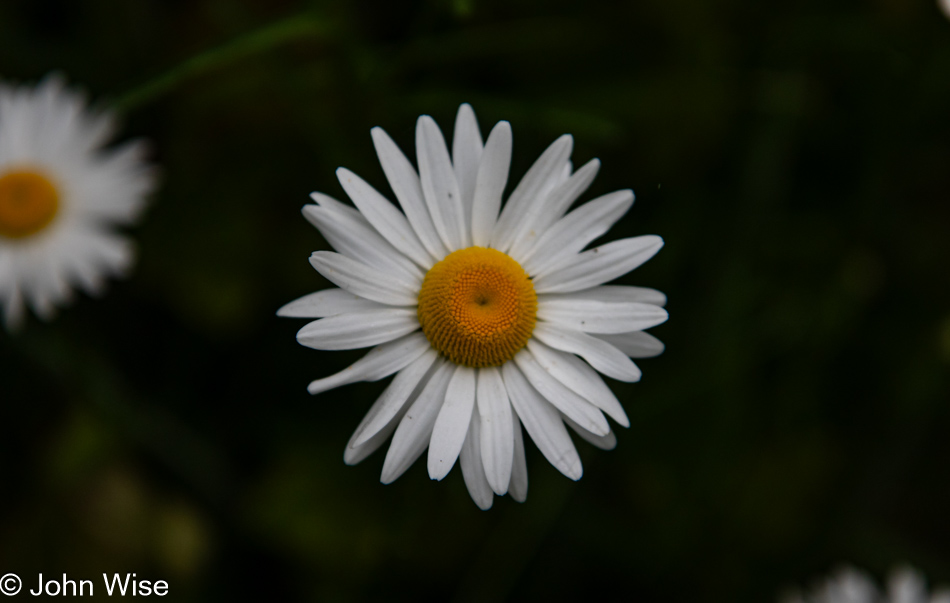
Shasta Daisy on the Oregon Coast Trail in Depoe Bay, Oregon

While we see many a mushroom during our other visits, this opportunity to witness the abundance of wildflowers is not lost on us.

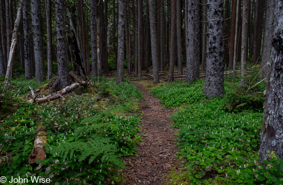
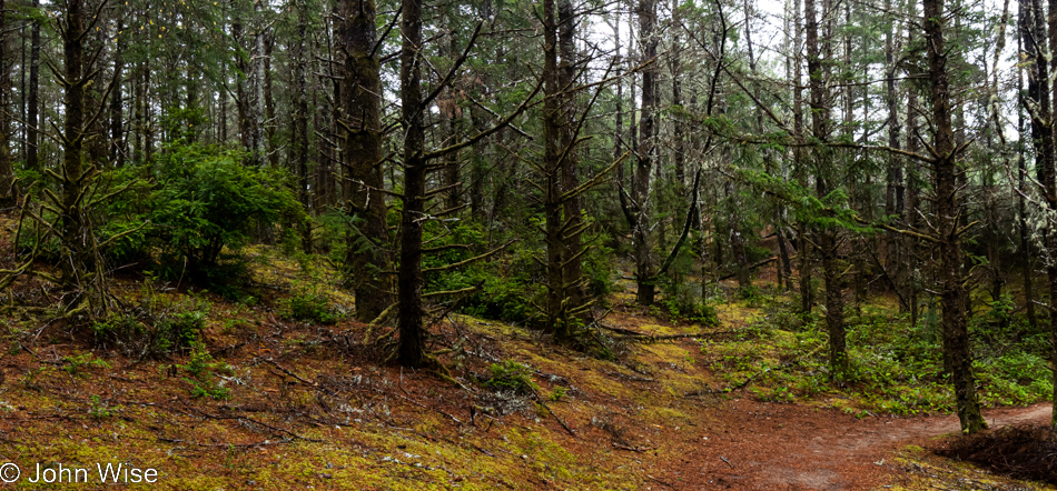
Oregon Coast Trail in Depoe Bay, Oregon

It started to drizzle a light rain on us, but within a minute, it had already passed.

Oregon Coast Trail in Depoe Bay, Oregon

And with this, we concluded our coastal forest walk. Back at the house, Caroline got to work promptly at 8:00 while I prepared breakfast, followed by my sitting down to blogging.

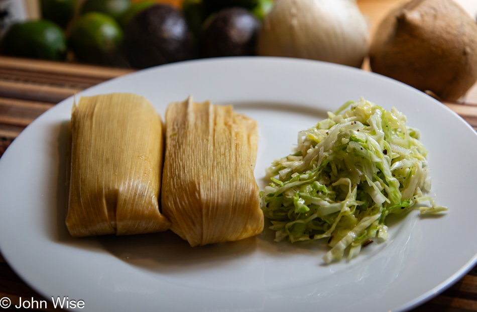
Tamale lunch in Depoe Bay, Oregon

Finishing the post for Saturday was all I did until it was time to prepare our lunch. This midday meal was special as it included the tamales we bought at La Norteña Tamale Factory in Pecos, Texas, when we were traveling through around the time of the full solar eclipse back in April. As for the slaw, it was a Mexican-inspired salad of cabbage, white onion, oregano, garlic powder, olive oil, and fresh lime juice.

Salishan Coastal Trail in Lincoln City, Oregon

At the end of Caroline’s work day (which coincided with me finishing Sunday’s blog post), I knocked out a quick dinner of salad greens, nopales (cactus paddles), jicama (not well known in Germany, but called “Mexikanische Erdbirne”), epazote, grilled cecina (a thinly sliced Mexican cut of beef), and a dressing of roasted serrano chili, fresh garlic, olive oil, and fresh lime juice. Anxious to get out for a walk, we headed up the coast to the Salishan Spit Trail.

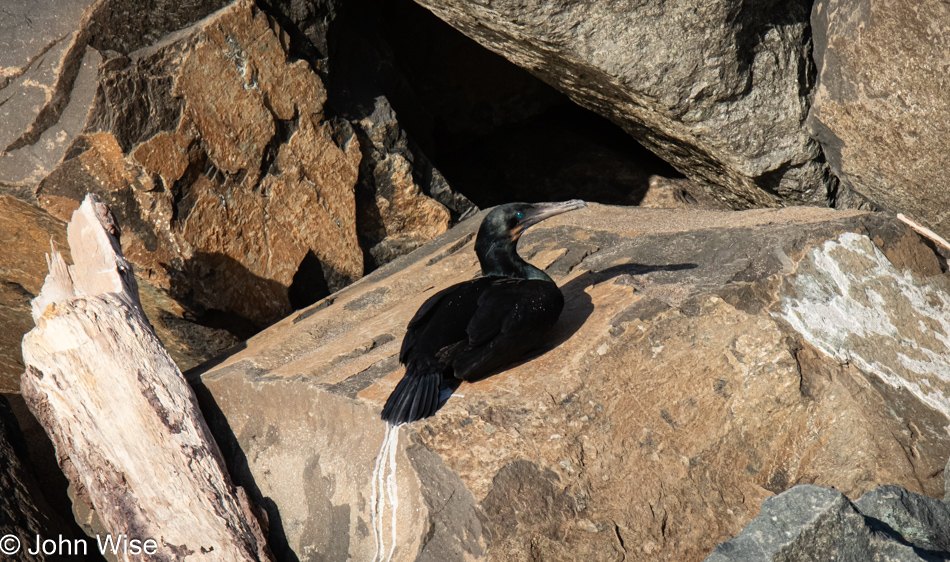
Cormorant on the Salishan Coastal Trail in Lincoln City, Oregon

Walking north up the shore, we spotted this cormorant who seemed intent on ignoring us, as it was reluctant to move. It could only mean that the bird was injured, sick, or not of this world for much longer. This was the first time we were able to see firsthand the turquoise to teal-colored eyes of this seabird. Our walk north wouldn’t get much further as erosion and attempts to reinforce the cliffside have created a situation where the surf is crashing into the newly placed boulders with a tide still too high for us to go on, so we turned around. Down south, we happened upon a rotting carcass of a seal that is only being mentioned because of its strange state. Just as one would expect, the scavenging of the seal’s remains is well at work, but with bright red blood still liquid in its body cavity, the skull was not only exposed; it was as white as could be, and it was picked absolutely clean. Not only that, the skull was broken in two, with us finding the other part further down the shore. We know it belonged because Caroline picked up this stinking nose and mouth section and matched it up with the skull sticking out of the seal’s skin. Our summation is that whatever was eating this marine mammal knew that the brains were a good source of something it required. Maybe this here cormorant was over there snacking on the stinky seal brain and is now transitioning into an avian marine zombie?

Caroline Wise on the Salishan Coastal Trail in Lincoln City, Oregon

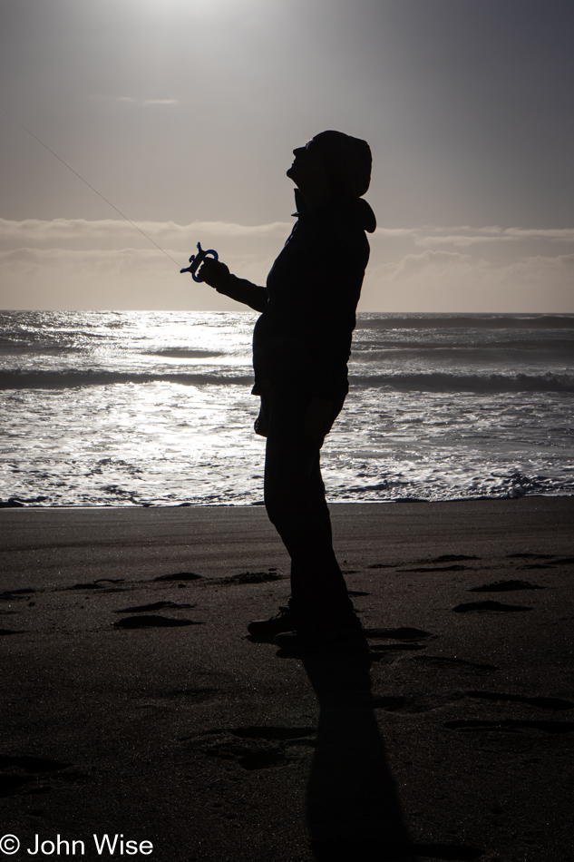
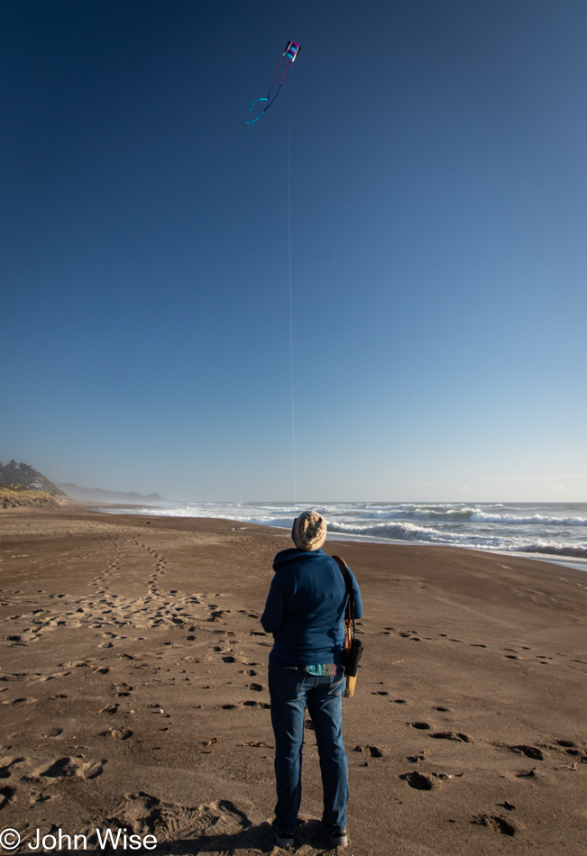
Speaking of avian marine zombies, here’s my bird flying her kite, just staring at it in the sky as though she was looking at brains.

Caroline Wise on the Salishan Coastal Trail in Lincoln City, Oregon

Do you recognize the kite? It’s the return of Happy McKiteface, which we bought in November 2022 from The Kite Company in Newport, Oregon.

Homeless Rubber Ducky on the Salishan Coastal Trail in Lincoln City, Oregon

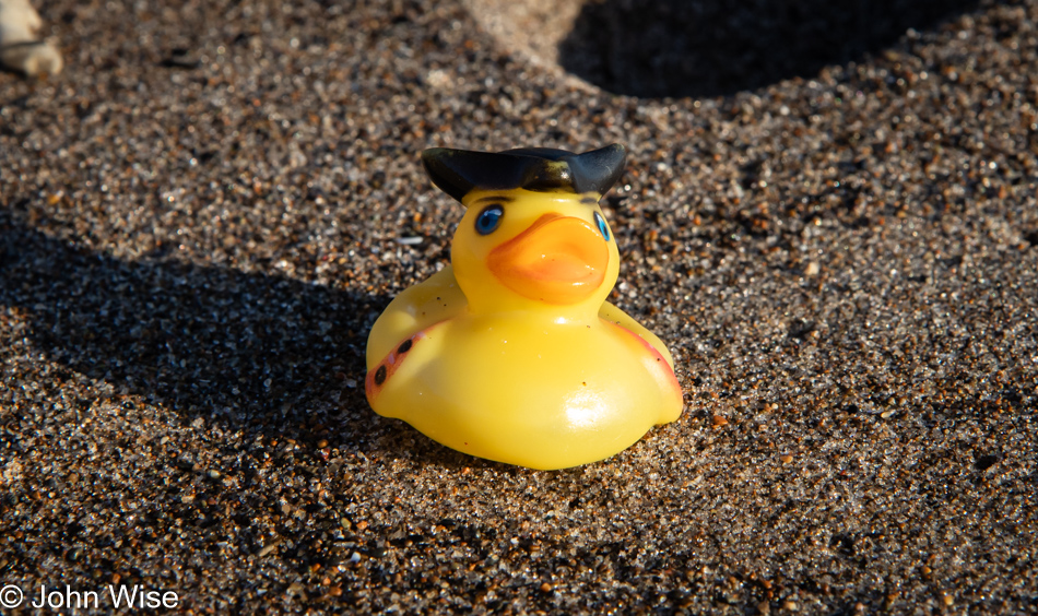
While looking for beach treasures, Caroline also focuses on the shore, keeping an eye out for trash. It never fails that she collects a judicious amount of plastic and aluminum waste. Adding to the treasure column today was this rubber ducky, which will leave its home at sea and be transplanted back to the Arizona desert.

Salishan Coastal Trail in Lincoln City, Oregon

Check us out; we’re trying to be smart by leaving the beach early, as in 8:15. The thinking goes: we’ll have time to do the dishes, prep some photos, Caroline can finish editing Saturday’s post, and we’ll get to sleep early – if only.

Salishan Coastal Trail in Lincoln City, Oregon

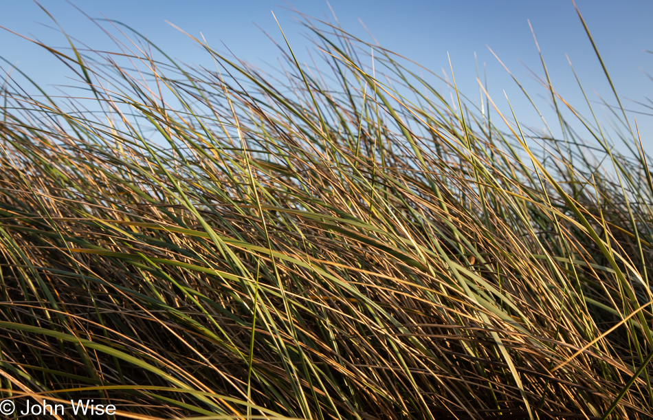
Have I ever shared my obsession with coastal grasses and the beauty they hold for me?

Salishan Coastal Trail in Lincoln City, Oregon

Getting closer to the car, I noticed just how far the tide had already gone out, as evidenced by the mud flat being exposed here on the Siletz Bay side of the spit we had been walking on, seen here in the background. We got back to the house, and Caroline indeed finished Saturday’s post while I nearly finished these here photos. It’s Wednesday morning, well before lunch, as I’m finishing writing this post.

Depoe Bay, Oregon – We Are Here

Lincoln Beach in Lincoln City, Oregon

Does this look like a vacation to you? It would to me, too, and maybe in some way, it is. In another, it is not. I’ll explain soon. First, we needed to kick off this party as best as we knew how: by taking a pre-sunrise beach walk. A funny thing happened on the way to the ocean today. Actually, it was at our hotel front desk when I asked if we could walk out of the western side of the parking lot and if we’d be able to meander through the neighborhood and find beach access. It was two-fold funny, really, as first we were told that it was kind of far, and that was quickly followed by the admission that the attendant had never gone out that way. Later, when we returned, we shared with her that the beach was only 10 minutes away. This is comical in a tragic way to me, as this has been my experience far too frequently where we encounter people who live in amazing places and are no longer interested in the greatest reason for living in such a place, “Oh yeah, the ocean, I’ve not actually been there in years.”

Caroline Wise on Lincoln Beach in Lincoln City, Oregon

Our time out on the coast this morning is limited, with only about an hour allowed for our walk. We have plans and a schedule that must be adhered to.

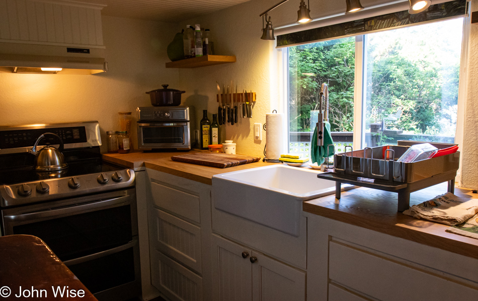
Kitchen at home in Depoe Bay, Oregon

This is my second office for the rest of June and into early July. My primary office will share space between a dining room, a nearby coffee shop, a park bench, or somewhere out near the shore.

Caroline Wise set up for work in Depoe Bay, Oregon

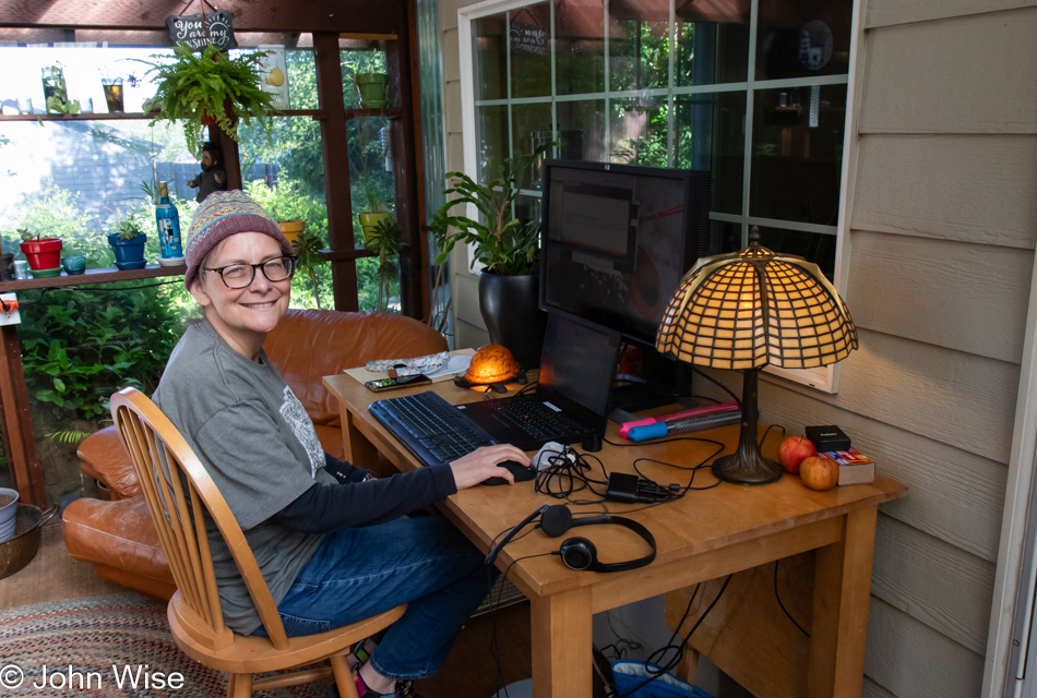
This is Caroline’s office for the same time as she is working remotely from here in Depoe Bay, Oregon. Some friends who are traveling to France have afforded us their home up against the forest in an incredibly quiet neighborhood. Our first order of business was to get Caroline set up for work, as the plan had been that after she left work Friday afternoon when Monday rolled around, she’d not skip a beat, and as everyone else was getting started in Phoenix, she’d be online and ready to go. We accomplished just that, and while she was treating this part of the day forward as a regular work day, I got busy unloading the car and getting our things into place so we could have a relatively normal existence, except it would be a 10-minute walk from the Pacific Ocean in a town of only 1,536 people.

Veggies at El Torito Meat Market in Lincoln City, Oregon

I shared in another post that I’d made an extensive meal plan prior to leaving Arizona; this is my first stop for shopping after I finished unpacking and setting up our things at June and Marvin’s house. They are the couple who are lending us their home. I’m back up in Lincoln City at the El Torito Meat Market, as I’d decided that the theme of our culinary adventure in Oregon would be Mexican-influenced, and to that end, I’m going to try and do as much of our shopping here as possible.

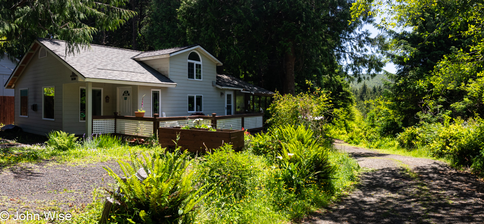
Home we are staying at in Depoe Bay, Oregon

Back at the house, a mighty pretty one at that, and while small at only 744 square feet (70 square meters), it is a delight and only wish that Caroline and I could own such a place where it was also possible to earn enough money to afford such a home. At current prices, a similar home would cost about $2,000 a month in a town where the median income is $25,000 a year less than would be required to buy such a tiny home. For comparison, our 863-square-foot apartment (80 square meters) in Phoenix, Arizona, costs us $1,385 per month. Neither location is of a size that would support raising a family; how is this supposed to work, America?

Depoe Bay, Oregon

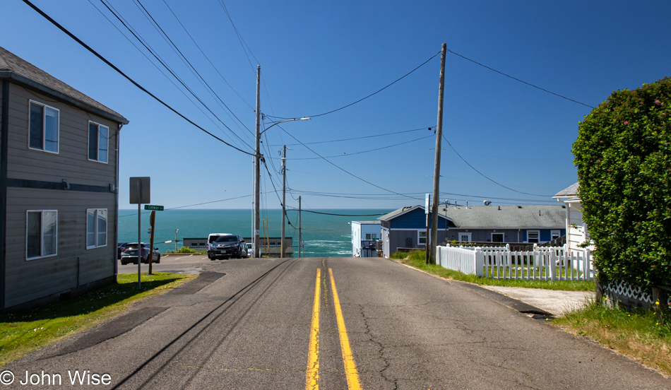
After putting the groceries away and having a lunch of ceviche with Caroline, it was time for a trip south to Newport for the rest of the groceries I will need for the next few days. I’m learning something about the Oregon coast in the summer that we do not encounter in the late fall around Thanksgiving: heavy traffic. Just as I wrote that, I’m looking at this photo with the ocean ahead and no one else on the road, but I can assure you that Highway 101 is madness.

Depoe Bay, Oregon

Back in Depoe Bay, after unpacking and putting away yet more groceries, I got right to making dinner, a non-Mexican-influenced dish that felt appropriate for our coastal environment: smoked white-fish chowder. The fish was a gift from Walleye Direct, the company that sells us frozen walleye and perch; it’s been in our freezer for a couple of months by now and was ready to be dragged back to the water’s edge and turned into a savory dish. With the fish, heavy cream, white wine, bacon, onion, celery, thyme, and smoked paprika, our early dinner was a perfect home-cooked meal. Time for a lengthy after-dinner walk out around the bay.

Depoe Bay, Oregon

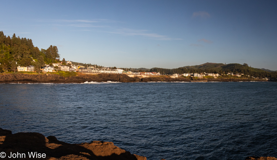
With time to linger, we meandered north along the coast on a route to an overlook we’d never visited before. Regarding our slow pace, Caroline would prefer I refer to it as lollygagging, as this is how she wants to see her time outside of work while here in Oregon.

Depoe Bay, Oregon

To properly dawdle while visiting the Pacific Ocean in Oregon, one should be prepared to take in flowers, birds, crashing waves, and other activities that allow for a judicious amount of time to dilly-dally. When one ambles along, one must mosey, not exactly aimlessly, but not with great intent to achieve anything either. Aside from being entertained by the saunter of the person we are with, we must also make an effort to be lost within. On this account, Caroline and I are winners of the contest to be slothful.

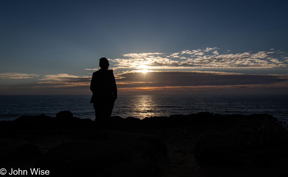
Caroline Wise at sunset in Depoe Bay, Oregon

Hours pass deceptively for senses tuned to the early sunset of November days because, in June, the sun sets after 9:00 p.m., but our frame of reference is that fall sunset time, which happens well before 5:00 p.m. By the time we are back at the house, it’s almost time to go to sleep, it is a work night after all.

California to the Oregon Coast

Susanville, California

This is one of those days dictated by driving requirements where a destination and hotel reservations are already fixed, but that doesn’t stop flights of fantasy from intruding into our thoughts to help paint new dreams. With only 45 miles between us and Lassen Volcanic National Park, we’d like to return to that park for a hike up the volcanic peak, which we didn’t have time for during our previous visit 20 years ago. Crater Lake, last visited 20 years ago, will also be nearby today, but we know that the rim drive doesn’t typically reopen until early July due to the heavy snow, so we discussed the possibility of making a trip up this way again later in the year just for Lassen, Lava Beds, and Crater Lake National Parks.

Butterfly next to California Highway 139 north of Susanville.

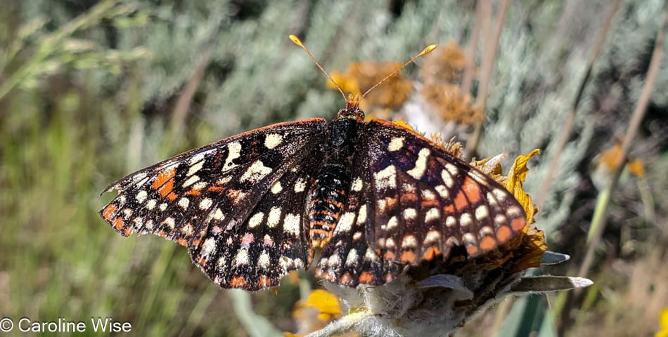
We thought we might have seen an eagle, which might have been appropriate considering that we were driving by Eagle Lake up California Highway 139, and then there were the pelicans weaving in and out of tufts of grasses, which were likely floating islands of tule reeds, growing in the shallows of the southern end of the lake. I shouldn’t forget to mention the ducks and other birds, but it was this fritillary butterfly that Caroline ended up capturing with her camera in between its frantic fluttering about.

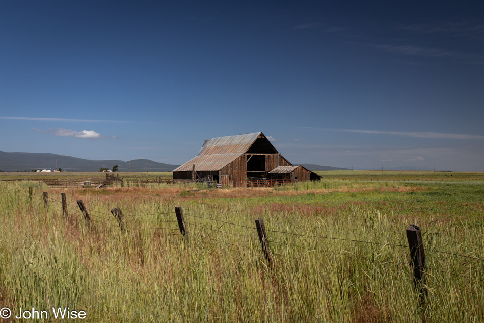
Barn next to California Highway 139 north of Susanville.

I am compelled to overshare, which I think, in part, is triggered by the countless times I’ve casually listened to people stating how much they dislike driving big distances. For them, the drive is boring, there is nothing to see, their spouse/children/dog/cactus are too impatient after 26 minutes in the car, or they’d like to go but are waiting for the right time. There is no “right time” to get out on the roads of the country we live in! So much changes over the years, and time easily gets away from us.

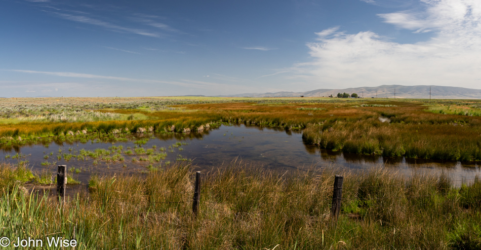
Stream next to California Highway 139 north of Susanville.

We’d been passing marshy lands for miles…

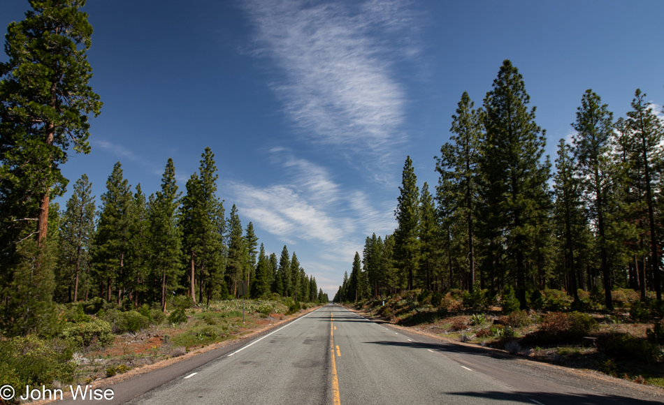
California Highway 139

…and slicing through just as much forest.

Tule Lake National Monument Visitors Center in Newell, California

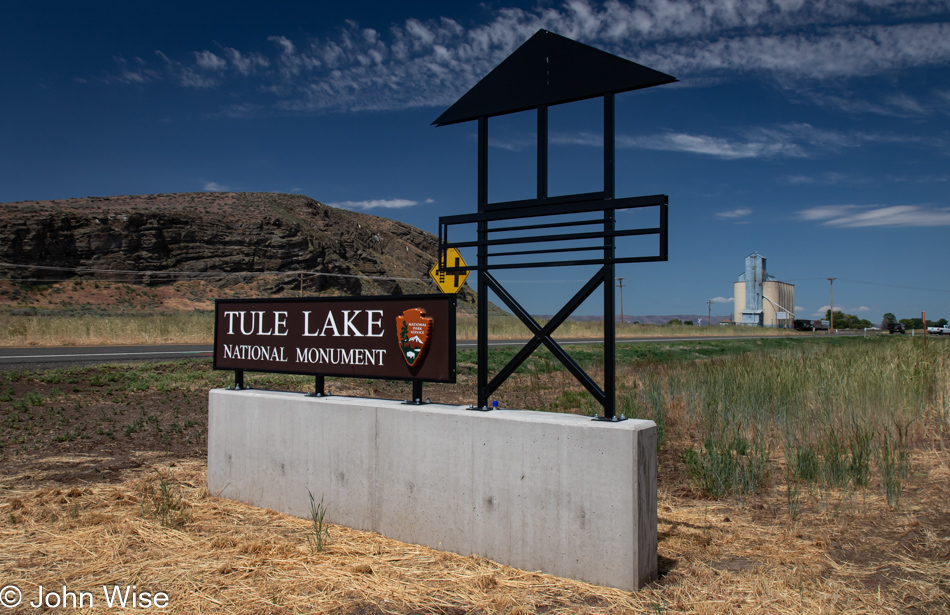
Seeing how we’ve never traveled this exact road through California before, we were surprised by this sign for Tule Lake National Monument, which prompted us to stop in the visitor center and learn why a lake had become a national monument. Well, it turns out there is a giant chunk of history, none of it good, that happened right up here in the Klamath Basin, once known as the Everglades of the West and subsequently as a concentration camp for Japanese people during World War II.

First up, the Everglades part of the story: Tule Lake had once been a very large lake, that is, until the Bureau of Reclamation decided that the wetlands and lake needed draining so farmers could use the land. Today, 95% of the wetlands are gone, as are the majority of the millions of birds that contributed to the area being called the Everglades of the West.

Old jail at the Tule Lake National Monument in Newell, California

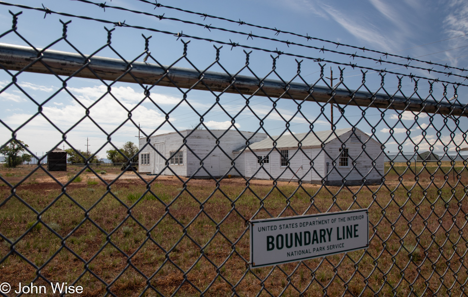
Then there’s the matter of what once had been the largest concentration camp for Japanese prisoners. I mean American citizens of Japanese ancestry. At the largest capacity, 18,700 mostly Americans were imprisoned here, though, over the four years that the camp was in operation, more than 29,000 men, women, and children alike were kept here. Like the majority of the ten concentration camps operated in the U.S., most of the facilities were cleaned off the map while American forces in Europe helped ensure Nazi Concentration Camps remained to remind the world of the injustice endured by “Undesirable” European citizens. Only a handful of minor buildings still exist here at Tule Lake, such as this old jail that can only be visited at 9:30 in the morning, when staff is available. During the years of incarceration, these Japanese Americans lost their homes, businesses, and property, but let’s get real: everything was seized from them, just as the Germans had done with Jews, Roma, gays, people with handicaps, Slavs, and others.

Road to Petroglyph Point in the Lava Beds National Monument in Newell, California

Oh damn, I almost forgot the injustices committed against Native Americans, such as the Klamath People, the Modoc, and the Northern Paiutes, who were part of a band known as the Yahooskin. Back in 1954, federal recognition of the Klamath Tribe was terminated with the loss of all of their lands. By 1986, recognition was restored, and they were granted about 1% of their former lands, or an area the size of Central Park in New York City. Anyway, enough of the pedantic stuff; we are out here to visit Petroglyph Point in the Lava Beds National Monument.

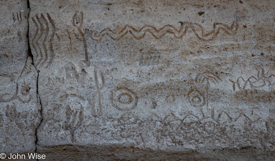
Petroglyph Point in the Lava Beds National Monument in Newell, California

Of course, all of the petroglyphs are behind a fence due to the truly wretched amount of destruction they’ve suffered. This was not a fun place to visit.

Caroline Wise and John Wise entering Oregon from Hatfield, California

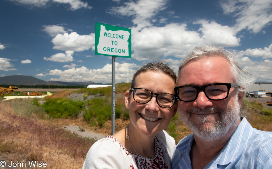
Oh, looky here. You see that “Welcome to Oregon” state sign behind us? Well, that can only mean that we are arriving at our happy place, though for anyone who knows us, everywhere is our happy place. Wait, that’s a lie! I really don’t like Walmart.

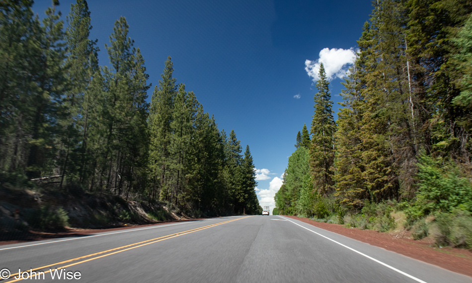
Oregon Highway 39

If I shared a photo of every moment worth remembering for Caroline and me, I’d have to record everything to video, only turning it off when we pass through cities and towns that have succumbed to franchise mania.

Oregon Highway 39

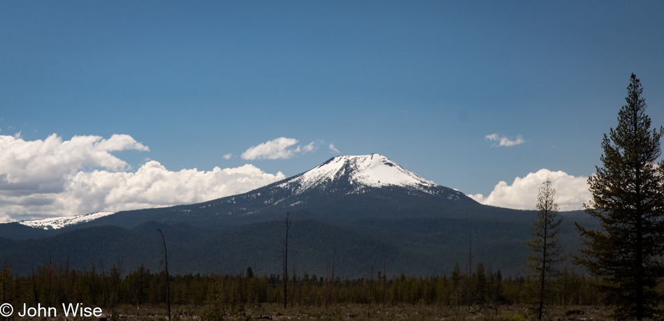
Some miles behind us we saw a great cragged peak behind the Upper Klamath Lake, and while I would have liked to share an image of it, there was nowhere to pull over to snap an image. So, I present you this nameless still-snow-covered mountain to capture the spirit of my intent.

Cherries in Chemult, Oregon

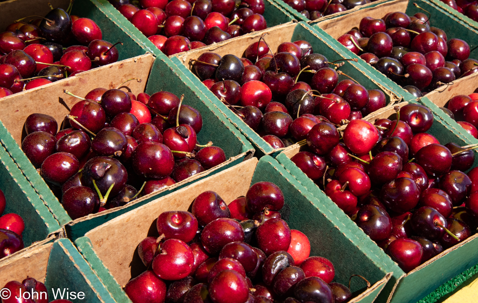
At midday, we stopped in Klamath Falls, Oregon, for lunch at Dave’s Brawny Burger, after which Caroline indulged in her second milkshake on this trip in so many days. This one was huckleberry-flavored. Passing through Chemult, Oregon, the Featherbed Inn we once stayed at has been rebranded, but that wasn’t surprising. These cherries, on the other hand, were a pleasant surprise. For a second, I needed to think about this idea and realize that in an age when nearly all fruit and vegetables are available year-round, it is at these seasonal times when things are at peak flavor that we have to take advantage of this opportunity, and support these roadside vendors.

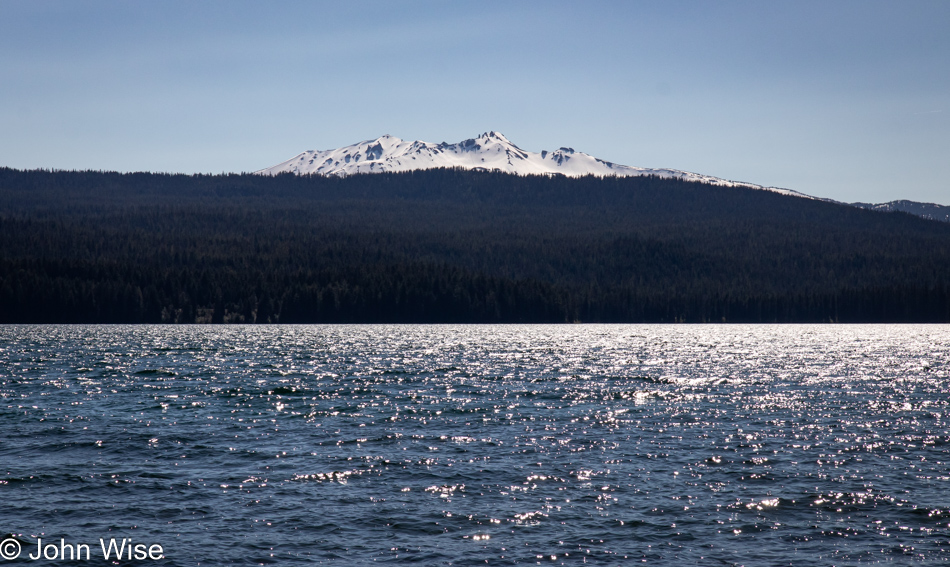
Diamond Peak over Odell Lake in Crescent, Oregon

Diamond Peak over Odell Lake in Crescent, Oregon.

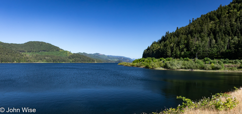
Dexter Reservoir in Lowell, Oregon

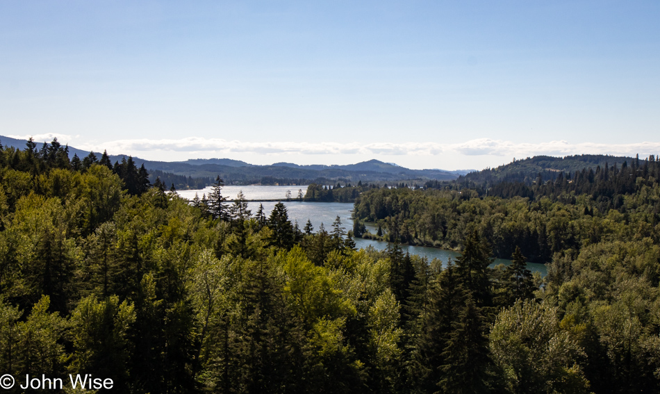
With all the driving we are doing today and yesterday, we are coming up short on our step count, so we try from time to time to get ourselves out of the car for a short walk. This stop was on the outskirts of the town of Lowell, Oregon, where we were able to walk across some railroad tracks and up onto the Lookout Point Dam, separating the namesake waters behind it and the Dexter Reservoir ahead.

Lookout Point Lake in Lowell, Oregon

These are the waters I was just mentioning: Lookout Point Lake.

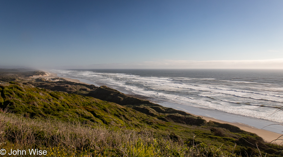
Pacific Ocean Southview Overlook in Florence, Oregon

We were already familiar with the road that would bring us from Eugene, Oregon,  to Florence, Oregon, as it’s the one we drove on our last visit to the coast back in 2022. This is taken from the Pacific Ocean Southview Overlook. Over the years, I’ve taken more, a lot more, than the 240,779 photos that are on my computer today, and it is for a situation just like this that I could benefit from an AI that can scan all of my photos and group similar locations together, identify the specific locations if possible, and when requested, fix the poor resolution of those images I shot that are between one megapixel and about eight megapixels.

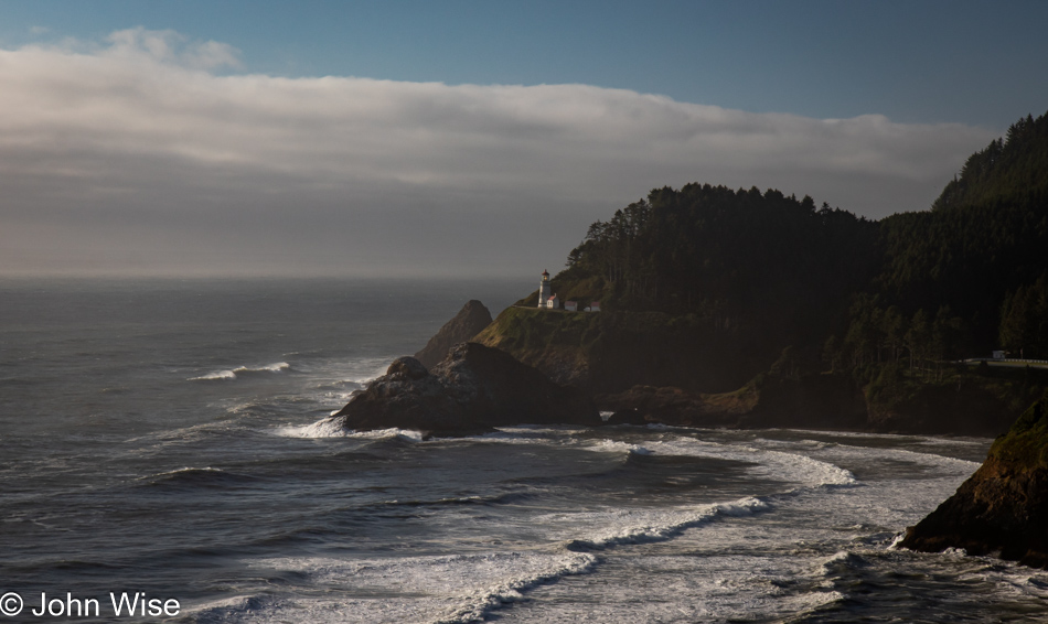
Heceta Head Lighthouse in Florence, Oregon

Just a little further up the road, a sketchy corner on the wrong side of the street has us crossing our fingers about oncoming traffic as we bolt out of our mountain-hugging lane to stop at the Heceta Head Lighthouse overview perched at the edge of the earth.

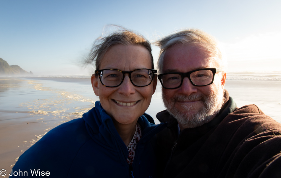
Caroline Wise and John Wise at Carl G. Washburne Memorial State Park Beach in Florence, Oregon

It was shortly after 7:00 p.m. when we stopped at the Carl G. Washburne State Park Beach just for the facilities, only to find out they had been locked up tight at 7:00. Undeterred, we peed our pants, girded our loins, and washed our bits in the tropical waters of the Oregon Coast. These are the satisfied faces of having wet ourselves just before walking into the surf to rinse off.

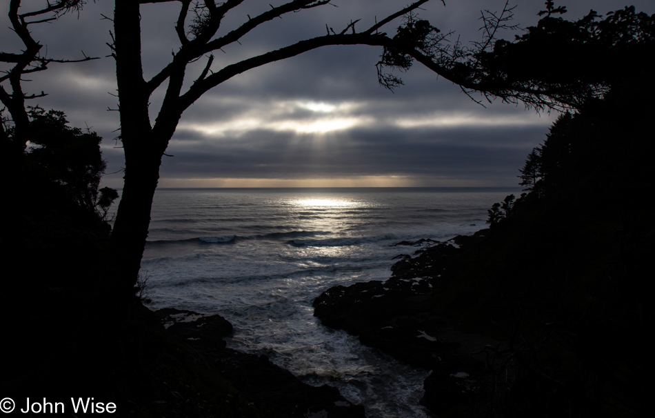
Devils Churn in Yachats, Oregon

Our last stop trying to capture what will have to stand in for sunset was at the Devils Churn overlook south of Yachats, Oregon. Dinner was a simple shared bowl of steamer clams at Luna Sea Fish House in Seal Rock before finishing our drive to Lincoln City, where we’d be staying a night before taking over a house back down the road for the next few weeks. More about that tomorrow.

Oregon to Arizona – Day 11

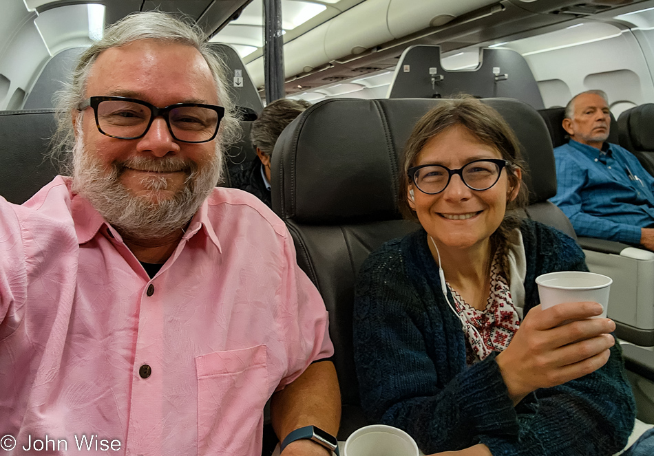
John Wise and Caroline Wise in Eugene, Oregon

I’ll never know you, creepy passenger in seat 2A, but someday, an artificial intelligence algorithm will identify you and tell your descendants that it found an old photo of you, and they’ll see you peering our way to see what we were photographing which was nothing more than us on a plane out of Eugene, Oregon.

Flying over California

Last night as I was checking in for our flight, we were offered an upgrade out of peasant class, where the likes of us belong, to sit among royalty for only $92 a person extra. We couldn’t turn down this bargain as our checked bag was now included, we were among the first dozen to board the plane, and we’d certainly have overhead bin space. While waiting for the cattle to load, we were offered coffee fitting our new status with promises of more luxuries to come as soon as the curtain was closed between us and “them.” Once in the air, our three-course white-glove breakfast service was brought out with silver dining utensils. When this part of the formalities was finished, there was nothing left to do but for Caroline to kick back and enjoy her mid-air pedicure.

Flying over California

Eleven days ago, flying over California on our way to Oregon, shamefully, as just two more cows in peasant class, I cracked open Bruno Latour’s After Lockdown. I was certain I’d finish it while out on the coast, but it turned out that I never found a moment to read even one more sentence. As we were taxiing this morning, I was struggling to write legibly, but as soon as I put a period to this paragraph, I’ll be turning back to the book to see where he takes his ideas on metamorphosis.

Flying over Arizona

Providing size comparison that the earth is merely 0.14% the weight compared to the weight of energy the sun emits, Latour posits that, in effect, we live in a thin biolayer of existence much like a termite, though we’ve tricked ourselves into believing we have the autonomy to go where we want. Lockdown thus turned us into the termite and changed our perception of who and what we are.

Flying over Arizona

If women and earth are feminine and men and the universe are masculine regarding our species’ evolution so far, when will we recognize the need for more humans to be caregivers and nurturers? This need to have men accept roles that have traditionally been female roles will change the way men see themselves. Maybe we are already seeing this change.

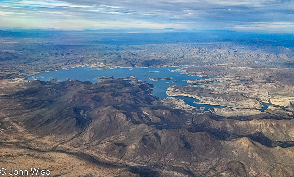
Flying over Lake Pleasant in Arizona

That’s Lake Pleasant out there, which is at the edge of Phoenix, meaning we are almost home. Time to close that chapter from Latour and put the Oregon coast behind us before settling into a long slog of trying to document another incredible vacation.

Deep Surprises in Oregon – Day 10

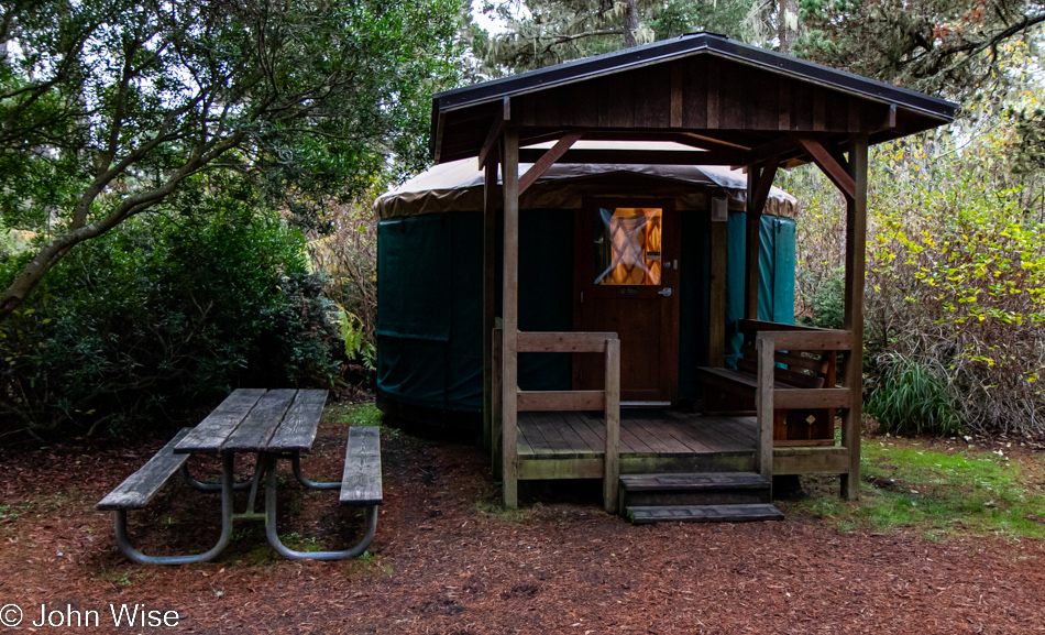
Yurt at Bullards Beach State Park in Bandon, Oregon

Welcome to the tenth and final day of our coastal vacation that saw us waking in this yurt at Bullards Beach State Park in Bandon, Oregon. We watched a rafter of turkeys stroll by, and while I tried to get a decent photo, it just didn’t work out with our car as background, a curb in the shot, the motorhomes across the way, etc. So, with the sadness that arrives at the last moments of all of our getaways, we pack up one last time, say fond goodbyes to inanimate things that don’t care that we were here, and offer wishes that we might return again one day.

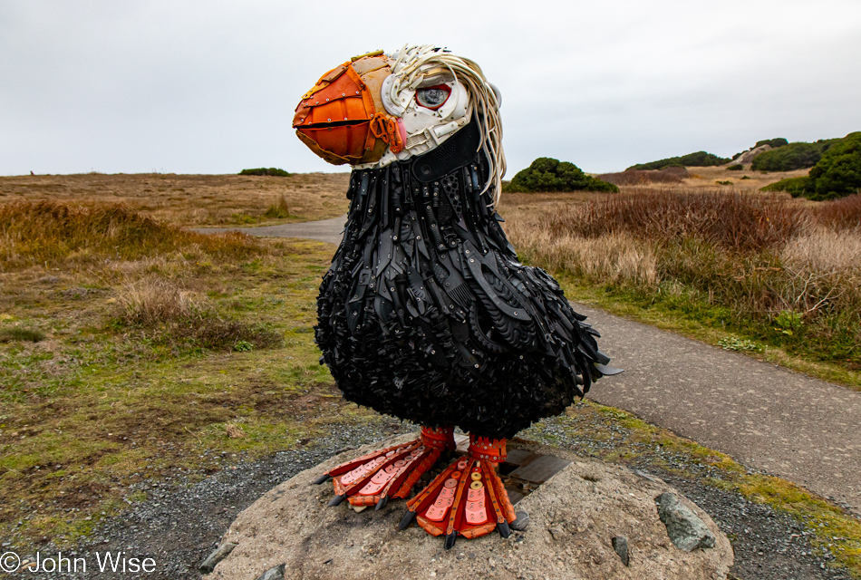
Cosmo the Tufted Puffin in Bandon, Oregon

Might not have been able to capture a nice photo of a turkey, but Cosmo the Tufted Puffin had no problem keeping a pose until I got something reasonable. Cosmo took up its perch here at Coquille Point back in 2018 in celebration of Earth Day. Made from recycled materials found on Oregon beaches, it was the efforts of Angela Haseltine Pozzi and her non-profit Washed Ashore that brought Cosmo to be a fixture here on the southern coast. This tufted puffin is likely the only 6-foot-tall bird made of marine debris on our entire planet.

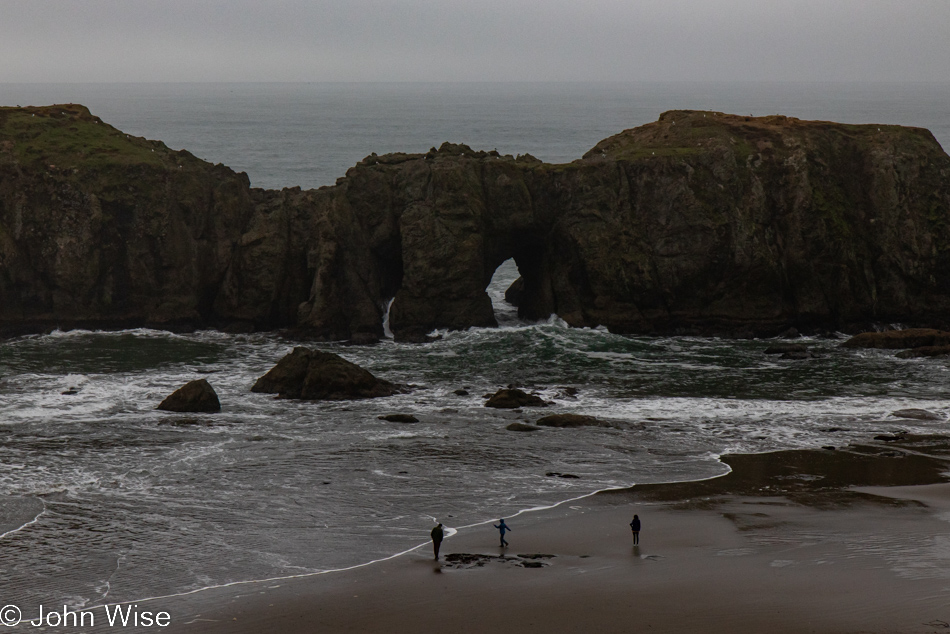
Coquille Point National Wildlife Refuge in Bandon, Oregon

In poor light and an angle that doesn’t exemplify what others see, this is Elephant Rock. Don’t bother trying to catch sight of what I’m failing to bring attention to; let it suffice that the arch is the place between its legs. While Face Rock has always been obvious to me, I just learned that this one is officially called Elephant Rock, and I fail to see why.

Coquille Point National Wildlife Refuge in Bandon, Oregon

With the weather holding, meaning it’s not raining, there’s no time left to waste if we are going to get some beach exploration in.

Coquille Point National Wildlife Refuge in Bandon, Oregon

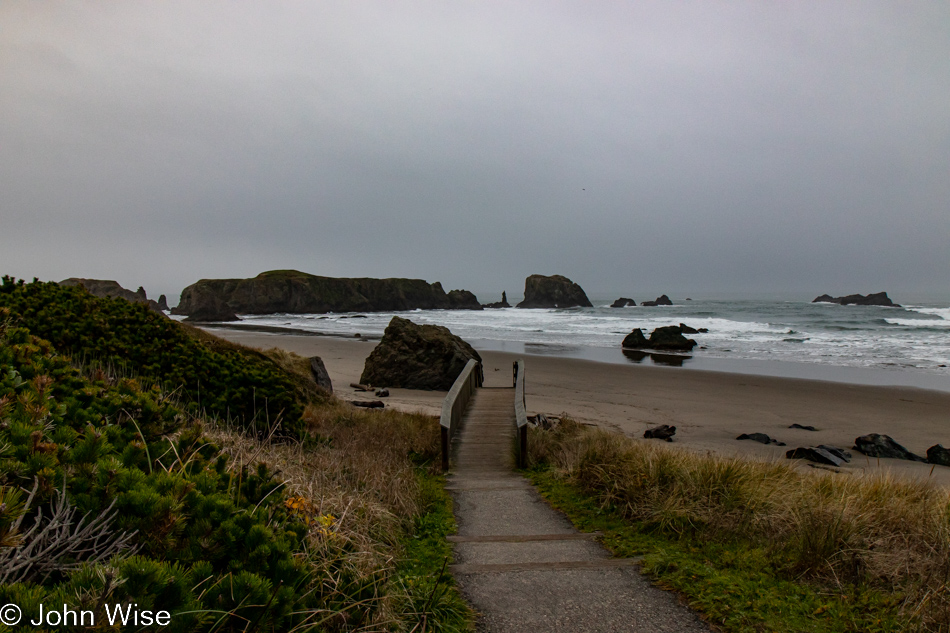
And so, down we go.

Coquille Point National Wildlife Refuge in Bandon, Oregon

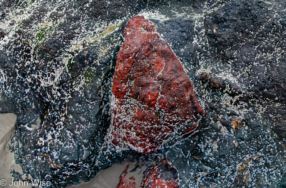
This will not be further musings on the world of barnacles, though this is definitely one of the largest clusters of tiny ones. I’m more curious about the blood-red rock sandwiched in the surrounding metamorphic rock. I just learned that the sacred Sae-Tsik-Na (“Grandmother Rock”) that used to stand out here was quarried out of existence for the building of the Bandon jetty back in 1900. Well, that sacred rock to the Coquille people was made of blueschist speckled with red garnets, and if this is some ancient metamorphosized sandstone with a high amount of iron oxide in it, this would be the deepest red sandstone I’ve ever seen. I understand that the red rock is not translucent, so not likely to be red garnet, but could it have been on its way to becoming a gemstone had it remained in the deep miles below the surface for a bit longer?

Coquille Point National Wildlife Refuge in Bandon, Oregon

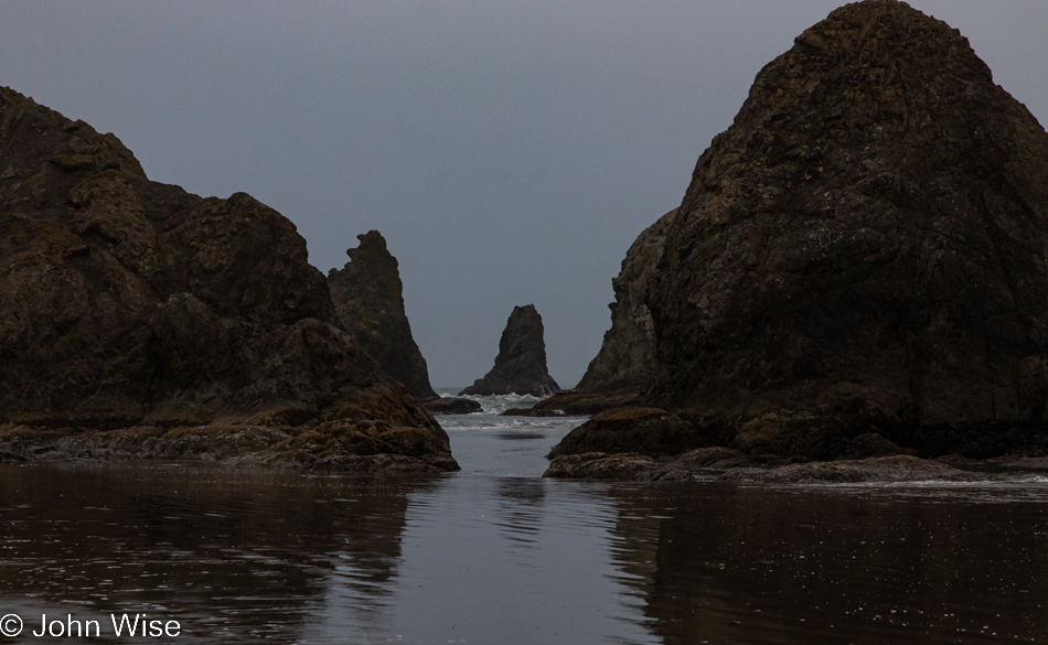
Looking up the rocks standing out here, I learned that they are called knockers (cue John’s childish giggles) and are formed after the softer rocks and soils wash away. The really cool thing is that some of the rocks out here formed hundreds of miles apart, but thanks to millions of years of subduction, they’ve ended up here.

Coquille Point National Wildlife Refuge in Bandon, Oregon

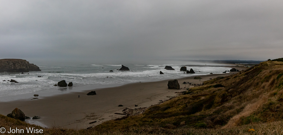
All of a sudden, the gloom of the sky, in a sense, lifts, and I see the beach here in Bandon in a whole new light. If we might have thought that this trip to the Oregon coast might be our last, it is nearly certain that we’ll have to make a return as there are obviously things that require deeper examination.

Coquille Point National Wildlife Refuge in Bandon, Oregon

Between two sides of the beach is an outcropping with a cut in it that is filled with boulders and large pieces of driftwood. We only need to scramble through it to reach the other side.

Coquille Point National Wildlife Refuge in Bandon, Oregon

Doing so without distraction is another matter, as there are thousands of details here worth scrutinizing.

Coquille Point National Wildlife Refuge in Bandon, Oregon

Once on the other side, we get a better view through the arch between the legs of the elephant, except for the backed-up water that obscures the view.

Seals at Coquille Point National Wildlife Refuge in Bandon, Oregon

I took more than one photo of these seals, and this was the best of them, which is not saying a lot as they are almost unrecognizable, but they are reminders to Caroline and me that we saw them and maybe for others to gather a hint of what’s to look for while along the coast. I’m pointing this out as one of the other contenders showed a large part of the rocks above them, which to my eye looked incredibly ancient, not as in billions of years, but still quite old. Good old research to the rescue, but also bad for me as there is now ZERO doubt of our return to this area.

There are blueschist knockers out here, and of course, there are chunks of it in the jetty. This stone turns out to be very rare, as in seriously rare. The conditions for its formation are the reason: they must be near a subduction zone, and they can’t go too deep below the surface; otherwise, the pressure and heat will change the minerals into something else. They are typically not old rocks because subduction zones are chaotic places pushing large pieces of earth to and fro. From the Scientific American article I was reading, I learned that it’s easy to find examples of blueschist here in Bandon that were created under 10 kilobar of pressure, meaning these rocks were once 22 to 25 miles (35 to 40 kilometers) below the surface of land we were standing on while here in Oregon. If this means little to you, I’d surmise you have little understanding about time and should get yourself out in the world and question what you are seeing.

Highway 101 north of Bandon, Oregon

In the fog and mist, we move slowly, not really out of caution regarding the driving conditions but more out of the desire to bring to our senses as much as possible due to our event horizon coming to a close.

Highway 101 north of Bandon, Oregon

Knowing that last impressions are what we are gathering, we have to look hard at the gray environment for those things that, in years to come, we’ll hold close from our days in Oregon. These perfect examples of yet another wonderful day full of experiences are worth remembering forever.

Coos Bay, Oregon

Over the 20 years, we’ve been passing up and down this coast, this corner here at Coos Bay has held a special interest that I’ve always failed to satisfy my curiosity about. It seems apparent that at one time, long before we ever visited, this must have been a major center of the timber industry, and while remnants are still here, I get the sense that it had a much more significant presence here.

Coos Bay, Oregon

The old adage “be careful what you wish for” needs to be updated for me to “be careful what you research.” Looking for information about the history of logging in the Coos Bay region, the first thing I learned was there are 41,000 acres of old-growth trees still remaining in 1.15 million acres of Coos County. Trees older than 400 years old have been clear cut, and with that, I’ve read enough; this includes a recent 2019 harvest approved by Anthony Davis, a dean of Oregon State University entrusted with lands under their forestry protection program who axed a 16-acre tract of land because they needed the money due to cost overruns regarding a university construction project. Pardon me, but this is bullshit.

Coos Bay, Oregon

While I’m out in this beautiful place, I only want to enjoy the solemnity of it all. Now, back in Arizona and knowing that our form of capitalism will only continue to exploit everything that can make money, my wish is for either a meteorite to splash down in the Pacific and wash humanity from the surface of our planet or maybe even for a certain Russian megalomaniac to let the nukes fly so our planet can get to the business of repairing the profoundly ugly damage we perpetuate on these lands, waters, and atmosphere on a daily basis.

Coos Bay, Oregon

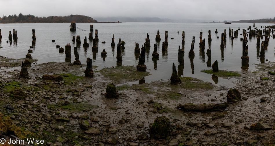
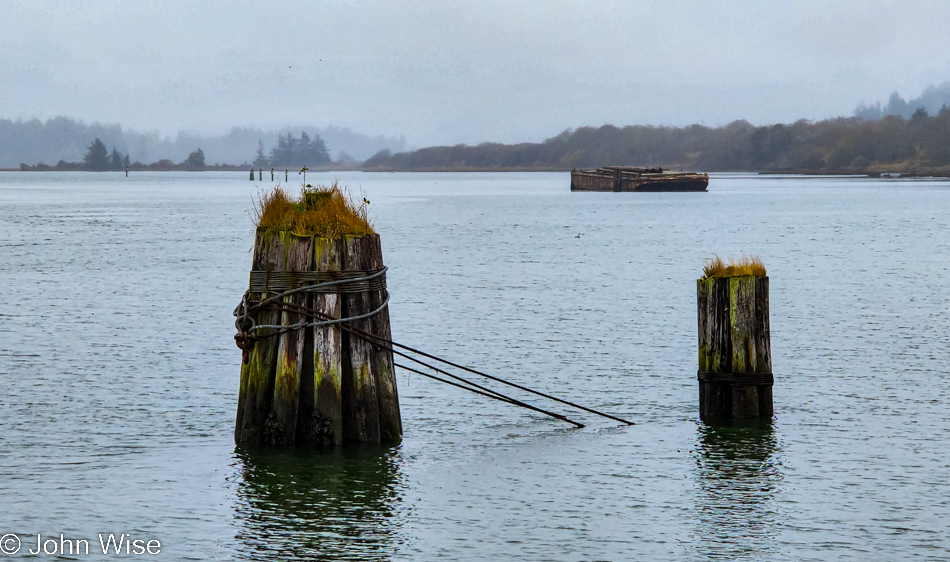
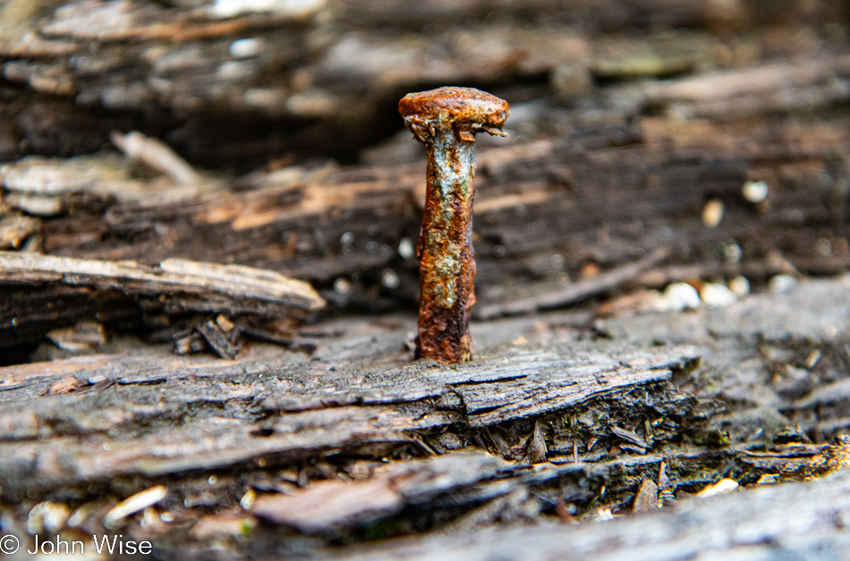
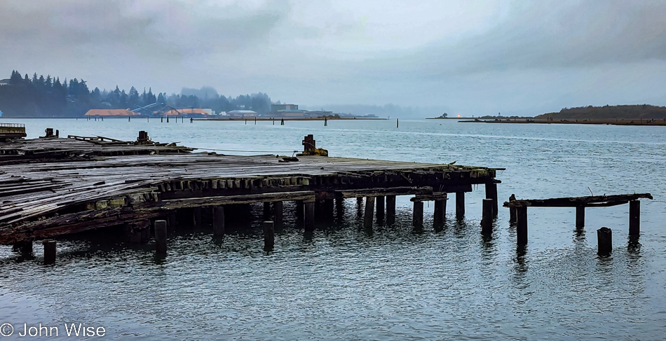
The presence of humans over the course of history has left impressions for centuries into the future; things like cave paintings, old middens, burial sites, certain buildings, and even some artifacts have been found. Today, though, we consume and throw away everything we touch as though some omnipotent god could wave a hand and repair the horror we are leaving in our wake. While I can pause and appreciate the aesthetic of a rusting nail from a disused dock, I’m also reminded of how little we care about what’s left behind as long as we got ours.

Coos Bay, Oregon

But if I don’t leave this track of destruction and neglect behind me, I’ll be ending this series of blog posts on a negative note, and that’s not really where I want to go.

Road to Umpqua Lighthouse State Park in Reedsport, Oregon

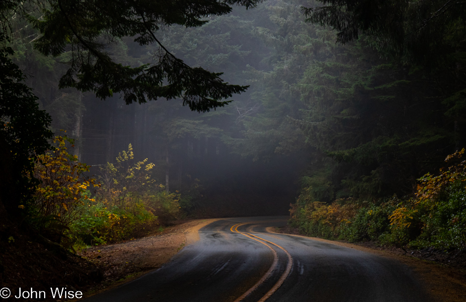
So, let’s return to the intense pockets of beauty that still exist out here and share those impressions. From here I can hope that others might stumble upon these posts, not only to see what had been but to inspire them to visit and see for themselves an environment cared for and protected where not everything need be fouled for the sake of exploitation.

Road to Umpqua Lighthouse State Park in Reedsport, Oregon

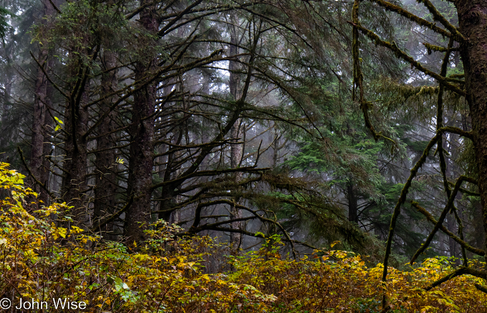
Certainly, this forest view is one of wonderment, but you might notice there are no old trees here. Maybe others in the centuries to come will be afforded the opportunity to see this place still filled with the trees that were standing here back in 2022.

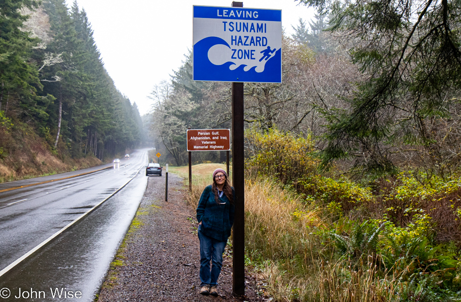
Caroline Wise leaving the Tsunami Hazard Zone north of Reedsport, Oregon

Maybe instead of telling people passing through that they are entering and leaving tsunami hazard zones, we should have signs in life that we are entering an exploitation-free zone where nature is being allowed to present itself in the rawest format without anything more from humans than pathways through and maybe accommodations that leave no impact.

Highway 101 in Gardiner, Oregon

It’s not lost on me that, in effect, we modern humans are not as “modern as we might pretend and are instead half-stupid creatures stumbling through the fog of our own arrogance.

Highway 101 in Gardiner, Oregon

It’s with great sadness that we inch ever closer to the exit.

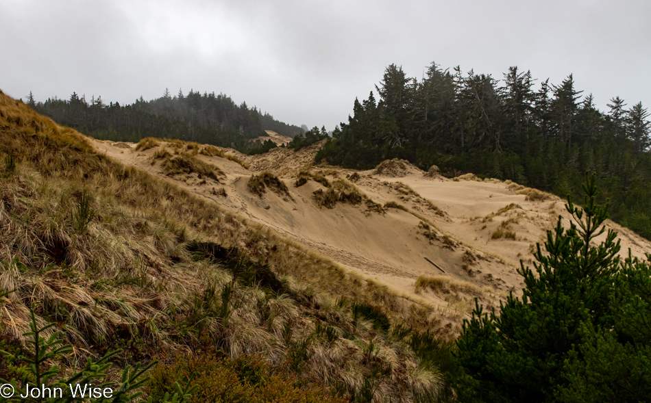
Oregon Dunes Overlook in Gardiner, Oregon

Then again, maybe, just maybe, there’s enough time for us to capture one other new place we’ve never visited before that is to be found right here at the Oregon Dunes Overlook in Gardiner.

Oregon Dunes Overlook in Gardiner, Oregon

Is it the melancholy of distance that stimulates ideas not realized while I was at a place where I should have tried pulling back from the abyss of being overwhelmed to gather yet a different perspective? In this instance, I wish to see the forest from the level of a newt, between mushrooms, while walking across the moss and sand.

Oregon Dunes Overlook in Gardiner, Oregon

As I said, we are here in the sand dunes, among mountains of sand.

Oregon Dunes Overlook in Gardiner, Oregon

With a lush forest growing on top of it in spots.

Oregon Dunes Overlook in Gardiner, Oregon

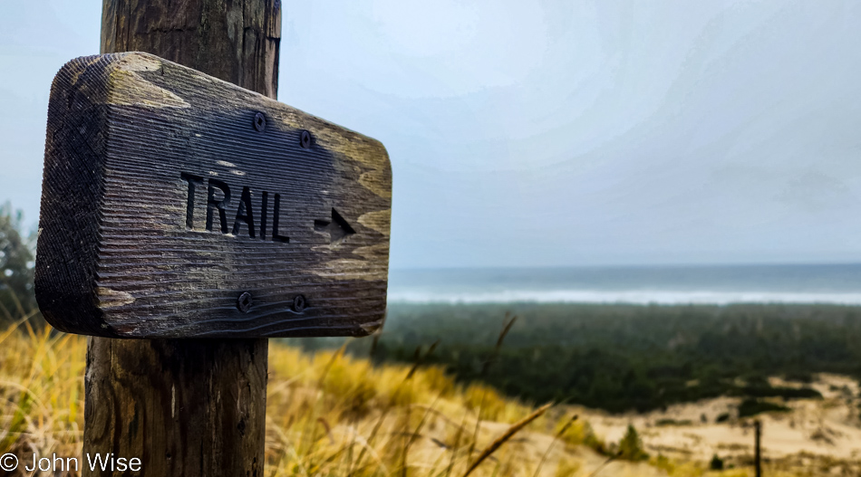
While the trail could have taken us to the ocean (you can see the sign points right to it), we are limited regarding goof-off time. Being mindful of that factor, we reluctantly return to the car.

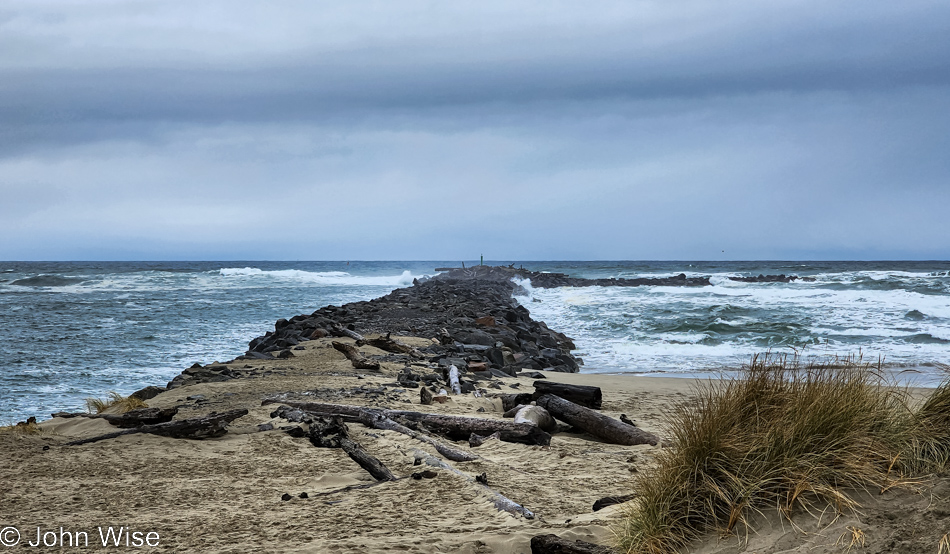
North Jetty Beach in Florence, Oregon

And then, before we know it, we are back in Florence, where our encounter with the coast began ten days ago. By this time at the North Jetty, we’ve already lunched up at the Little Brown Hen, where, for the second time, we shared a warm bowl of the best brown rice pudding you’ll find on the entire coast of this state. The need to walk off that indulgence is part of what brought us out here.

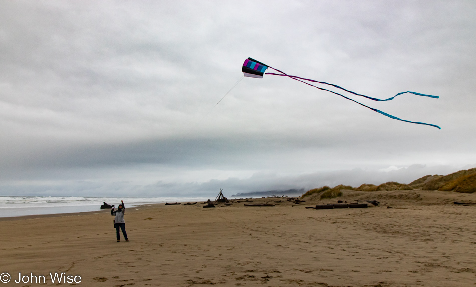
Caroline Wise at North Jetty Beach in Florence, Oregon

That, and Caroline’s need to bring out Happy McKiteface for a final flight in the cool coastal air we’ll soon be missing.

North Jetty Beach in Florence, Oregon

If I can’t take a multi-hundred-pound souvenir with me today, I can bring a reminder.

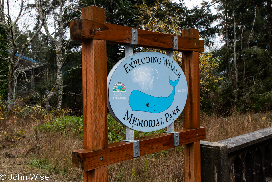
Exploding Whale Memorial Park in Florence, Oregon

Speaking of reminders, who doesn’t want to be reminded of that day 52 years ago when too much dynamite was used to remove a whale carcass from a nearby beach but instead blew car-crushing, possibly life-extinguishing chunks of rotting whale in all directions?

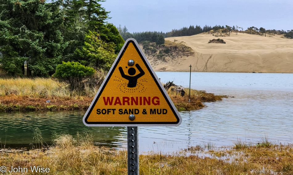
Exploding Whale Memorial Park in Florence, Oregon

This warning sign at the Exploding Whale Memorial site regarding soft sand and mud should include some text that the incident did NOT happen here but somewhere on the other side of that dune. I didn’t want to visit some random place for a moment of remembrance; I wanted to stand on ground zero where said whale failed to vaporize and instead was sent off to chunkidom.

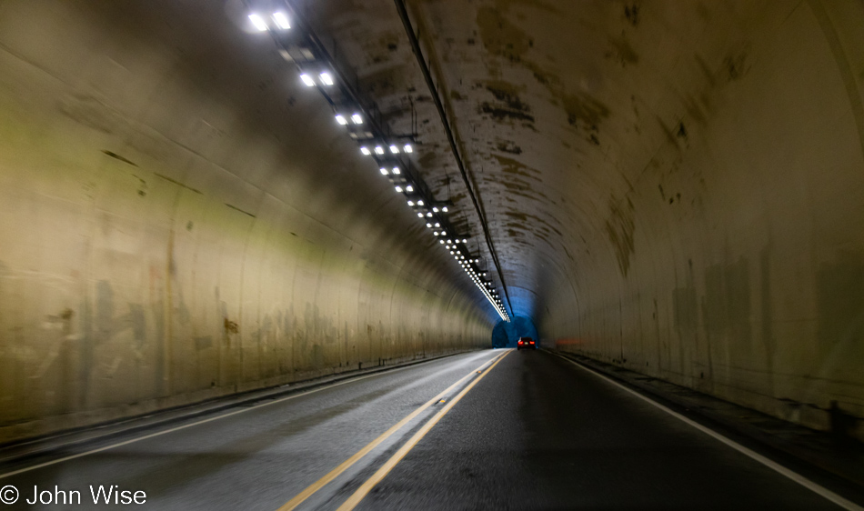
Petersen Tunnel east of Mapleton, Oregon

With a bunk memorial site behind us and Dutch Bros. coffee along for the ride to Eugene, we have now left the tsunami zone.

Happy McKiteface Over Oregon- Day 9

A Stellar Jay at Umpqua Lighthouse in Reedsport, Oregon

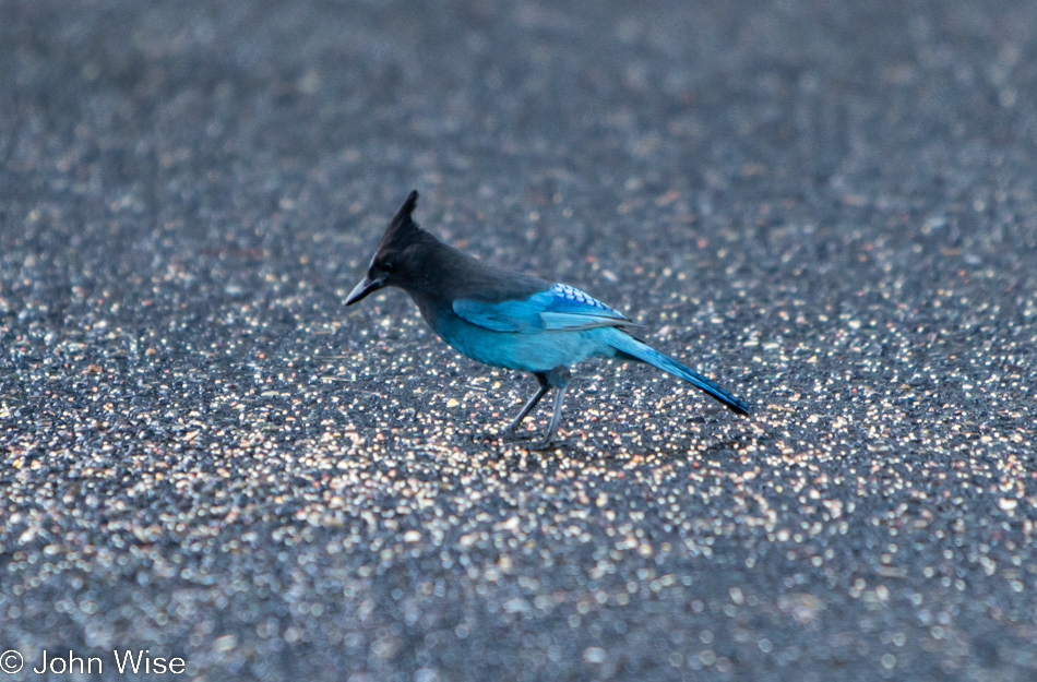
Good morning, Steller’s jay! I hope you enjoy your morning meal courtesy of the vanlife guttersnipes that squatted here overnight. Caroline and I have been visiting the Oregon coast for about 20 years now, and I can say with certainty we’ve never seen so many roadside freeloaders who don’t have the respect to pay attention to the “No Overnight Camping Allowed” signs. I can only surmise that their sense of being free to roam America’s roads allows them to feel a sense of entitlement that arrives with their chosen form of homelessness for the sake of social media status. Regarding the homeless situation, it has spilled out of the bigger cities and now shows up on the coast in ways we’d not seen before. From more people living in cars (not in the aforementioned vanlife configuration) to people struggling with loads of stuff being moved through town and those who will join the ranks in the coming year due to the problem of rising rents, the situation is one of ugly proportions. Back to the vanlifers, Caroline and I used to pull into overlook parking lots where we might be the only people, but when we pull in, and there are people just waking, finishing their ablutions, or putting away the cooking gear, I try to imagine what our experiences would have been like if people in motorhomes had exercised the same liberties, especially considering two large vehicles could fill up a pullout and stop anyone else from stopping for a moment. Just because we didn’t park at an ocean overlook doesn’t mean our waking experiences are any less valid or someone else’s even greater because they flaunt convention. Enough of that, I look forward to the day that vanlife is no longer a thing or I’m dead and gone, no longer able to witness the arrogance.
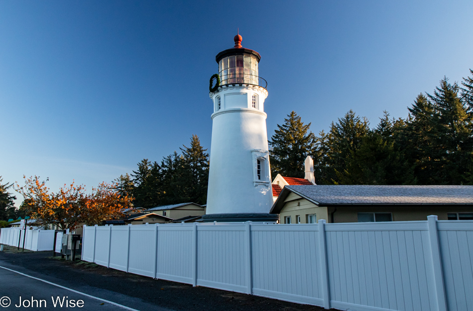
Umpqua Lighthouse in Reedsport, Oregon

Normally, waking near the shadow of a lighthouse is a terrific thing, but driving into someone’s temporary bedroom sure puts a damper on that. Fortunately, they were soon gone after we spoiled their perfect isolation with our intrusion. Oops, I said I was done with all that, but the truth is that I’m never done once something gets jammed in my craw.

When we travel on weekends, it’s often been difficult for Caroline to connect with her mom in Frankfurt for her weekly call, but it just so happens that our brother-in-law Klaus is visiting Jutta as we were packing up the yurt and is going to bring us into a video chat. While my mother-in-law has certainly been here at the lighthouse, we have some skepticism about how much she remembers or whether she simply learned to just go along with things and agree to fond memories rather than admit these things are largely gone from her book of memories. It’s really not a problem, though, as she smiles a lot, and we know she’s still very aware that she’s been to the United States many times, even if many of the details are lost to the passage of time.
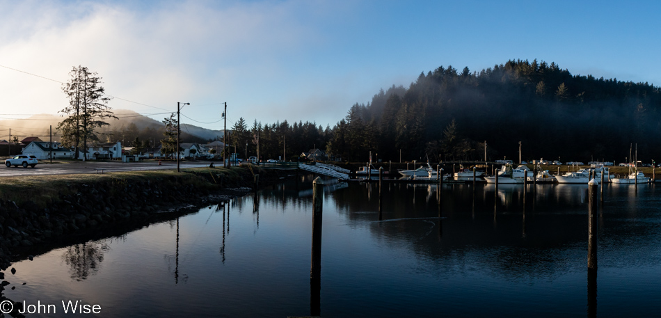
Umpqua River in Winchester Bay, Oregon

Do you remember how years ago there was a floating restaurant off in the distant corner here in Winchester Bay? We fondly do and have often wished to visit again, but it’s been closed for years. We first dined there back in 2006; such is the good luck of having blog posts to remind one of something that might have been forgotten otherwise. Today, we sit next to the Umpqua River for breakfast after choosing the place with more cars parked outside, figuring the locals know something.
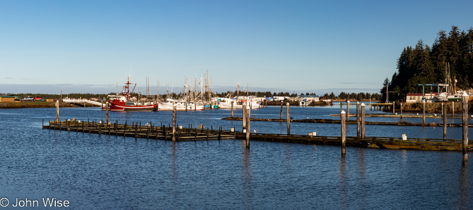
Umpqua River in Winchester Bay, Oregon

Never believe in 10-day forecasts, or better yet, simply don’t look at them because would they really change your travel plans? This is probably bad advice because at least they offer some idea of how to dress for potential weather conditions. As for the location, we are on the other side of the restaurant for a post-breakfast walk under perfect skies.
Umpqua Lighthouse State Park in Reedsport, Oregon

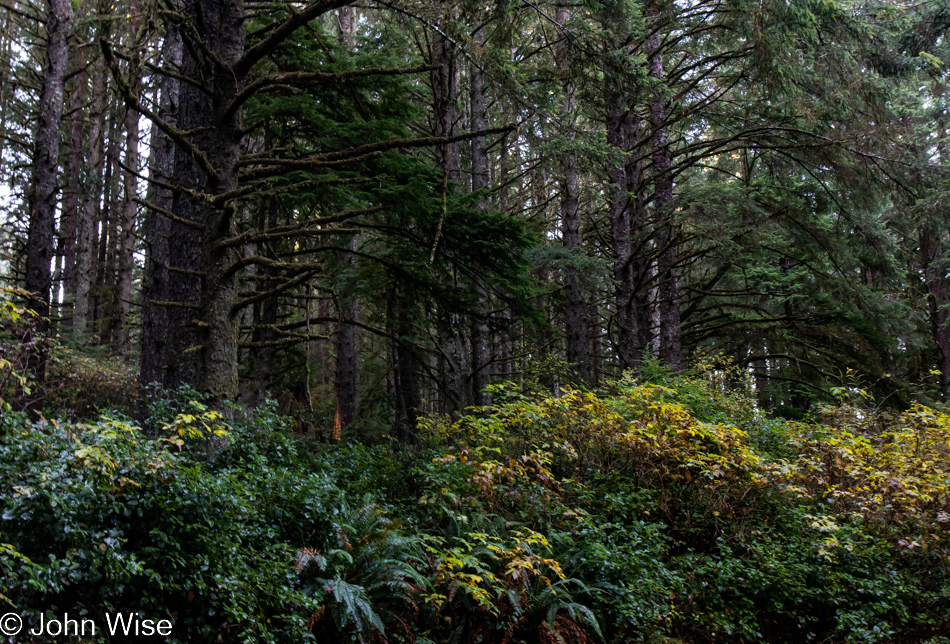
This isn’t just any old forest; it is the forest that goes back…
Umpqua Lighthouse in Reedsport, Oregon

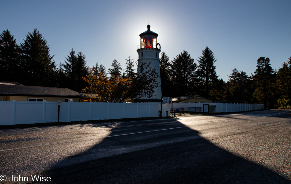
…back to the Umpqua Lighthouse because without Tillamook Creamery around for breakfast dessert, this will have to do.
Oregon Dunes seen from the David Dewett Veterans Memorial in North Bend, Oregon

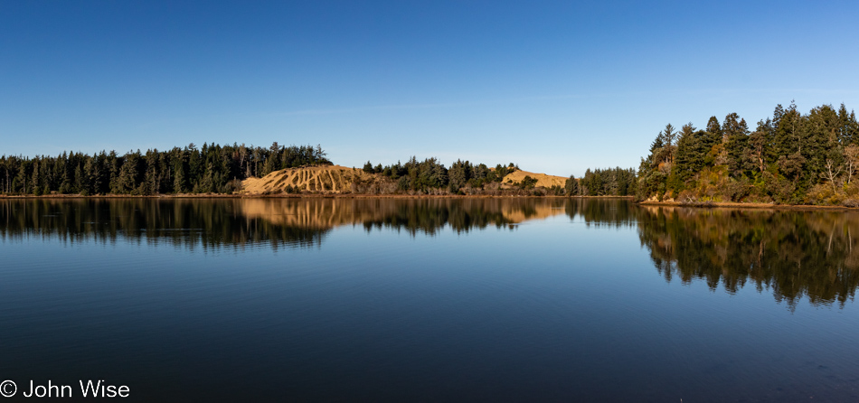
We are looking across one small part of Coos Bay from the vantage point of the David Dewett Veterans Memorial in North Bend. It almost never fails that the reflections of the Oregon Dunes catch our eye, and poetically, it makes sense that a place of such great reflection should be the site of a veterans memorial.
McCullough Memorial Bridge in North Bend, Oregon

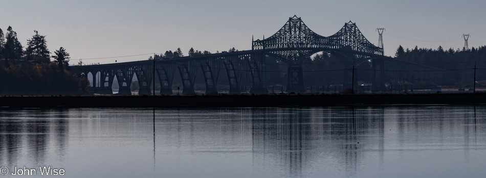
In the opposite direction, you’ll find the McCullough Memorial Bridge.
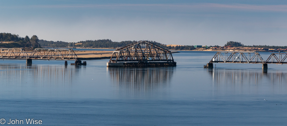
Rail bridge over Coos Bay in North Bend, Oregon

In all the years we’ve been passing through here, we’ve yet to see this rail bridge in any other position or to see trains crossing the bay. We can only guess that this is a relic of the age of forestry as it existed in the past.
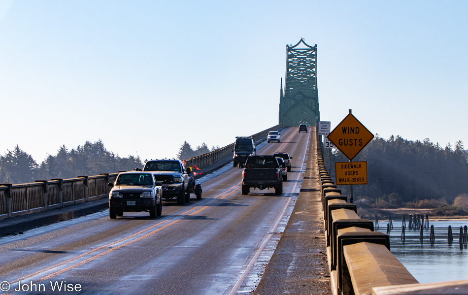
McCullough Memorial Bridge in North Bend, Oregon

From this fascination with bridges, one might think Arizona doesn’t have any, but it turns out that Arizona and Oregon are nearly equal in that department, which suggests that the bridges in Arizona are not remarkable in any way. Before you object: yes, we have the Navajo Bridges over the Colorado River and the London Bridge that was moved from the U.K. to Lake Havasu, along with the Black Bridge down in the Grand Canyon, but other than those, I cannot think of any other memorable crossings in Arizona. [May I suggest Roosevelt Lake Bridge?  Caroline]
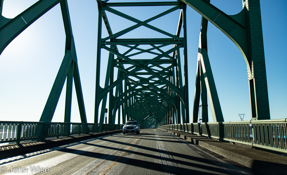
McCullough Memorial Bridge in North Bend, Oregon

For 86 years, people have been using this bridge, but has anyone else taken so many photos of it?
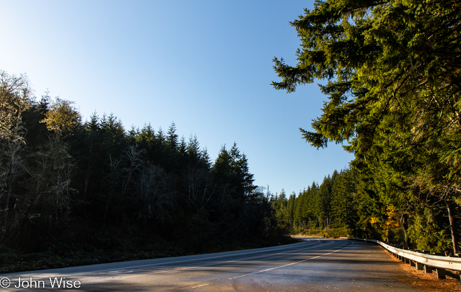
Traveling Highway 101 south of Coos Bay, Oregon

I’m always trying to remind myself not only to stop and take photos of the most iconic things but also the mundane ones along the way, as they are just as important a part of the attraction that draws us back year after year.
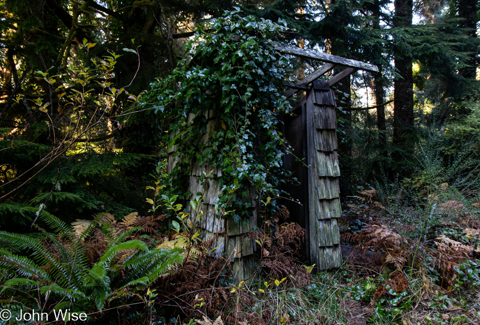
Old rain shelter on Riverside Drive in Bandon, Oregon

In addition, we try to turn down side roads we might have missed on previous travels, and today, that worked in our favor when we turned onto Riverside Drive. At first glance, this might look like an outhouse to those of us not accustomed to living in rainy places, but upon looking closer, it was obvious that this was a long-neglected bus stop for kids who needed shelter while waiting for their school bus.
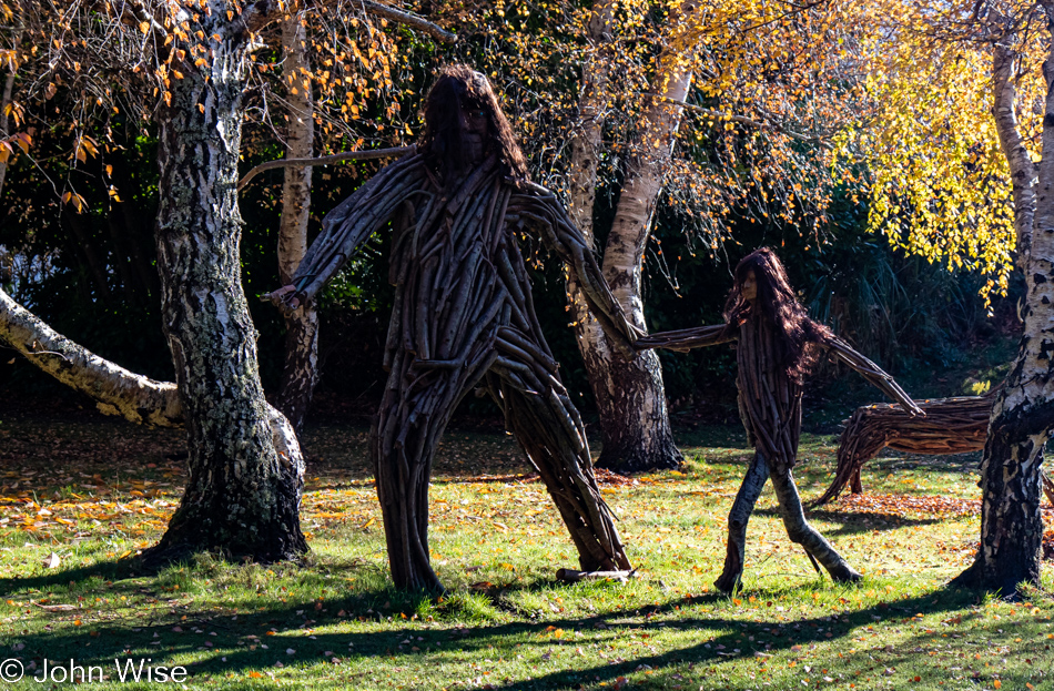
Big Foot and child on Riverside Drive in Bandon, Oregon

That, or it was a hiding place from a marauding Big Foot and its daughter.
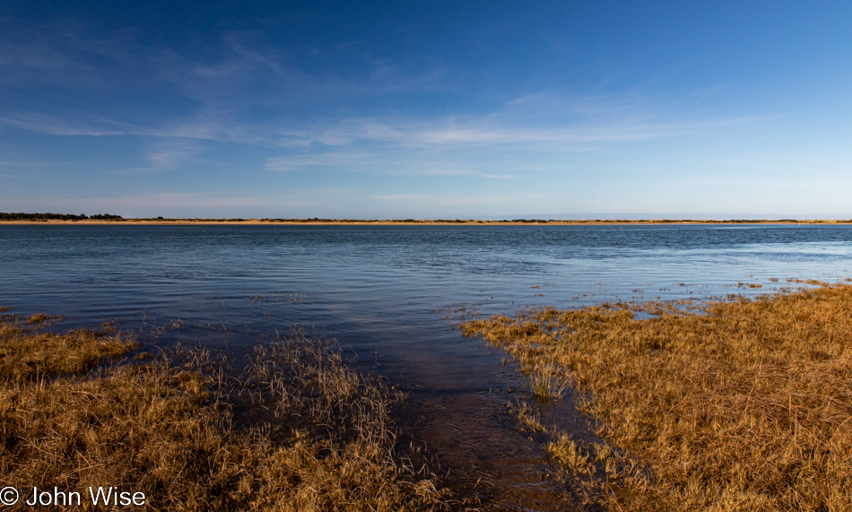
Bandon Marsh National Wildlife Refuge in Bandon, Oregon

Also from Riverside Drive, a view of the Bandon Marsh National Wildlife Refuge we’ve never seen before.
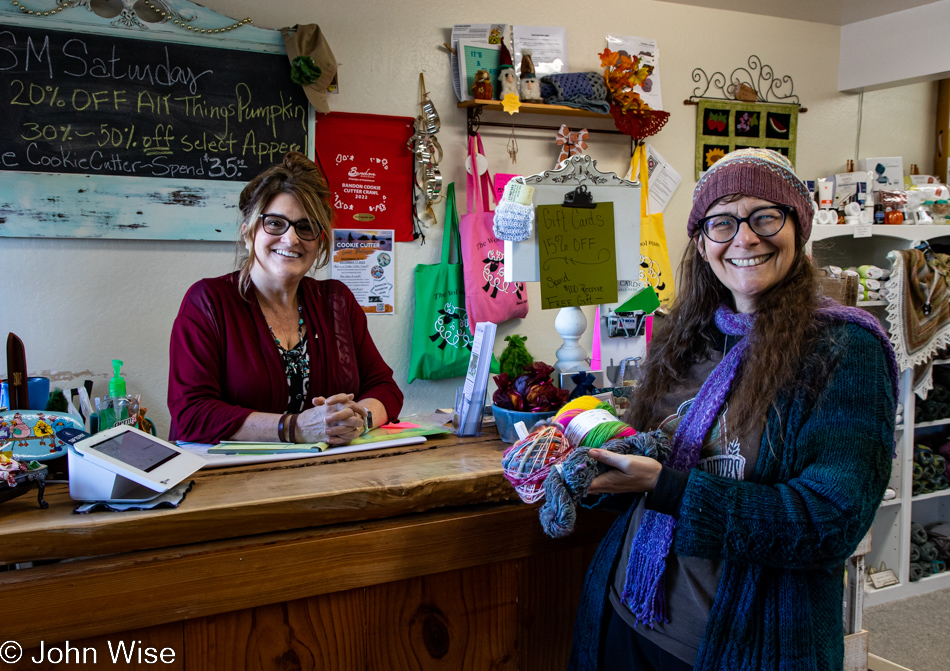
Caroline Wise at the Wool Company yarn store in Bandon, Oregon

The same cannot be said of the Wool Company yarn store in Bandon, which we’ve visited countless times and must have bought 50 skeins of yarn by now. Yes, there is new sock yarn there, destined for my feet.
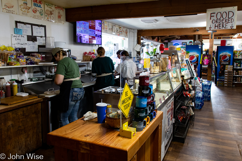
The famous Langlois Market in Langlois, Oregon

Another place becoming a regular stop on our journeys is found here at the famous Langlois Market, best known for the more than 1,000,000 hotdogs they’ve sold from their little roadside market in a town of only 370 people.
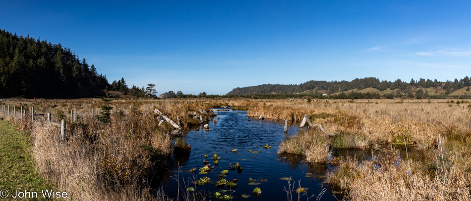
Cape Blanco State Park in Port Orford, Oregon

Not being able to remember offhand the last time we visited the Cape Blanco Lighthouse in Port Orford, we decided to drive down the road through the state park to have a gander.
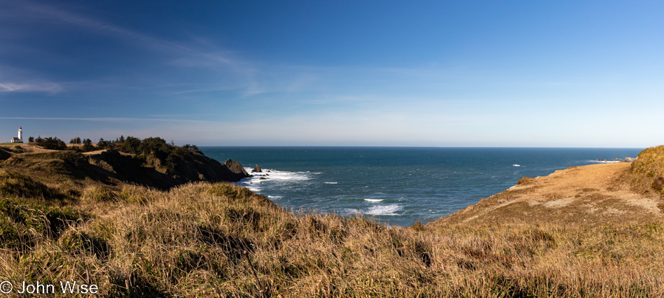
Cape Blanco State Park in Port Orford, Oregon

Oooh, it’s windy and cold out here, but the sky demands that we take the short walk in the elements to nab a photo of the lighthouse should it happen that I’ve never taken one in such nice weather.
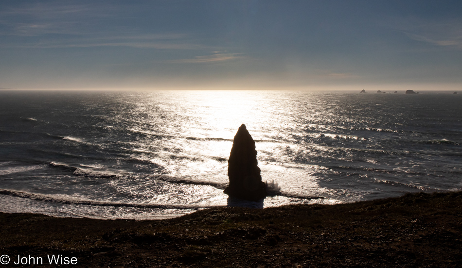
Cape Blanco State Park in Port Orford, Oregon

Apparently, Neptune has raised his Sword of Damocles against those who live above the surface of his vast ocean, threatening all of us should we not heed our own knowledge that we are ravaging his seas.
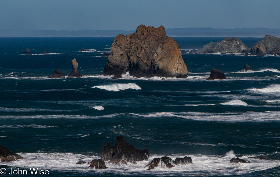
Cape Blanco State Park in Port Orford, Oregon

And to our right, as we walk out on the spit of land that is home to the lighthouse, is this view of the deep blue sea that just yesterday was dark green.
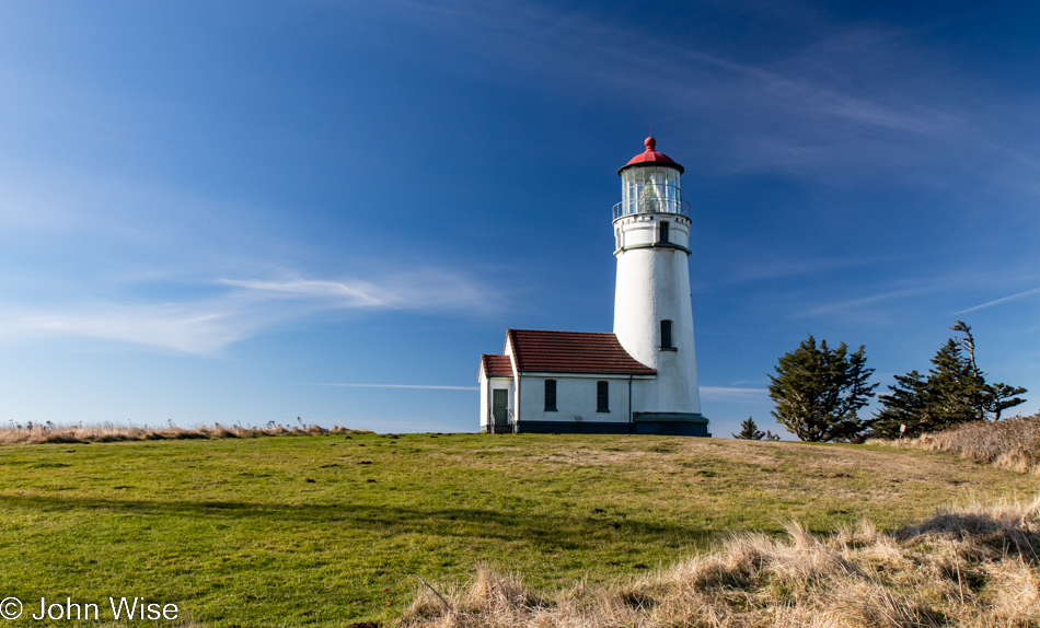
Lighthouse at Cape Blanco State Park in Port Orford, Oregon

At this time of year, nothing is open; the season is over. No matter, as the tower itself is not currently visitable even during the summer.
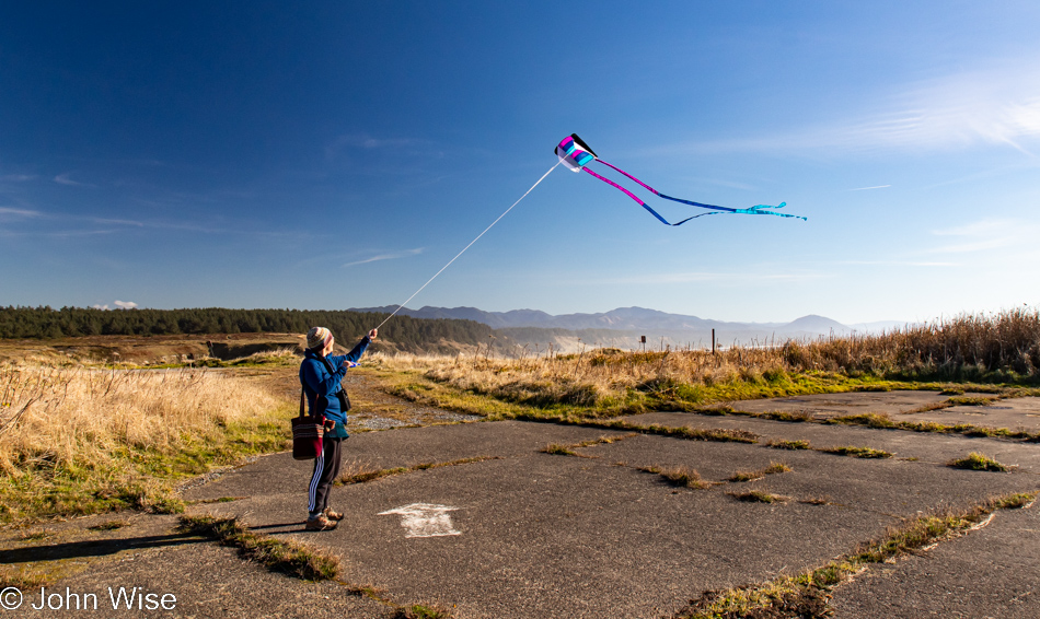
Caroline Wise at Cape Blanco State Park in Port Orford, Oregon

As I said, it’s windy out here, which Caroline thought was as good a time as any to break out the new kite and test how it compares to the one it’s replacing. We’ll just call it love.
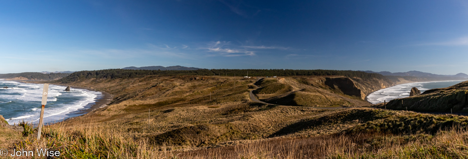
Cape Blanco State Park in Port Orford, Oregon

Our car is out there in front of the tree line, and looking at the photo above this one, you might have noticed that Caroline was standing in the old parking lot. Even if the road to the lighthouse was still open, you should be reluctant to drive it as the adjacent cliffside is eroding.
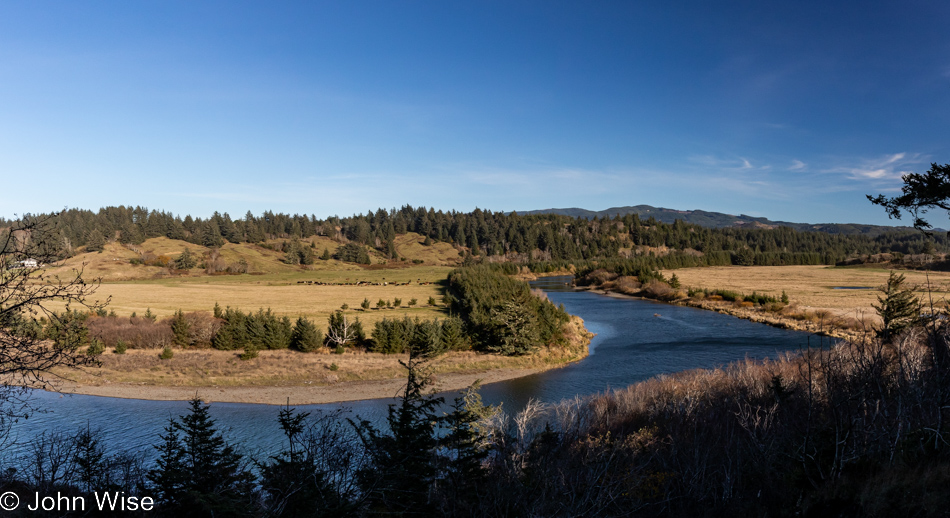
Cape Blanco State Park in Port Orford, Oregon

This is still part of the Cape Blanco State Park, and to the left is the Historic Hughes House built in 1898 that is visitable.
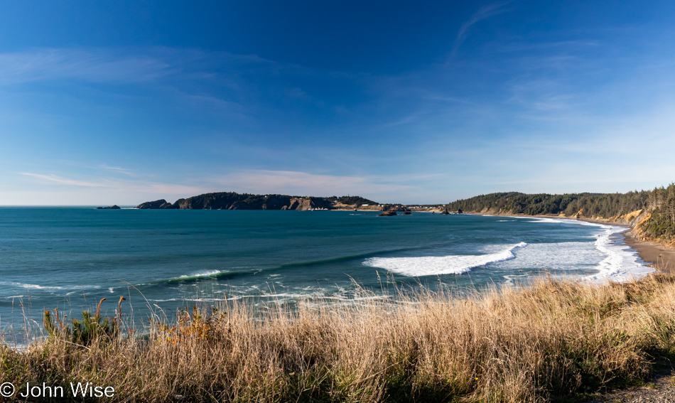
Port Orford, Oregon

There are a lot of places I can say with certainty we’ve visited before, even multiple times, but this pullout looking north towards Port Orford seems to me to be one of the surprisingly many new sites we’ve stopped at during these days.
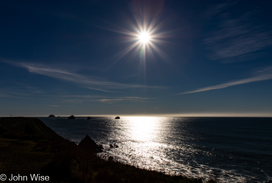
Looking southwest from the same vantage point offers up a crisp sky and a horizon nearly devoid of any fog. Of all the times we’ve been asked if we’ve been here or there, this country or that, nobody has ever asked if we’d ever had the opportunity to be out in the middle of the Pacific Ocean.
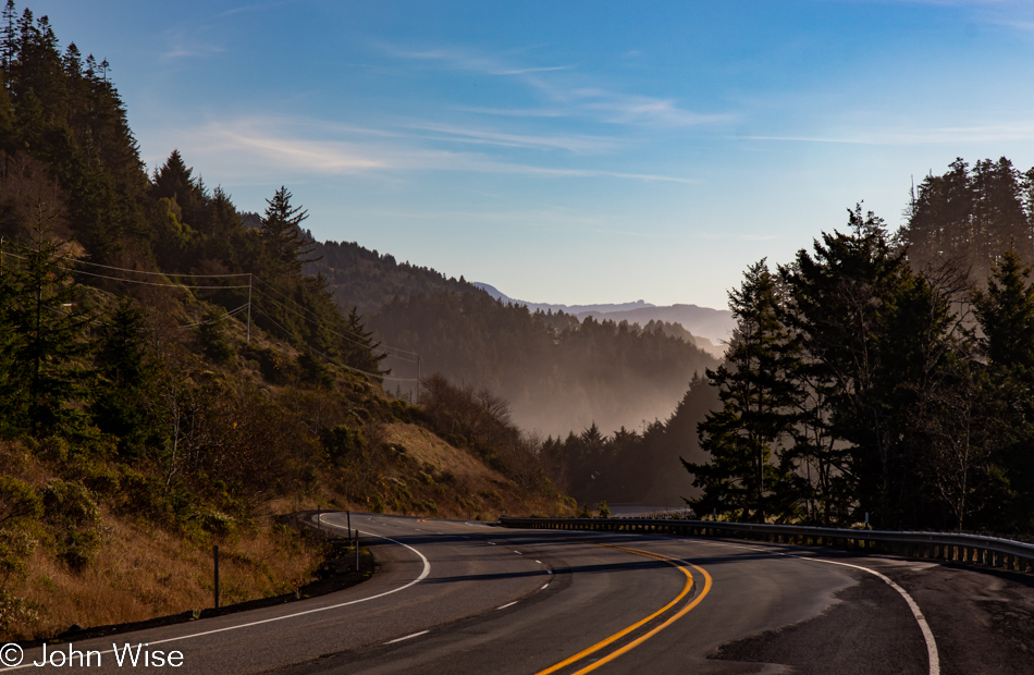
While our yurt at Bullards Beach State Park in Bandon is now 30 miles behind us, we have a date with a rock 35 miles ahead.
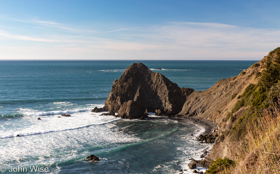
View from Highway 101 north of Gold Beach, Oregon

Persistence paid off in my attempts to figure out where the heck we were on the road, but it is mislabeled on Google Maps and is not identified at all on Bing; the address is roughly 35690 Oregon Coast Highway, identified with Port Orford, and it is NOT Foramen Arch.
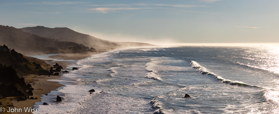
View from Highway 101 north of Gold Beach, Oregon

Turn and look south, and this is your view from the photo above. To the left of the image, you can see Euchre Creek spilling into the ocean.
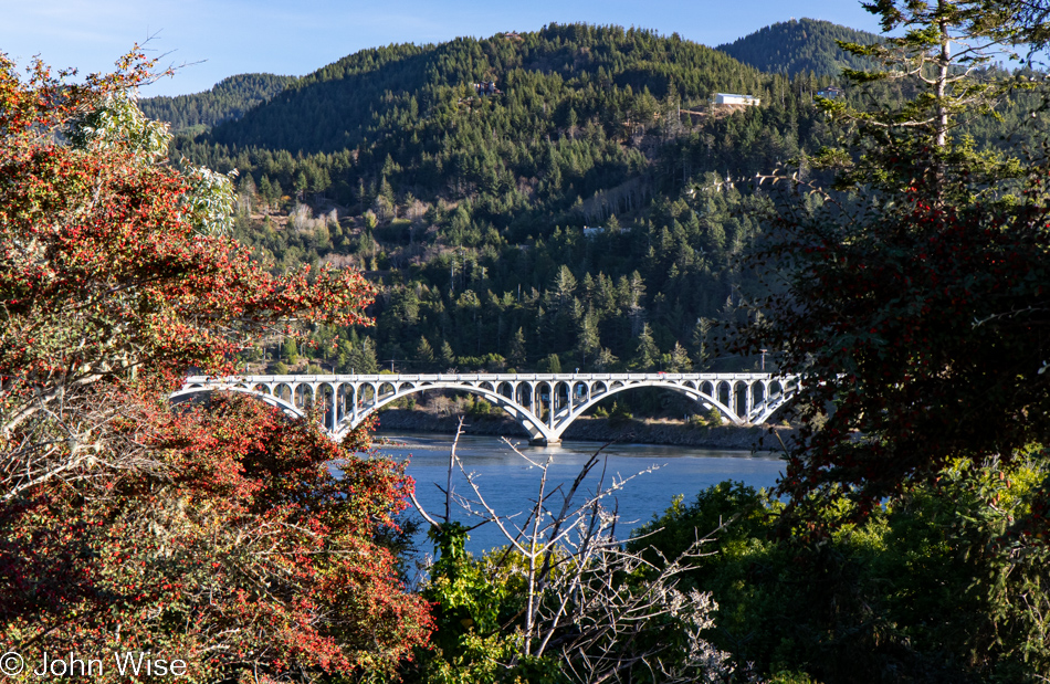
Wedderburn Bridge in Gold Beach, Oregon

Moving down a hill and between the bushes, we were offered this view of Wedderburn Bridge in Gold Beach. I wanted to snap a photo from the road, which gave a much better view; stopping for a photo would have been too dangerous though, so this one will have to do. It’s yet another bridge designed by the famous civil Oregonian engineer with a Hitler mustache named Conde McCullough.
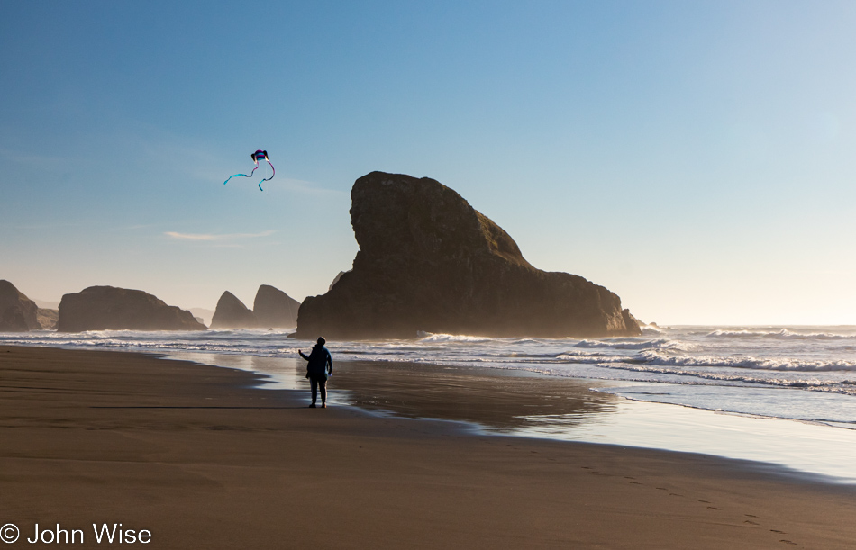
Caroline Wise at Meyers Creek Beach in Gold Beach, Oregon

Meet our southern date here at Meyers Creek Beach, the Shark Fin. This visit, though, now comes with 100% more kite.
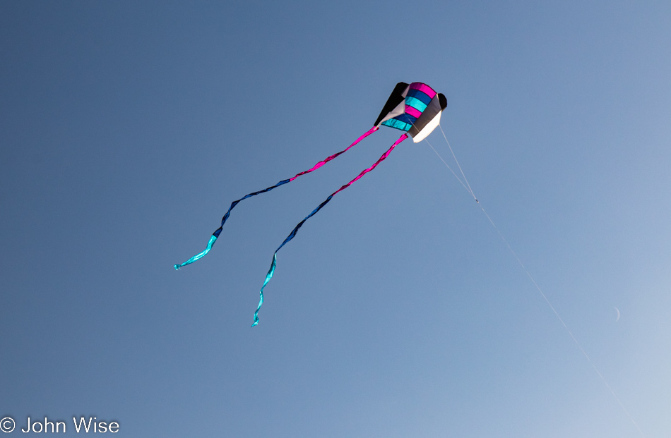
Meyers Creek Beach in Gold Beach, Oregon

No more disappointment trying to fly the previous pathetic little kite that was reluctant to take to the sky, as this one is a natural.
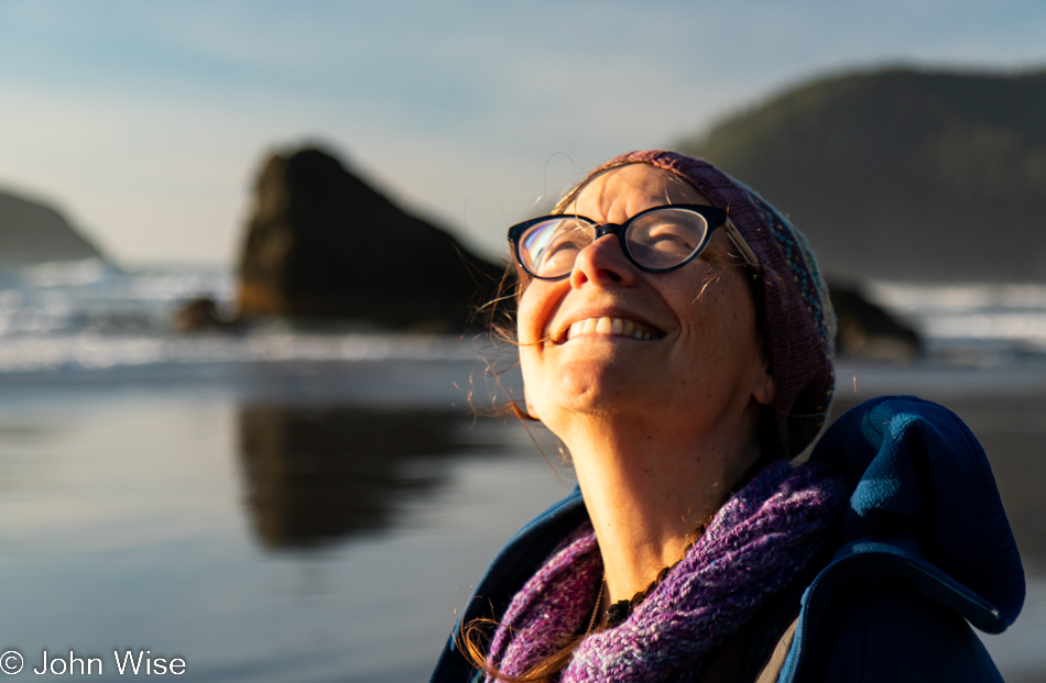
Caroline Wise at Meyers Creek Beach in Gold Beach, Oregon

Caroline is so happy with this new kite that she’s named it Happy McKiteface. Cute name and all, but I think it actually describes her.
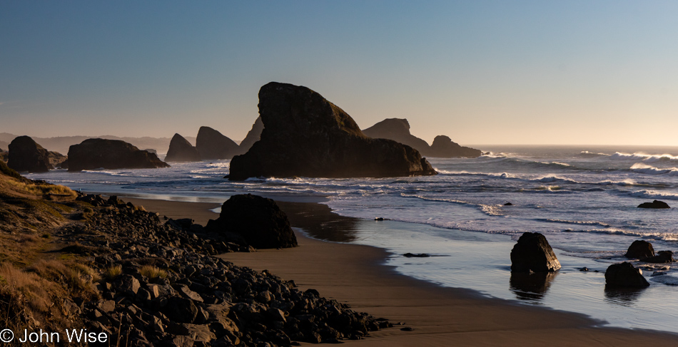
Meyers Creek Beach in Gold Beach, Oregon

Until next time, Shark Fin, it’s been great.
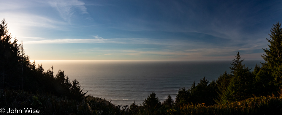
Cape Sebastian Trail in Gold Beach, Oregon

There we were, driving north as though we were doing so with purpose when, not even two miles away from our last stop, a steep road up a hillside on my left seemingly demanded that I pull a quick U-turn to investigate. Why hadn’t the Cape Sebastian sign caught our attention before?
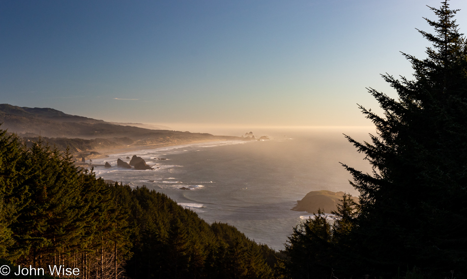
Cape Sebastian Trail in Gold Beach, Oregon

Seeing how we are now up here, we should check out what is down the hill, not this way but the one in front of us.
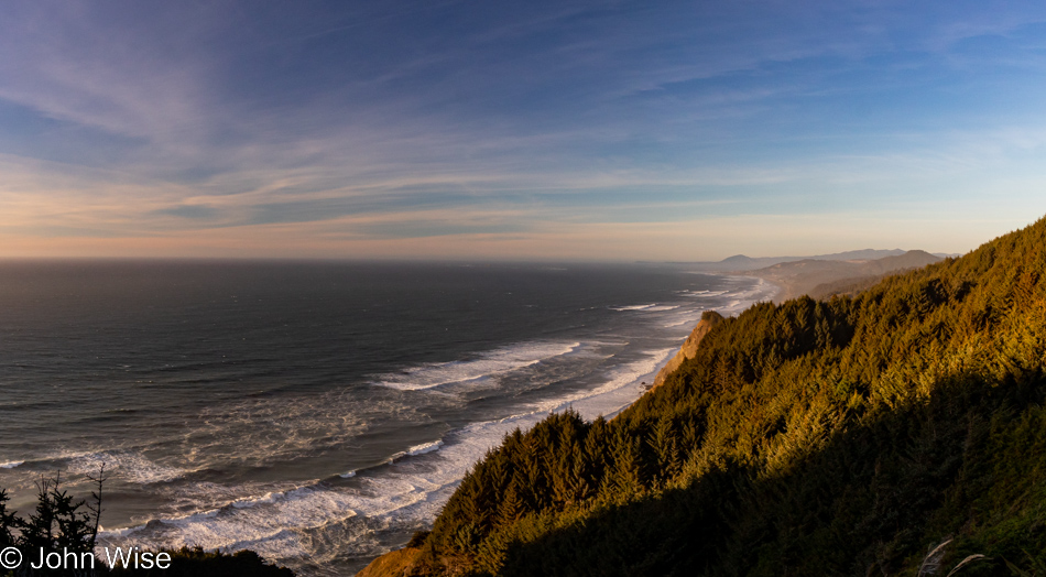
Cape Sebastian Trail in Gold Beach, Oregon

Nope, this is the view to the north, but in a second, you’ll know what I’m speaking of.
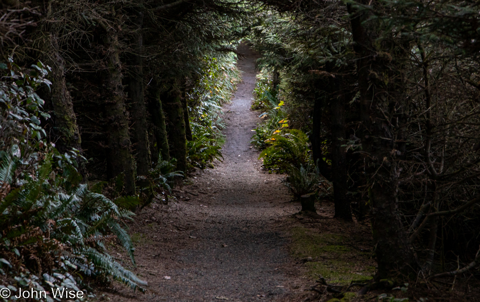
Cape Sebastian Trail in Gold Beach, Oregon

This is the trail I wanted to bring your attention to.
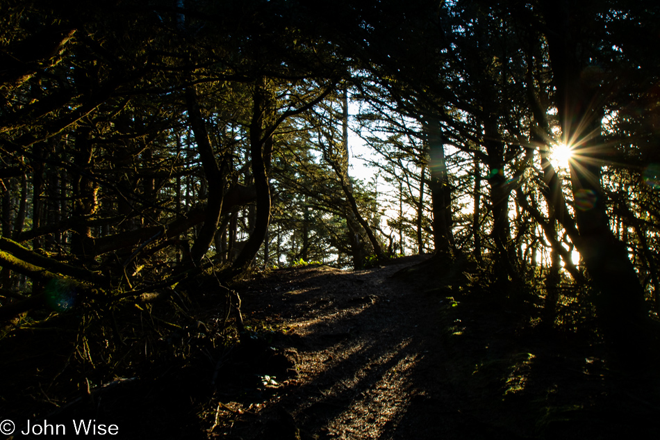
Cape Sebastian Trail in Gold Beach, Oregon

It apparently brings us out to the edge of Cape Sebastian, here between Pistol River and Gold Beach.
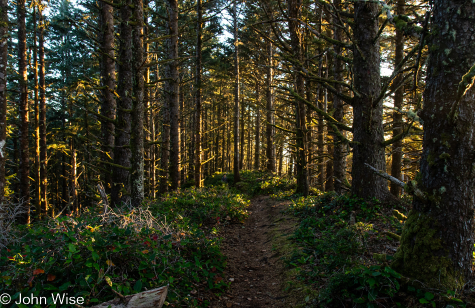
Cape Sebastian Trail in Gold Beach, Oregon

Where exactly it’s going is uncertain as there was no trail map at the parking lot, and at this moment, we’ve not passed anyone else who can tell us anything more about where we are. Checking our phones is not an option as we have no signal.
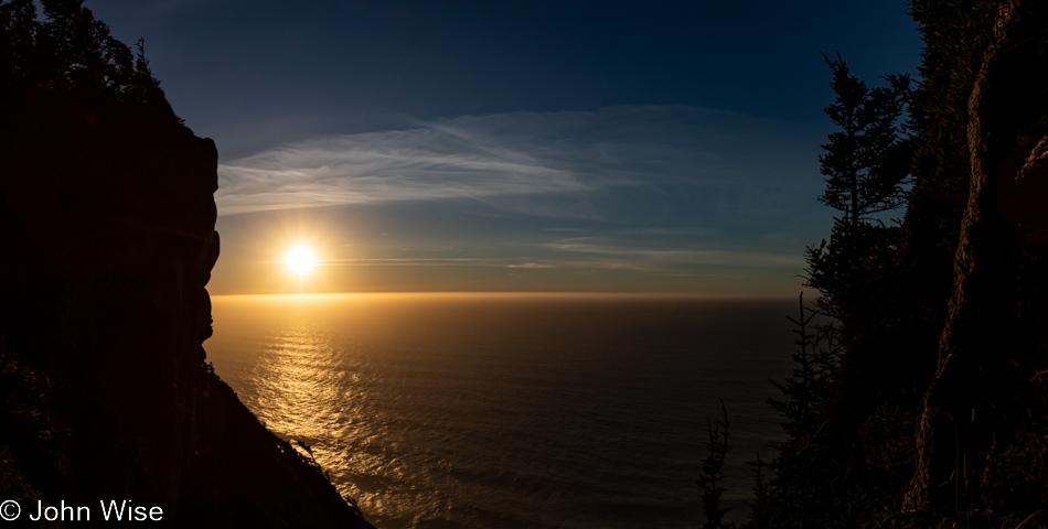
Cape Sebastian Trail in Gold Beach, Oregon

If this were as far as we’d been able to go, it would have been worth every moment and more. Around this time, we’d met a couple coming at us on the trail, and we asked how far they went; they’d gone all the way to the beach but warned us it was too late to try that as it would certainly be dark by the time we got back to where we were talking with them. Something to come back to.
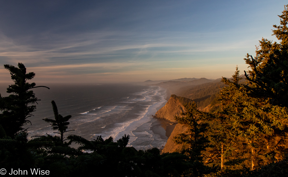
Cape Sebastian Trail in Gold Beach, Oregon

With that, we turned around for our walk back through the forest until we found a slightly different view north.
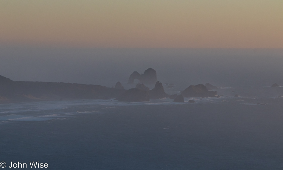
Cape Sebastian Trail in Gold Beach, Oregon

In the distance to the south, way out there, that’s Arch Rock.
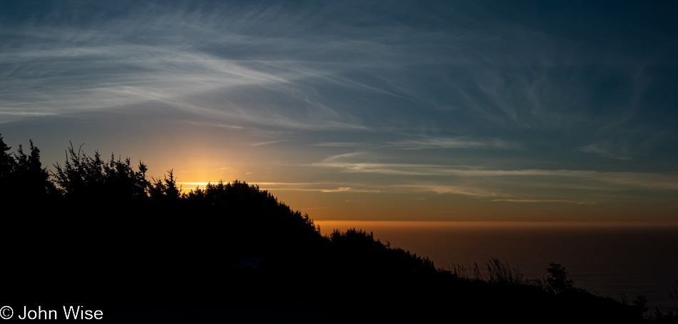
Cape Sebastian Trail in Gold Beach, Oregon

Back at the Cape Sebastian parking lot and ready to tackle the last 65 miles to the evening’s yurt accommodations.
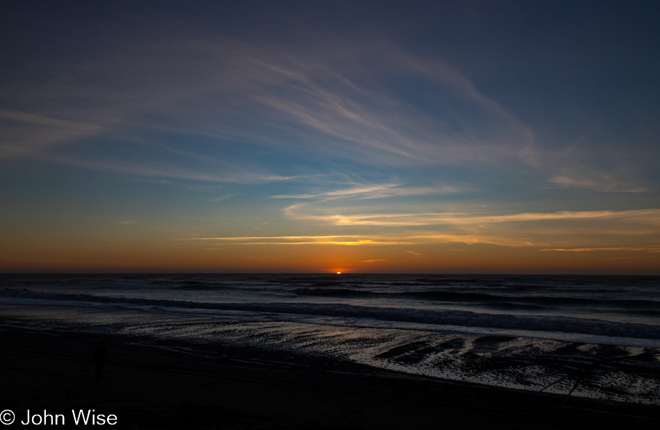
Visitor Center Beach at Gold Beach, Oregon

We’ll still have 60 miles left after this “last” stop, but who could blame us? We’ve stopped at the Gold Beach Visitors Center, which appears to be the name of the beach, but that can’t be.
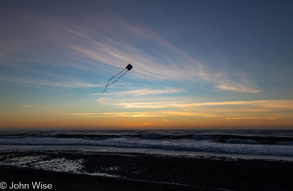
Visitor Center Beach at Gold Beach, Oregon

While I busied myself photographing the last moments of the setting sun, Caroline quietly pulled out Happy McKiteface and threw it aloft before I could protest. With that smiling face beaming at her new kite high above the beach in the fading light of day, there was no way I was going to rain on her moment of finding yet more joy.