Oregon Coast – Day 2

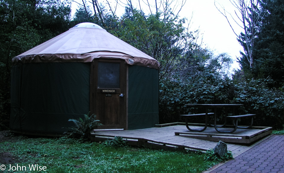
Yurt at Harris Beach State Park in Brookings, Oregon

This is the day that we officially fell in love with the Oregon Coast. It is the morning after our first amazing night in a yurt at Harris Beach State Park. We were in this unit, the Winchuck.

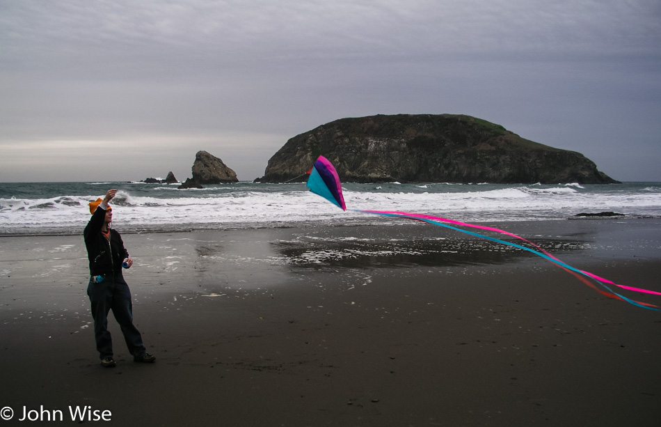
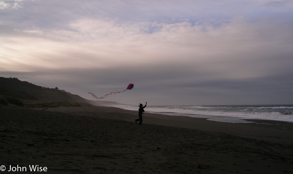
Caroline Wise trying to fly a kite on Harris Beach in Oregon

Caroline is trying her best to get this kite aloft and maybe she was a little successful, but not what she needed to feel it. The rock in the background is Goat Island here at Harris Beach.

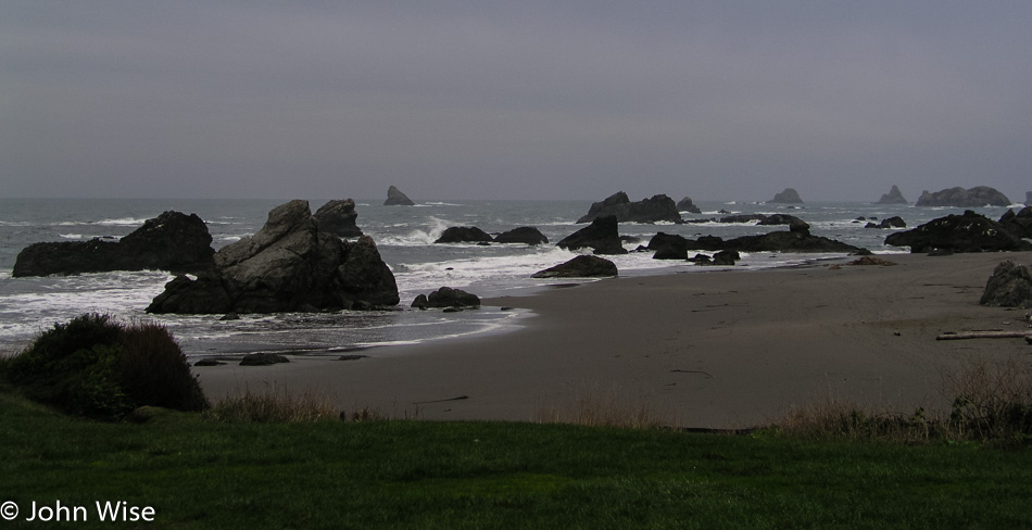
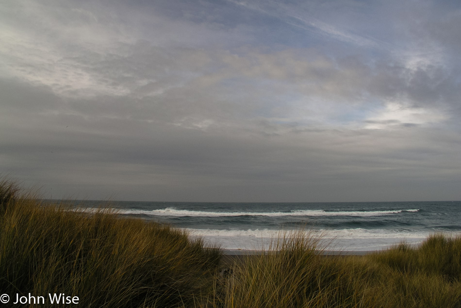
Looking north at Harris Beach in Oregon

Looking north from the parking lot of Harris Beach.

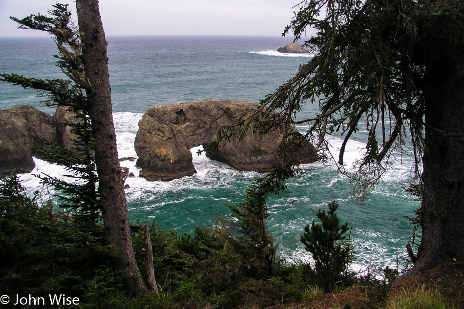
Coos Bay, Oregon

For a moment, we had a glimmer of sunlight fall upon earth here at the Arch Rock Viewpoint.

Oregon coast

Our next stop was at Gold Beach.

Caroline Wise flying her kite on the Oregon Coast

Caroline was adamant that she’d get value out of this kite and again had it out, trying to have to take hold of the sky.

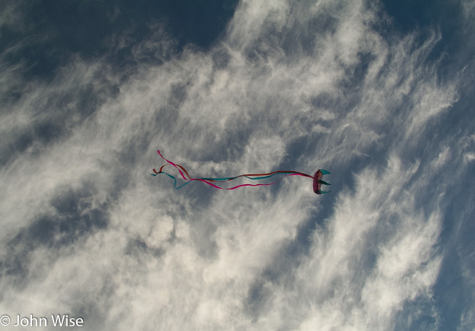
Kite over the Oregon coast

Success in getting the kite into its rightful place high above us, weaving in and out of the clouds and sending it to this patch of blue sky.

Port Orford, Oregon

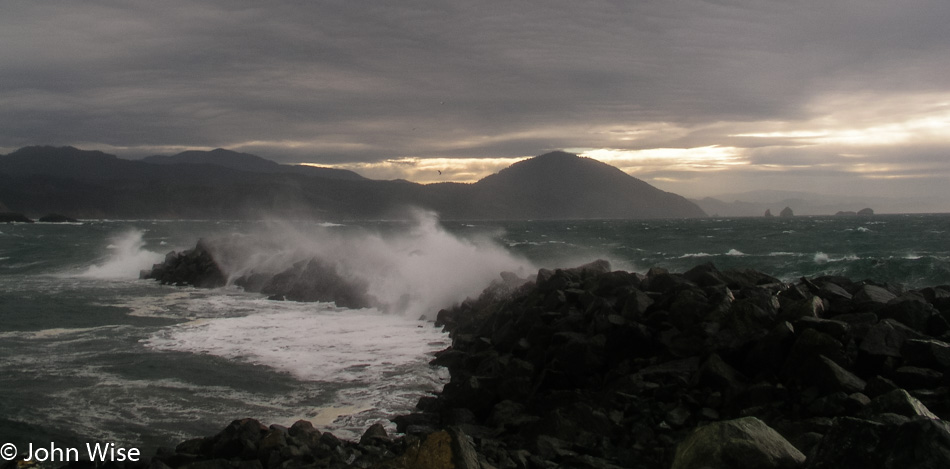
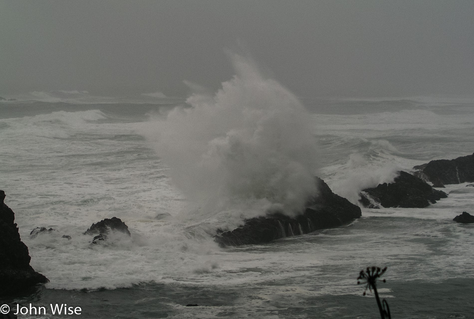
A blustery ocean on a fall day in Port Orford, Oregon. This would become our favorite viewing spot to stop and watch the ocean on stormy days.

Caroline Wise at Port Orford, Oregon

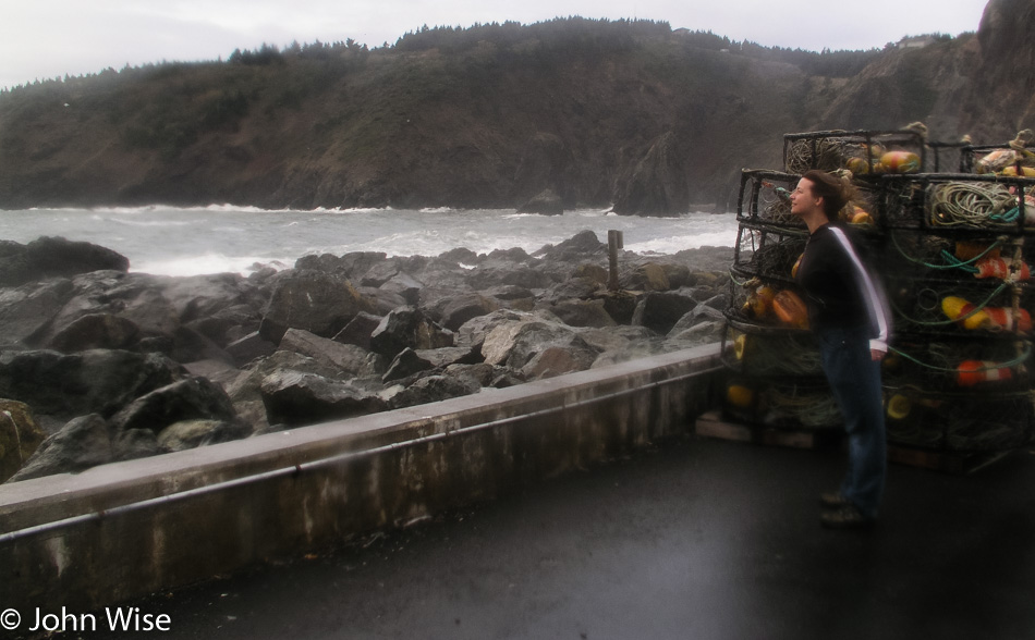
The wind blows hard here, and in the years to come, we will see much worse but will always be enchanted with this place along the sea.

Cranberry bog off the Oregon coast

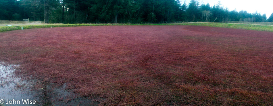
On the way to Coos Bay, we spot a cranberry bog. Our inner nerds are in a state of astonishment.

Cranberries in a bog on the Oregon Coast

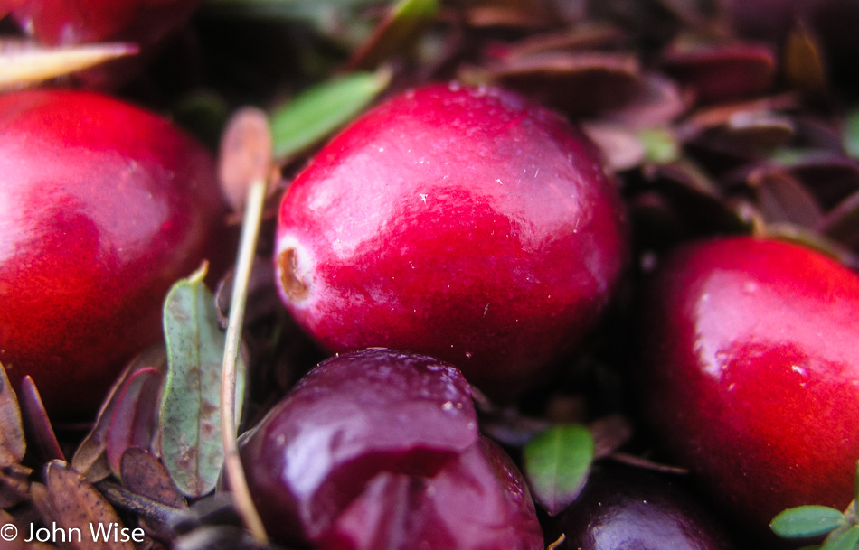
Real cranberries in the wild.

Coos Bay, Oregon

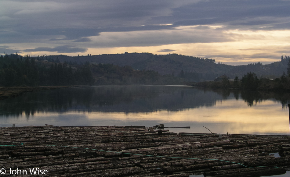
Coos Bay, where they are still moving lumber over riverways.

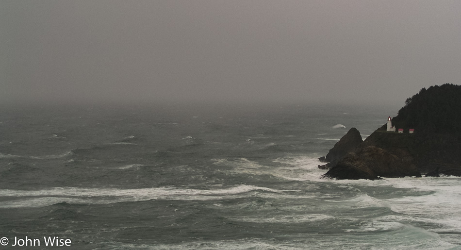
Heceta Head Lighthouse in Florence, Oregon

Heceta Head Lighthouse here in Florence, Oregon.

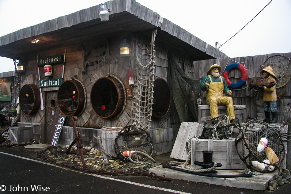
Sealines Nautical Shop in Seal Rock, Oregon

In its heyday, this was the Sealines Nautical Shop next to the ocean between Florence and Yachats. It is long gone as I write this and sorely missed. We never miss an opportunity to stop by for a moment of nostalgia.

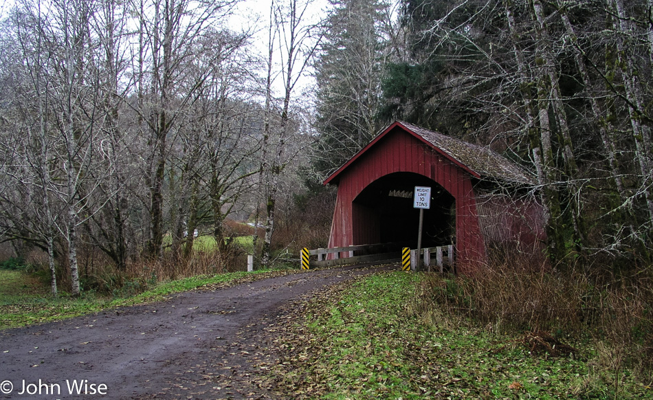
North Fork Yachats covered bridge in Yachats, Oregon

From the town of Yachats, you head up the Yachats River Road to Route 805; up there, you’ll find the North Fork Yachats Covered Bridge.

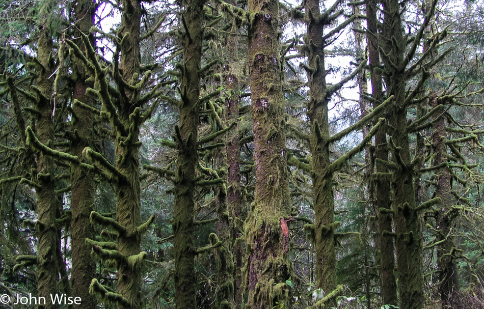
Forest along the Yachats River in Yachats, Oregon

The drive out and back through the forest along the Yachats River is worthy of leaving the coast. If only there was good work out on the coast, we’d move up here in a second.

Seal Rock, Oregon

Stopped at Seal Rock to check out some dramatic surf and enjoy the rain wearing the dorkiest rain gear we’ve ever owned. It is so embarrassing I’m not even posting the selfie of us because we just look too stupid.

Newport Aquarium Village, Oregon

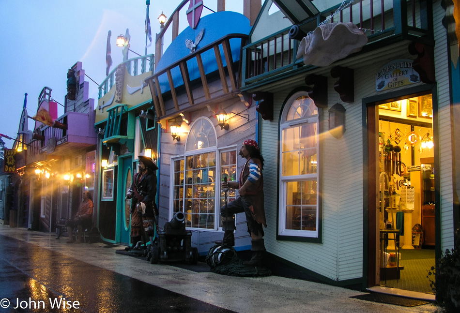
We needed a little kitsch to go with our nature, so we stopped in at the Newport Aquarium Village and visited the Pirate’s Plunder shop. Bought some glass float in netting kind of shnickshnack thing, got to support the local economy. We still had quite a few miles to go and a couple of hours to get there. Tonight’s lodging was another cozy yurt at Nehalem Bay State Park.

Oregon Coast – Day 1

Sunrise in central California

This trip started yesterday at 2:30 p.m. and had us leaving Arizona via Kingman on our way to Tulare, California, north of Bakersfield, for an overnight at Budget Inn for the cheapo price of only $39.95. Yesterday got us 587 miles closer to our ultimate destination, and because we weren’t flying, we didn’t need to contend with Thanksgiving-style jammed airports.

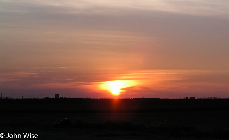
We were up and going well before sunrise at 5:45 a.m. this morning. The above photo of the rising sun was taken at a gas stop around 7:00 after we’d merged onto Interstate 5 and visually and olfactorily encountered our first feedlot of cows.

Pigs in Red Bluff, California

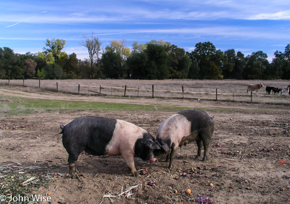
Four hours later and we have moved from cows to pigs here in Red Bluff, California, which is about 200 miles north of San Francisco already. We are making great time.

Mount Shasta in the distance, Northern California

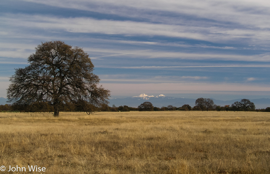
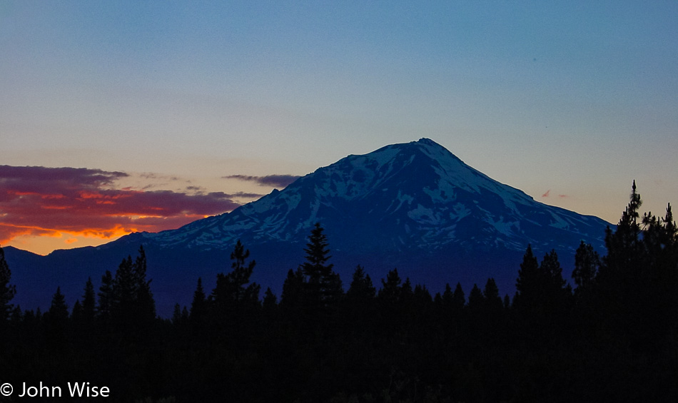
We are somewhere in Northern California. That’s Mount Shasta in the distance.

Deer next to the road in Northern California

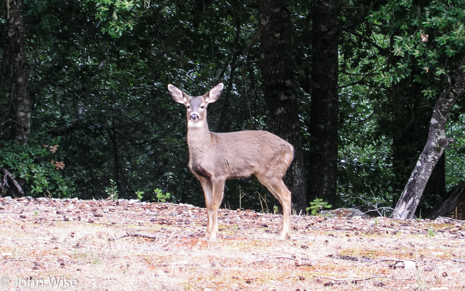
Suckers for wildlife, farm life, and life in general, we’ll stop to look at anything that grabs our attention. Nearly every time I spot an animal next to the road staring at us, I can’t help but think of the comic strip The Far Side where a bunch of cows are standing up talking until a car approaches.

Moss growing on trees in Northern California

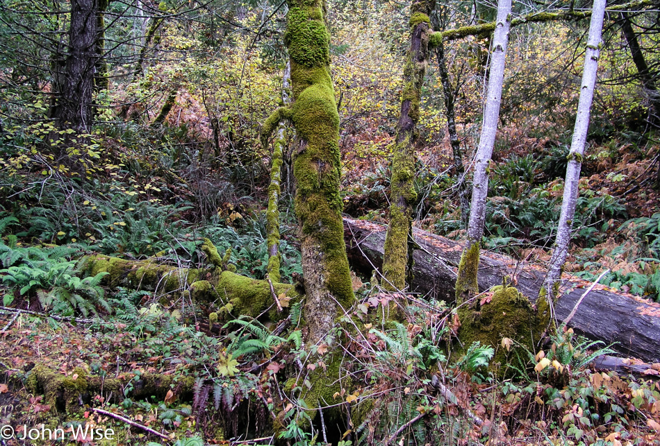
You don’t see many ferns or moss growing on cactus in the desert. This is serious eye candy for desert dwellers.

Swains Flat Outpost in Humboldt County, California

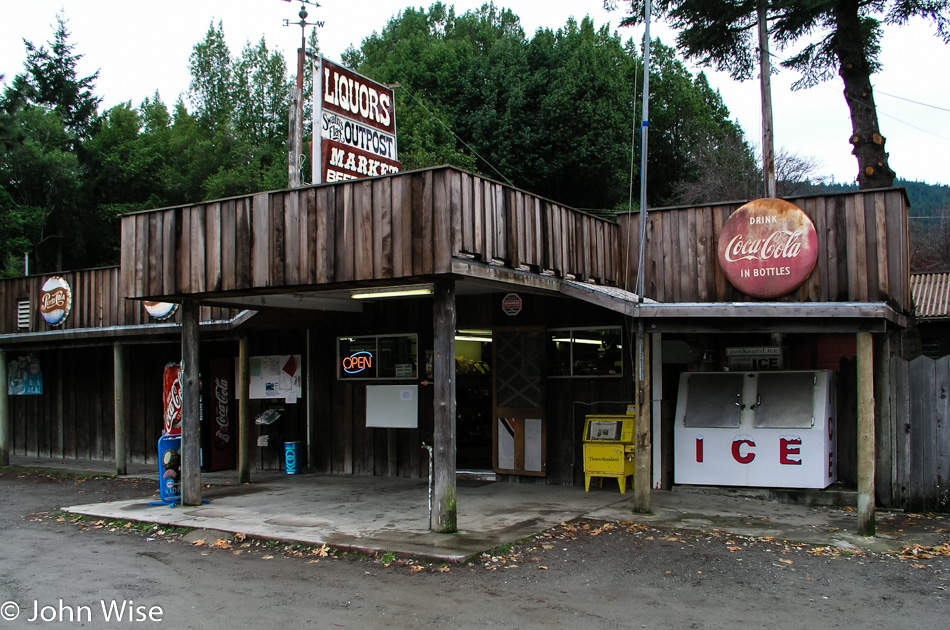
Nothing better than stopping at a roadside funky joint to replenish our energy. Sadly, here in Humboldt County, famous for its weed, there is none of that to be found. Honestly, though, we wouldn’t even consider getting stoned out here on these trips as, first of all, we are driving long distances, and secondly, nature gets us high enough.

Redwoods in the Humboldt Redwoods State Park in Northern California

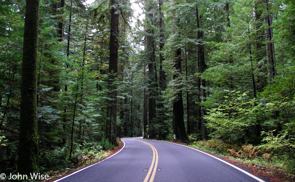
How lucky people are to be able to just drive along beautiful winding roads that snake their way through groves of redwoods.

Murals in Eureka, California

These murals and many more are some of the endearing qualities should you find yourself in Eureka, California. The junkies, on the other hand, suck.

Clam Beach in McKinleyville, California

First stop at the ocean on this road trip. We are at Clam Beach in McKinleyville, California. Have I shared with you that we love oceans, rivers, lakes, and waterways of all sorts?

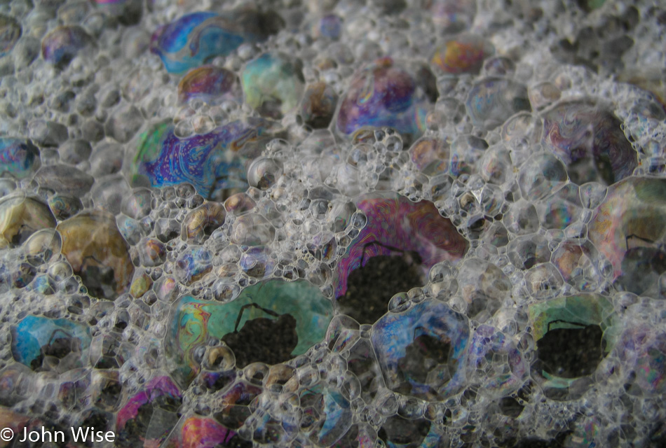
Surf bubbles at Clam Beach in McKinleyville, California

Psychedelic surf bubbles at Clam Beach.

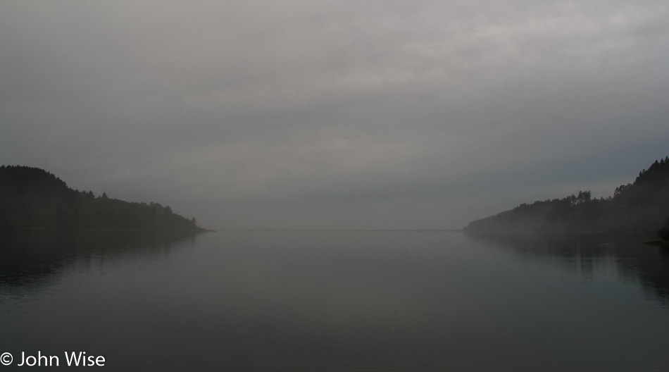
Stone Lagoon, California

Foggy and mysterious Stone Lagoon, California. Just prior to this, we saw the grazing herd of Roosevelt Elk, but the photo was kind of meh.

Redwoods National Park in Northern California

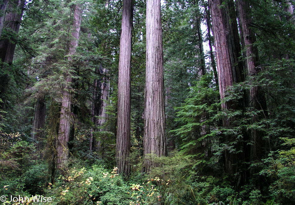
Driving through Redwoods National Park at dusk does not make for conducive conditions for the photography of already dark forests.

Redwoods National Park in Northern California

I found a bit of a clearing that was still receiving just enough light that I was able to capture at least one reasonable photo of some young coastal redwoods. It’s strange to consider that this was the scene some 225 million years ago over in Arizona near Holbrook and the Petrified Forest National Park.

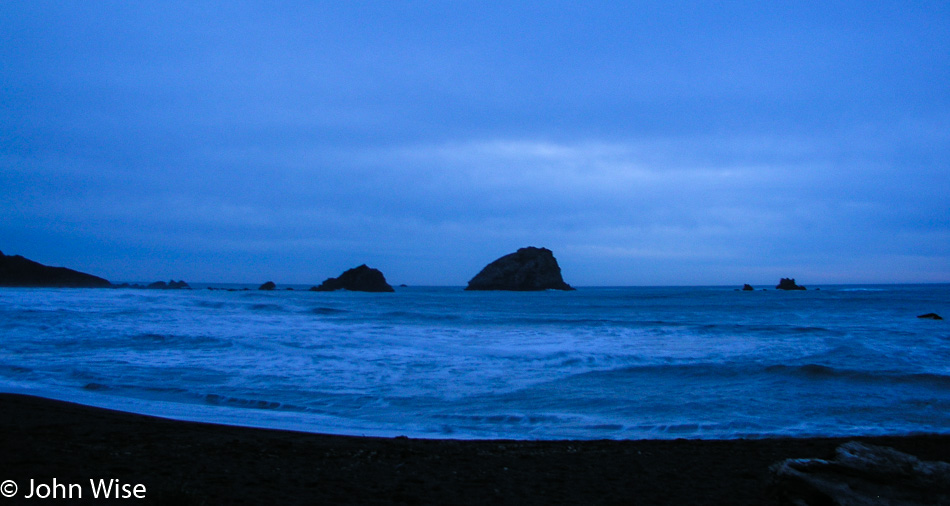
Pacific coast early evening

I can’t recall exactly where this was, nor do we have a note that hints at it, but from the time the photo was shot, I’d guess we were still in California just south of the Oregon border, which would imply that this is Crescent City.

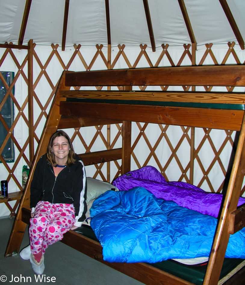
Caroline Wise in a yurt at Harris Beach State Park in Brookings, Oregon

Our first yurt visit ever and our first time on the Oregon coast. Our yurt is at Harris Beach State Park in North Brookings, Oregon. Our impression is that we LOVE YURTS!!! Tomorrow, we’ll get our first impressions of the coast as we travel north.

Pacific Northwest – Day 3

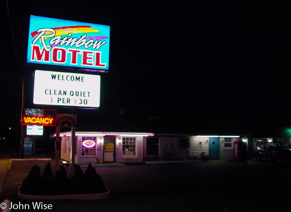
Rainbow Motel in Bend, Oregon

You might be thinking that this photo was taken while we were checking in, but you’d be wrong; we were checking out. Not in the middle of the night either, it’s just that we have a lot of miles to cover, and sleep is not going to deliver us to our destination. Yeah, yeah, yeah, I know the argument that it’s not the destination that’s important but the journey, but if we are sleeping, then we are not on the journey, are we? We spent the night in Bend, Oregon and while many motels use the price on the sign as bait, this one delivered, and we only paid $30 for a room.

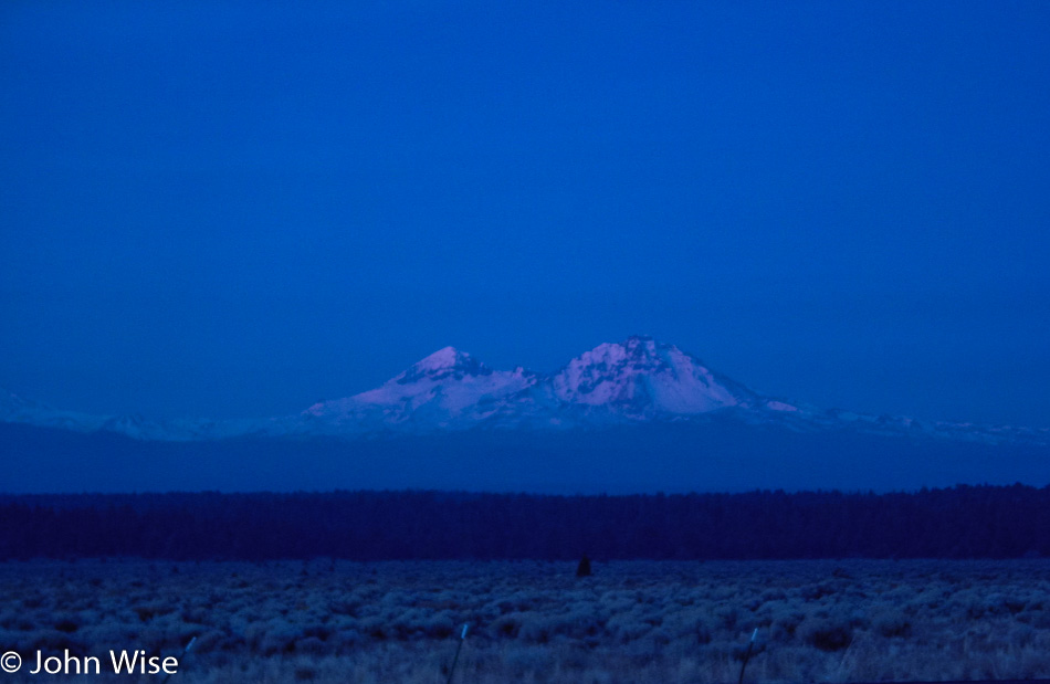
Blue mountains in the early dawn, better known as Middle Sister (left), Black Hump (center but small), and North Sister (right).

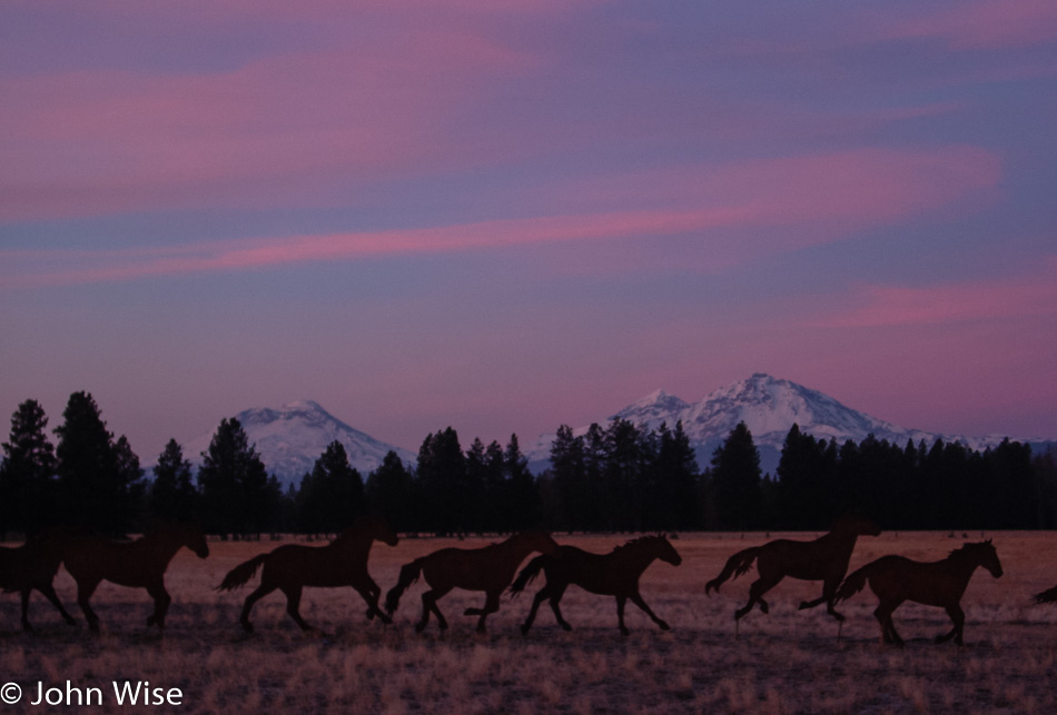
Pink mountains as the morning arrives for the Three Sisters.

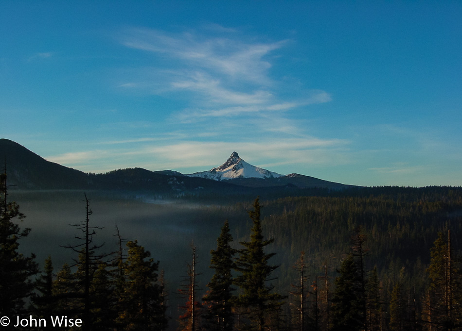
Crystal clear peak of Mount Washington in the light of the early sun.

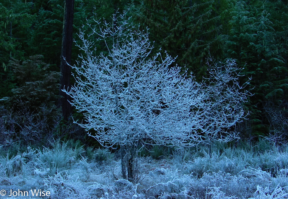
Maybe the frost will melt off as the radiant heat of our local star reaches down from the mountain peaks and touches the lower surfaces of our planet.

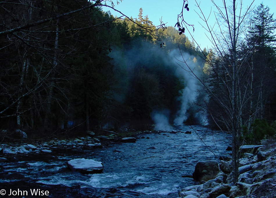
I suppose that in a state that sits astride the Ring of Fire, it should not come as a surprise that the earth is boiling just below the surface, but still, I can’t help but stare upon the spectacle of the land belching steam that portends greater things happening below beyond our gaze.

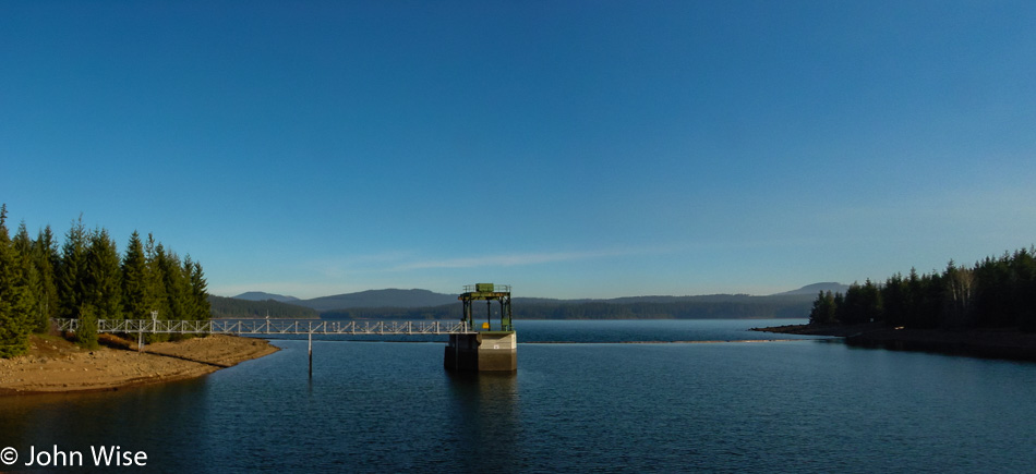
We got off the road for a moment to find a view of Timothy Lake off National Forest Road 57.

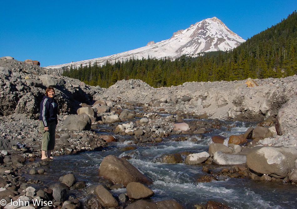
Caroline Wise standing in a mountain stream below Mount Hood, Oregon

And then it was on to Mount Hood for a better view of the mountain when we spotted this stream where, of course, Caroline would have to doff her shoes once again to stand in one of America’s waterways.

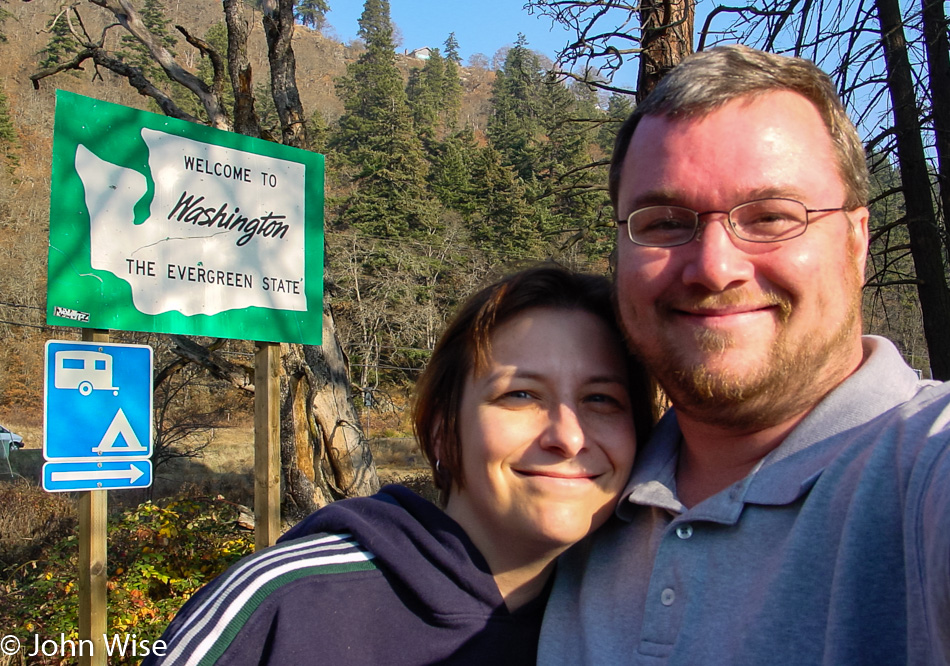
Caroline Wise and John Wise at the Washington State Line

Add another state to the number we have visited as we step into Washington for the first time.

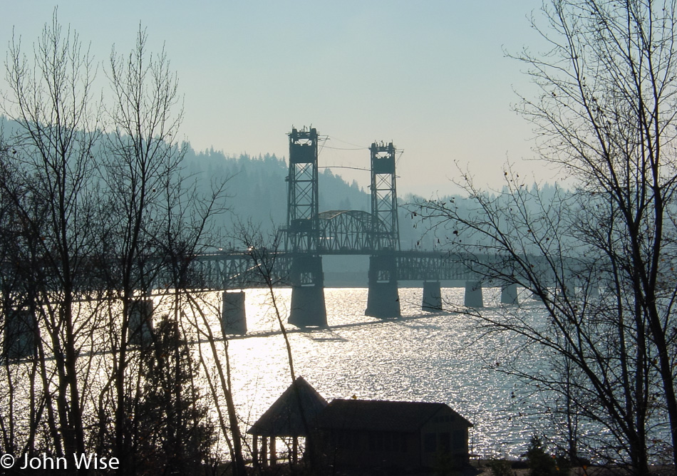
This is why we are happily married; we are both suckers for bridges. That’s right; nothing else binds us together quite like our fascination with these water-and-canyon-crossing human-engineered pathways. Love is a great bridge; just think about it for a second.

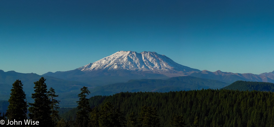
Mt. St. Helens, Oregon

It is pretty exciting, almost intimidating in some way actually, to visit a volcano that has been explosively active within our lifetimes. Mount St. Helens blew up back on May 18, 1980, and lowered the peak of this mountain by 1,300 feet. The violence the eruption unleashed was responsible for the death of 57 people caught up in the wrong place at the wrong time.

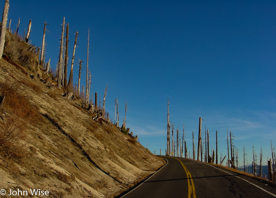
Mt. St. Helens, Oregon

Twenty-two years later, the force of the blast is still on display, with trees stripped bare and lifeless from being pyrolyzed in the intense heat.

Mt. St. Helens, Oregon

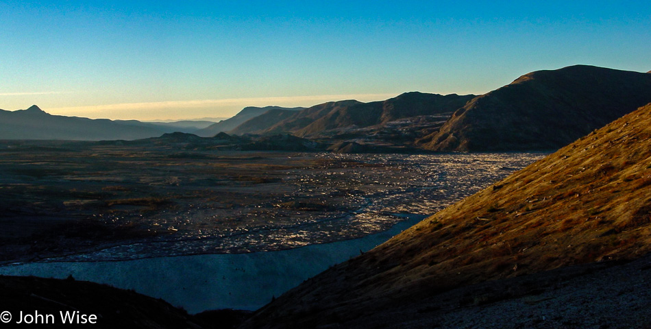
Spirit Lake is filled with thousands of logs from the more than a million trees that were blasted down following the eruption of Mount St. Helens. The force of the volcano nearly drained the lake, creating waves up to 600 feet tall (183 meters) that crashed into a nearby ridge before settling back into its basin pulling a bunch of trees with it. The lake has been left as is following this calamity for scientists to study the impact of this once-in-a-lifetime event.

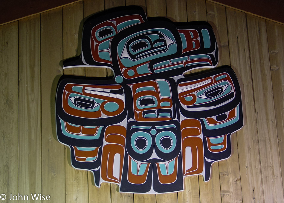
Passed this beautiful work of art on the S’Klallam Tribal Center in Jamestown on our way to our motel in Sequim, Washington, on the Olympic Peninsula.

Pacific Northwest – Day 2

Little A'Le'Inn in Alamo, Nevada

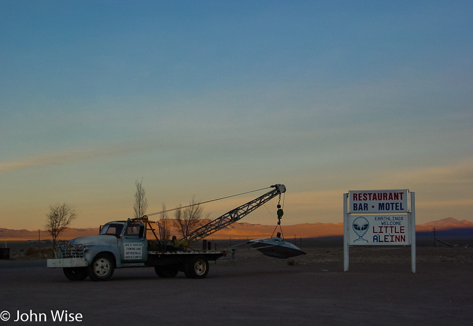
Fortunately, the aliens never arrived, and so the day of anal reckoning has been pushed to some point in the future. Wow, we really did make it out here near Groom Lake and can now lay claim to having spent a night in the shadows of the aliens of Area 51 as well as Roswell, New Mexico. I have to admit I’m a bit disappointed we’ve not yet been chosen for abduction as I’m prepared to meet the little green men face-to-face. Then again, how do we know that the people of the Little A’Le’Inn and its restaurant out here in Rachel, Nevada, weren’t aliens in disguise?

Highway 375 The Extraterrestrial Highway in Nevada

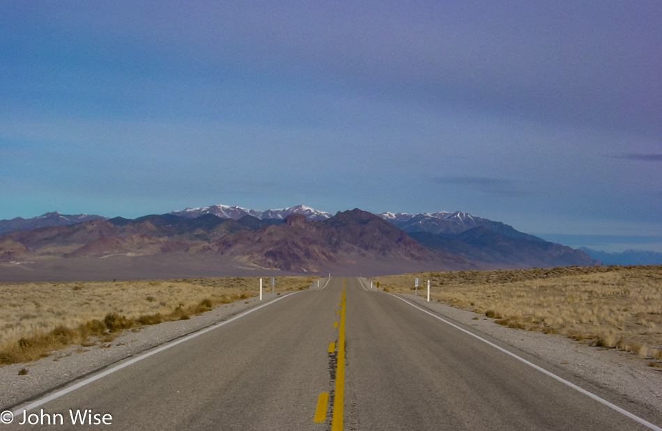
Not even one spaceship, hitchhiking alien, lost probe, or mutilated cow next to the road here on Highway 375 better known as the Extraterrestrial Highway.

Caroline and I are always surprised by the beautiful weather we are so lucky to travel with. We’ve commented dozens of times how, even on the less than ideal days, we’ll still spot some blue sky, which never fails to put smiles on our faces and lend a kind of perfection to the day.

Rustic farmland is like a rainbow under the blue sky, and while it may be an idealized perception not taking into account the toil and hardship likely experienced here during harder times, it remains part of the attraction of exploring America’s remote corners.

Austin, Nevada

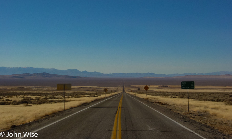
Here we are nearly a year to the date back in Austin, Nevada, where the E.T. Highway brought us to The Loneliest Road in America: Interstate 50. In this link, you will find a photo of this place, seven images down from the top.

Nevada Route 305

Is that a crop circle out there?

Somebody speeding in Nevada on Highway 50

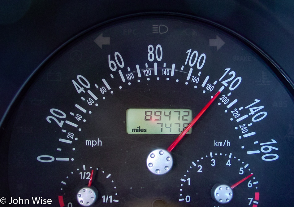
Seems that the aliens were late: I’m not actually driving at 120 mph; we’ve been abducted and are being transferred to the mother ship through some kind of induction system that has us traveling vertically, seriously! Also, the clock stopped around this time.

Nevada Highway 140

Woah! And then all of a sudden, we were delivered to Nevada Highway 140 and we have no recollection of how we got here. Well, at least the sky is still blue, and the car is no longer traveling at 120 mph.

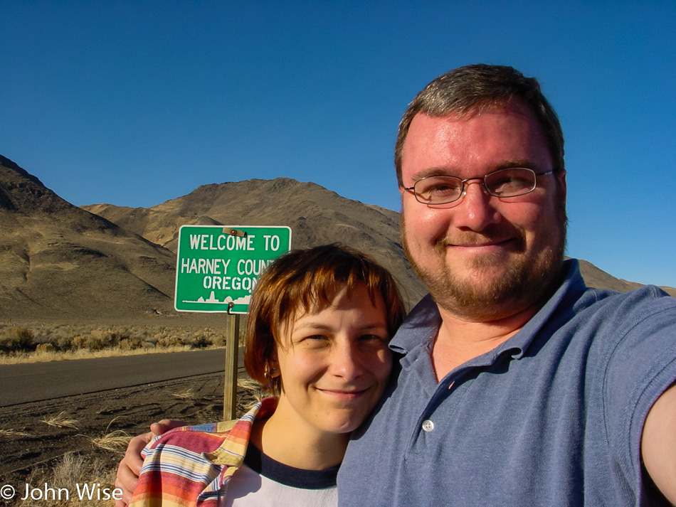
Caroline Wise and John Wise entering Oregon

Hmmm, this looks like a good place to sneak into Oregon. Unfortunately, we weren’t able to secure a visa allowing us to travel into this state, and our passports explicitly forbid us from traveling into the Pacific Northwest under our current status, but that wasn’t going to stop these two desperados from breaking in.

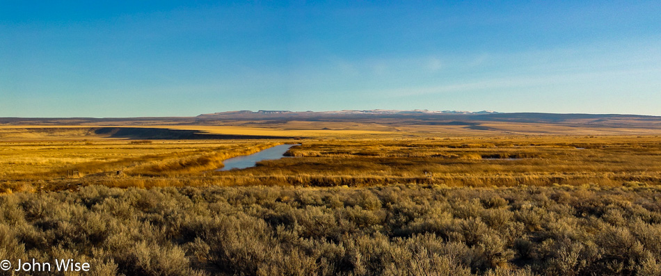
Of course, by taking this route into Oregon, we have to pass through no man’s land where nothing exists but vast stretches of nothingness. This particular nothingness is a photo reminder to someday return to the Malheur National Wildlife Refuge.

Even the sun is removed from the sky in the continuing void of eastern Oregon that stretches on like a desert of lost dreams.

Then, finally, as we start to approach the middle of the state, civilization remakes its appearance, and the fading sun beyond the horizon reassures us that tomorrow promises to be a wonderful day in the lush green lands of the Pacific Northwest.

Independence Day in Oregon – Day 3

Though we were up late last night for the fireworks, we still woke up shortly after the break of dawn this morning and were getting gas by 6:30 (we’re still unaccustomed to having someone else fill our tank here in Oregon). Between stretches of the forest, we also drove through some beautiful meadows and spotted four pronghorn antelope basking in the sun while we basked in their glory from our perspective driving by.

Our path wasn’t the most direct, but it was certainly scenic. County Road 676, also known as Silver Lake Road, passes through the wetlands next to Wocus Bay and the Klamath Marsh National Wildlife Refuge. While passing through the refuge, we spotted a beaver, cormorants, and geese.

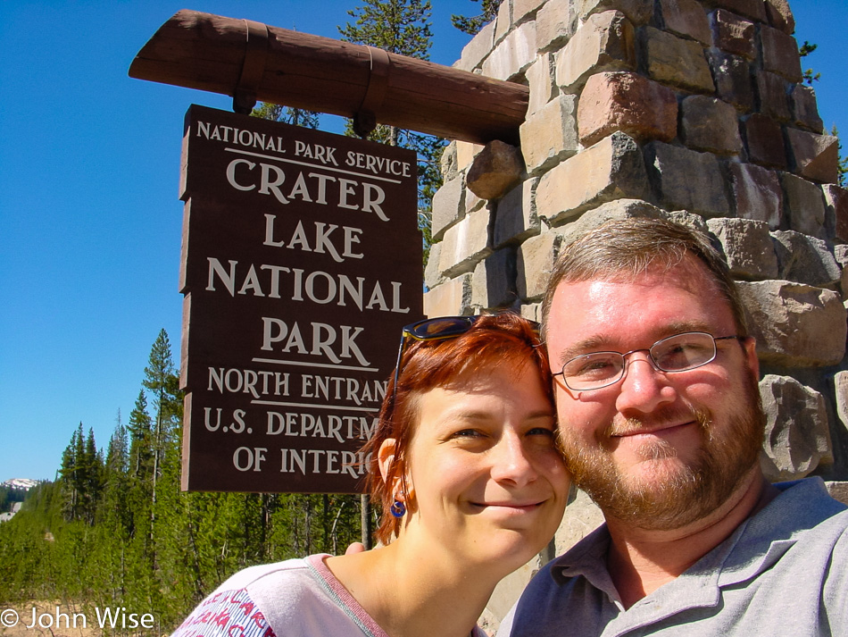
By 10:00, we are pulling into Crater Lake National Park, and the furthest northwest we’ll travel on this extended long weekend, Silver Lake on the way here this morning was a bit further north. After checking out the park map, it’s decided to take the loop drive around the lake going clockwise.

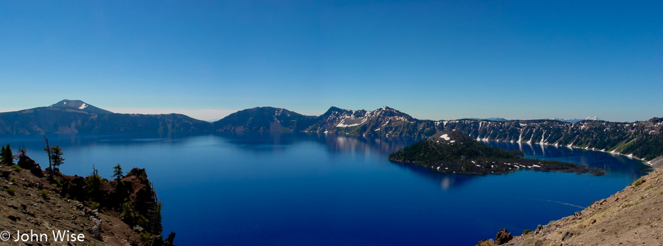
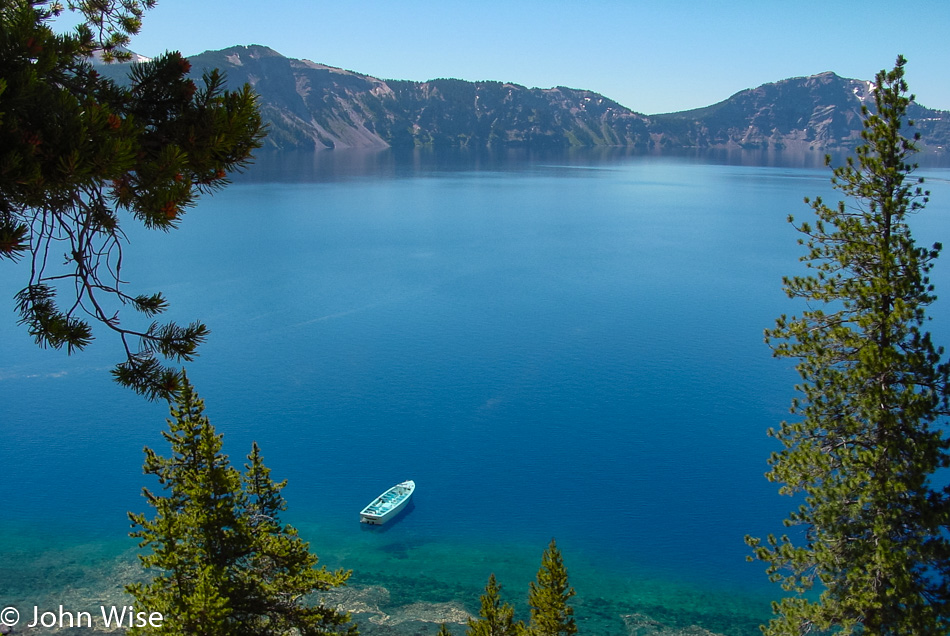
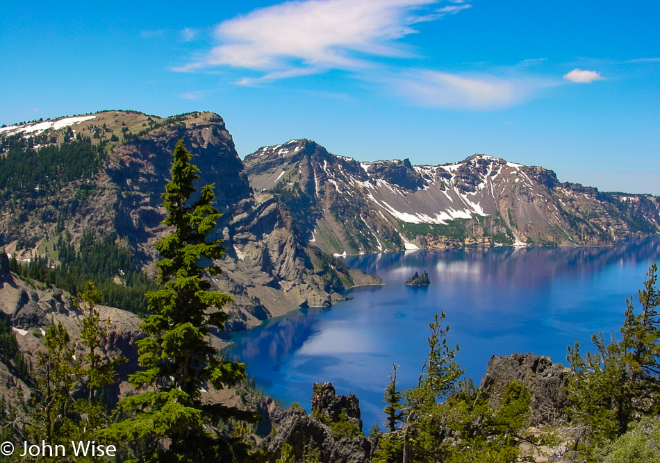
Our view of the lake is a spectacular one. The color of the water is the bluest we’ve ever seen; maybe it has something to do with how deep it is, as it is the deepest lake in the United States at 1,949 feet or 594 meters. Or maybe it’s the elevation here where the caldera rim reaches heights of 8,000 feet or 2,400 meters above sea level. Maybe it’s the fact that no stream or river runs into the lake, as this lake has been filled with rainwater and snow. But the reality is that it’s probably the combination of all these factors. On the right of the lake is Wizard Island, which is a cinder cone formed about 7,000 years ago. The island’s peak is 767 feet above the surface of the lake, but incredibly, it sits on the caldera floor over 2,000 feet down below. The trees on the island have never been harvested, with some of them clocking in at over 800 years old now.

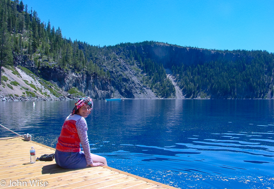
We are heading down the Cleetwood Trail which is the only trail in the park that takes you lakeside.

Kind of a strange thought that we are atop a 2,000-foot-deep caldera here at water level and that where Caroline is sitting used to be a mountain peak that towered over a mile above her. That mountain peak was called Mount Mazama before it exploded in a fit of volcanic fury just 7,700 years ago. While in human terms, that might seem like a lot, in geological terms, that was a split second ago.

The scenic drive doesn’t exactly follow the crater rim; east of the lake, we drove through a beautiful canyon complete with several waterfalls, including a larger one called Vidal Falls. A little bit further down the road, we returned to the lakeside and were able to catch this great view of Phantom Ship, that black rock in the lake that stands 170 feet high.

Just three hours after our arrival we were already heading for the exit but stopped at the visitors center for some tchotchkes because life without a fridge magnet is meaningless and empty.

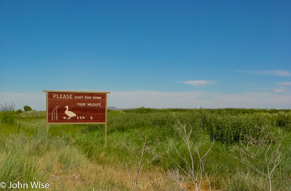
Driving south towards California, we pulled over to a scale and learned the useless information that our car weighs 1350 pounds. After arriving in California, we stopped to pay a visit to the Klamath Basin National Wildlife Refuge in Tulelake. Here in the refuge, we spotted some black-necked stilts, glossy ibis, and western coots, so like the sign points out, “Don’t run down your wildlife.”

Just a few minutes south of the refuge, we enter Lava Beds National Monument and are nervous that the visitor center might already be closed as it’s a bit after 5:00. With that in mind, we stopped here at the Devil’s Homestead Lava Flow overlook and were just as quickly off and running again hoping the visitor center might be open longer than others.

Lava Beds National Monument in Tulelake, California

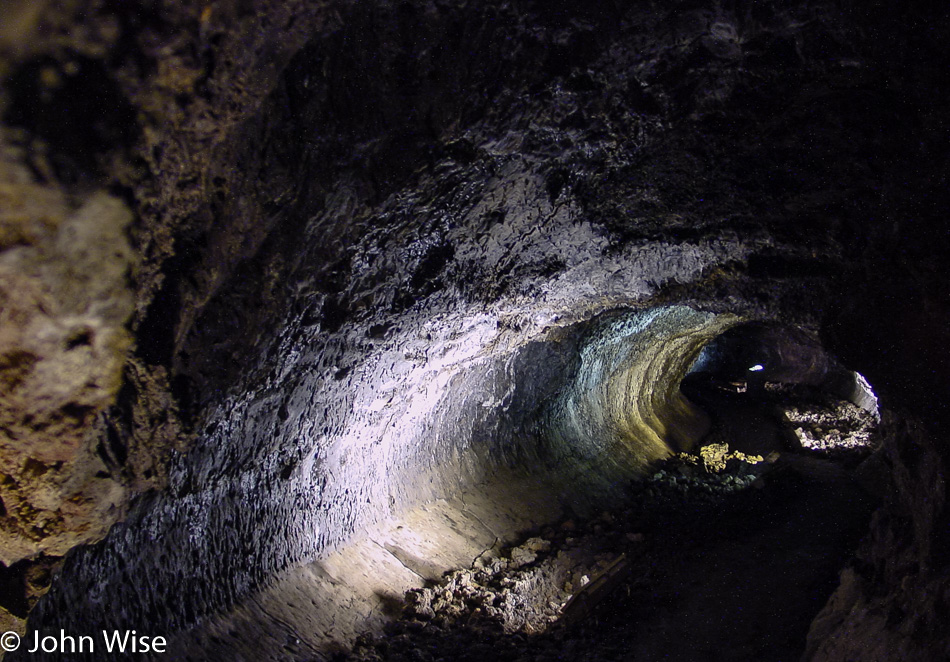
Wow, the visitors center is open until 5:30 leaving us 10 minutes after we arrived to buy a magnet and find out what else we can do with our shrinking day. Drats, there are no magnets, might as well go home! Just kidding. We walked over to the closest and most easily accessible lava cave equipped with lights, explanatory signs, and a stairway right in the visitor center parking lot. One of the major attractions at Lava Beds is that people can explore over a dozen of these caves; helmets and lamps are available at the visitor center for the unprepared, as long as one arrives in a timely manner. Lava caves are formed when the flowing lava cools off on the surface, building a roof, while the hot lava below continues to run until it empties, thus leaving a tunnel. During the cooling process, interesting underground shapes can be formed, and sometimes these tunnels cross or are re-melted and re-cooled during and after a volcanic event.

Lava Beds National Monument in Tulelake, California

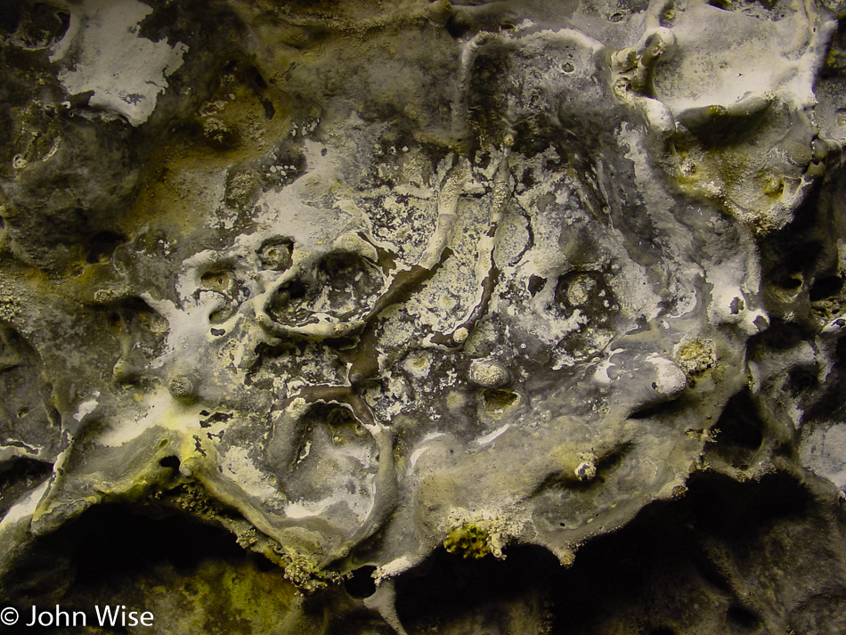
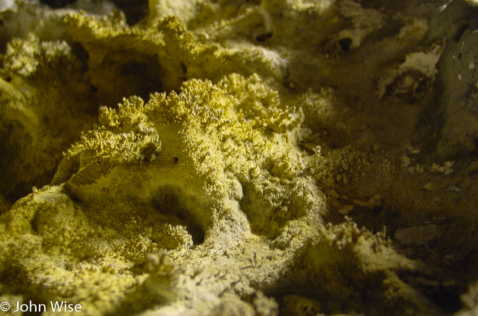
Melted stone, dripping calcified minerals, lichen, a bunch of spider webs, and people have replaced the 2,200-degree lava that once flowed through here, and we’re probably luckier for it.

Lava Beds National Monument in Tulelake, California

We are out of the cave less than 30 minutes after we entered it; this is the downside of trying to do a little bit of everything in the shortest amount of time.

Lava Beds National Monument in Tulelake, California

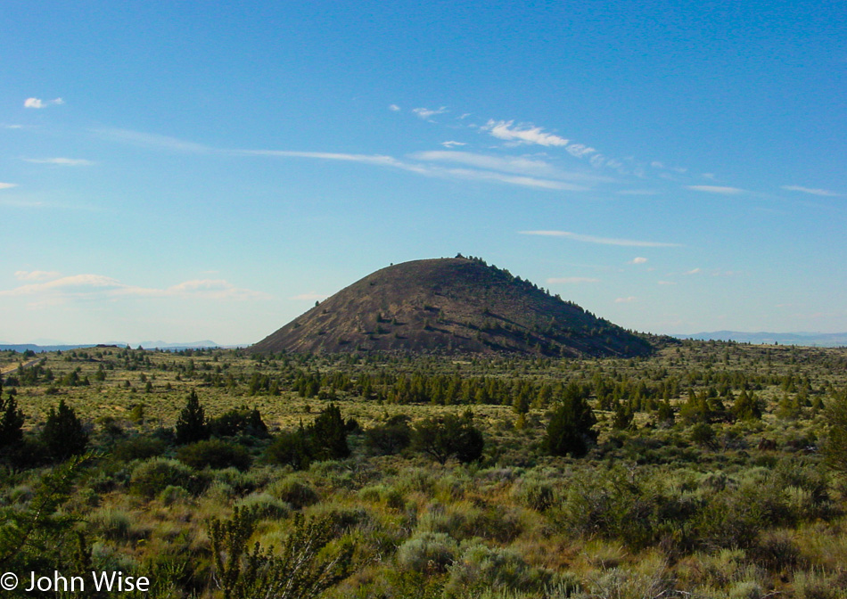
A cinder cone that one day might grow into a full-fledged volcano. Tomorrow, we’ll continue the volcanic theme with a visit to Lassen National Park, but for today, we need to get along as we are hoping to get down to Susanville that on a direct route wouldn’t be too far away, so we’ll take the long way so we can get a glimpse of what you see in the next photo.

Mount Shasta, California

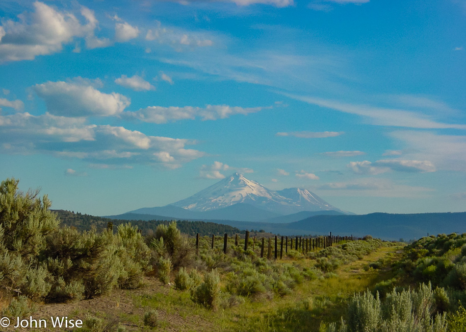
This is Mount Shasta, standing at 14,179 feet above sea level, a dormant volcano. Maybe this road trip should have been themed as the “Volcanic Run.”

VW Beetle covered in insects

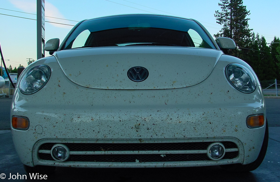
It was quite a detour around Mount Shasta and Weed, California, but I’d seen those iconic images of the Weed sign with Mt Shasta framed behind it and just had to see it for myself. We stopped for gas in McCloud, and while we were enjoying the views, we were almost shocked at the carnage on the bumper. I’ll spare you the closeups.

Mount Lassen, California

The sun setting in the distance, and yet another view of Mt Shasta.

Caroline Wise at Frontier Inn in Susanville, California

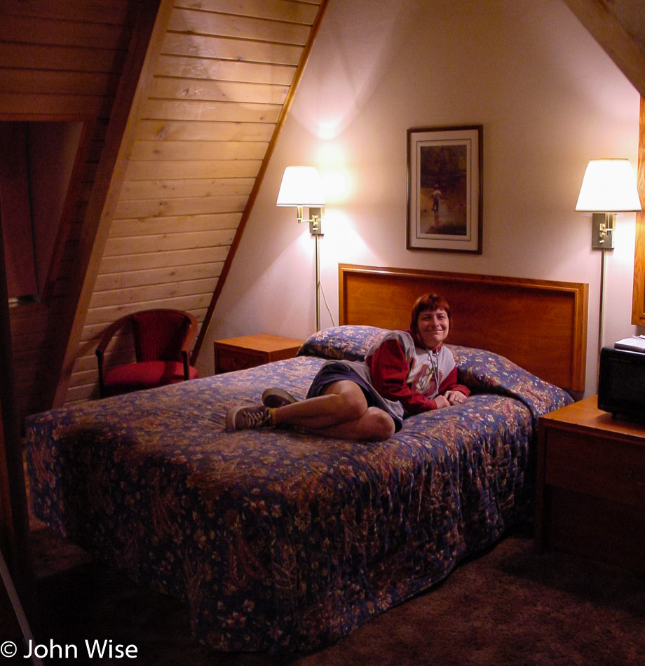
We finally arrived in Susanville, California, at 11:00 p.m. and had a seriously funky room here at the Budget Host Frontier Inn.

Independence Day in Oregon – Day 2

Saddle West Casino in Pahrump, Nevada

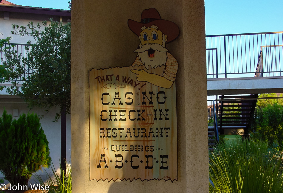
We left the Saddle West Hotel Casino RV Resort, one of two motels in town, at about 6:00 in the morning. Pahrump has a big advantage in comparison to other Nevada towns – especially those in neighboring Clark County (such as Vegas, Henderson, and Laughlin) – prostitution is legal here in Nye County; several billboards enlighten the unsuspecting (?) traveler of this fact, and there is even a brothel museum. We are probably going to come through here again on a future trip and hope to take a closer look at that. Another curiosity finds a home here in Pahrump; the radio show Coast to Coast AM hosted by Art Bell lives and operates from out this way. If you ever wondered why he opens his show with “from the kingdom of Nye” – now you know.
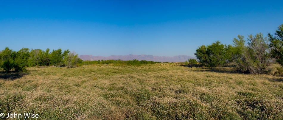
Just north of town, we turned west on Highway 190 in the direction of the California state line and Death Valley National Park, but on this side of the border lies a small exclave called Devils Hole bordering Ash Meadows National Wildlife Refuge. Naturally, we were curious and had decided to pay a visit to both. Another “Devils Something” notch on our National Park bedpost, who could resist? While a lady at a gas station effectively placed some doubt in our minds whether our Beetle could handle the unpaved road into the refuge, we also started to wonder what kind of “meadow” we could hope to find since, for several miles, we saw nothing but the usual stuff such as dry shrubs, sagebrush, and short trees. Nevada certainly managed to make it all look pretty enough and even arranged some wildlife for us: we saw several bighorn sheep standing on a hill in the distance. We eventually hit our turnoff into the refuge, although there was no sign other than “Bill Copeland Memorial Highway.” Judging from the map and the fact that we were heading for a faint cluster of greenery, we started believing that we were on the right track.
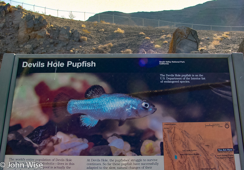
Caroline and I were beginning to have doubts about whether we would be able to access Devils Hole from our current location. We drove right by it because it was just a chain-link fenced-off area that looked like a lot of nothing. The Hole lies near the refuge’s northeastern exit, which is stocked with xeroxed info maps; that’s how we realized that a) we had just missed Devils Hole, the world’s only habitat of the Devils Hole Pupfish (clap, everybody), and b) that we hadn’t even seen the best of the Ash Meadows Refuge yet. But first, we turned around and pulled off the road next to the (closed) access road to the Devils Hole parking lot. They even discourage you from parking near the Hole. Devils Hole is not very scenic but is a rather heavily guarded scientific research area. We hung out for a short while, trying to spot one of the elusive and precious fishies in the water below us, but that proved impossible even with binoculars at the ready.
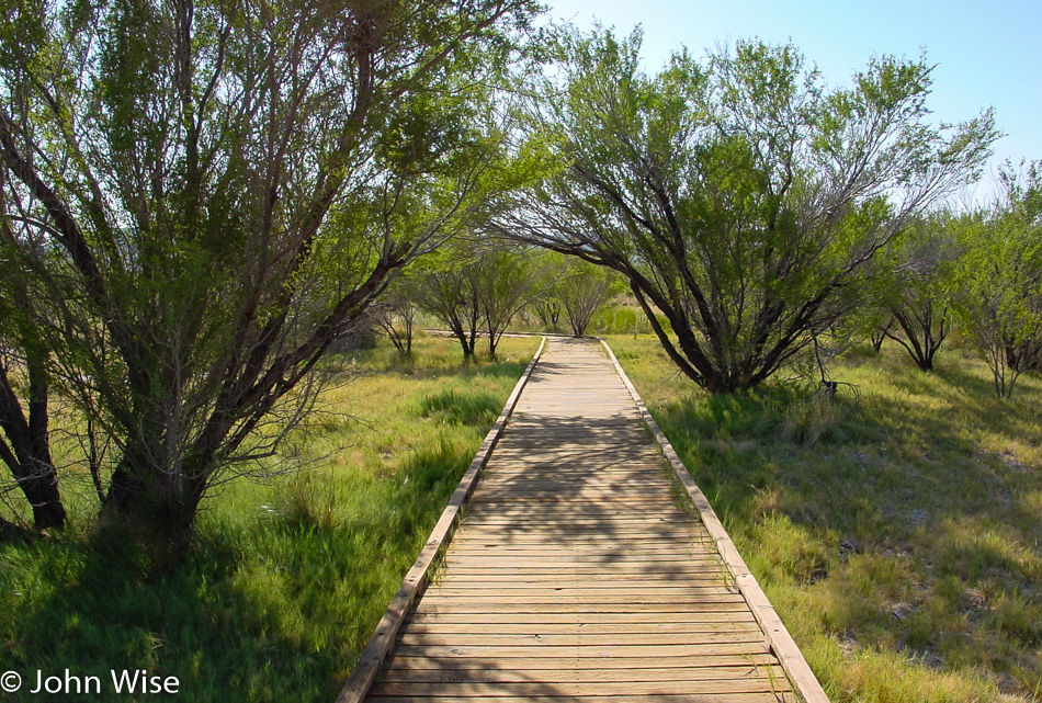
Highway 373 led us to the other side of the refuge to visit the crown jewel itself, the interpretive boardwalk to Crystal Creek Spring. The reason why there are these patches of green meadows and wetlands out here lies in the hidden groundwater.
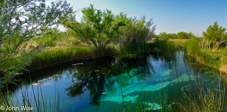
The area has a large reservoir of “fossil” water, meaning it stems from an ancient melted glacier. It surfaces in various spots in this valley, offering habitats for various kinds of – you guessed it – desert pupfish, including the Ash Meadow pupfish. These wily little fellows have the capability of surviving even in the meekest of hostile puddles. Farmers used to pump the water away from the springs, and the pupfish all but disappeared, but in recent years, the larger springs are being restored, and the pupfish are recovering. Unlike the nearly barren Devils Hole, Crystal Creek Spring is an incredible oasis, overwhelmingly beautiful, clear, and deep. You can see the pupfish swimming near the algae at the bottom with the naked eye.
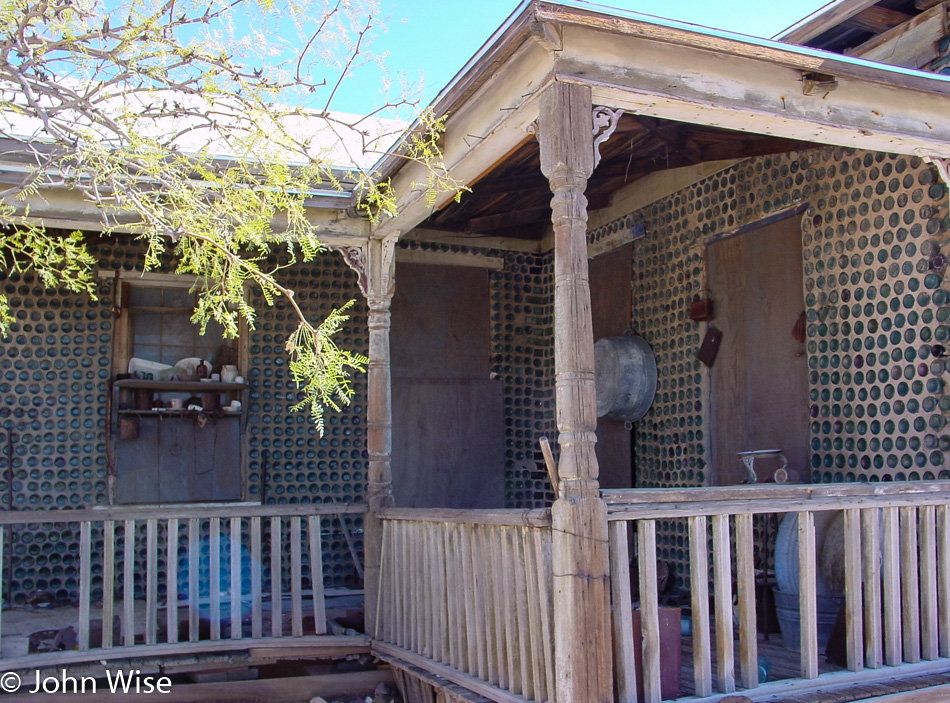
By now, it was time to jump into the Beetle again and continue on our journey. We rejoined the paved road on Highway 373 North until reaching the junction of Highway 95 West. About 40 miles further on, we passed the little town of Beatty, Nevada, and turned onto Highway 374 towards the Californian border. Four miles out of Beatty, we found Rhyolite – our next destination. In 1908, this was Nevada’s third-largest town, sprawling with over 8,000 inhabitants. Today, only a few of the brick structures remain, most of them in ruins. Rhyolite’s most interesting building is the “bottle house,” made with the help of over 10,000 bottles (mostly beer bottles of the pre-Budweiser variety). The place is in pretty good shape compared with the schoolhouse, for example.
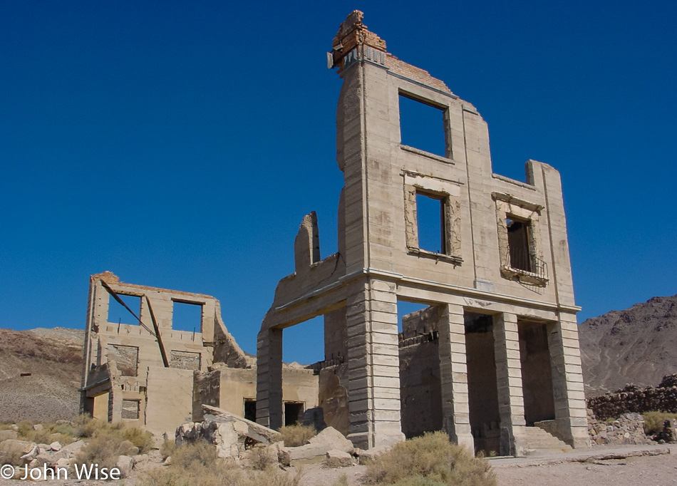
An example of one of the buildings in this ghost town that hasn’t fared well over the intervening years of neglect and lack of a population.
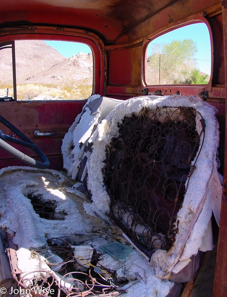
The same can be said about vehicles that were left to the elements; they likely won’t be driven again any time soon.
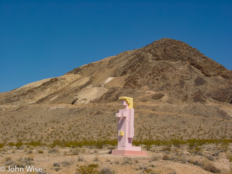
Just next to the Rhyolite townsite (in the suburbs, so to speak) lies an outdoor art exhibit of a curious kind – the Goldwell Open Air Museum, a project of the late Belgian artist Albert Szukalski (1945-2000). He founded the museum in 1984 with his sculpture “The Last Supper,” and later on, several other sculptures by various and distinguished artists were added, such as the true blond above. A truly unique art experience that has been seen by millions of visitors on their way to Rhyolite.
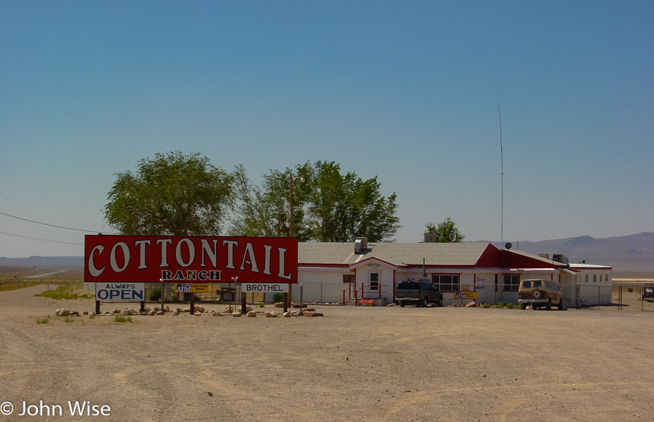
Finally, we headed back towards Beatty, where we stopped for gas, postcards, and the loo. On the way out of our pit stop, we saw a sign offering “free police car rides.” Unfortunately, only for shoplifters; what a drag. Near the Esmeralda County line but still in Nye, we passed another example of the kind of business that Nevada is famous for, and I’m not talking about casinos. For some reason, these establishments are usually called “So-and-so Ranch,” although, in reality, the buildings resemble double-wide trailers. Anyway, in case you ever asked yourself what a brothel in the middle of nowhere looks like, wonder no more.
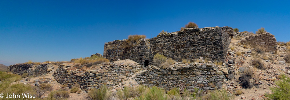
The road had started to climb higher and the surroundings became a tad greener and then dipped again for another encounter with the lovely sagebrush, especially true when it is fresh and fragrant. We are looking at a small corner of Palmetto, Nevada. Founded in the early 1860s after silver was found in the area, the town went through not one but two revivals, only to disappear for good during its last downturn. It was named after the local Joshua trees which the settlers thought were related to palm trees. A few miles past Palmetto, we spotted a few bighorn sheep; unfortunately, there was no chance to pull over for a picture.
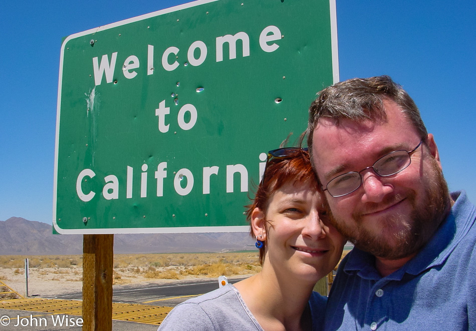
Back in California for only about 10 miles before swinging back into Nevada. While we have now passed through Oasis, California, we can’t tell you much about it.
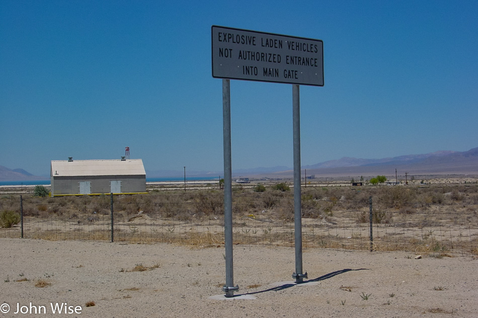
Where the heck are we where people have to be warned about not bringing their explosives-laden vehicles through the main gate? This is obviously not Disneyland.
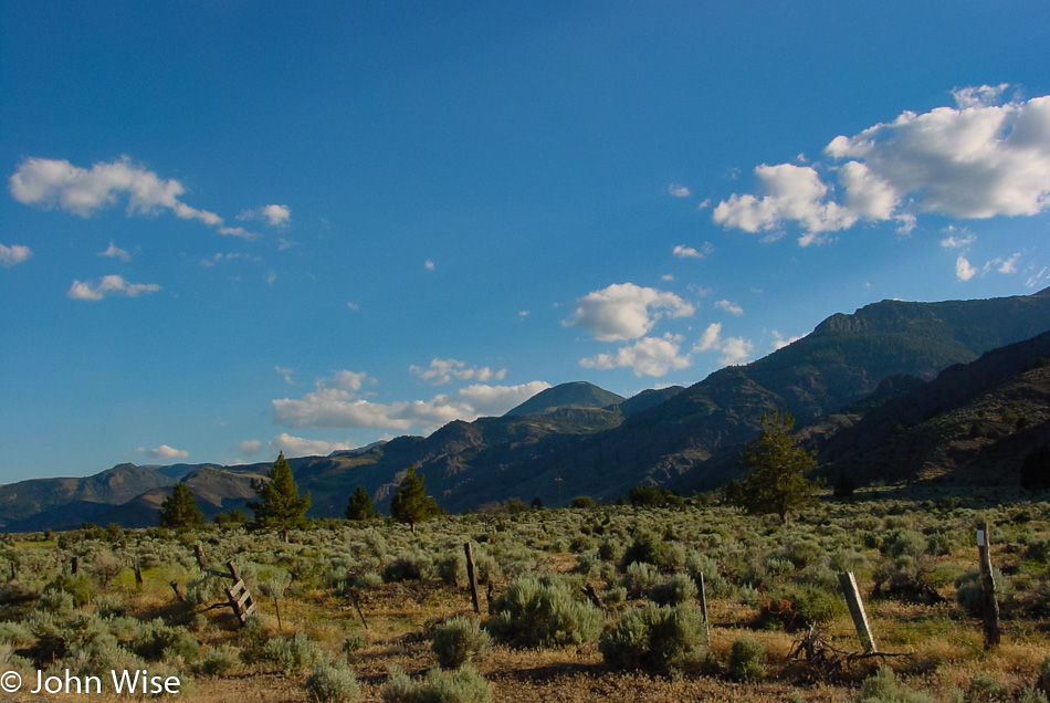
Mountains and sagebrush are not a bad combo.
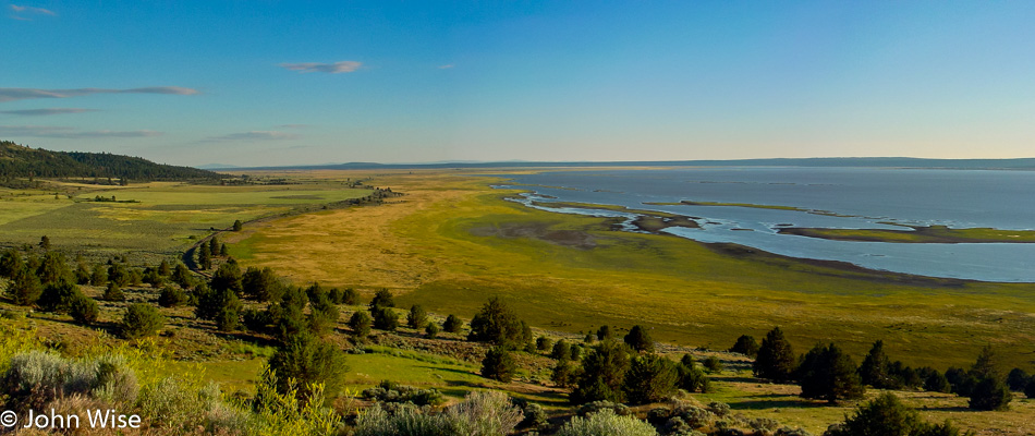
We needed to dig into some driving as the day was quickly getting away from us since we had spent a fair share of our time checking stuff out, but this scene was too pretty to let pass. We are on the road passing through Nixon in rural western Nevada, looking out over Pyramid Lake. A bit further up the road, we’ll encounter Gerlach, Nevada, and remain on state route 447 until we return to California on our way toward Cedarville and points beyond.
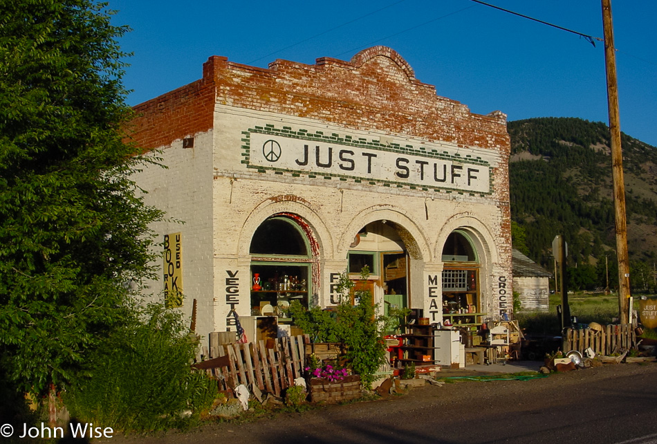
This is Just Stuff and is a place for a bit of all things, including souvenirs, because once you enter Pine Creek on the Oregon border, the first thing you are likely needing to do is shop in a little funky joint to jump right into the Oregon vibe.
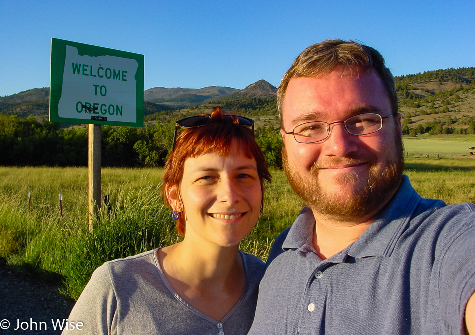
This is our second time this year and the second time in our lives that we are visiting Oregon. The first time this past March, we crossed over an eastern border of the state; this time, it’s a southern border. If you believe you are starting to see a trend, you’d not be mistaken. I can nearly assure you that it’s only a short matter of time before we enter the state over on the southwest side to take in Coastal Oregon from that perspective.
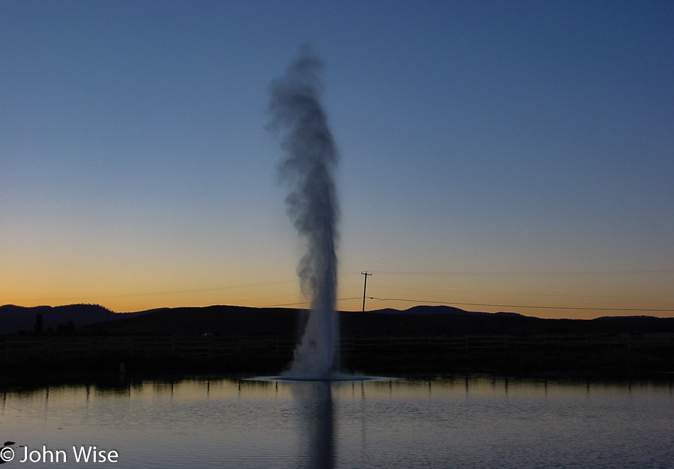
Is it a real geyser? Who cares? It’s pretty and reliable.
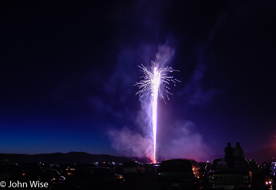
This single rocket on the Fourth of July is why we’ve driven nearly 1,000 miles to Lakeview, Oregon. Sitting on top of trucks and in lawn chairs like we’re at the drive-in in rural America is what the celebration of freedom is all about. Happy birthday, America!