4th of July – New Mexico to Colorado

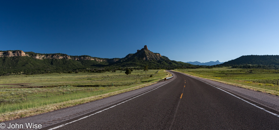
North of Chama, New Mexico heading into Colorado

We first visited this area not far from Brazos, New Mexico, back in the analog age of the 1990s with two old friends, Ruby and Axel. Camera technology had failed people as the cost of getting a somewhat good photo or two from expensive film was skyrocketing, so people just stopped taking so many photos. Had the world looked so incredibly well-defined, colorful, and grain-free back then, I believe there would have been no need for digital cameras, but Kodak failed us. Today, though, this is what northern New Mexico looks like, and I think everyone should come and see it for themselves.
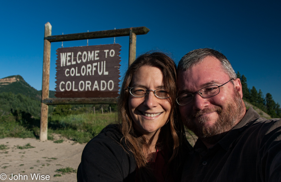
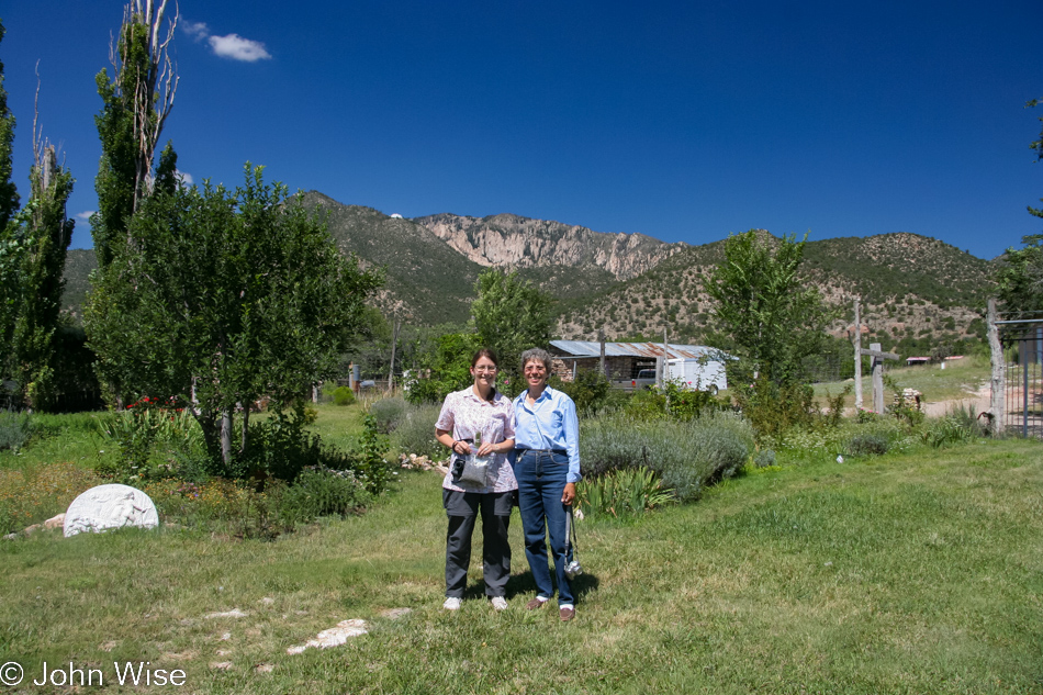
Caroline Wise and John Wise at the Colorado State Line

Look hard, those are the faces that are in the mode of celebrating America’s Declaration of Independence because if you’ve not noticed the date, it’s the 4th of July.
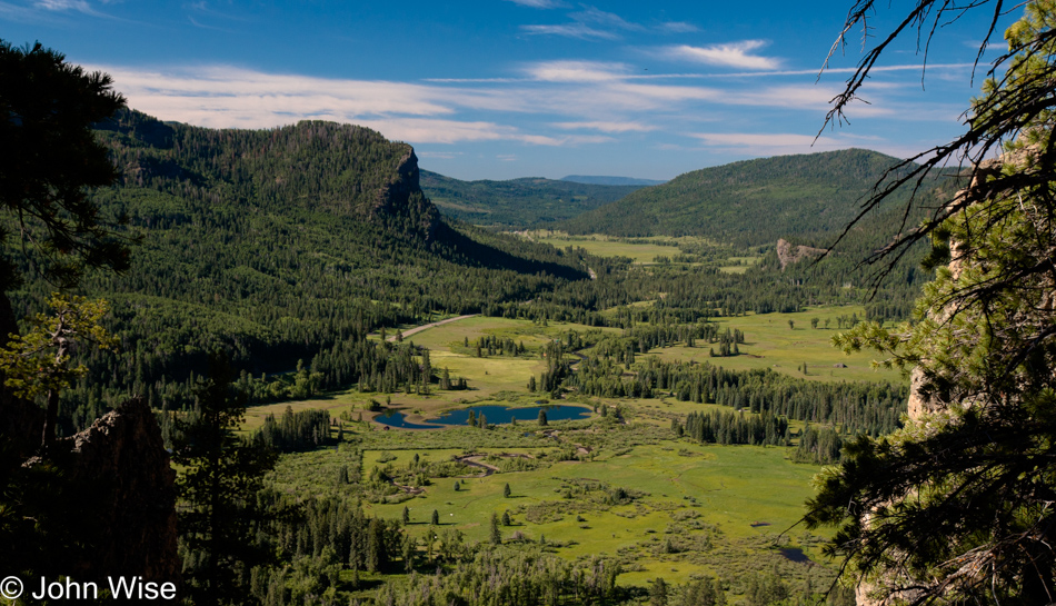
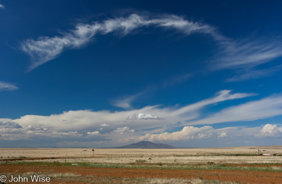
U.S. Route 84 to Pagosa Springs, Colorado

If this were all you ever knew about Colorado and you allowed this to be the image of the state, minus the snow-capped Rockies, of course, then you’d have a pretty good sense of the place. Oh, I should add, just forget about the eastern half of Colorado as it’s just flat and Great Plains-y.
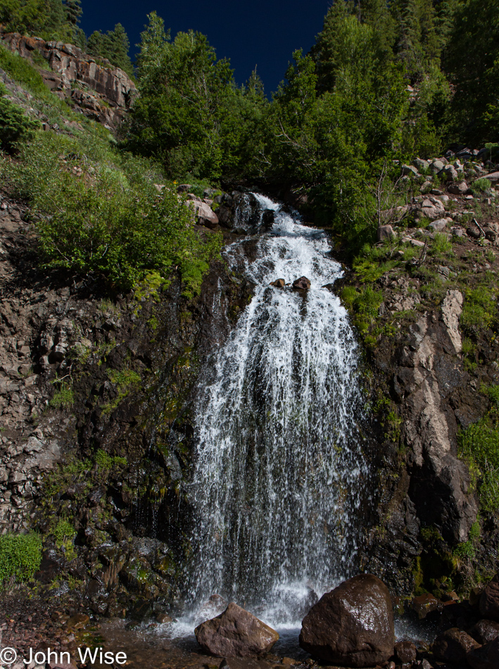
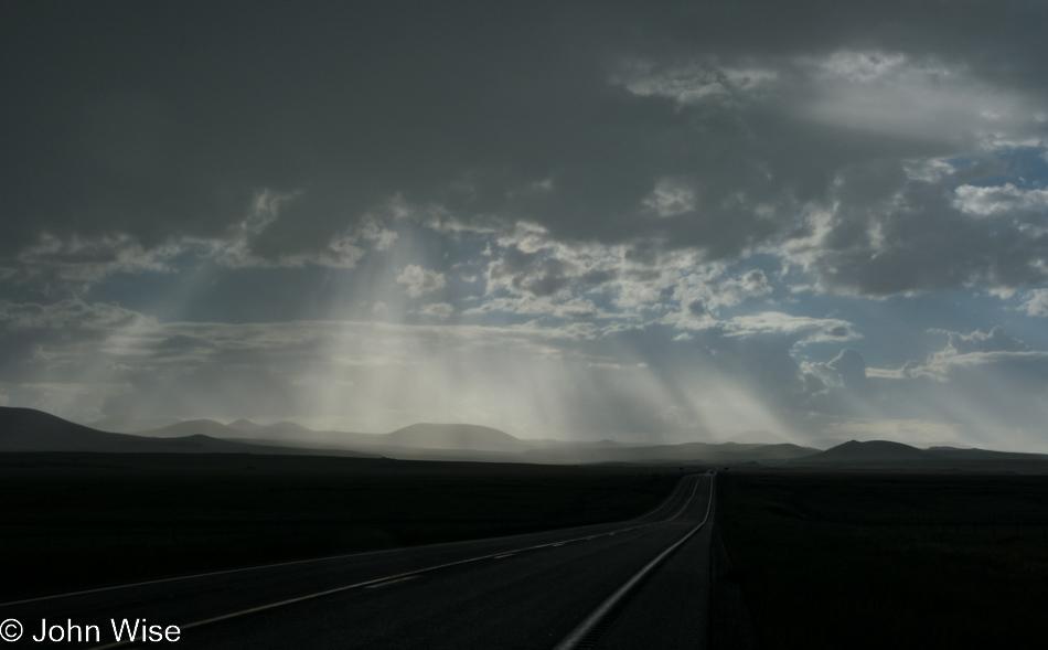
U.S. Route 84 to Pagosa Springs, Colorado

With over 23,000,000 waterfalls, Colorado has more of these features where water tumbles over edges than anywhere else on Earth, including the United States.
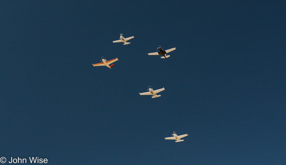
Pagosa Springs, Colorado on the 4th of July

Oh my god, are those Stukas over Colorado, or am I in Disneyland?
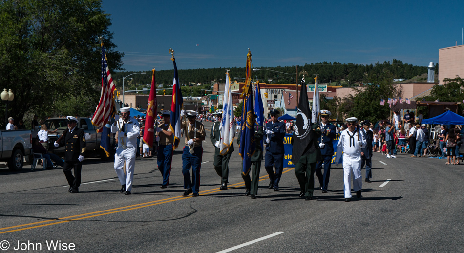
Pagosa Springs, Colorado on the 4th of July

Maybe those planes were effectively the announcement that festivities were getting underway here at the 4th of July parade in Pagosa Springs, Colorado? Yeah, that’s what that was.
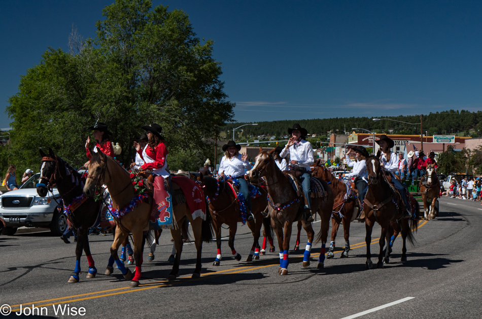
Pagosa Springs, Colorado on the 4th of July

If we’ve learned nothing else, it would be that the 4th of July should be spent not just once but multiple times in small towns as there’s something wholesome (sorry for the corny word) about being in places where simple things are appreciated and celebrated. You should check out our trip from a few years ago to Canadian, Texas to see that we really do love these small-town American adventures.
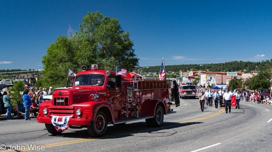
Pagosa Springs, Colorado on the 4th of July

Sorry about the irreverence of this post and its potential to veer out of control instead of just respecting the holiday, but that reference above regarding the Stukas Over Disneyland was a nod to the punk band The Dickies. Well, that memory took me over to YouTube to check out this band I last listened to back in the late 1970s, and it turns out that I needed to listen to them in real punk rock style. Huh, you’re not sure what I mean? Ya know how the songs were short? Listening to those hits all these years later, I managed about 20 seconds of Where Did His Eyes Go? before skipping to Attack of the Mole Men. I made it about 15 seconds into that before clicking on I’m a Chollo, which was pretty good for almost 45 seconds before I’d had enough of this punk rock session.
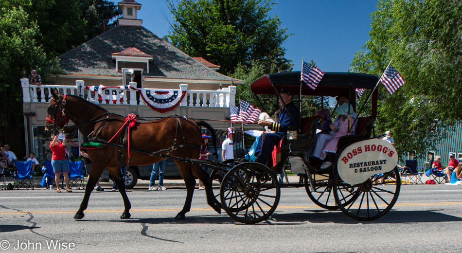
Pagosa Springs, Colorado on the 4th of July

If only this horse-drawn buggy had a gun turret mounted somewhere, anywhere, even on the horse, this photo could have been the epitome of what it means to be America: flags, guns, streets, sitting around, beer at the saloon, food, and well, that’s enough.
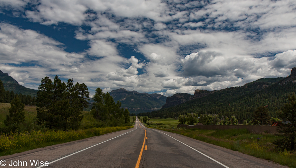
Traveling north on Wolf Creek Pass - US Highway 160 north of Pagosa Springs, Colorado

Traveling north on Wolf Creek Pass – US Highway 160 north of Pagosa Springs, Colorado. There’s a song from C.W. McCall penned in 1975 titled Wolf Creek Pass; it’s not punk, nope, it’s worse, don’t listen to this turd.
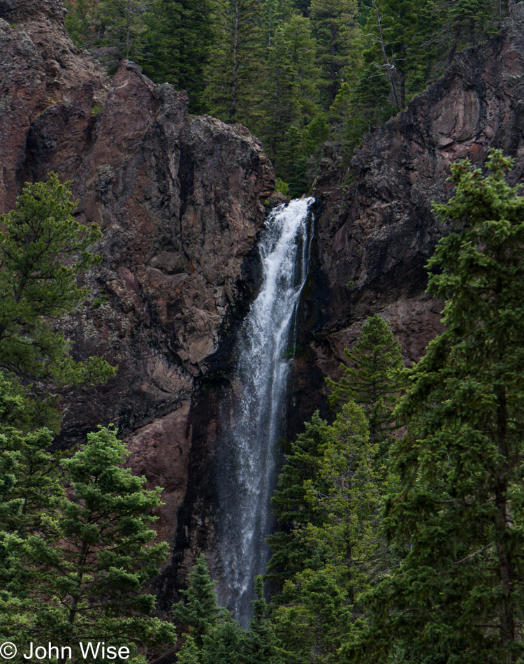
Traveling north on Wolf Creek Pass - US Highway 160 north of Pagosa Springs, Colorado

Over the course of this blog post, we are working to document no less than 10% of all waterfalls in this great wet state. This is but number two, with only 2,299,998 left to go.
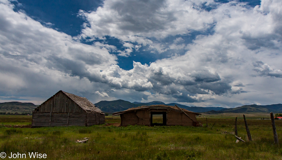
Traveling north on Wolf Creek Pass - US Highway 160 north of Pagosa Springs, Colorado

Lunch was at the Peace of Art Cafe in Del Norte, Colorado. This is not their location.
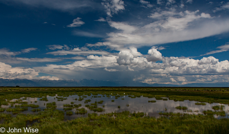
Somewhere between Del Norte and Antonito, Colorado

Russell Lakes State Wildlife Area in Saguache, Colorado, as I said, is wet. Just last month, with my mother-in-law Jutta in tow, we all went out on a Wandering Out West road trip, a weekend really, but during that time, we detoured, and then more than a dozen years later, when I was actually writing that post, we had to figure out where the heck we had gone. Well, same thing here as this is yet another post that didn’t see the light of day until August 2022. Where are we?

A couple of days ago we had no idea where these pictures were taken, not a clue. So, while I was out writing whatever stuff I made up for that other post, Caroline and her super-sleuthy skills pegged it. The motivation back then to take this 40-mile detour north is lost by now, but that’s what we did, and instead of looping around towards the Great Sand Dunes National Park, we apparently turned around and went south the way we came.
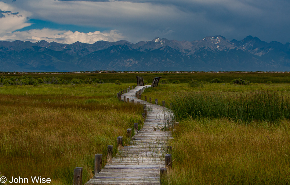
Somewhere between Del Norte and Antonito, Colorado

Maybe you are wondering about the scattershot writing style and want to ask, “What’s up with this post, John?” Just as we are out celebrating the 4th, we are free to see what we want, photograph what we want, and say any old crap we want because this is America.
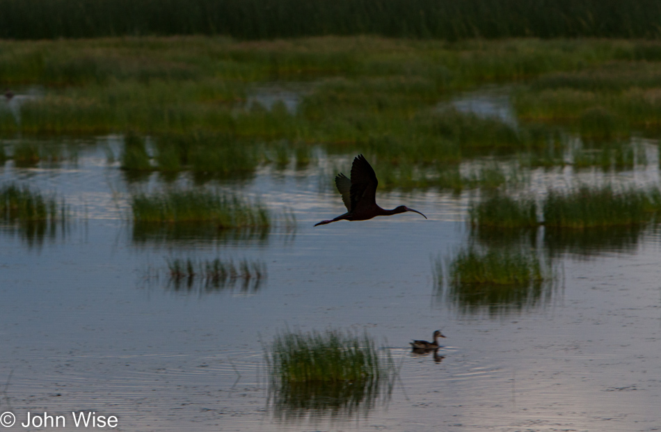
Somewhere between Del Norte and Antonito, Colorado

Birds fly, while some quack and others do both.
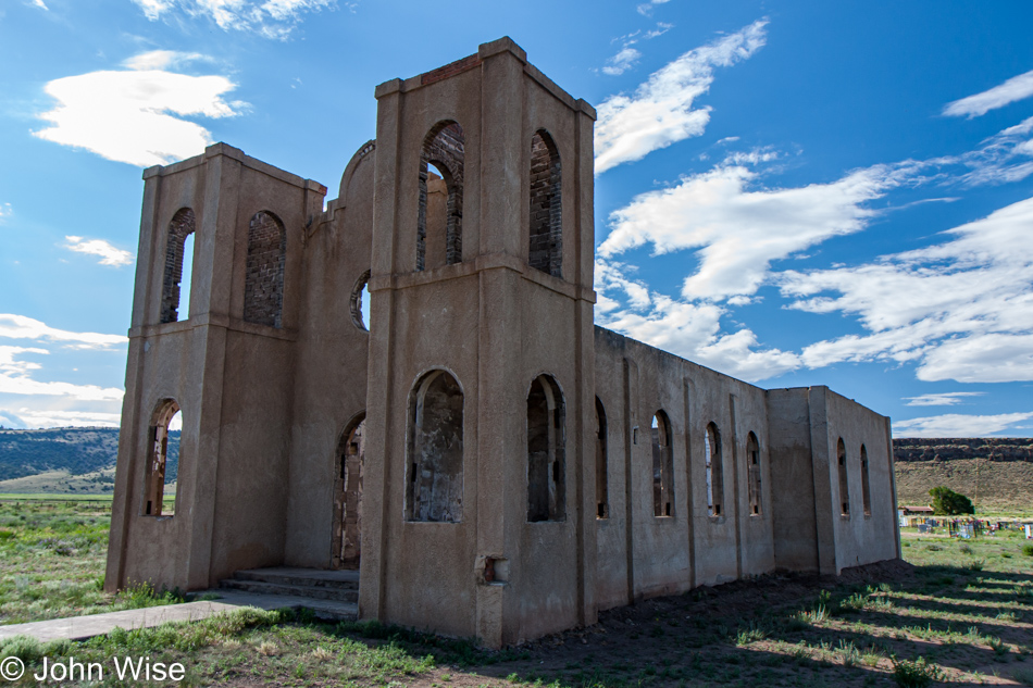
Las Mesitas Church ruin in Antonito, Colorado

San Isadore Church ruin in Las Mesitas, Colorado west of Antonito, Colorado.
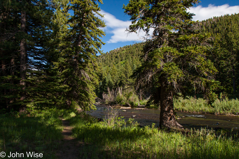
Traveling the Cumbres Pass via Highway 17 from Antonito, Colorado to Chama, New Mexico

Traveling the Cumbres Pass via Highway 17 from Antonito, Colorado, to Chama, New Mexico, and stopping at the Conejos River. If you are wondering if I’ll return to snark, punk references, or lay down some, “I’m American, which means I have the freedom to be as crazy as I want,” you might be looking for a while because by now I just want to be done with these old posts.
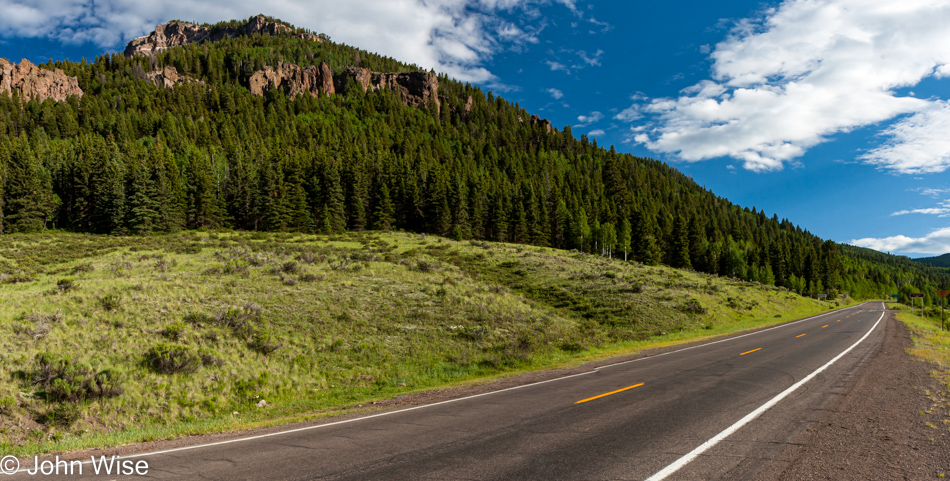
Traveling the Cumbres Pass via Highway 17 from Antonito, Colorado to Chama, New Mexico

Jeez, this road is long. I mean the one where I account for every travel day Caroline and I have taken since we started taking digital photos. Today, meaning this particular July 4th, 2009, represents our 663rd day away from Phoenix, Arizona. It was back on August 8th, 1999, that I found our oldest digital image of us traveling to Los Angeles, California, with friends; that is Day 1 in my grand index. This means that I’m in the first ten years of our travels in the digital photography age and still have 13 more years to ensure I’ve covered here on this blog. Remember, although I reference 2009 here, I’m writing this sitting in a Starbucks at 32nd Street and Union Hills Drive on August 9th, 2022.
Traveling the Cumbres Pass via Highway 17 from Antonito, Colorado to Chama, New Mexico

The paragraph above is called filler for the empty mind because I didn’t know what else to say, so I go for relatively superfluous stuff that, while conveying something, really has nothing to do at all with our drive to Colorado and return to New Mexico on this day.
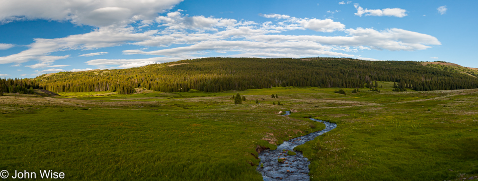
Traveling the Cumbres Pass via Highway 17 from Antonito, Colorado to Chama, New Mexico

Ah, this is the Cumbres Pass area that will play a significant role in tomorrow’s big adventure.
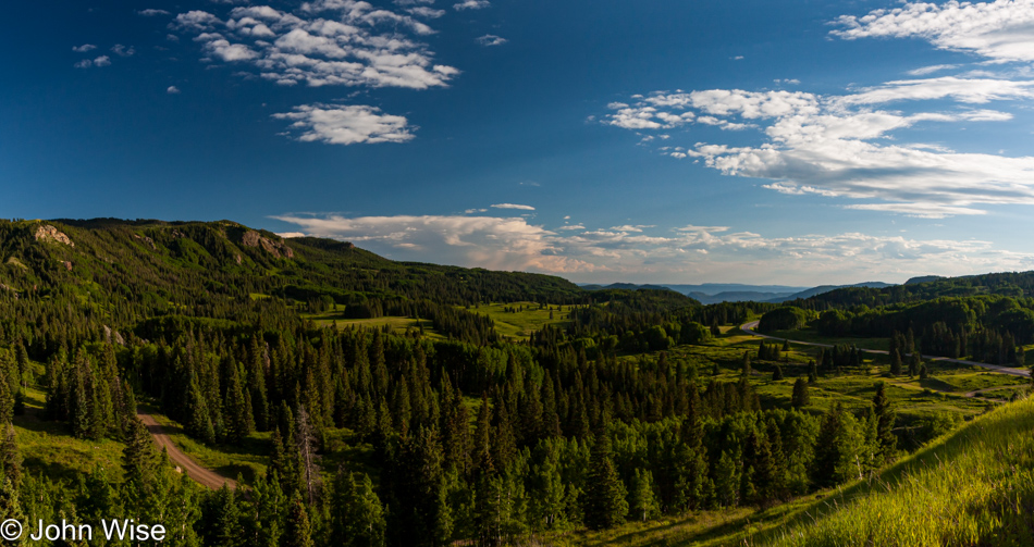
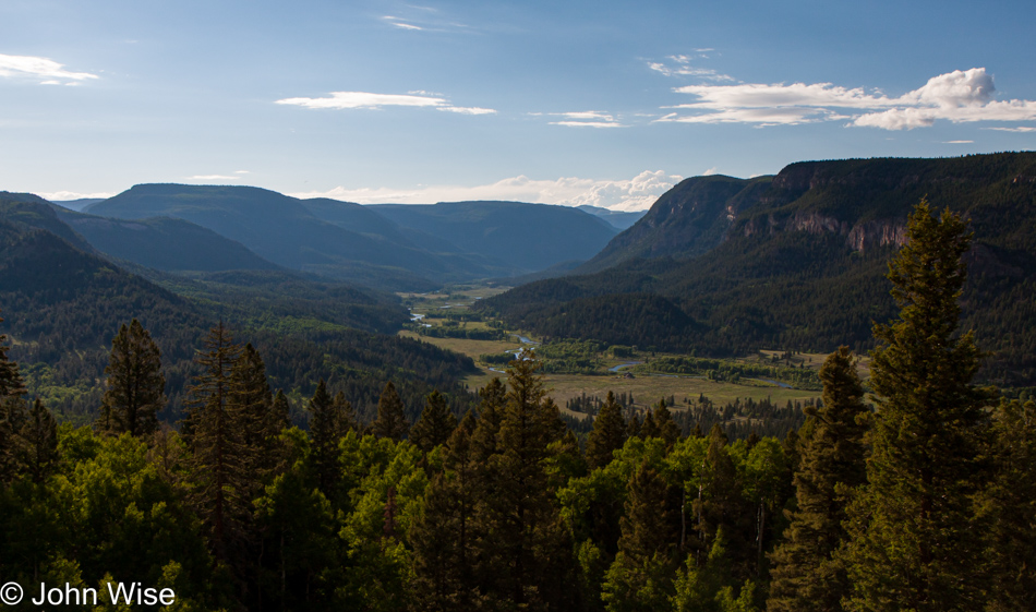
Traveling the Cumbres Pass via Highway 17 from Antonito, Colorado to Chama, New Mexico

At this moment, Caroline and I stood at the most beautiful scene we’d ever seen and would ever see on this particular day at the time we stopped to take it all in. Sure, there will be others in the future, but never again will we capture this moment like we did at this moment.
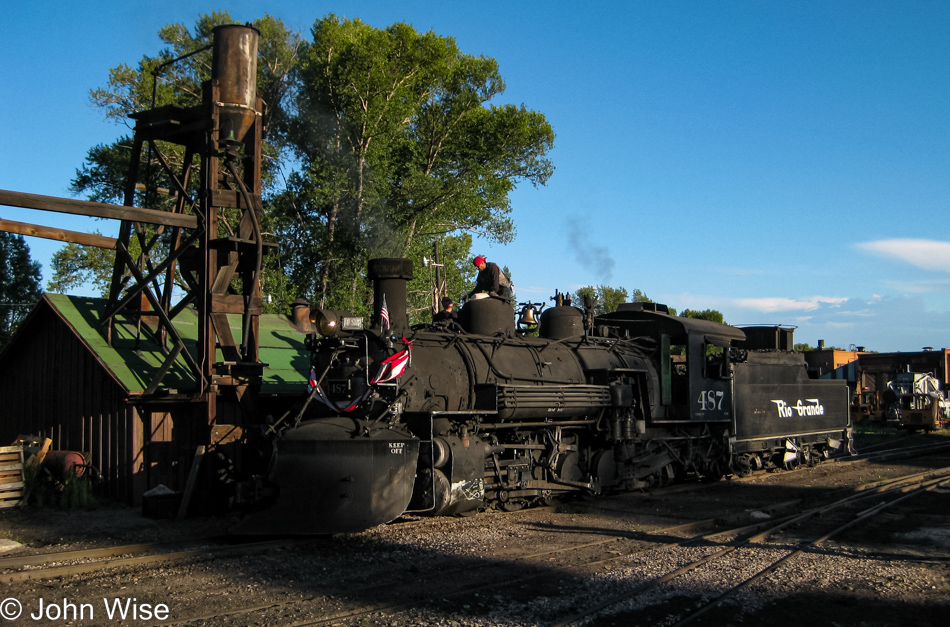
Cumbres and Toltec Steam Train in Chama, New Mexico

Cumbres and Toltec Steam Train in Chama, New Mexico, not that we’re going to be on a train tomorrow or anything, but if we were to be on a train, that would be a mighty fine way to spend a day.
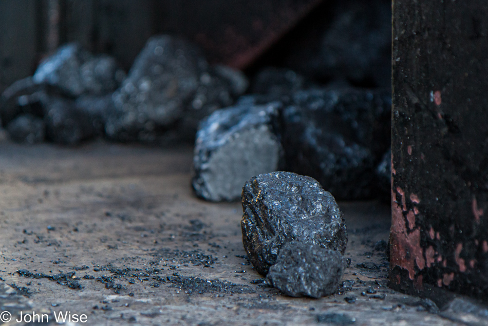
Cumbres and Toltec Steam Train in Chama, New Mexico

I once found something just like that in my Christmas sock but I didn’t own a steam train, so I still wonder just what that signified.
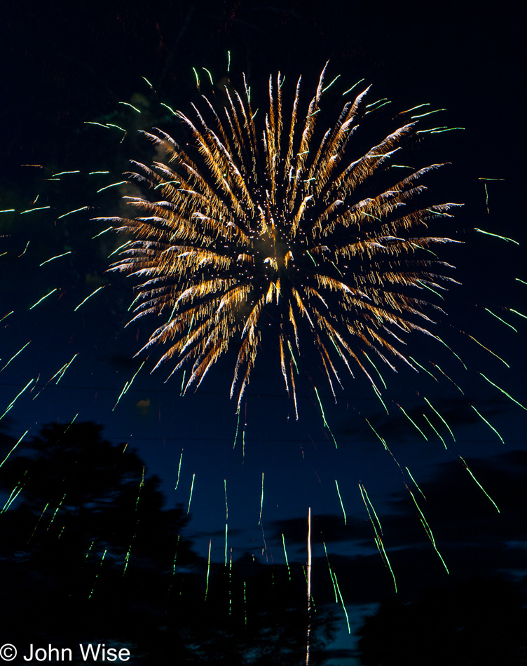
Fireworks show on the 4th of July in Chama, New Mexico

After a ton of joking, one might be inclined to believe that the next thing I share is hyperbole or nonsense, but this part is real and true. This was one of the two best fireworks shows we ever experienced. Right here in Chama, New Mexico, the proximity and acoustics of the show left us in awe.

Fireworks show on the 4th of July in Chama, New Mexico

The other fireworks display that hit hard was at Disneyworld in Orlando back in late 1999; that one brought us to tears.
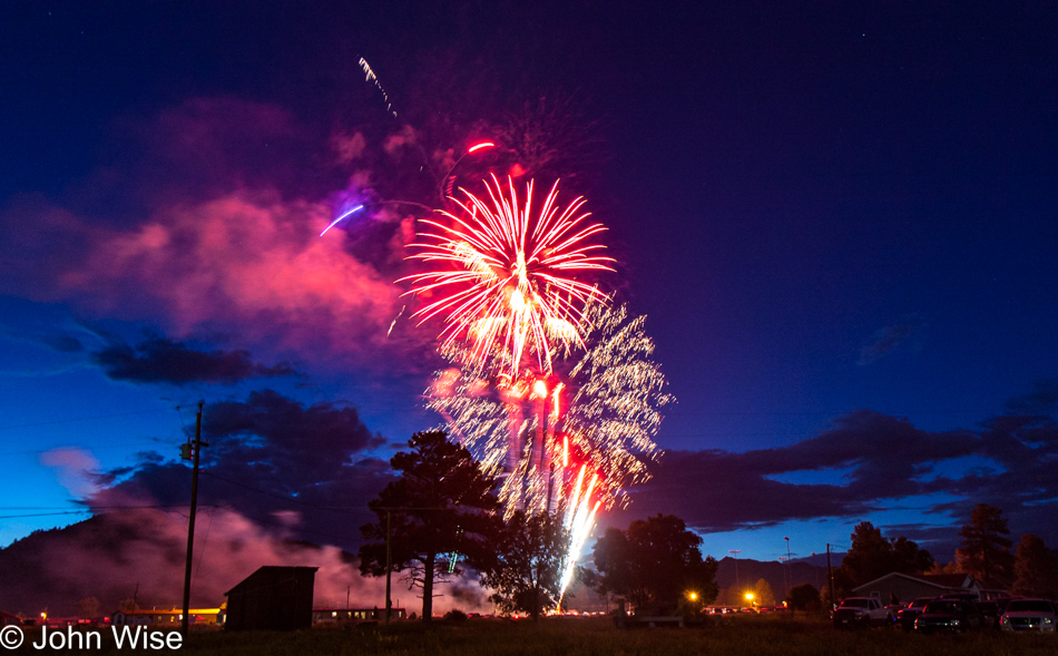
Fireworks show on the 4th of July in Chama, New Mexico

This is about it. I’m outta stuff to say, and I can’t think of any more witty things to add or draw in, so I’d kind of just like to end this post right here, but there’s the matter of the two photos below this.

Fireworks show on the 4th of July in Chama, New Mexico

Yeah, this is one of them, and the other, as you might have guessed, is just below.

Fireworks show on the 4th of July in Chama, New Mexico

At this moment, I’m feeling like a poor writer as I’ve tried pulling readers all the way to the very last photo without any written payoff other than this mea culpa that I’ve failed to add some compelling narrative of why you’ve traveled all the down to the bottom of this post. On the other hand, there is this spectacular firework image to dazzle your eyes with. Till tomorrow.
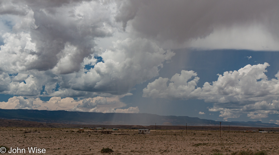
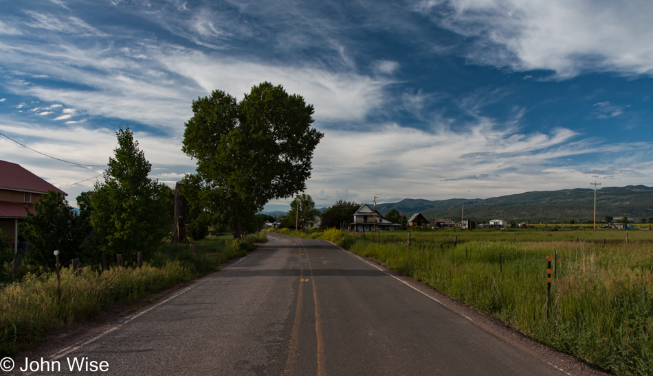
New Mexico – Into the 4th of July

Somewhere near Albuquerque, New Mexico

This is another one of those blog posts to emerge out of the distant past as it’s summer 2022 when I rediscovered the directory of photos that languished for the intervening years. With no notes and no itinerary, we had to rely on Caroline’s sleuthing skills to identify landmarks in our photos.

Somewhere near Los Ojos, New Mexico

We knew from the photos that follow that we were in the Chama, New Mexico, area, and you’ll see the reason in the posts for the 4th and 5th of July, but we were initially preoccupied with how this day evolved. Where did we start, and where did we finish?

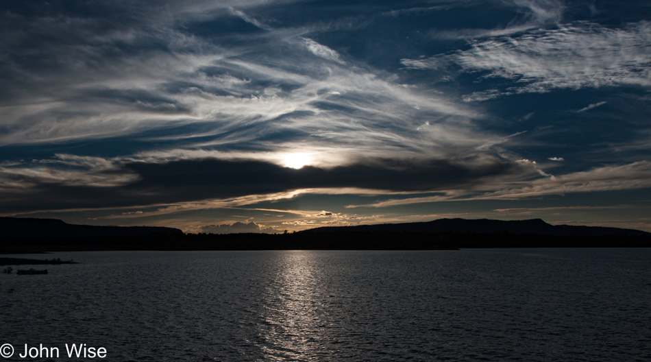
Heron Lake State Park in Los Ojos, New Mexico

A body of water helped in that we could scan north-central New Mexico and isolate the area to about 100 miles around Chama.

Caroline Wise at Heron Lake State Park in Los Ojos, New Mexico

Not only does she have beautiful eyes, but she has an eye for finding stuff as it relates to maps. Just forget the idea that she’s good about finding her own stuff in close proximity to where she sets things down.

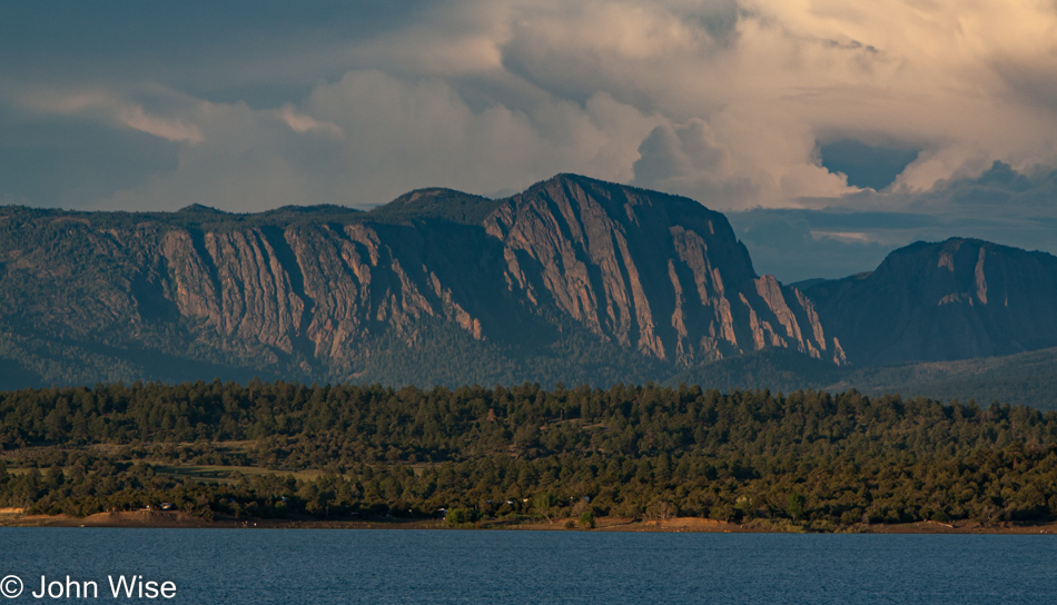
Heron Lake State Park in Los Ojos, New Mexico

It was this escarpment that turned out to be key and allowed her to verify that we were at the Lake Heron State Park near Los Ojos, New Mexico.

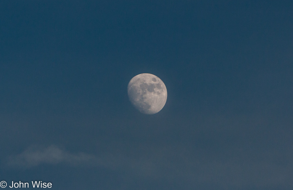
The moon as seen from Heron Lake State Park in Los Ojos, New Mexico

So, maybe our day started in Gallup, Grants, or maybe even Albuquerque, and we’d left the night before to get the bulk of the driving out of the way? Nope, with Gallup only 4.5 hours away from Chama, we’d never have taken so few photos along the route. This can only mean that we were intent on making a lot of miles and simply never stopped so we determined that we had to have begun the day in Phoenix and driven the 495 miles over the course of the entire day.

Update: well, that’s what I thought when I wrote this last paragraph, but then upon consolidating a bunch of Caroline’s and my photos, I discovered a couple of videos Caroline shot from the passenger window of the landscape that shows us traveling north. With the time of the videos being shot at about 7:00 p.m., I’m gonna guess we stayed somewhere between Flagstaff and Winslow, meaning we would have had about a 6-hour drive to Chama, which kind of then makes sense why there were so few photos.

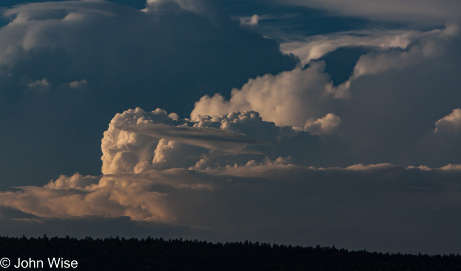
Heron Lake State Park in Los Ojos, New Mexico

With this out of the way, I can start taking a look at our 4th of July festivities that remained out of sight for the past 13 years.

Rainbows Everywhere We Go

Goose Eggs

Attention: Some images had to be moved around, and additional information needed to be added to these 4-days as when I first blogged about this trip, it wasn’t in my head that exacting placement of details should be very precise as long as we had an idea of what was what. Well, here I am in November 2022 with COVID-19, repairing those bungles because I’ve got nothing better to do.

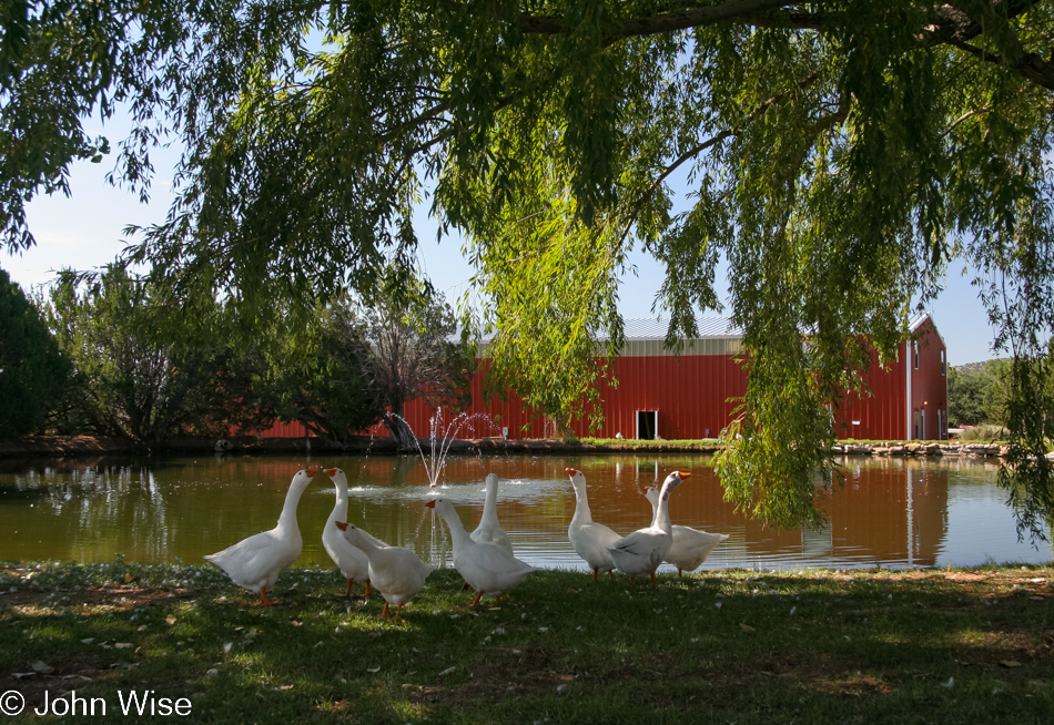
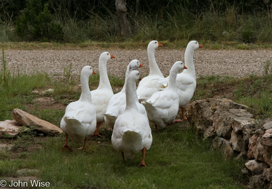
Last night we were gifted these two goose eggs for our breakfast; Caroline nor I had ever had goose eggs before. No, they don’t taste like chicken; they are like creamier, heavier versions of chicken eggs.

Geese at Lavender Spring Ranch in Arabela, New Mexico

Thanks, ladies, for your contribution to our breakfast.

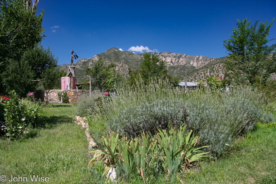
Lavender Spring Ranch in Arabela, New Mexico

Being called Lavender Spring Ranch, it seems appropriate that lavender should be just about everywhere.

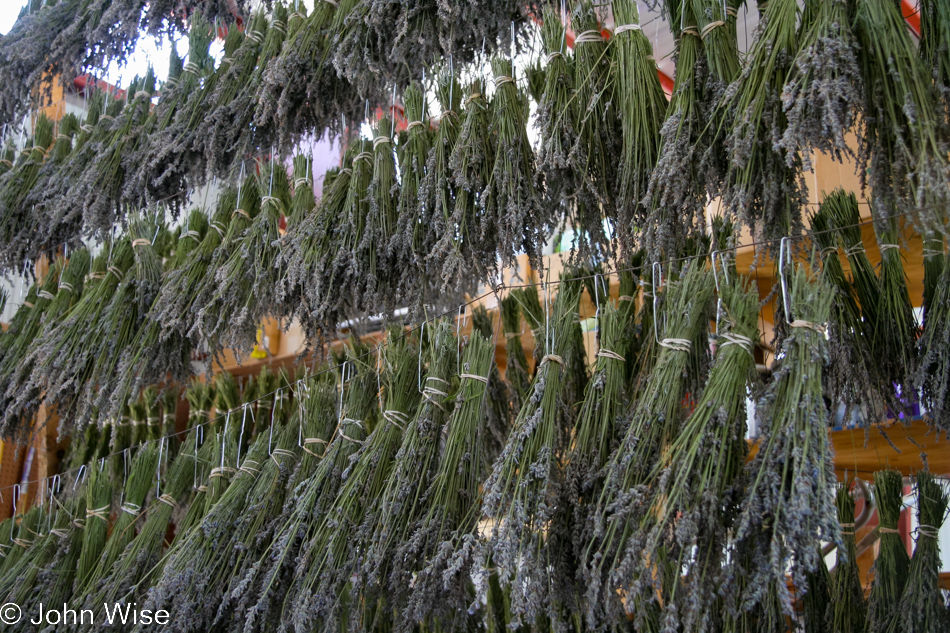
Lavender Spring Ranch in Arabela, New Mexico

Bundles of lavender dry until they are threshed to remove their flowers.

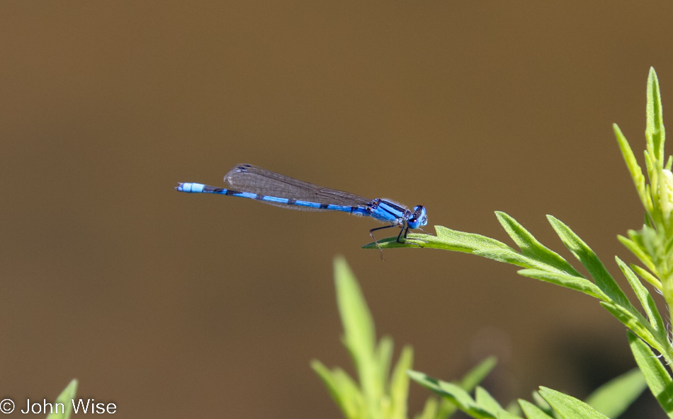
Dragonfly at Lavender Spring Ranch in Arabela, New Mexico

Dragonflies, on the other hand, do not require threshing.

Caroline Wise with Bess Crouch at Lavender Spring Ranch in Arabela, New Mexico

It was time to go, as our weekend was quickly coming to an end. Many thanks to Cliff and Bess Crouch of Lavender Spring Ranch for not only hosting us but also for their efforts of turning a decrepit old farm into a great adventure through an incredible amount of work, love, and dedication. That giant bag of lavender in Caroline’s hands was a gift from Bess.

Driving across New Mexico

On our way back to Phoenix across New Mexico on a beautiful day.

Somewhere near Springerville, Arizona

Beautiful day until we passed through Pie Town, New Mexico, because for the 43rd trillionth time, we were still unable to buy pie. Now dejected and without pie, we arrive back in Arizona to find bad weather.

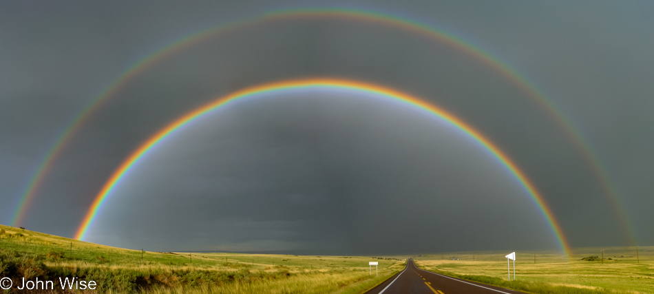
A full rainbow stretching from side to side across the landscape in northern Arizona west of Springerville

A dozen miles west of Springerville, the sky opened bright and wide, the sun’s reflection on the wet road blinding us. Behind us, though, we saw the most vibrant, beautiful rainbow either of us had ever seen. I lept from the car with the rain still falling and was instantly wildly invigorated – what a great treat this was, and it was way better than pie. For the next half hour, we spoke in stunned excitement at the luck of the road chosen and being able to see the most incredible rainbow yet seen by the two of us.

I learned something this weekend about sleeping. Nine days ago, I was diagnosed with sleep apnea, and with much pleading, I was able to get my CPAP days ahead of my next doctor’s appointment. Well, seeing I had only used the thing for three nights prior to driving over to New Mexico, I figured it was too much of a hassle to bring the thing, and what the heck, I’d already “slept” for years not using one, what could the weekend be like without it? Horrible was the answer, I can’t believe how quickly I saw a change in my quality of life. This would be the last time I traveled without it.

Raspberry Picking

Lavender Spring Ranch in Arabela, New Mexico

Attention: Some images had to be moved around, and additional information needed to be added to these 4-days as when I first blogged about this trip, it wasn’t in my head that exacting placement of details should be very precise as long as we had an idea of what was what. Well, here I am in November 2022 with COVID-19, repairing those bungles because I’ve got nothing better to do.

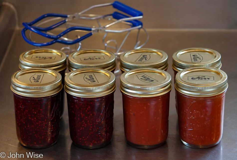
A lot happened between yesterday afternoon’s last photo and this photo of four jars of raspberry lavender jam and four jars of raspberry mango jam. Caroline and I are spending a long weekend at Lavender Spring Ranch in Arabela, New Mexico, as the guests of Cliff and Bess Crouch – who turned out to be wonderful hosts. Our lodgings are in a converted barn featuring a two-story custom-made apartment with two big bedrooms and an equally big living room and kitchen – each room is 25 by 25 feet. It being monsoon season, and with a chance for storms, we went directly to work yesterday after we got in. With no time to waste, there was no time to document things. But from my old itinerary, I can share that dinner last night was a hot vegetable curry with spiced noodles using veggies from the Crouch’s garden. Breakfast this morning was fried tomatoes with marinated halloumi cheese; maybe you can tell that Caroline was still a vegetarian at this time.

Lavender Spring Ranch in Arabela, New Mexico

Done with those things, the geese arrived to bring us out for more veggie picking

Lavender Spring Ranch in Arabela, New Mexico

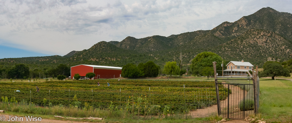
Cliff and Bess live in the puny two-story house on the right, while our apartment of gargantuan proportions is over in the red barn on the left.

Lavender Spring Ranch in Arabela, New Mexico

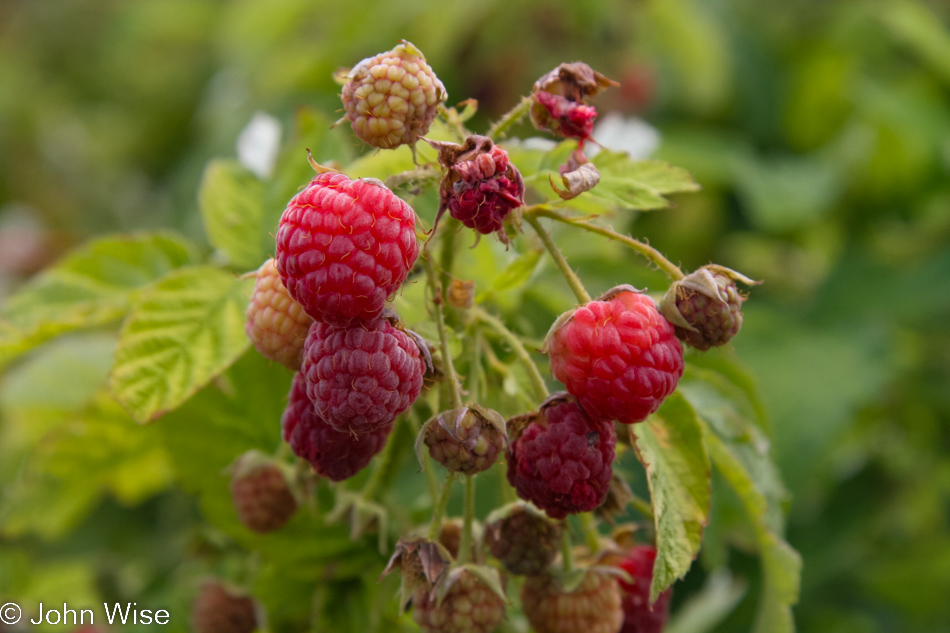
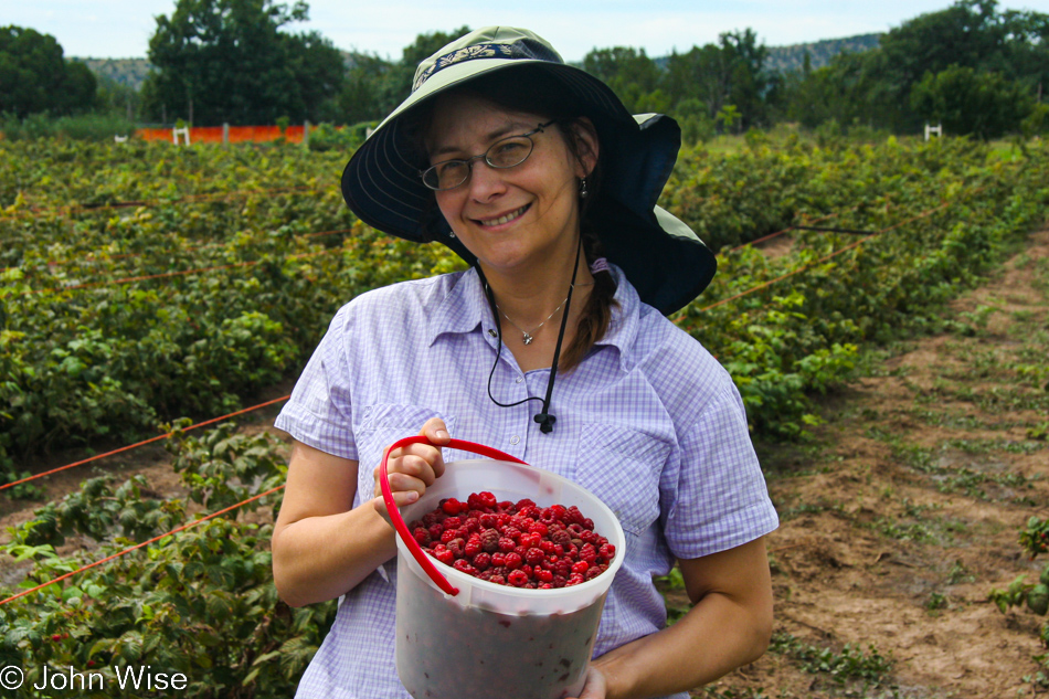
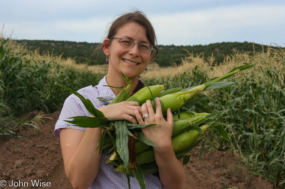
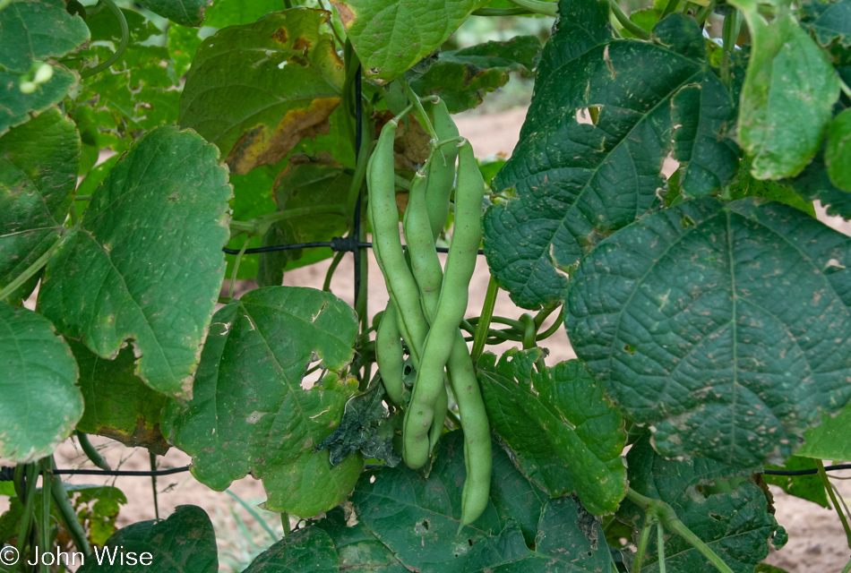
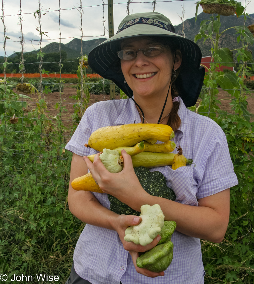
We are here for raspberries, lavender, beans, corn, and squash, along with some rest and relaxation. The former was easy to get, although hard on the back; the latter never came as work was the order of the day.

Caroline Wise at Lavender Spring Ranch in Arabela, New Mexico

Once the raspberries and lavender were had, the cooking, canning, and freezing began. Caroline helped with the occasional washing of something or other but had brought her homework along that required her attention. Meanwhile, I made jams and sauces, cleaned, prepped, froze, cleaned some more, and then made dinner. Nine pounds of raspberries were far more work than I anticipated, and I will sorely need a short vacation following this short vacation.

Lavender Spring Ranch in Arabela, New Mexico

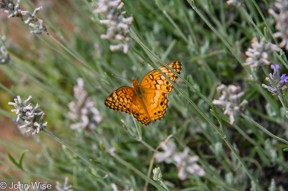
While staying at Lavender Spring Ranch, we had some time away from cooking and homework to smell the flowers and talk at the various creatures roaming the farm. Not much was said to this butterfly, well except maybe a thank you for letting me take this photo before it fluttered away. The farm, not far from Ruidoso and the historic village of Lincoln, is situated at the eastern foot of the Capitan Mountains, with its peak stretching up to 10,083 feet. Bees were abuzz throughout the raspberry patch but paid us no attention as they flew about intoxicated by the sugary sweet juice of the nectar they had been munching on. Lizards, birds, an occasional mosquito, geese, Patches the dog, catfish, deer, turkey, ducks, and weekend visitors picking berries and veggies were all part of our stay. If you would like to see the farm from a satellite view, click here.

Caroline Wise at Lavender Spring Ranch in Arabela, New Mexico

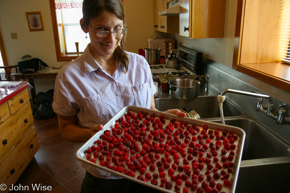
Hmm, maybe Caroline helped more than I first said as I do believe she organized all of these berries so they weren’t touching each other so we could freeze them before bagging them up.

Lavender Spring Ranch in Arabela, New Mexico

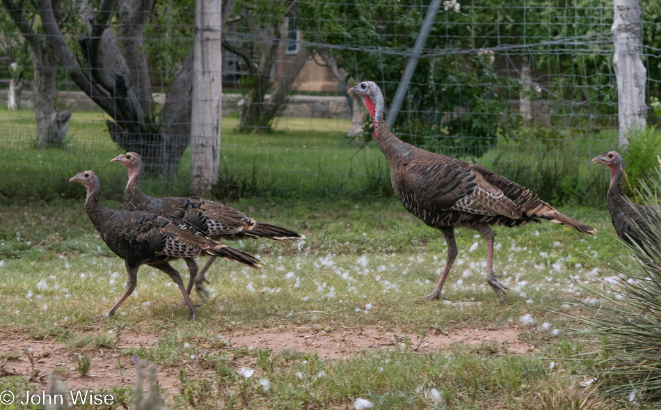
A rafter of turkeys skittishly makes its way from the pond after feasting on corn that had been put out for the resident ducks. The nearly dozen flightless wild birds were just outside the window of the kitchen as I spotted them pecking away at the corn. Quietly, I crept around the outside corner to snap a photo, but that was enough commotion to send them the other way. What did I do? Well, I went around the other way to cut them off and get another photo, but there was fencing and no escape for the turkeys. By the time I returned to my original location, they, too, had found there was no outlet and were headed back my way. With nowhere else to go besides the pond, the turkeys glided right by me, returning to the hills behind the farm.

Caroline Wise at Lavender Spring Ranch in Arabela, New Mexico

And off we went, this time to collect some of the ingredients for dinner and obviously some that would be coming home with us.

Lavender Spring Ranch in Arabela, New Mexico

Corn, green beans, and…

Caroline Wise at Lavender Spring Ranch in Arabela, New Mexico

…squash was all part of my dinner plans.

Lavender Spring Ranch in Arabela, New Mexico

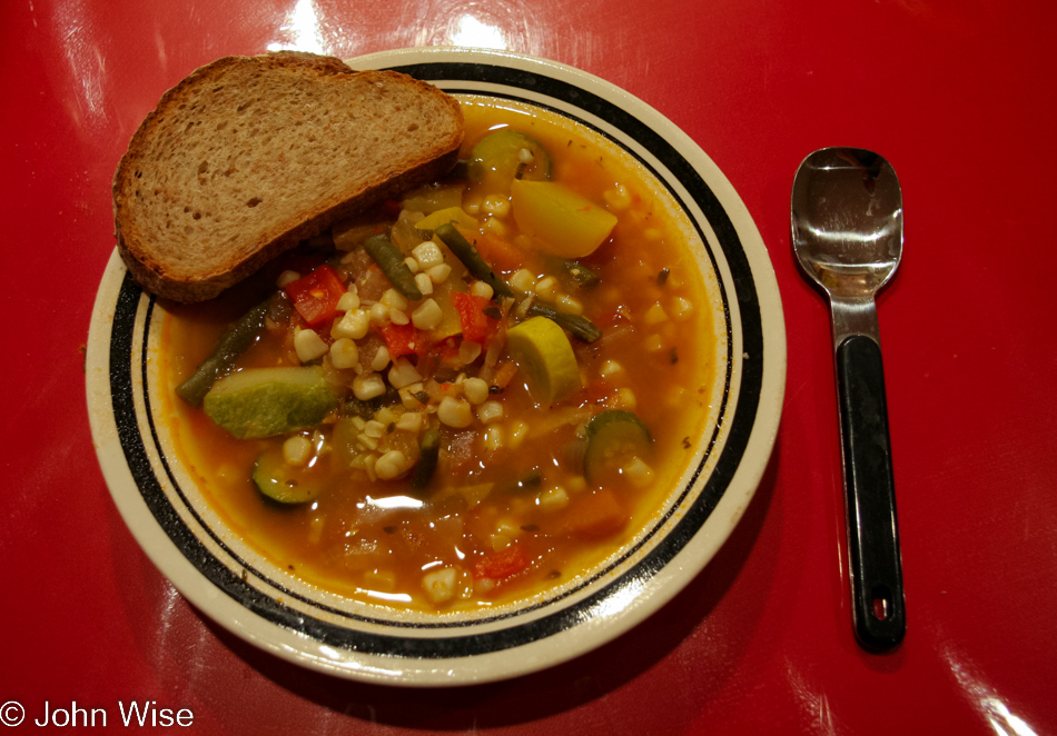
Homemade roasted vegetable stew with course rye bread we brought from Phoenix was on the menu tonight. Try as I might, I couldn’t find a hearty stew recipe that used lavender so that wasn’t part of the flavors on offer this evening.

South of Estancia

Gallup, New Mexico

Attention: Some images had to be moved around, and additional information needed to be added to these 4-days as when I first blogged about this trip, it wasn’t in my head that exacting placement of details should be very precise as long as we had an idea of what was what. Well, here I am in November 2022 with COVID-19, repairing those bungles because I’ve got nothing better to do.

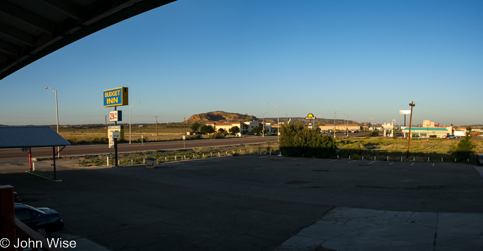
With the help of Google Maps, a lot of searching, tracing, and my old itinerary from this exact trip, I was able to piece together a day that little of existed in memory or even in this post as all that I posted back then was the road out of Estancia, New Mexico a few photos below. It turns out that we stayed at Budget Inn in Gallup and likely paid around $30 for the night. The place is still open, and according to Street View, the price 15 years later is now $35 per night. Interestingly, the Days Inn across the road has been forever removed from the map; across the street from that was a restaurant called Olympic Kitchen, it too is gone, but it has been replaced by an FBI office. This side of Days Inn on the opposite side of the street is a Family Dollar.
San José de la Laguna Mission Church and Convento in the center of Laguna, New Mexico

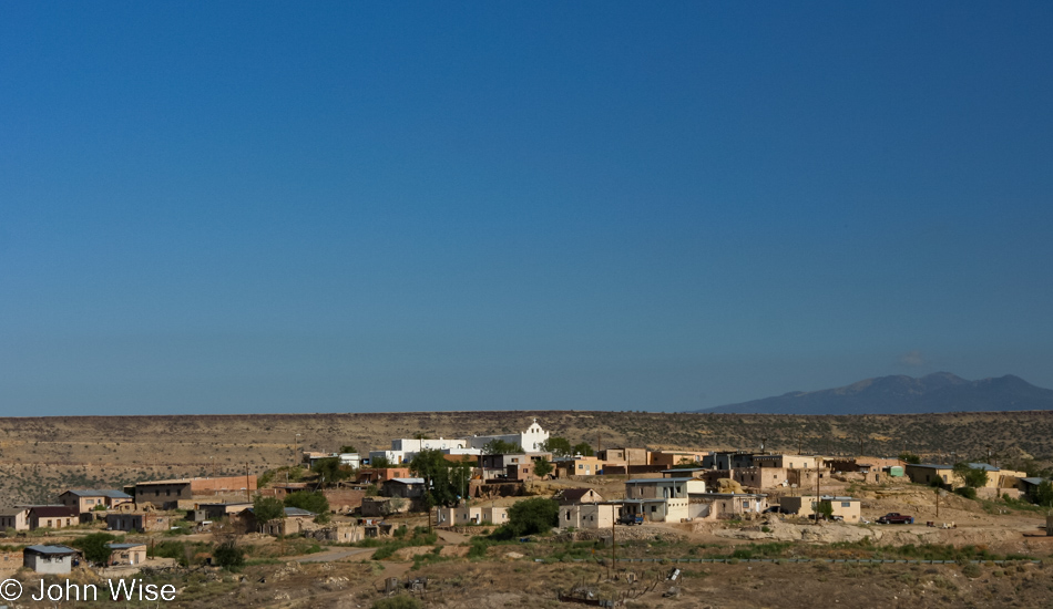
Traveling down Interstate 40, we’ve passed the old Pueblo of Laguna many a time, the white towering building out there is the San José de la Laguna Mission Church and Convento.

Estancia, New Mexico

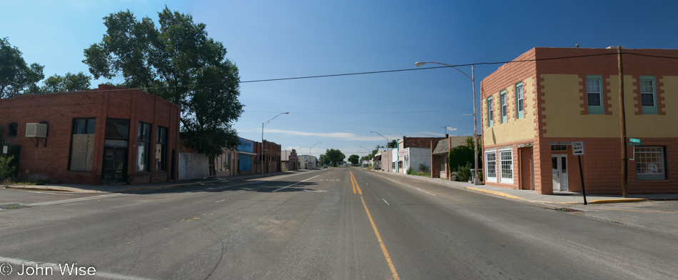
Left the interstate at Moriarty and went south passing through towns like Estancia.

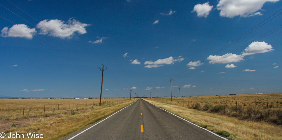
South of Estancia, New Mexico on highway 41 looking down a flat long road under blue skies with little fluffy clouds

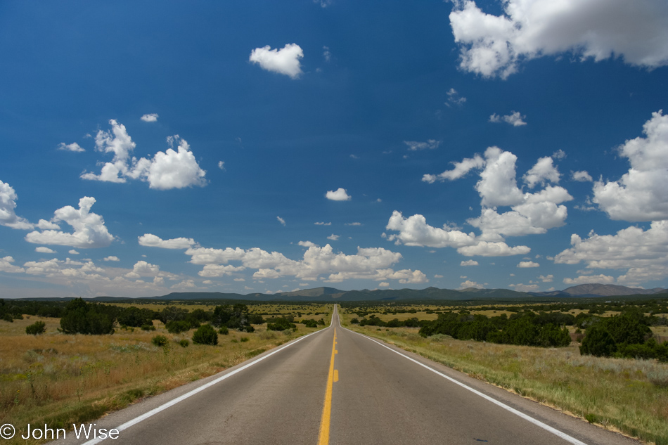
It’s a dream to be out on these lonely roads of America, where the horizon stretches beyond our ability to see. Telephone poles converge to a point and disappear in the center of our vision. Sometimes, a rabbit or a pronghorn antelope sits roadside, either waiting for the moment to run or, at times, appearing to watch us. Cows and steers stand in disregard of passersby unless a cow is with a calf, then a guarded eye stares vigilantly, ready to protect the youngster. Drivers traveling in the opposite direction often tip a nod of the head or lift a finger off the steering wheel in a “finger wave,” acknowledging the other driver fortunate enough to be enjoying the beautiful solitude and quiet land expanding in all directions. This stretch of road is Highway 41, south of Estancia; we are on it because we haven’t been here before. It is often the case that our path to a destination is chosen by the roads we have yet to take.

Museum in Corona, New Mexico

Aside from the beer, most people have never heard of Corona, New Mexico, but they have their very own museum that we took a few minutes to visit.

State Route 54 south of Corona, New Mexico

Onto Highway 54 going south, looking for Ancho Road.

Ruin near Ancho, New Mexico

Found Ancho Road, which took us past the old rail depot in the ghost town of Ancho itself. This is not the depot.

Cow along the trail in New Mexico

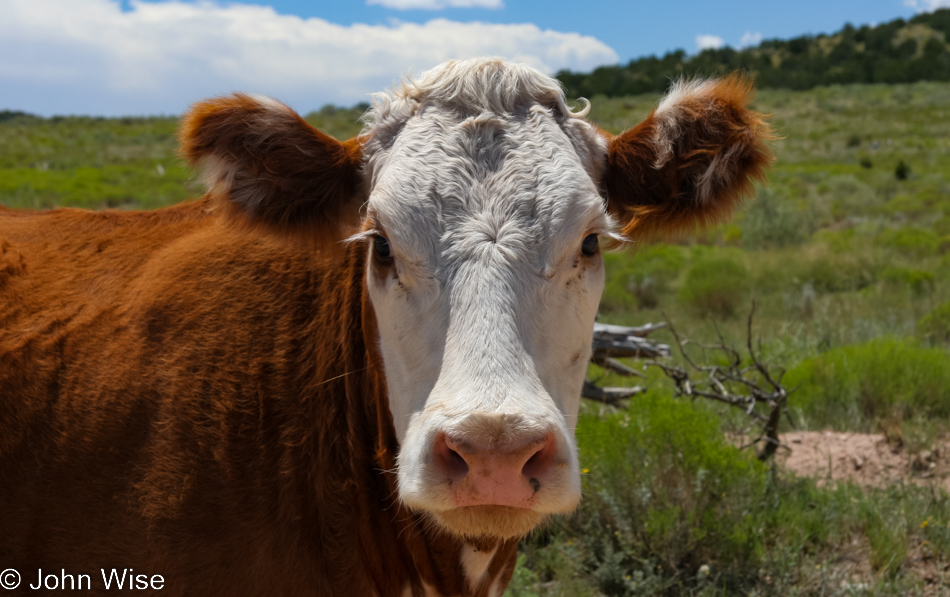
Hi, inquisitive cow.
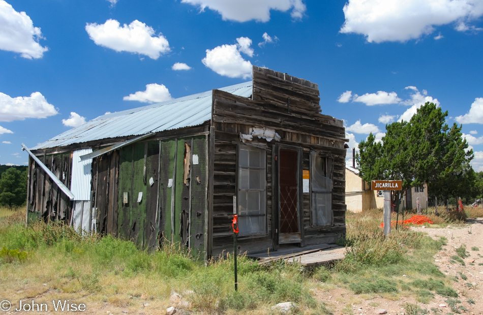
Jicarilla Store, post office and assay office in Jicarilla, New Mexico

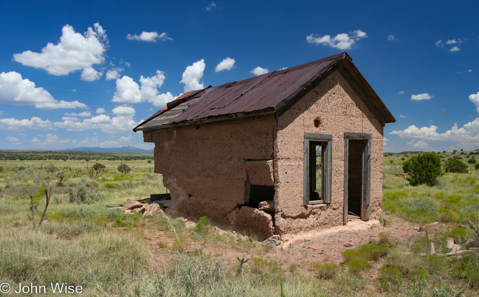
This is what remains of the Jicarilla store, post office, and assay office. Luckily for Caroline and me, we were able to see the building with a door and windows as, since our visit, others decided they had to either break them or steal them, as the old building is more of a shell than ever.
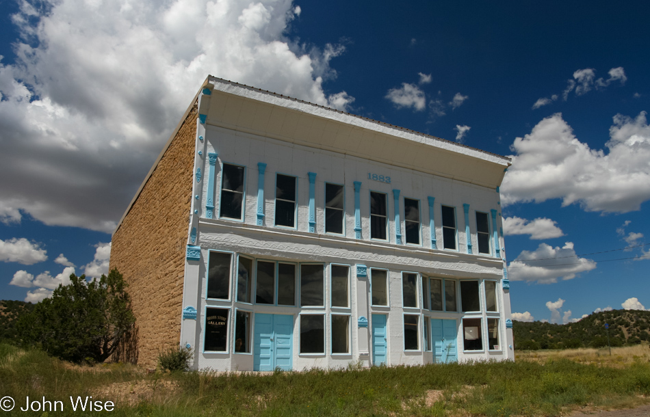
Brown's Store in White Oaks, New Mexico

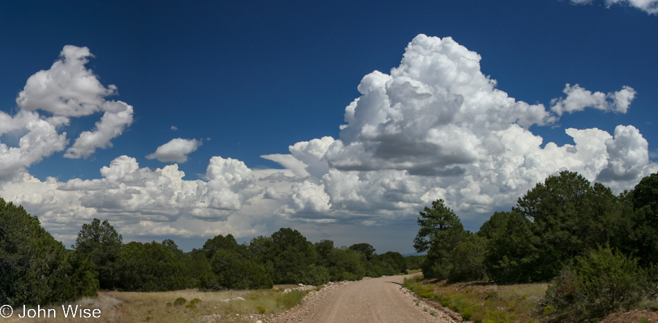
Continuing on the old gravel road, we came across a still, very well-preserved Brown’s Store in the ghost town of White Oak, New Mexico. It, too, is disappearing; I’m now guessing that parts are stolen by people who want authentic old pieces that would complement their own homes. Seems like bad karma to me.

The road to Lavender Spring Ranch in Arabela, New Mexico

Our next stop is Lavender Spring Ranch in Arabela, New Mexico.

Where is it?

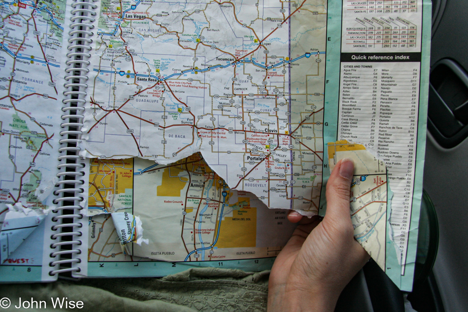
Well worn map of the United States which is missing the exact corner of New Mexico that we needed for our weekend trip

Almost ready to leave for a long weekend, and the area of New Mexico we are traveling to just so happens to be on the part of the page that is now missing from our map. We are counting on knowing New Mexico, the state east of Arizona, not the country south of us, well enough that we don’t need to buy a new map. The other pages are all fine, or so we thought, until we went looking for something in eastern Arizona and found the entire page missing. Good thing we planning on taking the GPS with us, except I forgot to load the maps for New Mexico and instead had detailed maps and trails from our trip to Yellowstone last month.