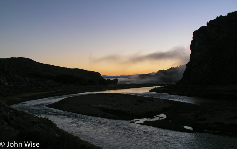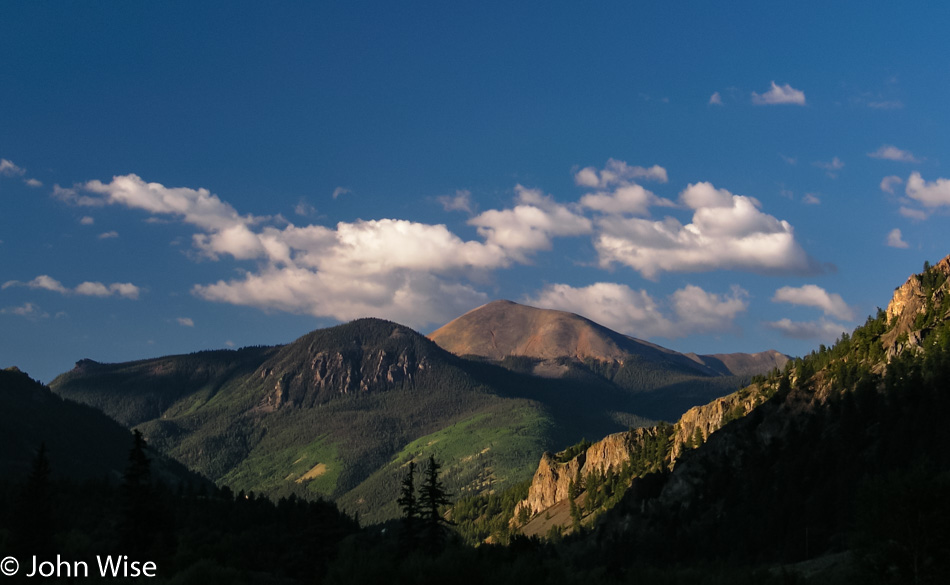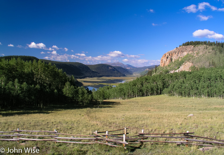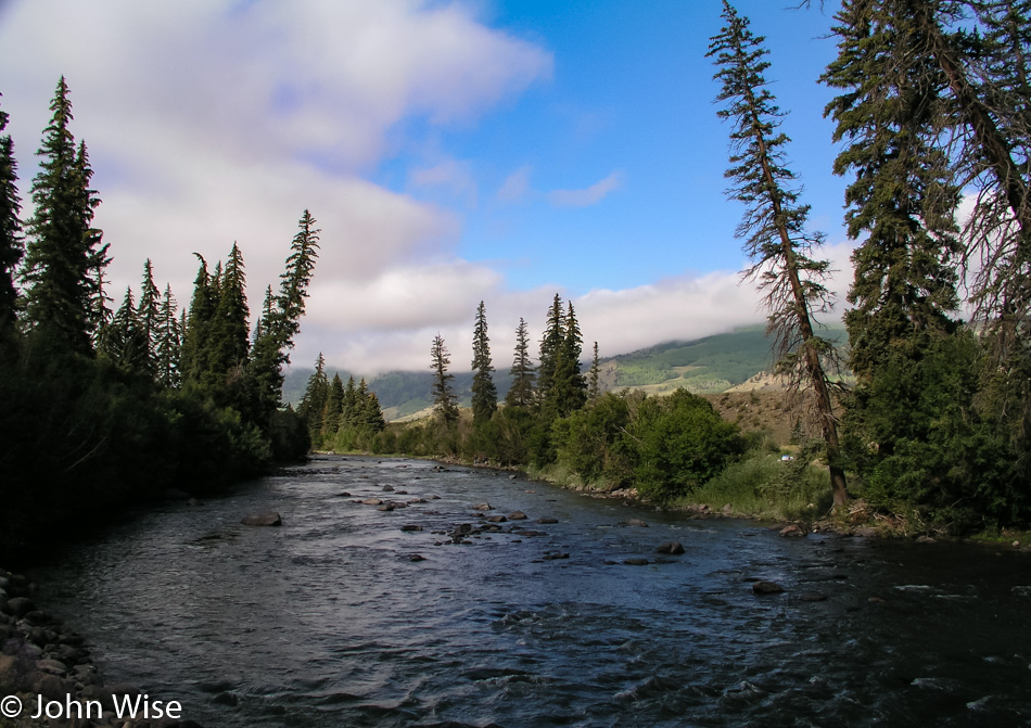
New Mexico – Day 1

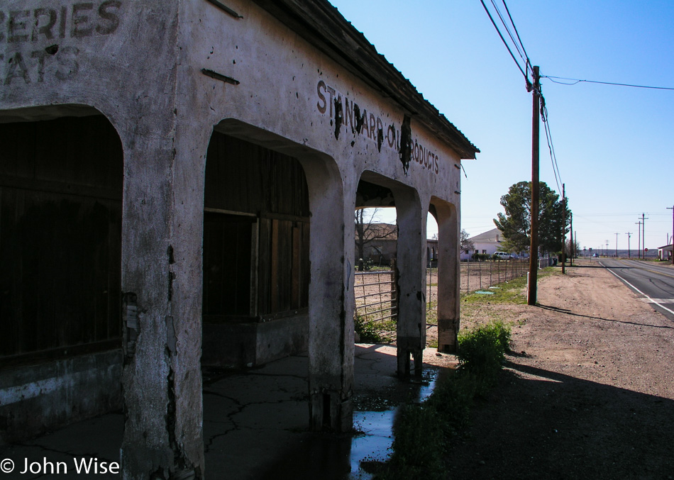
J. Fred Blake General Merchandise in Solomon, Arizona

Ruins of any sort, and I’ve got to stop. Someday, these decaying relics will be gone as will I, but the photos of our history will live on somewhere out there on the Internet. This particular stop was in Solomon, Arizona, on Highway 191 at the J. Fred Blake General Merchandise store. Who was Mr. Blake? The information that I found is a bit sketchy, but it appears that his father was John Blake, born in 1849 in Scotland. His son was J. Fred Blake, who was likely born in Tombstone, Arizona, around 1885. While John was originally a grocer, he’s listed as a miner on his death certificate of 1918. Back when the store was in business, the town was called Solomonville; J. Fred died in 1962.
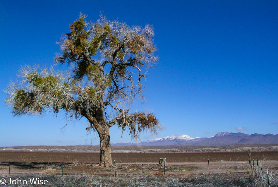
East of Solomon on Highway 191 in Arizona

Our two-day excursion out and back started this morning, and while we have a few stops planned on our jaunt to fetch dinner and breakfast at the El Camino Family Restaurant in Socorro, New Mexico, we’ll take whatever comes our way and looks interesting. Those snow-capped mountains are welcome for the beauty they add to the photo, but again, I think we have forgotten we are still in winter.
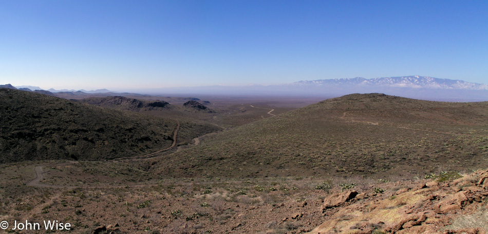
Old Safford Road also known as the Black Hills National Back Country Scenic Byway in Eastern Arizona

This is the Old Safford Road, now also known as the Black Hills National Back Country Scenic Byway. Just past this overlook, we ran into some snow that, while beautiful, had made a muddy mess in a shaded corner that would have been a horrible spot for us to get stuck in with our little Hyundai. Keep in mind that we do not travel with a cell phone, not that one would work out here anyway.
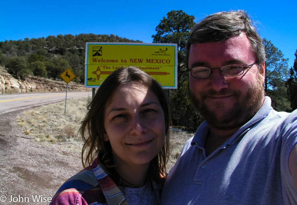
Caroline Wise and John Wise at the New Mexico border with Arizona on Highway 78

Crossing from Arizona into New Mexico on Highway 78, should you be interested in tracing our steps on a map.
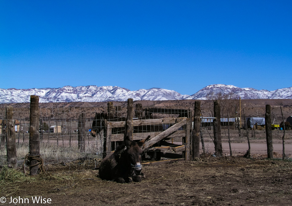
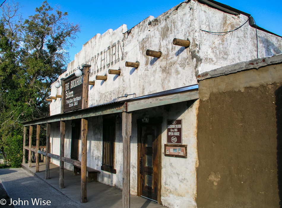
Donkey at Last Chance Liquor in Buckhorn, New Mexico

The amount of snow out there does give us some concern, but we can always turn around if we find our path forward would be too icy or snow-packed. We met our donkey buddy here at Last Chance Liquor in Buckhorn, New Mexico.
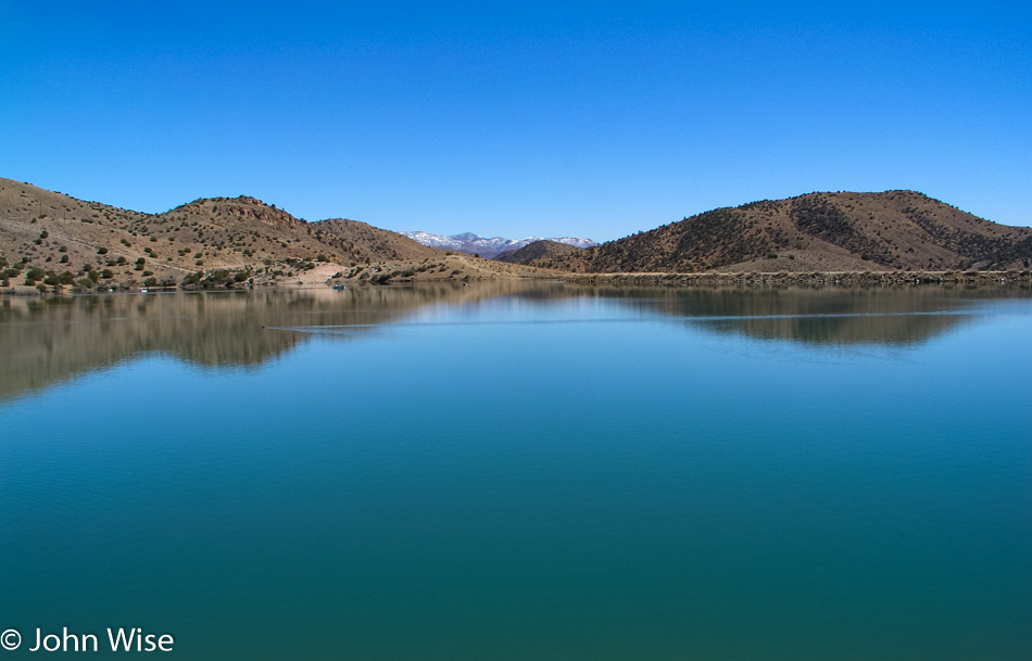
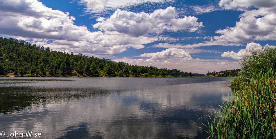
Bill Evans Lake south of Greenwood Canyon, New Mexico

We’re not only heading south because there’s no other way, really, but we are also driving south because there’s a lower chance of driving into the snow. This stop along the way is at a remote little lake called Bill Evans Lake, which is south of Greenwood Canyon, New Mexico.
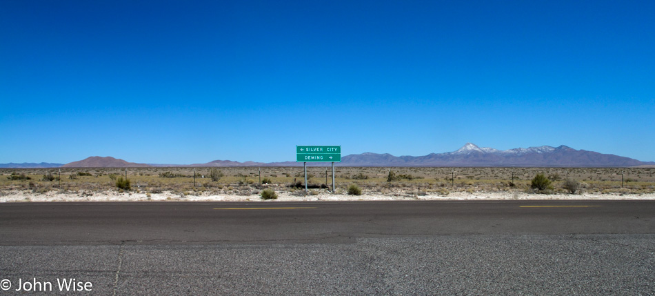
Butterfield Rest Stop on Highway 180 about 20 miles north of Deming, New Mexico

Had our goal today been to avoid human contact, we’d be winning a door prize because we really feel that we are well off the beaten path. We are coming from the direction of Silver City, stopping for a break at the Butterfield Rest Stop on Highway 180, about 20 miles north of Deming, New Mexico. After passing through Deming, we drove up Highway 26 with a stop in Hatch for a quick bite before joining Interstate 25 North.
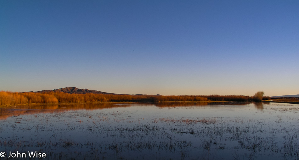
Bosque Del Apache Wildlife Refuge south of Socorro, New Mexico

Sunset was spent at the Bosque Del Apache Wildlife Refuge, where we didn’t see very many birds at this time of year; maybe they are already flying north as spring is right around the corner.
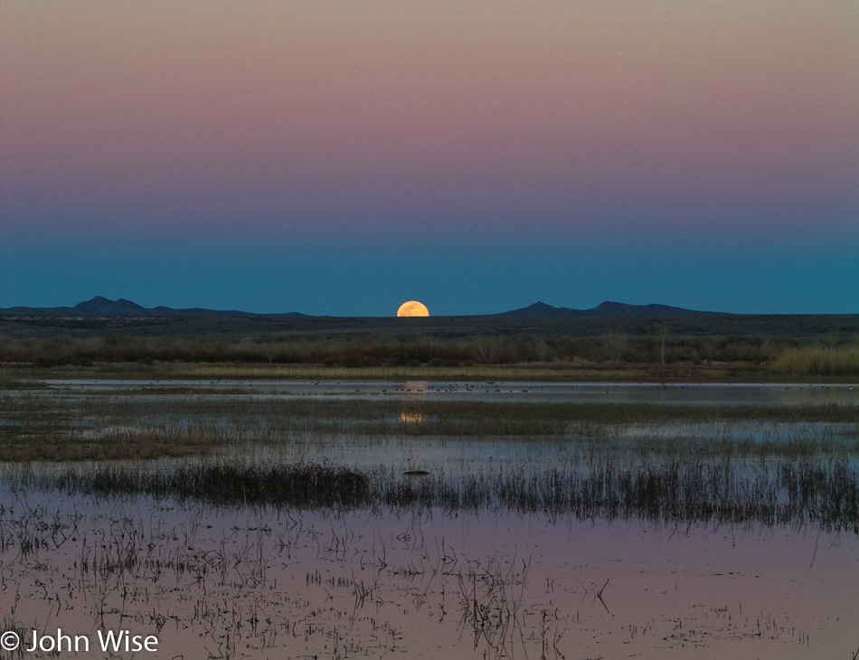
Bosque Del Apache Wildlife Refuge south of Socorro, New Mexico

Not only the sunset but the moonrise too at the refuge. Dinner was, like I said earlier, at the El Camino Family Restaurant, and as usual, Caroline opted for the chile relleno while I went for the green chile-smothered steak.
Utah to Colorado to New Mexico – Day 5

Roadside in New Mexico

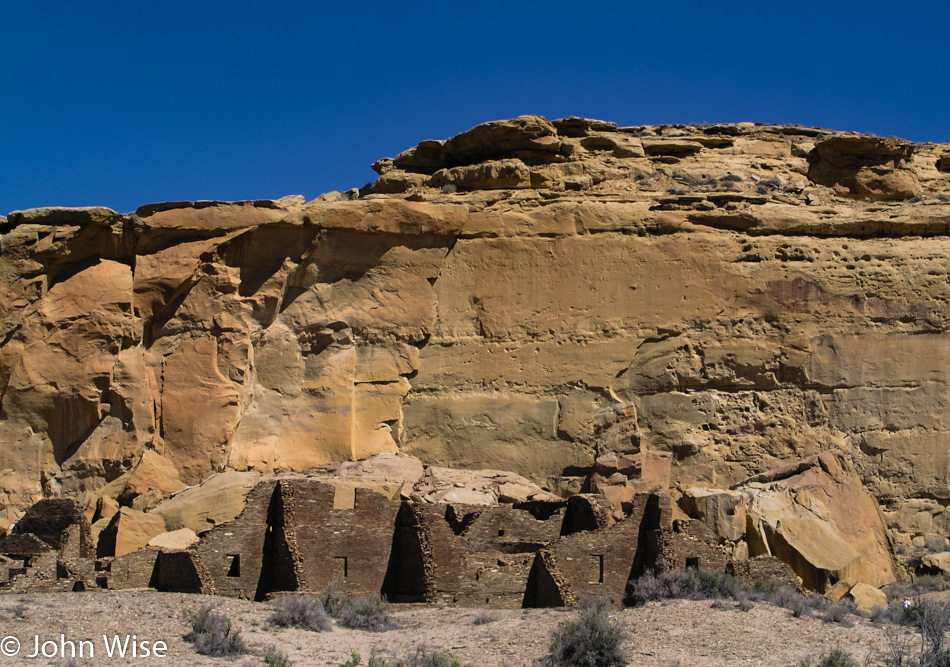
The Puebloans built something a thousand years ago over at Chaco Culture, and it’s standing up better than what my ancestors built 100 years ago.

Roadside in New Mexico

Then there’s nature that, with great fidelity, keeps duplicating the plants and animals along with the conditions that support the life found on our planet, except we humans who are part of this force are using our “intellect” to crush those systems where we can.

Roadside in New Mexico

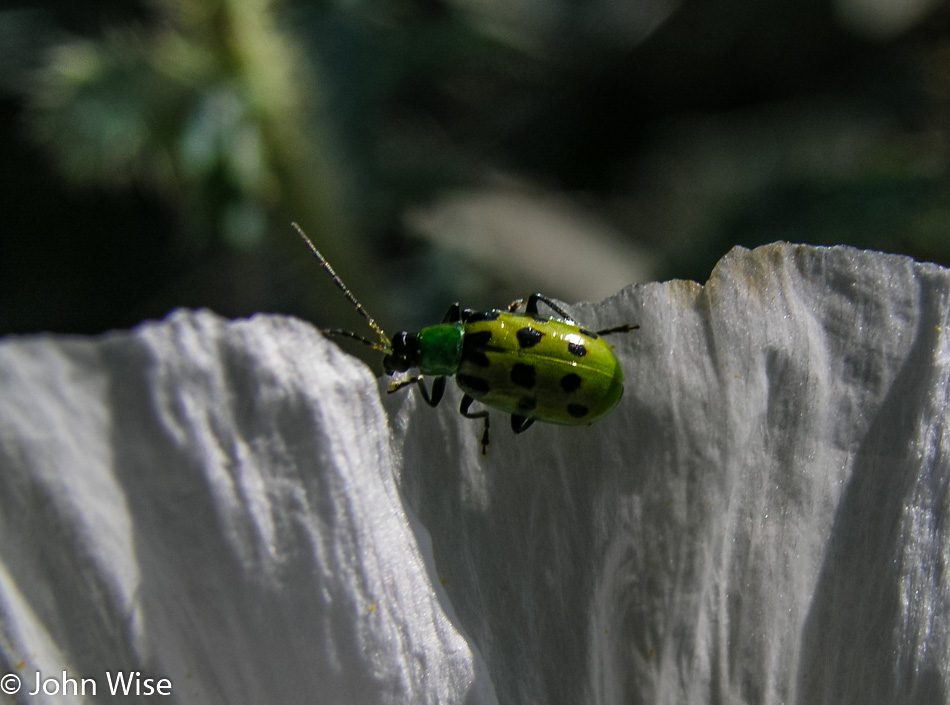
Oh, look, it’s a spotted cucumber beetle.

Roadside in New Mexico

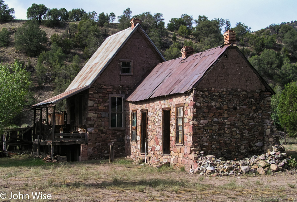
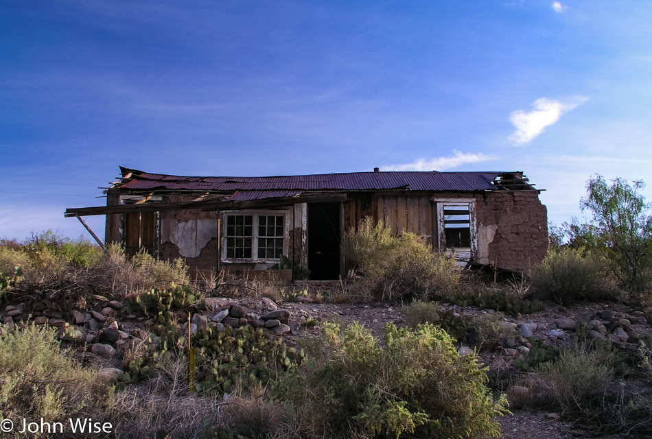
Welcome to Doodle Dum, as it has been named by its most recent inhabitant, Cassie Hobbs. This somewhat peculiar home in Chloride, New Mexico, was built in 1921 by Austin Crawford who designed it to withstand the hail god was going to send to earth. Fortunately for Mr. Crawford, that day never came, but the town of Chloride started to disappear off the map until nothing much more than a ghost town existed. This remote corner was certainly worth a visit, we only wish the Pioneer Store Museum had been open while we were in the area.

Roadside in New Mexico

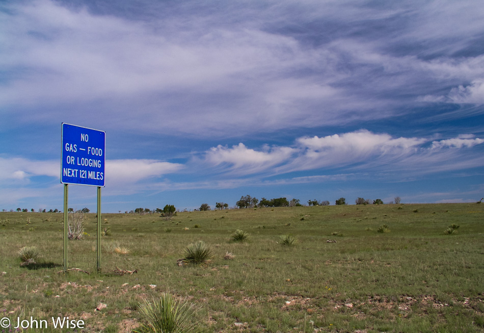
This promised to be a vast stretch of nature untouched by humans aside from the road that is cutting through it; hopefully, we’ll have enough gas. Just up the road, and lucky for us, not 100 miles up the road, there was a crew doing road repairs and said the road ahead was impassable. Well, that changed our plans of heading back to Arizona via this mountain route on Highway 52.

Roadside in New Mexico

So instead, we turn around and aim for the 152 West.

Roadside in New Mexico

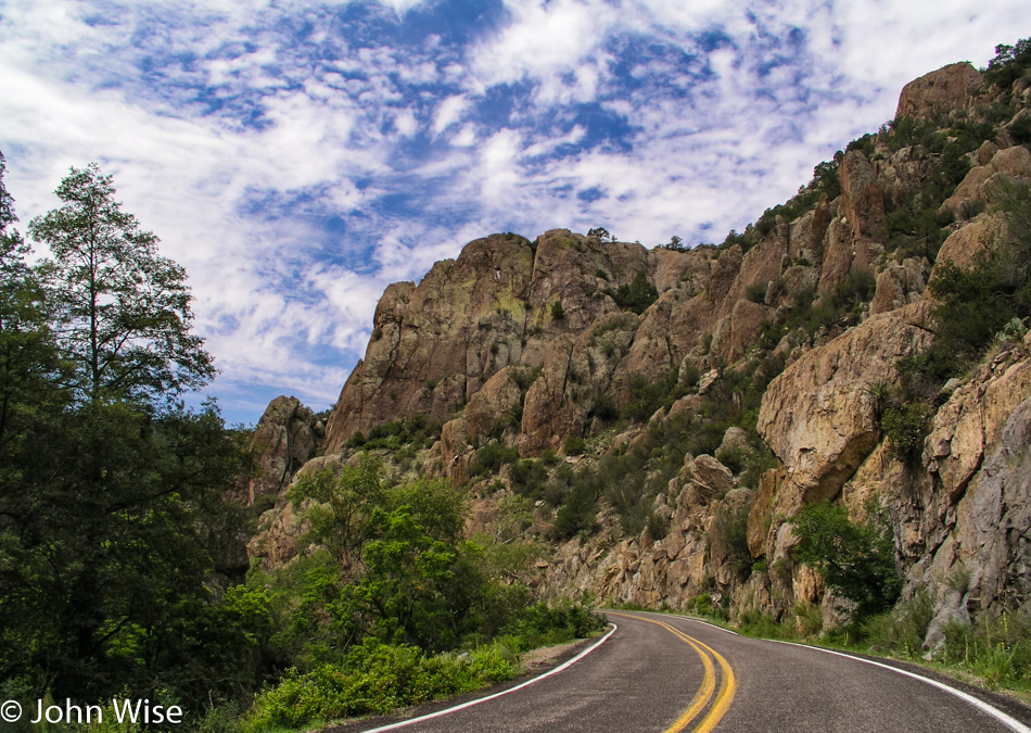
This isn’t bad, and there’s a detour ahead we can take.

Gila River in New Mexico

Lake Roberts is a nice lush corner of New Mexico, but we’re just passing through.

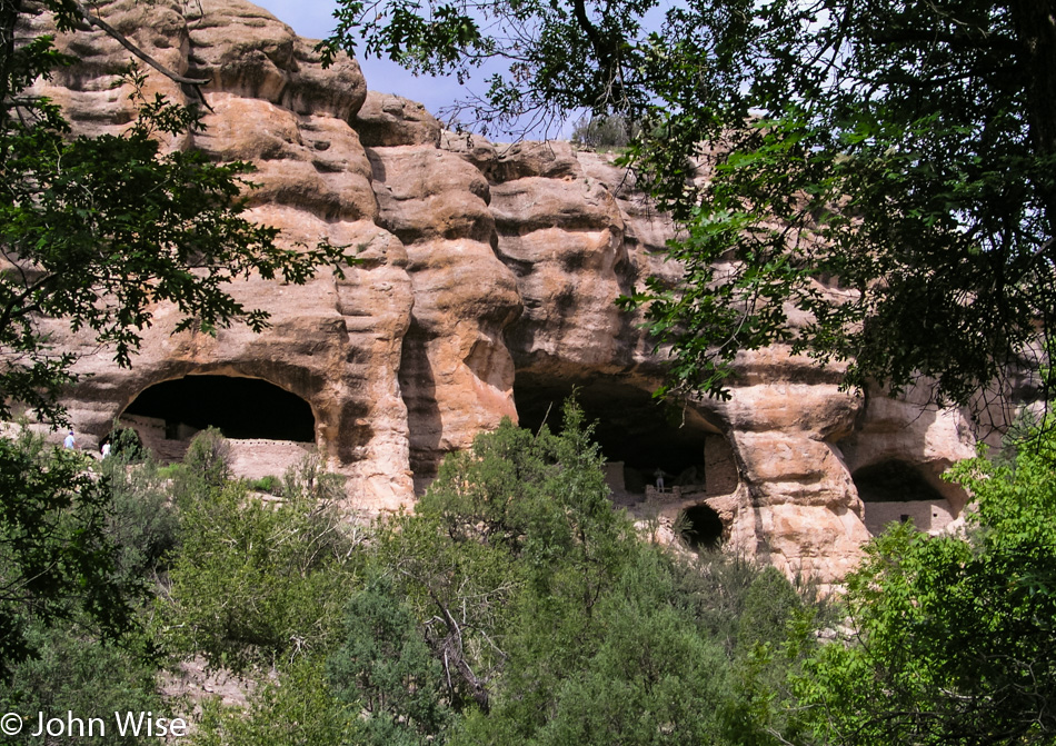
Gila Cliff Dwellings National Monument in New Mexico

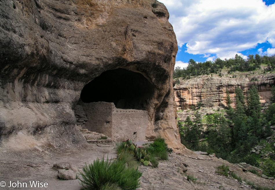
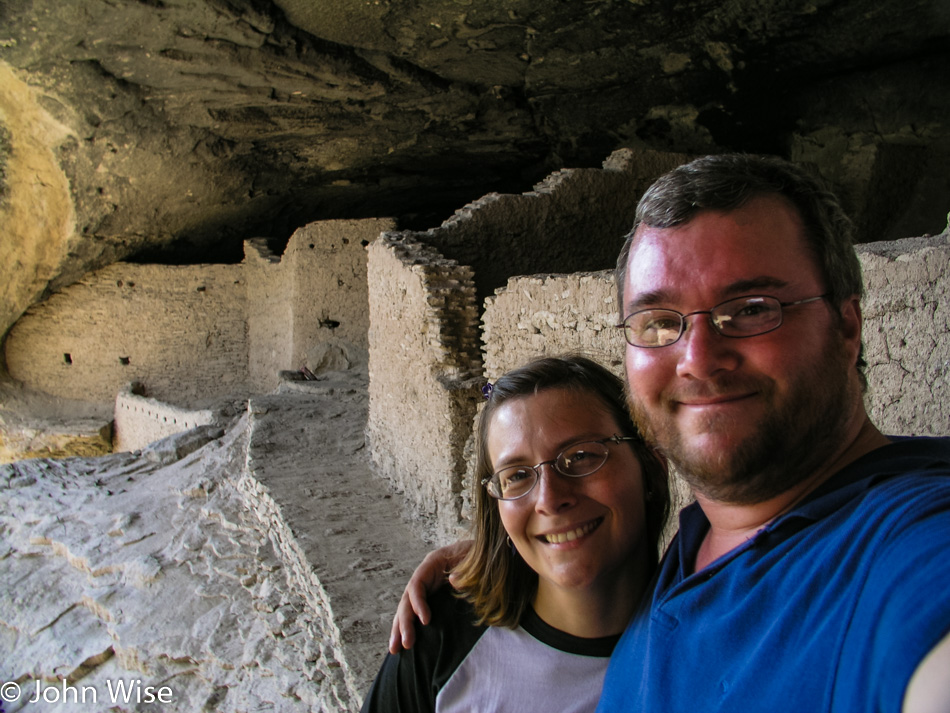
Our destination is the Gila Cliff Dwellings, which are part of the National Monument that bears their name. These homes were part of the Mogollon People’s lands that started just north of here and included most of the Mexican state of Chihuahua. Like so many other tribes of the Southwest, they abandoned their place here next to the Gila River and moved on.

Gila Cliff Dwellings National Monument in New Mexico

Oral tradition among tribes, including the Acoma, Hopi, and Zuni, says the Mogollon integrated into their societies.

Caroline Wise and John Wise at Gila Cliff Dwellings National Monument in New Mexico

It’s great that these are now protected lands, but one hundred years ago, they were being pillaged by hunters, farmers, and people collecting artifacts, including human remains in the form of mummies. Caroline and I are leaving with memories of one of the more remote parks in the U.S. National Park system.

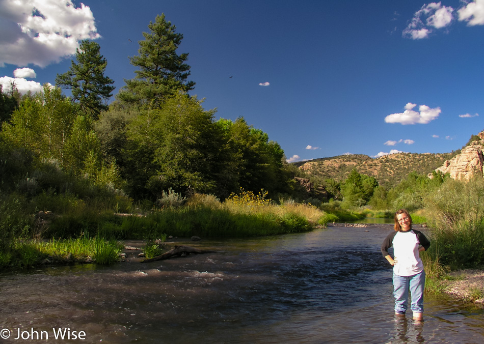
Caroline Wise standing in the Gila River in New Mexico

Of course, Caroline had to doff her shoes and roll up her pants before stepping into the waters of the Gila River. One day, I’ll have to compile a list of how many of America’s major bodies of water and waterways she has dipped her toes into.

Pinos Altos, New Mexico

Our last stop before finally driving home on this five-day journey into the Southwest is in Pinos Altos, New Mexico. Someone we know hails from this small town that is trying to become a ghost town these days with a population of a couple of hundred, down from about 9,000 back in the 1880s when gold was being mined in the area.

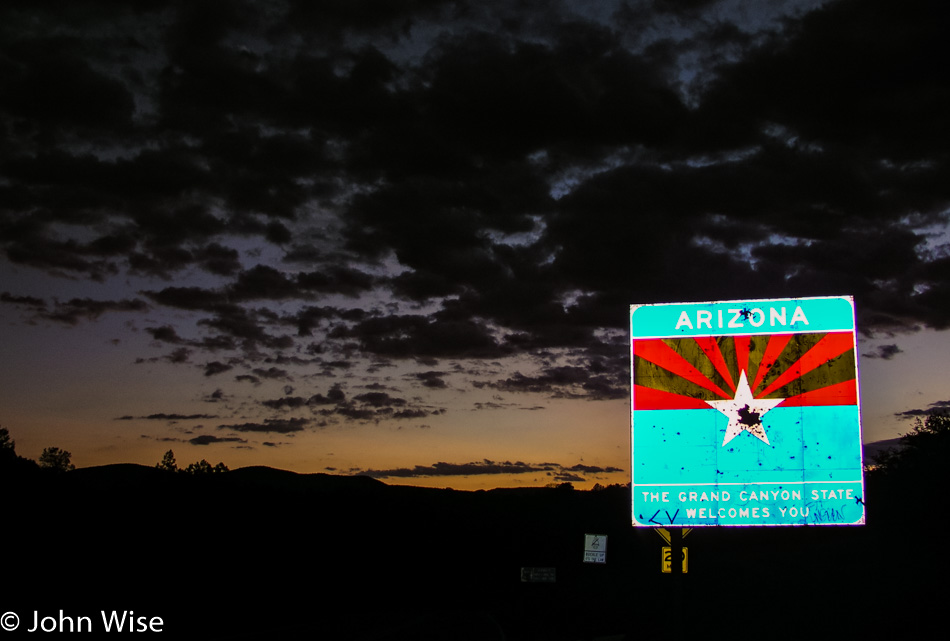
Arizona state sign

What kind of people drive by a state sign and have to stop to shoot it? Maybe people like us in some way who have to stop and shoot it with a camera, a way of saying, “I’ve been here.”

Utah to Colorado to New Mexico – Day 4

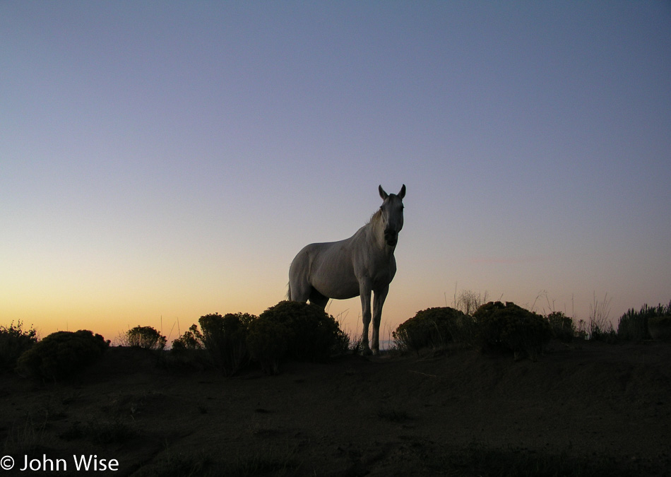
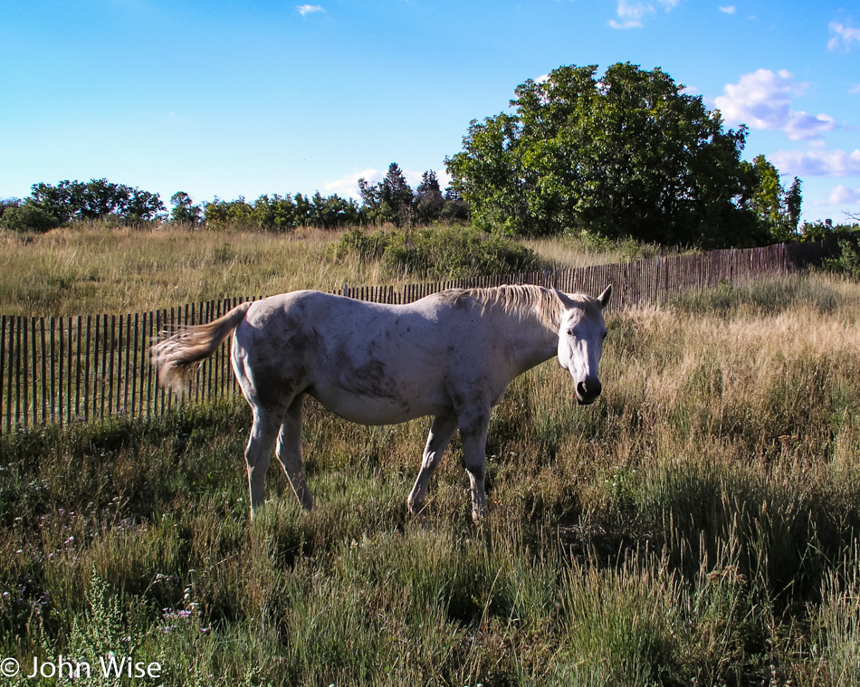
White horse next to a dirt road in New Mexico

This is how mythologies are made. Yesterday we helped a runaway horse by preventing it from reentering the highway and looking for its owners. This morning, on our way down to Chaco Culture, we spotted this white horse on a rise next to a dirt road. It was as though the spirit of the white horse came out to greet us at the break of day to let us know it was looking over us as we’d looked out for one of theirs.

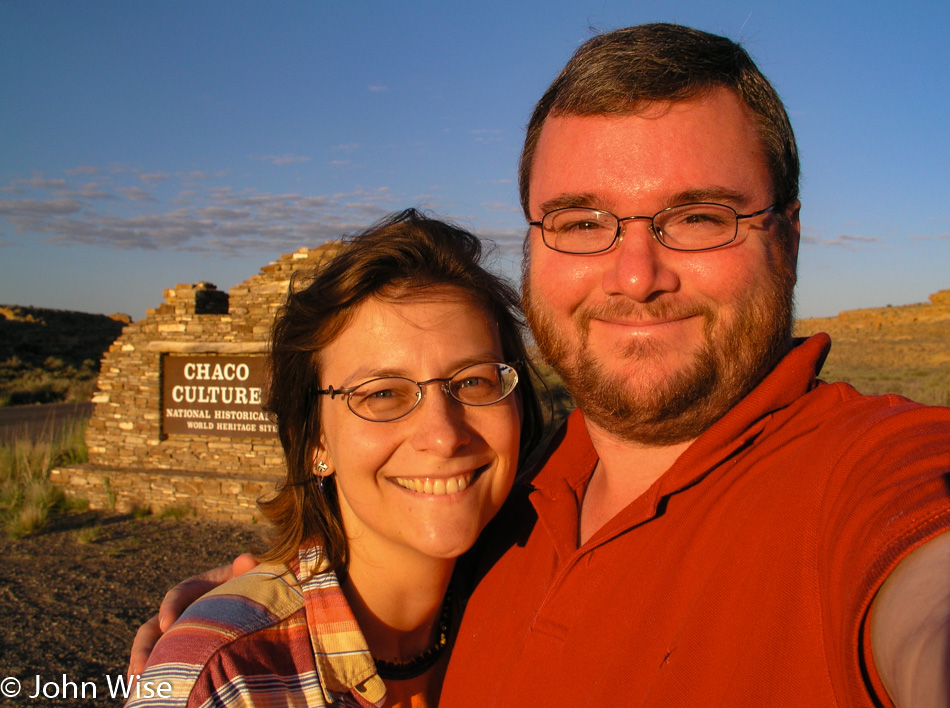
Caroline Wise and John Wise at Chaco Culture National Historic Park in New Mexico

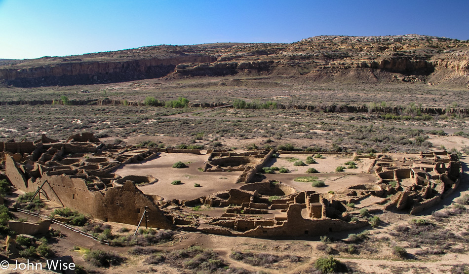
The sun is fully over the horizon by the time we reach the park boundary and start our third visit to Chaco Culture National Historical Park and World Heritage Site. Our previous visits were both back in the year 2000 around the same time of year; click here for the first one and click here for the one a month later where we just had to share this with my mother-in-law, Jutta.

Chaco Culture National Historic Park in New Mexico

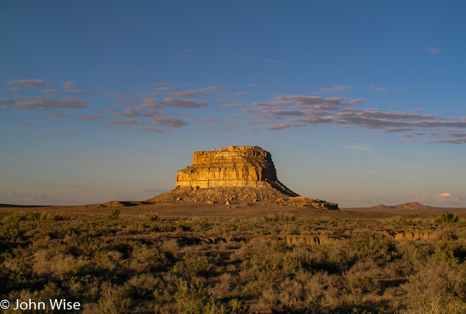
Someday, we’ll hopefully pay that rock known as Fajada Butte out there a visit and explore the mystery of the Anasazi Sun Dagger. Today, though, we are heading up to a different location.

Chaco Culture National Historic Park in New Mexico

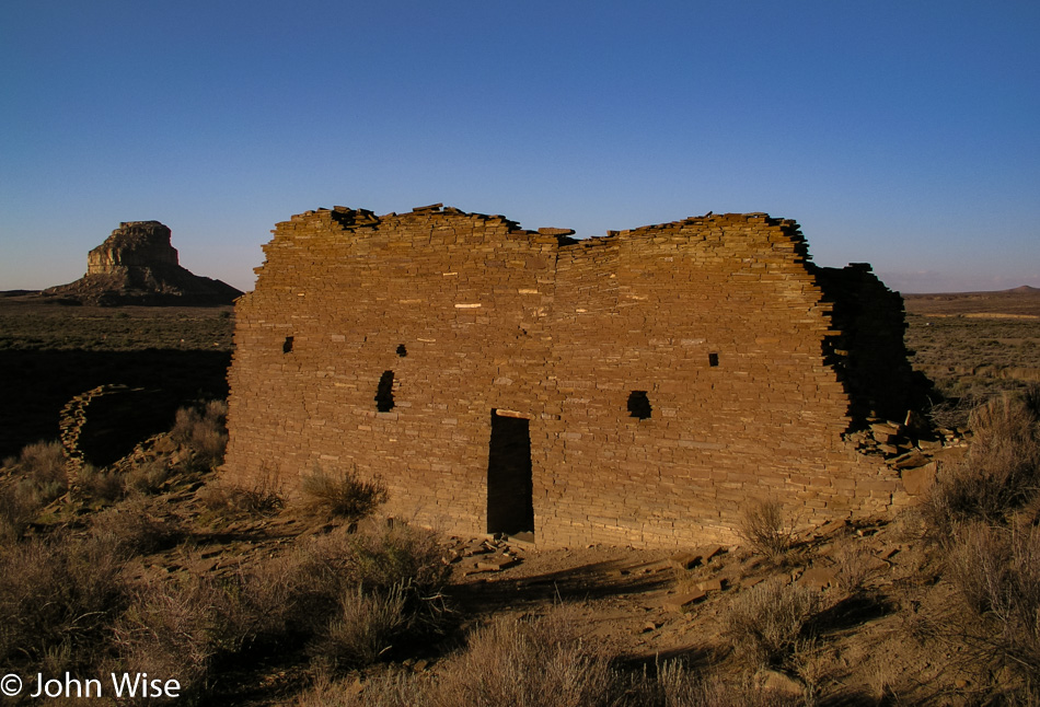
Is this ruin smiling at us?

Chaco Culture National Historic Park in New Mexico

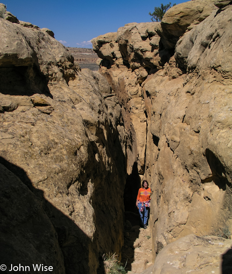
There’s a narrow crack in the cliffside that is the original footpath leading from above to below and vice versa and was used by the earliest visitors to this outpost. Today, we made the time to crawl up through in order to gain this view of Pueblo Bonito.

Chaco Culture National Historic Park in New Mexico

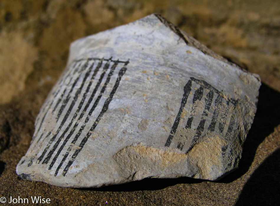
Thank you to everyone polite enough not to scavenge the artifacts that allow us to have a visit of discovery where surprises abound.

Chaco Culture National Historic Park in New Mexico

We explored more of the plateau, but how many photos should I post? We are on our way back down.

Chaco Culture National Historic Park in New Mexico

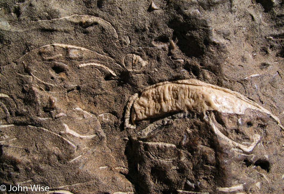
Buried in the sandstone cliffs are reminders that while you may think you are in a desert, the land you walk upon was once seafloor.

Chaco Culture National Historic Park in New Mexico

Chaco is an incredible place well off the beaten path and certainly deserves to be a World Heritage Site. There are many things we do not know about this complex of ancient buildings, but I’m thrilled that there are people working to preserve what is here. The Puebloans obviously have a rich history that is practically invisible to us modern inhabitants of their ancestral lands. When will our culture evolve to a point of maturity that allows the Native Americans of North America to trust us?

Wandering horses in New Mexico

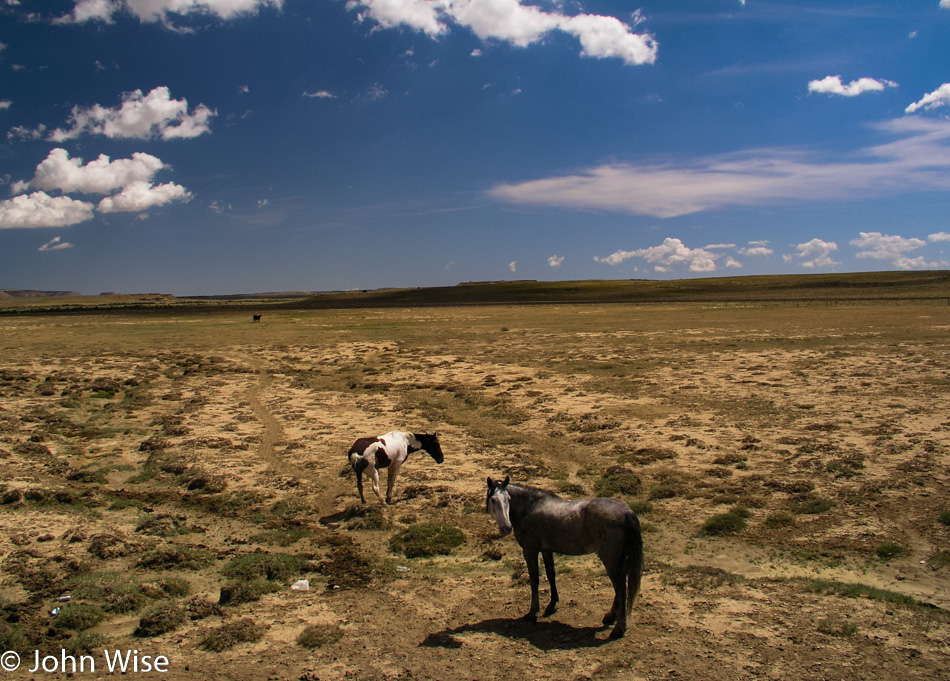
More horses. For some reason or other, horses lend a kind of confidence about a place. They make it more welcoming. Maybe it has to do with the idea that if a horse can live on these lands, then how harsh can this place be?

Jay's Liquors in New Mexico

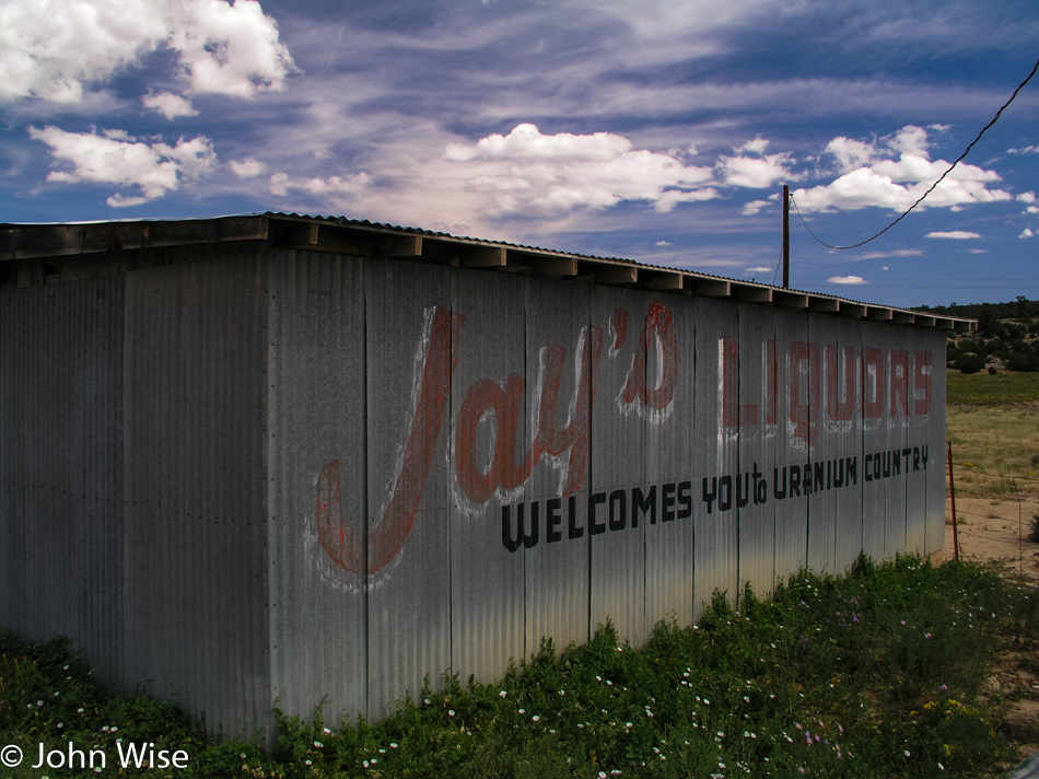
I could take a photo of this building ten more times, and still, I won’t tire of being welcomed to uranium country by a liquor store.

Acoma Pueblo in New Mexico

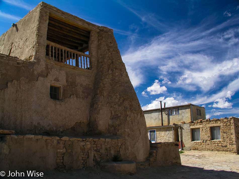
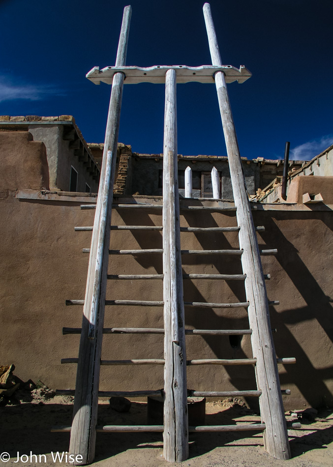
Visiting Acoma Pueblo, also known as Sky City, requires everyone to join an organized tour, and if you plan on taking photos, you’ll need to buy a special permit. The pace through the pueblo is perfect and never felt rushed. We started the tour in the church, but there was no photography allowed within, and as hard as it was, I was respectful of the tribe’s wishes.

Acoma Pueblo in New Mexico

Pardon me on these next photos, as I ran with a heavy hand full of favorites that I just had to post. I find this place more beautiful and serene than anywhere in Beverly Hills or Santa Fe. I’m under no delusion that there could likely be a high level of poverty and maybe even alcohol or other substance abuse going on, but that can happen everywhere. Maybe the people who live here find survival difficult. I can’t know as I don’t have the luxury of chatting with the inhabitants. From my perspective, which is radically different than the one I would have had from my childhood through my thirties, this sky island is an idyllic paradise.

Acoma Pueblo in New Mexico

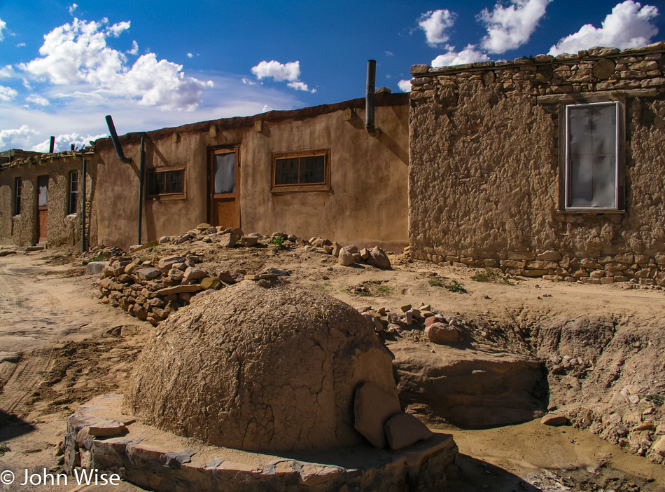
What I wouldn’t give to be here a morning when bread was being baked in this hearth and then head over to the edge of the mesa and, while it’s still steaming hot, break it apart and watch the clouds stream by.

Acoma Pueblo in New Mexico

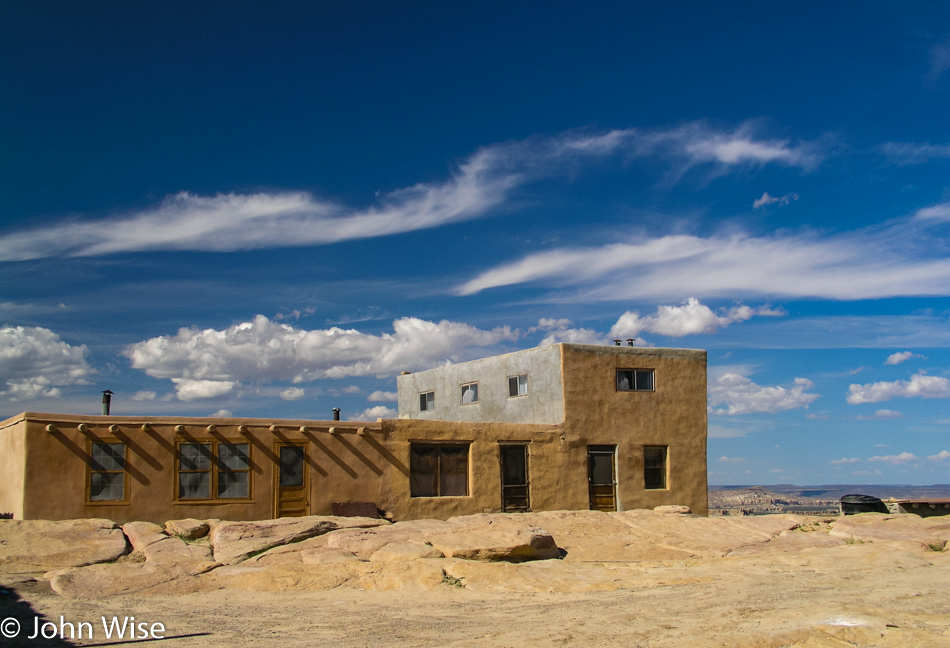
Am I over-romanticizing my perception and casual observations where I imbue these iconic images through the filter of a Western mind that has created a story divorced from reality? Probably. All the same, I’m in love with the utility, simplicity, and place of how it perfectly presents a lifestyle that is as far away from my existence as I could imagine.

Acoma Pueblo in New Mexico

As I said earlier, the location is idyllic.

Acoma Pueblo in New Mexico

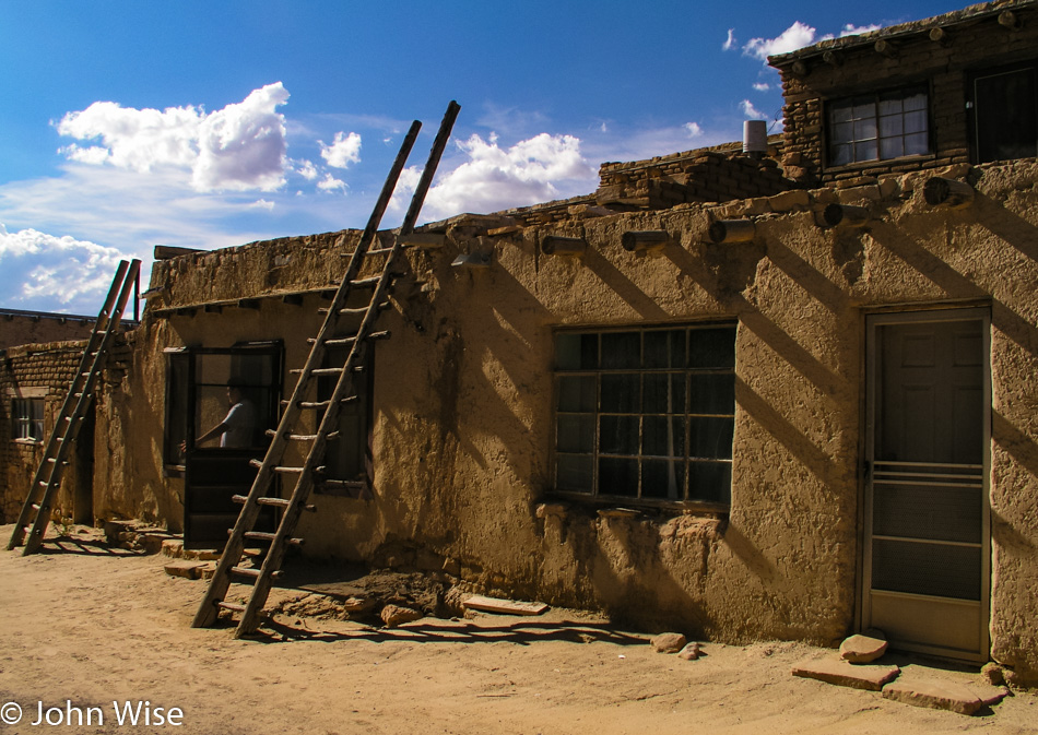
This nearly presented me with a dilemma as you are required to seek permission to take anyone’s photo. This was the second shot I was snapping of these houses and I was snapping the image before I could recognize that a young man was leaving his home. Had he asked if I’d taken his photo and then requested for me to remove it, I would have obliged, but he seemed to shrug it off, and we both continued on our ways.

Acoma Pueblo in New Mexico

When the guided tour was over, we were welcomed to leave on the road that John Wayne once demanded be carved here while he was working on a film, or we could take the historic route. We opted for the historic route so we could delay the point we had to leave. The narrow trail between some large rocks is well worn, and in some spots, there are toe- and handholds to climb up the rock, and in others, there are stairs as seen on the right of this photo.

Acoma Pueblo in New Mexico

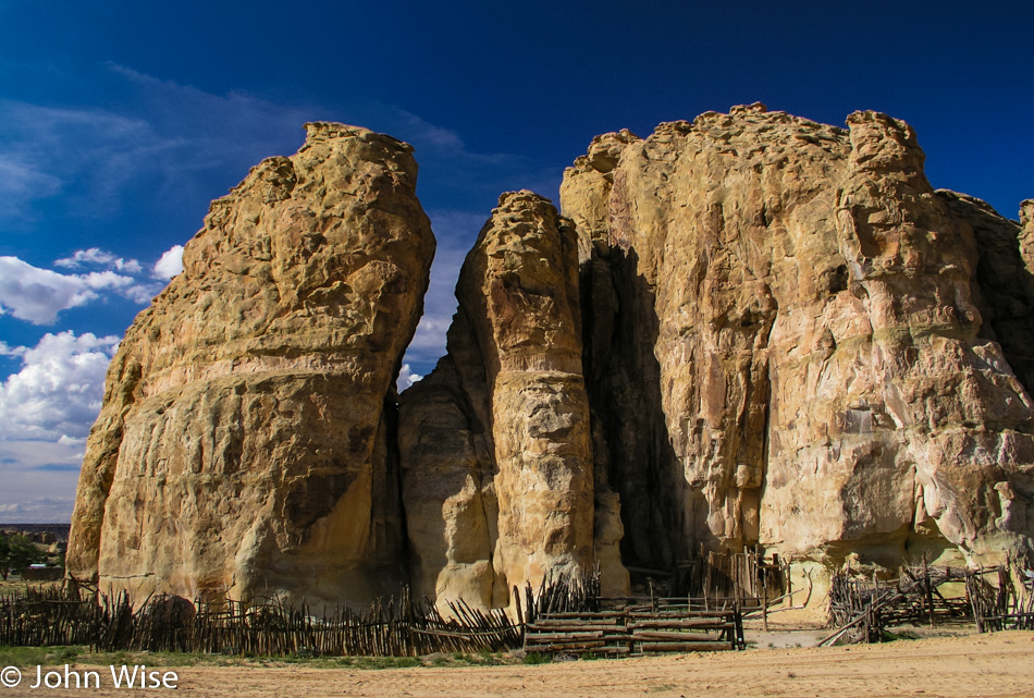
Every corral should be so beautiful.

El Malpais National Monument in New Mexico

A quick stop into El Malpais National Monument to admire the lava flows and arches before heading to Socorro for an overnight.

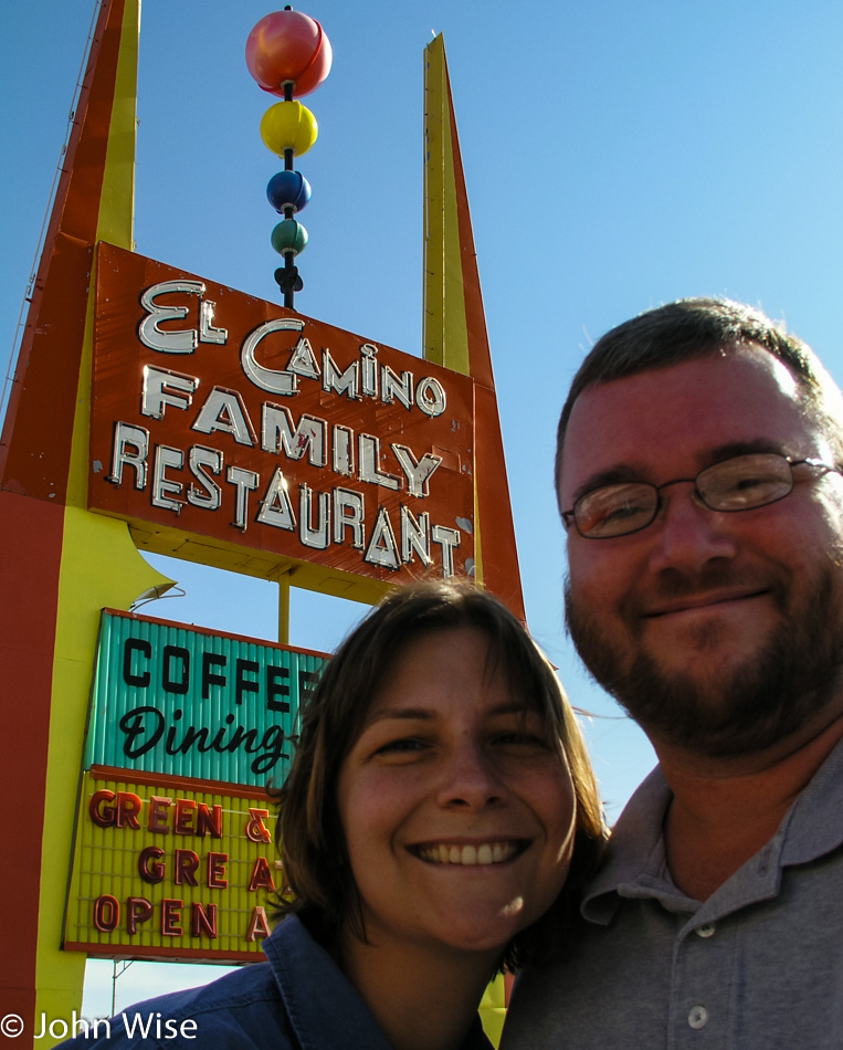
El Camino Family Restaurant in Socorro, New Mexico

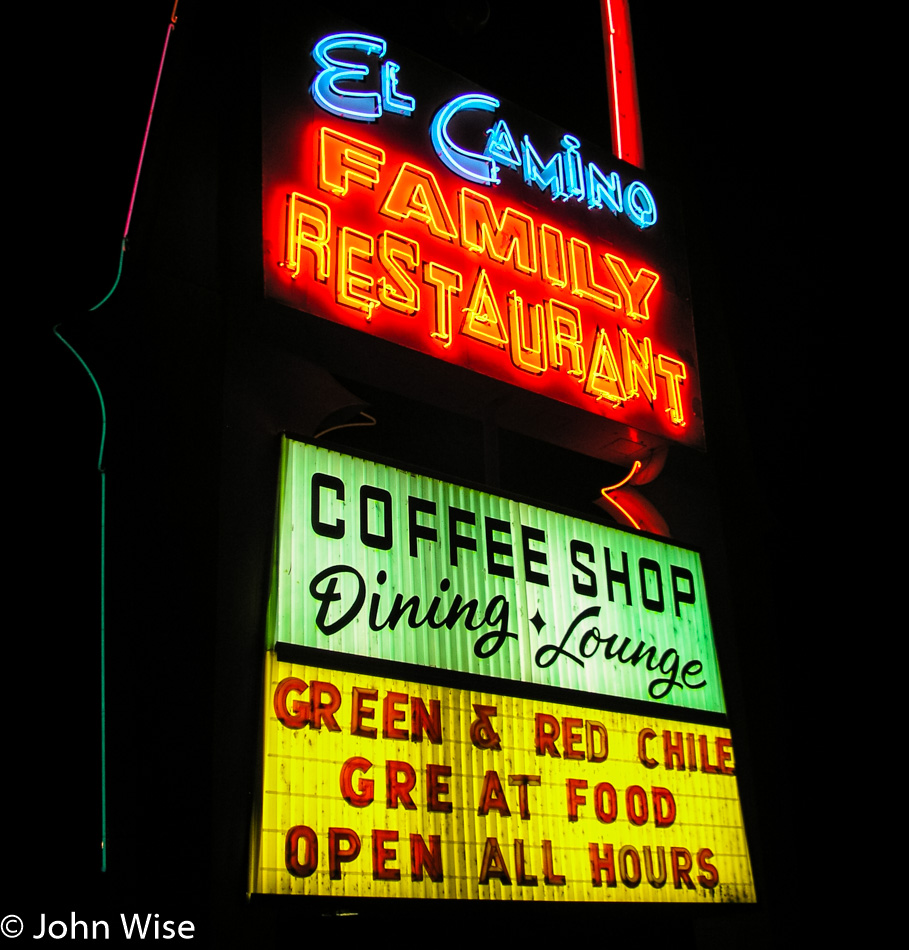
Yep, this is why we are staying in Socorro. Two meals at the El Camino Family Restaurant can’t be beat, even if we eat the exact same thing for dinner and breakfast the next morning. I’m telling you that you are setting a trend with having guacamole for breakfast along with green chili and cheese-smothered steak with beans.

Utah to Colorado to New Mexico – Day 3

The road we are taking to Lake City, Colorado, out of Gunnison, follows the braided Gunnison River as we leave town before the sun comes up.

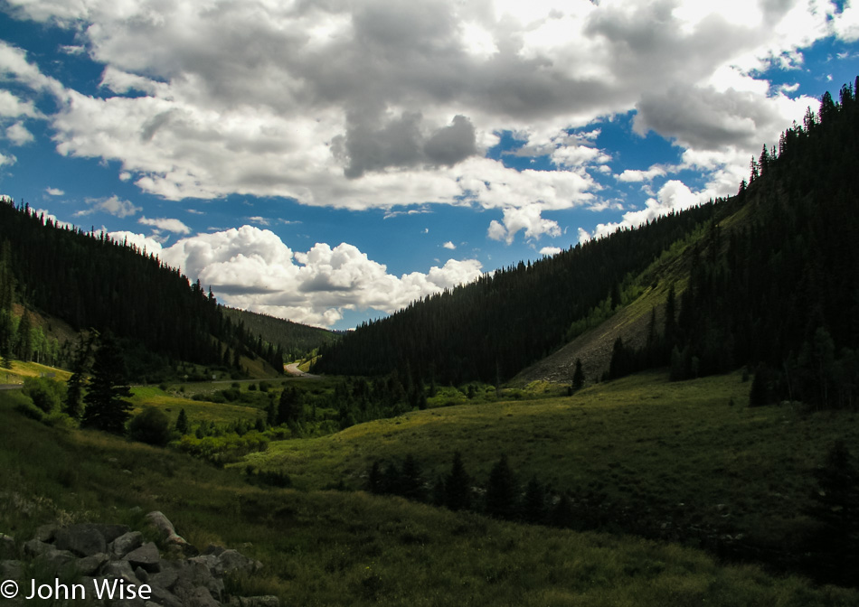
While I could say that I’d love to drive in these mountains every day, I’d be lying because as soon as a flake of snow falls, I’d be wishing to be in Arizona sitting in shorts on a winter day having an iced tea, wishing to be somewhere it’s snowing.

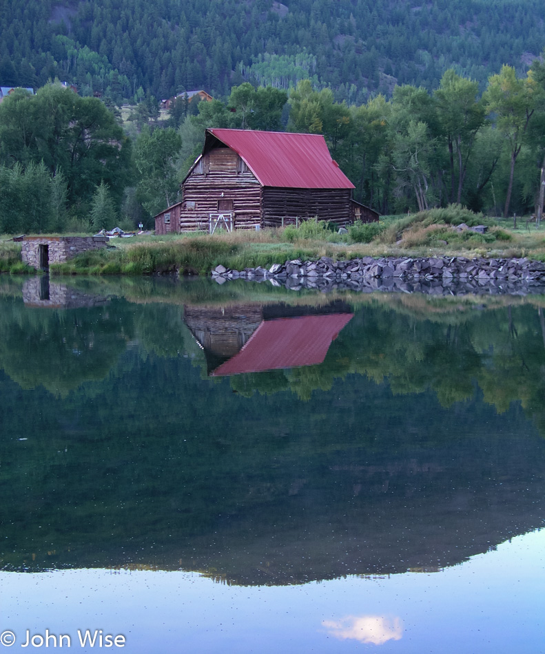
I’m a sucker for barns set in idyllic locations where I could imagine living as a cow, not a steer for slaughter, but a friendly cow that wasn’t being milked by a mechanical octopus sucking the life out of me. My name would be Bessie, of course.

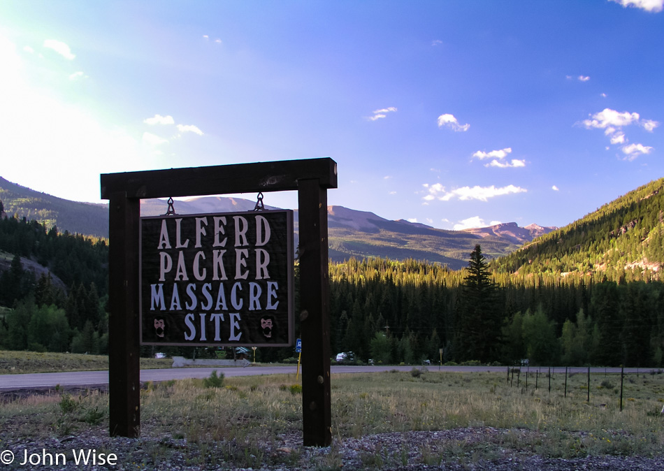
You can bet a dollar we took this route for this reason right here. Alfred Packer ate people on this spot one hundred twenty-nine years ago, and I’d guess he did it with gusto because if you are going cannibal, I don’t believe you pussyfoot into something this serious. You toss the bib and ketchup to the side and hold on tight while you start chewing on another man’s face and armpit; gotta start with the tender spots, right? Sadly, I can’t report that there was any draw to be pulled into that kind of madness as others report when visiting Niagara Falls and say they feel drawn by the water.

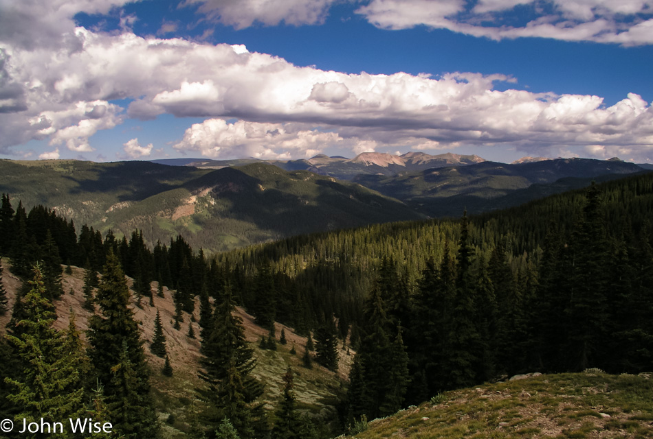
Out of gruesome pilgrimage, we return you to blatant scenes of profound beauty where primitive fences lead into wooded areas bordering small idyllic lakes in a valley surrounded by mountains while fluffy clouds dance along the edges.

Looks to be on the shallow side for kayaking, canoeing, or rafting, though who am I to judge such things?

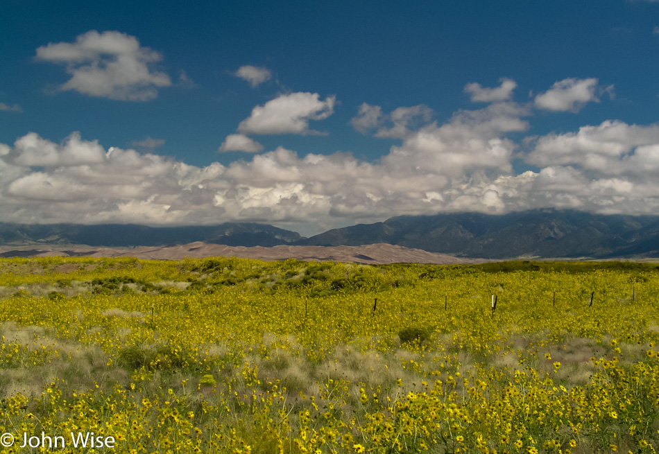
Wildflowers, mountains, and dunes are not something you expect to see every day.

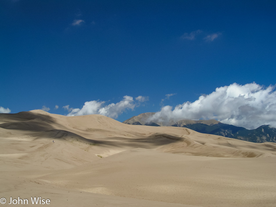
While the Great Sand Dunes National Monument has been authorized to become a National Park with an expansion of its lands a few years ago, it’s awaiting approval from Congress. Next time we visit, hopefully, we’ll be able to brag that we’d been here back when it was a wee monument.

There are at least six people in this photo; can you find them? The mountains in the background are the  Sangre de Cristo Range, which extends down into New Mexico and represents the end of the Rockies.

A road trip to consider would take us from Santa Fe at the foot of the Sangre de Cristo Range right up to Toad River in British Columbia, Canada. With this trip, we will see the extent of the Rocky Mountains with our own eyes; sounds like a plan.

During sunrise and sunset, those mountain peaks look red in the “alpenglow” hence their name that translates to Blood of the Christ – Sangre de Cristo.

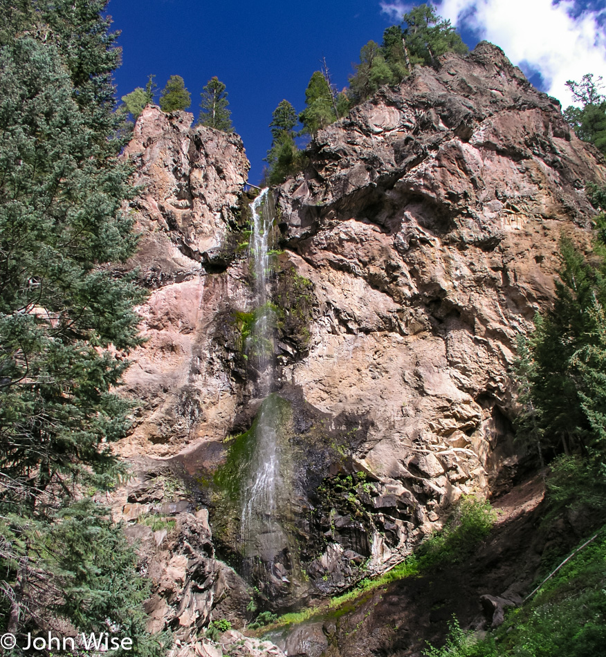
Trillions of treasures for the eye likely exist distributed throughout these mountains; we see a few dozen and are somehow satisfied. Oh yeah, this just happens to be Treasure Falls in the Pagosa Springs area of Colorado, should you be wondering.

This horse left her pasture, and her hooves failed her on the asphalt; down she went with some road rash for her desire to explore the larger world. We’d seen her go over the fence as her companions running with ferocity approached the edge of the property, so while Caroline kept her company and reassured her that we’d find someone to bring her safely back to the fold, I went onto the property to get the owner’s attention. Back she went to the nervous herd that had been anxiously standing by, and we drove off happy that this beautiful white horse hadn’t been hit by a passing car.

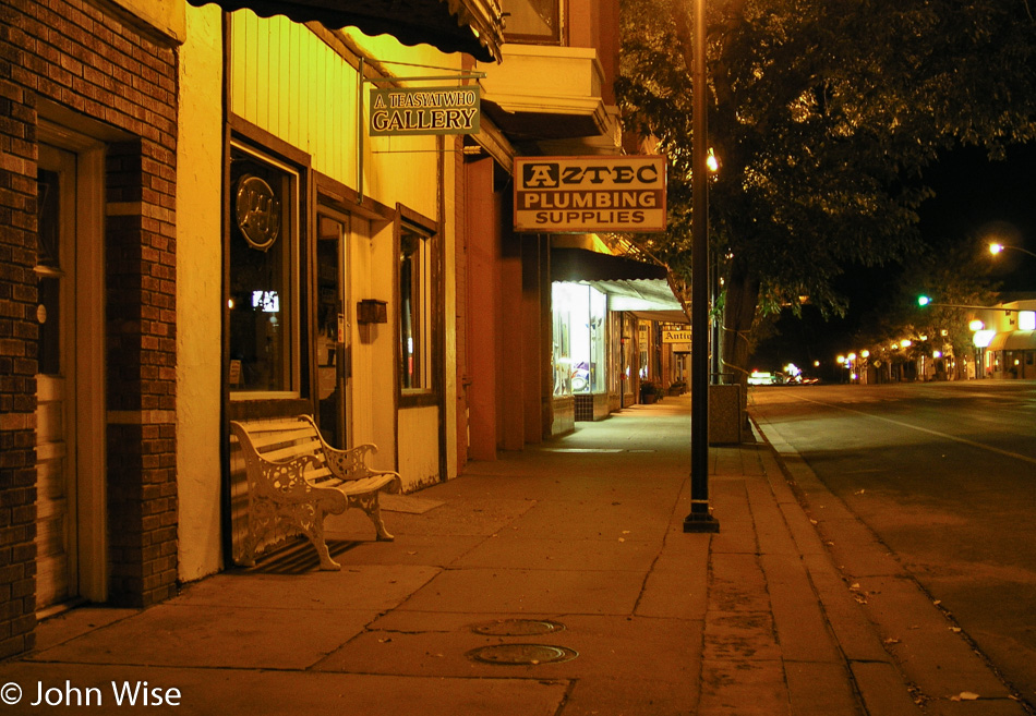
Tonight’s sleeping adventure is being brought to us courtesy of Aztec, New Mexico, over in the Four Corners region. Time for some desert exploration.

New Mexico Missions to Bandelier – Day 2

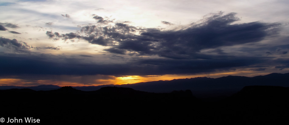
For everything modernity has wrought and all of our technological convenience, humanity will never improve upon the sunrise and sunset. We may excel on the small scale and even one day destroy on a larger scale, but nature is the true master of that which boggles the senses with the profound.

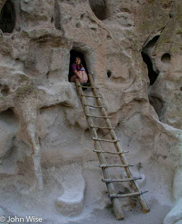
Bandelier National Monument is our first stop today on our exploration weekend of all things Native American. Many of the dwellings here were carved out of the relatively soft tuft. The area was ultimately abandoned around 1600 AD, with the inhabitants moving towards the Rio Grande, joining the Pueblo communities of Cochiti and San Ildefonso.

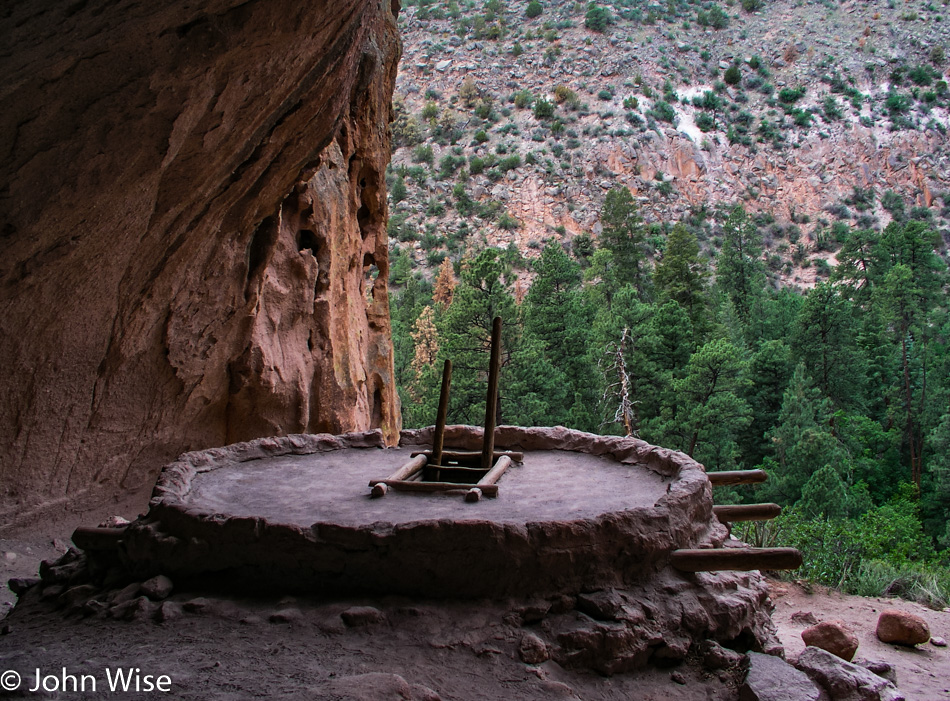
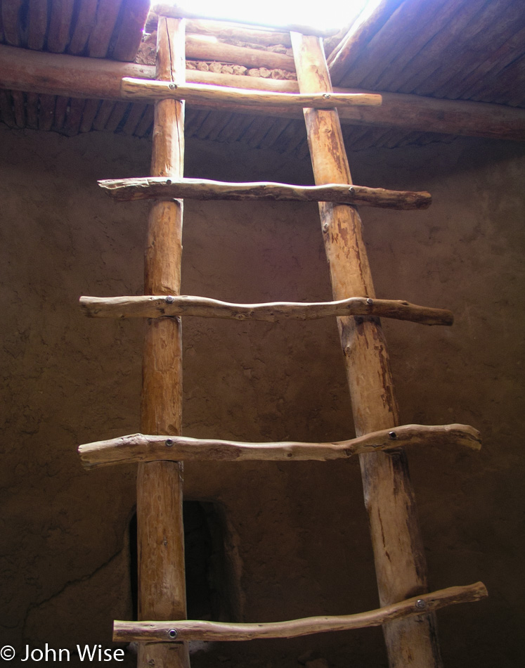
I don’t think I’m wrong, but I do believe this will be the first time Caroline or I have ever been able to visit a reconstructed Kiva.

Our imaginations will have to fill the gaps of what the environment may have been like when Kachina ceremonies were being observed. What were the sounds, language, smells, shadows, ceremonial clothing, masks, and paint that all came together to tell the story of the moment?

This northwest corner of New Mexico is a diverse one with many contrasts.

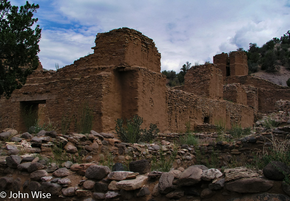
San José de Los Jémez Mission is not far from Bandelier and was more or less on our way to Albuquerque, where we had one more historic Native American visit to make.

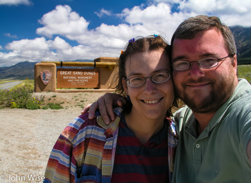
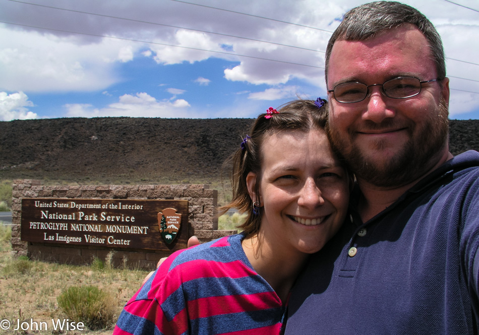
It’s our goal to snap a photo of us in front of as many National Park and Monument signs as we can; often, they are not worth sharing on the blog here, but we have them. As we age, we’ll have these at our disposal to prove to ourselves that, at one time, we really did go to all the places we claim or have forgotten.

We are on the edge of Albuquerque, and literally down the hill, we can see a newer subdivision of homes that crawls ever closer to displacing more Native American history. Fortunately, for now sites like this under the protection of the National Park Service offer some chance for survival.

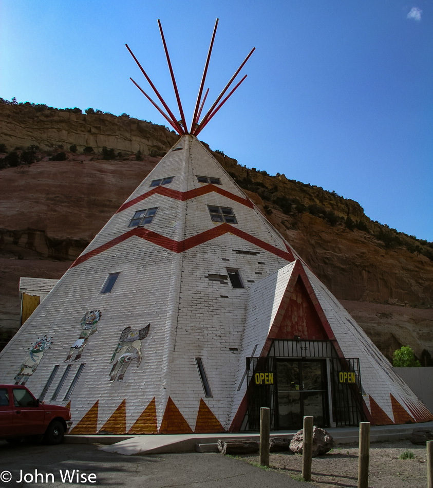
Sites such as this Giant Tee Pee in Lupton, Arizona, could be disappearing as travel demographics and the desire for these novelties wane. Maybe nostalgia will help them hold on, but from our recent encounter with neglect and abandonment, as we’d seen in Bowie, Arizona, there’s little hope that these one-time icons will survive.

That’s Flagstaff in the distance, which, if you know your geography, means that we are on Interstate 40 driving west and that most likely, either there or maybe in Holbrook, we’ll turn left and head south back towards Phoenix.

New Mexico Missions to Bandelier – Day 1

The sky is blue today….that’s a great reason to take a road trip. Okay, we don’t need a reason to venture out, and when the destination is a new one that’s not too far away, then being inspired is easy.

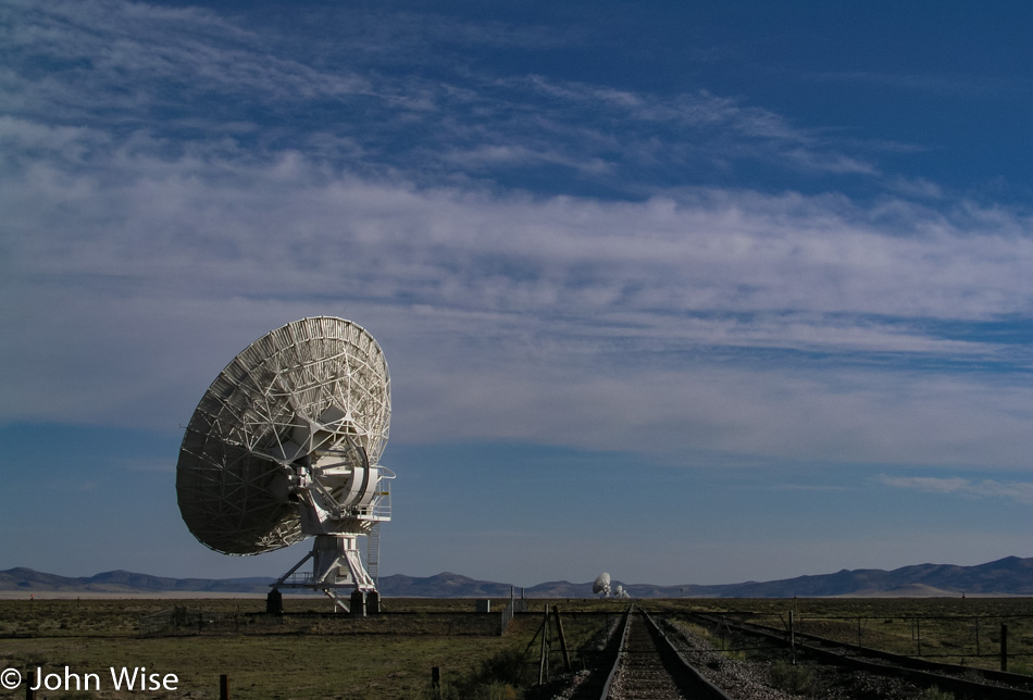
The Very Large Array in Western New Mexico is a welcome sight as it means we are nearing meal time.

El Camino Family Restaurant in Socorro makes our hearts sing. Bring on the green chile; we are back!

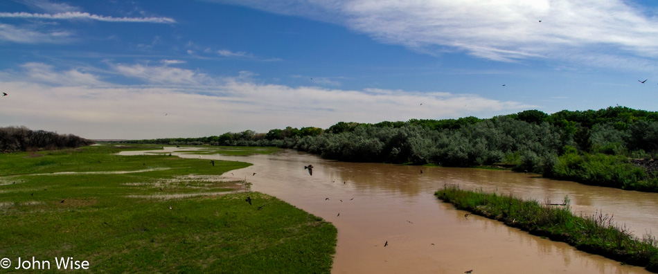
Recent rains make for muddy waters on the Rio Grande, and in the days before summer at the end of spring, things are beautifully green. We are heading northeast, in case you were wondering. Lunch was not today’s sole destination.

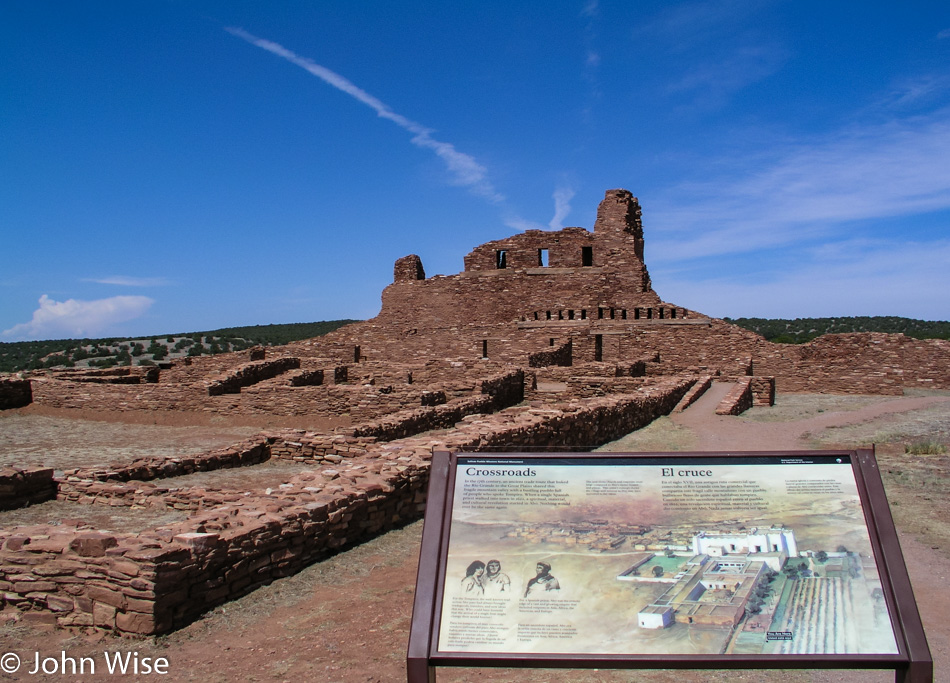
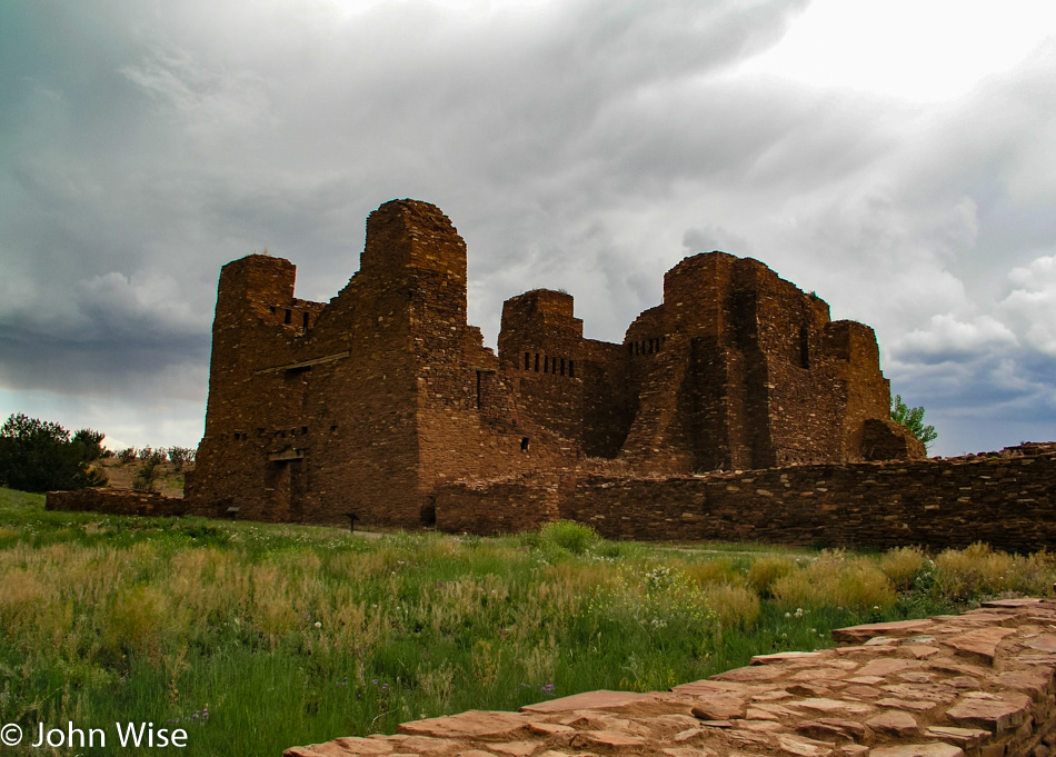
The Salinas Pueblo Missions National Monument and its three ruins are today’s mission, sorry, not sorry about the pun. This particular ruin is the Abó Mission, which was constructed in 1623, more than 40 years after the Spanish arrived at the pueblo in 1581. Again, we see the settlement of non-British people on Native American lands here 26 years before Jamestown, Virginia, and 39 years before the Pilgrims landed at Plymouth, Massachusetts, but to listen to American history, our ancestors were from the 13 colonies.

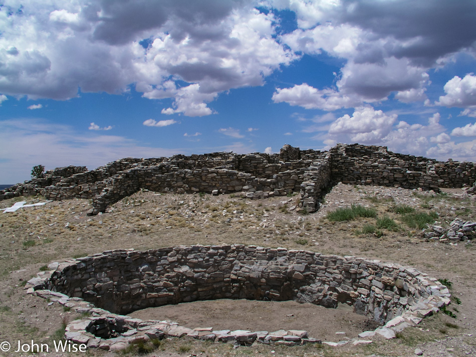
Nearby Gran Quivira is the next Pueblo mission ruin we are visiting. It’s interesting that the religious order of the day back then allowed the kivas to coexist with the churches, as tolerance hasn’t always been Christianity’s strong suit.

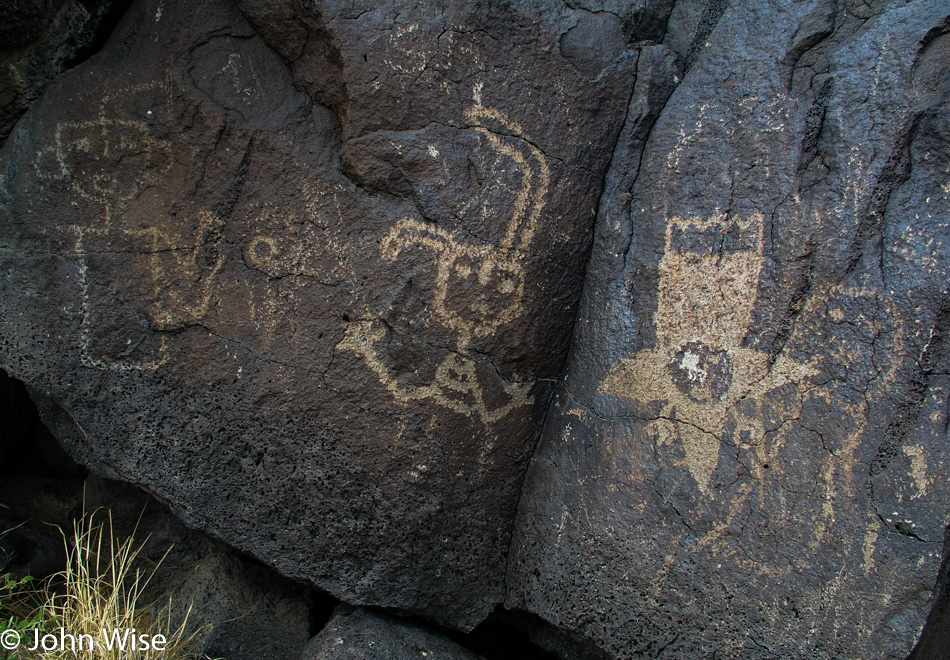
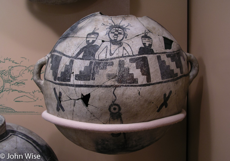
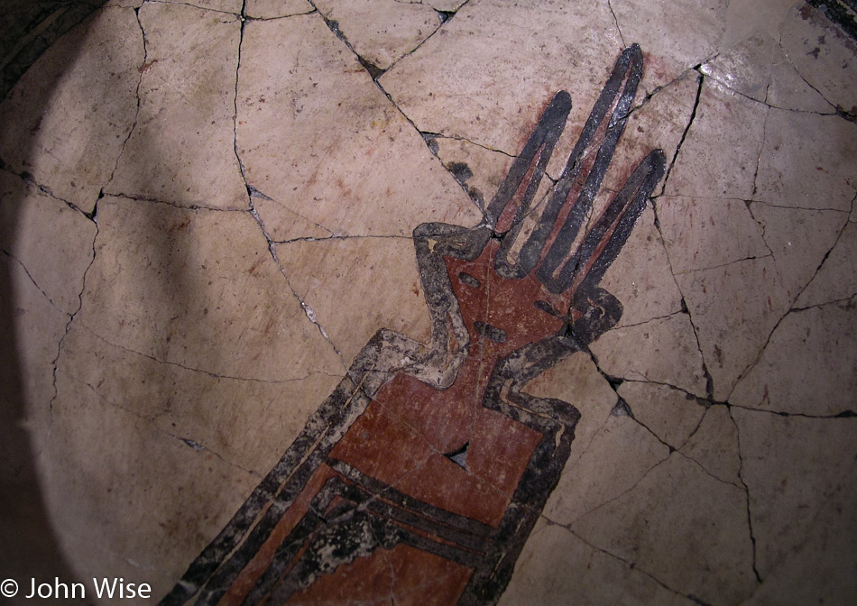
We never lack enthusiasm for the beautiful artwork we get to witness. I’d imagine the majority of works never made it to modernity, but those who have demonstrated a knack for visual storytelling should be appropriately respected.

Quarai Mission Ruins are the last of the mission complexes we’ll visit today that are part of Salinas Pueblo Missions National Monument, but that doesn’t mean there won’t be another historic monument.

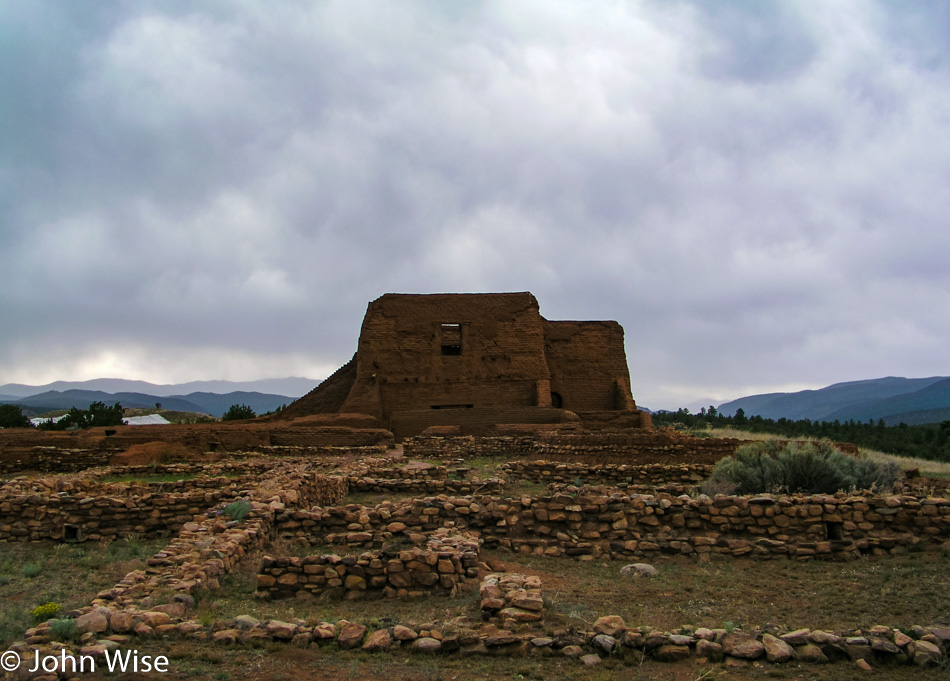
Seems we have enough time left in the day to pay a visit to Pecos National Historical Park. The complex that makes up the Pecos Pueblo was occupied starting approximately 1100 AD and, in its heyday, housed about 2,000 Native Americans. Pecos had their first encounter with Francisco Vásquez de Coronado and his explorers back in 1540. It seems there’s a long history of European contact with Native Americans, except my education taught me that didn’t start until Thanksgiving.
More art that suggests to me that the people who lived here had a chill life because as they were painting this stuff, my ancestors were painting images of plague, crucifixion, and conquest.

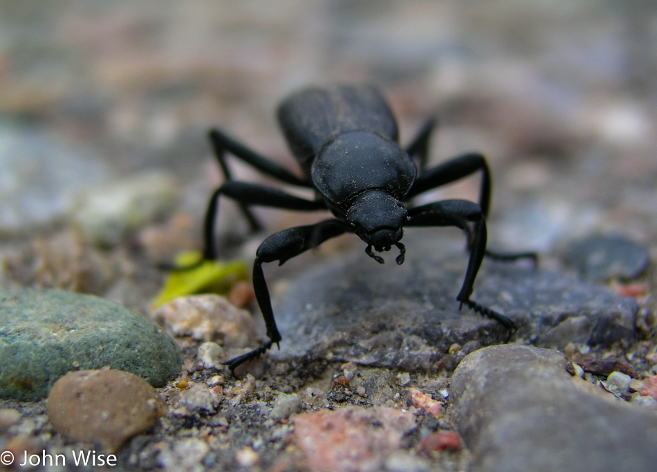
The humble beetle never set out for conquest, conceded no land, nor deprived anyone of freedom. It just goes about its existence, producing generation after generation of free-roaming descendants that pay no rent and exact no toll. Long live the beetle.