Independence Day in Oregon – Day 1

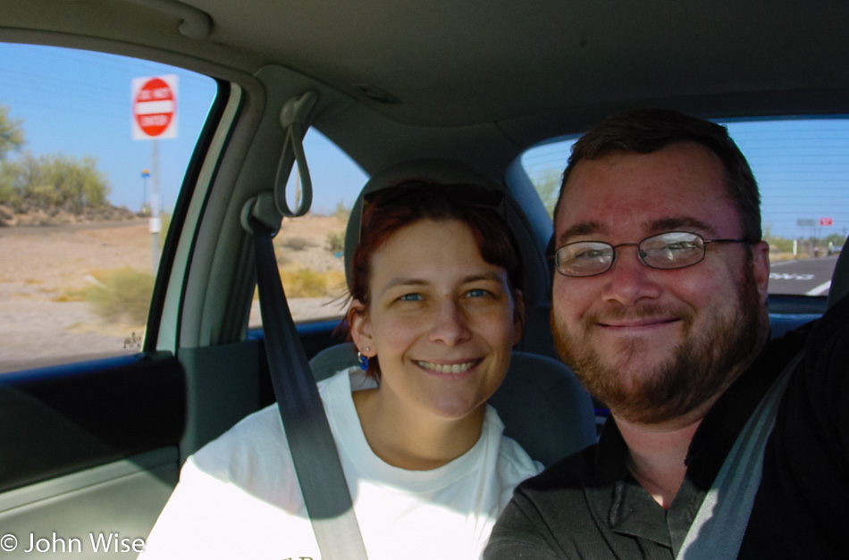
Caroline Wise and John Wise driving away from Phoenix, Arizona

Our Independence Day adventure started after picking Caroline up from work at 4:00 p.m., bags packed, cooler fully loaded, and gas in the tank. While we made our way northwest towards Wickenburg, we watched looming dark monsoon clouds building up and could not help wondering whether we’d miss a good rain in the valley while out on the road; this is usually how it works.
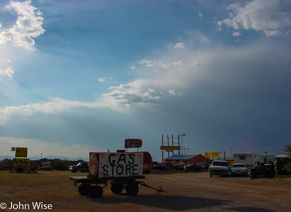
Nothing, Arizona

At Wickenburg, we turned north on Highway 93, which brought us to Nothing, Arizona, which is actually a little something. What exactly Nothing is remains unknown as we didn’t need gas and there was nothing we needed from the All Mart store. North of here, the road becomes known as the Joshua Tree Parkway of Arizona. We did get rained on a little near Wickieup, and a few times, lightning flashes were visible to the east, but no monsoons like the clouds earlier portended.
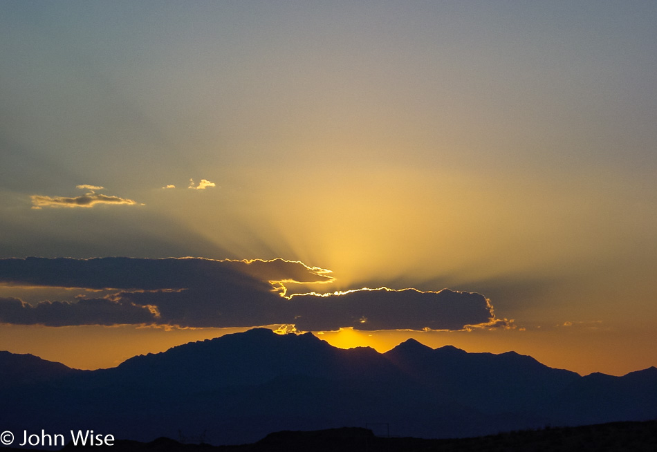
Sunset near the Arizona and Nevada border

We crossed the Colorado River into Nevada at Bullhead City but didn’t bother to stop in Laughlin, NV instead opting to enjoy the beautiful sunset we were driving into. As darkness fell, we turned off the road at Searchlight and started zigzagging back and forth over the Nevada/California state lines a bit until we finally reached Primm, Nevada.
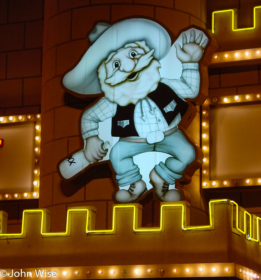
Whiskey Pete's Casino in Primm, Nevada

Why would we go out of our way to visit this tiny speck on the map? Because we found out that Whiskey Pete’s Casino here has on display the bullet hole-ridden “death car” of Bonnie and Clyde! As it turned out, the car was relocated into the shopping mall connected to the Primm Valley Resort and Casino across the freeway. It used to be called the “Primadonna Resort” – “Primm-adonna”, get it? They did come to their senses at the end of the nineties, apparently, and renamed the place. On our way into the mall, we watched a bat circling just a few feet over our heads. spooky!!!
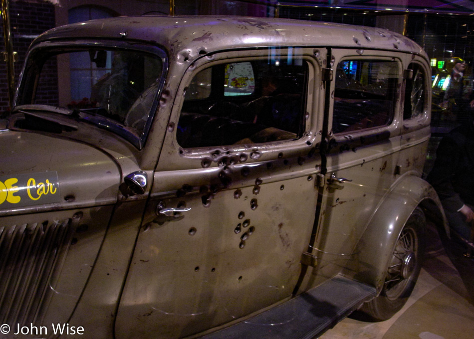
Bonnie and Clyde's bullet ridden car in Primm, Nevada

The old car is sitting in a glass box featuring a couple of showroom dummies dressed in period clothes sporting nasty-looking weaponry. Caroline rather liked “Bonnie’s” dress; it was red and black and very tasteful, while the “men” were wearing suits. It was kind of creepy to look at this vehicle where two people were practically executed.
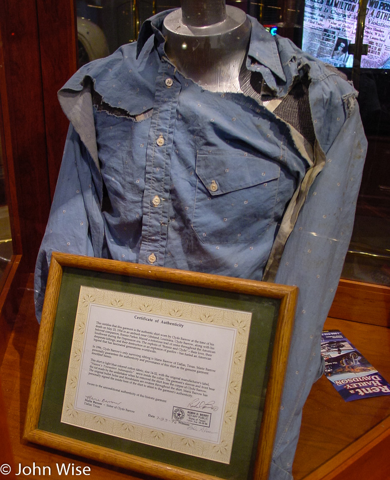
Clyde Barrow's shirt he died in

In another display was the shirt that Clyde Barrow wore the day he was killed. An amazing fact is that he was a very small man; Caroline might barely fit into that shirt! There were a lot of additional items on display referring to Bonnie and Clyde here.

Not pictured is the armored car that belonged to Dutch Schultz, although his car looked a lot more snazzy than theirs. It seems their notoriety far surpasses his “more modest” claim to fame – he was “only” known as the “Bronx Beer Baron,” controlling the booze trade and numbers racket in the Bronx and surrounding areas in the 1920s. I can’t quite tell why the sign said “Dutch Schultz/Al Capone gangster car” – maybe Al snapped up the custom-built armored limousine after Dutch’s untimely demise? The car does sport some bulletholes but is otherwise flawlessly restored. Dutch, by the way, was shot in a bar in 1935 and kicked the bucket in a hospital soon after without ever revealing the perpetrators, thus inspiring William S. Burrough’s book “The Last Words of Dutch Schultz” (among others).
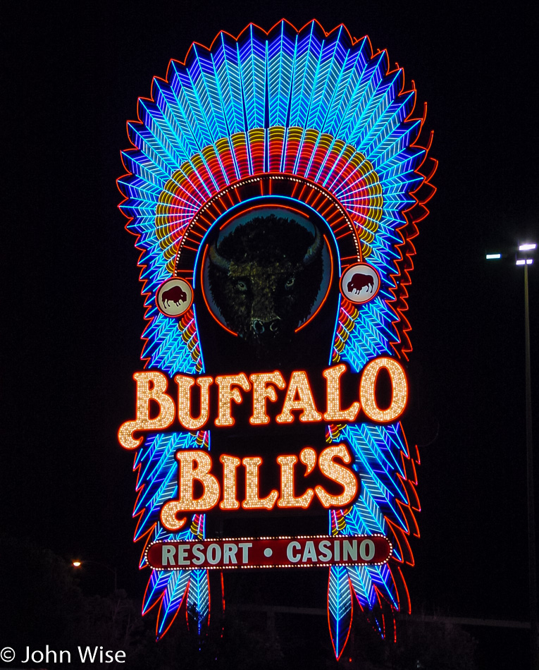
Buffalo Bill's Casino in Primm, Nevada

Primm Valley Resort also hosts “fun” events such as concerts by Eddie Money, Loverboy, and Survivor on the 4th of October. I guess the name “Survivor” says it all! Primm’s third casino, in addition to Whiskey Pete’s and Primm Valley, is Buffalo Bill’s, home of the “Desperado,” one of the world’s tallest and fastest roller coasters (at least at some point), which was not running when we arrived, lucky Caroline! Instead, we enjoyed Buffalo Bill’s neon marquee, surely one of the prettiest casino signs seen so far! But it was now 9:45 p.m. time to hit the road toward our hotel about 80 miles away in Pahrump, Nevada. Thirty minutes later, we passed a gun range offering submachine guns for passing tourists to come to shoot stuff up with. Still feeling gangster feverish, we would have stopped to give it a try, but business hours are only 9:00 a.m. to 9:00 p.m. Where is a 24-hour machine gun range when you need it?

We arrived in Pahrump at about quarter to midnight and were happy to fall into bed.
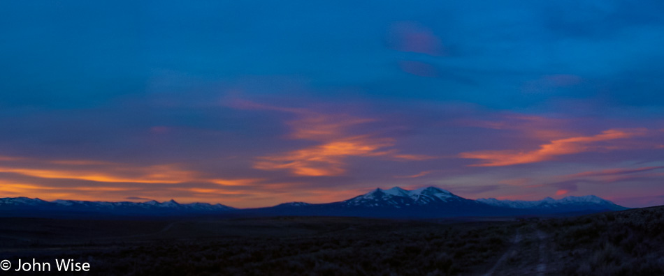
California via Utah, Nevada, Idaho, Oregon – Day 2

Outside Jackpot, Nevada

Sweet Jesus, who plans these trips? Up at 4:3o a.m., are you kidding me? Well, I guess we’ve got to do this while we’re young, as plenty of people have told us it will get harder as we get older. That’s Ruby Mountain in the distance under the pre-sunrise sky. Somehow, I feel lucky to be able to see this view and not only see it under full daylight, which is easy. Next stop, Idaho.

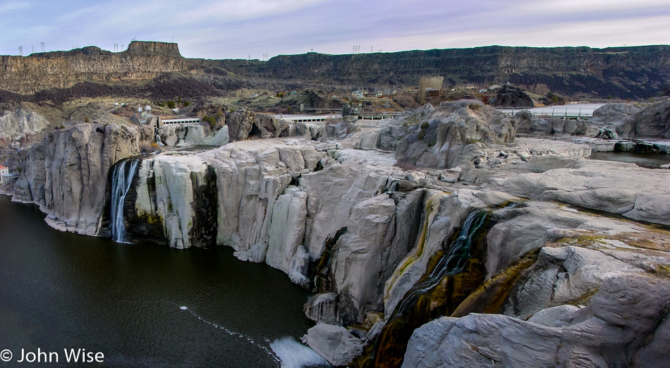
Twin Falls, Idaho

Shoshone Falls in Twin Falls, Idaho, which I can only guess was a spectacular waterfall prior to dams. While it’s kind of interesting to look at in its own right, I’d still love to see it with a serious flow of water cascading into the Snake River below.

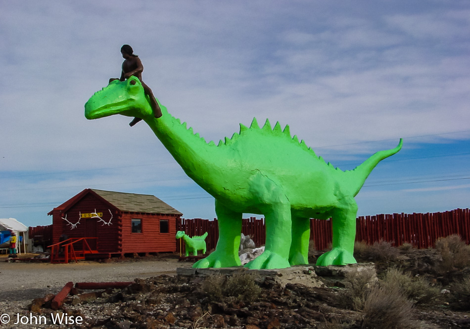
I guess this draws in the kids and us idiots because, seriously, Native Americans riding dinosaurs? And, of course, Native Americans have to be nearly naked because that’s how they rode their horses while battling John Wayne in the old Westerns.

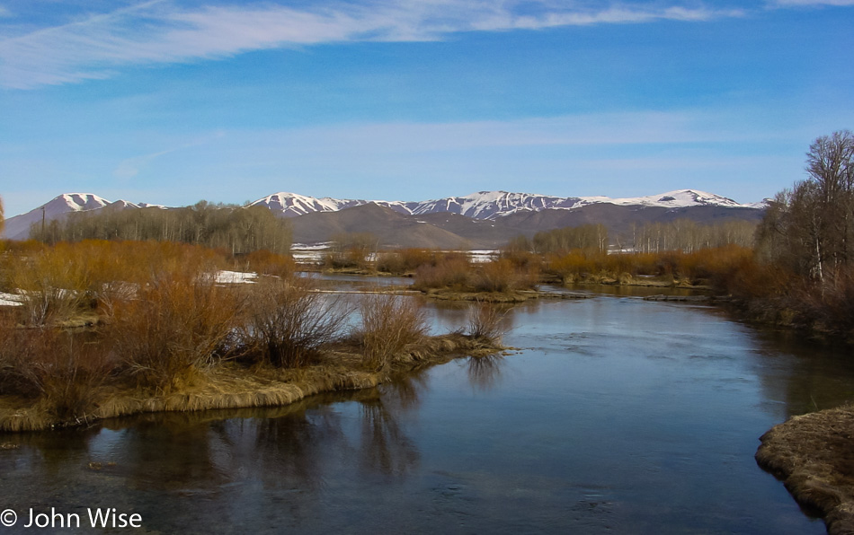
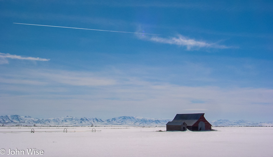
We drove northeasterly on Highway 26 with the hopes of visiting Craters of the Moon National Monument, but there was too much snow for our visit, and so onto the list it goes. For a consolation prize, we are offered this spectacular view of the mountains on the south of Highway 20 while driving west near Picabo, Idaho.

One more photo on Highway 20 before turning north on the 75.

We just passed Ketchum, Idaho, and the turn-off to Sun Valley which are both famous for catering to the wealthy, which makes sense as Ketchum at least is reminiscent of Durango and Telluride over in Colorado.

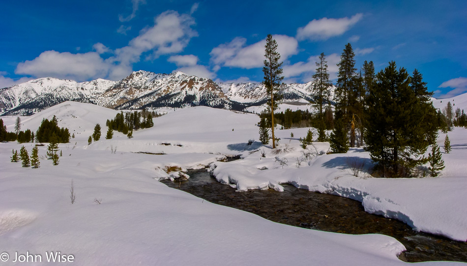
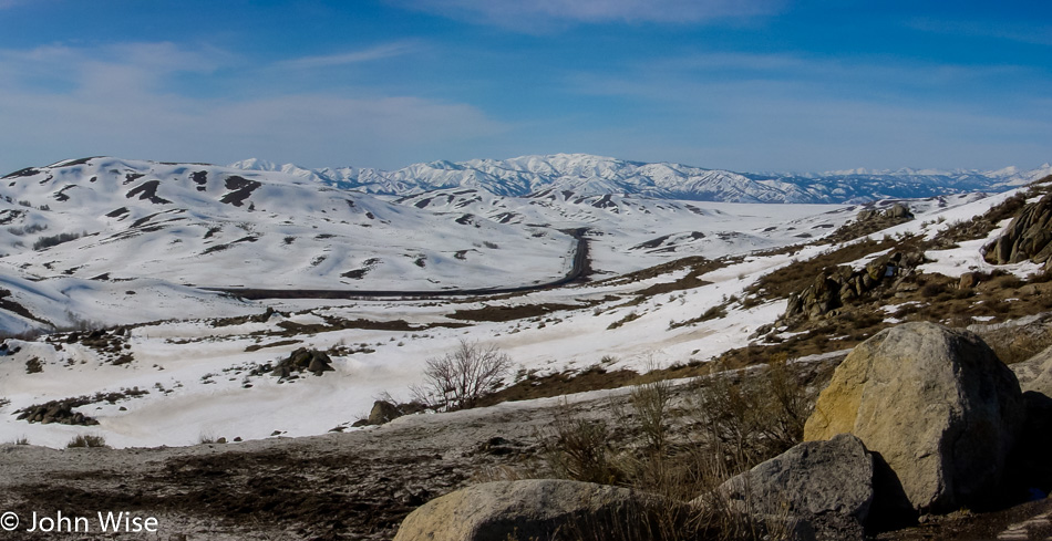
The snow is pretty thick out this way and seems to be getting heavier. Sure enough, just a few miles past this and north of Galena, we reach the end of the road. Well, more road, but the snow is covering it, meaning we won’t be traveling in that direction. Time to turn around and head back to Highway 20.
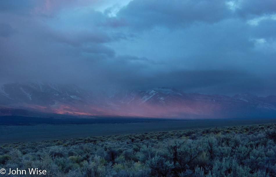
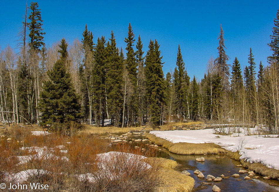
That wasn’t so bad, as the view looks different when traveling south instead of driving north. This is near Fairfield, Idaho, and I should admit that I’m happy as a clam that the skies are blue because if there was a hint of snow, we would have been totally unprepared for such driving conditions.

This is Cat Creek Summit and what will have to be the last photo for a while as we are heading into Oregon to meet up with my sister Amanda Goff. The nearly three hours we lost on our drive up and back Highway 75 risk making us late for our dinner date.

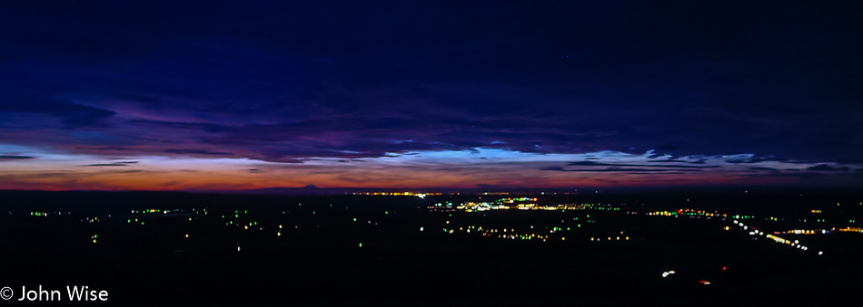
We stopped in Baker City, Oregon, for a pit stop and to admire how beautiful the place is, but we’re just as quickly back on the road. We are in La Grande for this sunset and about 45 minutes away from Pendleton, Oregon. Our dinner with Amanda was a brief hour and forty-five minutes, but it was the first time we had seen her in at least a couple of years.

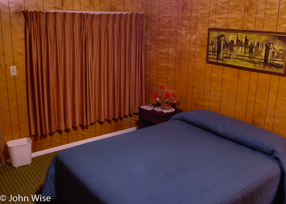
We found a motel in Arlington, Oregon, on the Columbia River, and as we were incredibly tired we took the first place we came across. Well, it’s the only overnight option in Arlington, a place that has a population of about 500 people. The historic room is perfect vintage 1971 decor with fresh wood paneling, green short shag carpet, and burnt orange curtains.

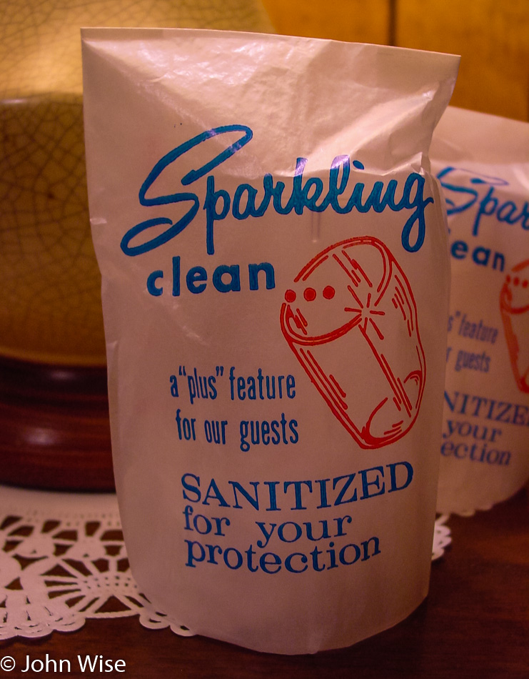
The crackle lacquer lamp and plastic glasses on the nightstand (paper-wrapped and sanitized for our protection) top off the experience, letting us know we’ve arrived in a real class joint that has bucked modernity for that kind of authentic flair not found everywhere. How much did we pay for our night in the ’70s? It wouldn’t matter, as this was priceless.

California via Utah, Nevada, Idaho, Oregon – Day 1

This will be one of our crazy endurance road trips where no distance seems too far. For some reason or another, we didn’t leave the night before and shave two or three hours off the driving; instead, we left at 6:30 this morning and raced forward. North was our direction as we passed through Cordes Junction, Flagstaff, Page, and then Kanab in Utah. We breezed through Carmel Junction, looking west with a loving look in our eyes toward Zion National Park, just 15 minutes down the road. Another mile or so later, we pulled over for a roadside picnic in Long Valley, and before long, we were pulling over again, this time for a photo near Duck Lake.

We are driving kind of hard today to cover a lot of miles. This is just west of  Cedar Breaks National Monument.

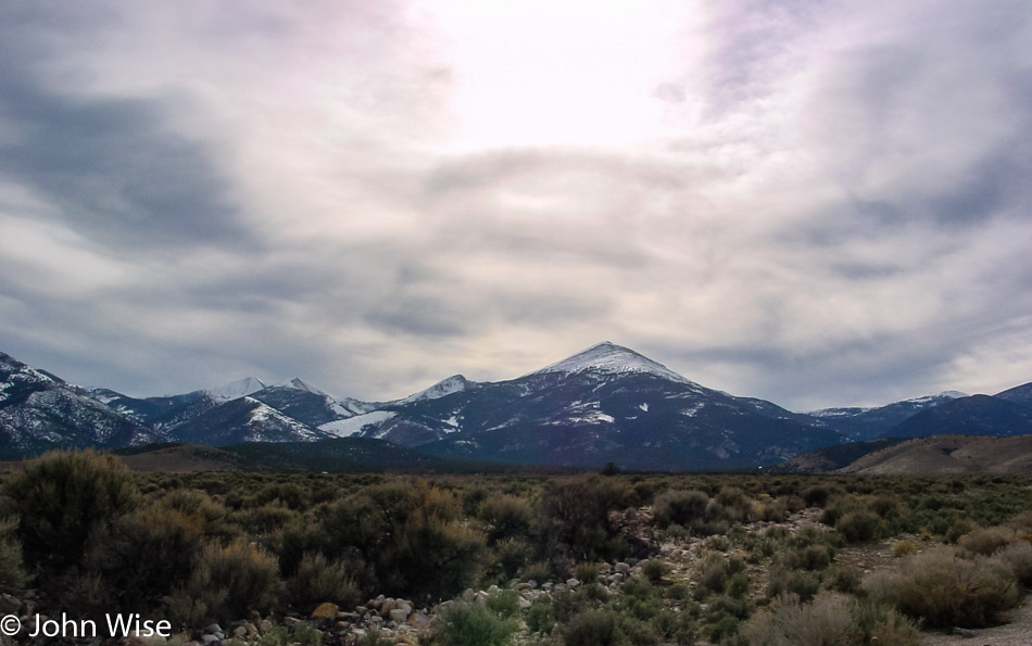
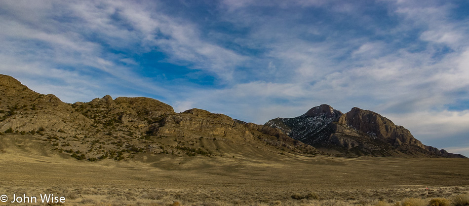
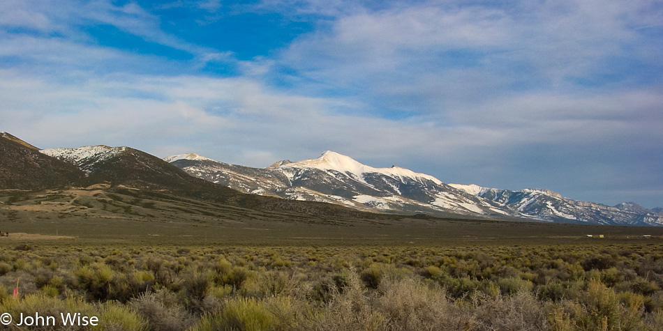
This is the way into the Great Basin National Park; we are taking a peek at the peak.

Great Basin National Park near Baker, Nevada

Our visit to the Great Basin didn’t work out as it was too late for a quick tour of the Lehman Cave, and the scenic drive was closed due to snow. No big deal, as we’ll just put this one on the list of places to return to; we also learned that this park is home to the Bristlecone pine tree, which can live for thousands of years. We must come back.

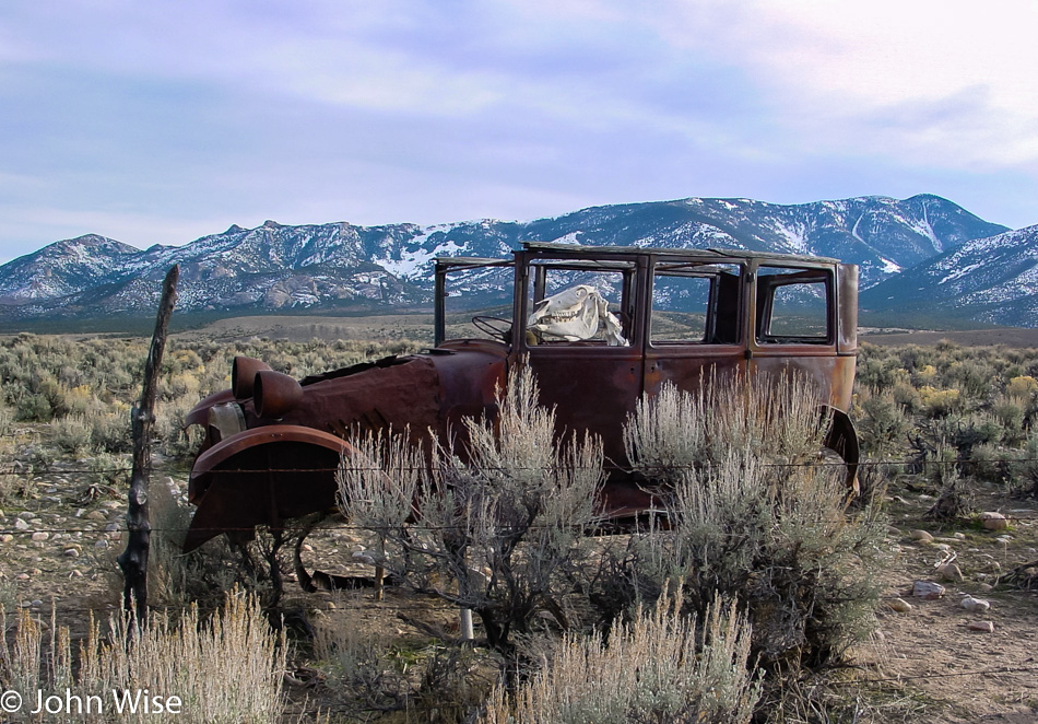
There is a general excitement that occurs the first time we drive through a terrain that is new to our eyes.

It forces us to stop and grab a photo so we might better remember why this part of the journey was just as exciting as the other parts.

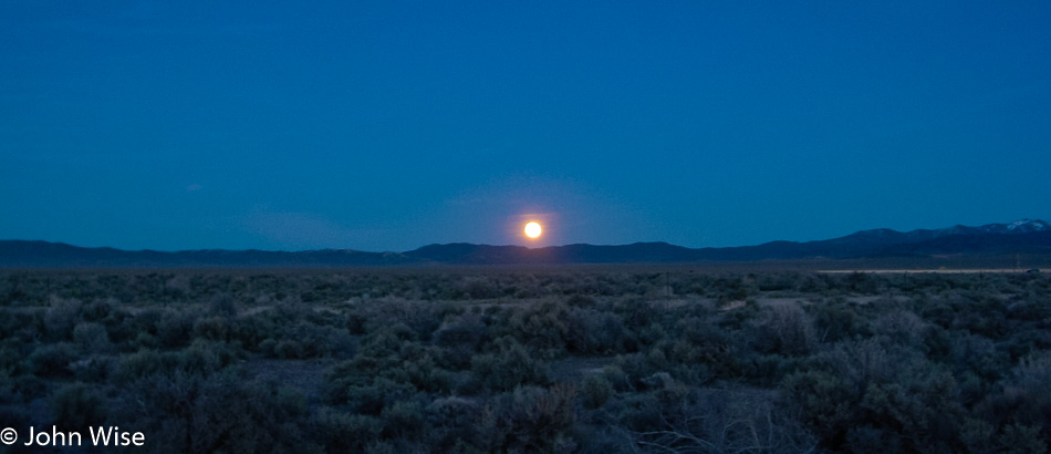
An amazing shooting star appeared, but obviously, that wasn’t going to be photographed by the time we stopped the car. We pass a sign for a turn-off directing us to the Ruby Lake National Wildlife Refuge, and while we ignore it this time it is now on the list of places to come back to. By 8:45 p.m. local time or 9:45 Arizona time, we arrived in Jackpot, Nevada, after a grueling 865-mile drive. We’ll stay at the Covered Wagon Motel for only $19.93, including tax, because luxury is for those who need pampering; we need adventure.

Vegas, Great Basin, Tahoe, Pt Reyes, Monterey – Day 3

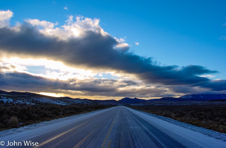
Along Highway 50 in Nevada

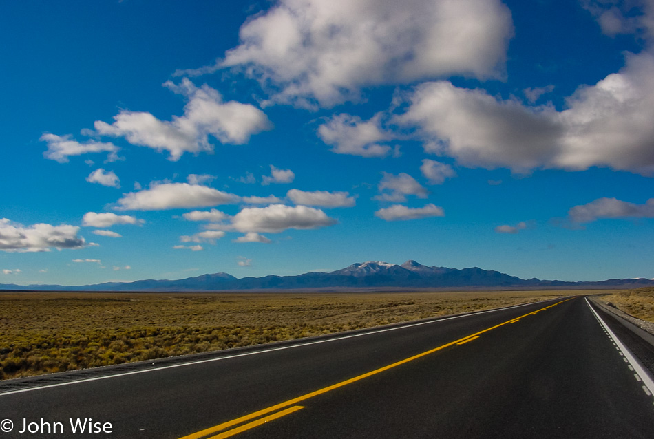
It’s cold, icy, and a bit scary for people from Phoenix and just the way it is. Welcome to Highway 50, also known as the “Loneliest Road in America.”

Along Highway 50 in Nevada

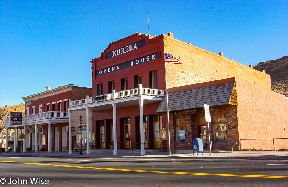
Fortunately, we didn’t run into any more ice- or even snow-covered roads. Matter of fact, within about a half-hour, the road was dry. Eureka was the first small town we came upon and, lucky for us, the Pony Express Cafe was open and serving up breakfast burritos and hot coffee.

Along Highway 50 in Nevada

This was the typical view out here. Pretty lonely, huh?

Along Highway 50 in Nevada

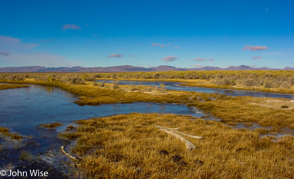
I’m guessing the tree limbs have traveled out of the mountains with rains that washed them out?

Caroline Wise and John Wise Along Highway 50 in Nevada

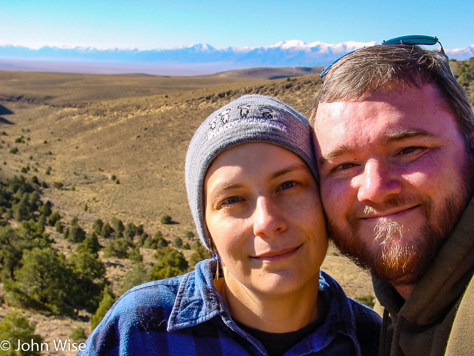
With all these stops, it will take forever to drive across Nevada, but it’s okay because I love these drives out here with my best friend holding my hand.

Along Highway 50 in Nevada

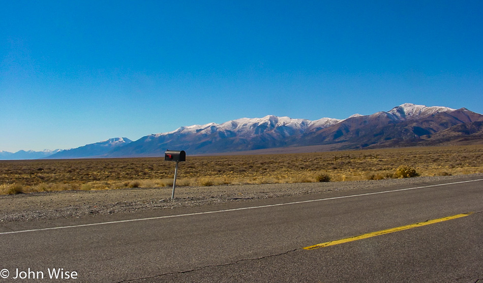
This mailbox surprised us because search as we might, we couldn’t find a house out here that this could belong to.

Along Highway 50 in Nevada

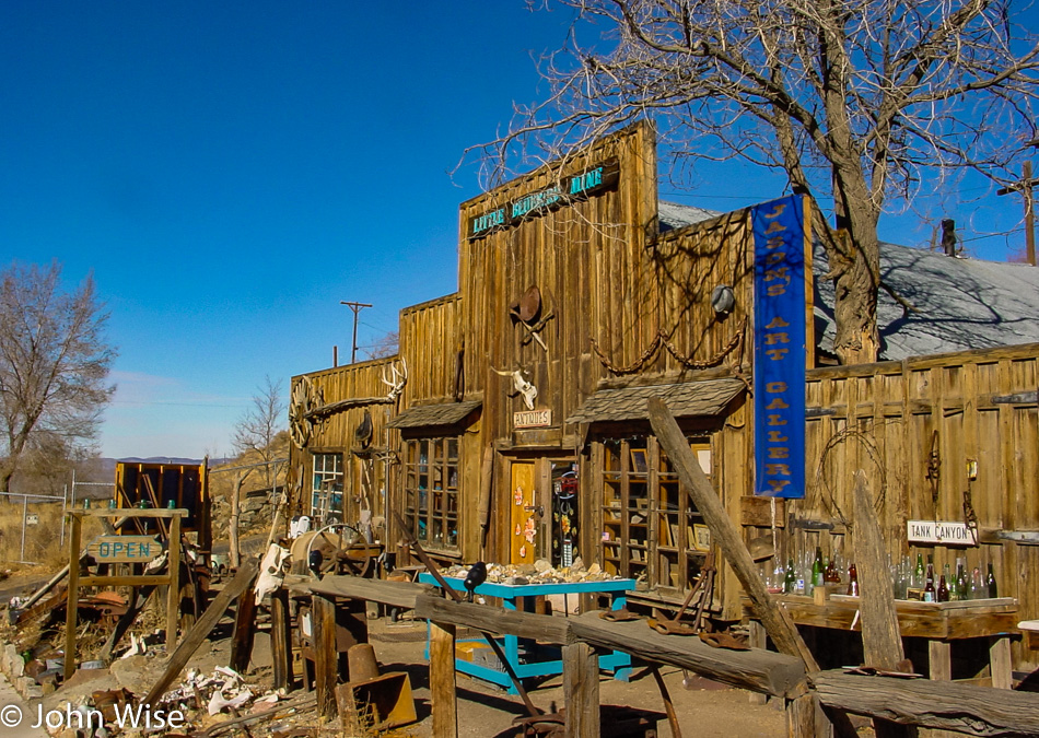
Austin, Nevada, is one of the small towns along the road that would benefit from 24-hour information availability to bring our attention to the relevant facts and interesting places in town.

Edit: 17 years after our visit, while we now have smartphones, we still don’t have truly smart apps that tap an area and bring our attention to things that would be of interest. Even when looking up a place on the internet, we get a hodgepodge of disjointed information and have a terrible time trying to figure out a reasonable place to eat.

Along Highway 50 in Nevada

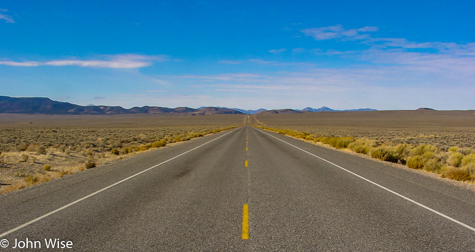
The perfect road for hitting 110 mph.

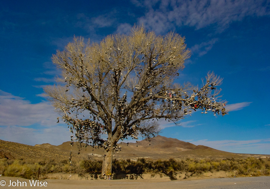
Shoe Tree Along Highway 50 in Nevada

This is the “Shoe Tree” near Middlegate, Nevada. I’d imagine this thing gets pretty heavy after a good rain.

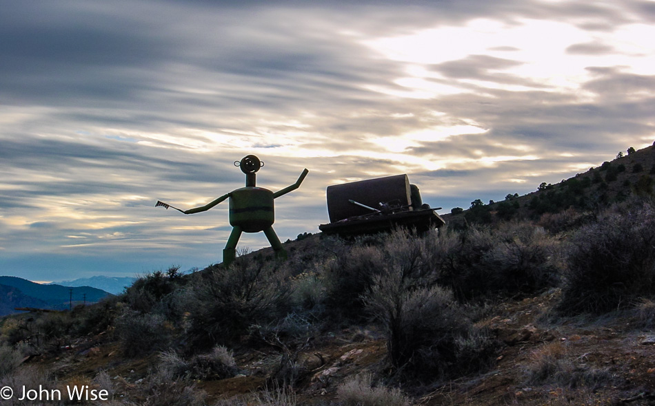
Silver City, Nevada

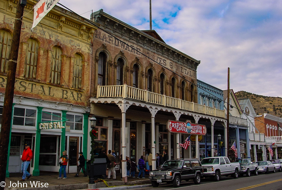
Something nice about arriving in an old town not ravaged by modernity. Welcome to Virginia City, Nevada. Mark Twain lived here when he was still Samuel Clemens. He started as a miner, but since that wasn’t successful, he ended up working for a local newspaper. His famous nom de plume “Mark Twain” made its first appearance in 1863 when he was an editor at the “Territorial Enterprise.”

Silver City, Nevada

One hundred thirty years ago, Virginia City had a population of about 25,000; today, it is about 1,000. Back then, the Comstock Lode was the first major deposit of silver discovered in the United States and turned Virginia City into a boomtown. Today, tourists are helping keep it alive.

Lake Tahoe, California

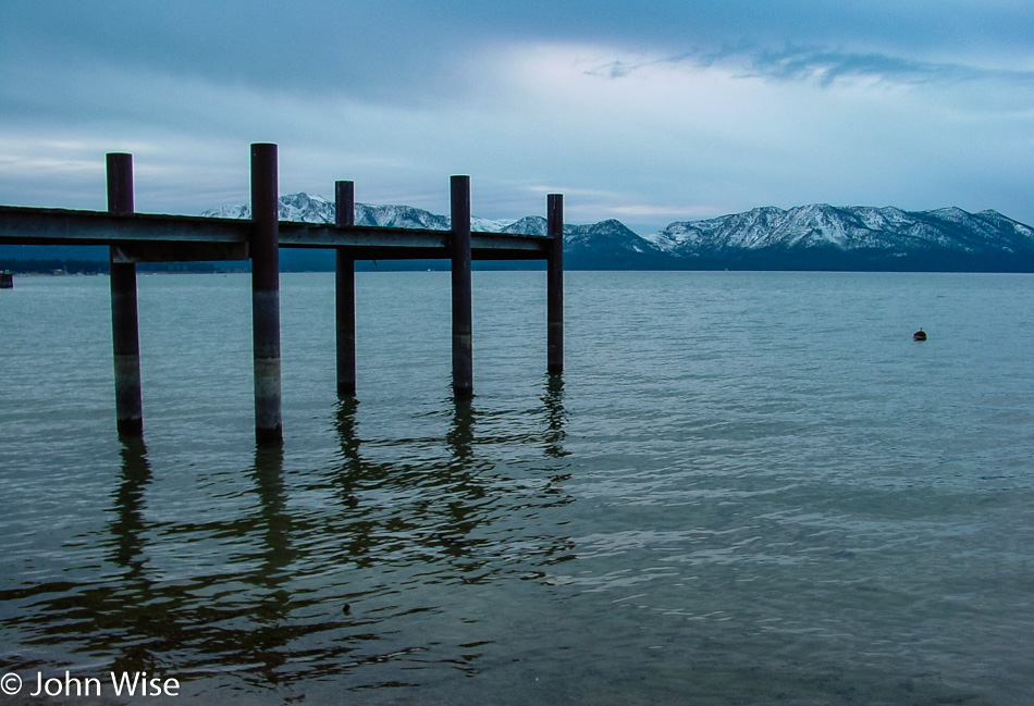
Before checking into our motel in Carson City, Nevada, we drove over to Lake Tahoe for a look at this famous spot on the California-Nevada border. When we got to our motel, we were greeted with an amazing sight of thousands of tumbleweeds piled up against one side of the building and stairwell due to a recent windstorm that seemed to have delivered all the tumbleweeds from a 50-mile radius right to our doorstep.

Vegas, Great Basin, Tahoe, Pt Reyes, Monterey – Day 2

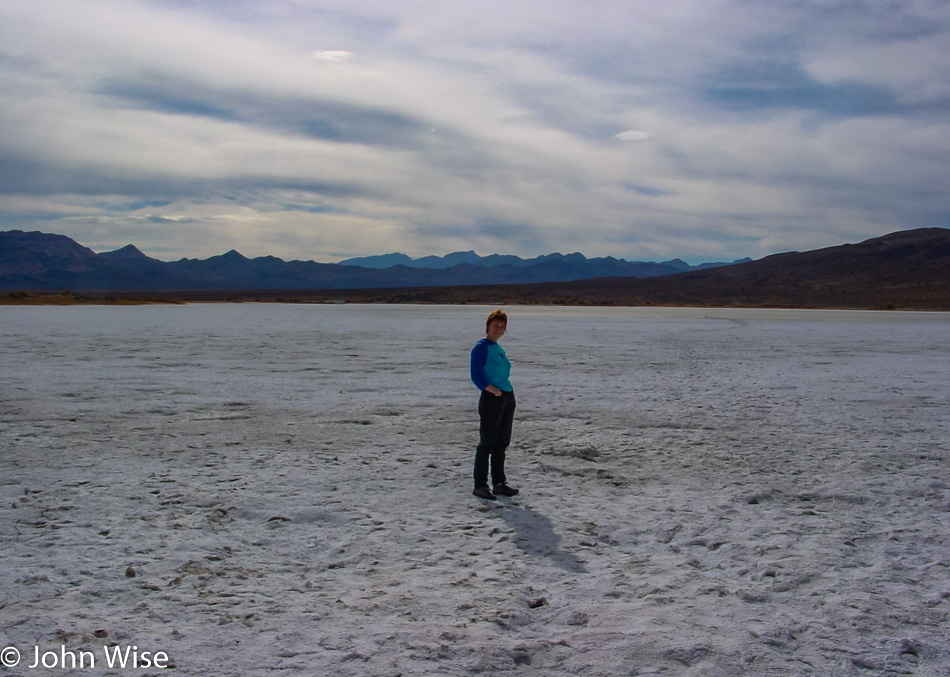
Caroline Wise in Nevada

Leaving Las Vegas a little later than we typically would because we were up late last night. One thing about Vegas is that for us, it doesn’t really get going until about 9:00 p.m. and is downright electrifying in the wee hours of the night, creating a good reason to sleep in. We are driving north.

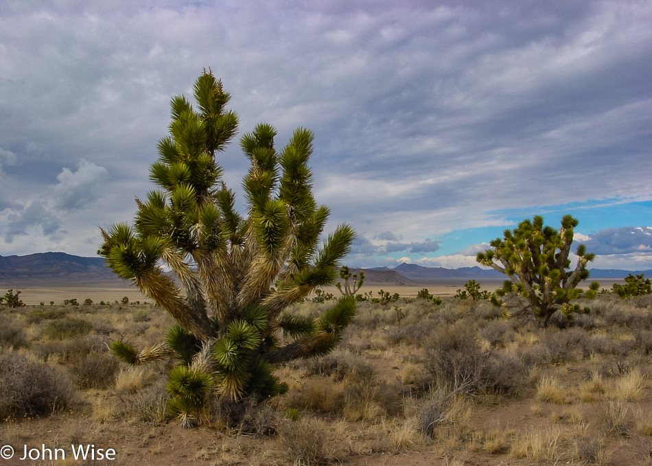
Joshua Tree in Nevada

It’s only 243 miles (400 km) to our destination today, but it will take about twice as many hours as usual with all of our stops to see stuff along the way.

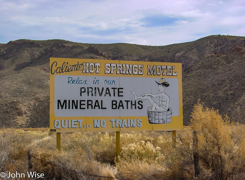
Billboard in Nevada

Reminder photo to return to soak in a barrel of mineral water away from the trains on a future visit.

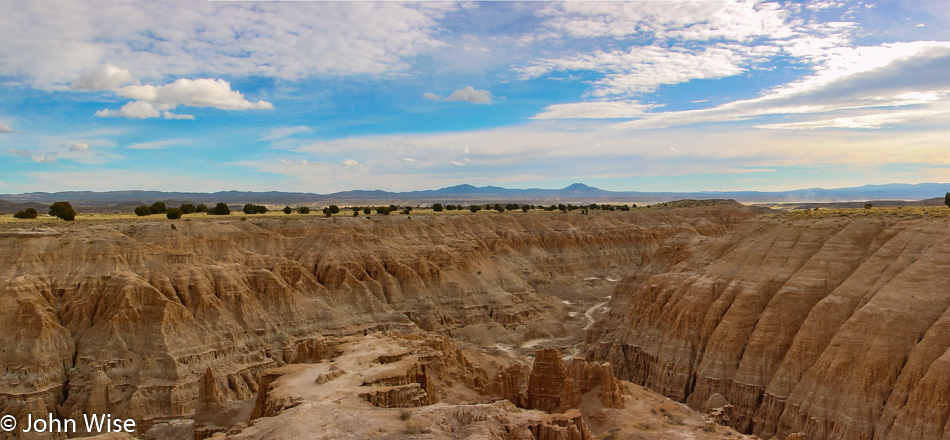
Nevada

Exposed geology that allows us to look below the surface is always attractive and worth a stop.

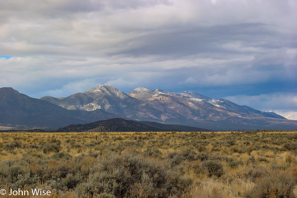
Nevada

A sober reminder that as we travel north here in November, places away from the desert tend to get cold and even have snow. There are so many times we’ll leave Phoenix and have forgotten this little fact that necessitates things like warm clothes and driving in conditions we are not accustomed to.

Nevada

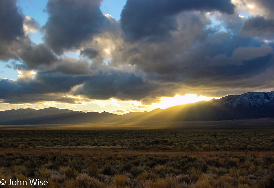
God rays illuminating a small patch of ground is not something you see every day.

Nevada

Even rarer is the glow of sunset hidden from our view by overcast skies that manage to puncture the cloud cover to cast pink against snow-spattered mountains.

Ely, Nevada

We’ve reached our destination of Ely, Nevada, and the idea of Thanksgiving dinner at an old casino hotel in a dusty old town sounds like the perfect recipe for a lifelong memory. Being served by a middle-aged smoking lady steeped in the tradition of being a waitress in the classic 1960s sense only added to the mystique.

Vegas, Great Basin, Tahoe, Pt Reyes, Monterey – Day 1

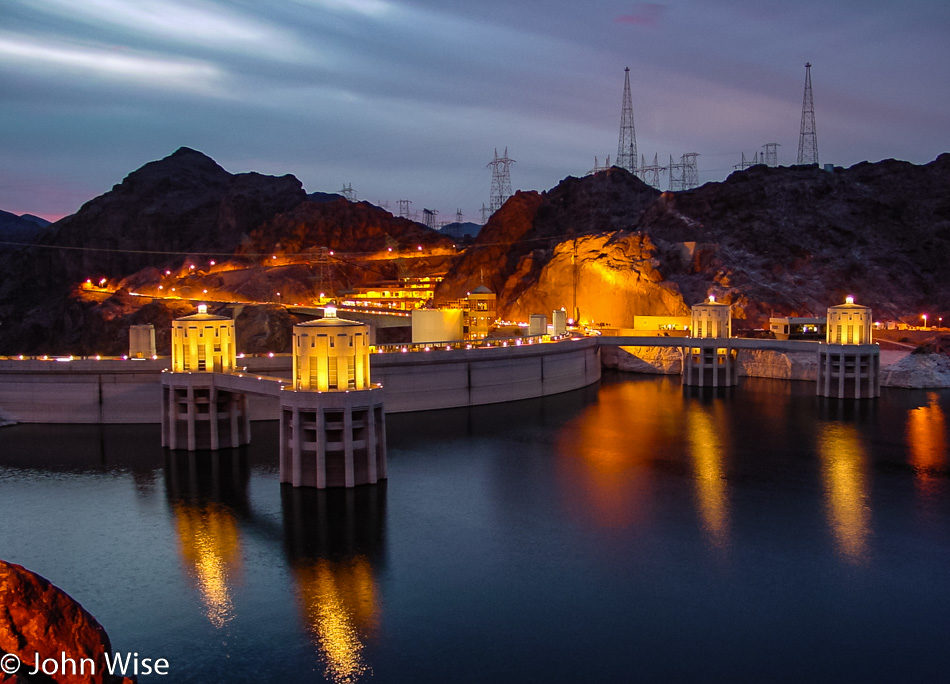
Hoover Dam from Arizona

“Leave Wednesday night after work and avoid airports” is our motto for traveling over the long Thanksgiving holiday. The other trick is to return on Monday to avoid the Sunday crush to get home. We are about to cross the Hoover Dam on our “short” drive from Phoenix to Las Vegas, Nevada, which is just under 300 miles from home.

Las Vegas, Nevada

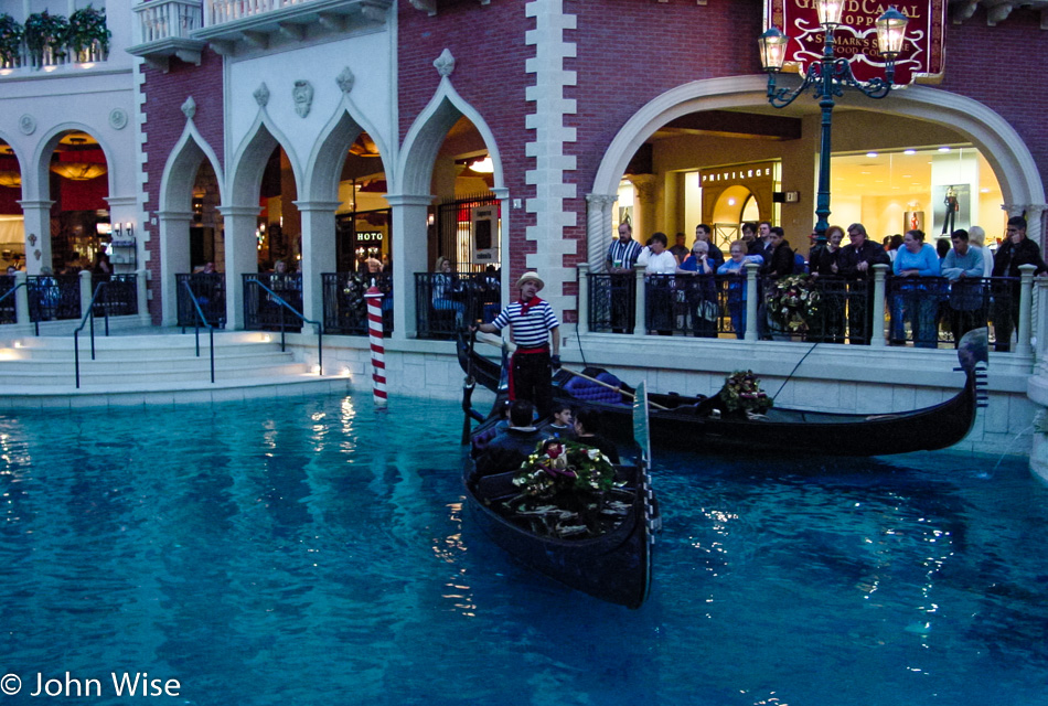
Once in Vegas, it’s time to see as much as possible to feed our senses as many impressions as we can. From gondolas of Venice…

Las Vegas, Nevada

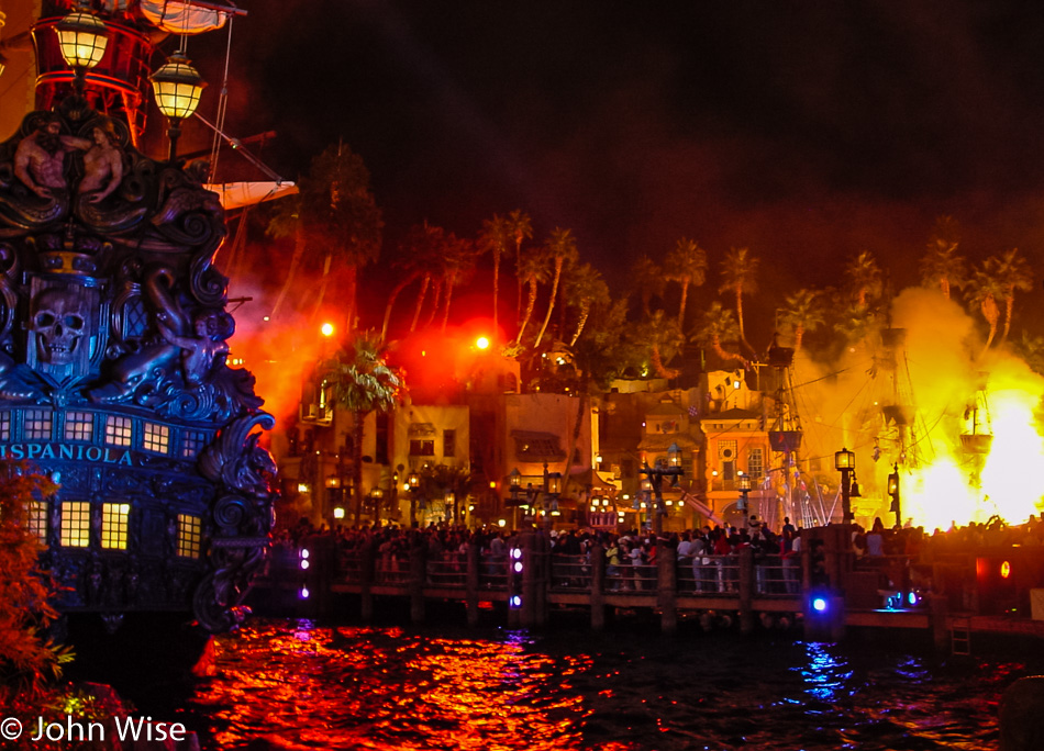
…to pirates battling on the high seas, we love moving from fantasy experience to fantasy experience along the strip.

Las Vegas, Nevada

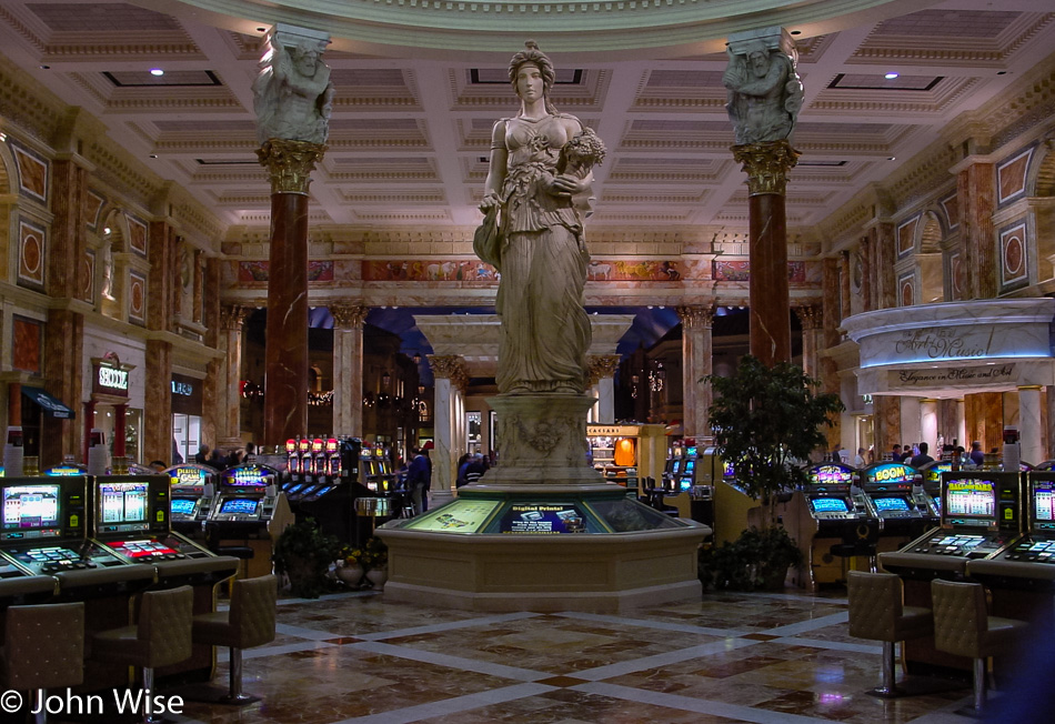
Visiting the Roman elegance of Caesars Palace we go from here to…

Las Vegas, Nevada

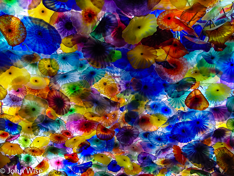
…the lobby of the Bellagio to check out the ceiling installation by Dale Chihuly.

Las Vegas, Nevada

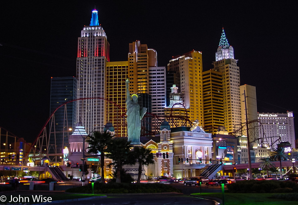
The novelty of the Vegas skyline, with elements of New York City, Paris, Venice, and Rome thrown in, never fails to impress us. Where Sin City does fail is in attracting us to gamble or call a hooker to our room. Buffets can be cool but can also be a bit hit-or-miss, which makes taking the gamble on them less enticing with each subsequent visit. Tonight, though, was all about sightseeing until well after midnight.