4th of July – Day 1

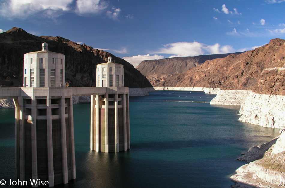
Hoover Dam from Arizona

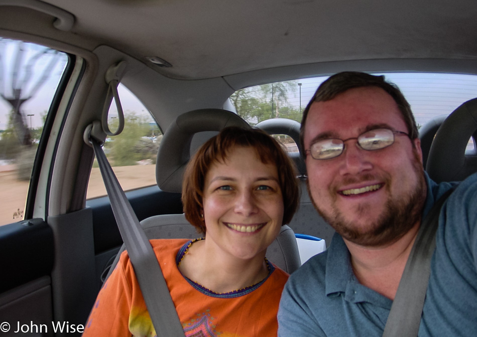
Five and a half days is the drive from the middle of the Arizona desert to the rain forests of Olympic National Park in Northwest Washington. This 4th of July celebration will be spent covering over 3,100 miles (5,000km) as we explore roads and terrain we’ve never seen and some we have. It’s Thursday afternoon at 2:00 p.m. when we embark on the first leg of the trip that will take us north into Nevada.

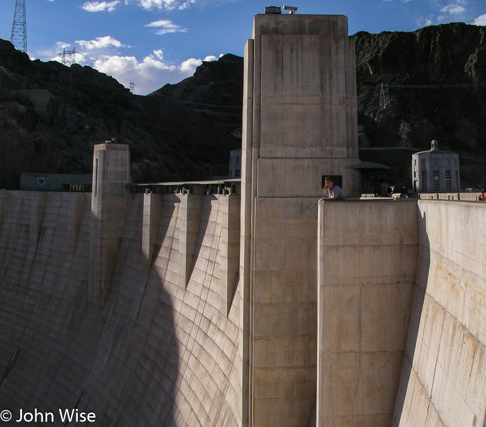
Hoover Dam from Arizona

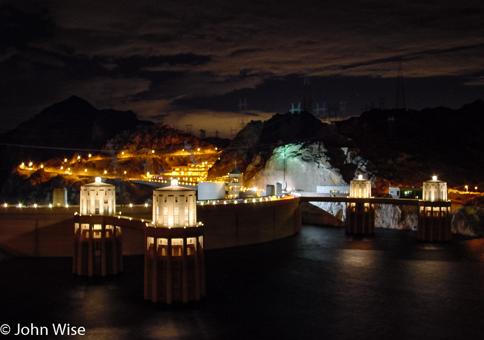
Our path out of Phoenix today was via Nothing to Kingman and then here to the Hoover Dam on the Arizona-Nevada border. We’ll skip Vegas because it’s not part of our travel plans. In our effort to cover about 550 miles this afternoon into the night, we’ll even forsake photos to save time.

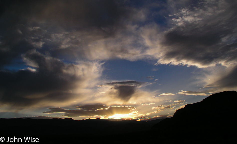
Sunset in Nevada

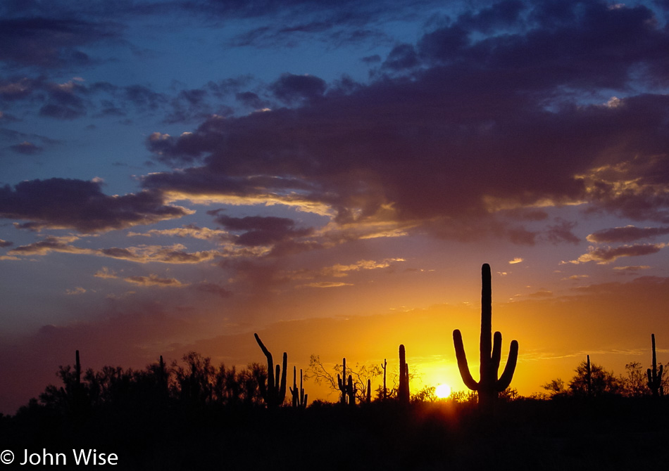
Into the night, we continue our trek north with northern Nevada in our sights. Up the US-93, the NV-318 will deliver us at 10:30 p.m. to the hopping town of Ely out near the Great Basin National Park (which is not on our itinerary either).

Bryce to the Great Basin – Day 2

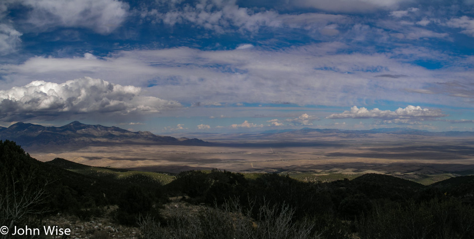
Great Basin National Park in Nevada

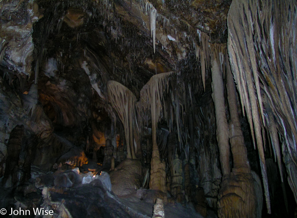
Caves: we love caves. Magical wonders of chemistry at work to create some of the greatest artworks. A human can make a piece of art in minutes, maybe even years, but it takes nature centuries to slowly and methodically alter reality, shaping it into a complexity that bends the mind and delights the eyes.

Great Basin National Park in Nevada

Lehman Caves were discovered more than a century ago by Absalom Lehman. It is being discovered all over again by John and Caroline Wise today.

Great Basin National Park in Nevada

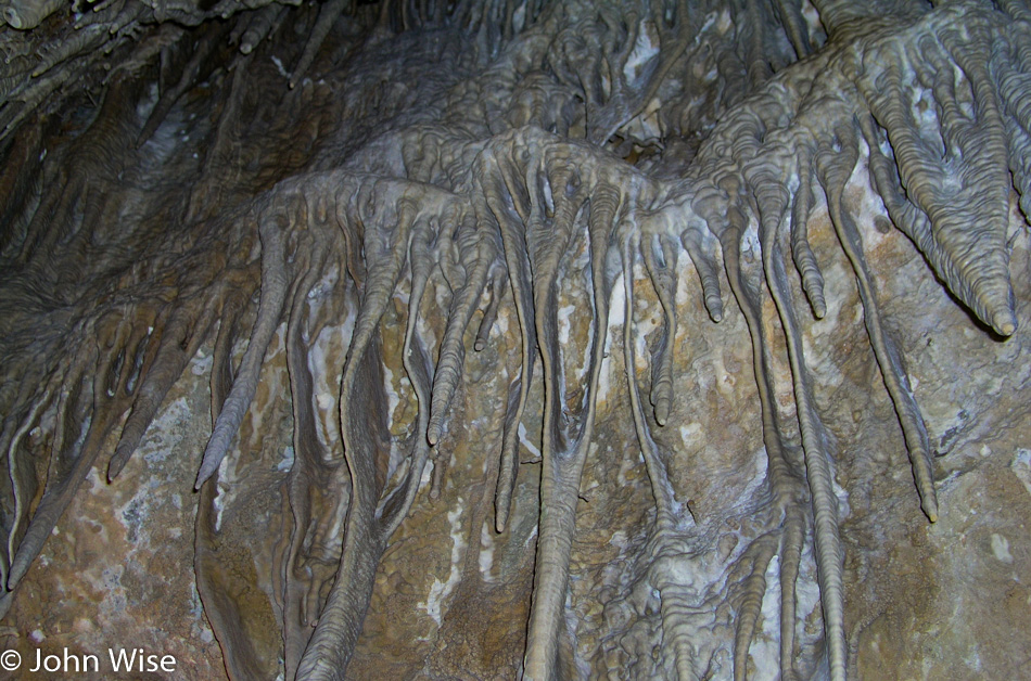
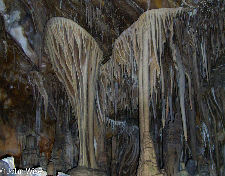
This is one of those days that I wish I had a better camera and lens. Using a flash on our cheapo camera with relatively poor optics in a dark place without sunlight really shows how much room digital cameras have left to improve. I took this picture, which is a close-up view of the previous image, with the hopes you might have a better understanding of just how intricate and colorful these formations are.

Great Basin National Park in Nevada

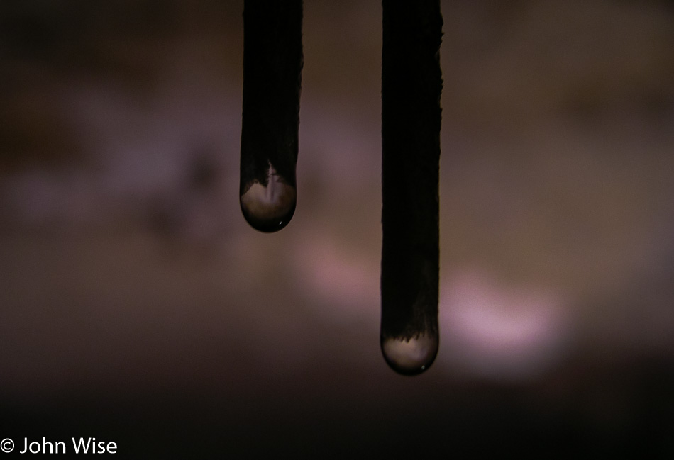
These are the paintbrushes nature uses to build her artworks. Loaded in those drops of water are dissolved minerals whose molecular structure is able to adhere to other similar molecules as they wash over a surface, thus collecting to form the stalagmites, stalactites, ribbons, crusts, and other beautiful shapes that adorn this cave.

Caroline Wise and John Wise with a couple of bikers that needed a lift down from Great Basin National Park in Nevada

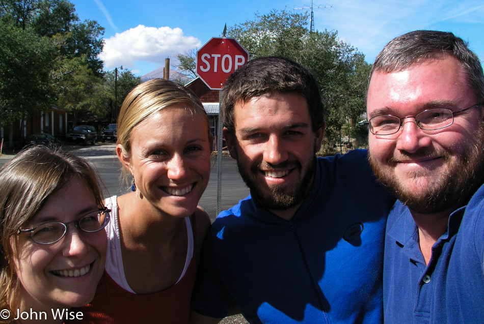
Met this couple up in the park; they were looking for a ride back down to town. Where was their car? Well, they didn’t have one as they were biking across America and hot gotten a ride up to the park earlier. It’s always a grand surprise and inspiration to run into people on the most extraordinary adventures.

Nevada

Driving south because, ultimately, we’ll have to pull into home at some point today.

Valley of Fire State Park in Nevada

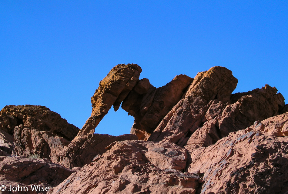
First though, we had to stop at Valley of Fire State Park north of Lake Mead due to the name sounding pretty intriguing. I present you with the worst photo ever taken of Elephant Rock in the park. Check on the internet, and you’ll be assured that this is seriously the worst ever.

Valley of Fire State Park in Nevada

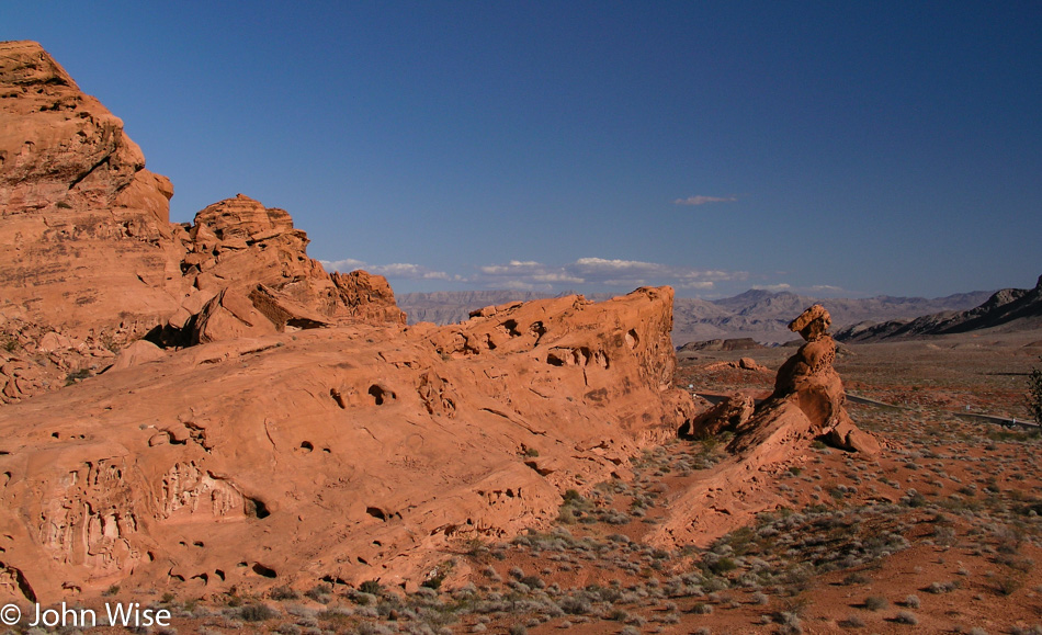
Has anyone else ever heard of the place called Valley of Fire? It’s kind of like Valley of the Gods over in Utah in that a close neighbor overshadows the smaller cousin. Only 50 miles away is Las Vegas, and it seems that when visitors there have a bit of extra time, they head over for an excursion to the Grand Canyon. But what of people who live in the general area? I’ve never had anyone give us a tip about these lesser-known locations; we must stumble into them. So there is then this whole serendipitous aspect to our travels, and of course, that’s always a good thing.

Valley of Fire State Park in Nevada

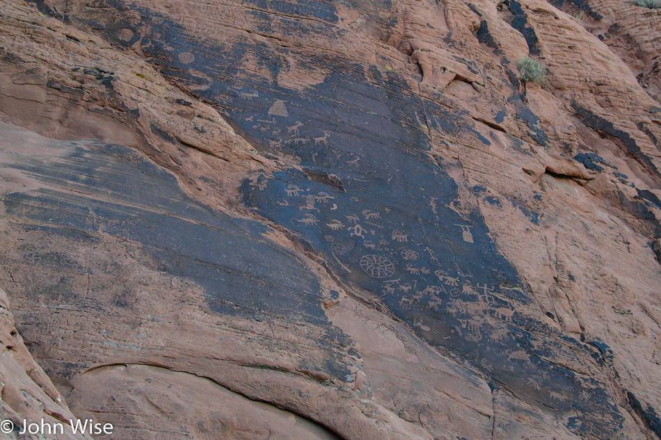
I swear that those Native Americans who cruised through these environments leaving graffiti wherever they felt like should be held accountable. And if we can’t do this posthumously, then maybe we should take it up with their descendants. I hope you know that was meant tongue-in-cheek as I find these sites to be treasure troves of awe and mystery.

Valley of Fire State Park in Nevada

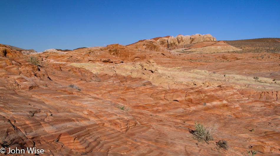
We’ve never been to the Wave over near Antelope Canyon, so for today, this will have to do as a surrogate. You say it doesn’t remotely compare? Well, come on, use your imagination: rock, stripes, desert, it kind of has all the elements. In a few hours, we’ll be home, and another great weekend will be in the bag.

Bryce to the Great Basin – Day 1

Coral Pink Sand Dunes in Utah

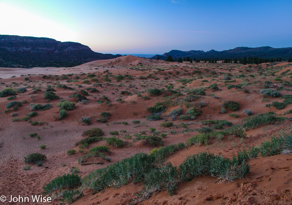
We’ve been by the Coral Pink Sand Dunes before when the bright sun of the middle of the day helps them live up to their name. Here in the early morning dawn, they may seem a bit lackluster, but don’t let that keep you away.

Southern Utah

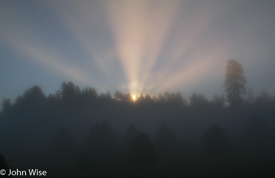
Just as the sun is about to creep over the mountains, we hit a patch of fog, making for some fairly nice god rays.

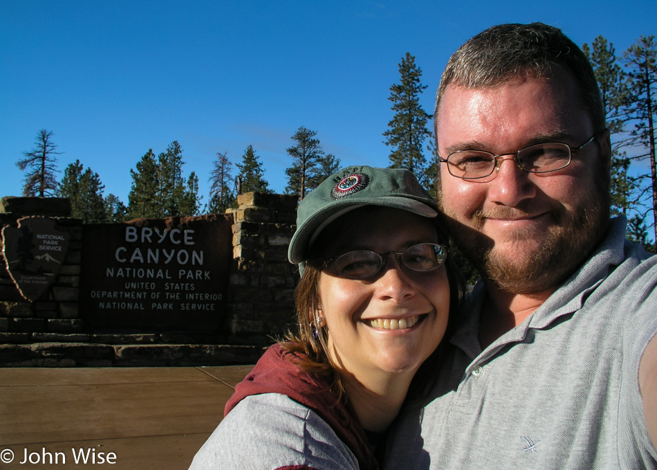
Caroline Wise and John Wise at Bryce National Park in Utah

Today’s first major destination is Bryce Canyon National Park for a hike into a canyon.

Bryce National Park in Utah

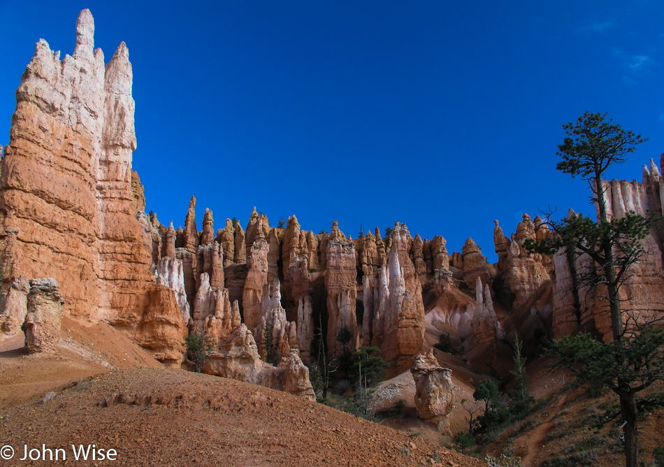
The Queen’s Garden / Navajo Loop trail is a 2.9-mile round trip and offers some of the best views of Bryce Canyon, which looks totally different from below than from above.

Bryce National Park in Utah

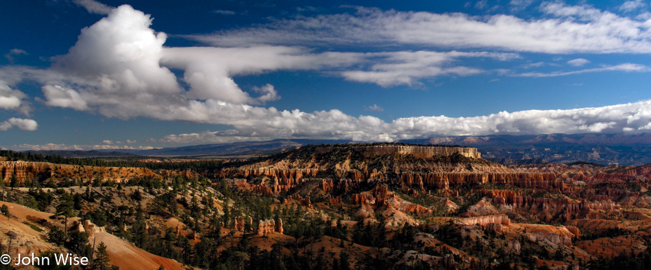
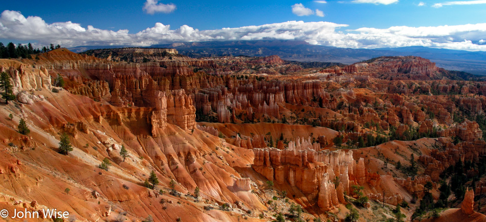
Like all places we’ve been to the view changes dramatically when you change the location from which you are doing your gazing.

Bryce National Park in Utah

I cannot describe the depth, smell, and feel of the air and its temperature on my skin. I’ll never be able to adequately explain how the colors and contrast between blue and red challenged my eyes to find as much detail as I could. This photo is a weak reminder, albeit an important one, as it brings me back to the day, but I had to be here in person to create a sense of firsthand knowledge. While I would like to encourage everyone to get out and see the land where they live, I also have to be thankful that the majority are satisfied with the television view of our reality from the comfort of their own homes.

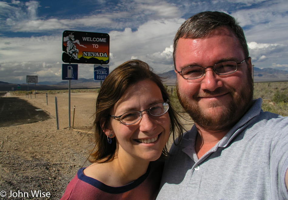
Caroline Wise and John Wise at Nevada State Sign

Our second national park of the day requires us to change states and make our way to Nevada. It’s only a few hours away, so it’s well worth the minor effort.

Great Basin National Park in Nevada

We are at Great Basin National Park, driving up into the mountains.

Great Basin National Park in Nevada

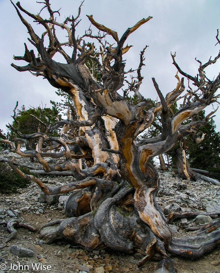
This is the reason we are here today: the bristlecone pine tree. These trees can live up to 5,000 years and survive the worst conditions in the worst soils. When a tree dies, it is often that only a part of it will fall dead while the other half continues growing for centuries. The part that has died can dry into a wood that is often harder than steel. To get to these incredible trees, you’ll have to head to the trailhead at 10,000 feet and then climb another 800 feet to the trees.

Great Basin National Park in Nevada

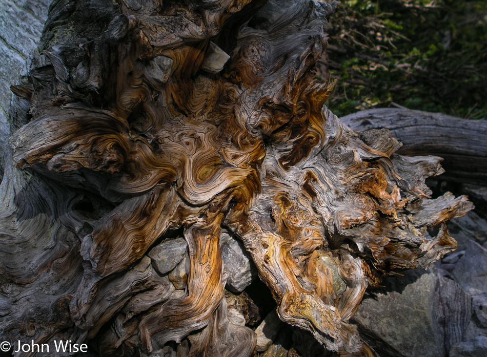
Just the idea that these trees were standing vigil high in the mountains watching countless generations of humans come and go while we entered the Bronze Age, built the pyramids, learned to sail across oceans, ushered in the Renaissance, learned to fly, and built weapons that could destroy most life on Earth. Prior to today, I don’t believe I ever thought that I’d reach out and touch a living thing that was thousands of years old.

Caroline Wise at Silver Jack Motel in Baker, Nevada

We’re gonna hang out in Baker, Nevada tonight as we didn’t have time to visit the caves up in the Great Basin and have decided to pay them their due in the morning.

Pacific Northwest – Day 2

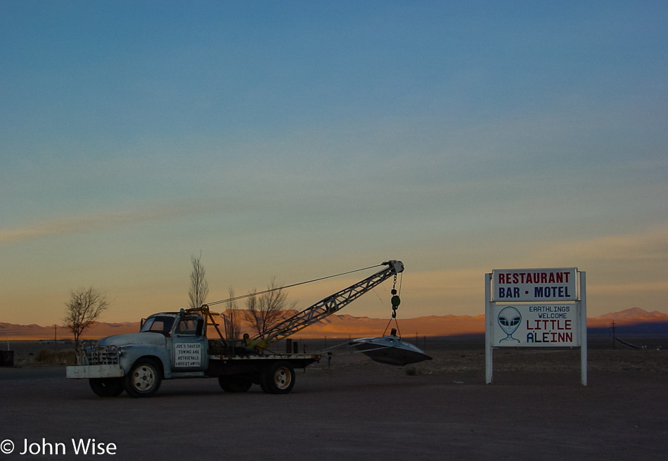
Little A'Le'Inn in Alamo, Nevada

Fortunately, the aliens never arrived, and so the day of anal reckoning has been pushed to some point in the future. Wow, we really did make it out here near Groom Lake and can now lay claim to having spent a night in the shadows of the aliens of Area 51 as well as Roswell, New Mexico. I have to admit I’m a bit disappointed we’ve not yet been chosen for abduction as I’m prepared to meet the little green men face-to-face. Then again, how do we know that the people of the Little A’Le’Inn and its restaurant out here in Rachel, Nevada, weren’t aliens in disguise?

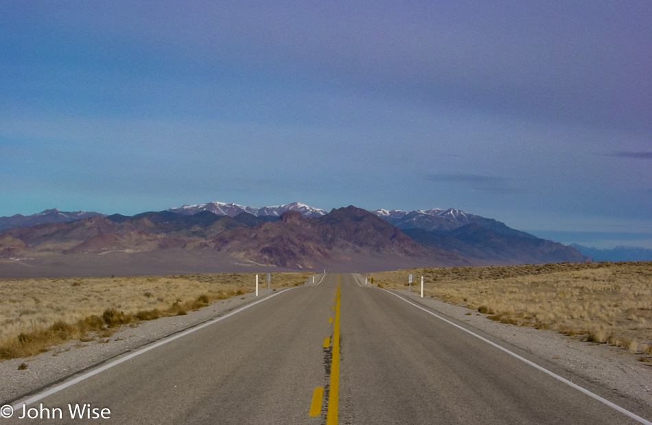
Highway 375 The Extraterrestrial Highway in Nevada

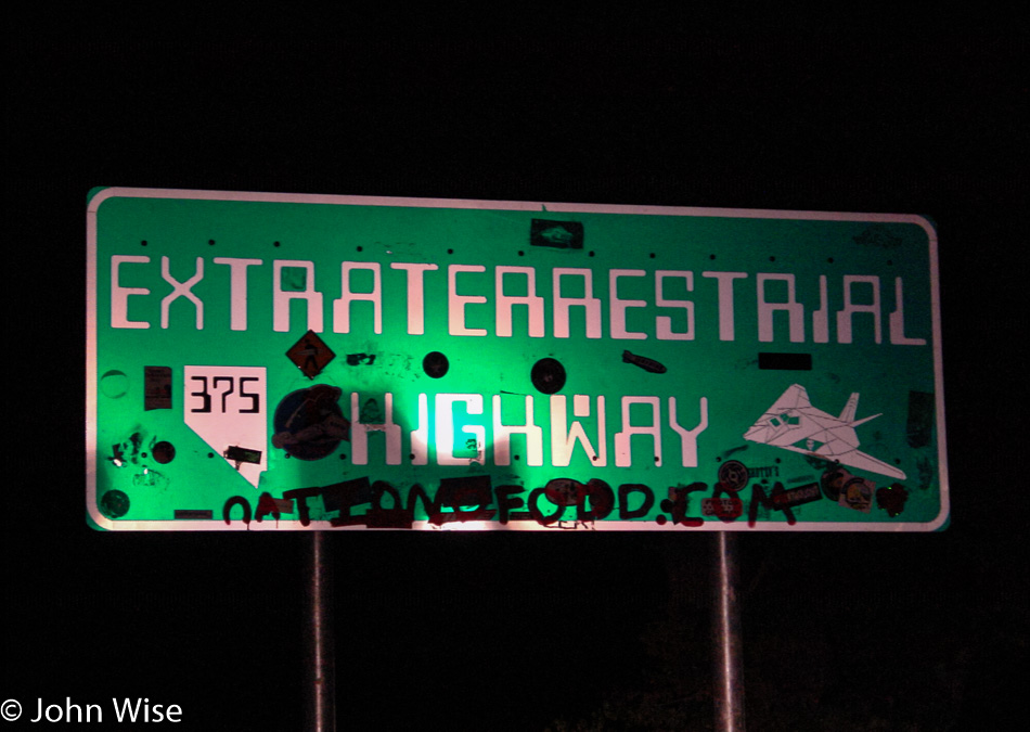
Not even one spaceship, hitchhiking alien, lost probe, or mutilated cow next to the road here on Highway 375 better known as the Extraterrestrial Highway.

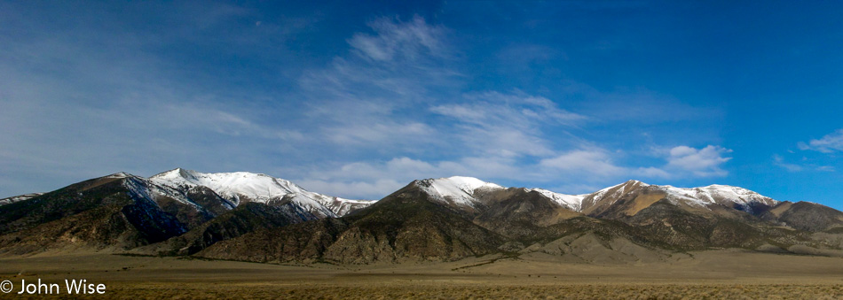
Caroline and I are always surprised by the beautiful weather we are so lucky to travel with. We’ve commented dozens of times how, even on the less than ideal days, we’ll still spot some blue sky, which never fails to put smiles on our faces and lend a kind of perfection to the day.

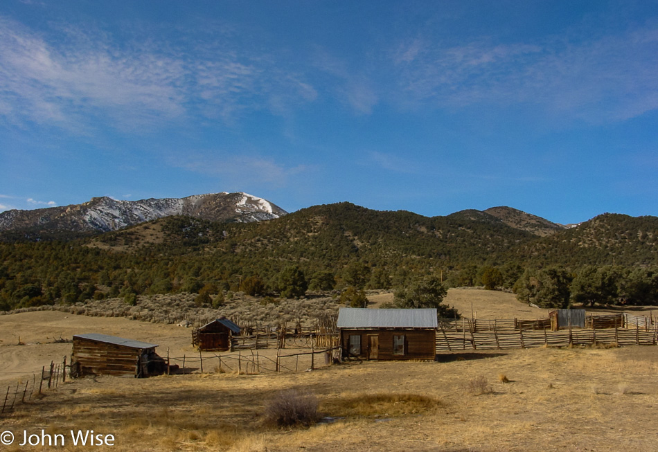
Rustic farmland is like a rainbow under the blue sky, and while it may be an idealized perception not taking into account the toil and hardship likely experienced here during harder times, it remains part of the attraction of exploring America’s remote corners.

Austin, Nevada

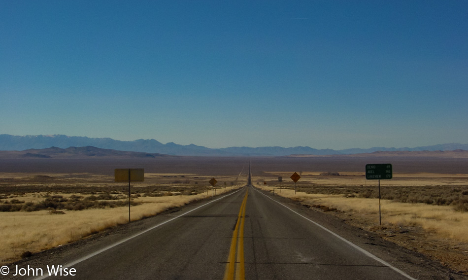
Here we are nearly a year to the date back in Austin, Nevada, where the E.T. Highway brought us to The Loneliest Road in America: Interstate 50. In this link, you will find a photo of this place, seven images down from the top.

Nevada Route 305

Is that a crop circle out there?

Somebody speeding in Nevada on Highway 50

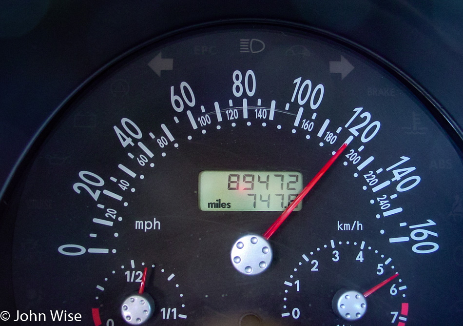
Seems that the aliens were late: I’m not actually driving at 120 mph; we’ve been abducted and are being transferred to the mother ship through some kind of induction system that has us traveling vertically, seriously! Also, the clock stopped around this time.

Nevada Highway 140

Woah! And then all of a sudden, we were delivered to Nevada Highway 140 and we have no recollection of how we got here. Well, at least the sky is still blue, and the car is no longer traveling at 120 mph.

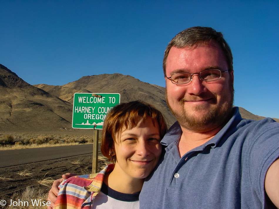
Caroline Wise and John Wise entering Oregon

Hmmm, this looks like a good place to sneak into Oregon. Unfortunately, we weren’t able to secure a visa allowing us to travel into this state, and our passports explicitly forbid us from traveling into the Pacific Northwest under our current status, but that wasn’t going to stop these two desperados from breaking in.

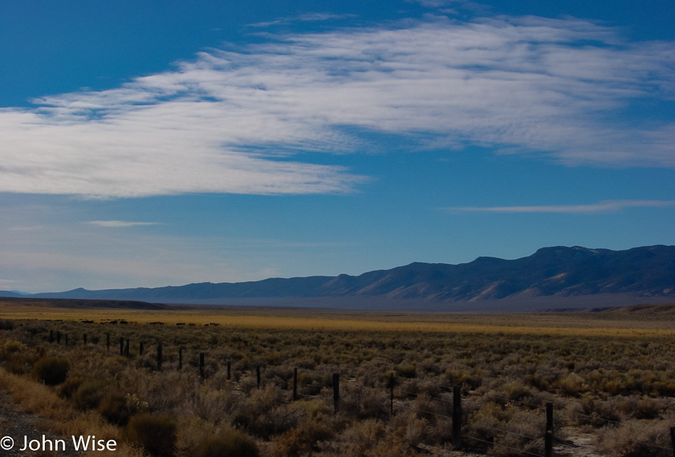
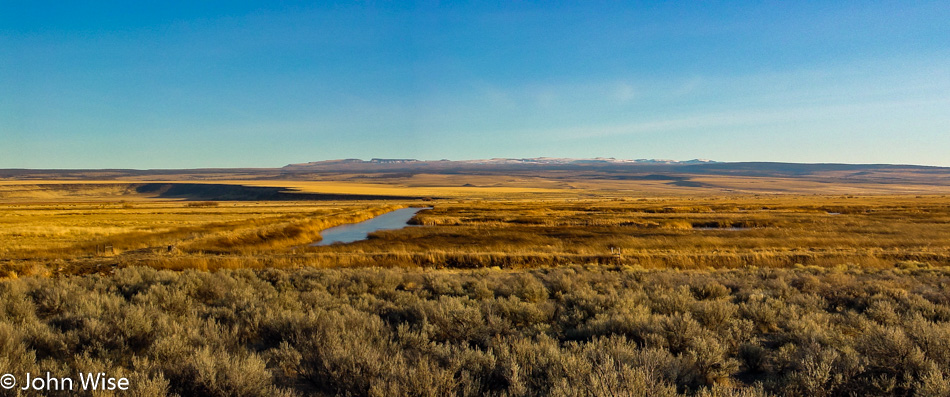
Of course, by taking this route into Oregon, we have to pass through no man’s land where nothing exists but vast stretches of nothingness. This particular nothingness is a photo reminder to someday return to the Malheur National Wildlife Refuge.

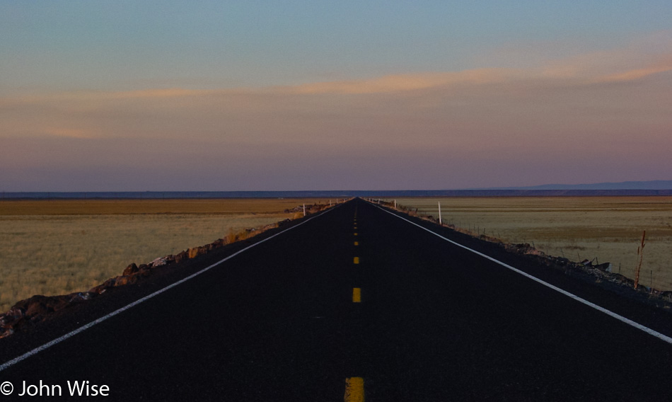
Even the sun is removed from the sky in the continuing void of eastern Oregon that stretches on like a desert of lost dreams.

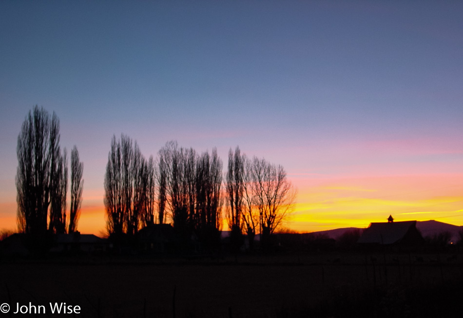
Then, finally, as we start to approach the middle of the state, civilization remakes its appearance, and the fading sun beyond the horizon reassures us that tomorrow promises to be a wonderful day in the lush green lands of the Pacific Northwest.

Pacific Northwest – Day 1

Caroline Wise and John Wise leaving Phoenix, Arizona

A long holiday weekend means that Caroline and I will be taking another long drive. This Thanksgiving was just that, as we aimed our compass and pointed the car towards the Pacific Northwest. Our ice chest can be seen over my shoulder, so the essentials are traveling with us to minimize our need to lose precious driving time as we need to cover nearly 1,600 miles (roughly 2,600 km) each way for our seven-day adventure.

Arizona Sunset

This may be the most glorious sunset we’ve ever experienced on a trip out of Arizona, a kind of southwest-themed rainbow portending great adventures ahead.

Hoover Dam from Arizona

The art deco architecture of Hoover Dam out in the middle of the desert between Phoenix and Las Vegas is in stark contrast to its environment. It’s an iconic image that is seared into my memory due to driving over it back in 1969 with my great aunt and uncle Annie and Woody. We were nearing the completion of my first cross-country road trip from Buffalo, New York, to Los Angeles, California.

The Extraterrestrial Highway in Nevada

No time for Las Vegas tonight; we have an encounter scheduled out in the desert north of the city. One of us, or maybe both, are getting anal probes.

Independence Day in Oregon – Day 2

Saddle West Casino in Pahrump, Nevada

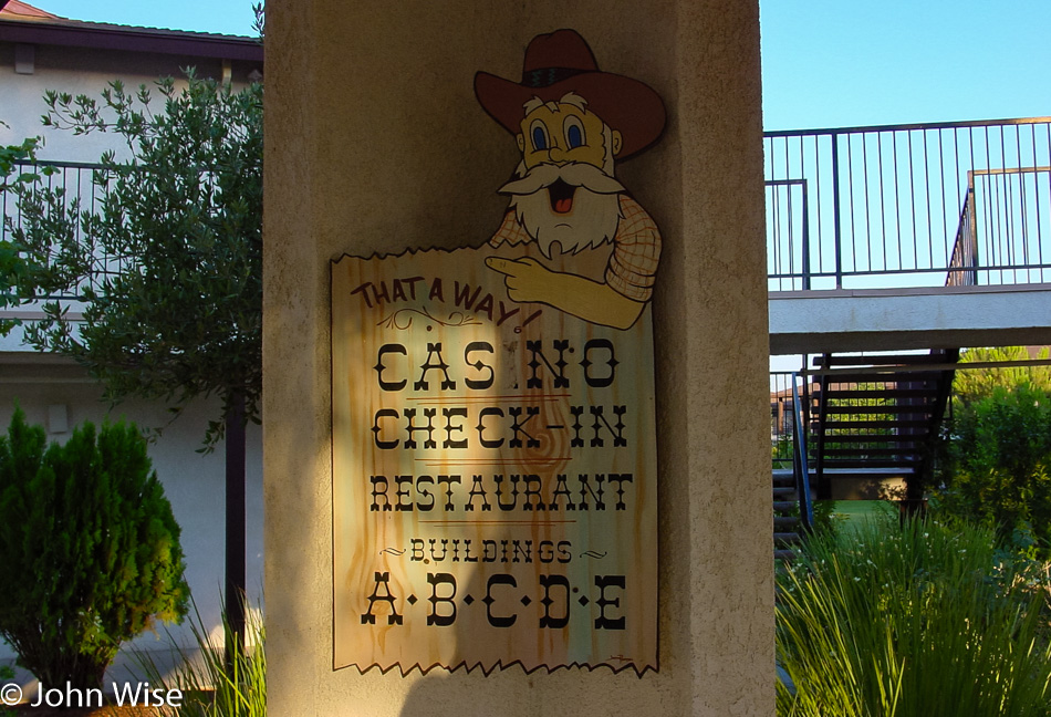
We left the Saddle West Hotel Casino RV Resort, one of two motels in town, at about 6:00 in the morning. Pahrump has a big advantage in comparison to other Nevada towns – especially those in neighboring Clark County (such as Vegas, Henderson, and Laughlin) – prostitution is legal here in Nye County; several billboards enlighten the unsuspecting (?) traveler of this fact, and there is even a brothel museum. We are probably going to come through here again on a future trip and hope to take a closer look at that. Another curiosity finds a home here in Pahrump; the radio show Coast to Coast AM hosted by Art Bell lives and operates from out this way. If you ever wondered why he opens his show with “from the kingdom of Nye” – now you know.
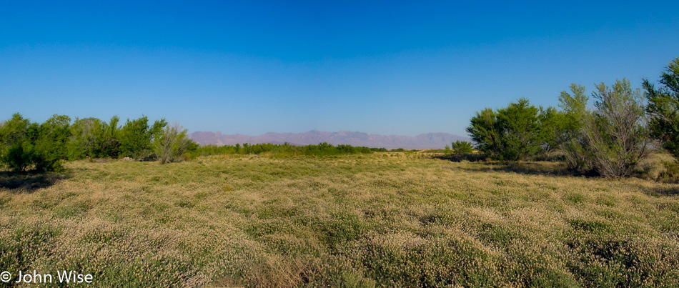
Just north of town, we turned west on Highway 190 in the direction of the California state line and Death Valley National Park, but on this side of the border lies a small exclave called Devils Hole bordering Ash Meadows National Wildlife Refuge. Naturally, we were curious and had decided to pay a visit to both. Another “Devils Something” notch on our National Park bedpost, who could resist? While a lady at a gas station effectively placed some doubt in our minds whether our Beetle could handle the unpaved road into the refuge, we also started to wonder what kind of “meadow” we could hope to find since, for several miles, we saw nothing but the usual stuff such as dry shrubs, sagebrush, and short trees. Nevada certainly managed to make it all look pretty enough and even arranged some wildlife for us: we saw several bighorn sheep standing on a hill in the distance. We eventually hit our turnoff into the refuge, although there was no sign other than “Bill Copeland Memorial Highway.” Judging from the map and the fact that we were heading for a faint cluster of greenery, we started believing that we were on the right track.
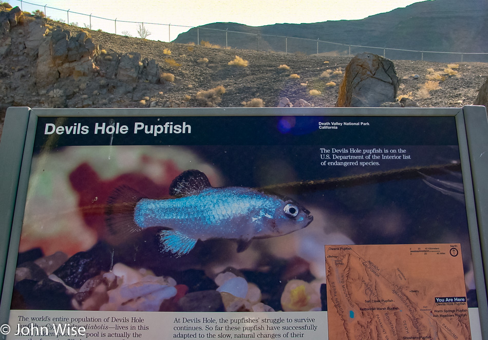
Caroline and I were beginning to have doubts about whether we would be able to access Devils Hole from our current location. We drove right by it because it was just a chain-link fenced-off area that looked like a lot of nothing. The Hole lies near the refuge’s northeastern exit, which is stocked with xeroxed info maps; that’s how we realized that a) we had just missed Devils Hole, the world’s only habitat of the Devils Hole Pupfish (clap, everybody), and b) that we hadn’t even seen the best of the Ash Meadows Refuge yet. But first, we turned around and pulled off the road next to the (closed) access road to the Devils Hole parking lot. They even discourage you from parking near the Hole. Devils Hole is not very scenic but is a rather heavily guarded scientific research area. We hung out for a short while, trying to spot one of the elusive and precious fishies in the water below us, but that proved impossible even with binoculars at the ready.
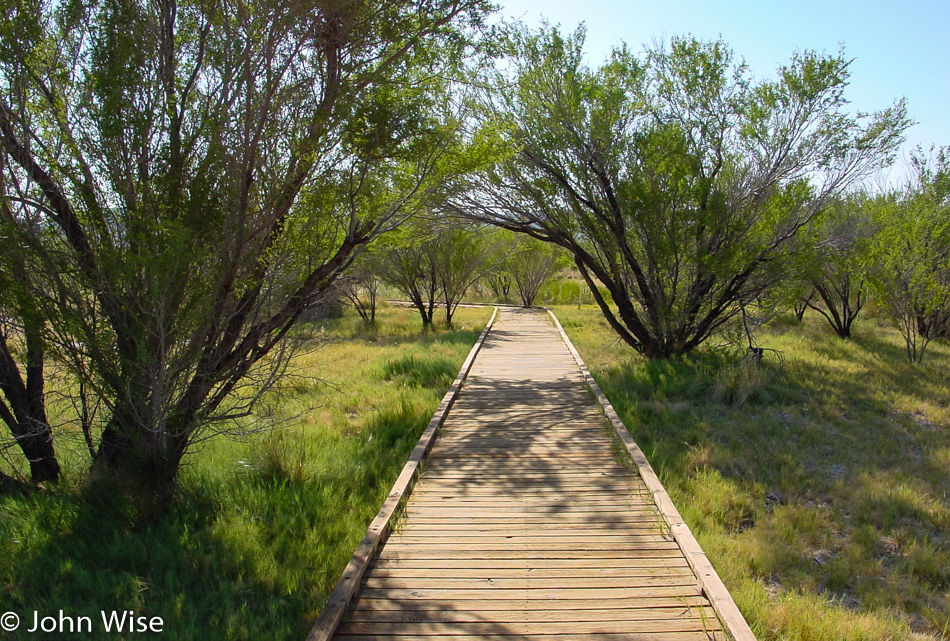
Highway 373 led us to the other side of the refuge to visit the crown jewel itself, the interpretive boardwalk to Crystal Creek Spring. The reason why there are these patches of green meadows and wetlands out here lies in the hidden groundwater.
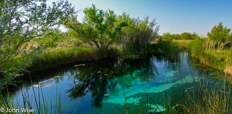
The area has a large reservoir of “fossil” water, meaning it stems from an ancient melted glacier. It surfaces in various spots in this valley, offering habitats for various kinds of – you guessed it – desert pupfish, including the Ash Meadow pupfish. These wily little fellows have the capability of surviving even in the meekest of hostile puddles. Farmers used to pump the water away from the springs, and the pupfish all but disappeared, but in recent years, the larger springs are being restored, and the pupfish are recovering. Unlike the nearly barren Devils Hole, Crystal Creek Spring is an incredible oasis, overwhelmingly beautiful, clear, and deep. You can see the pupfish swimming near the algae at the bottom with the naked eye.
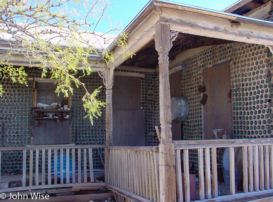
By now, it was time to jump into the Beetle again and continue on our journey. We rejoined the paved road on Highway 373 North until reaching the junction of Highway 95 West. About 40 miles further on, we passed the little town of Beatty, Nevada, and turned onto Highway 374 towards the Californian border. Four miles out of Beatty, we found Rhyolite – our next destination. In 1908, this was Nevada’s third-largest town, sprawling with over 8,000 inhabitants. Today, only a few of the brick structures remain, most of them in ruins. Rhyolite’s most interesting building is the “bottle house,” made with the help of over 10,000 bottles (mostly beer bottles of the pre-Budweiser variety). The place is in pretty good shape compared with the schoolhouse, for example.
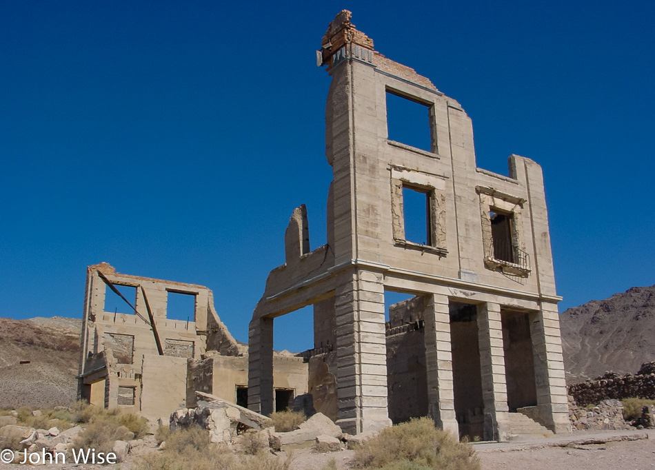
An example of one of the buildings in this ghost town that hasn’t fared well over the intervening years of neglect and lack of a population.
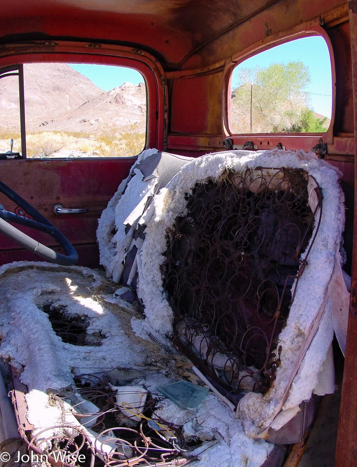
The same can be said about vehicles that were left to the elements; they likely won’t be driven again any time soon.
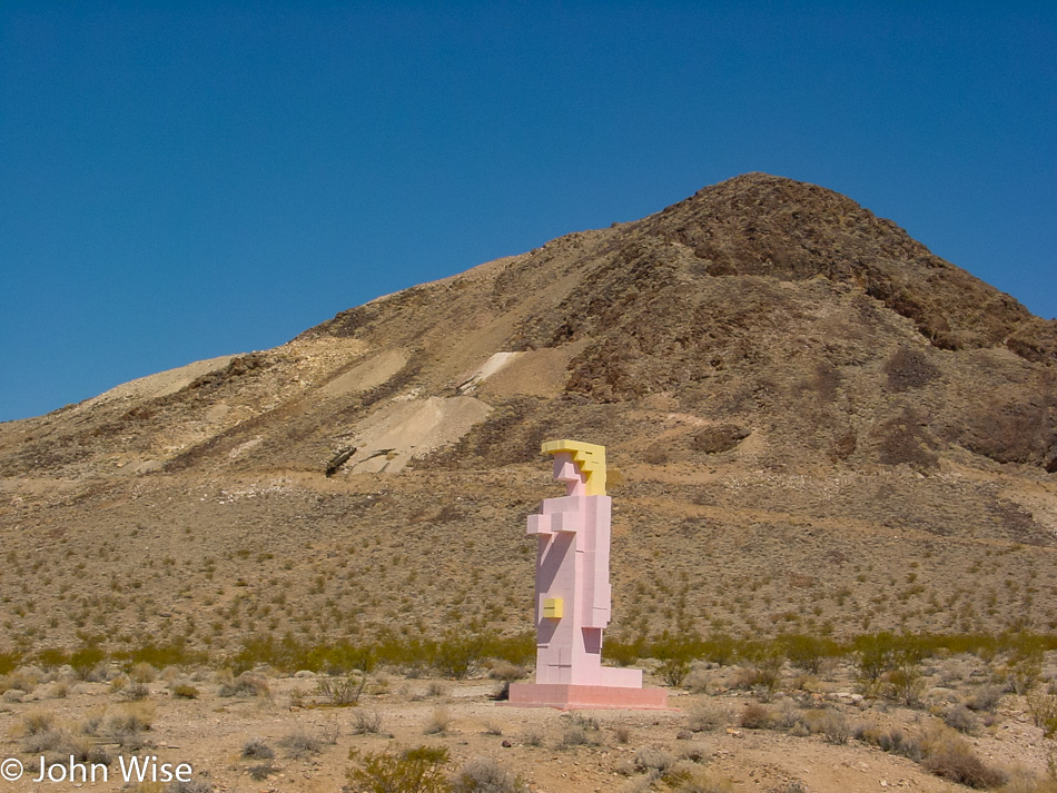
Just next to the Rhyolite townsite (in the suburbs, so to speak) lies an outdoor art exhibit of a curious kind – the Goldwell Open Air Museum, a project of the late Belgian artist Albert Szukalski (1945-2000). He founded the museum in 1984 with his sculpture “The Last Supper,” and later on, several other sculptures by various and distinguished artists were added, such as the true blond above. A truly unique art experience that has been seen by millions of visitors on their way to Rhyolite.
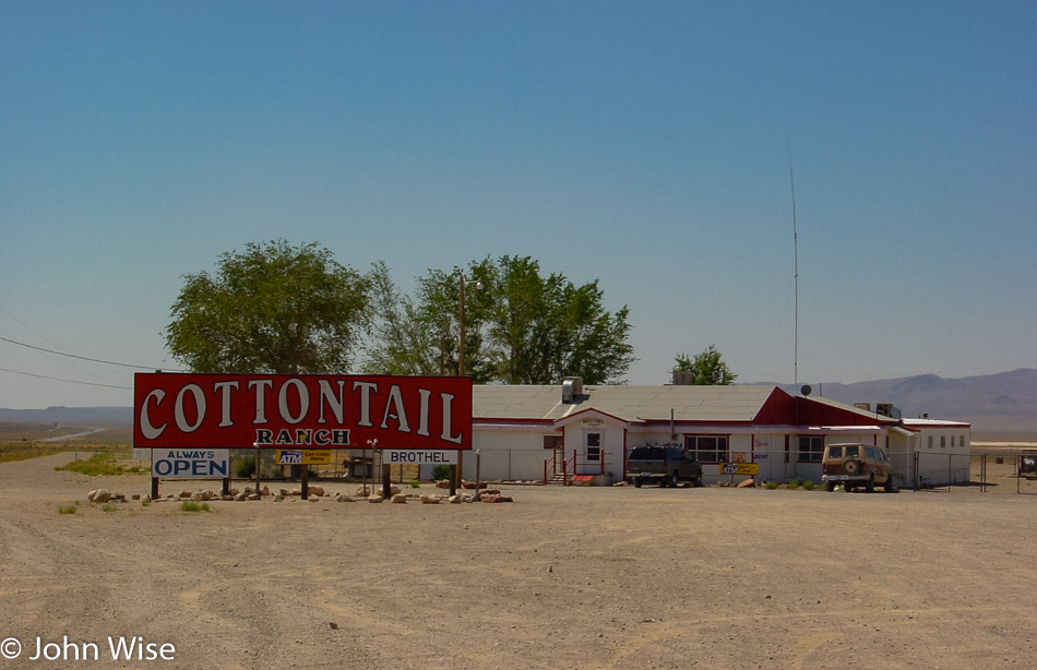
Finally, we headed back towards Beatty, where we stopped for gas, postcards, and the loo. On the way out of our pit stop, we saw a sign offering “free police car rides.” Unfortunately, only for shoplifters; what a drag. Near the Esmeralda County line but still in Nye, we passed another example of the kind of business that Nevada is famous for, and I’m not talking about casinos. For some reason, these establishments are usually called “So-and-so Ranch,” although, in reality, the buildings resemble double-wide trailers. Anyway, in case you ever asked yourself what a brothel in the middle of nowhere looks like, wonder no more.
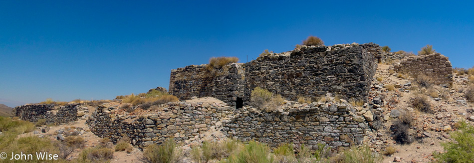
The road had started to climb higher and the surroundings became a tad greener and then dipped again for another encounter with the lovely sagebrush, especially true when it is fresh and fragrant. We are looking at a small corner of Palmetto, Nevada. Founded in the early 1860s after silver was found in the area, the town went through not one but two revivals, only to disappear for good during its last downturn. It was named after the local Joshua trees which the settlers thought were related to palm trees. A few miles past Palmetto, we spotted a few bighorn sheep; unfortunately, there was no chance to pull over for a picture.
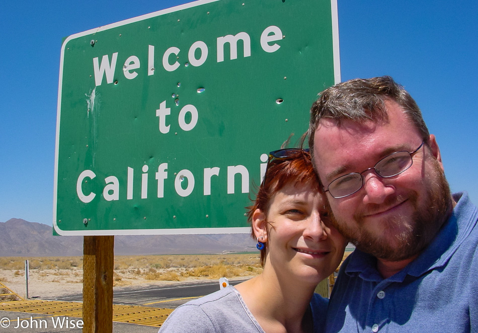
Back in California for only about 10 miles before swinging back into Nevada. While we have now passed through Oasis, California, we can’t tell you much about it.
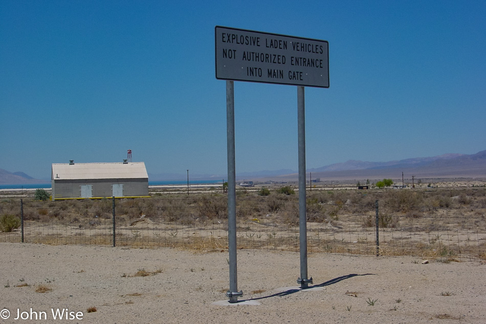
Where the heck are we where people have to be warned about not bringing their explosives-laden vehicles through the main gate? This is obviously not Disneyland.
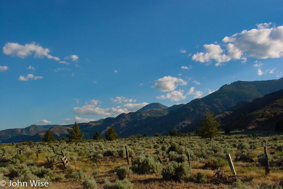
Mountains and sagebrush are not a bad combo.
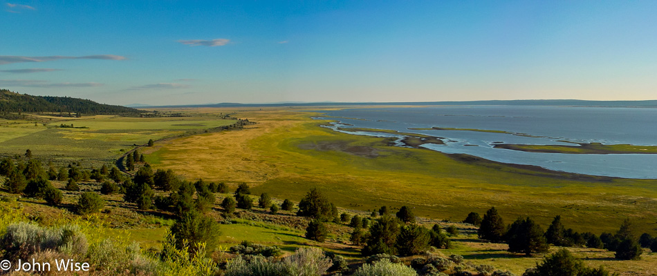
We needed to dig into some driving as the day was quickly getting away from us since we had spent a fair share of our time checking stuff out, but this scene was too pretty to let pass. We are on the road passing through Nixon in rural western Nevada, looking out over Pyramid Lake. A bit further up the road, we’ll encounter Gerlach, Nevada, and remain on state route 447 until we return to California on our way toward Cedarville and points beyond.
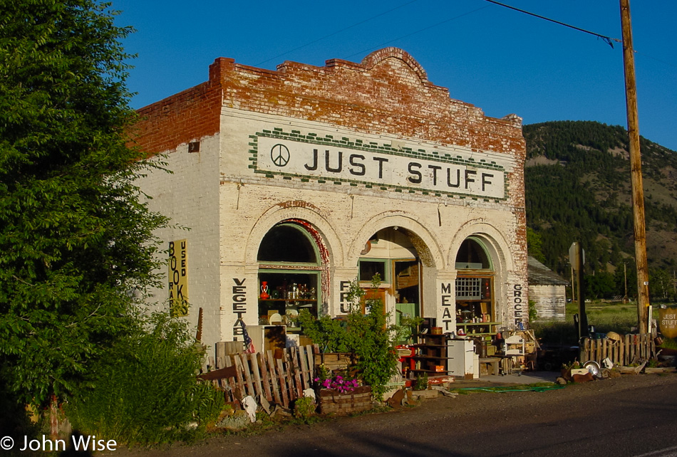
This is Just Stuff and is a place for a bit of all things, including souvenirs, because once you enter Pine Creek on the Oregon border, the first thing you are likely needing to do is shop in a little funky joint to jump right into the Oregon vibe.
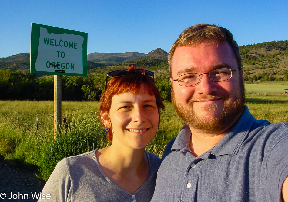
This is our second time this year and the second time in our lives that we are visiting Oregon. The first time this past March, we crossed over an eastern border of the state; this time, it’s a southern border. If you believe you are starting to see a trend, you’d not be mistaken. I can nearly assure you that it’s only a short matter of time before we enter the state over on the southwest side to take in Coastal Oregon from that perspective.
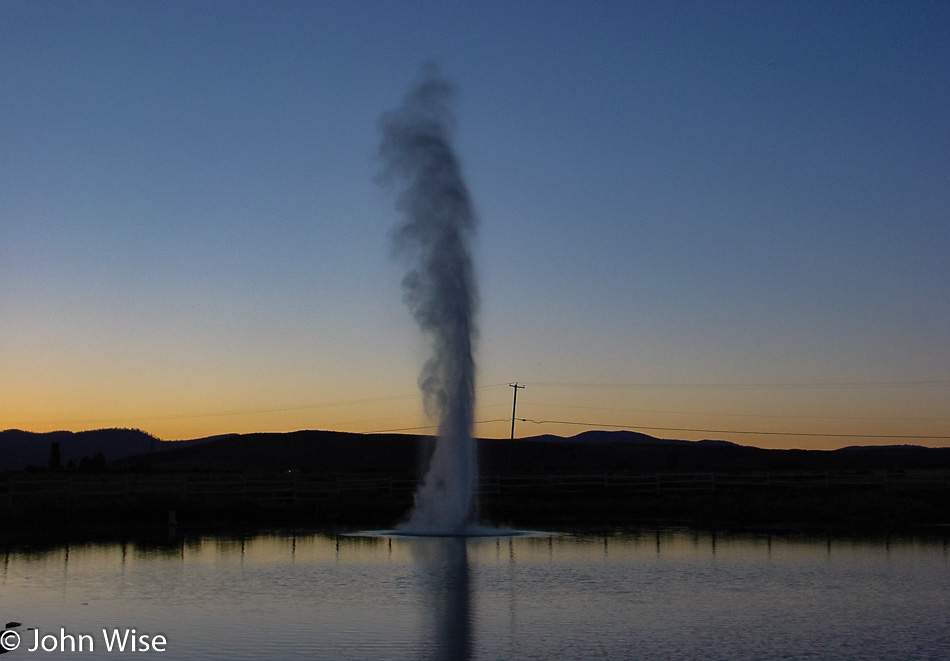
Is it a real geyser? Who cares? It’s pretty and reliable.
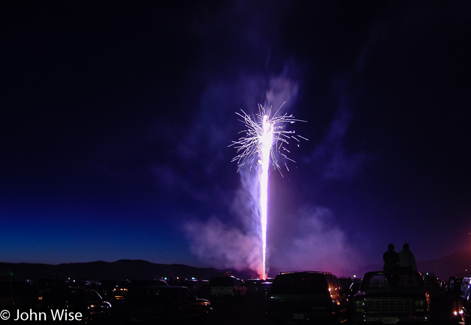
This single rocket on the Fourth of July is why we’ve driven nearly 1,000 miles to Lakeview, Oregon. Sitting on top of trucks and in lawn chairs like we’re at the drive-in in rural America is what the celebration of freedom is all about. Happy birthday, America!