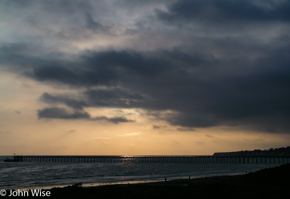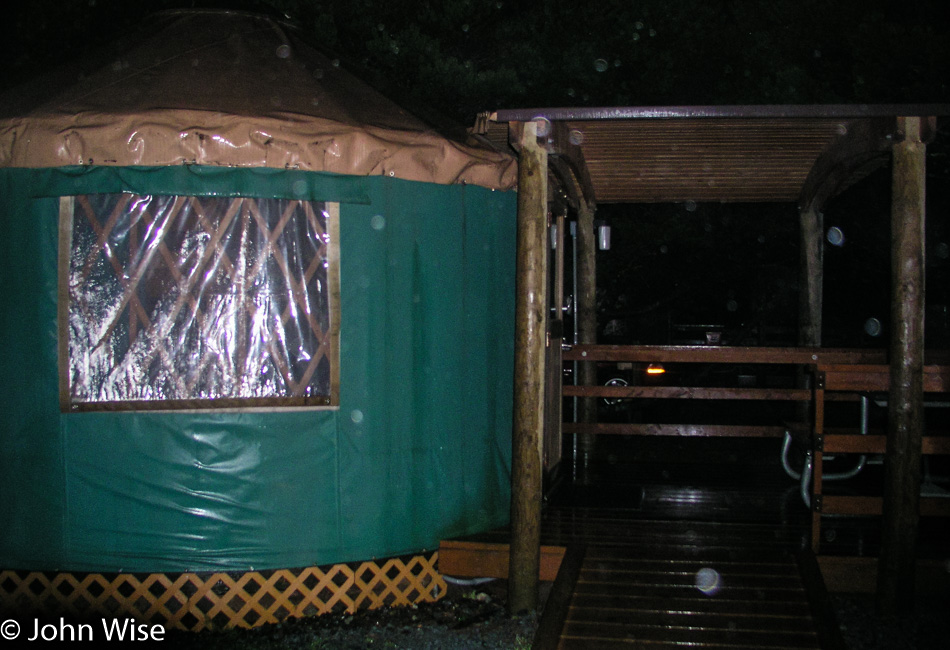
It’s raining when we wake during the night, but listening to the rain patter on our canvas yurt was like the sound of a perfect lullaby. We only booked two nights in yurts on this first exploration of the Oregon Coast and now wish we had one more night in a yurt before heading back to Phoenix. We’ve already decided that we will have to return again and again, and as often as we can, we’ll make an effort to stay in a yurt.
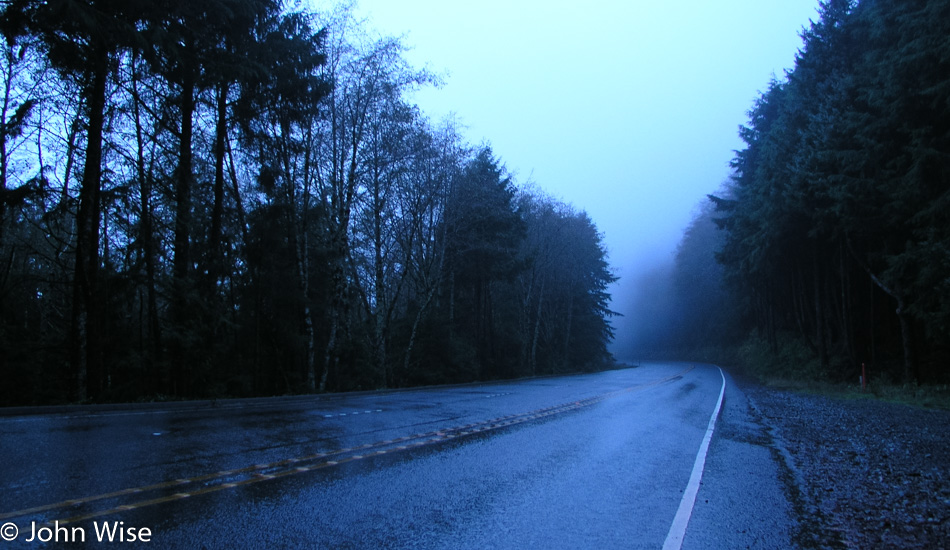
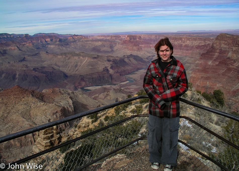
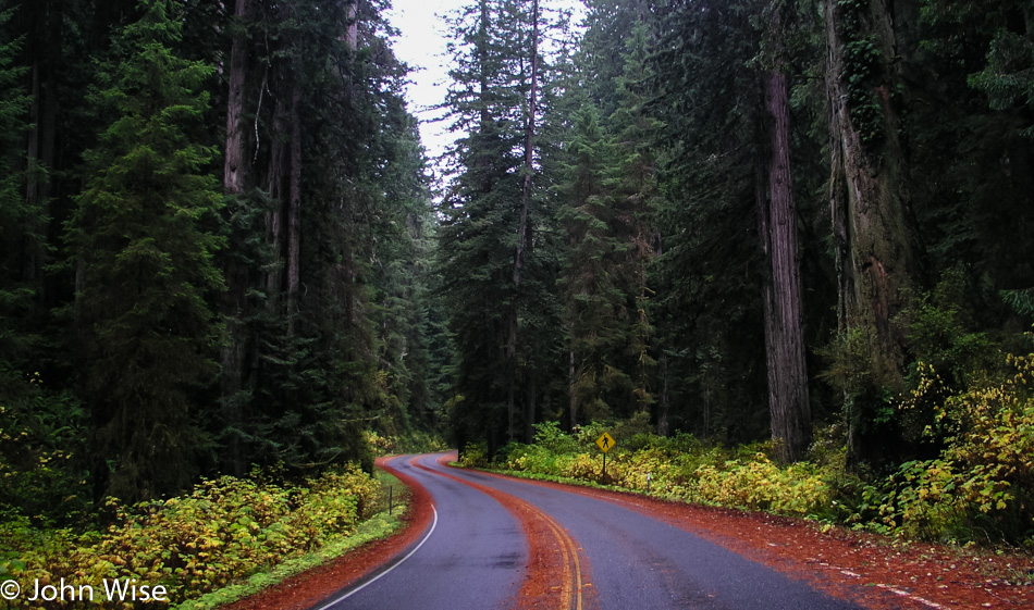
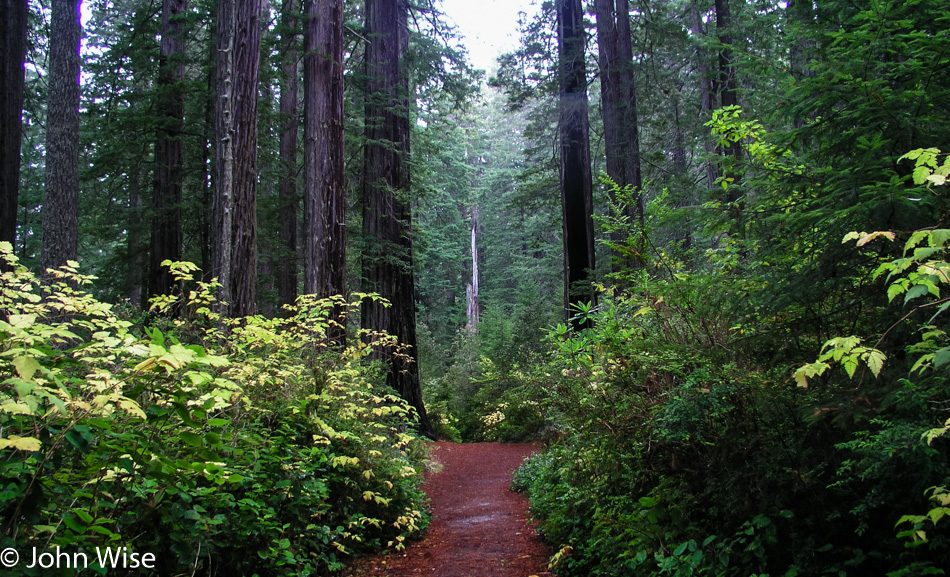
Because it has been our goal to see the coast from bottom to top and back to bottom during our stay out here, it’s imperative that we rise with first light. We know that we’ll miss stuff as we drive at night, but hope that on the way back, we’ll catch some of what we missed. Also, due to the relatively short amount of time we have up here, we must curtail some of the stops for photos, or we’d get nowhere. As it is, I’m going to be posting quite a few images to accompany this day because so many of these images stood out to us and cut an indelible impression in our imaginations forming some memories we hope to carry our entire lives.
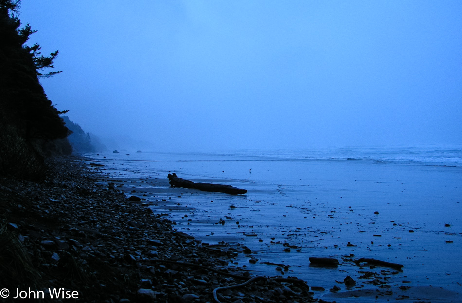
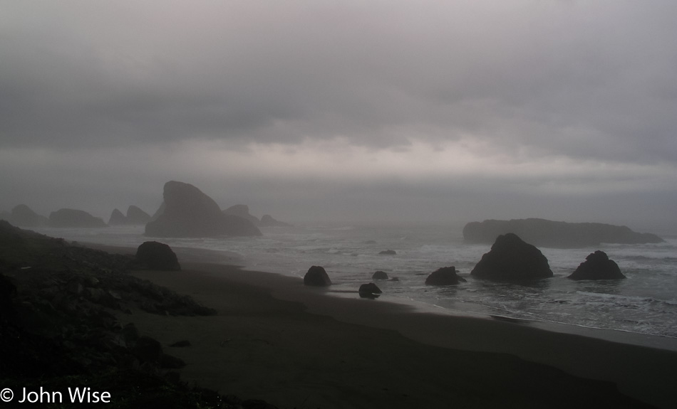
Our first real walk of the day was at Arcadia Beach. The dampness, color, fog, and sound of the crashing waves all work to make for perfect scenery for both Caroline and me.
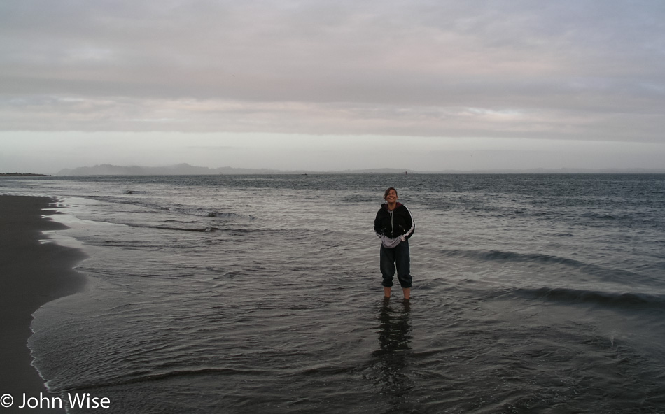
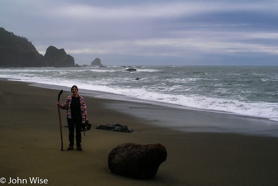
The cold will not deter Caroline from doffing her shoes and rolling up her pants (that rarely helps because she so frequently gets caught by the wave she didn’t see) to step into the Pacific for that picture of her standing in water. Some day, I will have to collect all the images from coast to coast we’ve shot of her standing in a lake, river, ocean, or creek and post a blog entry just about her visits to America’s waterways.

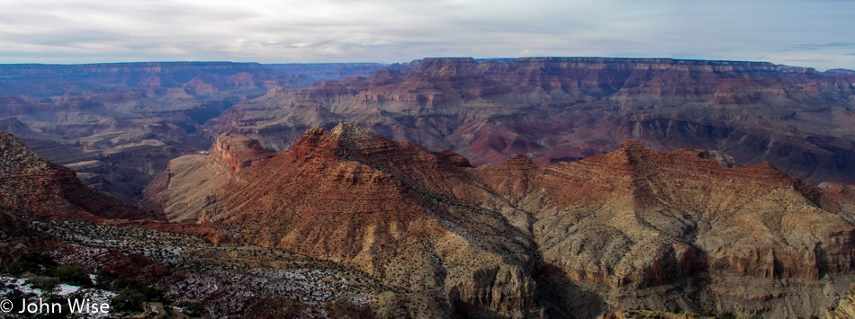
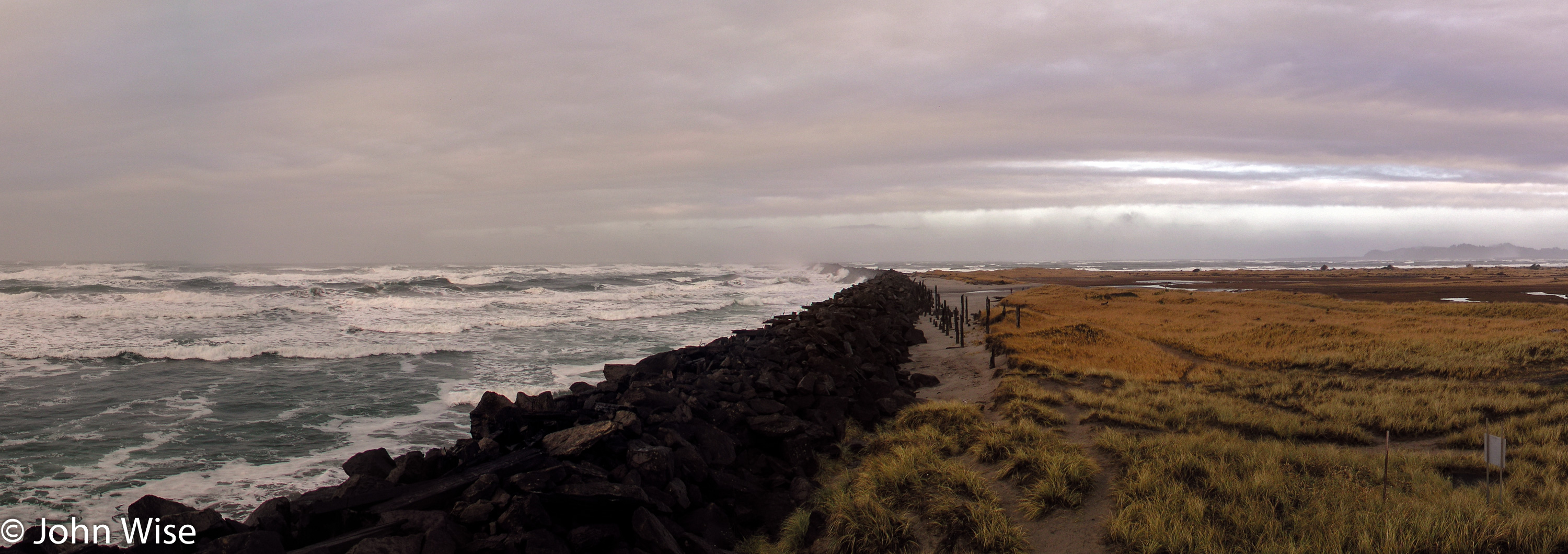
The contrast between the wild ocean and wind-swept golden grass is a sight for us to remember. Click the image for a larger view of the panorama, or click here.
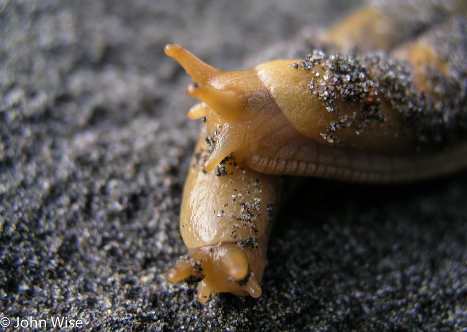
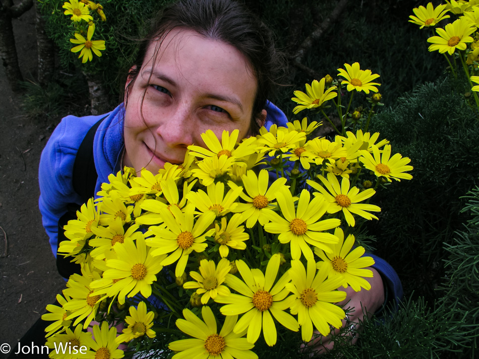
Two slugs in love on the coast of Oregon reminds Caroline and me of us!
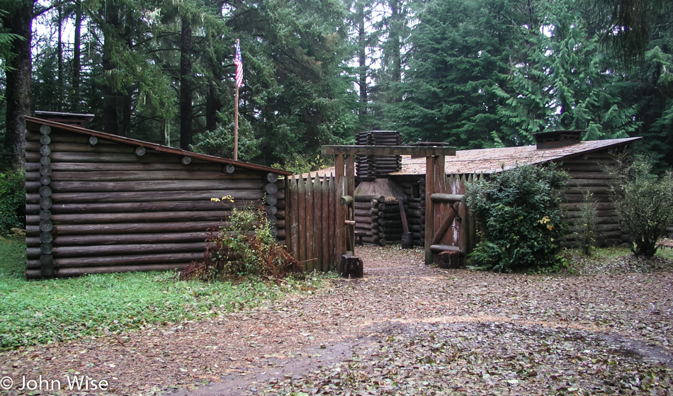
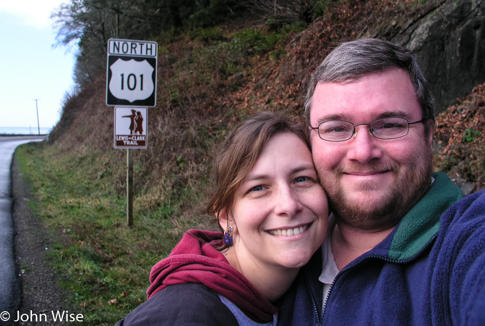
Lewis and Clark slept here. Well, not really right here, as this is a recreation, but this site marks the end of their journey across the western territories to the Pacific. We are at Fort Clatsop – Lewis and Clark National Historical Park in Astoria, Oregon, near the mouth of the Columbia River.
It’s another world out here at Fort Clatsop, with the weather lending to the sense of what a cold, wet day might have been like for Lewis and Clark.
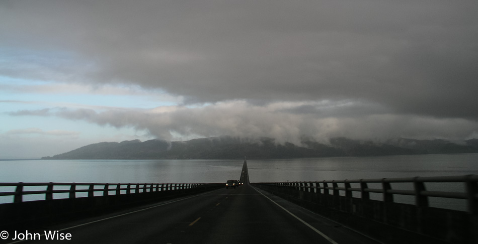
Crossing from Astoria, Oregon, into Washington over the Columbia River.
We went to Washington for bragging rights, so this trip on the Oregon coast would include visits to California and Washington too.
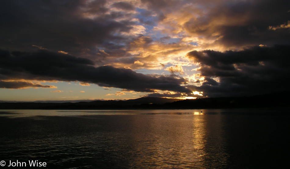
Looking back south to some dark, harsh weather over in Oregon while we head into clearer skies in Washington…
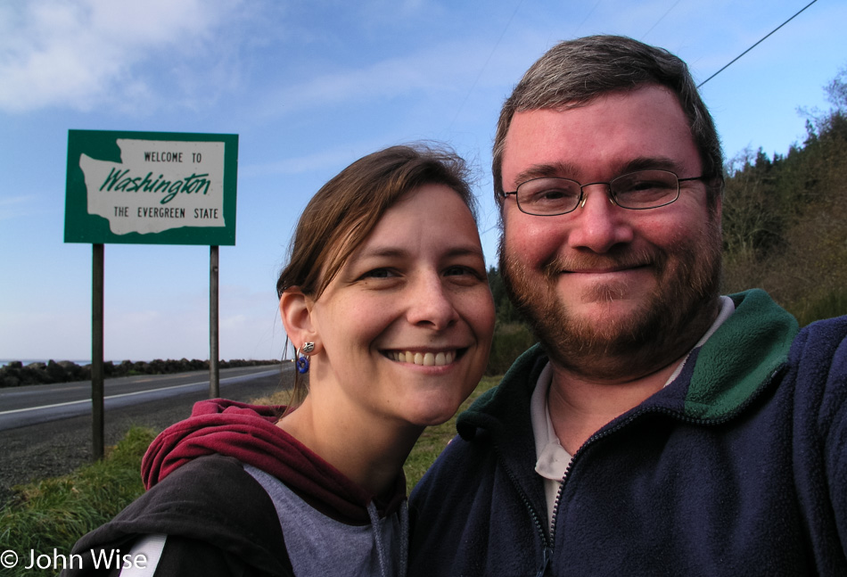
…things were delightful. Sure, this selfie is similar to the one just two photos ago, but that one was to commemorate being on another part of the Lewis and Clark Trail, and this one is to prove we were in Washington on this trip.
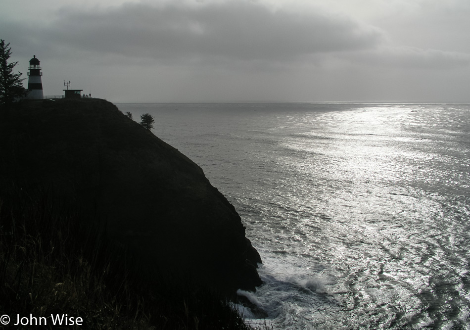
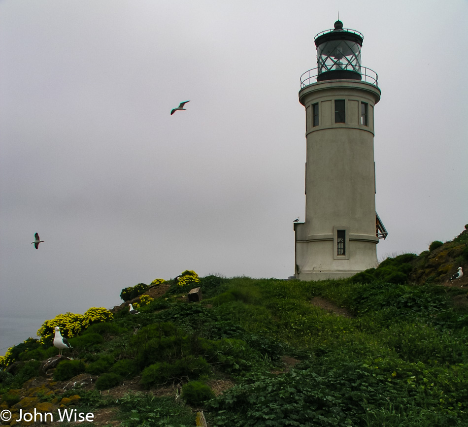
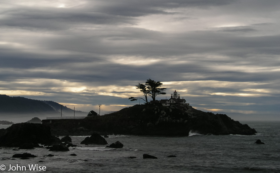
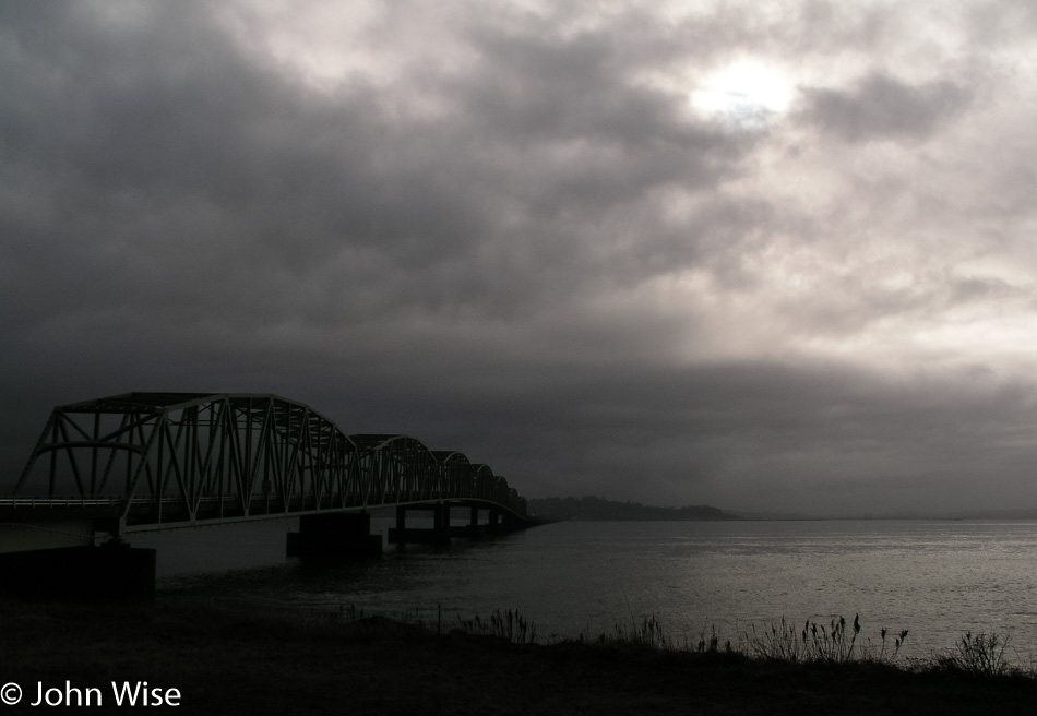
Cape Disappointment in southern Washington at the mouth of the Columbia River. We’ve never visited this lighthouse as of me writing this blog entry in 2018 (takes note to rectify this).
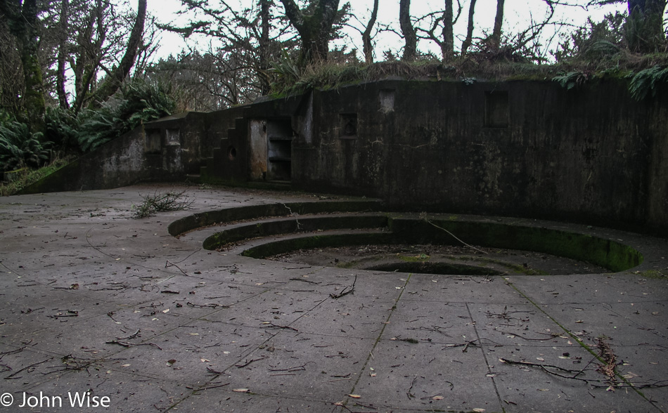
We did the accelerated 15-minute tour of Fort Stevens State Park and only afterward learned we missed an amazing old shipwreck on the beach, the Peter Iredale.
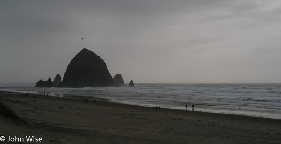
Moving south again, we stopped to visit the Haystack Rock at Cannon Beach in Oregon. This turns out to be a favorite place for long walks along the ocean and will remain so for years to come.
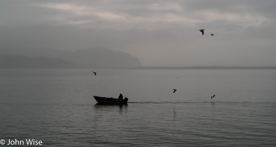
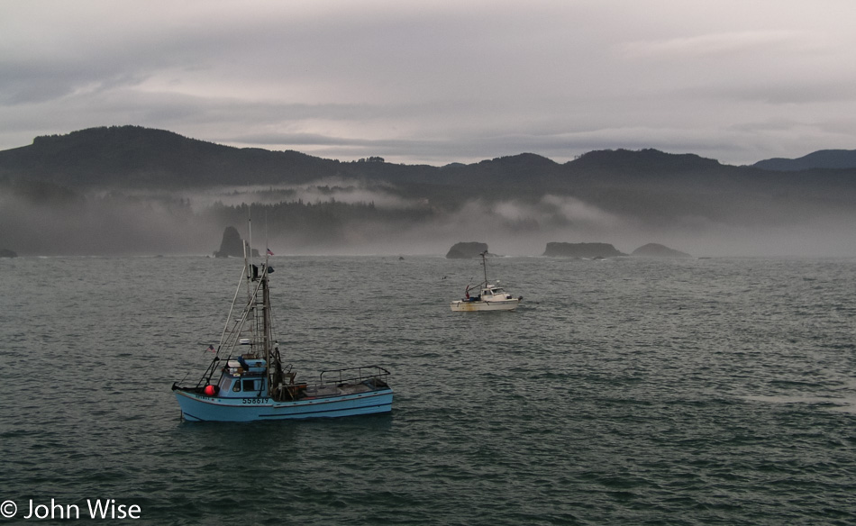
A couple of fishermen heading in.
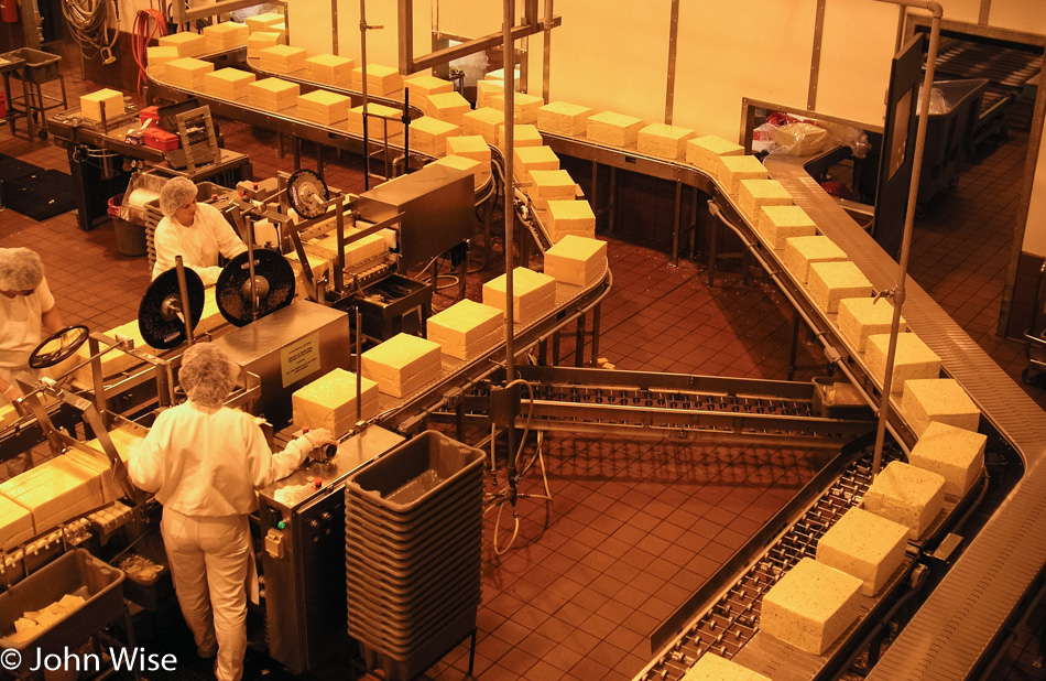
Just enough time to squeeze in a quick tour of the Tillamook Cheese Factory. While we enjoyed our brief tour, I have the feeling this place would leave many a French person feeling a bit disgusted by it all.
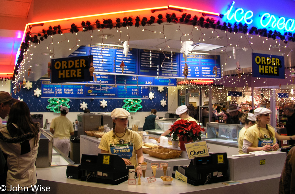
While the people of the Netherlands might also balk at our cheese-making skills here in America (except for those women of Cowgirl Creamery in Pt. Reyes, California), they would be pacified by a taste of Tillamook Marionberry Pie ice cream. This ice cream shop is part of the Tillamook Cheese Factory.
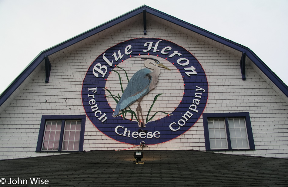
Neither Caroline nor I remember if we were able to visit the Blue Heron French Cheese Company on this first visit to the coast. I have a vague memory it was closed by the time we reached the place, but who knows? What I do know is that we ultimately did visit here on a subsequent trip and were introduced to smoked brie and have been coming back ever since just for it.
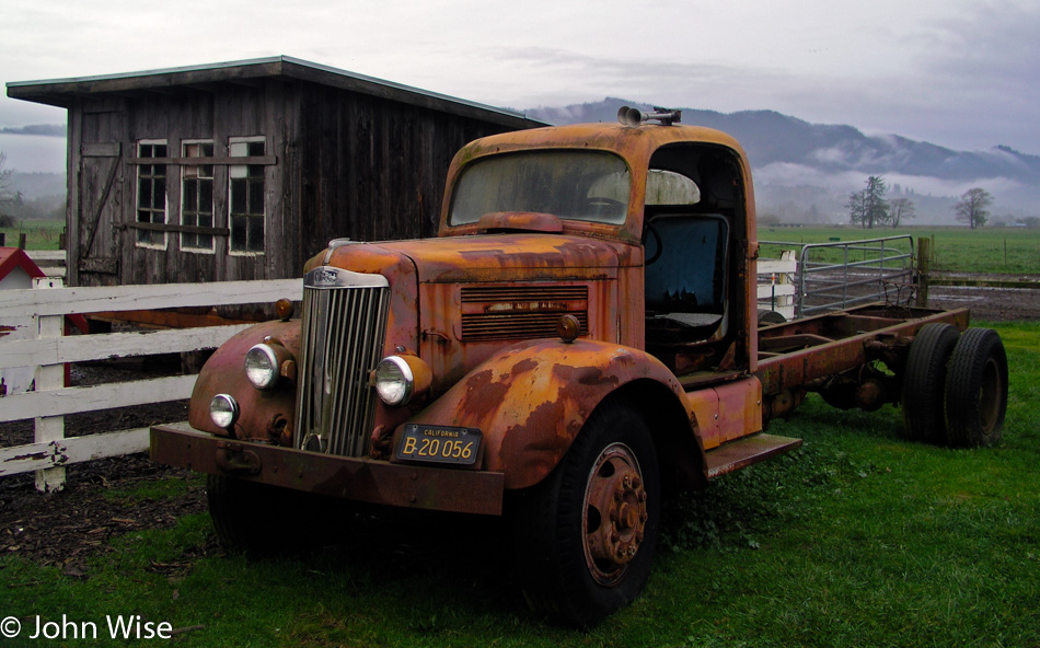
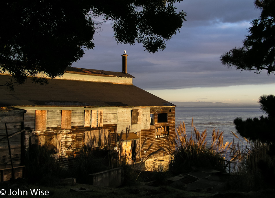
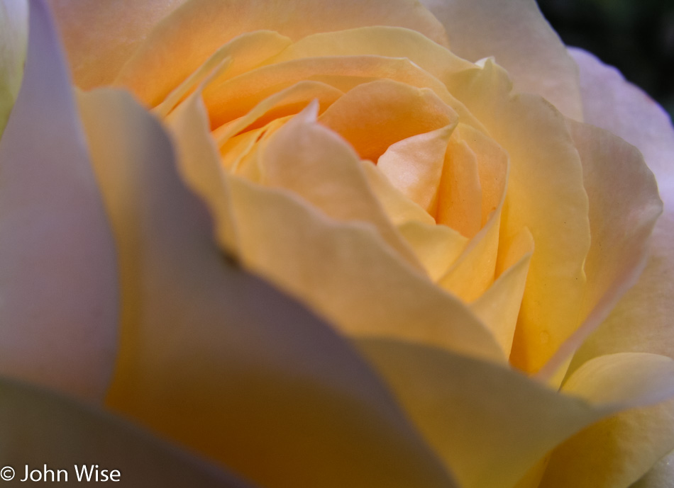
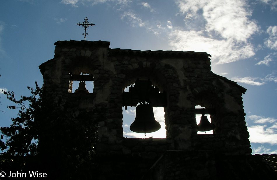
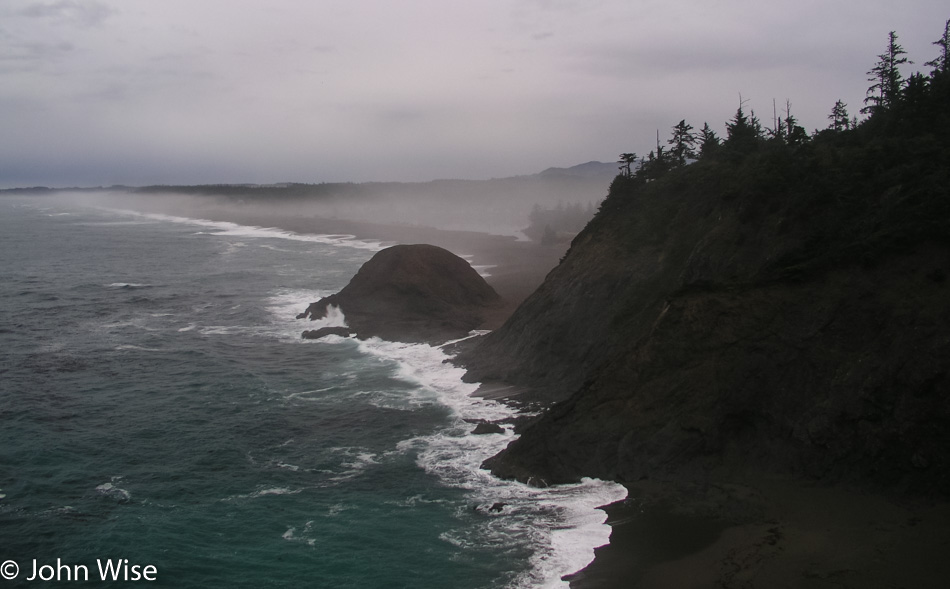
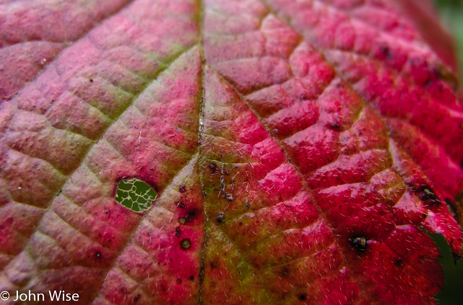
The colors and contrast of the orange, rust, black, woods, grass, moss in the windows, and foggy background all worked to make this a favorite of mine.
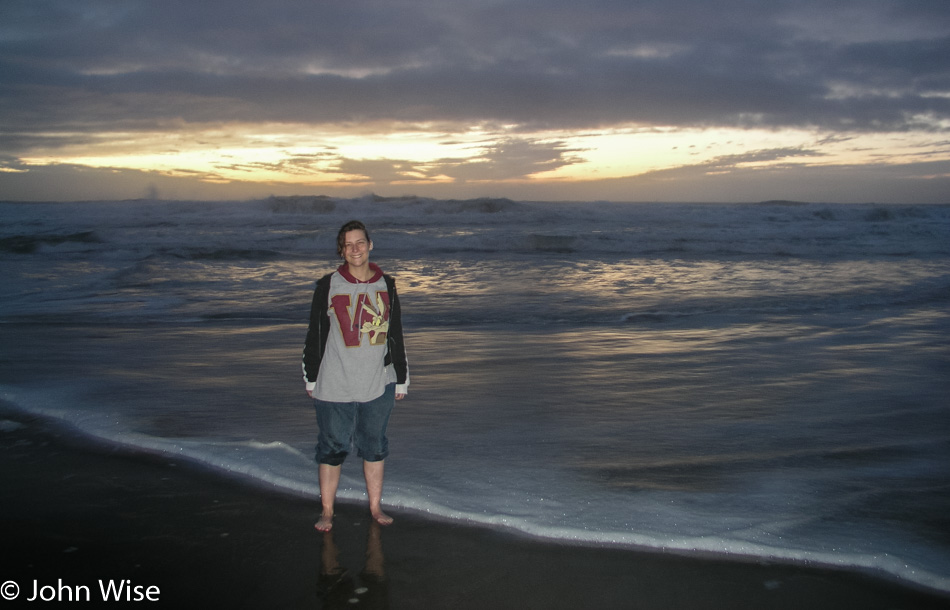
One more time, stepping into the ocean before darkness overtakes the day. What I said earlier about Caroline rolling up her pant legs, look at her right leg for proof that she could do better.
We stayed at the Bayshore Motel in Coos Bay for only $34 and dined at Abby’s Legendary Pizza. Besides Cannon Beach, we find that there are not a lot of fine dining options on the Oregon Coast.