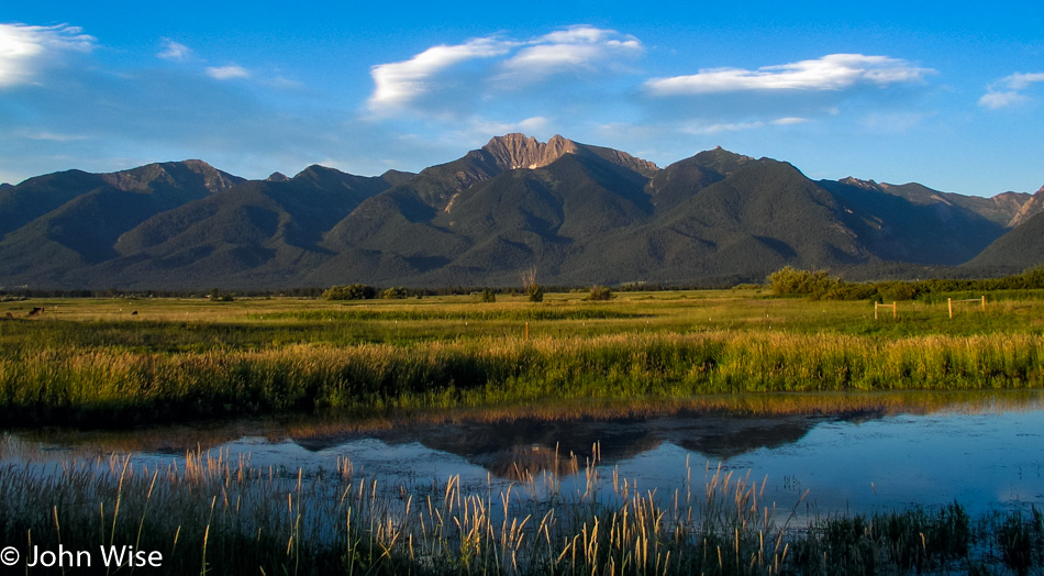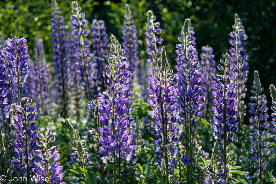
Jutta On The Road – Day 9

Disclaimer: This blog entry wasn’t written until 17 years after the trip. It should be noted that it was a huge mistake to have not written it way back when. Sometimes, after writing so much about other days, it happens that at the time directly after the trip (or even during), I convince myself that the details are not that important. Years later, these details are that important, and pulling them out of foggy memories is difficult. The photos help and often leave clues, and then Caroline’s memories are usually far clearer than mine. With that said, here goes.

We wake up in a place that’s new to all of us. Nobody here on this adventure has any experience of what to do once the day begins in Concrete, Washington, about 40 miles south of the Canadian border. Well, I have a general idea, that’s to continue our drive eastward.
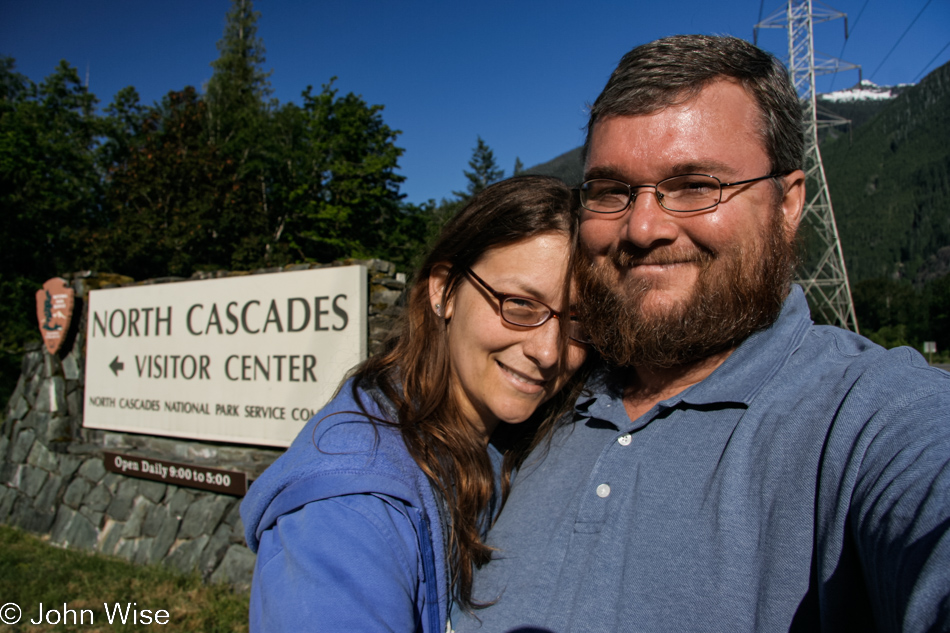
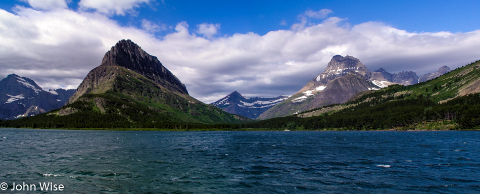
Adding a new national park to the list of these American treasures we’ve been so fortunate to visit, here we are at the North Cascades National Park today.
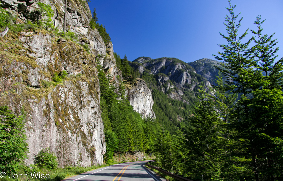
While everyone’s heard of the Grand Canyon, Yellowstone, and Yosemite, I don’t know of anyone who’s told us that we just had to visit the North Cascades. Might this be one of the United State’s best-kept secrets, or is it like Alaska and too difficult to get out here?
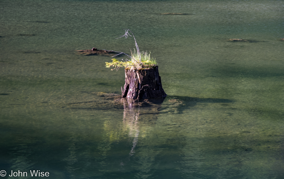
We’re at Gorge Lake, fed by the Skagit River; just out of sight are some high-tension powerlines; who built powerlines through a national park?
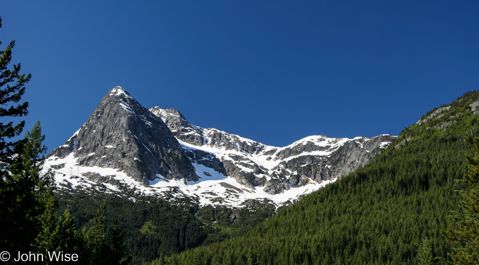
On one hand, it’s a shame that back during these days of moving quickly through these environments, we’d race through, take in an overview, and move on. With Jutta traveling with us, it wasn’t any better or worse as our methods of taking inventory had us thinking we’d scope the amazing places we want to return to, and then at a future point, we’d do just that. That hasn’t always worked out, such as with the North Cascades.
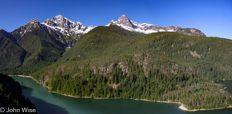
Looking through these memories, I’m struck by how beautiful this place is and wonder if Caroline and I shouldn’t consider putting a trip to Seattle on the itinerary, renting a car, and combining a return visit with another trip to nearby Olympic National Park too so we might get to do some hiking in these areas and feel like we’ve seen something more than what can be gleaned from a pullout on the road.
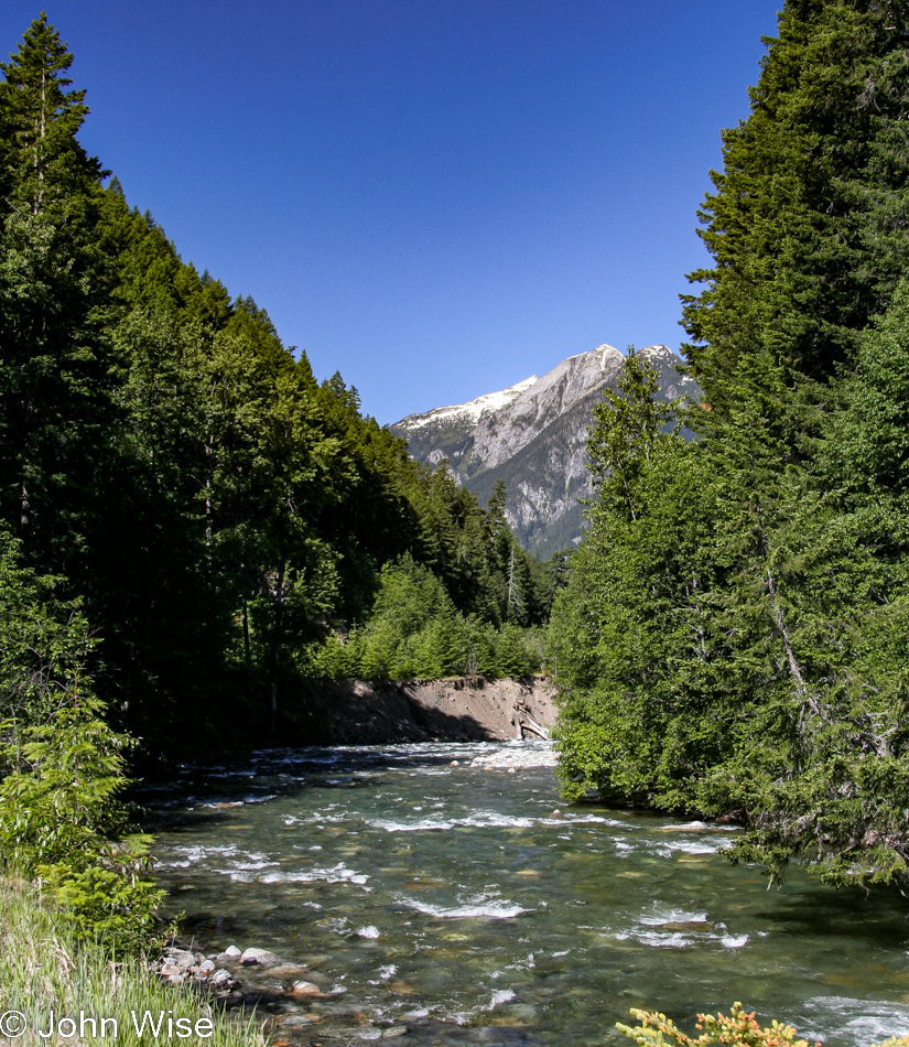
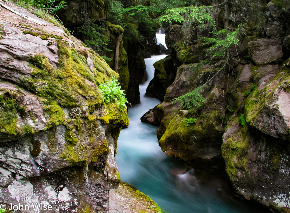
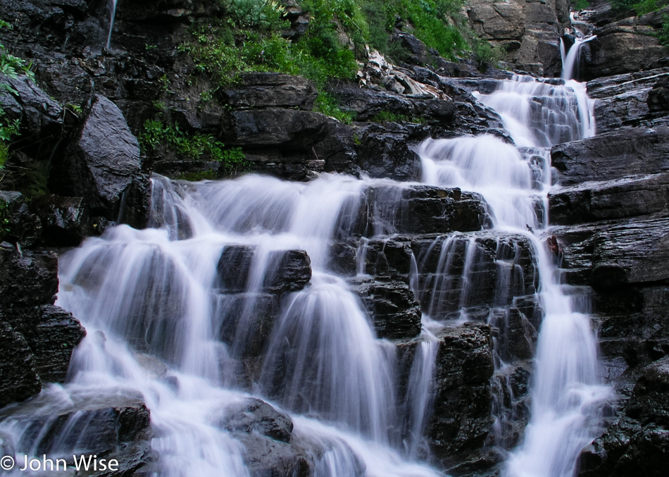
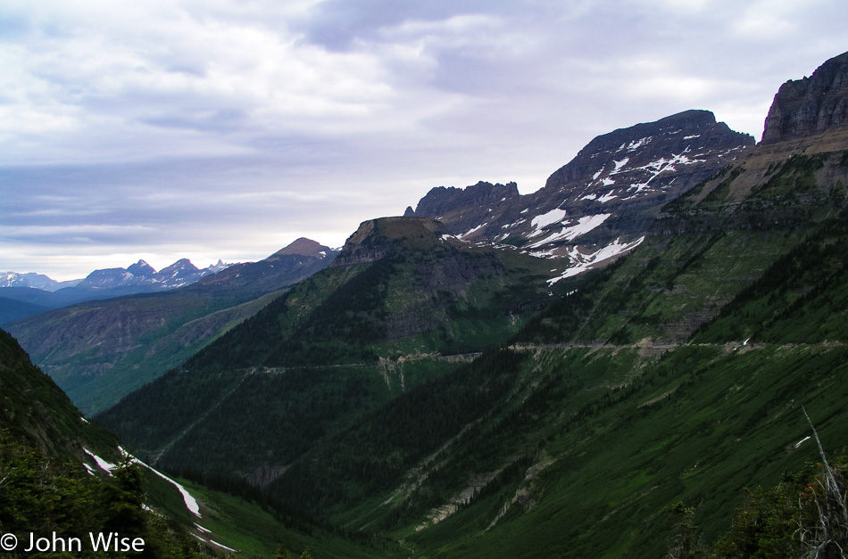
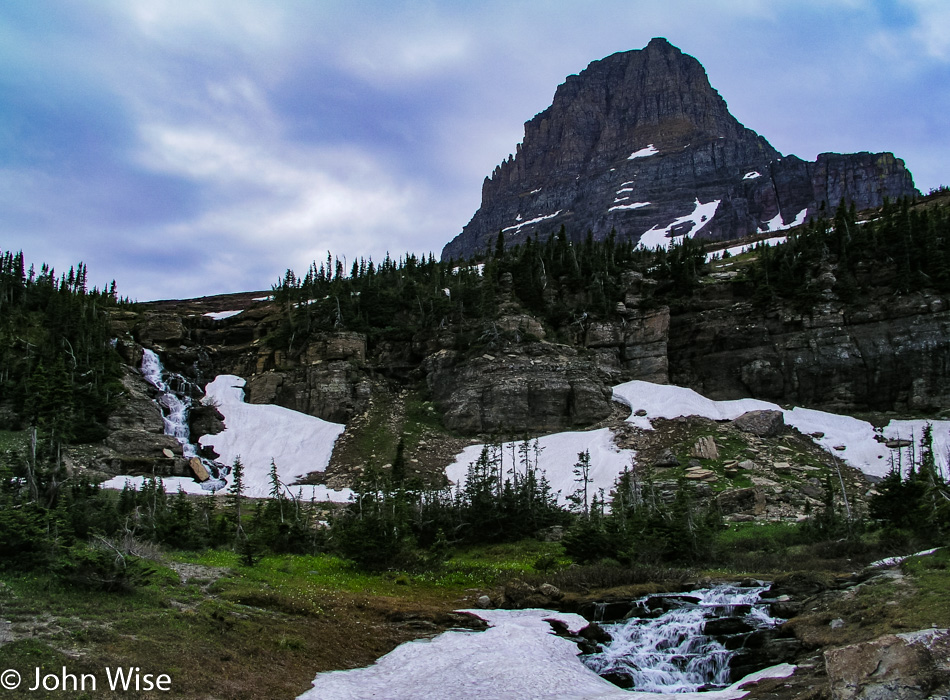
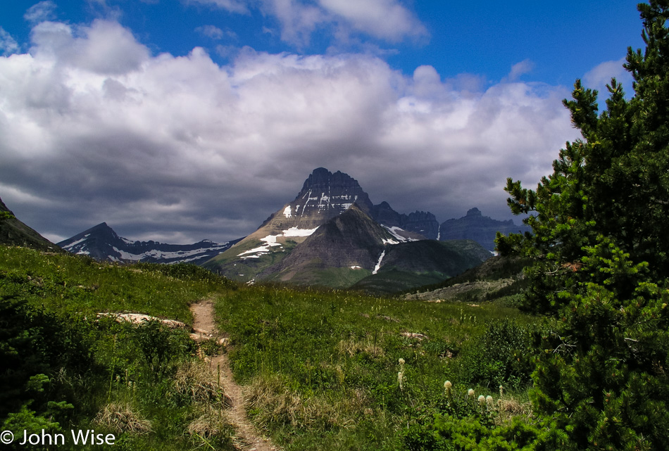
Off on a tangent, I went, where were these peaks and streams? If I do plan for a return, say in 2023, where should I look for trails for us to hike?
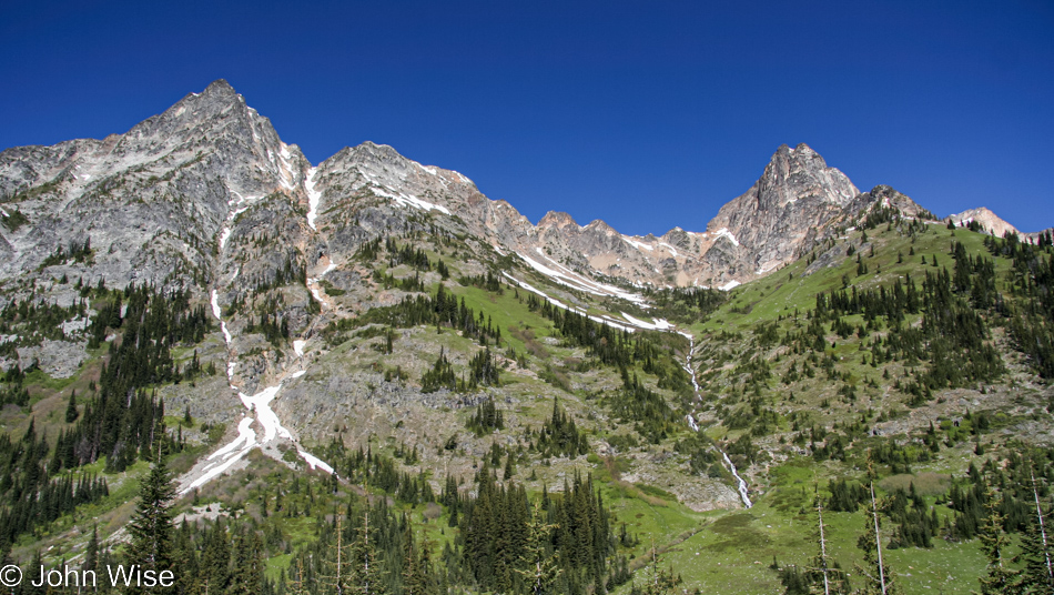
Maybe a little too much elevation gain would be required to hike to the top of the treeline, but I could think of worse ways to spend a day.
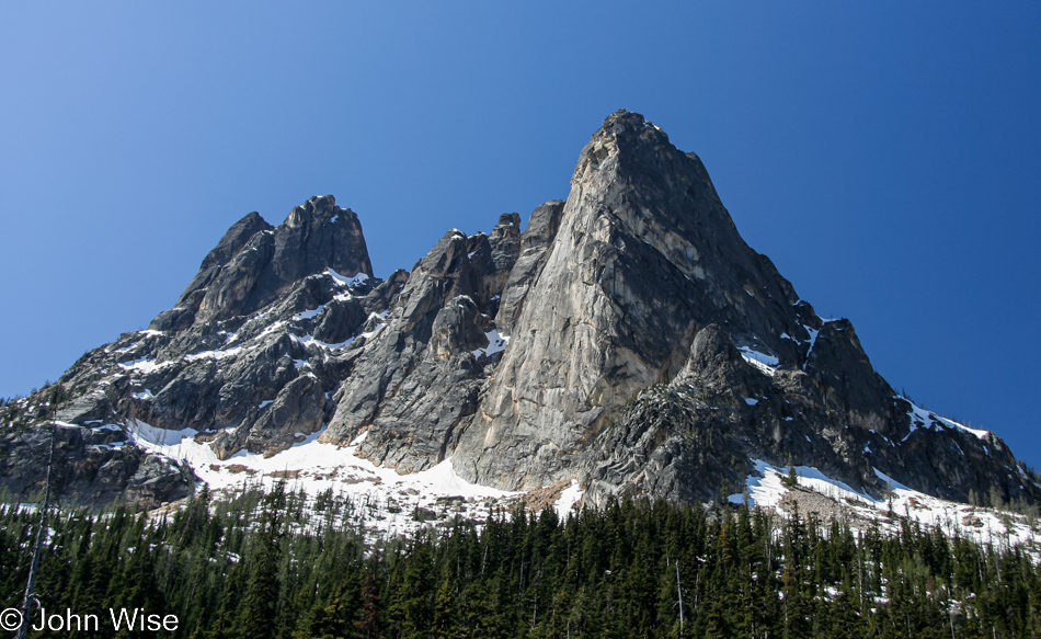
I believe this is Mt. Terror, strangely named, I think, but then again, I’m never going to try to ascend its peak.
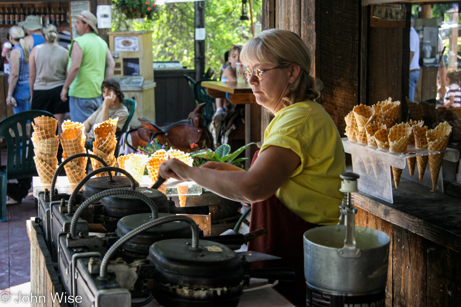
We left the park and drove east as my crazy ambition was to have us visit Glacier National Park tomorrow; this is just nuts. And though we might be rushing through the landscape, we still have time to stop for a woman making waffle cones for homemade ice cream in the quaint town of Winthrop.
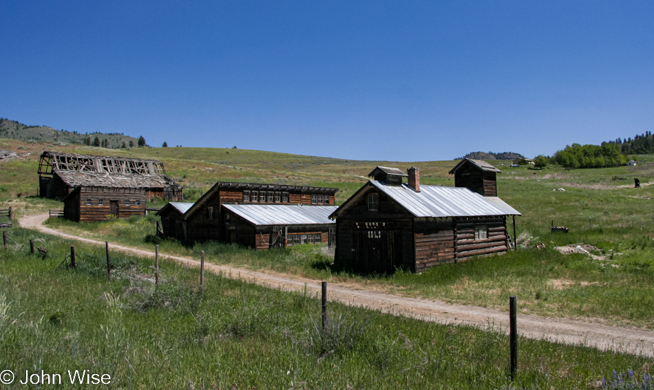
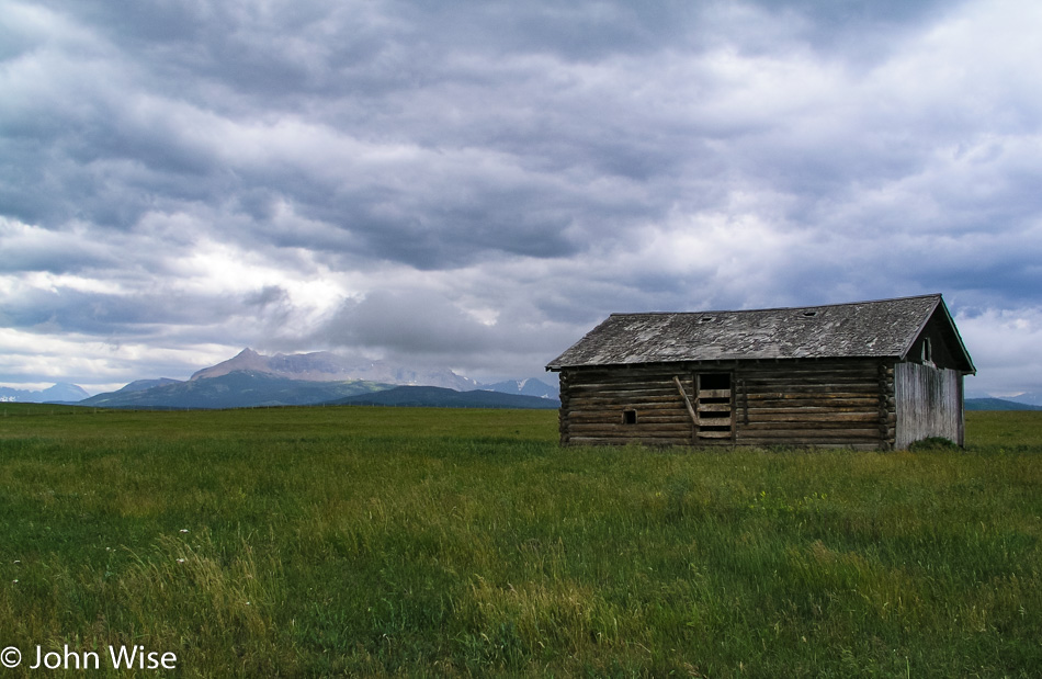
Time for old farm buildings bordering on decay? Always.
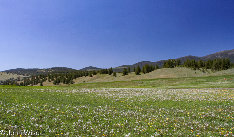
While we may not have taken enough time to truly linger in the flora of eastern Washington, I’ll certainly try to capture enough of the sights so we can remember that we were at one time in places that might have failed to lock into our mind’s eye quite the way Yellowstone or the Oregon Coast has.
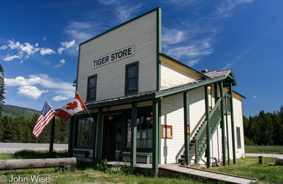
Tiger Historical Center and Museum required a stop at the request of my mother-in-law. You see, the Engelhardt’s have what you might call spirit animals associated with them or animals they grew up loving. For Caroline, that would be the snail; for her sister Stephanie, it is the mighty mouse; and for Stephanie’s husband Klaus, it is the tiger.
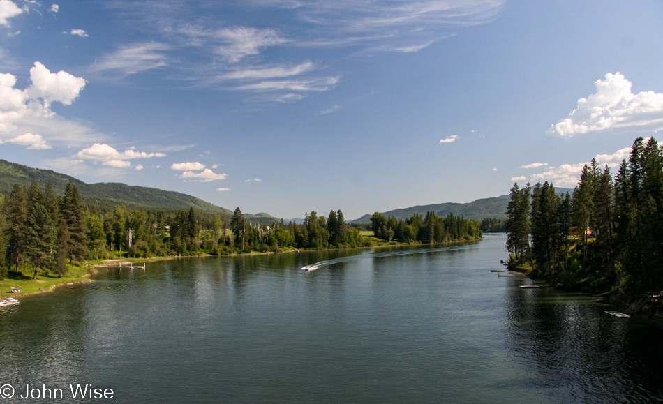
This is the Columbia River, and at the time of this writing, in 2022, I can’t remember in what year back in the early 2000s Caroline and I first traveled the Columbia between Oregon and Washington, but looking at this image here I’m left thinking how different this northeast part of the river looks when compared to it entering into the Pacific Ocean at the Columbia Bar.
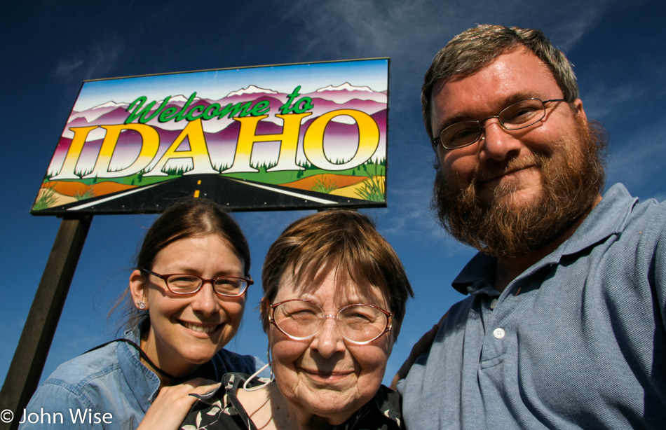
Caroline Wise with Jutta Engelhardt and John Wise at the Idaho State Sign

Taking these selfies at state lines was not always easy as the state signs themselves were not put up in consideration of sun orientation and time of day when you might be asking people with sensitive blue eyes to look, so I’ve taken plenty of squinty-eyed photos of these two women.
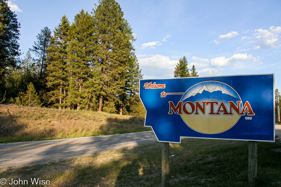
Then there’s the camera operator error and not recognizing that we were all too blurry to be able to use the selfie. If you are wondering what happened to Idaho and our driving across it, there were photos but nothing worth sharing.
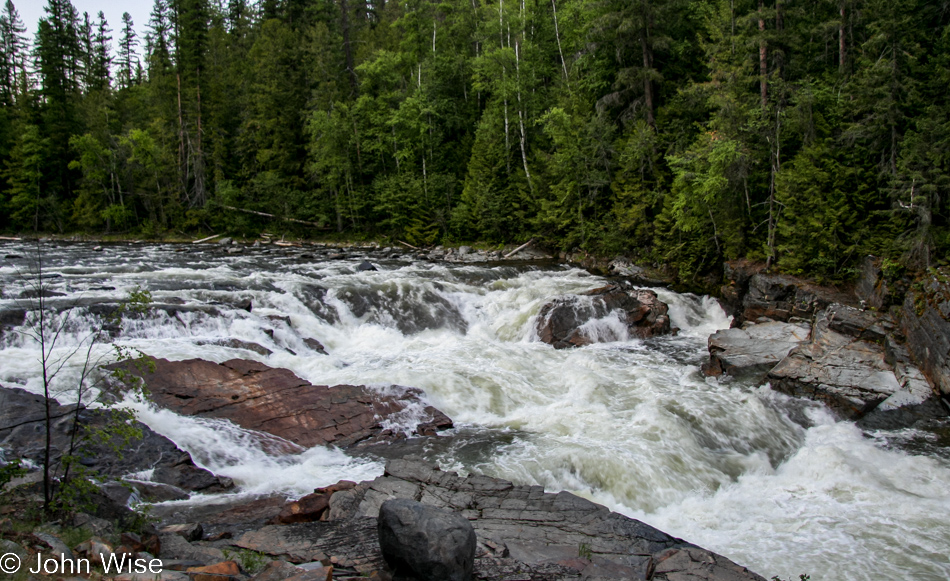
Do not listen to sentimental music when exploring old memories; as I try to write about our moment here at the banks of the Kootenay River, the music in my ears renders a solemnity on the verge of sadness about the man I was as I applied a fierce intensity of moving us through such beautiful places instead of taking the appropriate amount of time to let it all sink in. Now that I’m older, I can better see the world through my mother-in-law’s eyes, and back then, on this trip, she was already 70 while here at the cusp of my turning 60; I’m enjoying our newer go-slow approach. I suppose this was the price to be paid when hanging out with your children still ripping through the world with a take-no-prisoners approach to life.
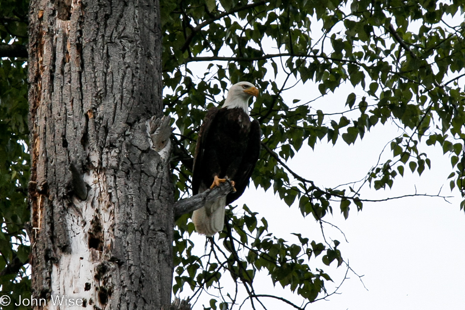
An American Bald Eagle flew just feet in front of our car while driving a back road and perched in a nearby tree in Montana

Just in front of our car, as we passed the Yaak River, an American Bald Eagle swept across the road and perched in a nearby tree. I stopped as quickly as possible, certain I was frightening away the eagle. Caroline jumped from the car with the camera in hand, and to our surprise, the eagle sat patiently posing while Caroline clicked away. Wow
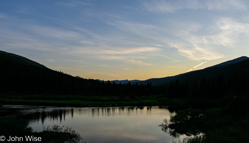
The Tobacco River near Eureka, Montana, at sunset was near our cheap motel. While the lodging might have been a bit on the shoddy side, the views never are.
Glacier to Yellowstone – Day 3

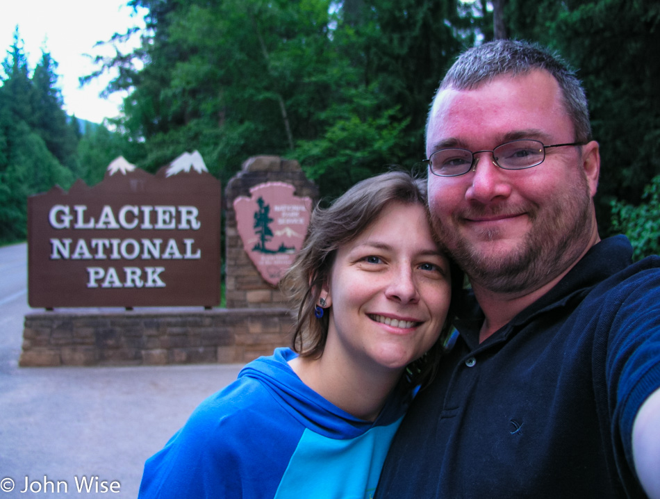
Caroline Wise and John entering Glacier National Park in Montana for the first time

We are close to our destination of reaching the Canadian border, but we first have to deal with a National Park in our way and apparently also have to contend with an encounter with the sun.

Glacier National Park in Montana

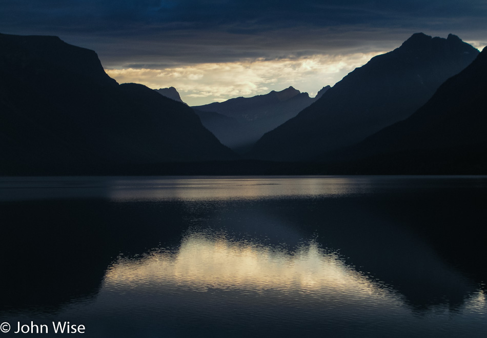
Going-to-the-Sun Road is an imaginatively named road that elicits dreams of moving into the heavens. First, we will have many miles that need to be covered to reach such lofty heights. Lake McDonald in the early morning makes for a beautiful sight.

Glacier National Park in Montana

If we have to stop every five minutes to gawk at the scenery, we’ll never make it to either Canada or the Sun.

Glacier National Park in Montana

Where water flows, so do our emotions, and from them, an outpouring of not only love of place but the reinforcement of love between each other. Our profound luck to be first-hand witnesses to such spectacular places is a kind of magic we find inexplicable but will hopefully continue to experience well into the future.

Glacier National Park in Montana

That tiny scar across those steep slopes is the road we’ve been traveling on our way to the Sun.

Glacier National Park in Montana

Wow, somebody broke out the beauty stick and beat this part of the Earth hard.

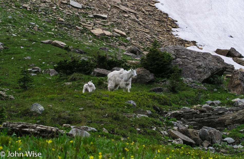
Mountain Goats in Glacier National Park in Montana

I can’t help but see momma goat on the right seeming to be stepping out of her winter coat. At this point, we were on the other side of the Logan Pass Visitor Center, starting our exploration of the eastern side of Glacier National Park.

Glacier National Park in Montana

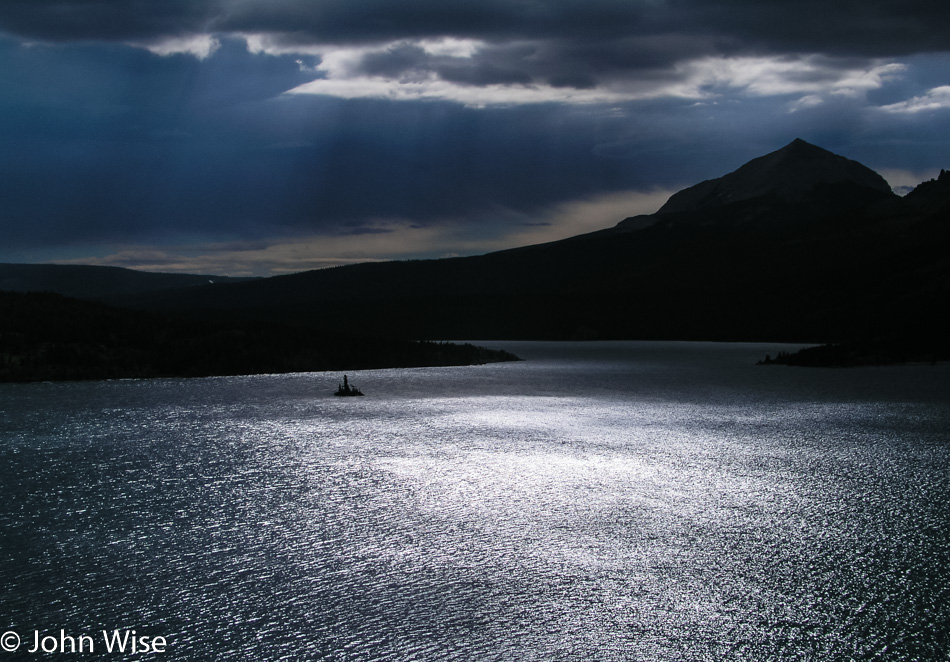
We must be getting close to the Sun as its reflections are becoming ever more impressive. If I’m not mistaken this is Saint Mary Lake.

Glacier National Park in Montana

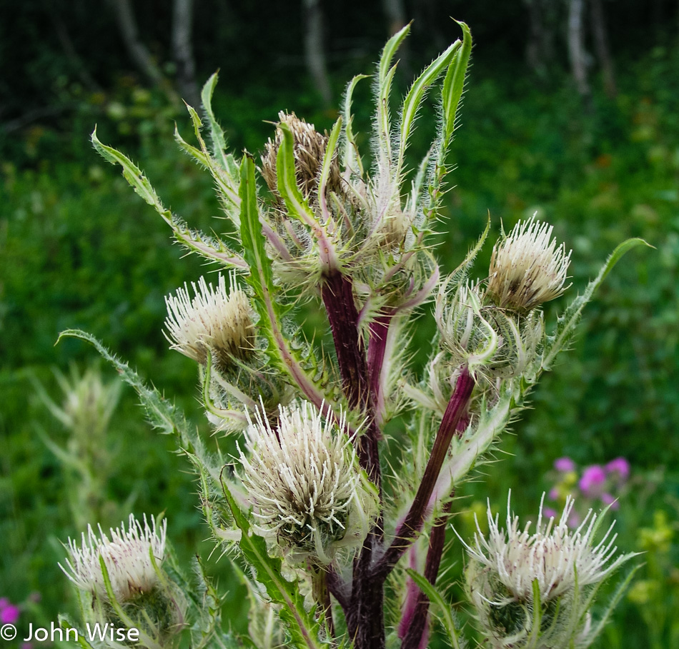
Some will stop for squirrels or bears; I’m all about the thistle.

Glacier National Park in Montana

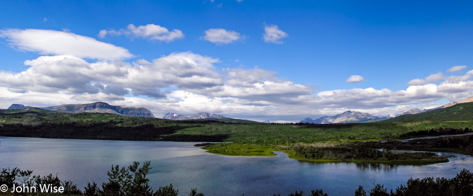
Maybe we are shortchanging Glacier National Park with a brief half-day visit?

Glacier National Park in Montana

Swiftcurrent Lake on the Continental Divide Trail in an area called Many Glacier. Now I’m certain we will not be able to give this park its due. With such a short season, this park will be difficult to visit again.

Glacier National Park in Montana

This park is a place where every corner and hillside offers a vastly different view of what you thought you were just looking at. It’s a bit of a fool’s paradise for photographers where getting lost in snapping more than you are experiencing is a real risk.

Montana

Sure, we took the obligatory photos at the Canada frontier sign and again at the “Welcome to Montana” sign for those traveling south, but those selfies were weak compared to this beautiful shot of a dramatic sky and weathered barn set in the green grass surrounded by cragged mountains. Matter of fact, we went so far that we were on the other side of the “Leaving America” sign, and upon seeing the long line of traffic to cross into Canada, we changed our mind about stepping into the Great White North and made a U-turn. We still have to go through U.S. Customs even though we’ve not left America, as the border control agents couldn’t see that we’d never left. So the obligatory moment of tension mounts as we wonder if our names have somehow shown up on some list that mandates that we are border bait for a cavity search. Fortunately, we had digital pictures that showed us just minutes before on the American side and had, in fact, not been in Canada, so after a minute or two with our friendly border agent, we were allowed to proceed.

Museum of the Plains in Browning, Montana

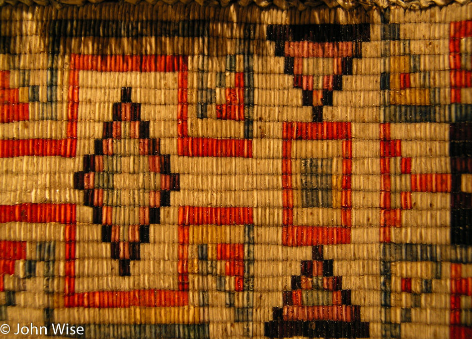
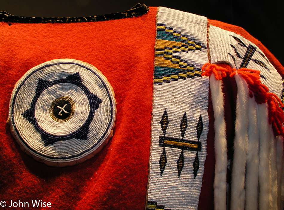
In Browning, Montana, we needed to stop in at the Museum of the Plains Indian to learn something more about the indigenous people that once enjoyed the lands of their ancestors without the interference of those who would rather they live somewhere else, such as on the moon. The contrast between the art of Native Americans who lived in Pueblos and those who lived on the Plains is stark.

Museum of the Plains in Browning, Montana

Both historic and contemporary arts and crafts are on display here. Too bad no in-residence Native Americans are sponsored here to help us visitors learn something more about the Blackfeet, Crow, Northern Cheyenne, Sioux, Assiniboine, Arapaho, Shoshone, Nez Perce, Flathead, Chippewa, and Cree cultures that are represented here.

Montana

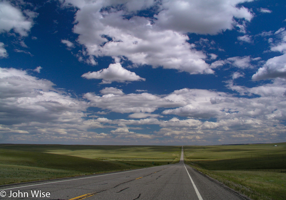
I see it, too, off in the distance, way out there….. Being out here on the Great Plains is a terrific contrast to the canyons, mountains, and forests that we traveled through on our way north.

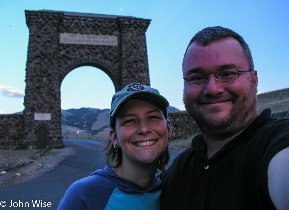
Caroline Wise and John Wise at the Roosevelt Entrance at Yellowstone National Park in Wyoming

It’s YELLOWSTONE! Not just once in a lifetime, not even twice, but a third visit is in order, even if it’s a fraction of the time of our previous outings.

Yellowstone National Park in Wyoming

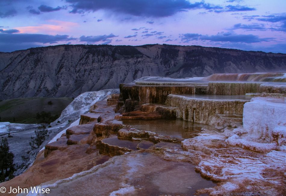
Fourth of July long weekend you can rest assured that finding lodging in the park would be a long shot. Even finding something outside of the park wasn’t that easy, and apparently, we got one of the last two rooms available in Gardiner, which is just outside the park over in Montana. Here we are at the Mammoth Hot Springs terraces, and this, at least for today, will have to be the extent of our time in the park as it’s getting dark.

Yellowstone National Park in Wyoming

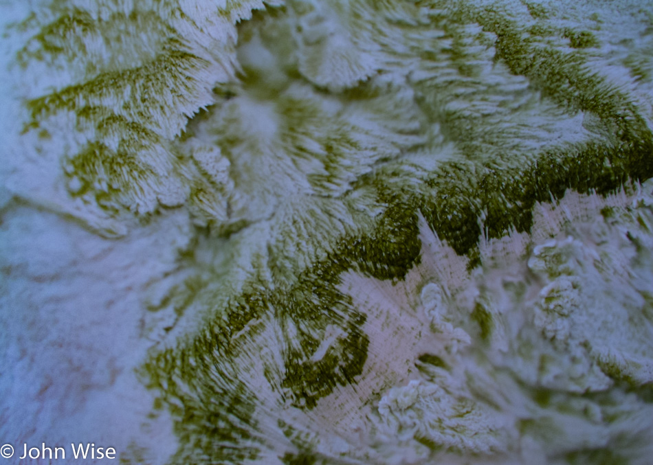
Hot water, minerals, and plants that thrive in this chemical soup may not be everybody’s cup of tea, hmmm, probably be a horrible-tasting cup of tea, come to think about it, but Caroline and I enjoy every single proverbial drop of it.

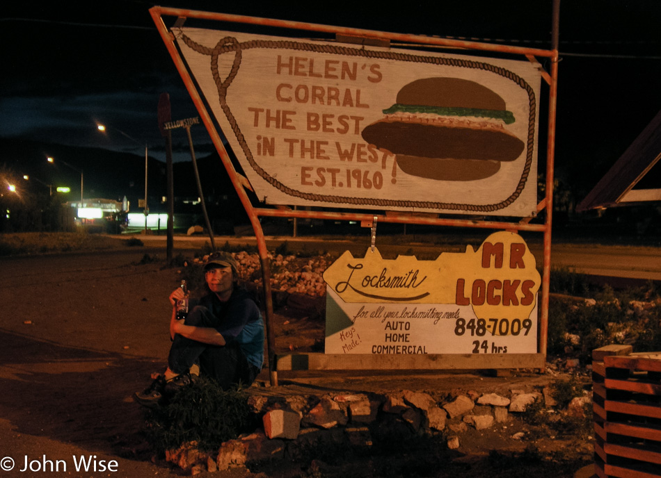
Caroline Wise at Helen's Corral in Gardiner, Montana

We ate bison burgers at this little joint called Helen’s Corral a few years ago and are enjoying it a second time while reminiscing about our previous visits to Yellowstone and that Caroline’s mom was here with us on our last excursion into this corner of America. Tomorrow brings nearly a full day of revisiting some familiar places. We can’t wait.

Glacier to Yellowstone – Day 2

Richfield, Utah

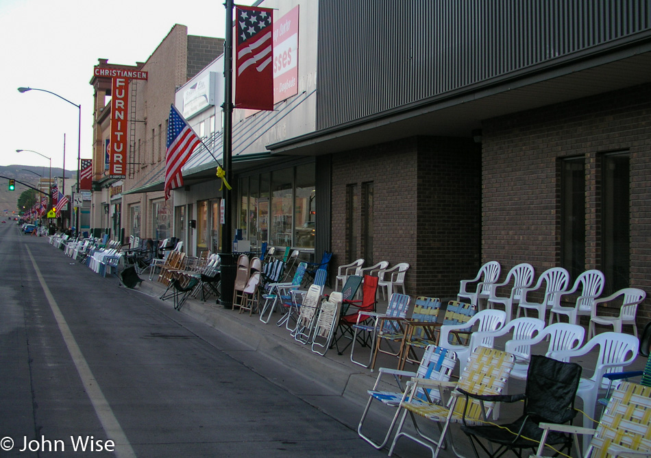
Happy Fourth of July, America! Last night, when we arrived, this small town was not yet asleep as folks were out setting up chairs while food vendors were getting ready for today. The sound of fireworks woke us before our alarm did; somebody must have been testing the setup for the evening’s festivities. It’s only 6:30 when we leave our motel and see that Richfield is ready for the parade scheduled for later in the day. We won’t be around for the celebration, though, as our fireworks are to be found at points north of here. To get there, we break one of our travel rules that stipulates we avoid main highways and we head for Interstate 15, but before we get on this main thoroughfare, we take a beautiful scenic detour on Highway 50 through the nice little farming village of Scipio. Sailing up the 15 at nearly 85 mph we pass Salt Lake City. We are not able to spot a single Starbucks logo from the freeway until I see a Barnes and Noble bookstore in Ogden and we know they always have a coffee shop. Armed with a quad shot venti mocha loaded with 5 or 6 bags of sugar and topped with whipped cream, I’m ready to hit the gas and take this Oldsmobile to the Arctic Circle.

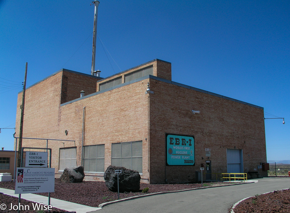
EBR-1 Historical Landmark in Arco, Idaho

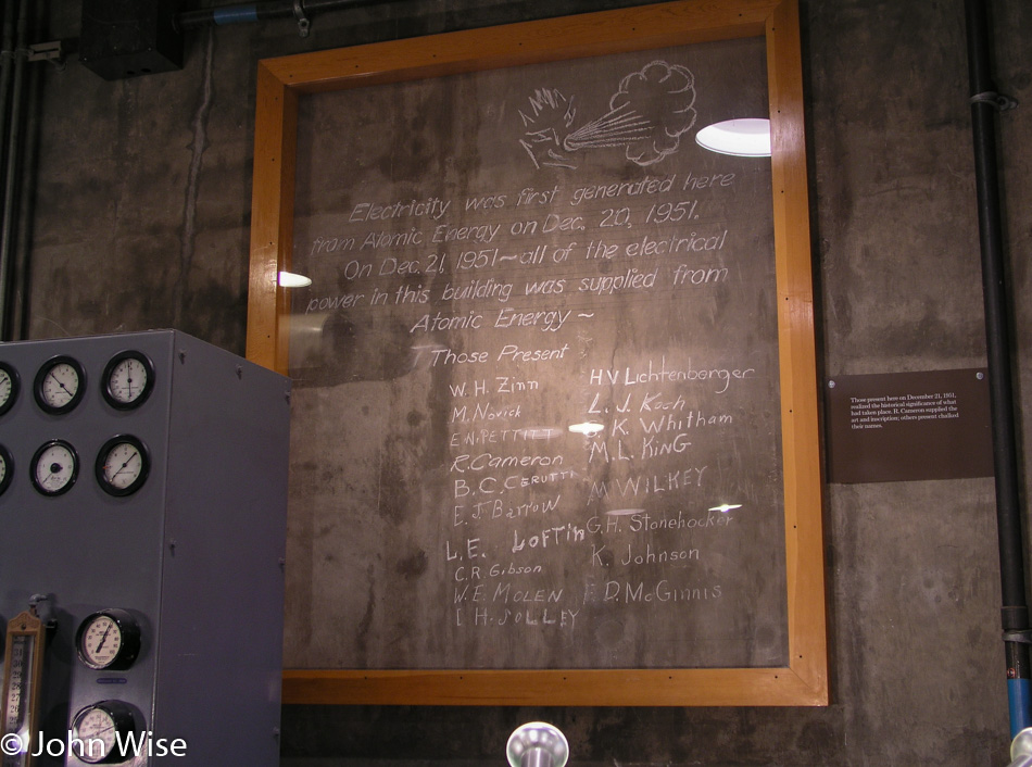
It started with the radio fuzzing in and out. We think it might be this Atomic City; then again, it could just be that we are also entering a wilderness area. At Blackfoot, Idaho, we left the Interstate and got on Highway 26 in the direction of Craters of the Moon National Monument. We never made it to the Craters, though, because 20 miles before it, the town of Arco up and attacked our inner geek, demanding that we stop. The world’s first Nuclear Power Plant, called the EBR-1, is open to visitors, and self-guided tours are FREE! Seeing my wife is well past her best years, and that we won’t be producing any offspring with her old eggs, we figure a little radioactive contamination won’t do her any further harm, so we leap at the chance to play with spent or fresh nuclear fuel, we’re not that discerning.

EBR-1 Historical Landmark in Arco, Idaho

Our dreams of playing with glowing fissile material were quickly dashed when we were informed that as part of our entry fee, we would not be offered a souvenir that could be used for powering our own reactor or freaking out people by handing them a rod of uranium-235. Here in Arco, Idaho, we are among the highest density of nuclear reactors on Earth: over 50 of them have been built here. I think I like the town’s first name of Root Hog, more than Arco, but that’s just me. Arco was named after the German inventor Georg von Arco who was also one of the founders of Telefunken, makers of radio vacuum tubes, who was visiting Washington D.C. when the town changed its name. History abounds.

Caroline Wise at the "Sail" of the USS Hawkbill in Arco, Idaho

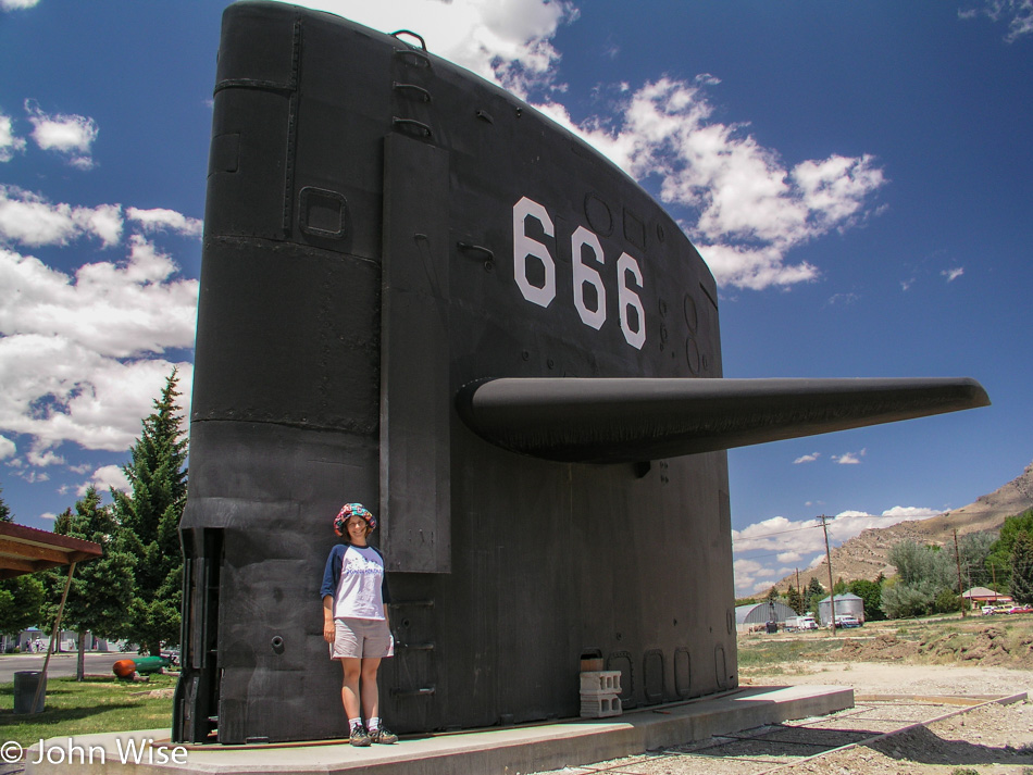
It’s not every day you expect to find a “sail” from a submarine on a plain in the middle of a continent, especially one marked with the sign of the beast. But that’s exactly what you’ll find in Arco, in addition to a ton of nuclear experimentation. Regarding the satanic reference, a placard offered this from Revelations Chapter 13, “And I stood upon the sand of the sea, and saw a beast rise up out of the sea….Here is wisdom. Let him that hath understanding count the number of the beast: for it is the number of a man; his number is 666.” All of this is in the area that lays claim to fame for having the largest concentration of Nuclear Reactors in the World! We thought the earth opening up next would be a great encore; we didn’t have long to wait.

Borah Peak on the left off Interstate 93 in Idaho

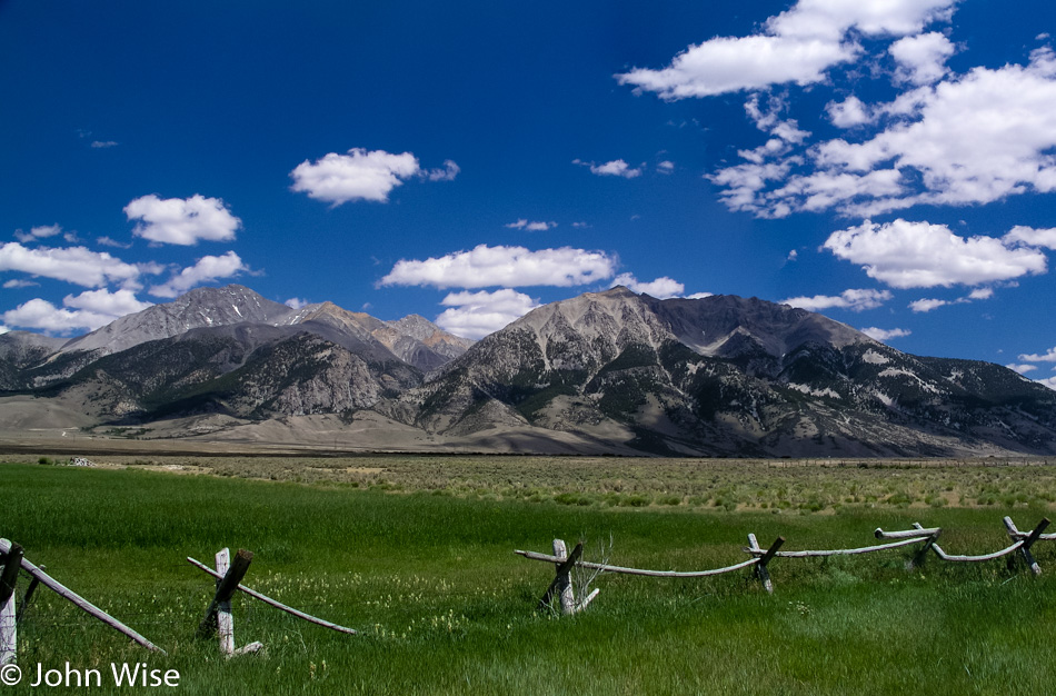
On your left in this photo is Borah Peak, which is Idaho’s tallest mountain, standing at 12,662 feet tall or 3,859 meters. Just past this spot was a sign that said something about “Earthquake,” so we turned around to at least read it. It tells us of a crack in the earth caused by an earthquake, and it’s only two miles up the road. Turns out that it’s a washboard road of dirt and gravel where we fly our Oldsmobile at 40 mph, which is okay as we’re in a rental. Back on October 28, 1983, a 6.9 magnitude earthquake at Borah Peak occurred, causing the mountain range to gain 6 inches in elevation while the valley we took the photo from dropped 9 feet (3 meters). The crack before us is proof that, indeed, the earth has opened here, casting doubt on the forethought that went into putting the largest concentration of nuclear reactors in the world just down the road. Oh well, it’s beautiful out here, no time to worry about meltdowns and the earth opening a window into the gates of hell and so we bump back down the road to rejoin the highway.

Interstate 93 in Idaho

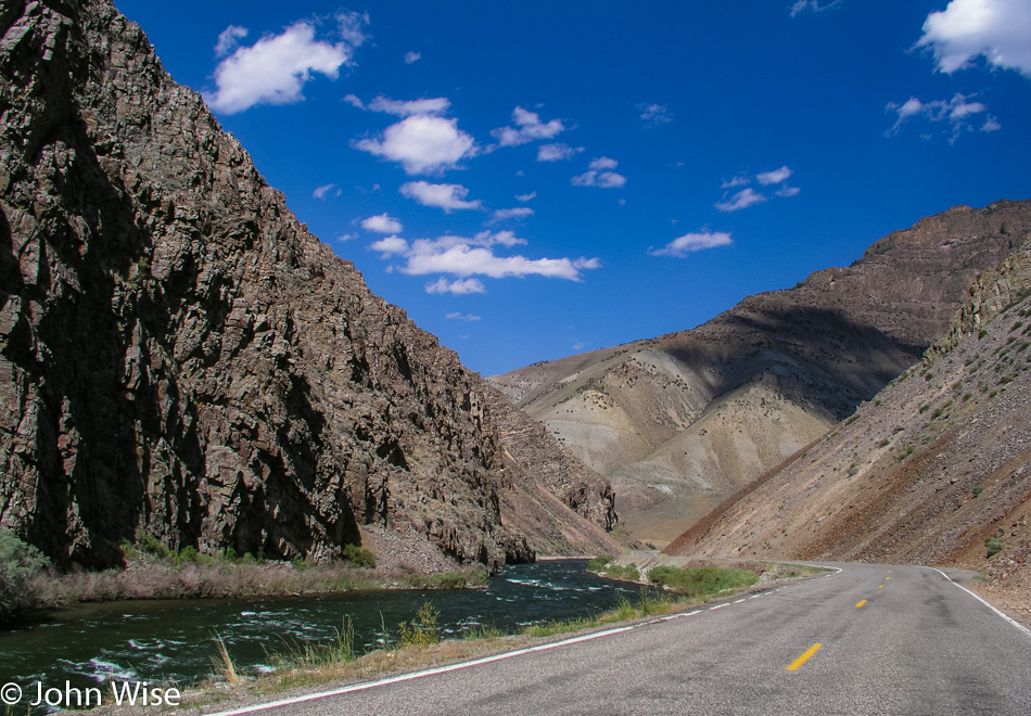
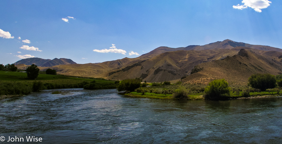
We’re following the Salmon River on Interstate 93.

Interstate 93 in Idaho

Since turning off the Interstate hours ago, we get to reflect on the roads and scenery that deliver the reason for us to endure these long road trips. With high mountains surrounding us and green grassy fields in between, the shadows of the clouds paint the landscape for miles before and after us. It’s difficult not to stop and sit by the roadside listening to the birds and the silence that punctuates their songs. These are the places in America where you have to relax for a moment after stepping out from your car to concentrate your breathing so it doesn’t interfere with the quiet we so rarely have the opportunity to experience. The day is beautiful as we hold hands and, from time to time, smile at each other with that knowing glance that we are so incredibly lucky to be experiencing this moment.

Caroline Wise and John Wise on the Idaho and Montana State Line

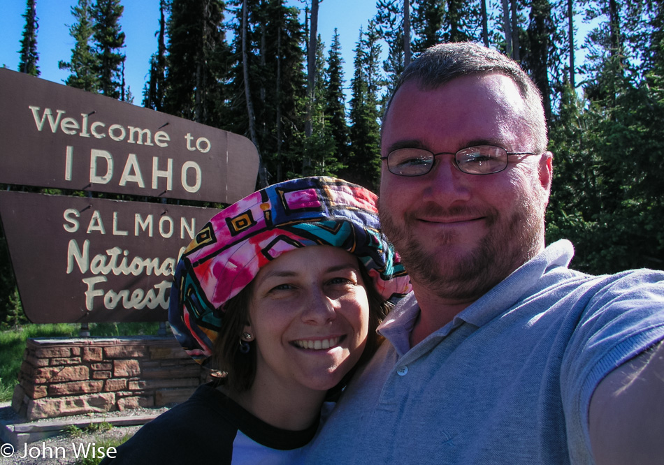
We are on the Chief Joseph Pass as we approach Montana, where we will stop for the obligatory selfie in front of the state sign. We had missed the Idaho sign earlier in the day, so we needed to get that out of the way first. Next up, we skip across the street and shoot a photo of us in front of the Montana state sign; this is almost becoming a compulsive disorder. So here we are in the wilderness, nothing but trees and mountains for miles and miles, sitting in the mountain air at 7014 feet when to my overwhelming surprise, we meet a couple roadside with a little wood cart they’ve hauled up here. Relaxing in lawn chairs under the trees, this husband and wife team are hawking beef jerky, not actually hawking as that would imply some level of work; they are sitting here waiting for whoever might pass over these mountains.

Turns out we don’t have enough cash for a package, and obviously, at this altitude on a remote stretch of road, they don’t accept credit cards, so we swap the little cash we have and a couple of grapefruits we had stowed in our ice chest. This is one of the great pleasures of road-tripping; how often have you met a couple sitting in the forest on lawn chairs selling jerky halfway through a transcontinental flight?

Big Horn Sheep off Interstate 93 in Montana

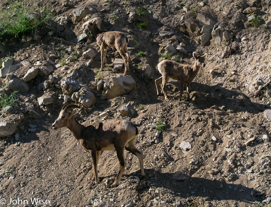
From the crest where we had our jerky encounter, the road begins its descent, and before you can blink an eye, we are making a near emergency stop on the side of the road, as a bighorn sheep herd with about 30 animals is meandering next to and across the road. As it’s early summer, the lambs are out with their parents, learning the fine art of ledge walking. We sat here right next to these families while the rocks from above tumbled ever closer to the Oldsmobile. After nearly 20 minutes, there are about half a dozen cars now parked with us before we begrudgingly move on.

A Bee on Interstate 93 in Montana

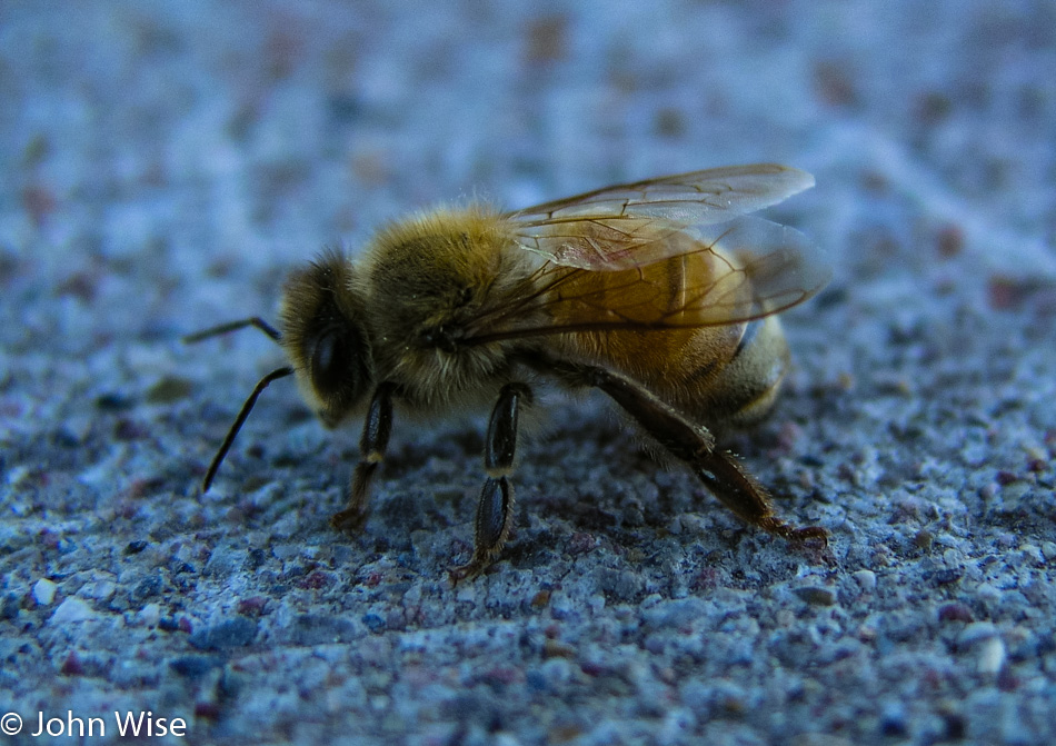
This lonely bee looked forlorn, and without a good dusting of pollen, it had us wondering what troubles this poor soul had seen. It just sat there kind of sulking as I approached to take its photo; while I wouldn’t want to be stung by it, it sure was pretty.

Interstate 93 in Montana

Still on Highway 93, we were passing through lush green valleys and rolling mountains on the way to Missoula when we entered the Flathead Indian Reservation. A roadside pullout invited us to stop at an overview of the gorgeous valley that we learned had been an inland sea after the last ice age scraped the form we see today.

Continuing our way north, we remained on the 93 to Polson, where we met Flathead Lake and the beginning of the evening’s fireworks displays. The road hugs the lake, and from dusk till dark, we wound our way up the road to Kalispell, all the while watching dozens of fireworks displays along the shore. This far north, the sun finally set just past 9:30 p.m., yet we were still seeing remnants of dusk on the far horizon as we pulled into the Blue and White Motel in Kalispell, nearing the 23rd hour of a long day.