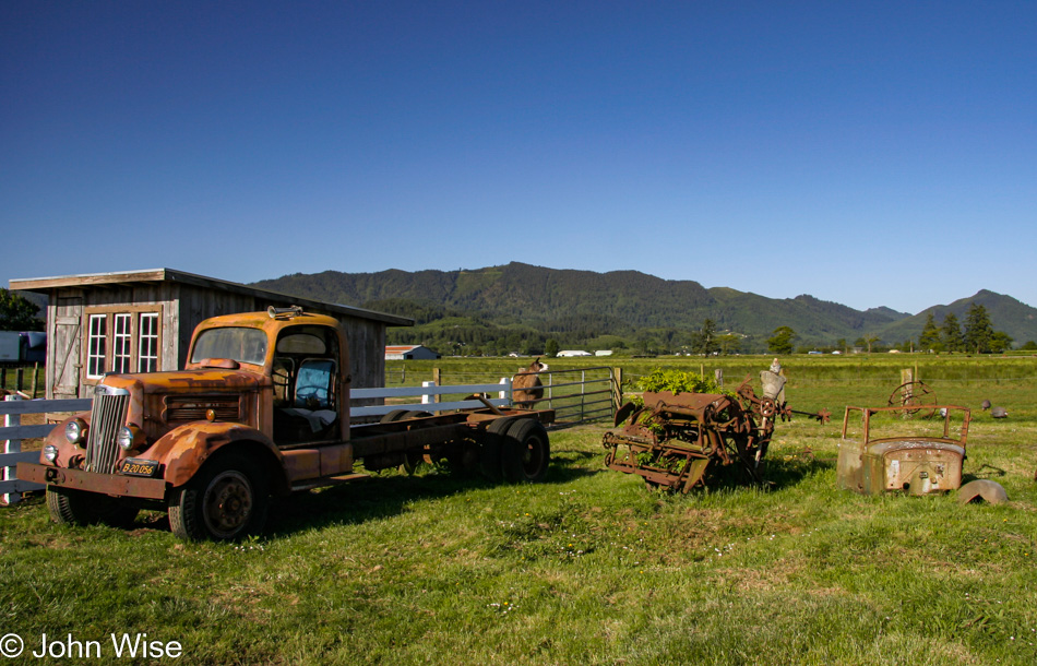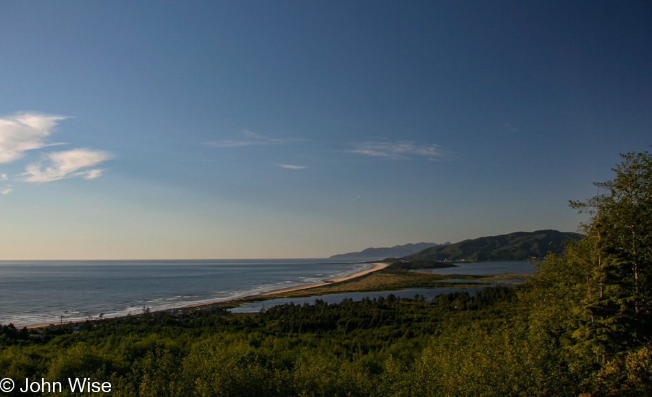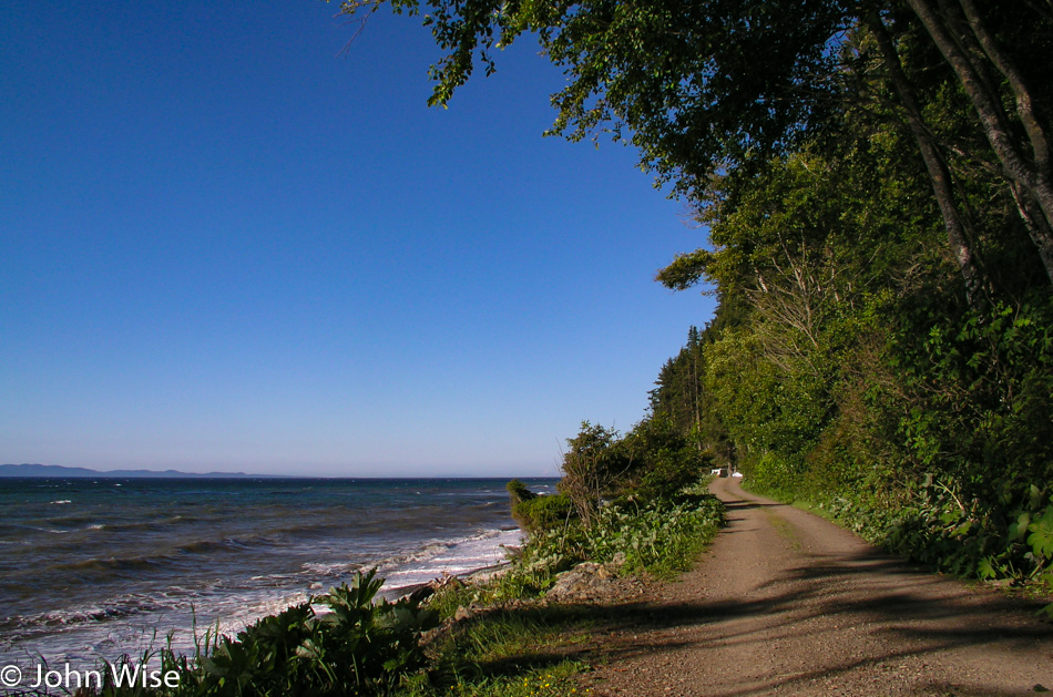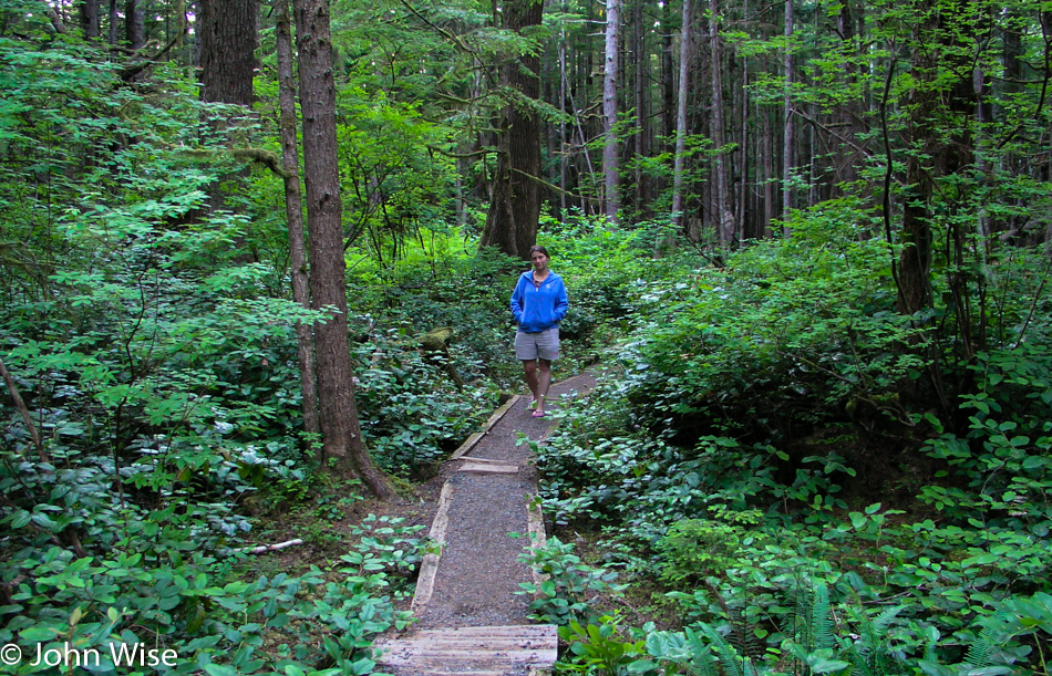
Pigeon Point Lighthouse in California

Point Reyes National Seashore, California

Attention: These posts following our coastal Christmas-thru-New-Year’s trip are named a bit specifically, that’s because when these were originally shared, they only had one photo each due to bandwidth limitations back in the day. Since that time, I’ve updated them to include images that relate to the details of each day.

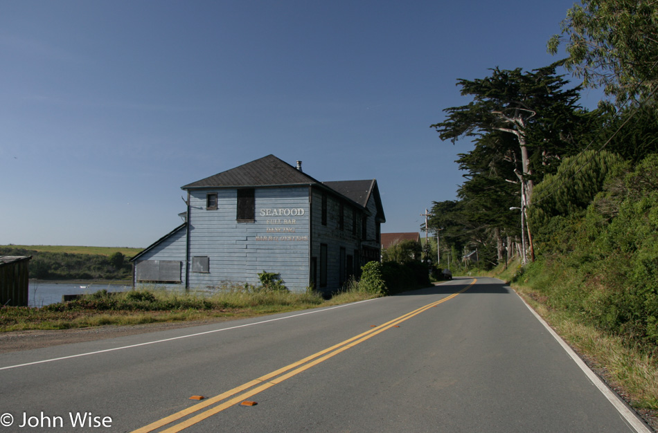
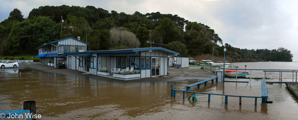
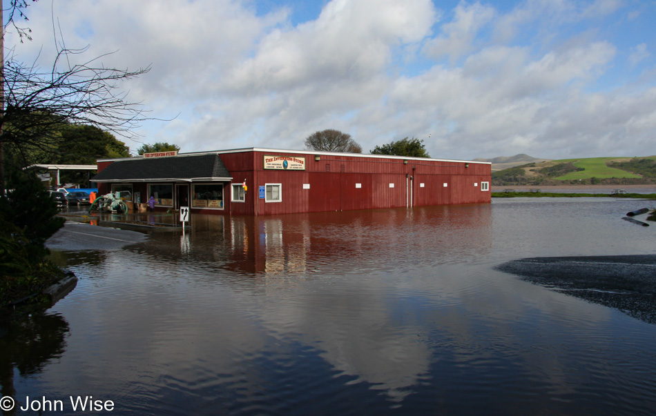
That bad weather we were experiencing yesterday got serious. By this morning, the water had already receded and had drained from the building nearest Tomales Bay. We learned from the manager that if the water hadn’t crested during the night, they would have woken us to evacuate our room, which was across from the white car on the left. Some of their units on the right, not pictured, did flood with guests needing to beat a retreat. Well, lucky us. Nope, not so lucky us. They were expecting more rain that night, and they were welcoming us to leave, except…
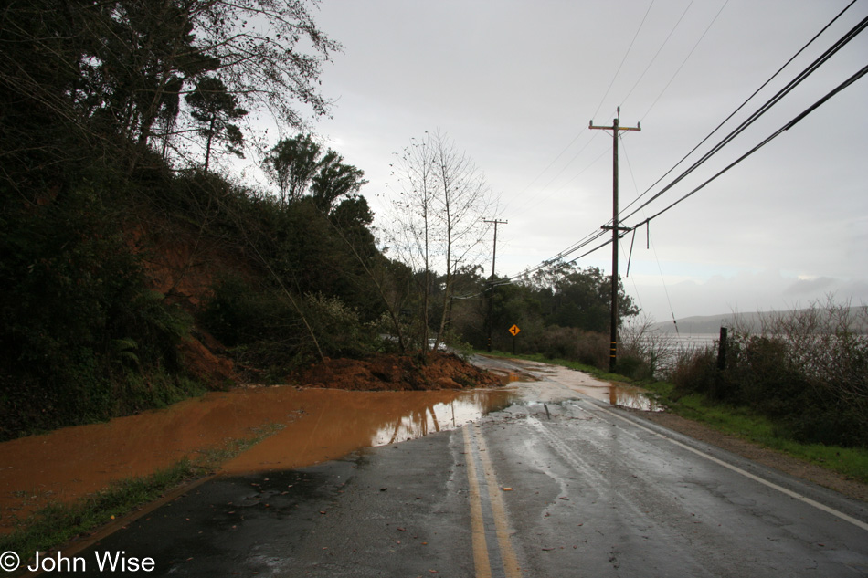
Point Reyes National Seashore, California

There were landslides and flooded roads on the way out in both directions.
Point Reyes National Seashore, California

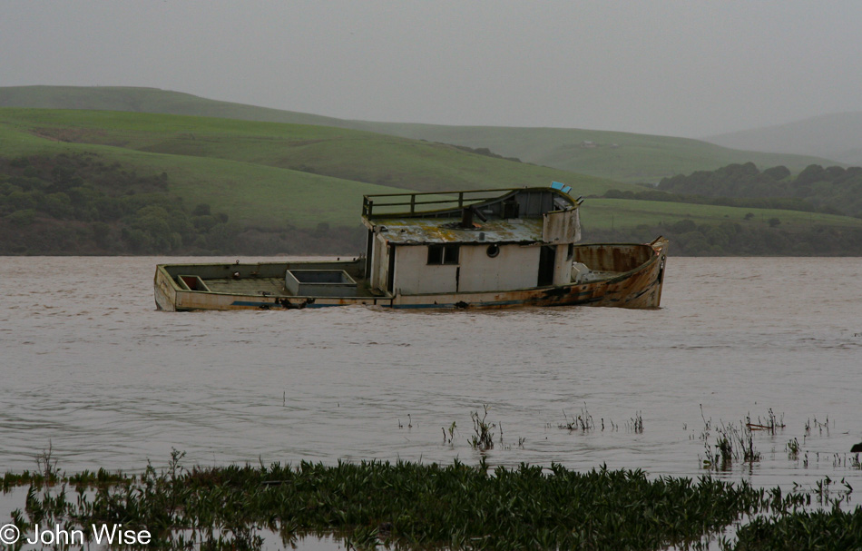
We’d seen this boat before when it was sitting right next to the shore.
Point Reyes National Seashore, California

The sky is clearing, and the water is going down, but work is being done on the road south as the authorities want to get that segment cleared first so people can get away from the area.
Point Reyes National Seashore, California

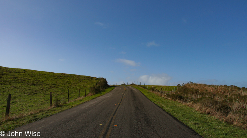
So, we headed north about as far as we could get, and with our good luck in full force, the sky opened up to a beautiful blue, and we hoped to come across an accessible beach we could spend some time at until the road was open.
Point Reyes National Seashore, California

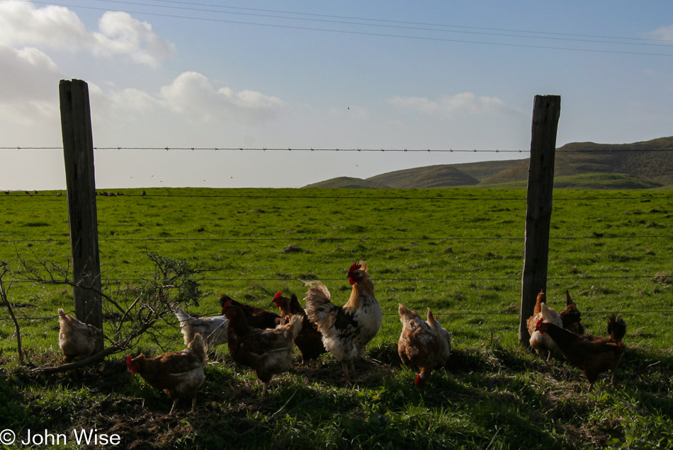
The chickens seemed to be enjoying a worm bonanza, or would that be a buffet?
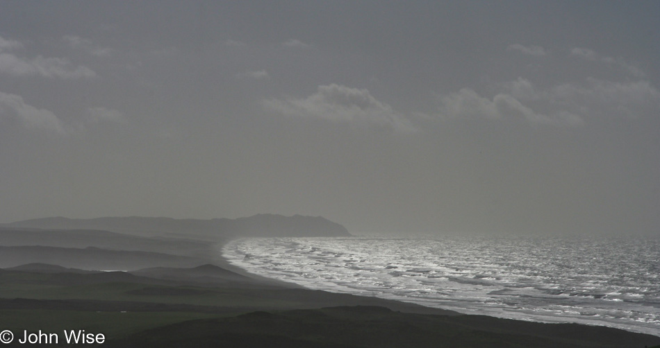
Point Reyes National Seashore, California

There’s a lot of moisture in the air, but at least we have some spectacular views out of here of the silvery ocean.
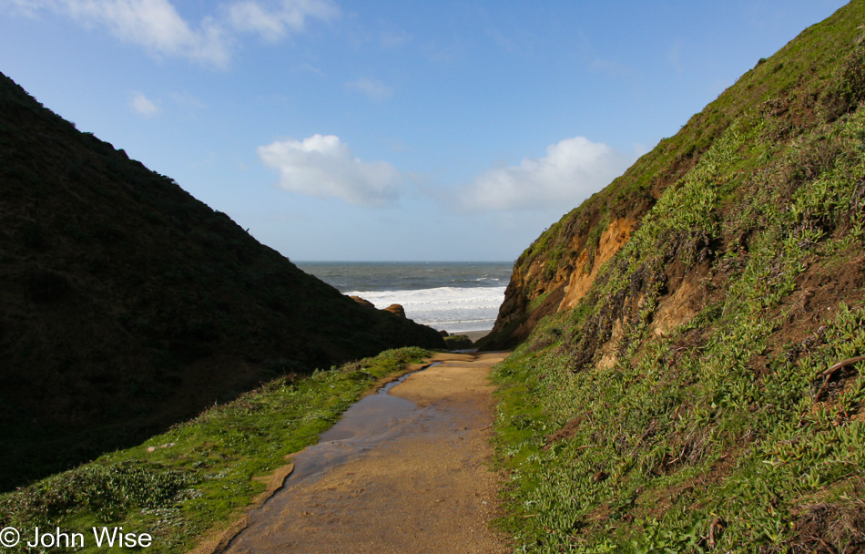
Point Reyes National Seashore, California

The McClures Beach Trailhead looked passable, so off we went. Other than some very minor slides of rocks and sand along the trail, it was easy to navigate our way to the ocean.
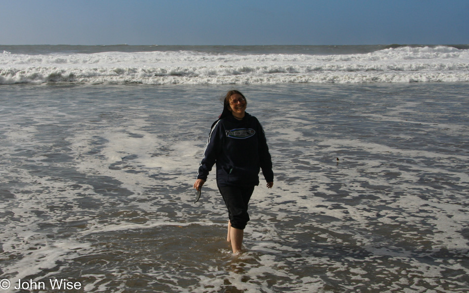
Caroline Wise at Point Reyes National Seashore, California

It is the last day of the year and winter to boot, so you just know that Caroline would have to kick off the shoes and take a stroll in the icy northern California coastal waters because what better way is there to celebrate the New Year?
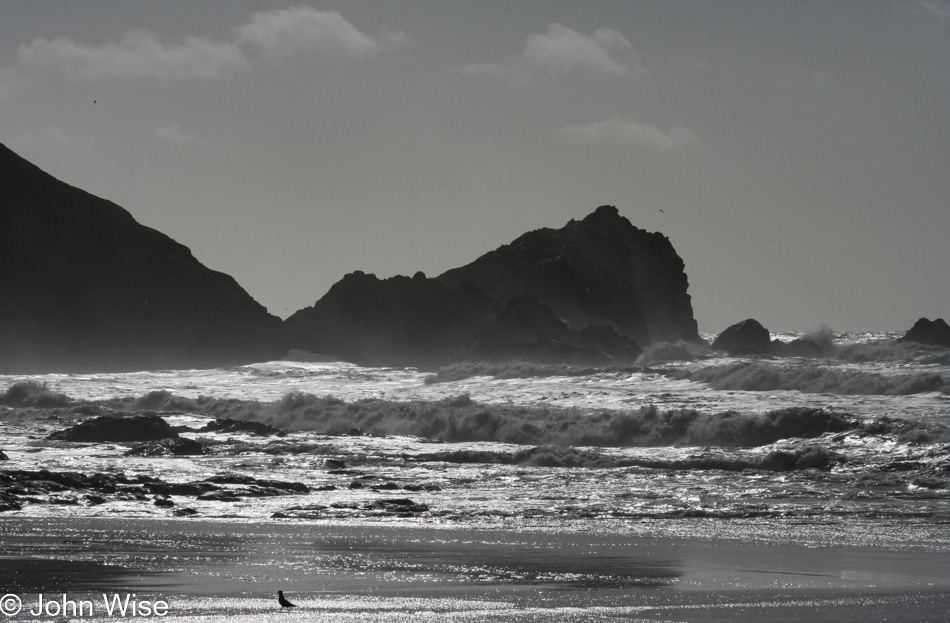
Point Reyes National Seashore, California

And so we spent a good bit of our day walking the beach.
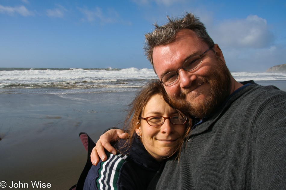
Caroline Wise and John Wise at Point Reyes National Seashore, California

Taking photos of ourselves to remember that we were once young and enjoying some amazing days on grand adventures.
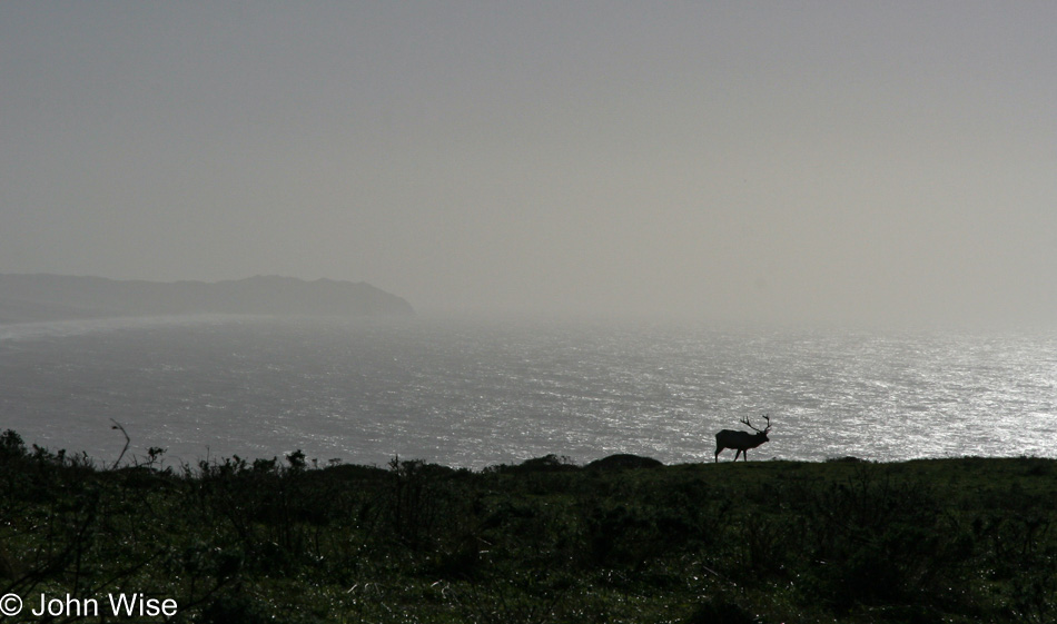
Point Reyes National Seashore, California

A lone elk in silhouette against molten silver is not something we’ve ever seen on the California coast, a truly once-in-a-lifetime moment of wow.
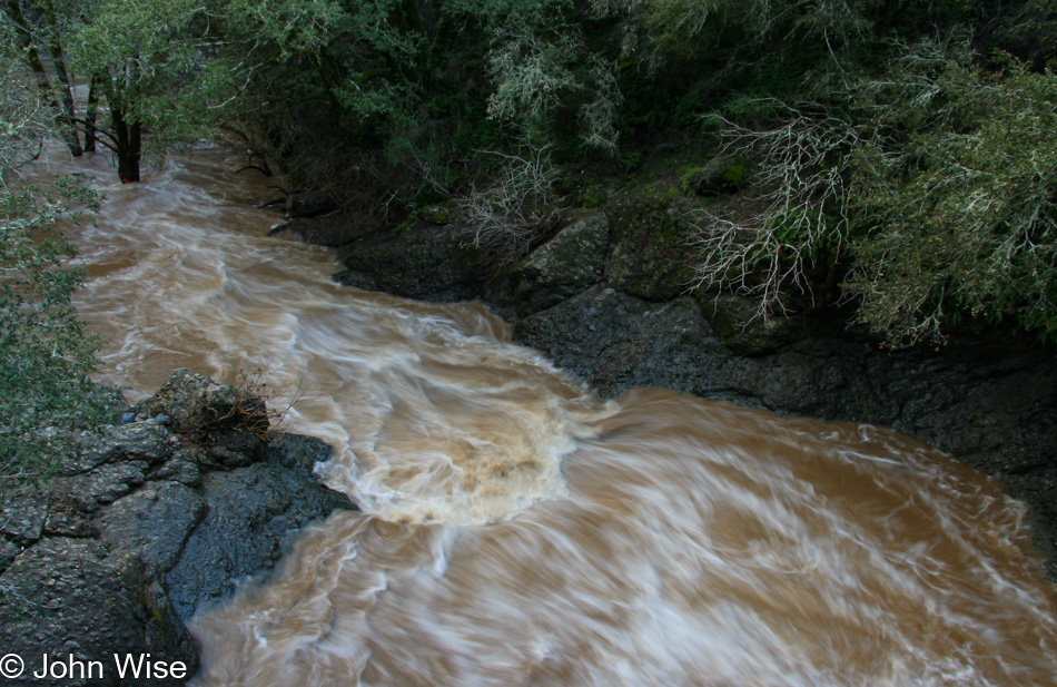
Point Reyes National Seashore, California

When we got back to Inverness, where our motel was, we were informed that some people had left, but the Highway Patrol had warned that there was still small debris on the road and that at a few crossings, we’d be driving through moving water. We were welcome to stay but opted to get outta town before things deteriorated.

We reached the town of Fairfax, California, and saw a sign for famous organic burgers at M & G Burgers & Beverages. That sounded great, and so we pulled in. The place is popular as there’s a good line going, so that should be a good indicator, right? But while we’re waiting to get our order in, Sean Penn steps in behind us. He’s a bit dirty with some serious muddy boots on; he must be dealing with the effects of the flood, too. After we got our order in, we headed to a table to wait, and I pointed out that this was Sean Penn behind us. Caroline looks over and says, “No way, but it does kind of look like him, doesn’t it?” So, I grab my camera, trying to be discreet so I can snap a photo to compare this guy’s image to Sean Penn’s after we get home, but as I do, he turns and gives me the finger. I swear I had been discreet, but the guy had an eye for camera movement; that had to be Sean Penn. As I picked up our order, I apologized for the attempt, explaining I thought he was some guy who looked like a famous guy and that I didn’t intend to cause him stress. No, I didn’t take a photo anyway, and while I was a bit miffed about the finger, I guess I can understand it too.
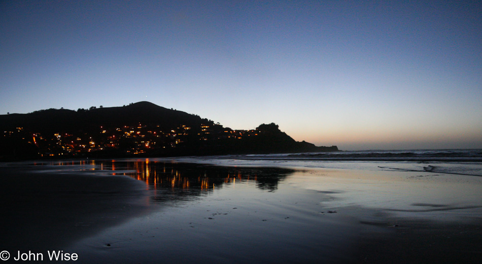
Somewhere near Moss Beach, California

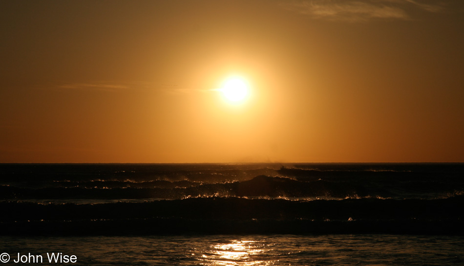
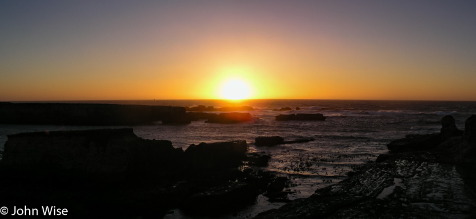
It’s never too late to have one last walk on the beach, and so here we are, somewhere between San Francisco and Moss Beach, capturing the last glimmers of daylight.
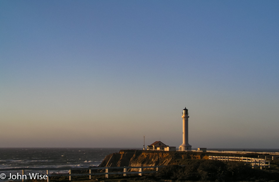
Pigeon Point Lighthouse in California

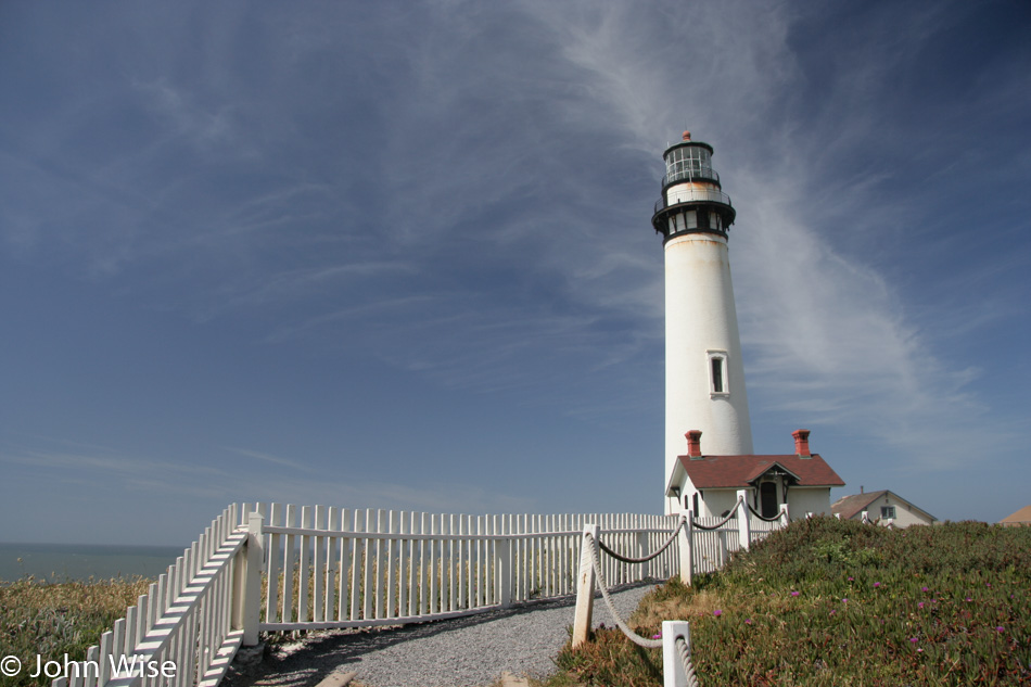
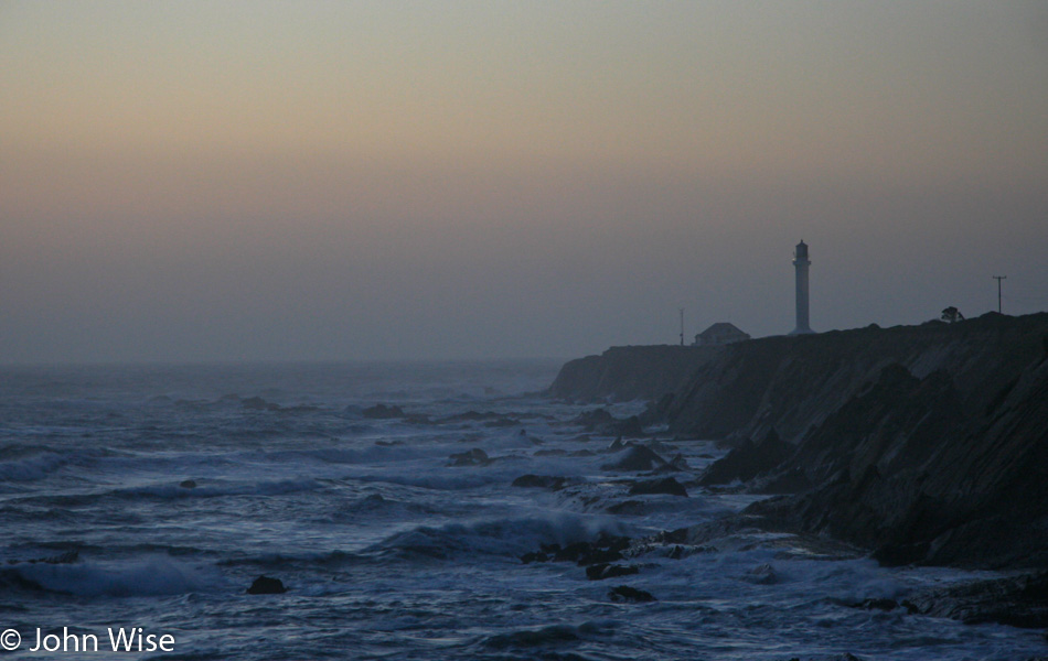
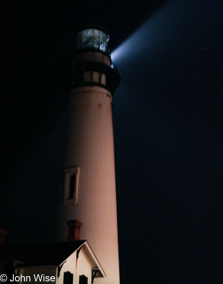
Another stop at the Pigeon Point Lighthouse because it’s just beautiful, and will have to stand in for fireworks celebrating New Year’s Eve. We stayed in Santa Cruz and dined in celebration of being warm, dry, alive, and ready for 2006 at the Las Palmas Taco Bar. We definitely know how to live large.
Mother and Son Going to Buffalo, NY – Day 4

Michigan

Never before have my mother or I had to deal with water that smelled worse. The strong odor of sulfur hits your nose, and then the iron in the water splashing on your lips tastes of blood. Our showers were taken quickly and felt mostly ineffectual. Bottled water was necessary for brushing our teeth.

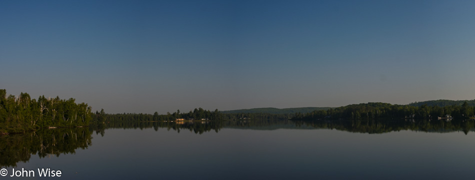
Stepping outside, though, was a dream with blue skies and not a hint of wind, making for a picture-perfect reflection in the lake in front of our lodging. We are later than usual getting onto the road, seeing we slept in, so it’s already after 9:00 as we continue our march eastward.

Michigan

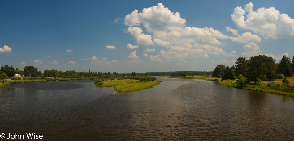
Out in the middle of nowhere, all we can do is drive, admiring the trees, flowers, and the winding road taking us over the Michigan landscape here in summer.

Michigan

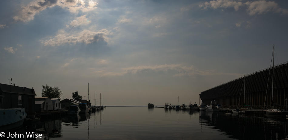
In Marquette, Michigan, we reach Lake Superior again. No wonder this lake feels like an ocean; it’s 350 miles long by 160 miles wide, making it impossible to see the other side no matter the direction you look. A little turned around, we quickly righted our path and ended up at a small corner of the bay. We’re near an old platform once used for filling ore into barges headed to steel mills that dotted the Great Lakes in former times.

A local fish shop looks like it has the potential to offer breakfast. It turns out they sell fresh raw fish and nothing else. The proprietor suggests a place around the corner and up the hill called the Nordic Inn, which turns out to work fine, satisfying our morning hunger attack.

Michigan

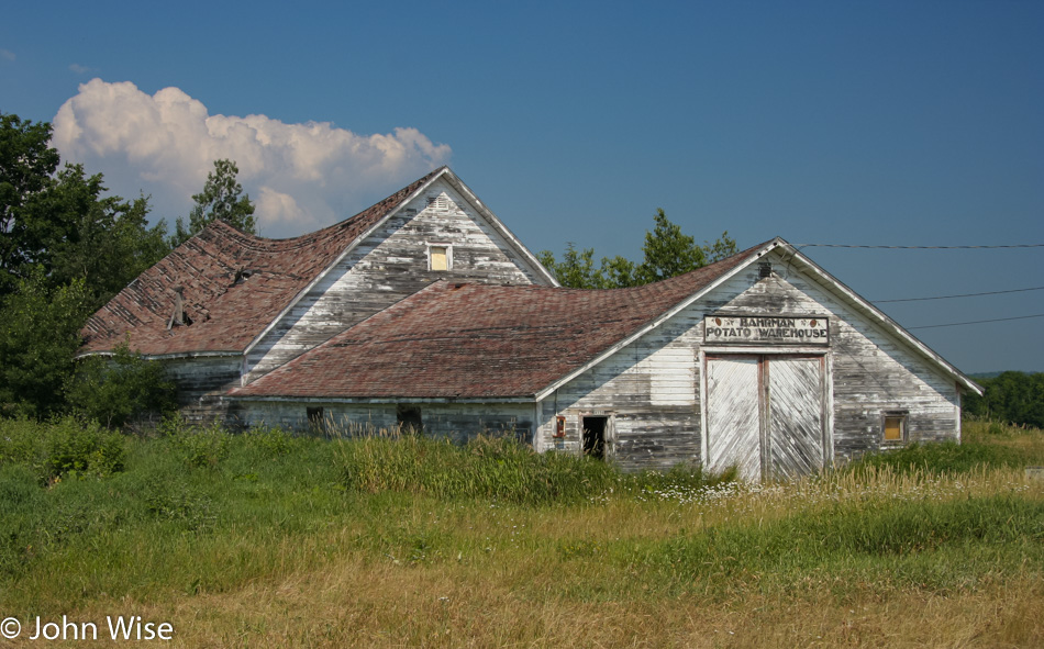
Passing the Bahrman Potato Warehouse in Skandia, Michigan I needed to stop for this photo due to the heavy sag of the roofs. It wasn’t just the state approaching collapse that I wanted to note but the fact that it was a potato barn, and in my limited thoughts about growing spuds, I’d not thought of them outside of Idaho. Such is the effectiveness of marketing and branding as Michigan is known for cars and Motown, or can you think of anything else?

Michigan

It may as well be summertime in California and Florida all year round, as the constant buzz of activity and throngs of people suggest that the crowds are on vacation there every day. Here we are moving over some incredibly beautiful landscapes in Minnesota, Wisconsin, and Michigan in the middle of summer, and there is nobody out here. This northern part of the Midwest doesn’t seem to draw in that many visitors, which is perplexing. Maybe lakes and forests only hold deep appeal to those who dwell in deserts.

Karen Goff and John Wise in Michigan

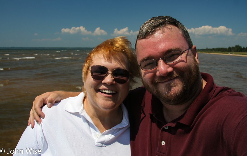
With the crazy pace of driving now slowing, we’ll hopefully take more opportunities to step out of the car together to experience the places we are passing through. Here we are on day four already, and this is the first selfie of my mother and me standing in front of Lake Michigan. Over the coming 12 days, there will be very few photos of my mother, which is a bit tragic as this was supposed to be something more than a simple sightseeing trip to New York. At 57 years old, my mom does not have much stamina for physical activity, which includes simply walking. Even 11 years ago, when Caroline and I were in America from Germany to get married, she ended up not being at our midnight ceremony on the Las Vegas strip due to being too tired when she was only 46 years old.

Michigan

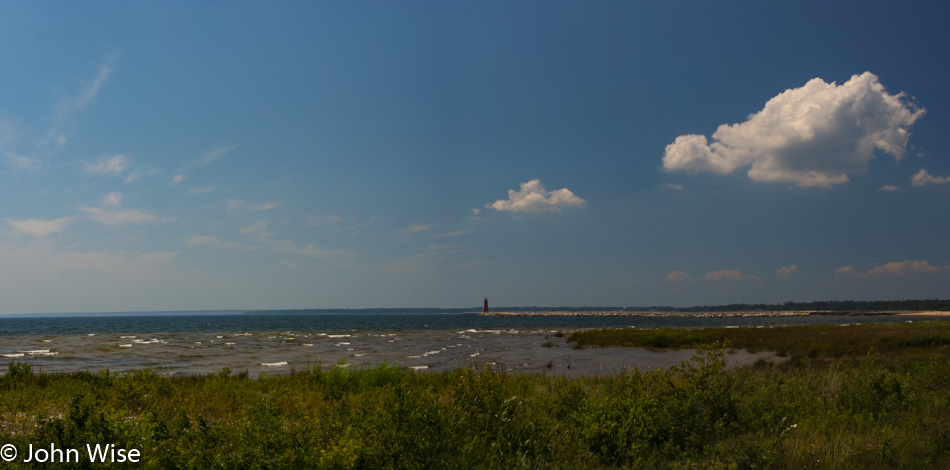
I wish I was here with Caroline as there would be no doubt that we’d walk out to the Manistique East Breakwater Lighthouse there in the distance. Instead, I have to put it in the catalog of places to return to.

Michigan

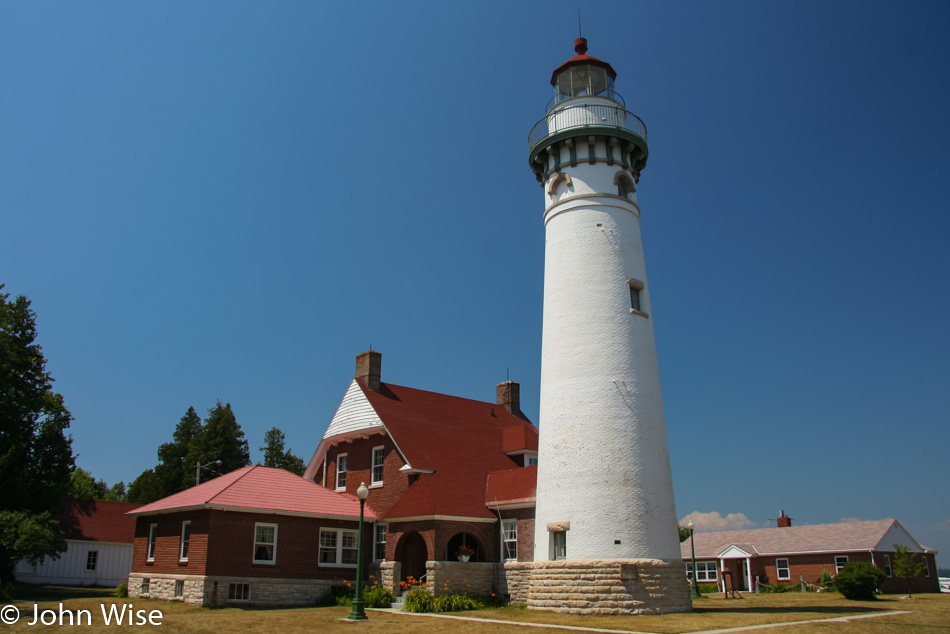
I did have the opportunity to visit the Seul Choix Point Lighthouse in Mueller Township, and while I got a panorama from up the tower, it didn’t turn out as nicely as I’d hoped, so there’s this view.

Michigan

It took us until late afternoon to pass from the north of the Upper Peninsula to the south and over to St. Ignace, Michigan, where we are now. It’s too late in the day for the ferry to Mackinac Island, which we feel won’t give us enough time to visit, with the last ferry returning to the mainland at 9:00 p.m.

Michigan

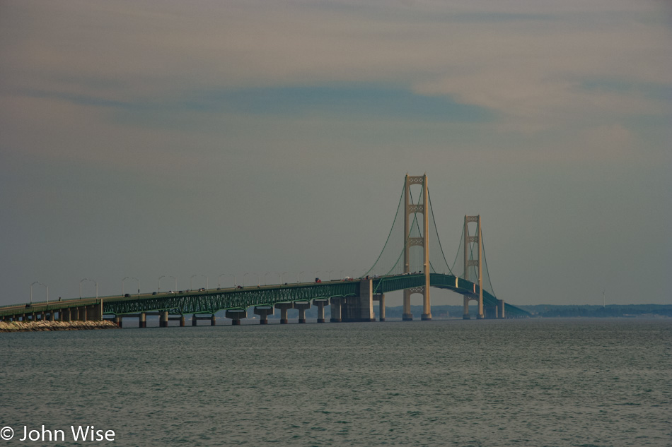
Putting off Mackinac until tomorrow we decide to head down the eastern shore of Lake Michigan. Over the 5-mile-long bridge to the mainland, let’s see what we can find.

A tip earlier in the day suggested we stop to eat at the Legs Inn Restaurant in Cross Village if we were in the area. Things didn’t work out timing-wise to do so, but it certainly becomes a place to bring Caroline. Another recommendation just beyond Cross Village suggested we drive the M-119 scenic road. It was about to deliver a week’s worth of oohs and aahs.

Michigan

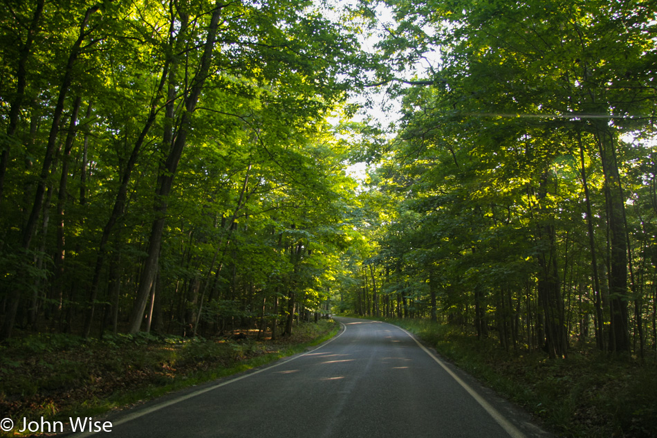
The road is a single lane with barely enough room for two cars to pass. Even a separating line wouldn’t fit on this narrow path as nobody could stay on their side of the road. This is the Tunnel of Trees road. It twists and turns, shaded by the canopy of leaves that blot out the sky. As we enter clearings, we have the feeling of having left a movie theatre with our eyes needing to adjust to the bright light.

Off to our right and occasionally visible through the thicket is Lake Michigan. On our left are some incredibly gorgeous homes buried in the woods. The sun is getting low in the sky, with an amber glow developing over the lake. Neither Mom nor I can believe we almost changed the itinerary to skip this part of the trip with the idea we could instead make it all the way to Maine. We are both mesmerized by the incredible place in which we have found ourselves.

Michigan

And then it gets even better. The town of Harbor Springs sits on Little Traverse Bay and must be one of the most beautiful towns my mother, and I have ever seen in America. We agree that Telluride, Colorado; Jackson Hole, Wyoming; Pt Reyes or Big Sur, California; Ketchum, Idaho, and Bar Harbor, Maine, can’t hold a candle to the extraordinary combination of elements that make this a top location for both of us.

Michigan

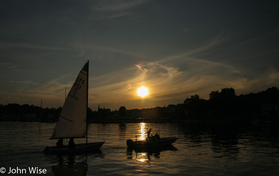
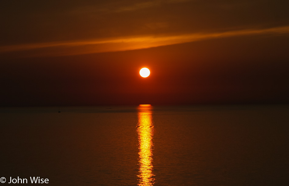
We drive right through Petoskey on the hunt for a motel, though we take a quick pause at a scenic overlook to grab a shot of the sunset. I should point out that this far north, the sun doesn’t actually set until after 9:30 p.m., so we know if we putz around looking at sunsets, it will be 11:30 before we check into a motel.

Drats, turned around, a wrong turn, and finally, we are in Charlevoix but not able to find a quaint waterside room. It is 10:30 when we open our door. Charlevoix in the dark, looks to hold a lot of promise for the morning, so it’s time for me to close this chapter and get to sleep. It’s midnight.

Jutta On The Road – Day 6

Disclaimer: This blog entry wasn’t written until 15 years after the trip. It should be noted that it was a huge mistake to have not written it way back when. Sometimes, after writing so much about other days, it happens that at the time directly after the trip (or even during), I convince myself that the details are not that important. Years later, these details are that important, and pulling them out of foggy memories is difficult. The photos help and often leave clues, and then Caroline’s memories are usually far clearer than mine. With that said, here goes.

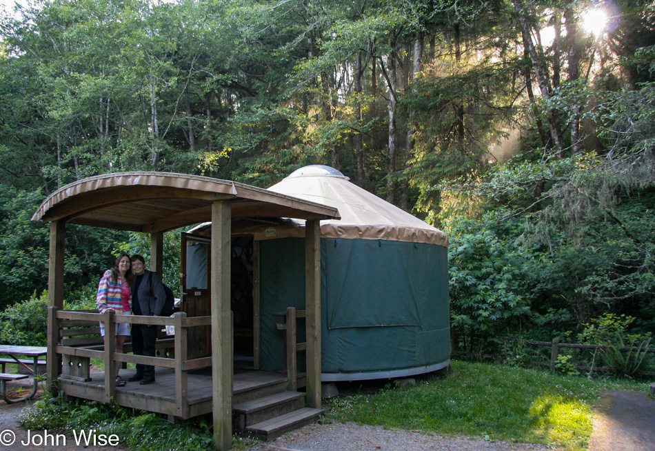
As I look back at these photos and consider how it sufficed so many years ago to have a single photo representing an entire day, I cannot believe how far we’ve come regarding bandwidth and storage. Pages were slow to load when overloaded with images, and so in light of that, it seemed perfectly fine to choose a favorite and go with it. Those days were pre-Instagram and social media, even photography had not caught back up in popularity as it had been in the decades before. Now, here I am in 2021, filling in some blanks, and I find it difficult to only choose the 15 images that will now accompany this day spent visiting the Oregon Coast. This was Jutta’s first night sleeping in a yurt, and it wasn’t going to be her last. She loved her “camping experience.” When she needed to visit the loo at night, she nudged Caroline to help her find the facilities, and on the way, they enjoyed the starlit sky.
By the way, it’s been fortunate that I kept nearly all the itineraries I made for these trips. So, in this instance, we were staying at Sunset Bay State Park in Charleston for the bargain price of only $33.

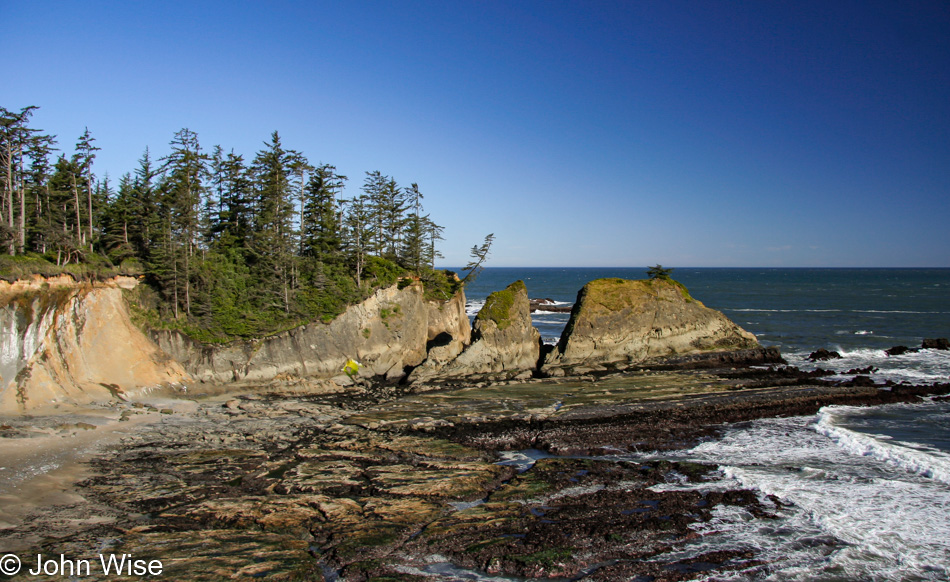
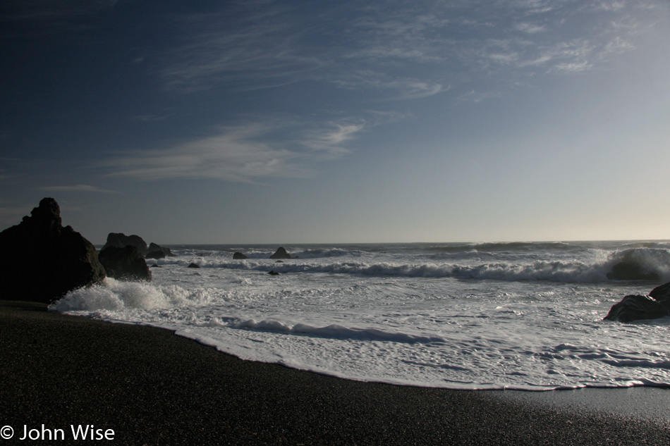
Waking up next to the ocean, it was obligatory that we went for some sightseeing before continuing our trek north.

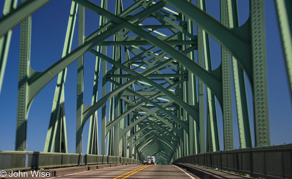
Our first encounter with the bridges of Oregon had us falling in love with these beautiful structures that add so much character to the coastal drive. This particular one is the McCullough Memorial Bridge in North Bend.

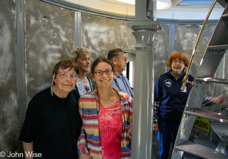
Just this past November 2020, Caroline and I took a tour of this lighthouse once more. We are at the Umpqua River Lighthouse, where we have stopped on every trip we’ve made over the years, and on more than a few occasions, we also stayed in the state park just around the corner.

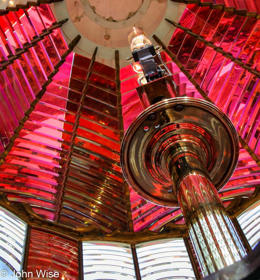
We’ll never tire of looking through Fresnel lenses, ever. This particular lens has an intriguing pattern of white and red flashes in the dark, a spectacle we are drawn to on every visit.

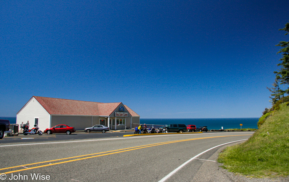
We finally gave in and visited the Sea Lion Caves, though we had a bit of trepidation that it might be more hype than an amazing spectacle.

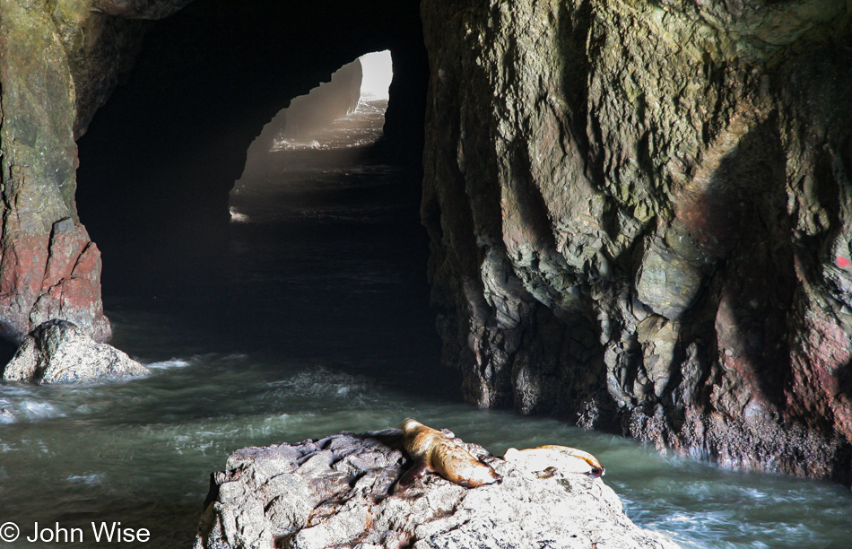
Well, two sea lions down in the cave qualified the place as living up to its name, but still, it was just two.

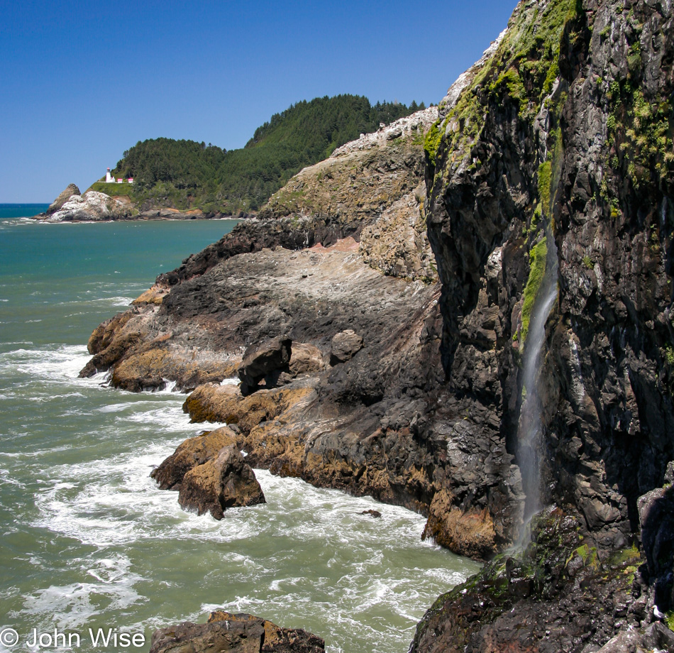
The view from down in the cave, though, is spectacular, even offering a great view of Heceta Head Lighthouse.

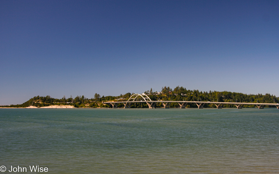
Yeah, I know another lighthouse today would have been off the chart, but we had places to be with limited amounts of time. This is the Alsea Bay Bridge in Waldport.

There was no way we’d skip out on a stop at the Blue Heron Cheese Factory in Tillamook for some smoked brie sandwiches, followed by ice cream cones at the Tillamook Cheese Factory. I’d guess by now, you can recognize that we’re having a perfect day.

Did some backtracking so we could take Jutta up the hill to another lighthouse. By the way, this view of Bayocean Peninsula Park from the road is now gone as a landslide stopped vehicle traffic. As of 2021, the word is that the road will once again be open.

Cape Meares Lighthouse near Tillamook, Oregon

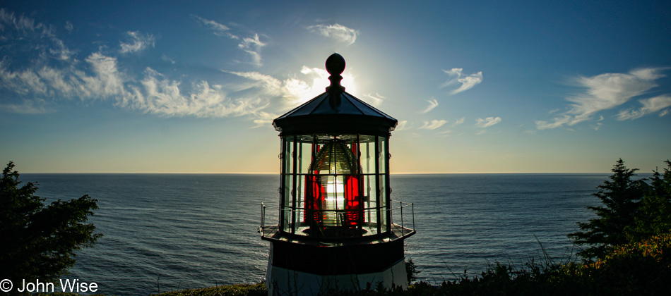
One lighthouse a day isn’t enough when it’s possible to visit a second. This is the Cape Meares Lighthouse near Tillamook, which is no longer in service. This photo became very special to us this past year as we’d learned that some drunk young men decided to shoot at the Fresnel lens and damage it forever. This image is of the formerly complete and intact lens that had been standing sentry here for more than 120 years.

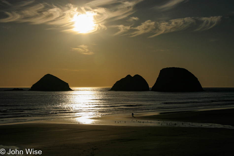
Three Arch Rocks in Oceanside.

This is my likely very tired and in need of a nap mother-in-law, Jutta. Time is precious to spend with our families, and there will be plenty of time to sleep when she returns to Germany, so my motto was, “Shake a leg, Jutta, we’ve got places to be.”

Our second night in a yurt was at the Cape Lookout State Park for only $33. Over the years, they’ve become more popular and were $57 a night in the off-season last time we stayed in one back in 2019. Tomorrow, we’ll head up to Washington as we continue on this crazy 5,000-mile road trip into the entirety of the western United States.

Jutta On The Road – Day 4

Pigeon Point Lighthouse in California

Disclaimer: This blog entry wasn’t written until 15 years after the trip. It should be noted that it was a huge mistake to have not written it way back when. Sometimes, after writing so much about other days, it happens that at the time directly after the trip (or even during), I convince myself that the details are not that important. Years later, these details are that important, and pulling them out of foggy memories is difficult. The photos help and often leave clues, and then Caroline’s memories are usually far clearer than mine. With that said, here goes.

South of San Francisco stands the Pigeon Point Lighthouse, which is part of the Pigeon Point Light Station State Historic Park. The weather following us up the coast couldn’t be better. This was our first visit to this particular lighthouse, one of the tallest in America. A  youth hostel is on the grounds right next to the lighthouse. but the lighthouse itself is closed with a chain-link fence around its base.

The name Pigeon Point comes from the fact that in 1853, the clipper ship Carrier Pigeon ran aground here.

Golden Gate Bridge in San Francisco, California

Like the air over San Francisco on the left, my memories are hazy. Even with the image of the Golden Gate and those that follow, they don’t work to bridge a path to digging out details of the day. I’ve been paused in updating this old entry and moving on to the subsequent days as I searched for inspiration that hasn’t arrived. Somehow, the first few days were written with a lot more ease. Caroline, on the other hand, just reminded me how much she is looking forward to my continuation, so even if I come up flat, we’ll still have something posted with these images. And who knows, maybe Caroline will add a little something herself?

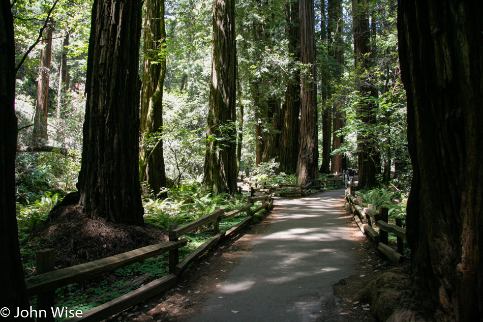
Muir Woods National Monument in California

Maybe it was because it was Monday, or maybe the Muir Woods wasn’t run over by the masses yet, but here we are without an issue finding parking or getting in. As I write this in July 2020, after four months of self-isolation due to COVID-19, I am asking myself if we were far luckier than we realized at the time. The trail was quiet, there was no fear of contagion, no second thoughts about where we’d eat, no worry about my mother-in-law flying halfway around the Earth. It’s difficult when doing something that feels so normal to always be cognizant of the good fortune we are experiencing, but looking back right now, I can’t help but wonder if this will come back in my lifetime.

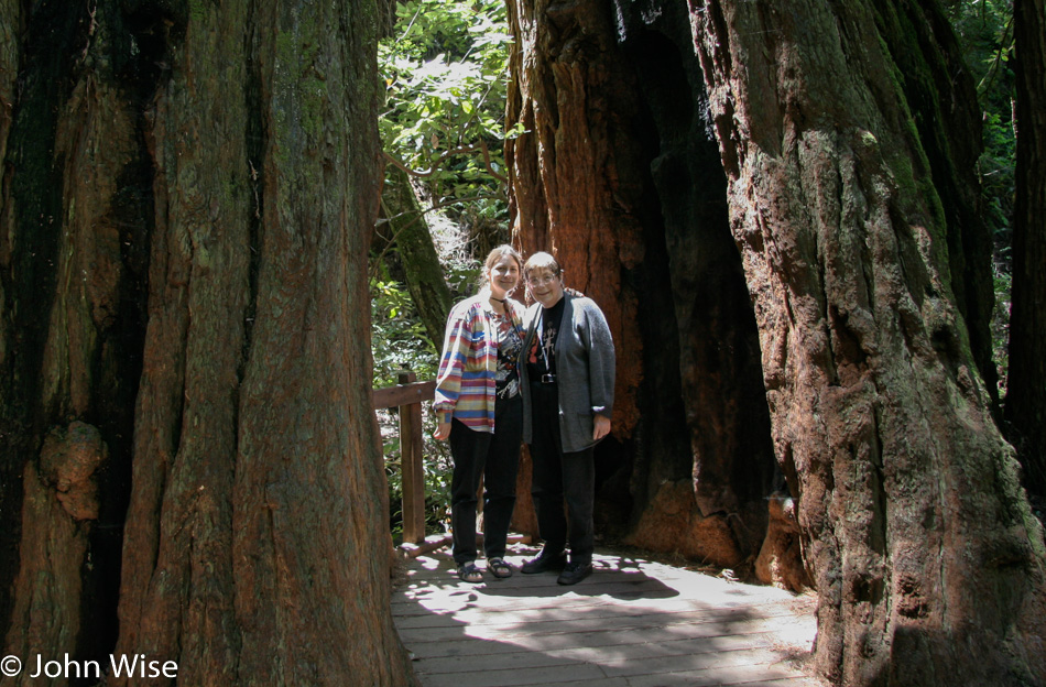
Caroline Wise and Jutta Engelhardt in the Muir Woods National Monument in California

Of course, Caroline and her mother discovering somewhere new together is something now lost, too, as Jutta is about to turn 85 in just a week, and she’s no longer able to travel. Even on our last visits to Germany, her stamina was such that we couldn’t go far with her. But back on May 23rd, 2005, Jutta was in awe and reveling in how sagenhaft everything was when she was traveling with us. Sagenhaft is German for awesome. The truth is that sometimes things weren’t so sagenhaft as a stubborn lady at 70 years old and her even more stubborn 42-year-old son-in-law could butt heads. I don’t mean to diminish the incredible nature of our journeys into America, as the ratio of friction to amazement was easily 99 to 1, but I feel a tinge of guilt that I wasn’t more patient and understanding of someone who’d made it to 70 and was already suffering from the effects of being inactive while at home in Germany in large part due to loneliness. Sadly, we cannot stand in someone else’s shoes while we walk together when our gender, cultural background, and age difference don’t allow us to be aware of the truths of the other.

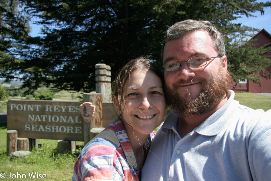
Caroline Wise and John Wise at Pt. Reyes National Seashore in California

So we put on smiles for the camera as we know we’ll get over the tensions and will want to look back with eyes that remember with fondness the good times. Today was one of those days where impatience and the tour guide’s unreasonable demands for perfection interrupted an otherwise beautiful day. While I certainly can own my share of the guilt, and those darker moments are likely long gone from Jutta’s memories, I do wish I could rewind the clock and show my wife a more compassionate and understanding friend and husband. Our frictions never lasted more than an hour or two, but they hurt my wife more than they bothered Jutta or me. Still, Caroline put on the smile in her effort to diffuse the grumpy, hot-headed guy on her side, and while I’d certainly like to forget these dumb moments where my emotions arising out of impatience got the better of me with those around me paying the price, I cannot forget, but I am happy that I believe I’ve been forgiven.

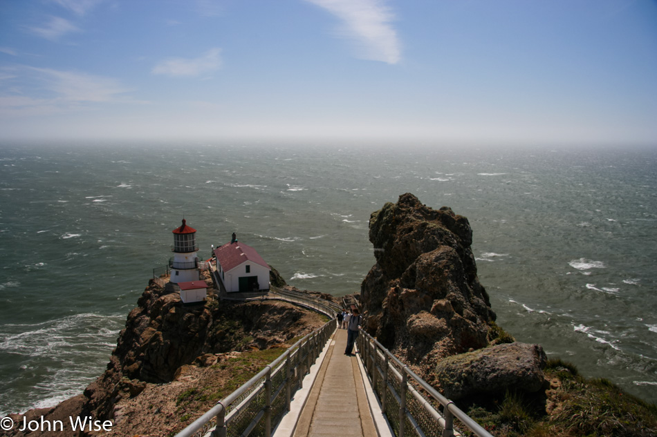
Pt Reyes Lighthouse in Northern California

Caroline bolted down the stairs to Point Reyes Lighthouse while I remained with Jutta. Her lack of stamina wasn’t allowing her to be fully with us. Hence, my disappointment spilled into misguided anger. But let’s leave all of this behind us and get on with the day.

Pt. Reyes area in Northern California

Our drive up the Mendocino coast was just beautiful, and for that spectacle, everyone in the car was happy.

Caroline Wise and Jutta Engelhardt on the Mendocino Coast in California

There are always breaks to stretch the legs, even if the basic premise is first to find a bathroom for the ladies. Then, the side effect of that stop is to hopefully take in some grandeur of our location or, if we’re at a gas station, to indulge our taste buds with ice cream.

Mendocino Coast in Northern California

I no longer remember exactly where this was, but obviously, we couldn’t have wished for a better day to have been here.

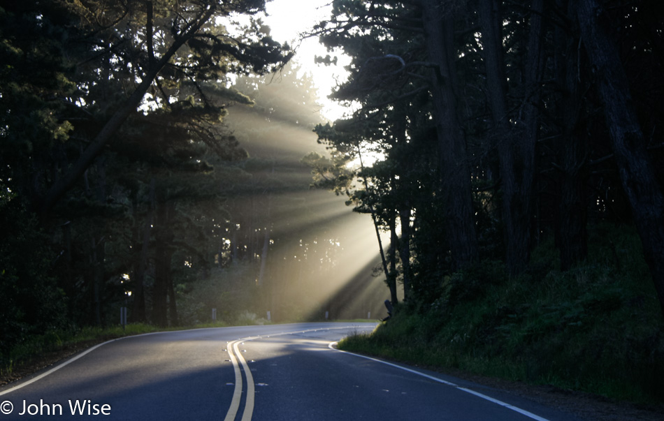
God Rays on the California Coast

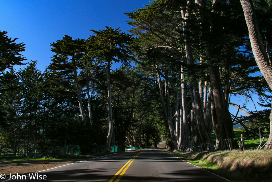
There’s some kind of magic in the god rays that fall on the road, or maybe they are sunbeams and are distinct from god rays, but whatever you want to call this type of light sliced by trees, casting shadows within the illuminated moisture along the coast, this phenomenon always elicits our oohs and aahs. That must be magic, then.

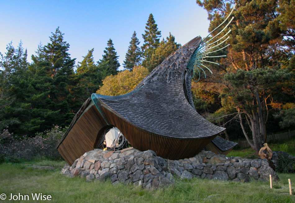
Sea Ranch Chapel in Sonoma County, California

Approaching the Sea Ranch Chapel in Sonoma County. If you are not intrigued enough to stop, you must be a little dead inside. This whimsical bit of architecture out in the middle of nowhere was a surprise I hope we are so fortunate to stumble upon again in our lifetimes.

Point Arena Lighthouse in Northern California

We are running out of daylight as we stop at a distance from the Point Arena Lighthouse. With dogged determination, though, we still have a long drive ahead before reaching Eureka, California, 175 miles north of us. Somehow, we took all day just to drive the first 80 miles before reaching the lighthouse. This has often been an issue with our road trips where, during the planning stages, I think that 255 miles is nothing and we’ll be arriving at our motel early, but I’m almost always wrong.

Thanksgiving 2004 – Day 3

Northern California Coast

This idea of the early bird catching the worm doesn’t always hold true, as at 7:00 in the morning, you might be too early to enter the Muir Woods National Monument. Muir Beach is also not visitable, but at least the overlook is accessible on this cold and windy morning.

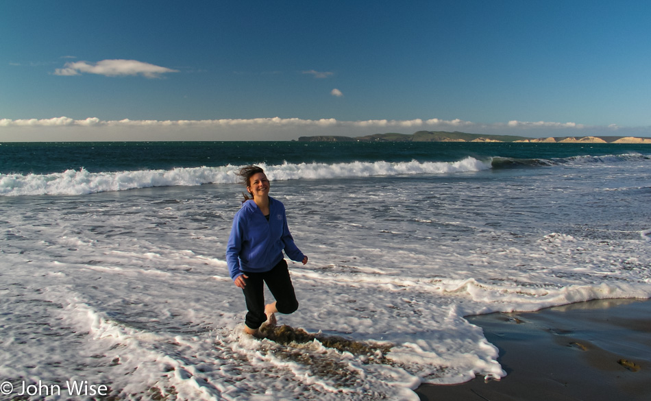
Caroline Wise in the surf up on the Northern California Coast near Pt. Reyes National Seashore

Put it on the list as Caroline steps into the early morning surf here at the Pt. Reyes National Seashore and Drake Bay. You can tell by the look on her face that we aren’t bothered in the least by not being able to visit the Muir Woods on this trip; we’ll get there someday.

Northern California Coast

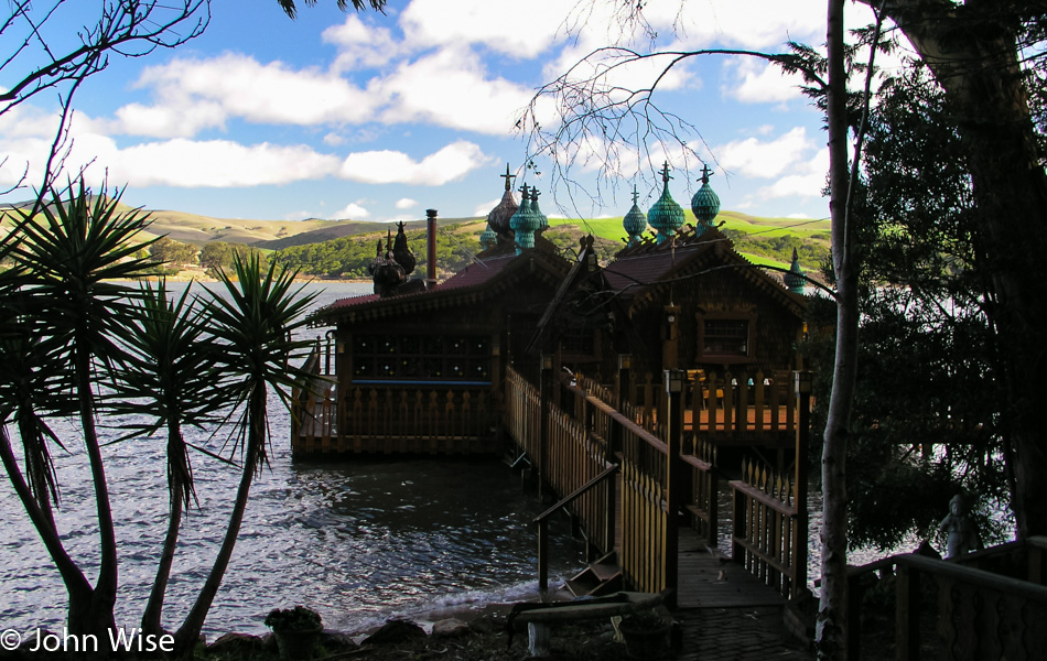
The Lipnosky Dacha in Inverness is a strange sight as the onion-domed architecture comes into view. I wish I’d gotten a better photo, but at least I have a reminder of this place, and who knows, maybe they rent it out and we can stay here on a future visit.

Point Reyes National Seashore in Northern California Coast

Wow, I can’t believe we are here on the right day, a perfect day, a day when somehow we seem to have Pt. Reyes to ourselves. I’m sure this can’t happen twice in a lifetime.

Point Reyes National Seashore in Northern California Coast

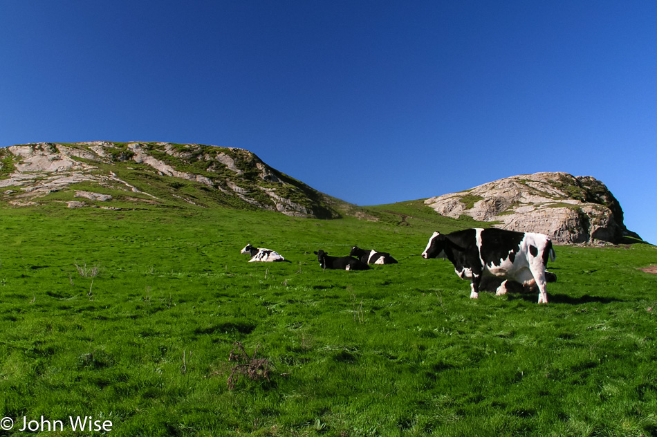
So we aren’t totally alone, as there are these coastal cows lounging on the grass. If it weren’t for the status of this area as a national seashore, it would be home to 15 billionaires who would be able to covet the views for themselves. Instead, cows own this luxury.

Point Reyes National Seashore in Northern California Coast

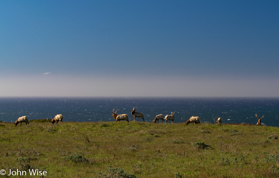
These are Tule Elk statues at Pt. Reyes. No, they are not statues but real elk with one of the most priceless views on earth who seem to be sharing the wealth with the cows above. If only we humans could be so generous.

Point Reyes National Seashore in Northern California Coast

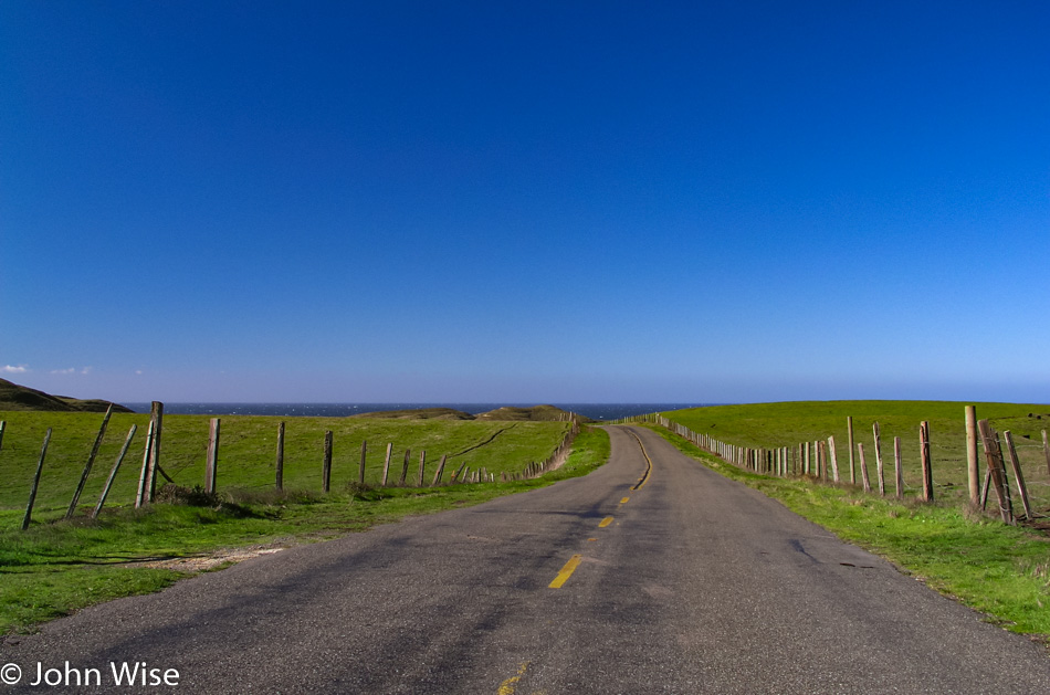
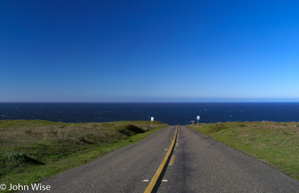
This is not an optical illusion; the road really did just drop off into the ocean.

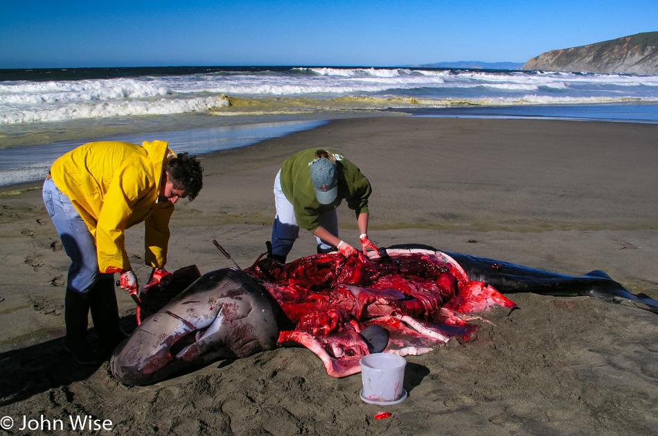
Whale Autopsy at Point Reyes National Seashore in Northern California Coast

A few researchers were out here performing a necropsy on a baby Sperm Whale that sadly either came to shore to die or maybe washed up. In any case, these people will try to find out why it died and then distribute the pieces of the whale across the beach so other animals can help dispose of the carcass.

Northern California Coast

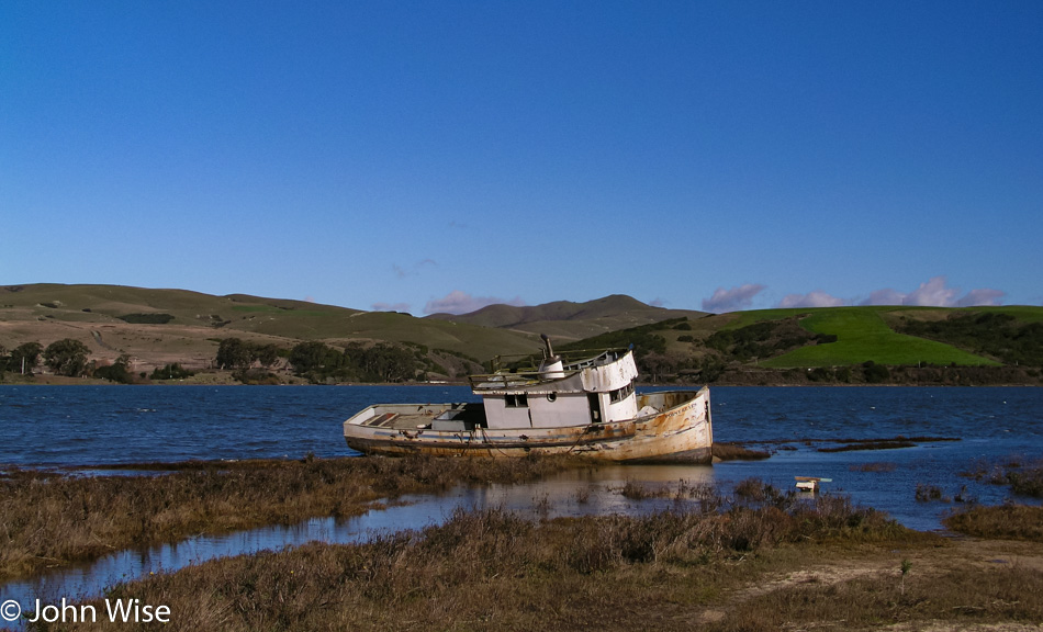
I’m pretty sure we are on Tomales Bay, but I wouldn’t put money on it.

Northern California Coast

On the way to Bodega Bay.

Northern California Coast

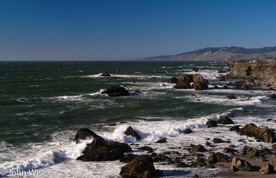
And by 2:00 p.m. here we are at Arch Rock in Bodega Bay, California.

Northern California Coast

You’ll never be able to explain to me why, on a Saturday here during the extended Thanksgiving weekend, we are not encountering overwhelming crowds who want to enjoy the weather. A couple of years ago, we understood the emptiness of places due to the fear that stopped American travel post-9/11, but we’ve mostly recovered from that, so what gives? Maybe part of the answer lies in the absurd amounts of traffic and the hours required to move in and out of the San Francisco area, especially on holidays. In any case, I have to pinch myself that, along with the cows and elk, the place is all ours.

Northern California Coast

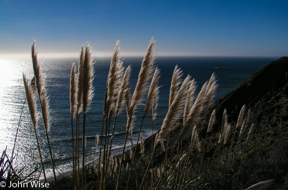
Pampas grass may be invasive, but there’s no denying that it adds to the beauty of our coastal drives.

Point Arena Lighthouse on the Northern California Coast

It’s shortly after 5:00 in the afternoon when we arrive at the Point Arena Lighthouse, which closes to visitors at 3:30, so we can only admire it from afar.

Northern California Coast

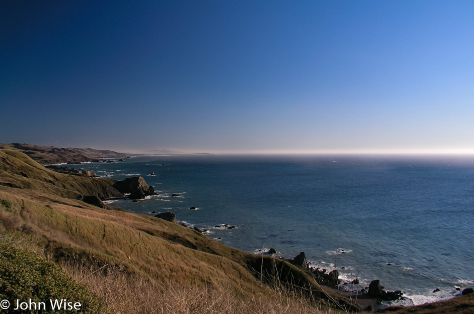
A half-hour after passing through Ft. Bragg, we are about to turn away from the coast, but not before watching the sunset over the ocean. Our timing to be in the right place at the right time often feels extraordinary, though inexplicable. We still have two hours before we reach Eureka, where we’ll stop at Big Louie’s Pizzaria for dinner and check into the Town House Motel for the smoking rate of only $49 for the night. Cheap is our middle name.

4th of July – Day 3

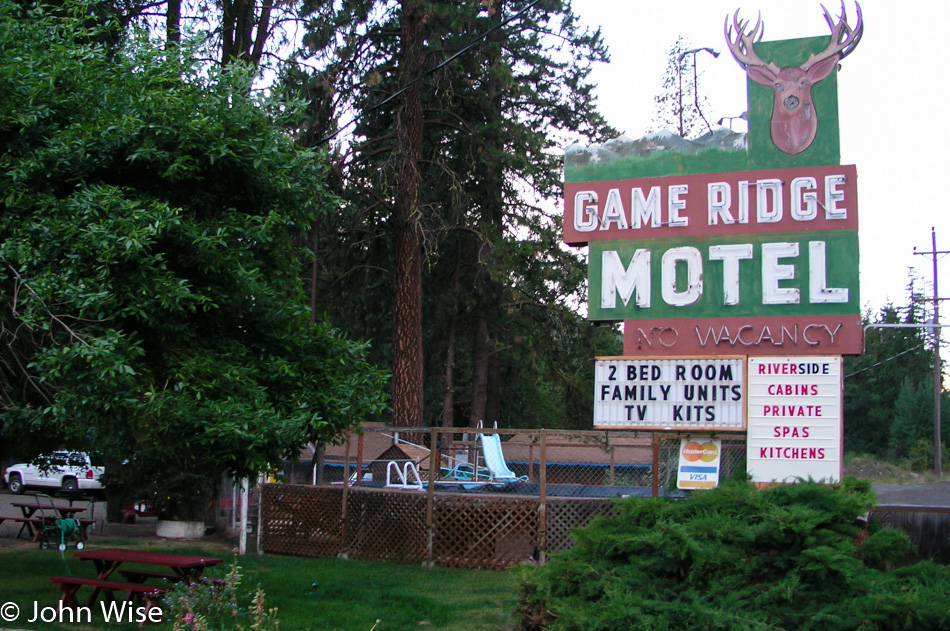
Game Ridge Motel Rimrock, Washington

I’m going through the torture of having minimal notes and even a spreadsheet itinerary from this trip over the 4th of July long weekend, but luck or maybe old age would have it that 16 years later, as I try to pull any impressions that were made during this trip, I struggle to find enough details.

So, I end up with relatively weak blog entries where the finer points are slim. In this instance, I’m able to put a shell together and occasionally more things that hinge on the notes that Caroline happened to be keeping. Here in 2020, when I finally got around to this backfill operation, I learned that this motel is no longer on this earth. Only two other photos of the sign are found on the internet, and both of those were taken after the place closed. This shouldn’t matter much, but I don’t believe that 16 years ago, I was able to see that the corporatization of America would start to eliminate small motels in favor of larger, more modern hotels. This begs the question: what incentive exists for investors to build or renovate these rustic retreats that are already cheaper than their big-city counterparts, which draw in a clientele opting for greater conformity?

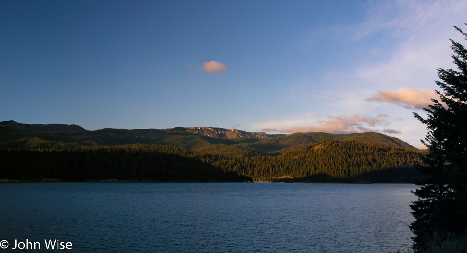
Rimrock Lake in Rimrock, Washington

Rimrock Lake in better days. I say this as upon looking up the locations of where these photos were taken I found the lake has been nearly drained for farm irrigation. Maybe global warming plays a role, too, but who’s going to admit that in the current political climate? I feel nostalgic for these days early in the new millennium when we were still trying to clean the air and waters of our country. Back then, when we took these long drives, it was inevitable that we’d spend a good amount of time scrubbing the windshield at a gas station, sometimes even between refuelings, as we tried to remove the bugs plastered to our window to the world. Today, we rarely have to worry about encounters with swarms of bugs as it seems our incessant obsession with ridding our crops of pests is delivering results. How detrimental is a situation where humans can have such a large impact on such an important resource?

Waterfalls in Washington

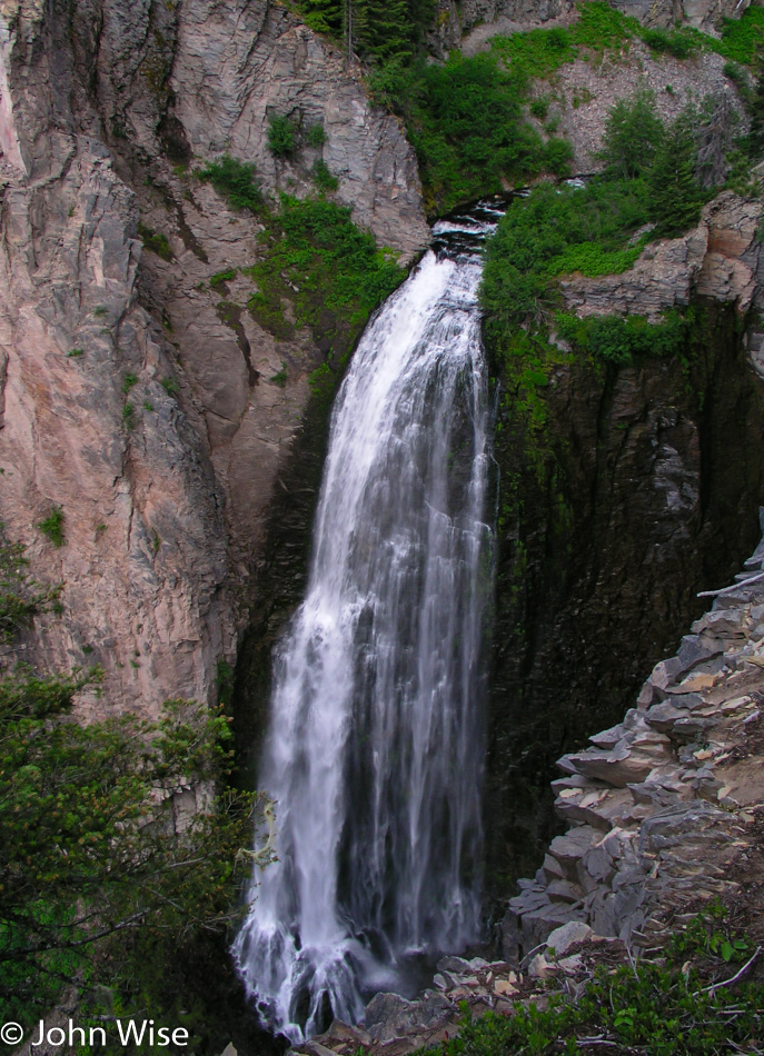
I spent a fair amount of time trying to find these falls that obviously were somewhere between Rimrock Lake and the park entry for Mt. Rainier, but had no luck. Caroline took a peek at Google Maps and came up with Clear Creek Falls, easily accessible from our road.

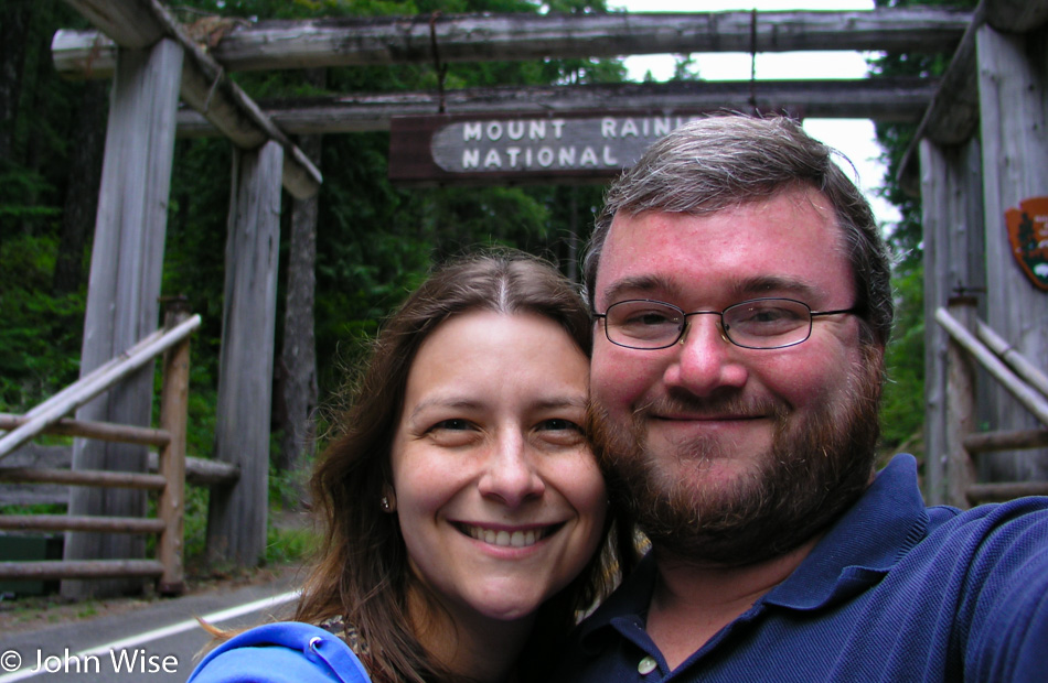
Caroline Wise and John Wise at Mount Rainier in Washington

Excited to enter another national park that is new to us.

Mount Rainier in Washington

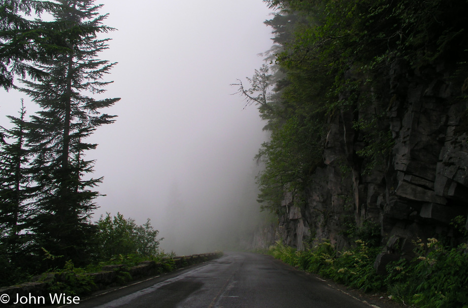
Our hopes of things opening up to spectacular views that will invite us to spend the hours of time we’ve allocated to exploring Mt. Rainier are dwindling.

Caroline Wise at Mount Rainier in Washington

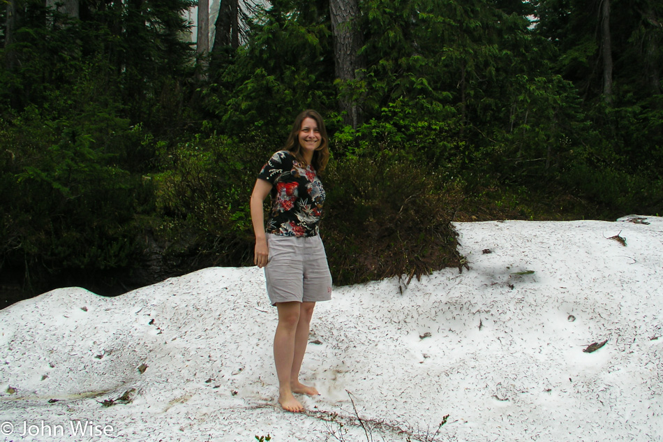
This was a surprise find: snow. While it’s foggy up here, the temperature is actually quite nice, so it seemed like a great opportunity to take off the shoes and pose in the snow on Rainier.

Mount Rainier in Washington

We’re not wasting any time hanging out hoping for an improvement in the weather as we’d been warned long ago that we could visit this national park and never see what we came for. Down the mountain, we went on our way through Ashford over to Shelton. I mention Shelton because it was there by the side of the road that we picked up two pounds of cherries, one dark and one Rainier. Caroline nearly finished the Rainiers before we were 20 minutes up the road.

Fort Worden State Park in Port Townsend, Washington

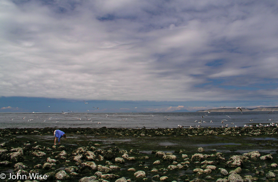
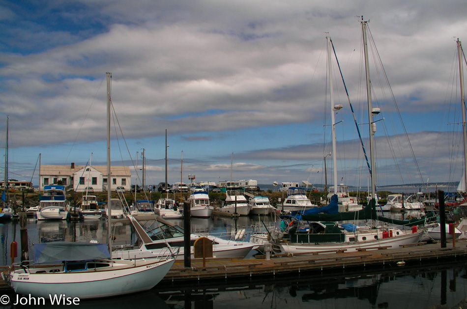
We arrived in Port Townsend just in time to attend a tiny Low Tide Festival up here on the Olympic Peninsula. If we couldn’t admire mountains stretching 14,000 feet into the sky, we could be just as happy exploring tidepools at sea level. The lady volunteering at the information booth couldn’t believe that we had driven up from Phoenix mainly to experience the exceptionally low tide celebrated by this event. After a short conversation, we headed to the coast to explore.

Fort Worden State Park in Port Townsend, Washington

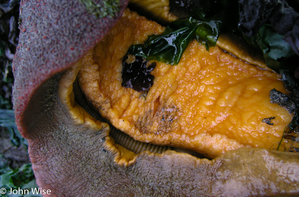
Who doesn’t love chitons? The orange part is its foot, and if we look in the gap at what looks like a kind of cable, that’s its gills. Back when we picked this up, smartphones hadn’t been invented yet, so we couldn’t ask Google to show us the anatomy of a chiton to determine what its head was and where its anus was. Good thing we didn’t choose to suck one end or the other.

Fort Worden State Park in Port Townsend, Washington

On the subject of technology: I shot this image with our Olympus C-5050 Zoom that was able to capture 5MP images. Just that month, in July 2004, Sprint released a phone with a 1.3-megapixel camera capable of capturing 1280 x 960 and sending it wirelessly, a first in the American market. The best I could do with the photos we were shooting during these days was dump them on a notebook so I could clear the memory card and keep on shooting. At this time, I was shooting on 256MB Compact Flash cards that were only $110 each compared to the 2GB cards that were going to come out later in the year for $800 but were targeted at a price too high for Caroline and me. Sixteen years later, I shoot on a 256GB SD Card that cost me about $65 and would have saved over 100,000 of the 5MP images I was shooting back then.

Fort Worden State Park in Port Townsend, Washington

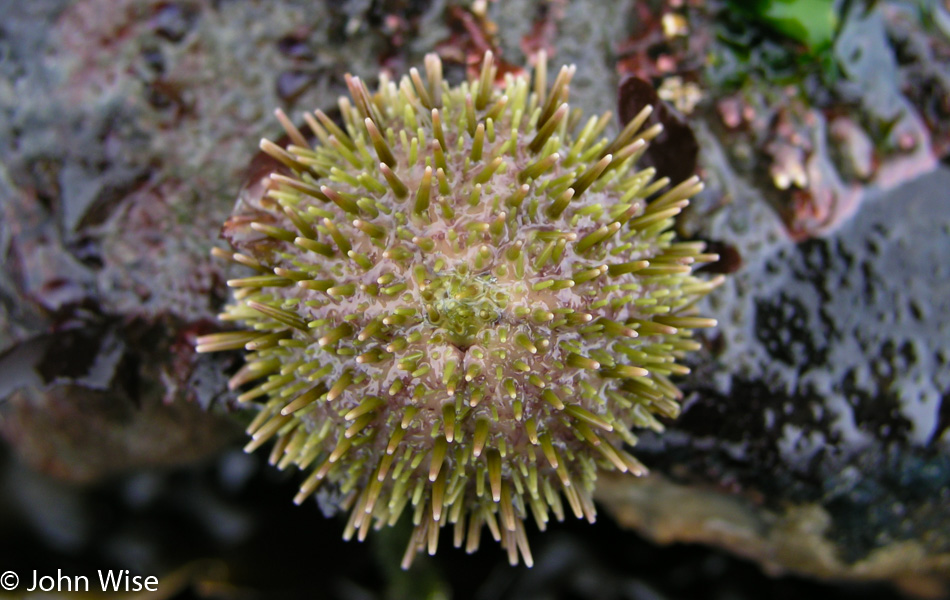
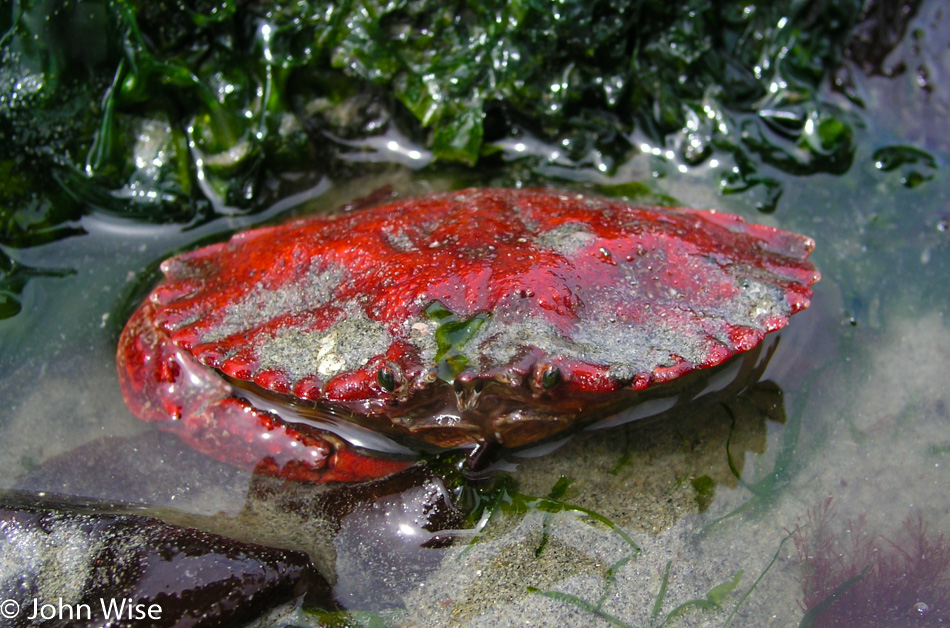
Low tide for seagulls is like the buffet for the non-discriminating obese on a budget. Here again, we are confronted with a dramatic change between this trip and the time I’m blogging about it. What I’m referring to is the buffet. By 2020, they are mostly gone. A few exist here and there, and Chinese buffets seem to be going fairly strong yet, but by and large, they have left the dining scene. Maybe Instagram proved to be part of the reason, as just how photogenic is it to shoot a selfie hovering over the restocked fried chicken trough? Then it seems the budgets of the elderly were negatively impacted as the buffet became too expensive even for them. Tie it all together with the much dreaded “Fried Rice Syndrome” caused by the bacteria Bacillus cereus, which propels its victim into simultaneous vomiting and diarrhea, and who really needs that?

Fort Worden State Park in Port Townsend, Washington

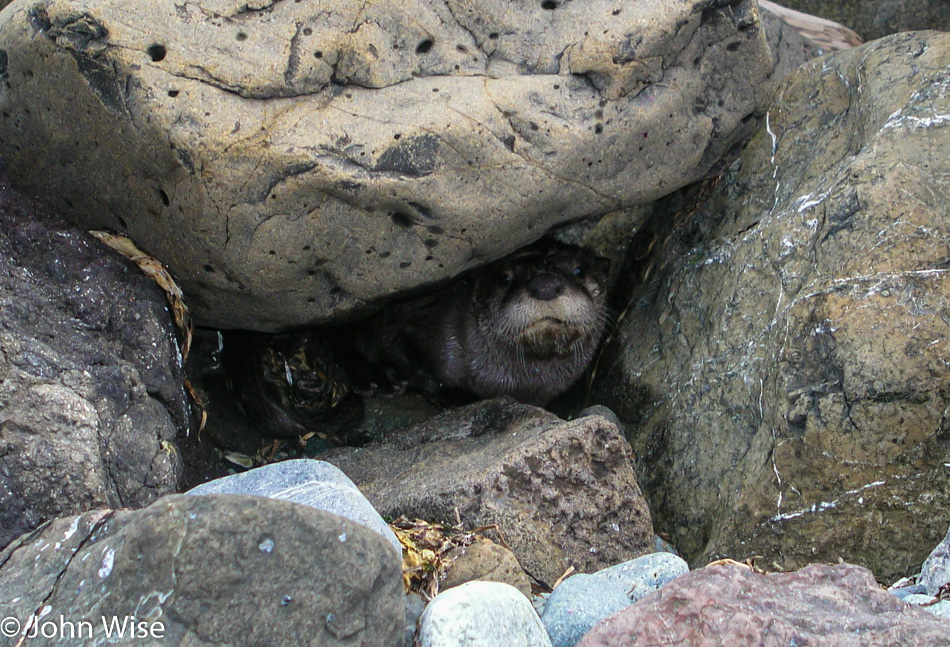
We’ve never seen an otter on land. You have no idea how badly we want this marine mammal to be a cuddly, affectionate fellow that would come out of hiding for some belly rubs, but that didn’t prove to be the case.

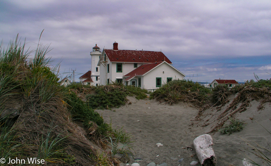
Point Wilson Lighthouse at Fort Worden State Park in Port Townsend, Washington

At the end of the spit of land here in Port Townsend, Washington, is this lighthouse which is the signal our time out here is coming to an end.

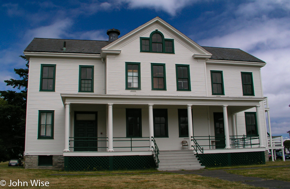
Fort Worden in Port Townsend, Washington

Fort Worden was peeked at briefly before making our way to the car. Not much else to add here, as there are no notes. Even Caroline is unable to pull further memories out of her braincase.

Port Townsend, Washington

When you travel, what are the sights that you need to remember that will remind you of what was enchanting at the time? For us, it’s probably almost everything.

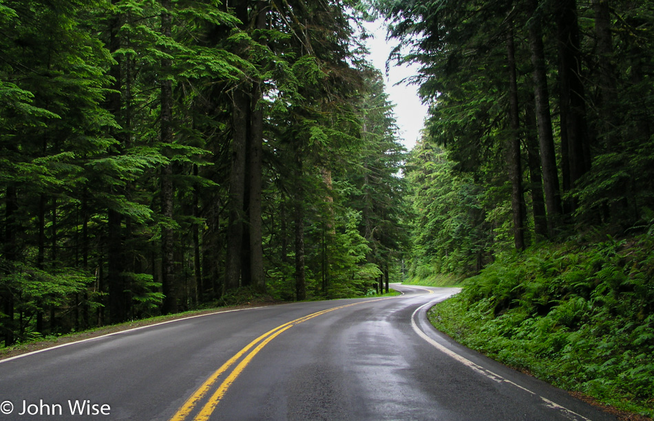
Olympic Peninsula in Washington

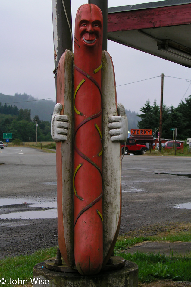
Creepy hot dogs exposing themselves is just one such sight guaranteed to make us want to return to a spot on the side of the road. Why we didn’t try to get someone to take a photo of us posing with this Discovery Bay icon is beyond me. Sixteen years later, the evil wiener of flashing perversion is a distant memory that has disappeared from the landscape; only his shadow might still exist for those who drive by and remember his unsettling smile. I have to wonder if he’s now a fixture in the Sea Change Cannabis Dispensary that stands at the location.

Lavender on the Olympic Peninsula in Washington

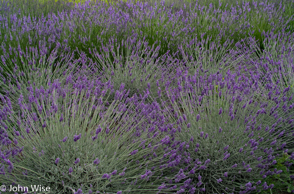
The lavender in bloom acts as a reminder of the lavender coffee we had in Sequim.

Olympic Peninsula in Washington

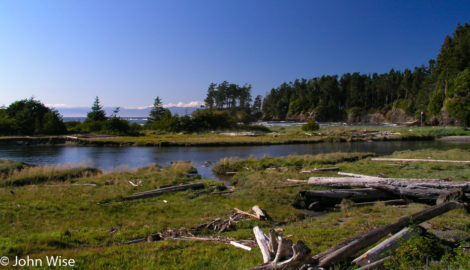
The last time we were out this way was back in November 2002, and the conditions were quite different. Cold and icy come to mind, but on looking at the photos, I see we also had a fair amount of blue sky. The one constant is the green.

Olympic Peninsula in Washington

From Crescent Beach over to Whiskey Creek here on the Strait of Juan de Fuca, we found a drive that leaves everything to be in love with. The Halibut Hole cabin is an exceptional standout for lodging we should someday come back to.

Olympic Peninsula in Washington

Having visited Cape Flattery on our previous visit, we decided to hike out to Cape Alava further south here in Ozetta on the western side of the Olympic Peninsula. After falling in love with the quiet little town of Forks we are making a return visit to once again stay at the Town Motel.

Note: four years after this visit to Forks, the town was put on the map by Arizona resident Stephenie Meyer, who wrote the Twilight saga featuring glitter vampires.