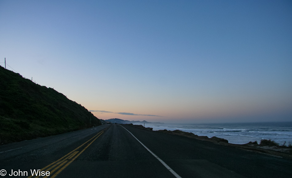
Beautiful Day on the Oregon Coast

Breakfast was down south, so off to Newport we drove. By the way, as stated in the previous posts, these days are either enhanced with extra photos and blathering like the first few days or, like this one you are reading, have come together 13 years after the trip because, for one reason or another, I never got around to posting anything back in the day. While the photos sit comfortably in their cozy digital beds on my hard drive that’s always warm, they are more accessible to Caroline and me when we are out on the road and looking for something connected to a memory. and hope we’ll find some relevant information on my blog. This doesn’t often happen as WordPress doesn’t have a great search engine, but someday, when it does, or my personal A.I. has already cataloged my 1,226,675 words written, the knowledge we seek will be readily available. As for my word count, that was accurate as of 12:55 p.m. here on December 7, 2020.
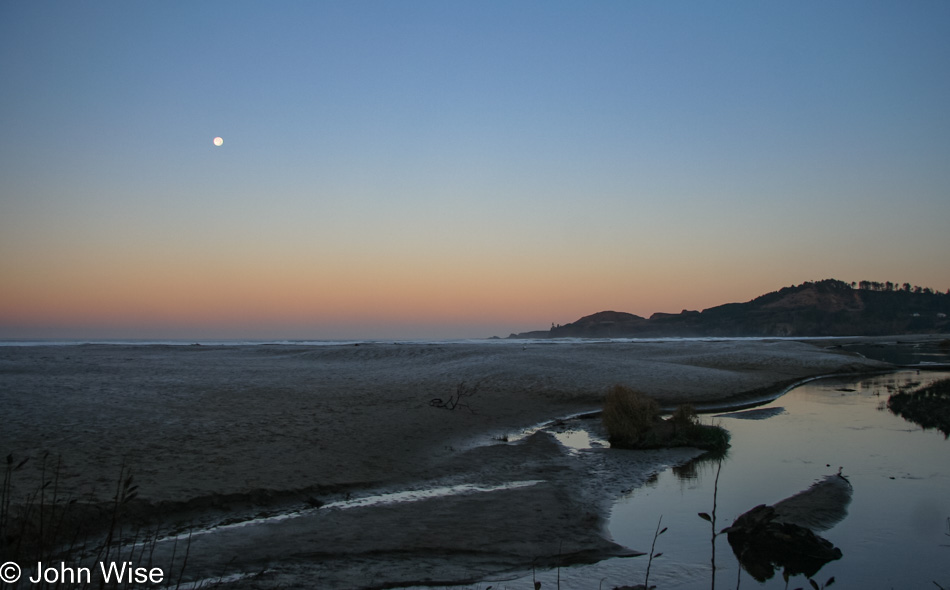
This is Agate Beach, south of the Yaquina Head Lighthouse in Newport, and yes, that’s frost on the beach. According to The Old Farmer’s Almanac, it was 36 degrees out here, but with the wind, we can distinctly remember it felt a lot colder.
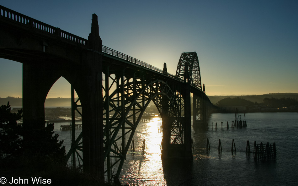
Just a bit of sun is enough to start warming us; well, that and another view of these bridges (Yaquina Bay Bridge in this case) that never fail to impress us.
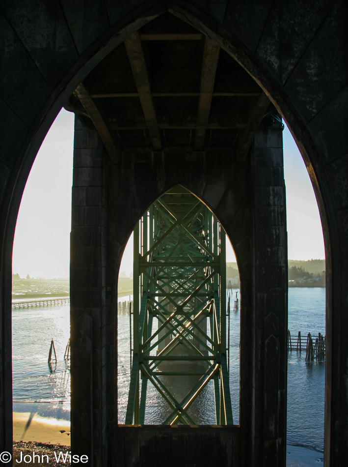
I’d like to think that the person who designed these was aware of the “road temple” nature of his creations.
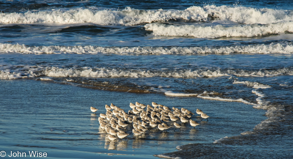
Every time we visit the coast during the late fall, we see these scurrying little fellows as they dart in and out of the surf, but we didn’t see them in our most recent visit here at the end of 2020. The Western Snowy Plover is endangered and has been for a long time; I can’t imagine a day when they are never to be seen again. We saw this flock at Seal Rock Beach.
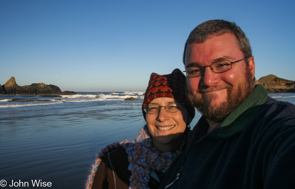
And here are two of the Southwestern Desert Plovers (the “P” is silent). One of them seems more abundant than the other, though you shouldn’t trust me as I’m no ornithologist.
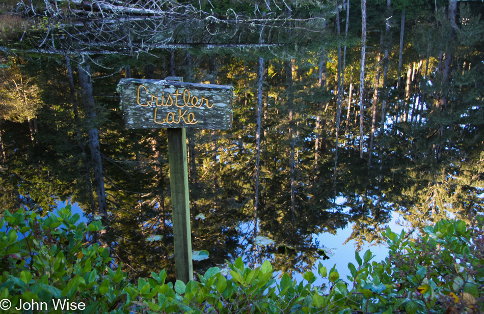
Somebody must have planted this sign personally christening Cristler Lake as such, as there’s nothing on the internet about this place. There is one other photo of it taken by someone a year after we shot this, but that’s it. Welcome to the place that no longer exists.
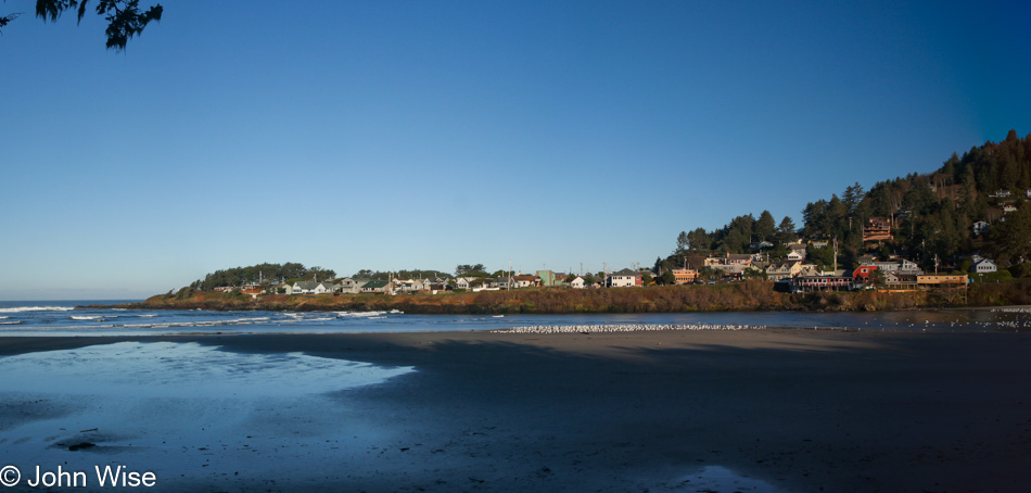
Yachats might be the first place we wanted to move to here in Oregon, though Bandon would have been a close second. We stopped in town to do our laundry on one of these trips; there’s something about visiting a local laundromat that either endears you or frightens you away – we found it charming. That laundromat is now gone. At The Drift Inn, we first watched and listened to Coin of the Realm Orchestra, playing European folk music. We bought their CD as the music felt like it was the perfect accompaniment to the coast.
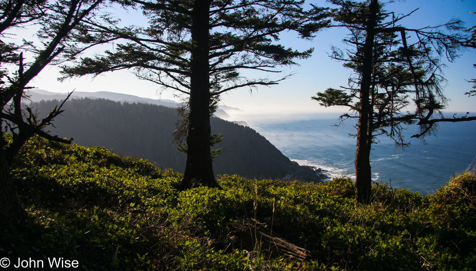
I’m not sharing the frightening views that are closer to the edge, but that’s only because I would have had to stop to take those photos, and when close to the edge and losing sphincter control, the last thing I want to do is stop and take a better gander at the precarious spot I’m standing in. So when I get behind the trees with plenty of land between me and the precipice of death, I can attempt to take my shot as long as there’s adequate light to get a fast shutter speed to counter the effect of my shaky knees. View south from Cape Perpetua Lookout Point.
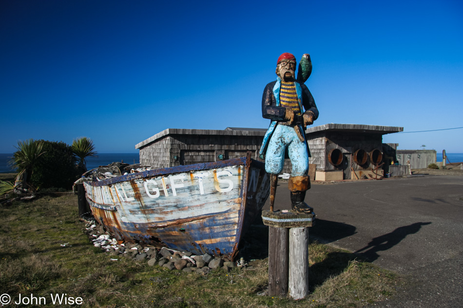
We had passed Sealines Nautical Shop south of Yachats when it was still open and thought we’d visit again on some upcoming visit. That day never came as they closed. Even before this day, when I snapped this photo of the fading boat and pirate, the owner had moved the shop to nearby Seal Rock, but we didn’t know that back then, nor would the place have had the charm of this seaside location. Every time we pass it, we remember fondly this former roadside treasure.
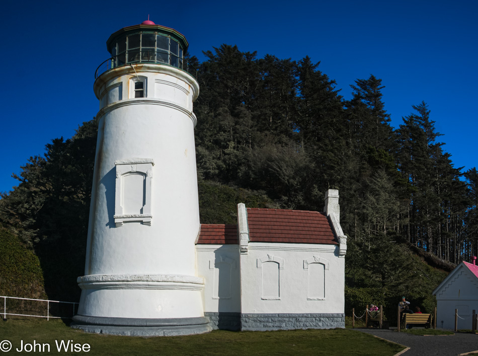
Never met a lighthouse we didn’t like. The other day, when we were visiting Carl Washburne State Park and hiking the China Creek Trail through the rain forest, we didn’t have enough time left in the day to hoof it out here to the Heceta Head Lighthouse, and the next day, the weather was poor. Here on Sunday, the day before we fly home to Phoenix, we are making time to properly visit.
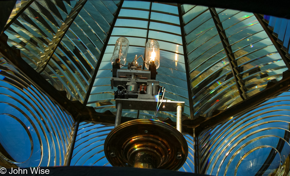
Yep, we even took the tour and were able to pop our heads up for a view through the ancient Fresnel lens.
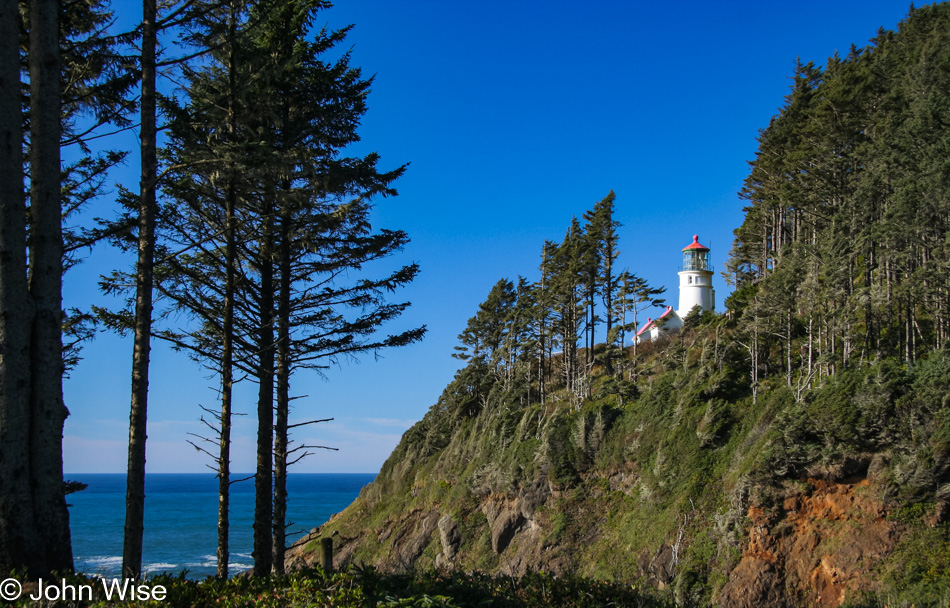
I have to appreciate how the park service keeps the trees cleared for this view of the lighthouse.
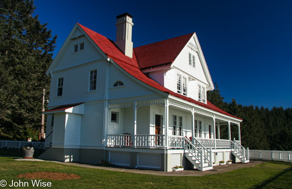
And finally, the Lightkeeper’s Home. Should you ever have an extra $1600 a night lying around to rent the entire house during winter, it can be yours on your next vacation. Otherwise, it’ll be about $1900 a night in prime tourism season.
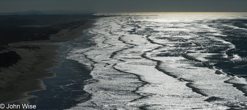
Here I am, 15 photos into this blog post with nine more images ahead of me, and I’m wondering how I thought it was a good idea to select so many. There were more than 390 photos shot on this day, so as a percentage, I was pretty discriminating. Okay, no, I wasn’t, as there are a lot of crap images in that directory that needed trimming. I can’t be certain without checking all of my other Oregon blog posts over the years, but it seems like this view looking south towards Florence is a recurrent theme.
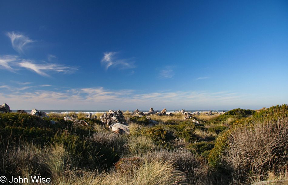
Our visit today to Bullards Beach State Park piqued our interest in staying in a yurt here, though obviously, we can’t do that on this trip as we already had reservations long ago.
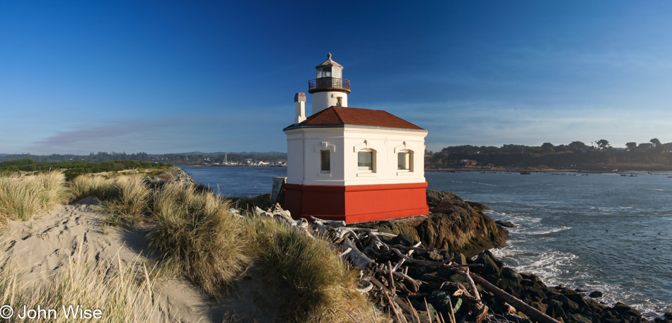
The Coquille River Lighthouse at Bullards is usually open for visits, but sadly, its Fresnel lens is long gone.
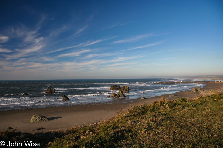
Magical Bandon. This year, 2007, was when real estate was booming here, with locals talking of Californians buying up everything. There was serious resentment going on as while some locals benefited from high prices others were noticing that people who called this home year-round were going to be priced out of the market. After the real estate bust the following year, things pulled back, but with vacation rentals and Airbnb being viable investment opportunities, the trend continues with inflated prices. But you can easily see why.
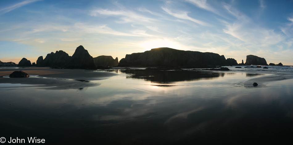
The view from the beaches of Bandon are equally beautiful.
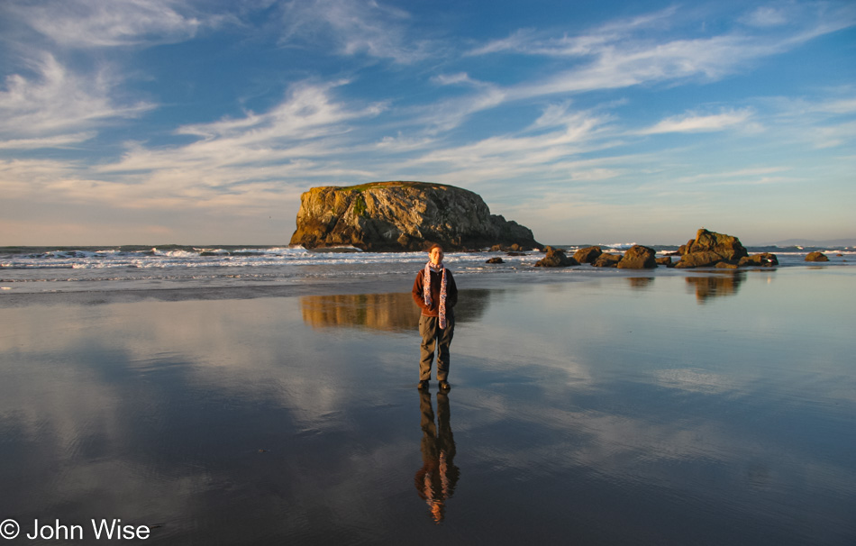
The same goes for what’s on the beach 🙂
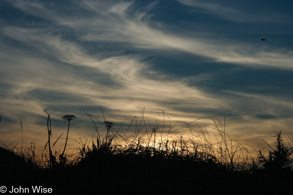
Our destination for the evening would be back south in Brookings for another night at Harris Beach State Park and our last night in a yurt during this trip. I don’t believe we ever repeated this feat of staying in a yurt every night of an Oregon road trip, as the occasional shower from the comfort of a motel room seemed like a nice break from the communal showers at the state parks. Anyway, Brookings is still 83 more miles south of here, and instead of wasting precious sunset time, we just hung out in Bandon and enjoyed the view.
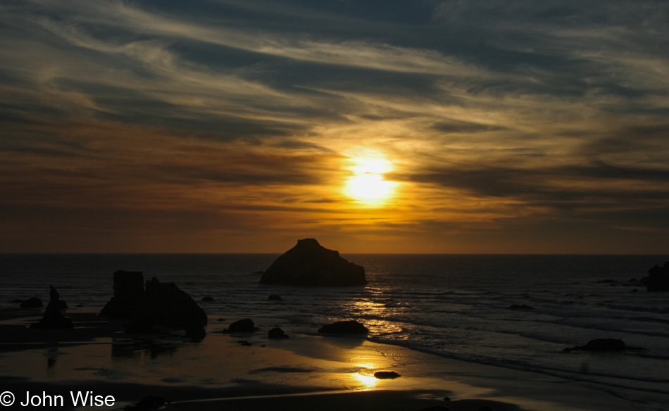
If you can’t already tell, the rock closest to the setting sun is Face Rock.
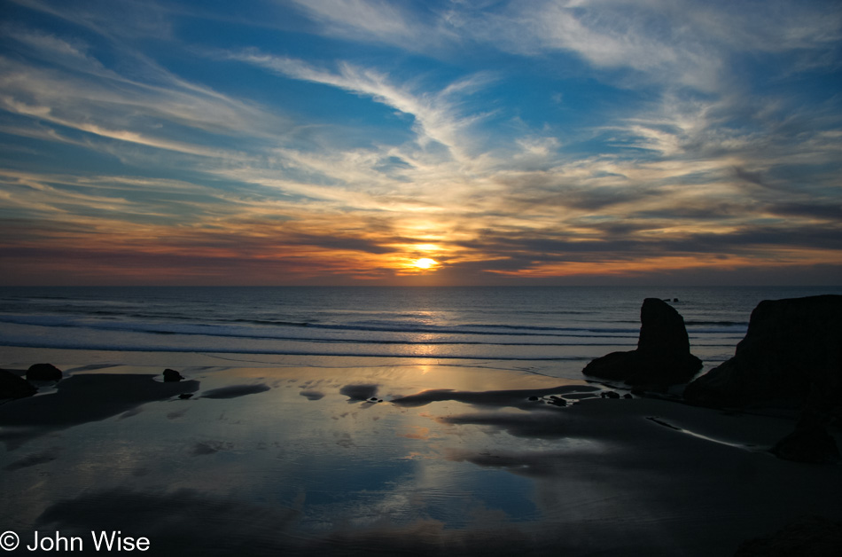
Sure, we still have a couple of hours driving before us, but we’re not leaving until we can no longer see a glimmer of the sun.
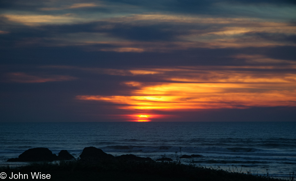
It was just a few more minutes after this when we could turn on the heater and start to warm up after a chilly late afternoon at the ocean. We’d do it all over again if we could have added just one more day to our vacation.
Gray Day on the Oregon Coast

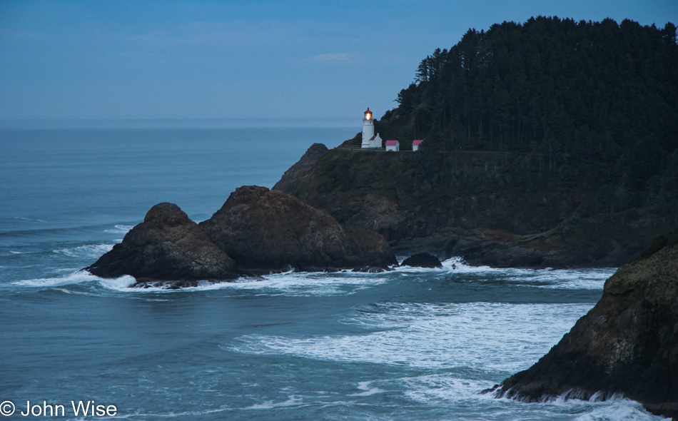
As stated in the previous posts, which I have to recognize you may not have read since readers likely find this entry by searching, there were a few rudimentary notes accompanying a single daily photograph from back in 2007 when we made this trip up the Oregon Coast. For some reason or other, I didn’t bother to even do that for the last few days of our journey. While I expanded those posts with extra photos and a bunch of new text, I do not have the benefit of even a paragraph to help flesh out this day and the two that follow. I’m not going to try and interpret where I was with my thinking 13 years ago when we stood here looking out at Heceta Head Lighthouse or any of the other locations along the path we followed this day.

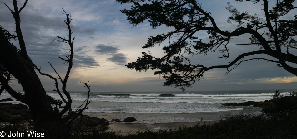
I will, though, try to add location data, such as this shot that comes from the Cape Perpetua Scenic Area.

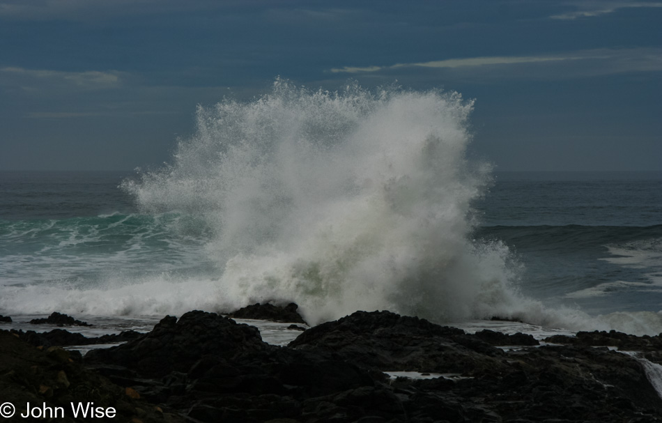
Then there’s this image of a crashing wave that must be about 30-40 feet high. I shot this at Devils Churn, also part of Cape Perpetua. For some reason, I don’t have many images of the churn itself. This would have been our first-ever visit, and while the explosive water out at the shoreline was spectacular, it would be on a subsequent visit that I’d learn why this location earned its name. Of the few photos I did take, the water rushes into the gap on our right and sloshes around. Coming back on a different visit to Oregon, when conditions were right, we witnessed the water pounding itself into a frothy creamy-like consistency, which splashes and ripples into sculpted, transitional works of art that ride on the pulsing current. I hope that at the time we were here, I already clearly understood the dynamics of how weather, time of day, and time of year impact a place and influence its appearance. Maybe I did get it back in 2007, but I feel that I understand this a lot better at this stage in my life.

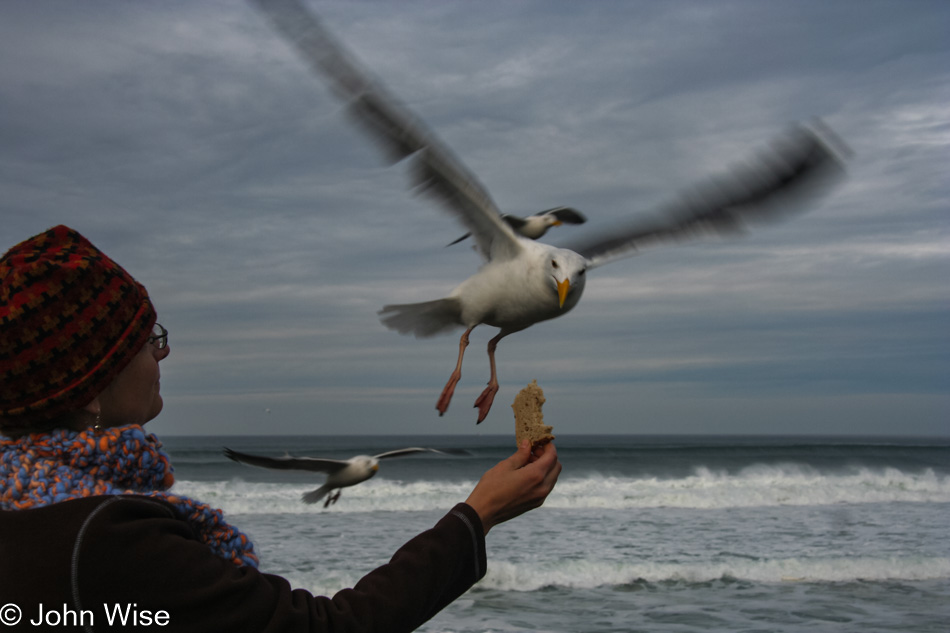
Hey, I’ve got a great idea. How about you step out of the car with some of our bread and see if the seagulls will take it from your hand? It turned out that this is a great way to recreate scenes from Alfred Hitchcock’s classic film The Birds.

Our original itinerary had us traveling from Waldport east on the 34 through Tidewater and Alsea before reaching Philomath out near Corvallis before turning west on Highway 20 through Blodgett and Eddyville, finally going south on Elk City Road and following a small road to Toledo and then Newport back out on the coast. With the gray weather, we must have decided that the photography of the countryside would be less than great, so we skipped the 125-mile loop detour and went straight to Newport.

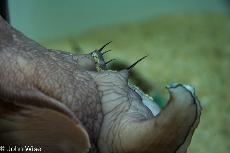
While we didn’t go to the aquarium specifically to see this Baron Vladimir Harkonnen fish stuck to the tank window, it was certainly a highlight.

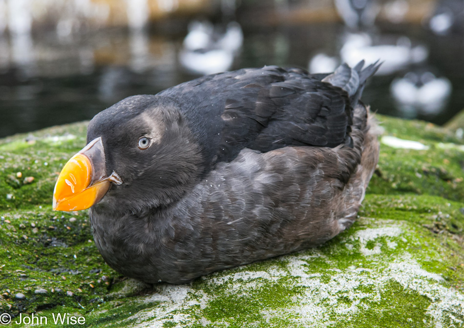
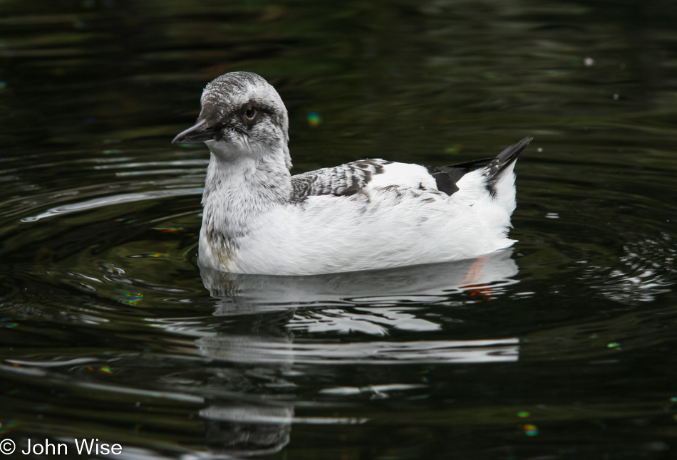
Caroline struggled to identify this bird, as finding photos of it wasn’t all that easy. Sure, it kind of looks like a puffin, but they have seriously distinctive colorings, while this bird is gray. Well, it turns out that the winter plumage of the Tufted Puffin looks just like this.

As for this bird, it remains a mystery shorebird that escaped her best efforts to identify it.

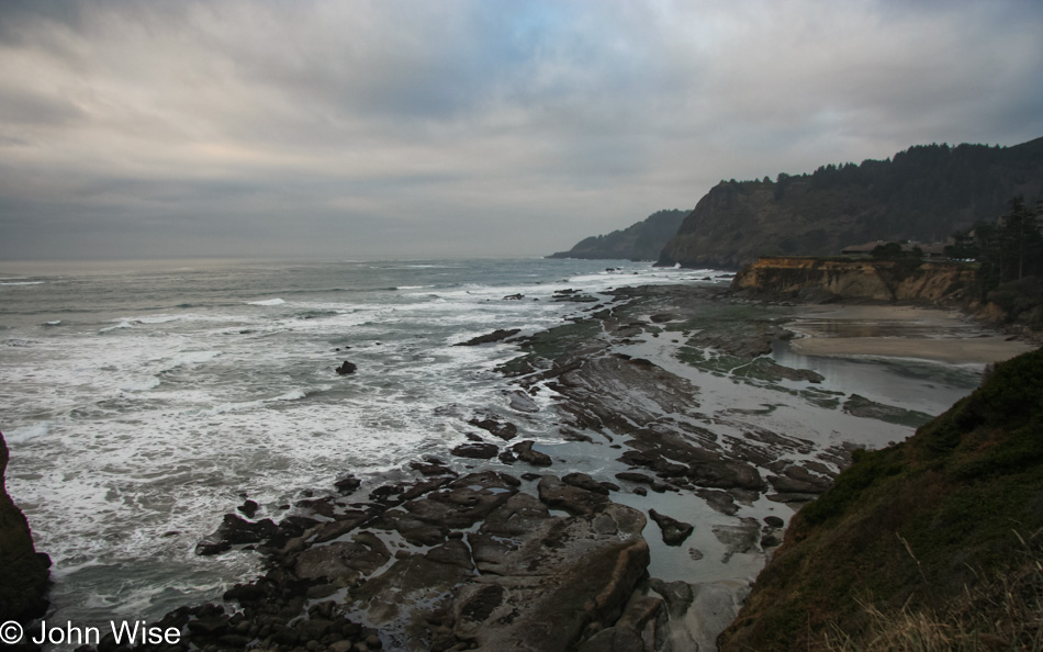
On our left is one of the iconic sights found on the coast of Oregon, but since we have arrived at low tide my photo was less than stellar, so I present you with Otter Crest Beach North of Devils Punchbowl Natural Area.

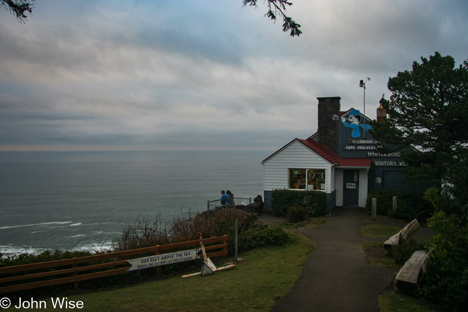
From The Lookout here at Cape Foulweather, you can have one of the most unique views on the entire Oregon coast.

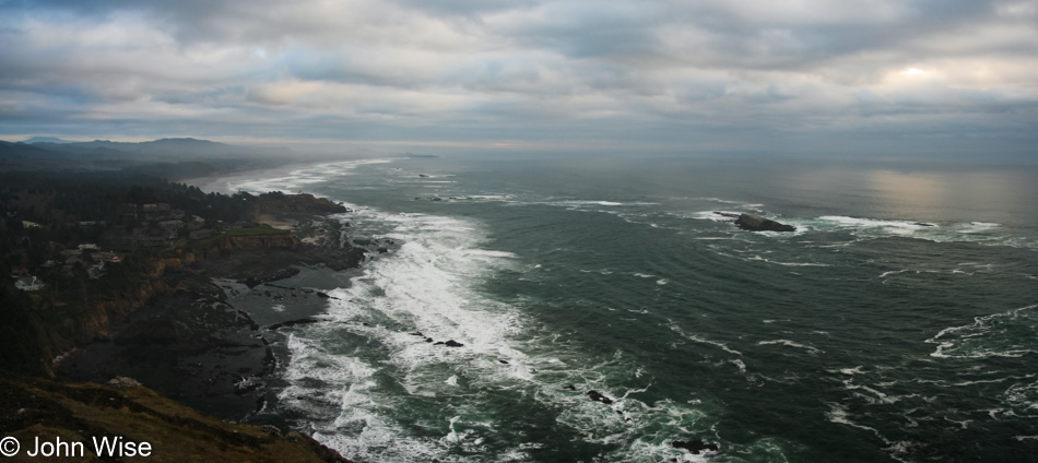
This is the view south. You should make a visit yourself to see the view out to sea or up north; it’s well worth your effort.

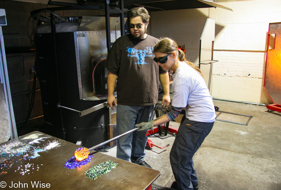
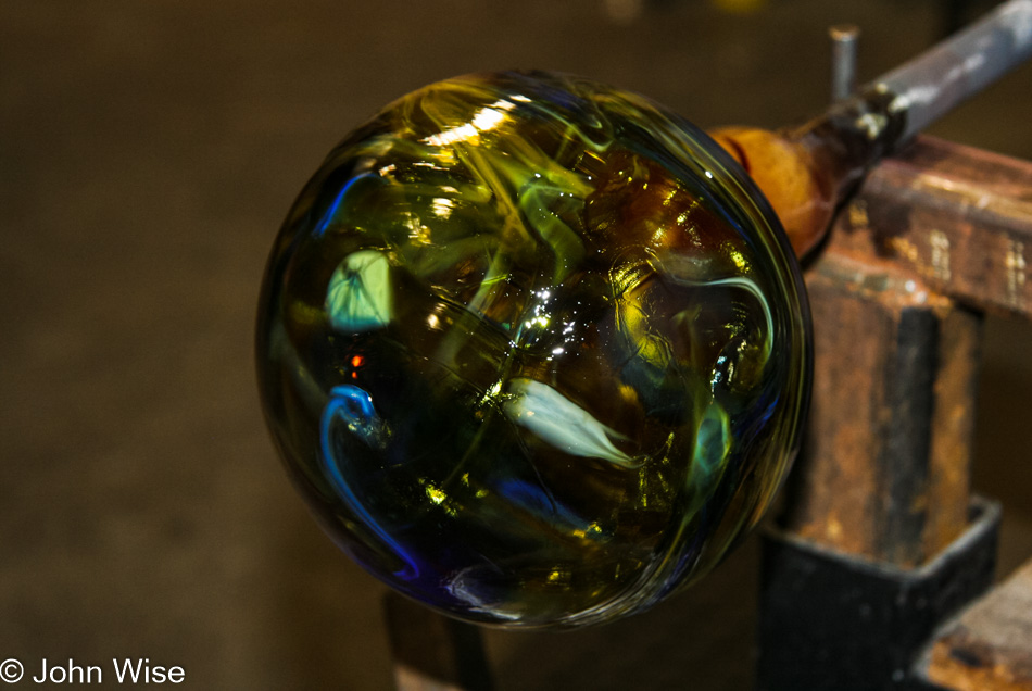
In our memories, we’d passed the Lincoln City Glass Center a hundred times before we finally committed to stopping in and giving it a go. As a former union member of the Glass Bottle Blowers Association of Los Angeles back when I worked for Owens-Illinois as an apprentice bottle maker, I’d had enough of playing with glass, so I operated the camera while Caroline worked to make her dream come true.

Her objective was to make a “Wave Float” using the colors of the area that would remind us of the Oregon coast for years to come should we not be able to return. Little could we have guessed back then that over the next 13 years, we’d return 11 more times. The float still sits on our counter, and should the day come when we move back to Europe; it is one of the things that will come back with us.

The night was spent in a yurt at Beverly Beach, which turned out to be our least favorite State Park with too much road noise from Highway 101, not that we didn’t try it again.

Island Life – Day 14

Ocracoke, North Carolina

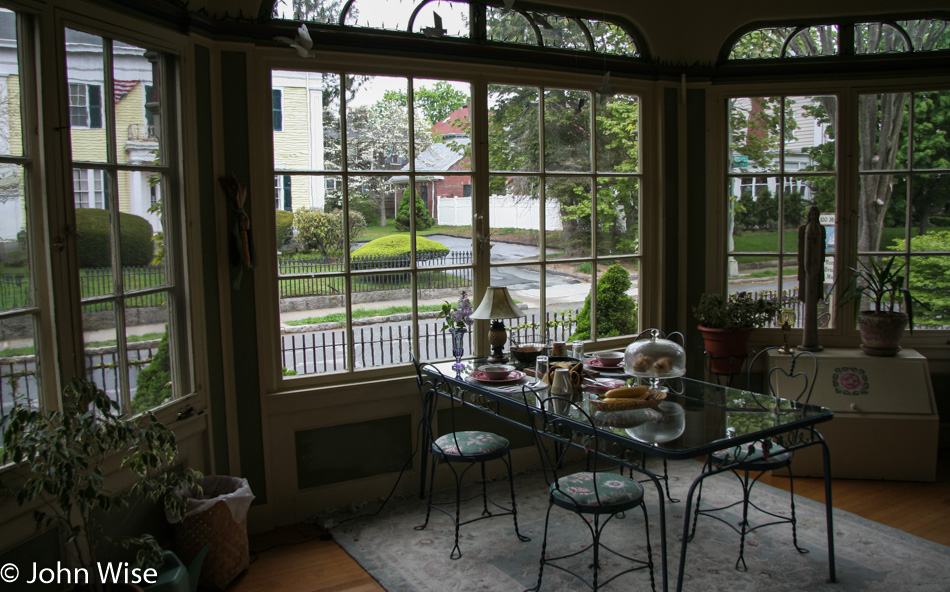
It was raining when sunrise was supposed to welcome us to the day, so instead of venturing out right away, we used the opportunity to repack in anticipation of tomorrow’s flight home. It happens quite often that this act of preparation happens a day or so early so we don’t feel pressured by everything else that has to happen on a fly day. Over in the breakfast nook, we took some time to hang out and chat with some other guests, waiting for the weather to clear.

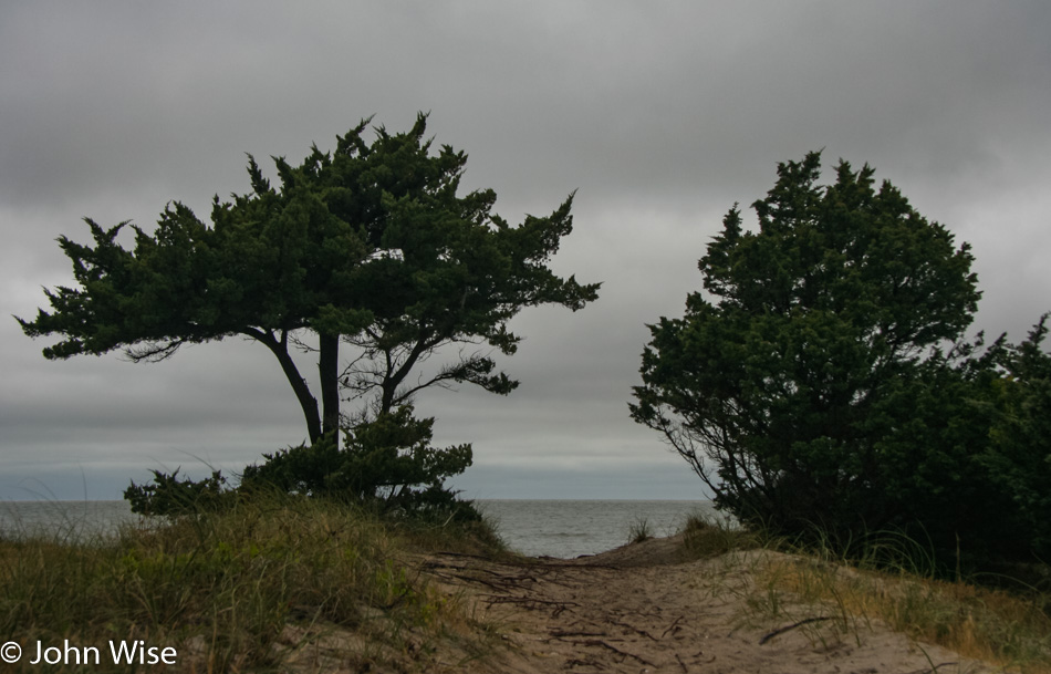
Once we did get going, we drove back up the island in search of a beach to explore, but it turns out that Ocracoke is not really made for parking cars, and we’re not made for rain. Okay, Caroline is, but I can’t risk walking somewhere I might dissolve.

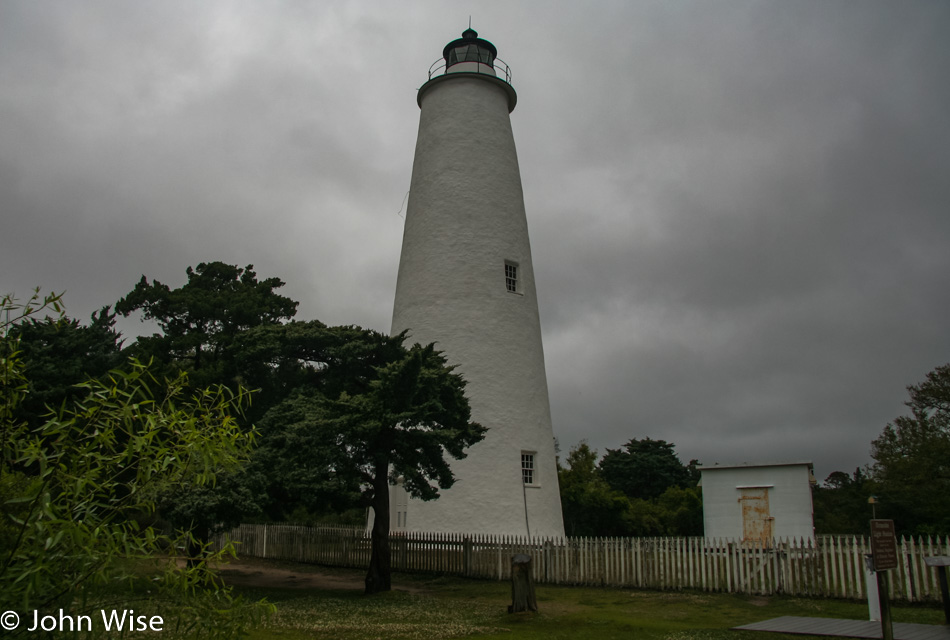
Ocracoke Lighthouse in Ocracoke, North Carolina

There are no tours open to the public here at the Ocracoke Lighthouse, so we must admire it from outside. No complaints, though, as we’ve already seen so many others while we’ve been here in the Eastern United States.

Ocracoke, North Carolina

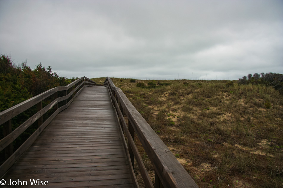
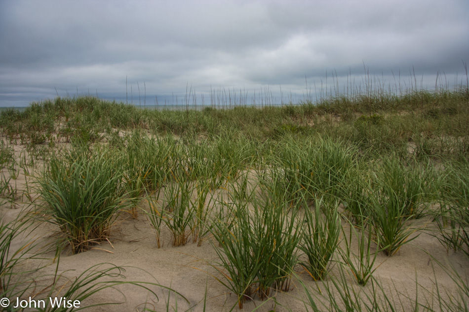
Finally a parking lot, bathrooms, and even a boardwalk instead of the more common off-road vehicle access.

Ocracoke, North Carolina

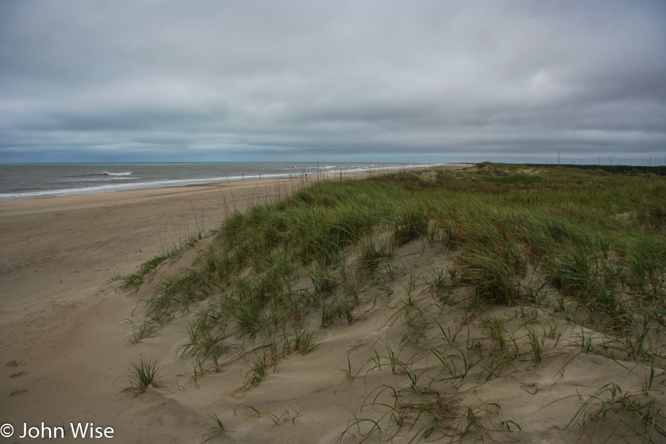
Our plan is to catch the last ferry back to the mainland at 12:30, so all there is to do is hang out and walk along the ocean.

Ocracoke, North Carolina

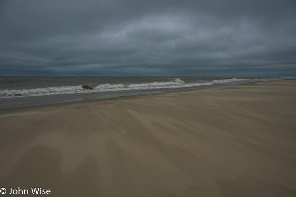
The wind blows, and we just keep walking along.

Caroline Wise in the Atlantic on Ocracoke, North Carolina

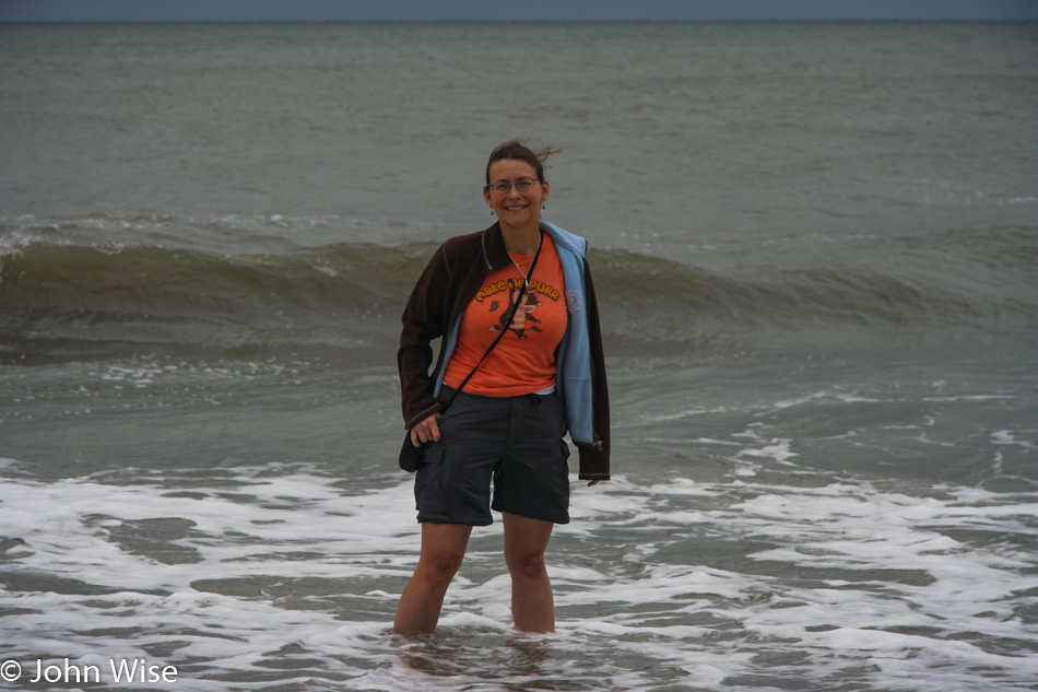
Until Caroline can no longer resist the urge to doff the shoes and claim the Atlantic Ocean in North Carolina as her own.

Ocracoke, North Carolina

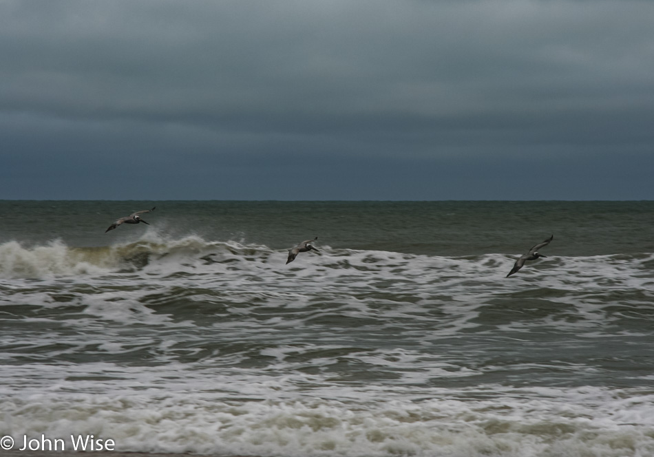
I’d swear we’d seen these exact pelicans over in Santa Barbara, California, last year, but Caroline is certain that we’ve never seen the lead pelican, so maybe I’ll concede that one. The other two bringing up the rear, though; I know those birds for sure.

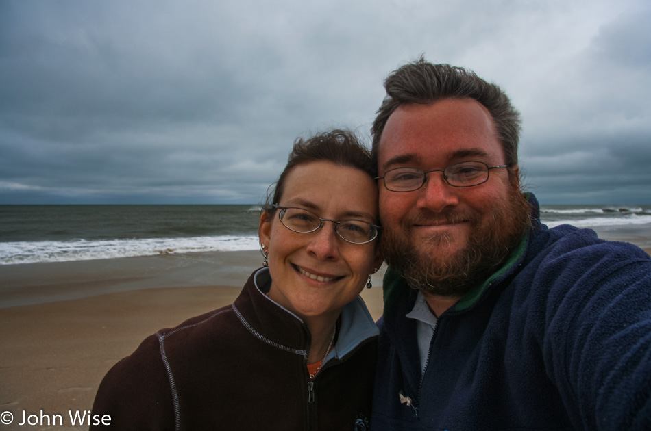
Caroline Wise and John Wise on Ocracoke, North Carolina

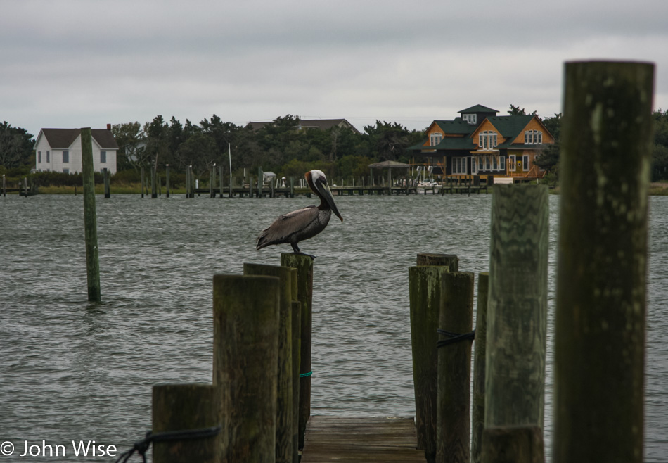
These two birds also seem familiar, especially the blue-collared booby on the left.

Ocracoke, North Carolina

We found some nice specimens of seashells along the ocean, along with a pristine shell that Caroline pointed out was a whelk.

Ocracoke, North Carolina

Our ferry is late due to a pilot dealing with a dead battery, but it will be here, we are assured.

Ocracoke, North Carolina

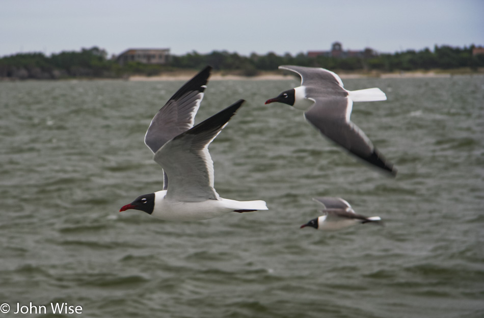
The ride across the channel is nearly 2.5 hours, which not only affords us the entertainment of feeding the birds that are flying along with the bread a lady is sharing with us but there’s also the opportunity for me to grab a nap. Caroline tried to sleep a bit but was too distracted by all the things that were far more interesting than the back of her eyelids.

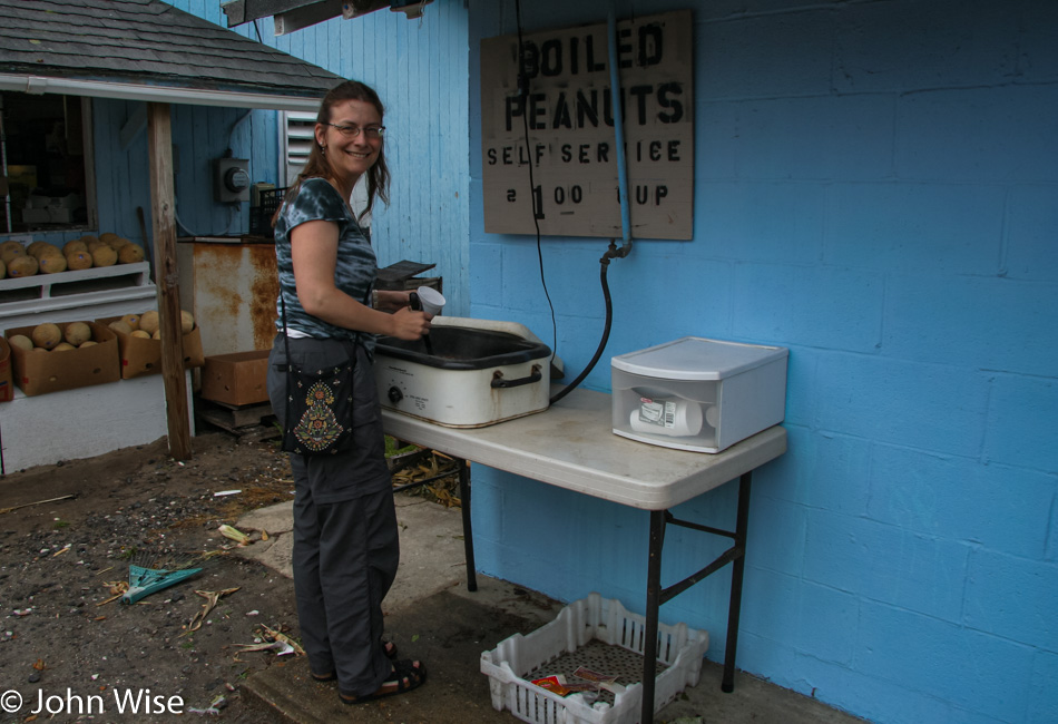
We landed in Swanquarter, North Carolina, and by now, we were hungry but there was nothing out this way. By the time we reached Jamesville, we spotted Mackey’s Ferry Peanuts, and this being North Carolina, we were certain we’d score some more boiled peanuts; sure enough, we did, but we got a whole lot more.

Chris is the owner of this peanut stand (it’s a lot bigger than a peanut stand!), and not only did he give us an enthusiastic recommendation for Shaw’s Barbecue House over in Williamston, but he taught us how to make boiled peanuts:

  • Soak peanuts overnight in water
  • Pressure cook using 3 cups of salt per 5 pounds of peanuts for an hour
    or put them in a slow cooker and cook on high for 12 hours
  • Add more water and let sit overnight

The rest of the day was spent driving to Hagerstown, Maryland, our pit stop, on the way back to Pittsburgh.

Chesapeake to Ocracoke- Day 13

You might think a grey, overcast day would put a damper on our enjoyment, but that’s not so. Oh sure, photos of landscapes are mostly better when shot under blue skies, but I blame poor photos on the lack of skills of the photographer. Then again, I also wonder why I even care how someone else might perceive our day as somehow tragic since we had to “endure” the weather. Maybe it’s all tied up in our superficial obsession with beauty and brand where everything must be wrapped in perfection, and if it’s not, we should feel sorry for those not able to participate in those luxuries. Well, come rain or shine, we are ready to move down the road and up the trail.

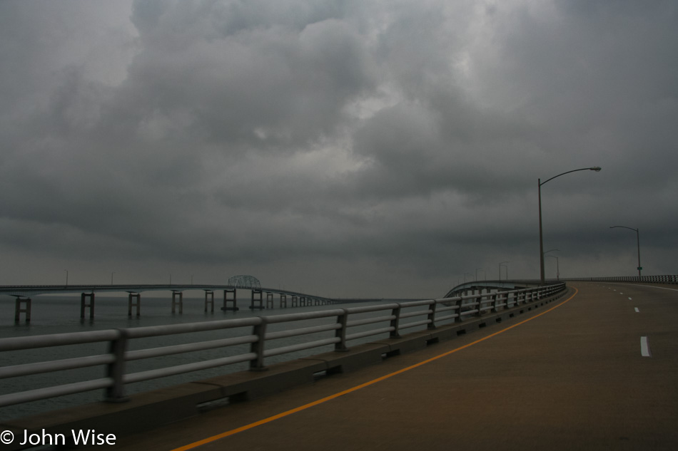
Chesapeake Bay Bridge in Virginia

The last time we encountered the Chesapeake Bay Bridge and Tunnel, it was under the dark of night; today, it is under the kinda darkish cover of heavy clouds. So, what’s the bright side of this? Considering that Caroline was born and raised in Germany and that I was raised in Los Angeles, how many people from Germany should be so lucky to travel this bridge and tunnel system twice in their lifetime, and for that matter, how many from Los Angeles will venture out this way?

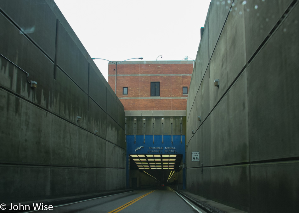
Chesapeake Bay Bridge in Virginia

Just above this tunnel entrance is the Virginia Originals & Chesapeake Grill where we had breakfast because how often does one have the opportunity to eat on a manmade island?

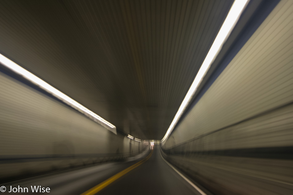
Chesapeake Bay Bridge in Virginia

Into the bowels of the earth – one must wonder, with all that water above our heads, are there any leaks down here?

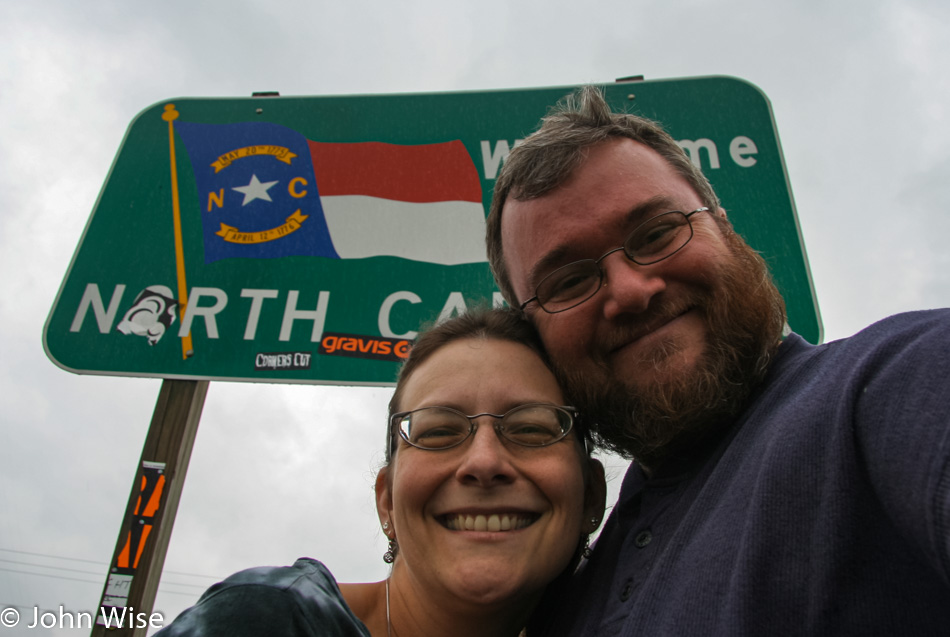
Caroline Wise and John Wise in front of the North Carolina State line

Why it took four hours to travel 77 miles is beyond me; maybe Caroline needed the toilet a lot, as we know how women are. Just kidding, Caroline actually has a bladder that can compete with anybody. I’ve made her wait hours as I inconsiderately accidentally kept missing places we could have pulled over, and she barely made a squeak about how horrible a person I am as she was raging in pain. Come to think about it, I’ll bet a dollar Caroline will groan when she reads that I’m sharing her toilet habits with the larger world.

Stopping in Virginia Beach at Java Surf to try the butter pecan espresso probably didn’t help in my need to write about the frequency of peeing, but that’s what we did, though that was a while ago. Here at the North Carolina border, we stopped at the Southland Gas Station and Barbecue. This might be a first for us where gas and barbecue are had at the same stop. We did not have much hope for anything exceptional, but by the crowd inside this joint, we should have known we were in for a treat. “Wow!” is the best description of how amazing North Carolina BBQ done right can be, and for the first time ever, we found how much we can love vinegar-based BBQ sauce.

I know exactly what you’re going to think about now: “Are these two like a couple of Vielfraß when they travel?” Well, we kind of are exactly that. We are trying to think of the boiled peanuts as dessert. In any case, we have to take advantage of these little luxuries as they happen, as over in Arizona, we won’t find boiled peanuts for a thousand miles. As for the Vielfraß thing (pronounced feel-fros), it’s a wolverine in German, but in the context of talking about food, it’s a thing that gobbles up its food wherever it can find it in an urgent and frantic way. This has been our German word lesson of the day.

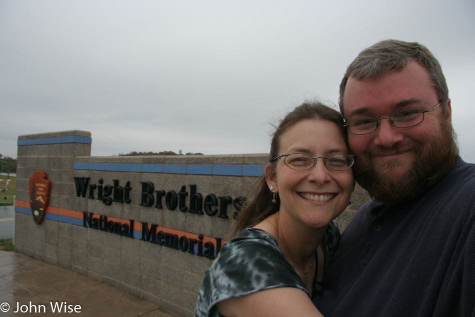
Caroline Wise and John Wise visiting The Wright Brothers National Memorial in Kill Devil Hills, North Carolina

We were warned to avoid “French Fry Alley” as the area from Kitty Hawk to Nags Head is known to some locals. The pejorative nature of the connotation turns out to be quite accurate as there is an air about this area that smacks of Atlantic City and Daytona Beach and attracts the lowest common denominator of subhuman troglodytes. My snobbish tastes definitely lean more towards Bar Harbor, Maine, New Bedford, Massachusetts, Cannon Beach, and Yachats in Oregon and other places that are quiet, civilized, and missing most of the vulgarity of people who reluctantly become tourists in the pursuit of an ideal instead of an experience.

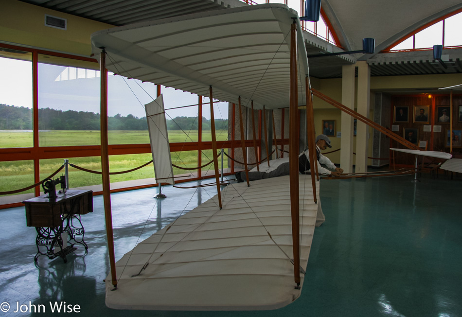
The Wright Brothers National Memorial in Kill Devil Hills, North Carolina

The museum here at the Wright Brothers National Memorial at Kill Devil Hills down the road from Kitty Hawk is okay, but the narrow roads with no pull-outs were not designed for people who want to pause along the drive to get out for a walk or take photos. We also notice there are no bike or hiking trails out here, what kind of park is this?

Caroline Wise at The Wright Brothers National Memorial in Kill Devil Hills, North Carolina

The woman in the gift/book shop was downright rude, sealing our experience as being horrible, which is a first in a national park or monument. But enough of this blemish as we can simply move on.
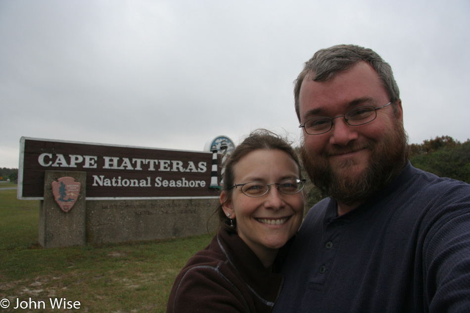
Caroline Wise and John Wise at Cape Hatteras National Seashore at Nags Head, North Carolina

Don’t get the idea we were in any way discouraged as we knew that lighthouses were coming up, and one of them is likely the most famous on earth. We are at Cape Hatteras National Seashore south of French Fry Alley and a million miles of culture away from all of that. I’m not sure, but I think our smiles help brighten the overcast sky.

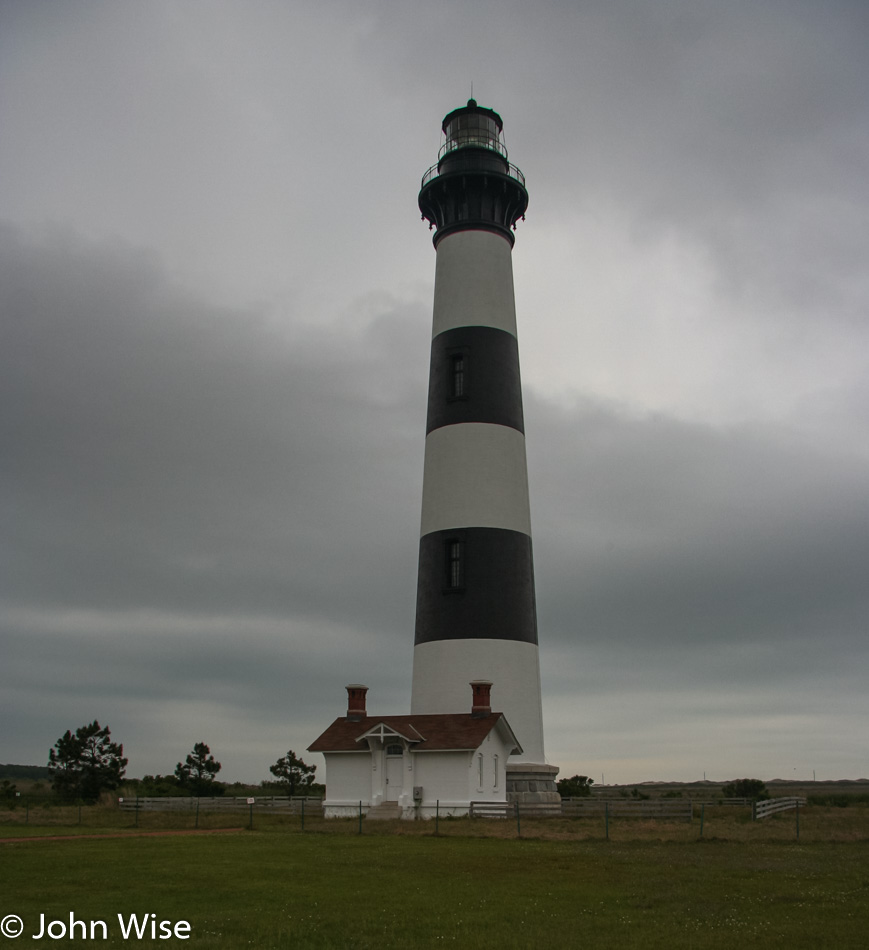
Bodie Island Lighthouse at Cape Hatteras National Seashore in North Carolina

The Bodie Island Lighthouse is our first stop on Highway 12 South. This icon has been operational since 1848, and while tours are available, we opt to use our shortening time out here to visit the Cape Hatteras Lighthouse and maybe come back someday to visit this one.

Cape Hatteras Lighthouse at Cape Hatteras National Seashore in North Carolina

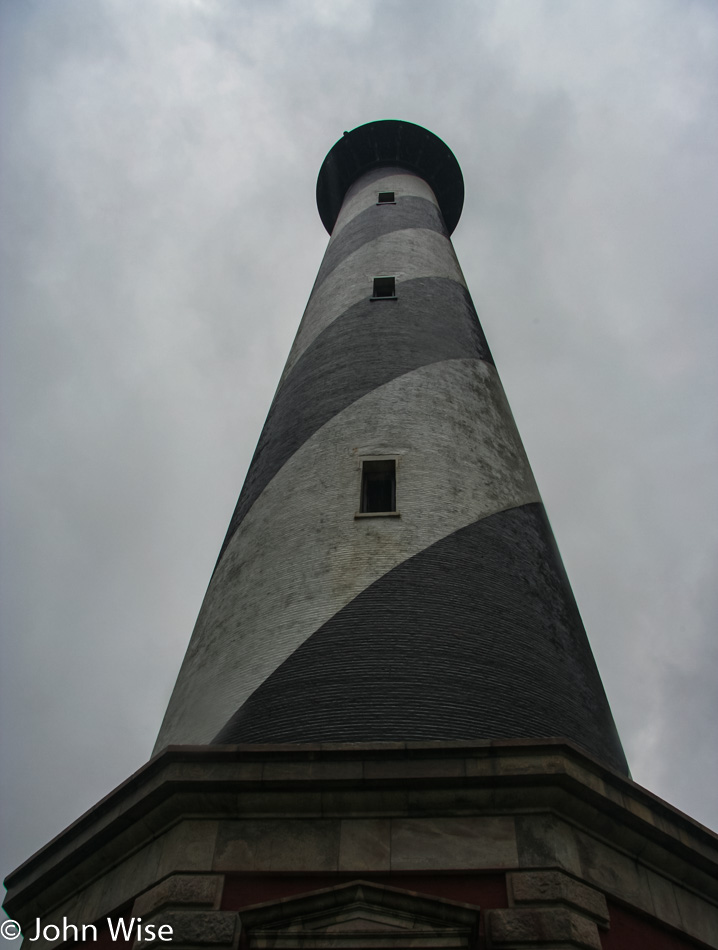
The Cape Hatteras Lighthouse, built back in 1870, looks like it hasn’t been painted since then, but from a distance, you’d never know. We’re thrilled to be here, so much so that Caroline splurged in the gift shop and bought a pendant of the lighthouse that she’ll cherish for years into the future.

Cape Hatteras Lighthouse at Cape Hatteras National Seashore in North Carolina

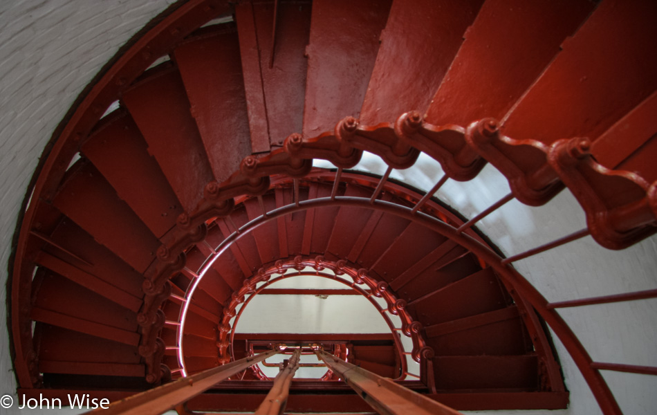
Of course, we are climbing the 268 steps to the top.

Caroline Wise and John Wise on the Cape Hatteras Lighthouse at Cape Hatteras National Seashore in North Carolina

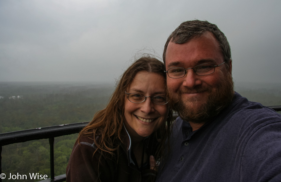
Here, we are standing atop this 137-year-old beacon to seafarers. Our day on this stretch of the Outer Banks is now complete.

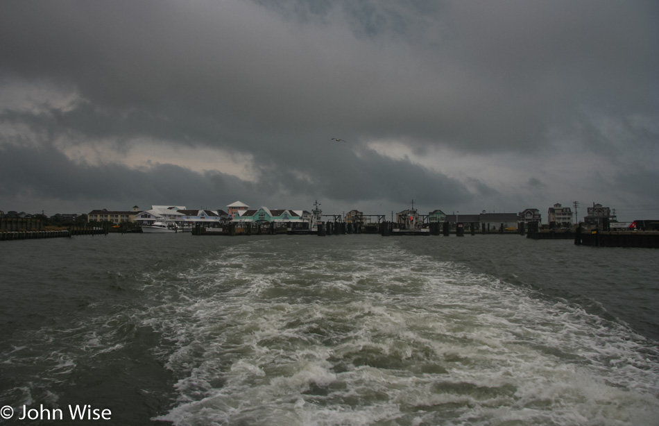
Ferry from Hatteras to Ocracoke in North Carolina

A little further down the road, we run out of land. We either turn around or swim. Just kidding, our plan all along was to take the ferry across the channel to the island of Ocracoke, where we had a room reserved for the night.

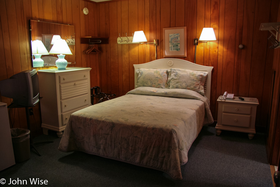
Harborside Motel in Ocracoke, North Carolina

This is what $80 gets you at the Harborside Motel.

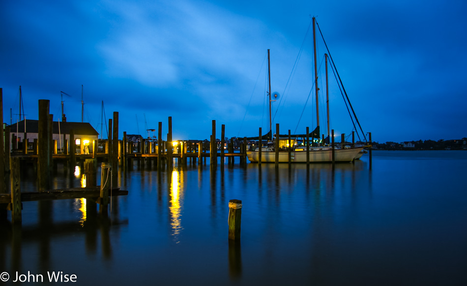
At the harbor in Ocracoke, North Carolina

Dinner was at the incredible Cafe Atlantic, where we feasted on a couple of seafood combos and were wooed by the hummingbird cake served with the greatest toasted coconut ice cream ever.

Ocracoke Lighthouse in Ocracoke, North Carolina

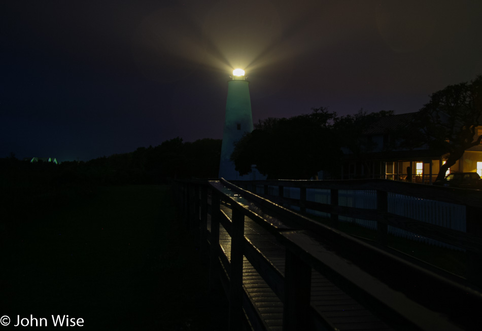
The rain is coming down hard over at the Ocracoke Lighthouse, but along the way, we get to see some fireflies. Nature’s fireworks are the perfect close to the day.

Assateague Island – Day 12

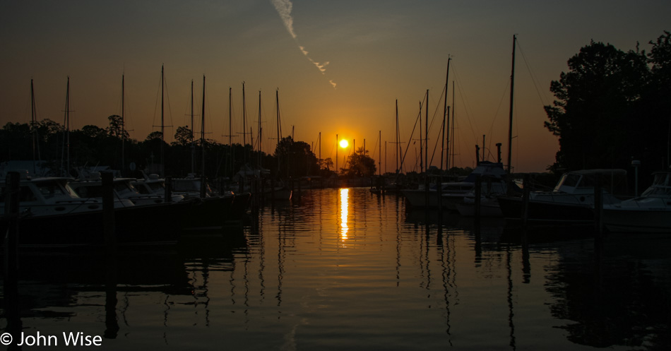
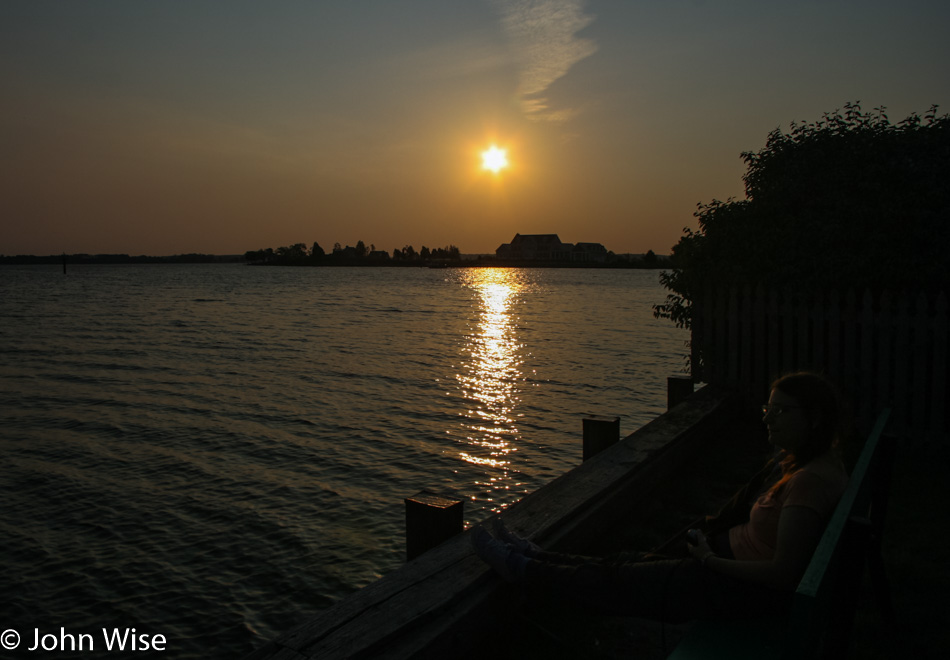
What a great day to wake before sunrise and head over to the east side of Oxford for a direct view of the rising sun.
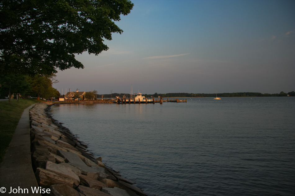
It’s nice and quiet here on a Wednesday morning outside the main tourism season. Just us, the birds, the Tred Avon River, and a growing satisfaction of the experience, this is all ours.
While she may difficult to see sitting there on the right, we sat next to the water for a good long time to enjoy this luxurious start of the day.

Back at the Ruffled Duck Inn, we were spoiled with an incredible breakfast of artfully arranged fruit, including honeydew, cantaloupe, strawberries, pineapple, and grapes. An omelet with spinach, mushroom, and feta with a side of small phyllo dough pastries filled with jam rounded things out. We are ready to take on the day.

We wanted to take the ferry from Oxford west over to Bellevue on the other side of the Tred Avon River, but we were too early. As we felt like getting out on our sightseeing adventure, we headed north and then south on our way toward Taylor Island.

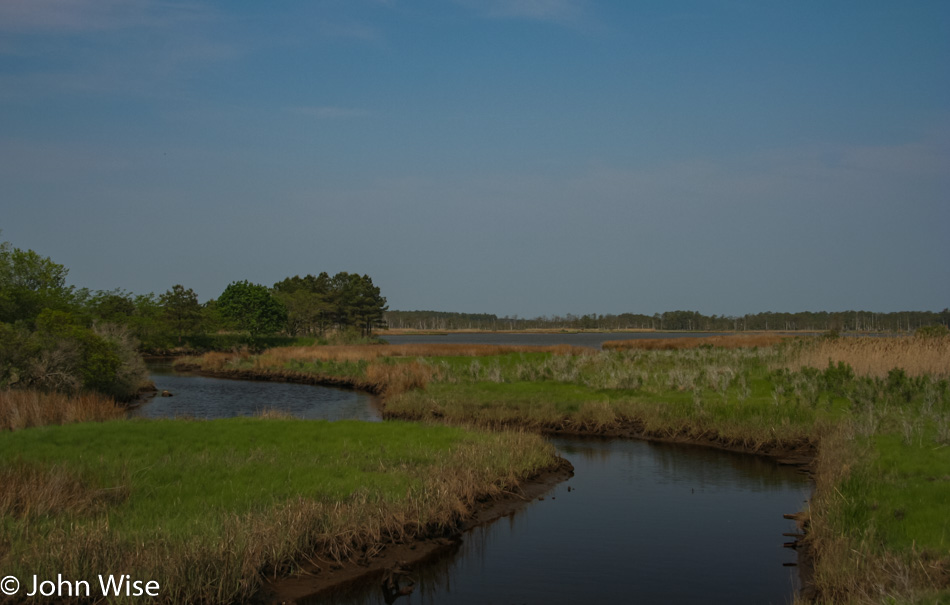
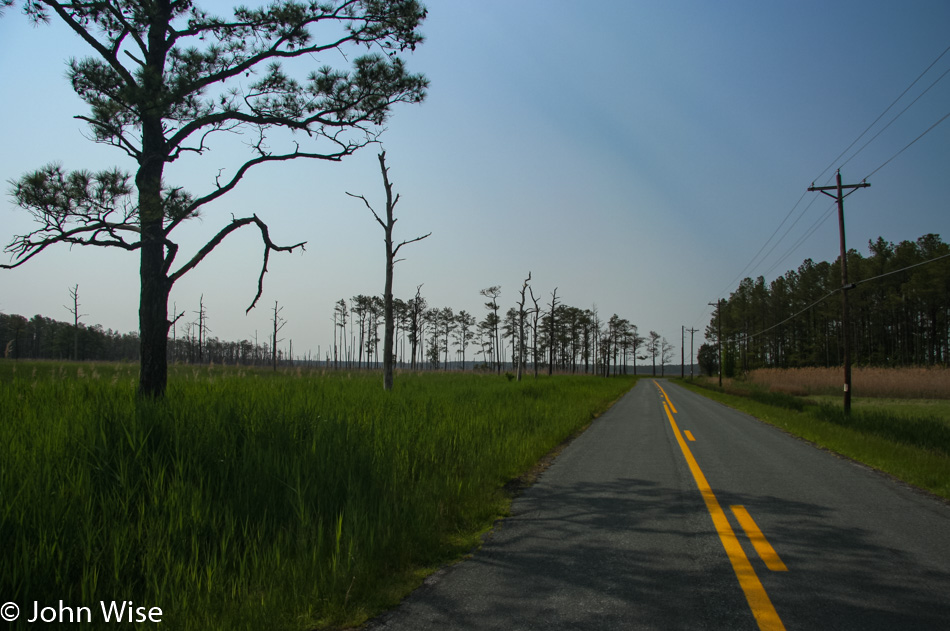
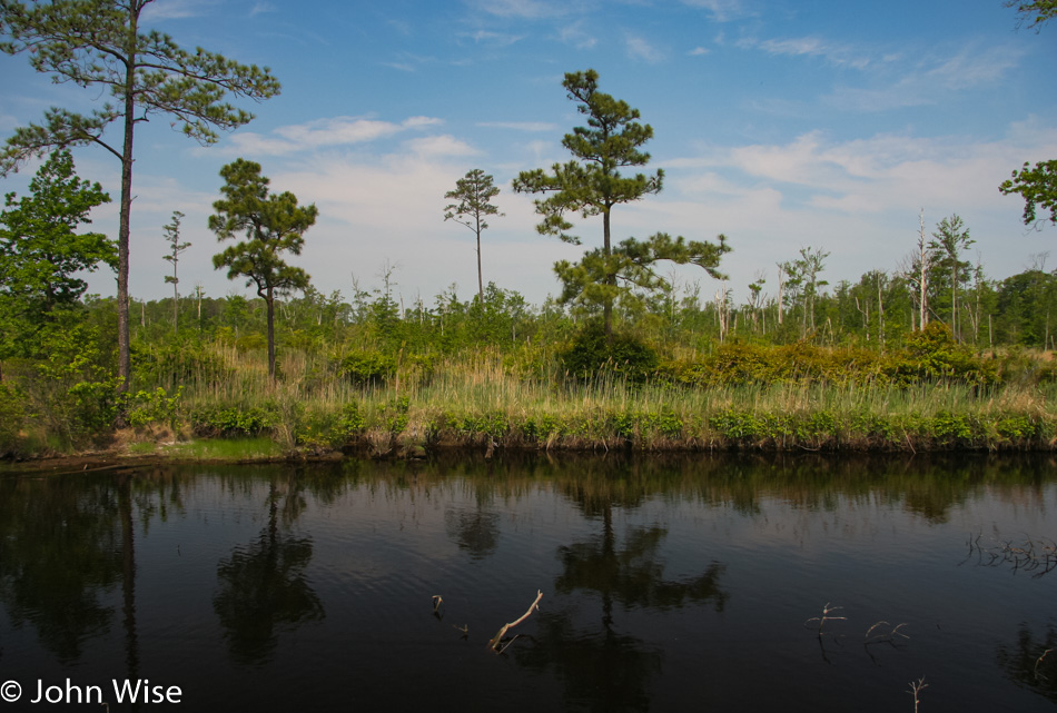
Once we were on Smithville Road, surrounded by some luscious grasslands, we saw that we didn’t have enough map resolution to figure out which (if any) of the side roads we should venture down, so we circumnavigated the peninsula, skipping even more detours.

The Harriet Tubman Underground Railroad National Historical Park is out in the middle of all this, but seeing this has already been a detour, Caroline is excited for the ponies of Chincoteague, and I want us to visit Rehoboth Beach over in Delaware because the name is intriguing we forego the park during this visit.

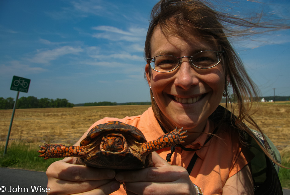
The woman in an orange shirt was on a mission to save the orange turtle in the Blackwater Wildlife Refuge.

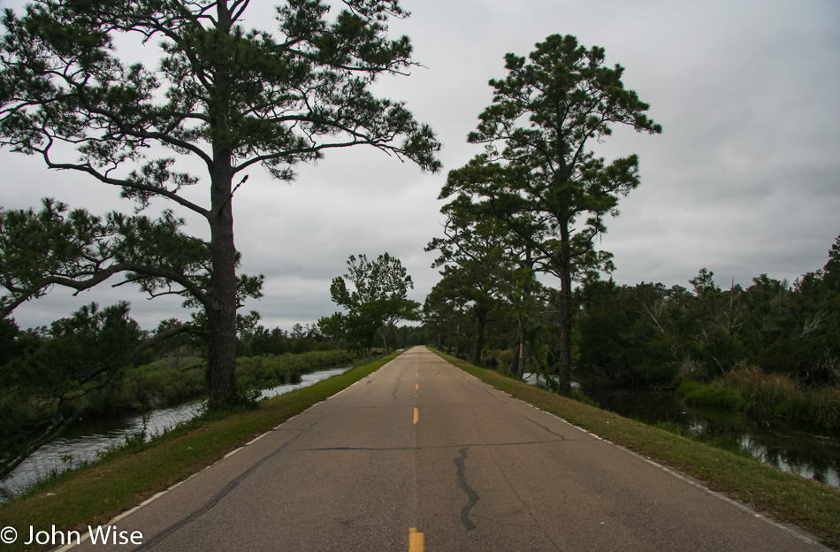
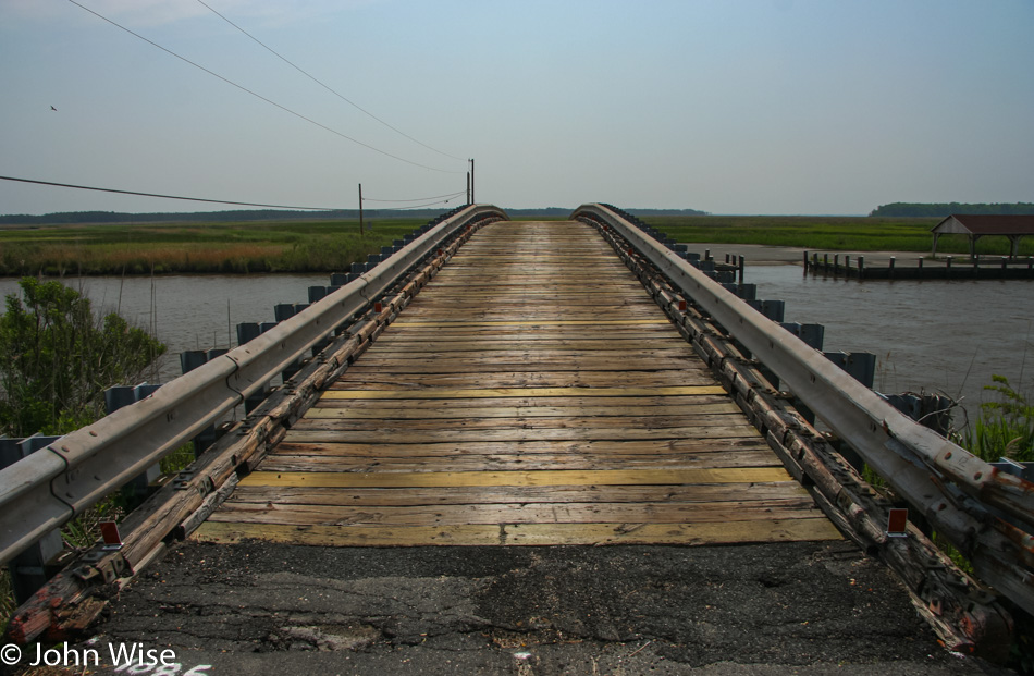
Bestpitch Ferry Bridge between Bucktown and Henry’s Crossroads appears to be the road less traveled. This is our form of winning.

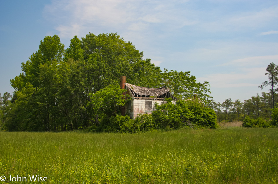
This is not Millie’s Roadhouse in Vienna, Maryland, where we had lunch, but Millie’s is where we stopped. This place was along the road somewhere that could still be in Maryland, or maybe it’s in Delaware. No matter where it is, it no longer serves the purpose of sheltering people.

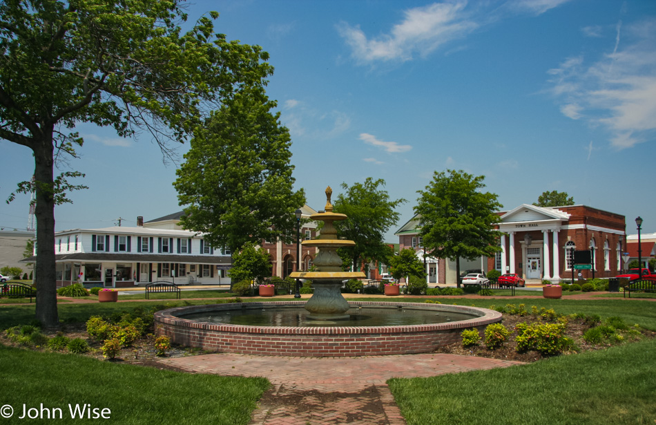
Georgetown, Delaware, is a quaint town on Highway 9 on our way to the beach. A Mountain Mudd Espresso hut came to our rescue as our eyes were growing heavy after lunch.

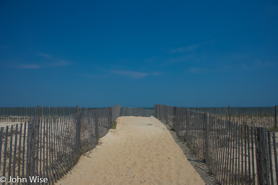
Dewey Beach in Delaware. You might ask, if we were in a hurry to reach Chincoteague, why would we head north? It couldn’t have only been the name Rehoboth that would pull us up here, could it? For the truth, see the photo below.

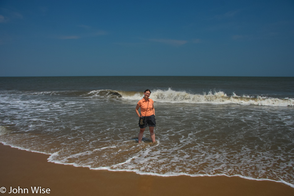
At how many state shorelines can Caroline step into the ocean? By the way, don’t get the impression that if she stepped into the southern shore of the state’s coast, she’d be satisfied; the more places along the ocean, river, and lake, the better.

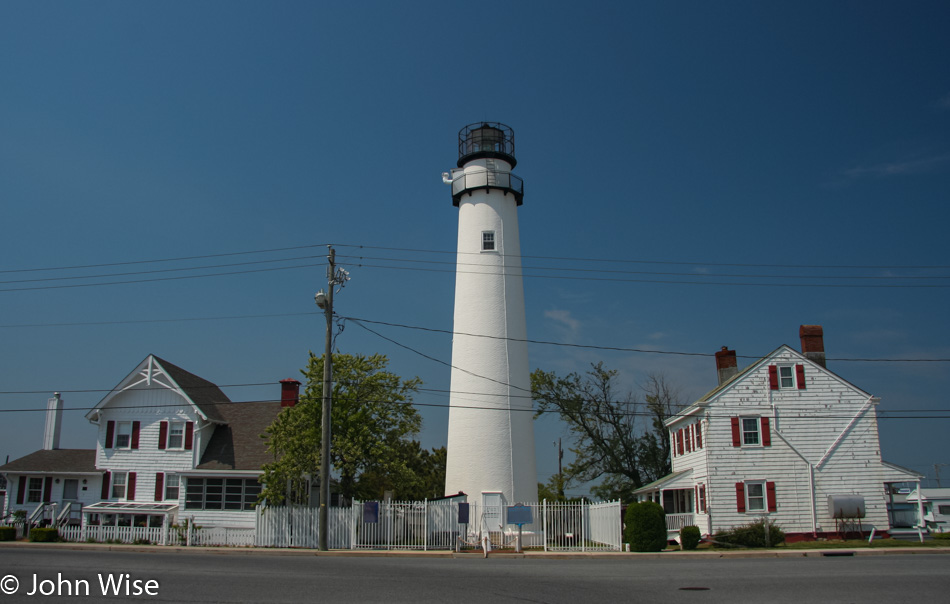
Fenwick Island Lighthouse in Delaware could have been yet another valid reason to drive up this way. With over 700 lighthouses in America, it’s impossible that we’ll ever see them all. Turns out that August 7 is National Lighthouse Day, when many lighthouses across America are free to visit, and in New Jersey, just south of us here in Maryland, the state has reward programs for those who see a certain number of lighthouses on this one true important day in American culture.

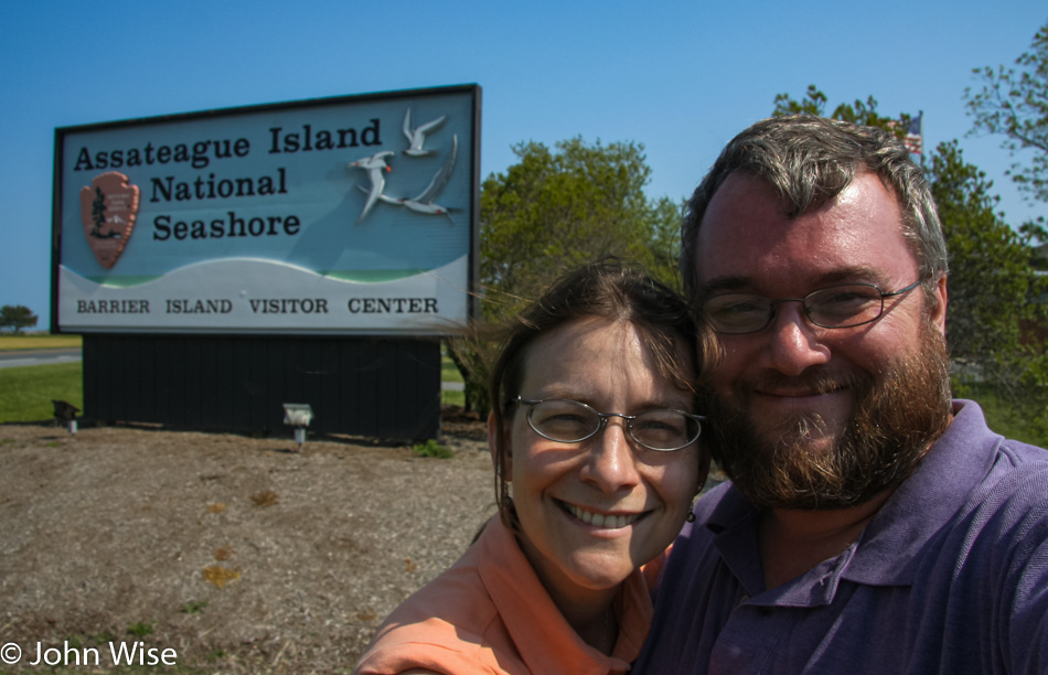
Caroline Wise and John Wise at Assateague Island National Seashore in Maryland

Two years ago when my mother-in-law was visiting exactly at this time of year, I blogged about our travel plans to do much of what we are doing out here in 2007. That trip back East, for some reason or other, was derailed but not our desire to see the places that we dreamt of. When Caroline was a girl she read the book Misty of Chincoteague by Marguerite Henry, and the idea of visiting the real place that actually exists outside of the imagination of the author is a serious treat for my wife.

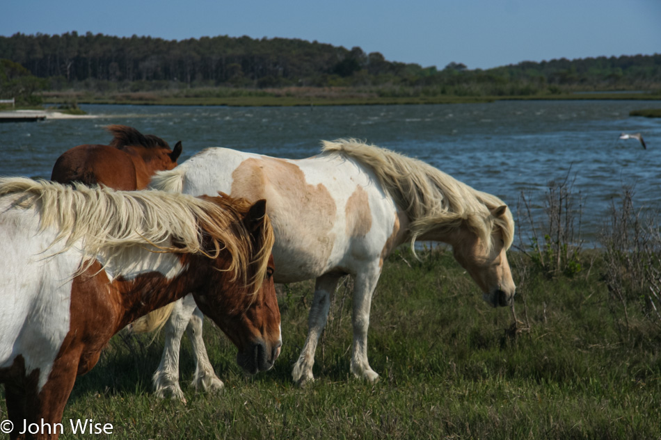
Assateague Island National Seashore in Maryland

Seriously, think about this. There’s an island in America that is protected as a National Seashore because of a bunch of wild ponies that ended up here nearly 200 years ago. Now, those with the means are able to drive out here for a day of pony gazing, and those who might be inclined can even purchase a wild pony at the auction held every July when the ponies are rounded up and made to swim from Assateague to Chincoteague Island.

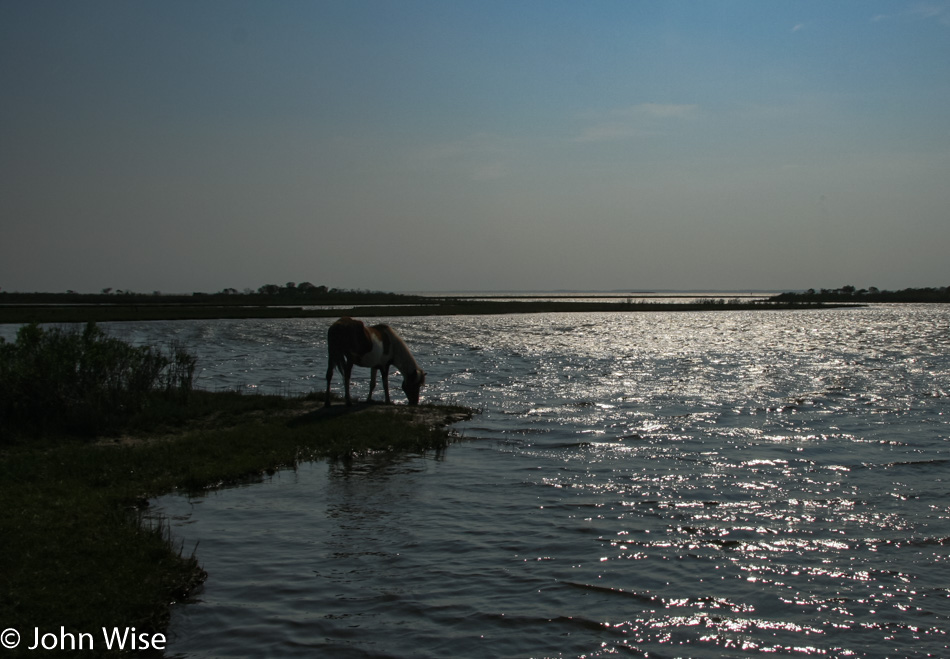
Assateague Island National Seashore in Maryland

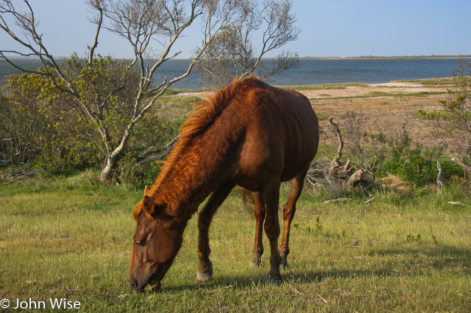
If there’s a negative aspect to these fast orientation trips into America, it would have to be the brevity of time we can allocate to the most amazing places we wander into. Just look at this pony at the water’s edge with the glistening water framing the world in front of it: we could have stayed here forever until we moved 100 feet in either direction and caught ourselves mesmerized by the next sight. I wonder if there’s a part of us still out there watching this horse for eternity.

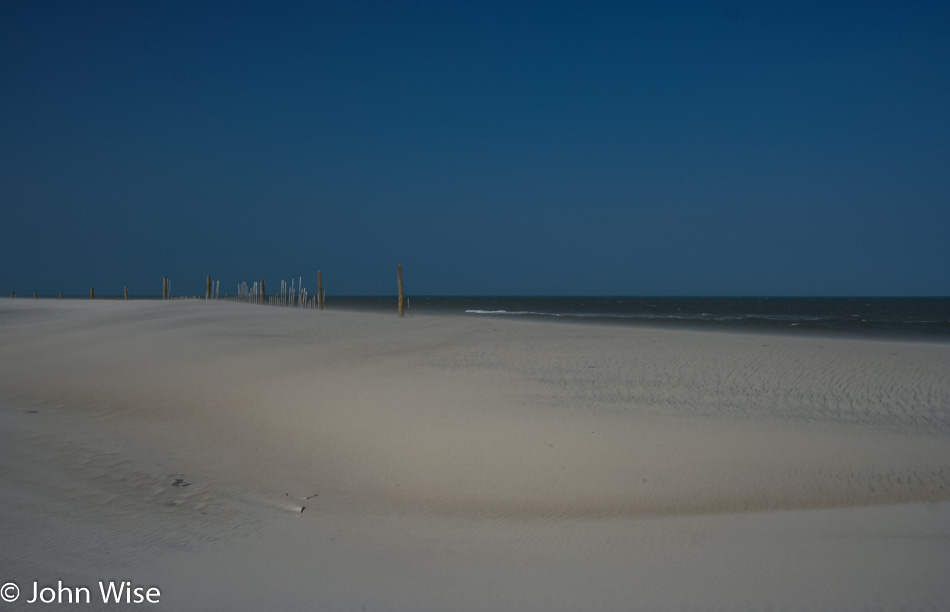
Assateague Island National Seashore in Maryland

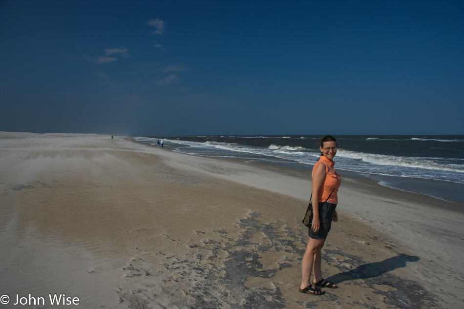
Nope, no ponies here, but there is the matter of ocean in Maryland on Assateague Island.

Caroline Wise at Assateague Island National Seashore in Maryland

Trust me, she was out in the water, but this picture of Caroline was prettier, so I’m sharing it. If you look to the left behind my wife, you might get some idea of just how hard the wind is blowing out here.

Assateague Island National Seashore in Maryland

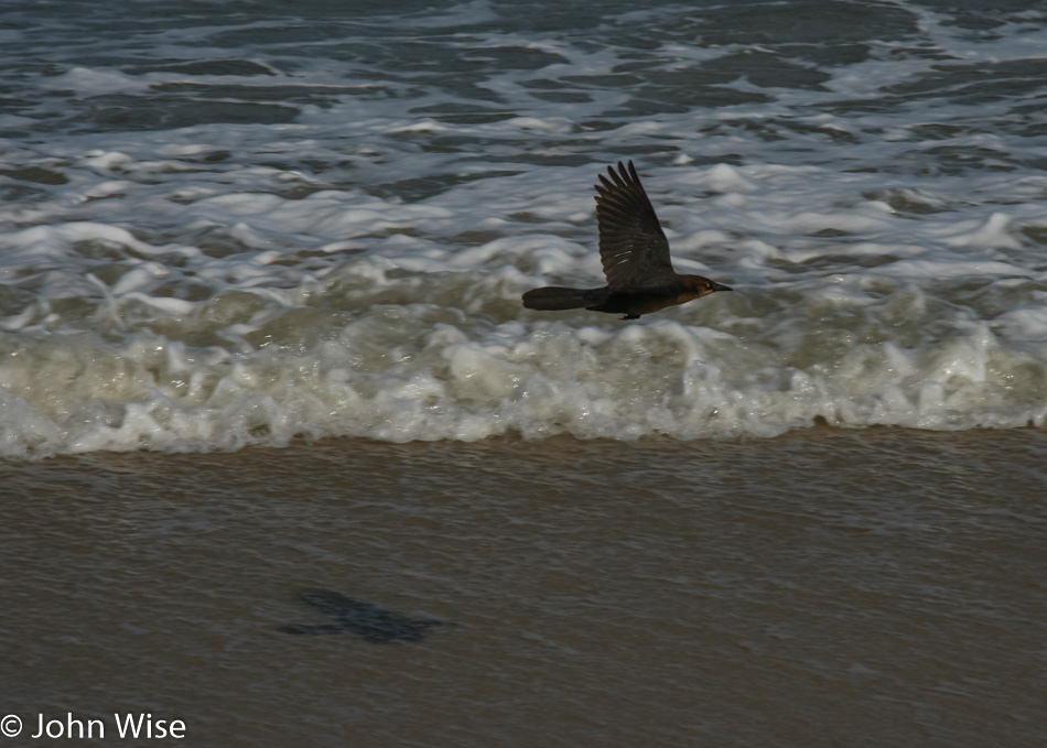
The few birds that braved this side of the island were being whipped around in the currents and seemed to struggle to stay aloft.

Caroline Wise at Assateague Island National Seashore in Maryland

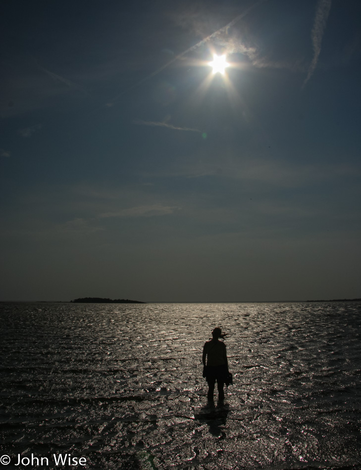
Back on the Sinepuxent Bay side of the island, things are relatively calm

Assateague Island National Seashore in Maryland

Time to leave the ponies on the north side of Assateague and head south. On our way back through the park entrance, we stopped at the visitor’s center and met a girl who was also named Caroline. She was incredibly helpful and even entertaining as she explained horseshoe crabs and whelks and also did impressions of pufferfish, sleeping horses, and, by request, even a starfish. We certainly received our fair share of laughs for our stop-in.

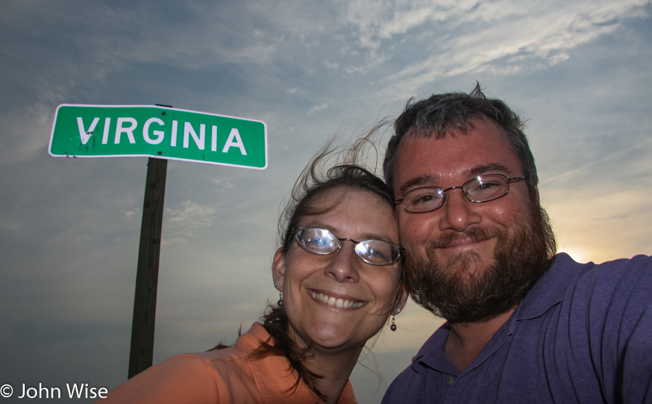
Crossing into Virginia, which they say is for lovers. I’d say we meet that criteria.

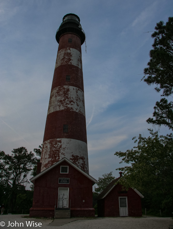
Assateague Lighthouse on Chincoteague Island, Virginia, but it’s getting late and we are being eaten alive by mosquitos. We spotted a few ponies down this way, though nothing like what we were seeing up north.

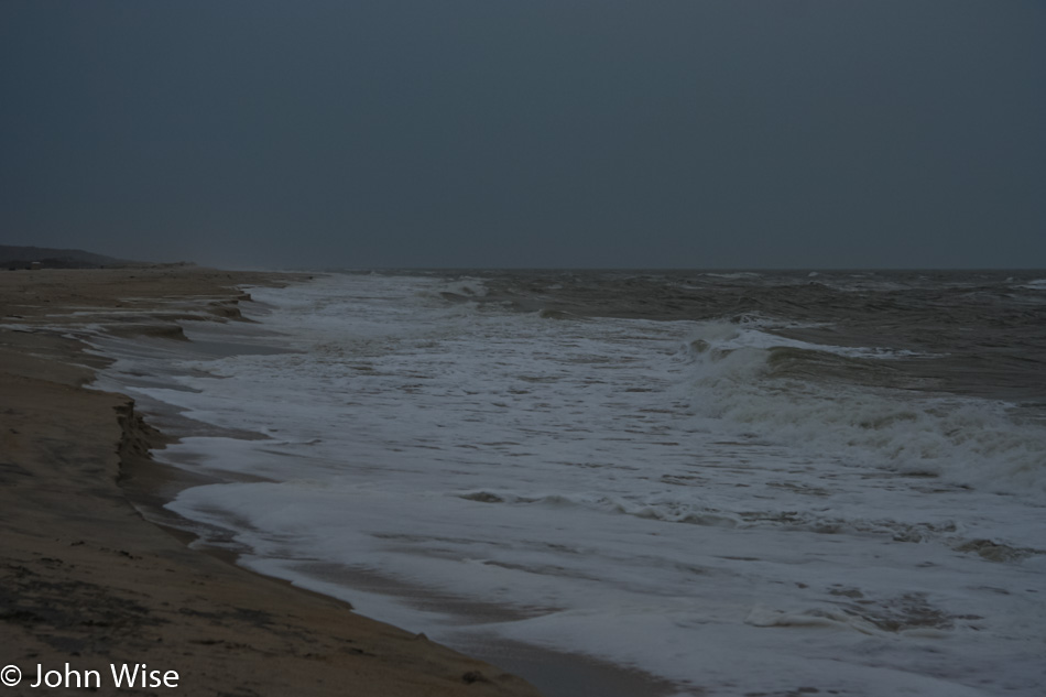
Minutes later, at the ocean, the sky is turning stormy and gray as the sun is fully under the horizon. Nothing left to do but continue our trek south to Nassawadox, Virginia, for our night at the Anchor Motel that we are failing to find. It turns out that they changed their name to Best Value Inn years ago and forgot to inform us as we made our reservation sheesh. Dinner was almost at a Burger King, but after waiting forever with other people waiting longer than us and getting angry, we asked for and received a refund that allowed us to head across the street to a bar & grill that was probably no better than the worst Burger King on earth.

Whales, Walls, and Water – Day 9

We’ve already been out and about with a walk along Clarks Cove as the sun was supposed to rise, but the heavy clouds and rain cut that short. Back in the coziness of our room, I crawled into bed for a nap until our host, Ron, was ready with breakfast. Talk about feeling like royalty living on the edge of luxury; this is it.

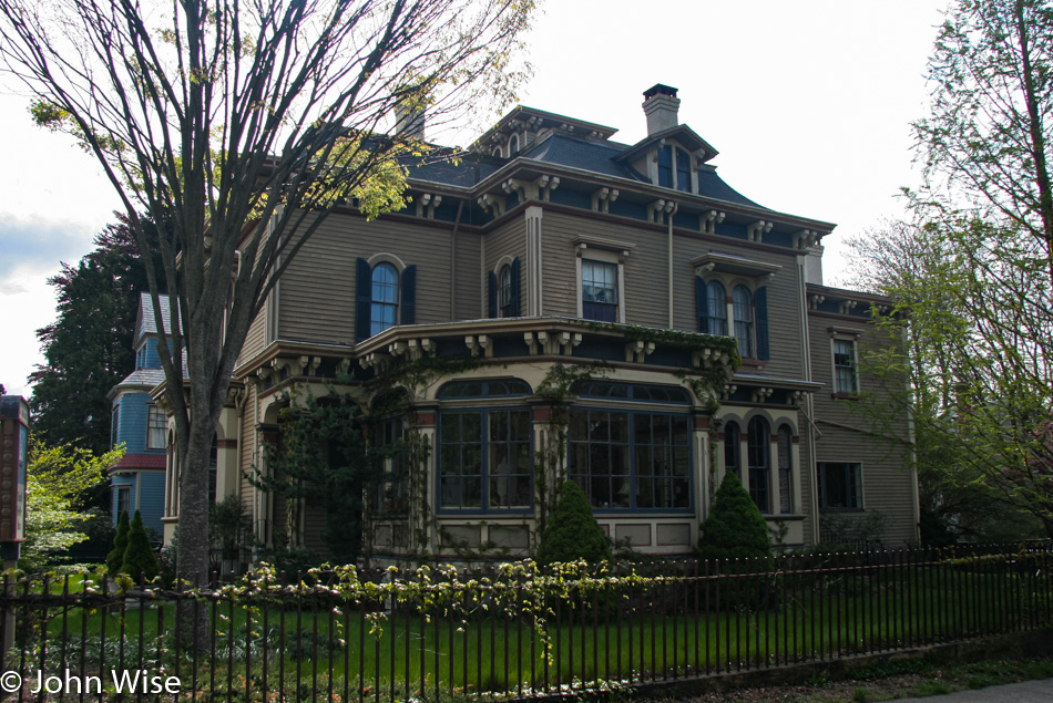
Imagine it’s the beginning of the Civil War in 1861, and Melville published Moby Dick 10 years prior but is still struggling to be recognized as a serious author. He and his wife, Elizabeth, are walking up to this house, and there are no waiting throngs; celebrity is proving elusive, but in the future, long after this writer has perished, he will find immortality. Maybe it’s only the notorious that find fame in their lifetimes when it relates to the kind of impacts that change our perceptions.

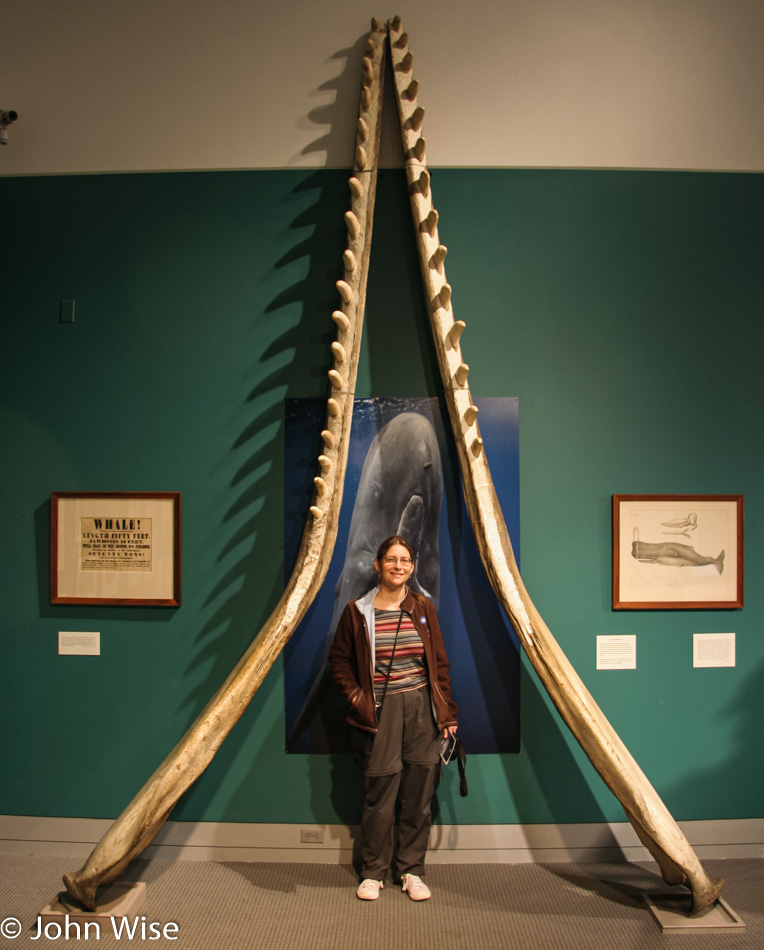
The New Bedford Whaling Museum opens at 9:00, and maybe because others are still at church here on Sunday, we are the first of just a few people to be visiting the exhibits. The bones Caroline is standing between do not belong to a dinosaur; they are the jawbones of the sperm whale. If you’ve not read the book, Moby Dick was an albino sperm whale.

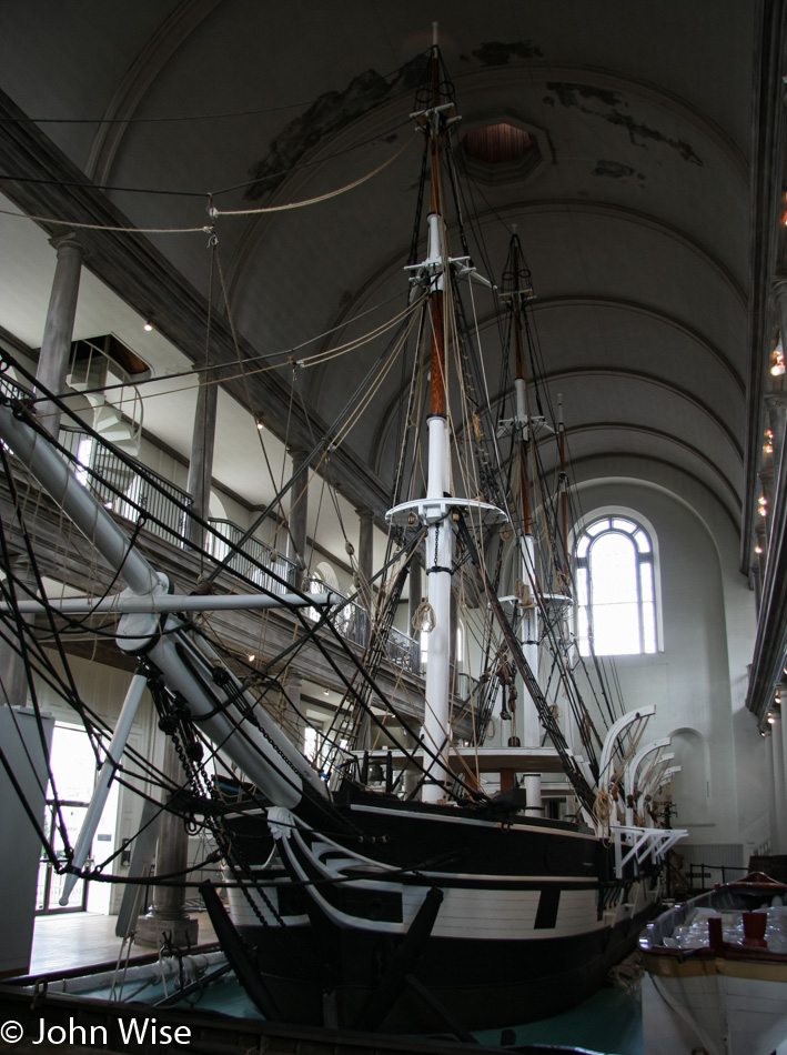
This is a half-scale whaling ship named Lagoda that was built nearly 100 years ago, long after commercial whaling had come to an end. For five years, Melville worked the seas hunting sperm whales on a ship similar to this, where he would have had to participate in everything from harpooning the creature to taking it apart and rendering it down to oil to light parlors across America.

New Bedford Whaling Museum

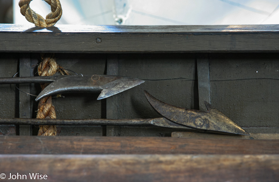
From the whaling ship, the crew would board whaleboats armed with a variety of harpoons used for killing the leviathan, as seen here from a replica, though I’m not certain that the harpoons aren’t real.

Around this time, we met a docent named Lucy, who happened to be here on her day off. We share with her our fascination with all things related to the sea, how we’ve been to the Monterey Bay Aquarium countless times, our visits to Coastal Oregon, the love of tidepools that we read Moby Dick in our car while traveling, and how all of this influenced our trip to visit New Bedford. Picking up on our obvious enthusiasm, she decided to share something with us.

Lucy went over to a locked cabinet, telling us how the things inside were usually shared with school groups as adults typically don’t find it all that interesting. What she took out and handed over to us was a sample of spermaceti, some sperm oil, right whale oil, and the treasure of all treasures, ambergris. Ambergris has a scent that is magical and beyond my ability to explain just what it is. As for Lucy, she’s originally from Poland which allows us the opportunity to discuss things European and acknowledge our perception that not many Americans seem to have a deep curiosity for the natural world.

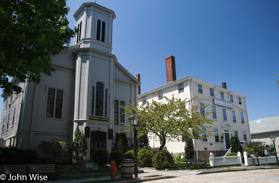
We were not going to leave New Bedford without a visit to Johnny Cake Hill to at least catch a glimpse of the Seamen’s Bethel and the Mariners’ Home. I have to admit that we couldn’t make time to visit these iconic and historic buildings as we are on our way to Mystic, Connecticut, to visit the Seaport Museum that we didn’t have the opportunity to check out when we were in the area seven years ago.

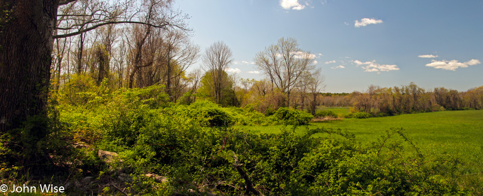
Somewhere on the road in Dartmouth, Massachusetts.

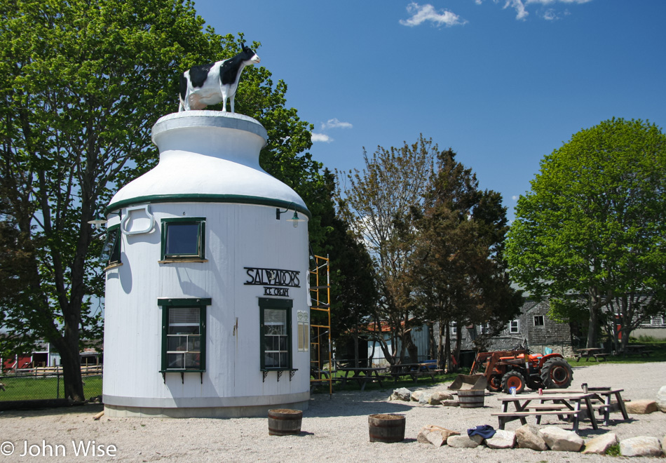
The gimmick of a giant milk jug with a Holstein perched atop it worked to drag us over to Salvadors Ice Cream stand on the side of the road in Dartmouth. This is probably the quickest way to pull Caroline and me into a business; just dress it up in some kind of absurdity, and we’re yours.

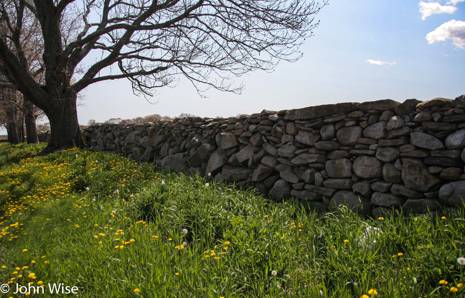
Our interests seem to have no bounds, well, that’s excluding jazz, country and western, most sports, racism, and the will to stupidity; so beyond that, we are pretty much interested in most everything, including stone walls framed with dandelions on one side and blue sky on the other.

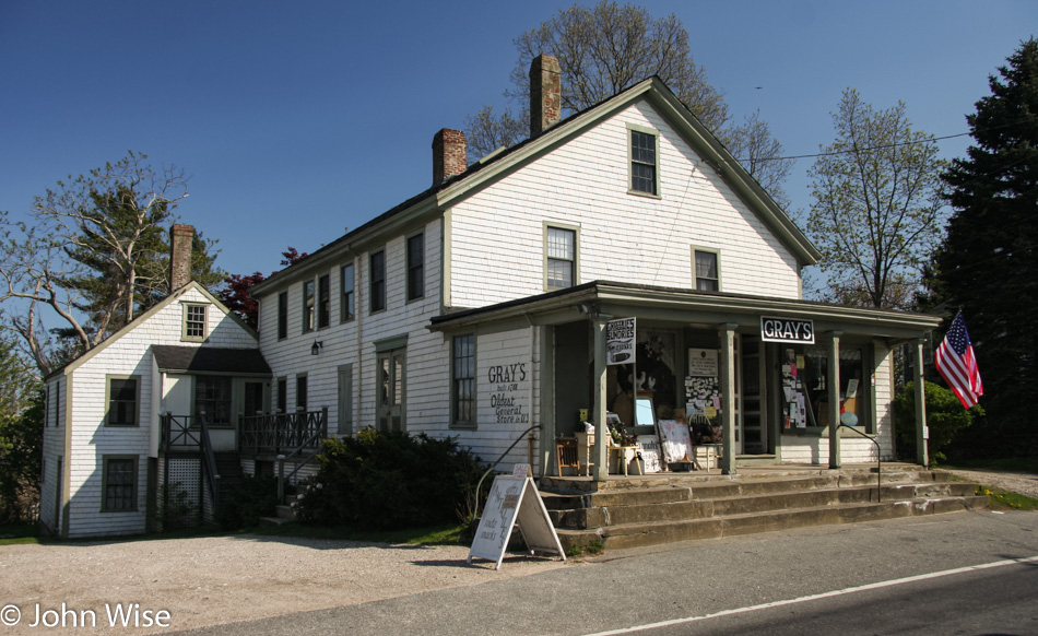
Get out and see America NOW. Believe it or not, this country is disappearing as it loses its identity to consumers of blind conformity. We visited Gray’s General Store here in Adamsville, Rhode Island, which has been in operation since 1788, but we are so far off the beaten path that, in spite of its authenticity, this historic business will likely never draw enough tourists to make it viable as those people picked up what they needed at nearby New Bedford, Massachusetts, or in Providence, Rhode Island. Meanwhile, the locals increasingly buy their goods on Amazon. Combine this with the need to remove our increasingly valuable old signage and weathervanes lest they are stolen, and the very appearance that adds so much character to these outings will one day be gone.

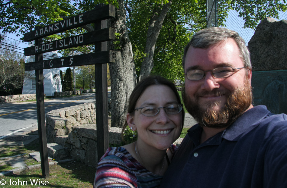
Caroline Wise and John Wise in Adamsville, Rhode Island

Sure, our faces are blurry but this is part of our proof that we were for a second time in our lives here in Rhode Island. It’s just crazy to think that Los Angeles County is nearly four times larger than this state. Strange that our last trip to this state saw Caroline as being blurry, and now we both are; what gives?

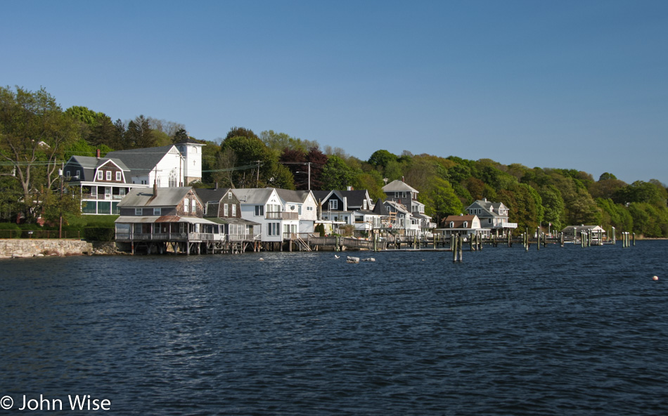
Add coastal Rhode Island to our list of desirable places to live.

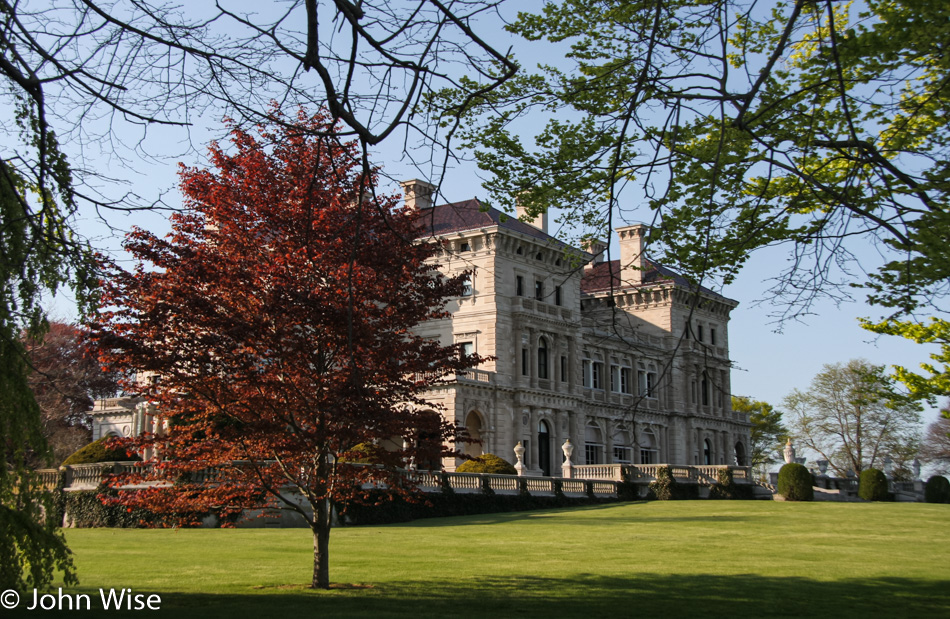
The Breakers in Newport, Rhode Island

Apparently, some very wealthy people thought the same thing about the Newport area of Rhode Island, such as The Breakers seen here. While we didn’t have the time to visit this mansion once owned by the Vanderbilt family, we made a note that it might be interesting to one day visit the complex of mansions maintained out here by the Newport Preservation Society.

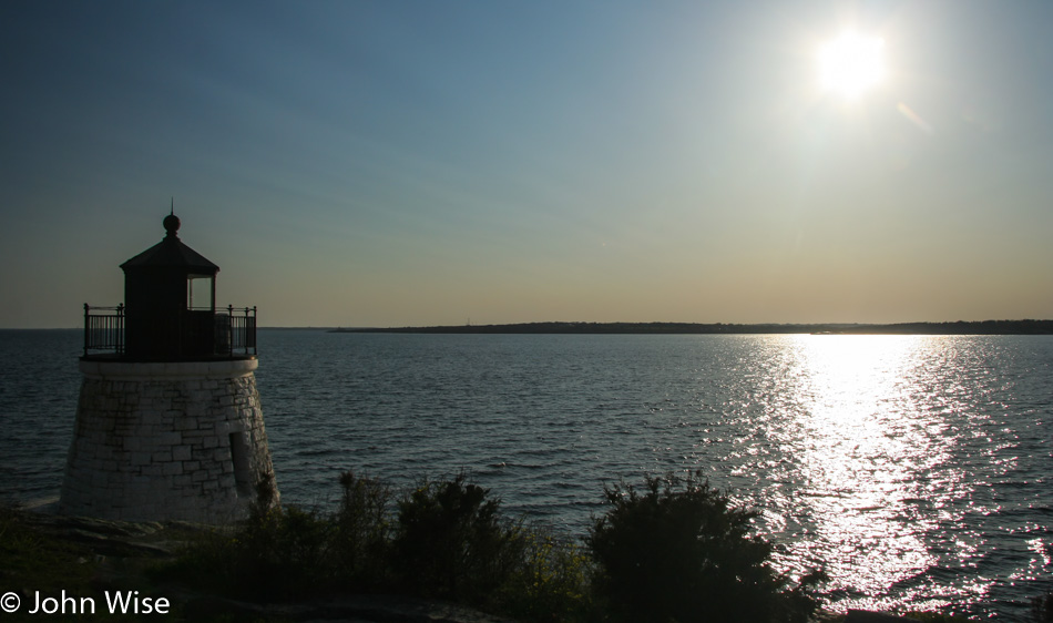
Castle Hill Lighthouse in Newport, Rhode Island, was our last stop before getting on it to head over to Mystic, Connecticut, where we had a room booked for the night.

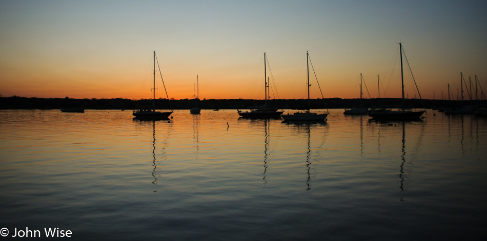
We arrive in Mystic with the last bit of light offering us a glowing horizon that punctuates another perfect day. Our course today took us on a beautiful winding series of roads that kept us close to the Atlantic among farmlands and the summer stomping grounds of America’s elites of 100 years ago. The golden age of the American Industrial Machine was at its strongest back then, with the super-rich building a lifestyle that took full advantage of the countryside that was theirs. Today, we were able to have a brief glimpse of what was part of that appeal.