Rare Sights

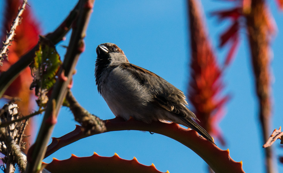
The common sparrow

This is not a rare sight; on the contrary, it is the common sparrow. So why post it? Because I don’t often see common sparrows next to the Pacific Ocean with a perfect blue sky and red flowering torch aloe for a backdrop, so it’s kind of rare.
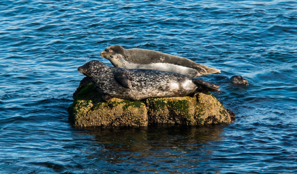
Two harbor seals in Monterey Bay, California

Two common harbor seals on a rock. Again, not something I’m likely to encounter in the desert of Arizona, nor will the people of Minnesota around this time of year when they are hitting -37 degrees of coldness.

Caroline Wise buying yarn at Monarch Knitting in Pacific Grove, California

Okay, this is pretty common, as in way too common a sight for me. This is what every fiber artist MUST do on vacation: search and visit every yarn shop on your travel route! Today, we made the pilgrimage to Monarch Knitting in Pacific Grove, but I should cut the wife some slack because the yarn she’s holding is the yarn I chose. When we walked in and were greeted by the staff, I immediately asked for the fingering weight yarn (as I’m oft to do) so I could scope some yarn suitable for socks. Those colors will end up as a pair on my feet sometime in 2018. They represent the sunset and color of the ocean for me. Caroline also picked up about $8000 in yarn for herself because that’s what these junkies do. Well, maybe it was only 4 or 5 skeins for about a hundred bucks; I’m getting old, and my powers of observation have only become more refined in how self-serving they are. There, wife – you happy that I finally admitted it in print?
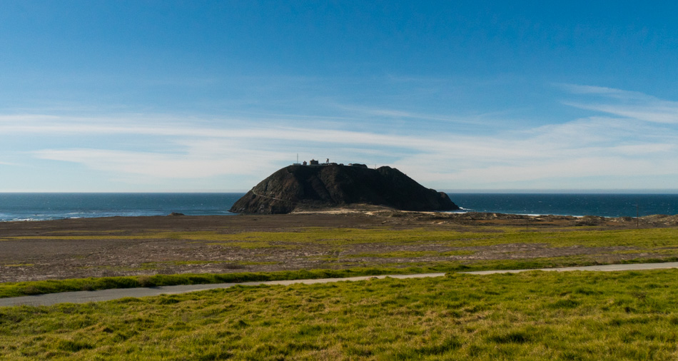
The Point Sur Light Station

This is not a rare sight, but the perspective is about to change to one that is rare. It just so happens that after 20 years of passing this rock in the distance, we have arrived on the right day at the right time to be able to visit it. This is the Point Sur Light Station and is open for three scheduled visits per week: one on Saturday, one on Sunday, and one at 1:00 p.m. on Wednesdays (check the hours as these are for Winter).
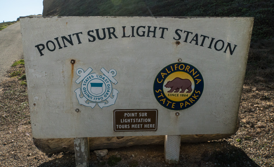
Point Sur Light Station welcome sign and meeting point

The three tours are only offered on a first-come-first-serve basis. We arrived over an hour early but still, there were two cars in front of us. By the time the gate was opened, there were certainly more people wanting in than are allowed. The tours are limited to 40 visitors, and there are NO reservations. After driving down the single-lane road to the base of the volcanic rock, we collect and divide into two groups that make the walk up the even narrower road without guard rails that fall off to a steep drop to the ocean where death awaits the person who steps in the wrong direction or driver whose brakes are less than stellar. My vertigo is about to go crazy.
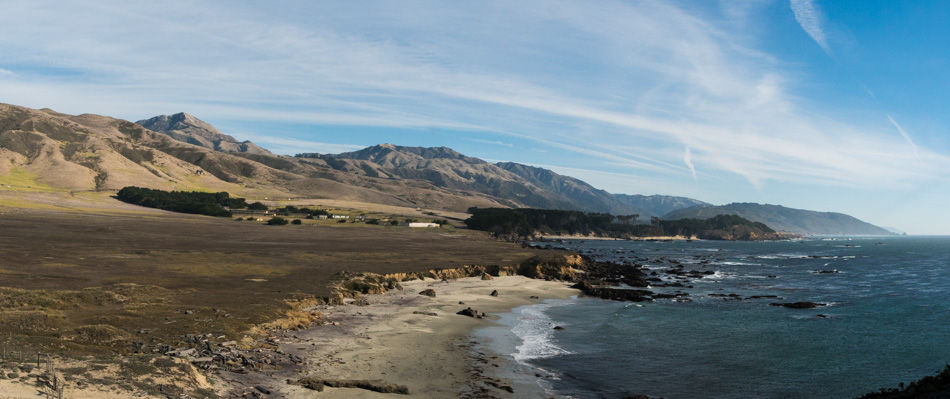
Point Sur Naval Facility

This is the Point Sur Naval Facility, which was once part of a worldwide network of defensive listening stations that tracked the movement of Soviet submarines. The Point Sur NAVFAC is one of the remaining Sound Surveillance System (SOSUS) facilities and the only one remaining on the West Coast (according to the California Parks website). It is rumored that the site will open to the public at some point in the future.
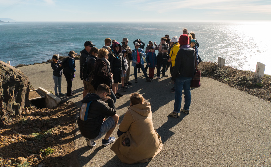
Walking up the paved trail to the Point Sur Light Station

Pausing as we climb the 371-foot tall rock to the lighthouse that was first lit on August 1, 1889, and finally automated in 1974 as it became too expensive to employ humans to guarantee the functionality of the light and horn that warned ships for almost 100 years. As we walked up the rock, our docent Melissa shared stories about the facility and some history. Ricky was the other docent who was just behind us.
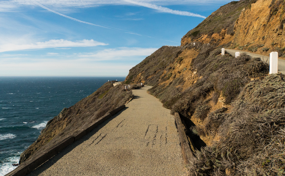
A bridge on the final leg to reach the Point Sur lighthouse

This little bridge nearly stopped me from seeing the lighthouse. Do you see the gap on the right side? That gap and the larger one on the ocean side drop into oblivion, a.k.a. DEATH. My knees were wobbling, and my lower intestines were knotting into vibrating, wracked contortions of squeamishness, sending their horrific energy straight out my pooper; sorry, but that’s where the center of anxiety driven by vertigo dwells in my body. Knowing there were children in the group that had been walking near the edge of the trail and hadn’t shown a care in the world, there was no way the old dude was going to belly-crawl this bridge or turn around I mustered some strength and aimed for the third GAPING crack from the right (hoping it didn’t open as I passed) and tried to follow its line. Once on the other side, the wood rail that was acting as a barrier ended, and the asphalt gave way to the sky and probably more death – oh, how I hate that I have vertigo. On the other side of all of this, Melissa assured me that we weren’t returning the same way. Hopefully, this would be a relief, but I still didn’t know if other hairy corners awaited me.
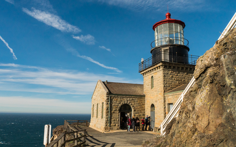
The Point Sur Lighthouse

The Point Sur Lighthouse is seen in most of its glory. I say most because the original Fresnel lens was removed years ago, though the preparations for its return are being made, and maybe on a subsequent visit, we’ll visit at night and be able to see the beam reaching out to sea. This is a milestone in our travel as we have looked out upon this rock and longed to visit but could never quite coordinate our time of arrival; today will be a day to stand out. Not only have we finally made it out here, but according to Melissa, we are extraordinarily lucky with the weather, as it is a rare day in winter when blue skies and relatively warm temperatures greet visitors.
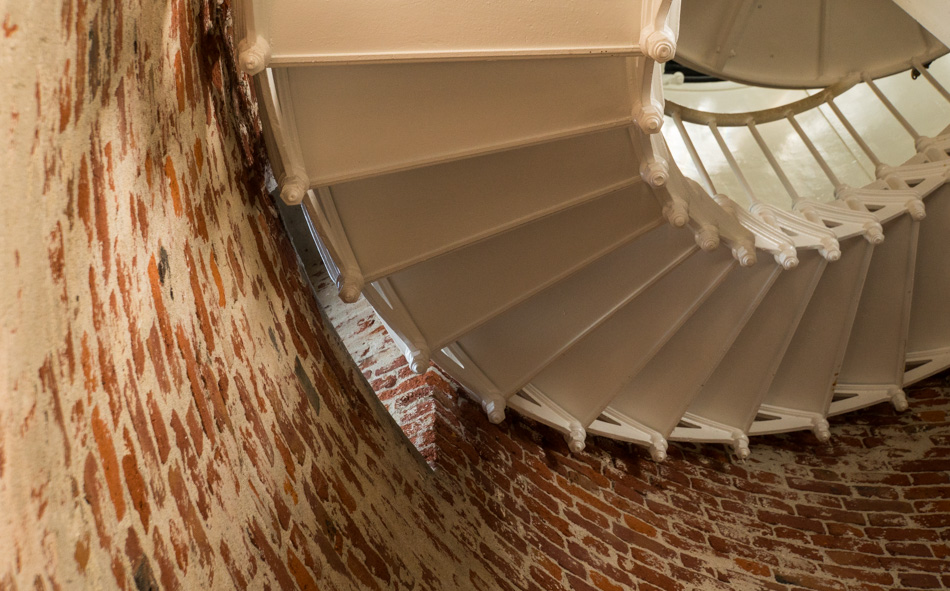
Inside the Point Sur Lighthouse

It’s a pretty tight fit for 20 people to stand in this room to listen to the docent tell of the history held in this facility; no wonder we break up into two groups. Upstairs, the squeeze is on until Melissa invites one of the other guests to open a side door so we can step outside.
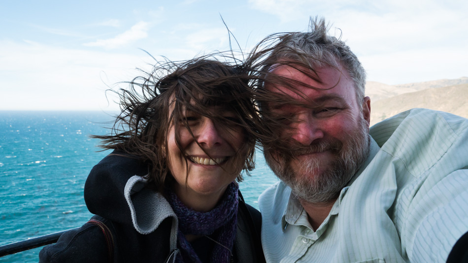
Caroline Wise and John Wise atop the Point Sur Lighthouse on a windy day

Once outside, things were wide open and cool compared to the stuffy little room under the glass enclosure of the lighthouse. Then we walked around the northeast corner, where the wind was blowing so hard that Caroline and I removed our glasses for fear of having them blown off our faces as we turned around for a selfie. Other versions have Caroline’s hair standing almost straight up while my short-cropped helmet of brittle gray hair sits nearly shellacked to my big redhead. In this photo, the hump on my left shoulder can be seen; I’m usually pretty good about hiding that side of my anatomy, as being a hunchback comes with some stigma. Being out here and having all of our senses stimulated is a win of epic proportions that tickles both of us to a delight that other mortals might only dream of experiencing. We attribute this sense of adventure to love, knowledge, and being nerds.
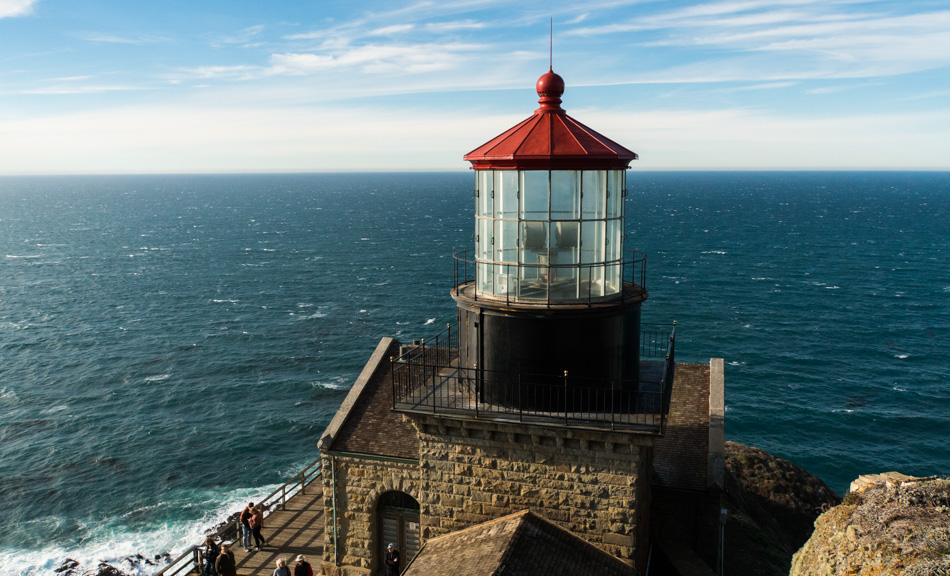
The Point Sur Lighthouse

This is the money shot for me. The path leads us up a steep stairway that climbs the rest of the distance to the top of the rock, which is the Point Sur Light Station. It is from those stairs that I stopped to snap this photo. It sure would be amazing to return someday to see the Fresnel lens back in there.
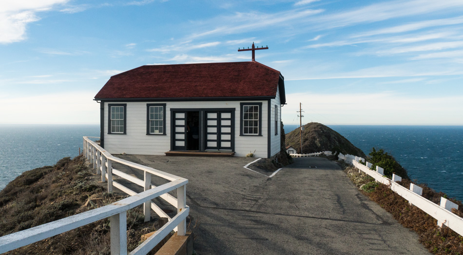
The carpentry and blacksmith shop at Point Sur Light Station

This is the carpentry and blacksmith shop that sits in front of the lighthouse; behind me are the living quarters called the Triplex, where the assistants to the lighthouse keeper lived. That facility is currently being renovated, while this shop is freshly finished with a great display inside this still-working building. Maybe you noticed from the photos that this has been a beautiful day so far.

A doll inside one of the renovated houses at Point Sur Light Station

Next door to the Triplex is the freshly renovated living quarters of the lighthouse keeper and his family. The decor is straight out of the late 1950’s Americana. There was no TV on display as back in the day; there would not have been any signal that would reach out here. There was, however, an old-fashioned cabinet-style record player with a 45rpm record on it: “Four Walls” by Jim Lowe, which was made into a hit that same year by Jim Reeves – Click here to listen to the song.

There is a gift shop up here that is only accessible during these docent-led tours, so be sure to pick something up to commemorate your visit or enjoy a cup of coffee or hot chocolate. They accept credit cards, and this is also where you’ll pay your $12 per person entry fee at the end of the tour.
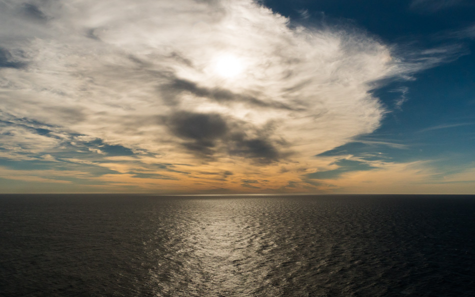
The view on the walk down from the Point Sur Light Station

Our three-hour tour is over, but we are still accompanied by our docent for the final descent down the 371-foot volcanic rock that holds this 100-year-old relic that’s on the National Register of Historic Places.
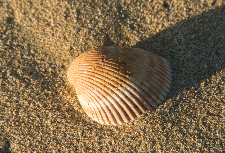
A seashell at Garrapata Beach

This seashell is about to return to the ocean. This shell, along with a couple of hundred others collected over the years along the coast are being returned to the sea as we feel they belong there more than in our living room. Part of us feels guilty as to the casual observer; there are two people here at Garrapata Beach throwing stuff wildly into the ocean. We’ve been meaning to do this for some time but have forgotten our bag of shells more times than we care to remember. It’s as though a circle has been closed.
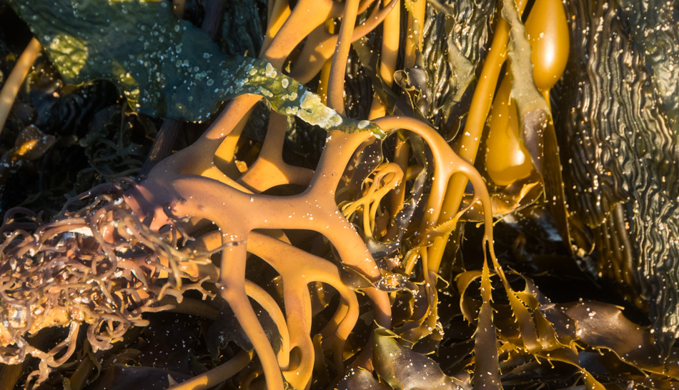
Kelp from just off shore at Garrapata Beach

We walked back to the stairway leading up to a short path and roadside, where we parked the car. We rarely get to visit Garrapata Beach more than once on a trip up and down this part of the coast, and no matter how many times we visit, it’s always with a heavy feeling that we agree that it’s time to leave. We probably wouldn’t have stopped here again had we not remembered back on Christmas day to grab the bag of shells, but having this opportunity is a treasure and marks a perfect ending to another perfect day, which, when we are traveling, is seldom rare.
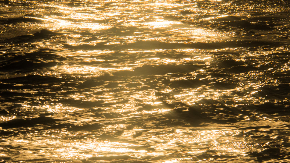
Sunset at Garrapata Beach

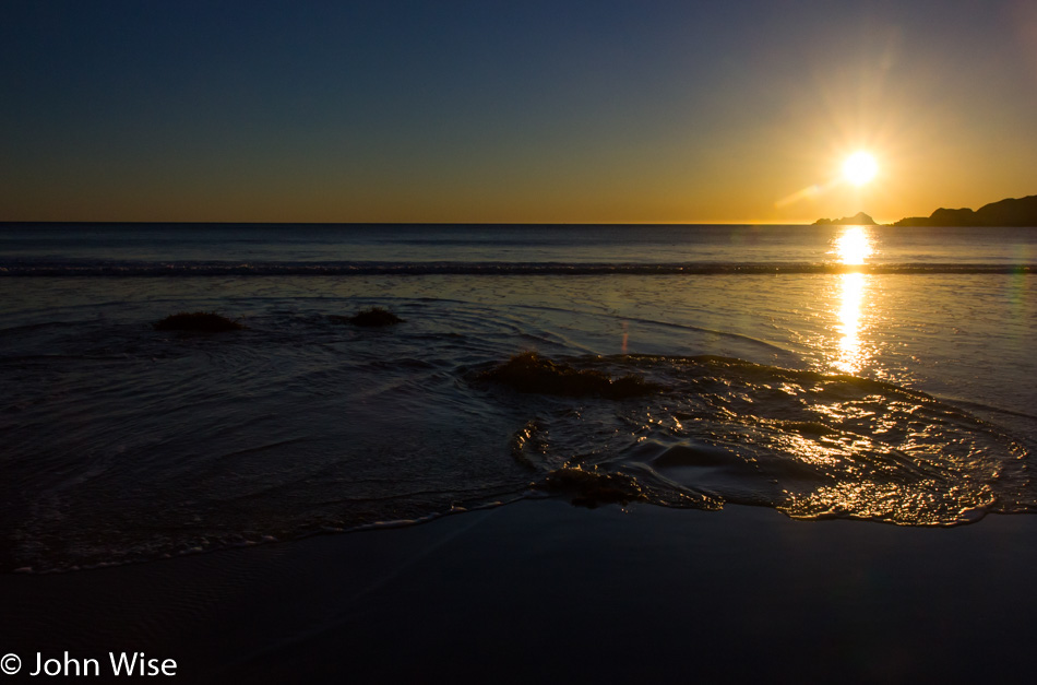
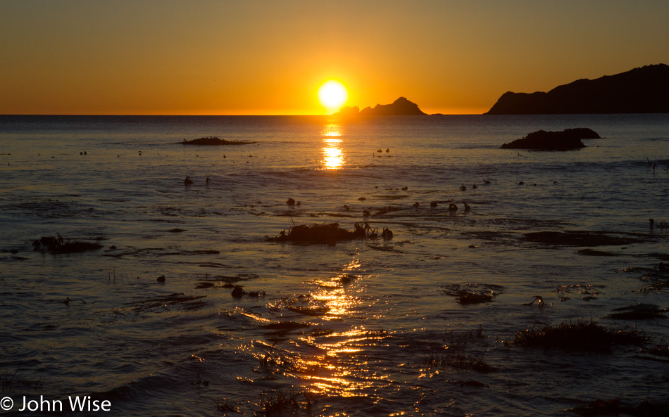
The sun is low in the sky as we bid the Big Sur coast farewell for another bit of time between visits. There are still a thousand things to see and do along this stretch of ocean, and hopefully, the next time we return, it will feel as new and exciting as it has on this adventure.
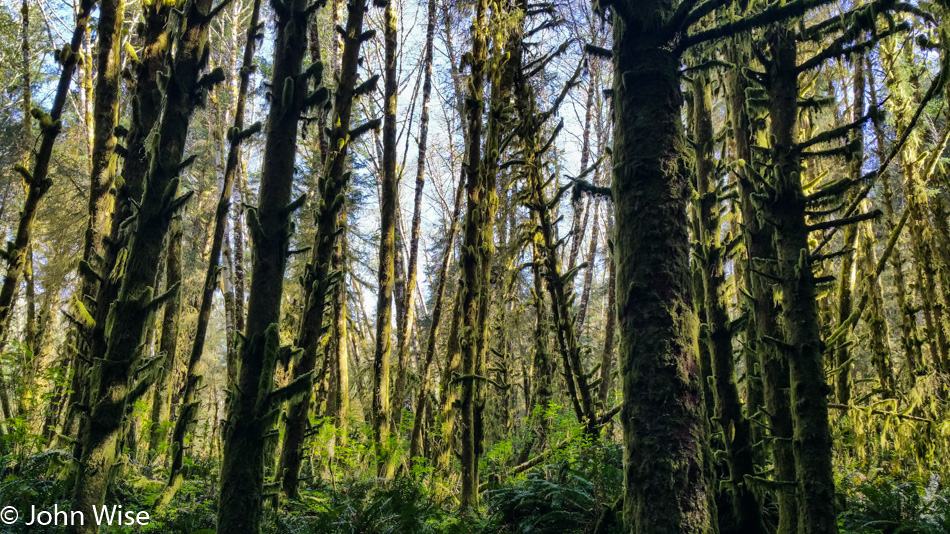
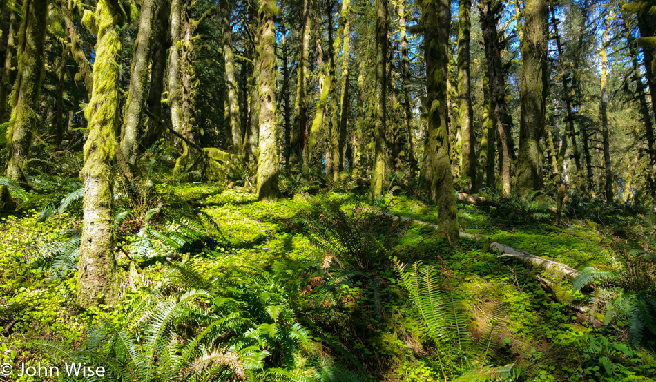
Oregon 2017 – Day 2

Ecola State Park north of Cannon Beach, Oregon

With the weather in our favor for this visit to Ecola State Park north of Cannon Beach, we were prepared to give this place the time it deserved. We were not in a rush to get anywhere else today, so we just might be here all day.

Ecola State Park north of Cannon Beach, Oregon

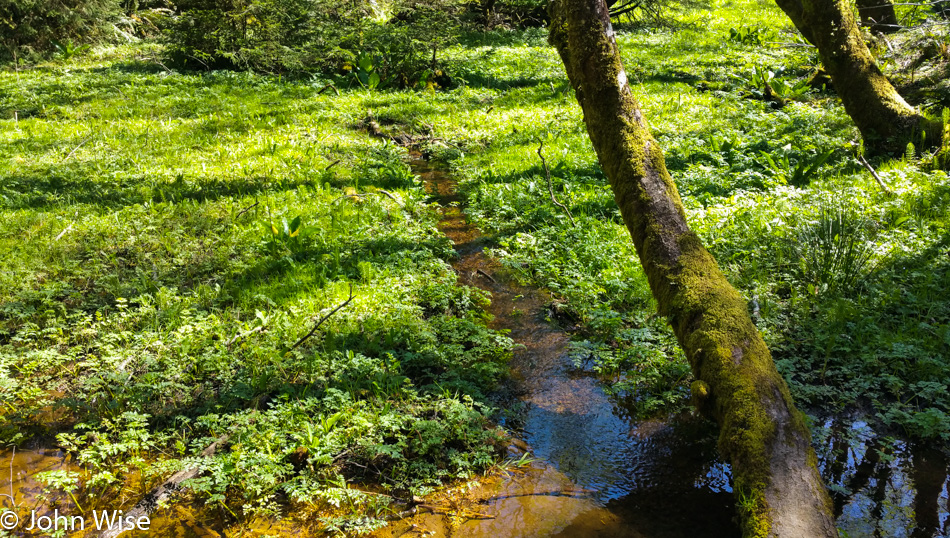
Making our way deeper into the park.

Caroline Wise at Ecola State Park north of Cannon Beach, Oregon

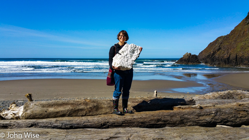
At some point, the trail split, and we headed down to the beach where Caroline found this trophy chunk of Styrofoam that we can now be confident won’t be a whale snack later this year. I don’t believe we have ever left a beach where Caroline doesn’t have a pocket full of trash. Sometimes, I think she’s busy with a myopic view of what’s in front of her feet as she looks for plastic and forgets to see the bigger picture. This probably has something to do with why she likes my photos so much, they allow her to see where she was.
Caroline Wise at Ecola State Park north of Cannon Beach, Oregon

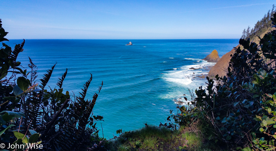
We have moved along to the upper trail with a great view of the Tillamook Rock Lighthouse, though you may not know just how cool it was, seeing how I used my phone to take this photo. Someone sent a drone out there and shot this GREAT video! In the comments on the video is some history of being a lightkeeper on this desolate rock; read it here.
Caroline Wise at Ecola State Park north of Cannon Beach, Oregon

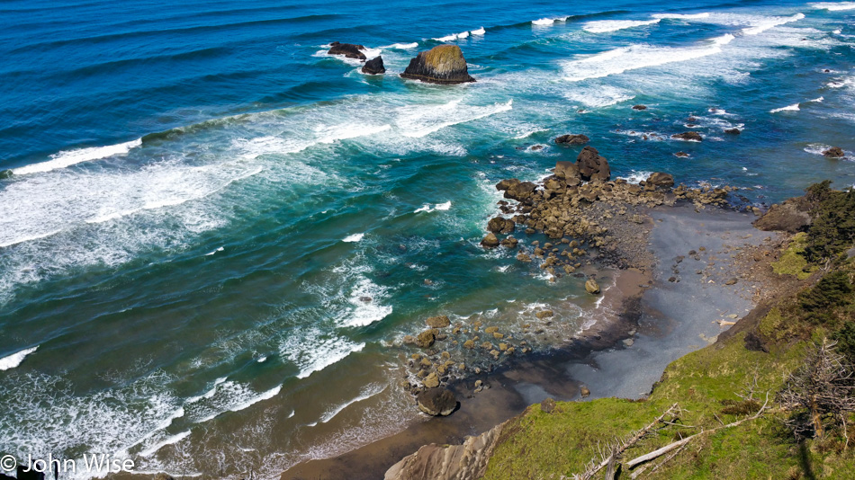
The landscape is varied here at Ecola and is well worth the visit if the weather is on your side. On our first visit, the winds were howling, and the rain was shredding sideways.
Caroline Wise at Ecola State Park north of Cannon Beach, Oregon

We’ll need to make a third visit here so I can bring a proper camera, do justice to the finer details, and get the shots that might have worked with a better lens. It’s all still pretty beautiful and a great reminder of our time here.

Manhattan State Beach in Rockaway, Oregon

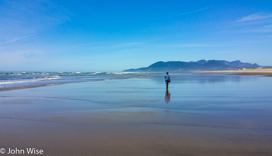
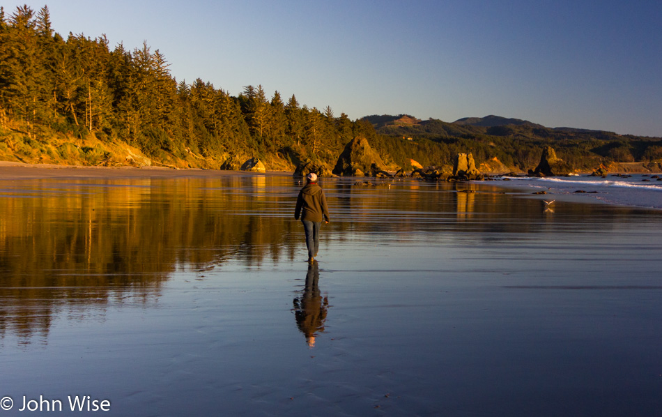
After lunch at a small cafe in Manzanita, we headed over to Manhattan Beach State Park in Rockaway Beach and took a long walk on a wide-open beach where we couldn’t see anyone else for miles.

Manhattan State Beach in Rockaway, Oregon

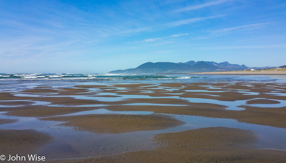
You walk along and think that you’ve pretty much seen it all, just beach and more beach, and then you run into something strange like these patterns and little sand islets. Just in front of me, you might be able to see that the water is greener; that’s because it is deeper right there, as though a pocket has been carved out of the beach.

Heading north back to Cannon Beach, Oregon

Getting later and hungry, it was time to return north for our reservation at the Wayfarer Restaurant.

A Manhattan at the Wayfarer Restaurant in Cannon Beach, Oregon

Facing the ocean is the Wayfarer Restaurant in Cannon Beach. Being on vacation and seeing they make them, Caroline opted to start with an Old Fashioned.

Cannon Beach, Oregon

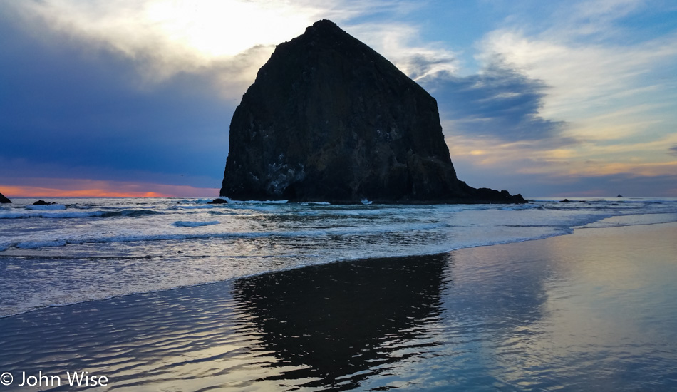
After dinner, it was time for more walking; who could blame us when this was the scenery we were walking through?

Cannon Beach, Oregon

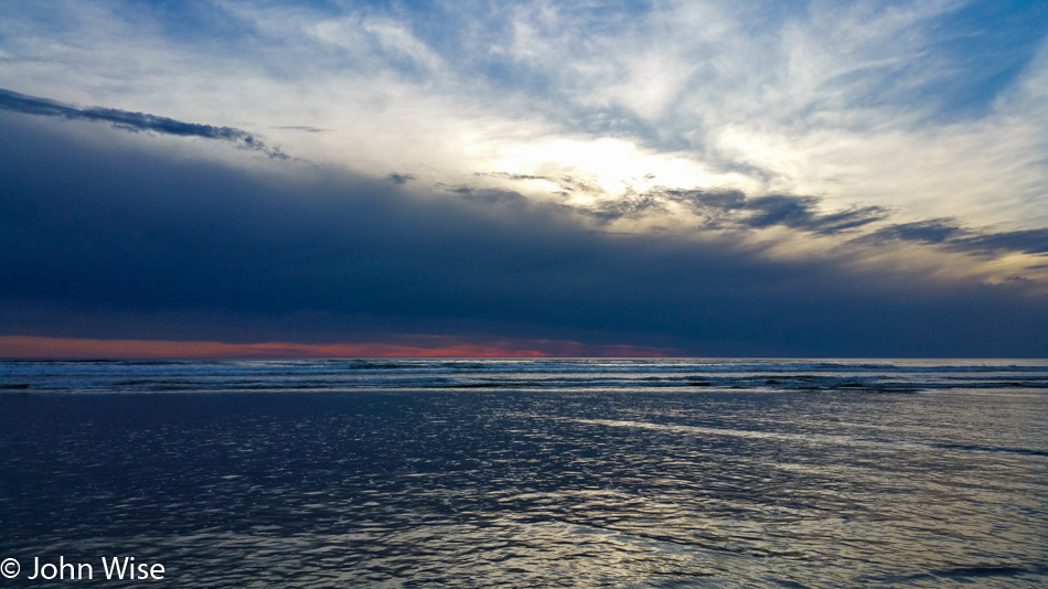
With the sunset, the temperature chills quickly, but the light lingers for a good long time. A full day and a perfect return to the Oregon coast for our first April visit.

Utah to Oregon Road Trip – Day 8

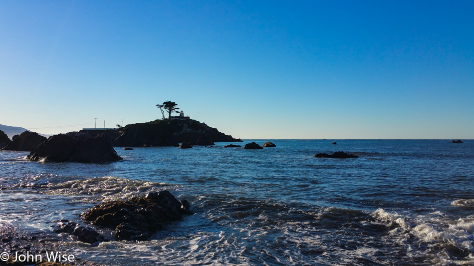
Battery Point Lighthouse in Crescent City, California

We stayed near the water’s edge last night with the Battery Point Lighthouse in our sights. This is nearly from the same vantage point as last night.

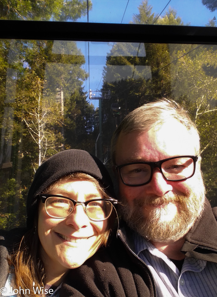
Caroline Wise and John Wise at Trees of Mystery in Klamath, California

After more than a dozen years passing “TREES OF MYSTERY” and then repeating the phrase in a deep sing-song voice for days we have decided to finally visit this cheesy roadside attraction that pulls in the tourists. Today, we were the tourists.

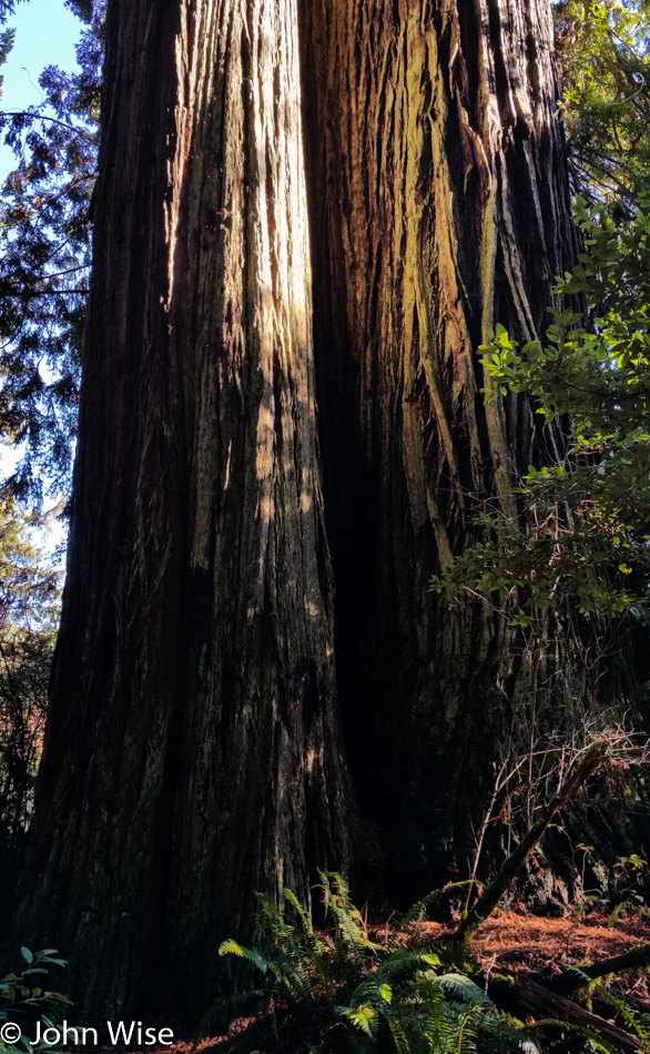
Trees of Mystery in Klamath, California

Big trees are what you find up the hill.

Trees of Mystery in Klamath, California

After a stop in the Redwoods National Park and the obligatory Junior Ranger Badge hunt, it was high time to hit the road and finish the 400 miles we’d allocated to drive today that would deliver us to San Jose, California, for the night.

Utah to Oregon Road Trip – Day 7

On the Cape Arago Highway in Charleston, Oregon

A new corner of the coast we’ve never visited before or one that I have conveniently forgotten, maybe we passed through at night? This is the view from the bridge crossing into Charleston, Oregon, on Thanksgiving day. We only have 155 miles planned for today’s drive down to Crescent City, California, so we’ll be sure to take a leisurely stroll along the way, maybe two. Upon consulting with the wife she assures me that we’ve been through the area but that maybe we’d been traveling north and weather conditions were poor.

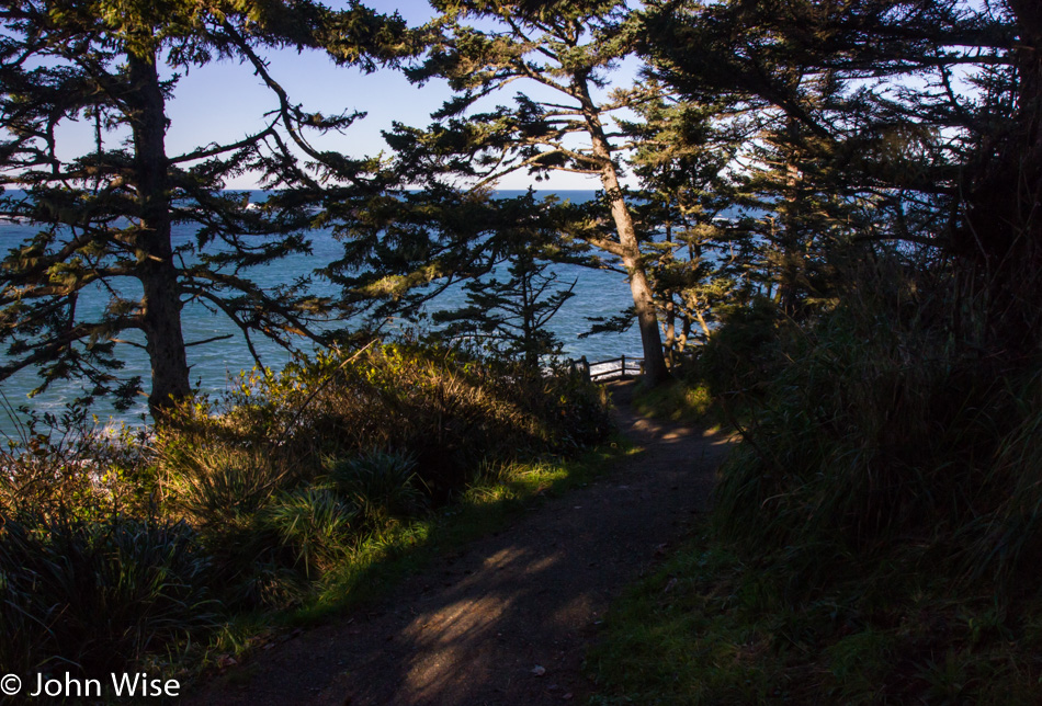
Trail to Bastendorff Beach in Charleston, Oregon

The short trail to Bastendorff Beach, where we’ve been warned not to eat the shellfish as they are toxic. No log rolling in the surf either, as it’s been deemed dangerous enough that we’ve been requested to stay off of them. Seems there is nothing fun to do here. Should also inform you that the sign told us that pallet burning is prohibited, although, on another part of the sign, it certainly encouraged us to make tracks and move quickly to higher ground if we feel the ground shake as we are in a Tsunami hazard zone.

Shore Acres State Park in Oregon

Just a few minutes down the road, we are at Shore Acres State Park, which was originally the estate home of a lumber baron until the place burned down and the owner sold the land to the state.

Shore Acres State Park in Oregon

Poor weather on a previous visit held us back from exploring the area, and to be frank, you don’t see much of this stuff from the car. We are still at Shore Acres.

Caroline Wise at Shore Acres State Park in Oregon

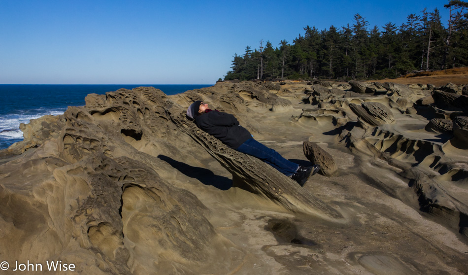
While the shadow gives it away, there was a moment when I was looking at Caroline resting on this rock protrusion that is about as wide and long as she is wide and tall that I thought she was hovering at this impossible angle. The illusion for that moment was perfect.

Shore Acres State Park in Oregon

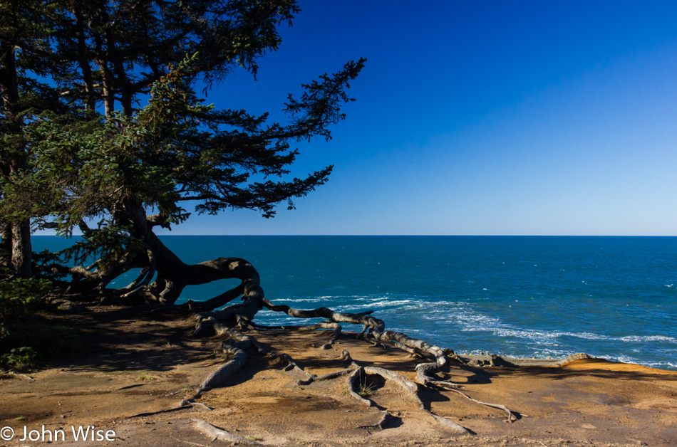
Sometimes, I have to post a photo, though I don’t have a lot to say about the moment because there was something about the composition and conversation with my memory that demands I share this, if, for no other reason than when Caroline and I look back at this in years to come, we get to ask ourselves for the countless time, “Wow, did we really get to do all this?”

Shore Acres State Park in Oregon

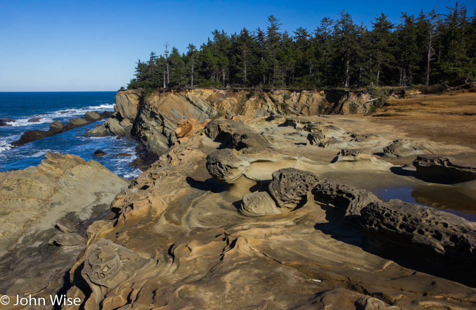
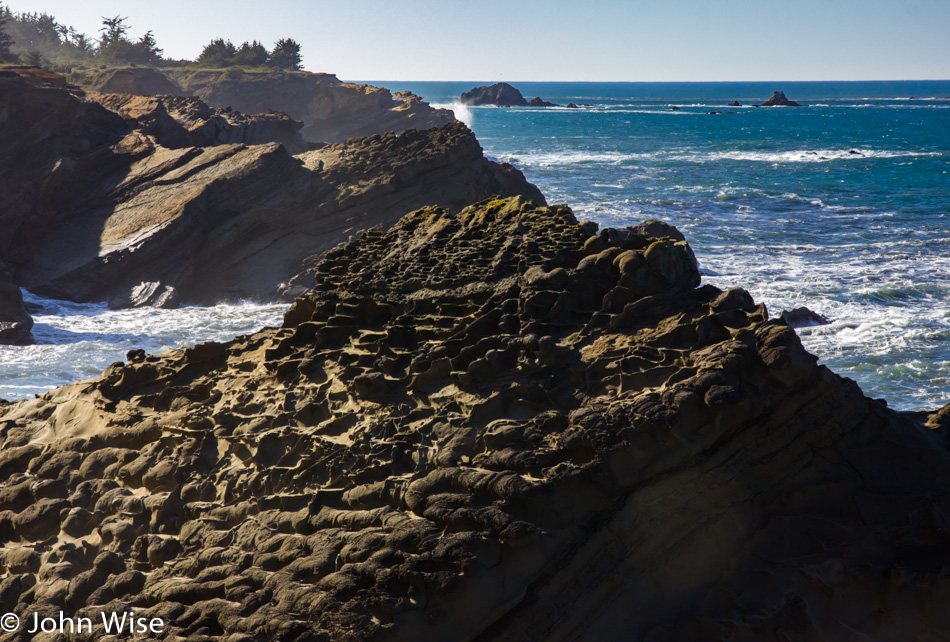
The intricate detail of features that look like pockets, cubby holes, and those hay bundles next to road construction that are supposed to control drainage are all over this rock outcropping. Wish someone could tell me what the fossil record suggests happened to create these intricate patterns here at Shore Acres.

Trail at Cape Arago State Park in Oregon

While I marked this image as being a trail at Cape Arago State Park, I’m no longer sure; I guess we’ll just have to return to this spot someday and hope to note where this is and then update the entry.

Looking south towards Table Rock near Bandon, Oregon

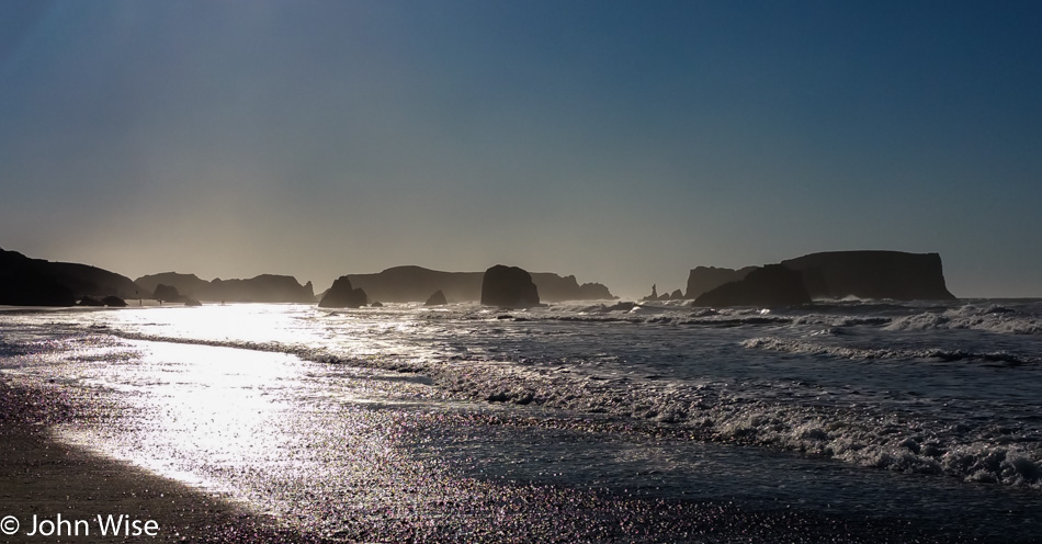
The day is just zipping by with us nearing Bandon, Oregon. We are looking south, just north of town, with one of those features being called Table Rock.

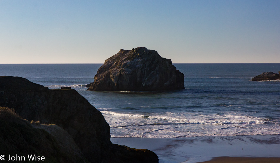
Face Rock in Bandon, Oregon

For obvious reasons, this is called Face Rock.

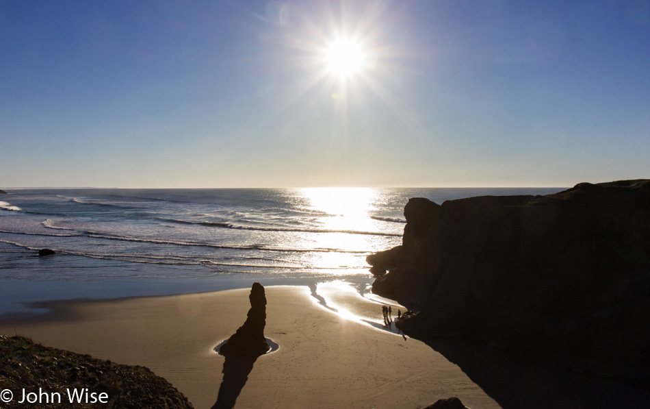
View from Gravel Point at the Face Rock State Scenic Viewpoint

With people standing where they are it just became apparent just how low the tide is, time to look for tide pools. We are standing on Gravel Point at the Face Rock State Scenic Viewpoint in Bandon.

On the beach at Port Orford, Oregon

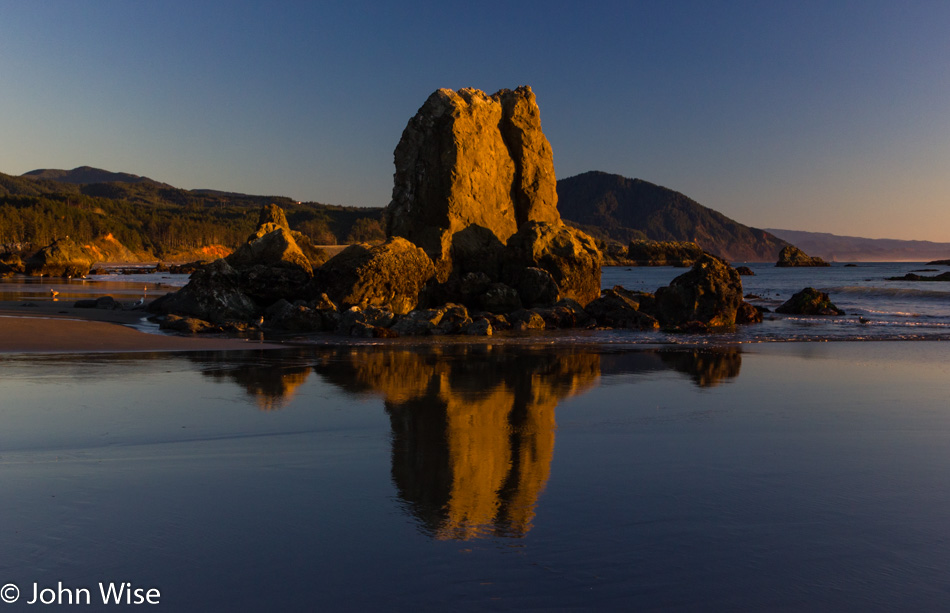
This beach at Port Orford, Oregon, will be our last stop of the day before moving on to our destination down in California. This trek south has seriously been at a snail’s pace, with only about 65 miles covered in 10 hours, but walks such as this are priceless, and we’d gladly sacrifice a bit of sleep in order to visit these states of perfection.

On the beach at Port Orford, Oregon

With the sun moving lower and lower in the sky, we have precious little time left for our quest.

On the beach at Port Orford, Oregon

Looks like we are approaching some places where we might find some sea life exposed due to the low tide.

Caroline Wise on the beach at Port Orford, Oregon

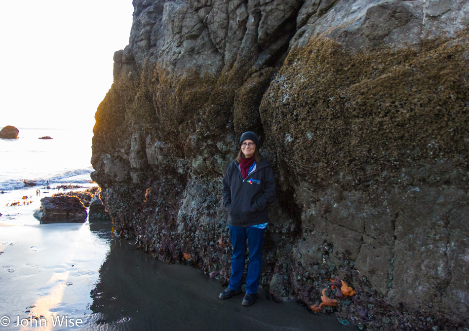
We knew the tide was low, but not this low. I think this would be considered more of a negative tide. See Starfish for scale.

The seafloor at Port Orford, Oregon

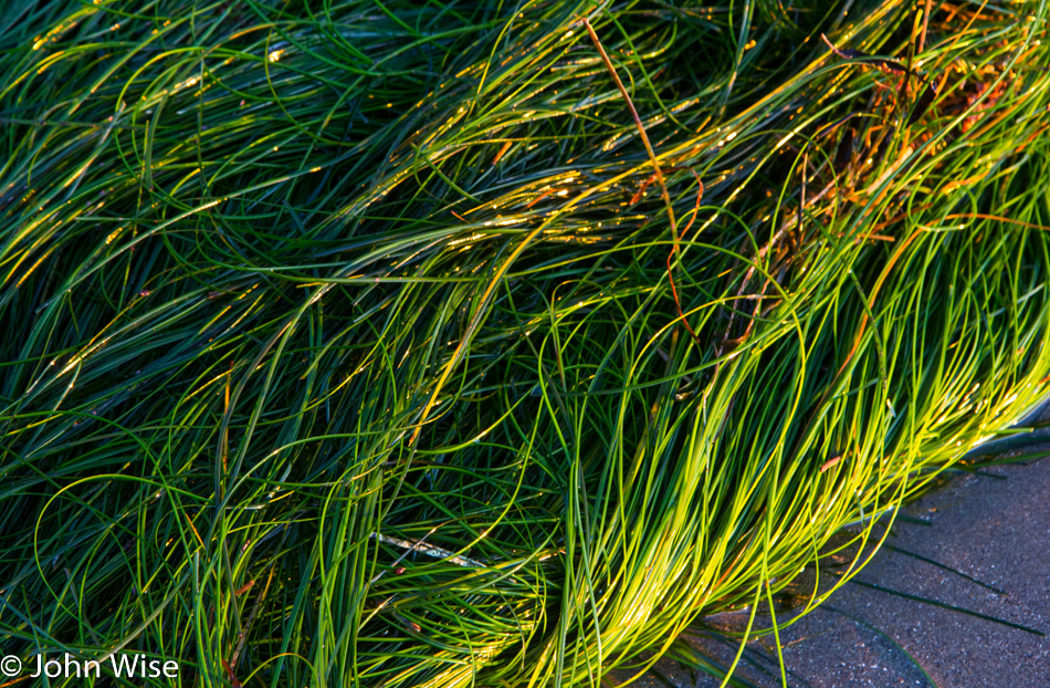
The bed of the seafloor is exposed. While we are accustomed to seeing seaweed wash ashore, it’s not often we see seagrass growing in the sand and outside its natural habitat.

Starfish at low tide in Port Orford, Oregon

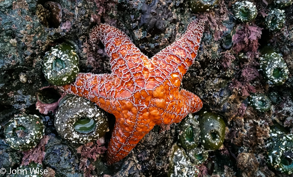
I count almost a dozen anemones, some barnacles, and one big orange starfish, all looking like they are looking forward to the return of their habitat that has abandoned them in a strange environment where aliens have approached and are examining them. The anemone to the right of the lower right leg of the starfish got an anal exam from one of the aliens; you know, it wasn’t me that poked it, so that only leaves you know who.

The seafloor at Port Orford, Oregon

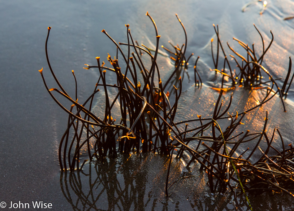
Beautiful little plants are seldom seen by us beachcombers, who are more accustomed to staring at people in bikinis and tight, form-fitting swim trunks that accentuate their buns.

On the beach at Port Orford, Oregon

And just around this time as the sun was about to dip out, so did Caroline’s phone. By the time we got to the car, it was dark out on the beach, and while we retraced a few of our steps, it was obvious our search for her lost phone was an act of futility. While this was as good a reason as any for Caroline to adopt a new phone, there was still some sadness that the images of tide pool creatures she’d been probing became lost research that would forever go unexamined.

Battery Point Lighthouse in Crescent City, California

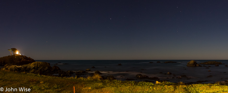
It was 10:00 pm as we pulled into Crescent City, California, and not too late to snag a photo of the Battery Point Lighthouse and stars shimmering above it. A perfect day all-in-all.

Utah to Oregon Road Trip – Day 6

Yurt at Devils Lake State Park in Lincoln City, Oregon

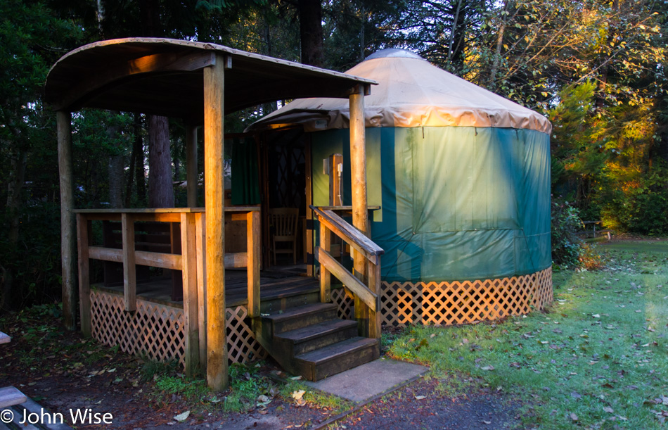
The affinity Caroline and I have for these yurts cannot be understated. Although the price has nearly doubled over the time we’ve been staying in them, it is well worth every penny for their location, proximity to the beach, usually the quiet during this time of year, and the cozy factor. You could say it is our version of glamping.

Devils Lake State Park in Lincoln City, Oregon

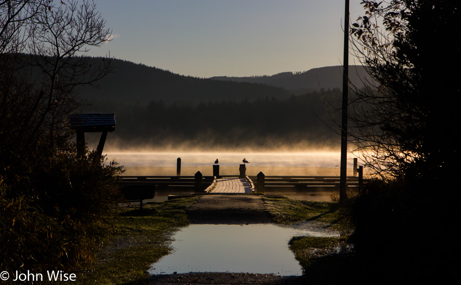
Out of the yurt, it was a short walk to the still-steaming Devils Lake, which is the namesake of the state park we have been staying at. Our first night in a yurt was 12 years earlier at Harris State Beach near Brookings down the coast. We stayed in the Winchuck unit, and over the years, we’ve incorporated yurts into our travel plans on at least eight of our intervening trips up here. At times, we’ve opted for motels as when we fly into Portland it’s often easier to grab rooms than pull our bedding along with us, but we’d prefer if every trip would see us staying in an Oregon State Park.

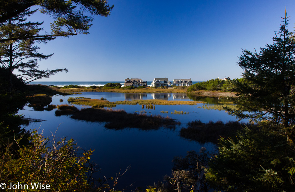
Homes along the shore of Devils Lake in Lincoln City, Oregon

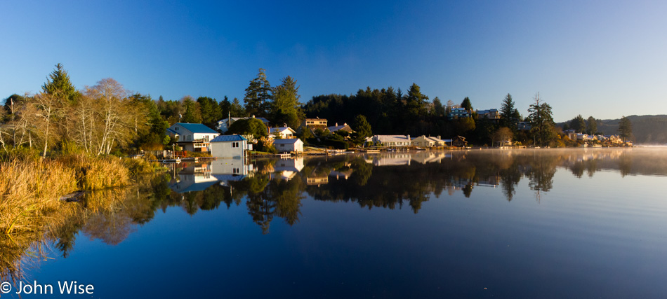
Living on the lake here is that beautiful.

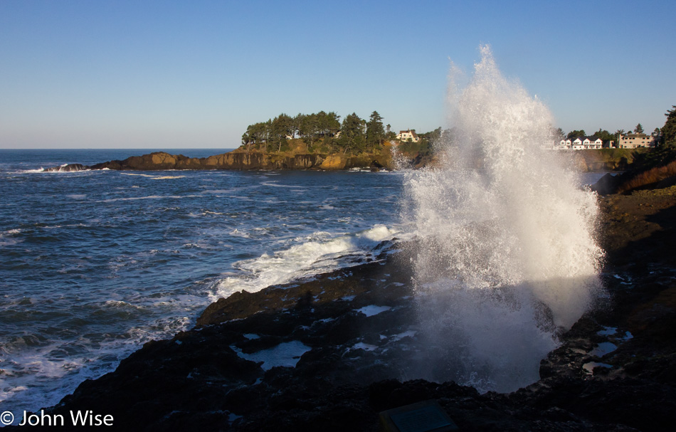
Depoe Bay blow hole Oregon

We must be driving south today because this is the Depoe Bay blowhole in the town of Depoe Bay. The tide plays a large role in how explosive the ejection of water is going to be. Behind me is a spot when the tide is right, shoots water up about 70 feet, and will certainly get you wet on a hot summer day; not so great here on a cold fall day, though.

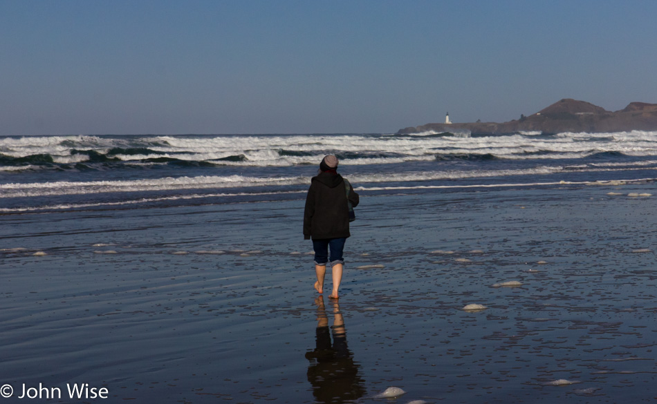
Caroline Wise walking down an Oregon beach

That’s Yaquina Head lighthouse out there, and so we must be fairly close to Newport, Oregon. Again, we are further south, and it was time to see if I had any notes regarding this Thanksgiving vacation; sure enough, I had a loose itinerary that showed a reservation for the William M. Tugman State Park down by Florence, Oregon. So now we know just how far we’ll be driving today; it will be about 108 miles or 172km for the rest of the universe. You can wager that with these skies, it will continue to be a spectacular day.

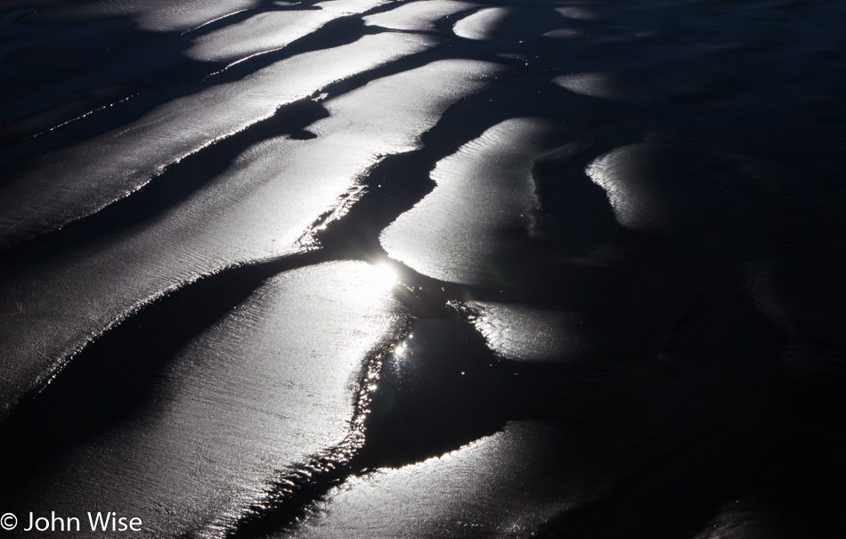
Wet sand on an Oregon beach

Sand that is wet or sand that is dry. Sand that is black or white as snow. Sand that is blowing or being dragged back to sea. Sand is a magnificently varying and shifting thing that requires as much observation as the waves, the clouds, the tide pools, and the shells. You never know what kind of patterns might greet you at a beach, so you should just plan to stop at them all as we try to do, even if it takes many years.

Along the Oregon Coast

We’ve heard that it never rains here, and it’s perpetually sunny and warm; in our dreams. Now, if this were further south near Santa Barbara, California, that statement might be mostly true. Today meets our dreams of relatively warm and certainly very sunny.

In the forest along the Oregon Coast

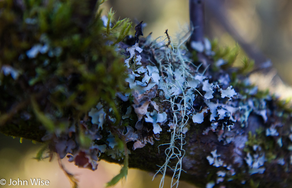
Blue-gray lichen sitting on a branch…I thought as I started writing this that I was going to be able to carry it forward with a limerick, but it’s late as I press into the midnight hour in an attempt to finish writing this entry. Maybe someone else will come along and offer up some witty continuation of my half-hearted attempt.

In the forest along the Oregon Coast

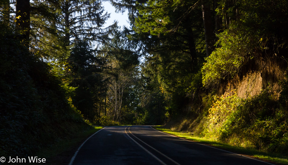
This is the main highway traveling south, but I could be looking north for all I know. No matter which way I look, it appears to be quiet without the crush of traffic one would expect down south on the California coast. For all these years, visiting mostly in November, Caroline and I have often felt that the coast was ours.

Oregon coast

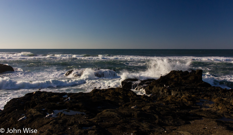
Something (probably the waves) caught our eye (could have been the rocks), and so we pulled over (likely was the birds) and stopped a minute to have a look (you never know when you might see whales in the distance) and enjoy the sound of the ocean (oh yeah, the sound) and the little tide pools (well, we hope for tide pools because who doesn’t like seeing starfish) before getting back in the car to investigate what else is beckoning us from further south.

Hillside trail along the ocean in Oregon

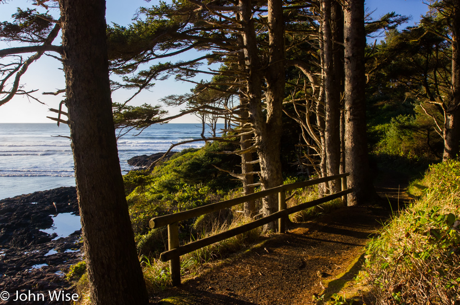
Ah, it was this trail that drew our attention and made us stop. Just look at this trail, the green, the blue, browns, and a path that takes the visitor to a spot to gaze at things from a perspective not yet seen. Certainly worthy of our attention and awe.

Caroline Wise on the Oregon Coast

I know that this doesn’t look like a forest trail or an overlook from our previous stop; that’s because we moved on. As for what’s up the trail? That mystery is for you to solve should you be able to find it. As for what is in the picture? That’s my wife, Caroline, and that smile on her face is a legitimate bona fide smile that originates in her heart. I can affirm this fact with you because, after 26 years of exploring our world together, I can interpret those eyes better than anyone, including her. Those are the eyes of happiness (as worn by a nerd).

Mussels on the seashore in Oregon

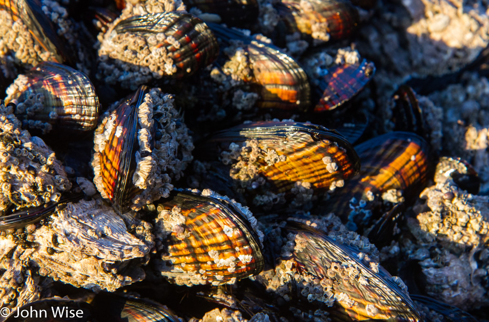
The tide is going down as the day grows late, and sea life is thrust into the open where its watery environs have temporarily abandoned it. I have to satisfy myself with these mussels because down here we’ve never seen chitons or sea cucumbers on the Oregon coast. Now, if we were up on the Straits of Juan de Fuca in Washington, I’d put money on finding me a chiton or two.

Anemone on the Oregon coast

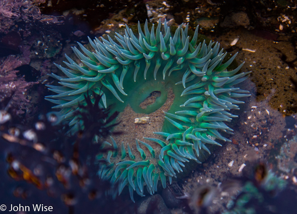
Tide pools rock. We never tire of seeing anemones, starfish, barnacles, sea snails, tiny crabs, and other tiny little seathings scurrying about. Too bad the tide has to return….then again.

Sunset on the Oregon Coast

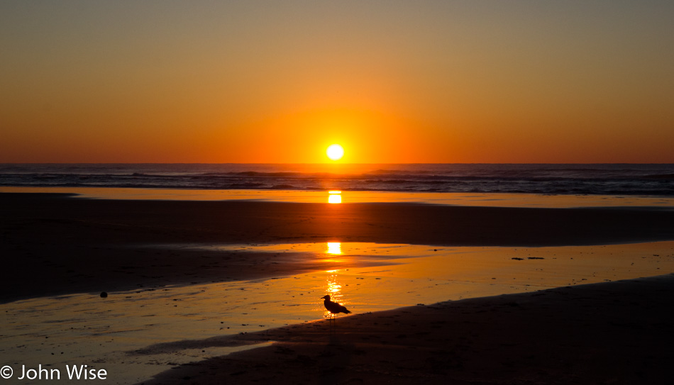
We explored around those tide pools as long as we could, and then it was once again that time of day that suggested some dinner, and finishing the drive to our lodging was probably a good idea. I’m glad we did, too, because somewhere down the coast, this perfect spot to take a photo of the sunset presented itself as a kind of magic, making Caroline and I swoon in even deeper love as we bask in the incredulity that this should all be for us.

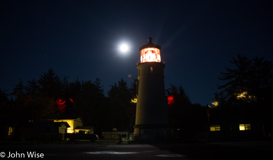
Umpqua Lighthouse near Florence, Oregon

There were no yurts left at the Umpqua State Park and Lighthouse when I made my reservations, but luckily, there was a free unit down the road a mile or two. A visit to this lighthouse feels as close to a Thanksgiving tradition as Caroline and I get. We don’t care about turkey, family get-togethers, or football. We’re most content out on the coast sipping coffee between walking and exploring the beaches up and down this amazing state of Oregon.

Los Angeles – Day 1

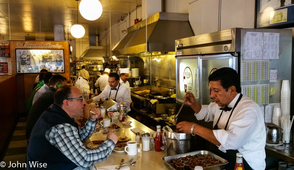
The Original Pantry in Los Angeles, California

Caroline and I left Phoenix last night for a special event being held in downtown L.A. tomorrow that she needs to be here for. So today, we are starting the day with breakfast at The Original Pantry Cafe and will bum around the city doing stuff.

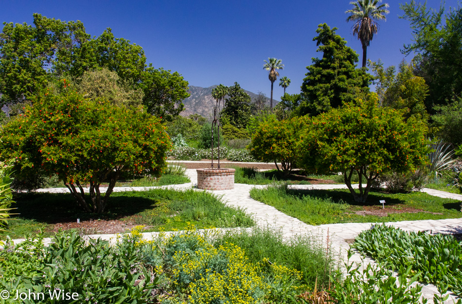
The Arboretum in Arcadia, California

Off to Arcadia and The Arboretum where the two of us have never visited together. I visited 40 some odd years ago during a field trip that took us here and to the San Gabriel Mission, but my memories are weak, so this visit was certainly in order to refresh things.

The Arboretum in Arcadia, California

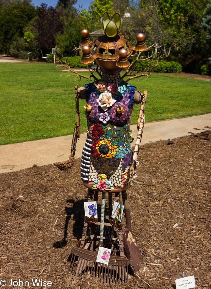
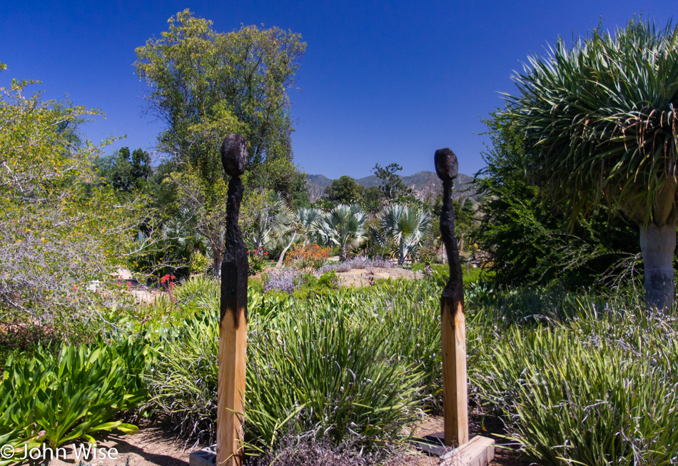
These intensely beautiful southern California days make visiting and dealing with the traffic all the easier. Add some art, good food, and the ocean; life is perfect.

The Arboretum in Arcadia, California

Although this part of the state has its fair share of drought-related issues, it never fails to amaze us how lush everything is. Of course, our perspective is likely skewed due to our arrival in L.A. from the desert well east of here. The Arboretum is great, but Descanso and The Huntington are maybe a notch above.

The Arboretum in Arcadia, California

I’m convinced a giant used these matches and that they may be responsible for one of California’s notorious fires.

Caroline Wise at Alpine Village in Torrance, California

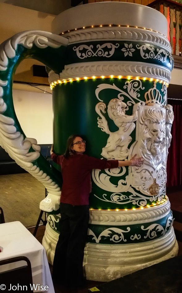
We needed some German stuff, and so off to Alpine Village in Torrance we went. Lunch was had in their German-themed restaurant, and the cheesy factor of the entire place was not lost on us. Sadly, it seems that the attraction of places like Alpine Village is waning. I’ll bet in its heyday, this place was packed.

Update: in March 2023, Alpine Village was permanently closed.

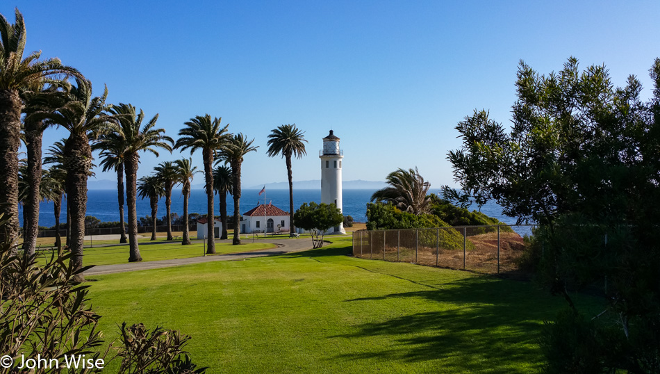
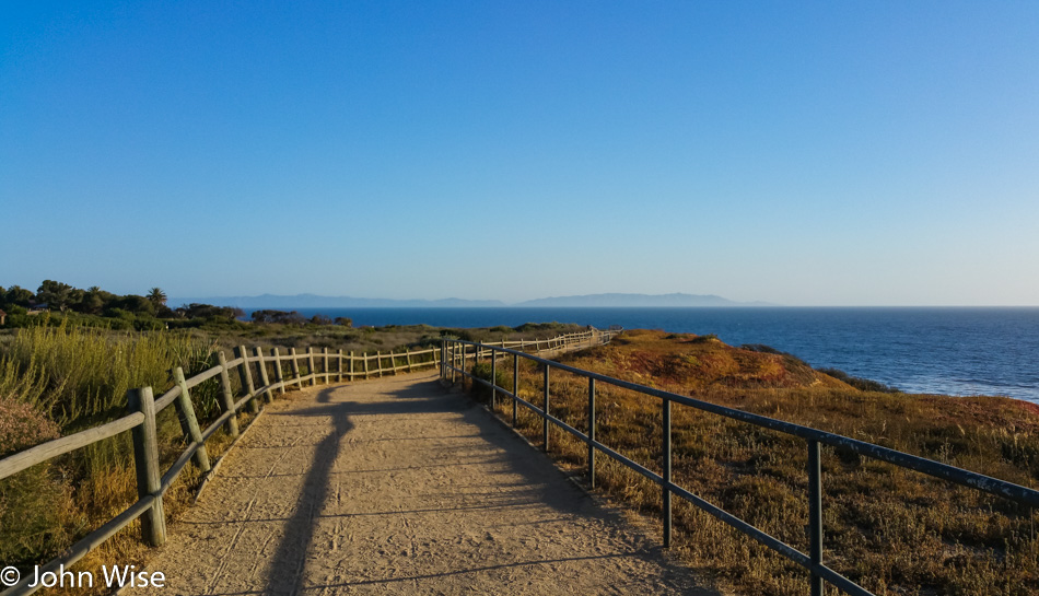
Twenty minutes away over in Palos Verde, we set our sights on the Point Vicente Lighthouse as somewhere else we’d never been, and so we had to pay a visit. The island in the distance is Catalina.

Palos Verde, California

Spent some hours here walking around the peninsula; where else should we go that might be more beautiful than where we are right now?

Palos Verde, California

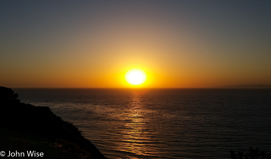
Stayed through sunset, I think you can understand why.