End of Solo, Start of Shared Vacation

Hamlet of Randolph on New York's Amish Trail

The eighth day of my drive is about to break me out of a solo experience and start a shared one when, by mid-afternoon, I pick up Caroline at the Buffalo Airport. At that moment, our vacation together officially begins. This morning, the day starts similarly to previous days with writing, but only some of it because I should have time up north to sit and finish my thoughts as I wait for her flight. When I woke, the rain was coming down, leaving me hesitant to take my stuff to the car, so I wrote a little longer until 9:30, a late start. This first note of Saturday was written where I had breakfast at the Allen Street Diner in Jamestown, New York, which is celebrating its 10th anniversary in business. Regarding the photo, I had just entered the Hamlet of Randolph on New York’s Amish Trail and did not want not to forget the charming name.
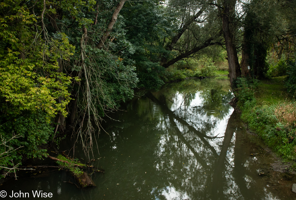
Little Conewango Creek in the Hamlet of Randolph, New York

The same reasoning motivated this photo, also in the Randolph, this is the Little Conewango Creek.
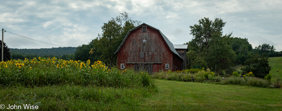
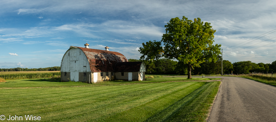
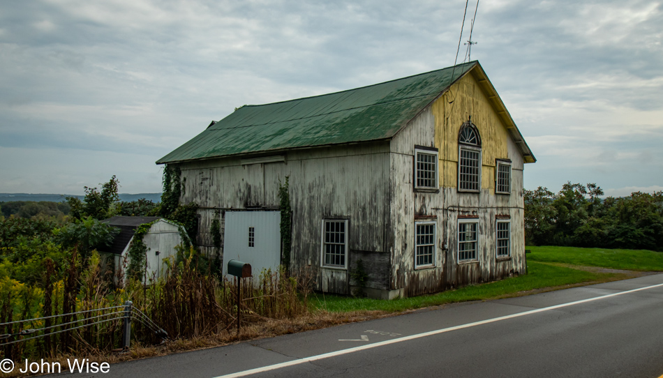
Barn in Little Valley, New York on Route 242

Passing through Little Valley on Route 242, I couldn’t help but stop for this barn, knowing it would trigger Caroline’s pareidolia.
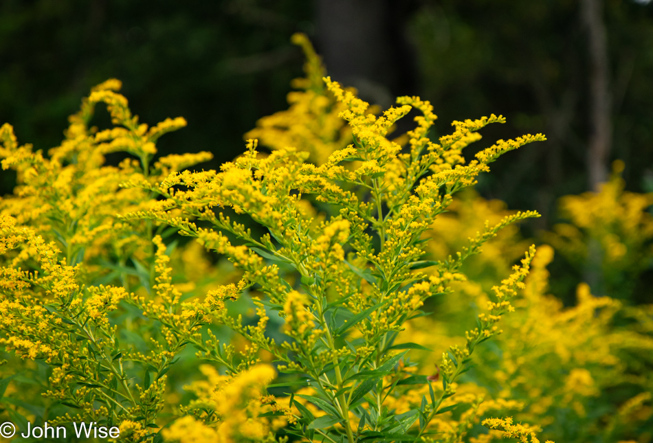
Flowers on Toad Hollow Road in Little Valley, New York

The names of places are wonderful in this part of New York: I’m at the corners of Toad Hollow Road and Buelow Road, and the latter is interesting because a friend, Michael Geesmann, lives in Buelow, Germany. I saw a lot of this plant yesterday and today; I just learned it is known as Goldenrod and is a misery at this time of year for allergy sufferers.
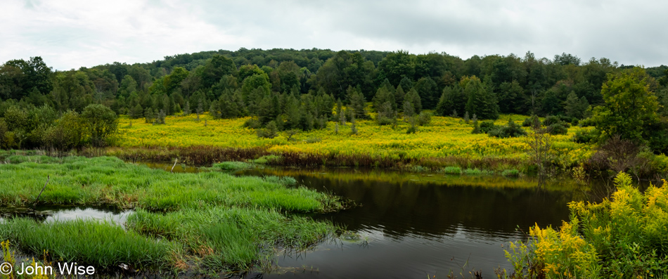
On Toad Hollow Road in Little Valley, New York

There is no cute name for this pond, also on Toad Hollow Road, just a pleasant scene.
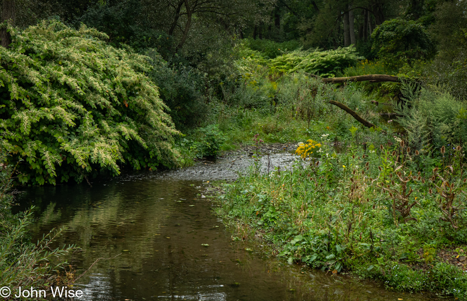
Mansfield Creek on Toad Hollow Road in Little Valley, New York

The waters seem a bit thin for fishing, but a nearby sign for Mansfield Creek invites just that.
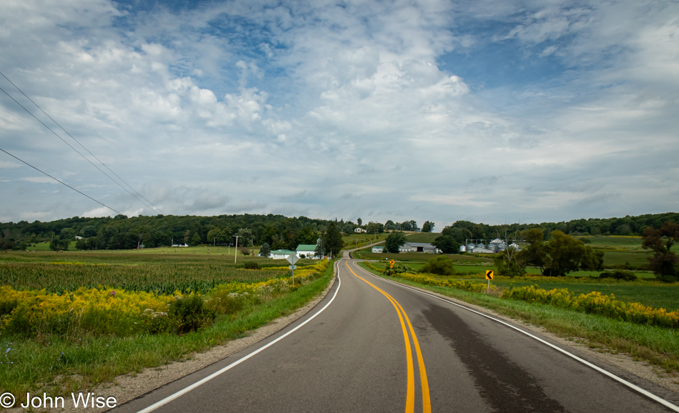
East Otto Springville Road in East Otto, New York

My wishes that it wouldn’t be storming and blustery for Caroline’s arrival seem to be coming true. Once I reach Buffalo, I’ll have completed 2,540 miles since leaving Phoenix. Time behind the wheel is just under 68 hours, meaning I averaged about 37 miles per hour out on these backroads; as for fuel efficiency, the car informs me that I averaged 50.5 miles per gallon.
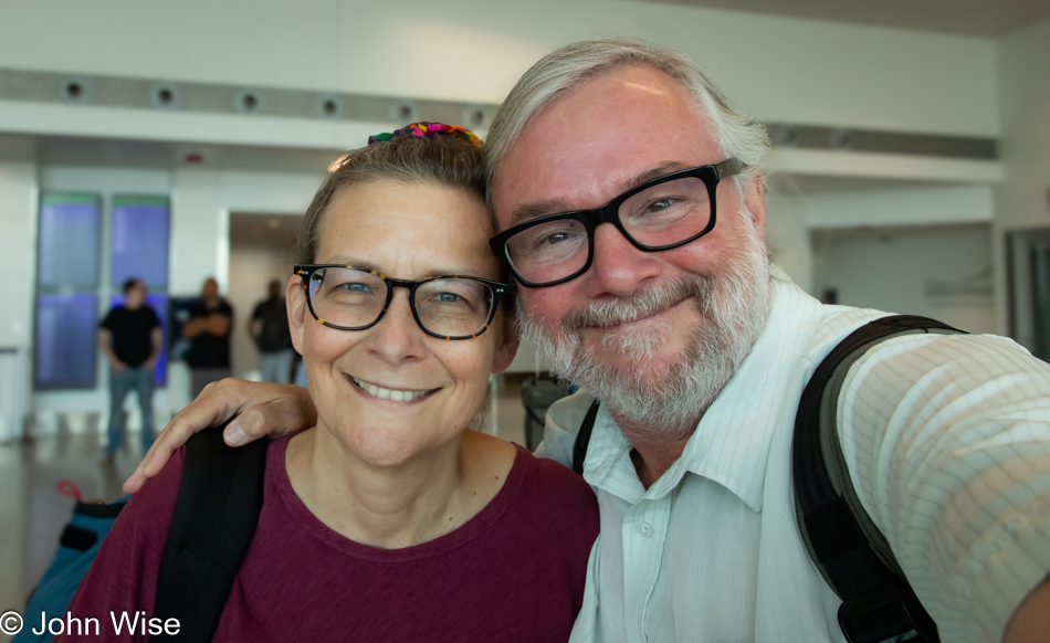
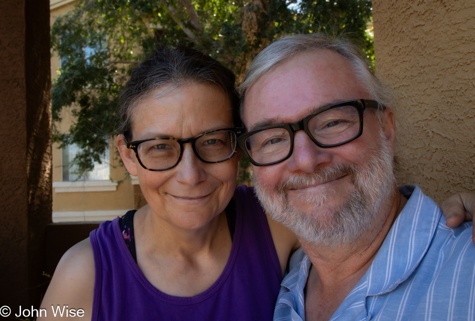
Caroline Wise and John Wise at the Buffalo Airport, New York

And here she is, fresh off the flight from Phoenix, Arizona. With four hours in the air, she had enough time to pluck the needles from her desert-toughened exterior, leave the smell of creosote behind, and was able to find a smile after being packed in an absolutely full flight.
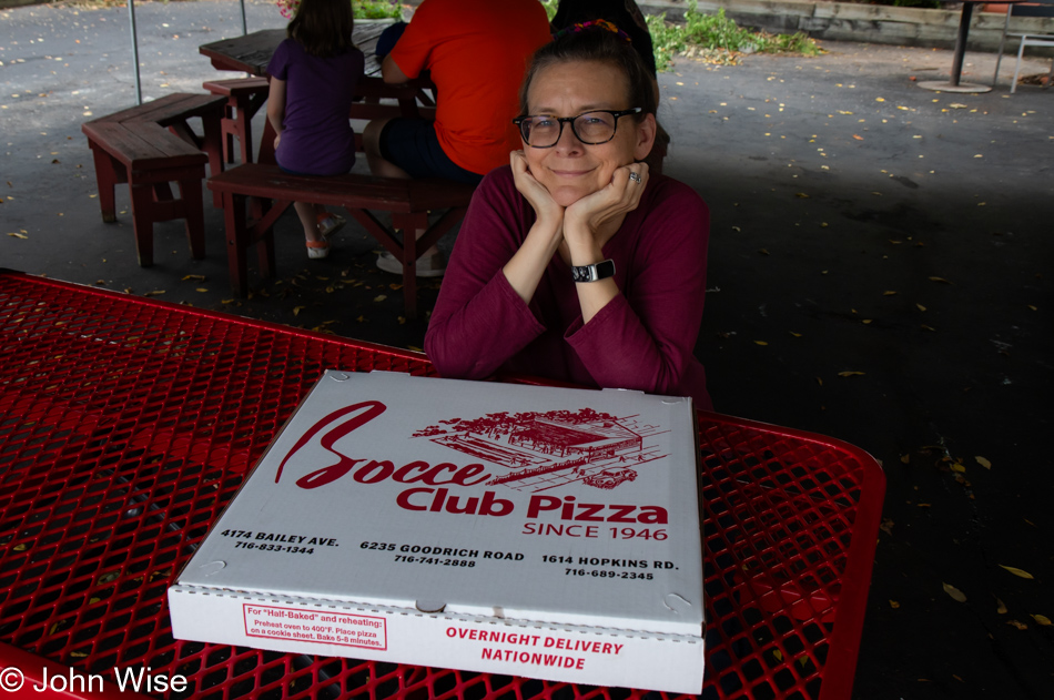
Caroline Wise at Bocce Club Pizza in Buffalo, New York

This being not our first time visiting the city where I was born, we knew that Bocce Club Pizza had to be the first stop here. Aside from it and coffee, there was no time for any other nostalgia of sightseeing. Okay, that isn’t exactly true. On my way in, I stopped at Schwables, a small restaurant famous for beef on weck, a roast beef sandwich served on a kummelweck roll, a roll topped with kosher salt and caraway seeds. The old men of yore who used to be the servers here are gone, replaced by a new generation (I guess it was a Covid thing), and the cloth napkins are gone, as is free water. Not only do you have to buy a bottle of water, but there was something different about what used to be the best beef on weck I’d ever had, so another chain to nostalgia has been broken. As for the pizza, it’s the same great pizza as always, and it’s almost better the next day when it’s cold out of the refrigerator. That is exactly what I’m eating as I write this the following morning.
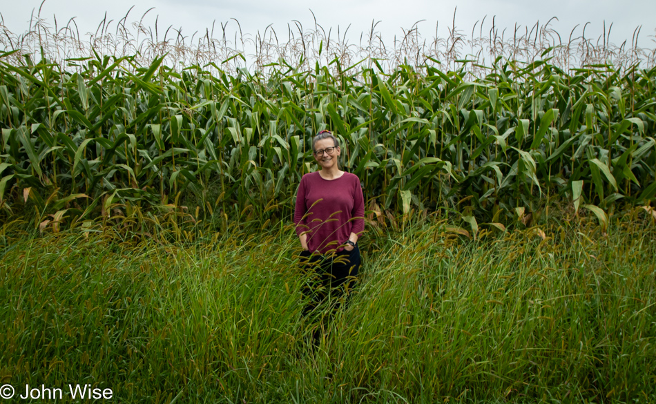
Caroline Wise in the corn near Buffalo, New York

I thought I was done sharing images of corn, but when I realized I could enhance the natural beauty of corn by placing my wife in front of it, that was an opportunity I couldn’t miss.
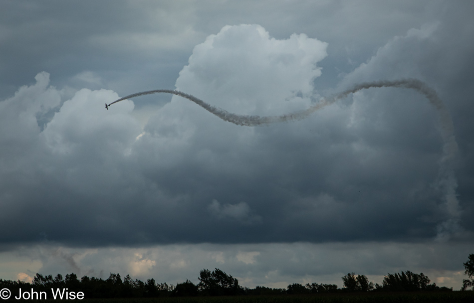
Wings Over Batavia Air Show at the Genesee County Airport near Buffalo, New York

Driving down country roads on our way to Spencerport, New York, where we’d be staying at the Sleeping Bear Inn, you can’t know our surprise when we spotted a plane flying an acrobatic routine out towards the Genesee Airport. Initially, I thought it might be a crop duster, but then the pilot started doing some quite interesting maneuvers. Our first vantage point wasn’t that great, but not knowing how long the pilot would be in the area, we figured a poor view was better than nothing at all. When we realized he wasn’t going away in a minute, we tried getting closer further down the road and found some others who’d set up chairs at the edge of a small cemetery, so we joined them.
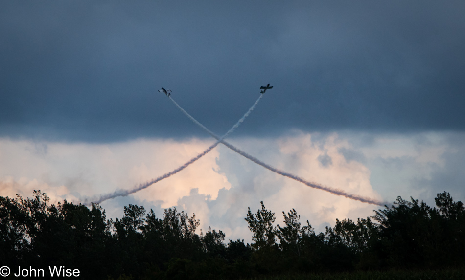
Wings Over Batavia Air Show at the Genesee County Airport near Buffalo, New York

We later learned this was the Wings Over Batavia Air Show at the Genesee County Airport.
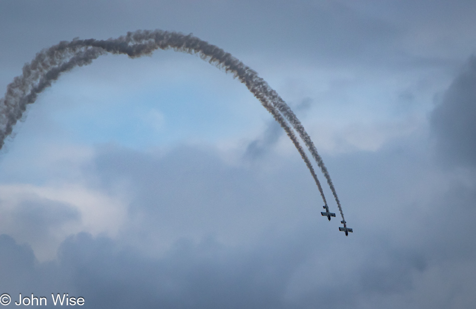
Wings Over Batavia Air Show at the Genesee County Airport near Buffalo, New York

If watching this kind of flying wasn’t enough, Caroline received a message on Whatsapp while we stood out here: she’d won something.
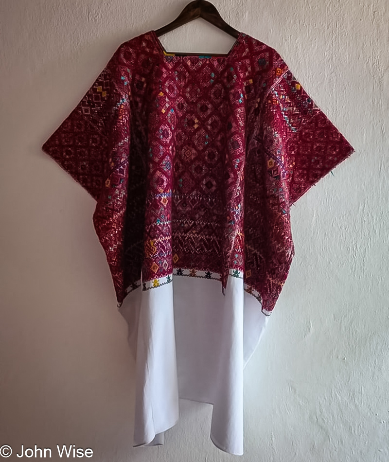
Huipil Caroline Wise won from a raffle in San Cristobal, Mexico

A month ago, Caroline sent some money to San Cristobal, Mexico, specifically Colectiva Malacate, a women’s coop that supports local weavers. This wasn’t her first time joining a raffle to win a huipil, but it was the first time she WON! Later, when we watched the video of the raffle, two women were seen holding this piece up; it was as wide as the two of them. This thing is big, and now it belongs to Caroline. Naturally dyed and handwoven, it’s an expensive piece that will probably be donated to a museum at some point in our future, but after vacation, it will be sent to Caroline to enjoy. This was an incredible surprise that topped an already amazing day.
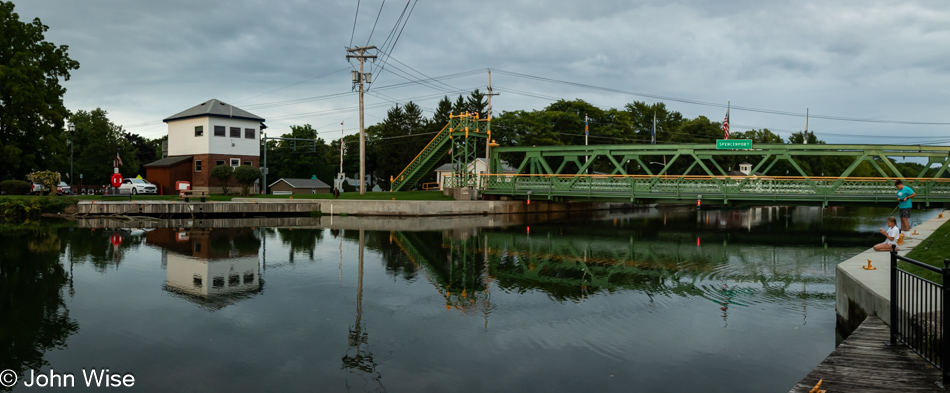
Erie Canal in Spencerport, New York

Yet another surprise for us was crossing the Erie Canal here in Spencerport, where we stayed the night.
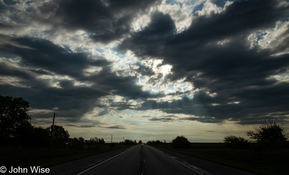
Solo Across America – Day 5

Sunrise east of Osceola, Iowa

I mull things a lot, and anyone who might have read one of these posts can probably attest to the veracity of that self-aware claim. What I went to sleep with last night and what I’m carrying into this morning is what a handful of people shared with me before my road trip, either questioning my plans or stating that it’s boring out here. For me, this implies myopia on their part and that they suffer from a malady that arises from the conditioning of watching television: an exciting life only happens in far away places. Only getting away to an “amazing” place can wrench them from boredom. They don’t understand that the people living and working in their routines in amazing places find those places boring, too. Often, people won’t see how boring their vacation destination is to the locals because they typically visit with others set on breaking out of routines and are busy celebrating this new experience. The people serving them are just doing their normal boring job, looking to go on vacation somewhere fun so they can escape the drudgery of where they live.

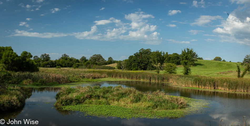
Wetlands near Lake Morris in Chariton, Iowa

It’s not a place that’s boring; it’s the person that’s boring. When we are unable to adequately intellectually entertain and educate ourselves, we probably end up watching TV or streaming videos that persuade us that we are witnessing a truly exciting place, and “Don’t you wish you were here?” is being pressed upon the viewer. After the constant bombardment of people whose lives have drifted into deep boredom, while somewhat true if stagnation has taken over one’s routine, travel will only work to break them out of that for a few moments before thrusting them right back into boredom.

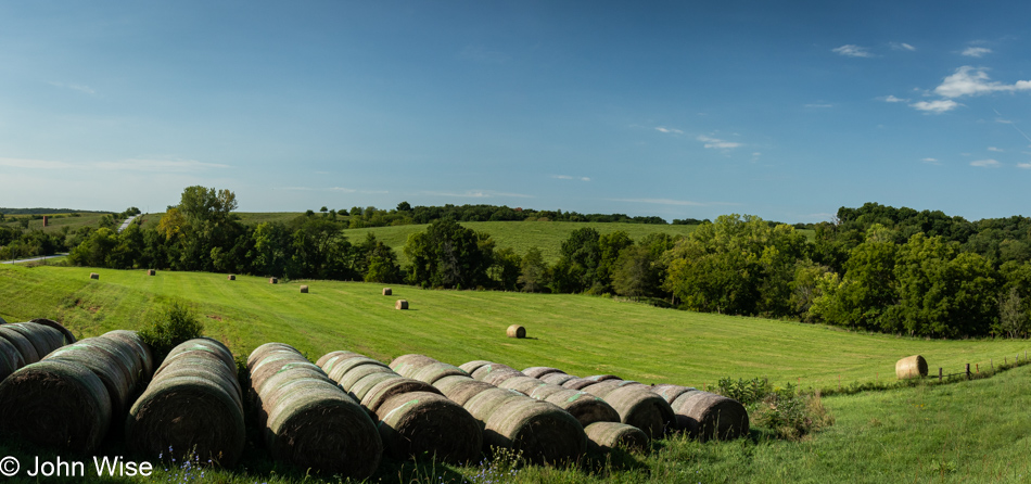
Hay on US Route 34 in Iowa

The onus of what we do daily to escape the treadmill is on us: not TV, not video games, not government, not our family, not our jobs. It’s in our head, our deeper curiosity that might be dormant or lying fallow. Passivity regarding where we are and how we travel in our imagination when we are unable to propel ourselves 1,000 miles away to that next exotic, exciting, fun-filled, alcohol-fueled romp in Vegas, Paris, New York, or Hawaii is where we need to start to combat boredom. Boredom is in your imagination, not in a place.

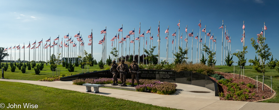
Welcome Home Soldier Monument in Albia, Iowa

Caroline told me that the Welcome Home Soldier Monument was ahead on my drive this morning; I was expecting nothing more than a placard. Instead, I found an incredible labor of love and met the man responsible for this Washington D.C. level of quality monument. Jim Keller, working with volunteers and donations, has built a replica of the United States Marine Corps War Memorial, also known as the Iwo Jima Memorial, planted 100 U.S. flags, built memorials to all branches of the military, and installed a statue of a Civil War soldier who plays reverie and taps in the morning and the afternoon.

I was surprisingly touched by this massive eight-acre monument offering gratitude for American soldiers. Maybe because I’m growing older, I better understand what we contribute, volunteering to serve and protect ideas and a framework guiding our country through good and bad times. No matter the alleged ulterior purposes of business and government, the soldier is there to carry out an objective they’ve been taught; their job is to safeguard freedom and the Constitution of the United States. Doing a small part so people can exercise those rights might seem minor and irrelevant at the time, but the older we get, hopefully, we will recognize that those things are not to be taken for granted. I’m reminded of one of the soldier credos I learned, “Mine is not to question why. Mine is to do and die.” My problem was always the questioning part.

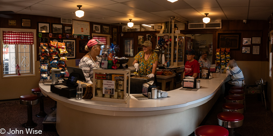
The Canteen in Ottumwa, Iowa

Last night at dinner, a server in training, upon hearing about my road trip, told me that if I were passing through Ottumwa around lunchtime, I should stop at the Canteen. They’ve been there forever, and it’s a unique place. Years ago, they refused to move their location, but they are now situated in a tight corner with a parking garage surrounding their building. Aside from that, it looks much the way it must have many, many years ago.

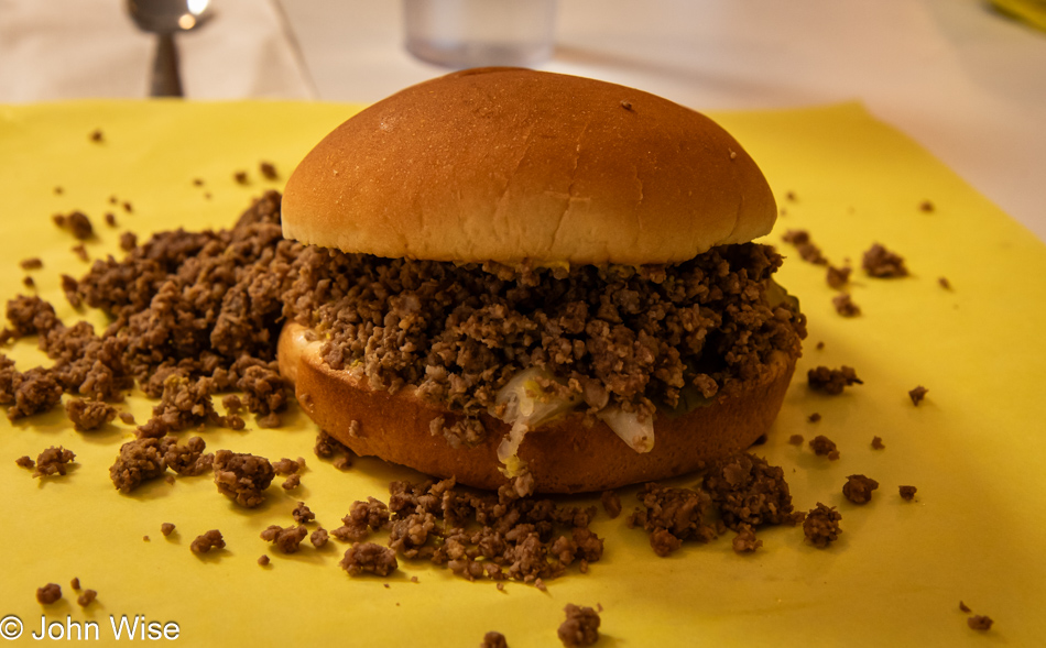
The Canteen in Ottumwa, Iowa

This is what the place is named after, or what they call their sandwich: the canteen. A ground beef sandwich, but not a Sloppy Joe, that you can opt to have with grilled onions, mustard, and pickles (the traditional version); you can also ask for ketchup and cheese. After nearly finishing mine, I heard a customer on the other side of the counter ask for “extra moist,” which means they ladle spoons of rendered beef fat over the burger before topping it with the bun.

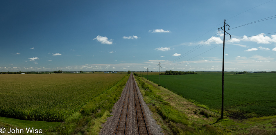
Train tracks on Iowa Route 16 near Ashland, Iowa

I was back on Route 34 when it turned into a four-lane highway, which smacked of something akin to a freeway after driving so many days on two-lane roads. A glance at the map and I see that Iowa Route 16 toward Denmark, the city, not the country, would allow me to detour to my encounter with the Mississippi River and my next state line. My internal speed must have slowed considerably because, after a flash of tension on the 34, I felt at ease again. I can only dread what awaits me when I visit the Buffalo, New York, airport in a few days. I mean the crowds and traffic, not the fact that I’m picking up Caroline, so don’t even go there.

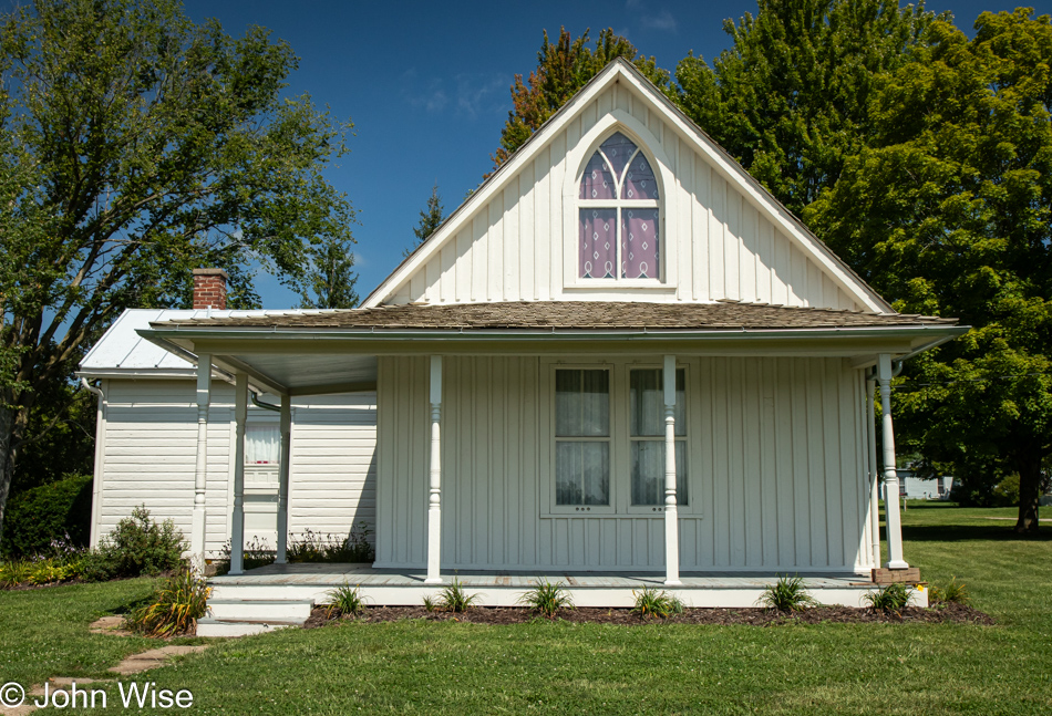
American Gothic House in Eldon, Iowa

This is a nice surprise: my route takes me through Eldon, Iowa, home of the house featured in the Grant Wood painting titled American Gothic.

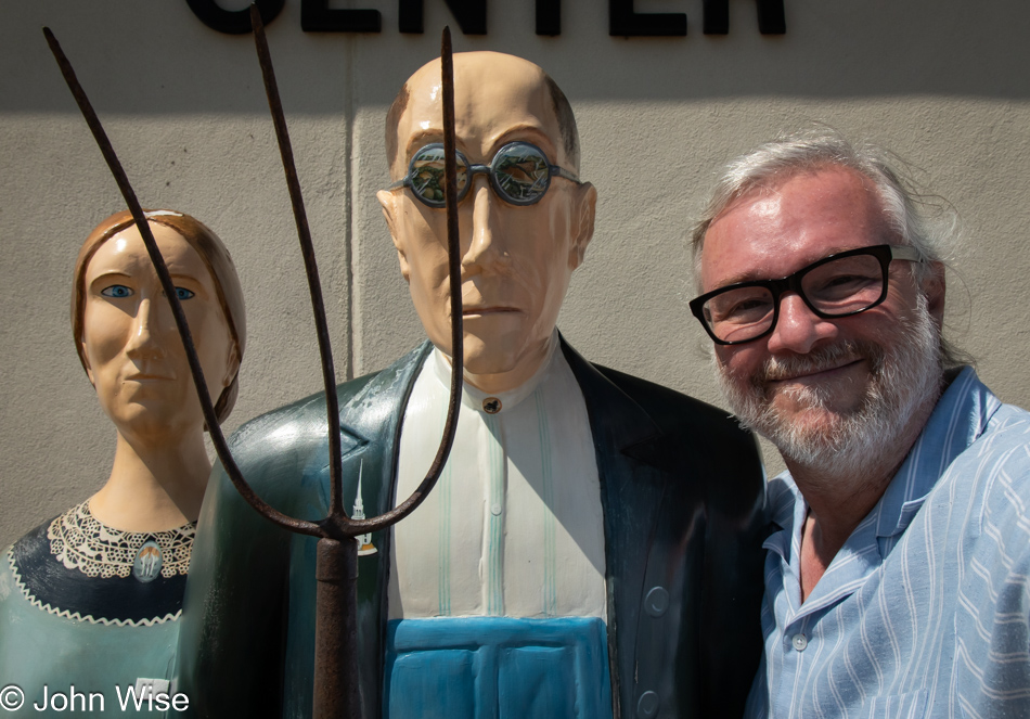
John Wise at the American Gothic House in Eldon, Iowa

If the name of the painting didn’t refresh your memory, I’m guessing that this photo of the three of us will serve as a reminder.

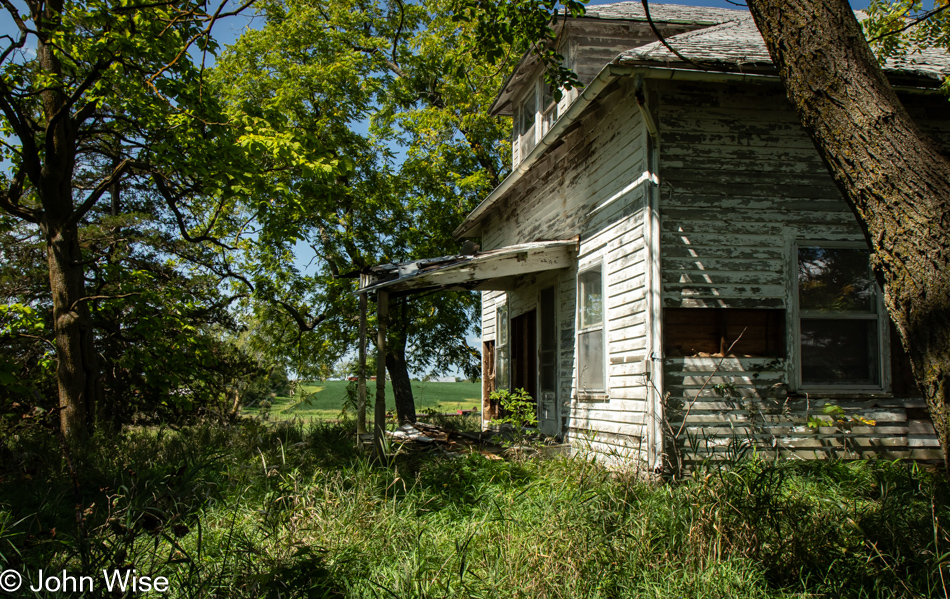
Abandoned house on Iowa Route 16, Iowa

Rethinking, or is it thinking again, of yesterday’s musings on the economics of shifting fortunes of people and towns here in the Great Plains, the Amish jumped to mind. It was probably seeing a couple of Amish buggies along the way that triggered this. People who eschew modernity can harness manual tools and labor to create incredible value. No GPS-guided, fuel-driven tractors, no electricity, and none of the conveniences such as cars or trucks to help them make money, yet they spread out throughout the middle of America buying land, building massive farms with barns, animals, and the requisite tools that allow them to pay their bills and establish tightly knit communities.

Mississippi River seen from Mosquito Park in Burlington, Iowa

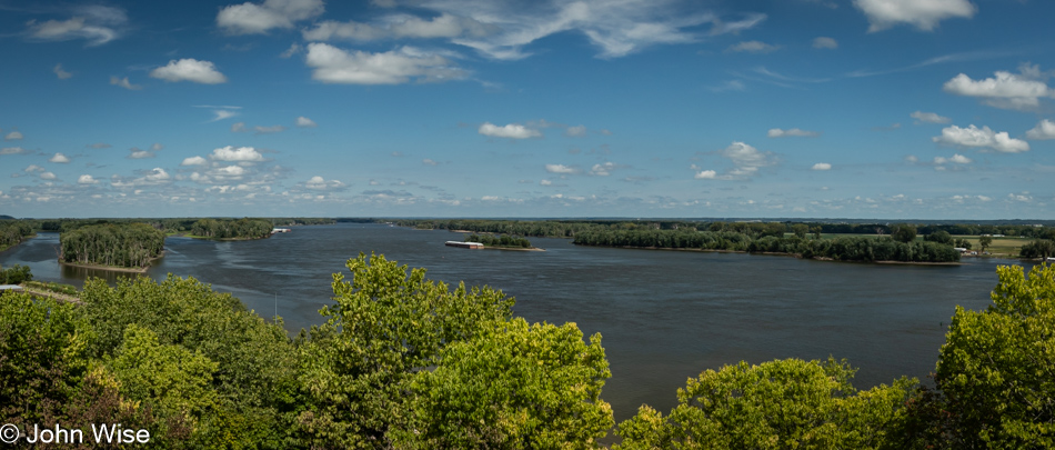
The Mississippi River, viewed from Mosquito Park in Burlington, Iowa. On the other side: Illinois, my next destination.

Corn in Illinois on Route 116 near Biggsville

Yeah, more corn.

Route 116 near Stronghurst, Illinois

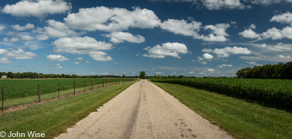
…and a small, attractive road, detouring away from the busier highway 34 I had to reconnect with to cross the Mississippi.

Soybeans on Route 116 in Illinois

More soybeans because, of course it was going to be that, or corn.

Swing at the intersection of Route 116 and Route 41 in St. Augustine, Illinois

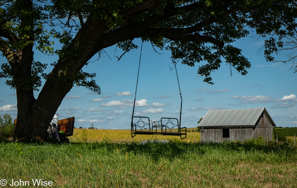
At the crossroads of Highway 41 and the 116 in St. Augustine, Illinois, while I was fighting drowsiness on long, straight, and incredibly smooth farm roads taking me past corn and more corn, I spotted this random swing hanging from a tree. Instantly, I was snapped out of my mindless drift of road hypnosis by the need to take a photo of something – anything – other than corn.

Near Deer Creek, Illinois

I opted to give Peoria, Illinois, a wide berth. With more than 113,000 inhabitants, I felt that all I’d find was a horror of people, angry, on drugs, and racing to get home at the end of the work day. Meanwhile, I’d try to calm down from the minor encounter with traffic of those escaping the city for the distant suburbs by heading through Pekin, a good 10 miles south of Peoria, but that wasn’t good enough. The speed of life came rushing back, and for the first time in a thousand miles, I had to listen to the throaty rumble of a tuned Camaro that IS NOT conducive to enjoying the whispy sounds of corn rustling in the breeze.

Sunset over Pontiac, Illinois

From here forward, I shouldn’t be surprised if I fall further into stress. I crossed the 100th Meridian when I went over the Mississippi. The great majority lives on this side of America, a full two-thirds of our population. Compared to the West, they are packed in like sardines over here. For five days now, I’ve been decompressing and gathering the glow of a corn tan, leaving me uncertain if I’m ready for the maelstrom that arrives with population densities.

Solo Across America – Day 1

Caroline Wise and John Wise in Phoenix, Arizona

Actors, that’s what I’m calling us because looking at us, you wouldn’t believe our emotional turmoil when this photo was taken moments before saying bye until next Saturday. For months, we knew this day was coming; it’s not the first time we’ve been separated by travels that took one or the other of us somewhere away, but still, when the day arrives, when the hour creeps closer when the minutes wind down, there is no good way to hug and express our love adequately enough to allay the flood of emotions. Our tethers to one another grow shorter the older we become; romance is still our middle name.

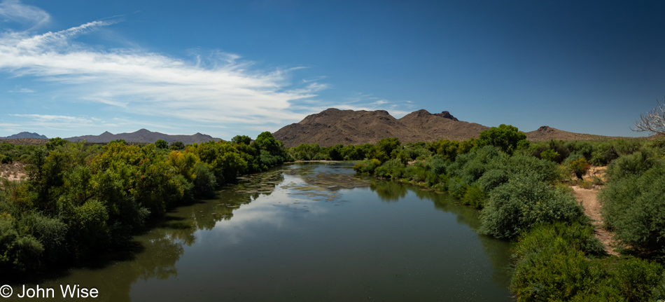
Verde River in Fort McDowell Indian Reservation, Arizona

And here I am, a little later, behind the camera, with New York on the horizon. Actually, this is the Verde River on the Fort McDowell Yavapai Nation. I’ve wanted to grab a photo of this sight for years, but traffic on this bridge can move fast, making this stop precarious. Today, I took the opportunity to pull over as traffic wasn’t too bad. After I snapped this image, I was looking for a photo of the desert and some saguaro cacti that would encapsulate the environment I’m leaving, but this being summer, the landscape never offered up a scene I felt worthy of stopping for, especially when considering I have four hundred miles of driving ahead of me.

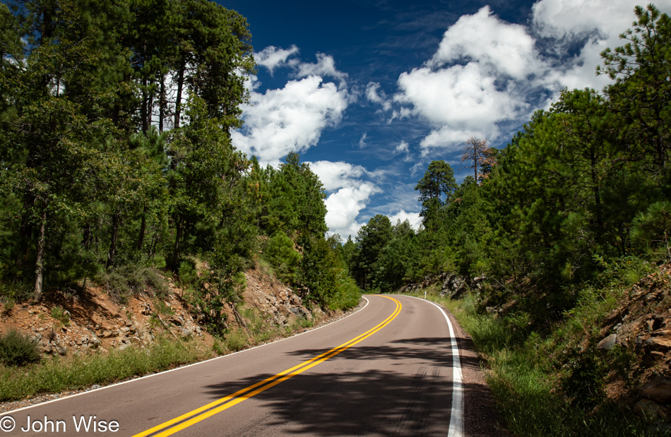
SR87 north of Strawberry, Arizona

The distance I’m driving today wouldn’t typically be an issue, but my commitment to avoiding all freeways means that not only will I have more opportunities to see the intimate side of America, but my pace will be slowed by the size of roads and more importantly, I get to stop for photos. That, though, is where problems arise. You see, taking photos in my mind only takes a few seconds, but in reality I can lose myself in the process, and I end up seriously delaying everything.

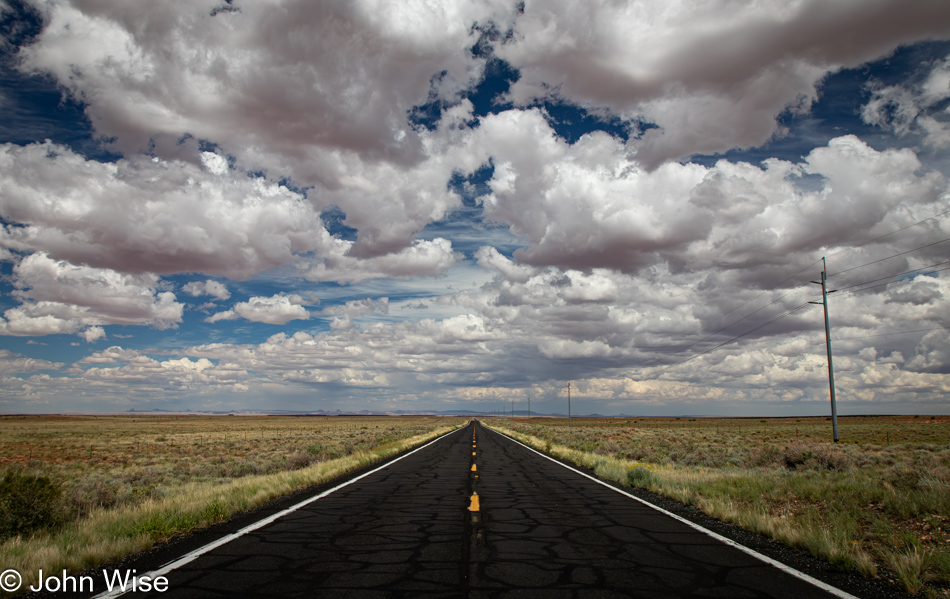
SR87 on the way to Winslow, Arizona

That is why I allocated eight days to drive out there, out across America. These very roads away from everything else draw me in, places where I can stand in the middle of the street on a busy Saturday, and people are polite enough to wait miles away for me to take a photo of a wide open space.

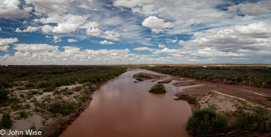
Little Colorado River in Winslow, Arizona

I emerged on the high desert approaching Winslow, Arizona, after passing through the cool forests of Payson, Pine, and Strawberry. I have no time for standing on the corner since I’ve been there and done that, as the saying goes. I’m feeling a bit anxious that I might be moving too slowly. It probably had something to do with leaving Phoenix later than planned, stopping at Starbucks and talking for a few minutes with regulars who wanted to hear about this trip, and then that u-turn I made to fetch some In & Out Burger that would be the last one I’d see for the next 8,000 miles (about 13,000km) I’ll be driving. Anyway, that’s the freeway out there crossing the Little Colorado River, and no, I’m not going to get on it to make up time. My commitment to this adventure of a backroads meander is holding fast.

SR87 on the Navajo Reservation in Arizona

I passed a Native American hitchhiker as I drove into the Navajo and Hopi Nations. While I have the space, I don’t have the headspace to want to talk with a passenger. I feel guilty for leaving that man at the side of the road, but I’m looking for my voice out here and to have the intrusion of someone else’s, well, that risks crowding out my own. Part of me thinks he might have lent me inspiration, but then I’d be writing his story, not mine.

Horses near Dilkon, Arizona

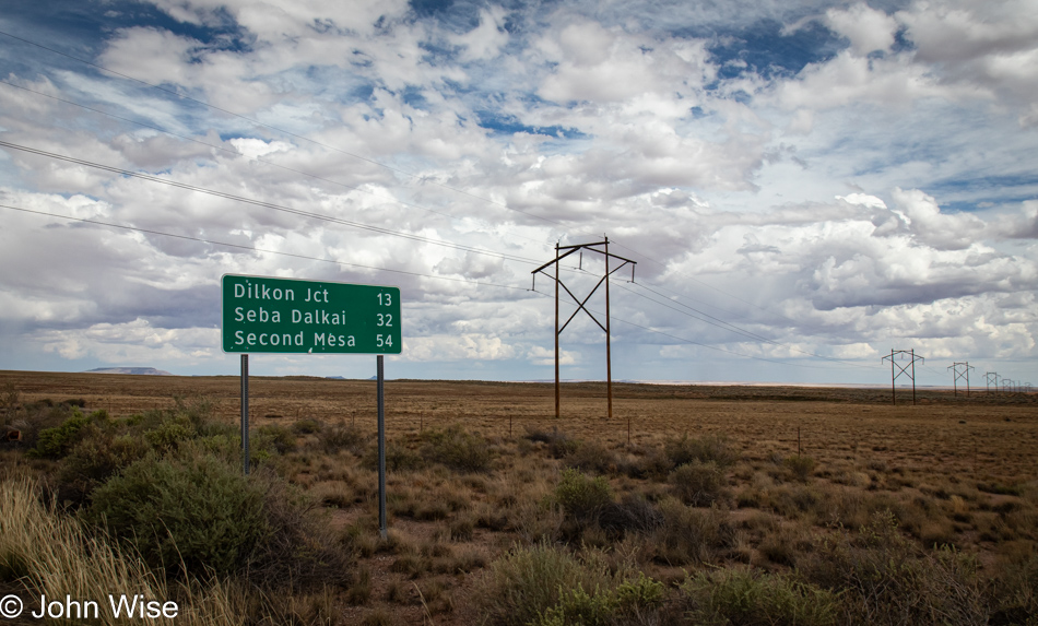
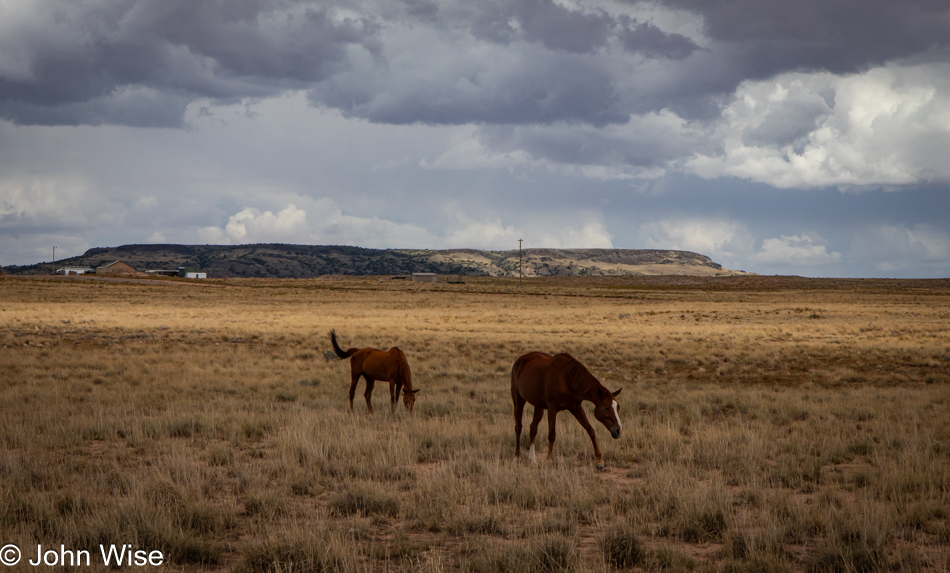
It’s not that State Route 87 is too big a road; it is only two lanes, but this Indian Route 60 gets that much further out. There are no fences out here near Dilkon, and something about that makes the land feel infinitely more open.

Navajo Reservation on the US 191 near Nazlini

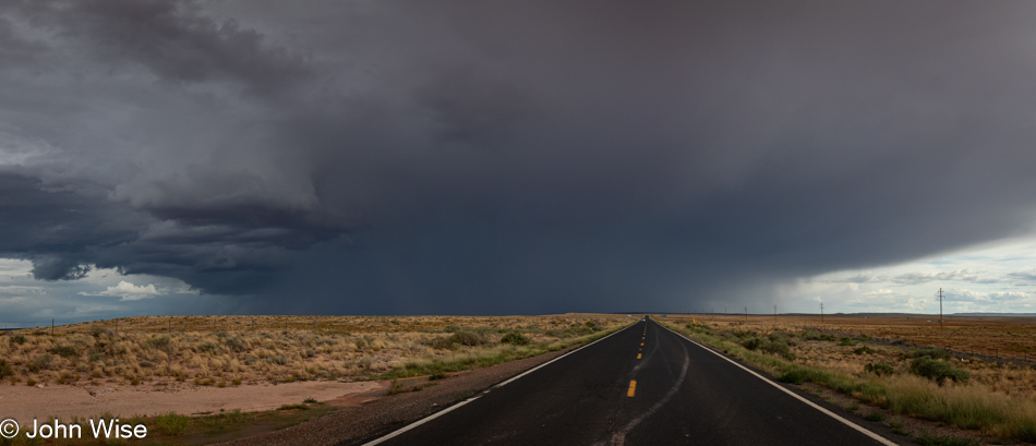
After turning right on Indian Route 15, I was greeted by a torrential downpour that would have been great had it not been for all the signs warning that I was in a flashflood area. Getting photos of the deluge proved impossible, not that shooting through a windshield ever produces great results, and there was no stopping under that storm as all I wanted to do was get out of the flashflood zone and hope it wouldn’t start hailing. This is the otherside of Greasewood looking back at what I drove through.

Near Lukachukai on the Navajo Reservation, Arizona

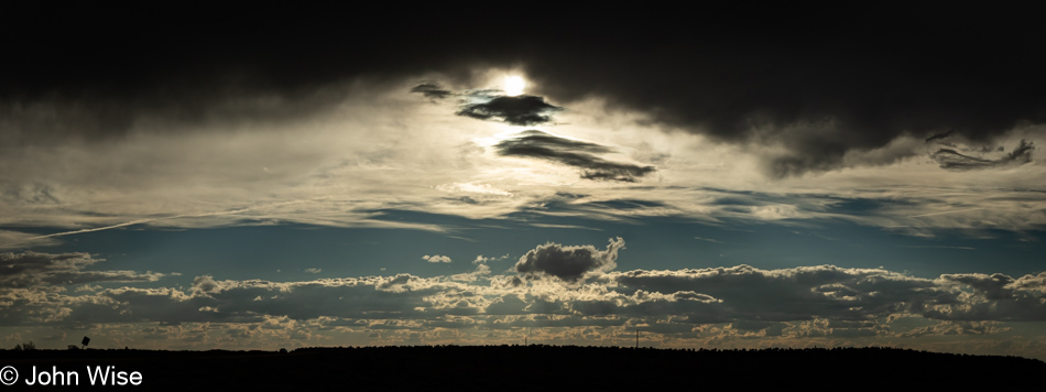
Dreams of better weather to the west while directly overhead are reminders that rain isn’t far away.

Near Lukachukai on the Navajo Reservation, Arizona

The dark clouds of monsoon season stayed behind me or to the right, leaving me with the sense they were pushing me along. I’d stopped in Chinle to talk with Caroline on the phone, though we’d been chatting the entire morning into the afternoon as I worked my way northeast. A friendly rez dog approached and shared in my quick roadside dinner of a boiled egg and a lettuce roast beef wrap. This reminds me that we don’t have dog food in the car for these moments. I encountered this red rock on the road out of Lukachukai, which took me on a steep, twisty road up over some mountains and brought me closer to New Mexico.

Approaching Red Valley, Arizona

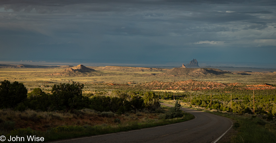
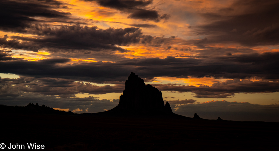
Off in the distance is Shiprock, which calls New Mexico home.

Rainbow in front of the Red Valley Trading Post, Arizona

I stopped at the Red Valley Trading Post as Caroline voiced a wish for a trinket of some sort, but sadly, this trading post doesn’t offer such things. They did have an incredibly friendly rez dog out front and this rainbow, so I didn’t leave empty-handed.

At the Arizona and New Mexico State Lines near Red Valley and Shiprock

It’s growing late in the day, and while I should be reluctant to stop for even more photos, I can’t help myself. Plus, I need to remember that I planned this so I could go slow, stop frequently to see the world, consider things, maybe write a bit, and have the flexibility to take my time. Sometimes, it isn’t easy to let go of urgencies and the sense that we need to be somewhere.

Indian Service Route 13 in New Mexico near Shiprock

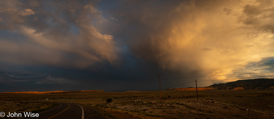
While it never rained on me again after leaving the Greasewood area, the threat of wet weather was ever present and mostly acted as beautiful reminders of what monsoon season in the desert looks like.

Shiprock, New Mexico

I had been disappointed that Shiprock was in shadow as I approached from the southwest, but here I am on its eastern flank, and a dramatic sky frames it ever so nicely. It was well after 9:00 p.m. when I pulled into Farmington, New Mexico, and found a motel. I set the alarm for 5:30 to get out early before sunrise to set up in a Starbucks to write this post, as the photos were prepped before I went to sleep. It’s 7:15 in the morning when I finish this. The sun is up, and I’m ready to continue this meander east, hopefully without buckets of rain along the way.

Friends and Folk Art in Santa Fe

Caroline Wise, Ivan and Merry, and John Wise in Santa Fe, New Mexico

I should begin this post talking about green chiles so as not to offend the gods of New Mexico. While we were starting the day at the Pantry, where we’d have breakfast that includes green chiles, we were also returning to meet with Ivan and Merry, who moved from Phoenix to Santa Fe just a week ago. We only learned of their repositioning on the map in the days after our return from Oregon. The speed of their escape was due to each of them encountering a lucky break that promised to turn out fortuitous for their lives and careers, with both finding employment opportunities that complement their aspirations and relationship. For the next three hours, we chatted, moving our conversations outside as the Pantry grew busier. From authors Thomas Pynchon and Arno Schmidt to Richard Powers, living situations, our recent travels, their 8th anniversary this past Tuesday the 9th, the burning of the Zozobra, relationships, life in Santa Fe, teaching, the Folk Market, crafting aspirations, the poem Sunday Morning by Wallace Stevens, and a hundred other things that were compressed into our abbreviated meeting, we talked about all we could coherently fit into our shared time and then with the market looming, we said goodbye until our paths cross again. This brief description of our encounter cannot do justice to the nuanced and subtle ways that a broad conversation about passionate matters can influence what was a speedy meeting. Maybe after they are settled, we might find some time in Santa Fe together, where we can meet without the pressures of schedules and other obligations over a weekend, maybe over coffee at our favorite pretentious local coffee shop called Ikonic.

Caroline Wise with Suvanese weaver Ice Sarlince Tede Dara, Caroline Wise, and Maria Cristina Guerrero at the International Folk Art Market in Santa Fe, New Mexico

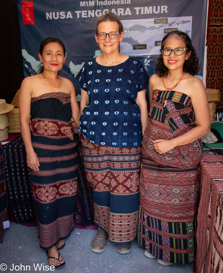
It was already noon when we stepped back into the Railyard Park for our last hours of visiting the International Folk Art Market (IFAM), and while I thought we were done shopping, there were still a couple of surprises for us. First, though, we needed to visit the Meet The Makers Indonesia booth to take a photo of Maria Cristina (Crissy) Guerrero, fiber artist Ice Sarlince Tede Dara from Savu (as I pointed out in yesterday’s post) with Caroline, who wore the sarong, also known as an Ei Raja, that she bought the day before. The provenance of Caroline’s Ei Raja (sarong) is as follows: the pattern is called Kobe Morena and is a design originating from the people of Savu, specifically with Dule Mudji of the Ae moiety and the female lineage of Ga. The fabric is naturally ikat dyed using indigo (blue to black) and the roots of the morinda tree (red). While anthropologist and author Dr. Genevieve Duggan shared many details of the origins of the piece, we’ll have to buy her book titled Savu: History and Oral Tradition on an Island of Indonesia if we really want to bring into our minds those details.

Australian print at the International Folk Art Market in Santa Fe, New Mexico

Apparently influenced by Aboriginal Dreamtime painting, these Australian prints were available at the market, though they are not something we are necessarily interested in bringing into our lives, not because they lack beauty, but because we already have so much complexity in our lives and so many interests to interpret that we are close to being overwhelmed.

Also overwhelming is the extraordinary amount of pretension found here at the International Folk Art Market, possibly due to the abundance of privilege from many of those also able to spend such amounts of money at such an event. Fortunately, albeit rare among attendees but more common with the craftspeople, there is an integrity, passion, and enthusiasm that separates the simply wealthy from those who have an authentic joy for life and what great fortune really means, how it’s measured, and how to share what has been bestowed upon and within them. For the preening, look-at-me class of empty vessels that haughtily stride through, they befoul the environment with an ugly, selfish sense of perfection that feels fake and disrespectful, but that’s often the nature of America’s affluence at this juncture in our history.

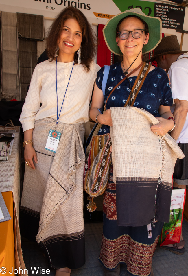
Caroline Wise with skirt from Nagaland, India at the International Folk Art Market in Santa Fe, New Mexico

What is the value of owning something made of an extraordinarily uncommon material, such as stinging nettle? Well, if it looks and wears nicely, it could be a brilliant acquisition, and that’s what I think of the skirt Caroline is holding in her hands. The fiber artists who made this piece are from Nagaland, a relatively controversial state in India. Not only are most people from Nagaland Christian and not Hindu or Muslim, but there has been a movement seeking sovereignty as an independent country, which doesn’t play well when a country such as India has been flying the nationalist flag for decades and now, with the current movement against religions others than Hinduism (Hindutva), they must be even more unpopular. The implications regarding Nagaland’s issues seem to be an underlying factor about why goods from that corner of India are difficult to find in the worlds outside their borders, sadly.

So, here’s my German-American wife wearing a sarong from Indonesia, a shirt from Mali, one bag from Bolivia, another from Chiapas, Mexico, along with a bracelet of Peruvian good luck Huayruro seeds, while carrying her new skirt of stinging nettle, possibly from the Chakesang Naga tribe in the Phek district of Nagaland. Now, if only more people could embrace the diversity of options, expand their horizons, and pull back from the cultural conformity afflicting modernity.

La Choza Restaurant in Santa Fe, New Mexico

We thought that by returning to La Choza for a repeat visit at 4:30, right when they open for dinner, we’d get a table pretty quickly, but still, it took about 20 minutes as so many others had signed up before us. Caroline mixed things up when she deviated from the tried and true green chile and opted for Christmas style, with half the plate covered with red chile and the other with green chile, and to both of our surprise, the red chile here is likely the best we’ve ever had and is probably the spiciest.

After visiting IFAM here in Santa Fe, New Mexico, for three years running, we might take a break from next year’s festivities to allow the anticipation to build up again. Prior to our first visit in 2022, Caroline had wanted to attend for years, but for one reason or another, we were just not getting it together. And while our resolve here on our last full day in Santa Fe is to skip 2025, Caroline has been talking for a couple of years about being a volunteer at the event, so maybe our resolve is not set in stone.

Hello Again, California

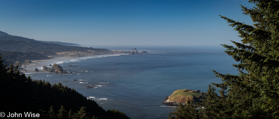
Cape Sebastian Scenic Overlook south of Gold Beach, Oregon

Is that California out in the distance? Not yet, but soon. Today’s setup down in Gold Beach was intentional for what would be our next stop today. First though, we made this quick stop at Cape Sebastian, not only for the view, but as a reminder that we want to take the trail from up here all the way down to the ocean.

Meyers Creek Beach north of Pistol River, Oregon

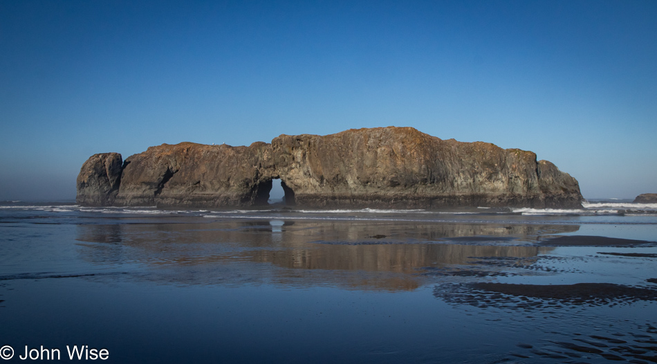
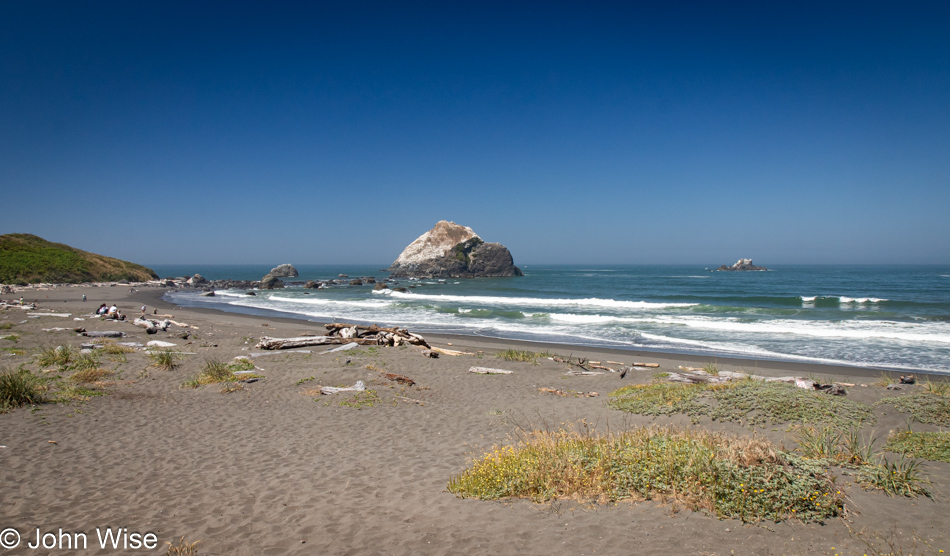
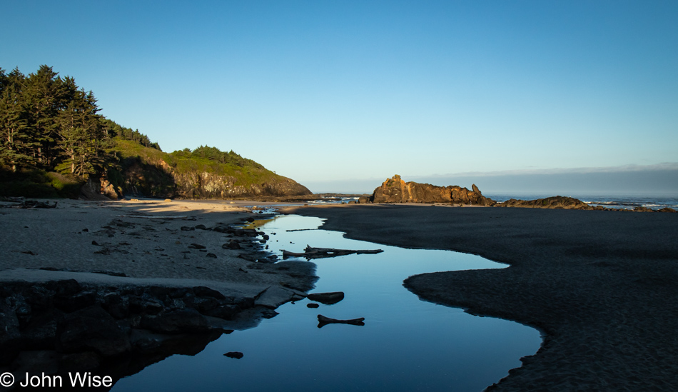
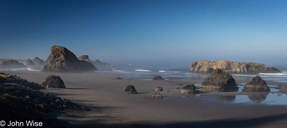
This is the spot we had to visit as our last stop in Oregon on this mighty, amazing coastal adventure we’ve been experiencing. Meyers Creek Beach has long been a favorite.

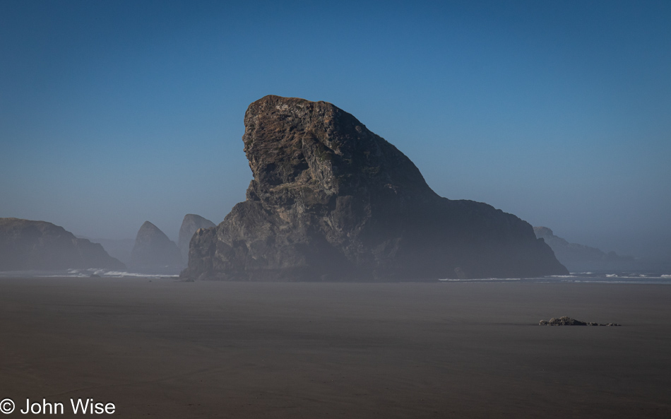
Meyers Creek Beach north of Pistol River, Oregon

Before we ever knew the proper name of this beach, we called it the Sharkfin Beach for obvious reasons. It is this rock jutting out of the sand and sea that created this affinity and keeps us coming back.

Meyers Creek Beach north of Pistol River, Oregon

We took time to linger in the fading moments that could be allocated to time on the Oregon Coast. While there’s some likelihood we’ll return this November, as I’ve already started making reservations, one never knows what tomorrow brings, so we have to take every second to absorb all we can.

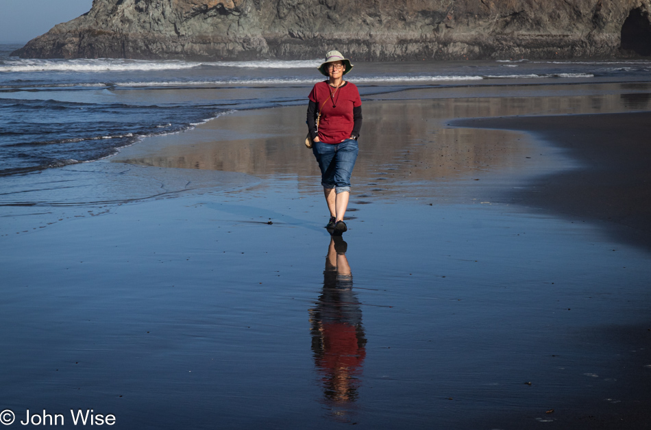
Caroline Wise at Meyers Creek Beach north of Pistol River, Oregon

Note the hands in the pockets instead of holding the reins of Happy McKiteFace; there was no wind here, zero, zilch.

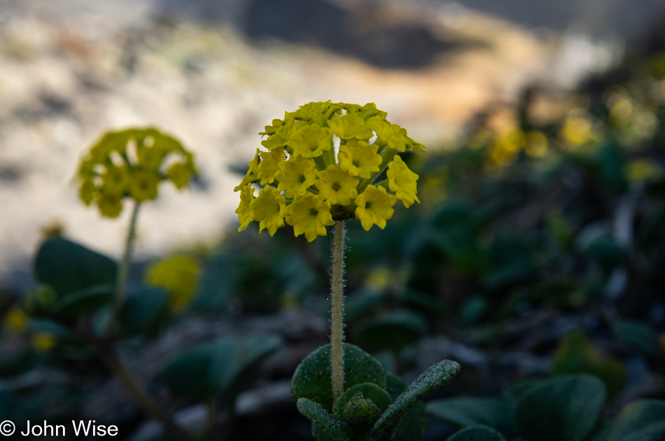
Coastal sand verbena at Meyers Creek Beach north of Pistol River, Oregon

Leaving the beach, we caught a whiff of this flowering plant that is not in bloom during our November visits. It is coastal sand verbena, and it smells brilliant.

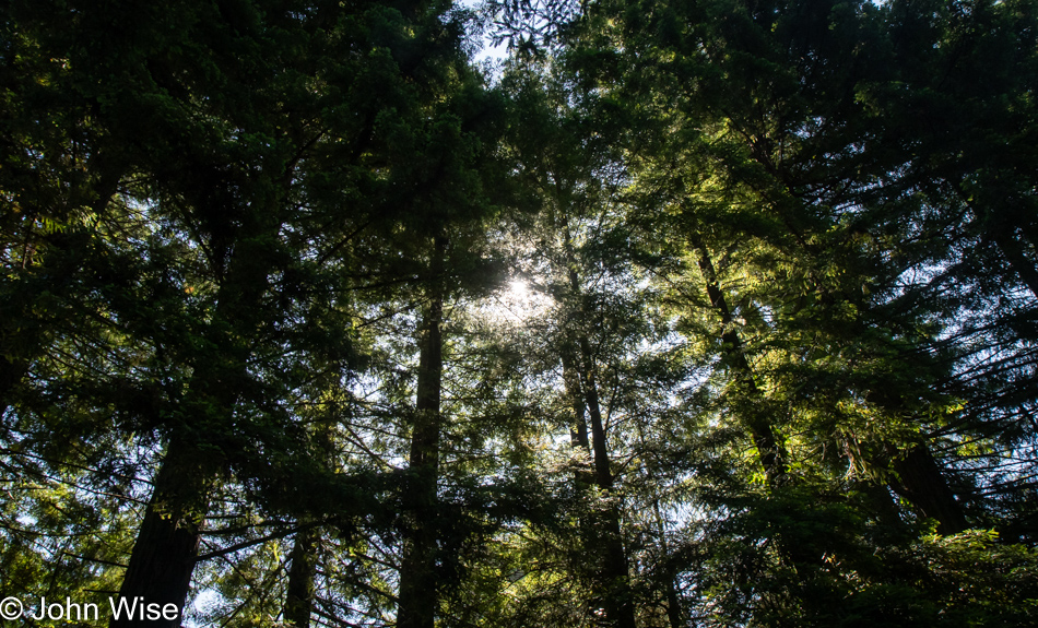
Redwoods in Northern California

We’re on Wonder Stump Road just north of Crescent City, which is less than 15 miles from where we crossed from Oregon to California on Highway 101.

Redwoods in Northern California

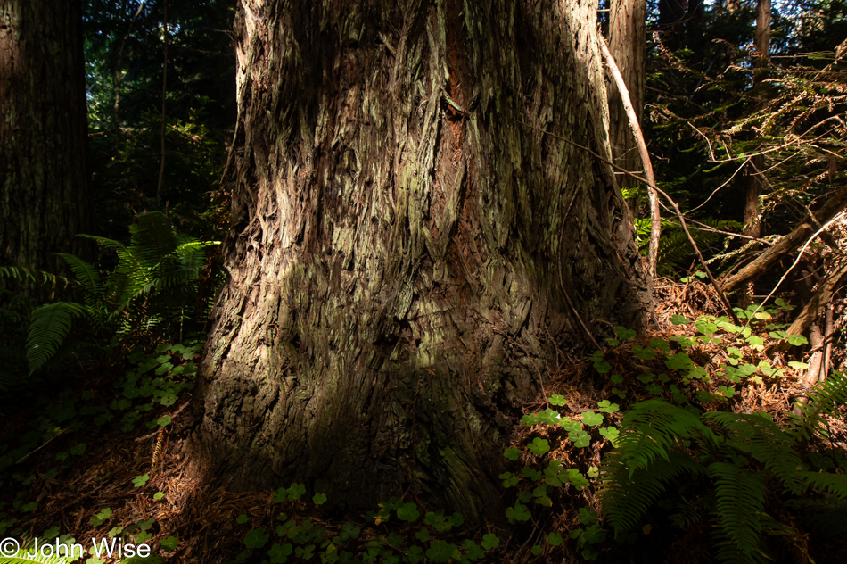
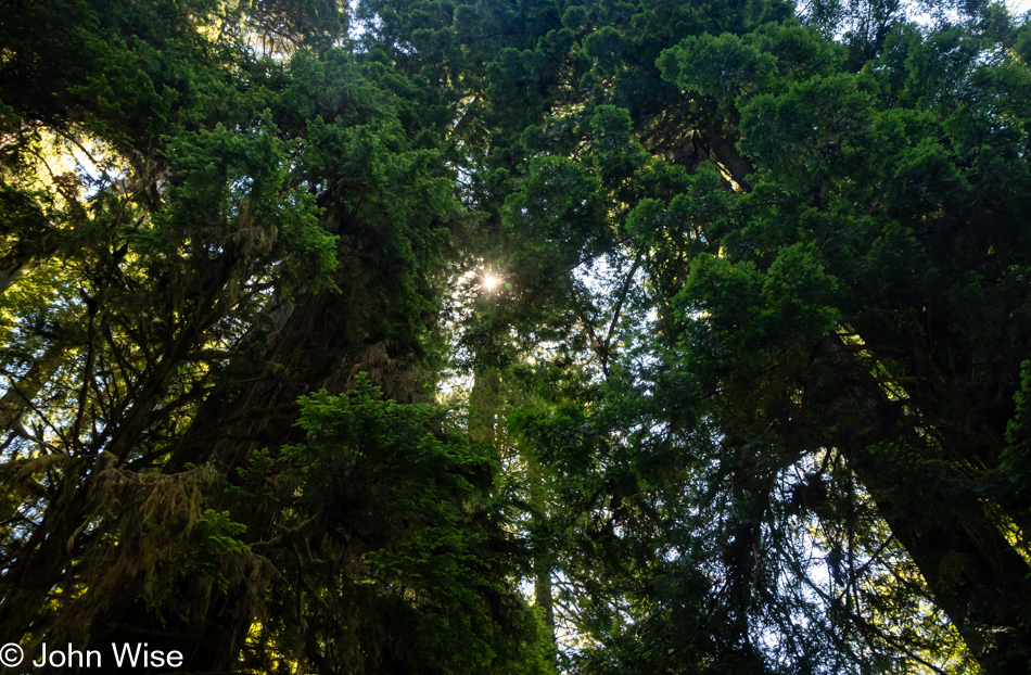
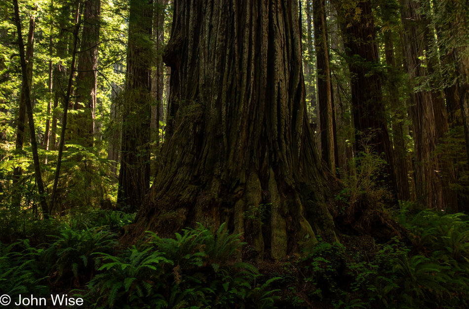
These trees are today’s first encounter with the redwoods, and while some may think that 5 million of these giants of the more than 100 million that once existed is an adequate number, keep in mind that there are 39 million people living in California and nobody is suggesting the state is running out of habitable land. The tree we are standing below might be about 30 feet in diameter, meaning it could be about 300 to 400 years old. The Lost Monarch tree in Jedediah Smith Redwoods State Park has a circumference of approximately 84 feet (25.6 meters) while the oldest redwood is estimated to be about 2,200 years old, so even if humanity were to attempt to restore what we’ve ruined, not us, our children, grandchildren, or great-grandchildren would be around to see one of these trees reach even this circumference.

Redwoods in Northern California

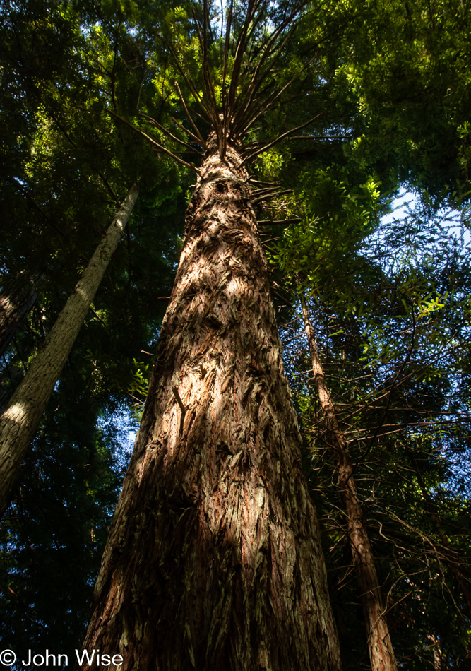
It’s peculiar to my primitive brain how I can be so impressed standing at the base of one of these trees, and yet there is an entire ecosystem above me that is unvisitable and must remain a big unknown to my senses. The canopy of the redwoods may as well be at the bottom of the sea or on the moon.

Redwoods in Northern California

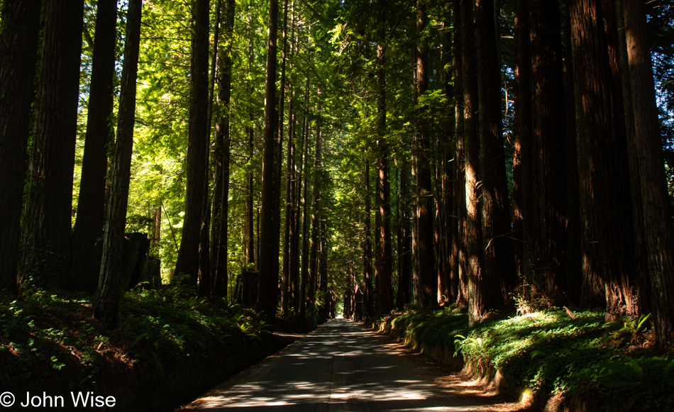
The Wonder Stump Road might only be two miles long, but we were lost under these trees for nearly as long as it would have taken to walk the road.

Overlook in Klamath, California

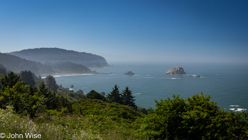
Had our goal been to get as far south as fast as we could, our time at the edge of the continent would have been a lot shorter, but that would have brought an unceremonious end to this trip, and so our route was designed to maximize time at the coast and allow us to dawdle.

Wilson Creek Beach in Klamath, California

Wilson Creek Beach was afforded a quick stop, a photo and go.

Prairie Creek Redwoods State Park in Orick, California

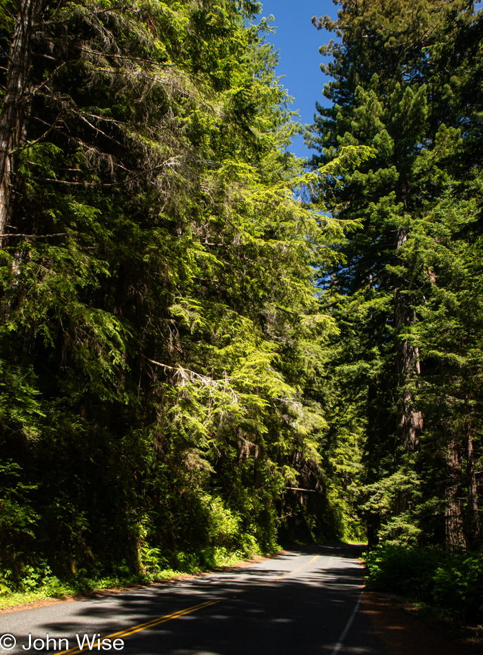
We’ve turned off Highway 101 at the Newton B. Drury Scenic Byway in the Redwoods National Park on the way to the Prairie Creek Redwoods State Park to slow things down even further. To simply drive by and ignore these trees and their lush environment feels like sacrilege.

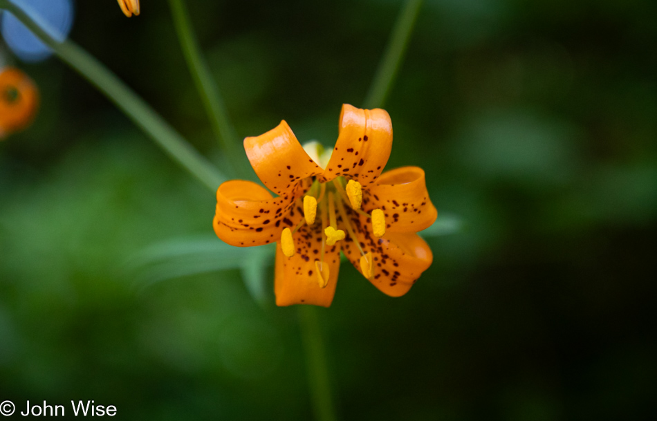
Tiger Lily at Prairie Creek Redwoods State Park in Orick, California

Caroline spotted tiger lilies next to the road, but often, there was nowhere to easily pull over, so we continued on until we found some near a pullout.

Prairie Creek Redwoods State Park in Orick, California

Sadly, there’d be no time for a hike into the woods because while we can take our time, as long as we reach Ukiah, where we have a hotel reservation, I have plans for a side trek off the beaten path to a place on the coast we’ve never visited before.

Prairie Creek Redwoods State Park in Orick, California

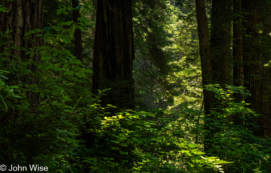
These forays into forests that stretch far into the sky are difficult places to photograph, at least for me, as there is so much to see and only so much that can be captured adequately in a photo. While standing under these ancient and massive trees inspires us, there is no easy method of sharing just how grand it all is.

Prairie Creek Redwoods State Park in Orick, California

The ancestors of redwoods emerged about 200 million years ago, and then about 50 to 100 million years ago, the species split into the two types we know today, the coastal redwood and the giant sequoia. Maybe that’s what contributes to the sense of otherness, or whatever it is that feels different than other places; there are few living things on earth that we can stand amongst that have been on the planet longer.

Patricks Point Drive in Patricks Point, California

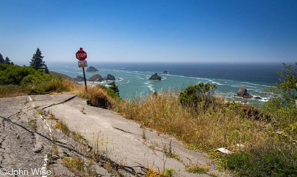
Heed this stop sign, or you will certainly regret your indiscretion. We are on Patricks Point Road.

Luffenholtz Beach in Trinidad, California

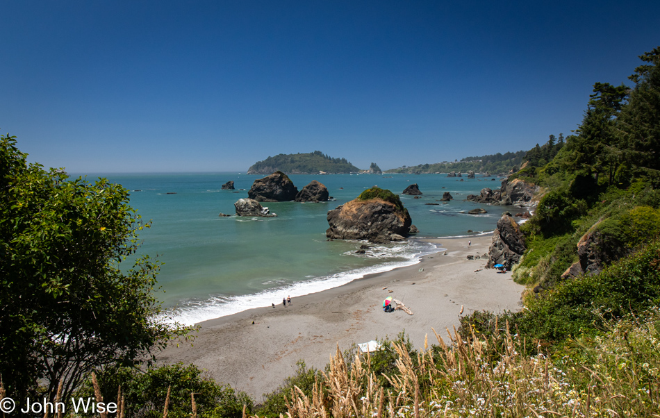
This is Luffenholtz Beach south of Trinidad, and while Caroline and I drove at least part of this road back in 2006 (we know we did because there’s a blog post) neither of us has any recollection of that drive. As a matter of fact, in 2020, we thought we were traveling this road for the very first time, stating just that in a post.

Mattole Road near Ferndale, California

We have left Highway 101 again, this time for a road we are absolutely 100% certain we’ve never driven before. The initial stretch of road is California 211, but in Ferndale, the road shrinks as we head out on the Mattole Road for the Lost Coast.

Mattole Road heading towards Cape Town, California

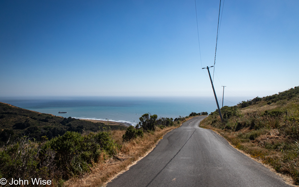
Many sections of the road out here are only a single lane, and they are also in tight curves with big blind spots, so stopping is not an option. Then, we emerge from the dark forest into wide-open vistas that are idyllic, serene landscapes.

Mattole Road heading towards Cape Town, California

Without guardrails, I’m inclined to hug the centerline and drive at barely 20mph, else we risk falling off the road and into the infinity of time.

Cape Town, California

We’ve arrived in Cape Town, as in California, not South Africa.

Mattole Road heading to Black Sand Beach on The Lost Coast of California

After driving for a while, we had some idea of the frequency of other cars traveling this road and felt okay about stopping in the middle of the street and jumping out for a photo.

Adjacent to Black Sand Beach on The Lost Coast of California

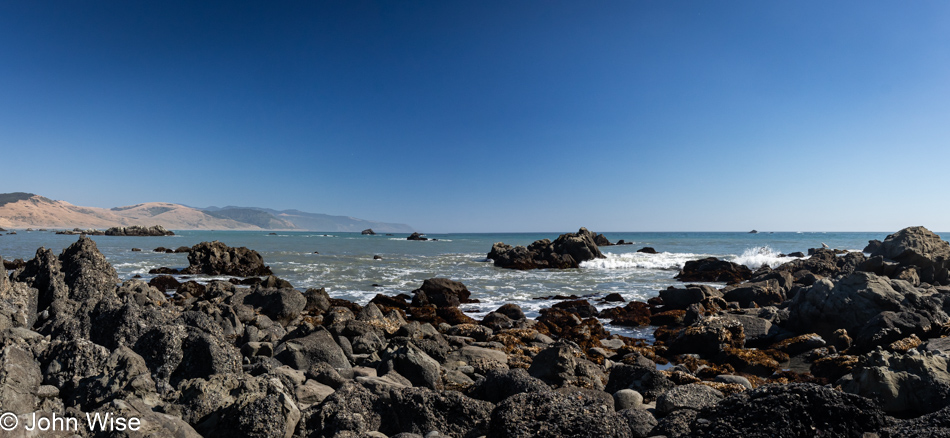
You wouldn’t know it from this view, but we’ve arrived at the Black Sand Beach down here on the Lost Coast north of the King Range National Conservation Area. I’ll turn around and show you.

Black Sand Beach on The Lost Coast of California

There’s nothing and almost nobody else down here.

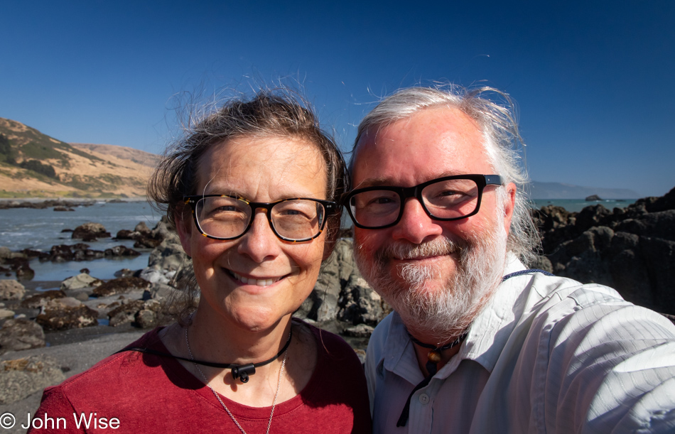
Caroline Wise and John Wise at the Black Sand Beach on The Lost Coast of California

Well, there were these two dorks hanging out looking for the things we’d possibly not seen before.

Gumboot chiton shell at the Black Sand Beach on The Lost Coast of California

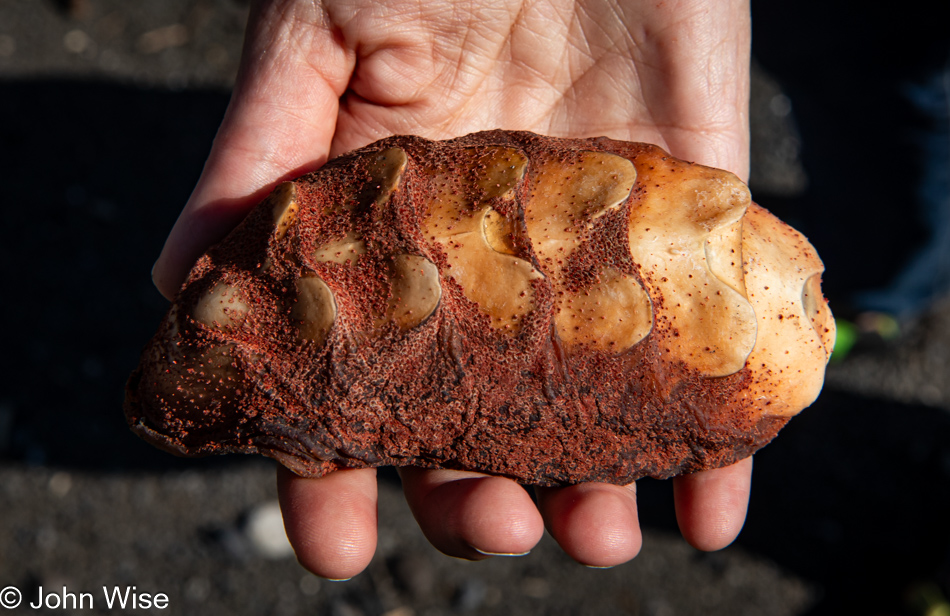
Seek, and you shall find. We were on our way back to the car when I spotted something peculiar that turned into the great treasure of this month away from Arizona: the shell of a gumboot chiton.

Point of Cows on Mattole Road at The Lost Coast of California

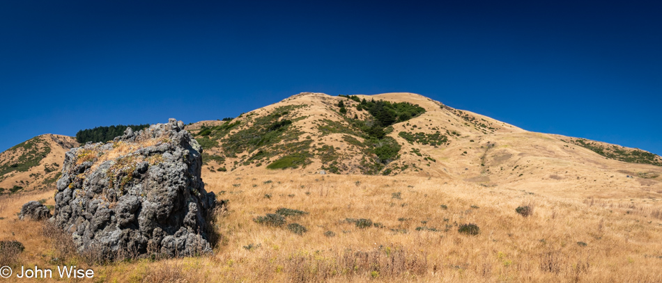
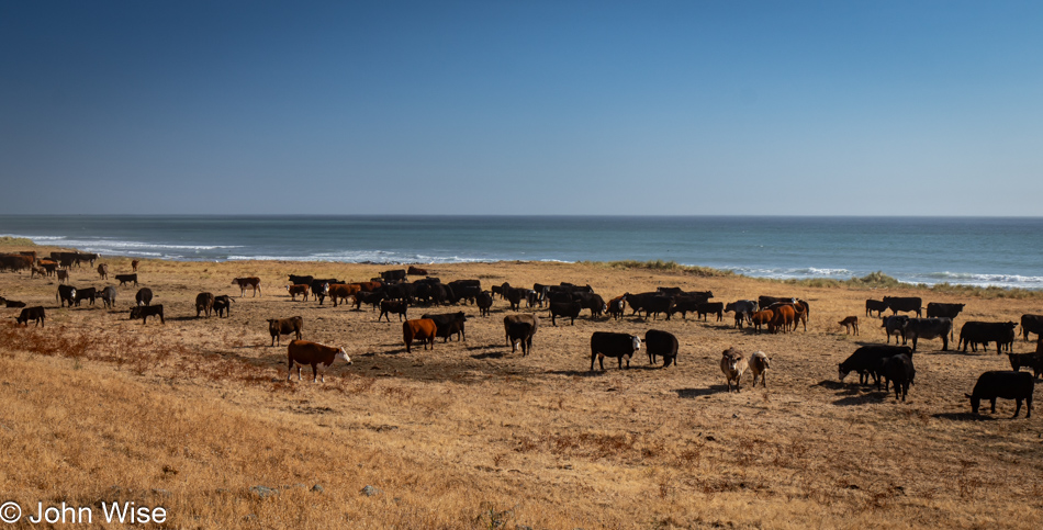
Somewhere along the road, and not marked, is the Point of Cows. That’s what we are calling this in lieu of finding the exact spot from the map.

Mattole Road near Petrolia, California

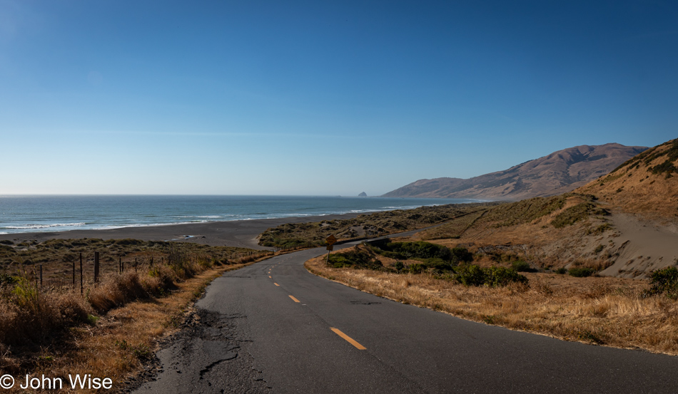
This concludes our coastal adventure as we turn inland and start the serious effort to move ourselves closer to home.

Lindley Ranch in Petrolia, California

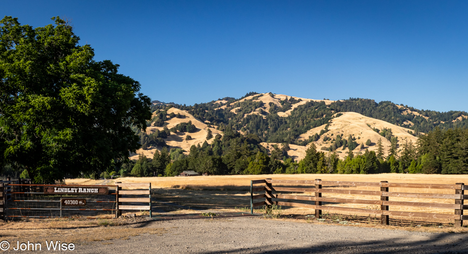
Much of the landscape for the first 20 miles after leaving our turn inland was similar to what we were driving past on our way out, but still, I felt I should offer at least a peek at what is on this end of Mattole Road as we drive through Petrolia.

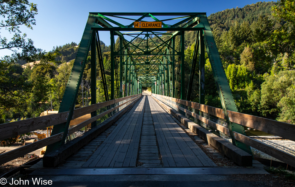
Mattole River Bridge in Honeydew, California

Our last photo of the day is from the Mattole River Truss Bridge in Honeydew, population 277, of which we met three of the locals. They were sitting near the bridge and informed us that this old relic from 1920 is going to be torn out and replaced with a modern structure. We learned a few other things from the heavily stoned and friendly people, but what they didn’t tell us was that we should probably have used this bridge and taken the northern route back to Highway 101 because the way we went included some sandy loose gravel sections of road in tight curves on steep mountainsides. More than once, I was given an adrenalin boost from the abject terror I was feeling as we started losing traction, and fear informed me that if I lost momentum, our tires would never grip this stuff well enough to let us finish going up the incline. I was close to panic. Consequently, I didn’t stop one time before reaching Highway 101, and by the time we reached Ukiah for the night, I was exhausted. What an adventure it was.

Never Ending Oregon Adventure

Boiler Bay in Depoe Bay, Oregon

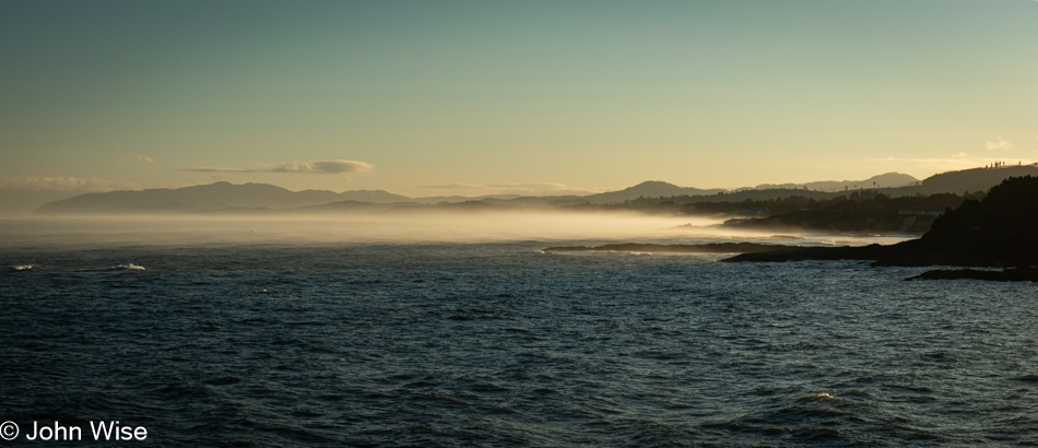
Out at the fog line between Fogarty Creek and Gleneden Beach, two whales were working the seas early, letting us have one more in the countless number of whale sightings we’ve experienced on this trip. Our first stop was once again at Boiler Bay, where we’ve had such great luck with whale watching.

North Fogarty Creek Beach in Depoe Bay, Oregon

North Fogarty Creek Beach was the destination where we collected our steps this morning. That we’d be foiled in getting all we wanted wasn’t known just yet.

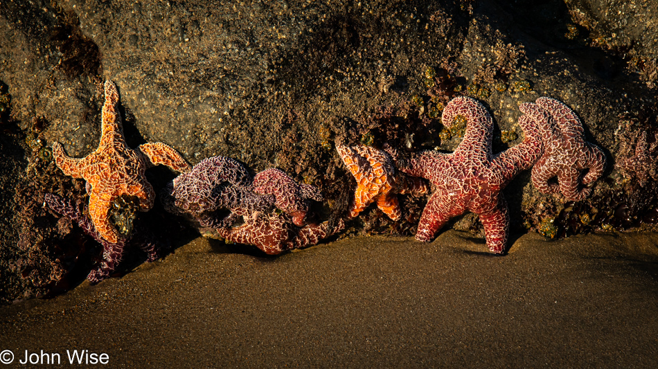
Sea Stars at North Fogarty Creek Beach in Depoe Bay, Oregon

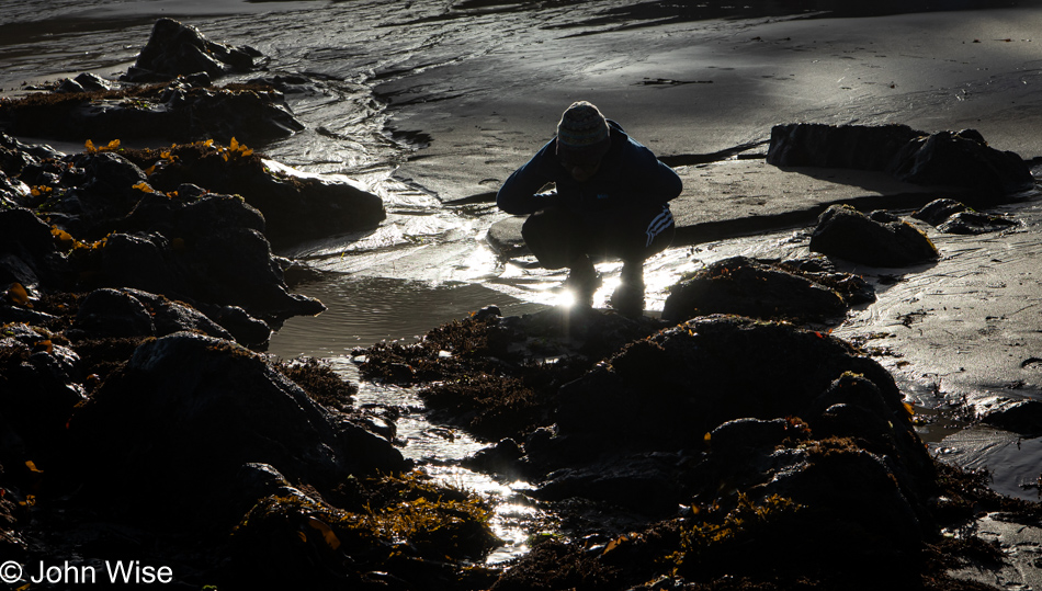
Little did we suspect it would be low tide and that we’d run into this family of sea stars posing in the hopes of becoming internet famous.

North Fogarty Creek Beach in Depoe Bay, Oregon

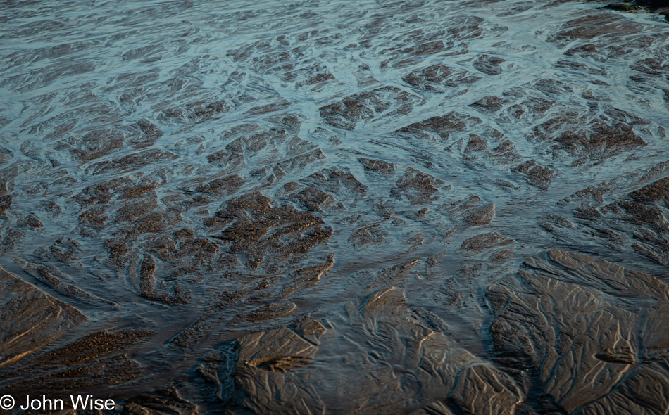
Draining sands leave incredible patterns when the tide recedes into the ocean.

North Fogarty Creek Beach in Depoe Bay, Oregon

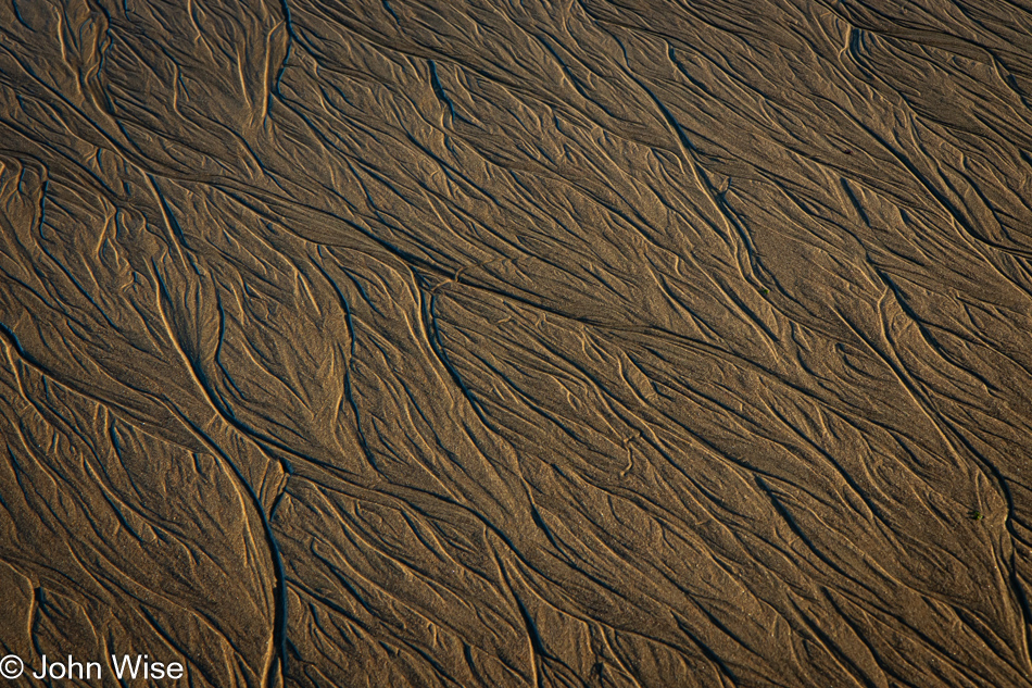
And not all the patterns are the same.

North Fogarty Creek Beach in Depoe Bay, Oregon

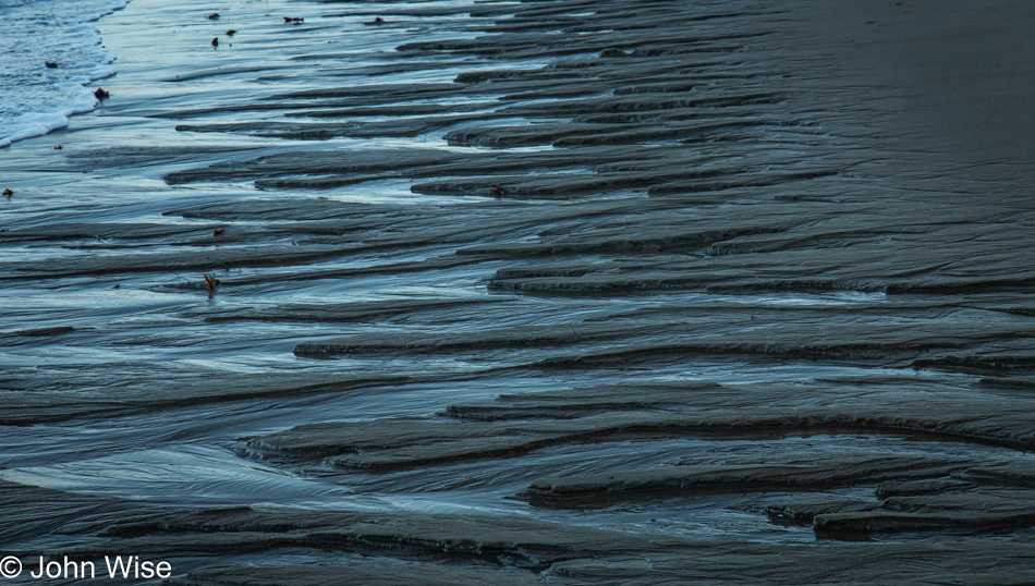
Like I said.

North Fogarty Creek Beach in Depoe Bay, Oregon

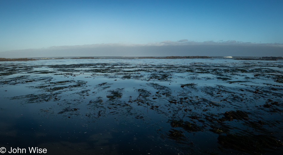
The rock formations way out act as a breakwater for the waves, leaving this part of the shore temporarily calm until the waves return to breaking over the walls.

Caroline Wise at North Fogarty Creek Beach in Depoe Bay, Oregon

Choosing what to do and see next requires studied consideration from Caroline.

Anemone at North Fogarty Creek Beach in Depoe Bay, Oregon

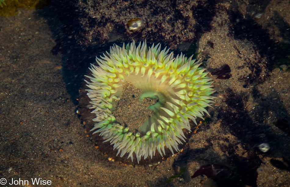
As for me, I just look for more anemones, mussels, barnacles with large peduncles, and sea stars.

North Fogarty Creek Beach in Depoe Bay, Oregon

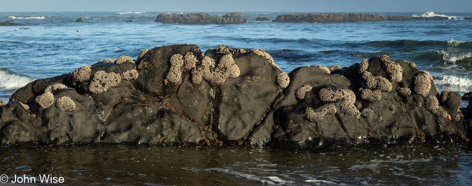
Barnacles on an island deny me an inspection of their clustering families.

Fresh Rockfall at North Fogarty Creek Beach in Depoe Bay, Oregon

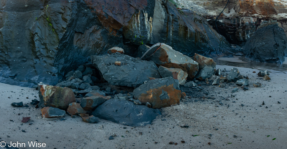
This is a very recent rockfall, likely in the past hours, as nearby we saw other footprints and dog paw impressions on this side of the beach which is not accessible during high tide but they were obviously left recently in wet sand close to the waterline. We could see how high the tide had been in other parts of the beach and the sand underneath the fallen rocks was clearly smoothed by its lapping water during the night. The smaller chips and stones were absolutely undisturbed and looked fresh.
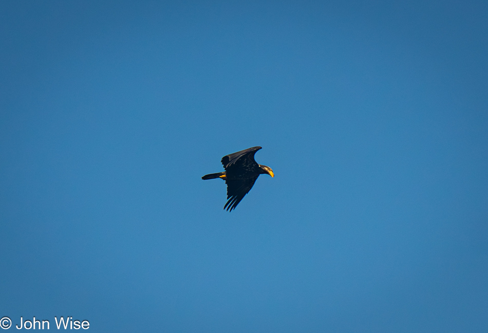
Bald Eagle at North Fogarty Creek Beach in Depoe Bay, Oregon

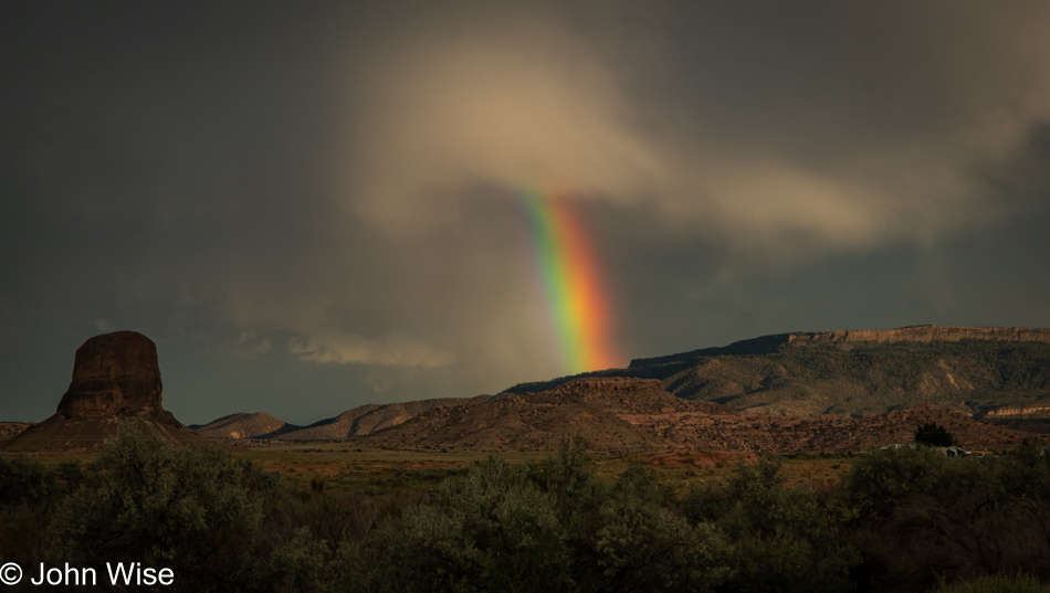
A couple of gulls were seen chasing this bald eagle away, and its presence wasn’t enjoyed by the pigeon guillemots who were hanging out on the edges of Fishing Rock. In case you were wondering about the coloring, juvenile bald eagles are dark.

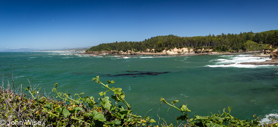
Boiler Bay in Depoe Bay, Oregon

For the duration of this trip and during previous visits over the years, we’ve been calling this general area Boiler Bay, and while that’s correct (the wayside is officially called Boiler Bay State Park), the spit of land that juts furthest into the sea and which we are standing on was, in the past, more commonly called Government Point.

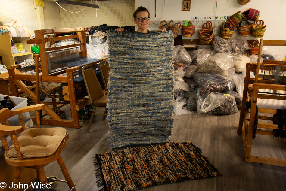
Caroline Wise at Elsie's Discount Roving in Depoe Bay, Oregon

This is not always the easiest shop to visit. We were just about to give up when the owner stepped out of her home and asked if she could help us. That person was Elsie, the proprietor of Elsie’s Discount Roving in Depoe Bay, and those two rugs are going home with us.

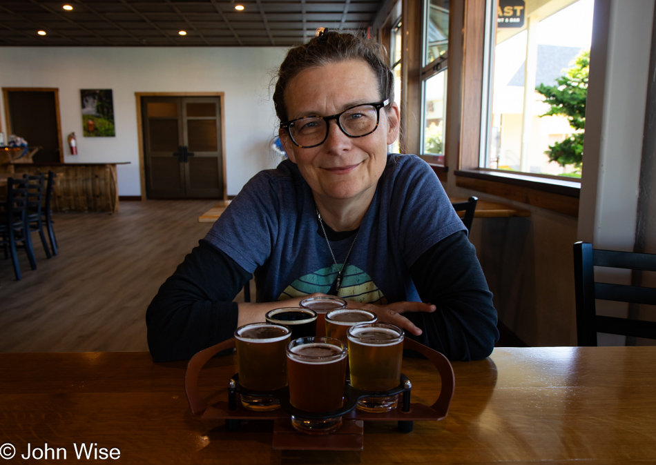
Caroline Wise at Gilgamesh Brewing in Lincoln City, Oregon

On Sunday, Caroline and I stopped in at the Lincoln City Outlets, looking for a few things, such as jeans and a couple of books. My very old pair of jeans that have been worn during many a winter in Arizona, trips to Europe, and here in the cold summer environment of Oregon have given out. Caroline tried performing an emergency repair, but with each squat for a photo, I was putting too much pressure on the crotch that has been hanging low due to my significant weight loss since the jeans were purchased. No luck at the store, so I ordered those online later that night. The books we wanted were The Hidden Life of Trees: What They Feel, How They Communicate by Peter Wohlleben and The Overstory by Richard Powers, also about trees. Unfortunately, here in the heavily forested lands of coastal Oregon, the bookshop didn’t have either. Walking through the outlets on that day, Caroline considered trying a beer at Gilgamesh Brewing, hoping for an Enkidu brew.  We decided to give them a try today since she won’t be around for happy hour with her coworkers on Friday. They missed the opportunity to brand one of their brews Enkidu, and so Caroline settled on a flight. [My favorite were the Mamba ale and DJ Jazzy Hef hefeweizen (I’m not a fan of some of these names), but the IPAs/pale ales were nice and also the coffee-infused beer. – Caroline]
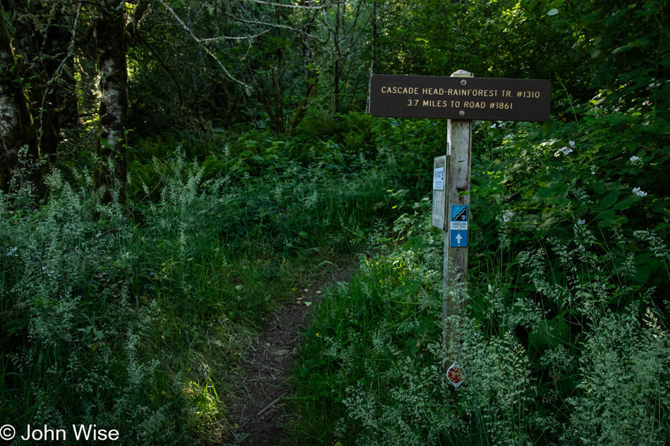
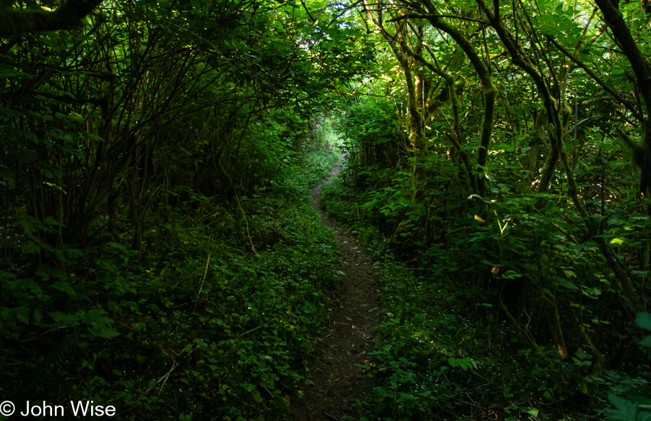
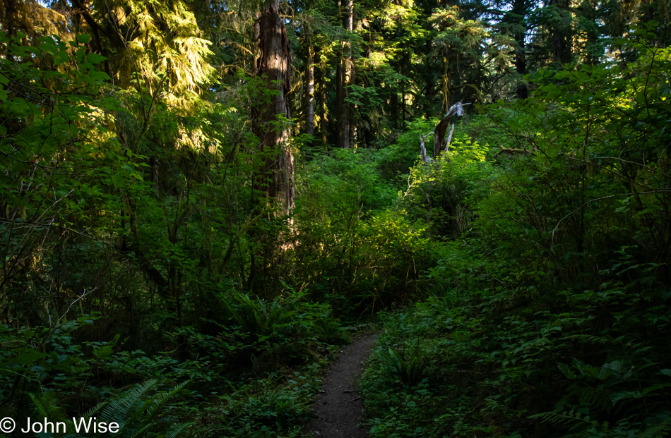
Cascade Head Rainforest Trail in Otis, Oregon

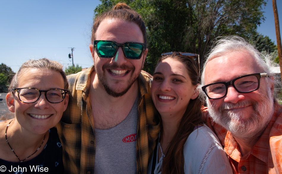
Also, this past Sunday saw us hiking the Lower Cascade Head Trail. I already wrote about my underlying tensions of being on popular trails in that day’s post. This here was the alternative I had wanted to hike; it is the Cascade Head Rainforest Trail that we are getting in before leaving Depoe Bay tomorrow.

Cascade Head Rainforest Trail in Otis, Oregon

Ferns add vibrant green accents to much of what we see in the forests up here, but maybe because they are so ubiquitous, I seem to neglect paying enough attention to focusing on them exclusively.

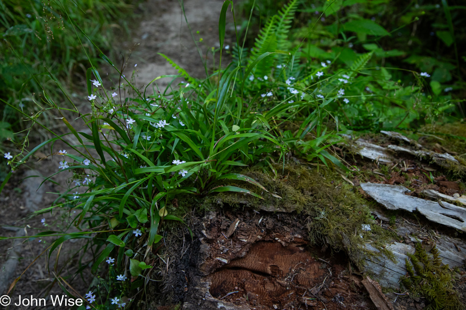
Cascade Head Rainforest Trail in Otis, Oregon

So often, many of the most beautiful mini-gardens are found growing out of the broken stumps and fallen trees that adorn the forest.

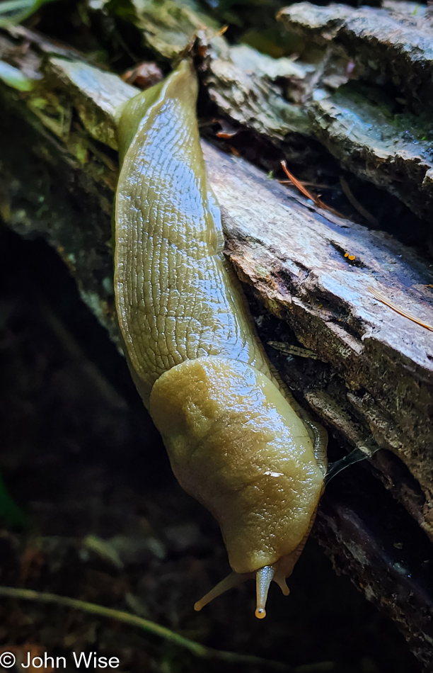
Banana slug on the Cascade Head Rainforest Trail in Otis, Oregon

Kind of ironic that this is the biggest banana slug we’ve ever seen, and we didn’t have a banana with us to show the scale of this giant. I could tell you that it was larger than my hands, but for all you know I might have tiny Trump hands.

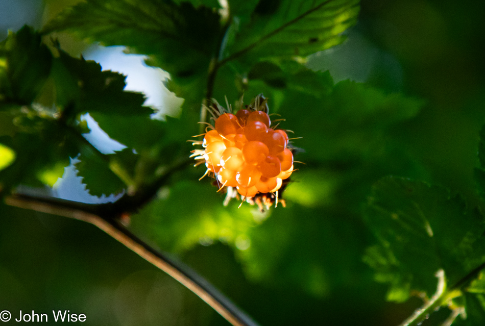
Salmonberry on the Cascade Head Rainforest Trail in Otis, Oregon

Salmonberries! This trail is now depleted of these tasty morsels as we ate them all. Seriously, we must have munched on no less than 40 each.

Cascade Head Rainforest Trail in Otis, Oregon

While we’ve experienced plenty of the coast and low tides on this extended stay in Oregon, I’d hardly gotten enough rainforest therapy, so this was just what I needed to balance it all.

Cascade Head Rainforest Trail in Otis, Oregon

At a point, we made the conscious decision to avoid the Carl G. Washburne State Park with its China Creek Loop via Valley Trail on this trip, as that is likely our favorite trail on the entire coast, and we’d like it to remain that way. This decision was based on our experience on Amanda’s Trail south of Yachats and the dearth of mushrooms. We figured it’s too dry a time of year for those fungi and that China Creek Loop likely holds a significant part of its enchantment due to mushrooms and newts that prefer wetter times of the year.

Neskowin Beach in Neskowin, Oregon

When we were at Gilgamesh Brewing, Brandon, our server, picked up on Caroline’s German accent and consequently shared with her his time studying in Tubingen. When asked about the cost of living on the coast, he told us that he shares a tiny 300-square-foot studio with his wife for $800 a month up in Neskowin (just up the road from Lincoln City), which reminded Caroline that we’d not visited the Proposal Rock area up there yet like we’d wanted to. With the negative tides, the Neskowin Ghost Forest should have been well exposed, too bad we’d gotten carried away with the tide pools. All the same, we decided to visit the beach up there, seeing how the Cascade Head is just south of the area.

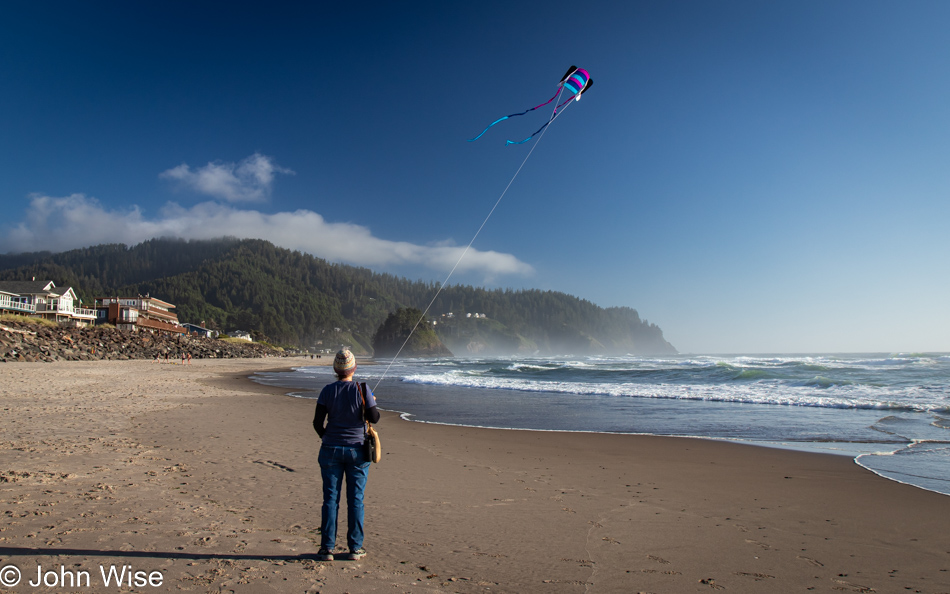
Caroline Wise at Neskowin Beach in Neskowin, Oregon

Wind on our last full day on this central part of the coast was all the reason Caroline needed to bring Happy McKiteFace out so it might feel the wind one more time under its wings.

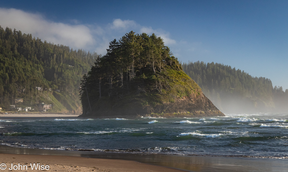
Proposal Rock at Neskowin Beach in Neskowin, Oregon

This is Proposal Rock on Neskowin Beach, and somewhere behind it are the Ghost Trees that are named such because an earthquake caused a subduction event and landslide that saw the trees drop into the ocean and then get broken off and buried in a subsequent tsunami. The trees are best (or maybe only) seen at low tide and that wasn’t happening tonight. Caroline did manage to find a full can of La Croix grapefruit soda on the beach and that was enough of a reward for us.
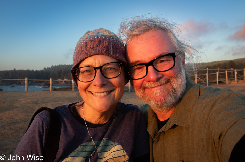
Caroline Wise and John Wise at Boiler Bay in Depoe Bay, Oregon

Look at these two growing older farts, falling into the subduction zone of aging and getting buried in a tsunami of memories. While this time up in Oregon has been a “remote working” opportunity, both of us feel that the whole thing has been like a vacation.

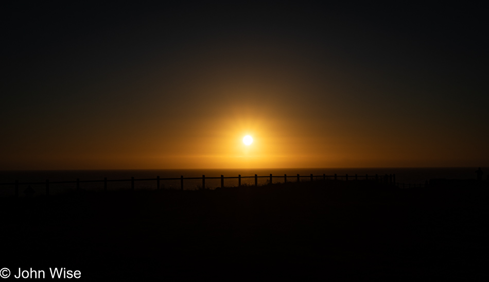
Sunset at Boiler Bay in Depoe Bay, Oregon

Of course, we had to stop in at Boiler Bay yet again with the hopes of spotting more whales. Though they weren’t to be seen, we did find this awesome sunset just hanging out, waiting to be appreciated. We offered it what it needed, and in return, it gave us everything we needed before heading back to the house in Depoe Bay for our last dip in the hot tub.