We were quickly off to sleep last night, exhausted as usual. Caroline was the first to wake up and jump in the shower. Exiting the bathroom she was wondering why I had not stirred an inch. It was then in the still-dark room that she saw that it was midnight, and she’d been asleep less than an hour when she headed to the shower to get ready for the new day. Hearing her story, I couldn’t help but laugh, and that got her to laugh at the situation, too. All the same, we were still up early and ready to go before 6:00 a.m.
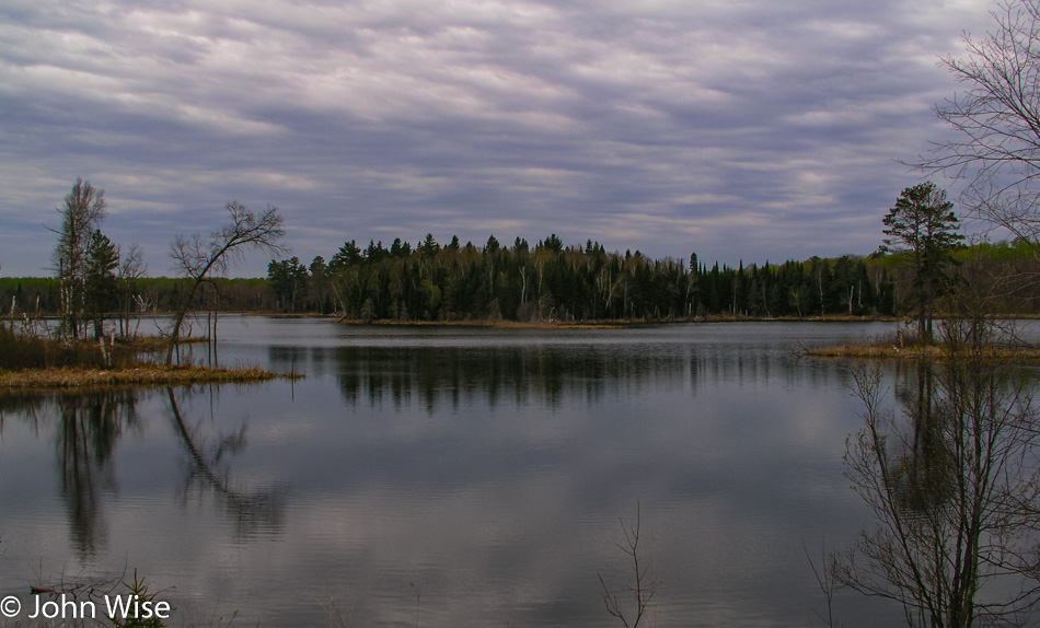
It was our intention to visit Lake Kabetogama in more detail, but this morning, as we drove past resorts, cabins, and private lake access, we could not find any public access. We can see the lake, but we simply can’t reach it. This turns out to have worked in our favor.
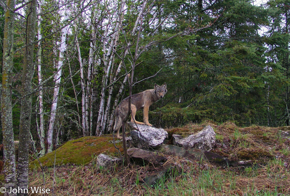
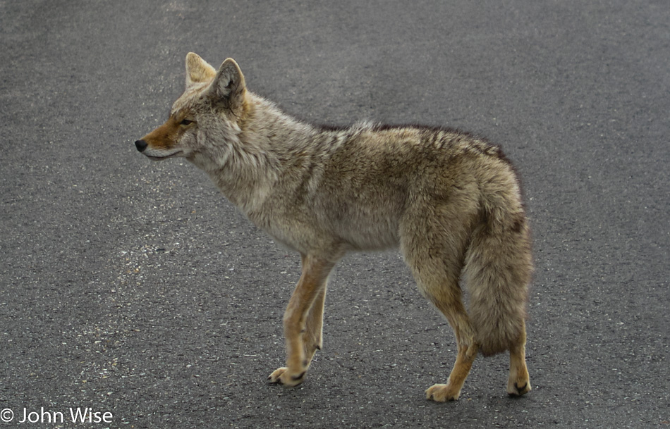
We finally found a dirt road that looked promising for leading us to Lake Kabetogama, so we turned down it. Fairly quickly and right next to the road, we spot some deer. We stop to take their photos before continuing to drive down the dusty road. I see something to my left, but it’s not a deer. Maybe it’s a coyote? Wrong, it’s too big. Could it be a dog? I try offering it some food thrown from the window, figuring if it’s a dog, it’ll come running. It has no interest. I’m starting to think it’s a wolf.
At first, the wolf stood there at the dark edge of the forest but soon approached for a closer look at us stepping out on an overhanging cliff. It seems we are both going in the same direction as the wolf continues its journey, tracing up the road just inside the tree line. We inch along with the wolf as it occasionally turns to inspect us. The wolf comes back out of the woods, stepping onto a rock for a picture-perfect pose with its eyes glowing in the early morning light. She takes a final look over her shoulder at us and turns to disappear into the forest.
I’m awestruck. If the camera hadn’t captured those moments I would place the story with those old fish stories that tell of having caught a fish that was this big. The entire time, we had our windows wide open, hoping to hear the slightest sound the wolf might make. We looked for its pack but only saw the lone individual.
Some locals at the main junction gas station and convenience store confirm just how lucky we are. A Bureau of Land Management worker assures us that we likely did not see a wolf and that they are more afraid of us than we are of them. I try to reassure her we are not nervous or fearful of an encounter but that we think we really did see a wolf. She relates a story of her time working in this part of Minnesota and that we might, on the rarest of occasions, capture a fleeting glimpse of a wolf in the distance as it crosses a road, but that is the best-case scenario. Furthermore, it is too early in the season this far south.
To confirm to her that we have not seen a ghost or are confusing a wolf with a stray dog or coyote, I show her my series of photos. Her astonishment was obvious as she let fall from her lips: “That’s a timber wolf!”
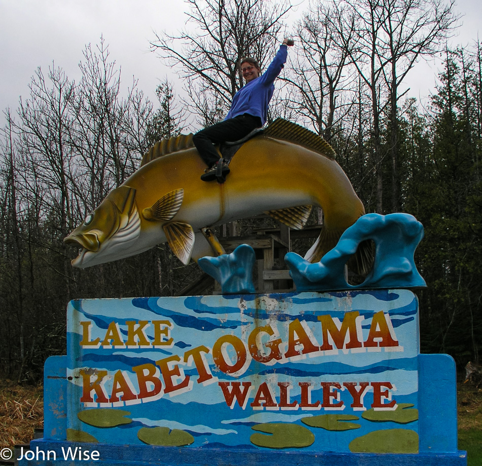
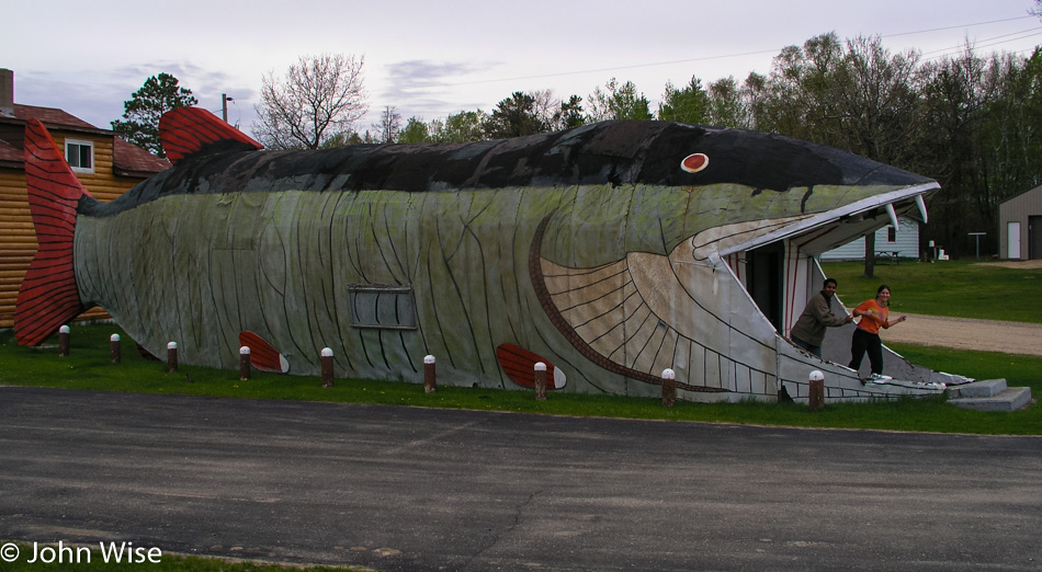
A ten-foot fish, a Walleye, to be precise, is mounted eight feet over the ground and equipped with a small set of stairs and a sort of saddle to allow those people looking for a truly cheesy photo to climb up and embarrass themselves. Caroline sprints to mount the Walleye first, followed by Jay, who fashions himself to be at the rodeo and then Caroline and I both get on for a tender moment on our ten-foot fish.
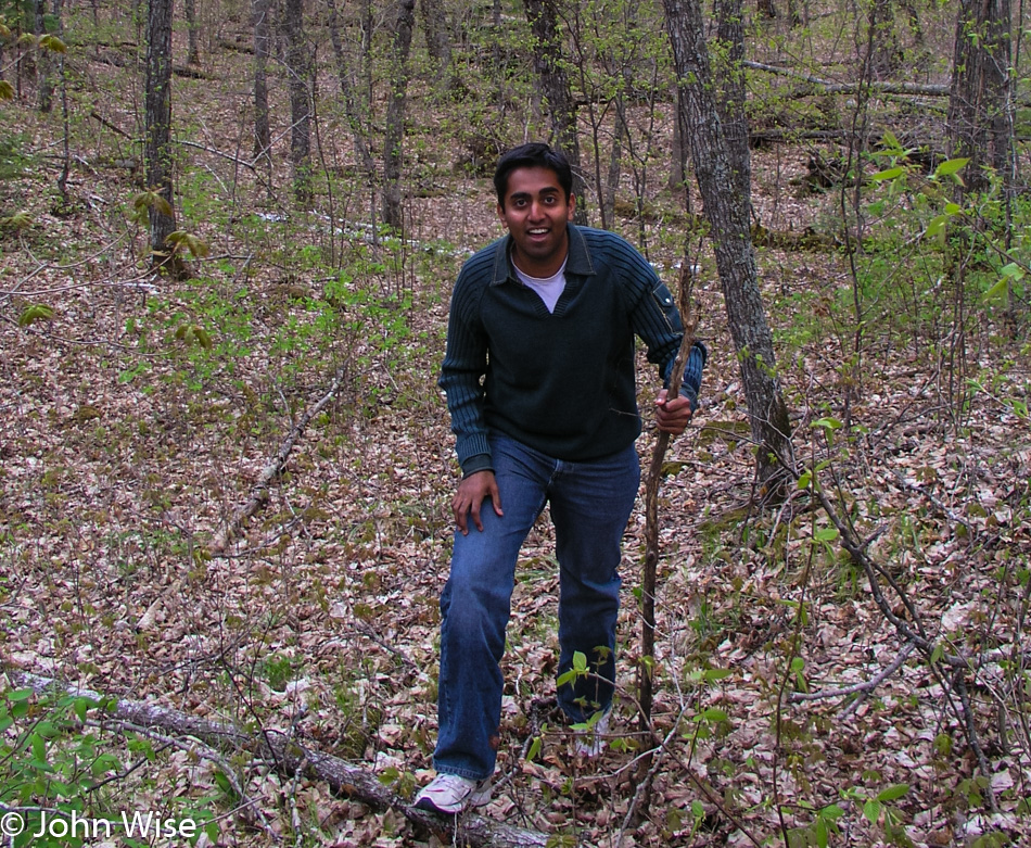
Our next stop was the Woodenfrog Campground. A trail leads to some picnic tables and a small peninsula. Caroline tries to warn Jay of the approaching bear trap, but Jay blindly steps forward directly into a pit of animal diarrhea. We’re not talking a small spot but nearly the entire sole of his shoe is dripping with the goo working its way up the side of his nice white shoes. Green doody jumped halfway to the knee of his pants leg.
We’re not 10 minutes down the road when I slam on the breaks and pull a quick U-turn. A bald eagle is perched low in a tree next to the road, and a juvenile bald eagle is sitting higher in another tree nearby but is too far away for the capabilities of our rather primitive camera. The first eagle didn’t waste much time hanging out and was soon gone.
We find the Little Fork River but nowhere to jump in. The Soudan Mine State Park, where we would have enjoyed taking that 2,400-foot descent into the mine, doesn’t open again until Memorial Day, but the gift shop is open year-round. The gift shop is open; who needs a souvenir from a place they can’t visit?
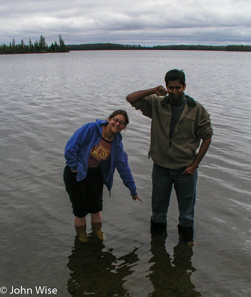
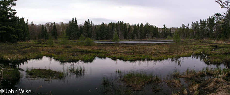
At the Bear Head Lake State Park, we check things out just to see what’s here. The attendants direct us to a trail that takes us lakeside, where we might see a pair of nesting eagles. Heck, we can never see too many eagles and were down the trail with binoculars ready to scope out the happy couple. Nothing, not a feather; we scan the horizon with nothing found. We can see neither the nest nor signs of the eagles.
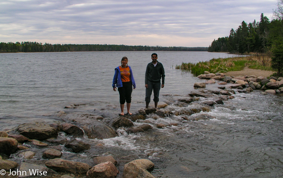
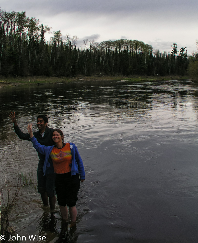
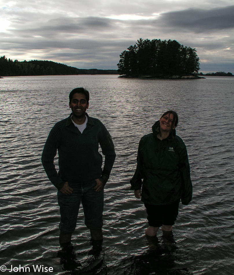
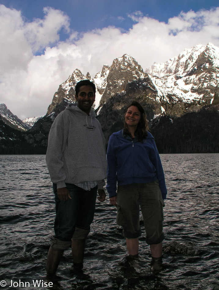
Well, then we’ll do the next best thing: off with shoes and socks, roll up the pants, and jump into the lake. Wait, Jay has forgotten to roll up his pants, oh, now we get it: Jay is attempting to purge the remaining crusting green stuff off his pants leg. With a stone in hand, he scrubs away while Caroline moves upstream, trying to spot those elusive eagles.
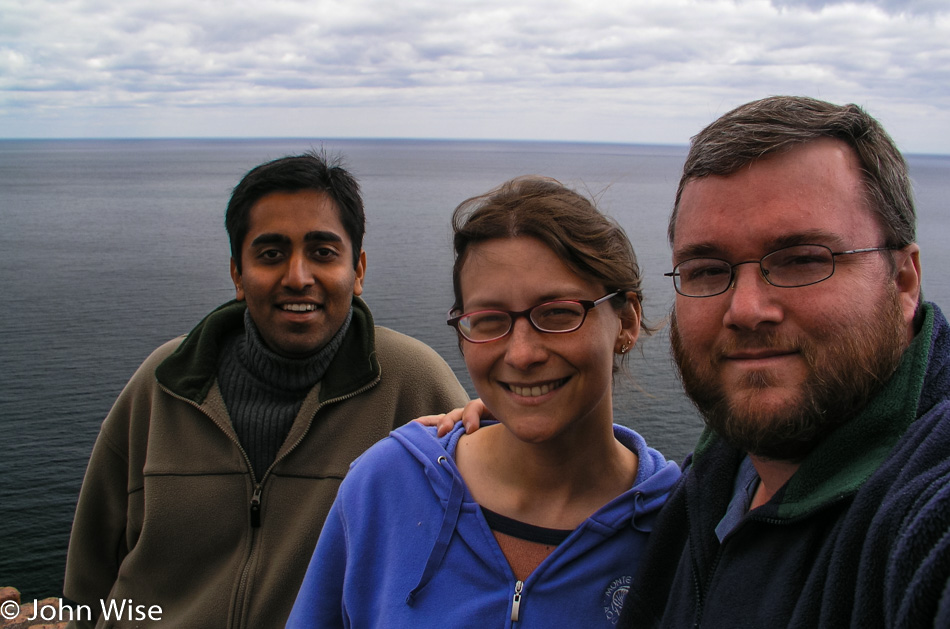
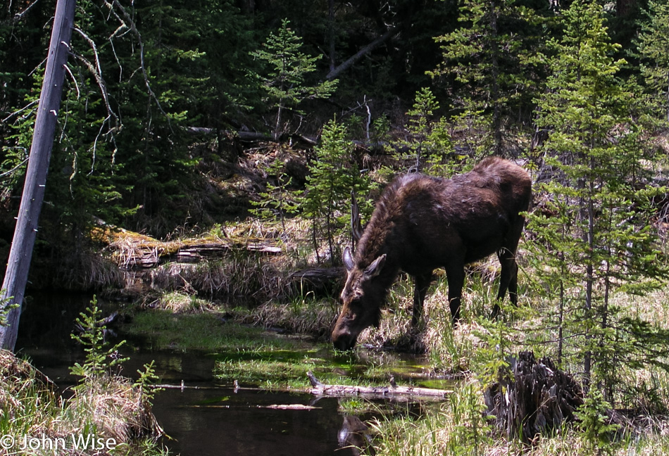
We drive through Ely, over the Kawishiwi Bridge, through Isabella, past a moose, all the way to Finland before we start to see blue skies. And now Lake Superior sits before us looking to be an ocean compared to the lakes and ponds we’ve been visiting the two previous days. At Palisade Head, the view stretches from north to south, with Michigan off in the distance across the lake.
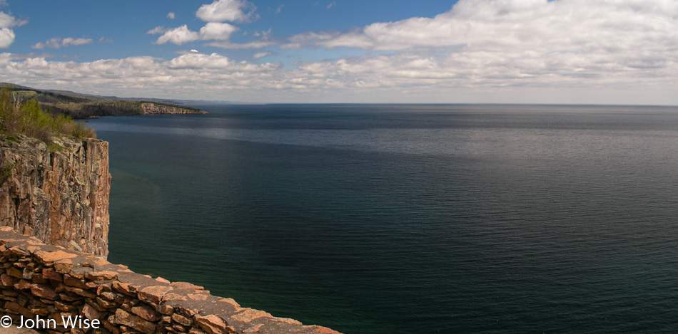
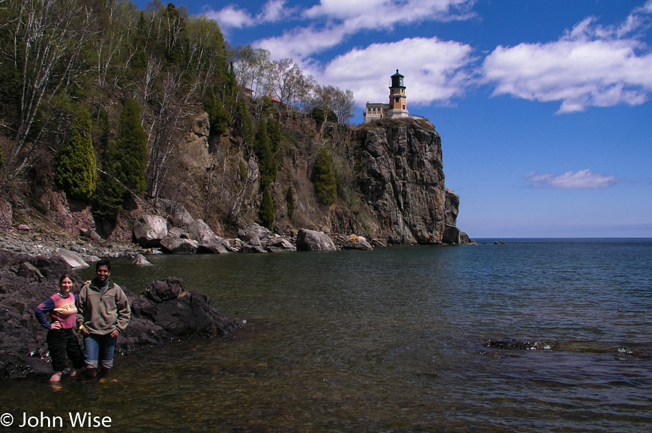
Here we are at Split Rock Lighthouse State Park with a sky that has continued to clear up, making for ever more incredible views. Entering the visitors center to pay our admission the three of us are giddy that the day is turning out so beautiful and that we actually made it all the way to Lake Superior on our trip across this part of America.
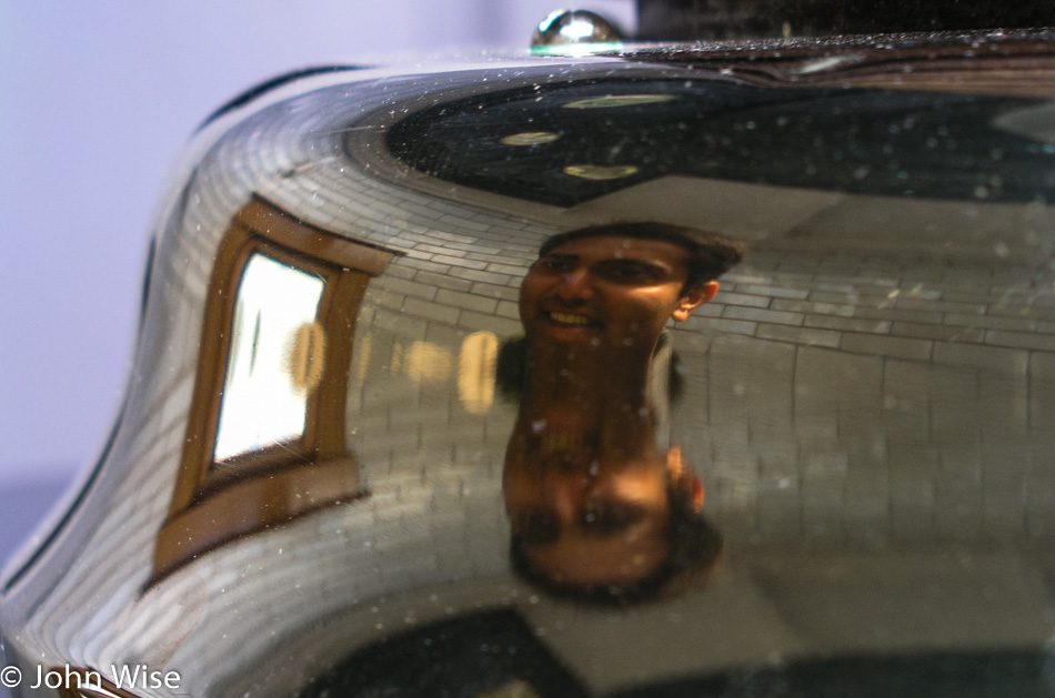
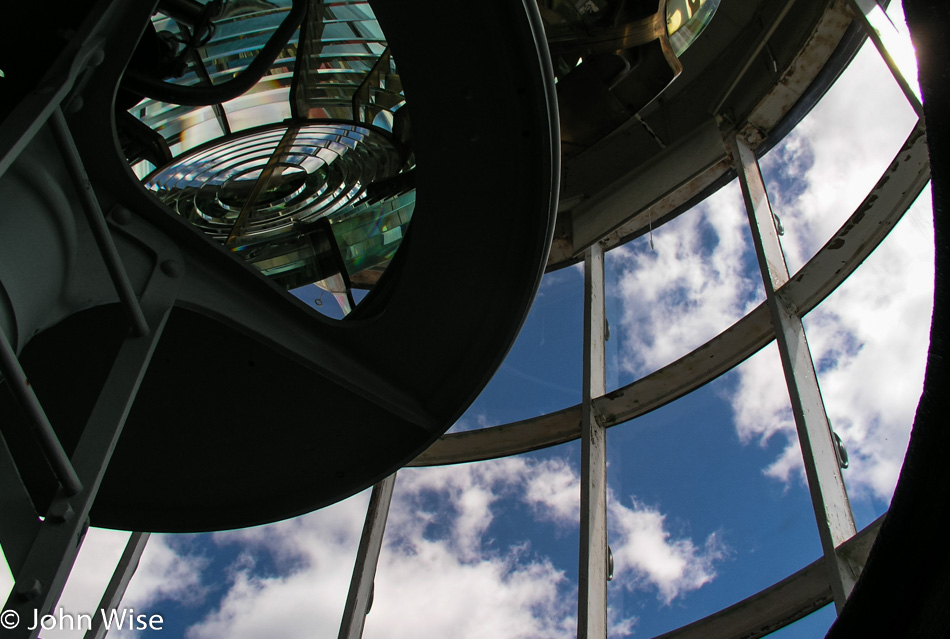
For Jay, this is his first lighthouse; for Caroline and me, this is the first on a great lake. The grounds are immaculate; the lighthouse is gleaming as if it were still new. Inside the lighthouse, a freshly painted black spiral staircase takes us upstairs past windows full of ladybugs. No one else is in the lighthouse as we reach the Fresnel lens.
Back downstairs in the entryway, a custodian in period dress waits by an iron stove to answer any questions we might have. Informatively, he tells us that the stove is a recent addition because when the lighthouse was in use, had there been a heater inside the structure, it would have fogged up the lenses, diminishing the effectiveness of the light. Yikes, that must have made for one cold lighthouse during those January blizzards blowing in from Canada. On second thought, why would a lighthouse need to be active when the lake is frozen over?
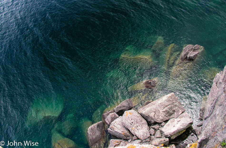
Jay crawls on his belly to the edge of the cliff we’ve been standing back from. He has the camera with its strap wrapped tightly around his wrist, with me holding his feet, he inches a little further and then a little further, and finally, he takes a photo looking straight down. Down there, you can look into the crystal clear green waters of the lake. A bit further down the trail, we come upon a mighty long set of stairs that go down to the lake. This section should be a must-see for all visitors to the park, as the views are spectacular. By this time, you should know why we had to get to the lakeshore, off with the shoes and socks, roll up the pants, and jump in; it’s Lake Superior.
The walk back up the stairs is a thigh master of a workout. I’m not alone in the pain of burning leg muscles as we get back to the top. Now, we can take the time to visit the living quarters with a person in period dress to introduce us to the old home. I’m more interested in snatching a sample of the beans and cornbread she has on the old stove, but she’s not entertaining my suggestions of sharing her grub.
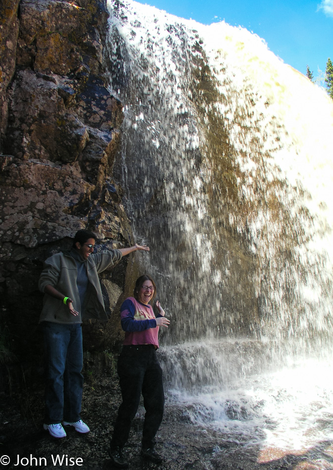
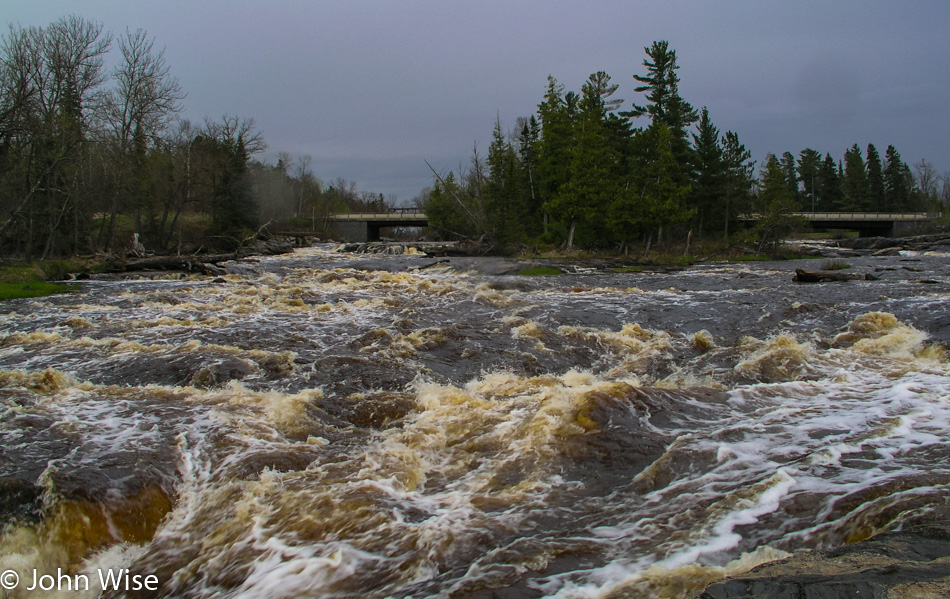
Based on my research prior to leaving Phoenix, Gooseberry Falls, south of the lighthouse, was a must-see. I had seen photos of the falls online prior to leaving, and they were undoubtedly beautiful, but they did not do justice to what we were about to see with our own eyes. Due to winter runoff, the water flow was a magnitude greater than that of the photos I’d seen before, making the falls all the more powerful, rushing in gold and white over the ledge. It is the tannins from the trees and plants upstream that color these waters to a golden brown, as we’d seen at Big Falls Campground.
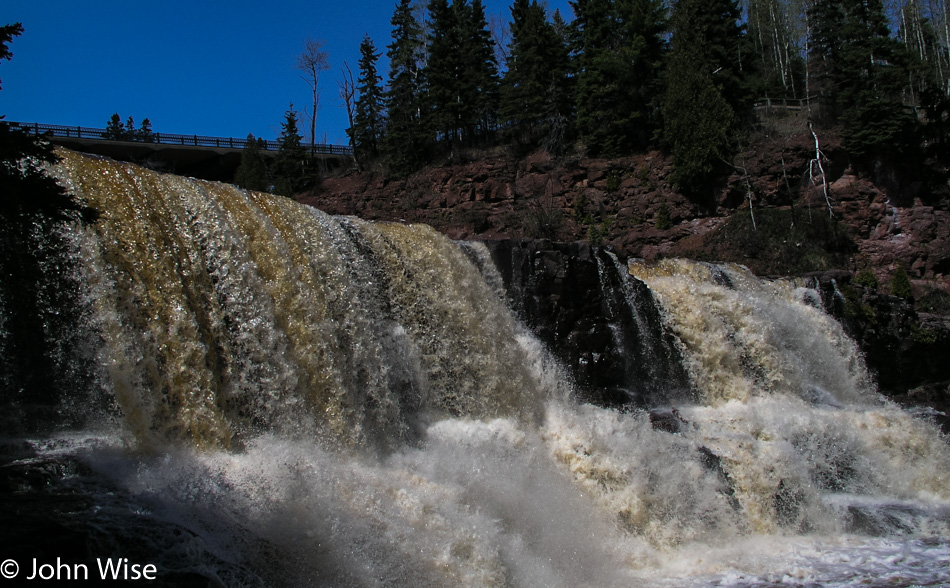
The middle falls are the most accessible of the three that comprise the Gooseberries. At the middle falls is a path leading to the riverside and then a ledge that allows us to walk up to the spilling edge, almost standing beneath them. Where the path led down to the riverside we found a spot slow-moving and shallow enough for Caroline and Jay to safely step into Gooseberry River. The upper falls have to be seen from a distance but are no less captivating, and the lower falls went unseen by us as time restrictions only allow so much time at any one location. A trail that loops down past the lower falls and over the river to the other side of the middle falls and then up and over the upper falls would surely be a walking tour that everyone with enough time at the park should make.
Our encounter with Minnesota has easily laid the groundwork for a return visit. (Boy, that sounds redundant by now.) Although, instead of driving next time, I would consider the following itinerary. Fly into Fargo, North Dakota, and drive to Lake Itasca to spend a day or two camping near the Mississippi headwaters and biking the nature trail. Overnight at Big Falls on the Big Fork and then on to Voyageurs and two or three days canoeing Lake Kabetogama before heading to the shore of Lake Superior. We would make the trip north up the shore to Grand Portage before leisurely driving back down the coast with an overnight camp at Gooseberry Falls. Finally, from Duluth, I would drive inland to Jacobson, picking up the Great River Road to trace the Mississippi River down to Minneapolis for the flight home.
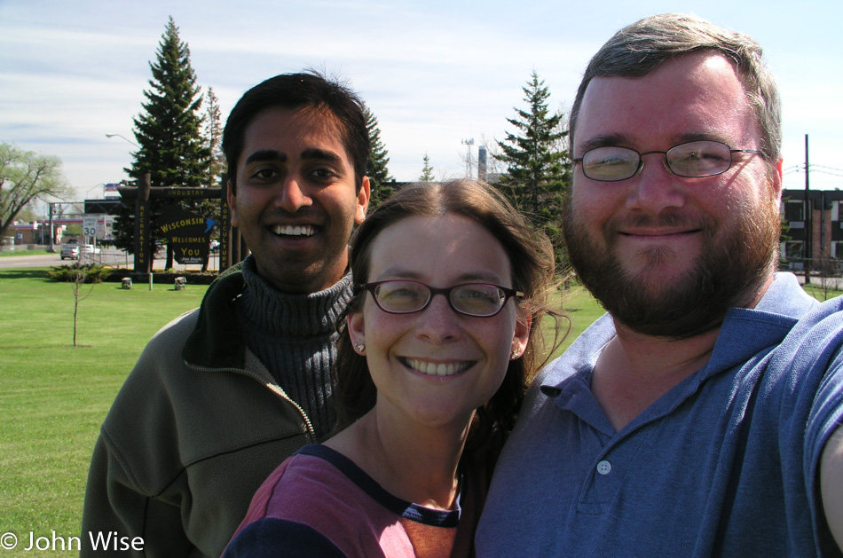
Not much further down the road today, we pass through Duluth and into a state of shock. We are encountering Superior, Wisconsin, which strikes us like a trainwreck. Salt Lake City was the last ‘major’ city we passed through. For days, we’ve been in the countryside, away from signs of industry and crowded cities. Superior is one of those mythic rust belt towns that are dilapidated and crumbling. From the first moments of being thrust into ugly, we need to get out of here. Looking down the main street, it’s easy to see the former glory of this once prosperous community, but with manufacturing job losses the façade is now well worn with many a shop for sale or lease.
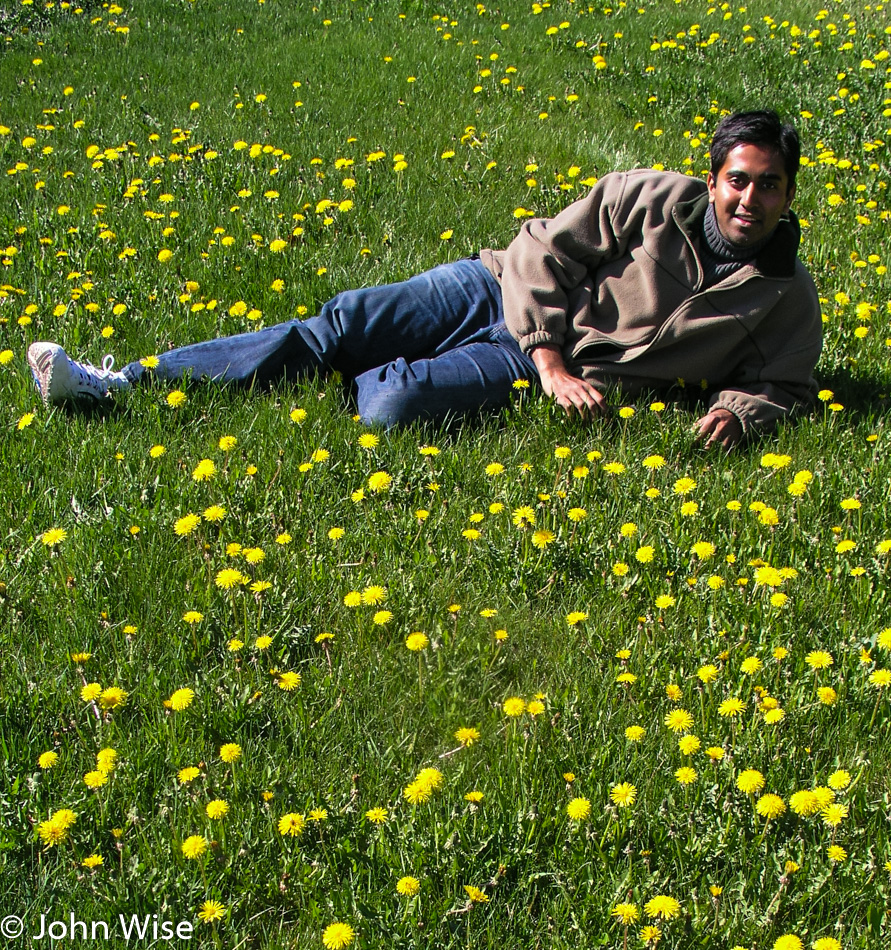
We stop for gas at a Holiday filling station where at least the word holiday evokes a sense of happiness. Turns out that I’ll soon pay for my negative impression of Wisconsin. Outside of Superior, the landscape opens up to our relief; yards are dotted with dandelions, and my shock begins to subside. Maybe it was my hurry to get as far away from Superior as fast as I could, although I swore it was because I had just passed another car, which I had.
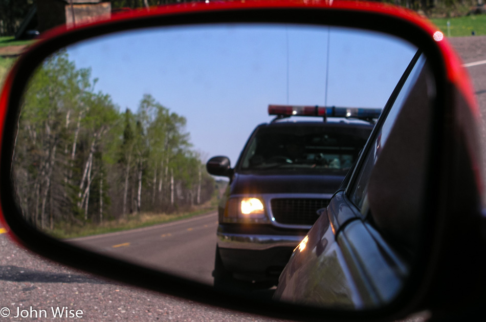
A Wisconsin State Trooper, the single most unfriendly police officer I have ever dealt with, and I grew up in Los Angeles, makes a U-turn to come up behind our already stopped car. I saw the disco lights go on before he passed us; I knew I was close to 80 mph or so, as I said, I seriously had just finished passing another car.
The trooper approaches our red race car with a scowl asking what we are doing in Wisconsin, if we are visiting family or have family in Wisconsin. We explain we are on a 10-day cross-country drive to visit a few national parks and riverways for a short vacation. The officer insisted that my speed was too fast even if I was passing another vehicle and wrote me a citation. Being an out-of-state driver, I’ll be allowed to pay the fine with my Visa or MasterCard immediately: the $205 fine! I wasn’t aggressive, I wasn’t mad, I knew I was over the speed limit, I pulled over without him having to drive another mile and direct me to pull over, my window was down, and driver’s license and rental agreement in hand. I asked the officer if he couldn’t lower the speed he clocked to give me some break on the fine amount, “No, I couldn’t do that. The state legislature determines the laws; I enforce them. That’s my job.”
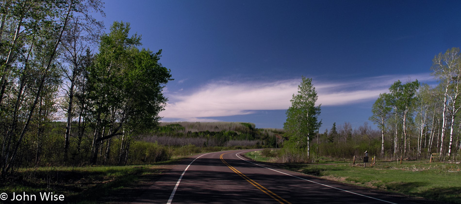
Ok, get me out of Wisconsin; I don’t want to spend one more penny in a state that employs such unsympathetic, surly policemen who, in this instance, was our first encounter with whatever hospitality that Wisconsin might have to offer. I’m trying to let go of the seething anger I’m now feeling for this guy who pulls me over in his $47,000 SUV. I’m bitter, and it will be another half hour before I calm down enough to start enjoying the road again.
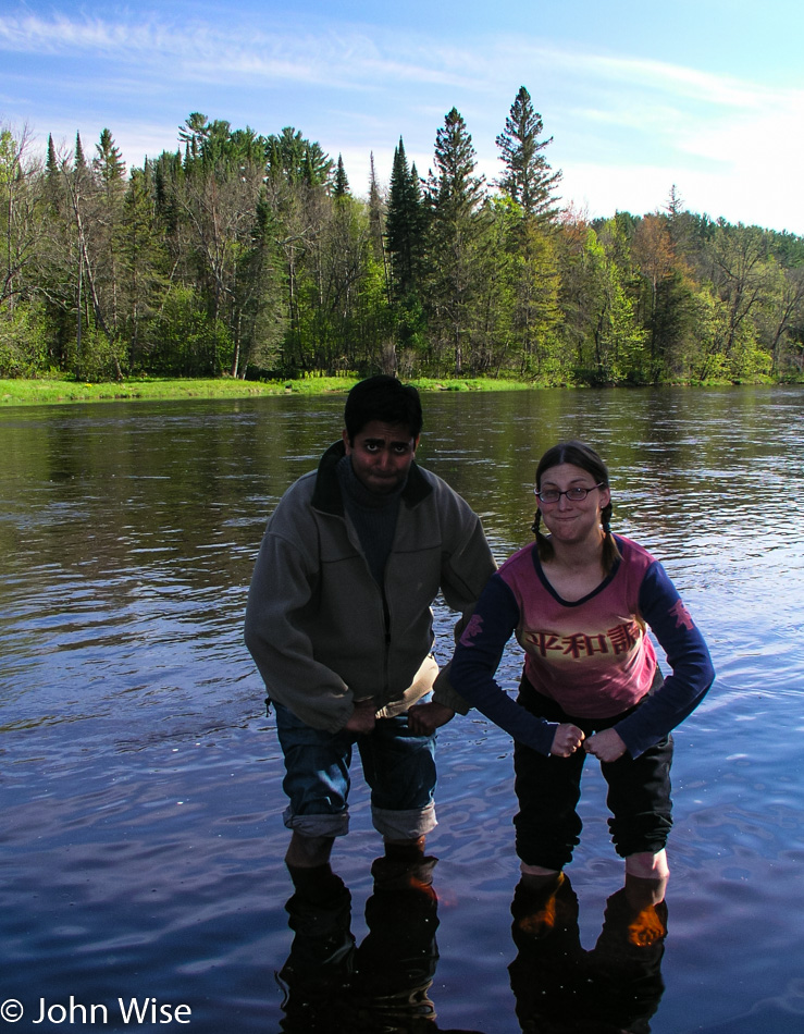
The sign for the St. Croix National Scenic Riverway brings a smile back to my face. Caroline and Jay muscle their way into the St. Croix and, with a superb show of strength, manage to stake a claim in the river, displacing the weaker water with their brute force. The road we’re on does a good job of hugging the river on our trip south. A few miles after where the Yellow River merged its waters with the St. Croix, we turned onto Route 79, a rustic road.
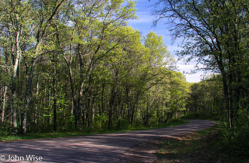
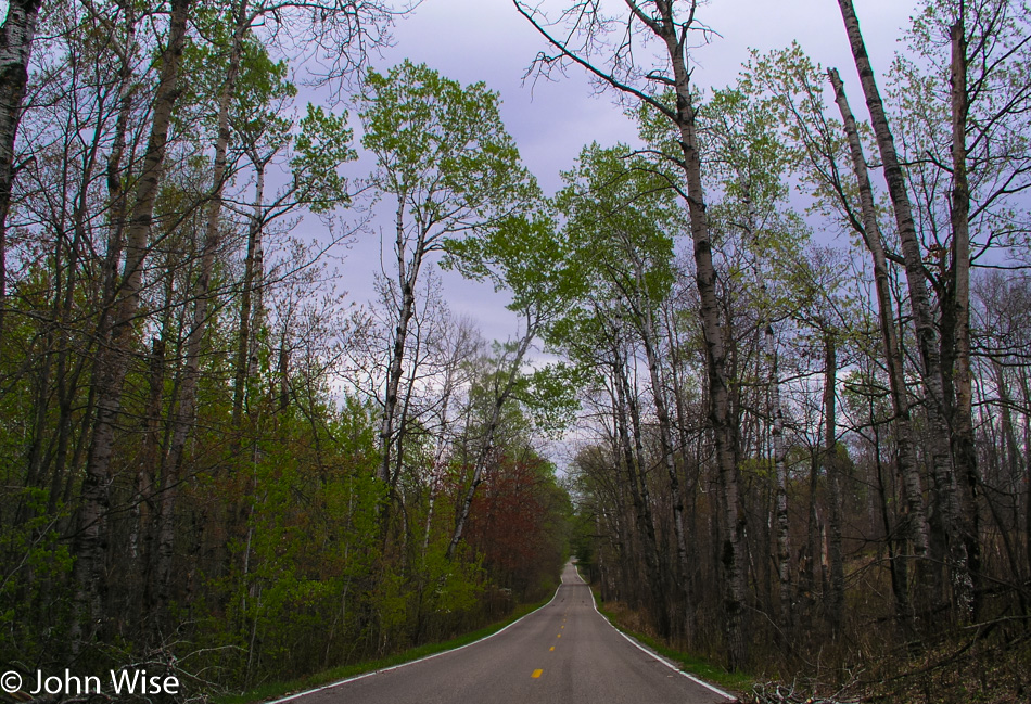
Not much wider than a single lane, this road cuts a stunning path through the forest. The narrowness of the road creates a tunnel-like atmosphere, with the trees almost joining overhead. Crisp green new growth in the trees and on the ground lends dramatic shadows over the road and into the car. This is the kind of road I could spend a lifetime driving, or better yet; it would be amazing if our great country would create a national bike path that would allow for the crossing of America without ever having to deal with competing automobiles. Without a map covering these small details, we only drive a couple of miles before turning around to reconnect with our road south.
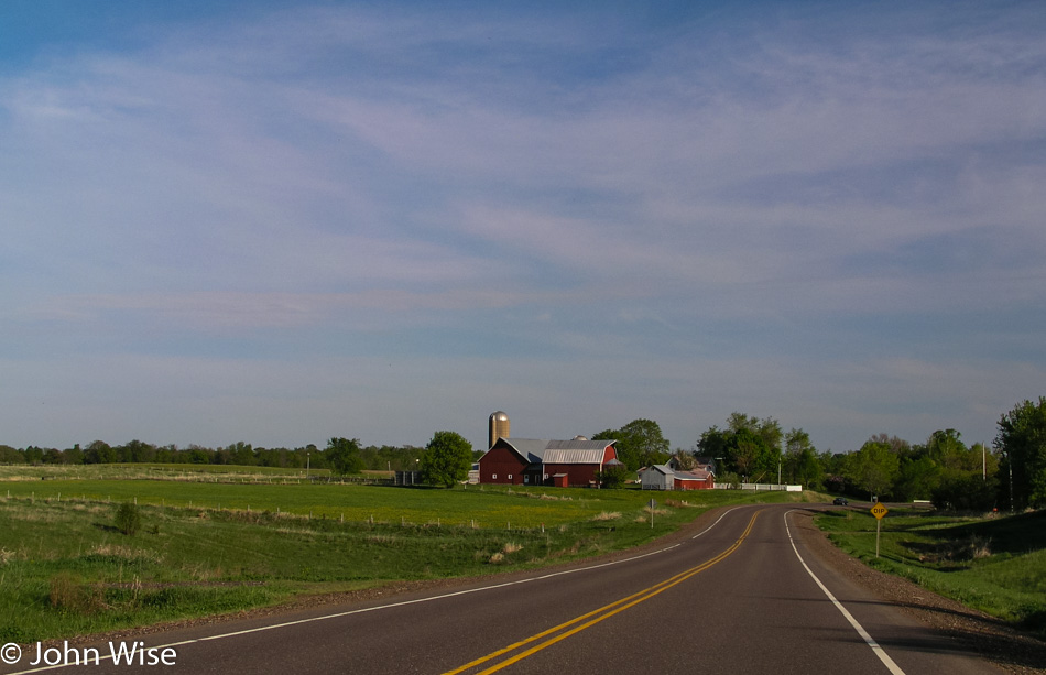
As the road moves away from the river, farmland stretches away from the road. Barns and elevators are common and frequent sights on this gently rolling land. The road swerves back to the river and the heavier tree line. We reach St. Croix Falls late in the day, accompanied by all of the anticipation of checking out one more waterfall.
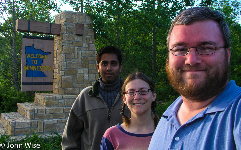
At Osceola, we deviate from the plan and cross the St. Croix as our map shows the other road stays closer to the river. We are back in Minnesota with no discernable characteristics between one state and the other. A half-hour later, we returned to Wisconsin. Through every town we’ve passed, there have been plenty of lilacs blooming in purple, pink, and white, and they smell, oh, so sweet.
Prescott, Wisconsin, is where the confluence of the St. Croix and Mississippi has come to form an incredible breadth of the world’s second-largest river, the Mississippi. It is fast approaching dusk when we arrive, and are unable to find a good vantage point to see where these two become one. A local points us to a boat dock, suggesting it’s the best we’re going to find. A barge of enormous size is pulling up the Mississippi, taking 10 minutes just to pass this small corner, and a couple of fishermen float slowly back to the dock. Dusk will take its time giving way to darkness this evening.
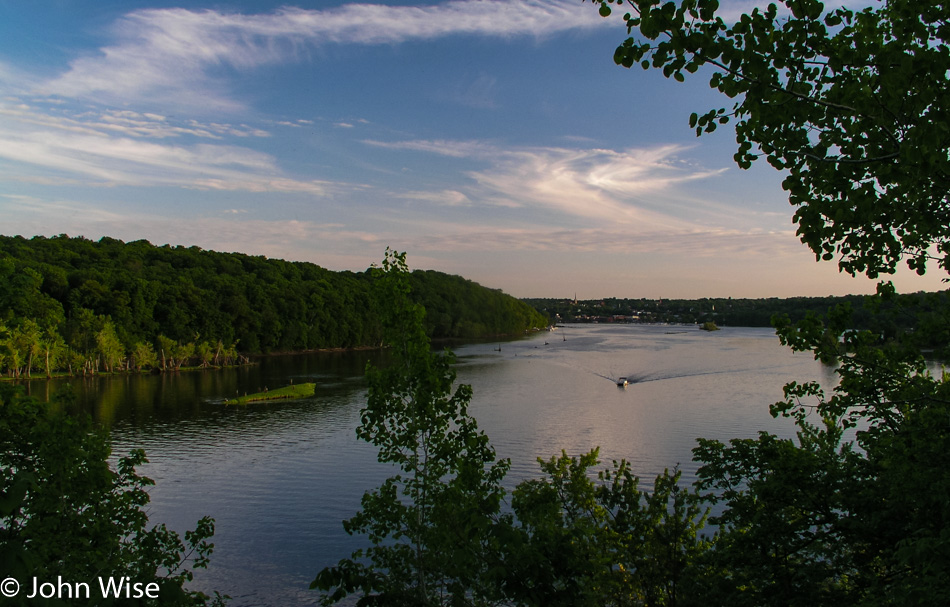
More than thirty minutes after leaving Prescott and the St. Croix behind us, the sky holds a faint blue light and an even fainter orange glow of the sun. An early moon set over the Mississippi, which has become Lake Pepin at this intersection. Lake Pepin and the Mississippi River Valley are artifacts formed when the large glacial Lake Agassiz near the intersection of Minnesota with North and South Dakota started flowing about 12,000 years ago. As those waters receded 9,500 years ago, sand, which had been deposited at the Chippewa River delta where it joined the Mississippi, created a dam, and Lake Pepin was born.
We still had two more hours to drive tonight before reaching La Crosse, Wisconsin. Approaching Lake Superior earlier in the day was our halfway point, as from there, we would be heading south before turning west on our way home. The river valley has been so enchanting it’s both a shame to drive it at night and a shame not to take it to its southern terminus. Even in the dark of night, we see enough details of the small towns to be aware of how much grandeur we are missing by having to press on. On the other hand, we are also aware of how lucky we are to witness with our own eyes so much of the land we’ve already been able to lock into our memories.
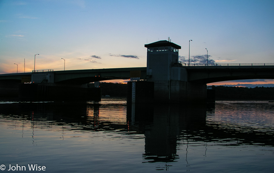
Reaching La Crosse and a gas station at 11:00 p.m. we refill the ice chests as we have done every other night during the trip. $23 puts 11 gallons of gas in the tank. We have driven 3,849 miles in six and a half days for an average of 592 miles per day. Yes, we have many a friend and family member who think it crazy to endure so much driving in the name of vacation and relaxation. As we look at the sum of experiences, sites, and sensations, we, too think it crazy, crazy that others wouldn’t want to witness so much. For Caroline and me, this is like driving around your neighborhood to learn of the amenities such as parks, libraries, shopping, trails, and other services that bring comfort to someone as they learn to live in their new surroundings. We are driving around our neighborhood, not constrained by the idea of town, city, or state. Our town stretches thousands of miles in all directions because we are free to live in America. With that in mind, it makes sense to us to know the country we are living in.
