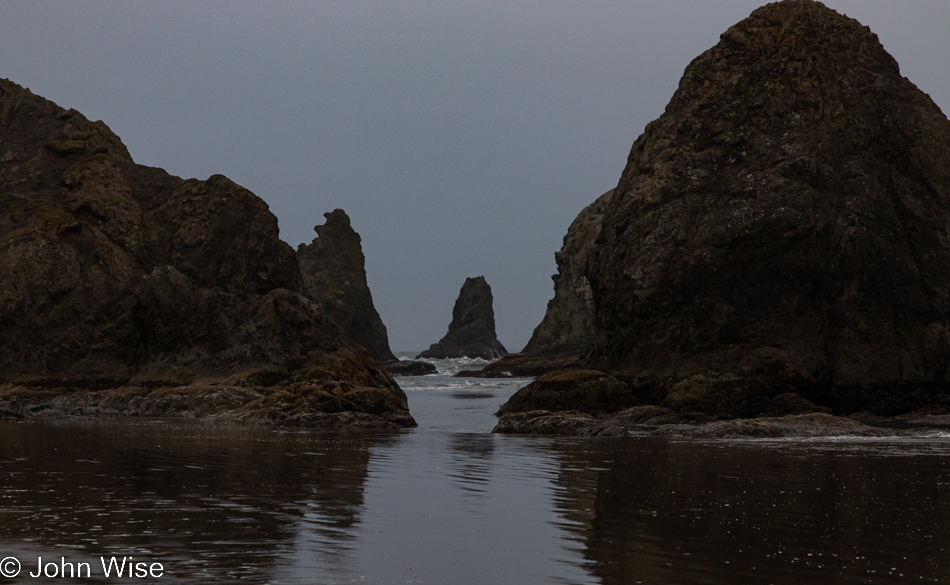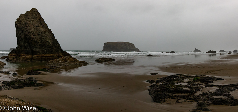
Hello Again, California

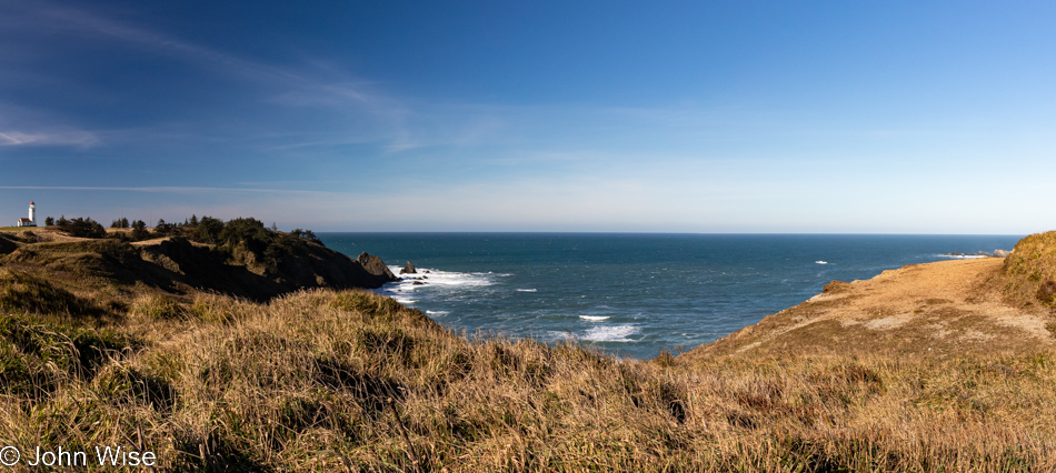
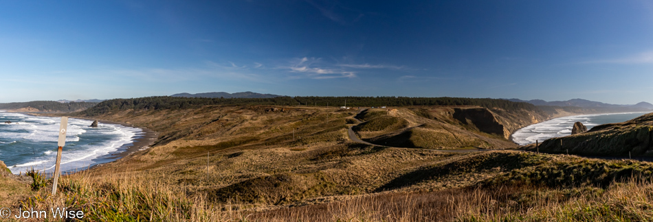
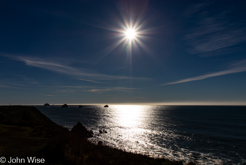
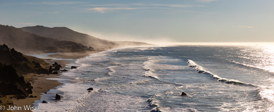
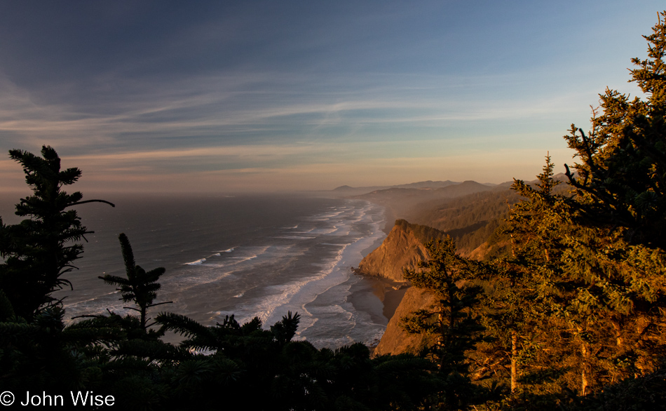
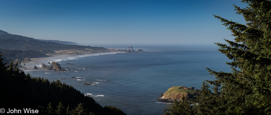
Cape Sebastian Scenic Overlook south of Gold Beach, Oregon

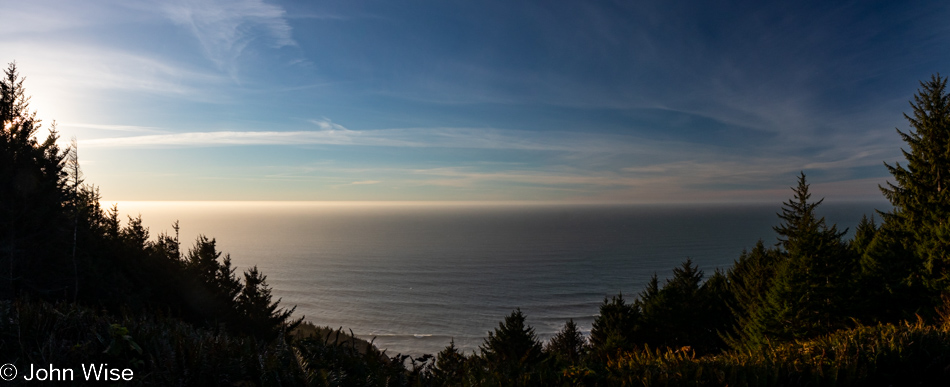
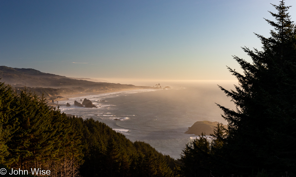
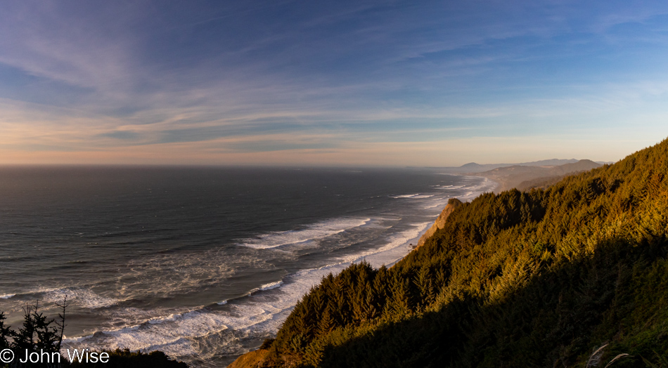
Is that California out in the distance? Not yet, but soon. Today’s setup down in Gold Beach was intentional for what would be our next stop today. First though, we made this quick stop at Cape Sebastian, not only for the view, but as a reminder that we want to take the trail from up here all the way down to the ocean.
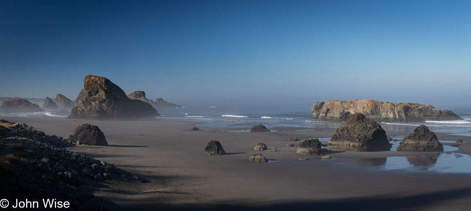
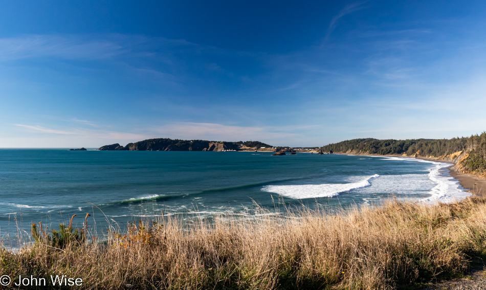
Meyers Creek Beach north of Pistol River, Oregon

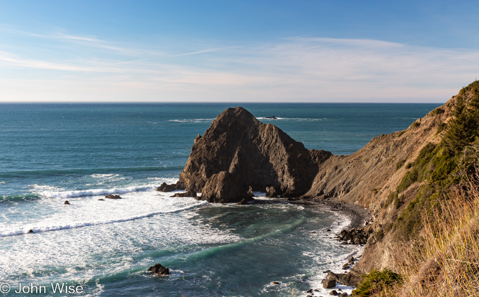
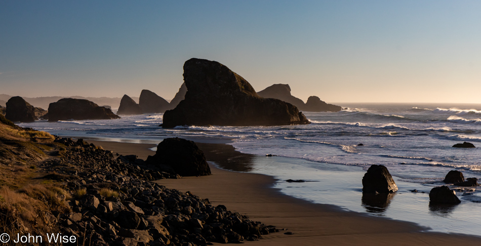
This is the spot we had to visit as our last stop in Oregon on this mighty, amazing coastal adventure we’ve been experiencing. Meyers Creek Beach has long been a favorite.
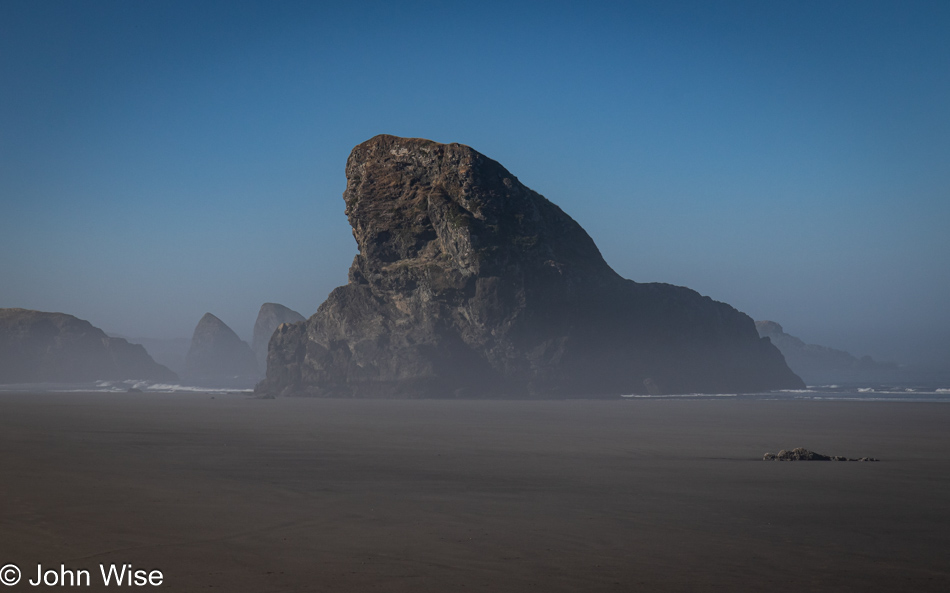
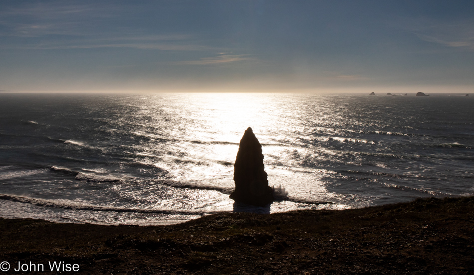
Meyers Creek Beach north of Pistol River, Oregon

Before we ever knew the proper name of this beach, we called it the Sharkfin Beach for obvious reasons. It is this rock jutting out of the sand and sea that created this affinity and keeps us coming back.
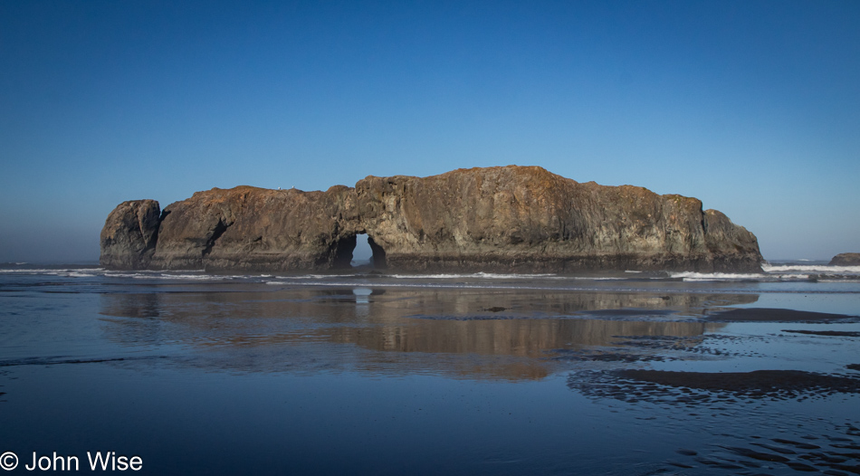
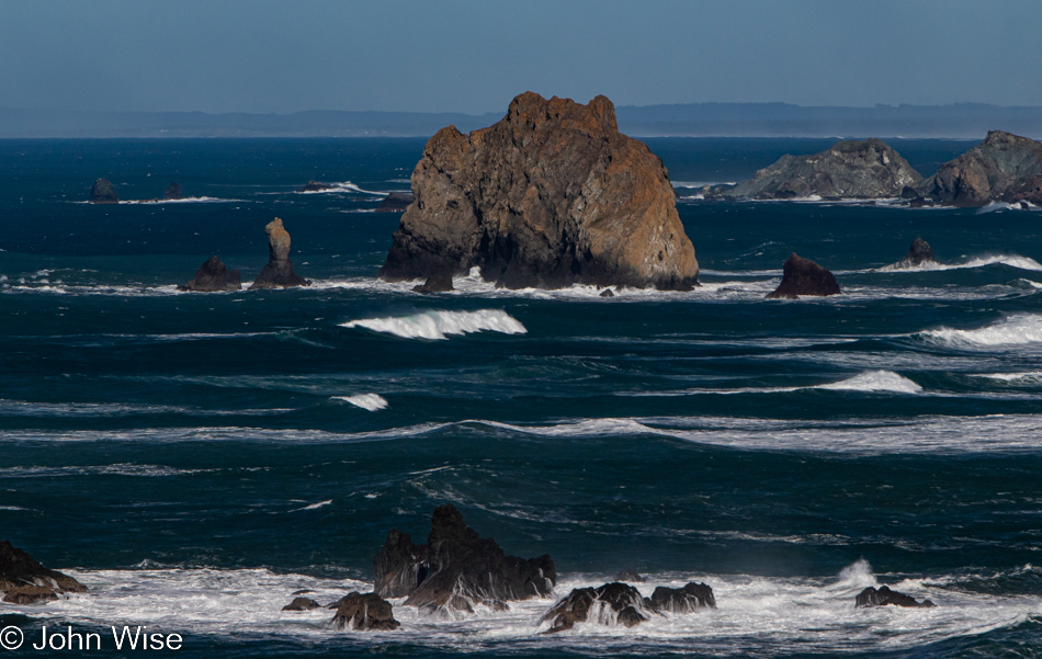
Meyers Creek Beach north of Pistol River, Oregon

We took time to linger in the fading moments that could be allocated to time on the Oregon Coast. While there’s some likelihood we’ll return this November, as I’ve already started making reservations, one never knows what tomorrow brings, so we have to take every second to absorb all we can.
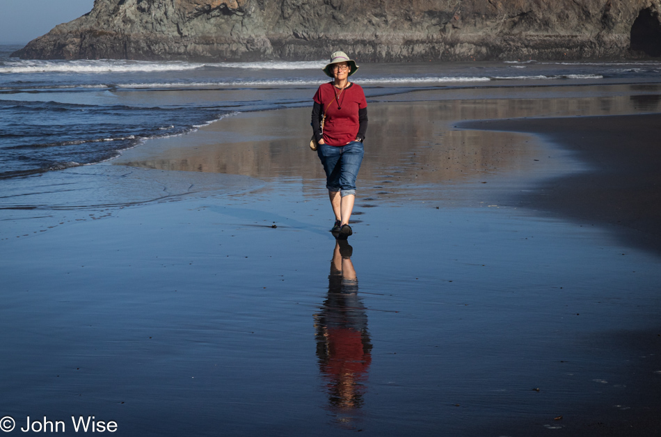
Caroline Wise at Meyers Creek Beach north of Pistol River, Oregon

Note the hands in the pockets instead of holding the reins of Happy McKiteFace; there was no wind here, zero, zilch.
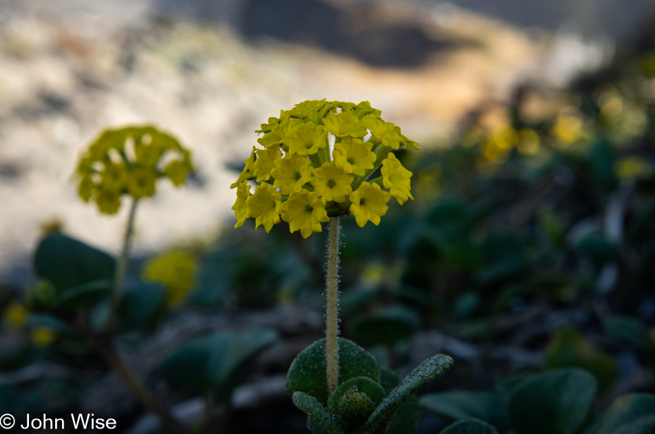
Coastal sand verbena at Meyers Creek Beach north of Pistol River, Oregon

Leaving the beach, we caught a whiff of this flowering plant that is not in bloom during our November visits. It is coastal sand verbena, and it smells brilliant.
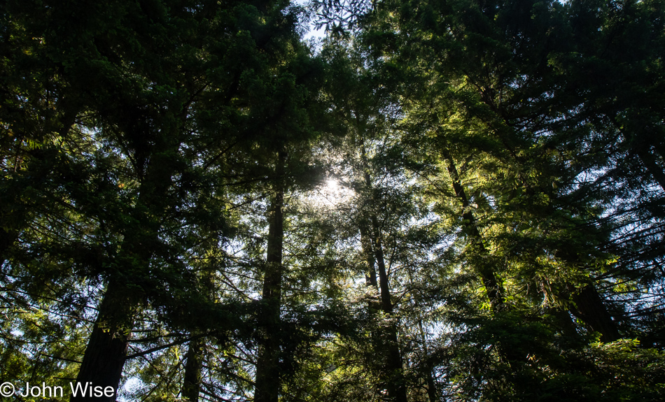
Redwoods in Northern California

We’re on Wonder Stump Road just north of Crescent City, which is less than 15 miles from where we crossed from Oregon to California on Highway 101.
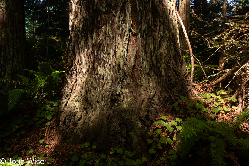
Redwoods in Northern California

These trees are today’s first encounter with the redwoods, and while some may think that 5 million of these giants of the more than 100 million that once existed is an adequate number, keep in mind that there are 39 million people living in California and nobody is suggesting the state is running out of habitable land. The tree we are standing below might be about 30 feet in diameter, meaning it could be about 300 to 400 years old. The Lost Monarch tree in Jedediah Smith Redwoods State Park has a circumference of approximately 84 feet (25.6 meters) while the oldest redwood is estimated to be about 2,200 years old, so even if humanity were to attempt to restore what we’ve ruined, not us, our children, grandchildren, or great-grandchildren would be around to see one of these trees reach even this circumference.
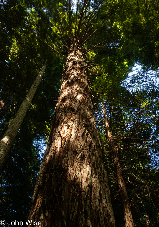
Redwoods in Northern California

It’s peculiar to my primitive brain how I can be so impressed standing at the base of one of these trees, and yet there is an entire ecosystem above me that is unvisitable and must remain a big unknown to my senses. The canopy of the redwoods may as well be at the bottom of the sea or on the moon.
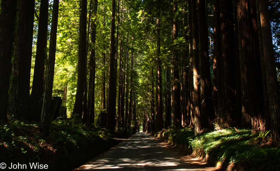
Redwoods in Northern California

The Wonder Stump Road might only be two miles long, but we were lost under these trees for nearly as long as it would have taken to walk the road.
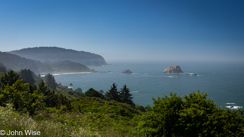
Overlook in Klamath, California

Had our goal been to get as far south as fast as we could, our time at the edge of the continent would have been a lot shorter, but that would have brought an unceremonious end to this trip, and so our route was designed to maximize time at the coast and allow us to dawdle.
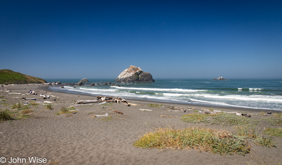
Wilson Creek Beach in Klamath, California

Wilson Creek Beach was afforded a quick stop, a photo and go.
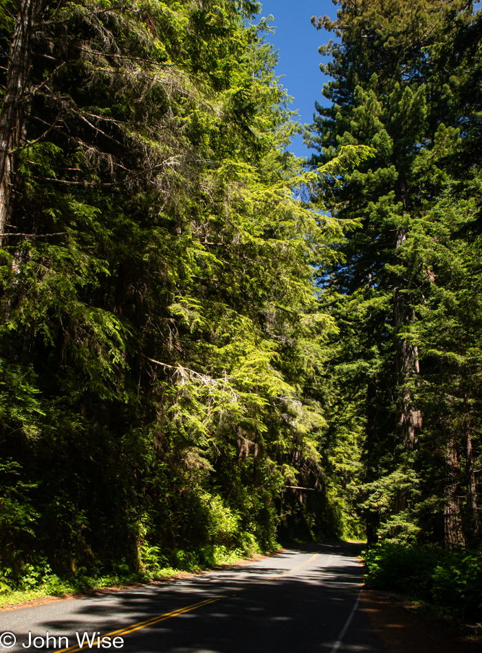
Prairie Creek Redwoods State Park in Orick, California

We’ve turned off Highway 101 at the Newton B. Drury Scenic Byway in the Redwoods National Park on the way to the Prairie Creek Redwoods State Park to slow things down even further. To simply drive by and ignore these trees and their lush environment feels like sacrilege.
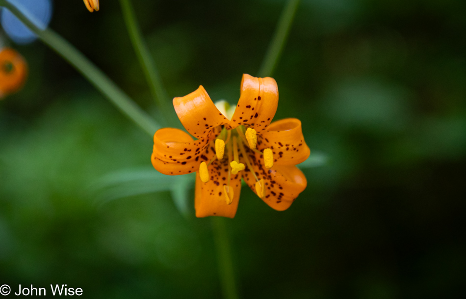
Tiger Lily at Prairie Creek Redwoods State Park in Orick, California

Caroline spotted tiger lilies next to the road, but often, there was nowhere to easily pull over, so we continued on until we found some near a pullout.
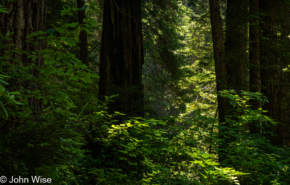
Prairie Creek Redwoods State Park in Orick, California

Sadly, there’d be no time for a hike into the woods because while we can take our time, as long as we reach Ukiah, where we have a hotel reservation, I have plans for a side trek off the beaten path to a place on the coast we’ve never visited before.
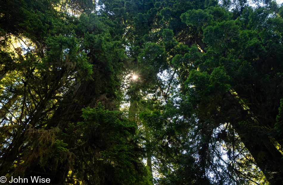
Prairie Creek Redwoods State Park in Orick, California

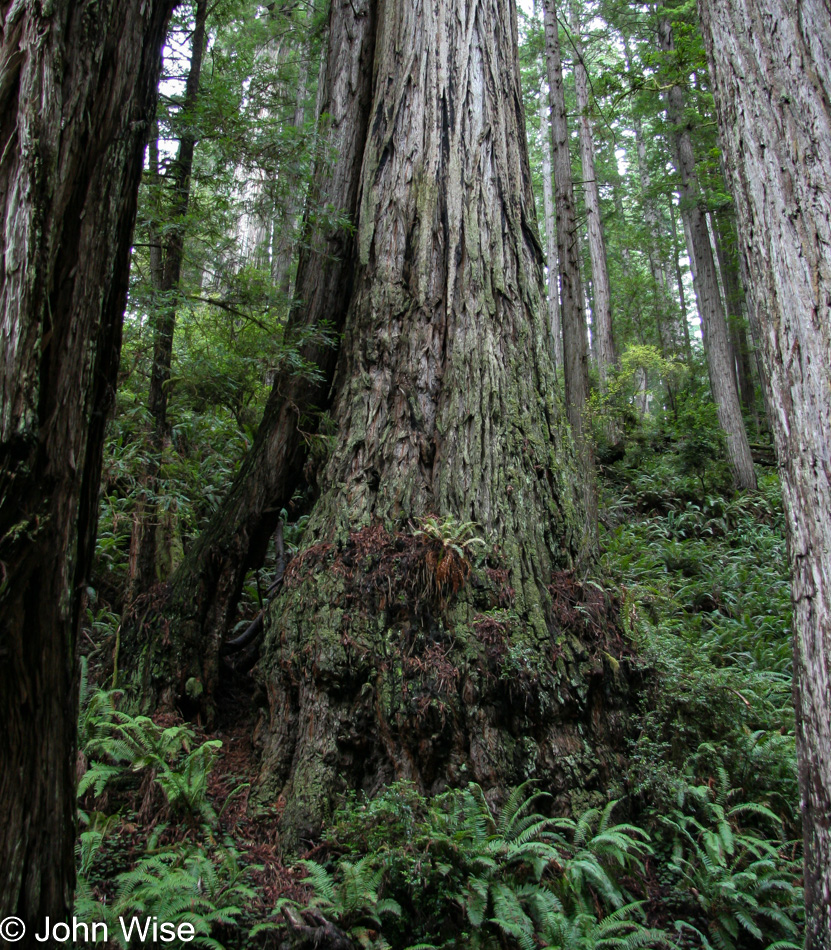
These forays into forests that stretch far into the sky are difficult places to photograph, at least for me, as there is so much to see and only so much that can be captured adequately in a photo. While standing under these ancient and massive trees inspires us, there is no easy method of sharing just how grand it all is.
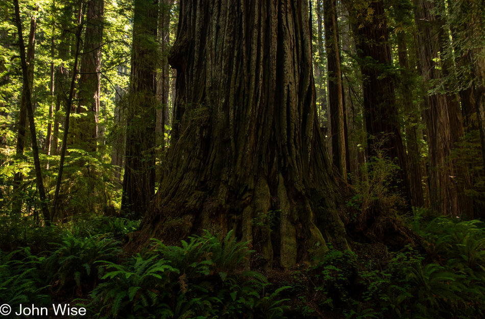
Prairie Creek Redwoods State Park in Orick, California

The ancestors of redwoods emerged about 200 million years ago, and then about 50 to 100 million years ago, the species split into the two types we know today, the coastal redwood and the giant sequoia. Maybe that’s what contributes to the sense of otherness, or whatever it is that feels different than other places; there are few living things on earth that we can stand amongst that have been on the planet longer.
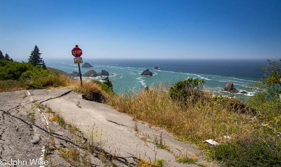
Patricks Point Drive in Patricks Point, California

Heed this stop sign, or you will certainly regret your indiscretion. We are on Patricks Point Road.
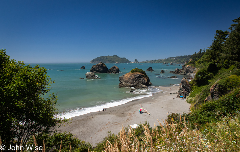
Luffenholtz Beach in Trinidad, California

This is Luffenholtz Beach south of Trinidad, and while Caroline and I drove at least part of this road back in 2006 (we know we did because there’s a blog post) neither of us has any recollection of that drive. As a matter of fact, in 2020, we thought we were traveling this road for the very first time, stating just that in a post.
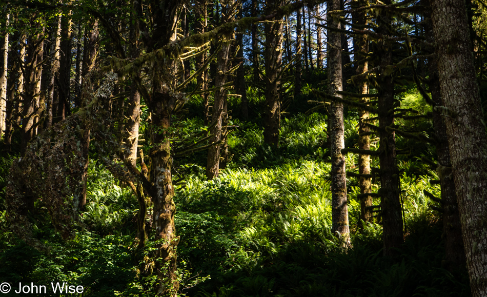
Mattole Road near Ferndale, California

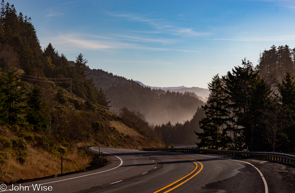
We have left Highway 101 again, this time for a road we are absolutely 100% certain we’ve never driven before. The initial stretch of road is California 211, but in Ferndale, the road shrinks as we head out on the Mattole Road for the Lost Coast.
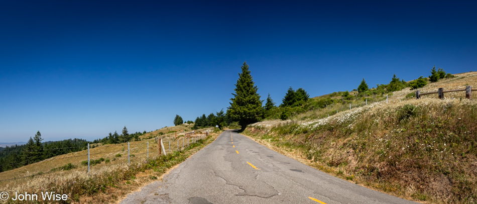
Mattole Road heading towards Cape Town, California

Many sections of the road out here are only a single lane, and they are also in tight curves with big blind spots, so stopping is not an option. Then, we emerge from the dark forest into wide-open vistas that are idyllic, serene landscapes.
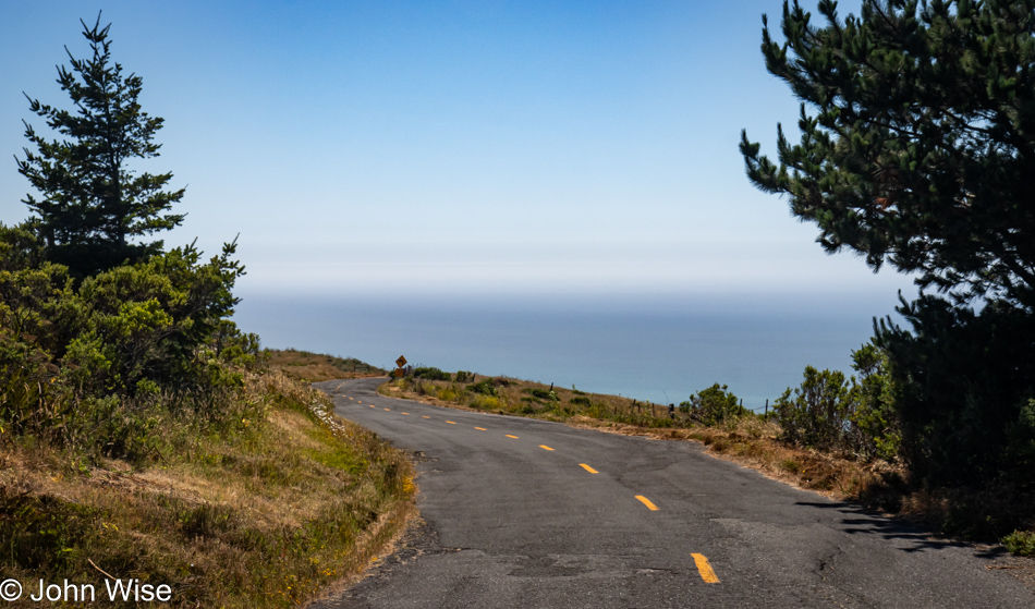
Mattole Road heading towards Cape Town, California

Without guardrails, I’m inclined to hug the centerline and drive at barely 20mph, else we risk falling off the road and into the infinity of time.
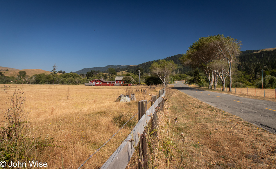
Cape Town, California

We’ve arrived in Cape Town, as in California, not South Africa.
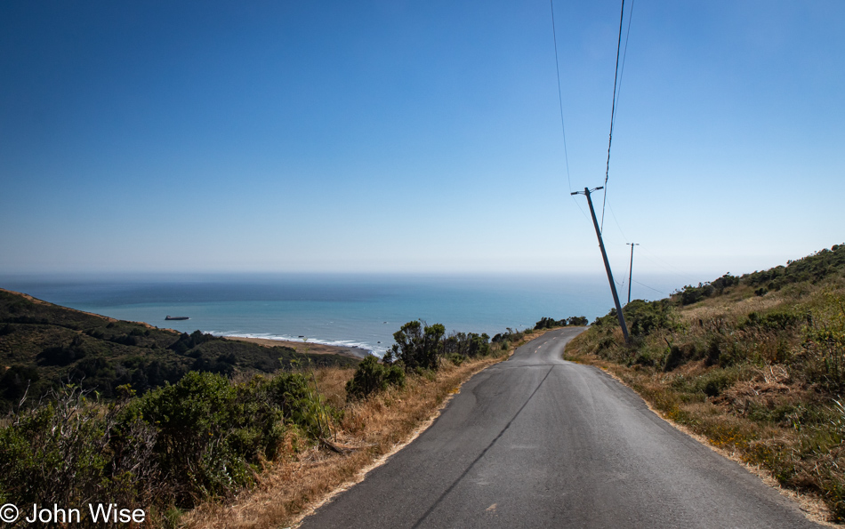
Mattole Road heading to Black Sand Beach on The Lost Coast of California

After driving for a while, we had some idea of the frequency of other cars traveling this road and felt okay about stopping in the middle of the street and jumping out for a photo.
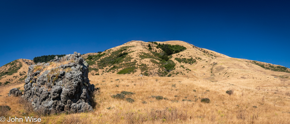
Adjacent to Black Sand Beach on The Lost Coast of California

You wouldn’t know it from this view, but we’ve arrived at the Black Sand Beach down here on the Lost Coast north of the King Range National Conservation Area. I’ll turn around and show you.
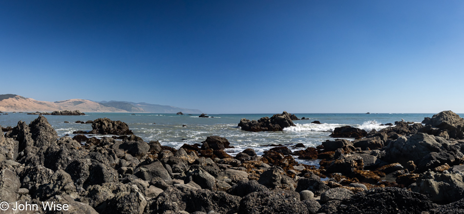
Black Sand Beach on The Lost Coast of California

There’s nothing and almost nobody else down here.
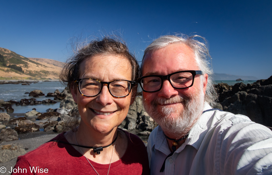
Caroline Wise and John Wise at the Black Sand Beach on The Lost Coast of California

Well, there were these two dorks hanging out looking for the things we’d possibly not seen before.
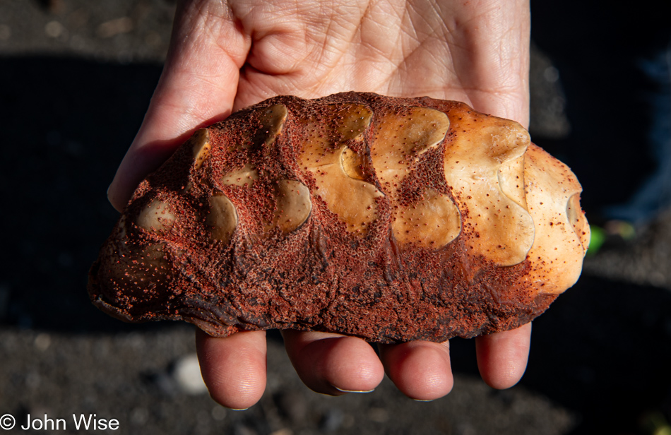
Gumboot chiton shell at the Black Sand Beach on The Lost Coast of California

Seek, and you shall find. We were on our way back to the car when I spotted something peculiar that turned into the great treasure of this month away from Arizona: the shell of a gumboot chiton.
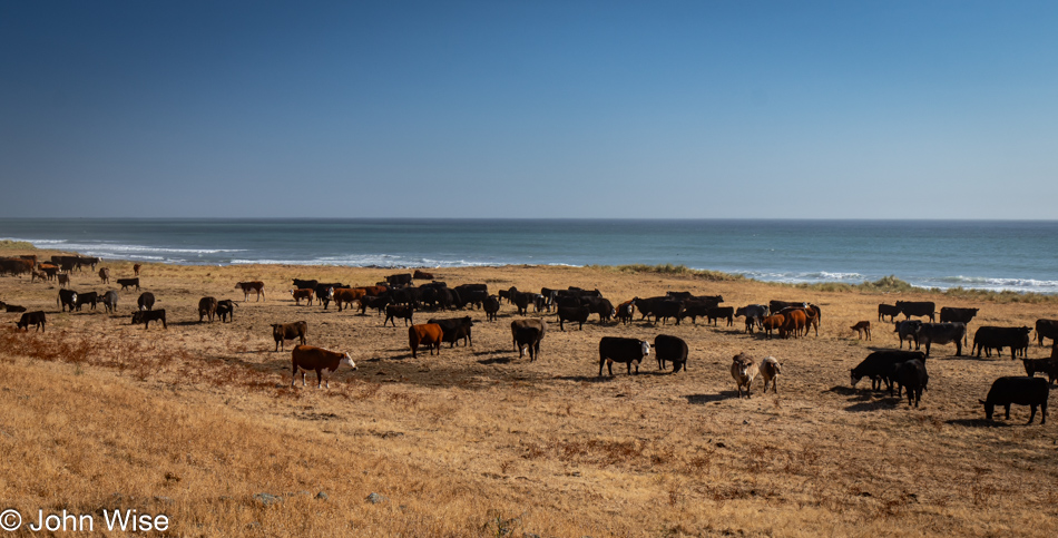
Point of Cows on Mattole Road at The Lost Coast of California

Somewhere along the road, and not marked, is the Point of Cows. That’s what we are calling this in lieu of finding the exact spot from the map.
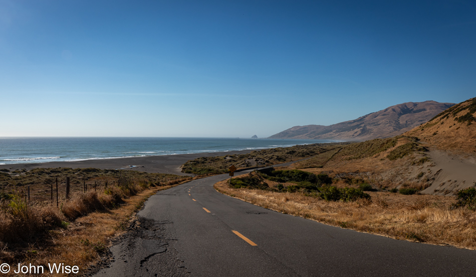
Mattole Road near Petrolia, California

This concludes our coastal adventure as we turn inland and start the serious effort to move ourselves closer to home.
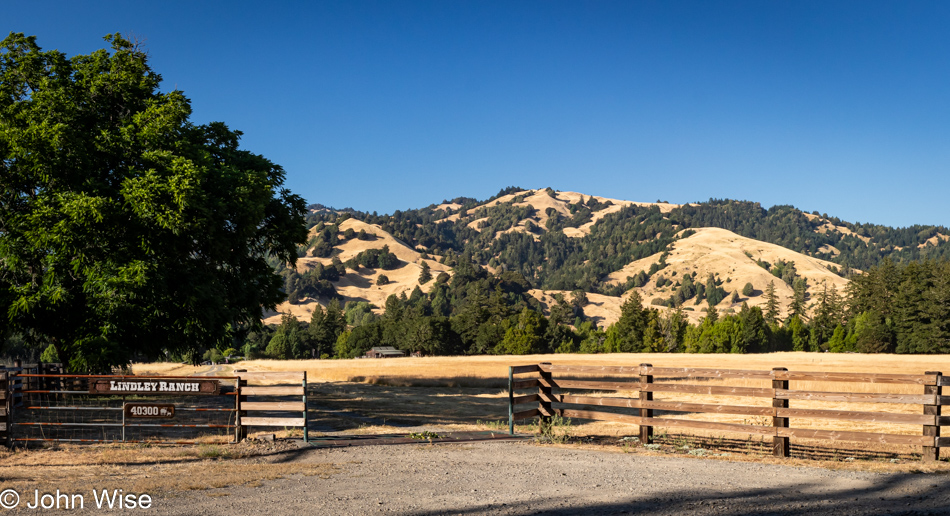
Lindley Ranch in Petrolia, California

Much of the landscape for the first 20 miles after leaving our turn inland was similar to what we were driving past on our way out, but still, I felt I should offer at least a peek at what is on this end of Mattole Road as we drive through Petrolia.
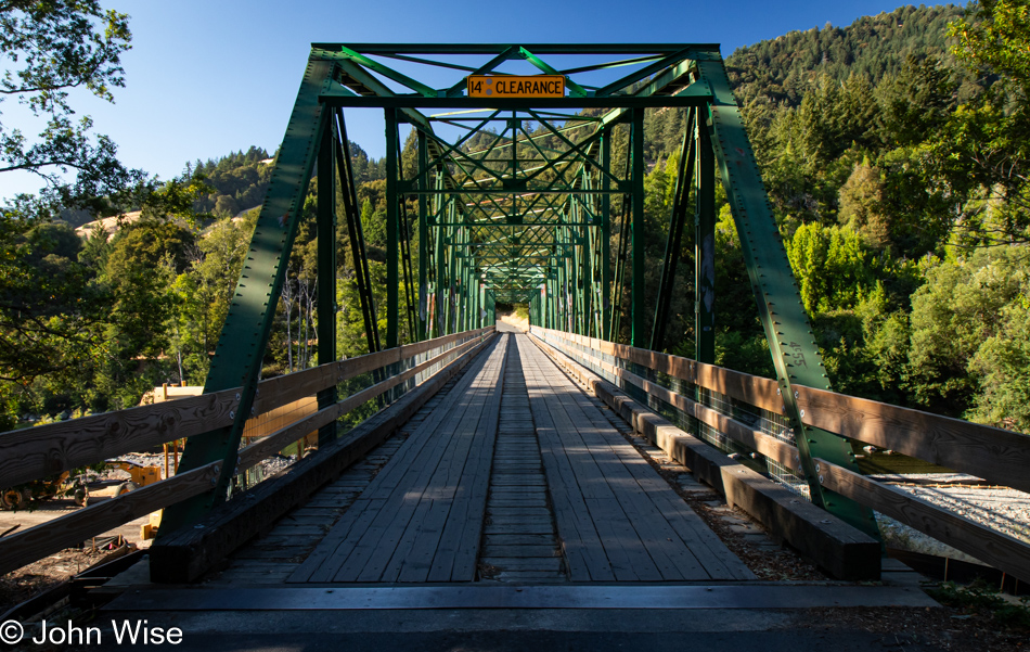
Mattole River Bridge in Honeydew, California

Our last photo of the day is from the Mattole River Truss Bridge in Honeydew, population 277, of which we met three of the locals. They were sitting near the bridge and informed us that this old relic from 1920 is going to be torn out and replaced with a modern structure. We learned a few other things from the heavily stoned and friendly people, but what they didn’t tell us was that we should probably have used this bridge and taken the northern route back to Highway 101 because the way we went included some sandy loose gravel sections of road in tight curves on steep mountainsides. More than once, I was given an adrenalin boost from the abject terror I was feeling as we started losing traction, and fear informed me that if I lost momentum, our tires would never grip this stuff well enough to let us finish going up the incline. I was close to panic. Consequently, I didn’t stop one time before reaching Highway 101, and by the time we reached Ukiah for the night, I was exhausted. What an adventure it was.
Deep Surprises in Oregon – Day 10

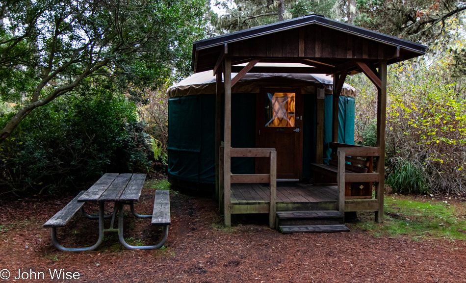
Yurt at Bullards Beach State Park in Bandon, Oregon

Welcome to the tenth and final day of our coastal vacation that saw us waking in this yurt at Bullards Beach State Park in Bandon, Oregon. We watched a rafter of turkeys stroll by, and while I tried to get a decent photo, it just didn’t work out with our car as background, a curb in the shot, the motorhomes across the way, etc. So, with the sadness that arrives at the last moments of all of our getaways, we pack up one last time, say fond goodbyes to inanimate things that don’t care that we were here, and offer wishes that we might return again one day.

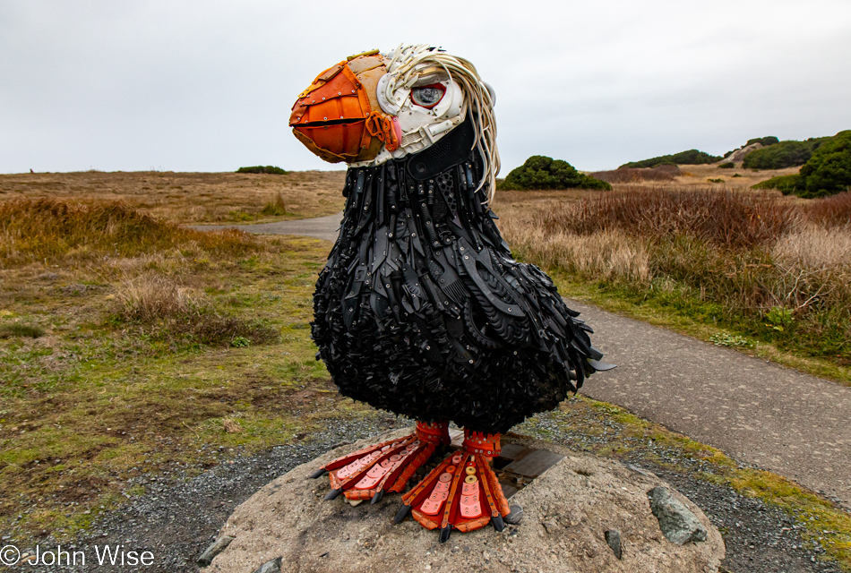
Cosmo the Tufted Puffin in Bandon, Oregon

Might not have been able to capture a nice photo of a turkey, but Cosmo the Tufted Puffin had no problem keeping a pose until I got something reasonable. Cosmo took up its perch here at Coquille Point back in 2018 in celebration of Earth Day. Made from recycled materials found on Oregon beaches, it was the efforts of Angela Haseltine Pozzi and her non-profit Washed Ashore that brought Cosmo to be a fixture here on the southern coast. This tufted puffin is likely the only 6-foot-tall bird made of marine debris on our entire planet.

Coquille Point National Wildlife Refuge in Bandon, Oregon

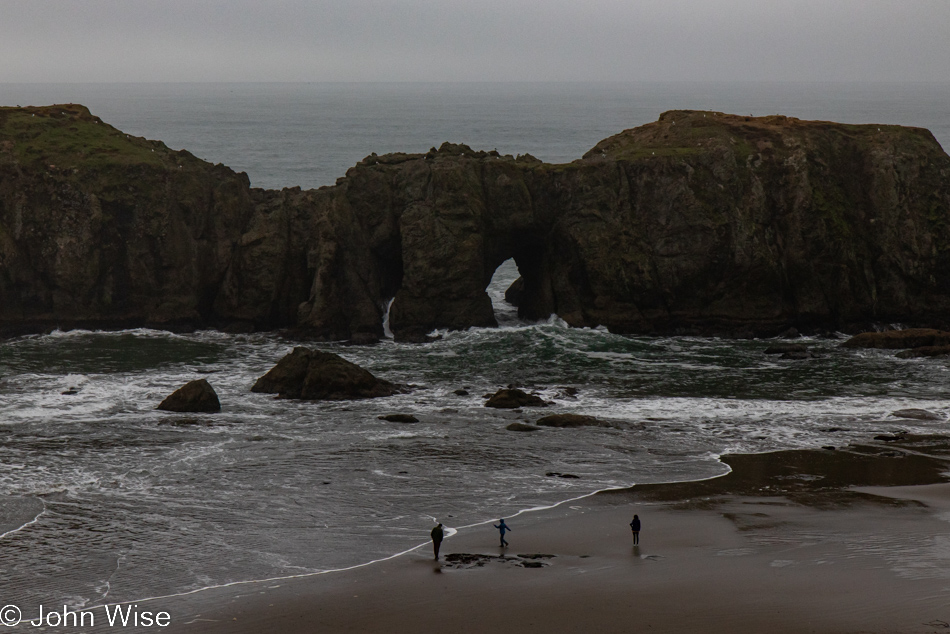
In poor light and an angle that doesn’t exemplify what others see, this is Elephant Rock. Don’t bother trying to catch sight of what I’m failing to bring attention to; let it suffice that the arch is the place between its legs. While Face Rock has always been obvious to me, I just learned that this one is officially called Elephant Rock, and I fail to see why.

Coquille Point National Wildlife Refuge in Bandon, Oregon

With the weather holding, meaning it’s not raining, there’s no time left to waste if we are going to get some beach exploration in.

Coquille Point National Wildlife Refuge in Bandon, Oregon

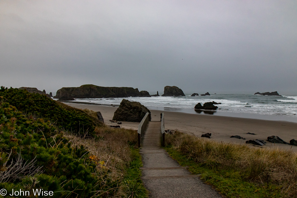
And so, down we go.

Coquille Point National Wildlife Refuge in Bandon, Oregon

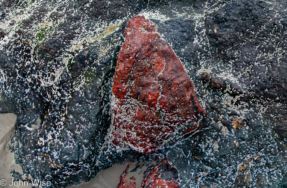
This will not be further musings on the world of barnacles, though this is definitely one of the largest clusters of tiny ones. I’m more curious about the blood-red rock sandwiched in the surrounding metamorphic rock. I just learned that the sacred Sae-Tsik-Na (“Grandmother Rock”) that used to stand out here was quarried out of existence for the building of the Bandon jetty back in 1900. Well, that sacred rock to the Coquille people was made of blueschist speckled with red garnets, and if this is some ancient metamorphosized sandstone with a high amount of iron oxide in it, this would be the deepest red sandstone I’ve ever seen. I understand that the red rock is not translucent, so not likely to be red garnet, but could it have been on its way to becoming a gemstone had it remained in the deep miles below the surface for a bit longer?

Coquille Point National Wildlife Refuge in Bandon, Oregon

Looking up the rocks standing out here, I learned that they are called knockers (cue John’s childish giggles) and are formed after the softer rocks and soils wash away. The really cool thing is that some of the rocks out here formed hundreds of miles apart, but thanks to millions of years of subduction, they’ve ended up here.

Coquille Point National Wildlife Refuge in Bandon, Oregon

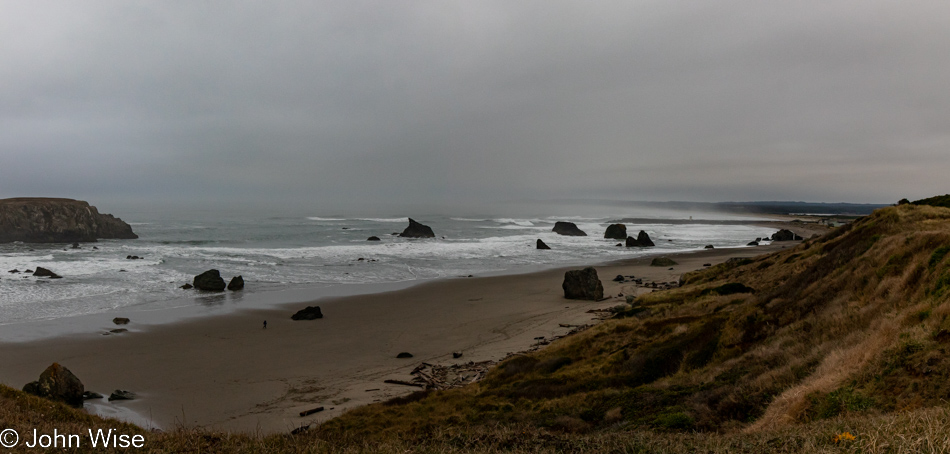
All of a sudden, the gloom of the sky, in a sense, lifts, and I see the beach here in Bandon in a whole new light. If we might have thought that this trip to the Oregon coast might be our last, it is nearly certain that we’ll have to make a return as there are obviously things that require deeper examination.

Coquille Point National Wildlife Refuge in Bandon, Oregon

Between two sides of the beach is an outcropping with a cut in it that is filled with boulders and large pieces of driftwood. We only need to scramble through it to reach the other side.

Coquille Point National Wildlife Refuge in Bandon, Oregon

Doing so without distraction is another matter, as there are thousands of details here worth scrutinizing.

Coquille Point National Wildlife Refuge in Bandon, Oregon

Once on the other side, we get a better view through the arch between the legs of the elephant, except for the backed-up water that obscures the view.

Seals at Coquille Point National Wildlife Refuge in Bandon, Oregon

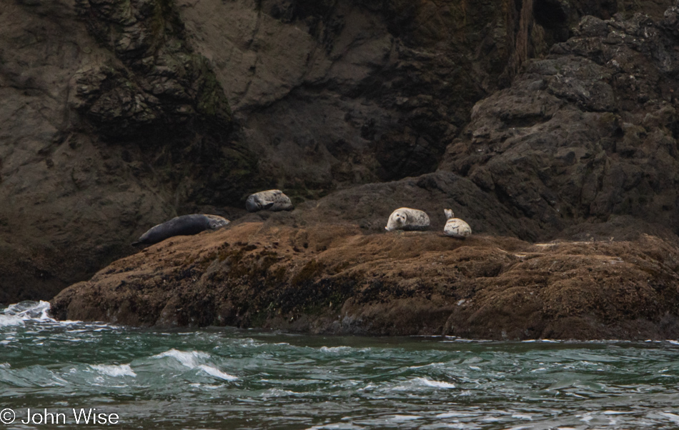
I took more than one photo of these seals, and this was the best of them, which is not saying a lot as they are almost unrecognizable, but they are reminders to Caroline and me that we saw them and maybe for others to gather a hint of what’s to look for while along the coast. I’m pointing this out as one of the other contenders showed a large part of the rocks above them, which to my eye looked incredibly ancient, not as in billions of years, but still quite old. Good old research to the rescue, but also bad for me as there is now ZERO doubt of our return to this area.

There are blueschist knockers out here, and of course, there are chunks of it in the jetty. This stone turns out to be very rare, as in seriously rare. The conditions for its formation are the reason: they must be near a subduction zone, and they can’t go too deep below the surface; otherwise, the pressure and heat will change the minerals into something else. They are typically not old rocks because subduction zones are chaotic places pushing large pieces of earth to and fro. From the Scientific American article I was reading, I learned that it’s easy to find examples of blueschist here in Bandon that were created under 10 kilobar of pressure, meaning these rocks were once 22 to 25 miles (35 to 40 kilometers) below the surface of land we were standing on while here in Oregon. If this means little to you, I’d surmise you have little understanding about time and should get yourself out in the world and question what you are seeing.

Highway 101 north of Bandon, Oregon

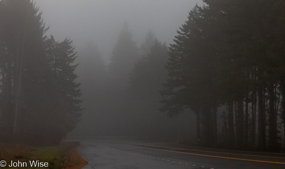
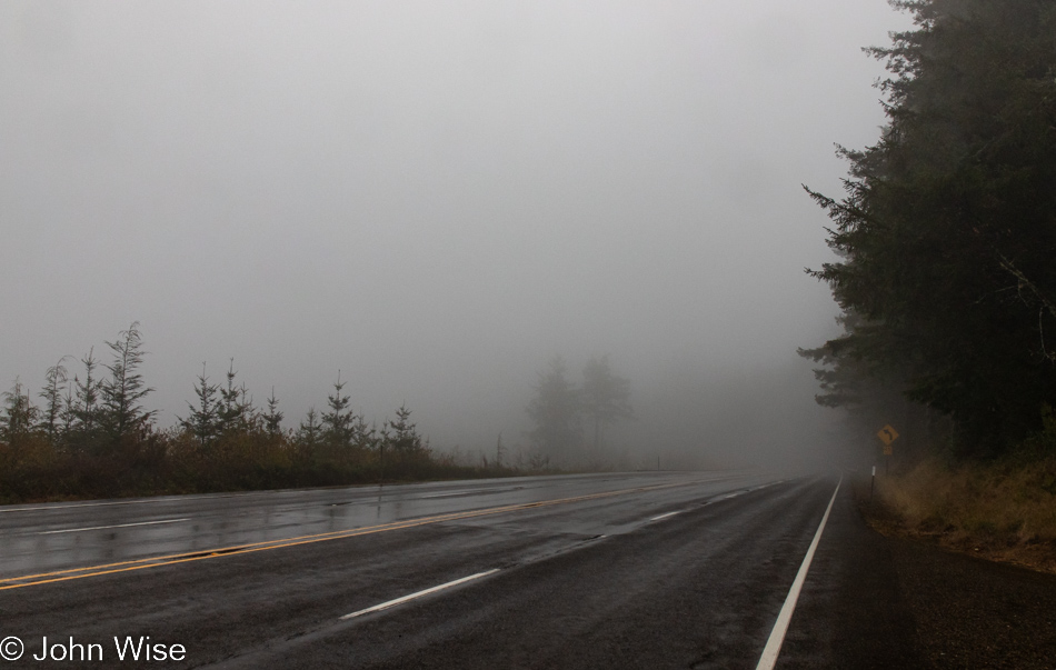
In the fog and mist, we move slowly, not really out of caution regarding the driving conditions but more out of the desire to bring to our senses as much as possible due to our event horizon coming to a close.

Highway 101 north of Bandon, Oregon

Knowing that last impressions are what we are gathering, we have to look hard at the gray environment for those things that, in years to come, we’ll hold close from our days in Oregon. These perfect examples of yet another wonderful day full of experiences are worth remembering forever.

Coos Bay, Oregon

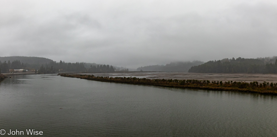
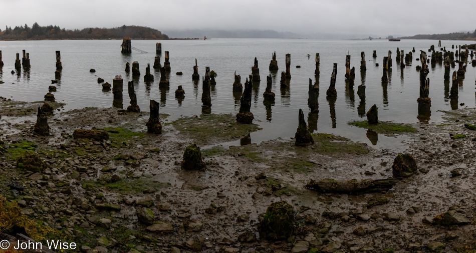
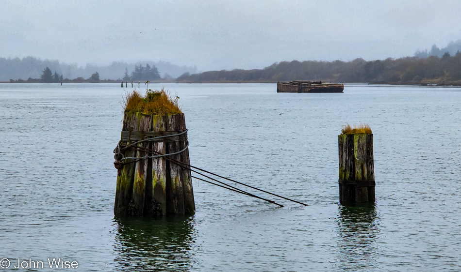
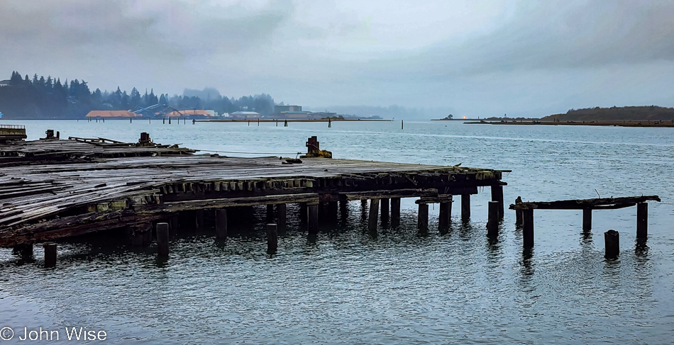
Over the 20 years, we’ve been passing up and down this coast, this corner here at Coos Bay has held a special interest that I’ve always failed to satisfy my curiosity about. It seems apparent that at one time, long before we ever visited, this must have been a major center of the timber industry, and while remnants are still here, I get the sense that it had a much more significant presence here.

Coos Bay, Oregon

The old adage “be careful what you wish for” needs to be updated for me to “be careful what you research.” Looking for information about the history of logging in the Coos Bay region, the first thing I learned was there are 41,000 acres of old-growth trees still remaining in 1.15 million acres of Coos County. Trees older than 400 years old have been clear cut, and with that, I’ve read enough; this includes a recent 2019 harvest approved by Anthony Davis, a dean of Oregon State University entrusted with lands under their forestry protection program who axed a 16-acre tract of land because they needed the money due to cost overruns regarding a university construction project. Pardon me, but this is bullshit.

Coos Bay, Oregon

While I’m out in this beautiful place, I only want to enjoy the solemnity of it all. Now, back in Arizona and knowing that our form of capitalism will only continue to exploit everything that can make money, my wish is for either a meteorite to splash down in the Pacific and wash humanity from the surface of our planet or maybe even for a certain Russian megalomaniac to let the nukes fly so our planet can get to the business of repairing the profoundly ugly damage we perpetuate on these lands, waters, and atmosphere on a daily basis.

Coos Bay, Oregon

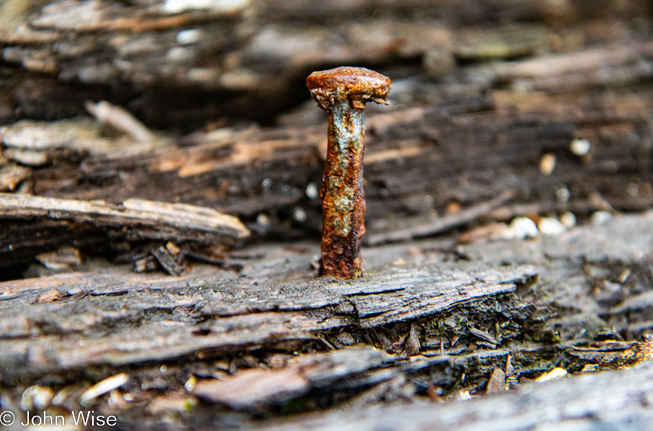
The presence of humans over the course of history has left impressions for centuries into the future; things like cave paintings, old middens, burial sites, certain buildings, and even some artifacts have been found. Today, though, we consume and throw away everything we touch as though some omnipotent god could wave a hand and repair the horror we are leaving in our wake. While I can pause and appreciate the aesthetic of a rusting nail from a disused dock, I’m also reminded of how little we care about what’s left behind as long as we got ours.

Coos Bay, Oregon

But if I don’t leave this track of destruction and neglect behind me, I’ll be ending this series of blog posts on a negative note, and that’s not really where I want to go.

Road to Umpqua Lighthouse State Park in Reedsport, Oregon

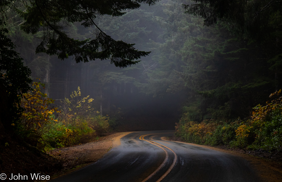
So, let’s return to the intense pockets of beauty that still exist out here and share those impressions. From here I can hope that others might stumble upon these posts, not only to see what had been but to inspire them to visit and see for themselves an environment cared for and protected where not everything need be fouled for the sake of exploitation.

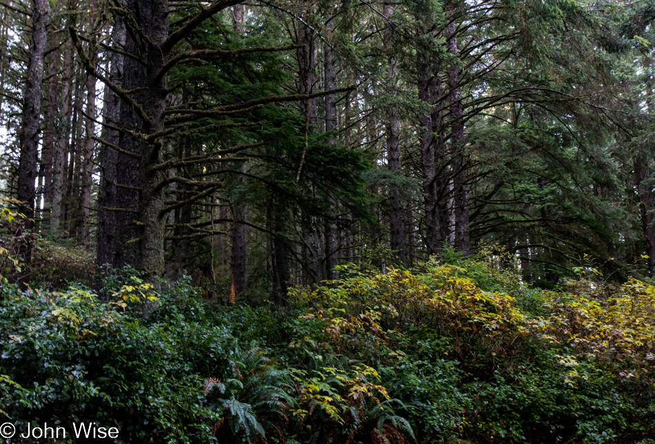
Road to Umpqua Lighthouse State Park in Reedsport, Oregon

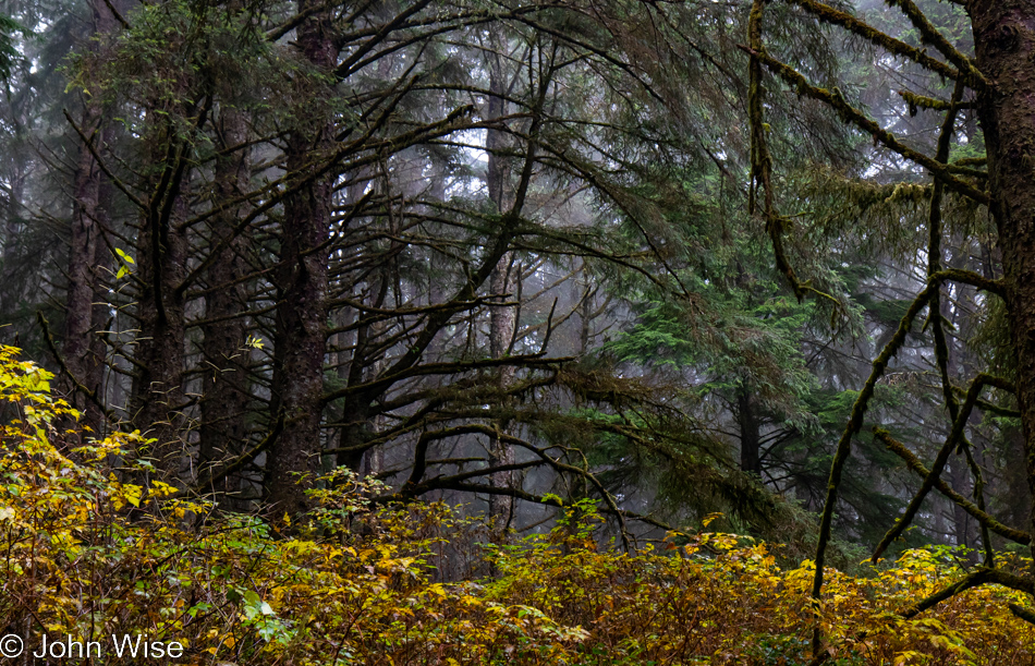
Certainly, this forest view is one of wonderment, but you might notice there are no old trees here. Maybe others in the centuries to come will be afforded the opportunity to see this place still filled with the trees that were standing here back in 2022.

Caroline Wise leaving the Tsunami Hazard Zone north of Reedsport, Oregon

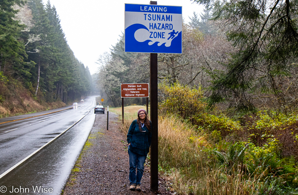
Maybe instead of telling people passing through that they are entering and leaving tsunami hazard zones, we should have signs in life that we are entering an exploitation-free zone where nature is being allowed to present itself in the rawest format without anything more from humans than pathways through and maybe accommodations that leave no impact.

Highway 101 in Gardiner, Oregon

It’s not lost on me that, in effect, we modern humans are not as “modern as we might pretend and are instead half-stupid creatures stumbling through the fog of our own arrogance.

Highway 101 in Gardiner, Oregon

It’s with great sadness that we inch ever closer to the exit.

Oregon Dunes Overlook in Gardiner, Oregon

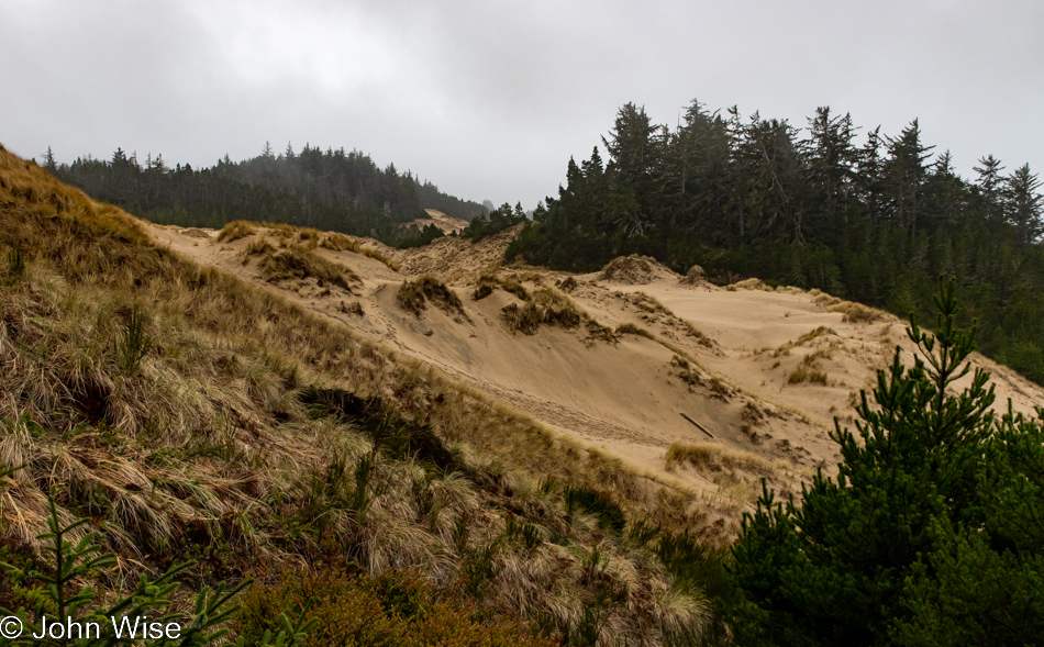
Then again, maybe, just maybe, there’s enough time for us to capture one other new place we’ve never visited before that is to be found right here at the Oregon Dunes Overlook in Gardiner.

Oregon Dunes Overlook in Gardiner, Oregon

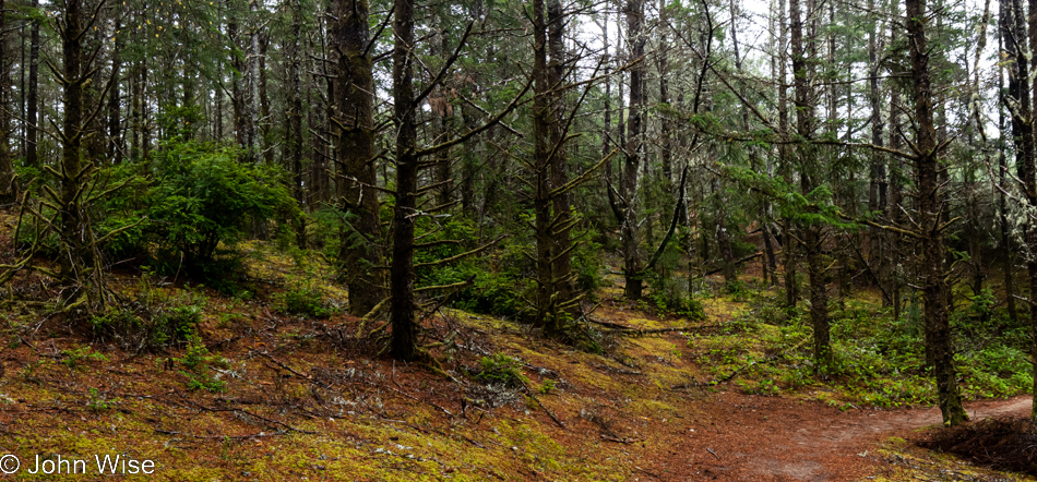
Is it the melancholy of distance that stimulates ideas not realized while I was at a place where I should have tried pulling back from the abyss of being overwhelmed to gather yet a different perspective? In this instance, I wish to see the forest from the level of a newt, between mushrooms, while walking across the moss and sand.

Oregon Dunes Overlook in Gardiner, Oregon

As I said, we are here in the sand dunes, among mountains of sand.

Oregon Dunes Overlook in Gardiner, Oregon

With a lush forest growing on top of it in spots.

Oregon Dunes Overlook in Gardiner, Oregon

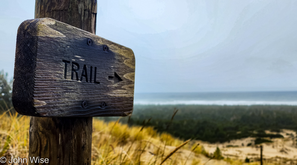
While the trail could have taken us to the ocean (you can see the sign points right to it), we are limited regarding goof-off time. Being mindful of that factor, we reluctantly return to the car.

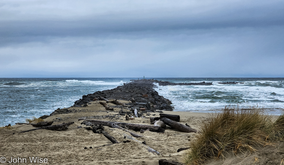
North Jetty Beach in Florence, Oregon

And then, before we know it, we are back in Florence, where our encounter with the coast began ten days ago. By this time at the North Jetty, we’ve already lunched up at the Little Brown Hen, where, for the second time, we shared a warm bowl of the best brown rice pudding you’ll find on the entire coast of this state. The need to walk off that indulgence is part of what brought us out here.

Caroline Wise at North Jetty Beach in Florence, Oregon

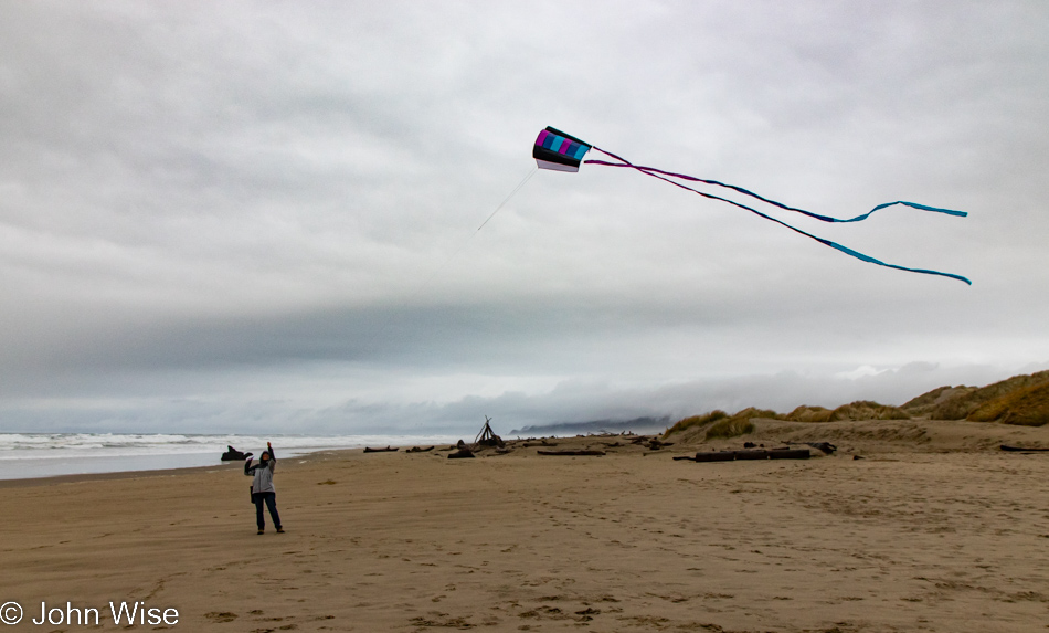
That, and Caroline’s need to bring out Happy McKiteface for a final flight in the cool coastal air we’ll soon be missing.

North Jetty Beach in Florence, Oregon

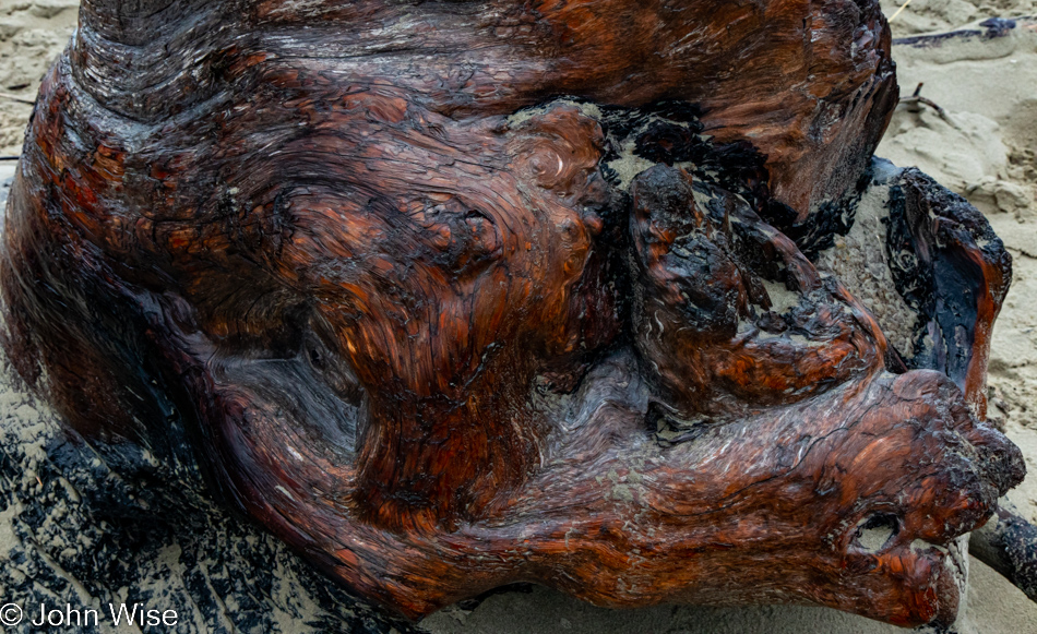
If I can’t take a multi-hundred-pound souvenir with me today, I can bring a reminder.

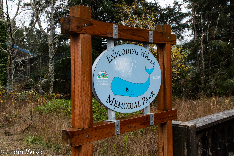
Exploding Whale Memorial Park in Florence, Oregon

Speaking of reminders, who doesn’t want to be reminded of that day 52 years ago when too much dynamite was used to remove a whale carcass from a nearby beach but instead blew car-crushing, possibly life-extinguishing chunks of rotting whale in all directions?

Exploding Whale Memorial Park in Florence, Oregon

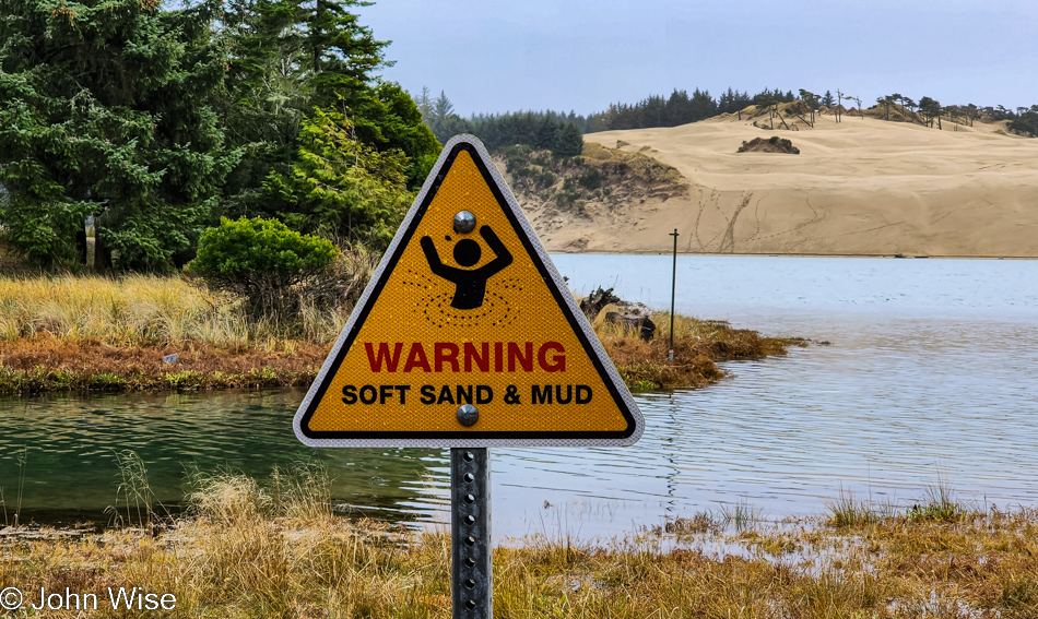
This warning sign at the Exploding Whale Memorial site regarding soft sand and mud should include some text that the incident did NOT happen here but somewhere on the other side of that dune. I didn’t want to visit some random place for a moment of remembrance; I wanted to stand on ground zero where said whale failed to vaporize and instead was sent off to chunkidom.

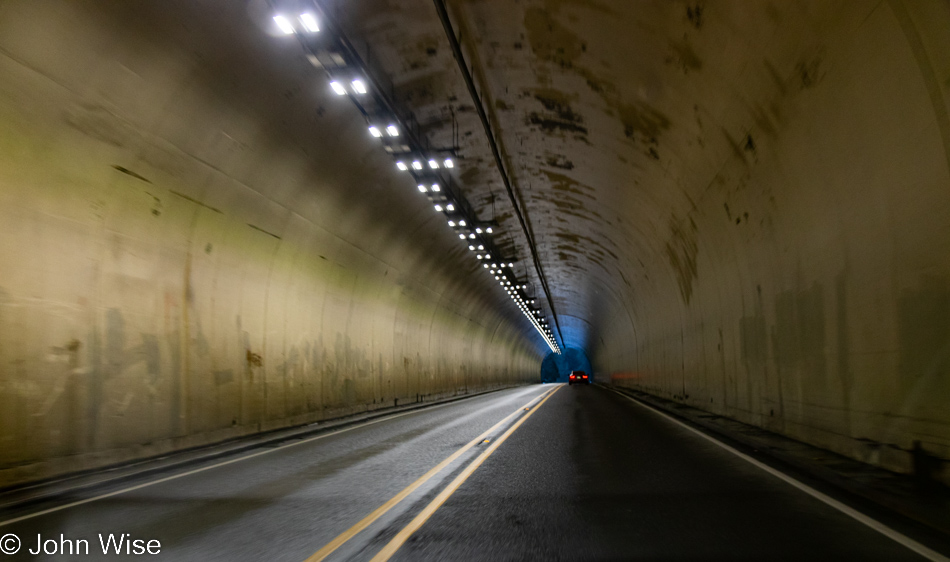
Petersen Tunnel east of Mapleton, Oregon

With a bunk memorial site behind us and Dutch Bros. coffee along for the ride to Eugene, we have now left the tsunami zone.

Happy McKiteface Over Oregon- Day 9

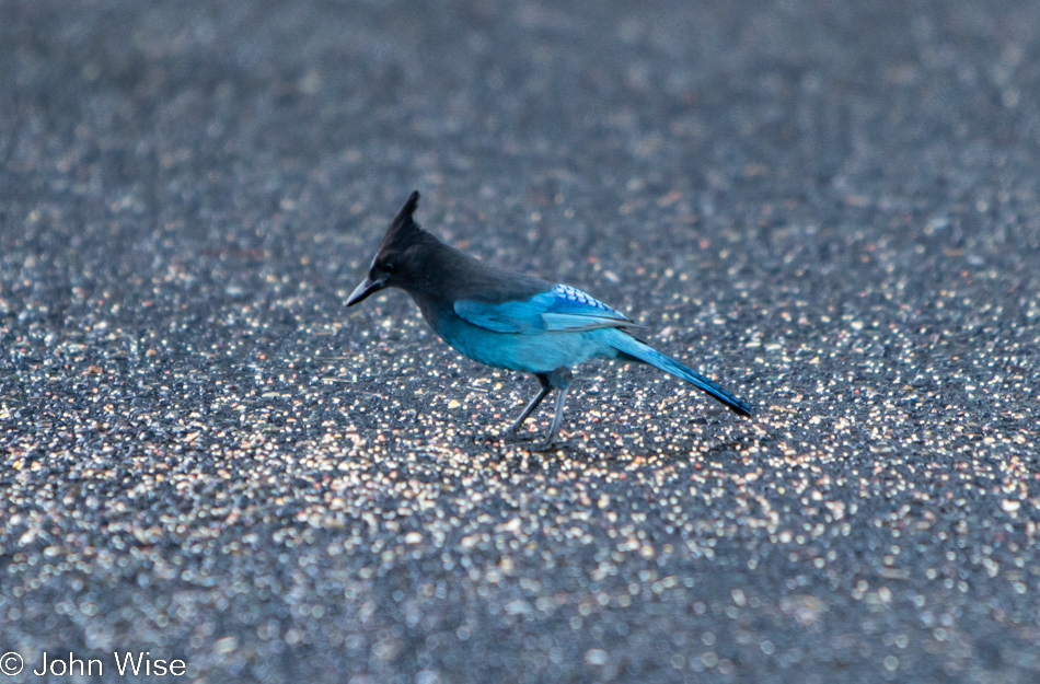
A Stellar Jay at Umpqua Lighthouse in Reedsport, Oregon

Good morning, Steller’s jay! I hope you enjoy your morning meal courtesy of the vanlife guttersnipes that squatted here overnight. Caroline and I have been visiting the Oregon coast for about 20 years now, and I can say with certainty we’ve never seen so many roadside freeloaders who don’t have the respect to pay attention to the “No Overnight Camping Allowed” signs. I can only surmise that their sense of being free to roam America’s roads allows them to feel a sense of entitlement that arrives with their chosen form of homelessness for the sake of social media status. Regarding the homeless situation, it has spilled out of the bigger cities and now shows up on the coast in ways we’d not seen before. From more people living in cars (not in the aforementioned vanlife configuration) to people struggling with loads of stuff being moved through town and those who will join the ranks in the coming year due to the problem of rising rents, the situation is one of ugly proportions. Back to the vanlifers, Caroline and I used to pull into overlook parking lots where we might be the only people, but when we pull in, and there are people just waking, finishing their ablutions, or putting away the cooking gear, I try to imagine what our experiences would have been like if people in motorhomes had exercised the same liberties, especially considering two large vehicles could fill up a pullout and stop anyone else from stopping for a moment. Just because we didn’t park at an ocean overlook doesn’t mean our waking experiences are any less valid or someone else’s even greater because they flaunt convention. Enough of that, I look forward to the day that vanlife is no longer a thing or I’m dead and gone, no longer able to witness the arrogance.

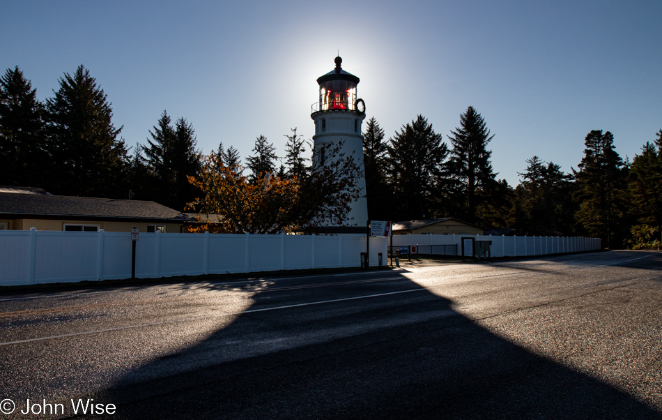
Umpqua Lighthouse in Reedsport, Oregon

Normally, waking near the shadow of a lighthouse is a terrific thing, but driving into someone’s temporary bedroom sure puts a damper on that. Fortunately, they were soon gone after we spoiled their perfect isolation with our intrusion. Oops, I said I was done with all that, but the truth is that I’m never done once something gets jammed in my craw.

When we travel on weekends, it’s often been difficult for Caroline to connect with her mom in Frankfurt for her weekly call, but it just so happens that our brother-in-law Klaus is visiting Jutta as we were packing up the yurt and is going to bring us into a video chat. While my mother-in-law has certainly been here at the lighthouse, we have some skepticism about how much she remembers or whether she simply learned to just go along with things and agree to fond memories rather than admit these things are largely gone from her book of memories. It’s really not a problem, though, as she smiles a lot, and we know she’s still very aware that she’s been to the United States many times, even if many of the details are lost to the passage of time.

Umpqua River in Winchester Bay, Oregon

Do you remember how years ago there was a floating restaurant off in the distant corner here in Winchester Bay? We fondly do and have often wished to visit again, but it’s been closed for years. We first dined there back in 2006; such is the good luck of having blog posts to remind one of something that might have been forgotten otherwise. Today, we sit next to the Umpqua River for breakfast after choosing the place with more cars parked outside, figuring the locals know something.

Umpqua River in Winchester Bay, Oregon

Never believe in 10-day forecasts, or better yet, simply don’t look at them because would they really change your travel plans? This is probably bad advice because at least they offer some idea of how to dress for potential weather conditions. As for the location, we are on the other side of the restaurant for a post-breakfast walk under perfect skies.

Umpqua Lighthouse State Park in Reedsport, Oregon

This isn’t just any old forest; it is the forest that goes back…

Umpqua Lighthouse in Reedsport, Oregon

…back to the Umpqua Lighthouse because without Tillamook Creamery around for breakfast dessert, this will have to do.

Oregon Dunes seen from the David Dewett Veterans Memorial in North Bend, Oregon

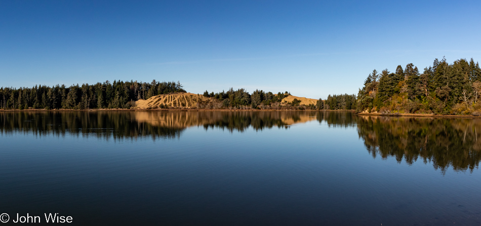
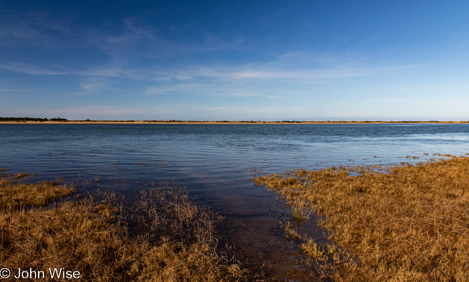
We are looking across one small part of Coos Bay from the vantage point of the David Dewett Veterans Memorial in North Bend. It almost never fails that the reflections of the Oregon Dunes catch our eye, and poetically, it makes sense that a place of such great reflection should be the site of a veterans memorial.

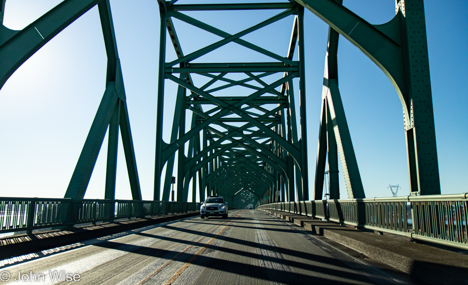
McCullough Memorial Bridge in North Bend, Oregon

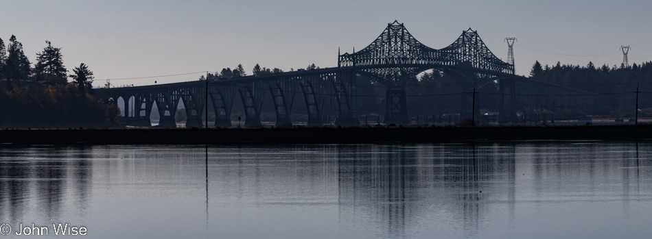
In the opposite direction, you’ll find the McCullough Memorial Bridge.

Rail bridge over Coos Bay in North Bend, Oregon

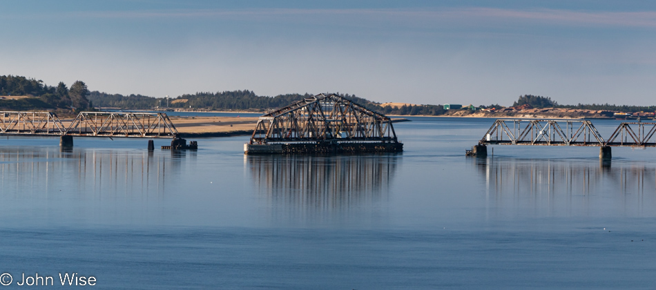
In all the years we’ve been passing through here, we’ve yet to see this rail bridge in any other position or to see trains crossing the bay. We can only guess that this is a relic of the age of forestry as it existed in the past.

McCullough Memorial Bridge in North Bend, Oregon

From this fascination with bridges, one might think Arizona doesn’t have any, but it turns out that Arizona and Oregon are nearly equal in that department, which suggests that the bridges in Arizona are not remarkable in any way. Before you object: yes, we have the Navajo Bridges over the Colorado River and the London Bridge that was moved from the U.K. to Lake Havasu, along with the Black Bridge down in the Grand Canyon, but other than those, I cannot think of any other memorable crossings in Arizona. [May I suggest Roosevelt Lake Bridge?  Caroline]

McCullough Memorial Bridge in North Bend, Oregon

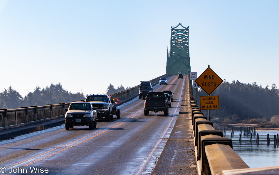
For 86 years, people have been using this bridge, but has anyone else taken so many photos of it?

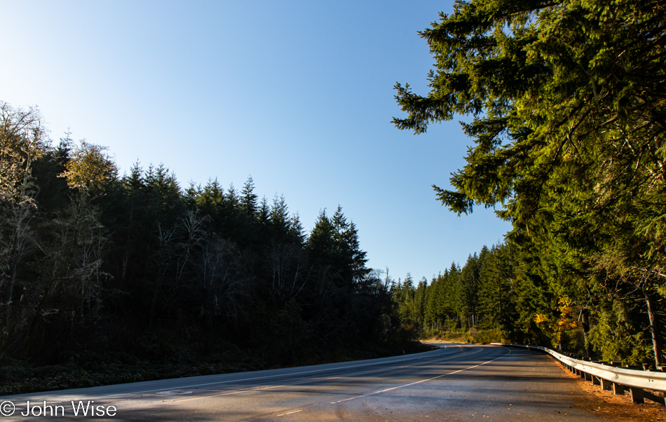
Traveling Highway 101 south of Coos Bay, Oregon

I’m always trying to remind myself not only to stop and take photos of the most iconic things but also the mundane ones along the way, as they are just as important a part of the attraction that draws us back year after year.

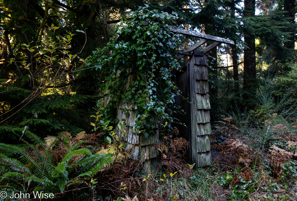
Old rain shelter on Riverside Drive in Bandon, Oregon

In addition, we try to turn down side roads we might have missed on previous travels, and today, that worked in our favor when we turned onto Riverside Drive. At first glance, this might look like an outhouse to those of us not accustomed to living in rainy places, but upon looking closer, it was obvious that this was a long-neglected bus stop for kids who needed shelter while waiting for their school bus.

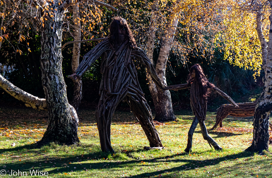
Big Foot and child on Riverside Drive in Bandon, Oregon

That, or it was a hiding place from a marauding Big Foot and its daughter.

Bandon Marsh National Wildlife Refuge in Bandon, Oregon

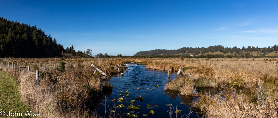
Also from Riverside Drive, a view of the Bandon Marsh National Wildlife Refuge we’ve never seen before.

Caroline Wise at the Wool Company yarn store in Bandon, Oregon

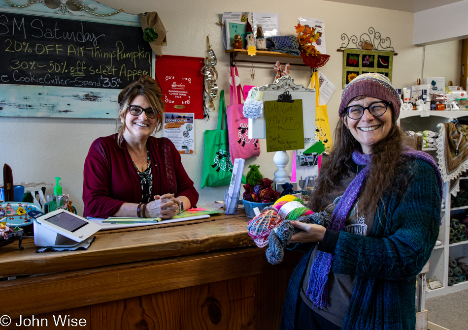
The same cannot be said of the Wool Company yarn store in Bandon, which we’ve visited countless times and must have bought 50 skeins of yarn by now. Yes, there is new sock yarn there, destined for my feet.

The famous Langlois Market in Langlois, Oregon

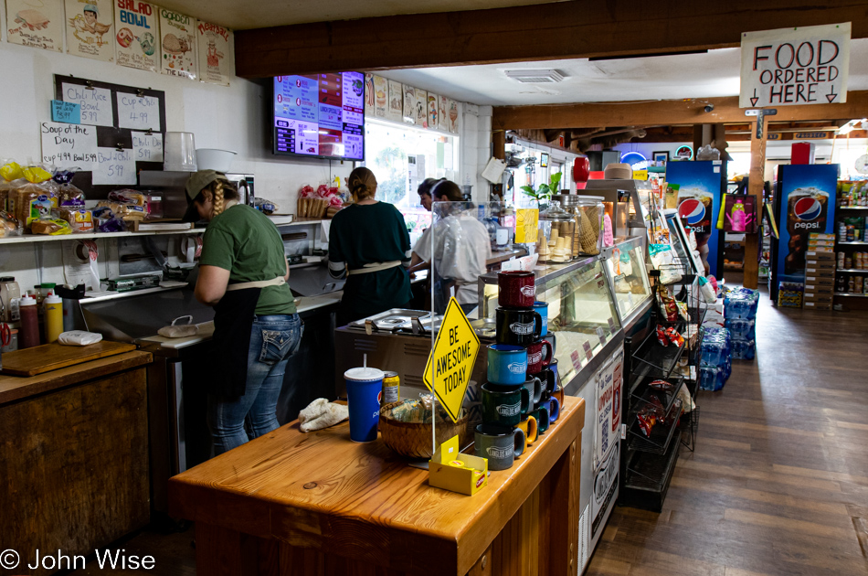
Another place becoming a regular stop on our journeys is found here at the famous Langlois Market, best known for the more than 1,000,000 hotdogs they’ve sold from their little roadside market in a town of only 370 people.

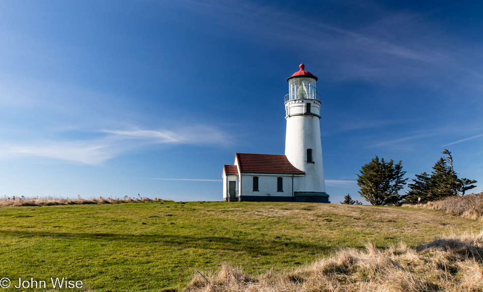
Cape Blanco State Park in Port Orford, Oregon

Not being able to remember offhand the last time we visited the Cape Blanco Lighthouse in Port Orford, we decided to drive down the road through the state park to have a gander.

Cape Blanco State Park in Port Orford, Oregon

Oooh, it’s windy and cold out here, but the sky demands that we take the short walk in the elements to nab a photo of the lighthouse should it happen that I’ve never taken one in such nice weather.

Cape Blanco State Park in Port Orford, Oregon

Apparently, Neptune has raised his Sword of Damocles against those who live above the surface of his vast ocean, threatening all of us should we not heed our own knowledge that we are ravaging his seas.
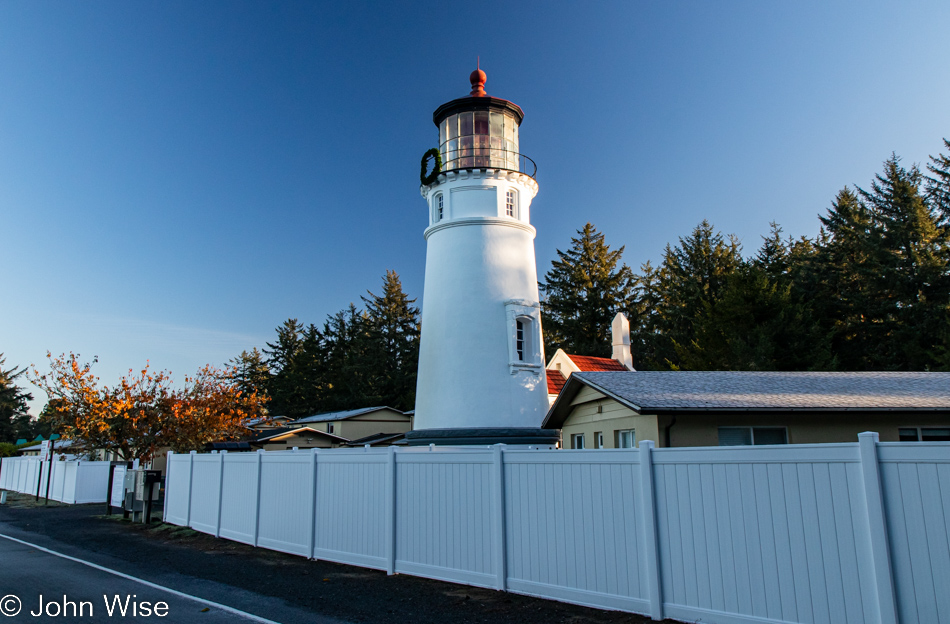
Cape Blanco State Park in Port Orford, Oregon

And to our right, as we walk out on the spit of land that is home to the lighthouse, is this view of the deep blue sea that just yesterday was dark green.

Lighthouse at Cape Blanco State Park in Port Orford, Oregon

At this time of year, nothing is open; the season is over. No matter, as the tower itself is not currently visitable even during the summer.

Caroline Wise at Cape Blanco State Park in Port Orford, Oregon

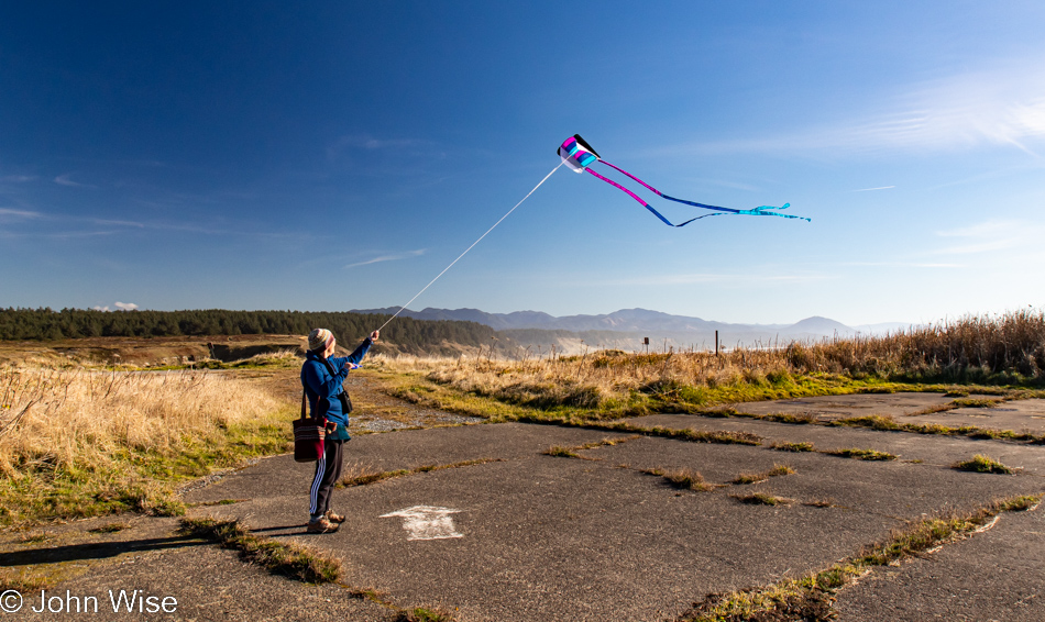
As I said, it’s windy out here, which Caroline thought was as good a time as any to break out the new kite and test how it compares to the one it’s replacing. We’ll just call it love.

Cape Blanco State Park in Port Orford, Oregon

Our car is out there in front of the tree line, and looking at the photo above this one, you might have noticed that Caroline was standing in the old parking lot. Even if the road to the lighthouse was still open, you should be reluctant to drive it as the adjacent cliffside is eroding.

Cape Blanco State Park in Port Orford, Oregon

This is still part of the Cape Blanco State Park, and to the left is the Historic Hughes House built in 1898 that is visitable.

Port Orford, Oregon

There are a lot of places I can say with certainty we’ve visited before, even multiple times, but this pullout looking north towards Port Orford seems to me to be one of the surprisingly many new sites we’ve stopped at during these days.
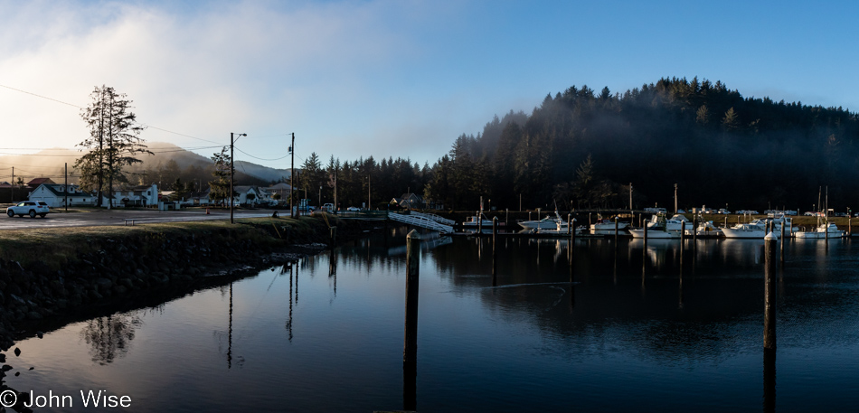
Looking southwest from the same vantage point offers up a crisp sky and a horizon nearly devoid of any fog. Of all the times we’ve been asked if we’ve been here or there, this country or that, nobody has ever asked if we’d ever had the opportunity to be out in the middle of the Pacific Ocean.
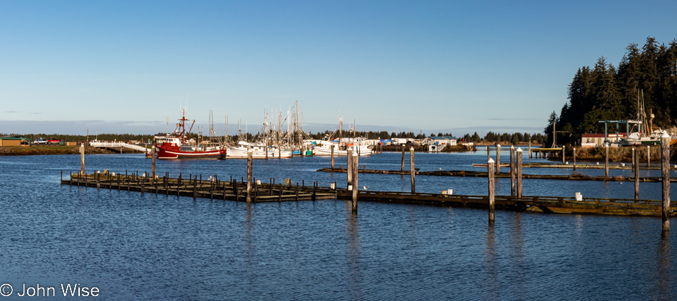
While our yurt at Bullards Beach State Park in Bandon is now 30 miles behind us, we have a date with a rock 35 miles ahead.

View from Highway 101 north of Gold Beach, Oregon

Persistence paid off in my attempts to figure out where the heck we were on the road, but it is mislabeled on Google Maps and is not identified at all on Bing; the address is roughly 35690 Oregon Coast Highway, identified with Port Orford, and it is NOT Foramen Arch.

View from Highway 101 north of Gold Beach, Oregon

Turn and look south, and this is your view from the photo above. To the left of the image, you can see Euchre Creek spilling into the ocean.

Wedderburn Bridge in Gold Beach, Oregon

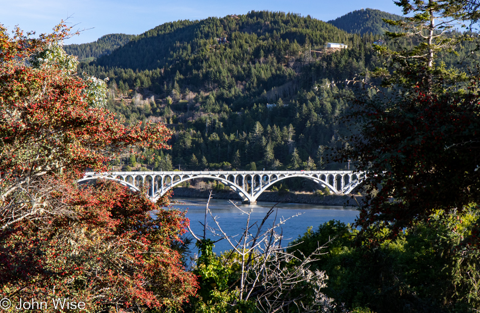
Moving down a hill and between the bushes, we were offered this view of Wedderburn Bridge in Gold Beach. I wanted to snap a photo from the road, which gave a much better view; stopping for a photo would have been too dangerous though, so this one will have to do. It’s yet another bridge designed by the famous civil Oregonian engineer with a Hitler mustache named Conde McCullough.

Caroline Wise at Meyers Creek Beach in Gold Beach, Oregon

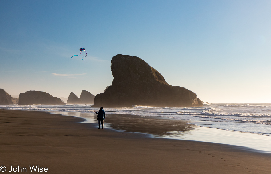
Meet our southern date here at Meyers Creek Beach, the Shark Fin. This visit, though, now comes with 100% more kite.

Meyers Creek Beach in Gold Beach, Oregon

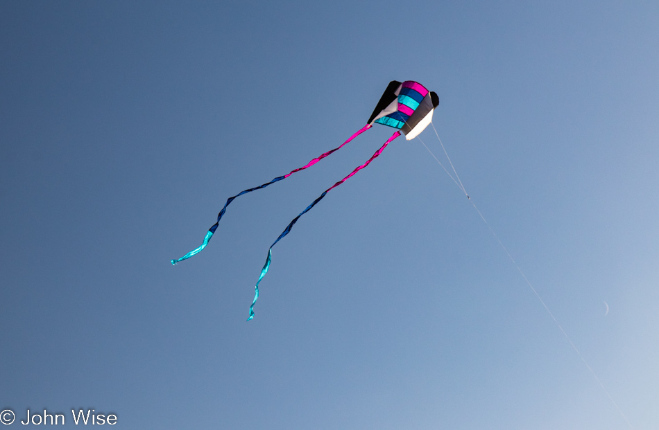
No more disappointment trying to fly the previous pathetic little kite that was reluctant to take to the sky, as this one is a natural.

Caroline Wise at Meyers Creek Beach in Gold Beach, Oregon

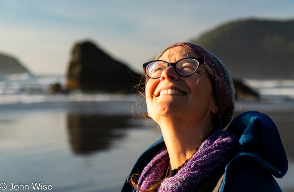
Caroline is so happy with this new kite that she’s named it Happy McKiteface. Cute name and all, but I think it actually describes her.

Meyers Creek Beach in Gold Beach, Oregon

Until next time, Shark Fin, it’s been great.

Cape Sebastian Trail in Gold Beach, Oregon

There we were, driving north as though we were doing so with purpose when, not even two miles away from our last stop, a steep road up a hillside on my left seemingly demanded that I pull a quick U-turn to investigate. Why hadn’t the Cape Sebastian sign caught our attention before?

Cape Sebastian Trail in Gold Beach, Oregon

Seeing how we are now up here, we should check out what is down the hill, not this way but the one in front of us.
Cape Sebastian Trail in Gold Beach, Oregon

Nope, this is the view to the north, but in a second, you’ll know what I’m speaking of.
Cape Sebastian Trail in Gold Beach, Oregon

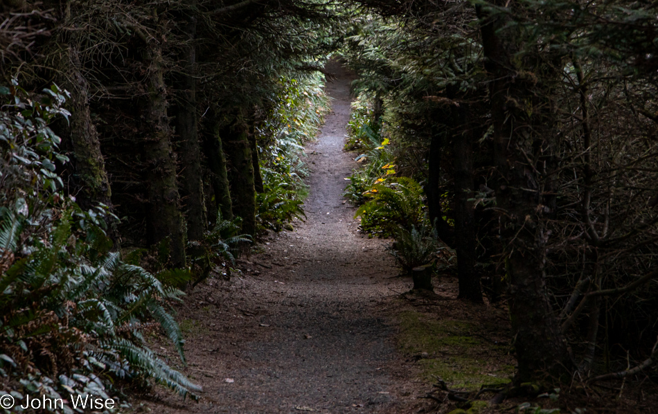
This is the trail I wanted to bring your attention to.

Cape Sebastian Trail in Gold Beach, Oregon

It apparently brings us out to the edge of Cape Sebastian, here between Pistol River and Gold Beach.

Cape Sebastian Trail in Gold Beach, Oregon

Where exactly it’s going is uncertain as there was no trail map at the parking lot, and at this moment, we’ve not passed anyone else who can tell us anything more about where we are. Checking our phones is not an option as we have no signal.

Cape Sebastian Trail in Gold Beach, Oregon

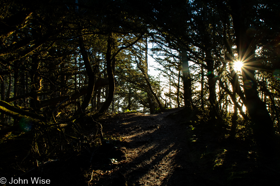
If this were as far as we’d been able to go, it would have been worth every moment and more. Around this time, we’d met a couple coming at us on the trail, and we asked how far they went; they’d gone all the way to the beach but warned us it was too late to try that as it would certainly be dark by the time we got back to where we were talking with them. Something to come back to.

Cape Sebastian Trail in Gold Beach, Oregon

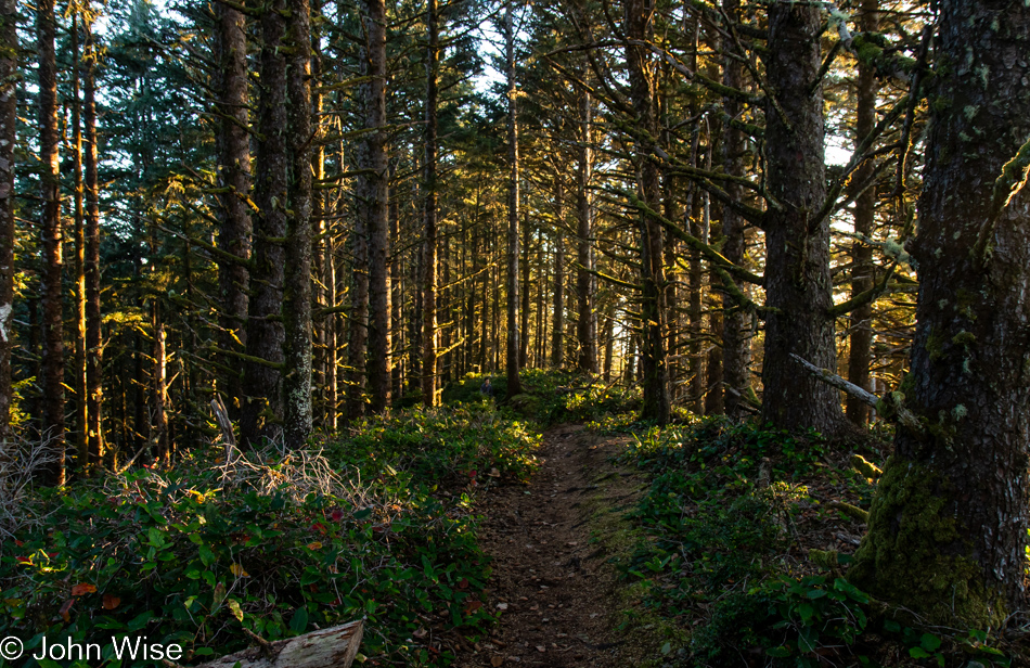
With that, we turned around for our walk back through the forest until we found a slightly different view north.

Cape Sebastian Trail in Gold Beach, Oregon

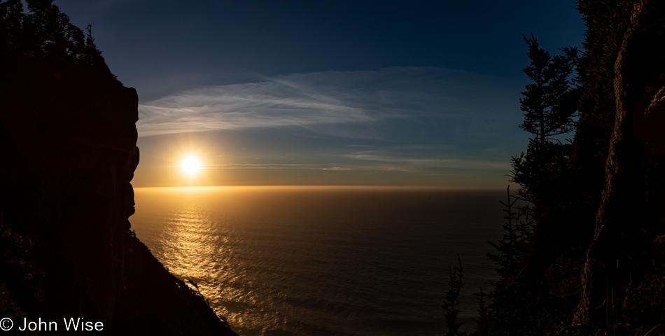
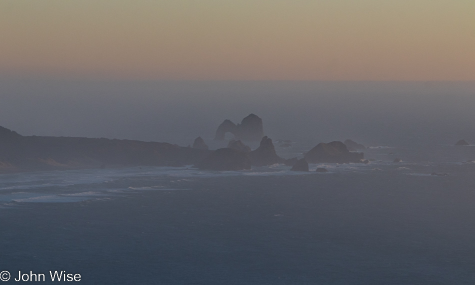
In the distance to the south, way out there, that’s Arch Rock.

Cape Sebastian Trail in Gold Beach, Oregon

Back at the Cape Sebastian parking lot and ready to tackle the last 65 miles to the evening’s yurt accommodations.

Visitor Center Beach at Gold Beach, Oregon

We’ll still have 60 miles left after this “last” stop, but who could blame us? We’ve stopped at the Gold Beach Visitors Center, which appears to be the name of the beach, but that can’t be.

Visitor Center Beach at Gold Beach, Oregon

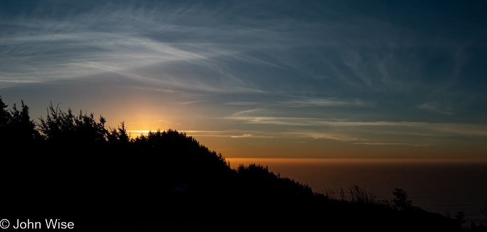
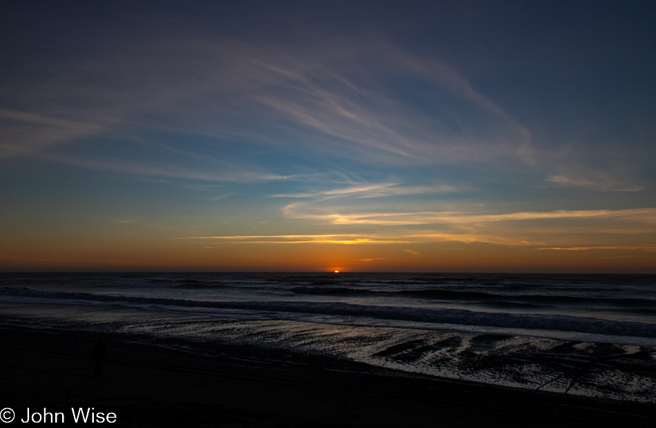
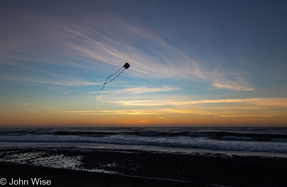
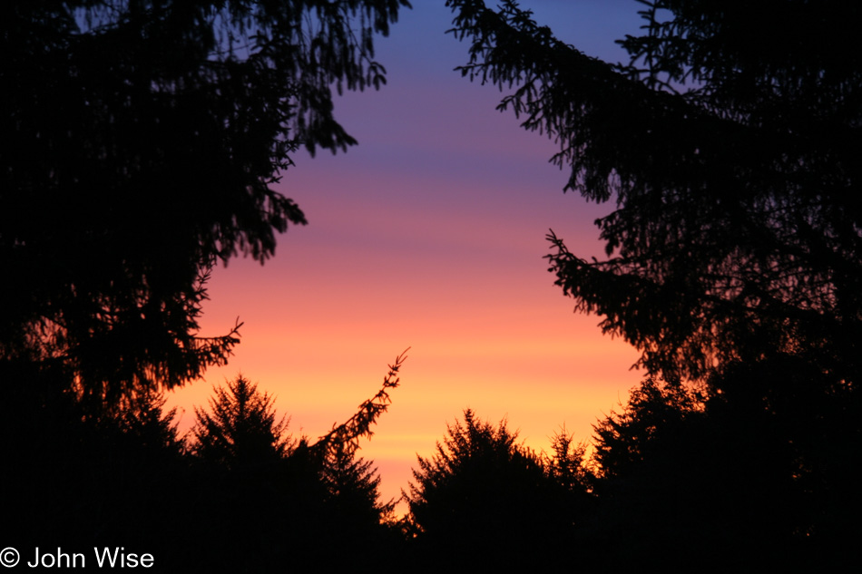
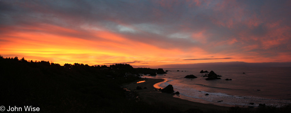
While I busied myself photographing the last moments of the setting sun, Caroline quietly pulled out Happy McKiteface and threw it aloft before I could protest. With that smiling face beaming at her new kite high above the beach in the fading light of day, there was no way I was going to rain on her moment of finding yet more joy.

Leaving via the Redwoods

It’s 7:00 as we start to pull away from our yurt here at Harris Beach State Park in the far south of Oregon. We have 400 miles to drive today in order for us to reach Sacramento, California, for our flight home. Fortunately, we are booked on the 7:40 p.m. departure with an arrival in Phoenix at 10:30 p.m.

With no less than 7 hours required to reach the airport, we don’t have a lot of time today to goof off.

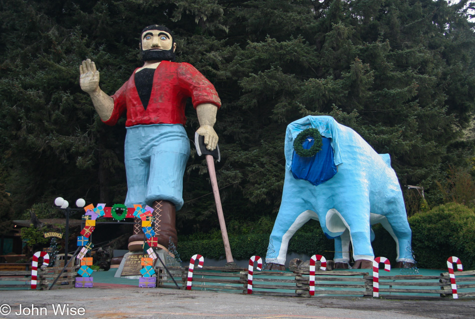
I don’t know if we missed this on the way up or if we were in too much of a hurry to reach our yurt, but a headless Babe here at Trees of Mystery certainly demanded a photo. What I wouldn’t give for some red and white paint along with a ladder so I could get up there and paint a bloody stump over the canvas….maybe I’m remembering Mark Pauline at SRL (Survival Research Laboratories) and channeling his shenanigans?

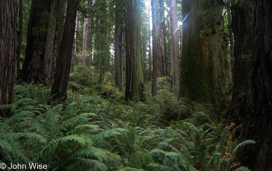
We’d made good time on the road, and with a few hours to spare, we needed to spend time amongst the Redwoods. The lighting was just right, so here we go.

I can no longer tell you which part of the park we were visiting as just as I shared in the previous posts, this entry is being penned 13 years after the visit. Read the day before this if you want more details of what happened.

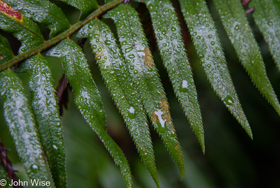
This year of 2007 saw us traveling a lot. In January, we spent New Year’s at Bosque del Apache over in New Mexico, watching snow geese launch at dawn. A week later, we were in San Francisco for five days, and before the month was over, we made it to the Grand Canyon and Los Angeles. Of course, my mother-in-law Jutta was with us, and we definitely had to entertain her, but we didn’t stop there. February took us to Death Valley for a few days, but then we took a break until the end of March before heading over to Santa Barbara to visit family. In April, we visited the Trinity Site in New Mexico, home of the first atomic blast. In Early May, we flew into Pittsburgh, Pennsylvania, for a 15-day East Coast trip that had us in New York, Vermont, New Hampshire, Maine, Massachusets, Rhode Island, Connecticut, back to New York and Pennsylvania, before dipping into Maryland, spending a minute in North Carolina, zipping through Virginia and then driving back to Pennsylvania to catch a Chihuly glass art installation at the Phipps Conservatory. Restless, we returned to Santa Barbara in June and then spent the 4th of July in Yellowstone for five days. Nothing happened after that until August, when New Mexico drew us back. September saw us heading into Kansas so Caroline could learn to make yarn by learning to use a spinning wheel; actually, that took quite a while. And now here we are in California checking out raindrops on ferns and I can honestly say that they are just as fascinating as any geyser, great lake, lighthouse, canyon, or ponies out on Assateague Island.

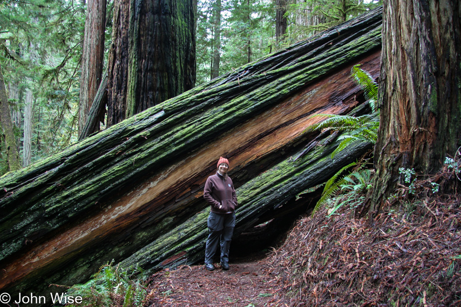
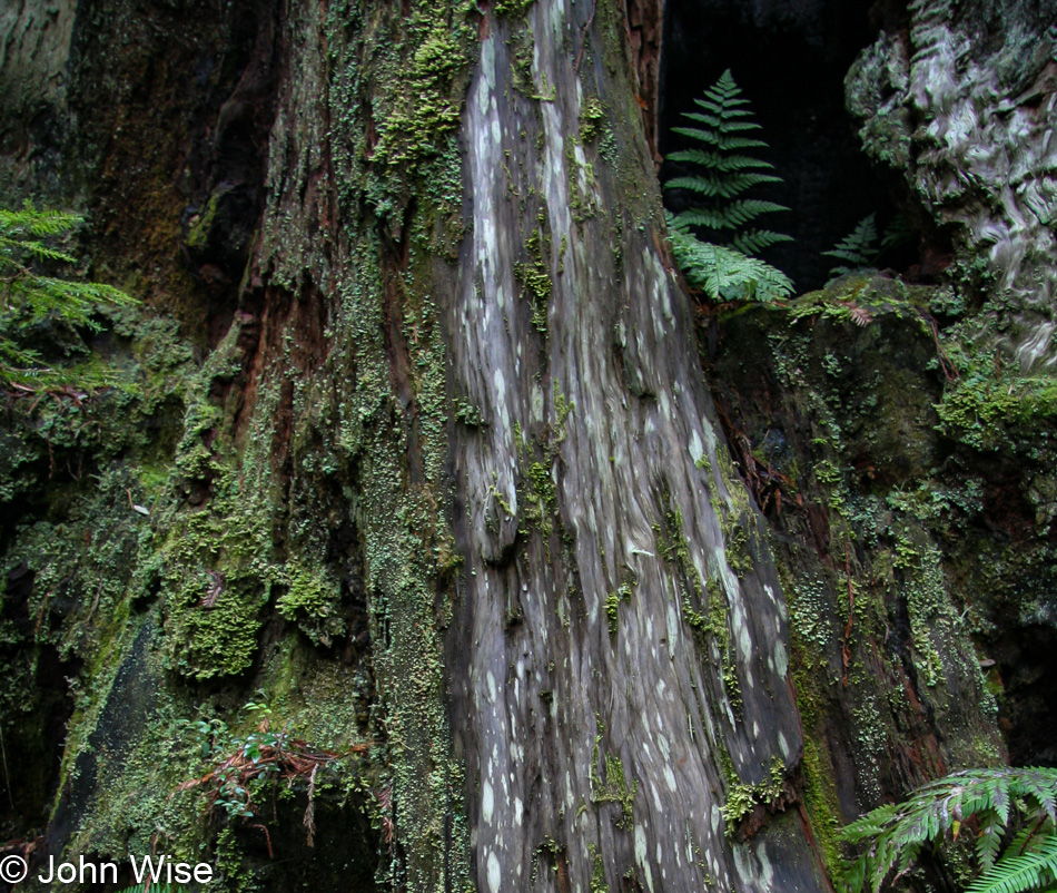
It’s long been our belief to find the magic in every place we visit and to be fully in the moment instead of comparing our present situation to something else we could be doing. The fern growing out of the trunk of this tree should be as inspiring as seeing Old Faithful erupt or even just waiting nearby as Old Faithful gurgles and belches between performances. Try to imagine yourself as an explorer who just stepped off the boat from Europe in a nearby bay some hundreds of years ago, and you are seeing a tree of size and height unimaginable from where you are from; this is where we are every time we fall into a place, whether we’ve been there before or not.

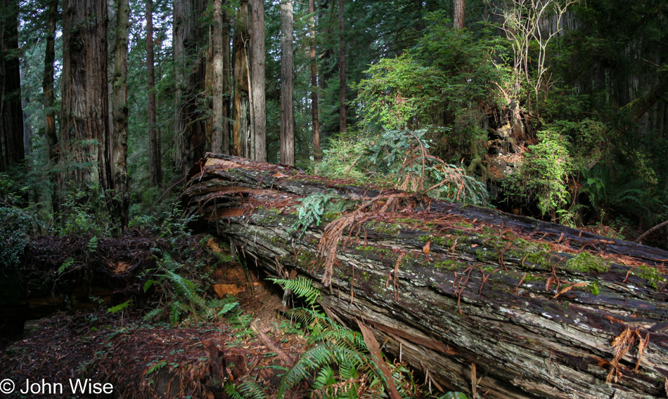
A brilliant metaphor is in this photo: our path is blocked by this ginormous fallen tree. Did we have to turn around? Did we crawl under in that tiny space? Out of view, there was a detour we were able to navigate; isn’t this a good approach to the blockages we encounter in life? Why wasn’t I taught that before I became a teen and found myself lost in puberty?

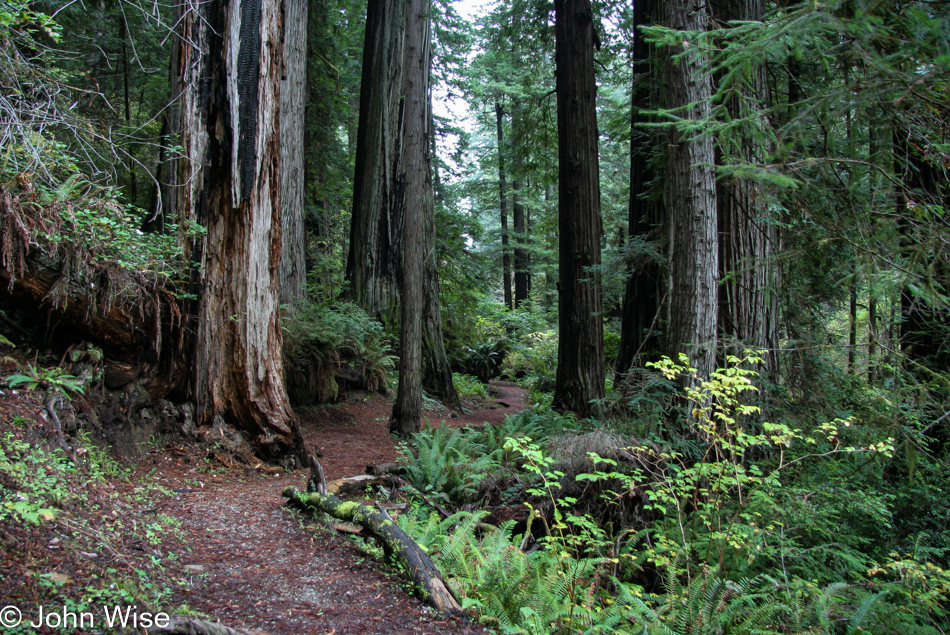
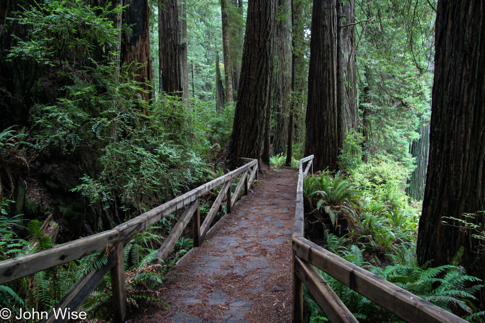
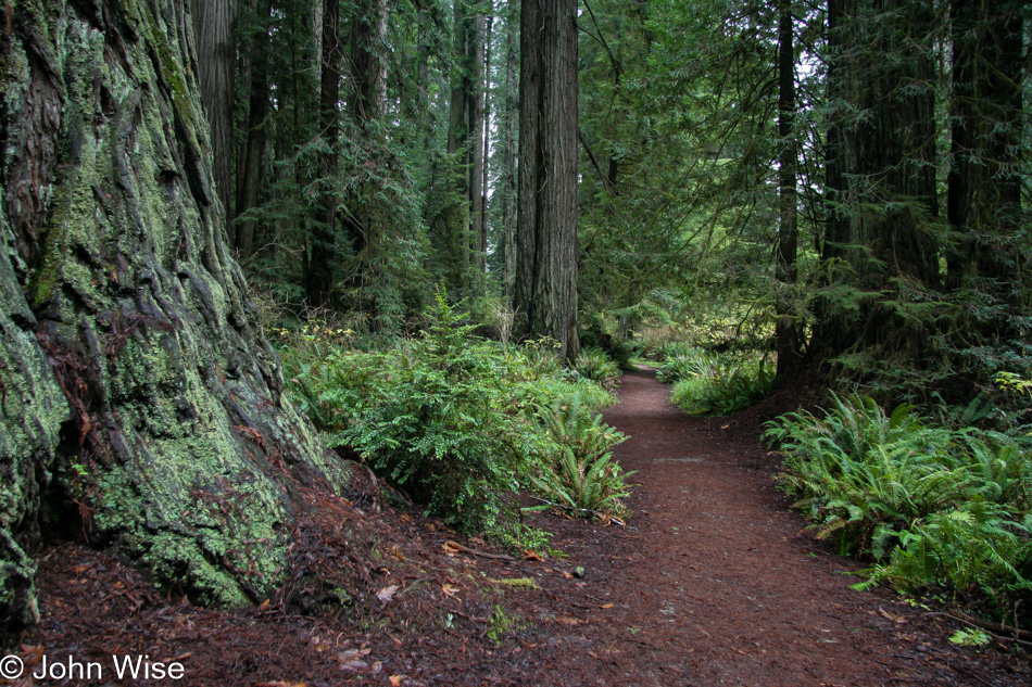
I’m always taken by the paths that are carved through these environments. Making these places more accessible so we people leave the least amount of impact is brilliant. Not only are more of us afforded the opportunity to fall in love with our natural environment, but we also gain valuable memories that spur our dreams to consider where our next steps might take us.

By the way, when preparing these photos for posting, I find the quality often to be horrible with their 8-megapixel resolution but even with the relatively poor quality, I’m happy to have these reminders. How different it is to look at someone else’s images of a place compared to looking at our own. While seeing these again is almost like seeing a stranger’s photos, in the back of my mind, I know that I saw this with my own two eyes, which somehow allows them to be fully familiar.

Did I get carried away in sharing?

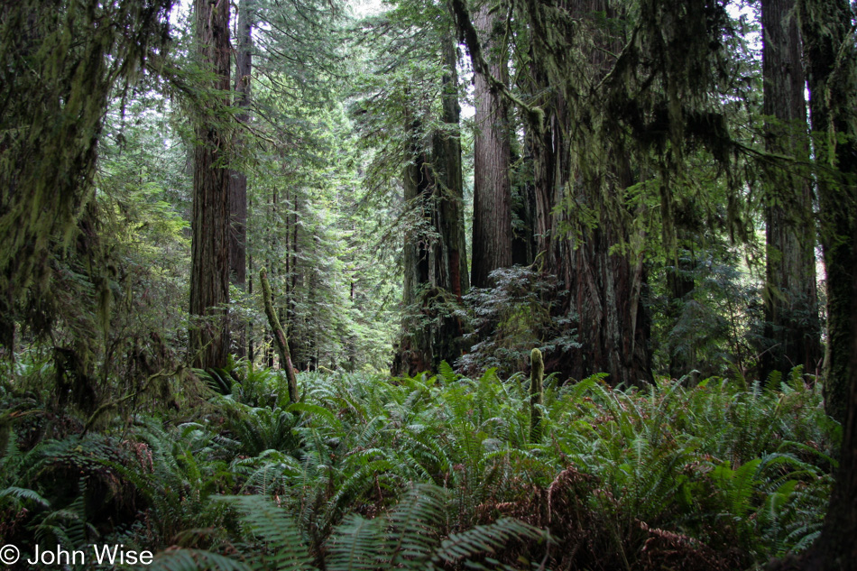
But it’s all soooo beautiful and dripping with pretty.

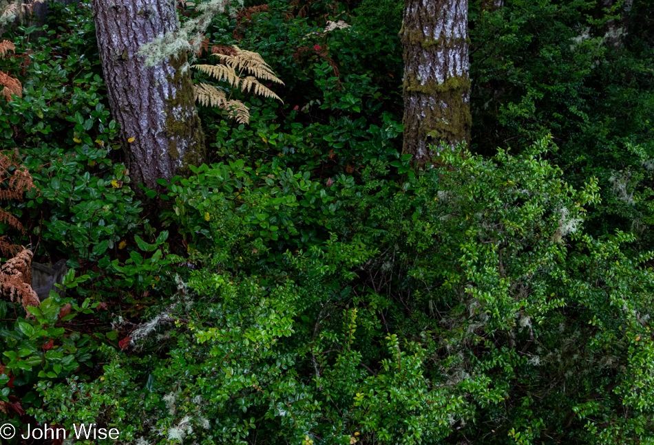
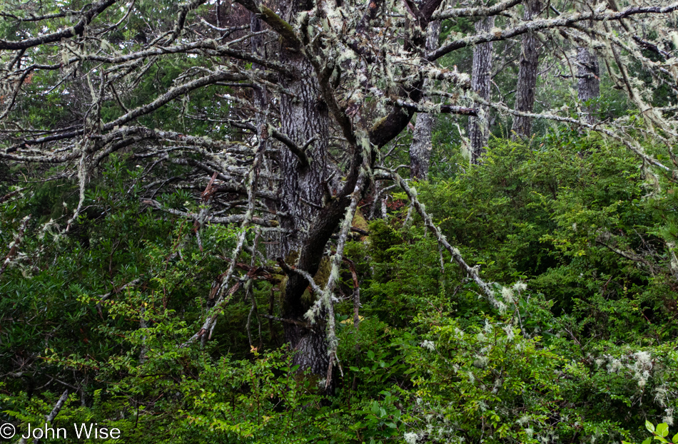
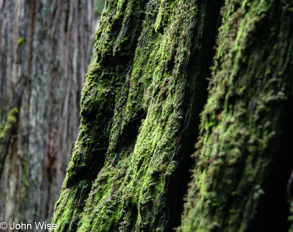
Moss on trees? Yeah, I’m all about that.

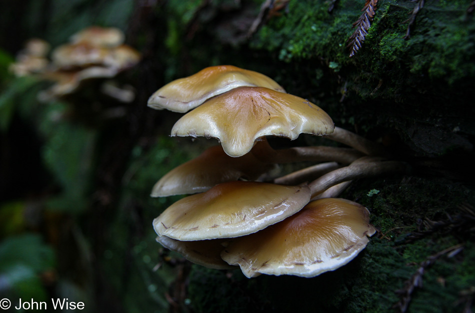
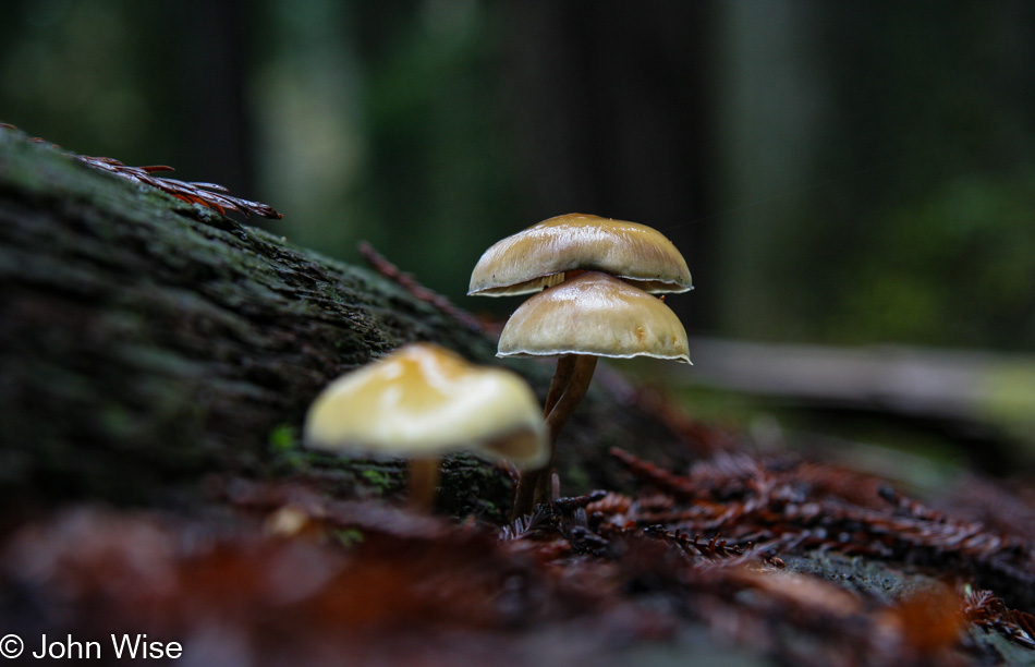
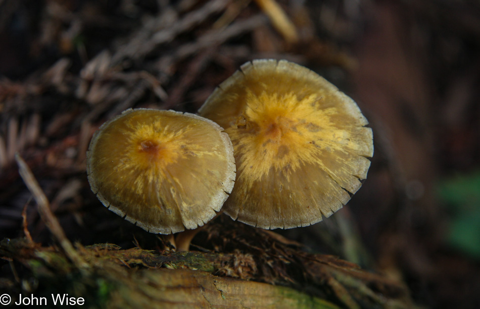
Climbing into the universe of the mushroom? You already know I love it there.

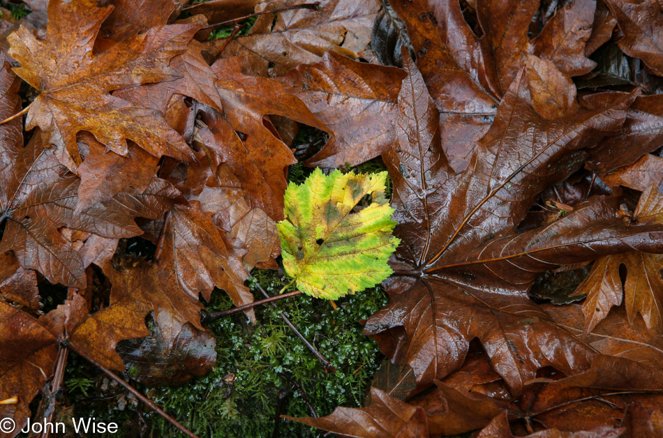
Contrast and change? Right up my curiosity.

It’s the vertical fern leaf in the dark shadow that made this photo for me.

But we can’t stay here physically forever; we have a plane to catch.

So we’ll have to get out here and call this short 2-hour visit to the Redwoods enough. While I’m sure I’ve shared it here countless times, I know that when we landed back in Phoenix and drove away from the airport at 10:30, we were pinching ourselves that the day began waking up in a yurt next to the ocean, followed by a long walk through the Redwoods before returning to the desert. Life is magical, all of it.