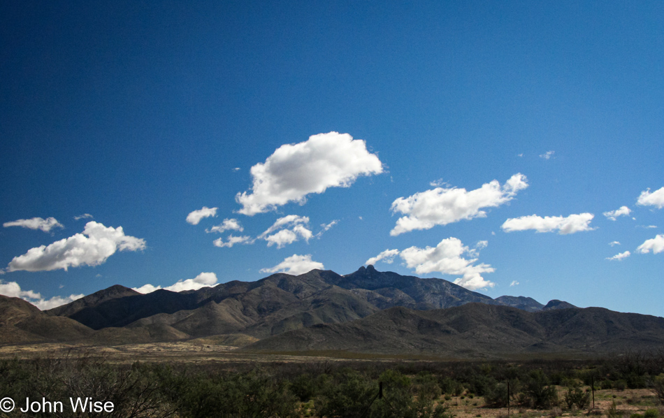
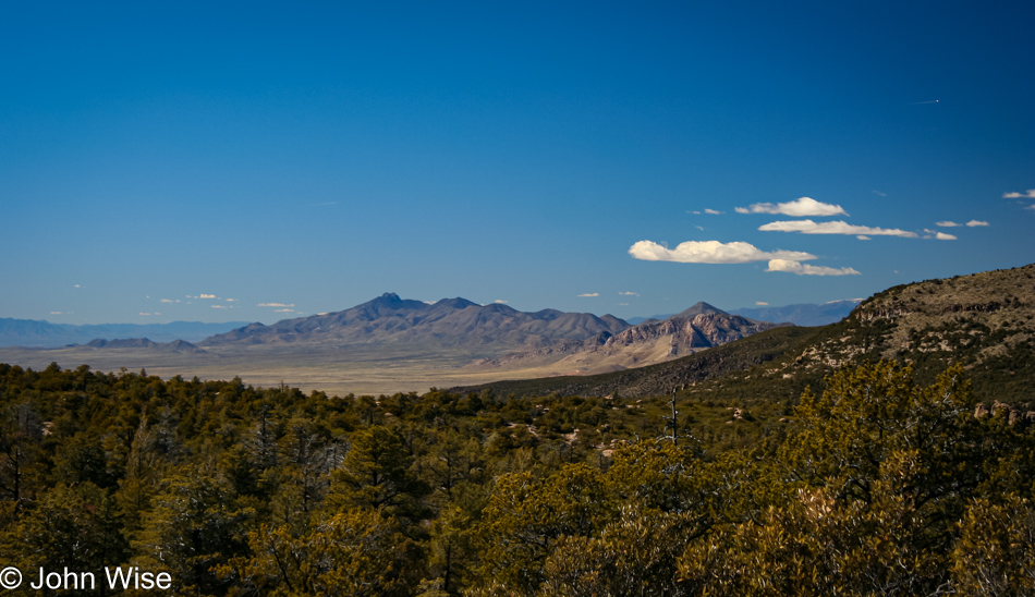
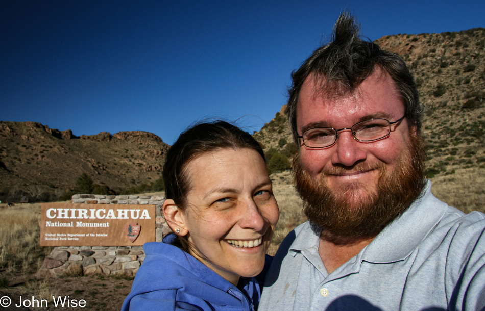
On the road to Chiricahua National Monument for a day of hiking, the weather is perfect. We are excited about our return to this park since we have been here before without being able to spend enough time and have wanted to come back. From Phoenix, we drive south towards Tucson, staying on Interstate 10 to Willcox, where we join State Road 186 to the Monument.
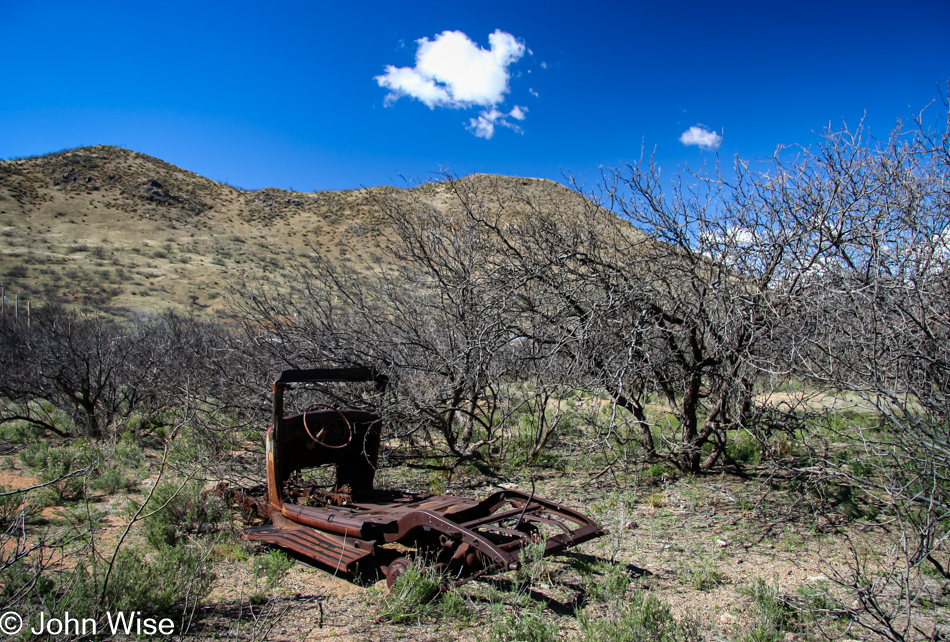
South of Willcox is Dos Cabezas, now an old forgotten Ghost Town with a few old buildings in ruin and this shadow of a car lying next to the road. The town was established in 1878 and once had a barbershop, brewery, general store, and hotel, but by 1960, the post office closed, and the town was no more. Today, a few stragglers call this home, while a curio shop is the last business plying its trade.
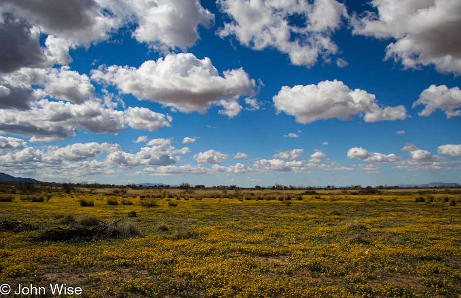
Further along through a wide-open valley here in Southern Arizona, we pass some spectacular views of wildflowers that stretch for as far as the eye can see. The drive from Willcox to the National Monument entrance is only 36 miles; after 210 miles from Phoenix, this last stretch is brief.
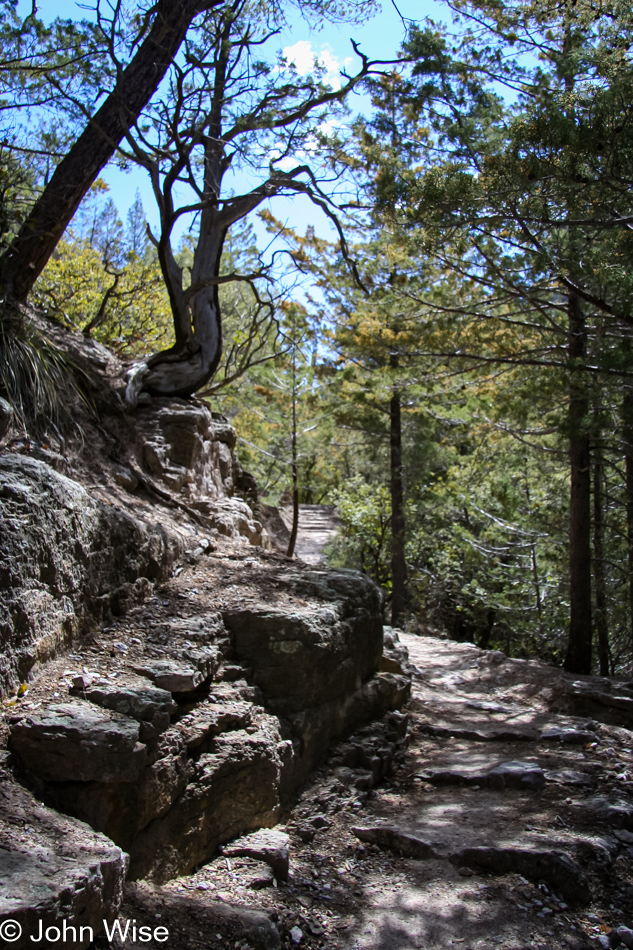
Our National Park Pass gets us in the park, this yearly $50 pass is one of the best bargains Caroline and I invest in every year. We stop at the visitor center to confirm which trail is recommended for a day hike and are directed to take the Heart of Rocks trail. An eight-mile drive through the park deposits us at the Echo Canyon parking lot and the last chance to visit a restroom. We find the trailhead and almost immediately are walking under the pines on a well-maintained trail. The round trip is going to be 7.2 miles (about 11km) and it has been suggested to us to allocate about 5 hours to get there and back.
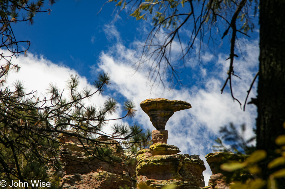
The main attraction here at Chiricahua is the balancing rocks, and it’s not long before we spot Mushroom Rock through the trees. These formations were created by processes that began 27 million years ago when a volcanic eruption showered the area with two thousand feet of siliceous ash and pumice. This mixture fused into rhyolitic tuff and, through the processes of erosion, became the spires and formations that are the signature of Chiricahua today.
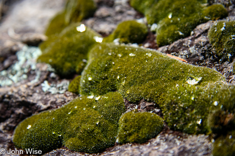
Our relatively slow pace allows us to look at the details along the way. The trail starts at 6780 feet (2066 meters), descending to 6400 feet before climbing back up, eventually topping out at 7010 feet (2137 meters). Although surrounded by desert, the Chiricahuas receive enough moisture to create a lush environment where even moss has the chance to grab hold and thrive in the open, such as on the rock above.
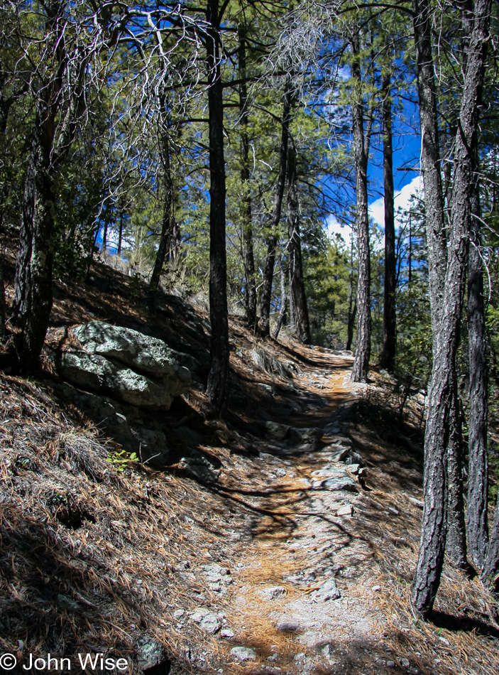
The hike up to the top of the plateau is mild and should be accessible to day hikers of all ages and fitness. Be sure to bring water and plenty of it, especially in summer, where at this elevation, it becomes easier to dehydrate than out in the open desert, or so I have been told. A recurring theme in our life due to living in the brown landscape of Phoenix is our appreciation of green and the walk in these woods is no exception. We stop to take photos, listen to the wind blow through the trees, examine bark, and look for birds, wildlife, or anything else that might catch our eye.
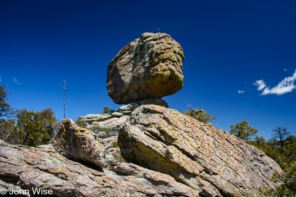
On top of the plateau, we are once again in view of the main features, balanced rocks, and spires. After years of visiting National Parks, when at times our visit was so brief that we would do as little as following the scenic loop through the park, it is a great feeling to be going slowly and taking in the surroundings as casually as we are today. We are all smiles as we gaze at this very large, balanced rock.
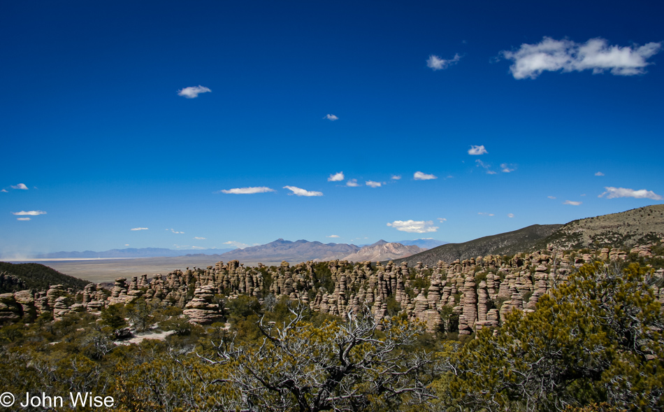
Around the corner, we get our first view of the Heart of Rocks. Looking down into the maze, it is no wonder this area was a favorite of the Apache to evade enemies and U.S. soldiers chasing them down. With the clear skies, we can see seventy miles into the distance, but we are focused on getting into the maze.
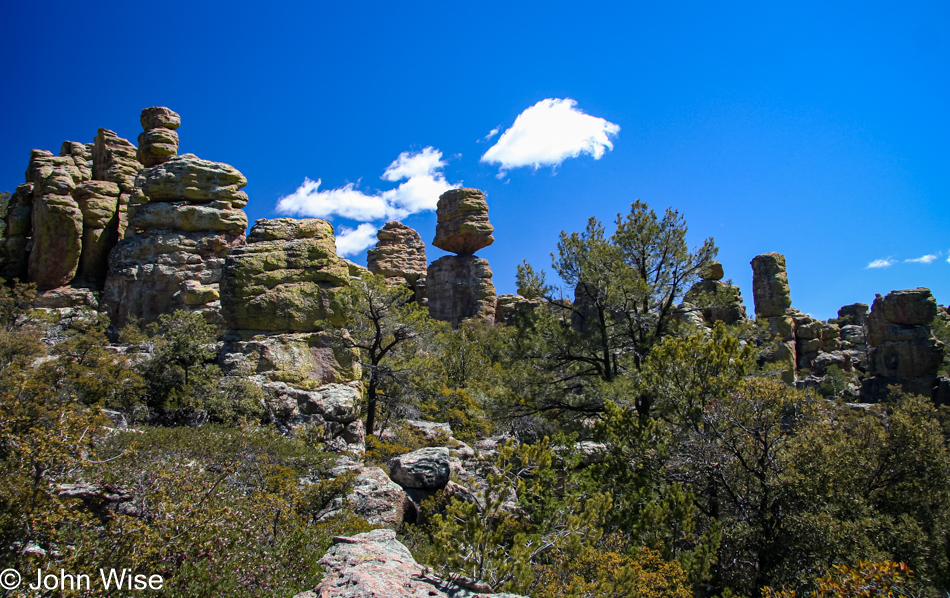
The hike is very easy at this point, the land is nearly flat up here. Mountains in the distance are still covered in a light dusting of snow, but here, away from the tree cover, we start to feel that sunblock would come in handy, along with a nice hat. The balance of the rock features doesn’t fail to thrill us. How these boulders, resting on the rocks below with the smallest of attachments, have managed through eons of wind and storm not to tip over creates constant amazement at every corner we turn.
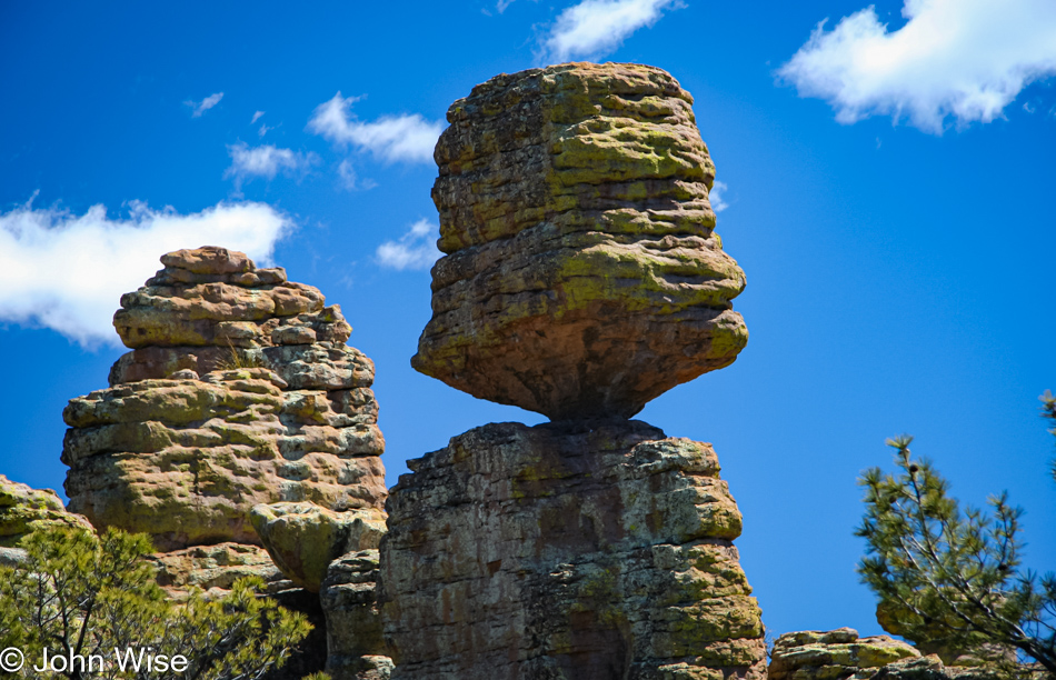
A close-up view of the balancing rock we just passed looks as though a landing bird would easily topple this giant. Imagining that so many years ago, a volcano exploded with a force a thousand times that of Mount St. Helens, which filled this area with the same material that made this balancing rock, is a stark reminder of the power of Mother Nature.
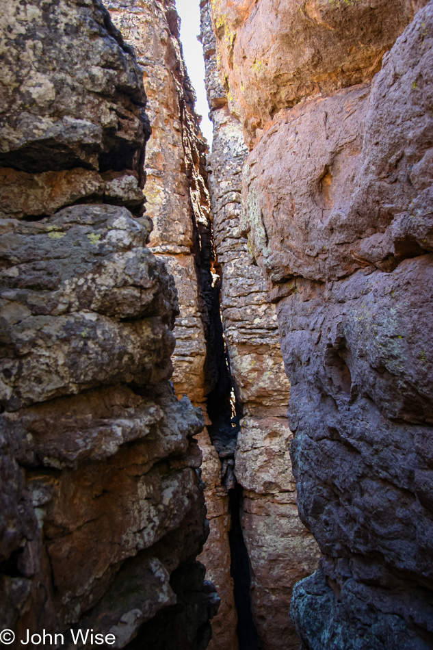
We are now in Heart of Rocks. This part of the trail is a 1.1-mile loop, and some of the park’s most famous features are to be seen here. Rocks are now known as Punch and Judy, Duck on a Rock, Camel Head, Pinnacle Balanced Rock, and Kissing Rock. At times narrow and, on a few occasions, a steep, tall step up to continue on the trail, we follow the suggested direction of taking the loop clockwise. A few lizards scurry under and over rocks, and small birds flutter under the brush and then take flight as we come closer.
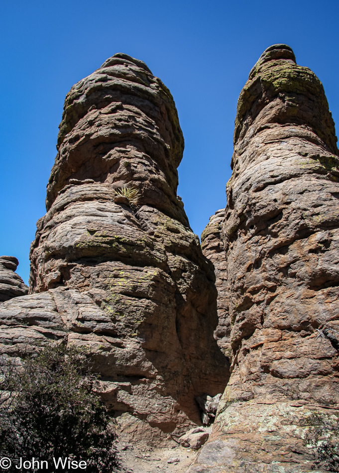
We left Phoenix this morning at 7:00, arrived in Willcox at 9:30, we’re at the visitors center at 10:15. It is now shortly past 1:00 in the afternoon and we are getting hungry for lunch. Finding the perfect spot for lunch, though, will take another half hour. Between spires that tower overhead, we can appreciate the work that went into building this trail that enables so many casual visitors to easily experience the Chiricahua. As we walk along, we remember that this was once a favorite place of the famous Apache warrior Geronimo. Well-maintained signs signal that you are approaching a particularly named feature. At times, it is not easy to determine what the folks had in mind when they chose to characterize these rocks. More than once, we are left scratching our heads.
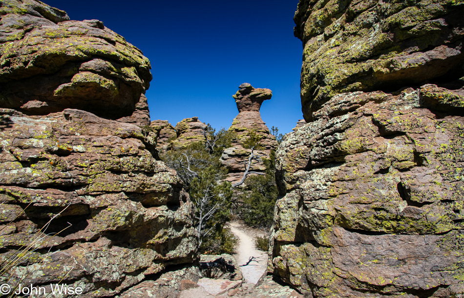
Speaking of heads, on the right is an easily identifiable feature; this is Camel Head Rock. Nearby was the Old Maiden; I couldn’t find it, nor could Caroline. We march on, looking over, around, and under, while our stomachs holler out to stop and feed them.
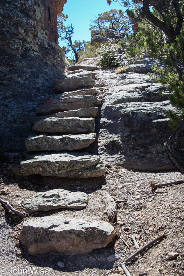
Down the stairs, we find a perch with a nice scenic view for lunch. Granola bars, cups of fruit, and water were a simple affair, but we are glad to have this as the decision to come down to the Chiricahua had just been made the evening before, and we did nothing in preparation. Of course, we don’t recommend other visitors be so lackadaisical, especially when it comes to water. We always pack plenty of water. We live in Phoenix and know better than most travelers to the southwest: always have enough water for yourself and your car when you travel, even if it is not 125 degrees in the shade.
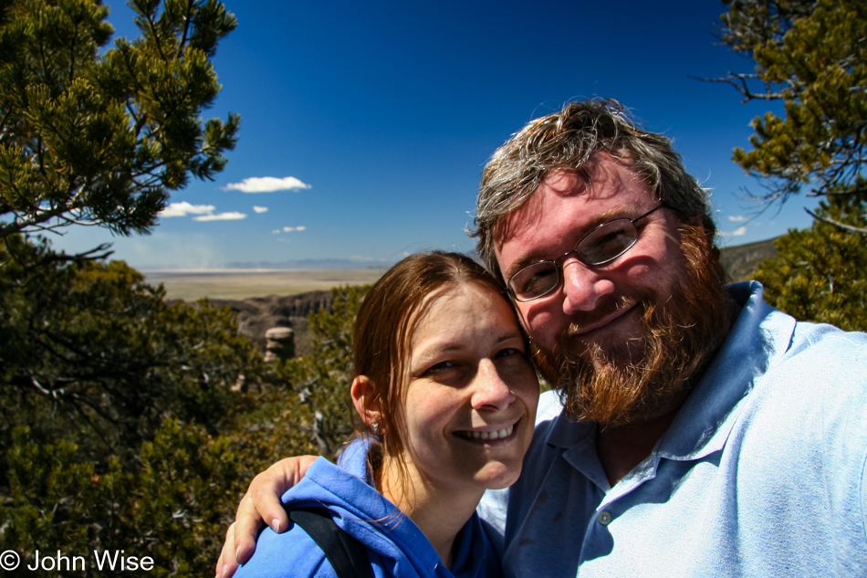
Rejuvenated by our brief picnic, we get back on the trail and are ready to go. Earlier in the day, there were some clouds bunching up, looking as though they were going to cluster into something menacing. By this time, they have completely broken up, and only tiny remnants float by.
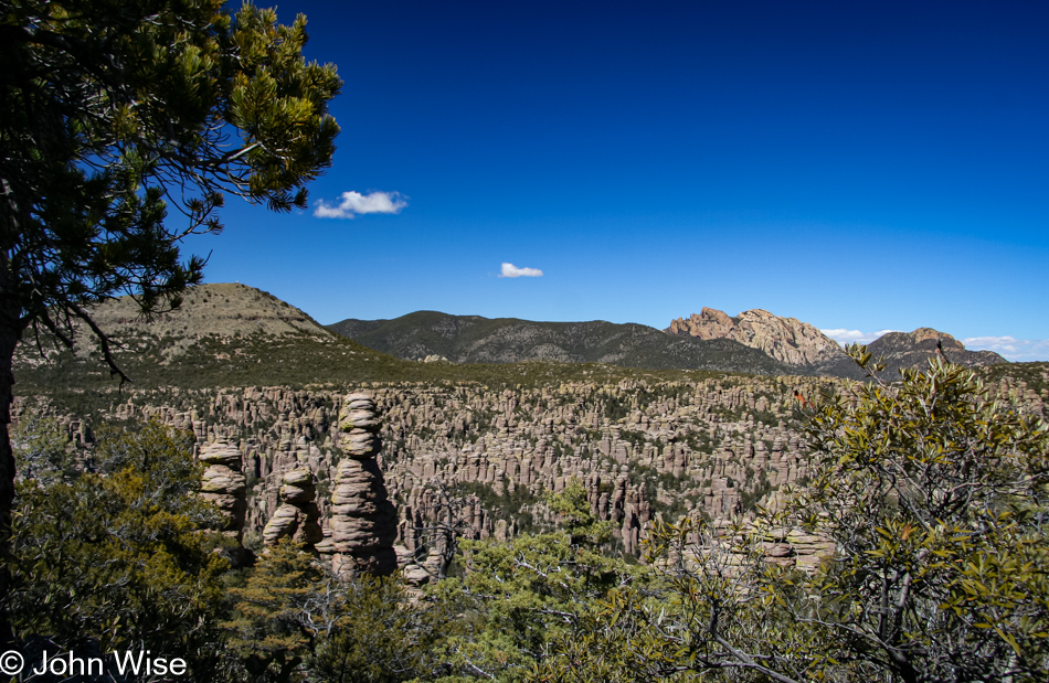
A sea of spires pokes out of the earth, but the trail doesn’t point that way. Our loop is coming to an end, and we are about to begin the hike back to the roadside. This is just as well as my feet are getting tired. Our hiking adventures are not frequent enough, and so these first 4 miles are letting us know that we should make greater efforts to get out and exercise.
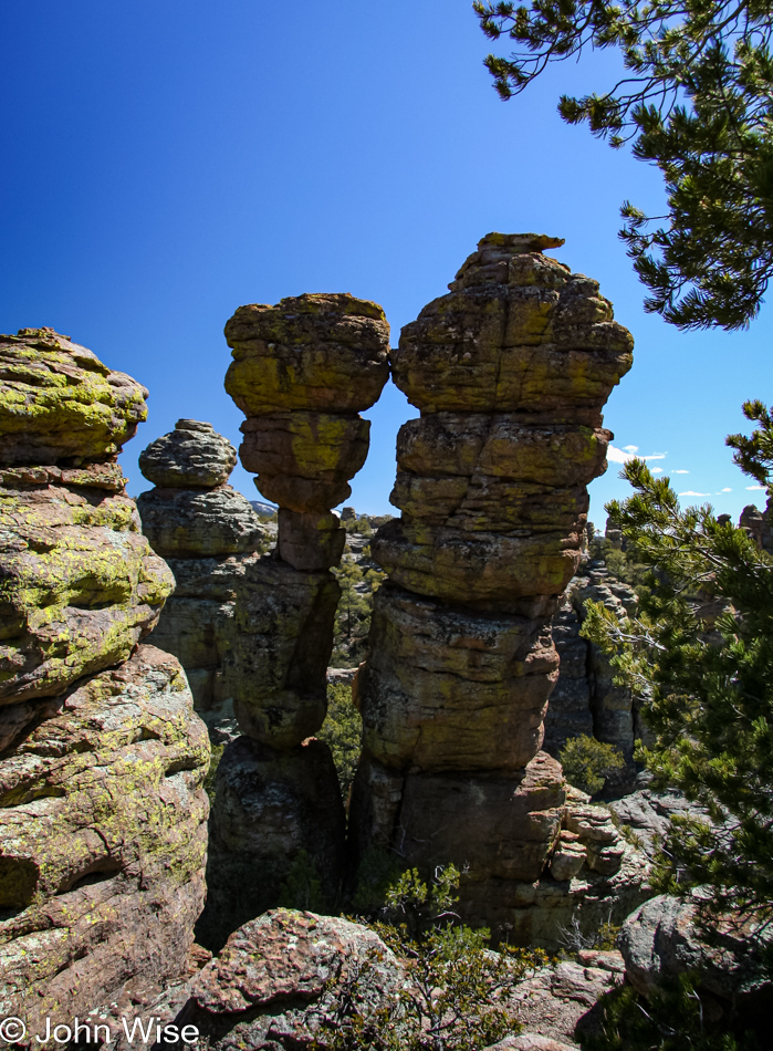
The Kissing Rocks will be the last feature we concern ourselves with. How can any couple who are at least a little romantic pass this by and not feel a tug of romance themselves? Enough romance; we want shade. The next part of the trail is over a plateau at the highest elevation of our hike, and it won’t be until we start our descent that we get back under tree cover. We step up our efforts to get back to the forest. Not only the shade is motivating us, but our desire to get home at a reasonable time is starting to push us along.
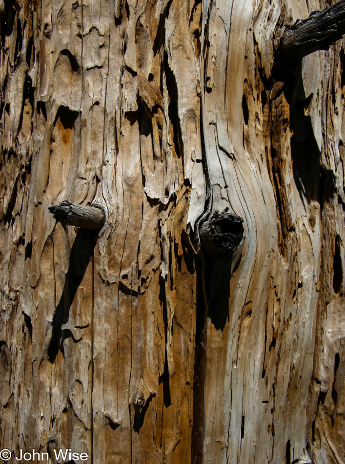
Back among the trees, our pace slows again, giving us time to inspect our surroundings with an eye on details. We look at bark, branches, limbs, leaves, needles, the trail, stones, small plants, large trees, bushes, insects, and surprisingly an absolute absence of trash, including cigarette butts. Our skills in identifying plants are non-existent. On occasion, we will travel with a birding book, we own a roadside geology book for Arizona, and even an insect identification pamphlet but own nothing to help identify the flora of our state.
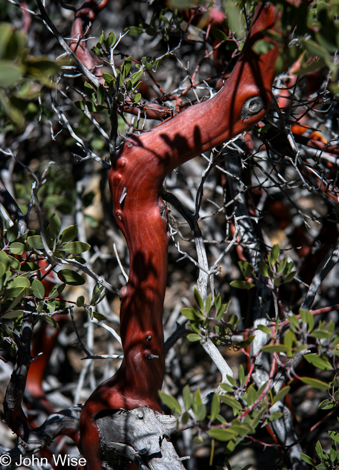
So this sharp-looking red-barked branch of what remains an unidentified plant is left to us to name. Maybe someone reading this will someday send us the correct name, but until then, it is the Rediolis Bushicus Foundio on the Trailio or Red Branched Bush for those less familiar with formal Latin names. Not only is the forest shaded and cool, but it smells great, too. It is early spring, and new growth surrounds us. A creek bed runs through the canyon we are hiking but is dry, but for a few wet spots here and there.
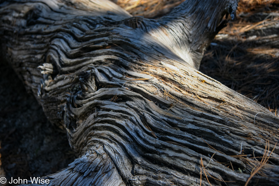
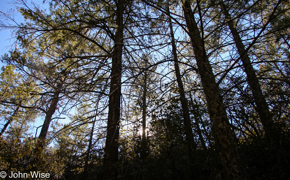
Pine trees stand tall, with new branches showing off fresh green needles. The tops of the trees whisper and shuffle with the wind blowing through. This oasis forces us to tread slower yet to gain even more appreciation for the environment. A fallen tree grabs Caroline’s attention, and she zooms in to preserve a memory.
We enjoyed the forest as much as the time we spent amongst the spires and balancing rocks. Our time at Chiricahua is almost over. The sun is getting lower in the sky as we pass a couple of women who are just heading out on the trail. We chat briefly, exchanging points of origin and recommendations for other sites.
The ladies begin to walk away, and Caroline mentions how much she likes one of the women’s hats. I call out to get their attention and inquire about the hat. Turns out the liner has a website address and soon Caroline will have her own SundayAfternoons hat.
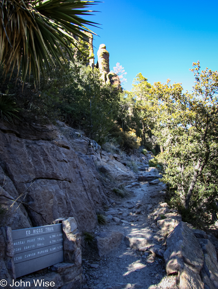
The home stretch, 7.2 miles nearly complete. Our hips hurt, our feet hurt, I’m a bit sunburned, we are hungry, our lips are chapped, we need to sit down. The car never felt so good. That is not true; after walking for 16 hours in Disneyland the car feels as good. That last segment of the trail was rocky and uphill; neither was a welcome feature.
As bad as we felt, we felt worse for the guys who had passed us earlier and were now doubling back to another parking lot because they just went to the wrong lot – ouch.
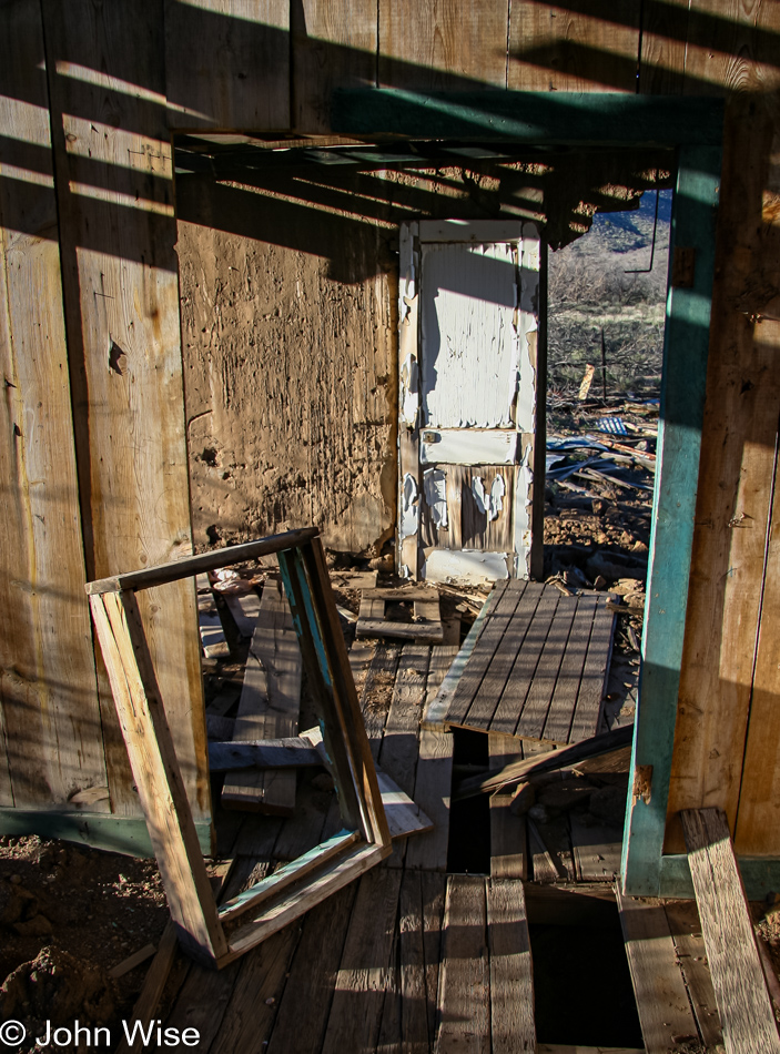
Another stop in Dos Cabezas to rattle some ghosts awake – maybe houses without walls can’t keep spirits prisoner. I putz around some old buildings and ruins looking for another photo but am soon overcome with the reminder I need something to eat. Willcox feels like it is one hundred miles from Chiricahua, When we finally get to Willcox, we can’t easily spot a restaurant nor find a sign directing us to some eats. We do pass the old railway station again which looks beautiful in the late afternoon sun. The rail car BBQ across the street only looks closed.
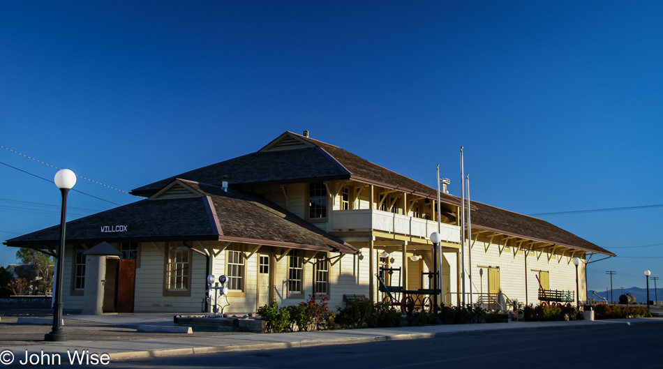
Dinner was at the first place of convenience, Denny’s, in Benson, Arizona. This reminds me, we need to come back to Benson and visit the Kartchner Caverns again! We didn’t get home until nearly 10:00; too bad a bullet train doesn’t operate out of that old railway station.
