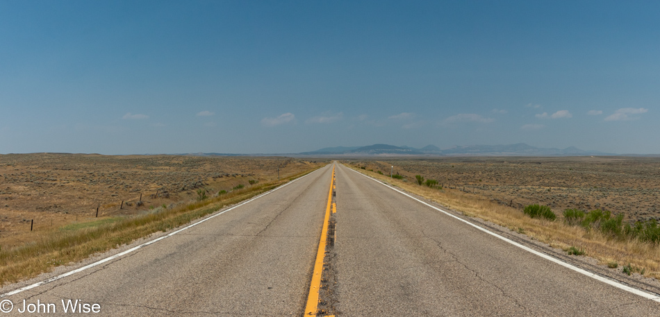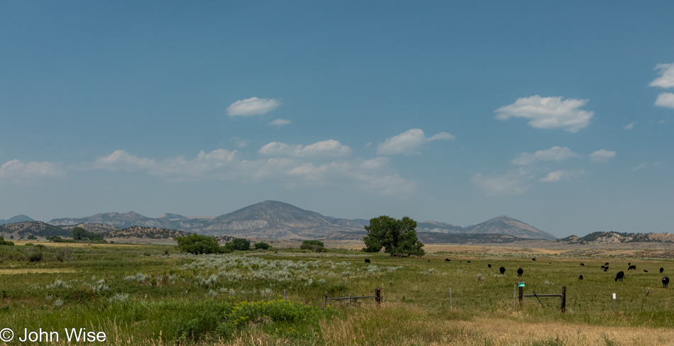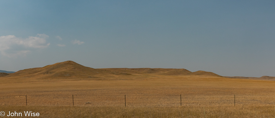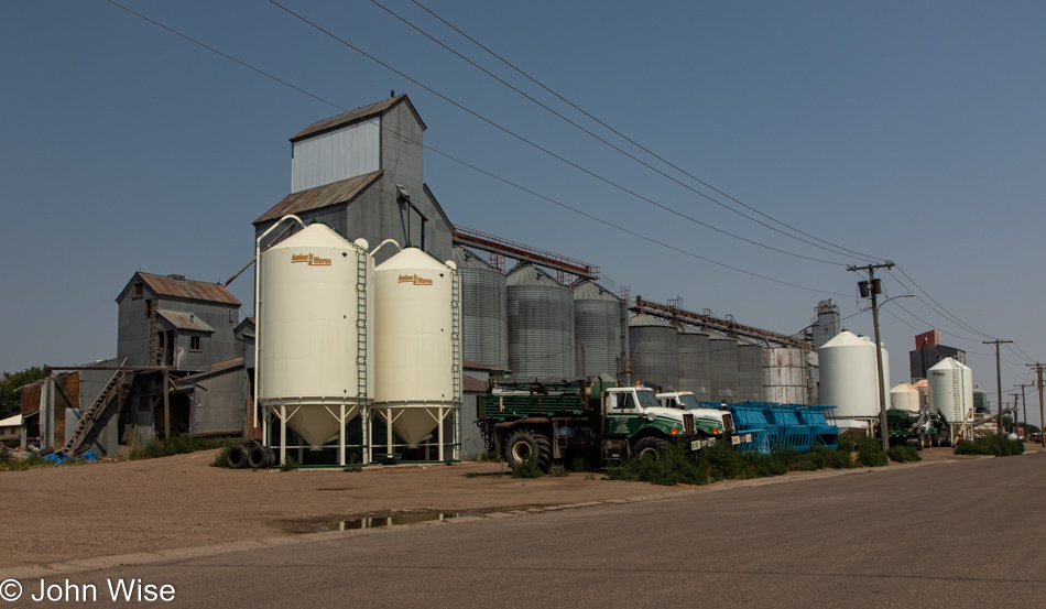
America Ends In Black & White

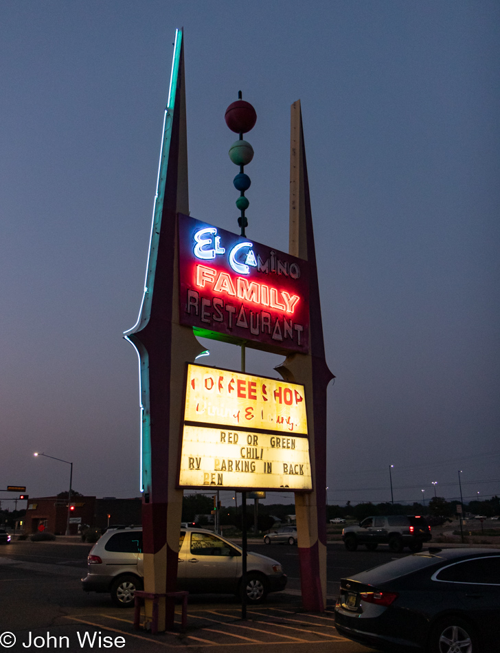
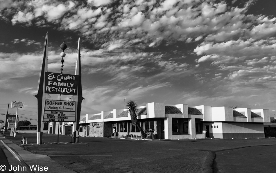
El Camino Family Restaurant in Socorro, New Mexico

The venerable coffee shop and diner, an institution on the great American road trip, is faltering. Here is where our day should have begun, but with food prices rising, pay demands of those toiling in the service industry, and the migration of previously independent people moving back home due to dire economic consequences brought on by a pandemic, restaurants have little choice but to shut down or scale back operations, just as this institution in Socorro, New Mexico, had to do.

I wonder how much doubt was alive and well in those businesses that cater to the travel industry as the world entered the summer, not knowing which direction COVID-19 was going to take. Sure, many of us rushed to get vaccinated as soon as we could earlier in the year, but an equal number are swearing off ever getting a vaccination. So, with uncertainty about how things would progress, businesses appeared to be reluctant to staff up, especially knowing that there would be no global travelers descending on America, and this was compounded by shortages of parts and supplies that hamper car rental agencies trying to ramp up their fleets, which left everyone scratching their heads about what to do.

What everyone did was raise prices. Hotels and motels out here are expensive, car rentals are pricey, and feeding a family of four at even cheap restaurants is just shy of or even more than $100 for dinner. Caroline and I paid over $50 for breakfast on the California Coast back in May. As the green is being drained away by the higher cost of living, diminished opportunity, and a population moving in reverse intellectually, the colorful sparkle that has been so attractive about life in America is starting to appear tarnished.
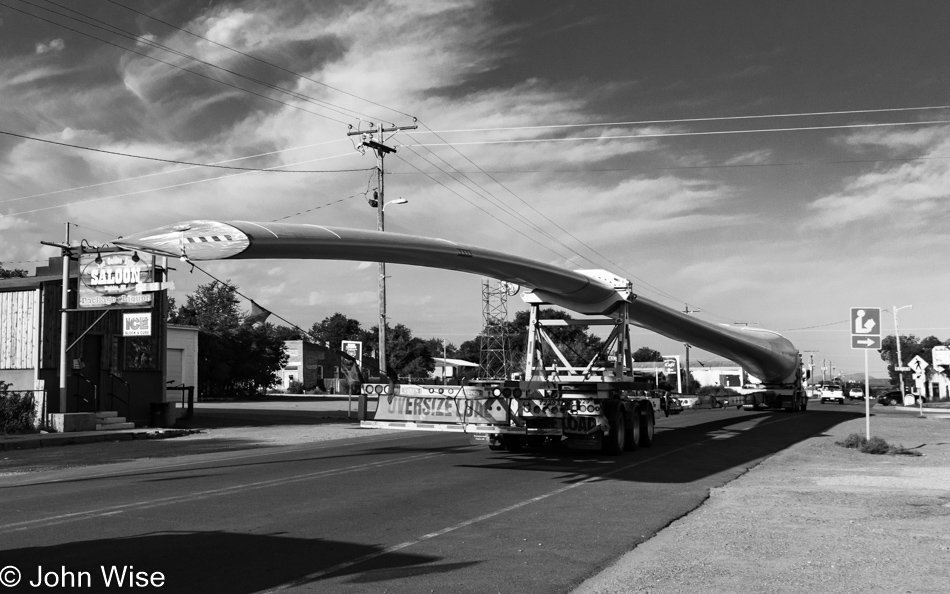
Turbine blade in Magdalena, New Mexico

Wind power is quietly being deployed across our country. Elon Musk has battled scorn and disbelief from those angry about the move from gasoline-powered cars to self-drive electric vehicles, but now all manufacturers are on board, validating his initiatives. Drought and fire are scarring the land and polluting the air, but still, a large segment of our population wants to deny that we are having any impact on the environment. Coal is still a critical element in our energy supply, though we are well aware of how it fouls water and air.

I want to see red, but I’m afraid that the opaque nature of our collective intelligence is blocking us from engaging in meaningful discussions that would be required to foster an embrace of change. The color drains from hope.
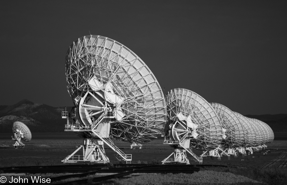
Very Large Array in Datil, New Mexico

We try to communicate with aliens and land all manner of craft on Mars, but we can’t get through the backward attitudes buried deep in thick skulls. Many are entrenched in the fight against the perceived existential threat that they might have to change and learn anew how and where to operate in our world. We risk becoming aliens to modernity as we resist launching ourselves into new horizons. Searching the heavens with telescopes will never bring blue-sky clarity to a population mired in a universe of denial. As knowledge is passed through society, those entrenched in fear and conspiracy become negative refraction materials, suppressing humanity’s move toward greater enlightenment.
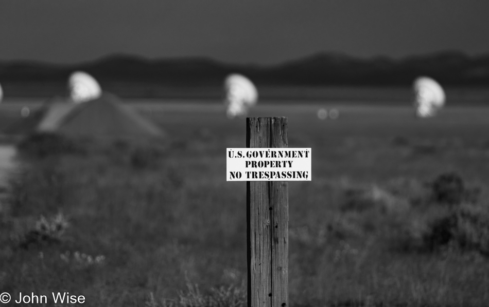
Very Large Array in Datil, New Mexico

Fences keep animals in an enclosed area, but they also keep out trespassers. I wonder when knowledge became a dangerous beast that required barriers to keep the peace. Fences, while at times transparent, also arrive in the form of walls that stop others from looking in. It is my belief that we are building metaphoric walls between those who embrace the future and those who abhor the idea of any contact with things that might alter their intellectual underpinnings, such as they are.

Pies in Pie Town, New Mexico

There are spectrums of light, sound, thoughts, and flavors. When these things are refracted, they produce various phenomena that delight human senses. Take sunlight and water vapor; we see its effect in the sky when rainbows appear. Flavors, when combined, become something greater than the constituent parts. Thoughts become inventions and art, while sound can be formed into the music that makes us dance. When the vibrancy of potential in these spectra is diminished or even squashed between two poles, we are left with a damaged system of noise; dreams are turned black and white.

I will not choose between cherry or poop pie; that’s not a choice. I want a menu that features peach, coconut cream, apple, blackberry, and even pumpkin; I want to choose from a diversity of flavors. That diversity is a fact of life, but it doesn’t only govern our food, music, TV, and racial makeup; we must also adopt a diversity of thought. Right now, we are in a cultural war with only poop and rainbow pie on the menu; well, I’m ready for a heaping slice of rainbow pie while I still have a choice. The people eating a daily diet of Carlson Tucker’s secret poop pie recipe should consider the old saying, “You are what you eat.”

To try and exist on a monotrophic diet both physically or intellectually will ultimately damage your health,  meaning you cannot eat carrots three times a day every day for years without consequences. And yet, this is what many Americans do regarding their intake of echo-chamber information. But why are so many returning again and again to the same thing? Fear. They are afraid that if they challenge their monolithic belief system, the world around them will collapse. Therefore they come back to the trough of affirmation that convinces them that only the poop pie will nourish them while everyone else nursing at the teat of the rainbow unicorn is being poisoned and will soon metamorphize into the spawn of demons, communists, pedophiles, or other detritus that they consider dangerous to their way of life.

The point here is that we need a spectrum of options that is not a bucket load of the same old, same old. Our world needs colorful alternatives. If things are only black or white, there are no choices for those who want to exist somewhere in the middle.
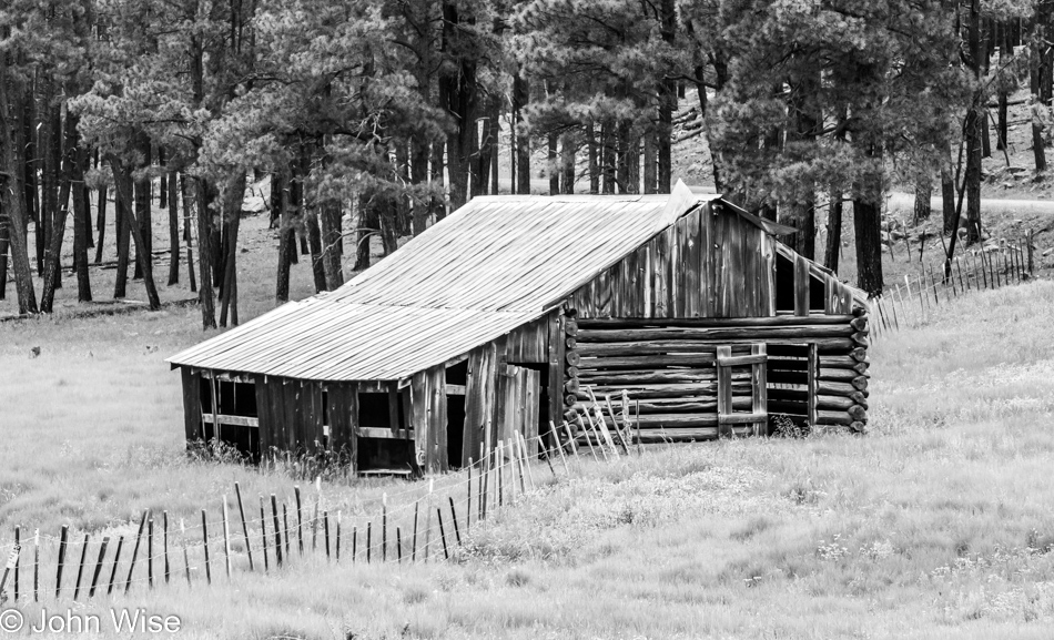
Near Hannagan Meadow on the Coronado Scenic Byway in Eastern Arizona

When culture and society are built like a house of cards, time and weather will easily wear down the structure, making the shelter quickly uninhabitable. America is in the process of breaking out the windows, punching holes into the roof and walls, and tossing out the conveniences of comfort that are the underpinnings of our country. It’s as though the outside is fighting to be inside, and the inside wants outside, or maybe they just want to eliminate differences by subordinating one to the other so all of it is the same.
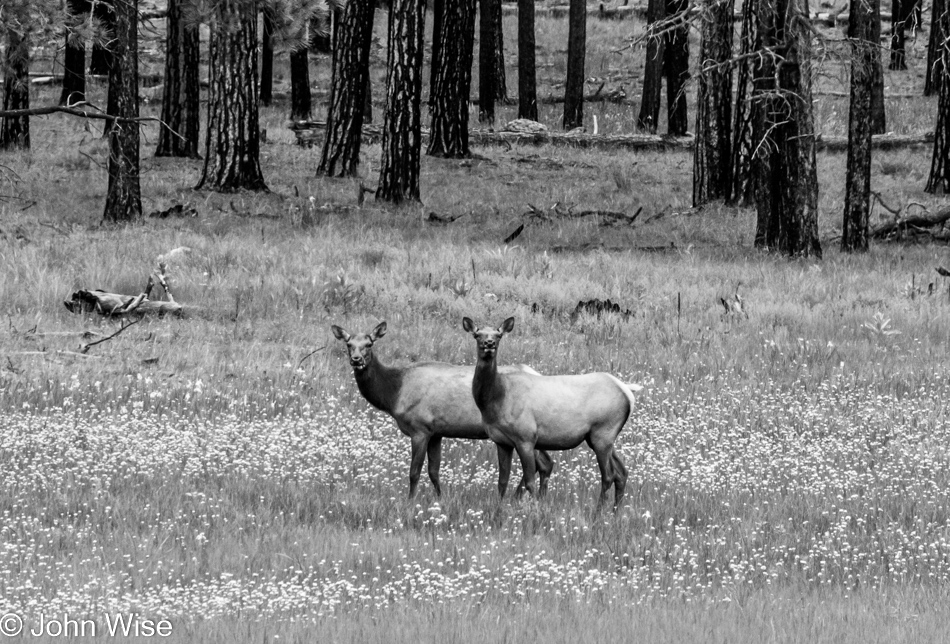
Near Hannagan Meadow on the Coronado Scenic Byway in Eastern Arizona

But when we walk together, live together, and recognize our similarities, a different world opens where harmony might emerge. Out of harmony, we create new things, such as when we take up partners and produce offspring. Similarly, when harmony arises in a population, we create a culture that brings society forward and ultimately leads to an increase in the standard of living and access to more tools for even greater expression. Through creative expression and invention, we stand apart from the animals. Without it, we become the animals.
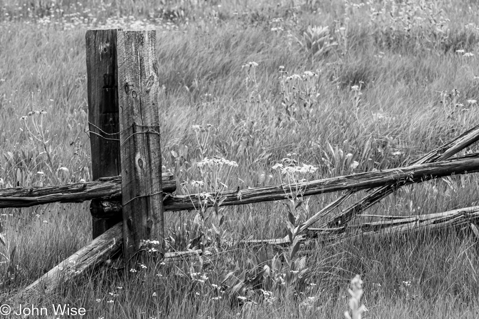
Near Hannagan Meadow on the Coronado Scenic Byway in Eastern Arizona

We step over barriers when we are at our best as we recognize that one side is much like the other. But if that barrier is a line demarking an ideological divide, then we bring weapons to defend this imaginary border, be they verbal or physical. The resultant stalemate or total conflagration might allow one side to hold their ground and not let the other take influence over their sacred beliefs and ways of living, but both sides ultimately lose out. Our fear of that onslaught that would accompany change has us needing to reinforce the dividing wall or fence that keeps us separate. This backward thinking is the fodder of intellectual regression and war.
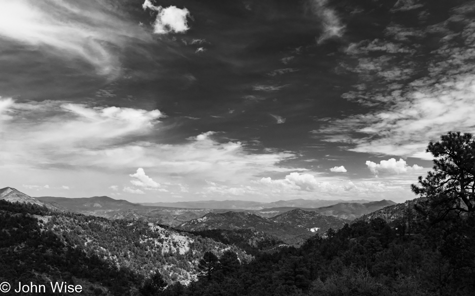
Coronado Scenic Byway in Eastern Arizona

The space between earth and clouds is vast, with a near-infinite number of hues that paint the landscape. Every minute of every day, life is coming and going, the clouds stream by, we grow older, and nothing is quite the same. It is this dynamic shifting of the view and our place in it that enchants so many of us humans into delight when we are afforded the luxury of watching big nature execute its script of constant change. And yet, we recoil at the thought of our own change, maybe because we are ultimately afraid of our own death, but that’s childish as this is at the heart of the contract that we must live with.

Jessica Aldridge on the Coronado Scenic Byway in Eastern Arizona

Right there in the middle between sky and ground, here and there, left and right, storm and sun, home and open road, experience is waiting for us to toss off inertia and put ourselves into the mix. We cannot find what we don’t know without moving into the unknown. If you’ve never been down the highway that takes you elsewhere, then how will you discover what might be right in front of you?
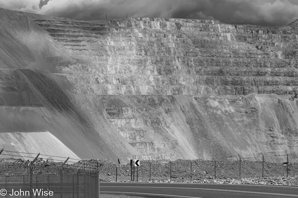
Copper mine in Morenci, Arizona

Down in the pit, deep below the surface, under the mountain, this is where we bury our demons, our poisons, our dead. In that darkness, there are no colors or light other than the eternal bleakness of being rendered blind. This is where the unilluminated minds of the voluntarily ignorant choose to exist, though they are convinced that all is bright and crystal clear to them and, often, only them. Throughout history, we have always looked uncomfortably at the wounds and scars that are opened in our efforts to make progress. Progress is only found in the march forward into certain uncertainty. You cannot escape the darkness, cowering under the rock you’ve always known.
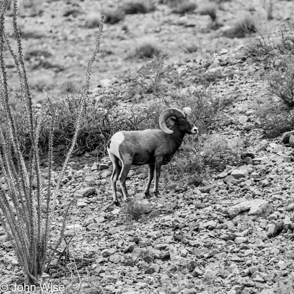
Big Horn Sheep in Clifton, Arizona

Even if you need to stand alone, get out there and see what the potentially hostile terrain has to offer. There is nearly always something that can nourish you, even in the middle of the desert. Along the way, you might find that who you are traveling with is not really who you think they are, and when that person is you, you cannot simply deny things; you must keep going and find fertile ground. Don’t stop moving. Continue your march forward; you’ll likely ascend mountains if you just remain in motion.
La Paloma Mexican Restaurant in Solomon, Arizona

At the end of the road, oh yeah, there is no end of the road; there’s just one more short pause on the way forward. But, when you sit down again to your diet of carrots with your closed mind and your fear of encountering what you don’t know yet, just remember that a world without the color of the rainbow is a world stuck between black and white, and you are only experiencing a tiny fraction of what the full spectrum of life has to offer.
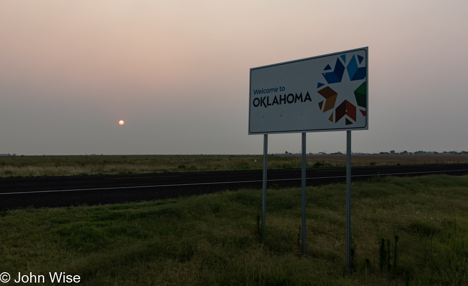
Decaying Rural Southwest

Yesterday, I was writing about the American Prairie Reserve and the ranchers who are opposed to the idea of preserving a wide swath of the Great Plains for the native grasses and animals that once populated these lands, and yet, most of what might have been here during a time of prosperity has disappeared. What you find in the rural middle of America and the Southwest is decay. Cities are really where everything is happening now and about the only place to find work.

The idea of a renaissance in which high-paying jobs return to the middle of America is a pipe dream where the infrastructure to support tech workers is sorely missing. Add to the complicated situation that in many small towns, the locals do not want outsiders moving in and telling them how to do things, though they do appreciate visitors stopping by to spend money on hotels, food, and gas to support the few businesses that are hanging on. There are many small towns scattered across America that would be ideal for well-paid workers who can operate remotely to take up residence, but the dearth of grocery stores, immediacy of Amazon deliveries, and forward-thinking by the locals make this a daunting challenge.

Sure, wind and solar power installations are promising industries in these empty lands, but once constructed, they operate mostly autonomously, so there is no long-term win to this possibility. Then there are those small towns that flip the need for blue-collar jobs on its head as the very wealthy adopt locations they find appealing. Just consider Jackson Hole, Wyoming; Telluride, Colorado; and Sun Valley, Idaho; these small towns only thrive due to the exclusivity brought on by the profound wealth that was able to squeeze out the non-rich residents. Labor is then relegated to nearby towns where those lower-paid workers must commute to the only jobs that allow them to stay near the area they may have grown up in.

Sure, there’s a tremendous amount of pride among the people who survive on these hardscrabble lands, and they’d pay a hell of a personal price to try to integrate into some of our bigger cities but without growing populations and new industries or workers establishing themselves in these thousands of far-flung towns, what are the odds of their survival?

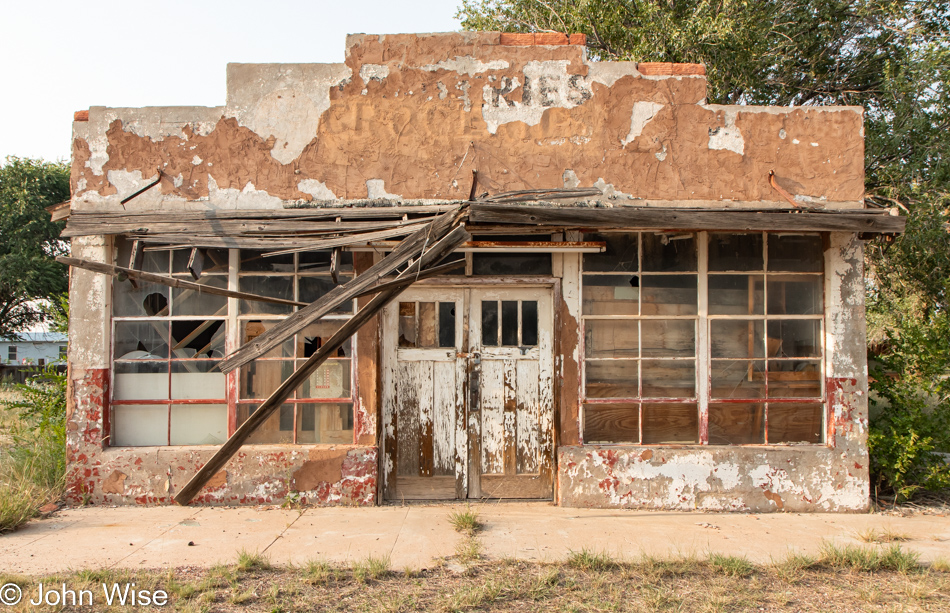
Over the years, we’ve driven through some beautiful old places that visually are incredibly enticing, but the majority of their storefronts have been shuttered long ago. The slow decay which ushers in the sadness of a place leaves bitter anger in its wake. I don’t mean to imply that only grumpy people remain as we meet some wonderful people along the way. But, after enough time out here in small cafes and gas stations and poking around ruins, closed businesses, and other curiosities, it’s bound to happen that you eavesdrop on anger or are confronted by someone who doesn’t have time for someone interested in things they don’t want you to be interested in.

Then, on the other hand, there’s the wildlife that, aside from often being afraid of people as they seem to sense our murderous intent, just go about their lives making the best of whatever is in front of them. If you don’t believe they see through us, just watch them when other species are around. I’ve seen rabbits hanging out with birds, deer grazing near donkeys, prairie dogs chilling with hawks, and they all just get along. Okay, I’m joking about that last one, as prairie dogs will tear those hawks some new b-holes in a second.

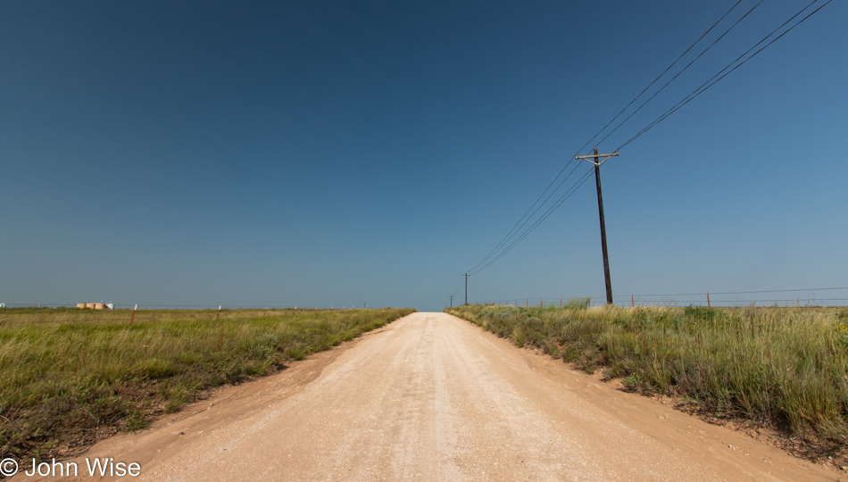
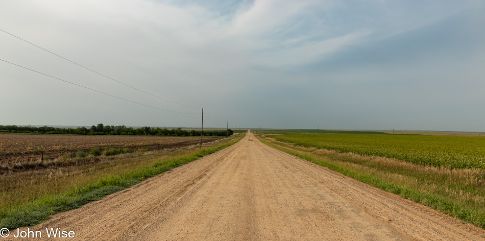
Another dirt road, but not the one I thought I wanted. While it will get us where we’re going, the passage of time lets me forget how Caroline and I got to the same destination 15 years earlier. No matter, as it’s beautiful out this way.
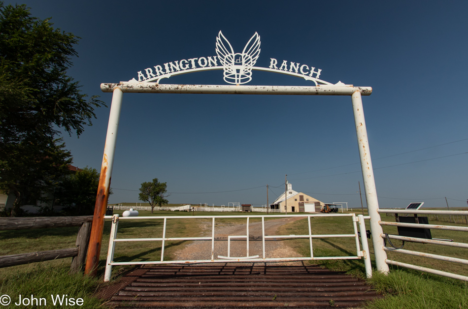
As Jessica and I drove through Canadian, Texas, and I recounted Caroline’s and my July 4th, 2006 celebration of Independence Day with a parade, rodeo, small fair, and fireworks, I mentioned that we’d stayed at the ranch house featured in the Tom Hanks film Cast Away. Asking if Jess was curious to see it and that it was nearby, we meandered out the dirt roads that brought us here.

The old house that still looked pristine six years after Cast Away was released is now showing some serious wear. We learned from the Arrington family back then about the problems with ranching in this region due to depleting groundwater and drought, so there are those issues of needing the capital to support life out this way. Some months ago, I wrote to Mike and Debbie (the Arringtons) about the possibility of renting the property again but was informed that the bed and breakfast side of the ranch was no longer available.
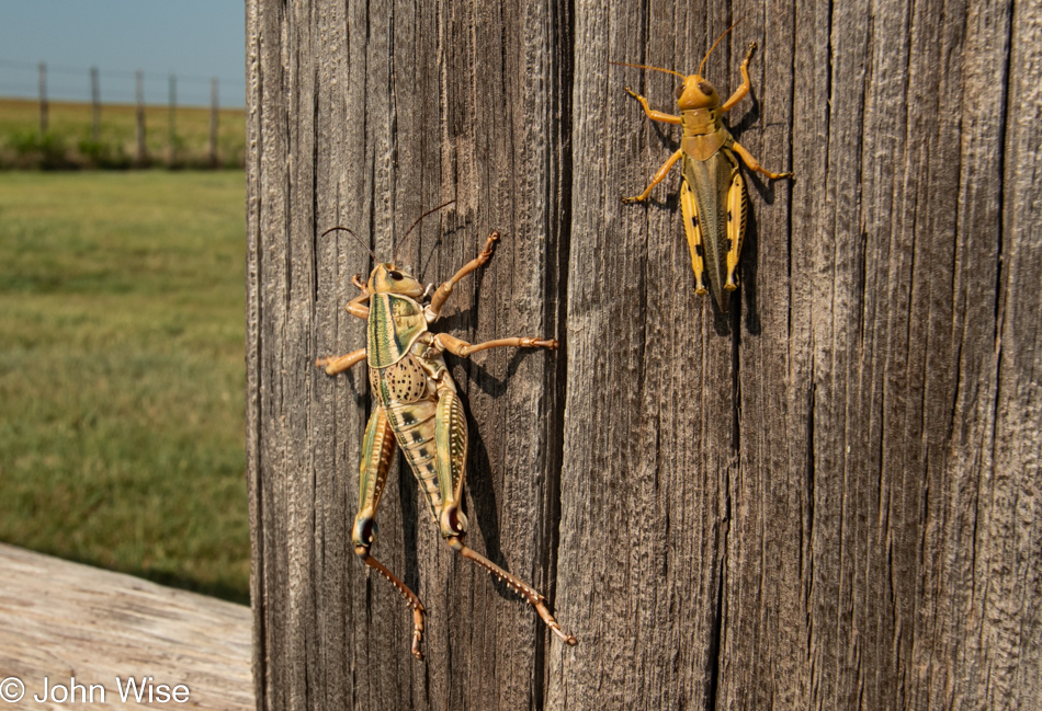
One-thousand thirty-eight miles ago, we turned south and had already spoken with a few people who were lamenting the drought conditions and grasshopper infestation. Well, we are in Texas now, and true to form, things are bigger out here. The grasshopper on the right was already bigger than the ones we saw jumping away from the car when we had stopped for photos in North and South Dakota. The grasshopper on the left could have been saddled and ridden off into the sunset; it was close to being reclassified as a monster.
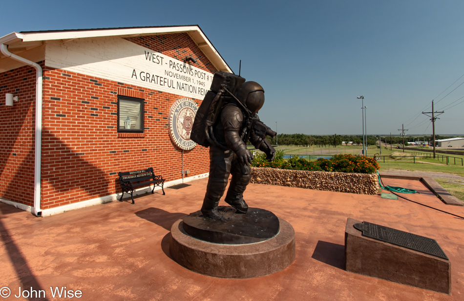
Tiptoeing On The Ocean Of Storms is the name of the sculpture of astronaut Alan L. Bean, who was the 4th person to walk on the moon. This monument to a favorite son of Wheeler, Texas, stands in front of the local historical museum. Even the road out front (U.S. Route 83) has been renamed in honor of Captain Bean.

The anger I spoke of earlier is not hidden; it is in plain sight, and the juxtaposition of the assault rifle with the church that is reflected in the window speaks to the fundamental zealotry that has festered in these corners of America. Sadly, or maybe fortunately, this will all disappear as these towns continue their decay into irrelevance.

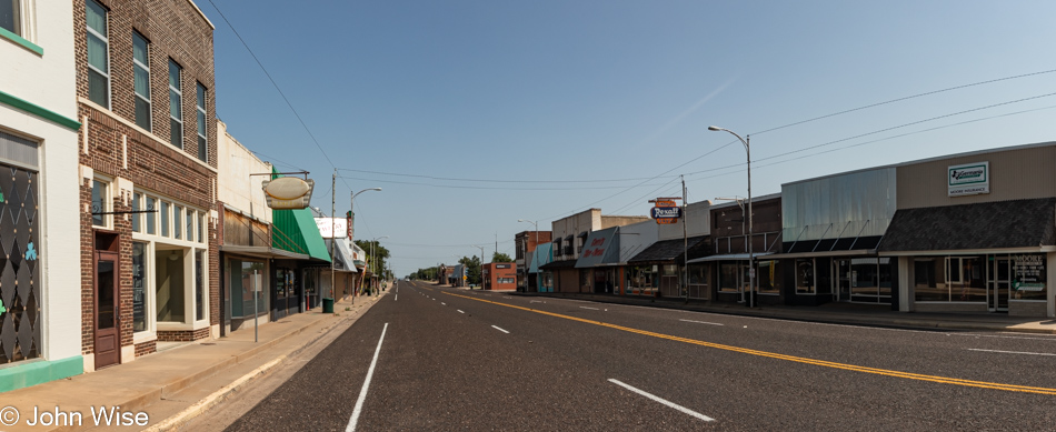
These two photos of the rifle and this absolutely empty main street play testament to my supposition that towns such as Shamrock, Texas, pictured here and a broad array of others up and down the middle of America will continue their fade-out. I find this tragic as it speaks volumes to the type of mentality that populates these remote corners where people are inflexible, under-educated, and often afraid of change though they’d likely challenge my gross characterization, possibly even with a weapon, thus proving the above.

Back in the day, at the height of Shamrock’s population, the town had nearly 3,800 citizens, but today, that’s about half of what it was. Old U.S. Route 66 intersected with U.S. Route 83 as people passed through the crossroads of America right here, but that time is over, and discovery and exploration are relics from a different age.

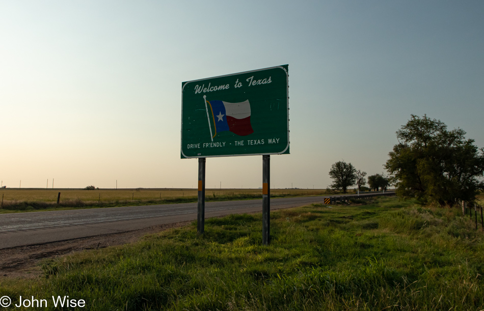
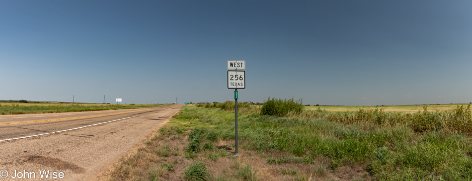
After 1,125 miles (1,810 kilometers) on the 83 South, we turned west on Texas Highway 256. We peeled off 20 miles early before reaching Childress, Texas, as we tried to shave some driving time off the day.

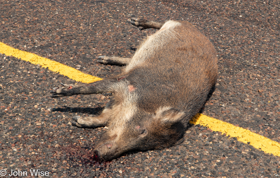
Why did the javelina cross the road? Don’t answer, as it didn’t end well. A few feet away from this lifeless creature was the truck driver’s license plate that was torn from the vehicle, so if the person who lost Texas plate number AK5 6815 ever looks for that number, here’s the animal your truck took out.

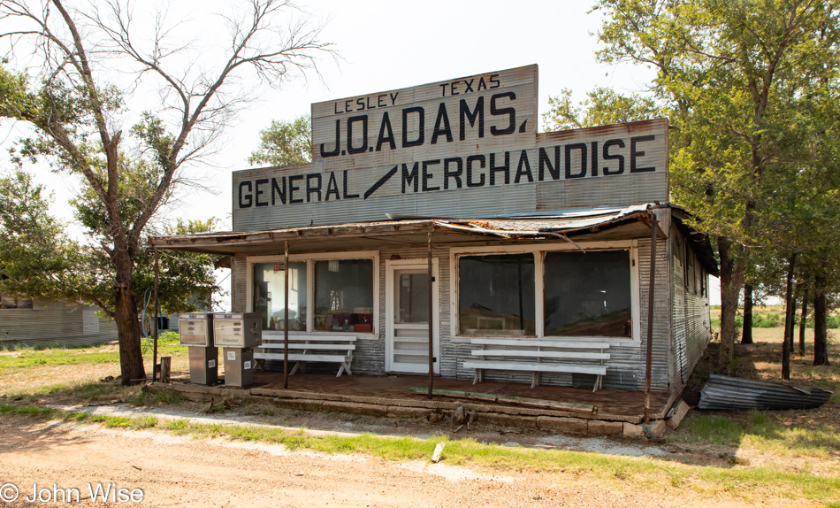
Welcome to Lesley, Texas, a great place for people looking to photograph the spreading decline of America and a horrible reminder of what it once was to the handful of people who might still live in the area.

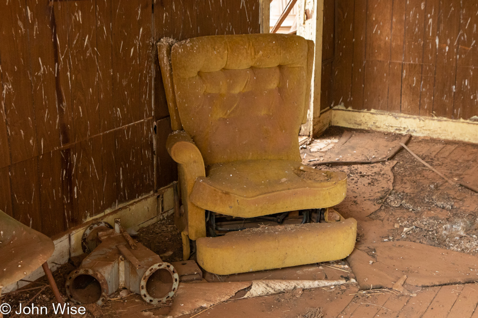
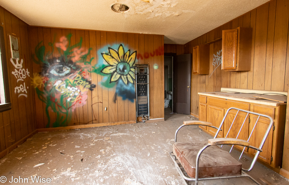
I don’t think this recliner has seen use in many a year though the birds seem to enjoy pooping on the left corner of it when they’re not taking aim at the walls.

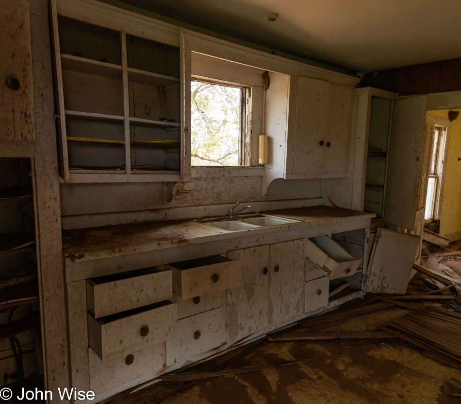
The first thing my daughter noticed here was the 1970s plastic cup holder over the sink. I think she wanted it. Come to think about it, she might have snagged it because while she went upstairs to explore that area, I ventured outside, but not before…

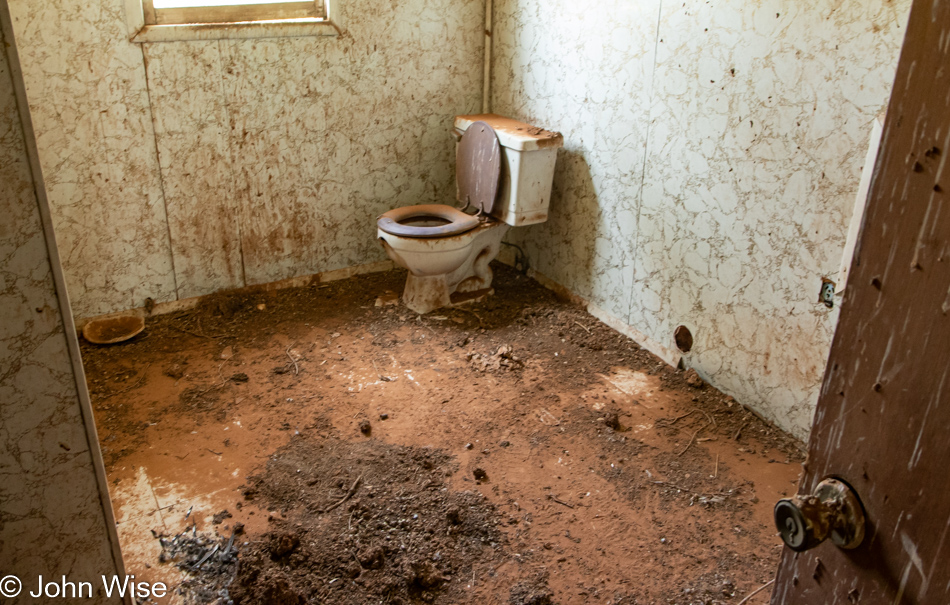
…I admired the toilet with an open lid that I could only imagine what was in it. You see, I was afraid to step into this room because I couldn’t be certain how much floor damage might have occurred from water, and my curiosity to peer into a potentially shit-filled bowl was lower than my sense of preservation that wanted to remain in the light.

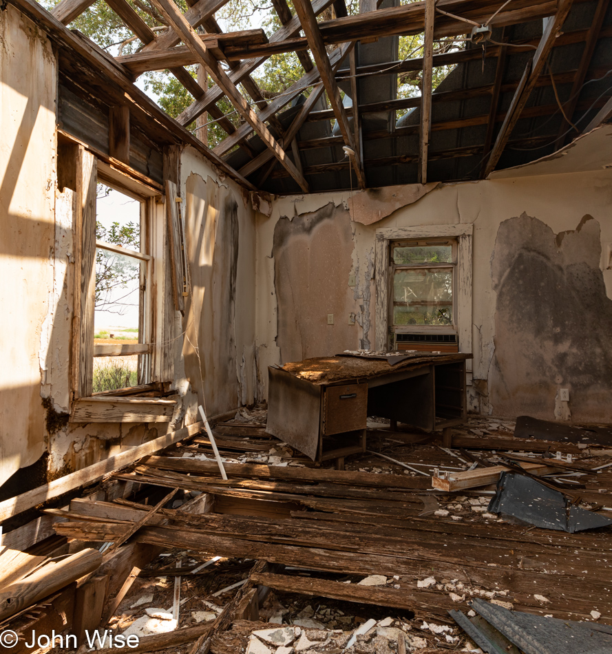
Speaking of remaining in the light and sketchy floors, the neighboring house met all the criteria of being a place I wasn’t going to step into, and while you probably can’t see it over on the left at the lower corner of the window is a small part of a hive of bees. Below that is the larger part of the hive that is peeking out of the dark hole and is moving along the lower wall. I was looking at 1000s of these chill bees that, fortunately for me, were not disturbed by my presence.

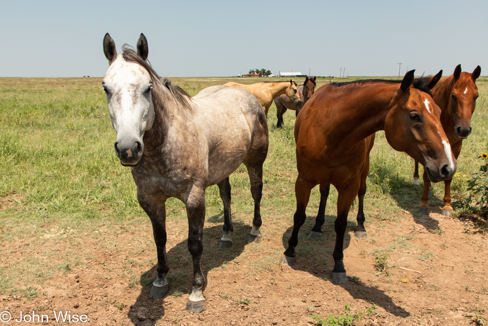
Look at my horse. My horse is amazing. Give it a lick, Ooh, it tastes just like raisins.

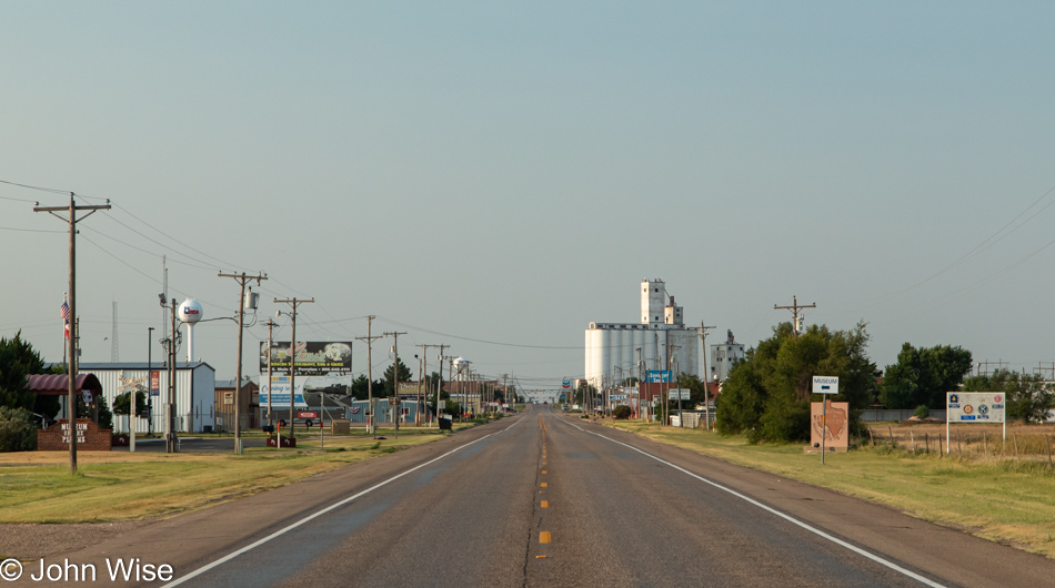
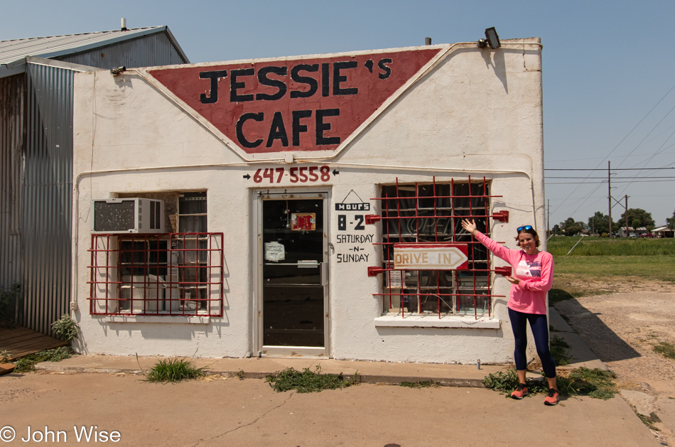
Dimmitt, Texas is not a misspelling, as I was reassured that a Dimwitt would only be found in the mirror. Had we arrived an hour earlier, we could have eaten here, so it goes.
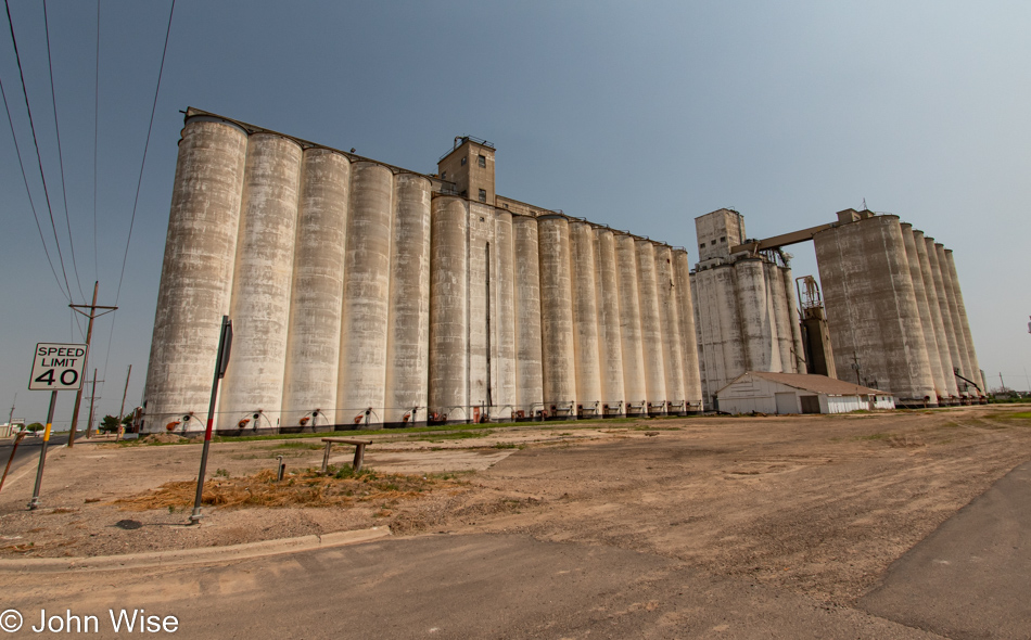
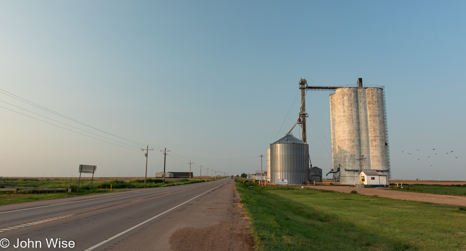
What is it about grain silos that are such interesting architectural structures? Maybe it’s the repeating megalithic brutalist forms they take? Or maybe it’s their demonstration of historical significance and the lingering echoes of the steam trains pulling through to collect the wheat or barley for hauling across America? Whatever it is, I know that when I see these silos off in the distance, there’s a likelihood I’ll be stopping to snap a photo or two of them.

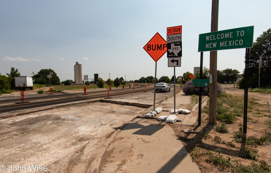
Getting closer to home as our trip is winding down fast.

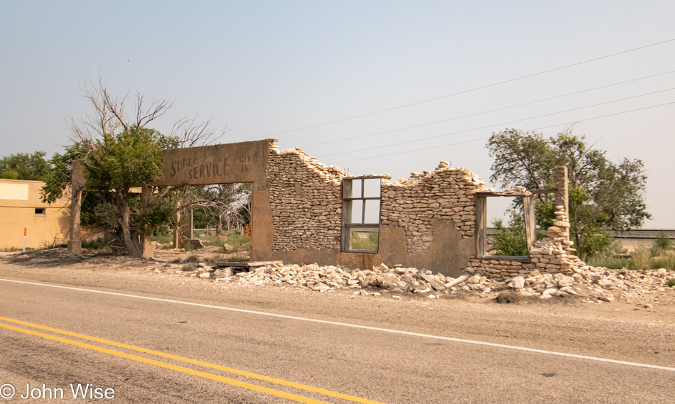
Before we’re even 50 feet into New Mexico, we get to encounter our first abandoned building, an old motel. This dilapidated place rests in decay in the small town of Texico, New Mexico. I think the founders of this town were being cute when they married Texas to Mexico. This motel used to be known as the Cross Roads Motel, and from the state of the sign out front, I’d have to guess it hasn’t been deserted for all that long.

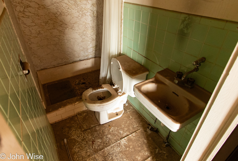
The empty toilet paper roll is right across from the toilet that had been used fairly recently; I hope the person knew before they started their business that there’d be nothing to wipe with. Just as I’m writing that I realized that the shower curtain is still there, so in an emergency, I guess it could be used to clean the old b-hole.

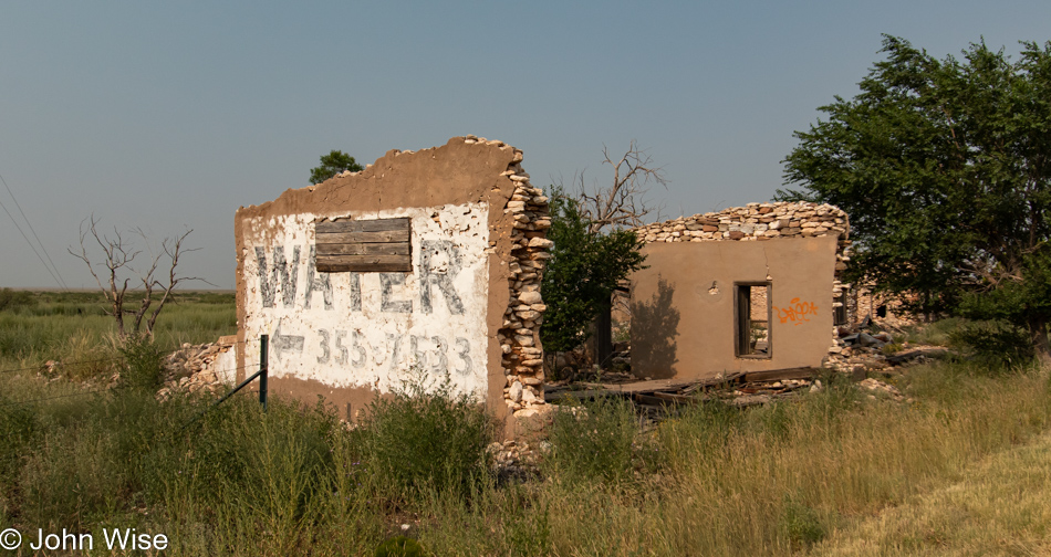
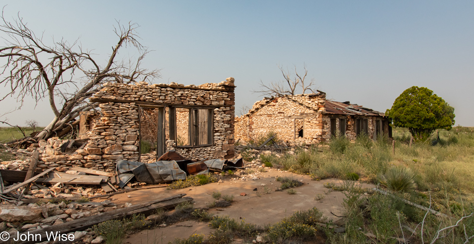
Yeso, New Mexico is a big Nogo these days.

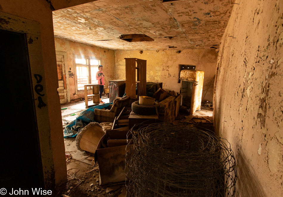
Here we are in the Mesa Hotel, which was a museum at one time after the demise of the building’s use as a lodging stop. Though the faded paint is difficult to read, you can still make out that rooms used to cost from 75 cents to one dollar.

It seems that Yeso came into being as a train stop, and when trains transitioned from coal and steam power to diesel, the need for the station that existed here was no more. So began the decline of another outpost in the frontier.

Looking for details regarding Yeso after getting home, I learned that there’s still a single resident living here in town. Her name is Deborah Dawson, and I can only wish we’d met her. I suppose if she made herself known to everyone who stops to look around she’d be a full-time tour guide for the curious.

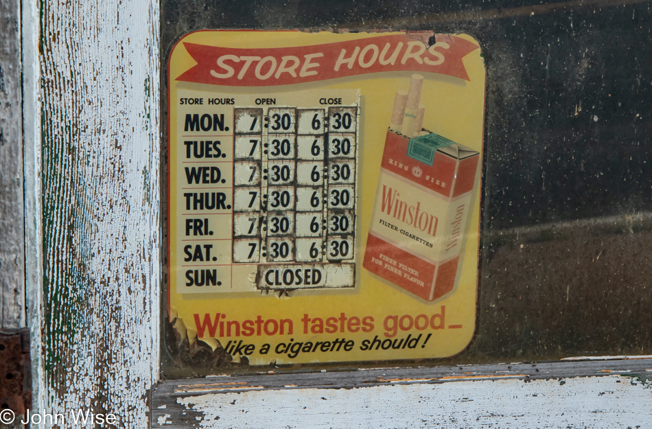
Like hotel rooms that used to go for a dollar, it’s been many years since a tobacco seller supplied businesses with sponsored signage announcing their opening and closing hours. That business now belongs to Visa/Mastercard it seems.

Maybe you are wondering if there are any viable towns remaining on the route we’ve taken, and the answer would be a resounding yes. While not one of them feels like a place to find success or even a future, they do exist. From Minot and Bismarck, North Dakota; Pierre, South Dakota; and North Platte, Nebraska, there are those places that appear to be holding on, but in over 1,000 miles, those were about it.

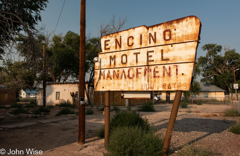
Another 50 miles west, and we pull into Encino, New Mexico. Do you see a trend?

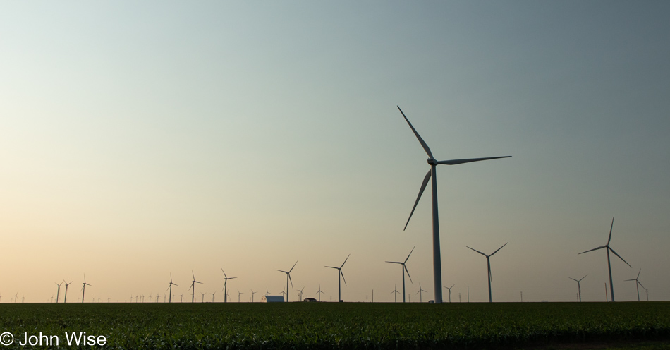
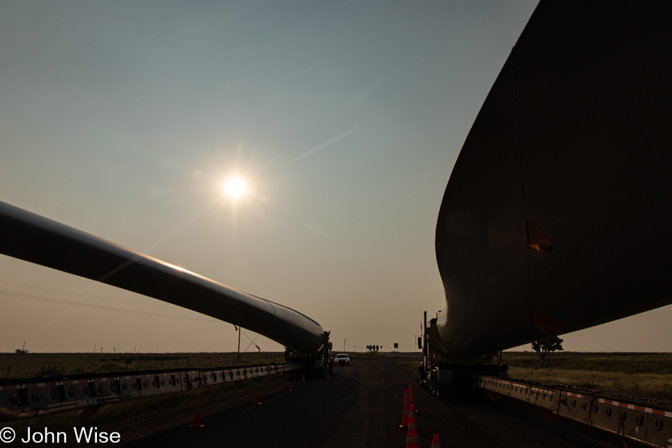
And then the real treasure is found just off the road on a small spur where nearly a dozen vehicles are pulled over. Under one of these giant turbine blades, a few people sat just finishing up dinner. We learned that these loads travel pretty quickly, but how long they can be on the road in one day is limited. At approximately 200 feet long from the nose of the semi to the tip of the blade behind them, these are some seriously long loads. One of the guys demonstrates how flexible these fiberglass creations are and allows us to reach up and touch them. For something that weighs more than 10,000 pounds each, they sure are easy to move.

Another day with a ton of miles accumulating behind us, but we still have a good amount of time before we reach the end of today’s road.

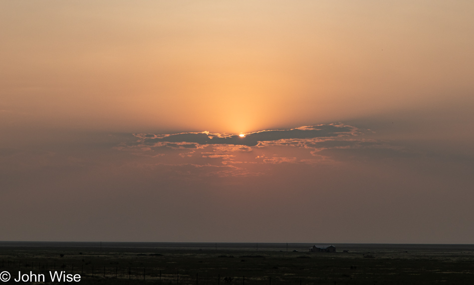
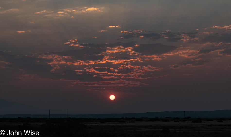
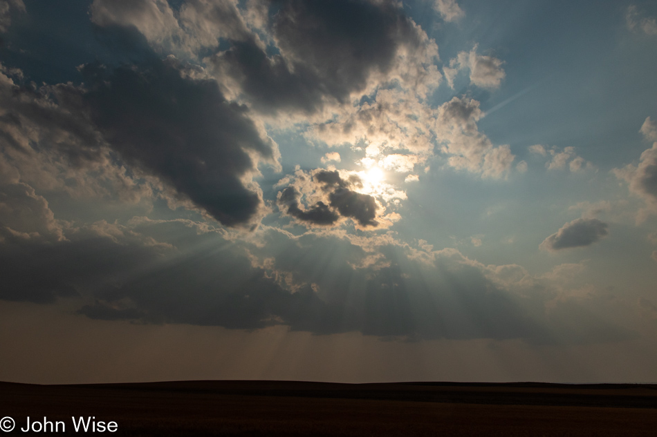
I, for one, can never get enough of spectacular sunsets, and this one being filtered through the heavy smoke from the California fire allows us to look at the sun with our naked eye. Not good for the environment, but it sure plays pretty with the aesthetic.

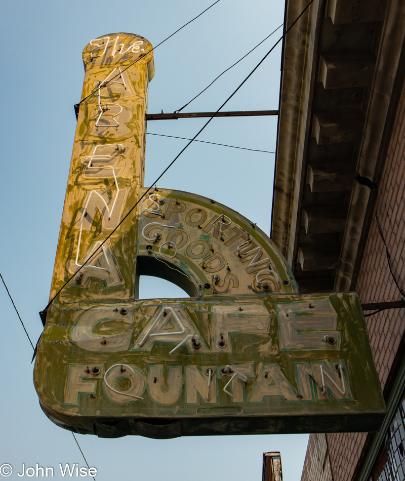
The sign is the worst for wear, and COVID has created the situation that our old favorite stop in Socorro is now closed Monday and Tuesday in addition to closing at 9:00 or 10:00 p.m. depending on staffing, but lucky for us, we arrived on a Sunday night before they locked the doors. The El Camino Family Restaurant has served us countless times on our journeys into and across the region. Our motel tonight was just short of being a nightmare, but when everything else is costing $159 and up, what should one expect for $67? Tomorrow is the beginning of the end.

The Middle Is In The Middle

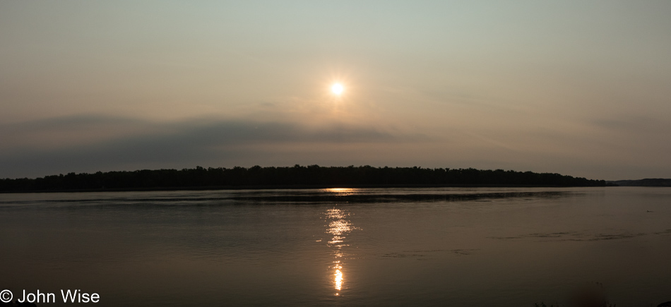
It rained last night, and with the downpour, a good amount of thunder, lightning, and wind arrived. Since we were in Pierre, South Dakota, of course, I worried about tornados while Jessica was asleep, deeply oblivious to the chaos outside our window. Come morning we woke with the rising sun and minutes later took a short drive through the state capital looking for photographic moments but didn’t really find anything, so with over 650 miles of driving ahead of us, we were gone. The sun is illuminating its reflection in the Missouri River.

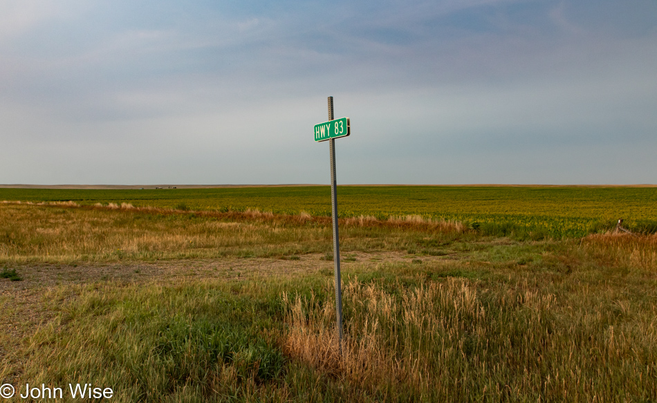
We are remaining on U.S. Route 83 as the plan for this vacation was to cover as much of this route south as we could drive.

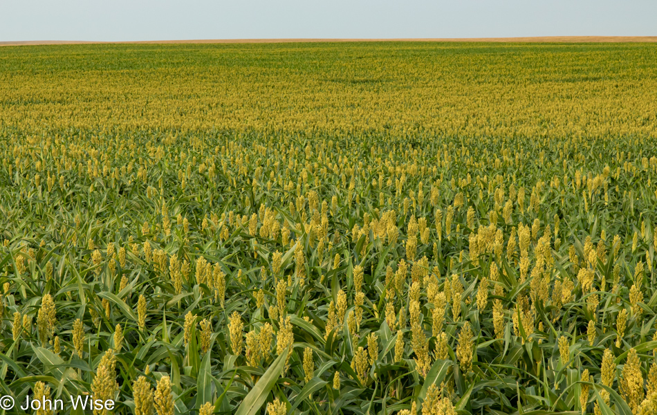
This is not the first field of sorghum we’ve driven by, nor will it be the last.

Driving, talking, looking for something to photograph as my daughter Jessica attempts to endure another day of her father’s lectures about all things important (to him). Should she read this particular paragraph, I wonder how she’ll react to the truth that this 4,500-mile haul through the middle of the middle was designed to offer me a platform to lecture her ear off. Maybe she’ll even chuckle at this absurd thought, as although I did talk a lot, no surprise to anyone who knows me; we shared many a moment of laughter about everything under the sun, smoke, heavy clouds, and the overbearing nature of a dad with infinite opinions.

We had a small encounter with Interstate 90 going west to Murdo as the 83 was eaten by progress, but when we got there, the road was closed. A nice enough guy explained that the road ahead was under construction and that with last night’s rains, the mud was too thick to drive through, so we’d have to get back on the 90, returning the way we had come back to the Vivian exit. On South Dakota road number 53, we’d have 7 miles of pavement before we’d have to drive about 25 miles on gravel. He assured us that the road would be just fine.

Being the idiot I often am, I started anticipating the low point on the road where water would have accumulated and make us turn back. The idea that we’d have to return to the 90, go west more than twice as far as we’d already driven to take another road south would mean we’d lose more than two hours here at the beginning of the day, wrecking the chance of getting to our destination. That wouldn’t have been too horrible necessarily as nothing is ever fixed in stone, and of course, there’s flexibility in all things, but all the same, I like reaching my goals.

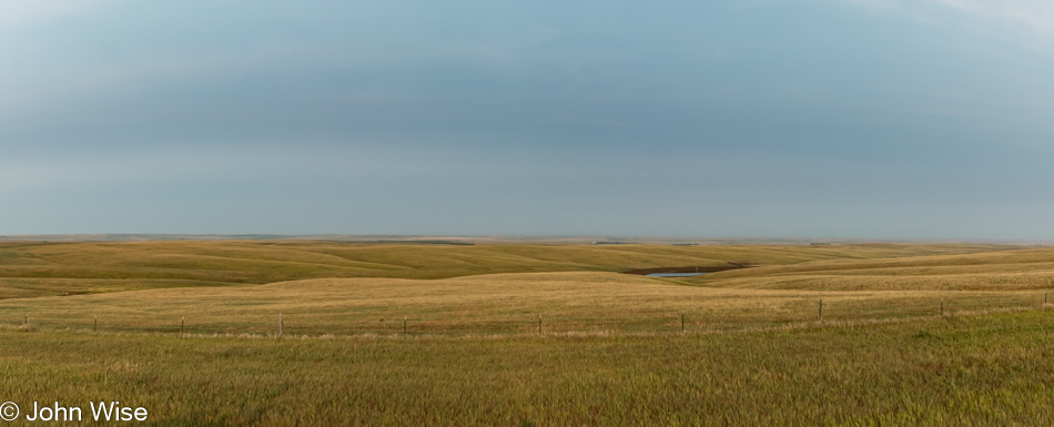
My eyes were peeled on the lookout for rain clouds that never arrived. The dreaded muddy spots remained at bay, and after nearly an hour plodding along through the rolling hills of South Dakota, we returned to pavement and ultimately the 83 again.

We are inching closer to the middle of America though we are still a good 300 miles away from the absolute geographic center over in Lebanon, Kansas. Caroline and I have been to Lebanon twice (once with our friend Jay), but this trip doesn’t include taking my daughter there. When we reach Oberlin, Kansas, later in the day, we’ll only be 110 miles from that center point, but we can’t afford the time it would take to get there and back. Plus, I don’t want to deviate any further from the 83 than I have to. I suppose that, in some way, I might have a bit of OCD behavior that can be tempered by the silly idea that, at times, I can do it all, even if that means throwing my well-laid plans to the side.

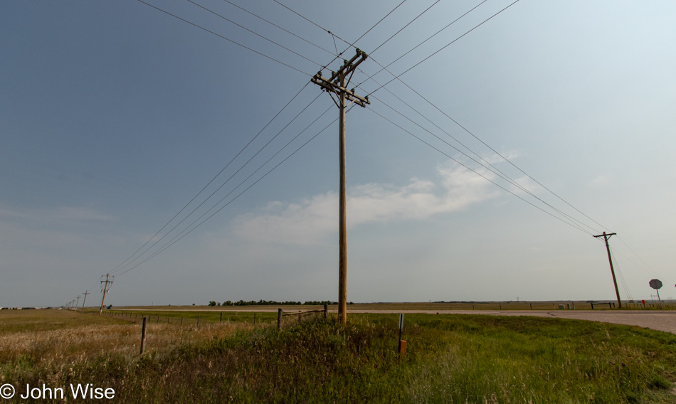
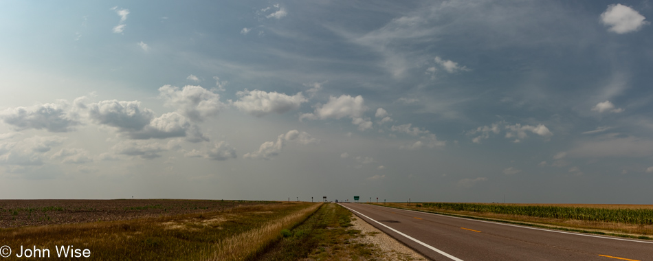
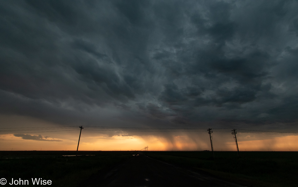
Looking for something, anything, that might capture the essence of the road we’re traveling has us making random stops, hoping for that thing that stands out and might become a part of the story. Well, here we are at an intersection where the utility poles stand at the center of attention. As a younger man, I might have thought this was boring, but today, I understand how fortunate I am to be in a place where the stark aesthetic quality of something so simple and common, and which might otherwise go unseen, can draw my attention.

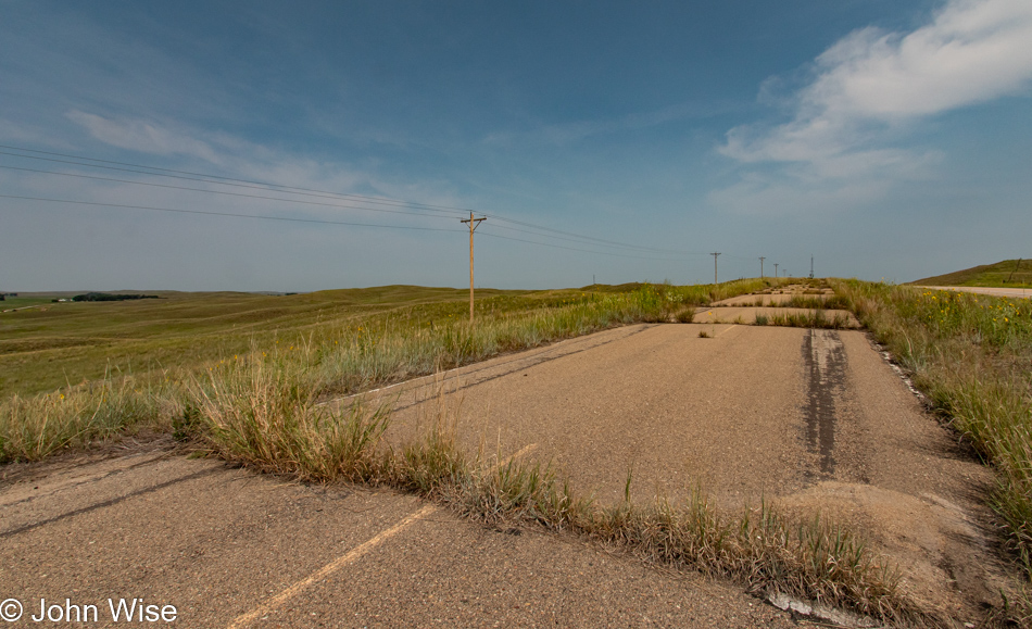
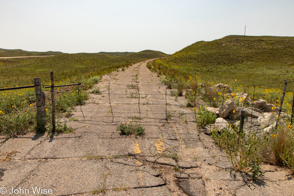
Neglect the old on the margin and bring the new to center stage. Here I am, standing on the former U.S. Route 83 that wasn’t worth saving and so the new improved version we’ve been driving was built in walking distance parallel to the old road. I guess it was too expensive to remove the pavement to remediate the landscape, and, given enough time, nature will eat the evidence of our presence.

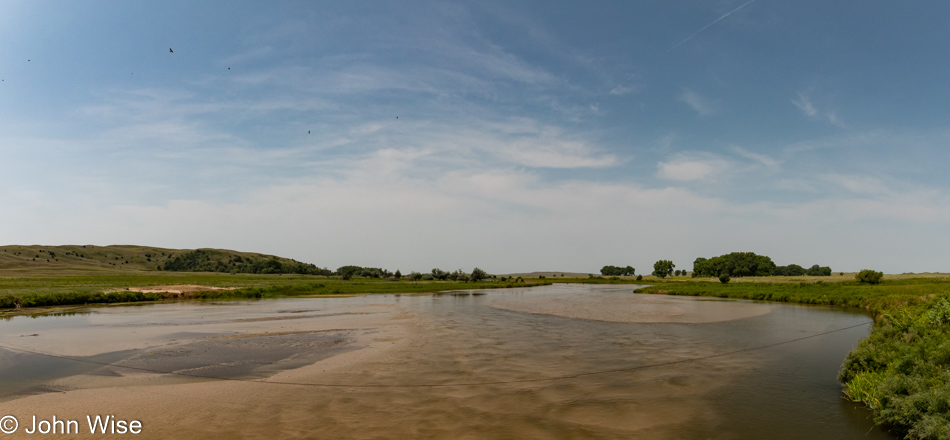
The North Loup River winds its way through the middle of Nebraska before joining the Loup River well east of here. It then runs into the North Platte River, which dumps into the Missouri River south of Omaha.

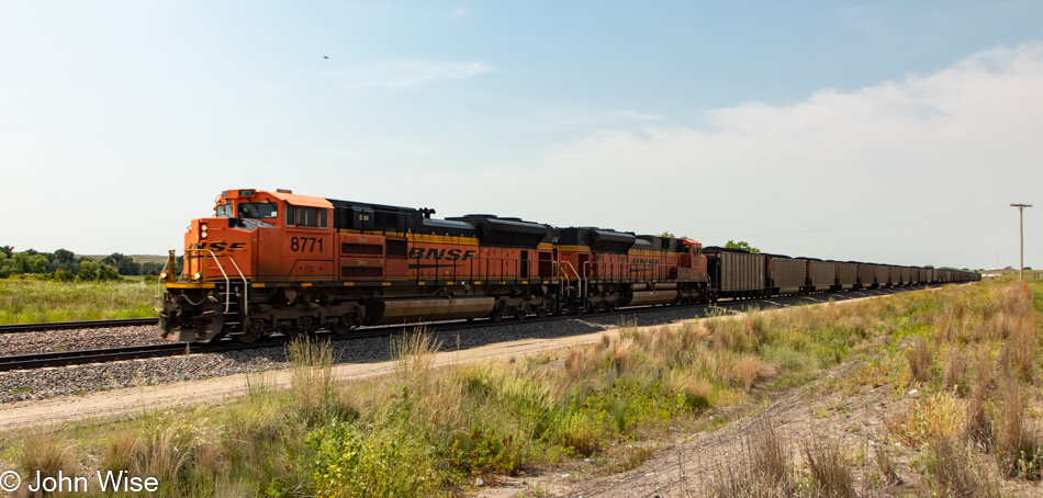
In Thedford, Nebraska, we waited for this train to pass. It seemed to be hauling at least 100 cars, all of them filled to the top with coal.

Ninety-five years ago, this old segment of U.S. Route 83 started taking shape. Today, we are watching its final moments as it folds into the surrounding earth. It’s kind of silly, my obsession with relics and the value I put on their historic value. I know I’m not alone, but would be interested in reading someone’s thesis that details this form of nostalgia for things we never personally experienced.

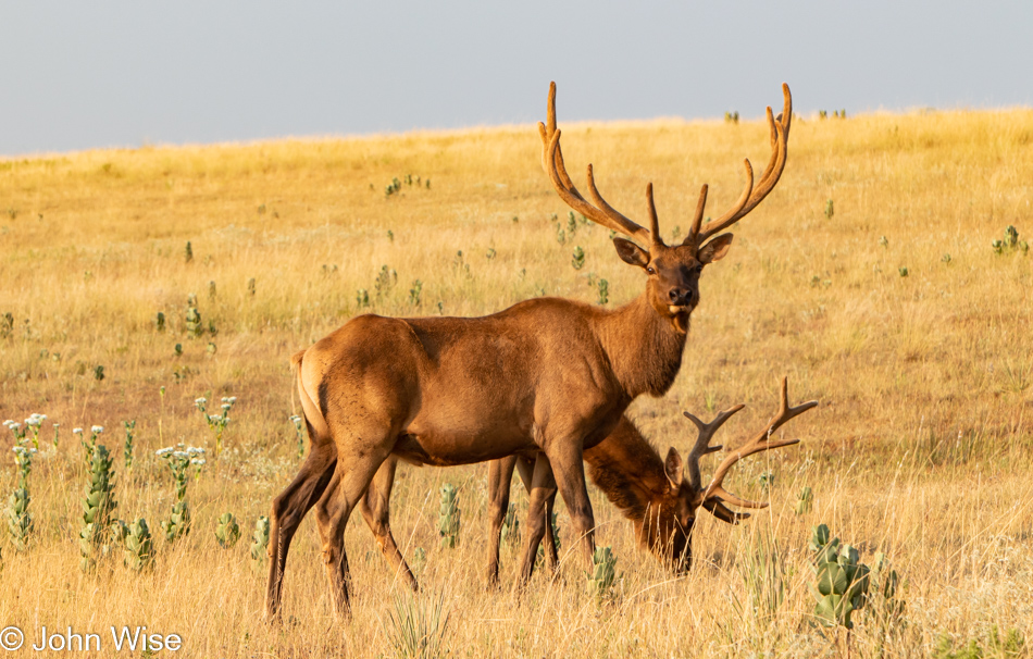
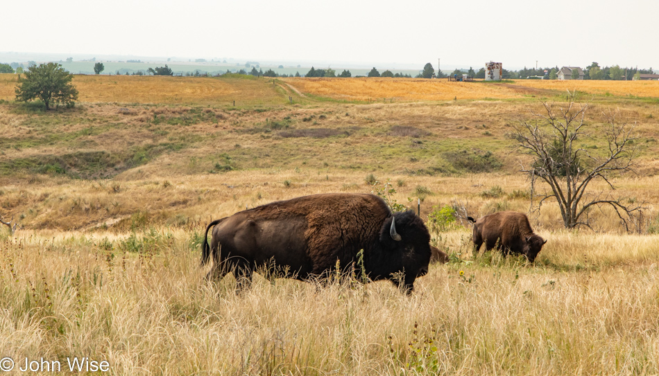
I forgot to point out that while we were in Montana, signs were posted far and wide across the environment. They were calling attention to the movement to stop the American Prairie Reserve from setting aside a protected area where elk, pronghorn, prairie dogs, and, of course, bison would be free to roam. This restoration idea is running afoul of ranchers who want the land to remain available for feeding their cattle and future farmers. The groups that are against this grand idea are taking the position that it will kill off the cowboys and turn these lands into recreation areas for the “elites.” Silly how they fail to see the opportunity for camping in these open lands, resorts on the edges of a giant wildlife sanctuary, and attracting people to eco-friendly adventures and experiences otherwise not available. Such is the reality of people locked in their short-sighted paradigms of routine. Better to go with what you know than risk reinventing yourself.

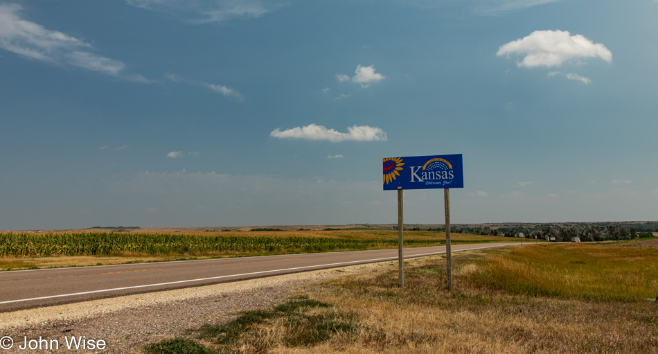
Is that giant flatness out there, possibly Kansas?

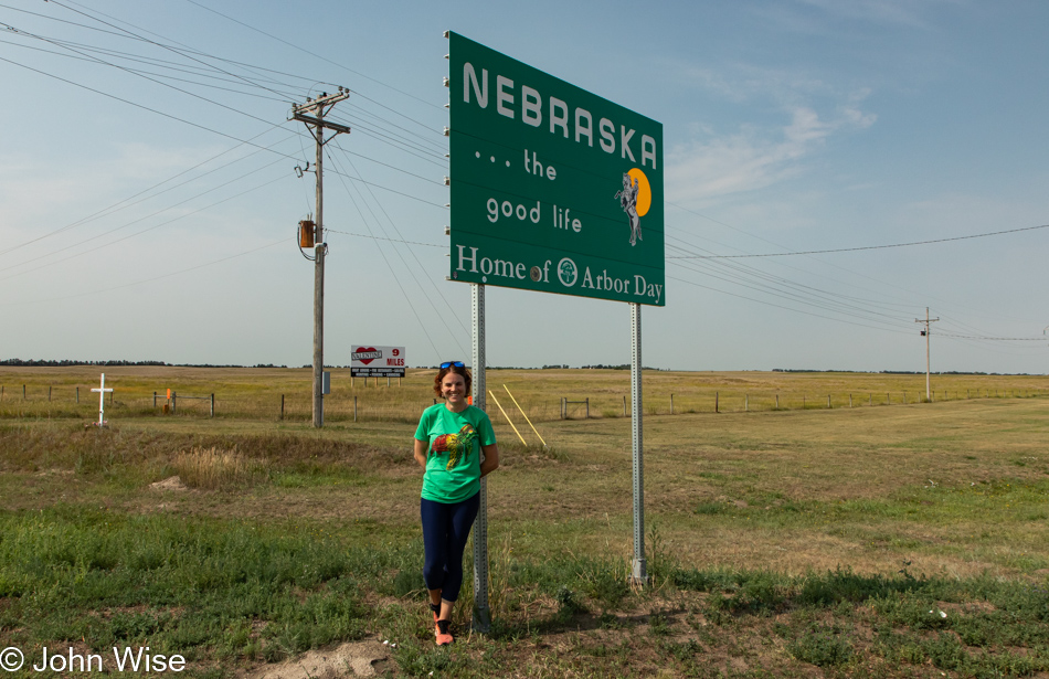
Sure enough, we are dead square in the heartland.

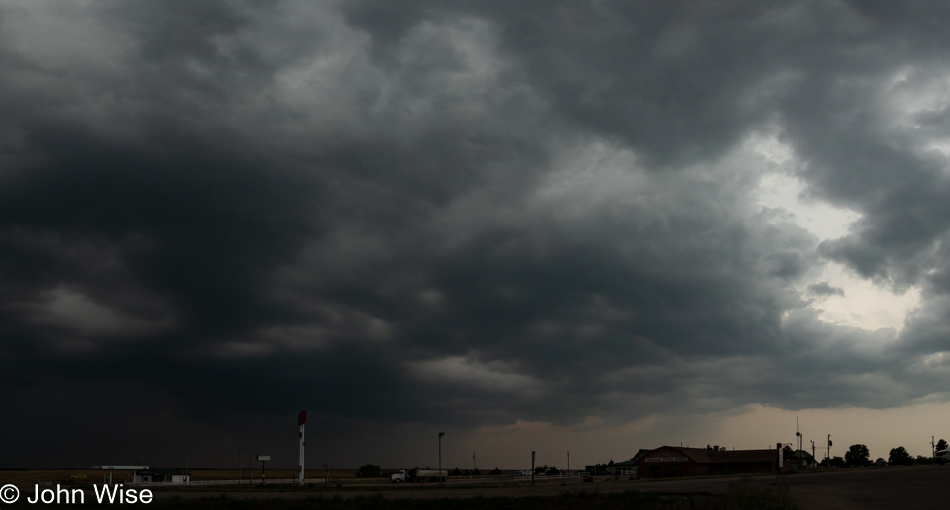
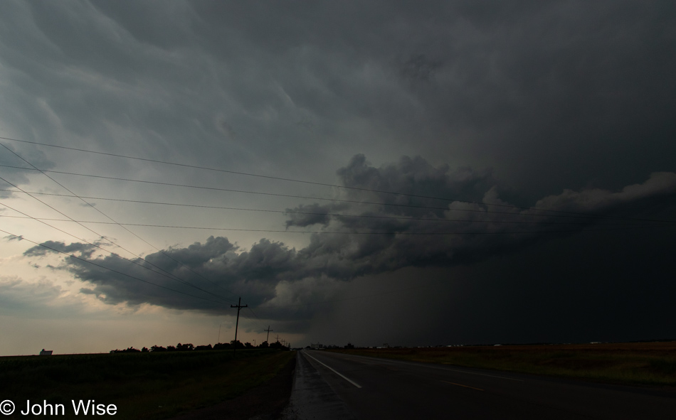
It’s not long, though, before some seriously foul weather moves in and our phones light up with warnings that extremely severe rain, wind, and hail are about to impact the area. For less than one minute, we considered trying to race down the road, but the rain came on so hard we backtracked a quarter mile to the gas station we’d just passed and parked the car under a diesel pump awning. Good thing we acted when we did, as within just a few more minutes, people were crowded around any bit of cover they could find to protect their vehicles. Just as there was a break in the chaos, an 18-wheeler pressed close to our running car, trying to nudge me out of my spot. I wasn’t sure if the driver wanted to fill up or just protect his expensive truck from damage. No matter, he was aggressively trying to get us to move, and I obliged.

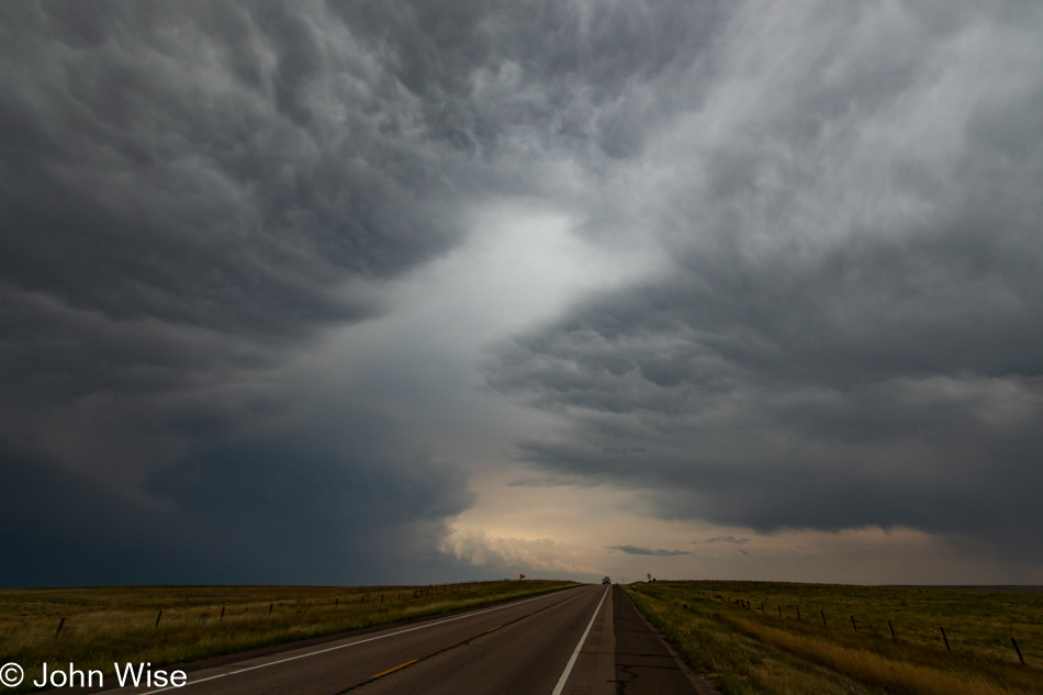
As we continued south, the violent storm continued its trek to the northeast. We were driving through nervously, keeping our eyes on the weather all around us.

To live in the deserts of Arizona is about as good as it gets, as we do not have earthquakes, tornadoes, hurricanes, massive flooding, sub-zero winters, days of continuous gray skies, or brutal humidity. We have a couple of months of severe heat, but then again, everything is air-conditioned. Of course, we have some looming drought issues on our horizon, but we are not under threat of falling into the earth or being blown off of it.

It’ll be dark in Liberal, Kansas, when we get there, but we’ll have skirted the storms that later this evening will bring severe flooding to Omaha, Nebraska. The light show from the spiderweb-like lightning gracing the skies was incredible, which can’t be said about the profoundly mediocre meal we had at the highest-rated restaurant in this small town with a shrinking population known as Liberal.

In yesterday’s post, I mentioned the Wizard of Oz and Dorothy’s house. True enough, there’s a replica here at the edge of town, but we’ll never see it as we have 9.5 hours of driving tomorrow we’ll likely turn into 14 hours of fatigue.

Way Up North

Roundup, Montana, appears mostly dead as you enter town, though the bars and lone casino will likely serve the depressed-looking small population for some years to come, at least those who cannot afford to move on. I might suppose that as usual in impoverished areas, the women are the last members of a community trying to maintain the financial health of a place – this dumb assumption is based on that Jessica, and I only saw only men entering the bars and the casino here in the still early morning.

While the town’s former retail presence has faded and is but a dusty shadow of abandoned dreams, my research after returning home showed that this little town has become a kind of hub for Amazon. Third parties that sell things on Amazon are forwarding products to Roundup for repacking, allowing resellers to avoid state sales tax (Montana doesn’t have one), and this allows their packages to conform to Amazon’s shipping requirements.

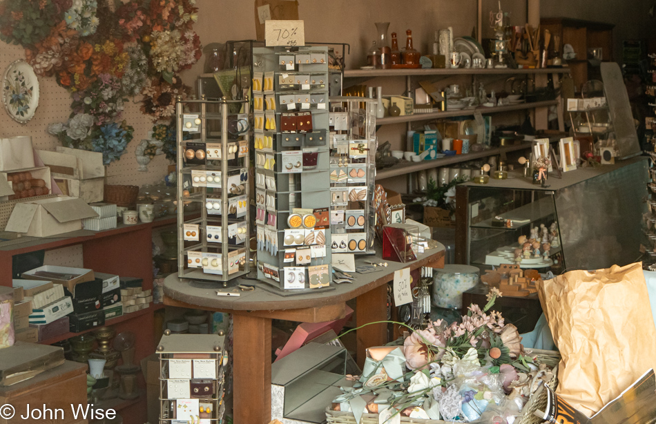
There were more than a couple of shops with full inventories showing their age. Greeting cards bleached by the passing years and old sweaters with a layer of dark grime suggest that the shop owner’s departure was abrupt. Now I have to wonder if the people who operated these shops passed away, gave up, or moved. If they are still in town, do they ever visit these time capsules?

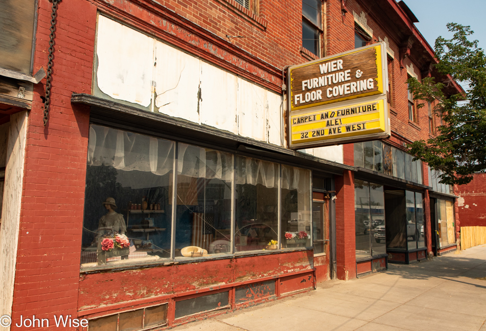
The local antique shop was closed long ago and strangely enough, remains untouched, same with the other shops. That the windows are intact and the doors not broken in might be a testament to people in small towns all knowing one another and the local hoodlums knowing they’ll be identified as the culprits, so they keep their noses clean and leave the relics of former prosperity alone.

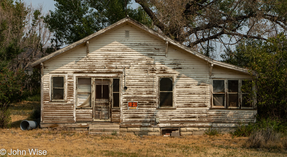
We are leaving Roundup on U.S. Highway 87 and spot this “art project” with a For Sale sign. Of course, we had to stop. The phone number was cut out of the sign, and the house is a ruin, but like the buildings back in downtown, it hasn’t been ransacked. I called this an art project as I can’t imagine this was ever really for sale and that the sign was a prankster’s joke.

What an amazing day of contrasts this is turning to be as we left the bikers, Beartooths, and trees of Red Lodge on our way into the Great Plains here on Highway 87.

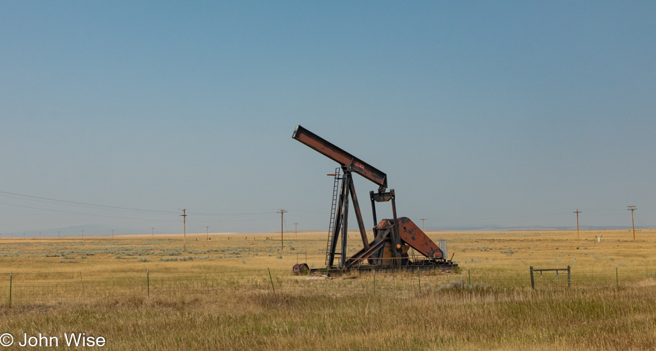
There were very few cattle out here and only a couple of oil wells being actively pumped that we could see from the road, but there’s lots of agriculture under cultivation.

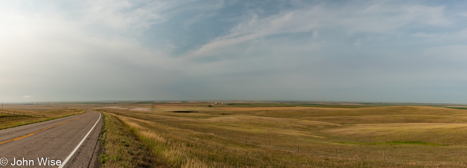
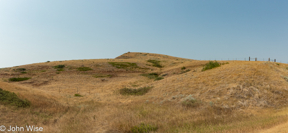
Damn, we are foiled here on our adventure in the Great Flat Plains that we’ve been told are out here as we spot these hills.

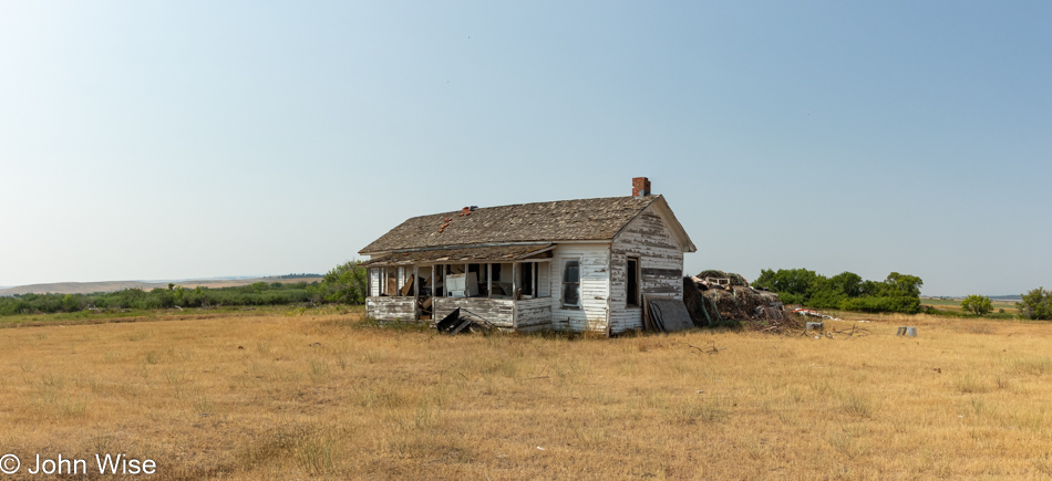
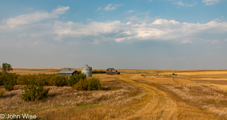
I’m a sucker for abandoned structures as their decaying presence feels as though they contain hidden mysteries waiting to be discovered. The appeal is as strong for random farmhouses as it has been for exploring old castles across Europe or visiting the Eastern State Penitentiary in Philadelphia.

Some might ask why we’re out here traveling roads in the middle of nothing. Large expanses of wide-openness strain the eye to see further while filling the imagination with the potential that something might appear. And when that something emerges out of nowhere, we get to take delight that we have discovered maybe the only thing that might be seen today. And so we continue to crawl over the landscape, looking for treasures.

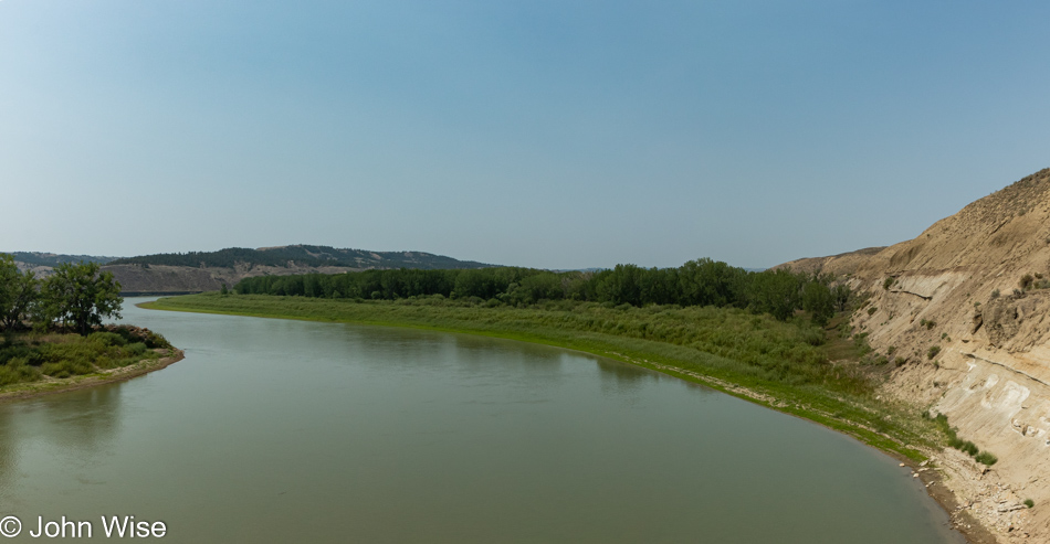
Highway 19 gave way, merging into Highway 191. Before long, we are back in the hills and encountering the Upper Missouri River Breaks National Monument. The Missouri River is one of the treasures we have passed over many a time and what qualifies it as such beyond simply being a river is the history of the Lewis & Clark expedition that traveled its waters.

Jeez, will we ever encounter the infinitely flat expanse of land where we are able to get lost in nothing at all? What are those mountains out on the horizon?

They are the Little Rocky Mountains, as seen from Montana Highway 191.

Warm brown grasslands offer ideas of being in the breadbasket of a country.

And where do all those seeds that feed us end up? In grain silos like these found in Malta, Montana. We were looking for hot food but only came up with a sausage and egg breakfast burrito at a gas station/farm equipment shop east of here that was pretty gross, to be honest. It turns out that burritos are not very sought after in this part of America. For the rest of the day, stopping at various gas stations trying to satisfy my craving for a good old meat, bean, and cheese frozen burrito was only met with disappointment. Too bad I wasn’t looking for beer and a can of tobacco.

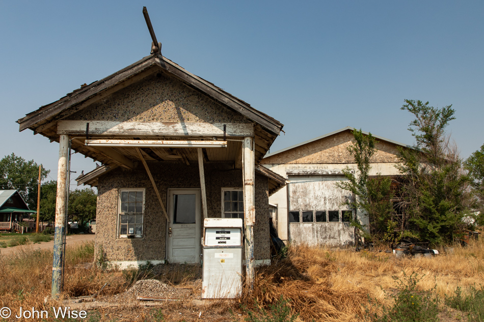
Saco, Montana, has an old defunct gas station that plays host to a stupid amount of pigeons. That mound next to the pump is pigeon poop. In front of the door is another mound, while above our heads in the roof is evidence of a ton more poop. Squeezed between a couple of boards and a gap was a dedicated specimen existing in two worlds, that of the open air and an amount of avian feces I would never want to rain down on me…and so I stepped away from the building and my desire to peer into its windows.

More of those amber waves of grain.

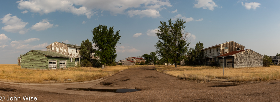
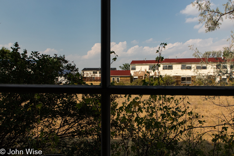
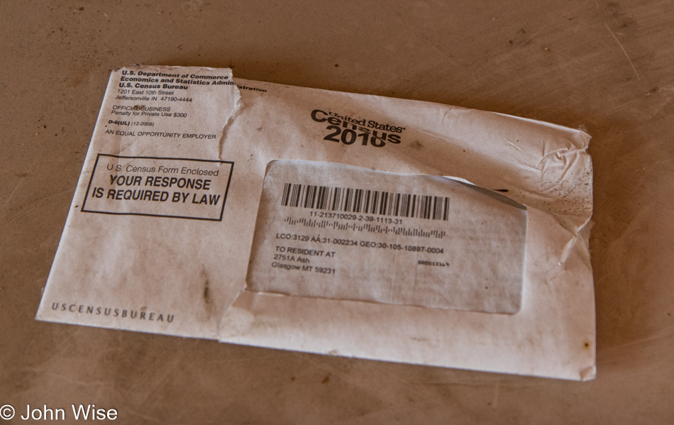
And then, out of nowhere, a mirage appears in the form of a ton of ruins. In a previous life, the town of St. Marie was the Glasgow Air Force Base. Back in 1976, the facility was shuttered, and instead of condemning everything to clean it off the face of the earth, the government tried selling homes to the residents who wanted to stay. Most of the town never sold.

While there are a few handfuls of diehard residents living among the ruins, the school and all the businesses are long gone. The nearby airfield survives and is said to be used by Boeing, but the multitude of warning signs are all from a company called Montana Aviation Research. I’ve been stopped by law enforcement near a DuPont factory in Buffalo, New York, an airfield north of Tucson, Arizona, and a random road north of Las Vegas, Nevada, by menacing men who obviously meant business telling me to leave the area, I take signs for an area under surveillance seriously.

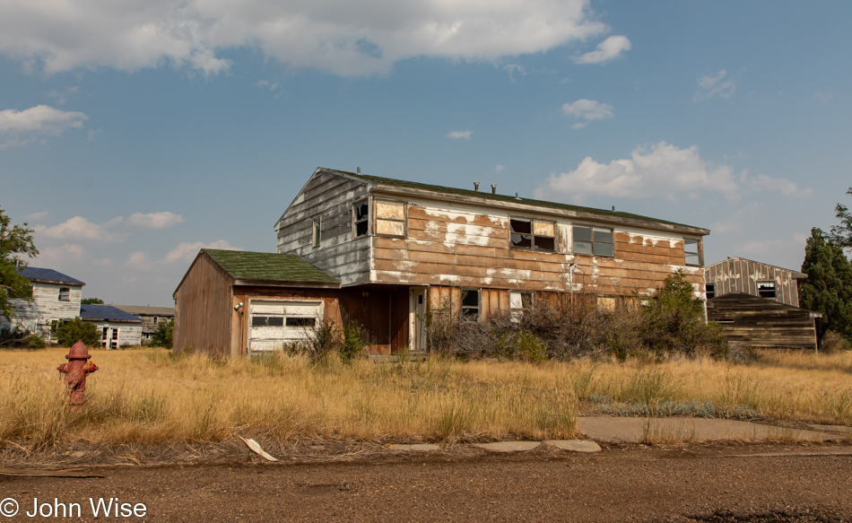
Entering these abandoned former military homes, I was constantly aware that at any moment, either a local sheriff or armed residents might interrupt our explorations and demand that we leave. So, as we dipped into places with open doors, I made sure we kept things brief so we would hopefully avoid being surprised by people who didn’t appreciate our snooping.

It turns out that back in 2012, the wacko members of a local sovereign-citizen movement called the Citizens Action Committee of Valley County attempted to take the town as their own, but fortunately for the people who were living there, they failed. Researching this history and learning of the Montana Freemen who, in the mid-1990s, tried something similar to maybe another Branch Davidians or Ruby Ridge-type incident, I have to wonder about the New Yorkers and Californians who are leaving behind one looney place for another.

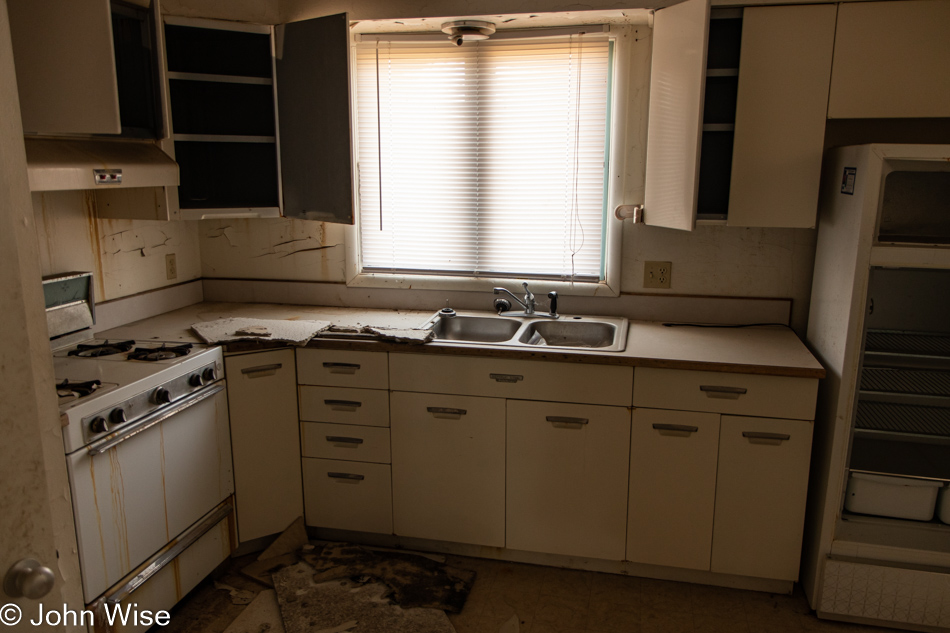
To deter squatters, the electricity has been cut to large parts of St. Marie, but appliances are often still in place, and I’d wager that with the gas, electricity, and water turned on, some of these homes that have been empty for 45 years would be habitable with just a few days of work. After scouring the better part of the abandoned corners of this old Air Force Base, it was time to get back down the road as we’d earlier entertained the idea of going further than our original destination. By now, though, we’ve likely lost about 90 minutes to roaming around Roundup and St. Marie.

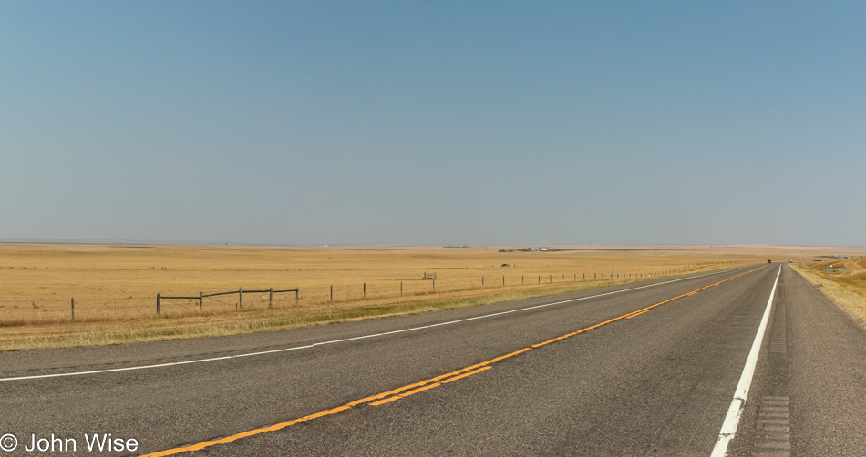
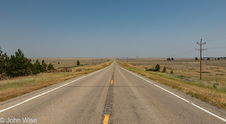
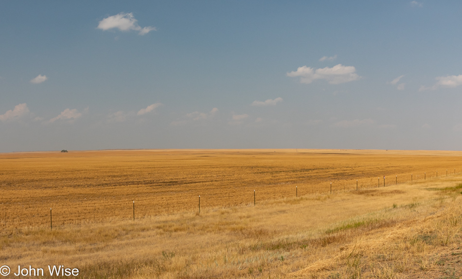
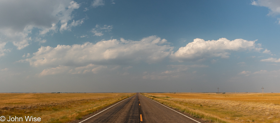
Okay, I think we’ve finally found the flat part of Montana.

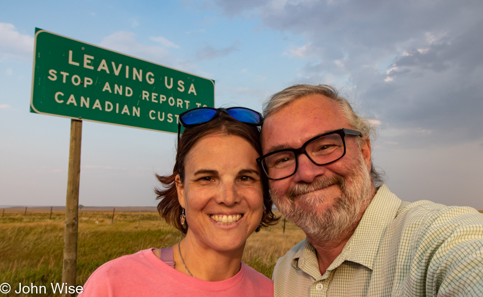
While the sun isn’t so low in the sky to threaten the arrival of the evening quite yet, we do want to reach the Canadian border for a selfie, proving that we’d made it that far north. So we drive.

We drive until another distraction rears its head just north of Baylor, Montana. This old farm had no fences and nothing suggesting we shouldn’t “trespass.”

All the elements of intrigue are on display, old wood, old machinery, old cars out back (beyond a fence). No windows, but there were signs of stuff inside the house as we approached.

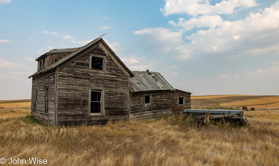
The old house is barely a shell, and I could see it collapsing in the next ten years, but that didn’t stop us from wanting to go inside for a more intimate view. Our smarter selves were effective in dissuading our dumber voices, trying to convince us to take the risk as stepping on nails or falling through floors could be problematic so far away from phone and medical services.

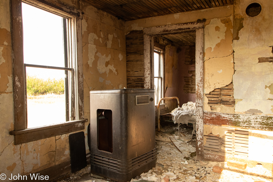
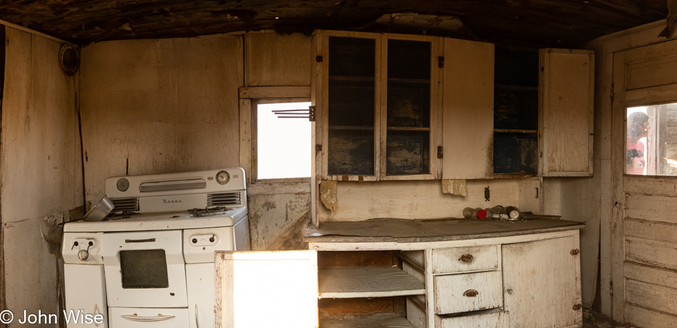
Jessica did her best to lean into the window in the center of this photo, trying to snag the old pot on the stove I wanted, but it fell off and became unreachable. As you look at this image, you can see that the left side of the kitchen is listing. This structure was way too sketchy to attempt going in, but we did try to open the door on the right, behind which you can glimpse Jessica. I’m glad we couldn’t pry it open, as it did occur to me that it might be the structural support that was the glue keeping everything standing. By the way, the stove appears to be a valuable antique!

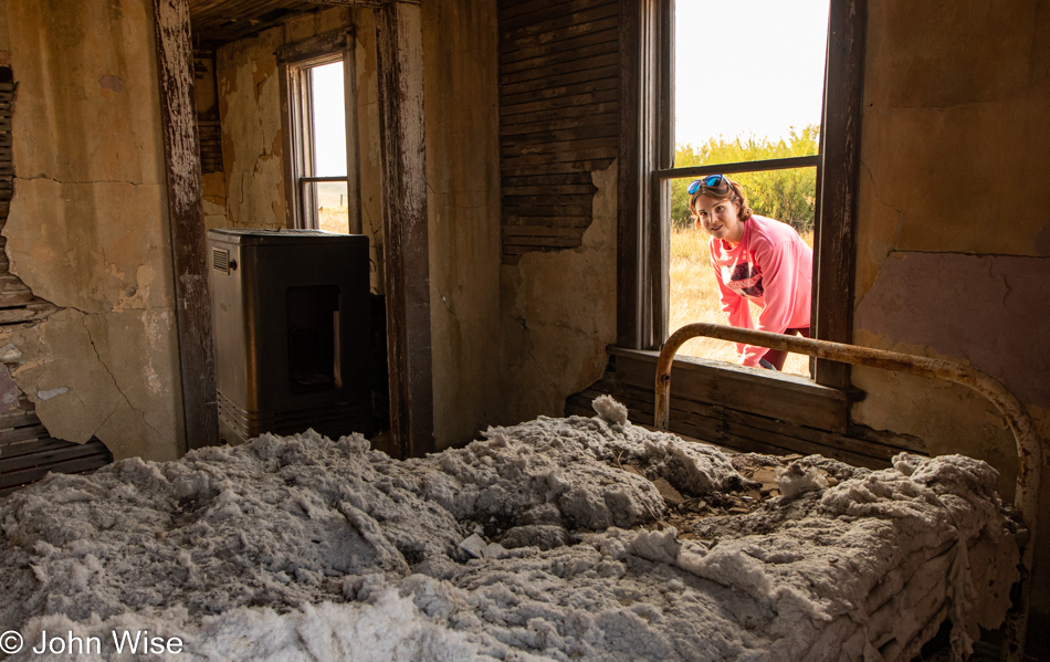
I’m in love with this bed and would gladly claim the frame and bring it home if that was possible. Even the cotton batting that is no longer in its mattress cover is intriguing. Where did the cloth that contained it go? I’m surprised that birds haven’t claimed all of the fluff for their nests, but then again, where would birds build homes in a place with so few native trees?

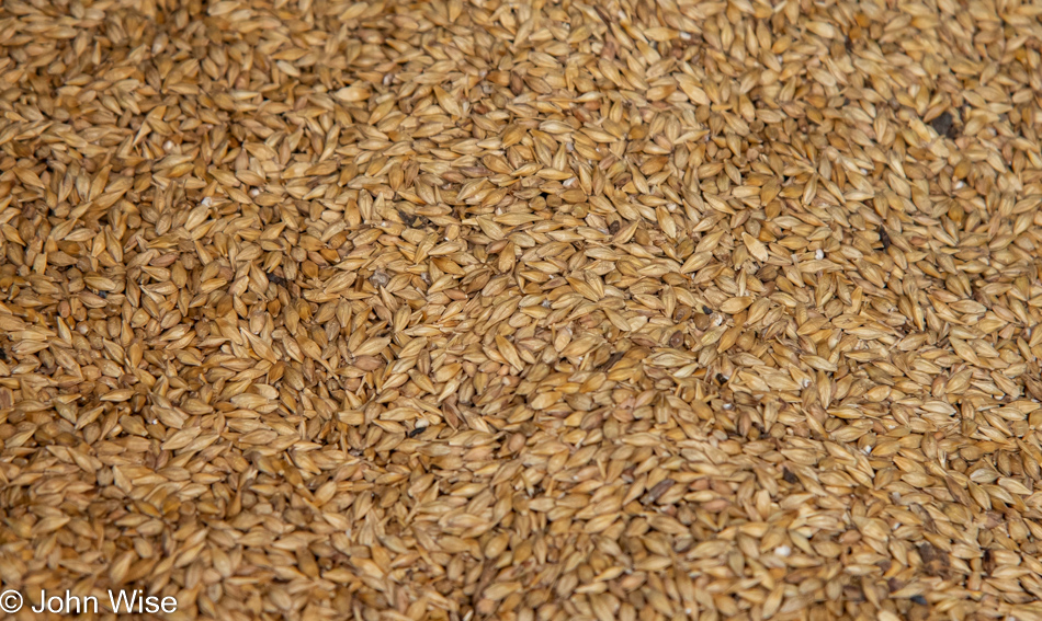
Over at the barn, I was incredulous to find the center third filled with barley. The closeup I shot of it was taken to avoid all of the poop that was atop the grain. Not only rodent poop but rather large ones (all very dried out) that were scattered about. The grain silo next door suggests that it was last filled and is still full of barley from a 1960 harvest. It’s inexplicable as to why the barley never sprouted, molded over, or was decimated by rodents and birds over the 61 years it’s sat here.

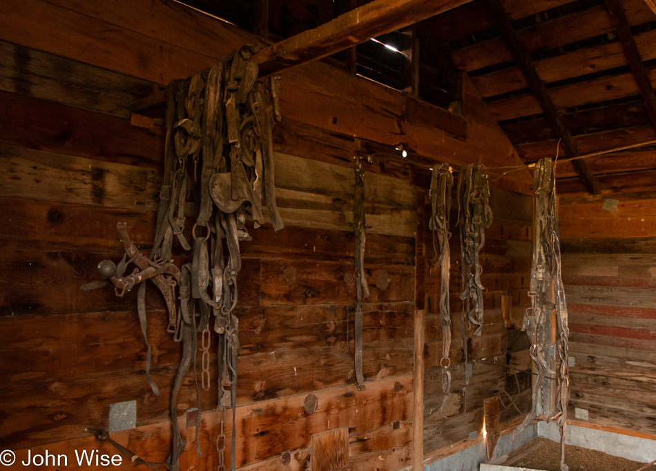
After Caroline saw this photo, she wished that I’d reached out to share an image so I could have snagged her one of these ancient bridles. Maybe she would have restored it and sent it to our niece in Germany, who loves horses but I couldn’t have imagined that she’d have been interested. Maybe she and I can travel through this corner of America next summer to collect a bridle, bed frame, an old stove, and that pot I wanted. Heck, there’s even an upstairs to the old home that might contain things of interest.

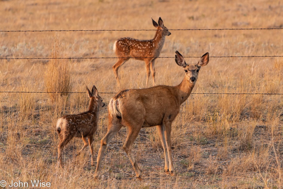
Instead of just bolting across the road it was moseying over, the deer and her fawns casually headed to the fence and then turned back to look at us with our window open, snapping photos of this beautiful family.

All the way up U.S. Route 24, we reached the Canadian border, and other than some border agents, there was nothing else out there. With all the ruins and this detour, we will not get further than my planned stop. Hey, Scobey, Montana, here we come.

Arriving in Scobey, Montana, after 12 hours of driving, we stopped at our hotel but didn’t check in as we learned there might be a restaurant still open over at the local golf course. It was dark as we passed what appeared to be an amazing history museum on the edge of town, but obviously, it wasn’t open. We’d called ahead to the Club House to verify it was open while on our way, and sure enough, it was open. Keep in mind that Scobey has a population of about 1,100 people and is seriously out in the middle of nowhere, so this was a real find after 8:00 p.m. on a Thursday night.

At dinner, we met Don and Laura Hagan while their daughter Erin was our server. We got to know a couple of other locals, too, but it was the Hagan family that made our night. Don has been farming about 4,000 acres of durum wheat, peas, and canola out this way while Laura works in the healthcare industry. If Caroline and I should ever pass through here, we’ll have to look them up. Thanks, Scobeyians, for making us feel so welcome.

Deep In The Beartooth Mountains

We stayed in Red Lodge, Montana, just for this reason, a hike in the area known as the Absaroka-Beartooth Wilderness. Not a half-mile south of our hotel is West Fork Road, which dead-ends in the Custer Gallatin National Forest. Yeah, lots of names.

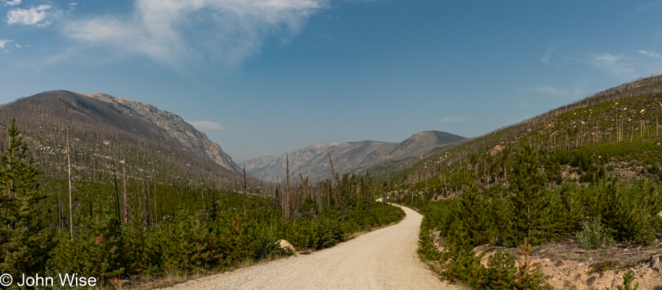
A relatively short part of the road was paved and a seemingly larger part of it is gravel, but Rock Creek that runs next to the road is nearly ever-present.

Somewhere out there is the end of the road and the beginning of some trail options.

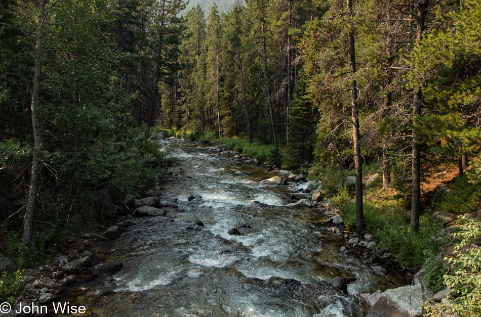
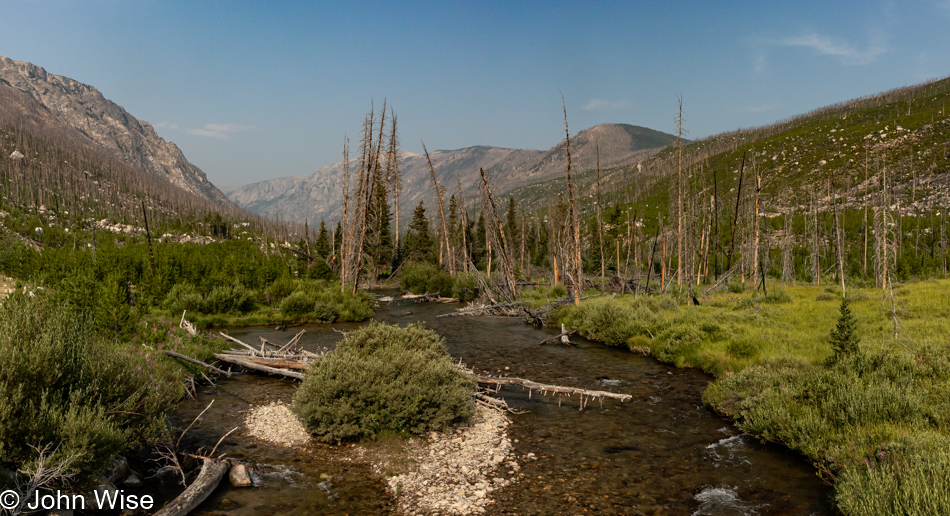
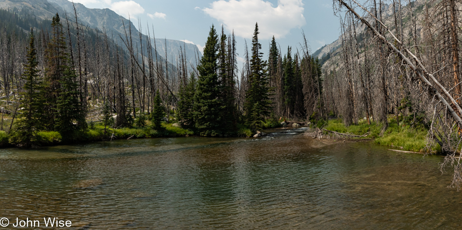
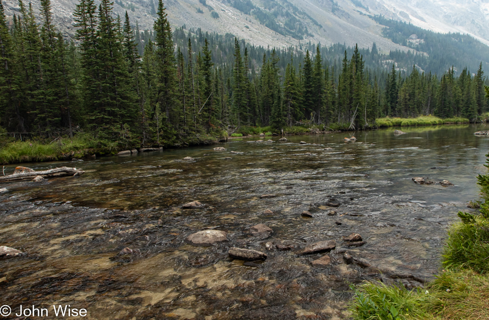
A small wooden bridge took us over this view of the West Fork of Rock Creek.

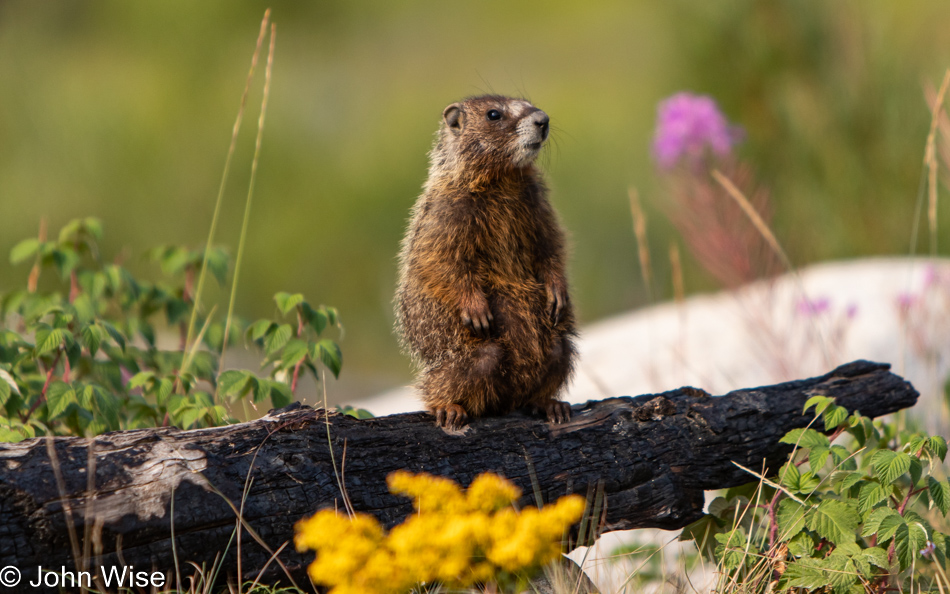
Not far from the trailhead, we were greeted by this beautiful little marmot. Considering the burned log, Mr. Marmot is perched upon, you might be wondering if maybe fire has been through here recently. Well, we’ve been seeing the scars on the landscape, though there’s lots of regrowth in the area. Back in the summer of 2008, the Cascade Fire burned through about 10,000 acres southwest of Red Lodge.

We had planned to hike the Basin Lake Trail but decided to at least see what was at the end of the road and then decide if we might want to hike a mile or two in that area before tackling our 5-mile hike at the lake. We didn’t have a lot of water with us nor a backpack to carry it in, hence the consideration of a manageable 5-miler.

The trails out here are about 12 miles and up, so with only 2 liters of water, we knew that we’d have to keep things brief. In addition to being dumb enough not to have bought more water in town, we took off down the trail without so much as a tiny snack.

No matter, though, as we’re not going far, and when we return up the road to Basin Lake, we’ll remember to take a couple of energy bars from the car with us.

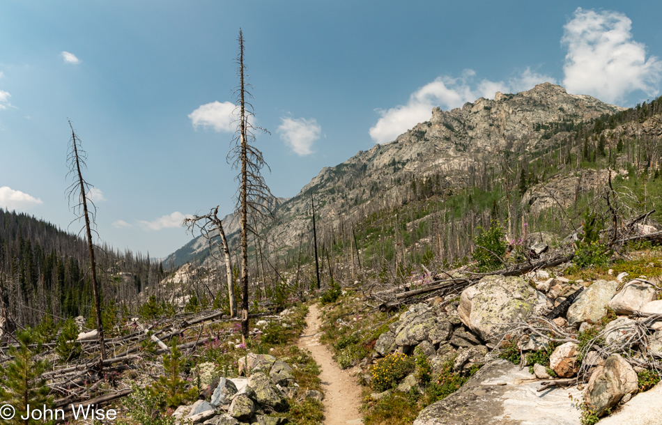
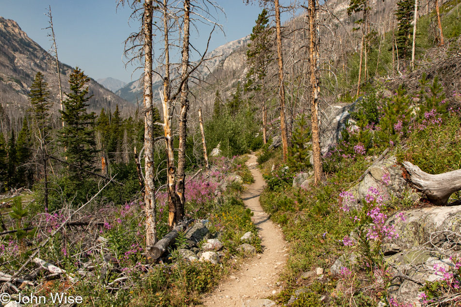
Though all around us is evidence of the fire, the regrowth is drawing us in to see what’s just up ahead.

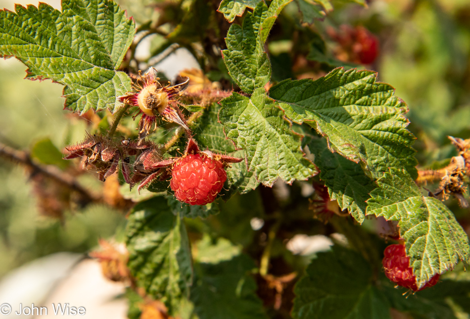
Are these berries a type of bear food, or are we the tastier morsels? Without bear spray, I’m feeling a tiny bit vulnerable. Also, while we were out here, we failed to recognize these as elderberries, so we didn’t stop to enjoy a few.

That didn’t stop us from gobbling up as many raspberries as we could. These would come in especially useful about 5 hours later.

We passed a guy loaded with camera gear that told us of a nearby waterfall. That was enough to pull us deeper into the mountains to at least see that sight with our own eyes. He thought we were relatively close at this point.

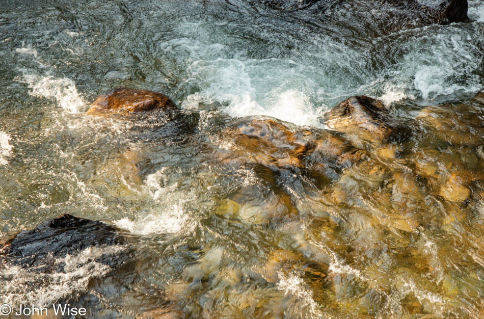
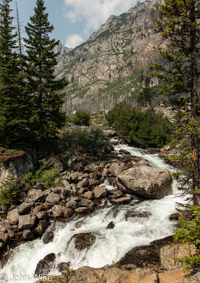
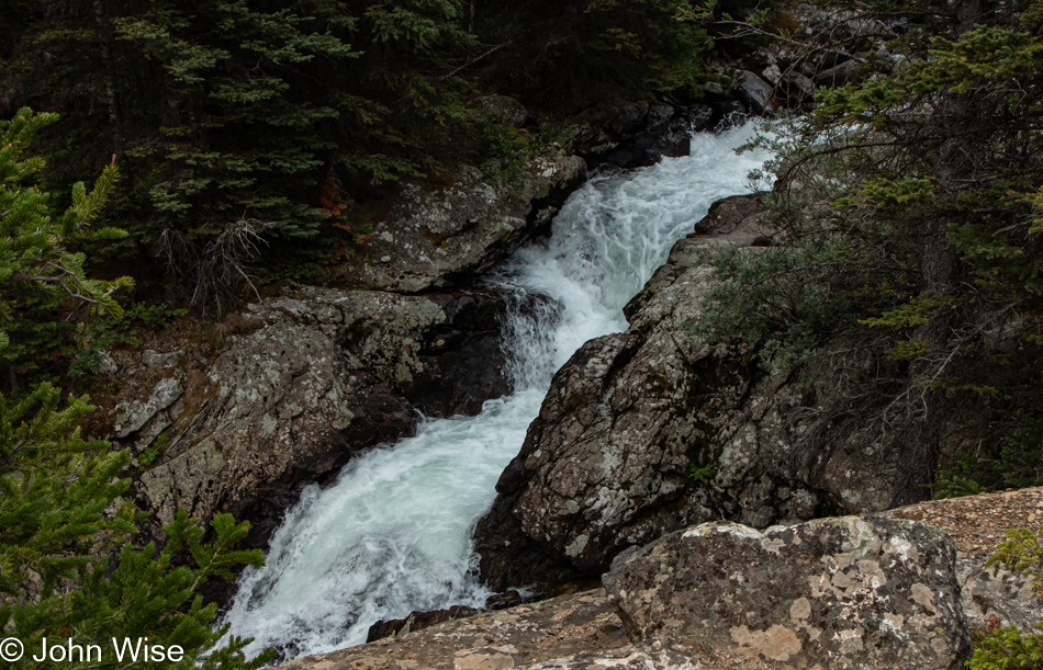
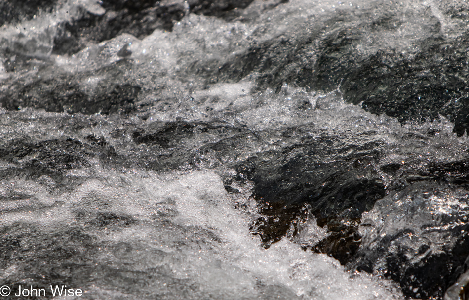
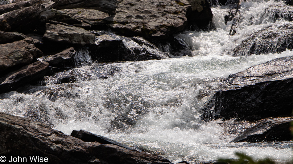
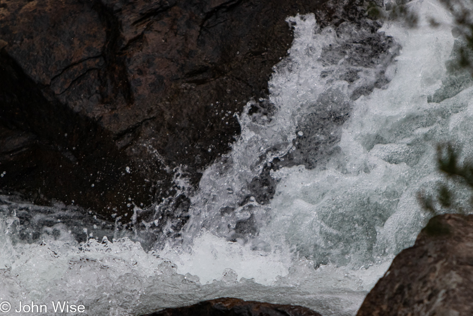
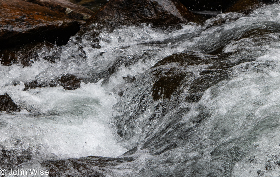
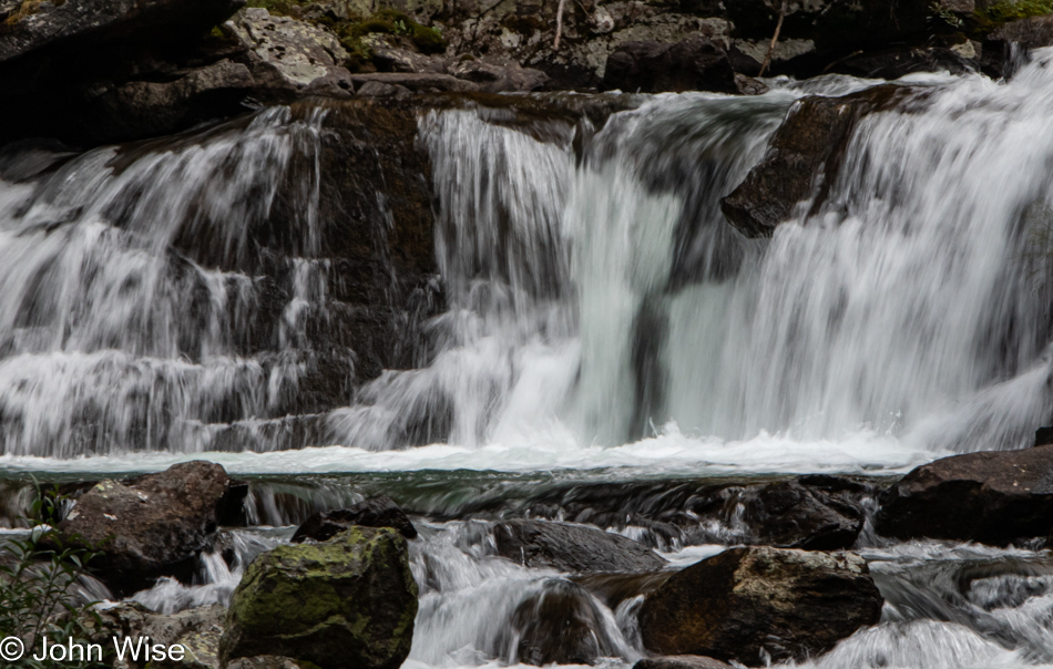
We were wondering whether we might have missed the falls the guy told us about, as this cascade didn’t look like the image he showed us on his phone. No matter, this is pretty enough, and maybe the falls are just up ahead.

No, we want waterfalls, not rockfalls.

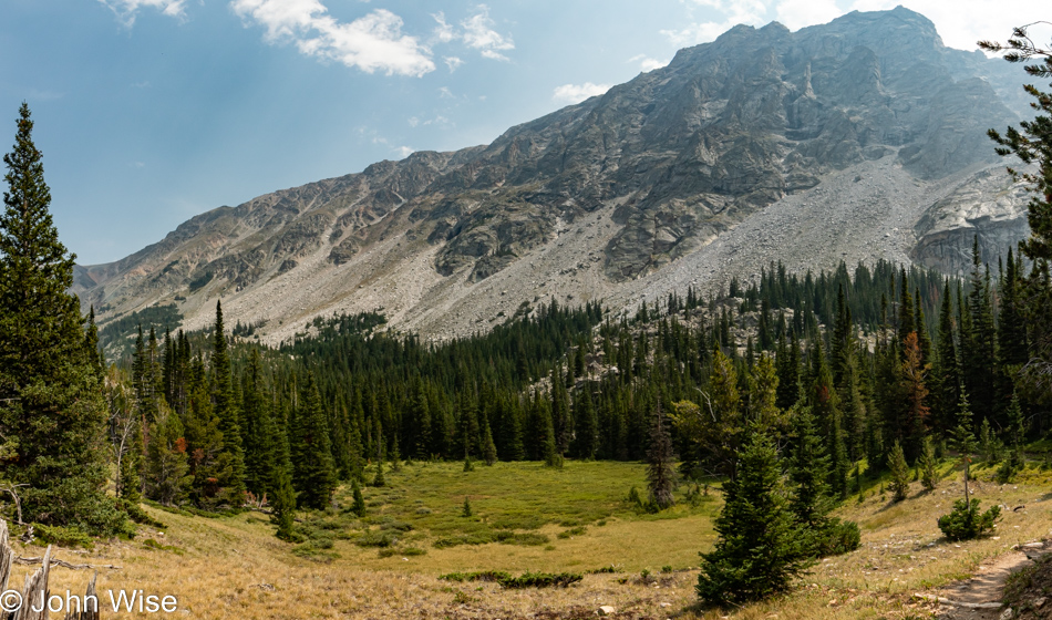
Okay, a lake is nice and well appreciated, so we’ll take that as motivation to look just a little further up the trail. We also seem to be moving away from the burn area as we are seeing more trees that escaped destruction.

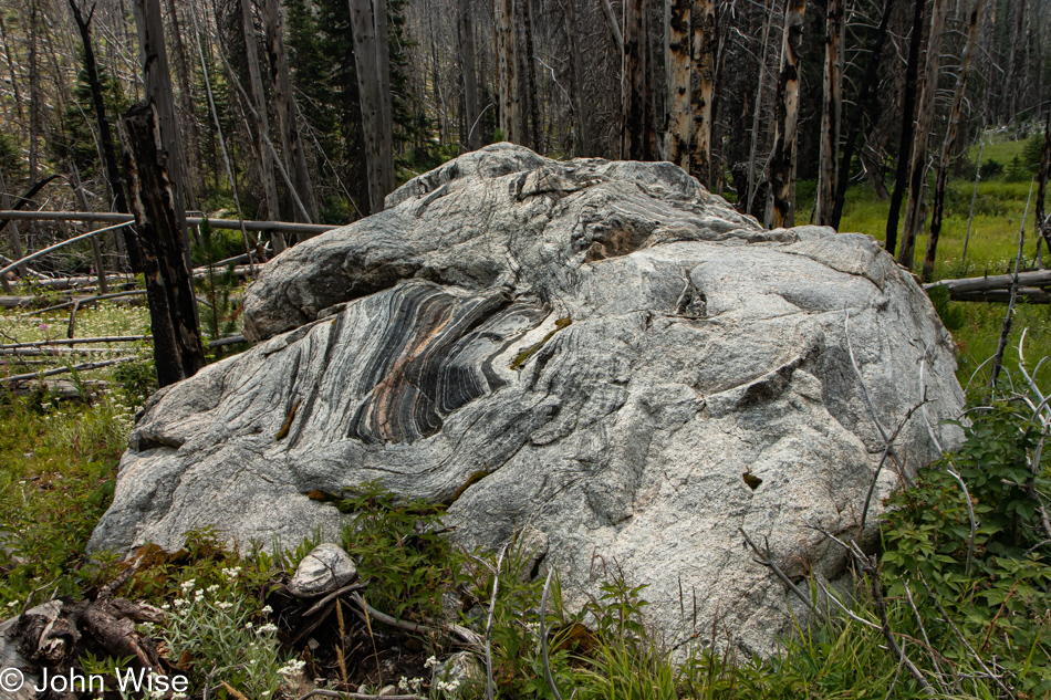
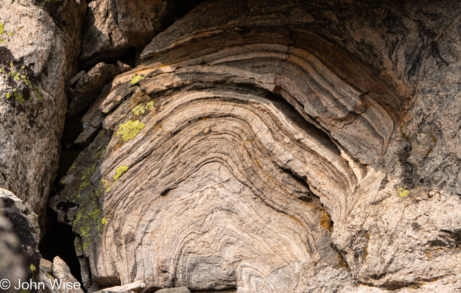
Things are becoming enchanting with this giant boulder that apparently arrived from high above as who doesn’t love swirly granite?

Although we’d been super conservative with our limited water, we were aware that we should turn around soon if we were going to make our 5-mile hike back to Basin Lake.

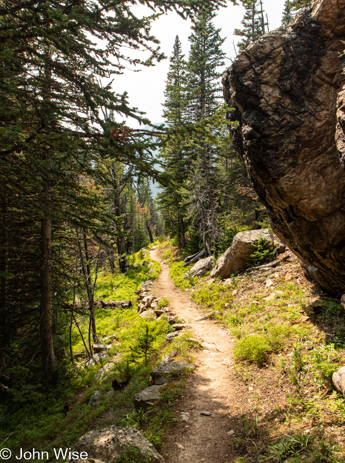
Just a little further, and that would be it, but first, we needed to luxuriate in the shade of the forest that was getting thicker with every step forward.

Well, I learned that this is a tachinid fly, which was first identified by Carl Linnaeus back in 1761, and that Carl is known as the “Father of modern taxonomy,” but other than that, all I can share is that this is a fly.

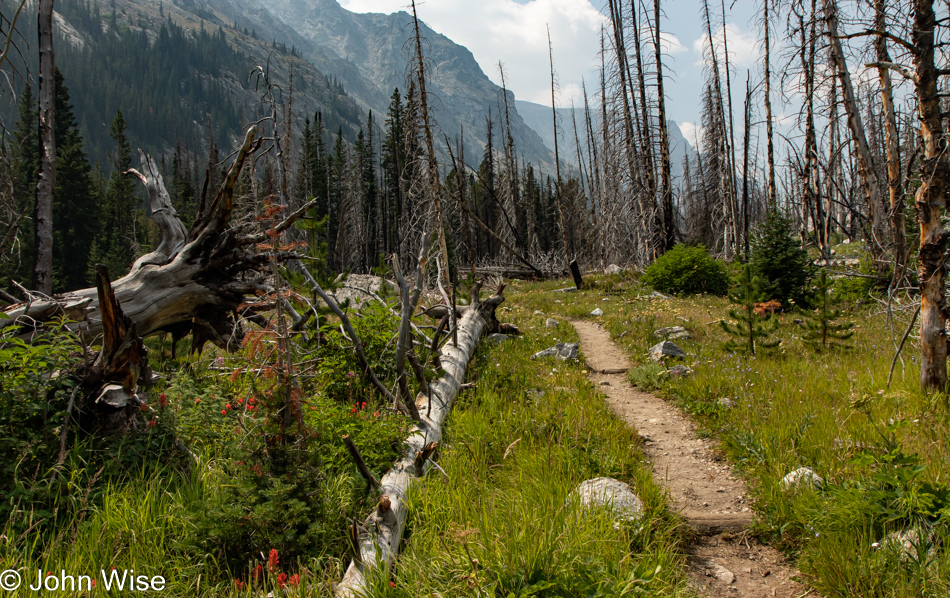
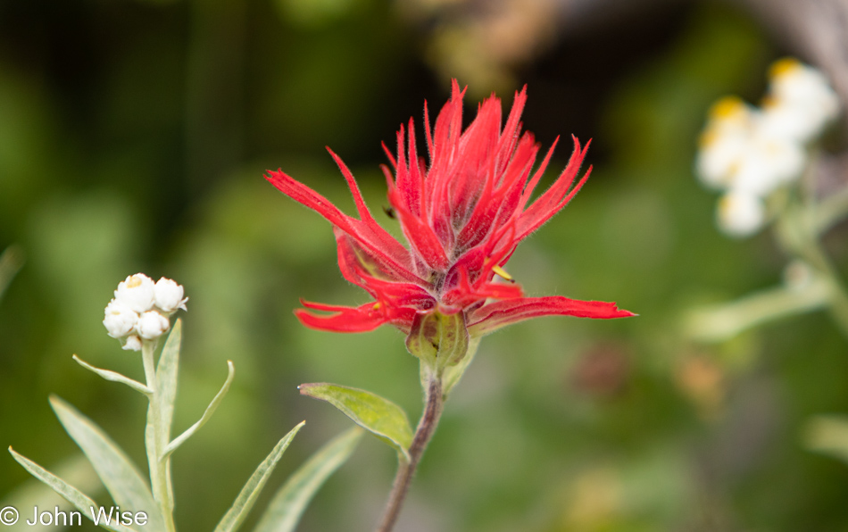
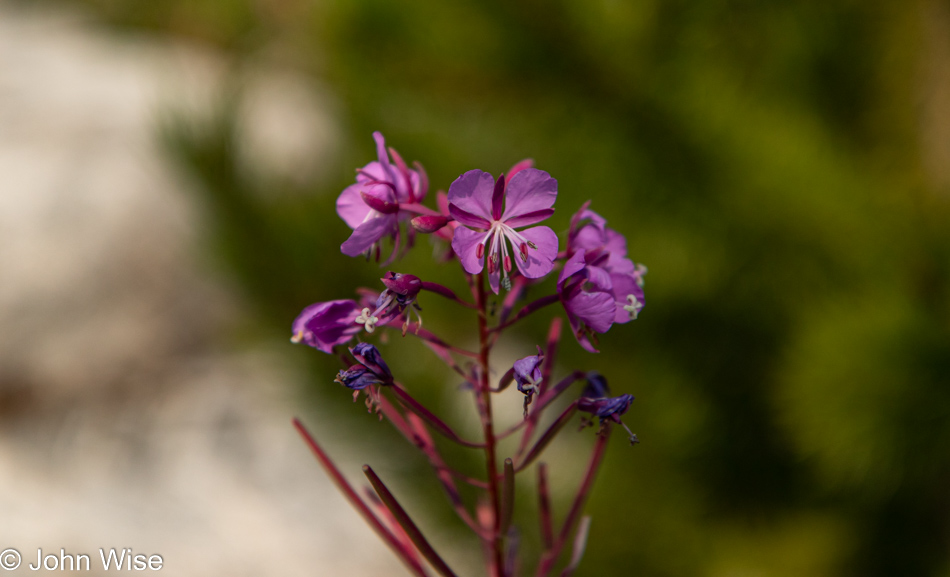
Indian Paintbrush is beautiful no matter where one may see it. While I could be wrong about where I first saw it, my memory of when I learned its name goes back to our 2012 trip on the Alsek River.

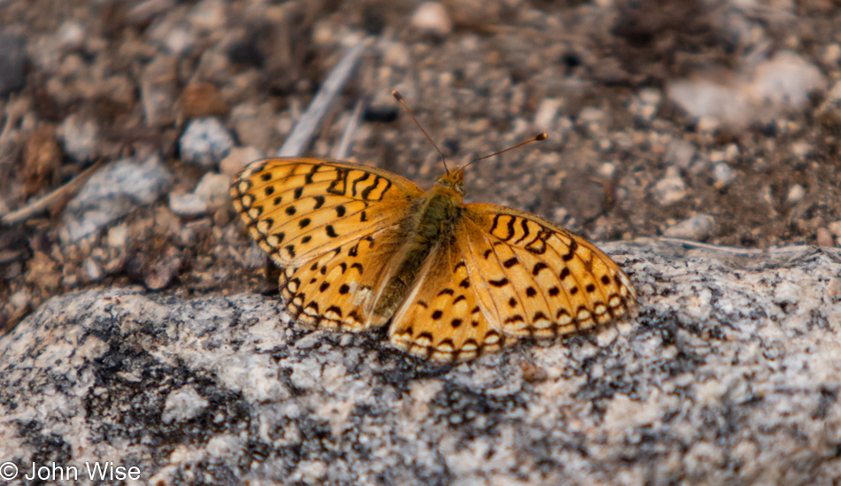
I’ve just spent the better part of the last 20 minutes trying to determine what type of butterfly this is. Google, with its image search function, is great, but I keep getting pointed to this being a dark green fritillary. The problem is that this butterfly is not found to be in North America. Then there’s the silver-bordered fritillary that is a species found over on this side of the earth so I guess I’ll go with that.

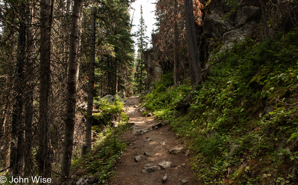
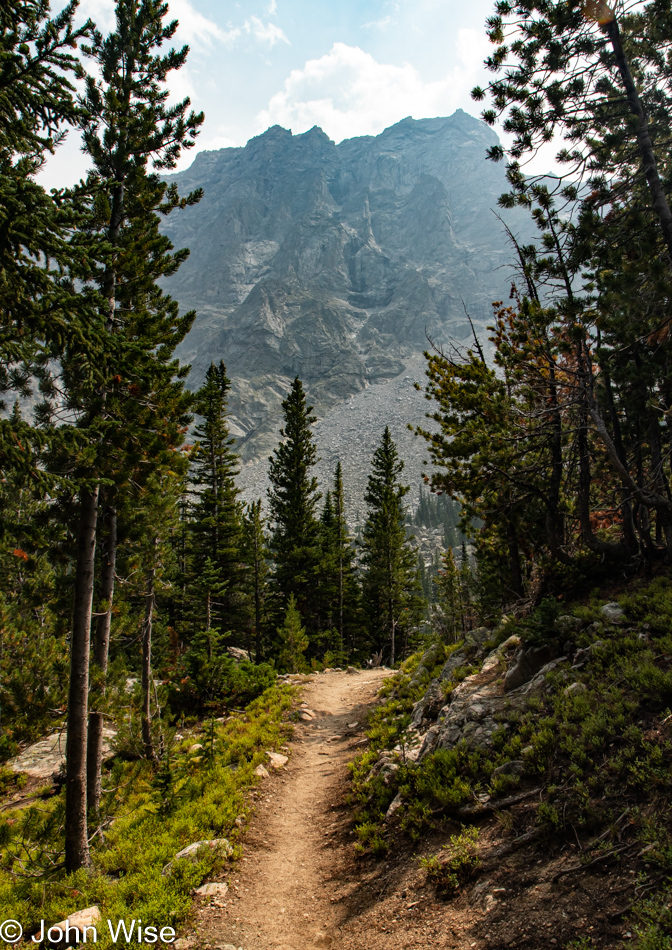
As we walk along the trail, the scenery is forever changing, with perspectives offering views that are never the same twice. At best, we can only glance over, take an impression, and keep going; such is the nature of limited amounts of time and resources. The original inhabitants and explorers of these lands would have been able to crawl over the environment to their heart’s content; I, on the other hand am not offered this luxury.

Ooh, the trail is fully green now, so we should be smart about this and turn around.

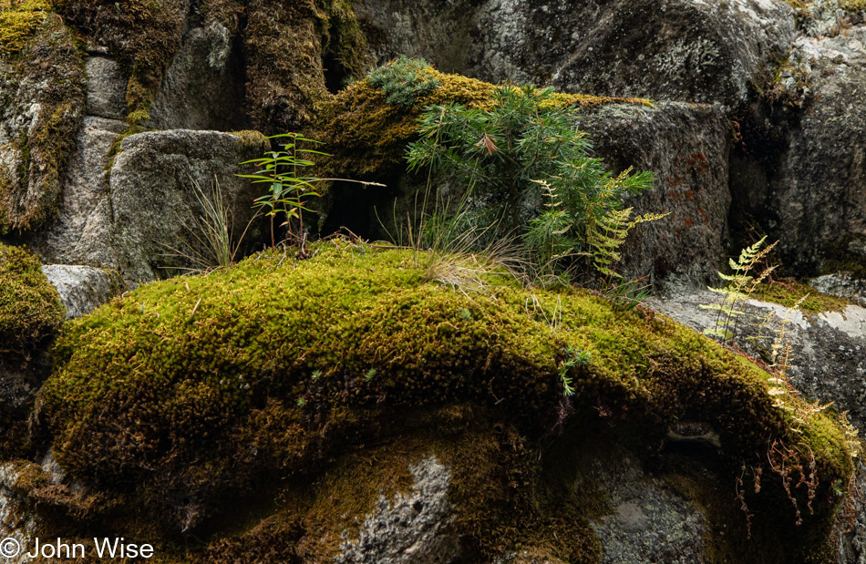
Have I ever shared with you that my middle name is Moss-Garden?

Come to think of it, maybe I should have named my daughter Cascade instead of Jessica.

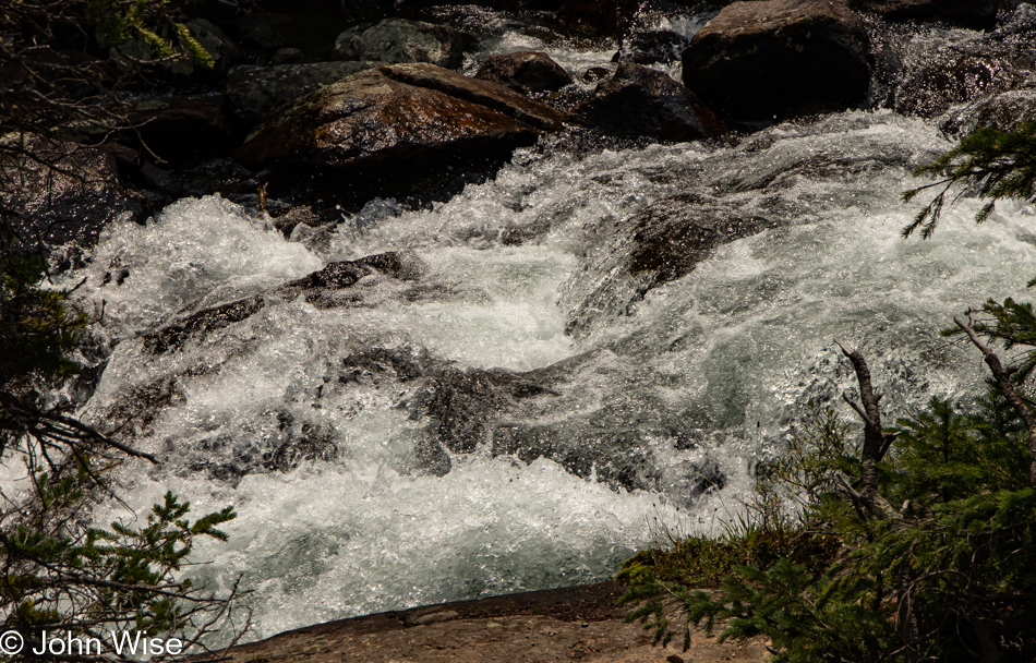
I believe the 60% of me that is water senses when molecules of its kind are flowing nearby, signaling me to bring them closer to where their cousins are free to travel where they will as opposed to being my prisoners. Sorry water, but in order for me to walk the land, I have to carry my personal ocean with me.

But look at how seductive this appears. Your cells will dry out one day anyway, so why not set them free to spill back into the flow? Water nourishes all, and if you think about it for a second, why not ask yourself what exactly you are doing to benefit life as you sequester those 16 gallons of water so selfishly?

Mountain ranges often act as vapor dams where clouds bunch up to drop their moisture on one side of the range. Down their slopes, the water is carried by gravity past trees and plants to feed them while also filling depressions and pockets, which supports the various lives that are scattered across this environment that is too hostile for humans to live in. What isn’t captured for these purposes might join a stream below, carrying it to other locations where water works to sustain all living things on this planet.

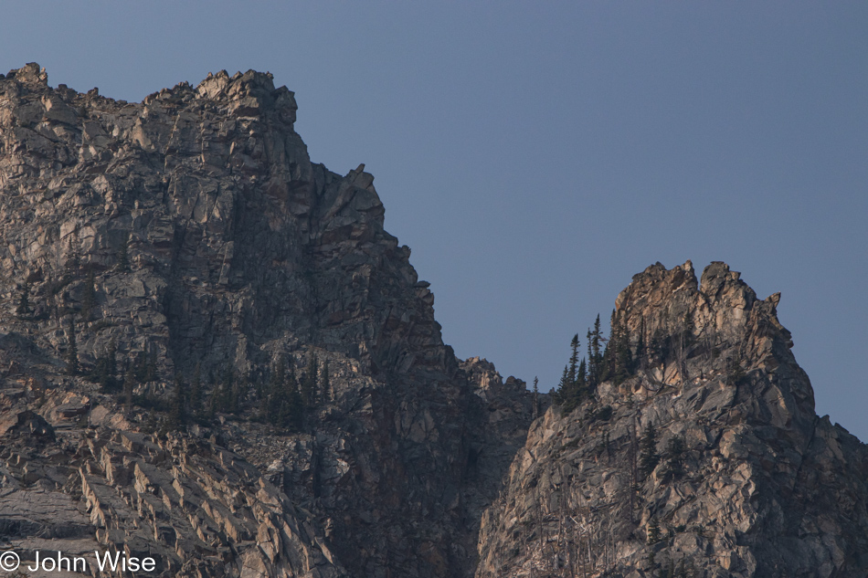
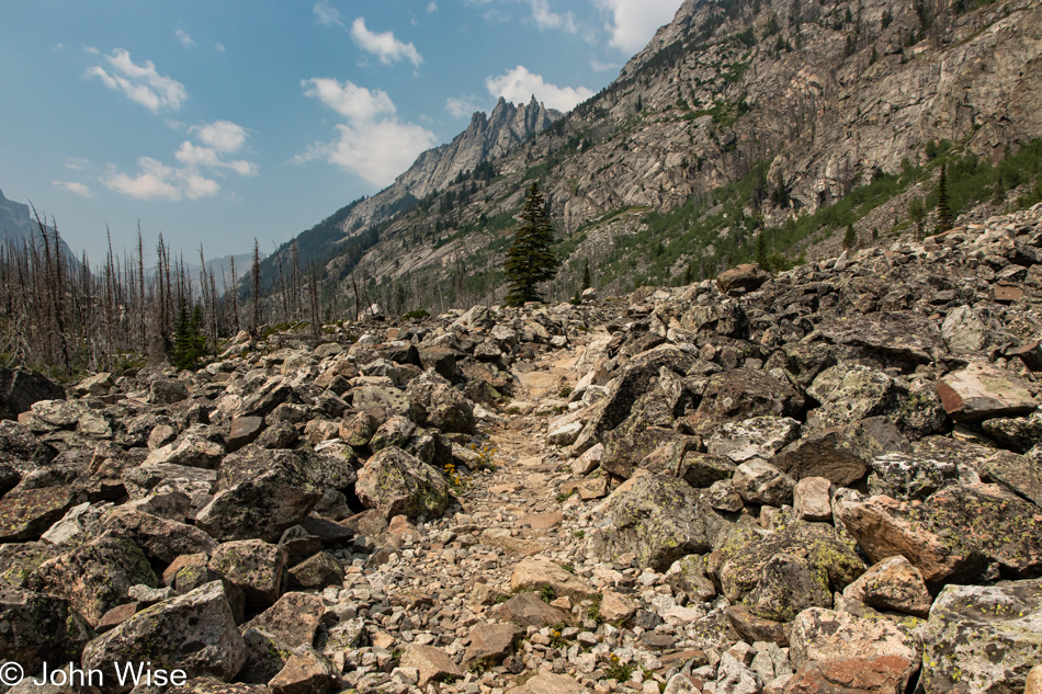
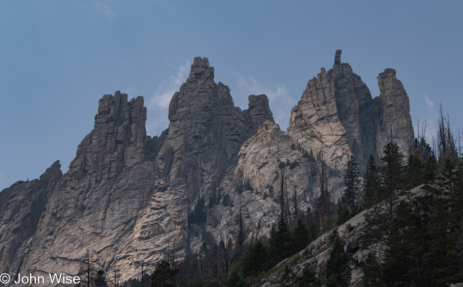
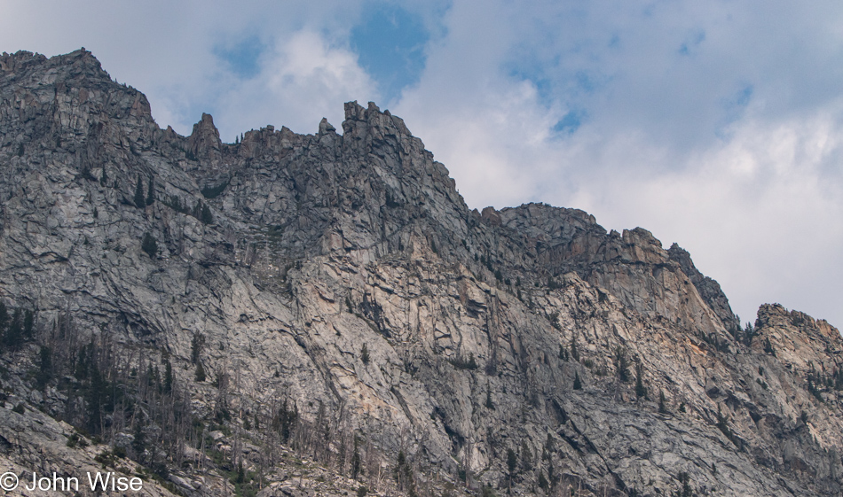
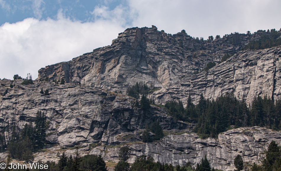
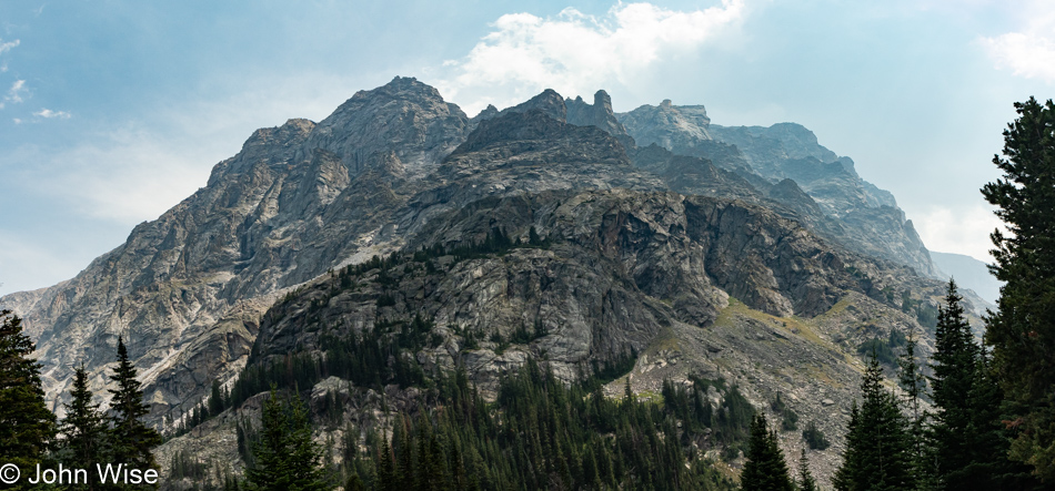
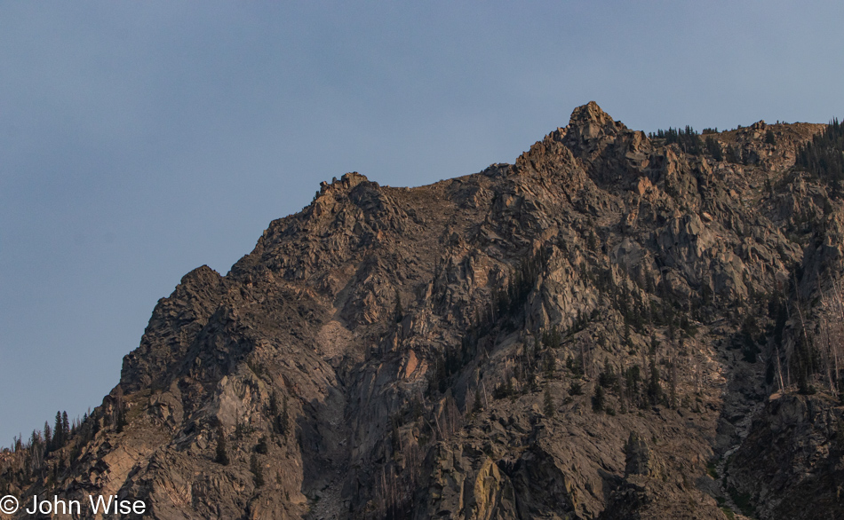
These craggy mountains are not the most inviting when it comes to the idea of taking a hike up their slopes unless walking on scree is your idea of a good time. Maybe if I were closer to that side of the range we are walking in, I’d have a different opinion, but from my vantage point, that looks hairy.

Damn, these photos suck compared to my memories of how extravagantly beautiful this place is.

Have you guessed yet that we have not yet turned around? We have no food with us, and while there’s a ton of water flowing nearby, neither Jessica nor I am willing to risk a Giardia Party in our pants on the way back to the trailhead. You would be correct in your summation that we are being idiots out here trying to limit how much we are drinking compared to the length of our hike.

Going into the mountains short on the essentials is feeling like my predicament right now as I try to write a coherent blog post about our hike; I’ve included too many photos, and I’m short on words to describe all of this.

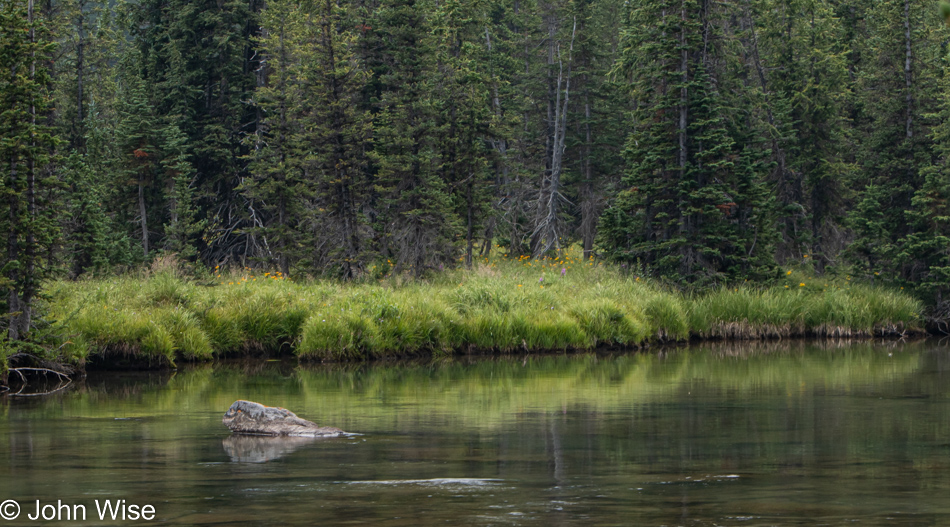
Tufts of thick green grasses reflected in the water made for a beautiful sight while I stood on the opposite side of the river in admiration. I took the photo as I knew I wanted the reminder to share with Caroline after our return that this trail is significant for us and that we should endeavor to come back. Of course, my enthusiasm should be enough to share with my wife the impact this area has made on me, but on the other hand, I’d like for her to see a tiny fraction of what I was able to see.

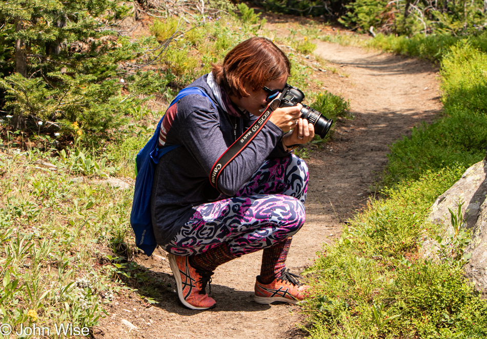
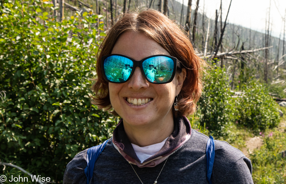
My daughter Jessica is shooting an excess of photos too, but for her husband, my son-in-law, Caleb, who couldn’t be here with us.

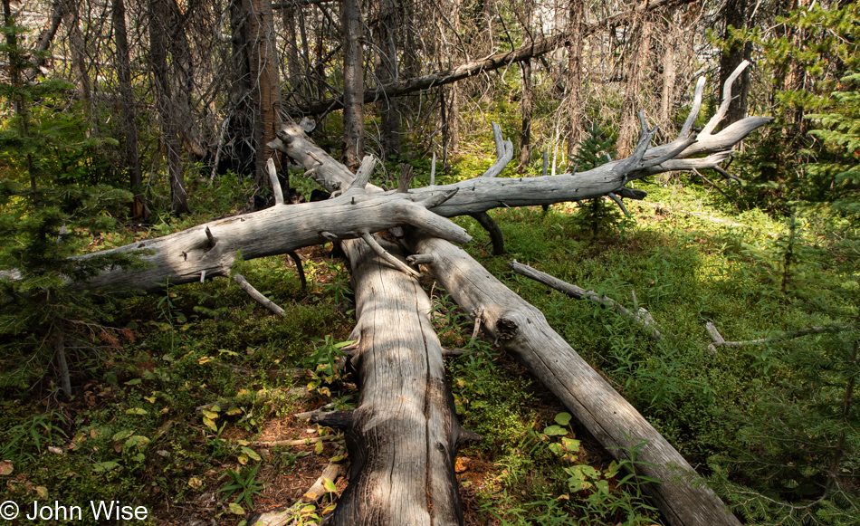
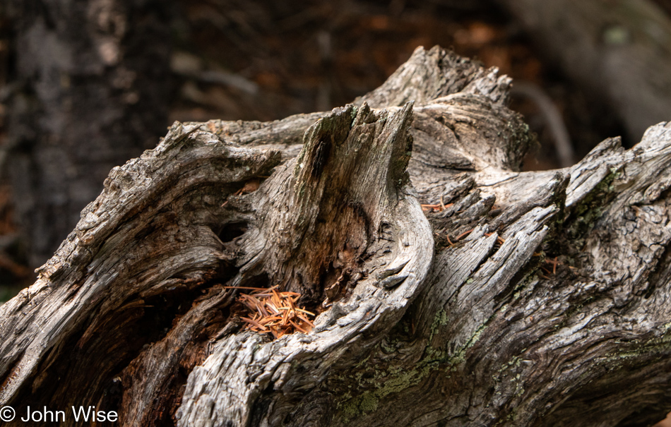
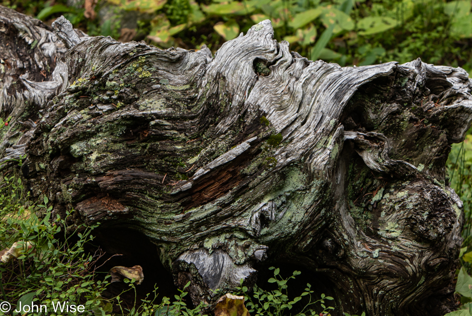
If I think about it, I might have to admit to a small fetish with drying bleached fallen tree trunks and limbs. There’s something about the grain, twists, and jagged edges that my eyes find particularly appealing.

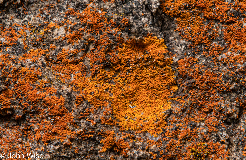
Fetish number 2, lichen. I should just continue with admitting that moss has a place in my heart, dried leaves too, and while I’ve taken time to inspect a scat or two trying to identify the fur or berries in it, I can’t really say I’d stop for every pile of poo I pass. Lichen, moss, driftwood, fallen leaves, plants reflecting in the water, yeah, all those things I’ll never get enough of.

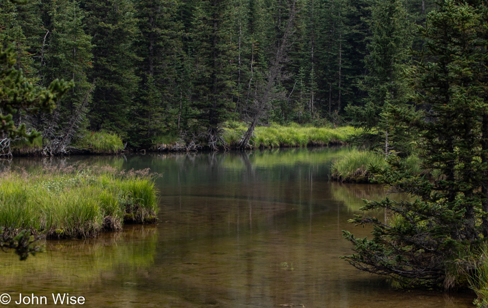
Speaking of reflections.

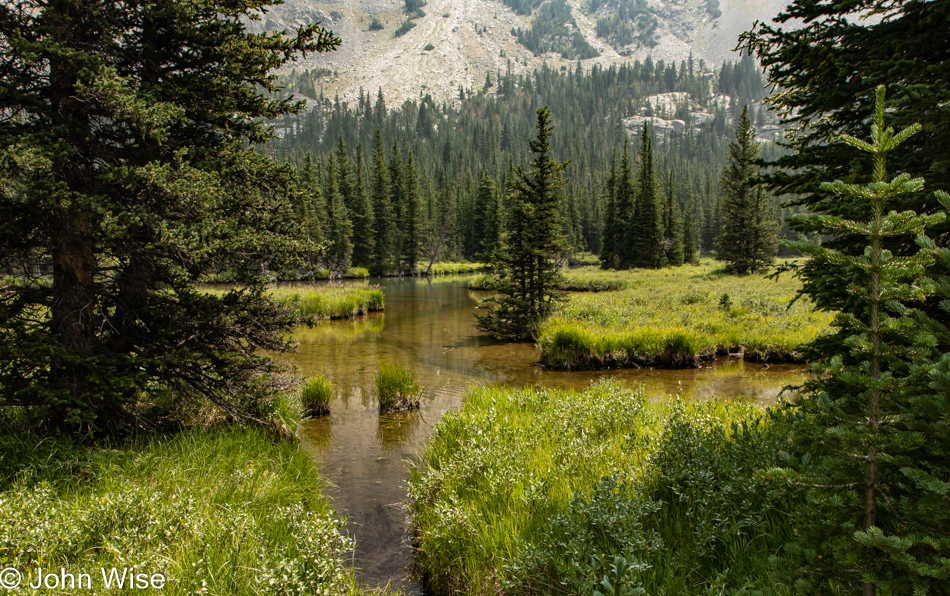
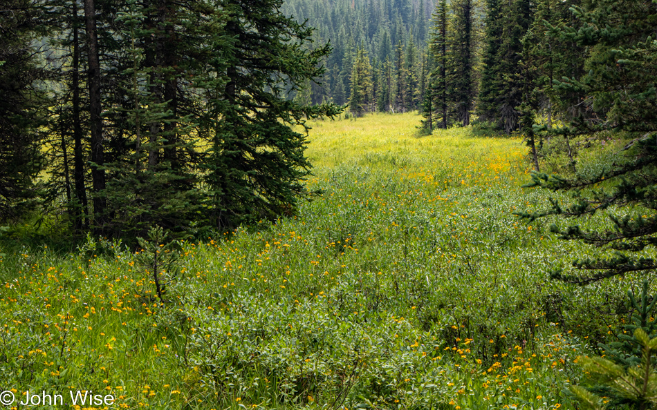
Meadows are yummies for the eyes in my world.

I’d go out and frolic, but we don’t have bear spray, and by this time we’d seen probably three other groups out hiking and a family or two, and they all had bear spray on their hip …jeezus, we were unprepared. Well, not totally unprepared as we are armed with cameras and various lenses with plenty of storage capacity that, if we had to, we could probably photograph a bear to death.

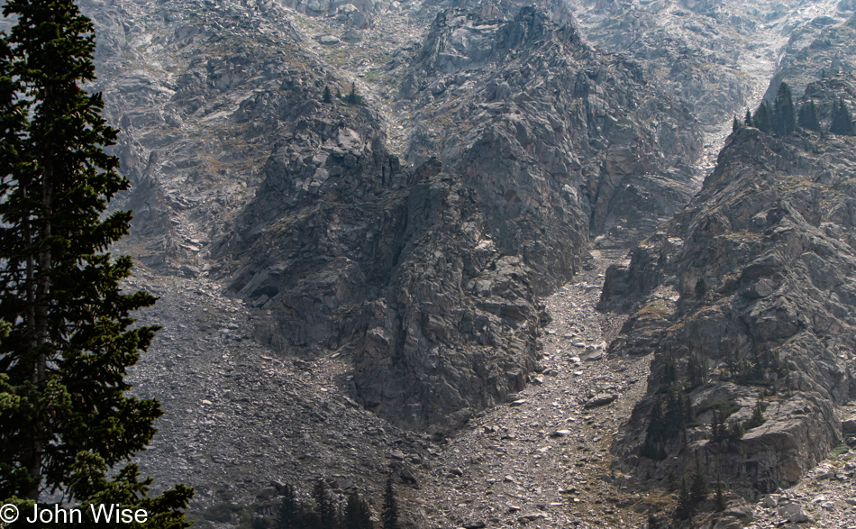
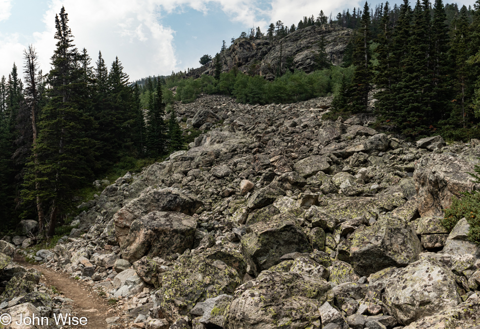
Walking through this rockfall, I’m the kind of guy who listens closely for the boulder heading down from the cliffs above at ballistic speeds, as I imagine that I might be right here at the wrong time, ready to dodge such a deadly projectile.

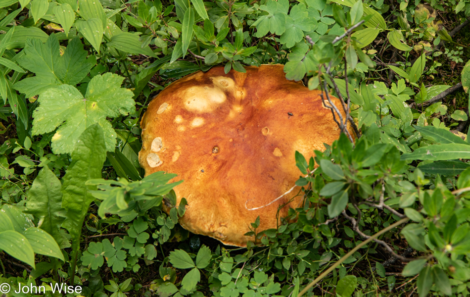
This is not a forest pancake; it was a crawling fungus triggering PTSD memories from that late 1950s sci-fi horror film titled “The Mutoid Space Creature With Two Radioactive Mushroom Pancake Heads.”

It’s been over 4 hours since we started down this trail, and our Fitbits are saying we are already nearly 6 miles into the mountains.

We are looking for something that suggests that this is the definitive turn-around point; I’m certain that something along the way will let us know that this is it.

But we just keep on going.

Okay, this is it. The path forks, and we certainly won’t be making the hike up a strenuous trail to get to Lake Mary, though it’s only a mile. We are both getting hungry, and we are thirsty which was to be expected after this many miles with an equal number yet ahead of us. The other side of the fork goes to Quinnebaugh Meadows, though a part of me wonders if we have already reached that point. On that other fork, enough water is flowing over the trail that we know that this is where we turn around.

How’d we miss this on our way up the trail?

Ooh, and how did we miss this?

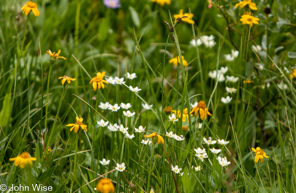
Did we see these flowers earlier, or were we looking the wrong way?

The hike back is mostly downhill, so we are making great time on our retreat, but some nice cold water sounds perfect right about now.

Along the trail, after being in the thick of the forest, we will be back among the raspberries that sustain my growing hunger pangs. My eyes, on the other hand, are well-fed.

Thirsty and hungry I still can’t help myself taking photos.

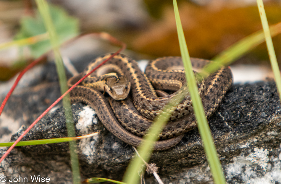
I first spotted a small snake crossing our path, but neither Jessica nor I were quick enough to grab a photo. Not 15 minutes later, she spotted this specimen curled up and warming on a stone. It didn’t move a scale the entire time we snapped off a dozen photos.

I took more than a few photos of butterflies, but this one was my very favorite.

Seven hours and twelve and a half miles later, we were done with our hike into the wilderness in a state of total unpreparedness. It was great to sit down in the car only to discover there was an extra bottle of water on the floor behind Jessica. Food was also at hand as we’ve been traveling with an ice-chest stocked with what we’d need to avoid restaurants as often as we’d want to. The hard part here was only having a small snack, so we’d be prepared for what comes next.

Dinner was again at the Piccola Cucina Ox Pasture Italian restaurant, except this evening, we indulged in our first dessert of the trip with a tableside “deconstructed” tiramisu. The espressos turned out to be a big mistake, as sleep was difficult to find after getting back to our motel. All around, it was just a perfect day, and was terrific to be out of the car for so long exercising the legs. Just an all-around sense of “wow!”

Transition Zone

Yellowstone National Park in Wyoming

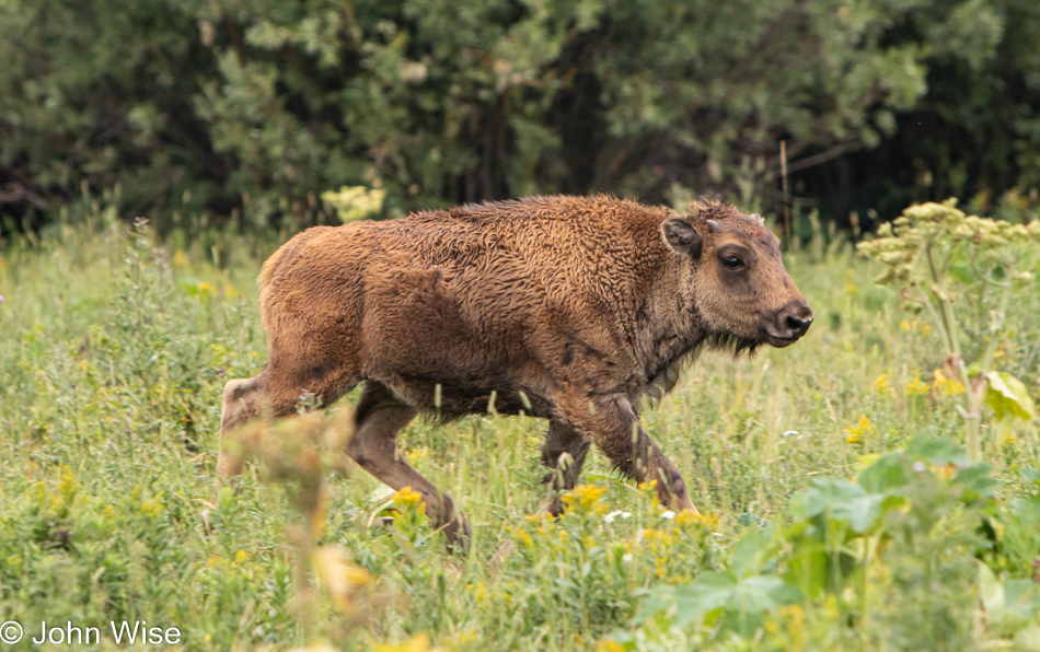
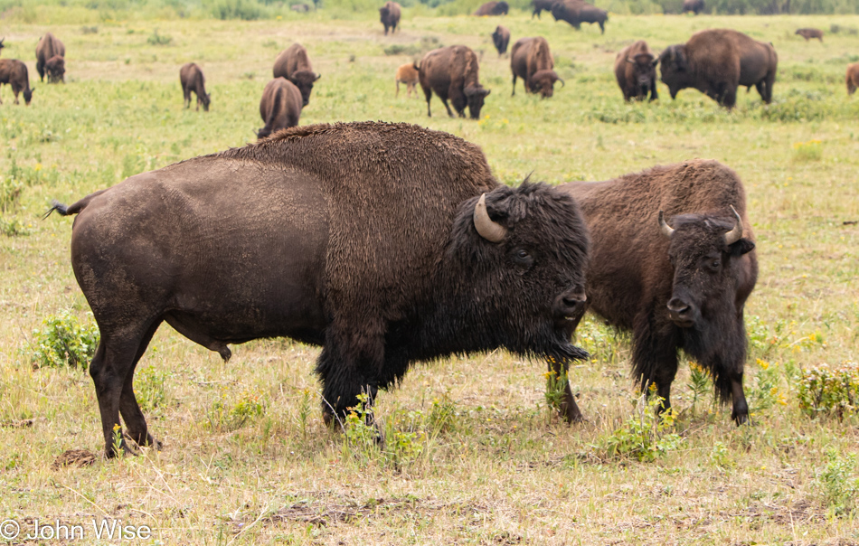
On our way out of Yellowstone, we are driving once more through Lamar Valley as the Northeast Entrance Road is technically U.S. Highway 212. Before we get to that point in the day though, we were stopped on the road by a herd of bison meandering from one side to the other. We definitely weren’t in a hurry (nor were the bison), but one California driver showed his disdain for some stupid animals and stopped cars as he pressed his Big Ass Truck through the waiting cars and past the bison while gesticulating wildly at us sheep who were observing these creatures’ right of way. Sadly, those of us who don’t (or no longer) live in California don’t really expect any different behavior from these elitist tools. And what did we get for our patience? This photo is of a beautiful young bison who personally came up to our car and thanked us for not running over any members of her tribe.

Yellowstone National Park in Wyoming

Then that very same baby bison offered to have its parents pose for us, Dad looking stoic and Mom gazing lovingly at her mate. Our fairy tale visit to Yellowstone is now complete, except for not seeing bears, wolves, herds of elk, bald eagles, lions, the largest eruption ever of Old Faithful, a helicopter view of Grand Prismatic, witnessing the super volcano hurling its guts over the Eastern United States, and Jesus appearing in the heavens above. Other than those omissions, our time here has been great.

Yellowstone National Park in Wyoming

Somehow, we ended up under the caldera rim as smoke started billowing from the rumbling floor of Yellowstone. Is this the big one? Are we about to be launched into the stratosphere to get that birds-eye view of the total destruction the tabloid press and Discovery Channel have been promising us for years? False alarm, we’re just passing through a mountain range on the way towards Cooke City, Montana.

Beartooth Mountain Range in Montana

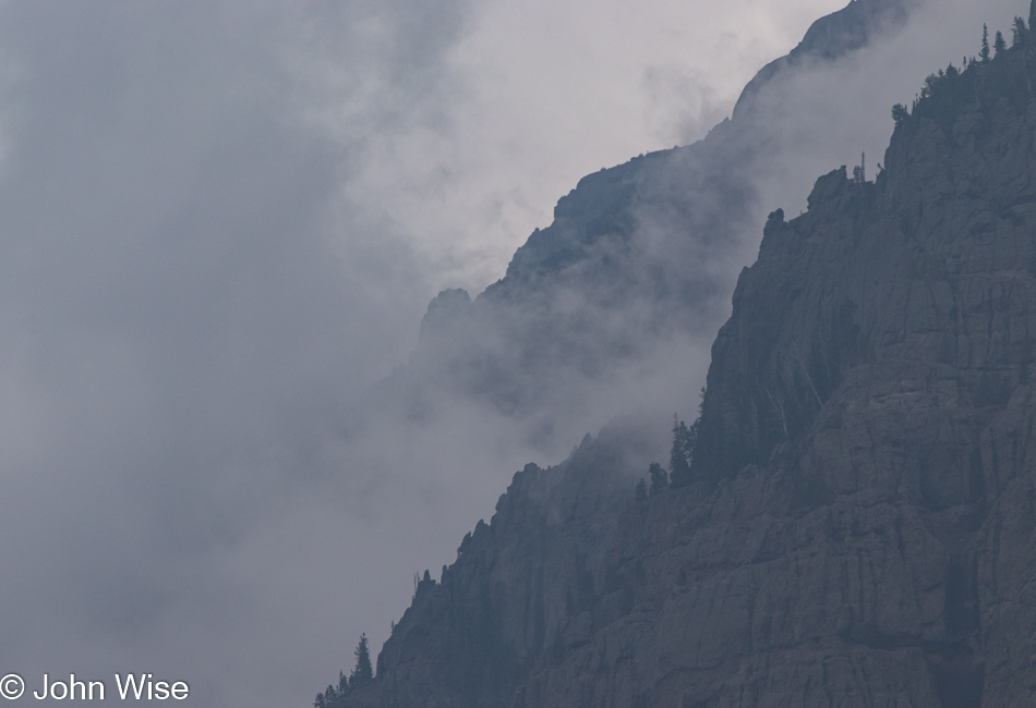
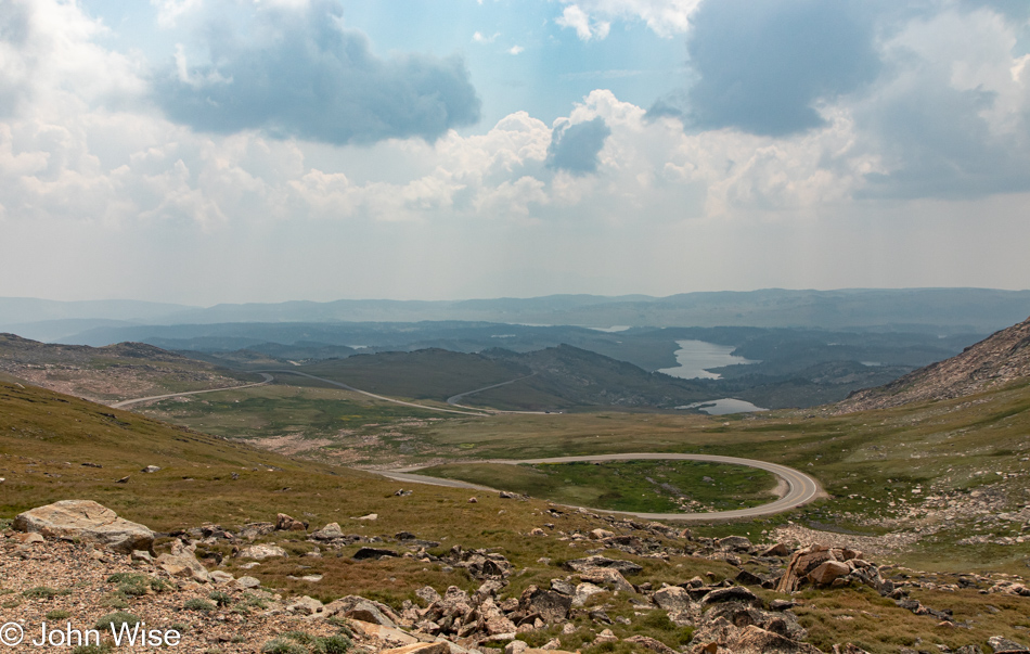
We are in the Beartooth Mountains for my first-ever visit to this rarely accessible range. The southern end of this road is often closed due to snow which has stymied Caroline and me driving this famously scenic byway in the western United States on previous occasions. The rest of the images that accompany this blog post are seriously compromised as the smoke from California and Oregon wildfires were making for poor visibility conditions. The following photos have a judicious amount of dehazing applied to them.

Beartooth Mountain Range in Montana

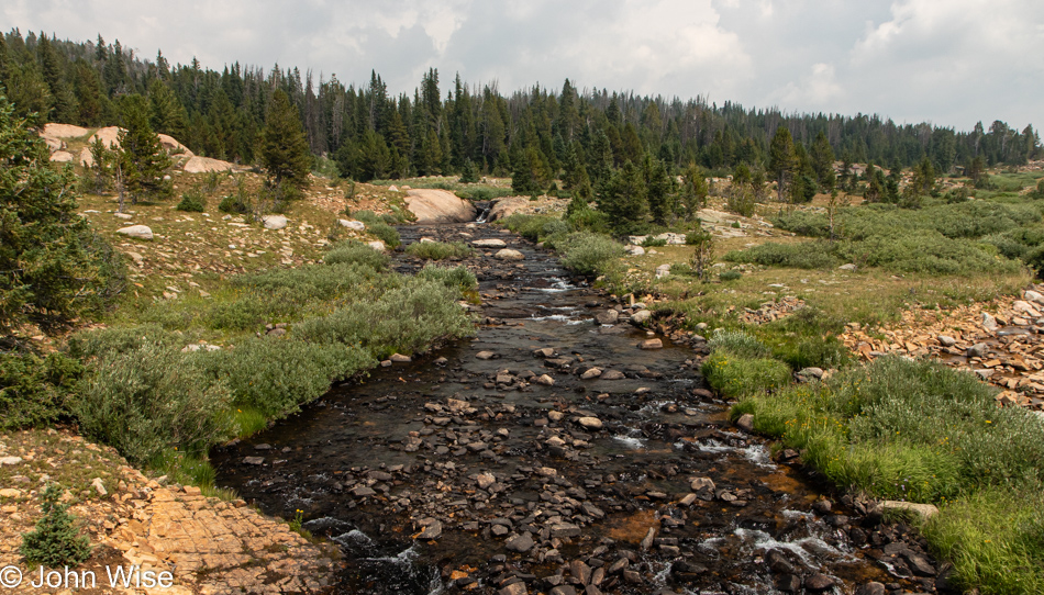
The short stretch of Beartooth Highway, a.k.a. U.S. 212 that I’ve traveled on in the past I thought might be indicative of the entire highway, and I therefore assumed that the beautiful photos I’d seen from deep in the mountains required hikes far away from the road, but today I would learn that this idea was wrong. This was the first stop along U.S. 212 that was so enchanting that I had to pull over. Mind you, I wanted to pull over a dozen times before this, but convincing myself that I wouldn’t get a reasonable shot left me with so much doubt that I hadn’t given in. Reflecting upon even this image, I feel cheated as we were near the top of a pass in a large meadow, and there was so much more that captured the eye than this photo represents that I’d like to exclude it, but then I’d have to also end this blog entry right here.

Beartooth Mountain Range in Montana

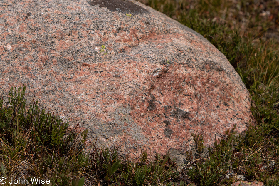
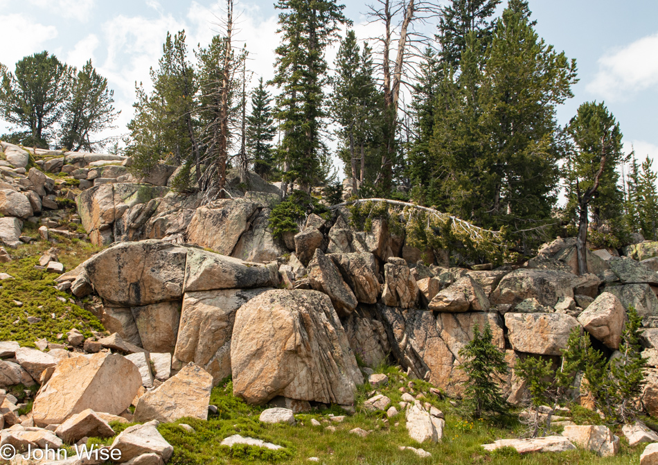
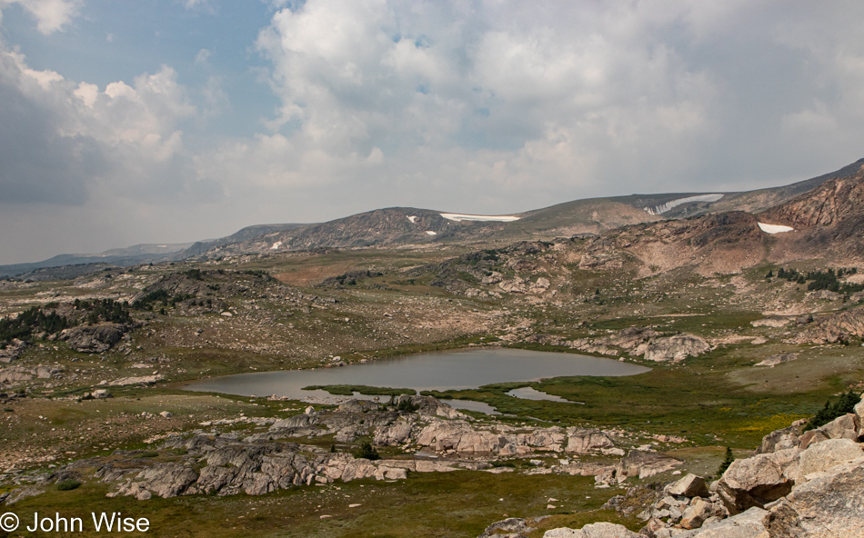
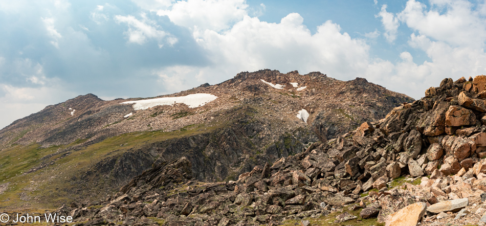
In-person, the pink and gray granite against the green meadow was so vibrant that it encouraged me to attempt grabbing images that avoid the hazy horizon, but without direct sunlight, my camera just didn’t do the job that my eyes were able to glean.

Beartooth Mountain Range in Montana

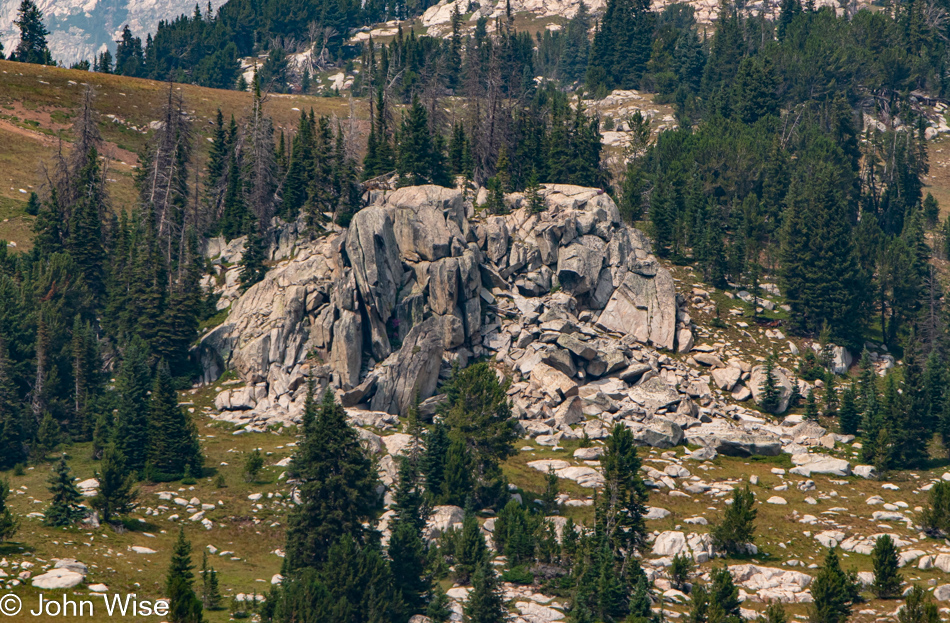
I should share that I took very few notes about this day while Jessica and I were out on our road trip, and so here I am eleven days later, looking at the images and considering what I want to say and finding it difficult to grab words that will be vibrant enough to convey how profound things appeared. This tight crop betrays the nature of what’s up here, though maybe that’s a good thing as it should press me even harder to bring Caroline on a return visit with the hopes of catching this range on a clear day.

Beartooth Mountain Range in Montana

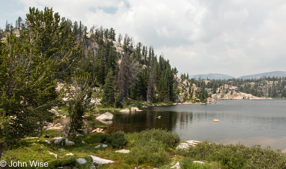
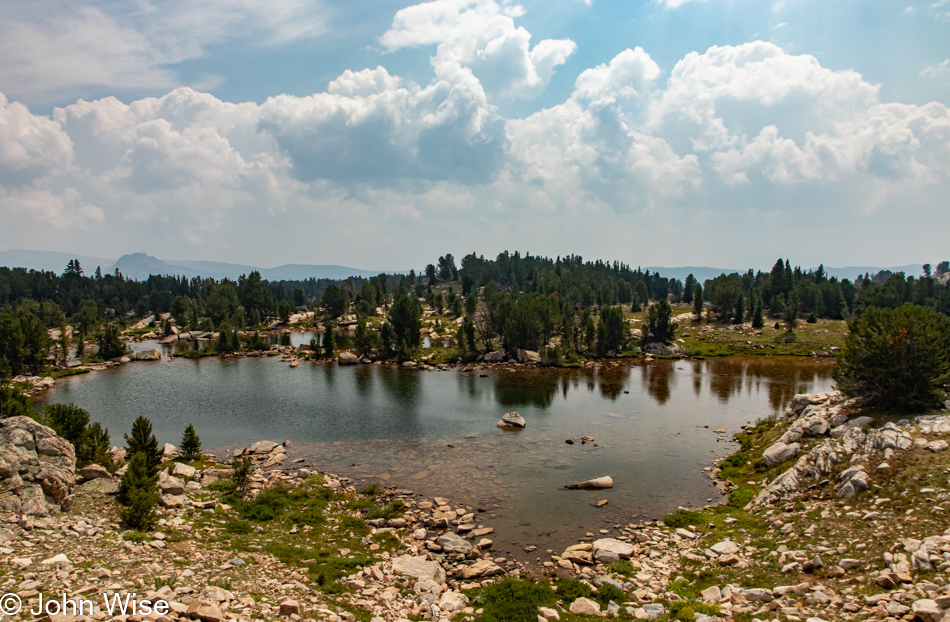
I shot this as a panorama, but the blue haze towards the right of the lake obscured too much, so here’s the left corner. With this final bit of lament regarding air conditions, I’ll try to move on.

Beartooth Mountain Range in Montana

Every corner up here in the Beartooth Mountains begs the visitor to leave the car behind and go for a hike, but without knowledge of trail length, bear spray, or even somewhere to pull over, it’s not so easy as just venturing into the landscape. If a return visit is ever going to be possible, it should be with the idea that we will remain in the area for three to five days with a number of trails already selected.

Beartooth Mountain Range in Montana

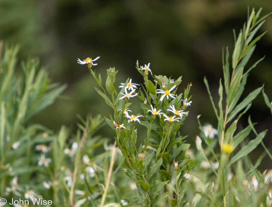
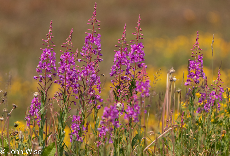
Like our visits to the glaciated area along the Alsek River in Canada and Alaska, I’m in awe at the profusion of wildflowers which have the briefest of windows to explode on the scene before the snows begin to fall again and the days grow short.

Beartooth Mountain Range in Montana

Why isn’t this area a national park? I’m guessing that the main reason would be that the designation would then require a better effort to offer visitor services in a place that might only be intermittently visitable for 60 to 90 days a year. Jumping ahead in our drive through here, I got the impression in Red Lodge, Montana, where we were staying for a couple of nights, that there are parts of the Beartooth range that are accessible for a good part of the year. So, the problem of access might be restricted to the highest elevations and coming in from the southerly entrance.

Beartooth Mountain Range in Montana

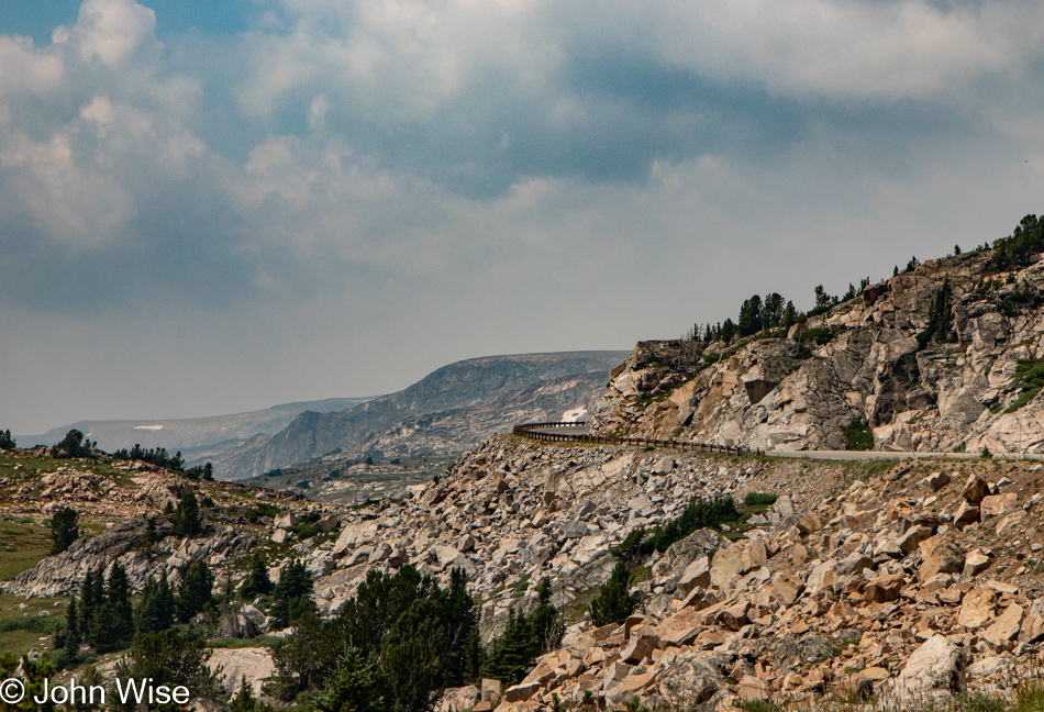
If you suffer from a fear of heights, avoid this road. Being simultaneously drawn to look out at the horizon and demanding that I maintain tunnel vision can produce moments of panic as it feels like my eyes are drawn too deeply into what lies beyond the safety of the road.

Beartooth Mountain Range in Montana

Live cams need to be placed throughout the area, or better yet; I need to photograph a couple of dozen or more locations once a month for a year so everyone can see how these places change throughout the year.

Beartooth Mountain Range in Montana

One has to wonder why this road is even here. On one side is Cooke City, Montana, and entry to Yellowstone, but there are plenty of other ways into the park. On the other side is Red Lodge, Montana, with a small population of 2,200 that really doesn’t gain a thing having this road wend its way through such treacherous terrain. That must mean that this road is only here for the pleasure of those few travelers who learn about its existence and need to revel in such extraordinary sights.

Beartooth Mountain Range in Montana

Along the road, we encountered a construction site where a primitive single-lane dirt road must be navigated behind a pilot vehicle that takes us past a bridge being built. $27 million in improvements elevate the roadway over the landscape so animals will have a better path through the environment. As construction can only proceed during the short summer season, there’s no completion date in sight, but when it is finished, it promises to add to the nail-biting experience of being out on the edge of the earth.

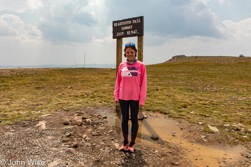
We are obviously above the tree line here at 10,947 feet (3,336 meters) above the sea far below. Sorry, but I must lament that with the Sturgis Motorcycle Rally starting soon, the roar of the bikes hauling ass up here is a bit annoying. Of course, to them, the incredible vistas make for an exciting ride, but those who get out of the car and want to spend a moment in admiration of the solitude in such a remote area find it difficult with the constant racing by of so many bikers. Not only do we hear the noise of their stupidly loud exhausts, but we must also contend with radios blaring classic rock and country anthems.

To belabor the point, this public performance of these songs from motorcycles is my equivalent of hearing the Horst Wessel Song on a hike through the Zugspitze in Germany. Mountains are for quiet contemplation, not listening to AC/DC sing Thunderstruck or Lee Greenwood asking God to bless the U.S.A. Yeah, I’m that curmudgeon.

Beartooth Mountain Range in Montana

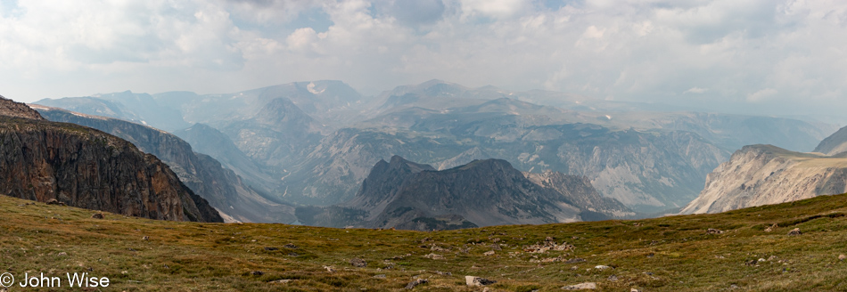
The expanse is nothing short of awe-inspiring; the scale exceeds any ability of the photograph to portray what is seen beyond the haze. For the rest of our drive out of the mountains, the weather was turning dark due to storms in the forecast, and I just wanted to exit the strenuous side of the drive, so this was the end of photos.

Arriving in Red Lodge, Montana, it was raining as we checked into the hotel, but we were quickly gone to find a restaurant. Just a few minutes later, the rain stopped again, and instead of grabbing a bite to eat, we dipped into the local coffee shop that was closing at 6:00 to catch up on some note-taking and ensure we’d be awake past 8:00 p.m.

Dinner was at Piccola Cucina Ox Pasture Italian restaurant. What this place is doing in a town of 2,200 is beyond me, as their other locations are in New York City and Ibiza. Real and I do mean real Italian cuisine is to be found here. When I ordered the Cacio e Pepe I would have never dreamed that they actually make their pasta here locally and that my dish would be served from a cheese wheel at my table instead of a plate of something they call Cacio e Pepe.