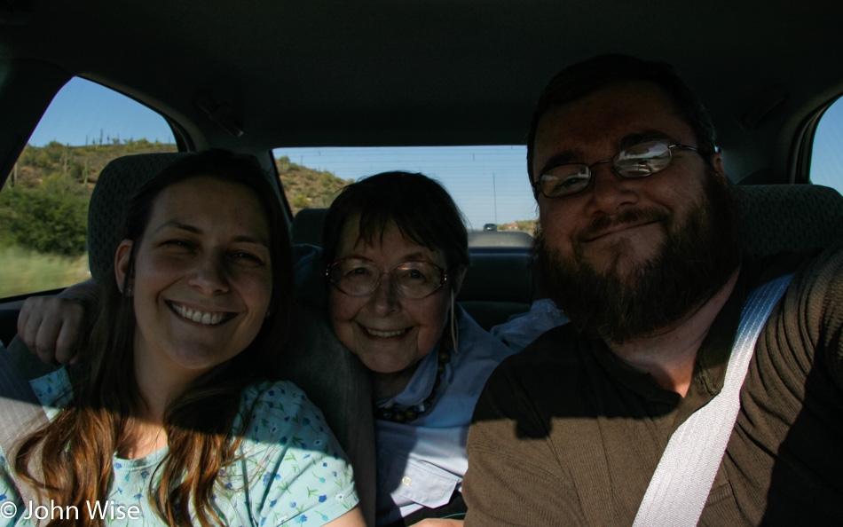
Disclaimer: This blog entry wasn’t written until 15 years after the trip. It should be noted that it was a huge mistake to have not written it way back when. Sometimes, after writing so much about other days, it happens that at the time directly after the trip (or even during), I convince myself that the details are not that important. Years later, these details are that important, and pulling them out of foggy memories is difficult. The photos help and often leave clues, and then Caroline’s memories are usually far clearer than mine. With that said, here goes.
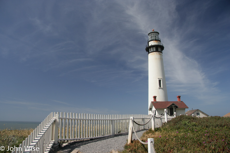
South of San Francisco stands the Pigeon Point Lighthouse, which is part of the Pigeon Point Light Station State Historic Park. The weather following us up the coast couldn’t be better. This was our first visit to this particular lighthouse, one of the tallest in America. A youth hostel is on the grounds right next to the lighthouse. but the lighthouse itself is closed with a chain-link fence around its base.
The name Pigeon Point comes from the fact that in 1853, the clipper ship Carrier Pigeon ran aground here.
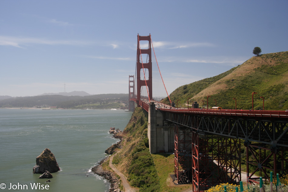
Like the air over San Francisco on the left, my memories are hazy. Even with the image of the Golden Gate and those that follow, they don’t work to bridge a path to digging out details of the day. I’ve been paused in updating this old entry and moving on to the subsequent days as I searched for inspiration that hasn’t arrived. Somehow, the first few days were written with a lot more ease. Caroline, on the other hand, just reminded me how much she is looking forward to my continuation, so even if I come up flat, we’ll still have something posted with these images. And who knows, maybe Caroline will add a little something herself?
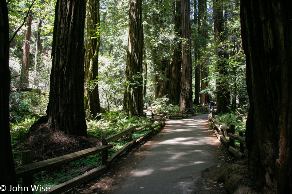
Maybe it was because it was Monday, or maybe the Muir Woods wasn’t run over by the masses yet, but here we are without an issue finding parking or getting in. As I write this in July 2020, after four months of self-isolation due to COVID-19, I am asking myself if we were far luckier than we realized at the time. The trail was quiet, there was no fear of contagion, no second thoughts about where we’d eat, no worry about my mother-in-law flying halfway around the Earth. It’s difficult when doing something that feels so normal to always be cognizant of the good fortune we are experiencing, but looking back right now, I can’t help but wonder if this will come back in my lifetime.
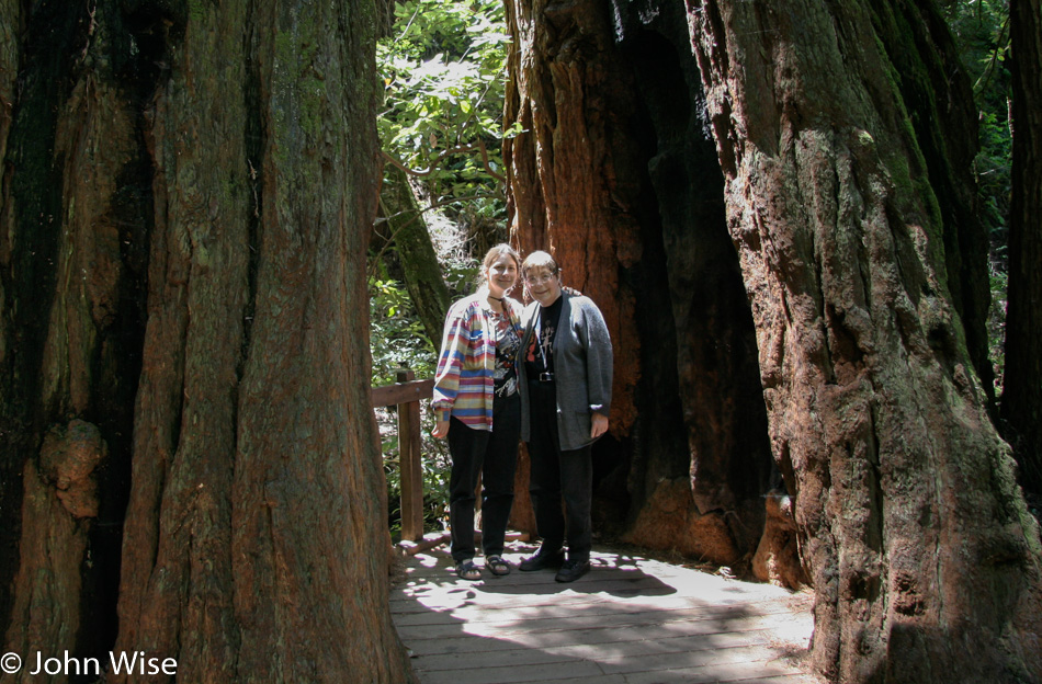
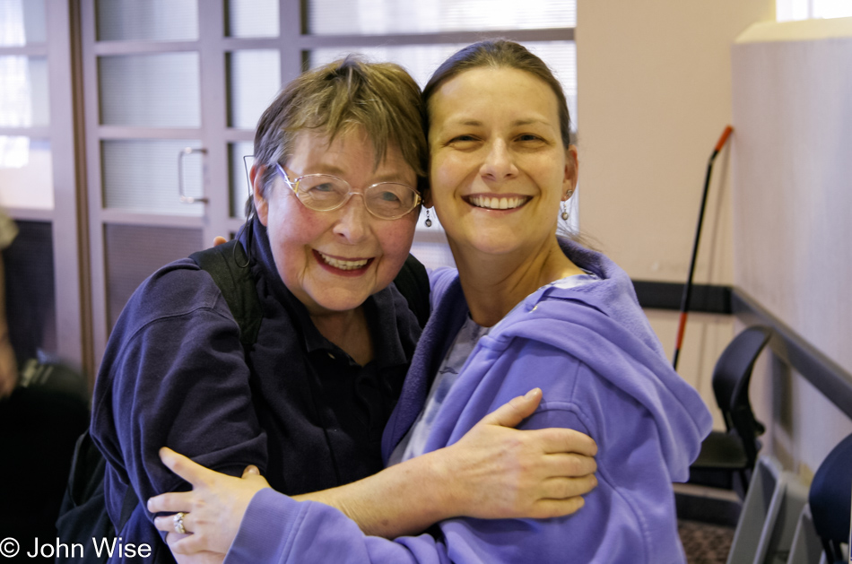
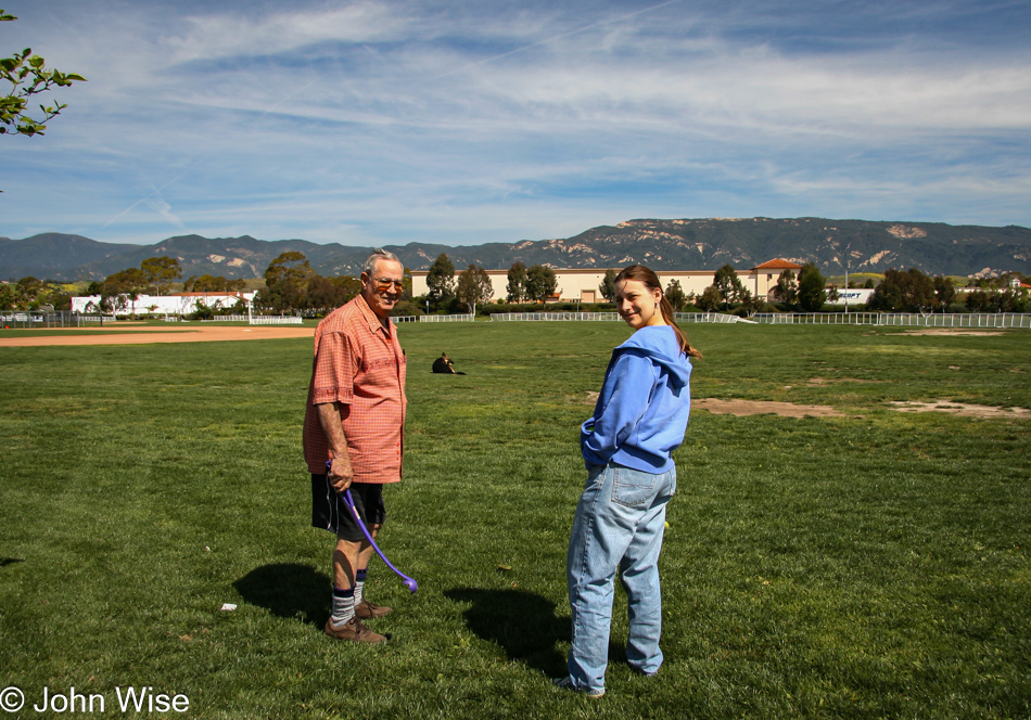
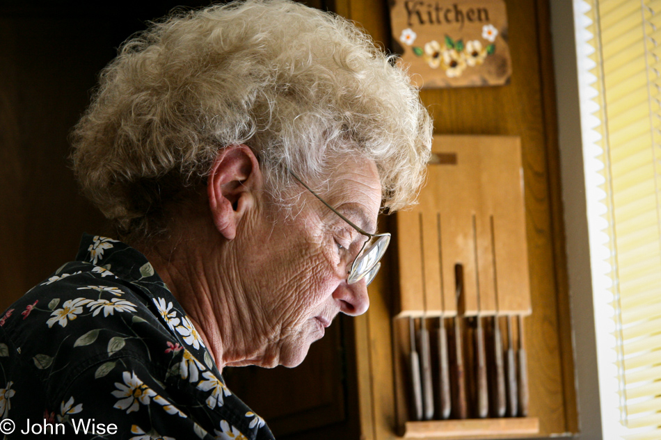
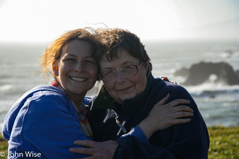
Of course, Caroline and her mother discovering somewhere new together is something now lost, too, as Jutta is about to turn 85 in just a week, and she’s no longer able to travel. Even on our last visits to Germany, her stamina was such that we couldn’t go far with her. But back on May 23rd, 2005, Jutta was in awe and reveling in how sagenhaft everything was when she was traveling with us. Sagenhaft is German for awesome. The truth is that sometimes things weren’t so sagenhaft as a stubborn lady at 70 years old and her even more stubborn 42-year-old son-in-law could butt heads. I don’t mean to diminish the incredible nature of our journeys into America, as the ratio of friction to amazement was easily 99 to 1, but I feel a tinge of guilt that I wasn’t more patient and understanding of someone who’d made it to 70 and was already suffering from the effects of being inactive while at home in Germany in large part due to loneliness. Sadly, we cannot stand in someone else’s shoes while we walk together when our gender, cultural background, and age difference don’t allow us to be aware of the truths of the other.
So we put on smiles for the camera as we know we’ll get over the tensions and will want to look back with eyes that remember with fondness the good times. Today was one of those days where impatience and the tour guide’s unreasonable demands for perfection interrupted an otherwise beautiful day. While I certainly can own my share of the guilt, and those darker moments are likely long gone from Jutta’s memories, I do wish I could rewind the clock and show my wife a more compassionate and understanding friend and husband. Our frictions never lasted more than an hour or two, but they hurt my wife more than they bothered Jutta or me. Still, Caroline put on the smile in her effort to diffuse the grumpy, hot-headed guy on her side, and while I’d certainly like to forget these dumb moments where my emotions arising out of impatience got the better of me with those around me paying the price, I cannot forget, but I am happy that I believe I’ve been forgiven.
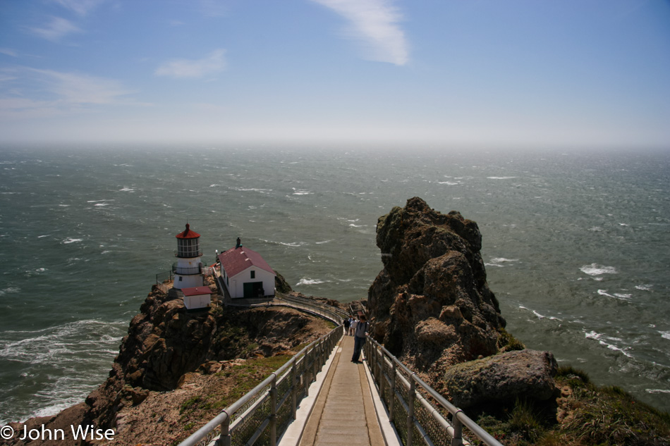
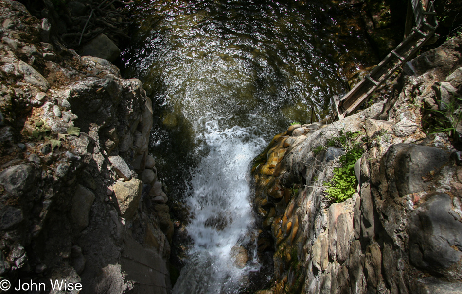
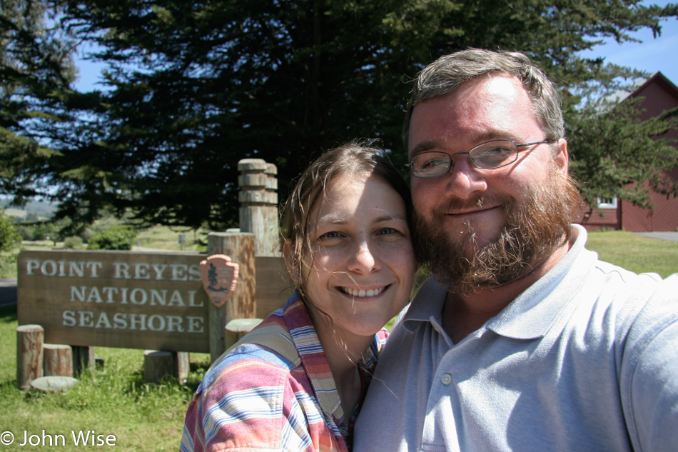
Caroline bolted down the stairs to Point Reyes Lighthouse while I remained with Jutta. Her lack of stamina wasn’t allowing her to be fully with us. Hence, my disappointment spilled into misguided anger. But let’s leave all of this behind us and get on with the day.
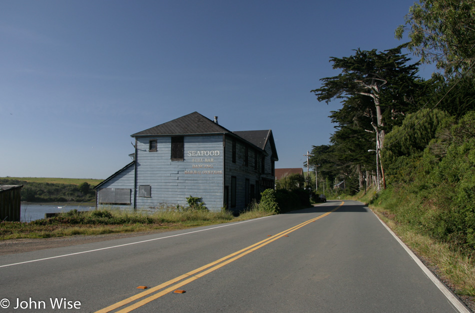
Our drive up the Mendocino coast was just beautiful, and for that spectacle, everyone in the car was happy.
There are always breaks to stretch the legs, even if the basic premise is first to find a bathroom for the ladies. Then, the side effect of that stop is to hopefully take in some grandeur of our location or, if we’re at a gas station, to indulge our taste buds with ice cream.
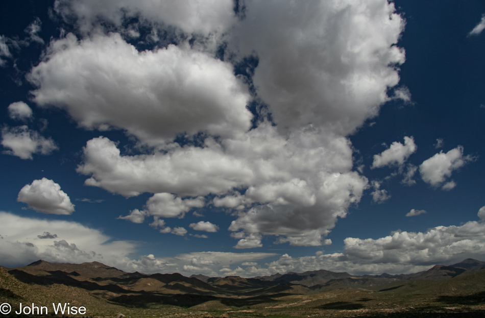
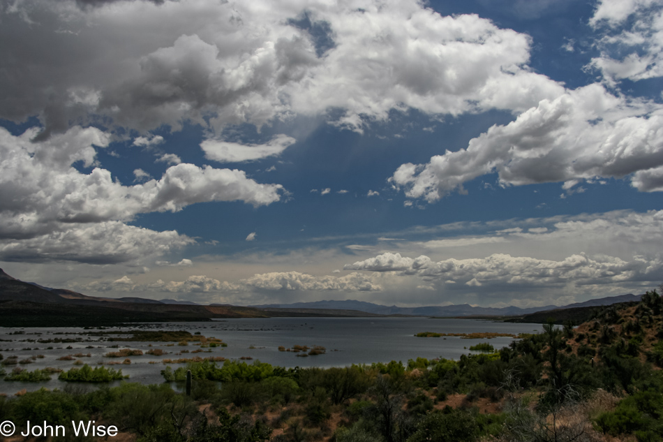
I no longer remember exactly where this was, but obviously, we couldn’t have wished for a better day to have been here.
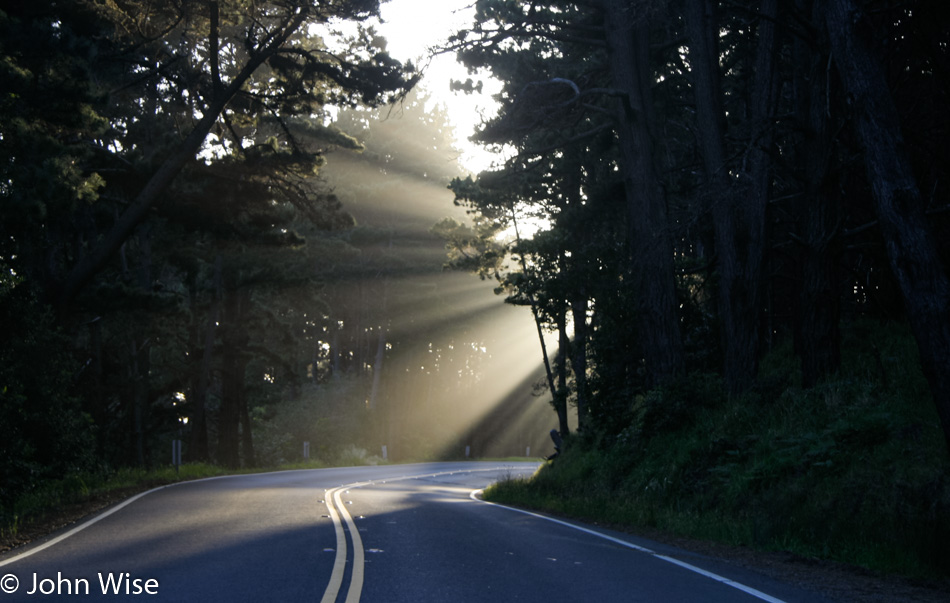
There’s some kind of magic in the god rays that fall on the road, or maybe they are sunbeams and are distinct from god rays, but whatever you want to call this type of light sliced by trees, casting shadows within the illuminated moisture along the coast, this phenomenon always elicits our oohs and aahs. That must be magic, then.
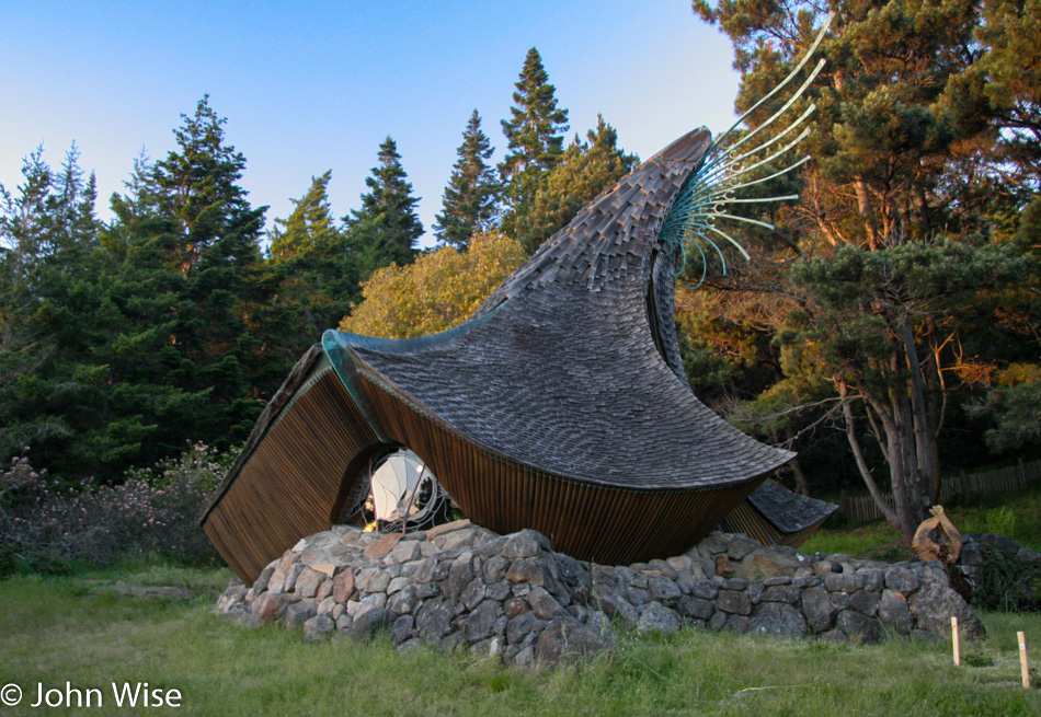
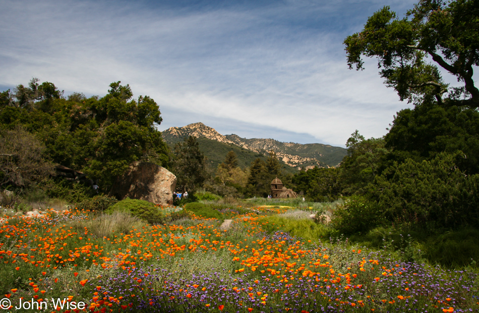
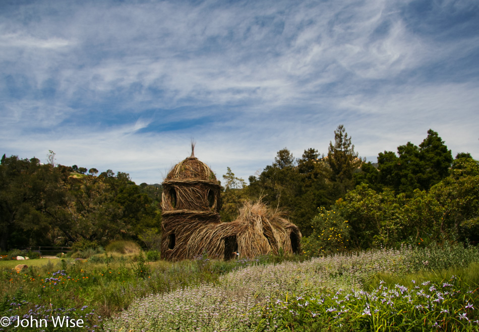
Approaching the Sea Ranch Chapel in Sonoma County. If you are not intrigued enough to stop, you must be a little dead inside. This whimsical bit of architecture out in the middle of nowhere was a surprise I hope we are so fortunate to stumble upon again in our lifetimes.
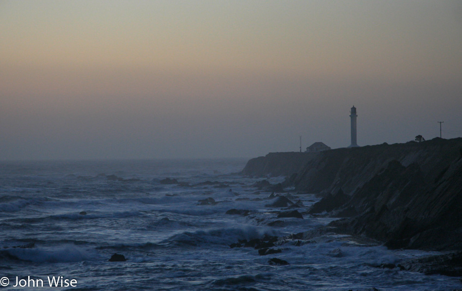
We are running out of daylight as we stop at a distance from the Point Arena Lighthouse. With dogged determination, though, we still have a long drive ahead before reaching Eureka, California, 175 miles north of us. Somehow, we took all day just to drive the first 80 miles before reaching the lighthouse. This has often been an issue with our road trips where, during the planning stages, I think that 255 miles is nothing and we’ll be arriving at our motel early, but I’m almost always wrong.