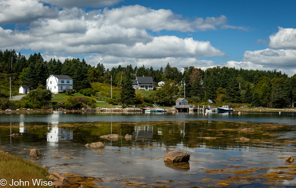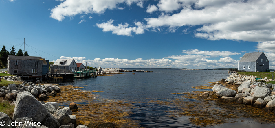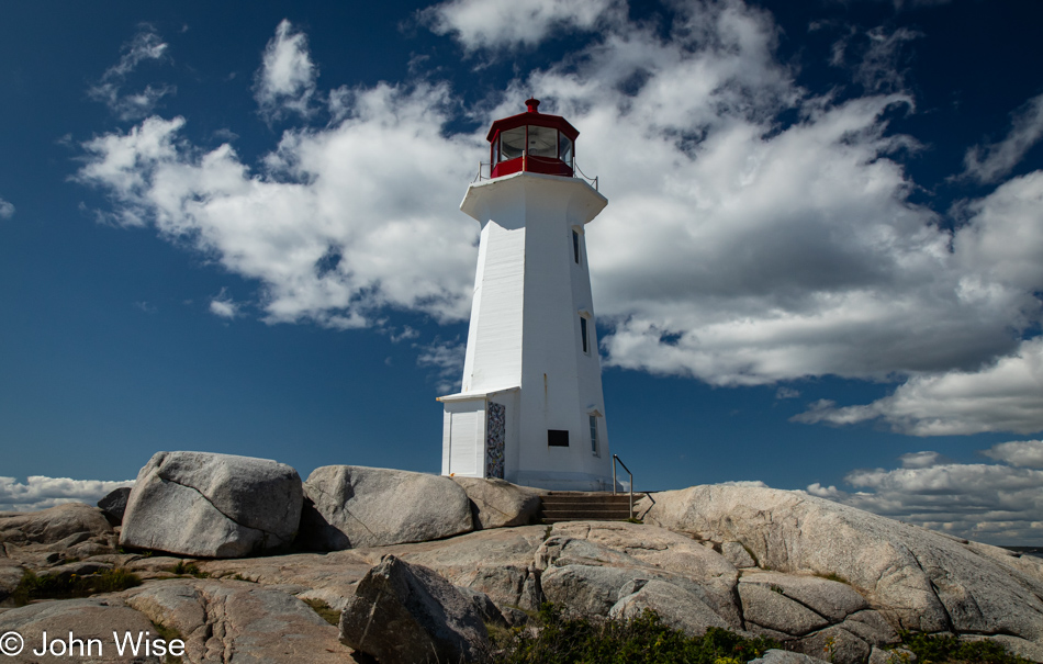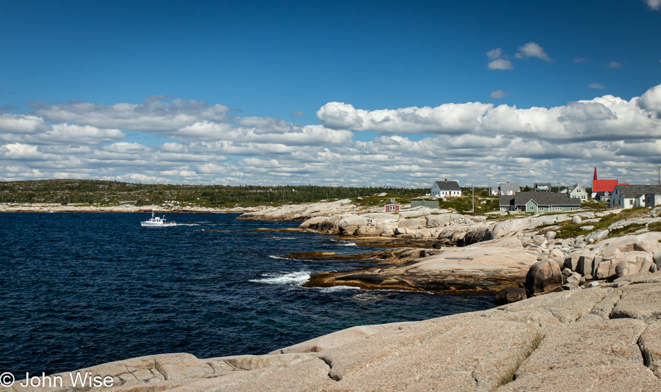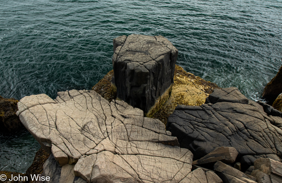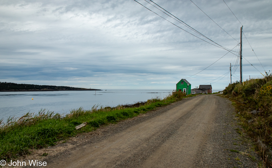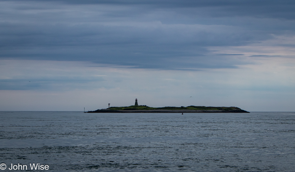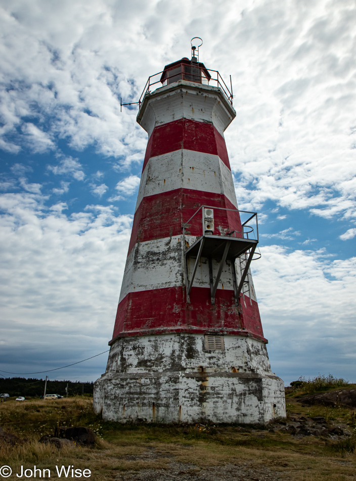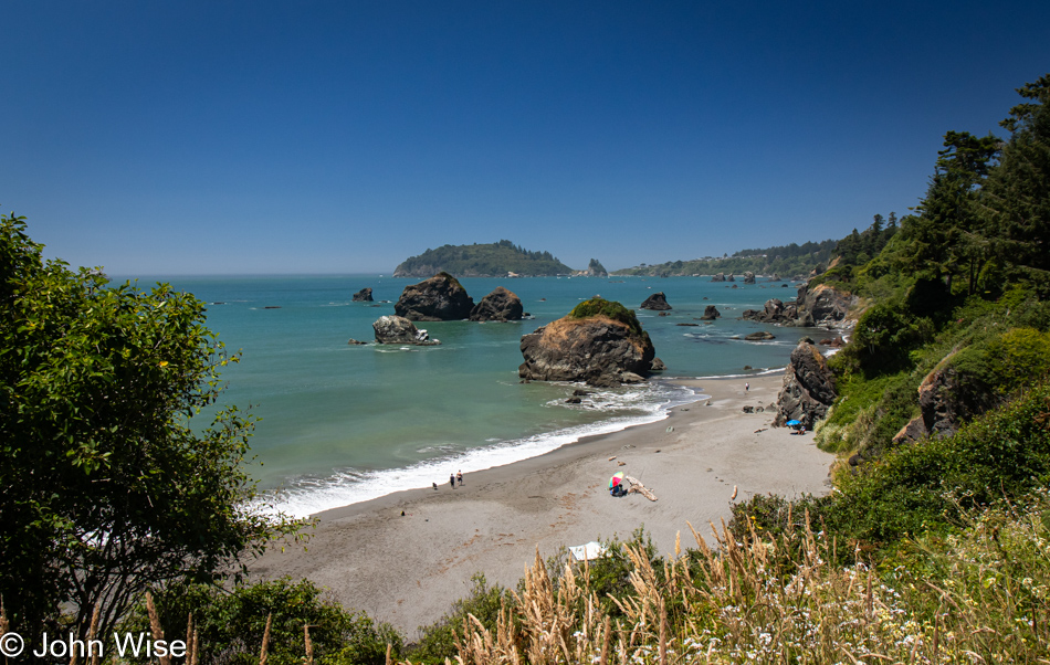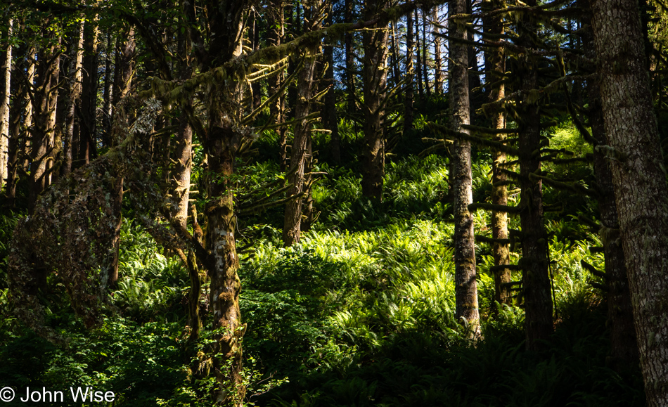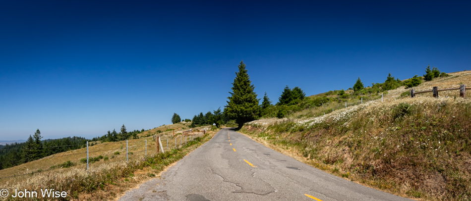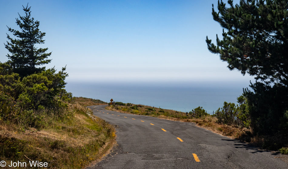
Ferry to Newfoundland

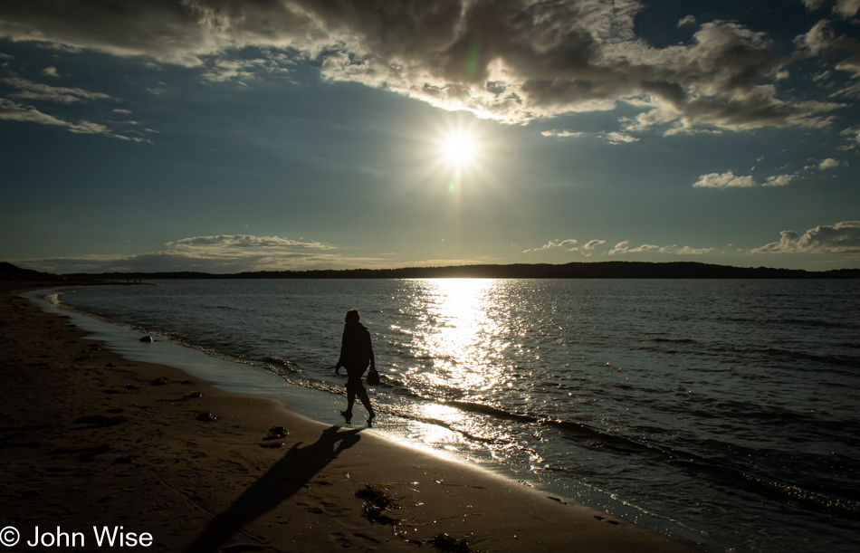
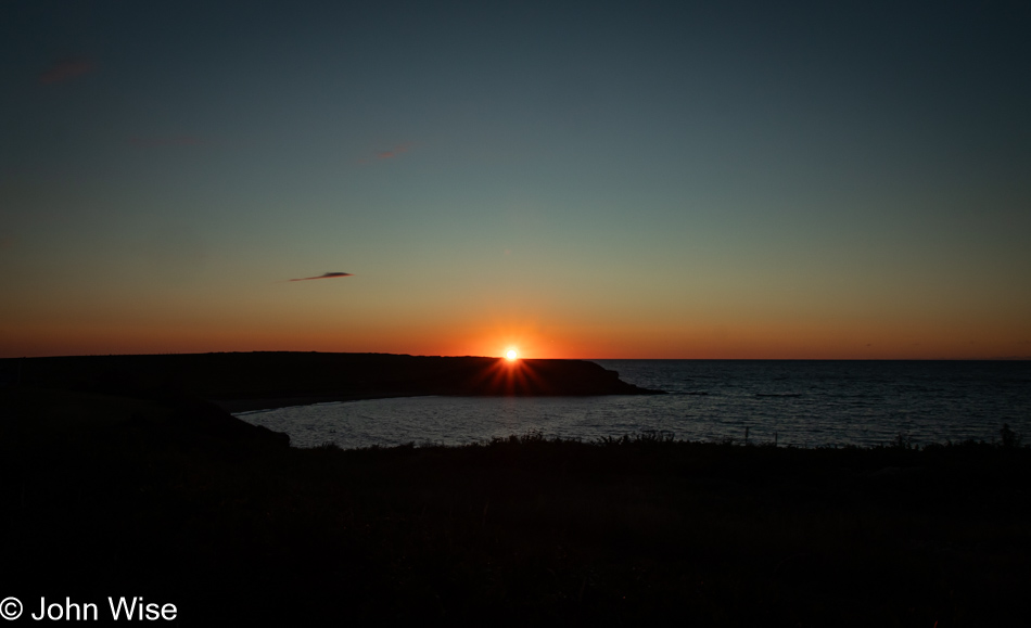
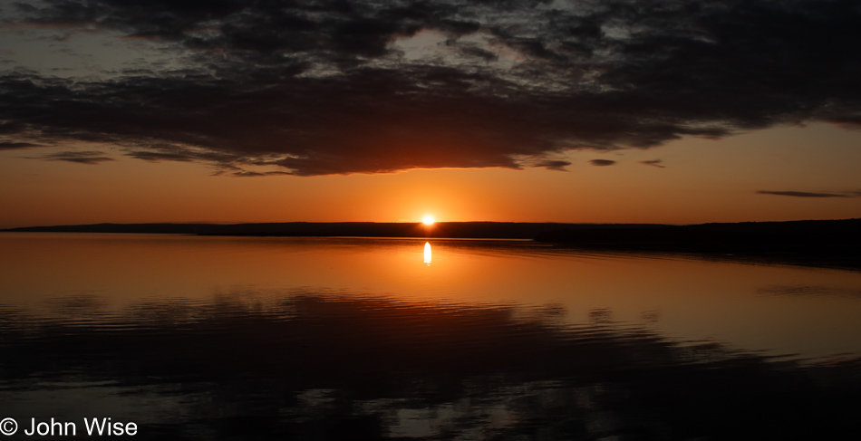
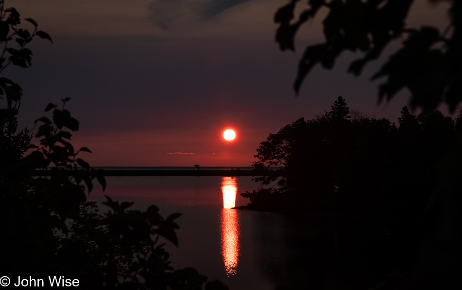
Sunrise in Ingonish Beach, Nova Scotia, Canada

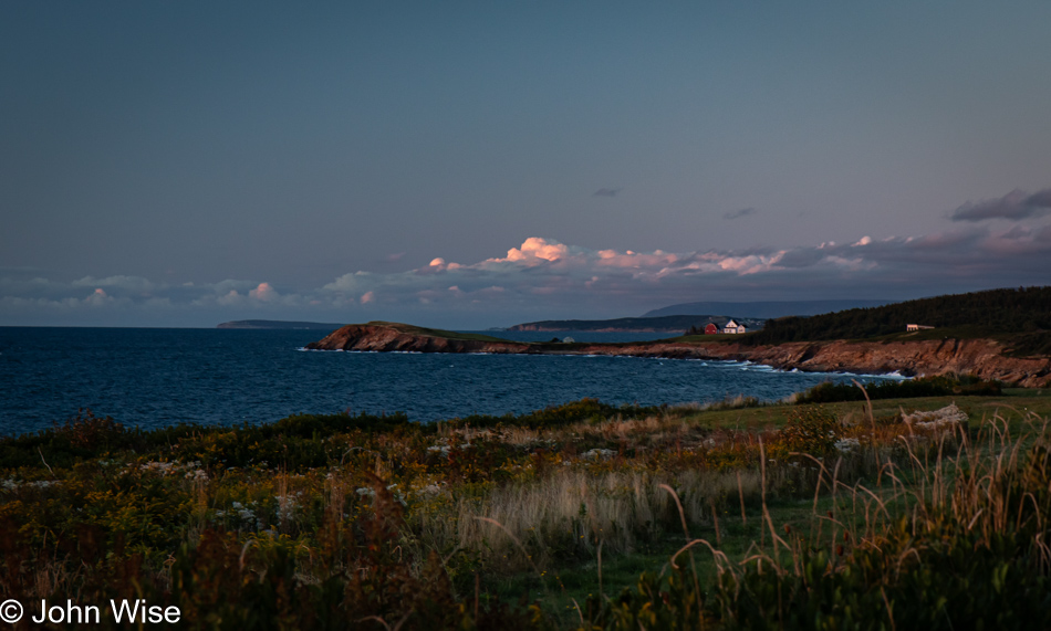
What do you make of the serendipity in situations that unfold in ways that almost seem intentional, as though moments were designed for perfection and you just happen to be there? This happens so frequently for Caroline and me that we joke about how it was in the early travel plans when I was working out the logistics of what should be where, including the wildlife, sun, shade, and when we should round corners to emerge upon a perfect scene playing out on the stage before us. Waking at the Island Inn Bed & Breakfast in Ingonish Beach, Nova Scotia, we were up, packed, and downstairs before sunrise. Out on the veranda, awake even before us, sat one of the owners. I’d stepped out to see if there was a sunrise view, but all I found were trees until he told me that I should get moving down the hill of their yard over to the left, where there was a perfect location to catch the sunrise. This is that spot. The sequence of events, needing to be awake before sunrise, walking outside instead of grabbing coffee first, the owner sitting out front, him seeing my DSLR and understanding what I was looking for, it all came together in a way that was quite serendipitous to me.
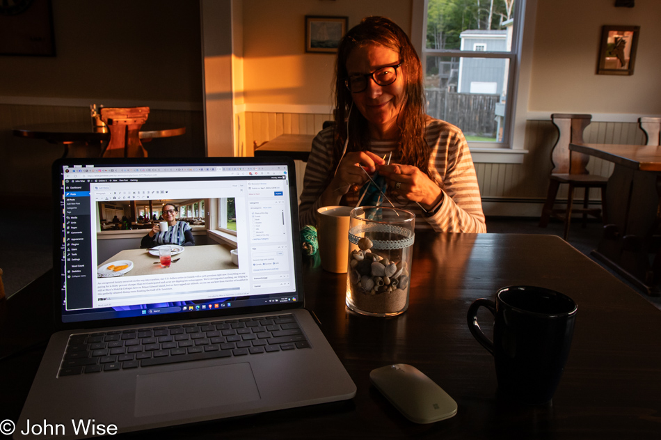
Caroline Wise in Ingonish Beach, Nova Scotia, Canada

How do you improve something that is already delightful? Double it. Here I am with Caroline looking at me from across the table, knitting my next pair of socks while enjoying a cup of coffee, and on my screen, where I’m getting some writing in while we are waiting for breakfast, is Caroline looking at me from across the table in Brackley Beach on Prince Edward Island already six days ago. Hmmm, six days ago, I fell behind in documenting our vacation, at least to an extent, as we do have the photos and notes on my phone that explain where they were taken, and on occasion, there are useful tidbits written there. Such is the luxury of having a phone with a stylus for writing on the screen. I try to keep up with the preparation of photos so they can be uploaded, properly tagged, and titled within the post they accompany, giving me accurate location data when I finally find the time to sit down and write. With more than six hours onboard our ferry this afternoon, I plan to write like the wind if I can resist being distracted looking out over the Gulf of St. Lawrence during our crossing to Newfoundland.
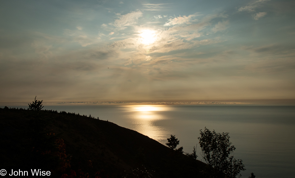
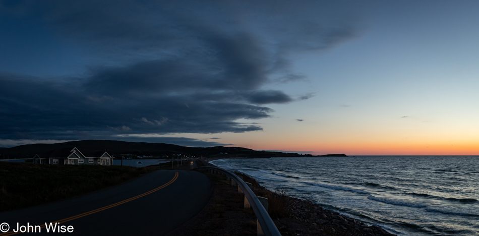
Cabot Trail in Nova Scotia, Canada

Breakfast was running later than hoped, putting us on a bit of an edge due to our self-awareness and abundance of familiarity with our greatest personal weakness. There was just no way we’d get in the car and resist stopping for photos, which would further delay our arrival at the ferry terminal, risking our trip to Newfoundland. Our visit to that seemingly remote island in the Atlantic starts after we land at Channel-Port aux Basques on the southwestern corner of the island. We will spend a week traveling the breadth of Newfoundland before ending our stay in Argentia, southwest of St. John’s, on the eastern side of the island. If we miss our ferry today, we cannot just catch a flight from Halifax to St. John’s and race over to the opposite side of the island to take up our planned visit – we’d be toast. On the other hand, if something goes wrong on the other end of our visit to Newfoundland, Caroline could fly out of St. John’s and skip across North America to Phoenix while I weather the situation and figure things out from there. The imperative nature of this calculus demands we do this flawlessly. Yes, there is tension, but not so much that after enjoying our simple and delicious breakfast and jumping in the car, we aren’t already pulling over for a photo within ten minutes of heading south.
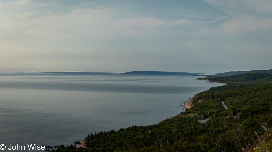
Cabot Trail in Nova Scotia, Canada

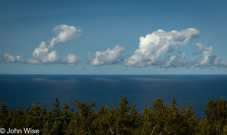
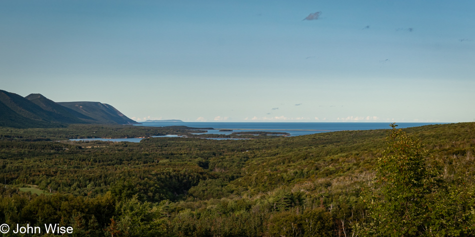
There’s no denying that a viewpoint overlooking the coast, such as this one right here, may not present itself again. Yeah, we’d better stop for this photo, too, but only this one. While we’re at it, why not bring up a song, say something like An Innis Aigh (The Happy Isle) from the Rankin Family to fill our eyes with tears and put giant lumps in our throats? That was a great idea, Caroline; maybe we should try listening to it a second time, or worse, let’s bring up Fear a Bhata from the Corrie Folk Trio with Paddy Bell, and we can pull over and properly weep. It turns out the Rankins, as they are also known, were from Mabou on the west coast of Cape Breton Island, and the song, An Innis Aigh, is a traditional Scottish Gaelic language song. All versions of this song can render tears from those with sensitive hearts, be careful when and where you listen to it.
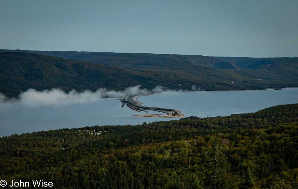
Englishtown, Nova Scotia, Canada

“Yes, Caroline, I know. It is an impressive causeway and maybe the shortest ferry ride we’ve ever taken, and this is a spectacular view of it all. Fine, but I swear, this is the last stop before reaching North Sydney.” I promise this is how I remember the conversation, so let me stop my editor, who will likely feel like she has something to correct here by blaming the incessant need to make these stops on me, but SHE’S LYING. In these moments, I’m the voice of reason. She was hung over from soft serve. I know unequivocally that my version of everything is always correct. I can already hear her brief retort, “Pfft!” [Pffft indeed – Caroline]
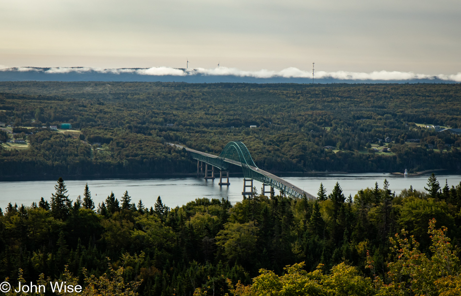
Seal Island Bridge in Southside Boularderie, Nova Scotia, Canada

We were both in agreement that we could afford this stop as that bridge there, the Barra Strait Bridge, connecting us to Boularderie Island, meant that we had plenty of time to reach the ferry, which was now only 20 minutes away. And, of course, we were good and early among the first cars to line up at the terminal.
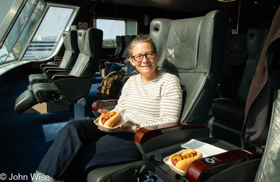
Caroline Wise on ferry to Port aux Basques, Newfoundland, Canada

Get ready for it. This is my Frankfurter with two wieners. You probably think I mean Wieners, as in Austrians from Vienna, but no, I’m referring to the “his and her” hotdogs with ketchup and mustard that are supposed to be celebrating not only today’s ferry crossing but last year’s ferry trip on a ferry in Norway when we had two pølse (pronounced “PUHL-seh”) which were topped with crispy onions that truly set them apart and caused these to fall a bit flat. That, though, is getting ahead of myself, as there was supposed to be not only an innuendo about Caroline’s wieners but also that two hotdogs have four ends, and there’s this joke about bratwurst having two ends that I was going to try fitting into whatever it was I started to write here, but that’s starting to feel superfluous to this belabored attempt at humor, so I think I should just quit. Under her breath, Caroline whispers, “PUH-lease.”
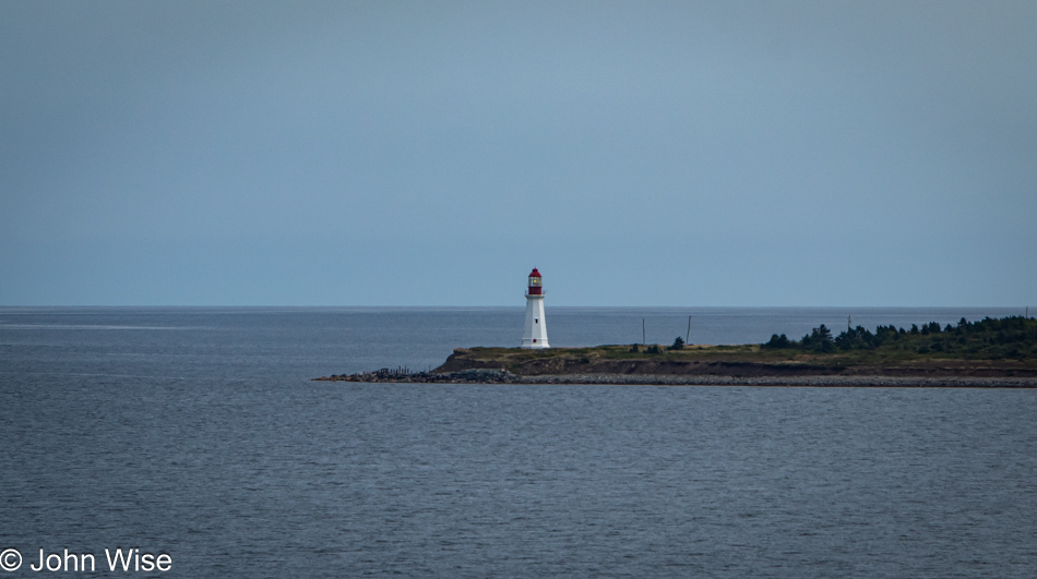
Low Point Lighthouse in New Victoria, Nova Scotia, Canada

This is a perfect follow-up to the last paragraph: the Low Point Lighthouse. No kidding, that really is its name at the tip of New Victoria on our way out of Sydney Harbour. Next stop, Newfoundland.
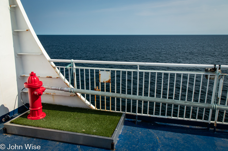
Ferry to Port aux Basques, Newfoundland, Canada

I can’t tell you what the attraction was, but after Caroline returned from an exploratory run of the ferry, she returned and showed me a photo on her phone that she had taken of this spot onboard where people can bring their pets for relief from those functions that are better expressed outside than in the seating areas. Showing me the photo wasn’t enough, though; she wanted, no, she needed me to see it for myself, and so, here we are, admiring what is likely one of the most peed-on floating fire hydrants on our planet. Is there a Guinness Book of World Records entry for such an accomplishment?
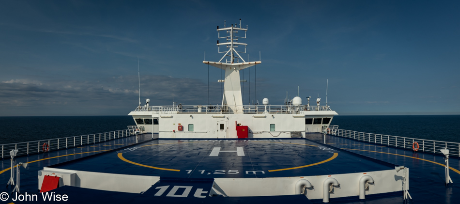
Ferry to Port aux Basques, Newfoundland, Canada

It was good to get out and see things on the Gulf of St. Lawrence, so far from shore that I couldn’t see land. This is my first time so far out on open water, and if Caroline hadn’t dragged me out, I would have kept my nose glued to my screen, transferring remembrances of experiences to my electronic reminder called blog. Maybe the moments out here should be of greater value, and while epiphanies and self-discoveries could be encountered, I try to weigh the value of that against what we will find on these pages or not find if I do or don’t write the events that have already passed. Striking balances for those inclined to all-or-nothing mentalities is always going to be a struggle. It’s a good thing that love has a way of prying stubbornness of purpose to listen to heartfelt words that easily convey that this other person requires your attention.

Taking another break from knitting and writing, we visited the deck with a restaurant for a bite to eat. When the server brought us our meals, I started to complain about this being the worst whale-watching tour we’d ever booked. Just then, a fellow passenger got our attention and said, “Yeah, but what about those dolphins riding the bow waves?” Redemption was achieved, and I thanked the server for not only delivering our food but also bringing the aquatic entertainment at the opportune moment to make our repast truly enjoyable.
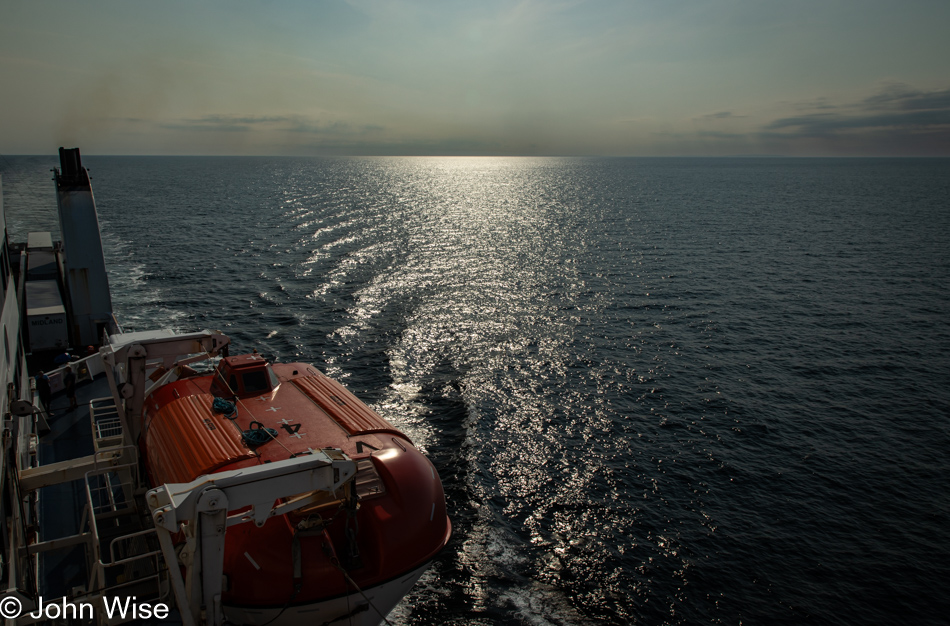
Ferry to Port aux Basques, Newfoundland, Canada

What the seas lack in fury, I’m making up for in the storm of writing volumes about the previous days. I’ve been so focused aboard our ferry that I passed 5,000 words in the past hours, and yet, I’m still days behind. Aside from me missing the fluid world of the ocean upon which we were floating, we were also missing wifi and electrical outlets for charging things in a world now absolutely dependent on such necessities. Strangely, I was able to maintain my phone and internet for the majority of our 207-mile journey, which helped me save my in-browser writing and take advantage of my reliance on Grammarly, so my hotspot came in handy for the duration of our afternoon ferry trip.
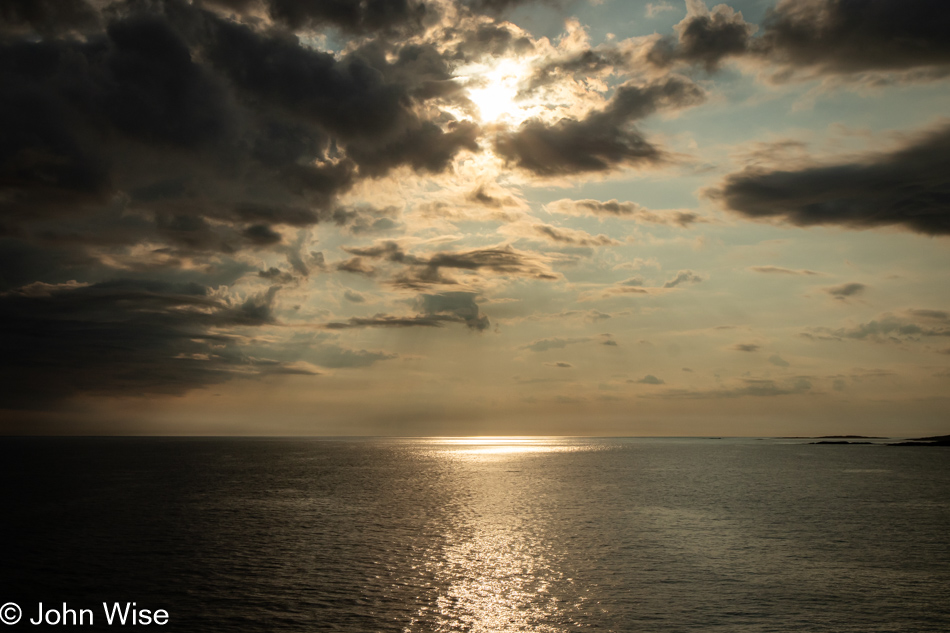
Ferry to Port aux Basques, Newfoundland, Canada

Approaching Newfoundland and Port aux Basques near the end of the day, I might have been harboring a quiet wish that I’d been able to sit outside and taken in the shift of the midday to this dramatic golden hour sky when poets, artists, and musicians should be finding inspiration in the play of light, shadow, and transitional hues that are painting the world in once-in-a-lifetime scenes of splendor.
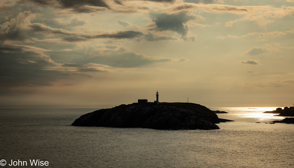
Channel Head Lighthouse at Port aux Basques, Newfoundland, Canada

While I wasn’t so fortunate to have watched the evolution of such scenes over the sea, I was on hand to capture them for Caroline and I to better reflect on the conditions that greeted our arrival on Newfoundland. What I couldn’t capture was a bit of conversation while in the restaurant. We had our first encounter with the Newfoundlander accent demonstrated by our young server, who confessed that when dealing with visitors, it’s simply easier to drop the heavy accent to avoid the misunderstandings and incessant “Excuse me?”
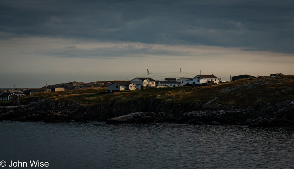
Port aux Basques, Newfoundland, Canada

More than New Brunswick, more than our visit to Prince Edward Island or Nova Scotia, the excitement of landing on Newfoundland is creating a palpable energy that says we are arriving in a truly exotic location. It always looked so remote on the map; it was as distant as the moon. Now, so many lifetimes later, we are here at the shore, about to encounter this faraway place that has required serious effort to visit. In a few more minutes, we’ll take our first steps into this place that holds a mystique bordering on the ethereal with its rugged beauty we’ve only seen in photos and expectations, or is that fear of meeting the Old Hag of lore? Maybe some of the appeal is derived from the local whale hunting history, and while we are happy the practice has come to an end, we fell in love with the subject back when we were reading Moby Dick. Then, there was cod, a major industry in Newfoundland from the 15th century through the early 20th century. Again, a book, this time Cod: A Biography of the Fish that Changed the World by Mark Kurlansky, probably influenced our ideas and love affair with visiting this island as Newfoundland played a crucial role in supplying the world with salt cod, often called bacalao or bacalhau. Then, there must be 100 other forgotten stories, histories, and folklore that have played into our imaginations regarding Newfoundland. Today, we start to realize our dreams of being here.
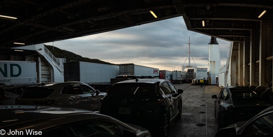
Ferry at Port aux Basques, Newfoundland, Canada

Little did we know that those dark clouds on the horizon warned of a terrifying gauntlet of treacherous driving to reach Corner Brook, Newfoundland, 135 miles (217km) north of Port aux Basques. Before that ordeal, we were treated to the longest wait for fast food at a little shop called Mary Brown’s Chicken and the weirdest time zone change that moves the hands of the clock only thirty minutes from the Atlantic Time Zone, the only time zone in North America to do so. We are now on Newfoundland time.
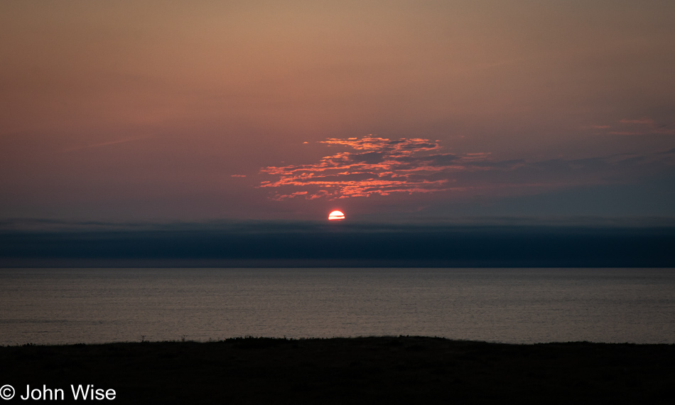
Trans Canada Highway #1 in Newfoundland, Canada

To the west, everything looked fine. Under the reassuring view of this calm sky and ocean, we began our long drive to the hotel I had booked many months ago. Good so far.
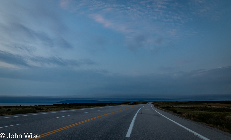
Trans Canada Highway #1 in Newfoundland, Canada

Due to our long wait for what seemed to be the only option for dinner this evening, we were nearly alone on our drive north as it seemed like the others on the ferry made tracks to get out of this southern port, or so we thought.
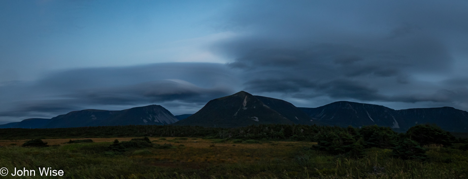
Trans Canada Highway #1 in Newfoundland, Canada

After this view of the mountains and the lenticular clouds we admired in the late dusk sky, there would be no more photos of the rest of the drive. Terror set in with rain so hard that it came down in sheets on the darkest roads we’d ever driven that lacked visible lane lines. Combine that with truckers who were still departing Port aux Basques and obviously familiar with driving in these conditions as they barreled past my white-knuckle death grip on a steering wheel that was being jerked about thanks to potholes and puddles that seemed intent on ending our lives this night. Then, when we thought it couldn’t have been any worse, flashes of blindingly bright lightning struck so close to the car that deafening thunder shook it before the full illumination of the electrical storm faded. At barely 35 miles per hour, with emergency flashers going, we crept up the road, begging the universe for a slowdown of the onslaught. We didn’t pull over and wait it out because there was no shoulder, and when a small bit of dirt road on the right did appear, we couldn’t judge how muddy or deep the water was, so we had no choice but to continue the crawl forward in nearly crippling fear. Arriving at our hotel in a trembling state of exhaustion, I wondered what the Gaelic song would be that describes nearly shitting one’s pants during the ugliest tempest ever.
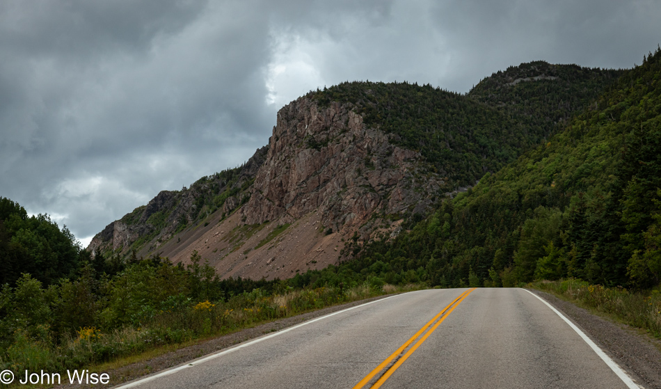
Cape Breton Highlands on Nova Scotia

Cape Breton Highlands National Park, Nova Scotia, Canada

Here we are on the famous Cabot Trail in the Cape Breton Highlands National Park, feeling the Scottish sense of things that Nova Scotian Premier Angus L. MacDonald wanted to impart on these lands nearly 100 years ago for tourism purposes. That was some great insight from a politician during an age when murmurs of World War II were first being sounded, and industrial manufacturing and natural resource exploitation were in full effect. We made our first encounter with the Cabot Trail last night when we arrived at Margaree Harbour for sunset, and our hotel in Chéticamp, 15 miles farther north, put us in a perfect location to enter the national park first thing this morning.

Cape Breton Highlands National Park, Nova Scotia, Canada

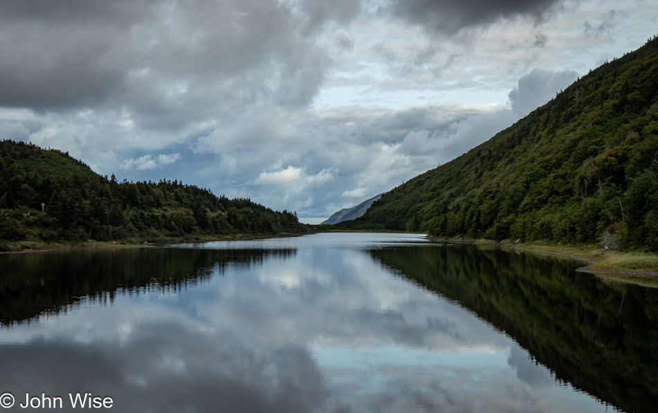
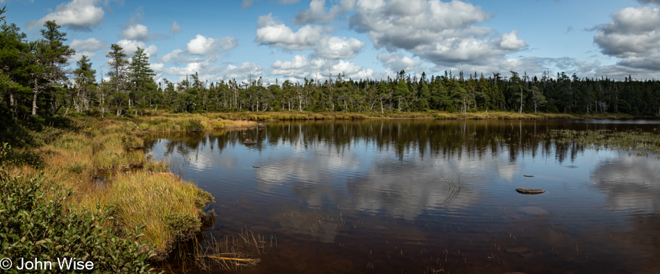
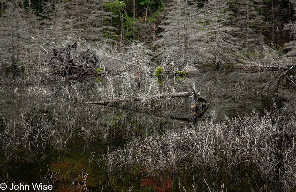
I’m not certain if the gray skies were a curse or blessing, but without sharp points of light on this pond and the bleached grasses and trees reflected in its still waters, I can only wonder if this scene would have been as intriguing as it was. Stepping from the car to capture the image, I startled a beaver into returning to the water from where it was tending beaver business on dry land. What it was doing remains a mystery, as only its quick motion alerted me to its presence. In the tangle of monochromatic reflections to the right of this image, you might be able to spot its lodge.

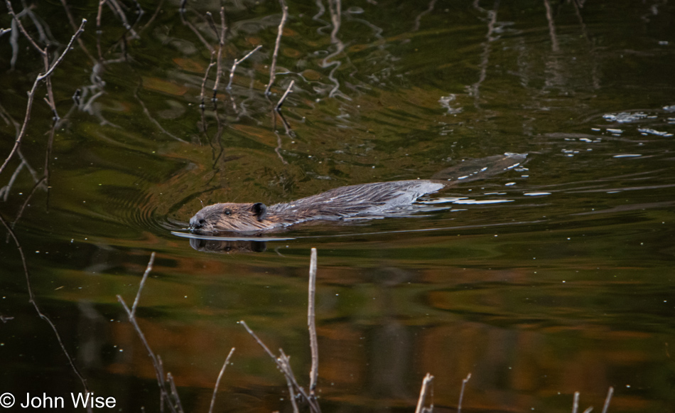
Beaver at Cape Breton Highlands National Park, Nova Scotia, Canada

While the beaver that ran back to the pond disappeared, another one closer to me apparently didn’t notice me admiring it and swam by as though Caroline and I were invisible.

Cape Breton Highlands National Park, Nova Scotia, Canada

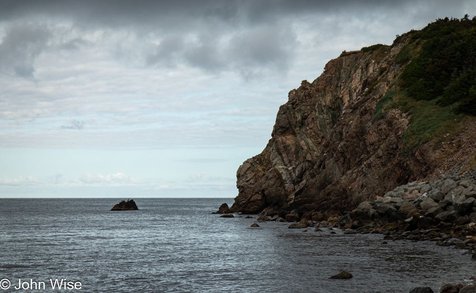
Our first “look-off” of the day, which is the Canadian term for pull-out or scenic overlook. Well, seeing how much we enjoy taking in tilted strata, we don’t mind taking advantage of today’s first look-off and imagining the continental shifting and uplift that has to occur to create such a phenomenon. While not shown, the coast up here is a rocky one, not a bit of sand for sun worshippers looking to improve their tans, not that the weather is cooperating on that front either.

Cape Breton Highlands National Park, Nova Scotia, Canada

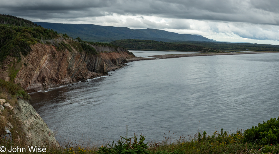
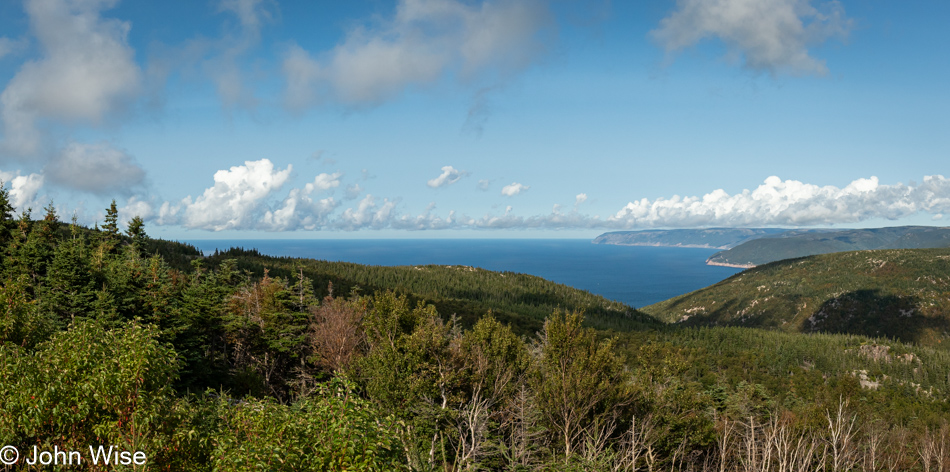
Hopefully, not ever look-off demands we do so, but this overview of the area to the south that we have traveled up so far couldn’t be ignored. Below and to the left is the cove we had just stood in, we are atop that cliffside.

Cape Breton Highlands National Park, Nova Scotia, Canada

Reflecting on reflections where thoughts cannot always adequately mirror feelings that this is the domain of poetry and music.

Cape Breton Highlands National Park, Nova Scotia, Canada

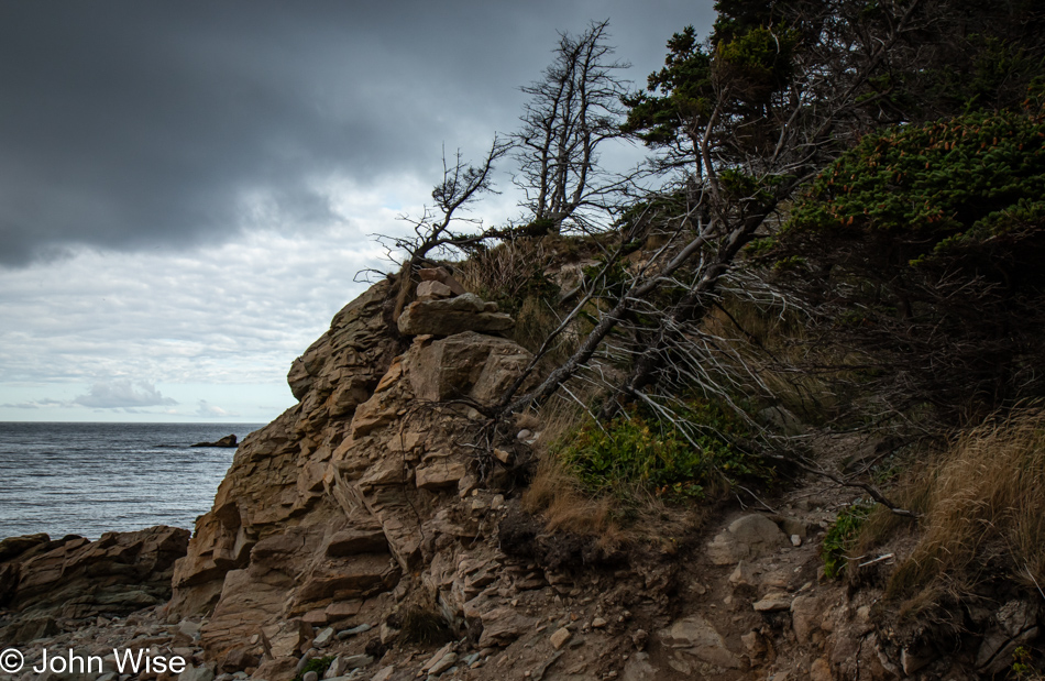
Angled, gnarled, and storm-and-wind-worn surfaces are like the faces of people who have lived hard lives with deep lines and creases etched into their character. Nature is showing you her old face, but can we recognize her?

Cape Breton Highlands National Park, Nova Scotia, Canada

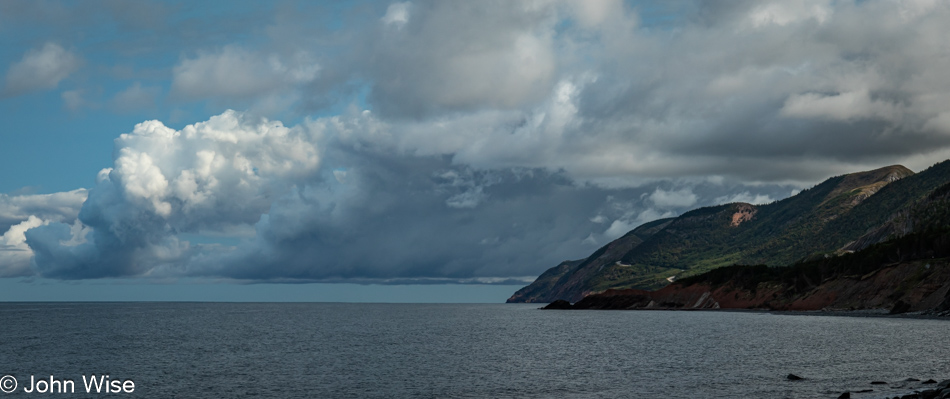
The wish for clear skies may yet be granted, but the heavy gray and billowy white clouds looming over the highlands have their own appeal in shaping a dramatic landscape.

Cape Breton Highlands National Park, Nova Scotia, Canada

The Cabot Trail was named after the explorer John Cabot, who landed in the Maritimes of Canada in 1497. It was a nice gesture of remembrance, except he apparently landed on Newfoundland, not Cape Breton Island. No matter, since the branding is simply great, and exacting historical details are better left to the pedants.

Corney Brook Trail at Cape Breton Highlands National Park, Nova Scotia, Canada

Our first hike of the day was on the 4.1 miles (6.6km) long Corney Brook Trail (these are not those falls).

Corney Brook Trail at Cape Breton Highlands National Park, Nova Scotia, Canada

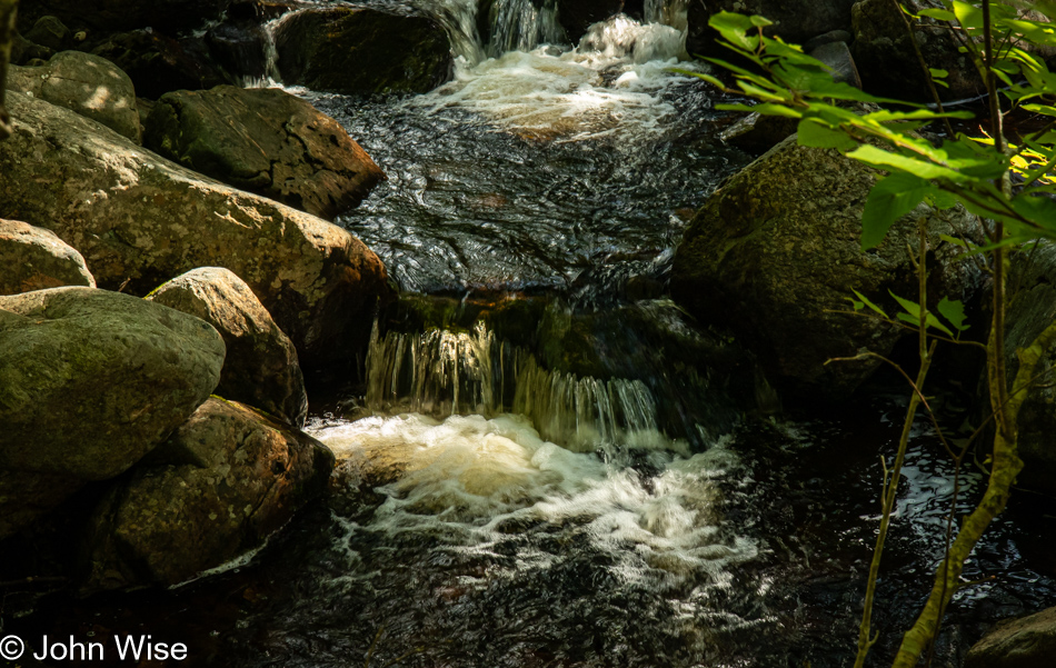
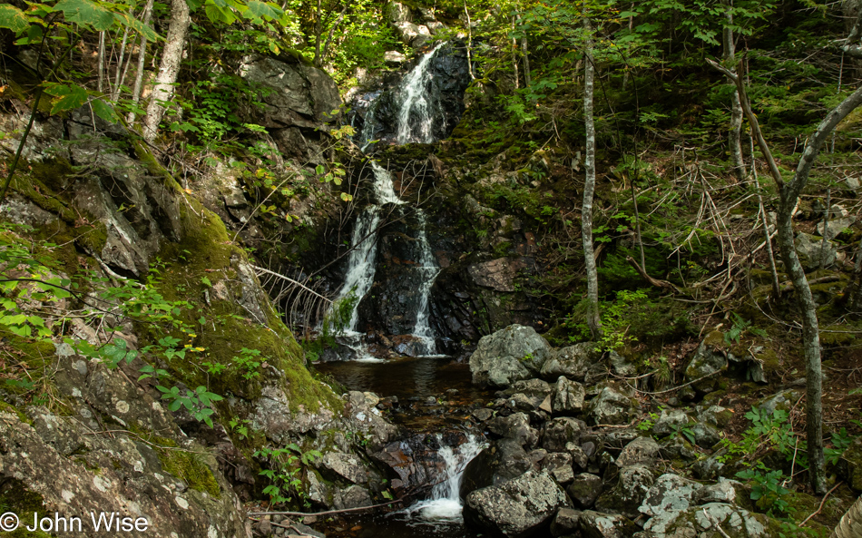
These are the falls to which this trail leads. Should you wonder about the forest trail that brought us out here, we started hiking in the shadows of the overcast sky, but reaching the halfway point back to our car, the sky cleared and opened in a glorious blue, changing the appearance of things. Considering how many other photos we wanted to share from the rest of the day, those from most of our hike needed to be pared.

Ruffed Grouse on Corney Brook Trail at Cape Breton Highlands National Park, Nova Scotia, Canada

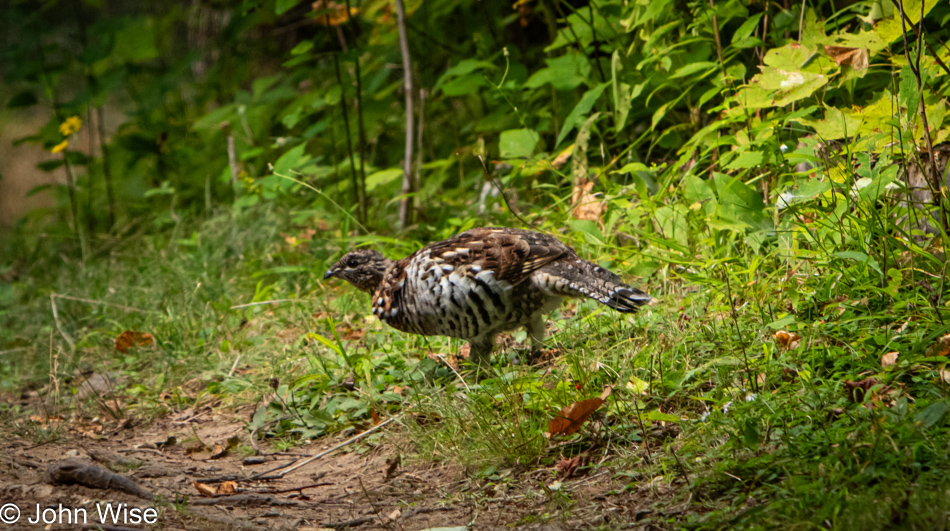
Be quiet, walk with a soft step, leave your dog behind, and be patient, and you, too, might encounter a ruffed grouse on your trails.

Corney Brook Trail at Cape Breton Highlands National Park, Nova Scotia, Canada

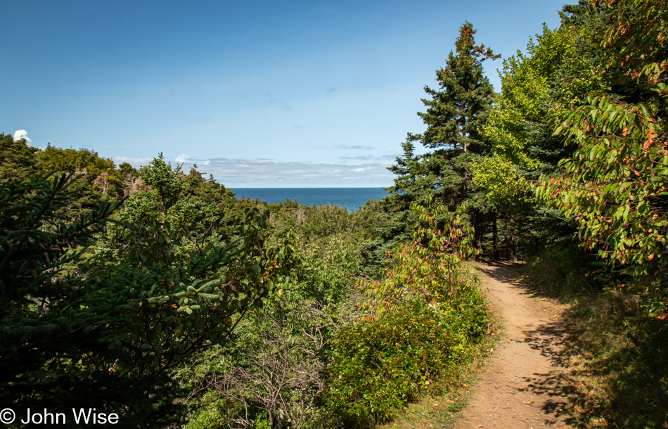
Approaching the end of the Corney Brook Trail, we encountered the glorious blue ocean, following the peeling away of the heavy clouds that had threatened our day with a slight pallor of gray.

Cape Breton Highlands National Park, Nova Scotia, Canada

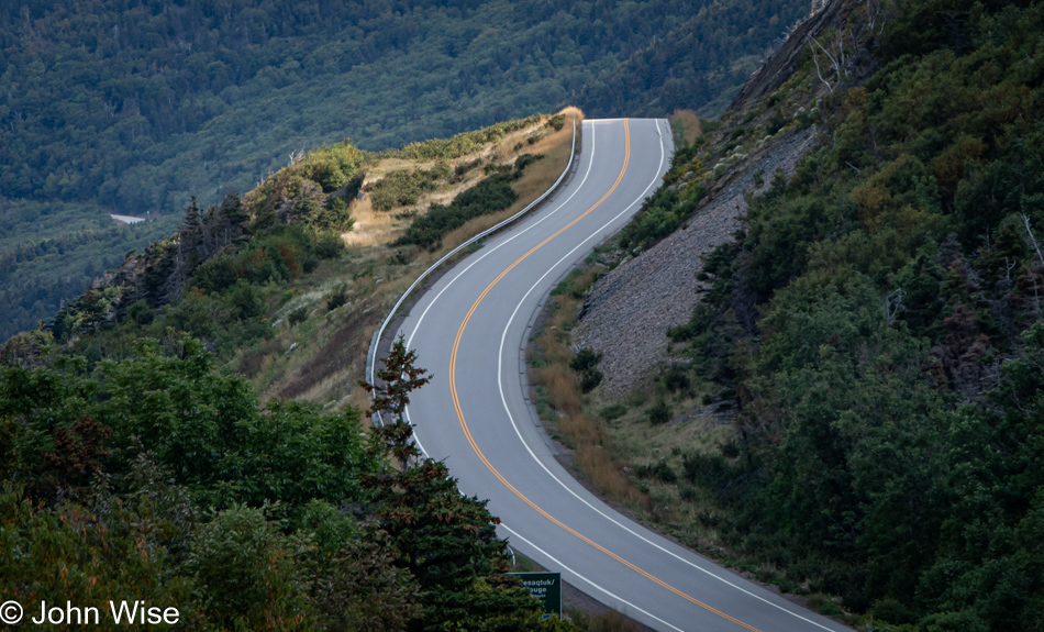
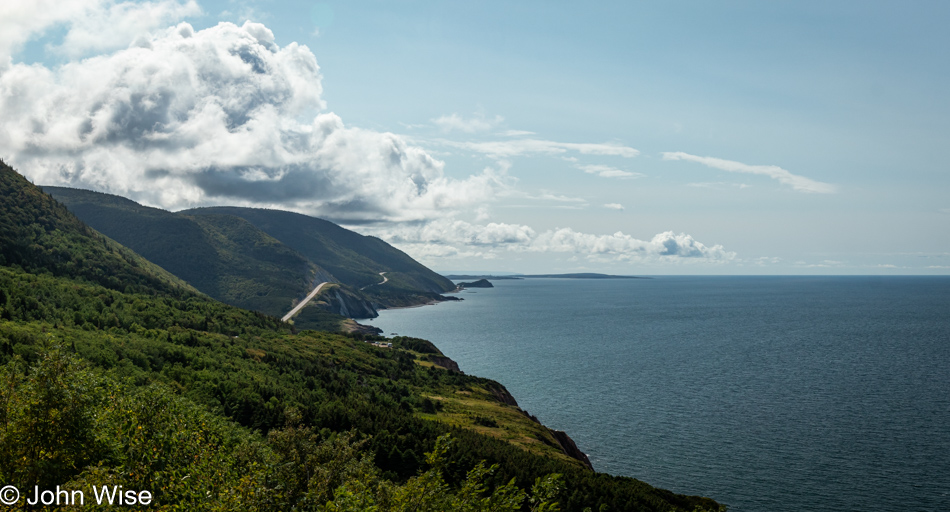
The brilliance of slicing such narrow bands of roads at the edges of the sea cannot be overstated. We are forever grateful to those laborers who toiled under the conditions of rain, mud, and blistering sun to carve these pathways through dense forests on steep slopes next to precarious cliffsides.

Cape Breton Highlands National Park, Nova Scotia, Canada

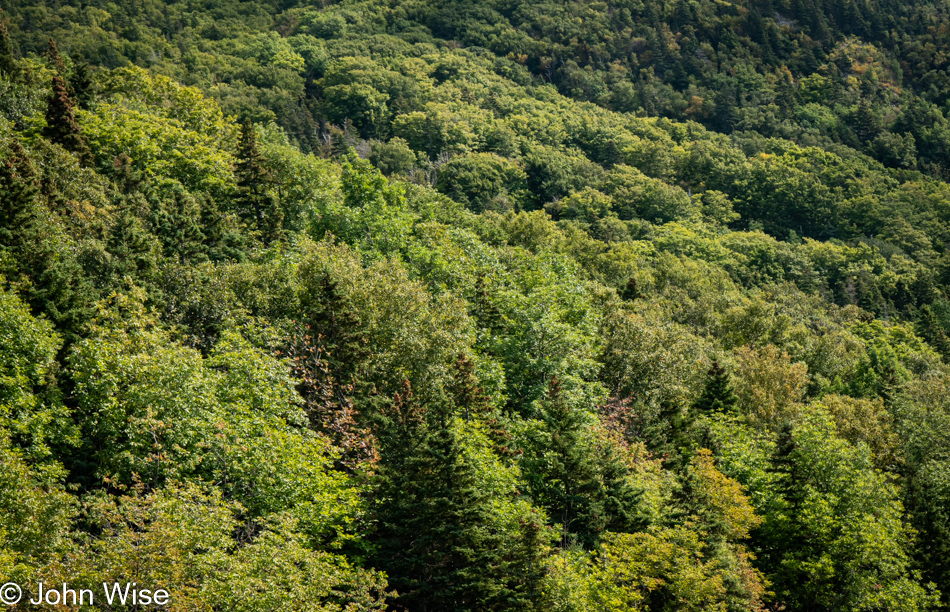
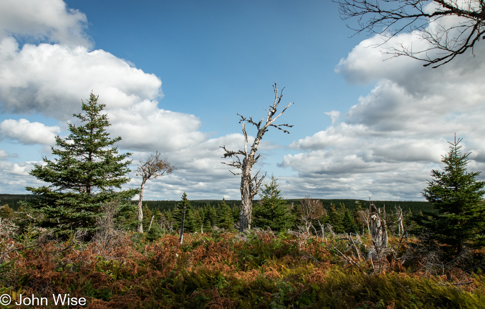
I don’t know if Canada ever clearcut this forest in the national park. I’d like to believe that it wasn’t and that this diversity of tree types, heights, and colors represents the same diversity of flora that has lived on the north end of this island for many thousands of years.

Bog Trail at Cape Breton Highlands National Park, Nova Scotia, Canada

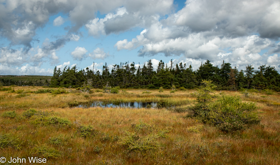
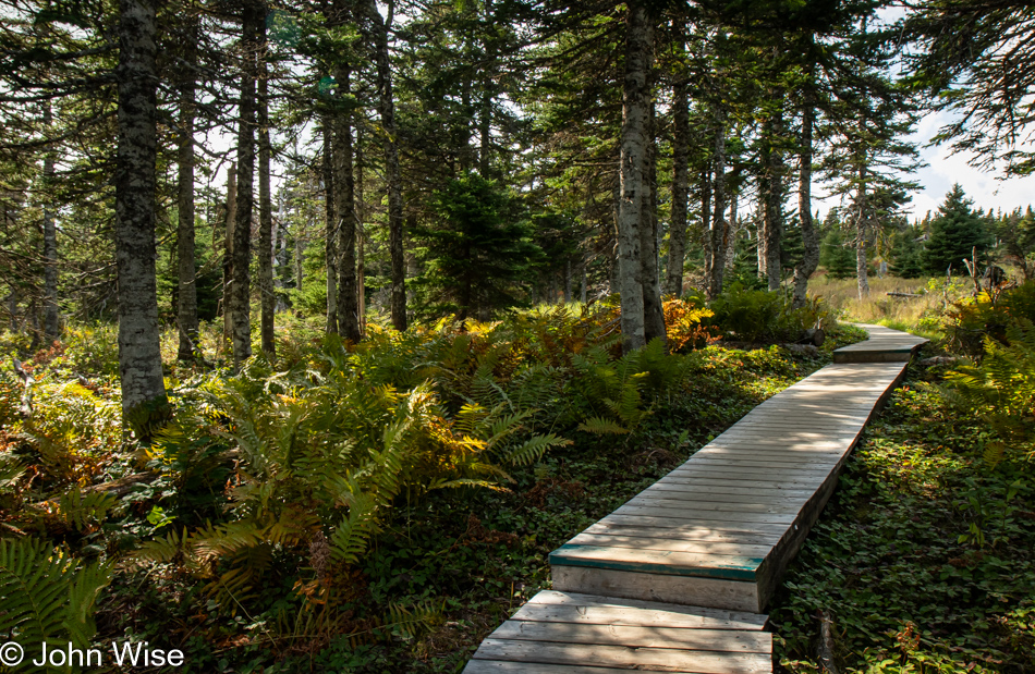
Had you asked us prior to our visit to the Bog Trail where we’d rank such a path, it would probably be at the bottom of our choices, but after arriving here, there’s some likelihood that we spent as much time exploring these wetlands on a 0.5km/0.3m boardwalk as it took us to hike the 4 miles of Corney Brook.

Pitcher Plant on the Bog Trail at Cape Breton Highlands National Park, Nova Scotia, Canada

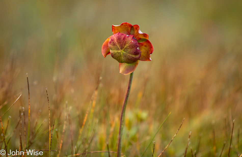
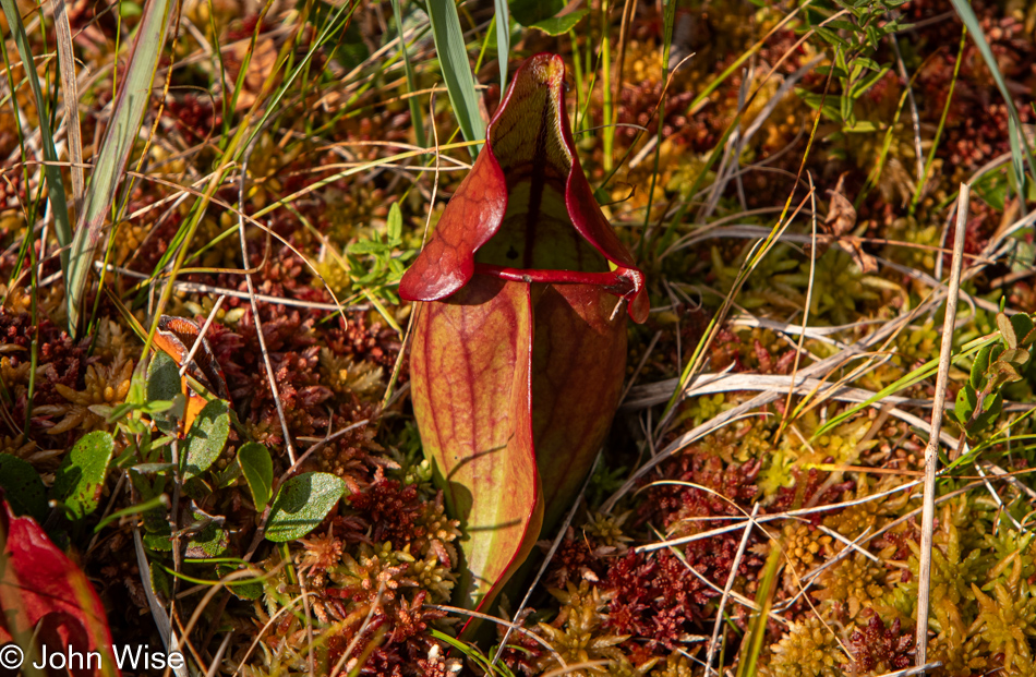
While sharing some visual characteristics of tundra, this boreal bog is not that, but it is nice to be experiencing glimpses of that type of ecosystem. This blossom is from the purple pitcher plant, a carnivorous specimen also known as the side-saddle flower or, my favorite, turtle socks.

Sphagnum Moss on the Bog Trail at Cape Breton Highlands National Park, Nova Scotia, Canada

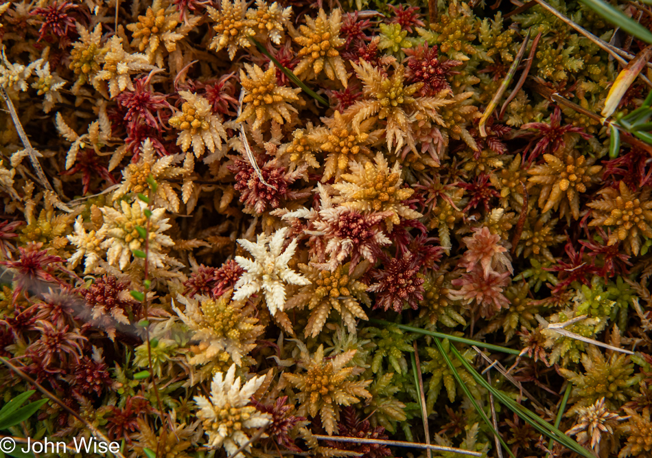
I could easily be mistaken because, regarding the effectiveness of my memory, I forget a lot of things, but I believe this was our first encounter with sphagnum moss during all of our travels. Should I be wrong, Caroline will leave a note pointing out the dozens of other locations we’ve fallen into the visions of fractal recursiveness that grows out of place we’ll never identify. How do I know that? I reached in to not only touch the moss itself, but I was wondering how thick and soft the bed of mosses was before sending fingers probing for the ground but pulled back after thinking better of the idea, wondering if there might be another type of carnivorous plant in the depths just laying in wait to snack on fat man fingers. [I tried to remember when and where we might have seen this moss before but couldn’t come up with a location either, so it certainly was our first deep encounter with sphagnum moss. By the way, we also learned that technically, this bog isn’t a bog at all but a slope fen because there is a steady source of water, and the surface area lies on a mountain slope. Caroline]

Pitcher Plant on the Bog Trail at Cape Breton Highlands National Park, Nova Scotia, Canada

The infamous finger-eating pitcher plant makes an appearance after lurching out of the moss, hungry for what I fortunately denied.

Bog Trail at Cape Breton Highlands National Park, Nova Scotia, Canada

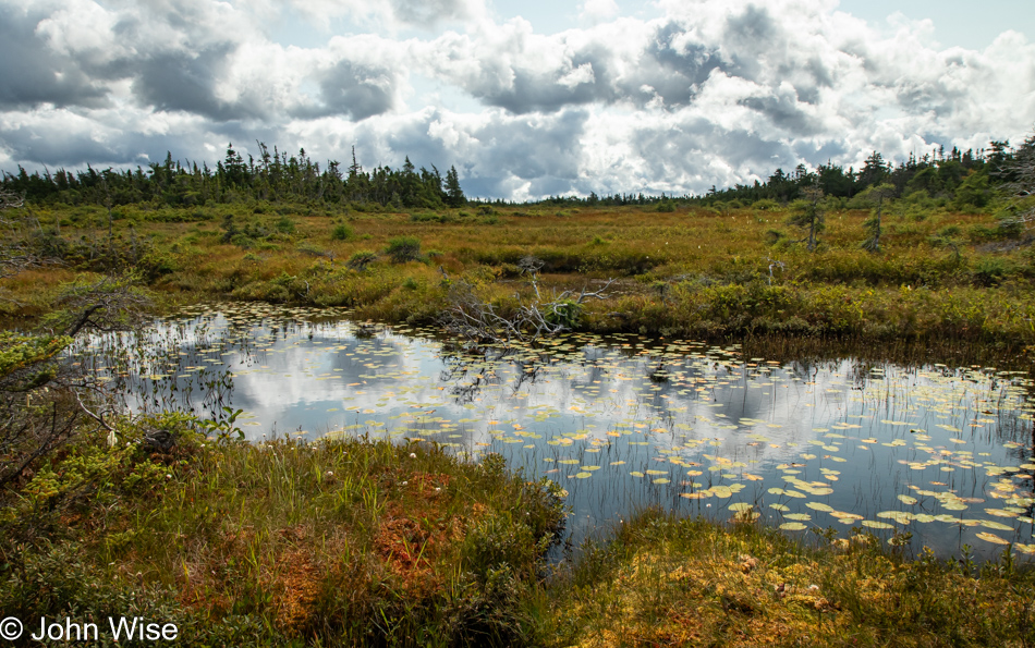
Green frogs were talking with each other around this pond. By our count, there were three of them. We lingered a while longer, hoping that in our stillness, they’d get squawking again; sadly, our patience was for naught as they fell to silence. That’s relative, though. Here we were on a slow crawl over the bog trail, taking an inventory of everything our eyes and ears could take in. We’d be the first to admit that the very idea of visiting a bog doesn’t at first blush sound all that exciting, but now that we know, we’ll never second guess the potential held in this type of wetlands. With only a single day to explore the park and one more trail we knew we wanted to hike, our departure from the bog was bittersweet.

Benjie's Lake Trail at Cape Breton Highlands National Park, Nova Scotia, Canada

Farther down the park road, we were soon at Benjie’s Lake Trail.

Benjie's Lake Trail at Cape Breton Highlands National Park, Nova Scotia, Canada

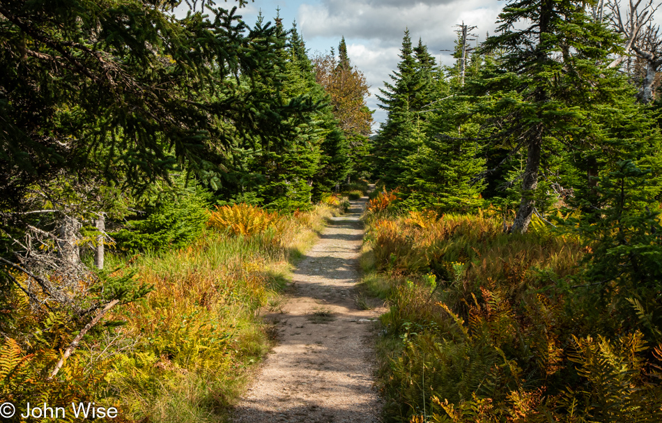
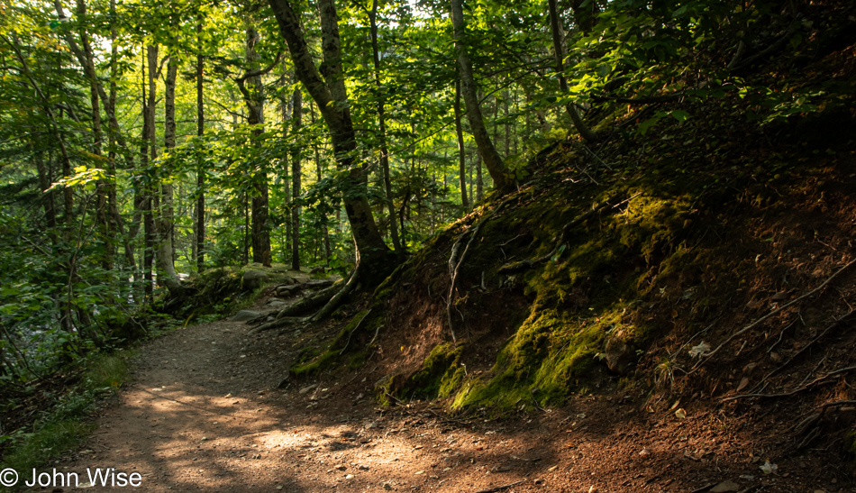
Hints of the fast-approaching autumn are showing up here and there, such as the ferns next to our trail that are turning orange.

Benjie's Lake Trail at Cape Breton Highlands National Park, Nova Scotia, Canada

While the park’s elevation isn’t all that high, there is something top-of-the-world feeling out here. [I had that feeling too, and I believe that was because of the stunted trees. They are kept short by the poor soil conditions and harsh winters. Caroline]

Benjie's Lake Trail at Cape Breton Highlands National Park, Nova Scotia, Canada

Reaching the lake, we caught up with a couple of German guys who’d raced past us and ended up talking with them for a good 20 or 30 minutes until a couple joined the small viewing area, and we decided to leave them to a moment of solitude.

Benjie's Lake Trail at Cape Breton Highlands National Park, Nova Scotia, Canada

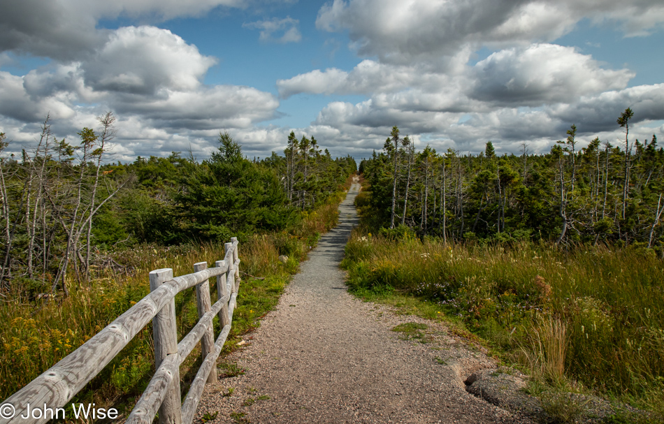
The trail out and back is easy peasy and easily negotiated by almost every skill level of hiker, the same was true for the bog trail.

Cape Breton Highlands National Park, Nova Scotia, Canada

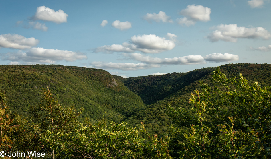
Emotions swoon at the vista with a perfect blue ocean punctuating the scene, motivating me to bring the car to a quick stop. We both leap out of the car, proclaiming this as the best view ever, even when we already know with absolute certainty that the previous look-off was, without a doubt, the best ever.
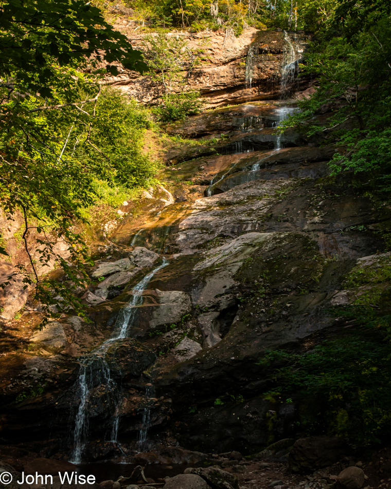
Cape Breton Highlands National Park, Nova Scotia, Canada

But then we see clouds reflected on the ocean’s surface, and now we have to admit that we are being gobsmacked by Mother Nature’s relentless onslaught of all that is beyond terrific.

Caroline Wise in Pleasant Bay, Nova Scotia, Canada

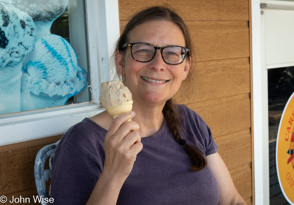
Down the hill in Pleasant Bay, the devil found in the signs announcing soft serve and ice cream takes a commanding spot on our shoulders and, speaking louder than any angel, tells us “No.” It forces us to pull over for yet more indulgences, reassuring us that vacations were created just for this reason. Caroline finally found tiger ice cream, a typical Canadian treat of orange-flavored ice cream with dark streaks of black licorice (or, in this case, chocolate), and I opted for maple walnut. I got the better deal, and when she was finished with hers, we returned for a scoop of the yummier stuff for her. By now, I’m trying to reassure her that all the soft serve and ice cream are not making her fatter, just a little fluffier. Sitting here in front of the small shop, windchimes sang to us in the gentle breeze that, like the name of the town, was pleasant at 61 delightful degrees. Crickets chimed in, celebrating with us that we were still in shorts and short-sleeved shirts, with the glow of summer carrying forward for a little longer.

Cape Breton Highlands National Park, Nova Scotia, Canada

And that’s it for our visit to the Cape Breton Highlands National Park, but we still have some driving left today on the Cabot Trail.

Beulach Falls in Cape Breton Highlands National Park, Nova Scotia, Canada

Was that a national park sign we passed? Nope, it showed a turn-off from the Cabot Trail that leads visitors to the Beulach Ban Falls outside the park. Caroline’s quick search-fu abilities told her to insist on us turning around, which I promptly did because what else do I have on my agenda besides nothing other than making my travel companion, best friend, wife, and Love-ah from the prestigious Welshley Arms Hotel happier than she was seconds ago?

Beulach Falls in Cape Breton Highlands National Park, Nova Scotia, Canada

Do you see them? No, it’s not pareidolia this time. There are no faces, well maybe there are, but I’m more interested in the many capons gracing the length of the waterfall. Have I just discovered caponidolia? It’s as though the white streaks of water are the fat dripping from my love-ahs fingers. Reading the tea leaves of the future, first when Caroline edits this and then subsequently years from now after returning to it again, she’ll groan, wishing I hadn’t gone to that Saturday Night Live skit that’s been haunting us for decades. She’ll wonder, has this knucklehead run out of oomph on what to write next, or does he really feel this way regarding such a beautiful place?

Beulach Falls in Cape Breton Highlands National Park, Nova Scotia, Canada

This is awkward. I don’t know how to follow up on that moment of idiocy without continuing the nonsense, but even I grow tired of my half-hearted attempts at well-worn grandpa humor that doesn’t always hit its mark. I suppose I can point out the obvious: this photo contains dark red and brown soils, lit with mottled light from the sun that manages to find a way through the canopy, combined with the moss, roots, dark shadows, and abundance of green has all the elements of a perfect spot on the trail that even had there not been an exquisite whispy waterfall at its terminus, would have nevertheless been spectacular.

Cabot Trail in Nova Scotia, Canada

Two guys from Toronto were sitting at this look-off. They had it all to themselves until we came along to share the viewpoint with them. As I chatted with them, Caroline busied herself among the nearby plants. What could she have been doing over there?

Red Admiral Butterfly on the Cabot Trail in Nova Scotia, Canada

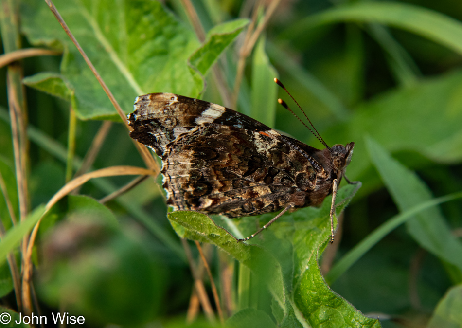
She and this red admiral butterfly were communing, and somehow, it kept hanging around long enough for her to pull me over to see if I could get a photo of this guy, too. Maybe it was high on milkweed, or there’s an herb that acts to hypnotize it, but it wasn’t budging from its perch. I had brought my walking-around lens, my telephoto lens, and my super-wide lens along on this trip, but somehow, the macro was a lens too much; it’s back home in Phoenix doing absolutely nothing for me. Come to think about it, that macro would have come in handy at the bog.

Dingwall Harbour, Nova Scotia, Canada

This is Dingwall Harbour; it is not Meat Cove. It is also the farthest north we’ll travel on Cape Breton here in Nova Scotia. Meat Cove would have been even farther at the absolute northern end of the island, but as you can see from the low position of the sun and lengthening shadows, we couldn’t afford the extra couple of hours that would have been spent going to and fro. With 42 trails still to hike in Cape Breton, 14 more in Kejimkujik, more than a dozen provincial parks, and at least two wildlife refuges of note, it would be easy to spend a solid ten days on Nova Scotia familiarizing ourselves with an abundance of beauty that I feel exceeds what our expectations might have been before coming to the Maritimes.

Green Cove Overlook in Cape Breton Highlands National Park, Nova Scotia, Canada

There’s still 1.4 degrees of sunlight slicing across a thin layer of the earth’s surface above sea level; if we hoof it, we can capture a new level of astonishment, joy, and delight, the wife says with excitement that I cannot deny.

Green Cove Overlook in Cape Breton Highlands National Park, Nova Scotia, Canada

While she’s out finding her happy place here on Green Cove Overlook, I found mine with this cairn.

Green Cove Overlook in Cape Breton Highlands National Park, Nova Scotia, Canada

Caroline found her happy spot here with a slightly different angle, attributing it to the intrusions of the pink pegmatite dikes sandwiched in the granite with that awesome cairn too distant to play a significant role. The truth is that she took a better photo but with a caveat. Using my cell phone, which she now calls the clown camera, Samsung’s automatic HDR function can create emphasis in colors where my DSLR fails. [However, in some situations, the colors look ridiculously fake, which is where the “clown” thing comes in – Caroline].  The problem with the “clown photos” is their poor resolution. They are not low res, but they were created to look awesome on a small hi-res phone screen, not on other devices or large screens. Unable to choose which photo was better, we decided we could both be happy by posting both, even if the pink bands are not as luxuriantly saturated as they are on my phone. Speaking about luxuriant saturation, that’s where we are here on vacation.

Going to Cape Breton Island

Lunenburg, Nova Scotia, Canada

A funny thing happened on the way to photograph sunrise in this UNESCO World Heritage Site known as Lunenburg, Nova Scotia. There we were, sitting on the west side of Lunenburg Harbour, waiting for the sun to peek over the horizon to illuminate the town when a kindly gentleman who works for the Bluenose Golf Club up on the hill behind us stopped, rolled down his window and said, “Hello folks, there’s a spot up the hill next to the clubhouse that is a great location to photograph the harbor, you are welcome to head up there.” Wow, starting the day with another incredibly friendly encounter, not someone yelling, making mad hand gestures, or beeping their horn in anger that our car is half an inch in the road; just a great tip for capturing a better view of the town. These positive impressions of the people of New Brunswick, Prince Edward Island, and Nova Scotia are making big impacts on us, yet everyone is warning us that we’ve seen nothing yet until we get to Newfoundland, where we’ll encounter TRULY friendly people.

Blue Heron in Lunenburg, Nova Scotia, Canada

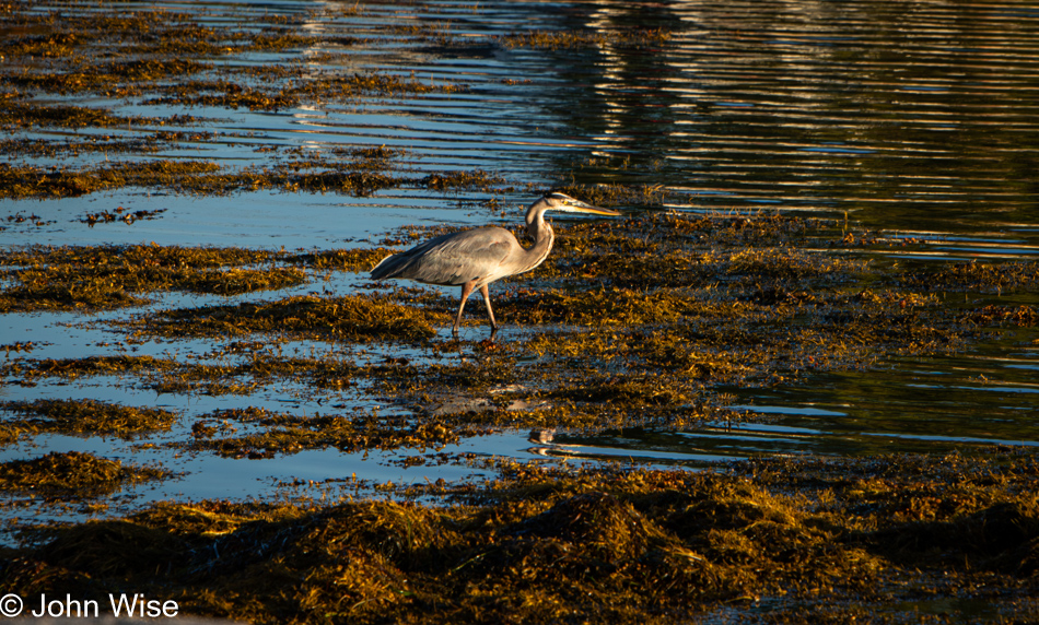
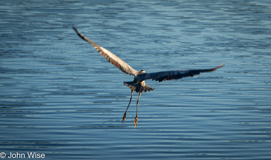
What should I say about a blue heron I’ve not said before? Out of curiosity about how many references I’ve made to these large birds previously, I searched my index of posts, and 42 entries show a potential to hold something or other mentioning herons. But as they say, that was then, and this is now, so I’d better dig in and find a frame of reference. There wasn’t an epiphany in seeing this bird looking for breakfast, and though I scrambled to affix my telephoto lens, it’s not the photo I’d like to have taken, the one where you can look into its eye, but it is a reminder that we sat there for a good long time watching it hunt patiently. Moving to and fro ever so slowly, it keeps one eye on the environment and the other on what is just below the water’s surface. With a twitch of its head, it seems it has identified a meal; holding its gaze, it waits and then steps forward, waiting again until it repeats the action. Then, in a flash, it thrusts its head below the waters and pulls up a fish for its cold meal.

Blue Heron in Lunenburg, Nova Scotia, Canada

Tempt fate and get impatient; you might lose what you were seeking, and so it was as I continued trying to inch forward for yet a better shot of the heron until it had enough of my encroachment and decided it was time to find different hunting grounds. This worked for us, too, as it was time for us to find a bite to eat.

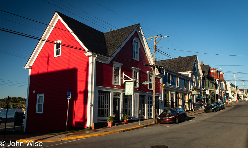
Lunenburg, Nova Scotia, Canada

The “end of the season” effect is coming on strong, and finding breakfast this Wednesday morning is proving difficult.

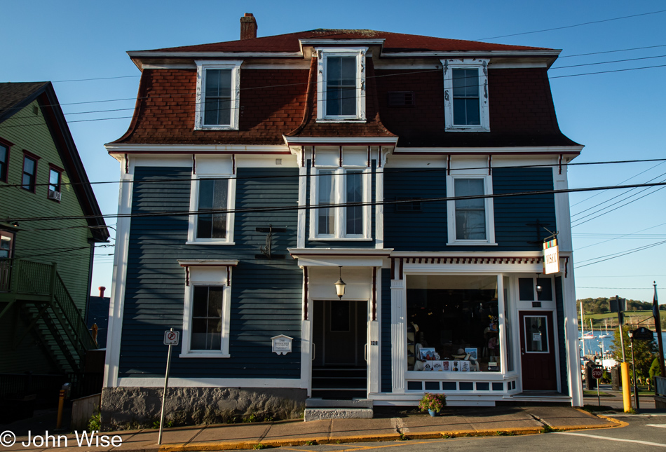
Lunenburg, Nova Scotia, Canada

We stroll up and down the streets, having to check on places as our search results from the giant search engine that will go unnamed have proven inaccurate time and again.

Lunenburg, Nova Scotia, Canada

If only we could find one open place, maybe even an IHOP. No, just full stop; we’ll never eat at that place ever again, never. [John conveniently forgets to mention that we also passed by an open Subway that failed to attract us, even though it advertised lobster subs, which sounds like blasphemy but it appears Canadians are very fond of the chain. – Caroline]
Lunenburg, Nova Scotia, Canada

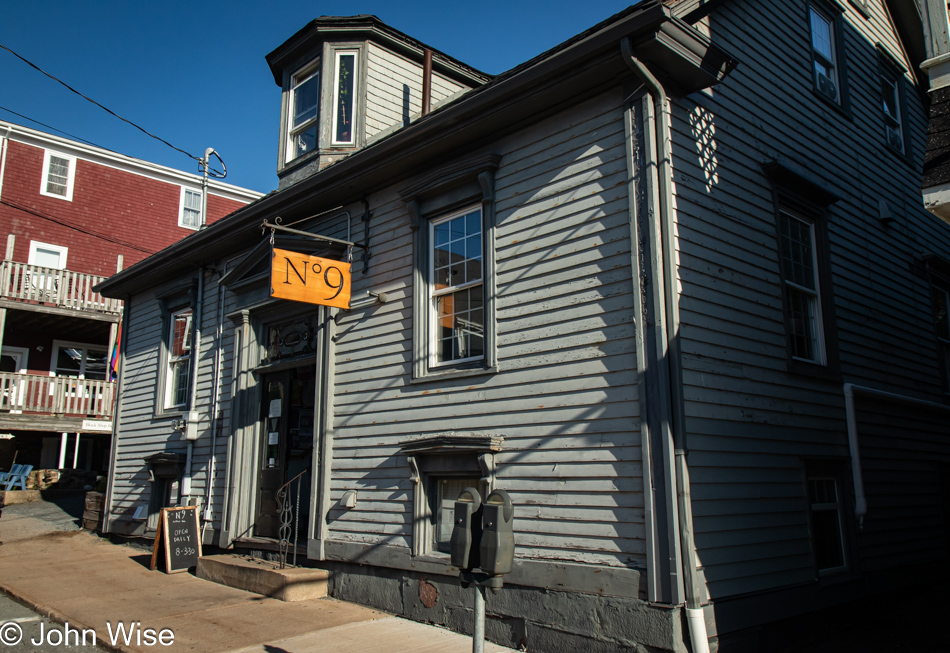
We finally, and with some reluctance, dip into the Nº 9 Coffee Bar, hoping they also have a bite to eat. Lo and behold, they have yummy breakfast galettes and lemon berry scones that were so good we got one for the road. Being the only place in town open for a coffee and a bite to eat, the galettes were sold out before we finished our coffees. The interior of this multi-room coffee bar is uniquely beautiful in its historic layout. Like the patient heron, good things come to those who wait.

Lunenburg, Nova Scotia, Canada

Crossing the street on our way to the harbor for a post-breakfast walk, a guy in a red car was driving by. It was the watchman from last night, but I couldn’t get his attention to thank him again for the great laughs and learn his name.

Lunenburg, Nova Scotia, Canada

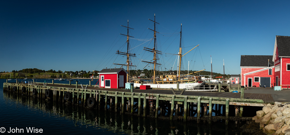
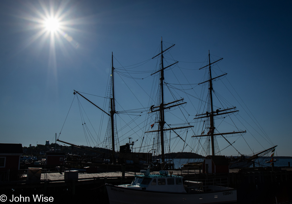
It turns out that finding the right light, angle, and environment surrounding a three-masted tall ship such as the Picton Castle is not an easy task if you want to create a dramatic photograph of such a thing.

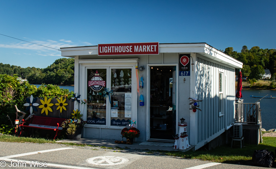
Lighthouse Market in Mahone Bay, Nova Scotia, Canada

Without waiting around for Lunenburg to waken for its business day, if anything is, in fact, open after the main tourism season started shutting down, we left town but didn’t get far before this small shop called the Lighthouse Market in Mahone Bay had Caroline asking me to stop. This would be the location of our one and only regret of the trip: we didn’t buy one of the small lighthouses in front of the shop. It would have been a perfect addition to the area next to our front door back home.

Whynachts Point in Nova Scotia, Canada

There’s some German influence going on here as this is in the area of Whynachts Point, which is incredibly similar to the German word for Christmas, Weihnacht.

Hacketts Cove in Nova Scotia, Canada

Nothing much here at Hacketts Cove aside from a glorious day with reflective shallow waters showing us where we’d like our summer home to be located.

Peggy's Cove in Nova Scotia, Canada

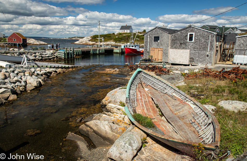
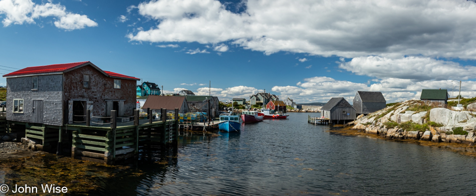
A few days ago, we had decided we’d detour from our planned drive out to Peggy’s Cove due to the reality of how much time this would add to our route in real life compared to the fantasy I was dreaming of when I planned this grand adventure. Too many people along the way asked if our road trip included Peggy’s Cove, insisting that we had to visit, so here we are, getting our first glimpses of what differentiates the landscape of this corner of Nova Scotia, making it so attractive to others who’ve already visited this place.

Lighthouse at Peggy's Cove in Nova Scotia, Canada

It’s the barren granite creating a stark contrast with the surrounding sea and sky that allows Peggy’s Cove to capture the enthusiasm of all who visit.

Peggy's Cove in Nova Scotia, Canada

These smooth surfaces were the handy work of retreating glaciers that scraped the earth flat, creating a scene that has become iconic in my vision of what fishing villages on the North Atlantic should look like.

Peggy's Cove in Nova Scotia, Canada

This was one of those lucky moments when our arrival, timed with the end of the season, meant we easily found parking, and while we were certainly not alone here, the place was not overwhelmed. Just outside of town was one of those electronic signs that tell visitors how many available parking spots were still open. We also passed more than a few parking areas for tour buses. The summer must see these streets teaming with tourists; you can bet we are happy to see this place under beautiful skies, on a beautiful day, with beautiful scenery, experienced by these two people in love celebrating such sights.

Peggy's Cove in Nova Scotia, Canada

Peggy’s Cove should be visited for at least one overnight. A little more than an hour is not enough.

Gift shop in Peggy's Cove in Nova Scotia, Canada

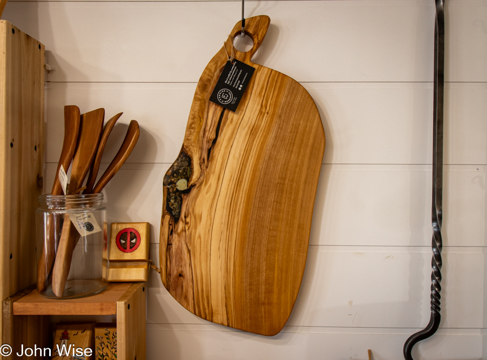
Visiting the gift shop called Hags on the Hill backfired on Caroline, as it was me who’d be leaving with a treasure representing our vacation in the Maritimes: This cutting board, or maybe it should be a giant charcuterie platter, but that would be ridiculously too big for us, and so it must serve the utility of being a cutting board as I’m not taking home a decoration. When it becomes scuffed, scored, and loses some of its beauty, I’ll know that it served a purpose greater than a cosmetic one.

Peggy's Cove in Nova Scotia, Canada

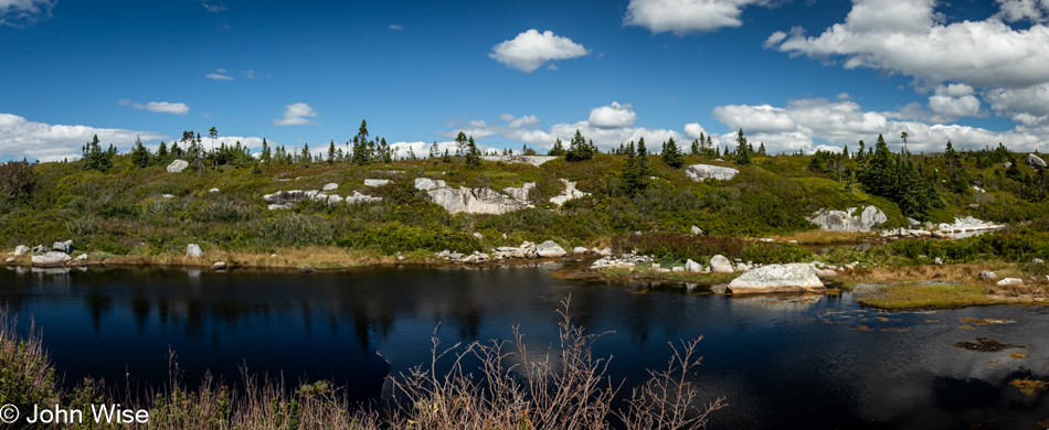
Our imaginations tell us that we are seeing hints of what areas of Greenland and Labrador might look like, piquing our interest in visiting those places, too. Maybe 2026 will see us hitting the Faroe Islands, Greenland, and Svalbard. Labrador will have to wait as, in my mind’s eye, it is more difficult to visit than the other three locations.

Whistle Berry Market in Salt Springs, Nova Scotia, Canada

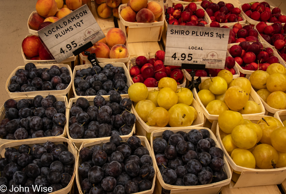
We needed a washroom, Canadian for the restroom or toilet, and the Whistleberry Market just off the road looked like a good bet for facilities. Wow, this Mennonite grocery is one of the greatest small grocers we’ve ever visited; seriously incredible regarding the variety and freshness of everything. While I was having some salt & pepper beef jerky made right here by the owners packed up for me, Caroline spotted Damson plums, something almost impossible to find in the States but the most common plums sold in Germany, essential for plum cake. Out in the parking lot, we tried the jerky and promptly turned around to buy another pound and a half so we’d have some after we returned to Arizona.

Cape Breton Coast in the distance at Creiguish, Nova Scotia, Canada

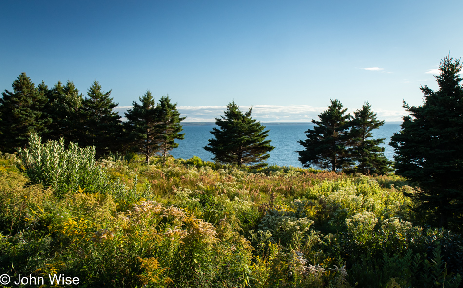
We have reached the focus of our drive north today, Cape Breton. Unlike other islands so far on this trip, we reached this one by crossing a short causeway. The land barely visible on the horizon in this view from the Creignish area is Nova Scotia. The coastal road we’re taking north is called the Ceilidh Trail in honor of the region’s Scottish heritage. Ceilidh is the Gaelic word for a party.

Cameron Pond near Judique, Nova Scotia, Canada

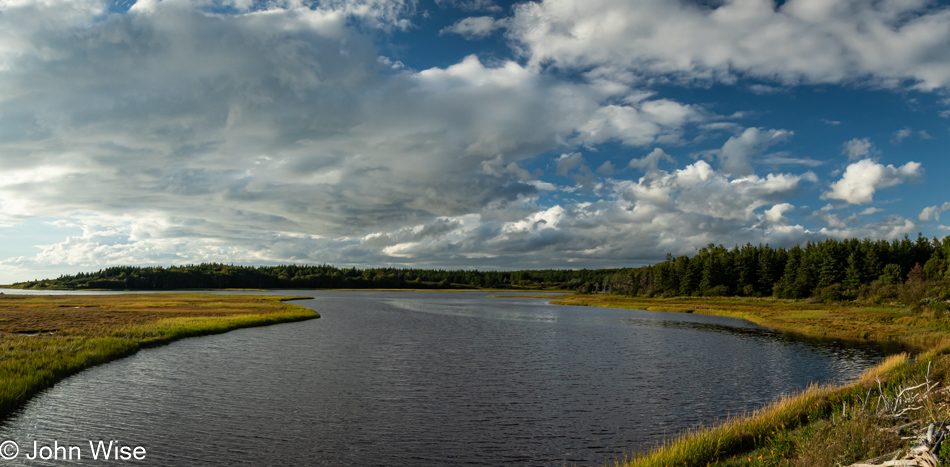
I think I’ve finally discovered something about these travels and their relationship to love that makes them so appealing. When we arrive at a place, we share oohs and aahs about how amazing it is that we are where we are. We hold hands, smile at one another, hug, and generally celebrate our opportunity to be out and about. Then it’s on to the next location, but along the way, those things that attract our interest illicit more curiosity and have us reaching out to each other again. Stop the car and visit a place; even if it was kind of meh, we still laugh about it and joke that, sure, we’ve seen better, but we’re out with each other, and that’s all the reason to again, exclaim our love for each other. So, instead of Skype and text messaging over the course of a workday, on vacation, we are always in each other’s proximity, giving us every reason to glance over and, with a knowing look, offer a smile that oozes love and affection. With all this constant shared love going on 15 hours a day, it is no wonder our vacations are top-notch perfection that leaves us wanting more.

Caroline Wise at Cameron Pond in Judique, Nova Scotia, Canada

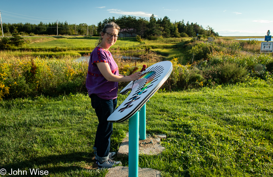
Like I said, smiles. We are at the Cameron Pond near Judique. It is pictured in the photo right above this one, and there’s this xylophone by the pond with two mallets for those inclined to play the pond some music. While I plink-plonked along, Caroline played a little melody for the mosquitos that attracted them to take up perches on her fair skin, jamming to the beat of “Mosquito” by the Yeah Yeah Yeahs with their proboscises.

Port Hood Provincial Park in Port Hood, Nova Scotia, Canada

This is the Gulf of St. Lawrence, as seen from the beach at the Port Hood Provincial Park, to be precise. We took a break from our drive to give Caroline a few minutes of beach combing time. You can’t really see her bare feet in the photo, but I assure you that she’s been walking through this cold water.

Port Hood Provincial Park in Port Hood, Nova Scotia, Canada

Same location, different direction.

Near Mabou Beach, Nova Scotia, Canada

In case you didn’t know, Cape Breton Island is the home of the Cape Breton Highlands National Park, which we’ll visit tomorrow. The scene across the waters near Mabou Beach is far more idyllic than the photo portrays. Suffice to say that everyone who loves beautiful landscapes should visit this corner of the world.

Sunset at Margaree Harbor, Nova Scotia, Canada

While we have to live with the adage, “Better than nothing,” I would recommend that others visit the Maritimes the first chance they can so they have many years ahead of them and can return often. Do not, if you can afford the time, race through the environment as we are doing, though like the saying states, it’s better than nothing.

Near Margaree Harbor, Nova Scotia, Canada on the way to Cheticamp

Our sunset was at Margaree Harbor, and like our images at the Port Hood Provincial Park, the above photo of the sun and this one of the coast are at the same location, looking in opposite directions.

Near Margaree Harbor, Nova Scotia, Canada on the way to Cheticamp

And with this final image, we effectively conclude the visual storytelling that shared our day with you. We weren’t finished driving yet as we still had a short drive to Chéticamp, where we were booked for an evening at Laurie’s Inn and snagged the last reservation for dinner at the excellent L’Abri Café. Regarding dinner, we might be easily influenced by the perceived quality of food after starting with a giant bowl of steamed mussels, as by the time we finish them, we are falling into bliss, and our bias has been swayed. Thinking about things that way, every perfect moment leading up to the end of the day has likely tipped our bias into believing everything found in each moment has led us into these expressions of exuberance and possibly an inability to be fair judges of what others might be critical of.

Digby Neck & Kejimkujik in Nova Scotia

Sunrise over Annapolis Basin in Digby, Nova Scotia, Canada

Brevity demands that I limit the number of photographs I share here each day, not that this is a hard rule. I say this because I snapped many images of this horizon while the sun was still below it, and well after it started making its way across the sky. Many of them were possibly of equal beauty, and they did record how the sky transitioned from a nearly perfectly clear view of the heavens to one where clouds began filling in quickly until the point when we finally checked out of our lodging to a heavy fog hugging the landscape and obscuring the sun.

Cemetery in the fog on Digby Neck, Nova Scotia, Canada

Before leaving Digby, we stopped at a Tim Horton’s for coffee and a croissant that could have passed for a hockey puck, which I’ve learned is probably not by accident. You see, Tim Hortons was founded in part by a famous hockey player who died at age 44 after crashing his car following a police chase, and while the details of this Canadian hero were suppressed for over 30 years, it appears that not only was he drunk and likely an alcoholic he also was doing various stimulants. So, this cofounder of the ubiquitous chain affectionately known as Tims and Timmys was a rather flawed man who ended up in a cemetery far too young. My point is that this crap Hortons sells is graveyard food that, whatever life it should otherwise sustain, saps my strength as I kvetch about my disappointment that, yet again, I tried this atrocious place. The only thing I can figure out about this iconic fast food joint that seems as prolific as headstones in a cemetery is Canadians being blinded by their national obsession with all things hockey. This is that homage to one of their players whose name lives on in infamy.

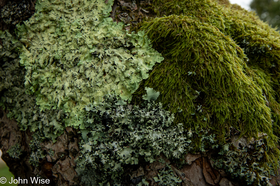
Moss and lichen on Digby Neck, Nova Scotia, Canada

Blinded by my self-loathing for that stop at Timmys and maybe the dense fog, we deviated from the road that would have brought us to Yarmouth and took a turn that would bring us down the narrow strip of land known as Digby Neck to Long Island and Brier Island sandwiched between the Bay of Fundy and St. Mary’s Bay. But why would we leave a well-designed plan that was created months ago? Because along the way, something in that meticulously crafted spreadsheet got bungled, and we needed to improvise. While intently studying the map of the southern peninsula, Caroline noticed that if we traveled down the adjacent Digby Neck, we might be fortunate enough to manage two ferry crossings going south and two on our way back north. Not being one to deny my wife a couple of reasonable requests here and there, our change of plans allowed me to shake off the old man’s moss of habits and allow her to influence the day.

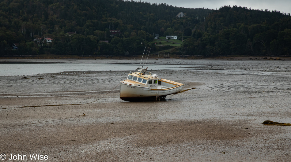
Harbor at low tide in Sandy Cove, Nova Scotia, Canada

Our first ferry was stuck in the mud. Wouldn’t you know it, we showed up at low tide. Just kidding, we are at Sandy Cove, still on Digby Neck, and that’s obviously not a ferry.

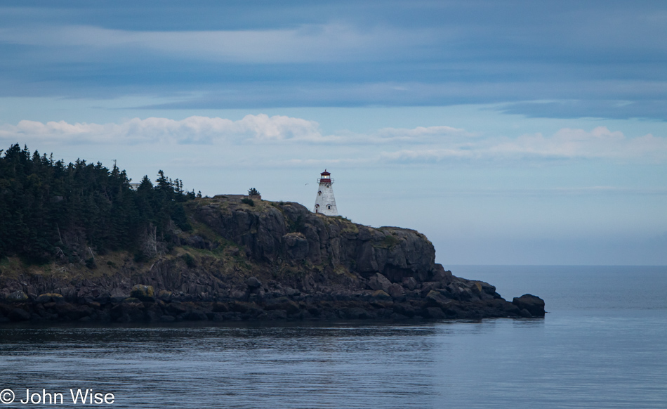
Boars Head Lighthouse on Long Island, Nova Scotia, Canada

Now, we are on a ferry for the brief crossing between the mainland and Long Island. On the rocks, with the Bay of Fundy in the background, is the Boar’s Head Lighthouse marking the entrance to Petit Passage. [Did we mention already that all of these short ferry rides were operated by the province and free of charge? – Caroline]

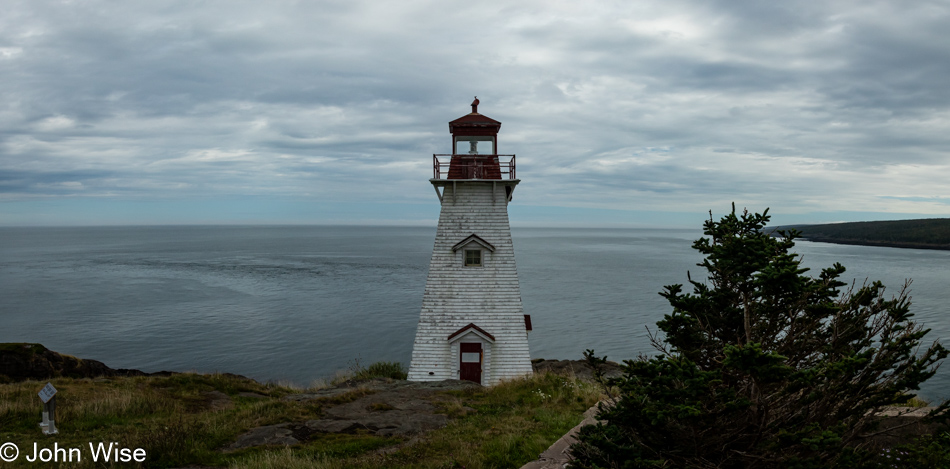
Boars Head Lighthouse on Long Island, Nova Scotia, Canada

After landing in Tiverton, a right turn brought us out to the point where, for many years, these types of beacons allowed for the safe passage of ships and boats that were the backbones of the fishing industries, the movement of freight, and steady jobs for many a lightkeeper.

Old house in Tiverton, Nova Scotia, Canada

The fishing industries of Canada have been decimated by years of overfishing and the flaunting of the early rules to limit the practice. Broken docks, weathered buildings, and small boats littering the near shore are all signs of that past before the glory days faded.

Balancing Rock Trail in Tiverton, Nova Scotia, Canada

We travel far to explore love shared among new sights while our sense of delight shines when confronted with the novelty of somewhere new. We check and recheck with each other, glancing back and forth, looking for a similar joy on the face of the person we are smiling at. After countless places our wanderings have brought us to, I can’t recall a moment when familiarity with a landscape was so well known that we failed to find surprises right before us. Had we been smart when we were younger, we could have brought walking sticks of the gnarled wood type and etched a small notch in its length, signifying a moment of enchantment. By this time, those walking sticks would have turned to sawdust and might have been replaced a dozen or more times.

Balancing Rock Trail in Tiverton, Nova Scotia, Canada

We are traversing the Balancing Rock Trail south of Tiverton.

Balancing Rock Trail in Tiverton, Nova Scotia, Canada

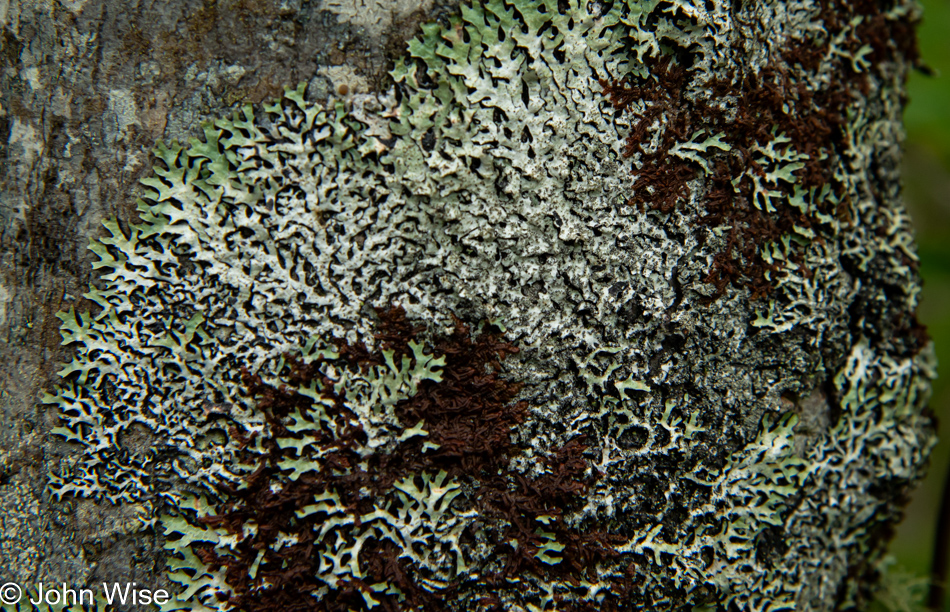
The trail has several interpretive signs, one of which points out Nova Scotia’s provincial lichen, the blue-felt lichen, but we are unable to spot even a tiny bit of it, not for lack of trying.

Balancing Rock Trail in Tiverton, Nova Scotia, Canada

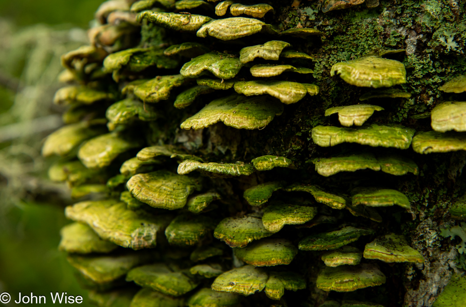
We scratch our senses and dig through memories. Have we ever seen these fungi in hues this verdant?

Balancing Rock Trail in Tiverton, Nova Scotia, Canada

This is not blue-felt lichen; our search continues.

Balancing Rock Trail in Tiverton, Nova Scotia, Canada

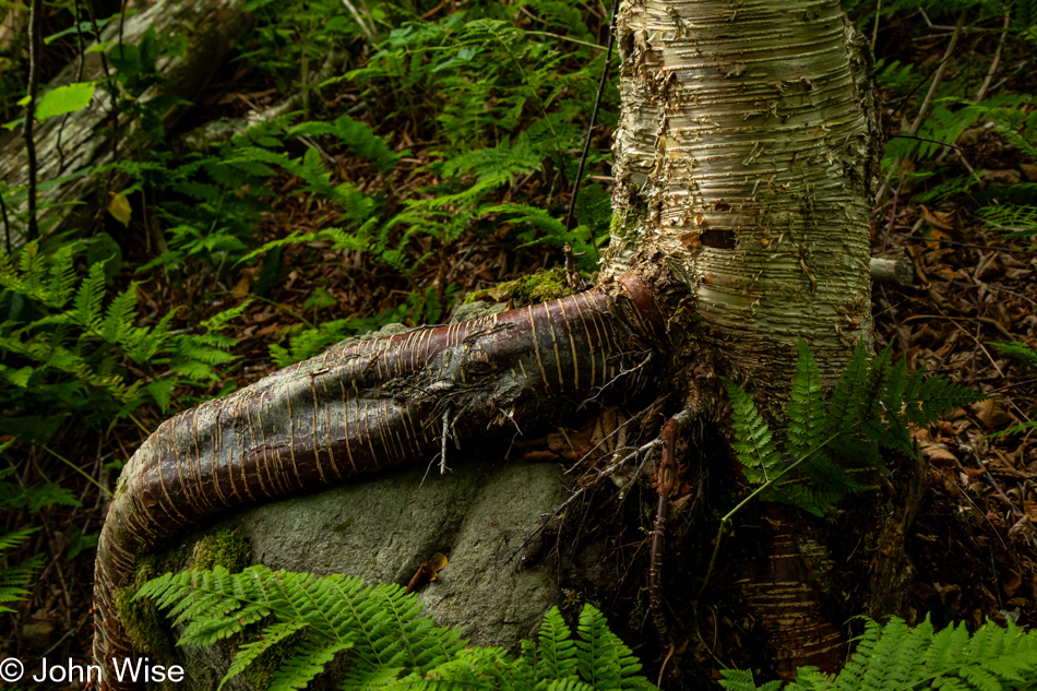
There’s an inclination to want to know what everything is as though that knowledge will somehow make us more familiar with the infinite differences that are immediately visible to our searching eyes and minds. Even if we knew what each species was, there is nothing to do with that information. It is the configuration of elements in contrast with each other that creates palettes of color, shapes, forms, and peculiarities that draw us in to fall into amazement at what we are seeing in this instant.

Balancing Rock Trail in Tiverton, Nova Scotia, Canada

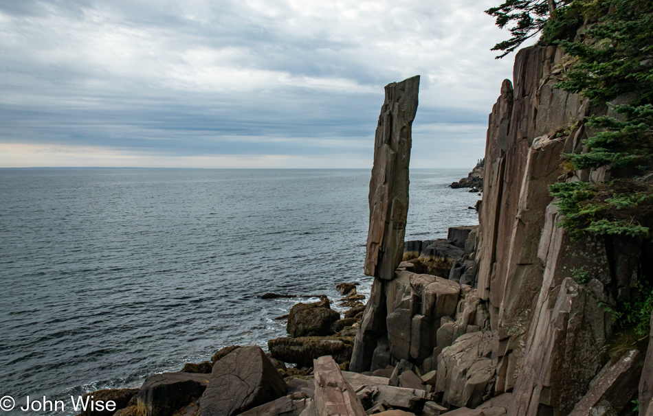
I should be quite happy that this balancing rock still stands here because I’m afraid that if this were the United States and not under constant surveillance, a young man or two would have likely tipped it over. As it was, a Christian religious fanatic must have felt they were doing god’s work by hiking out to this remote edge of a narrow island carrying a can of spray paint with him so he could deface the back of the rock with the word, ‘Repent.” Madness and zealotry are hallmarks of our modern condition, where respect for the earth’s systems in balance is not shown unless it serves the pettiness of our egos and greed. None of these negative impressions were necessary at this otherwise magnificent sight, were it not for the ugly actions of an individual treading heavily in their self-righteous arrogance.
Balancing Rock Trail in Tiverton, Nova Scotia, Canada

It’s not just the balancing rock that holds appeal. The coastline here is spectacular and deserving of more time for exploration, but like the Oregon Coast we first visited more than 20 years ago and where we are still discovering new-to-us places, this discovery trip of the Maritimes will not be a complete cataloging and familiarization with the lands and seaways of New Brunswick, Nova Scotia, Prince Edward Island, and Newfoundland. The best we might accomplish is some minor curiosity satisfaction, and if we are really lucky, the attraction of it all will pull us back for a return visit. Then, during that reacquaintance, we’ll have the impossible task of choosing whether to return to places we glanced over or take the other roads to destinations we’ve ignored on this visit. Such is the dilemma of travelers taking joy in everywhere we go.

End of Long Island in Freeport, Nova Scotia, Canada

We’ve reached Freeport, the end of Long Island, and the point where we board our next ferry to Brier Island.

Peter Island Lighthouse in Westport, Nova Scotia, Canada

That’s the Peter Island Lighthouse in Westport, a lighthouse we won’t be visiting because we do not have access to a boat.

Brier Island Lighthouse in Westport, Nova Scotia, Canada

The Brier Island Lighthouse, on the other hand, will be visited, though by me more than Caroline, as she ventured off up the coast on her own. It seems she can never get enough of beach combing.

Lighthouse Cove in Westport, Nova Scotia, Canada

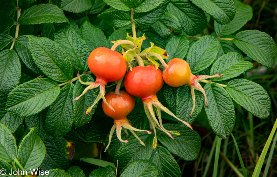
From a distance, Caroline wildly gesticulated her hands in the air with an urgency that made me hurry my lighthouse photography obsession. She’d found the tallest thicket of rose bushes with the largest rose hips she’d ever seen.

Lighthouse Cove in Westport, Nova Scotia, Canada

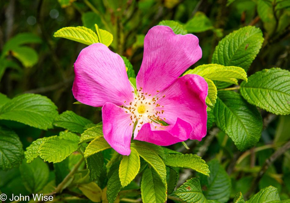
And there were these perfect rose blossoms, too.

Caroline Wise at Lighthouse Cove in Westport, Nova Scotia, Canada

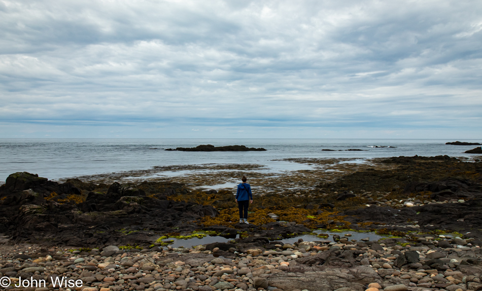
As for me exploring the rotting seaweed at the shore, I passed, but there she was, standing in the muck, mesmerized by the tranquility of the sea and gazing into the distance with thoughts I’ll never know. If I had to guess, she’s thinking, “If there was some wind here, I could break out Happy McKiteFace for some flying right about now.”

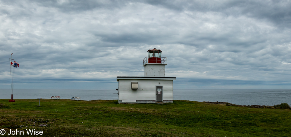
Grand Passage Lighthouse in Westport, Nova Scotia, Canada

On our return, the lineup had already started for the ferry back to Long Island, but its departure was still a half hour away. Surely, we had enough time to sprint up to the Grand Passage Lighthouse for a quick peek. After our first set of ferry crossing to get here, we knew that the one farther north was timed with this one, and if that ferry was already full, we’d be in for a long wait for the next one, so we bolted. Passing nearly a dozen potential competitors on the way, we skidded into line with merely half a dozen cars ahead of us; we would be on the next ferry. Also, I grabbed lunch at the Just Above Water Cafe & Ice Cream Shop, which served up our fish and chips in record time. We believe this was the world’s best-ever two pieces of fish and fries, and it was only $16 Canadian or $12 U.S. due to the favorable exchange rate.

Maud Lewis Memorial Park in Digby, Nova Scotia, Canada

This is a replica made of steel of the house of folk artist Maud Lewis at a memorial park set up in her honor in Digby. The original tiny cabin was handpainted by Maud and now resides at the Arts Museum of Nova Scotia in Halifax. There’s too much to her story to do justice here in a paragraph, though Caroline might choose to embellish this when she gets her editing mitts on the post. As we drove away from this site, it dawned on us that we’d not listened to the local radio yet, tuned into the French language station on 102.3 FM that fit the moment and started creating part of the soundtrack that would be part of our memories after getting home. [We learned quite a few things about Maud Lewis on this trip, but as John said, there is a lot to convey if you’ve never heard of her. Suffice it to say, her life was tragic yet probably not unusual for a disadvantaged woman born in her time, and the tragedy part comes in full force when you look at her legacy of beautiful and uplifting folk art that was not valued enough during her lifetime. You could look her up on the Internet if you’re intrigued, and there also is a movie about her. – Caroline]
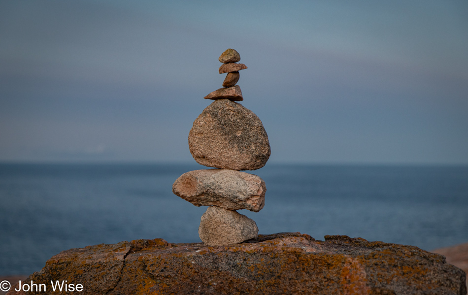
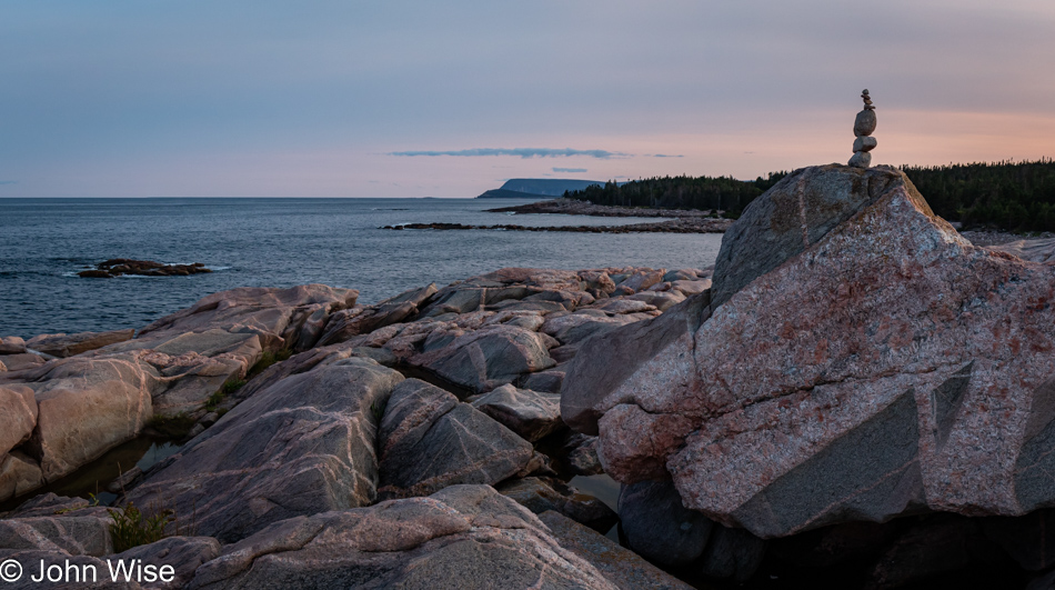
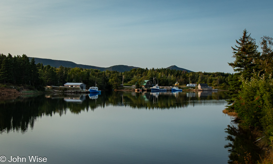
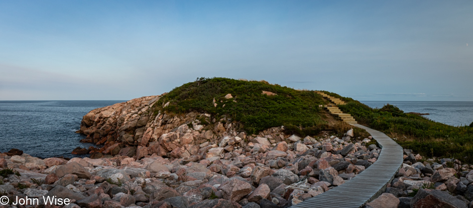
Mill Falls Trail at Kejimkujik National Park in Nova Scotia, Canada

After driving southeast from the Digby area, we arrived at Kejimkujik National Park just minutes before the entry station was closing. It was nearly 5:00 p.m., and we needed at least two more hours to reach Lunenburg, where we would stay for the night. We figured we’d dip in for a single quick photo and leave. Who wants to pay a fee for but one photo that may or may not be used? After talking with Shauna, the attendant, for a good 15 minutes, we were pretty excited to venture out at least a short distance on the Mill Falls Trail and then quickly turn around.

Mill Falls Trail at Kejimkujik National Park in Nova Scotia, Canada

Oh! This won’t be a jaunt to a single overlook with a fast return to the car. Nope, we are committed to reaching the falls after which the trail is named.

Mill Falls Trail at Kejimkujik National Park in Nova Scotia, Canada

The lush beauty of this place is hypnotizing us. Driving through the dense forests of Nova Scotia, I don’t believe either of us considered that this type of scenery might exist on the other side of the tree line.

Mill Falls Trail at Kejimkujik National Park in Nova Scotia, Canada

These are not the falls; they were yet further ahead, but getting a nice shot of them didn’t work out, so we’ll just go with this and now admit that we were in for the long haul and had decided to cross over a bridge that would take us on a loop on the other bank of the waterway.

Mill Falls Trail at Kejimkujik National Park in Nova Scotia, Canada

Initially, we told ourselves that we needn’t do the entire loop, but there we were, going farther and farther until the inevitable confronted us: we were going all the way.

Mill Falls Trail at Kejimkujik National Park in Nova Scotia, Canada

If you were out here and, after a day of overcast skies, the sun all of a sudden made an appearance, offering you the magic lighting of the golden hour, wouldn’t you, too, choose to stay awhile longer?

Mill Falls Trail at Kejimkujik National Park in Nova Scotia, Canada

Some of these spots we had already photographed when we were on the way out, but after the sun sliced through the cloud cover, we had to take many of them all over again on our way back. Such is the price of suffering we are willing to endure to create perfect memories of perfect times in perfect places.

Mill Falls Trail at Kejimkujik National Park in Nova Scotia, Canada

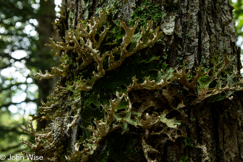
Lungwort lichen is still not blue-felt lichen, but we can deal with that disappointment, accepting flaws and that sights promised in the brochures might be missing. Now, as far as lungwort goes, this is indeed a capital specimen.

Mill Falls Trail at Kejimkujik National Park in Nova Scotia, Canada

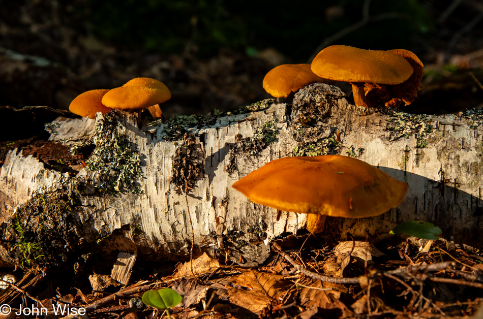
You had to know that if we’d found mushrooms, we’d have to share them here.

Mill Falls Trail at Kejimkujik National Park in Nova Scotia, Canada

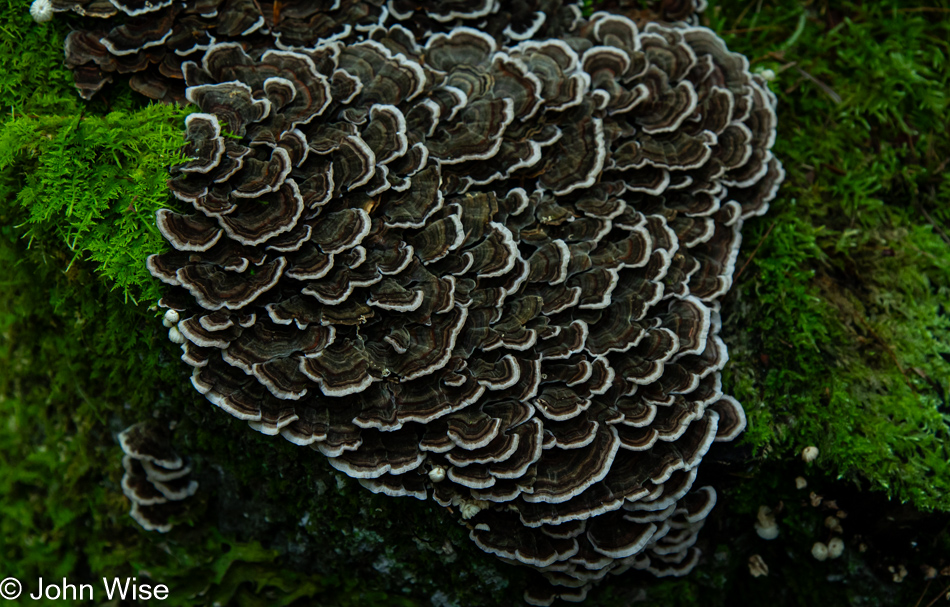
In lieu of wildlife, we present the reader (ourselves at some future date) a beautiful bunch of turkey tail mushrooms.

Mill Falls Trail at Kejimkujik National Park in Nova Scotia, Canada

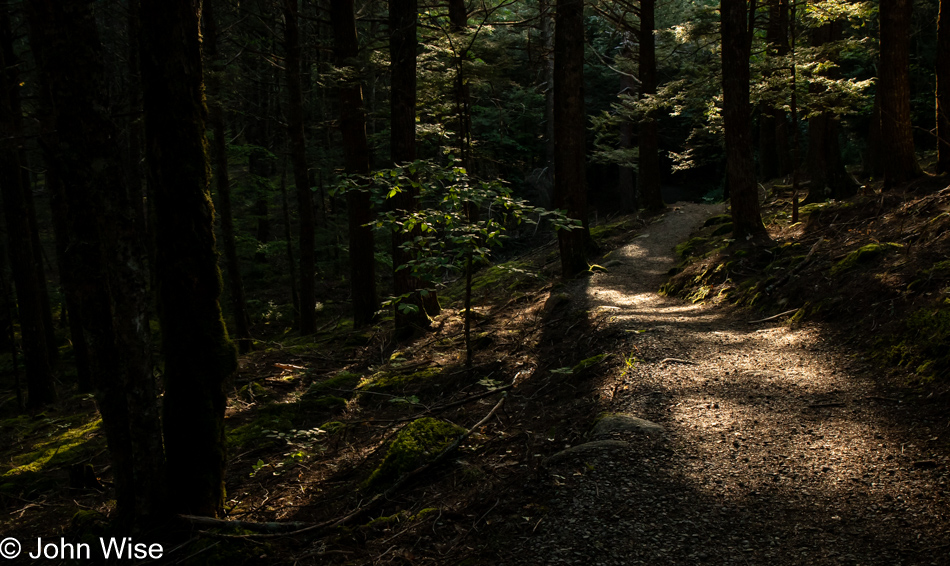
But John, you’ve already shared a shadowy forest floor mottled with golden sunlight, “Yeah, I know, but can one ever see too much of a good thing?”

Mill Falls Trail at Kejimkujik National Park in Nova Scotia, Canada

Reflection in natural environments arises from the effortless endeavor of the natural world where still waters are found. We as humans must find quiet minds where words are allowed to spread out and capture the thoughts of an imagination that can then be put on canvas, paper, or music. This is the art that people must work for.

Mill Falls Trail at Kejimkujik National Park in Nova Scotia, Canada

It was fully dark when we pulled into Lunenburg, Nova Scotia, whose old town is a UNESCO-designated World Heritage Site. Founded in 1753, the town was granted this status as the best example of a British colonial settlement in North America. I’d forgotten that I needed to make a reservation for dinner at the Beach Pea Kitchen here in town and pleaded with the host, explaining how I hadn’t been able to put in a reservation in May when I called as they weren’t accepting them that far out and how much I was looking forward to dining with them. They fit us in, starting Caroline with a drink called Barb’s Last Straw featuring gin, vermouth, rhubarb esprit, lemon, rosewater, egg white, and strawberry powder, while my non-alcoholic drink started with shiso shrub mixed with lemon and ginger beer. Dinner focused on a couple of gourmet fish dishes, while Caroline was also able to sample a few oysters from Sober Island north of Halifax.

What happened after dinner made for the greatest dessert we could have imagined. It arrived with a fright and a solid burst of laughter. We needed to walk off some of that heavy meal and decided to walk down to the historic dock (okay, the entire old town is historic). Meandering a nearby pier and making our way to a tall sailing ship, we saw that a gate was open, and with no signs warning about trespassing, we walked right up. It was too dark on the water to get a good photo, no matter the angle I tried shooting at. The Picton Castle, as it is known, would have to wait for morning. Walking away, just about to pass through the gate we entered, a figure from the small shack to the left sprung from the darkness, barking, “Something smells rotten in here!” The watchman instantly knew that we were fully startled, which launched him into uproarious laughter and dragged us in. With the bejeezus trying to find its way back into us, we talked with this amazingly funny guy for the next 20 minutes, thoroughly enjoying his heavy Nova Scotian accent and his continuing laughter at the whole episode. I only wish we could acknowledge this man by referring to him by his proper name, but we missed that small detail.

Hello Again, California

Cape Sebastian Scenic Overlook south of Gold Beach, Oregon

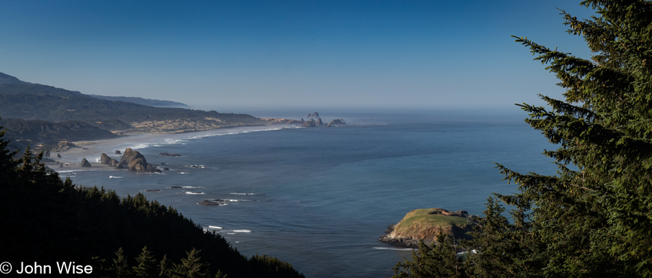
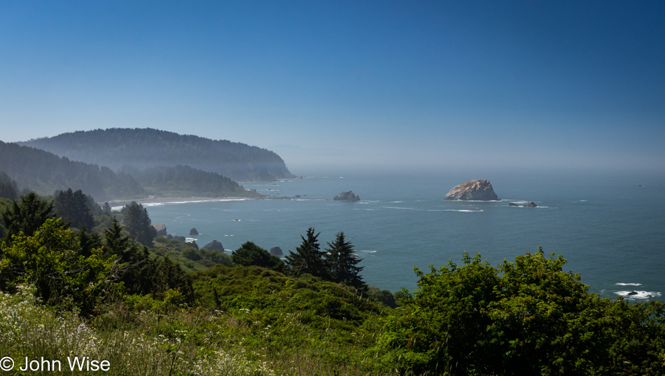
Is that California out in the distance? Not yet, but soon. Today’s setup down in Gold Beach was intentional for what would be our next stop today. First though, we made this quick stop at Cape Sebastian, not only for the view, but as a reminder that we want to take the trail from up here all the way down to the ocean.

Meyers Creek Beach north of Pistol River, Oregon

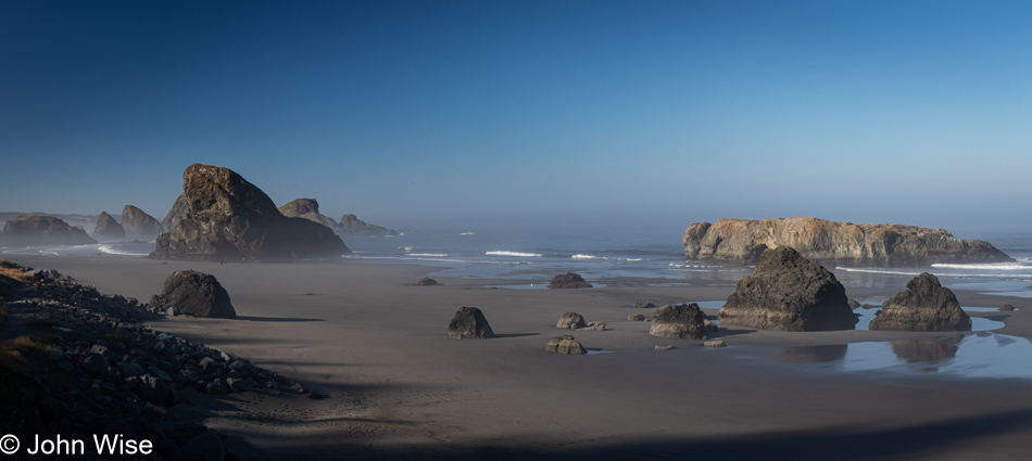
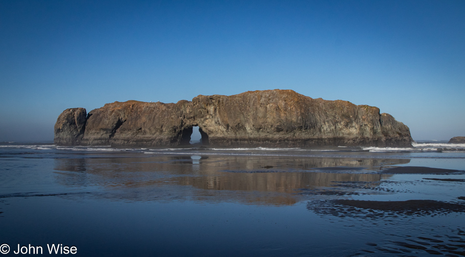
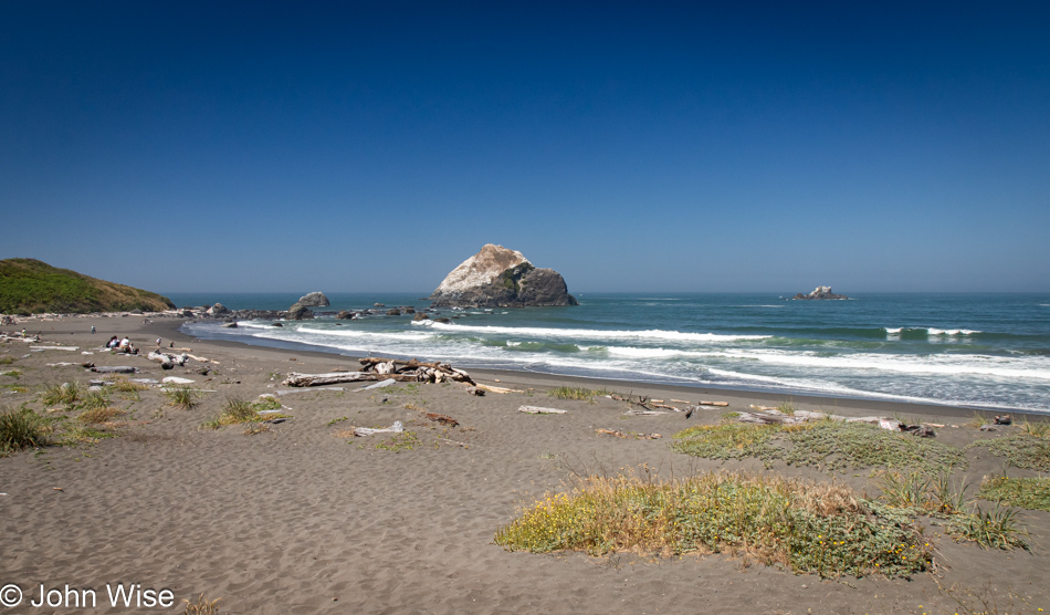
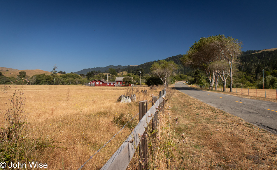
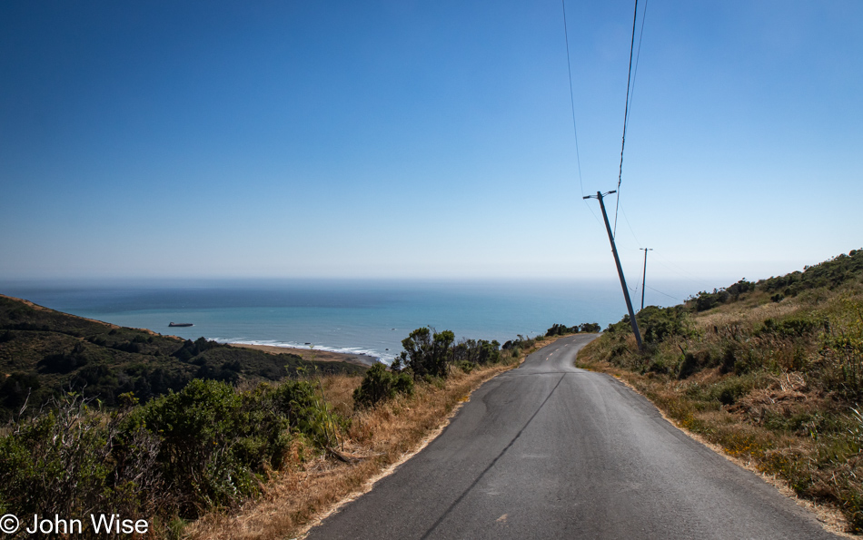
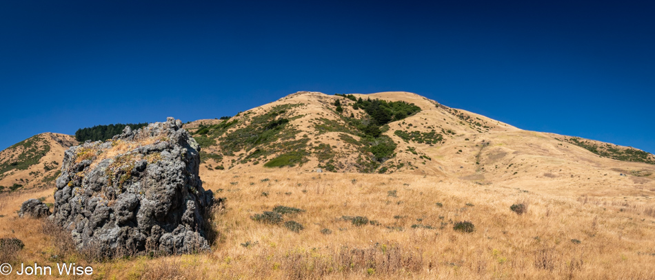
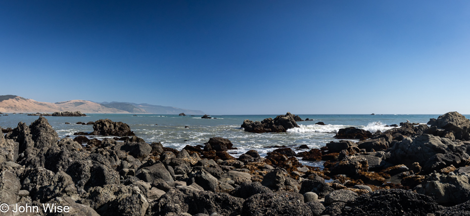
This is the spot we had to visit as our last stop in Oregon on this mighty, amazing coastal adventure we’ve been experiencing. Meyers Creek Beach has long been a favorite.

Meyers Creek Beach north of Pistol River, Oregon

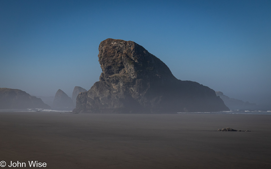
Before we ever knew the proper name of this beach, we called it the Sharkfin Beach for obvious reasons. It is this rock jutting out of the sand and sea that created this affinity and keeps us coming back.

Meyers Creek Beach north of Pistol River, Oregon

We took time to linger in the fading moments that could be allocated to time on the Oregon Coast. While there’s some likelihood we’ll return this November, as I’ve already started making reservations, one never knows what tomorrow brings, so we have to take every second to absorb all we can.

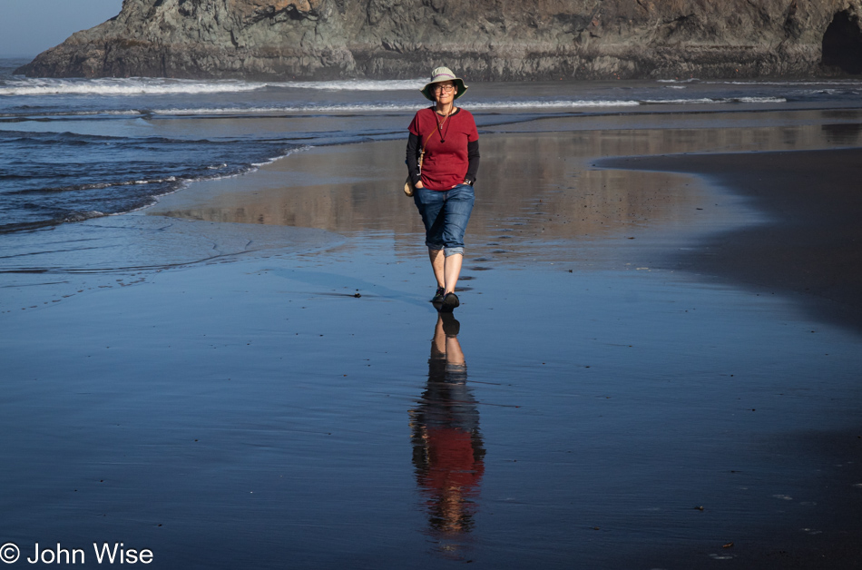
Caroline Wise at Meyers Creek Beach north of Pistol River, Oregon

Note the hands in the pockets instead of holding the reins of Happy McKiteFace; there was no wind here, zero, zilch.

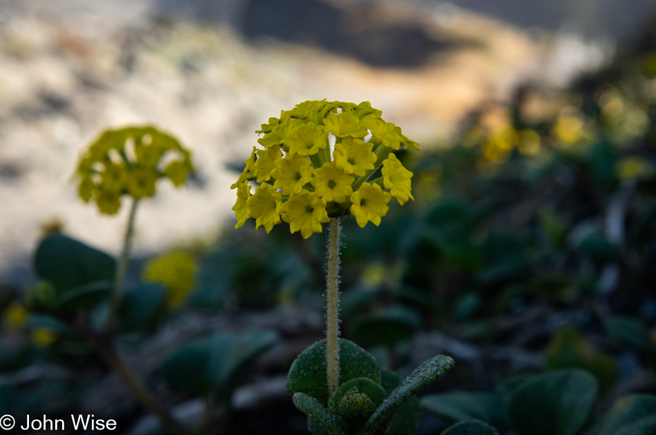
Coastal sand verbena at Meyers Creek Beach north of Pistol River, Oregon

Leaving the beach, we caught a whiff of this flowering plant that is not in bloom during our November visits. It is coastal sand verbena, and it smells brilliant.

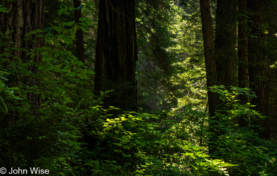
Redwoods in Northern California

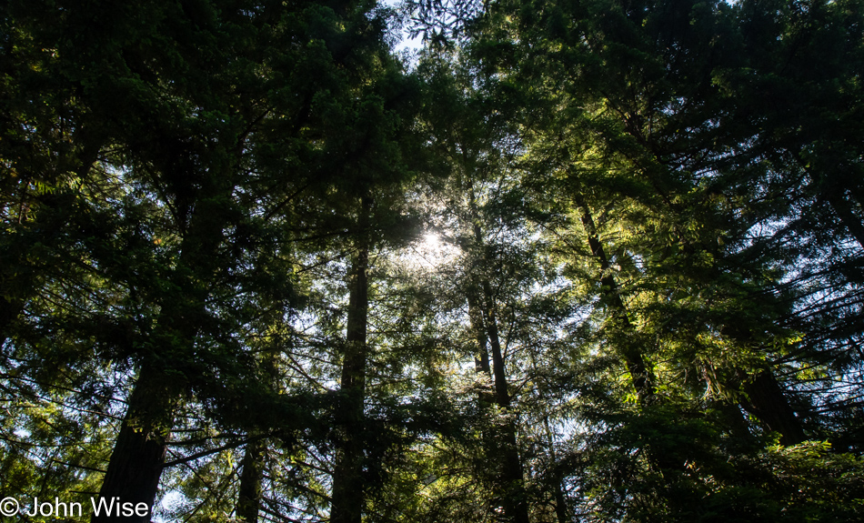
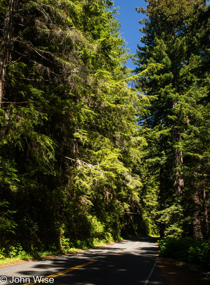
We’re on Wonder Stump Road just north of Crescent City, which is less than 15 miles from where we crossed from Oregon to California on Highway 101.

Redwoods in Northern California

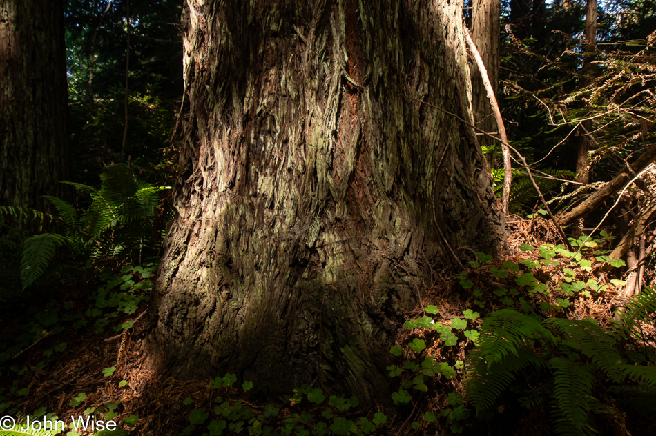
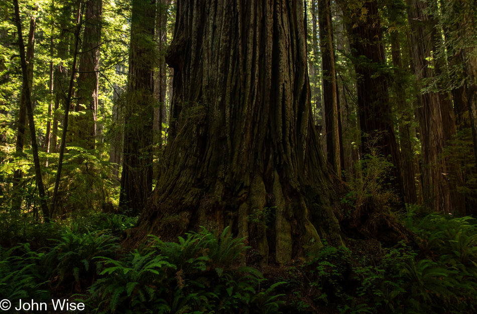
These trees are today’s first encounter with the redwoods, and while some may think that 5 million of these giants of the more than 100 million that once existed is an adequate number, keep in mind that there are 39 million people living in California and nobody is suggesting the state is running out of habitable land. The tree we are standing below might be about 30 feet in diameter, meaning it could be about 300 to 400 years old. The Lost Monarch tree in Jedediah Smith Redwoods State Park has a circumference of approximately 84 feet (25.6 meters) while the oldest redwood is estimated to be about 2,200 years old, so even if humanity were to attempt to restore what we’ve ruined, not us, our children, grandchildren, or great-grandchildren would be around to see one of these trees reach even this circumference.

Redwoods in Northern California

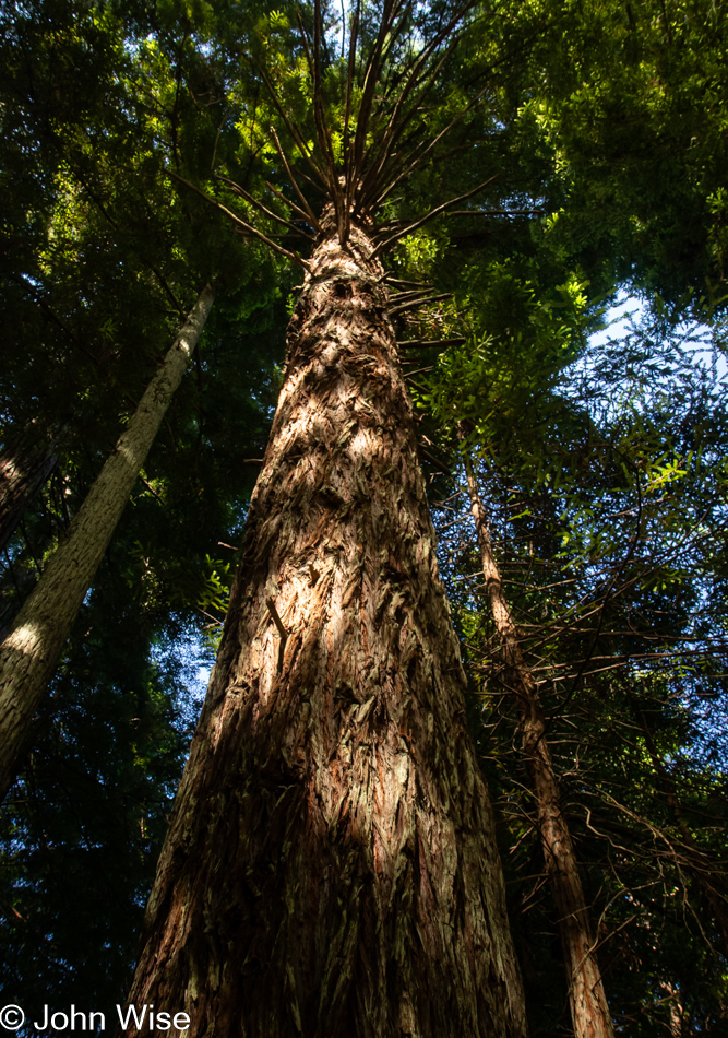
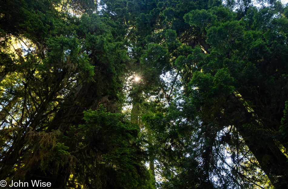
It’s peculiar to my primitive brain how I can be so impressed standing at the base of one of these trees, and yet there is an entire ecosystem above me that is unvisitable and must remain a big unknown to my senses. The canopy of the redwoods may as well be at the bottom of the sea or on the moon.

Redwoods in Northern California

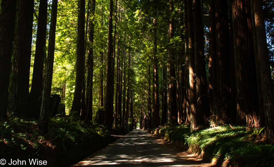
The Wonder Stump Road might only be two miles long, but we were lost under these trees for nearly as long as it would have taken to walk the road.

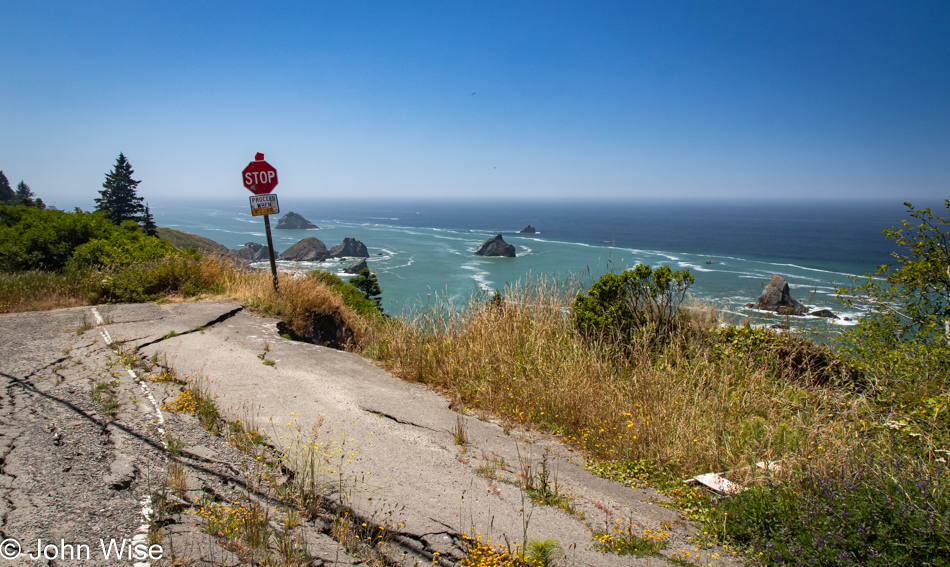
Overlook in Klamath, California

Had our goal been to get as far south as fast as we could, our time at the edge of the continent would have been a lot shorter, but that would have brought an unceremonious end to this trip, and so our route was designed to maximize time at the coast and allow us to dawdle.

Wilson Creek Beach in Klamath, California

Wilson Creek Beach was afforded a quick stop, a photo and go.

Prairie Creek Redwoods State Park in Orick, California

We’ve turned off Highway 101 at the Newton B. Drury Scenic Byway in the Redwoods National Park on the way to the Prairie Creek Redwoods State Park to slow things down even further. To simply drive by and ignore these trees and their lush environment feels like sacrilege.

Tiger Lily at Prairie Creek Redwoods State Park in Orick, California

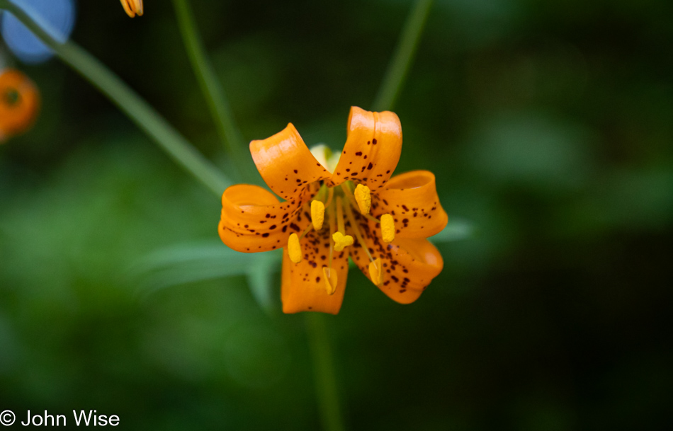
Caroline spotted tiger lilies next to the road, but often, there was nowhere to easily pull over, so we continued on until we found some near a pullout.

Prairie Creek Redwoods State Park in Orick, California

Sadly, there’d be no time for a hike into the woods because while we can take our time, as long as we reach Ukiah, where we have a hotel reservation, I have plans for a side trek off the beaten path to a place on the coast we’ve never visited before.

Prairie Creek Redwoods State Park in Orick, California

These forays into forests that stretch far into the sky are difficult places to photograph, at least for me, as there is so much to see and only so much that can be captured adequately in a photo. While standing under these ancient and massive trees inspires us, there is no easy method of sharing just how grand it all is.

Prairie Creek Redwoods State Park in Orick, California

The ancestors of redwoods emerged about 200 million years ago, and then about 50 to 100 million years ago, the species split into the two types we know today, the coastal redwood and the giant sequoia. Maybe that’s what contributes to the sense of otherness, or whatever it is that feels different than other places; there are few living things on earth that we can stand amongst that have been on the planet longer.

Patricks Point Drive in Patricks Point, California

Heed this stop sign, or you will certainly regret your indiscretion. We are on Patricks Point Road.

Luffenholtz Beach in Trinidad, California

This is Luffenholtz Beach south of Trinidad, and while Caroline and I drove at least part of this road back in 2006 (we know we did because there’s a blog post) neither of us has any recollection of that drive. As a matter of fact, in 2020, we thought we were traveling this road for the very first time, stating just that in a post.

Mattole Road near Ferndale, California

We have left Highway 101 again, this time for a road we are absolutely 100% certain we’ve never driven before. The initial stretch of road is California 211, but in Ferndale, the road shrinks as we head out on the Mattole Road for the Lost Coast.

Mattole Road heading towards Cape Town, California

Many sections of the road out here are only a single lane, and they are also in tight curves with big blind spots, so stopping is not an option. Then, we emerge from the dark forest into wide-open vistas that are idyllic, serene landscapes.

Mattole Road heading towards Cape Town, California

Without guardrails, I’m inclined to hug the centerline and drive at barely 20mph, else we risk falling off the road and into the infinity of time.

Cape Town, California

We’ve arrived in Cape Town, as in California, not South Africa.

Mattole Road heading to Black Sand Beach on The Lost Coast of California

After driving for a while, we had some idea of the frequency of other cars traveling this road and felt okay about stopping in the middle of the street and jumping out for a photo.

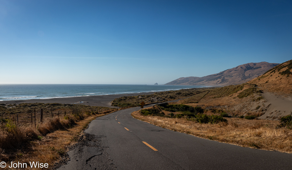
Adjacent to Black Sand Beach on The Lost Coast of California

You wouldn’t know it from this view, but we’ve arrived at the Black Sand Beach down here on the Lost Coast north of the King Range National Conservation Area. I’ll turn around and show you.

Black Sand Beach on The Lost Coast of California

There’s nothing and almost nobody else down here.

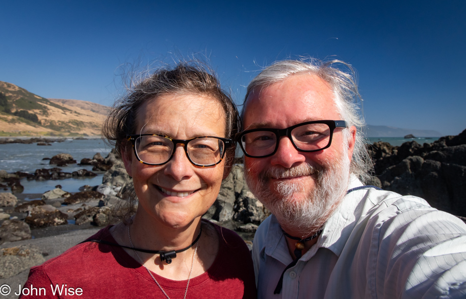
Caroline Wise and John Wise at the Black Sand Beach on The Lost Coast of California

Well, there were these two dorks hanging out looking for the things we’d possibly not seen before.

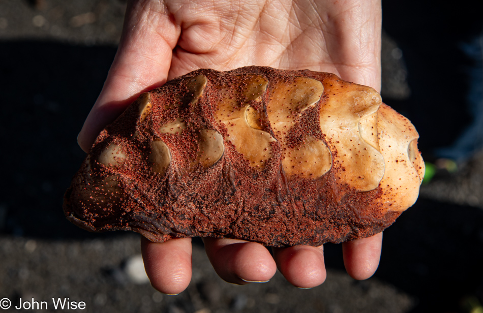
Gumboot chiton shell at the Black Sand Beach on The Lost Coast of California

Seek, and you shall find. We were on our way back to the car when I spotted something peculiar that turned into the great treasure of this month away from Arizona: the shell of a gumboot chiton.

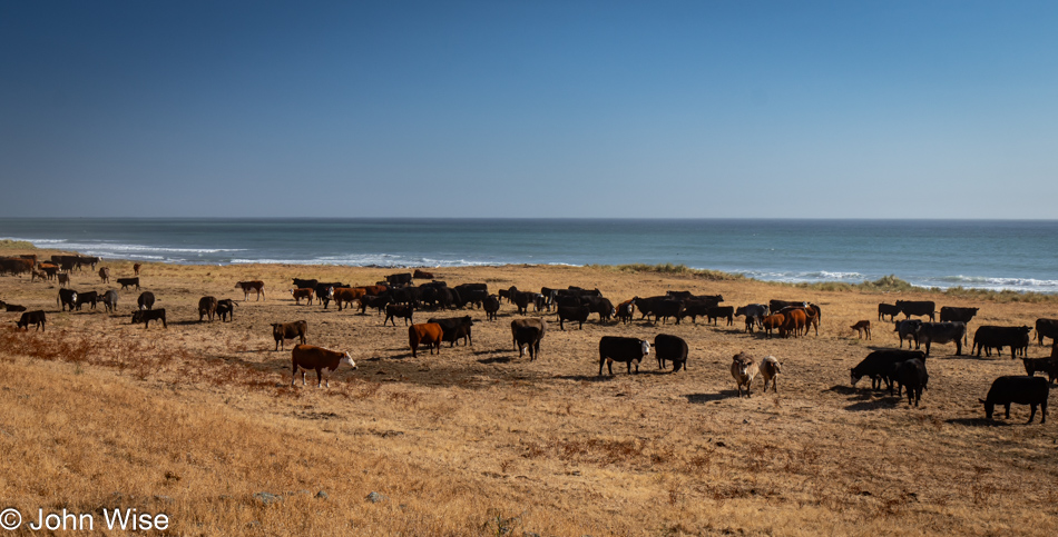
Point of Cows on Mattole Road at The Lost Coast of California

Somewhere along the road, and not marked, is the Point of Cows. That’s what we are calling this in lieu of finding the exact spot from the map.

Mattole Road near Petrolia, California

This concludes our coastal adventure as we turn inland and start the serious effort to move ourselves closer to home.

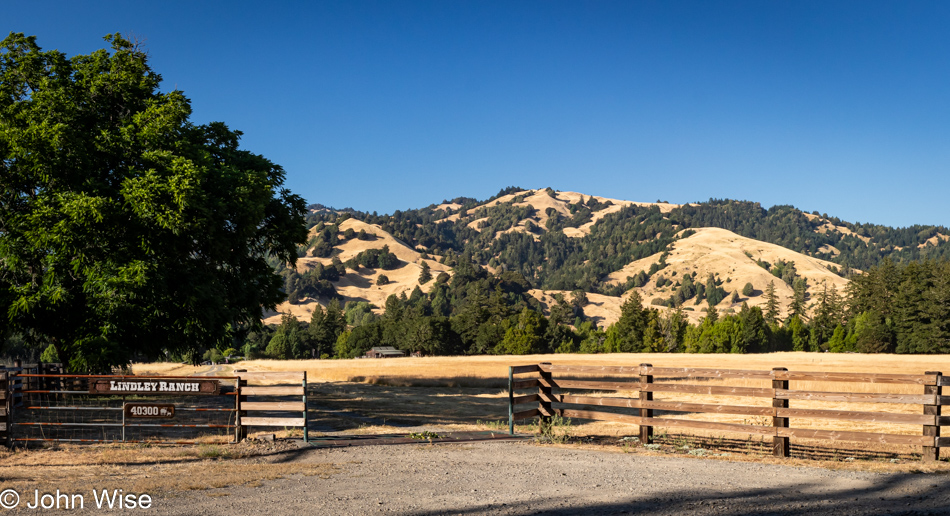
Lindley Ranch in Petrolia, California

Much of the landscape for the first 20 miles after leaving our turn inland was similar to what we were driving past on our way out, but still, I felt I should offer at least a peek at what is on this end of Mattole Road as we drive through Petrolia.

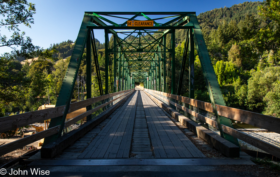
Mattole River Bridge in Honeydew, California

Our last photo of the day is from the Mattole River Truss Bridge in Honeydew, population 277, of which we met three of the locals. They were sitting near the bridge and informed us that this old relic from 1920 is going to be torn out and replaced with a modern structure. We learned a few other things from the heavily stoned and friendly people, but what they didn’t tell us was that we should probably have used this bridge and taken the northern route back to Highway 101 because the way we went included some sandy loose gravel sections of road in tight curves on steep mountainsides. More than once, I was given an adrenalin boost from the abject terror I was feeling as we started losing traction, and fear informed me that if I lost momentum, our tires would never grip this stuff well enough to let us finish going up the incline. I was close to panic. Consequently, I didn’t stop one time before reaching Highway 101, and by the time we reached Ukiah for the night, I was exhausted. What an adventure it was.

Happy 4th of July from Oregon

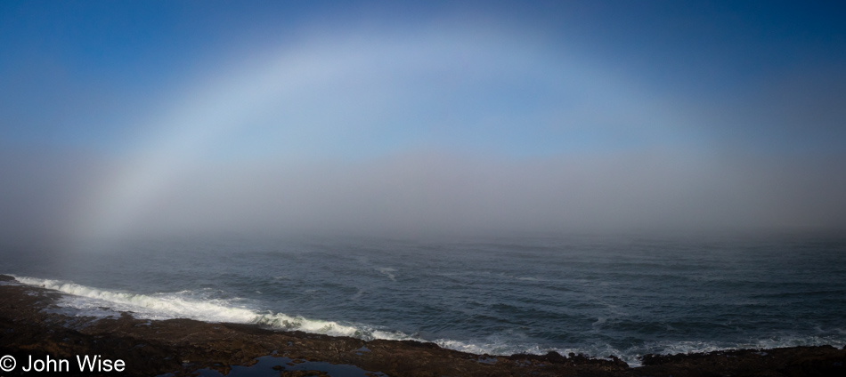
Fogbow at Depoe Bay, Oregon

The exit portal found in this fogbow opened at the rocky shore of Depoe Bay, allowing Caroline and me the chance to begin the process of leaving Oregon. Without the fogbow, we’d have been stuck here on the coast; not a bad thing, mind you, but we do have other places to be, such as Santa Fe, New Mexico, next week. Now I’m getting ahead of myself – more about that trip later. For now, I have to contend with the situation that we are taking the next four days to drive back to Arizona, which also implies that there will be no blogging during those days and I’ll fall behind, but who’s not up for a big challenge?

R2D2 on the side of Highway 101 in Oregon

It’s the 4th of July today, Independence Day for the United States, where we celebrate the birth of our country, and this Star Wars fan sent R2-D2 out to the curb armed with the stars and stripes to remind everyone to give a nod to this special day.

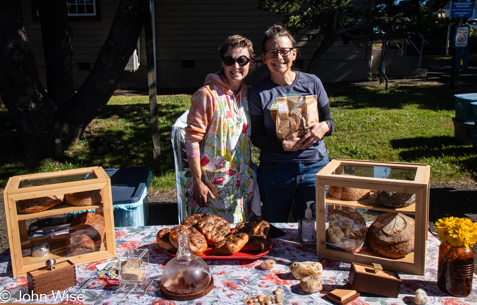
Mindy and Caroline Wise in Yachats, Oregon

The original departure plan called for us not to get out of the car before we were south of Florence, but that couldn’t really be adhered to anyway, as we knew we’d stop in at the Newport Cafe for yet another yummy Pacific Seafood Scramble. Somehow, we managed to skip one more stop at Boiler Bay to look for whales, but reaching Yachats and seeing that the farmer’s market was happening on this holiday, we had to stop, and good thing we did. Not only did we score another loaf of sourdough from Mindy the Baker, but across from her, we met Broom Chick. Twenty years or more ago, Caroline and I bought a handmade gnarled corn broom at the Renaissance Festival in Arizona. While it’s well worn, we use it to this day. Well, that might not be true much longer as Caroline thought it was high time to replace it, and Samantha the Broom Chick herself, was selling her brooms at the market, and it turns out that it was her company that made our old broom, too. Sadly, we learned that we wouldn’t be able to have our relic given a makeover, so it’ll become our outside broom, and the new one will take its place in our kitchen. [We also stopped one more time at the Green Salmon for more herbal tea of the Crater Lake variety and a couple of mushroom-themed souvenirs. – Caroline]

Thor's Well at Cape Perpetua in Yachats, Oregon

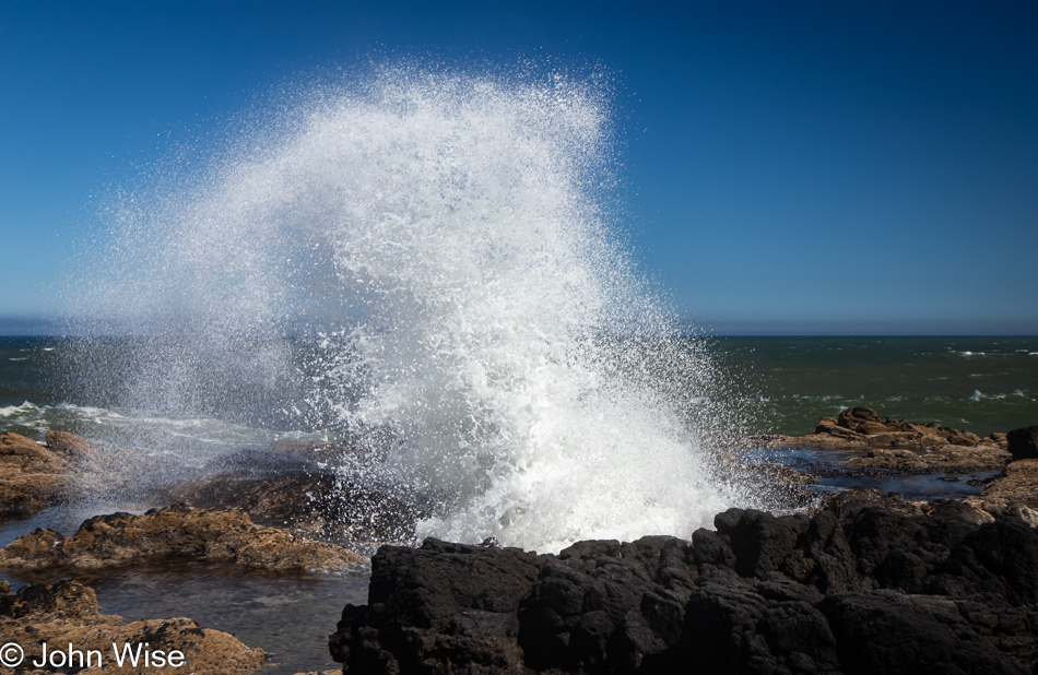
Nope, this is not Florence. We have pulled over near Cape Perpetua south of Yachats for one more look at Thor’s Well hoping that since it is shortly after low tide, we might get a better look into the well. That didn’t quite happen, as you can see for yourself the fountain of water splashing out of this amazing natural feature. Being too close could be life-threatening.

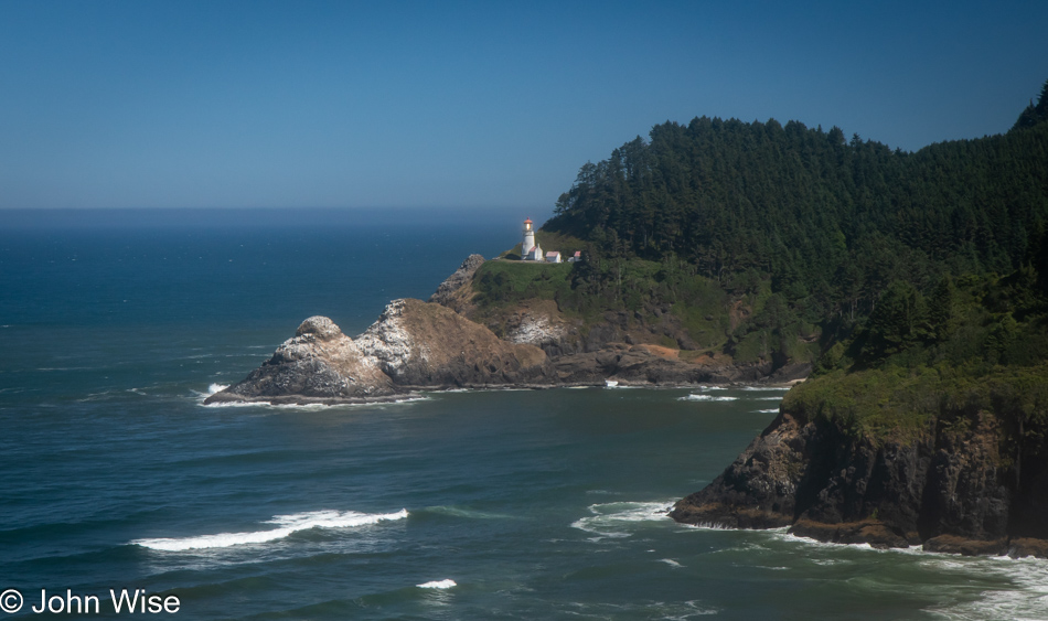
Heceta Head Lighthouse in Florence, Oregon

Here at Heceta Head Lighthouse, we are closer to Florence, but still 13 miles north means we were stopping again.

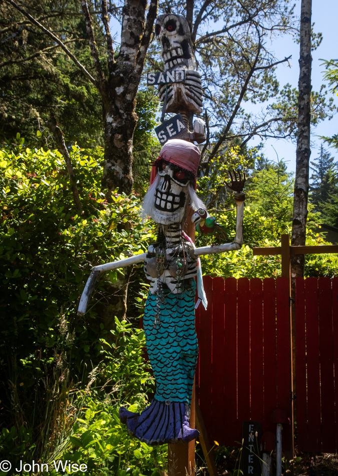
Sea Gypsy Cottage Gallery in Florence, Oregon

Incorrigible could be our middle name while traveling because here we are, just a few more miles south, and a pond across from Woahink Lake captured our attention. As soon as we were out of the car, something else caught our eyes. This Sea Gypsy inviting people into a gallery was on duty, but I was resilient to Caroline’s pleading and held fast to the idea that we didn’t have the time for a visit.

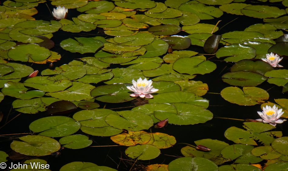
Water lilies across from Woahink Lake in Florence, Oregon

Of course, we did have time to take photos of the lily pads and their blossoms, as we’d never seen this pond blooming before. Or maybe we had, but neither of us had a memory of such.

Oregon Dunes National Recreation Area Waxmyrtle Campground in Dunes City, Oregon

We made it past Florence and were able to skip another stop at the Happy Kamper Yarn Barn, made easier as it was closed. We also drove right by the Darlingtonia site, but did pull over here at the Waxmyrtle Campground at Oregon Dunes National Recreation Area in Dunes City.

Oregon Dunes National Recreation Area Carter Lake Campground in Dunes City, Oregon

We didn’t get far before taking yet another right turn off Highway 101 into the Carter Lake Campground, also part of the Oregon Dunes National Recreation Area.

Tahkenitch Lake in Gardiner, Oregon

For more than 20 years, we’ve wanted a photograph of Tahkenitch Lake in Gardiner, but getting to a place with a good, clear view was never easy, nor was it today. The “official” overlook one might hope to catch is overgrown, but today’s weather was so perfect we just had to finally figure this out. We located glimpses of the lake through the trees driving back to the north, then parked as far off the road and walked along a narrow piece of the highway to where we could see the lake. Caroline felt she could navigate our way through the dense undergrowth and brambles over the steep terrain, and sure enough, she got us to a small clearing that offered us the greatest view ever of this wild landscape.

Caroline Wise at Driftwood Farms Yarn shop in Reedsport, Oregon

For her terrific pathfinding effort, I rewarded her with a visit to the Driftwood Farms Yarn shop in Reedsport, which, being open, helped in this special gift of mine. Heck, I even offered her a small budget for yarn and roving from my personal bank account that may or may not actually be a shared account that her paycheck is deposited into, but that’s of no real concern. What’s important is my incredible generosity letting her spend her own money.

This stop was a twofer, as we finally learned about My Yarn Shop, which used to be located in Coos Bay, further south of us. That shop in Coos Bay has been closed for a long time. It turns out that its owner, Judy Mogan, heiress to a lumber company, had passed away, and the family working to settle that part of her estate worked out a deal with the owner of Driftwood Farms for her to take on the extensive, seriously absurd, collection of yarn that Judy had amassed. I cannot emphasize enough just how large a collection of yarn was stuffed into her retail space on South Broadway in Coos Bay. It was literally tons of yarn that is now in the possession of Kim and her daughter and business partner, Jessica. Anyone interested in buying random 100-skein boxes of mystery yarn should reach out to the ladies for a real yarn bargain.

Oregon Islands National Wildlife Refuge in Bandon, Oregon

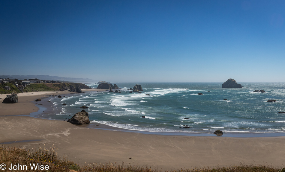
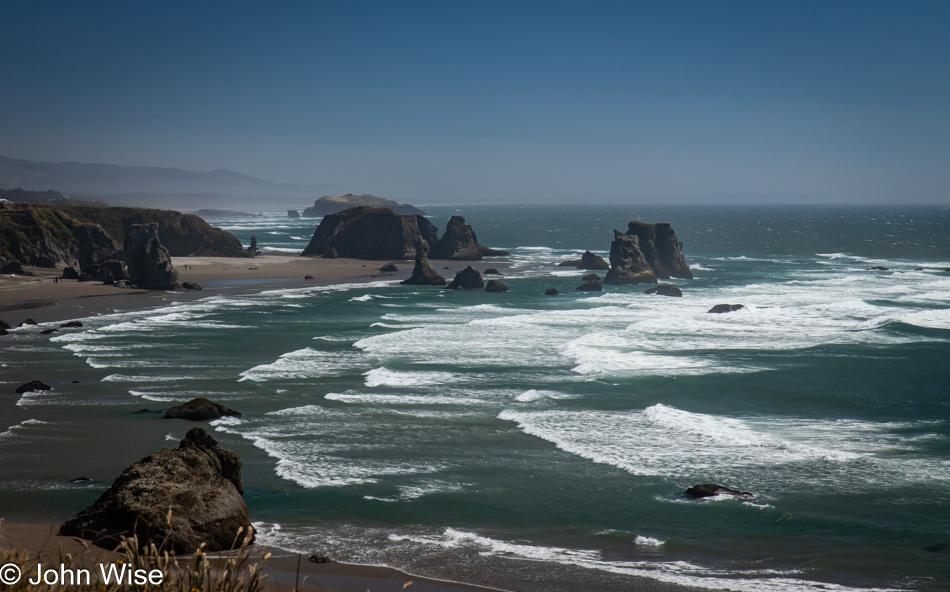
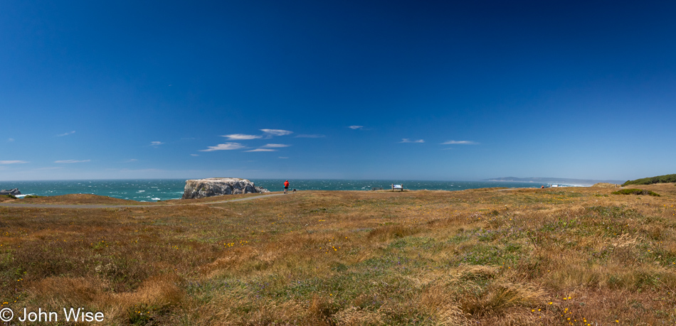
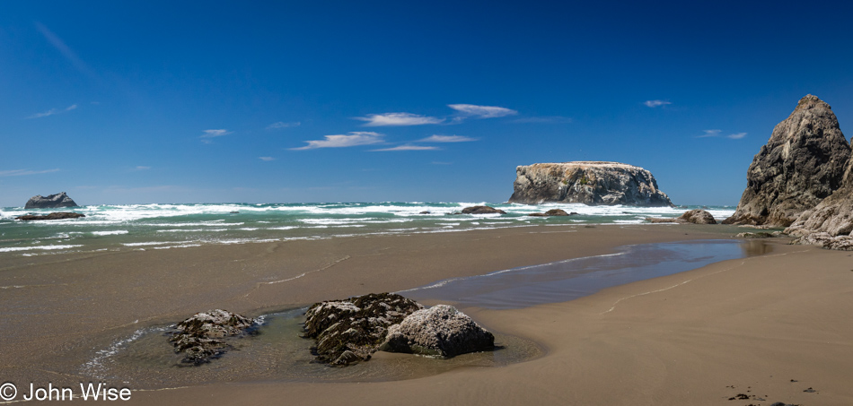
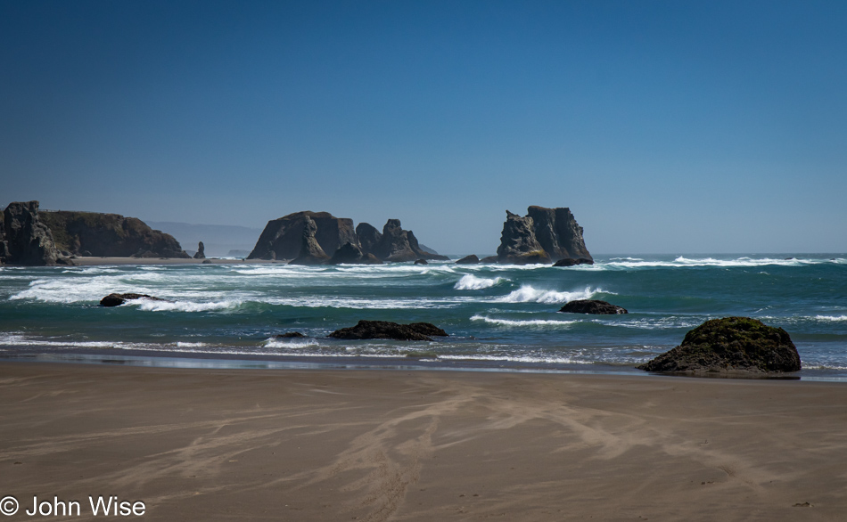
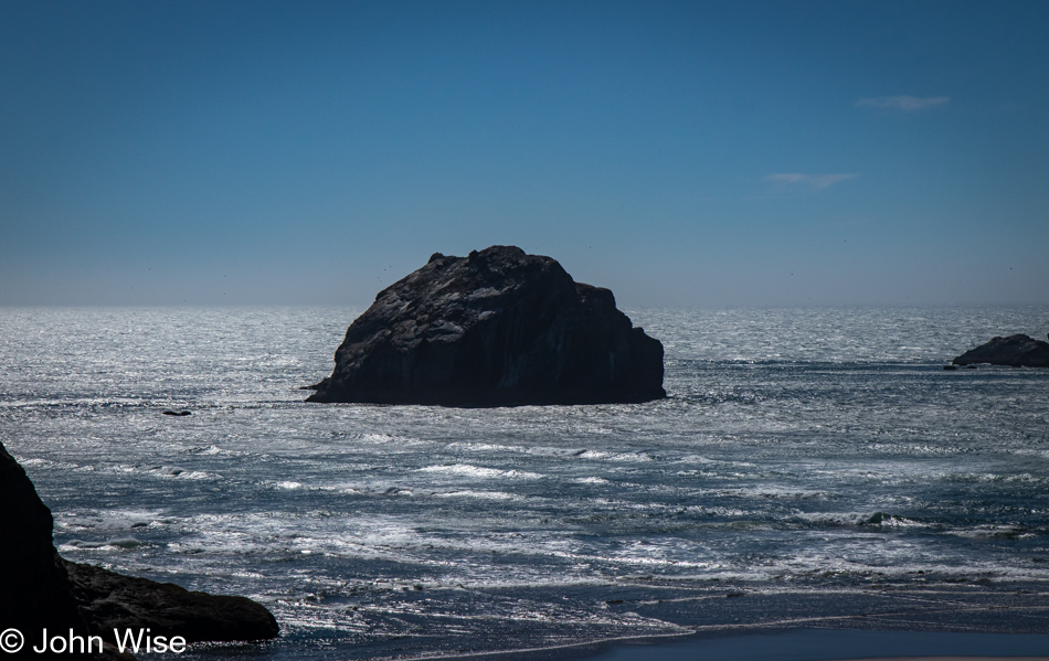
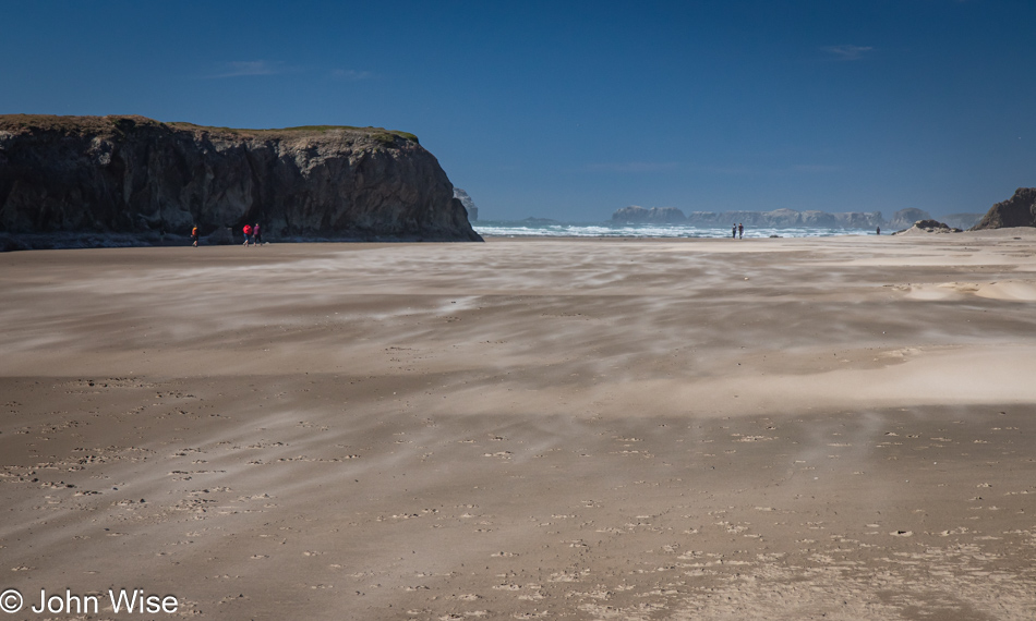
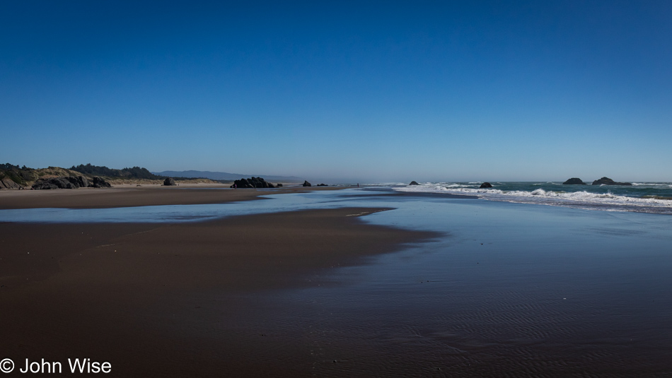
Here we are at Oregon Islands National Wildlife Refuge in Bandon, and because I can’t bring you here myself, I’m including plenty of photos so you can get some small sense of how perspective and position on the bluffs or on the beach can greatly alter the view and make this one of the great stops on the coast. Today the weather was great, but the winds quite strong, making it a bit difficult to stand near the cliff edge.

Oregon Islands National Wildlife Refuge in Bandon, Oregon

The same place zoomed in. Pretty, isn’t it?

Oregon Islands National Wildlife Refuge in Bandon, Oregon

Looking to our right from the overlook. We never tire of this view. Off to my right is Cosmo, the Tufted Puffin statue, whose photo (under cloudier conditions) I shared on a previous visit.

Oregon Islands National Wildlife Refuge in Bandon, Oregon

Down here on the beach below the Coquille Point, there was no escaping the heavy winds either, nor could we escape the intense beauty of it all.

Oregon Islands National Wildlife Refuge in Bandon, Oregon

The third and final view south down the coast.

Face Rock State Scenic Viewpoint in Bandon, Oregon

While Face Rock is just a short drive south of where we just were, this is not looking to the south but is more northwest.

Devils Kitchen in Bandon, Oregon

This being a trip of zooming into the map for any hint of places that might offer us beach access, we discovered this new-to-us location known as Devils Kitchen, also in Bandon.

Devils Kitchen in Bandon, Oregon

The previous view was looking north. This is the view to the south, our direction of travel today.

Hotdog from Langlois Market in Langlois, Oregon

Once again, our entire trip has been centered around the idea that we had to make another pilgrimage to the Langlois Market in, you guessed it, Langlois, Oregon. This small town carries big heft as this little shop has sold over 1,519,845 of their world-famous hot dogs served with their secret mustard and great pickles, though we skipped the onions that should be there, too.

Iris at Floras Lake and the Boice-Cope Park in Langlois, Oregon

As I said, we are zooming into maps, and this find, also in Langlois, is at Floras Lake and the Boice-Cope Park.

Kiteboarding on Floras Lake in Langlois, Oregon

Neither Caroline nor I had any idea that watching a bunch of people kitesurfing would be so exhilarating. These talented weavers, who use massive sails to drag them across the calm waters of Floras Lake, are seriously talented athletes who fly at high speed over the surface of the lake.

Beach next to Floras Lake in Langlois, Oregon

While we could have stayed at the lake for hours, the nearby beach beckoned, but only for a few minutes.

Kiteboarding on Floras Lake in Langlois, Oregon

And then we were right back at the lake watching people flying into the sky, then landing again before the wind recaptured their kite, caught hold after they turned around, and had them speeding away from us.

Garrison Lake in Port Orford, Oregon

As much as I could have stayed there forever, mesmerized by the potential that someone was going to fly off into the ocean, Caroline reminded me that we would probably want to check into our motel before midnight. But then, approaching Port Orford, she spotted Garrison Lake on the map and told me to make a turn and go this way and that. While I might have had a differing opinion about this situation, she, being the navigator, effectively tricked me into not only breaking the spell kiteboarding was having on me but she had me going somewhere that wasn’t our cheap-ass motel.

Fawn at Garrison Lake in Port Orford, Oregon

“But John, I know how much you enjoy seeing fawns because you once told me it was the first movie you remember seeing at the drive-in movie theater in Buffalo, New York, when you were only four or five…and how you cried when Bambi’s mom was shot. I thought you’d like coming out here to see fawns. Google’s mapping service showed me that there were three young deer frolicking by the shore.” What? Excuse me? Then Caroline tried convincing me that just as they show Dunkin’ Donuts and Starbucks on maps, they added wildlife sightings, too. I think she’s pulling that roving she bought earlier over my eyes.

Garrison Lake in Port Orford, Oregon

Strange how a dozen miles north, the wind was nearly howling and here at Garrison Lake, things were as calm as could be, tranquil even.

Sweet Pea at Tseriadun State Recreation Site in Port Orford, Oregon

You have no idea how many times Caroline and I have shared between us that we feel like we’ve seen everything there is to see on the Oregon coast, but this trip has turned out to be an eye-opener. We have arrived at Tseriadun State Recreation Site, also in Port Orford, late in the day, as in after 8:00 p.m. These flowers are sweet peas, a toxic plant if eaten, but perfectly delightful to be gazed upon.

Caroline Wise at Tseriadun State Recreation Site in Port Orford, Oregon

So much to see, so little time, though our opportunities are greater than most others. We are grateful.

Tseriadun State Recreation Site in Port Orford, Oregon

We are also incredibly fortunate. To have started the day with a fogbow and now to be greeted by a sun dog, effectively a sun rainbow.

Tseriadun State Recreation Site in Port Orford, Oregon

A funny thing happened on the way to the sunset on the other side of a giant rock separating the two halves of the beach here: my camera battery malfunctioned. I took a spectacular photo of this very location with my phone, but the colors are hysterically out of sync with the tones I achieve with my DSLR. I liked the image enough to share it on Facebook – click here to see it. Having never heard of this beach, our expectations were low, but after visiting, we’ll make a note to return again one day.

Tseriadun State Recreation Site in Port Orford, Oregon

This final photo south of Port Orford, just before the sunset, will have to stand in for our fireworks shot because, at 10:00 from the balcony at Motel 6 in Gold Beach, our photos turned out horribly. We didn’t try very hard, and I only used my phone as I was too lazy to set up for shooting under poor lighting conditions. It was after all already a 17-hour day of impressions, and it was so nice to simply watch the beautiful show and listen to the crazy echoes bouncing off the adjacent mountain across the Rogue River. Wow, we’ve stumbled into another perfect 4th of July. Happy birthday, America! We hope you can survive this existential crisis you are suffering through.