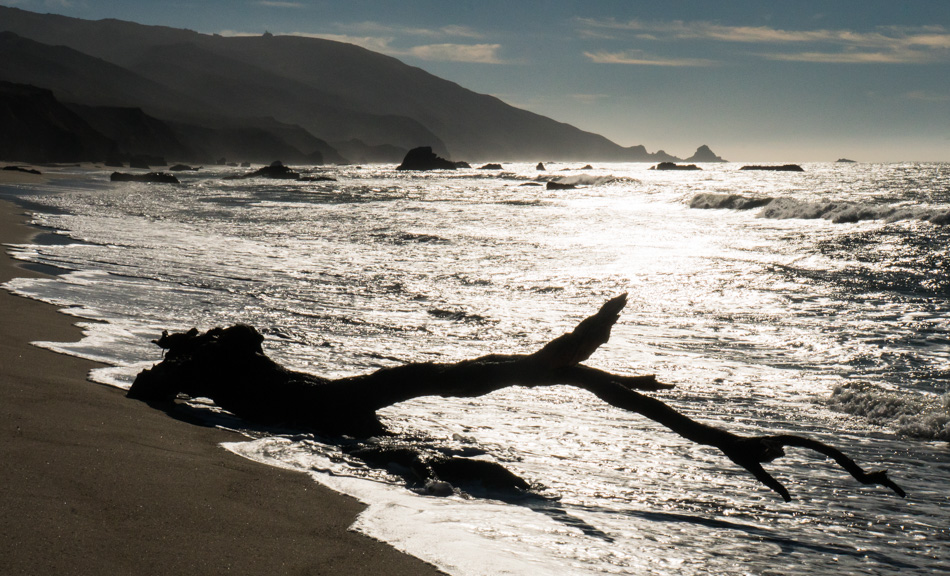
Oregon Coast – Day 4

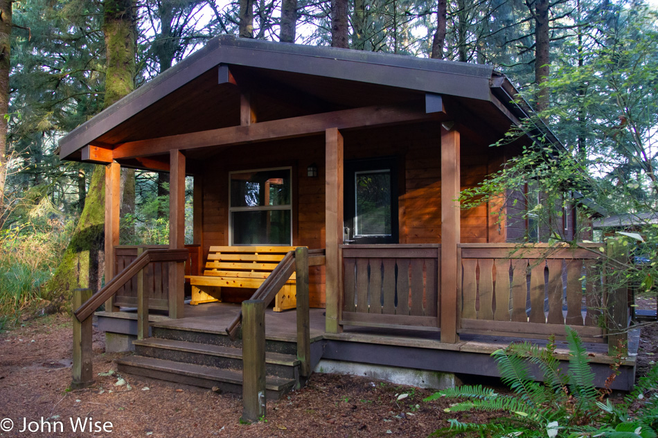
I could have posted a photo of our yurt from the night before, but I’ve probably posted that exact yurt half a dozen other times. Last night, though, we had a new experience here on the coast as we stayed in a cabin, and so here’s a photo of that deluxe cabin complete with shower, toilet, and rudimentary kitchen. Was it worth $100, considering we had to supply bedding and head to the store to buy two towels? Nope. Had we been better prepared with wood for the fire pit, coals for the barbecue, and had a couple of friends with us it would have been a great deal. While I’ve said it before, it bears repeating that coastal Oregon State Parks are amazing for their proximity to the ocean and their fully equipped campgrounds.
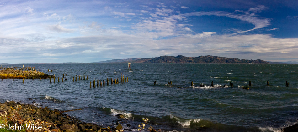
You are looking at the mouth of the Columbia River and the endpoint of Lewis & Clark’s journey across the western United States. It’s blustery out here and significantly colder than other places along the coast we’ve been so far, must be cold air blowing in from Washington across the river.
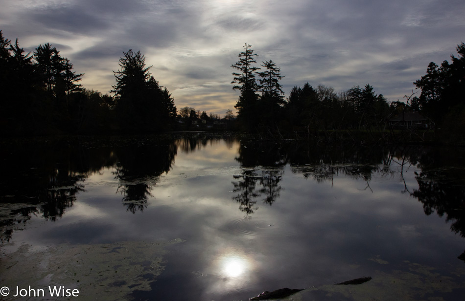
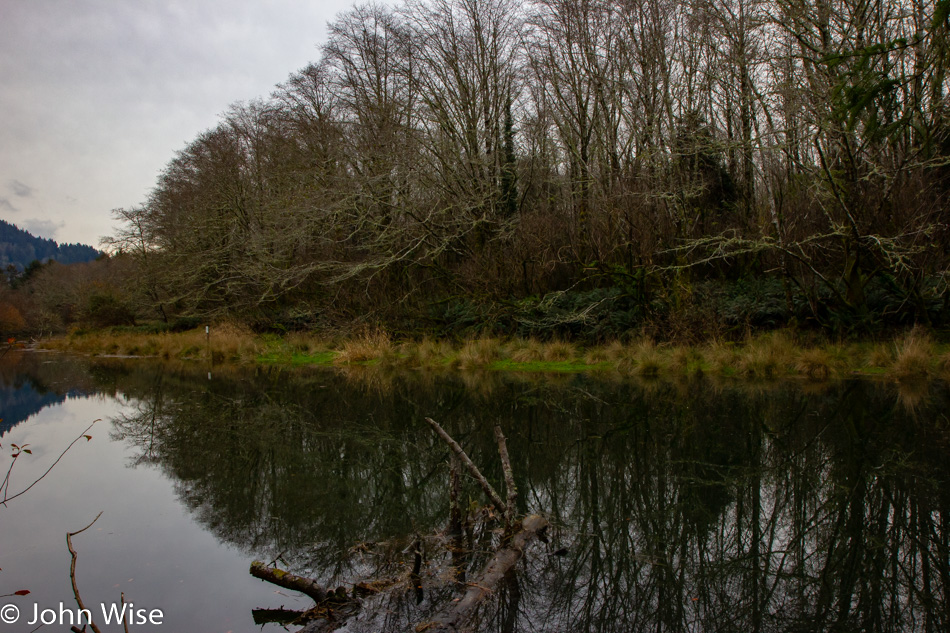
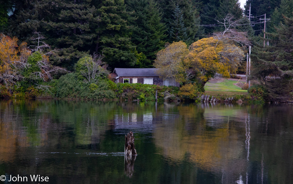
From there, we drove into Warrenton to find some breakfast at Arnie’s Cafe. They do a great job, so great that you have to wait for a table. Breakfast foods don’t often photograph well, so instead; I present you with a small lake we drove by after our morning feast.
We checked in with Fort Clatsop National Historical Park to make sure Caroline wasn’t missing any levels from her Junior Ranger badges, as she thought there was an award she didn’t have. Turns out there was a consolidation of awards so she already had everything she would ever earn here. While in the visitors center, I noticed a road through part of the park we’d not previously traveled and so that’s where this part of the story picks up. We are at Netul Landing, taking a walk over to the South Slough Trail.
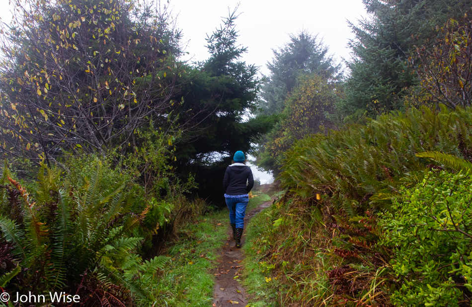
The first part of the path is flat and takes us along the Lewis & Clark River. We could stay on this trail, which would bring us back to the visitors center, where we could turn left and hit the “Fort To Sea Trail,” which is a 6.1-mile hike, but we are more interested in the slough today.
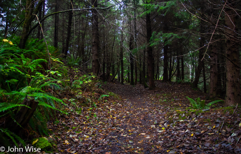
At a fork with a sign pointing to “Steep Trail,” we crossed the road and nearly immediately climbed the equivalent of about 15 flights of stairs (not pictured). This was a thigh-burning climb that had us thinking that we wouldn’t want to go down the same path on a wet trail. Fortunately, it’s a loop, so there won’t be any backtracking today.
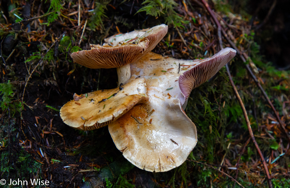
The area shows heavy evidence of a clear-cut done in the past with large old tree trunks still rotting on the steep hillside. The entire area, including the slough, is going through restoration to restore the habitat that had been left in ruin.
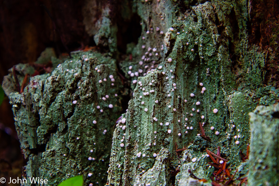
How long has this tree been dead? How long until what remains today no longer does so? Time and nature provided the fertile ground where the tree lived, performing its job of helping keep the surrounding soil stabilized thus allowing the other plant and animal life to also thrive for a moment. When men came along, they harvested the trees and, in their wake, left the hillside torn to shreds. A fire could have just as easily done the bidding of mankind by disrupting the balance, so in some ways, all things are equal. The flames that catch hold of dry terrain don’t consume out of greed or malice, while we hardly have the patience to work sustainably and will move against nature and our own best interests.
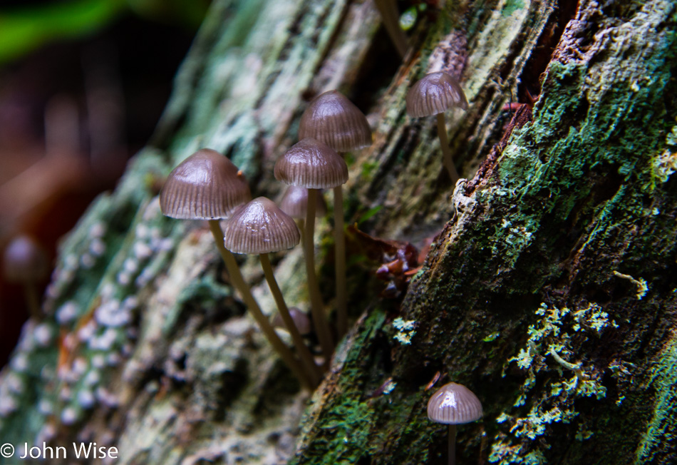
The lessons are all around us: live symbiotically within your environment, and your place on earth will sustain you. We are a reckless species armed with the knowledge that should allow us to know better, and yet we continue with our destructive ways while the information abounds but is ignored. We too often deride those as kooks and crackpots who advocate for a healthy attitude towards planetary well-being and recently have lumped scientists into the same bag. Yet nature continues while the biped that claims superiority lives with poor intentions and worse practices.
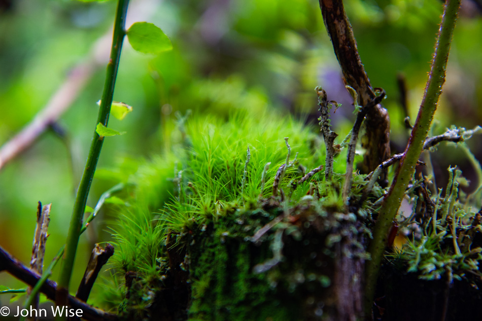
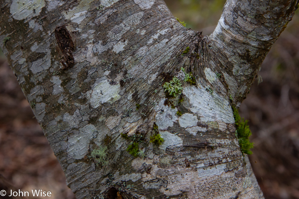
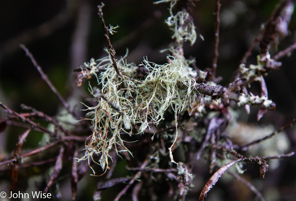
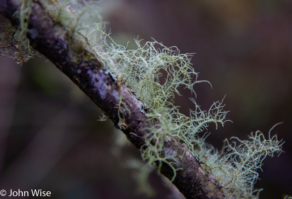
Whenever we find ourselves away from home in any of Earth’s biomes, we have to stop and look deep into its ecosystems and reflect on how unnatural we live in comparison. True, we have 7 billion fellow humans with complex needs and a kind of mobility that no other species can claim. Collectively, we have the skills, knowledge, and, more importantly, the need to make our nest the most healthy and beautiful place it can be, just like this little garden of moss and lichen perched on the edge of a fallen log that is thriving and apparently doing well to my untrained eye.
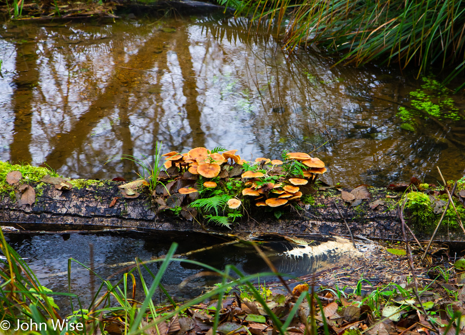
Islands of hope are where restoration begins. The engineers and scientists who worked to rebuild these wetlands had to dig channels that would allow an exchange of waters in an area that had long been fouled. Over time, opportunistic pockets of life take hold and lay a foundation for further expansion of more complex ecosystem elements until things can fall back into balance, thus negating our previous abuse of the lands along the river.
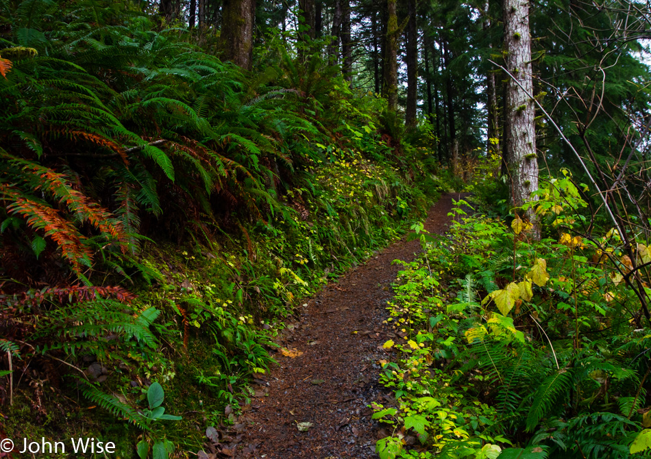
So, being out here on the South Slough at this stage of its regrowth can be seen as a treasured peek into our futures. The trail forward may be steep, and the damage under repair disheartening. We took things to the brink of total destruction, but there are glimmers that cooler heads will prevail. I remain ambivalent that as I write this and have a desire for more people to take an interest in these lands, there is a consequence of too many of us being personal witnesses as we often bring more damage.
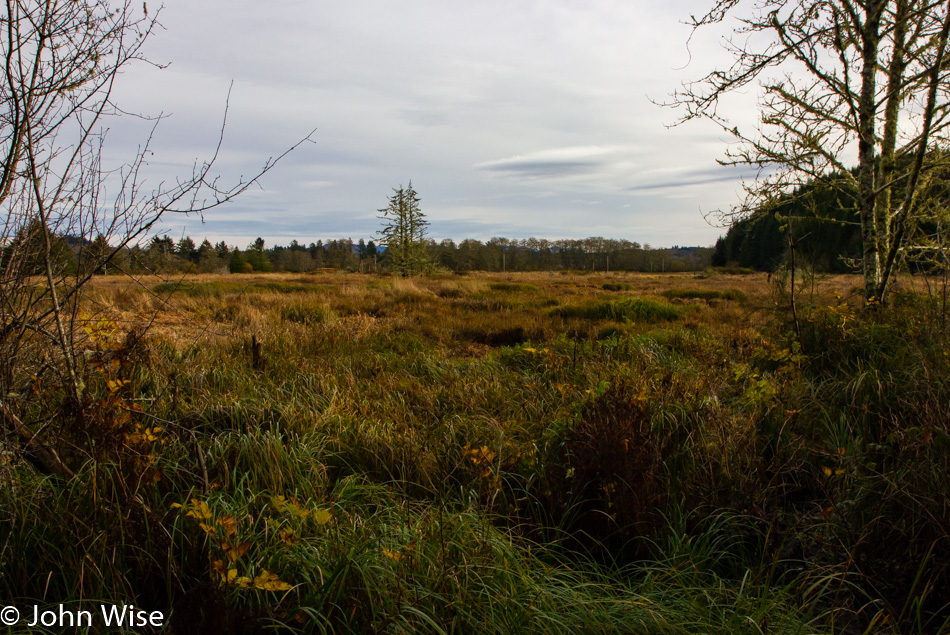
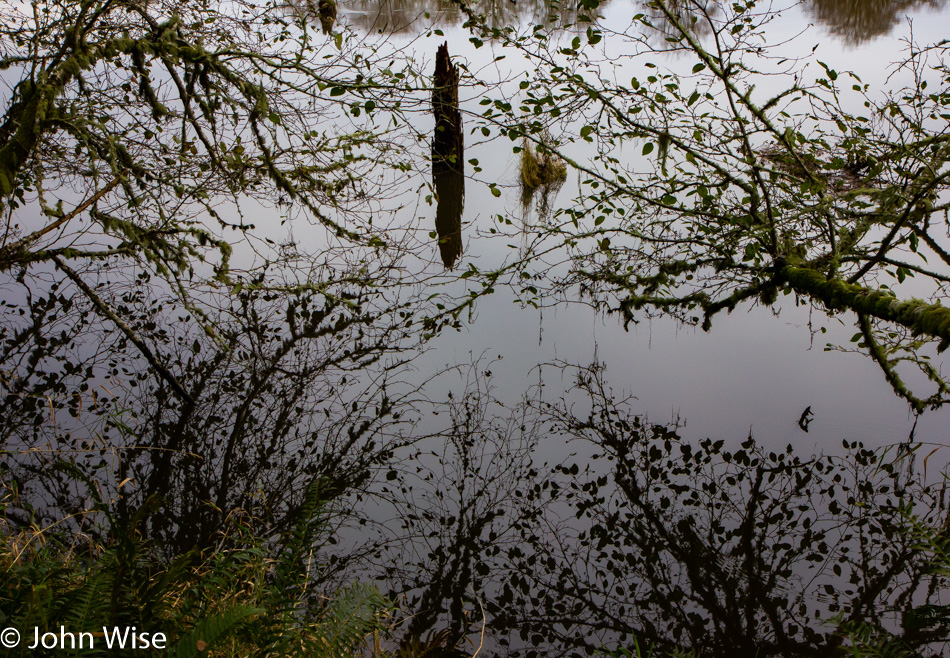
In front of us is the network of water veins and grasses that filter the environment and thus do the bulk of the work in restoring this system back to equilibrium. Knowledge within people works much the same way, but where we can use a bulldozer to move earth around, we haven’t found an equivalent tool to move stupidity out of the way of the masses. At this point, my hope for our species takes a nosedive, as I’m afraid we’ll have to nearly extinct ourselves before restoration is able to take place.
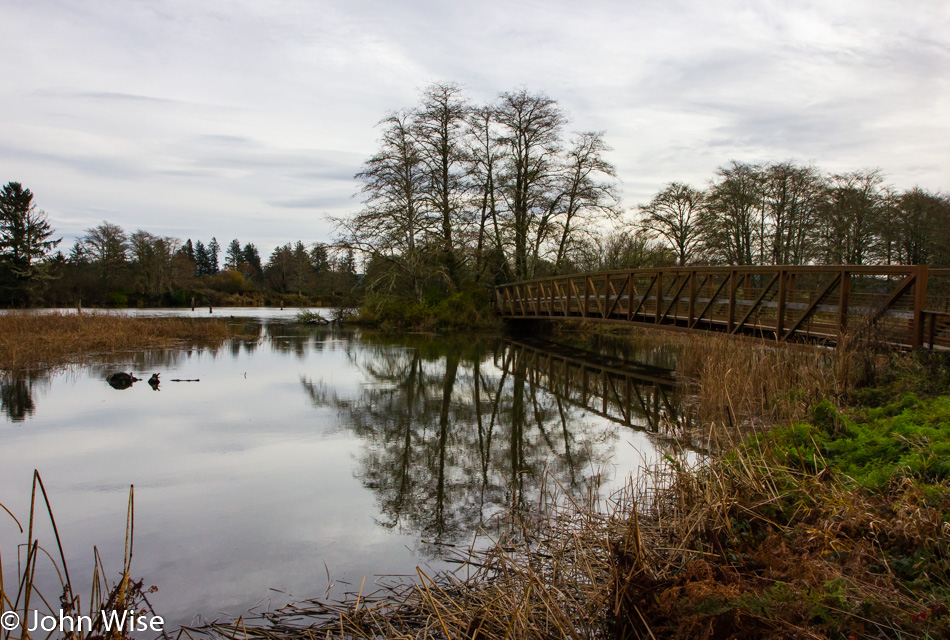
A bridge as a metaphor is needed here, along with a spark that ignites hope that our way ahead is achievable. Will we flow with the river of life or fight the current of survival with outmoded, archaic thinking that places the will of humanity in the hands of an unseen deity that has failed to show its face to any of the 7 billion souls on earth that require a healthy thriving planet? Why are we diseased with this lack of will to knowledge at this critical juncture in our evolution? How have we been so corrupted by our embrace of blind stupidity masquerading as some kind of perverted intelligence? Is that the sound of Nero fiddling while the fire roars?
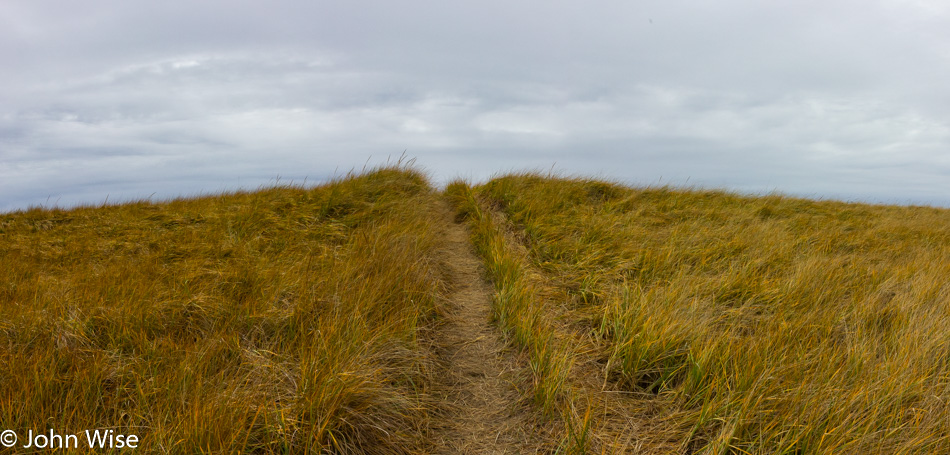
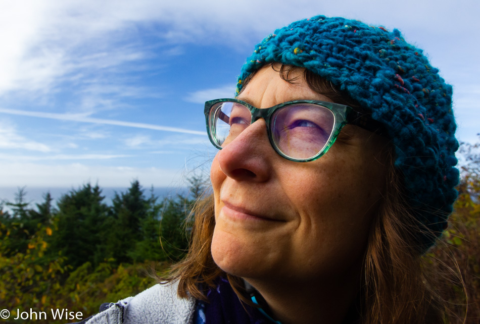
Time to leave the frying pan and flames behind and head somewhere else, like up this grassy knoll over to the beach here at Gearhart. My aching desire to find beauty and drag others to help celebrate what we have before we lay waste in such a totality that we’ll never again be able to crest the hillside is a burden I can’t tell you that I love. I do wish I could leave my concern behind and go about every waking moment blind to everything other than my own existence and happiness, but I don’t seem to have the DNA to muster that disregard.
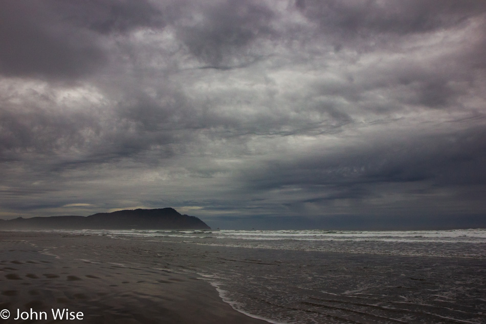
Even though the day may be gray and blustery with the threat of the tempest beyond the horizon, I still have something worth celebrating in the most joyous way.
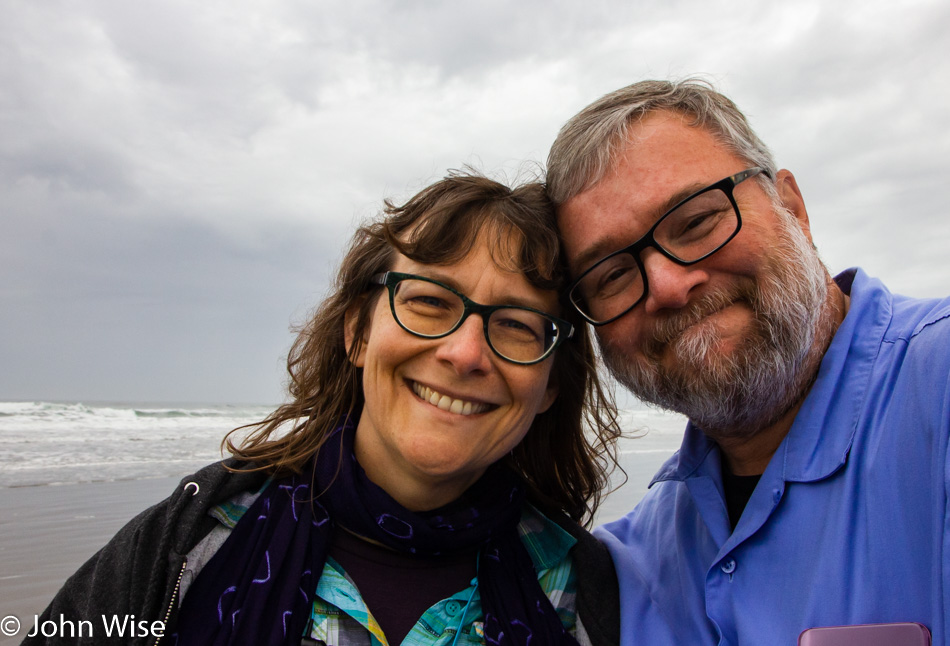
That celebration is found in the incredible love Caroline and I share, where our smiles are genuine and heartfelt. I believe that we equally enjoy the sensation and elation of each other’s touch and presence. We comfort one another in hugs, and the spark in our eyes allows us to look forward to another day indulging in the beauty of the world we are exploring. Maybe it’s my dream for others in love to one day share in the wonder of seeing the magnificence that can be had walking through their world and being witness to things large and small, beautiful and stupendous that motivates these musings.

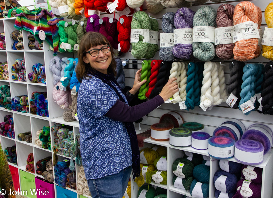
When all else fails in saving the planet, there’s always more yarn. Welcome to Seaside Yarn & Fiber, which just opened this past October here in Seaside, Oregon. This nice little shop is next door to a bakery, and next to it is Beach Books. After collecting more yarn, we headed to the bookstore, where Alexa, a very enthusiastic bookworm herself, recommended we grab a copy of Rising Out of Hatred by Eli Saslow. Her solid endorsement convinced us, and with it as one of three books we bought, she asked that we reach back to her and let her know our thoughts when we finish it. We will.

Into Cannon Beach, we had enough time for yet another yarn store and even more yarn. If you are thinking that we are running out of room in the car for anything else, you’d likely be right. This isn’t our first time to many of these yarn stores, and here at Coastal Yarns we once again leave with sock yarn that will one day likely grace my feet.

Before dinner, I finally dragged this small fragment of my synth out of the trunk and played with a patch for a short while. By the time we were stuffed to the gills following dinner, I was hardly able to focus on a return to playing with knobs and patch cables and instead allowed thoughts of the cozy bed to lure me to another great night of coastal sleep and dreaming.
Oregon Coast – Day 3

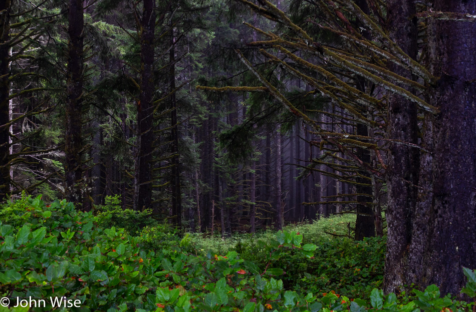
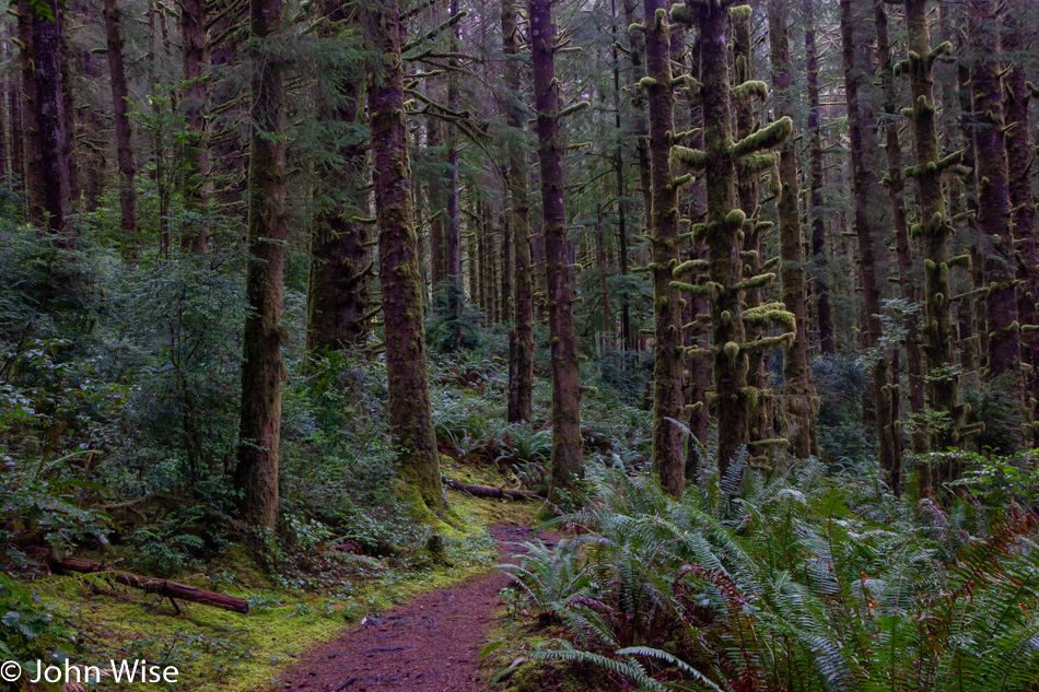
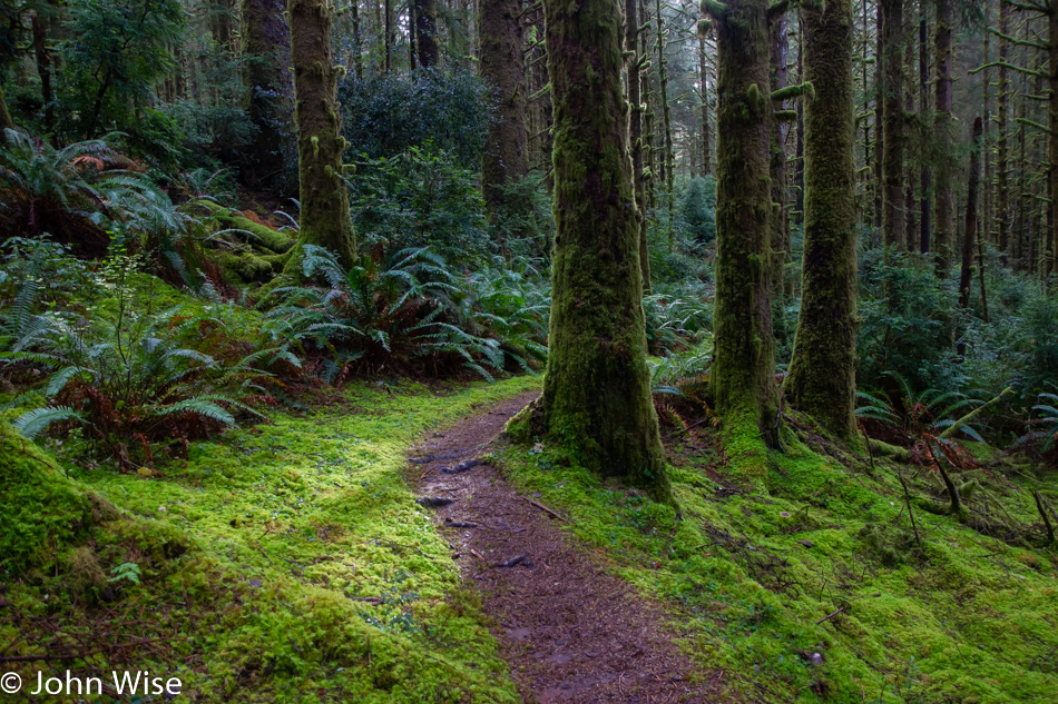
Long fall nights and short days in the cool climes of Oregon make for some serious, cozy sleep as we consistently fail to wake up with the sunrise. Being in a yurt requires you to bring your own bedding and so having our feather blanket and pillows from home only adds to the comfort, making it easy to sleep in. Another contributing factor is that we are in a darkened forest and use the justification that there’s not enough available light to take photos, so we may as well stay cozy and warm. By the time we finally emerge from the yurt, we are already packed up and have had a bite to eat in preparation for exploring the familiar trail awaiting our visit. We know this routine as everything that is going on this morning has been done before; we are well-practiced. Our next steps take us out on a loop trail that heads into this most southerly of temperate rain forests here at Carl G. Washburne Memorial State Park.

Trying to find something new to say about this trail will probably take my words down the path of those already written here more than a few times. Talking of the quality of light, the shades of green or dew-covered mosses are now well-worn tropes I will have to revisit unless I can find some other angle to deliver how they talk to me on yet another trek through their home.

Maybe our visit is more like small talk made with an old friend where you needn’t say anything in particular but simply walk through old memories, reminiscing about the warm thoughts you keep around. Caroline and I rarely actually talk with one another here in this forest, as we are both intent on hearing every detail that makes itself available. From the trickling streams to water dripping off the lichen upon the ferns below, we listen. Occasionally, a bird offers a quiet call, and we strain our ears to hear if another bird in the distance answers. Sometimes, I stand especially still, hoping to catch the sound of a mushroom breaking out of the earth or maybe a newt stepping gingerly over the damp forest floor.

The sun enters silently, though its light screams vibrantly through the mist, delivering god rays upon areas of the forest that seem to receive direct sunlight only rarely. We look into that light flirting with blindness as subtle rainbows on the edges of the rays can be seen from just the right angles. When a mushroom or particular patch of undergrowth is the beneficiary of the fleeting light show, we scramble over to see the magic of momentary full illumination and once again exclaim our incredible good fortune at being here.

This is a common pose on the trail; we call it “imitating trees.”

We are lucky to be out here early in the chilled morning before others start down this trail. I cannot tell you that they are as observant of this pristine forest as I believe we are. We’ve heard people in the distance who are apparently trying to be the apes of the forest, letting their call be heard in order to establish primacy through loud vocalizations. Others bring their dogs and must be oblivious to their barks or believe the noise is keeping bears at a distance. These acts of serenity pollution only work to spoil their visit by ensuring they miss fully half the experience of being in such a beautiful place. Too bad this isn’t called a church or hospital as I believe then they would at least make some small attempt at being respectful.

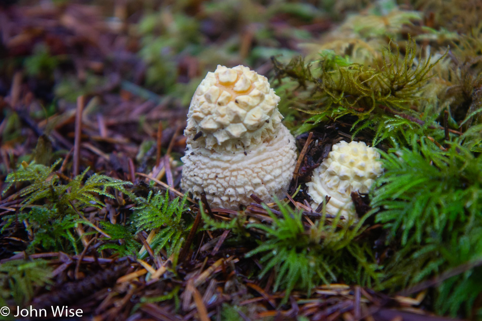
No matter the number of times we’ve visited Carl G. Washburne, we’ve seen something new; even the old feels new. This mushroom that looks crocheted to Caroline is one of those new things. As for the old things, we are content to not only be such ourselves but have thoroughly enjoyed our time among the others.

From this favorite spot, nearly in the middle of the Oregon coast, we continued our drive north, stopping in Newport for some lunch. The Newport Cafe was once again chosen, though this time, we opted not to up the ante and go for the 8-pound burger. Though I worked hard on trying to convince Caroline that the photo opportunity alone would make it worthwhile. Instead, it was time for an oyster sandwich for her and a seafood scramble for me. Even though we had coffee with our lunch, we still had to stop at Dutch Bros. for yet more coffee because Oregon demands that you always drink more coffee.

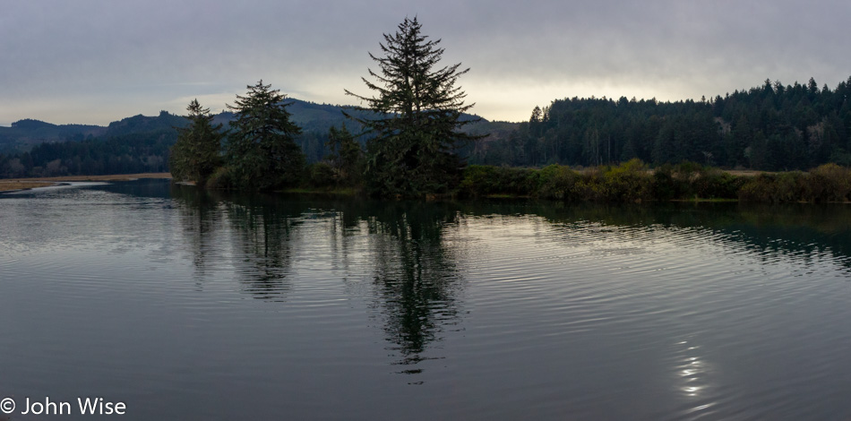
Our destination tonight is the most northwestern point in Oregon at Fort Stevens State Park, and so that we don’t have to drive a lot under dark skies on narrow, twisting cliffside roads, we try to get serious about moving ourselves along. We didn’t get far before we spotted the pull-off for Siletz Bay National Wildlife Refuge we’ve passed many times, but today, we stopped.

Every time prior to heading up the coast, there’s a feeling that we’ve seen the majority of what’s to be seen. Then, once we arrive and start looking deeper at the landscape, we discover places that we’ve been aware of and are even somewhat familiar with, but we realize that we’ve never properly gotten out and spent time there. The trail map shows us the best way to witness Siletz Bay, traveling by small boat. Unfortunately, we don’t own kayaks, nor do we know where to rent them nearby, so we’ll have to be happy to walk the short trail around Alder Island.

Alder Island is undergoing a restoration in what looks like an attempt to save the shore from disappearing into the wetlands. When we pulled up to the small parking lot there was one other car here, but there’s been no sign of others. Maybe they had a canoe with them and were somewhere out on the looping waterway?

If only Caroline and I could figure out a way to eke out a living here on the coast we could call this home. Time to hit the road again.

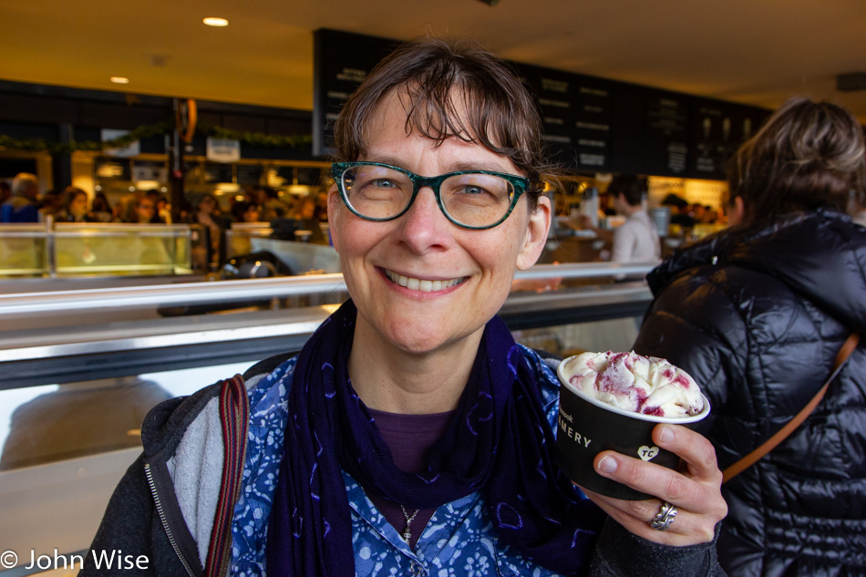
That stop at Siletz wasn’t our last one. We had a date with the Tillamook Creamery and their newly finished supersized visitor center. While others stop for a factory tour or maybe to load up on some cheese, Caroline had her sights set on a scoop of Marionberry Pie ice cream. Note to management: she’d prefer you leave the pie crust chunks out of the ice cream and focus on the marionberry.

After checking into our deluxe cabin at Fort Stevens State Park, we drove into Astoria for some dinner. Our first choice proved too laden with darkness combined with a limited menu, so we headed over to a little Bosnian place called Drina Daisy, where we split a rotisserie roasted lamb plate for two. A quick stop at Fred Meyers because we didn’t bring towels, and we were once again in the super dark forest ready to write and knit. Well, that lasted maybe an hour before we were lulled to sleep by the serenity of the woods and nearby ocean.

Oregon Coast – Day 2

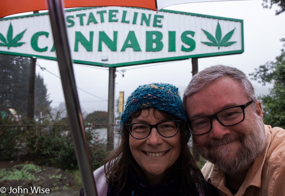
Caroline Wise and John Wise on the Oregon State Line

Is this age rearing its ancient head? We slept for nearly 10 hours. Sure, we had fitful sleep the night before due to not being in our own bed, and yes, we’d driven 700 miles to get to our motel yesterday, but we dropped into bed by 9:15 last night, certain we didn’t need an alarm. Well, that was until the blackout shades let us sleep until 7:15. So it goes. We were on our way to Oregon in the rain, and from the looks of things, we’d be in the rain all day. Approaching the state border, we were anticipating taking a selfie of the welcome sign until we saw the “Stateline Cannabis” sign, letting us know that this was the first stop in Oregon where we could buy recreational weed. Good thing we were hungry for breakfast instead of edibles; otherwise, the rest of the day might have been spent right here in the car.

Caroline Wise at By My Hand Fabric and Yarn Store in Brookings, Oregon

I thought we came to the coast to indulge our senses with the sea, sand, ocean breezes, and lots of coffee, but Caroline had other ideas, such as seducing her need to fondle yarn, eyeball wool, and capture notions. Welcome to our version of communing with the rampaging hordes on Black Friday. We are in Brookings, the southernmost town of coastal Oregon, and we are visiting what will likely be one of many yarn stores along the way. This particular shop is called By My Hand Fabric and Yarn Store.

Harris Beach State Park in Brookings, Oregon

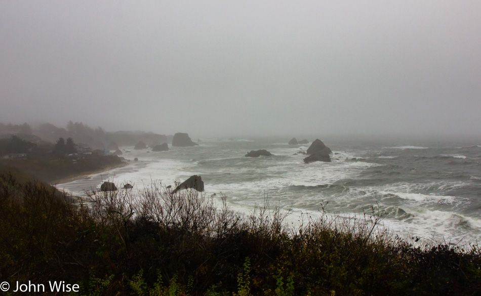
The rain has stopped, but not the threat. In reading that last word, you should not infer negative connotations, as they are not intended. Our vacations on the Oregon coast on so many late November visits are with the full awareness that should a tempest howl at our presence; we are here to bask in its persistent ferocity. While others may associate sun and frolicking in the surf as de rigueur elements in order for fun to be pursued, we are content not only with that scenario but also with the melancholy gray and wet brought by a late fall transitioning to winter. Remember this view from Harris Beach State Park, as we’ll be back a week from today on our way south before starting our return to Phoenix.

Lone Ranch on the Oregon Coast

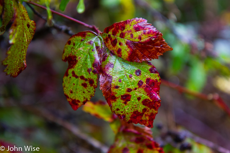
The berries at Lone Ranch are gone with the passing of summer, just as the tourists are. We are out here alone on the hunt for all things still wrapped in beauty. Occasionally we find a small blackberry, but we are yet to find one at this time of year that doesn’t make us pucker at the sour it delivers.

Slug at Lone Ranch on the Oregon Coast

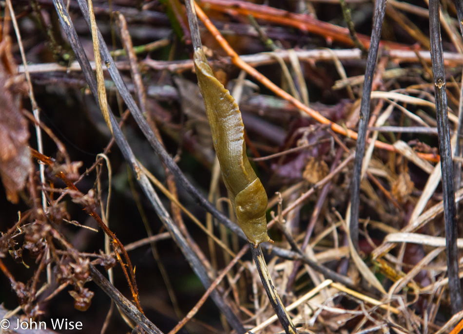
Wildlife abounds for those willing to find it while out on the lonely path. Just right there on the side of the trail was an elusive banana slug who held fast and steady, trying to remain quiet so as not to draw our attention. It was almost successful until it poked one of its antennae out, scanning the world when the motion caught my peripheral vision, allowing me to hone in on its camouflaged spot among the grasses. Let this be a warning that rice-free banana slug sushi is not good eating, or so says my wife.

Lone Ranch on the Oregon Coast

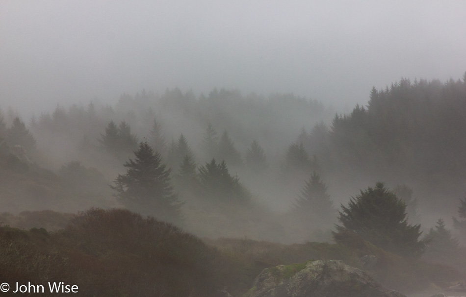
The mystery and misty beauty of trees bathed in the low fog below heavy skies is the equivalent in art value of works any of the Dutch masters offered as they looked at their European world so many hundreds of years ago. We are not necessarily connoisseurs (though I have been known to behold some of those qualities) as much as aware humans who enjoy the luxury of making relatively small sacrifices in order to put ourselves in places where the payoff can only be in enjoying every possible moment offered by nature and the passage of time.

Lone Ranch on the Oregon Coast

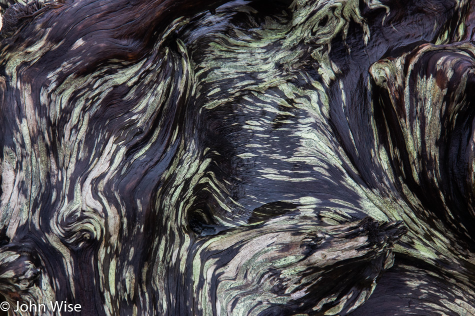
Just as the intricacy of this developing pattern on a piece of driftwood has taken form and the surf has tossed it on the crashing waves before it landed at this location, we too are developing patterns of knowledge and experiences that life tosses on its waves of chaos. We then present to one another the self that draws the other in to find the qualities that might make it worthwhile to invest in appreciating what we’ve become. The alternative is to sink to the ocean floor in the dark abyss of being lost in the mud, of ceasing to exist.

Cape Ferello Viewpoint on the Oregon Coast

Our progress up the road is being hampered by the need to take every left turn that leads us to the sea or at least as close as we will get. Cape Ferello viewpoint is our third stop of the morning, not counting the yarn store and breakfast at Mattie’s Pancake House. It’s been some years since we’ve visited the south coast of Oregon. On previous visits to the state, we’ve flown into Portland. From there we drive out along the Columbia River to Astoria before starting our trek south, rarely progressing much past Newport. Many of our earliest visits to Oregon started right down here, and so the return feels as though we are visiting an old friend.

Cape Ferello Viewpoint on the Oregon Coast

Maybe Caroline and I are like moss, never really able to separate ourselves from the host. Our time on the Oregon Coast hand-in-hand is in some ways similar to this image. The moss does not care if it is sunny or rainy, windy or calm, seen or unseen. It is in a symbiotic relationship where existence and togetherness are realized perfectly in its natural setting. Our natural setting is when we are inside or outside exploring and finding our most human characteristics: a sense of wonder, love, and learning something new during these short lives we’ve been afforded.

House Rock Viewpoint on the Oregon Coast

Have we ever visited House Rock before? We may have pulled off the 101 and glanced at the overview in years past; maybe we even walked one side of the trail or the other. I might check my old blog entries, but we rarely have a strong enough signal out here to do so at the moment we are wondering. I suppose I should have kept a list of places we visited in Oregon, but never in our wildest dreams did we think we would be back again and again. So today ended up being like the first time, or maybe it was, in fact, the first time we stopped here. Faced with the decision to take the north or south trail, something about the southern path down through the forest drew me towards it.
Caroline Wise at House Rock Viewpoint on the Oregon Coast

While still out here at House Rock, the sun cuts through the clouds, giving us our first glimpse of blue sky, and even casts rays upon Caroline’s face. Basking in the sun, she suggests that one of these days, we should plan on hiking between the parks along the Oregon Coast Trail. This then might hopefully work as a reminder to her and myself, should we just so happen to read it prior to our next trip to Oregon.

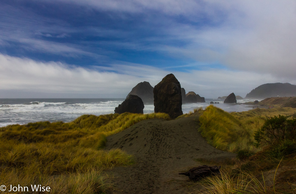
Pistol River North on the Oregon Coast

Stopping at every turnoff is slowing our progress to a near crawl which is the perfect speed for snails to travel at. It’s already 1:00 pm, and we still have more than 100 miles to drive before arriving at our yurt at Carl G. Washburne State Park. With less than four hours of sunlight left, we tell ourselves that we should make a serious effort to get up the road, but then we’re confronted with the question of whether we’d ever walked along the beach here at Pistol River North before. We decided that we hadn’t and that we should take advantage of our break in the weather to enjoy the daylight and fair weather.

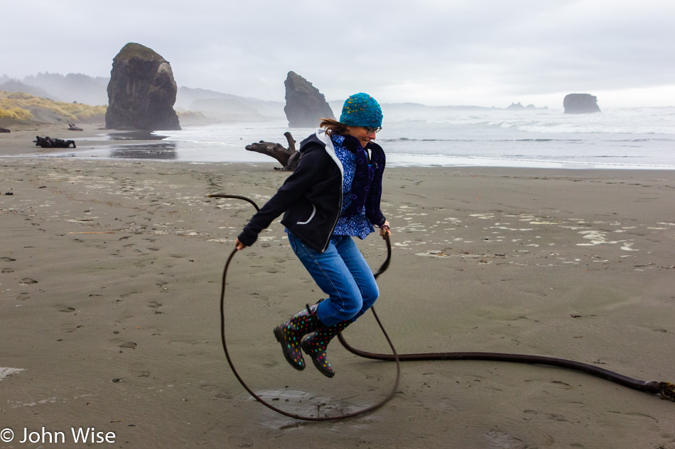
Caroline Wise at Pistol River North on the Oregon Coast

Our mission was to find a piece of seaweed long enough for Caroline to jump rope; we accomplished that task. Next up: finding wings to try the Icarus trick from one of the local cliff sides.

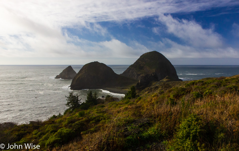
Sisters Rock Viewpoint on the Oregon Coast

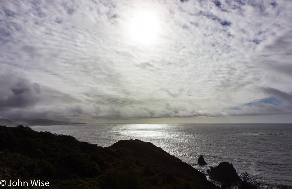
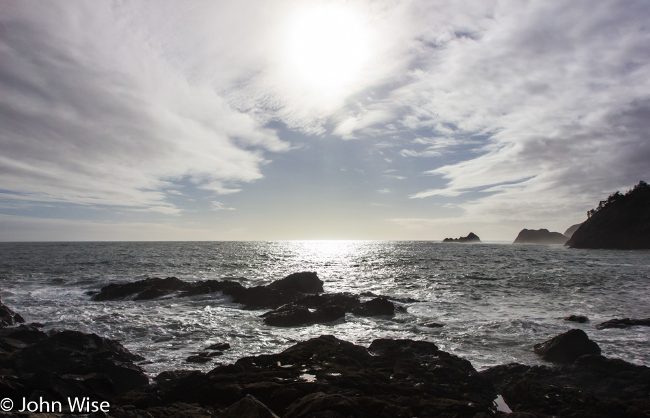
We try to forge our way ahead and drive north, but every beautiful horizon demands we pull over before clouds obscure the view and rain has us wishing we’d stay in the car where it is warm and dry. This is Sisters Rock and the reason why it is known as that was not made clear to us on this day.

Sisters Rock Viewpoint on the Oregon Coast

This was our first chance on this trip to see the sun glistening on the surface of the ocean from high above the sea. The silver sparkle delights the two of us without fail. We have seen this countless other times, and each encounter with this sight elicits our oohs and aahs as though we were witnessing it for the very first time. We should never be in a state of mind where we take this for granted, especially when we consider that the majority of humanity will never see this for themselves, even once during their lives.

From the dock at Port Orford, Oregon

We have stood here at the dock at Port Orford many a time and, on one occasion even had the chance to feel that we were looking into the deep sea right from the dock. The ocean was wickedly angry with the wind howling mad that day. The view here has never looked the same way twice, or so says my memory. I wonder if people who live in the area ever notice how dynamic the shifting views are.

Caroline Wise at Griff's On The Dock in Port Orford, Oregon

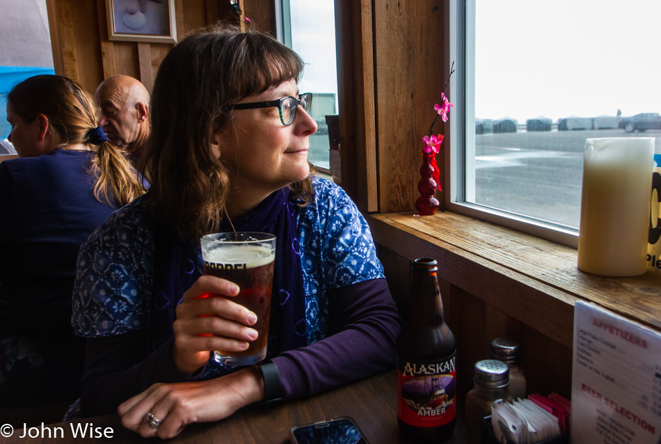
Not exactly hungry but that doesn’t matter because Griff’s On The Dock is open. Plenty of previous visits to the dock, and Griff’s was closed; better take advantage of this when we can. For years, we had to wonder if this joint was ever open as we could not time our visits to coincide with when those opening hours were actually happening. In any case, who doesn’t have room for a pot of steamed clams and a beer in the middle of a sunny afternoon along the sea?
Griff's On The Dock in Port Orford, Oregon

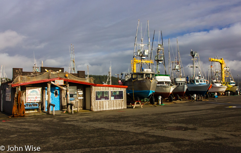
Due to the timing of our visits, the fishing boats of Port Orford are typically out of the water and upon the dock for the season. Caroline is certain that we’ve seen Moxie down there at the end of the line of fishing vessels on every one of our previous visits. Knowing her memory, she’s probably right.
Caroline Wise at The Wool Company in Bandon, Oregon

Welcome to yarn shop number two: The Wool Company in Bandon, Oregon. Caroline wasn’t just fondling the goods; she was taking those with her.

Caroline Wise at My Yarn Shop in Coos Bay, Oregon

My Yarn Shop in Coos Bay has to be the most well-stocked yarn store on all the earth. From top to bottom and from front to back, this place has a little (sometimes a lot) of every yarn brand and type made in the past 20 years. Caroline saw yarns she’d read about but had no idea of where to get them anymore. It should be noted that this is the first time in Caroline’s lifetime that she’s visited three yarn stores in a single day. I suppose if you asked her, she’d tell you that this was the best Black Friday ever.

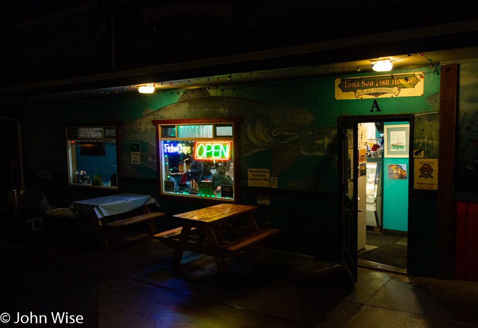
Luna Sea Fish House in Yachats, Oregon

We made it to our yurt in the dark of night. After a quick drop-off of our stuff, we headed north another dozen miles to Yachats and the home of Luna Sea Fish House. This is our second visit since first learning of this establishment, and again, they didn’t fail to delight us with some great steamers, scallops, lingcod, and halibut. In all, we dined on a bit over a pound of fresh fish, and Caroline even had the chance to try mincemeat pie for the first time.

Back at the yurt, we were lulled to sleep in minutes as the patter of raindrops struck the canvas roof while the crashing ocean in the distance gave company to our dreams.

Rare Sights

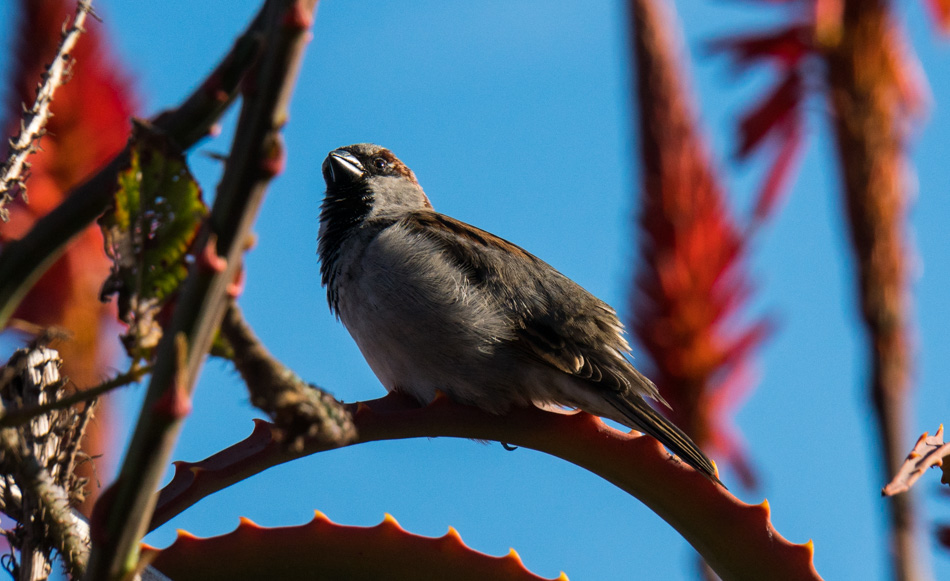
The common sparrow

This is not a rare sight; on the contrary, it is the common sparrow. So why post it? Because I don’t often see common sparrows next to the Pacific Ocean with a perfect blue sky and red flowering torch aloe for a backdrop, so it’s kind of rare.

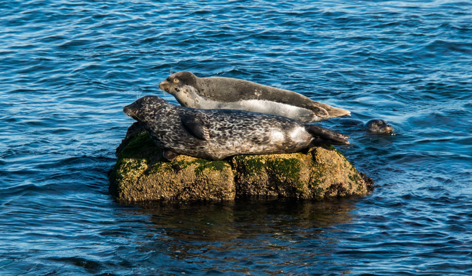
Two harbor seals in Monterey Bay, California

Two common harbor seals on a rock. Again, not something I’m likely to encounter in the desert of Arizona, nor will the people of Minnesota around this time of year when they are hitting -37 degrees of coldness.

Caroline Wise buying yarn at Monarch Knitting in Pacific Grove, California

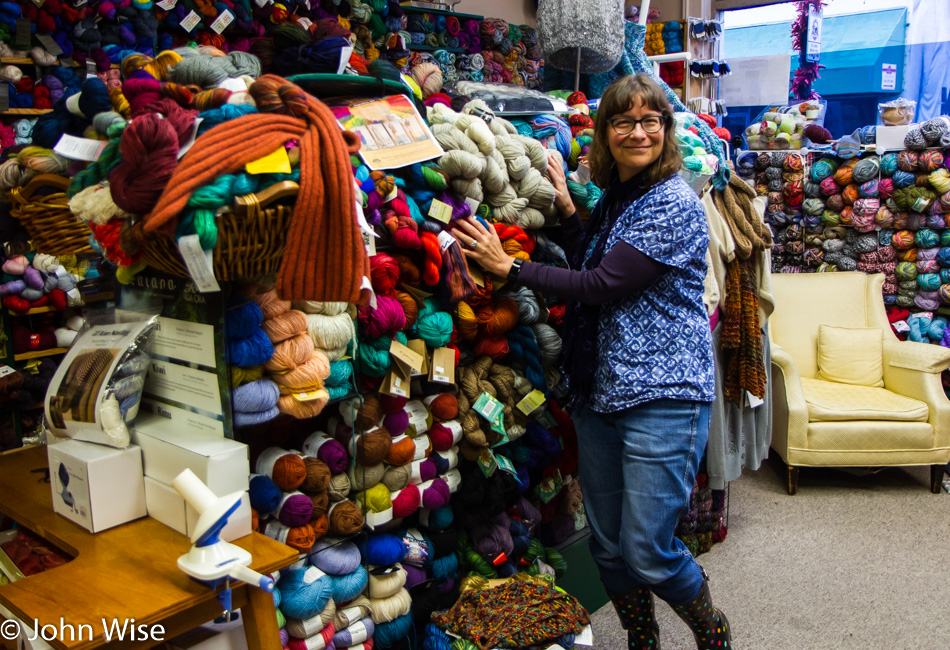
Okay, this is pretty common, as in way too common a sight for me. This is what every fiber artist MUST do on vacation: search and visit every yarn shop on your travel route! Today, we made the pilgrimage to Monarch Knitting in Pacific Grove, but I should cut the wife some slack because the yarn she’s holding is the yarn I chose. When we walked in and were greeted by the staff, I immediately asked for the fingering weight yarn (as I’m oft to do) so I could scope some yarn suitable for socks. Those colors will end up as a pair on my feet sometime in 2018. They represent the sunset and color of the ocean for me. Caroline also picked up about $8000 in yarn for herself because that’s what these junkies do. Well, maybe it was only 4 or 5 skeins for about a hundred bucks; I’m getting old, and my powers of observation have only become more refined in how self-serving they are. There, wife – you happy that I finally admitted it in print?

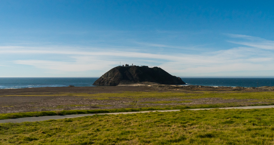
The Point Sur Light Station

This is not a rare sight, but the perspective is about to change to one that is rare. It just so happens that after 20 years of passing this rock in the distance, we have arrived on the right day at the right time to be able to visit it. This is the Point Sur Light Station and is open for three scheduled visits per week: one on Saturday, one on Sunday, and one at 1:00 p.m. on Wednesdays (check the hours as these are for Winter).

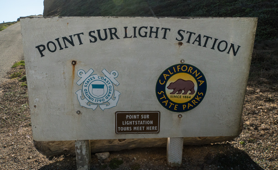
Point Sur Light Station welcome sign and meeting point

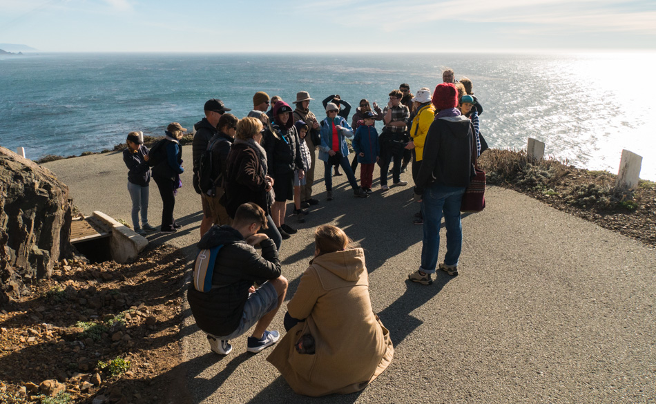
The three tours are only offered on a first-come-first-serve basis. We arrived over an hour early but still, there were two cars in front of us. By the time the gate was opened, there were certainly more people wanting in than are allowed. The tours are limited to 40 visitors, and there are NO reservations. After driving down the single-lane road to the base of the volcanic rock, we collect and divide into two groups that make the walk up the even narrower road without guard rails that fall off to a steep drop to the ocean where death awaits the person who steps in the wrong direction or driver whose brakes are less than stellar. My vertigo is about to go crazy.

Point Sur Naval Facility

This is the Point Sur Naval Facility, which was once part of a worldwide network of defensive listening stations that tracked the movement of Soviet submarines. The Point Sur NAVFAC is one of the remaining Sound Surveillance System (SOSUS) facilities and the only one remaining on the West Coast (according to the California Parks website). It is rumored that the site will open to the public at some point in the future.

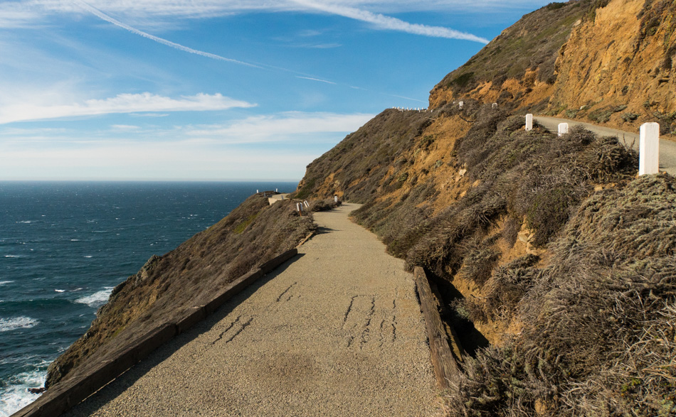
Walking up the paved trail to the Point Sur Light Station

Pausing as we climb the 371-foot tall rock to the lighthouse that was first lit on August 1, 1889, and finally automated in 1974 as it became too expensive to employ humans to guarantee the functionality of the light and horn that warned ships for almost 100 years. As we walked up the rock, our docent Melissa shared stories about the facility and some history. Ricky was the other docent who was just behind us.

A bridge on the final leg to reach the Point Sur lighthouse

This little bridge nearly stopped me from seeing the lighthouse. Do you see the gap on the right side? That gap and the larger one on the ocean side drop into oblivion, a.k.a. DEATH. My knees were wobbling, and my lower intestines were knotting into vibrating, wracked contortions of squeamishness, sending their horrific energy straight out my pooper; sorry, but that’s where the center of anxiety driven by vertigo dwells in my body. Knowing there were children in the group that had been walking near the edge of the trail and hadn’t shown a care in the world, there was no way the old dude was going to belly-crawl this bridge or turn around I mustered some strength and aimed for the third GAPING crack from the right (hoping it didn’t open as I passed) and tried to follow its line. Once on the other side, the wood rail that was acting as a barrier ended, and the asphalt gave way to the sky and probably more death – oh, how I hate that I have vertigo. On the other side of all of this, Melissa assured me that we weren’t returning the same way. Hopefully, this would be a relief, but I still didn’t know if other hairy corners awaited me.

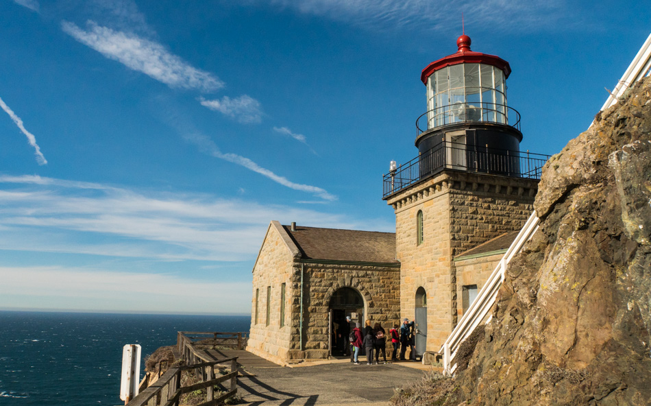
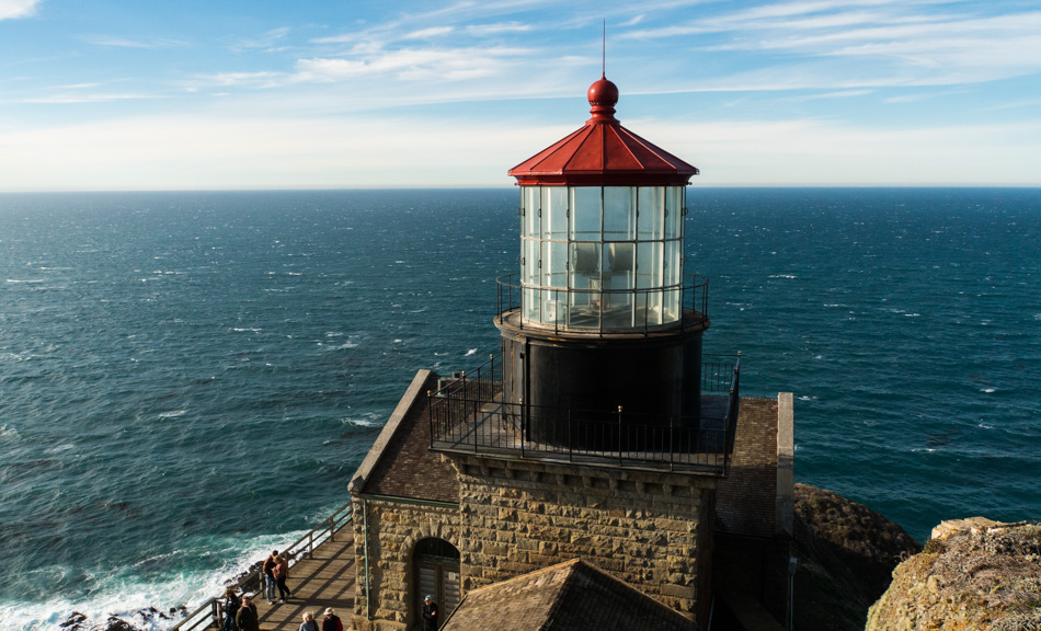
The Point Sur Lighthouse

The Point Sur Lighthouse is seen in most of its glory. I say most because the original Fresnel lens was removed years ago, though the preparations for its return are being made, and maybe on a subsequent visit, we’ll visit at night and be able to see the beam reaching out to sea. This is a milestone in our travel as we have looked out upon this rock and longed to visit but could never quite coordinate our time of arrival; today will be a day to stand out. Not only have we finally made it out here, but according to Melissa, we are extraordinarily lucky with the weather, as it is a rare day in winter when blue skies and relatively warm temperatures greet visitors.

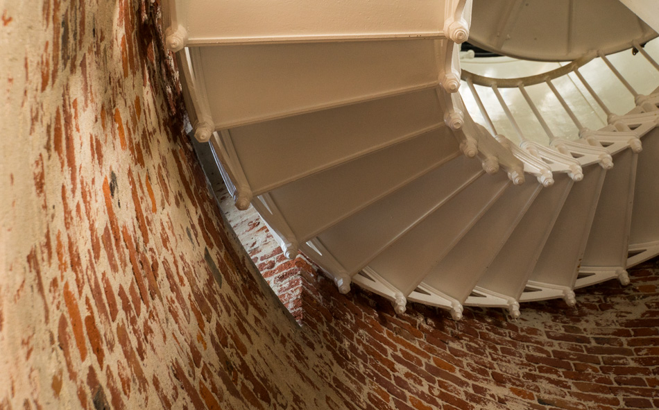
Inside the Point Sur Lighthouse

It’s a pretty tight fit for 20 people to stand in this room to listen to the docent tell of the history held in this facility; no wonder we break up into two groups. Upstairs, the squeeze is on until Melissa invites one of the other guests to open a side door so we can step outside.

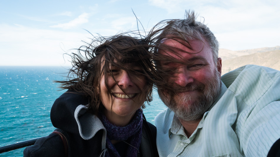
Caroline Wise and John Wise atop the Point Sur Lighthouse on a windy day

Once outside, things were wide open and cool compared to the stuffy little room under the glass enclosure of the lighthouse. Then we walked around the northeast corner, where the wind was blowing so hard that Caroline and I removed our glasses for fear of having them blown off our faces as we turned around for a selfie. Other versions have Caroline’s hair standing almost straight up while my short-cropped helmet of brittle gray hair sits nearly shellacked to my big redhead. In this photo, the hump on my left shoulder can be seen; I’m usually pretty good about hiding that side of my anatomy, as being a hunchback comes with some stigma. Being out here and having all of our senses stimulated is a win of epic proportions that tickles both of us to a delight that other mortals might only dream of experiencing. We attribute this sense of adventure to love, knowledge, and being nerds.

The Point Sur Lighthouse

This is the money shot for me. The path leads us up a steep stairway that climbs the rest of the distance to the top of the rock, which is the Point Sur Light Station. It is from those stairs that I stopped to snap this photo. It sure would be amazing to return someday to see the Fresnel lens back in there.

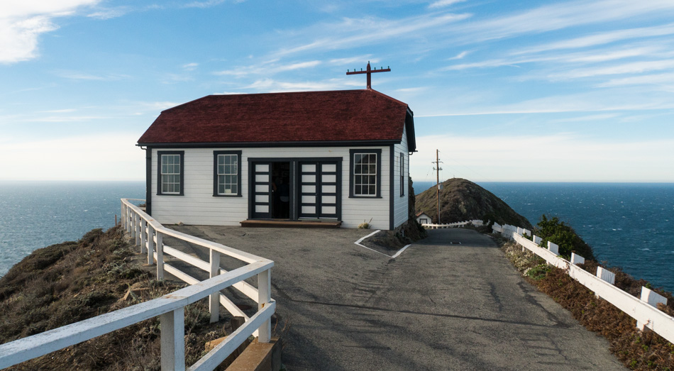
The carpentry and blacksmith shop at Point Sur Light Station

This is the carpentry and blacksmith shop that sits in front of the lighthouse; behind me are the living quarters called the Triplex, where the assistants to the lighthouse keeper lived. That facility is currently being renovated, while this shop is freshly finished with a great display inside this still-working building. Maybe you noticed from the photos that this has been a beautiful day so far.

A doll inside one of the renovated houses at Point Sur Light Station

Next door to the Triplex is the freshly renovated living quarters of the lighthouse keeper and his family. The decor is straight out of the late 1950’s Americana. There was no TV on display as back in the day; there would not have been any signal that would reach out here. There was, however, an old-fashioned cabinet-style record player with a 45rpm record on it: “Four Walls” by Jim Lowe, which was made into a hit that same year by Jim Reeves – Click here to listen to the song.

There is a gift shop up here that is only accessible during these docent-led tours, so be sure to pick something up to commemorate your visit or enjoy a cup of coffee or hot chocolate. They accept credit cards, and this is also where you’ll pay your $12 per person entry fee at the end of the tour.

The view on the walk down from the Point Sur Light Station

Our three-hour tour is over, but we are still accompanied by our docent for the final descent down the 371-foot volcanic rock that holds this 100-year-old relic that’s on the National Register of Historic Places.

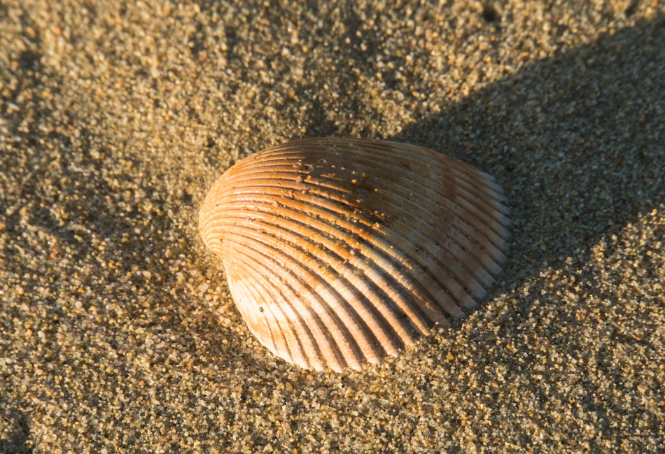
A seashell at Garrapata Beach

This seashell is about to return to the ocean. This shell, along with a couple of hundred others collected over the years along the coast are being returned to the sea as we feel they belong there more than in our living room. Part of us feels guilty as to the casual observer; there are two people here at Garrapata Beach throwing stuff wildly into the ocean. We’ve been meaning to do this for some time but have forgotten our bag of shells more times than we care to remember. It’s as though a circle has been closed.

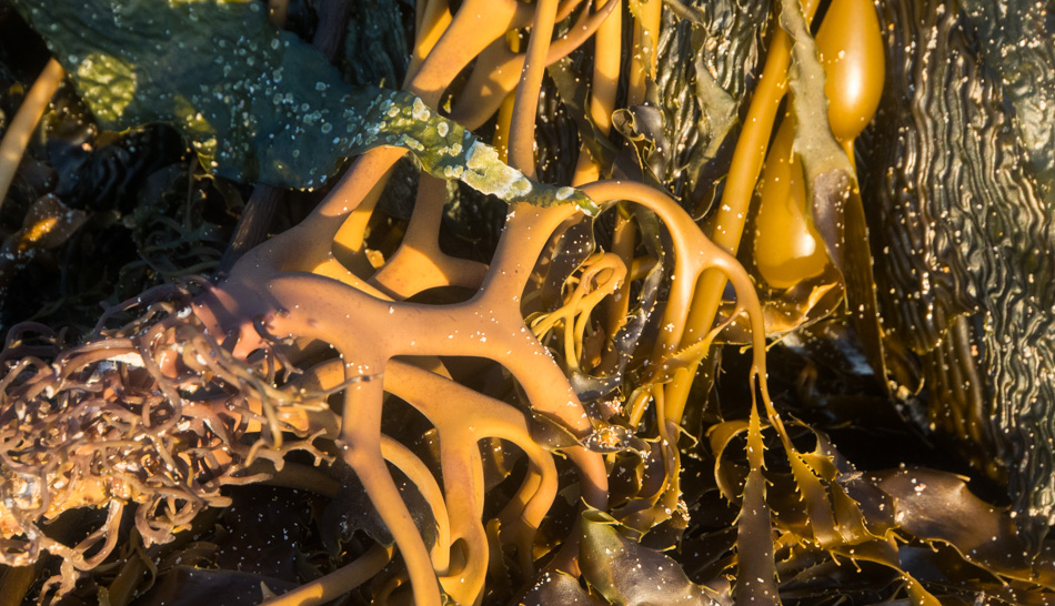
Kelp from just off shore at Garrapata Beach

We walked back to the stairway leading up to a short path and roadside, where we parked the car. We rarely get to visit Garrapata Beach more than once on a trip up and down this part of the coast, and no matter how many times we visit, it’s always with a heavy feeling that we agree that it’s time to leave. We probably wouldn’t have stopped here again had we not remembered back on Christmas day to grab the bag of shells, but having this opportunity is a treasure and marks a perfect ending to another perfect day, which, when we are traveling, is seldom rare.

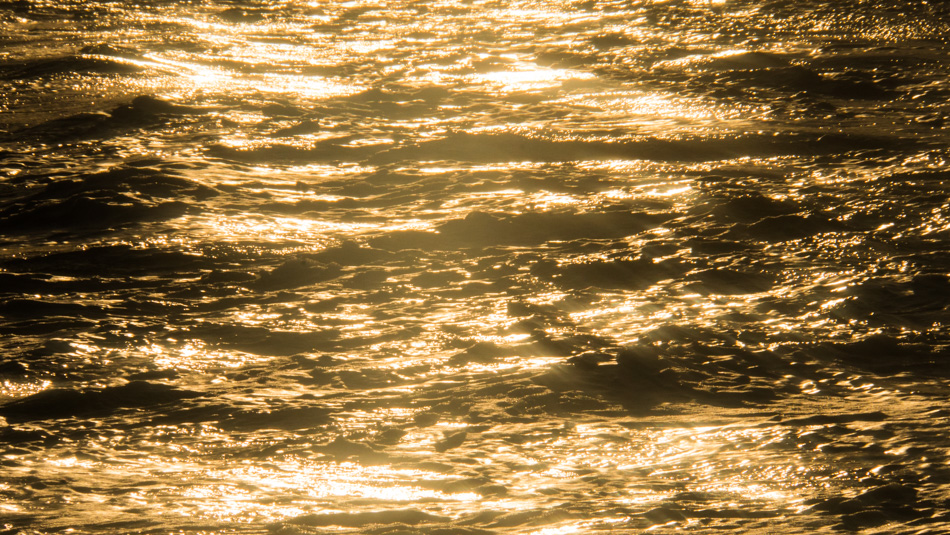
Sunset at Garrapata Beach

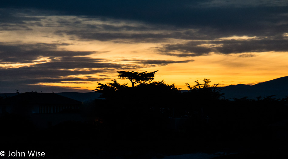
The sun is low in the sky as we bid the Big Sur coast farewell for another bit of time between visits. There are still a thousand things to see and do along this stretch of ocean, and hopefully, the next time we return, it will feel as new and exciting as it has on this adventure.

Moving Leisurely

Somewhere on Highway 1 between Big Sur and Carmel, California

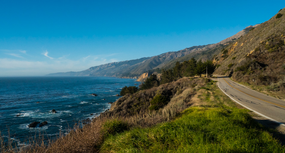
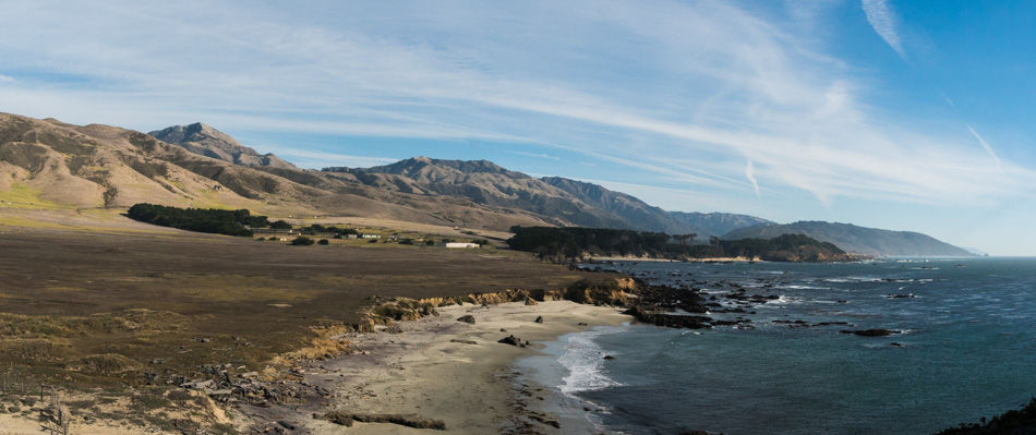
Over the years, Caroline and I have made dozens of journeys up and down the California coast. Along the way, we have tried to stop everywhere we encounter a sight we’d like to remember forever. After so many spots, it starts to feel like we’ve seen it all, and then we pull over and wonder if we’ve ever stopped here before. Ten percent of the 150,000 digital photos we’ve shot since late 1999 are tagged “California,” though I don’t know if I’ve been completely thorough with that process. Maybe in the near future, I’ll be able to run our entire catalog of images through an algorithm that will match my images with other people’s that were better at tagging and we can find out where some of them were exactly taken. I cannot lament being in the moment and ignoring the mile marker or not having a camera with GPS, as romance and happiness in those times take precedence. I guess it’s only when drifting through memories and finding nostalgia that we want more details to enliven our previous experiences, making them more vivid. As we stood on this overlook, we were enchanted by the layers in the rock and the contrasting colors of brown, tan, white, green, and blue. We likely kissed as we are apt to do when recognizing the beauty of a place, and as slow as we were traveling, we still couldn’t afford to just stay here all day watching the crashing surf; it was time to move further south.

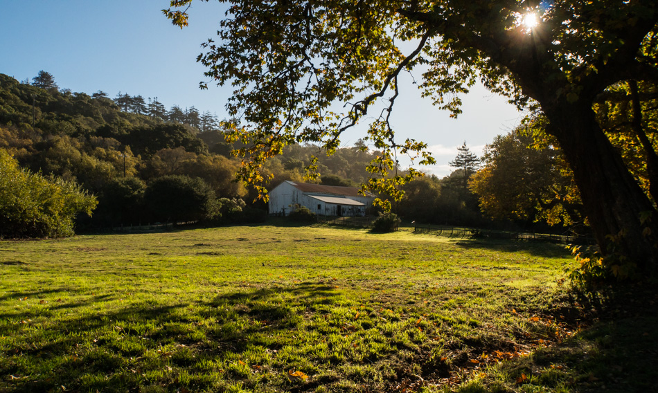
The barn at Andrew Molera State Park

Today’s destination is the Andrew Molera State Park. Over in the shadows are a couple of deer; while I got a couple of photos, they were quite unspectacular compared to the fall colors hugging this barn. Just around the corner from the barn was a small creek that required us to take our shoes off and roll up our pants to cross as, in some sections, it was almost knee-high. The trick to crossing the creek is to stay to the right if you are on your way to the beach trail or ride piggyback with a good friend. Caroline had to walk in the cold water because that’s the way it is.

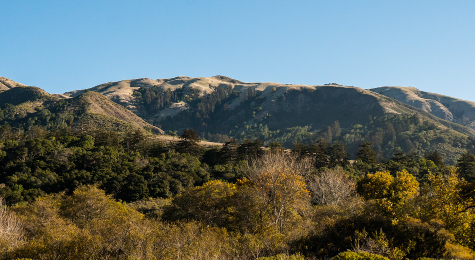
Coastal mountain view from Andrew Molera State Park

Walking to the beach trail we had about a mile walk that offered views that we never tire of.

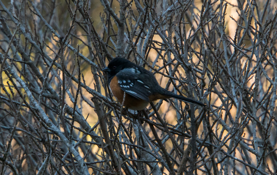
A spotted towhee bird in the tree at Andrew Molera State Park

A huddling, rather chunky male spotted towhee glanced at us as we walked by but couldn’t be bothered with flying off, not even as I approached to get a closeup of this bird from the sparrow family.

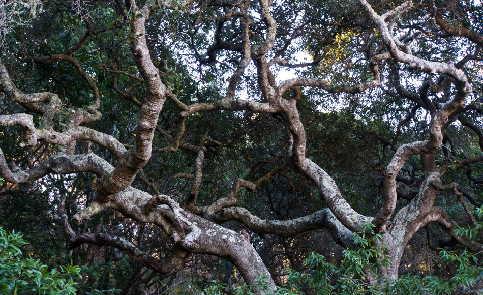
The Coast Live Oak in Andrew Molera State Park

It’s not just ocean vistas and wildlife that gather our attention but the plants, geology, and history, too. The coast live oak is one of the trees found in California’s rolling hills that help define the character of the state along with the coastal cypress and redwoods. If we were wealthy, we’d have a geologist, botanist, historian, biologist, chemist, physicist, and astrophysicist traveling with us.

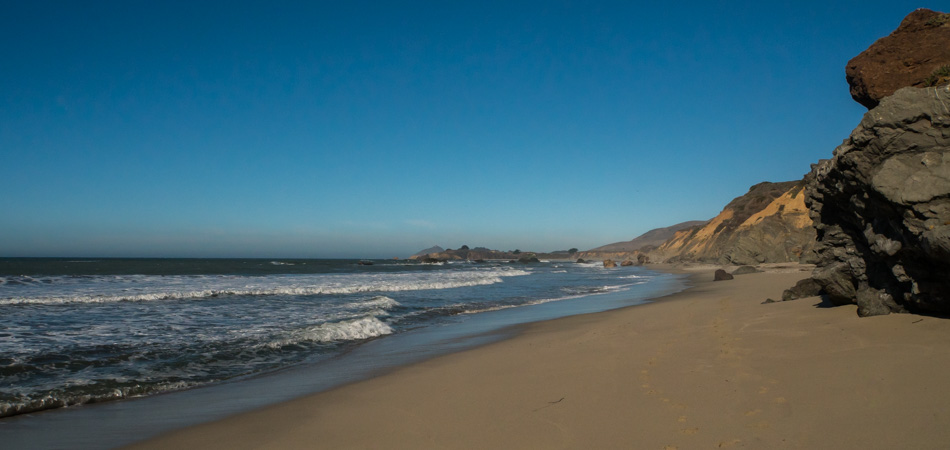
Looking south on Andrew Molera State Park beach

Out on the beach, there are maybe 4 or 5 other people and three surfers in the water; everyone is on the north end. We head south.

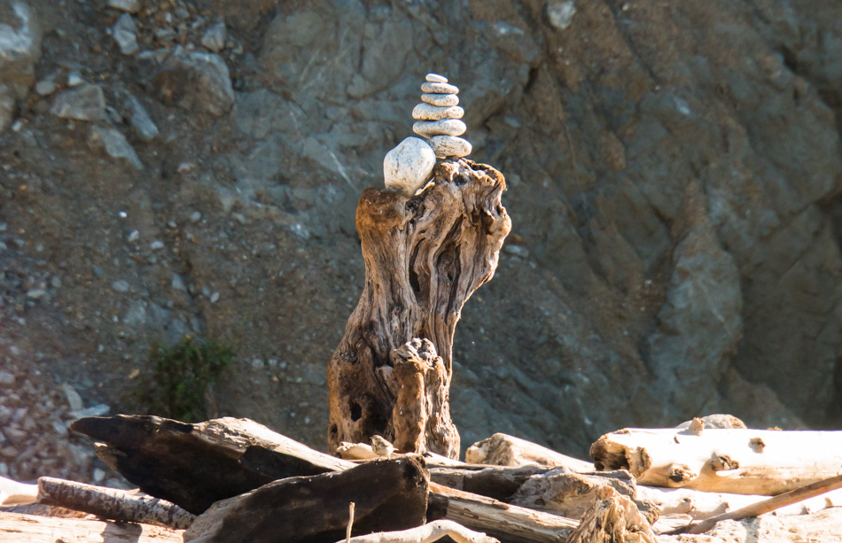
A cairn held high atop a piece of drift wood at Andrew Molera State Park

The wind is to our backs, and the temperature is nice enough that we don’t need sweaters here at the end of December. The cliff on our left would require some serious hard work to make our way up one of the drainages and effectively lock us in between it and the ocean. And yet, there is a cairn here sitting atop a piece of driftwood. As it’s hardly necessary here to show us the direction of the trail, it must have been set up for its more aesthetic qualities. At about this point, we run out of footprints in the sand and realize that we may be the first humans to ever walk this stretch of beach.

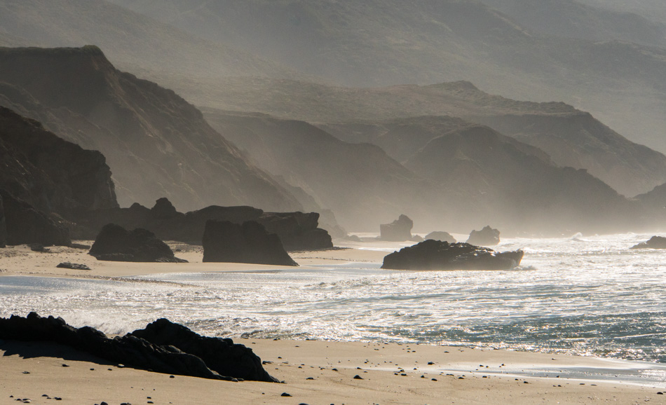
Andrew Molera State Park beach looking south

Into the unknown as we walk into an unexplored setting that could be right out of one of the Planet of the Apes sequels. Around any of these rocks at any moment, I half expect Charlton Heston to come into view mounted on his horse sporting the beard he’d worn as Moses in the Ten Commandments. Then, waving his NRA-sanctioned rifle, he has a million apes part the Pacific Ocean, but the president, learning of this treason, threatens to build a wall so illegal immigrants don’t just walk into the U.S. to steal more jobs. In a plot twist, Dick Cheney comes out of retirement to take the helm of SG Enterprises, a division of Haliburton that is making a protein-based food supplement that some say is people. Our bearded hero (updated with a man-bun to make him more appealing to the younger generation) is given superpowers to conquer this evil with an A.I. called the Benevolent Heuristic Machine, or Ben Hur for short, that allows the same machine that fixes global warming to close the gap made in the ocean though this, in turn, pisses off god who was actually behind the parting of the sea but that’s another story to be continued in a sequel.

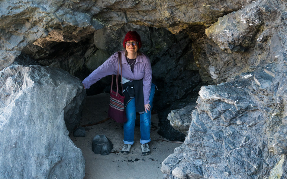
Caroline Wise in the cave she originally came from

This is Caroline Wise, about to explore a rebirthing experience.

Looking north at Andrew Molera State Park

At the end of the trail near the mini-cave, we look back to the north for our walk into the wind and the trail that will return us to our car. The sky should be the giveaway that this was a beautiful day.

Looking south on Highway 1 on the way through Big Sur

This looks familiar, as though I’ve taken this photo before, but was it as sunny, was the ocean as blue? Was it morning or late afternoon? Someday, I might go through the nearly 20,000 photos I’ve taken of California and see which sights I’ve shot on more than one occasion, or maybe I’ll just keep returning so I can take the same old photo all over again. Before snapping this pic, we had made a pit stop at another favorite haunt, the Big Sur Bakery & Restaurant. Somehow I missed the opportunity to grab a selfie of Caroline and me enjoying yet another coffee sitting outside and in front of the bakery. We shared an amazing ginger scone that was the best scone ever (at least as far as scones go during 2017). While at the bakery I took some time to do some writing so not everything would be lost to forgotten memories as our vacation comes to a finish in a few days.

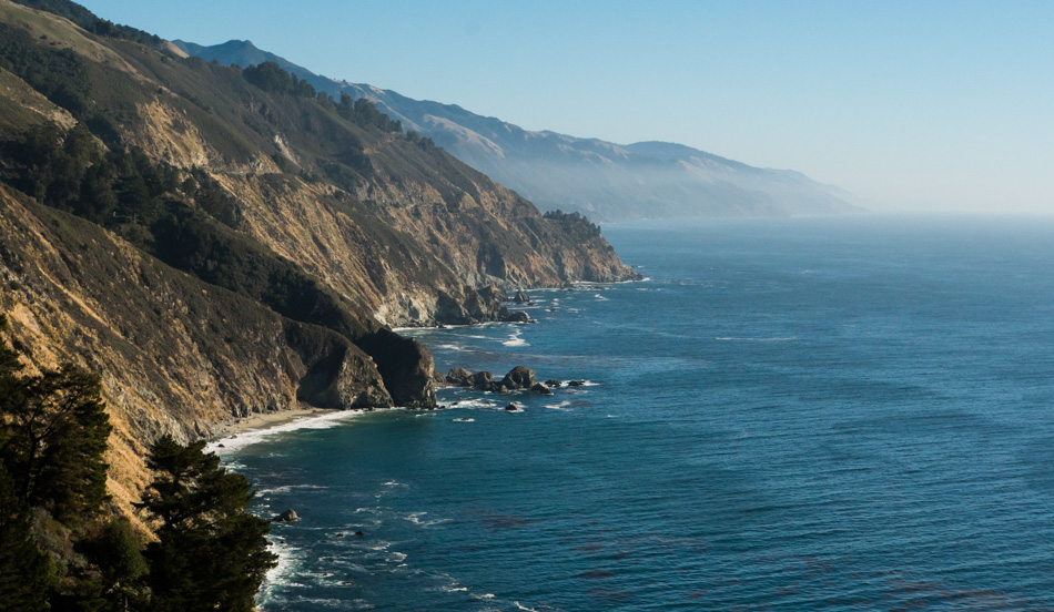
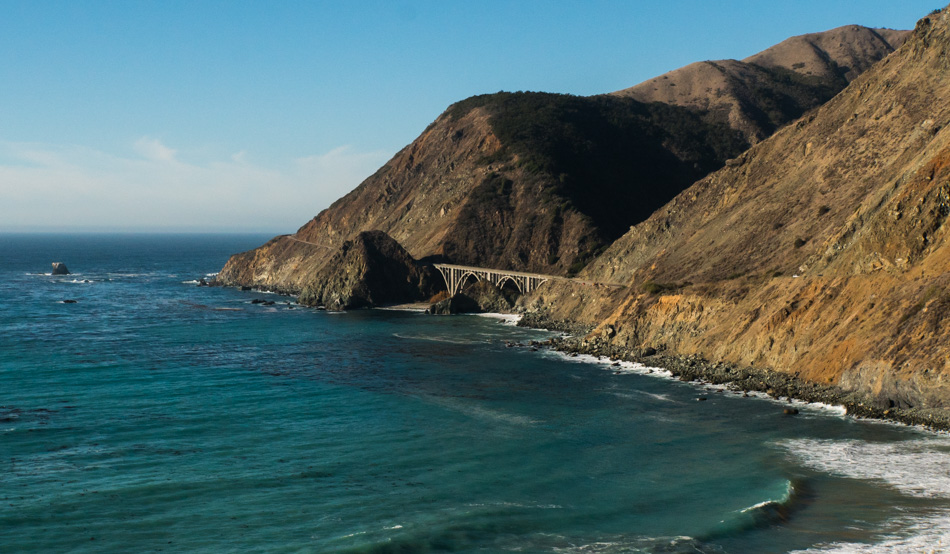
Looking north on Highway 1 on the way through Big Sur

This image I’m certain I’ve shot before just as 29 million others have who stop to photograph the famous bridges found along Highway 1. I’m pretty sure that I’ve never taken a picture before with the ocean this exact hue of turquoise, though, so there’s that.

Lucia, California

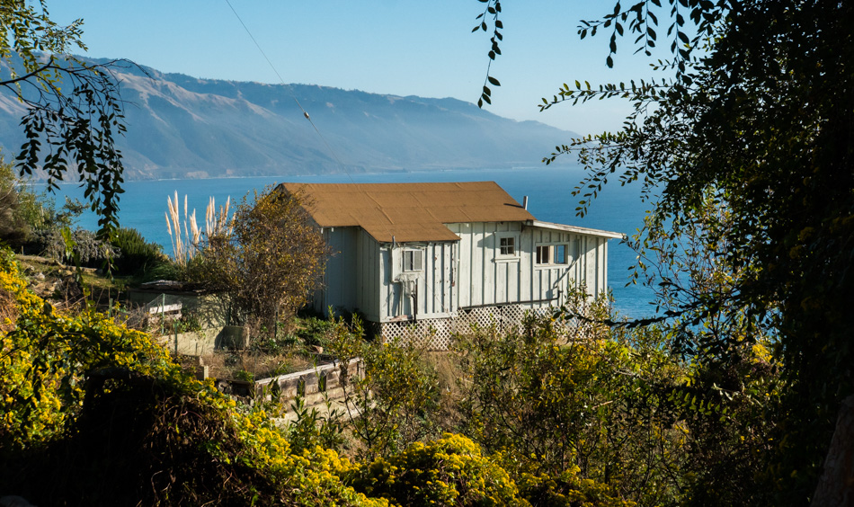
This cabin is on the grounds of Lucia Lodge and is our last stop on our southerly journey down Highway 1 today. The road continues for another 10 miles to Gorda but is closed after that while road repairs are completed on a severely damaged stretch of this iconic highway. We stopped at the Lucia gift shop as Caroline was hunting for some eucalyptus soap that she’d bought here on a previous trip sadly, they no longer carried it. On the way back up north, we stopped at the Nepenthe gift shop, but they, too, were out of it, though one of the salespeople told us to try the Fernwood General Store, and sure enough, they had plenty of it. The soap brand is Big Sur Country Soap, and the scents we stocked up on are as follows: Eucalyptus (x3), Lavender, Eucalyptus Lime, Cedar Lemon, and Patchouli because we are hippies at heart.

Highway 1 travelling north from Lucia to Big Sur

You don’t need spectacular cliffs, iconic bridges, tremendous vistas, sunsets, or the parade of Teslas (wow, there were a lot of Teslas on this road today!) to find beauty around every corner. This is just one of many average bends in the road where gorgeousness leaps out of the landscape and clobbers your senses with awe.

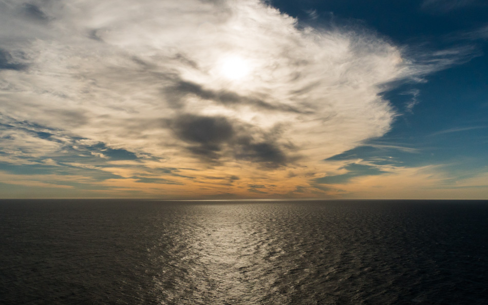
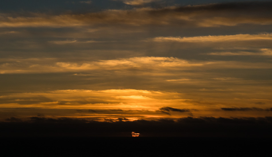
Sunset over the Pacific Ocean as seen from Highway 1 near Big Sur, California

And then, just like that, the sun says adios way too early on a winter day, and you are left to drive back to your ocean-front motel in the dark. On a scale of 1 to 10 regarding perfection found on this particular day, you can guess this was probably an 11.

Christmas Day

Dawn over Monterey Bay in Pacific Grove, California

Drats, we stayed at a place without a chimney, so Santa couldn’t deliver the goods; probably a good thing because just as I don’t need any new synth modules, Caroline has enough yarn. What we can never have enough of are beautiful sunrises and great breakfasts. Lucky us, the Old Monterey Cafe was open for breakfast today, only not at 6:45 as the busser told us the day before, more like 8:00. So we took a walk across the street to a bagel shop for a cup of coffee as we were willing to wait.

Point Lobos State Natural Reserve in Carmel, California

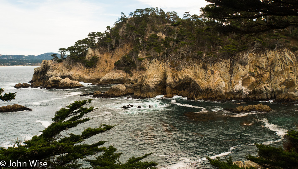
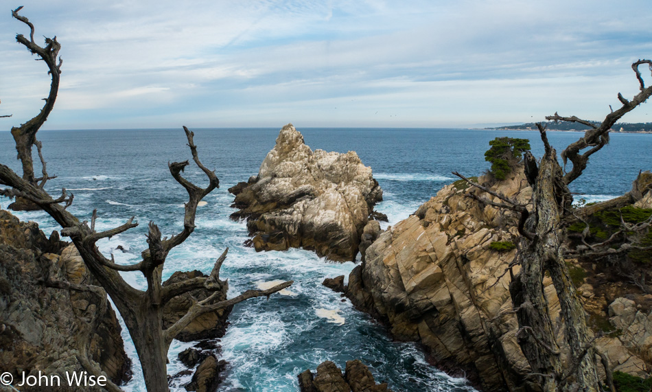
We’ve been up here on the central coast countless times, but we’ve never stopped at Point Lobos State Natural Reserve due to a gazillion cars parked roadside, as the parking lot is always full. At 9:00 on Christmas Day, it turns out that we are some of the first people in the reserve. This was the first view that opened up on the trail.

Surf spilling into a shallow basin in Point Lobos State Natural Reserve

Not but a few more steps up the trail, and the power of the ocean is on display a few hundred feet below us. While the ocean was calm when we arrived a couple of days before, it’s churning today. Today is also the beginning of my sense of vertigo kicking in as we encounter more than our fair share of precipitous drops and sheer cliffs that rouse the electrifying sense of deleterious swirling going on in my derriere; well that’s just where it happens!

View while at Point Lobos State Natural Reserve

The plan is to have no real plan; as we were driving down Highway 1 with the idea we’d go south, that was about as far as we’d gotten with having a plan. When Caroline saw the sign for Point Lobos, she suggested that maybe today was a good day to visit, turns out she was right. Now that we’re here, we’ll see where the trail takes us.

Lichen on a tree at Point Lobos State Natural Reserve

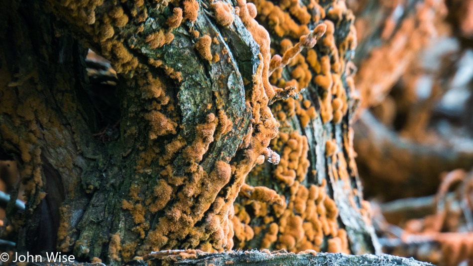
So a plan has developed, and it dictates we go slow, real slow. Our inspiration comes from this algae (Trentepohlia) that grows slowly and does not sway in the wind, migrate, or retreat in the rain. They just hang on to the surface they are attached to and imperceptibly spread out and thicken. While I could easily look it up while I’m here writing this, I’m leaving a note to my future self reminding me that I didn’t search for an answer and that I may still want to know what purpose these algae and the lichen they often live with symbiotically serve?

Sedimentary rocks layers reminiscent of similar formations in Grand Canyon National Park

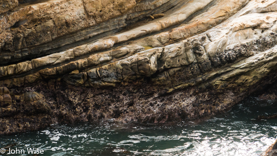
Dear Geologists, when might this rock have been uplifted? Its creases are perpendicular to the rock itself instead of the ocean, and if I’m not mistaken, aren’t those creases caused by water running over the rock surface?

Breaking wave at Point Lobos State Natural Reserve

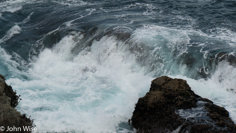
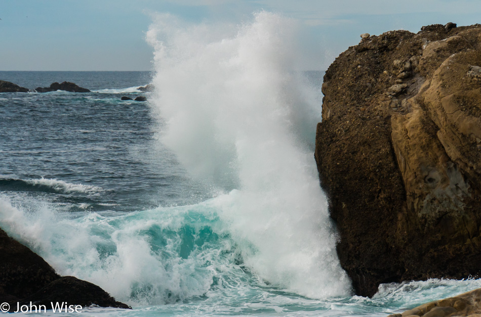
The waves roll in with a swell that, in some respects, appears relatively slow until it is compressed into something unmovable, and then its true force becomes apparent. As the water reacts to not having enough space within the volume it occupies, it moves in an unobstructed direction, and in this case, that means going straight up. Air is simultaneously displaced, often with a whoosh, and water escapes as mist and spray in whichever direction the physics of the environment and moment allows. We are left with a beautiful explosion and thunderous clap of water; the rocks are left with just a little less material as erosion acts on them to rearrange their structure into something different, and memories are built and changed with nature’s infinite unfolding.

Caroline Wise and John Wise at Point Lobos State Natural Reserve

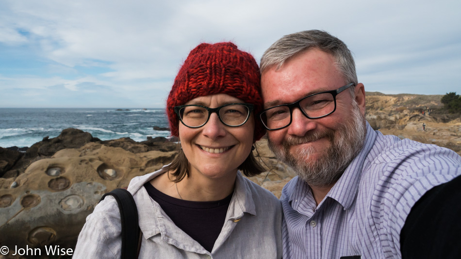
Occasionally, we, too, are part of the landscape.

Cormorants at Point Lobos State Natural Reserve

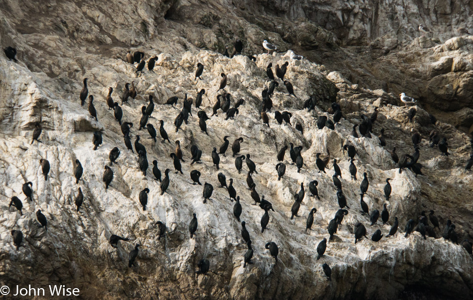
We’ve reached Bird Island near the end of the trail here at Point Lobos State Natural Reserve. The birds we are looking at are cormorants, except for those three seagulls having identity issues. For a moment, I think about their freedom, certain they don’t have opposable thumbs and that their food is always cold, but they get to warm up on an island not fit for humans without deploying a serious amount of dynamite. Their home is found wherever they happen to land. Their buffet is bountiful and free, only requiring them to spot it and then fall out of the sky into the water to retrieve it. So as long as they avoid the hawk, eagle, and us humans, they are free to fly, walk, swim, and eat without systems where the exchange of time, taxes, and mental turmoil impinge on the freedom of us humans without the means to afford some of the freedoms the more fortunate can play with.

Caroline Wise at the southern end of Point Lobos State Natural Reserve

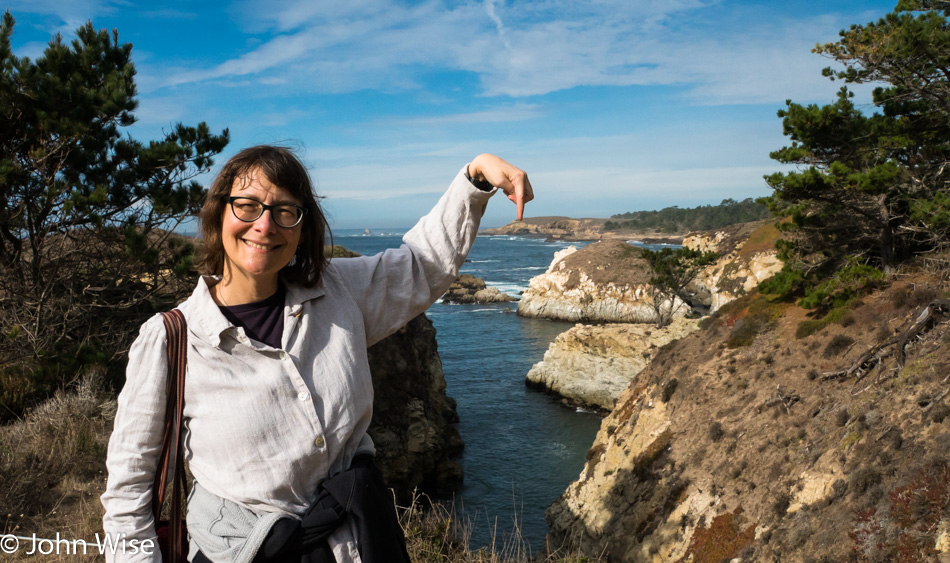
Caroline is pointing to the place where our trail will take a final turn inland and back to our car. It’s been a great walkout here as we stroll along the ocean, lost in the beauty of it all and entertained by our thoughts or lack thereof.

Garrapata Beach near Big Sur, California

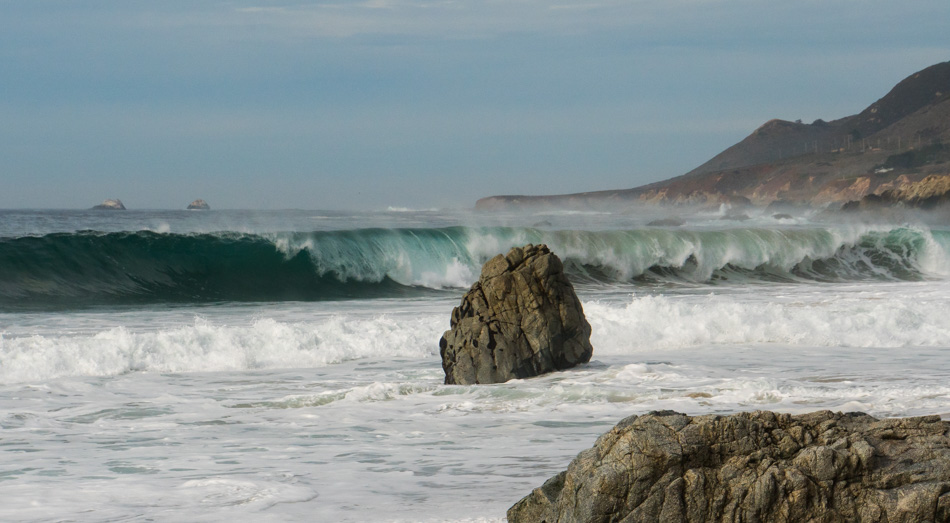
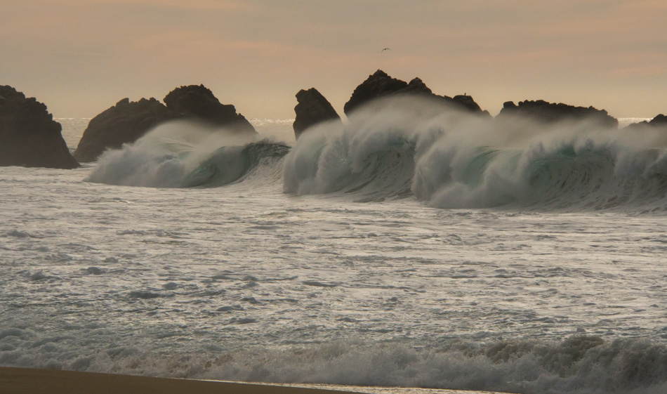
Too late to return north as we’d figured we would likely be somewhere on the road stuck in traffic in Carmel instead of enjoying the sunset, so we went further south to Garrapata Beach. This is our favorite beach if one could have a favorite beach as it seems that all beaches to some degree are our favorite. What makes this one unique is the quick break of the waves close to shore after welling up to heights that are taller than we are and then some tall cliffs behind us that must capture the sound of the crashing waves because it sounds like a freight train rumbling through here. In our travels from the coast of Alaska and Hawaii, the North Sea to the Atlantic, and the Gulf of Mexico to the Pacific, this beach has stood up as having the loudest, most thunderous waves, and for that reason, it is exhilarating. For size, volume, and speed the North Shore of Oahu wins that contest.

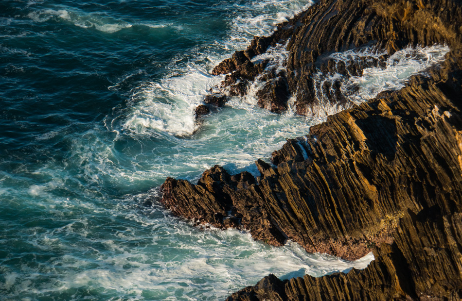
Garrapata Beach north of Big Sur, California

So this was our Christmas day: a slow walk in the universe of infinite coastal beauty without the emotional and consumer drama that seems to bog people down in obligations instead of true celebration.