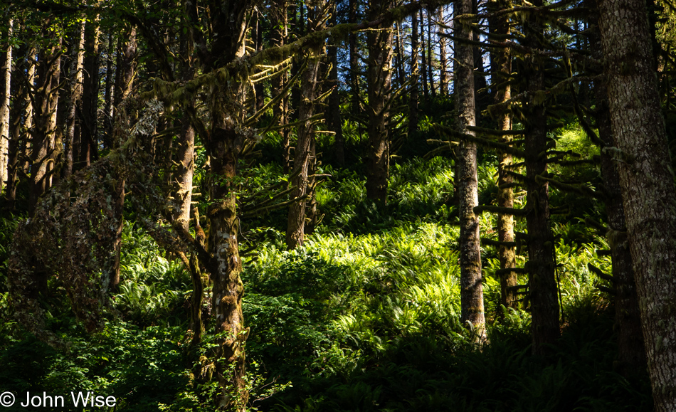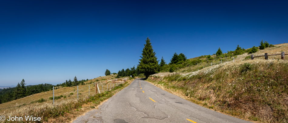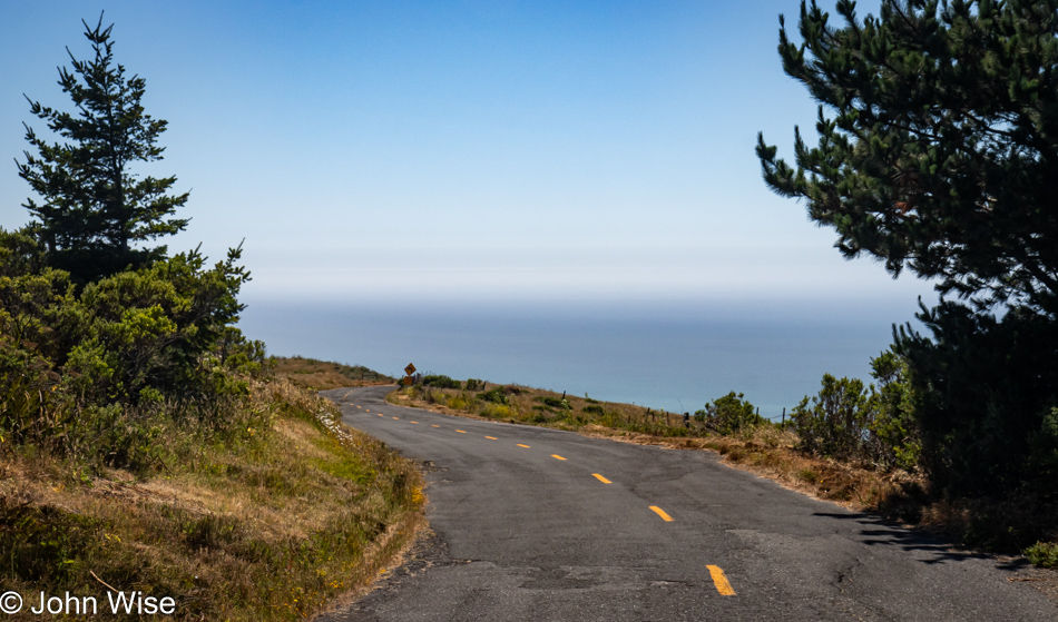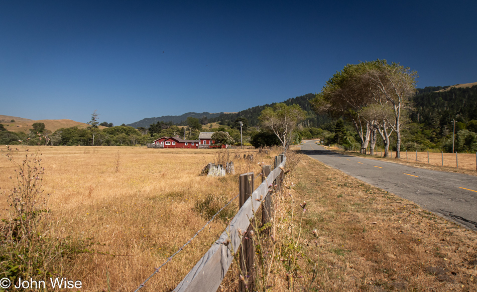
A Small Slice of California

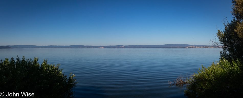
Clear Lake near Lucerne, California

This is Clear Lake, as seen from Lucerne, California. We’d already passed Lake Mendocino, but I need to make haste in getting this post finished because the reality is, I’m sitting down to write this post on July 10th at 8:30 p.m. after arriving at the Wigwam Motel in Holbrook, Arizona, on our way to Santa Fe, New Mexico, because our travel schedule is rather relentless this summer. So, the fewer photos I have to write to, the better I can expedite this missive and get into the trip we started only three days after we returned home from our stay in Oregon.

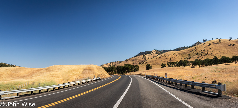
California Route 20 going east in the Central Valley

We drove out of the Coastal Range as our route took us east before our hard turn south to finish our drive home. The golden grasses of this state never fail to impress us. They’re also beautiful when they are green, though that doesn’t seem to happen frequently.

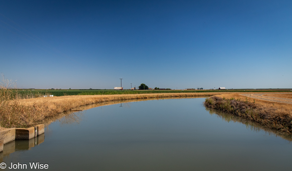
California Route 20 going east in the Central Valley

Not too far along, we enter the vast, flat middle of California, where 25% of America’s food supply is grown, with fully 40% of all fruits and nuts.

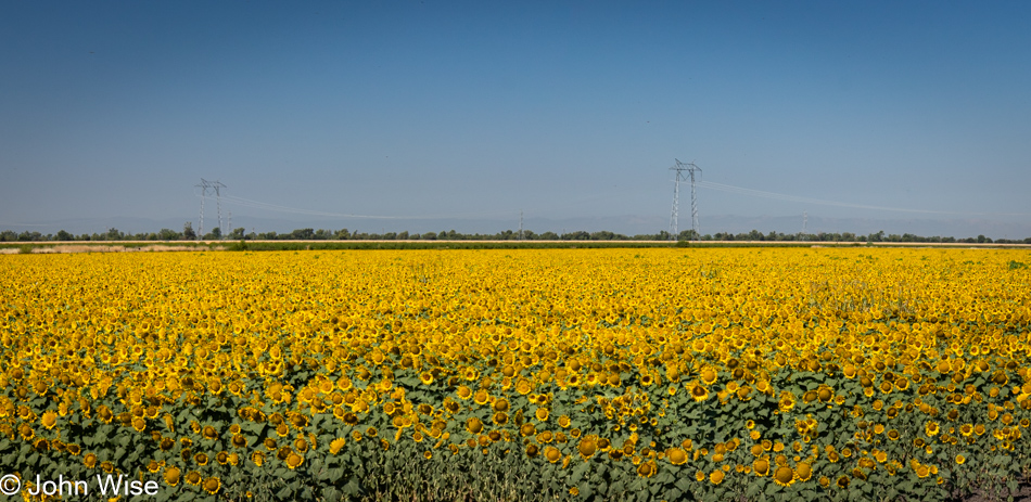
California Route 20 going east in the Central Valley

I can’t say we’ve ever seen fields of sunflowers out here before, but there is the fact that it’s a rare day that we find ourselves out and about during summer.

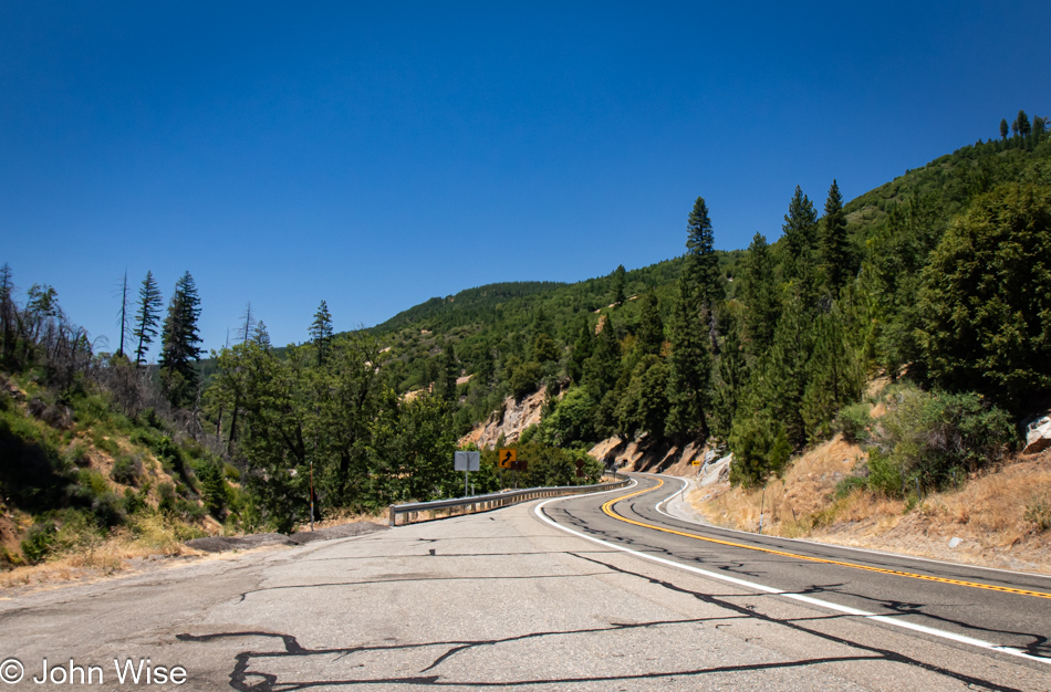
U.S. Route 50 in the Eldorado National Forest, Sierra Nevada Mountains in California

Due to needing to drive over 500 miles (805km) today to reach this evening’s hotel, we were trying to be judicious with the number of stops we were making. Obviously, we are no longer in the Central Valley; we have started climbing up the Sierra Nevada Mountain Range. Yosemite National Park is still well south of us.

U.S. Route 50 in the Eldorado National Forest, Sierra Nevada Mountains in California

Only after passing the turnoff in the Meyers area to South Lake Tahoe did the heavy traffic abate, allowing us the opportunity for a break to stretch our legs, find a discrete spot for taking care of some particular business, and when inspired, take another photo. Usually, we try to incorporate all those things in a single stop.

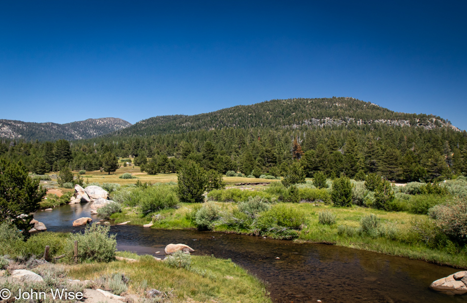
West Fork Carson River in Markleeville, California

Crossing the West Fork of the Carson River in Markleeville.

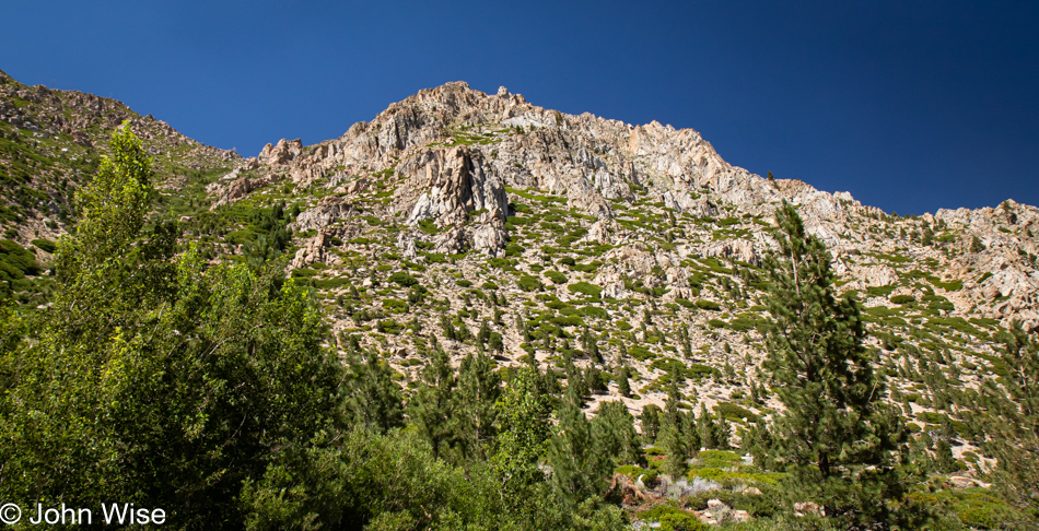
California Route 89 near Markleeville, California in the Sierra Nevada Mountains

We should have more time to do justice in exploring this area because it feels as though we are unceremoniously racing right through here.

California Route 89 near Markleeville, California in the Sierra Nevada Mountains

Out here, we are feeling very alone, and that’s a good thing.

California Route 89 near Markleeville, California in the Sierra Nevada Mountains

Routes 88, 4, and 108 slice a path roughly east/west, while the 89 travels mostly south, which is the road we are currently on.

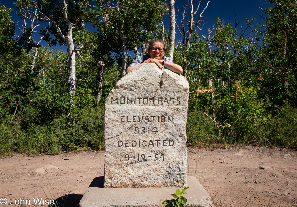
Caroline Wise at Monitor Pass near Lake Tahoe, California

The section of California 89 that crosses Monitor Pass is pointed absolutely east at this time. The pass is at an elevation of 8,314 feet or 2,534 meters.

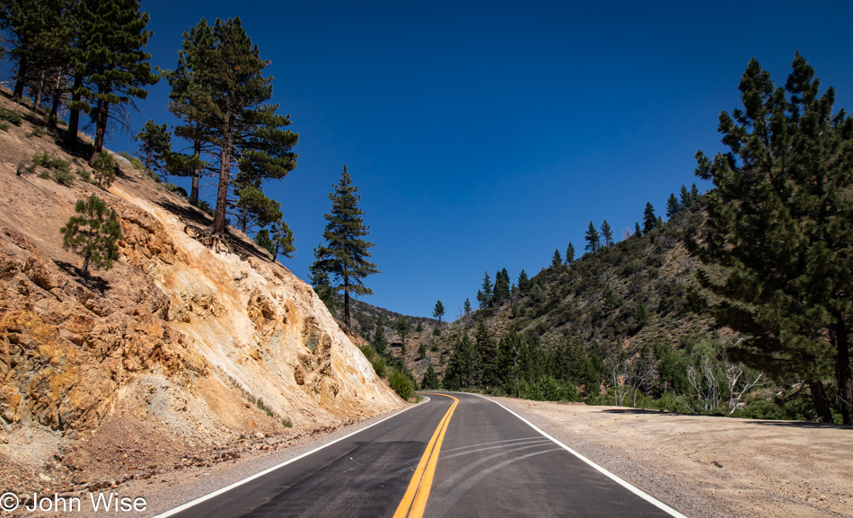
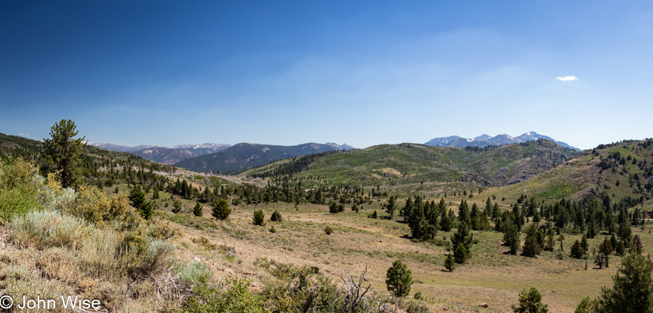
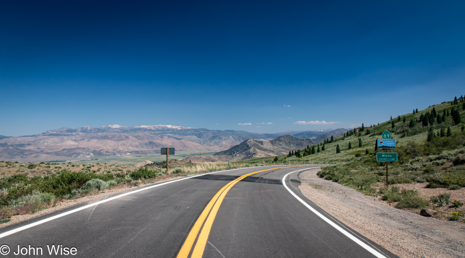
California Route 89 near Topaz, California in the Sierra Nevada Mountains

We are descending out of the mountains to a wide valley below, where we’ll join U.S. Highway 395, also known as the Eastern Sierra Scenic Byway.

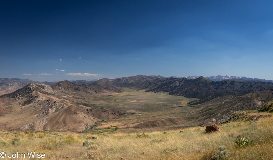
California Route 89 near Topaz, California in the Sierra Nevada Mountains

Not a mile further down the road, we were struck by this basin and how pretty it was.

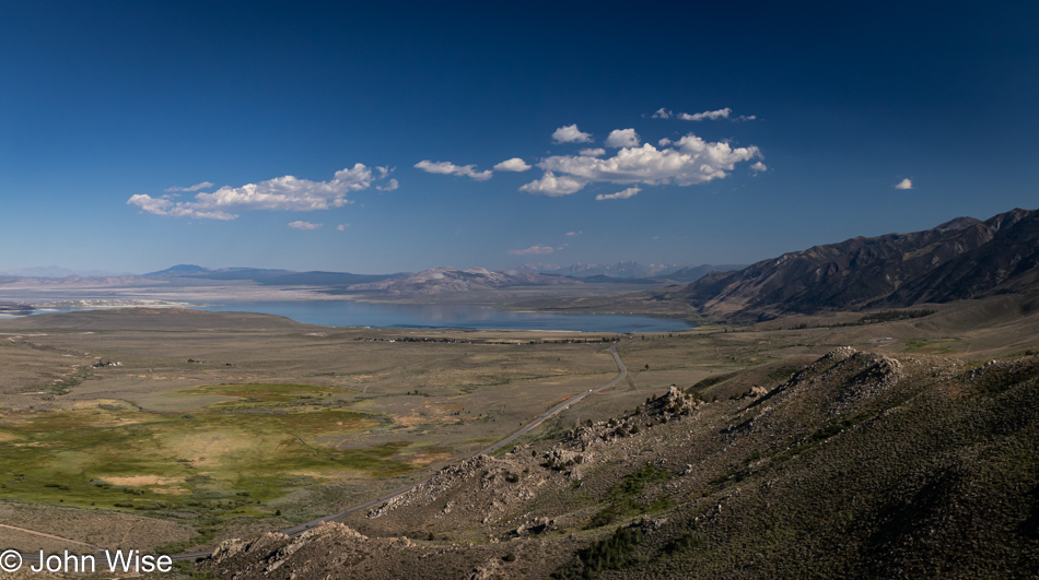
U.S. 395 looking south to Mono Lake in California

That’s Mono Lake in the distance, we’ll certainly be stopping as it’s been 20 years to the day since we were last here. What a strange coincidence.

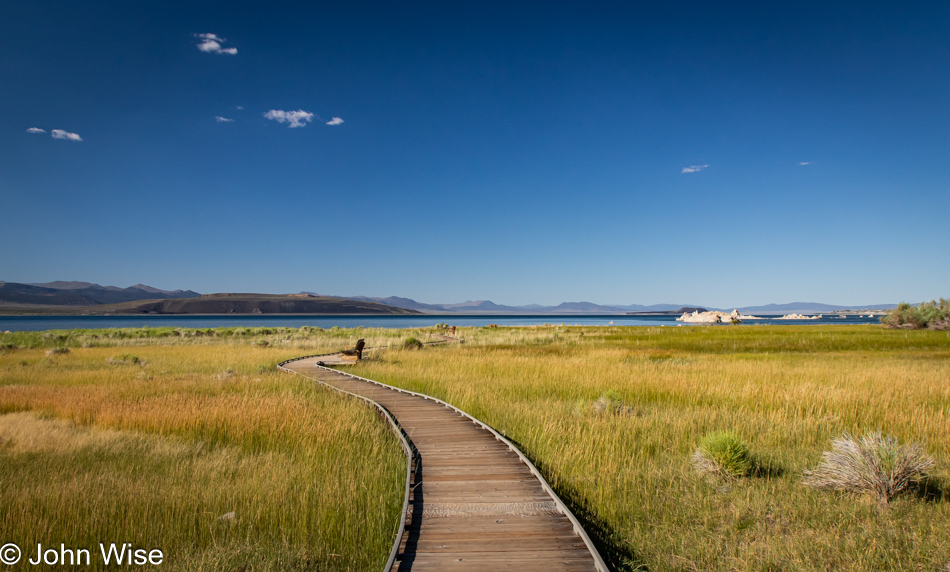
Boardwalk to Mono Lake in Lee Vining, California

This boardwalk, which really goes about nowhere, wasn’t here the last time we visited. The old adage, “Everything changes,” still rings true.

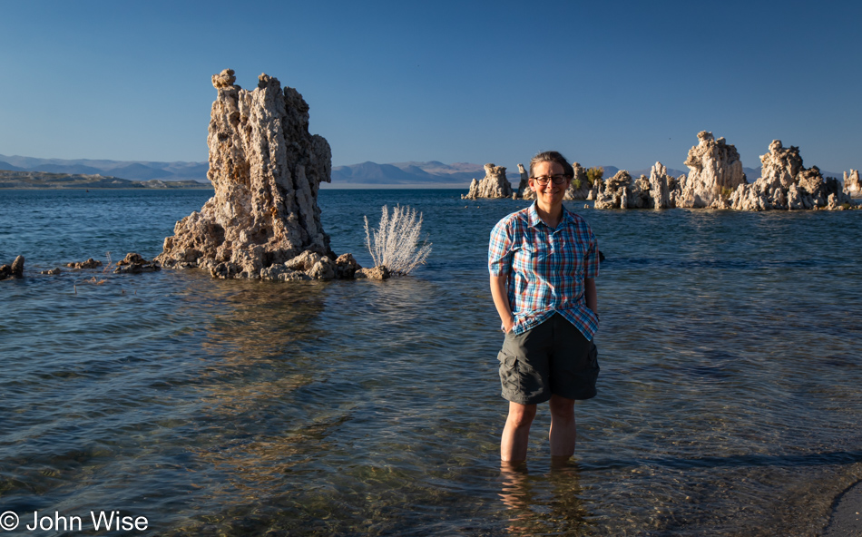
Caroline Wise at Mono Lake Navy Beach Viewpoint in Lee Vining, California

We stopped in Lee Vining at a gas station for ice and to ask if the guys might know where there’s a beach at the lake where people can swim because we didn’t have a recollection of exactly where we were on one of those previous visits when Caroline got in with the brine shrimp and swarming alkali flies that are in wild abundance, nearly creepily so, here at the shore. The younger of the two men recommended Navy Beach, but no sooner did he answer us that the other guy, half-toothless and maybe a bit inebriated, asked if we worshipped Satan. I answered him, “Not recently, how about you?” He offered up a simple “Yeah,” so I threw him the hand gesture for devil horns. We fist-bumped, and Caroline and I walked out, mouthing WTF to each other and holding back a laugh until we were in the car. Seriously, one of the great moments of our day.

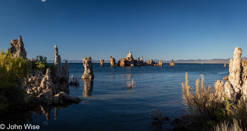
Mono Lake Navy Beach Viewpoint in Lee Vining, California

Now, here I am thinking about this encounter, and as I write about this day, I just went to reference our old July 6th, 2004 visit, literally exactly 20 years ago. Back on that day, we had wanted to visit the Devils Postpile National Monument near Mammoth but were dissuaded because I didn’t want to wait on a shuttle. So, we detoured to eat pastries from Schatt’s bakery, with me mocking their product with a pun of the baker’s name. Next up, we drove through Death Valley via Crankshaft Corners on rough dirt backroads when it was hot as hell, as in close to 120 degrees. Where’d we go from there? To the Devils Golf Course, of which I wrote about letting “Satan play through.”

That guy at the gas station somehow understood that we’d made a deal with the devil somewhere in our past, and this was evil’s way of hinting to us that we were living on Satan’s dime.

Mono Lake Navy Beach Viewpoint in Lee Vining, California

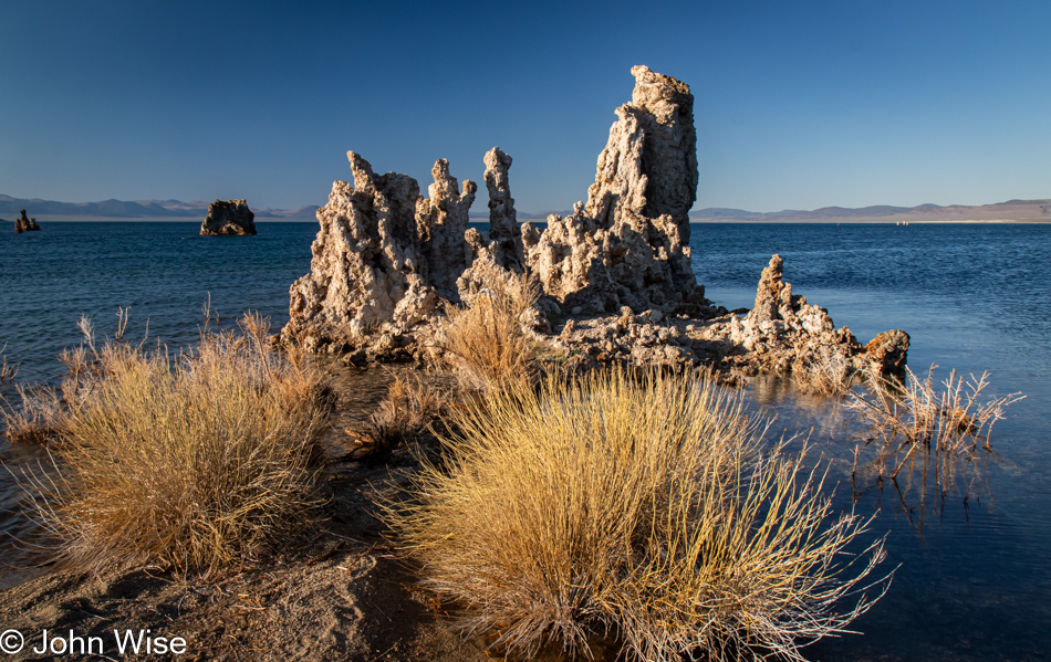
Now if the deal with the devil were in any way true, I assure you that I wouldn’t have bargained for the abundance of travel where I could marvel at rainbows, seashores, pretty flowers, dripping mosses, tufas, romantic sunsets, and a wife who marvels at sand dollars, yarns, and music that makes her cry, my deal would have been to have John McAfee’s life of hookers, cocaine, and $100 million to fuel a salacious life of hedonism and absolute irresponsibility.

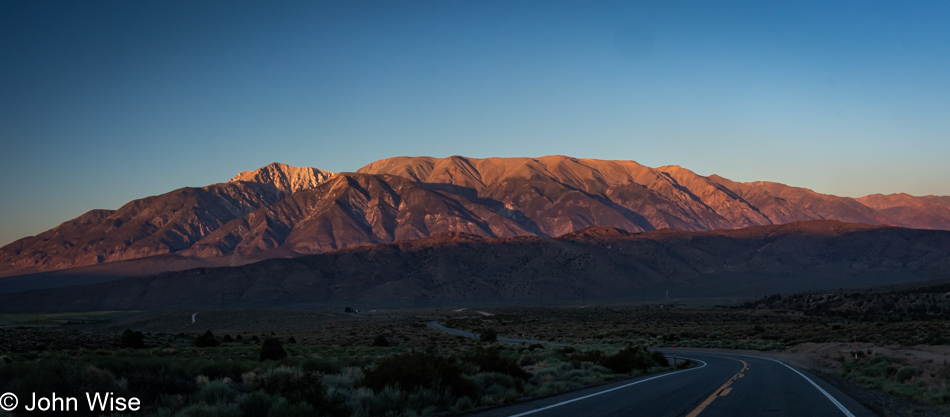
Granite Mountain near California Route 120, California

Another new road was added to our historic Map of America, where we track the roads we’ve driven. This is California Route 120 from Mono Lake, which is bringing us to Nevada.

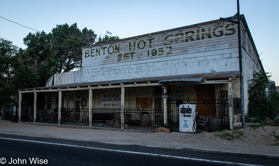
Benton Hot Springs, California

There are some mighty remote hot springs in what is nearly a ghost town here at the crossroads near the Nevada-California border. Returning here will take a serious effort, as Benton Hot Springs is truly off the beaten path.

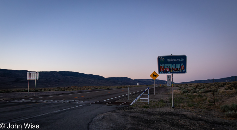
On U.S. Route 6 entering Nevada

While the sun was quite low in the sky when we merged onto the Grand Army of the Republic Highway, we’d covered the majority of Routes 120 and 6 with enough light to feel we had a good idea of what the terrain looked like, so we can properly claim to have experienced this corner of America.

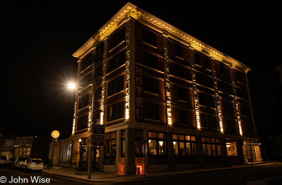
Belvada Hotel in Tonopah, Nevada

It was well after 9:00 p.m. when we pulled into Tonopah, Nevada, where I’d booked a stay at the historic Belvada Hotel. Rare is the day we sleep in accommodations more than a couple of floors high, with such lofty prices of a couple of hundred dollars for the night. Was it worth it? Not really, other than the idea that we are helping support a small town and a historic site. Next time, we’ll stay at the world-famous Clown Motel, also here in Tonopah, though, at $175 a night, it isn’t all that much cheaper. No matter as using Satan’s credit card, we can have anything we want.

Hello Again, California

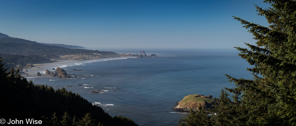
Cape Sebastian Scenic Overlook south of Gold Beach, Oregon

Is that California out in the distance? Not yet, but soon. Today’s setup down in Gold Beach was intentional for what would be our next stop today. First though, we made this quick stop at Cape Sebastian, not only for the view, but as a reminder that we want to take the trail from up here all the way down to the ocean.

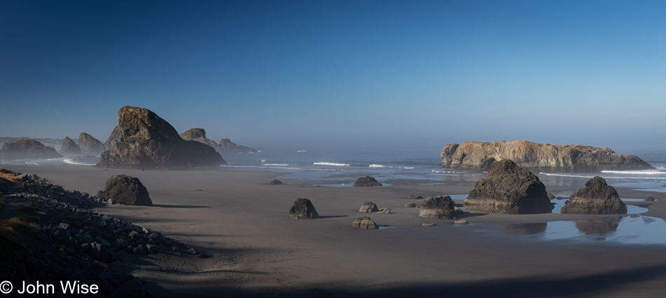
Meyers Creek Beach north of Pistol River, Oregon

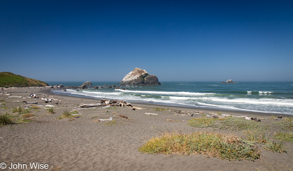
This is the spot we had to visit as our last stop in Oregon on this mighty, amazing coastal adventure we’ve been experiencing. Meyers Creek Beach has long been a favorite.

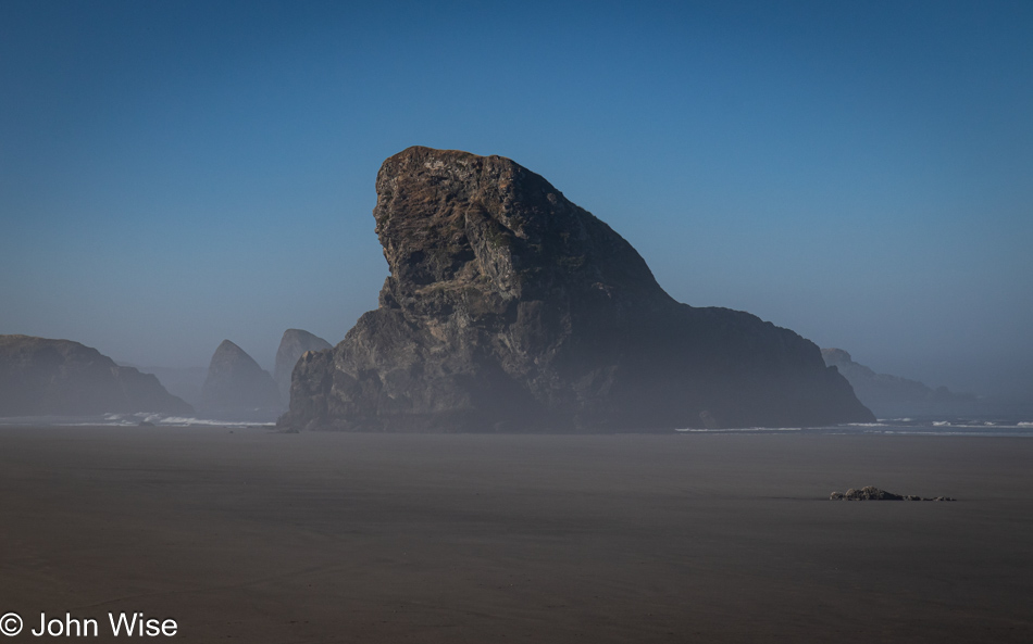
Meyers Creek Beach north of Pistol River, Oregon

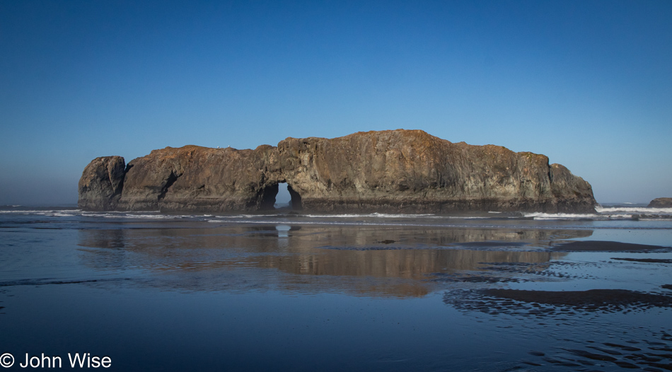
Before we ever knew the proper name of this beach, we called it the Sharkfin Beach for obvious reasons. It is this rock jutting out of the sand and sea that created this affinity and keeps us coming back.

Meyers Creek Beach north of Pistol River, Oregon

We took time to linger in the fading moments that could be allocated to time on the Oregon Coast. While there’s some likelihood we’ll return this November, as I’ve already started making reservations, one never knows what tomorrow brings, so we have to take every second to absorb all we can.

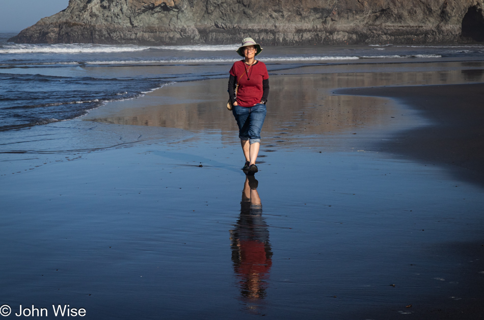
Caroline Wise at Meyers Creek Beach north of Pistol River, Oregon

Note the hands in the pockets instead of holding the reins of Happy McKiteFace; there was no wind here, zero, zilch.

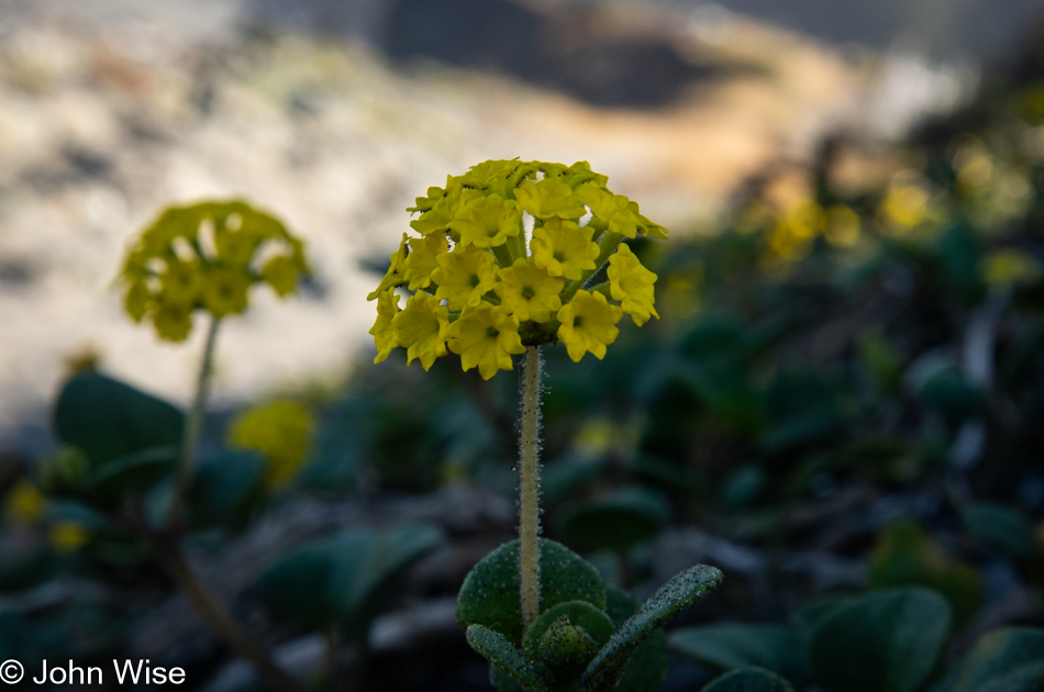
Coastal sand verbena at Meyers Creek Beach north of Pistol River, Oregon

Leaving the beach, we caught a whiff of this flowering plant that is not in bloom during our November visits. It is coastal sand verbena, and it smells brilliant.

Redwoods in Northern California

We’re on Wonder Stump Road just north of Crescent City, which is less than 15 miles from where we crossed from Oregon to California on Highway 101.

Redwoods in Northern California

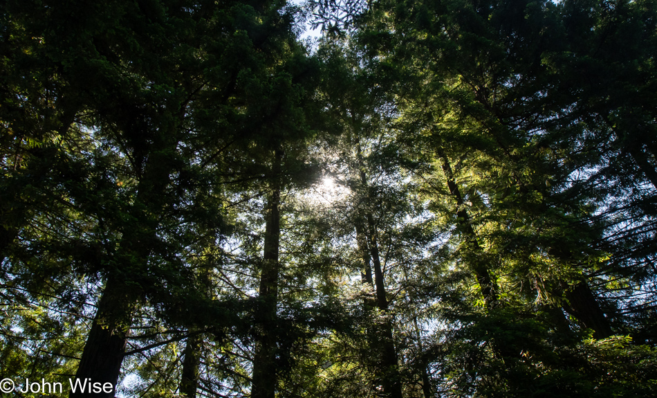
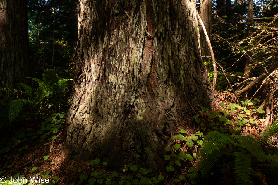
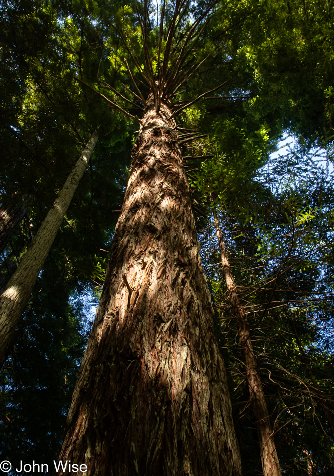
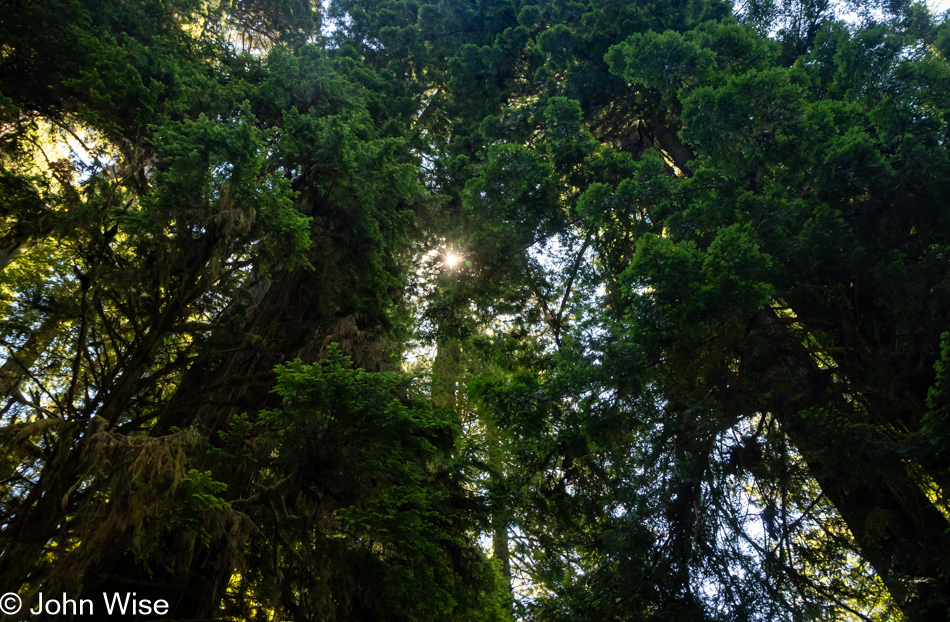
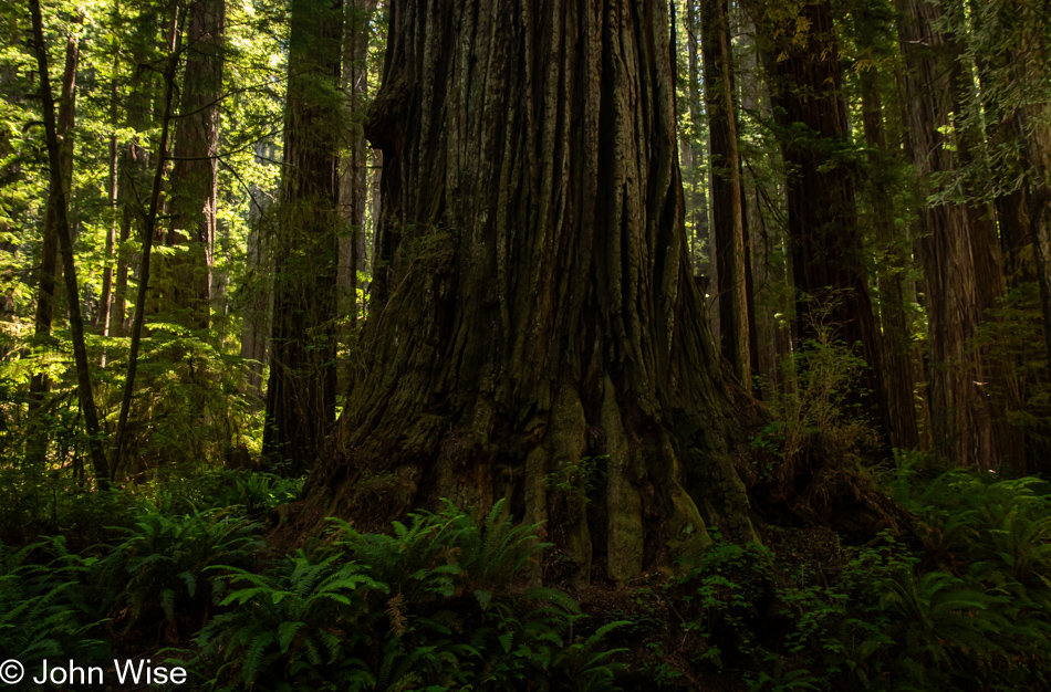
These trees are today’s first encounter with the redwoods, and while some may think that 5 million of these giants of the more than 100 million that once existed is an adequate number, keep in mind that there are 39 million people living in California and nobody is suggesting the state is running out of habitable land. The tree we are standing below might be about 30 feet in diameter, meaning it could be about 300 to 400 years old. The Lost Monarch tree in Jedediah Smith Redwoods State Park has a circumference of approximately 84 feet (25.6 meters) while the oldest redwood is estimated to be about 2,200 years old, so even if humanity were to attempt to restore what we’ve ruined, not us, our children, grandchildren, or great-grandchildren would be around to see one of these trees reach even this circumference.

Redwoods in Northern California

It’s peculiar to my primitive brain how I can be so impressed standing at the base of one of these trees, and yet there is an entire ecosystem above me that is unvisitable and must remain a big unknown to my senses. The canopy of the redwoods may as well be at the bottom of the sea or on the moon.

Redwoods in Northern California

The Wonder Stump Road might only be two miles long, but we were lost under these trees for nearly as long as it would have taken to walk the road.

Overlook in Klamath, California

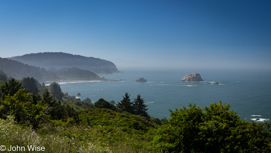
Had our goal been to get as far south as fast as we could, our time at the edge of the continent would have been a lot shorter, but that would have brought an unceremonious end to this trip, and so our route was designed to maximize time at the coast and allow us to dawdle.

Wilson Creek Beach in Klamath, California

Wilson Creek Beach was afforded a quick stop, a photo and go.

Prairie Creek Redwoods State Park in Orick, California

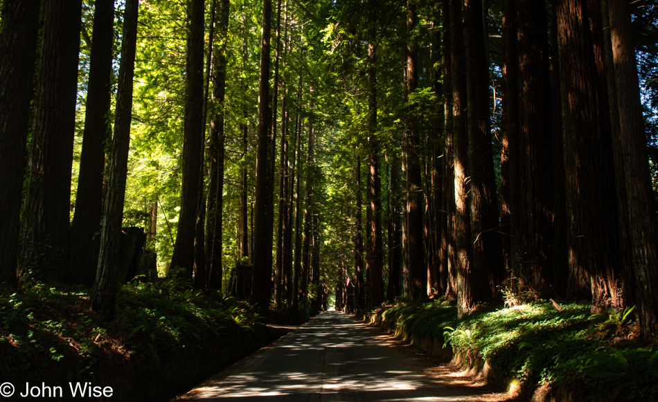
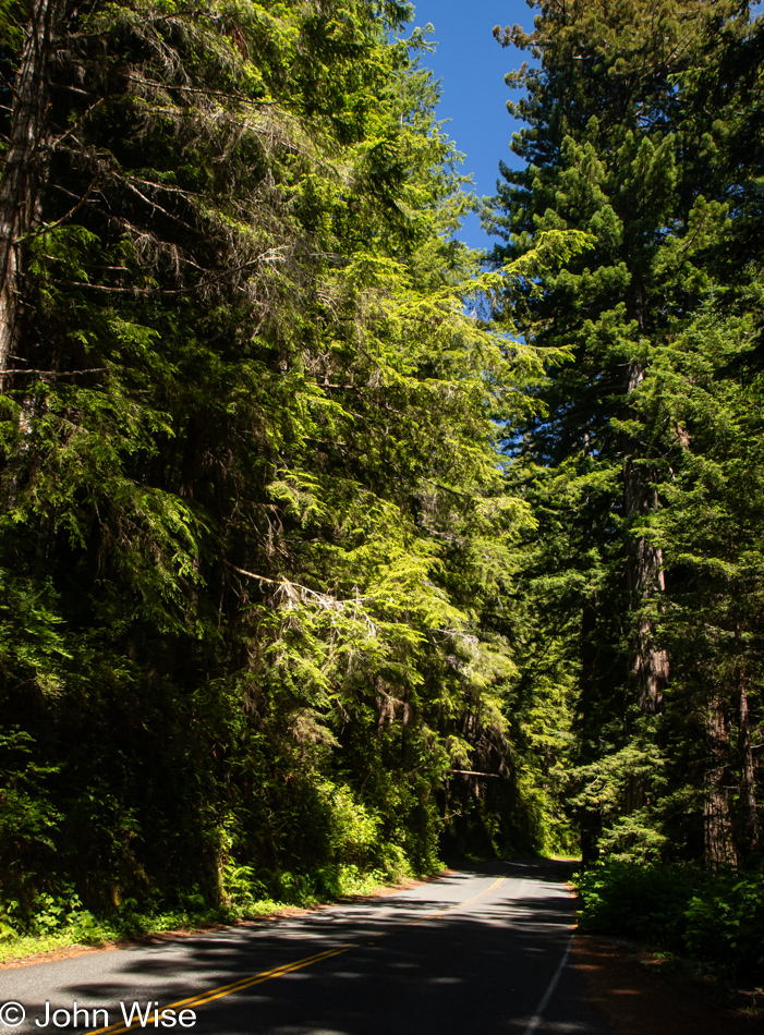
We’ve turned off Highway 101 at the Newton B. Drury Scenic Byway in the Redwoods National Park on the way to the Prairie Creek Redwoods State Park to slow things down even further. To simply drive by and ignore these trees and their lush environment feels like sacrilege.

Tiger Lily at Prairie Creek Redwoods State Park in Orick, California

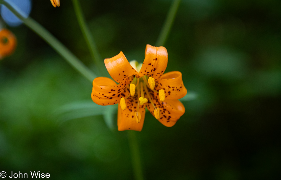
Caroline spotted tiger lilies next to the road, but often, there was nowhere to easily pull over, so we continued on until we found some near a pullout.

Prairie Creek Redwoods State Park in Orick, California

Sadly, there’d be no time for a hike into the woods because while we can take our time, as long as we reach Ukiah, where we have a hotel reservation, I have plans for a side trek off the beaten path to a place on the coast we’ve never visited before.

Prairie Creek Redwoods State Park in Orick, California

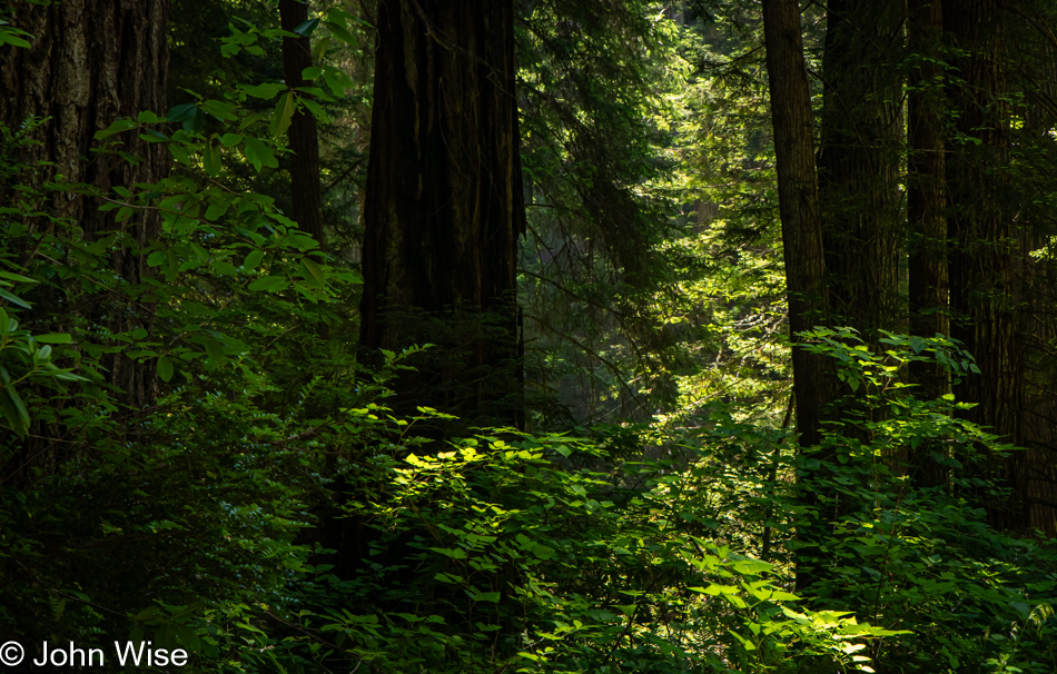
These forays into forests that stretch far into the sky are difficult places to photograph, at least for me, as there is so much to see and only so much that can be captured adequately in a photo. While standing under these ancient and massive trees inspires us, there is no easy method of sharing just how grand it all is.

Prairie Creek Redwoods State Park in Orick, California

The ancestors of redwoods emerged about 200 million years ago, and then about 50 to 100 million years ago, the species split into the two types we know today, the coastal redwood and the giant sequoia. Maybe that’s what contributes to the sense of otherness, or whatever it is that feels different than other places; there are few living things on earth that we can stand amongst that have been on the planet longer.

Patricks Point Drive in Patricks Point, California

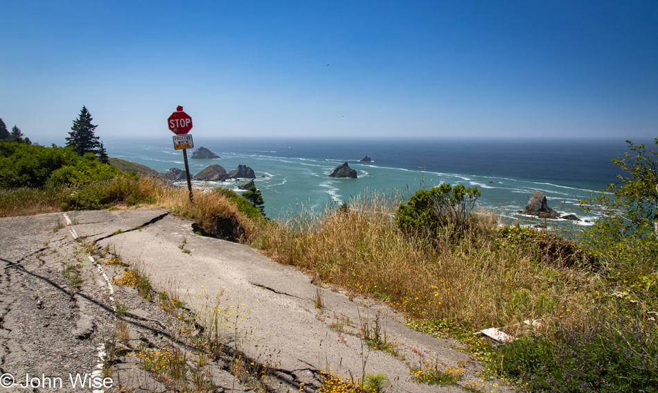
Heed this stop sign, or you will certainly regret your indiscretion. We are on Patricks Point Road.

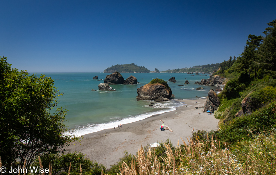
Luffenholtz Beach in Trinidad, California

This is Luffenholtz Beach south of Trinidad, and while Caroline and I drove at least part of this road back in 2006 (we know we did because there’s a blog post) neither of us has any recollection of that drive. As a matter of fact, in 2020, we thought we were traveling this road for the very first time, stating just that in a post.

Mattole Road near Ferndale, California

We have left Highway 101 again, this time for a road we are absolutely 100% certain we’ve never driven before. The initial stretch of road is California 211, but in Ferndale, the road shrinks as we head out on the Mattole Road for the Lost Coast.

Mattole Road heading towards Cape Town, California

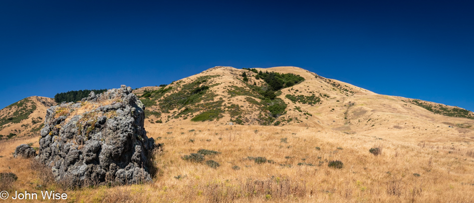
Many sections of the road out here are only a single lane, and they are also in tight curves with big blind spots, so stopping is not an option. Then, we emerge from the dark forest into wide-open vistas that are idyllic, serene landscapes.

Mattole Road heading towards Cape Town, California

Without guardrails, I’m inclined to hug the centerline and drive at barely 20mph, else we risk falling off the road and into the infinity of time.

Cape Town, California

We’ve arrived in Cape Town, as in California, not South Africa.

Mattole Road heading to Black Sand Beach on The Lost Coast of California

After driving for a while, we had some idea of the frequency of other cars traveling this road and felt okay about stopping in the middle of the street and jumping out for a photo.

Adjacent to Black Sand Beach on The Lost Coast of California

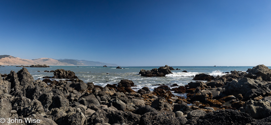
You wouldn’t know it from this view, but we’ve arrived at the Black Sand Beach down here on the Lost Coast north of the King Range National Conservation Area. I’ll turn around and show you.

Black Sand Beach on The Lost Coast of California

There’s nothing and almost nobody else down here.

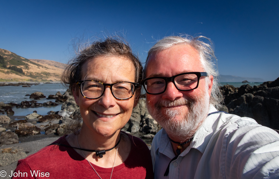
Caroline Wise and John Wise at the Black Sand Beach on The Lost Coast of California

Well, there were these two dorks hanging out looking for the things we’d possibly not seen before.

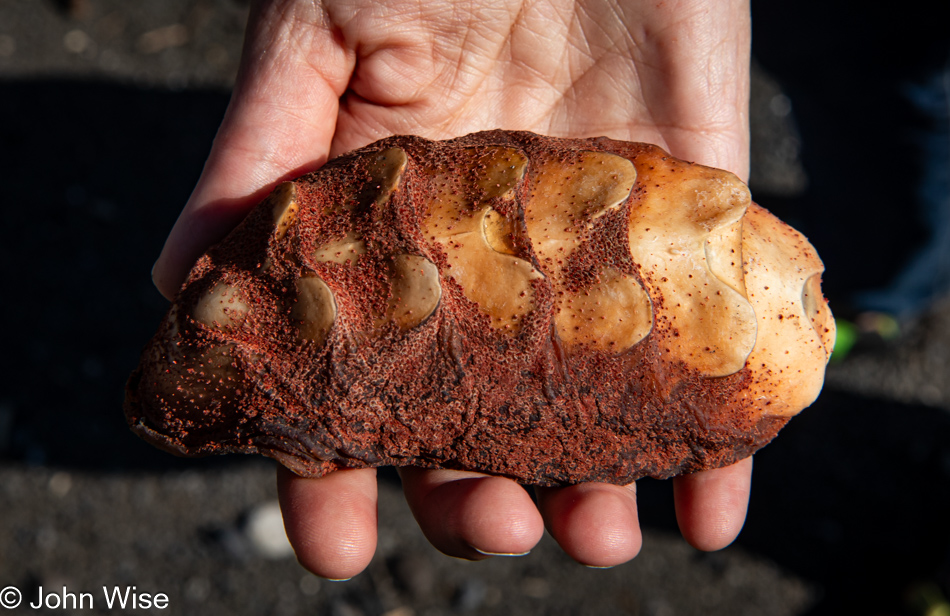
Gumboot chiton shell at the Black Sand Beach on The Lost Coast of California

Seek, and you shall find. We were on our way back to the car when I spotted something peculiar that turned into the great treasure of this month away from Arizona: the shell of a gumboot chiton.

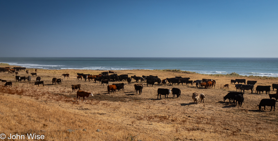
Point of Cows on Mattole Road at The Lost Coast of California

Somewhere along the road, and not marked, is the Point of Cows. That’s what we are calling this in lieu of finding the exact spot from the map.

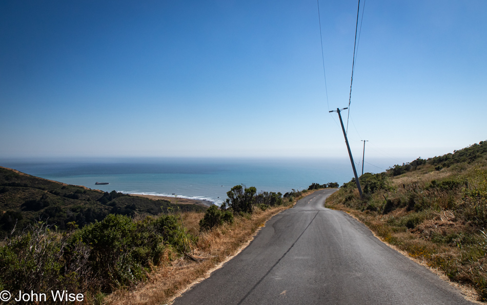
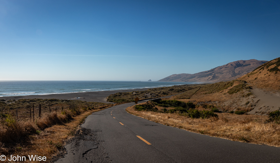
Mattole Road near Petrolia, California

This concludes our coastal adventure as we turn inland and start the serious effort to move ourselves closer to home.

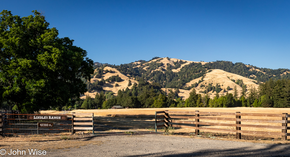
Lindley Ranch in Petrolia, California

Much of the landscape for the first 20 miles after leaving our turn inland was similar to what we were driving past on our way out, but still, I felt I should offer at least a peek at what is on this end of Mattole Road as we drive through Petrolia.

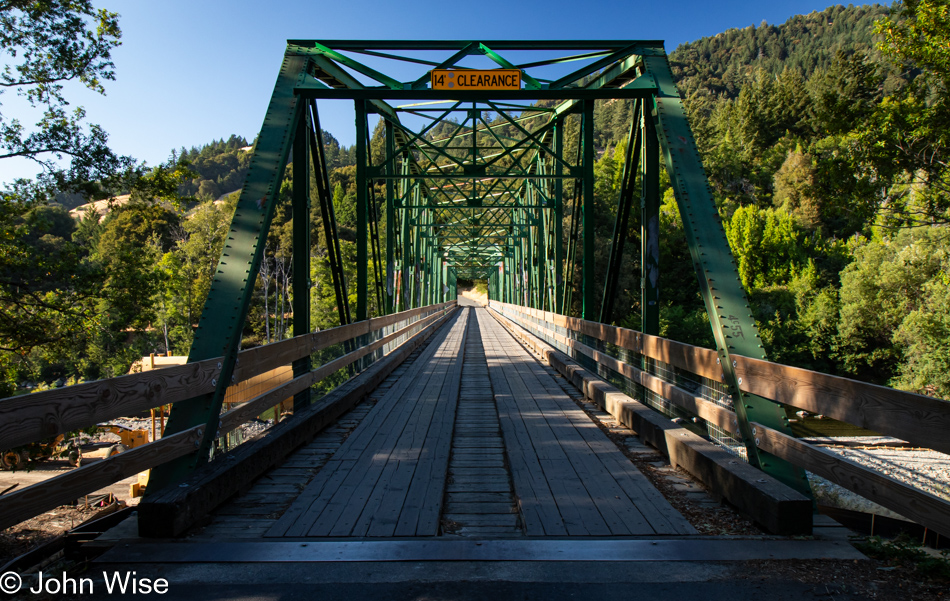
Mattole River Bridge in Honeydew, California

Our last photo of the day is from the Mattole River Truss Bridge in Honeydew, population 277, of which we met three of the locals. They were sitting near the bridge and informed us that this old relic from 1920 is going to be torn out and replaced with a modern structure. We learned a few other things from the heavily stoned and friendly people, but what they didn’t tell us was that we should probably have used this bridge and taken the northern route back to Highway 101 because the way we went included some sandy loose gravel sections of road in tight curves on steep mountainsides. More than once, I was given an adrenalin boost from the abject terror I was feeling as we started losing traction, and fear informed me that if I lost momentum, our tires would never grip this stuff well enough to let us finish going up the incline. I was close to panic. Consequently, I didn’t stop one time before reaching Highway 101, and by the time we reached Ukiah for the night, I was exhausted. What an adventure it was.

California to the Oregon Coast

Susanville, California

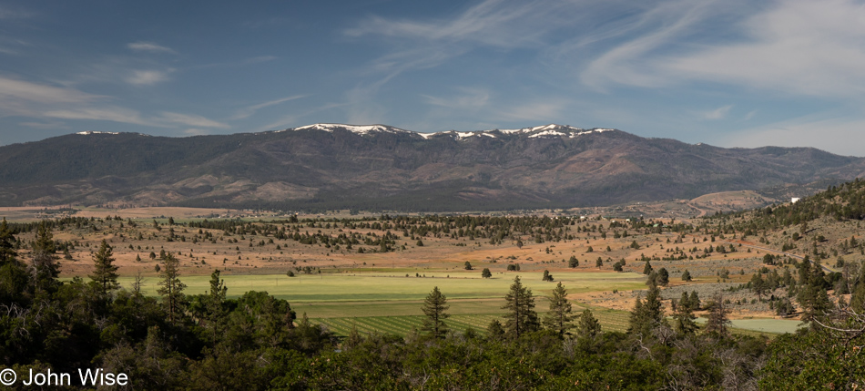
This is one of those days dictated by driving requirements where a destination and hotel reservations are already fixed, but that doesn’t stop flights of fantasy from intruding into our thoughts to help paint new dreams. With only 45 miles between us and Lassen Volcanic National Park, we’d like to return to that park for a hike up the volcanic peak, which we didn’t have time for during our previous visit 20 years ago. Crater Lake, last visited 20 years ago, will also be nearby today, but we know that the rim drive doesn’t typically reopen until early July due to the heavy snow, so we discussed the possibility of making a trip up this way again later in the year just for Lassen, Lava Beds, and Crater Lake National Parks.

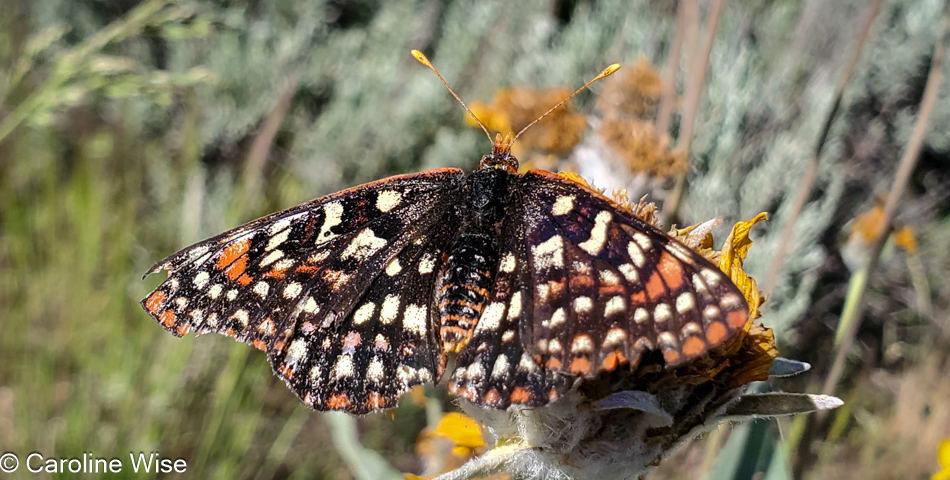
Butterfly next to California Highway 139 north of Susanville.

We thought we might have seen an eagle, which might have been appropriate considering that we were driving by Eagle Lake up California Highway 139, and then there were the pelicans weaving in and out of tufts of grasses, which were likely floating islands of tule reeds, growing in the shallows of the southern end of the lake. I shouldn’t forget to mention the ducks and other birds, but it was this fritillary butterfly that Caroline ended up capturing with her camera in between its frantic fluttering about.

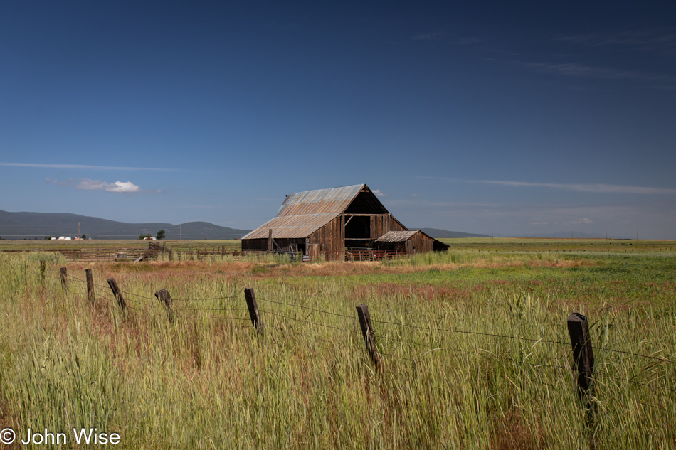
Barn next to California Highway 139 north of Susanville.

I am compelled to overshare, which I think, in part, is triggered by the countless times I’ve casually listened to people stating how much they dislike driving big distances. For them, the drive is boring, there is nothing to see, their spouse/children/dog/cactus are too impatient after 26 minutes in the car, or they’d like to go but are waiting for the right time. There is no “right time” to get out on the roads of the country we live in! So much changes over the years, and time easily gets away from us.

Stream next to California Highway 139 north of Susanville.

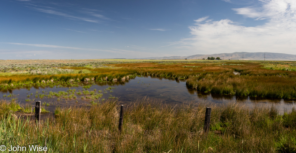
We’d been passing marshy lands for miles…

California Highway 139

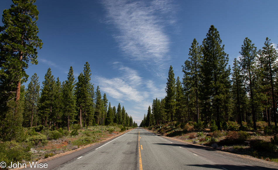
…and slicing through just as much forest.

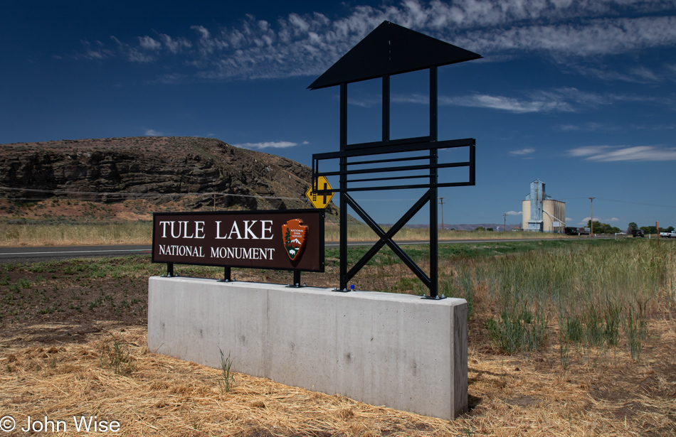
Tule Lake National Monument Visitors Center in Newell, California

Seeing how we’ve never traveled this exact road through California before, we were surprised by this sign for Tule Lake National Monument, which prompted us to stop in the visitor center and learn why a lake had become a national monument. Well, it turns out there is a giant chunk of history, none of it good, that happened right up here in the Klamath Basin, once known as the Everglades of the West and subsequently as a concentration camp for Japanese people during World War II.

First up, the Everglades part of the story: Tule Lake had once been a very large lake, that is, until the Bureau of Reclamation decided that the wetlands and lake needed draining so farmers could use the land. Today, 95% of the wetlands are gone, as are the majority of the millions of birds that contributed to the area being called the Everglades of the West.

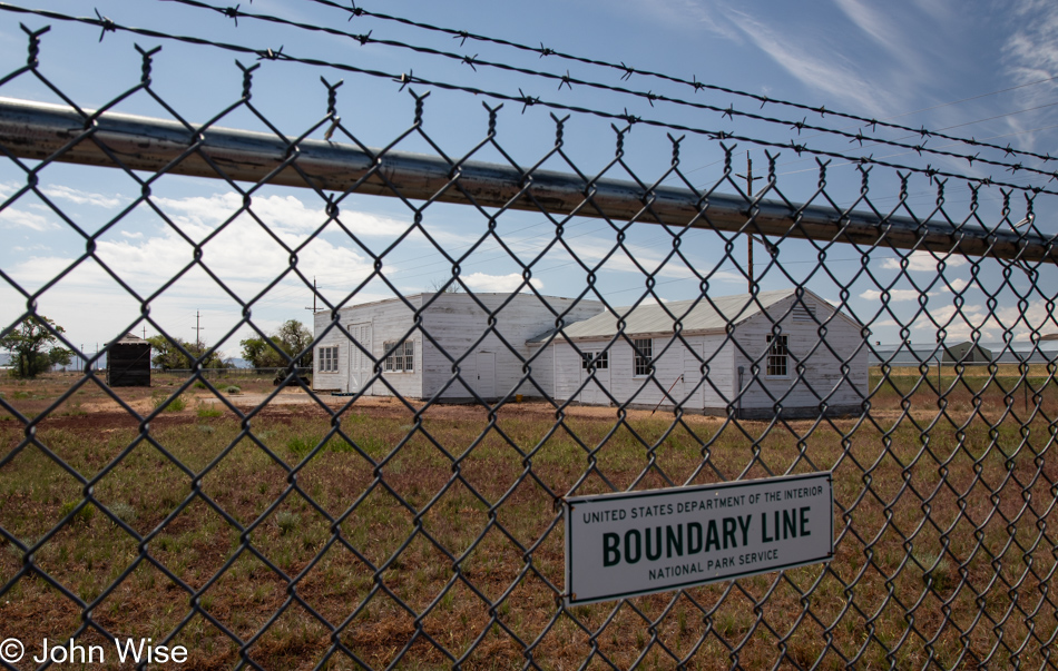
Old jail at the Tule Lake National Monument in Newell, California

Then there’s the matter of what once had been the largest concentration camp for Japanese prisoners. I mean American citizens of Japanese ancestry. At the largest capacity, 18,700 mostly Americans were imprisoned here, though, over the four years that the camp was in operation, more than 29,000 men, women, and children alike were kept here. Like the majority of the ten concentration camps operated in the U.S., most of the facilities were cleaned off the map while American forces in Europe helped ensure Nazi Concentration Camps remained to remind the world of the injustice endured by “Undesirable” European citizens. Only a handful of minor buildings still exist here at Tule Lake, such as this old jail that can only be visited at 9:30 in the morning, when staff is available. During the years of incarceration, these Japanese Americans lost their homes, businesses, and property, but let’s get real: everything was seized from them, just as the Germans had done with Jews, Roma, gays, people with handicaps, Slavs, and others.

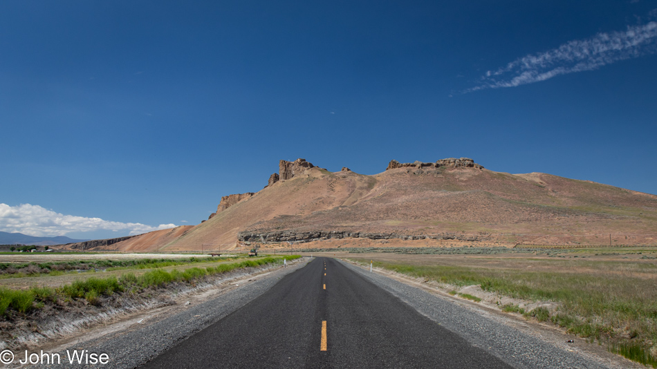
Road to Petroglyph Point in the Lava Beds National Monument in Newell, California

Oh damn, I almost forgot the injustices committed against Native Americans, such as the Klamath People, the Modoc, and the Northern Paiutes, who were part of a band known as the Yahooskin. Back in 1954, federal recognition of the Klamath Tribe was terminated with the loss of all of their lands. By 1986, recognition was restored, and they were granted about 1% of their former lands, or an area the size of Central Park in New York City. Anyway, enough of the pedantic stuff; we are out here to visit Petroglyph Point in the Lava Beds National Monument.

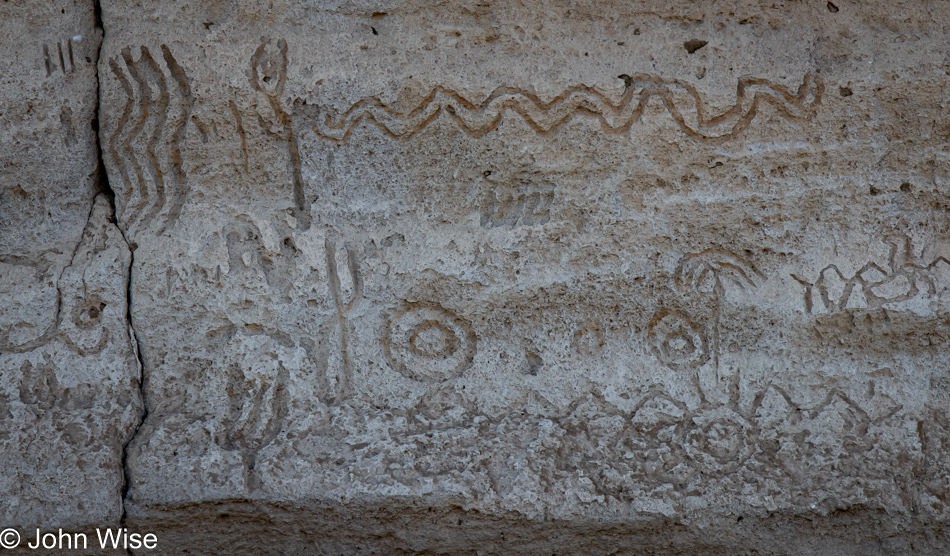
Petroglyph Point in the Lava Beds National Monument in Newell, California

Of course, all of the petroglyphs are behind a fence due to the truly wretched amount of destruction they’ve suffered. This was not a fun place to visit.

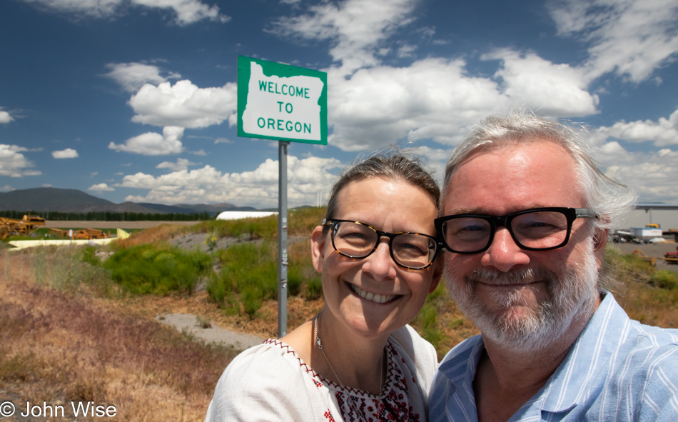
Caroline Wise and John Wise entering Oregon from Hatfield, California

Oh, looky here. You see that “Welcome to Oregon” state sign behind us? Well, that can only mean that we are arriving at our happy place, though for anyone who knows us, everywhere is our happy place. Wait, that’s a lie! I really don’t like Walmart.

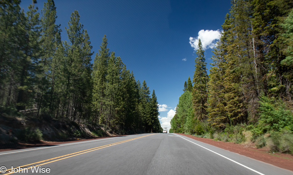
Oregon Highway 39

If I shared a photo of every moment worth remembering for Caroline and me, I’d have to record everything to video, only turning it off when we pass through cities and towns that have succumbed to franchise mania.

Oregon Highway 39

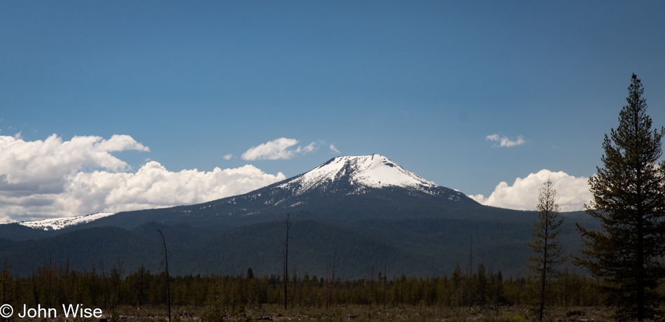
Some miles behind us we saw a great cragged peak behind the Upper Klamath Lake, and while I would have liked to share an image of it, there was nowhere to pull over to snap an image. So, I present you this nameless still-snow-covered mountain to capture the spirit of my intent.

Cherries in Chemult, Oregon

At midday, we stopped in Klamath Falls, Oregon, for lunch at Dave’s Brawny Burger, after which Caroline indulged in her second milkshake on this trip in so many days. This one was huckleberry-flavored. Passing through Chemult, Oregon, the Featherbed Inn we once stayed at has been rebranded, but that wasn’t surprising. These cherries, on the other hand, were a pleasant surprise. For a second, I needed to think about this idea and realize that in an age when nearly all fruit and vegetables are available year-round, it is at these seasonal times when things are at peak flavor that we have to take advantage of this opportunity, and support these roadside vendors.

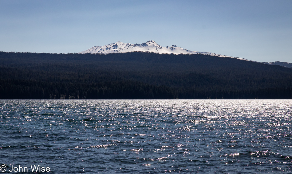
Diamond Peak over Odell Lake in Crescent, Oregon

Diamond Peak over Odell Lake in Crescent, Oregon.

Dexter Reservoir in Lowell, Oregon

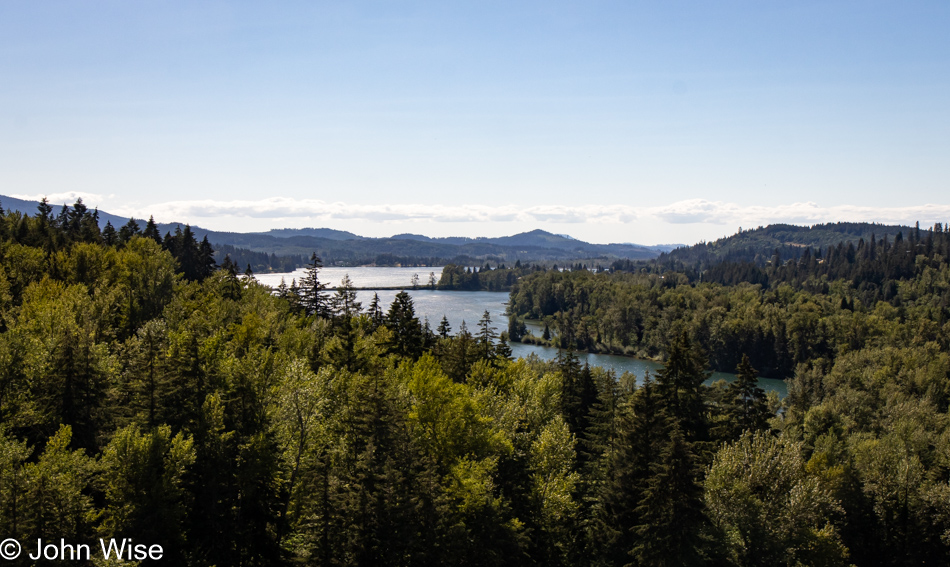
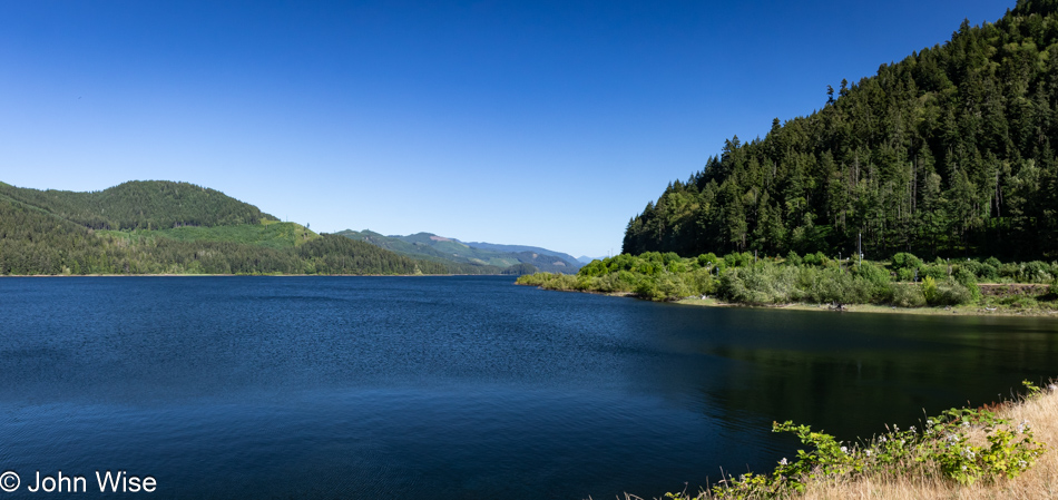
With all the driving we are doing today and yesterday, we are coming up short on our step count, so we try from time to time to get ourselves out of the car for a short walk. This stop was on the outskirts of the town of Lowell, Oregon, where we were able to walk across some railroad tracks and up onto the Lookout Point Dam, separating the namesake waters behind it and the Dexter Reservoir ahead.

Lookout Point Lake in Lowell, Oregon

These are the waters I was just mentioning: Lookout Point Lake.

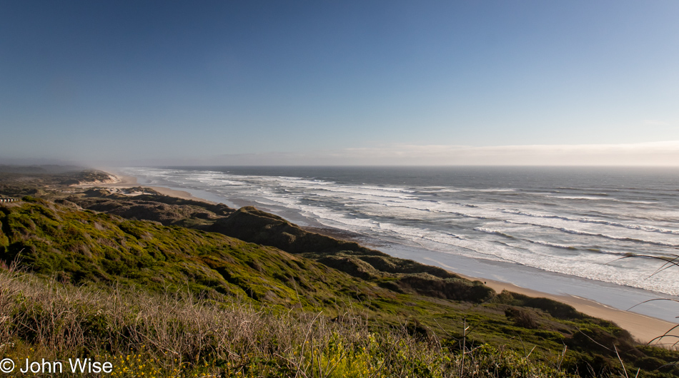
Pacific Ocean Southview Overlook in Florence, Oregon

We were already familiar with the road that would bring us from Eugene, Oregon,  to Florence, Oregon, as it’s the one we drove on our last visit to the coast back in 2022. This is taken from the Pacific Ocean Southview Overlook. Over the years, I’ve taken more, a lot more, than the 240,779 photos that are on my computer today, and it is for a situation just like this that I could benefit from an AI that can scan all of my photos and group similar locations together, identify the specific locations if possible, and when requested, fix the poor resolution of those images I shot that are between one megapixel and about eight megapixels.

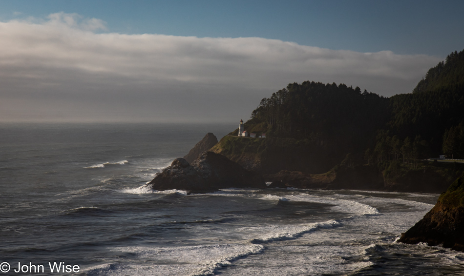
Heceta Head Lighthouse in Florence, Oregon

Just a little further up the road, a sketchy corner on the wrong side of the street has us crossing our fingers about oncoming traffic as we bolt out of our mountain-hugging lane to stop at the Heceta Head Lighthouse overview perched at the edge of the earth.

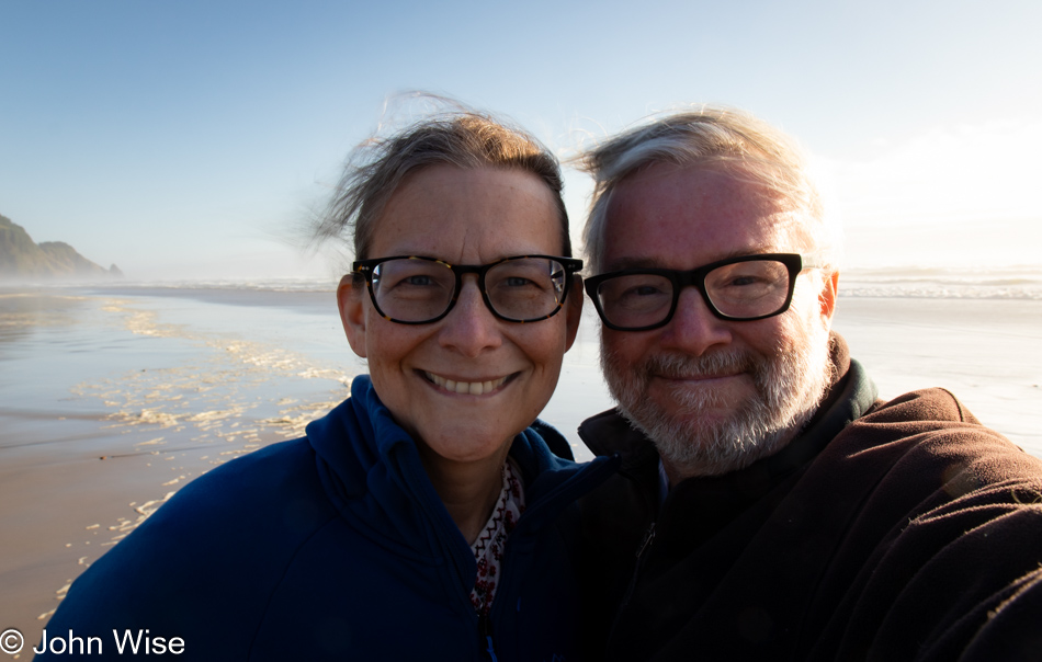
Caroline Wise and John Wise at Carl G. Washburne Memorial State Park Beach in Florence, Oregon

It was shortly after 7:00 p.m. when we stopped at the Carl G. Washburne State Park Beach just for the facilities, only to find out they had been locked up tight at 7:00. Undeterred, we peed our pants, girded our loins, and washed our bits in the tropical waters of the Oregon Coast. These are the satisfied faces of having wet ourselves just before walking into the surf to rinse off.

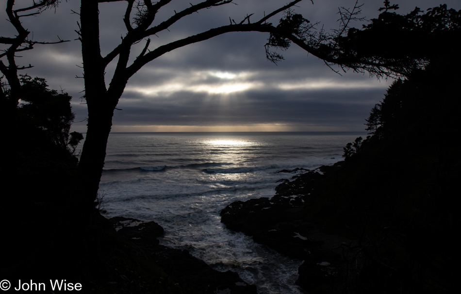
Devils Churn in Yachats, Oregon

Our last stop trying to capture what will have to stand in for sunset was at the Devils Churn overlook south of Yachats, Oregon. Dinner was a simple shared bowl of steamer clams at Luna Sea Fish House in Seal Rock before finishing our drive to Lincoln City, where we’d be staying a night before taking over a house back down the road for the next few weeks. More about that tomorrow.

Western Nevada

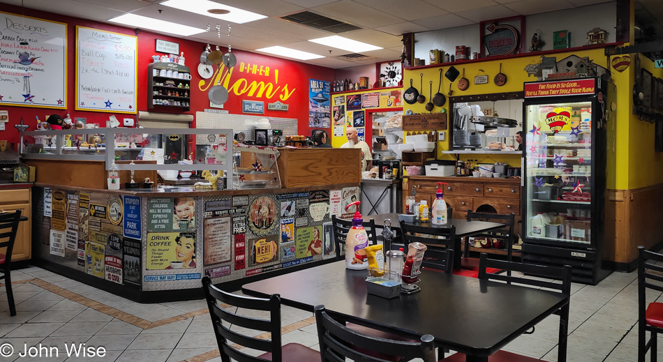
Mom's Diner in Pahrump, Nevada

We’ve arrived at the congregation of the elderly found in Mom’s Diner in Pahrump, Nevada. With about a dozen of us in here by the time we were ready to leave, our collective age is approaching a four-digit number I’d need a calculator to figure out. Off the main drag, this is obviously a locals’ place, easily evidenced by literally everyone who’s walked in showing their familiarity with everyone else. If it was Sunday, I might think we were in church; this being rural Nevada, it just might be a form of church anyway. Our no-nonsense breakfast was everything one might hope for from a place surviving the constant onslaught of the big chains encroaching on these still independent joints that grow rarer every year. At what point must we capitulate and join the herd at the drive-thru window collecting a coffee and a breakfast sandwich instead of finding these bastions where the hits of the 70s arrive with the half-surly attitudes of servers working the crowd armed with pots of coffee keeping our mugs topped off? With more than 500 miles through the empty western edge of this state ahead of us, we are now ready to take on the day.

Pahrump, Nevada

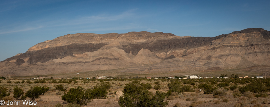
Layers have never failed to attract us with their stories which are not easily understood beyond the basic idea that sedimentary collections of the earth have formed due to erosion or accumulation of marine layers, and then the tectonics of plate movement move things around, producing folds and tilting to remind you that, as measured in earth time, the force of our planet is something to be amazed by. I should point out we are near the far eastern edge of Death Valley National Park, a place of great colorful layering. If time allowed, we’d be detouring through it, but we are on a fairly tight schedule with a couple of destinations we must reach, one today in Susanville, California, and another farther northwest we’ll be driving to tomorrow (Sunday).

On the NV-60 Highway in Nye County, Nevada

In yesterday’s post, I wrote of needing to remain current each day with the sharing of photos and my thoughts. I should have considered taking familiar freeways which would have limited our opportunities to stop and gawk at beautiful stuff, but by avoiding the beaten paths, half of our route today will traverse areas that are new to us and will require many stops to admire the beauty of it all. To that end, I prepped 25 of the more than 200 photos I shot today, and now my job is to try writing something or other for each image included in this post. The trick will be that at the time I’m typing this it is already Sunday morning, one day after I took these photos, and we will soon be heading out of our motel for breakfast and then we’ll embark on another nearly 500-mile drive while stopping just as frequently to take even more photos.

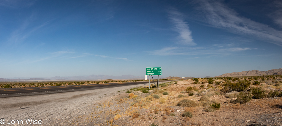
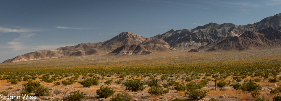
Highway 95 in Western Nevada

Before leaving Arizona, I’d seen that the media was flush with stories about the HEAT DOME terrorizing the western U.S. Well, sure enough, it’s hot out here in the desert, but not so hot that everything is burned to a crisp, which was what we were expecting. The lush, deep green of springtime in the arid landscape would enchant us for the majority of the day, capturing just how spectacular it all looked would prove somewhat elusive, but it wasn’t for lack of trying.

Beatty, Nevada

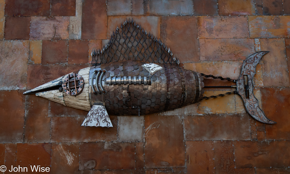
Pulling into Donkeyville, USA, a.k.a. Beatty, Nevada, we were surprised by a new casino under construction that is taking shape in the form of a steampunk-themed place. As for the herd of donkeys we’d seen here on our last visit, no sign of them this morning, but the steampunk tuna, along with the insects and other stuff on the iron-clad façade, are definitely a draw requiring a stop.

Goldfield, Nevada

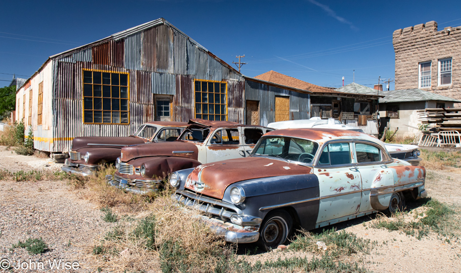
Sometimes, when we are out in the Western United States, we can never really be sure if we are traveling a road we’ve been on before and simply forgot to note it on our map of the U.S., but here in Goldfield, Nevada, once the state’s largest town, we are now certain we’ve never been to this outpost taking on the appearance of becoming a ghost town. There is so much more to see here, but only so much space on the blog and only so much I can write to capture our day.

Crescent Dunes Solar Energy Project in Tonopah, Arizona

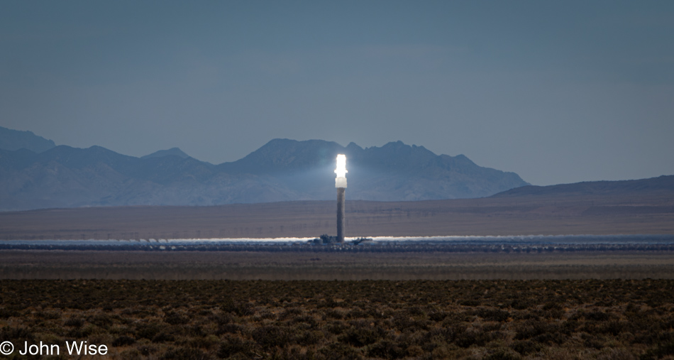
We’ve seen one of these sunsticks before, over in California on a previous trip. This is the Crescent Dunes Solar Energy Project in Tonopah, Nevada, which uses mirrors below the tower to concentrate the light of the sun on the tower where, typically, a Sterling Engine works to generate electricity.

Highway 95 in Western Nevada

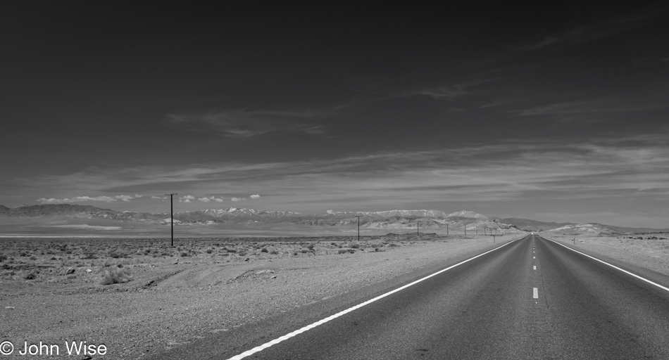
It never fails that while out on a road trip, we are reminded of the reasons we love being out here in the sparsely populated Western U.S., it is the stark, wide-open spaces where time has been slowed down regarding human change played upon the landscape. But I’m jumping the gun because farther north, we’ll learn about the carnage our policies have had on Native American populations that once flourished in the area until land use and the abuse of water rights have worked to destroy livelihoods, traditions, and the environment.

Caroline Wise in Coaldale Junction, Nevada

Back in the golden age of road travel, along the routes that sliced across America, travelers would find garages to repair their cars, diners serving up grilled porterhouse steaks and potatoes, next to gift shops inspiring kids to beg their parents to collect souvenirs which would paint their childhoods with memories of distant places in exotic landscapes. Caroline and I have heard so many times that we could never keep count of those who cannot believe that we are driving so far away when flying is so convenient in their eyes.

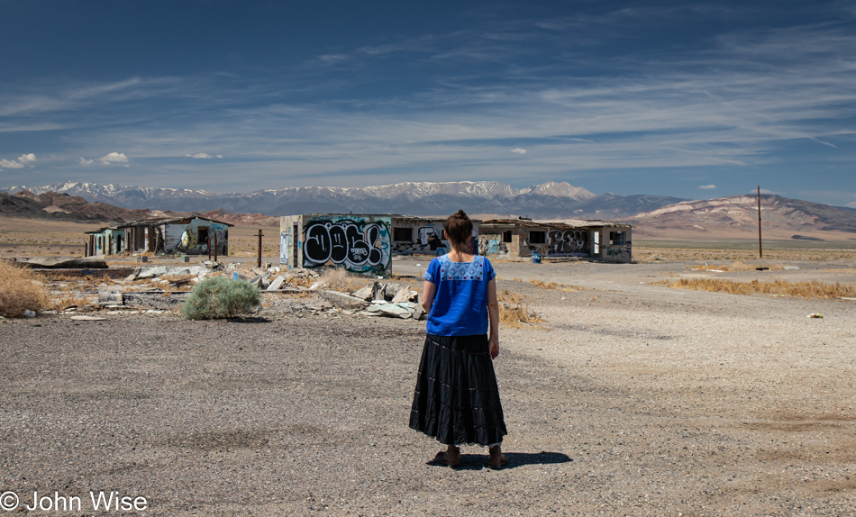
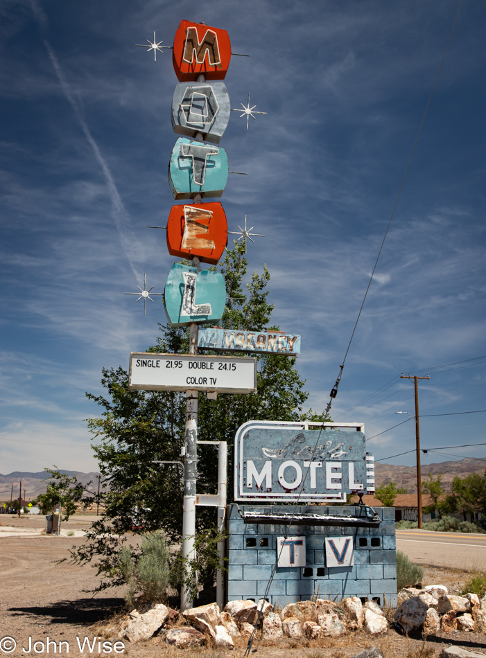
Motel in Mina, Nevada

In Mina, Nevada, we passed a now-defunct brothel south of town; it was called the Wild Cat. Passing through, not much remains of Mina, including this closed motel, but there was a great little Mexican joint selling Mexican/American food and ice cream. It’s obviously popular with passing truckers based on the three big rigs across the street.

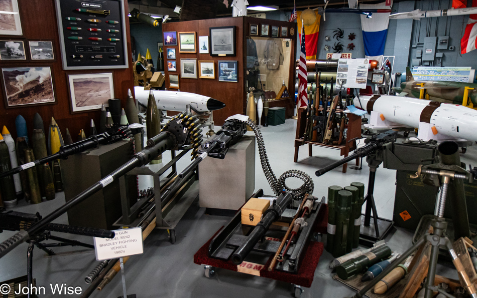
Ordinance Museum in Hawthorne, Nevada

What a weird landscape there is to be found in Hawthorne, Nevada. On the north side of this immaculately clean town, we learned why things are the way they are; this is the home of the World’s Largest Ordinance Depot. With that knowledge and seeing how empty Hawthorne was of people and how many shuttered businesses there were, we decided to make a U-turn to visit the Hawthorne Ordinance Museum before the draw-down of the facility turns Hawthorne into another dusty, crumbling bunch of ruins next to the road. Wouldn’t you know it? Four crusty veterans were working at the museum, trying hard to get us to leave with some souvenirs.

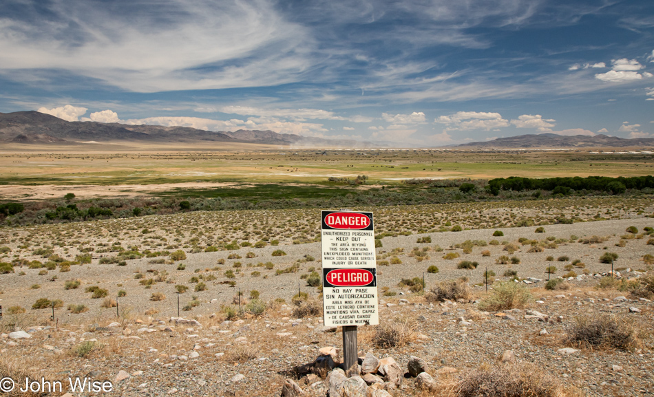
Ordinance Depot in Hawthorne, Nevada

Unexploded munitions might be present. Somehow, that’s enticing; who doesn’t want to see something go boom?

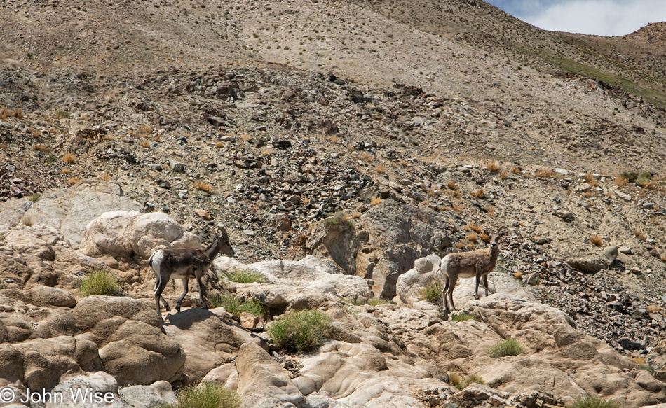
Big Horn Sheep in Hawthorne, Nevada

How often do we see signs telling us of wildlife and neither hide nor hair can be found? But for once that roadside message a mile ago telling us to be aware of big horn sheep was telling the truth.

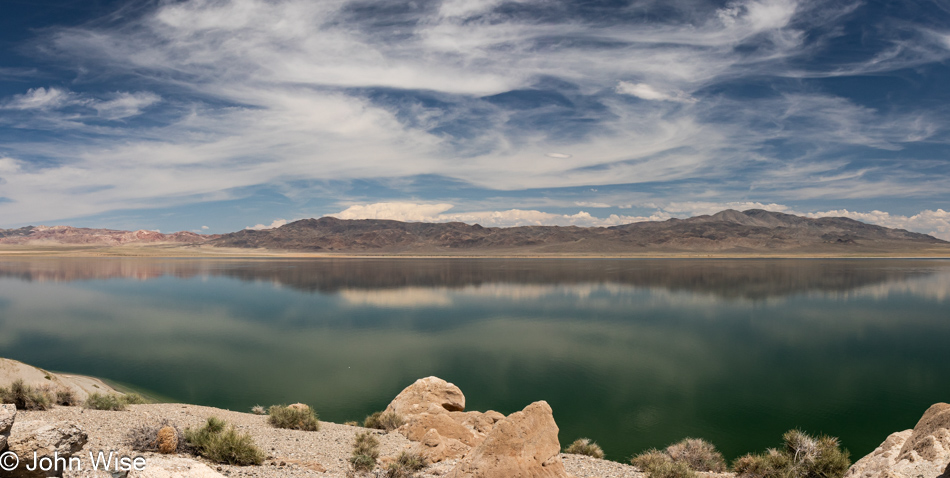
Walker Lake in Hawthorne, Nevada

This is a dead zone known as Walker Lake. It is dead because the volume of the lake being drawn down due to incoming water flows being diverted for agriculture, has had the effect of turning the lake toxic to aquatic life. The cutthroat trout that once called this home is long gone, and the Paiute Indians who relied on them can instead visit the McDonalds just down the road in Hawthorne, so at least there’s that.

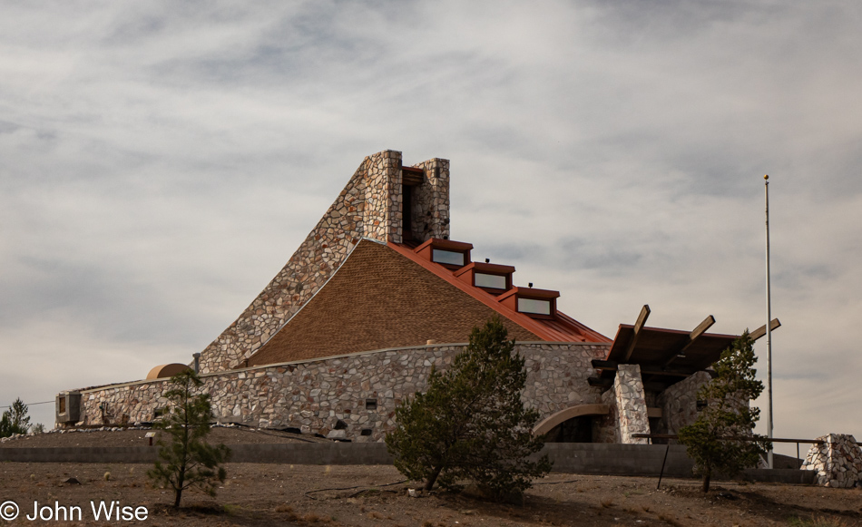
Pyramid Lake Museum and Visitors Center in Nixon, Nevada

Reason #3472 to hate Google: their stupid service told us that the Pyramid Lake Museum and Visitors Center in Nixon, Nevada, was closed today. The building was so intriguing that we drove up to find a place to grab a photo even if we couldn’t go in, and it turned out that the place was open. It’s a small place once inside, but we did learn that during Burning Man in the nearby Black Rock Desert, they get incredibly busy, maybe too busy.

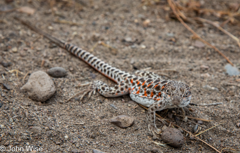
Lizard in Nixon, Nevada

Out of the museum, looking for the best angle to take my photo of the museum, I came across the most chill lizard I’ve ever had the chance to encounter. I took over a dozen images as I inched closer and closer to this guy/gal. Not only that, Caroline also got down to eye level just a few inches away from mini-Godzilla to take a dozen photos for herself. I can only imagine that the lizard sensed our good karma.

Pelicans on Pyramid Lake in Sutcliffe, Nevada

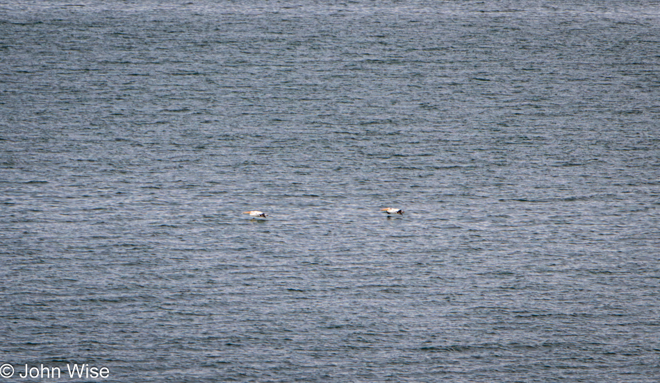
At Pyramid Lake on the Pyramid Lake Paiute Tribal lands, we learned that the lake and an island in the lake play host to breeding pelicans. While I tried to grab a halfway decent photo using my 200mm lens, it was a struggle to get anything better than this, and this is already seriously cropped in.

Pyramid Lake in Sutcliffe, Nevada

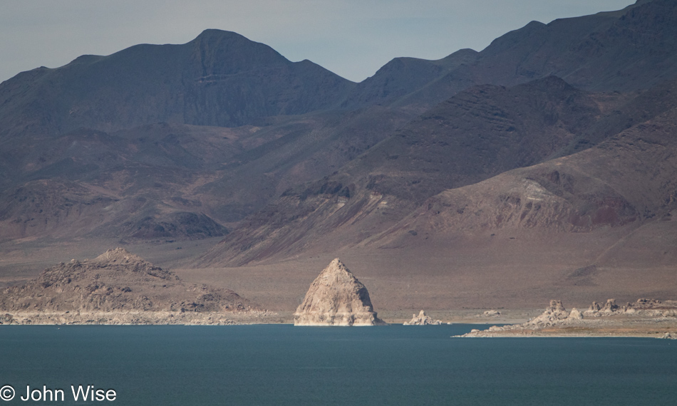
This is one of the namesake rock formations. Actually, it’s tufa that is formed from calcium leaching into the lake which combined with carbonate dissolved in the water to form the mounds. Even away from the shoreline on other side of the road we were driving on, there were tufas that formed well outside of the lake. This is because Pyramid Lake was once part of a much larger and deeper body of water called Lake Lahontan. That lake disappeared about 9,000 years ago.

Pyramid Lake in Sutcliffe, Nevada

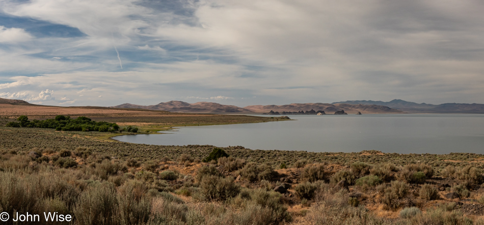
It just so happens that the book that Caroline is reading to us right now is The Dawn of Everything: A New History of Humanity by David Graeber and David Wengrow. A section in one of the early chapters we read yesterday referred to Louis-Armand de Lom d’Arce, Baron de Lahontan, a French soldier and explorer in 17th-century North America who in the years before his death in 1716 had published books about Native Americans and their ideas of freedom and equality to educate the “Western World” (read: Europe). Today, we were learning about the historical lake system that Pyramid Lake was once part of, and, yep, Lake Lahontan was named after that baron guy. By the way, at this point this photo is taken from a dirt road as the paved road had already stopped.

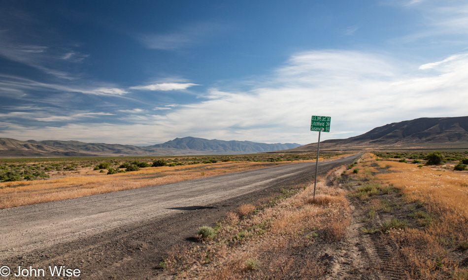
Surprise Valley Road in Pyramid, Nevada

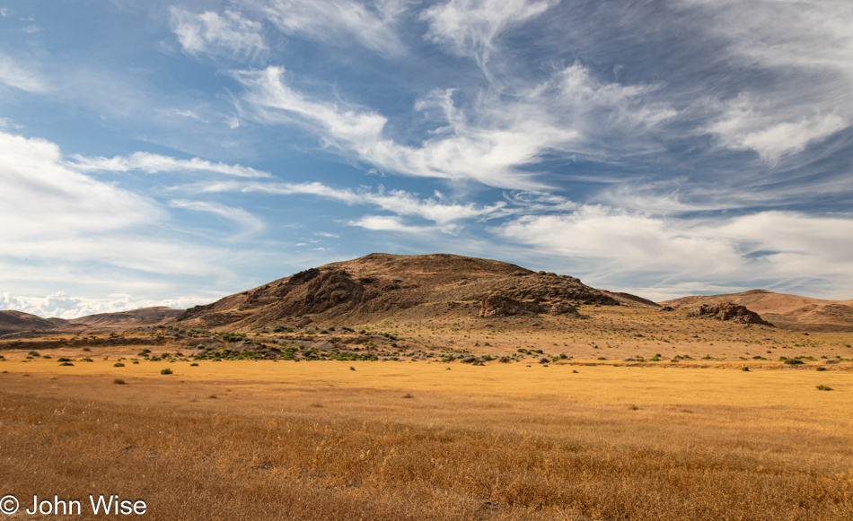
Slowly, we crept over the gravel road with a minor amount of washboard and again, here we were astonished that we are the lucky ones out seeing the sights seldom seen.

Surprise Valley Road in Sand Pass, Nevada

One minute we were pulled over to the side of the road taking a photo to establish where we were on the map thinking we were alone as nobody passed us in the previous half-hour…

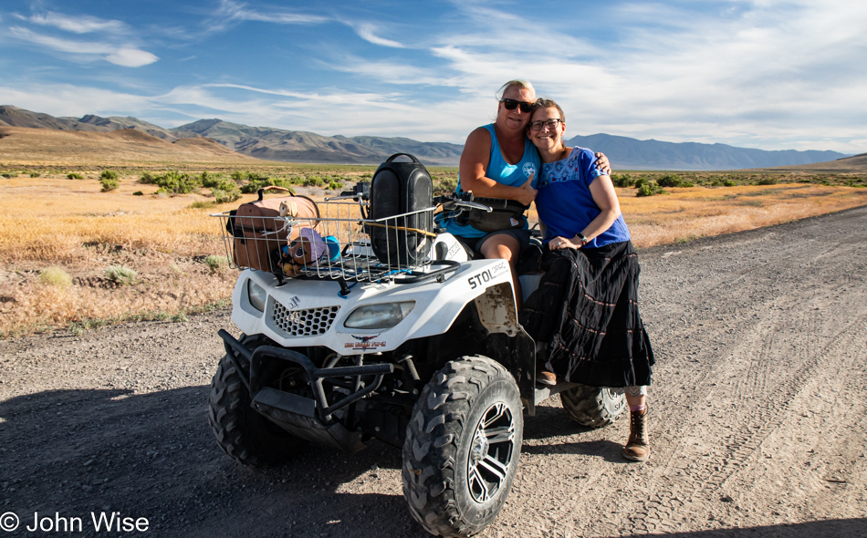
Denise Liscom and Caroline Wise in Sand Pass, Nevada

…when I thought I heard a motor, but there was no one on the roads at the intersection we’d turned on. From out of the brush and over a small hill, a woman wearing her pistol, listening to Cotton-eyed Joe from the Rednex gives us a wave before we were about to jump back into the car. Denise Liscom was the friendly person out rockhounding and just roaming the wide-open landscape ready to handout hugs, share information about a nearby hot spring, and ultimately invite us to her home on a future visit. But wait, there’s more! Sean Liscom, her husband is home and as he and I both enjoy writing, she asked that we stop by and say hi and talk about our chance meeting out in the middle of serious nowhere, because seriously, these two live really away from it all. It turns out that Sean writes post-apocalyptic fiction and is a prepper and while I don’t think his writing fits into our eggheaded non-fiction books and occasional bouts of classic flowery novels that we are more accustomed to reading, he is ranked #14 in Disaster Fiction on Amazon and has thousands upon thousands of reviews, not an easy feat. It’s funny how you never know who you might meet on the backroads of America, but we couldn’t have asked to encounter friendlier people.

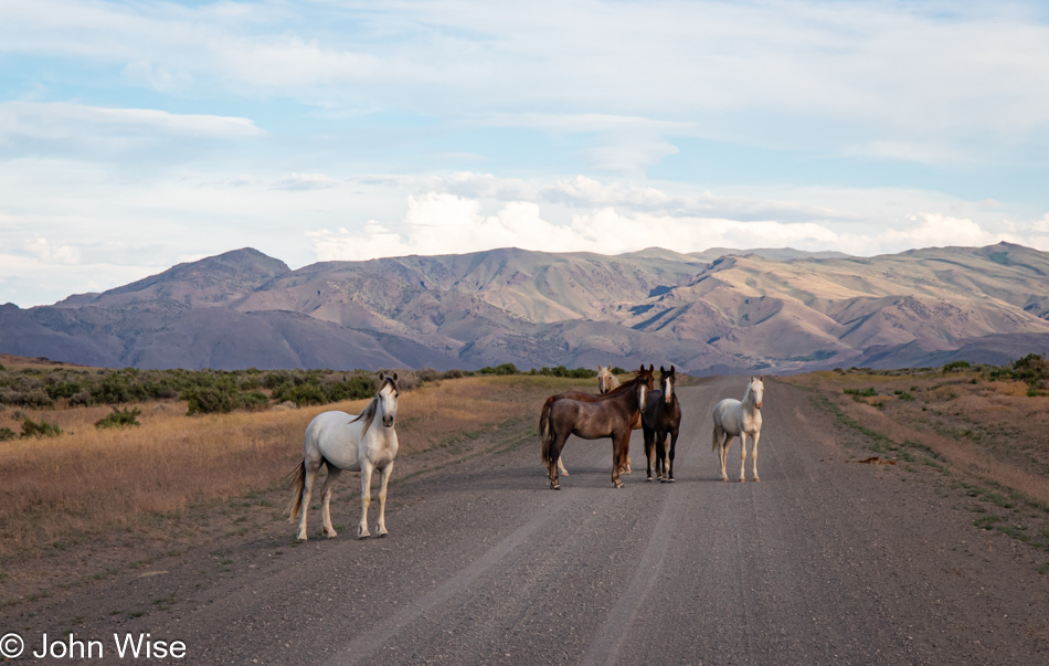
Wild horses on High Rock Road in Sand Pass, Nevada

And then there was this standoffish small gang of horses who appeared to be contemplating committing hoof-mayhem on our personhoods should we get too cheeky and want to approach them.

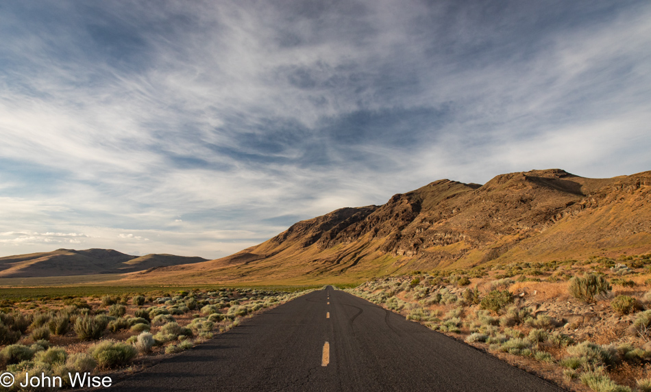
Wendel, California

While it is not sunset yet, we passed from Nevada into California at the end of the dirt road and rode into the rest of the day and Susanville where we had a room booked, otherwise, I’m pretty certain that Denise would have corralled us into staying out their way.

Easter in the Valley of Death

Being on a mini-vacation could be the opportunity to take it easy, right? Wrong, we were up by 5:30. Just as we were about to leave the Inn, Caroline took the opportunity to WhatsApp family in Germany who’d assembled for Easter dinner. However, out here in Shoshone, California, the connection is less than optimal, and the call brief. I am able to use the short delay to jot down a few things, and then we’re on our way towards Death Valley for a hike before things get too busy over there, and we need to head home to Phoenix.

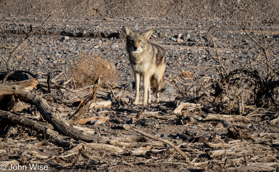
The Death Valley Coyote Committee fell short, with only a single member showing up to greet us, can you tell that this otherwise wild animal has grown accustomed to approaching cars up at the main entrance to the park for meal handouts?

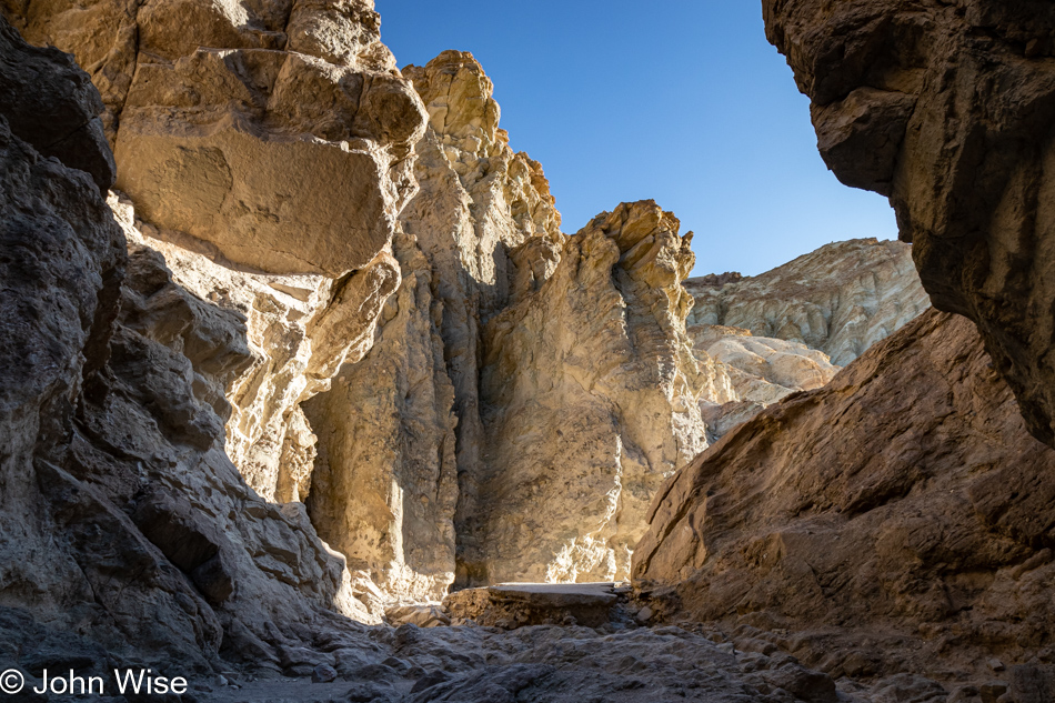
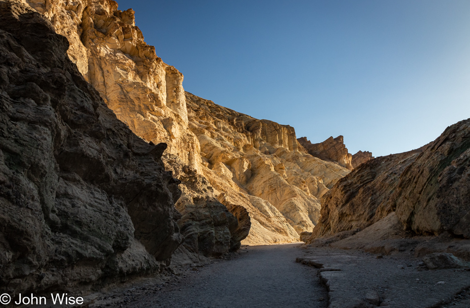
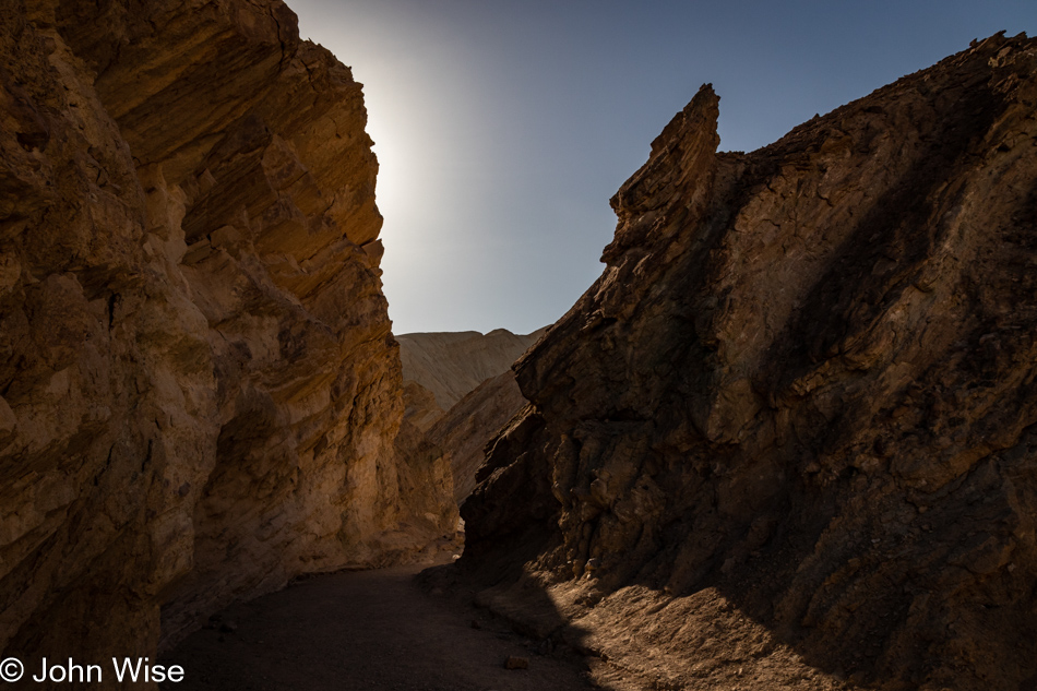
There’s no time to spare if we are going to get on the Golden Canyon Trail this morning, and knowing that the first part of this 5.5-mile hike draws a big crowd, we opted to head into Golden Canyon first, which would have us taking the trail we are ultimately interested in clockwise. You see, Golden Canyon is just one small part of our intended hike; our main objective is the Gower Gulch Loop Trail with a detour to the Red Cathedral. After being shocked by the crowds at Badwater yesterday, this location was running a close second for pulling in throngs of visitors. We knew that if we were going to enjoy this trail, we’d have to arrive before the masses overwhelmed the parking area with overflow parking ending up on the main road.

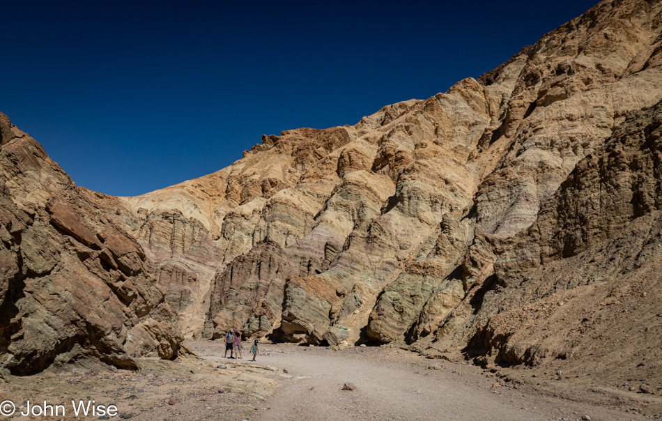
Our faulty memories initially thought we’d hiked this short segment with my mother-in-law Jutta, but as we got further into Golden Canyon, we realized that we’d likely never been here before, and we were well aware that even this assessment might be wrong. I could scour our previous seven visits to Death Valley to verify things, but how many hundreds, if not thousands, of photos would I have to check? As I finished writing that question, my curiosity got the best of me, and it turns out that I have over 2,000 photos that have been properly tagged with the words “Death Valley,” and I only had to scroll forward to 2008 to find that we were indeed in this canyon on a previous visit. Taken on a beautiful February late afternoon were photos of Caroline and her mom walking in a very empty Golden Canyon that we apparently had all to ourselves. Sometimes, I think things are changing in ways I don’t like, and I tend to attribute my disdain for those changes to those of a man growing grumpy and looking at the past through those proverbial rose-colored glasses, but by judging by those old photos, I see that, in fact, this national park has grown busier.

Fortunately, we are still able to find moments when we are seemingly alone and must offer gratitude that we’ve had so many previous opportunities to visit, oblivious that within little more than a dozen years, the number of people in the parks would go so high that it would interfere with our memories of what solitude meant to us and how we were able to experience it on those earlier encounters. I can’t write this without thinking that Caroline and I need to make every effort to revisit our favorite places yet again before the next burst of visitation threatens to put everything on a reservation or lottery system.

What I couldn’t really identify in my photos from 2008 was exactly how far we trekked into this canyon, but it wasn’t likely very far. My mother-in-law in tow wasn’t one with big stamina, and making surface impressions was certainly enough for her. That really means that this was all new to us, and what’s better than getting to experience something for the first time twice in a lifetime?

Our previous encounter with Golden Canyon was at 5:00 in the afternoon, while we arrived today before 8:00 in the morning hence, the shadows are falling in very different patterns. This triggers the thought that I should collect earlier photos before leaving for these trips and have them on hand so I can compare what we see with shots I took years prior and try to take them again, but what would really make that work is if I’d taken notes about the conditions regarding visitors and then I could contrast the experience from a decade or two earlier with today.

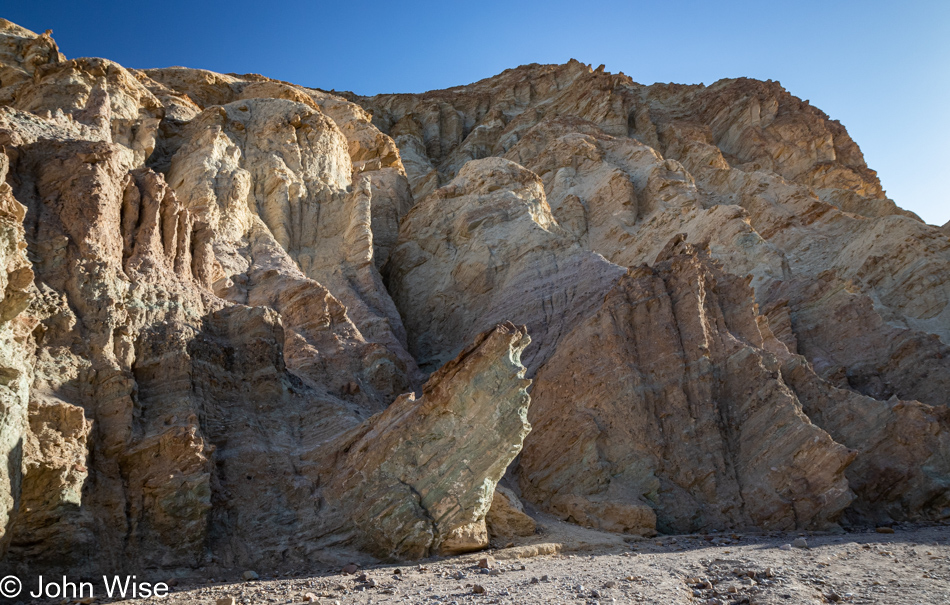
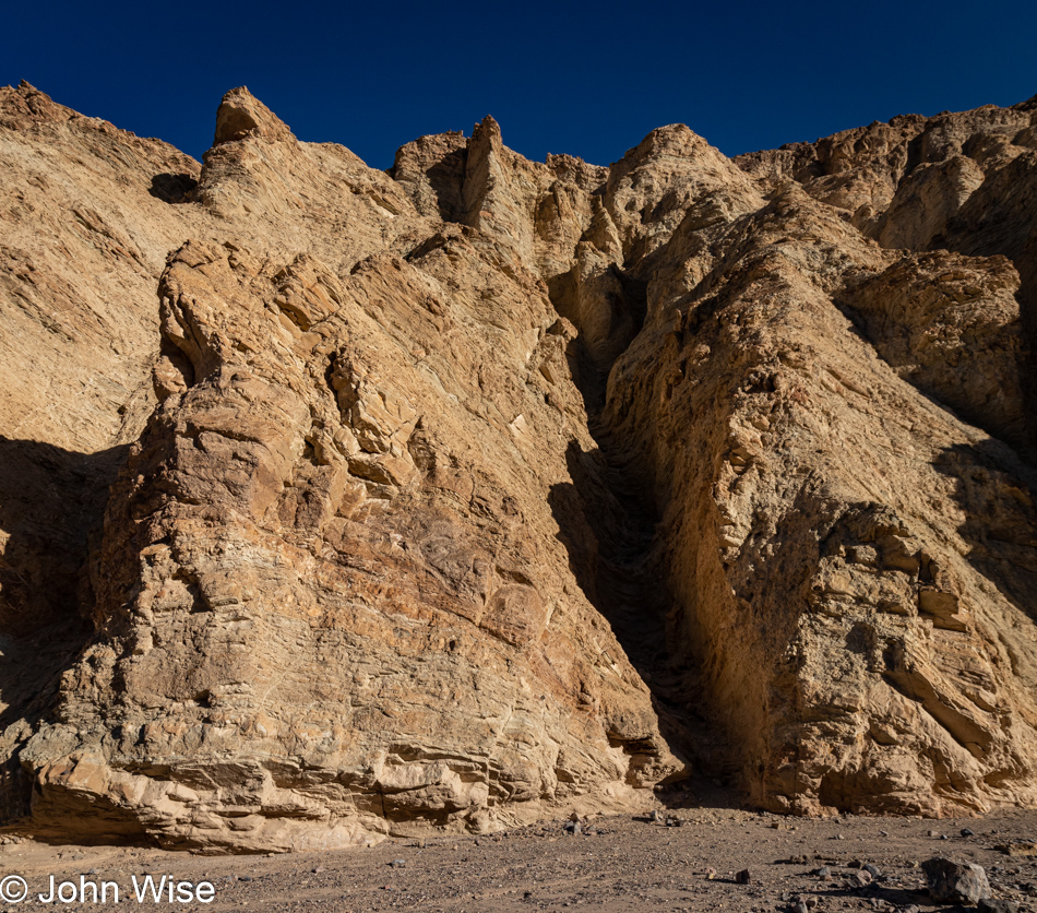
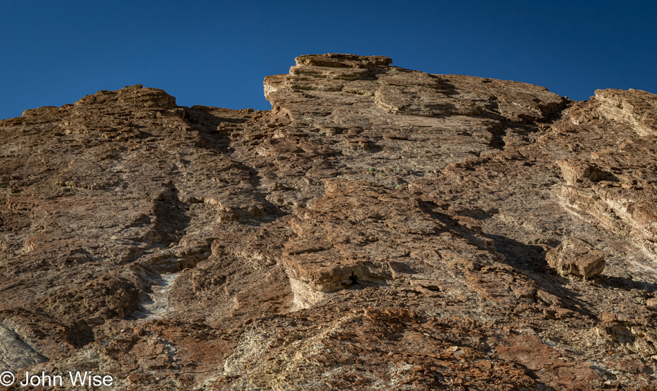
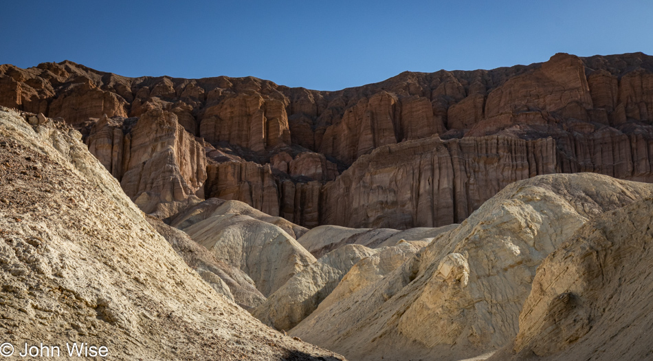
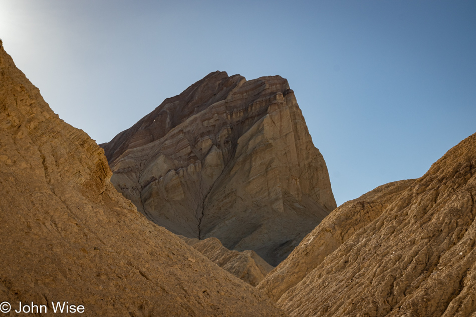
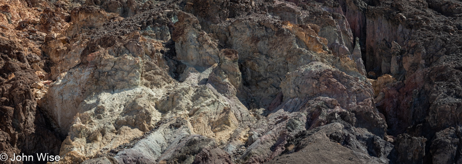
I’ve stared at these rocks a good long time trying to understand the erosion patterns. To my eye, it looks like this was uplifted just yesterday, and the sharp edges formed while it was lying down are yet to be worn down. Knowing that this wasn’t thrust into this angle in the past month, let alone a few hundred years, only adds to the mystery surrounding time and how much of it must pass before things start to appear familiar as far as eroding mountains are concerned.

To suggest that there is art here seems to imply that the rest of nature might be devoid of it; on the contrary, art is in everything and everywhere. In researching for this post, I came across a photo of the nearby Manly Beacon taken by Ansel Adams back in the 1940s, and now I’m looking at my own stuff through the filter of someone who made a serious craft of capturing the western United States, but I’m me, and this is the best I can do, and I can take great solace in knowing that I’m trying to express myself.

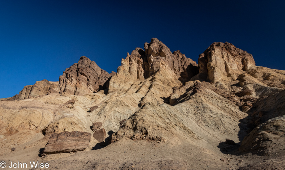
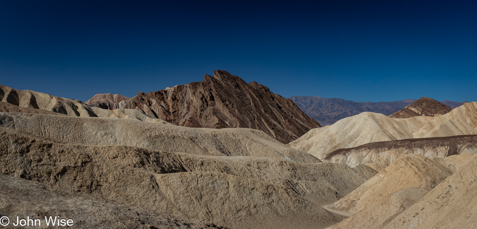
We think this is the Red Cathedral, and while we’ll get closer, there never was a sign pointing to a specific spot letting us know that this was it.

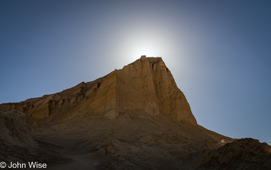
This, though, is Manly Beacon and that we are certain of.

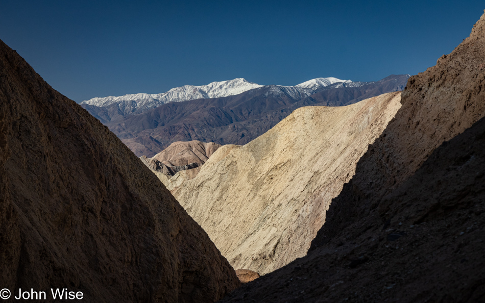
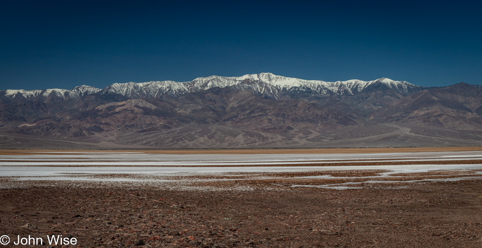
That’s Telescope Peak over there.

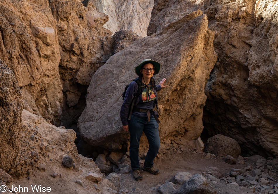
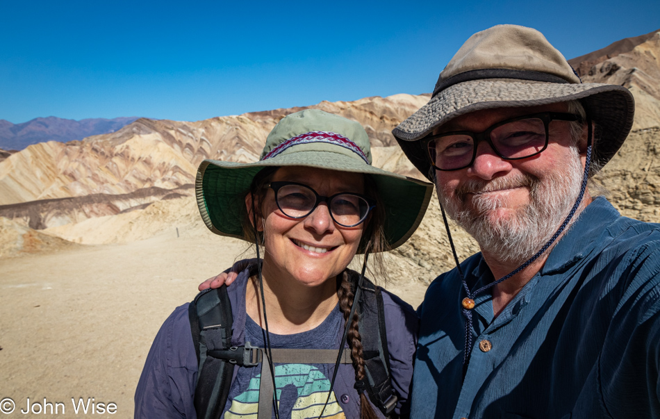
This is Caroline Wise over here, near the end of this part of the trail. Time to connect with the Gower Gulch Loop Trail.

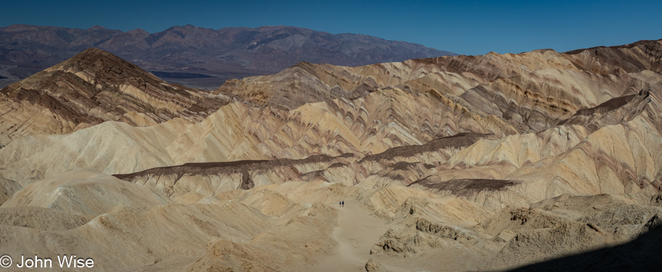
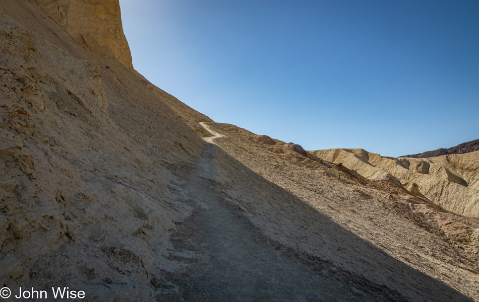
The first part of this trail is a bit steep, which is great with views such as this.

I’ve spotted something ahead, and it’s not the sun that is making me nervous over at the foot of Manly.

First, though we must go higher as everything changes perspective depending on from what distance you are looking at a thing. If you look at the center of the trail we are slogging up, you’ll see a couple who, in passing, told me not to worry a bit and that the object of my concern shouldn’t be one. That’s a relief.

That was until I got up on the razor’s edge, where my imagination of imminent doom stole any confidence I might have been trying to bring forward. My knees buckled, and I knew this was the end of the trail for me. I think it’s high time for me to get those trekking poles I’ve considered to give me a bit more stability and something to lean on in these situations or simply accept that I could crawl on my hands and knees to the other side. But no matter today, as panic set in and in an instant, we were on our way back down to the place whence we came.

I’m trying hard here to put on a brave face because I’m seriously and, to my core, disappointed in what I cannot do. While we’ll have accumulated 27 miles of walking and hiking over the long weekend, these turnarounds slap hard at what I want to accomplish, and it’s not just me here; I know for certain that Caroline, too, wants to see what’s out there on the other side of the trail we’ve never experienced. So, I try to suck down the pride and giant sense of failure before putting on a grimace of a smile to say to myself, “It’s okay; we can’t do everything in life we might want to do.” And anyway, we are doing a lot and know that, but still, it’s bittersweet.

Exiting the canyon, we encountered a lot more people, which was exactly what we hoped to miss by taking the Gowers Gulch trail, but looking on the bright side, finishing our time early in Death Valley means we’ll be getting home earlier than we might have otherwise.

Unless we end up stopping at a bunch of other places because we think we’re so early.

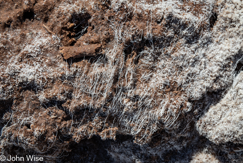
Good thing we felt flexible with our time because while out exploring one of a few areas of the saltpan, we were able to catch sight of these very fine and fragile salt filaments, which ChatGPT informed me are quite rare.

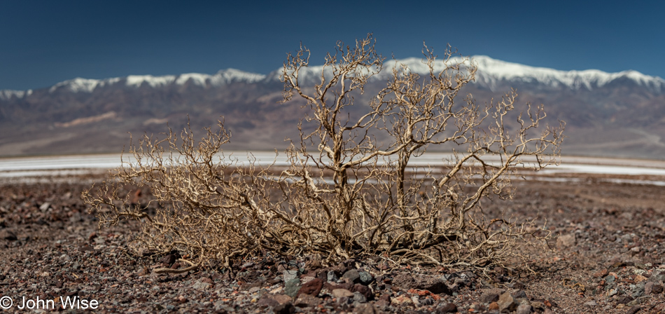
In a landscape with so few large plants, a dried-up old bush skeleton stands in stark relief of the vast space where little else interrupts the eye.

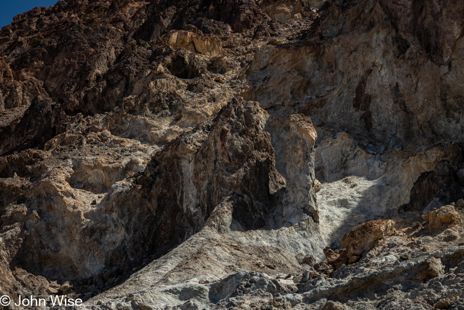
Could it be that on our way into the park/life, we take things for granted as we aim for the places that will bring glory and a sense of accomplishment, and then on the way out, we grow fearful that we’ve missed many important sites due to our myopia of not always seeing what seems to have been right in front of our faces. Looking at this rock formation, one might suddenly capture the essence of Death Valley held right here, but on closer examination have second thoughts that it holds so much relevancy. When departing places/life, moments of recognizing small details you missed take on greater significance, and possibly a little panic seeps into those fleeting thoughts, triggering you to gaze deeper. This is one of those instances.

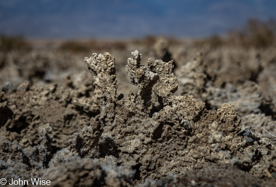
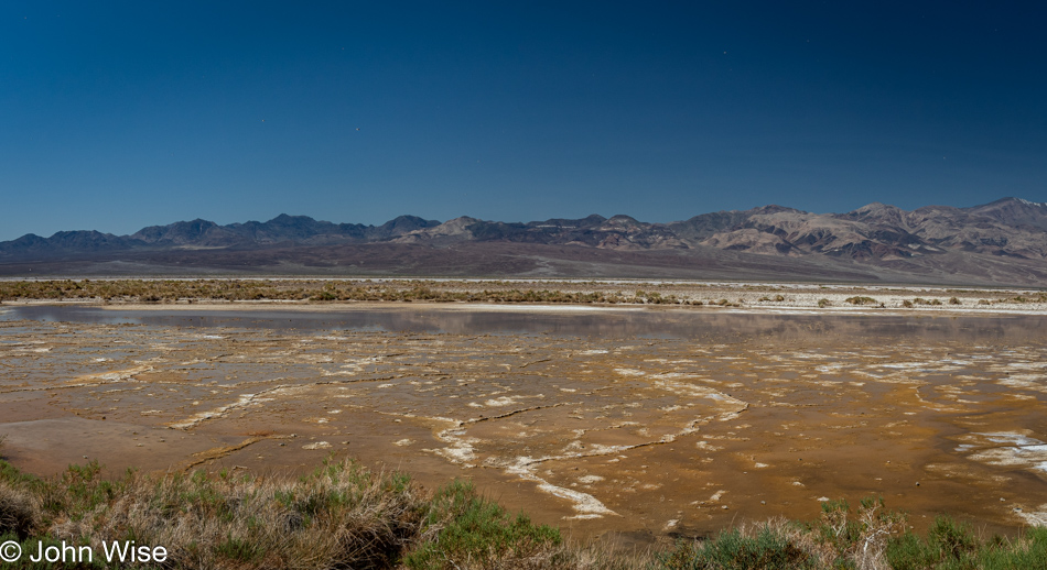
Salt and mud crusts such as these are part of where the Devils Golf Course further north takes its name. These hard and very resilient jagged surfaces rise up over the underlying mud during wet periods, and if I were a geologist or could find a really knowledgeable source who could explain the precise action, I’d share more, but I’m coming up empty.

My fingers hover over the keyboard as I’m reminiscing how our feet are occasionally sinking and slipping in the mud out here. Gazing at that image, I’m trying to find something to say that speaks louder than the poetry of being out in the middle of a place where one can sense isolation and quiet that lingers in the small corners of the soul for a longer time than the body was present. It’s funny how people want to visit other planets when similar experiences can be had in so many places right here on the earth we live on but see so little of. We have the opportunity to walk on the surface of a sphere hurtling through space that has been evolving for billions of years to get most everything right before our arrival, and we’re already bored of it and fantasize about going to Mars so we take a photo of someone walking across its landscape with an exclamation of, “Wow, we did it.” Meanwhile, on our own space-traveling outpost, we can’t make the effort to realize the perfection we exist in every day.

Right here might be some of the precursors of the macro-minerals we are made of, including calcium, phosphorus, potassium, sodium, chloride, magnesium, and sulfur. There might also be some of the 16 trace minerals: iron, zinc, copper, manganese, iodine, selenium, fluoride, molybdenum, boron, cobalt, nickel, vanadium, silicon, strontium, chromium, and bromine. Finally, there are other trace minerals whose role in our bodies we are still trying to figure out, such as arsenic, aluminum, barium, beryllium, bromine, cadmium, chromium, cobalt, gallium, germanium, gold, lithium, nickel, palladium, platinum, rubidium, silver, strontium, tellurium, thallium, tin, titanium, tungsten, vanadium, and zirconium. What I’m pointing out is that we consider life to be living beings (like ourselves), but without the rocks that become soil, the plants and animals that nourish other things wouldn’t have been able to give rise to us.

At first glance, I thought this was sulfur, but on reflection, I remember we didn’t smell anything that would have confirmed that. Limonite is yellow, so maybe that’s what we are looking at. Whatever it was, it was attractive enough for me to stop yet again on this trek to leave Death Valley.

I referenced the minerals that make up the human body and how we consume them from the food we eat, but the really big deal is that we are 65% water and oxygen. So, if you consider a 150-pound (68kg) person, 98 pounds (44kg) of their weight is in the form of water and oxygen. But wait, there’s more! This part might have you thinking I’m stoned as I write this, but I had never considered that when we look at H2O, it is the oxygen that makes up 89% of its weight. While this may be basic chemistry to everyone else, this is the first time I learned of this. So tell me again, why does a creature that is so reliant on soil, oxygen, and water desire to try living on a planet that is mostly dry, has only trace amounts of oxygen, and the dirt is called regolith, which means it is not soil and will need considerable work to become useful for growing food? The only answer I can come up with is that it is easier to distract people with fantastic dreams of leaving our earth instead of trying to live on it and care for it. And somehow, we believe we can make another (extremely inhospitable) planet habitable. We must be insane.

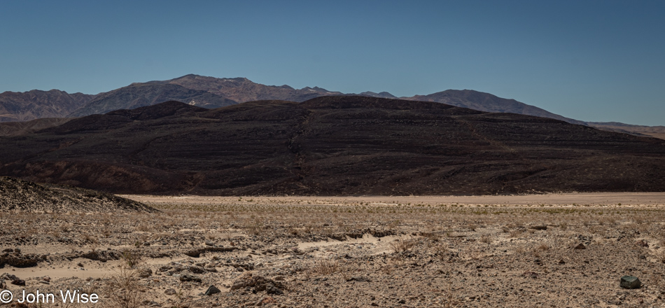
A fading sign caught my eye, necessitating a quick backup to pull over and read what I thought I had. Sure enough, those horizontal edges are remnants of shorelines from Lake Manly on what was at one time an island. We should have noticed this before as we’ve seen similar features in the Yukon, Canada, where a backed-up Alsek River flooded a valley nearly all the way to Haines Junction, leaving similar shoreline markings on nearby mountainsides. This rather large, still-visible detail allows us to easily imagine the 100-mile, 600-foot deep lake that stretched from here to points north. Just one more instance of not being able to see what’s in front of you due to a lack of knowledge or not knowing where to look.

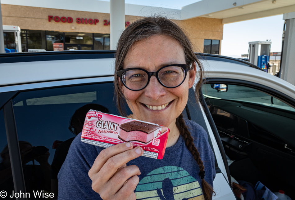
For years Caroline has been looking for a Neopolitan ice cream sandwich as she finds the plain old vanilla to be boring. Well, we finally found one here in Baker, California, and still, she’s not happy on two counts. First, the version in Germany she grew up with uses waffles for the outside instead of the sticky chocolate cake-like stuff we are accustomed to in America. Second, she realized that if the flavors were distributed using the length of the sandwich, she’d be able to enjoy all three flavors at once.

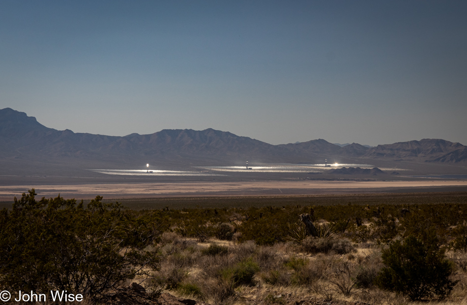
Ivanpah Solar Electric Generating System or Thermal Plant is the world’s largest bird roaster. The atmospheric glare is extraordinary to witness as we approach the (miniscule) town of Nipton, California. It’s obvious that there’s a bizarre amount of ambient light illuminating the air being reflected and directed from the strategically angled mirrors. After getting home, I was looking to learn something or other about this peculiar sight, and in one particular article, they talked of the 900-degree (482c) instant-combustion beam that has smoking birds plummeting to earth roasted if they get to close to the bad hot place. This has me thinking that these thermal plants might be avian hell because, for a bird that is innocently out and about in their normally supportive bird environment, things become instantly torturous as the sky aims to cook them alive in a blindingly fast millisecond.

Seems like it was only ten years ago that my hair was hardly gray, and now, in the right light, it looks like I have a personal thermal plant perched upon my head.

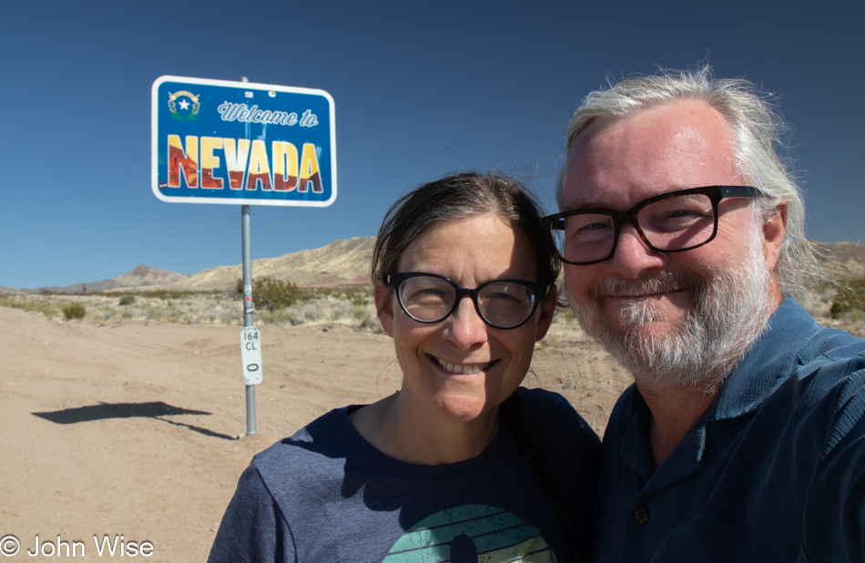
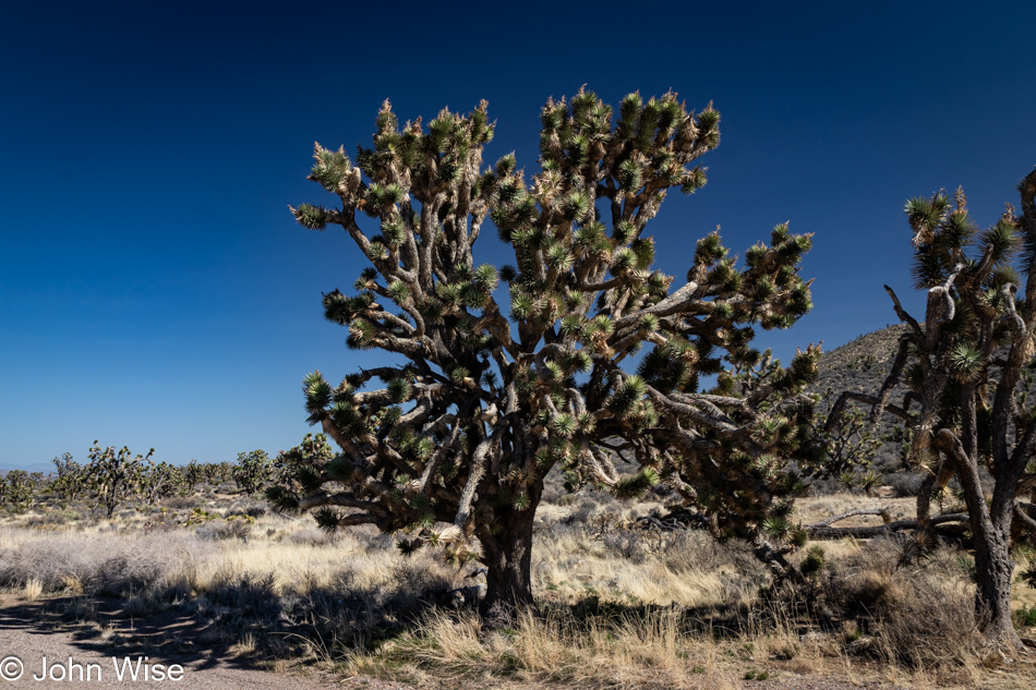
Whoa, how have we missed this Joshua tree forest out here? It turns out that we’ve not previously driven Highway 164, a.k.a. Nipton Road, and so we knew nothing of the Wee Thump Joshua Tree Wilderness. The words Wee Thump mean “ancient ones” in the Paiute language. This is the third largest Joshua tree forest on earth, as in the entire earth, and we’ve now seen these giants with our very own eyes.

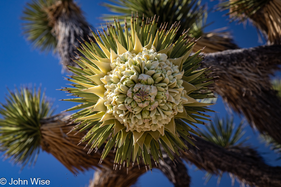
And not only that, they are in bloom. We cannot say we’ve ever seen Joshua trees in bloom, so we’ll go with this being a first. In that sense, come to think of it, this is like an Easter egg, well for me at least. I’ll explain that comment in just a sec.

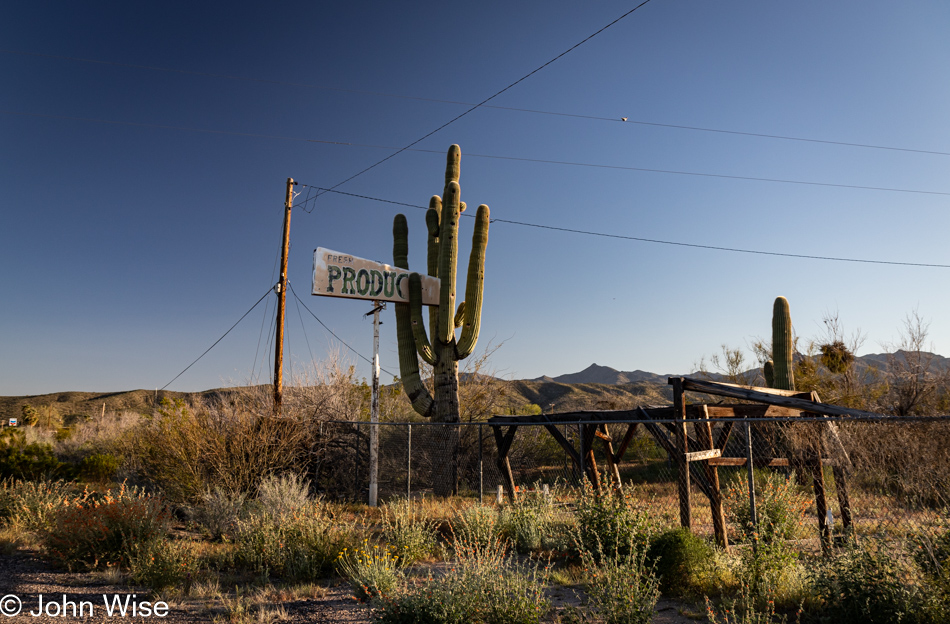
Not one to miss abandoned roadside America, this old “Fresh Produce” sign seemingly held fast by the saguaro was a site that needed recording. We are passing through Wikieup north of Nothing and only about 120 miles from home at this point, and it was here that Caroline found her Easter egg.

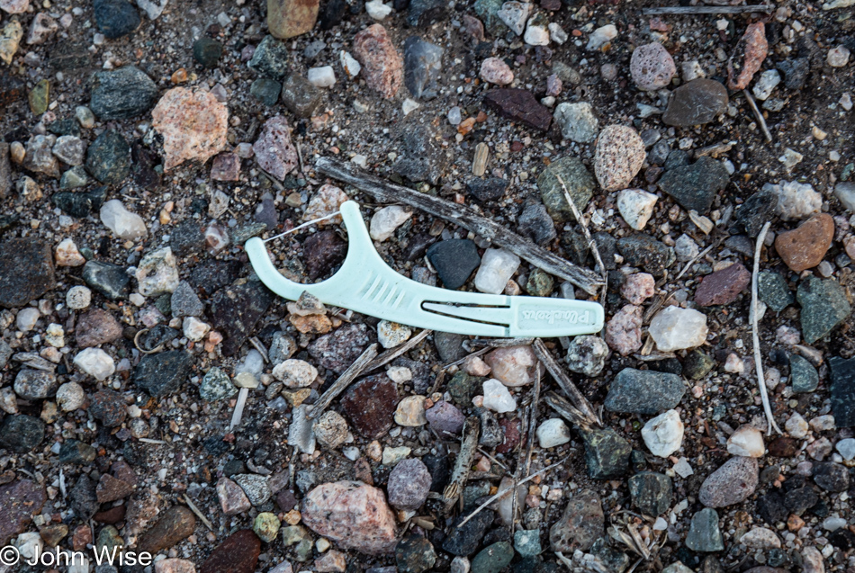
Happy Easter, Caroline! Yet another dental floss pick, an Easter egg of the best kind. You see, Caroline had been haunted by these stupid little things and sees them everywhere. They pop into her view all the time, to the point that she’s considering getting a task-specific pair of tweezers and a plastic bag that she carries with her to collect these bits of trash used in the hygiene of caring for one’s mouth. Why they seem to be so widely distributed is a mystery, but maybe if she starts documenting their location and picking up these discarded tools, she can start to identify what they have in common or if there is a pattern on the map that might become apparent. While they are something absurd to be consumed by, their vexing ubiquity found strewn across the landscape is likely creating a bit of neurosis for my wife. Does anyone know of a lost dental floss pick support group she can join?

Stamina in the Face of Death Valley

Death Valley National Park, California

Recently, I turned 60, not with dread but also not without the nattering echoes of those who came before me and groaned of declining energy and poor stamina when they entered this age. When we left home yesterday, it had not been my intention for this trip to be a test of any sort, but maybe it will end up being some of that. With the arrival of my 60s, what impact might I find? Leaving Phoenix, we had a 450-mile drive ahead of us that should have taken about 7.5 hours, but with countless stops for photos of this and that, we optimized our indulgence by stretching out our time crossing the Sonoran and Mojave Deserts before arriving at the doorstep of Death Valley at 7:00 p.m. Checked-in to our room in Shoshone, we walked across the street to the old familiar Crowbar Saloon we first ate at back in 2007 and then took the dark road up to the hot spring pool, this also brought us to having walked 5.5 miles for the day. By 10:30, we were snoring, but if you read yesterday’s post, you’d already know some of those things.

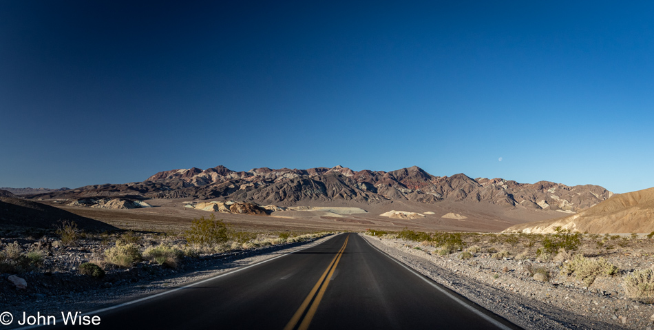
It’s 5:30 in the early morning as we peel ourselves out of bed after sleeping better than is typical for our first night out on the road. We are embarking on our day in the wee hours even after our lengthy 17-hour day of traveling yesterday. The point here is, and this is only now dawning on me, we are still plowing into experiences and doing our best to take advantage of our time in the world. As we turned on the road that would bring us to Death Valley, the sun hadn’t yet peeked over the horizon, but by the time we were about to descend to the saltpan, the world of this harsh landscape was becoming well illuminated. Who knows what the rest of my next decade will bring, but here on the other side of 60, I’m thrilled to know that my stamina hasn’t fallen by the wayside.
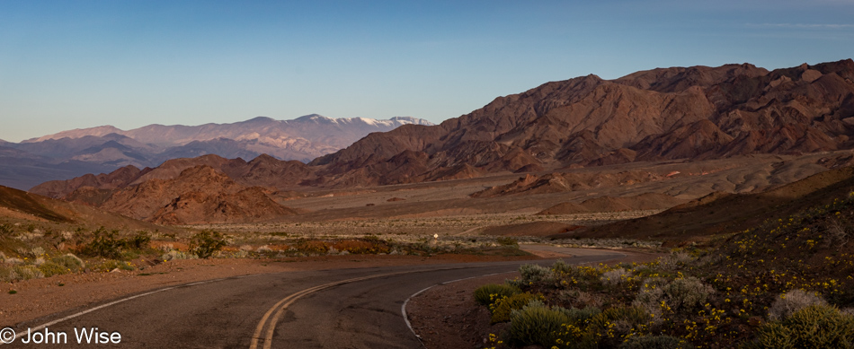
Death Valley National Park, California

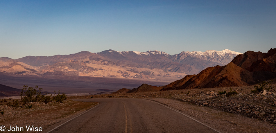
Having passed in and out of Death Valley from the west, the north, the northeast, and the south, the southerly approach is by far my favorite. The gradual approach from this side of the park also benefits from the quiet due to so few people out this way. Most visitors will congregate in the relative proximity of the visitor center. While many will go as far south as the iconic Badwater location (282 feet below sea level), that leaves the bottom 50 or so miles of the park relatively unvisited, and it is down here where our day begins in earnest.
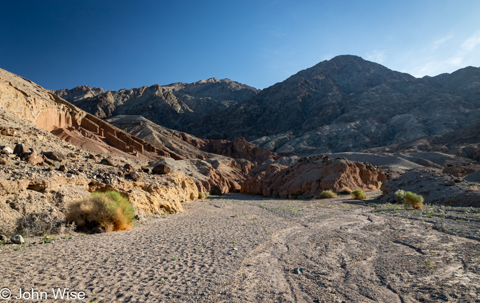
Room Canyon at Death Valley National Park, California

There is no trailhead and no parking lot. We just pull up in front of mile marker 39 and start walking east. Our first hike of the day is Room Canyon, rated as a moderate 3-mile trail. The path to the canyon is not identified with cairns, but if you look at the ground ahead of you, you’ll see the footprints of others, and you can hope they went in the right direction. This is as good a place as any for me to include my endorsement of the AllTrails app and how important it has become to us. Before arriving somewhere, like here in Death Valley, which doesn’t have phone service, one should identify the trails they are interested in and then download the trail maps while they have plenty of signal. Our go-to trails are typically rated as moderate because easy is just too easy, though, for an interpretive experience, those are often not bad. The strenuous trails often feature rock climbing, exposure, or some serious elevation gain. Everyone who ventures into America’s national parks and hikes should have AllTrails with them and do some research before embarking on their adventure.
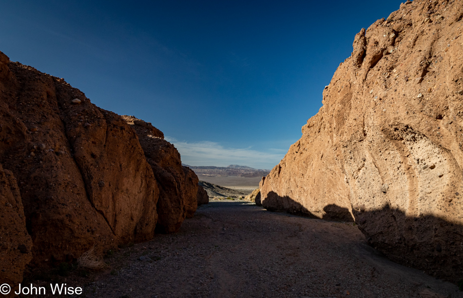
Room Canyon at Death Valley National Park, California

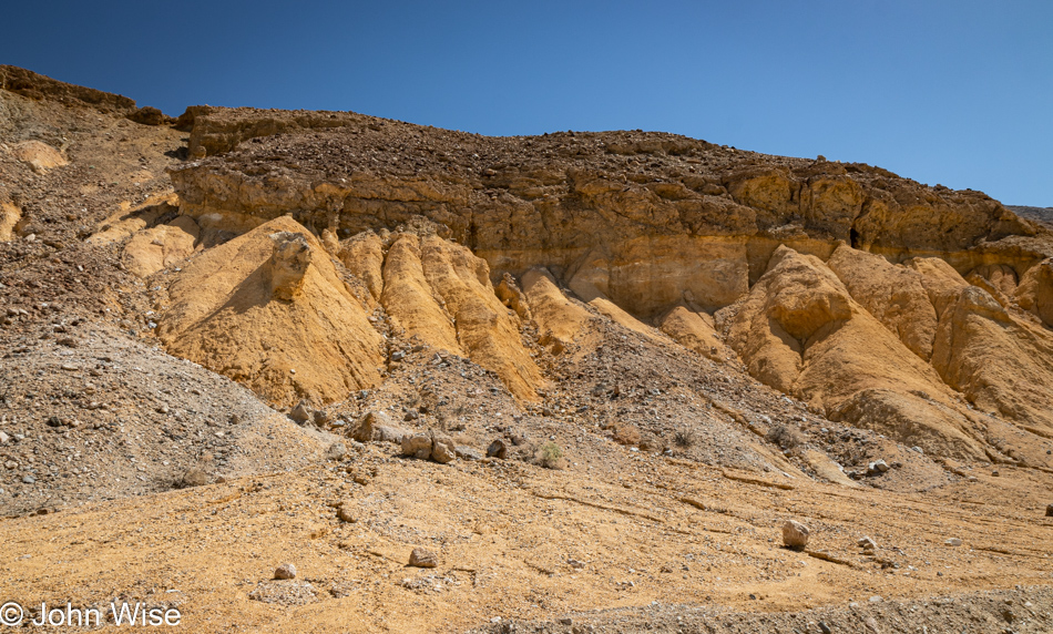
After our short hike into an alluvial fan, we are now in the mouth of a canyon carved out of the alluvium that’s been deposited from the eroding mountains behind us.
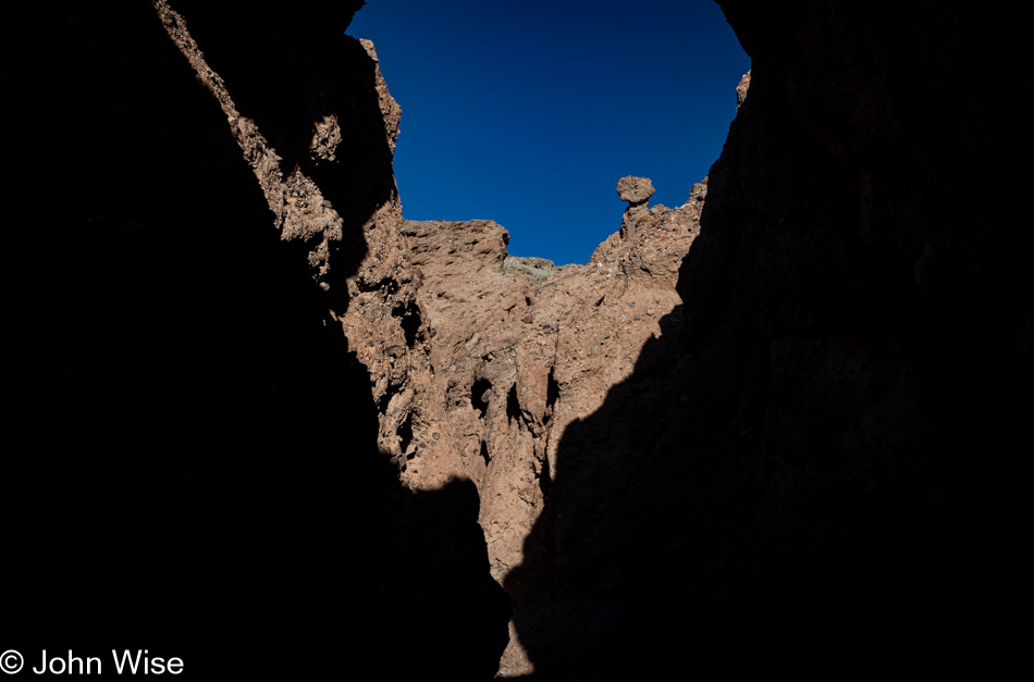
Room Canyon at Death Valley National Park, California

The post title mentions stamina and is in reference to what we’ll have to muster if we are to capture the three hikes we have penciled in as the activities for our day, but by now, it also speaks to what I’ll require to complete writing this post that still has nearly 50 photos below this one. Should you be able to slog your way through this marathon post, which will likely veer into a fair amount of prolix (defined as speech or writing using or containing too many words/tediously lengthy), you too will have had to find your stamina for such a long post to find what gems might exist here, if any.
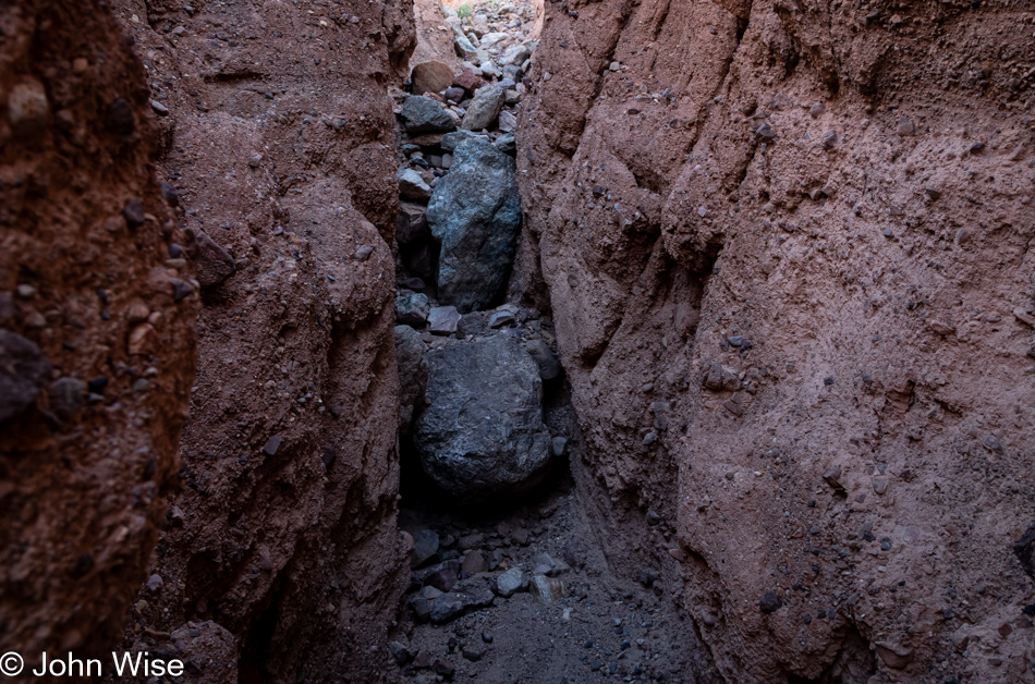
Room Canyon at Death Valley National Park, California

For Caroline and myself, the gems are many, at least in viewing the photos that we find to be magnificent. The writing that accompanies these images is often a mixed bag where at least I wonder if I’ve not said this all before. Even if I add a new twist or some bit of delightful poesy where a verse finds a potentially enchanting resonance, one must toil over hundreds if not thousands of words until they, too, find a diamond in the rough.
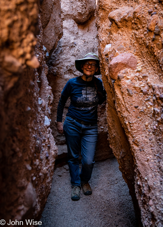
Caroline Wise at Room Canyon at Death Valley National Park, California

Speaking of finding a diamond in the rough, it’s now been 10,000 years and 12 trillion experiences shared with this woman, who (according to her) has enjoyed being between the proverbial rock and a hard place that is our relationship. There’s something about her smile here that may not be apparent to others: it is the look of “Wow, I can’t believe we are here.” Today, along with our planned hikes that are not considered to be some kind of “I’ve worked for this, and I’m owed it,” is a day of astonishment that we have the ambition and compatibility to venture into places with someone who equally enjoys the time. How far we go is irrelevant; how far we’ve come carries a satisfaction that accumulates, as does our love.
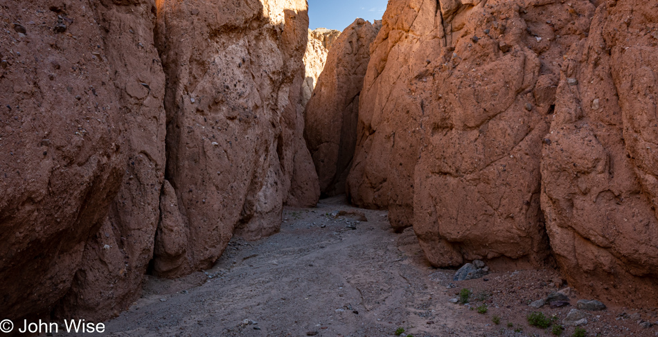
Room Canyon at Death Valley National Park, California

Had this been the extent of our adventure, we’d leave and realize our good fortune to have been able to find so much indulgence between yesterday’s drive up, time in the hot spring last night, sunrise this morning, and this first bit of exploration in Room Canyon here at Death Valley. But this is only the beginning, and nobody should ever, for even a second, consider that there are greater rewards ahead. Every moment is the most valuable token of a splendid life any two people have been granted.
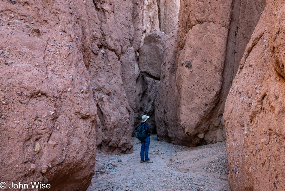
Caroline Wise at Room Canyon at Death Valley National Park, California

I don’t believe that those who named this place Death Valley were being ironic, but then again, we do not call Earth the Death Planet, though death happens every day. I vote for renaming this national park Massively Wow Life Valley because being here amplifies the sense of how incredible it’s been that life took hold on this outpost in the Milky Way.
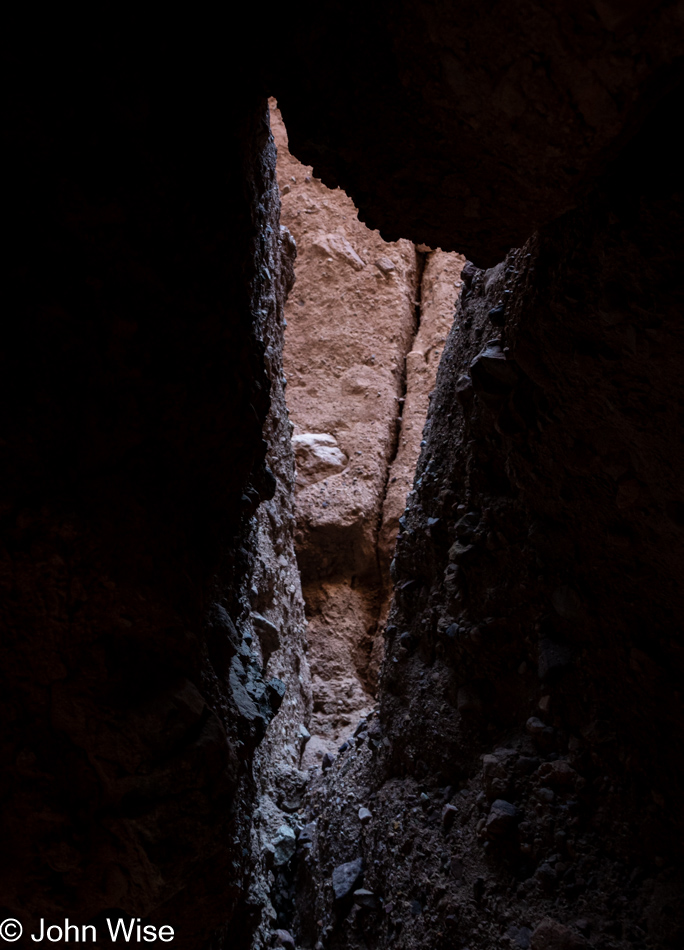
Room Canyon at Death Valley National Park, California

As a telescope acts as a portal through space into unknowns, so too does nature act as a portal into its history and maybe its future. As I peer into this crevice with light falling in from above, I can surmise what is out there, but I do not have first-hand knowledge. This mystery is the intrigue that helps propel our dreams.
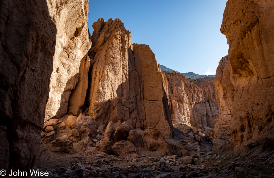
Room Canyon at Death Valley National Park, California

From one space, we enter another by the simple act of going forward. Obviously, we had to have the means to be here, but I’d argue that everyone has that opportunity if they were to desire such things. The argument that most people can afford this if they own a relatively decent car could easily be taken issue with, but I’d say that while those more than 500 miles away would have to focus on something closer to where they live, such a weekend could cost as little as about $200. Without going into too many details, that’s about $120 for gas, $40 for two nights of camping, and park admission. As for food, that was going to be consumed at home regardless. Instead, people will convince themselves that a real immersive vacation must take place at Disneyland, Hawaii, Las Vegas, or on a cruise to the Bahamas. This all-or-nothing mentality is great for Caroline and me because we find ourselves all alone today at Room Canyon.
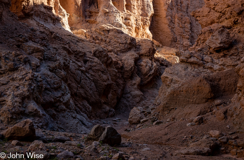
Room Canyon at Death Valley National Park, California

If you look closely at this image and the one above it, you’ll see that we’ve progressed about 100 feet up the trail. Sometimes, it’s not the broad vista, i.e., the big picture, that’s all important but the readjustment of your focus to see what you might miss if you are only honing your hyperopic vision.
Room Canyon at Death Valley National Park, California

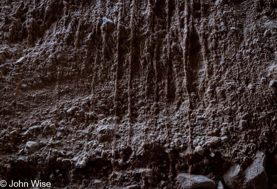
Earlier this year, we spent a couple of hours in Kartchner Caverns, and in my subsequent writing about them, I deeply considered their formation and the molecular processes harnessed across time. Peering into those details in ways I hadn’t previously, I was enchanted watching in my mind’s eye the accretions forming to produce the cavern features we were there to experience. Today, we are here in an open-air canyon, and under an overhang are signs of accretions dripping down a wall. Where’s a geologist when you need one? How old might these be, what is their mineral composition, and how many other places in Death Valley can we find others?
Room Canyon at Death Valley National Park, California

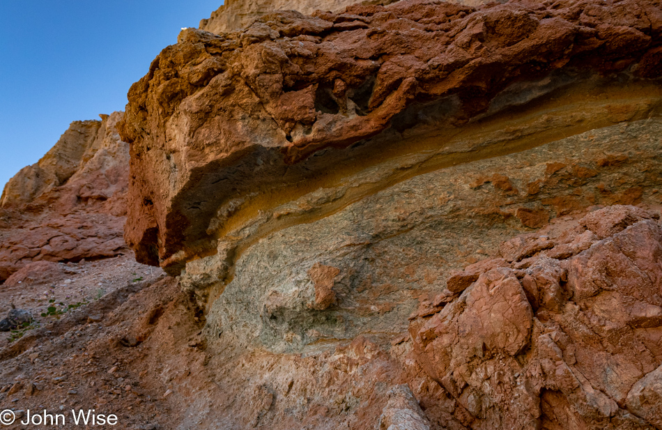
Again, my kingdom for a geologist! While I understand that softer rock erodes faster than the overlying harder rock, I dream of knowing what was at work during those years these layers were forming. The greenish layers are making a sandwich of what appears to be sandstone, and within the green lower area, there is red rock, but it’s not evenly distributed, so what’s the story?
Room Canyon at Death Valley National Park, California

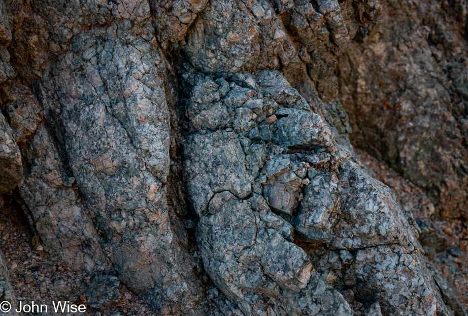
And then this small area of turquoise-hued rocks catches my eye and while I can appreciate the aesthetic qualities, I’m being denied any knowledge of precisely what’s at work here to have created this pocket of blue-green treasure. Learning that Death Valley has not really been a place to find much copper, I’ll eliminate the chance that the minerals at work here are malachite or azurite, which both oxidize towards green and instead, I’ll lean towards this display being caused by the presence of chlorite.
Flowering plant at Room Canyon at Death Valley National Park, California

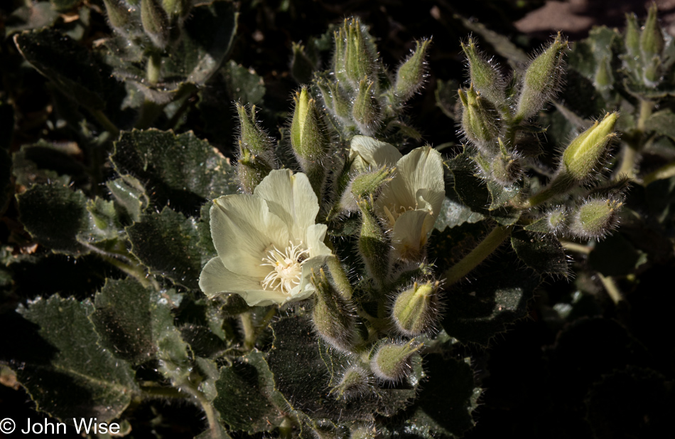
Hey Caroline, have we ever seen flowering desert rock nettle before? Looking for them, I learned that the International Carnivorous Plant Society considers the Eucnide urens a “murderous plant” because flies that come in for aphids are killed by the plant, but while this nettle strengthens its stinging spines with calcium phosphate, the same stuff our bones and teeth are made of, it can’t “eat” the flies so it does not qualify as carnivorous and is simply a murderer.
Wildflowers at Room Canyon at Death Valley National Park, California

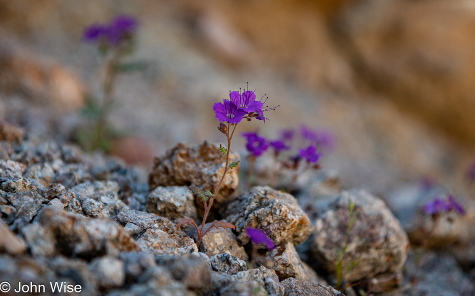
On the other hand, there’s this notch leaf scorpionweed that, while intensely and beautifully saturated in a wonderful shade of purple, can cause a rash similar to the effect of poison ivy. Please consider that I may be wrong about identifying this wildflower, just as I can be wrong about almost everything I write here.
Wildflowers at Room Canyon at Death Valley National Park, California

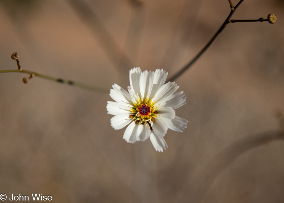
After an exhaustive search, I’ve come to the conclusion that this is the gravel ghost flower.
Conglomerate at Death Valley National Park, California

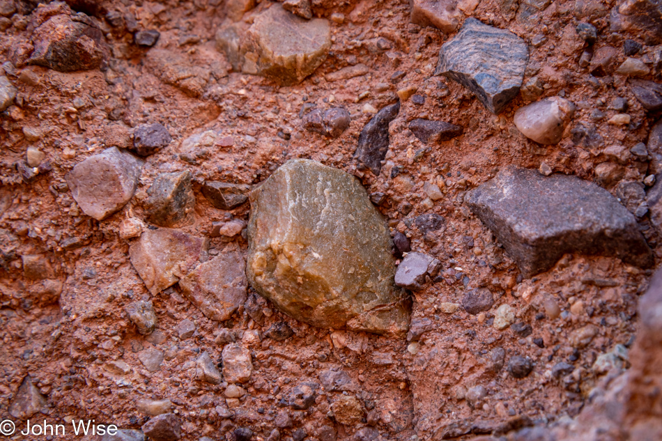
The scale of my lack of knowledge is often frightening because it took until the day in Phoenix writing this post that I was able to answer the question of why I wasn’t able to find a single hint of fossils in all of the alluvia I was scouring for hints of life. While I wanted to believe that this was made of eroded materials that settled on the shore of the long-gone Lake Manley, I should have noticed that the rocks that have been cemented together do not show signs of water erosion. This debris arrived from high above where it broke off the surrounding mountains and collected at the foot of them. It should have been obvious that there would be no fossils in this type of alluvium. This feels like a gaping chasm in the basics of understanding how our planet was made, how it evolves, and how what we perceive shouldn’t be taken for granted.
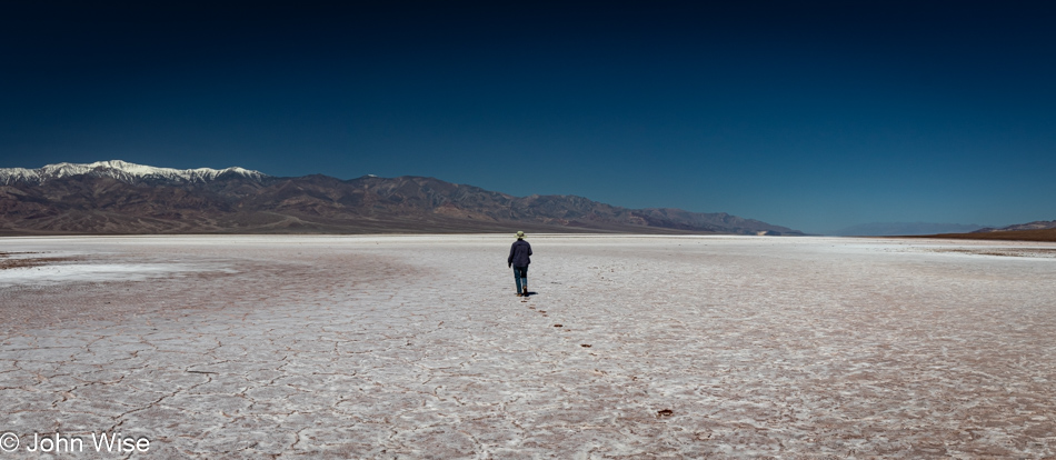
Caroline Wise on the salt pan in Death Valley National Park, California

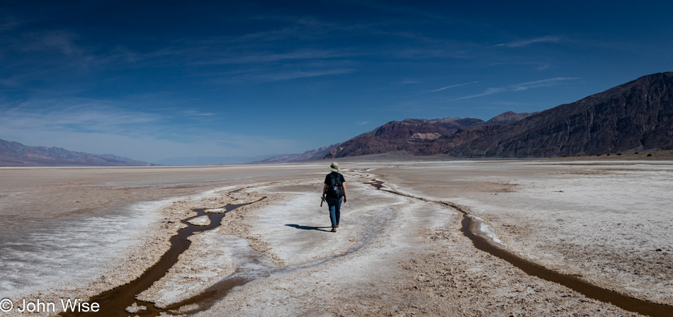
The world of John would certainly be rendered simpler if I were to drop the curiosity and join the modern clan/cult of “Veni, vidi, vici,” best exemplified in the digital age by posting an iconic photo to Instagram while sitting back to enjoy the influencer cred. Maybe you ask, what is this Latin phrase harkening back to Julius Caeser? “Veni, vidi, vici” is translated to, “I came, I saw, I conquered,” which has been reduced to, “I came because someone really cool also went; I saw what I had to see in order to take the same photo, I’m a winner because everyone else tells me I am.” Am I alone in thinking that my totem should read, “Odi profanum vulgus et arceo?”
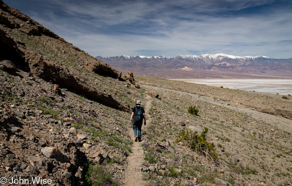
Carolne Wise at Sidewinder Canyon in Death Valley National Park, California

This is the moment we realize just how important AllTrails is to our peace of mind, as there are five potential trails that lead into Sidewinder Canyon, and only one can be right. A family of four coming off of one of these warns us from heading that way, so we consult our AllTrails map that we downloaded in Shoshone the night before to adjust our bearings. With nearly a dozen cars at the trailhead, we can only wonder how others made their decision.
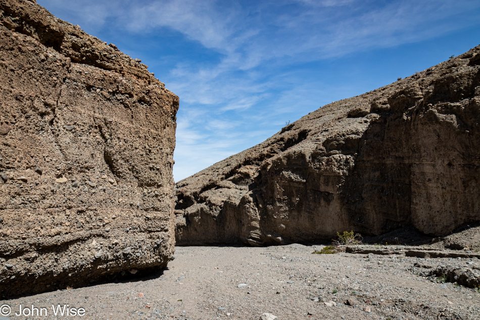
Sidewinder Canyon in Death Valley National Park, California

From our initial impression, it would appear that the others are heading into places that are not Sidewinder Canyon. Should this prove true, we are promised a quiet 5-mile hike this afternoon.
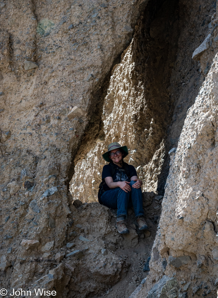
Carolne Wise at Sidewinder Canyon in Death Valley National Park, California

It was a slog under direct sunlight in loose gravel before Caroline took up this perch in the shade of what appeared to be a fallen slab of the cliffside. After what felt like about 45 minutes, maybe even an hour, where we had 1,145 feet of elevation gain to contend with, there was serious consideration of turning around while we wondered what could possibly be so interesting further up the wide mouth of this gravelly canyon.
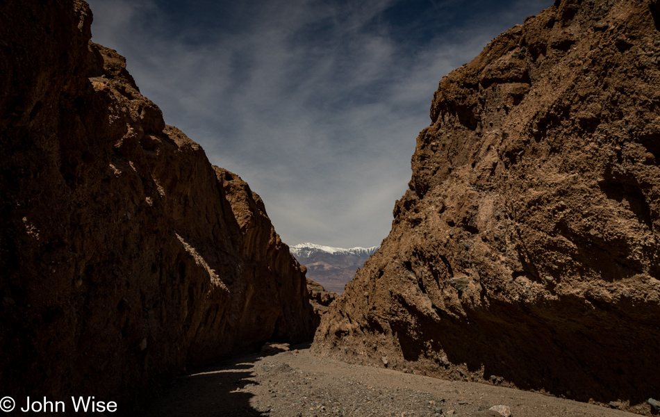
Sidewinder Canyon in Death Valley National Park, California

There were these occasional spectacular views of looking back at the snowcapped Telescope Peak in the Panamint Range, and as you can see, we are now able to enjoy a bit of shade as the canyon narrows.
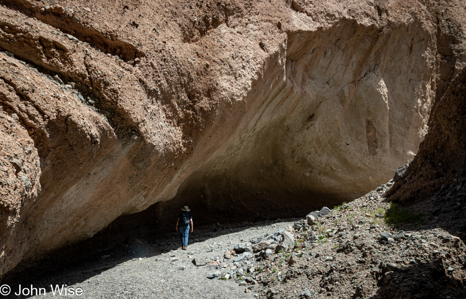
Carolne Wise at Sidewinder Canyon in Death Valley National Park, California

When do the exciting views that make this such a highly recommended trail begin? Just kidding, if a massive rock overhang that could fall at any time to snuff us out of existence isn’t thrilling, what is?
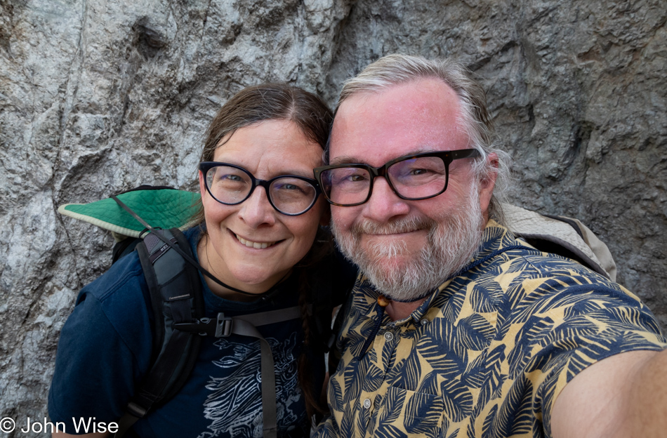
Carolne Wise and John Wise at Sidewinder Canyon in Death Valley National Park, California

We’ve reached the end of the trail as it relates to our skills of clambering up the rock faces behind us. While we could see the way up, the way back down might present other challenges for the overweight guy afraid of heights, so we’d just have to turn around, check out the side canyons, and call it quits here at Sidewinder Canyon.
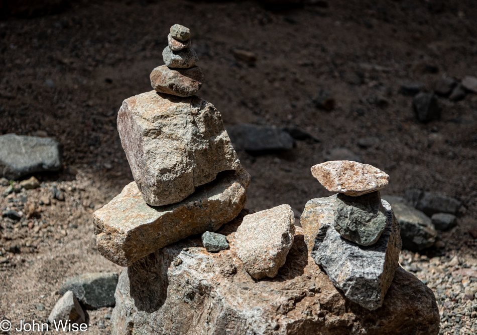
Sidewinder Canyon in Death Valley National Park, California

On the way in, we skipped all four side canyons that branched off the main trail with the idea that we might do them on the way back down. This was the last one and is now the first one on our return. The only one marked with a cairn, there must be something special here, so, at a minimum, we’ll explore this short quarter-mile hike.
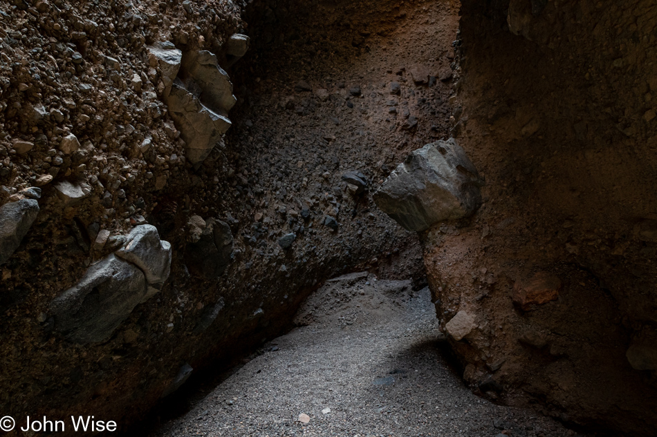
Sidewinder Canyon in Death Valley National Park, California

Right away, Sidewinder Canyon transformed into a gem, but at this time, we’d not yet seen a thing.
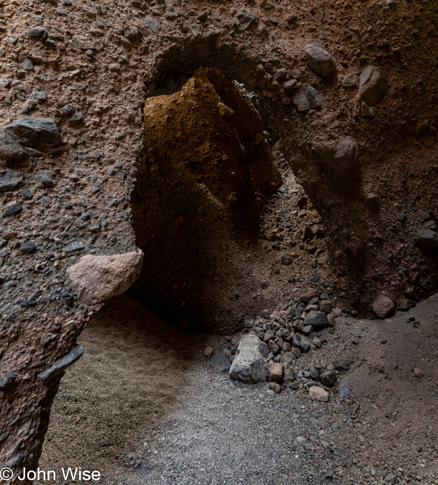
Sidewinder Canyon in Death Valley National Park, California

It is impossible to convey just how astonishing the sight of what you are looking at is. Not only did things cool off substantially in this narrow slot, but the light was at a premium, though there was just enough to understand that the hole we were about to walk through was a bizarre feature tucked away back here. We stood here a good 5 minutes examining things from all angles trying to figure out if it was manmade or carved by nature. There’s a steep path up and around it that Caroline braved, trying to gain a vantage point that might explain how this doorway got here. The surrounding rock and towering slice of earth overhead balanced over the opening suggest that it would have been stupidly foolish for any human to dare stand under so many tons of rock precariously resting in this space and dig it out, so it must be a natural path to the other side.
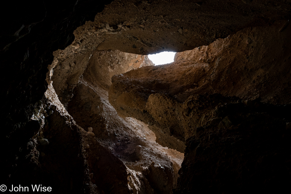
Sidewinder Canyon in Death Valley National Park, California

Step through the open door and look up; this is that view, which helps explain why it’s so dark down here.
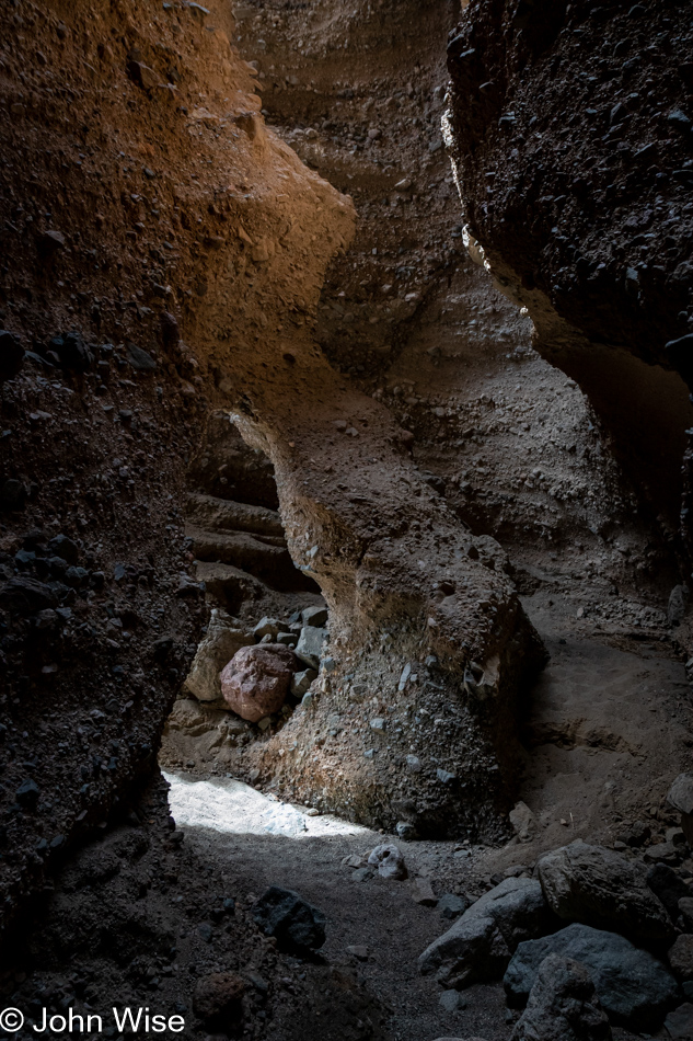
Sidewinder Canyon in Death Valley National Park, California

The word that comes to mind regarding the state entered in this passage is stupefied. How does the hand of nature massage its contours to offer us a perfect world that not only supplies the essential ingredients to care for ourselves but then throws in a load of sensual aesthetic qualities that present our senses with an exquisite orchestration of visual, audible, and other sensory delights that dumbfound us as we stand there in awe? Incredulous that we’ve been gifted this ability to perceive such intense beauty, we are often brought to the edge of emotion that wants to find a way out in some way that far exceeds the exclamation of “wow!” Much of what I write here is a feeble attempt to capture the tiniest fragment of that enthusiasm that feels all too impossible to convey, and so I just keep on searching for the proper sequence of words that might talk back to us in the future and remind us that we’ve traversed the furthest reaches of the incredible that few will discover within or outside of themselves.
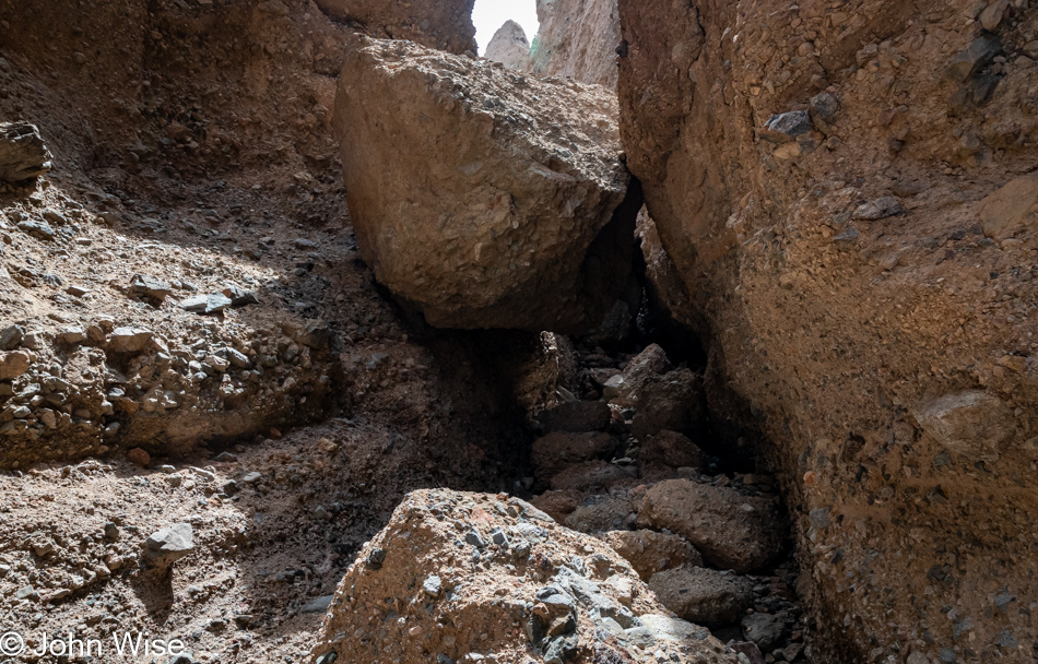
Sidewinder Canyon in Death Valley National Park, California

Charles Darwin once said, “The love of all living creatures is the most noble attribute of man.” I’d change that to include the love of all things, even those things we cannot overcome.
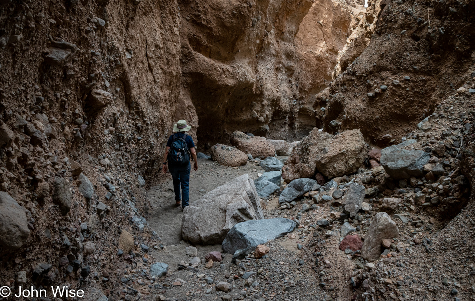
Carolne Wise at Sidewinder Canyon in Death Valley National Park, California

That large boulder was the end of this side canyon for us; we turned around and were able to enjoy it all over again.
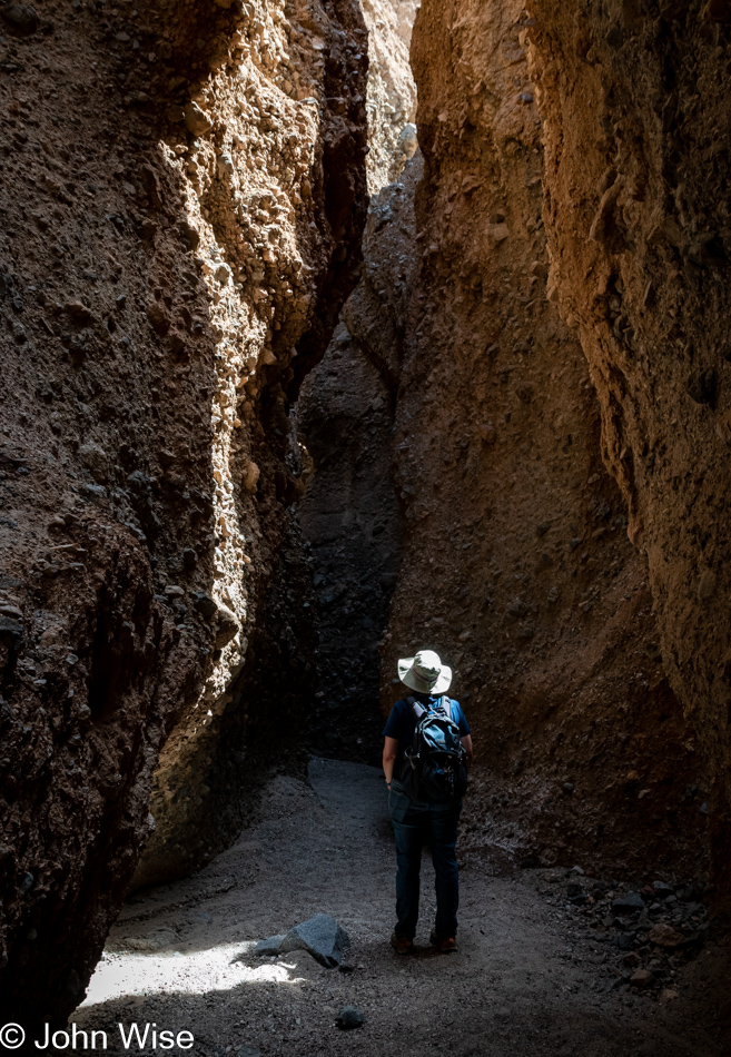
Carolne Wise at Sidewinder Canyon in Death Valley National Park, California

Slot number two. See human for scale.
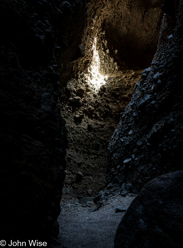
Sidewinder Canyon in Death Valley National Park, California

If you take nothing else from this post, leave knowing that these photos are poor representations of the breathtaking sights found here in Death Valley.
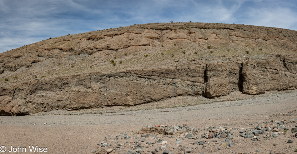
Sidewinder Canyon in Death Valley National Park, California

We have emerged from slot canyon number three in our sequence, and I’m left with the impression that hikers should consider visiting these in reverse order compared to what we chose, meaning visit each side hike as you are entering Sidewinder Canyon in order to save the best for last but then again, who am I to judge what is pleasing to others?
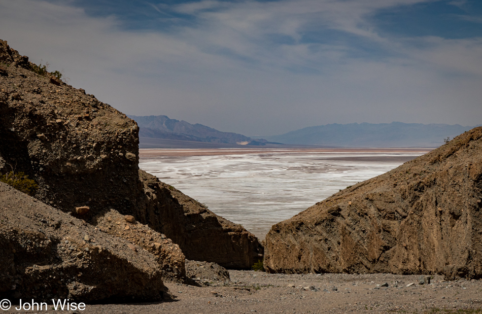
View from Sidewinder Canyon in Death Valley National Park, California

Let’s return to the subject of stamina as I now have 36 photos I’ve written to and have 16 ahead of me, including this one. Caroline often wonders why I don’t just slice the image count in half or even a third when the chore of writing to each and every photo means I’ll be spending an inordinate amount of time teasing thoughts out of my head, often longer than the actual time spent in an environment. You see, this is a clever ploy used by me to spend studied time in front of the photo waiting for some intrinsic value or grand inspiration to seep out of the pixels to talk to me about what I might share. Once I find that muse, er um, delusion, I run with it, and in so doing, I create the situation where my wife will have to then look into each bit of writing to ensure I’m coherent and grammatically correct, but there’s a side effect to writing so much, and that is she is then compelled to dwell within the scene allowing her memories to find a deeper place within our shared experience.
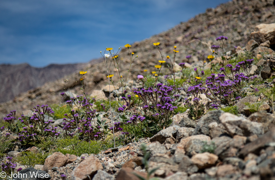
Wildflowers at Sidewinder Canyon in Death Valley National Park, California

This entire process, no matter the motivation, requires the stamina to persist and, if need be, go slow to find my footing before establishing a flow that hopefully brings me to the end of the page without cutting out the remaining images before continuing with the next day. This is the third or fourth day of returning to this evolving post, and other than my wife reading this; I really have no expectation that anyone else will, other than some artificial life algorithm training another Large Language Model (LLM) so it can sample yet another human in order to learn how people express themselves. Like these wildflowers that must bloom in a hostile environment where nobody may ever happen by to appreciate their tenacity to persist, they pop into life for a brief time, grace us with their beauty, and could care less if they’re well received. Right there, that’s my writing philosophy.
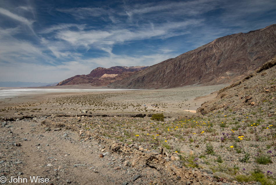
View from Sidewinder Canyon in Death Valley National Park, California

Just to the right of the center of the image is our car, which will whisk us away to lunch if we don’t become distracted on the way up the road.
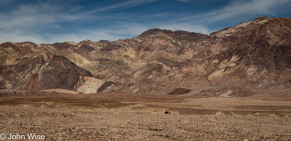
Death Valley National Park, California

This is not Badwater, we didn’t bother to stop at Badwater on this visit to Death Valley because EVERYONE else was there. Never have we seen so many people and such a number of cars at that iconic location ever. It was an absurd level of visitors, as though Badwater had become an extension of a Disney ride. All we could do was crawl by with mouths agape wondering which influencer delivered the horde to this formerly serene place.
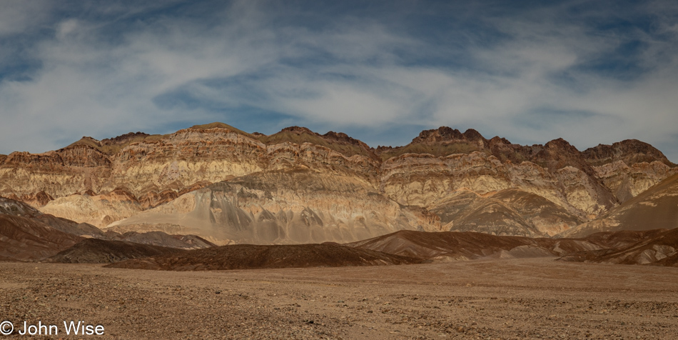
Death Valley National Park, California

By the time we reached The Oasis and the Last Kind Words Saloon, our lunch options were pretty limited and, to be honest, as I was having no kind thoughts about the type of visitor the park attracts these days, I just wanted a quick bite so we could get back on a trail away from the grotesque superficiality on display here. Having a captive audience in Death Valley, the concessionaire puts us visitors in the bind of not having many options, and they are able to charge what the market will bear. We shared ten wings ($26), Caroline had a beer ($10), and I had an iced tea ($4). With tip, our bill for a shared appetizer and two drinks was $51. Not only that, our time at the saloon stole an hour from our day. Growing discouraged with our brief time here at the hub of Death Valley, we had one more thing to take care of, which was buying a new annual pass for our National Parks at the visitors center. Asking the ranger about the mayhem, we were advised to reconsider visiting on holiday weekends. This is Easter weekend, and there are still remnants of spring break filtering through. Now we know.
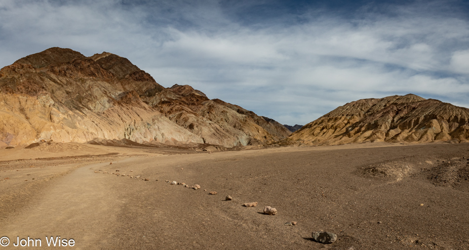
Desolation Canyon in Death Valley National Park, California

Time for a return to peace and quiet, which is exactly what one might expect at Desolation Canyon.
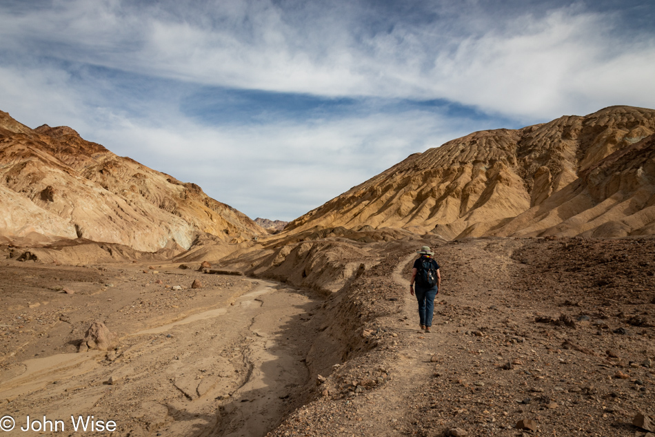
Caroline Wise at Desolation Canyon in Death Valley National Park, California

Who needs to check with AllTrails? The path very obviously goes that way.
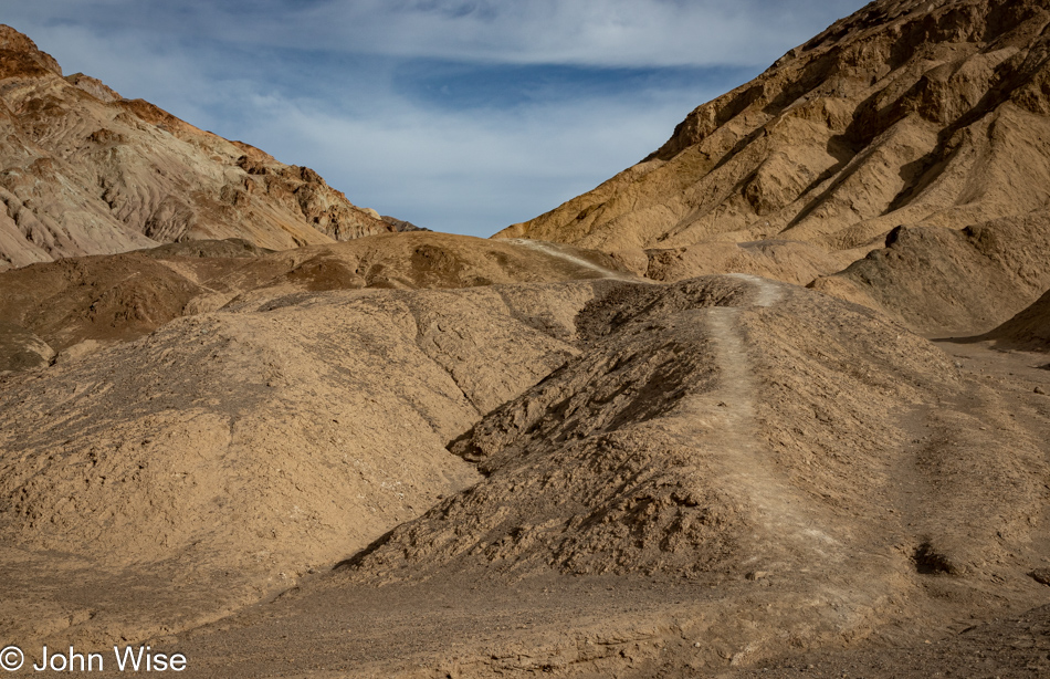
Desolation Canyon in Death Valley National Park, California

There were some sketchy areas along the way for me, but as much as possible, I at least went as far as I could before my vertigo was either overcome or defeated, and we had to turn around. Things were going along more or less fine until I reached the point of ultimate pucker, where my butthole gland jolted me with a surge of anxiety that screamed a clear and resounding “nope!” It was at this point that we looked at the AllTrails map and saw that we were off the main route. How could this be, as the trail was so clearly defined?
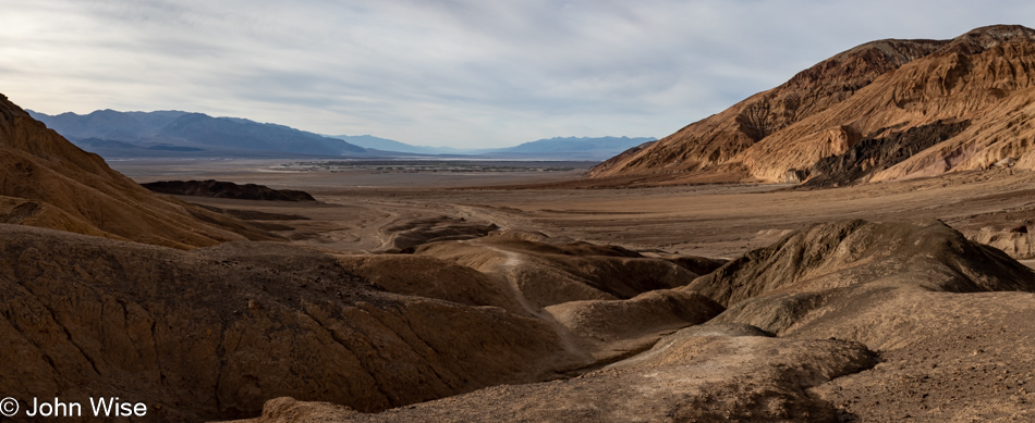
Desolation Canyon in Death Valley National Park, California

We’d already been hiking back when it occurred to me that I should have taken a photo from our furthest point up the pucker trail. Oh well, it’s early enough; we can try this again once we get back down there.
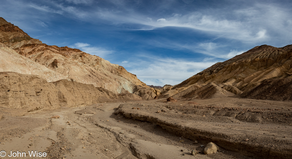
Desolation Canyon in Death Valley National Park, California

I see; we weren’t supposed to walk on the visible trail next to the wash; we were supposed to be in the middle of the wash.
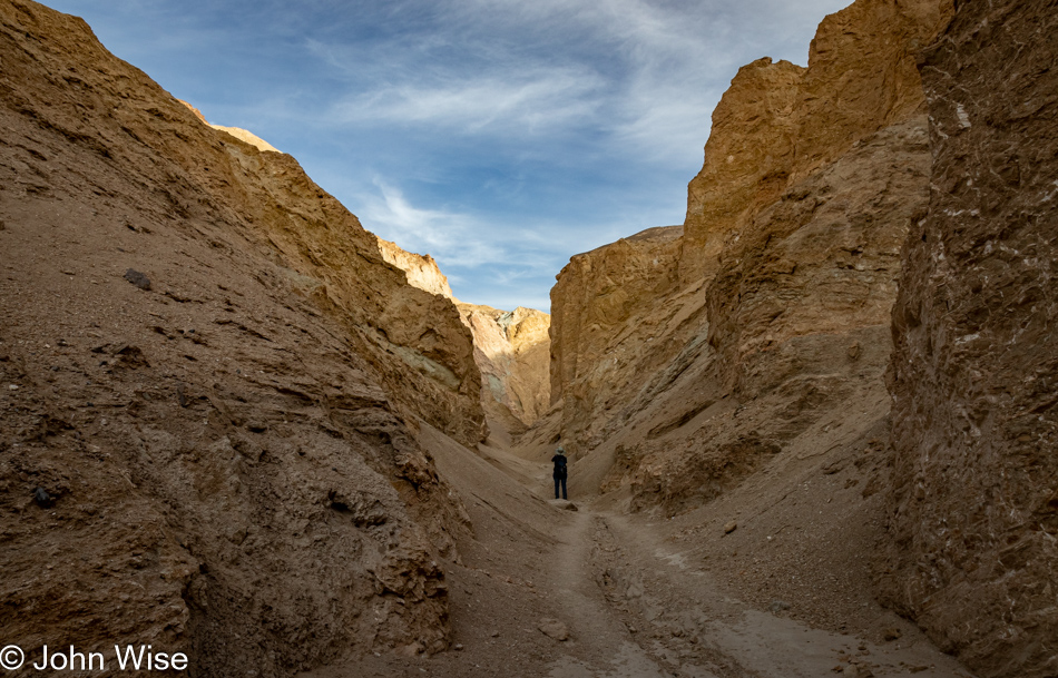
Desolation Canyon in Death Valley National Park, California

We quickly learned why this canyon earned its name: this is absolute desolation. Not a single plant, lizard, or bit of moisture though we did hear the occasional bird tweeting from above. Then there was also that guy who was on his descent from a nearby peak because he has the kind of hooves that allow his species to ascend escarpments and was now racing to reach Dante’s View at Coffin Peak before sunset after he whipped out his wings.
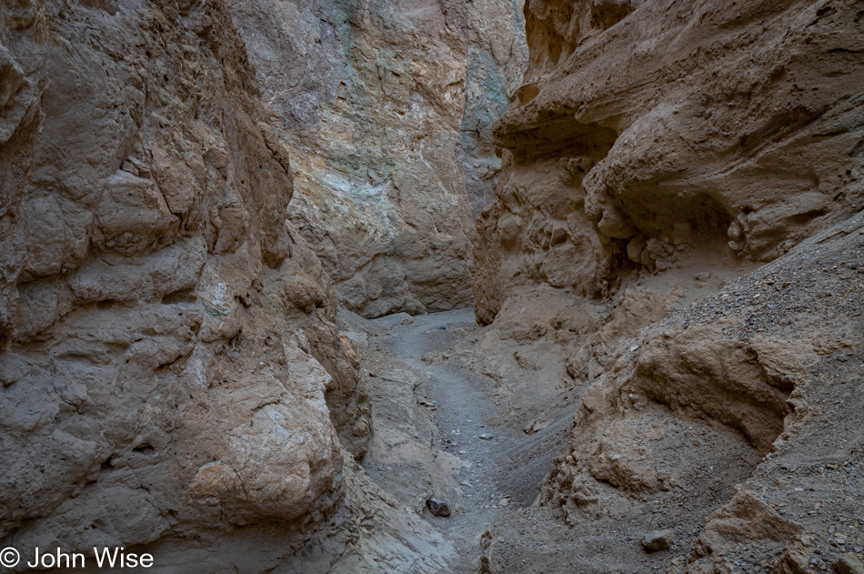
Desolation Canyon in Death Valley National Park, California

It’s intensely beautiful down here, but the sun is not in our favor, and like just about anywhere on the trails in Death Valley, we wouldn’t want to be out here after the sun sets, so we keep on moving, not taking the time we should in order to take it all in.
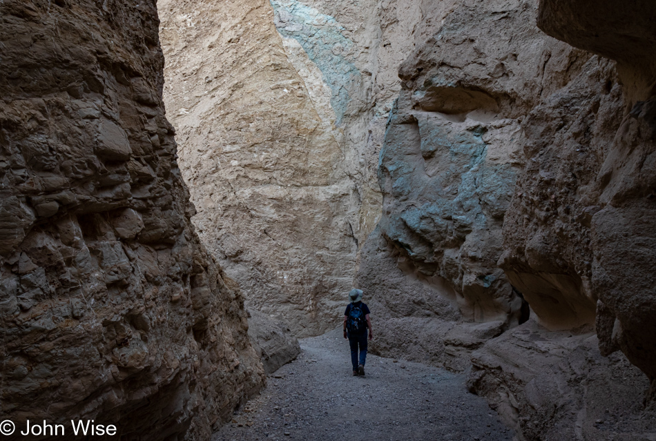
Caroline Wise at Desolation Canyon in Death Valley National Park, California

There was another dead end ahead for us before finishing the Desolation Canyon Trail, a rock face with obvious hand and foot holds but purely vertical and something that I wouldn’t have been happy needing to come down. Mind you; this is certainly a disappointment for me as I, like any normal person who’s already invested the effort in getting out here, want to reach the end of the trail for that sense of winning a prize for reaching the end of the trail. Alas, this isn’t meant to be my way of winning; I’ll have to accept that by being forced out of this canyon earlier than expected, we were able to do other amazing things that were meaningful, too. Those details follow.
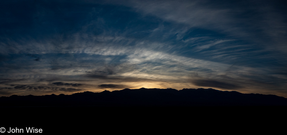
Sunset over Death Valley National Park, California

It feels like a rare moment when we are afforded the opportunity to experience a glorious sunset here in Death Valley. I don’t know why we can’t find any memories of sunsets in the park; maybe it’s due to being overwhelmed by the sites of the day or that they simply can’t compare to the spectacular sunsets we witness in Arizona, regardless of the reason, today, we were gifted with this late burst of color in the early evening sky that bore remembering.
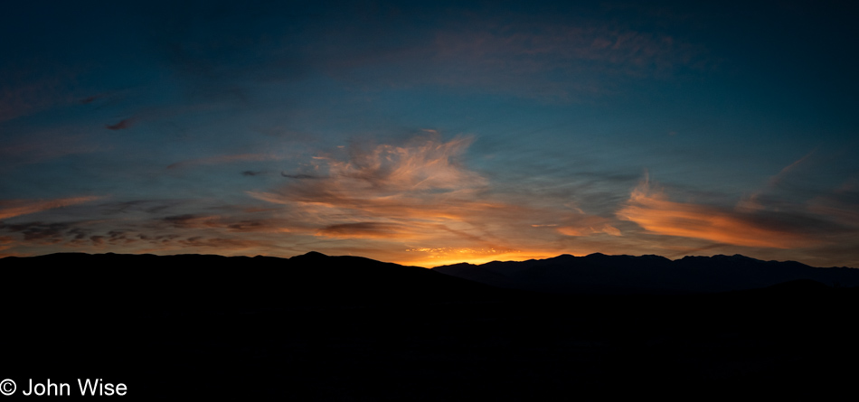
Sunset over Death Valley National Park, California

From where we left the trail, the nearly 70-mile drive down to Shoshone was going to take us nearly 90 minutes, getting us to dinner shortly before 8:00, but here we were stopping yet again. There’s no question in our minds that whatever might be sacrificed later is just the way it is because capturing yet another reminder of a perfect day takes precedence.
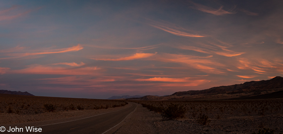
Sunset over Death Valley National Park, California

Nearly 15 miles covered by 32,000 steps on three different hikes is what we got in today. Starting with Room Canyon, moving on to Sidewinder Canyon with a quick jaunt out onto the salt flat in-between before finishing the day on the Desolation Canyon trail. When we pulled into our motel, we figured it was too late to hit the hot spring, so we went for dinner at the Crow Bar across the street and talked of taking a dip in the morning before the day got underway, but as luck would have it, we got our order in before a large (loud) party of Germans and before we knew it, it looked as though we could clear our bill and get to our room to change by 8:40 allowing us almost 15 minutes at the pool. We wasted no time and were in the water by 8:45. The gate is supposed to be locked at 9:00, but as luck was once more favoring us, the guy didn’t show up until some minutes after 9:00 allowing us a full 20 minutes of hot spring winddown for our tired bodies and heavy feet. This was just the elixir nature ordered for this couple of outdoor enthusiasts who were celebrating their stamina to be on the go and enjoying every moment of a day that stretched into a 15-hour adventure of non-stop sublime impressions.