Happy McKiteface Over Oregon- Day 9

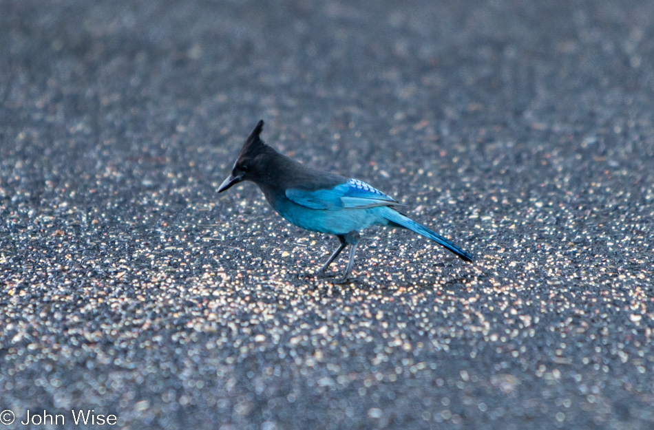
A Stellar Jay at Umpqua Lighthouse in Reedsport, Oregon

Good morning, Steller’s jay! I hope you enjoy your morning meal courtesy of the vanlife guttersnipes that squatted here overnight. Caroline and I have been visiting the Oregon coast for about 20 years now, and I can say with certainty we’ve never seen so many roadside freeloaders who don’t have the respect to pay attention to the “No Overnight Camping Allowed” signs. I can only surmise that their sense of being free to roam America’s roads allows them to feel a sense of entitlement that arrives with their chosen form of homelessness for the sake of social media status. Regarding the homeless situation, it has spilled out of the bigger cities and now shows up on the coast in ways we’d not seen before. From more people living in cars (not in the aforementioned vanlife configuration) to people struggling with loads of stuff being moved through town and those who will join the ranks in the coming year due to the problem of rising rents, the situation is one of ugly proportions. Back to the vanlifers, Caroline and I used to pull into overlook parking lots where we might be the only people, but when we pull in, and there are people just waking, finishing their ablutions, or putting away the cooking gear, I try to imagine what our experiences would have been like if people in motorhomes had exercised the same liberties, especially considering two large vehicles could fill up a pullout and stop anyone else from stopping for a moment. Just because we didn’t park at an ocean overlook doesn’t mean our waking experiences are any less valid or someone else’s even greater because they flaunt convention. Enough of that, I look forward to the day that vanlife is no longer a thing or I’m dead and gone, no longer able to witness the arrogance.
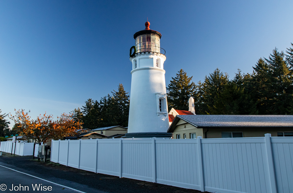
Umpqua Lighthouse in Reedsport, Oregon

Normally, waking near the shadow of a lighthouse is a terrific thing, but driving into someone’s temporary bedroom sure puts a damper on that. Fortunately, they were soon gone after we spoiled their perfect isolation with our intrusion. Oops, I said I was done with all that, but the truth is that I’m never done once something gets jammed in my craw.

When we travel on weekends, it’s often been difficult for Caroline to connect with her mom in Frankfurt for her weekly call, but it just so happens that our brother-in-law Klaus is visiting Jutta as we were packing up the yurt and is going to bring us into a video chat. While my mother-in-law has certainly been here at the lighthouse, we have some skepticism about how much she remembers or whether she simply learned to just go along with things and agree to fond memories rather than admit these things are largely gone from her book of memories. It’s really not a problem, though, as she smiles a lot, and we know she’s still very aware that she’s been to the United States many times, even if many of the details are lost to the passage of time.
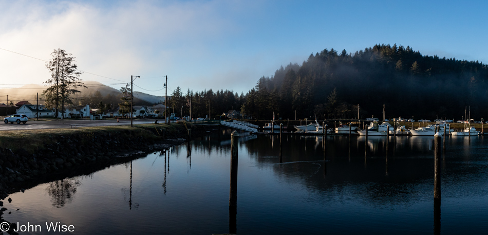
Umpqua River in Winchester Bay, Oregon

Do you remember how years ago there was a floating restaurant off in the distant corner here in Winchester Bay? We fondly do and have often wished to visit again, but it’s been closed for years. We first dined there back in 2006; such is the good luck of having blog posts to remind one of something that might have been forgotten otherwise. Today, we sit next to the Umpqua River for breakfast after choosing the place with more cars parked outside, figuring the locals know something.
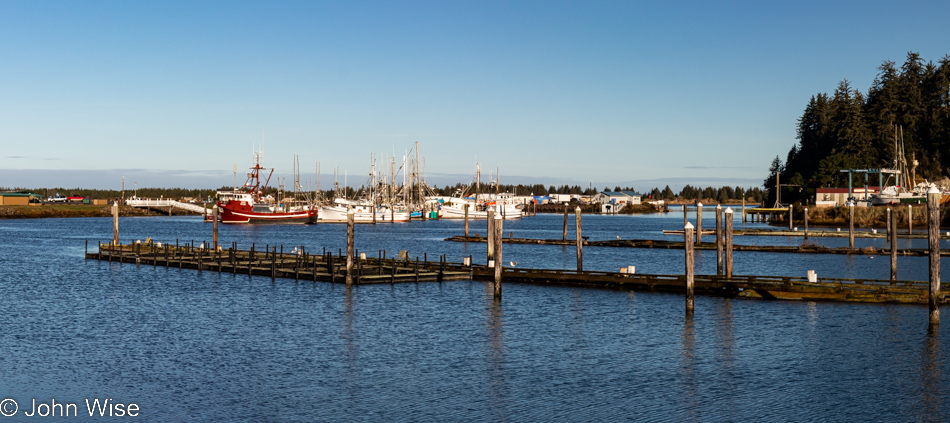
Umpqua River in Winchester Bay, Oregon

Never believe in 10-day forecasts, or better yet, simply don’t look at them because would they really change your travel plans? This is probably bad advice because at least they offer some idea of how to dress for potential weather conditions. As for the location, we are on the other side of the restaurant for a post-breakfast walk under perfect skies.
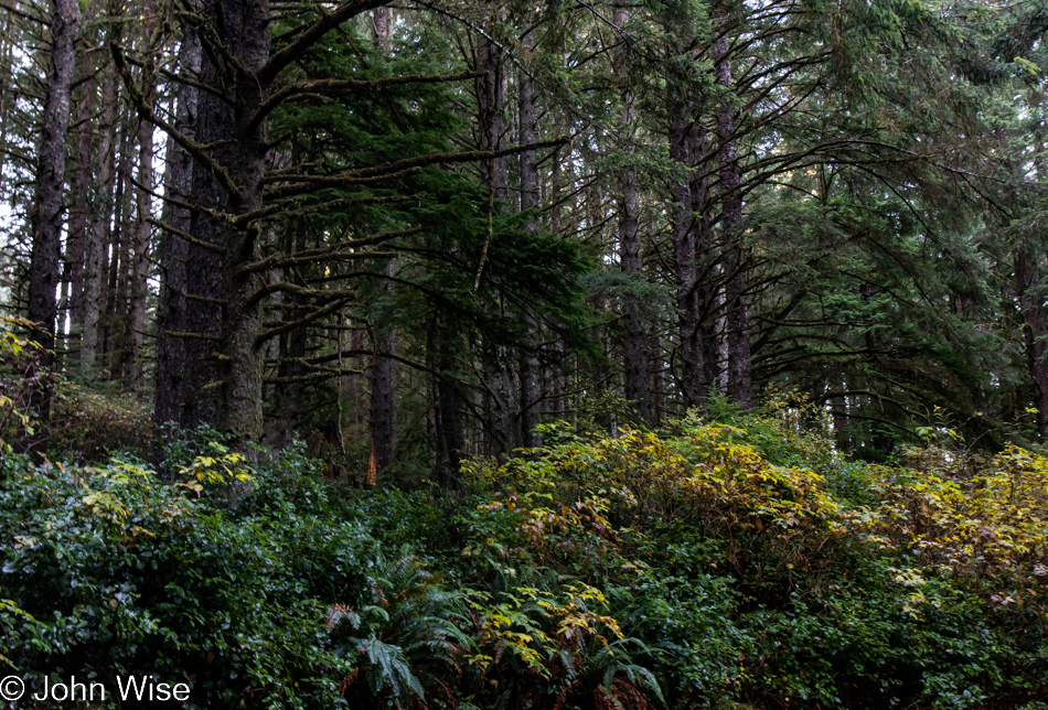
Umpqua Lighthouse State Park in Reedsport, Oregon

This isn’t just any old forest; it is the forest that goes back…
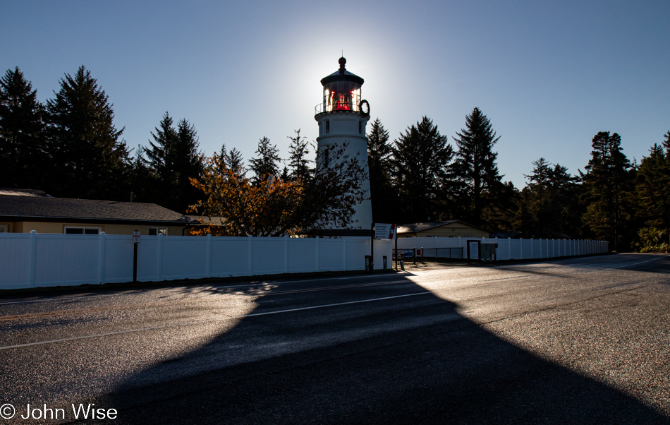
Umpqua Lighthouse in Reedsport, Oregon

…back to the Umpqua Lighthouse because without Tillamook Creamery around for breakfast dessert, this will have to do.
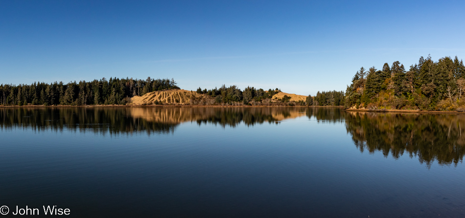
Oregon Dunes seen from the David Dewett Veterans Memorial in North Bend, Oregon

We are looking across one small part of Coos Bay from the vantage point of the David Dewett Veterans Memorial in North Bend. It almost never fails that the reflections of the Oregon Dunes catch our eye, and poetically, it makes sense that a place of such great reflection should be the site of a veterans memorial.
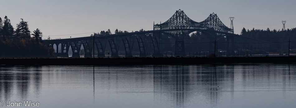
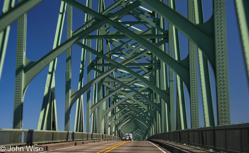
McCullough Memorial Bridge in North Bend, Oregon

In the opposite direction, you’ll find the McCullough Memorial Bridge.
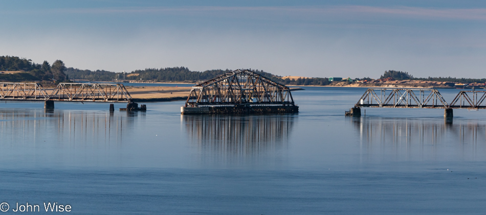
Rail bridge over Coos Bay in North Bend, Oregon

In all the years we’ve been passing through here, we’ve yet to see this rail bridge in any other position or to see trains crossing the bay. We can only guess that this is a relic of the age of forestry as it existed in the past.
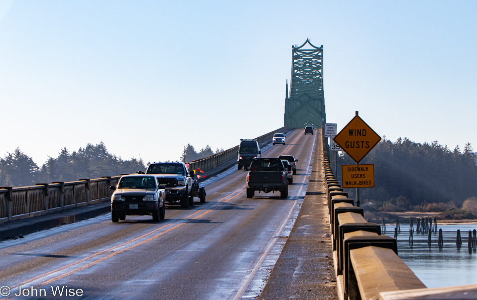
McCullough Memorial Bridge in North Bend, Oregon

From this fascination with bridges, one might think Arizona doesn’t have any, but it turns out that Arizona and Oregon are nearly equal in that department, which suggests that the bridges in Arizona are not remarkable in any way. Before you object: yes, we have the Navajo Bridges over the Colorado River and the London Bridge that was moved from the U.K. to Lake Havasu, along with the Black Bridge down in the Grand Canyon, but other than those, I cannot think of any other memorable crossings in Arizona. [May I suggest Roosevelt Lake Bridge?  Caroline]
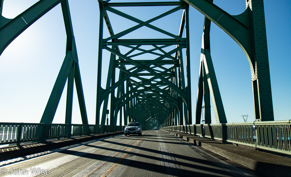
McCullough Memorial Bridge in North Bend, Oregon

For 86 years, people have been using this bridge, but has anyone else taken so many photos of it?
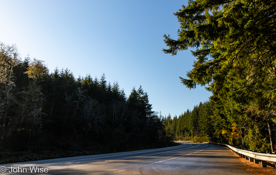
Traveling Highway 101 south of Coos Bay, Oregon

I’m always trying to remind myself not only to stop and take photos of the most iconic things but also the mundane ones along the way, as they are just as important a part of the attraction that draws us back year after year.
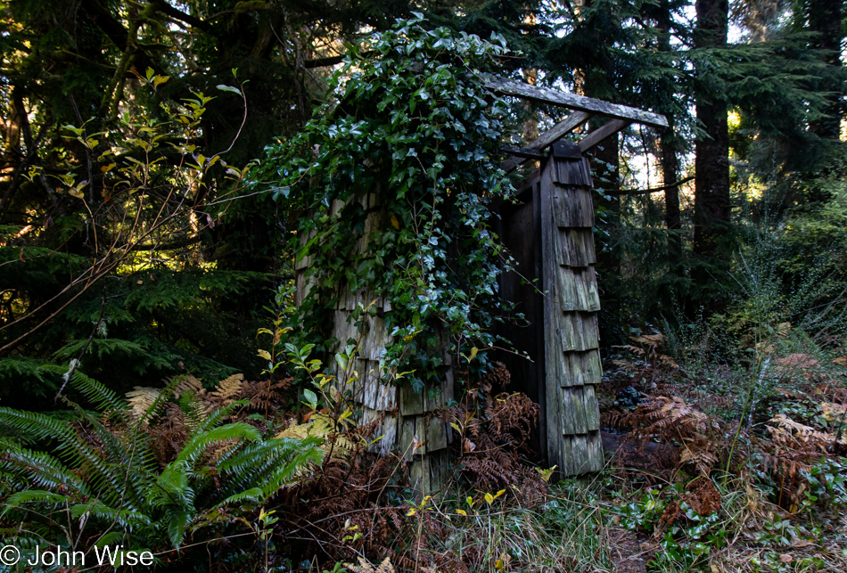
Old rain shelter on Riverside Drive in Bandon, Oregon

In addition, we try to turn down side roads we might have missed on previous travels, and today, that worked in our favor when we turned onto Riverside Drive. At first glance, this might look like an outhouse to those of us not accustomed to living in rainy places, but upon looking closer, it was obvious that this was a long-neglected bus stop for kids who needed shelter while waiting for their school bus.
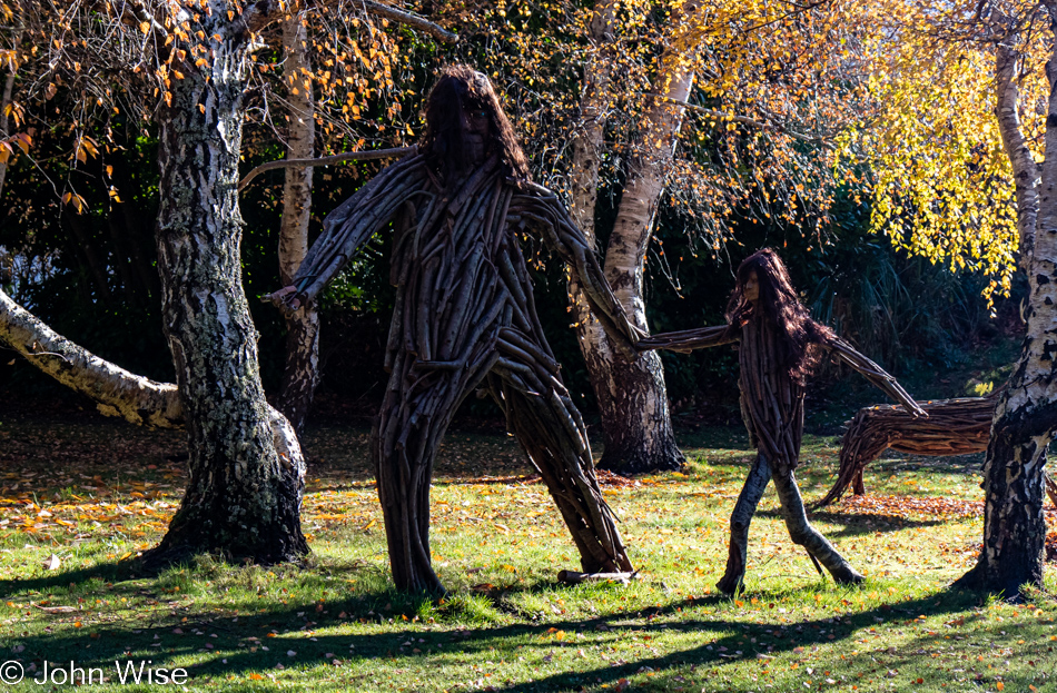
Big Foot and child on Riverside Drive in Bandon, Oregon

That, or it was a hiding place from a marauding Big Foot and its daughter.
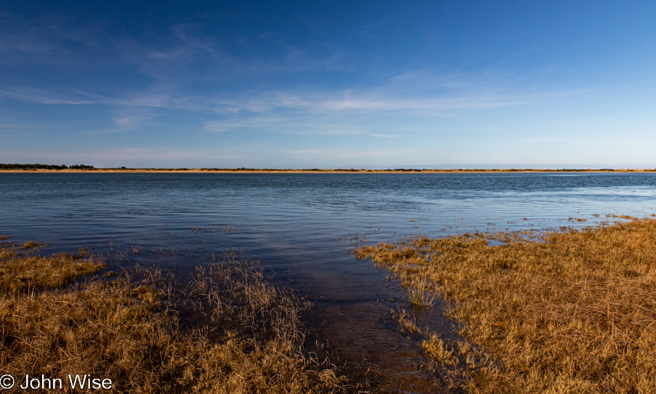
Bandon Marsh National Wildlife Refuge in Bandon, Oregon

Also from Riverside Drive, a view of the Bandon Marsh National Wildlife Refuge we’ve never seen before.
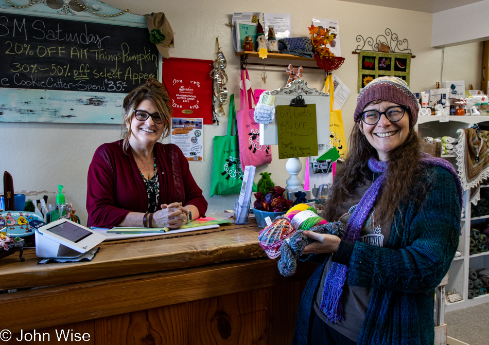
Caroline Wise at the Wool Company yarn store in Bandon, Oregon

The same cannot be said of the Wool Company yarn store in Bandon, which we’ve visited countless times and must have bought 50 skeins of yarn by now. Yes, there is new sock yarn there, destined for my feet.
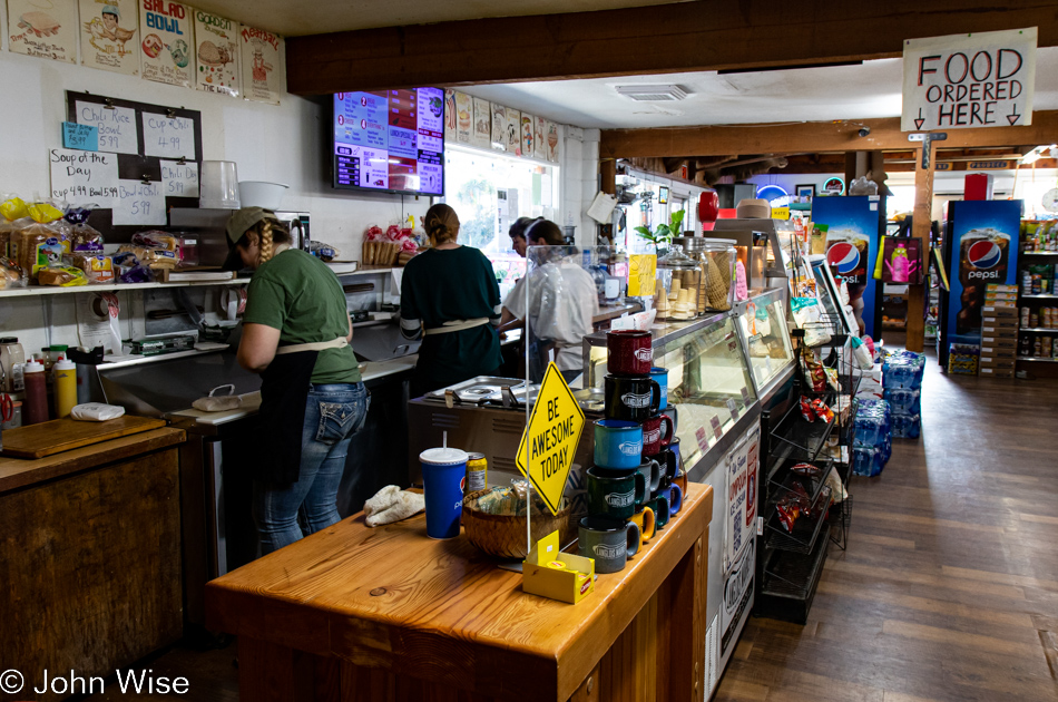
The famous Langlois Market in Langlois, Oregon

Another place becoming a regular stop on our journeys is found here at the famous Langlois Market, best known for the more than 1,000,000 hotdogs they’ve sold from their little roadside market in a town of only 370 people.
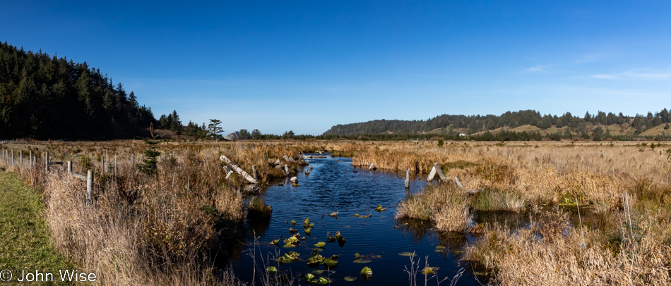
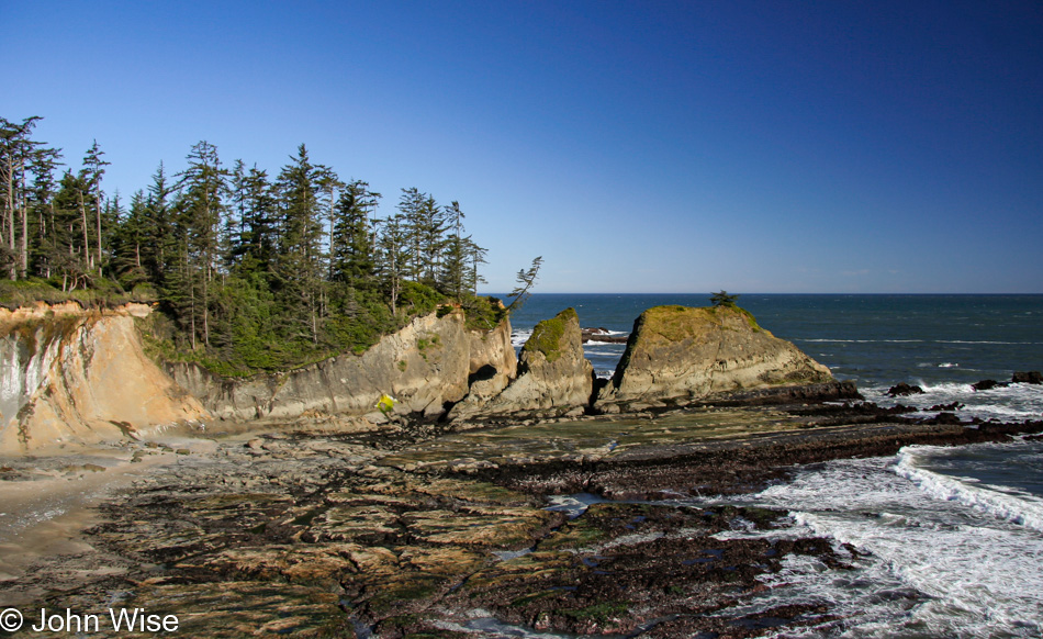
Cape Blanco State Park in Port Orford, Oregon

Not being able to remember offhand the last time we visited the Cape Blanco Lighthouse in Port Orford, we decided to drive down the road through the state park to have a gander.
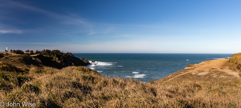
Cape Blanco State Park in Port Orford, Oregon

Oooh, it’s windy and cold out here, but the sky demands that we take the short walk in the elements to nab a photo of the lighthouse should it happen that I’ve never taken one in such nice weather.
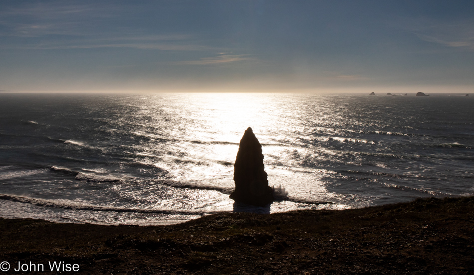
Cape Blanco State Park in Port Orford, Oregon

Apparently, Neptune has raised his Sword of Damocles against those who live above the surface of his vast ocean, threatening all of us should we not heed our own knowledge that we are ravaging his seas.
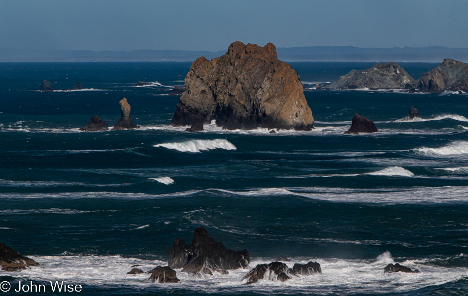
Cape Blanco State Park in Port Orford, Oregon

And to our right, as we walk out on the spit of land that is home to the lighthouse, is this view of the deep blue sea that just yesterday was dark green.
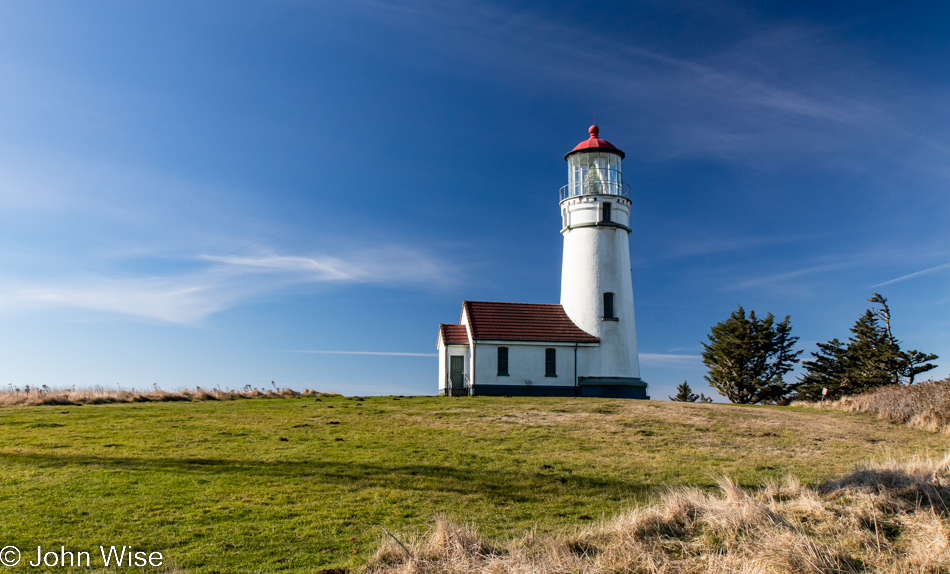
Lighthouse at Cape Blanco State Park in Port Orford, Oregon

At this time of year, nothing is open; the season is over. No matter, as the tower itself is not currently visitable even during the summer.
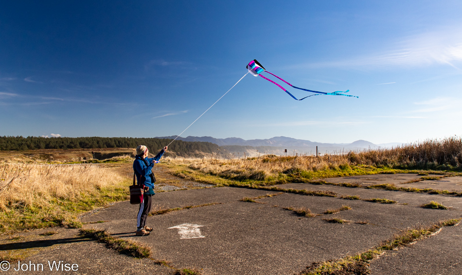
Caroline Wise at Cape Blanco State Park in Port Orford, Oregon

As I said, it’s windy out here, which Caroline thought was as good a time as any to break out the new kite and test how it compares to the one it’s replacing. We’ll just call it love.
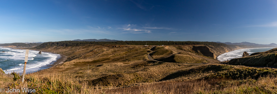
Cape Blanco State Park in Port Orford, Oregon

Our car is out there in front of the tree line, and looking at the photo above this one, you might have noticed that Caroline was standing in the old parking lot. Even if the road to the lighthouse was still open, you should be reluctant to drive it as the adjacent cliffside is eroding.
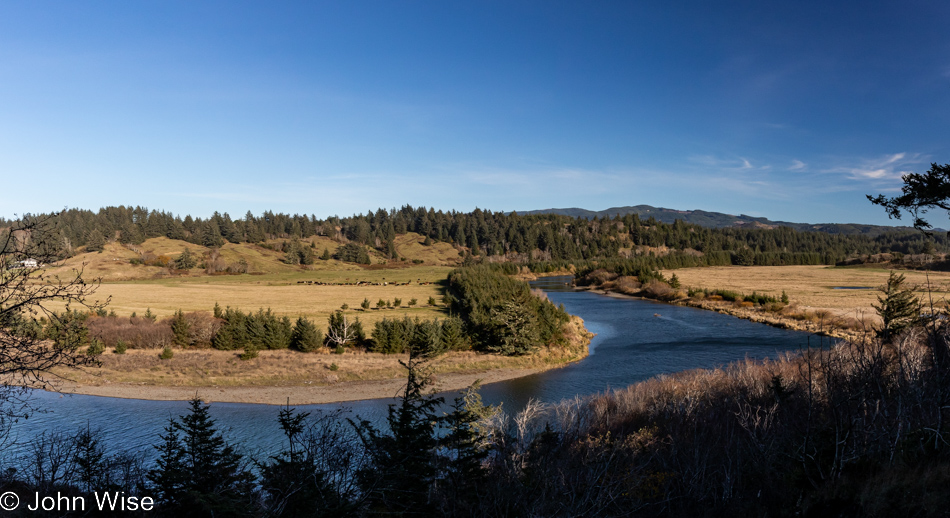
Cape Blanco State Park in Port Orford, Oregon

This is still part of the Cape Blanco State Park, and to the left is the Historic Hughes House built in 1898 that is visitable.
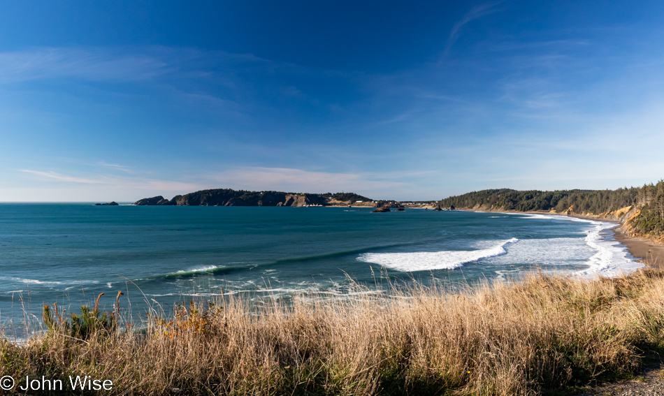
Port Orford, Oregon

There are a lot of places I can say with certainty we’ve visited before, even multiple times, but this pullout looking north towards Port Orford seems to me to be one of the surprisingly many new sites we’ve stopped at during these days.
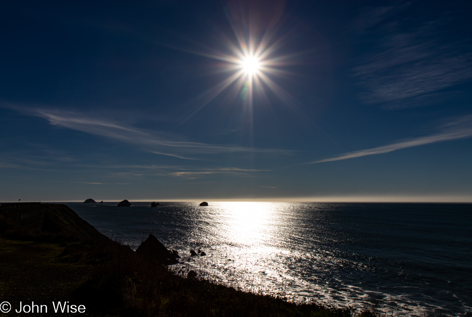
Looking southwest from the same vantage point offers up a crisp sky and a horizon nearly devoid of any fog. Of all the times we’ve been asked if we’ve been here or there, this country or that, nobody has ever asked if we’d ever had the opportunity to be out in the middle of the Pacific Ocean.
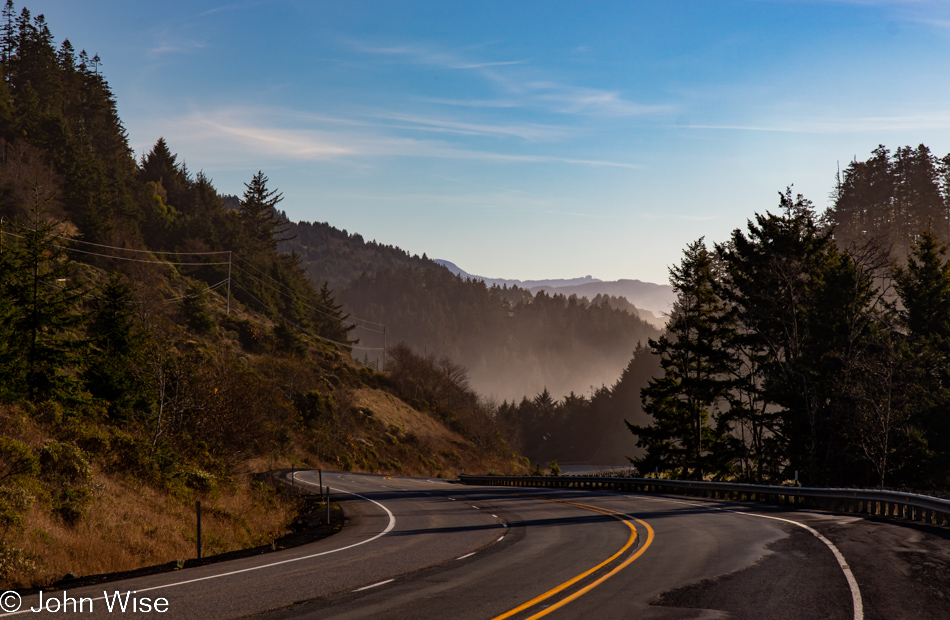
While our yurt at Bullards Beach State Park in Bandon is now 30 miles behind us, we have a date with a rock 35 miles ahead.
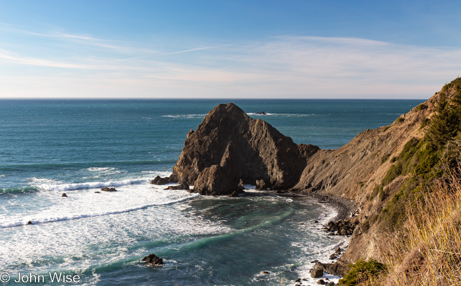
View from Highway 101 north of Gold Beach, Oregon

Persistence paid off in my attempts to figure out where the heck we were on the road, but it is mislabeled on Google Maps and is not identified at all on Bing; the address is roughly 35690 Oregon Coast Highway, identified with Port Orford, and it is NOT Foramen Arch.
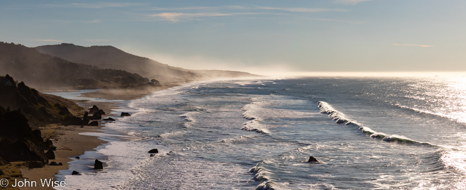
View from Highway 101 north of Gold Beach, Oregon

Turn and look south, and this is your view from the photo above. To the left of the image, you can see Euchre Creek spilling into the ocean.
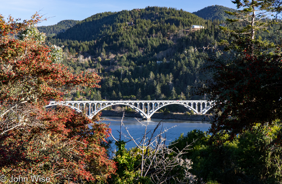
Wedderburn Bridge in Gold Beach, Oregon

Moving down a hill and between the bushes, we were offered this view of Wedderburn Bridge in Gold Beach. I wanted to snap a photo from the road, which gave a much better view; stopping for a photo would have been too dangerous though, so this one will have to do. It’s yet another bridge designed by the famous civil Oregonian engineer with a Hitler mustache named Conde McCullough.
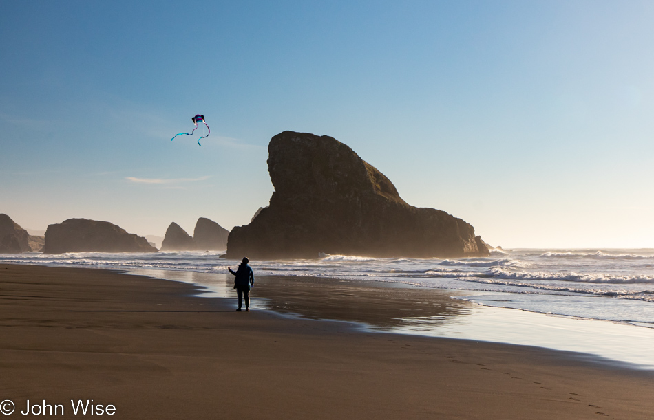
Caroline Wise at Meyers Creek Beach in Gold Beach, Oregon

Meet our southern date here at Meyers Creek Beach, the Shark Fin. This visit, though, now comes with 100% more kite.
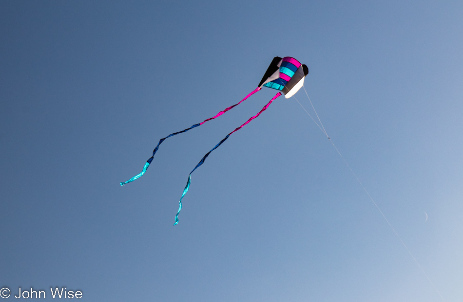
Meyers Creek Beach in Gold Beach, Oregon

No more disappointment trying to fly the previous pathetic little kite that was reluctant to take to the sky, as this one is a natural.
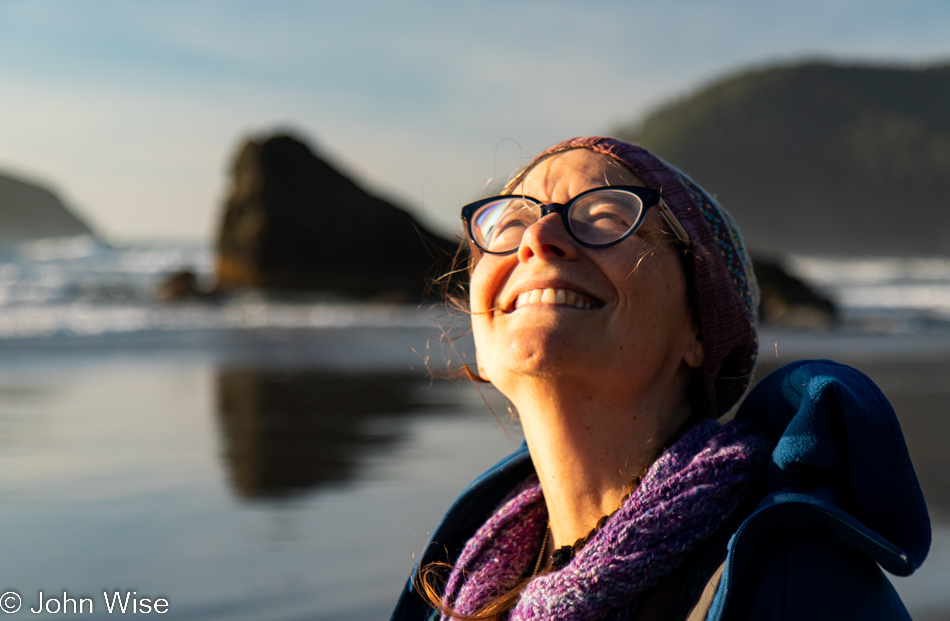
Caroline Wise at Meyers Creek Beach in Gold Beach, Oregon

Caroline is so happy with this new kite that she’s named it Happy McKiteface. Cute name and all, but I think it actually describes her.
Meyers Creek Beach in Gold Beach, Oregon

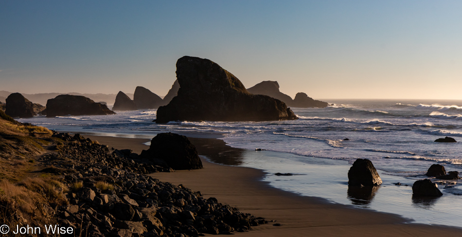
Until next time, Shark Fin, it’s been great.
Cape Sebastian Trail in Gold Beach, Oregon

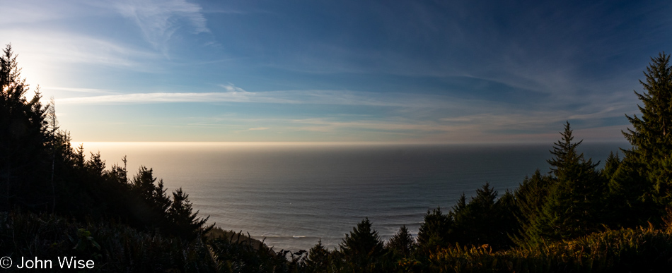
There we were, driving north as though we were doing so with purpose when, not even two miles away from our last stop, a steep road up a hillside on my left seemingly demanded that I pull a quick U-turn to investigate. Why hadn’t the Cape Sebastian sign caught our attention before?
Cape Sebastian Trail in Gold Beach, Oregon

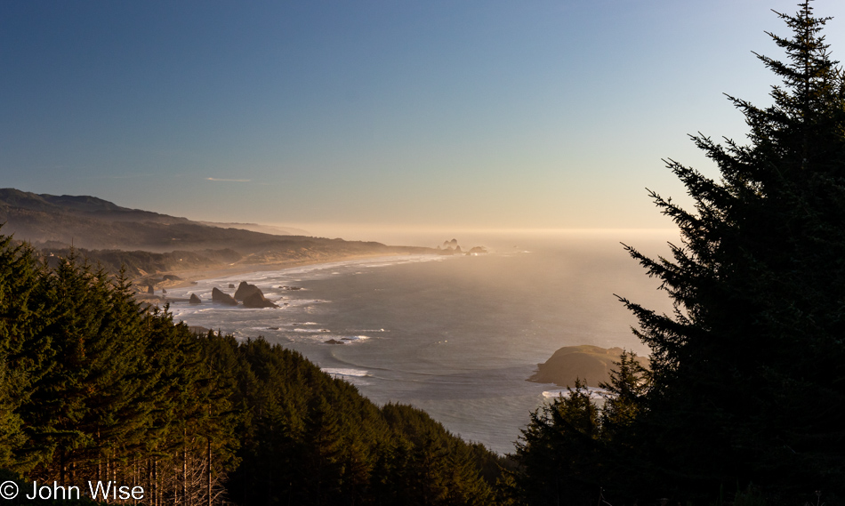
Seeing how we are now up here, we should check out what is down the hill, not this way but the one in front of us.
Cape Sebastian Trail in Gold Beach, Oregon

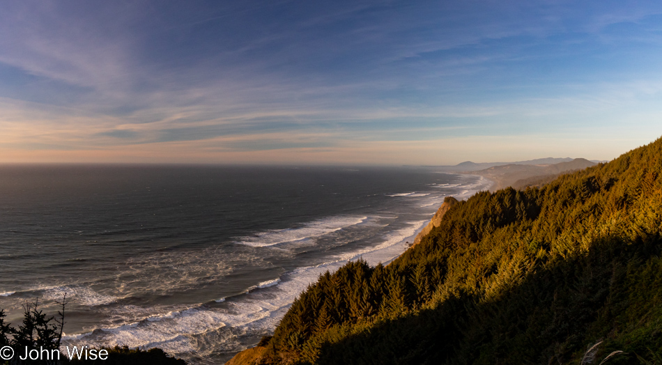
Nope, this is the view to the north, but in a second, you’ll know what I’m speaking of.
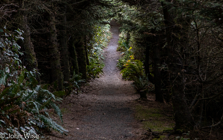
Cape Sebastian Trail in Gold Beach, Oregon

This is the trail I wanted to bring your attention to.
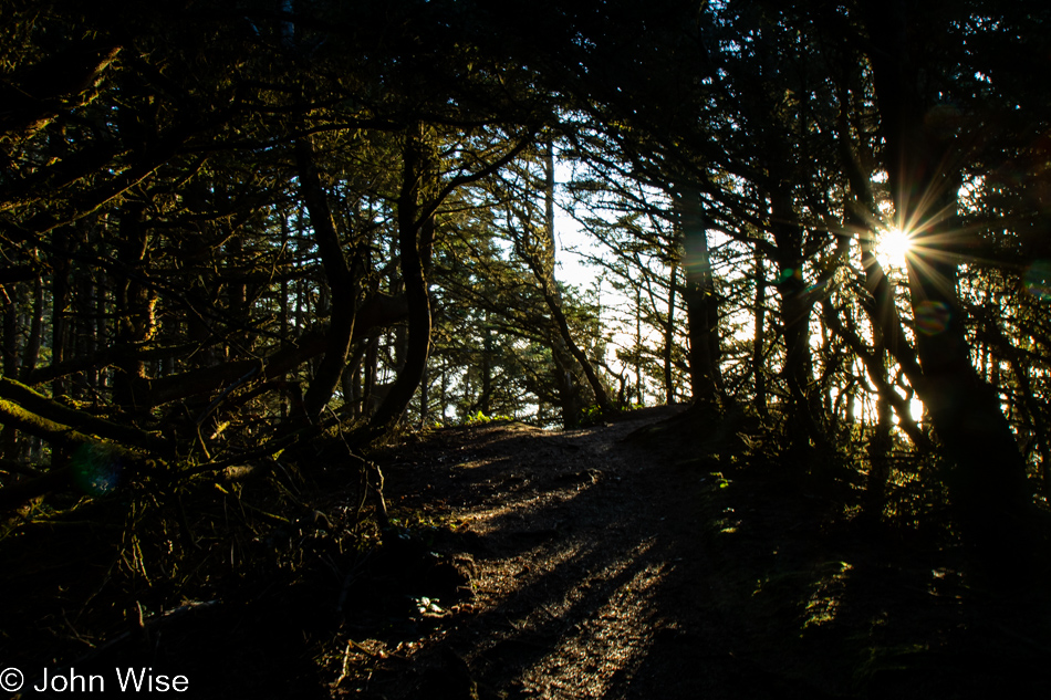
Cape Sebastian Trail in Gold Beach, Oregon

It apparently brings us out to the edge of Cape Sebastian, here between Pistol River and Gold Beach.
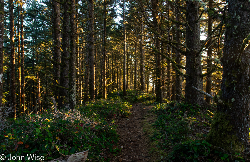
Cape Sebastian Trail in Gold Beach, Oregon

Where exactly it’s going is uncertain as there was no trail map at the parking lot, and at this moment, we’ve not passed anyone else who can tell us anything more about where we are. Checking our phones is not an option as we have no signal.
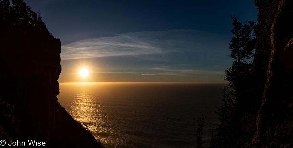
Cape Sebastian Trail in Gold Beach, Oregon

If this were as far as we’d been able to go, it would have been worth every moment and more. Around this time, we’d met a couple coming at us on the trail, and we asked how far they went; they’d gone all the way to the beach but warned us it was too late to try that as it would certainly be dark by the time we got back to where we were talking with them. Something to come back to.
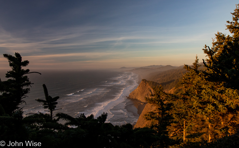
Cape Sebastian Trail in Gold Beach, Oregon

With that, we turned around for our walk back through the forest until we found a slightly different view north.
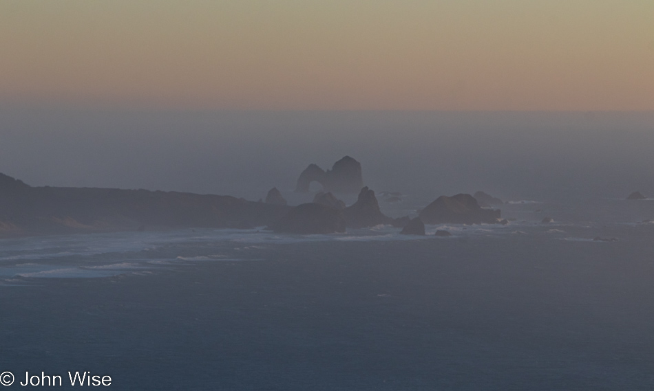
Cape Sebastian Trail in Gold Beach, Oregon

In the distance to the south, way out there, that’s Arch Rock.
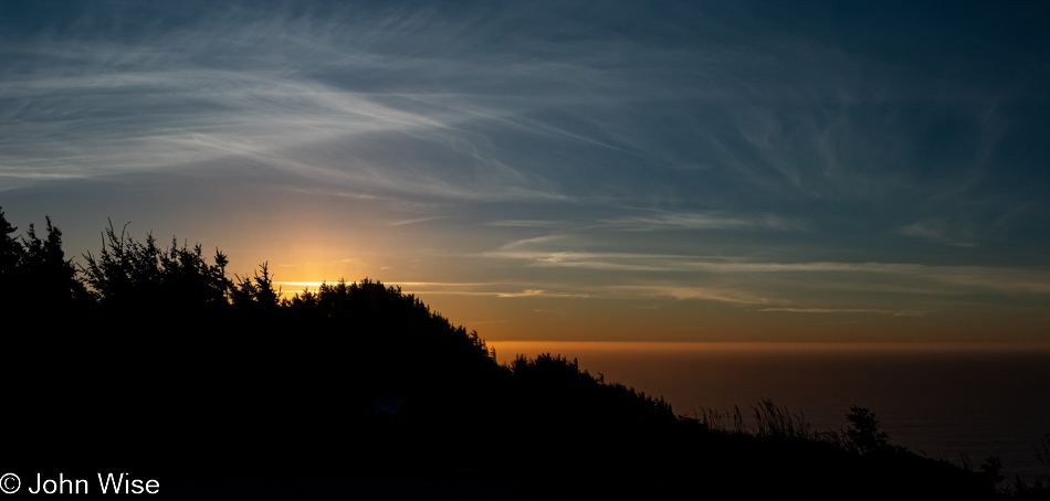
Cape Sebastian Trail in Gold Beach, Oregon

Back at the Cape Sebastian parking lot and ready to tackle the last 65 miles to the evening’s yurt accommodations.
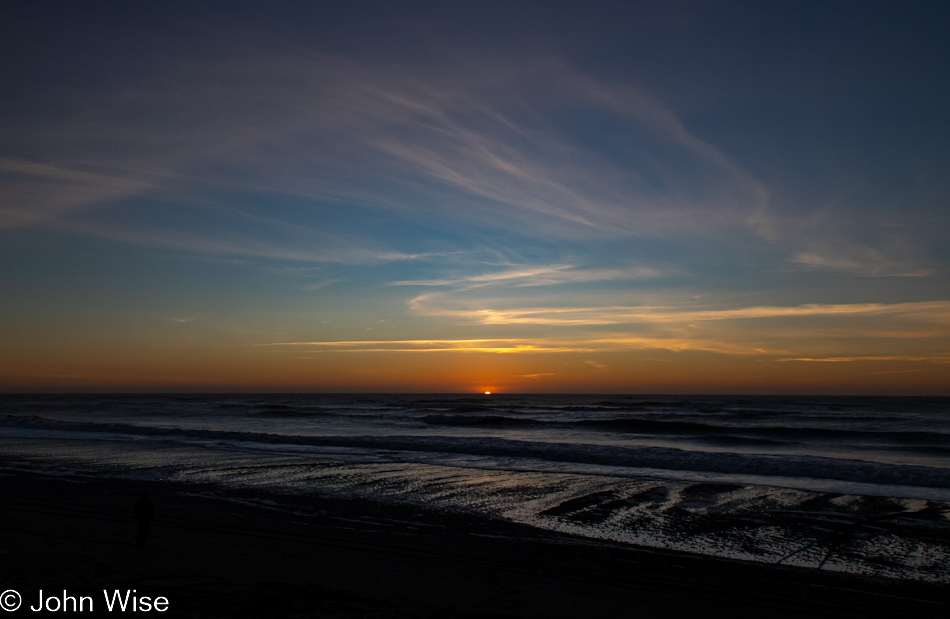
Visitor Center Beach at Gold Beach, Oregon

We’ll still have 60 miles left after this “last” stop, but who could blame us? We’ve stopped at the Gold Beach Visitors Center, which appears to be the name of the beach, but that can’t be.
Visitor Center Beach at Gold Beach, Oregon

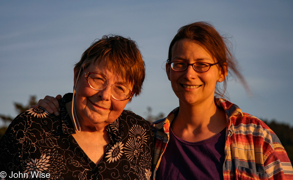
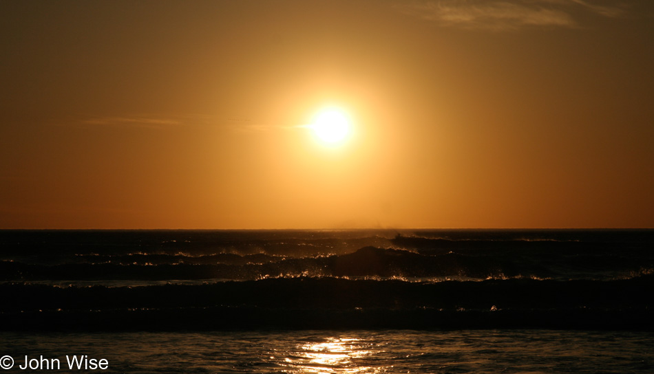
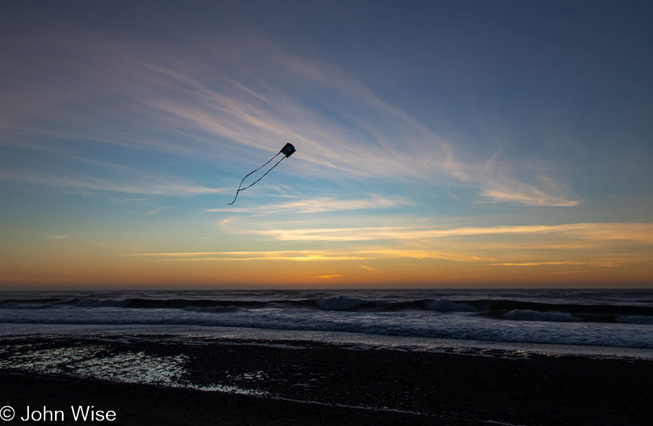
While I busied myself photographing the last moments of the setting sun, Caroline quietly pulled out Happy McKiteface and threw it aloft before I could protest. With that smiling face beaming at her new kite high above the beach in the fading light of day, there was no way I was going to rain on her moment of finding yet more joy.
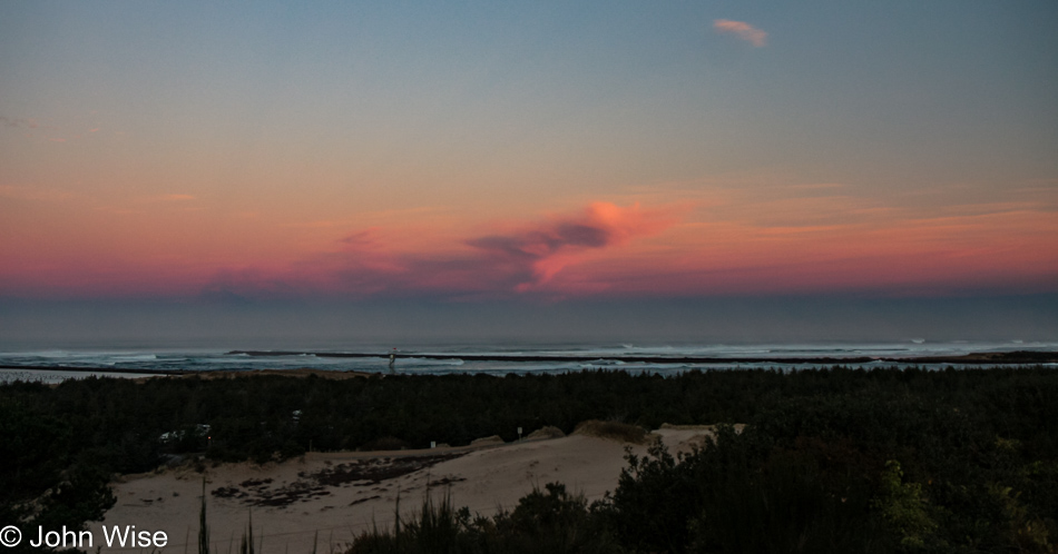
Umpqua to Siletz Bay

Umpqua Lighthouse State Park in Reedsport, Oregon

Disclaimer: This post is one of those that ended up being (mostly) written years after the experience was had. While there was a paragraph or two posted way back then with a single photo, there were no other notes taken, so most of what is shared here must be extracted from the images and what memories they may have lent us.

Our last day on the Oregon Coast started in our rental yurt at Umpqua Lighthouse State Park. This view is from the overlook in front of the lighthouse, and between us and the ocean, you’ll find many an offroad enthusiast with some kind of vehicle racing over the sand.

Umpqua Lighthouse State Park in Reedsport, Oregon

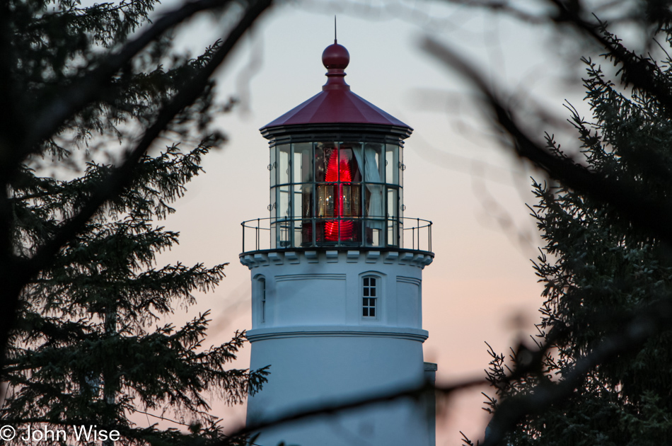
These romantic artifacts from our past survive both as beacons beckoning us to remember the past and drawing those of us attracted to the light still visible from another age.

Siltcoos Beach in Florence, Oregon

With 375 miles ahead of us today, we will not be able to stop everywhere, but that doesn’t mean we won’t push things. We walked over the sand dunes here at Siltcoos Beach, hanging out for about a half-hour.

Siltcoos Beach in Florence, Oregon

Maybe because we don’t live here, we have to hold fast to these images and memories, immortalizing them on these pages so we can always refer to them. I wonder if those who live in these places put as much emphasis on seeing intently what might be too easy to take for granted.

Jessie M. Honeyman Memorial State Park in Florence, Oregon

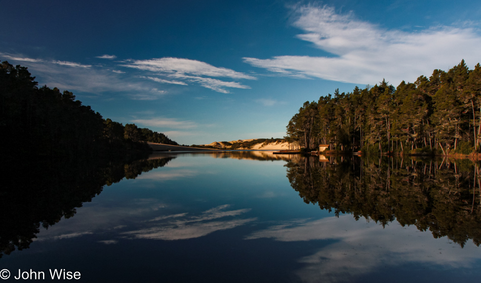
Another short drive and we pulled over to Honeyman State Park, a park that we had somehow missed stopping at on any of our previous visits to Oregon. The air was still, and with the sky speckled with light, thin clouds, we were treated to a perfect reflection of trees, sky, sand dune, and clouds on the small lake.

Prichard Wayside in Florence, Oregon

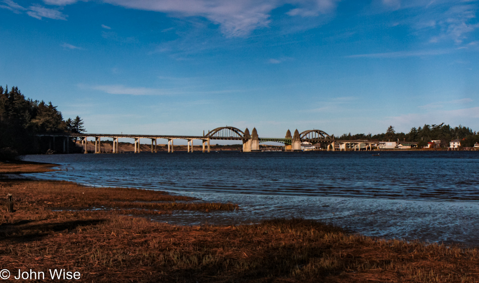
That’s the Siuslaw River Bridge over there, and we’re at the Prichard Wayside on the south side of Florence as we take this opportunity to see this bridge from a different angle. If time allowed, we’d make it a project to capture all of the coastal bridges of Oregon from various perspectives and different lighting situations; heck, I should include that we’d like to do the same for the nine lighthouses out here, too.

Big Creek Bridge in Lane County, Oregon

Big Creek Bridge is just north of Carl G. Washburne Memorial State Park, which we are indeed passing by without a brief return visit.

Devils Churn Cape Perpetua Scenic Area on the coast of Oregon

The same could not be said about our next stop as we pulled into the parking lot at Devils Churn for a brief stop.

Devils Churn Cape Perpetua Scenic Area on the coast of Oregon

I swear, we’ll only be here a few minutes.

Devils Churn Cape Perpetua Scenic Area on the coast of Oregon

Yes, Caroline, I’m almost done. I think.

Devils Churn Cape Perpetua Scenic Area on the coast of Oregon

But how can we leave when things are this spectacular?

Devils Churn Cape Perpetua Scenic Area on the coast of Oregon

Well, it required nearly an hour for us to pull ourselves away and get back on the road. Let me correct this before Caroline does: it took nearly an hour of prodding. In Yachats, we drove next to the bay and marveled at the rough surf under the deep blue skies and then had a lunch of clam chowder at Mo’s Annex in Newport. Obviously, there are no photos of this segment of the drive as maybe, just maybe, I was a bit too indulgent at the Churn.

View from Devils Punch Bowl area in Otter Rock, Oregon

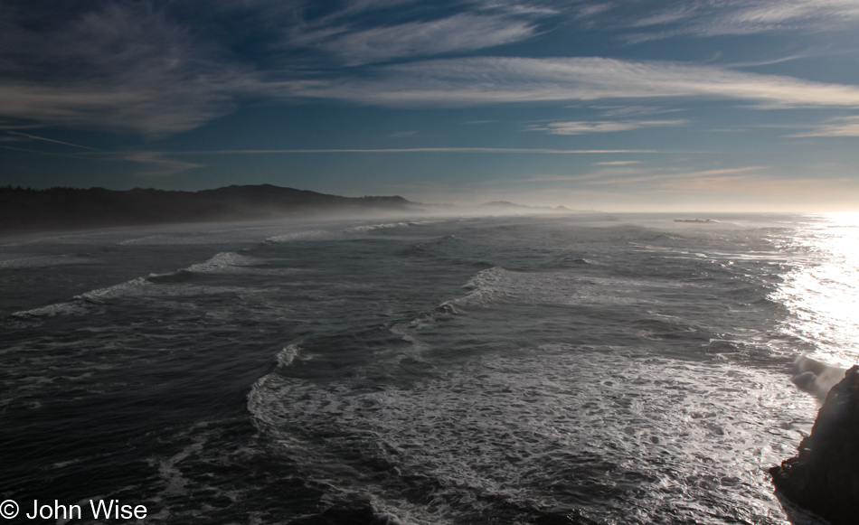
In Otter Rock, we threw a last look into the Devil’s Punchbowl.

View from Devils Punch Bowl area in Otter Rock, Oregon

No, I won’t get lost in the crashing surf here, too; I know we still have about 300 miles ahead of us, and it’s after lunch.

View from Devils Punch Bowl area in Otter Rock, Oregon

Yeah, but I would have missed this one had I jumped back in the car.

View from Devils Punch Bowl area in Otter Rock, Oregon

We’ve only been here for about 15 minutes.

View from Devils Punch Bowl area in Otter Rock, Oregon

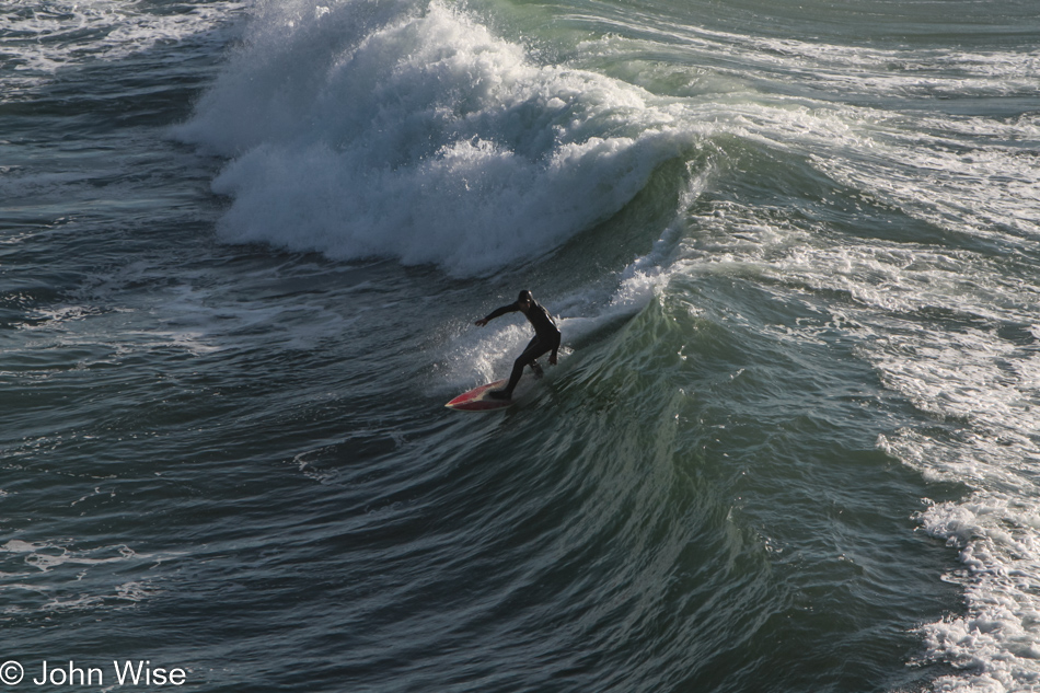
That is a gutsy surfer on a good 8-foot wave on a late fall day in these cold northern waters. Now we can get back to the car, and we’ll just keep going all the way to Seattle for our flight home.

Depoe Bay, Oregon

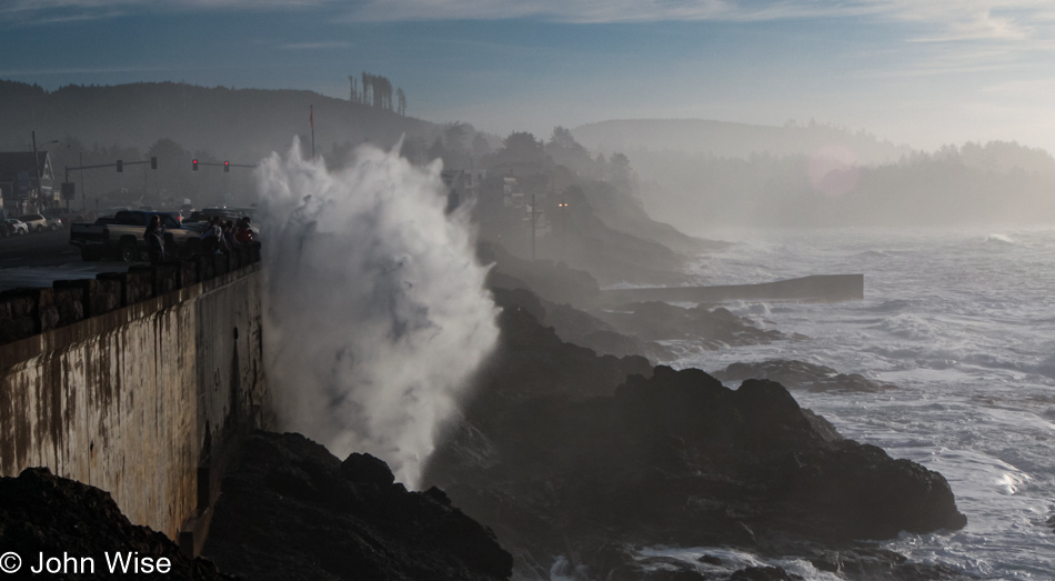
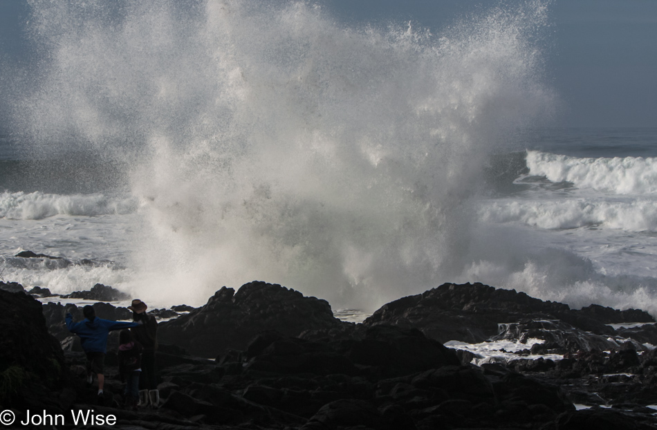
Wouldn’t you know it, we ran into another distraction in Depoe Bay, where we watched water shooting no less than sixty feet into the air. This shot is not of that 60-footer; just keep scrolling.

Depoe Bay, Oregon

Getting closer…

Depoe Bay, Oregon

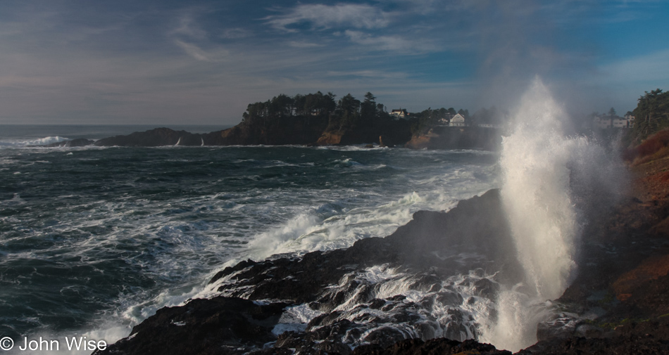
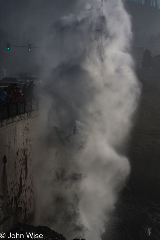
A spouting cone was working hard as the tide was at just the right height for this horn to spout a jet of misty water high in the air, accompanied by the onlookers’ oohs and aahs. With the perfect shot in the camera, we can take our drive north seriously now.

Rocks rising above the water in Siletz Bay, Oregon

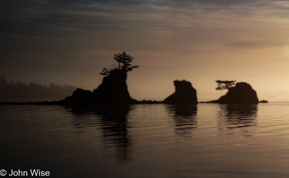
By the time we reached Siletz Bay, the sun was low in the sky, and we were trying to convince ourselves that we really should stop making all these roadside visits, but the day was so beautiful, and we suckers for beauty were mere moths drawn to the light. Click here to compare to the photo I took of the same place three days before.

Tillamook, Oregon

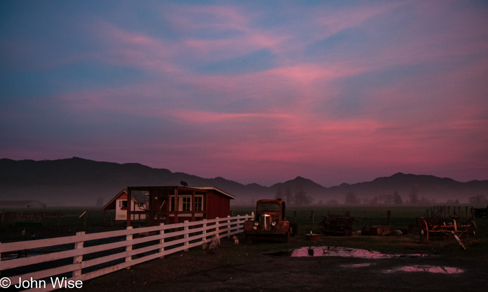
Under a pink, lavender, and dark blue sky, we reached Tillamook with the hopes of nabbing one more sandwich from the Blue Heron Cheese Company, but unfortunately, we were more than a few minutes too late. We arrived in Seattle, Washington, sometime late in the evening with heads full of terrific Oregon memories from our 10th visit to the state.

Devil’s Churn

Yaquina Bay Bridge in Newport, Oregon

Disclaimer: This post is one of those that ended up being (mostly) written years after the experience was had. While there was a paragraph or two posted way back then with a single photo, there were no other notes taken, so most of what is shared here must be extracted from the images and what memories they may have lent us.

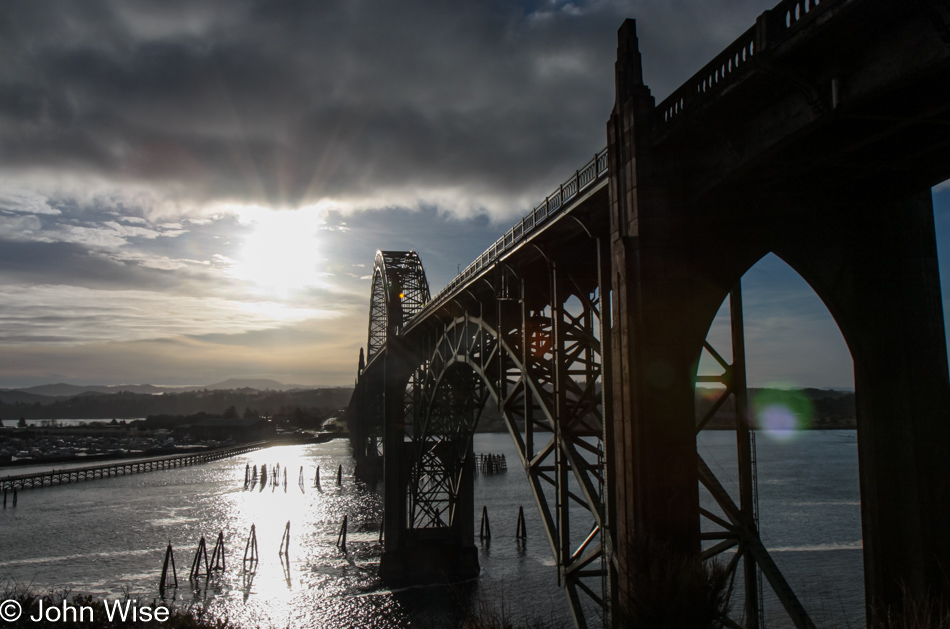
Before crossing the Yaquina Bay Bridge from Newport over to South Beach, I just had to grab this photo but couldn’t avoid the lens flare; this image was the best of the lot.

South Beach Fish Market in South Beach, Oregon

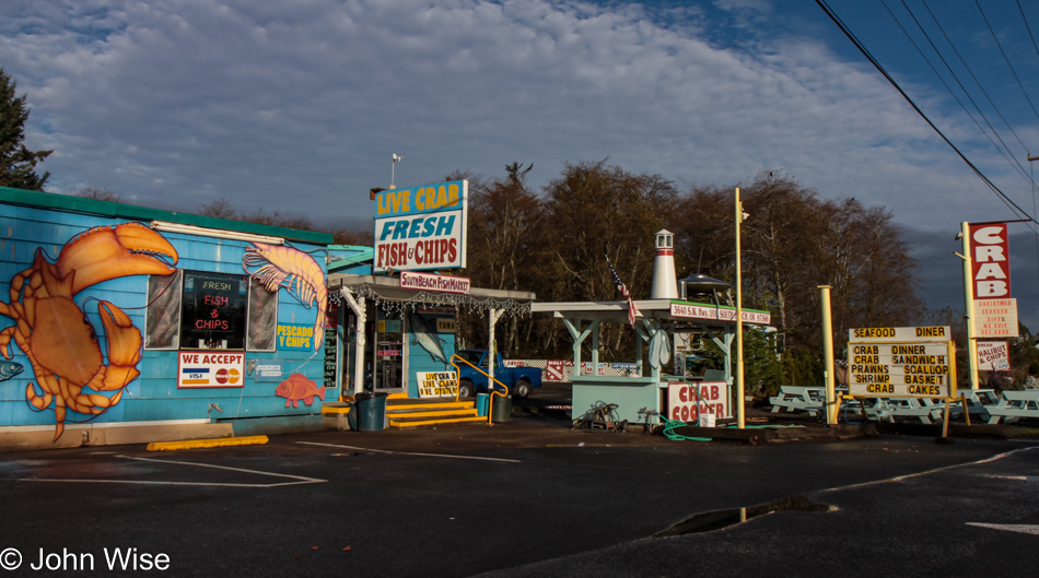
Today’s breakfast was a yummy, albeit less than totally nutritious, combination of fresh fried fish and french fries from the South Beach Fish Market. The sampler plate featuring halibut, tuna, and salmon made for a great hot breakfast that won’t likely be duplicated in our desert environs of Phoenix any time soon.

Ona Beach at Brian Booth State Park near Seal Rock, Oregon

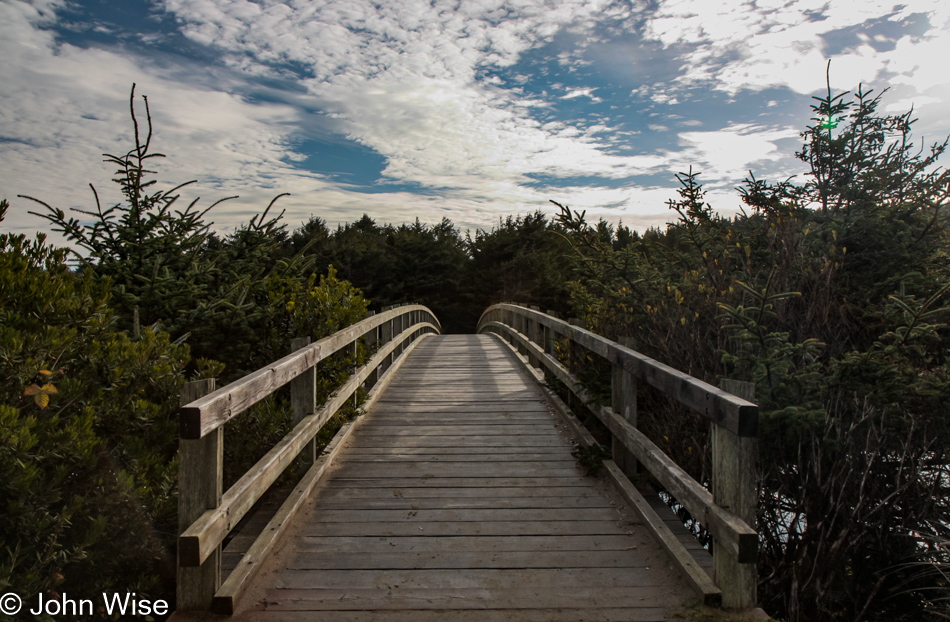
A short walk at the Ona Beach at Brian Booth State Park for bird watching was next up.

Ona Beach at Brian Booth State Park near Seal Rock, Oregon

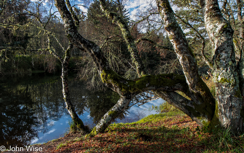
The way our travel plans often work up here is that we look for places we’d overlooked on previous visits, but then something catches our attention, and we act on impulse, finding somewhere to park and venturing out. At other times, we had places that were especially attractive on previous visits and couldn’t resist their allure to return as we were about to drive by while skipping new spots, often with some small amount of regret.

Ona Beach at Brian Booth State Park near Seal Rock, Oregon

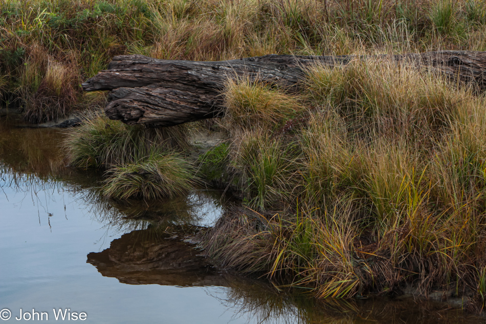
While we might know logically that there are only so many configurations of grass, water, mushrooms, moss, trees, birds, and other elements that decorate a place, they are always new and exciting to us. Just look at that log, and its reflection in the water, spectacular isn’t it?

Ona Beach at Brian Booth State Park near Seal Rock, Oregon

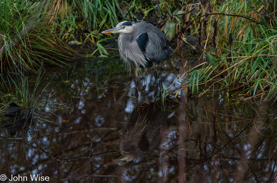
The first thing you see is the grey heron, but look just below it.

Foam being shot into the air from the roiling waves below at Devils Churn Cape Perpetua Scenic Area on the coast of Oregon

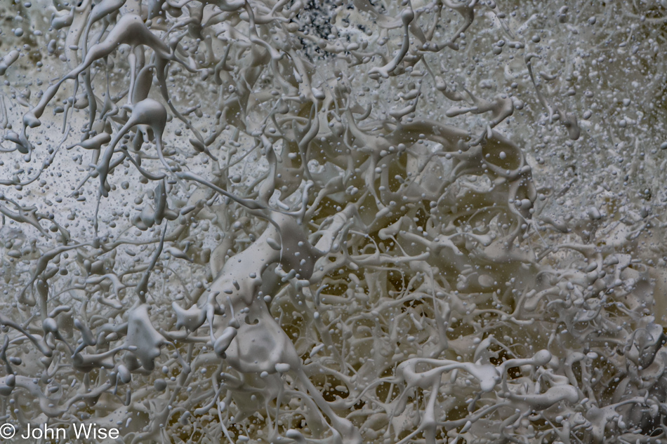
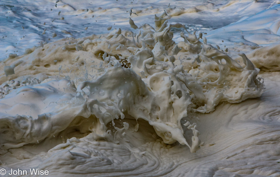
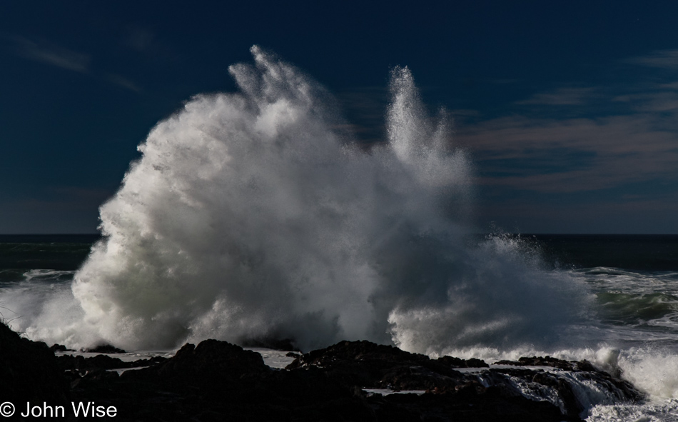
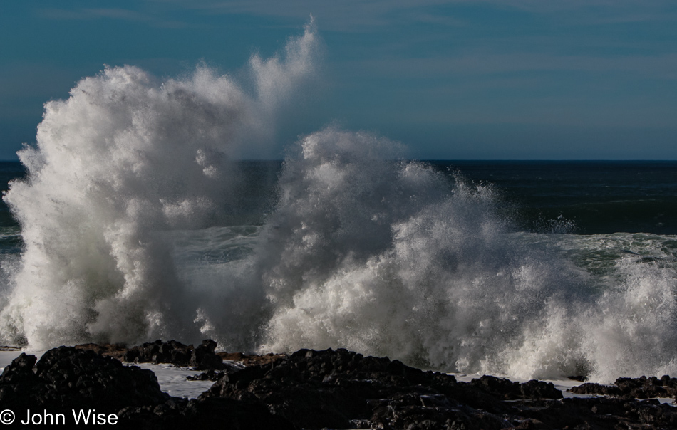
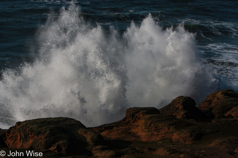
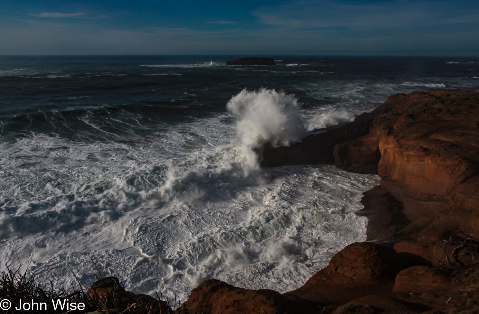
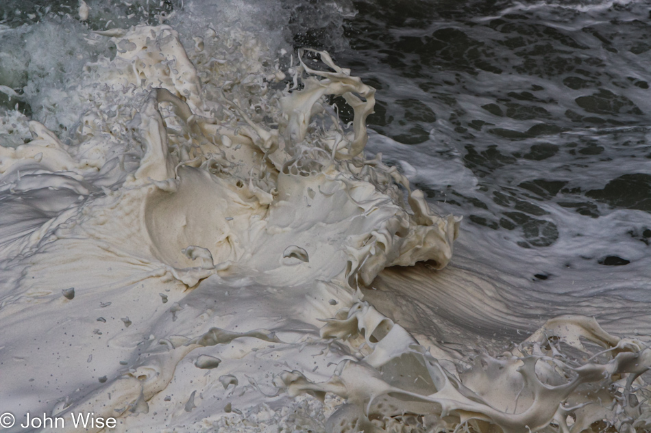
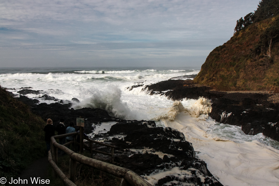
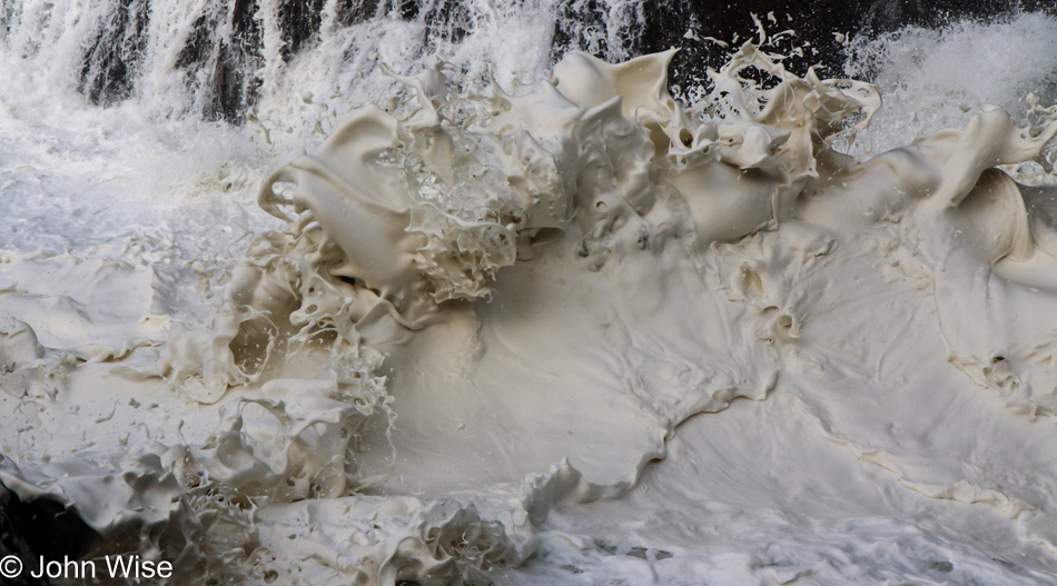
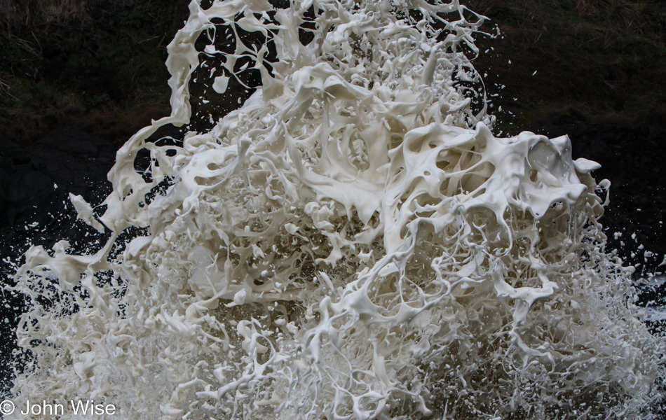
Uh oh, it’s the addiction danger place where it’s all too easy to get lost watching waves crash here at the Devils Churn. Located in the Cape Perpetua Scenic Area, this wedge of basalt rock carved into the mountainy coast works to create a phenomenon when incoming waves swell in the narrowing wedge and turn into a frothy frosting-like foam before plowing into the ever-tightening rocks and shooting upwards of forty, fifty, at times what looks like one-hundred feet into the air like a geyser.

Devils Churn Cape Perpetua Scenic Area on the coast of Oregon

With each swell, the water level piles up until a break in the waves allows the seawater to start exiting the slot, but just as quickly, another wave comes in, plowing over what is trying to escape.

Foam being shot into the air from the roiling waves below at Devils Churn Cape Perpetua Scenic Area on the coast of Oregon

It is at the point where forces meet that these momentary sculptures rise and fall in a blink of an eye, never to be duplicated again.

Devils Churn Cape Perpetua Scenic Area on the coast of Oregon

During high tide, we watched more than one person stand a wee bit too close to the roiling waters and get sprayed for their foolhardiness. One man was knocked off his feet – scary, to say the least, as no one would ever dare jump into those waters to save someone. On the bottom left of this image, in the dark rocks, are two people risking it all.

Foam being shot into the air from the roiling waves below at Devils Churn Cape Perpetua Scenic Area on the coast of Oregon

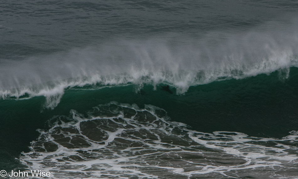
As the waters shoot aloft and churn, this wicked thick foam rides atop the waves, adding a deceptive quiet calm to the seething waters below and mimicking the appearance of those waves made famous by the Japanese artist Katsushika Hokusai in the woodblock print titled The Great Wave.

Oregon Coast off Highway 101

After hours of watching the Devils Churn, we had some remaining daylight for further sightseeing.

Oregon Coast off Highway 101

The road south was the way we traveled, though we’d be staying north of here.

Oregon Coast off Highway 101

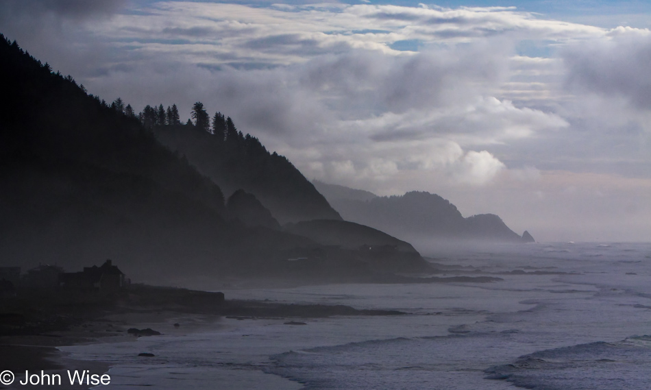
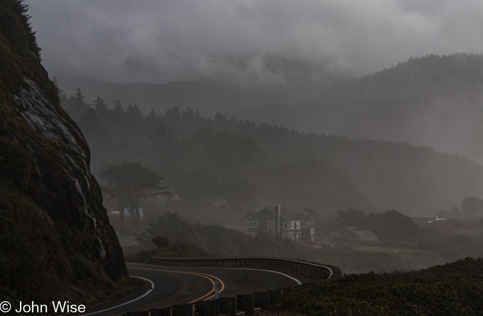
Somewhere over there is Agate Creek, lost in the fog. The view next to Highway 101 is taken from the location of the next photo.

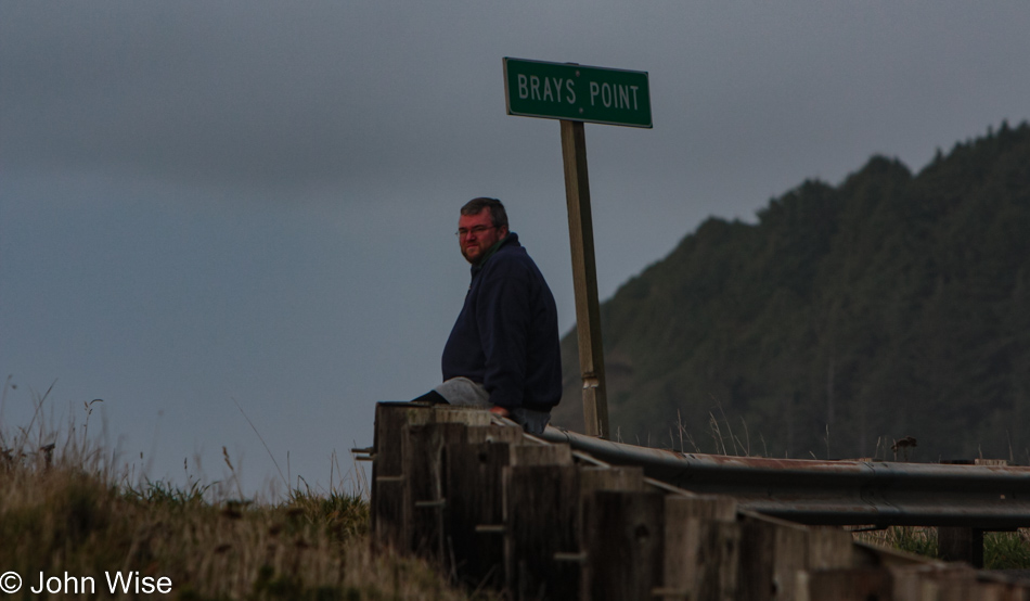
John Wise sitting next to the ocean at Brays Point, Oregon

No, this is not the “Braying Ass Point,” just Brays Point.

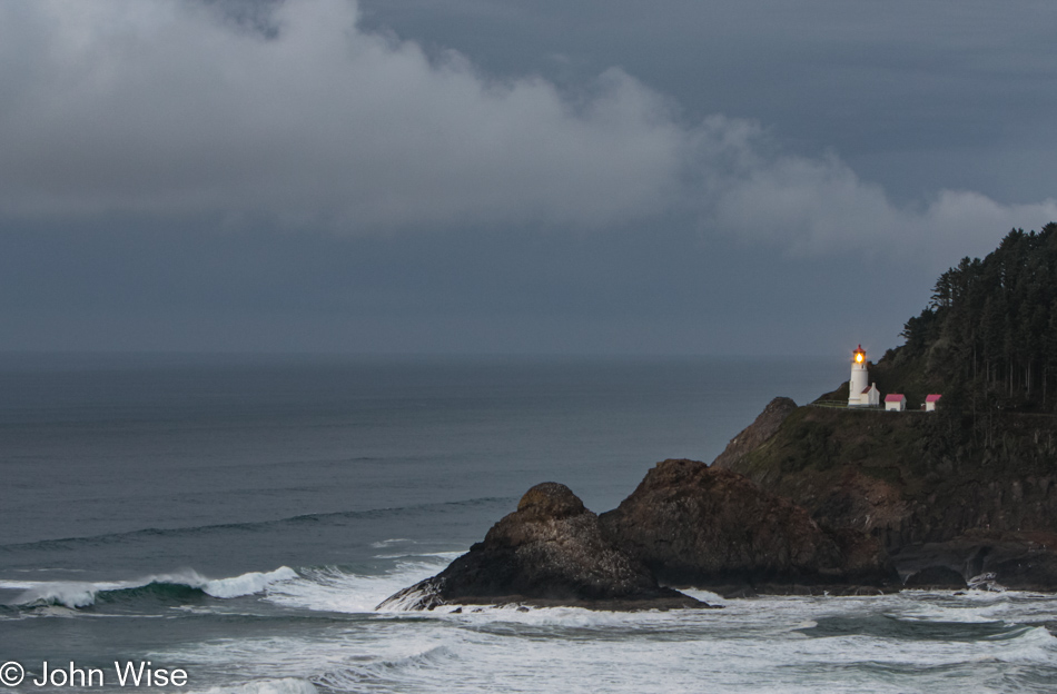
Heceta Head Lighthouse near Florence, Oregon, is the furthest south we’ll travel tonight.

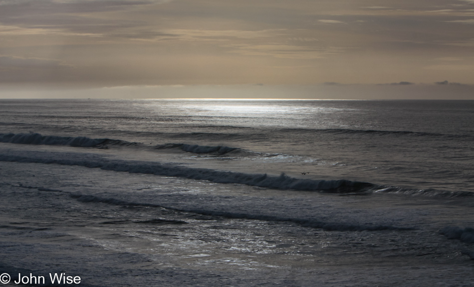
Okay, just one more photo of the beautiful dark emerald sea, and we’ll be on our way.
Caroline Wise at the Drift Inn Hotel and Restaurant in Yachats, Oregon

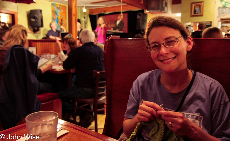
We had some laundry to deal with before grabbing dinner back up in Yachats, where we’d be staying. Later, we enjoyed a fantastic dinner at the historic pub and cafe, The Drift Inn with some truly great musical accompaniment offered by the band Coin of the Realm. Zach Konowalchuk on violin (passed away at 24 years old, just four years after we met him), David Konowalchuk on guitar, and Evans Longshore on bass made up the trio who played us traditional foot-tapping Ukrainian folk melodies. Prior to this evening, we had not listened to Ukrainian music but were so impressed we bought all three of Zach’s CDs. Thanks, guys, for making our night so memorable and fun.
Jutta On The Road – Day 16

Jacob Lake restaurant at the North Rim of the Grand Canyon National Park in Arizona

Disclaimer: This blog entry wasn’t written until 17 years after the trip. It should be noted that it was a huge mistake to have not written it way back when. Sometimes, after writing so much about other days, it happens that at the time directly after the trip (or even during), I convince myself that the details are not that important. Years later, these details are that important, and pulling them out of foggy memories is difficult. The photos help and often leave clues, and then Caroline’s memories are usually far clearer than mine. With that said, here goes.

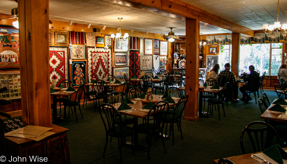
Here, we are approaching the conclusion of an incredibly ambitious, maybe overly ambitious, trip that took in 9 states over 16 days. Our overnight was at Jacob Lake Inn, where we snagged a cabin; we were about to have breakfast at their restaurant.

Jutta Engelhardt and Caroline Wise at the North Rim of the Grand Canyon National Park in Arizona

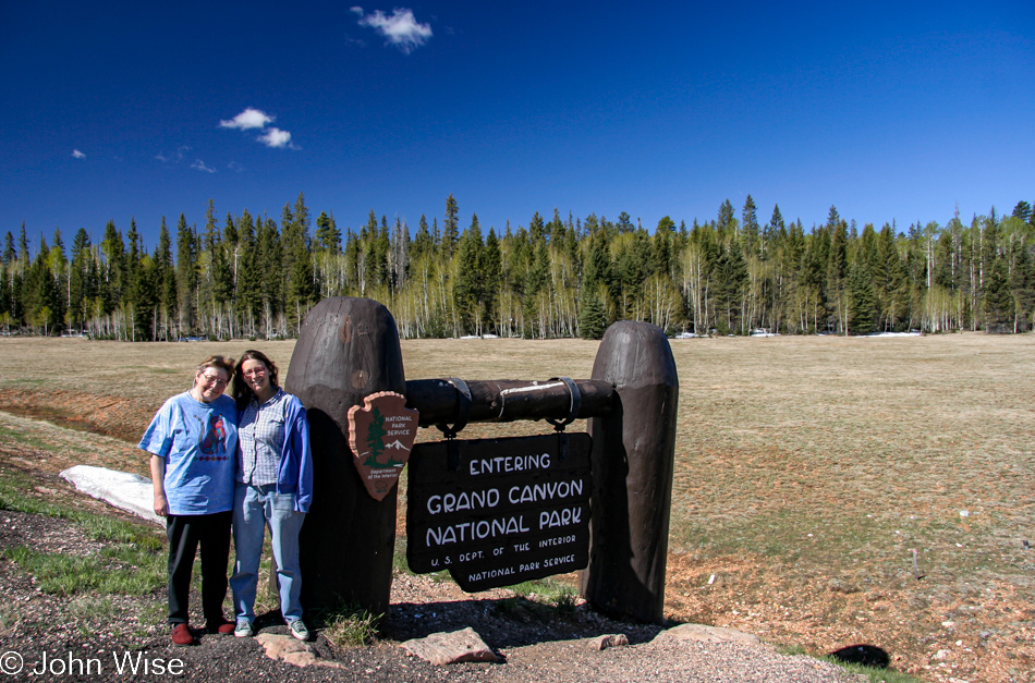
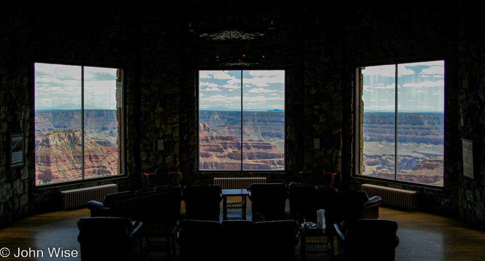
Under incredibly clear skies, we are driving down to the north rim here in the Grand Canyon National Park, our 14th National Park or Monument of this trip.

North Rim of the Grand Canyon National Park in Arizona

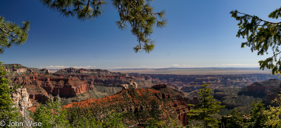
Talk about choosing the right day to be here.

North Rim of the Grand Canyon National Park in Arizona

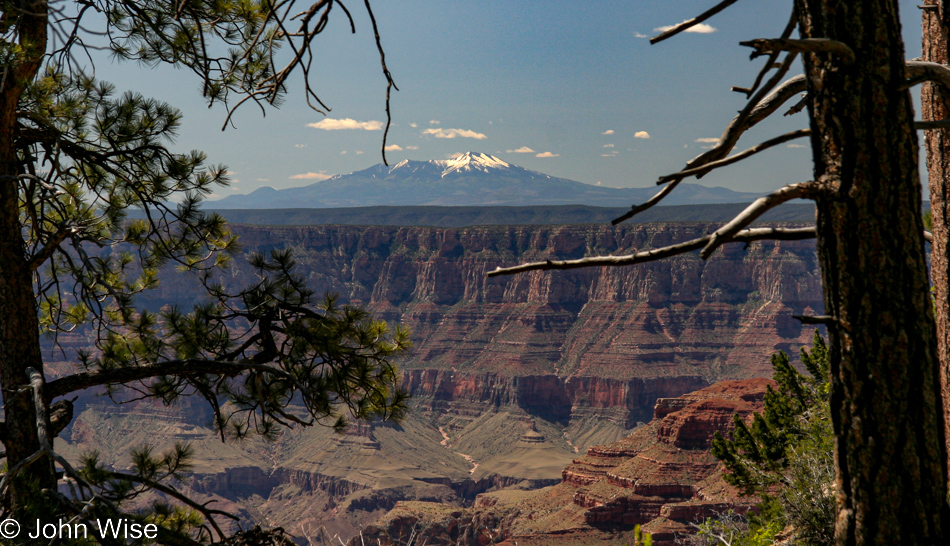
The south rim looks like it’s a stone’s throw away, while the San Francisco Peaks over in Flagstaff are about 60 miles away as the crow flies but about 200 by car.

North Rim of the Grand Canyon National Park in Arizona

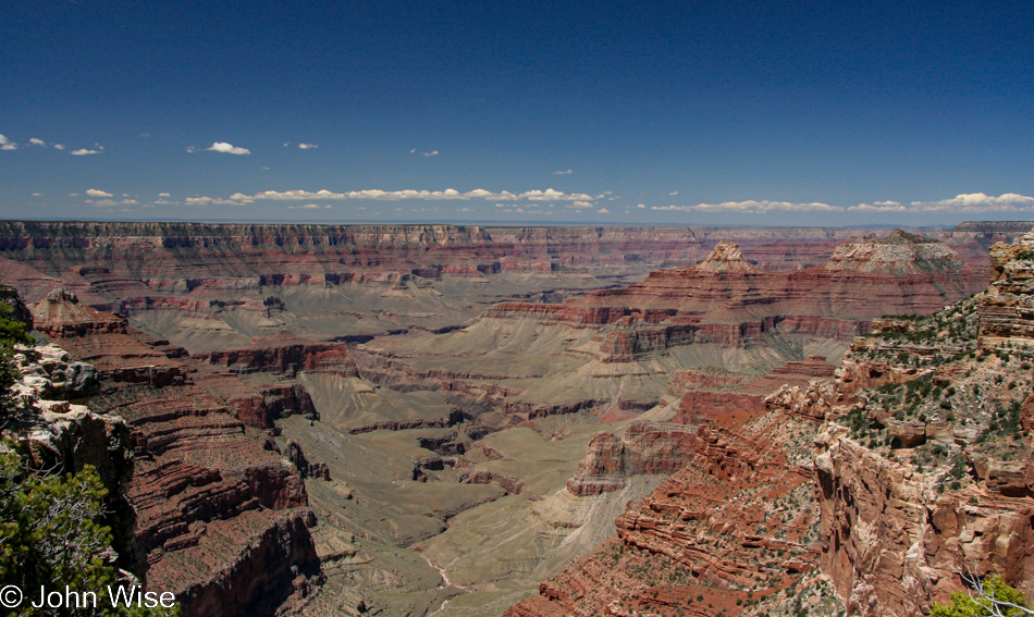
You might notice that we were not out here for sunrise, nor will we be on hand for sunset, which is all okay as there’s no small amount of exhaustion going on. Then again, this kind of visibility is outrageous.

North Rim of the Grand Canyon National Park in Arizona

While this side of the Grand Canyon is not as busy as the south rim, how we calculated our arrival when absolutely nobody else was here will have to remain a mystery.

North Rim of the Grand Canyon National Park in Arizona

As I said, no one else is here with us.

North Rim of the Grand Canyon National Park in Arizona

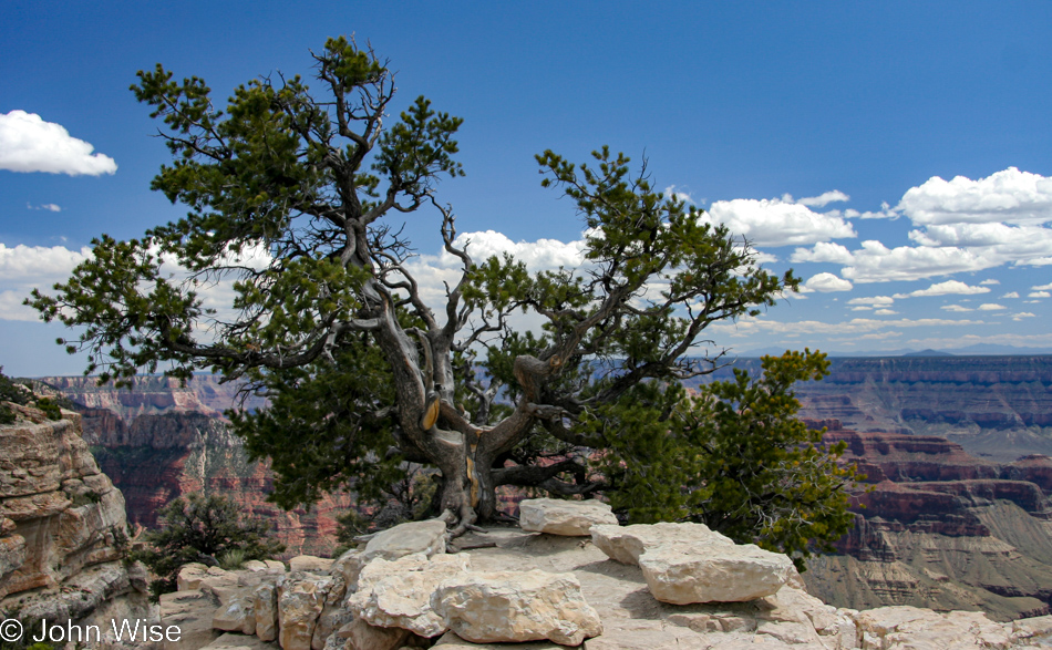
Just us and this tree.

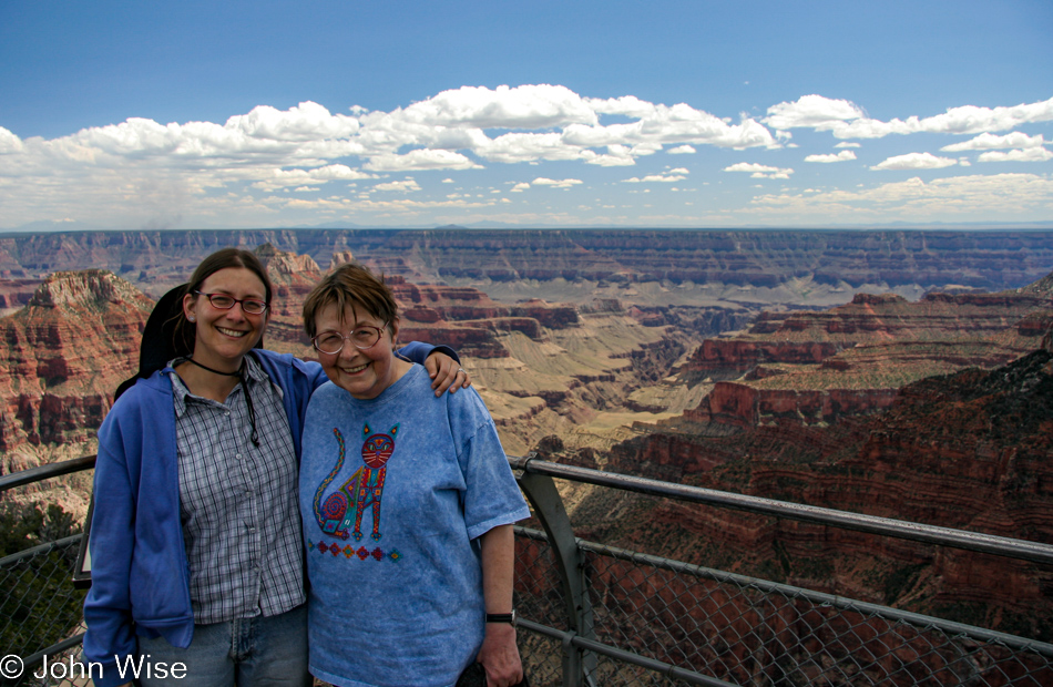
Jutta Engelhardt and Caroline Wise at the North Rim of the Grand Canyon National Park in Arizona

As I stop to really look at this photo of mother and daughter, I’m realizing that there are more photos of these two together in the United States than were ever taken of them in Germany where they were born and Jutta still lives.

Vermillion Cliffs area northern Arizona

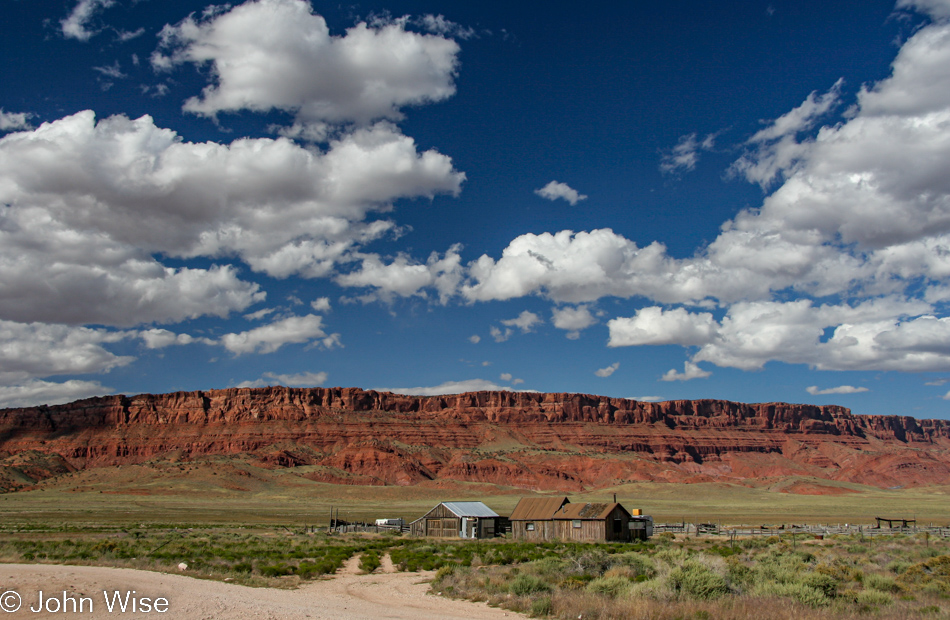
We are now on our way home; if only that were our home over there.

Vermillion Cliffs area northern Arizona

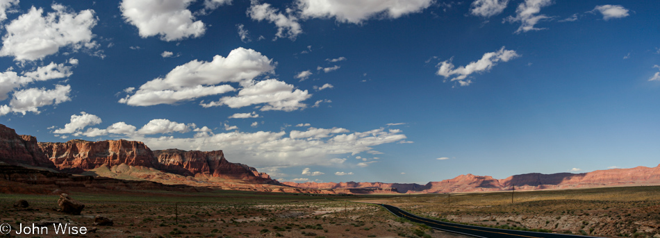
The Vermillion Cliffs area of our state of Arizona is one of our great treasures, but rarely, if ever, have I heard anyone else mention them.

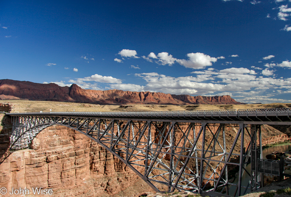
Navajo Bridge over the Colorado River and the Grand Canyon National Park in Arizona

From here, we’ll turn south and, in about 4 hours, be pulling into the driveway of the place we live. Here is the Navajo Bridge.

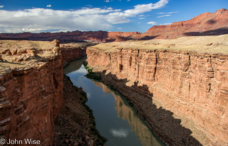
The Colorado River and the Grand Canyon National Park in Arizona

Both the new and the old Navajo Bridges cross the Colorado River. The old one is now only used for foot traffic while foot traffic is forbidden on the newer road bridge.

So, as I wrote in my disclaimer in the previous days’ posts, these entries have been written between 15 and 17 years after the events of the days covered. There was indeed a two-year gap in finishing the writing and photo prep due to losing track of working on this sequence, with other things grabbing my attention, but now they are done. While lacking the granular details, I’d like to have reminisced with, at least we now have a comprehensive visual record with minor tidbits brought to the blog, which will allow a greater chance of us stumbling into the images than when they sit in storage on a hard drive. Writing today, I think back to when my mother-in-law still had the ability to join us for such grueling adventures and wish we could share these old memories with her, but she’s in assisted living these days, and cognitive issues limit her ability to follow what she’s looking it on a computer or phone screen. Another reminder to do the things with those you love when they can be fully enjoyed and then celebrated for years into the future.

Jutta On The Road – Day 6

Disclaimer: This blog entry wasn’t written until 15 years after the trip. It should be noted that it was a huge mistake to have not written it way back when. Sometimes, after writing so much about other days, it happens that at the time directly after the trip (or even during), I convince myself that the details are not that important. Years later, these details are that important, and pulling them out of foggy memories is difficult. The photos help and often leave clues, and then Caroline’s memories are usually far clearer than mine. With that said, here goes.

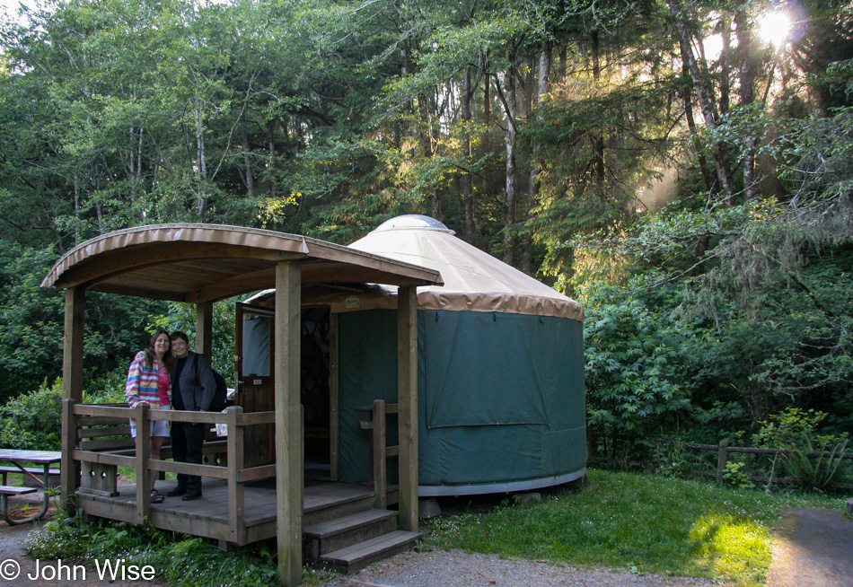
As I look back at these photos and consider how it sufficed so many years ago to have a single photo representing an entire day, I cannot believe how far we’ve come regarding bandwidth and storage. Pages were slow to load when overloaded with images, and so in light of that, it seemed perfectly fine to choose a favorite and go with it. Those days were pre-Instagram and social media, even photography had not caught back up in popularity as it had been in the decades before. Now, here I am in 2021, filling in some blanks, and I find it difficult to only choose the 15 images that will now accompany this day spent visiting the Oregon Coast. This was Jutta’s first night sleeping in a yurt, and it wasn’t going to be her last. She loved her “camping experience.” When she needed to visit the loo at night, she nudged Caroline to help her find the facilities, and on the way, they enjoyed the starlit sky.

By the way, it’s been fortunate that I kept nearly all the itineraries I made for these trips. So, in this instance, we were staying at Sunset Bay State Park in Charleston for the bargain price of only $33.

Waking up next to the ocean, it was obligatory that we went for some sightseeing before continuing our trek north.

Our first encounter with the bridges of Oregon had us falling in love with these beautiful structures that add so much character to the coastal drive. This particular one is the McCullough Memorial Bridge in North Bend.

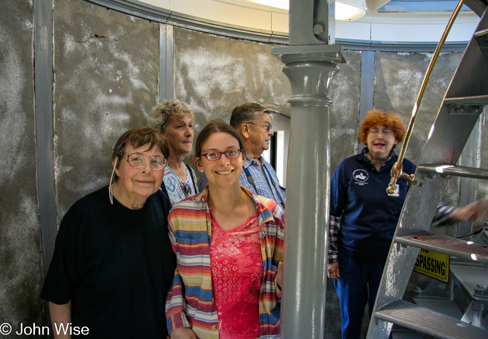
Just this past November 2020, Caroline and I took a tour of this lighthouse once more. We are at the Umpqua River Lighthouse, where we have stopped on every trip we’ve made over the years, and on more than a few occasions, we also stayed in the state park just around the corner.

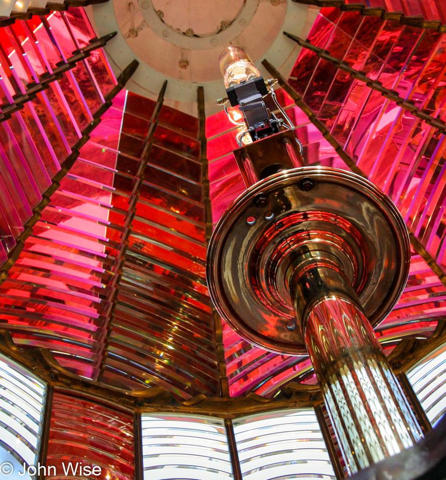
We’ll never tire of looking through Fresnel lenses, ever. This particular lens has an intriguing pattern of white and red flashes in the dark, a spectacle we are drawn to on every visit.

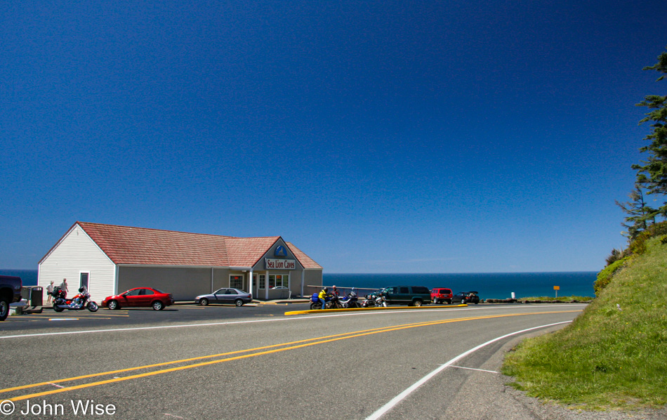
We finally gave in and visited the Sea Lion Caves, though we had a bit of trepidation that it might be more hype than an amazing spectacle.

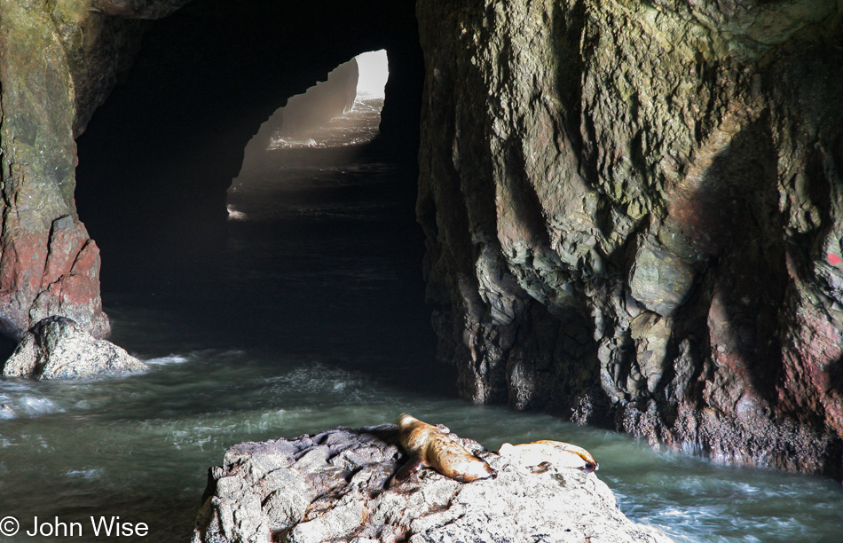
Well, two sea lions down in the cave qualified the place as living up to its name, but still, it was just two.

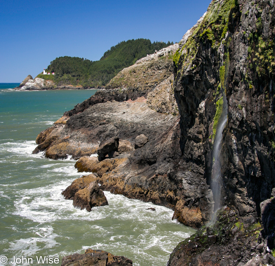
The view from down in the cave, though, is spectacular, even offering a great view of Heceta Head Lighthouse.

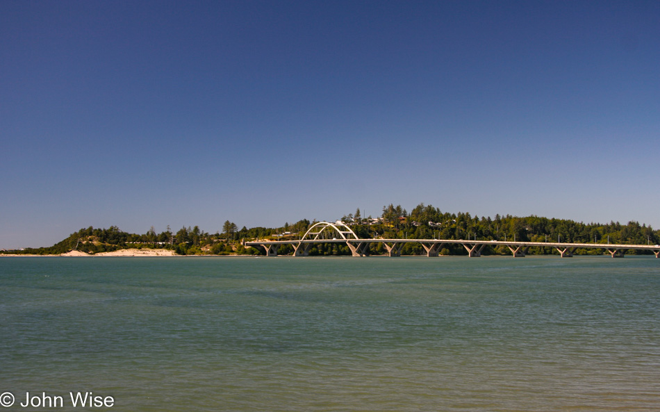
Yeah, I know another lighthouse today would have been off the chart, but we had places to be with limited amounts of time. This is the Alsea Bay Bridge in Waldport.

There was no way we’d skip out on a stop at the Blue Heron Cheese Factory in Tillamook for some smoked brie sandwiches, followed by ice cream cones at the Tillamook Cheese Factory. I’d guess by now, you can recognize that we’re having a perfect day.

Did some backtracking so we could take Jutta up the hill to another lighthouse. By the way, this view of Bayocean Peninsula Park from the road is now gone as a landslide stopped vehicle traffic. As of 2021, the word is that the road will once again be open.

Cape Meares Lighthouse near Tillamook, Oregon

One lighthouse a day isn’t enough when it’s possible to visit a second. This is the Cape Meares Lighthouse near Tillamook, which is no longer in service. This photo became very special to us this past year as we’d learned that some drunk young men decided to shoot at the Fresnel lens and damage it forever. This image is of the formerly complete and intact lens that had been standing sentry here for more than 120 years.

Three Arch Rocks in Oceanside.

This is my likely very tired and in need of a nap mother-in-law, Jutta. Time is precious to spend with our families, and there will be plenty of time to sleep when she returns to Germany, so my motto was, “Shake a leg, Jutta, we’ve got places to be.”

Our second night in a yurt was at the Cape Lookout State Park for only $33. Over the years, they’ve become more popular and were $57 a night in the off-season last time we stayed in one back in 2019. Tomorrow, we’ll head up to Washington as we continue on this crazy 5,000-mile road trip into the entirety of the western United States.

Jutta On The Road – Day 4

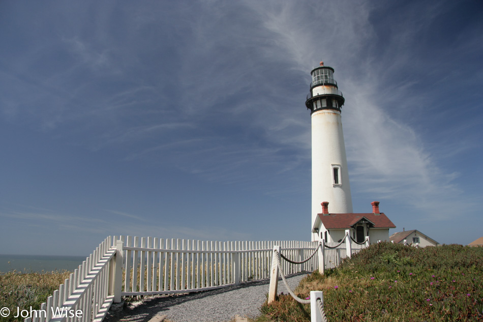
Pigeon Point Lighthouse in California

Disclaimer: This blog entry wasn’t written until 15 years after the trip. It should be noted that it was a huge mistake to have not written it way back when. Sometimes, after writing so much about other days, it happens that at the time directly after the trip (or even during), I convince myself that the details are not that important. Years later, these details are that important, and pulling them out of foggy memories is difficult. The photos help and often leave clues, and then Caroline’s memories are usually far clearer than mine. With that said, here goes.

South of San Francisco stands the Pigeon Point Lighthouse, which is part of the Pigeon Point Light Station State Historic Park. The weather following us up the coast couldn’t be better. This was our first visit to this particular lighthouse, one of the tallest in America. A  youth hostel is on the grounds right next to the lighthouse. but the lighthouse itself is closed with a chain-link fence around its base.

The name Pigeon Point comes from the fact that in 1853, the clipper ship Carrier Pigeon ran aground here.

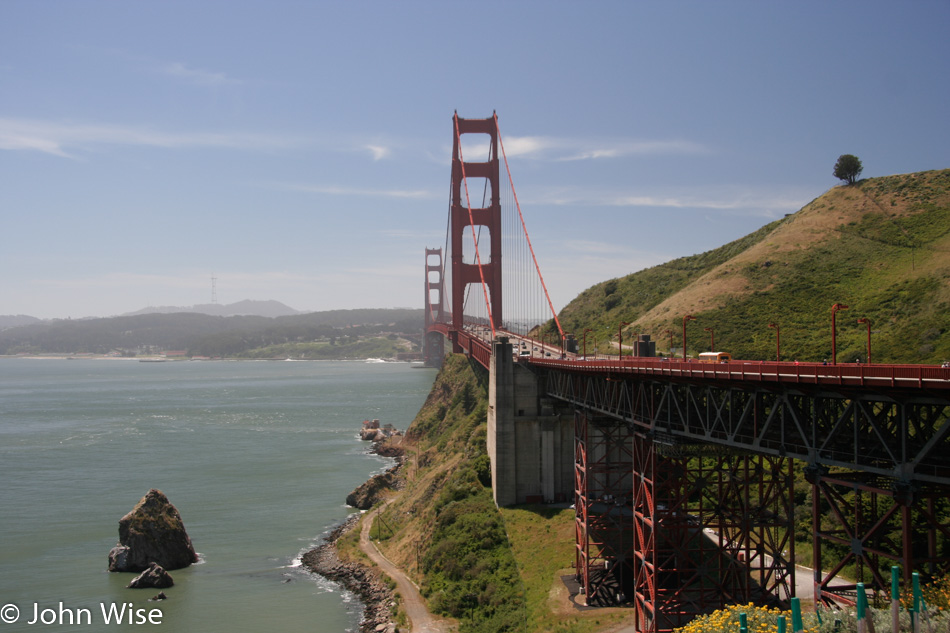
Golden Gate Bridge in San Francisco, California

Like the air over San Francisco on the left, my memories are hazy. Even with the image of the Golden Gate and those that follow, they don’t work to bridge a path to digging out details of the day. I’ve been paused in updating this old entry and moving on to the subsequent days as I searched for inspiration that hasn’t arrived. Somehow, the first few days were written with a lot more ease. Caroline, on the other hand, just reminded me how much she is looking forward to my continuation, so even if I come up flat, we’ll still have something posted with these images. And who knows, maybe Caroline will add a little something herself?

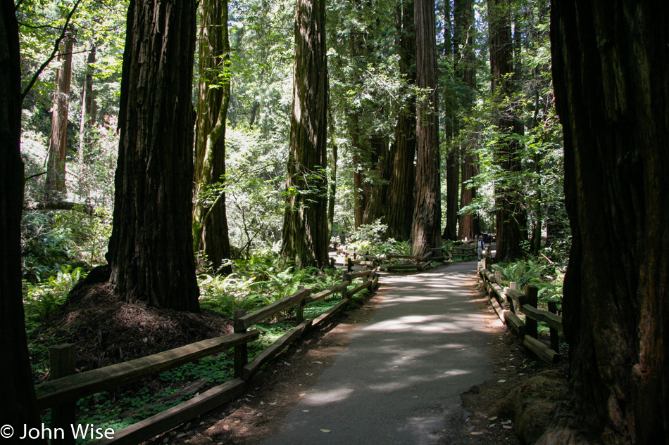
Muir Woods National Monument in California

Maybe it was because it was Monday, or maybe the Muir Woods wasn’t run over by the masses yet, but here we are without an issue finding parking or getting in. As I write this in July 2020, after four months of self-isolation due to COVID-19, I am asking myself if we were far luckier than we realized at the time. The trail was quiet, there was no fear of contagion, no second thoughts about where we’d eat, no worry about my mother-in-law flying halfway around the Earth. It’s difficult when doing something that feels so normal to always be cognizant of the good fortune we are experiencing, but looking back right now, I can’t help but wonder if this will come back in my lifetime.

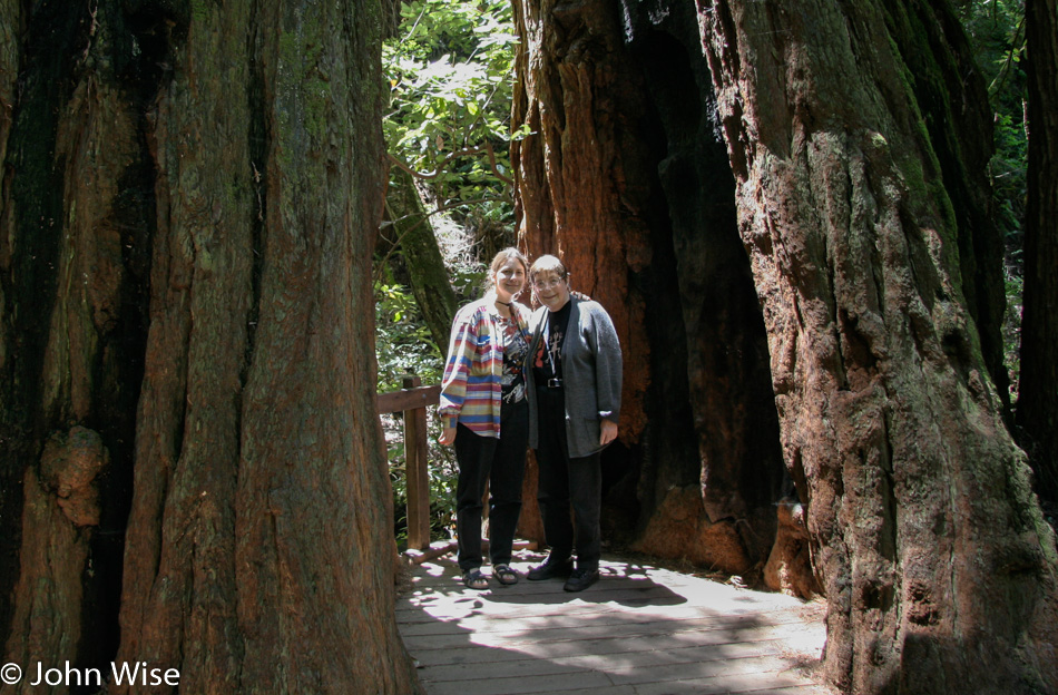
Caroline Wise and Jutta Engelhardt in the Muir Woods National Monument in California

Of course, Caroline and her mother discovering somewhere new together is something now lost, too, as Jutta is about to turn 85 in just a week, and she’s no longer able to travel. Even on our last visits to Germany, her stamina was such that we couldn’t go far with her. But back on May 23rd, 2005, Jutta was in awe and reveling in how sagenhaft everything was when she was traveling with us. Sagenhaft is German for awesome. The truth is that sometimes things weren’t so sagenhaft as a stubborn lady at 70 years old and her even more stubborn 42-year-old son-in-law could butt heads. I don’t mean to diminish the incredible nature of our journeys into America, as the ratio of friction to amazement was easily 99 to 1, but I feel a tinge of guilt that I wasn’t more patient and understanding of someone who’d made it to 70 and was already suffering from the effects of being inactive while at home in Germany in large part due to loneliness. Sadly, we cannot stand in someone else’s shoes while we walk together when our gender, cultural background, and age difference don’t allow us to be aware of the truths of the other.

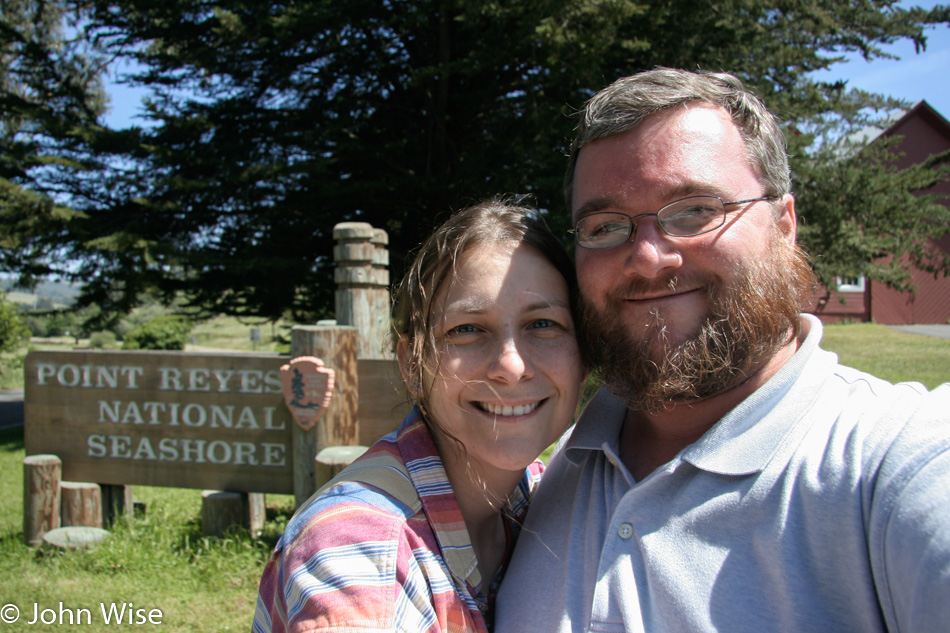
Caroline Wise and John Wise at Pt. Reyes National Seashore in California

So we put on smiles for the camera as we know we’ll get over the tensions and will want to look back with eyes that remember with fondness the good times. Today was one of those days where impatience and the tour guide’s unreasonable demands for perfection interrupted an otherwise beautiful day. While I certainly can own my share of the guilt, and those darker moments are likely long gone from Jutta’s memories, I do wish I could rewind the clock and show my wife a more compassionate and understanding friend and husband. Our frictions never lasted more than an hour or two, but they hurt my wife more than they bothered Jutta or me. Still, Caroline put on the smile in her effort to diffuse the grumpy, hot-headed guy on her side, and while I’d certainly like to forget these dumb moments where my emotions arising out of impatience got the better of me with those around me paying the price, I cannot forget, but I am happy that I believe I’ve been forgiven.

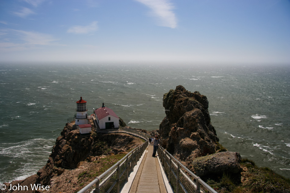
Pt Reyes Lighthouse in Northern California

Caroline bolted down the stairs to Point Reyes Lighthouse while I remained with Jutta. Her lack of stamina wasn’t allowing her to be fully with us. Hence, my disappointment spilled into misguided anger. But let’s leave all of this behind us and get on with the day.

Pt. Reyes area in Northern California

Our drive up the Mendocino coast was just beautiful, and for that spectacle, everyone in the car was happy.

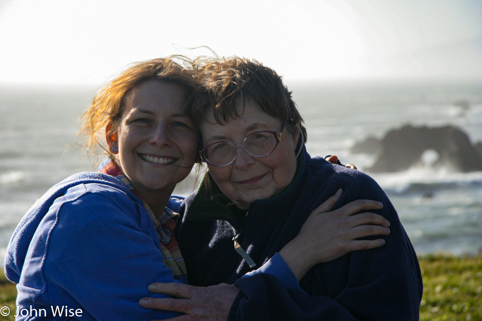
Caroline Wise and Jutta Engelhardt on the Mendocino Coast in California

There are always breaks to stretch the legs, even if the basic premise is first to find a bathroom for the ladies. Then, the side effect of that stop is to hopefully take in some grandeur of our location or, if we’re at a gas station, to indulge our taste buds with ice cream.

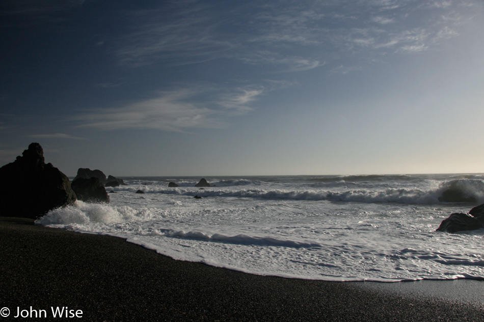
Mendocino Coast in Northern California

I no longer remember exactly where this was, but obviously, we couldn’t have wished for a better day to have been here.

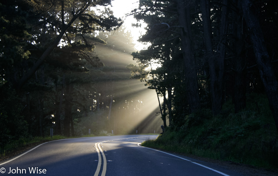
God Rays on the California Coast

There’s some kind of magic in the god rays that fall on the road, or maybe they are sunbeams and are distinct from god rays, but whatever you want to call this type of light sliced by trees, casting shadows within the illuminated moisture along the coast, this phenomenon always elicits our oohs and aahs. That must be magic, then.

Sea Ranch Chapel in Sonoma County, California

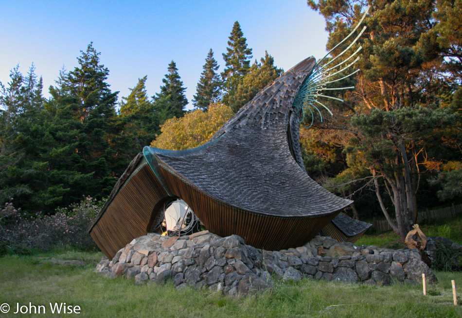
Approaching the Sea Ranch Chapel in Sonoma County. If you are not intrigued enough to stop, you must be a little dead inside. This whimsical bit of architecture out in the middle of nowhere was a surprise I hope we are so fortunate to stumble upon again in our lifetimes.

Point Arena Lighthouse in Northern California

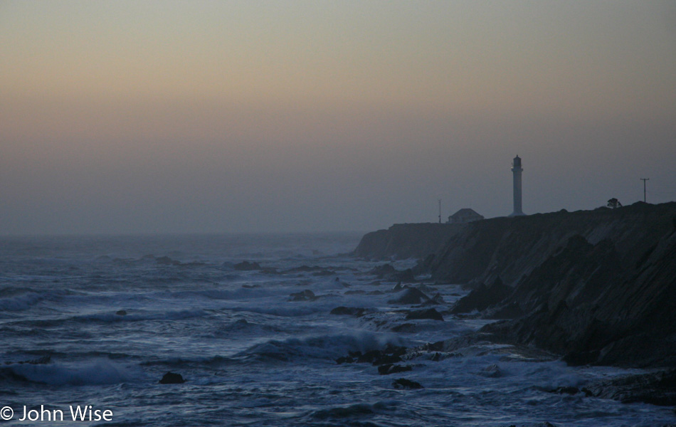
We are running out of daylight as we stop at a distance from the Point Arena Lighthouse. With dogged determination, though, we still have a long drive ahead before reaching Eureka, California, 175 miles north of us. Somehow, we took all day just to drive the first 80 miles before reaching the lighthouse. This has often been an issue with our road trips where, during the planning stages, I think that 255 miles is nothing and we’ll be arriving at our motel early, but I’m almost always wrong.