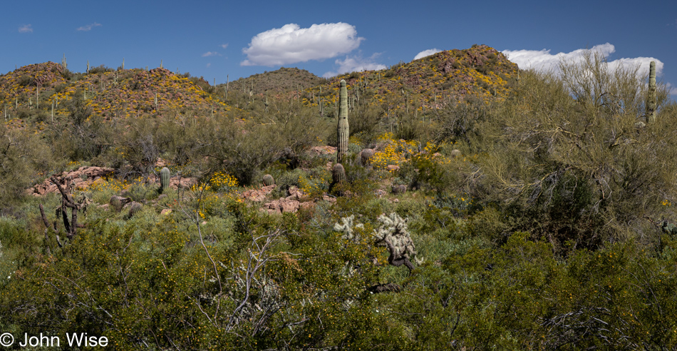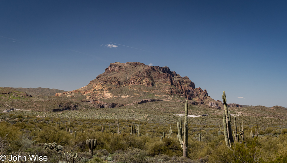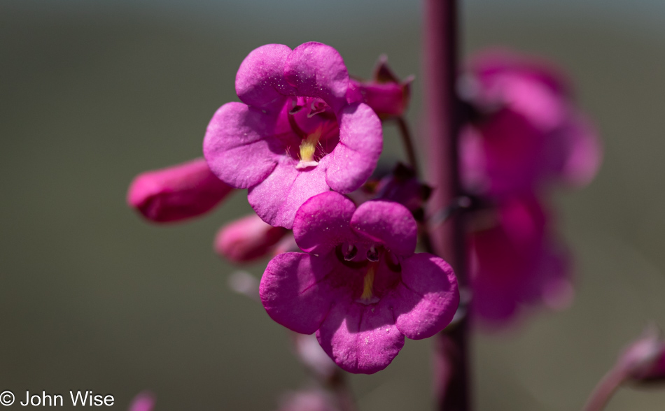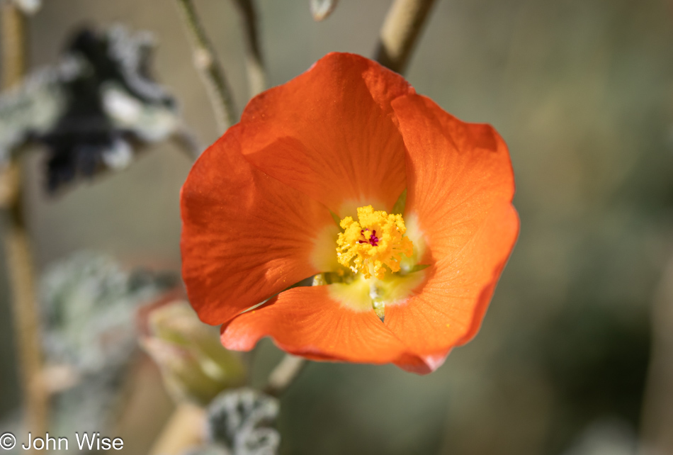
The Sheep are Calling

Caroline Wise and John Wise in Fountain Hills, Arizona

We finished reading our book White Trash: The 400-Year Untold History of Class in America by Nancy Isenberg on our way out of Arizona today. Next week, we will be returning to Marcel Proust’s In Search of Lost Time. Like our return to this French author, which we have been reading intermittently since September 2021, so it takes time to return to other things, such as the annual Sheep is Life celebration on the Navajo Reservation. We last visited this event 15 years ago, in the summer of 2008, when it was being held in Tuba City. Today, we are driving to Gallup, New Mexico, which is the closest we could book a room to Window Rock, Arizona, where Sheep is Life is happening this year.

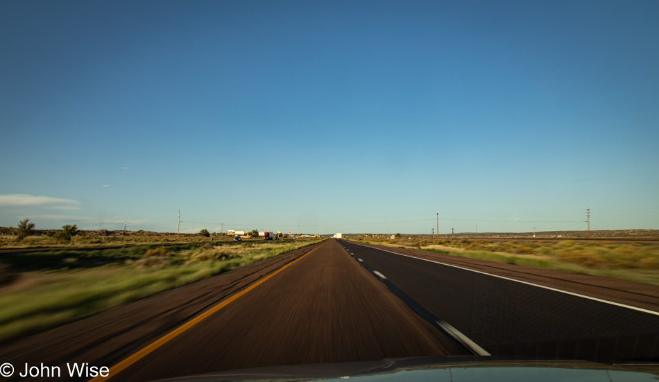
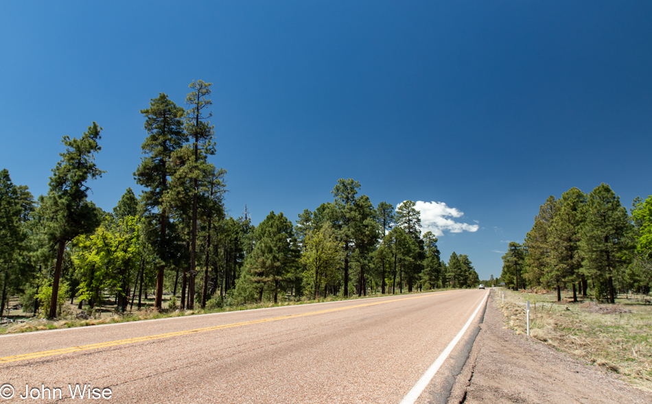
Arizona Route 87 south of Payson, Arizona

Another chapter from our evolving book of life is being written about this weekend. What follows is a chronicle of the events that occurred over the previous 55 hours. Come to think of it, this is likely just about the same time remaining in Proust’s book and hopefully not the amount of time required to write about these wonderful days.

Where were we going and exactly what time of year was it that we were last driving up Arizona Route 87 admiring how green things were out in front of us? Now, here we are in the early dry days of summer, and things are baking in their old familiar tan hues. Grabbing a decent photo on this stretch of road is nearly impossible because it follows a long curve after cresting a pass, and by now, everyone is hauling ass, and the shoulder is too narrow to pull over to snap a photo. So, while driving as slow as I can in the right lane on a straight section of the road, I ask Caroline to take the wheel while I quickly focus on getting a shot out of the windshield from the driver’s seat.

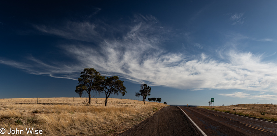
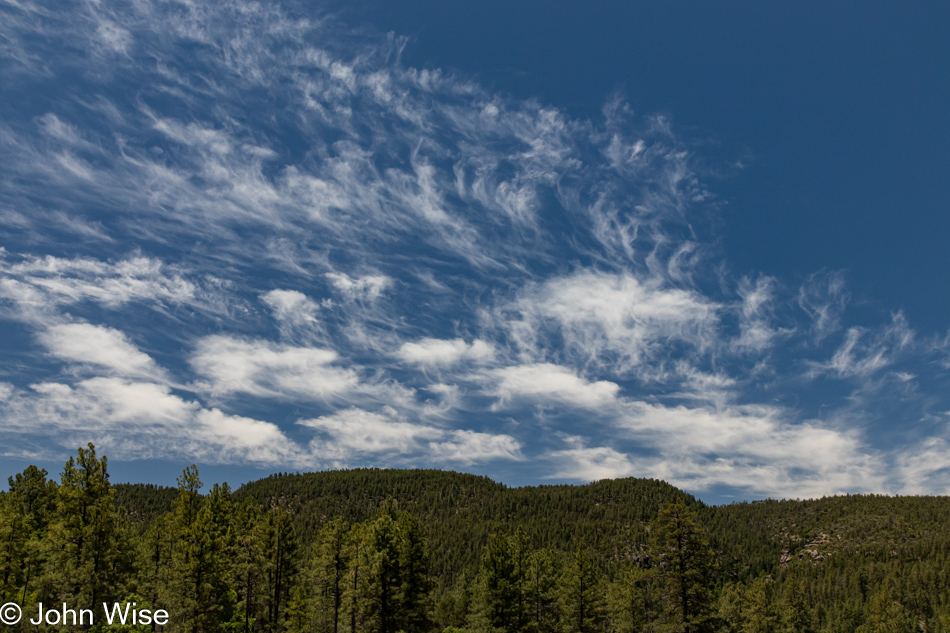
Arizona Route 377 north of Aripine, Arizona

We’d love to stay on the smaller roads that are less traveled, but this isn’t always easy or expedient. We weren’t able to leave the Phoenix area until nearly 2:30, and we’ll lose an hour when we enter New Mexico due to the time zone change, which will have us checking in to our hotel at approximately 8:00 p.m., the same time that the majority of restaurants close in Gallup. But John, with these skies, why concern yourself with anything other than witnessing and capturing the immense beauty you and your sweet wife seem to nearly always be falling into? Yeah, I know, it is quite charming, isn’t it?

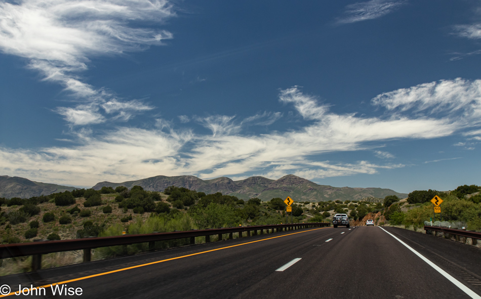
Interstate 40 east of Holbrook, Arizona

And then the reality of expediency rears its ugly head, and we are thrust into the vapid expanse of the interstate that induces yawns but does promise faster delivery if one survives the madness of aggression that rages on America’s highways.

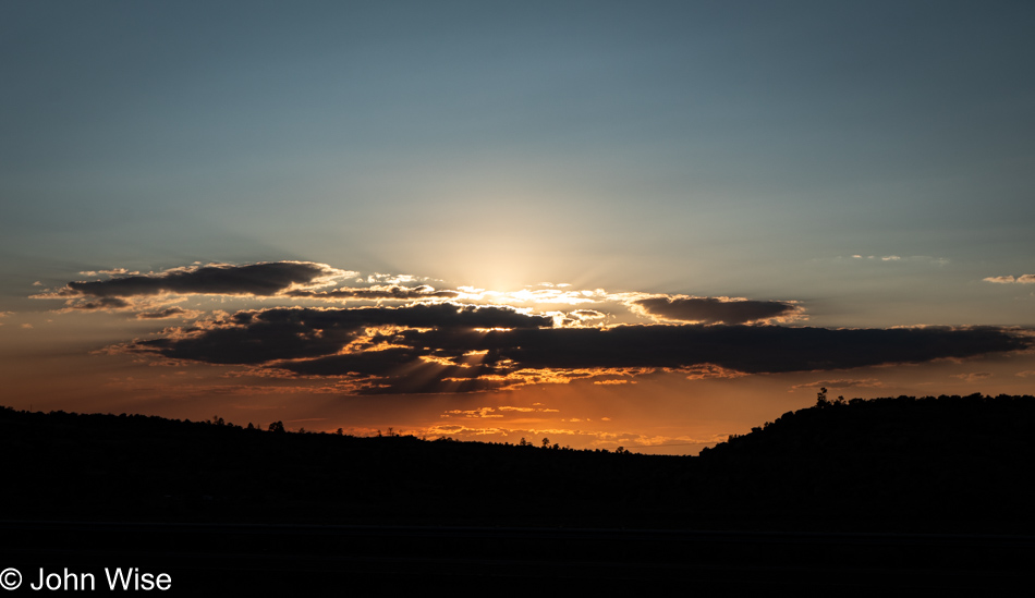
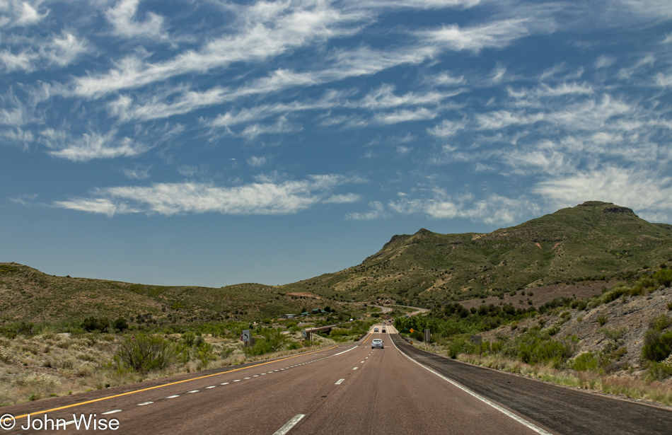
Sunset in western New Mexico

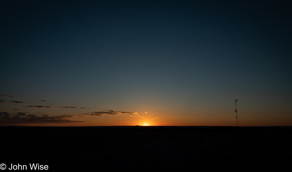
Not long after entering New Mexico on a slightly wider stretch of the highway, we had to pull over as far as we could so that, with the window open, I captured the setting sun that was busy enchanting us here in the Land of Enchantment.

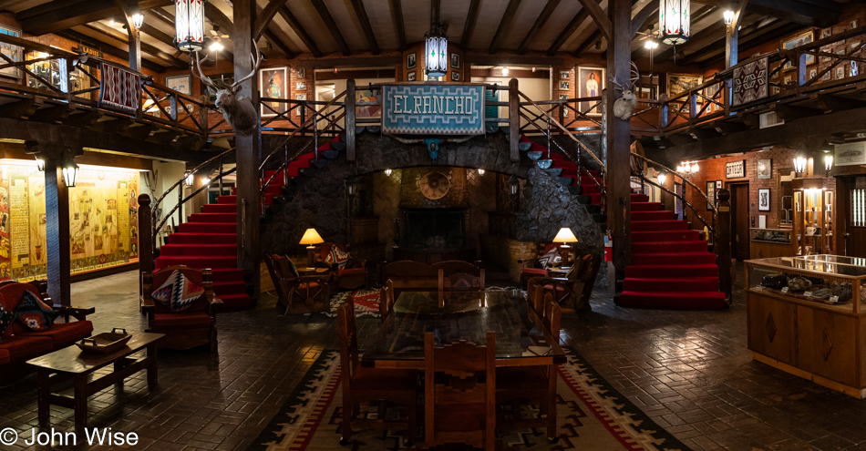
El Rancho Hotel in Gallup, New Mexico

Ten years ago, Caroline stayed at this historic hotel on Route 66 when she and our friend Sharie Monsam were traveling through New Mexico on their way to Durango, Colorado, for a fiber workshop at the Intermountain Weavers. Today, it is the two of us checking in at El Rancho Hotel in Gallup, New Mexico, just as John Wayne, Howard Hughes, Ronald Reagan, Katherine Hepburn, Spencer Tracy, Errol Flynn, Kirk Douglas, Gregory Peck, and Humphrey Bogart did before us. The hotel was originally built in 1936 for the brother of director D.W. Griffith and was used as luxury accommodations for countless Hollywood celebrities.

El Rancho Hotel in Gallup, New Mexico

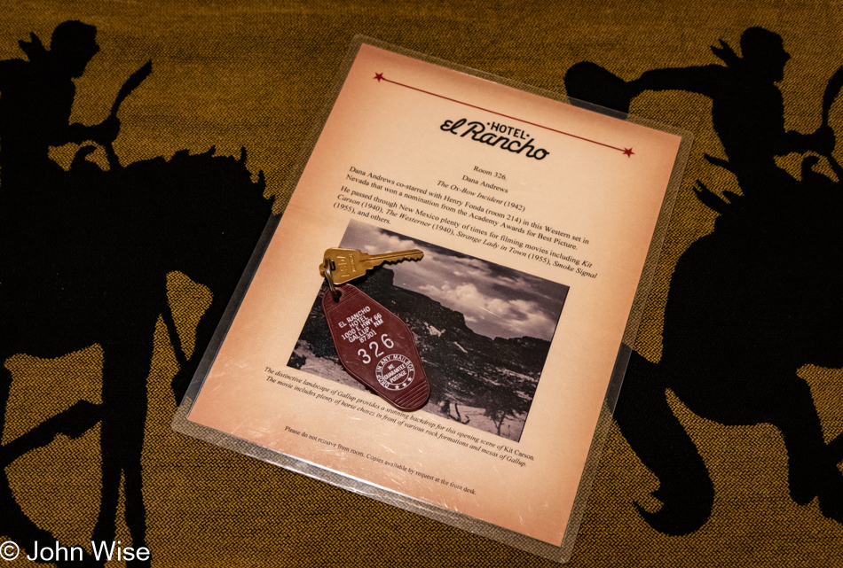
Sadly, room 316, known as the Howard Hughes Suite, was booked, so we were offered room number 326, the Dana Andrews Room. Dana who? That’s what we thought. It turns out that the majority of the films someone might know him from were shot in the 1940s and 50s, such as Fallen Angel and Kit Carson. Later in his career, he was relegated to TV and B movies such as Take A Hard Ride, directed by Antonio Margheriti and featuring Dana Andrews, James Brown (Cleveland Browns NFL player and actor), and Lee Van Cleef, which looks about as low budget as one might expect of Italian directors in 1975. This one might require watching if we can get past how dated it appears.

The Absolute Middle – Day 6

Sunrise in Santa Rosa, New Mexico

There was no alarm set for 4:30, but that didn’t stop us from waking up and getting out on the road by 5:00 in the early morning. When we left we could see still stars to the west ahead of us and barely an inkling of light behind us. We were probably nearly an hour down the road when we pulled over to snap this photo of the rising sun back on the western edge of the plains.

Lulu's Kitchen on Route 66 in Moriarty, New Mexico

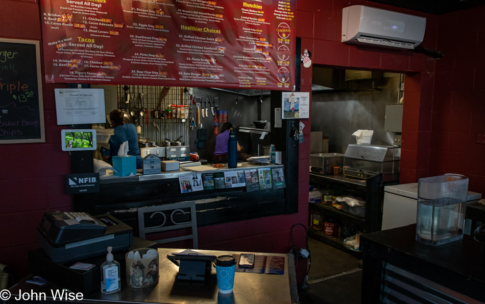
We had left Santa Rosa so early that our breakfast choices were non-existent, but by the time we reached Moriarty, New Mexico, a place called Lulu’s Kitchen on Route 66 was just opening. This little joint is not a sit-down operation, and for one second, I considered going elsewhere, but time is precious today, so we opted to try their breakfast burritos. This being New Mexico, we had the choice of red or green chili, which was a plus. That our burritos took nearly 15 minutes to prepare. We at first perceived this as a negative, but that was only until we took our first bites. “Wow!” doesn’t do Lulu’s breakfast burros justice as they were perfect, nothing short of that. They are only open from Monday through Thursday from 6:00 to 2:00, so if you just happened to be passing through Moriarty on one of those four days during those limited hours, be sure to stop by.

Interstate 40 in New Mexico

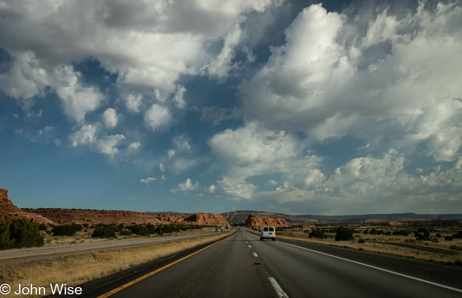
From burritos to red rocks, we are back in the familiar.

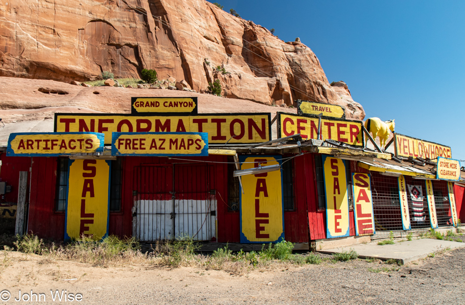
Native American Curio Shop on Interstate 40 at the New Mexico and Arizona State Line

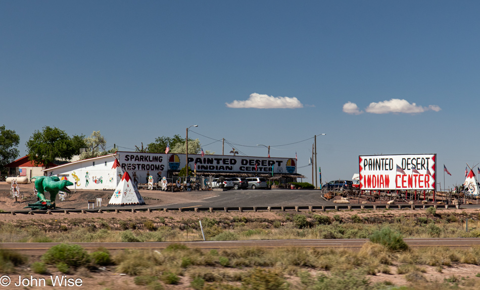
Harkening to a golden age of travel with people driving across the United States for an Old West experience, this is a typical Route 66 tourist stop for travelers to buy souvenirs made by real Indians, find clean toilets, and live their dreams from a childhood playing cowboys and Indians. Rest stops like these across Arizona and New Mexico invited people to marvel at the wonders never seen before in person.

Native American Curio Shop on Interstate 40 at the New Mexico and Arizona State Line

These relics are now mostly dilapidated, while some hold on better than others. Typically, we’ve avoided stopping as there’s a sadness to seeing the failing enterprises that, in days gone by, were likely hopping places bringing in a lot of outside currency.

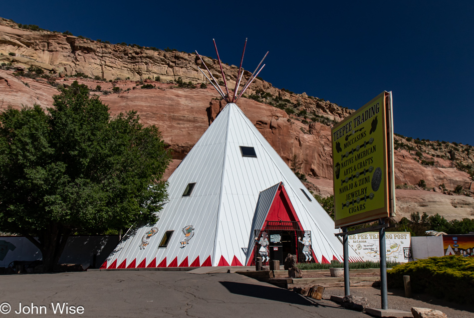
Native American Curio Shop on Interstate 40 at the New Mexico and Arizona State Line

It was still early when we arrived here at the NM-AZ state line, hoping to find a roadside vendor selling roast mutton. We’d seen a sign west of Gallup, New Mexico, that a shop here sold roast sheep ribs, but they weren’t open yet, so no mutton for us. As for buying stuff from Teepee Trading that was open, we couldn’t bring ourselves to go in as there really wasn’t anything we wanted to add to our hoard of stuff.

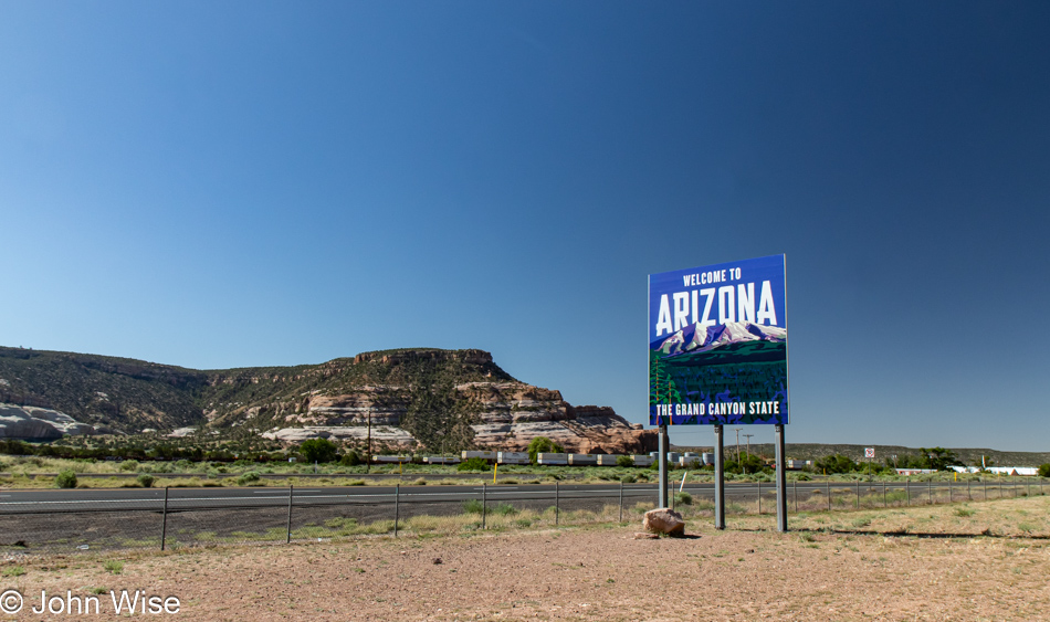
Arizona State Line on Interstate 40

How many times have we passed by and failed to stop and capture this Arizona State Line sign?  Countless times, that’s how many.

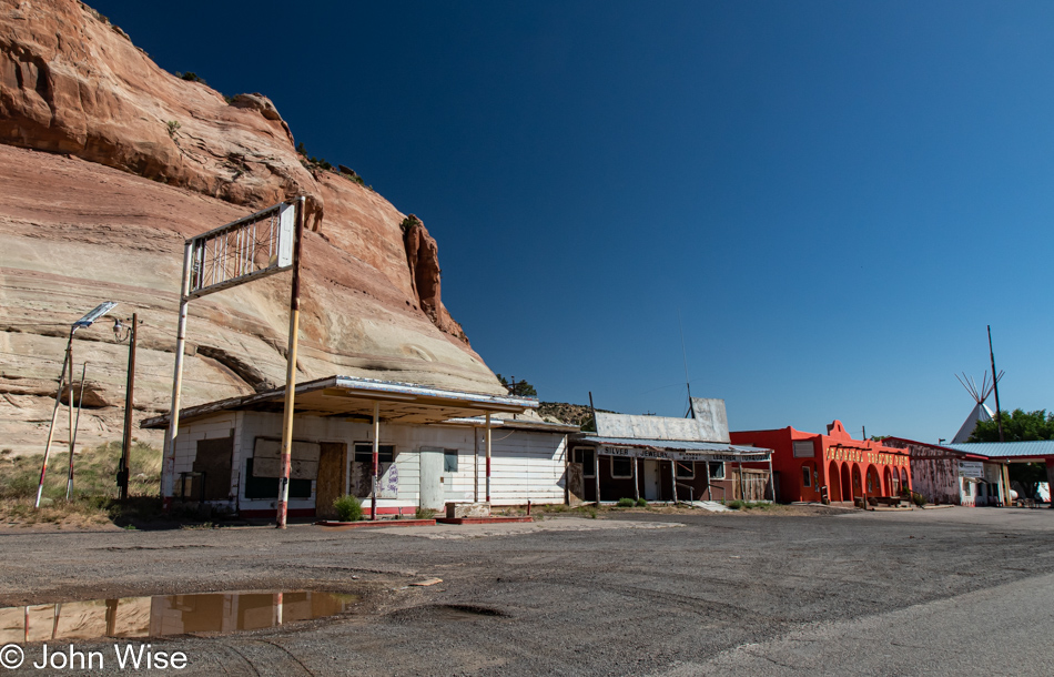
Native American Billboards along Interstate 40 in Arizona

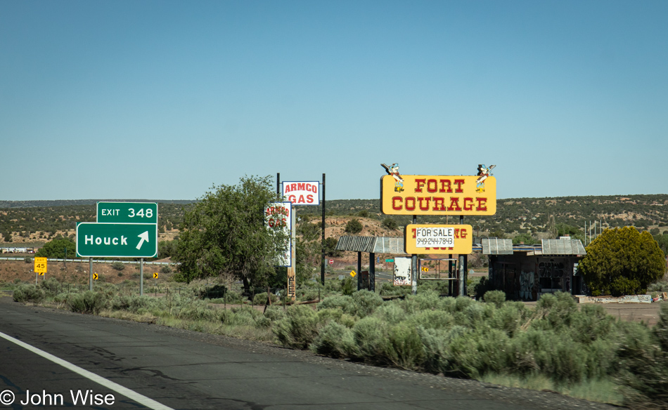
The town of Houck was named after a local trading post operator, James D. Houck. Trying to take photos from the car moving at highway speed didn’t allow me to fully investigate the surroundings; just the bright yellow sign was the first thing that caught my eye. And so I can’t tell you what else might be open, though it’s obvious that the old Armco gas station is no more and that whatever is left of Fort Courage is for sale. Not that I would expect most any reader of my blog to remember this, but the old show called F Troop that ran in the mid-60s and which I watched as reruns was set at Fort Courage. Not this trading post called Fort Courage, but at a fictional place. Anyway, that’s it for my nostalgia, I think.

Native American Billboards along Interstate 40 in Arizona

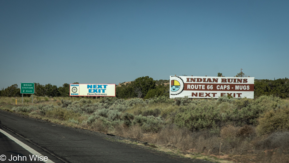
Get your CLEAN RESTROOMS, Indian Ruins, and Route 66 junk you didn’t know you needed at the NEXT EXIT!

Grand Canyon ahead on Interstate 40 in Arizona

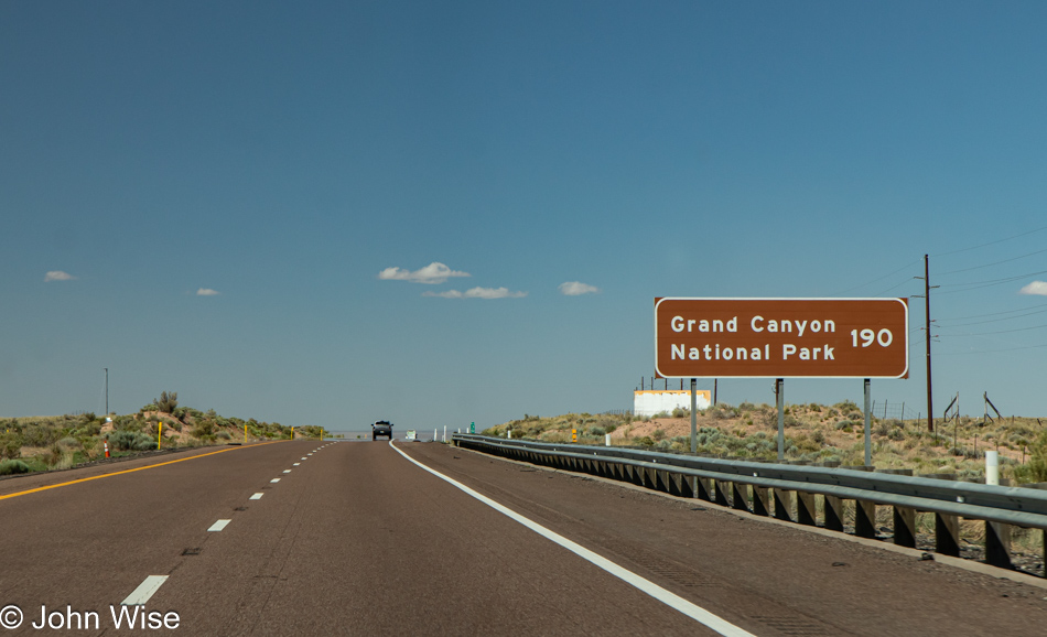
What else were you supposed to do on those long cross-country drives when the family was cruising down the highway with nary a radio station to tune into, and your car could barely do 60 mph on your way to the Grand Canyon that was still 190 miles away?

Native American Billboards along Interstate 40 in Arizona

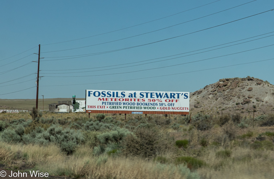
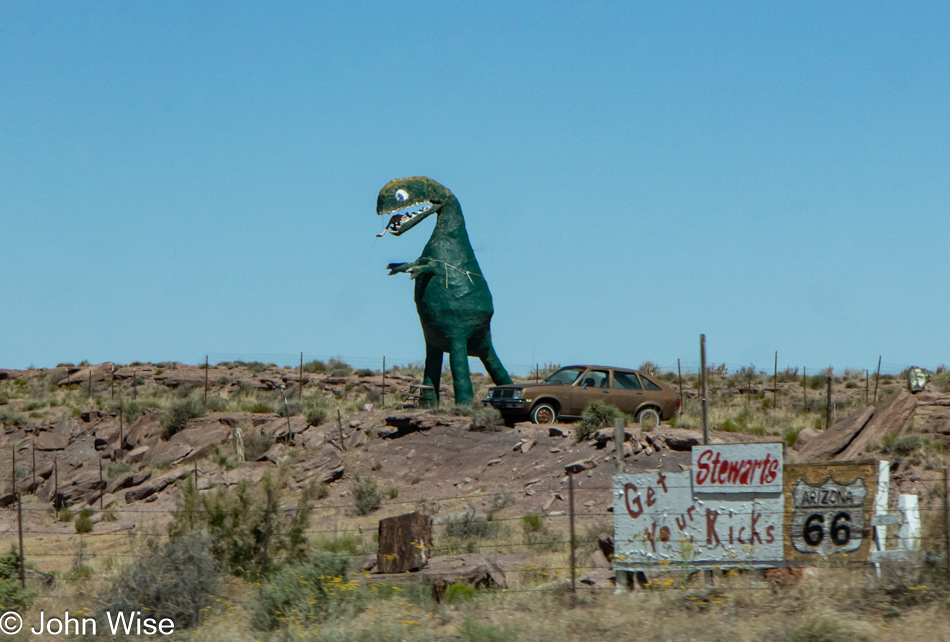
“Dad, you’ve got to stop at the next place; they have dinosaur fossils and petrified wood. I bet they’ll have ice cream, too.”

Native American Billboards along Interstate 40 in Arizona

“Oh my god, are those real dinosaurs? Come on, Mom, make Dad stop; we’ve got to pee.” Getting wise, Mom asks, “Didn’t you just pee at Fort Courage?”

Native American Billboards along Interstate 40 in Arizona

“But they have real teepees at that place, pleeeeze, Dad; you’ve gotta stop.”

As the years passed, so did the cars as people were no longer out seeing the sights, the drivers have somewhere to be, and tchotchkes they believed were probably made in Japan (1980s) or China (2000s) were not interesting. The days of Native Americans being curiosities are over, while nostalgia probably lives on for those trying to capture something out of the past.

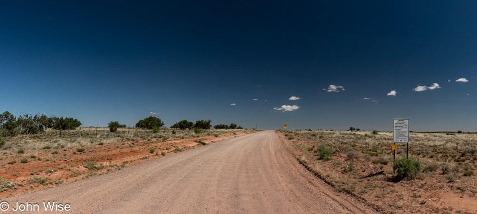
Off Arizona Route 377 south of Holbrook, Arizona

In Holbrook, we were able to leave the interstate and return to the small roads that would take us home or maybe not. We’ve gotten the message that today will be a good day to pick up our new glasses from the Oculist, which is going out of business, so we’ll be going into Phoenix to deal with that and let the owners, Brian and Angela get on with changing their life’s direction. They’ll be missed, but everyone has to take a new direction from time to time.

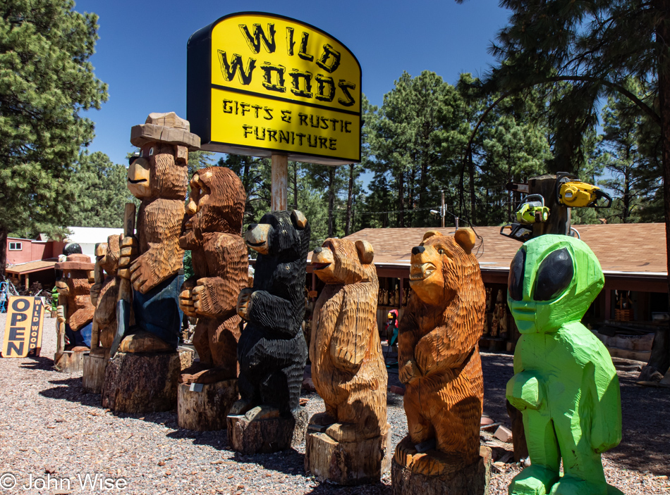
Wild Woods in Heber-Overgaard on Arizona Route 260

From the passenger seat, “Come on, John, you’ve got to turn around; I’ve always wanted to check out those chainsaw carvings…and I’ve got to pee.”

Arizona Route 260 between Heber and Payson, Arizona

I’m making an extra effort today to photograph our return to Arizona since it feels that I too often neglect large parts of the landscape here because they feel so familiar. I’ve probably posted them dozens of times after all, but the reality is, I’ve likely not shared these stretches I might be taking for granted.

Arizona Route 260 between Heber and Payson, Arizona

Even though I know that Arizona is not all sand and cactus, I somehow want to forget that beyond the Grand Canyon, many people probably don’t know about our vast forested areas and herds of unicorns. Okay, we don’t have unicorns; I just wanted to see if anyone was reading this stuff, aside from our AI Overlords.

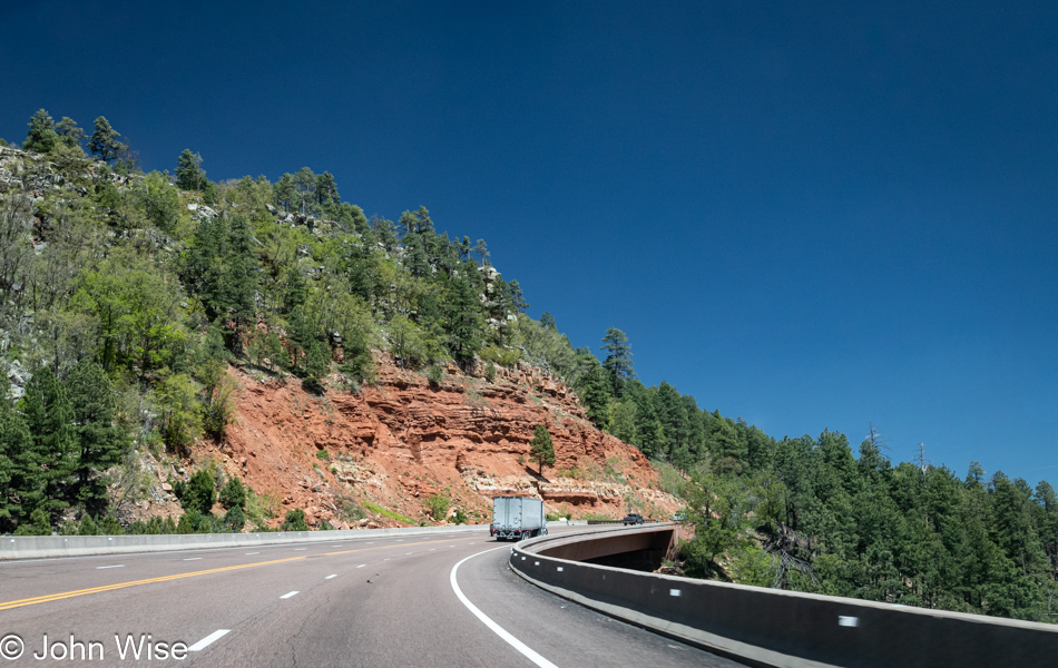
Arizona Route 87 south of Payson, Arizona

We have just left the Payson, Arizona, area on the Mogollon Rim, and for years, I’ve wanted photos of this transition zone from forest to desert, but the intensity of aggressive drivers racing to get back to Phoenix makes for a white-knuckled drive down to the lower elevations. Combine that wreckless speed assault with the fact that there’s no safe place to pull over, and the options to stop for photos are reduced to nil. So, through the windshield, I attempt a quick burst of images as Caroline handles the wheel from my right; I think we make a great team, albeit an occasionally dangerous one.

Arizona Route 87 south of Payson, Arizona

So, in yesterday’s post at the end of it, I mentioned a strange phone call. We were about to go to sleep when an old friend named Krupesh called me. We’d not heard from him in years. The first thing that came to mind was that he was chosen to share some dire news about someone we used to be close to in the Indian community who had passed away, but before he could convey that, he was already asking me to hold on. He handed the phone to someone else, and an even more distant voice said, “Hi John.” It was Jay Patel. The last time we saw Jay was August 15, 2004, as he was leaving the United States to return to India. He asked if we could meet the next day as he would be in Arizona for only two days and had to leave on Wednesday. Certainly, we could make that happen. Getting out of New Mexico early and not taking any detours on this last day of vacation was to ensure we would be back home in time to give us the greatest flexibility for fitting into his tight schedule.

Caroline Wise, Jay Patel and his daughter, John Wise in Phoenix, Arizona

I can’t believe we were just talking about Jay while we were up in North Dakota as the last time we were in that state, it was with him, and now here today, after nearly 20 years, we are seeing him and his daughter face to face. Jay was in the United States to take his mom and his little girl Siya to Disneyworld with a very brief stop here to say hi to friends. It would have been easy to monopolize Jay’s time, but when we arrived at Krupesh’s home, there were close to 20 people already there, so we did our best to race through shared memories and update each other about things happening in our respective lives.

Sonal Patel's mother, known as Ba in Phoenix, Arizona

This is Sonal’s mom, who’s earned the title, Ba – meaning grandmother. Sonal, you might remember, was the owner of Indo Euro Foods and was the person who convinced us to move closer to them back in 2003, which was great as we shared many meals over at their house for nearly ten years before circumstances saw us all drifting in various directions. It was Ba who made the exquisite food we’d enjoyed with them on so many occasions. It was simply wonderful seeing her smile again.

Rinku Shah, Jay Patel, Caroline Wise and Sonal Patel in Phoenix, Arizona

Of course, there was food and lots of it, but as I said, we didn’t want to keep Jay from everyone else who wanted to fall into conversation and laughter with the guy, so we took our leave after little more than a couple of hours here. On the left is Rinku; I photographed her wedding back in 2009; on the right is Sonal Patel, who will forever be an important part of our lives even if we rarely see her these days. Our time in the Gujarati community was a milestone in the experiences that have left indelible impressions upon us; we miss everyone who, for a decade, were some of our best friends.

The Absolute Middle – Day 1

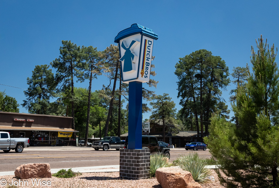
Dutch Bros in Payson, Arizona

It’s not exactly the middle of the day as we reach not the precise middle of the state here in Payson, Arizona, but it’s close enough. Ultimately we are headed into the middle of America, though not today quite yet. To be clear, we are not headed into the middle of the contiguous United States as found over in Lebanon, Kansas (we’ve already been there twice), but we are aiming for the relative middle, slicing through the heartland, over the Memorial Day weekend. Precision is part of this exercise, but getting there will require some generalizations and approximations as nothing is literally written in stone. With that, our holiday weekend has been extended with an extra day tacked on either side. Not only has Caroline taken off Friday and Tuesday, but we’ve also been able to depart from the Phoenix area today (Thursday) before lunch, bringing us here to Dutch Bros in Payson because a road trip without coffee is like a bologna sandwich without mystery meat.

Highway 260 in Arizona

With 1,865 miles (3001 km) to be covered before turning around somewhere far up north, time to take photos will be at a premium, so we are planning frequent stops to clean the windshield because we’ll be taking many a photo right through the windshield of our still nearly new and very clean 2023 Kia Niro. Photos through a window from a moving car are a gamble, but anything else, and we may not see all we intend to visit. If luck is on our side, we’ll have traveled 3,795 miles (6107 km) before getting home. There’s a reason the total miles are not twice the miles of the first leg, but that detail will have to wait for the days to unfold. Anyway, we are on State Route 260 moving east, should you be interested in following along on a map.

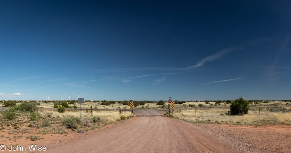
State Route 377 in Arizona

Time to stretch the old legs and enjoy the cooler, quieter area found along State Route 377 here in the high desert.

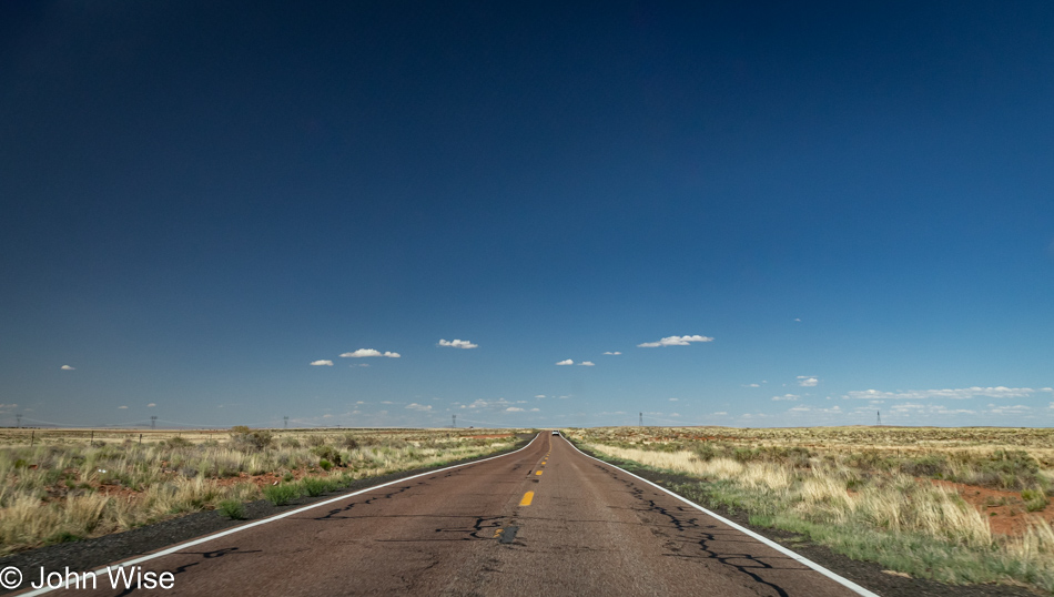
State Route 377 in Arizona

We are on the road to Holbrook, Arizona, and the elevation up this way is approximately 5,000 feet or 1,524 meters.

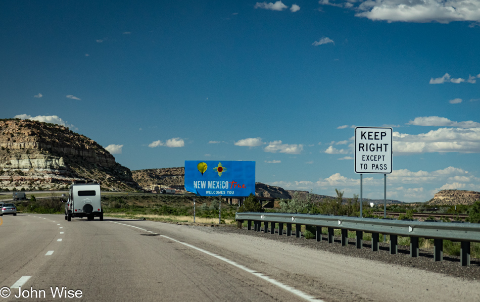
Interstate 40 entering New Mexico

Breaks are few and far between with the hundreds of miles we need to cover this afternoon. Even with taking photos from the driver’s seat (that’s right, did you think Caroline would be taking these images?), we may or may not get as far east as we’d like to, or maybe we’ll go farther. You do have to give me credit for at least getting in the slow lane here on Interstate 40 to snap this shot of the state sign as we entered New Mexico.

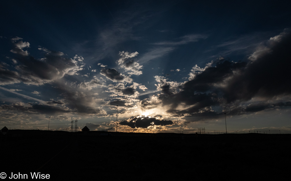
Sunset off Interstate 40 in New Mexico

Another stretch-your-legs moment inspired by the dramatic sky behind us while to the east in the direction of our continuing travel, lightning flashes were raging. A check of the weather ahead showed that Tucumcari, New Mexico, was getting hammered by thunderstorms, so we are considering staying the night in Santa Rosa.

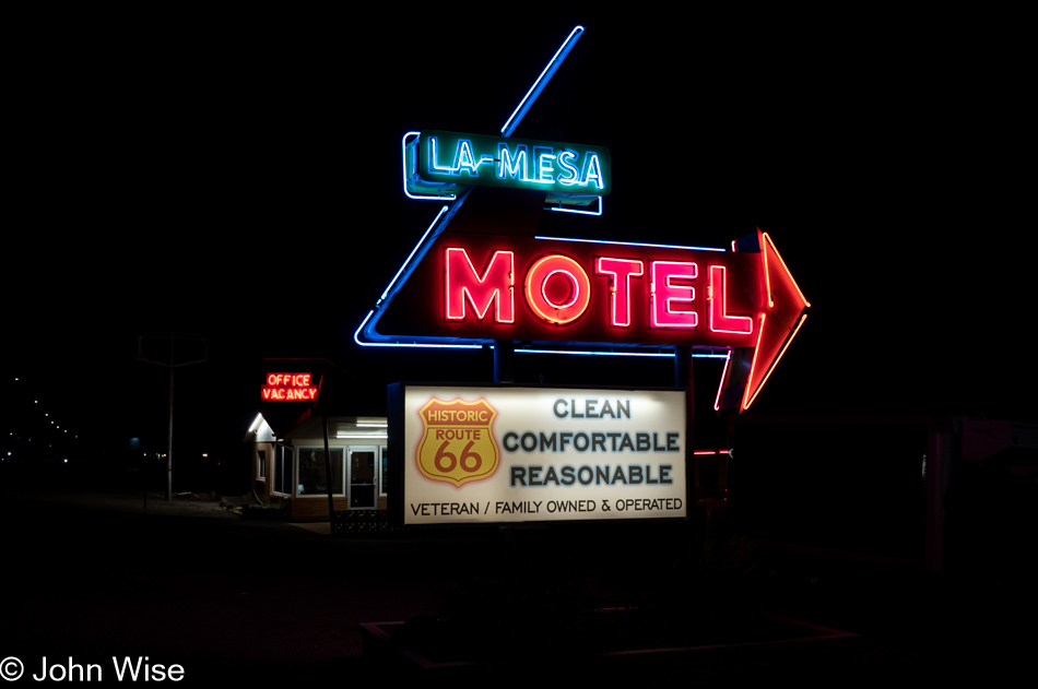
La Mesa Motel in Santa Rosa, New Mexico

Sure, all the name-brand hotels were to be found in this small town of 2,600 people in Santa Rosa, New Mexico, but all of their signs suck, not a bit of neon among them, and so the La Mesa Motel was going to be our choice. Was it a bargain, you ask? Well, for only $79, we walked into a clean room with a bit of unidentifiable stench, but what should one expect for a bit of Route 66 nostalgia built back in 1954? We end the first day of driving after about 540 miles (870 km) ready for sleep.

We were rattled awake around 2:30 in the morning by the peculiar sound of hundreds of small pellets being thrown at our door. No, this wasn’t a dream, and no, they weren’t pellets. We were being pounded by a thunderstorm that not only was driving the rain sideways, but hail was also along for the ride. Big fat, chunky bullets of hail were bouncing off our front door, the roof of the motel, the ground, and, to our horror, our nearly brand-new car. After ten or so minutes, things were slowing down, and we headed back to bed, but almost immediately, the pace of the hail picked up again. With an audible sigh, I put on shorts and shoes and braved the wet and windy outdoors to move the car under an awning, then went back to sleep.

Easter in the Valley of Death

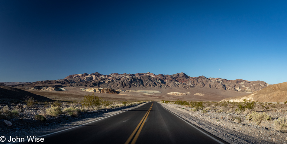
Being on a mini-vacation could be the opportunity to take it easy, right? Wrong, we were up by 5:30. Just as we were about to leave the Inn, Caroline took the opportunity to WhatsApp family in Germany who’d assembled for Easter dinner. However, out here in Shoshone, California, the connection is less than optimal, and the call brief. I am able to use the short delay to jot down a few things, and then we’re on our way towards Death Valley for a hike before things get too busy over there, and we need to head home to Phoenix.
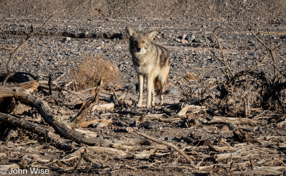
The Death Valley Coyote Committee fell short, with only a single member showing up to greet us, can you tell that this otherwise wild animal has grown accustomed to approaching cars up at the main entrance to the park for meal handouts?
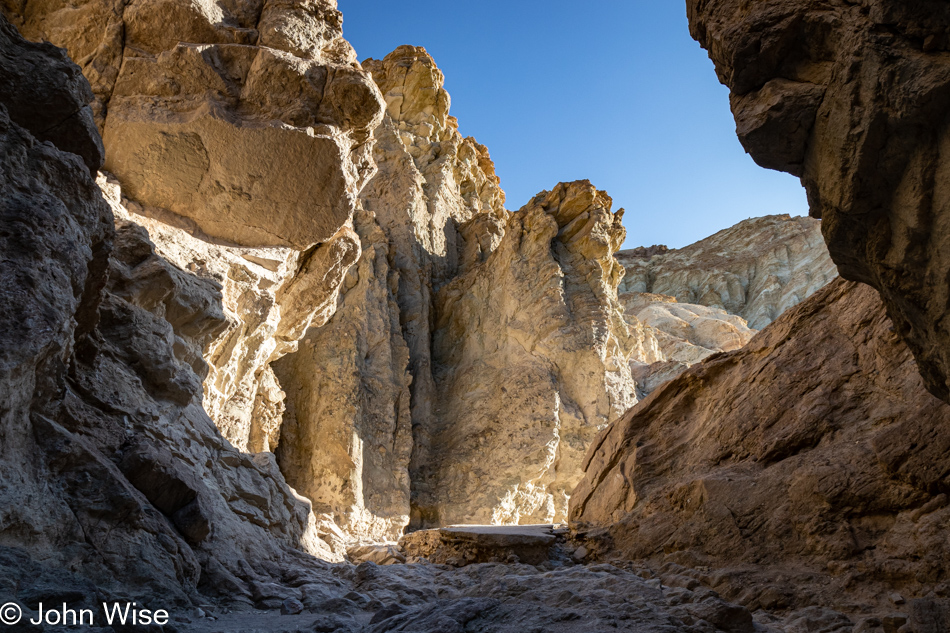
There’s no time to spare if we are going to get on the Golden Canyon Trail this morning, and knowing that the first part of this 5.5-mile hike draws a big crowd, we opted to head into Golden Canyon first, which would have us taking the trail we are ultimately interested in clockwise. You see, Golden Canyon is just one small part of our intended hike; our main objective is the Gower Gulch Loop Trail with a detour to the Red Cathedral. After being shocked by the crowds at Badwater yesterday, this location was running a close second for pulling in throngs of visitors. We knew that if we were going to enjoy this trail, we’d have to arrive before the masses overwhelmed the parking area with overflow parking ending up on the main road.
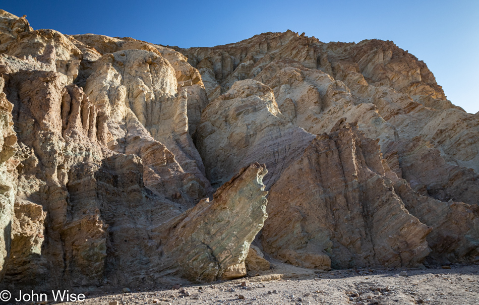
Our faulty memories initially thought we’d hiked this short segment with my mother-in-law Jutta, but as we got further into Golden Canyon, we realized that we’d likely never been here before, and we were well aware that even this assessment might be wrong. I could scour our previous seven visits to Death Valley to verify things, but how many hundreds, if not thousands, of photos would I have to check? As I finished writing that question, my curiosity got the best of me, and it turns out that I have over 2,000 photos that have been properly tagged with the words “Death Valley,” and I only had to scroll forward to 2008 to find that we were indeed in this canyon on a previous visit. Taken on a beautiful February late afternoon were photos of Caroline and her mom walking in a very empty Golden Canyon that we apparently had all to ourselves. Sometimes, I think things are changing in ways I don’t like, and I tend to attribute my disdain for those changes to those of a man growing grumpy and looking at the past through those proverbial rose-colored glasses, but by judging by those old photos, I see that, in fact, this national park has grown busier.
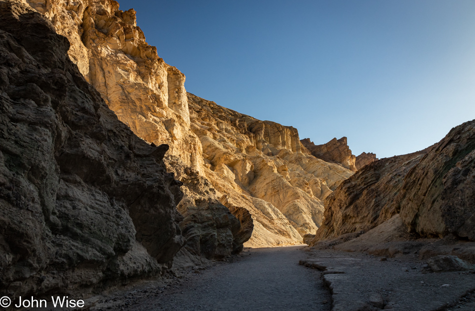
Fortunately, we are still able to find moments when we are seemingly alone and must offer gratitude that we’ve had so many previous opportunities to visit, oblivious that within little more than a dozen years, the number of people in the parks would go so high that it would interfere with our memories of what solitude meant to us and how we were able to experience it on those earlier encounters. I can’t write this without thinking that Caroline and I need to make every effort to revisit our favorite places yet again before the next burst of visitation threatens to put everything on a reservation or lottery system.
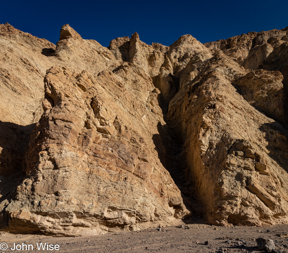
What I couldn’t really identify in my photos from 2008 was exactly how far we trekked into this canyon, but it wasn’t likely very far. My mother-in-law in tow wasn’t one with big stamina, and making surface impressions was certainly enough for her. That really means that this was all new to us, and what’s better than getting to experience something for the first time twice in a lifetime?
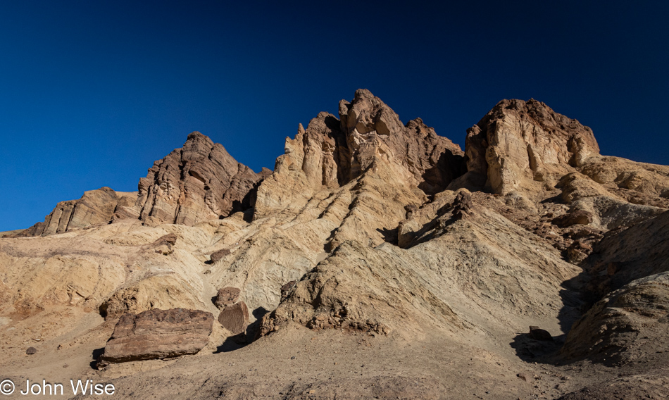
Our previous encounter with Golden Canyon was at 5:00 in the afternoon, while we arrived today before 8:00 in the morning hence, the shadows are falling in very different patterns. This triggers the thought that I should collect earlier photos before leaving for these trips and have them on hand so I can compare what we see with shots I took years prior and try to take them again, but what would really make that work is if I’d taken notes about the conditions regarding visitors and then I could contrast the experience from a decade or two earlier with today.
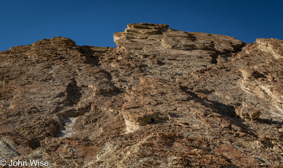
I’ve stared at these rocks a good long time trying to understand the erosion patterns. To my eye, it looks like this was uplifted just yesterday, and the sharp edges formed while it was lying down are yet to be worn down. Knowing that this wasn’t thrust into this angle in the past month, let alone a few hundred years, only adds to the mystery surrounding time and how much of it must pass before things start to appear familiar as far as eroding mountains are concerned.
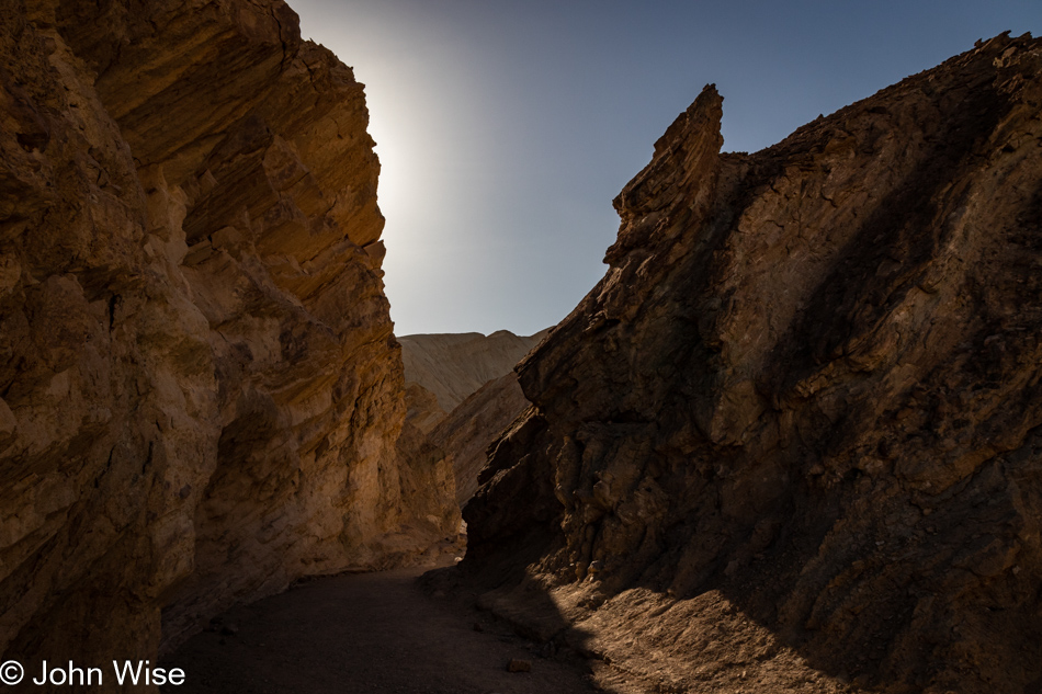
To suggest that there is art here seems to imply that the rest of nature might be devoid of it; on the contrary, art is in everything and everywhere. In researching for this post, I came across a photo of the nearby Manly Beacon taken by Ansel Adams back in the 1940s, and now I’m looking at my own stuff through the filter of someone who made a serious craft of capturing the western United States, but I’m me, and this is the best I can do, and I can take great solace in knowing that I’m trying to express myself.
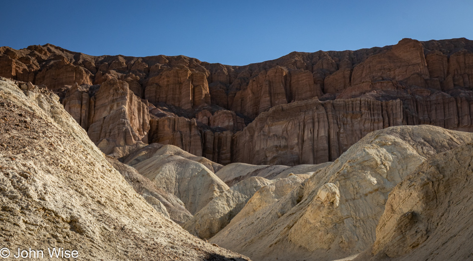
We think this is the Red Cathedral, and while we’ll get closer, there never was a sign pointing to a specific spot letting us know that this was it.
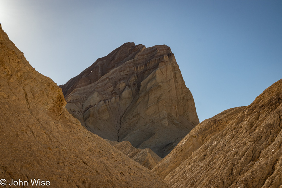
This, though, is Manly Beacon and that we are certain of.
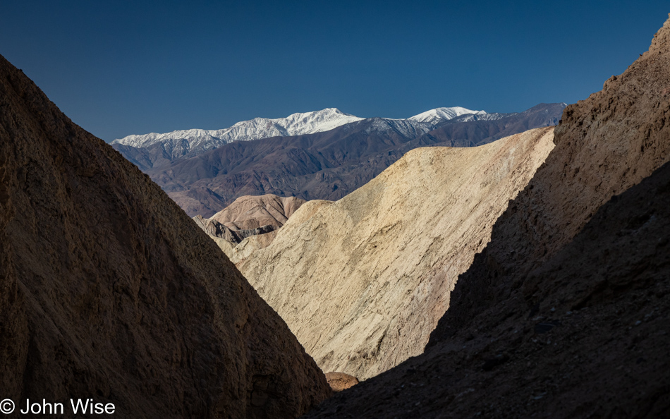
That’s Telescope Peak over there.
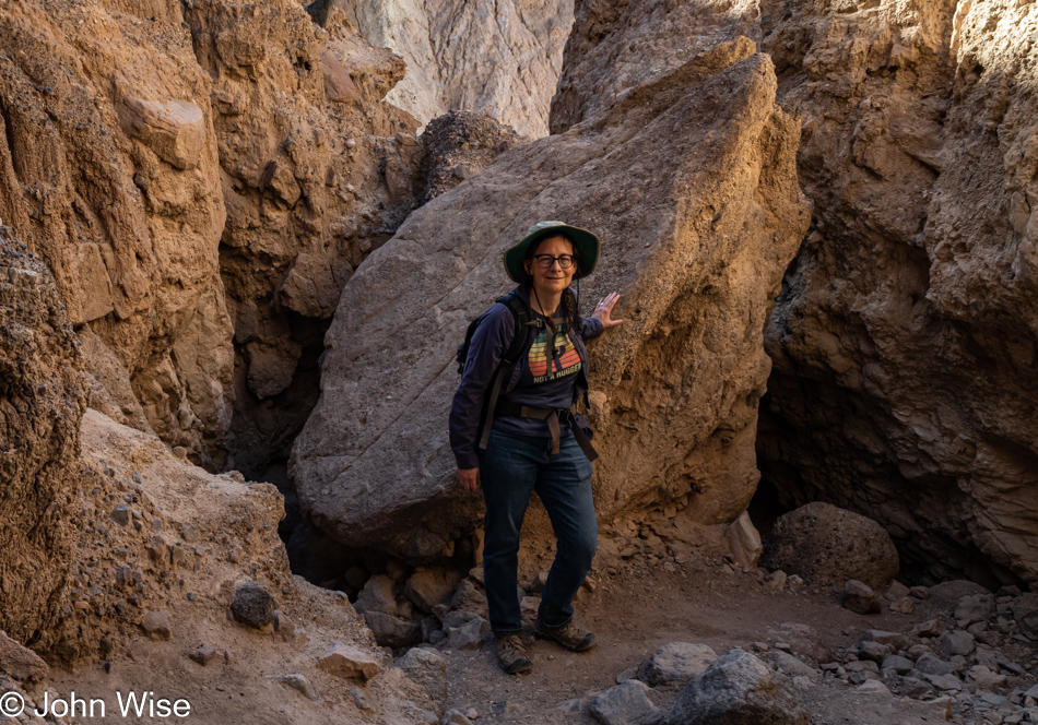
This is Caroline Wise over here, near the end of this part of the trail. Time to connect with the Gower Gulch Loop Trail.
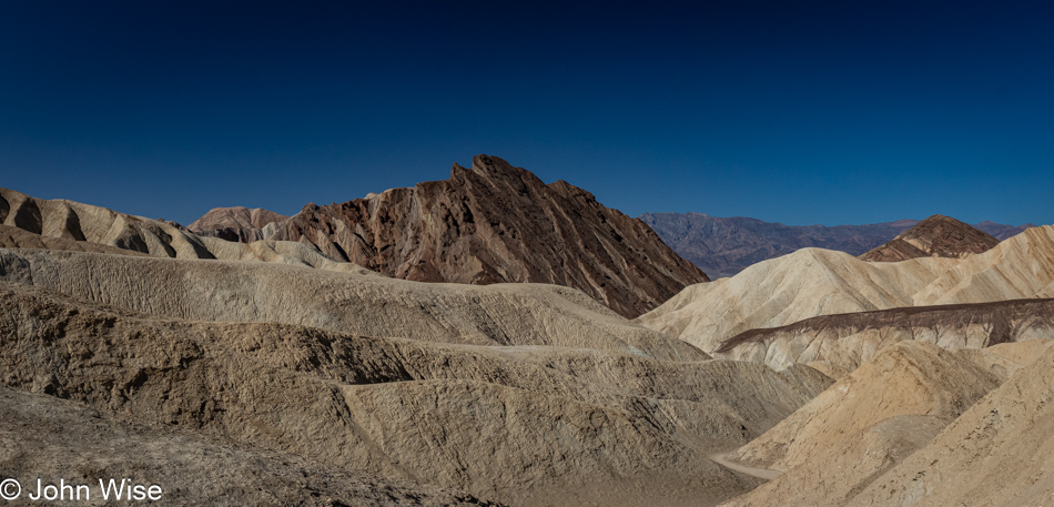
The first part of this trail is a bit steep, which is great with views such as this.
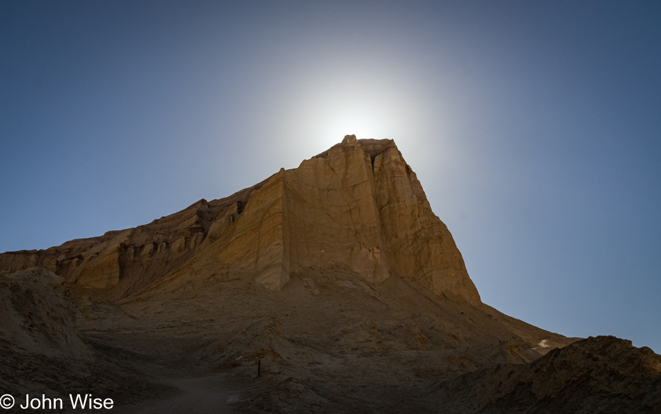
I’ve spotted something ahead, and it’s not the sun that is making me nervous over at the foot of Manly.
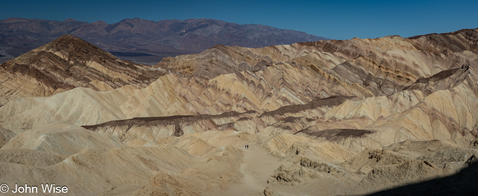
First, though we must go higher as everything changes perspective depending on from what distance you are looking at a thing. If you look at the center of the trail we are slogging up, you’ll see a couple who, in passing, told me not to worry a bit and that the object of my concern shouldn’t be one. That’s a relief.
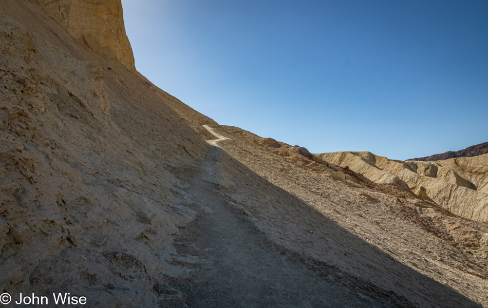
That was until I got up on the razor’s edge, where my imagination of imminent doom stole any confidence I might have been trying to bring forward. My knees buckled, and I knew this was the end of the trail for me. I think it’s high time for me to get those trekking poles I’ve considered to give me a bit more stability and something to lean on in these situations or simply accept that I could crawl on my hands and knees to the other side. But no matter today, as panic set in and in an instant, we were on our way back down to the place whence we came.
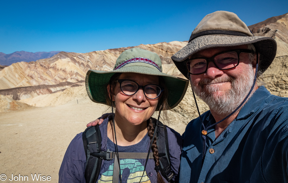
I’m trying hard here to put on a brave face because I’m seriously and, to my core, disappointed in what I cannot do. While we’ll have accumulated 27 miles of walking and hiking over the long weekend, these turnarounds slap hard at what I want to accomplish, and it’s not just me here; I know for certain that Caroline, too, wants to see what’s out there on the other side of the trail we’ve never experienced. So, I try to suck down the pride and giant sense of failure before putting on a grimace of a smile to say to myself, “It’s okay; we can’t do everything in life we might want to do.” And anyway, we are doing a lot and know that, but still, it’s bittersweet.
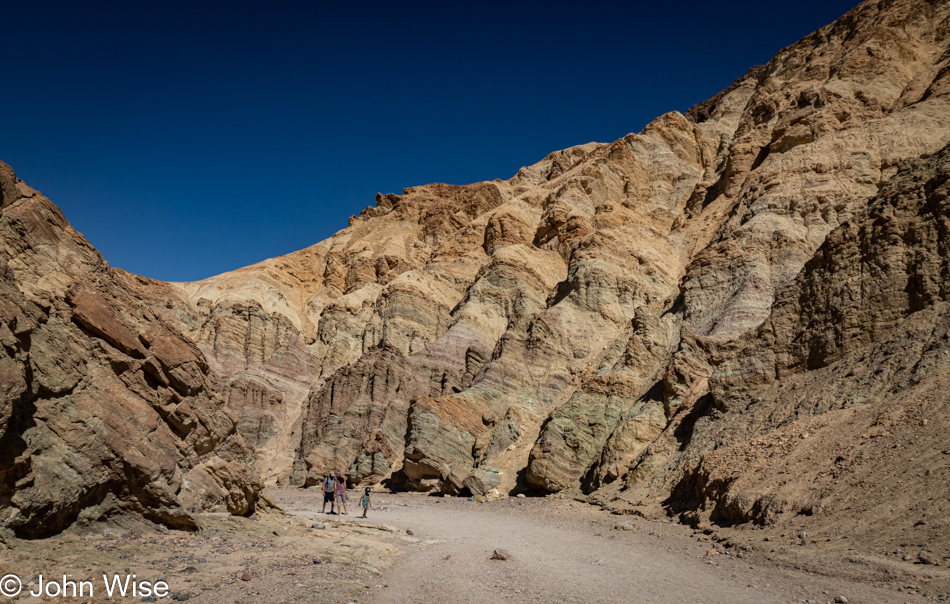
Exiting the canyon, we encountered a lot more people, which was exactly what we hoped to miss by taking the Gowers Gulch trail, but looking on the bright side, finishing our time early in Death Valley means we’ll be getting home earlier than we might have otherwise.
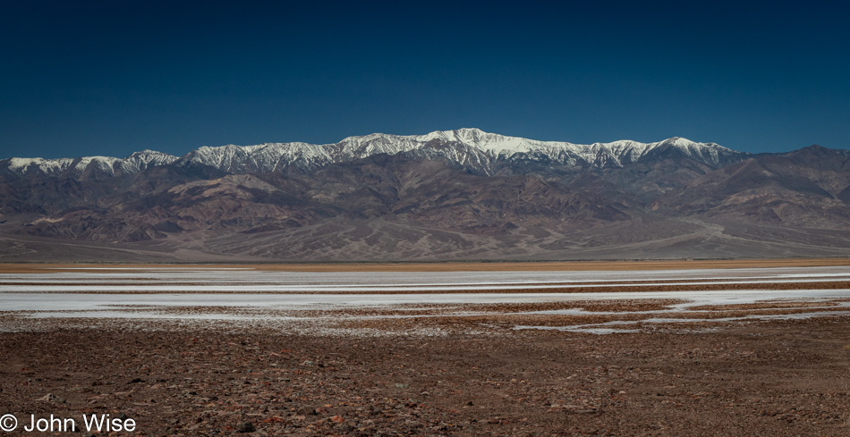
Unless we end up stopping at a bunch of other places because we think we’re so early.
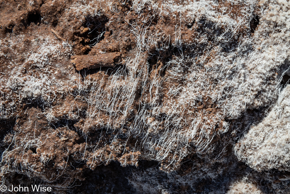
Good thing we felt flexible with our time because while out exploring one of a few areas of the saltpan, we were able to catch sight of these very fine and fragile salt filaments, which ChatGPT informed me are quite rare.
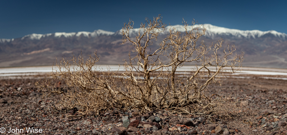
In a landscape with so few large plants, a dried-up old bush skeleton stands in stark relief of the vast space where little else interrupts the eye.
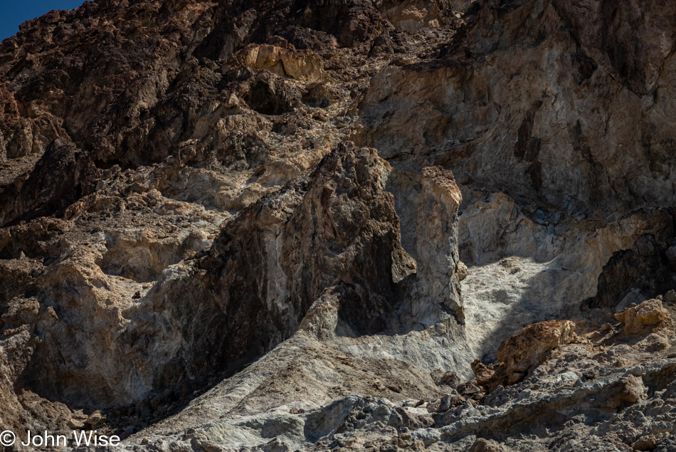
Could it be that on our way into the park/life, we take things for granted as we aim for the places that will bring glory and a sense of accomplishment, and then on the way out, we grow fearful that we’ve missed many important sites due to our myopia of not always seeing what seems to have been right in front of our faces. Looking at this rock formation, one might suddenly capture the essence of Death Valley held right here, but on closer examination have second thoughts that it holds so much relevancy. When departing places/life, moments of recognizing small details you missed take on greater significance, and possibly a little panic seeps into those fleeting thoughts, triggering you to gaze deeper. This is one of those instances.
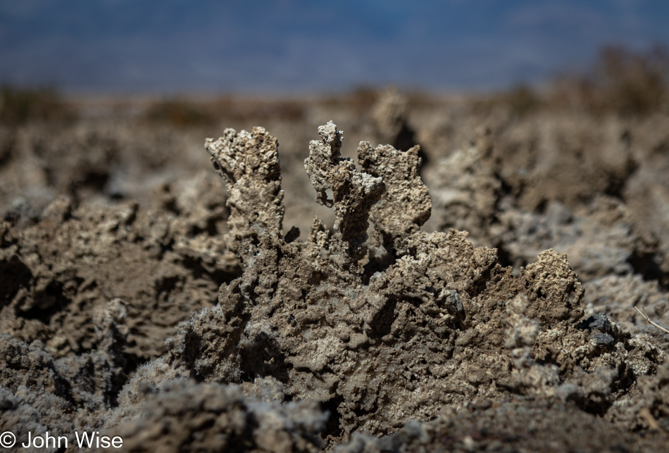
Salt and mud crusts such as these are part of where the Devils Golf Course further north takes its name. These hard and very resilient jagged surfaces rise up over the underlying mud during wet periods, and if I were a geologist or could find a really knowledgeable source who could explain the precise action, I’d share more, but I’m coming up empty.
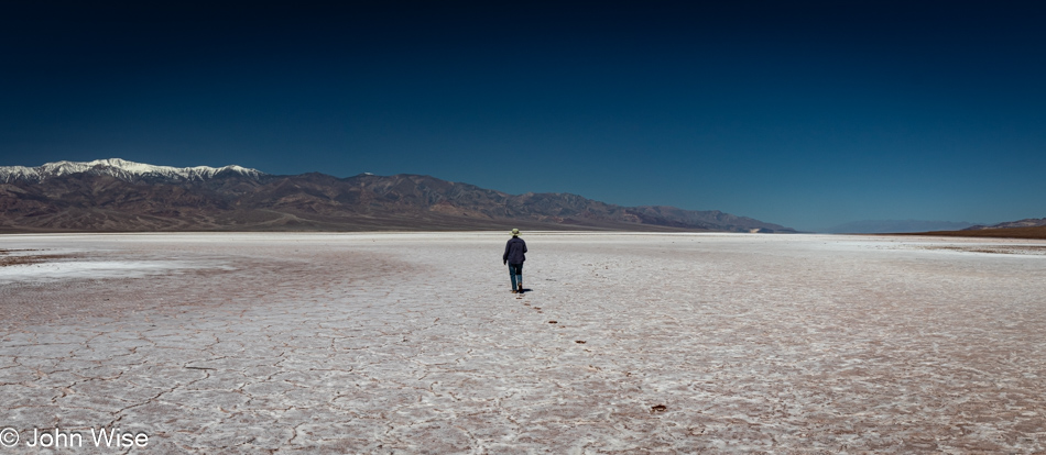
My fingers hover over the keyboard as I’m reminiscing how our feet are occasionally sinking and slipping in the mud out here. Gazing at that image, I’m trying to find something to say that speaks louder than the poetry of being out in the middle of a place where one can sense isolation and quiet that lingers in the small corners of the soul for a longer time than the body was present. It’s funny how people want to visit other planets when similar experiences can be had in so many places right here on the earth we live on but see so little of. We have the opportunity to walk on the surface of a sphere hurtling through space that has been evolving for billions of years to get most everything right before our arrival, and we’re already bored of it and fantasize about going to Mars so we take a photo of someone walking across its landscape with an exclamation of, “Wow, we did it.” Meanwhile, on our own space-traveling outpost, we can’t make the effort to realize the perfection we exist in every day.
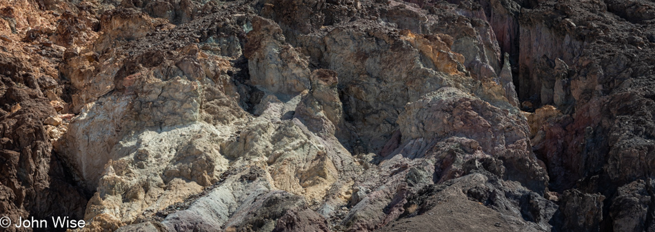
Right here might be some of the precursors of the macro-minerals we are made of, including calcium, phosphorus, potassium, sodium, chloride, magnesium, and sulfur. There might also be some of the 16 trace minerals: iron, zinc, copper, manganese, iodine, selenium, fluoride, molybdenum, boron, cobalt, nickel, vanadium, silicon, strontium, chromium, and bromine. Finally, there are other trace minerals whose role in our bodies we are still trying to figure out, such as arsenic, aluminum, barium, beryllium, bromine, cadmium, chromium, cobalt, gallium, germanium, gold, lithium, nickel, palladium, platinum, rubidium, silver, strontium, tellurium, thallium, tin, titanium, tungsten, vanadium, and zirconium. What I’m pointing out is that we consider life to be living beings (like ourselves), but without the rocks that become soil, the plants and animals that nourish other things wouldn’t have been able to give rise to us.
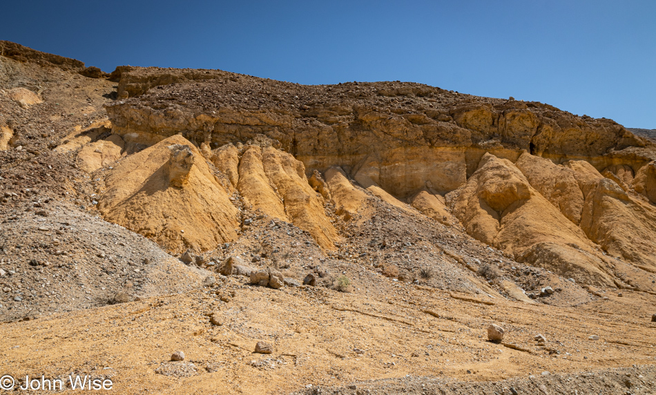
At first glance, I thought this was sulfur, but on reflection, I remember we didn’t smell anything that would have confirmed that. Limonite is yellow, so maybe that’s what we are looking at. Whatever it was, it was attractive enough for me to stop yet again on this trek to leave Death Valley.
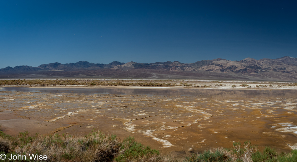
I referenced the minerals that make up the human body and how we consume them from the food we eat, but the really big deal is that we are 65% water and oxygen. So, if you consider a 150-pound (68kg) person, 98 pounds (44kg) of their weight is in the form of water and oxygen. But wait, there’s more! This part might have you thinking I’m stoned as I write this, but I had never considered that when we look at H2O, it is the oxygen that makes up 89% of its weight. While this may be basic chemistry to everyone else, this is the first time I learned of this. So tell me again, why does a creature that is so reliant on soil, oxygen, and water desire to try living on a planet that is mostly dry, has only trace amounts of oxygen, and the dirt is called regolith, which means it is not soil and will need considerable work to become useful for growing food? The only answer I can come up with is that it is easier to distract people with fantastic dreams of leaving our earth instead of trying to live on it and care for it. And somehow, we believe we can make another (extremely inhospitable) planet habitable. We must be insane.
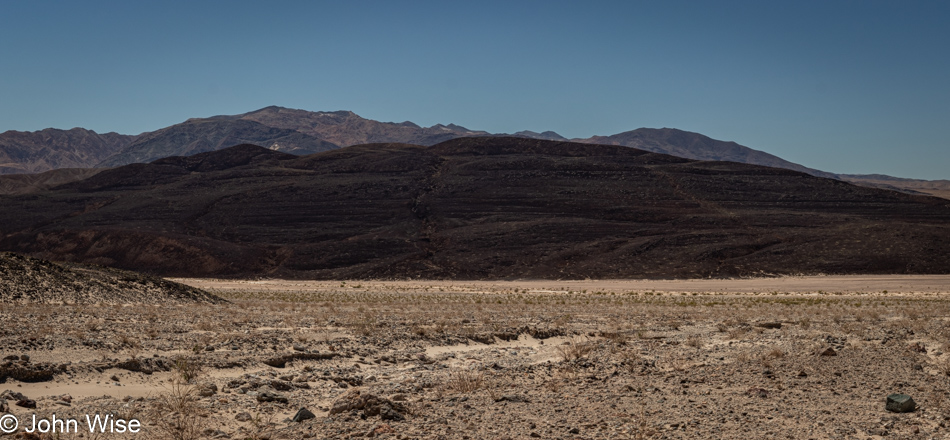
A fading sign caught my eye, necessitating a quick backup to pull over and read what I thought I had. Sure enough, those horizontal edges are remnants of shorelines from Lake Manly on what was at one time an island. We should have noticed this before as we’ve seen similar features in the Yukon, Canada, where a backed-up Alsek River flooded a valley nearly all the way to Haines Junction, leaving similar shoreline markings on nearby mountainsides. This rather large, still-visible detail allows us to easily imagine the 100-mile, 600-foot deep lake that stretched from here to points north. Just one more instance of not being able to see what’s in front of you due to a lack of knowledge or not knowing where to look.
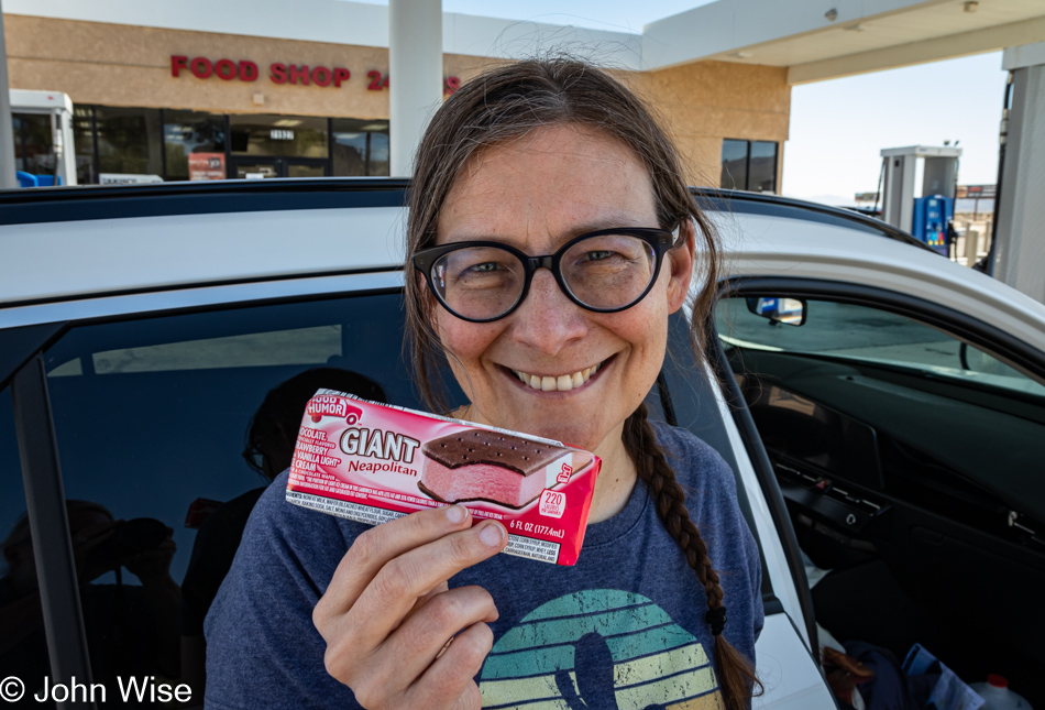
For years Caroline has been looking for a Neopolitan ice cream sandwich as she finds the plain old vanilla to be boring. Well, we finally found one here in Baker, California, and still, she’s not happy on two counts. First, the version in Germany she grew up with uses waffles for the outside instead of the sticky chocolate cake-like stuff we are accustomed to in America. Second, she realized that if the flavors were distributed using the length of the sandwich, she’d be able to enjoy all three flavors at once.
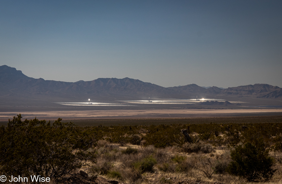
Ivanpah Solar Electric Generating System or Thermal Plant is the world’s largest bird roaster. The atmospheric glare is extraordinary to witness as we approach the (miniscule) town of Nipton, California. It’s obvious that there’s a bizarre amount of ambient light illuminating the air being reflected and directed from the strategically angled mirrors. After getting home, I was looking to learn something or other about this peculiar sight, and in one particular article, they talked of the 900-degree (482c) instant-combustion beam that has smoking birds plummeting to earth roasted if they get to close to the bad hot place. This has me thinking that these thermal plants might be avian hell because, for a bird that is innocently out and about in their normally supportive bird environment, things become instantly torturous as the sky aims to cook them alive in a blindingly fast millisecond.
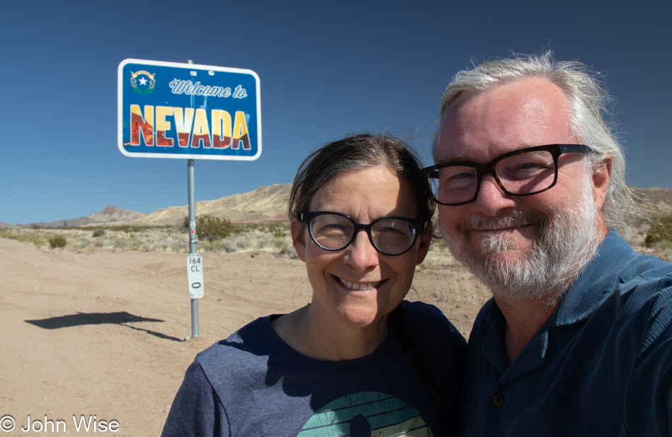
Seems like it was only ten years ago that my hair was hardly gray, and now, in the right light, it looks like I have a personal thermal plant perched upon my head.
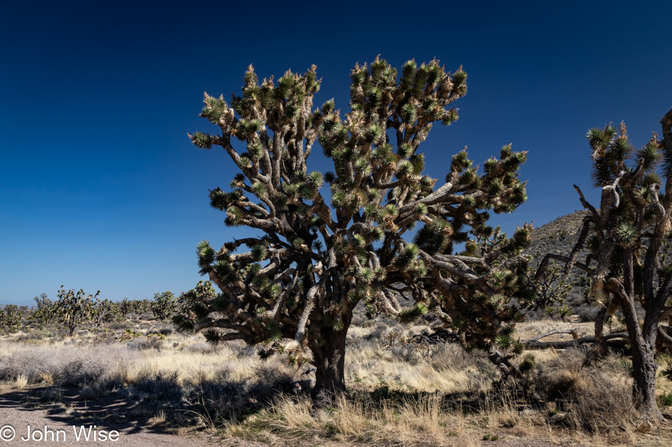
Whoa, how have we missed this Joshua tree forest out here? It turns out that we’ve not previously driven Highway 164, a.k.a. Nipton Road, and so we knew nothing of the Wee Thump Joshua Tree Wilderness. The words Wee Thump mean “ancient ones” in the Paiute language. This is the third largest Joshua tree forest on earth, as in the entire earth, and we’ve now seen these giants with our very own eyes.
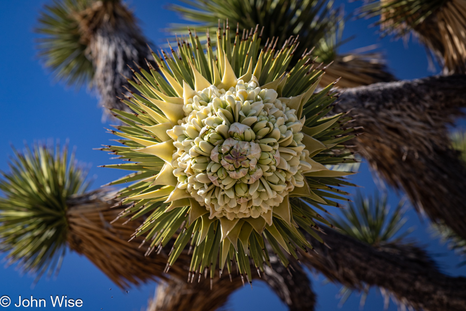
And not only that, they are in bloom. We cannot say we’ve ever seen Joshua trees in bloom, so we’ll go with this being a first. In that sense, come to think of it, this is like an Easter egg, well for me at least. I’ll explain that comment in just a sec.
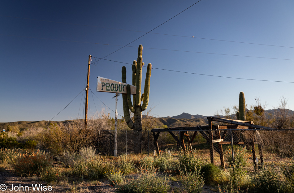
Not one to miss abandoned roadside America, this old “Fresh Produce” sign seemingly held fast by the saguaro was a site that needed recording. We are passing through Wikieup north of Nothing and only about 120 miles from home at this point, and it was here that Caroline found her Easter egg.
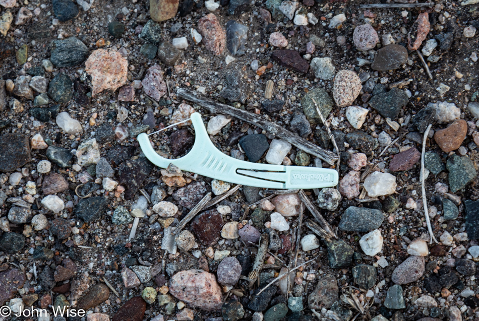
Happy Easter, Caroline! Yet another dental floss pick, an Easter egg of the best kind. You see, Caroline had been haunted by these stupid little things and sees them everywhere. They pop into her view all the time, to the point that she’s considering getting a task-specific pair of tweezers and a plastic bag that she carries with her to collect these bits of trash used in the hygiene of caring for one’s mouth. Why they seem to be so widely distributed is a mystery, but maybe if she starts documenting their location and picking up these discarded tools, she can start to identify what they have in common or if there is a pattern on the map that might become apparent. While they are something absurd to be consumed by, their vexing ubiquity found strewn across the landscape is likely creating a bit of neurosis for my wife. Does anyone know of a lost dental floss pick support group she can join?
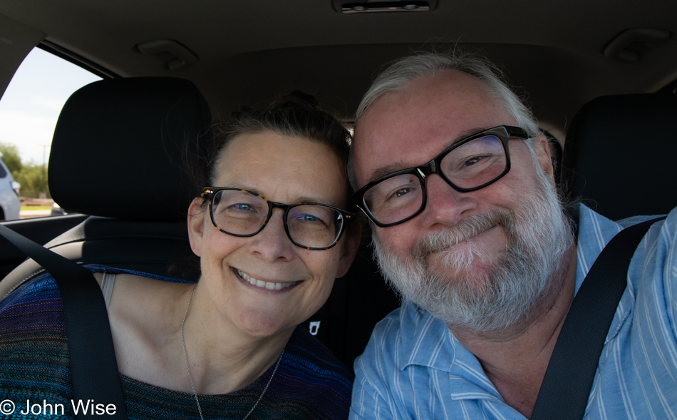
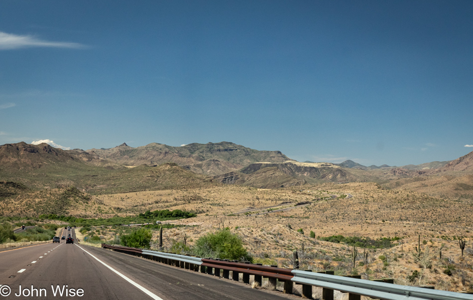
Desolation is a State of Mind

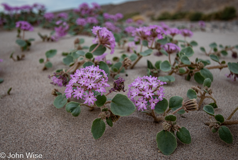
Wildflowers off Highway 74 in Arizona

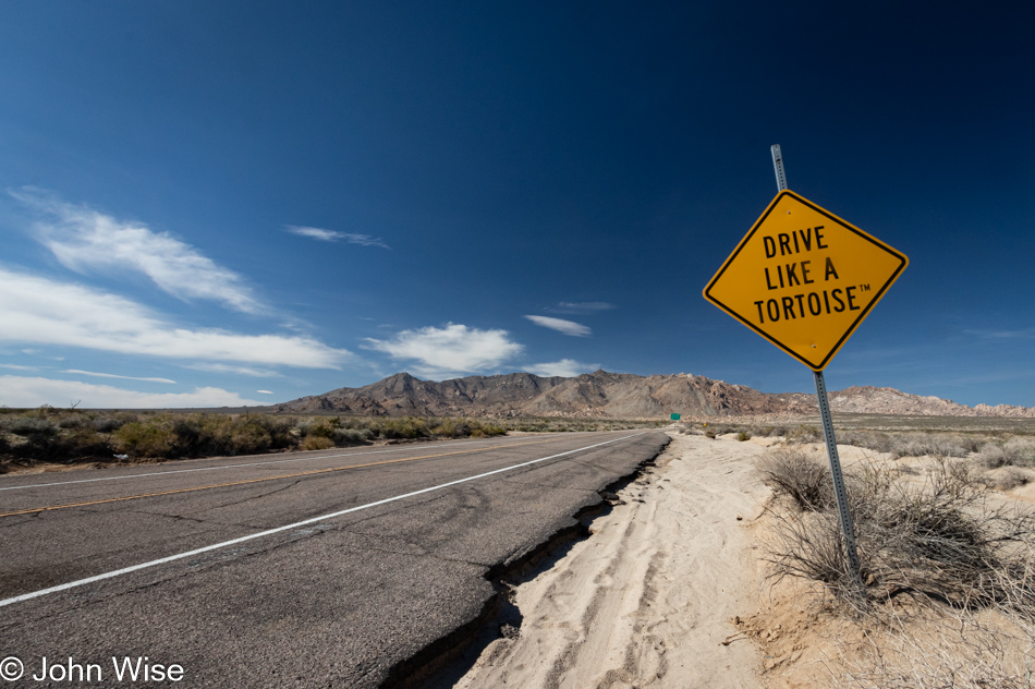
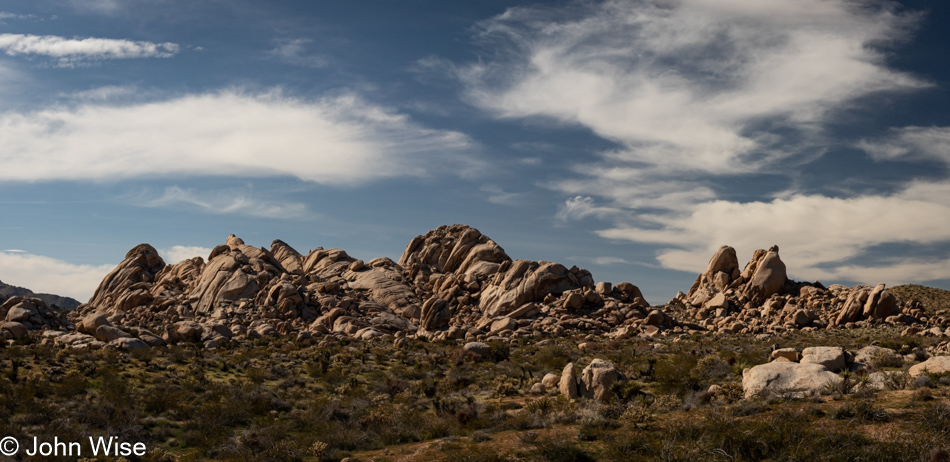
Avoid all highways, embrace empty spaces, and drive so slow that the tortoises and lizards pass you by. Our wandering route promised to require no less than seven hours before we’d arrive in Shoshone, California, outside of Death Valley National Park, but when taking the backroads, there’s a good chance of frequent fortuitous stops to collect visual souvenirs seemingly lying in wait for a collision with seeking eyes and thoughts that may or may not give them context.

Aguila, Arizona

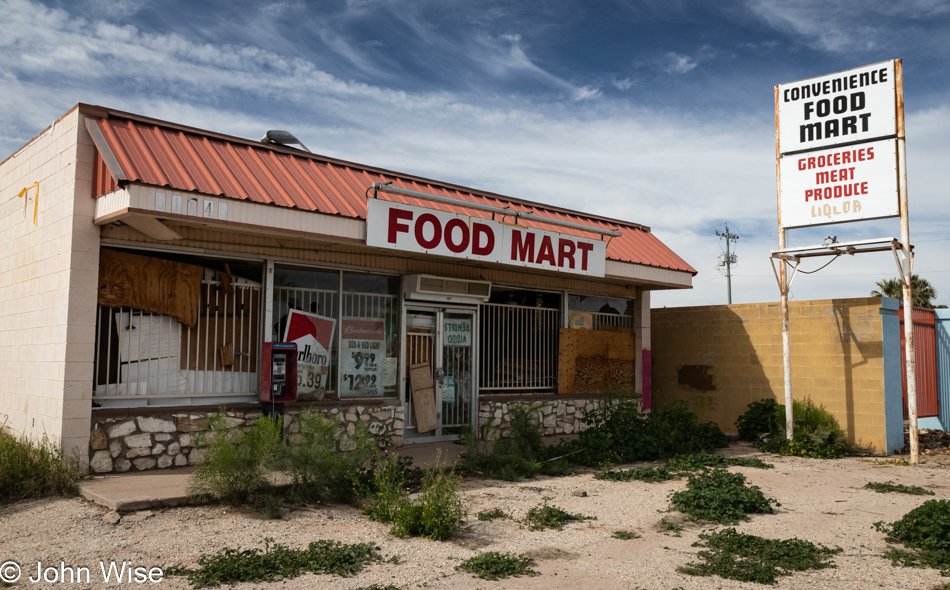
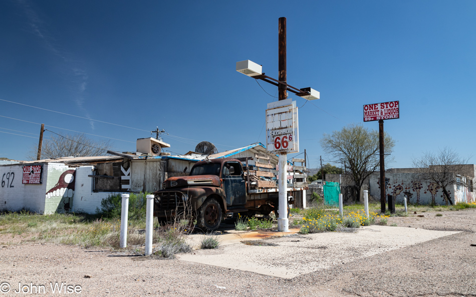
Similar to the rarity of wildflowers carpeting the desert, encountering a long-closed store is an uncommon sight for people living in an economically viable neighborhood. As I started to write that sentence, it occurred to me that I needed to point out the economically viable part because I know firsthand that those who live in the blighted areas of America’s cities are all too familiar with abandoned buildings that once provided local services. To my eyes, though, they are a novelty that draws me in to capture the current state of a facade that apparently has been neglected since between 2007 and 2012 (based on a poster in the window showing the price for a pack of Marlboro as $5.39 which coincides with that aforementioned time frame). So, while the town looks the worse for wear due to this decaying artifact of the past, up the street, Family Dollar swooped in and, while offering what is likely a greater choice of goods, declined to assume the cost of tearing out this eyesore.

Wenden, Arizona

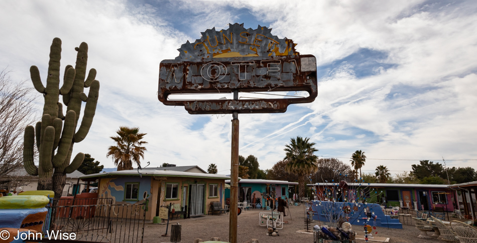
On the other hand, take the Sunset Motel further west in the town of Wenden, Arizona. Years ago, it was an abandoned hulk collecting cobwebs and graffiti, while today, it has been converted into an artists’ colony. With so much road ahead of us, we felt that our time would be better spent covering said road and considered that maybe a day trip out this way might be in order to better explore these towns we rarely visit.

Salome, Arizona

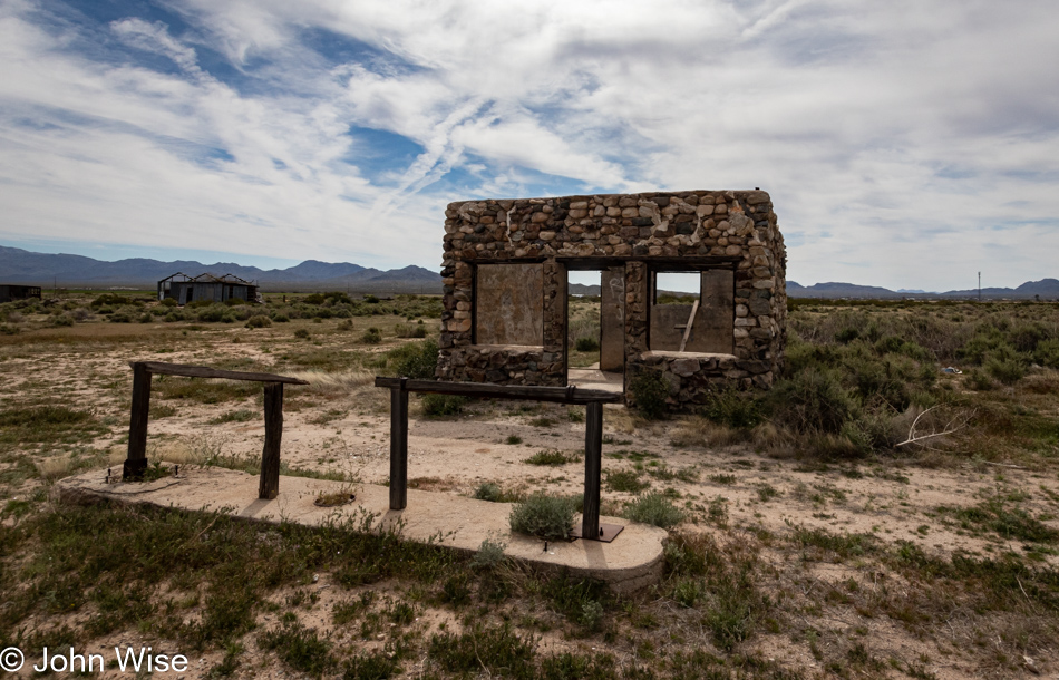
It has been about 20 years since we last stopped at this place next to the road in Salome, Arizona, wondering what it once was, and to this day are still intrigued that the tie-ups for horses are still standing.

Bouse, Arizona

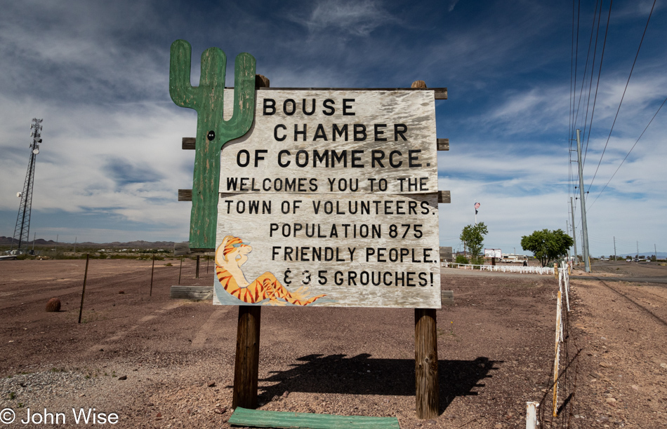
Well, Bouse, Arizona, must be going to hell because the first time we passed through here, the sign read that they’d gone from 3 to 4 grouchy people among the 875 inhabitants. That it’s grown to 35 grouches suggests the quality of life has gone downhill.

Parker, Arizona

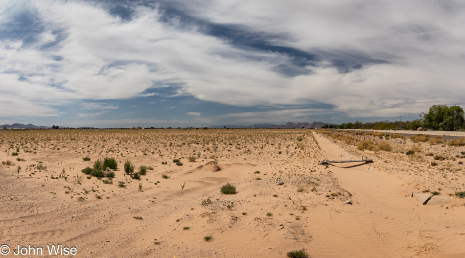
South of Parker, Arizona, along the Colorado River, lives a tribe of Indians called the ‘Aha Havasuu, made up of various other groups, including the Mohave, Chemehuevi, Hopi, and Navajo. Just behind me is a canal full of Colorado River water being used to irrigate the land on that side, while on the far left, fire is being used to clear the remains of a depleted crop. Why the canal on the south side has been allowed to fill with sand is a mystery.

Highway 62 in California

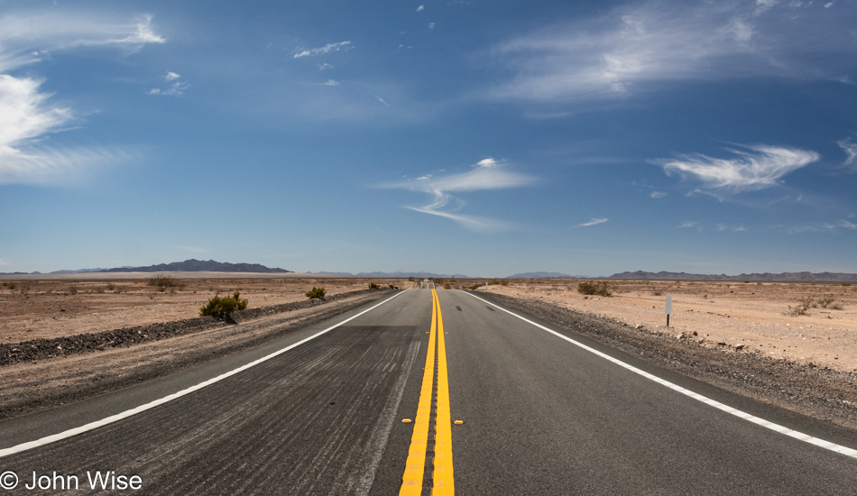
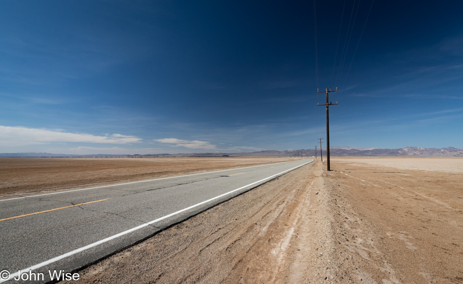
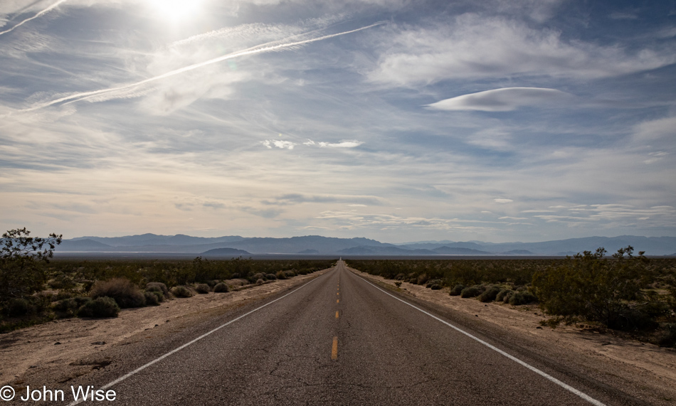
Now, in California, on Highway 62, we have about 100 miles ahead of us, but until we arrive at the outskirts of 29 Palms, we have a wide-open desert to drive across.

Highway 62 in California

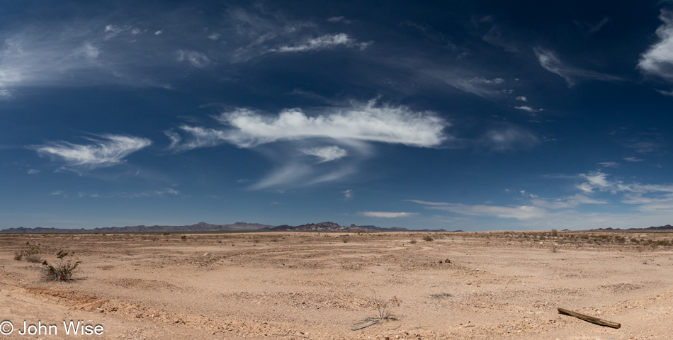
Along the way, we’ll see sand, rocks, dirt, shrubs, whispy clouds, deep blue skies, trash, and a lot of asphalt.

Shoe Tree in Rice, California

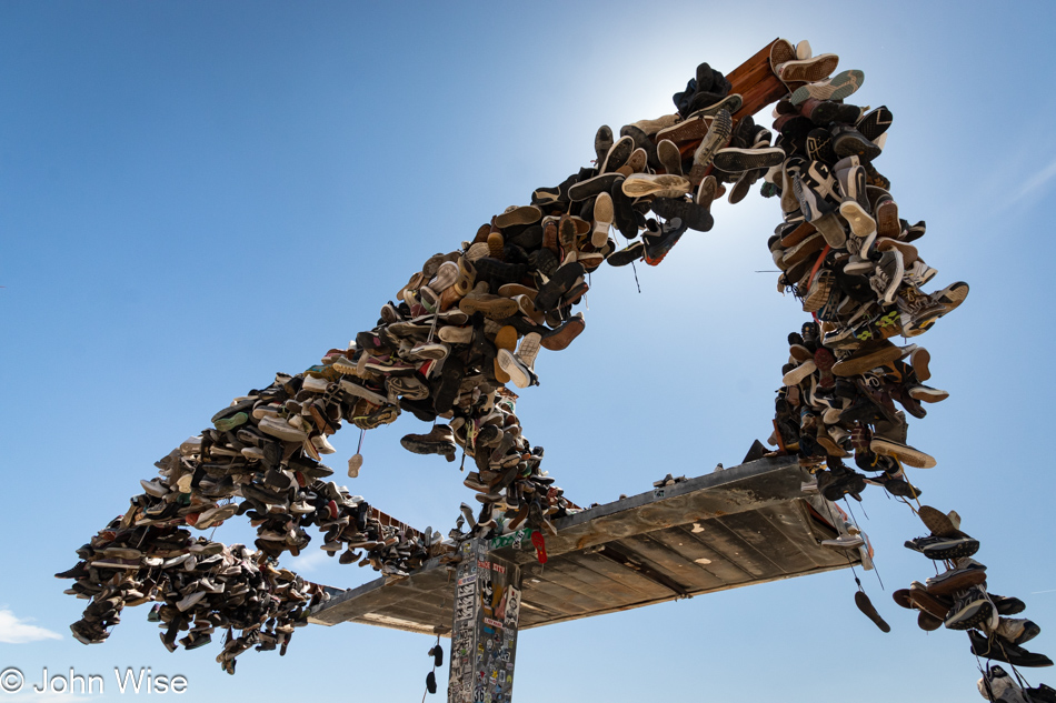
What we didn’t expect to find was a peculiar variation of the shoe tree. Here in Rice, California, at the remnants of an old gas station, the shoes of passers-by who made a donation to the roof are covering the spot where the pumps would have once stood. It turns out that there used to be an underwear tree that had taken shape on a dead tamarisk tree, but it and the underwear burned, and with what was left, a shoe tree took root before another fire burned everything to the ground. There are a few other works of art close by: someone decorated a shrub with COVID masks, and a wall is covered in graffiti. Apparently, there’s also a shoe fence out here, but we missed that one, creating a solid reason to return one day.

Rice Desert Signpost in California on Highway 62

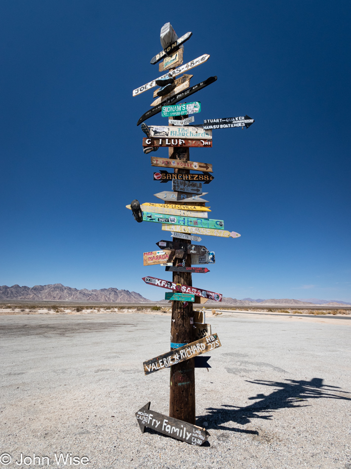
This signpost out near Rice, easily identifiable as a signpost, features pointers to names, things, or places beyond my simple ability to comprehend just what they are pointing to.

Off Amboy Road in California

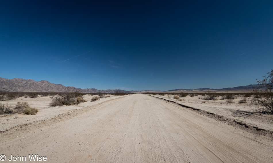
Out there, somewhere beyond the horizon, are unknown sights waiting to be seen by eyes that haven’t yet seen what lies in places they’ve never visited. While the road looks relatively well-traveled, it’s obviously not a thoroughfare, nor is it a boulevard or a destination that has the kind of pull that can illicit the common influencer to venture into its still hidden secrets.

Off Amboy Road in California

And then, around the corner, we are delivered into an abundance of more nothingness that is, in reality, a misnomer because anyone can easily see that everything is found here. The peculiar nature of people missing what could be perceived as a cruel joke because everything is within their minds. Desolation is a state of an empty mind that doesn’t allow the spoonfed person the usage of their imagination to understand that they are nearly always looking at the most immense beauty that contains all the gravity of life they will ever know but can’t quite understand. Would this space somehow gather more value if there were someone in an evocative pose and clothing? For the simple-minded, that is precisely what they require for a location to assume value; that is a tragedy larger than the breadth of this desert.

Amboy, California

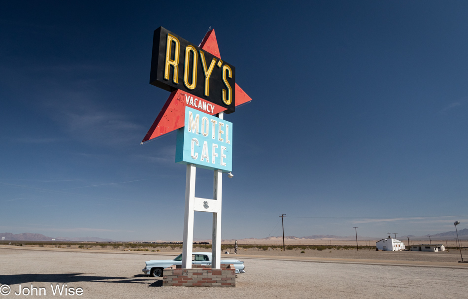
There was a time in the golden age of travel, a time I’ve not personally lived through but of which I have some awareness thanks to older family members who shared stories about seeing the exotic sites out west along Route 66, some of the best experiences one might hope to capture. Likewise, for those from out west, going to New York City, Niagara Falls, or Florida could be the vacation of a lifetime. So here we are in Amboy, California, at Roy’s long-closed motel in the Mojave desert where probably everyone who passes by snaps a photo, and not one of us will ever get to eat at the cafe or stay the night without seeing our stop as a trophy having been collected. This begs the question, why should a side-of-the-road motel and cafe deserve this kind of recognition? It’s because we are nostalgic for normal stuff without understanding that in our age of conformity, where everything and everyone looks the same, these artifacts are hints of what’s been lost. Now consider that while these architectural relics are able to draw our attention, those capturing these moments can’t yet see their own ugly sameness as a part of the disappearance of anything we used to take for granted that was unique.

Kelbaker Road and the Mojave National Preserve in California

We are entering the Mojave National Preserve, where we are being requested in a humorous way to slow down. If ever there were people desiring to oblige a wish, this one speaks to our hearts. There was a time when we yearned to race into everything, which might be an artifact of evolution because if life is short, you’d better get all you can as quickly as can. Life spans are longer, yet people have less time for themselves as they divide their hours and days between jobs, getting to and from those jobs, consuming entertainment, and the consumption of things that are supposed to bring satisfaction while not offering any kind of purpose or growth. Distracted without intention or an idea that there could be a purpose aside from collecting, people race ahead to collect the trophy of participation.

Mojave National Preserve in California

Without intention backed by curiosity to evolve one’s knowledge, the desolation of purposelessness takes over the landscape, and other than a single objective, nothing is found about the world around them or the world within. That type of person may have ended up racing over sand dunes, shooting some targets, reaching a peak, or skiing down a mountain, but everything between the culmination of the end goal and being locked back in their cocoon is the toil of futility as they had to endure the boring parts. They don’t understand that there are no boring parts.

Kelso Depot in Kelso, California

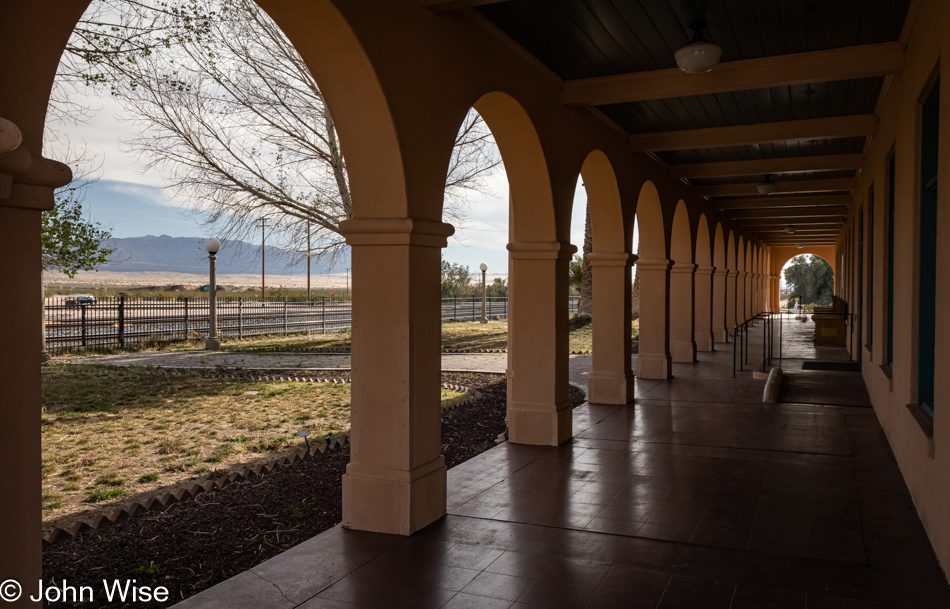
In gazing at our past that no longer has a function apart from serving as a sad reminder that our present is absent of authenticity, we look through a prism of uncertainty, not recognizing that this empty space is reflecting the desolation of our minds. For about 80 years, the Kelso Depot served workers and travelers as a rest and refueling stop on a line that ran between Salt Lake City, Utah, and Los Angeles, California. Today, there’s no hint of their shadows, voices, or footsteps that carried them into a place in the middle of nowhere they needed to be, unlike current visitors who are trying to figure out what the attraction is of visiting something that once had a purpose and now only serves as a reminder of something from an era we hardly understand.

Kelbaker Road and the Mojave National Preserve in California

Soon, all recollection of who we were or are will be gone as we fade out of relevancy due to not wanting to know who we are. As a species, we held the potential to be more than the appearance of a thing; we had cognizance and a desire to adorn ourselves with the artifacts of crafts learned and mastered, from jewelry to music and words. Today, we purchase what others tell us will complete us; we borrow mannerisms and use pre-ordained colloquial jargon that demonstrates our membership in the club of cool hipster culture in order to buy instant influencer cred. That moment where we luxuriate in the pretentious, artificially contrived place known as Flash-in-the-Pan soon dumps everyone out at the end of the intersection of Uh-Oh and Oh-Shit. If we are fortunate, we rapidly adapt and jump into the vehicle of Remain-in-Childhood; otherwise, it’s off for a bumpy road trip down the Existential Crisis Highway.

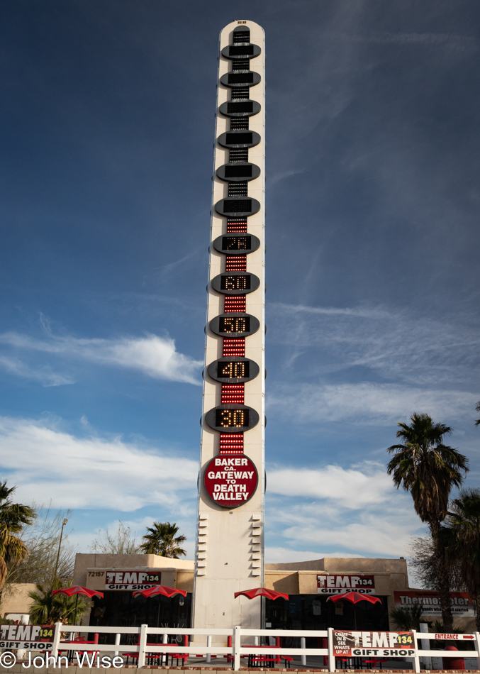
World's Largest Thermometer in Baker, California

In the numbness of oblivion where desolation dwells, a chemically induced existence invites those who embrace banality to flutter about the light as they, on occasion, crash into the margin of awareness. For those determined to weather the heat of curiosity, we have few beacons to guide or warn us of impending collisions that may temporarily derail our ambition to go it alone. We are not here to pose for you; we are here to remind ourselves that when the opportunity arose for us to leave convenience and laziness behind, we accepted the challenge to witness our wandering across the space between, and if it were a flower, a ruin, or the world’s largest thermometer, we were on-hand to consider where it might fit in the encyclopedia of our experiences.

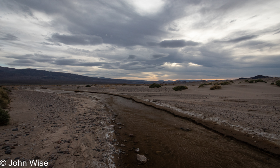
Salt Creek off Highway 127 south of Shoshone, California

It’s likely easier to understand that this water will flow into another stream or river and that it might end up in a lake or the ocean while understanding our own flow is a non-stop mystery of guesswork, or so it seems. We, too, are flowing, flowing into a life that will end up in a metaphorical ocean of all life that has been. If this feeds the life of what is yet to be, that is left beyond the horizon of my comprehension as I can only take the perspective of where I am from the place I’m at in the current of any given moment. What I do know is that I’m still in constant motion; I’ve not pulled up to the edge of the stream trying to delay where I’m going because stopping my travels would risk being absorbed by the thirsty desert, or I might simply evaporate. Either way, my journey will have ended prematurely and so I must keep going and going.

Salt Creek off Highway 127 south of Shoshone, California

If you thought you were going to read about desolation and our travels into nothingness, you must be the naive type of person who’s convinced themself that something like nothing is even possible. I’m not here to offer affirmation about your shortsighted delusions; you should stick to your couch/computer chair, where electronic media are the wildflowers that talk to your soul. We refuse to wallow in pity for the things we cannot see and do or can’t afford as we take off driving into the biggest adventures ever offered to humanity. Sure, one could point out the obvious that this is no Paris, Kilimanjaro, Everest, or Hawaii, but that would be silly because we went somewhere better; we traveled in love, looking for beauty found in everything we looked at.

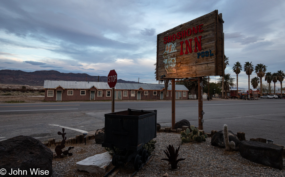
Shoshone, California

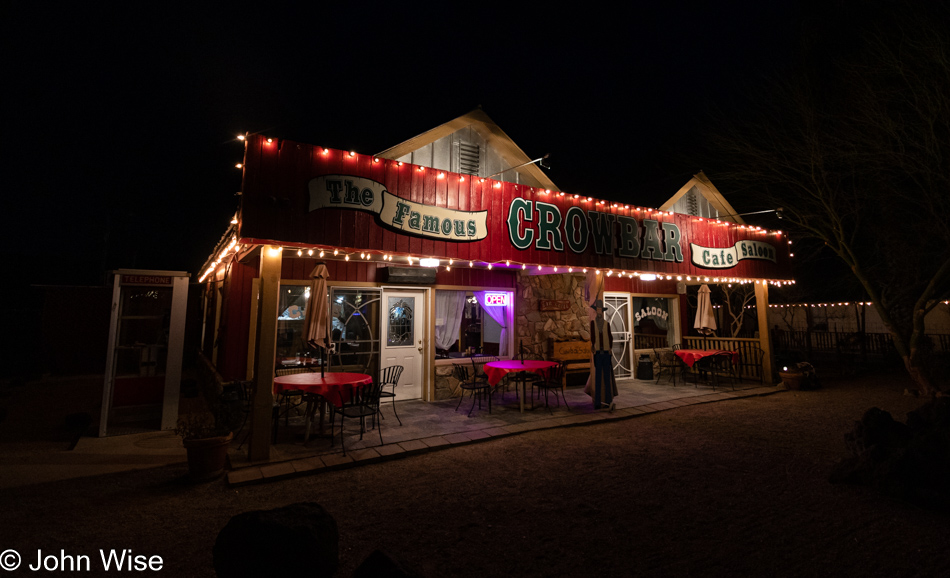
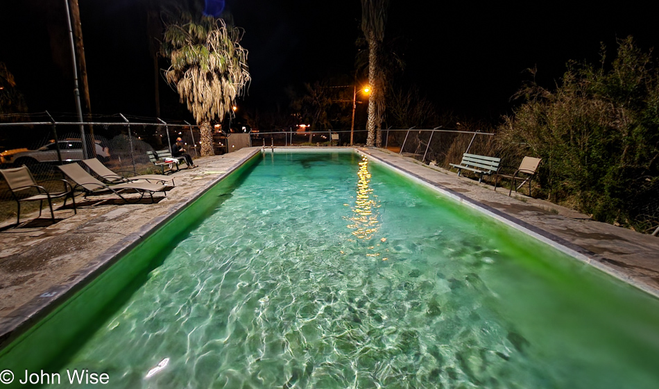
It was 16 years ago when we first pulled into the Shoshone Inn just a few miles outside of Death Valley National Park, and since that time, we always make an effort to stay here. Are these luxury accommodations? Heck no, at least not to what others might think, but for the two of us, this is the height of luxury. First of all, it’s about half the price of a room in the park. Secondly, the Crowbar Cafe & Saloon is across the street, and although they don’t open until 8:00 in the morning, they are open until 9:00 p.m., so no matter what time we leave the park, the Crowbar is going to be cooking our dinner. But this doesn’t touch on the most important aspect of staying here, and that’s the soaking pool nearby. You see, this pool is no ordinary resort pool. It is a concrete enclosure fed by a nearby hot spring with water in a temperature range of 100°F to 104°F (38°C to 40°C) year-round.

Shoshone, California

Do not look for gourmet food at the Crowbar, but then again, who’d ever think a place with this name would feature that type of cuisine? We are not into this for a culinary experience; for those desiring that experience, check out The Inn in Death Valley, where you can dine on a $150-a-person meal before retiring to your $400-a-night room. Not that there’s anything wrong with that, but we want something more, considering the harsh nature of the place we are visiting.

Shoshone Hot Spring near Death Valley, California

After our patty melts made of rusty nails and lizard cheese, we headed up the dark, dark road to the hot spring pool where the acidic waters flowing out of Death Valley scoured four layers of skin off our aging bodies, making us look 11.5 years younger. About these waters, one should consider that they are likely remnants of ancient lakes fed by the intermittent Amargosa River that once flowed into Lake Manley in Death Valley and Lake Tacopa near Shoshone before seeping into nearby aquifers. The research that has me writing this inspires thoughts of a quick return to the area again this year to trace the flow of the Amargosa near Beatty while trying to piece together the history of this part of Death Valley. Time to crawl into our bed made of plywood and snuggle up under the World War II-era wool blanket, as we call it a night of roughing it here in the desolation of absolutely nowhere.

Wildflowers in the Eyes and Mind

HAGFISH License Plate in Phoenix, Arizona

Not even a full week has passed yet before I bring up this post sans words to start writing something about our day trip that took us out for a gaze upon wildflowers, and I’m stymied by an empty head. I can vaguely remember that last Sunday (the day this trip happened), I settled into our adventure, thinking I’d dedicate this missive to love. In the interim, I finished editing and embellishing the posts of the days when we were out in Duncan, though some might believe that by Sunday of that trip, I was half out of my head (you’d have to read it to understand). Aside from my musings on optics and refections, I was knee-deep in all things AGI (Artificial General Intelligence) because isn’t that where everyone is at these days? But that won’t get this post written, will it?

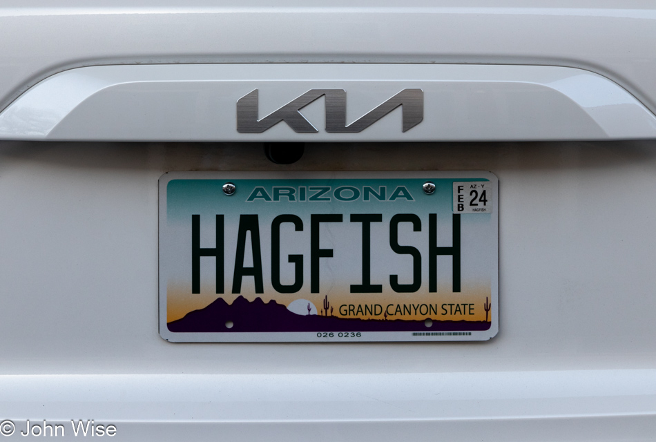
Our new license plate has shown up, and we couldn’t be happier letting everyone who sees us driving down the road know that we are lovers of the HAGFISH. Not that we’ve named our car HAGFISH, it’s a nod to an incredible creature of the deep sea we encountered last year at the Monterey Bay Aquarium up in California.

Citrus blooms in Phoenix, Arizona

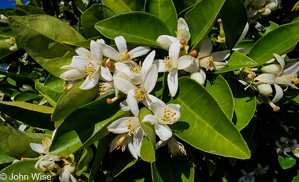
Before we got on the road and headed southeast, Caroline and I went on a walk through our neighborhood, and, as we are apt to do at this time of year, we took pause to intoxicate ourselves on the citrus blossoms that scent the air here in the desert. With that in mind, I asked ChatGPT to write something in the style of Marcel Proust about two people enchanted by this scene. Here’s what it produced, including minor edits:

As the first dawn of spring caressed the Arizona desert, the sun’s gentle rays illuminated the sky with a delicate touch, as if the heavens themselves were embroidering a tapestry of celestial hues. It was at this ethereal hour that the citrus trees, having patiently awaited the arrival of the season, unfurled their blossoms in an exquisite symphony of fragrance. A scent so potent and pure, it seemed to emanate from the very soul of the earth, whispering its tender secrets to the heavens.

In the midst of this olfactory paradise, two souls, intertwined by the invisible thread of destiny, embarked upon a journey of discovery. Their hearts, once lost in the labyrinth of solitude, had found solace in each other’s presence, and the pulsating rhythm of their love resonated in perfect harmony with the blossoming symphony.

Continuing down the promenade, the subtle symphony of the citrus blossoms enveloped them in a fragrant embrace, imparting to them a sense of serenity that permeated the very core of their beings. The intensity of the scent, interwoven with the delicate notes of the morning air, evoked within them a longing, a yearning for the ineffable, for the eternal essence of beauty that lay hidden in the fleeting moments of their earthly existence.

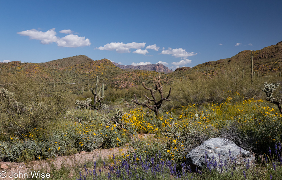
Wildflowers in Queen Valley, Arizona

Great, now I have to go into this act of writing while comparing myself to a machine that attempted to channel Proust; where do I start? I know, I’ll just make it worse by asking my friendly neighborhood AI for help:

Beneath the welcome Arizona sun, John found himself locked in a fierce struggle to convey the enchanting beauty of the desert’s wildflowers in words. A once-confident writer, he now faced an unexpected rival—ChatGPT, the AI-driven wordsmith who seemingly spins prose effortlessly. As the desert around him burst into a vibrant tapestry of color, John’s fingers hovered over the keyboard, his mind grasping at fading memories of inspiration. He yearned to capture the splendor of the blooming lupines and fiery red Indian paintbrushes that danced in the warm breeze. The fragrant air, laden with the scent of desert marigolds, weighed heavily on him as he toiled away, desperate to prove his worth. Yet, even as he wrestled with his own creativity, John couldn’t shake the gnawing doubt that lingered at the edges of his thoughts—a subtle reminder of the relentless, ever-evolving prowess of ChatGPT.

Wildflowers in Queen Valley, Arizona

There’s one silver lining in this: I asked both Stable Diffusion and Dall-E to create a wildflower scene in the desert using saguaro and cholla cacti under a blue sky with mountains in the background and that at least I can still do better, but for how much longer?

Wildflowers in Queen Valley, Arizona

The writing is on the wall, or should I say the pollen is on the flower, as I recognize the insidious nature of AI pulling me into exploring their capability but simultaneously having them distract me from trying to follow what’s in my own mind. Tragically, this post is not the one where I should be having this discussion because when Caroline and I were out there in the beauty of it all, artificial intelligence was the furthest thing away from our thoughts. We smiled at each other and probably at more than a few flowers that couldn’t smile back.

Wildflowers in Queen Valley, Arizona

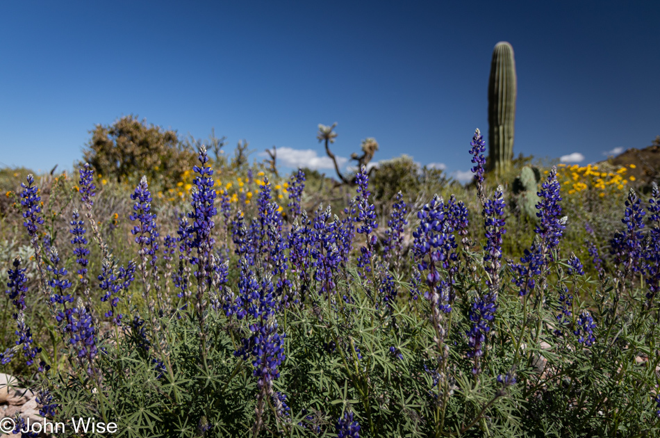
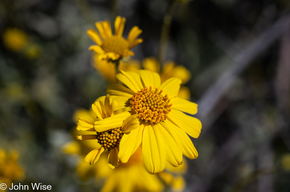
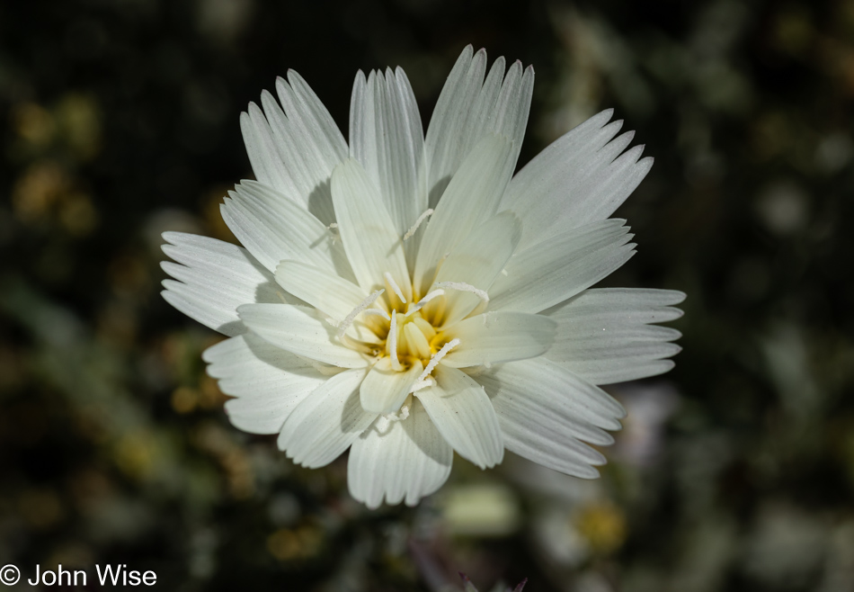
Desert chicory is the type of flower you are seeing here, while above it in yellow are brittlebush flowers, and further up, the purple flowers are desert lupines.

Wildflowers in Queen Valley, Arizona

I’d like to point out that we are somewhere in Arizona we’ve never visited before Queen Valley, Arizona. We’ve passed the turn-off just north of Highway 60 countless times and always failed to investigate what’s up the road: A small retirement community based around a golf course appears to be why it’s out here, but with a heavy conservative vibe to the place, we ain’t asking no questions.

Picketpost Mountain in Superior, Arizona

Recently, I posted another photo of Picketpost Mountain looking at its north face, but today’s view arrives courtesy of its eastern flank. Our path is taking us south on Highway 177 as our search for yet more wildflowers is still underway.

Wildflowers off Highway 177 in Arizona

It didn’t take long before we were pulling over to investigate new hues only to wonder, what are these?

Wildflowers off Highway 177 in Arizona

These are known as Globe Mallows, which, from a distance, had me thinking we were seeing the famous California poppy.

Ray Mine on Highway 177 in Arizona

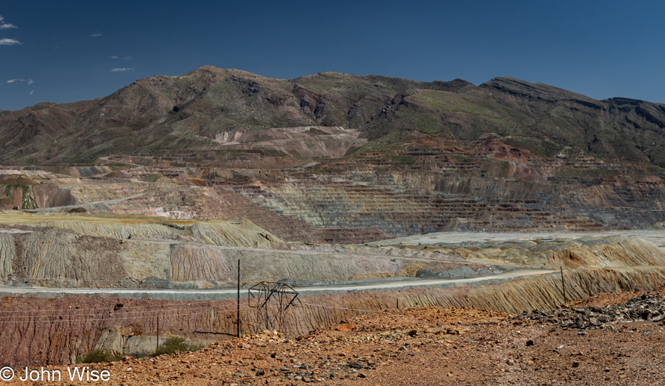
Yes, it’s a giant scar on the earth, but Ray Mine near Kearney, Arizona, is one of the largest producers of copper, and without copper, we wouldn’t have a lot of things, such as ChatGPT, that compete with us humans and steals our ability to write stories without considering its potential influence of opinion, style, and inspiration.

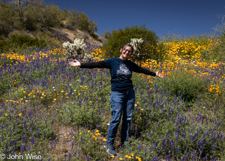
Caroline Wise and Wildflowers off Highway 177 in Arizona

This is the Blooming Lovely Nerdoleen flower native to Germany, playing an invasive role by invading our desert and my heart. Everywhere I go, I seem to see this beauty growing wild, but at least it’s always smiling at me.

Hayden, Arizona

Some years ago, I was working on a virtual reality project, and my observation of the world tended to channel the beauty of all things and the potential of finding their way into synthetic universes where humans could relish the hyper-condensation of these sights. Virtual reality held the promise of bringing the average person into the purview of things they couldn’t easily or inexpensively reach in real life, just as trains held a similar thought starting around 200 years ago. Now, I see that humanity is not yet ready for this metaverse because it’s about to have to contend with the sonic catapult that will aloft expectations of complexity far beyond the simple musings of a society enchanted with quaint banalities. I don’t mean to imply that heading into nature will be supplanted by a super knowledge that will render our immediate world irrelevant, but we may find ourselves asking why this route isn’t offered to people lingering on bicycles, scooters, or foot as we take our time to learn about the cactus, flowers, minerals, history, and life out here that was missed when we sped by in our cars in a hurry to be elsewhere.

Winkelman, Arizona

Why hasn’t this old gas station and convenience store been turned into a transportation recharging station, WIFI hotspot, and coffee shop where those on e-bikes, scooters, and feet can congregate to write, paint, talk, or choose to spend a night as they continue their journey into exploring time? What I mean to say is that virtual reality will have to wait until we decide what the value of our own reality is when it’s been largely unexplored, and the majority of our experiences have arrived via electronic media created by a tiny part of our population. What is the song of the Arizona desert on an early day in late March or the poetry of the place? What was gathered by those who spent the night under the stars just up the road in a primitive camp?

Highway 77 in Arizona

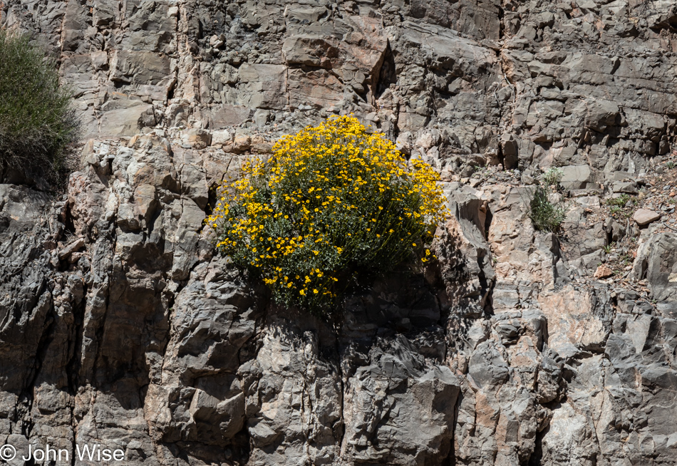
Caroline and I have been fortunate to likely be out here and deep into our world far more than the majority of people who live in the United States, and we are well aware that not everyone can spend 60 to 90 days a year looking for a brittlebush growing out of a rock face among the myriad of other sights we enjoy.

Highway 77 in Arizona

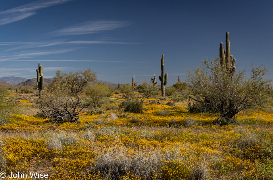
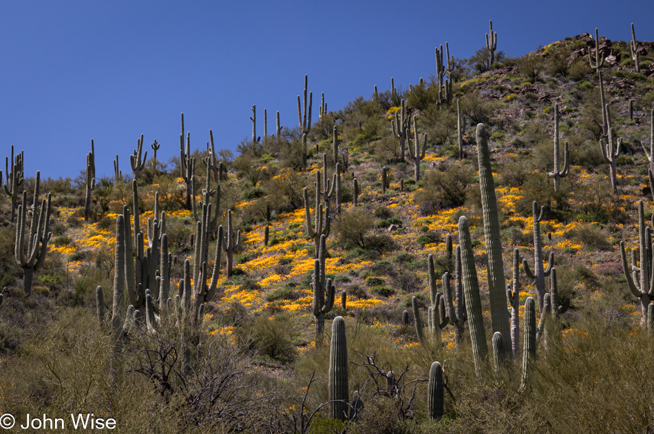
There are no fewer than 50 saguaro cacti in this photo looking down upon the two people who decided the scene was too beautiful to just drive past. What if we were never to see something like this again? Well then, at least once in our lives, we took that time to witness this particular configuration with a carpet of yellow wildflowers at their feet. I don’t mean to anthropomorphize these cacti, suggesting that they are looking down upon us or have feet, but I do respect these plants, which were here well before I was born and will likely be here long after I die, considering that they live for between 200 and 300 years.

Miami, Arizona

After seeing all the flowers in the desert that could be seen in one outing, we’d developed a hunger that only Guayo’s El Rey Mexican Restaurant in Miami, Arizona, could satisfy. And this being Sunday, we heeded the advice from a previous visit and called ahead to request a portion of the coveted carne asada I so passionately love be set to the side for our afternoon arrival. I am now in record territory: this is my third visit in under two weeks, a landmark achievement not likely to be beaten any time soon. With lunch out of the way, we needed to get some walking in, and so our path took us deeper into Miami.

Miami, Arizona

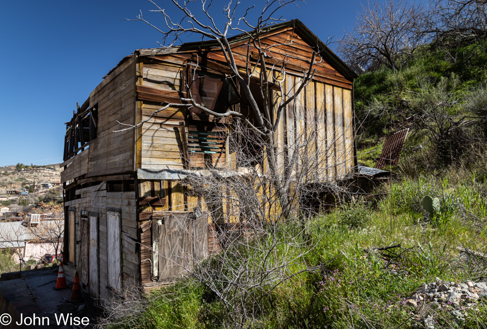
Like so many old mining towns in Arizona, the state of buildings is a mixed bag of totally dilapidated and abandoned and somewhat dilapidated and lived in, somehow. Even the ones I think are abandoned, I’m often reluctant to enter as you never really know when someone has taken up living in the decay. So, we just walk around listening to the various dogs barking at us (hoping they are tied up or fenced), talking to chickens, and when I’m certain that an old place is truly deserted, I’ll poke my nose in, hoping to spy something that catches my eye.

Miami, Arizona

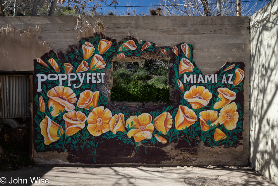
Over the years, there seem to be fits and spurts of activity in Miami, which hint of revitalization efforts that might be taking hold, and just as quickly, those efforts appear to fall to the wayside. One way to kickstart America’s rebuilding of small towns would be to implement a universal basic income (UBI), and with everyone’s jobs disappearing due to the approaching all-powerful AI, this is the time to start making those plans.

Miami, Arizona

These are the Keystone Stairs, all 155 of them that we’ll climb.

Miami, Arizona

And this is the payoff for trudging up that hill on stairs first laid down about 100 years ago.

Miami Art Works in Miami, Arizona

On our way back to the old main street, in this case, Sullivan Street, Caroline was dipping in and out of the various shops that are open on a Sunday, much to our surprise. One of those places was the Miami Art Works Gallery. being held down today by Amanda. During the course of our visit, we also met Lob, who is now a local artist with a colorful background but to learn more, you should just stop in and say hi.

Miami Art Works in Miami, Arizona

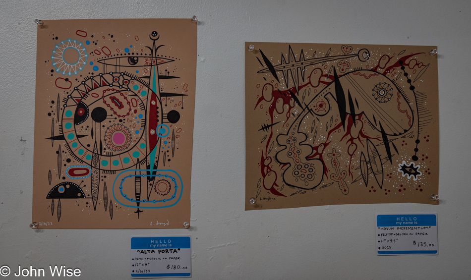
Quite a bit of the exhibition space is currently full of the art of Bruce Boyd, who lives over in Mesa. I’d share more about the guy, but there’s nothing else I could find, other than he does have an Etsy account.

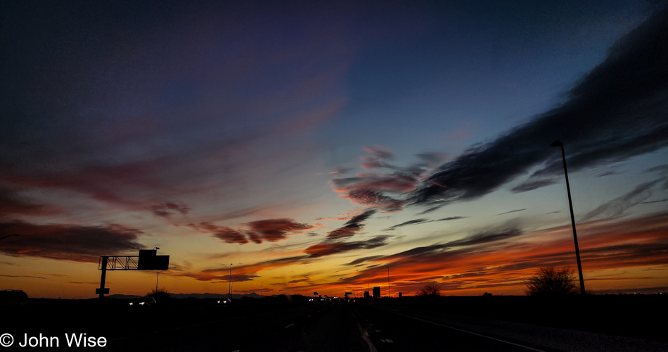
Sunset on Highway 60 in Mesa, Arizona

And that was our day in the American Southwest among the flowers, decay, nostalgia, the future, hopes, beauty, and reality of a country that might be letting dreams slide into nightmares.