Desolation Road

Gila River Indian Reservation in Arizona

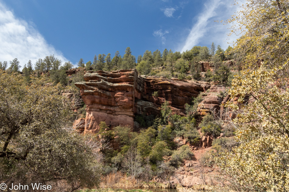
I’m not exactly motivated to make these travels, but the rut I have fallen into at home, while not debilitating, is not as productive as I’d prefer either. By pushing myself down the road to take photos and consider what I am thinking is an exercise to force a change of habit.

I sketched the idea of where the road would take me today before I left home instead of just pointing the car in some direction and going. I’m heading down to Maricopa to wend my way through Native American lands. A semblance of a route had to be known beforehand as signage on Indian roads is not always ideal. Once off the freeway, I was briefly on the Gila River Indian Reservation and on my way through the desert mirage known as the city of Maricopa. There are no photos of that place as it’s a generic abomination of everything that typifies the worst architectural and planning decisions here in Arizona.

Tohono O'odham Indian Reservation

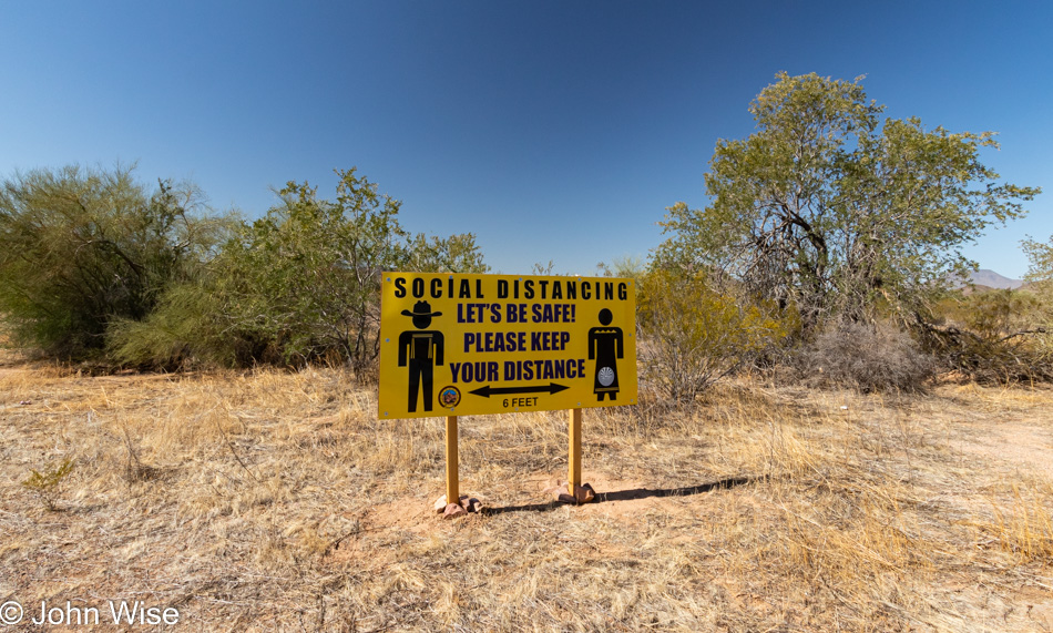
The radio and music are off in order to maintain as much quiet as possible while also forcing me to listen to what’s going on in my head. Come to think of it, the silence is a kind of social distancing of me from digital and broadcast media. Before ever reaching this edge of the Tohono O’odham Indian Reservation I had to pass through the gauntlet of feedlots with 10s of thousands of cows. I can be happy it’s not summer yet.

Tohono O'odham Indian Reservation

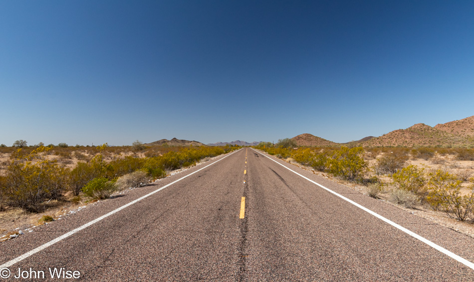
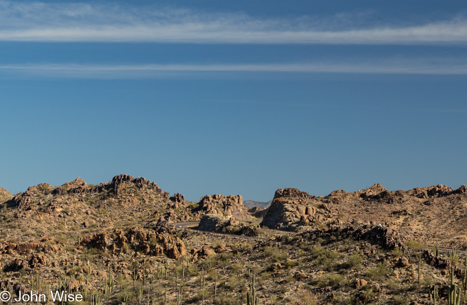
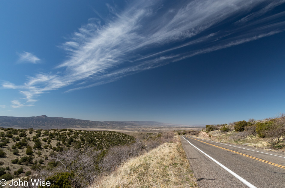
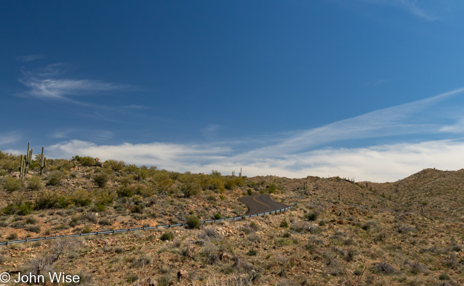
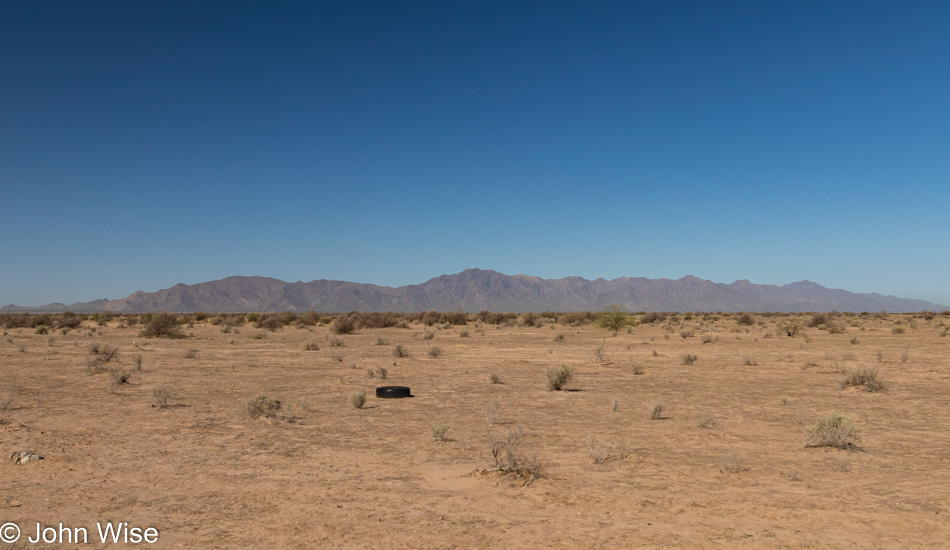
On some stretches of the road, there’s not a lot that differentiates the landscape, not that this should diminish how visually engaging it is all same. It’s easy when I’m not pressed by other drivers racing up behind me to crawl along, barely maintaining 35mph in an area with a 65 mph limit. Many of these notes were taken while stopped in my lane as there are few places to pull over. To keep any stress at bay, when I do see someone less than a mile behind me I’m already scouting for a sliver of gravel to pull over at and wait. Chances are good that it will be another 5 or 10 minutes before another car is in my rearview mirror.

Tohono O'odham Indian Reservation

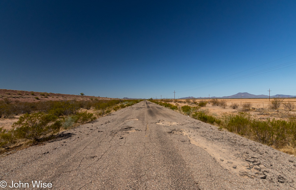
Barely paved best describes one of the roads that my GPS suggested I turn on. While I knew I wanted to stay on Route 42 to North Komelik, this detour on an unnamed road proved interesting. I probably don’t need to mention that I was the only person on this entire 5 mile stretch of road.

Tohono O'odham Indian Reservation

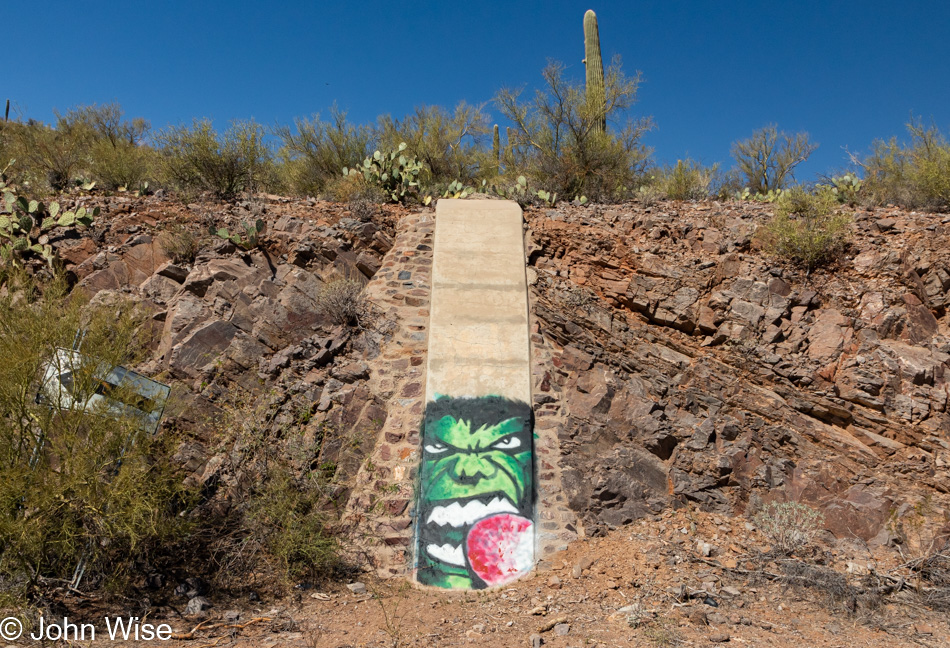
While I was out here I had no way of determining exactly where I was. It turns out this is the site of the Tat Momolikot Dam that at one time held back Lake Saint Clair that no longer exists. I wonder how many people will ever see this graffiti of Hulk snacking on a prickly pear?

Cholla Cactus on the Tohono O'odham Indian Reservation

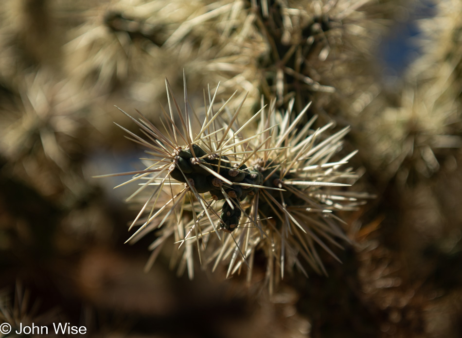
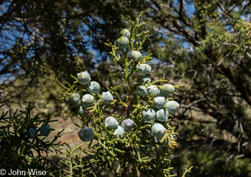
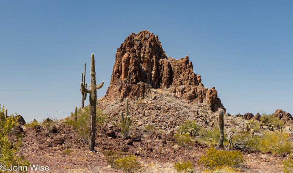
Teddy bear cholla cactus is in abundance down this way and while it’s beautiful I tend to watch where my feet are stepping as the spurs of the needles are known to grab hold of everything to hitch a ride, hence their unofficial name of jumping cholla.

Memorial site on the Cholla Cactus on the Ak Chin Indian Reservation in Arizona

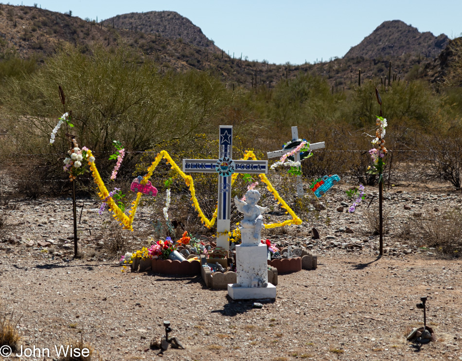
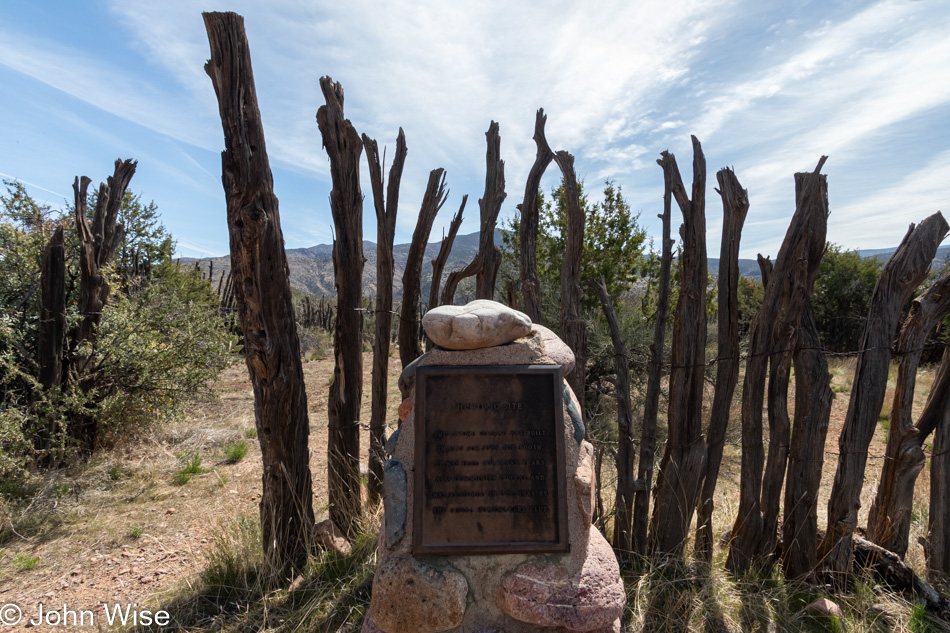
On Indian Route-15 there were too many shrines for those who died on this road. This particular monument is in memory of Derk L. Poola who passed away back in 1996. If I told you that there is at least one memorial per mile on average, it would not be an exaggeration. Sadly, there’s no accompanying story of what happened when the person lost their life on this desolate road. There’s no roadkill to speak of so it wasn’t like a deer jumped in their way. Not many, if any, sharp turns are out here either, leaving either drugs, alcohol, or falling asleep. Whatever the cause, this is a visceral reminder that this stretch of highway eats souls.

Dry River Bed on the Ak Chin Indian Reservation in Arizona

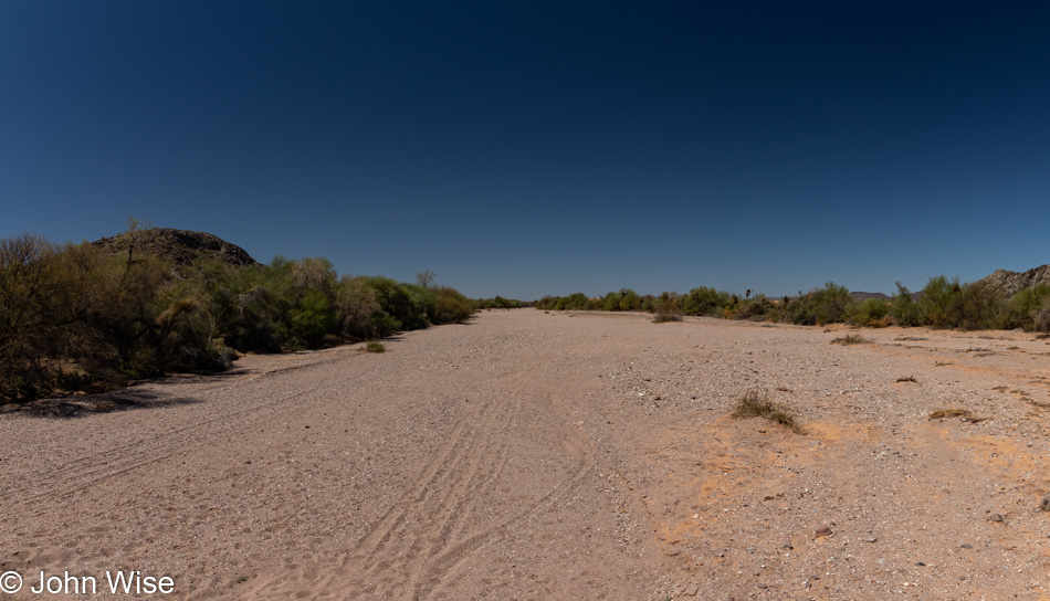
Near the turnoff to Santa Rosa on the Tohono O’odham Indian Reservation is where I photographed this dry river bed. Upon getting home I tried to see if it had a name, but it appears that it is only an unnamed wash. Speaking of, there have been lots of signs warning of flash floods and I could imagine that during the monsoon season this region sees a goodly amount of rain. Short of getting trapped on a small amount of high ground, I sure would like to be right here during a downpour.

Baby Doll Arm at the side of the road on the Ak Chin Indian Reservation in Arizona

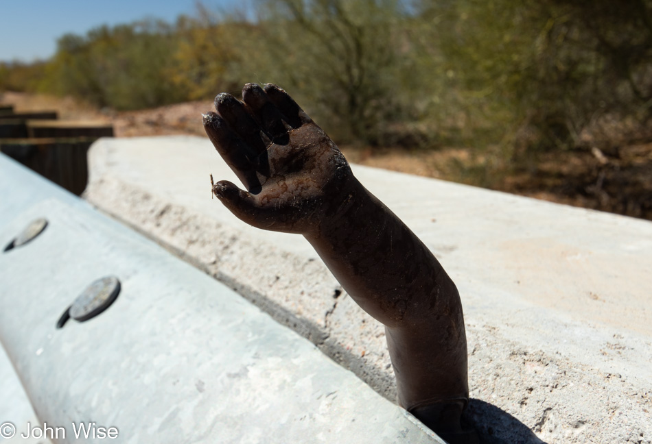
Heading back to my car this friendly amputated baby-doll arm was waving at me or was it wanting to high-five me? I went for the high-five and felt empowered by the disembodied random hand jammed into the barrier that someone must have sensed was needed here on the side of the road for the wellbeing of passersby.

Tohono O'odham Indian Reservation

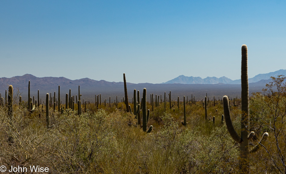
There’s so much cactus out here that there’s little else to think about than cactus and the hope of seeing a snake.

At the intersection of Hwy 86 and Indian Route 15 is the Gu-Achi Trading Post, a good place to stop for a homemade burrito and drink before continuing on the dusty road.

Abandoned Gas Station in Why, Arizona

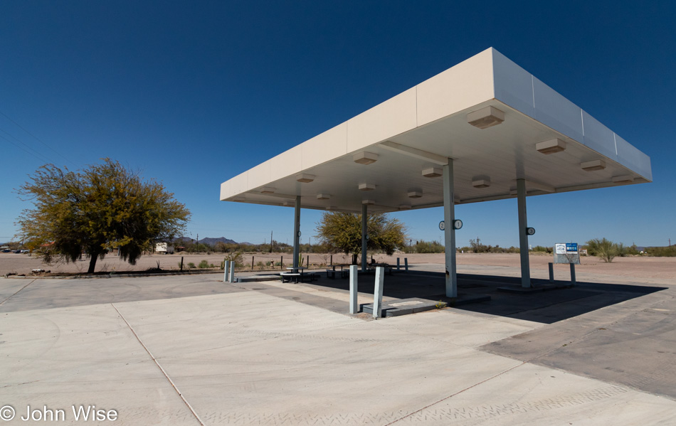
I stopped at an abandoned gas station at the intersection of the 86 and the 85 in Why, Arizona, because abandoned anything is always of interest. The payphone out front is still intact and not full of graffiti but it doesn’t have a dial tone, I wonder how long it is before no one knows what a dial tone was? A sign across the street lets me know that I’m 93 miles from Rocky Point in Mexico or just 27 miles from the border. Sometimes I forget how close to our southerly neighbor we live.

Mural in Ajo, Arizona

What’s the story of Ajo? Lot’s of empty houses, storefronts, and lodging but it’s not broken into or falling to pieces. Why was this such a happening place back in the day? Like many towns outside of Phoenix, Prescott, Flagstaff, and Tucson, Ajo was founded on the possibilities offered by mining. That potential dried up when the last operations ceased in 1985.

Church in Ajo, Arizona

Ajo is only 38 miles north of Mexico and more than 100 miles either east or west from Tucson and Yuma making it perfect for Border Control agents who have taken to making this old town their home.

Barry M. Goldwater Air Force Range in Arizona

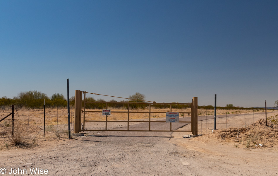
From Ajo, it’s a straightforward drive through desert scrub next to the Barry M. Goldwater Air Force Range. While I scanned the skies looking for bombers or the lasers this sign warned about, I only saw more dirt, more cactus, rocks, and even more brown dead grass.

Barry M. Goldwater Air Force Range in Arizona

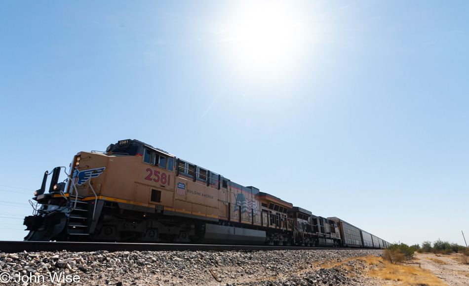
And then I came upon this scene forcing me to stop and ogle it before continuing to the ever disappearing town of Gila Bend.

Train in Gila Bend, Arizona

Maybe the best thing out here in Gila Bend is the train that runs through, oh, and toilets if I’m traveling with the wife.

Relatively North

On State Route 87 near the turnoff to the Four Peaks Wilderness Area in Arizona

Today is Caroline’s first day back in the office in about 6 months. Going home to an empty place is not an option nor is hanging out at my favorite coffee shop so I’m heading out on another brief road trip. Being out here for the second time in the past few days it’s dawning on me that maybe people are not driving any more aggressive than usual, but I’ve simply grown unaccustomed to the frantic race to be somewhere. My opening photo is from the turnoff to the Four Peaks Wilderness Area on Route 87. I wasn’t heading to the Four Peaks but instead was trying to find a vantage point to shoot this image as I’ve always loved the thousands of boulders the dot this landscape as the road crawls away from the Salt River below. In the center are the four lanes of the highway, two lanes in each direction separated by a boulder island. Once up in this beautiful scenery, it becomes dangerous to try and pull over and snap a photo so this will have to serve as my enduring memory.

Beeline Hwy in Sunflower, Arizona

Route 87 also known as the Bee Line Highway used to run right through here in the Sunflower area. This scenic gem runs next to Sycamore Creek which probably played into the situation that follows. Coming home from a holiday weekend in the Payson area could take hours as this narrow stretch of road was prone to accidents and on occasion a semi would roll over, blocking both lanes of the road. Today the road is quiet and abruptly ends just a mile and a half from here. A berm and a fence with warnings of entering private property being forbidden stop the curious such as me, but I saw on Google Maps that the other end of the road is now listed as a forest service road and is poorly marked which demands that next time I’m up this way I’ll have to take a look.

Looking out towards Gisela, Arizona

I don’t know how we missed this, but somehow we did. I’m referring to a visit to Gisela, Arizona. Back in January 1994 when Caroline and I got married we were traveling north on Route 87, taking the scenic way to the Grand Canyon, as we passed the sign for the turnoff to Gisela. A roar went up with the 6 of us (when we got married we invited 4 friends from Germany to join the trip) as we all knew that a friend who worked for the techno clothing designer Hypnobasia had a girlfriend named Gisela. Everyone thought it strange that there would be a town way out here with a German name. Anyway, we never took that turn and for the intervening years, we sped right by every time.

Historic Corral from 1917 in Gisela, Arizona

Now I know why we drove by. Gisela is close to being a lot of nothing. While the U.S. presidential election was over almost 5 months ago, you’d never know if from the signage in front of the clapboard hovels and mobile homes. There may be more ways of displaying Don’t Tread On Me in Gisela than there are U.S. flags. While the community is relatively compact that hasn’t stopped people from having inordinately high fences and warnings about dogs. I can only wonder how many guns were pointed my way as I drove through silently at 10mph in my hybrid. The highlight of the place is found at a circular corral first erected in 1917 and restored in 1983 by the Gisela Homemakers Club. I almost marveled at the craftsmanship.

North of Payson, Arizona

Other than stopping for a coffee, I pretty much drove right through Payson. Nothing has changed, maybe ever. I think that after Walmart opened in this forested community, they had everything they’d ever need and that was that. Up the road a bit I pulled over to snap this photo next to the East Verde River. I’d like to share how beautiful this part of Arizona is and it’s undeniably that, but there’s something ominous going on in the area; it’s called drought. In all my years passing through here, I’ve cannot recall seeing so many dead trees.

North of Strawberry, Arizona

While we are within days of hitting the 90s (32c) down in Phoenix there’s still a smattering of snow along the road and on nearby mountain ridges. Maybe the high country will see a lot of moisture this year as I vaguely remember hearing something about the chance for a wetter monsoon season but, considering how often the weather service is correct, I’ll remain skeptical and hope fire doesn’t eat more of these trees. As for my location, I’m north of Strawberry which, like Payson, holds no interest for me any longer. This is unfortunate as at one time it was my dream to retire among the trees of Strawberry to live quietly until my last days.

Looking South Towards Strawberry, Arizona

Should we someday find ourselves living again in Europe, I’ll likely turn to photos like this of our travels in America to remind myself of how spectacular the skies are. By the way, being up here on a Monday turned out to be a real treasure as there were no RZR’s (sport performance vehicles) or Harley Davidson packs screaming down the road. Just me, the breeze, and the birds.

Looking towards Camp Verde, Arizona

Route 260 West is the road that leads me out of the mountains and back to the high desert. Well into the distance is Camp Verde where I’ll check out their historic downtown (disappointing) before getting on the 17 Freeway South to Phoenix.

Juniper Berries near Camp Verde, Arizona

While the temperature was climbing but still pleasant I was able to keep the windows wide open. That wind brought the strong smell of juniper berries into the car, I had to stop at the next fruiting tree to get a look and a deeper whiff. I wish Caroline had been there sharing all of this as her experiencing these things with me amplifies how amazing it is.

On the road to Bumble Bee, Arizona

My body is no longer accustomed to the long hauls as my butt hurts and I have a stiff neck. The neck might be a condition of the pollen as often at this time of year I suffer from a runny nose, burning eyes, and some discomfort in and around the head and shoulders. To relieve the butt pain I pulled off at Bumble Bee with the intention of driving the 5 miles out to this ghost town, but after a mile of dirt road, I’d decided I didn’t want the washboard experience and turned around. I still needed to get out and stretch my legs and work some blood into my backside, plus the view of the desert at the cusp of spring is a sight to linger in.

Weaving Workshop

Caroline Wise at online weaving workshop

Starting March 13th, Caroline joined an online 3D Weaving Workshop. That morning she joined a Zoom meeting hosted by Sally Eyring from Boston, Massachusetts, and for 3 weeks on Saturdays, she was busy for a full 7 hours. Now, I wasn’t around for these “pandemic-safe” workshop days as I headed over to my favorite coffee shop for my very own writing sessions (often gab-fests, to be honest) allowing Caroline to participate uninterrupted by a looming husband (hope you enjoyed the dad-humor pun).

Loom setup for 3D Weaving

This particular process of 3D weaving is a technique developed by Sally Eyring, the instructor, and required some very special tools to make this happen. Some were supplied, such as bungee cords and mitten clips, others Caroline had to find, such as empty gallon water bottles and thread weights. It turns out that having a week between classes was ideal because it allowed Caroline to become much more familiar with the processes instead of the more typical 2.5-day workshop where participants cram everything in between Friday and Sunday afternoon.

3D Weaving pillow cover

The workshop attendees got to choose their own projects. Caroline picked the “bolster pillow.” She wove a sample, trying out different things, then cut it off the loom to see how it was working and to decide on which particular patterns were her favorites. Once that’s done she’ll continue by weaving the actual bolster pillow cover. By the way, weaving samples is typical as it allows the weaver to experiment with different parameters before proceeding with “the real thing.” After the final product has been made it seems likely that Caroline won’t be returning to this technique, but she enjoyed the opportunity to learn something new while discovering that online weaving workshops are viable alternatives to meeting in person.