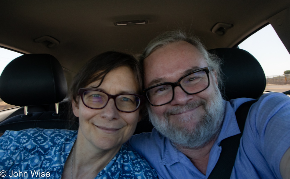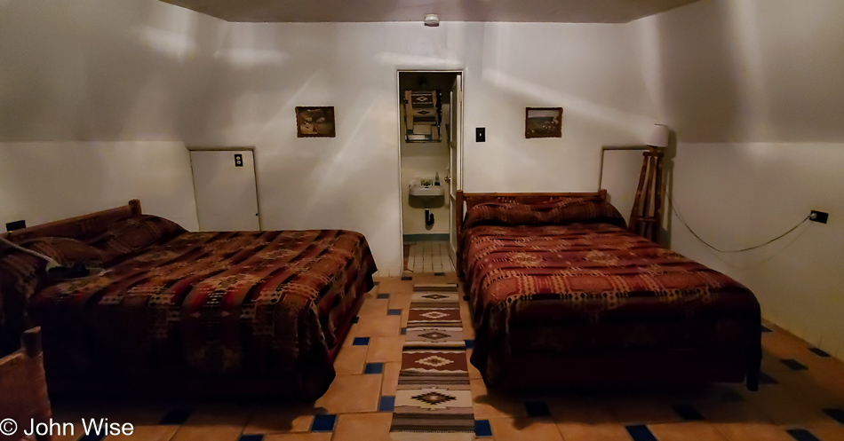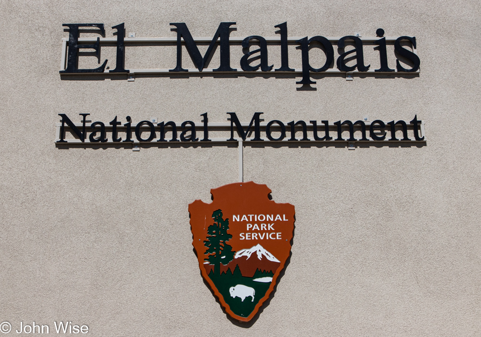
Wake, shower, pack, eat breakfast (including blue corn pancakes), and get moving down the road. If we timed things correctly, we’d arrive at the El Malpais National Monument visitor center just as they were opening at 9:00. This sounds a bit rushed, and maybe it was a little, but we were moving further away from Arizona on the day we’d be heading home.
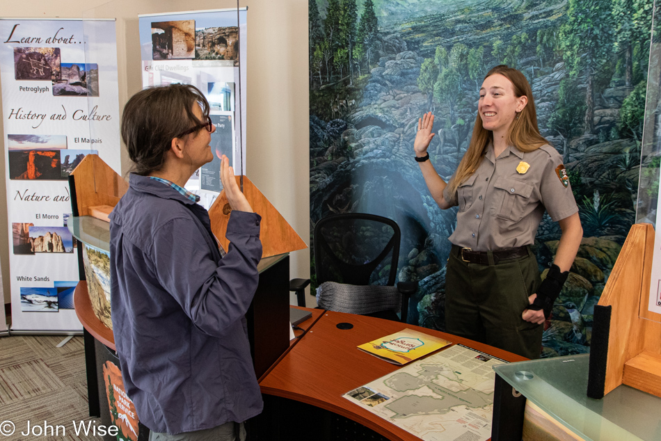
Caroline had finished the junior ranger booklet last night so we could pass through Grants, New Mexico, on the north side of the park, eliminating the need to double back later in the day to return it. Sworn in once more, this probably brings her close to 1,000 such badges she earned over the years.
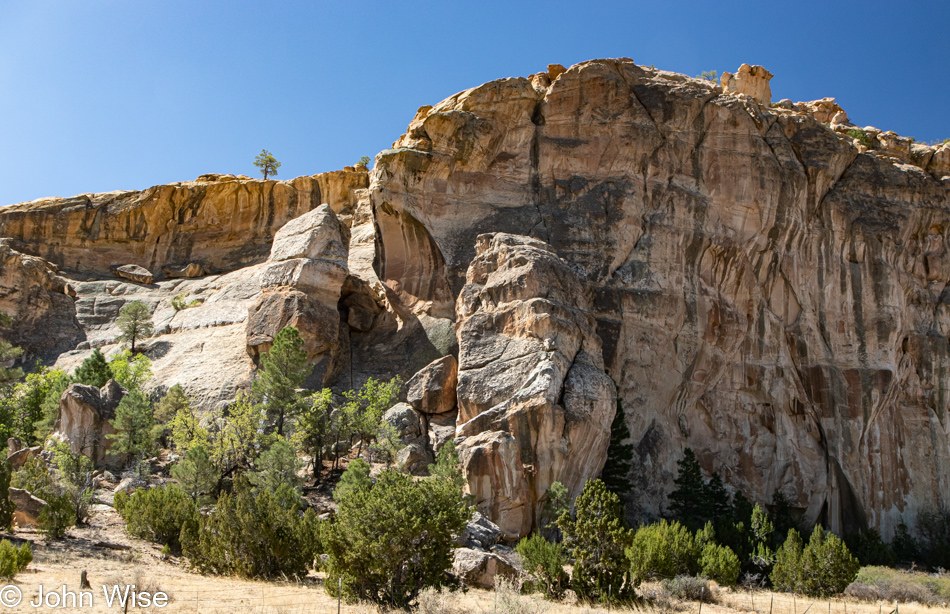
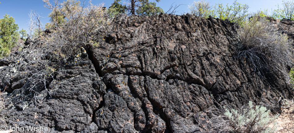
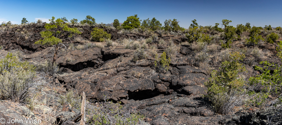
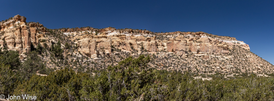
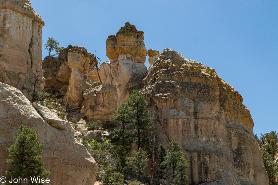
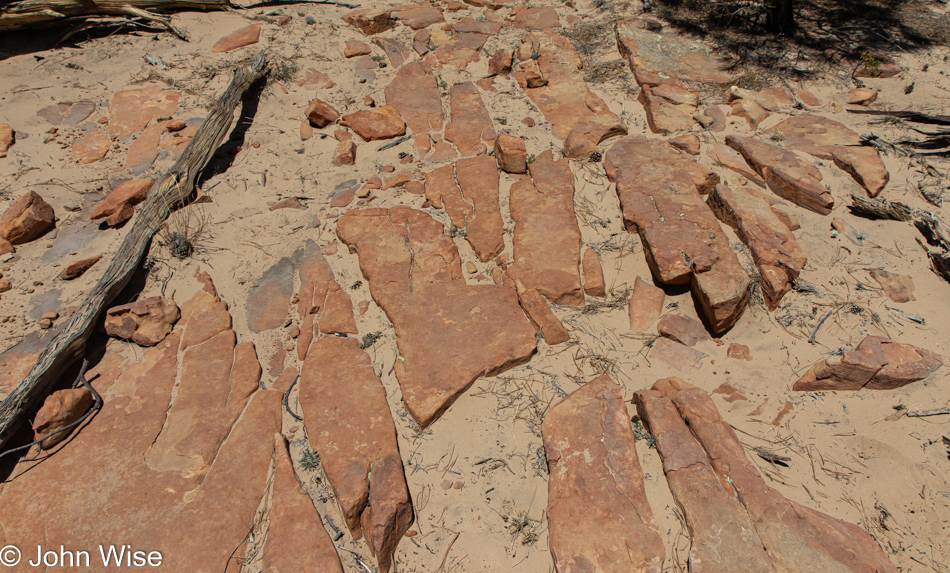
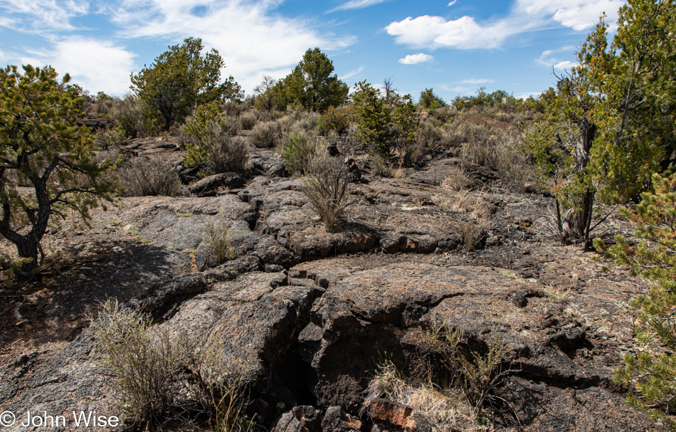
These are the sandstone cliffs we were seeing in the distance yesterday while hiking on the cinder cone over at the El Calderon trail, it turns out that these are technically not a part of the park here at El Malpais. I suppose when one considers that El Malpais translates from Spanish to the bad country or badlands, it makes sense as the fossilized lava fields that make up the majority of the national monument are jagged, sharp, treacherous, and simply not very hospitable.
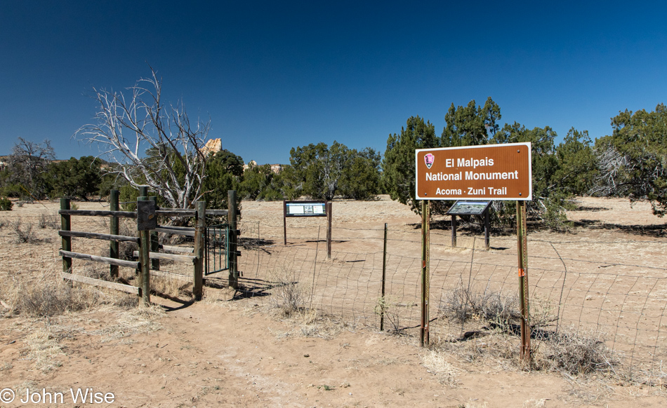
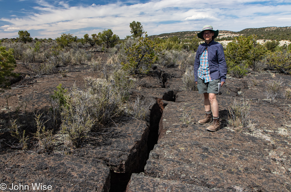
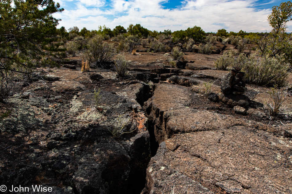
Just how angry that environment of nearly raw lava is will be experienced firsthand as we venture out on the Acoma-Zuni Trail. Prior to our arrival, we’ve read multiple times about the importance while hiking this 8-mile trail to always keep sight of the next cairn that will direct us through the maze that awaits us. Water, sunscreen, and a couple of snacks are in the bag, and we are ready to tackle what we can, which, by the way, is not the entirety as we are not fooling ourselves that we can hike 8 miles across and then turn around and hike back.
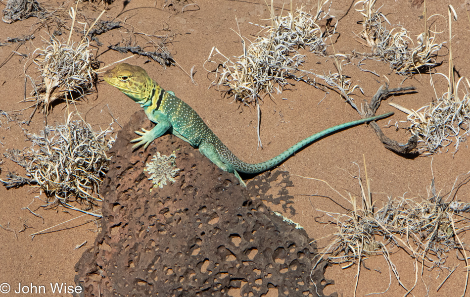
It’s called the common collared lizard, but, come on, with a blue-green body, yellow head, and yellow speckles down its back, I’d say this is anything but common. Also uncommon, it sat there making eye contact as I slowly approached to take its photo. I did not use a telephoto lens; I just walked up, pushed my camera closer, and snapped off a few shots.
Somewhere nearby, another hiker, a solo woman hiker, went by in a bit of a blur, she was on a mission. That mission has to do with the Continental Divide Trail that slices through here, using the Acoma-Zuni Trail. Her direction suggests she was on a southerly trek, which would also imply that this is not a thru-hike but working on another segment of a multi-year hike, likely the last bit of the 3,100-mile trail. A badass in the badlands.
At 59 years old, you might think I’ve learned a lesson or two about expectation, but every time we venture out on a new trail, I’m of the opinion that this one will be somehow easier than those we’ve traveled before. What happens is that reality intrudes on my fantasy, and I learn that new challenges are being presented. Steep-sloping rocks were not part of what was in my imagination, nor were chasms opened up by the ancient lava. The advice I’d read that hikers on this trail would benefit from hiking poles and gloves should have been heeded, but know-it-all John isn’t comfortable with being weighed down with unnecessary things like poles, an extra lens, water, food, or any of that other junk, it’s just me and my camera. So how is it that I’ve not died of exposure, dehydration, or starvation out in these environments? I have a wife who doesn’t see the world quite the same way I do and drags all that stuff and more along with us on her back, well, everything but the hiking poles that we are reconsidering the need for.
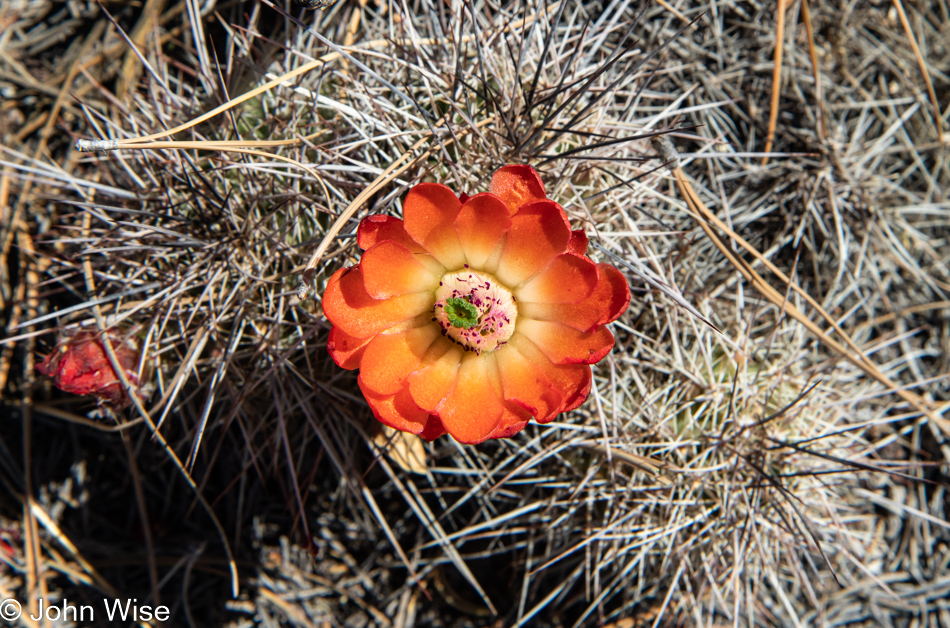
Thorns and beautiful flowers were the least of our worries out here. Come to think about it, I don’t think Caroline really had any worries at all.
It was me who had worries, fears, and anxiety as things grew steeper, chasms became deeper, and the angles sharper. All this, and we weren’t even 2,000 feet across the 7 miles of fossilized lave that was still ahead of us. Sadly, it was paralyzing enough that I had to turn back, and obviously, Caroline would be doing the same. Just as I run into debilitating emotions that stop me from getting further at times, one of my greater disappointments is that it also stymies Caroline’s opportunity to see more. Sure, she does her best to assure me that at least we were able to see and experience the things we’d never have already seen had we stayed at home, but this is still small consolation for the parts of the journey denied her.
So, with the Acoma-Zuni Trail now behind us, we are on to the next part of the day’s activities as we continue south.
We pulled into the parking lot at La Ventana Natural Arch and met another person hiking the CDT (Continental Divide Trail). A Lithuanian, though he calls Poland home, he’s on a 6-month visa in order to have enough time to complete the entirety of the hike from Mexico to Canada. Tom is his name, and he’d just descended that area in front of us, probably to the left. On a previous visit to the United States, he completed the Pacific Crest Trail. We left Tom with an ice-cold refill of one of his water bottles before taking off for our short walk to view the arch
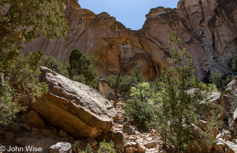
There’s a massive arch in the center of this image, though it’s not exactly easy to see. I even went beyond the barrier to scramble up the well-used unofficial path of those who break the rules trying to get a better photo, only to learn that there isn’t a better photo to be had from here. Maybe at different times of the day, the light hits things just right so that the scale of things can be appreciated better, but today at mid-day, it just wasn’t happening.
We are heading up there somewhere next.
Just below this point, we parked the car near some picnic tables and walked through a lot of sand up here on the Narrow Rim Trail, that’s a 7.3-mile out-and-back hike.
In no time, we’re atop the cliff and walking in wow.
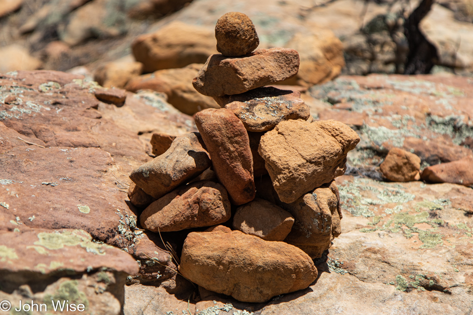
Cairns identify the way when the trail becomes difficult to see.
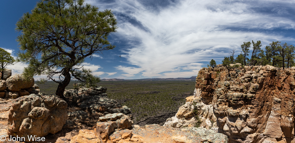
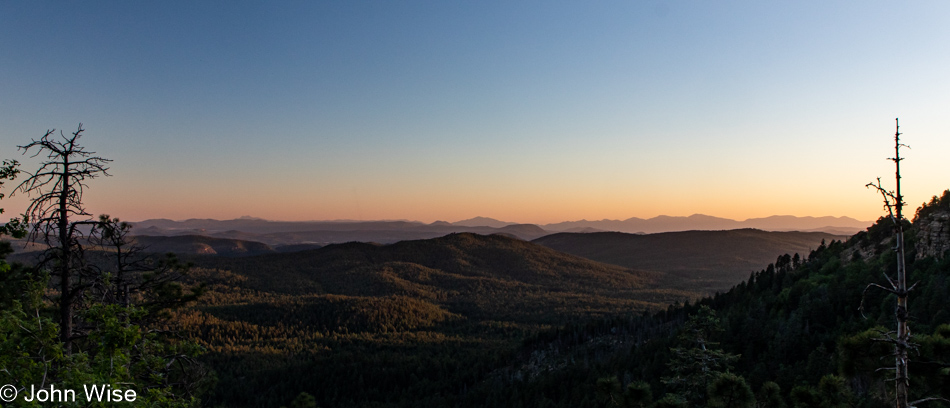
How it is that we are the only ones up here is astonishing as although the trail is considered moderate in difficulty, these old people think it’s pretty easy and seriously pretty on the eyes. As a matter of fact, we are bowled over and maybe a little bit disappointed that we didn’t head directly to this part of the park because we are well aware that we’ll not be able to make it to the overlook of the arch due to the time constraints that now exist if we want to get home before 10:00 pm. We won’t turn into pumpkins or stones should we not get home prior to that, but driving at night comes with growing uncertainty the older I get, or maybe I’m no longer able to deal with fatigue the same way as I could 20 years ago.
A little more than a mile into the hike we start discussing if we’ve gone far enough. We agree we have, but it’s so incredibly, perfectly beautiful out here that we’ll just keep on a short bit more, just to the next corner to check out the view, and then we’ll reconsider.
This keeps on like that until we’ve hiked at least 2 miles up the Narrows Rim for this look facing northwest behind us. It cannot be overstated how we are walking in the profound, crushed by the gravity of what is being offered us up here all alone. How can it be possible that we are experiencing this without a thousand others walking with us, confirming to one another that we are the fortunate people of the earth, unable to comprehend why it should be us? With eyes saturated, we agree that this is really as good a spot as any to turn around. Sure, we know we are only about 1.5 miles from the overlook that would offer an overhead view of La Ventana Arch, but if we went that far, what would we have to come back to?
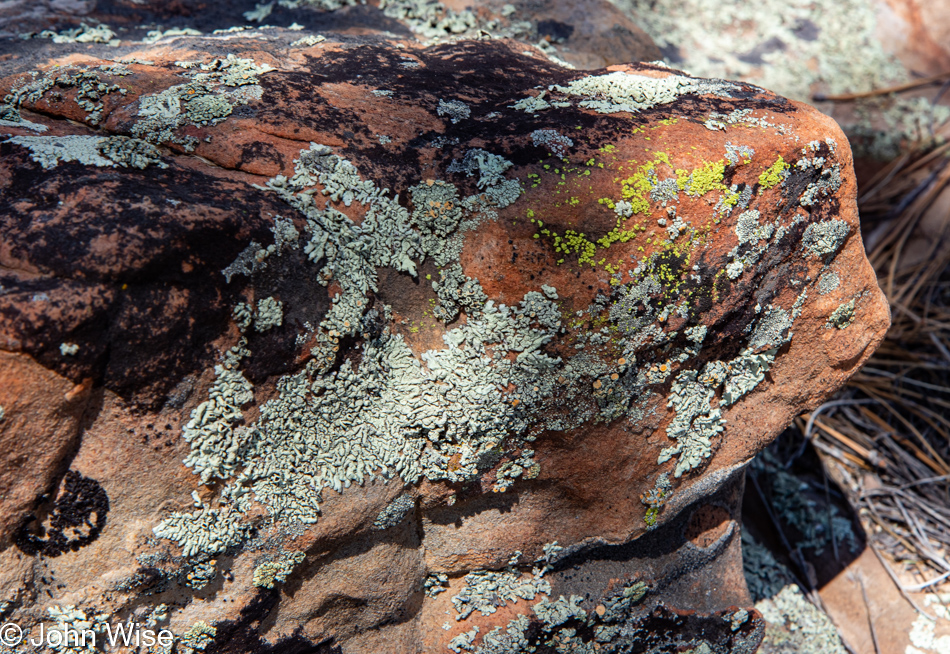
Yesterday, I didn’t think I had anything else to say about lichen, and then I somehow found something, but today, I’m not even going to try other than to ask, isn’t it magnificent?
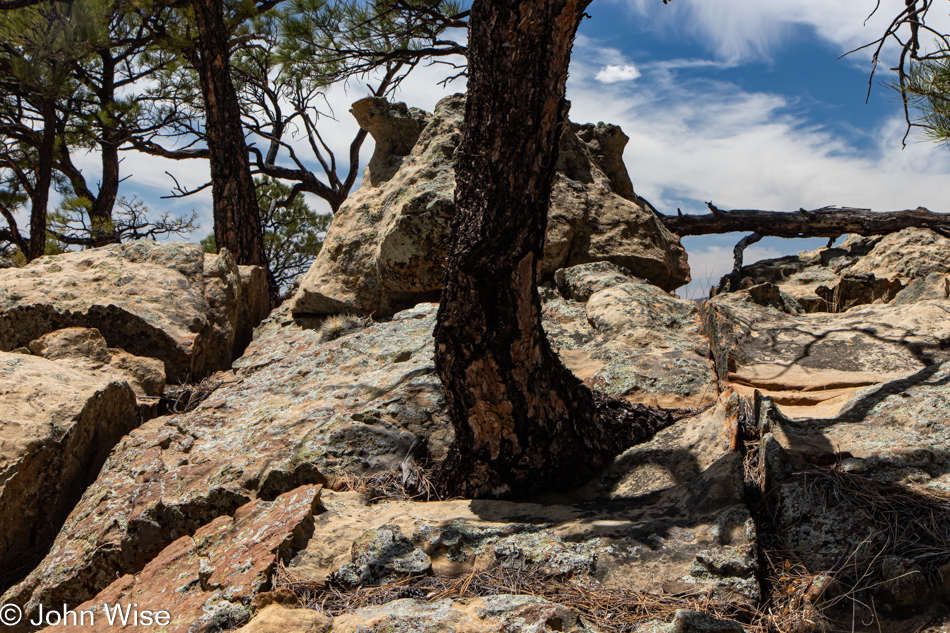
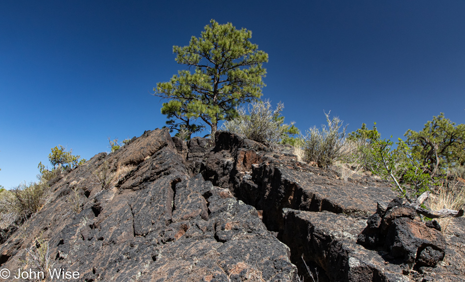
People may extinct themselves, but as the saying goes, life finds a way, as evidenced by a tree growing out of rock. If you know me, you might be asking, “Hey John, did you just quote Jurrasic Park?” Just remember that I was once young and watched the same pop pap that all of us take in, and as I’ve explained before, I had to stop as those things not only become ingrained in my memories, they become poisons that take a greater place in my head where that damned theme song to Gilligans Island or Arnold telling us, “I’ll be back,” continue to live.
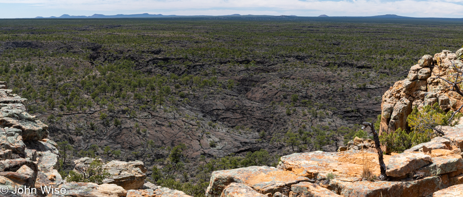
While the Acoma-Zuni trail is further north of here, this is essentially what we were supposed to be hiking upon. It all looks so innocuous from a few hundred feet above, but I swear that down there, I had the feeling that those rocks were the jaws of some t-rex bent on consuming me. I should give this writing exercise a break about right now as once I start drifting into movie references I have a hard time pulling myself back from that ledge.
About to reencounter the flat earth, we’ve already decided to stick around one of the picnic tables to enjoy our lunch right here instead of searching for something hot that would just make us later getting home, seeing that it would have us sitting down for the meal because I prefer not to eat from styrofoam while moving down the road.
This was the smart thing to do as otherwise we’d have brought all this food just to take it home. I now know that I’m a fan of bologna and hardboiled egg sandwiches on multi-grain bread; the only thing missing was potato chips sitting atop the egg slices. Add an apple, some popcorn, and a couple of cashews, and this made for the best lunch we’d ever had on this particular Sunday in May during 2022. If we could do it all over again, we’d rewind the tape and not change a thing.
I thought we were heading home, but the short Lava Falls Trail held enough attraction for Caroline that we turned down the short dirt road for the drive to the trailhead.
The trail is a short 1-mile affair rated as easy, but that doesn’t take into consideration that hikers have to step over what amounts to chasms. I believe something goes haywire in my brain when out in nature, as I’d swear this crack in the earth appeared much larger in person than what I see in my photograph. Maybe I should blame Herr Nietzsche for planting those thoughts regarding the staring into ravines (or something to that effect) for my looking for my inner lusus naturae somewhere down there in the darkened bowels. Would Freud suggest that my fear is of the below and going down while ascending and going higher is my preferred space? Ah yes, thanks to my mother who abandoned me as a child, I’m afraid of what represents her vagina, but on the other hand, I’m afraid of heights; do they represent the large phallus of the father? Good thing I’m no Freudian scholar or any other scholar for that matter, as I’m fairly certain, I’d be in the first order of scatological demon-freaks plumbing the genital metaphors due to my potty mind that on occasion reveals my aged childish imagination.
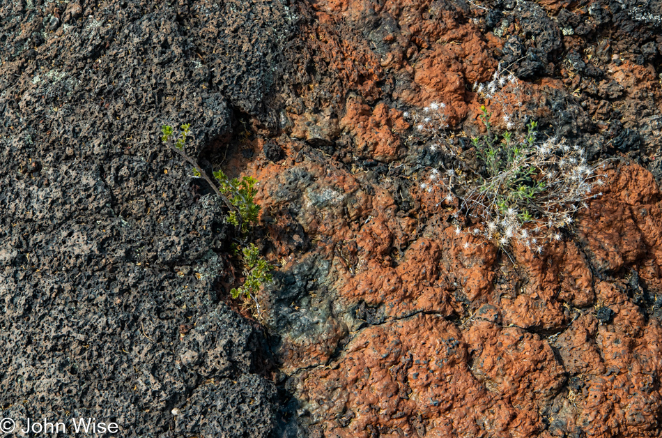
Yesterday on the El Calderon trail, we learned about why there were black and red cinders in different areas; they stem from different volcanic eruptions. There are also obvious reasons why lava can have color variations, such as we saw there on the trail and here at Lava Falls; the black lava has more magnesium, while the red contains more iron. I thought this was a great example of two flows that sit right next to each other and yet are chemically quite different.
Following the path of the cairns is the advice proffered, but I’ve run out of faith and chosen our return to the safety of anywhere else instead of finishing our loop trail. Maybe by writing about hiking poles once again, I’ll draw closer to finding the religion of using these crutches. With that in mind, I did a quick search for the pros and cons of hiking with poles; steadying yourself in precarious balancing situations is the number one pro, while having your hands free for quick photos is the first con I’m noting.
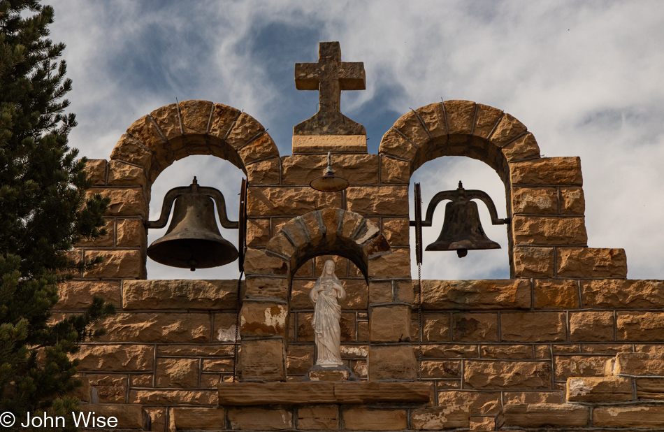
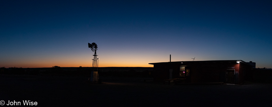
If you were to glance over our photos of traveling in Europe, you might arrive at the conclusion that we are church snobs. Far from it, we love all churches but especially Catholic ones, as they are mostly open. Here in Quemado, New Mexico, at the intersection of Nothing and Vast Openness, we encountered the Sacred Heart Church. It’s a small affair, and it being Sunday, it just had to be open.
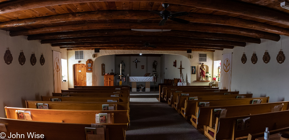
Built during the 1930s, around the time that Quemado was referred to as the Rodeo Center of New Mexico, this church is a pretty good reflection of the building materials available in the area. Historical information about this area is sparse, though a book titled A History of Highway 60 and the Railroad Towns on the Belen, New Mexico Cutoff by Dixie Boyle seems to have the most data about the area in general that I could find.
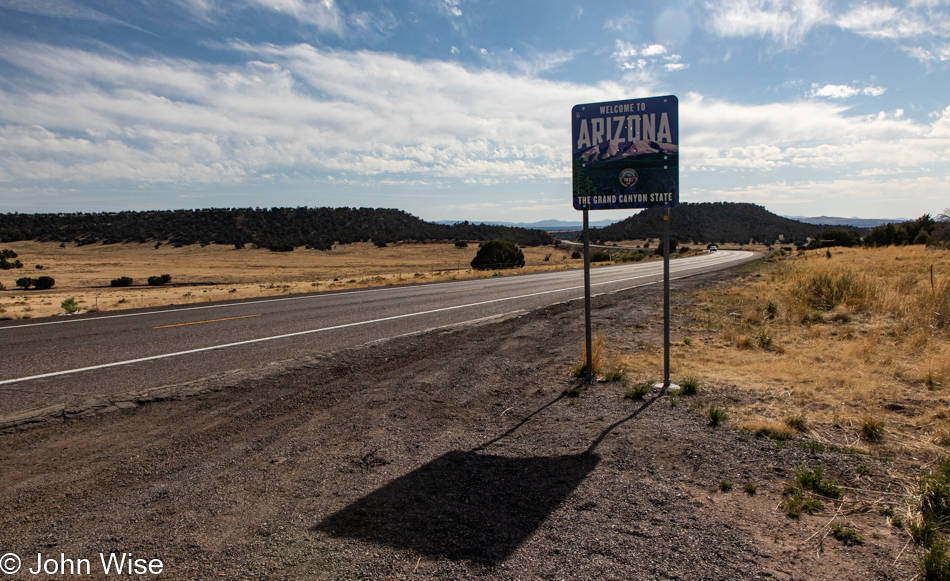
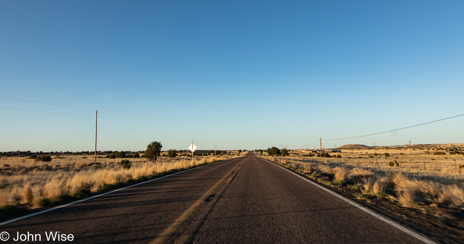
Thirty-five miles later, we are back in Arizona with only 236 miles (380km) until we reach home.
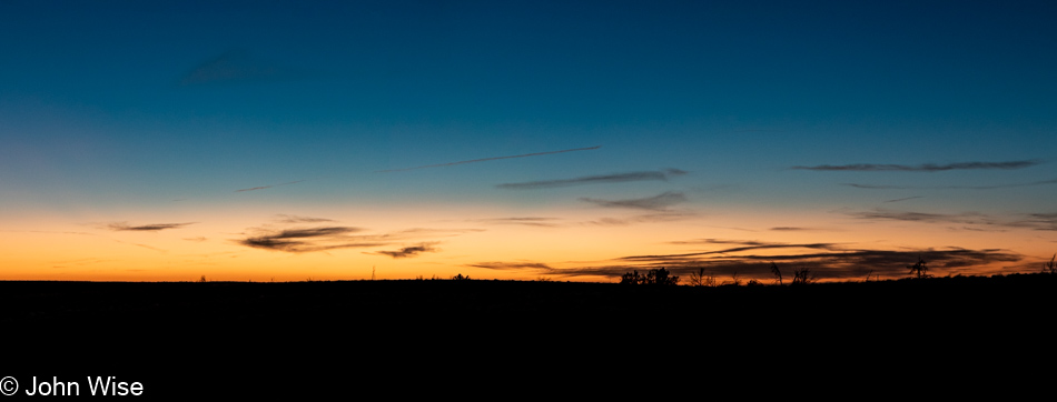
We jumped back in time at the Arizona State Line, gaining time and allowing us to live the 16th hour of the day all over again. It’s as though we see the future from the past that was already lived once but is now happening in a new space. Looks good from here.
We’d simply turned around to look into the distance of where we’d come from and were curious if we were, in fact, gleaning two event horizons separated by the quanta of perception as we traveled through the wormhole called Daylight Savings Time. What is found behind is not so ahead, which implies we are moving between dimensions, right?
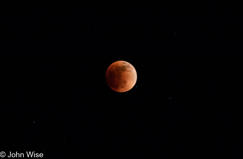
As if the intra-time portal opened between the geographic regions of Arizona and New Mexico wasn’t enough, we stumbled into a full eclipse of the moon. Not just any eclipse either, as you can easily see, this is a Blood Moon that prophecy suggests will guide Caroline and me into a blissful future paved with great happiness.