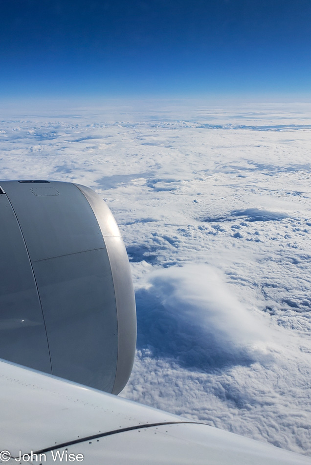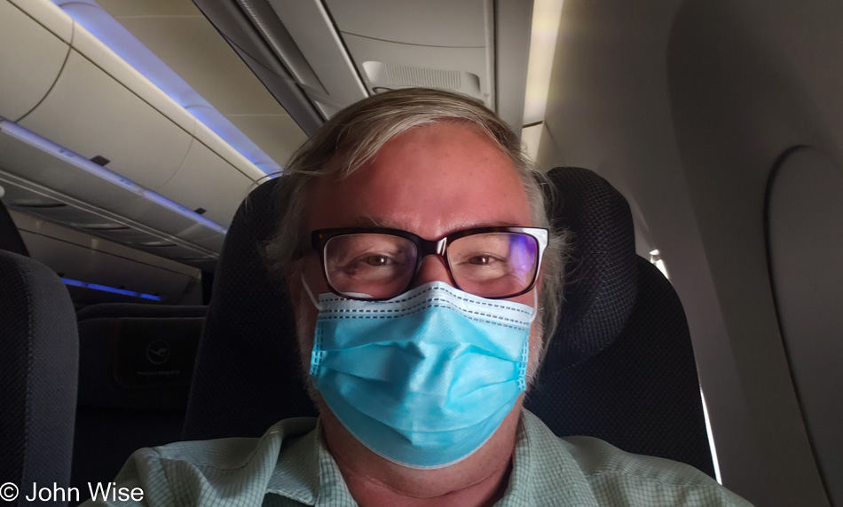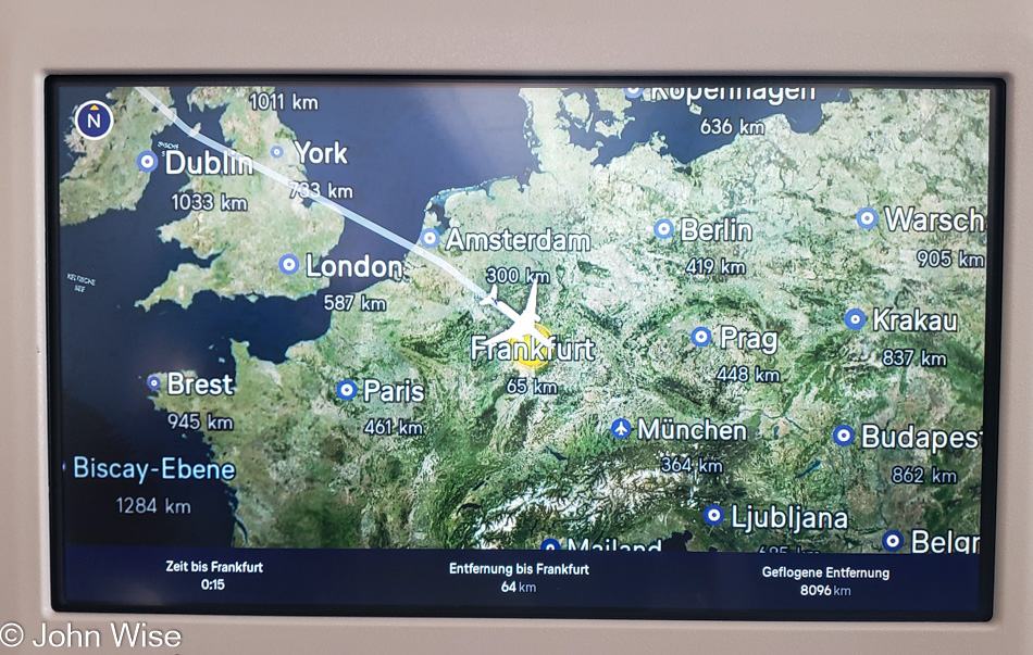
After that last blog entry, my longest ever at 11,833 words, I needed a break from writing critical things. So, I turned to work on old blog entries. I did some backfill of photos for various, long-neglected trips from 2004, 2007, and 2011. Along the way, Caroline and I fixed a date for the two of us to visit Germany together, and those tickets are now reserved. Meanwhile, with all the travels of May and June, including the Big Sur Coast and Germany, I’d forgotten about a trip coming up early next year that will take us to Chiapas and Oaxaca in Mexico. the first part of that adventure is all about the fiber arts of Chiapas. A conversation with our travel companions opened up online that brought my attention back to this Mexican adventure. I suppose we should somehow give thought to it though I can’t really think how I’ll prepare any better.
While steeped in the old blog entries from 2011, I focused on writing about a particular visit to Oregon that had us visit the “Spruce Goose” airplane from Howard Hughes. The more I looked at the images from that 5-day vacation, the more I longed for a return to Oregon, and so I booked us two nights at Carl G. Washburne State Park and a night at Umpqua Lighthouse State Park for later this year. Speaking of vacations, last December, I’d mentioned that Caroline and I were going to raft the Selway River in Idaho around the 4th of July this year with friends; well my need to be in Germany derailed that for us.
In between all of that, but still connected to the old blog entries, this time from a 2004 trip, I was filling in some details and old photos of my daughter Jessica and my first-ever road trip together and called her, inviting her to read the updates. Soon, we were talking about how it’s been a couple of years since we’ve seen each other, and as she recently got her COVID vaccinations, I suggested we should consider the idea of a new road trip and found she was ready for some traveling. Well, then I found a room available at the Old Faithful Inn in Yellowstone National Park, and our trip started taking shape. We leave today, just she and I.
On this trip, while on the road, I’m going to invest myself in taking a more studied approach towards photography. Typically, I just point and shoot, grabbing enough to end up with a couple of dozen good photos that I can share here, but I don’t focus on taking great images. Well, that’s changing for this 11-day journey as I’m bringing five lenses, a tripod, and better attention to focus, aperture, and low ISO.
About my writing, some of the days on the road will be easier to write about than others due to the different natural areas we’ll be exploring. I’ve intentionally loaded up on some days that I hope will present challenges to my use of descriptive language.
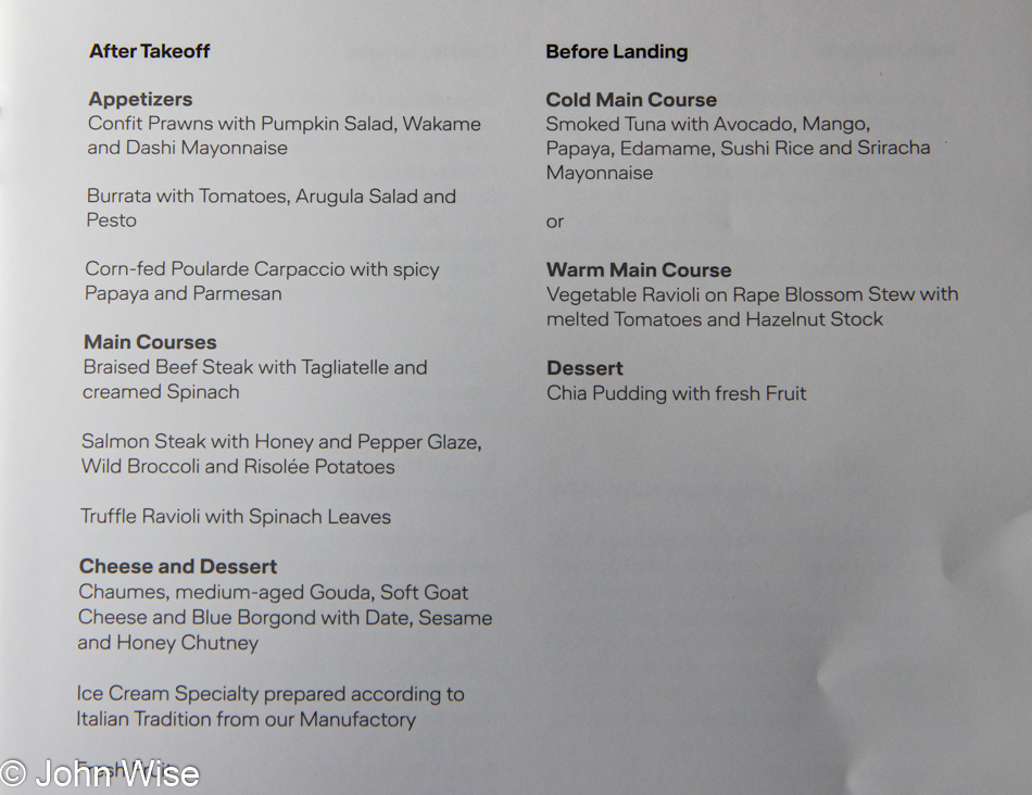
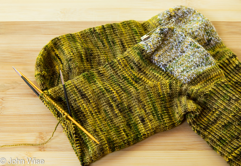
Rounding out the time shared with Jessica will be my need to dip into a synthesizer I’ll be taking along. For that, I recently migrated some modules into a portable case that allows me to take the essentials to help with beta-testing a particular module a friend is creating. With our trip to Germany coming up fast, I need to get in as much time as possible, digging into the way things work in the firmware to help make it as idiot-proof as possible [John, the proper word is user-friendly – Caroline].
Stacked up, this looks like a lot of things to do and not enough time in a day to do them all, and if I fail, I’ll fall behind in such a way with the photography, writing, and testing that I won’t be able to catch up in a meaningful enough way. So, I am writing this to myself as a mantra to not falter in my resolve to do everything I need to do. In order to extract every ounce of value from the investment in time, energy, and money, this must offer an incredibly experiential contribution to my memories, but isn’t that always the case for how I approach life?
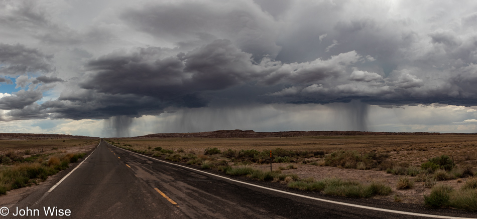
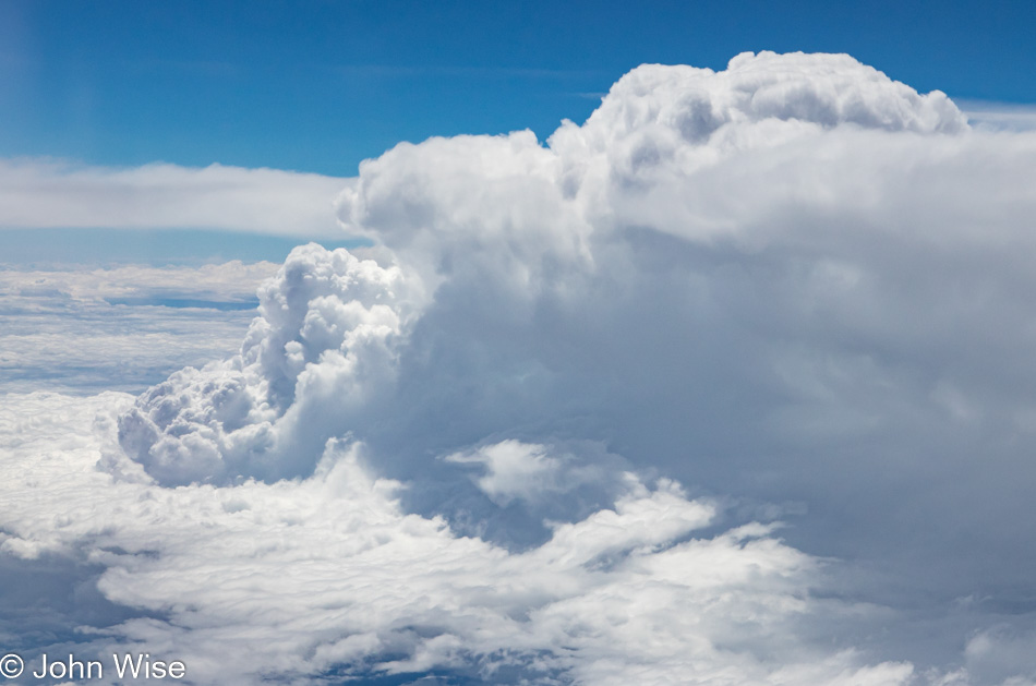
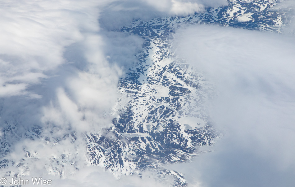
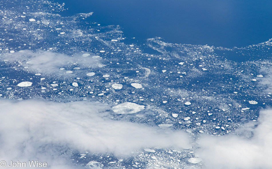
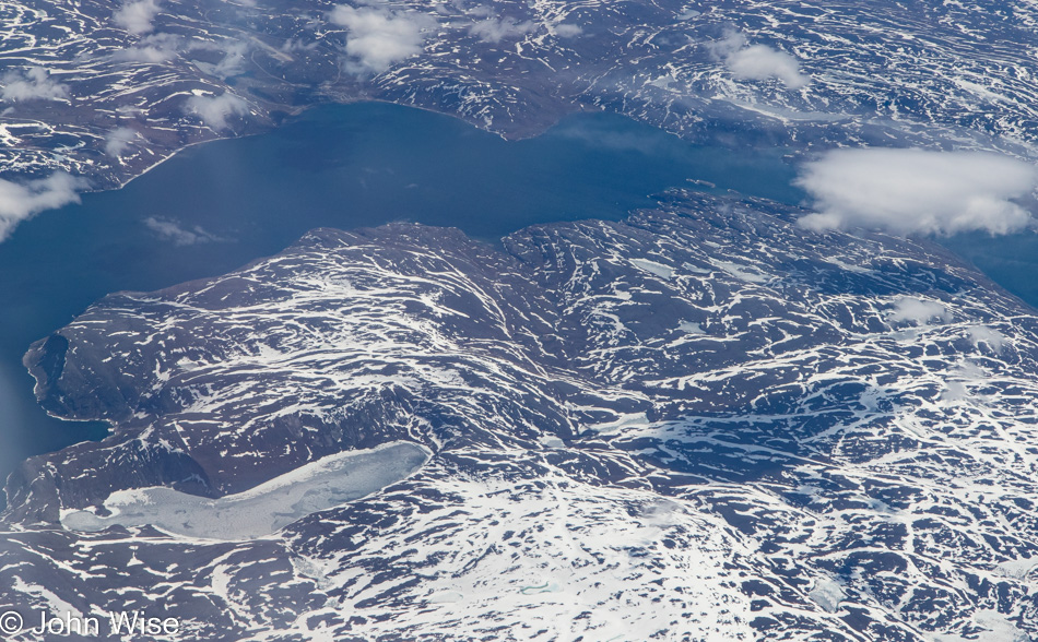
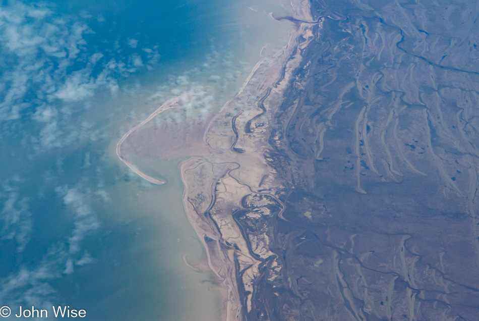
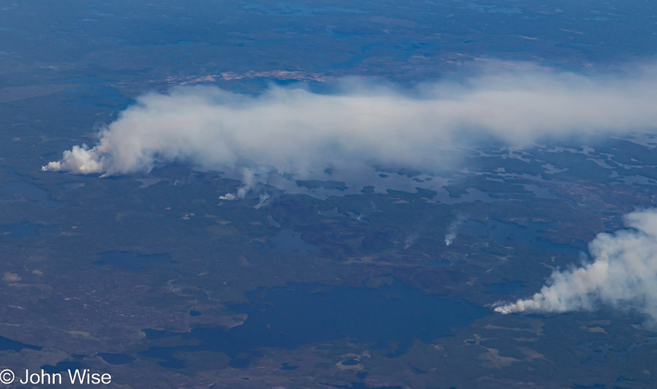
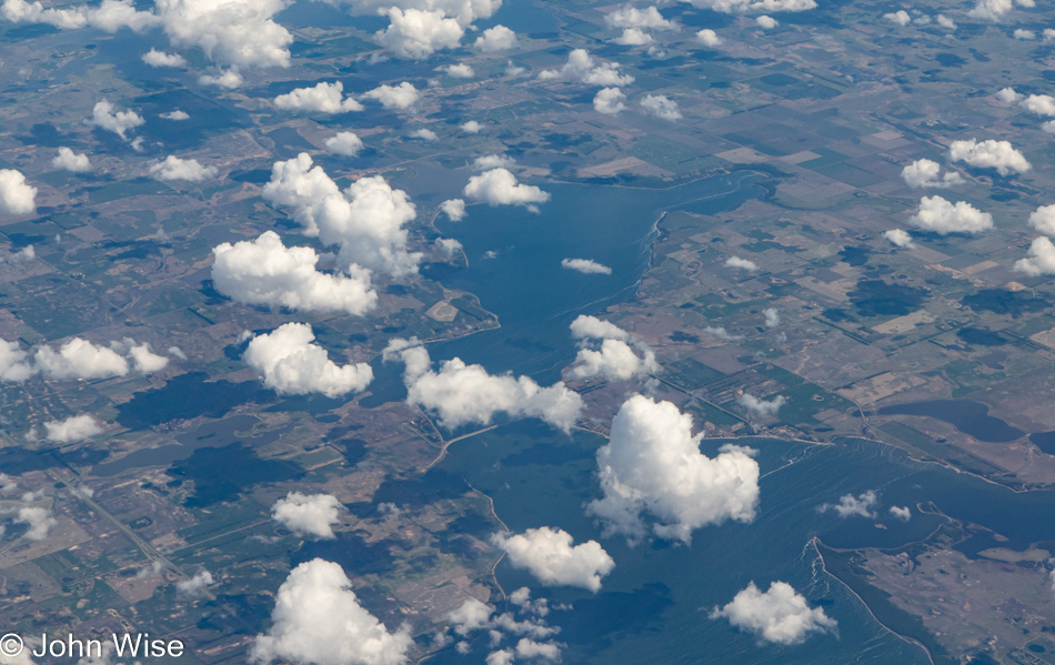
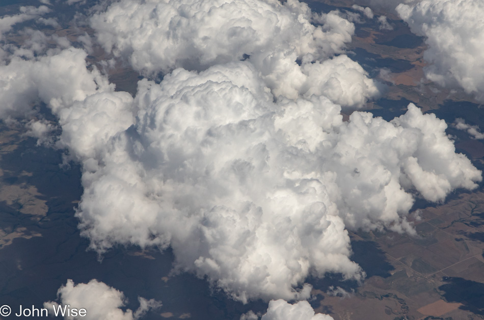
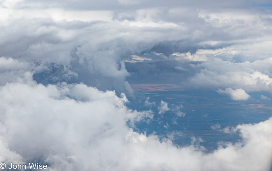
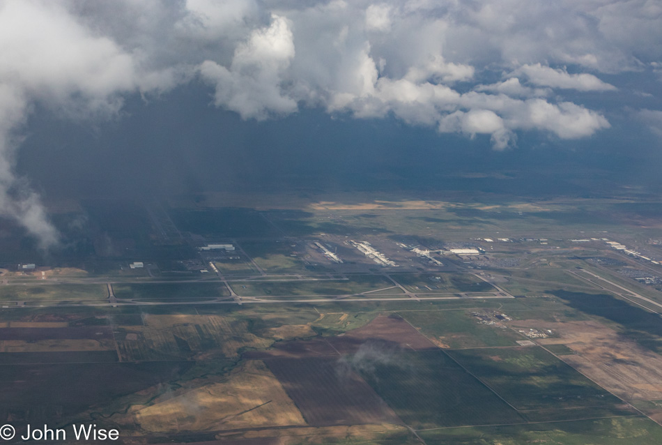
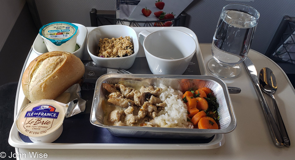
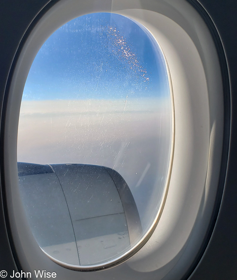
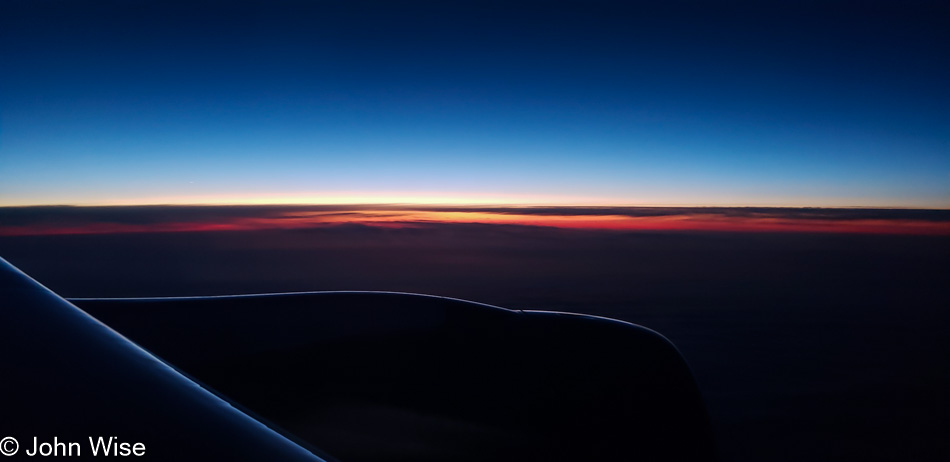
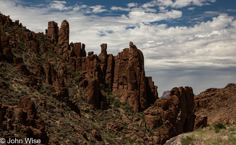
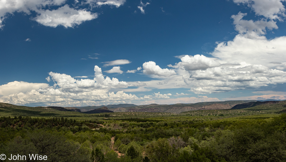
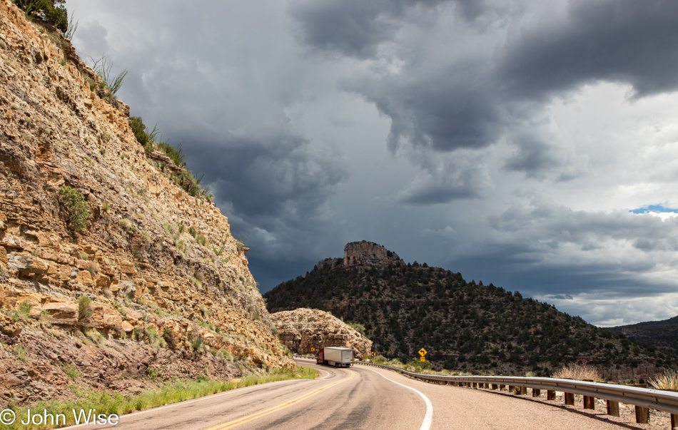
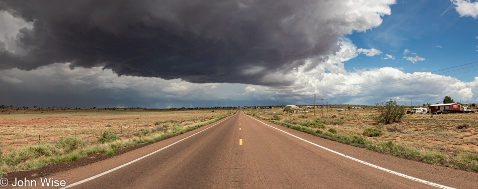
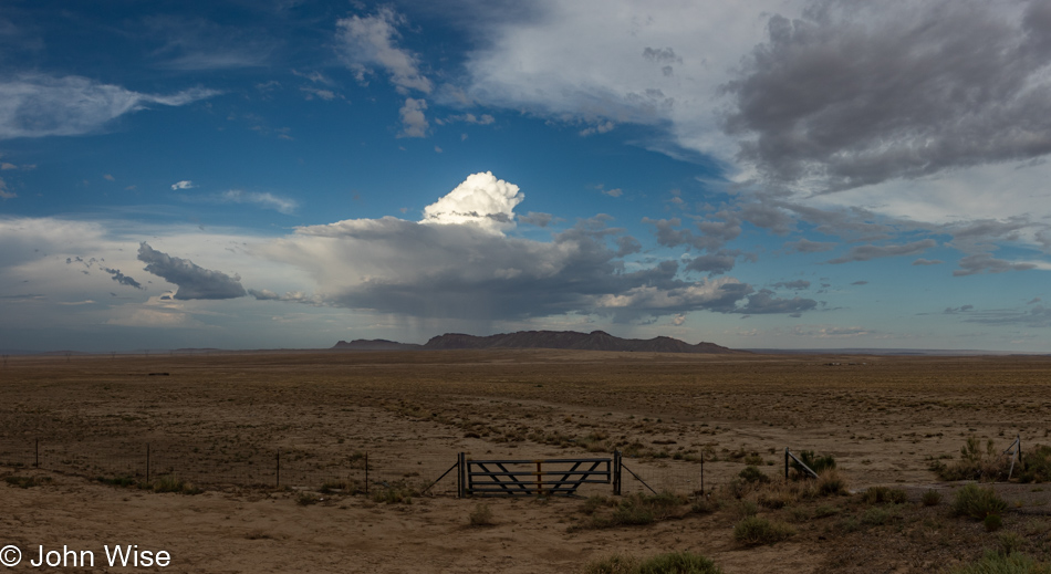
In full disclosure, all the above was written a couple of days ago, but I never took a photo to match it to, and so it wasn’t published. So, I’m assembling this post tonight after arriving in Cortez, Colorado, after the first full day of traveling with Jessica. The photos above and below were all shot during our drive when we had good weather. We had a lot of gray and our fair share of rain, but here we are out on the road.
This will be the longest trip my daughter and I take together as I believe the previous lengthiest was maybe five days maximum. I’m pensive as we dig into this 3,000-mile-long haul as there’s a lot of driving, and she’s a sporty, stay-active kind of person, which causes me a bit of concern.
But out we’ll go and see what the road has to deliver as we bring ourselves into the unknown territory of sharing so much time together.