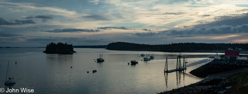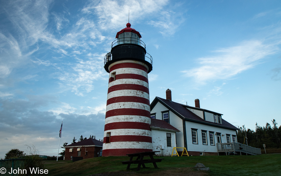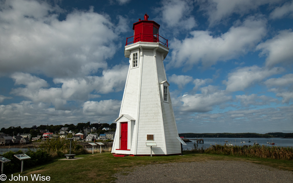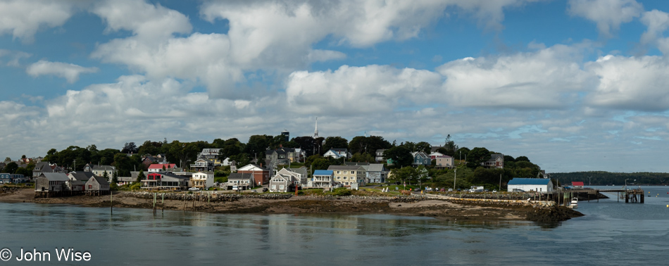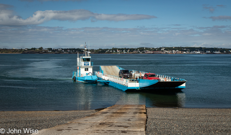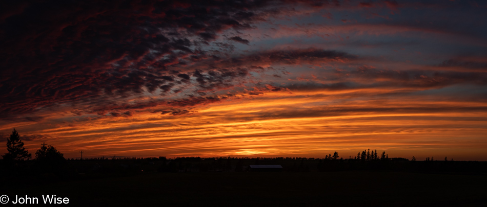
A funny thing happened on the way to photograph sunrise in this UNESCO World Heritage Site known as Lunenburg, Nova Scotia. There we were, sitting on the west side of Lunenburg Harbour, waiting for the sun to peek over the horizon to illuminate the town when a kindly gentleman who works for the Bluenose Golf Club up on the hill behind us stopped, rolled down his window and said, “Hello folks, there’s a spot up the hill next to the clubhouse that is a great location to photograph the harbor, you are welcome to head up there.” Wow, starting the day with another incredibly friendly encounter, not someone yelling, making mad hand gestures, or beeping their horn in anger that our car is half an inch in the road; just a great tip for capturing a better view of the town. These positive impressions of the people of New Brunswick, Prince Edward Island, and Nova Scotia are making big impacts on us, yet everyone is warning us that we’ve seen nothing yet until we get to Newfoundland, where we’ll encounter TRULY friendly people.
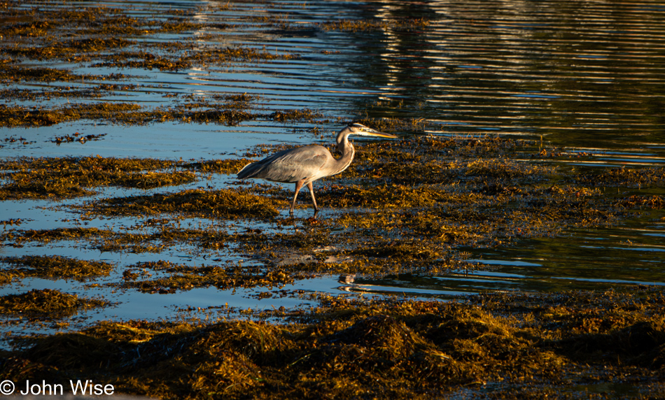
What should I say about a blue heron I’ve not said before? Out of curiosity about how many references I’ve made to these large birds previously, I searched my index of posts, and 42 entries show a potential to hold something or other mentioning herons. But as they say, that was then, and this is now, so I’d better dig in and find a frame of reference. There wasn’t an epiphany in seeing this bird looking for breakfast, and though I scrambled to affix my telephoto lens, it’s not the photo I’d like to have taken, the one where you can look into its eye, but it is a reminder that we sat there for a good long time watching it hunt patiently. Moving to and fro ever so slowly, it keeps one eye on the environment and the other on what is just below the water’s surface. With a twitch of its head, it seems it has identified a meal; holding its gaze, it waits and then steps forward, waiting again until it repeats the action. Then, in a flash, it thrusts its head below the waters and pulls up a fish for its cold meal.
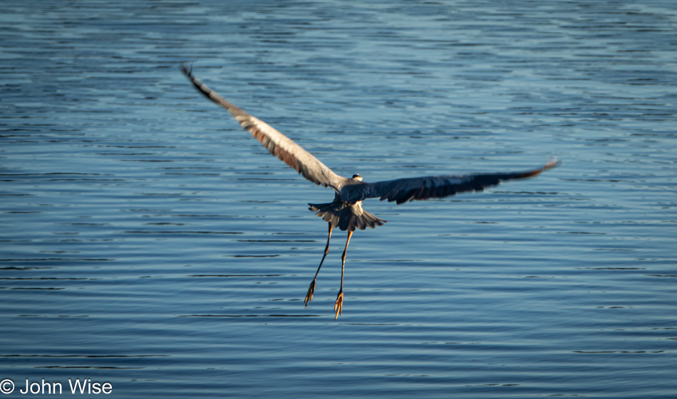
Tempt fate and get impatient; you might lose what you were seeking, and so it was as I continued trying to inch forward for yet a better shot of the heron until it had enough of my encroachment and decided it was time to find different hunting grounds. This worked for us, too, as it was time for us to find a bite to eat.
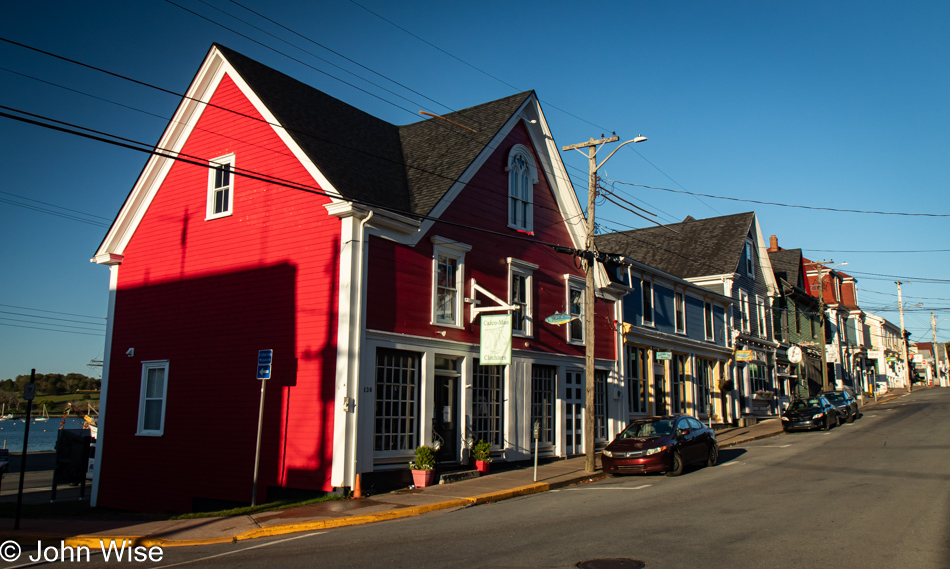
The “end of the season” effect is coming on strong, and finding breakfast this Wednesday morning is proving difficult.
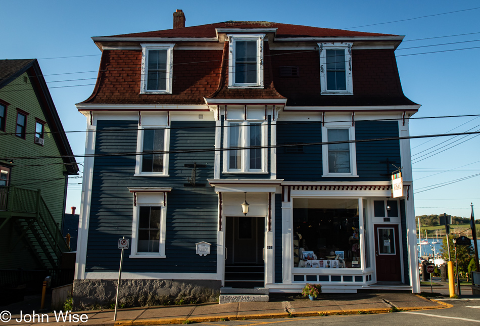
We stroll up and down the streets, having to check on places as our search results from the giant search engine that will go unnamed have proven inaccurate time and again.
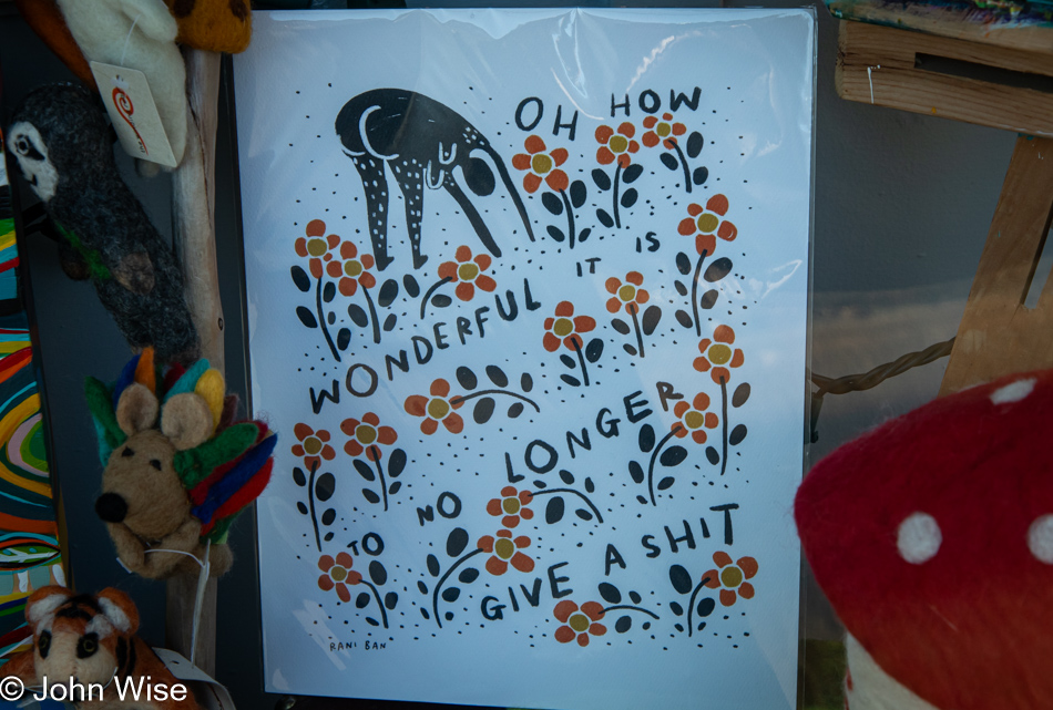
If only we could find one open place, maybe even an IHOP. No, just full stop; we’ll never eat at that place ever again, never. [John conveniently forgets to mention that we also passed by an open Subway that failed to attract us, even though it advertised lobster subs, which sounds like blasphemy but it appears Canadians are very fond of the chain. – Caroline]
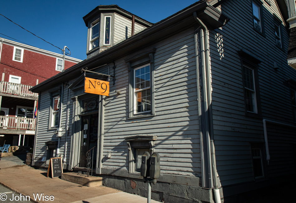
We finally, and with some reluctance, dip into the Nº 9 Coffee Bar, hoping they also have a bite to eat. Lo and behold, they have yummy breakfast galettes and lemon berry scones that were so good we got one for the road. Being the only place in town open for a coffee and a bite to eat, the galettes were sold out before we finished our coffees. The interior of this multi-room coffee bar is uniquely beautiful in its historic layout. Like the patient heron, good things come to those who wait.
Crossing the street on our way to the harbor for a post-breakfast walk, a guy in a red car was driving by. It was the watchman from last night, but I couldn’t get his attention to thank him again for the great laughs and learn his name.
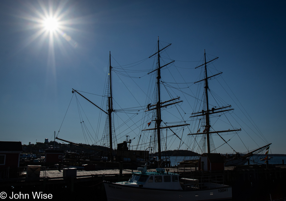
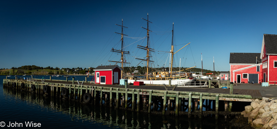
It turns out that finding the right light, angle, and environment surrounding a three-masted tall ship such as the Picton Castle is not an easy task if you want to create a dramatic photograph of such a thing.
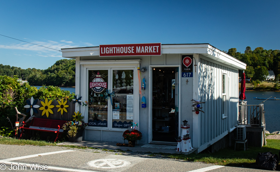
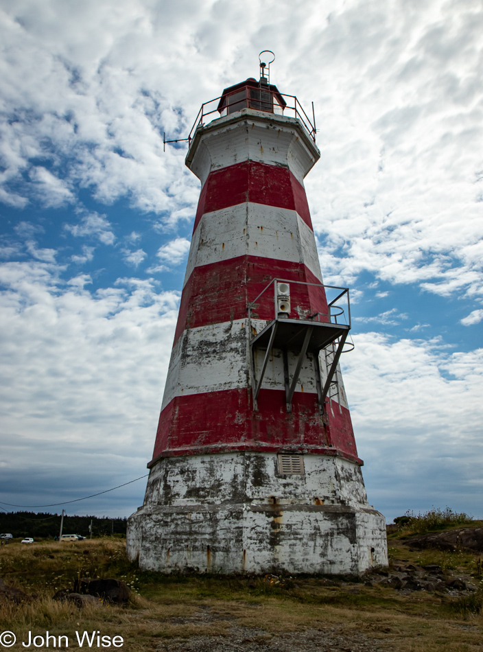
Without waiting around for Lunenburg to waken for its business day, if anything is, in fact, open after the main tourism season started shutting down, we left town but didn’t get far before this small shop called the Lighthouse Market in Mahone Bay had Caroline asking me to stop. This would be the location of our one and only regret of the trip: we didn’t buy one of the small lighthouses in front of the shop. It would have been a perfect addition to the area next to our front door back home.
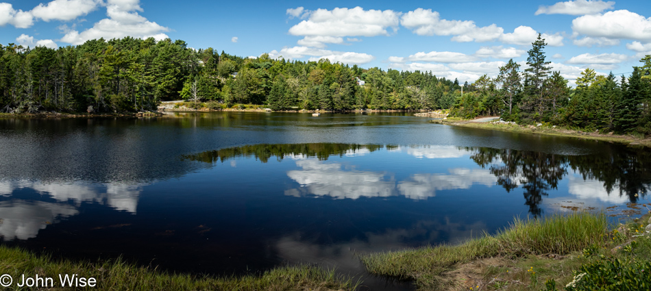
There’s some German influence going on here as this is in the area of Whynachts Point, which is incredibly similar to the German word for Christmas, Weihnacht.
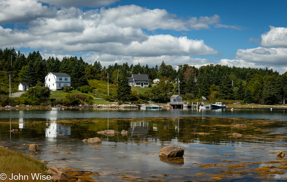
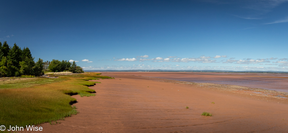
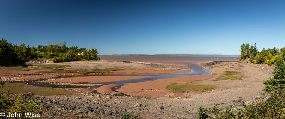
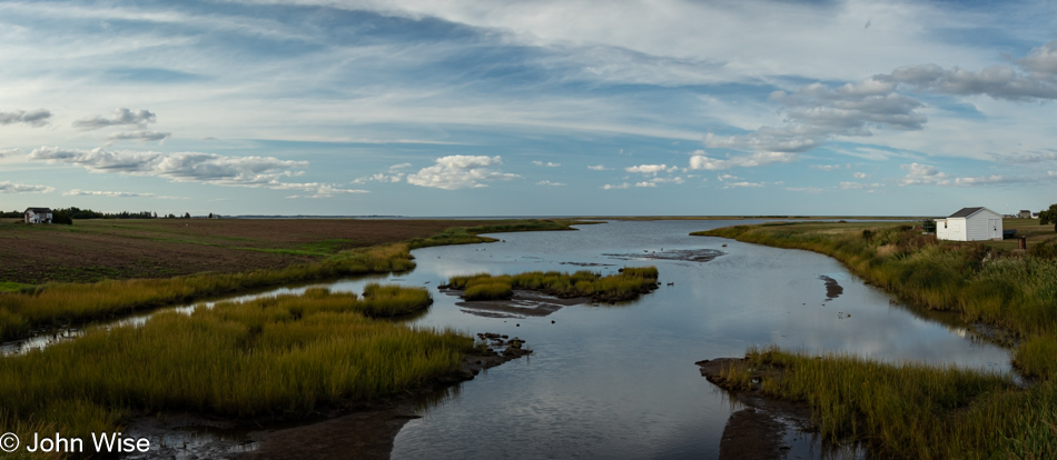
Nothing much here at Hacketts Cove aside from a glorious day with reflective shallow waters showing us where we’d like our summer home to be located.
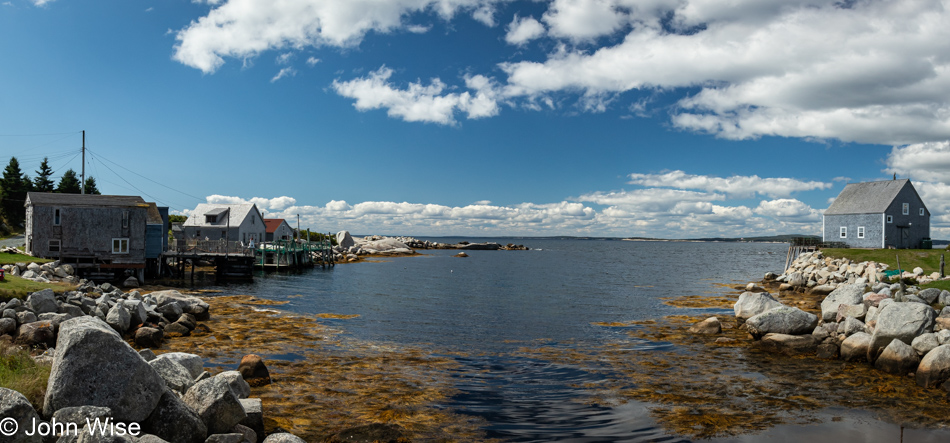
A few days ago, we had decided we’d detour from our planned drive out to Peggy’s Cove due to the reality of how much time this would add to our route in real life compared to the fantasy I was dreaming of when I planned this grand adventure. Too many people along the way asked if our road trip included Peggy’s Cove, insisting that we had to visit, so here we are, getting our first glimpses of what differentiates the landscape of this corner of Nova Scotia, making it so attractive to others who’ve already visited this place.
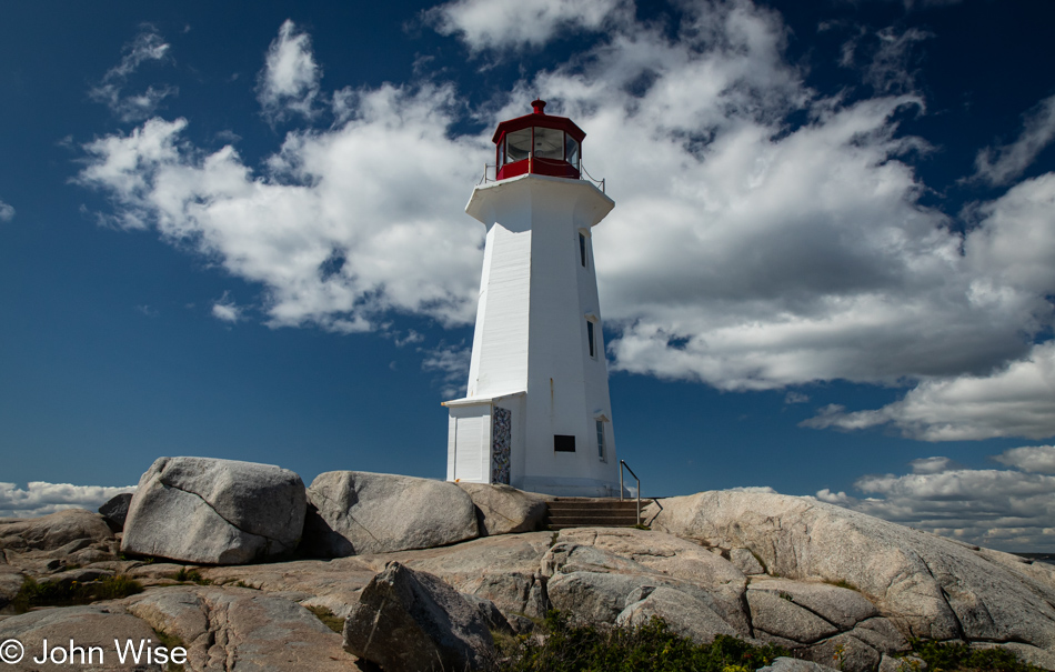
It’s the barren granite creating a stark contrast with the surrounding sea and sky that allows Peggy’s Cove to capture the enthusiasm of all who visit.
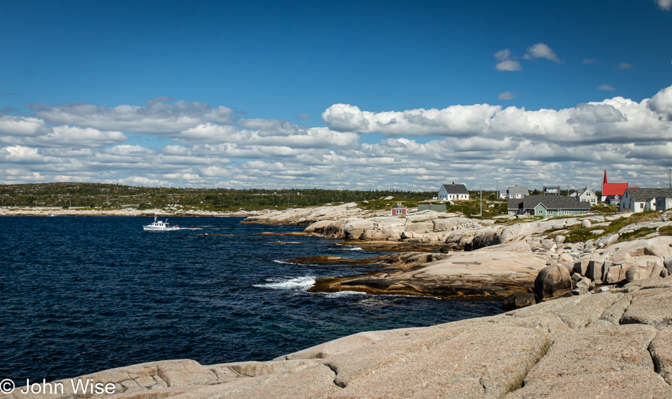
These smooth surfaces were the handy work of retreating glaciers that scraped the earth flat, creating a scene that has become iconic in my vision of what fishing villages on the North Atlantic should look like.
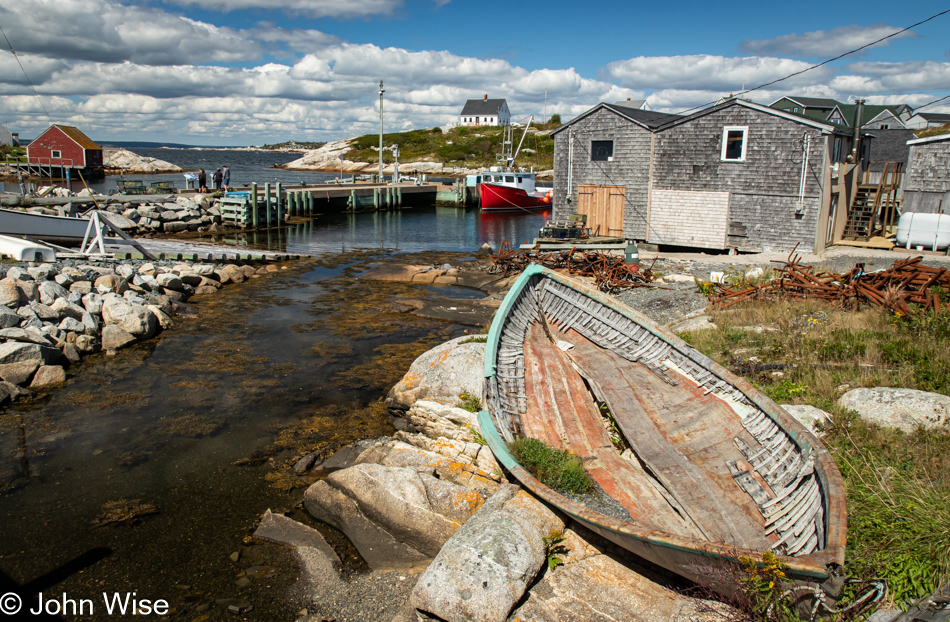
This was one of those lucky moments when our arrival, timed with the end of the season, meant we easily found parking, and while we were certainly not alone here, the place was not overwhelmed. Just outside of town was one of those electronic signs that tell visitors how many available parking spots were still open. We also passed more than a few parking areas for tour buses. The summer must see these streets teaming with tourists; you can bet we are happy to see this place under beautiful skies, on a beautiful day, with beautiful scenery, experienced by these two people in love celebrating such sights.
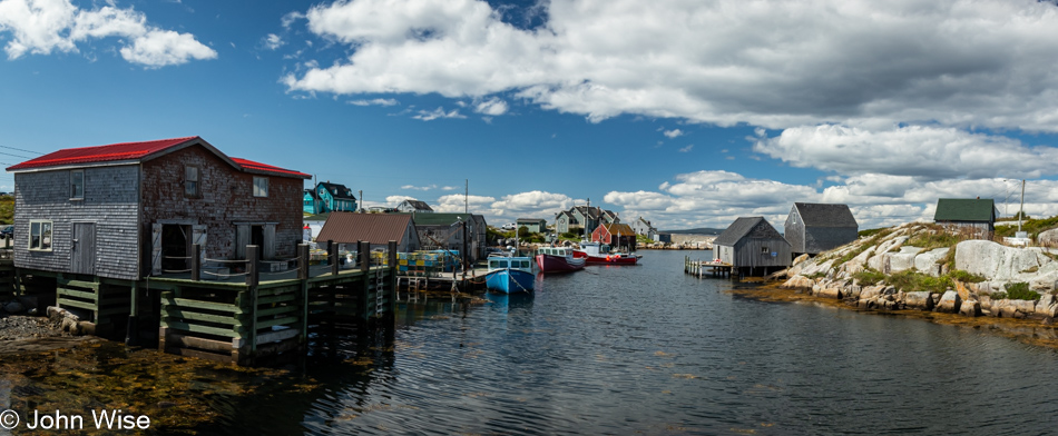
Peggy’s Cove should be visited for at least one overnight. A little more than an hour is not enough.
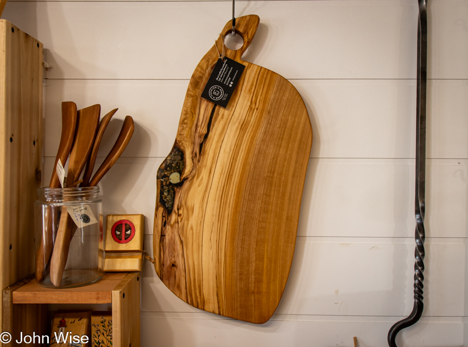
Visiting the gift shop called Hags on the Hill backfired on Caroline, as it was me who’d be leaving with a treasure representing our vacation in the Maritimes: This cutting board, or maybe it should be a giant charcuterie platter, but that would be ridiculously too big for us, and so it must serve the utility of being a cutting board as I’m not taking home a decoration. When it becomes scuffed, scored, and loses some of its beauty, I’ll know that it served a purpose greater than a cosmetic one.
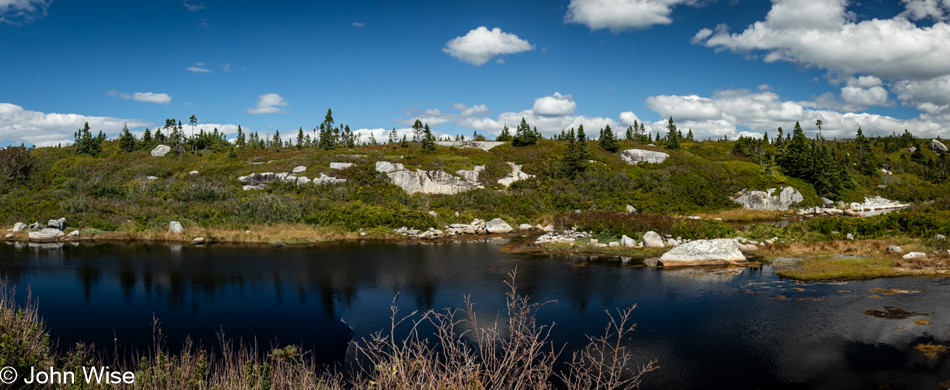
Our imaginations tell us that we are seeing hints of what areas of Greenland and Labrador might look like, piquing our interest in visiting those places, too. Maybe 2026 will see us hitting the Faroe Islands, Greenland, and Svalbard. Labrador will have to wait as, in my mind’s eye, it is more difficult to visit than the other three locations.
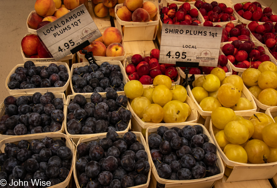
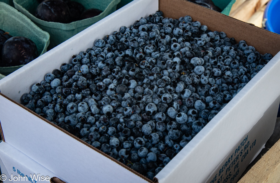
We needed a washroom, Canadian for the restroom or toilet, and the Whistleberry Market just off the road looked like a good bet for facilities. Wow, this Mennonite grocery is one of the greatest small grocers we’ve ever visited; seriously incredible regarding the variety and freshness of everything. While I was having some salt & pepper beef jerky made right here by the owners packed up for me, Caroline spotted Damson plums, something almost impossible to find in the States but the most common plums sold in Germany, essential for plum cake. Out in the parking lot, we tried the jerky and promptly turned around to buy another pound and a half so we’d have some after we returned to Arizona.
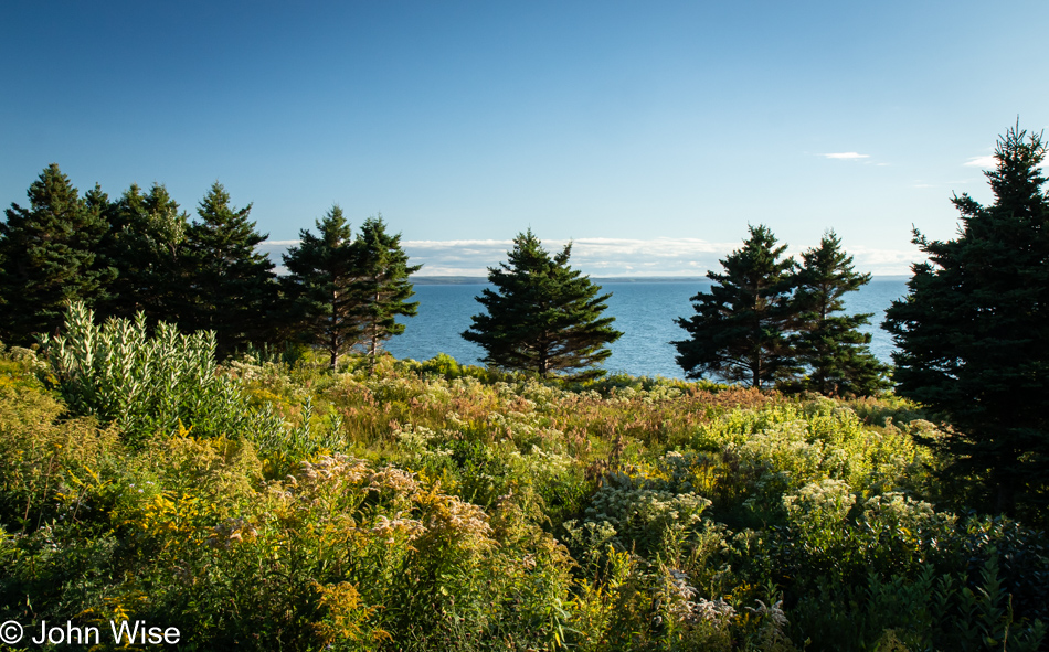
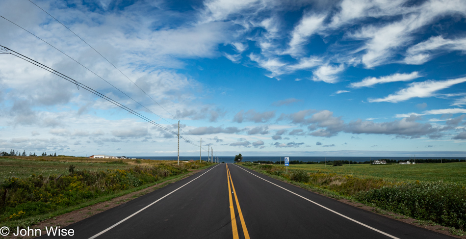
We have reached the focus of our drive north today, Cape Breton. Unlike other islands so far on this trip, we reached this one by crossing a short causeway. The land barely visible on the horizon in this view from the Creignish area is Nova Scotia. The coastal road we’re taking north is called the Ceilidh Trail in honor of the region’s Scottish heritage. Ceilidh is the Gaelic word for a party.
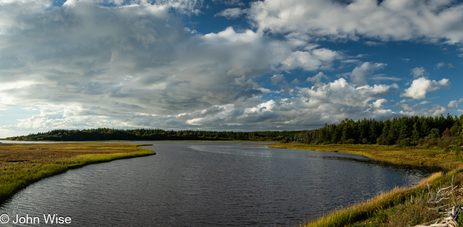
I think I’ve finally discovered something about these travels and their relationship to love that makes them so appealing. When we arrive at a place, we share oohs and aahs about how amazing it is that we are where we are. We hold hands, smile at one another, hug, and generally celebrate our opportunity to be out and about. Then it’s on to the next location, but along the way, those things that attract our interest illicit more curiosity and have us reaching out to each other again. Stop the car and visit a place; even if it was kind of meh, we still laugh about it and joke that, sure, we’ve seen better, but we’re out with each other, and that’s all the reason to again, exclaim our love for each other. So, instead of Skype and text messaging over the course of a workday, on vacation, we are always in each other’s proximity, giving us every reason to glance over and, with a knowing look, offer a smile that oozes love and affection. With all this constant shared love going on 15 hours a day, it is no wonder our vacations are top-notch perfection that leaves us wanting more.
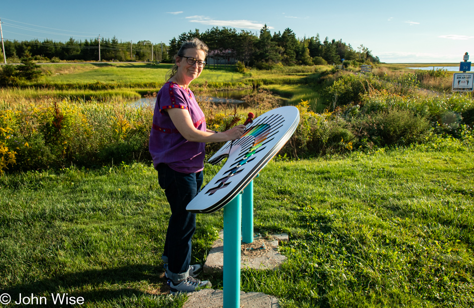
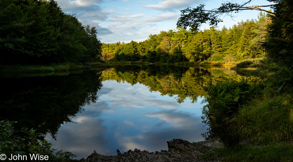
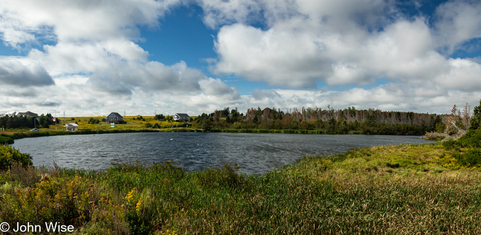
Like I said, smiles. We are at the Cameron Pond near Judique. It is pictured in the photo right above this one, and there’s this xylophone by the pond with two mallets for those inclined to play the pond some music. While I plink-plonked along, Caroline played a little melody for the mosquitos that attracted them to take up perches on her fair skin, jamming to the beat of “Mosquito” by the Yeah Yeah Yeahs with their proboscises.
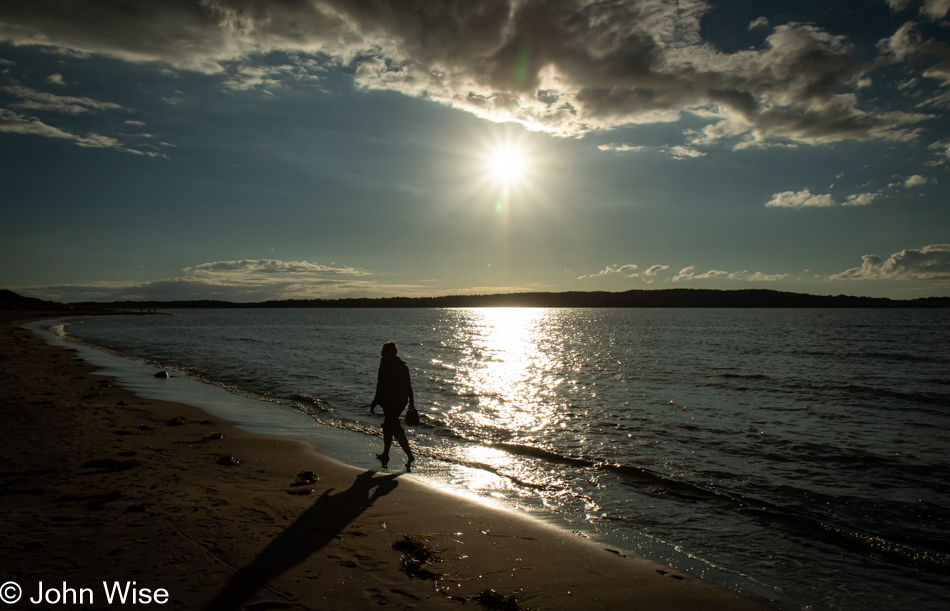
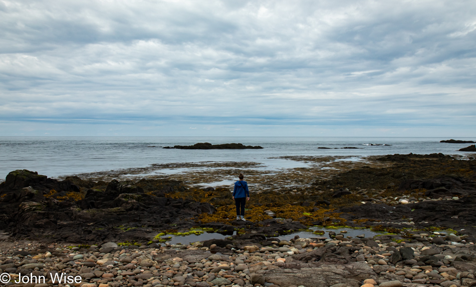
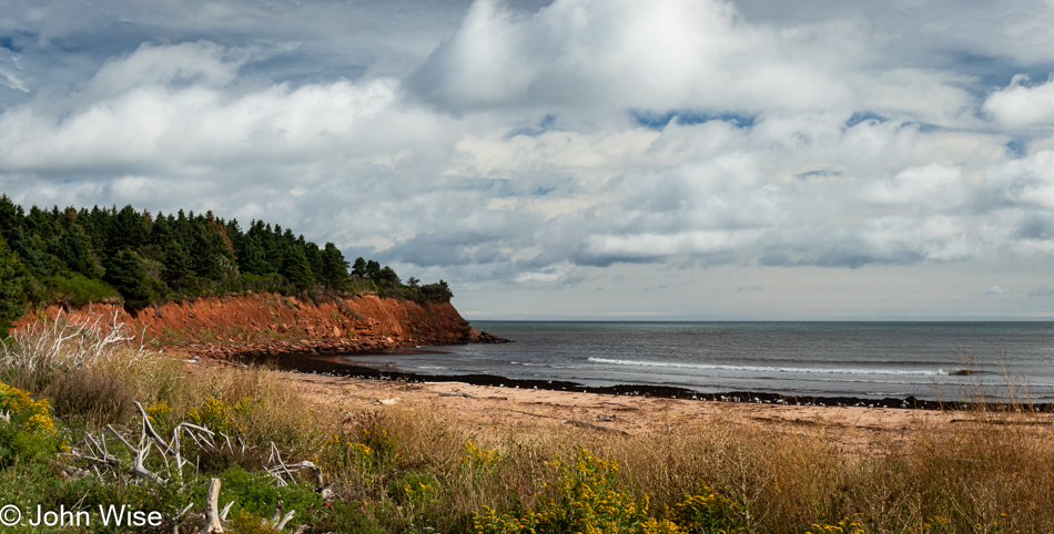
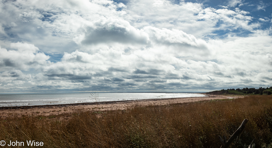
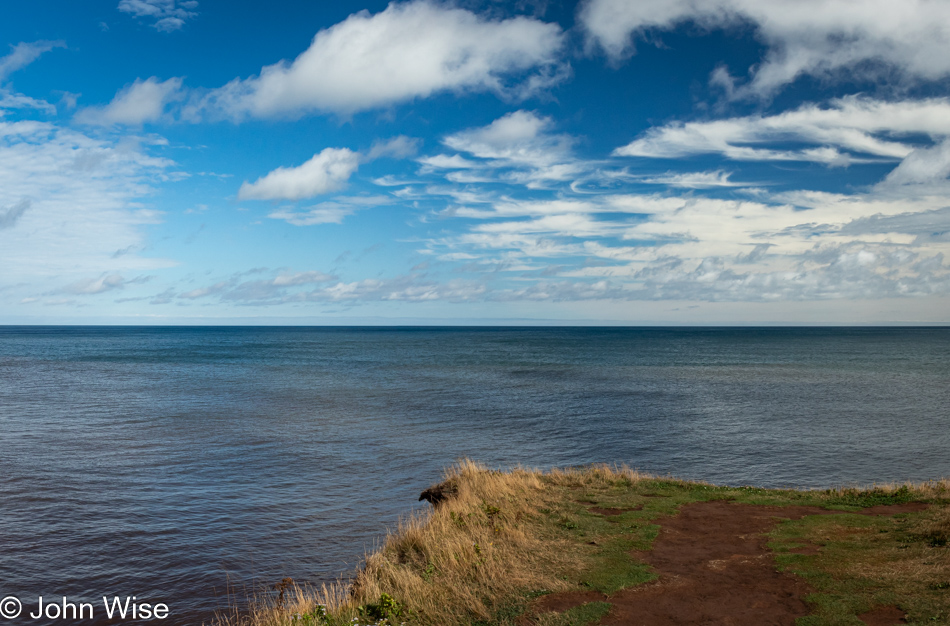
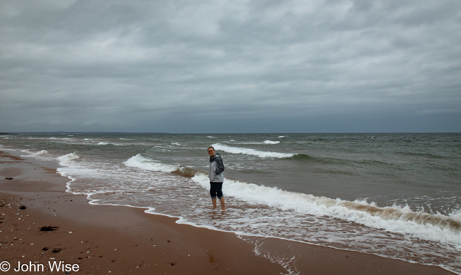
This is the Gulf of St. Lawrence, as seen from the beach at the Port Hood Provincial Park, to be precise. We took a break from our drive to give Caroline a few minutes of beach combing time. You can’t really see her bare feet in the photo, but I assure you that she’s been walking through this cold water.
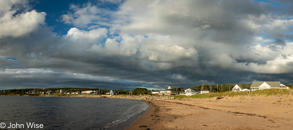
Same location, different direction.
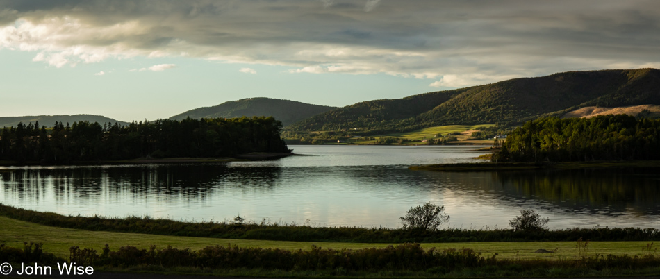
In case you didn’t know, Cape Breton Island is the home of the Cape Breton Highlands National Park, which we’ll visit tomorrow. The scene across the waters near Mabou Beach is far more idyllic than the photo portrays. Suffice to say that everyone who loves beautiful landscapes should visit this corner of the world.
While we have to live with the adage, “Better than nothing,” I would recommend that others visit the Maritimes the first chance they can so they have many years ahead of them and can return often. Do not, if you can afford the time, race through the environment as we are doing, though like the saying states, it’s better than nothing.
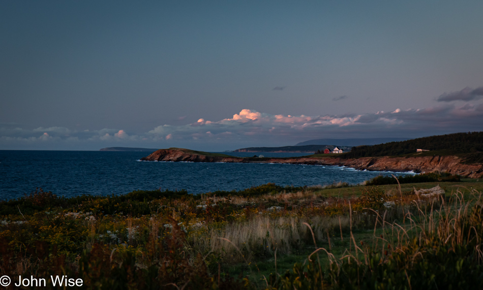
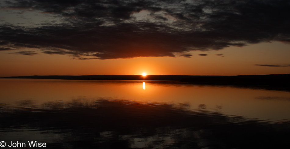
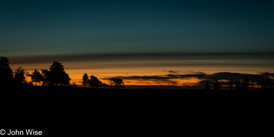
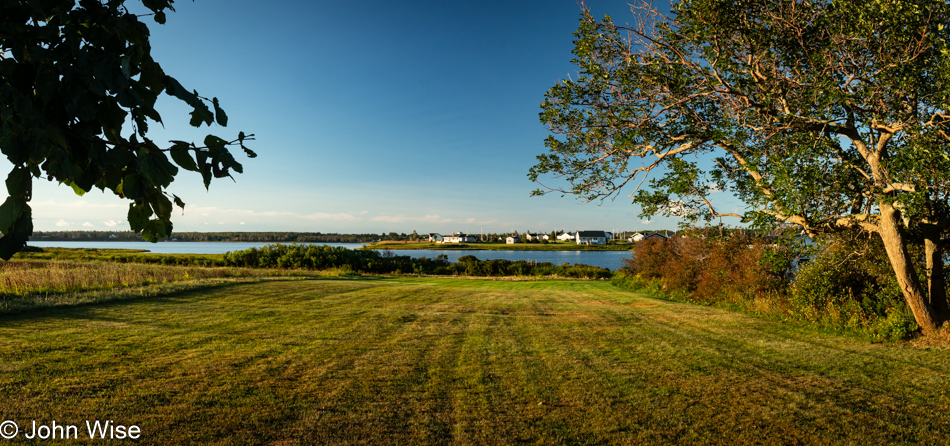
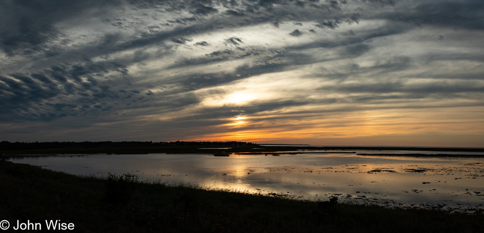
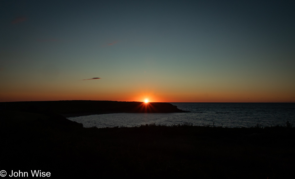
Our sunset was at Margaree Harbor, and like our images at the Port Hood Provincial Park, the above photo of the sun and this one of the coast are at the same location, looking in opposite directions.
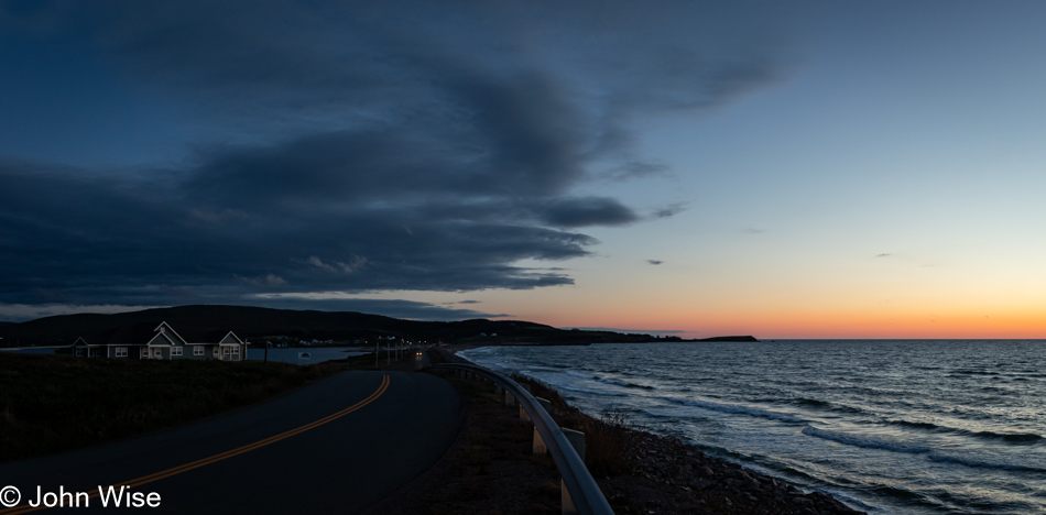
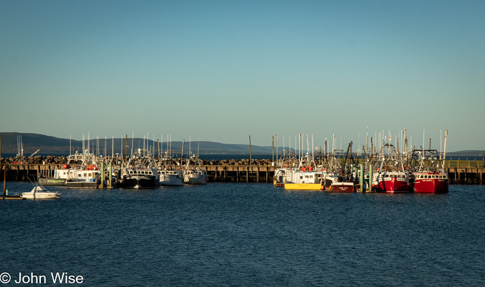
And with this final image, we effectively conclude the visual storytelling that shared our day with you. We weren’t finished driving yet as we still had a short drive to Chéticamp, where we were booked for an evening at Laurie’s Inn and snagged the last reservation for dinner at the excellent L’Abri Café. Regarding dinner, we might be easily influenced by the perceived quality of food after starting with a giant bowl of steamed mussels, as by the time we finish them, we are falling into bliss, and our bias has been swayed. Thinking about things that way, every perfect moment leading up to the end of the day has likely tipped our bias into believing everything found in each moment has led us into these expressions of exuberance and possibly an inability to be fair judges of what others might be critical of.
