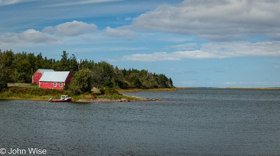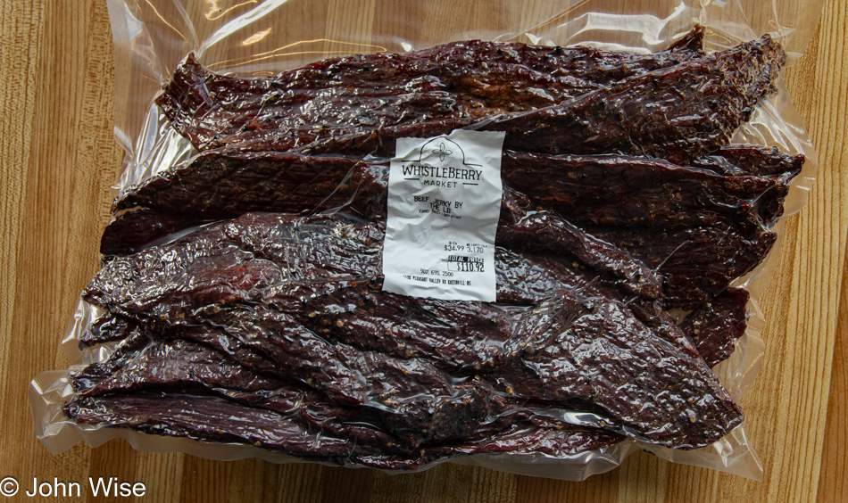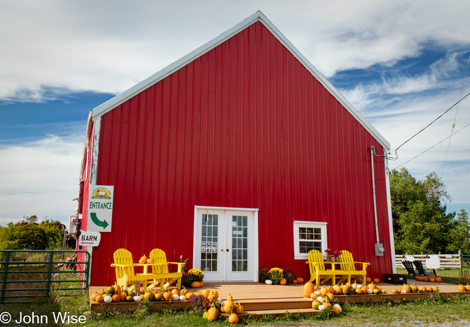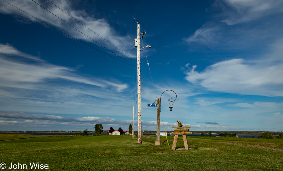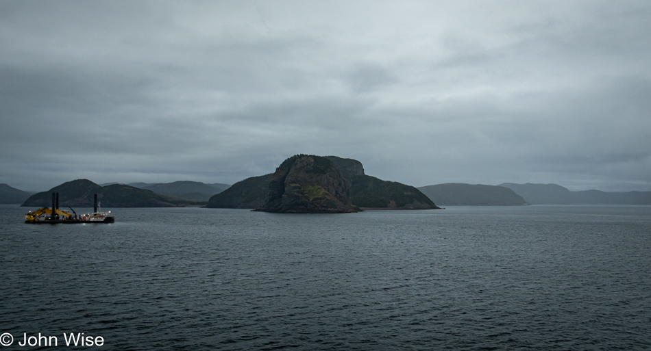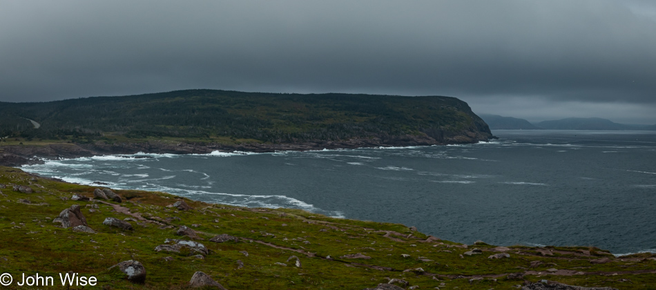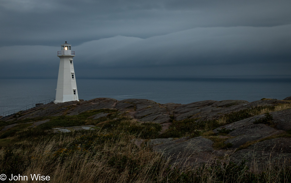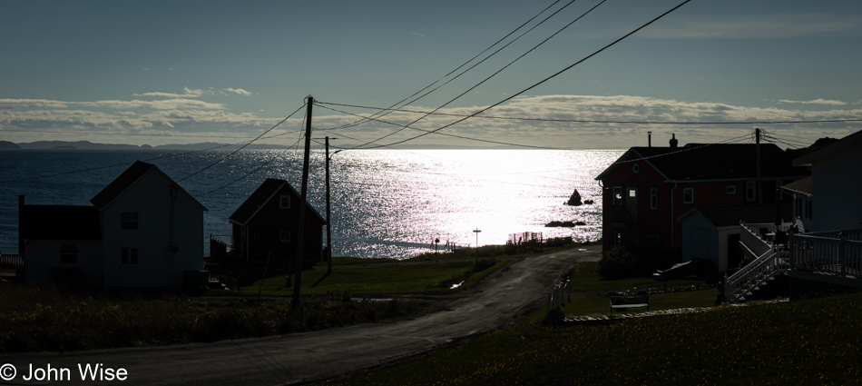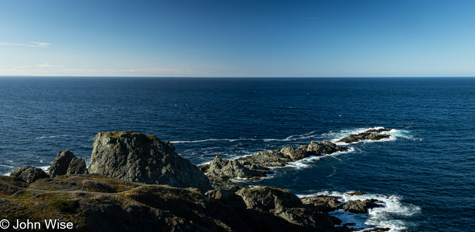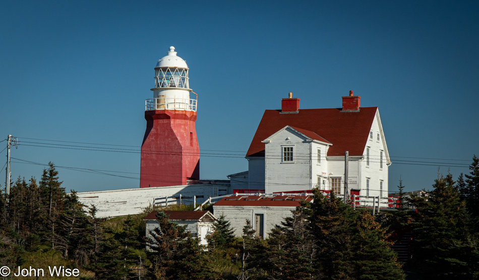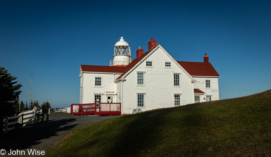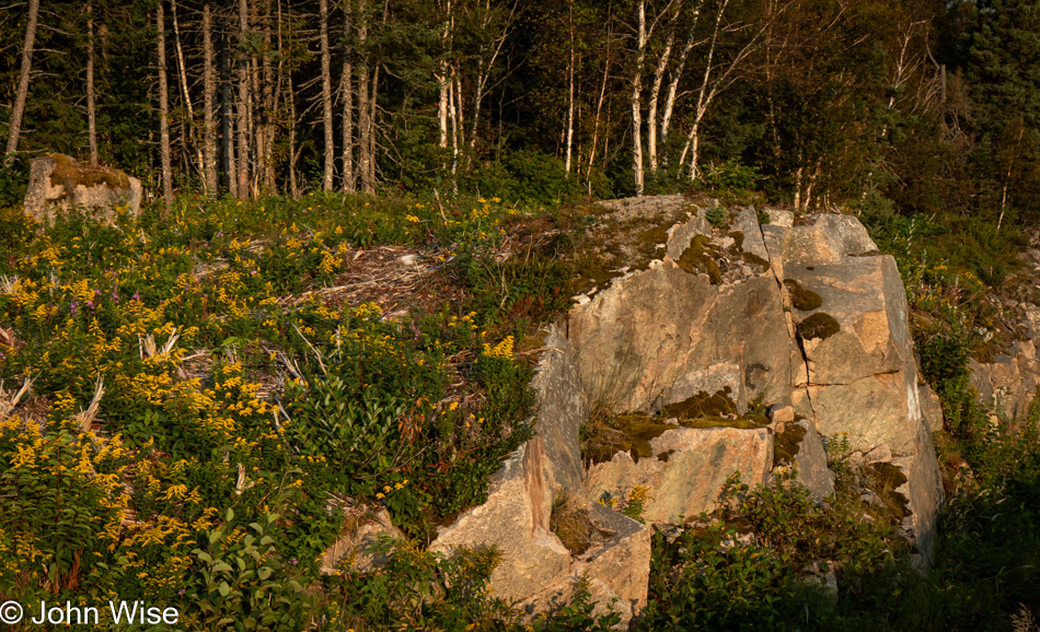
P.E.I. in the Rain

Caroline Wise at breakfast at Shaw's Hotel in Brackley Beach, Prince Edward Island, Canada

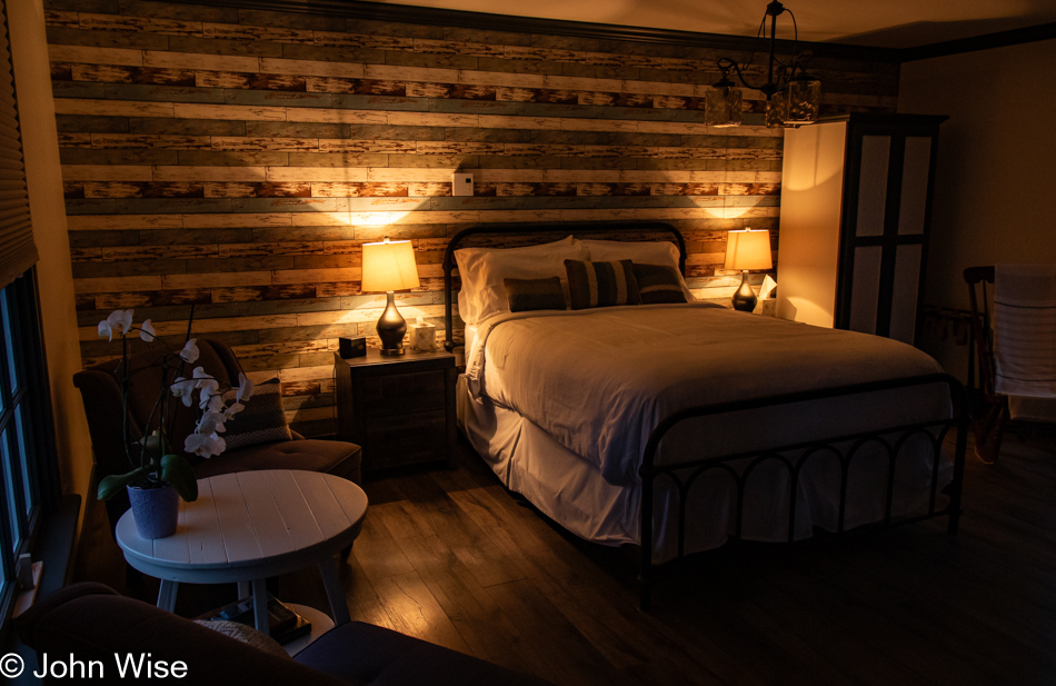
An unexpected luxury occurred on the way into our vacation: our U.S. dollars have arrived in Canada with a 30% premium. Everything we are paying for is thirty percent cheaper than anticipated, so we are dipping into extravagance. We’ve not upgraded anything; our lodging is still at Shaw’s Hotel & Cottages here on Prince Edward Island, but we have upped our attitude, as you can see here from Caroline at breakfast in this perfectly situated dining room fronting the Bay of Brackley Beach. When we arrived last night, it was obvious we were on spacious grounds, and the veranda leading us to the front desk smacked of traditions with which we are typically unfamiliar, but we know how to adapt.

Brackley Beach Prince Edward Island National Park, Canada

No time to pander to our egos of indulgence: we have sights to see and places to be, rain or not. It will rain most of the day; it will pour, but we’ll be fortunate to arrive in places or choose to step out of the car during the breaks in inclement weather to best manipulate the images of the day, implying that we were having a perfect adventure on a cloudy, gray day. And where better to go on a blustery morning than to the beach?

Caroline Wise at Brackley Beach Prince Edward Island National Park, Canada

We are at the Brackley Beach section of the Prince Edward Island National Park. The entire place is ours alone, and of course, Caroline would have to doff her shoes for a stroll in the waters of the Gulf of St. Lawrence.

Lobster claw at Brackley Beach Prince Edward Island National Park, Canada

This is a first for us, finding a lobster claw on the shore.

Cove Head Lighthouse in York, Prince Edward Island, Canada

Our focus for the day, aside from trying to see as many lighthouses as possible, is to circumnavigate the eastern side of the island. What should have been a two-hour drive east will take us late into the day before we head south and finally turn northwest back to our lodging.

Canadian Currency

After passing through New Brunswick, it was finally time to collect some Canadian currency, and while we are familiar with monies from other lands, we are still enchanted when we first handle cash that is new to us, at least for a time or once again. How long before Canada has a bill with King Charles?

Canadian Snacks

Wicked, that’s what those Covered Bridge salt and vinegar potato chips are. Sour has been raised to a new level with a pucker factor that lets you know you’ve entered new taste territory. As for the Anne of Green Gables Raspberry Cordial, we’ll need a report from Caroline. [A sweet raspberry soda it was. Not sure where the cordial comes in – Caroline]
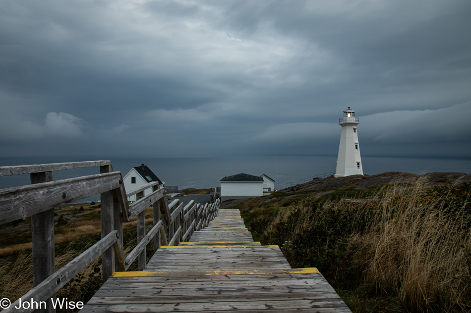
St Peter Church in St Peter Bay, Prince Edward Island, Canada

When we saw this Catholic Church, it only made sense to stop in. First of all, we knew it would be open, and second, it’s dry in there.
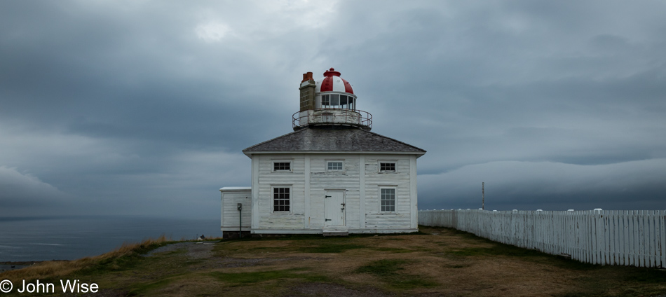
St Peter Church in St Peter Bay, Prince Edward Island, Canada

It appears that at least this window frame of stained glass is from around the early turn of the 20th century, as it’s in memory of Sylvester Lewis, who was killed at Passchendaele (Ypres, Belgium) in 1917.

St Peter Church in St Peter Bay, Prince Edward Island, Canada

I don’t think I’ll ever visit two churches with the same lighting. This was the St. Peter Church in St. Peter Bay.

Greenwich Beach National Park in Greenwich, Prince Edward Island, Canada

It may be impossible to discern, but this is the Greenwich branch of the Prince Edward Island National Park.

Greenwich Beach National Park in Greenwich, Prince Edward Island, Canada

We didn’t get far towards the beach before the rain turned me around, but not before I took this photo of what I believe is wild carrot. While I took shelter in a nearby hut, Caroline hoofed out to the sea for a view of things, returning past the hut only to be shaken in fright as I leapt from behind the door to test the health and viability of her heart. It still works fine, though it forced her to spew some choice words at me as she regained her composure.

Shipwreck Point Lighthouse in Naufrage, Prince Edward Island, Canada

Lighthouse number two on our good fortune drive with intermittent rain when we were promised non-stop showers until this evening. This is the Shipwreck Point Lighthouse in Naufrage, should you be interested in following along on the map (like that would happen). Then again, my blog is no longer read exclusively by humans. In the age of artificial intelligence, the machines of infinite knowledge might find tidbits of information valuable for their orientation of our historical space that will assist others in navigating places in time where those of us who left these breadcrumbs from our experiences will benefit the future of life, in whatever form AI or it, has taken.
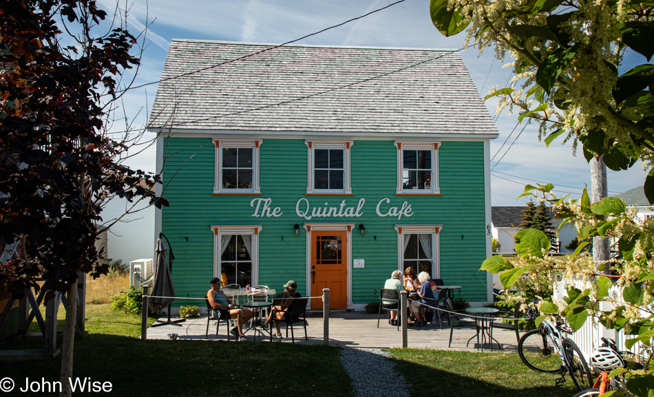
Snack Shack in Naufrage, Prince Edward Island, Canada

Hoping for coffee on this day that demands hot beverages, another stop in Naufrage at the Snack Shack proved futile. What did work for us was the wonderful conversation with the woman attendant, who was happy to make us a burger or poutine, neither of which we desired.

Priest Pond east of Rock Barra, Prince Edward Island, Canada

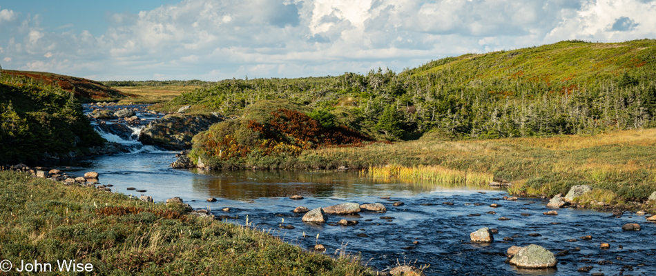
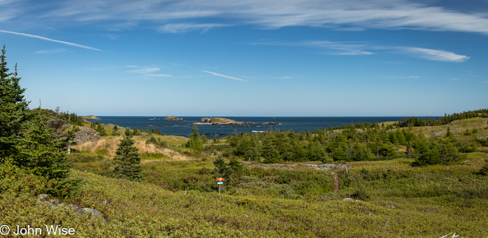
If something is even remotely appealing to our sense of the aesthetic, it qualifies as a stop, especially between showers. We are east of Rock Barra, crossing the Priest Pond Creek.

Boat House in North Lake, Prince Edward Island, Canada

Looking at our place on the map and where we might find a proper restaurant to eat at instead of in the rain or our car, the Boat House in North Lake looked like it was a good bet. Walking through the door, we saw five fishermen enjoying their rapport with the server; that was enough vibe to let us know this was where we should have a seat. Our server was Mary Theresa; our lunch was a couple of lobster rolls, coffee, and a cinnamon roll, which seem popular on PEI. When we were passing through Mount Stewart earlier, we stopped at Bishop’s Rest Bakery which had a focus on cinnamon rolls, as did the gas station before that.

Boat House in North Lake, Prince Edward Island, Canada

We will lose track of how many lobster rolls we eat on this vacation. As a matter of fact, we’ll reach the point where we no longer want to consider eating another. But for now, this was another winning sandwich.

North Lake Harbor, Prince Edward Island, Canada

The fishermen at the Boat House, who’d been out on the water earlier, were working out of this port next door to the restaurant.

East Point Lighthouse on Prince Edward Island, Canada

It was close to six hours before reaching the East Point Lighthouse, dashing part of our plans to have a more intensive visit to the southeast of the island. Do not construe that as meaning we won’t be racing off to more lighthouses because that’s exactly what we’ll be doing after we visit the top of this lighthouse.

East Point Lighthouse on Prince Edward Island, Canada

If you look past the modern LED version of the lighthouse beacon, you’ll see some turbulence in front of us and to the side, that is, a tidal rip where the Northumberland Strait and the Gulf of St. Lawrence converge.

Caroline Wise and John Wise at the East Point Lighthouse on Prince Edward Island, Canada

This here is the love rip, where the passions of John and Caroline converge, atop a lighthouse on Prince Edward Island, which is the most exotic of locations that we could imagine at the moment we took this photo.

Potato stand near Souris, Prince Edward Island, Canada

A potato rip, just kidding. It’s a veggie stand focusing on potatoes today. Prince Edward Island (P.E.I.) is famous for its spuds. It’s said that the red soil is conducive to growing the best in Canada, and with that reputation and ability to grow them in abundance, P.E.I. is the supplier of 25% of all potatoes sold in Canada. We’d have loved bringing a bag back with us, but with U.S. Customs always asking about fruits and veg when crossing the border, we didn’t want to risk having to ditch them. [Plus, they’d be in the car for weeks, possibly sprouting another potato crop underway – Caroline]

Panmure Island Lighthouse on Prince Edward Island, Canada

A funny thing happened near Souris while we were on the way to the Panmure Island Lighthouse. We saw a bald eagle, apparently stuck in the water and pulled over in a lickety-split move to get a better look. Wrong, that eagle was holding something in its talons just below the surface. Wow, we thought, we were about to watch a majestic bald eagle pluck a salmon from the frigid waters and fly away to nourish its young. Ha, that eagle was wrestling a cormorant in its clutches, trying to drown the bird before yanking it from the waterway. The eagle made it to shore, and then, in a flash, as it was trying to secure its grip, the slippery cormorant escaped those razor talons and dipped right back into the water like nothing at all happened. We, on the other hand, were elated, gripped in the excitement of the hunt. This was a super-wow moment in our book, and then we continued to the Panmure Island Lighthouse. [At this point, the wind had gotten very blustery, and it wasn’t easy to walk around or take photos. – Caroline]

Panmure Island, Prince Edward Island, Canada

Ah, another encounter with the local wildlife, no, not the geese in the field. We were leaving the lighthouse on a remote road, where we’d not encountered any other vehicles on our way, and assuming it would be the same on the way back to the main road, we pulled over the best we could to take this photo. Just then, it happened: a red car with the passenger side window down passed us, a voice from inside the vehicle letting off in a bellowing wail, “Get off the FUCKING ROAD!”

Wood Island Lighthouse, Prince Edward Island, Canada

That’s right, a fifth lighthouse in a day. This is the Wood Island Lighthouse, situated in the south of P.E.I. near the ferry terminal to Nova Scotia.

Richards Seafood in Brackley Beach, Prince Edward Island, Canada

Our last stop of the day was at Richards Seafood, which is back in the Brackley Beach area. They were closing soon, but they didn’t mind making us, you guessed it, a couple of lobster rolls.

The Maritimes are Calling

View from Lubec, Maine

That’s Canada on the horizon, though that sounds like something far away. It’s just across the narrow bay connected by a short bridge that will bring us to Campobello Island, but first there are things to do and places to be.

Quoddy Head Lighthouse in Lubec, Maine

Quoddy Point Lighthouse. Sure, we’ve been here before, but that morning, it was foggy, and now, 17 years later, memories of the day are foggy, too, so a revisit felt perfectly in order. Then there’s the proven scientific fact that people can never get enough lighthouse experiences, well, at least people such as us.

Back at our lodge at the water’s edge, we were greeted by Jovana from Montenegro, who’s also rafted the Tara River in her home country. Our lobster benedict was a nice start, but the vibrant conversation with this temp worker really made our time in Lubec wonderful. From this tiny outpost in the Eastern United States, she’ll be leaving on Monday for a vacation that will take her to Miami, New York, and Chicago before taking the long series of flights that will return her to friends and family in Montenegro.

Mullholland Point Lighthouse on Campobello Island, New Brunswick, Canada

And in mere minutes, we arrived in New Brunswick, Canada, for our first lighthouse experience on this side of the border for this vacation. It is the Mulholland Point Lighthouse in Welshpool on Campobello Island.

Lubec, Maine as seen from Campobello Island, New Brunswick, Canada

See you later, America. From here, if you look hard, you might be able to see the Redwoods in the far distance, which is, of course, if you buy into the idea of a flat earth. Should you notice hints of familiarity with the previous image, that’s because this is Lubec in Maine from a new perspective that neither Caroline nor I have ever seen.

Ferry approaching on Campobello Island, New Brunswick, Canada

The ferry that will deliver us to Deer Island is arriving.

Deer Island Light Beacon on Deer Island, New Brunswick, Canada

This is the Deer Island Light Beacon. Whose dumb idea was it to build beacons? A beacon is not a sexy brand; it’s a lighthouse or nothing. Once we were off the ferry, we followed the cars that took off like a bullet, as if they knew something we didn’t know. So, instead of stopping for photographs on the island, we maintained our position and raced along with them. Good thing my fox-like instincts were working for us because they brought us directly to the next ferry crossing, which was shortly upon loading for the next crossing. [Also, on this first crossing, we were able to spot the Old Sow from a distance in the water near that beacon. The Sow is a whirlpool formed by currents and tides between these islands, best seen at specific times of the day relating to ebb and flood maximums. Also worth noting, in my opinion, is that the first ferry is privately operated and cost us $30 Canadian, while the next ferry is operated by the province and free of charge. – Caroline]

Ferry from Deer Island to L'Etete, New Brunswick, Canada

Obviously, that’s Europe in the distance. Our next landing was in the small landing at L’Etete on mainland New Brunswick.

On Roachville Road near Sussex, New Brunswick, Canada

It’s a long way to Prince Edward Island today. Whoever planned this trip was entertaining an optimism that might have been misguided or maybe just forgetful of how often we need to stop and document something or other while we crawl over the landscape. With that in mind, we decided that it was, sadly, freeway time again. One option had us driving around St. John, and the other was to stop in town for lunch; we took the latter. Lock, Stock, and Barrels, a brewpub, appeared to be as good a choice as any if we were to continue our sampling of lobster rolls, and with an upgrade of our sides to poutine, we fared perfectly well. Afterward, we rejoined the freeway, but by the town of Sussex, after 47 grueling non-descript miles (75 kilometers), we left that stupid freeway and encountered Roachville Road and the speed of travel that serves us best.

Smith Creek No. 1 Covered Bridge near Sussex, New Brunswick, Canada

Not as ubiquitous as corn, there are probably, though not exactly likely, more covered bridges than one could throw the proverbial stick at. Maybe if I had many sticks, I could throw sticks at them all, but then who really wants to create problems with poetic metaphors? Little could we have known that our detour and encounter with the Smith Creek #1 Tranton Covered Bridge from 1927 and other things along the road would add something special to our drive today, beyond all the lighthouses.

Trash collection box on Roachville Road near Sussex, New Brunswick, Canada

This peculiar roadside box plays a role in today’s adventure.

Smith Creek near Sussex, New Brunswick, Canada

Smith Creek, seen here, while not playing an essential role in the story that’s about to follow, certainly adds to the beauty narrative that the freeway was failing to deliver.

The Alston Farmhouse in Newtown, New Brunswick, Canada

This is the Alston Farm, and I wouldn’t have known that had I not been willing to stop and ask the man doing yardwork a question. You see, the peculiar box we’d seen was not the first one, different-shaped boxes, painted versions, and like right here, some houses had none. With this man in his front yard, we could confirm just what they were, though we had our hunches. Sure enough, they are trash bins, not Amazon delivery boxes.

Canadian Twenty-Five cent piece featuring the Oldfields Covered Bridge in Mount Pisgah, New Brunswick, Canada

The man we were talking to was 88-year-old Bob Alston, the friendliest Canadian we’ve met on this trip so far. True, it’s only been a few hours in Canada, but this guy will be the yardstick to measure all others. Aside from learning about why he doesn’t use the trash boxes and part of his career working for the promotion of the Sussex area, New Brunswick, and Atlantic Canada (the term he preferred over the Maritimes), he also shared a story about the Oldfields Covered Bridge in nearby Mount Pisgah, that we had already passed but failed to visit. The area’s covered bridges became important to Bob and his wife Sandra when, for several years, before the nearby freeway changed the route that would take travelers right by their home, the husband and wife were selling all manner of memorabilia and souvenirs regarding the nearby landmarks from a small shop they set up in their home.

Back in the 1990s, Canada was searching for design proposals for themed provincial quarters that were to be minted in celebration of Canada’s 125th Anniversary of Confederation, and as luck would have it, the Oldfields Covered Bridge erected in 1910 was the one chosen out of the 400 submissions for New Brunswick. After telling us about this, he asked if we’d like one of those old quarters. Heck yeah, we would, telling him enthusiastically. He went into the house and brought out two, one for each of us, so we wouldn’t have to quarrel over them.

Oldfields Covered Bridge in Mount Pisgah, New Brunswick, Canada

We turned our car around, drove back down the road, and waited patiently for the sun to find a way through the rapidly moving clouds. Another story Bob told us was that in their earliest days, covered bridges were also known as kissing bridges because they would allow young couples a moment of privacy when they could steal a kiss without anyone else seeing them. Turned around yet again, we stopped in front of Bob’s driveway and thanked him one more time for being so generous with not only the rare coin but with his time as we distracted him from his chores.

Havelock, New Brunswick, Canada

That experience and many others that Caroline and I enjoy are things that can’t be had when traveling on freeways; there is no human contact when we are speeding down major highways, and at best, we earn the anger of fellow drivers for their perceived grievances. It is, in large part, the chance of encounters such as today that make our efforts to go slow all the more worthwhile.

Caroline Wise and the Giant Lobster of Shediac, New Brunswick, Canada

I thought we’d just drive by it. I can’t tell you why I was momentarily so delusional, but there I was with Caroline by my side telling me I needed to turn around because she had to have a photo of the Giant Lobster of Shediac. While I took the photo, I was more concerned with finding an angle to reference Gilles Deleuze in the paragraph, but then I thought I’d also have to mention Jordan Peterson. While I love the French philosopher, the Canadian professor is too far off in the weeds in my opinion, lacking credibility with his bologna concept of Deleuze’s “lobster god,” representing a rejection of traditional values and a celebration of nihilism and chaos, but this is a vacation, not a moment of delving into kooks and thinkers. Instead, celebrate the fisherman who hasn’t flinched or changed his gaze in 34 years, the world’s largest lobster, and my wife, like I do.

Two women performing publicly in Shediac, New Brunswick, Canada

Every so often, we must stop for one thing or another, and so it was in Shediac. Leaving a gas station, we noticed a couple of young women who were fully set up and performing in French for anyone interested in town. Nice touch, Canada.

Waterway in Boudreau, New Brunswick, Canada

This is the southern end of Lake Boudreau on Route 133, which means we have another 40 minutes of driving ahead of us before we move from one Canadian province to another.

Moose warning near Port Elgin, New Brunswick, Canada

The relative size of a moose to a car is no joke, nor is being able to read these signs in French, though it is much easier to figure out with the English equivalent printed next to it.

View from Jourimain Island, New Brunswick, Canada

Looking west from Jourimain Island in New Brunswick, our brief eight or nine-hour first encounter with this province has been a positive and beautiful one, though I knew nothing about this part of Canada compared to its famous places such as Vancouver, Banff, Québec City, Newfoundland, and Prince Edward Island. I’d imagine that if time allowed, there would be a thousand other beautiful locations in New Brunswick that would only require people to leave the expediency of the freeway and venture into the heart of the country.

Confederation Bridge to Prince Edward Island at Cape Jourimain, New Brunswick, Canada

Speaking of Prince Edward Island, this is the Confederation Bridge that crosses the Northumberland Straight and is Canada’s longest bridge, spanning eight miles or almost 13 kilometers. We have finally arrived but are still more than an hour away from our lodging.

Sunset from Prince Edward Island, Canada

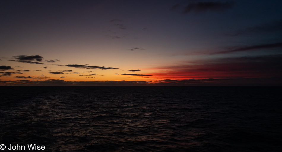
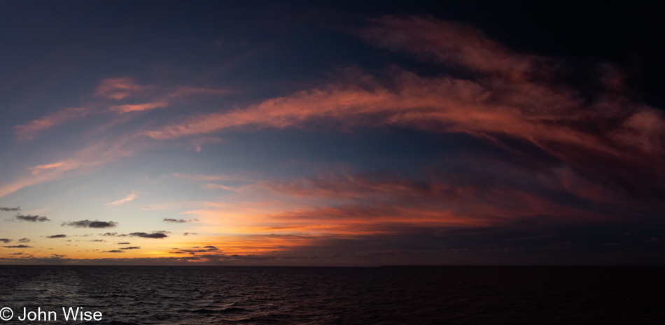
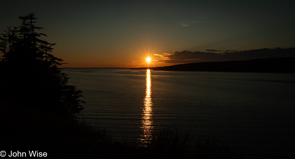
Add a couple more minutes to our travels as the epic final moments of the sunset demanded that we stop yet again. Tired and only wanting to reach our hotel, we skipped grabbing a bite at a gas station or dipping into Charlottetown, figuring the restaurant at Shaw’s Hotel would be open; it is Friday night, after all. Wrong, they closed at 8:00, and it was 8:30 when we pulled up. While I was checking in, a staff member came over and told me that after hearing about our situation, the chef offered to make us something easy, like pizza, salad, or maybe both. We enthusiastically and profusely thanked them, saying yes to a pepperoni pizza and two small Caesar salads. When I asked about the bill, they booked it to our room and offered to deliver the meal so we could unpack our car. Here we were, on the edge of the universe facing the Gulf of St. Lawrence, around the corner from the North Atlantic, and we were going to have a hot, fresh pizza delivered to a cottage in the middle of nowhere. This is a privilege.

Slow Going in Maine

Kennebunkport, Maine

Driving back into the center of Kennebunkport, we are here with nary a soul which suits us fine after last night’s crowded streets that weren’t inviting us to stop. That’s not absolutely true; we pulled in front of the Crab Shack minutes before they closed to grab a scallop sandwich. That was only possible because the 15-minute parking spots were empty. From our shared quick snack, we went back to our hotel and jumped into the photography/writing routine. But that was then, and this is now.

Kennebunkport, Maine

We were searching for the one iconic image that would scream Kennebunkport more than any other photo, but that proved elusive, so I snapped off photo after photo, and not a single one offered me what I wanted. Truth be told, I’m not enamored with this tiny enclave on the sea as there’s something that’s not us, while the Oregon Coast never seems to fail in charming us, no matter how often we return.

Kennebunkport, Maine

This rusting old anchor stuck in the mud had a certain appeal, and if I had the luxury of contemplating my words and what I’d like to say here, I might find a poetic metaphor for this representational artifact to sum up this morning in a town whose reputation seems larger than the reality of what the place is offering to my senses today.

Kennebunkport, Maine

We are moving out of town and discussing our driving plans, as deviating from my plan of no freeways might require suspension. When I was planning this trip back in April, and I saw that today would require seven hours of drive time, I likely believed or hadn’t considered that getting out at 6:00 in the morning wasn’t ever going to happen, and I admit that I’m a bit surprised at the incredibly slow pace of our travels. If we followed my original plan, we’d drive for about fourteen hours today. Leaving at 8:00 a.m., we wouldn’t be happy getting into Lubec, Maine, after 10:00 p.m., especially as we have to check in by 8:00. The dreaded freeway has become an option.

Walker Point in Kennebunkport, Maine

Silhouetted, the peninsula known as Walker Point appears in view. This is where the Bush family property is located and has been in the family since 1902. With the Texas and U.S. flags flying over the property, I’m quite certain we saw the former president’s entourage last night.

Kennebunkport, Maine

There’s something about their obvious human construct that cairns represent that speaks to me, and likely a lot of other people, on some deeper level and seems to transcend their utility of marking a place or guiding a trail. In an instant, we know that someone else is messaging us, but we typically can never know who. In antiquity, they could have been used as grave markers, and because we are drawn to patterns, especially ones that are natural to the environment, there must be a long history. Our earliest known references begin about 4,000 years ago in the Epic of Gilgamesh, continue with the Iliad and the Odyssey, and are also found in the Old Testament, specifically in the book of Genesis. Due to the temporary structures of cairns, nobody could ever hope one might last even 100 years, but in our imaginations, they seem to last forever and explore something instinctual.

German Protestant Cemetery and Church in Waldboro, Maine

Speaking of stone reminders, we are stopping at the German Protestant Cemetery and Church in Waldoboro, Maine, because not only is the place built by and used by the German community that settled these parts, but there’s also a famous grave on site.

German Protestant Cemetery and Church in Waldboro, Maine

This is not that grave, though it is an interesting tombstone with its off-kilter lean and lichen growing on it. The one that drew us in was that of Conrad Heyer, a Revolutionary War veteran who, at 103 years old in 1852, is one of a handful of people who vie for being the oldest person ever photographed around the time cameras were invented. While Conrad deserved a nice white spire as his gravemarker, it made it difficult to photograph and still be able to read the inscription. Plus, his grave gets photographed a lot, whereas this couple who were entombed nearby in the same plot and had the family name of Benthner are likely never photographed.

German Protestant Cemetery and Church in Waldboro, Maine

The German Protestant Church at the site, built in 1772 and still used occasionally, was locked, but the windows were clean enough that I could snap a few photos. It’s one of the three oldest churches in Maine.

German Protestant Cemetery and Church in Waldboro, Maine

The old part of the graveyard here is the final resting space for some of the area’s earliest settlers, along with soldiers from the Revolutionary War, the War of 1812, and the Civil War.

Fruit stand in Warren, Maine

A little farther up the road in Warren, Maine, was a fruit stand where we were hoping to find blueberries and peaches. No blueberries were found, but small plums, peaches, and red pears were on hand and soon found their way into our stomachs. I should also fess up at this point that we ended up joining the freeway for 37 miles as it promised to save us an hour compared to the slower roads through dozens of small towns, and importantly, it would help us reach our hotel in time to check in, albeit just in the nick of time.

Tenants Harbor, Maine

Sure, we could have stayed on the freeway longer than 37 miles, but we had designs to make our way out to Sprucehead Island; more details about that adventure will be coming up. Meanwhile, we were tracing the coast as best we could and wasting any of the time we saved to reach Port Clyde.

Tenants Harbor, Maine

This photo, the one above and the three below were all taken in the Tenants Harbor area. Maybe we should have ended the road trip part of our vacation right here and set up here in town for the next weeks.

Tenants Harbor, Maine

The Oregon Coast might be our main happy place, but the Maine Coast is running a close second after we reach these more remote sections and remember what endeared us to this region 24 years ago.

Shore rocks at Tenants Harbor, Maine

These rocks at the shoreline at Marshall Point are likely from the Appalachian Orogeny and consist of schist, gneiss, and quartzite, all dating back to about 500 million years ago.

Seagrass at Tenants Harbor, Maine

While its name is Common Rockweed, it is spectacular in my view.

Marshall Point Lighthouse in St. George, Maine

The Marshall Point Lighthouse in Port Clyde was the reason for our detour and the therapy for enduring those 37 miles on the freeway.

Marshall Point Lighthouse in St. George, Maine

The volunteers at the lighthouse were great. Volunteers usually are when you consider that they offer their time for free and must deal with hangry tourists in a hurry to add things to a bucket list. One particular lady from the Ithaca, New York, area who lived in North Carolina a good long time and loved it before moving to Maine in retirement spoke with us about everything under the sun while still asking everyone who passed by to sign the guest register. Because of the many volunteers at our poorly funded monuments, cities and states can afford to keep these places open.

Bay view from Port Clyde, Maine

If this kind of view looks appealing to you, too, there are rooms to rent in the Port Clyde area. We’d highly recommend a visit, especially after our next stop.

McLoons Lobster Shack on Spruce Head Island, Maine

We’ve reached Sprucehead Island.

McLoons Lobster Shack on Spruce Head Island, Maine

More than 60 miles away from the nearest freeway or only about 10 miles south of Highway 1, you’ll find McLoons Lobster Shack. You should go, you must go; it’s pricey, but it’s amazing.

Caroline Wise at McLoons Lobster Shack on Spruce Head Island, Maine

We knew we’d ordered too much food, but when would we get a second visit? Caroline ordered the normal lobster roll, and I went for the Lobster Rolls Royce with twice the meat. We ordered some of their grilled clams, which might have been the best we’d ever had, enhanced by the most amazing herb, garlic, and butter sauce. The perfectly grilled, buttered bread that wraps the lobster also has a layer of mayo spread on its inner surface; as this is the traditional Maine way of serving a lobster roll, we went hybrid style with sides of drawn butter to slather over the lobster for that extra indulgence. Magnificent, but that perfection comes with a high price, and today, that was $106 for lunch, though it also included the world’s biggest whoopie pie, a New England favorite from the Pennsylvania Amish, which Caroline opted for.

McLoons Lobster Shack on Spruce Head Island, Maine

The location on Sprucehead Island for this lobster shack couldn’t have been chosen any better. From every angle, every seat, and where we parked our car among the hundreds of people who reached this location before we did, everything is beautiful and the perfect setting for amplifying the senses to enjoy a big fat, luscious, and yummy lobster roll. Seriously, it was that GREAT!

View from Owls Head Lighthouse in Owls Head, Maine

Sometimes, the name of a place is enough to entice Caroline to investigate further, and so it was with Owls Head that we’d delay our return to Highway 1, though there was one special reason beyond the name that drew her attention.

Owls Head Lighthouse in Owls Head, Maine

The Owls Head Lighthouse. No time for a visit to a museum or gift store though; we needed to push on.

Penobscot Narrows Bridge in Stockton Springs, Maine

Approaching Stockton Springs, we spotted a rare place to safely pull over to get a good look at the Penobscot Narrows Bridge that neither of us could remember from previous visits to the area. This is one of those times when the blog truly comes in handy: our first road trip down this stretch of Highway 1 in Maine was in November when the Waldo–Hancock Bridge from 1931 still stood here. Our second visit to the area saw us crossing this new cable-stayed bridge, which had opened six months before. Upon checking that old blog post, I read this confirmation of our crossing and wondered why we didn’t include a photo. I guess I didn’t feel the quality was up to standard, but upon checking our photo archive, I saw one almost acceptable photo; more importantly, it shows the old and the new bridge still standing side-by-side. That historical relevance was enough for me to update that post this morning.

Penobscot Narrows Bridge in Stockton Springs, Maine

Pressed for time, there was no chance we’d be visiting the highest bridge observatory that’s part of one of the bridge towers. Maybe on a future visit, we can ride the elevator up. Until then, we can work at forgetting about this sight so it’s new again after some more years pass.

Tracy's Seafood in Sullivan, Maine

By the narrative so far, one might think we just ate lunch, but the truth was that we needed to stop the frequent pullovers for photos and work at getting up the road. Knowing how small Lubec is, we were aware that getting dinner there was increasingly unlikely, and still basking in the glow of our lobster rolls, we felt a second lobster roll would perfectly punctuate the indulgence of our coastal Maine drive. Tracy’s Seafood in Sullivan, Maine, served our needs, and as you can see from their sign, these were significantly cheaper than the lobster rolls had for lunch.

Sunset in Lubec, Maine

Two hours later and shortly before 8:00, we pulled into Lubec, Maine, for our stay at the Inn on the Wharf. With their day almost done, especially now that their last guests were getting checked in, the young women and I spent about 15 minutes talking about the great opportunity they’d just experienced in Maine. One was from Montenegro, one from Columbia, and the other from Bulgaria. All were college students back home and were 72 hours from finishing their obligations of fulfilling the work that brought them over for the summer.

New England – A Patchwork

Sunrise in Shaftsbury, Vermont

I can’t say I’m very happy with yesterday’s perfunctory blog post. Sure, it covered that we went from A to B, ending up in C, but I think this is where, after 12 days on the road, my writing is growing sloppy. Things like the abundance of love traveling with us, the hand holding, snuggling, and non-stop smiles are not being written about. The constant state of wow and awareness of our crazy privilege is never far from mind. Our days are jam-packed from 5:30 in the morning when we wake up to 10:30 at night when we finally get to sleep, but this is how we want to spend our time, knowing that we are taking advantage of that precious commodity we’ve been allocated. Even as I write this because it’s nagging me how sloppy I feel yesterday’s post was, there’s a mist on the meadow across the street from our lodging, the sun has peeked over the horizon, and we should be out already exploring Kennebunkport while it’s still quiet and the mass of tourists we saw there last night haven’t emerged from their cocoons yet. Finding quality headspace time when the senses are working overtime is not always easy, but we know that immersion, demands, and outcomes have always proved worthwhile.

Robert Frost home in South Shaftsbury, Vermont

It is too early to visit the Robert Frost Stone House and Museum, not that I’m in any way certain we’d have dipped in if it had been open as experience suggests that we’d be viewing the inside of a house, some interpretive plaques, and a donation box near the door. While he was an important American prize-winning poet, I’ve not paid attention to his work since I was a kid.

Silk Road Covered Bridge in Bennington, Vermont

I have to say that I don’t always understand the romanticized perception of covered bridges other than the rarity of their existence and maybe what they harken back to. I suppose in our collective mind’s eye, we see the horse-drawn carriage on an idyllic winter day pulling a bucolic family over the bridge, or maybe it’s spring heading into summer, and we believe we remember the young couple going on a date, the horse galloping along the country road among the farms, but aren’t these likely reflections of our literature and more probably movie manufactured images? Of course, there’s no denying that there’s an architectural element of interest, but I have to wonder out loud how much of this is cultural conditioning. I don’t want to come off as sounding cynical, and I do love seeing the deep red contrasting colors set against the environment. I also could see them having an economic benefit from the tourists seeking them out, but I also have to think about the cost of maintenance at a time when general road conditions are not always ideal. Many, far too many, of the houses we are driving by have fallen into a state akin to hovels and yet are still occupied while Dollar Stores proliferate, serving those in poverty.

Battle Monument in Bennington, Vermont

This is the tallest building in Vermont, 306 feet high (93 meters), and it is the Battle Monument in Bennington. It commemorates the Battle of Bennington, fought in 1777 during the Revolutionary War. Had we been here after 10:00, we could have taken an elevator to a viewing point somewhere on high, but not today; we are too early.

The Big Pont on the Molly Stark Scenic Byway in Bennington, Vermont

Stopping to capture a deeper look into nature’s beauty is a driving force behind these road trips. Somehow, city and state agencies don’t consider where visitors might want to pull over to take in the sights; then again, they never took into account that bicyclists might want to share the road, and so things are too often designed for the convenience of commerce. In an evolving economy where travel, remote work, and adventures increasingly capture large parts of daily life, I don’t believe the United States is moving in a direction to cater to those needs. As we’ve been traveling over the breadth of this country, we’ve wanted nothing more than to extoll the vibrant beauty and great opportunity to witness America, but that’s not always been made as convenient as we’d wish. We need more pullouts so we’re not pulling over to the side of the road with our hazard lights flashing because we can’t fully leave the asphalt.

Caroline Wise at Hogback Mountain Country Store in Marlboro, Vermont

At the Hogback Mountain Country Store in Marlboro, Vermont, Caroline finally found the maple soft-serve her friend Christine had recommended. We were also able to grab a bottle of “very dark” maple syrup at this store on top of Hogback Mountain.

View from Hogback Mountain in Marlboro, Vermont

This viewpoint from the shop offers a line of sight looking out over Vermont into New Hampshire and Massachusetts.

Creamery Covered Bridge in Brattleboro, Vermont

This is the Creamery Covered Bridge in Brattleboro, while the one further above was the Silk Road Covered Bridge in Bennington, both in Vermont.

Brattleboro, Vermont

We are well aware that we are giving short shrift to the towns and villages we are passing through, but these places easily become timesinks when trying to find the best angles to capture the essence and charm of the place. Instead of indulging the 20 minutes or more when we should be strolling the streets of these places, such as here in Brattleboro, we typically opt to keep moving while entertaining the idea that maybe someday we’ll return to spend quality time.

Brattleboro, Vermont

The old Stone Church, also in Brattleboro, no longer functions as a church.

Green Mountain Spinnery in Putney, Vermont

Instead, we traveled on a short detour to Putney, Vermont, where we found the church of Green Mountain Spinnery. I’ll explain: this ancient machine is an old-fashioned wool spinning contraption used as just one part of turning raw wool into yarn. If you are a fiber arts enthusiast, this is a nerd-nirvana kind of place.

Caroline Wise with Sally and Marley at Green Mountain Spinnery in Putney, Vermont

Our tour guide to this fiber mill, Sally, on the left, was joined by Marley, on the right, who has been mastering the craft of how all of this works.

Green Mountain Spinnery in Putney, Vermont

I don’t believe this facility has a modern piece of equipment within its walls. Even the spinner that rings extra water from the freshly washed wool that arrives with oodles of lanolin is from the very early 20th century, somewhere around 1906, if my memory serves me right. Pictured above is one of the carders.

Green Mountain Spinnery in Putney, Vermont

Even nearly empty bobbins have a sense of art to them; I think I could have spent another hour on their factory floor exploring the nooks and crannies.

Green Mountain Spinnery in Putney, Vermont

Hanging skeins of yarn ready to go to market or be returned to the person who contracted their services.

Green Mountain Spinnery in Putney, Vermont

Fully loaded bobbins with plied yarns, ready to be wound on skeins.

Caroline Wise at Green Mountain Spinnery in Putney, Vermont

With arms full of ten skeins of yarn, eight for Caroline for a vest she’s considering, and two for me and what will likely become a beanie. The ladies at Green Mountain Spinnery were incredibly gracious and super busy. While in the shop, another six people showed up, all wanting tours. The processes and history being kept alive here are increasingly rare, and we are truly grateful that we were allowed a glimpse into it all.

Connecticut River on the New Hampshire State Line in Brattleboro, Vermont

Crossing the Connecticut River, we are about to enter New Hampshire, and I need to find a healthy outlet for the tensions crawling up my butt, along with these drivers in New England who seem to believe that tail-gating is the proper way to encourage me to GTFO of their way. It is said that Zonies (those of us from Arizona) are distant, the Californians are flakes, and New Yorkers are plain rude, but these Vermonters and New Hampshirians are increasingly appearing to be entitled assholes. Our encounters with some, but not all, locals suggest they have social issues beyond the populations of almost every other state we’ve ever visited.

Rusty bridge between Brattleboro, Vermont and New Hampshire

This is not the bridge we crossed into New Hampshire; the new one parallels the old rusty hulk of an artifact we are walking out on.

Stone Arch Bridge in Stoddard, New Hampshire

While a footpath now, the Stone Arch Bridge appears to be just one of five here near Stoddard, New Hampshire.

Mushroom at the Stone Arch Bridge in Stoddard, New Hampshire

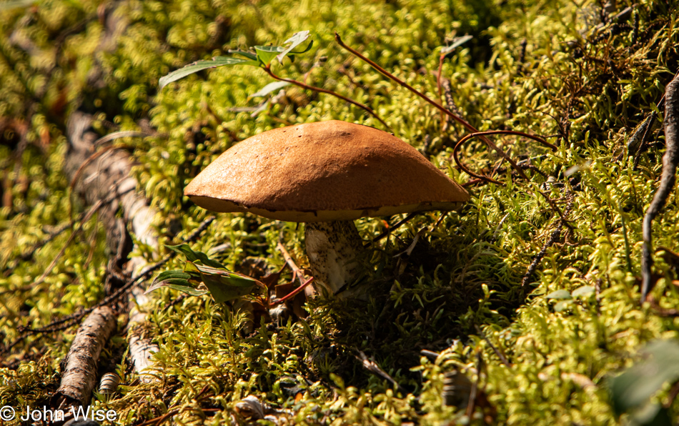
First mushroom in the wild I’ve seen in thousands of miles, growing out of moss, to boot. It’s a scene right out of Oregon.

North branch of the Contoocook River in Antrim, New Hampshire

The north branch of the Contoocook River in Antrim, New Hampshire, and, again, if I’m not mistaken, this river is the one that flows under the Stone Arch Bridge.

The President Franklin Pierce Homestead in Hillsborough, New Hampshire

A president you’ve likely never heard of, Franklin Pierce, the 14th president of the United States, lived on this homestead a long time ago.

Kat's Corner in Hillsborough, New Hampshire

Stopped for lunch at Kat’s Corner, just down the road from the president’s place. Kat was still there, though it was well after 2:00 when the kitchen usually closes, but she was gracious enough to feed us. We opted for the ‘Strami Burgers, ‘ which seemed unique to the area, and while she got to cooking, we could chat with her from the countertop where we were sitting. Kat is ready to retire; she’s battle-scarred from doing business in a place with too many customers demanding the kind of privilege that’s created war stories and has damaged her experience of owning this place. It’s a tragedy that after the corner shop and cafe finally change hands, as it’s already been sold, she leaves this business she’s loved for so long with memories tainted by hostility. Lunch was great, truly homemade fare for those who appreciate the love people bring to their business.

Concord, New Hampshire

Concord, New Hampshire, is a wonderfully vibrant-looking place that appears to have saved its small main street businesses. Now, if only they could take a page from Portland, Oregon, and learn something about civility. I don’t mean to imply that Portland doesn’t have its problems, some of them huge, but it is a friendly city; maybe that’s why it’s so scuffed, and this place looks like Singapore, where you are going to jail for spitting out a piece of gum.

State Capitol building in Concord, New Hampshire

This is the New Hampshire State House; some would call it their State Capitol Building, but that would be wrong here. Try it, and you’ll soon find yourself behind the glare of wicked stares and a proper brow lashing.

Side of the road in Rochester, New Hampshire

At least there are dirt roads where we could find a modicum of tranquility away from the angry, aggressive drivers and busybodies.

Rochester Reservoir in Rochester, New Hampshire

Our roadside stop was at the Rochester Reservoir, which had plenty of do-not-trespass signs, but do they really mean no photographers, or does the warning apply to would-be picnickers and the homeless who might want to bathe in these waters?

Caroline Wise and John Wise on a Maine State Line with New Hampshire

We’ve reached Maine but still have a good bit of driving before reaching our destination. This is our third visit to this state.

Looking to the sea in Kennebunk, Maine

We’ve reached the wealthy enclave of Kennebunk, which is not where we are staying. We are up the street in Kennebunkport, though that is also where the Bush family, as in the two presidents, have their retreat at Walker Point. Speaking of the Bushs, we were pulling into town and stopped at a light when a couple of women started waving to some cars, as in three identical black SUVs driven by what were obviously Secret Service agents; their passengers could have only been former President George W. Bush and his wife Laura, as nobody else in Kennebunkport this evening could possibly also be deserving of a Secret Service escort.

Sunset in Kennebunkport, Maine

It costs $25 to park at the beach. It’s a day pass, but what if you only stop for a few minutes to grab a few photos? You’d better hope that the car that scans license plates to ensure enforcement doesn’t roll by yours while you dart out to the seashore. The week pass is $103. Guess who won’t be visiting any beaches in Kennebunkport during their stay?

Lake Champlain to Vermont

Sunrise over Lake Champlain from Rouses Point, New York

Some things look familiar to us here, likely because back in November of the year 2000, on election day for the president of the United States, Caroline and I stayed in the same motel in Rouses Point, New York, the Anchorage Motel. On that trip, we were up before dawn on an overcast morning and drove east across the bridge to Vermont. Without a lot of expensive memory cards at the time, we didn’t take many photos. If you follow the link above, you’ll see how thrifty we were and how quickly we sliced through Vermont and New Hampshire before dipping into Maine. Today, I’m sharing 29 of 37 photos I’d initially considered, and the only reason I pared those images was that I have to write to each of them, and I’m attempting to stay mostly current with blog duties as this length of trip could stack up a lot of work after we get home, if I let it.

Fort Montgomery, a.k.a. Fort Blunder in Rouses Point, New York

From the foot of the bridge between New York and Vermont, we pulled into a very small driveway used by the U.S. Immigration and Border Patrol to grab the best vantage point to nab a photo of Fort Montgomery, a.k.a. Fort Blunder that was accidentally originally built on the Canadian side of the border in 1814 when the border of Canada was on the 45th parallel. When the oversight was discovered, the fort was abandoned. Many years later, through international negotiations, the U.S. secured an agreement with the Canadians to move the border, and construction began anew (the local populace had by now helped themselves to the fort’s building materials, so there wasn’t much left). Today, this inaccessible fort sits on private land. Thanks to Caroline’s friend, Christine, for telling us about this hidden boondoggle in plain view. [The look of it reminded me of Fort Jefferson on the Dry Tortugas, Florida, and Wikipedia tells me that these two forts have a feature in common: both of them are surrounded by moats -Caroline]

Barn and silo in Chazy, New York

Do you remember the smash hit of 1992, Sir Mix-A-Lot’s jammin’ track, I Like Red Barns? Yeah, I didn’t think so; it was the B-side of I Like Big Butts, no joke, but maybe a joke.

Osprey seen in Chazy, New York

Not only is the call of the osprey an interesting sound, but its nest is a mishmash of plastic netting, plastic bailing chord, a black trash bag, some living plants, and a bunch of stuff we’ll never know of as the nest is inaccessible to us humans.

Caroline at Gus' Red Hots Restaurant in Plattsburgh, New York

What was available to us, even for breakfast, were two red hots at Gus’ Red Hots in Plattsburgh, New York. This style of hot dog is not available to us in Arizona, or maybe we’ve not looked far and wide enough.

Monument in Plattsburgh, New York

This giant obelisk is a monument standing 135-foot-tall (41 m) across from City Hall in Plattsburgh, New York. It is known as the Macdonough Monument, honoring the victory of American soldiers and sailors in the Battle of Plattsburgh in 1814 during the War of 1812, which took a little longer than the year it was named after.

Looking up the road in Peru, New York

The first Peru I passed through was in Indiana, and now here we are on the Lake Champlain shoreline, passing through another Peru.

Ausable Chasm in Keeseville, New York

Ausable Chasm might be a great place, but the only way to find out is to show up at 9:00; for that, we’re too early. The $20 isn’t too bad; more than a few national parks cost that or more, but those are known quantities. For someone not from this area of the country, we had no idea what was here, and with little to no internet connectivity out on our road, we couldn’t judge if the wait would have been worth it. And then we saw their clown sign and realized that this is for small children or adult idiots, as who responds to this kind of Knotts Berry Farm kind of signage? Seriously, if this were the type of signage used by Yellowstone or the Grand Canyon, we’d skip those, too.

Lake Champlain seen from Keeseville, New York

Seeing legitimate mountains in the distance for the first time since leaving Colorado is a sight for corn-sore eyes. That’s Vermont out across Lake Champlain, as seen from Keeseville.

Dirt road near Highlands Forge Lake in Willsboro, New York

If only we could travel America by this size of road, we’d be on it. We were hoping to get a glimpse of the Highlands Forge Lake in the Willsboro area, but the forest obscured it. No matter, though, as we loved the tiny road.

Essex, New York

There’s a small town on the right, mostly out of view; it is Essex, New York, and if time allowed, we’d still be hanging out there.

Old schoolhouse in Essex, New York

Welcome to the oldest schoolhouse in Essex County, New York. It first opened in 1827 and closed in 1905. It is a tiny place with an obstructing cage near the entry door to keep vandals at bay, so taking photos was made impossible with my DSLR, though we got a couple with our phones, but the quality of those is so poor, I’d rather not embarrass myself in sharing them.

Grapes in Essex, New York

Like vandals, we might be pilfering thieves because we couldn’t help but sample the grapes. They were seeded and amazing, and like most all-seeded grapes these days, they are no longer available in grocery stores, at least out west. We only sampled a few, pulling from a couple of clusters instead of being greedy and taking that entire bunch in the photo.

Road into Fort Ticonderoga, New York

We’ve made it to Fort Ticonderoga in Ticonderoga, New York. The fort played an important role in the French and Indian War from 1754 to 1763 and the American Revolutionary War between 1775 and 1783. This is where America first witnessed the bravery of Ethan Allen and Benedict Arnold, who captured the fort from the British in a surprise attack on May 10, 1775. By 1780, Benedict Arnold was discovered to be a spy for the British and ran away with his proverbial tail between his legs. He was court-martialed and sentenced to death but died in England as one of the most infamous traitors in American history.

Fort Ticonderoga, New York

We timed our arrival quite well, as we only had about 20 minutes to spare before a boat tour on Lake Champlain set sail at 1:00. These extra few minutes allowed us to view the King’s Garden and buy some of those yummy grapes we’d sampled north of here.

Carillion boat at Fort Ticonderoga, New York

And then, it was tour time on the Carillon vessel that took us out for a 1-hour history lesson while plying the waters of what was a major trade route in the 18th century.

Turtles at Fort Ticonderoga, New York

Maybe it’s difficult to make out, but at least two dozen turtles are basking in the sun on those branches.

Ferry on Lake Champlain near Fort Ticonderoga, New York

There’s a dearth of photos from this part of our journey because we were on a slow boat listening to Cameron, our authentically attired guide and historian, explain what transpired here back in the days with a primary focus on the Revolutionary War. My photos were of shorelines and water and this old cable-operated ferry that picks up a set of steel cables strung on the bottom of the lake to pull the ferry back and forth between New York and Vermont. This old-fashioned style of ferry is only one of a few still in existence.

Fort Ticonderoga, New York

After the lake tour, it was time to explore the restored fort. This place was in bad shape in 1820 when the Pell family bought the land to protect what was there and stop people from carting off stones to be used in local homes. Later, a British architect was hired to restore the ruins, and the fort became a museum and tourist attraction in 1909.

Fort Ticonderoga, New York

The cannons on display originate from locations worldwide, while the only original cannons at the fort can be viewed in the museum. Not many could be used to demonstrate the fortifications as they might have looked about 250 years ago.

Fort Ticonderoga, New York

The custodians of this historic place have done great work in pulling the pieces together that allow this to be a living history museum, but it appears we’ve arrived after the main tourist season, which is always our intent.

Fort Ticonderoga, New York

There were still a few craftspeople on hand demonstrating jobs that would have needed performing back then, and they were certainly experts in what they were sharing with us, but this is one of those few times that I wish we could be here on a busy weekend when crowds of people are milling about.

Fort Ticonderoga, New York

The museum has a great collection of artifacts from the period, including some engraved powderhorns.

Fort Ticonderoga, New York

And this concludes the two and a half hours we were able to spend at historic Fort Ticonderoga, a place well off the beaten travel path.

View from Mount Defiance in Ticonderoga, New York

As part of our admission to the fort, we were given a coin that would be required to visit the overlook on Mount Defiance. Stupid me, I was reluctant to head up since we still had hours to drive before reaching our cottage in Shaftsbury, Vermont, this evening. Caroline wanted to visit with such insistence that I could do nothing but relent and drive us up the mountain. Damn, good thing I did because the view was drop-dead gorgeous. That is Fort Ticonderoga down there and, on the other side of the lake, stretching into the distance, Vermont.

View from Mount Defiance in Ticonderoga, New York

I want to point out that Captain Andy, who piloted the Carillon, had told us how fortunate we were this day as July had a lot of rain, and during August with high humidity, the view was, more often than not, very hazy. He seemed genuinely amazed that we had such perfect conditions, and being up here on the mountain for these views only confirmed his observations.

View from Mount Defiance in Ticonderoga, New York

Sure, this post could have been fine with only a photo or two, but our view from 853 feet (260 meters) above sea level was so enchantingly perfect that we didn’t want to leave.

On the Vermont State Line

But leave we did, and after viewing Vermont on the other side of water for almost the entire day, we finally reached its border. This farm stand sits directly behind the Vermont State Line and is being shown in lieu of a state sign because there wasn’t one.

Somewhere north of Arlington, Vermont

Trying to save some time in our race to find dinner before all two restaurants in the entire state of Vermont open on Tuesdays and Wednesdays closed at 8:00, there was no time for photos, except this one near Arlington. What the heck, Vermont? Are people not supposed to travel the rural byways of your state? Sure, we could have probably eaten in Dorset, but people were laughing at the hayseeds driving through their enclave in their Kia instead of a Bentley, Benz, or Range Rover. Really, people, suits on the streets of your town at dusk on a Tuesday? You let me know just the kind of squalor Caroline and I have accepted in our meager lives on the economic margin of being nobody. At least Janelle at the Serenity Motel in Shaftsbury, Vermont, was a solid, real person with whom I could share a few laughs. As for our cottage, it was an amazing little place set against the forest.

A Day Among The Thousand Islands

On the St. Lawrence Seaway in Alexander Bay, New York

Obviously, we didn’t rise with the sun, though maybe we did, but we were stuck in our hotel room with me hammering at the keys of my notebook to finish yesterday’s blog. I tried my best but came up short and still had more writing to do by the end of the day. If you are getting confused about which day I’m writing about and on what day, I’m starting to have the same problem because, once again, we are hard at work shoving a few days of experience into 16 hours of activity. As soon as we were out of our second uncomfortable tiny cottage and on our way, we needed to head directly to Wellesley Island, where we met Jordan Beach of Thousand Islands Private Boat Tours. Earlier this year, when planning this vacation, I’d come across his information while looking for something more immersive than a 30-minute tour with 75 other people looking for some quick and fast entertainment. While our three-hour tour wasn’t cheap, I’ll tell you early in this post: it was nothing short of perfect.

Rock Island Lighthouse on the St. Lawrence Seaway in Alexander Bay, New York

You might even recognize the subject matter of this photo because just yesterday, we flew by the Rock Island Lighthouse like a speeding bullet on some very choppy waters, but today, we are on a slow and smooth cruise that is allowing us to soak up the St. Lawrence Seaway 1000 Islands experience in the lap of luxury.

On the St. Lawrence Seaway in Alexander Bay, New York

We’d have never imagined visiting this shipwreck and the lighthouse twice in our lifetimes, but here we are, two days in a row, getting out on the water as if we belong here. With the calm winds, quiet craft, and better lighting conditions, it is as though we are seeing much of it for the very first time.

On the St. Lawrence Seaway in Alexander Bay, New York

From there, the trip up and down the river took on a very different experience as we started exploring parts of the U.S. and Canadian sides of the river we hadn’t taken in yesterday. This bridge connects Wellesley Island with the U.S. mainland. [It is a toll bridge, privately owned – Caroline]

On the St. Lawrence Seaway in Alexander Bay, New York

An image such as this may not convey a lot of information immediately, but for me, looking into the mostly calm waters moving towards a glassiness reflecting sky and clouds, I find serenity and calm that sadly is fleeting as the boat keeps moving and the surface of the river is always changing.

On the St. Lawrence Seaway in Alexander Bay, New York

There are extraordinarily ornate homes along the mainland shore and on many of the 1,864 islands that often reflect an age gone by when nobody but the wealthiest were out here building, including several luxury hotels on the local islands (one was seven stories tall!), but those all burned down.

On the St. Lawrence Seaway in Alexander Bay, New York

This home sits on the east side of the island also shown in the previous photo. An arched bridge connects a smaller secondary island to the bigger one. Our captain told us that this location is often used for weddings.

Bolt Island on the St. Lawrence Seaway in Alexander Bay, New York

This towering structure on the right was designed to be the playhouse of the former owner’s children, no joke. George Boldt, a wealthy hotelier, also designed a castle as a dedication for his beloved wife Louisa; it sits behind the trees. He spared no cost, even altering the island’s coastline to be heart-shaped because he wanted his wife to know how much he loved her. Tragically, the family never moved into the castle on Heart Island because Louisa died in 1904, just before it was completed. George immediately abandoned the project, so Bolt Castle sat empty and decaying for 70 years before the property was rescued and renovations began. Maybe on a return visit someday, we’ll take a tour of Heart Island, Boldt Castle, and its boat house, which sits on a nearby island and is accessed by a shuttle boat. This island is also a popular spot for weddings.

Bolt Island on the St. Lawrence Seaway in Alexander Bay, New York

This is an extension of Heart Island that was purpose-built to contain the power station for the castle, allowing the structure to isolate the noise and hopefully let the prevailing winds blow the exhaust away from the home.

On the St. Lawrence Seaway in Alexander Bay, New York

This was as close as we could approach the bronze statue of Tecumseh on Honey Bee Island. The channel we are traveling between the Canadian and American borders is very shallow. Getting any closer risked us running aground.

On the St. Lawrence Seaway in Alexander Bay, New York

That’s Canada on the right and America on the left. I believe you could play frisbee between the two countries. This channel is known as the International Rift.

On the St. Lawrence Seaway in Alexander Bay, New York

When you’re a poor island owner, your kids only get a tree house, not a castle playhouse like your well-to-do neighbors.

On the St. Lawrence Seaway in Alexander Bay, New York

The water is that clear.

On the St. Lawrence Seaway in Alexander Bay, New York

Originally, we were supposed to go swimming today in one of the nearby coves, but the air temperature between yesterday and this morning dropped 10 degrees, and it was too chilly for us to brave the waters.

Swimming squirrel in the St. Lawrence Seaway in Alexander Bay, New York

On the other hand, here’s this heroic squirrel out for a swim. All three of us were incredulous that this squirrel was treading water. Originally, it was heading directly for us until we started talking and gawking, at which point it turned tail and headed back to the island it lept off from as it might have been considering becoming an aquatic animal.

Captain Jordan Beach of 1000 Island Private Boat Tours in Wellesley Island, New York

This is Jordan Beach and his boat, which he shared with us today, helping create an unforgettable experience.

Wellesley Island, New York

Here we are on the way back to the bridge from Wellesley Island to the mainland. This is one of the many beautiful mansions in 1000 Island Park that harken to a bygone Gilded Age.

Crossover Island Lighthouse in Hammond, New York

Not much later, we are on our way to Rouses Point, New York, on Lake Champlain near Vermont. It was only shortly after noon when we drove away from the Alexandria Bay area, leaving us plenty of time to do some sightseeing. This is the Crossover Island Lighthouse in Hammond at Chippewa Bay, which we could only see between private homes and signs that warn people not to trespass.

Cole Shoal Range Front Lighthouse in Brockville, Ontario, Canada

The next lighthouse in the river was the Cole Shoal Range Front Lighthouse in Brockville, Ontario, Canada.

Waddington, New York

Somewhere along the seaway, we saw an odd structure in the river. We spotted a dirt road shortly after that that looked like it might take us out to it, and while it did, we still couldn’t decipher what it was. Signs warning of danger and video surveillance convinced us to keep our distance, but still, we were curious. After leaving the area, we learned it was part of the Iroquois Dam.

Eisenhower Lock in Massena, New York

This is the western end of the Eisenhower Lock on the St. Lawrence Seaway. We learned that back in the day, pre-9/11 to be precise, visitors were allowed down at ground level to watch the big ships come into the lock. Today, the only viewing is done from a third-floor balcony of the new visitors center. Strangely, this visitors center doesn’t have a gift shop, though they have a great logo and would probably sell a ton of stickers with that logo on it

St. Regis River in Akwesasne, New York

Shortly after passing the St. Regis River in Akwesasne, New York, on the Mohawk Reservation, we witnessed the highest density of marijuana dispensaries we’d ever seen. Likely due to the tax-exempt status, many compete for business, but how a business model advertising $50-ounces of weed is supposed to work is beyond my imagination, especially when you consider the obvious amount of big money that has been spent to build beautiful shops that sell the dank buds. How many shops might you be wondering? We believe we counted roughly 30, maybe even 40.

Piglets for sale in Fort Covington, New York

We might have just passed right through Fort Covington, New York, without a second glance until this homemade sign advertising piglets for sale caught our eye. I believe it was their son Amos who greeted us; he was crossing the street when we pulled up. That boy might have been the most wholesome and joyous kid we’ve met in a while. His mother and father are Pat and April of Pat and April’s Pork.

Chateaugay, New York

We pass through many scuffed and battered towns which we wish could be salvaged. While some of these classic older buildings are not burned down yet and are at the cusp of liveability, they are too often turned into apartments for the poor. Small, barely functional spaces where society can warehouse the less productive. We’d love to rent one of these buildings or at least a floor if conveniences were available in town, but when the most ubiquitous offerings are fentanyl, meth, and weed, these towns are not conducive to living in. I’ve driven through hundreds of these towns and loved many for what they once represented. Today, they are a blight that begs the question, why don’t towns in such a state of advanced decay exist in northern Europe?

Dick's Country Store in Churubusco, New York

Sometimes, you think you’ve seen it all, and then somebody goes and outdoes everyone else. That’s what Dick did right here in Churubusco, New York. Dick is the owner of the Dick’s Country Store & Music Oasis, home to Groceries, Gasoline, Guns, and Guitars. Aside from the missing beer and BBQ, this is probably the most American roadside rural store I’ve ever seen. On second thought, he’d also have to offer taxidermy to round it out to perfection.

Caroline Wise bringing death in Mooers, New York

Death is a master from Mooers, New York, and her eyes are blue. She strikes you with her scythe, and her aim is true.