Santa Barbara, California

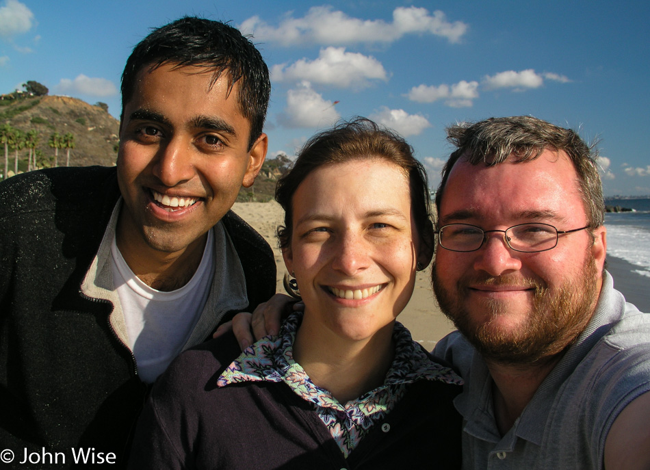
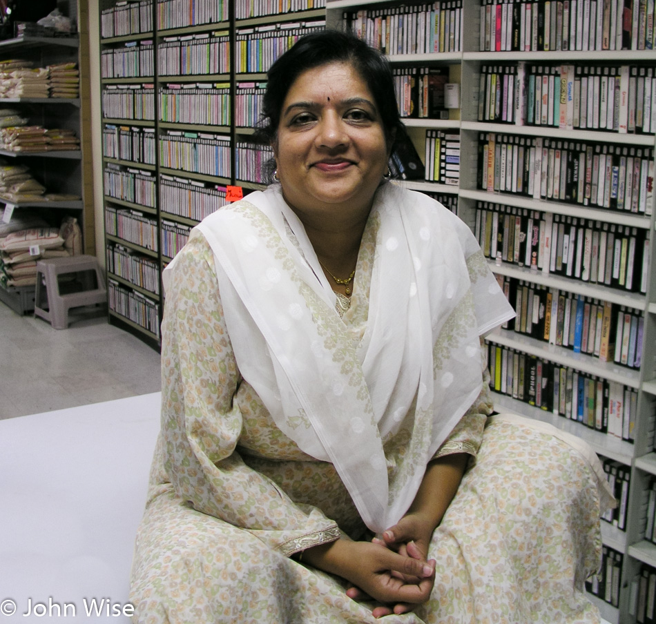
Caroline, my Aunt Anne Burns, and I in Santa Barbara, California

It is always a pleasure to make the 500-mile drive to visit my aunt and uncle in Santa Barbara. We have decided to try to make it over every 90 days or so as, being the only family on this coast, they don’t have much social contact besides the group of regulars that meet early mornings Monday through Friday for coffee at McDonald’s.

I can guess we went for breakfast a couple of times on this trip and that we shopped at Costco – it’s a mandatory stop. We took Sophie, their German Shepherd, for a walk or two in the park, but besides this, there are no other photographs telling us what we may have done this weekend. It is possible we spent the better part of the days simply talking and reminiscing.

Utah to Colorado to New Mexico – Day 5

Roadside in New Mexico

The Puebloans built something a thousand years ago over at Chaco Culture, and it’s standing up better than what my ancestors built 100 years ago.

Roadside in New Mexico

Then there’s nature that, with great fidelity, keeps duplicating the plants and animals along with the conditions that support the life found on our planet, except we humans who are part of this force are using our “intellect” to crush those systems where we can.

Roadside in New Mexico

Oh, look, it’s a spotted cucumber beetle.

Roadside in New Mexico

Welcome to Doodle Dum, as it has been named by its most recent inhabitant, Cassie Hobbs. This somewhat peculiar home in Chloride, New Mexico, was built in 1921 by Austin Crawford who designed it to withstand the hail god was going to send to earth. Fortunately for Mr. Crawford, that day never came, but the town of Chloride started to disappear off the map until nothing much more than a ghost town existed. This remote corner was certainly worth a visit, we only wish the Pioneer Store Museum had been open while we were in the area.

Roadside in New Mexico

This promised to be a vast stretch of nature untouched by humans aside from the road that is cutting through it; hopefully, we’ll have enough gas. Just up the road, and lucky for us, not 100 miles up the road, there was a crew doing road repairs and said the road ahead was impassable. Well, that changed our plans of heading back to Arizona via this mountain route on Highway 52.

Roadside in New Mexico

So instead, we turn around and aim for the 152 West.

Roadside in New Mexico

This isn’t bad, and there’s a detour ahead we can take.

Gila River in New Mexico

Lake Roberts is a nice lush corner of New Mexico, but we’re just passing through.

Gila Cliff Dwellings National Monument in New Mexico

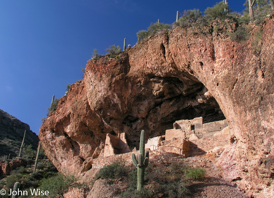
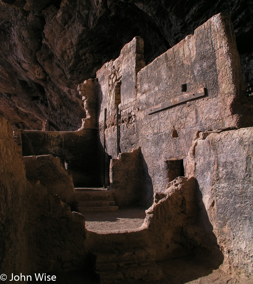
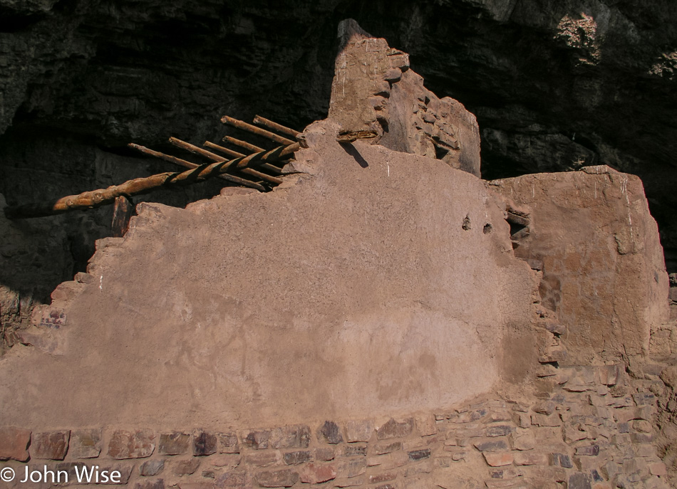
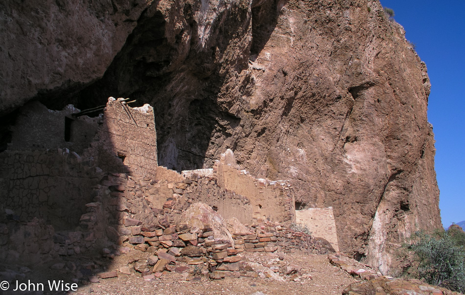
Our destination is the Gila Cliff Dwellings, which are part of the National Monument that bears their name. These homes were part of the Mogollon People’s lands that started just north of here and included most of the Mexican state of Chihuahua. Like so many other tribes of the Southwest, they abandoned their place here next to the Gila River and moved on.

Gila Cliff Dwellings National Monument in New Mexico

Oral tradition among tribes, including the Acoma, Hopi, and Zuni, says the Mogollon integrated into their societies.

Caroline Wise and John Wise at Gila Cliff Dwellings National Monument in New Mexico

It’s great that these are now protected lands, but one hundred years ago, they were being pillaged by hunters, farmers, and people collecting artifacts, including human remains in the form of mummies. Caroline and I are leaving with memories of one of the more remote parks in the U.S. National Park system.

Caroline Wise standing in the Gila River in New Mexico

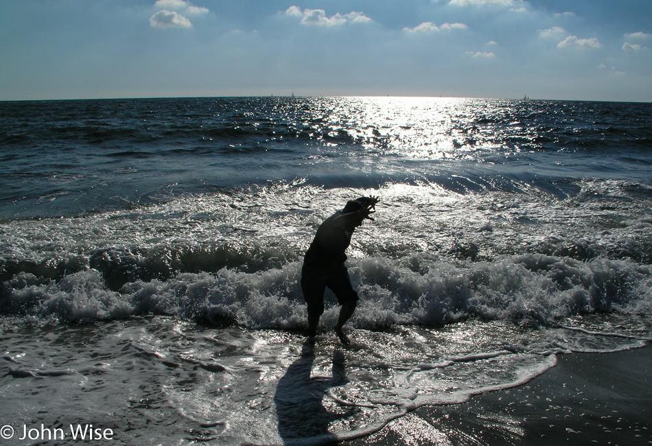
Of course, Caroline had to doff her shoes and roll up her pants before stepping into the waters of the Gila River. One day, I’ll have to compile a list of how many of America’s major bodies of water and waterways she has dipped her toes into.

Pinos Altos, New Mexico

Our last stop before finally driving home on this five-day journey into the Southwest is in Pinos Altos, New Mexico. Someone we know hails from this small town that is trying to become a ghost town these days with a population of a couple of hundred, down from about 9,000 back in the 1880s when gold was being mined in the area.

Arizona state sign

What kind of people drive by a state sign and have to stop to shoot it? Maybe people like us in some way who have to stop and shoot it with a camera, a way of saying, “I’ve been here.”

Utah to Colorado to New Mexico – Day 4

White horse next to a dirt road in New Mexico

This is how mythologies are made. Yesterday we helped a runaway horse by preventing it from reentering the highway and looking for its owners. This morning, on our way down to Chaco Culture, we spotted this white horse on a rise next to a dirt road. It was as though the spirit of the white horse came out to greet us at the break of day to let us know it was looking over us as we’d looked out for one of theirs.

Caroline Wise and John Wise at Chaco Culture National Historic Park in New Mexico

The sun is fully over the horizon by the time we reach the park boundary and start our third visit to Chaco Culture National Historical Park and World Heritage Site. Our previous visits were both back in the year 2000 around the same time of year; click here for the first one and click here for the one a month later where we just had to share this with my mother-in-law, Jutta.

Chaco Culture National Historic Park in New Mexico

Someday, we’ll hopefully pay that rock known as Fajada Butte out there a visit and explore the mystery of the Anasazi Sun Dagger. Today, though, we are heading up to a different location.

Chaco Culture National Historic Park in New Mexico

Is this ruin smiling at us?

Chaco Culture National Historic Park in New Mexico

There’s a narrow crack in the cliffside that is the original footpath leading from above to below and vice versa and was used by the earliest visitors to this outpost. Today, we made the time to crawl up through in order to gain this view of Pueblo Bonito.

Chaco Culture National Historic Park in New Mexico

Thank you to everyone polite enough not to scavenge the artifacts that allow us to have a visit of discovery where surprises abound.

Chaco Culture National Historic Park in New Mexico

We explored more of the plateau, but how many photos should I post? We are on our way back down.

Chaco Culture National Historic Park in New Mexico

Buried in the sandstone cliffs are reminders that while you may think you are in a desert, the land you walk upon was once seafloor.

Chaco Culture National Historic Park in New Mexico

Chaco is an incredible place well off the beaten path and certainly deserves to be a World Heritage Site. There are many things we do not know about this complex of ancient buildings, but I’m thrilled that there are people working to preserve what is here. The Puebloans obviously have a rich history that is practically invisible to us modern inhabitants of their ancestral lands. When will our culture evolve to a point of maturity that allows the Native Americans of North America to trust us?

Wandering horses in New Mexico

More horses. For some reason or other, horses lend a kind of confidence about a place. They make it more welcoming. Maybe it has to do with the idea that if a horse can live on these lands, then how harsh can this place be?

Jay's Liquors in New Mexico

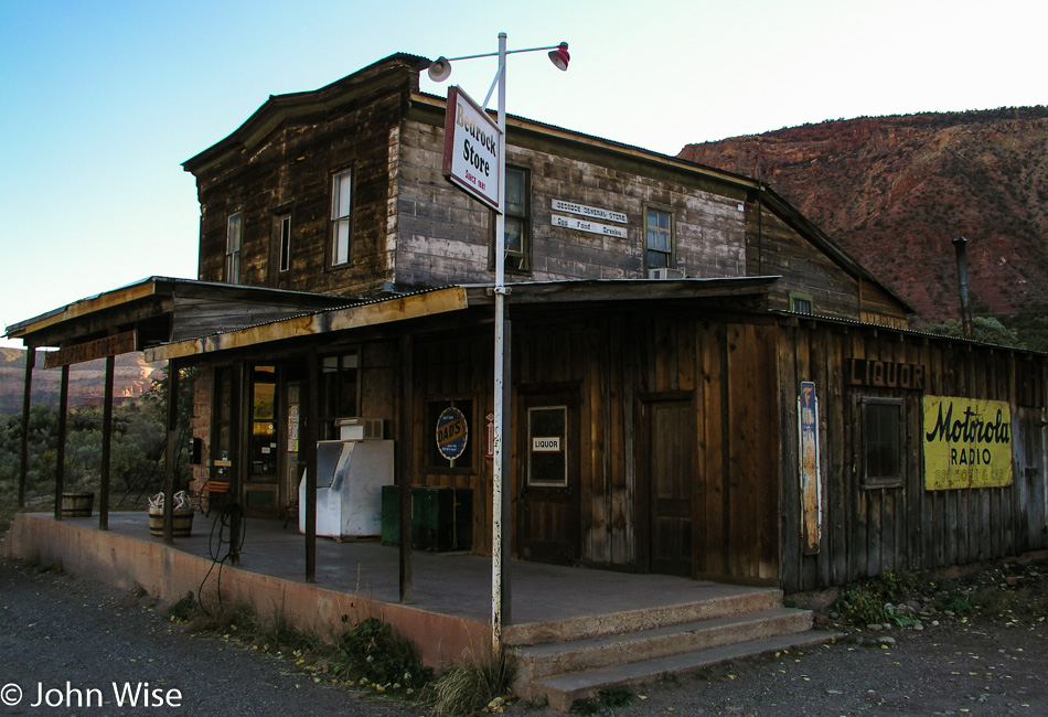
I could take a photo of this building ten more times, and still, I won’t tire of being welcomed to uranium country by a liquor store.

Acoma Pueblo in New Mexico

Visiting Acoma Pueblo, also known as Sky City, requires everyone to join an organized tour, and if you plan on taking photos, you’ll need to buy a special permit. The pace through the pueblo is perfect and never felt rushed. We started the tour in the church, but there was no photography allowed within, and as hard as it was, I was respectful of the tribe’s wishes.

Acoma Pueblo in New Mexico

Pardon me on these next photos, as I ran with a heavy hand full of favorites that I just had to post. I find this place more beautiful and serene than anywhere in Beverly Hills or Santa Fe. I’m under no delusion that there could likely be a high level of poverty and maybe even alcohol or other substance abuse going on, but that can happen everywhere. Maybe the people who live here find survival difficult. I can’t know as I don’t have the luxury of chatting with the inhabitants. From my perspective, which is radically different than the one I would have had from my childhood through my thirties, this sky island is an idyllic paradise.

Acoma Pueblo in New Mexico

What I wouldn’t give to be here a morning when bread was being baked in this hearth and then head over to the edge of the mesa and, while it’s still steaming hot, break it apart and watch the clouds stream by.

Acoma Pueblo in New Mexico

Am I over-romanticizing my perception and casual observations where I imbue these iconic images through the filter of a Western mind that has created a story divorced from reality? Probably. All the same, I’m in love with the utility, simplicity, and place of how it perfectly presents a lifestyle that is as far away from my existence as I could imagine.

Acoma Pueblo in New Mexico

As I said earlier, the location is idyllic.

Acoma Pueblo in New Mexico

This nearly presented me with a dilemma as you are required to seek permission to take anyone’s photo. This was the second shot I was snapping of these houses and I was snapping the image before I could recognize that a young man was leaving his home. Had he asked if I’d taken his photo and then requested for me to remove it, I would have obliged, but he seemed to shrug it off, and we both continued on our ways.

Acoma Pueblo in New Mexico

When the guided tour was over, we were welcomed to leave on the road that John Wayne once demanded be carved here while he was working on a film, or we could take the historic route. We opted for the historic route so we could delay the point we had to leave. The narrow trail between some large rocks is well worn, and in some spots, there are toe- and handholds to climb up the rock, and in others, there are stairs as seen on the right of this photo.

Acoma Pueblo in New Mexico

Every corral should be so beautiful.

El Malpais National Monument in New Mexico

A quick stop into El Malpais National Monument to admire the lava flows and arches before heading to Socorro for an overnight.

El Camino Family Restaurant in Socorro, New Mexico

Yep, this is why we are staying in Socorro. Two meals at the El Camino Family Restaurant can’t be beat, even if we eat the exact same thing for dinner and breakfast the next morning. I’m telling you that you are setting a trend with having guacamole for breakfast along with green chili and cheese-smothered steak with beans.

Utah to Colorado to New Mexico – Day 3

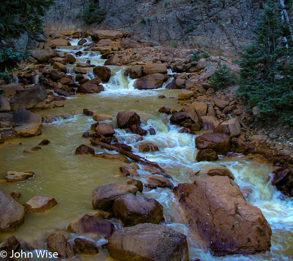
The road we are taking to Lake City, Colorado, out of Gunnison, follows the braided Gunnison River as we leave town before the sun comes up.

While I could say that I’d love to drive in these mountains every day, I’d be lying because as soon as a flake of snow falls, I’d be wishing to be in Arizona sitting in shorts on a winter day having an iced tea, wishing to be somewhere it’s snowing.

I’m a sucker for barns set in idyllic locations where I could imagine living as a cow, not a steer for slaughter, but a friendly cow that wasn’t being milked by a mechanical octopus sucking the life out of me. My name would be Bessie, of course.

You can bet a dollar we took this route for this reason right here. Alfred Packer ate people on this spot one hundred twenty-nine years ago, and I’d guess he did it with gusto because if you are going cannibal, I don’t believe you pussyfoot into something this serious. You toss the bib and ketchup to the side and hold on tight while you start chewing on another man’s face and armpit; gotta start with the tender spots, right? Sadly, I can’t report that there was any draw to be pulled into that kind of madness as others report when visiting Niagara Falls and say they feel drawn by the water.

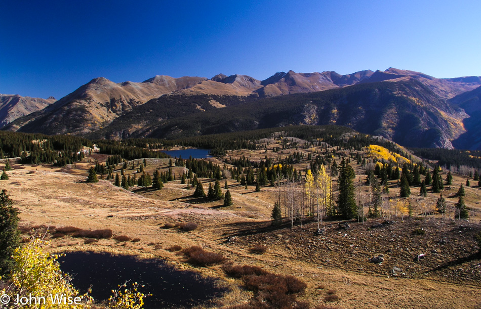
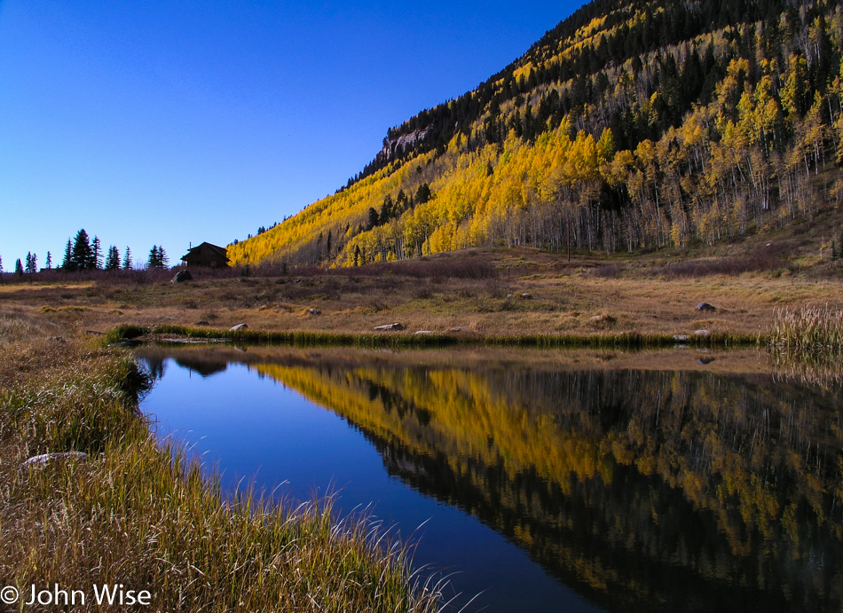
Out of gruesome pilgrimage, we return you to blatant scenes of profound beauty where primitive fences lead into wooded areas bordering small idyllic lakes in a valley surrounded by mountains while fluffy clouds dance along the edges.

Looks to be on the shallow side for kayaking, canoeing, or rafting, though who am I to judge such things?

Wildflowers, mountains, and dunes are not something you expect to see every day.

While the Great Sand Dunes National Monument has been authorized to become a National Park with an expansion of its lands a few years ago, it’s awaiting approval from Congress. Next time we visit, hopefully, we’ll be able to brag that we’d been here back when it was a wee monument.

There are at least six people in this photo; can you find them? The mountains in the background are the  Sangre de Cristo Range, which extends down into New Mexico and represents the end of the Rockies.

A road trip to consider would take us from Santa Fe at the foot of the Sangre de Cristo Range right up to Toad River in British Columbia, Canada. With this trip, we will see the extent of the Rocky Mountains with our own eyes; sounds like a plan.

During sunrise and sunset, those mountain peaks look red in the “alpenglow” hence their name that translates to Blood of the Christ – Sangre de Cristo.

Trillions of treasures for the eye likely exist distributed throughout these mountains; we see a few dozen and are somehow satisfied. Oh yeah, this just happens to be Treasure Falls in the Pagosa Springs area of Colorado, should you be wondering.

This horse left her pasture, and her hooves failed her on the asphalt; down she went with some road rash for her desire to explore the larger world. We’d seen her go over the fence as her companions running with ferocity approached the edge of the property, so while Caroline kept her company and reassured her that we’d find someone to bring her safely back to the fold, I went onto the property to get the owner’s attention. Back she went to the nervous herd that had been anxiously standing by, and we drove off happy that this beautiful white horse hadn’t been hit by a passing car.

Tonight’s sleeping adventure is being brought to us courtesy of Aztec, New Mexico, over in the Four Corners region. Time for some desert exploration.

Utah to Colorado to New Mexico – Day 2

Gooseneck State Park in Utah

This is the “other” horseshoe. One is found down by Page, Arizona, and has the Colorado River flowing through it. This one is found in Gooseneck State Park in Utah and has the San Juan River running through it, though it ends up flowing into the Colorado River over at Lake Powell.

North of Mexican Hat, Utah

This is a brilliant example of desert skies where looking in one direction, the horizon has a foreboding gloom portending bad weather out there. A few minutes later, and looking in another direction, you get the following.

Near the Mokee Dugway in Utah

Heading up the Mokee Dugway all of a sudden, the day is perfect again with an inviting sky of fluffy clouds.

Mokee Dugway in Southern Utah

This narrow dirt road gives you a better idea of what exactly the Mokee Dugway is and why we tend to want to avoid it in bad weather.

Caroline Wise and John Wise on the Mokee Dugway in Southern Utah

So far, the new car is a pleasure and is getting us where we want to go.

Church Rock in Utah

This is the kind of church Caroline and I can get into. Welcome to Church Rock near the turnoff for Canyonlands National Park.

Canyonlands National Park in Utah

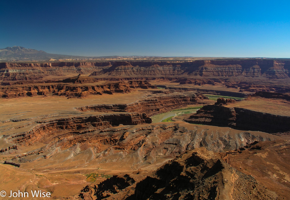
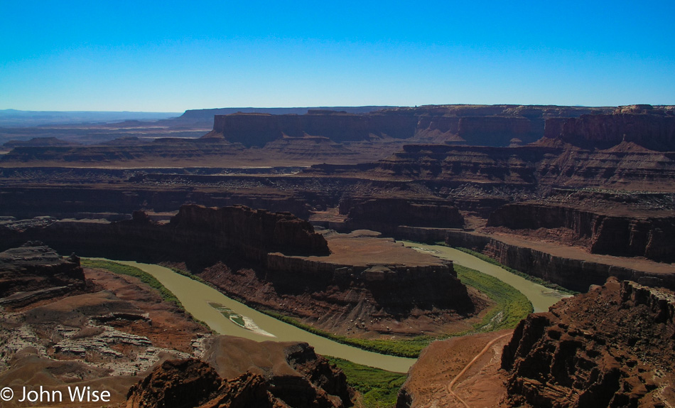
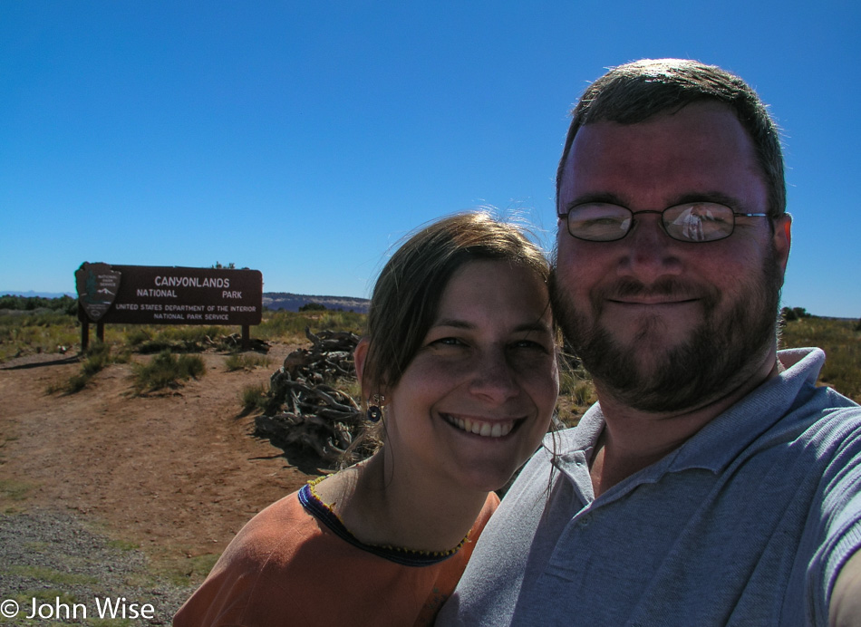
Wow, this is quite the canyon. No wonder Edward Abbey warned of careless travel in the Maze that’s somewhere out there. To be clear, this is the Needles Overlook in Canyonlands National Park, and today’s visit will not do it justice, but that’s kind of our way of having first encounters with many places in America.

Canyonlands National Park in Utah

We are here at the Minor Overlook too late in the day for a giant diversion from where we are planning on staying tonight, but if we had the time and we are so very tempted to make that time, we’d hike right out to the confluence of the Green and Colorado rivers.

Canyonlands National Park in Utah

Canyonlands is certainly a relatively unknown treasure, probably because of the difficulty in visiting the place and not having very many services nearby aside from Moab further north. This particular view is from the Anticline Overlook.

Caroline Wise and Horses in Colorado

Red rock to green grass is the visual indicator that we’ve gone east and are now in Colorado.

Metal Grasshopper Roadside in Norwood, Colorado

The mutant steel grasshoppers of Norwood, Colorado, are not coming to a town near you because they’ve not been robotized – yet.

On the road outside Ridgeway, Colorado looking towards Ouray or Telluride

We’ve been to Ouray and Telluride on the other side of those mountains, but this is the first time on this side.

Caroline Wise and John Wise at the Black Canyon of the Gunnison National Park in Colorado

We made it. The Black Canyon of the Gunnison National Park was a bit of a mystery to us as we never heard it referenced. No one has ever told us we should visit, and I can’t think of any movies that featured it as a backdrop, such as Monument Valley which has been used many times.

Black Canyon of the Gunnison National Park in Colorado

Check out all that metamorphic rock. It’s a curiosity to me that this rock that is over 1.5 billion years old and maybe as striking is the fact that we are at nearly 8,000 feet in elevation (2,400 meters), and these formerly igneous and sedimentary rocks were at one time approximately 8 miles below sea level (12.8 km). Now, here we are, gazing across the canyon at the sloping mountainside that has a gaping chasm torn into it, looking like pasture lands go right up to the edge as though this was opened yesterday.

Black Canyon of the Gunnison National Park in Colorado

I wonder how many others, when thinking of the Rockies, picture the mountains west of Denver and consider that’s about it. We are still in the Rocky Mountains, although we are 200 miles from Denver. They continue south to the Sangre de Christo Mountains for at least another 250 miles and north towards Toad River, Canada, for another 2,179 miles.

Black Canyon of the Gunnison National Park in Colorado

Isn’t that some nice shit? Oops, I mean gneiss and schist. Their story is a romantic entanglement that began long, long ago in a time far away. While they started life as sand, sediment, and volcanic rock, they grew up until, during their long hibernation, under great pressure, the gneiss, hot and cooking away to change its molecular structure, was not as hot and fluid as the schist that was able to flow and cut into the gneiss. Hundreds of millions of years will pass before they reappear for their unveiling as a couple forever intertwined as one until, once again, they return to the sands of time long after we depart from this world.

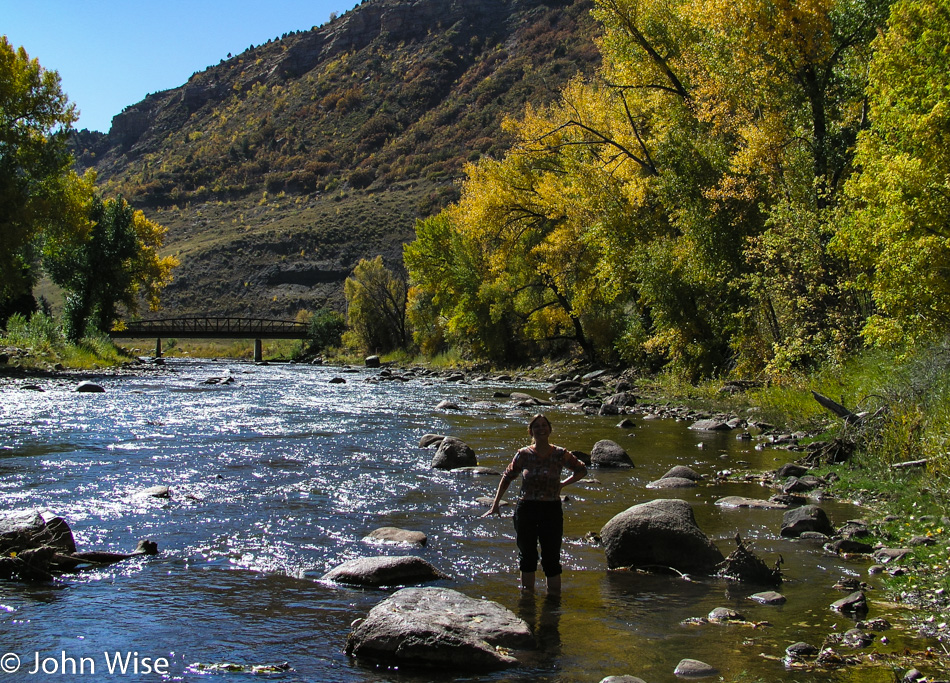
Caroline Wise standing in the Gunnison River in Colorado

Standing in the Gunnison River because a corner of Winslow, Arizona, is not nearby.

Somewhere near Gunnison, Colorado at Sunset

We are spending the night in Gunnison. Nothing left to report about this day, end of transmission.