Channel Islands, California – Day 3

Malibu Creek State Park on Mulholland Drive in California

Taking the scenic route through the Santa Monica Mountains National Recreation Area as part of our trip back to Arizona. We are passing Malibu Creek State Park on Mulholland Drive in California; on the right in those mountains is the site where the TV show MASH was filmed. This sure beats the freeway.

Caroline Wise on Mulholland Drive buying a box of strawberries in California

Thank you to the person selling vine-ripe strawberries next to the road. Every time we stop for berries in Southern California, it ruins us from buying them in Arizona.

Highway 101 in Los Angeles, California

Back on the freeway for the drive home. Just beyond the curve ahead to the right will be our first glimpse of the Los Angeles skyline, and the temptation begins to go explore some other corner of Hollywood or L.A. These moments of the trip might be the most nostalgic for me as it brings me back to my teen years when I’d clandestinely make my way to the greater downtown Los Angeles for some exploration.

Interstate 60 in Los Angeles, California

The last major stack of interchanges on Interstate 60 traveling east across California. We deviated off the I-10 as we needed to grab a couple of Boba teas at Ten Ren’s Tea Time in Rowland Heights. If you’ve never been to Ten Ren’s, you might not understand why it’s worth the detour.

Interstate 10 in California

Only an hour left to Blythe means we’ll be home in around three hours. You can be assured that we are still eating those yummy strawberries all the way home.

Channel Islands, California – Day 2

On the Pacific Ocean out of Ventura going to Anacapa Island

On a glassy ocean, we glide over the surface of the Pacific on our way to Anacapa in the Channel Islands National Park. The ride is brief at only about 11 miles from shore to shore and is serene in the quiet of the fog.

Anacapa Island part of the Channel Islands National Park in California

We arrive at an island in bloom. These yellow flowers are from the giant coreopsis that only blooms for about two weeks a year. Anacapa is one of the best locations to see them in this state should you be so lucky to be out here at just the right time.

Anacapa Island part of the Channel Islands National Park in California

Anacapa is part of a series of small islets covering only about 700 acres of land. We are on East Island, and somewhere out in the fog are the West and Middle Islands.

Anacapa Island part of the Channel Islands National Park in California

West Island is obscured by the fog, but at the end of East Island here, well, where the trail ends, you can see Middle Island a bit better. The Anacapa chain stretches for a total of about five miles.

Caroline Wise on Anacapa Island part of the Channel Islands National Park in California

Sometimes called Tree Sunflowers, these coreopsis plants can be quite tall for what looks like shrubberies in the distance.

Anacapa Island part of the Channel Islands National Park in California

While the dominant wildlife by appearance is the nearly 70 species of birds that live here there is an abundance of insects, invasive rats, and surrounding us in the waters below everything from sharks and sea lions to anemones and sea stars.

Anacapa Island part of the Channel Islands National Park in California

There are no tours of the lighthouse available, but the foghorn sounds great.

Anacapa Island part of the Channel Islands National Park in California

It’s beautiful out here on this narrow strip of volcanic land, especially with everything so green and flowery.

Caroline Wise and John Wise on Anacapa Island part of the Channel Islands National Park in California

After a few hours of wandering around, visiting the museum, and enjoying the solitude, we were about to board the boat for the trip back to the mainland.

Anacapa Island part of the Channel Islands National Park in California

With nearly 70 species of birds out here, there is poop everywhere, a lot of poop.

Dolphins between Anacapa Island and the California mainland

On the way back in, we were joined by a pod of dolphins that raced along with us and leaped out of the water from time to time. This was the first time Caroline and I had such a close encounter with dolphins that were playing with the craft we were on, as opposed to the smaller pods of porpoises that we saw up in Monterey back in January.

Caroline Wise and Woody Burns in Goleta, California

Back in Santa Barbara, we headed to the park to walk Sophie before Caroline and I headed back to the ocean for a walk before dinner.

Santa Barbara coast at sunset in California

Cloudy, sunny, foggy, we don’t care. We just love being next to the sea.

Channel Islands, California – Day 1

Driving on Interstate 10 in Arizona west of Phoenix

It was already late in the afternoon when we got out of Phoenix, but we’ve made this trip countless other times and have a good idea of what we’re up against. Once again, we are not flying, and it’s also likely that someone along the way will voice how they couldn’t do the drive because it’s so boring. We find this view anything but boring. I think their boredom has more to do with the quiet in their mind or the inability to carry on a conversation with the person they are traveling with.

Entering California at sunset on Interstate 10

It’ll be close to midnight when we pull into Santa Barbara, and until then, we’ll have the sunset, holding hands, and probably something yummy to eat along the way.

Rinku and Jay in New Mexico

Rinku Shah and Jay Patel in Eastern Arizona

Following the roads Caroline and I drove the week before, I took Rinku Shah and Jay Patel out for a day trip so these two could get away from Phoenix for a moment.

Rinku Shah and Jay Patel at the New Mexico state line

If I’ve not already shared this, Jay is leaving America later this summer, and so Caroline and I are doing our best to make sure he leaves with an extra suitcase worth of memories of his time seeing the United States from the ground as he’s already seen a bit from flying over it, but not from the road.

On the road in New Mexico

That is the Mogollon Range out there on this beautiful day to be taking a road trip with friends.

Rinku Shah and Jay Patel at the Catwalk Recreation Area near Glenwood, New Mexico

Our first real stop of the day is at the Catwalk Recreation Area east of Glenwood, New Mexico, in Whitewater Canyon.

Rinku Shah and Jay Patel at the Catwalk Recreation Area near Glenwood, New Mexico

I told them how Caroline steps into every river, stream, lake, ocean, or other waterway wherever we are traveling and that she’d be surprised to see the two of you following in her footsteps. The water is nearly ice-cold, but I’m guessing you can tell from the looks on their faces.

Rinku Shah and Jay Patel at the Catwalk Recreation Area near Glenwood, New Mexico

Seeing Caroline couldn’t join us today, we brought a printout of her from our trip to Disneyland last month.

Mogollon, New Mexico

Had to stop in on a ghost town so bragging rights could be earned from having visited one. From the sign on the theater, you should be able to deduce that we are in Mogollon, which I just wrote about last week.

Rinku Shah and Jay Patel sitting in the snow roadside on the Arizona / New Mexico border on the way to Alpine, Arizona

Instead of heading back south, we went north in the hopes of finding snow, and sure enough, that’s just what we found. I might be wrong, but I think Rinku said this was the first time she’d been in the snow.

Rinku Shah and Jay Patel at Luna Lake in Arizona

You just had to know that we’d have some dancing somewhere during this day; as a matter of fact, this wasn’t the first time.

Near Greer, Arizona

It was starting to get late in the day as we were driving in the general direction of Phoenix. This is near Greer, Arizona.

New Mexico – Day 2

El Camino Family Restaurant in Socorro, New Mexico

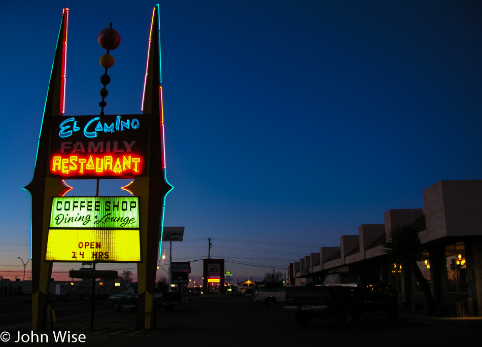
Yep….green chile-covered steak for dinner, and then 10 hours later, the same thing for breakfast. We will never come to Socorro and not eat here, and if they were to close, we’d have no reason to ever return to Socorro.

Herd of Pronghorn Antelope near Datil, New Mexico

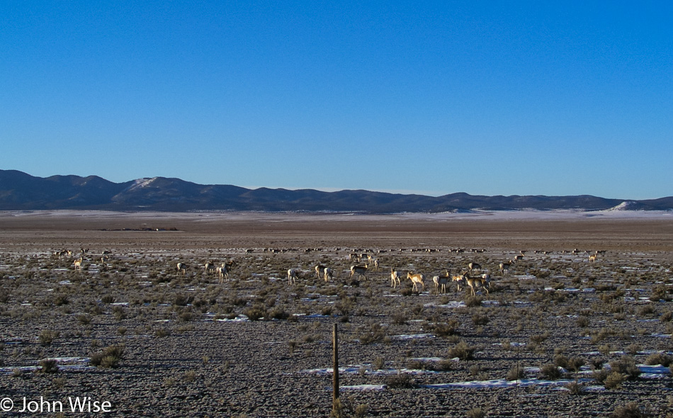
While it might be difficult to see exactly what you are looking at, and my photo doesn’t even capture them all, those are pronghorn antelope. We usually see one or two of them next to the road, but never nearly 100! Did you know that the pronghorn is the second fastest animal on earth, just behind the cheetah? Neither did we until we consulted Wikipedia.

New Mexico Road 32 that runs between Quemado and Apache Creek

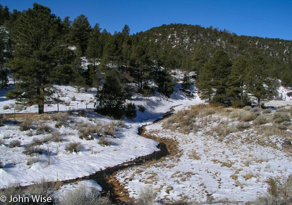
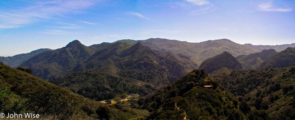
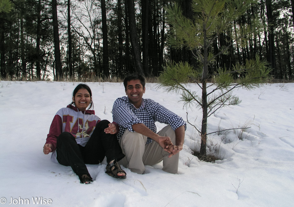
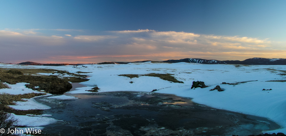
We drove through Pie Town as opposed to stopping for pie in Pie Town. This isn’t our first time passing through, as we can’t seem to coordinate our travels with a season or hour that would allow us to eat pie there. We really do want some pie from Pie Town because what else is one supposed to do there? Instead, I present you with snow off Highway 32 south of Quemado, New Mexico. I know, pie would have been better.

Caroline Wise standing in Quemado Lake east of New Mexico Road 32

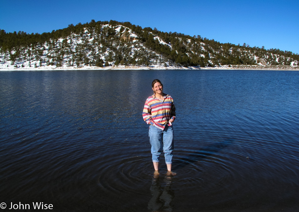
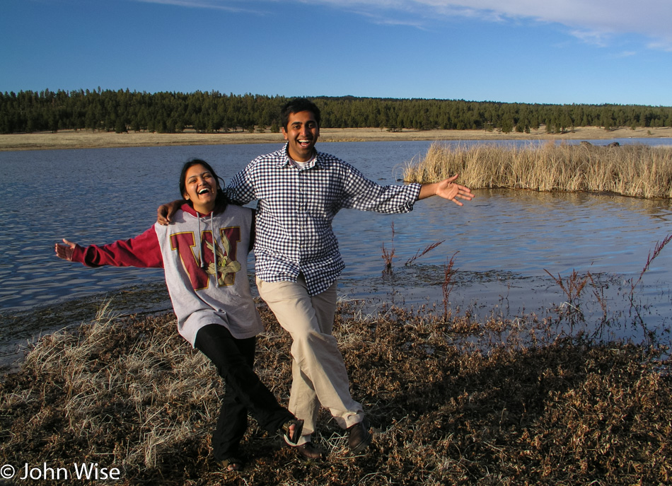
What you don’t see in this photo is Caroline having to step over the ring of ice along the shore. Quemado Lake, this time of year, is exceedingly cold, close to freezing as a matter of fact, and maybe part of that has to do with being at nearly 7,000 feet above sea level or about 2,100 meters. The water was so cold that as I played with Caroline and told her to step further out and that I needed to take just one more, she started getting nauseous from the biting cold.

Abandoned cabin on New Mexico road 12

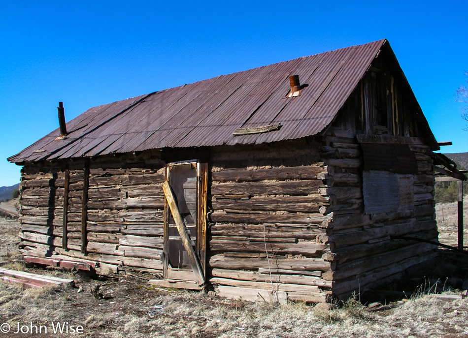
Oh my god, are you kidding? Drats, I just found out that while we are looking at an abandoned log cabin on New Mexico Route 12, a really important football game is on TV. Hah, like we could find that out while out on this road, and since when was any football game important? Is it even football season?

Mogollon Ghost Town in New Mexico

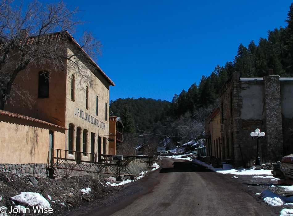
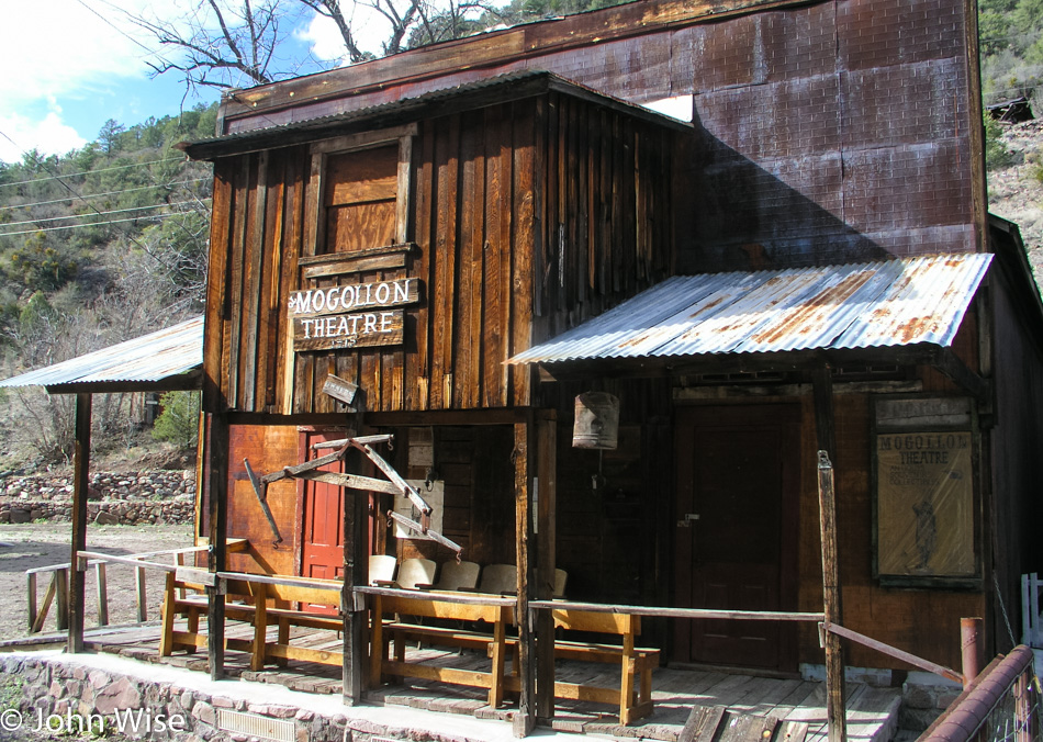
It’s the season to visit a ghost town. This one is known as Mogollon [pronounced: moh-guh-yohn]. Back in 1909, about 2,000 people were living here, and the mining town had five saloons, a bunch of brothels, a couple of restaurants, and two hotels. Today, the population sits at zero. Okay, Australians, this one’s for you: the town was built to support the “Little Fannie” mine, and the town itself is listed as the Fannie Hill Mill and Company Town Historic District with the National Register of Historic Places.

Update: The Purple Onion Cafe and the Mogollon Museum in town are still in business, and there is the four-room Silver Creek Inn, which is housed in the J.P. Holland General Store pictured left. These businesses operate from May through October so make sure before you visit that the places are open.

Mogollon Ghost Town in New Mexico

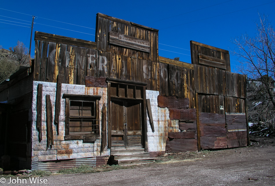
The town has burned down, been nearly washed away, and by 1930 its population had fallen to just 200 souls. Remnants of its past still exist, but they are fading.

Mogollon Ghost Town in New Mexico

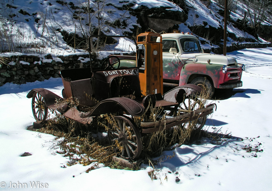
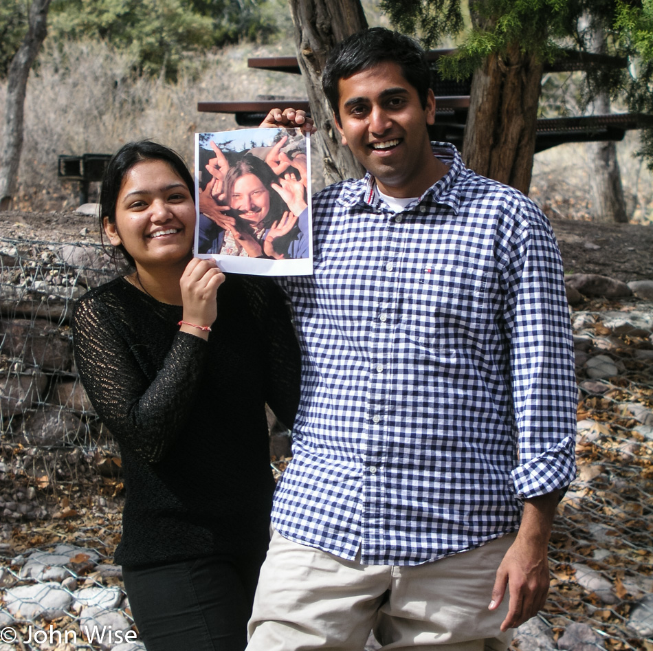
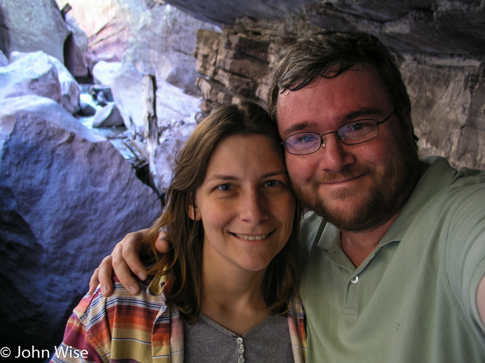
We were the only people in town today, all two of us.

Deer next to the road near Mogollon Ghost Town in New Mexico

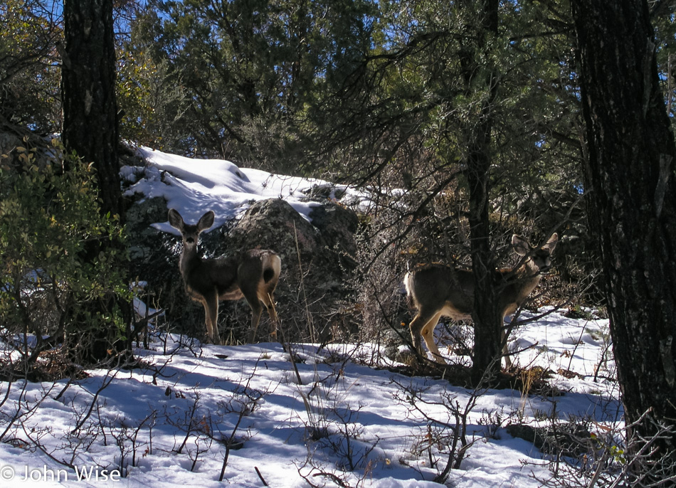
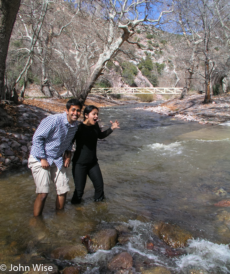
Well, us and these two.

Caroline Wise at Catwalk Recreation Area near Glenwood, New Mexico

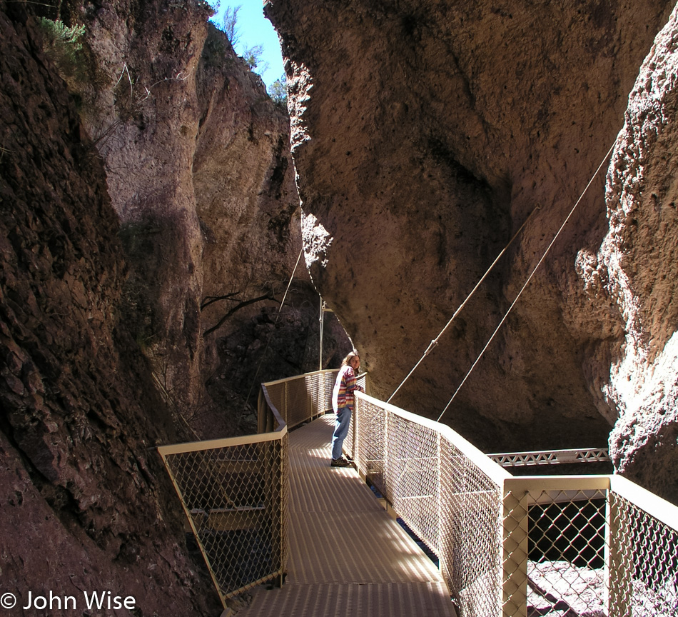
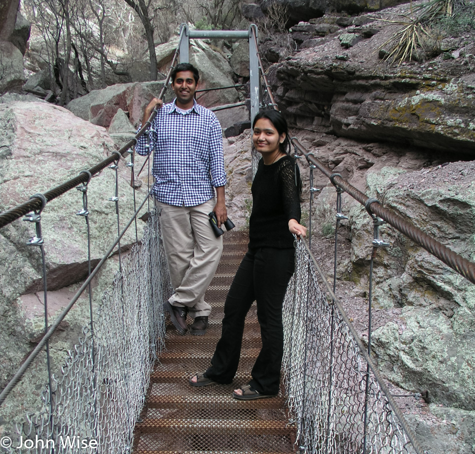
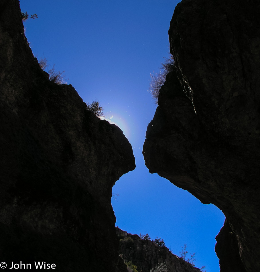
Here we are about five miles east of Glenwood, New Mexico, in Whitewater Canyon at what is known as Catwalk Recreation Area.

Catwalk Recreation Area near Glenwood, New Mexico

Back where we parked the car is the site of an old mill that operated about one hundred years ago. Back then, there was a catwalk built here (though I don’t believe it was this sophisticated) that was essential for silver and gold mining being done in the area.

Whitewater Creek at Catwalk Recreation Area near Glenwood, New Mexico

Originally the water from Whitewater Creek fed into a pipe that drove the mill and a generator at one point to supply electricity to the town of Glenwood.

Caroline Wise and John Wise at Catwalk Recreation Area near Glenwood, New Mexico

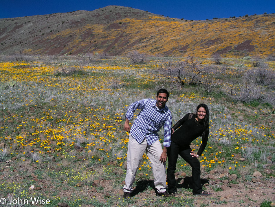
Some day, Caroline and I will have to make a longer trip out of coming this way to visit Pie Town, return to the Gila Cliff Dwellings, burn our membranes on chiles in Hatch, spend more time at Bosque Del Apache, eat at El Camino in Socorro, hang out in Magdalena, and go for a proper visit of Mogollon for some hiking and maybe check out the old mines if that’s possible.

Whitewater Creek at Catwalk Recreation Area near Glenwood, New Mexico

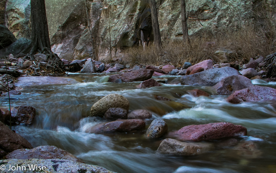
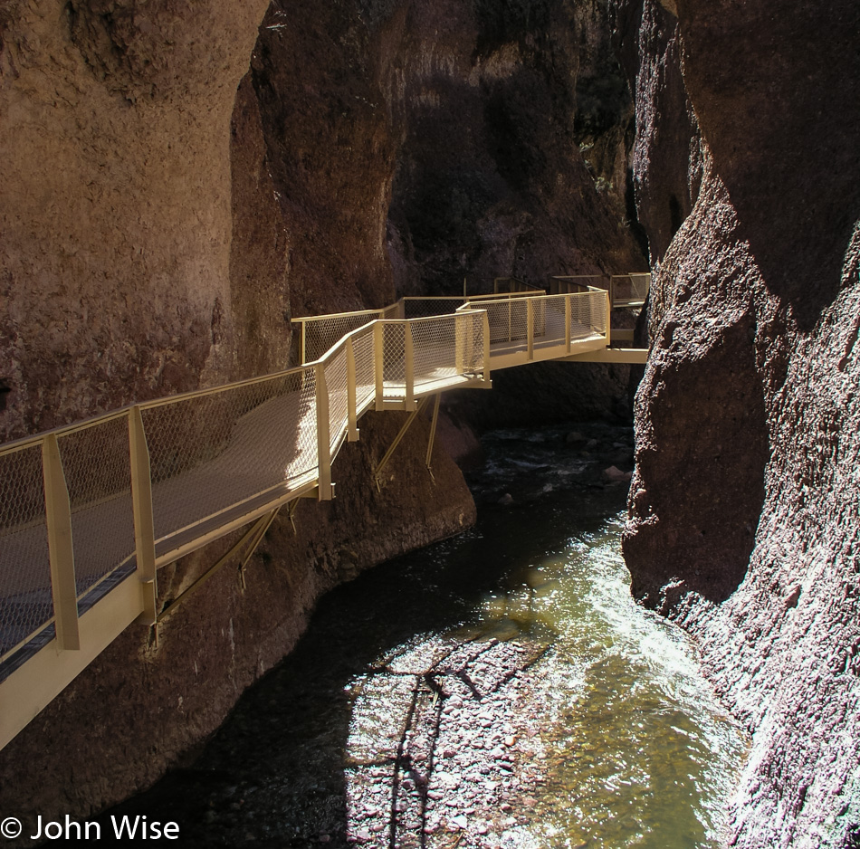
Too shallow to canoe but not so insignificant that it can’t be appreciated. Whitewater Creek runs for many miles through a canyon that can be hiked, though it is considered a difficult trail.

Catwalk Recreation Area near Glenwood, New Mexico

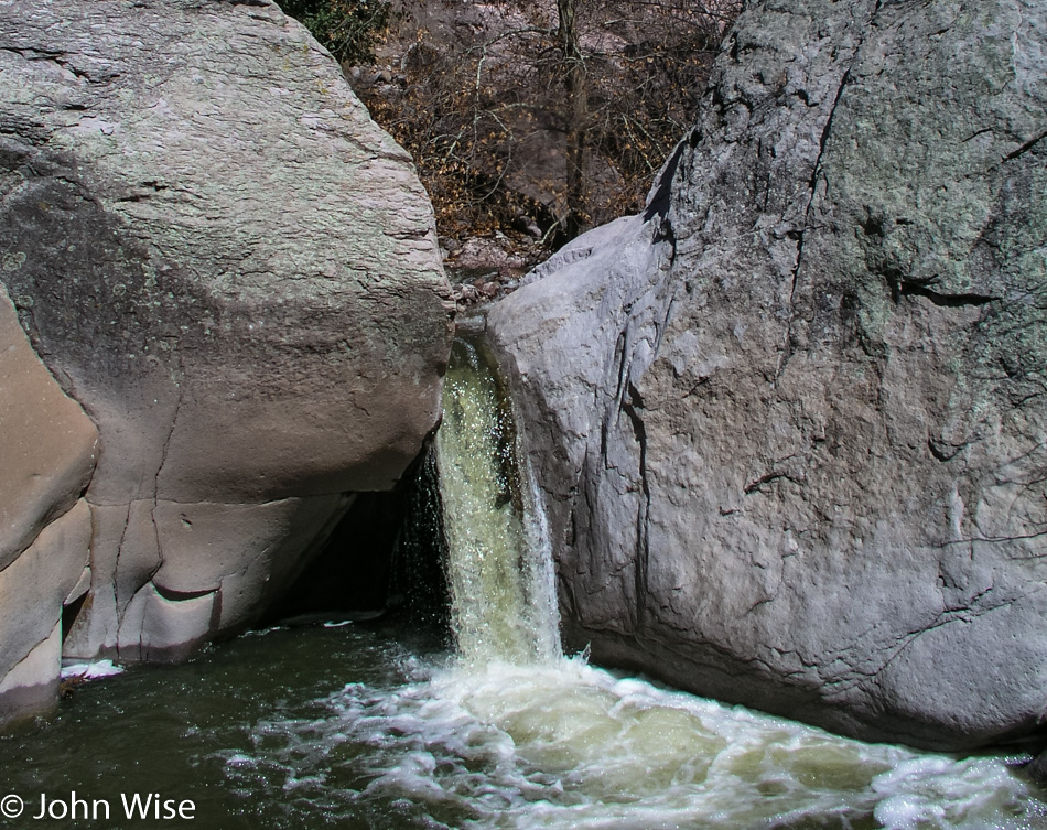
At times, the canyon is rather narrow and there was a tall wisp of a waterfall we could have visited if we were prepared to get our feet wet and crawl over some large boulders. Maybe next time.

Leaving NM-180 for Highway 78 going towards Arizona

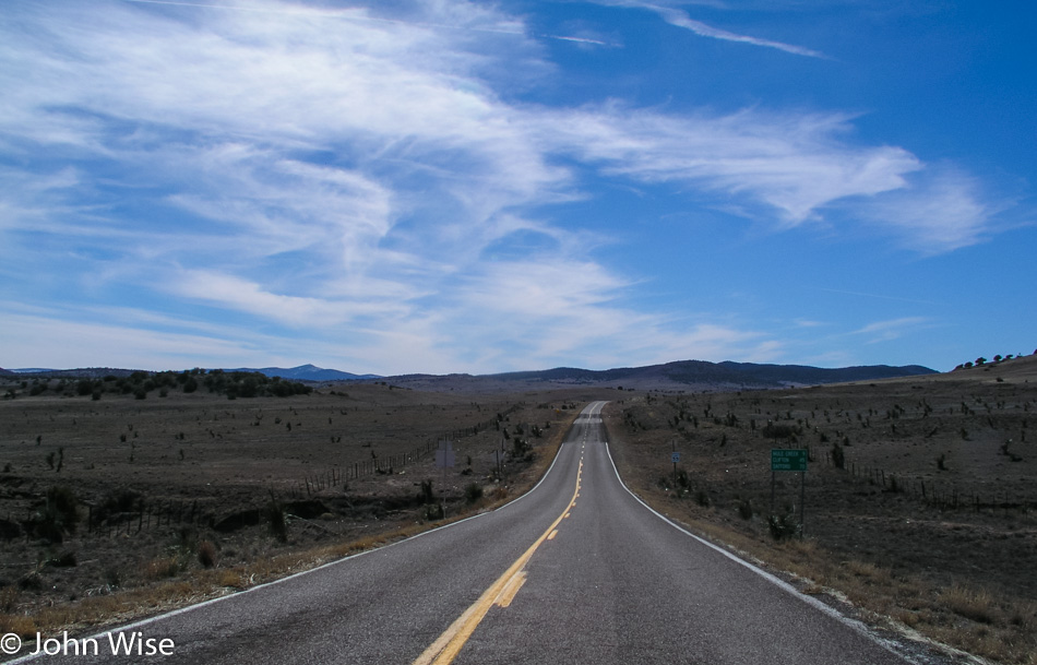
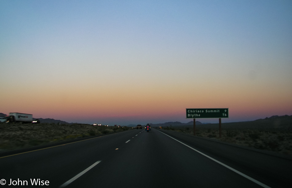
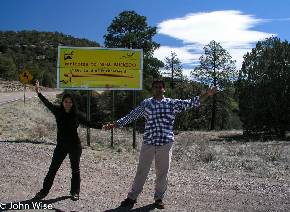
This is the road that will take us back the way we came. Yesterday, we were traveling east on this road, and turned right just behind me. Today, we came from the north after making a nice loop around this small corner of New Mexico. Weekend road trips are seriously worth the effort to peel ourselves out of Phoenix.