
Because his face could sell anything.
Dreams, Moments, Travels
Because his face could sell anything.
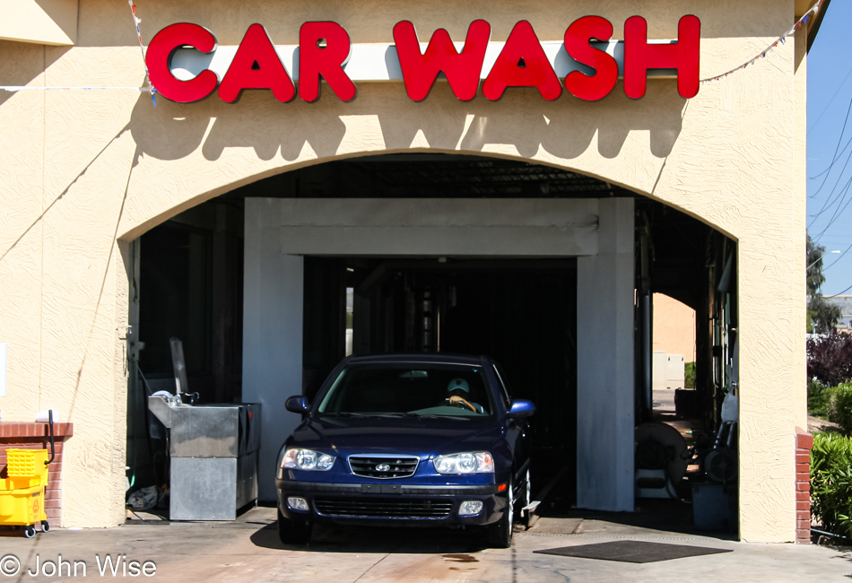
Getting the car washed so I begin the 42nd year with a fresh and clean perspective. Plus, after driving to and from California and then yesterday’s drive into the mountains, it became a necessity if I were to continue seeing through the windshield and having functional headlights.
I pulled off Highway I-17 just north of Phoenix, where it enters the mountains, for a brief visit to Black Canyon City.
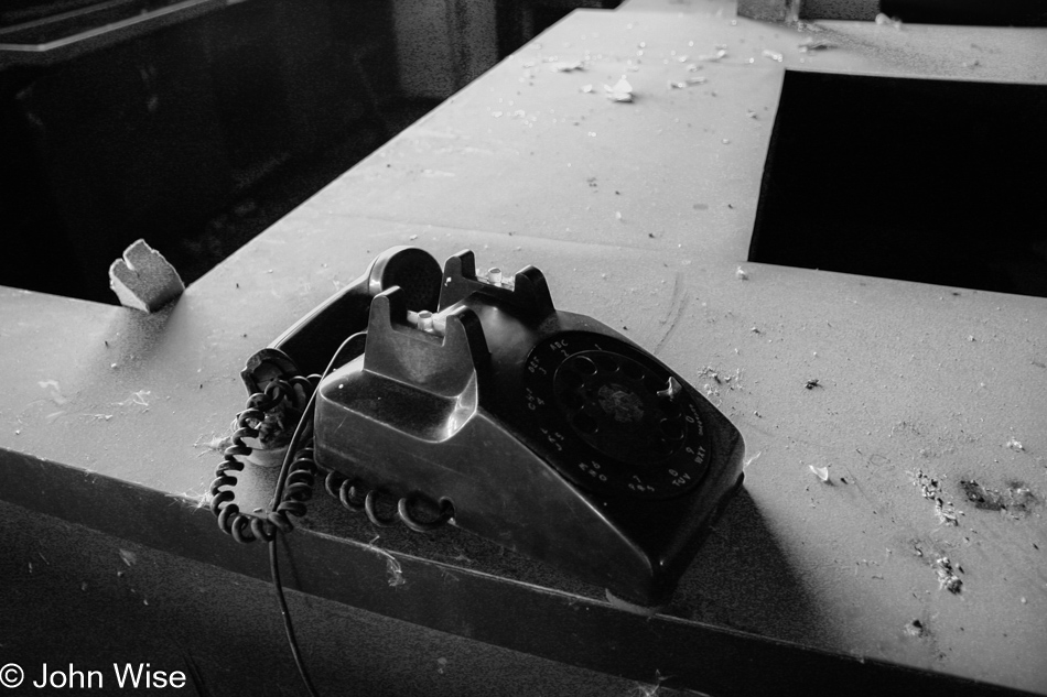
The phone is off the hook and unavailable so am I today on my 42nd Birthday. I took a long and meandering drive, making Black Canyon City my first stop. Wandering around, I visited a deserted facility that turned out to be the Black Canyon, Greyhound Park. Dusty and weathered the facility ages, just like me.
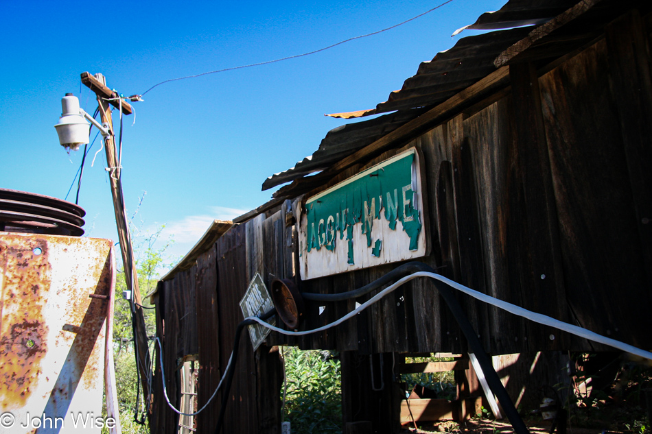
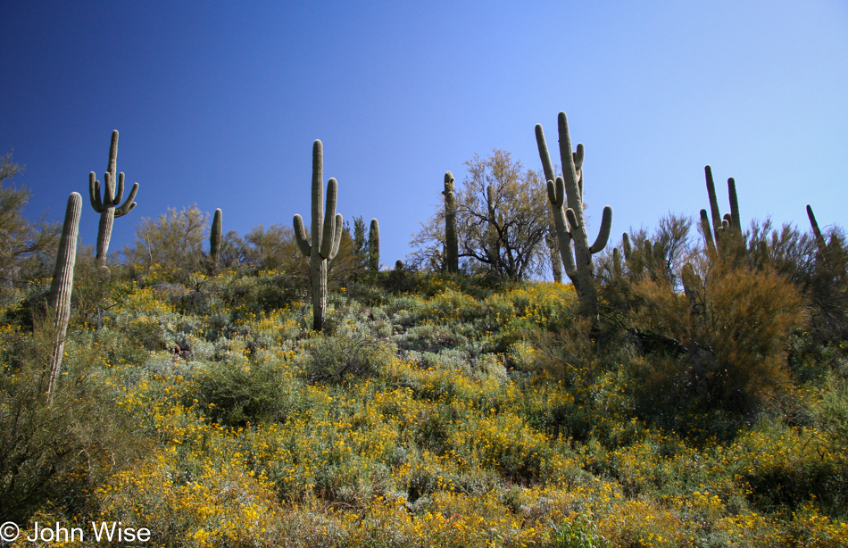
The views are great, with Towers Mountain and Crown King to the northwest. Mines dot the surrounding hills, both operative and defunct. Most of these lands are private property and well-marked as such. Mine owners are a riley bunch on the whole, so as you go around these parts, it is best to honor the “no trespassing” warnings.
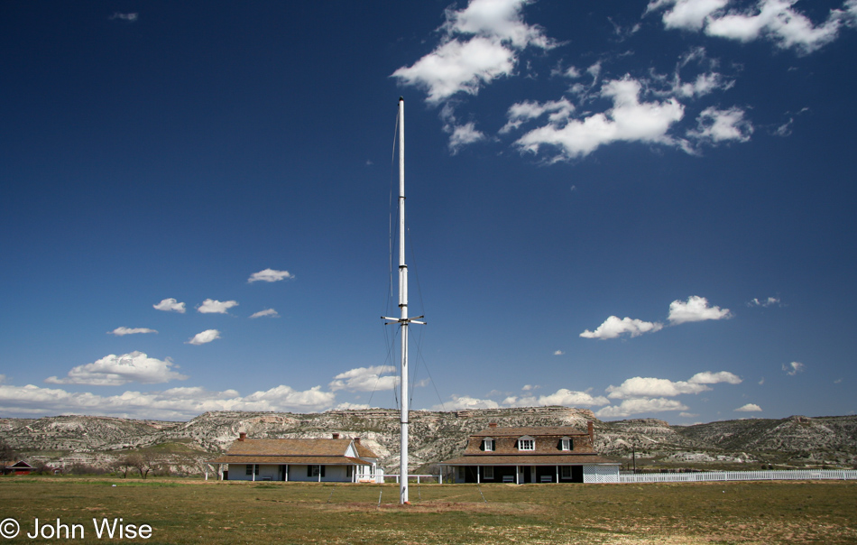
Without much to investigate, I make my way back to the 17, traveling north. Camp Verde is the next exit I take to look for Fort Verde. Fort Verde was the primary base for General George Crook’s scouts and soldiers.
Lately, Caroline has been reading the book Once They Moved Like the Wind in the car while we are out driving, and I have been going out to check out the sites referenced in the book or with historical context regarding the Indian Wars.
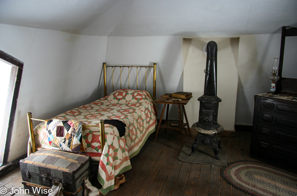
The preserved and well-maintained buildings of Fort Verde are on the National Register of Historic Places and feature interpretive exhibits, helping the visitor draw a more vivid picture of how the Fort looked and how its residents lived while the State of Arizona was being established.
Nearby Camp Verde are worthwhile destinations, including Montezuma’s Castle and Montezuma’s Well, while only 20 miles northwest is the Verde Canyon Railroad.
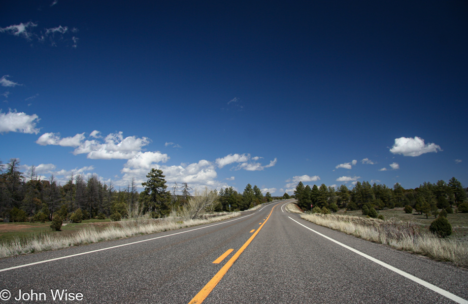
Driving east out of Camp Verde on State Road 260, the Mogollon Rim lies before you. The Rim extends from here to the Mogollon Mountains in southwest New Mexico, defining the southwestern edge of the Colorado Plateau.
A resident of Phoenix and parts south makes regular visits to Rim Country. The area is popular for its cool temperatures, many lakes, campgrounds, and small towns that allow an escape from the bustle of America’s sixth-largest city.
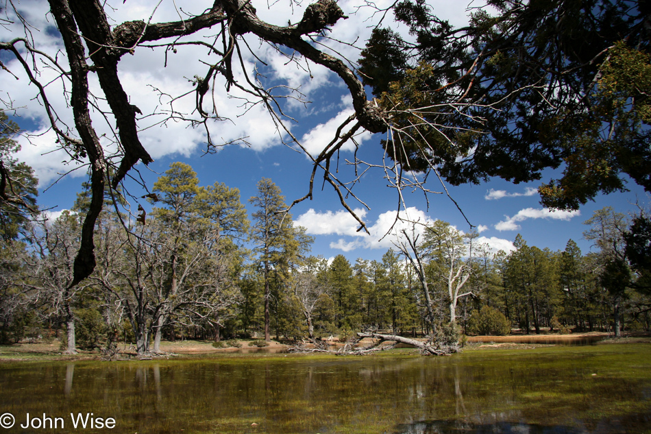
In the mountains of the Mogollon Rim, the elevation rises as high as 7,000 feet, which makes for occasional snowy winters. As winter snows melt, temporary meadow lakes are created across the plateau, as seen here on the left.
The Ponderosa Pine found extensively across the Rim lends an alpine atmosphere to the region, broadening its appeal.
Within the forest, hikers and surprised drivers will often spot elk, deer, javelina, and, on rare occasions, a bear.
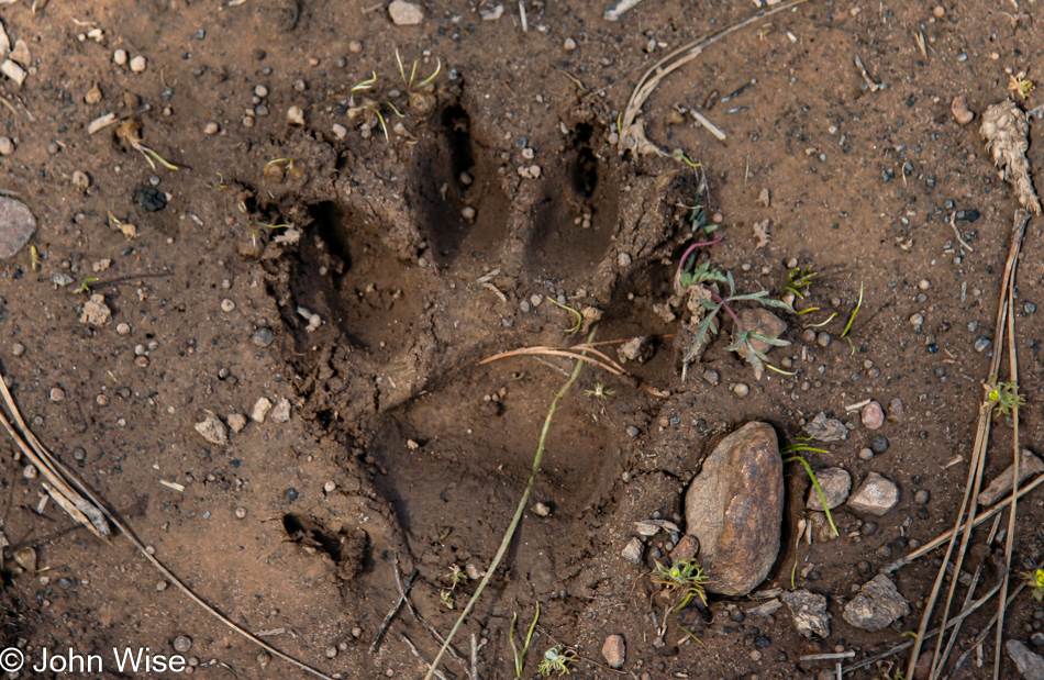
Walking along the above lake on my way back to the car, I spotted this relatively fresh bear track amongst some cow hoof impressions and quickly scanned the area to find out if I might be looking like a juicy berry to a bear in hiding. Fortunately, or maybe not, there was no bear to be seen.
Leaving the lake on State Road 87 I am driving south through an old favorite place of mine called Strawberry. Soon after, I pass the little village of Pine, an attractive place where weekend visitors can stop to buy local honey and maybe a bite to eat.
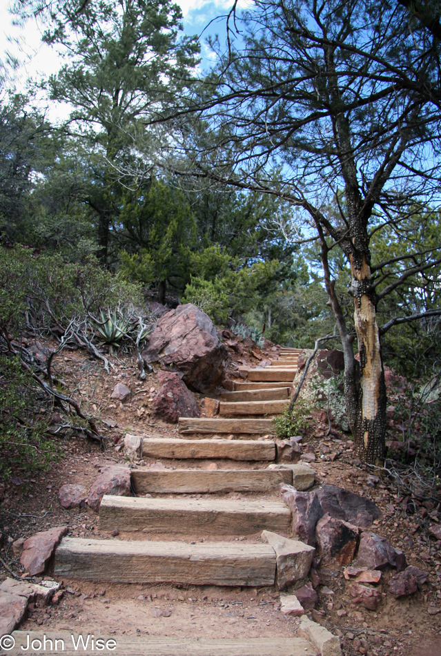
My intended destination today, though, is the Tonto Natural Bridge State Park. The turnoff from State Road 87 to the park is a steep road leading into a tiny valley with a fee station, charging a $3 per person entry fee.
A well-marked trail guides you to the bottom of the bridge for a great view of the surroundings. Allow at least ninety minutes to hike down, explore, and hike back up.
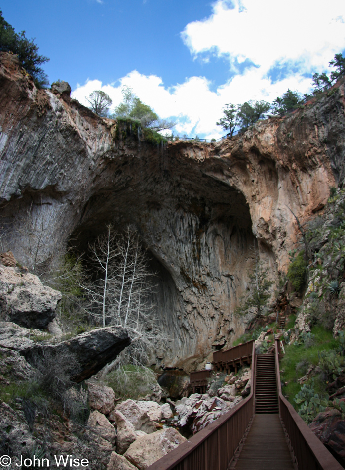
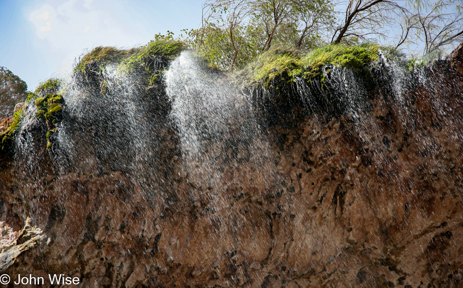
The bridge itself stands 183 feet high. The tunnel below is 400 feet long and measures 150 feet at its widest point.
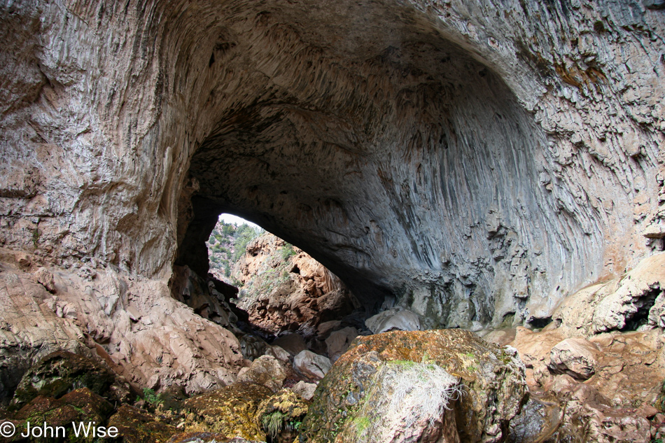
Rocks at the base of the bridge near the end of the tunnel are covered in moss accumulated due to a fine misting from a small waterfall trickling down from the top of the bridge like a silver curtain.
On hot days, you will find youngsters of all ages playing in the stream and standing under the cool mist descending through the mountain air. Today, at the beginning of spring, only a few other visitors have taken to the trail.
This photograph tries but does not quite succeed in demonstrating that the tunnel you are looking through is 400 feet deep and 150 feet wide. Only a visit to Tonto Natural Bridge will relate to just how large the entire bridge structure truly is.
Before I turn to leave, I stand at the end of the catwalk, hoping the wind will direct those cool, misty waters my way so my return trip up the canyon might be just a bit more comfortable.
No luck with the uncooperative wind, though. This small waterfall is only to be appreciated by viewing today. The hike back out is fairly painless, even for an overweight guy like myself.
The rest of the trip home is about 90 miles south, but first, I will pass through Payson and a gorgeous valley with green mountains on my right and the four peaks to the left. Thus, my Birthday drive comes to a close.
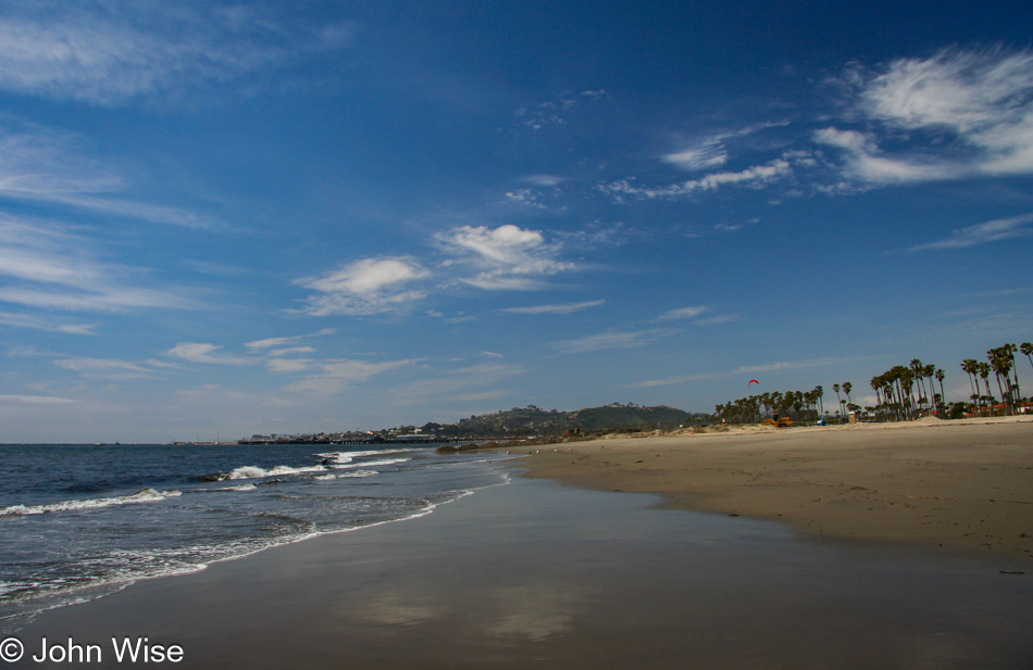
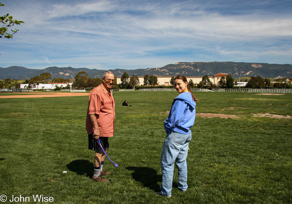
Following breakfast and a long goodbye, we are once again on the road. Tata gave us a kite this visit and as we passed the beach near downtown Santa Barbara, I pulled over for a picture, and Caroline suggested we try out our new toy. It takes her about 5 minutes to assemble it while I walk along the water’s edge, wishing we were so fortunate to live here in this incredible coastal community.
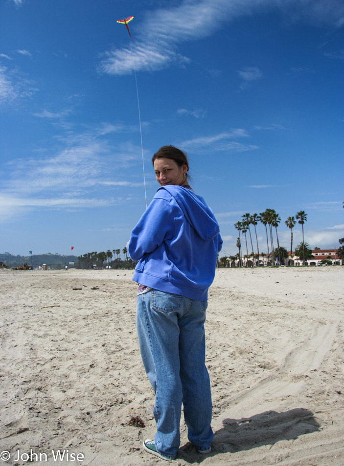
Tata and Woody gave Caroline and me a large dragon kite this weekend. From a prior visit, they knew we were looking for a nice kite but came up empty. Tata, on one of her many shopping trips, found this one and was certain it would be one we liked; she was right. On our way home, we stopped near Stearn’s Wharf, walked out to the beach, and Caroline assembled the dragon and put it aloft.
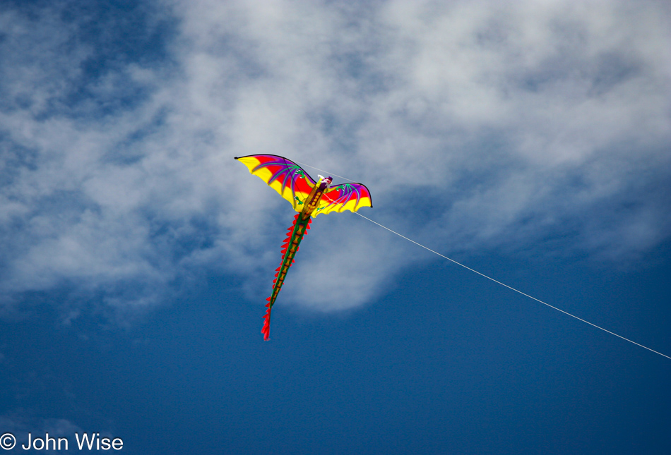
With Caroline at the helm, her smile is as big as the kite’s high. It’s not a stunt kite, but Caroline is having fun all the same as she lets the string out allowing the kite to tug at her grip: A perfect day next to the Pacific Ocean in Santa Barbara. Eventually, she reigns the kite in, and we continue our journey.
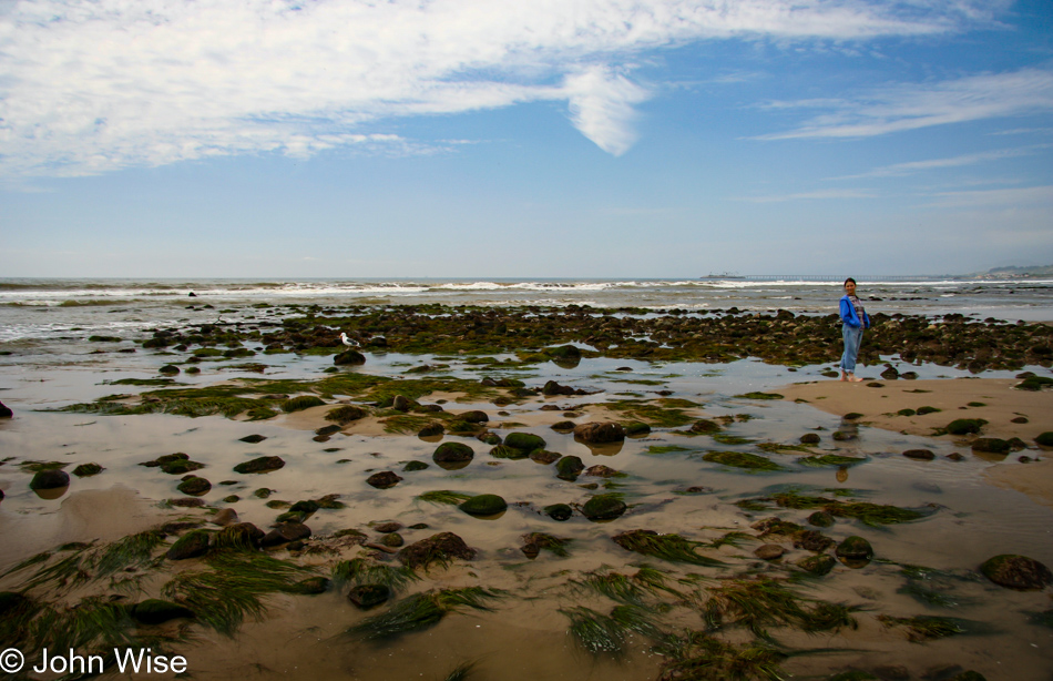
Of course, driving home through California is never all that straightforward, and it’s not long before we stop at another beach near Sea Cliff. This time, we cannot pass up the telltale sign of low tide – exposed rocks and grasses next to the surf. We walk along for a half-hour, spotting anemones, starfish, coastal birds, and the occasional crab. Finally, Caroline puts her shoes back on, and this time, we definitely must push on to home if we are to get there at a reasonable time.
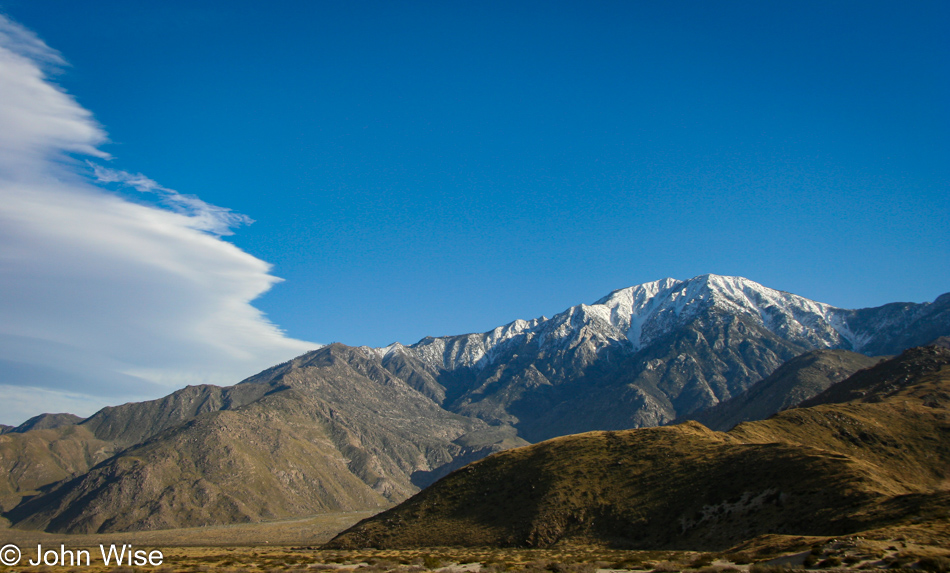
We make good on the commitment and, after a couple of hours, are about to reenter the desert near Palm Springs. This snow-capped peak is a great reminder of how fortunate we are: Other places around the country are just leaving winter, while we get to walk barefoot along the ocean after visiting the Botanic Garden and watching butterflies flutter about.
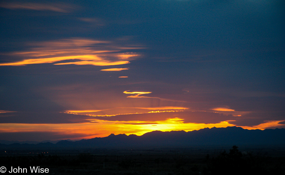
Daylight gives way to a stunning sunset of blues, purple, orange, and red, while another great brief weekend away from Phoenix comes to a close. For everyone who wonders how we can handle so much driving, we ask them back, how can you handle watching so much TV?
This weekend, our trek is 507 miles long each way, which is how far my Aunt and Uncle in Santa Barbara live away from us. California had an exceptionally wet winter. One particular time we had considered visiting but decided against it because all roads in and out of Santa Barbara had been closed due to them being washed out or covered in mud due to landslides. After too much delay due to wet weather, we arrive on a beautiful weekend.
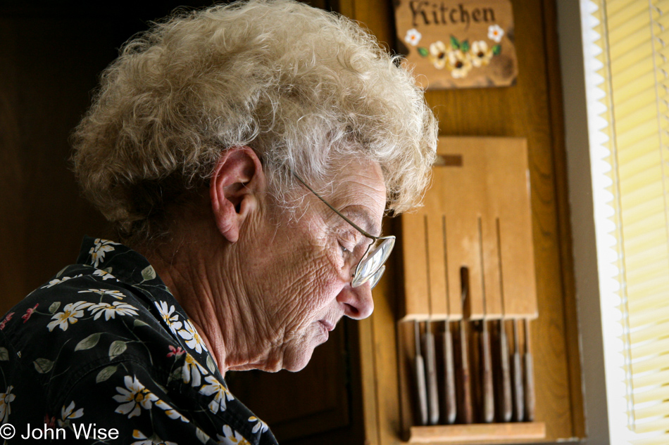
Visiting Santa Barbara, California, to visit Uncle Woody and Tata; some dishes are getting cleaned before we go for lunch. This was our first visit since Christmas and was long overdue. Just after the weekend, we learned that Tata’s brother Mike isn’t doing well. Caroline and I visited with Uncle Mike in Buffalo, New York, back in 2000, and later, as Mike and Penny made their last trip to California.
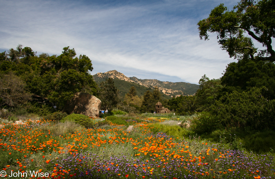
Following the rains, the mountains, gardens, and yards are vibrantly green and lush, which leads us to the decision that we have to go to the Santa Barbara Botanic Gardens. Nestled into Mission Canyon and only a mile and a half from the historic Santa Barbara Mission, the Garden, a state historic site, has been welcoming visitors for more than 75 years.
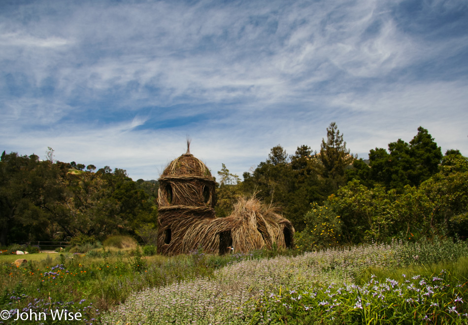
This weekend and for the coming two years, Toad Hall, pictured to the right, will be on display. Created by artist Patrick Dougherty, this environmental sculpture is a two-story willow tower with a maze of pathways and chambers. The inspiration for Mr. Dougherty’s work was taken from the book The Wind in the Willows. If you would like to see how Toad Hall was built, visit these pages on the Garden’s website.
Coming from Phoenix, Arizona, where we have what appears to be a mere handful of native species, mostly consisting of cactus and more cactus, the seemingly infinite number of plant species here in Santa Barbara strikes a stark contrast. It was this diversity that first drew us to the Garden on a previous visit. Short of walking Santa Barbara’s hilly streets and stopping to gaze at individual private gardens, a visit to the Botanic Garden really is the best way to acquaint yourself with the plants of California.
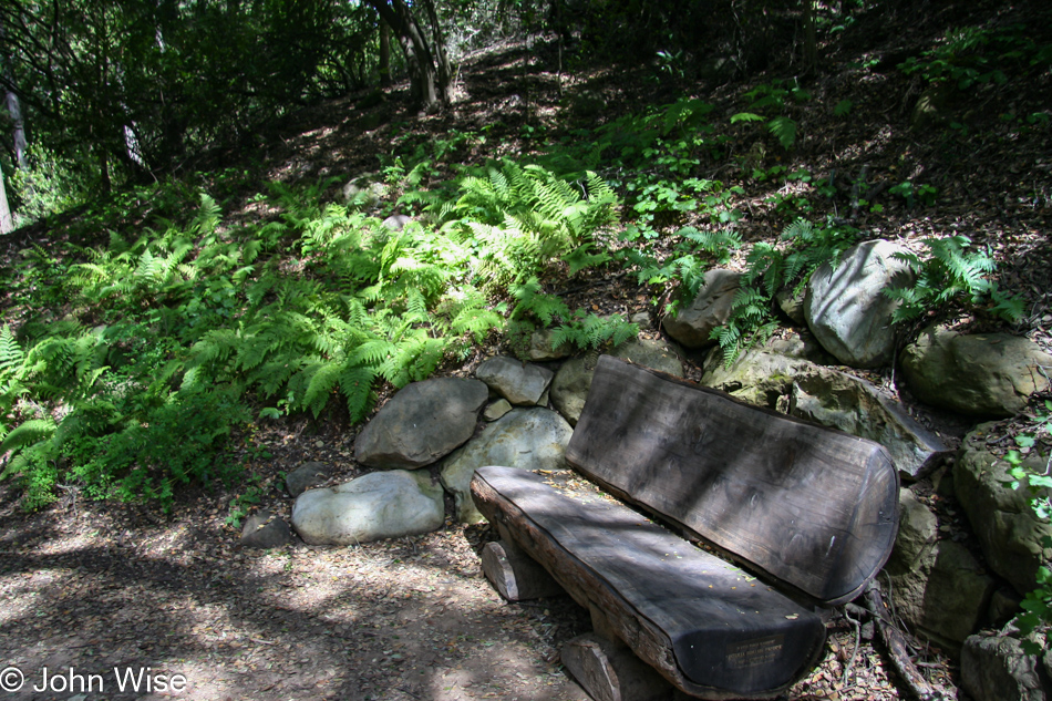
Continuing into the Garden, deeper in the canyon, a path leads you through a small grove of coastal redwoods and clusters of fern. Conveniently located throughout the park are comfortable benches for taking a moment or two to relax, listen, and feel your surroundings. On any given day outside of California’s notorious torrential downpours, you can expect a wonderfully pleasant day here at the Garden.
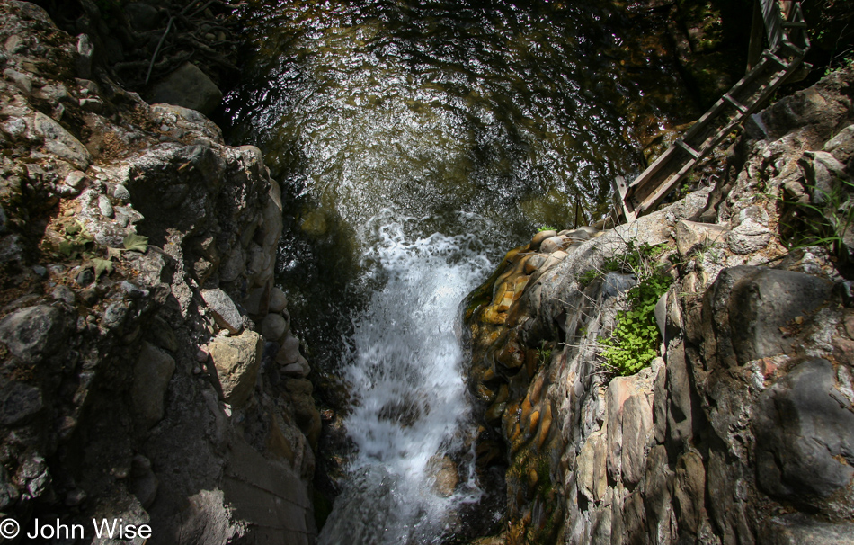
A small creek running through the Garden is momentarily stopped at the Mission Dam. Water spilling over the enclosure adds to the ambiance of sound and vision as we meander under the heavy canopy of trees towering overhead. Further down the canyon, visitors have the opportunity to cross the creek, hopping from stone to stone – if they so wish.
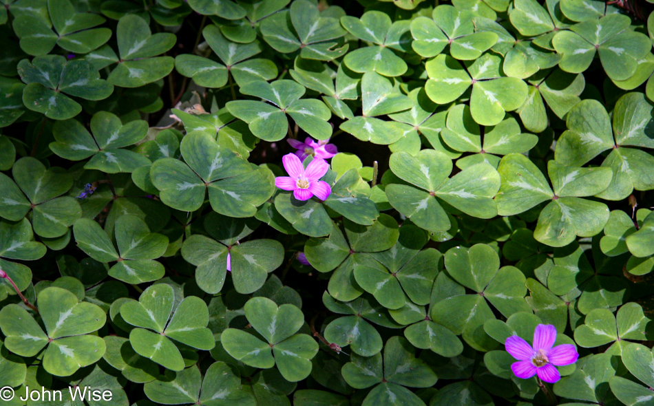
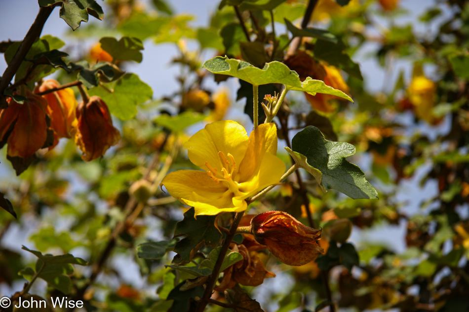
With so much moisture and heavy tree cover, a redwood’s favorite lays a carpet of clover over the ground, offering a magic blend of shadowy greens and giving rise to thoughts of emerald islands and elfin mysteries. Not only is the Garden busy with plant life, but there is also an abundance of wildlife to be enjoyed here too. The Santa Barbara Botanic Garden is visited by 123 species of birds, some year-round.
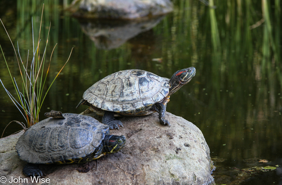
Other animal life includes turtles, who occasionally perch themselves on nearby rocks to catch some of those famous California rays. On a previous visit, we watched a harmless garter snake slither over the trail. Butterflies and honeybees also make the Garden their home. I’m sure that if Caroline and I had more time here at the Santa Barbara Botanic Garden we would continue to discover new inhabitants here in this little slice of paradise.
We enjoy these walks through the trees, stopping to smell the flowers, look at the birds, and listen to the water bubbling by, but our visit to Santa Barbara is also about visiting family, and so after what seems to be the shortest of visits we depart and almost immediately talk of plans to come back as soon as possible. After dinner later in the day, we stay up late talking with Uncle Woody and Tata (Aunt Anne) before heading to sleep so we catch 40 winks and are well rested for our long drive home on Sunday.
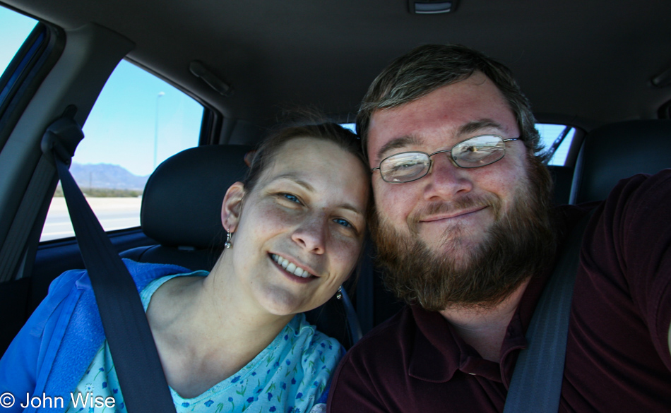
In the car, leaving Phoenix, Arizona.
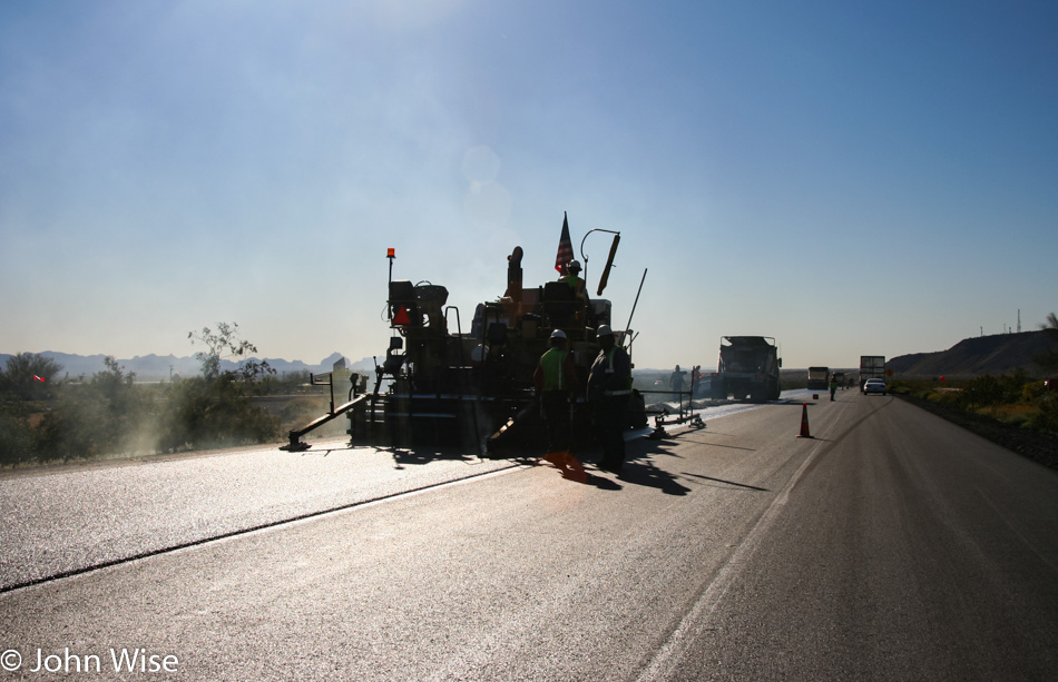
A road crew out repaving the 10 freeway about 65 miles west of Phoenix, Arizona, causes us a 45-minute delay on our way to Santa Barbara, California to visit Uncle Woody and Aunt Ann.
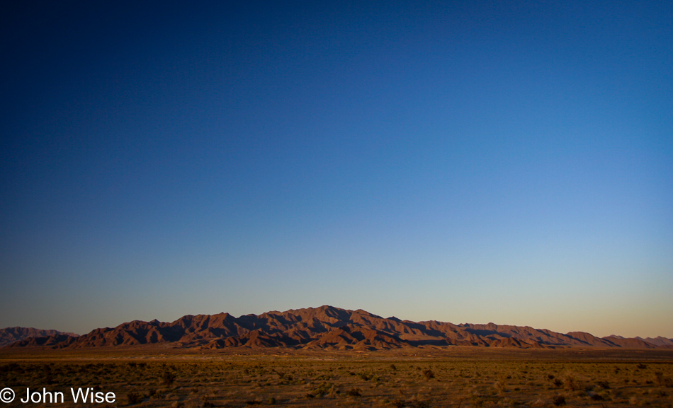
North of Interstate 10, about 50 miles east of California, is the Harquahala Mountains, one of about eight ranges we drive by on leaving Phoenix, Arizona. Caroline and I have passed these mountains at all times of the year and at all times of the day. No less than 60 times west and 60 times east have we crept down this interstate to begin and finish a weekend. After ten years of following the more than 350 miles of road between Phoenix and Los Angeles, we still love the views this stretch of desert offers.
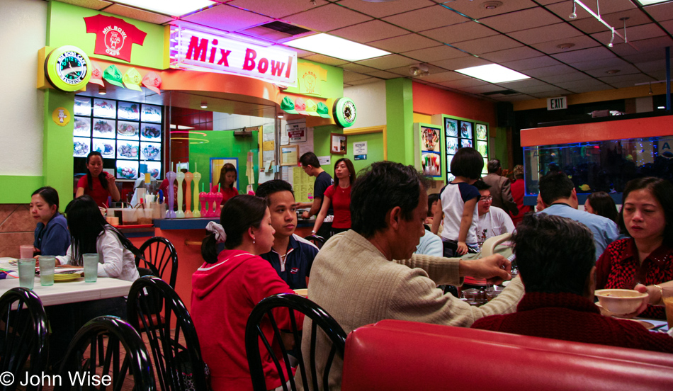
We seem to stop at Mix Bowl in Pomona a lot; that’s because they are great!