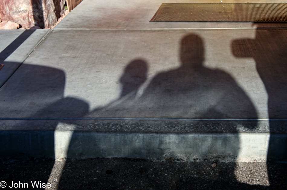
Hanging out on the streets of Phoenix.
Dreams, Moments, Travels
Hanging out on the streets of Phoenix.
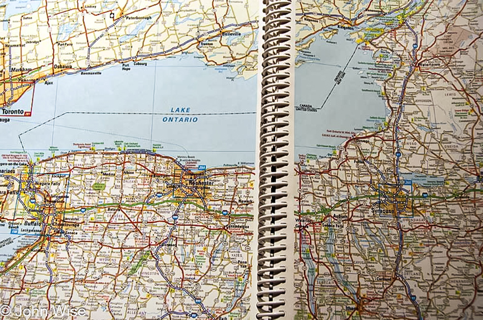
All free time is being given to building the itinerary for Jutta’s visit to the United States in May. Caroline’s mom should land in Phoenix, Arizona, on May 13th and will have nearly a week to get over jet lag and allergies from coming into this dry state. On May 20th, we will embark on a cross-country trip that will take us to Niagara Falls, Vermont, New Bedford, Mystic Seaport, Statue of Liberty, Central Park in New York City, Lancaster in Pennsylvania to visit the Amish, Washington D.C., Chesapeake Bay, Cape Hatteras, the Smokey Mountains, Natchez Trace Parkway and a few other stops in-between.
More about my mother-in-law’s trip will be posted soon.

A funny thing happened along the road while blogging; a bunch of entries disappeared. We didn’t learn this until 2021, and while the WaybackMachine helped with over 35 posts, there were a few, such as this one, that had no archived data about it. The photo still existed in an archived directory with a date on it, but no other info exists.

With leaves turning green and still emerging, Phoenix is in the throes of springtime; soon, though, this beautiful green will give way to the more normal Phoenix brown that blankets our city.
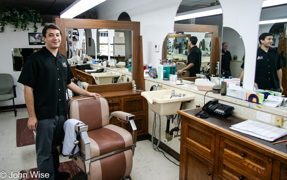
Albert has been my barber now for a few years; at least before him, it was Sam for a few more. This is Gio’s Barber Shop at 64th Street and Bell Road in Phoenix, Arizona – my favorite. They still use straight-edge razors, hot shaving cream, and some smelly aftershave Caroline just can’t stand, but it’s a real man’s haircut at Gio’s.

Because his face could sell anything.