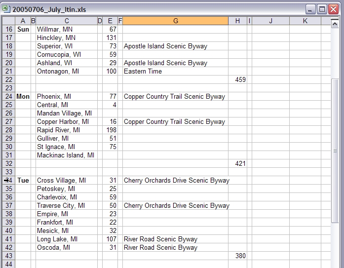
Up and gone early again but not early enough. We are 3 hours behind the itinerary. Breakfast had to wait until we were in Marshall, Minnesota. Normally, I’d avoid Perkins, but they have the basics, and there weren’t many choices out this way.
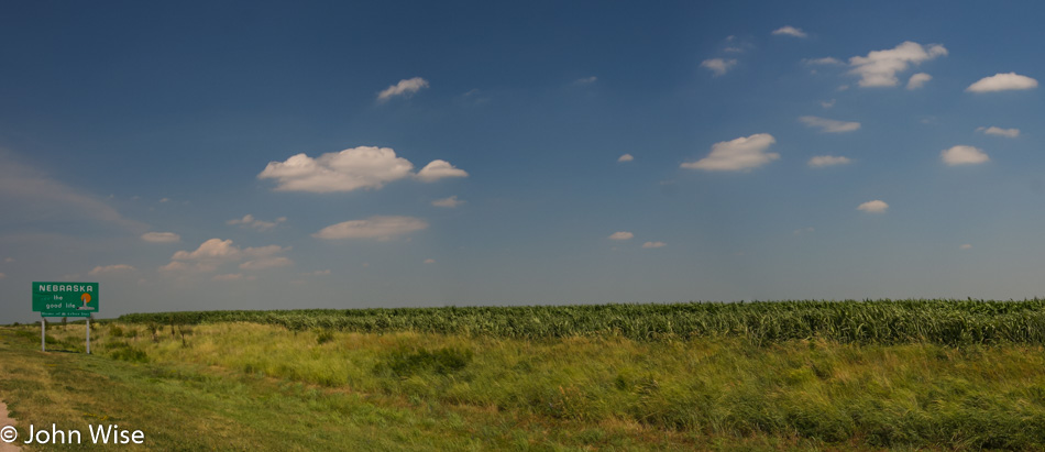
This land of 10,000 lakes is a bit shy by my count here on State Road 23. We pass a few lakes here and there, but we are driving by a lot more corn. The prairies seem to be primarily farmed for beans and corn, though a smattering of wheat can be spotted here and there.
The ground becomes hillier, and there are more trees, but we’ll be halfway up the state before dense forest replaces farmlands. As I look out at this landscape, I can’t help but think of Caroline and what her interest would be in stopping to admire the view. I don’t have the impression that my mother much cares one way or the other, but even though she’s never been to Minnesota before, she’s already seen enough and is ready for the next thing.
While signs point to lakes on side roads, Mom is more excited about seeing Lake Superior, so we press on.
We passed from Duluth, Minnesota, into Superior, Wisconsin, where the call for something to eat couldn’t be ignored any longer. Lunch wouldn’t be complete until Mom satisfied her craving for frozen custard, so we stopped for two cones. Onward to the lake.
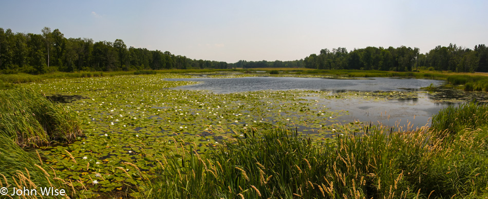
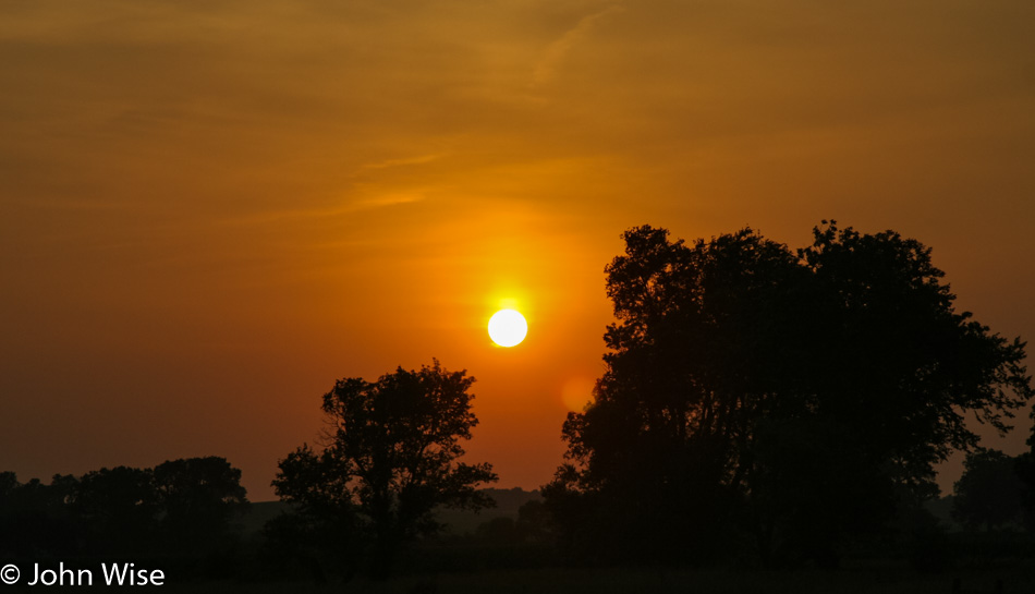
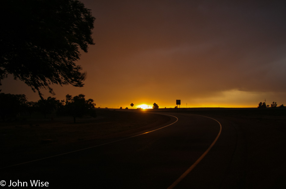
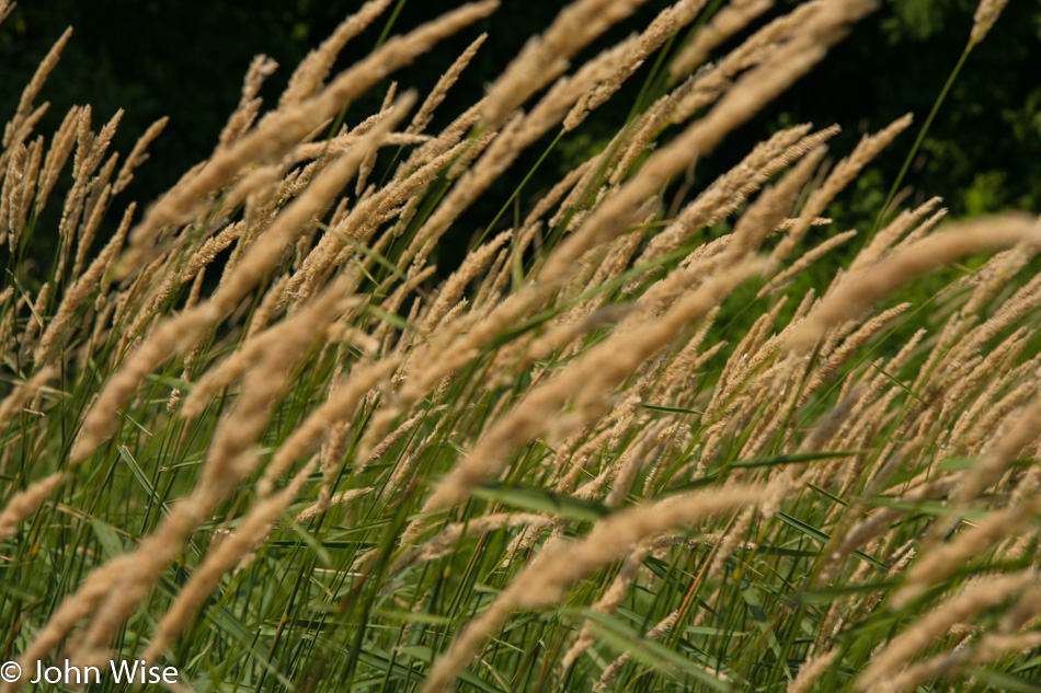
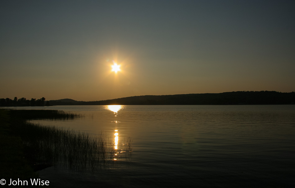
Stops along the random smaller lakes are few, but I have to capture some kind of photographic record to share with Caroline so she can dream with me about our return someday to these beautiful lands.
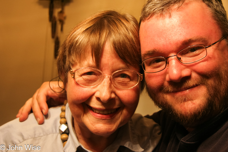
There’s so much to see along the road but so little time to explore it. Our lack of spontaneity due to expectations of places we must visit in Buffalo is making us chase over the landscape as though the journey to our destination is of little consequence. I have to give credit to my mother-in-law that no matter how often we want to stop to check out the details of where we are, she’s always a good sport and happy to learn about the local environment.
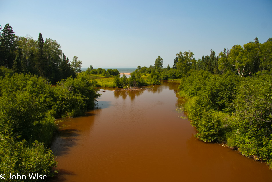
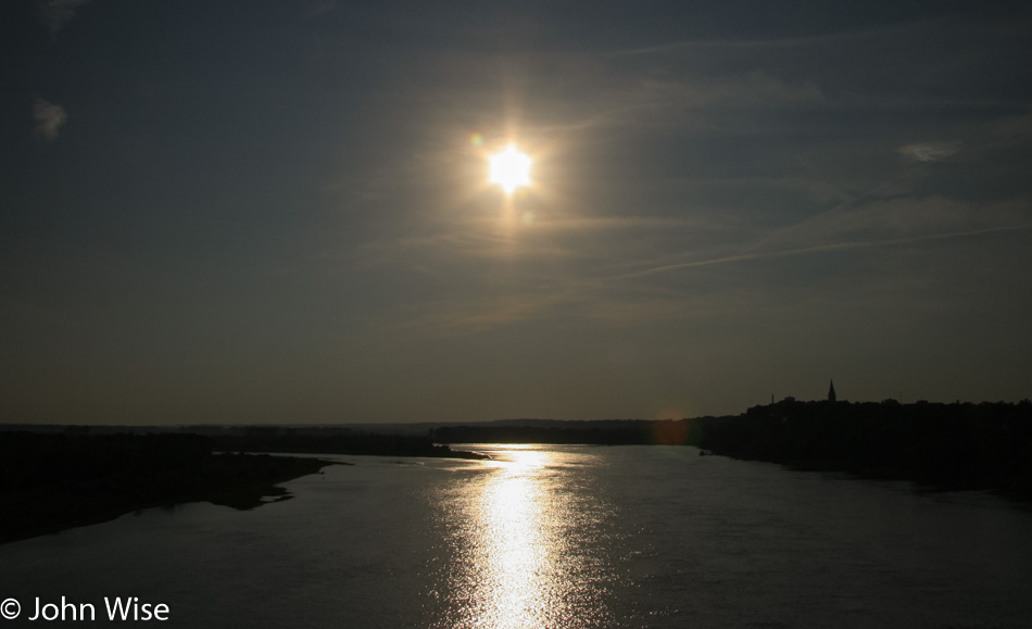
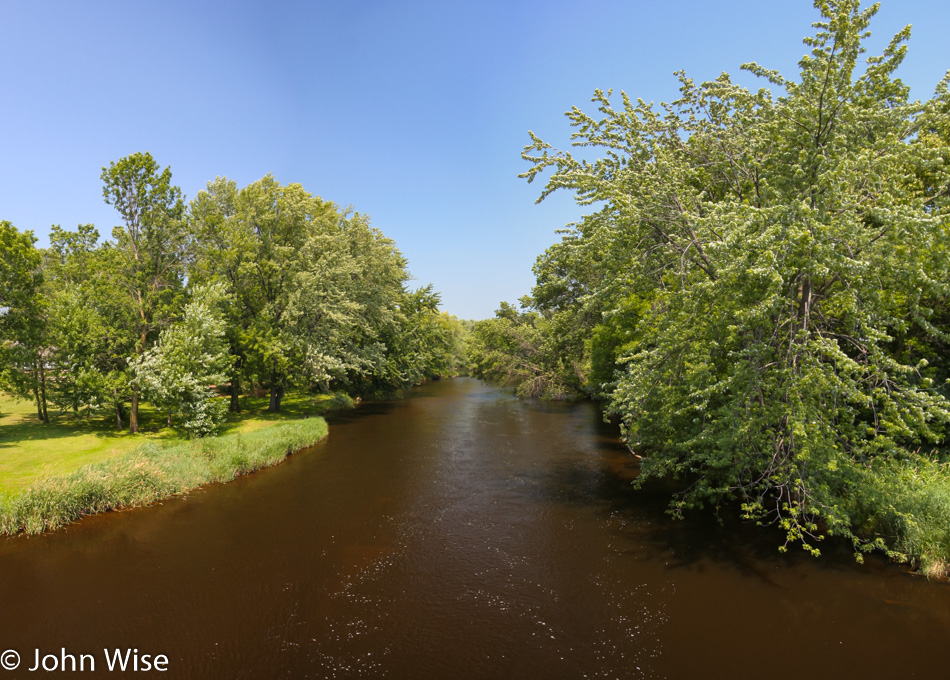
In the distance, we get a glimpse of Lake Superior where these iron-rich waters are flowing into.
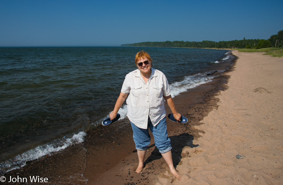
Just north of Herbster, Wisconsin we stop to dip our toes into Lake Superior. Probably because of the heavy snow and harsh winters that the region has a reputation for, I was expecting the lake to be on the icy side. Here on a small beach only a few feet wide and bordered by a grassy area with some trees, we are offered nice views and a short walk next to the warm water of a lake that looks a lot like an ocean. The major difference between this and the Pacific is our need to remain vigilant against mosquitoes, flies, ticks, and the myriad other flying or jumping pests instead of sleeper waves and sharks.
We’ve been on State Route 13 South, which is actually traveling north up toward the Apostle Island National Lakeshore drive before turning south near the top of the peninsula. That, though, will not be where we will be going today as the itinerary is little more than a document of general direction. So we cut off on a side road that will deliver us back to civilization where food can be found because, believe it or not, Mom is thinking about food and doesn’t want to be late for dinner.
We think we’ve figured out that Armor-All contains a sugar that’s behind the reason why thousands of flies swarm the car when we stop. This is no exaggeration, just one tire had more than 50 flies on it in under a minute of stopping. All the plastic surfaces are attracting them, too. Mom tried spraying DEET bug spray on the car, but it seems these flies are impervious to its poison, or they’ve learned to thrive on it. I suppose if I’d simply not stop in these inconvenient places to take photos we wouldn’t have to suffer the bugs. I’m wondering how in the world I agreed to do this.
Skipping the Apostle Islands, we are soon passing through Ashland, keeping our eye open for something that looks appealing for dinner. Our stop has conditions that stipulate the place must feature walleye. Well, we’re not seeing it, which is obviously frustrating, Mom. Bitterly, we drive on. Finally, there next to the road is a small Inn that seems promising.
I walk in to check the menu as Mom waits in the car, not able to be bothered because she’s certain my hunch is wrong. I’m greeted by Mike, the owner of the Kimball Inn here in Hurley, Wisconsin, near the Michigan Stateline, who tells me that beyond sandwiches, BBQ, and burgers, they have fish, starting his list with Walleye. I tell him he needn’t continue as that’s what my waiting mother wants. Mom is fetched, and we sit down to a great fish dinner. Neither mom nor I are the slightest bit disappointed, nor are we still hungry.
Mike suggested we take the more scenic M28 across Michigan instead of the two we’d been traveling on, and before we knew it, we were entering the Eastern Time Zone. We are two hours further east when I pull into The Edgewater Motel in Three Lakes, Michigan, for a lakeside room costing a mere $43, including tax. I’m exhausted after so little sleep over the past three days and 2,000 miles. No time for dessert and nowhere to find something anyway. Goodnight.