My apologies, but there will be no new postings to my Photo of the Day blog as my wife and I are taking off to Hawaii for nearly two weeks. With snorkel gear in hand, we are ready to check out the fishies, going to the Merrie Monarch Festival to get our fill of some serious hula dancing on the Big Island of Hawaii, where we will be staying up near the rim of the Volcanos National Park. After a few days, we’ll be on our way to Maui for more snorkeling and a 31-mile downhill bike ride from a volcano to the beach. The next stop will come after a yacht delivers us to Molokai for a day and a half, where we’ll take in some kayaking and, of course, more snorkeling. Another night on Maui and then a short flight to Kauai; I’m sure you guessed by now what we’ll be doing – that’s right, we are going to botanical gardens and doing some hiking on the Napali Coast. Check back in early May for the continuation and infill of my photos.
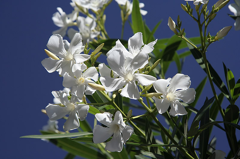
White Flowers
All I’ve been doing is getting ready for our trip to Hawaii this week. Taking these photos of the day has been a pain as I work through my arm’s length list of things to do before we can go. We have our GPS, the camera sensor is clean, I received my waterproof camera bag on Monday, had my sunglasses repaired, made arrangements for us getting to and from the airport, cleaned house, verified reservations, bought sandals, new contact lenses, shorts, mini-travel-shampoo, got my hair cut, did laundry, made arrangements to have our cat and plants cared for. All that’s left is to pack, print boarding passes, and buy some extra sunblock – weeeee.
Sensor is Clean

This thrilling photo of pure blue sky is courtesy of a cleaned image sensor. When shooting a Digital SLR there is the disadvantage of gathering dust and debris on the glass protective cover on the CCD as opposed to using a point and shoot where the lens and sensor system is closed and sealed. With the D-SLR when you change lenses, or a high wind kicks up, or just because it happens that the sensor needs cleaning. First I try a bulb and try blowing the dust away, this doesn’t always work and you need to do what is called wet cleaning. Personally, I do not have the guts to do this one as I do not want a more expensive bill for fixing what I make really bad. A local company charges $35 to clean the camera or $10 more to stand over the technician’s shoulder while you gawk and try learning something – the only things I learned for my $10 idiot tax was that I am not going to attempt this at home and next time I’ll save the ten bucks. The photo here was taken pointing straight up with the aperture at 22. This aperture is horrible for showing dust on the sensor but very effective for letting you know how dirty it is. With a quick few dabs with his moistened cotton swab and a quick puff of compressed air, the sensor was better than new and we are ready to keep on taking photos.
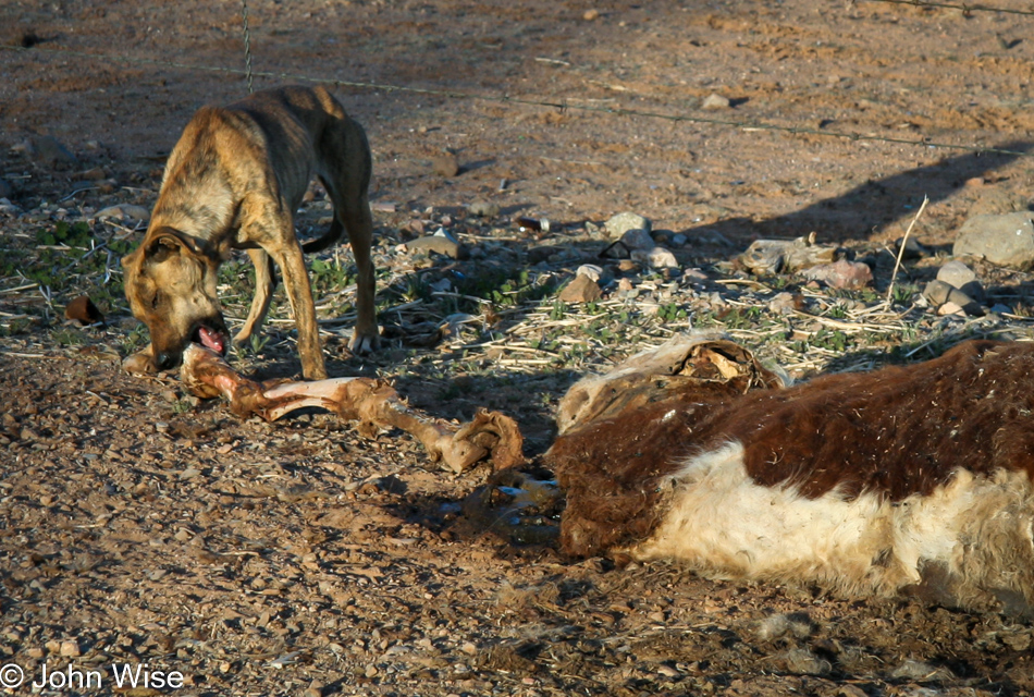
Rez Dog and GPS
I took a drive south today to further test using GPS when shooting photographs. With our Canon Digital Rebel XT, there is no elegant method for bringing GPS coordinates together with the EXIF data that is saved with an image. We are using a Garmin Legend C GPS unit with its Mapsource software. When I shoot a photo, I mark a waypoint on the GPS at nearly the same time. I synced the time of the GPS and the camera via my computer, which nearly doesn’t matter as the marked waypoint and the time the photo was shot will always be a few seconds off – at a minimum. Upon getting back to the computer, I dump the photos and the waypoint markers into their respective directories. Caroline then takes a tab-delimited text file of the waypoints, imports them into a database, and uses a script that displays the waypoints on Google Maps. By comparing time stamps, we are able to identify which photos belong to which waypoints and the images are mapped to their respective GPS locations on Google Maps. Shortly, the entire process will be automated, and all future photographs will find their way onto Google Maps.
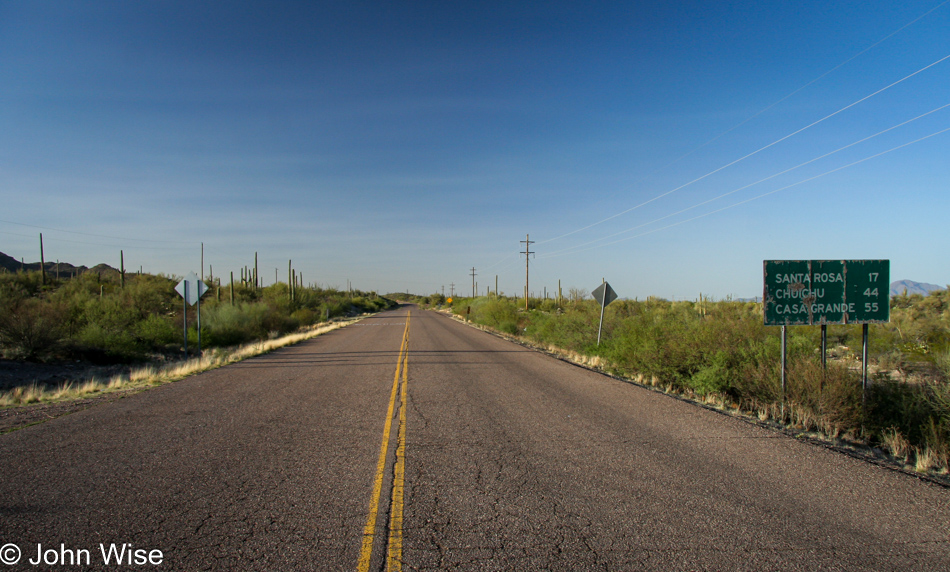
The above photo was taken on the Tohono O’odham Reservation near Santa Rosa in Arizona. The GPS location was N32 22.531 W112 02.861. Our trip to Hawaii this week will feature extensive use of GPS; we hope to have map coordinates for every photo we shoot.
Update: I returned to this post in 2023 to update the photo and check on the text; the paragraph and dog above are the original post while from this photo down are some of the other images I shot back on April 16, 2006.
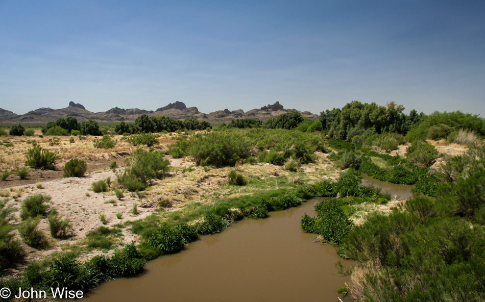
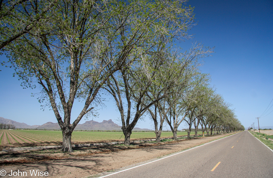
There’s very little I can share about these images 17 years after I took them, but there were some clues such as I was driving south on the west side of Picacho Peak.
I suppose street view could help with the locations, but I don’t see that precise data really being of any use.
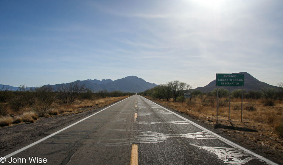
Obviously, I was entering the Tohono O’odham Reservation at this time.
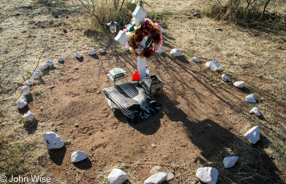
Roadside memorials on the various Native American reservations are a relatively common site; somehow, I expect the worst and think this was likely a drunk driving incident as there’s very little traffic out these ways to believe it was a fatal accident with another vehicle.
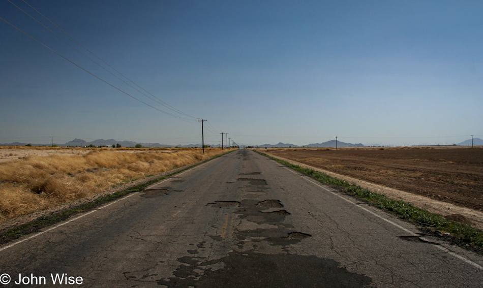
There is a part of me that would like the know the old roads I took so I could revisit them and see what’s changed.
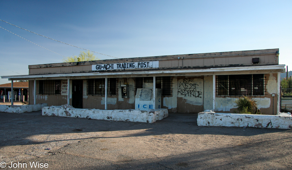
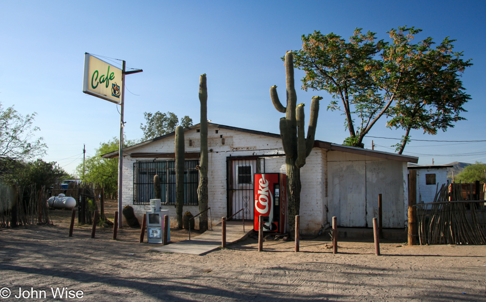
It turns out that the Gu-Achi Trading Post on the Tucson Ajo Highway in the town of Maish Vaya is still open here in 2023, and if I’m not mistaken, Caroline and I have stopped in in the not-too-distant past.
I’ve turned around for the drive home.
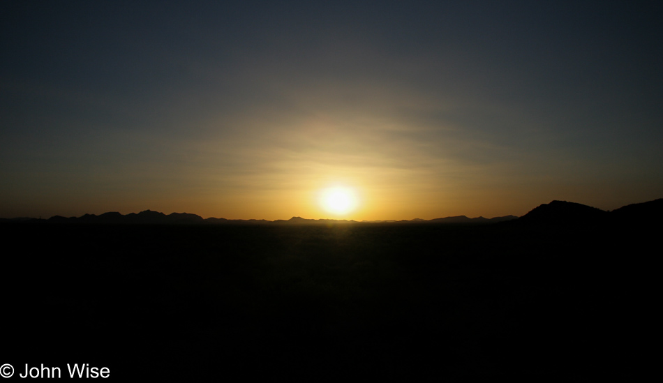
I’ve loved these solo drives out on lonely roads to take my time seeing what’s out in the desert.
OMG Where Are The Houses?
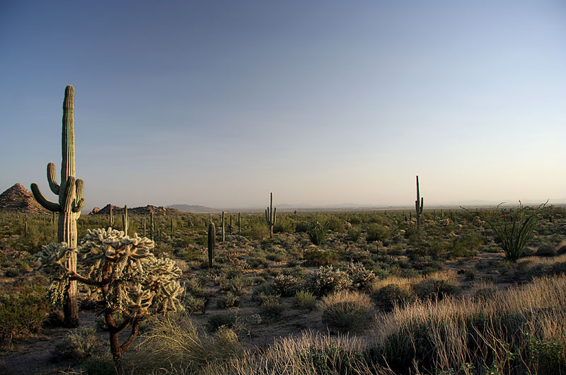
Because desert, such as this increasingly rare bit of undeveloped wasteland, is so profoundly ugly and worthless, it is the goal of land developers in and around Phoenix to eliminate these boring sights. Look hard, can you see anything worth saving? That’s right, there is nothing here and so why not put cookie-cutter homes spaced a few feet apart so at the least all those people moving to Arizona won’t have to look at dried-up old cactus but will be able to look at their dried-up old neighbor. If you haven’t figured it out – I LOVE THE DESERT. I see tons of beautiful stuff out on this horizon. What I don’t see is property taxes offering politicians fat raises, or electricity being delivered to Saguaros and coyotes allowing local power companies to maintain quarterly profits. So, I am forced to accept that this is a fleeting view of nature that will soon be replaced by the short term greed and the desire of retirees to escape the crime of Detroit, the snow of Minnesota, the hurricanes of the Gulf Coast, and a vast midwestern swath of the population who are descending on Phoenix for jobs and cheap houses – yeah right, houses 65 miles from their jobs, welcome to your new commute.
Windy
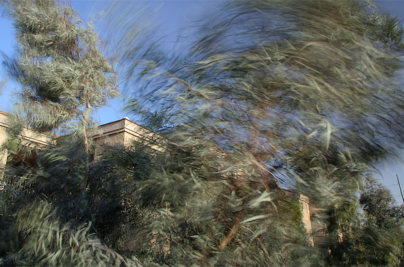
We were supposed to leave for Santa Barbara, California this afternoon but a severe wind warning and the threat of dust storms from Phoenix to Palm Springs, California put a damper on our travels. By 4:30 p.m. the winds were whipping the eucalyptus trees outside our door into a frenzy. Soon the skies were choked with dirt kicked up by the 50 mph gusts. Not until nearly 10:00 p.m. did the winds begin to settle, far too late to start the 500-mile drive to Santa Barbara.