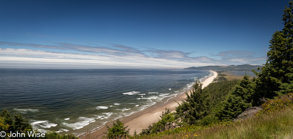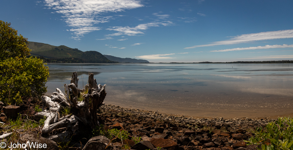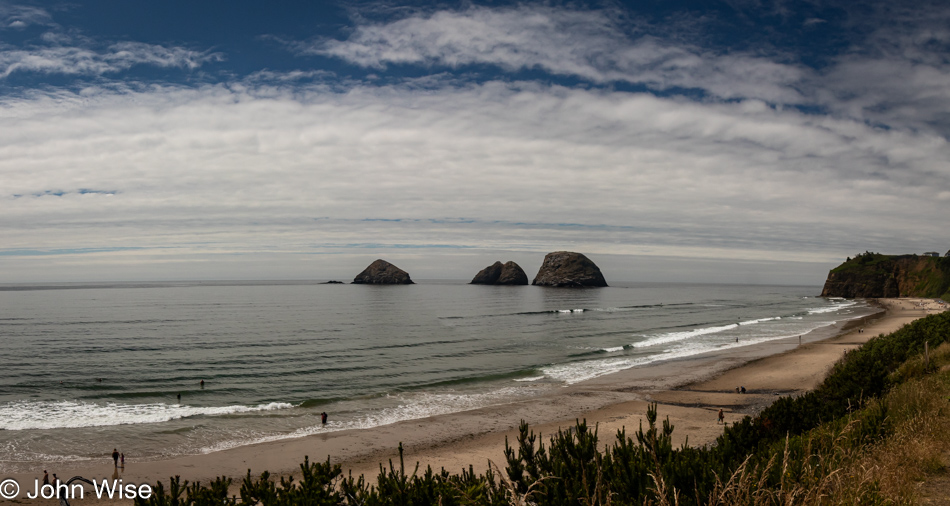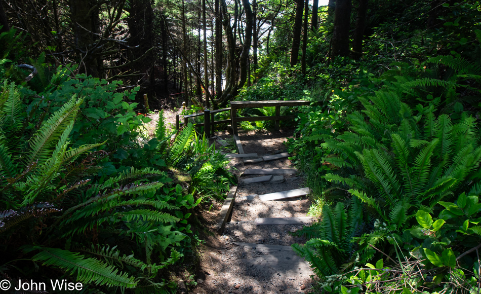
Slow Day on the Oregon Coast

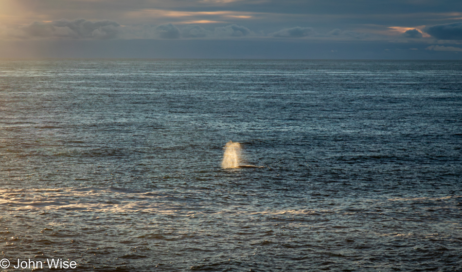
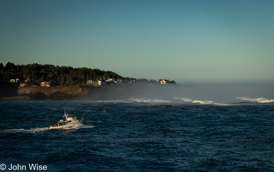
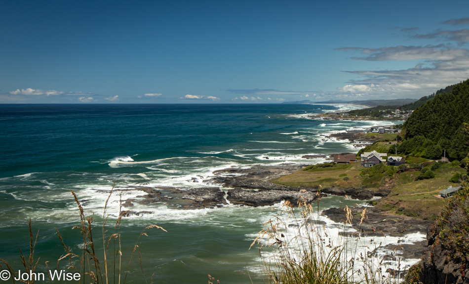
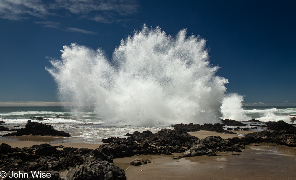
Boiler Bay in Depoe Bay, Oregon

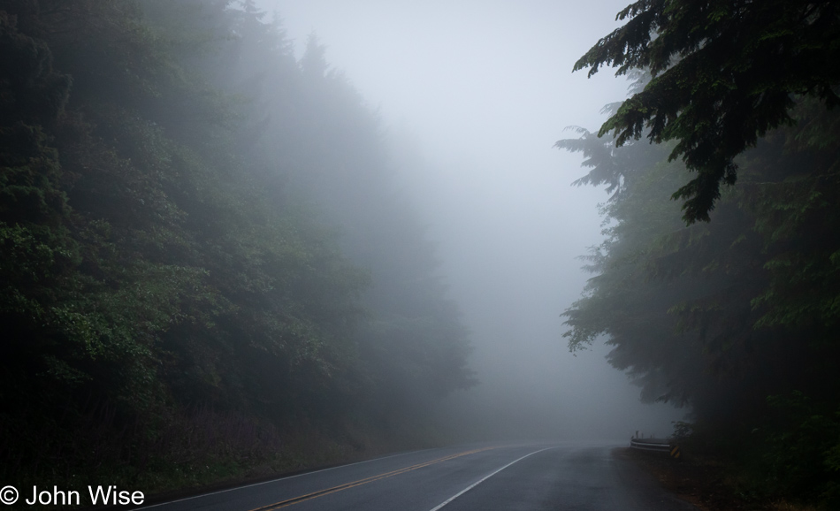
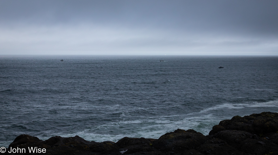
Reading the title about taking a slow day on the Oregon coast could be interpreted that the overcast sky contributed to a sense of kicking back, but that’s hardly what happened. Maybe we needed time to recuperate after the long drive, getting things in order, or all the shopping? Nope, none of that. The reference to slow is more a reflection of the dearth of photos, though how 17 images imply that could be misleading. At first glance, what can’t be easily gleaned is that there are only three significant events shown in today’s post.

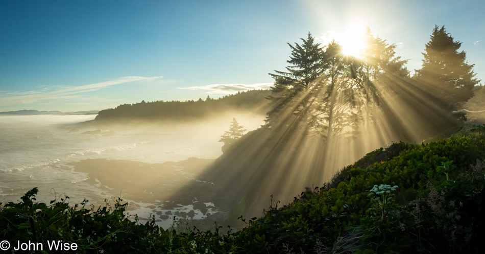
Boiler Bay in Depoe Bay, Oregon

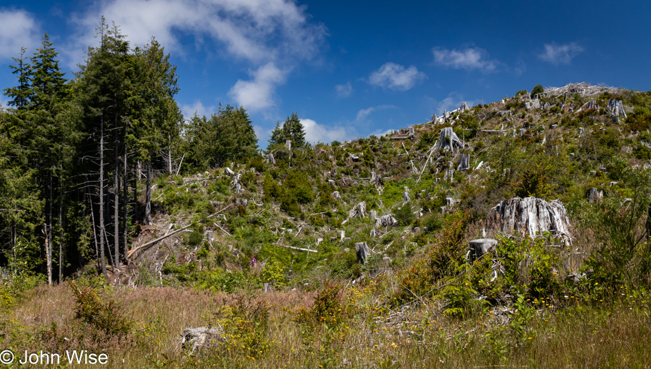
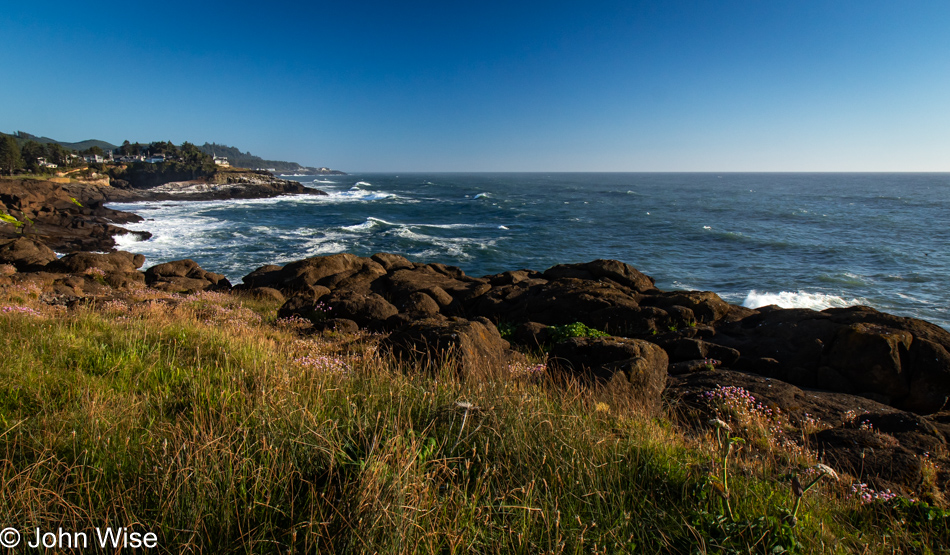
The day began the way all of our days on the coast will, with a walk. This one is just a couple of miles north of us at Boiler Bay.

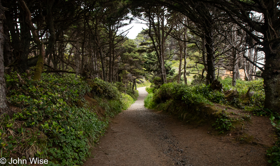
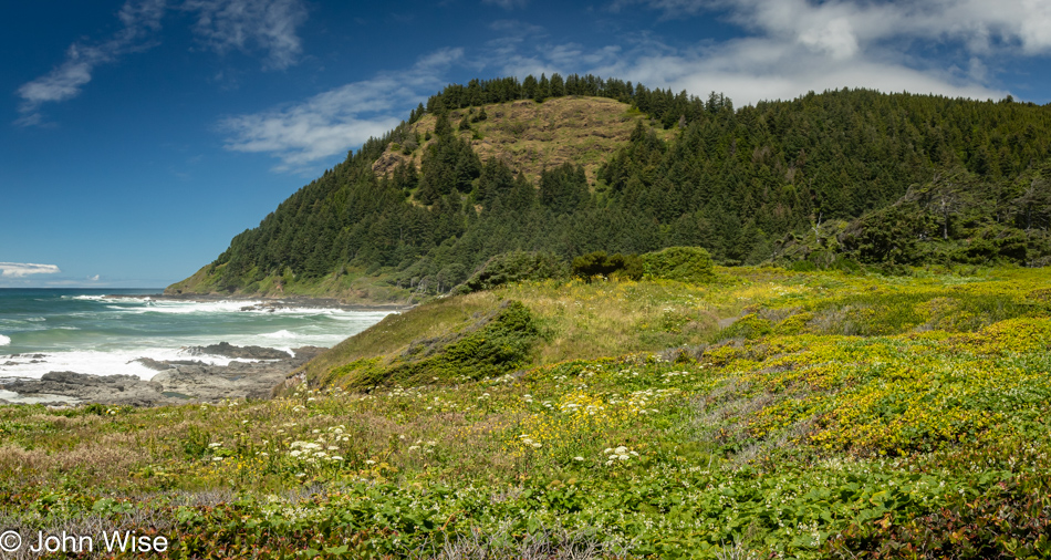
Oregon Coast Trail in Depoe Bay, Oregon

Tracing along the cliffside and squeezed by Highway 101, we caught up with the Oregon Coast Trail, which runs about 425 miles up and down the western shore of Oregon. Today, we’ll be walking a tiny fraction of that.

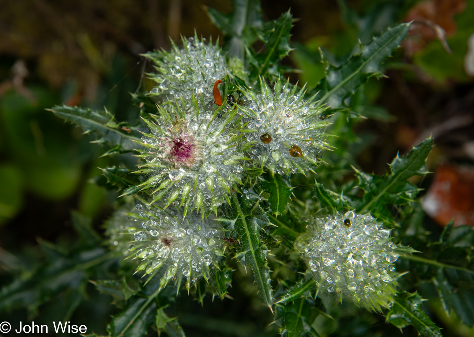
Foxglove on the Oregon Coast Trail in Depoe Bay, Oregon

There’s a need for me to hurry up and write as that is the real cause of this day only capturing three events: this hike, lunch, and an evening walk after Caroline finished up work for the day. Instead of nothing but focusing on catching up with these things, we still need to get out on a daily basis to experience and record stuff that reminds us of this fortunate time in our lives. Of course, that creates the situation where I have more and more to prep and write about instead of selfishly getting out during the day when Caroline is working and returning to writing this big project I’m supposed to be tackling.

Wild berry on the Oregon Coast Trail in Depoe Bay, Oregon

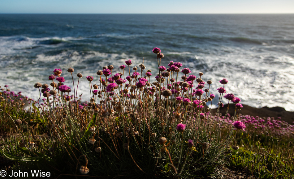
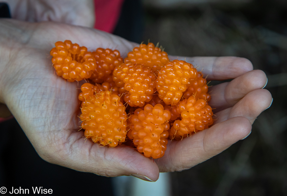
Meanwhile, we stopped to admire the foxglove flowers and the unripe berries we could only wish to sample at this time.

Shasta Daisy on the Oregon Coast Trail in Depoe Bay, Oregon

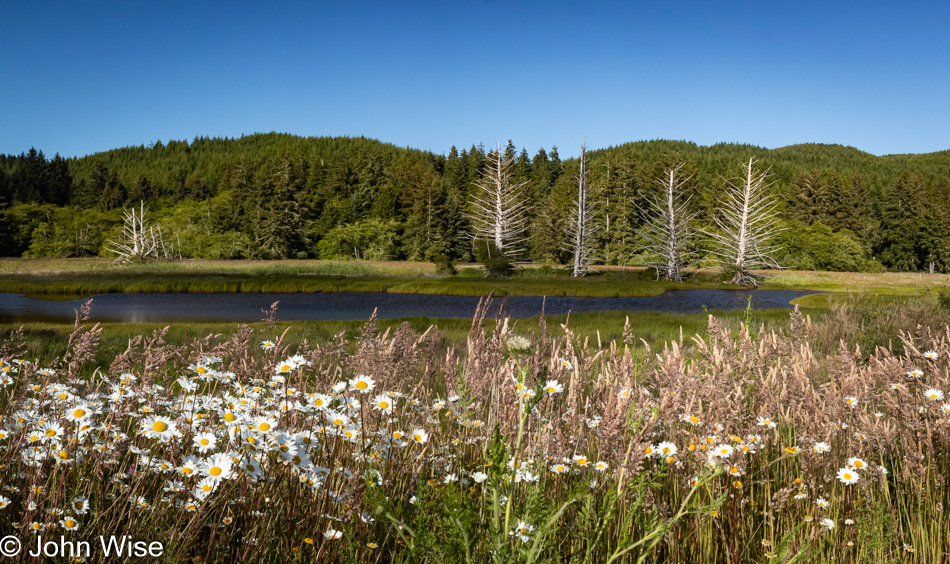
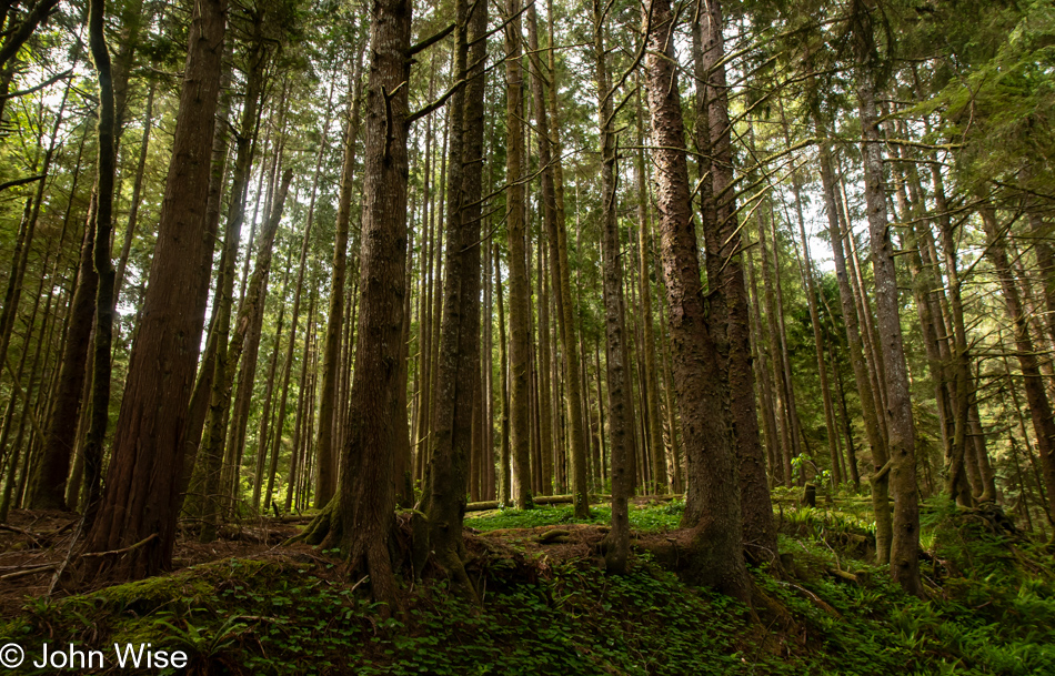
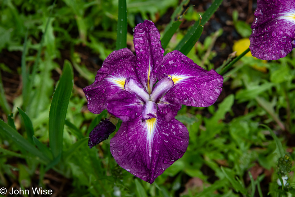
While we see many a mushroom during our other visits, this opportunity to witness the abundance of wildflowers is not lost on us.

Oregon Coast Trail in Depoe Bay, Oregon

It started to drizzle a light rain on us, but within a minute, it had already passed.

Oregon Coast Trail in Depoe Bay, Oregon

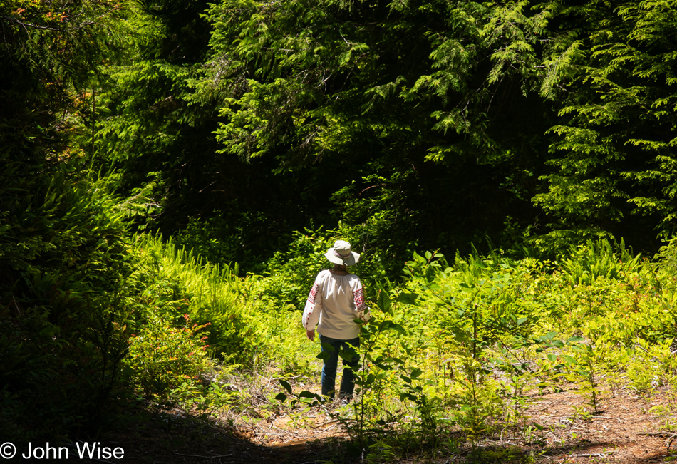
And with this, we concluded our coastal forest walk. Back at the house, Caroline got to work promptly at 8:00 while I prepared breakfast, followed by my sitting down to blogging.

Tamale lunch in Depoe Bay, Oregon

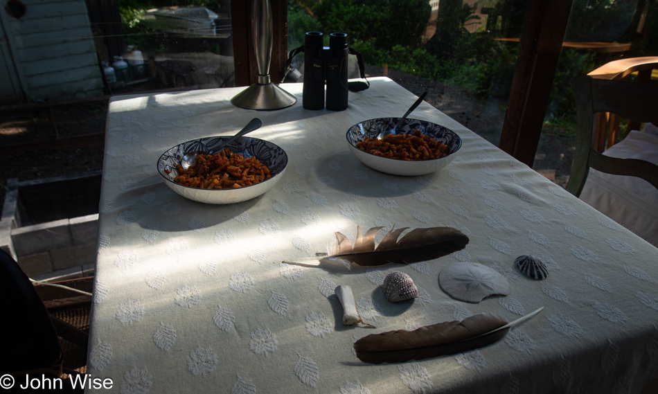
Finishing the post for Saturday was all I did until it was time to prepare our lunch. This midday meal was special as it included the tamales we bought at La Norteña Tamale Factory in Pecos, Texas, when we were traveling through around the time of the full solar eclipse back in April. As for the slaw, it was a Mexican-inspired salad of cabbage, white onion, oregano, garlic powder, olive oil, and fresh lime juice.

Salishan Coastal Trail in Lincoln City, Oregon

At the end of Caroline’s work day (which coincided with me finishing Sunday’s blog post), I knocked out a quick dinner of salad greens, nopales (cactus paddles), jicama (not well known in Germany, but called “Mexikanische Erdbirne”), epazote, grilled cecina (a thinly sliced Mexican cut of beef), and a dressing of roasted serrano chili, fresh garlic, olive oil, and fresh lime juice. Anxious to get out for a walk, we headed up the coast to the Salishan Spit Trail.

Cormorant on the Salishan Coastal Trail in Lincoln City, Oregon

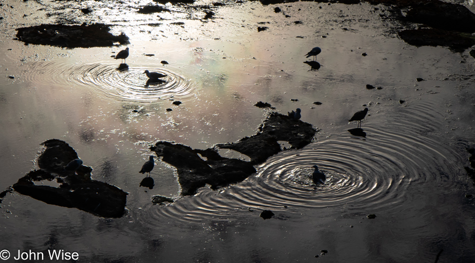
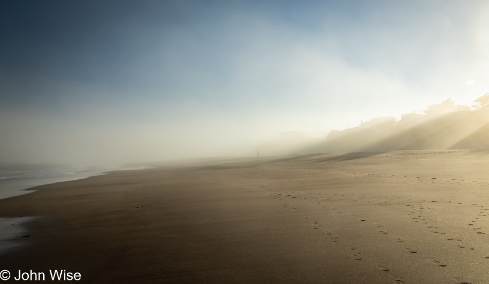
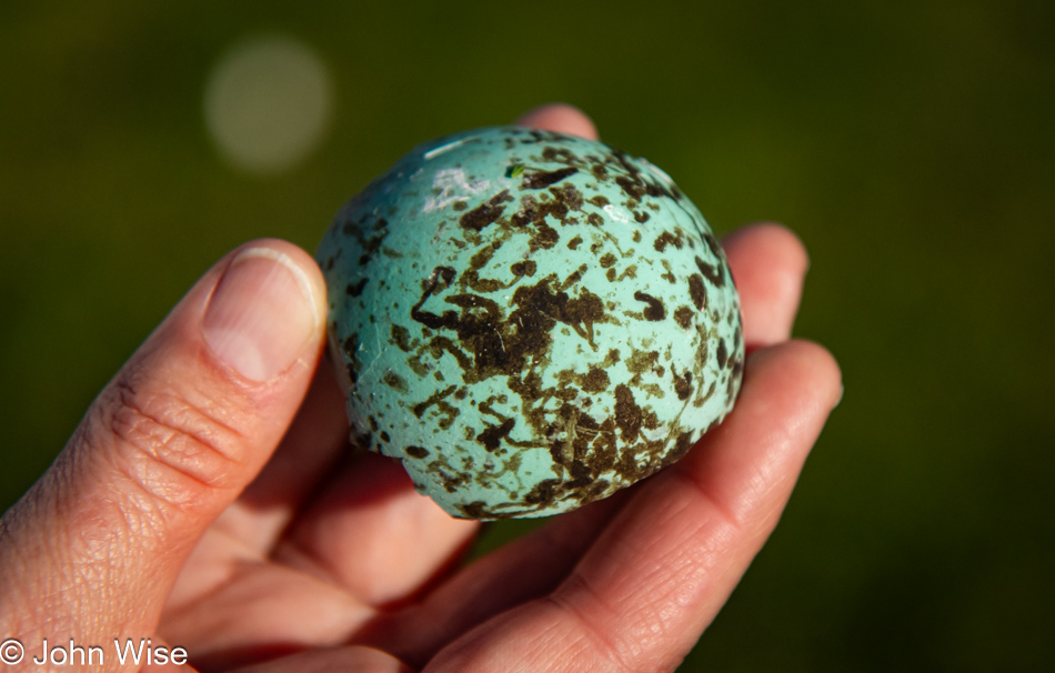
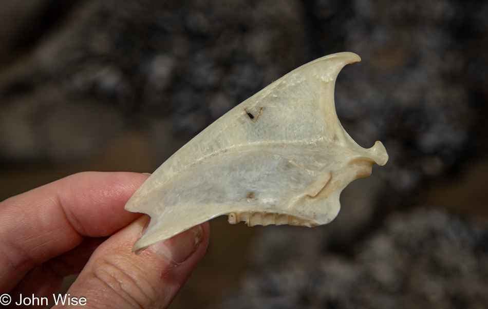
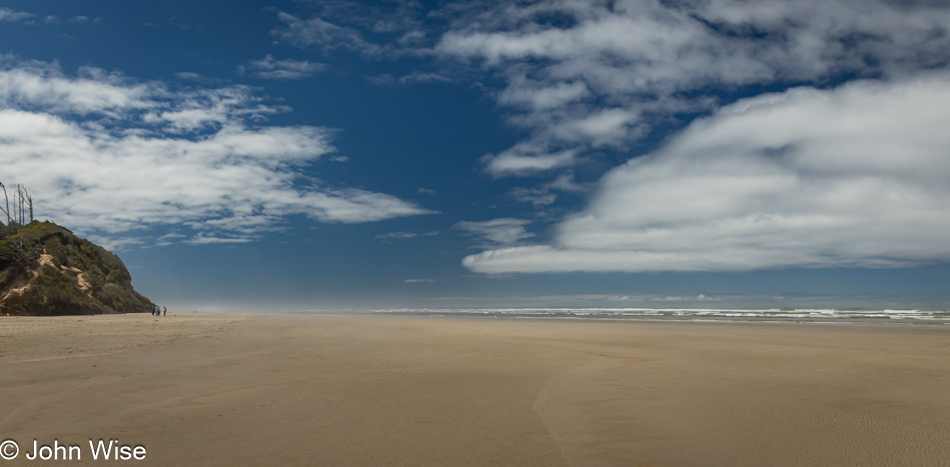
Walking north up the shore, we spotted this cormorant who seemed intent on ignoring us, as it was reluctant to move. It could only mean that the bird was injured, sick, or not of this world for much longer. This was the first time we were able to see firsthand the turquoise to teal-colored eyes of this seabird. Our walk north wouldn’t get much further as erosion and attempts to reinforce the cliffside have created a situation where the surf is crashing into the newly placed boulders with a tide still too high for us to go on, so we turned around. Down south, we happened upon a rotting carcass of a seal that is only being mentioned because of its strange state. Just as one would expect, the scavenging of the seal’s remains is well at work, but with bright red blood still liquid in its body cavity, the skull was not only exposed; it was as white as could be, and it was picked absolutely clean. Not only that, the skull was broken in two, with us finding the other part further down the shore. We know it belonged because Caroline picked up this stinking nose and mouth section and matched it up with the skull sticking out of the seal’s skin. Our summation is that whatever was eating this marine mammal knew that the brains were a good source of something it required. Maybe this here cormorant was over there snacking on the stinky seal brain and is now transitioning into an avian marine zombie?

Caroline Wise on the Salishan Coastal Trail in Lincoln City, Oregon

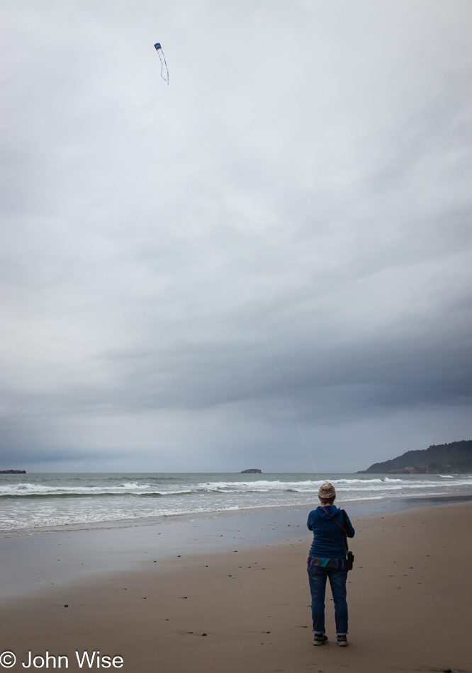
Speaking of avian marine zombies, here’s my bird flying her kite, just staring at it in the sky as though she was looking at brains.

Caroline Wise on the Salishan Coastal Trail in Lincoln City, Oregon

Do you recognize the kite? It’s the return of Happy McKiteface, which we bought in November 2022 from The Kite Company in Newport, Oregon.

Homeless Rubber Ducky on the Salishan Coastal Trail in Lincoln City, Oregon

While looking for beach treasures, Caroline also focuses on the shore, keeping an eye out for trash. It never fails that she collects a judicious amount of plastic and aluminum waste. Adding to the treasure column today was this rubber ducky, which will leave its home at sea and be transplanted back to the Arizona desert.

Salishan Coastal Trail in Lincoln City, Oregon

Check us out; we’re trying to be smart by leaving the beach early, as in 8:15. The thinking goes: we’ll have time to do the dishes, prep some photos, Caroline can finish editing Saturday’s post, and we’ll get to sleep early – if only.

Salishan Coastal Trail in Lincoln City, Oregon

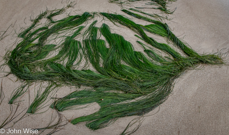
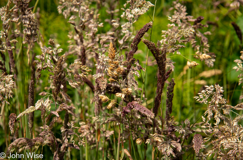
Have I ever shared my obsession with coastal grasses and the beauty they hold for me?

Salishan Coastal Trail in Lincoln City, Oregon

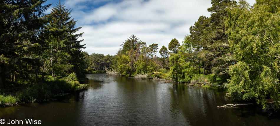
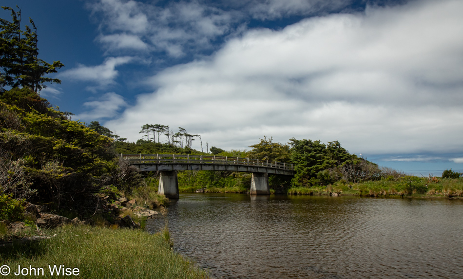
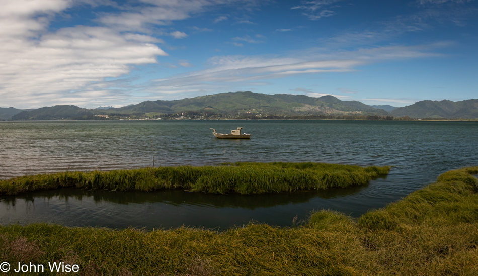
Getting closer to the car, I noticed just how far the tide had already gone out, as evidenced by the mud flat being exposed here on the Siletz Bay side of the spit we had been walking on, seen here in the background. We got back to the house, and Caroline indeed finished Saturday’s post while I nearly finished these here photos. It’s Wednesday morning, well before lunch, as I’m finishing writing this post.

Depoe Bay, Oregon – We Are Here

Lincoln Beach in Lincoln City, Oregon

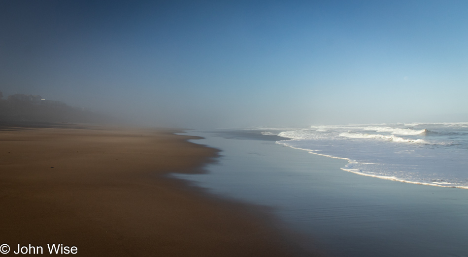
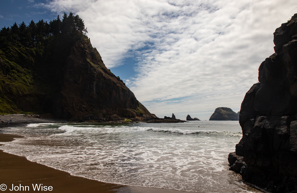
Does this look like a vacation to you? It would to me, too, and maybe in some way, it is. In another, it is not. I’ll explain soon. First, we needed to kick off this party as best as we knew how: by taking a pre-sunrise beach walk. A funny thing happened on the way to the ocean today. Actually, it was at our hotel front desk when I asked if we could walk out of the western side of the parking lot and if we’d be able to meander through the neighborhood and find beach access. It was two-fold funny, really, as first we were told that it was kind of far, and that was quickly followed by the admission that the attendant had never gone out that way. Later, when we returned, we shared with her that the beach was only 10 minutes away. This is comical in a tragic way to me, as this has been my experience far too frequently where we encounter people who live in amazing places and are no longer interested in the greatest reason for living in such a place, “Oh yeah, the ocean, I’ve not actually been there in years.”

Caroline Wise on Lincoln Beach in Lincoln City, Oregon

Our time out on the coast this morning is limited, with only about an hour allowed for our walk. We have plans and a schedule that must be adhered to.

Kitchen at home in Depoe Bay, Oregon

This is my second office for the rest of June and into early July. My primary office will share space between a dining room, a nearby coffee shop, a park bench, or somewhere out near the shore.

Caroline Wise set up for work in Depoe Bay, Oregon

This is Caroline’s office for the same time as she is working remotely from here in Depoe Bay, Oregon. Some friends who are traveling to France have afforded us their home up against the forest in an incredibly quiet neighborhood. Our first order of business was to get Caroline set up for work, as the plan had been that after she left work Friday afternoon when Monday rolled around, she’d not skip a beat, and as everyone else was getting started in Phoenix, she’d be online and ready to go. We accomplished just that, and while she was treating this part of the day forward as a regular work day, I got busy unloading the car and getting our things into place so we could have a relatively normal existence, except it would be a 10-minute walk from the Pacific Ocean in a town of only 1,536 people.

Veggies at El Torito Meat Market in Lincoln City, Oregon

I shared in another post that I’d made an extensive meal plan prior to leaving Arizona; this is my first stop for shopping after I finished unpacking and setting up our things at June and Marvin’s house. They are the couple who are lending us their home. I’m back up in Lincoln City at the El Torito Meat Market, as I’d decided that the theme of our culinary adventure in Oregon would be Mexican-influenced, and to that end, I’m going to try and do as much of our shopping here as possible.

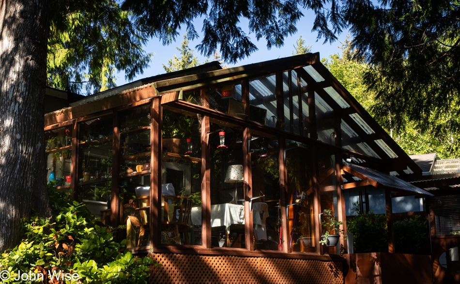
Home we are staying at in Depoe Bay, Oregon

Back at the house, a mighty pretty one at that, and while small at only 744 square feet (70 square meters), it is a delight and only wish that Caroline and I could own such a place where it was also possible to earn enough money to afford such a home. At current prices, a similar home would cost about $2,000 a month in a town where the median income is $25,000 a year less than would be required to buy such a tiny home. For comparison, our 863-square-foot apartment (80 square meters) in Phoenix, Arizona, costs us $1,385 per month. Neither location is of a size that would support raising a family; how is this supposed to work, America?

Depoe Bay, Oregon

After putting the groceries away and having a lunch of ceviche with Caroline, it was time for a trip south to Newport for the rest of the groceries I will need for the next few days. I’m learning something about the Oregon coast in the summer that we do not encounter in the late fall around Thanksgiving: heavy traffic. Just as I wrote that, I’m looking at this photo with the ocean ahead and no one else on the road, but I can assure you that Highway 101 is madness.

Depoe Bay, Oregon

Back in Depoe Bay, after unpacking and putting away yet more groceries, I got right to making dinner, a non-Mexican-influenced dish that felt appropriate for our coastal environment: smoked white-fish chowder. The fish was a gift from Walleye Direct, the company that sells us frozen walleye and perch; it’s been in our freezer for a couple of months by now and was ready to be dragged back to the water’s edge and turned into a savory dish. With the fish, heavy cream, white wine, bacon, onion, celery, thyme, and smoked paprika, our early dinner was a perfect home-cooked meal. Time for a lengthy after-dinner walk out around the bay.

Depoe Bay, Oregon

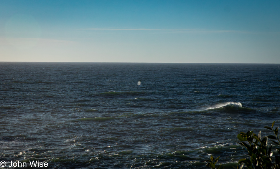
With time to linger, we meandered north along the coast on a route to an overlook we’d never visited before. Regarding our slow pace, Caroline would prefer I refer to it as lollygagging, as this is how she wants to see her time outside of work while here in Oregon.

Depoe Bay, Oregon

To properly dawdle while visiting the Pacific Ocean in Oregon, one should be prepared to take in flowers, birds, crashing waves, and other activities that allow for a judicious amount of time to dilly-dally. When one ambles along, one must mosey, not exactly aimlessly, but not with great intent to achieve anything either. Aside from being entertained by the saunter of the person we are with, we must also make an effort to be lost within. On this account, Caroline and I are winners of the contest to be slothful.

Caroline Wise at sunset in Depoe Bay, Oregon

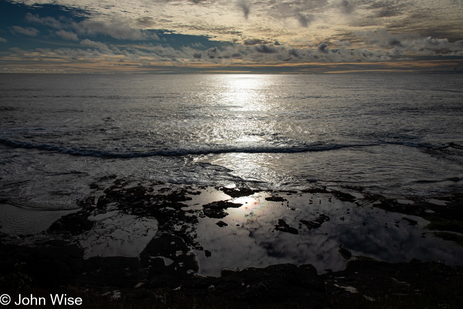
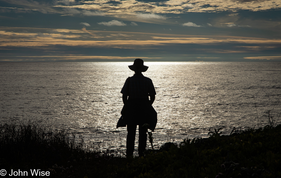
Hours pass deceptively for senses tuned to the early sunset of November days because, in June, the sun sets after 9:00 p.m., but our frame of reference is that fall sunset time, which happens well before 5:00 p.m. By the time we are back at the house, it’s almost time to go to sleep, it is a work night after all.

California to the Oregon Coast

Susanville, California

This is one of those days dictated by driving requirements where a destination and hotel reservations are already fixed, but that doesn’t stop flights of fantasy from intruding into our thoughts to help paint new dreams. With only 45 miles between us and Lassen Volcanic National Park, we’d like to return to that park for a hike up the volcanic peak, which we didn’t have time for during our previous visit 20 years ago. Crater Lake, last visited 20 years ago, will also be nearby today, but we know that the rim drive doesn’t typically reopen until early July due to the heavy snow, so we discussed the possibility of making a trip up this way again later in the year just for Lassen, Lava Beds, and Crater Lake National Parks.

Butterfly next to California Highway 139 north of Susanville.

We thought we might have seen an eagle, which might have been appropriate considering that we were driving by Eagle Lake up California Highway 139, and then there were the pelicans weaving in and out of tufts of grasses, which were likely floating islands of tule reeds, growing in the shallows of the southern end of the lake. I shouldn’t forget to mention the ducks and other birds, but it was this fritillary butterfly that Caroline ended up capturing with her camera in between its frantic fluttering about.

Barn next to California Highway 139 north of Susanville.

I am compelled to overshare, which I think, in part, is triggered by the countless times I’ve casually listened to people stating how much they dislike driving big distances. For them, the drive is boring, there is nothing to see, their spouse/children/dog/cactus are too impatient after 26 minutes in the car, or they’d like to go but are waiting for the right time. There is no “right time” to get out on the roads of the country we live in! So much changes over the years, and time easily gets away from us.

Stream next to California Highway 139 north of Susanville.

We’d been passing marshy lands for miles…

California Highway 139

…and slicing through just as much forest.

Tule Lake National Monument Visitors Center in Newell, California

Seeing how we’ve never traveled this exact road through California before, we were surprised by this sign for Tule Lake National Monument, which prompted us to stop in the visitor center and learn why a lake had become a national monument. Well, it turns out there is a giant chunk of history, none of it good, that happened right up here in the Klamath Basin, once known as the Everglades of the West and subsequently as a concentration camp for Japanese people during World War II.

First up, the Everglades part of the story: Tule Lake had once been a very large lake, that is, until the Bureau of Reclamation decided that the wetlands and lake needed draining so farmers could use the land. Today, 95% of the wetlands are gone, as are the majority of the millions of birds that contributed to the area being called the Everglades of the West.

Old jail at the Tule Lake National Monument in Newell, California

Then there’s the matter of what once had been the largest concentration camp for Japanese prisoners. I mean American citizens of Japanese ancestry. At the largest capacity, 18,700 mostly Americans were imprisoned here, though, over the four years that the camp was in operation, more than 29,000 men, women, and children alike were kept here. Like the majority of the ten concentration camps operated in the U.S., most of the facilities were cleaned off the map while American forces in Europe helped ensure Nazi Concentration Camps remained to remind the world of the injustice endured by “Undesirable” European citizens. Only a handful of minor buildings still exist here at Tule Lake, such as this old jail that can only be visited at 9:30 in the morning, when staff is available. During the years of incarceration, these Japanese Americans lost their homes, businesses, and property, but let’s get real: everything was seized from them, just as the Germans had done with Jews, Roma, gays, people with handicaps, Slavs, and others.

Road to Petroglyph Point in the Lava Beds National Monument in Newell, California

Oh damn, I almost forgot the injustices committed against Native Americans, such as the Klamath People, the Modoc, and the Northern Paiutes, who were part of a band known as the Yahooskin. Back in 1954, federal recognition of the Klamath Tribe was terminated with the loss of all of their lands. By 1986, recognition was restored, and they were granted about 1% of their former lands, or an area the size of Central Park in New York City. Anyway, enough of the pedantic stuff; we are out here to visit Petroglyph Point in the Lava Beds National Monument.

Petroglyph Point in the Lava Beds National Monument in Newell, California

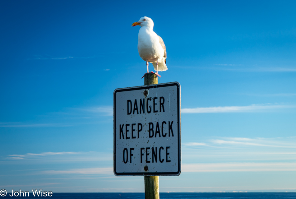
Of course, all of the petroglyphs are behind a fence due to the truly wretched amount of destruction they’ve suffered. This was not a fun place to visit.

Caroline Wise and John Wise entering Oregon from Hatfield, California

Oh, looky here. You see that “Welcome to Oregon” state sign behind us? Well, that can only mean that we are arriving at our happy place, though for anyone who knows us, everywhere is our happy place. Wait, that’s a lie! I really don’t like Walmart.

Oregon Highway 39

If I shared a photo of every moment worth remembering for Caroline and me, I’d have to record everything to video, only turning it off when we pass through cities and towns that have succumbed to franchise mania.

Oregon Highway 39

Some miles behind us we saw a great cragged peak behind the Upper Klamath Lake, and while I would have liked to share an image of it, there was nowhere to pull over to snap an image. So, I present you this nameless still-snow-covered mountain to capture the spirit of my intent.

Cherries in Chemult, Oregon

At midday, we stopped in Klamath Falls, Oregon, for lunch at Dave’s Brawny Burger, after which Caroline indulged in her second milkshake on this trip in so many days. This one was huckleberry-flavored. Passing through Chemult, Oregon, the Featherbed Inn we once stayed at has been rebranded, but that wasn’t surprising. These cherries, on the other hand, were a pleasant surprise. For a second, I needed to think about this idea and realize that in an age when nearly all fruit and vegetables are available year-round, it is at these seasonal times when things are at peak flavor that we have to take advantage of this opportunity, and support these roadside vendors.

Diamond Peak over Odell Lake in Crescent, Oregon

Diamond Peak over Odell Lake in Crescent, Oregon.

Dexter Reservoir in Lowell, Oregon

With all the driving we are doing today and yesterday, we are coming up short on our step count, so we try from time to time to get ourselves out of the car for a short walk. This stop was on the outskirts of the town of Lowell, Oregon, where we were able to walk across some railroad tracks and up onto the Lookout Point Dam, separating the namesake waters behind it and the Dexter Reservoir ahead.

Lookout Point Lake in Lowell, Oregon

These are the waters I was just mentioning: Lookout Point Lake.

Pacific Ocean Southview Overlook in Florence, Oregon

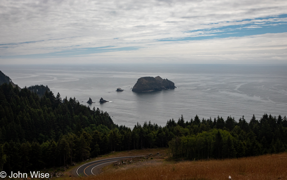
We were already familiar with the road that would bring us from Eugene, Oregon,  to Florence, Oregon, as it’s the one we drove on our last visit to the coast back in 2022. This is taken from the Pacific Ocean Southview Overlook. Over the years, I’ve taken more, a lot more, than the 240,779 photos that are on my computer today, and it is for a situation just like this that I could benefit from an AI that can scan all of my photos and group similar locations together, identify the specific locations if possible, and when requested, fix the poor resolution of those images I shot that are between one megapixel and about eight megapixels.

Heceta Head Lighthouse in Florence, Oregon

Just a little further up the road, a sketchy corner on the wrong side of the street has us crossing our fingers about oncoming traffic as we bolt out of our mountain-hugging lane to stop at the Heceta Head Lighthouse overview perched at the edge of the earth.

Caroline Wise and John Wise at Carl G. Washburne Memorial State Park Beach in Florence, Oregon

It was shortly after 7:00 p.m. when we stopped at the Carl G. Washburne State Park Beach just for the facilities, only to find out they had been locked up tight at 7:00. Undeterred, we peed our pants, girded our loins, and washed our bits in the tropical waters of the Oregon Coast. These are the satisfied faces of having wet ourselves just before walking into the surf to rinse off.

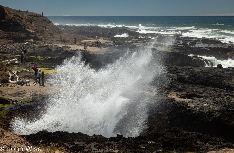
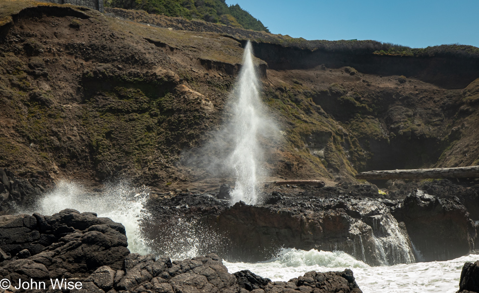
Devils Churn in Yachats, Oregon

Our last stop trying to capture what will have to stand in for sunset was at the Devils Churn overlook south of Yachats, Oregon. Dinner was a simple shared bowl of steamer clams at Luna Sea Fish House in Seal Rock before finishing our drive to Lincoln City, where we’d be staying a night before taking over a house back down the road for the next few weeks. More about that tomorrow.

Western Nevada

Mom's Diner in Pahrump, Nevada

We’ve arrived at the congregation of the elderly found in Mom’s Diner in Pahrump, Nevada. With about a dozen of us in here by the time we were ready to leave, our collective age is approaching a four-digit number I’d need a calculator to figure out. Off the main drag, this is obviously a locals’ place, easily evidenced by literally everyone who’s walked in showing their familiarity with everyone else. If it was Sunday, I might think we were in church; this being rural Nevada, it just might be a form of church anyway. Our no-nonsense breakfast was everything one might hope for from a place surviving the constant onslaught of the big chains encroaching on these still independent joints that grow rarer every year. At what point must we capitulate and join the herd at the drive-thru window collecting a coffee and a breakfast sandwich instead of finding these bastions where the hits of the 70s arrive with the half-surly attitudes of servers working the crowd armed with pots of coffee keeping our mugs topped off? With more than 500 miles through the empty western edge of this state ahead of us, we are now ready to take on the day.

Pahrump, Nevada

Layers have never failed to attract us with their stories which are not easily understood beyond the basic idea that sedimentary collections of the earth have formed due to erosion or accumulation of marine layers, and then the tectonics of plate movement move things around, producing folds and tilting to remind you that, as measured in earth time, the force of our planet is something to be amazed by. I should point out we are near the far eastern edge of Death Valley National Park, a place of great colorful layering. If time allowed, we’d be detouring through it, but we are on a fairly tight schedule with a couple of destinations we must reach, one today in Susanville, California, and another farther northwest we’ll be driving to tomorrow (Sunday).

On the NV-60 Highway in Nye County, Nevada

In yesterday’s post, I wrote of needing to remain current each day with the sharing of photos and my thoughts. I should have considered taking familiar freeways which would have limited our opportunities to stop and gawk at beautiful stuff, but by avoiding the beaten paths, half of our route today will traverse areas that are new to us and will require many stops to admire the beauty of it all. To that end, I prepped 25 of the more than 200 photos I shot today, and now my job is to try writing something or other for each image included in this post. The trick will be that at the time I’m typing this it is already Sunday morning, one day after I took these photos, and we will soon be heading out of our motel for breakfast and then we’ll embark on another nearly 500-mile drive while stopping just as frequently to take even more photos.

Highway 95 in Western Nevada

Before leaving Arizona, I’d seen that the media was flush with stories about the HEAT DOME terrorizing the western U.S. Well, sure enough, it’s hot out here in the desert, but not so hot that everything is burned to a crisp, which was what we were expecting. The lush, deep green of springtime in the arid landscape would enchant us for the majority of the day, capturing just how spectacular it all looked would prove somewhat elusive, but it wasn’t for lack of trying.

Beatty, Nevada

Pulling into Donkeyville, USA, a.k.a. Beatty, Nevada, we were surprised by a new casino under construction that is taking shape in the form of a steampunk-themed place. As for the herd of donkeys we’d seen here on our last visit, no sign of them this morning, but the steampunk tuna, along with the insects and other stuff on the iron-clad façade, are definitely a draw requiring a stop.

Goldfield, Nevada

Sometimes, when we are out in the Western United States, we can never really be sure if we are traveling a road we’ve been on before and simply forgot to note it on our map of the U.S., but here in Goldfield, Nevada, once the state’s largest town, we are now certain we’ve never been to this outpost taking on the appearance of becoming a ghost town. There is so much more to see here, but only so much space on the blog and only so much I can write to capture our day.

Crescent Dunes Solar Energy Project in Tonopah, Arizona

We’ve seen one of these sunsticks before, over in California on a previous trip. This is the Crescent Dunes Solar Energy Project in Tonopah, Nevada, which uses mirrors below the tower to concentrate the light of the sun on the tower where, typically, a Sterling Engine works to generate electricity.

Highway 95 in Western Nevada

It never fails that while out on a road trip, we are reminded of the reasons we love being out here in the sparsely populated Western U.S., it is the stark, wide-open spaces where time has been slowed down regarding human change played upon the landscape. But I’m jumping the gun because farther north, we’ll learn about the carnage our policies have had on Native American populations that once flourished in the area until land use and the abuse of water rights have worked to destroy livelihoods, traditions, and the environment.

Caroline Wise in Coaldale Junction, Nevada

Back in the golden age of road travel, along the routes that sliced across America, travelers would find garages to repair their cars, diners serving up grilled porterhouse steaks and potatoes, next to gift shops inspiring kids to beg their parents to collect souvenirs which would paint their childhoods with memories of distant places in exotic landscapes. Caroline and I have heard so many times that we could never keep count of those who cannot believe that we are driving so far away when flying is so convenient in their eyes.

Motel in Mina, Nevada

In Mina, Nevada, we passed a now-defunct brothel south of town; it was called the Wild Cat. Passing through, not much remains of Mina, including this closed motel, but there was a great little Mexican joint selling Mexican/American food and ice cream. It’s obviously popular with passing truckers based on the three big rigs across the street.

Ordinance Museum in Hawthorne, Nevada

What a weird landscape there is to be found in Hawthorne, Nevada. On the north side of this immaculately clean town, we learned why things are the way they are; this is the home of the World’s Largest Ordinance Depot. With that knowledge and seeing how empty Hawthorne was of people and how many shuttered businesses there were, we decided to make a U-turn to visit the Hawthorne Ordinance Museum before the draw-down of the facility turns Hawthorne into another dusty, crumbling bunch of ruins next to the road. Wouldn’t you know it? Four crusty veterans were working at the museum, trying hard to get us to leave with some souvenirs.

Ordinance Depot in Hawthorne, Nevada

Unexploded munitions might be present. Somehow, that’s enticing; who doesn’t want to see something go boom?

Big Horn Sheep in Hawthorne, Nevada

How often do we see signs telling us of wildlife and neither hide nor hair can be found? But for once that roadside message a mile ago telling us to be aware of big horn sheep was telling the truth.

Walker Lake in Hawthorne, Nevada

This is a dead zone known as Walker Lake. It is dead because the volume of the lake being drawn down due to incoming water flows being diverted for agriculture, has had the effect of turning the lake toxic to aquatic life. The cutthroat trout that once called this home is long gone, and the Paiute Indians who relied on them can instead visit the McDonalds just down the road in Hawthorne, so at least there’s that.

Pyramid Lake Museum and Visitors Center in Nixon, Nevada

Reason #3472 to hate Google: their stupid service told us that the Pyramid Lake Museum and Visitors Center in Nixon, Nevada, was closed today. The building was so intriguing that we drove up to find a place to grab a photo even if we couldn’t go in, and it turned out that the place was open. It’s a small place once inside, but we did learn that during Burning Man in the nearby Black Rock Desert, they get incredibly busy, maybe too busy.

Lizard in Nixon, Nevada

Out of the museum, looking for the best angle to take my photo of the museum, I came across the most chill lizard I’ve ever had the chance to encounter. I took over a dozen images as I inched closer and closer to this guy/gal. Not only that, Caroline also got down to eye level just a few inches away from mini-Godzilla to take a dozen photos for herself. I can only imagine that the lizard sensed our good karma.

Pelicans on Pyramid Lake in Sutcliffe, Nevada

At Pyramid Lake on the Pyramid Lake Paiute Tribal lands, we learned that the lake and an island in the lake play host to breeding pelicans. While I tried to grab a halfway decent photo using my 200mm lens, it was a struggle to get anything better than this, and this is already seriously cropped in.

Pyramid Lake in Sutcliffe, Nevada

This is one of the namesake rock formations. Actually, it’s tufa that is formed from calcium leaching into the lake which combined with carbonate dissolved in the water to form the mounds. Even away from the shoreline on other side of the road we were driving on, there were tufas that formed well outside of the lake. This is because Pyramid Lake was once part of a much larger and deeper body of water called Lake Lahontan. That lake disappeared about 9,000 years ago.

Pyramid Lake in Sutcliffe, Nevada

It just so happens that the book that Caroline is reading to us right now is The Dawn of Everything: A New History of Humanity by David Graeber and David Wengrow. A section in one of the early chapters we read yesterday referred to Louis-Armand de Lom d’Arce, Baron de Lahontan, a French soldier and explorer in 17th-century North America who in the years before his death in 1716 had published books about Native Americans and their ideas of freedom and equality to educate the “Western World” (read: Europe). Today, we were learning about the historical lake system that Pyramid Lake was once part of, and, yep, Lake Lahontan was named after that baron guy. By the way, at this point this photo is taken from a dirt road as the paved road had already stopped.

Surprise Valley Road in Pyramid, Nevada

Slowly, we crept over the gravel road with a minor amount of washboard and again, here we were astonished that we are the lucky ones out seeing the sights seldom seen.

Surprise Valley Road in Sand Pass, Nevada

One minute we were pulled over to the side of the road taking a photo to establish where we were on the map thinking we were alone as nobody passed us in the previous half-hour…

Denise Liscom and Caroline Wise in Sand Pass, Nevada

…when I thought I heard a motor, but there was no one on the roads at the intersection we’d turned on. From out of the brush and over a small hill, a woman wearing her pistol, listening to Cotton-eyed Joe from the Rednex gives us a wave before we were about to jump back into the car. Denise Liscom was the friendly person out rockhounding and just roaming the wide-open landscape ready to handout hugs, share information about a nearby hot spring, and ultimately invite us to her home on a future visit. But wait, there’s more! Sean Liscom, her husband is home and as he and I both enjoy writing, she asked that we stop by and say hi and talk about our chance meeting out in the middle of serious nowhere, because seriously, these two live really away from it all. It turns out that Sean writes post-apocalyptic fiction and is a prepper and while I don’t think his writing fits into our eggheaded non-fiction books and occasional bouts of classic flowery novels that we are more accustomed to reading, he is ranked #14 in Disaster Fiction on Amazon and has thousands upon thousands of reviews, not an easy feat. It’s funny how you never know who you might meet on the backroads of America, but we couldn’t have asked to encounter friendlier people.

Wild horses on High Rock Road in Sand Pass, Nevada

And then there was this standoffish small gang of horses who appeared to be contemplating committing hoof-mayhem on our personhoods should we get too cheeky and want to approach them.

Wendel, California

While it is not sunset yet, we passed from Nevada into California at the end of the dirt road and rode into the rest of the day and Susanville where we had a room booked, otherwise, I’m pretty certain that Denise would have corralled us into staying out their way.

Jump Start

Approaching Hoover Dam in Northwest Arizona at sunset.

It is not Friday when I write this post detailing our Friday departure. I am writing it roughly 48 hours before we depart from Caroline’s office, signaling our leaving Arizona for a drive into Nevada on our way to Oregon. Avoiding major highways means we’ll require almost 24 hours of driving time, which only adds a couple of hours to what would have been needed if we chose to drive up the monotonous Interstate 5 through the middle of California. Instead, our route will bring us to Pahrump, Nevada, about an hour outside of Las Vegas tonight, and if we could give Sin City a wider berth, we’d opt for that, but in this sparsely populated Western United States, they didn’t build roads for old curmudgeons to bypass the places they find abhorrent, maybe even aberrant.

What, you don’t like Vegas, you ask? Nope. Everything about that city feels antiquated, simulated, and lacking in anything that has authenticity. When I required human-made spectacles to inspire me, and I reveled in our extravagance to create the absurd, I too indulged for the sake of my amazement, but I reached a point where I could no longer understand this peculiarity to work so hard against nature to splurge on senses trained to desire more of more. More food, more light, more water, more opportunities to part with money, dignity, and brain cells. This stationary cruise ship in the desert caters to the overly indulgent who desire to feast on excess, and well, that just reminds me of a much younger version of my stupid self who believed at that time that satisfying every whim was some kind of key to enlightenment and unshackling myself from conformity. I was an idiot and likely am still mostly an idiot, but reminders of that are unwelcome, so I steer clear of this outpost in the middle of nowhere.
Sitting here at Starbucks this Wednesday afternoon, wondering what else I can write that will not give away details about Saturday and Sunday when I’m expecting to spend some of our travel time capturing images of our route, I’m mostly looking around at the various people coming and going while my earbuds are in, and I’m listening to the piano of Hania Rani, Jóhann Jóhannsson, and Ólafur Arnalds. I’m trying to avoid just packing up and leaving as I really don’t have anything pressing I need to tend to. Tomorrow, though, is another story, as I’ll be finishing up cleaning, packing, and considering what details were missed, which don’t really matter as I’ll still have Friday until late afternoon to correct anything that requires my attention. After more than 1,480 days of these kinds of travels, you’d think we have it all figured out, and basically, we do.

One other thing to share here, and that’s the reason I’m trying to get this headstart on the writing: we’ll be gone for 30 days, but after we get home, we leave 72 hours later for a visit to the International Folk Art Market (IFAM) in Santa Fe, New Mexico. Two and a half weeks after that, we’ll be back out in Duncan, Arizona, and finally, three weeks after that, a quite long trip starts again. What I’m getting at, there will be no time to catch up on writing between these excursions, meaning I’ll be doing my best to remain current documenting our travels while not neglecting that major writing project that must also share my attention. Looking through this filter, I can only wonder if I’m biting off more than I can chew, as 71 days of travel over the next 113 days will likely demand I write about 100,000 words or more to detail our adventures. Heck, that doesn’t even include the more than 20,000 photos I’ll likely take while we explore those corners of the world. Honestly, the crazy demands sound exciting to me, and I look forward to the challenge.

Going Places

Dall-E generated image

The wheels are in motion. The planning is finished. Arrangements and reservations are in the proverbial bag and soon, we’ll be on the road. In my previous post, I mentioned a late summer vacation, but what I didn’t share is that we are about to embark on a hybrid getaway that initially didn’t require much planning at all. While our Eastern U.S. and Canadian adventures had me toiling over maps, lodgings, things to do, places to go, where to eat, ferry schedules, flights, and the absolute best way to spend our time while underway, this upcoming journey that starts in just a couple of days, leads us into the very familiar Pacific Northwest of the Oregon Coast.

Back in April, Caroline and I were discussing how in winter of 2022 we sacrificed a work-remote opportunity because her company required her to remain present for an important project. Well, here in the spring of 2024, we thought a window was opening that might allow us to capture that almost forgotten wish. I didn’t like the exorbitant prices I was finding for summer at Airbnb and VRBO and was about to put this idea on pause until winter when the rates are a lot cheaper until I thought about reaching out to someone we know who lives on the central coast of Oregon. Being a local up there, maybe this person would know something that I was missing. It turned out that she and her husband were heading to France for a month in June, and that we could have their place. While we would have to delay our plan for a bit more than a month, this would also save us from some of the hot days of the Phoenix summer (starting tomorrow, we are supposed to have our first temperature of over 110 degrees, actually 112 degrees or 44 Celsius).

Our visits to the Oregon Coast began in March 2002 on a crazy five-day trip that took us through Nevada into Idaho before joining the Columbia River between Oregon and Washington for a drive out to the coast. From Astoria, Oregon, we enjoyed a brief but incredibly scenic road trip along the Pacific Ocean before hitting the Redwoods of California and returning to Arizona. That was enough to cement a love affair with the state of Oregon; so much so that in the summer of 2002, we explored Crater Lake National Park and then, around Thanksgiving in November, we visited Bend and Mount Hood on our way to Washington. Since that time, we’ve returned to Oregon nearly 20 more times. What I’m trying to get to is what I shared above: this trip didn’t require much planning as with our month of lodging fixed, we pretty much know how and where we can spend our time.

The thing is, I wasn’t ready to return to intensive writing quite yet, and in my effort to occupy myself, I started considering other things, specifically where we might go hiking and what we would do about a meal plan while we were up there. Using AllTrails, I identified nearly 70 potential hikes and walks within a three-hour drive south or a two-hour drive north. As for our meal plan, Caroline had brought up our last visit to Oregon a couple of years ago during which we stopped at a new grocery in Lincoln City called El Torito Meat Market. We’d shared a spatchcocked grilled chicken on Thanksgiving Day thanks to this amazing Mexican grocery store. Feeling inspired, I started considering what ingredients I might be able to buy there and how I could have those things influence our meals while on the coast.
I came up with 14 recipes of dishes I’ve never prepared before including Cochinita Pibil, Pepian de Pollo, Machaca, Pollo en Jocón, and Rajas con Crema. We’ll be buying and cooking with things such as chorizo, cecina, chuleton, nopales, epazote, cotija cheese, cream Oaxaquena, jicama, poblano and guajillo chilies, chayote, jalapenos, banana leaves, and tomatillos among a bunch of other things.

So, while this month away will be a remote-working situation, our days will start with a two-hour walk along the sea or in the forest just offshore before I make us a Mexican-influenced breakfast. Part of Caroline’s lunch hour break will be spent with at least another mile-long walk on a nearby beach and after her work day, we’ll drive out along the coast to take in the sun setting over the ocean, flying a kite, bird watching, or hiking up to an overlook to change our perspective of a place we’ve likely seen dozens of times before. To us, this doesn’t sound like work is involved at all, it’s more like a luxury vacation with some minor responsibilities.