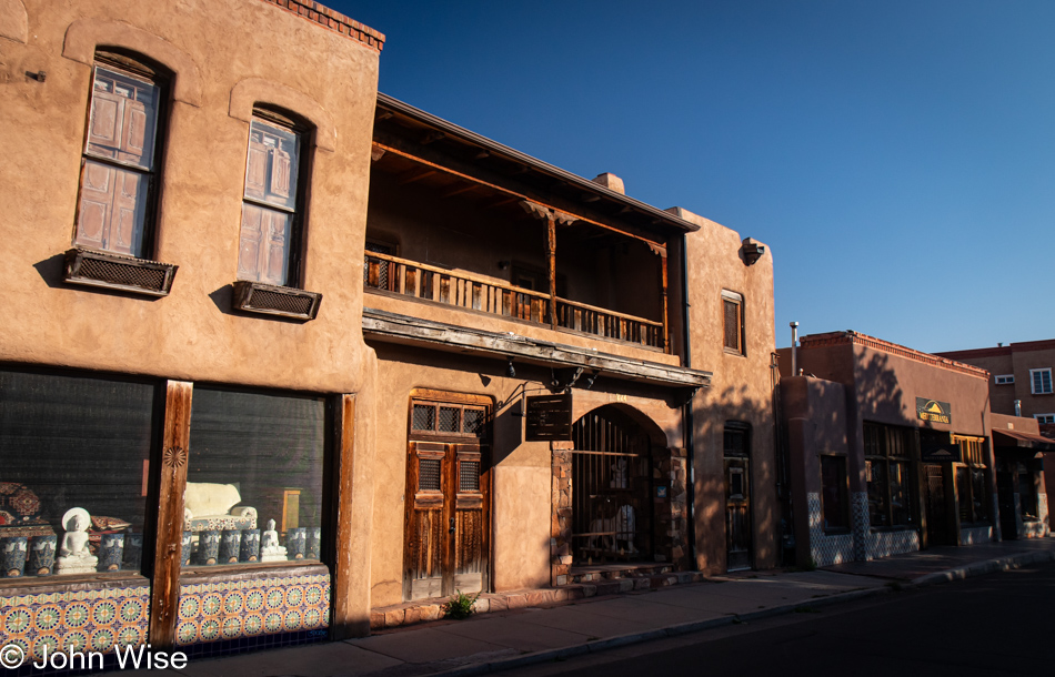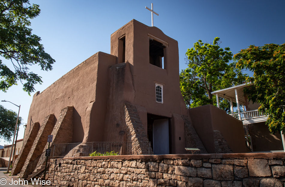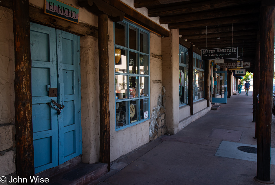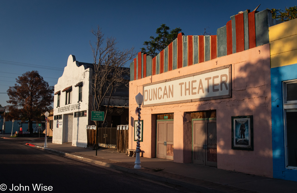
This shift of place on the map, which is about 10% of the distance between our home and Tybee Island, Georgia, on the Atlantic Coast, might suggest we are out to collect new experiences and the taking in sights that will dazzle our senses, but no, we are here to indulge in the full scope of exercising the doing of next to nothing. Absolute nothing could imply post-decay or post-cremation following the demise of our living selves, but we will attempt to take strides that will either appear glacial or at least indulgently slow. To this end, while we are walking the streets of Duncan (of which there are not many) if anyone else moving around in the early hours were to see us, we would drop into the children’s game called Statue (some might know it as Freeze). Like cats, we assume they can’t really see us when we stop moving.
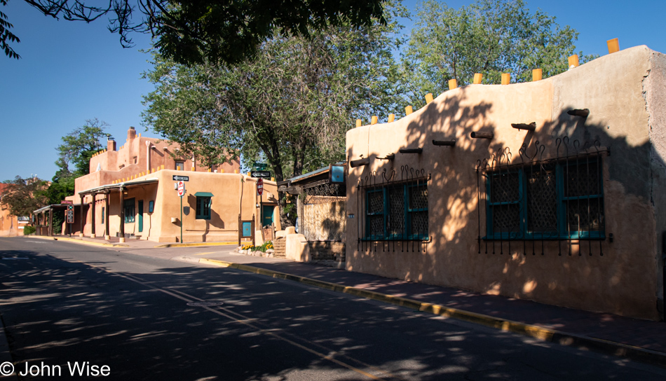
Not willing to move the car to take us somewhere nearby we may have never been before, our choices are limited to walking out the front door of the hotel, turning left or right, and then navigating the options where our feet can carry us. North seems the logical direction as that’s where the most amount of nature is potentially taking place. The Gila River appears to be playing the same game of Statue as us because, with only a trickle of water in its channel as the monsoons haven’t yet contributed to its flow, it might be better to refer to it as the Muddy Gila Creek, about to seize into a solid at any moment.
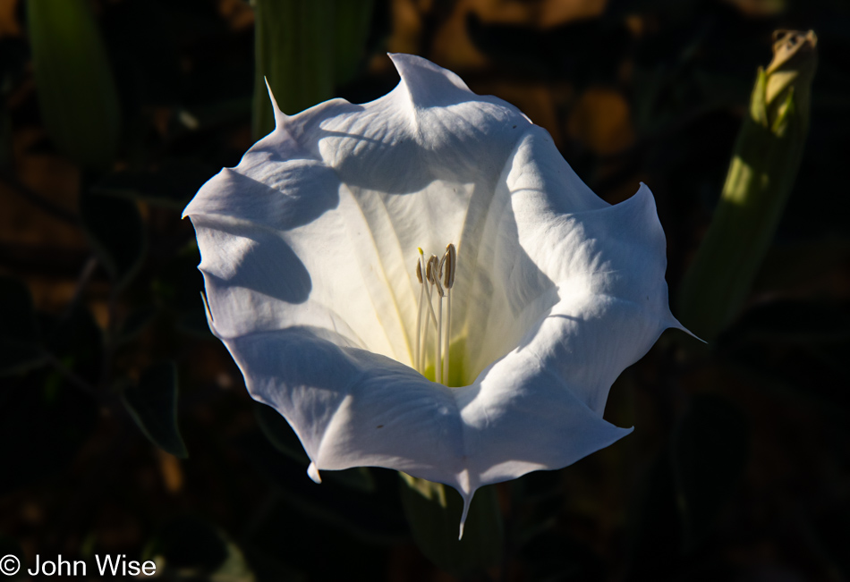
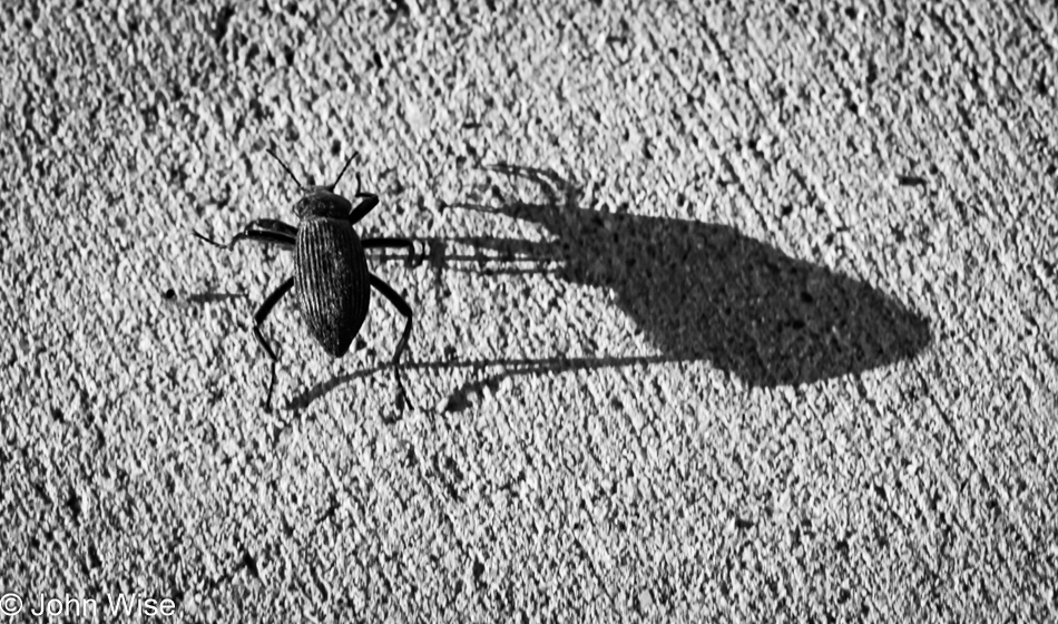
With an abundance of toxic plants in bloom, such as members of the nightshade family and a few rather large datura specimens like this one, we walk in the cool morning air, appreciating the lively black and red ants, discarded mini-bottles of alcohol, a fragile beetle clinging to life (not the one pictured above this image), a solitary crane, and the occasional rumble of semi-trucks hauling something or other to the copper mine north of us.
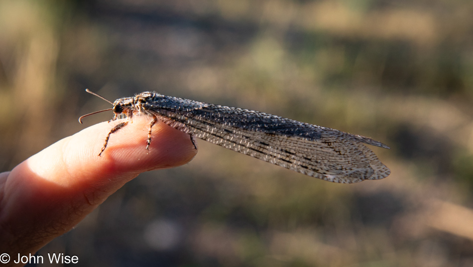
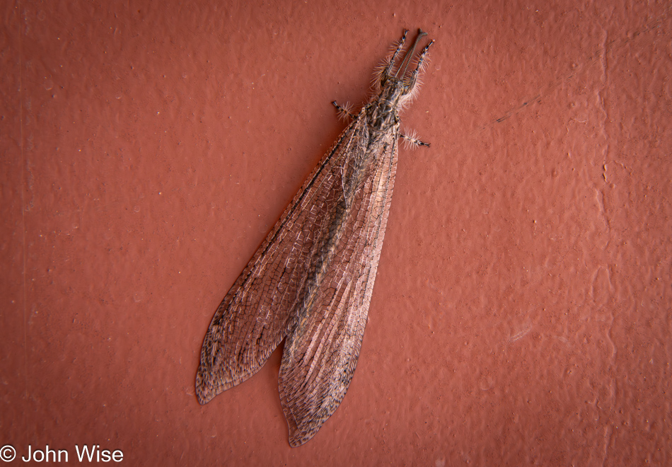
Never, prior to last month anyway, had we seen an ant lion, but here we are today, seeing our second one in hardly more than a couple of weeks. I think god is signaling to us that this is the time to play the lottery. However, my logical mind takes umbrage with that cockamamy idea and reminds me that it’s likely flying ant lion season during the summer and that Caroline and I don’t get out enough during this time of year in our surrounding deserts. And I answer that with, “Who in their right mind goes from one place that’s over 105 degrees (40 Celsius) to another that is just as hot?” Obviously, we have, and we must, because maybe twenty years ago, we could play the having-all-the-time-in-the-world card, seeing that mortality hadn’t raised its head yet. Now we know it’s now or never.
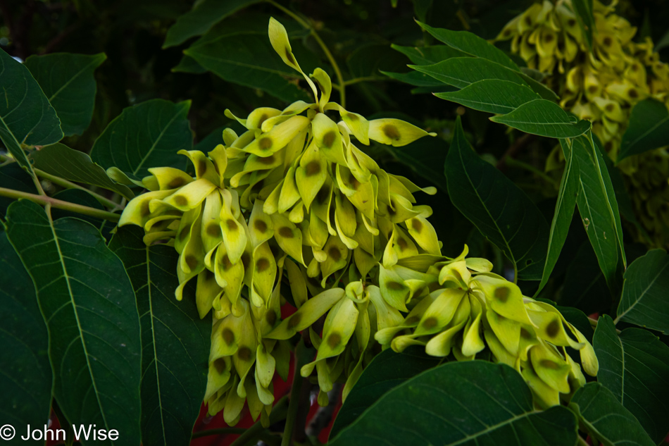
Only because we are here in summer are we becoming acquainted with the Tree of Heaven. We’ve walked by these trees many a time, but displaying its samaras (seeds), it caught our eye in ways it never had before. At other times of the year, it sits there, growing out of the earth all woody and green leafy with nothing that says, look at me, nor does it say smell me. I added that because another name for this tree is stinking sumac, and should you try to eradicate this invasive species from your neighborhood, it becomes known as the Tree of Hell. Cut it down, and its roots will reroute the tree, foiling your efforts to remove this persistent plant.
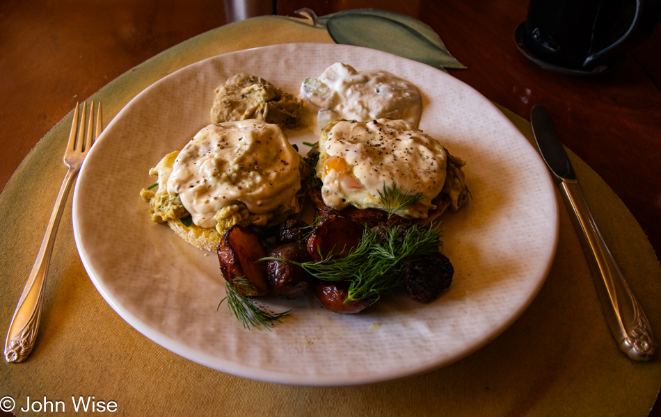
When Caroline and I were passing through for a couple of overnights back in April, I’d voiced that I’d love for Caroline to have the opportunity to sample Clayton’s version of eggs benedict using a dijonnaise instead of hollandaise, and so with that still in his memory, he was set up with the ingredients for exactly that this morning. I just searched my old posts and saw that I’d never mentioned this in posts about my visits earlier this year. A tragedy because the dish was well off the chart of amazing, and this morning delivered a perfect rendition of what I remembered. Stuffed, a trusty artificial intelligence informed me that the only relief to be found for this condition was to take a nap, and while there wasn’t a triclinium in sight, our bed worked just fine.
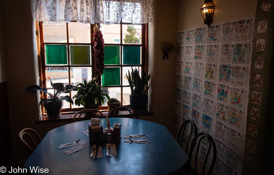
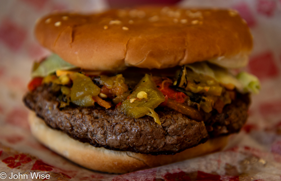
It’s now hours later with vague, fleeting images of moments of inactivity. Proper lunchtime had come and gone, and back then, I had been certain I was done eating until evening anyway. Apparently, I was wrong and could be convinced otherwise. Suffering from a sore backside being planted on a hardwood chair and running out of stuff to write about, a walk seemed in order, though my first thought was, why endure the heat of the day if it doesn’t arrive with some kind of reward for the effort? Choices involved the trusty Ranch House Restaurant, where we could share a little something before joining Deborah and Clayton once more for dinner, as we did last night, or we might dip into the ice cream shop that also offers sandwiches and occasionally burritos. Making these kinds of decisions on a weekend when we are practicing our Statue routine almost felt like too much effort. Then, only minutes later, we were sharing a toasted turkey, ham, and green chili sandwich at the River’s Roadside Cafe, and afterward, Caroline tried a scoop of their Oatmeal Cream Pie ice cream.
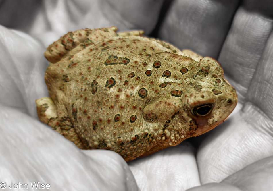
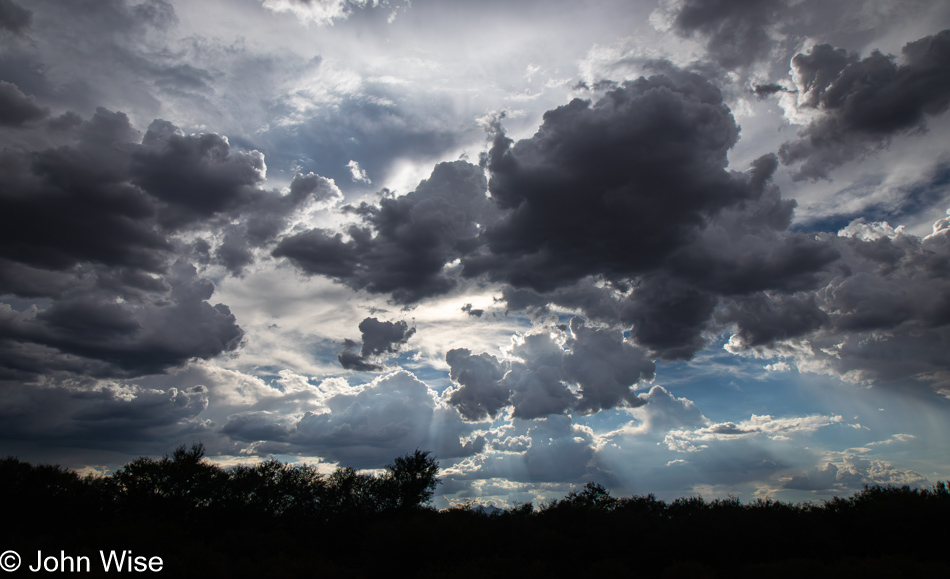
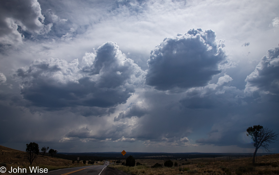
Dark clouds have arrived, but the forecast says storms are a no-go for today. Darn, a bit of storming would have been a delight, pushing this weekend into perfection. Who am I fooling, though? Things were already perfect, except we were running a deficit of steps needed to make our exercise routine mostly complete, mostly because we’d still fall short, though not by much. Good thing our lack of drive was overcome because out on the wild streets of Duncan, we encountered a bunch of hungry woodhouse toads strolling the streets along with us while bats worked the skies, grabbing the insects the toads would never reach. As for Caroline and I, we don’t voluntarily make a habit of eating bugs, but when we do, they should be properly prepared in a succulent and tasty dish.