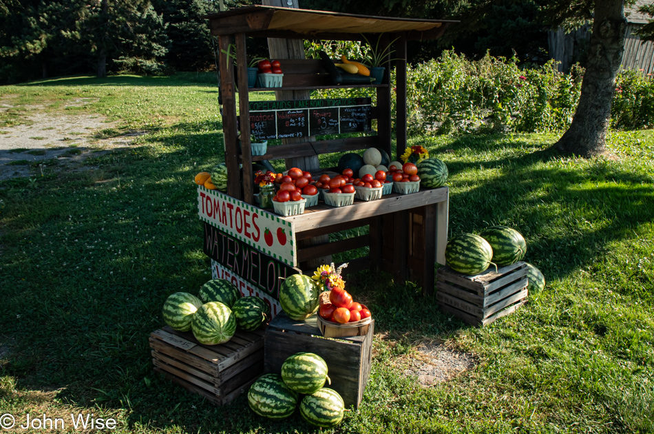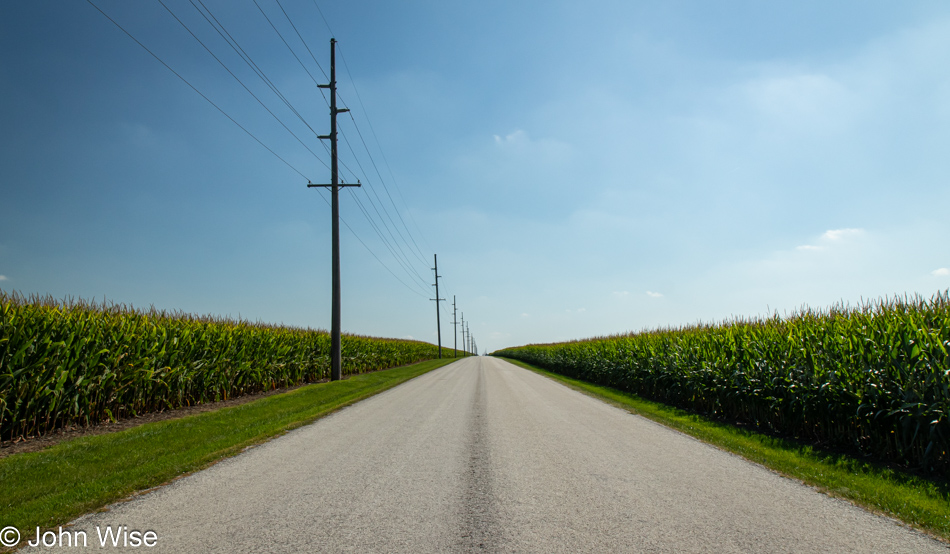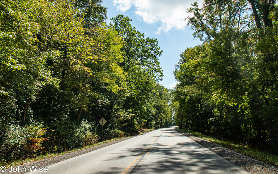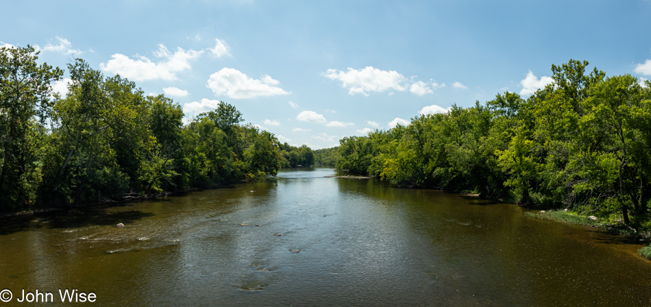
End of Solo, Start of Shared Vacation

Hamlet of Randolph on New York's Amish Trail

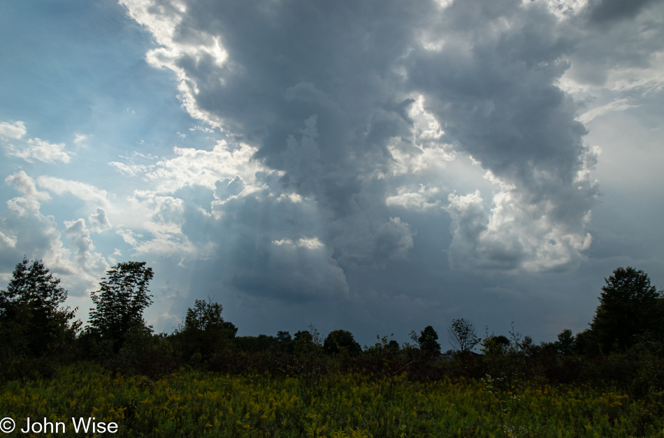
The eighth day of my drive is about to break me out of a solo experience and start a shared one when, by mid-afternoon, I pick up Caroline at the Buffalo Airport. At that moment, our vacation together officially begins. This morning, the day starts similarly to previous days with writing, but only some of it because I should have time up north to sit and finish my thoughts as I wait for her flight. When I woke, the rain was coming down, leaving me hesitant to take my stuff to the car, so I wrote a little longer until 9:30, a late start. This first note of Saturday was written where I had breakfast at the Allen Street Diner in Jamestown, New York, which is celebrating its 10th anniversary in business. Regarding the photo, I had just entered the Hamlet of Randolph on New York’s Amish Trail and did not want not to forget the charming name.

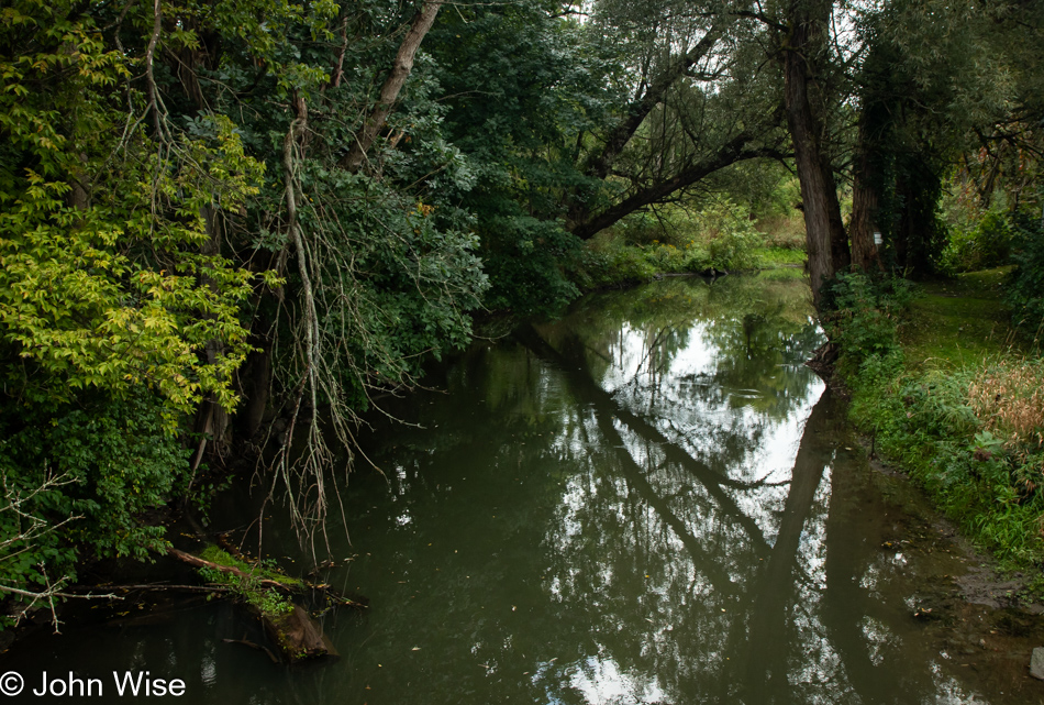
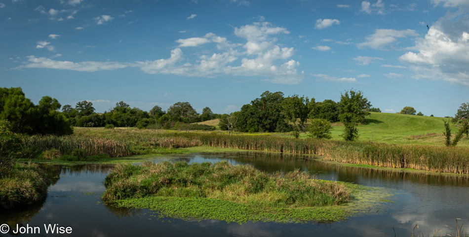
Little Conewango Creek in the Hamlet of Randolph, New York

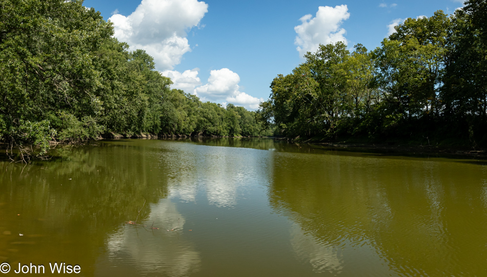
The same reasoning motivated this photo, also in the Randolph, this is the Little Conewango Creek.

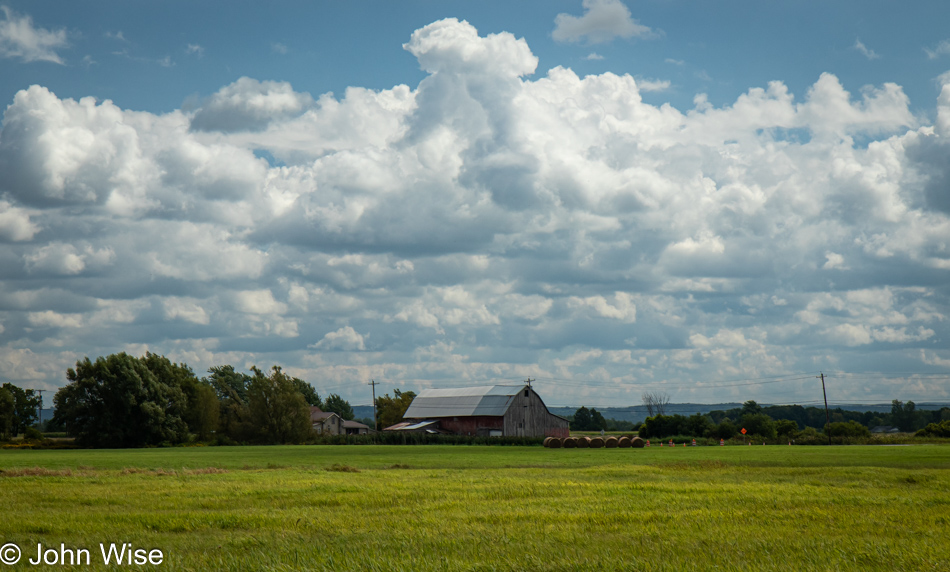
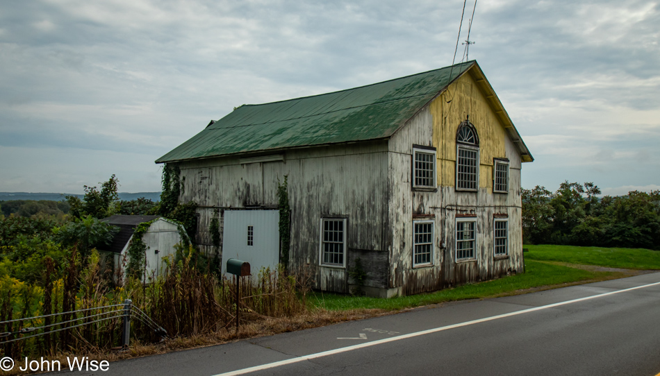
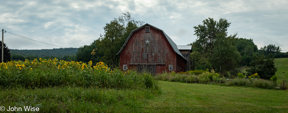
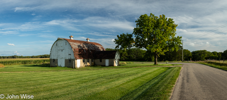
Barn in Little Valley, New York on Route 242

Passing through Little Valley on Route 242, I couldn’t help but stop for this barn, knowing it would trigger Caroline’s pareidolia.

Flowers on Toad Hollow Road in Little Valley, New York

The names of places are wonderful in this part of New York: I’m at the corners of Toad Hollow Road and Buelow Road, and the latter is interesting because a friend, Michael Geesmann, lives in Buelow, Germany. I saw a lot of this plant yesterday and today; I just learned it is known as Goldenrod and is a misery at this time of year for allergy sufferers.

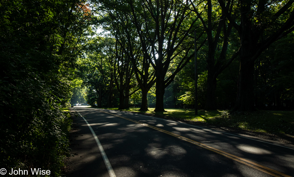
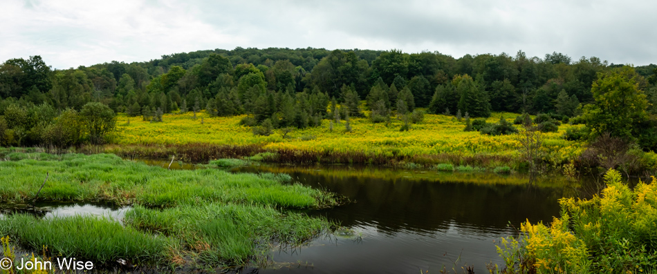
On Toad Hollow Road in Little Valley, New York

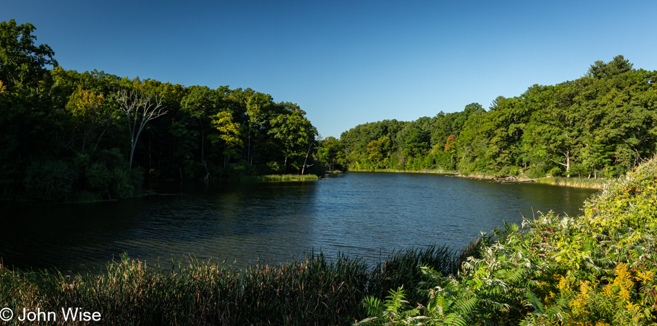
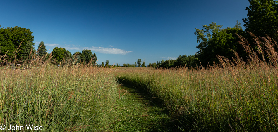
There is no cute name for this pond, also on Toad Hollow Road, just a pleasant scene.

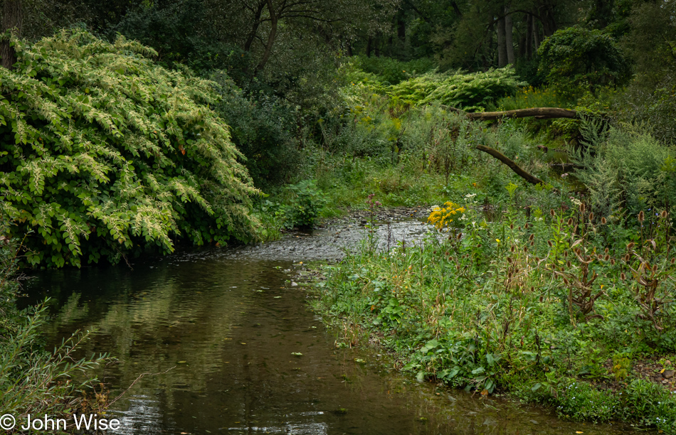
Mansfield Creek on Toad Hollow Road in Little Valley, New York

The waters seem a bit thin for fishing, but a nearby sign for Mansfield Creek invites just that.

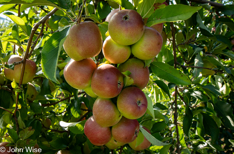
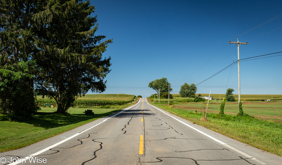
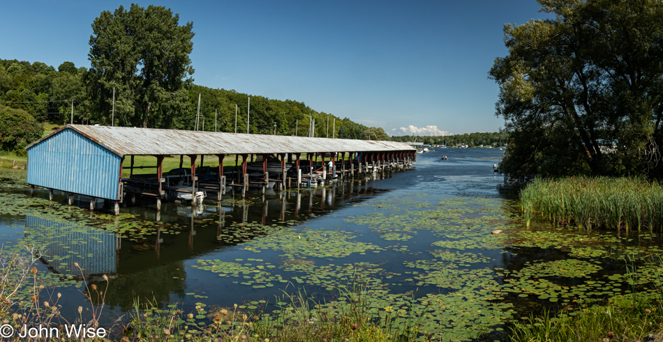
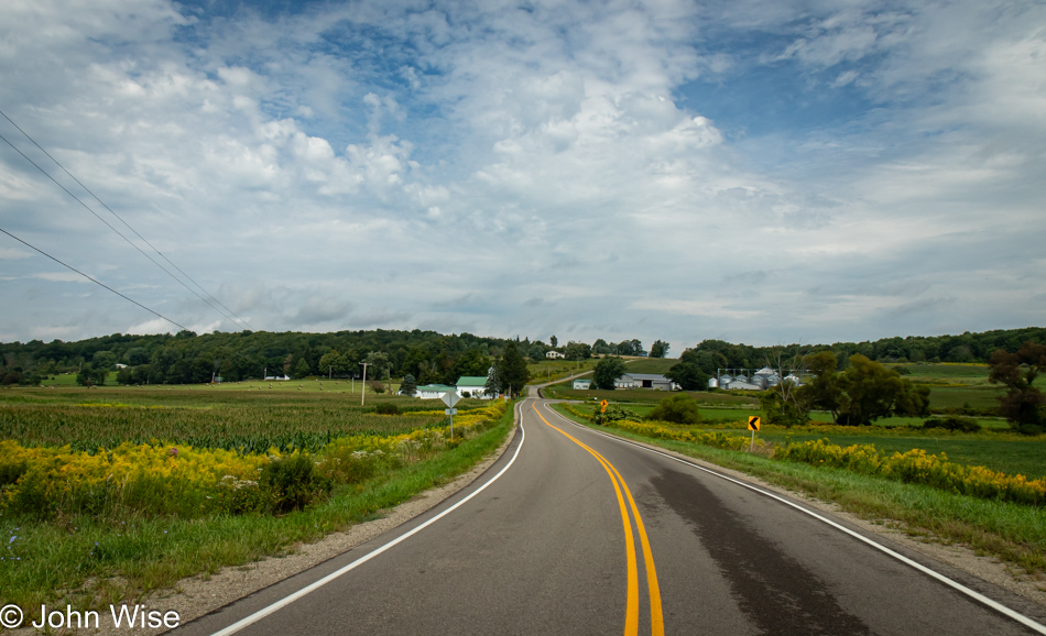
East Otto Springville Road in East Otto, New York

My wishes that it wouldn’t be storming and blustery for Caroline’s arrival seem to be coming true. Once I reach Buffalo, I’ll have completed 2,540 miles since leaving Phoenix. Time behind the wheel is just under 68 hours, meaning I averaged about 37 miles per hour out on these backroads; as for fuel efficiency, the car informs me that I averaged 50.5 miles per gallon.

Caroline Wise and John Wise at the Buffalo Airport, New York

And here she is, fresh off the flight from Phoenix, Arizona. With four hours in the air, she had enough time to pluck the needles from her desert-toughened exterior, leave the smell of creosote behind, and was able to find a smile after being packed in an absolutely full flight.

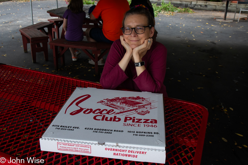
Caroline Wise at Bocce Club Pizza in Buffalo, New York

This being not our first time visiting the city where I was born, we knew that Bocce Club Pizza had to be the first stop here. Aside from it and coffee, there was no time for any other nostalgia of sightseeing. Okay, that isn’t exactly true. On my way in, I stopped at Schwables, a small restaurant famous for beef on weck, a roast beef sandwich served on a kummelweck roll, a roll topped with kosher salt and caraway seeds. The old men of yore who used to be the servers here are gone, replaced by a new generation (I guess it was a Covid thing), and the cloth napkins are gone, as is free water. Not only do you have to buy a bottle of water, but there was something different about what used to be the best beef on weck I’d ever had, so another chain to nostalgia has been broken. As for the pizza, it’s the same great pizza as always, and it’s almost better the next day when it’s cold out of the refrigerator. That is exactly what I’m eating as I write this the following morning.

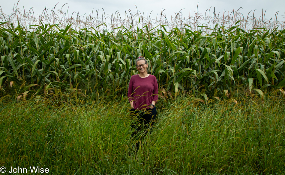
Caroline Wise in the corn near Buffalo, New York

I thought I was done sharing images of corn, but when I realized I could enhance the natural beauty of corn by placing my wife in front of it, that was an opportunity I couldn’t miss.

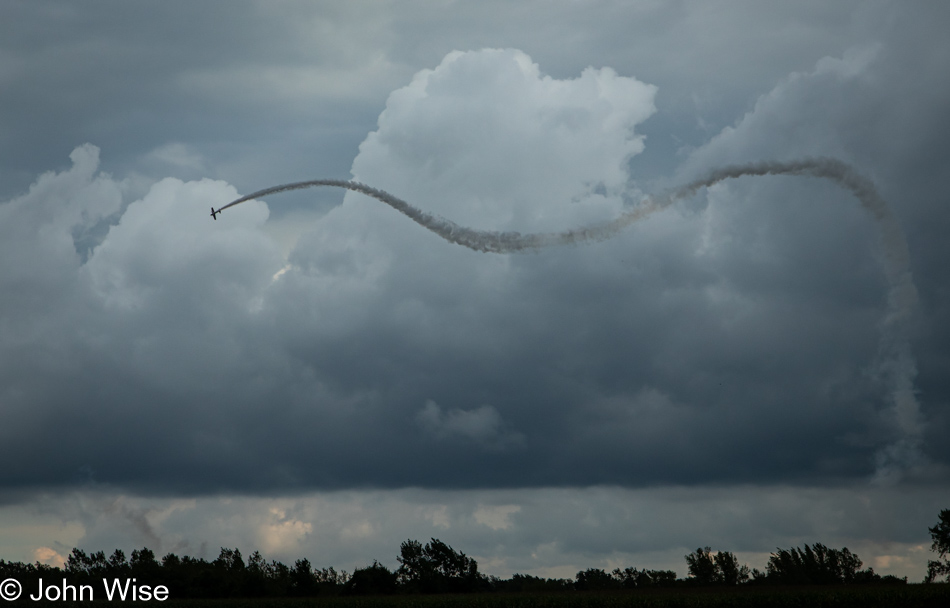
Wings Over Batavia Air Show at the Genesee County Airport near Buffalo, New York

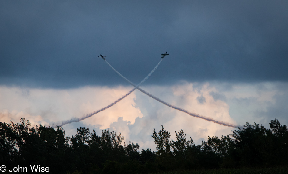
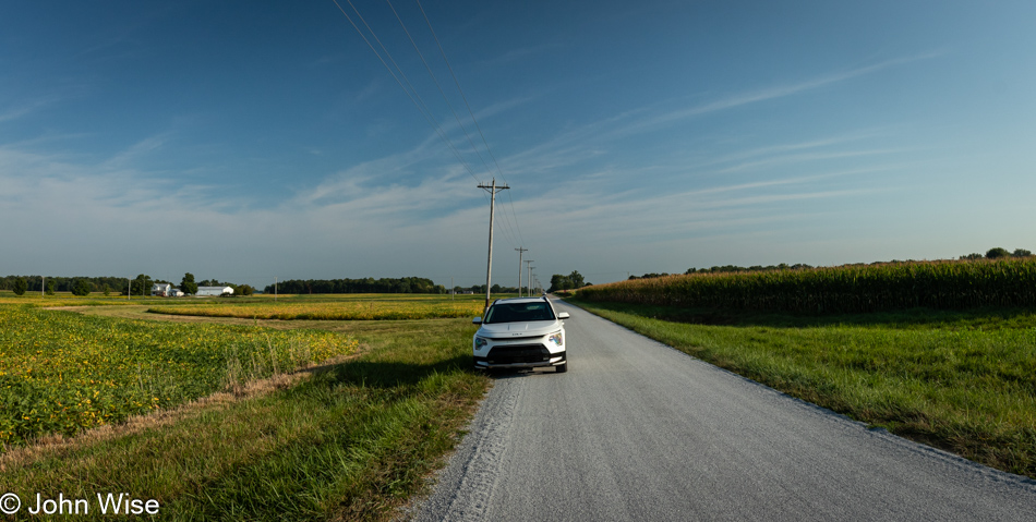
Driving down country roads on our way to Spencerport, New York, where we’d be staying at the Sleeping Bear Inn, you can’t know our surprise when we spotted a plane flying an acrobatic routine out towards the Genesee Airport. Initially, I thought it might be a crop duster, but then the pilot started doing some quite interesting maneuvers. Our first vantage point wasn’t that great, but not knowing how long the pilot would be in the area, we figured a poor view was better than nothing at all. When we realized he wasn’t going away in a minute, we tried getting closer further down the road and found some others who’d set up chairs at the edge of a small cemetery, so we joined them.

Wings Over Batavia Air Show at the Genesee County Airport near Buffalo, New York

We later learned this was the Wings Over Batavia Air Show at the Genesee County Airport.

Wings Over Batavia Air Show at the Genesee County Airport near Buffalo, New York

If watching this kind of flying wasn’t enough, Caroline received a message on Whatsapp while we stood out here: she’d won something.

Huipil Caroline Wise won from a raffle in San Cristobal, Mexico

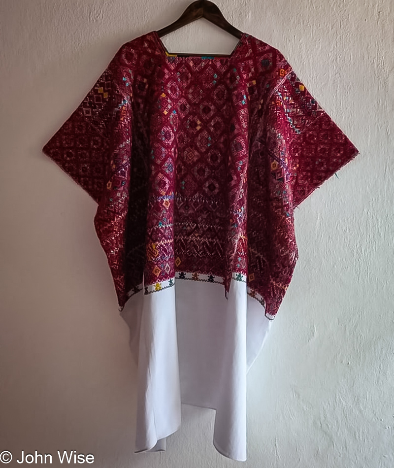
A month ago, Caroline sent some money to San Cristobal, Mexico, specifically Colectiva Malacate, a women’s coop that supports local weavers. This wasn’t her first time joining a raffle to win a huipil, but it was the first time she WON! Later, when we watched the video of the raffle, two women were seen holding this piece up; it was as wide as the two of them. This thing is big, and now it belongs to Caroline. Naturally dyed and handwoven, it’s an expensive piece that will probably be donated to a museum at some point in our future, but after vacation, it will be sent to Caroline to enjoy. This was an incredible surprise that topped an already amazing day.

Erie Canal in Spencerport, New York

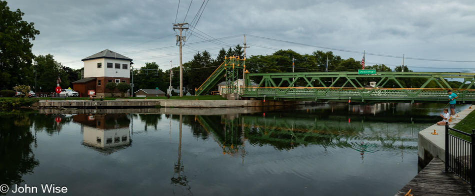
Yet another surprise for us was crossing the Erie Canal here in Spencerport, where we stayed the night.

Solo Across America – Day 7

Corn field on the Lincoln Highway east of Upper Sandusky, Ohio

Car in a cornfield. Ya, that wasn’t very inspiring, was it? My mornings are spent frantically writing in my hotel room while knowing full well that the sun is rising without me there to witness it. By the time I’m on the road, depending on the time, I get moving again, so I feel like I’m making progress inching closer to Buffalo, New York. No coffee, no hot breakfast, typically anyway, but when a quiet location inspires me, I pull over and have a roadside breakfast. Today, it was in a cornfield off the Old Lincoln Highway. As I’ve written here before, or so I think, I have an ice chest with provisions and a crate with dry goods, such as my homemade granola.

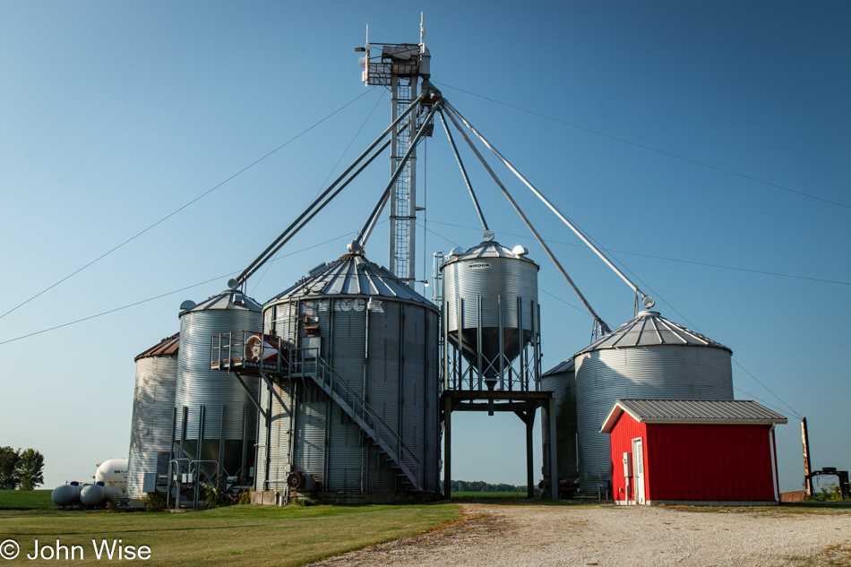
Farm details near Nevada, Ohio

While I’ve shared a few images of old-fashioned grain silos over these past few days, I’ve ended up neglecting these new versions; this particular setup is used for a small farm instead of a co-op that shares those giant ones.

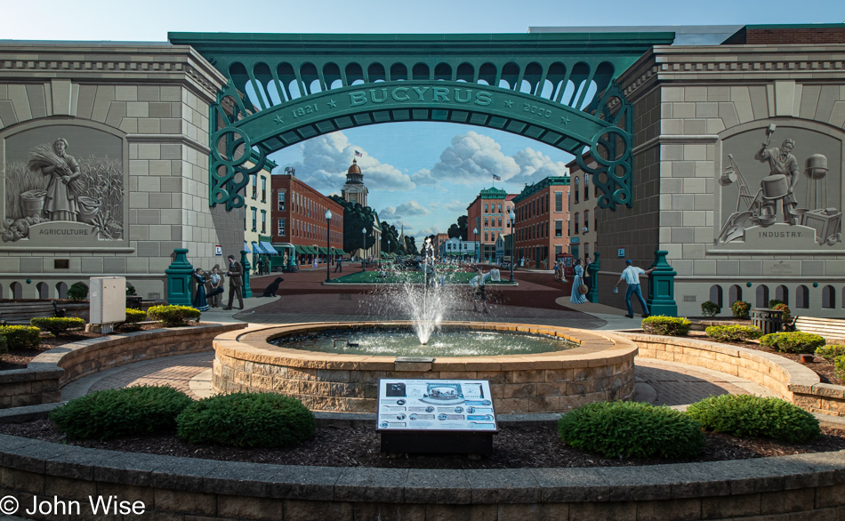
Mural in Bucyrus, Ohio

The small town of Bucyrus, Ohio, is really a beautiful place, but here I am taking a photo of the mural depicting the main street instead of the real thing. It’s relatively accurate, except for the two structures left and right supporting the arch.

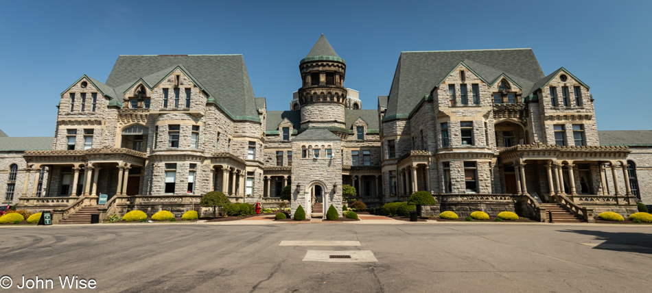
The Ohio State Reformatory in Mansfield, Ohio

Leaving Upper Sandusky this morning, I was still on the fence about stopping at the prison in Mansfield, Ohio, but as I crested a hill on the road that was passing it anyway, I was enthralled by the sight of it. With it opening in just a few minutes, I thought, “Why not throw them a $10 or whatever it costs, and I’ll race through it to not delay myself too much. Ha, this place costs $30 to visit, and that’s for a self-guided tour. The official name of this prison is the Ohio State Reformatory; it is also one of the filming locations of the movie Shawshank Redemption.

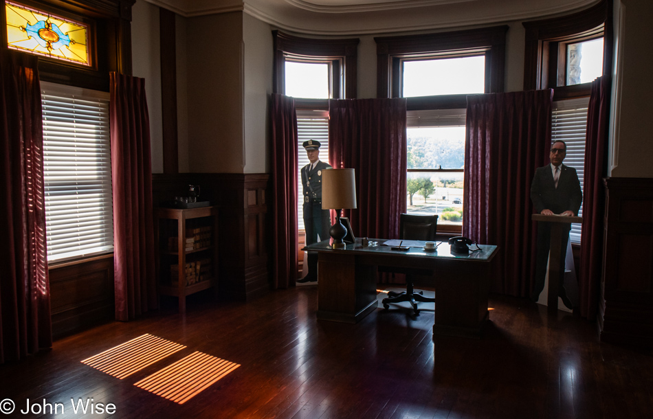
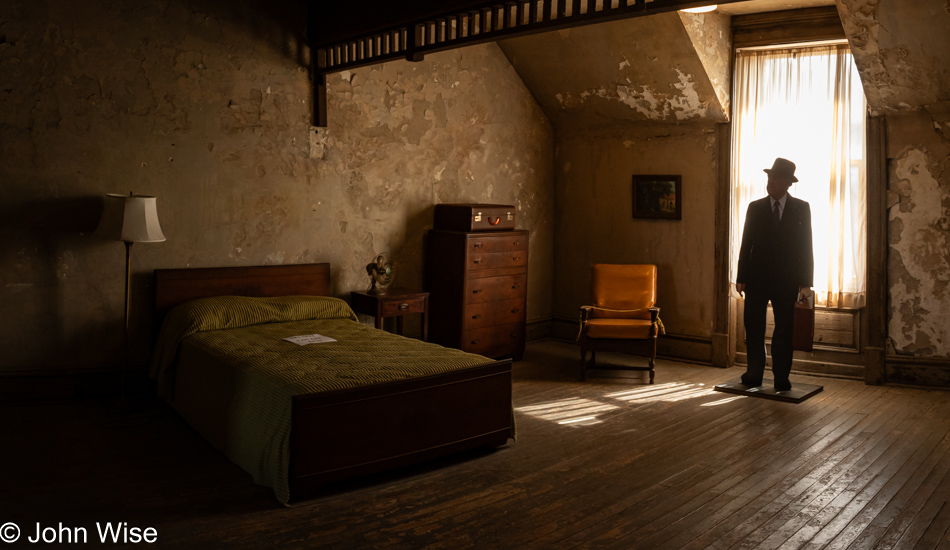
Room used in Shawshank Redemption at the Ohio State Reformatory in Mansfield, Ohio

I’d imagine a lot of the visitors to this prison are here just for Shawshank Redemption; it is, after all, often the number one rated movie on IMDB ahead of The Godfather, The Dark Knight, Schindler’s List, The Lord of the Rings, Pulp Fiction, and The Good, the Bad and the Ugly, yeah, it’s that popular. Seeing I was the first person in line to buy a ticket, I was ahead of everyone else and was able to grab photos at the location where the movie was shot, but I was also able to judge how others found the rest of the prison, which wasn’t very interesting as they all passed me at some point.

Room used in Shawshank Redemption at the Ohio State Reformatory in Mansfield, Ohio

The only lingering was being done by the cardboard cutouts such as this one of James Whitmore’s character Brooks Hatlen, and those of Bob Gunton, who played Warden Norton, and Clancy Brown, who played hardass prison guard Captain Hadley. I also found myself lingering quite a bit, though not as long as the decaying ruin will. That stuff was nice, but things were about to get better exponentially.

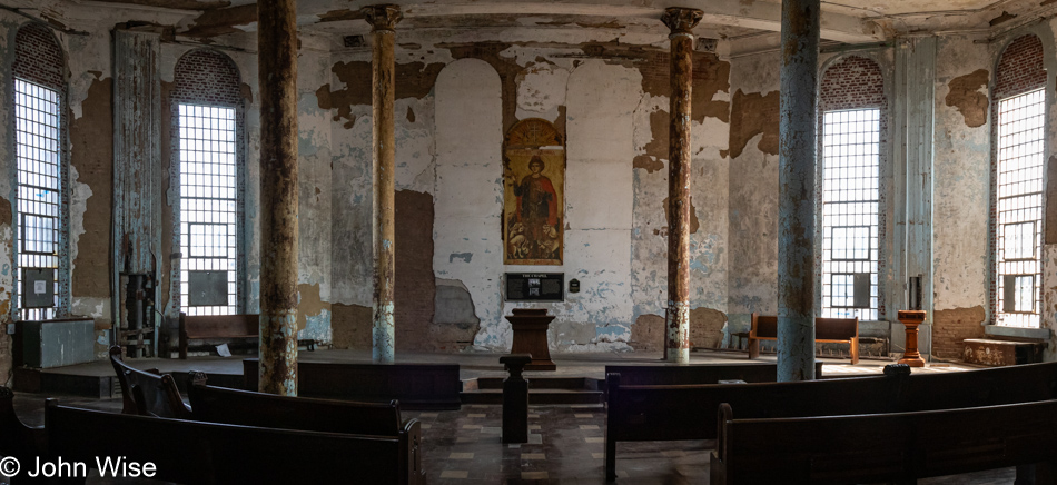
Church at Ohio State Reformatory in Mansfield, Ohio

While the outside of the prison drew my attention, walking up a short flight of wooden steps into the prison church took my breath away. At this point, I was certain things could only get better.

The Ohio State Reformatory in Mansfield, Ohio

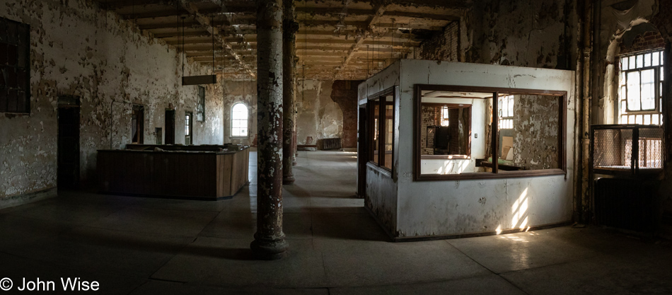
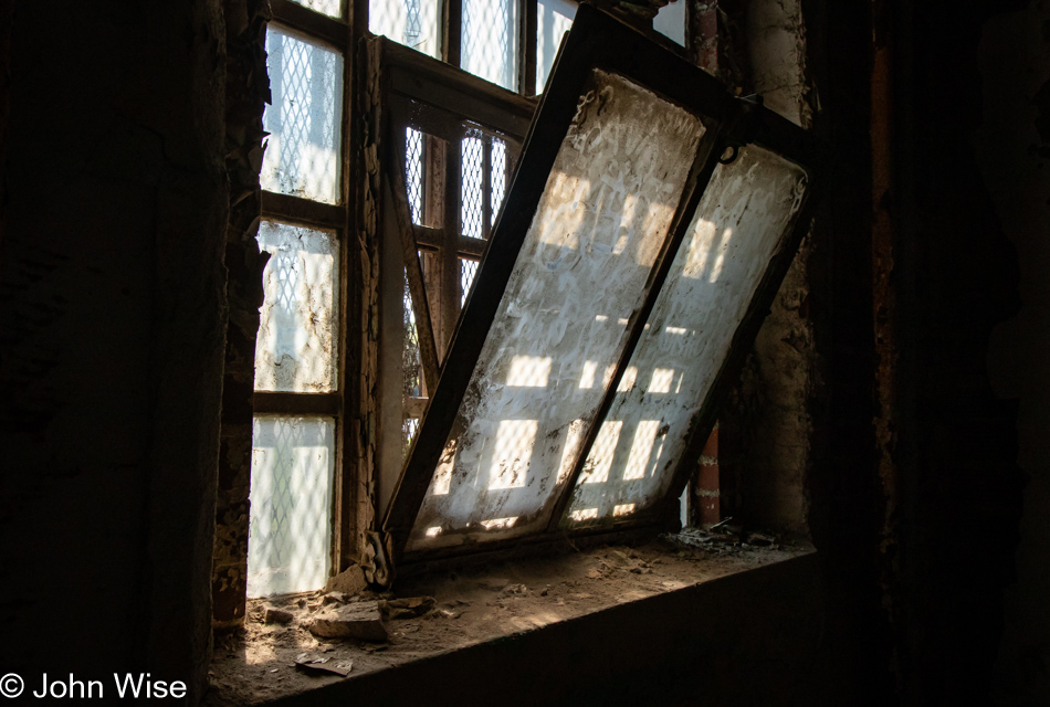
Oh, my holy wow. Prison is everything I could have hoped for, full of darkness, a foreboding, maybe even despair.

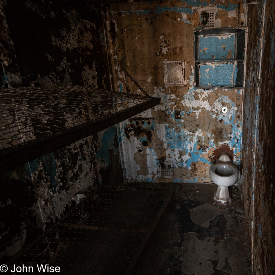
The Ohio State Reformatory in Mansfield, Ohio

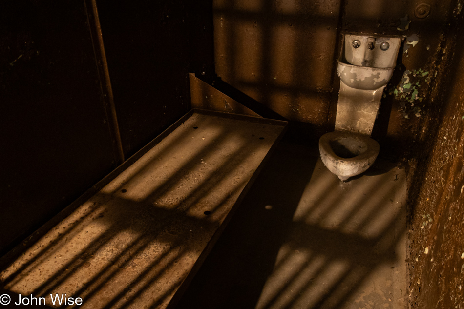
Yep, all buttons have been pushed, except for that flush mechanism on the wall above the toilet. I can only imagine the joys of learning to shit in the presence of your cellmate. Without cell phones for reading the news back in the day, you’d just open a conversation or maybe continue the one you were having without the need to excuse yourself while heading to the can for a dank bowel movement. Obviously, some of the joy in this experience would be lost when one considers life inside an all-metal tiny box called home, sometimes for an entire lifetime.

The old library at the Ohio State Reformatory in Mansfield, Ohio

Now, if living in a cold, solid-steel cage with another man who may have been guilty of whatever terrible deed the world wanted to hide wasn’t good enough for you, there was this library, which I think could have made the whole ordeal a little better. Consider the long afternoons lounging in the sumptuous wood-lined reading rooms of the library with all the classics and all those years to take them all in; seriously, this starts to look kind of dreamy.

The Ohio State Reformatory in Mansfield, Ohio

Your new home even came with these classic spiral staircases, but thinking about this caged tube of men descending the stairs packed in tightly, I’d bet about anything that this would be a fart fest. Sure, that would be rank; then again, everyone would be splitting at the seams laughing as so-and-so gets royally fumigated.

Hospital at the Ohio State Reformatory in Mansfield, Ohio

This was the hospital where the best care was available to prisoners when all things were considered, you know, such as their horrendous crimes that should have seen them tortured, but that’s beside the point. They were still human and required medical care, and this was where they got it.

The Ohio State Reformatory in Mansfield, Ohio

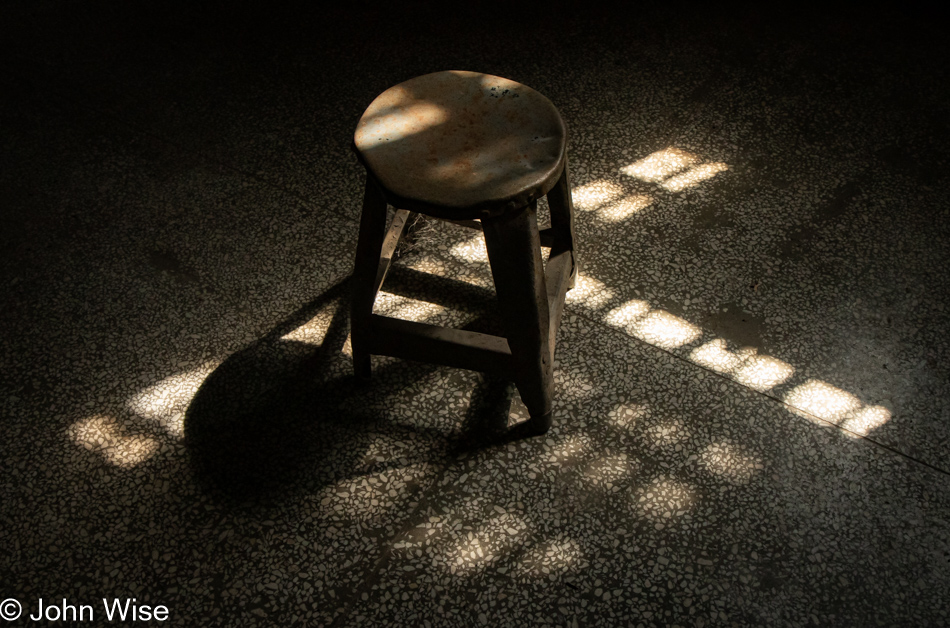
The examining stool.

The Ohio State Reformatory in Mansfield, Ohio

Fresh air to purge the misfortune of getting sick in a place you probably didn’t want to get sick in. I have this idea that enemas were the cure-all for everything, thus dissuading inmates from seeking the services of a “doctor.”

The Ohio State Reformatory in Mansfield, Ohio

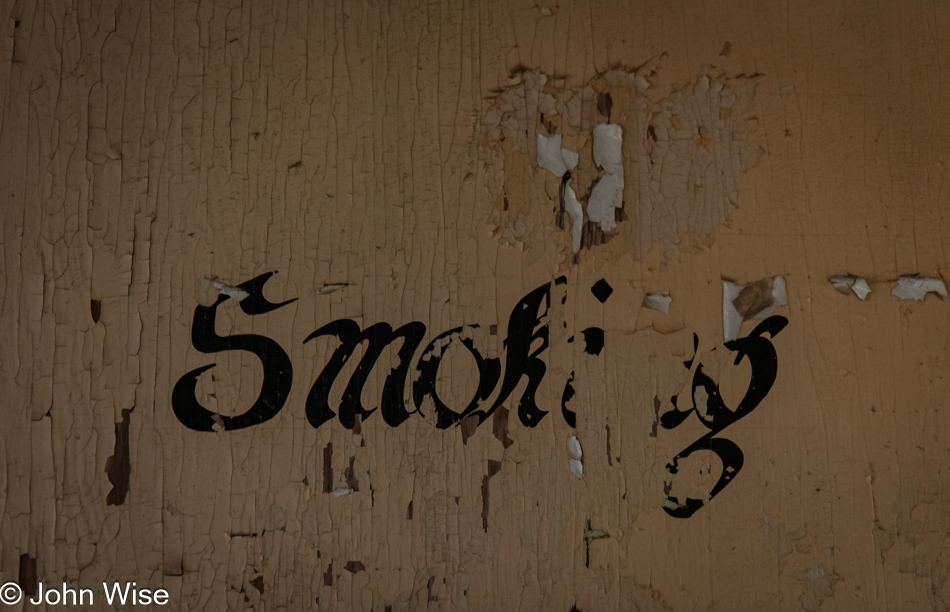
Somehow, this place wasn’t closed until 1990, by which time we understood smoking wasn’t good for you; hence, the stencil informing the prisoners that no smoking was allowed in the hospital.

The Ohio State Reformatory in Mansfield, Ohio

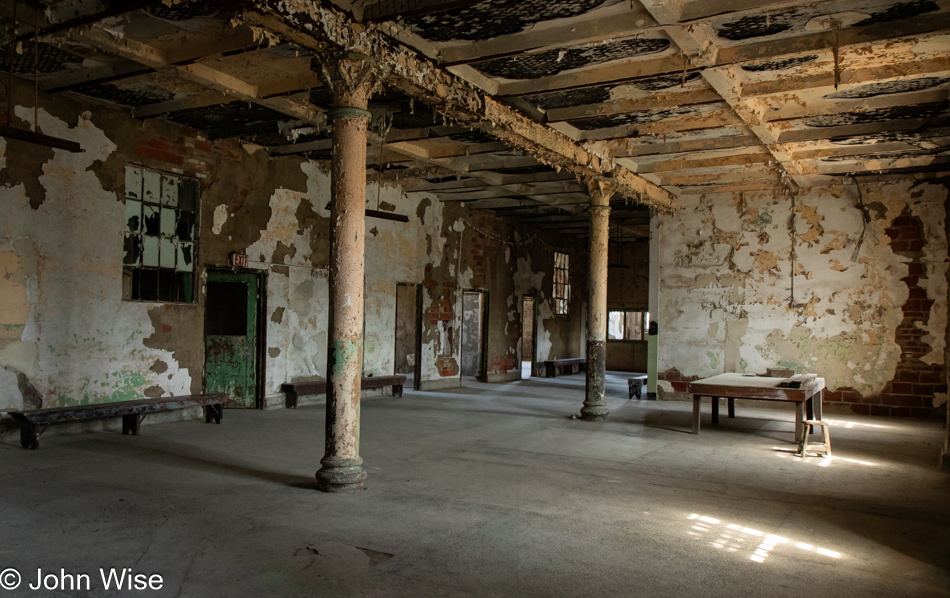
There’s just no way that this much decay is the result of the past 34 years. It makes me happy I don’t rust and wasn’t painted with lead paint.

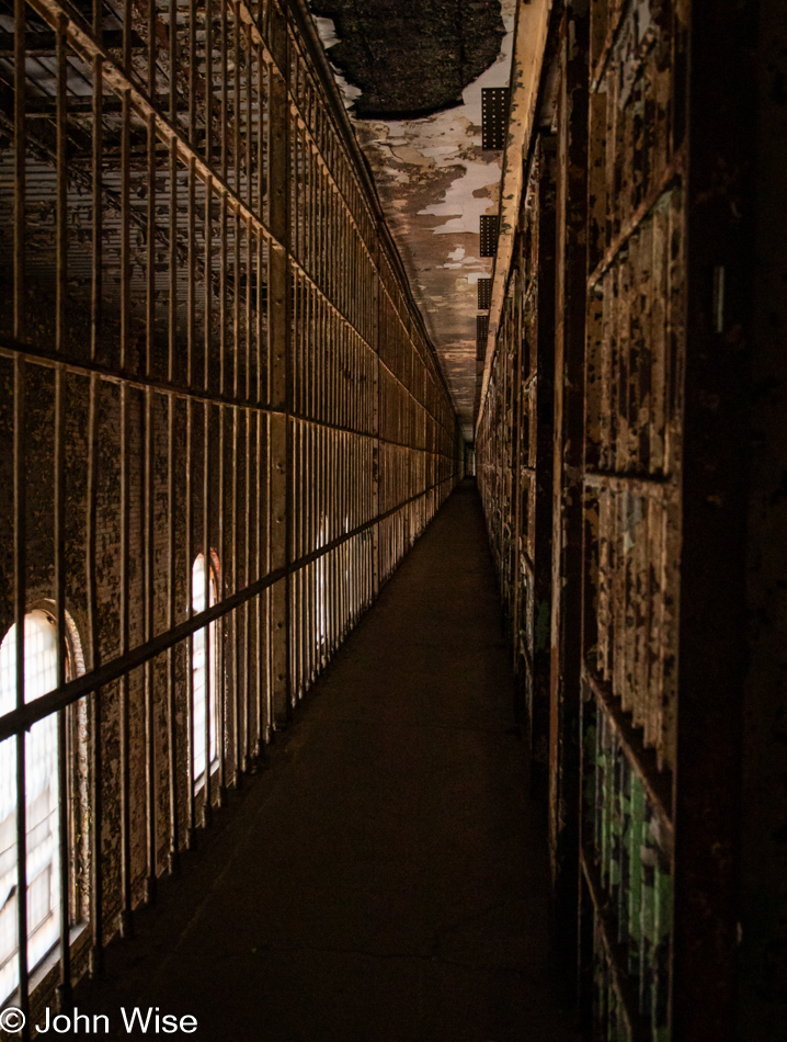
The Ohio State Reformatory in Mansfield, Ohio

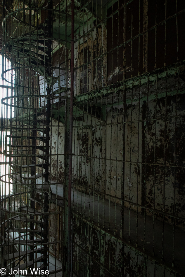
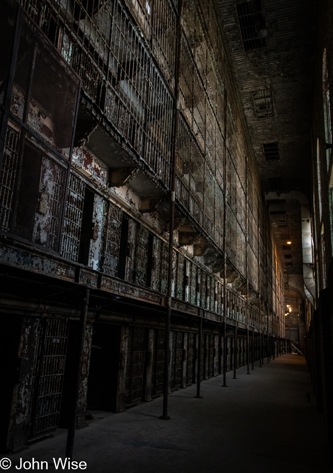
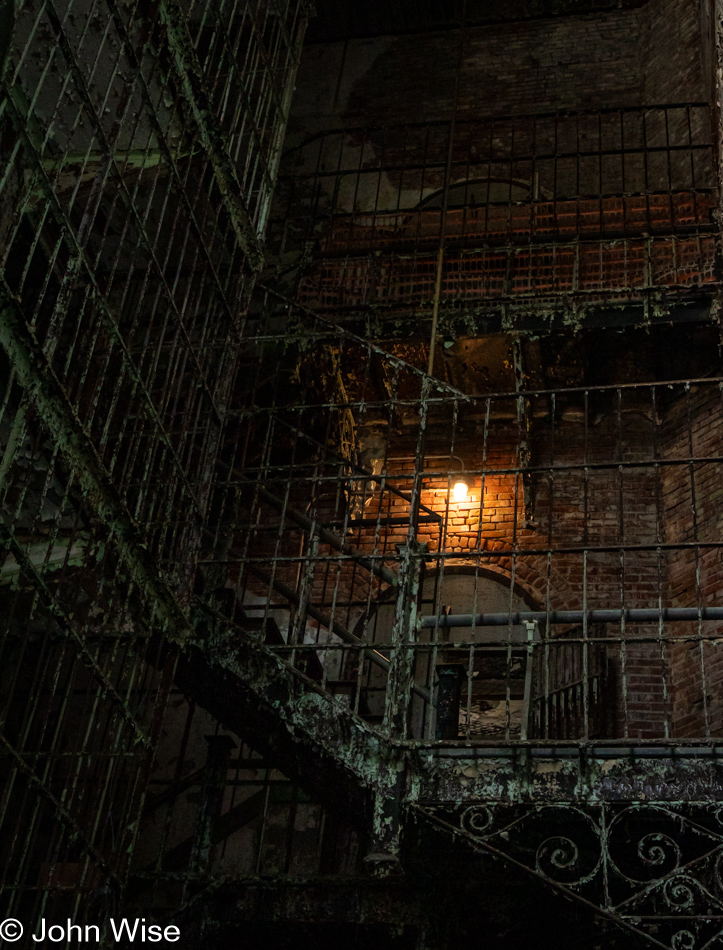
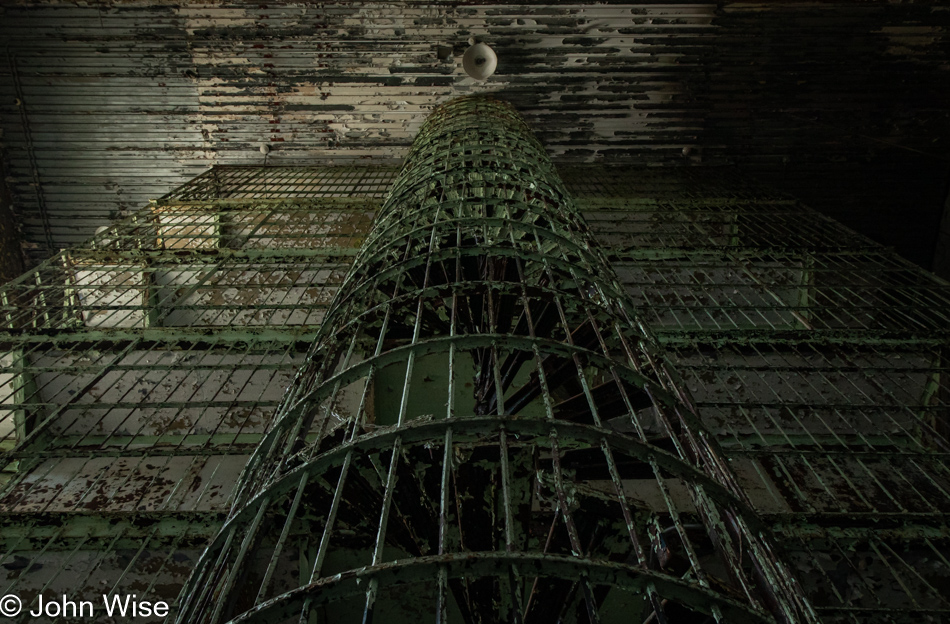
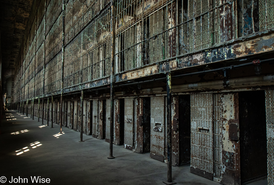
This is likely my favorite photo of those I shot in here. The idea of living in a tower of cages is revulsive, even if I was joking about things earlier. Even being a guard here would have been as close to living in hell as it gets. I have a big F-that for the idea of something like this being a career objective.

The Ohio State Reformatory in Mansfield, Ohio

Cages in the mazes of a prison, where men not only try to escape their cells and the facility walls but are also likely trying to figure out a way to escape their minds.

The Ohio State Reformatory in Mansfield, Ohio

The architecture might be interesting, but the humanity is missing, gone, crushed under the fucked souls of those who would build such horrid dungeons.

The Ohio State Reformatory in Mansfield, Ohio

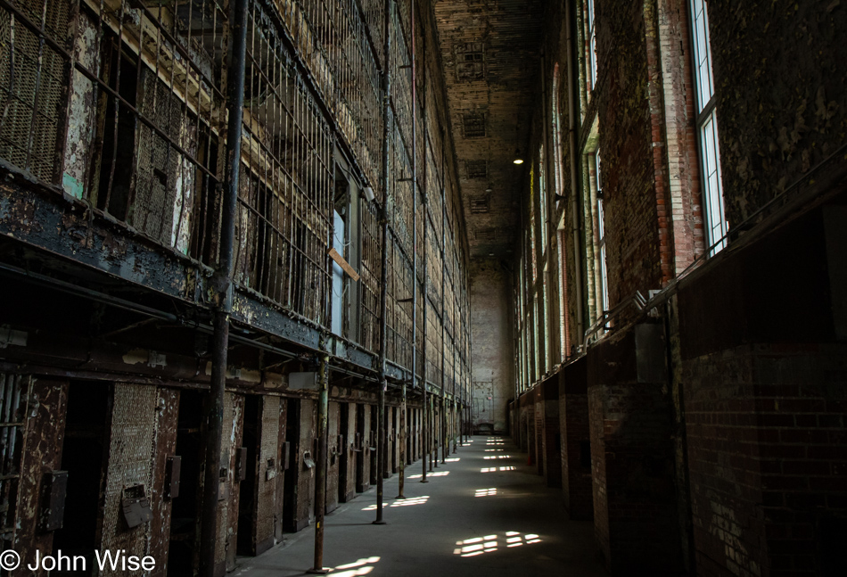
Some of these photos might be iterations on a theme, but you can trust that I had to pare ten images from my list of favorites. Redundancy for some might be tedious, but these are my memories forever visualized and I’m telling you, I’ll never be able to see such things frequently enough.

The Ohio State Reformatory in Mansfield, Ohio

When entering the prison, I was admonished not to close cell doors because if I inadvertently locked myself in, it would be a $300 charge to cut me out, and I might be stuck in here for a few hours. That’s too bad because I would have loved to see the perspective of being in this hole and looking out through locked iron doors to better imagine what the prisoner saw on a day-to-day, hour-to-hour basis. In addition to not shutting doors, I was asked not to eat or lick the paint chips as they likely have lead in them. People have been witnessed doing just that.

The Ohio State Reformatory in Mansfield, Ohio

Two photos above, I was looking one way; this is looking in the other direction.

The Ohio State Reformatory in Mansfield, Ohio

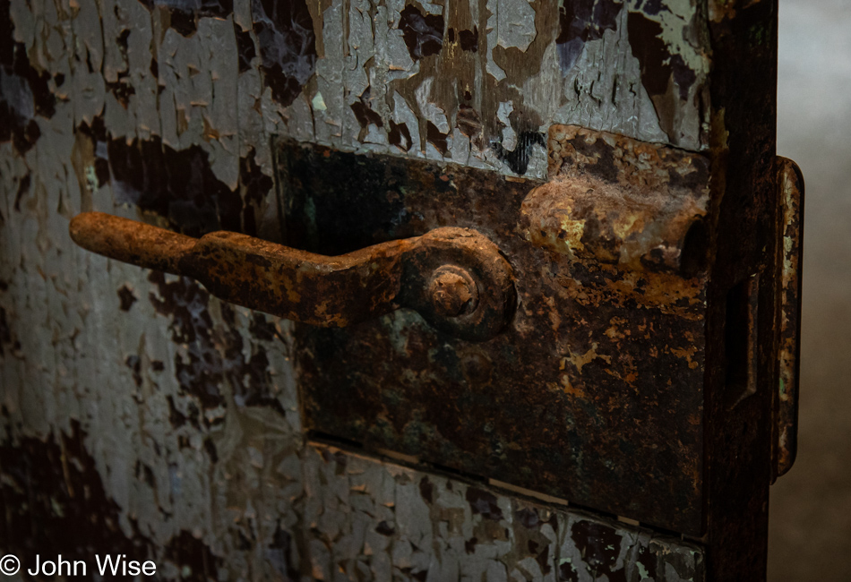
This was one of the cells in solitary confinement where no natural light falls. In some of the cells, solid steel doors blocked all light and were simply too dark to photograph. As it was, this photo took a lot of patience and bracing the camera against the rusting door frame. [Did you intentionally trigger my pareidolia with that face, John? Caroline]

The Ohio State Reformatory in Mansfield, Ohio

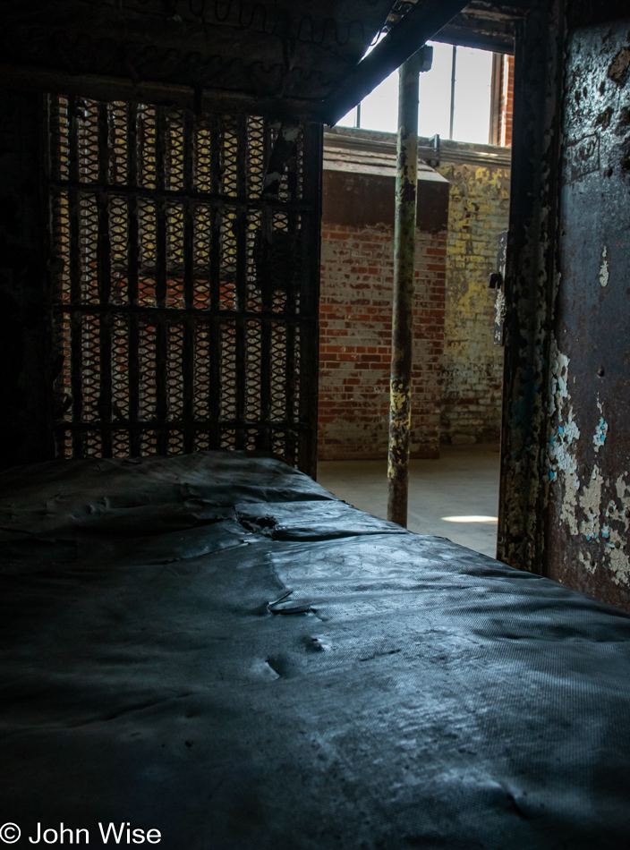
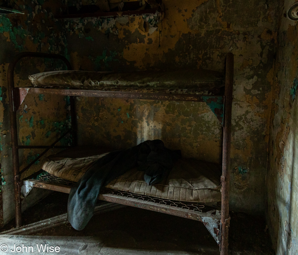
While thick with dirt, these mattresses appear to be authentic from the time prisoners lived here; I’d say the same might be true for the scratchy woolen blankets. After two hours and leaving a lot of photos unpublished, I’m done visiting the prison, reluctantly.

OH-511 near Ashland, Ohio

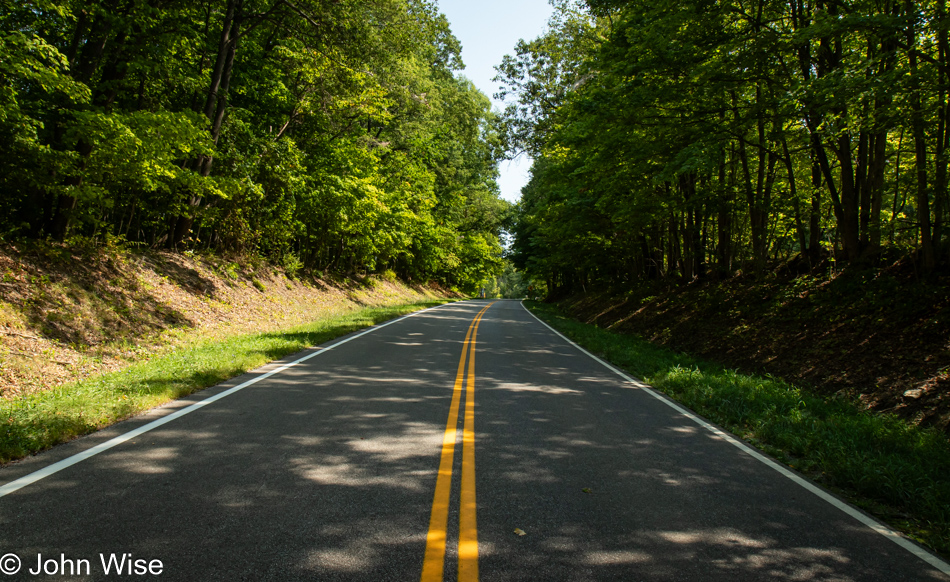
I’ve not yet grown accustomed to the tree-lined roads.

Amish farm on County Road 700 in Polk, Ohio

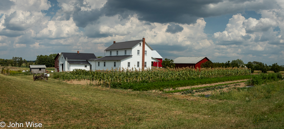
Amish farms are incredible-looking places. Again, I’m struck by the efficiency and effectiveness of the community in supporting these operations outside the world of tradition and modern tools, yet they survive and seem to thrive.

Pumpkins at an Amish farm on County Road 700 in Polk, Ohio

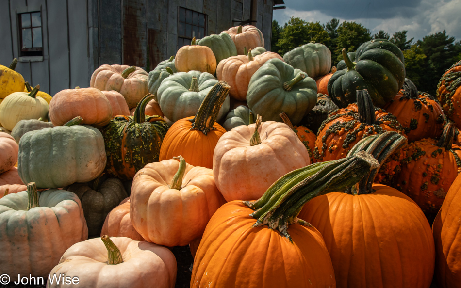
On another Amish farm across the street here on County Road 700 in Polk, Ohio, a family was selling gourds and pumpkins. While they’d probably survive the trip back across the United States, I’m not sure how Canadian customs would deal with us bringing three giant pumpkins into their country.

On OH-88 near Bristolville, Ohio

I’ve driven through some rain that arrived by the buckets, so heavy that I pulled over more than once. During one of those stops on OH-88 in Bristolville, I saw lightning strike and splinter a wooden utility pole in an impressive explosion and instantaneous thunder. That was it; now I was really scared. A mile down the road, after I got going during a lull, it started hammering down again. This time, I pulled into a fire station whose electricity was off and barely operational with the help of some minor power from a generator.

On OH-88 near Bristolville, Ohio

Last of the Ohio corn with hints of blue skies in the background.Tthe break in the weather wouldn’t last, but the corn continued.

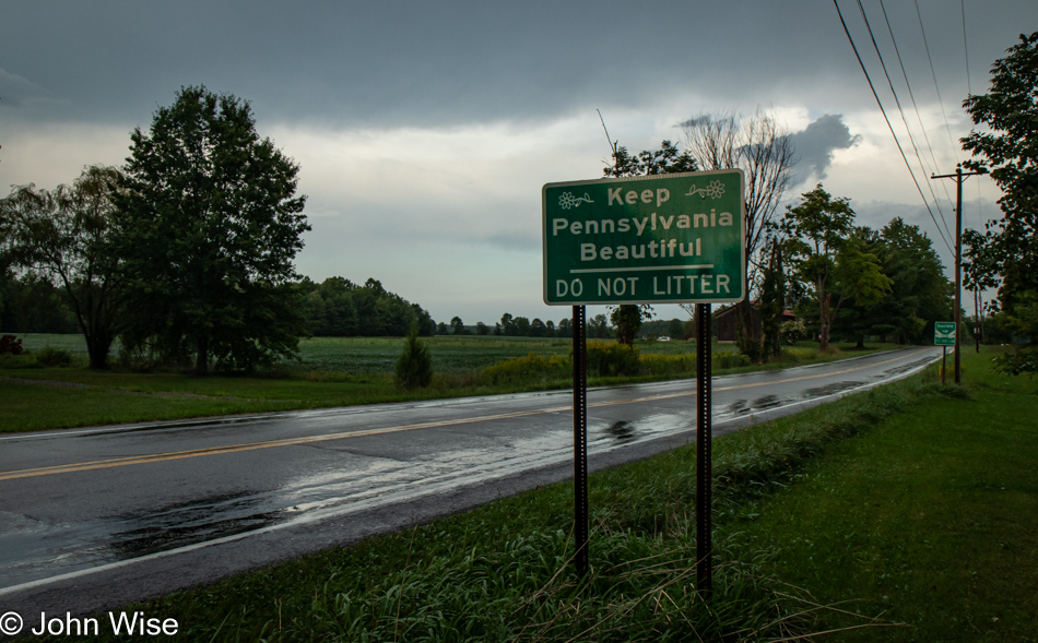
Pennsylvania State Line near Kinsman, Ohio

Maybe because this is a tertiary road in the scheme of state line crossings, it only required this afterthought of a Welcome To Pennsylvania state sign simply asking us not to litter. Better than nothing, or as my grandfather Wise used to say, “Better than a stick in the eye.”

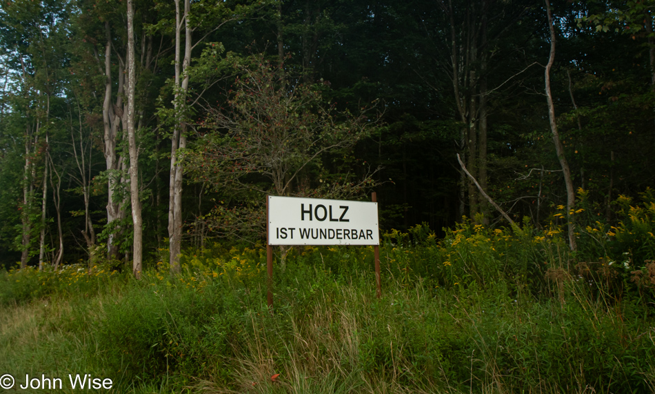
On PA-77 near Meadville, Pennsylvania

This was too random to let go by. I have to question out loud: Who reads German out here? Maybe the Amish, but aren’t they of some kind of Dutch heritage? [No John, the Amish are not Dutch, they are Deutsch, from the Pfalz region – Caroline] For you English speakers, it reads, “Wood is wonderful.”

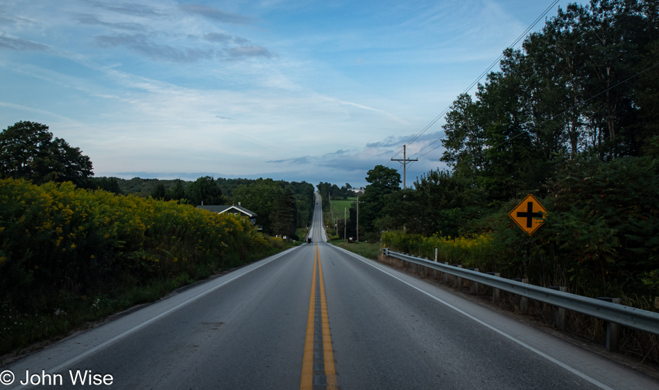
On PA-77 near Blooming Valley, Pennsylvania

While the hills have been rolling off and on since yesterday, I seldom get to pull over on the road when there is no shoulder, jump out of the car with my hazard lights on, and snap a photo while standing in the middle of the street. Good thing there was just that Amish buggy a short ways down the road. He’d never be able to race up on me.

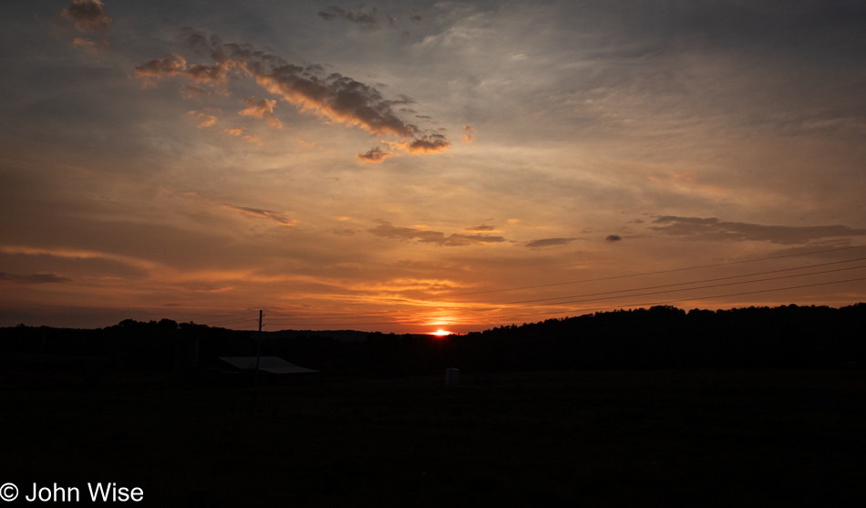
Sunset near Sugar Grove, Pennsylvania

The sun came out when necessary for photos. Otherwise, it rained or was so cloudy that any images would have been dull and gray. Sometimes, it feels like nature is working as a nudge to keep us going so we don’t miss the important stuff and are not sleeping in the car by the side of the road 100 miles from a hotel.

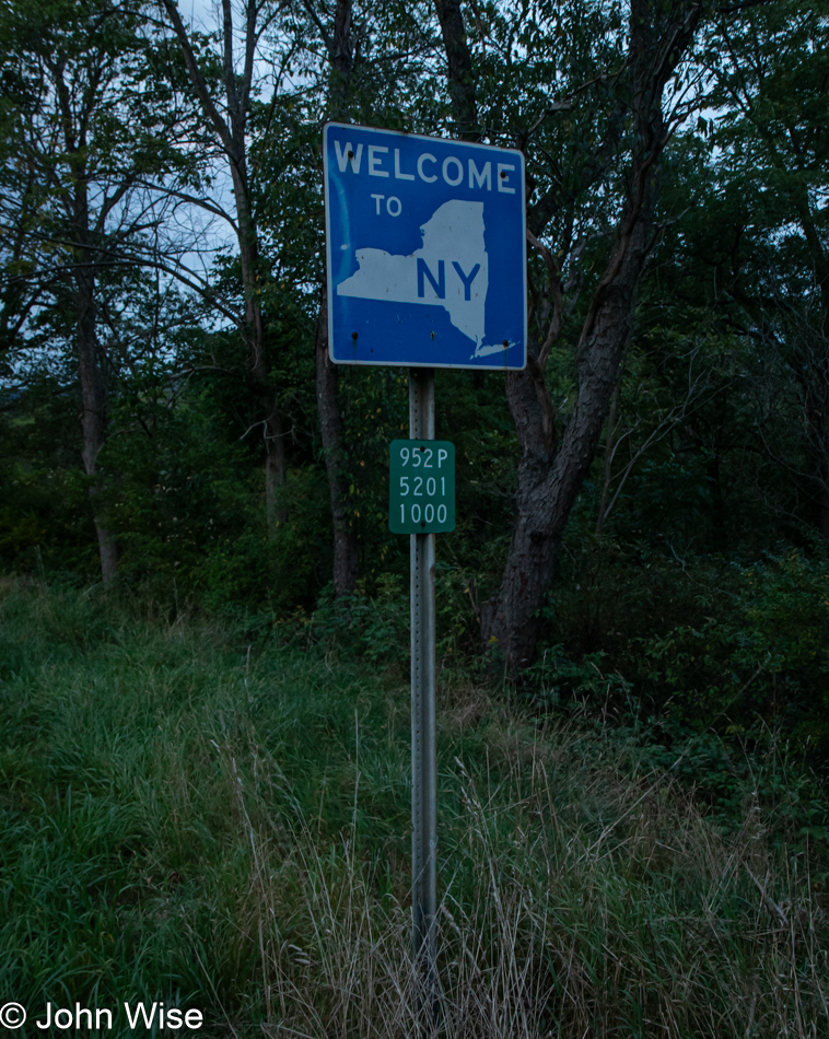
New York State Line near Sugar Grove, Pennsylvania

At the edge of dusk, I crossed into New York State, reaching Jamestown just a few miles from the state line, checked into a hotel, and had to settle for some generic fried cod instead of some incredible walleye or pike caught in a nearby lake. So it goes, this was never meant to be a culinary adventure, well, not yet.

Solo Across America – Day 6

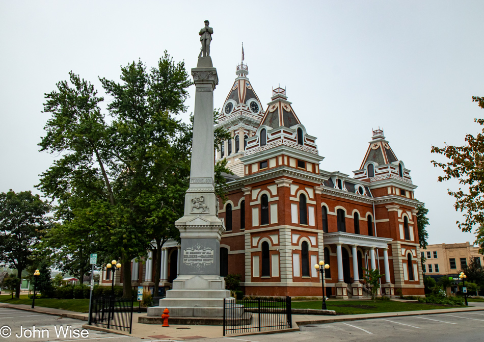
Courthouse in Pontiac, Illinois on the famous Old Route 66

I pulled into Pontiac, Illinois, last night on the edge of town, as that’s where the cheaper hotels typically are located, right? Who knew I was in such a beautiful little town on the famous Old Route 66 – the Mother Road? The fog I woke to this morning was thick; you choose the saying that works for you to describe how heavy it was. After breakfast at a dingy place next to the road (not in this downtown area), I was on my way and experiencing corn in a new way: corn in the fog. Who knew that corn under these conditions would still look like corn? I was expecting marigolds. There was one point in my early morning corn delirium where, in the distance, I thought I could make out the Statue of Liberty, which had me in disbelief that it was corn and soybeans all the way between here and there.

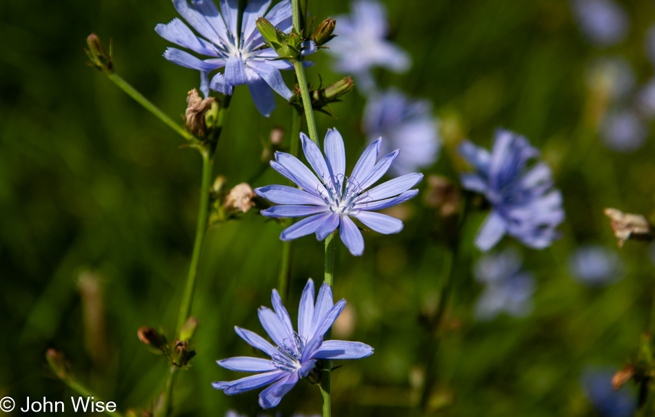
Flowers on Highway 116 in Illinois

When I left Arizona, my criterion was to avoid larger roads; there was no intention or fixed ideas for finding amazing natural sights or historical areas, only the hope of being surprised by what I found on the small roads of America. Little did I know that I was entering a path of corn and soy. There are no regrets because I’ve gotten exactly what I bargained for: a trip across the country to see what I could see outside of expectation, come what would. Driving on freeways, I would have never left the pace of the big city, but out here, I’m witnessing the speed of the rural Midwest, which appears to be moving at about the same pace that flowers and corn grow.

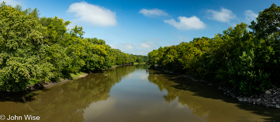
Iroquois River near L'Erable, Illinois on Highway 52

I was on Highway 52 near L’Erable, Illinois, when I passed the Iroquois River.

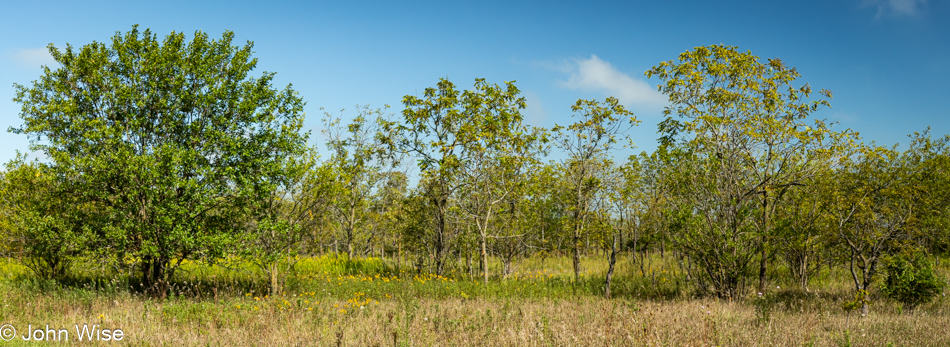
Highway 52 in Illinois

The trees are changing the farther I go east, though much more corn would lie ahead.

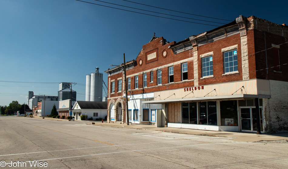
Sheldon, Illinois

Passed a series of small towns: first up was Donovan, Illinois, with a population of 300. This being a presidential election season, you can rest assured that there is signage posted even in the smallest towns that love blending god and politics – we’ll leave it at that. Next up was Iroquois, the self-professed Town of Bunkum (nonsense). I’m here passing through Sheldon because in spite of my instructions to Google to avoid highways Google doesn’t realize that this includes four-lane divided highways that look a lot like freeways. So, I find country roads going in my general direction, adding 20 minutes here, 14 minutes there, and pretty soon, I’m able to add extra hours to my driving day due to some wild zig-zagging through farmland.

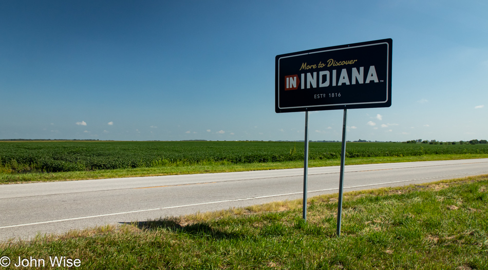
Indiana State Line on Highway 18

You see that road? It’s a quiet two-lane affair with soybeans growing over there; the corn is behind me. This is the Indiana State Line on State Route 18, middle of nowhere.

Corn on State Road 18 in Indiana

The promised corn.

State Road 18 in Indiana

Tree densities I’ve not seen in days; welcome to a changing landscape.

First fall colors on State Road 18 in Indiana

Oh, is that the first sign of fall colors starting to emerge or is it Homer Simpson merging into the trees?

Tippecanoe River at State Route 18 near Springboro, Indiana

I’m crossing over the shallow Tippecanoe River, still on State Route 18, near Springboro, Indiana.

Train Crossing on Country Road N 525 W near Delphi, Indiana

I passed through a beautiful small town called Delphi, which tells visitors that it played an important role in the Wabash and Erie Canal system that connected the waterways of Indiana with the Ohio River and the Great Lakes. I went looking for further information about that while writing this post, but I also came across this tidbit that most recently put Delphi, Indiana, on the map: it’s home of slain teens Abigail Williams and Liberty German whose murder case went unsolved for six years, likely a grisly affair.

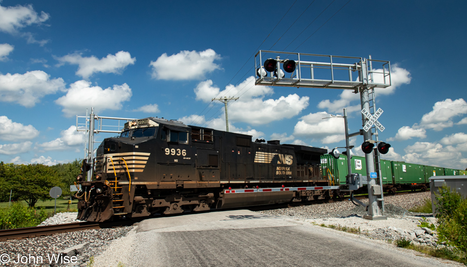
Leaving town, I had no choice but to turn onto Highway 25, a divided highway. Nope, I wouldn’t have any of that, and within a mile, I turned onto State Route 218, adding 25 minutes to my drive time. I didn’t get far before I needed to turn left on County Road 525 W, but I missed it. I quickly turned around and found myself on an even smaller road. Noooo! A clever ploy by Google to get me back to Highway 25, the faster route. Damn it, Google, I’m not looking for fast, I want the opposite! While I was here, I thought this place amongst the corn was the perfect place for lunch. There I was, enjoying my lettuce-wrapped mortadella, when an approaching train whistle alerted me. I could see the crossing a little further up this remote road, so I raced over. The excitement of being out here never ends.

Wabash River near Peru, Indiana

Hardly an hour passes during waking hours that Caroline or I are not reaching out to one another. There are times when she’s busy putting out fires at work, or I don’t have phone signal, but sooner rather than later, a nudge offering a hug or expression of love is shared, keeping us connected during the day. With me now three time zones away, that might get difficult this evening, but the good news is that we are also now merely 48 hours from seeing each other again.

Amish couple in Monroe, Indiana

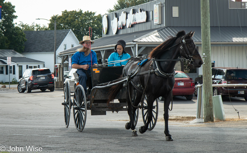
This Amish couple should be Caroline and me, sitting next to each other, moving at the speed a horse can pull us, my beard not gray yet, and Caroline rocking a bonnet. We’d ride our buggy into the sunset and sleep among the corn because life is an adventure, and love is grand.

Corn on State Route 124 in Indiana approaching Ohio

While I was in Monroe, Indiana, taking photos of Amish people who naturally don’t like being photographed, there was a sign nearby, the real reason I stopped, that showed the current price of soybeans and corn. I don’t know if this is a buying or selling price, but here you go: Soybeans are $9.63 per bushel. A bushel of beans weighs 60 pounds (27 kilos), and a bushel of corn weighing 35 pounds (16 kilos) goes for $3.36. Now consider that, on average, about 200 bushels of corn are produced on an acre of land. The ten states of the Great Plains and the Midwest that grow corn have about 65-80 million acres under cultivation, which include about 110,000 square miles of corn. Germany, in comparison, is about 137,000 square miles in size.

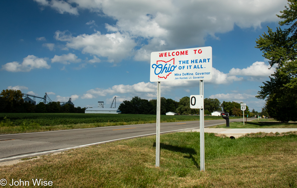
Ohio State Line in Willshire, Ohio on Highway 124

Welcome to Ohio on State Route 81 in the town of Willshire.

Courthouse in Van Wert, Ohio

I’ve joined the Lincoln Highway in Van Wert, Ohio; this is the Van Wert courthouse.

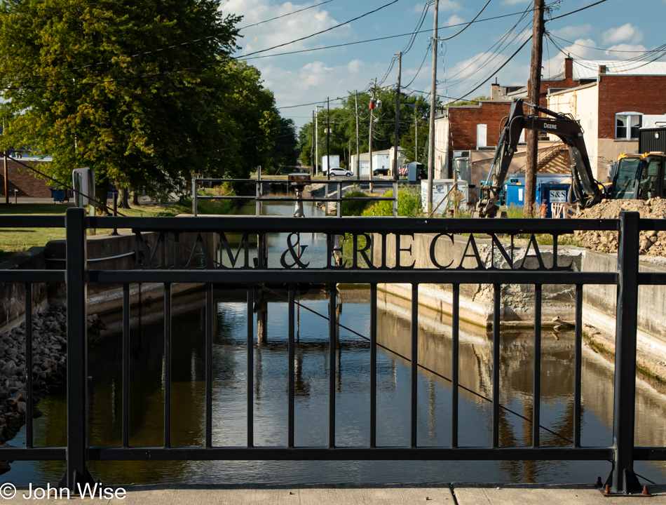
Miami & Erie Canal in Delphos, Ohio

In Delphos, Ohio, you can find remnants of the Miami & Erie Canal.

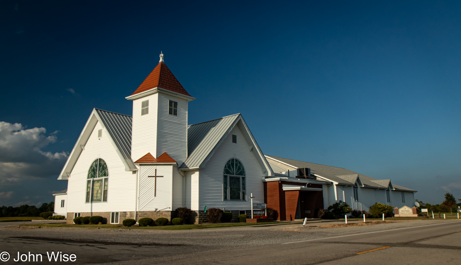
Bethel Church of Christ in Ada, Ohio

One is never far from the house of God when in America. This one is the Bethel Church of Christ in Ada, Ohio.

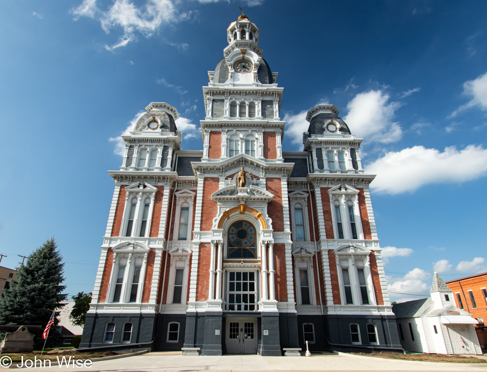
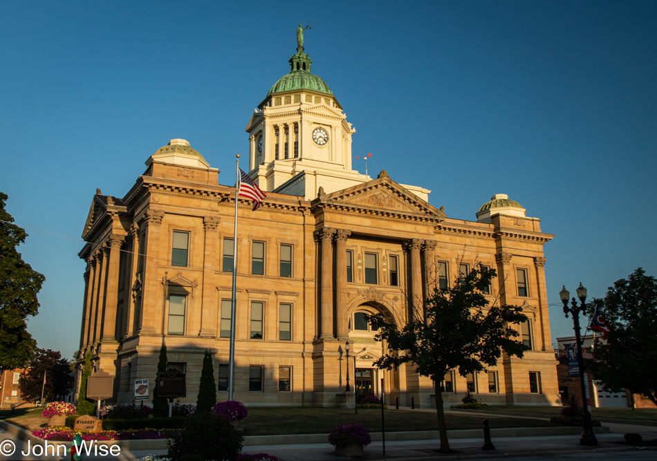
Courthouse in Upper Sandusky, Ohio

This concludes our travel day, not with another photo of corn but a spectacular bit of architecture in the Upper Sandusky, Ohio, courthouse. I learned at dinner that it was featured in the movie Shawshank Redemption. Tomorrow, I’ll pass through Mansfield, Ohio, where a prison used in that film can be found.

Solo Across America – Day 5

Sunrise east of Osceola, Iowa

I mull things a lot, and anyone who might have read one of these posts can probably attest to the veracity of that self-aware claim. What I went to sleep with last night and what I’m carrying into this morning is what a handful of people shared with me before my road trip, either questioning my plans or stating that it’s boring out here. For me, this implies myopia on their part and that they suffer from a malady that arises from the conditioning of watching television: an exciting life only happens in far away places. Only getting away to an “amazing” place can wrench them from boredom. They don’t understand that the people living and working in their routines in amazing places find those places boring, too. Often, people won’t see how boring their vacation destination is to the locals because they typically visit with others set on breaking out of routines and are busy celebrating this new experience. The people serving them are just doing their normal boring job, looking to go on vacation somewhere fun so they can escape the drudgery of where they live.

Wetlands near Lake Morris in Chariton, Iowa

It’s not a place that’s boring; it’s the person that’s boring. When we are unable to adequately intellectually entertain and educate ourselves, we probably end up watching TV or streaming videos that persuade us that we are witnessing a truly exciting place, and “Don’t you wish you were here?” is being pressed upon the viewer. After the constant bombardment of people whose lives have drifted into deep boredom, while somewhat true if stagnation has taken over one’s routine, travel will only work to break them out of that for a few moments before thrusting them right back into boredom.

Hay on US Route 34 in Iowa

The onus of what we do daily to escape the treadmill is on us: not TV, not video games, not government, not our family, not our jobs. It’s in our head, our deeper curiosity that might be dormant or lying fallow. Passivity regarding where we are and how we travel in our imagination when we are unable to propel ourselves 1,000 miles away to that next exotic, exciting, fun-filled, alcohol-fueled romp in Vegas, Paris, New York, or Hawaii is where we need to start to combat boredom. Boredom is in your imagination, not in a place.

Welcome Home Soldier Monument in Albia, Iowa

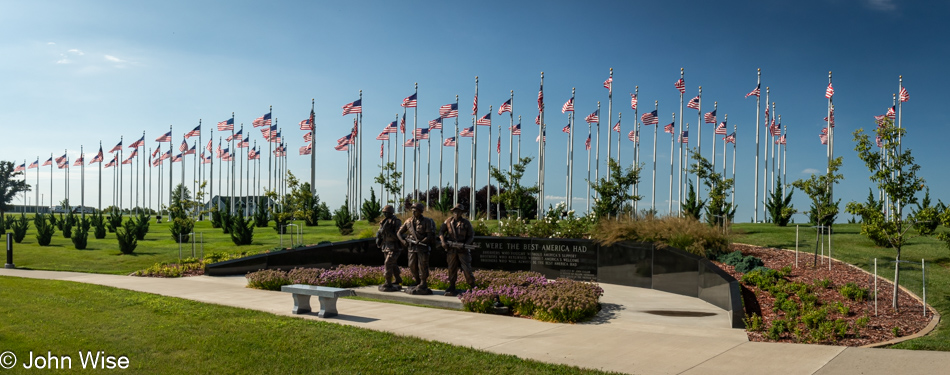
Caroline told me that the Welcome Home Soldier Monument was ahead on my drive this morning; I was expecting nothing more than a placard. Instead, I found an incredible labor of love and met the man responsible for this Washington D.C. level of quality monument. Jim Keller, working with volunteers and donations, has built a replica of the United States Marine Corps War Memorial, also known as the Iwo Jima Memorial, planted 100 U.S. flags, built memorials to all branches of the military, and installed a statue of a Civil War soldier who plays reverie and taps in the morning and the afternoon.

I was surprisingly touched by this massive eight-acre monument offering gratitude for American soldiers. Maybe because I’m growing older, I better understand what we contribute, volunteering to serve and protect ideas and a framework guiding our country through good and bad times. No matter the alleged ulterior purposes of business and government, the soldier is there to carry out an objective they’ve been taught; their job is to safeguard freedom and the Constitution of the United States. Doing a small part so people can exercise those rights might seem minor and irrelevant at the time, but the older we get, hopefully, we will recognize that those things are not to be taken for granted. I’m reminded of one of the soldier credos I learned, “Mine is not to question why. Mine is to do and die.” My problem was always the questioning part.

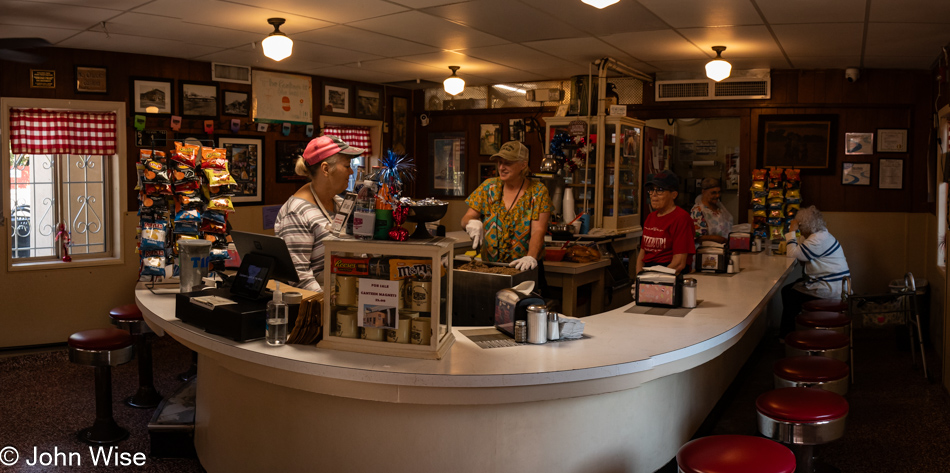
The Canteen in Ottumwa, Iowa

Last night at dinner, a server in training, upon hearing about my road trip, told me that if I were passing through Ottumwa around lunchtime, I should stop at the Canteen. They’ve been there forever, and it’s a unique place. Years ago, they refused to move their location, but they are now situated in a tight corner with a parking garage surrounding their building. Aside from that, it looks much the way it must have many, many years ago.

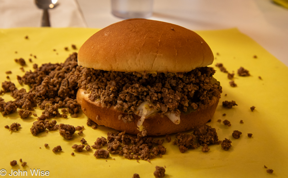
The Canteen in Ottumwa, Iowa

This is what the place is named after, or what they call their sandwich: the canteen. A ground beef sandwich, but not a Sloppy Joe, that you can opt to have with grilled onions, mustard, and pickles (the traditional version); you can also ask for ketchup and cheese. After nearly finishing mine, I heard a customer on the other side of the counter ask for “extra moist,” which means they ladle spoons of rendered beef fat over the burger before topping it with the bun.

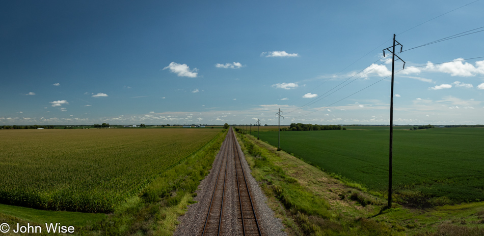
Train tracks on Iowa Route 16 near Ashland, Iowa

I was back on Route 34 when it turned into a four-lane highway, which smacked of something akin to a freeway after driving so many days on two-lane roads. A glance at the map and I see that Iowa Route 16 toward Denmark, the city, not the country, would allow me to detour to my encounter with the Mississippi River and my next state line. My internal speed must have slowed considerably because, after a flash of tension on the 34, I felt at ease again. I can only dread what awaits me when I visit the Buffalo, New York, airport in a few days. I mean the crowds and traffic, not the fact that I’m picking up Caroline, so don’t even go there.

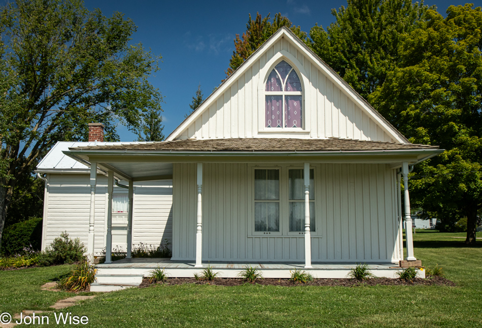
American Gothic House in Eldon, Iowa

This is a nice surprise: my route takes me through Eldon, Iowa, home of the house featured in the Grant Wood painting titled American Gothic.

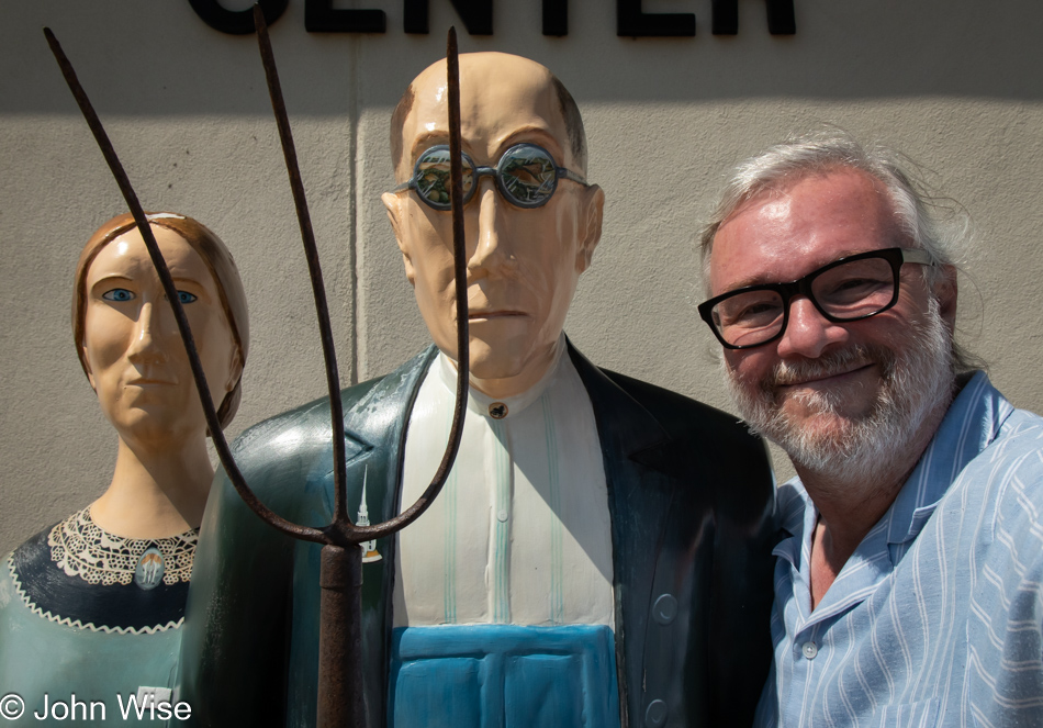
John Wise at the American Gothic House in Eldon, Iowa

If the name of the painting didn’t refresh your memory, I’m guessing that this photo of the three of us will serve as a reminder.

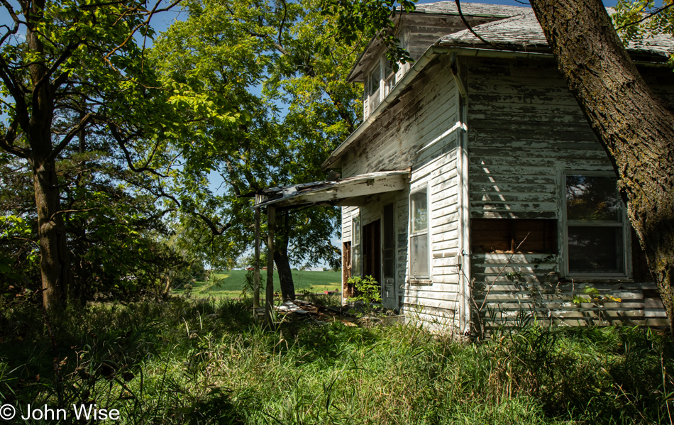
Abandoned house on Iowa Route 16, Iowa

Rethinking, or is it thinking again, of yesterday’s musings on the economics of shifting fortunes of people and towns here in the Great Plains, the Amish jumped to mind. It was probably seeing a couple of Amish buggies along the way that triggered this. People who eschew modernity can harness manual tools and labor to create incredible value. No GPS-guided, fuel-driven tractors, no electricity, and none of the conveniences such as cars or trucks to help them make money, yet they spread out throughout the middle of America buying land, building massive farms with barns, animals, and the requisite tools that allow them to pay their bills and establish tightly knit communities.

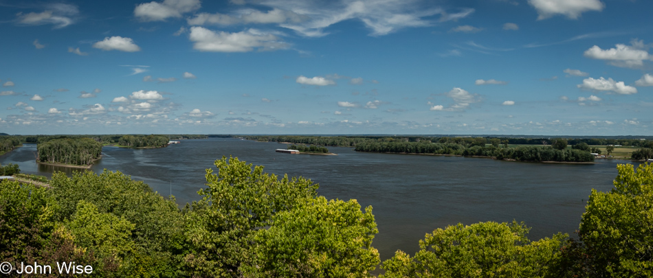
Mississippi River seen from Mosquito Park in Burlington, Iowa

The Mississippi River, viewed from Mosquito Park in Burlington, Iowa. On the other side: Illinois, my next destination.
Corn in Illinois on Route 116 near Biggsville

Yeah, more corn.

Route 116 near Stronghurst, Illinois

…and a small, attractive road, detouring away from the busier highway 34 I had to reconnect with to cross the Mississippi.

Soybeans on Route 116 in Illinois

More soybeans because, of course it was going to be that, or corn.

Swing at the intersection of Route 116 and Route 41 in St. Augustine, Illinois

At the crossroads of Highway 41 and the 116 in St. Augustine, Illinois, while I was fighting drowsiness on long, straight, and incredibly smooth farm roads taking me past corn and more corn, I spotted this random swing hanging from a tree. Instantly, I was snapped out of my mindless drift of road hypnosis by the need to take a photo of something – anything – other than corn.

Near Deer Creek, Illinois

I opted to give Peoria, Illinois, a wide berth. With more than 113,000 inhabitants, I felt that all I’d find was a horror of people, angry, on drugs, and racing to get home at the end of the work day. Meanwhile, I’d try to calm down from the minor encounter with traffic of those escaping the city for the distant suburbs by heading through Pekin, a good 10 miles south of Peoria, but that wasn’t good enough. The speed of life came rushing back, and for the first time in a thousand miles, I had to listen to the throaty rumble of a tuned Camaro that IS NOT conducive to enjoying the whispy sounds of corn rustling in the breeze.

Sunset over Pontiac, Illinois

From here forward, I shouldn’t be surprised if I fall further into stress. I crossed the 100th Meridian when I went over the Mississippi. The great majority lives on this side of America, a full two-thirds of our population. Compared to the West, they are packed in like sardines over here. For five days now, I’ve been decompressing and gathering the glow of a corn tan, leaving me uncertain if I’m ready for the maelstrom that arrives with population densities.
Solo Across America – Day 4

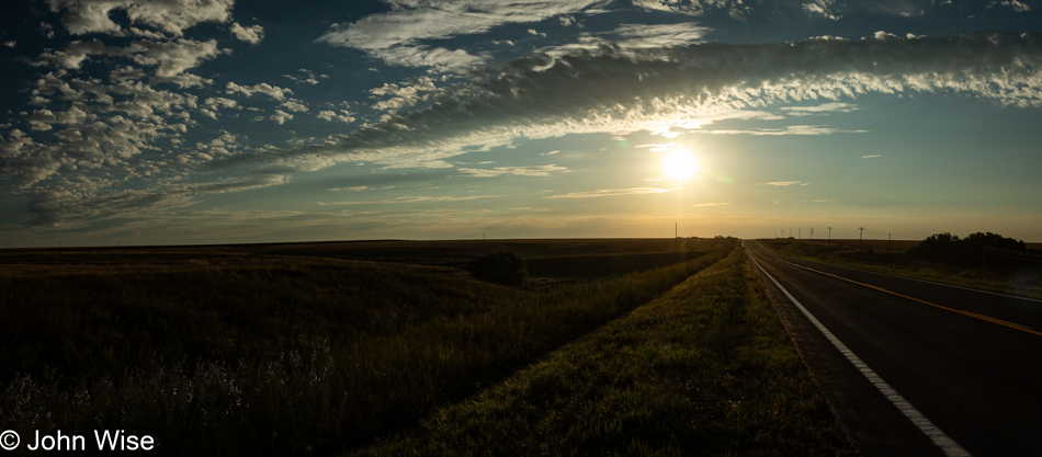
Sunrise near Alma, Nebraska

This was not the first sight that greeted me this morning; instead, I spotted a semi-truck driving by in front of the hotel while I was bringing my bags to the car. The trailer behind it was wide open and packed chock full of cow corpses with bloated bodies and hooves jutting to heaven. Good morning, rural Nebraska – or anywhere else with feed lots, I guess. While startling, maybe a bit weird, I wasn’t in any way disgusted. It’s the price we accept for beef raised on an industrial scale and mostly out of sight. As for the road ahead, it was bathed in golden light and welcoming me to enjoy another day on the road.

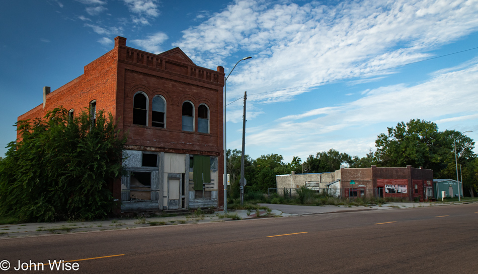
Riverton, Nebraska

I’ll spend a lot of time today on US Highway 136 and passing many towns, such as this one, which is nearly a ghost town. The name of this place is Riverton, Nebraska, and it has a functional post office and maybe a bar called Pete’s Place Bar and Grill that might be open occasionally.

Hemp growing next to the road in Nebraska

Not only are soybeans and corn in abundance, I’ve learned that hemp is growing everywhere. It only has the faintest scent of marijuana; it’s more of a fresh green plant smell than anything else.

Red Cloud, Nebraska

Here I am in Red Cloud, Nebraska, for the first time! Nope, that’s not true. When I called Caroline later in the day to ask about the Homestead National Historical Park she informed, “Yes, we’ve been there before, with Jay Patel back in 2004, and we also passed through Tecumseh, Red Cloud, and Crab Orchard.” No, is my memory really that out of whack? I planned this trip to take mostly new roads. We even have a map that shows the roads we’ve traveled before, but somehow my wires got crossed and I’m right back where I was 20 years ago. This is Red Cloud, just one of a few places I’ll revisit today.

Corn growing next to the road in Nebraska

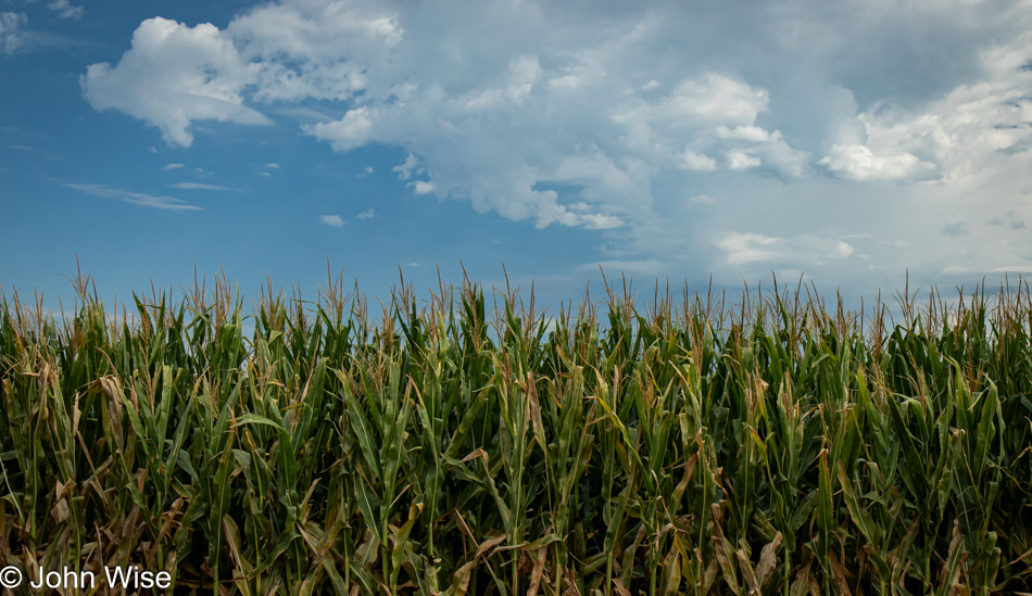
Well, at least this corn wasn’t the same corn that would have been here in May 2004. Maybe the corn back then hadn’t even sprouted yet.

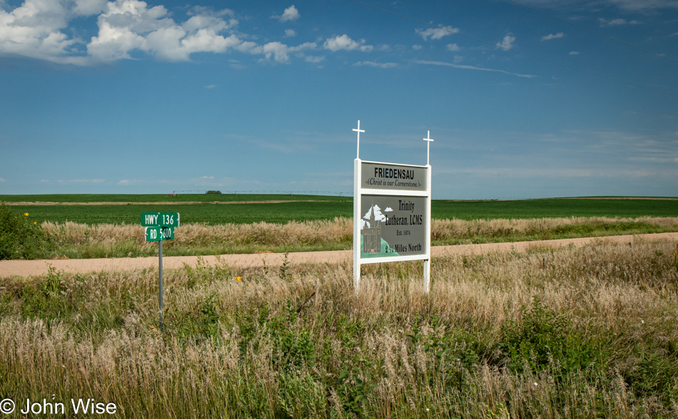
Sign pointing to the Trinity Lutheran Church in Friedensau, Nebraska

One good thing about a selective memory is that things can be new all over again. After getting to the hotel and seeing the sign for the Friedensau Trinity Lutheran Church 2.25 miles up a dirt road, I wish I’d made an effort to visit it. Hopefully, Caroline and I will pass this way again after I forget that I was here before, and she’ll remind me of this post in which I said it appears that the old church is well worth the visit.

Little Blue River seen from US Highway 136 in Nebraska

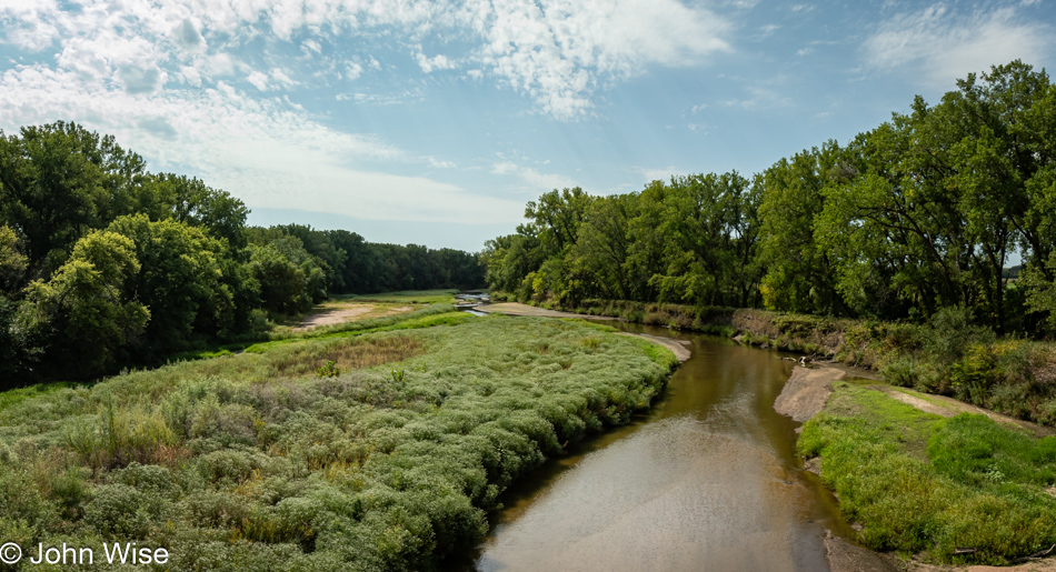
In the blog, the Little Blue River was disparaged 20 years ago as a muddy little affair that was not worth photographing. Well, the waters are clear today, and while not exactly abundant, I felt them worthy of a photo. I need to stop referencing our ancient history. Maybe it would have been better to write everything, and only when I was done, learn of my omissions.

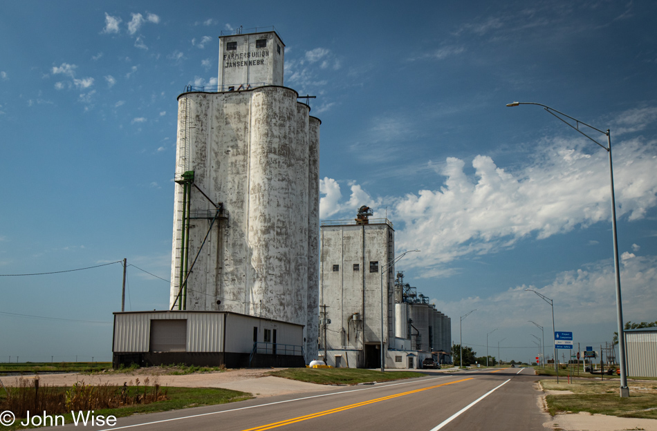
Grain silo in Jansen, Nebraska

The good thing about this journey on US Highway 136 is that I’m taking my time and not racing through, which we were guilty of quite often back then. When we took that trip with Jay, it was a quick adventure across America via Yellowstone, across the Dakotas to Minnesota and Wisconsin before turning back west, all in a blindingly fast ten days. Today, I stopped in Jensen, Nebraska, when a particular sign and these grain silos caught my eye.

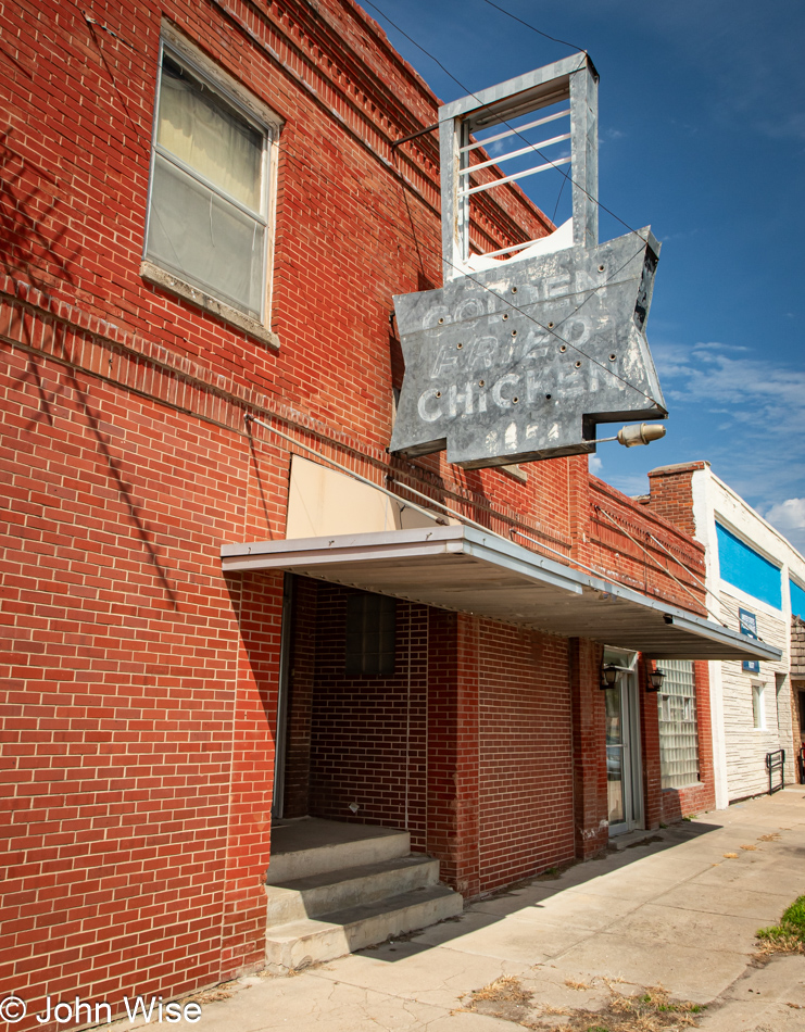
Golden Fried Chicken sign in Jensen, Nebraska

Here is a place certainly from a bygone era, once offering Golden Fried Chicken. There was a time when this was standard fare in every diner across America, but now it’s chicken nuggets, pizza, and fries. This is the sign I just mentioned, and I was already well down the main road when I decided to verify whether the faded sight I thought I saw was real. It was at my U-turn that I couldn’t leave the silo alone and had to capture it, too, which ultimately will help equate to too many images from this small town.

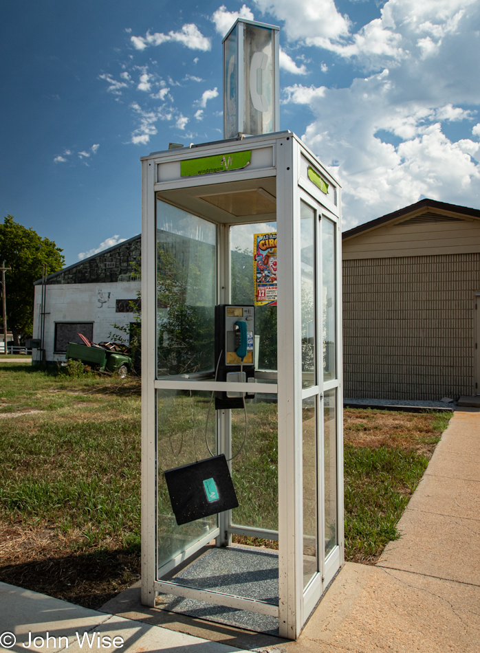
Old pay phone booth in Jensen, Nebraska

I say too many because this old, mostly intact phone booth is also from Jensen. Oh, how I wanted there to be a dial tone and a phonebook, but those things weren’t to be. I would have scrounged the change and called Caroline on a pay phone for the proverbial sake of it.

German National Bank building in Beatrice, Nebraska

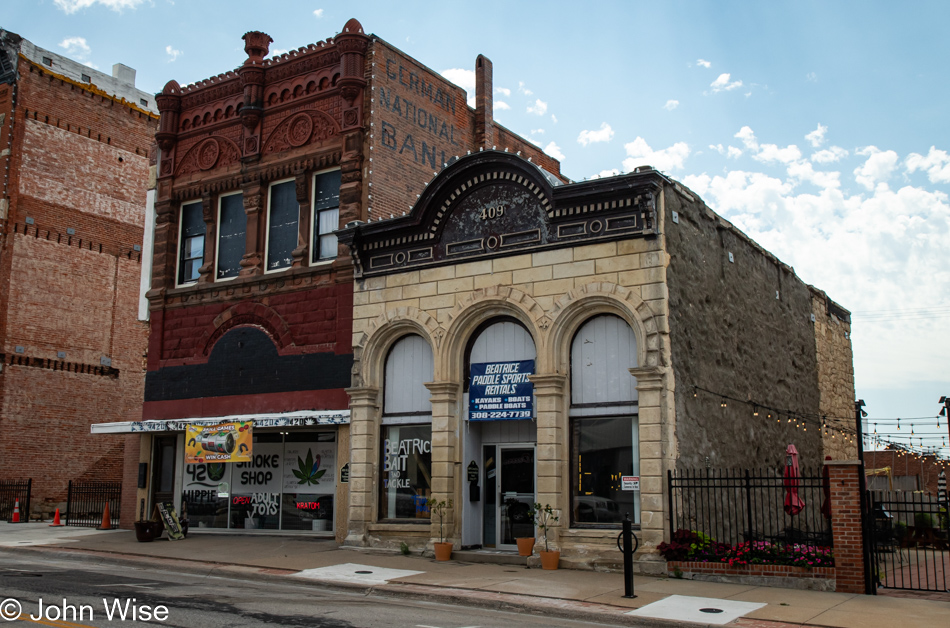
What used to be a grand red brick building in Beatrice, Nebraska, that housed the German National Bank, probably at least until the late 1930s or early 1940s, is now a smoke shop selling Kratom and adult toys. Driving through Beatrice, it’s immediately obvious that this was once a very prosperous city, likely the kind of place in which MAGA talks to its residents. It was once that spot on the map that was great, so why not make it great again?

Drug store sign in Beatrice, Nebraska

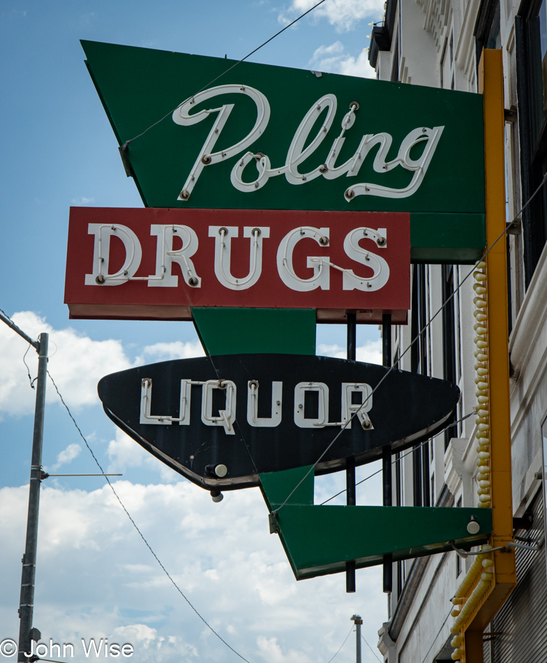
These signs were symbols of prosperity when people invested in magnificent signage. Today, we hang plastic banners or paint something in the windows, as the proprietors know deep in their bones not to waste money on something when they’ll likely not even honor a full year of their lease. These things were lost when farming underwent fundamental changes involving efficiencies, consolidation, and corporatization. The distribution of wealth within the community slowly disappeared. Like the frog in a pot being brought to a boil, it doesn’t realize it’s being cooked until it’s too late. The communities watched a farm here and a farm there fall victim to load defaults, insufficient capital to update equipment and remain competitive, or the inability to attract the hard workers that made farms work back in the day. From a multinational corporation, private equity, or a wealthy individual, how is that money supposed to support these outposts in the middle of farmland? To make these places great again would mean a fundamental shift, either back to family farming on manageable pieces of land or by innovations that create localized wealth in a place reliant on these thousands of square miles of corn and soybeans growing in all directions.
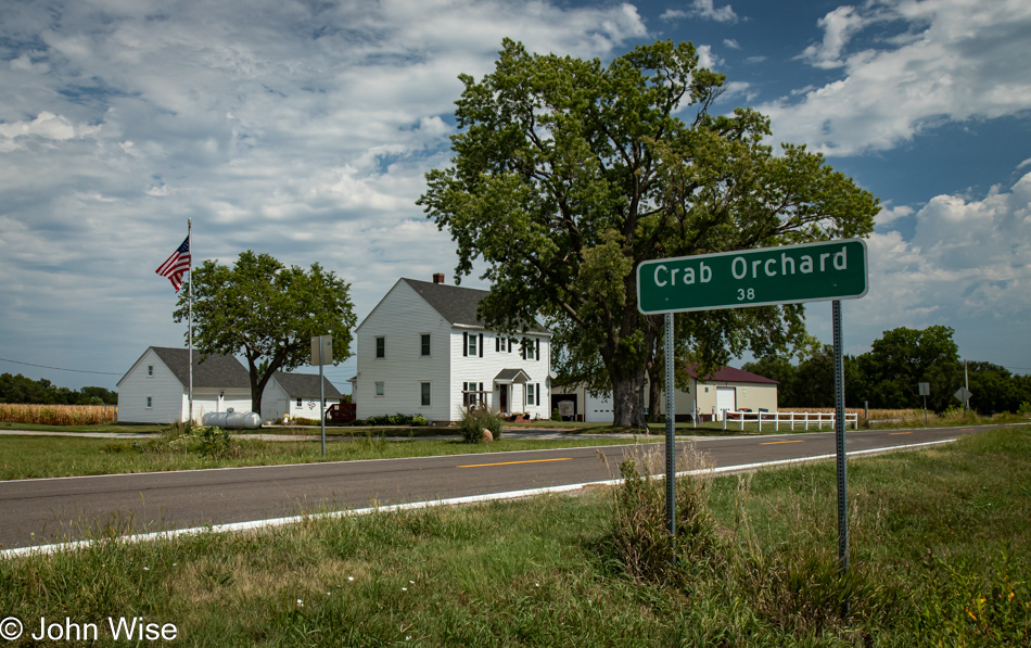
Crab Orchard, Nebraska

As I saw this town creeping in on the map, you have to now understand that I thought this was the first time I’d ever seen a place called Crab Orchard. I thought the sound of it was nice and that it would be where I’d pull over for lunch. With a population of only 38 people, I was expecting a dispersed group of people spread out over more than a few acres. Taking this photo, I could see something ahead that caught my eye and curiosity. It was the remnants of a small town. There’s still a post office, but that’s about it.

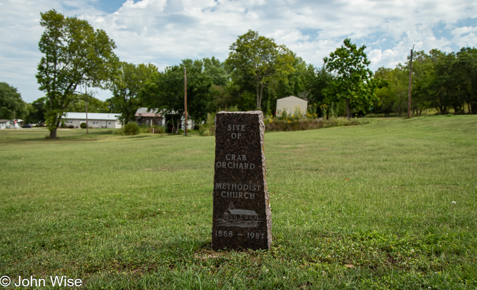
Crab Orchard, Nebraska

There are many empty lots around what would have been called a town long ago. This “gravestone” stands at the site of the Methodist Church, which stood here from 1868 until 1987, when it must have burned to the ground. There was also a building that was the gas station and garage, but essentially, this is a ghost town, or will be soon. Now I have to look at signs along the highway that point to place names down dusty unpaved county roads, possibly towns similar to this almost forgotten outpost. Farming and prosperity are not synonymous across the heartland of America anymore. No wonder a vast constituency is pissed off, feeling like the wheels are coming off the machine that helped them pay their bills or maintain open schools, grocery stores, churches, or gas stations.
Mural for the Farm Bureau in Tecumseh, Nebraska

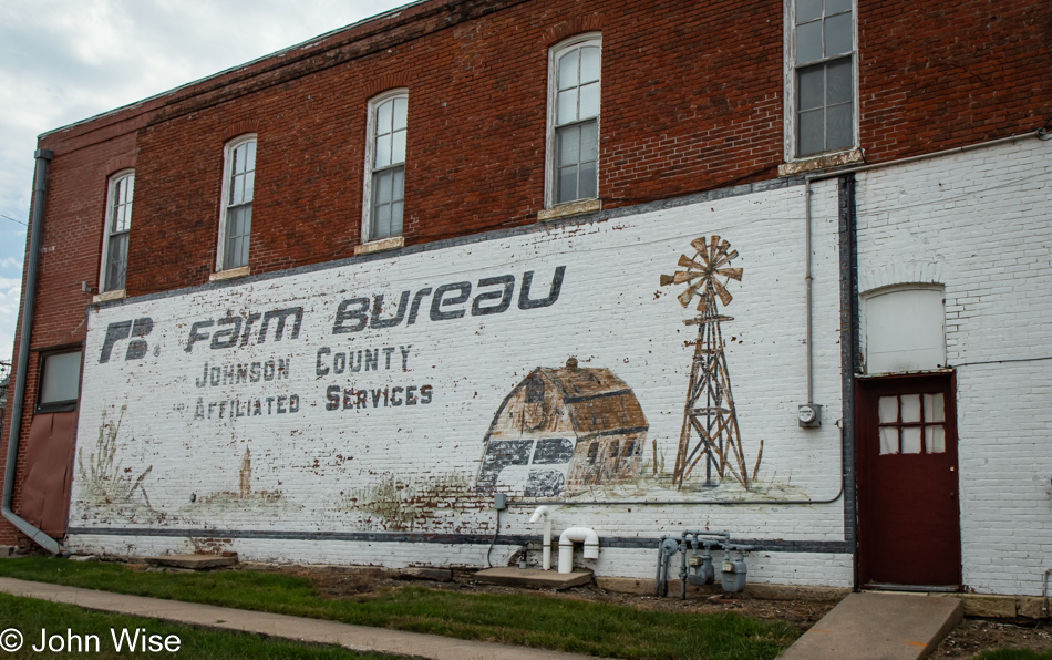
A fading Farm Bureau mural in Tecumseh points at what was once a major part of the glue that helped small farmers stay on farms. Economic power shifts, and market realities that fed the corn and soybean demands driven by fast and cheap food, silage for our cattle, and profits for conglomerates were no match for the needs of quality of life in rural America.

Auburn, Nebraska

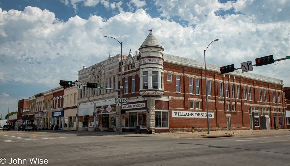
It’s a bitter dish of economic reality turning sour on this corner of Nebraska. The good thing about focusing on nature and wide open spaces while ignoring the plight of towns and cities is that I can trick myself into witnessing an idyllic side of America that looks better. Maybe I should have been an investment banker. This beautiful town is called Auburn.
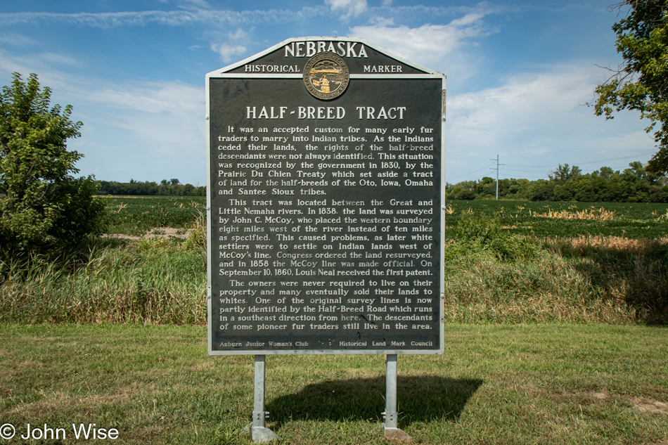
Half Breed Tract historical marker on US Highway 136 in eastern Nebraska

Ah, another of my axes I love to grind, overt racist shit. After tens, dozens, and hundreds of miles of soy and corn, even historic markers pique my interest as it’s something different, allowing me to shift my thoughts away from the predicament of these towns along the way. And, wouldn’t you know, the one I stop for is talking about “Half-Breeds.” How is this still standing here? How has it not been defaced? Oh yeah, look around you, John: lots of pasty-white people live out here and 27 Mexicans. The sign tells of Half-Breed Road; I wouldn’t have noticed if it hadn’t been pointed out. Still, I’m incredulous that these things haven’t been repaired.
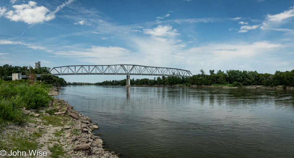
Bridge over the Missouri River seen from the Nebraska side

I’m in Brownville, Nebraska, and maybe at a Lewis and Clark campsite, but the location could have been given the name to attract visitors as I’m not sure this is official. This is the Missouri River, and on the opposite shore is the state of Missouri.

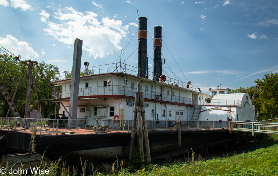
Captain Meriwether Lewis Dredge in Brownville, Nebraska

This is the Captain Meriwether Lewis Dredge, a historic vessel, which can be visited by booking a tour after calling the phone number on the locked gate of the ramp. I failed to note the number for a future visit, though I’m almost certain I can figure it out should we ever stroll through again.

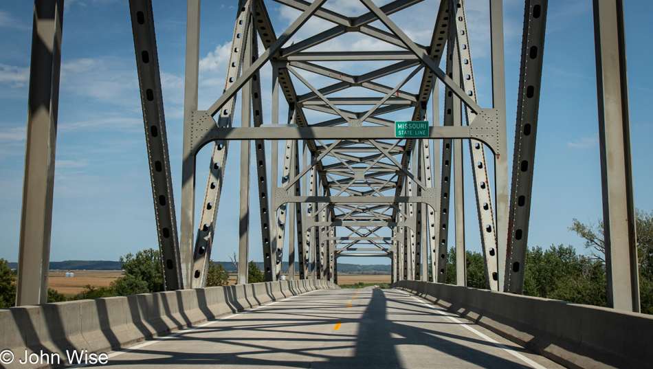
Entering Missouri

Up there on one of the beams is the sign demarking the Missouri State Line.

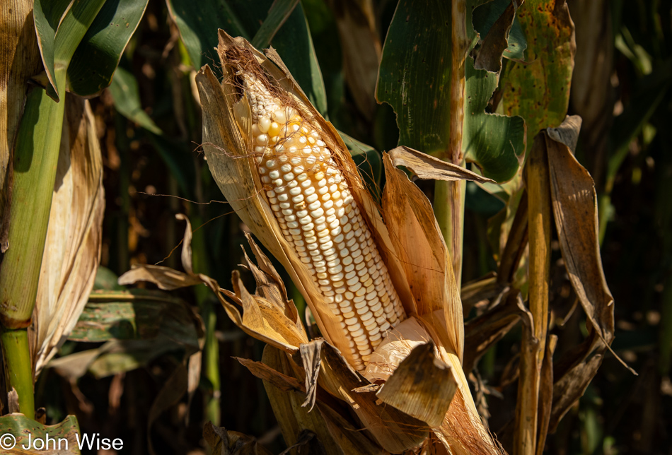
Corn in Missouri

Aside from sweltering humidity, more corn, and soybeans, the first big differences between the state I left behind and Missouri are fireworks and weed, as in the recreational form of cannabis. That was Missouri, at least the small corner I passed through.

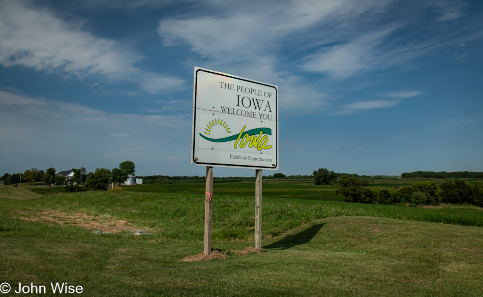
Iowa State Line

Welcome to Iowa, home to more corn and soy.

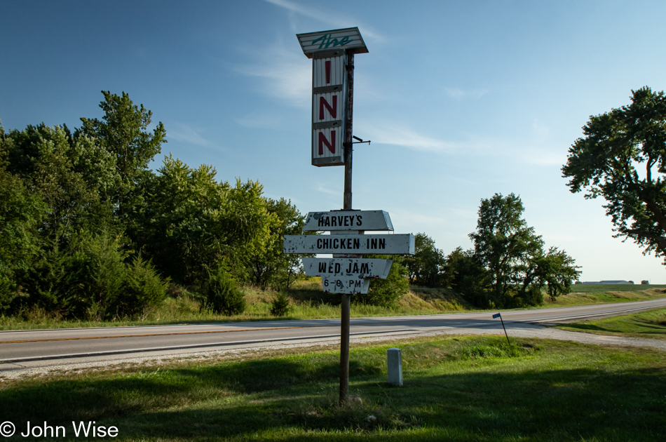
Harvey's Chicken Inn in Creston, Iowa

This second reference to fried chicken today, found here in Creston, Iowa, at Harvey’s Chicken Inn, suggests a mid-west/Great Plains tradition of fried chicken dinners. Now I want some.

Osceola, Iowa

This is not a fried chicken restaurant in Osceola, Iowa, where I’ll be spending the night, nor is it my hotel, that’s across the street.

Evergreen Inn in Osceola, Iowa

I’m at the Evergreen Inn in a small but cute enough room with everything I need, including the bargain price of about $60 for the night. I wonder if I’ll dream of corn and soybeans.

Solo Across America – Day 3

Sunrise from Lamar, Colorado

Showered, packed, and ready to go, I delivered bags to the car before sunrise, which allowed me to enjoy a glorious dawn on the Great Plains. But I wasn’t ready to leave as I had yesterday’s blog post to complete. Without a coffee shop or open diner, I had no choice but to deal with my narrative from the hotel room, missing whatever the sky had in store for the rest of the early morning.

Colorado Route 196 direction Bristol, Colorado

Forty-five minutes later, I was on the road toward Bristol, Colorado, and realized how enchanted I was by these flat lands. Up ahead at the intersections of Colorado 196 and US Route 385, 18 miles east of Lamar, I pulled over to step out of the car and take a moment. It’s certainly flat and a bit noisy with the insects abuzz, a bunch of barn swallows, and a lot of trucks. While it was early to desire nothing more than to pull up a chair and linger a while; that’s just what I felt would make the day so much better. It’s a good thing I didn’t pack a folding chair. Before leaving, I was able to listen to a few brief moments of the western meadowlark.

US-385 north toward Sheridan Lake, Colorado

The few trees there are out here are associated with somebody’s property; I don’t believe there is one wild tree out here.

US-385 north toward Sheridan Lake, Colorado

Nope, no bison here; you’d have to have wild grasslands and not the mono-culture farming that’s going on here on the Great Plains.

Sign pointing to the Sand Creek Massacre National Historic Site near Eads, Colorado

This sign reads, “Sand Creek Massacre National Historic Site.” With a designation like that, you know that whatever this was, it was bad. Because it was classified as such, you also should know that it involved the Indigenous people of these lands. If you spent time on the Great Plains, you’d understand the vast area this encompasses; it stretches in all directions, and then think that back in the day, it was grasslands as far as the eye could see. There were no roads, railroads, trees, or mountains, nothing on the horizon for many miles. When the massacre of Cheyenne and Arapaho people happened, it was 1864, three years before the first train would roll through, and the nomadic people who called these lands home knew quite well how to live and coexist in such a wide open space, but white Christian people did not. I have to wonder just how hateful were those god-fearing Christian settlers when it came to people with skin color and customs different from their own. This sign makes me feel that the land of the Great Plains is soaked in the blood and death of countless people, nearly all the bison, the habitats, and traditions that were being erased.

Grain silo in Sheridan Lake, Colorado

I love these old-grain silos, but finding information about them is not very easy. The design appears to be from the early 20th century, maybe around 1910. I’m going with this date due to several factors: the first important one is the design, which was popular between 1910 and 1940.

Railroad tracks in Towner, Colorado

The next clues to the puzzle of how old the Sheridan Lake grain silo is came from this section of railroad track up the road in Towner, Colorado. I’d pulled over thinking I would snag an old insulator from the telegraph poles that still line the track, but no luck there. However, walking along the overgrown, long-retired track, I saw that a steel rail was stamped with a date of 1945. This would have had to have been post-World War II because all steel supported the war effort before that. The steel in train tracks is good for about 30 years before needing replacement, but I could see that being postponed due to World War II. Shortly after that, the highway system and modern trucking made the trains irrelevant, and now they are too expensive to remove.

Kansas State Line on Highway 96

Welcome to Kansas.

Sorghum on Kansas Route 27

Animal feed or ethanol production? What else might the thousands of acres of sorghum be used for? It’s probably the same thing as with all the corn.

Wallace County Courthouse in Sharon Springs, Kansas

I’m not focusing on towns and cities because I’m too quickly passing through. Besides, many of them are tragic hulks of what they’d once been, but this Wallace County Court House in Sharon Springs, Kansas, has held up perfectly, just as much of the town. Tribune, Kansas, is holding on south of here; I passed through that town 30 minutes earlier. I was struck by the fact that I’d driven more than 50 miles without passing a gas station or convenience store, which had me thinking how nothing is conveniently had out here when medium and large cities are often more than 100 miles away.

Wind turbines north of Interstate 70 and Oakley, Kansas

Out of Oakley, Kansas, I started driving up US-83, which I’ve driven on before, most recently last May when Caroline left the Canadian border on this road, taking it as far as Texas. Before that, my daughter Jessica and I took refuge at a gas station at the Interstate 70 and US-83 intersection during a ferocious hail storm. Today, I’m only an 18-mile stretch of this iconic US-83 highway.

Intersections of US-83 and US-24 east of Colby, Kansas

Right here, where US-83 crosses US-24, I turned left to venture down new roads. It’s still flat as a board.

Corn growing on State Route 23 north of Hoxie, Kansas

There’s not a lot of crop diversity on this 200-mile section of Kansas I’m crossing today: sorghum and corn, followed by more sorghum, more corn, and more corn.

Grain silo in Dresden, Kansas

I’m still intrigued after all these years of stumbling across towns showing their heritage with names such as Dresden.

Long Island, Kansas

Welcome to Long Island, the one in Kansas, not New York. The landscape has been changing with more trees and hills; this can only mean one thing: we are approaching another state.

Gas station in Long Island, Kansas

Nothing more than a simple and functional gas station. No vending machines, no lottery tickets, no fried chicken, and only two pumps. Sometimes, narrow choices and getting directly to the matter at hand is a great option.
Field of soy beans in Nebraska

What’s this? A crop change? Could that be soybeans? Why, yes, it is. That must mean we’re in Nebraska!
Cornhusker Road to the marina at Harlan County Lake in Alma, Nebraska

The map app tells me that about nine miles down Cornhusker Road, which, as you can see, is unpaved dirt, is a marina on a lake in a town called Republican City, where I’ll find a restaurant on the water’s edge and some dinner. [Before anyone gets any ideas, Republican City is named after the Republican River – Caroline] In Alma, where I’m staying, there’s a pizza place open; that’s it. The guy at the front desk of the Super 8 ($80, including tax) told me that nothing is open because today is Monday. Please, someone, give me a memo next time I want to travel on Monday that it’s a bad idea should I want something other than diabetes fuel. So, what did I have at the marina restaurant? Yep, diabetes fuel with a burger and fries. Fresh pan-fried lake fish and steamed veg were not on the menu, though they did have an extensive selection of pizza.

View of Harlan County Lake from Republican City, Nebraska

For everything else I prepped for before leaving Phoenix, fishing and grilling gear wasn’t part of that setup. Just behind me, while I was taking this photo from the top of the dam holding back the waters of the Harlan County Lake, I spotted fishermen in waders working the outlet waters of the reservoir about fifty feet below my vantage point. I have Caroline’s kite in the car, but what good does that do anyone?