Mexican Hat and Surroundings

Mexican Hat, Utah

Today started out on the wrong foot, with us deciding at 5:00 am that the commitment to haul ourselves nearly 4 hours north wasn’t going to be happening. The original idea had us revisiting Horseshoe Canyon, but after a night of sleep that was more akin to playing the rotisserie chicken game until 5:00, when I finally dragged my exhausted body over to turn on the loudest air conditioner in all of southern Utah (that at least helped get some sleep), we decided to change plans.

It was already after 7:00 when we finally hit the road, a bit disappointed that we bailed on our plans at the last minute, leaving us relatively aimless other than knowing we were going north. We drove into the gloomy, overcast morning. The only thing we could muster those first minutes was stopping at the Mexican Hat rock on the other side of town.
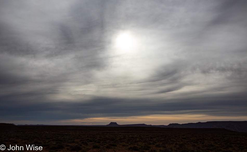
Mexican Hat, Utah

Not more than a few more miles beyond that was the turnoff to head out of Goosenecks State Park. This, too, would be a revisit, but sometimes it feels that almost everything in America qualifies as that for us.

Goosenecks State Park in Mexican Hat, Utah

Back a hundred or so years ago, on our last trip out here, we believed we were the only people at this overlook; that’s not true this time. Maybe it’s a Memorial Day Weekend thing, but a half dozen campers are parked along the rim, and there are a few other visitors out here just for the peek into the depths below.
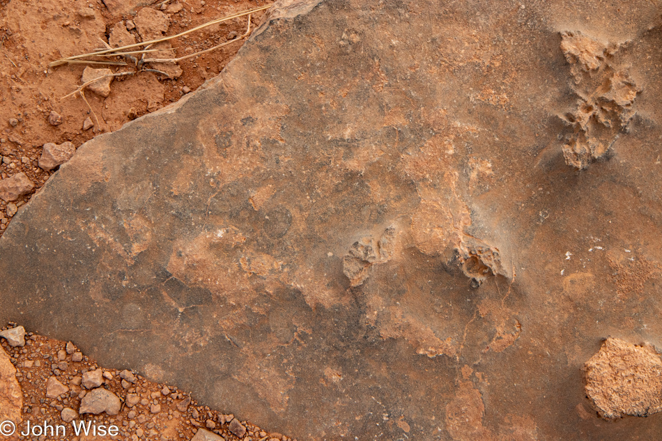
Goosenecks State Park in Mexican Hat, Utah

It’s a beautiful 2-mile roundtrip walk out to the trail’s end. Along the way, I’m enchanted by the rock formations we’re walking over as there are hints of a marine past where it appears to Caroline and me that a shallow sea influenced the look of this fossilized sandstone. Caroline picks up on the thought that these look as though they have a milky translucency where she can glean hints of the underlying structure that formed these rocks.
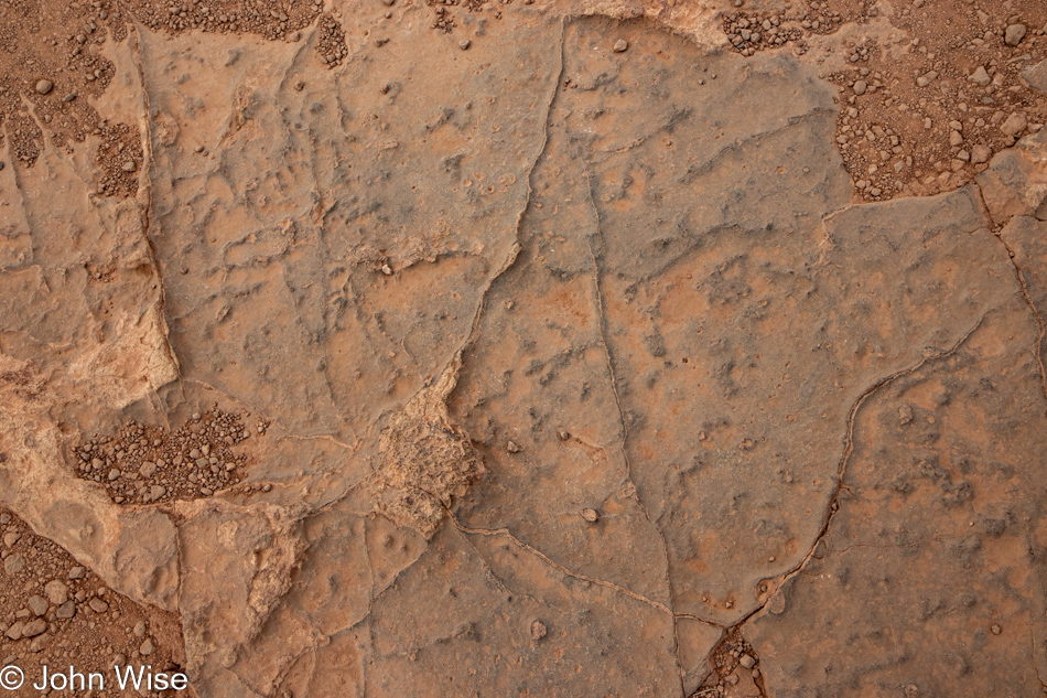
Goosenecks State Park in Mexican Hat, Utah

I’ve stared hard, contemplated, and searched my memories, trying to find what this reminds me of, and maybe the best I can come up with is a dry lake bed that’s been compressed by subsequent layers accumulating on top of it. How often do we stop to consider just what it is we are walking on? The reality is that we are walking atop history, usually oblivious of how familiar we’d be with it. If I knew I was walking on a lake bed, a shallow sea, or a broad river bed, it would change how my imagination would contextualize the environment I’m experiencing as I strain to see what might have been prior to my arrival.
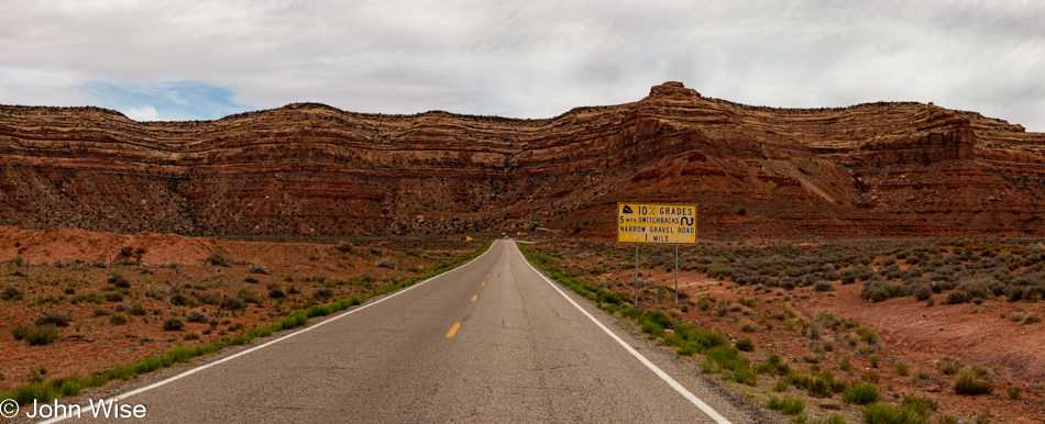
Heading up the Mokee Dugway in Mexican Hat, Utah

With the overcast sky, we agree that there’s nothing to be gained driving up the scary Mokee Dugway and that we will take the right turn just before the ascent and drive through Valley of the Gods before returning to the road that will take us up Bluff way.

We made the right turn, and not 5 seconds later were making a U-turn to face our fears and drive up the dugway; not my idea, mind you. We know we’ve driven down it a couple of times, but we had no recollection of going the opposite direction, not to say we haven’t, as in having taken so many road trips across the Southwest, maybe a thing or two gets lost to time.
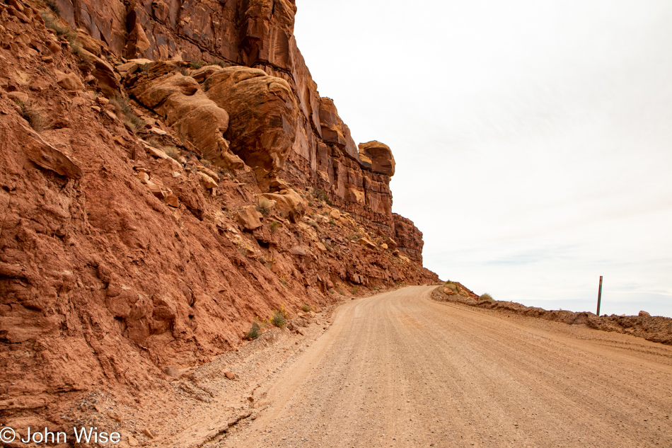
Heading up the Mokee Dugway in Mexican Hat, Utah

It’s a white knuckle climb up the 3-mile (4.8km) series of switchbacks that will take us up the 1,100 feet (335 meters) needed to find our way onto the top of the mesa. We had the opportunity to learn one bad aspect of going up instead of down: if you encounter someone going down on the really narrow parts, they have the right of way, and you have to back up. This was the point where Caroline was questioning her enthusiasm for this diversion instead of an easy drive through the Valley of the Gods.
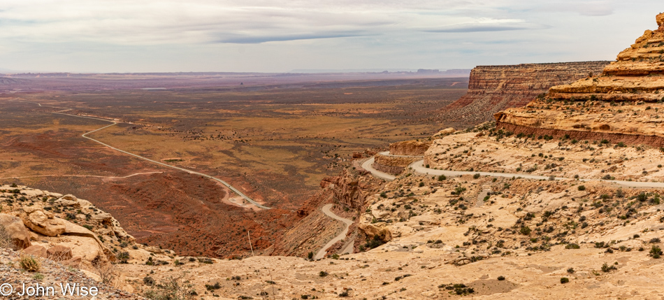
Heading up the Mokee Dugway in Mexican Hat, Utah

By the way, when we got home after this trip, we looked at our old photos that lay witness to our travels over the Mokee Dugway and now have to question if we’ve ever driven down the narrow dirt road. How could we have lost those memories that we’ve apparently always driven up the Dugway?
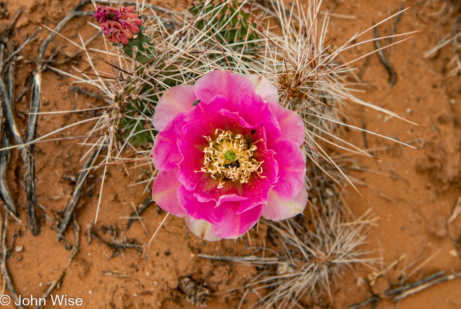
Butler Wash Anasazi Ruins Trail in Bears Ears National Monument, Utah

Not prepared to turn around and return the way we came, we continued up the road into Bears Ears National Monument. We passed one spot that talked to our curiosity, but it was supposed to be part of tomorrow’s adventure and so we just kept on driving. When we saw the Butler Wash Anasazi Ruins Interpretive Trail sign, we turned in there as it sounded compelling.
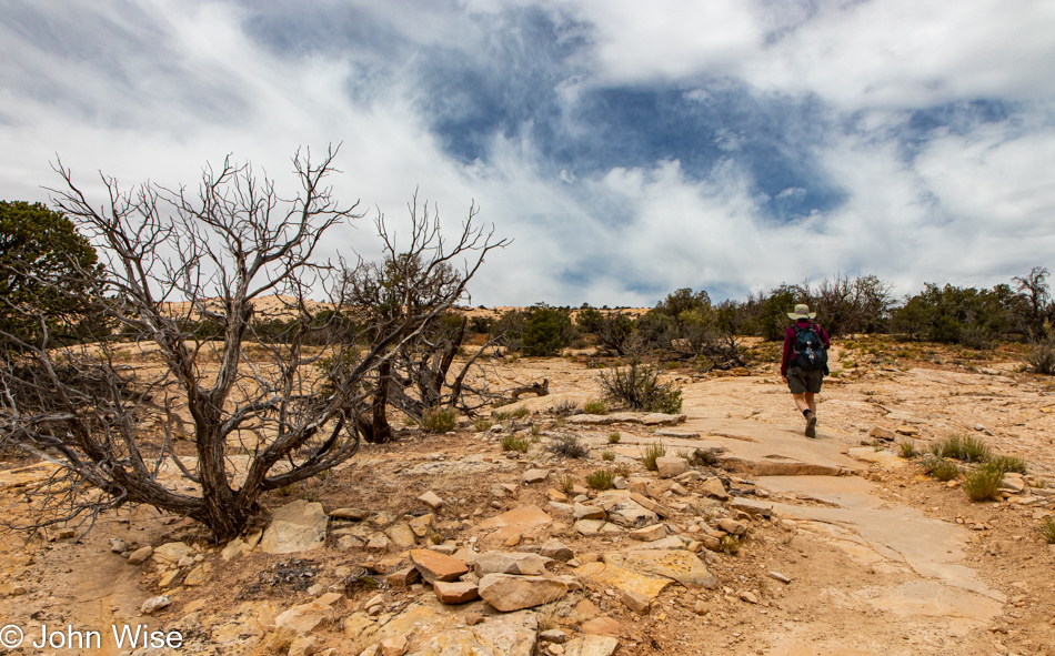
Butler Wash Anasazi Ruins Trail in Bears Ears National Monument, Utah

Before our next mini-adventure in the continuing bigger adventure, it was time for lunch. We turned to a new favorite, bologna, and boiled egg sandwiches, but it turned out to only be a snack as in a couple of hours, we’d pull over for another round. Done with that, it was time to hit the trail.
Butler Wash Anasazi Ruins Trail in Bears Ears National Monument, Utah

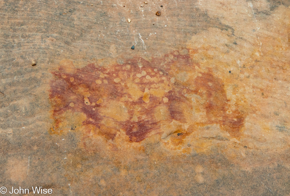
Back when accretion was at work accumulating successive layers of sediments, something was happening here that will remain inexplicable to me. While I have some sense that the oxidation of iron is playing a role in creating rust, I’m desperate to know precisely why this bit of sandstone is red and orange. If it’s being excreted over time as it’s exposed to the elements, then why just here? What are the processes going on in the sandstone that are drawing particular minerals to this location? I should have been a geologist.
Butler Wash Anasazi Ruins Trail in Bears Ears National Monument, Utah

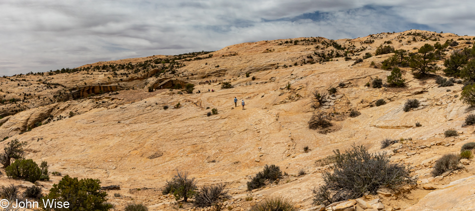
There’s something missing from this photo. Namely, the layers of earth that used to be here but are now scraped from view by good ol’ Mother Nature, who eroded that history and delivered it somewhere else. What remains allows us to see the sand dunes that were petrified somewhere in the distant past. Like a kind of two-legged ant, we walk in the gap of time where once a hidden sandwich from another era hid the story of the earth unfolding.
Butler Wash Anasazi Ruins Trail in Bears Ears National Monument, Utah

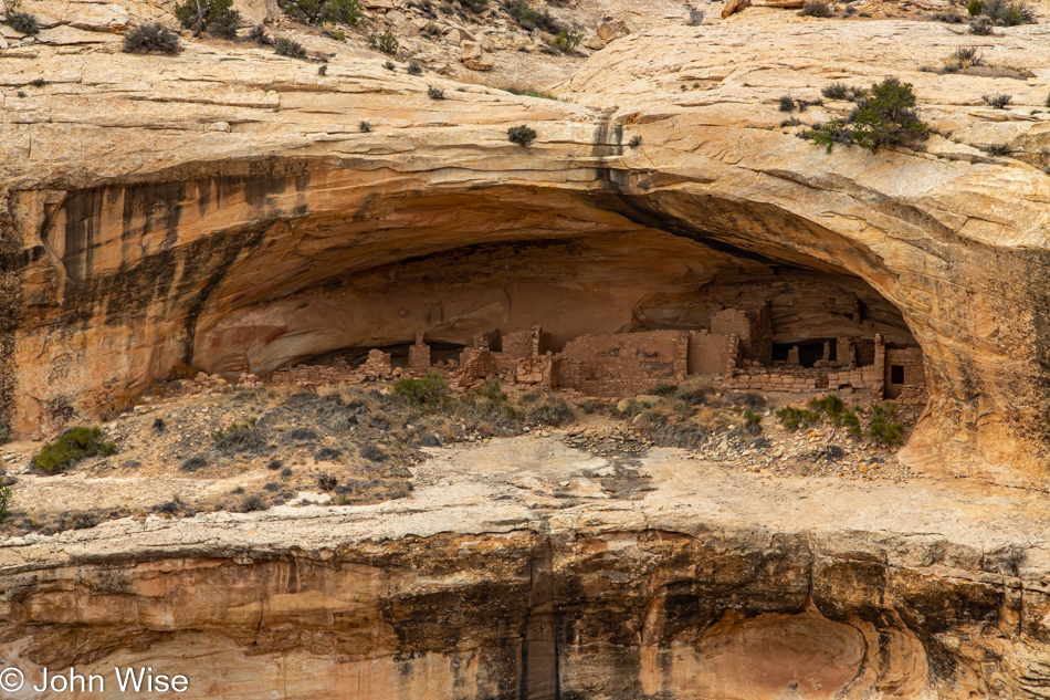
The easy hike was a beautiful one that brought us to an overlook of the ruins; sadly, it was marred by “that” family who are in the universe all by themselves. Loud, obnoxious, and oblivious to anyone else who might not want to be witness to their antics on the other side of a barrier or running over a path as they tried to find a way to visit the ruins in the caves that seem off-limits to us.

Bologna and egg sandwich

Back at the main north-south highway, we took a short drive north to Blanding because, though it was mid-day, we’d not yet had coffee, and we were in dire need. With headaches fading (yes, we are addicted to caffeine) and pep returning to our senses, it was a snack or eat; we pulled over for round two of our culinary delight. Looks appetizing, huh?
White Mesa, Utah

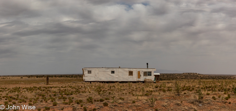
I don’t believe White Mesa, Utah, ever had a golden age, but then again, which Indian lands ever had that after colonization?
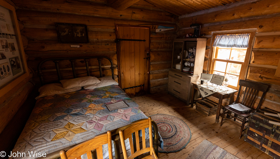
Bluff Fort in Bluff, Utah

How have we failed to visit the Bluff Fort on previous visits to this corner of Utah? Cynicism is the likely answer, as there’s a certain amount of cheese factor going on, but today, this was a GREAT stop. Thanks to the docents and staff for sharing some great details that told the harrowing story of the pioneers who first came into the area via covered wagons that should have never made the trek.
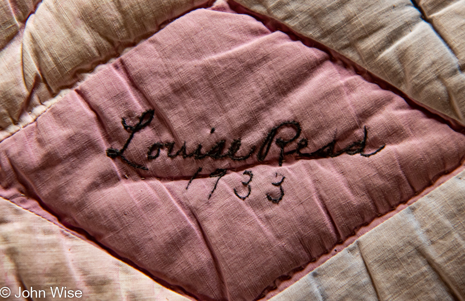
Bluff Fort in Bluff, Utah

Well then, things come into focus after returning to Phoenix and searching like mad for almost 5 minutes for clues as to why we never stopped at Bluff Fort. The visitor center/co-op building, which is the main focal point of a stop here, wasn’t opened until 2013, and somehow, a decade passed by without our passing through Bluff.
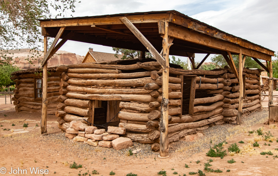
Bluff Fort in Bluff, Utah

Learning of the hearty natures of the pioneers who toiled to reach this remote outpost is nearly gut-wrenching. They sliced their way through a small gap in a wall of rock so they could go forward, but not before having to use men, horses, and ropes to guide their wagons down the steep, rough trail they’d forged. Then, there were floods from the nearby San Juan River and the simple hardships brought on by being so far away from any other community.

Today, Bluff is heading for the toilet. My apologies to the citizens of Bluff, but the Bluff Dwelling Resort & Spa is the ugliest nod to the artificial opulence desired by a certain elitist segment of our population who have no compunction with gentrifying authenticity with their fake realities. Don’t get me wrong, I really do dislike the pretentious banality that often arrives with wealth, but what is an otherwise poor community supposed to do when the majority of Americans can no longer afford to get off the beaten path? Again, let’s try to find some honesty: that majority could afford to come out to these out-of-the-way destinations, but why would they want to walk away from their self-imprisoned existence sitting in front of another iteration of their favorite videogame, the 17th season of some lame series, or from witnessing the 48th time their favorite sports franchise meets some other team.

Just like Jackson, Wyoming, Steamboat Springs, Colorado, and Sun Valley, Idaho, those places won’t fade off the map like so many American cities as the wealthy have realized the incredible value of living somewhere profoundly beautiful. I guess Bluff, Utah, has the added benefit of having the San Juan River running through it, which in the southwest United States is a treasure when such a valuable resource such as water is disappearing in the larger communities being left by the rich who can gentrify the places they want for themselves. No, seriously, I’m not bitter or anything.
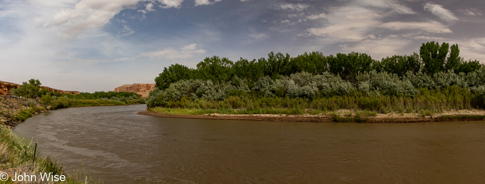
San Juan River at Sand Island in Bluff, Utah

Inspired at the moment by a sign reading Sand Island that pointed the way down to the San Juan River, a quick left turn not only brought us riverside but there’s an incredible panel of petroglyphs.
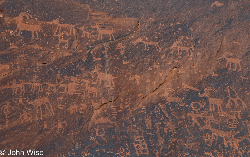
Petroglyphs near the San Juan River at Sand Island in Bluff, Utah

I’ve interpreted this panel for the first time ever; it reads: don’t allow the wealthy interlopers to steal the lands and resources available to all. Too late ancient ones, our souls were cheap fodder easily traded with the hopes we’d be able to take a selfie of ourselves with some rich and famous douchebag who was second in importance only to our children. We are a collective of toolbags. About now, you must be wondering, “Jeez, John, what crawled into your crack?” The sad reality of dreamless people who want nothing more than cheap gas, bullets, and drive-thru convenience.
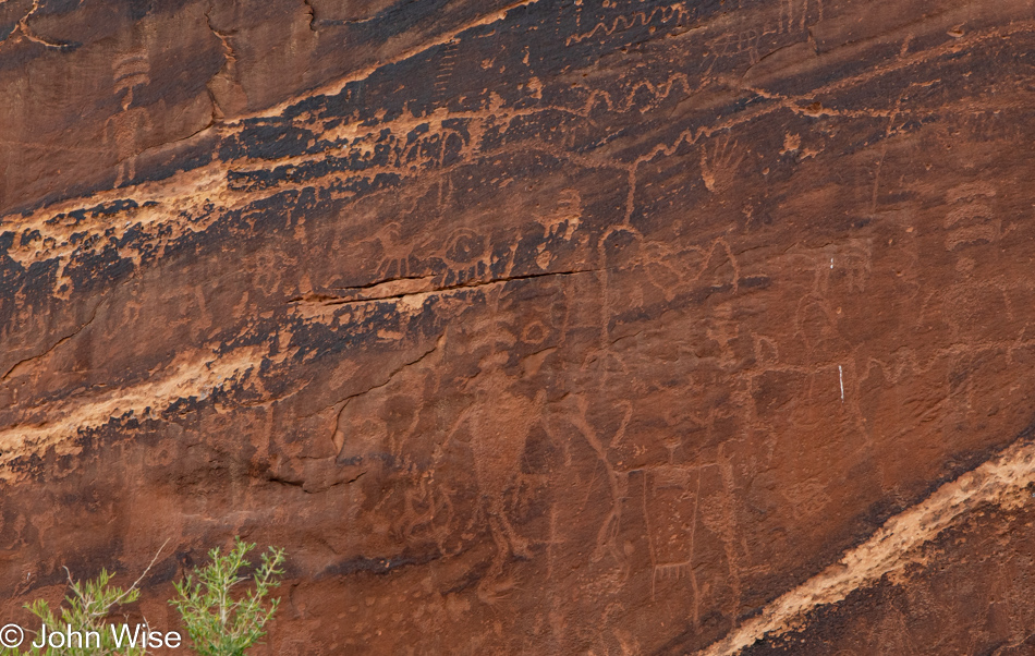
Petroglyphs near the San Juan River at Sand Island in Bluff, Utah

There are three figures here with three bars over their heads; they are tapping into other dimensions to discover how to cope with the future that is going to arrive, where much of their world would disappear in the clutch of the conquering force. Today, I’m one of those persons with three bars over my head looking into the higher dimension, trying to discover how to cope with the conquering force of wealth that has no space for the peasantry of common people just as our ancestors had no space for the indigenous people that populated these lands before them. All around me, I witness the mass of America moving onto a virtual reservation where the resources of the intellect have been stripped bare.
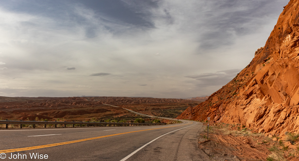
Highway 191 south of Bluff, Utah

If only I could find the time to write these narratives in situ when I’m resonating with the beauty and happiness of the moment instead of trying to capture recollections of these days a week later. In the interim, there have been 17 mass shootings, with the most recent one happening in the past 12 hours right in Phoenix, Arizona, where I’m trying to write this. To say I’m distracted by our abhorrent and vulgar attitudes when these incredible sights should soothe our abysmal and wretched selves would be an understatement. Aside from Caroline’s and my opportunity to indulge in such wonderful distractions, where am I supposed to find hope that America isn’t headed into the abyss of self-destruction?
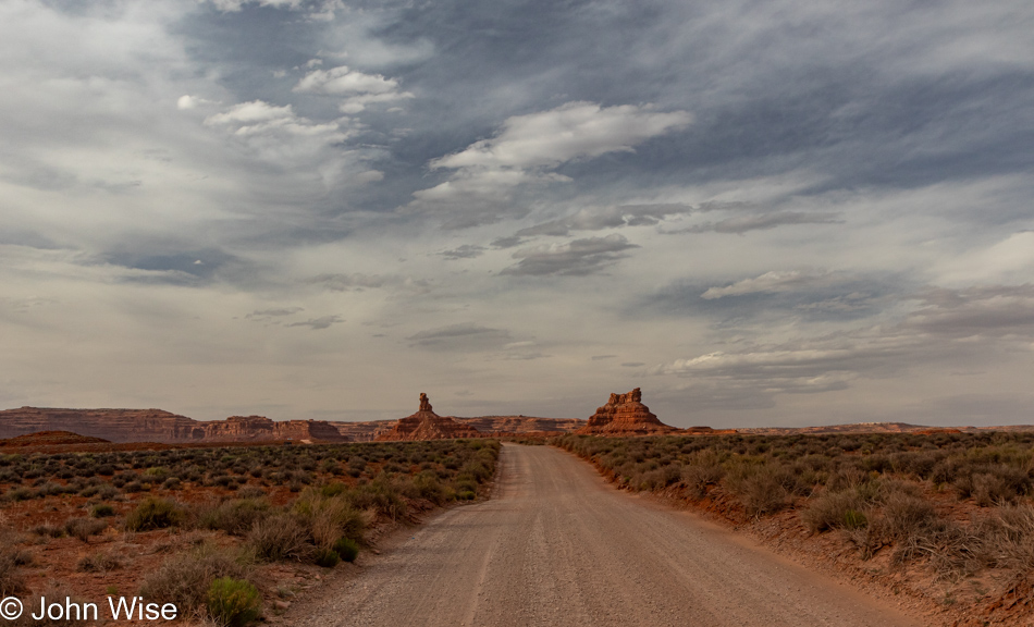
Valley of the Gods in Mexican Hat, Utah

But this post is not supposed to be about the woes afflicting those I cannot see; I’m here to capture not only the visual impressions of a couple in love traveling into deeper love but also to write about the gravel, clouds, scrub brush, dust, bumps, colors, and the oohs and aahs found between the sighs of wow from the woman traveling with me.
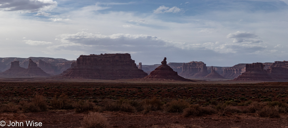
Valley of the Gods in Mexican Hat, Utah

Welcome to Valley of the Gods.

Valley of the Gods in Mexican Hat, Utah

Here, in the presence of such a large nature, we bow in the silence of awe. It was either something like that or a non-stop series of under-the-breath utterances of wow in between, repeating how incredibly lucky we are to afford ourselves these experiences.
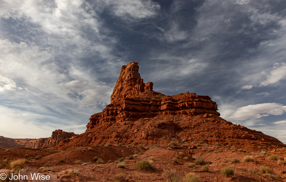
Valley of the Gods in Mexican Hat, Utah

Had we opted to venture onto this 17-mile drive this morning, we would have traveled under the gray, overcast sky, so this is working out perfectly. Another thing, compare the price of this drive (FREE) with that “other” 17-mile drive ($11.25) taking looky-loos past pricey homes (median price about $5 million depending on the source) and derpy golfers who effectively dropped a testicle on the green as an offering to play Pebble Beach ($575 for a round) and you’ll either guess that we are relatively poor or class snobs resentful about our own bourgeoisie status, maybe both?
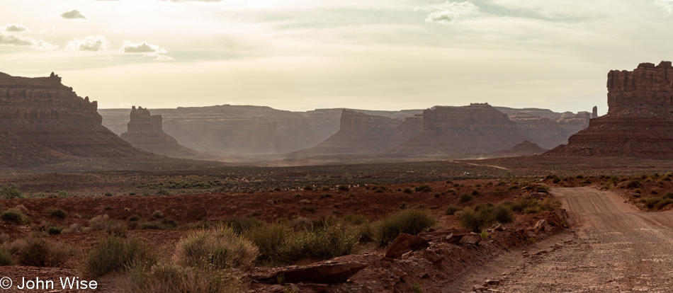
Valley of the Gods in Mexican Hat, Utah

I admit that the 17-mile drive in Carmel, California, has the Pacific Ocean, but with a little imagination, one can still witness the inland sea, oceans, and lakes that once welcomed marine life right here, and don’t forget the dinosaurs.
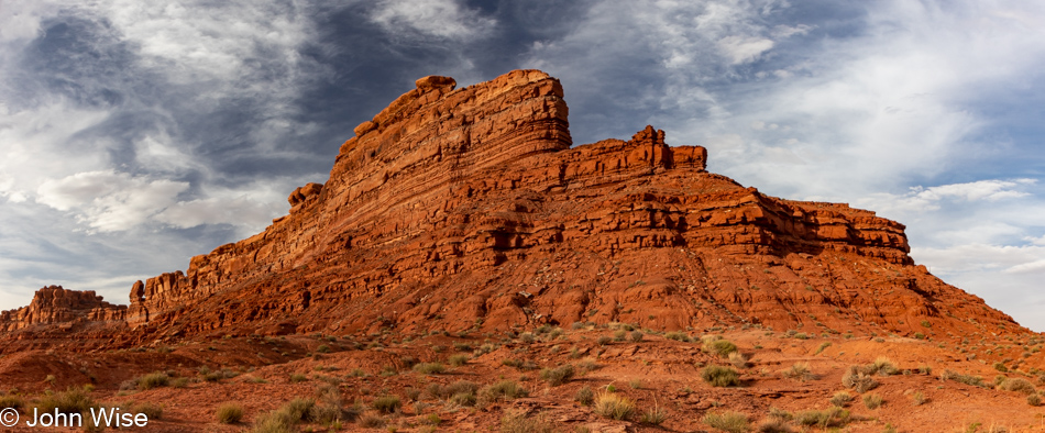
Valley of the Gods in Mexican Hat, Utah

I just went on an internet hunt to find out if this butte had a name, and while I came up empty-handed, I did find more than a few unsatisfied visitors to Valley of the Gods. I could take 100s of images of a pile of poop on a sidewalk, but I doubt I would ever find even one that represented an aesthetic that might inspire others to look for the best in random poop left in our environment. On the other hand, there are those who share with others reviews such as, “Meh” and “The first few miles were OK. After that it got pretty boring” about a majestic place such as this. I understand that we all have a different sense of what constitutes beauty, but to be so devoid of empathy, soul, intrinsic values, or a basic understanding of how time and earth sciences create such unique complexity just casts those imbeciles into the pool of troglodytes.
Valley of the Gods in Mexican Hat, Utah

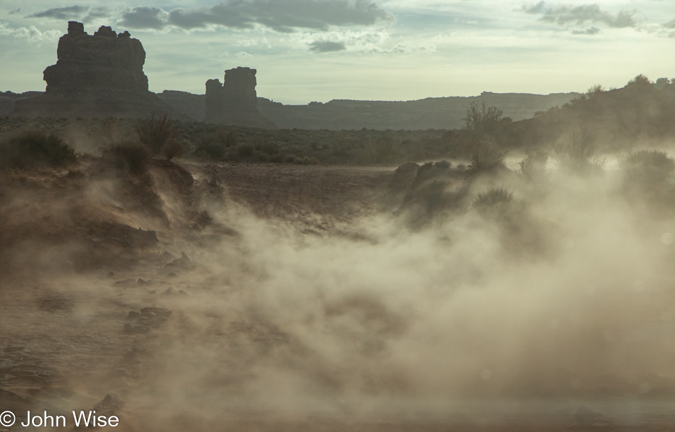
Oh my god…just look at all that dust blowing up in the hostile winds, trying to antagonize my allergies and ruin how clean my car is. What’s wrong with nature obscuring my view and wrecking photos? I hate Valley of the Gods; it’s just a bunch of boring meh-ness with no redeeming qualities aside from the fact it doesn’t carry an AR-15 to mow us down as we drive through. Why are we even out here in this monotonous land of endless tedium where everything is ugly and stupid? You know what’s tedious? This snark that detracts from settling into extolling virtues of yet another place we passed through in, yep, you can guess it, AWE!
Valley of the Gods in Mexican Hat, Utah

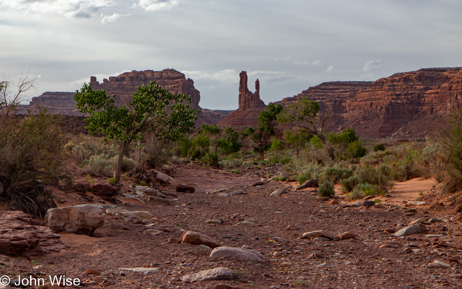
Greenery in the desert is a sign that water runs through here. The astute will know that this is a wash on those rare occasions when rain has been falling in the surrounding area. I’m simultaneously happy we are not here while it’s raining (we’d certainly be stuck in the mud) and disappointed that we can’t be on hand for one of those moments when water feeds the dry earth we’re traveling over right now.
Valley of the Gods in Mexican Hat, Utah

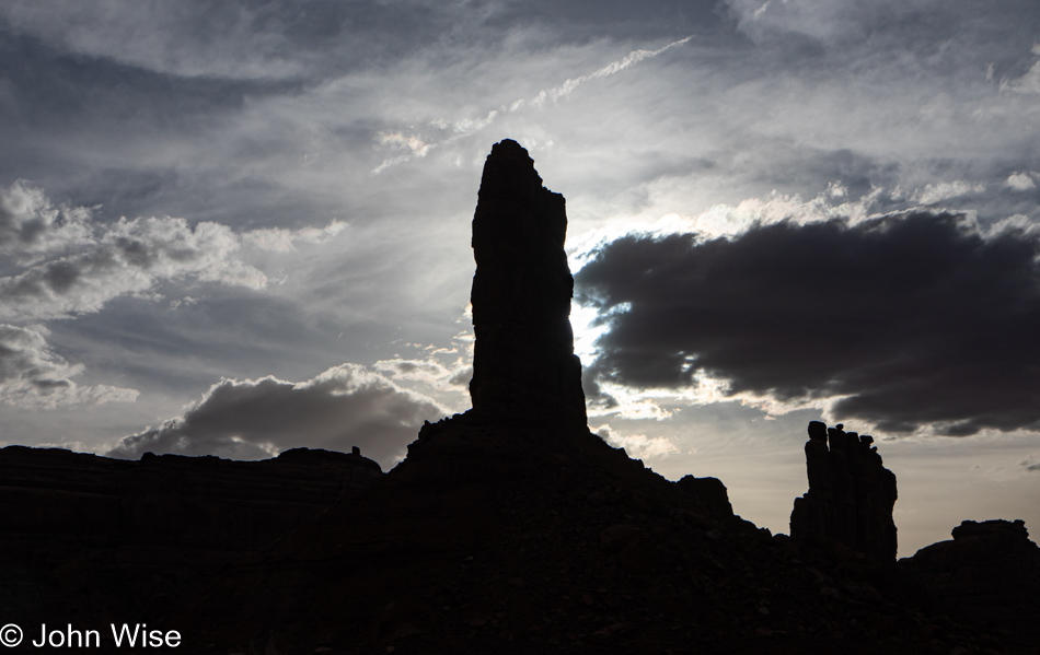
Every turn, every moment, every view is changing the way things look. By the time we reach a place, it often appears quite different than it did from a great distance, from just 200 feet away, and the spot we stopped at to take a photo. Perspective shifts sure are easy in the great outdoors if you are looking for them, so why are they so hard to come by as people look within?
Valley of the Gods in Mexican Hat, Utah

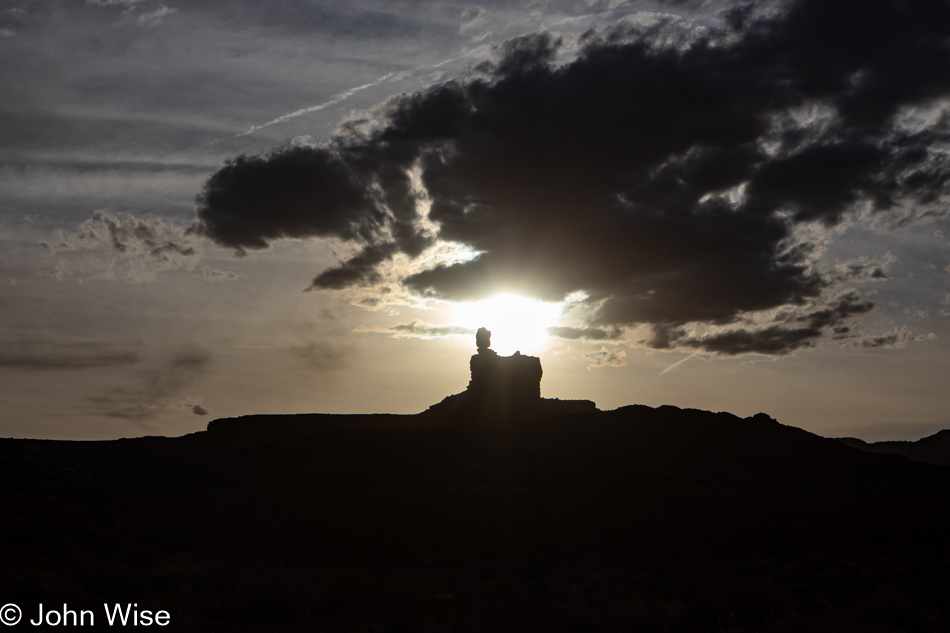
The sun will set on the landscape but only temporarily, as opposed to the imminent day when it sets on us for eternity. Until that day, how many sunrises and sunsets will you have seen, not metaphorically in the sense that you were aware they were happening and could picture them in your mind’s eye but that you’d seen with your own eyes? Why isn’t the real mark of luxury the cumulative number of times we can lay claim to having watched waves lap at the shore, witnessed the leaves of fall change color, seen the bud of a cactus blooming, or the coming into focus of a rainbow spreading across the sky? The obvious answer is that we cannot easily parade impressions around but we can arrive in the right car, have the big home, or the pricey clothes that offer nothing about how rich someone is experientially.
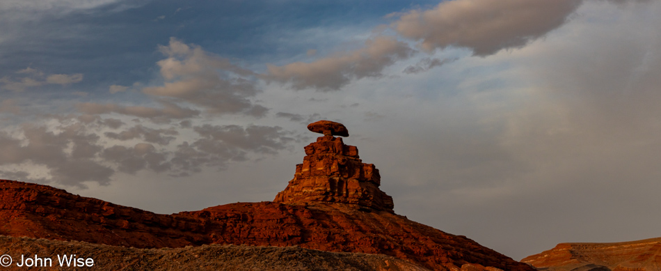
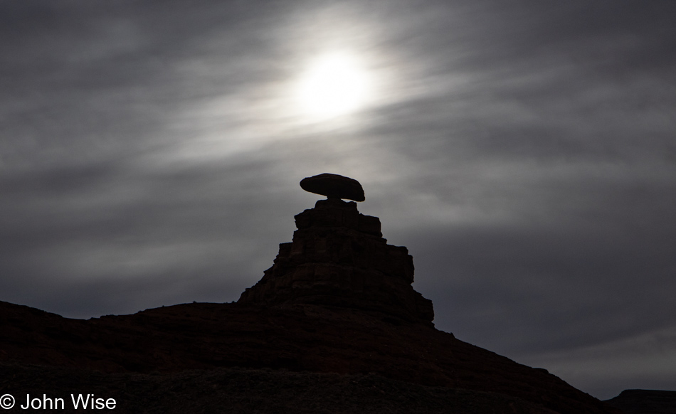
Mexican Hat, Utah

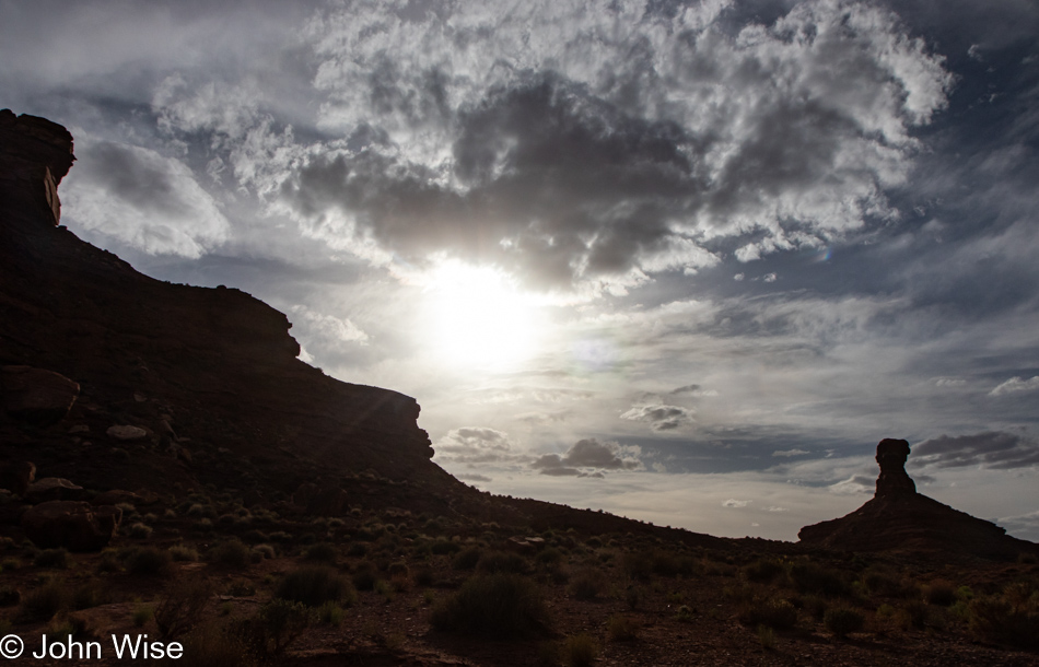
Maybe you’ve read all this before right here on my blog, but I’d argue that just as I never tire of seeing this rock balanced atop a small butte that inspired the name of this community of Mexican Hat, it, like my words, enter reality and hang out until time and nature erodes them until they crumble and are lost in time. So if you continue returning to these pages, the canyon that is John is what you are visiting, and while the angle of the sun, the position of the clouds, and the time of day might alter how things are seen, you might witness much the same thing until an arm from my river of thought carves a new pathway that breaks out of the routine flow.
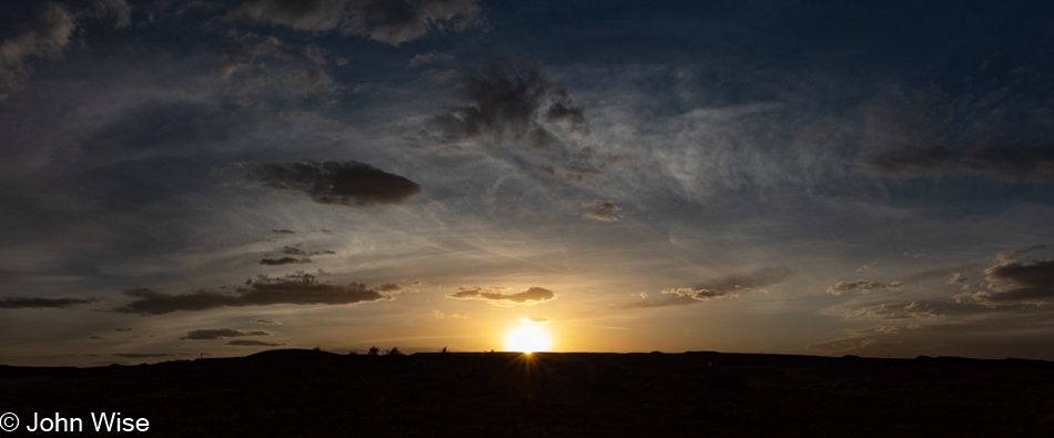
Mexican Hat, Utah

Enough of this; it’s time to eat, not only for the day the events pictured above took place but at this moment I’m writing these words. Seeya later, sun. With my senses satiated, I need to heed the beckoning of my stomach, though compared to the exquisite nature of the meal that followed on this travel day, the lunch I’m about to jump into pales in comparison. On second thought, there is no comparison.
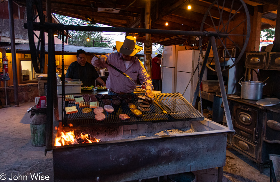
Hank Whipple at Mexican Hat Lodge - Home of the Swingin' Steak in Mexican Hat, Utah

This is grill master Hank Whipple, whose family operates this outpost called Mexican Hat Lodge, affectionately known as the “Home of the Swingin’ Steak.” Last night, this man grilled me up a 20-ounce (almost 600 grams) ribeye steak (entrecôte), but eating that whole thing after 7:00 pm was a mistake in judgment because that hunk of meat lying in my gut commanded serious attention, thus disrupting any hope of blissful sleep. So, tonight, not only are we eating earlier, but I’ve opted for the more manageable 8 ounces (228 grams) of flank steak. As for Caroline, come on, she’s always reasonable.
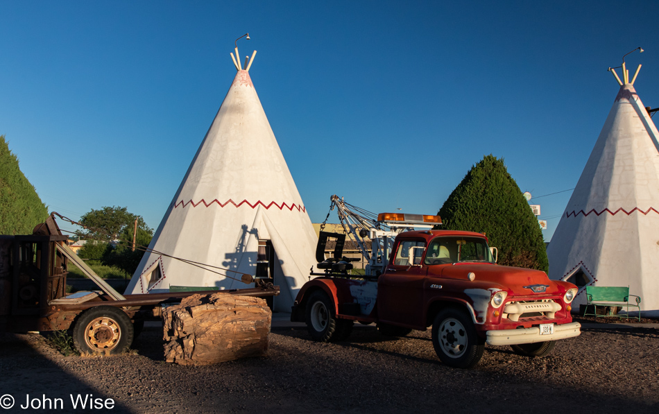
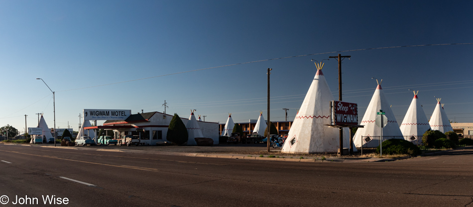
Meandering Hopi and Navajo Lands

Wigwam Motel in Holbrook, Arizona

Only a few hundred feet from the railroad tracks and well within earshot of the rail crossing just up the road, our sleep was punctuated by the sound of trains passing throughout the night. Small price to pay considering we’re sleeping in a 72-year-old concrete wigwam. And not just any wigwam, mind you; John Lassiter of Pixar passed through this area on vacation some years ago and, inspired by many of the sights he had encountered (including the Wigwam Motel), he would make some of those locations famous as they found their way into the animated feature film Cars.

Wigwam Motel in Holbrook, Arizona

During many of our previous visits to Holbrook, we used the old town here on Route 66 as a waypoint before moving on to other places that drew out more of our curiosity. Well, today, we’re taking the time to walk around in order to get a better feel for the place.

Holbrook, Arizona

Last night, I forgot to point out the difference in gasoline prices between the Phoenix area and these northern climes: we paid $4.39 a gallon up this way and $5.19 down in Phoenix. Why this large delta in prices? This doesn’t make sense as hauling fuel further away should also impact prices, but I think what’s at work is that the oil companies know that the populations of big cities have more income, and so, in effect, they can squeeze us for greater profit while only making a reasonable amount of money in rural areas that would otherwise harm the lower-income population. That, or we are subsidizing rural America so they can better survive what is often a meager poverty-level existence?

Holbrook, Arizona

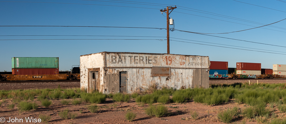
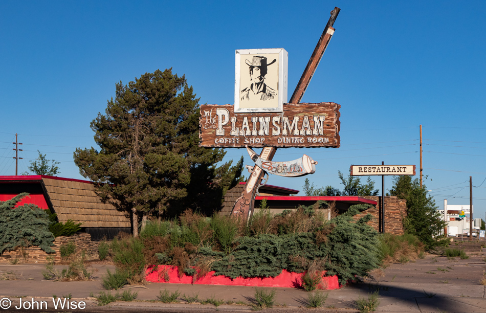
Walking down Hopi Drive, once the old Route 66, offers a tragic view into the nostalgia that hangs over this part of Holbrook as while a few businesses are hanging on most are gone, and what remains grows long in the tooth. Surprisingly, an old movie theater is still here, and had we known, we likely would have stopped in last night for the only showing of the day at 7:00 pm of Top Gun Maverick. Joe and Aggies Cafe, we’ve eaten at before, is shuttered, and its dusty windows offer a glimpse into a time capsule.

Holbrook, Arizona

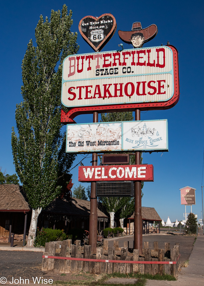
While we’ve always had a soft spot for old signage, it’s only now occurring to me that signs such as this one at Butterfields Steak House would never be affordable today. Handcrafted, heavy steal, blinking lights, and neon towering 30 feet over the road, these are now relics of the past for old towns like this. I’ve likely shared this before, but it was back in 1969 or so when I first passed through this area and had the sound of the passing trains during the night seared into my memories. While I can never know which motels or restaurants we stopped at during our epic cross-country trip from Buffalo, New York, to Long Beach, California, where my father was living, I do have distant images stored in my memories of waiting for tables at noisy cafes, looking at wildly colored desert landscapes, and endless roads.

Holbrook, Arizona

Some of the old motels have been converted into long-term rentals, albeit without any of the services that once serviced rooms every morning, invited guests into pools, and brought people into experiences that would last lifetimes.

Holbrook, Arizona

Decaying places become sad tragedies of forgotten pasts when a new generation has little to no connection to what has been. At least with the ancestral Native Americans, there’s mystery remaining in the scattered ruins, eliciting a deeper wonderment where we try to imagine something so distant that it defies our ideas of just how things worked.

Holbrook, Arizona

When it comes to America’s relatively recent past, I think most romantic notions are gone, and the antiquated, weathered relics are skipped over as our modern car culture seeks out drive-thru convenience and luxury that allows people to separate themselves by class compared to 60 years ago when we were all just Americans out for adventure into the unknown.

Holbrook, Arizona

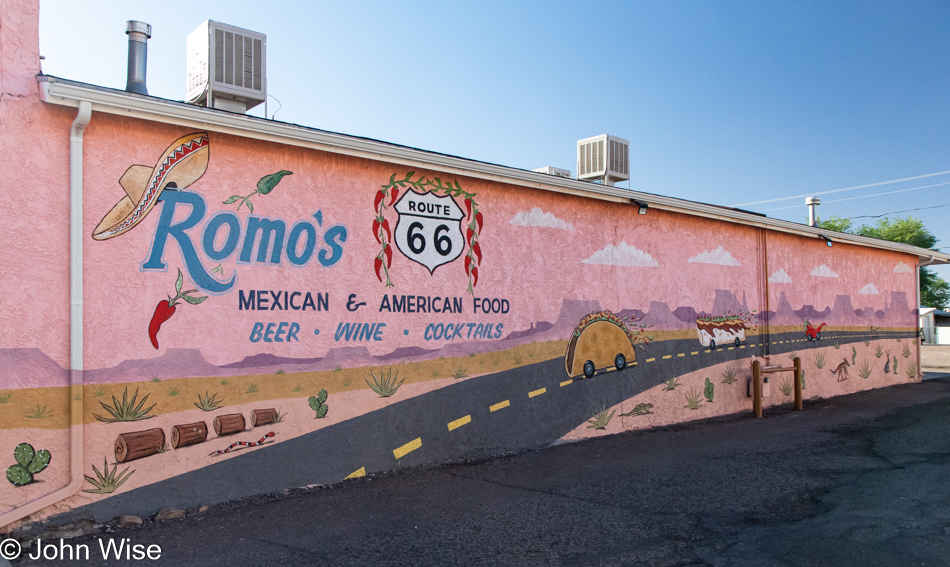
Achtung Europäer, this is part of why you want to travel to the United States. It doesn’t matter if Romo’s on Route 66 is good or bad, but you will have eaten Mexican food at a diner with a mural of a taco, burrito, and a chili pepper racing down the road through Monument Valley and past petrified wood as you yourself move between those areas.

Holbrook, Arizona

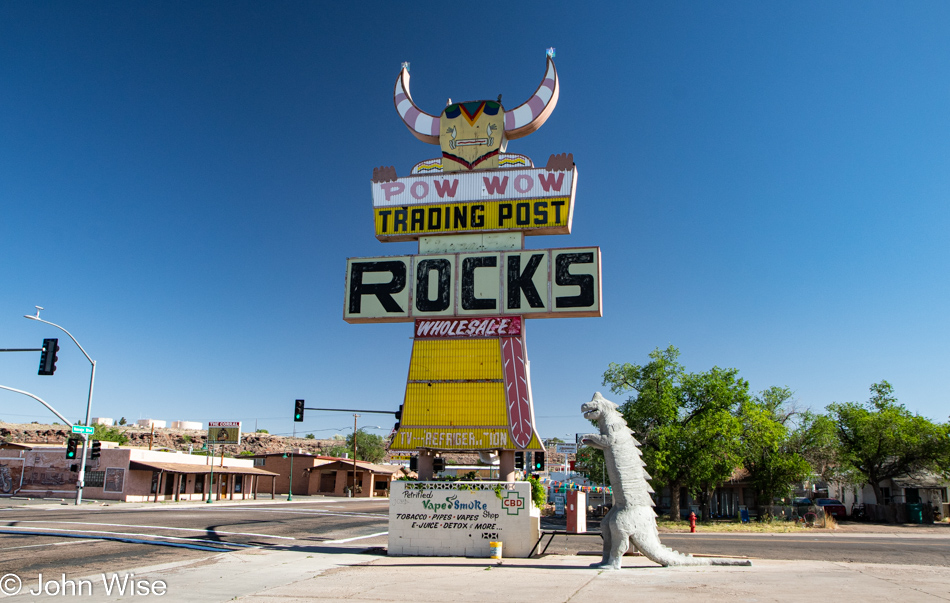
How does one shit on the past? Read the bottom of the sign, Vape Smoke Shop featuring vapes, E-juice, and CBD. Sure, life evolves and goes on, and who buys rocks these days anyway or wants to stop in at a trading post to buy tchotchkes from an old man selling junk made in China? All the same, we don’t turn old churches into sex shops (not that anyone goes to those anymore either), but to desecrate through neglect and abandonment the adornments that were part of a prosperous past is the ignorance of a culture that has failed to understand exactly what it is that makes other places that cherish their history so attractive.

Homolovi State Park in Winslow, Arizona

Homolovi is Hopi for “Place of the Little Hills,” and that’s exactly where we headed after leaving Holbrook.

Donkeys at Homolovi State Park in Winslow, Arizona

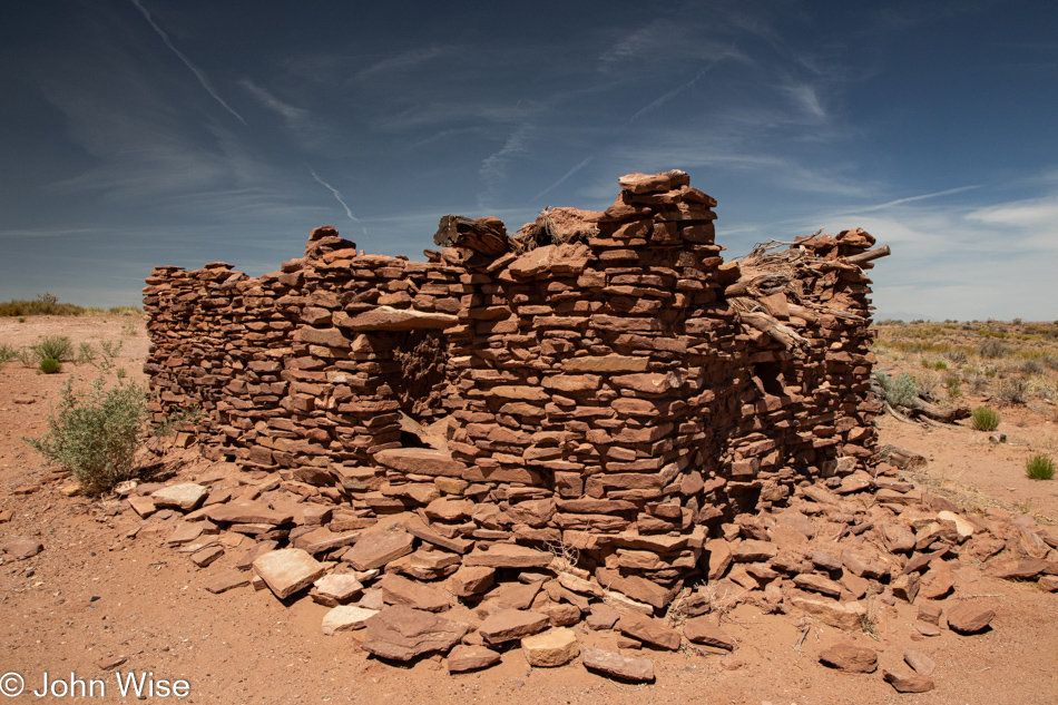
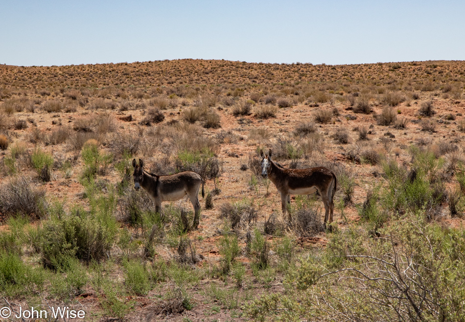
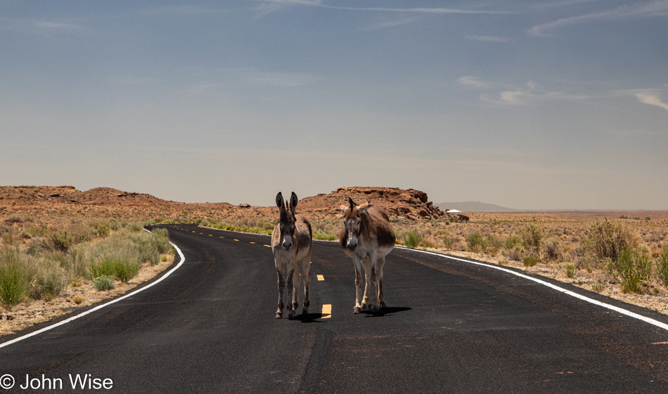
Within eye-shot of Interstate 40 is this state park that not only features donkeys staring at people menacingly but there are also seven ancient Pueblo sites dating from 1260 to 1400.

Homolovi State Park in Winslow, Arizona

The people who lived here are called the Hisat’sinom, which is Hopi for “long-ago people.”

Homolovi State Park in Winslow, Arizona

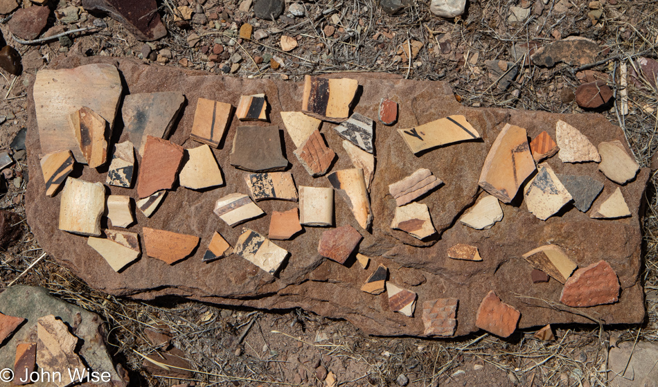
While outsiders might consider this a site of Native American ruins, the Hopi consider it to still be spiritually alive. As such, the broken pottery shards scattered across the Pueblos were the belongings of ancestors; they are not here as souvenirs, and out of respect, visitors should do their best not to collect the personal belongings of others. Just try to imagine that your grandparents died and your family was preserving their home as a shrine to their lives, but random visitors wandered into their bedroom and helped themselves to your family’s heirlooms.

Homolovi State Park in Winslow, Arizona

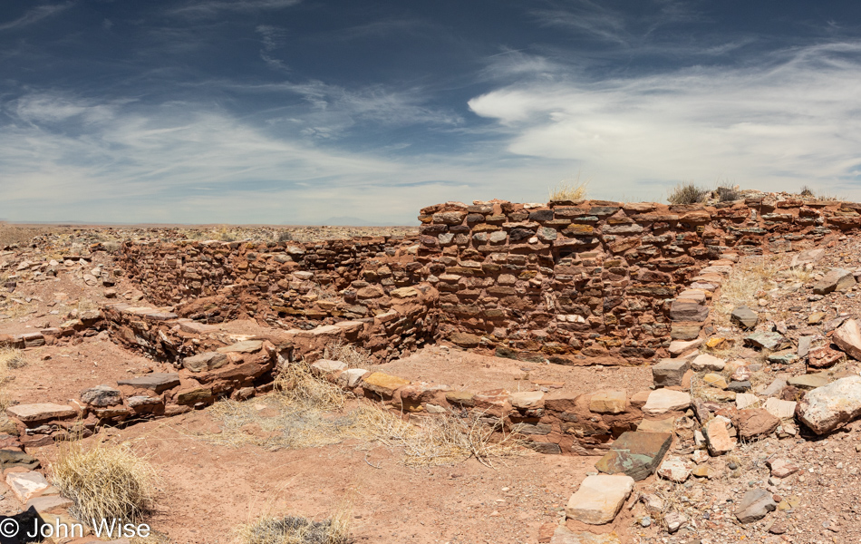
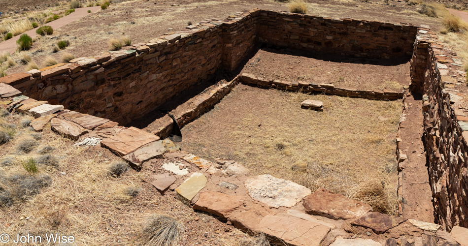
I wonder how many times I’ve written the explanation that this underground room is a kiva used for ceremony and political purposes?

Homolovi State Park in Winslow, Arizona

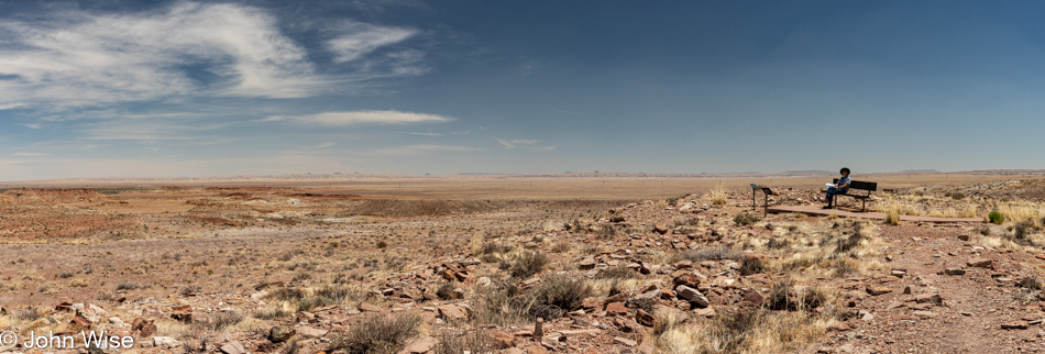
Maybe it looks desolate to us here 600 years after the villages were abandoned, but we can’t know life here back when the nearby Little Colorado River sustained life. As white Americans moved in back in the 1870s, they made off with many of the stones from the pueblos to build their own homes in a place such as Sunset, Arizona, that was eventually washed away during one particular bad flood of the river. There were other towns out here that didn’t make it either, such as Brigham City and Obed, while Joseph City, with a small population of 1,307 inhabitants, has managed to hold on.

Homolovi State Park in Winslow, Arizona

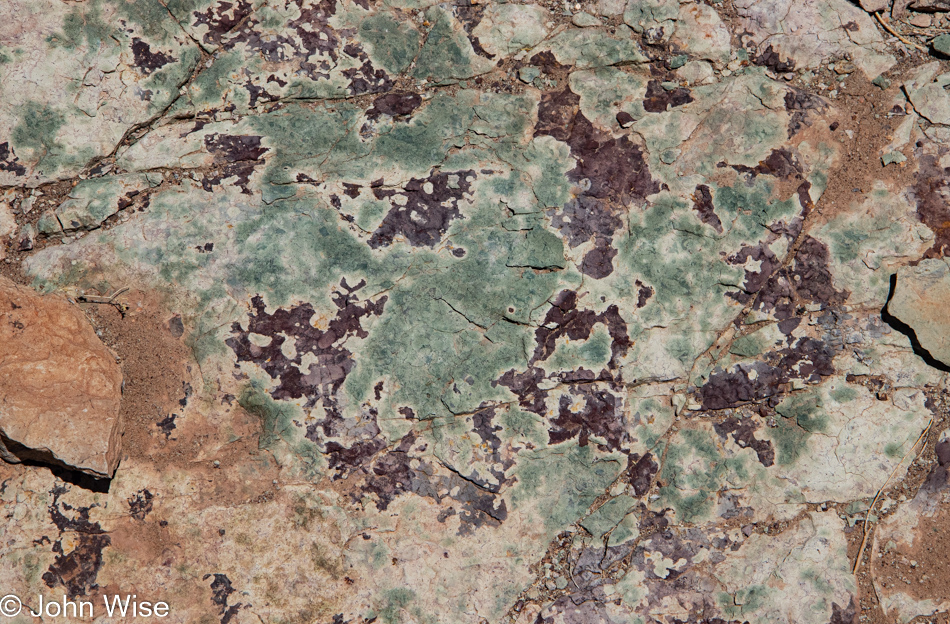
As of today, 2022 will be known as the Year of the Lichen in John and Caroline’s fake Chinese calendar of themed years.

Donkeys at Homolovi State Park in Winslow, Arizona

A gang of thug donkeys challenges us to just try passing them without making offerings. Tired of dried grass and some noxious plants that are unpalatable to all life, they held their ground with a menacing look of “Give us carrots or suffer the consequences.” Sorry, donkeys, but we have popcorn, bologna, boiled eggs, granola, and soy milk in the car, not exactly gourmet donkey fare.

Homolovi State Park in Winslow, Arizona

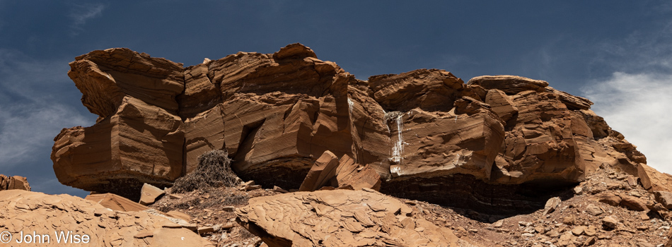
Loud squawking coming from a crevice allowed us to spot a raven’s nest with two juveniles awaiting feeding from mom and dad. But it was the thing that was nearly overlooked that should have first grabbed our attention…

Homolovi State Park in Winslow, Arizona

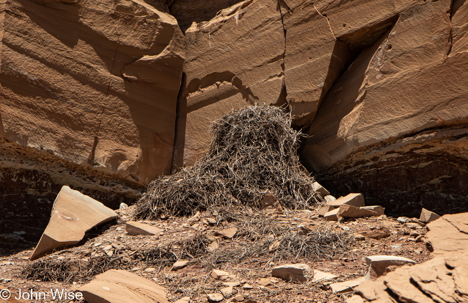
…the ancient nest remains of what I can only guess is from eagles that once lived in the area. When I asked at the visitor center what this was, I was told that it was the accumulation of debris from the ledge above. Right, a small bit of lifeless rock above somehow collected twigs of a near-uniform size and then deposited them right here at the base of this cliff-face. I’d guess that eagles have been nesting here for centuries and that even before this easily identifiable pile was built, there’s an even older layer that sits below the small number of rocks that fell at some point in the past. Those pieces of sandstone should be able to be aged depending on the amount of patina if any, that exists on them. Golden eagles still live in the area and are of religious significance to the Hopi people. Come to think about it, maybe the person at the visitors center didn’t want to identify exactly what this was in order to stop the curios from dissecting/desecrating this beautiful old nest.

Homolovi State Park in Winslow, Arizona

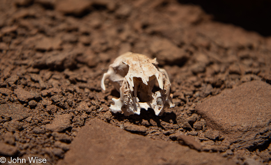
Eagle food remains.

Homolovi State Park in Winslow, Arizona

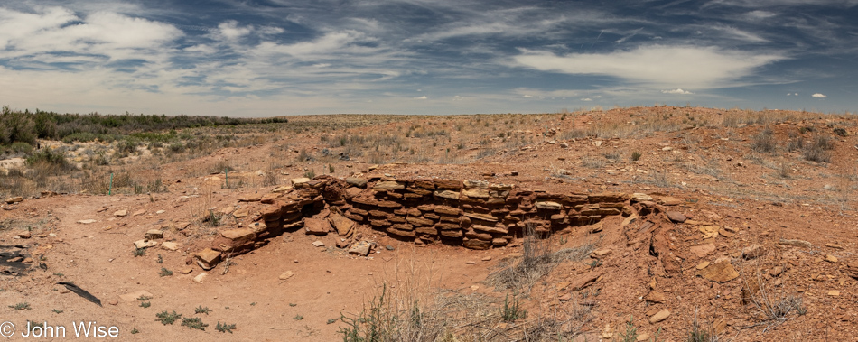
Most of the stones that comprised this village closest to the river are long gone as I guess they were the easiest to pilfer for the town down the road that is no longer down said road that is also no longer in existence.

Arizona Highway 87 in Northern Arizona

Well, we know where we’re goin’
But we don’t know where we’ve been
And we know what we’re knowin’
But we can’t say what we’ve seen

And we’re not little children
And we know what we want
And the future is certain
Give us time to work it out

We’re on a road to nowhere
Come on inside
Takin’ that ride to nowhere
We’ll take that ride

Arizona Highway 87 in Northern Arizona

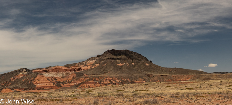
Junior Geologist John is going out on a rim here by taking a WAG (wild-ass guess) about what we are looking at. Could this be a cinder cone that sprouted out of some sandstone hills that eroded all around us? Could these be here because the lava covering protected them from being scraped off the landscape?

Arizona Highway 87 in Northern Arizona

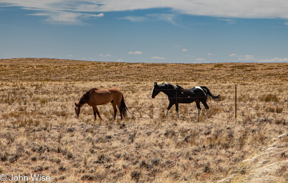
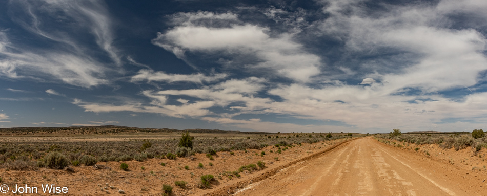
There we were; one minute, we were admiring some horses walking a fence line, and the next…

Somewhere between Indian Route 4 and Route 41 on Hopi Lands in Arizona

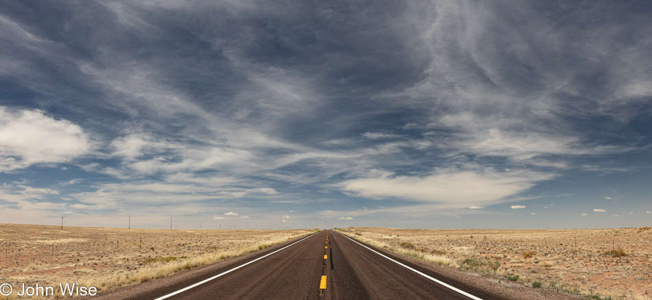
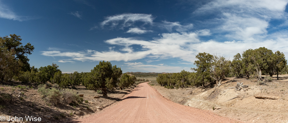
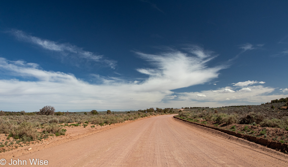
…we are driving down a dirt road that disappears on the horizon.

Somewhere between Indian Route 4 and Route 41 on Hopi Lands in Arizona

After following the dirt road for an infinity, we found ourselves beginning to wonder, just how long is infinity?

Somewhere between Indian Route 4 and Route 41 on Hopi Lands in Arizona

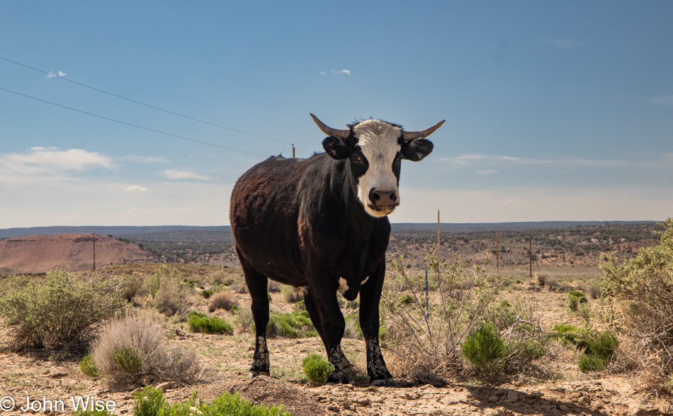
Hello, startled young bull; we apologize for interrupting your meal, but do you know where we are? He answers, “Down the road is a freckled horse, but he’s a bit aloof and unlikely to help you, though he certainly knows these lands.” Well, thanks, but I now have to wonder how is it we were able to communicate with a bovine?

Somewhere between Indian Route 4 and Route 41 on Hopi Lands in Arizona

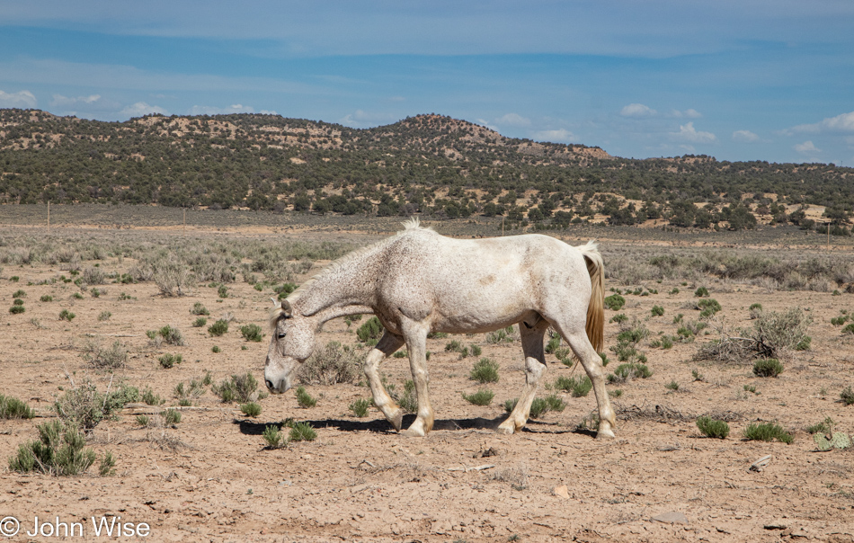
Hey, Mr. Horse with the freckled neck, the startled bull behind you told us you know the way, “I do; just follow me.”

Somewhere between Indian Route 4 and Route 41 on Hopi Lands in Arizona

Well, this just looks like more of the same, only different.

View from Black Mesa, Arizona

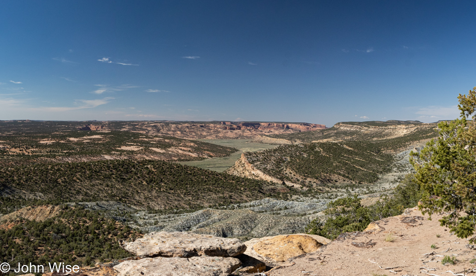
After countless miles in the dirt, sand, rock, uphill, and over dale, we immediately recognized the land far away from this overlook. Our road would take us right through the gap in the distance to Tsegi, Arizona.

Burned remains of the Anasazi Inn at Tsegi Canyon near Kayenta, Arizona

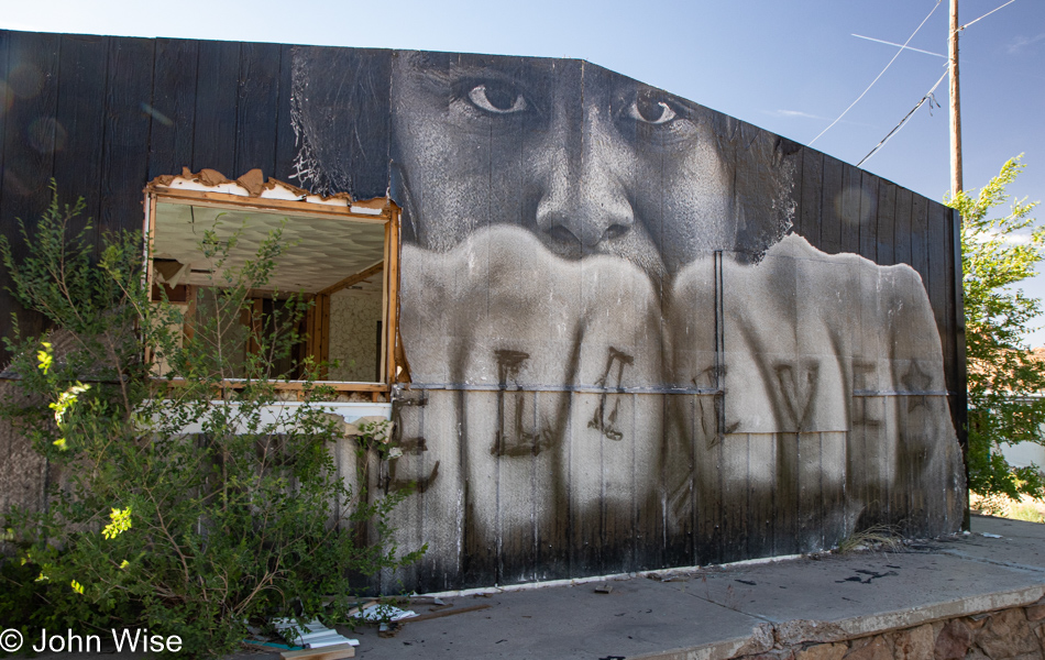
The Anasazi Inn that once stood here on Highway 160 is now mostly gone. Fire, looting, and possibly other forces have decimated this plot of land until what remains standing is a shell seen here and a couple of other remnants. The image in this photo is from a collaboration between poet Esther Belin and the photographer of Jetsonorama. On the left of the mural was the following note:

BELIEVE – Afterward we will get up. All together, with the sound of canyon wind howling, red clay masks preserving our faces. Our government clothes tattered, no longer creased with false doctrine. The pressurized steamed language escapes from the pores of our skin. The monogrammed label “Property of U.S. Government” erased from memory. Our teeth, sweat, saliva, fingernails, strands of hair recompose as the daughter of First Man and First Woman. The four support pillars reconfigure the directional mountains. The zenith and nadir bolt lightning into our backbone. The stone knife in our hand slays monsters. The sun rays fasten us snuggly to Nahasdzáán. The rainbow tethers a shield over us. All together, the intertwined winds breathe again. — Esther Belin

My apologies for not being able to maintain the format of the poem. Should you want to learn more about the project it might be found between www.jetsonorama.net, www.justseeds.org, and www.artjounalopen.org.

Burned remains of the Anasazi Inn at Tsegi Canyon near Kayenta, Arizona

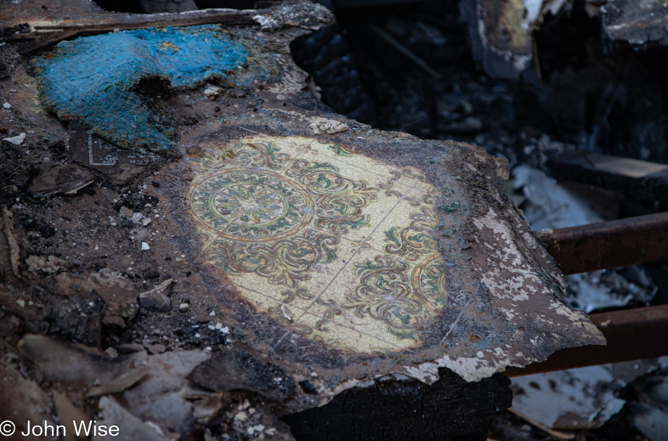
Someone out there used to stay at the Anasazi Inn in Tsegi, Arizona. They don’t know yet that it’s been wiped off the map, and maybe that person has some random memories of having stayed there. Might they remember the linoleum floor that was part of the experience? This is nearly all that is left that is still recognizable; in time, it too will be gone, and only the impressions still surviving in brains will be left.

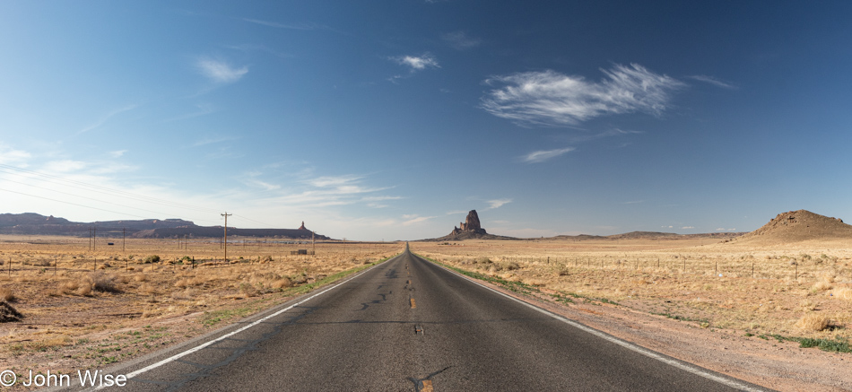
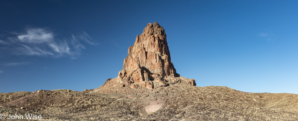
Agathla Peak in Navajo or Spanish: El Capitan south of Monument Valley in Kayenta, Arizona

There should be many things between here and there or here and where we’ve been but often the dearth of things capturable is bigger than the space they fail to fill. Opportunities to cater to desires and experiences unknown to those moving through an environment are lost when the means or knowledge remain in a void as inaccessible as my wishes to discover what I’m missing. Not being Diné nor having the means of meaningful investment, I cannot act as the proxy that would bring forth what lies in the margins of my imagination that would take us beyond the space between.

Agathla Peak in Navajo or Spanish: El Capitan south of Monument Valley in Kayenta, Arizona

At least there’s El Capitan waiting to serve our senses.

U.S. Highway 163 looking towards Monument Valley

And after that, our first glimpse of Monument Valley.

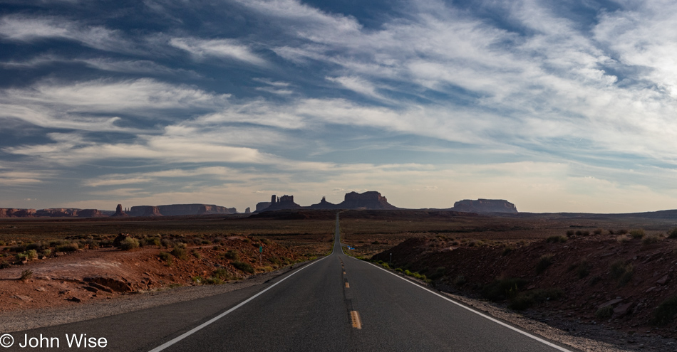
Monument Valley from Forrest Gump Point in Mexican Hat, Utah

Little did I know what I wasn’t seeing here at Forrest Gump Point; I wasn’t seeing the crowds that apparently wait for the weekend before making their pilgrimage.

San Juan River in Mexican Hat, Utah

Passing over the San Juan River is the turning point, and I know we are not far from finding our pangs of hunger satiated by a slab of cow that has been foisted upon a swinging grill where it will cook to perfection over an open fire. Then, in the shadow of Valley of the Gods, we’ll sit roadside as we have many a time prior and enjoy another aspect of perfection as the sun sets and we bask in full stomachs and the knowledge we’ve already arrived and have no further to go than upstairs to survive the Mal de Puerco.

Trip 10 is Here!

Caroline Wise and John Wise leaving Phoenix, Arizona

It all seemed so easy six months ago when I opened that spreadsheet and entered a column of dates on its left side. Those dates were calculated at approximately two weeks apart, other than where I knew we’d be away for longer stretches such as the Mexico vacation and around holidays where we might be able to be gone for 4 to 6 days. Today, we are venturing into one of those 6-day affairs because it is Memorial Day Weekend and the beginning of summer. We know better than to travel on Friday or Monday, so we leave on Thursday afternoon and return Tuesday night.

While I’m excited as always to be going out on the road, I’d be remiss to not admit some laziness nipping at the heels saying, “Take a break and just chill out at home.” We are now in the 100s (38c+) here in Phoenix, Arizona, and the heat suggests that lethargy isn’t a bad thing; my brain says something different.

So, where’s this big adventure taking us here at the end of May? The core of this journey will have us between Monument Valley, Mexican Hat, Valley of the Gods, Bears Ears National Monument, Canyonlands with a return to Horseshoe Canyon, and finally, Flagstaff for some long-neglected sights.

But for now, my time in the coffee shop is coming to an end, and all those prep things I need to finish before hitting the road are yet to be done, as I simply let everything go until the last second. Those things are the tedious chores that, once done over a hundred other times, become a quick jam so Caroline and I can get down the road with most everything we need without worrying too much about anything left neglected at home.

Finished all the things requiring finishing. There was so much running around that I was able to go from a measly 3,500 steps as I dropped Caroline at her office this morning to my requisite minimum of 10,000 steps when I returned to get her. It was 4:00 pm when I arrived and surprise of surprises, she was ready.

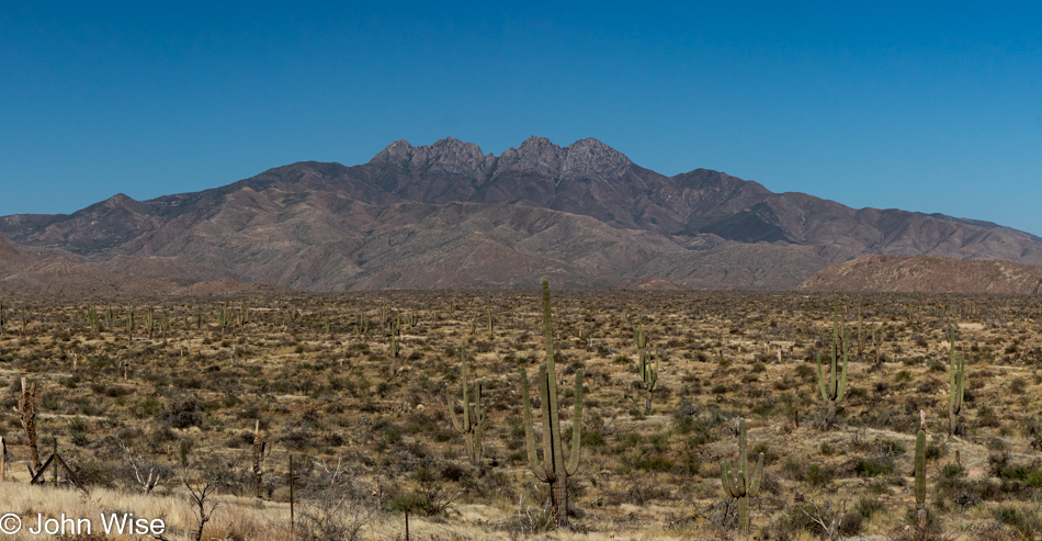
Four Peaks off the Beeline Highway in Arizona

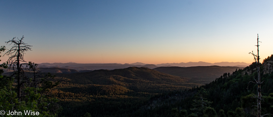
Up the Beeline Highway for the 2nd time this month but instead of going east to New Mexico as we did two weeks ago, we’ll head north up to Holbrook before continuing on to Utah tomorrow. Considering the size of tonight’s small town and that it’s Thursday, we checked out our dinner options and fixed on stopping in Payson as it looks like Holbrook rolls up the sidewalks at 8:00 pm. Well, before arriving in Payson, we stopped along the highway at the Mogollon Rim Visitor Center to grab this photo of the desert with Four Peaks in the background.

Near Woods Canyon Lake in Payson, Arizona

Dinner was effectively American diner fare, nothing great, nothing horrible. On these trips into big nature and small towns, it’s a rare day we stumble into a culinary delight as my daughter and I did last year at Piccola Cucina Ox Pasture in Red Lodge, Montana, or as Caroline and I did just two weeks ago at Ancient Ways in Ramah, New Mexico. There have been other little treasures found along the road, but they are few and far between. This doesn’t imply any kind of disappointment, as fine dining and gourmet meals are not what we are searching for when visiting places with grand vistas that act as the greatest food for the eyes. Zoom in to this photo, and to the right, you’ll see some jagged peaks in the far distance; you are looking at the Four Peaks from about 80 miles away (128km).
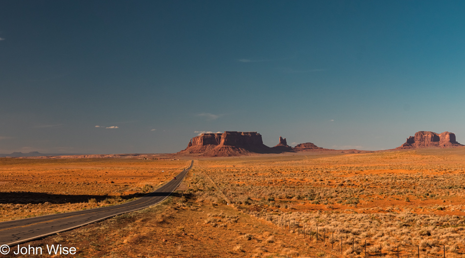
Near Heber, Arizona on Highway 377

It’s about 8:00 pm when we turn left off of Highway 277 and join Highway 377 which will bring us right into Holbrook in about half an hour. Like so many drives out of Phoenix intended to position us somewhere further up the road, it not only shortens our drive the following day, we hope to miss the majority of traffic that is escaping our sprawling city. With only 3.5 hours left in drive time, if we were to head directly to our destination of Mexican Hat, Utah, we’d have plenty of time to wander over the Hopi and Navajo Lands.

Extra tidbits: Caroline was knitting the second sock of a new pair she’s making me, and just before sunset, I asked her to read some Proust to us in our ongoing efforts to tackle In Search of Lost Time. We are currently about 480,000 into the 1.2 million words that comprise this French novel.
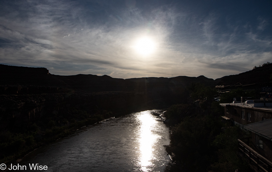
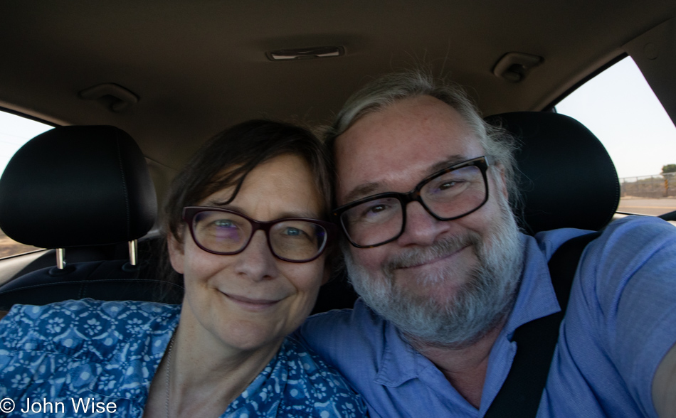
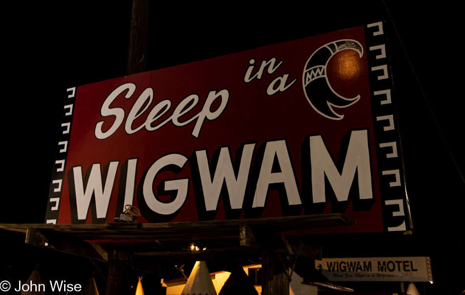
Wigwam Motel in Holbrook, Arizona

It’s dark, and most of the lights are off here at the Wigwam Motel after we checked in, so this was the best photo I was able to capture, though I shot about 20 others. We’re now set up in our tiny room, with a tiny toilet, tiny desk, and too fat of pillows but that’s all great as we are once again sleeping in a wigwam on old Route 66.

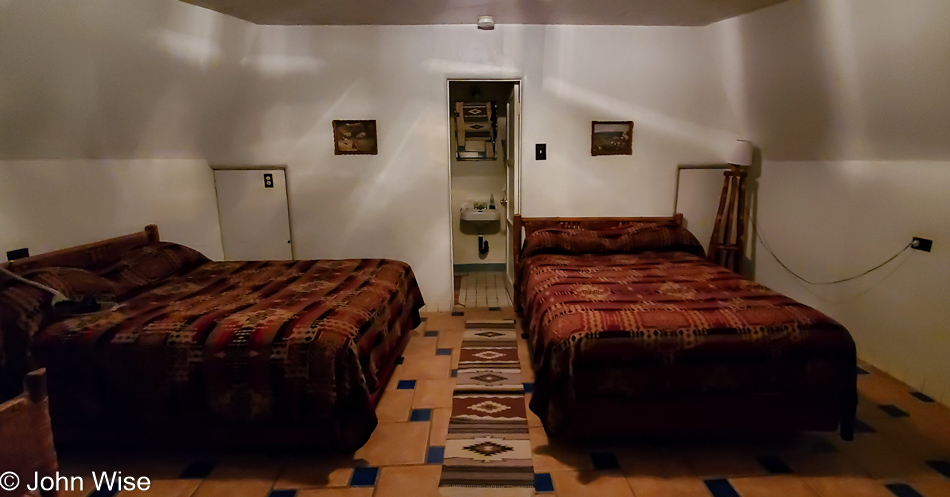
Inside our room at the Wigwam Motel in Holbrook, Arizona

They are not fancy, but they are a cultural luxury, and as one of only three of the original Wigwam Villages still in existence, it’s an experience that is absolutely worth repeating. Come to think of it, maybe it’s time for us to stay in Village #7 over in Rialto/San Bernardino, California, during our upcoming July visit. This location in Arizona was known as Village #6, and the other remaining property is in Cave City, Kentucky.

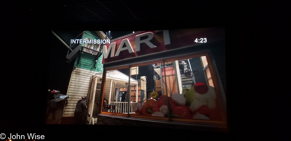
Lucia di Lammermoor – Intermission

Intermission during Lucia di Lammermoor at AMC Theater Desert Ridge in Phoenix, Arizona

As not every weekend will see us traveling outside of Phoenix, we must find the things nearby that will lend new memories to our lives. Echoing out of May 1997 was our first encounter with Lucia di Lammermoor that arrived via a blue alien diva in the movie 5th Element. Twenty-five years later we are seeing a modern adaptation of Gaetano Donizetti’s and Salvadore Cammarano’s opera originally based on a book by Sir Walter Scott titled, The Bride of Lammermoor. The first part of this modern interpretation following Lucy Ashton (Lucia) and her struggles in 17th century Scotland first performed in 1835 in Italy has now been brought forward to America’s rustbelt in a broken impoverished community with a gangster problem.

Fire Shut Up In My Bones by jazz musician Terence Blanchard was my first encounter with truly contemporary opera and this was my second experience with opera seen through a setting that modern viewers might easier relate to. Just as with the previous simulcast from The Metropolitan Opera of Fire Shut Up In My Bones, I wanted to dislike the very idea of dragging me out of the history of what the original was portraying. Like that other opera, this version of Lucia di Lammermoor took a moment to find its way through my expectations.

Props to The Metropolitan Opera for switching things up and experimenting with greater diversity, mixed media, and betting on artists that might bring new fans into opera. This must surely be an epic undertaking worthy of the greatest operatic stories told upon their very stage. Our next visit to a Met simulcast is just 2 weeks away with a performance of Hamlet.

Heart of Afghanistan

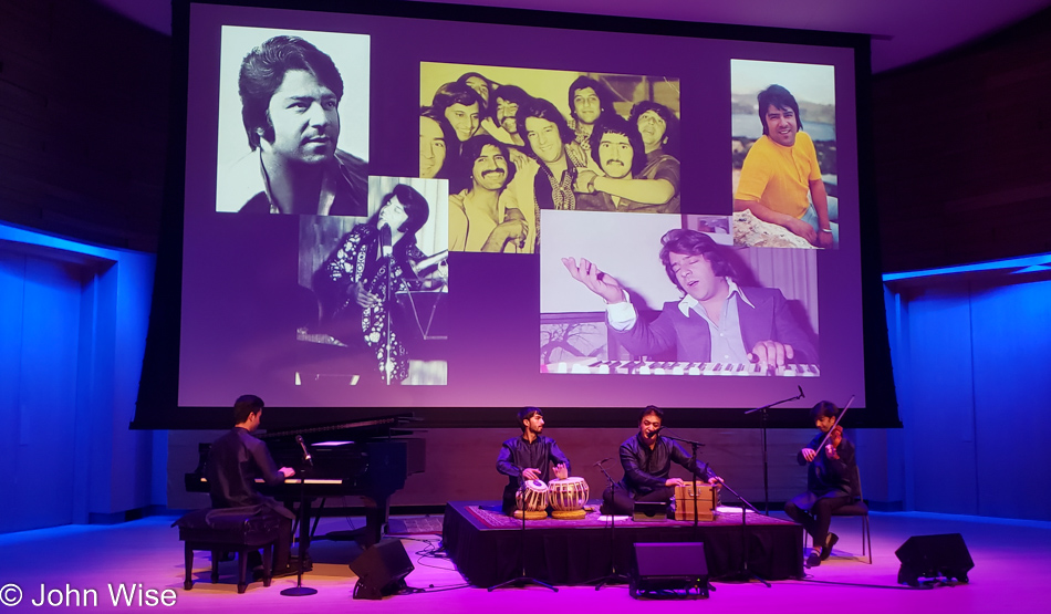
Heart of Afghanistan performing at the Musical Instrument Museum in Phoenix, Arizona

Nearly at the last minute, Caroline noticed that ticket sales for Heart of Afghanistan performing at the Musical Instrument Museum were weak and asked me about going. In our efforts to support the kinds of music we’d like to see more of at the MIM, I went ahead and bought us a couple of tickets. The unfamiliar songs were reminiscent of pieces we’ve heard from India, Bollywood specifically, but as avenues into Afghan music are pretty much non-existent in America, aside from specifically tracking them down on the internet, neither Caroline nor I had any real familiarity with the music from Afghanistan.

The photos in the background behind the artists show Ahmad Zahir, the Elvis Presley of Afghanistan; the group performed a couple of his most loved songs. In the rows behind us sat people that felt talking would make a good accompaniment to what we were listening to coming from the stage. Sadly, we didn’t share their enthusiasm for narration and moved away from our ideal seats to the side. Two more songs into the evening’s entertainment and we had to bow out. Well at least we’d been able to mostly enjoy an hour of the concert but to the people sitting in the 5th row who couldn’t silence yourselves, you owe us the $98 we paid to be present.

[This concert was organized by American Voices, a non-profit dedicated to “enrich the lives of people of all ages and ethnic backgrounds through cross-cultural and educational engagement.” I hope that there will be continued collaboration between American Voices and the MIM, resulting in more concerts like this one. Caroline]

Ayocotes

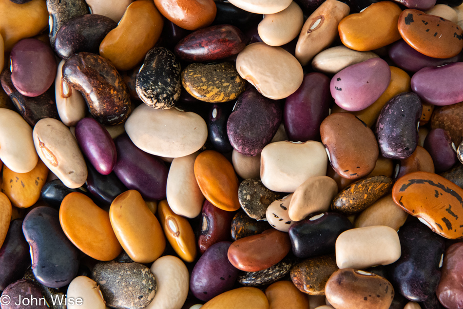
Ayocote beans

Never met a bean I didn’t like and a couple of months ago when we were in Mexico we stumbled upon a colorful basket of beans we’d come to learn are called ayocotes. With just a bag of them, we were saving those for a special occasion. In the meantime, Caroline went searching for what our colorful beans were called as when we bought them, we didn’t know they were ayocotes. Having found a supplier, we bought two pounds of them and this is our first foray into discovering whatever promise they might hold. While we thought corona beans swole after soaking, these ayocotes are approaching the size of key limes. After cooking, they are damn near as big as golf balls.

Just as I opened this post extolling my love of beans, these didn’t disappoint. If I didn’t still have over 20 pounds of various beans in our pantry, I’d order up another 5 pounds of these. My FOMO for rainbow ayocotes is running strong as I try to convince myself they’ll be there when we want them again.