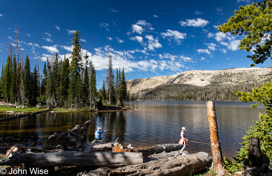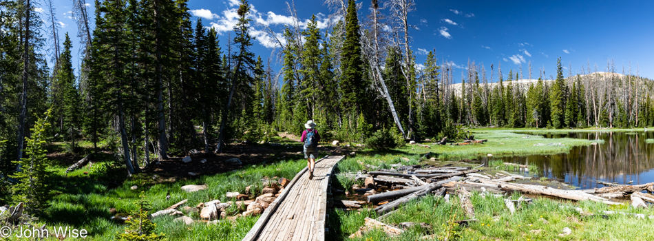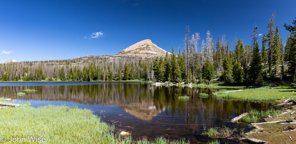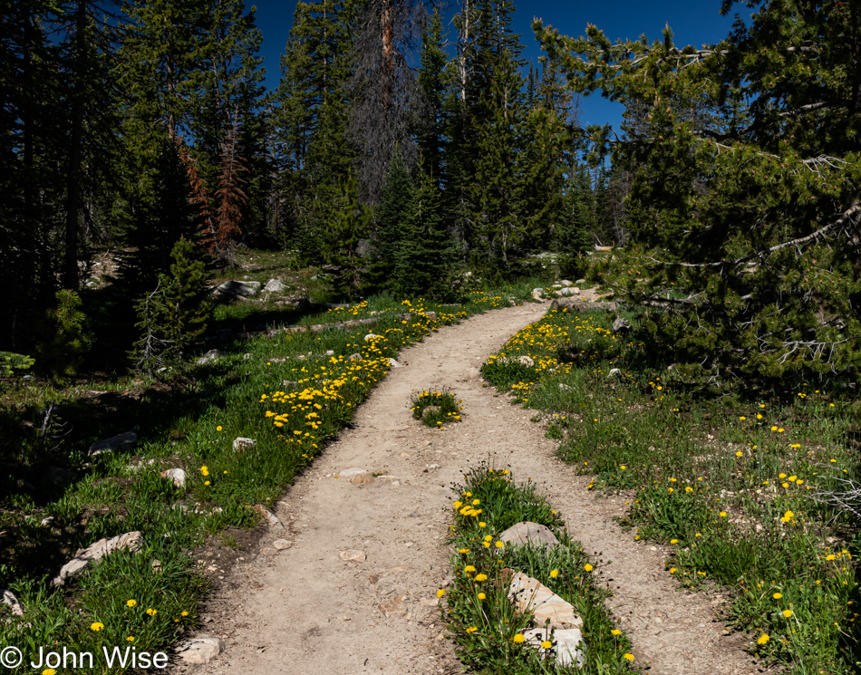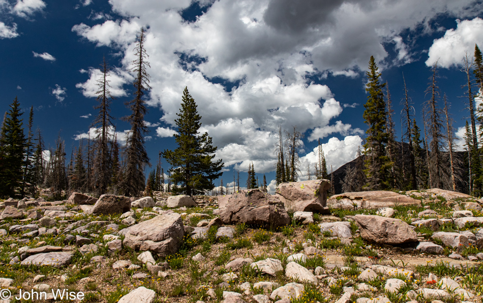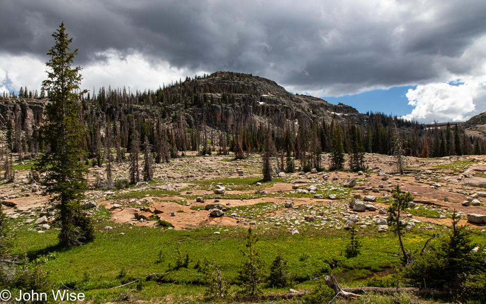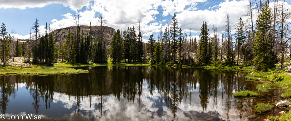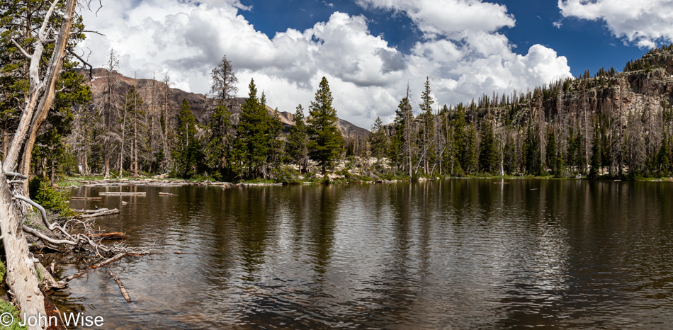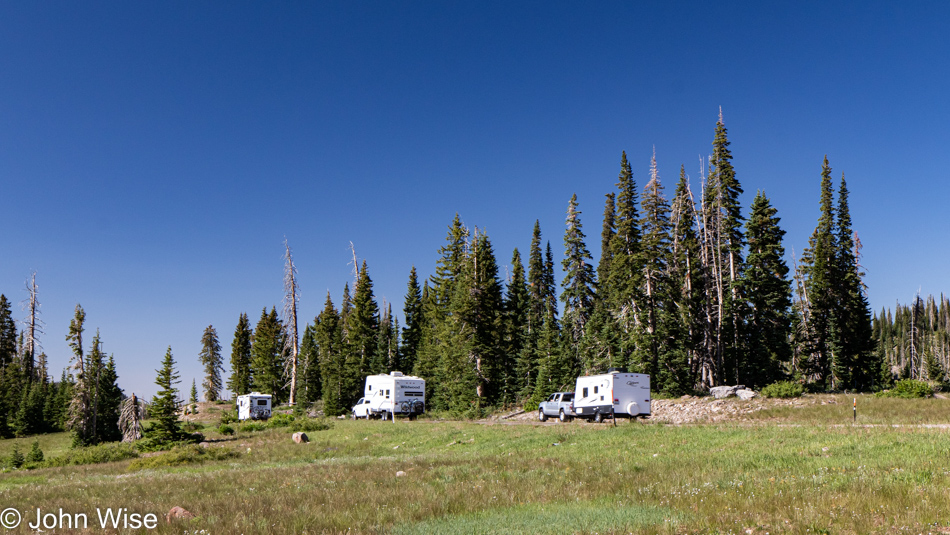
Another Day in the Wasatch Mountains

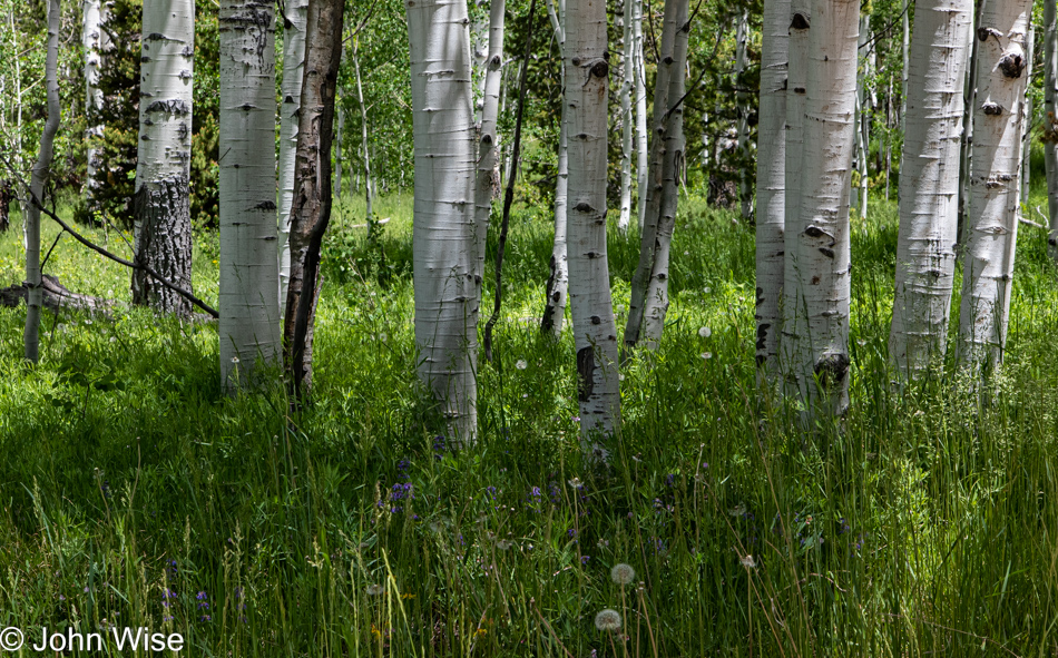
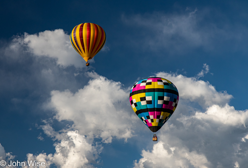
The air up here in the Wasatch Mountain Range is crisp and clear, making it a perfect place for hot-air ballooners looking for an exciting way to see the surrounding landscape. Sure, a part of us would like to gain that perspective of floating over the countryside, but the uncertainty of how our fear of heights will handle this situation allows our curiosity to back away from feeling the need to do all things just because we could. Our terrestrial viewpoint isn’t a bad one either, after all, we are offered countless opportunities to witness an infinity of sights and experiences such as this one upon walking out the door of our motel.
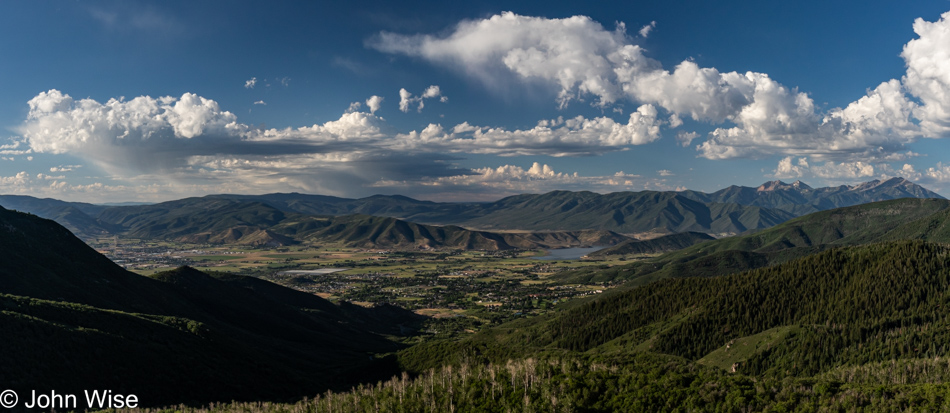
This morning, we are heading up through the town of Midway on Pine Canyon Drive, a bit of a nail-biter with very few opportunities to pull over on the narrow road full of hairpin turns. During winter, this road is closed, and it’s obvious why. That’s Midway in the distance on the valley floor, and to the far left, you can spy a corner of Heber City. At some point, just before our trailhead, we merged onto Guardsman Pass Road, and shortly after, we reached our parking area.
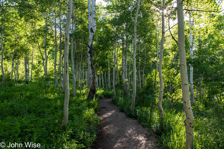
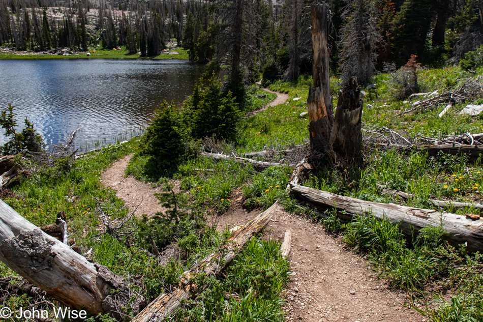
Good thing we showed up early as there were already 20 cars parked in the large dirt lot, but by the time we’d come off our hike, the area was full, and people were parking a quarter mile away in an overflow area on a sketchy steep side driveway, while others who hadn’t heeded the signs that there was NO parking along the road were getting ticketed or maybe on their way to being towed. By the time we were finished with our walk, we only wanted some food and to rest our tired feet. Enough of that; time to get on down the Bloods Lake Trail before continuing on to Lackawaxen Lake.
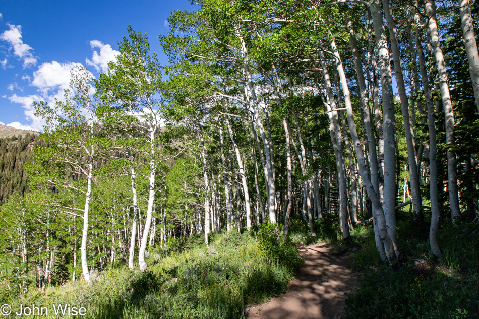
A small detail to note: we parked in the shadow of Jupiter Peak, which stands just below 10,000 feet, and our hike will take us over towards Clayton Peak, towering at 10,689 feet (3,258 meters). The trail itself is supposed to be just over 5 miles with an elevation gain of 1,118 feet (310 meters), but considering that we took an alternative trail back to the car, we had more gain than that and, of course, the descent. And while this was our major activity of the day, somehow, we amassed over 8 miles of walking (13km).
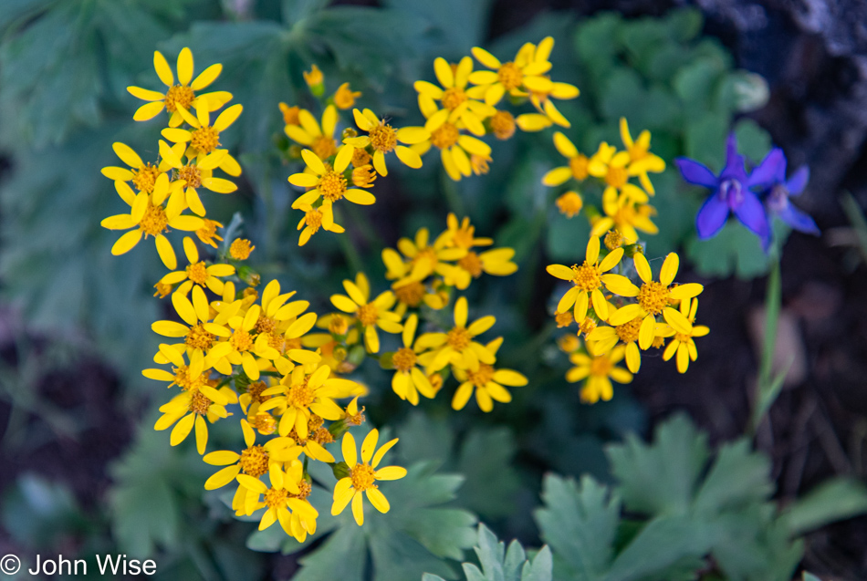
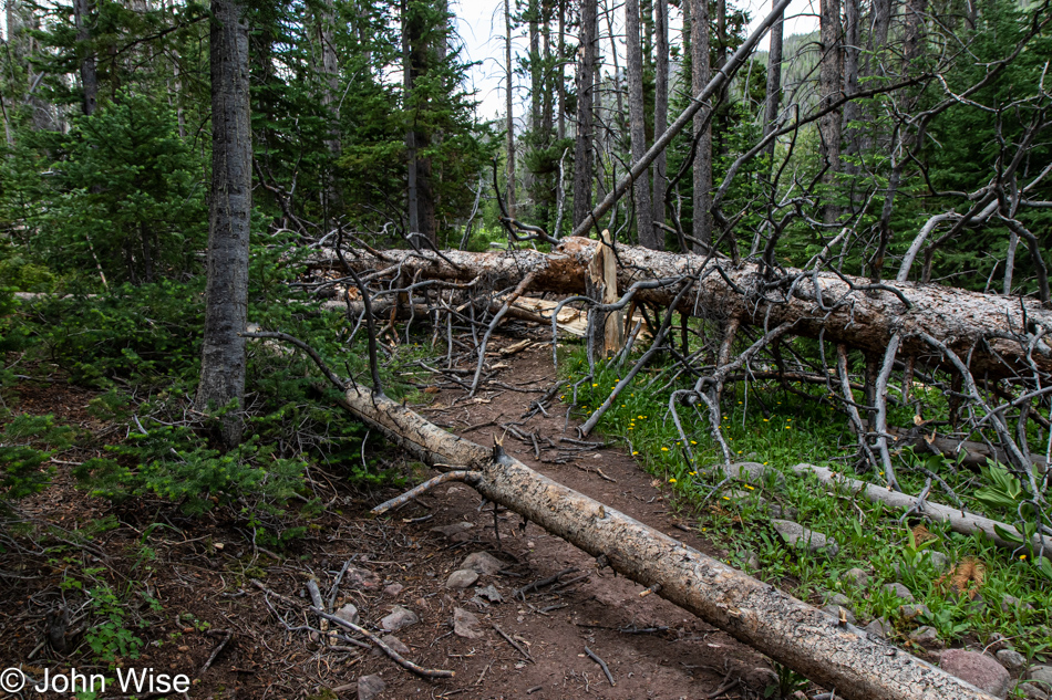
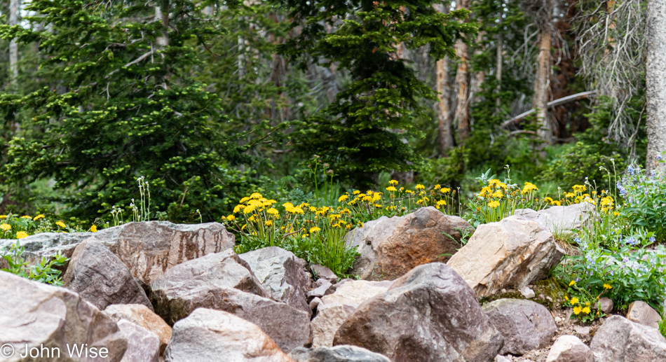
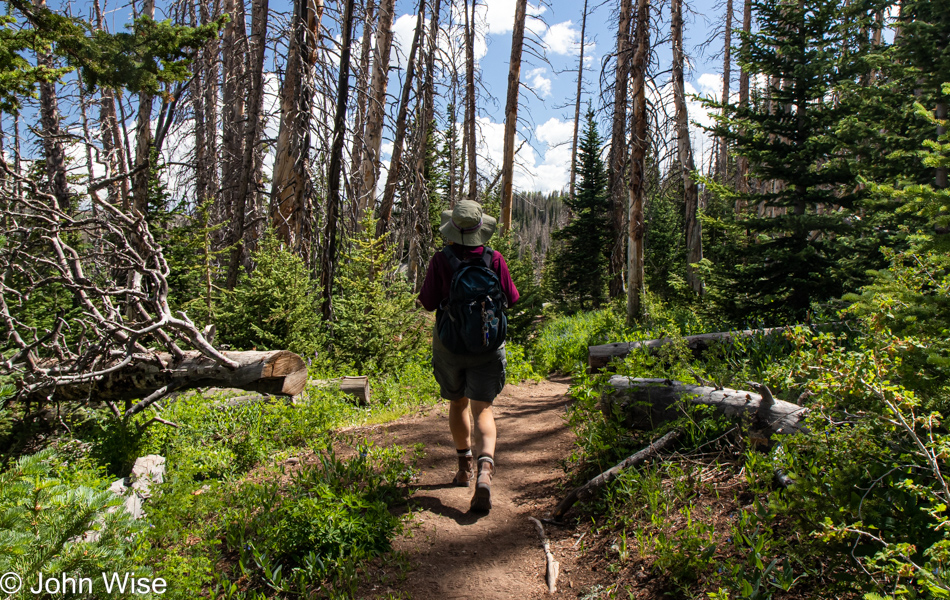
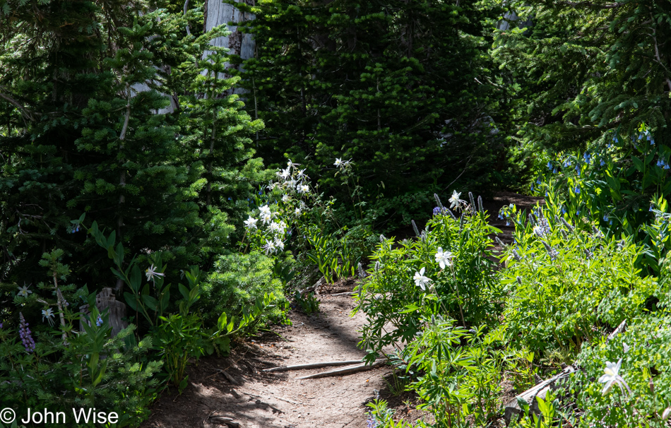
As you’ve seen by now, the forested trail is beautiful and in keeping with the theme established a couple of days ago at Cedar Breaks National Monument: we are here during the season of wildflowers. These particular yellow flowers appear to be part of the packera genus of plants and are commonly known as golden ragwort.
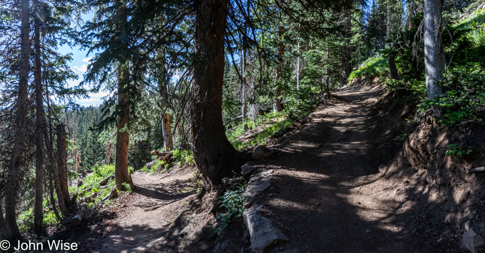
Switchbacks at this elevation are never really fun for those of us who live in lower climes, but the excitement of being in such an intriguingly beautiful location and our insatiable desire to experience more move us forward, even if we have to take frequent breaks to catch our breath.
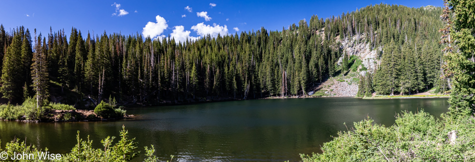
For our efforts and treasure offered to the gods of capitalism, we are afforded payoffs like this. At this point, we are little more than a mile up the trail, and this is also the place most hikers park themselves if they are able to endure the mosquitoes. We’ll only be here momentarily as Lackawaxen Lake is still another mile and a half away, and we have about 32 miles (563km) of driving ahead of us today before reaching the town of Blanding, Utah, where we’ll have an overnight.
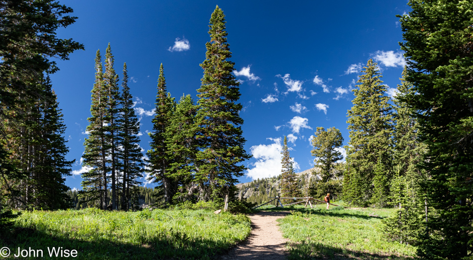
If we didn’t live an 11-hour drive away from here, we’d certainly make the effort to visit more often. As for flying up to Salt Lake City and grabbing a rental car, that would add no less than $600 to the cost of the weekend. When using our own car, we spent about $140 in gas to be here, and that’s for the roundtrip.
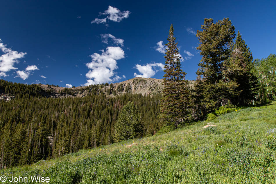
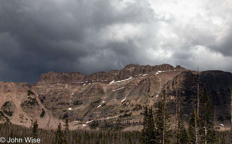
That’s Clayton Peak up there, and it’s just below it down in the treeline where we’ll find our next lake and even more mosquitoes.
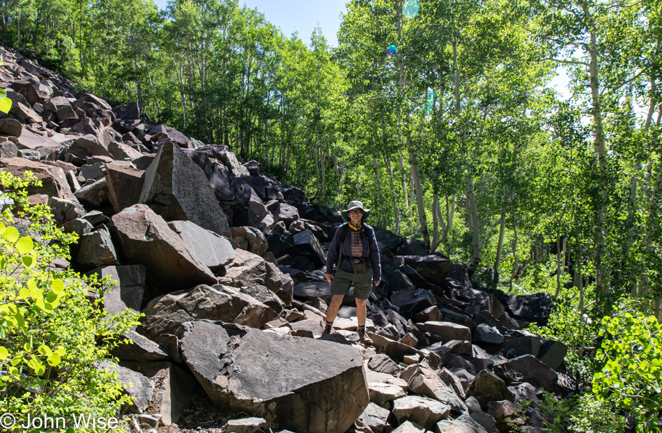
Some small rocks to walk over before we reached some serious boulders that required negotiating, along with a bit of snow further along the trail just before arriving at the lake. Regarding the jagged boulder field, a couple of times, I found my way through on my butt, as standing high above the gaps was triggering my anxiety.

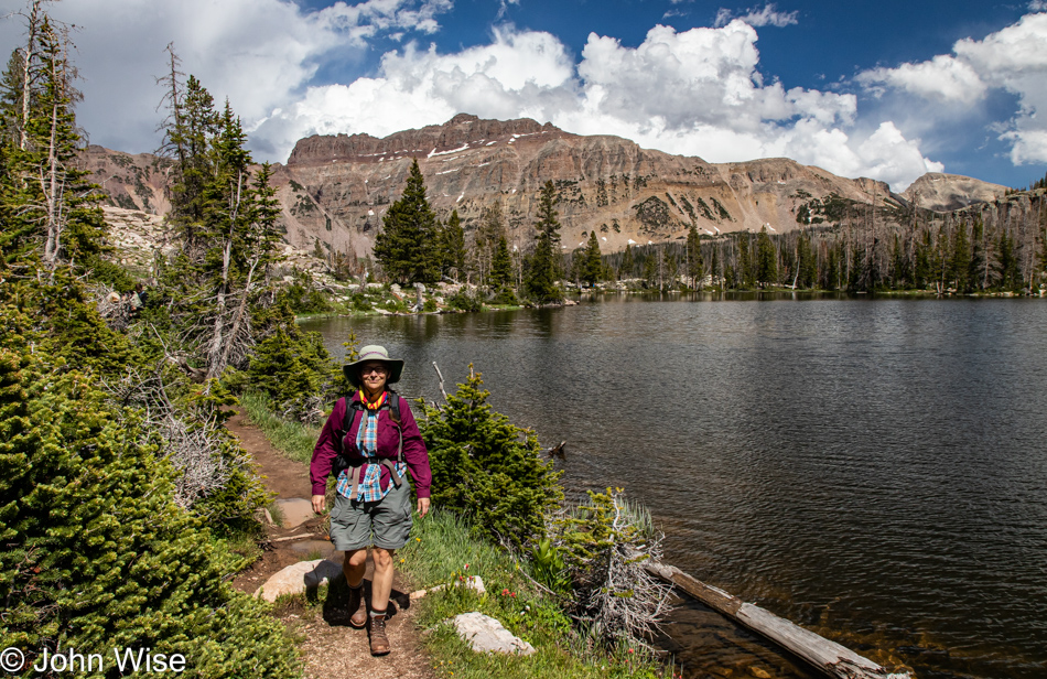
But we made it to Lackawaxen Lake, where we lingered for two, maybe three minutes before running away with a cloud of angry, hungry mosquitoes on our tail.
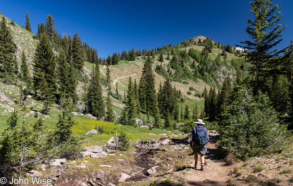
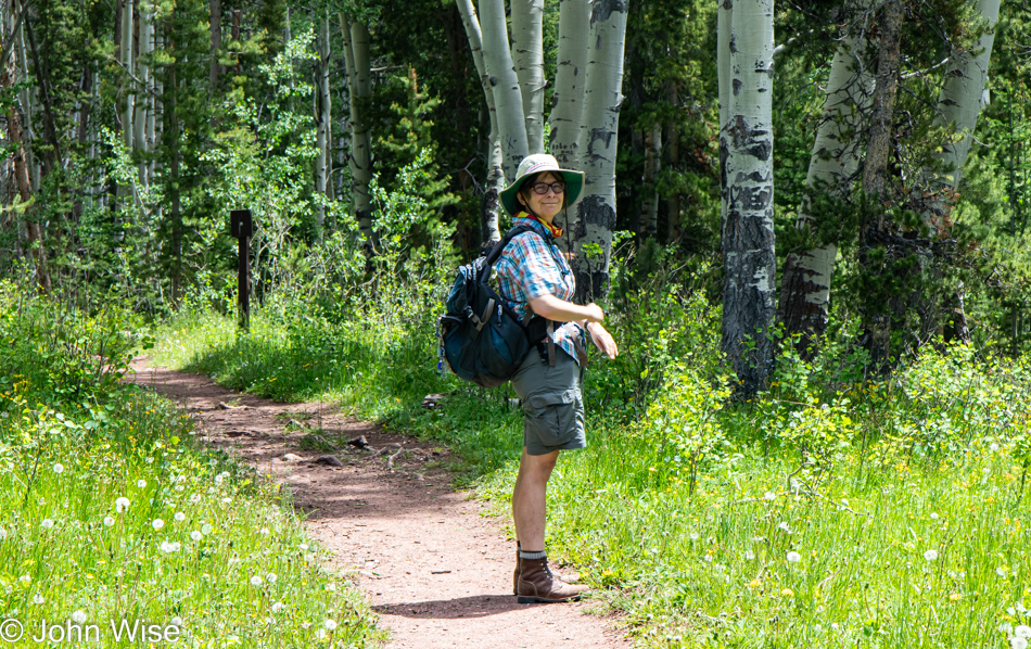
My stoic, resilient, hard-ass wife is not one to let some pesky mosquitoes interfere with her joy, so she just keeps on going while ignoring the bloodsuckers drinking from her bare legs so they can make baby mosquitoes. I, on the other hand, shoo them away, swat them, nearly panic when they approach my ears, ask Caroline if she sees any of them on my shirt, and then whine that we don’t have a gallon of Deet/bug spray with us, hell that we don’t even have the tiniest bottle with us. We are at the mercy of mosquitoes, but we have the option to leave while they must live and die here.
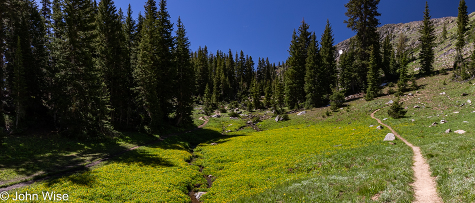
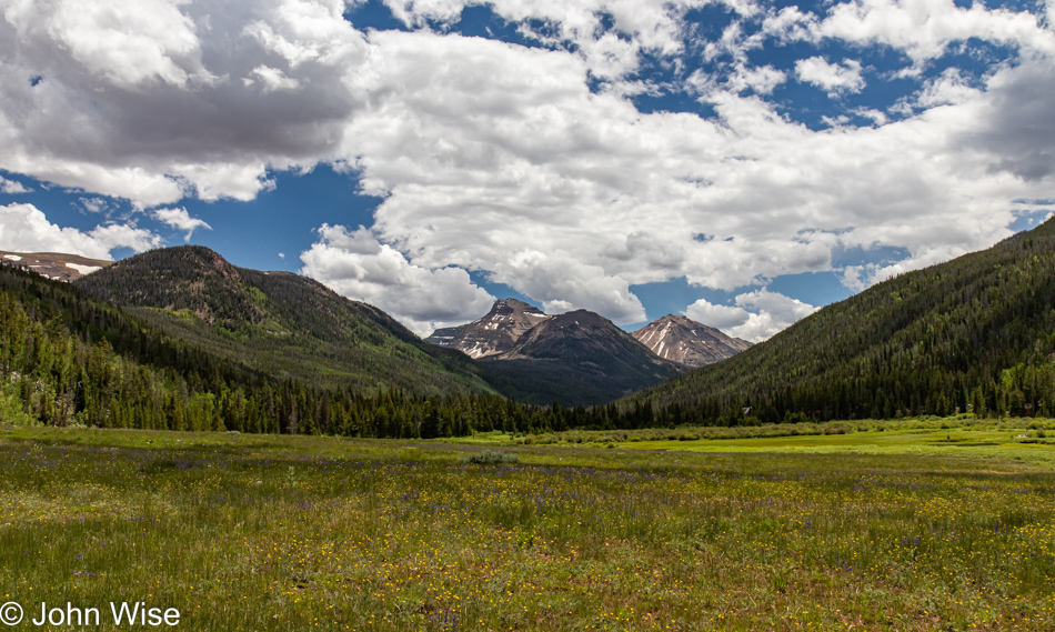
While my eyes luxuriated in the spectacular beauty of the meadow, and I considered what I might write next, I was still thinking of mosquitoes and my snarky comment that we have the option to leave while they must remain. This is where they’ll live and likely die and while some mosquitoes can fly up to 10 miles, I’m guessing that most live near a good water source and a place they can easily find food. Food, that’s what we are to the females, this much I knew; what I didn’t know is that the males feed on nectar but only for a brief ten days as they flash into existence and die rapidly, after only ten days! In comparison, female mosquitoes enjoy a much longer life that, on average, is estimated at up to 45 days, while other sources say it is closer to only two weeks. I also learned about diapause, which is the condition when insects effectively enter a kind of hibernation state due to conditions unfavorable for their species, such as mosquitos here in these mountains when winter sets in.
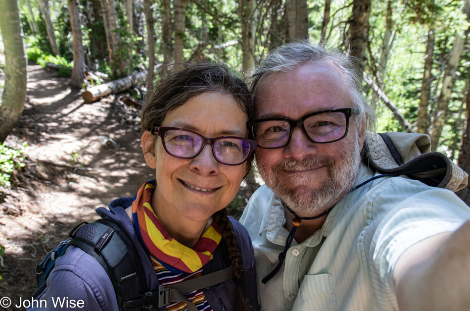
As I was looking inward to find something sweet to write about these two sacrificial blood banks that the mosquitoes zeroed in on every time we took the slightest pause, I had to chuckle to myself as I somewhat maliciously considered that many people in society are frozen in diapause waiting for optimal conditions for them to emerge from stasis and start living lives in the great happiness of optimism instead of their futile non-existence under the rock of despair. Long live the smile of knowing you are alive and have options.
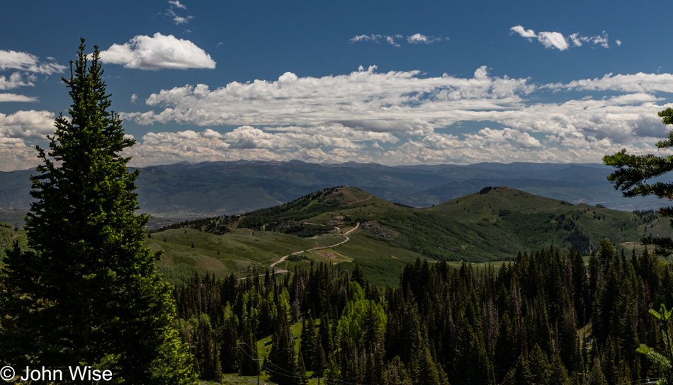
Today was our day to gaze upon this scene for the first time in our lives, and while we may never have the good fortune to ever look at it again, we’ve been here, even if only for a moment. A thousand years from now, this view might not have changed much at all, but the memory of us or specifics of our existence will be long gone as we’ll have been dead for more than 950 years by then. It’s all temporary and virtually impossible to see but a tiny fraction of the space rock we live on for such a very brief time. In some way, we are all like male mosquitos existing for but ten days where everything we will ever know and see must be had in those meager 240 hours. Every second counts, my fellow humans, or are you really content with your mosquito-like existence? On second thought, I should consider that those I’d like to reach might never read something about someone else’s adventures and thoughts as they go about a life of profound isolation. All the same, I’ll just leave this right here.
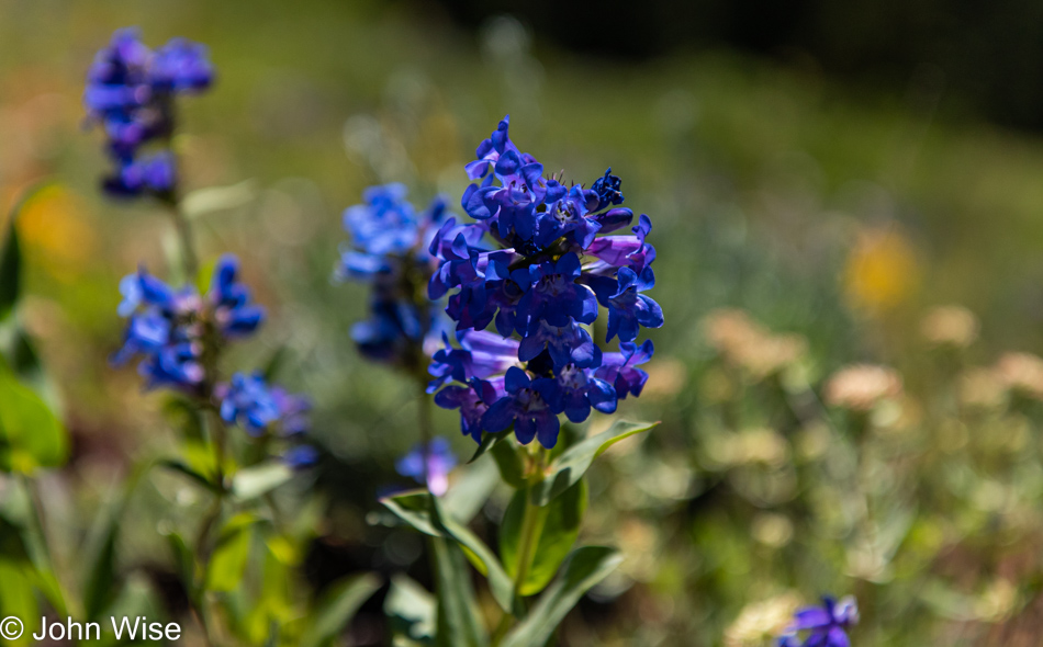
Wasatch penstemon flowers.
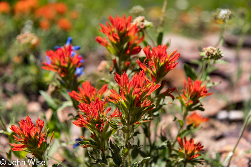
More Indian paintbrush.
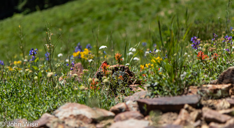
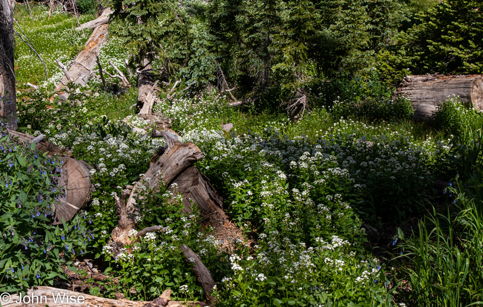
Bring them all together, and voila! a beautiful little patch of wildflowers.
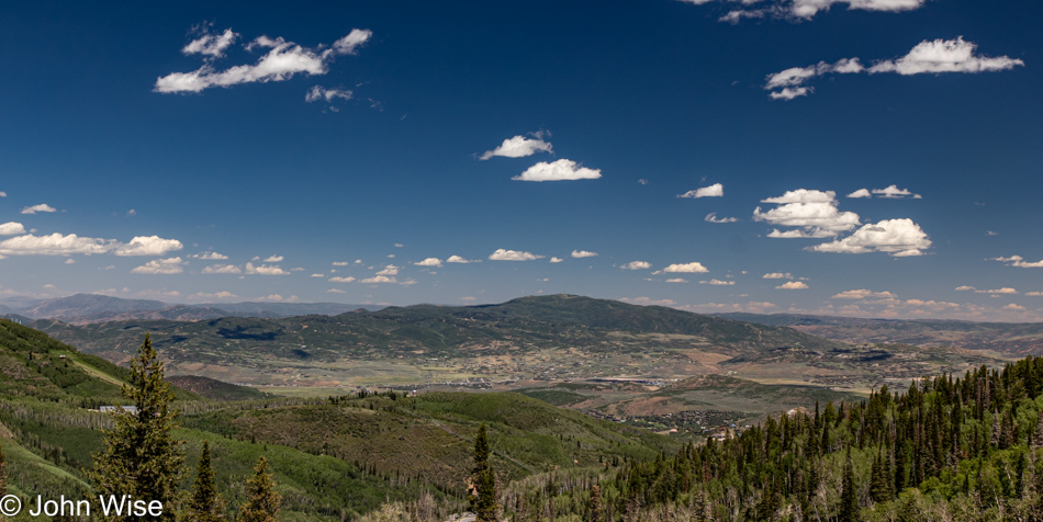
The horror of horrors was our drive into Park City, which is a bastion of self-important asshole drivers high on their wealth and oblivious to civility. I will never again make the mistake of passing through this corner of America, but the view from above this wealthy enclave (towards the right and out of view) is a spectacular one.
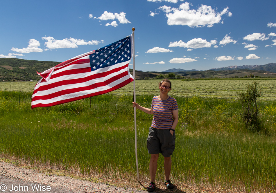
We are on Utah State Road 35, driving southeast, preferring to take the scenic route instead of the faster highway. Tomorrow being the 4th of July, this flag-lined stretch of road feels like one of the most honest celebrations of the big day.
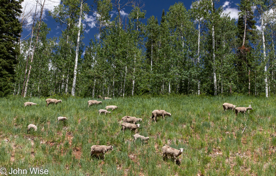
Freshly shorn sheep free-ranging next to the road is not something one sees every day, so we had to turn around, pull over, and hang out with all the sheepies and their lambs.
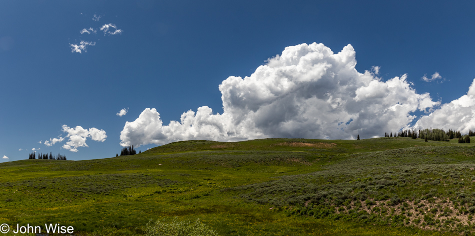
I believe this to be the last photo I shot on this stretch of road before transitioning to the 191 in Duchesne.
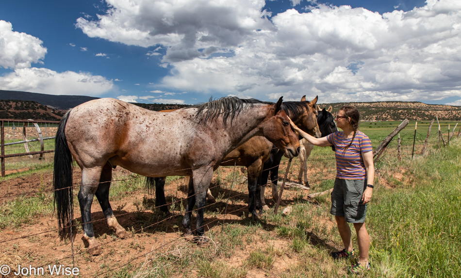
How long should it take to drive to where we are going today? Just as long as it takes, considering that we have to stop for a dozen sights along the way, such as these elegant horses.
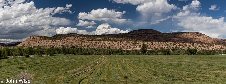
It’s the details between the other details that paint the bigger picture of what was what when we were out somewhere, seeing the things that became memories that must fade with the passage of days.
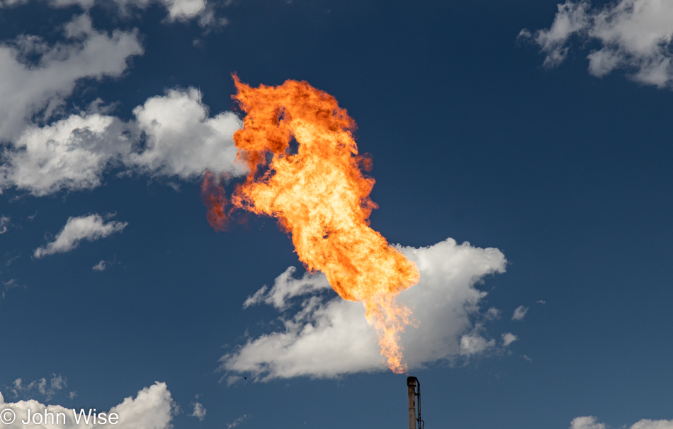
I must have taken dozens of photos waiting to capture the right one of this gas flare and this fire unicorn certainly qualifies as perfect in my book of stumbling into the coincidental.
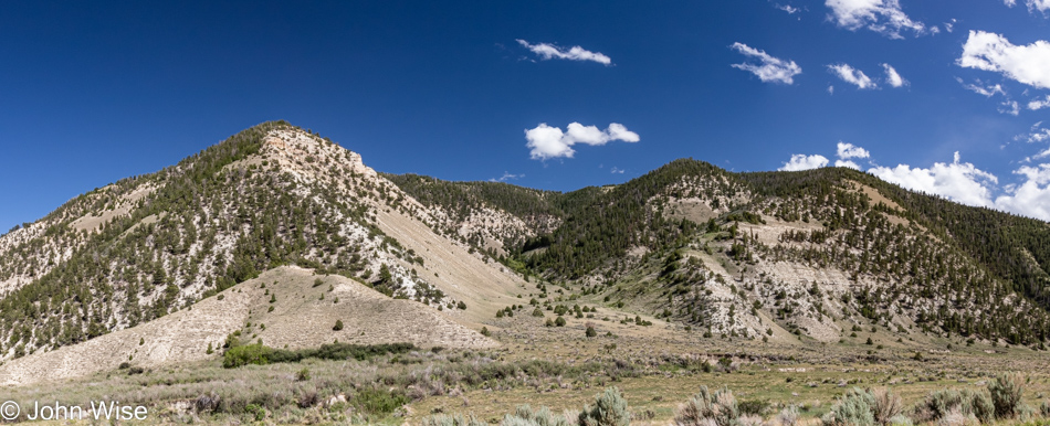
We are somewhere between Duchesne and Helper, Utah, at this time, and signs of people living out this way are few. What is here is a lot of oil and gas pumping. We were also offered a lesson in stopping in the middle of the street for a photo when thinking there was nobody behind us; I was about to step out of our car for a photo when I heard the roar of a giant diesel engine and then caught sight of a large oil tanker speeding straight at us. I threw the car back into gear and hit the gas as hard as I could so the guy fast approaching didn’t have to slam on his brakes to avoid rolling over us and snuffing our lives out of existence.
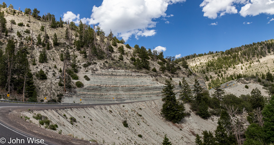
Beauty is found in the fluid and infinite state of things; we sense it in the clouds, layers of stone, patterns of where trees grow, the song of birds, music, or the sound of flowing water. We are always passing through sensuality and the passions of nature but are not always tuned to understanding the equation to which we are intrinsically linked. Every time we venture into these unknown ramparts and bucolic scenes, we are enmeshing ourselves in the greater tapestry of life as humans have come to know it. Expressing this relationship in words, images, music, or poetry is our primal language that transcends the work/enslavement structures distilled from others who desire to use human capital for their own means. To be out, exploring, observant, and in delight is to be free. The amazement of opportunity is where freedom is most easily found.
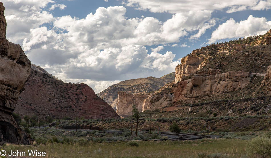
Somewhere near Castle Gate seems appropriately named to me.
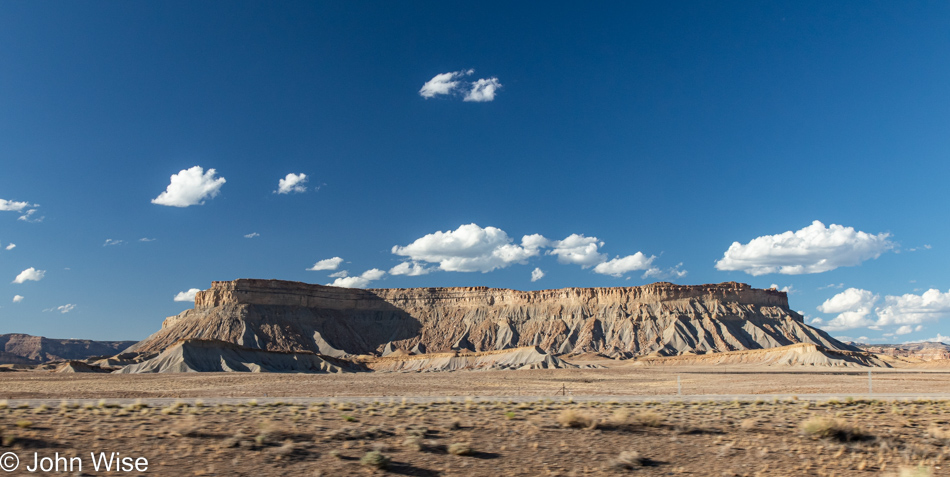
While we can’t always avoid major highways, we try not to miss the few views worth capturing, even if it means rolling down the window, having Caroline take the wheel, and me shooting the photo while driving at 80 mph. Yes, that is exactly how this photo was captured.
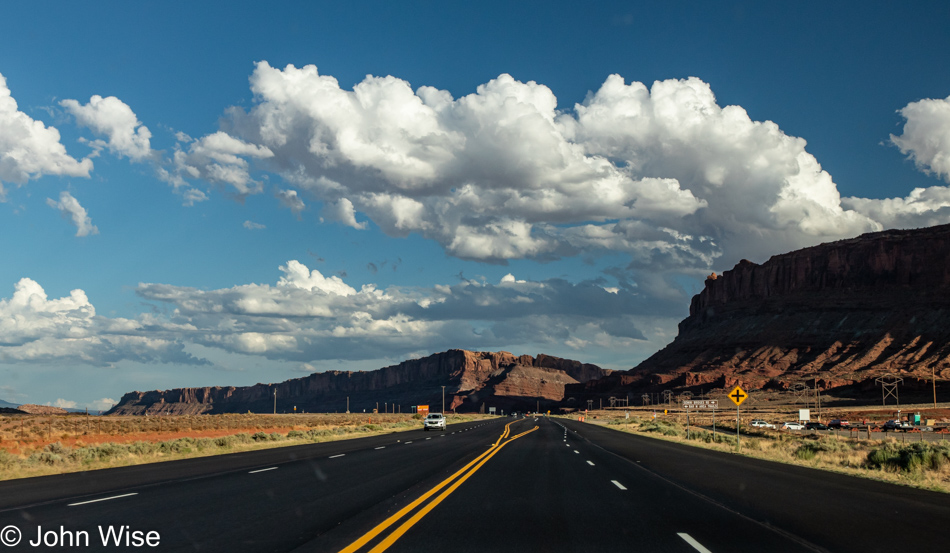
Arches National Park and Moab, Utah, are out there over the horizon.
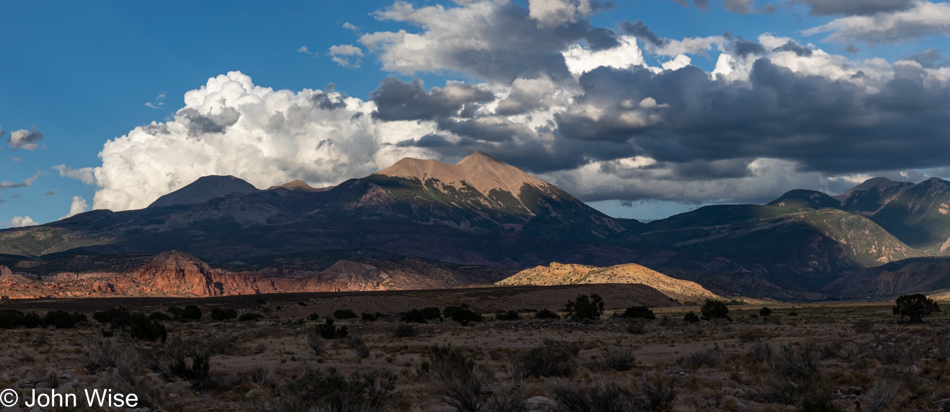
No time for crowded tourist destinations this late in the day as we still have 75 miles ahead of us.
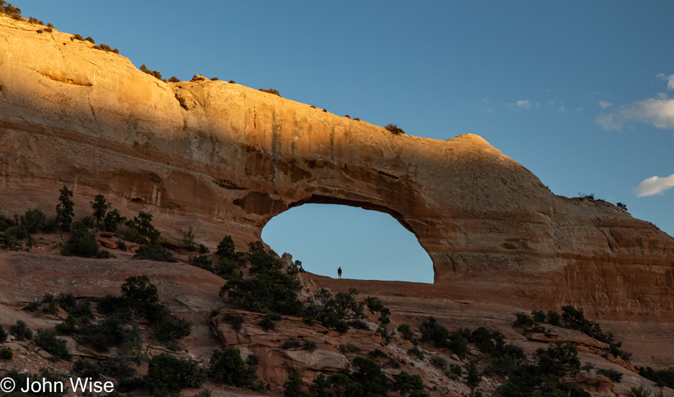
Okay, just a quick stop at Wilson Arch.
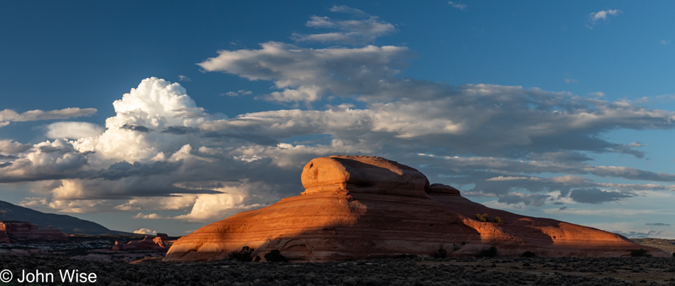
We’d better stop for this, too, as maybe this will be the best photo we are afforded for sunset.
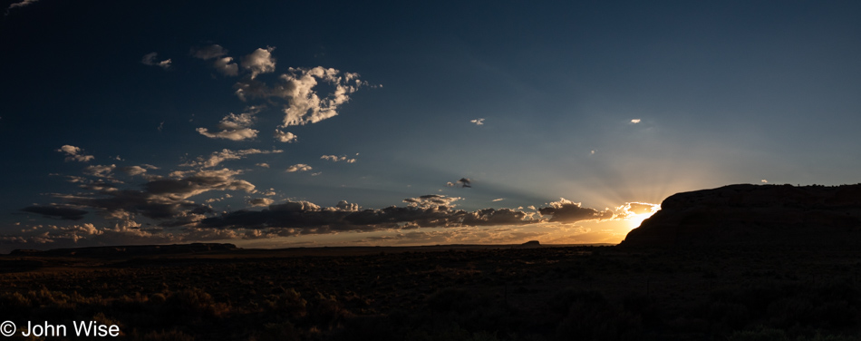
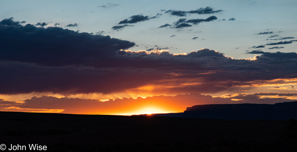
But then we saw the sun hiding just behind a sandstone bluff, sending out god rays and some golden glow, letting me frame the foreground as a silhouette. This, though, has to be it as it’s getting late, and we still have to check in to our motel further down the road.
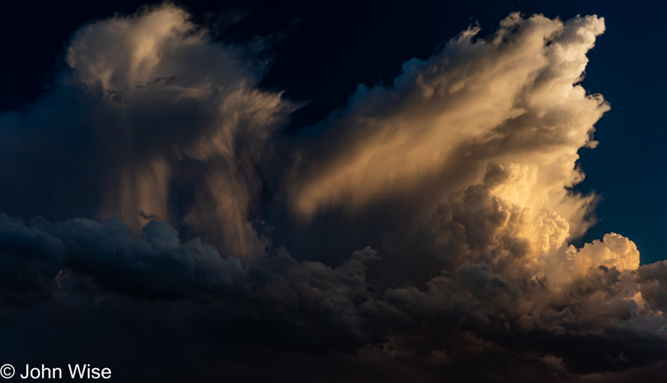
I can’t just drive by clouds that are this spectacular, but I swear, this is it.
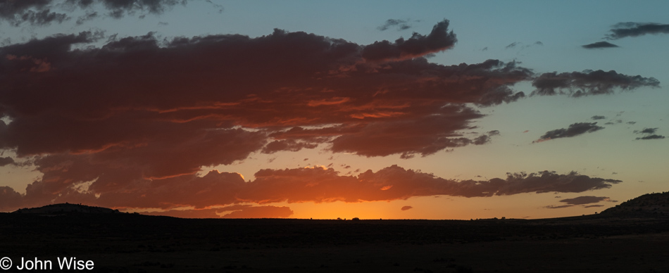
Okay, so I lied.
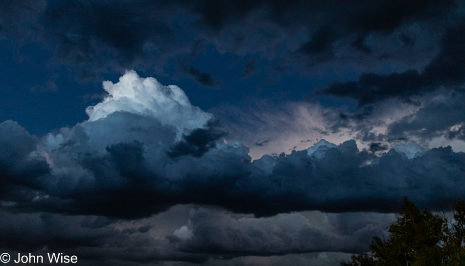
Tricked you here; you might have thought this was one more lie regarding stopping on our way to Blanding; well, we were pulling into our motel parking lot at 9:30 and just enchanted that down on the ground, it appeared to be already nighttime, but this one section of the sky was still capturing daylight from the long-set sun that we thought would be impossible to capture. But it turned out pretty good, or so I thought. So this is the last of the 37 images that accompany our day that started high in the mountains and followed us down to canyon lands in the southeast of Utah.
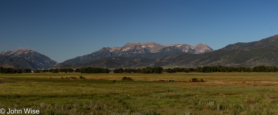
Exploring the Wasatch Mountains

That’s Utah’s famous Mount Timpanogos, the second-highest mountain in the Wasatch Range that’s part of the Uinta-Wasatch-Cache National Forest. (Yesterday, we were seeing its other side.) This is the backdrop of Heber City, where we are staying since we are relegated to the poor person’s enclave of mere millionaires instead of the far greater (billionaires’) village of neighboring Park City (said with incredible reverence).

Just north at the fork in the road, you’ll start heading up towards Jordanelle Reservoir and the town of Kamas beyond that. We are aiming to get on the Mirror Lake Scenic Highway, a.k.a. Utah State Highway 150, that heads north towards Wyoming, although we are keeping things in Utah today.

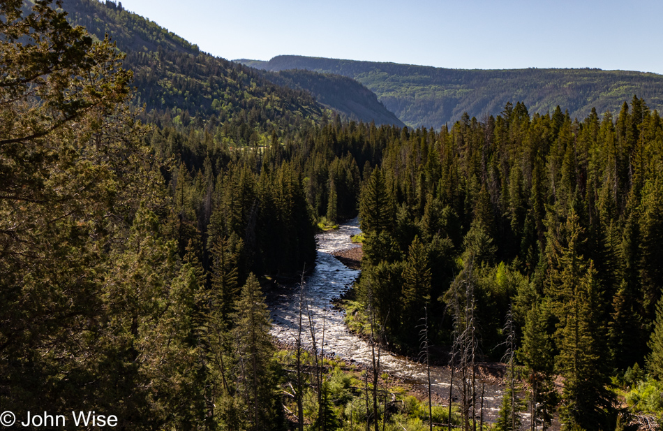
That’s the Provo River slicing through the forest and feeding Jordanelle Reservoir that we just passed.

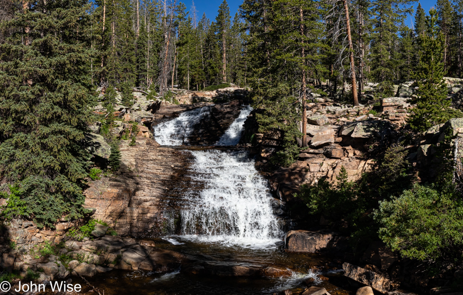
Our path of discovering whatever lies ahead has brought us to the Upper Provo River Falls.

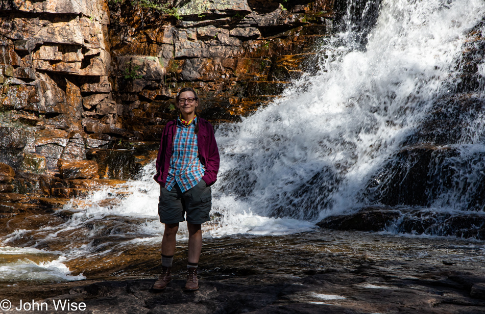
Human banana for scale.

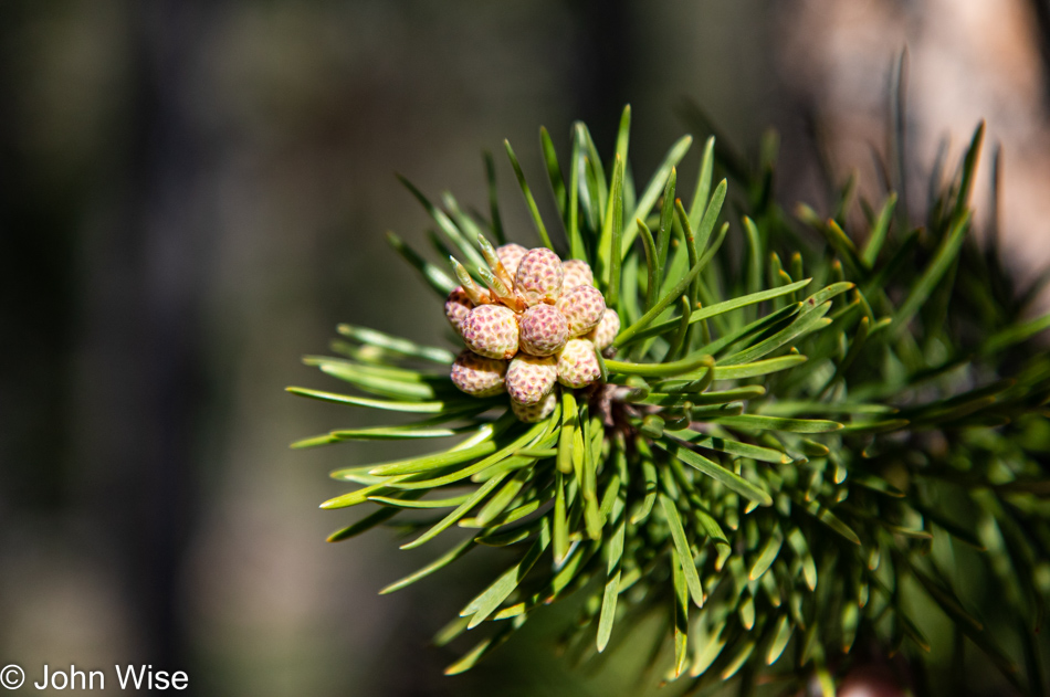
Wouldn’t you just know that I’d be at home writing this when I learned that pine cone buds are fully edible? We don’t miss the opportunity to sniff at Ponderosa pine trees now that we know that they smell of vanilla or caramel, but now I’ll need to know what those pine cones taste like.

Pulling into the area at Washington Lake Campground, where our trailhead is located, might seem to be discouraging as the parking lots were packed, but once out on the trail, other visitors were so well distributed across the vast trail system that we never felt crowded. Though I would like to admonish owners of poorly trained barking dogs as they are the bane of a great experience on trails, and so are the dog poop bags left trailside; why even bag it up?

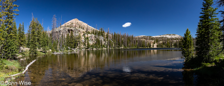
Things quieted down as we got closer to Crystal Lake.

Mosquitoes! Guess who forgot the bug spray? Well, it wasn’t me, as I easily and rightfully assumed that it was in Mrs. Wise’s backpack of everything.

Why pay for Alltrails if, after choosing your trails, you fail to download the app, load your maps for offline use (there’s no signal on the trail), and neglect even printing them out so you have something to remind you of where precisely the trails of interest are after identifying them while still at home in the days prior to your trip? You do this due to a lack of familiarity with the incredible utility of Alltrails, likely in some part due to cynicism that says, “Everything you pay for on the internet that’s not a physical product is probably some kind of ripoff.” Well, now I know.

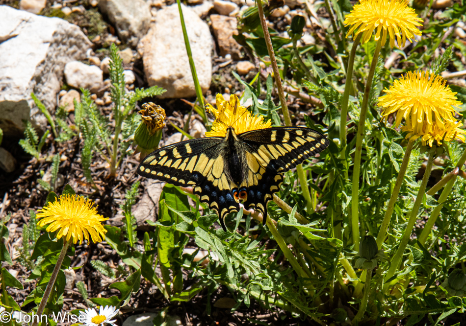
A tiger swallowtail butterfly among the dandelions is just one of those embellishments that assure us that we are here on this trail at exactly the right time of year and that no other weekend could have been as perfect.

Lucky for us, at a fork in the trail, a young couple heading to Long Lake had a small map with them. They were certain that their trail was to the left and that our way to Cliff Lake could only be on the right. Along the way, we ran into Boy Scouts who were a bit surprised about the trail they were on as it was unfamiliar to them, but we were able to assure them that this was certainly the way to Crystal Lake and Washington beyond that, so they were relieved and happy heading downhill because the trail that had taken them out to Wall Lake (well beyond our destination) had been a lot more strenuous.

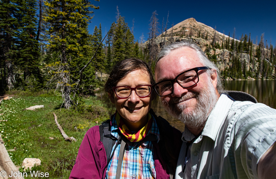
As for hiking up here at 10,100 feet of elevation above sea level (3,078 meters), I felt some very minor lightheadedness and even the occasional ping of a headache, but stopping for a sec and taking a big swallow of water helped me adjust to the altitude and we just kept huffing and puffing along the trail. About this selfie, Caroline asked that I make a better effort to take photos of the two of us as I’ve not posted many selfies in a while. I scrolled back on the blog and saw that it’s true: it’s been since May 26 when I last shared an image of us.

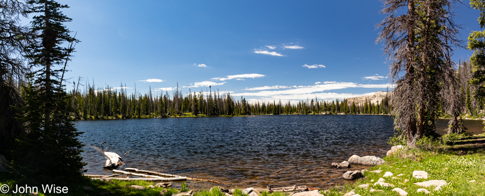
This is the end of the trail as far as our hike is concerned, and from here, we’ll head back to our car and one of those incredible lunches of bologna-and-boiled-egg sandwiches wrapped in lettuce. For those curious, we probably exchanged expressions of love no less than 40 times already today, held hands over a dozen times, stopped for a kiss, and snuggled on the trail more times than what is probably reasonable to normal people. While it’s been said countless times previously here on my blog, we do not, will not, and cannot take any of this for granted. We are well aware of how incredibly fortunate we are to not only explore perfection in delightful places while deeply in love with one another, we have the health, means, and desire to do these things.

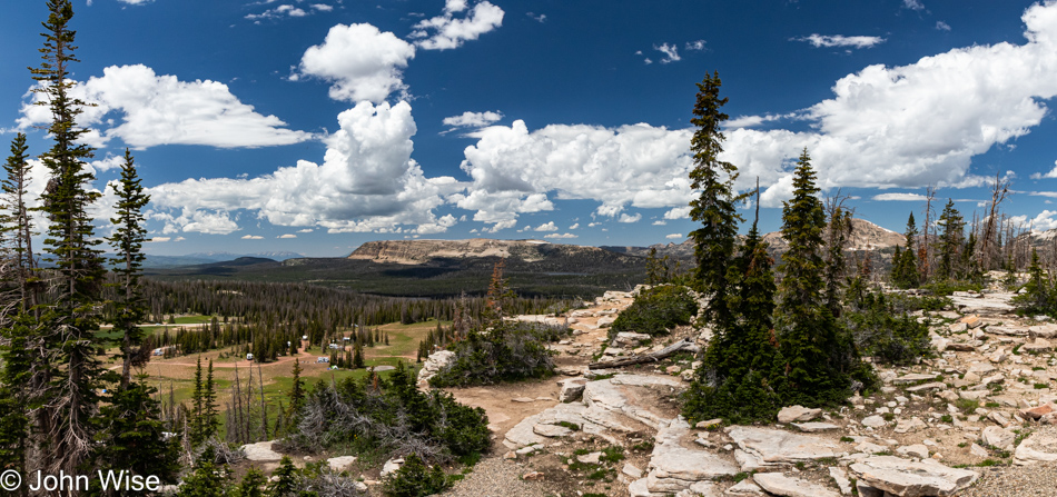
We just had to pull over here on Utah Highway 150 at the Bald Mountain Scenic Overlook because, well, just look.

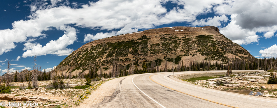
By the way, this is the namesake of this pullout and overlook.

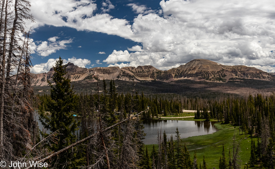
That’s Moosehorn Lake out there, while the tallest peak towards the right is Mount Agassiz, standing at 12,433 feet tall (3,790 meters). Looking again at the Alltrails website, it’s surreal how many trails are spread out across the Uinta-Wasatch-Cache National Forest. Somewhere along the way, we caught someone who told us that they were still having snow flurries up here during the past couple of weeks, so the time of year we can plan for a return will likely be limited to July 1st through early September, but I do hope that maybe in 2023 we’ll make the effort to possibly take some longer hikes and maybe even some camping in the backcountry. Just as I finish typing that, I’m thinking, hey, what about those mosquitoes, Mr. Ambitious?

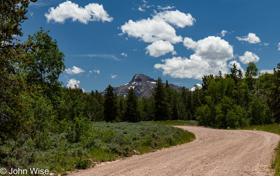
We were driving north without a plan. Maybe we’d make it to Wyoming, but we needn’t do that; we are not out here collecting trophies. A dirt road directing us to Christmas Meadow and the Stillwater Trail, which is part of another trail leading to Ostler Lake, is out here, so we go.

We are excited to make this the second hike of the day; it’s beautiful.

Christmas Meadow looking out at Ostler Peak at 12,718 feet!

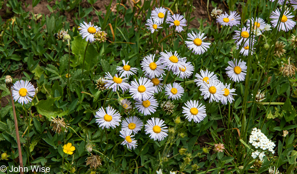
Frost Aster flowers and yes, they are edible while the leaves can be used to make tea.

We couldn’t ask for better conditions for a hike. The trail is a long one, but we’ll just go as far as we’re comfortable before turning around.

Not 10 minutes later, we hear thunder in the distance, and some dark clouds are coming over the nearby mountains. Then, just 10 minutes after that, we run into this obstacle, hardly insurmountable, but a light sprinkling of rain is starting to fall so we turn around.

After a short nap for me, while the rain passed, we decided to throw caution to the wind and head out on the Ruth Lake Trail for a quick 2-mile hike.

Hayden Peak with the threatening weather still looming on the horizon.

Our timing couldn’t have been any better as blue skies started reappearing. Why we hadn’t considered the chance of wet weather during any of our previous trips this year is beyond my imagination. Not once have we brought umbrellas or our rain jackets on any of our excursions out of Phoenix this year. We obviously have room in the car to simply keep them in the back, but I guess my eternal optimism that the sun will always be shining on us lets me be careless regarding threats of poor weather.

Rocks, mountains, grass, trees, birds, clouds, love, friends, and happiness were all on hand to create a scene that likely holds a lot more intrinsic value to the two people that were on hand at this moment so the photo would forever be embued with qualities that transcend what is actually seen by others.

Nature legitimizes existence; it is the fabric from which we have emerged and from which modern consumer society has tried to alienate us. When we gaze into nature on a beautiful day our sense of self somehow grows larger as though we were blooming like a flower. How lucky are those of us able to plant ourselves in such places and bask in the sun.

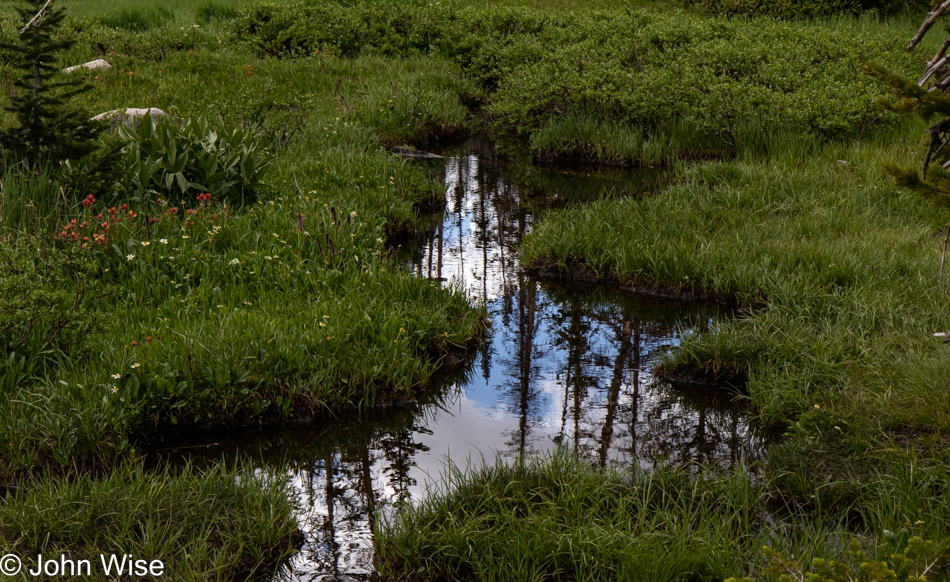
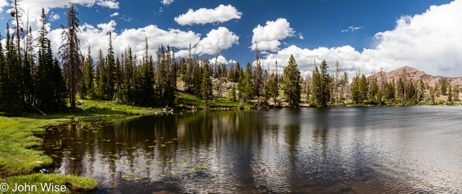
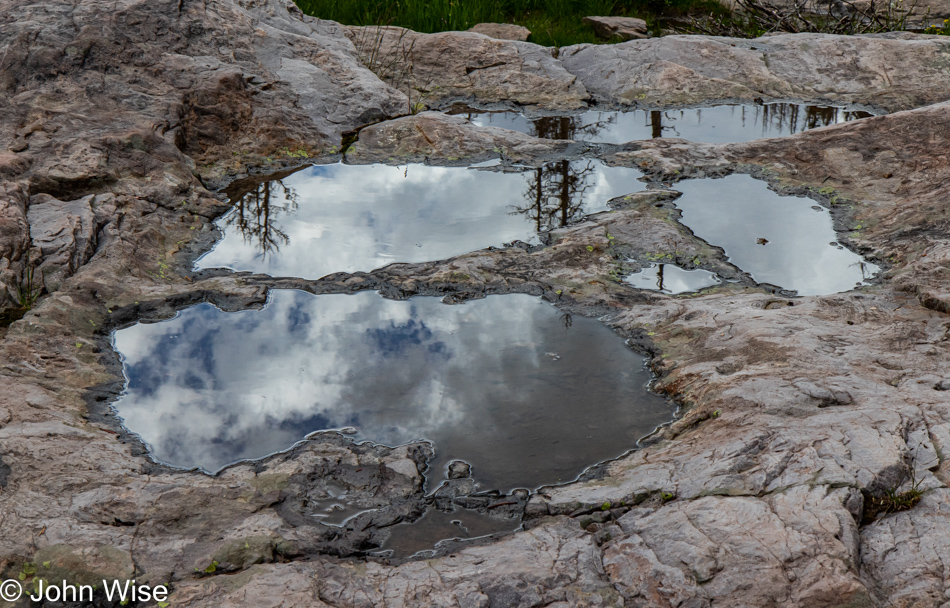
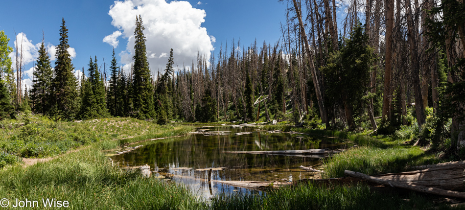
Like this nameless still pond reflecting the world around it, what will you reflect of the world around you? Maybe if you live in the awareness of turmoil and you are surrounding yourself with the chaos of uncertainty and fear, your reflection of that universe will let others know that you are not at peace and that a tempest is raging within.

Again, the parking area was full to capacity, and yet, as is easily seen in these images, we appeared to be out here alone. Maybe instead of seeing the potential for a crowded trail due to the parking situation, I would be better served by getting it in my head that my perceptions heavily influence how my reality is going to play out.

Not just this photo but the one above too is of Ruth Lake that we’ve obviously reached.

All of this was well worth the price of admission, which turned out to be what it always is: you must get yourself out here, make the investment in paying for gas, food, and lodging, and then you’ll be here too, and the better for it.

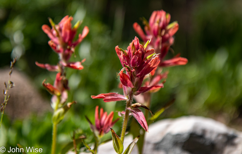
Indian Paint Brush colors the landscape from here to Alaska, or at least this has been our experience.

We are circumnavigating the lake with increasingly sore feet, and while we grow tired, we are not ready to give up on these moments of bliss.

We were just shy of covering 10 miles (almost 16 km) today up here at an elevation of over 10,000 feet (3,000 meters), and at the end of it, after so much strenuous hiking, I found that my chest hurt. I can only attribute this to the increased effort required to oxygenate my blood at this elevation and my lungs working overtime. Considering the alternative is too scary a thought, maybe it’s a good thing I’m visiting a cardiologist at the end of July. The pain persisted through the night but never gave me real concern as the discomfort seemed localized in my sternum where the ribs attach to it which would make sense that it was nothing more than the extra exertion I needed today.

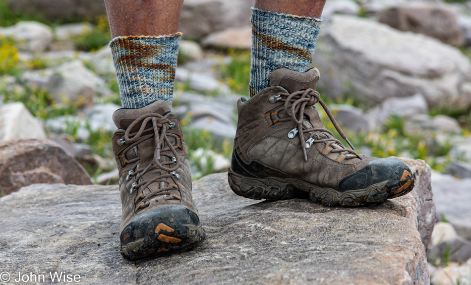
Sunset would be experienced by others; we were too worn down to care a lick about finding a spectacular location to capture our setting sun; all we wanted was to return to our room and pretend it wasn’t so damned light out at 7:30 at night. In its stead, I present you with the newest addition to my collection of handmade socks. This pair arrives once again from the loving hands of Caroline using yarn from Seaside Yarn & Fiber we purchased on a previous trip up on the Oregon coast.

Once back in the car, we decided to celebrate our grand day out with dinner in a restaurant. Online resources pointed us to a fancy-looking restaurant with good reviews, but their parking lot was deserted – a bad sign on a Friday. Luckily, on our way in, we passed a couple on the way out and, uncharacteristically, asked them for their opinion. We soon found out they thought the place was mediocre and overpriced and instead told us to try the Mirror Lake Diner in Kamas. The diner was just down the street and busy – a good sign! Our dinner was delicious and the perfect end to the day.

Beautiful Summer Day in Utah

I need a generic photo for blog posts describing the first nights we are out on the road; that photo would be of a golden brown rotisserie chicken dripping fat as the fire sweats that old bird. This would best illustrate how we sleep on these restless roadside stops. One never knows the quality of the bed, the temperature of the room, or the wail of the window air-conditioning unit. Does this imply that we slept poorly? Obviously, because we struggled to find something even close to the thing known as sleep. So it goes, we know this dance in the been there, done that sense.

Our no-frills breakfast (thanks to our in-room microwave and the ice chest of stuff we are dragging with us) saved me from the potato/toast orgy my petulant inner 4-year-old expects when we are out in the land of the greasy spoon. The menu in cabin 6 featured warmed-up pre-cooked burgers and a shared avocado, which helped keep things in the keto realm for me, and right now, that will have to do.

A few miles away, the state line separating Arizona and Utah was crossed with no fanfare; we just drove in and minutes later stopped in Kanab for some weak coffee, which in a pinch is better than no coffee. Experience tells me that a photo of our coffee stop makes for boring imagery so I skipped that, and anyway, the scenery surrounding Kanab is far more interesting. No, this isn’t Bryce National Park, but it is indicative of what is seen out that way. As we were just visiting Bryce not too long ago, we’ll just keep going north.
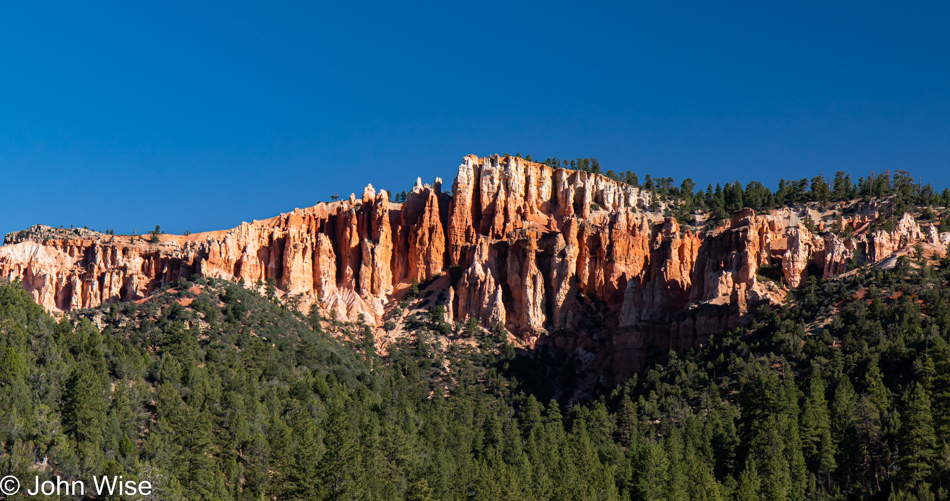
Hey, is that something beautiful over there? Well then, we’ll just have to stop to look at the forest through the trees.
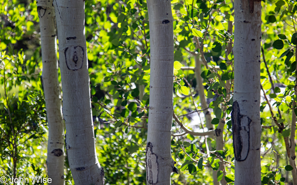
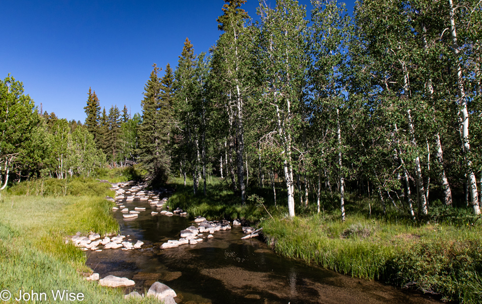
This brook with bleached volcanic stones was the main attraction, and while I should have made an effort to photograph the nearby craggy lava field, we have places to be and know from past experience that we can be our own worst enemies when it comes to arriving somewhere at a reasonable hour.

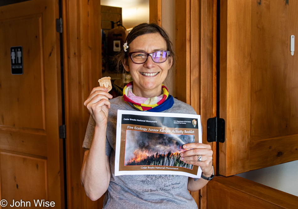
Ninety minutes north of Fredonia, Arizona,  we arrived at our first destination, Cedar Breaks National Monument. Not sure if these people are done with their 4th of July holiday already or if they were just passing through, but they are pointed at the exit. If you’ve read one of our previous posts where we visit a national park or monument you probably have guessed by now that we’ll be making our first stop at the visitors center for Caroline to pick up her Junior Ranger booklet.

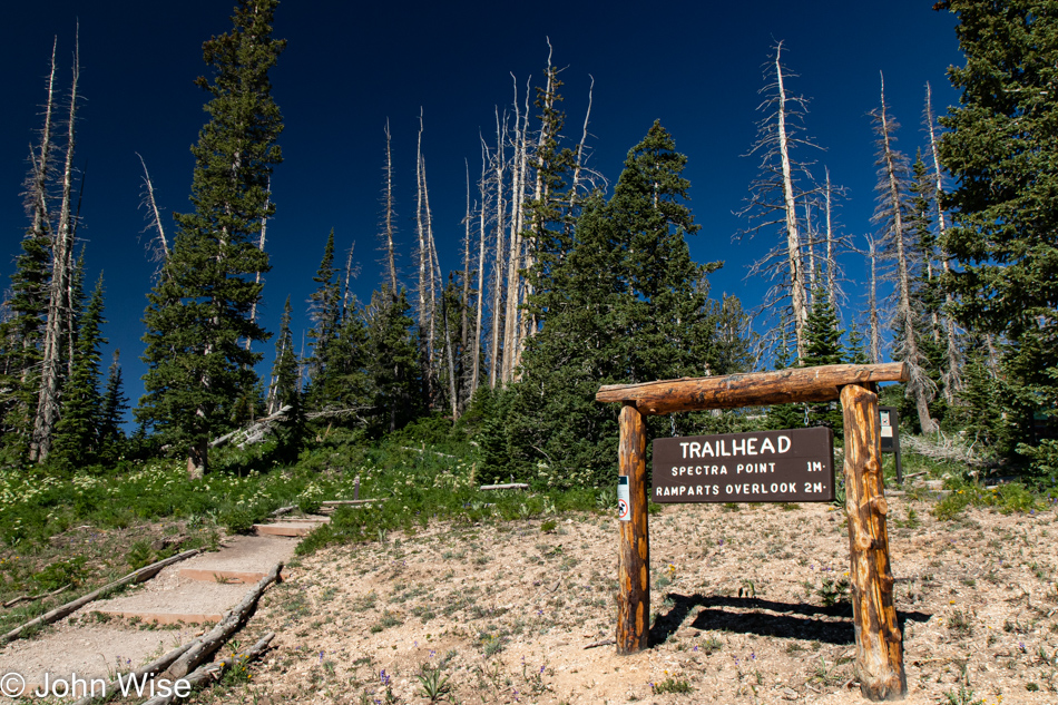
With booklet in hand, along with a new t-shirt celebrating the season of wildflowers, we are on our way up the Spectra Point Trail. It’s obviously a beautiful day out here, and nobody else is parked at the trailhead yet, so things promise to be quiet. Our elevation is 10,500 feet above sea level (3,200 meters), and I’m feeling a bit lightheaded but nothing too uncomfortable.

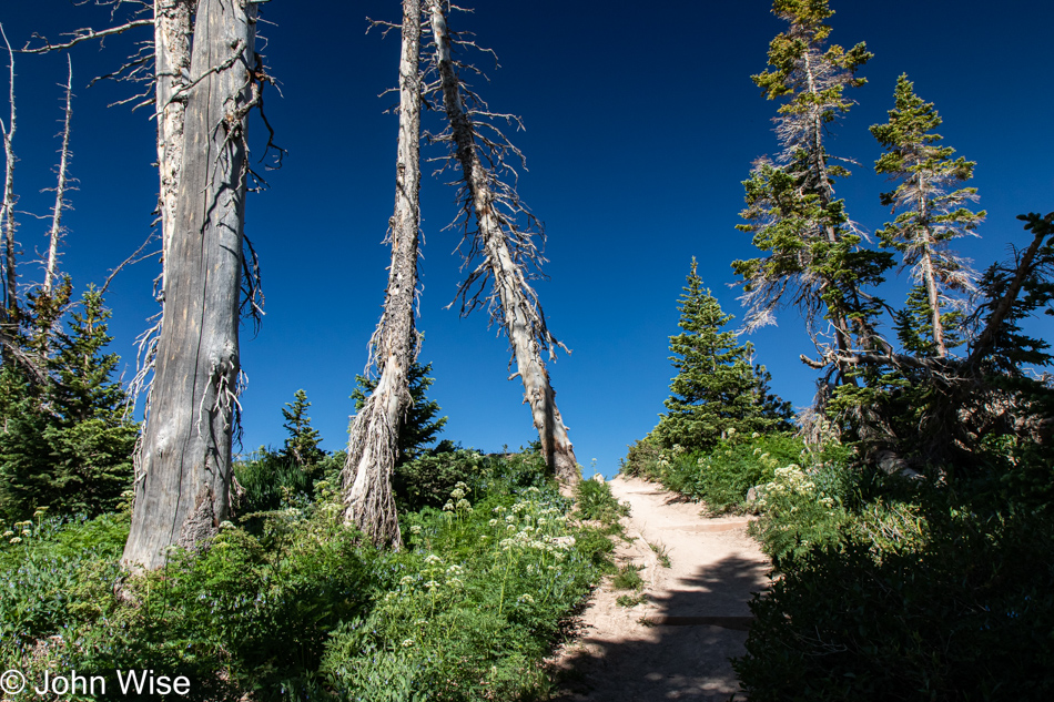
What surprises await us just over the crest?

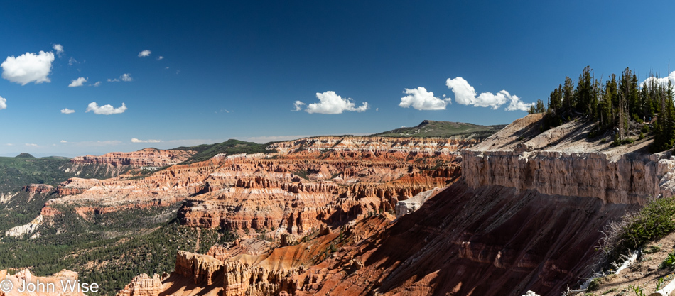
It doesn’t take long before I grow uncomfortable with the nearness to the edge of a massive dropoff. We only made it a little more than a quarter-mile up the trail before a particular corner whispered at me that I wouldn’t enjoy coming back this way as, at that point, I’d be having that open abyss painted spectacularly large throughout my peripheral vision. Time to turn around.

But it’s not time to leave; we are here to stop and smell the flowers, all of them.

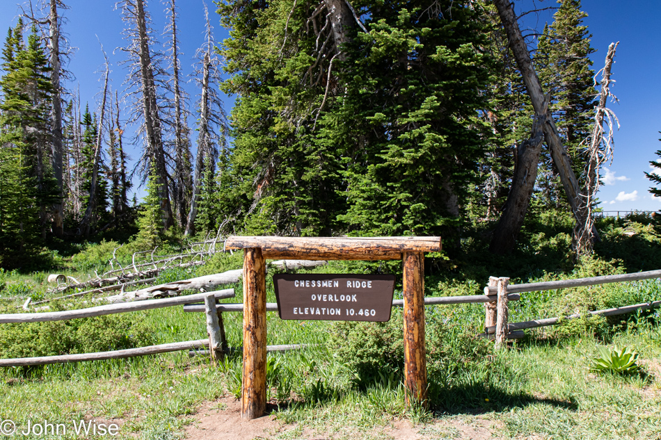
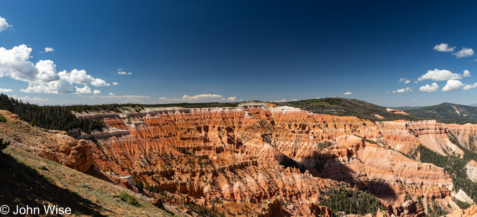
Just up the road is our next trail, and it starts at the Chessmen Ridge Overlook; we’ll check that out first.

Blam, Chessman Ridge.

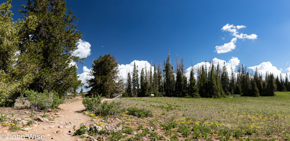
Straight ahead is the Pond Loop Trail. Oh, lucky day.

It was ten years ago that I first identified the common donkel (donkey-camel hybrid genetically engineered to walk on two legs) while on the island of Oahu; see proof right here. Since then, this specimen has proven to be incredibly valuable over and over again, though as she ages, her humps have been shrinking (front and back). The utility of my donkel cannot be underestimated as she continues the life support functions required to support me. All she requires on my part is a near-constant stream of hugs and for that, I’m offered water, snacks, sunscreen, and extended vision with the use of binoculars she seems to always have at the ready.

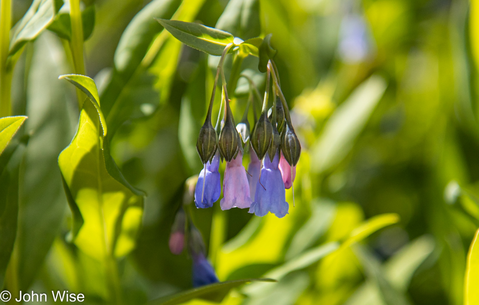
I thought pink and blue Spanish bluebells would have been on separate plants, but here’s nature proving me wrong, or is this just a trick of comingling plants and my inability to differentiate their cohabitation?

It’s spaces such as this that will have to suffice as being the parade route we’ll be missing this year, while the flowers will have to fill the gap of not seeing a fireworks show along the way.

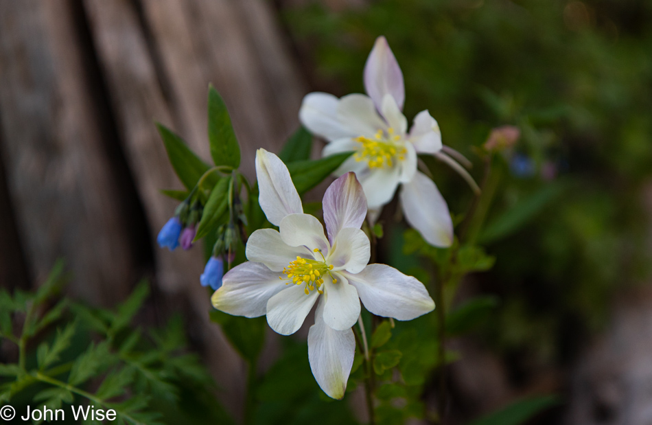
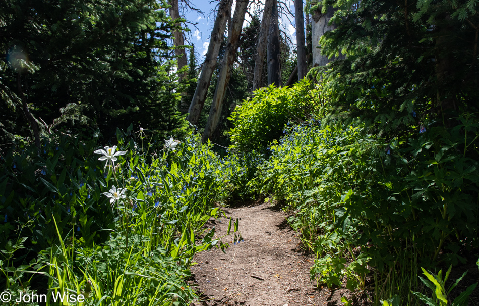
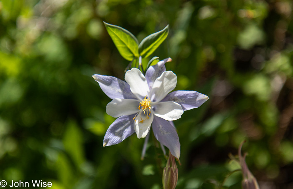
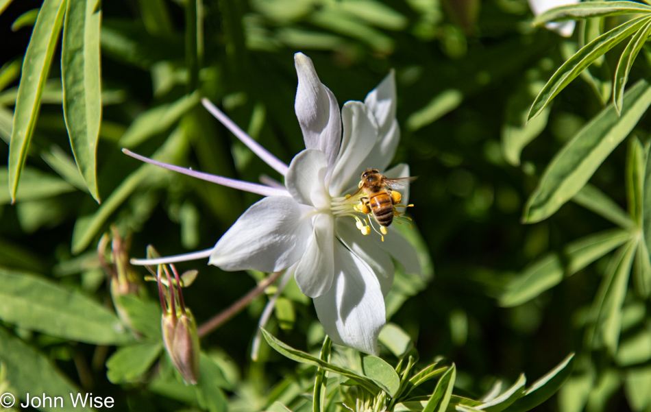
Heading up into Utah this long 4th of July weekend during early summer, I don’t know what we were expecting beyond the planned hiking trails, but running into these columbines are proving to be a nice surprise. I wonder if Alltrails has a search function that allows us to find the most spectacular displays of wildflowers as an attribute of trails across America?

If you are thinking I’m getting a bit redundant with similar shots, well, that’s just the way it is, as these reminders are here to bring us back to July 1st, 2022, when Caroline and I found ourselves walking along a canyon edge to a pond during a magnificent wildflower bloom. These were the days, huh, wife?

The columbines are everywhere, and while I probably took photos of dozens, I present just one more, as this post is about more than beautiful flowers.

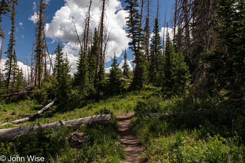
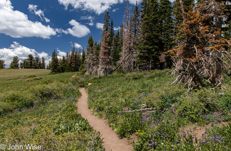
It’s also about forested paths under deep blue skies and fluffy little clouds.

Just out of sight was graffiti carved into a fallen tree that said, “Monet was here.”

What doesn’t mix with beauty are the idiots who feel the need to bring gadgets that play their music out loud so everyone within a couple of hundred feet has to listen to their insipid soundtrack that erases the wind, birds, frogs, insects, and any semblance of their consideration or intelligence. Then, there was the lunkhead who brought out his drone; even though everywhere you go in the parks today, people are told that they are in a “N0 Drone Zone.” People pay as much attention to that as those told that dogs are not allowed on the trail. Aside from those annoyances (quickly pushed out of mind for my well-being), we were again alone and enjoying the serenity of the place, undisturbed by the selfish abominations that went about their merry ways.

After a couple of miles, though our Fitbits said it was closer to three miles, we were aiming for the parking lot, where opened our ice chest and made some of these terrific lettuce-wrapped bologna-and-boiled-egg sandwiches.

Ms. Happy Nerd-Face has yet again been granted the privilege of representing another national monument after geeking out on answering all the questions there are to answer in order to be anointed a Junior Ranger. I’d imagine that by now, if she were to attempt wearing them all, she’d be stooped over like Quasimodo in the Hunchback of Notre Dame.

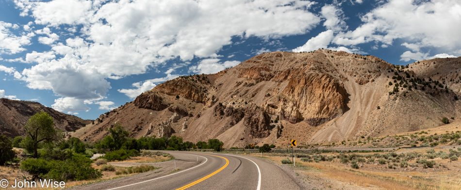
It was time to leave the park as we still have a long drive up Utah Highway 89 which parallels Interstate 15 but without the freeway stress and far enough away to feel like we are appropriately on vacation, not in heavy traffic and franchise ugliness.

A million thanks to everyone who opts for freeways, thus affording us nature freaks these moments when the entirety of nature within our purview is ours alone. I should point out that my grumbling about the numbskulls that intrude into our solemnity in some paragraphs/photos above is my own fault as we typically know better than being out in America on major holidays due to the dragging out the worst examples of rabble our country has to offer.

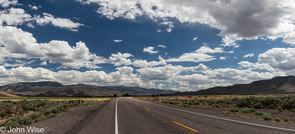
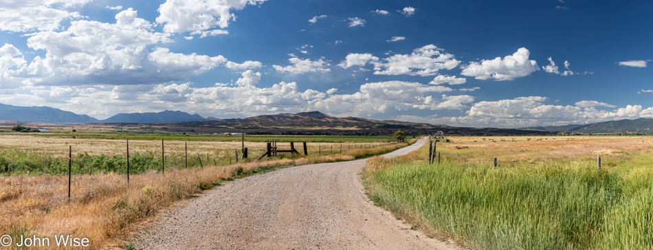
Just think about this: here we are under a blue sky where a dirt road slicing through grasslands running to a distant mountain offers us the opportunity to be among approximately twenty-three octovigintillion particles coursing through reality and where idiocy is kept at a distance, there is nothing else to do but enjoy the perfection of it all in peace and happiness.

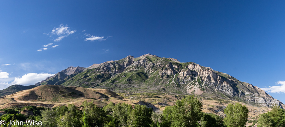
Here is the result of a lost 20 minutes where I searched for what mountain this is. I know it’s near Provo, Utah, but I can’t find it using an image search from Microsoft or Google. Streetview hasn’t come to my rescue, and now, frantic, I have to give up and return to writing. I’d wager a dollar that after Caroline gets hold of this acquiescing to failure there’ll be a note from her telling future us just where we were and what mountain peak we were looking at. [It is the “backside” of Mount Timpanogos – Caroline]

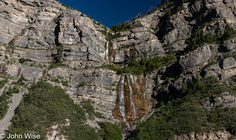
This is Bridal Veil Falls, which I have zero ambiguity about. Believe it or not, there were people crazy enough to cut over the thinnest trail on the scree slope visible on the left of this image in order to reach the foot of the falls. My knees buckled as I watched others carefully maneuver the razor’s edge.

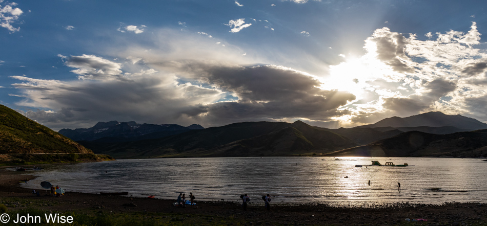
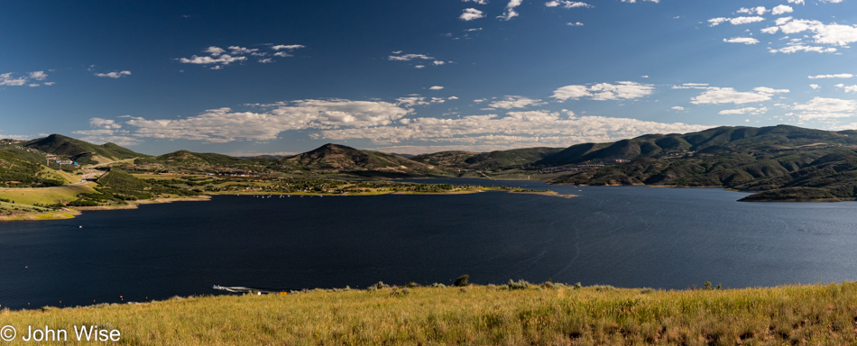
We are starting to run low on daylight as we start passing the Deer Creek Reservoir with this image having to stand in for the end of the day. We are already in the Wasatch Mountains, which is the main destination of this adventure, and are now only about 15 minutes away from Heber City, where we’ll be spending the next couple of nights at the Swiss Alps Inn.

Celebrating America – Trip 12

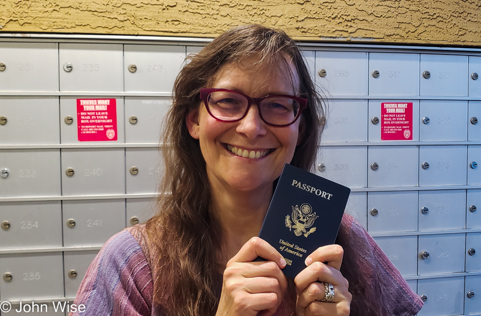
Caroline Wise with her new U.S. passport in Phoenix, Arizona

We are entering the long 4th-of-July weekend here in the United States, with Caroline having just received her first U.S. Passport as an American citizen. She actually opened it last night, but I decided that it should go here at the beginning of the 12th trip of 2022, during America’s celebration of Independence Day. When her workday is finished, and I’m done with preparations, we’ll be driving up to Fredonia, Arizona, tonight. Just two months ago, we were passing through this small Arizona border town on our way to Bryce Canyon National Park. Tomorrow’s path will take us further north to Heber City, Utah, which will be our base for hiking in the mountains. While seemingly everyone else is lamenting the economy, inflation, the price of gas, the state of the union, and the myriad of other nagging issues, we are filling our tank, ice chest, and bags full of gratitude that even in the “worst” of times, this is still one of the greatest places to be. Happy birthday, United States, and thanks for welcoming my German woman to the fold.

Summer monsoons in Arizona

The same procedure as every trip? Yep, the same procedure as every trip. Wait until the last four hours before we are supposed to leave, and I get busy with loose ends. I was certain I had plenty of time; most everything was already done, or so I thought. Pack clothes and toiletries, the ice chest, the crate with dry foods, silverware, and a couple of bowls. Take out the trash, wash any dishes that were used this morning or at lunch, remember that I needed to get ice that I forgot while I was over picking up prescriptions, vacuum, turn up the A/C, power down computers, unplug all plugs that don’t have to be plugged in, sweep the patio, and get everything into the car. I’m at Caroline’s office at 3:05, five minutes late, but that’s okay because she won’t get away until 3:30.

Summer monsoons in Arizona

This is our normal and that’s that. We are on the road and driving north. I called our lodging for the night in Fredonia, the Grand Canyon Motel as it’s known, though it’s a good distance from that landmark, and told the proprietor Chuck that we’d likely not show up until between 9:00 and 9:30. Google is showing us that we’ll arrive right in the middle of that.

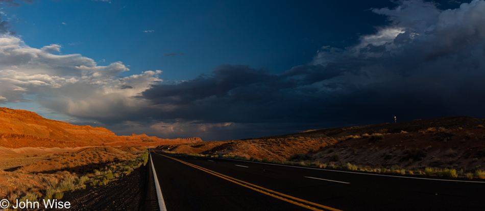
Sunset in Northern Arizona

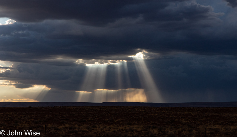
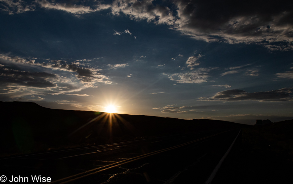
It’s that old blistering-hot temperature of summer as we left the valley, but up in the mountains of Flagstaff, it slips into the mid-60s, likely due to all the rain clouds in the vicinity. We only see a few drops, see a few flashes of lightning, and in a few minutes, we are on the other side of the city. Somewhere near Wupatki National Monument, we pulled over for dinner. Actually, we needed to pull over for photos of the god rays, and well, that was a great place to break into the ice chest and fish out the bologna, boiled egg, and lettuce in which we’ll be wrapping our sandwiches. A simple, fast, on-the-go dinner so we waste no time and simultaneously save money while dining in the greatest outdoor dining room of all time.

Sunset in Northern Arizona

We had to stop a few more times for dramatic skies as a travel-themed blog post without travel photos would be like a bologna/egg sandwich without mustard. As a hint of things to come, this photo was shot near Marble Canyon between the North and South Rims of the Grand Canyon, where we’ll be staying in mid-October when I’ll be sure to bring my 70-200mm lens for photographing those condors that live nearby.

Sunset in Northern Arizona

It was 9:15 when we pulled into a Family Dollar that was open, the only store open after 9:00 in this small outpost of Fredonia; we needed fresh ice for our provisions. Our goal on this trip is not to go out for meals; you see, I came off a 5-day fast on Monday and decided to dip right into a keto diet as I’m aiming to drop 20 pounds. By 9:25, we are checked in and heading to cabin 6, which includes a small kitchenette, for a miserly price of only $70. It’s now 10:00, and I’m skipping photo prep as I feel more pressed to jot down these few notes before we turn in. Come tomorrow, we have a 70-mile drive before jumping on our first trail, but more of that then.

The Fifth Element – 25th Anniversary Showing

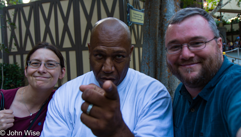
Caroline Wise, Tommy "Tiny" Lister, and John Wise at Disneyland in Anaheim, California

This afternoon Caroline and I went to the movies to watch the 25th-anniversary screening of The Fifth Element with Bruce Willis, Milla Jovovich, Gary Oldman, and Tiny Lister. Back in 2009, we were visiting Disneyland, and sitting on a wall waiting for his family to emerge from the same bathroom Caroline was in, was this guy, Tiny Lister. You may not know, it but he played President Lindberg in The Fifth Element. I knew it as though we’d watched the film a dozen years before, it was an iconic movie in our lives and much of the dialog and soundtrack got stuck in our heads.

So, did it hold up? Nearly 25 years later and we are still in love with The Fifth Element. Everything that bothered us back then still bothers us today but on the whole, it’s just a great film.